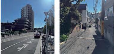
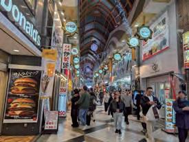
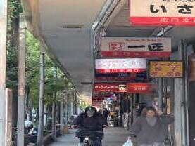
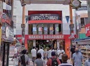
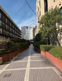
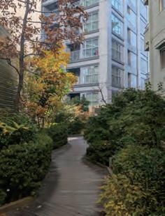
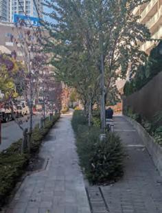
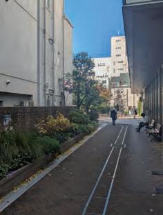
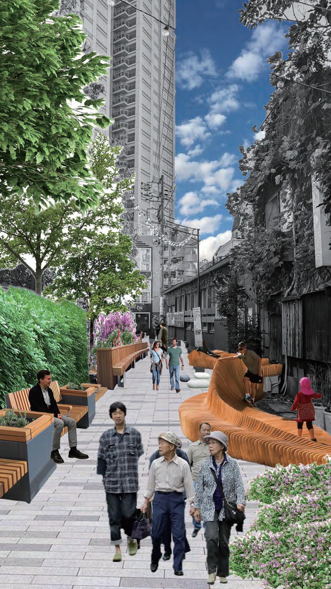
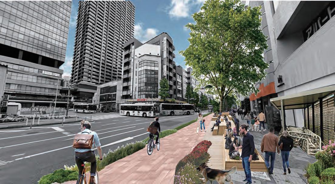
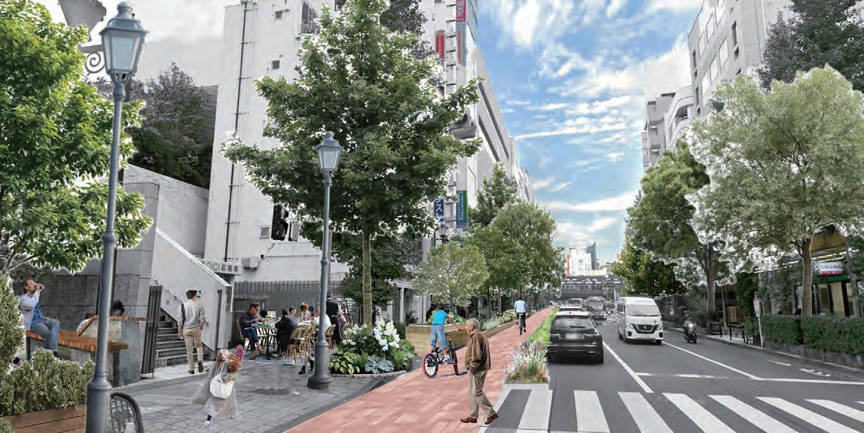
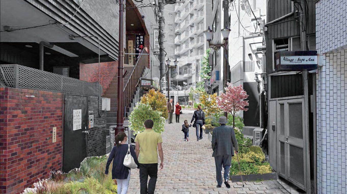
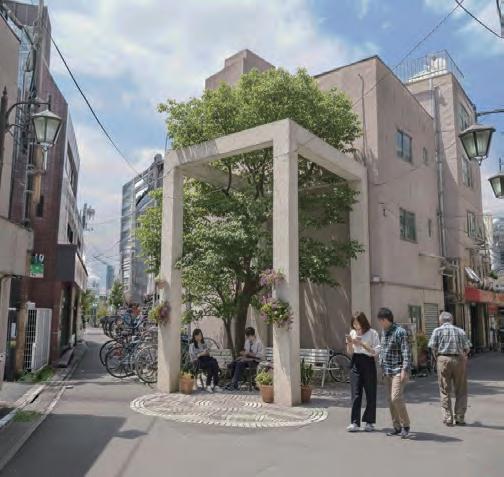
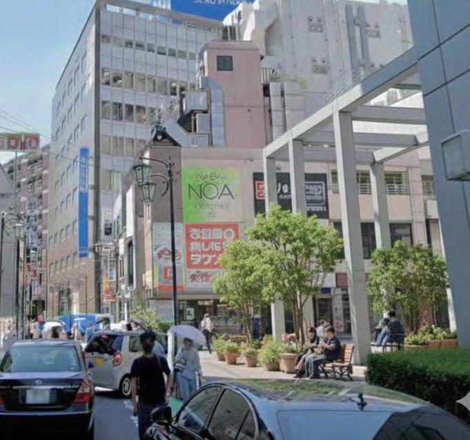
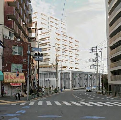
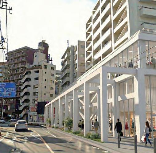
B ELO N GI NG IN NAKANO and R ECLAIMI NG A UTHENTICITY
UNSW/Waseda University International Workshop
INTRODUCTION
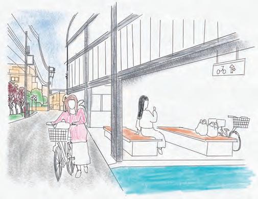
Group1: POCKETS WITH PURPOSE
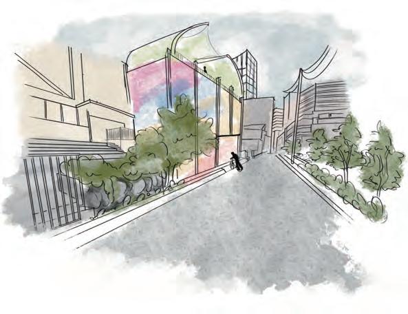
Group2: LIVING LANES
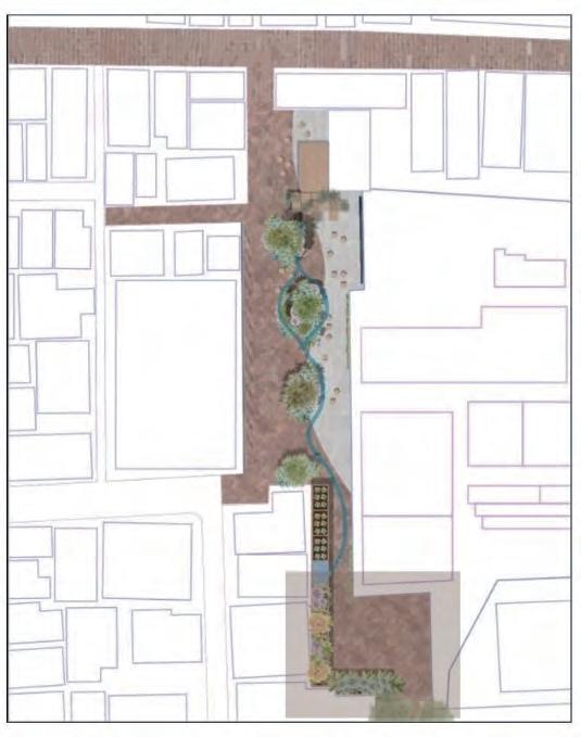
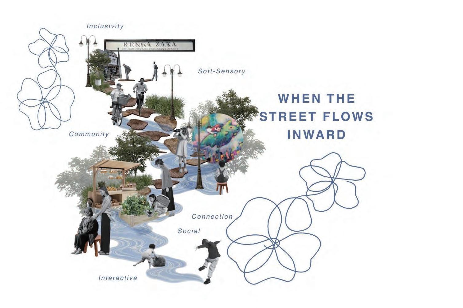
Group3: WHERE THE STREETS FLOW INWARDS
Group4: INTIMACY IN-BETWEEN
Group5: ARRIVING AT THE HEART OF NAKANO'S CULTURE
Group6: NAKANO SOFT NETWORK
Group7: SPACE TO PAUSE
Group8: REDESIGNING MOBILITY IN NAKANO
Group9: A SEQUENCE OF ATTRACTIONS
This page is intentionally left blank
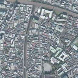
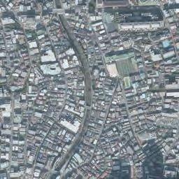
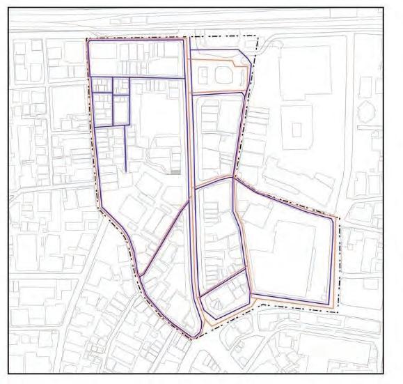
District Zoning
1. UNSW/WASEDA UNIV INTERNATIONAL WORKSHOP 2025
1. About Workshop
In this interdisciplinary design workshop, students will explore how the evolving urban fabric of Nakano reflects broader challenges facing Tokyo: loss of authenticity, fragmented walkability, erosion of place-based identity, and the pressures of a super-aged society. Students are to engage with the site critically and imaginatively to propose small- to medium-scale design interventions that restore, reinterpret, or reinvent "authenticity" through architecture, interior spaces, and landscape strategies.
Workshop Goal
Propose a spatial intervention—architectural, interior, public space or landscape—that addresses the erosion of place identity in Nakano. Your project should reframe everyday spaces to foster a renewed sense of authenticity.
Workshop Objectives
• Investigate Tokyo’s unique building and street typologies through Nakano's dense urban grain.
• Document and analyse the built and natural environment that create place identity and authenticity.
* Propose alternative spatial interventions that promote value of the place by translating observation. (strategies include, but not limited to walkability, social inclusivity, and intergenerational interaction).
Workshop Schedule
Course Schedule
11/26 (Wed) : Individual Field Work @Nakano Station Area
11/27 (Thu) : Visiting Research Institute @Mori Building
11/28 (Fri) : First Impression Presentation @Waseda Univ Innovation Lab
12/8 (Mon) : Final Presentation @Nakano City Hall 1F Nakanoba
2. 2025 Workshop Theme
Layers of Living: Reclaiming Authenticity and Belonging in Nakano
Themes for investigation
1. "Thresholds of Transformation"
Explore the spatial tension between old and new urban layers. How can transitions—from narrow alleys to new towers, or from public to private—be designed to preserve local character while embracing change?
2. "Walkability and Micro-Mobility"
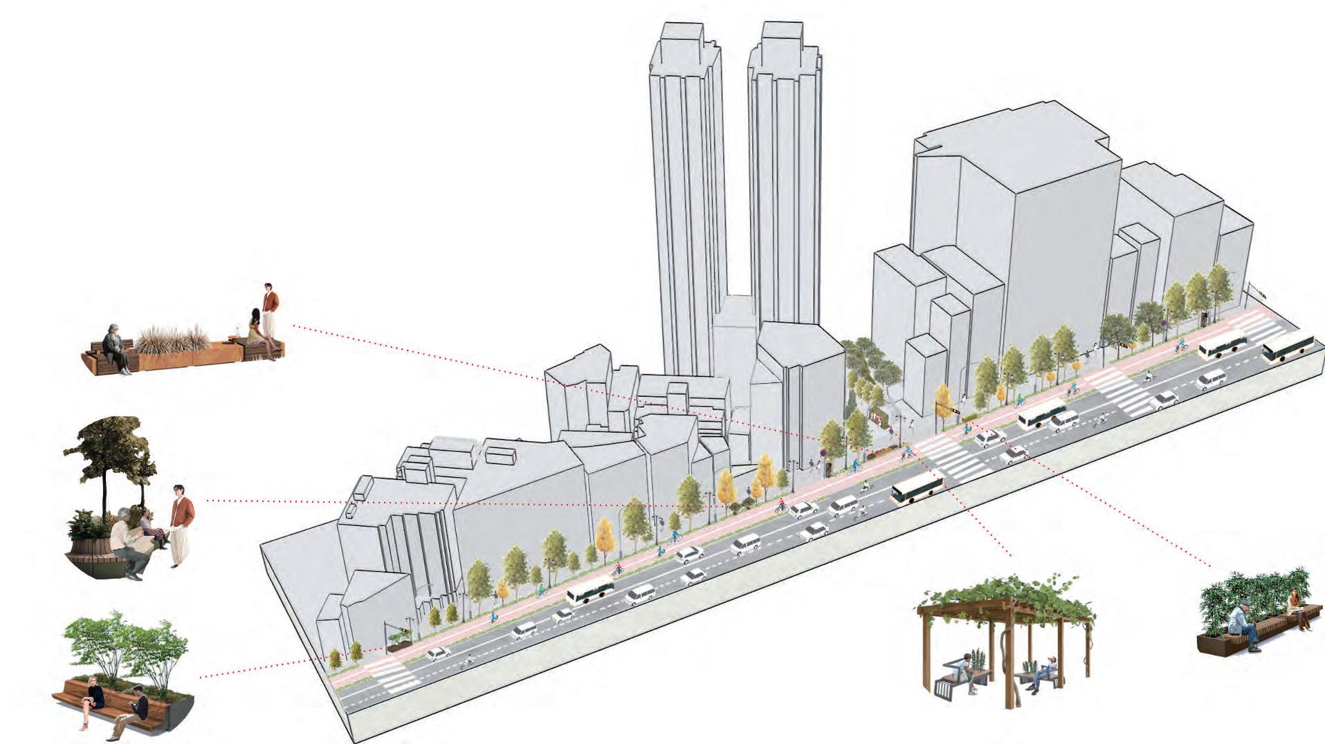
Analyze pedestrian flow, barriers, and dead spaces in the zone south of Nakano Station. Propose interventions (e.g., covered walkways, micro-plazas, interstitial landscapes) to enhance walkability, especially for the elderly and families.
3. "Ageing in Place"
Design age-friendly public or semi-public spaces that support mobility, rest, and intergenerational engagement. Think about benches, entrances, lighting, and small social nodes along everyday paths.
4. "Urban Voids as Commons"
Identify residual or underused spaces near rail infrastructure, back alleys, or between buildings. Reimagine them as shared amenities (e.g., edible gardens, open kitchens, co-working porches) to support inclusive community life.
5. "Typological Reuse and Reinterpretation"
Catalogue and reinterpret hybrid Tokyo typologies (e.g., shop-house, bathhouse, apartment-over-arcade). How can these be adapted to contemporary needs while retaining spatial and cultural identity?
6. "Station Front as Living Room"
Reframe the station plaza and its surroundings not as circulation infrastructure but as a civic “interior” — a social and sensory threshold to the neighbourhood. Introduce design elements that slow movement, invite staying, and foster recognition.
7. "The Edge Condition: Back-of-House Urbanism"
Study the service alleys, back streets, loading zones, and infrastructure around commercial blocks. How can these overlooked edges be transformed into active, safe, and beautiful urban experiences?
8. "Temporal Urbanism"
Examine time-based uses in the area: day/night cycles, delivery rhythms, elderly vs. youth occupancy. Propose adaptable or seasonal installations that respond to shifting temporal patterns.
9. "Memory, Materiality, and Sense of Place"
Use textures, signs, and spatial fragments from demolished buildings or fading businesses to craft material strategies that evoke memory and ground new developments in place.
Design thresholds between interiors and streets—stoops, pocket terraces, open facades—that invite interaction while respecting privacy and comfort.
2. SITE OVERVIEW
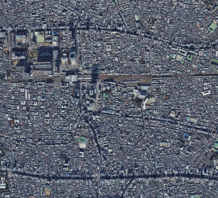
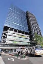
The area around Nakano Station is located in the western part of Tokyo’s 23 wards and is close to major urban centers such as Shinjuku, Shibuya, and Ikebukuro, offering excellent access to the metropolitan core. Situated along the Chūō Line, which connects central Tokyo with the suburbs in a radial pattern, Nakano has developed as an important residential and commercial hub on the outer fringe of the city center.
Nakano
Shibuya
Ikebukuro Shinjuku
Nakano Station
South Gate
Target Site
North Gate
Koenji, Kichijoji
Shinjuku
3. HISTORY
Army Base (~1945)
/ GSI Maps |
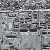
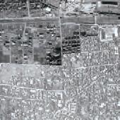
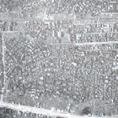
North Nakano used to be a secret army base during World War II and was a place to store equipment and materials. Residential area was spread around South Nakano.
Post War (1947~)
After World War II, the land of the previous army base was turned into the Police Academy and the eastern part of the site was occupied by Nakano Sunplaza. In
New Development (2025~)
South Nakano, there used to be JKK Nakano Housing, a housing complex built by the Tokyo Metropolitan Housing Supply Corporation.
North Nakano underwent a huge change due to new development and transformed into an assembly of public facilities including Nakano Central Park. JKK
Nakano Housing was demolished and Nakano Southstella, an office tower was newly built instead.
Nakano Station
Nakano Sun Plaza
JKK Nakano Housing
Police Academy
Nakano Station
Army Base
Nakano Station
Nakano South-Stella
Nakano Central Park
Meiji University
Metropolitan Police Hospital
4. TRANSPORTATION NETWORK
1. Train Network
Uni
LEGEND
Yamanote Line
山手線
Chuo Line
中央線
Sobu Line
総武線
Tozai Line
東西線
Map」,
Railway and subway route map」
Tokyo Station
Station
Nakano Station
Shinjuku Station
Ikebukuro Station
Akihabara Station
Shinagawa
Shibuya Station
Waseda
2. Bus Network
Kanto Bus
Keio Bus
5. DISTRICT ZONING
Nakano Station Zone
A hub connecting the four surrounding zones of Nakano City, centered on the station building, the former Ward Office and Sunplaza sites.
Nakano 2-Chome Zone
Nakano 3-Chome Zone
This south-side area serves as a core for daily life and community, aiming for a balanced mix of offices, commerce, housing, culture, and public facilities around the improved transportation system. This zone is an area where cultural facilities and commerce coexist with a calm residential environment. The new West Exit will link this residential area in the south with the park area in the north.
Nakano 4-Chome Zone
Characterized by advanced urban functions and greenery, this area includes the redevelopment of the Ward Office, concentrating offices, universities, parks, and a walkable urban place on the north side of Nakano Station.
Nakano 5-Chome Zone
This area has Nakano Broadway and shopping arcade which serve as a unique characteristic of Nakano. While maintaining its commercial functions, it is expected to improve the residential districts behind.
6. LAND USE
LEGEND
Residential Area
住宅系用地
Commercial Area
商業系用地
Public Area
公共系用地
Open Space
Parking Lots
駐車場
Unused Land
低未利用地
7. OPEN SPACE
Nogata 1-chome Park
野方一丁目公園
Koenji Kitaichi Green Park
高円寺北一みどり公園
Arai East Park 新井東公園
Arai South Park
新井南公園
Nakano shikinomori Park
中野四季の森公園
Kakoi-machi Plaza
Takahara Park たかはら公園
囲町ひろば
LEGEND
Neighbourhood Park
近隣公園
Block Park
街区公園
Greenway
緑道
Koenji East Park 高円寺東公園
Kakoi Momozono Park 囲桃園公園
Kodakara Park 子宝公園
Shozo Park
昭三公園
Uchikoshi Park
打越公園
Kamitakada 2-chome Park 上高田二丁目公園
Violet Park すみれ公園
Hydrangea Park あじさい公園 Tenjin Small Park 天神小公園 Tenjin Park 天神公園
Momozono River Greenway 桃園川緑道
Ginkgo Park いちょう公園
Maple Hill Park 紅葉山公園
Shiroyama Park 城山公園
Yato Sports Park
谷戸運動公園
Central Park 中央公園 Hashiba Park 橋場公園
Korisu Park こりす公園
Sanshi-no-Mori Park 蚕糸の森公園
Central West Park 中央西公園
Natsume Park なつめ公園
Kamimachi Park 上町公園
Namachi Park 仲町公園
Oiwake Park 追分公園
Introduction
8. TOPOGRAPHY
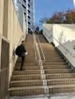
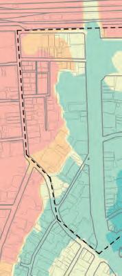
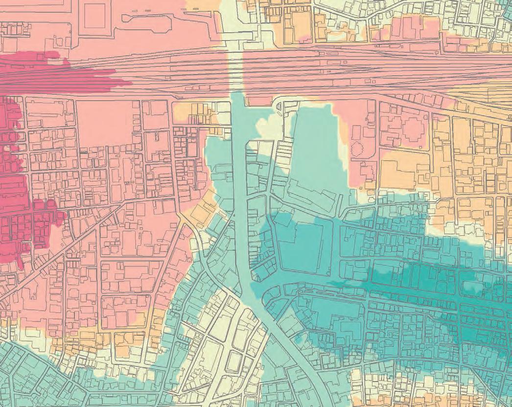
The area around Nakano Station's south exit has an elevation difference of up to 10 meters toward the Momozono River Greenway.
Elevation Difference
LEGEND
Momozonogawa greenway
9. ROAD WIDTH
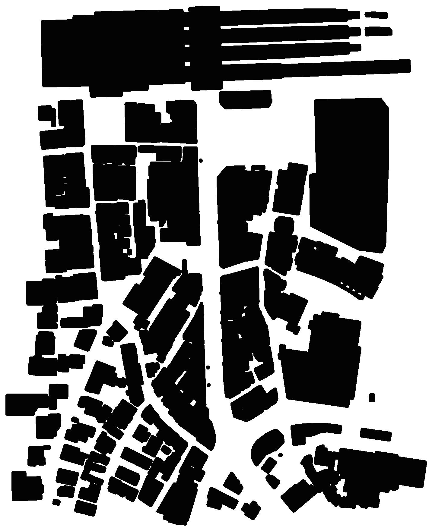
In the southern area of Nakano Station, the road network is designed with Nakano Street and Okubo Street serving as the primary routes for vehicular traffic.
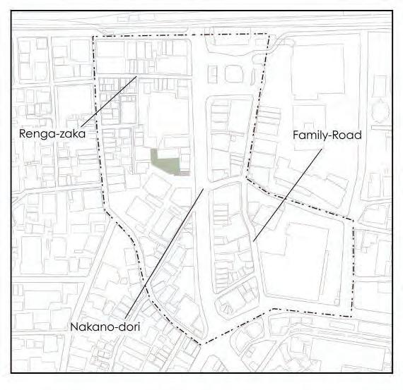
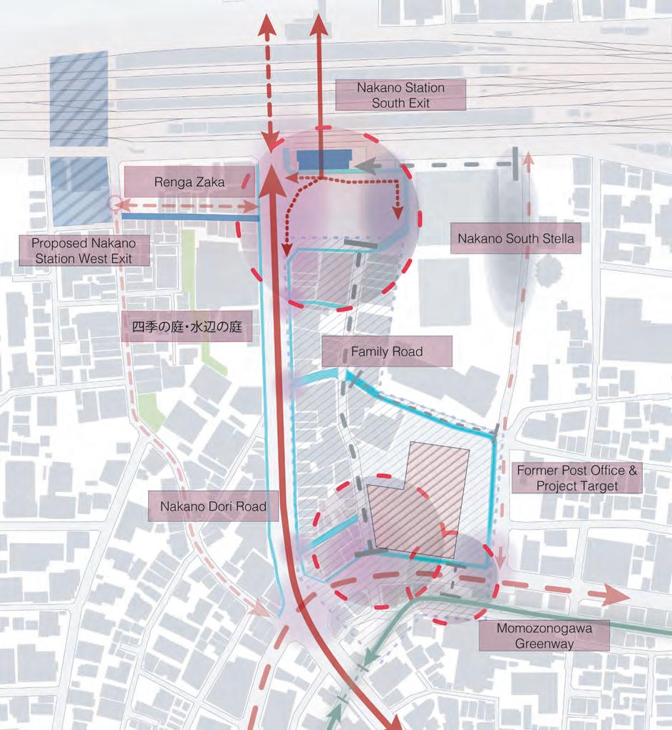
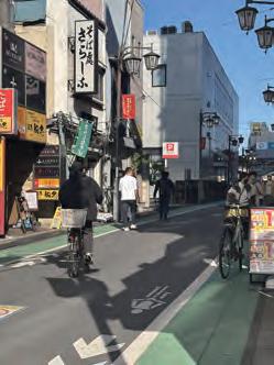
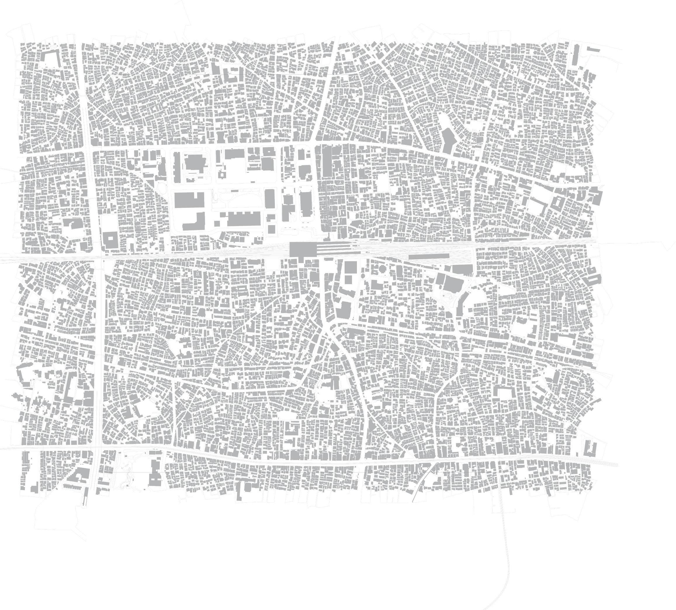
The Nakano Rengazaka area has relatively narrow streets and functions as a pedestrian-oriented district. Family Road, Nakano Street, Senkomae Street, and Okubo Street are the main pedestrian routes. Although most streets are narrow, many vehicles pass very close to pedestrians.
Nakano Rengazaka
Nakano
10. BUILDING USE
LEGEND
Residential Single-Family
Residential Multi-Family
11. DISTRICT CHARACTER
1. Shopping Street
Following the opening of the Kōbu Railway (the present-day JR Chūō Line), development centered on the north exit of Nakano Station led to the formation of the Nakano Sun Mall Shopping District, Nakano Broadway, and Nakano Sunplaza. This transformed Nakano into an area where diverse industries, including cultural ones, clustered.
Nakano Broadway
Nakano Ekimae Street Nakano Rengazaka Street
Nakano Sunmall
Nakano Sunmall
Nakano Ekimae Street
Nakano Rengazaka Street
Nakano Station
Nakano Broadway
2. Recent Development
The area around Nakano Broadway remains a focal point as a “subculture mecca,” maintaining its vibrant atmosphere as a retro shopping district. Meanwhile, multiple development projects are underway in the surrounding area, including the south exit of Nakano Station, aiming to further concentrate urban functions and enhance accessibility.
(In front of the south exit
Station) :Urban redevelopment project
:Land readjustment project
:Street Improvement Project
Nakano South-Stella
of Nakano
LEGEND
3. Integrated Urban Development
From 2001, development progressed on the former police academy site to create “Nakano Shiki-nomachi”. This area introduced diverse urban functions beyond commerce, including administration, healthcare, culture, and education, advancing integrated urban development through public-private partnerships.
Waseda University Dorm Tokyo Metropolitan Police Hospital
Meiji University
Teikyo Heisei University
Nakano Central Park Buildings
Nakano Ward O ce
Nakano Shiki-no-mori Park
Nakano Ward Office
4. South Redevelopment
To develop a major mixed-use urban district that enhances intermodal connectivity, walkability, and vibrancy, a redevelopment project was undertaken on the former public housing site in the Nakano Station South Exit area. In 2024, “Nakano South Terrace,” a mixed-use complex with office functions, opened in District A.
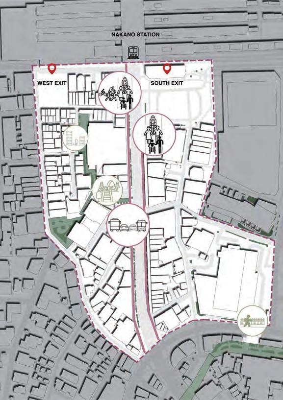
District B has been designated as a “Street-DesignGuided District” to promote advanced land use, create a continuous flow of activity extending from the station, and foster the development of an attractive shopping street. A new exit is also planned on the west side, and construction is currently in progress.
LEGEND
Nakano Station
Terrace
New West exit (WIP)
SOUTH BUS TERMINAL (WIP)
FAMILY ROAD
WEST EXIT
RENGAZAKA
MOMOZONO STREET
SOUTH EXIT
Members:
POCKETS WITH PURPOSE
Shu Kawamata
Ozora Aoki
Zaky A Muhammad
Helen Larkin
1. SITE ANALYSIS
1. Site Context
Green Space Topography
Building Use
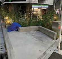
The area arround the site lacks sufficient green space. Although there is a playground, there is limited space for local residents and visitors to gather. In contrast, the northern area near the station features a large-scale park developed as part of an urban redevelopment project, providing ample space to accommodate a large number of people.
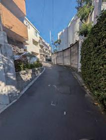
There is a significant change in elevation across the area, dropping from 42 meters above sea level in the northwest to approximately 30 meters in the southeast. The site itself sits on the steepest part of this terrain. Notably, Momozono Street on the western side has an elevation difference of 8 meters.
The central main road and Momozono Street to the west are characterized by a mix of diverse building functions. In contrast, the street to the east is lined with large-scale buildings that generally serve single functions.
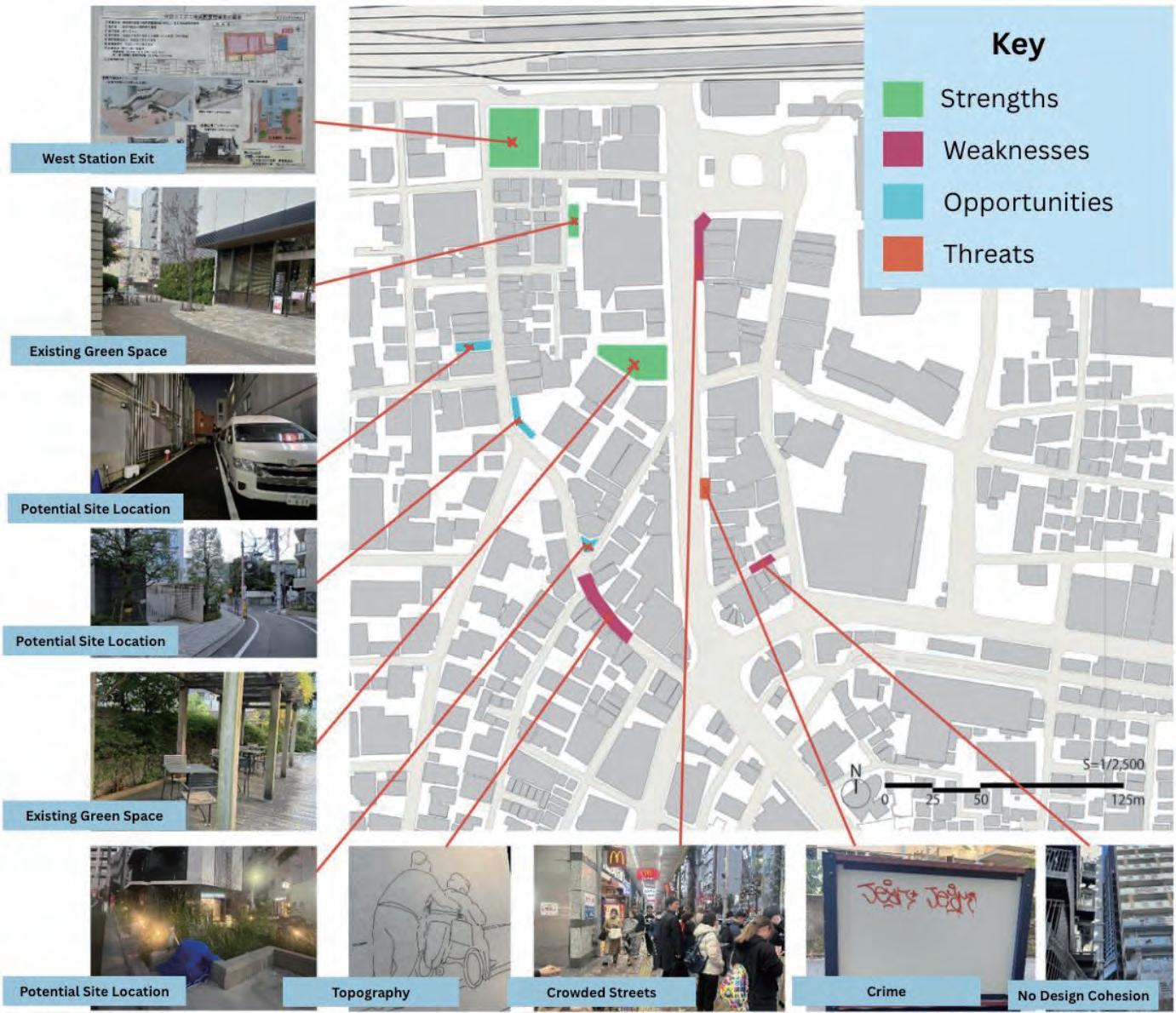
2. SWOT Analysis
Strengths
The area has several positive features. These include the new station entrance, shared public spaces within a large department store, and resting areas equipped with tables under pergolas.
Weaknesses
However, there are significant issues with traffic and accessibility. The main road through the center of the area is heavily congested, particularly around the station's bus rotary. Additionally, the southern section of Momozono Street on the west side has a steep gradient, making it difficult for wheelchair users to move independently.
Opportunities
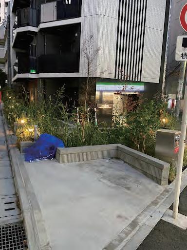
There is high potential for utilizing underused spaces. Specifically, the parking lot of the dance school, as well as the vacant spaces and garbage collection areas on the ground floor of apartment buildings, could be repurposed effectively.
Threats
A major concern is public safety. Visible signs of poor maintenance and public disorder can be found in scattered locations throughout the area.
2. VISION
1. Concept
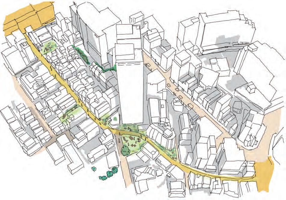
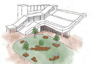
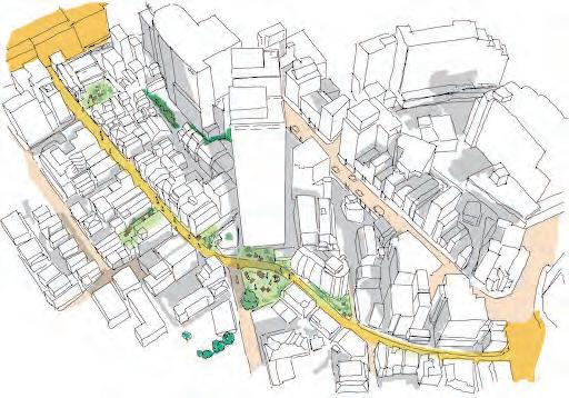
Our proposal aims to create a vibrant pathway where people of all generations and backgrounds can connect. As pedestrians descend from the new South Exit, through Momozono Street, toward the major intersection, they are encouraged to rest and take part in activities in “Pocket Parks”. This experience is designed to foster a strong sense of belonging to the area and build a sustainable community.
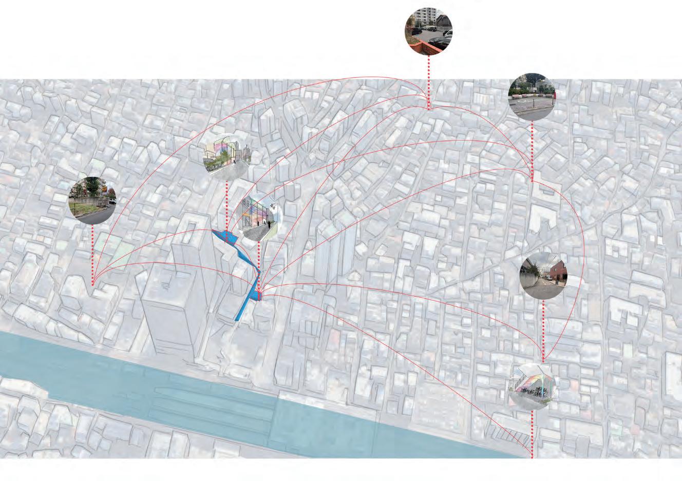
Furthermore, we envision a future where the activities generated on Momozono Street do not stop there. We aim for these interactions to ripple outward and extend into surrounding “Pocket Spaces”, eventually forming a broader, resilient community network across the entire district.
SUSTAINABLE COMMUNITY
3. MODULE
1. Modular System
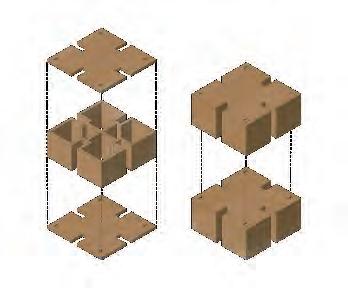
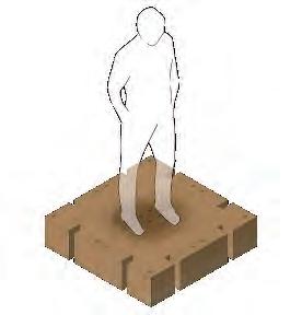
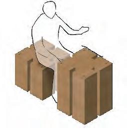
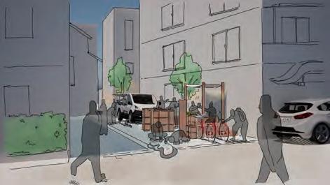
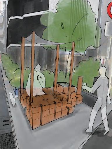
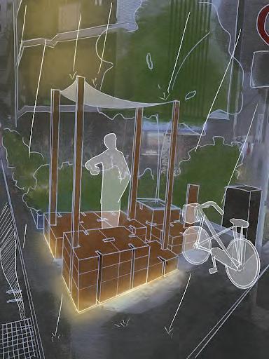
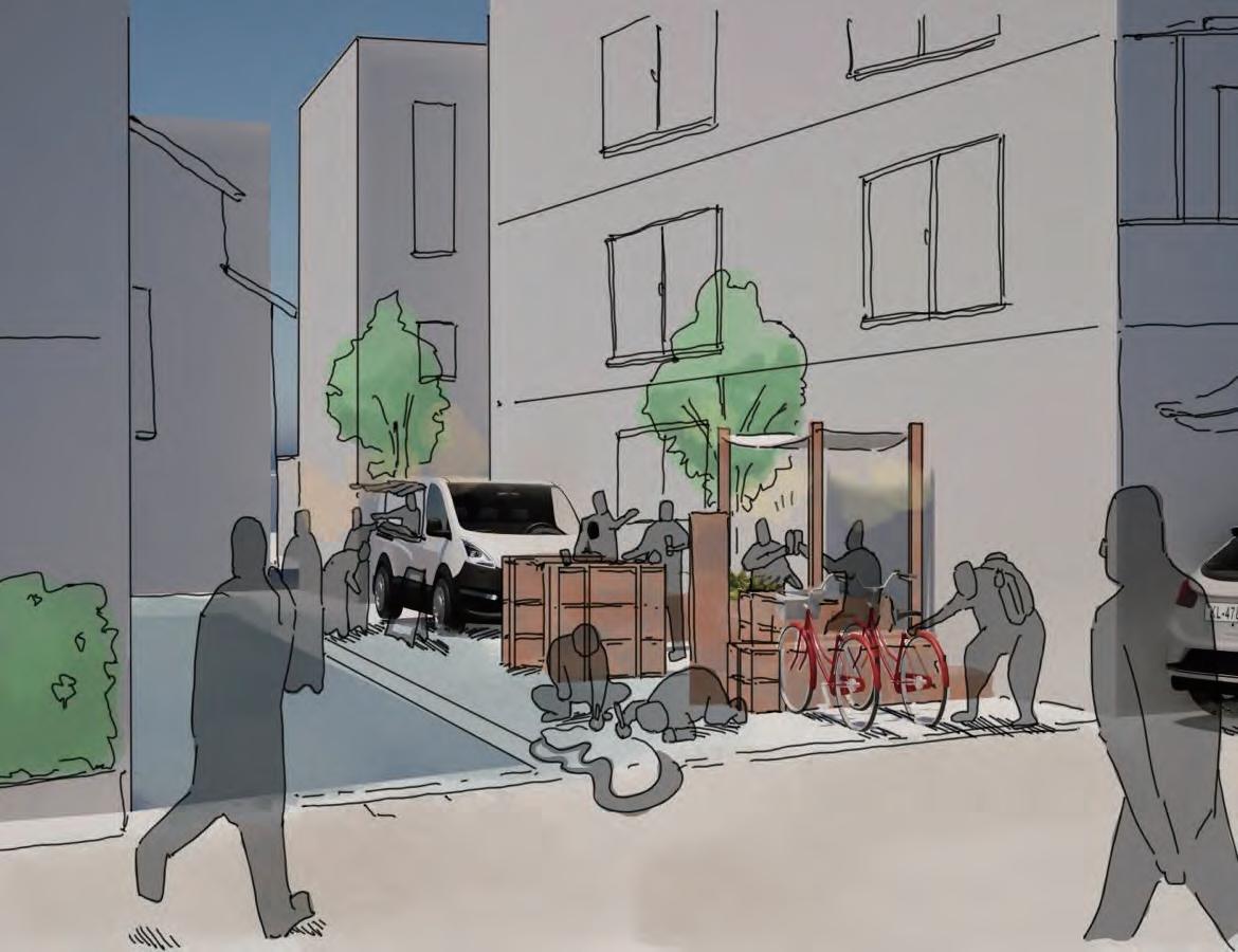
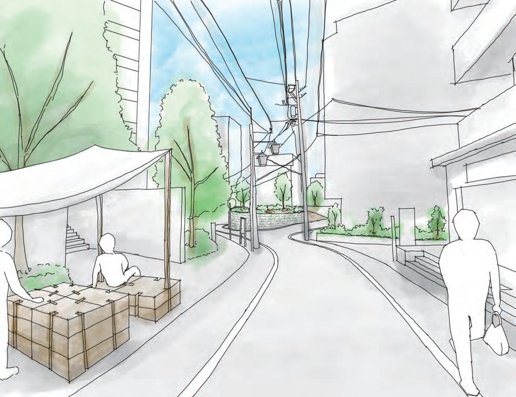
We propose a module measuring 500mm × 500mm × 250mm. This design considers ease of fitting into multiple existing pocket spaces and portability. For instance, when a chair is needed, stack two modules. Similarly, stacking three modules creates a simple desk. People can reconfigure modules available on-site as needed to form their ideal space.
2. Versatile Uses
1. Stacking and Attaching
<Stage>
Modules can be connected side by side to form a stage. They can be used for dance, speeches, and other performances.
2. Parking
<Sign>
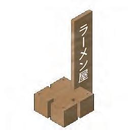
The recesses on each side of the module allow signs and other items to be inserted, making them useful for events and similar occasions.
<Parking>
<Sit and Rest>
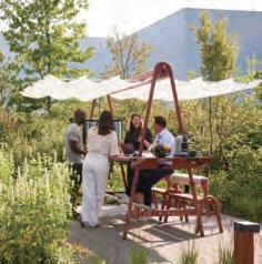
Stacking two modules creates a chair, while stacking three forms a desk. You can create the necessary combination and orientation of furniture using the modules available on-site.
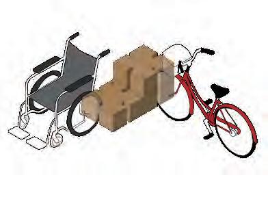
The recesses along each edge of the modules can accommodate bicycles and wheelchairs for parking. The steep slope of Momozono Street is a physically demanding place for the elderly and those using wheelchairs. This space allows them to take a temporary break and interact. Furthermore, in the station area where bicycle parking space is scarce, this space to temporarily leave bicycles is invaluable.
3. Roof
<Solution for Rain and Sunshine>
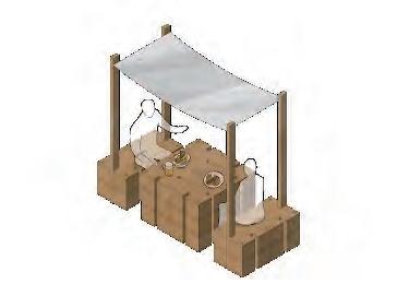
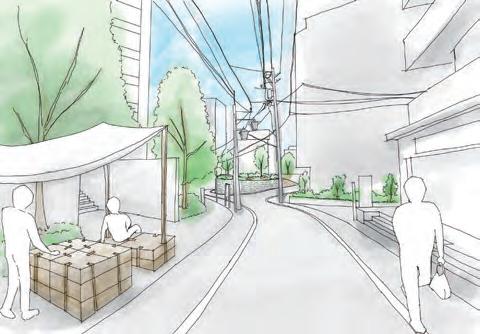
To enable use of the pocket space even during inclement weather or periods of intense sunlight, the design incorporates a simple roof extension. Wooden boards are inserted into recesses along each side of the module, and a tarp or similar sheet is draped over them to form the roof. The tarp can be folded away, preventing it from taking up storage space. Installation is also straightforward, making it feasible for women and children to set up.
4. PROPOSAL
2. Station Plaza Proposal
Current Design
Site Location
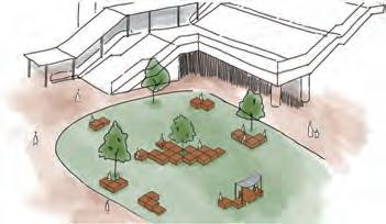
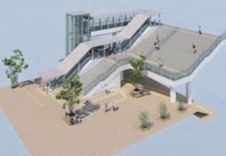
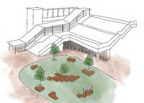
The current plan for the new South Exit of Nakano Station features a fully paved surface with no designated space for people to rest. To address this, we propose using our modules to assemble tables or use them as pillars to support roofs, creating simple pergolas. This intervention transforms the station plaza from a mere transit point into a vibrant destination where commuters and local residents can linger and connect.
3. Dance Studio
Current Situation
Site Location
Daytime Use
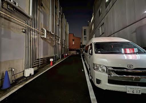
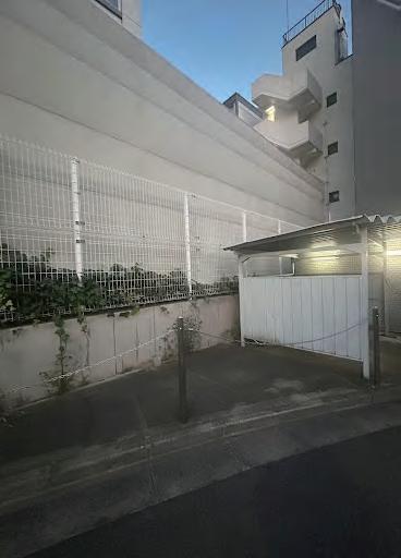
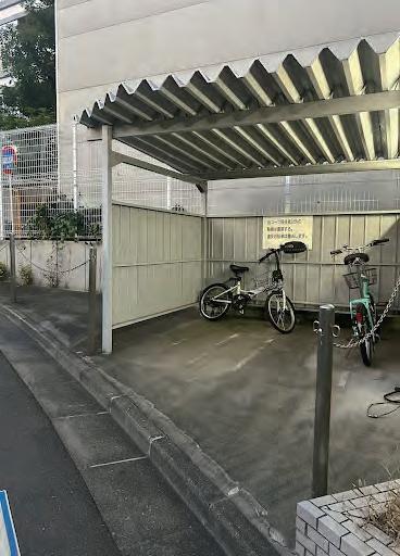
The adjacent parking lot currently serves only one function: parking. However, its usage varies significantly depending on the time of day. Therefore, we propose flexible use of the space using adaptable modules that respond to these time-specific needs.
During the day, when the parking lot is vacant, we invite food trucks and arrange the modules as pergolas and tables. This creates a lively spot for dining and resting.
Evening Use
Nighttime Use
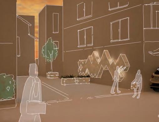
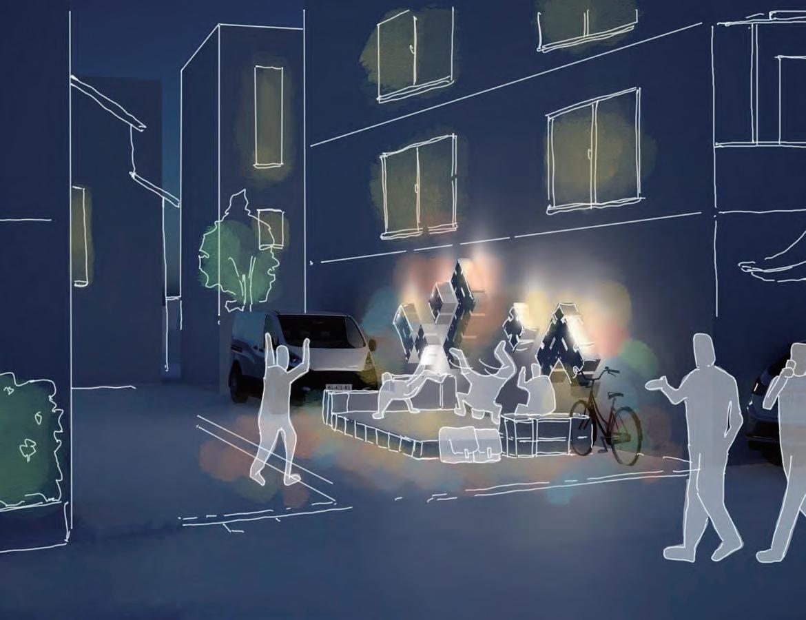
In the evening, when studio users need to park their cars, the modules are disassembled and hung on the wall, displayed like pieces of modern wall art. At night, parts of the wall-mounted modules are taken down and reconfigured into a stage. This allows dancers to continue practicing after lessons. It also encourages passersby to join in, creating a shared excitement and energy in the street.
4. Three-Way Intersection
Site Location
This area is a three-way intersection formed by complex city blocks and significant elevation changes. Within this unique topography, we identified diverse "Pocket Spaces" and proposed specific interventions for each.
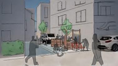
The first site is an open space on the ground floor of an apartment building. Since this spot is located at the steepest part of the slope, a resting space is essential—not only for wheelchair users and elderly people, but also for all pedestrians. Here, we deploy modules as benches and tables to create an inclusive resting area for everyone.
Current Situation
Current Situation
Site Location
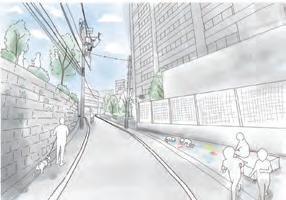
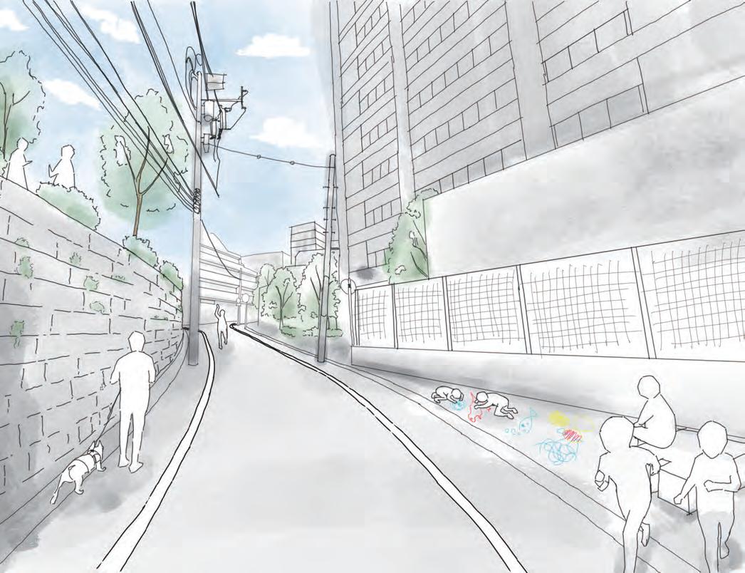
Further down the slope, a triangular void exists where a building is set at an angle to the street. By placing modules here as benches, we create a safer environment. Adults can sit and watch over children drawing with chalk on the ground, ensuring safety through community supervision.
Site Location
<On Sunny Days>
People who bought food at the convenience store or finished their checkup at the clinic come here for meals or breaks.
<On Rainy Days>
Thanks to the roof, people can use this space in any weather. It also functions as a temporary shelter from the rain. The lights integrated into the module provide clear visibility of the footpath even in dim conditions.
Current Situation
5. CIRCULATION
<Modular Circulation>
Through these spatial proposals, the modules help create new connections between people. For instance, people visiting nearby shops can meet one another through activities around the modules, forming relationships that did not exist before. Also, the process of making and repairing the modules allows people of different generations who use Momozono Street to interact with each other.
Members:
Soshi Shibata
Rin Kajikawa
Amy Guan
Rachel Messiha
1. SITE ANALYSIS
1. Site context plan
SITE CONTEXT PLAN 敷地コンテキスト計画
As the south side of Nakano undergoes rapid change due to new developments, including a 43-meter-high commercial building and the demolition of the post office, pedestrian traffic, bicycle use, and noise are expected to increase.
SITE CONTEXT PLAN
LEGEND Residential Area
Commercial Area
Area
Open Space
Parking Lots
Unused Land
2. Road Analysis
SITE ANALYSIS サイト分析
During the day, the lanes are mainly used by cars and delivery trucks, creating heavy traffic around the intersection. In the evening, we saw an increase in pedestrian and bicycle activity with commuters travelling home.
Road Width
12m -10m - 12m 8m - 10m6m - 8m4m - 6m
Main Day Movement
Main Night Movement
Car BikePedestrian
Car BikePedestrian
1. SITE ANALYSIS
3. Bicycle Analysis
SITE ANALYSIS
Additionally, we mapped existing bicycle parking areas to understand why bicycles overflow onto the footpaths. The interaction points show that Nakano’s South laneways already act as informal social spaces, but these activities occur in narrow, bike-cluttered corridors that reduce comfort and safety.
Interaction Points
STRENGTHS
•South Nakano features traditional elements through building facades and materiality
•There are small spaces and interesting shops in the tight laneways
•It serves as a key transportation hub, with convenient access to Shinjuku, Shibuya, and central Tokyo.
WEAKNESSES
•Laneways are tight and di cult to manoeuvre
•Excess bicycles are left unattended on streets
•Lack of green and open spaces
•Walking routes feel fragmented and disconnected
SW OT
OPPORTUNITIES
•Many small laneways can be transformed into public space and accessible walkways
•Maintain traditional composition of the urban fabric
•Many null spaces where the addition of green space could be introduced
•Foster community connection through shared amenities
THREATS
•New proposed commercial building will increase pedestrian and vehicle tra c
•The addition of communal spaces may increase the noise pollution within residential zones
2. VISION
1. Vision
In conjunction with the Nakano City general plan, our vision aims to generate a new vitality of Nakano’s South side through strategic movement, creative exposure and an atmosphere that fosters human interaction. We wish to attract people to the local businesses along Family Road and away from the highly residential area near the proposed commercial building to reduce noise.
2. Principle
VISION ビジョン
Living Lanes revitalises Nakano’s south side by freeing its narrow laneways from bike overflow and reactivating them as walkable, culturally expressive spaces. Additional bike parking near the station improves safety and restores pedestrian flow, while a curated route of embedded artworks showcases local craft and identity.
Preserving authenticity, accessibility, and community connections.
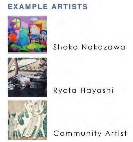
Local artists
Materiality
Additional bicycle parking Footpath distinction
Living Lanes revitalises Nakano’s South Side by freeing its narrow laneways from bike overflow and reactivating them as walkable, culturally expressive spaces. Additional bike parking near the station improves safety and restores pedestrian flow, while a curated route of embedded artworks showcases local craft and identity.
Preserving authenticity, accessibility, and commuity connections.
3. OVERALL PLAN
The site currently lacks the spatial infrastructure to support this transition. Two main issues were identified: a shortage of bicycle parking, which causes bicycles to overflow into the streets, and a lack of visibility and cultural presence within the laneway network. The following area plan showcases the location of key elements in our design.
2.Section
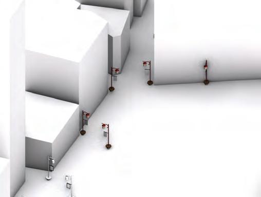
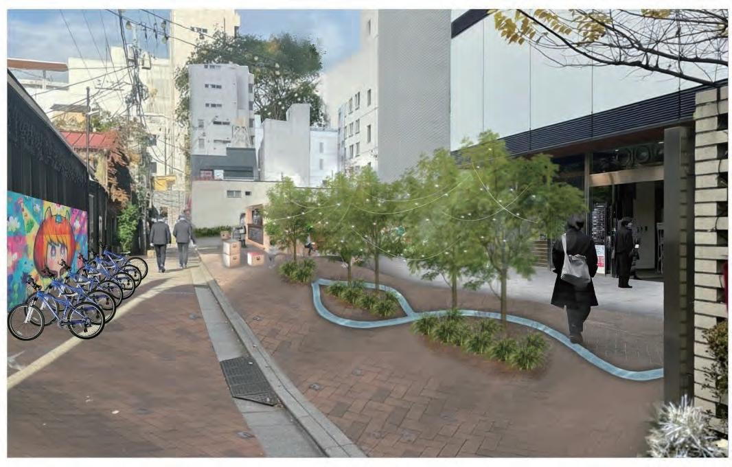
As shown in this section, by placing a community park at the entrance, this influences the journey into Family Road while encouraging people on bicycles to pause and park before going further. Bicycle parking is positioned within 100 metres of the South Exit for commuter convenience, while new street lamp designs embed local identity through artworks created by Nakano’s artists.
Upgraded Street Lamps: Artistry integrated with the urban fabric.
As one ascends the slope, the tradition naturally comes into view.
Entrance Greenery: Encourages the use of the Family Road.
The street lights being placed at equal intervals creates a sense of uniformity along the road.
Paths Converge: Fostering interactions
4. PROPOSAL
1. Family Road
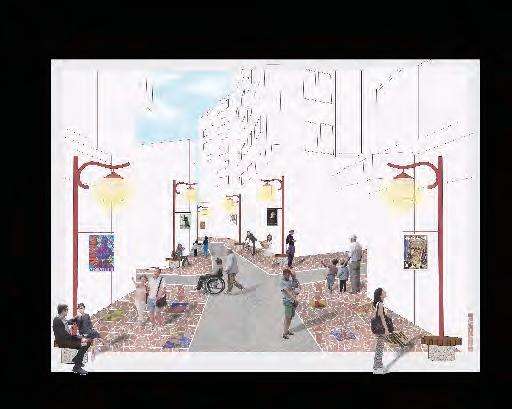
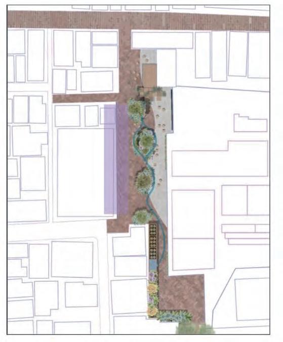
A series of artwork displays along a designated route serves as moments of encounter that reflect Nakano’s character. Situated along Family Road, pedestrians are guided along a journey of discovery into Nakano’s serene streets, revealing its unique character. The intervention will celebrate local artists, support the local economy, and foster community growth.
2. Paved Street
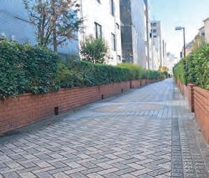
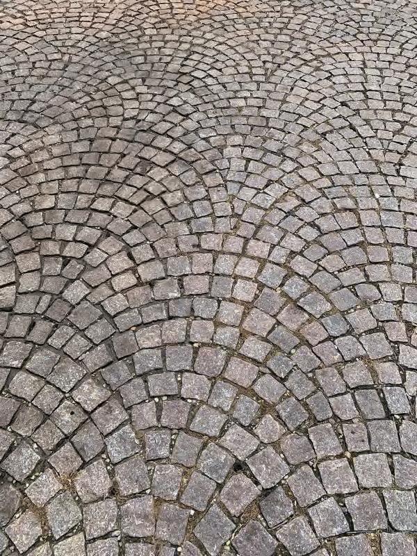
As a part of revitalising Nakano’s identity, we would like to invite Nakano’s local artists to add their own artworks to the sidewalk as a way to bring the community together and celebrate local talent. We are proposing to continue the existing stone pavement across the entire walkway to achieve a polished result.
4. PROPOSAL
3. Pocket Park
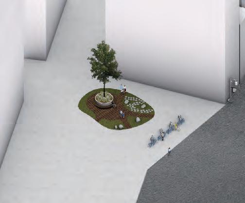
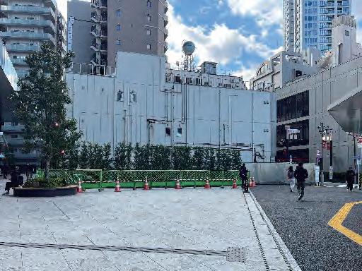
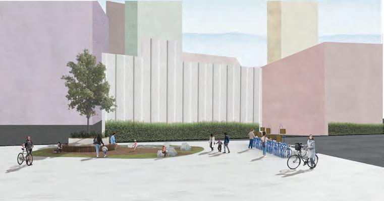
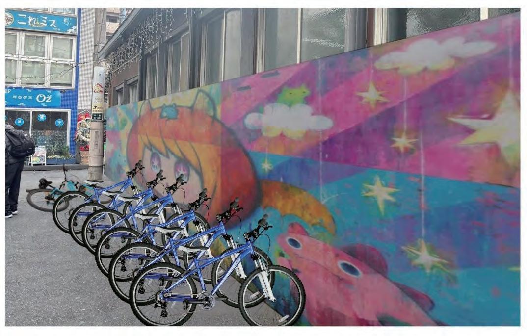
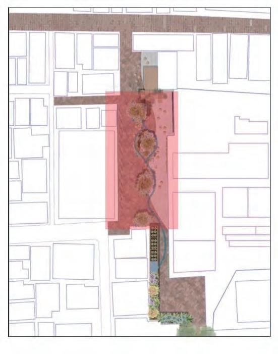
The new design uses the spacious area by adding a community park at the same location as the existing tree and seating element. The park includes timber pathways with playful stepping stones. Along with the park are additional bicycle spaces to minimise bicycle overflow in the lanes. The community park acts as a space for pause and interaction to foster a sense of connection, as aligned with the Nakano City General Plan vision of “Spurring Connections and Beginnings”.
Japanese Photographer - Seiichi Motohashi Dark stained Hinoki wood Granite Stainless steelBlue powder coat
boxes
4. Bicycle Racks
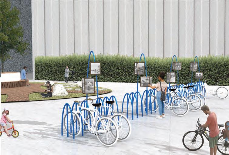
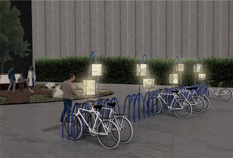
The bicycle racks feature interactive rotating light boxes that display the works of Seiichi Motohashi, a Nakano-born photographer who documented ordinary people all across Japan. This emotive artform invites visitors to pause and reflect on his perspective.
AFTER 後
AFTER 後
This page is intentionally left blank
Members:
WHERE THE STREETS FLOWS INWARDS
1. Site analysis
2. Proposed site
3. Design Proposal
Kate Tran
Linette Apango
Mayu Suzuki
Rikuto Shiota
1. SITE ANALYSIS
1. Green Space
We found that South Nakano has very little greenery and almost no open space for the community. Because of this, people have fewer places to enjoy nature or spend time outside.
2. After school activities
1. SITE ANALYSIS
3. Circulation
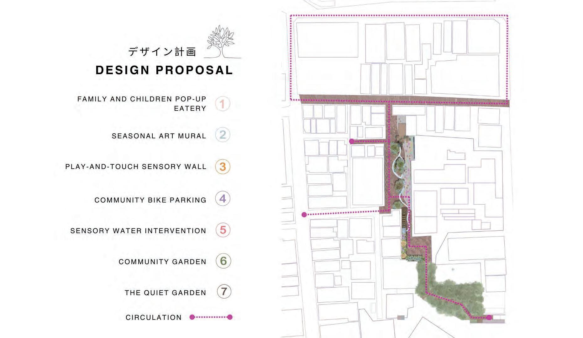
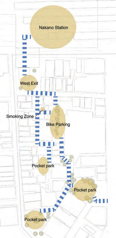
We are drawn to the lively pedestrian flow of Renga Zaka and the quiet atmosphere of the hidden garden. By linking these spaces, we hope to create a place that encourages varied interactions and sensory moments for the community.
4. Artificial lighting
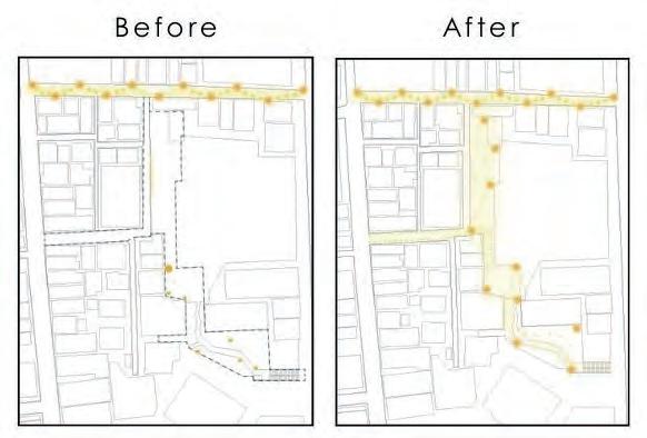
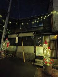
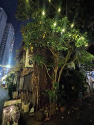
Renga Zaka has beautiful fairy lights and warm lamps. But near the garden, the area becomes very dark and quiet at night. Some shelters have no lighting, and we observed people struggling to see. We want to add gentle lighting to make the area safer and functional while still keeping some parts soft and intimate.
2. PROPOSED SITE
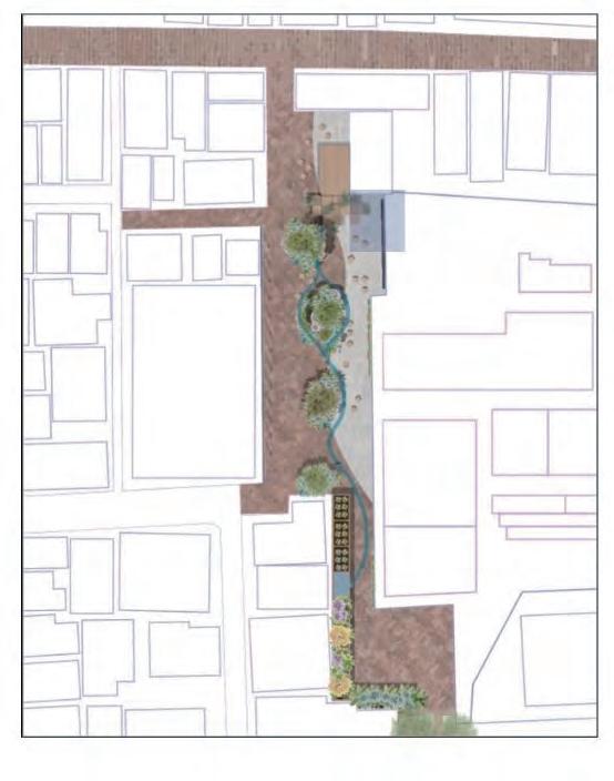
Thus, we chose this site because it is located between the busy Renga Zaka and the quiet hidden garden, giving us a unique opportunity to create a smoother, more engaging connection that brings these two very different spaces into dialogue.
3. DESIGN PROPOSAL
The
Overall View
3. DESIGN PROPOSAL
The Overall View
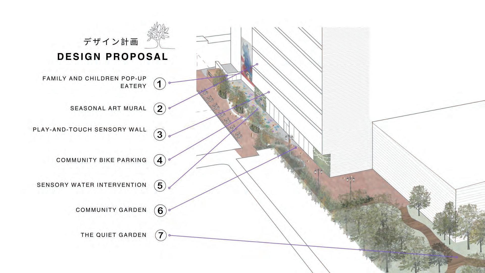
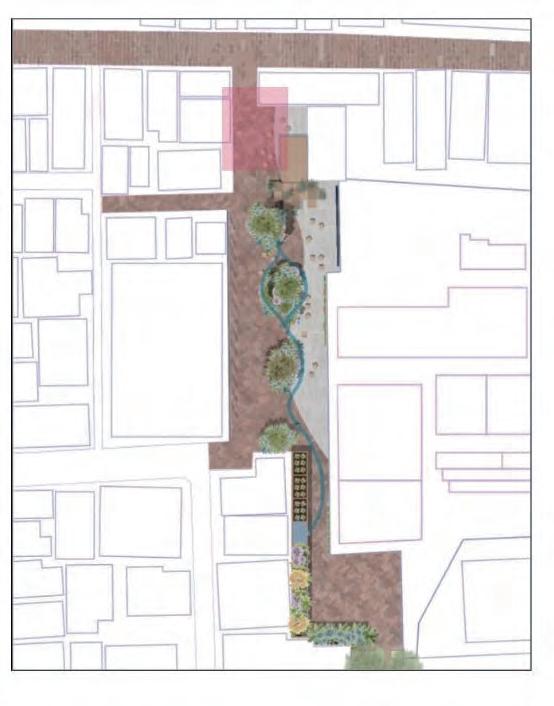
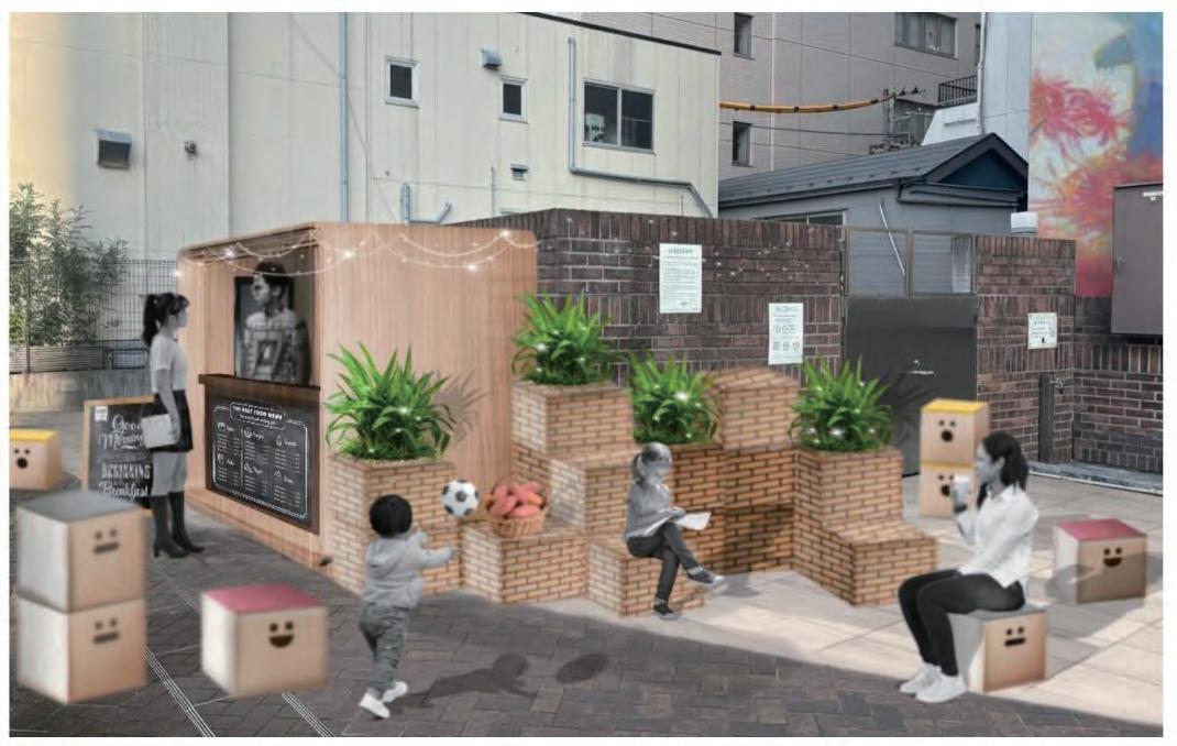
1. Family Eatery
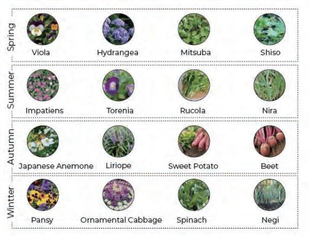
A community-friendly children’s pop-up eatery would use seasonal produce from the community garden to create an affordable and welcoming destination for all ages.
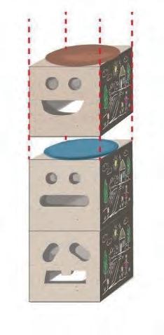
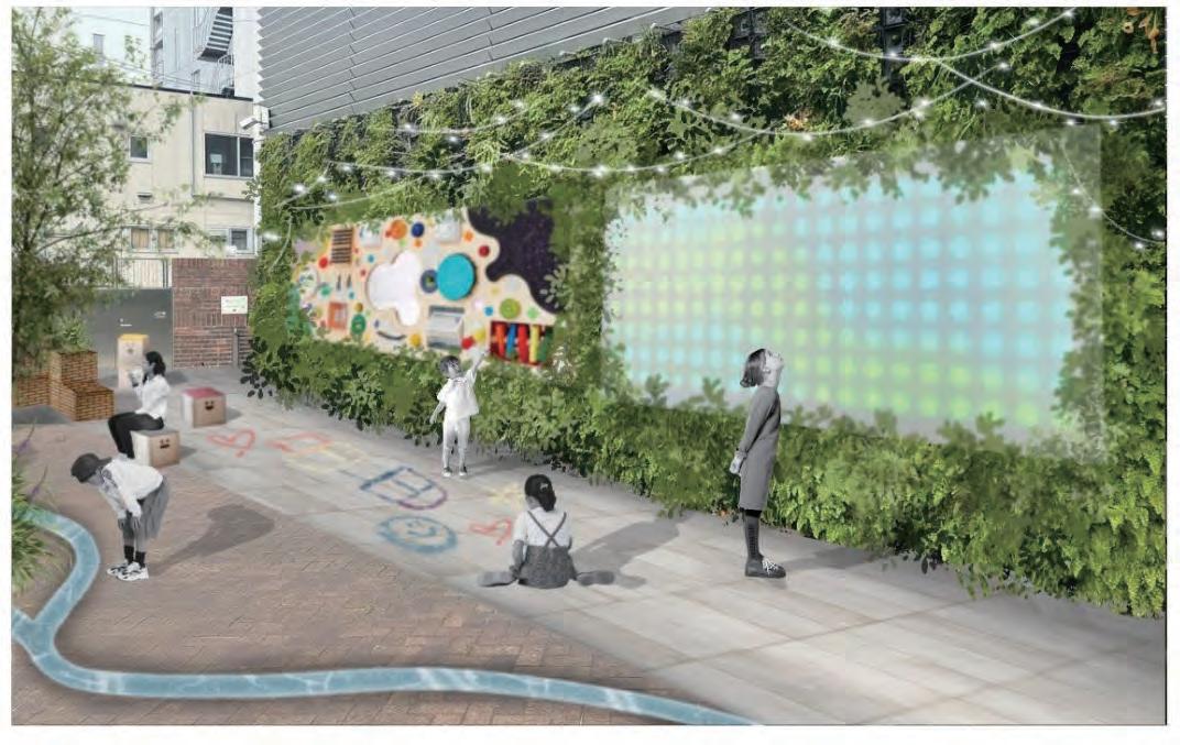
Movable Box Seating
Can be lifted, moved, stacked, and drawn on, making the space playful, functional, and flexible.
3. DESIGN PROPOSAL
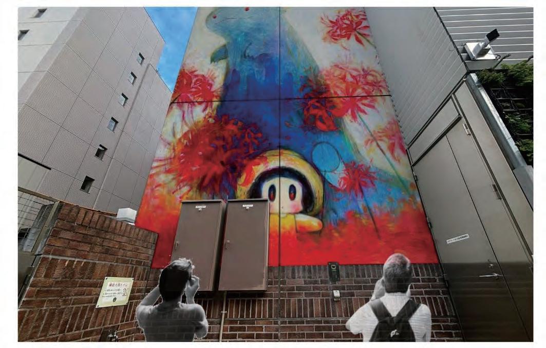
2. Seasonal Art Mural
Art mural wall to support local artists and small creators. The artwork changes each season, the space evolves with new colour, stories, and creative voices.
3. Play-And-Touch
A fidget-based play wall that provides children with visual and tactile activities that support motor skills and sensory development.
3. DESIGN PROPOSAL
4. Community Bike Parking
A new locally designed mural wall would then be placed on the facing centre wall as optional privacy for residents, acting as a visual anchor that leads visitors from the Renga Zaka, the local shopping mall and entrance.
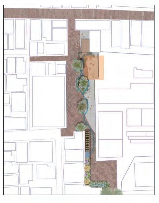
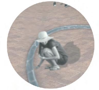
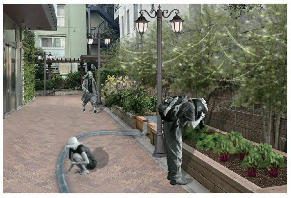
5. Sensory Water Intervention
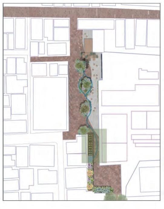
A lit-up water intervention extends from the distant green path into the central social zone. Some sections are open for children to touch and play while other parts remain enclosed for safety and continuity.
3. DESIGN PROPOSAL
6. Community Garden
Many of these plants are already familiar to local children through school meals, making the garden an easy and welcoming part of their daily life.
7.
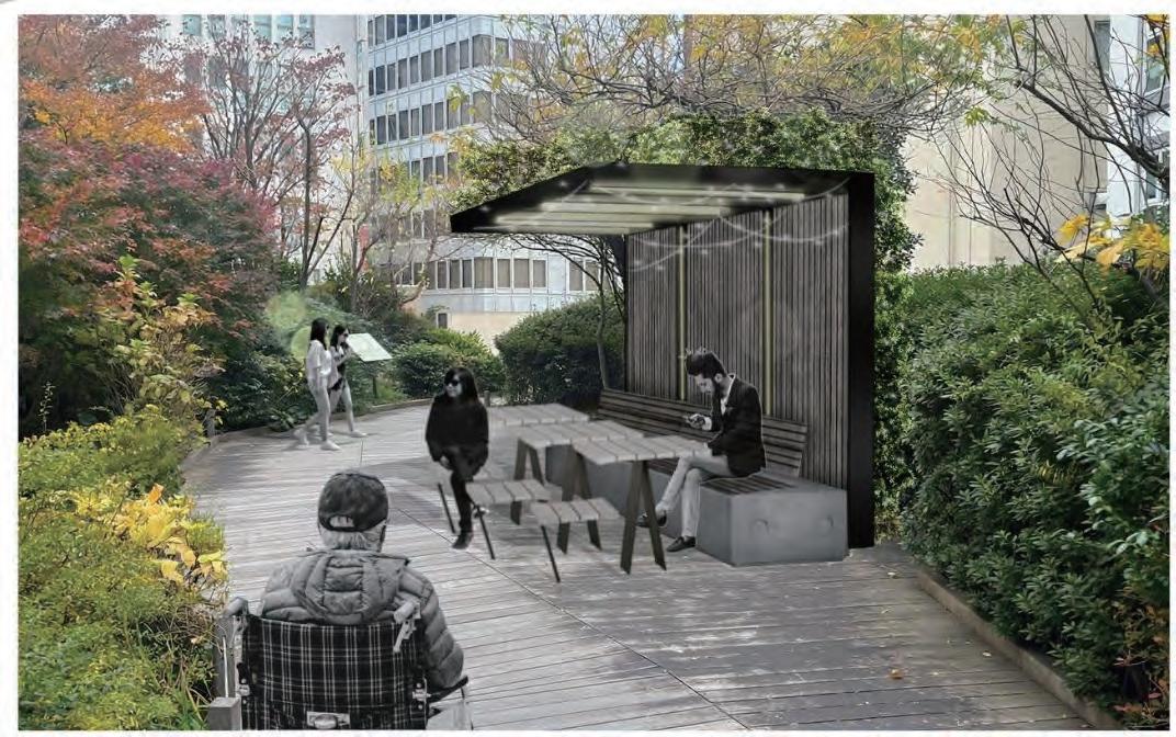
Our only proposed change is to add a solid shelter for more comfortable use and to increase functional lighting, maintaining its intimate character.
Quiet Garden Walk
3. DESIGN PROPOSAL
8. Conclusion
These interventions can transform this site into a meaningful landmark for South Nakano, offering a space that the residential community can use, gather in and truly call their own.
Ayu Nishimori
Kentaro Tachi
Abbigail Jauw
Jessica Bae
1. SITE ANALYSIS
Strength
・Renga Zaka and izakaya culture.
・ Adjacency to the south station and future west station exits.
Circulation
・ Shared vehicular paths on the chosen transportation;a transitional site pedestrian paths within.
・ Many users switching between different modes of transportation; a transitional site
Bike Parking
・Lack of official bike parking areas closer to the station
・ Many illegal bike parking areas that are still utilised by many
Renga Zaka
2. SITE CHARACTER
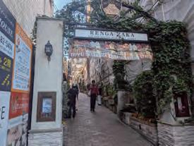
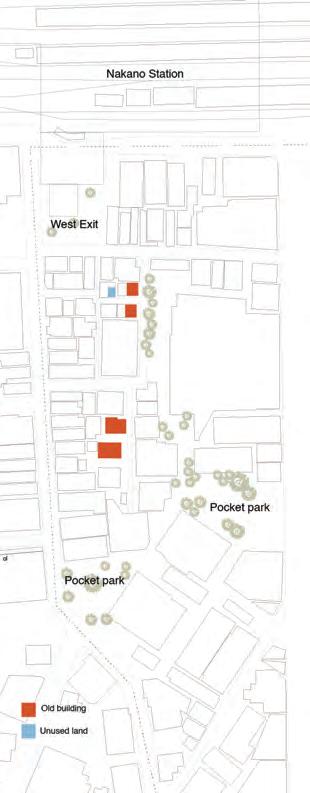
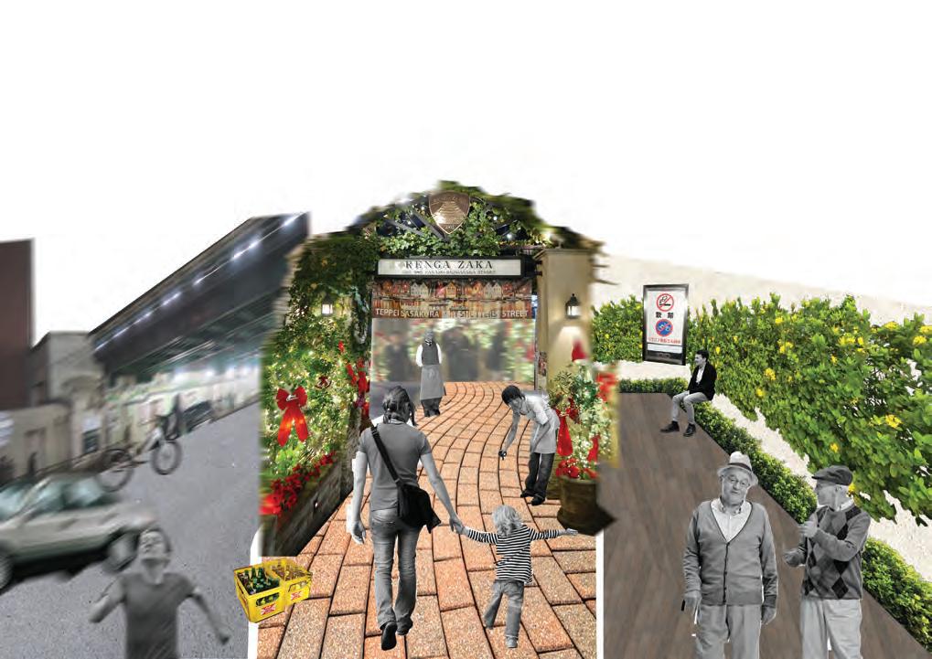
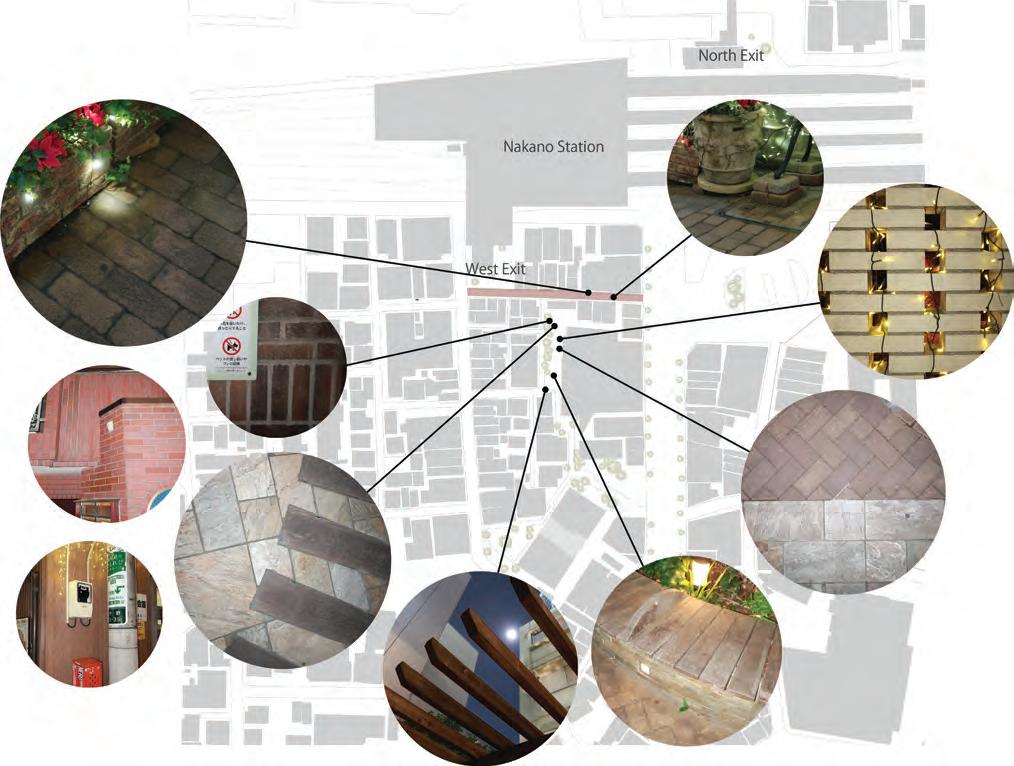
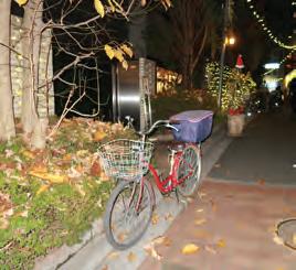
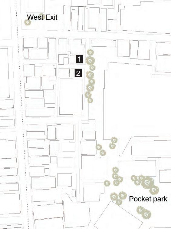
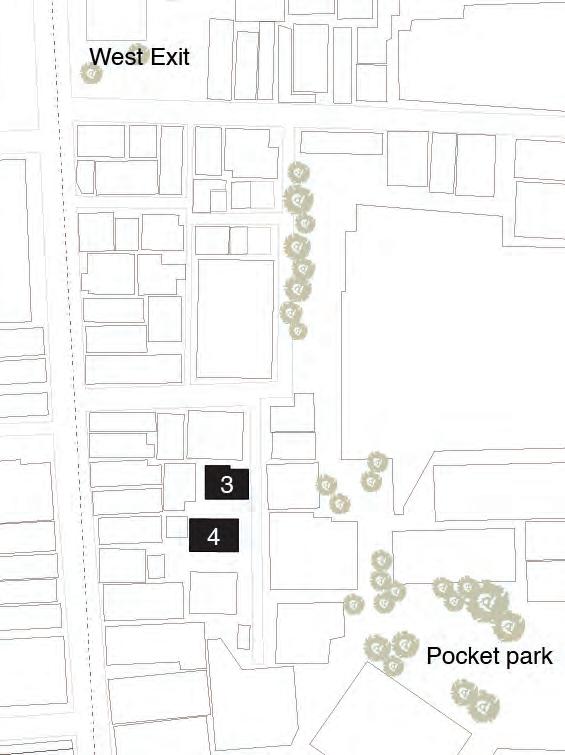
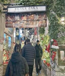
Each exit has a different atmosphere. The north exit mostly focuses on commerce, the south feels like an office area with Nakano South-Stella. And this is the first view you would see as you come out from the west exit. This Rengazaka area feels human-centric with small houses, and the tightness of paths and houses is definitely one of the features of this district. Thanks to its tightness, many social interactions happen within the cafes and bars at Rengazaka. Also, as you go through these tight alleyways, there is a spacious pocket park where you can rest and relax, which you wouldn't notice unless you wander and explore this district.
SITE CHARACTER
FACADE IMAGE AT WEST EXIT
Nakano Station
RENGA ZAKA
TIGHT ALLEYWAYS
POCKET PARK
COMMERCIAL
3. DESIGN STRATEGIES
DESIGN STRATEGIES
Our design strategies stem from the existing site qualities. Firstly, we want to reveal the quiet charm embedded within Nakano’s dense urban fabric—a place that may appear crowded or uncomfortable at first glance, yet offers a rare sense of intimacy and character to those who slow down and look closely.
EXISTING SITE
We aim to help people recognize and appreciate this unique atmosphere by encouraging a shift in pace: from the fast pace of the south, north and west exits to the slow pace of the neighbourhood Aging buildings and underused plots are reimagined to create new reasons to linger—through improved functional spaces, resting spots, and accessible food stalls.
DESIGN STRATEGIES
density of the fine-grain neighbourhood
DESIGN STRATEGY
reveal the quiet charm and intimacy of Nakano
EXISTING SITE DESIGN STRATEGY
narrow alleyways and existing pocket parks
density of the fine-grain neighbourhood
aging and unused buildings
narrow alleyways and existing pocket parks
encourage a shift in pace; to slow down
reveal the quiet charm and intimacy of Nakano
encourage a shift in pace; to slow down aging and unused buildings
introduce new functional and resting facilities
Accentuate the familiar qualities of the site’s layered textures and human scale
introduce new functional and resting facilities
Accentuate the familiar qualities of the site’s layered textures and human scale
SITE USAGE & DEMOLITION
SITE USAGE & DEMOLITION
4. VISION
Intimacy In Between
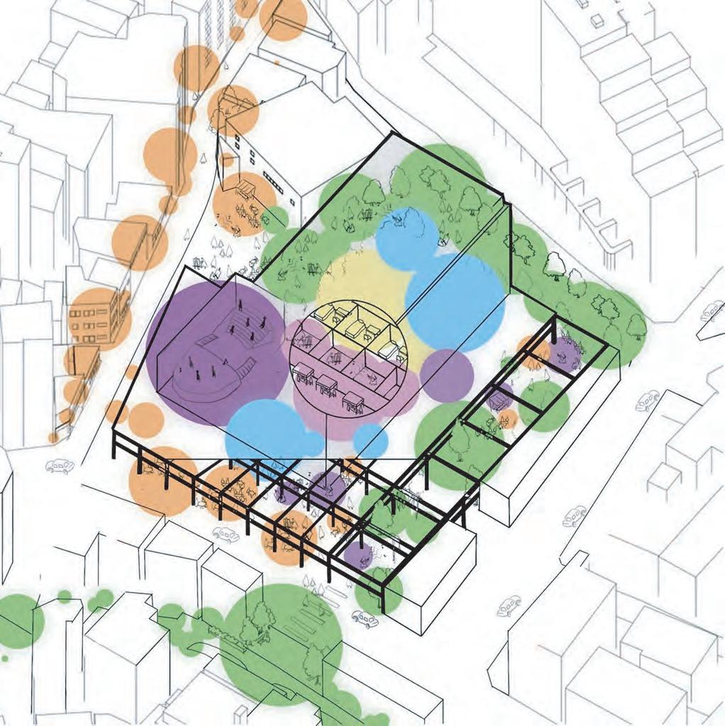
To accentuate the familiar qualities of the site's layered texturing and intimacy of the human scale while introducing subtle, functional facilities and new places to pause. By enhancing opportunities for rest and exploration, the design reinforces and celebrates the area's naturally slow-paced, experiential character.
Spatial adjacencies of major areas and proposed walkability
VISION
The proposal establishes a cohesive connection between Nakano station's South Exit, the future West Exit, Renga Zaka's distinctive izakaya culture and neighbourhood, and the existing pocket parks, stitching these experiences
| KENTARO | ABBY | JESSICA
of the site’s layered introducing subtle, functional facilities and new places to . By enhancing opportunities for rest and exploration, the design reinforces and celebrates the area’s naturally
The proposal Nakano Zaka’s distinctive the existing together SPATIAL AREAS
AYU
5. MATERIALITY
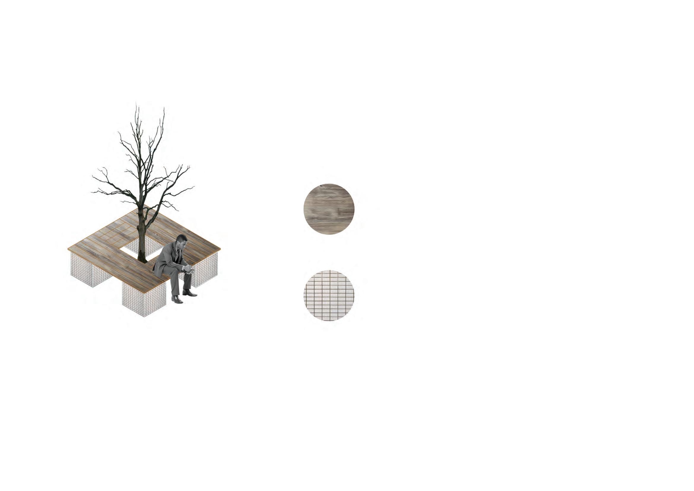
Use materialities that adopt from existing conditions and from proposed demolition waste material.
MATERIALITY
Use materialities that adopt from existing conditions and from proposed demolition waste material
1. PLASTER & TIMBER
3. PLASTER 4. PLASTER
TIMBER
6. PROPOSAL
PROPOSAL
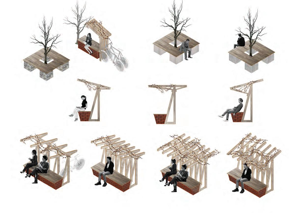
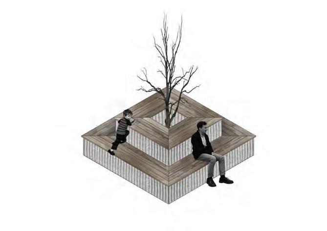
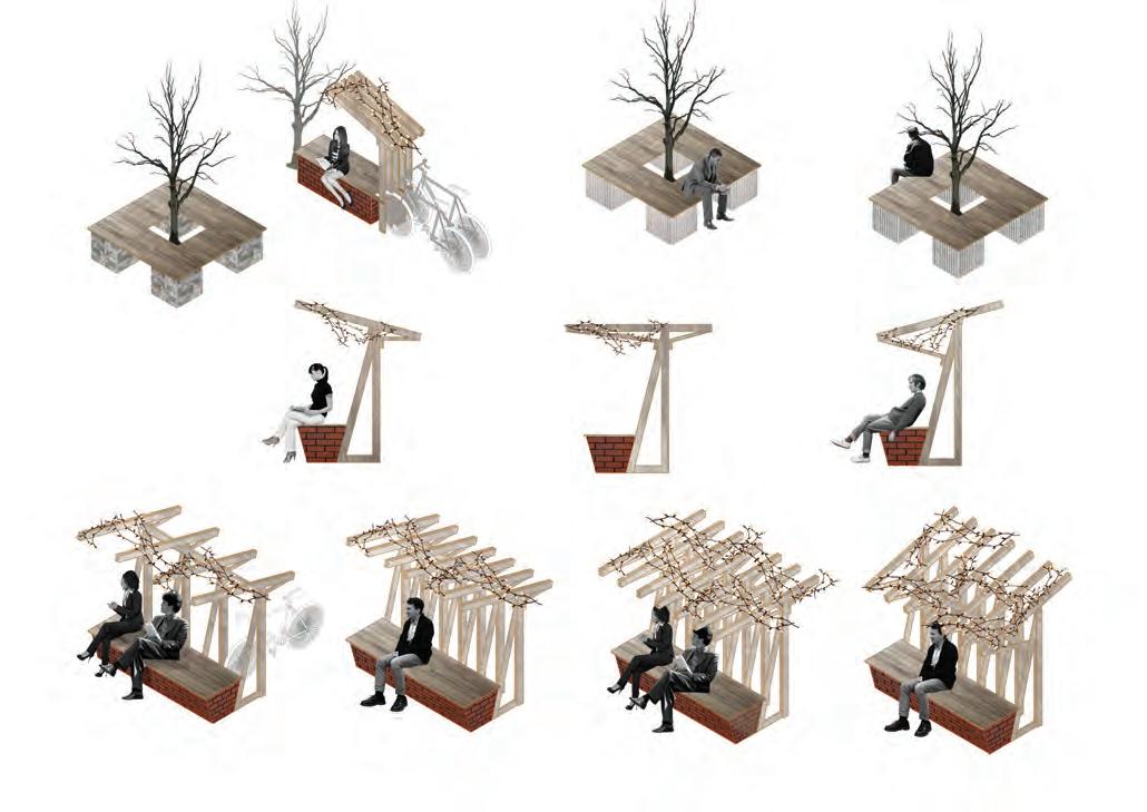
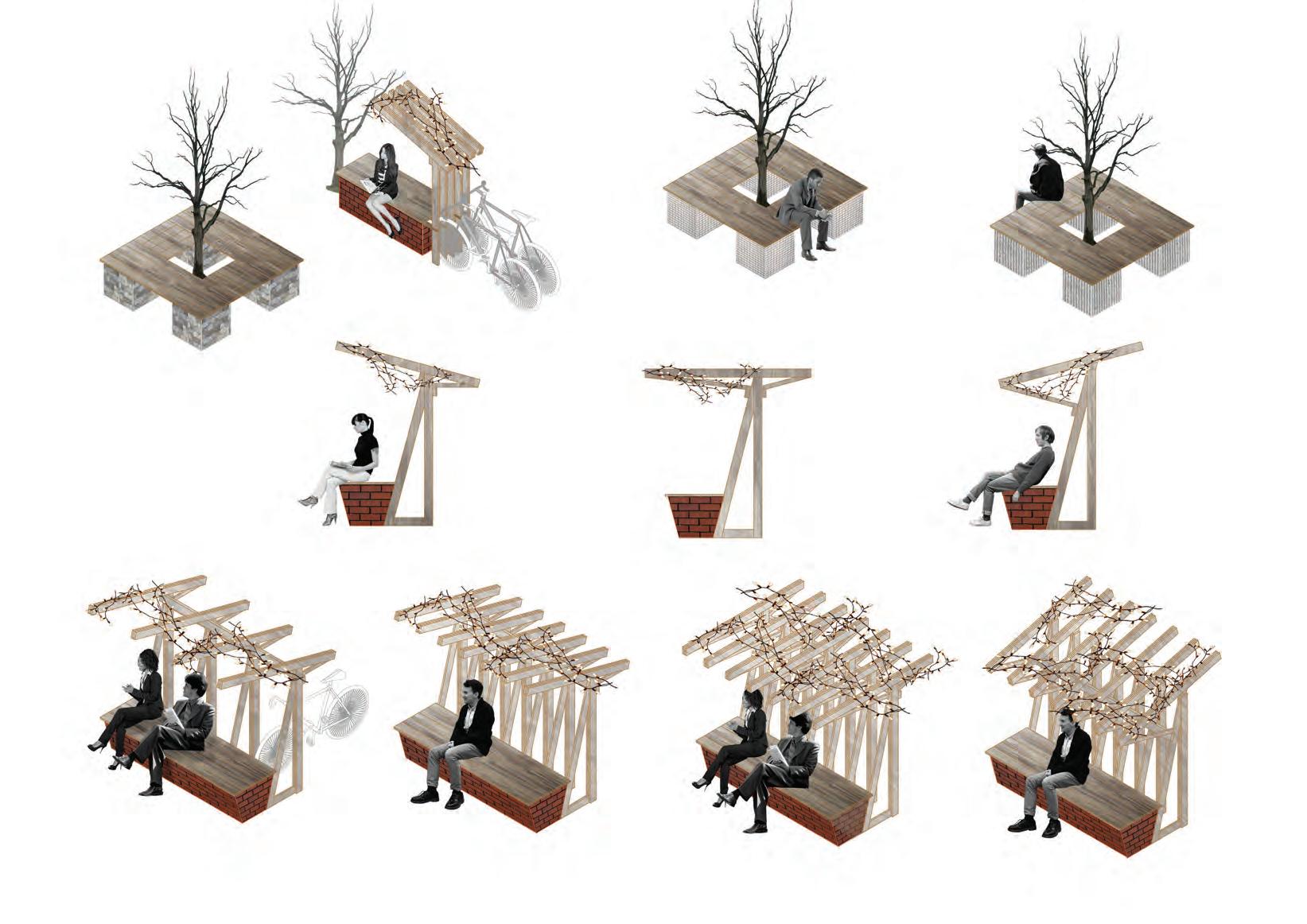
To introduce bike-parking stations with integrated seating to encourage users to slow their pace and explore the intimate neighbourhood on foot.
To introduce bike-parking stations with integrated seating to encourage users to slow their pace and explore the intimate neighbourhood on foot.
A. West to South Connection
B. Activating the Existing Features
B. Activating the Existing Features
C. Revitalising Previous Eateries
C. Revitalising Previous Eateries
A. West to South Connection
6. PROPOSAL
PROPOSAL
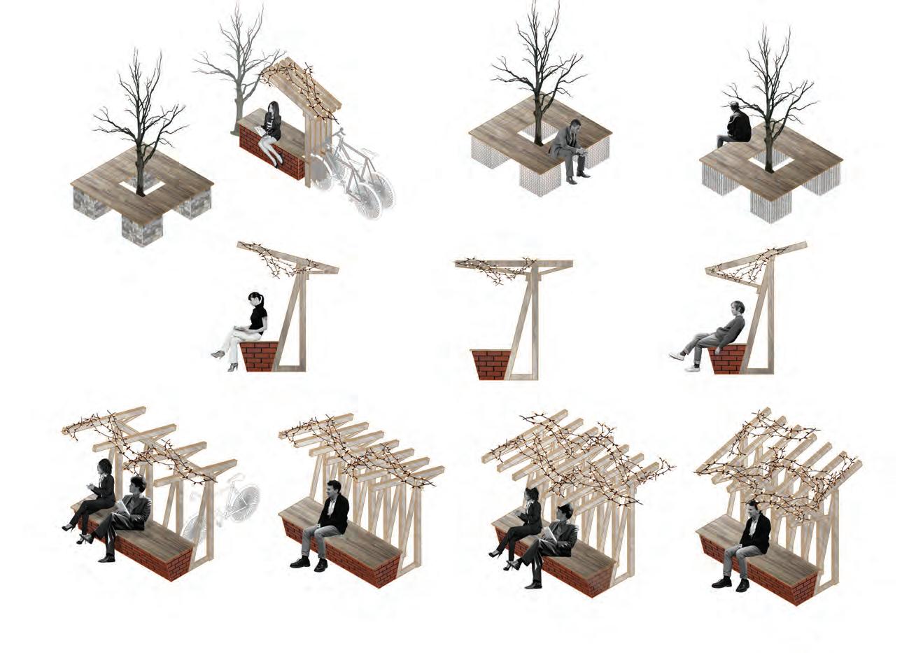
We will plan to reuse materials from the sites we demolished to redesign into furniture implemented into new resting and greenery
6. PROPOSAL
A. West To South Connection
B. Activating The Existing Features
An existing fence currently separates the street from the entrance, providing privacy but also creating an underutilised edge.
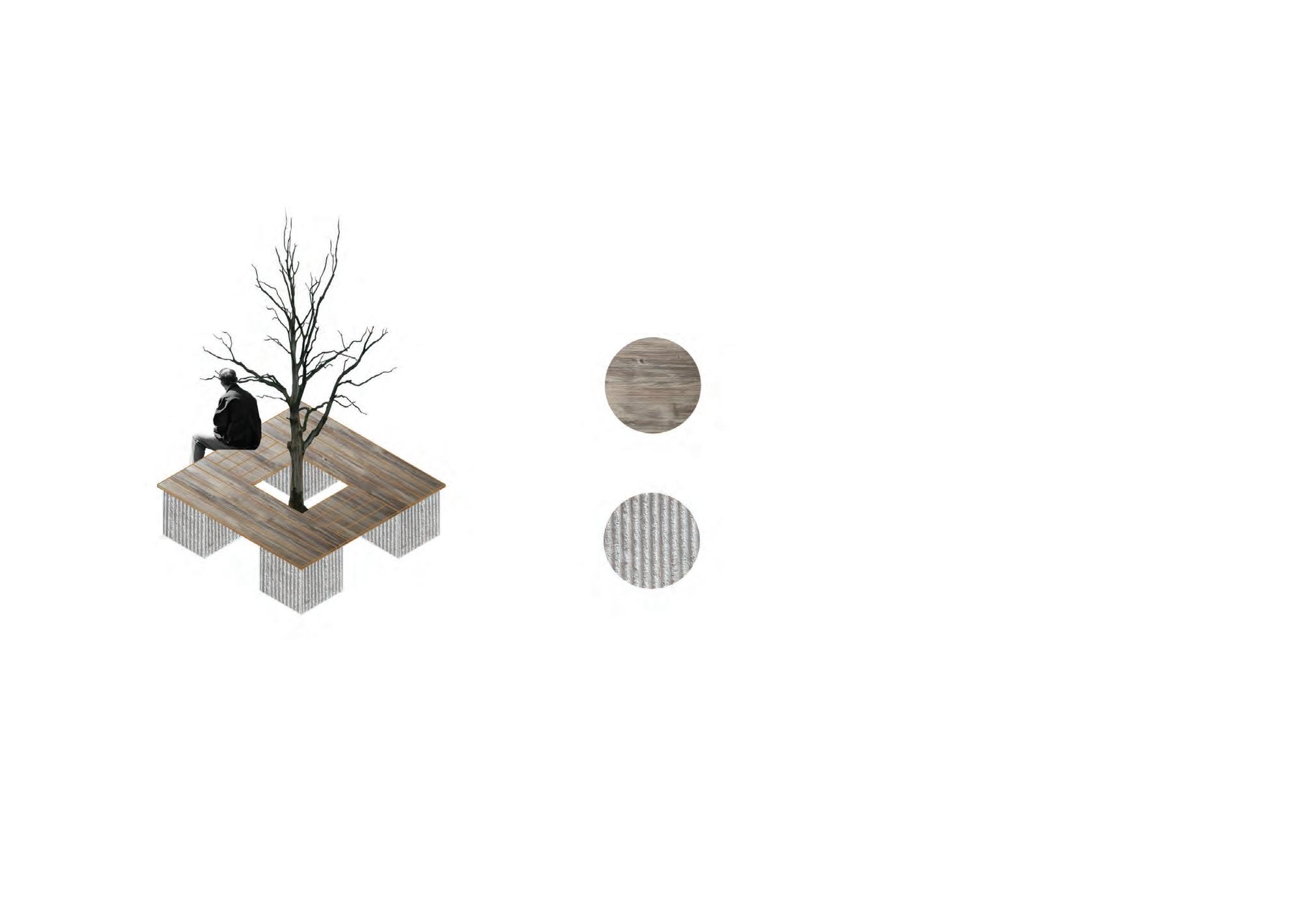
Recognising the ongoing issue of illegal bike parking in this area, we propose dismantling the fence and repurposing its footprint into a hybrid resting bench and bike parking zone.
B. ACTIVATING THE
EXISTING FEATURES
EXISTING FENCE WITH ILLEGAL BIKE PARKING
B. Activating The Existing Features
Responding to the site’s shifting topography—marked by a 6-metre elevation change from the northwest to the southern neighbourhood—we aim to transform this unique condition into a central element of the design narrative. In the steeper western zone near the future exit, the bike-bench canopies tilt more sharply downward, reinforcing the sense of movement and the fast-paced flow of people leaving the station. As the ground gradually levels across the site, the canopies gently open up, echoing the transition into a calmer environment and signalling an invitation to slow down, rest, and experience the neighbourhood at a more intimate pace.
B. ACTIVATING THE
B. Activating The Existing Features
B. ACTIVATING THE
EXISTING FEATURES
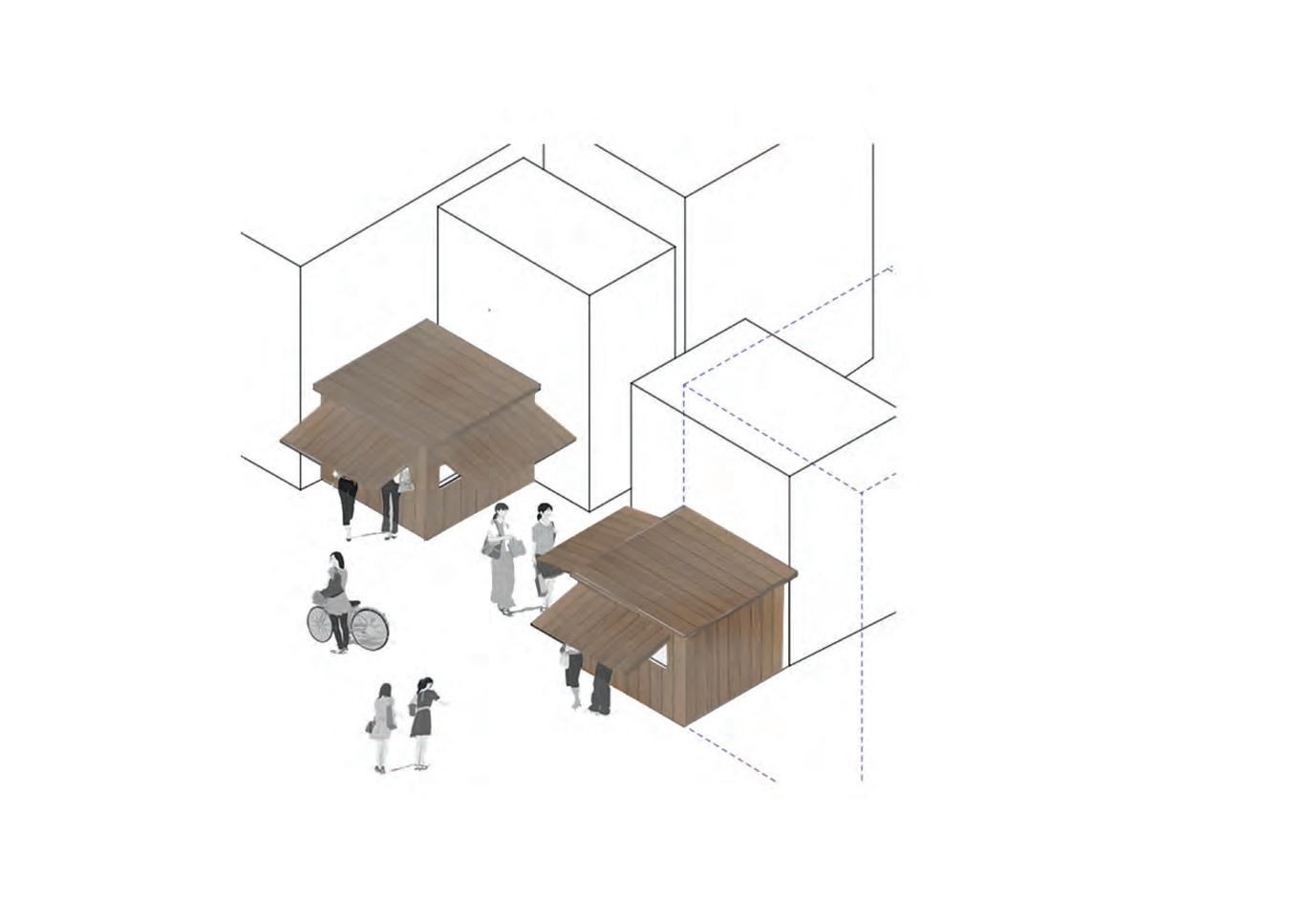
By retaining and salvaging key materials from the original structures, such as timber elements and corrugated iron roofing, the new stalls preserve the familiar textures of the past while introducing a more engaging and accessible street-food character.
DEMOLISHED BUILDINGS
DEMOLISHED BUILDING FACADE MATERIAL
6. PROPOSAL
B. Activating The Existing Features
B. Activating The Existing Features
B. ACTIVATING THE
EXISTING FEATURES
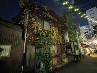
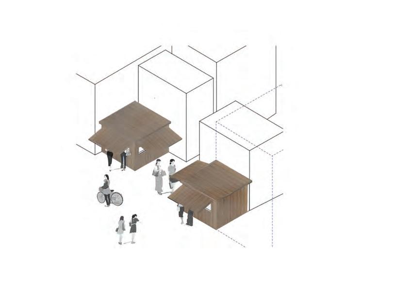
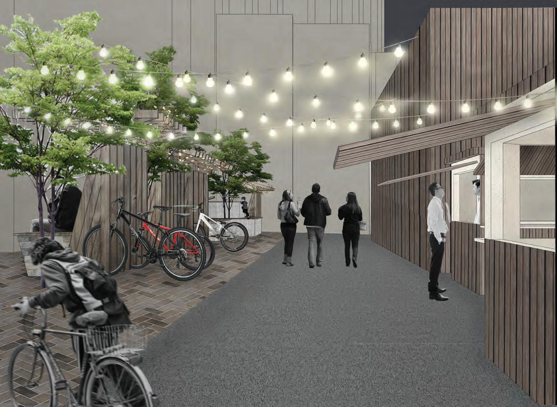
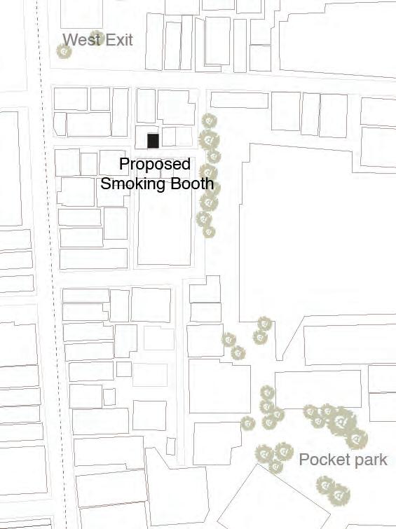
We propose adding a designated smoking booth, as many people already smoke near the restaurants. A defined booth would organise this existing behaviour, reduce disruption, and integrate the activity more smoothly into the neighbourhood atmosphere.
B. ACTIVATING THE EXISTING FEATURES
UNUSED LAND
PROPOSED SMOKING BOOTH
PROPOSED SMOKING BOOTH
6. PROPOSAL
C. Revitalising Previous Eateries
C. REVITALISING
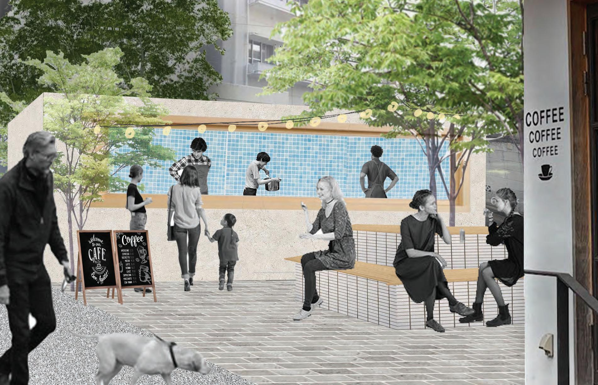
In this site we suggest revitalising and bringing the eatery culture into this space.
PREVIOUS EATERIES
DEMOLISHED BUILDINGS
C. Revitalising Previous Eateries
This page is intentionally left blank
Members:
ARRIVING AT THE HEART OF NAKANO’S CULTURE
Alex Ka Ho Mok
Chisaki Itami
Soichi Kaiwa
Stefan Joksic
1. VISION
What we want to do?
Creating meaningful space for Nakano’s diverse communities by balancing flow across the precinct and encouraging lingering to foster gentle social connections and cultural experiences through showcasing local creativity and providing suitable spaces for cultural expression.
Focus Area boundary
Post Office building (existing)
Family Road
Pedestrian circulation
Green Way
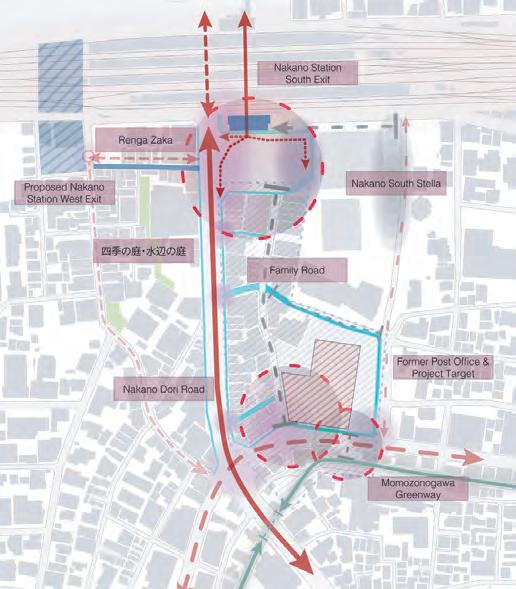
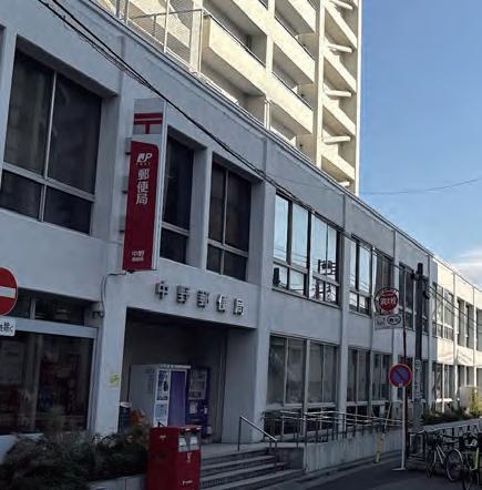
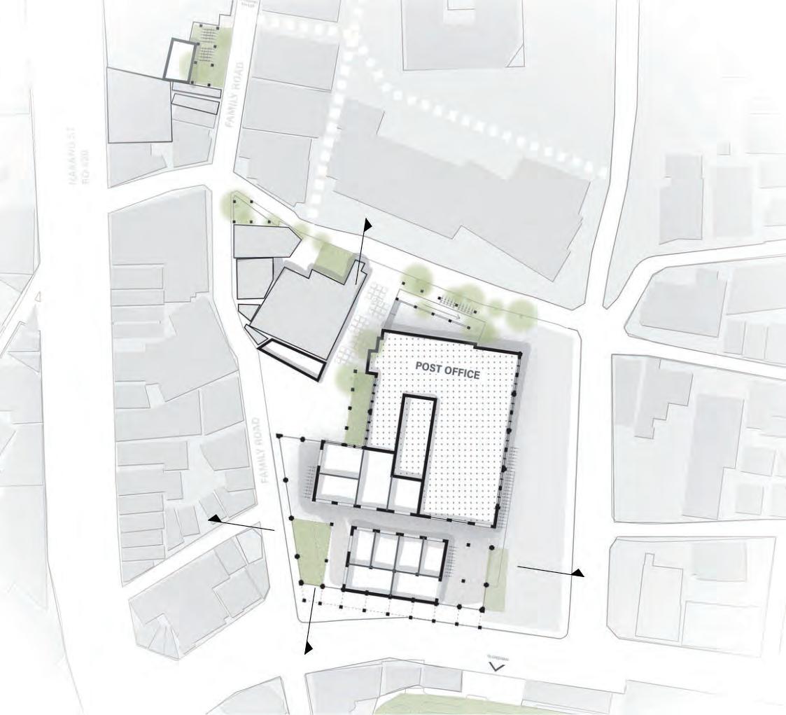
Transforming the Post Office area (Family Road connecting to the station) into a cultural attractor & hub.
2. CONTEXT
Why do we need a "cultural attractor"
Nakano’s loss of its cultural hub
Sun Plaza was a cultural symbol & active space for Nakano, and greater Tokyo.
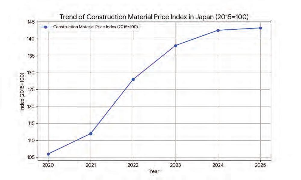
The new redevelopment ignores the city's context, and that was stalled due to the rising construction cost.
NAKANO SUNPLAZA
NAKANO Station
Why do we need a "cultural attractor"
Existing Cultural Infrastructure
Nakano is already a city that breathes culture, with a cluster of Anime studios, small theaters, and a history of a vibrant artistic subculture. The loss of a significant cultural space is a strong call for the city to create new cultural infrastructure & active investment into a cultural economy that will put Nakano back on maps.
Why do we need to Change Nakano?
Fragmentation & disconnection across Nakano Nakano is already a city that breathes culture, with a cluster of anime studios, small theaters, and a history of a vibrant artistic subculture.
The loss of a significant cultural space is a strong call for the city to create new cultural infrastructure & active investment into a cultural economy that will put Nakano back on the map.
Why do we need to Change the Post office?
To prevent generic development through the creative adaptation
We are obligated to gift the Post Office back to the public. Rather than creating oversized and predominantly private property, like the Nakano South Stella, the Post Office becomes a reinvigorated civic building that offers complexity, diversity through a human-scaled approach to encouraging authentic belonging in Nakano South.
Re-use of the existing Post Office
To foster culture, affordable and public-oriented development is essential. We must not replicate the generic new development recently completed at the South Exit.
Furthermore, with the North Exit’s Sun Plaza project stalled due to skyrocketing material costs, we have learned a hard lesson.
To avoid repeating this mistake, adaptive reuse of the existing Post Office is the only viable strategy to minimize costs and truly nurture Nakano's culture.
Trend of Construction Material Price index in Japan
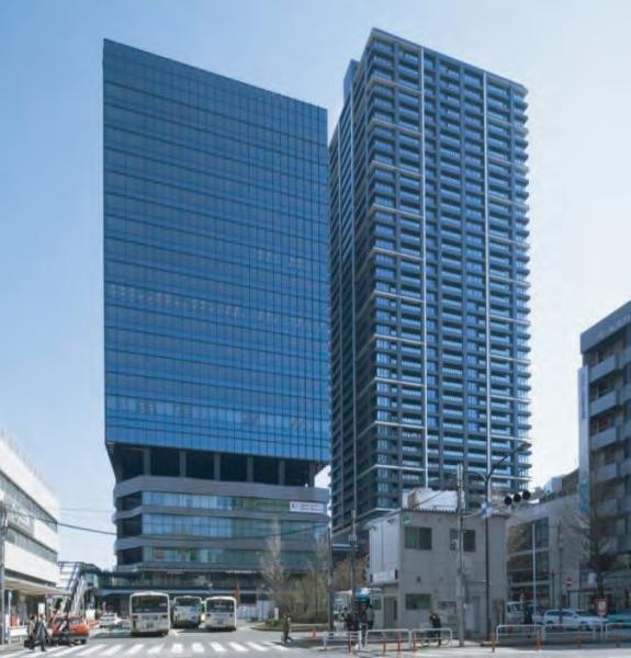
New development recently completed at the South Exit
Nakano Post Office
3. CONCEPT
Two key Principles
Reclaiming Cultural Expression & Participation Easy & Joyful Circulation
Blending diverse communities through artistic explorations
Balancing flow and encouraging lingering
4. Masterplan
Three Key Interventions
01_Family street
Street re-design of Family Road, including new landscaping & uniquely designed street elements, as ‘urban micro-surgery’ with many small changes adding up to transform the area
02_MOMO-Core
Former Post Office Site as a new cultural hub & entertainment precinct (MOMO-Core)
03_Greenway connection
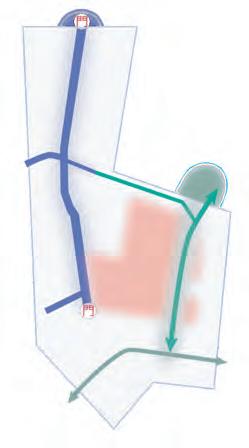
Broader mobility network created by enhancing the Momozonogawa Greenway, integrating it with Family Road and the Momo-Core precinct, using consistent urban design ‘language’ to create visual coherence across all of Nakano South
GREENWAY CONNECTION
FAMILY STREET
5. MOMO-CORE
Design Concept
Re-use of existing building
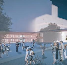
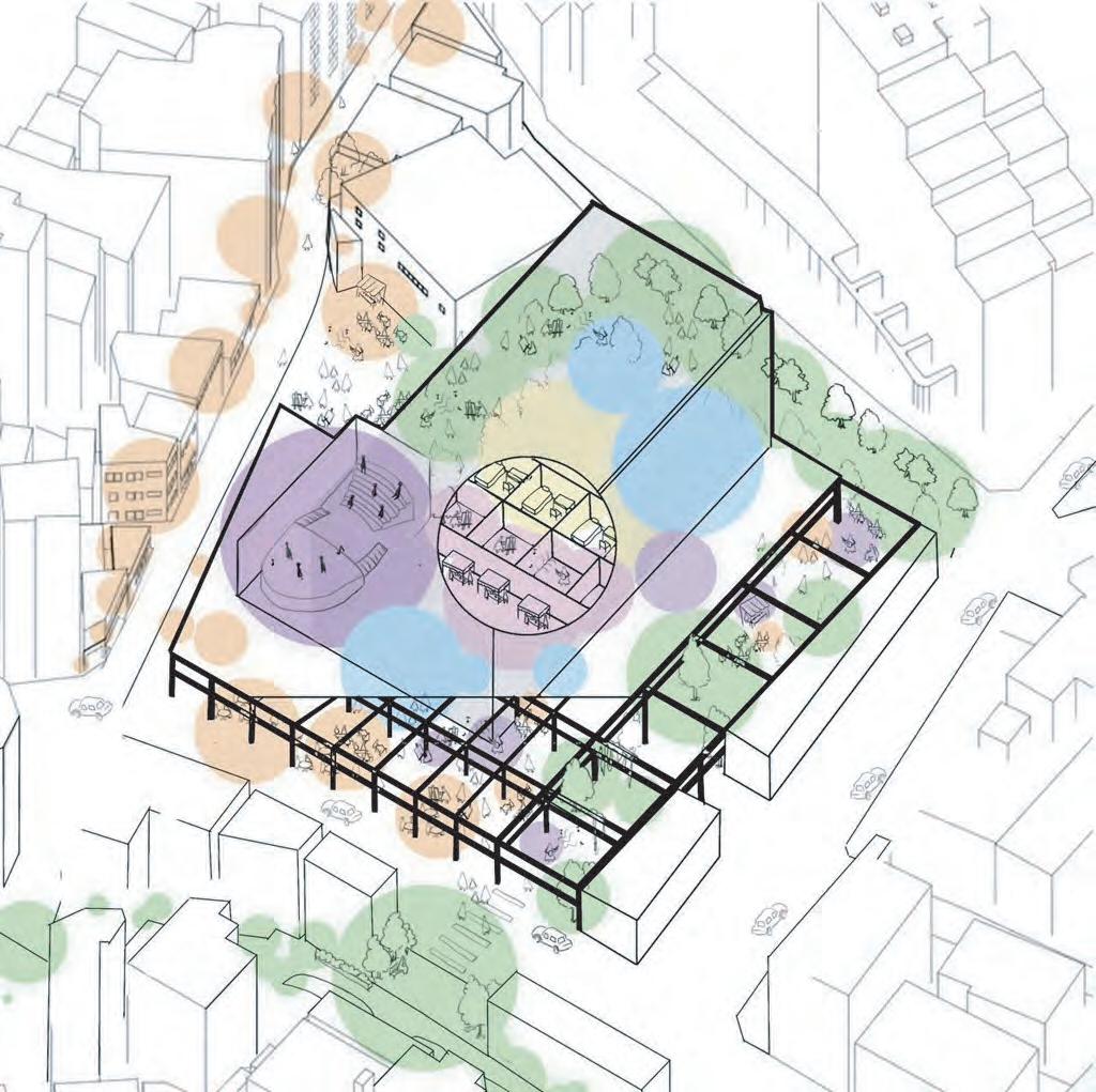
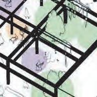
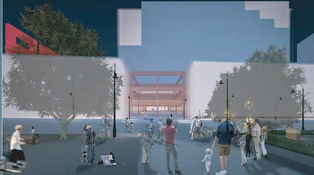
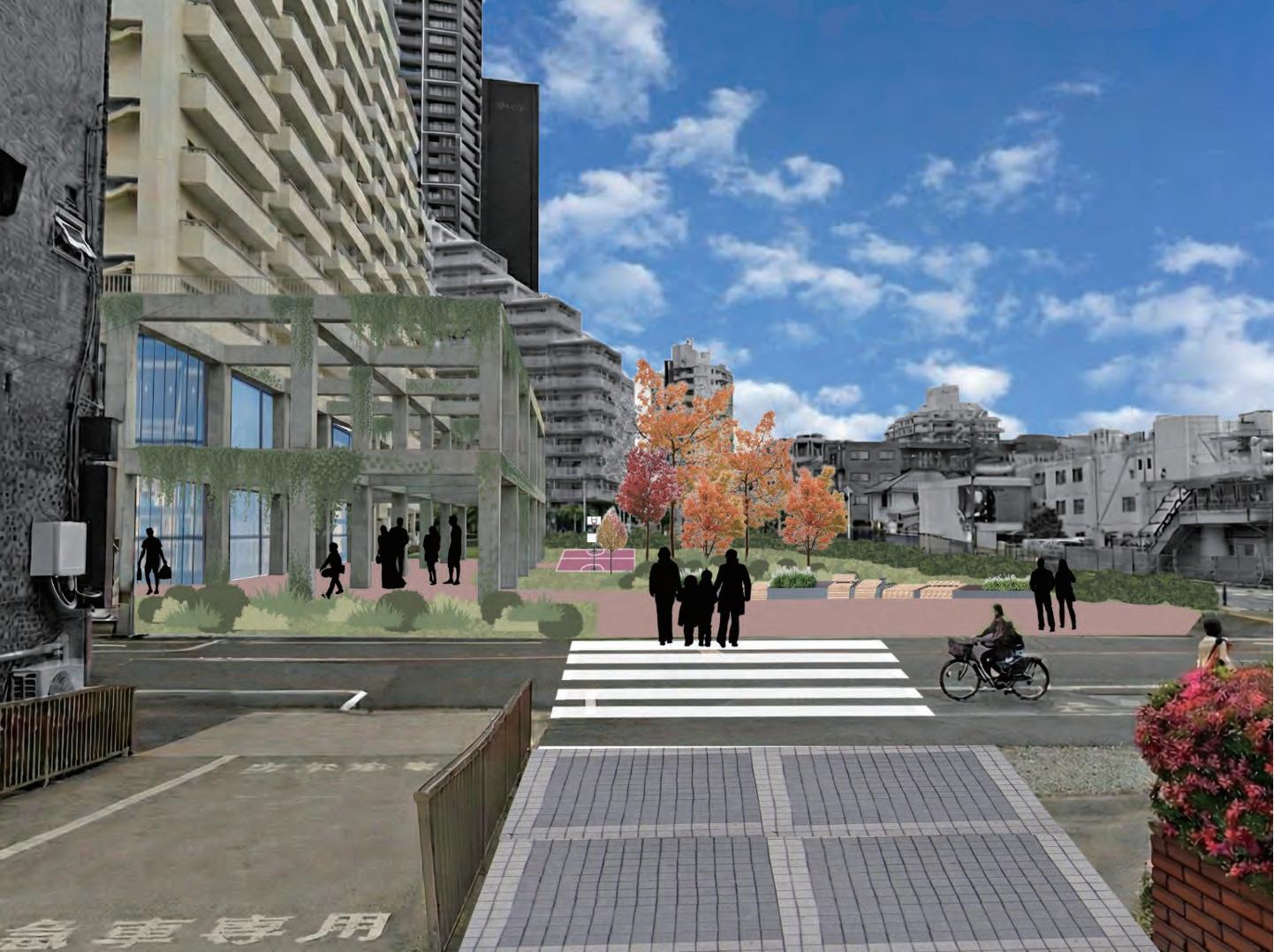
Using ‘skeleton’ form of the Post Office with extensions & additional architectural interventions.
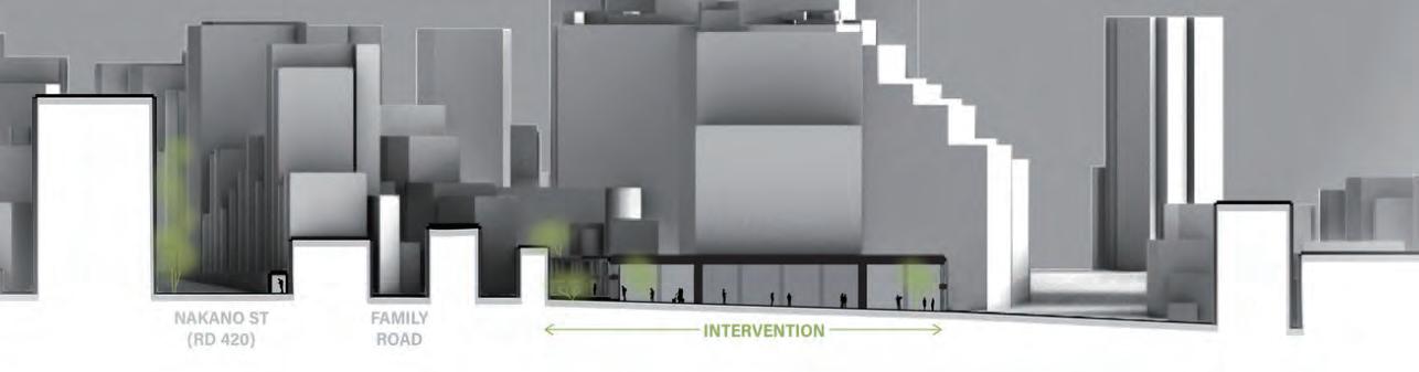
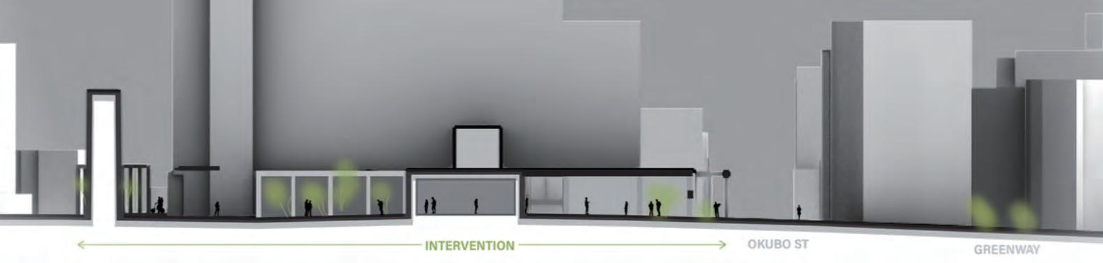
Inserted Public space
Street flows in and through the building - ground floor is open public space
Variety of Activity
Diverse programs and activities relate to enhancing the entertainment and cultural hub, with retail and artist office spaces to provide valuable cultural infrastructure - and putting Nakano South on Tokyo’s map.
Exterior Design Concept
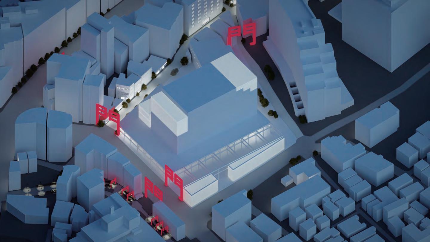
as a landmark and visually signalling the importance of the new precinct.
as a landmark and visually signalling the importance of the new precinct
| Arriving at the Heart of Nakano's Culture
“Red Night Lantern”
“Red Night Lantern”
Nakano night Lantern
Nakano Night Lantern
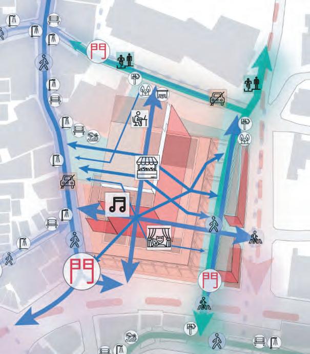
Circulation and Activity network
The Interwoven Ground Skeleton
The ground-level structure is reorganized into an open skeleton where circulation paths intertwine. Seamlessly connecting to Family Street, the space allows diverse cultural activities to overflow into the city. Urban Design Elements
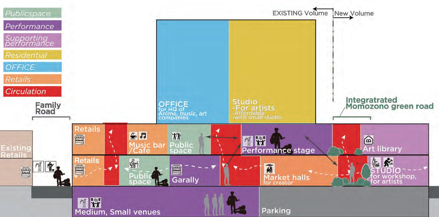
Programmatic Section
The Vertical Ecosystem
A symbiotic structure where the economic backbone (Upper Offices) supports the cultural soil (Lower Markets & Studios). The Momozonogawa Greenway flows directly into the ground floor, blurring the boundary between the park and the architecture."
Interconnected Public Skeleton
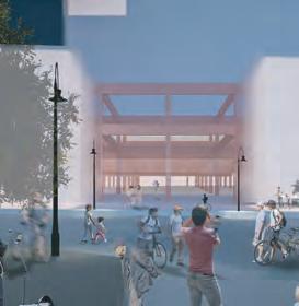
By utilizing the open skeleton structure, we remove visual barriers between floors. People move freely through the space, and their sightlines intersect across different levels. This open circulation allows visitors to naturally encounter creative activities and the greenery of the park just by walking through the building.
Gallery
Spatial Composition
Inserting Diverse Activities
Various functions—from markets and studios to offices—are inserted into the existing grid. Glass walls and open terraces make these activities visible from the outside, turning the building into a 'live display' of Nakano's culture.
Retail spaces open to the street
Arriving at the Heart of Nakano's Culture
Theater on the Rooftop
Office for a cultural company
Studio for Workshops
Studio for Practice
Greenway connection
Green public space Music bar
6. THE GREEN WAY
Extending the Green Road to MOMO-Core
Key interventions
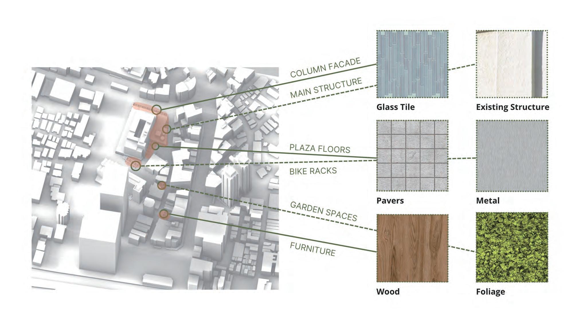
Making the straight view to the MOMO-Core/Formal street ‘gates’ / Continuous Street lighting & lamps / Paving & surface treatment / Benches & seating / Soft landscaping / Application of the same street furniture into Renga Zaka & The Greenway
Visual Flow & Rhythmic Guidance
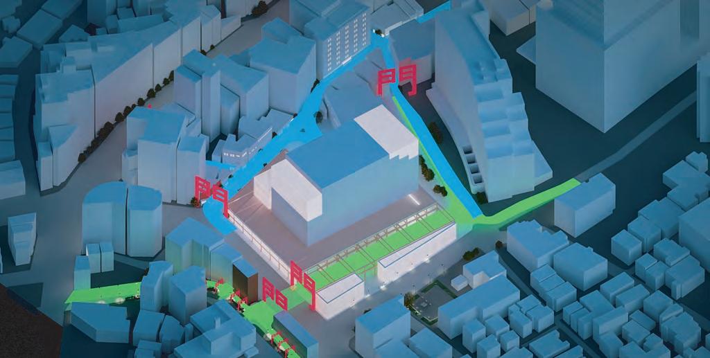
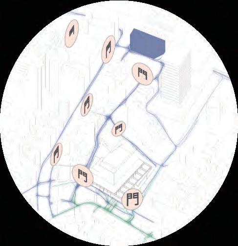
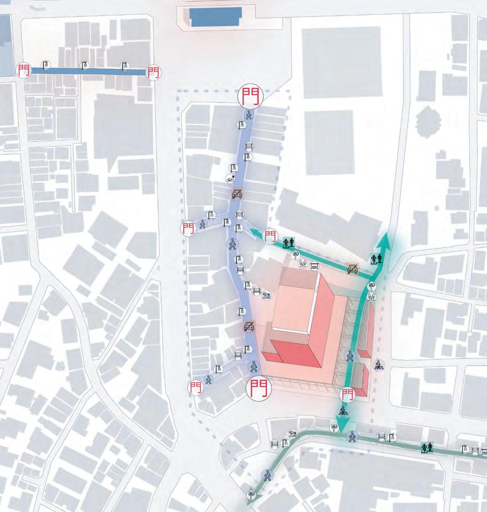
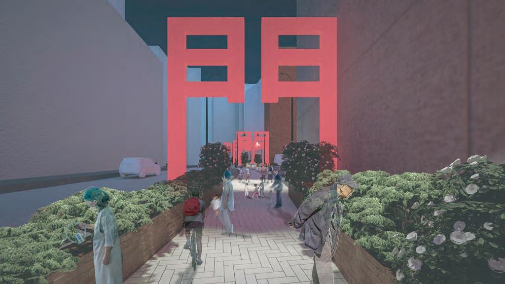
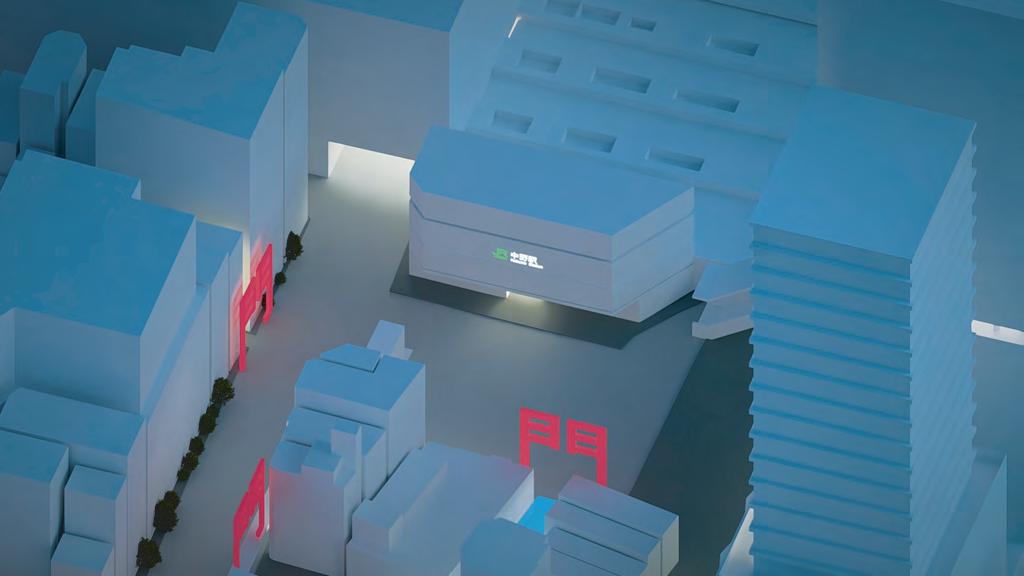
We connect the site to the city through two distinct strategies. On the Greenway side, the connection is established through visual continuity. The transparent skeleton allows the vibrant activities inside to be seen from the path, acting as a magnet that naturally draws passersby into the facility. On the Family Street side, a sequence of 'MON' (Gates) creates a rhythmic guidance. By repeating a unified design vocabulary, these elements subconsciously direct the flow of people from the station to the site without relying on explicit signs.
7. Family Road
Family Road Becomes Family Street
Key interventions:
Formal street ‘gates’ / Street lighting & lamps / Paving & surface treatment / Benches & seating / Soft landscaping / Removal of cars / pedestrian-only / Application of the same street furniture into Renga Zaka & The Greenway
Family Street is A Stage for Overflowing Culture
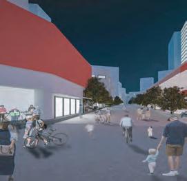
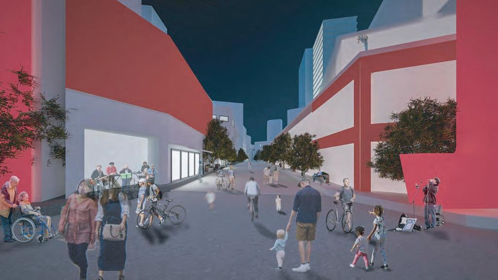
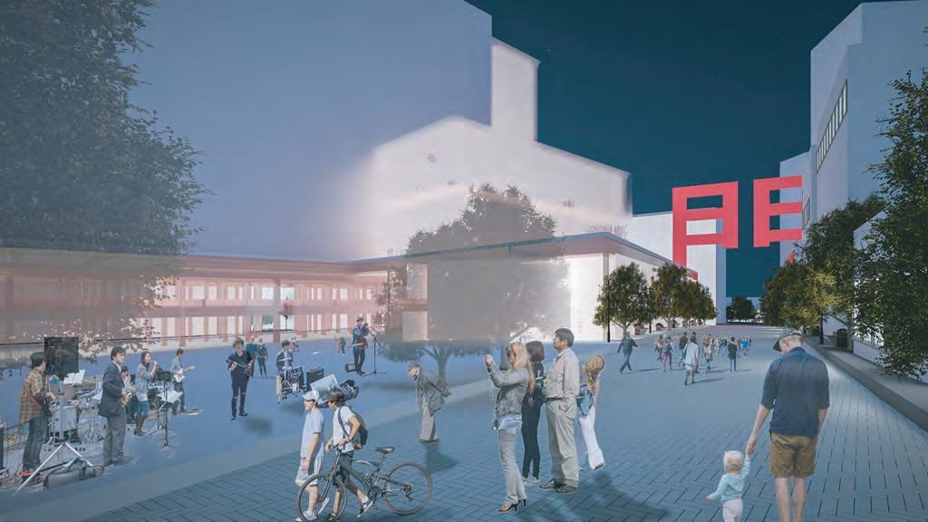
We transform the existing vehicular 'Road' into a vibrant, pedestrian-only 'Family Street' by removing cars and introducing a unified design language. This new public realm serves as an extension of the MOMO-Core, where cultural energy naturally spills out from the building. The street comes alive, filled with street musicians, art installations, and the creative atmosphere of Nakano.
Unifying the Cultural Flow
The MON (Gate)
The 'MON' (Gate) acts as a common visual language, seamlessly connecting Nakano Station, Renga-zaka, and Family Street into one unified sequence. Anchored by this strong urban backbone, the street transforms into a continuous stage where cultural activities naturally overflow and spread throughout the entire district.
Members: Donna Helm
Mathis Ratat
Masato Sasaki
1. SITE ANALYSIS
1. Context
Urban Context & Demographics
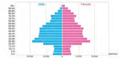
Nakano is a compact mixed-use ward located just west of Shinjuku. Today, the area faces two main challenges: strong development pressure around Nakano Station and a rapidly aging population. Our demographic analysis focuses on two major age groups. The first is people aged 24 to 35 who commute to work or school. The second is residents aged 65 and over. For these groups, the main modes of daily movement are walking, cycling, and train use.
Mobility & East–West Divide
Our site observations revealed a strong divide between the east and west sides of Nakano South. This divide is emphasized by Metropolitan Street 420. Along this corridor, pedestrians, cyclists, and vehicles compete for space.
Due to heavy vehicle traffic, cyclists often use sidewalks, which increases safety risks for pedestrians. This situation highlights the lack of safe and clear mobility networks.
Despite these challenges, several existing green spaces are scattered throughout the site. However, many of these green areas are of good quality yet remain underused and hidden from everyday movement.
Hidden Green Assets
2. SWOT Analysis
Strengths
Strong local urban character and human-scale streetscapes
Distributed green assets within walking distance
Weaknesses
Narrow streets with poor pedestrian conditions
Fragmentation caused by high-traffic arterial roads
Opportunities
Planned station-area redevelopment
Reorganization of flows and public spaces can serve as a catalyst for extending soft connections into surrounding neighborhoods.
Threats
Potential large-scale redevelopment of the former Nakano Post Office site
If poorly integrated, it risks disrupting existing life-based networks and accelerating urban homogenization.
2. VISION
Nakano South Vision
To create safer soft mobility networks for the community and reduce congestion at key spaces. The design separates pedestrian, cyclist and vehicle movement for the largest groups of commuterswalking, cycling and train transport, encouraging healthy lifestyle choices. The proposal utilises the existing gems of Nakano South - Rengazaka Street, and the greenways whilst improving the east to west connection and proposing a redevelopment of the post office site as a new landmark.
3. MASTER PLAN
Overall Green Network Structure
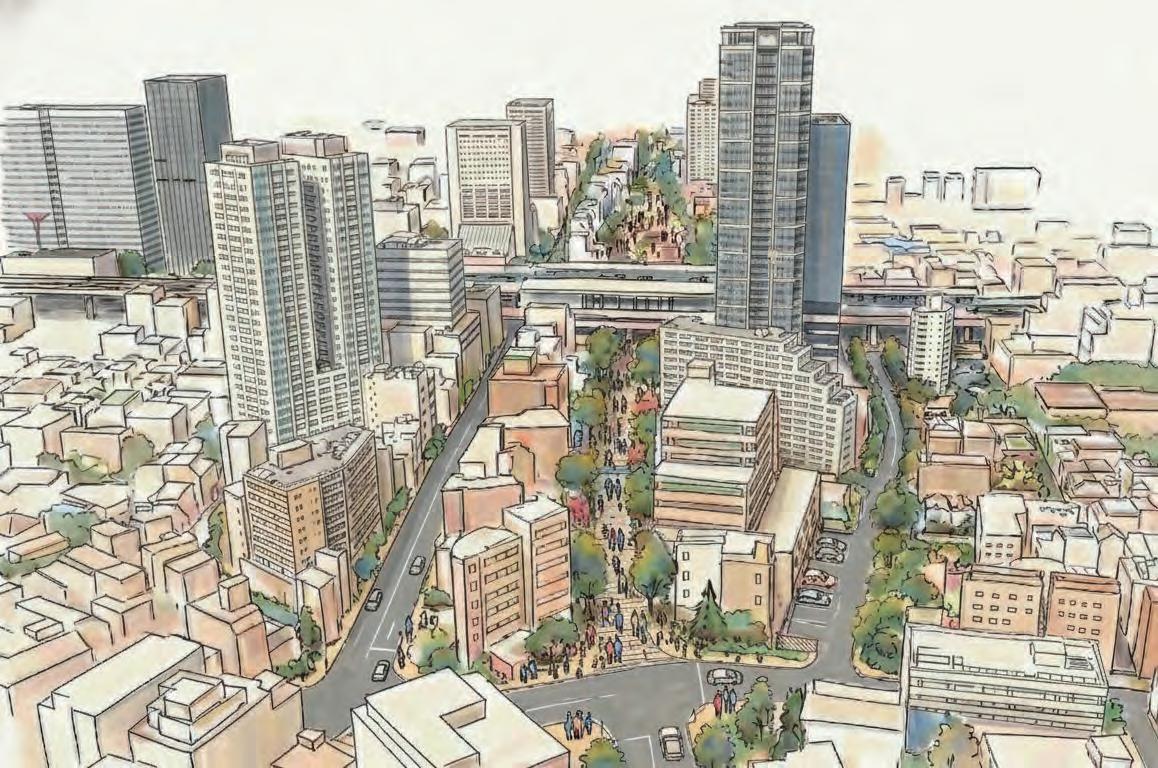
The master plan transforms the south side of Nakano Station into a continuous green network. It connects the West Exit directly to the greenway in the south, supporting bicycles and other forms of soft mobility.
Connection between Station, Streets, and Greenways
This network links the station, surrounding streets, and existing green spaces. By improving these connections, the plan reduces the sense of east–west separation and improves everyday accessibility.
4. STRATEGY
1. Green as Network
Revealing Hidden Green Spaces
Existing green spaces are treated as connectors rather than isolated parks. Hidden and underused green areas are made visible and accessible.
Continuous Green Experience
The green network creates a continuous experience that supports daily movement and short stays throughout the site.
2. Street as Living Space
Street Furniture for Staying & Playing
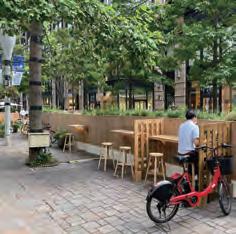
Street furniture is introduced to encourage resting, staying, and social interaction within streets.
Human-Scale Street Design
Streets are redesigned at a human scale to create safer and more comfortable environments for everyday use.
5. INTERVENTIONS
1. Renga-zaka Connection
Rengazaka Pedestrian Priority Street
Around Rengazaka Street, existing green spaces are used to create pedestrian-friendly movement areas. These spaces improve access to the new West Exit and make entrances more attractive.
2. Nakano-dori Reallocation
Metropolitan Street 420 Redesign
One traffic lane is reduced and repurposed to improve cycling and soft mobility. This redesign improves safety and reduces car domination while softening the east–west divide.
Cycle Lane & Soft Mobility Network
Dedicated cycle lanes are introduced along key roads, creating a safe and continuous soft mobility network through the site.
Pocket Greens & Street Activation
Small green spaces and improved street edges activate everyday movement and create comfortable places to pause.
5. INTERVENTIONS
3. Entrance of Post Office
The street connecting Nakano-dori to the former Nakano Post Office site is converted into a pedestrianonly route to improve accessibility and encourage use of the newly developed local hub.
By prioritizing pedestrian movement, this intervention links the surrounding neighborhoods with the hub and functions as a key node within the Soft Network.
4. Design Palette
Planting Strategy
Planting is employed to enhance comfort, continuity, and local identity, structuring the Soft Network through environmental and spatial connections.
Revealing and Connecting Green Assets
Street furniture is employed to encourage staying, interaction, and flexible use of public space, transforming streets into active and socially connected environments.
Large tree
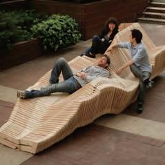
Playable Street Furniture
Small tree
Cultural & Identity-Based Furniture
Shrub/Bush
Social & Rest-Oriented Furniture
Shiia
Japanese stewartia
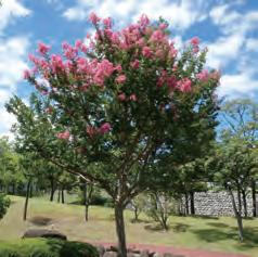
Azalea Crape myrtle
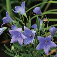
Japanese-laurel Balloon flower
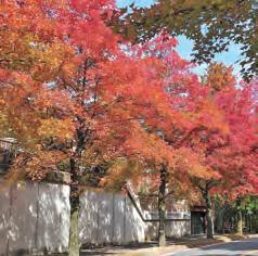
Trident maple
Spindle tree
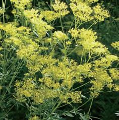
Golden lace
6. FOCUS AREA: POST OFFICE
Post Office as Community Landmark
The Post Office is redeveloped as a mixeduse community landmark. The lower floors are opened for public uses such as cafés and restaurants, while the upper floors remain residential.
Post Office as Community Landmark
The green network passes directly through the Post Office site, strengthening its role as a destination and connector within Nakano South.
Nakano
This page is intentionally left blank
Members:
1. Vision 2. Site Analysis 3. Proposal
Annie Zhou
Nikolas Haniotis
Rei Aoki
Shoji Momosaki
1. VISION
1. Vision & Strategies
Vision
The economic activity in South Nakano compared to the North is low, due to potential underutilisation of the weak connection point of post office to Nakano Station. The low economic activity may be due to the lack of places to rest.
Thus, we are proposing everyday “spaces to pause” for local residents and, at the same time, support the economy of the shopping street.
Strategies
Pedestrian Connectivity & Green Infrastructure
This strategy focuses on linear movement and connectivity. It treats the space as a connector that needs to be efficient, legible, and pleasant to traverse. By visually and physically linking Family Road to Momozono Greenway as the "green spine", we look to extend the benefits of the park into the city.
Placemaking & Streetscape Activation
This strategy focuses on nodal activation and dwelling. It creates a reason for people to stop, linger, and spend money, which is vital for retail vitality.
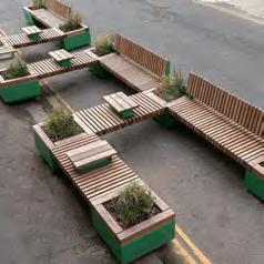
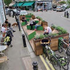
“Parklets” and “pocket parks” involve reclaiming space dominated by cars (parking) and giving it back to people (seating, dining, and play).
1. Main Street supports activity through North to South
Greenway near Residential Area & Station
Shopping Centre (OIOI)
Very Narrow & Steep Residential Streets
Congestion during peak time at South Exit
Ongoing West Gate Exit Activation
Business Opportunity at “South Stella”
Increasing Workplace Demand
Conflict Between Cyclists, Pedestrians, and Vehicles
Poor Spatial Balance 3. Underutilised Spaces
2. SITE ANALYSIS
1. Land Use
South Nakano is characterized predominantly as a residential fabric, distinct from the immediate station frontage where a concentration of office buildings defines the district’s commercial face. Field surveys indicate a significant prevalence of underutilized parcels along Family Road, particularly in the vicinity of the post office.
Despite these vacancies, the area exhibits a notable scarcity of expansive surface parking or largescale vehicular facilities. This pattern highlights a clear functional disparity: while Institutional uses are disproportionately concentrated in the North, the South suffers from a simultaneous lack of civic functions, vehicular infrastructure, and public open space.
High-Rise
Low-Rise
2. Pausing Activity Observation
Field surveys in South Nakano identified five distinct stationary behaviors: sitting, waiting, browsing, calling, and smoking. While similar micro-movements are observed in the north exit area, there is a marked disparity in how open spaces are utilized between the two districts.
This suggests that the currently underutilized voids in the south possess the latent potential to host these activities. By formally accommodating these existing behaviors within high-quality spatial interventions, the proposal aims to bridge the gap between human activity and the built environment.
3. PROPOSAL
1. Site Plan
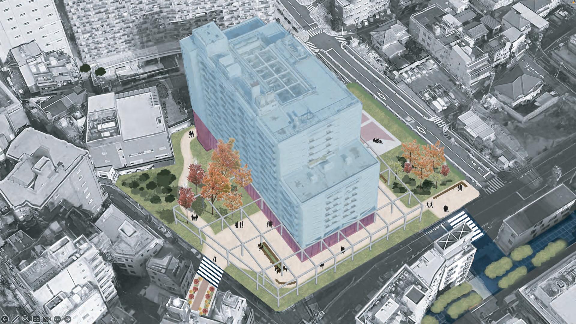
Underused plots are repurposed as "spaces to pause," aiming to shift the street hierarchy from a transit corridor to a human-centered zone. This intervention encourages passersby to slow down while eliminating physical impediments caused by bicycle and car congestion.
The corner lot acts as a strategic landmark. Its broad sightlines allow the space to exert a visual influence that extends to the station, effectively attracting commuters and guiding them toward the site.
The vacant lot is designated for grade-level bicycle parking. By positioning this facility away from the immediate station area and facing the existing post office parking, the design disperses density and streamlines bicycle storage.
Vehicular parking is consolidated at the eastern edge of the site, bordering the residential area. This zoning strategy segregates traffic, resulting in safer circulation patterns and a protected pedestrian realm.
2. Section Plan
This page is intentionally left blank
REDESIGNING MOBILITY IN
Sosuke Ando
Shuya Suzuki
Carina Chen
Princess Torralba
This page is intentionally left blank
01. VISION
Concept and Vision
Nakano becomes a TOD-driven city of seamless urban connection, offering integrated slow mobility networks that support the aging population and commuters as they navigate through the city.
2. PRINCIPLES
Consideration of port placement for easy access from all locations.
Port locations determined with regard to accessibility from surrounding buildings, stations, and other points of interest.
Design the port location to be clearly identifiable. Provide route design and guidance signage enabling users to reach the port smoothly from the station and along the streets.
In Nakano, significant demand for slow mobility is anticipated.
To reliably meet this demand, ports with sufficient capacity will be deployed evenly throughout the area.
3. SITE ANALYSIS
Topography
Hard to travel on foot
Due to the sharp inclines & declines in Nakano South’s topography, it creates difficulty for users to commute from farther residential sectors of Nakano into the central, commercial districts amongst the main road.
Ageing Demographic
With a largely growing aging population, Nakano, steeper pathways increase the risk of personal injury, in particular those who are less able-bodied.
Nakano-ku,2025
3. SITE ANALYSIS
1. Time Distance from the station
How far people live from the station influences daily routine
Distance plays a major role in citizen commutes and their lifestyles. Shorter walking distances make train travel more convenient and increase reliance on the station for work, shopping and social activities
LEGEND
Shared bikes expand short distance mobility options
Rental bikes help cover distances that are too far to walk but too short for trains. These services fill the mobility gap between stations and neighbourhood destinations, making local travel quicker.
2. Nakano's existing mobility network
LEGEND
3. SITE ANALYSIS
Vacant spaces to be utilized
Underutilised spaces across South Nakano alongside residential & commercial districts, in which space is left empty.
3. Vacant spaces in Nakano
Strength
-Extensive Transit Oriented Development system
Weakness
-Nakano’s Topographical Slope.
-High usage of bikes and alternative transportation
-Commuting Distance from further residential homes to commercial spaces and train network.
-Lack of easily accessible Slow mobility Aide
Opportunity
-Supporting working class families with convenient Childcare/OOSH services
-Improvement of TOD System in Nakano South
Threat
-Limited Land use
-Aging Population
04. PROGRAM
To create a mobility network
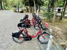
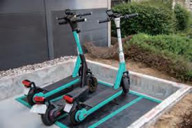
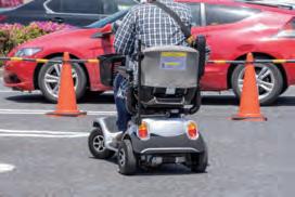
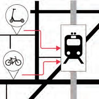
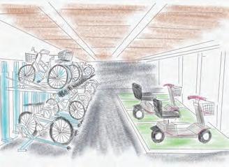
Implementation of multiple slow mobility “ports” across South Nakano, to create a network of easily accessible slow mobility alternatives for commuters and the ageing population.
Specific Program Examples
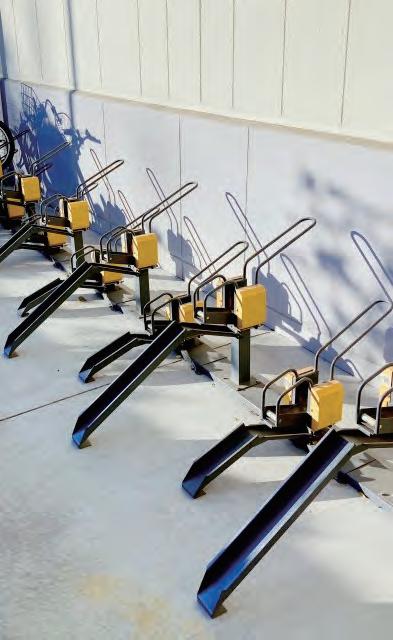
Sufficient bicycle parking spaces for storing mobility devices
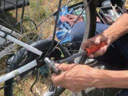
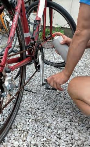
Install facilities for maintaining and repairing bicycles and other forms of mobility. In some cases, have repair technicians stationed on-site.
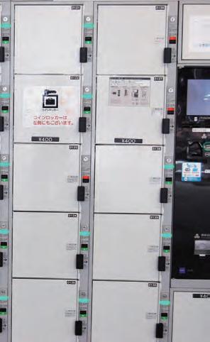
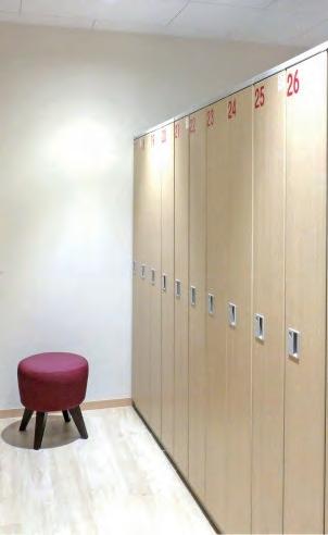
Lockers for temporary storage of belongings.
Work equipment and shopping bags can be stored temporarily.
Changing rooms and shower facilities shall be provided. These shall serve as areas for changing from work attire to everyday clothing, and for hygiene management during periods such as summer when perspiration occurs.
Location of Convenience due to the surrounding context of site, nearby Nakano Station, where a density of traffic emerge from the station and centralised within a variety of commercial facilities.
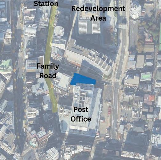
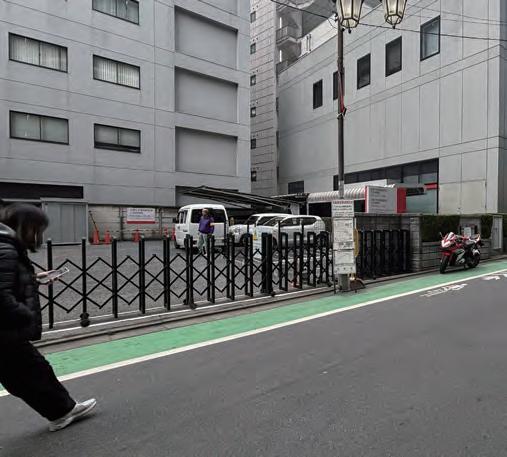
Site 2: North Parking Lot of Post Office
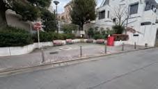
Utilise the vacant lot north of the post office. This location is close to the station and is expected to attract a high volume of mobility devices. Simultaneously, it is adjacent to the post office, offering high convenience as post office users can also park their bicycles here.
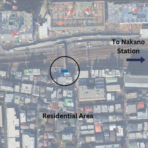
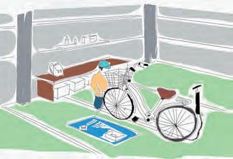
Site 3: Bridge Underpass (Residential area)
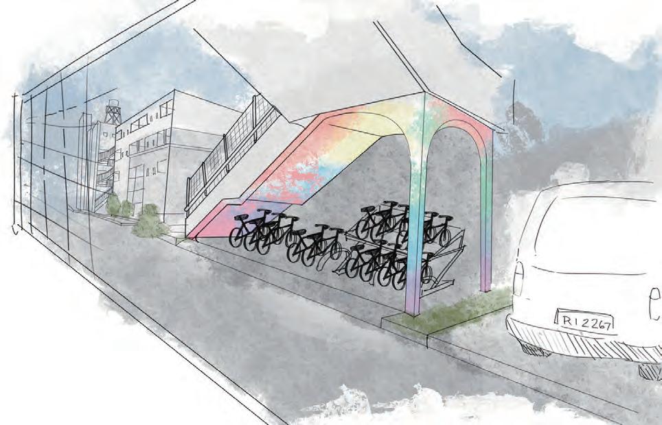
Close to residential buildings - hub close to residential homes so locals can store rental bikes etc.
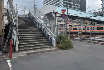
Located under bridge connecting North & South Nakano
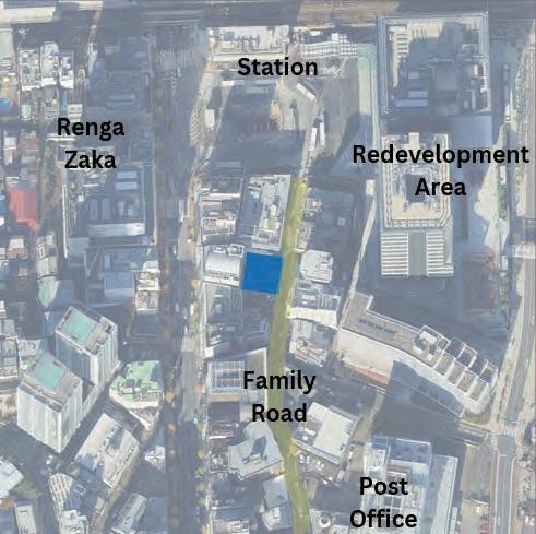
Site 1: Along the Family Road
This site adjacent to the Family Road can accommodate various forms of mobility besides bicycles.
Changing rooms, showers and toilets will also be provided, creating a rest area for businesspeople stopping by on their commute.
Public Space(for kids)
Senior Mobility Parking
Scooter Parking
Bike repair
Washing Room
05. DESIGN EXAMPLES
Site 2: North Parking Lot of Post Office
Located north of the post office, this port will incorporate an after-school childcare facility alongside its mobility parking functions.
Parents travelling home from work can stop by on their way from the station to pick up their children before heading home together. With few nurseries in Nakano offering outdoor play areas, a rooftop playground will be provided for this purpose.
Site 3: Bridge Underpass (Residential area)
The residential-side port is compact in scale, utilising small vacant plots within the neighbourhood for installation.
There are no large-scale facilities or additional functions, as seen in the station-front example. However, it is designed to reflect the three principles, with consideration given to accessibility, Guide Design, and sufficient capacity.
06. FUTURE VISION
Ports such as those illustrated in the design examples will be deployed throughout Nakano, forming a slow mobility network to support the movement of residents living in the future Nakano. Furthermore, the aim is for Nakano to mature as part of Tokyo's TOD (Transit-Oriented Development) and become a fully sustainable town in the future.
Members:
Zenas Lister
Vicky Leung
Shidaku Chin
Yusei Yamamoto
A SEQUENCE OF ATTRACTIONS
1. Site analysis
2. Proposed Interventions
3. Design Outcomes
1. Site Analysis
Reading the Existing Street Condition
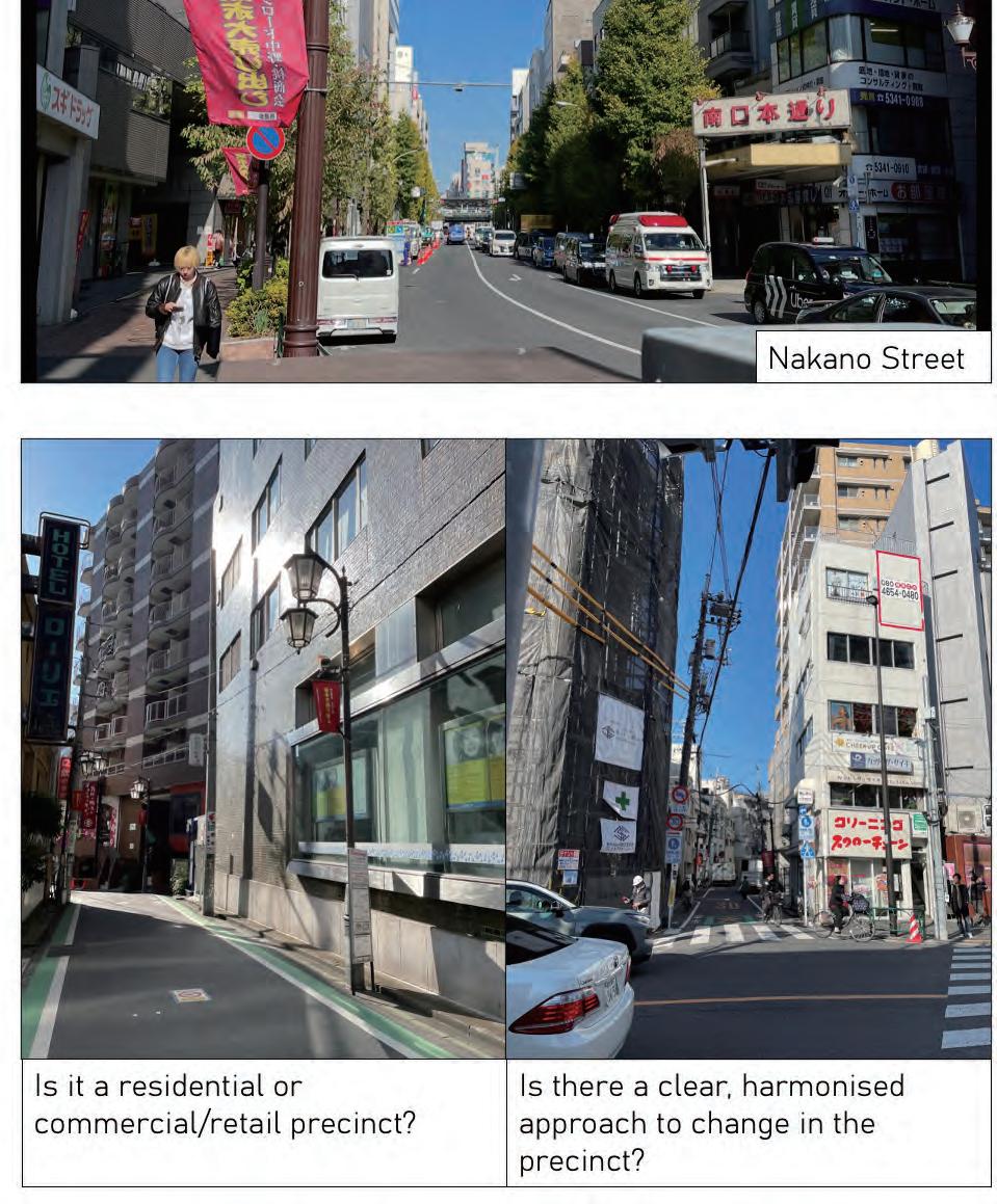
This page documents the existing condition of Nakano Street and its surrounding context. While the street shows a mix of residential and commercial uses, it lacks a clear and unified identity. The public realm offers limited cues that encourage people to slow down, stay, or engage with the area. These observations raise key questions about the street’s role and direction, which are examined through the following SWOT analysis.
1. Site Analysis
Key
Issues Identified Through SWOT Analysis
Building on the observed street conditions, a SWOT analysis was used to clarify the key issues facing South Nakano.
High pedestrian volume represents a strong asset, yet weak connectivity and an unclear spatial identity limits the quality of the walking experience. While there is potential to enhance the public realm through small-scale interventions, development along Nakano Street remains constrained. These findings indicate that targeted interventions along Family Road offer the most effective opportunity for change.
1. Site Analysis
Cultural Expression
Cultural identity in Nakano is unevenly expressed across the area.
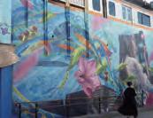
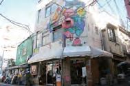
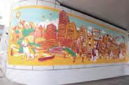
While the north features visible public art, the south lacks clear cultural expression despite its potential. This makes South Nakano’s identity less visible in the public realm.
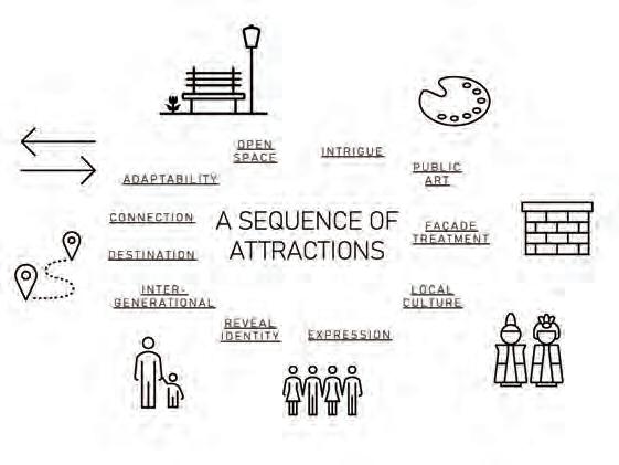
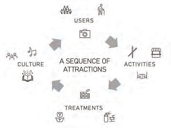
Conceptual Framework: A Sequence of Attractions
We identified a set of key themes—such as intrigue, open space, public art, connection, and identity—that shape how people move through and experience the corridor.
These themes form the foundation of our “sequence of attractions,” which aims to create moments that spark curiosity, offer places to pause, and encourage social interaction.
By mapping these experiential elements, we established a framework that guides the design of public spaces and helps us introduce culturally expressive interventions along Family Road.
1. Site Analysis
Proposed Interventions
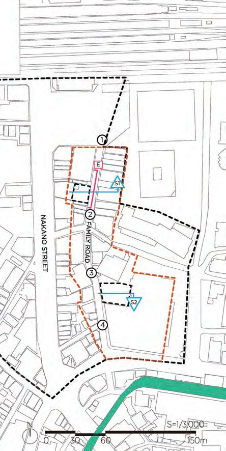
Building on this framework, we developed a series of spatial interventions along the Family Road corridor. These include new public art, small plazas, and improved pedestrian spaces that align with the key themes identified in our concept.
We also propose closing Family Road to vehicles on weekends—allowing access only during short loading hours—to create a safe and vibrant pedestrian environment.
Additionally, two parking lots, one public and one private, are planned for acquisition to support new public spaces that anchor the sequence of attractions.
Focus Treatment
Minor Treatment
Proposed Land Acquisition
Street Closure Times
-Weekdays: OPEN
-Weekends: CLOSED*
(*LOADING HRS: 8-9 a.m. & 3-4 p.m.)
2. Proposed Interventions
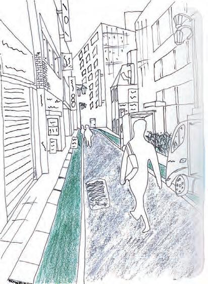
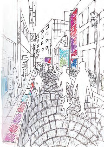
Sketch Perspectives
These illustrative sketches show how our proposed interventions shape the experience of moving through Family Road.
Each viewpoint highlights moments designed to slow people down, create places to rest, and encourage visual discovery.
The drawings demonstrate how pedestrians coming from the north would move through the corridor towards the Greenway, experiencing a sequence of attractions along the way.
2. Proposed Interventions
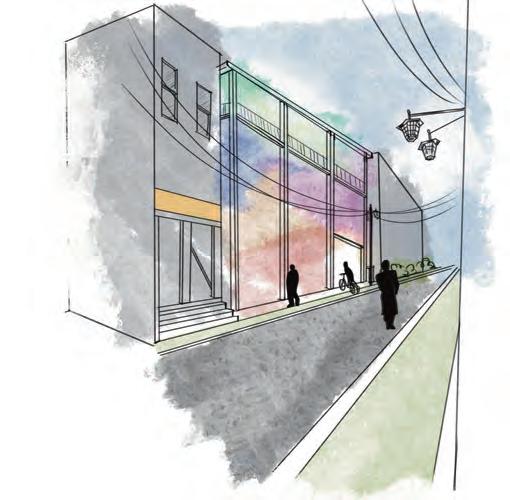
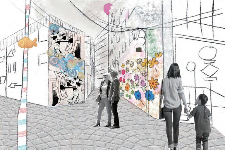
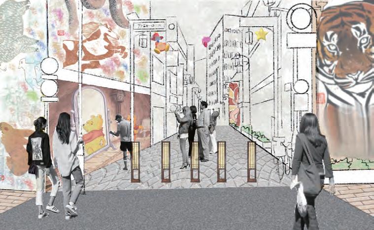
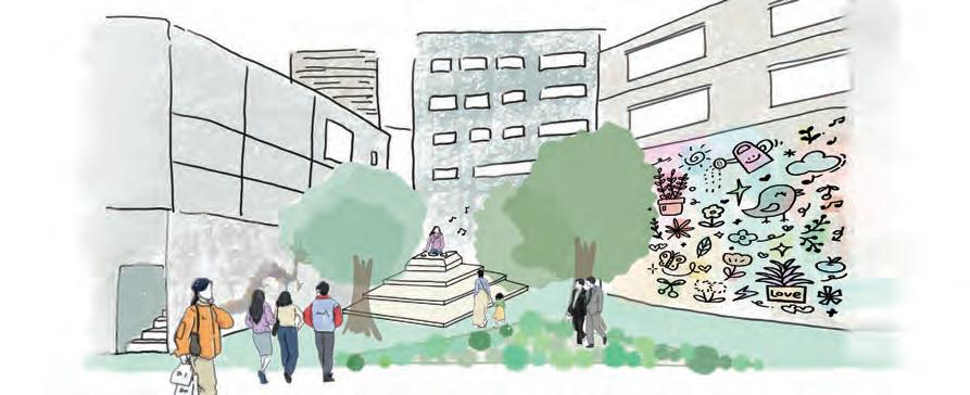
Viewpoint 1 – Social Encounter
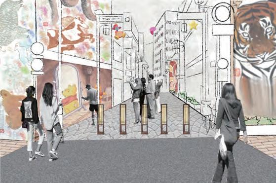
At the northern entry, the street begins with a social and cultural encounter.
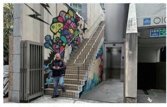
Public art and community-facing surfaces act as a “community canvas,” inviting people to slow down and engage.
This moment marks the start of a cultural journey through the street and draws pedestrians into the sequence.
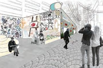
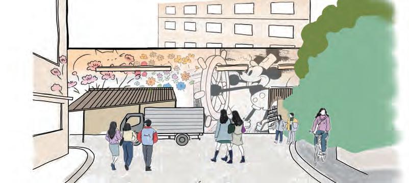
Viewpoint 2 – Food Culture
Moving along the corridor, everyday food-related activities begin to activate the street. Minor spatial treatments support casual interactions, allowing people to pause, eat, and observe daily life. This moment softens the walking rhythm and creates a natural transition between movement and staying.
2. Proposed Interventions
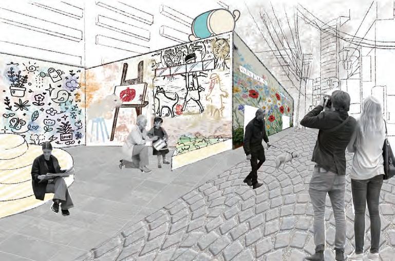
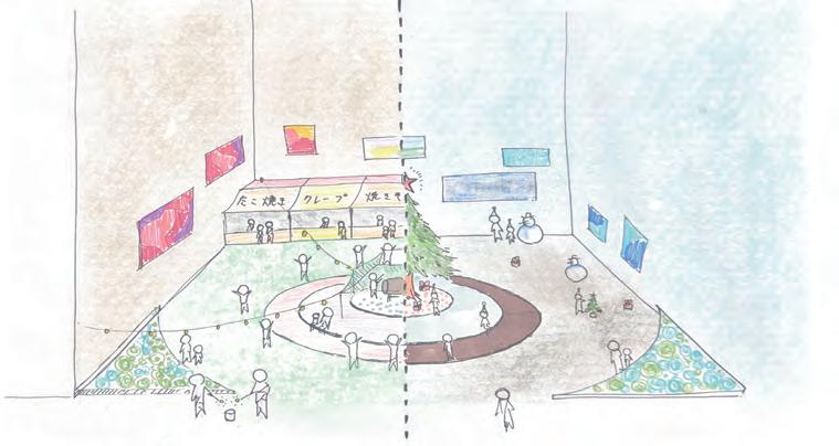
Viewpoint 3 – Local Music Culture
After moments of movement and pause, the sequence opens into a space for local music and shared activity. Urban horticulture and seating create a comfortable environment designed for all ages. Here, the street supports longer stays, allowing intergenerational interaction and everyday cultural expression to take place.
Local Music Culture Urban Horticulture Designed for All Ages
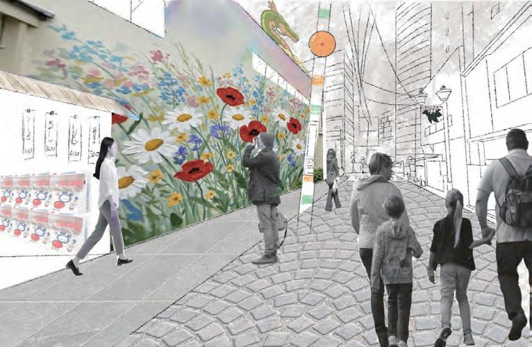
Viewpoint 4 – Visual Moments
At the southern end, visual moments along the street enrich the walking experience.
Façade treatments and small-scale commercial activity support the local economy while maintaining a pleasant pedestrian environment.
This viewpoint functions as a destination and a transition point, completing the sequence of attractions.
3. Design Outcomes
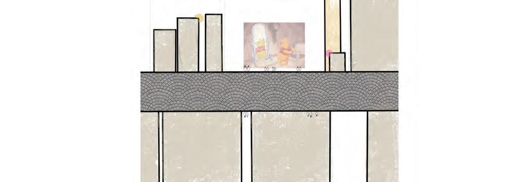
Elevation & Sections
The sections and elevation illustrate how the proposed interventions shape the street spatially. They show the relationship between pedestrian movement, open space, and building edges along Family Road.
Key Spaces: Northern Plaza & Southern Gateway
These views highlight two key moments along the corridor.
The northern plaza acts as a welcoming social space, while the southern gateway marks a transition toward the surrounding greenway.
Northern Plaza Southern Gateway
3. Design Outcomes
Time of Day & Seasonal Change
The street environment changes throughout the day and across seasons.
Lighting, planting, and materials allow the space to remain active and comfortable under different conditions.
Proposed Materials
The material strategy prioritises durability and pedestrian comfort.
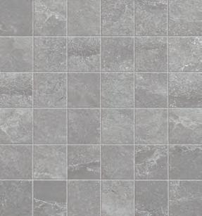
Stone brick paving slows traffic, while stone tiles define plazas and areas for staying. Together, these materials clarify movement and strengthen street identity.
Plaza/ Sidewalk: Stone tile Street: Stone brick paving
This page is intentionally left blank
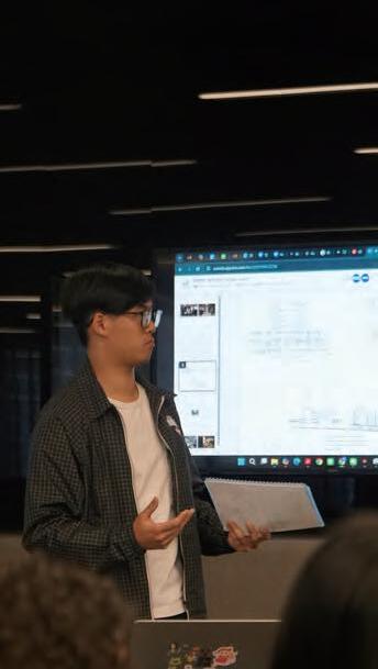
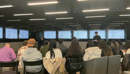
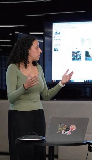
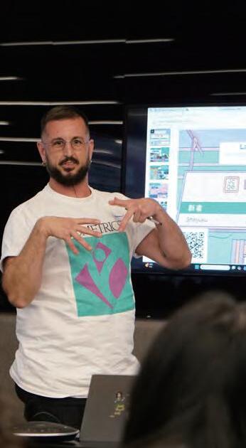
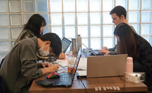
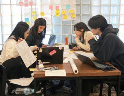
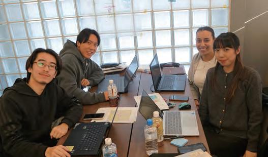
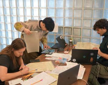
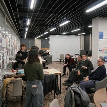
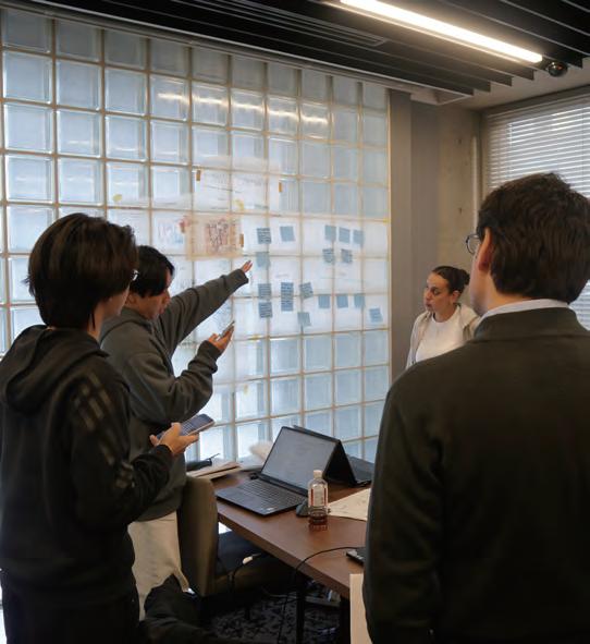
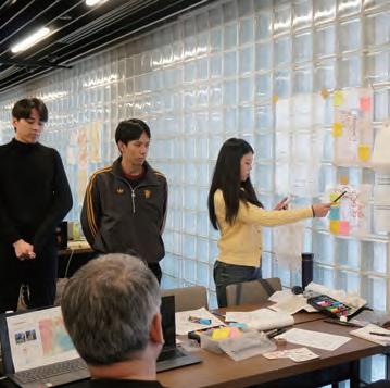
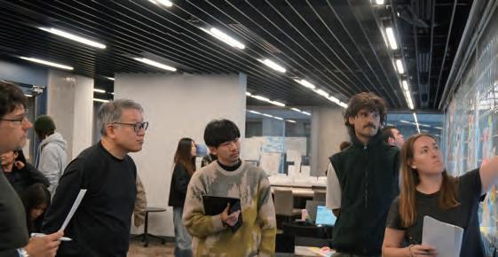
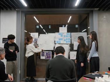
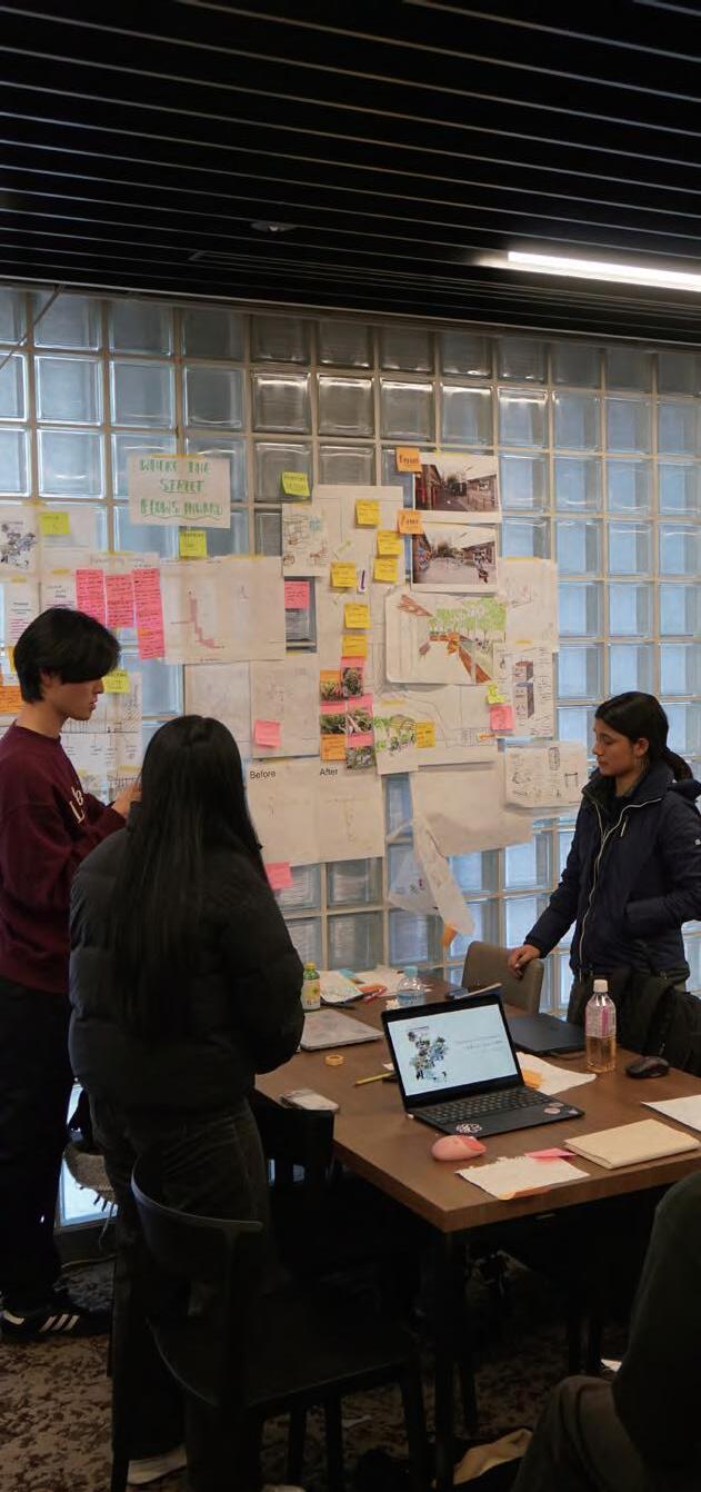
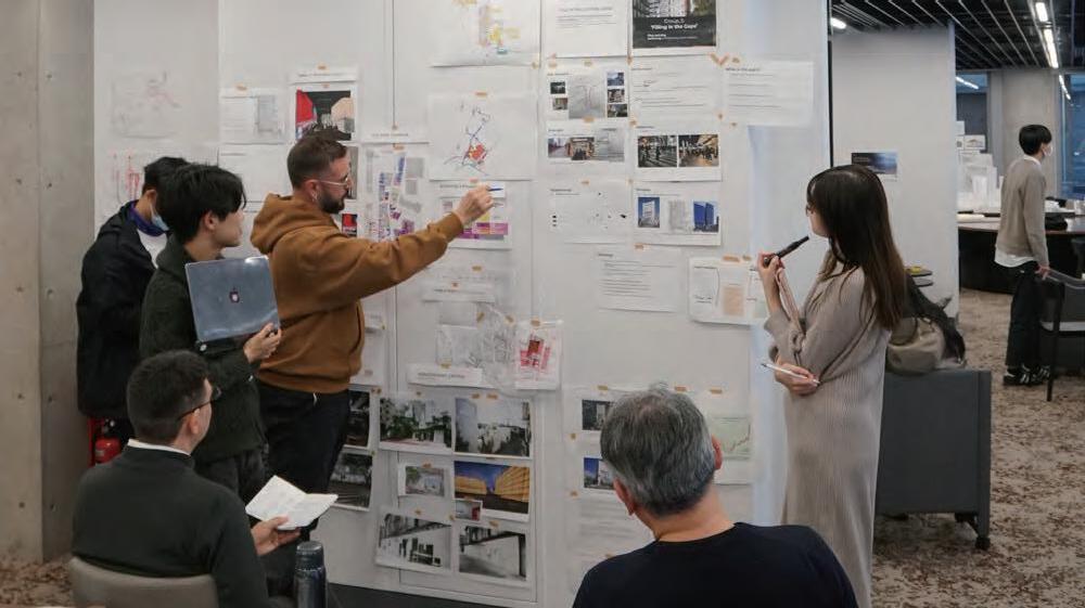
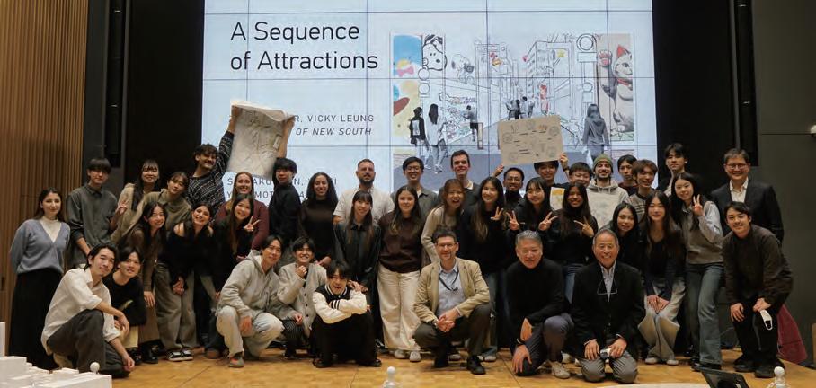
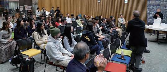
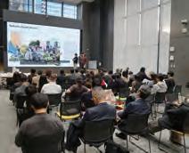
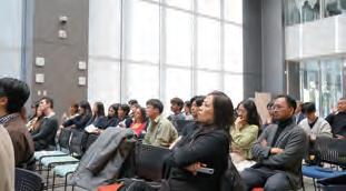
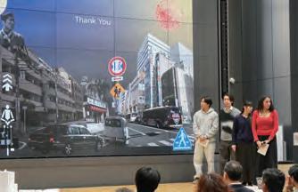
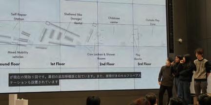
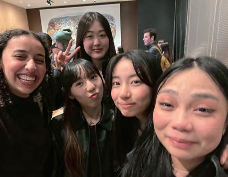
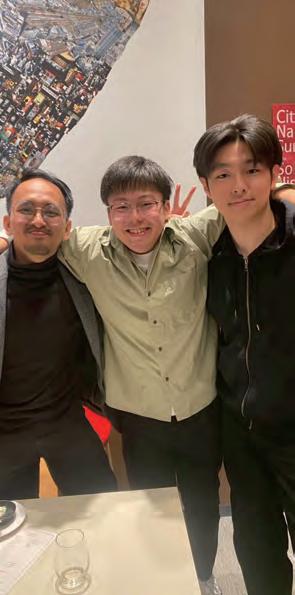
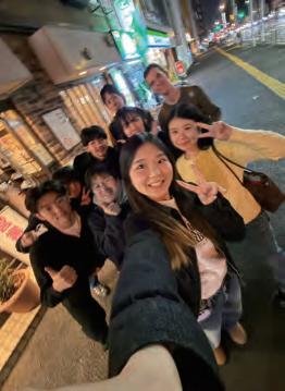
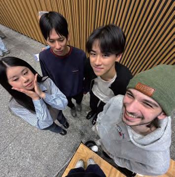
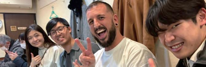
SCENES FROM THE WORKSHOP
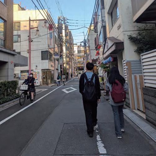
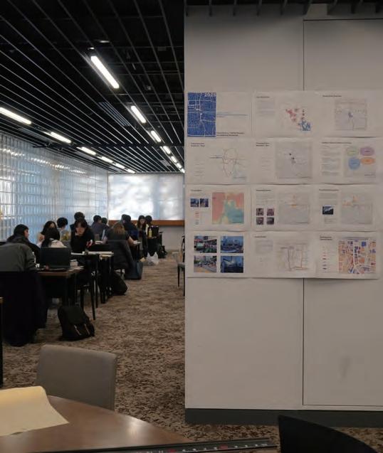
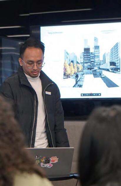
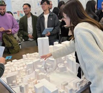
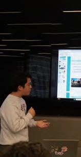
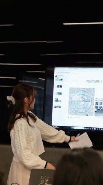
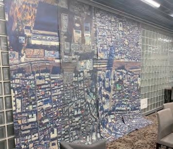
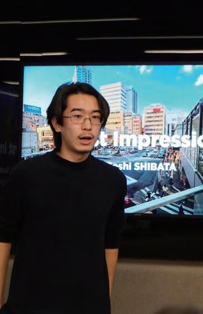
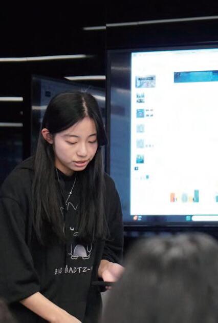
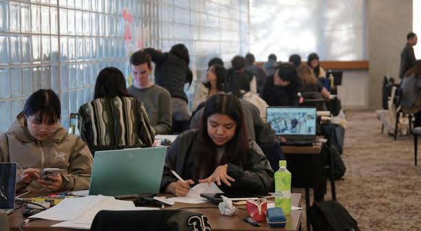
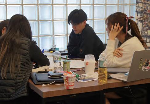
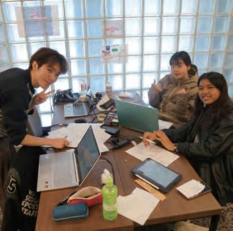
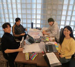
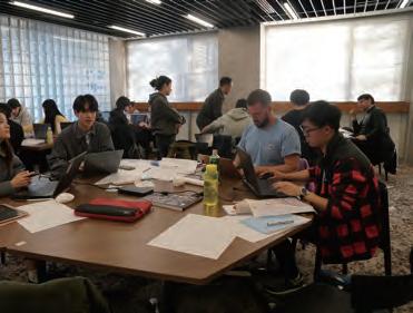
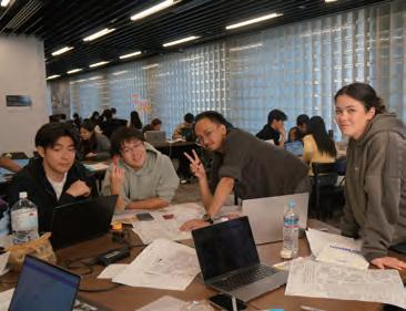
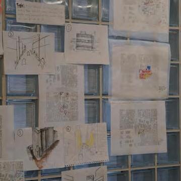
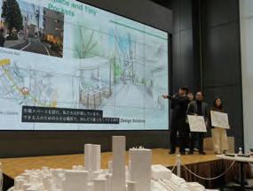
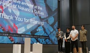
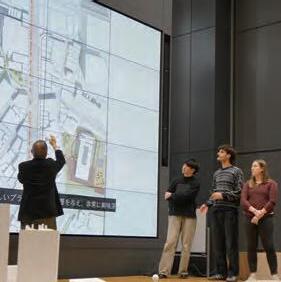
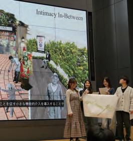
1. First impression 2. Group Work 3. Pin-Up 4. Final Presentation
5. Beyond The Workshop
This page is intentionally left blank
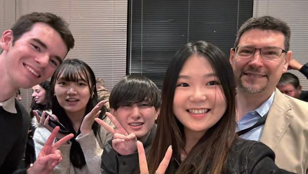
1. FIRST IMPRESSION
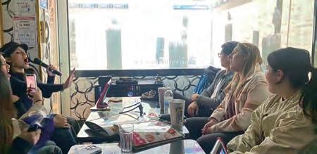
2. GROUP WORK
PIN-UP
4. FINAL PRESENTATION
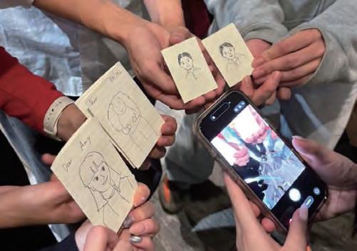
5. BEYOND THE WORKSHOP
Instruction
Waseda university
Tetsuya Yaguchi
Participants
Waseda University (Yaguchi Lab)
Rei Aoki
Shuya Suzuki
Chisaki Itami
Soshi Shibata
Rikuto Shiota
Ozora Aoki
Ayu Nishimori
Yusei Yamamoto
Sosuke Ando
Rin Kajikawa
Masato Sasaki
Soichi Kaiwa
Mayu Suzuki
Shidaku Chin
Shu Kawamata
Kentaro Tachi
Shoji Momosaki
Mathis Hugo Ratat
University of New South Wales
Ra aele Pernice
University of New South Wales
Abbigail Jauw
Alex Ka Ho Mok
Amy Guan
Annie Zhou
Donna Helm
Jessica Bae
Linette Apango
Nikolas Haniotis
Princess Torralba
Stefan Joksic
Zenas Lister
Rachel Messiha
carina chen
Kate Tran
Wai Kiu Vicky Leung
Zaky Abdullah Muhammad
Helen Larkin
Published byYaguchi Lab.at Department of Architecture, School of Creative Science and Engineering, Waseda University.