A GUIDE TO MISSOULA'S TRAILS & RIVERS
LAND ACKNOWLEDGMENT
Destination Missoula and the Missoula Tourism Business Improvement District gratefully acknowledge and recognize the Indigenous peoples who are the original stewards of the land we now live, work and recreate on. We are in the aboriginal territories of the Séliš (Salish), Ksanka (Kootenai) and Qlispé (Kalispel) people, and we honor the path they have always shown us in caring for this place for the generations to come. As we experience and enjoy Missoula and the surrounding region, we acknowledge that we are on Indigenous land, and every river, mountain, meadow, plant, fish, animal, insect and landmark has an Indigenous name and story.
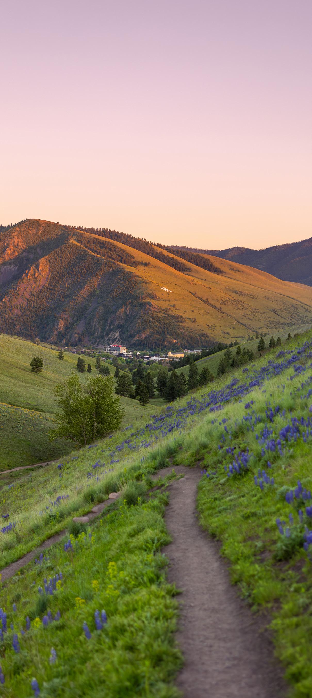
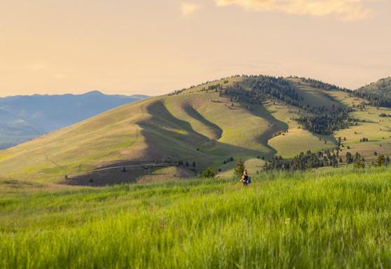
MOUNT SENTINEL. TAYLAR ROBBINS
Your Adventure Starts Here DESTINATION
MISSOULA
Welcome to Missoula, a unique city that is defined by its unparalleled access to the outdoors. Situated squarely in the center of seven wilderness areas and at the convergence of three rivers, Missoula is paradise for the outdoorsy. Also serving as the cultural hub of the state, Missoula has a vibrant and thriving arts and culture scene that permeates through every part of our city. The best part of a visit to Missoula is that you’re not limited to one type of vacation, and Destination Missoula ensures that you can have it all. Enjoy racing down hillsides at sunrise, and ending the day at an outdoor concert along the banks of the river. Our website is packed with inspiration and local insights, from yearround events and outdoor adventures to the best spots where you can enjoy a craft drink and catch a wave all in the same evening. No matter what your Missoula adventure entails, Destination Missoula is here to make sure it’s the best one yet.
Scan to learn more about Destination Missoula
QUESTIONS?
We’re happy to help. Give us a call or stop by our downtown Destination Missoula Visitor Information Center: 101 E. Main St. Missoula, Montana office@destinationmissoula.org 406.532.3250 Visitor Information: 800.526.3465
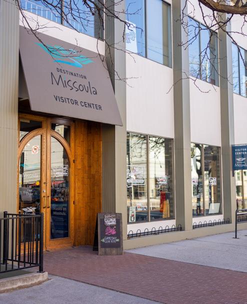
SUMMER HOURS (Memorial Day – Labor Day) Monday – Friday 9 a.m. – 7 p.m.
Saturday 9 a.m. – 5 p.m. Sunday 10 a.m. – 3 p.m.
FALL, WINTER, SPRING HOURS (September – May) Monday – Friday 9 a.m. – 5 p.m.
Self-Serve Hours
Saturday 10 a.m. – 5 p.m. Sunday Closed
Questions about parking in Missoula? Visit:
Outfi t t i n g the best fis h i n g sto r i es s i n ce 1 917
Missoula | Bozeman | Hamilton
Enjoy the parks, trails, rivers and lakes with your pup!
Remember
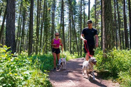
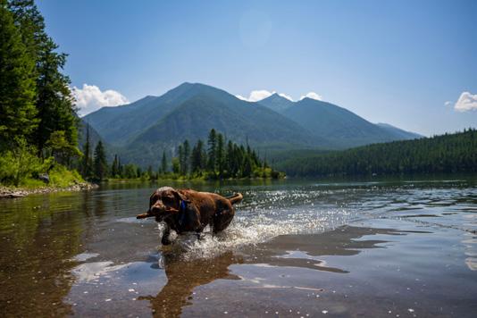

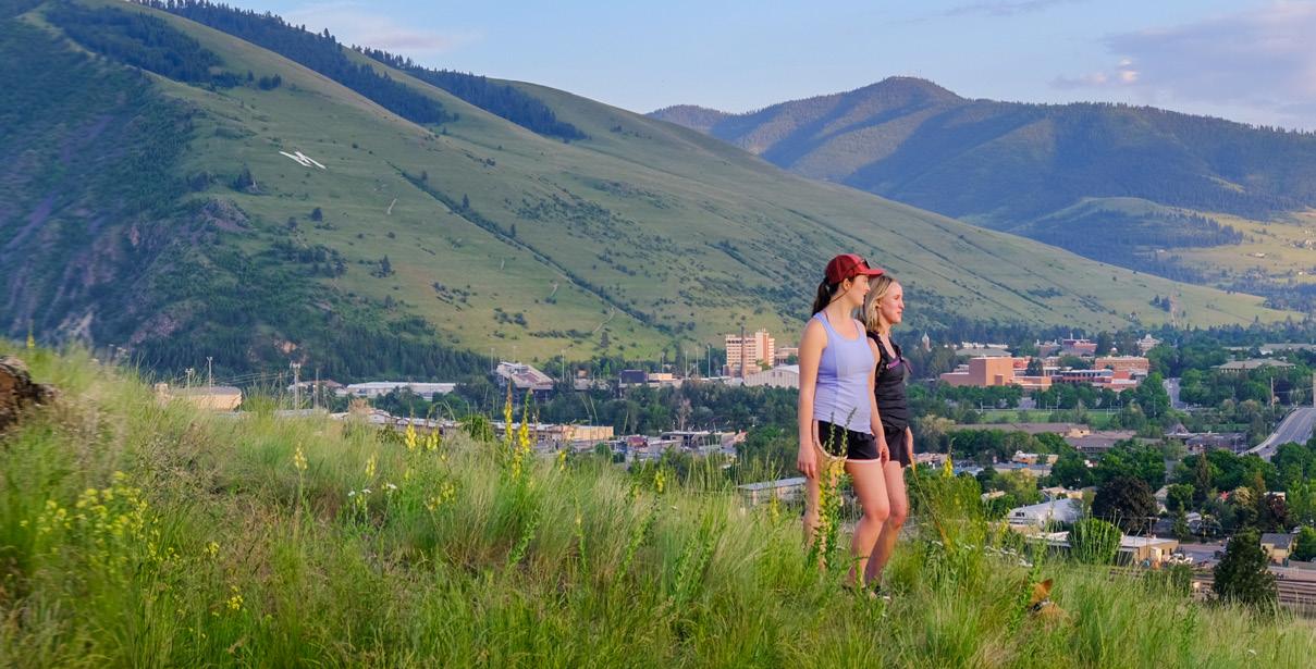
The magic of Missoula, Montana, lies in the balance that exists here—where wilderness meets vibrant cityscapes, where old stories meet new voices, where lively music meets quiet nature trails—and it’s up to all of us to help keep it that way. Missoula’s Destination Stewardship Plan gives us the tools to grow sustainably, protect our wild spaces, honor the legacy of those who came before and support those who are here now. Missoula is more than a destination—it’s a place to care for. Together, we’re shaping a future where visitors and locals thrive in harmony with the land and with each other.
SO, WHAT IS DESTINATION STEWARDSHIP?
Destination stewardship means working together to protect what makes Missoula special, so everyone—residents and visitors alike— can enjoy it now and for generations to come.
BEST PRACTICES
LET’S PROTECT OUR FLOW
Keep our rivers clean, safe and sacred.
LET’S OWN OUR FOOTPRINT
Every step leaves a mark. Make yours a good one.
LET’S CHOOSE LOCAL
People are the soul of this place. Let’s lift them up.
LET’S LEAD WITH KINDNESS
Missoula is good to us. Let’s be good back.
LET’S LEARN THE WHOLE STORY
The land remembers, and the story is still being written.
LET’S EMBRACE EVERYONE
We all have a role to play in this place. We are all connected.
Learn more about our Destination Stewardship Plan.
NORTH HILLS PRESERVE. TAYLAR ROBBINS
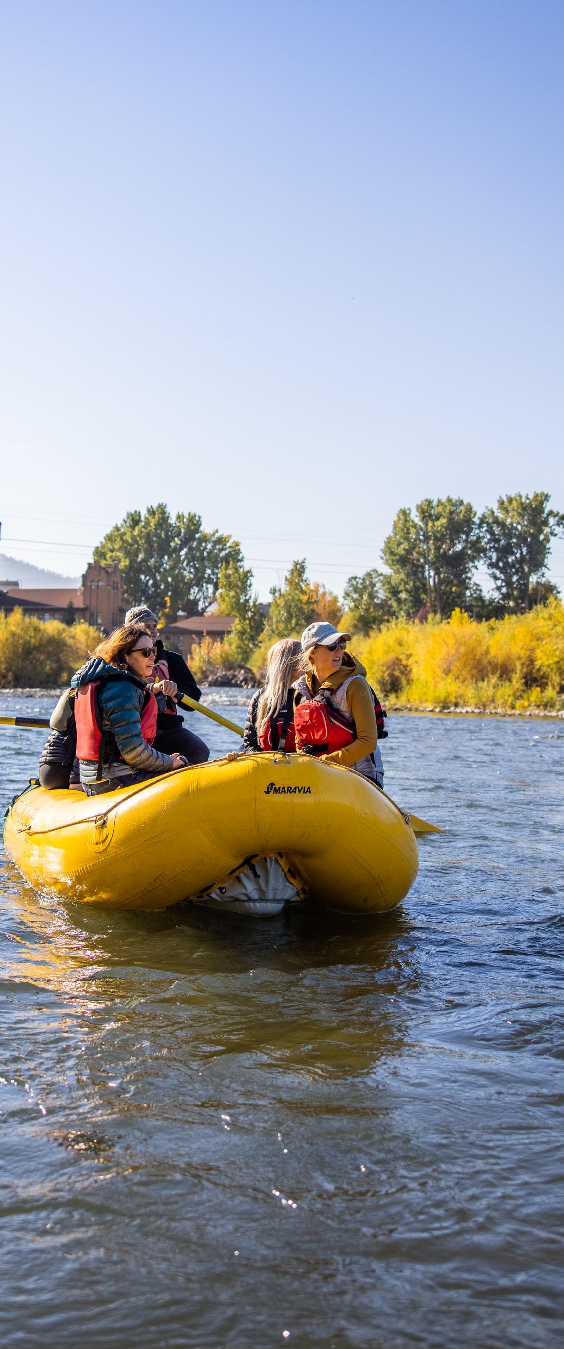
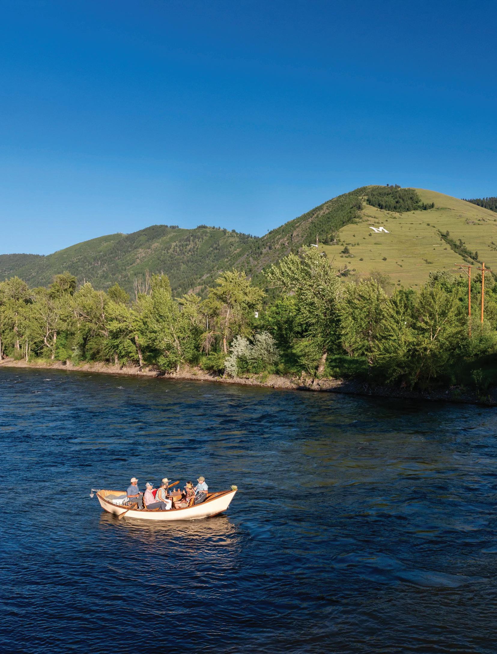
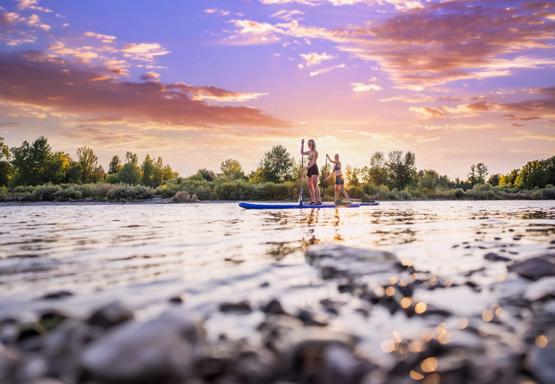
CLARK FORK RIVER. TAYLAR ROBBINS
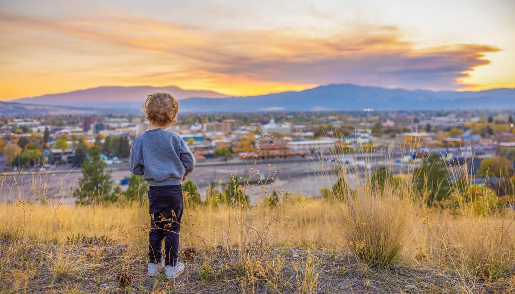
DO YOUR PART TO Recreate Responsibly
We're committed to keeping Montana's outdoor spaces, communities, residents and visitors safe. As you enjoy all that Missoula has to offer, please join us in following these guidelines for responsible recreation.
KNOW BEFORE YOU GO
Before arriving, it's always smart to check the status of the place you'd like to visit. Have a backup plan if your destination is closed or crowded, and consider adjusting the time of day you plan to explore.
PLAN AHEAD & PACK SMART
Bring the right gear for your adventure, including water, appropriate clothing and any safety essentials. Conditions can change quickly yearround, so check the forecast and be prepared for changing weather. Check out our packing list on page 17.
PLAY IT SAFE
Have fun, but know your limits. Take it slow and choose lower-risk activities to stay safe and reduce the strain on search and rescue operations and health care resources.
EXPLORE LOCALLY
Our area is full of local parks, trails and public spaces. Enjoy them while being mindful of your impact on the surrounding communities.
LEAVE NO TRACE
Pack your garbage out with you and clean up properly. When recreating on public lands, be sure to take care of them by staying on trails. If you see trash, pack it out and leave the trails better than you found them.
BUILD AN INCLUSIVE OUTDOORS
Missoula is a welcoming and inclusive community for all who wish to enjoy it. Do your part to help make our outdoor spaces safe and welcoming for all identities and abilities.

WATERWORKS HILL. TAYLAR ROBBINS
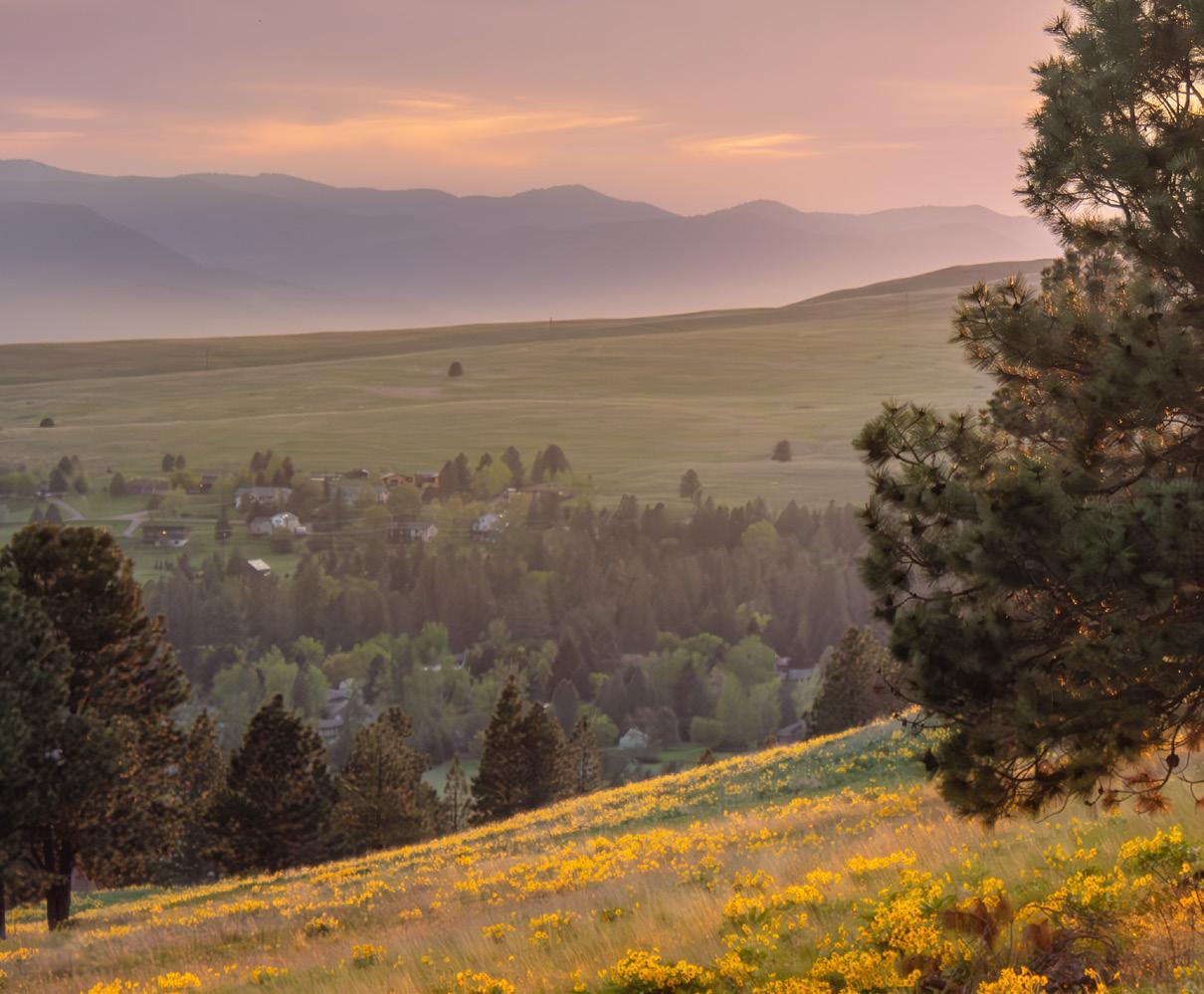
HOW TO USE This Guide
Use this guide to discover Missoula’s outdoor spaces with route suggestions, maps, safety tips and QR codes linking to current conditions, trip-planning tools and additional local resources. Before heading out, always check the latest weather, trail conditions, closures, regulations and wildlife advisories through the linked resources and official land management agencies. Staying informed helps you recreate responsibly.
The following icons identify permitted uses, accessibility features and trail regulations to help you plan your adventure.
HIKE/RUN
Trails are open to hiking, trail running and walking. Stay on designated trails to help protect wildlife, vegetation and trail conditions.
BIKE
Mountain bikes and other non-motorized bicycles are permitted on these trails. Please yield to hikers and horseback riders when appropriate.
MOTO
Motorized vehicles, such as dirt bikes and off-highway vehicles, are allowed on designated routes.
E-BIKE
Electric bicycles are permitted on select trails and paths. Regulations vary by land manager and trail designation, check posted signage and local rules before riding.
ATV
Trail is open to all-terrain vehicle (ATV) use where permitted.
HORSEBACK
Equestrian use is permitted on these trails.
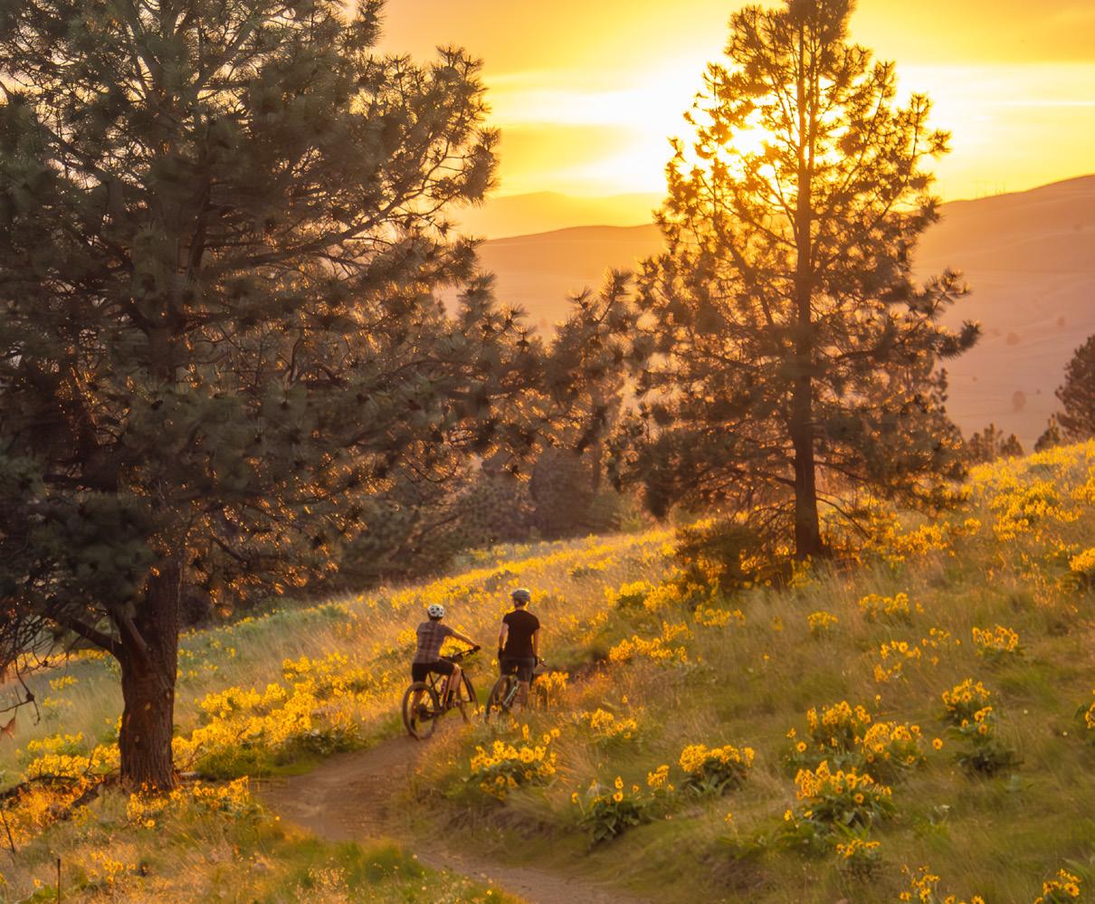
NORDIC SKI
These trails are popular for Nordic skiing during the winter months.
BACKCOUNTRY SKI
These trails provide access to backcountry skiing opportunities.
SNOWSHOE
These trails are suitable for snowshoeing during winter conditions.
ACCESSIBLE
These trails are designed to improve access for visitors with mobility limitations and may feature smoother surfaces, gentler grades or accessible amenities. Some may be better suited for adaptive mobility equipment than standard wheelchairs.
NO DOGS
Dogs are not permitted on these trails. Please respect restrictions that help protect wildlife, habitat and visitor experiences.
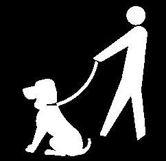
DOG ON-LEASH
Dogs are required to be on a leash in all parking areas, within 200 yards of trailheads on city conservation lands, and anywhere designated as an on-leash zone. Outside of these areas, dogs may be off-leash if they remain under voice control.
DOGS UNDER VOICE CONTROL
A dog is considered under voice control when its owner or handler remains within 25 yards, keeps the dog in clear sight, and can reliably recall and manage the dog at all times.
MOUNT JUMBO. KASSIDY MALCOLM
HIT THE TRAIL With Your Dog
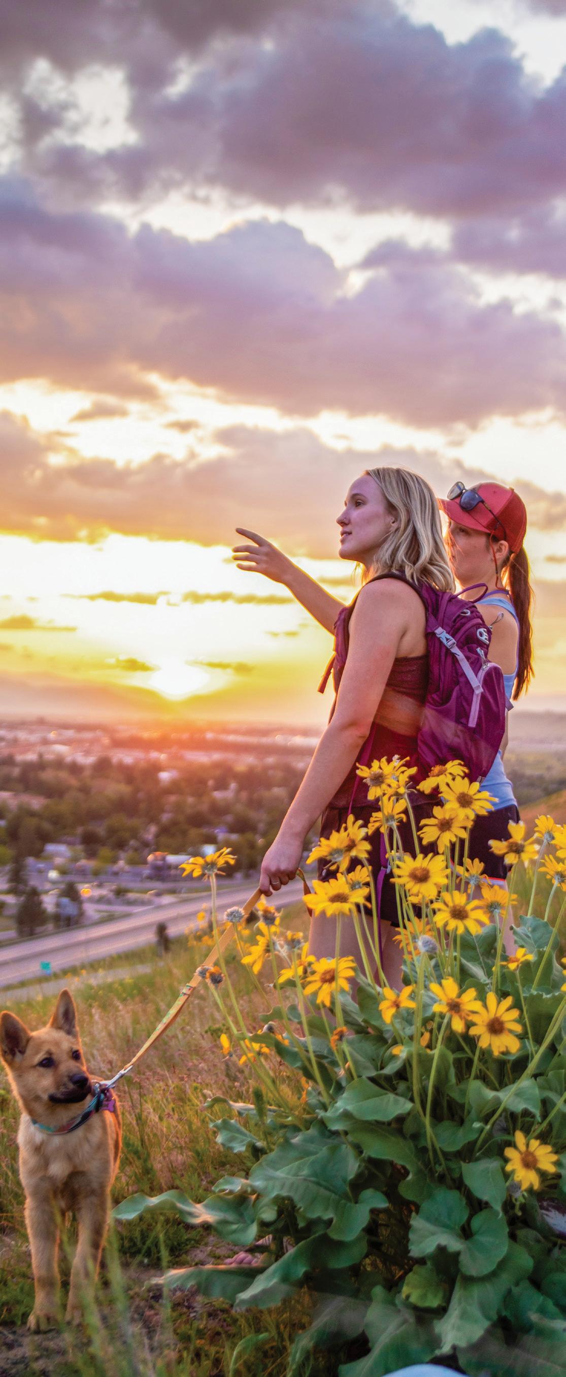
Dogs are welcome on many of Missoula's trails, making it easy to explore the outdoors with your four-legged companion. Regulations vary by location, so be sure to check the rules for the area you're visiting before heading out. In many open space areas, including Blue Mountain and Pattee Canyon, dogs may be off-leash as long as they remain under reliable voice control. However, dogs must be leashed in all parking areas, within 200 yards of trailheads on City Conservation Lands and in any posted on-leash zones, such as Mount Jumbo, Waterworks and Mount Sentinel.
All trails in the City Center section of this guide, including Greenough Park, require dogs to remain on-leash at all times, and dogs must remain leashed throughout Maclay Flat. Some trails also have seasonal leash requirements to protect sensitive wildlife and native plants. For example, portions of Waterworks Hill require dogs to be leashed during seasonal closures to help protect the rare Missoula phlox and other fragile habitat. Areas like the Rattlesnake Recreation Area actively enforce leash regulations, and owners may be fined for allowing dogs off-leash where it is prohibited. Dogs are not permitted on Marshall Mountain or on the Sawmill Gulch Trail in the Rattlesnake Recreation Area. During the winter, dogs are not allowed on groomed Nordic ski trails.
Help keep Missoula's trails enjoyable for everyone by practicing good trail etiquette. Always pick up after your dog and pack waste out to the nearest trash can—free Mutt Mitt stations are available at many trailheads. Keep your dog close and under control, especially around horses, wildlife and other trail users. If you encounter a leashed dog, assume it may need extra space and prevent your dog from approaching unless invited by the owner. Respecting trail regulations and being a courteous pet owner help protect wildlife, preserve access to off-leash areas and ensure Missoula's trails remain welcoming for everyone.
Look for these signs around town and at trailheads to learn the regulations that apply in each area.
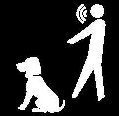

DOG ON LEASH AREA
CITY OF MISSOULA
MONTANA RECREATION Licenses and Permits
Exploring Missoula’s incredible outdoor spaces is an unforgettable experience, but a little planning ahead can help ensure the best trip possible.
MONTANA STATE LANDS
All individuals age 12 and over need a conservation license to access Montana state lands for recreational activities, including fishing, hunting, boating, tubing, paddle boarding, camping, hiking, walking and more. This includes fishing access sites, wildlife management areas and wildlife habitat protection areas.
ADDITIONAL LICENSES AND PERMITS
Additional licenses or permits may be required for activities such as fishing, hunting, off-highway vehicle use and boating.
MONTANA STATE PARKS
Separate entrance passes apply to each.
COMMERCIAL, GUIDED AND GROUP ACTIVITIES
Certain commercial, guided or organized group activities may require special use authorization.
TRIBAL LANDS
Accessing the Flathead Reservation and other tribal lands in Montana may require specific tribal conservation or recreation permits for activities including hiking, camping, fishing and hunting. Requirements and fees vary based on the activity, residency status and length of use.
CLARK FORK RIVER. KYLE MCGOWAN
Whether you’re exploring Missoula’s local trails, nearby mountains or one of the region’s wilderness areas, a little preparation goes a long way. Conditions out here change quickly—both weather and trail. And while seeing a bear in the wild is an exciting prospect, it’s less exciting on a trail where you’re totally exposed. Bears call the forests in and around city limits home, so bear spray is imperative when traveling on nearby trails. It’s important to fill your pack with all of the essential supplies to make sure you have a safe, and fun day outdoors.

What’s Your Vibe?
Missoula is teeming with all kinds of trails. From alpine summits and hillside hikes to riverside wanderings and paved paths that wind through the city, choosing where to start may seem like a daunting task, but no need to sweat it! Here’s our guide to help you figure out what trail best fits your vibe.
Got your furry friend with you, but not sure where they’re welcome?
Check out
• Ginny Mountain via Crooked Trail #302 (pg. 40)
• Blue Mountain Rocky Top Loop (pg. 48)
Chasing the perfect sunset hike?
Check out
• North Loop (pg. 29)
• The “M” Trail (pg. 37)
• Waterworks Loop (pg. 54)
In the mood for a serious leg burner?
Check out
• South Face Loop (pg. 28)
• Izzy Up to Hot Sauce to Not So Easy Up (pg. 33)
• Mount Sentinel Summit via Pengelly Ridge Trail (pg. 37)
Coffee in hand and not trying to lose your breath?
Check out
• Maclay Flat Nature Trail (pg. 48)
• City View Trail (pg. 55)
• Greenough Park Loop (pg. 58)
Looking for the best MTB trail to ride?
Check out
• EWOK/Fenceline Trail (pg. 24)
• Izzy Up to Hello Kitty to Mission to MARS (pg. 33)
• Skyline Ridge to Barmeyer Point-to-Point (pg. 45)
Want a scenic river float or paddle?
Check out
• Sha-Ron to Silver Park (pg. 77)
Need a trail with big views and minimal effort?
Check out
• Bluebird Loop (pg. 51)
• Downtown Clark Fork Loop (pg. 58)
Looking for a family-friendly adventure?
Check out
• Rattlesnake Main Trail #515 (pg. 24)
• Inez Creek Loop Trail (pg. 45)
Want to beat the winter blues?
Check out
• Marshall Mountain (pg. 30)
• Sam Braxton (West Loop) (pg. 40)
Looking for a horse-friendly trail with epic views?
Check out
• Rattlesnake Main Trail #515 (pg. 24)
• Blue Mountain Equestrian Trail (pg. 49)
Got a dirt bike that needs revving?
Check out
• Blue Mountain Motorized Trails (pg. 49)
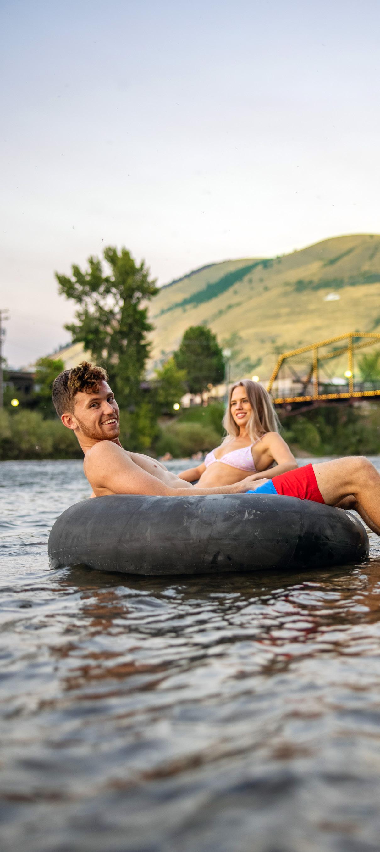
Go With the Flow
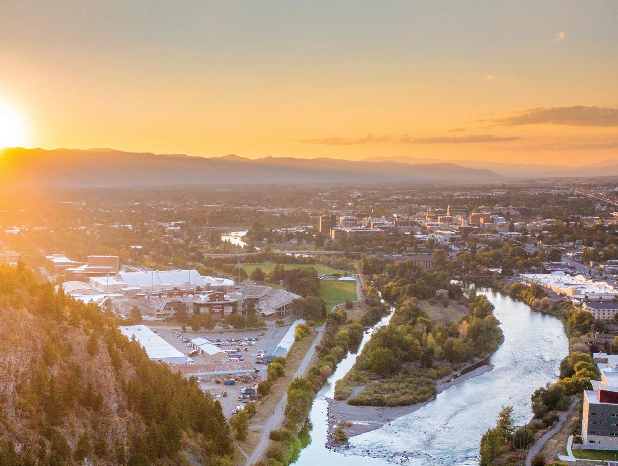
Grab a tube or go with a guide, and let the Clark Fork carry you through one of Missoula's favorite summer traditions.
CLARK FORK RIVER. TAYLAR ROBBINS
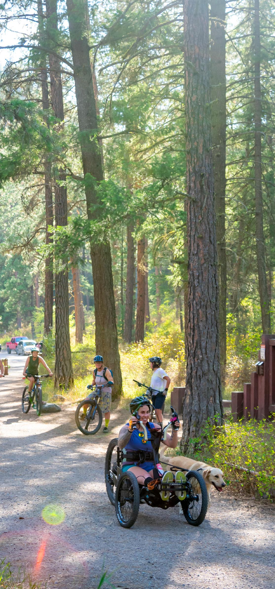
RATTLESNAKE NATIONAL RECREATION AREA
Just 3 miles north of downtown Missoula, the Rattlesnake National Recreation Area spans 28,000 acres, with 33,000 adjacent acres of designated wilderness and 73 miles of trails to explore. Nearly all of the trails are multi-use and open to hikers, horseback riders, mountain bikers, runners and Nordic skiers. The area’s South Zone is the most used and lies largely within the first 3 miles of the main trailhead. Areas beyond allow for dispersed camping, and serve as a gateway to the wilderness boundary where multi-day backcountry adventures lead to alpine lakes. Regulations vary depending on the different zones, so make sure to check information boards for specific rules. Pets are not allowed on the trails in winter, and motorized vehicles are prohibited year-round.
Trail Unpaved Featured Trail Paved
Unpaved
Paved City Parkland
Missoula County
U.S. Forest Service
State of Montana, Misc.
Check trailhead signs and land agency websites for the latest updates on trail conditions, seasonal closures and dog regulations. Contact Name: U.S. Forest Service Contact Phone: 406.329.3814
1 RATTLESNAKE MAIN TRAIL #515
~15 miles round trip
~1,381 ft. elevation gain
Variable Time EASY MODERATE HARD
The Rattlesnake Main Trail begins at the main trailhead. The trail winds through a scenic pine forest, providing shade for much of the way. The path is a gentle uphill grade and has several offshoot trails that lead along the creek. There is a vault toilet at one of these junctions, as well as one at Poe Meadow, which is approximately 3 miles up the trail and marks the end of the South Zone. Beyond the South Zone, dispersed camping is allowed, provided visitors follow food storage and fire regulations and stay no more than 16 days. Beyond the wilderness boundary, hikers can access trails that lead to lakes.
NOTE: Adaptive bikes are allowed on these trails, but the route is not wheelchair friendly. Dogs must be leashed from the south boundary to milepost 1.7. Beyond milepost 1.7, dogs must be under voice control. Dogs are not allowed along Rattlesnake Creek from the south boundary to milepost 1.7 from Dec. 1 through March 1.
2 EWOK/FENCELINE TRAIL
8.3 miles round trip
1,341 ft. elevation gain
4-5 hours MODERATE
Start at the main trailhead parking area and follow the EWOK Trail as it parallels Sawmill Gulch Road to the Sawmill Gulch trailhead. Continue uphill and take the first left onto Turkey Trail, then connect to Fenceline Trail. This enjoyable loop eventually reconnects with EWOK, leading you back to the main trailhead.
NOTE: Year-round: No dogs allowed in Sawmill Gulch and Curry Gulch.
Did You Know?
Just minutes from downtown Missoula, the Rattlesnake offers over 70 miles of trails for hiking, biking and exploring.
3 WALLMAN TRAIL #29.1
9.38 miles round trip
1,385 ft. elevation gain 4 hours HARD
The Wallman Trail loop starts at the main trailhead and can be completed clockwise or counterclockwise. After a half mile head left up Spring Gulch (trail #517), or continue straight up the main corridor trail for approximately 2 miles and access Wallman Trail #29.1 on the left. There is a creek crossing over Spring Creek, but summer water levels should make this easy. This is a great trail to see the changing colors of larch trees in the fall, and during the warm season, you can even find some huckleberries hiding in the underbrush.
NOTE: Dec. 1 – March 1: No dogs allowed from the southern boundary to milepost 1.7 along Rattlesnake Creek.
Dec. 1 – May 16: No dogs allowed on Spring Gulch and Stuart Peak Trail #517.
Year-round: No dogs allowed in Sawmill Gulch and Curry Gulch. No restrictions: Dogs are allowed in Woods Gulch year-round.
RATTLESNAKE NATIONAL RECREATION AREA. ANDY AUSTIN
MOUNT JUMBO
Mount Jumbo rises to 4,768 feet above Missoula on the north side of the valley, overlooking downtown and the entrance to Hellgate Canyon. The mountain is both a beloved recreation area and important wildlife habitat, with ample hiking, biking and sweeping views of the city from the famous hillside “L”— one of Missoula’s most recognizable landmarks. To protect wintering elk and local wildlife, large portions of the mountain are seasonally closed from Dec. 1 through early spring. Be sure to check current closure information before visiting.
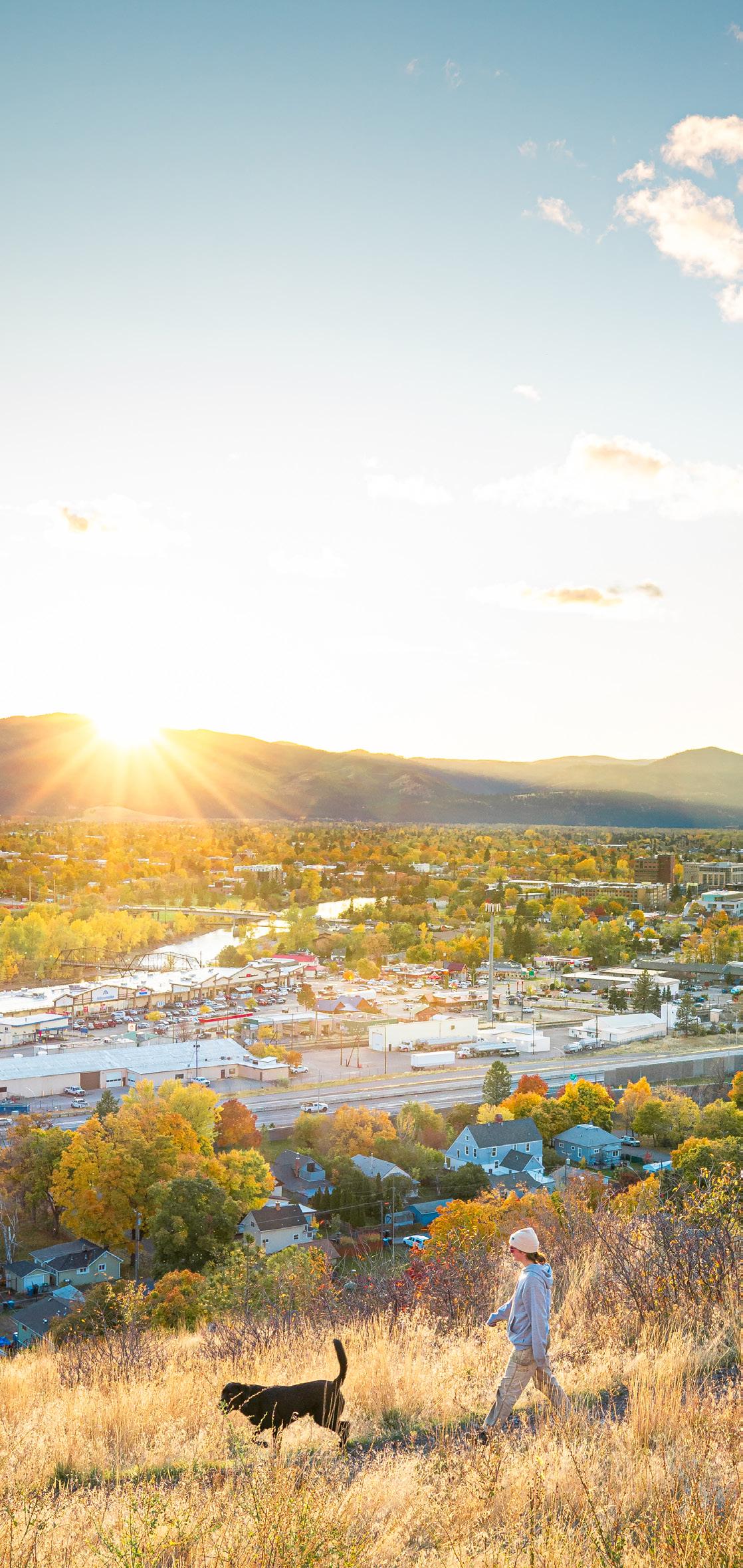
If you’re looking for one of the best sunset views in Missoula, Mount Jumbo is the place. You can take in the sweeping views of the entire Missoula Valley and Lolo Peak.
MOUNT JUMBO. ANNA SMIDT
E.
Tivoli
Jumbo
1 SOUTH FACE LOOP
4.6 miles round trip
1,496 ft. elevation gain
3-3.5 hours HARD
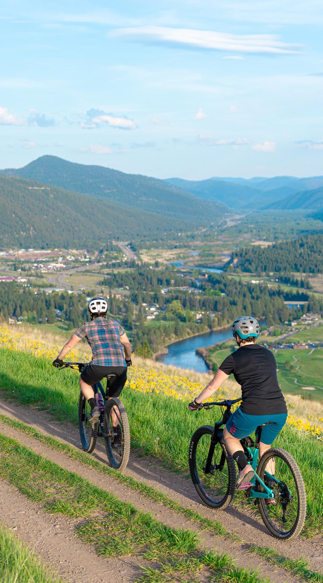
From the Cherry St. trailhead, begin up the U.S. West Trail and take a left onto the L Trail. Take a break at the L and enjoy panoramic views of Missoula. Continue climbing to the plateau of Mount Jumbo, offering views across the valley and of the Rattlesnake Mountains. From there, follow the South Face Trail as it descends via switchbacks into Hellgate Canyon, finishing back at the Cherry Street trailhead.
MOUNT JUMBO. ANNA SMIDT
2 NORTH LOOP
4.0 miles round trip
613 ft. elevation gain 2-3 hours MODERATE
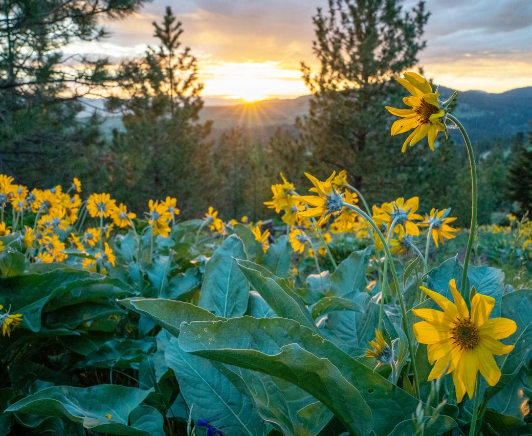
Start from the Lincoln Hills trailhead on Jumbo Saddle Road. Stay left to follow the North Loop Trail, which circles the north hills of Mount Jumbo. Enjoy incredible views stretching from the Rattlesnake Valley to the Bitterroot Mountains, with spring bringing an abundance of wildflowers along the route. Continue to the trail junction at the top and stay straight to complete the loop back to the Lincoln Hills trailhead.
U.S. WEST TRAIL 3
3.5 miles round trip
777 ft. elevation gain 1.5-2 hours MODERATE
Start from the Cherry St. trailhead and follow the U.S. West Trail’s historic road grade on the south face of Mount Jumbo. With this route, skip the steepest parts of Mount Jumbo’s south face and get great views of the city, Hellgate Canyon and the Clark Fork River.
NOTE: The area north of Saddle Road is closed to both people and dogs from Dec. 1 – April 30. From May 1 – Nov. 30, dogs may be off-leash if they remain under voice control, meaning the owner or custodian must be within 25 yards, in clear view of the dog, and able to control and recall the dog at all times. The area south of Saddle Road is closed to both people and dogs from Dec. 1 – March 15. From March 16 – Nov. 30, dogs may be off-leash under voice control. Areas below Upper Lincoln Hills Drive, along the “L” Trail (but not beyond it), and within the U.S. West easement above I-90 remain open year-round. However, dogs must be on-leash in these areas from Dec. 1 – April 30 and under voice control from May 1 – Nov. 30.
ARROWLEAF BALSAMROOT, MOUNT JUMBO. KADEN HARRISON


MARSHALL MOUNTAIN
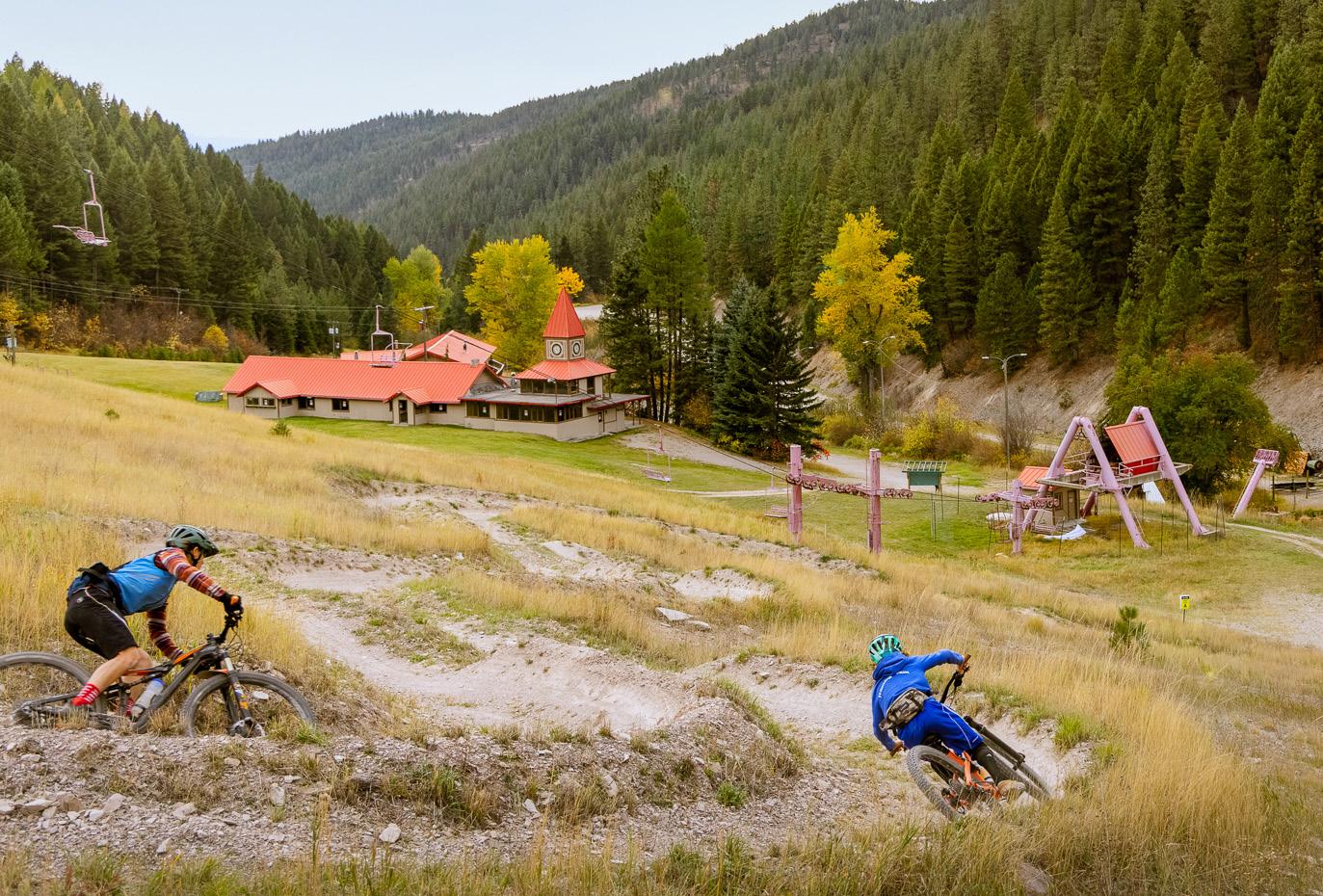
Just a short drive east of Missoula, Marshall Mountain is a historic recreation area that has been part of the community for nearly a century. Once a beloved local ski hill where generations of Missoulians learned to ski, the mountain has since transformed into a year-round outdoor destination. Marshall Mountain is a mountain biker’s dream featuring the area’s only purpose-built, directional mountain bike trails, including the adaptive-friendly downhill trail “Mission to MARS” and the Missoula Valley’s first sanctioned double-black diamond trail, “Marshall Arts.” Although the mountain hosts competitive bike racing throughout the spring and into the summer, Marshall is open to more than just biking, with trails for hiking, running and backcountry winter recreation. With open slopes, scenic views and a rich history tied to Missoula’s outdoor culture, visitors of all skill levels will find adventure just minutes from town. Bring plenty of water, stay on designated trails and enjoy this unique public recreation area responsibly. No dogs or e-bikes are allowed. Open during daylight hours.
FEATURED TRAILS
BACKCOUNTRY
Check trailhead signs and land agency websites for the latest updates on trail conditions, seasonal closures and dog regulations.
Contact Name: Missoula County
Contact Phone:
Mountain Line offers free weekend shuttles to Marshall Mountain park from June – Oct. The bus departs from the downtown transfer center in Missoula.
Izzy Up to Hot Sauce to Not So Easy Up
Izzy Up to Mission to MARS
Izzy Up to Hello Kitty to Mission to MARS
1 BACKCOUNTRY UPHILL ROUTE
2.5 miles round trip
1,400 ft. elevation gain
1.5-2 hours MODERATE
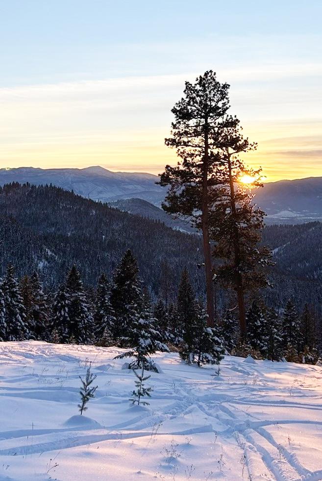
When the snow flies in Missoula, Marshall Mountain Park provides convenient public access for backcountry skiers and snowboarders. From the base area parking lot, climb the left side of the Challenger run to the old mid-mountain lift terminal (0.5 miles, 850 feet of climbing) or continue up the old T-Bar line to USFS land and the top of the historic ski cuts. When transitioning for the downhill, you’ll find three legacy ski runs and can choose to carve the open country or flow between trees in the glades.
NOTE: Winter recreation is at your own risk. All users are strongly encouraged to carry avalanche safety gear and know how to use it when backcountry skiing and snowboarding at Marshall Mountain Park and on surrounding public lands. There is no ski patrol on duty or lift service. Snow conditions can change rapidly, and winter terrain is not maintained.
MARSHALL MOUNTAIN. MISSOULA COUNTY/MARSHALL MOUNTAIN PARK
2 LOWER IZZY UP TO MISSION TO MARS
3.5 miles round trip
600 ft. elevation gain 1 hour EASY MODERATE
Enjoy interstellar travel and defy gravity on a circuit of rolling jumps and perfectly packed berms. Ascend on the dedicated climbing trail, Izzy Up, then take the adaptive-friendly Mission to MARS down to the base area.
NOTE: This trail is accessible with an adaptive bike, not a wheelchair.
3 IZZY UP TO HELLO KITTY TO MISSION TO MARS
6.5 miles round trip
1,200 ft. elevation gain 2 hours MODERATE
For more experienced riders, travel Izzy Up and race through Hello Kitty before an enjoyable descent down the Mission to MARS trail.
4
IZZY UP TO HOT SAUCE TO NOT SO EASY UP
5.8 miles round trip
1,200 ft. elevation gain
1.5-2 hours MODERATE
Let loose on a meandering woodland loop with a stunning view from the Hot Sauce knoll. A steady ascent from Marshall’s base rewards you with a swooping, flowy descent, with a chance of wildlife sightings around every turn. Time it right in May, you’ll find yourself running, walking, or biking in a wildflower dream.
NOTE: This trail this is accessible with an adaptive bike, not a wheelchair.
NOTE: No dogs allowed on Marshall Mountain.
MOUNT SENTINEL
MOUNT SENTINEL
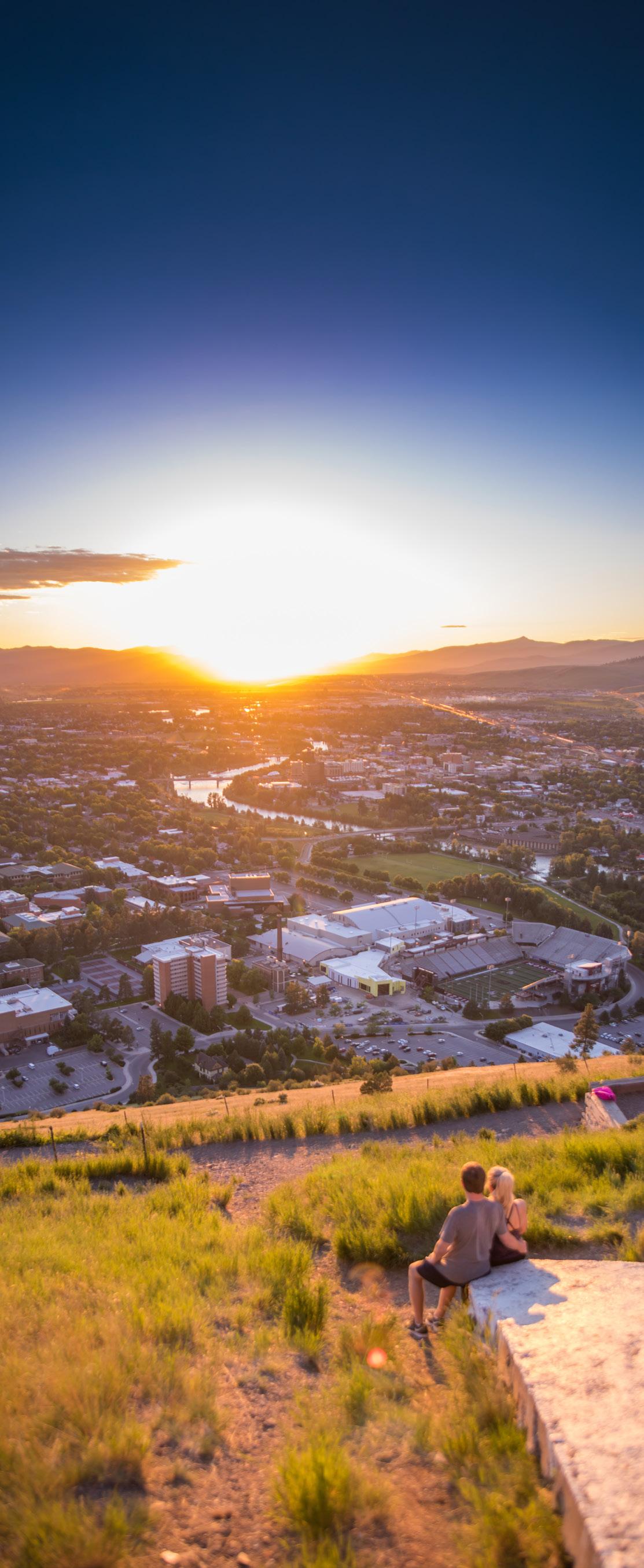
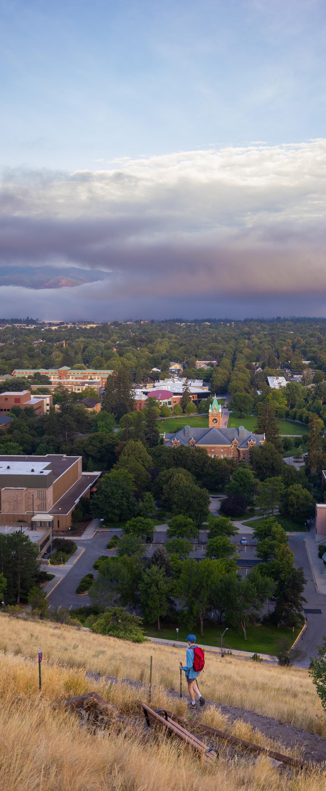
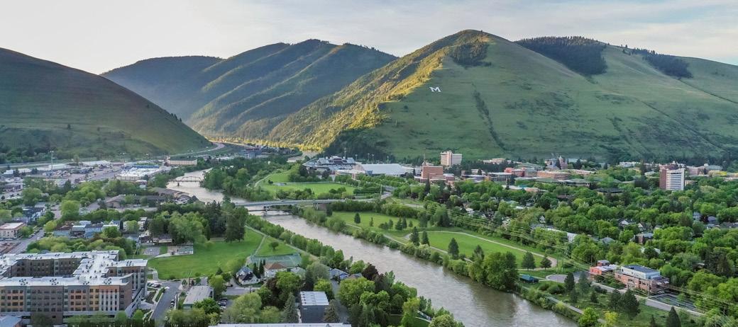
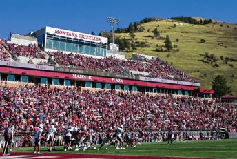
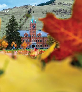
Rising directly above the University of Montana, Mount Sentinel is one of Missoula’s most recognizable landmarks. The mountain has been closely tied to the University since the early 1900s, when forestry students built the first trail to the iconic hillside “M” and carried stones up the slope to create the symbol that still overlooks the city today. Standing at 5,158 feet, Mount Sentinel offers an extensive network of trails that connect hikers, runners and mountain bikers to Missoula’s open space system.
U.S.
Parking for The “M” Trail and Mount Sentinel summit via Hellgate Ridgeline requires payment during weekday university operating hours, while weekend parking is free. Spaces are limited, so plan to arrive early and be sure to check current parking regulations and enforcement times before your visit.
Worth the Climb
The hike up Mount Sentinel rewards you with stunning panoramic views of Missoula and the University of Montana campus.
1 THE “M” TRAIL
1.8 miles round trip
646 ft. elevation gain
1-1.5 hours MODERATE
The “M” Trail is one of Montana’s most iconic hikes. Featuring 13 switchbacks, this short but steep route offers a rewarding climb with sweeping views of the Missoula Valley. Beginning at the base of Mount Sentinel, the trail is easily accessed from the Campus Drive trailhead. Open year-round, it’s a favorite among locals seeking a quick workout or scenic outing. Along the way, several benches provide ideal spots to rest and take in the views.
2
MOUNT SENTINEL SUMMIT VIA HELLGATE RIDGELINE
3.8 miles round trip
1,916 ft. elevation gain 3-4 hours HARD
Not for the faint of heart, this challenging climb rewards hikers with panoramic views of the city, the Clark Fork River and surrounding mountain ranges. Beginning at the Campus Drive Trailhead, the route gains elevation quickly, with rugged rock features adding to the adventure. A favorite among locals seeking a solid workout, this well-loved trail also connects to several other routes for those looking to explore more of the area. Open year-round, the trail offers little shade, so be prepared for warm conditions from spring through fall.
3
MOUNT SENTINEL SUMMIT VIA PENGELLY RIDGE TRAIL
6.1 miles round trip
2,208 ft. elevation gain
4-4.5 hours HARD
The Pengelly Ridge Trail can be accessed from the Maurice Avenue trailhead near the University of Montana Golf Course. The route begins with a gradual climb before transitioning to steeper pitches as you gain elevation. Continue to the summit for expansive views of the valley below and glimpses of Lolo Peak on the horizon.
NOTE: Dogs must be kept on-leash in all parking areas, within 200 yards of trailheads on City Conservation Lands and in any posted on-leash zones; beyond those areas, dogs may be off-leash if they remain under voice control.
PATTEE CANYON RECREATION AREA
PATTEE CANYON RECREATION AREA
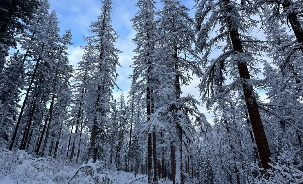
Pattee Canyon Recreation Area lies just southwest of downtown and is home to 5,914 acres and approximately 27 miles of non-motorized trails. Many of the trails in Pattee Canyon connect to the city and university trail systems, but most of the area is only reachable by gravel road. Vault toilets are available in trailhead parking lots, and the area features a picnic area for day-use in the warm season, three group picnic sites available by reservation and an 18-hole disc golf course. The area also offers Nordic skiing in the winter with trail maintenance and grooming provided by Missoula Nordic Ski Club. No motorized use—including e-bikes—is allowed.
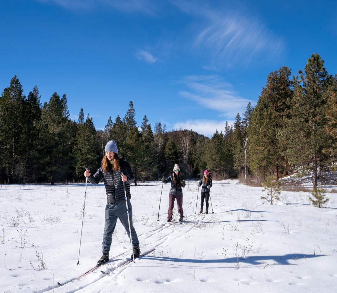
Missoula’s Mountain Escape
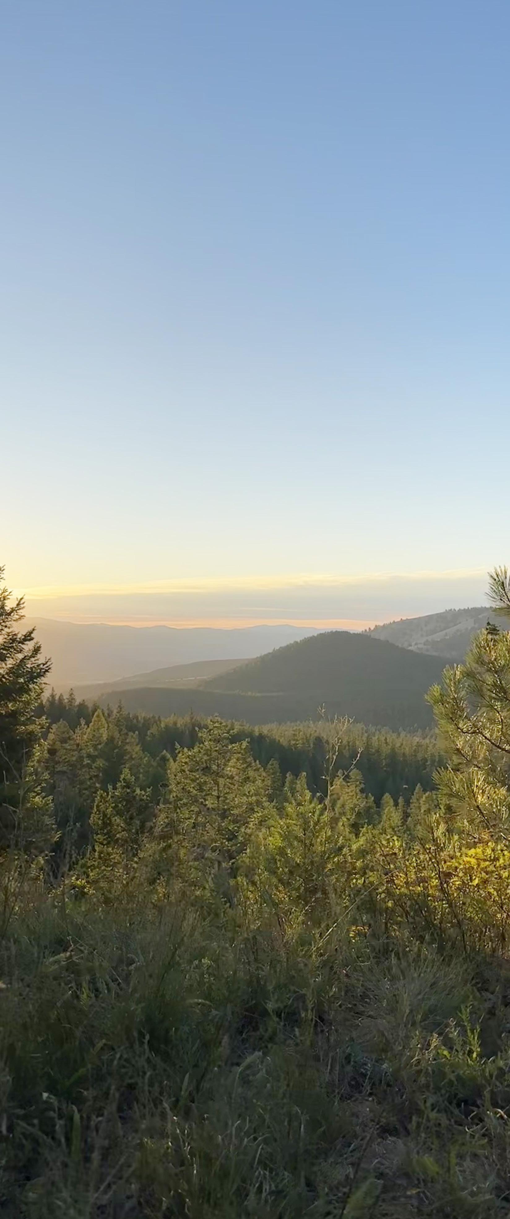
Just minutes from downtown, Pattee Canyon offers a quick escape into ponderosa pine forests at over 4,100 feet in elevation.
FEATURED TRAILS
U.S. Forest Service State of Montana, Misc. MAP KEY
Featured Trail Unpaved
Featured Trail Paved
Trail Unpaved
Trail Paved
City Parkland Missoula County
Check trailhead signs and land agency websites for the latest updates on trail conditions, seasonal closures and dog regulations.
Contact Name: U.S. Forest Service
Contact Phone: 406.329.3814
TRAIL
TIP
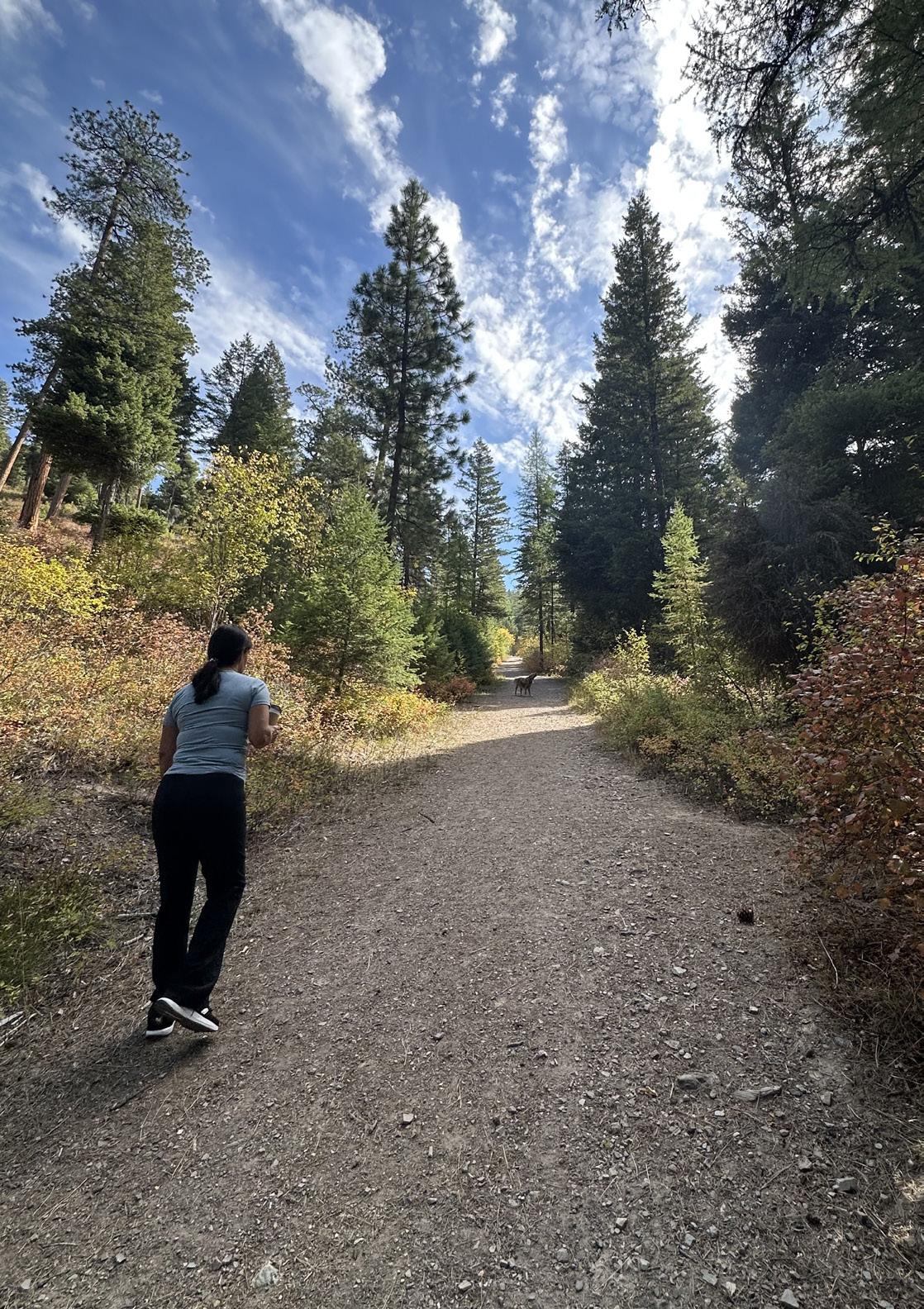
Pattee Canyon is the perfect summer escape on hot Missoula days. Towering ponderosa pines and dense forest shade offer a cooler environment to hike, bike and enjoy the outdoors, even on the hottest days.
Sam Braxton
Crazy Canyon
Crooked Trail Cutoff
Pengelly University Mountain Tie Larch Camp Cutoff A
Pattee Canyon Rd.
Crooked Trail 302
GINNY MOINTAIN
1 SAM BRAXTON (WEST LOOP)
3.7 miles round trip
544 ft. elevation gain 1-2 hours EASY
The trail starts at the parking area at the top of Pattee Canyon. It is a steady incline with most of the elevation gain within the first mile. The trail travels through old growth ponderosa pine and western larch. This route offers several offshoot trails to extend or shorten the route.
NOTE: No hiking, pets or bikes allowed in the winter.
2 GINNY MOUNTAIN VIA CROOKED TRAIL #302
2.5 miles roundtrip
623 ft. elevation gain 1-2 hours EASY MODERATE
From the Crazy Canyon parking lot take the Crooked Trail #302 to Ginny Mountain Trail, which leads up to Ginny Mountain. The trail runs through pine forests and provides ample shade along the way.
PATTEE CANYON. NIKI COOK
UNIVERSITY MOUNTAIN VIA CROOKED TRAIL
6.3 miles round trip
2,150 ft. elevation gain 4-5 hours HARD
This scenic loop hike offers incredible views, sweeping mountain scenery and abundant wildflowers throughout the summer months. Begin on Crooked Trail #302 from the Crazy Canyon parking area and follow it to the road grade. At the T-intersection, turn right onto the Crooked Cutoff, then take another right at the second intersection onto University Ridge Trail #302.2. Follow the trail to the ridgeline and connect with Trail #302.5, which leads back to the parking area. For a shorter option, take the Tumbleweed Ridge Trail on the descent to reduce the hike by approximately 0.5 miles and 500 feet of elevation.
4
MOUNT SENTINEL VIA CRAZY CANYON
7.1 miles round trip
1,213 ft. elevation gain 3-4 hours MODERATE
Start at the Crazy Canyon trailhead and follow the road grade trail behind the locked gate in the parking lot. This trail is gradual until the last mile, which is a steep incline. At the end you will be rewarded with beautiful views of the valley from the top of Mount Sentinel. This trail is shaded most of the way through pine forests.
NOTE:
SEASONAL
NOTE:
Dogs must be under voice control throughout Pattee Canyon Recreation Area.
Dogs are prohibited on groomed Nordic trails during the winter season in Pattee Canyon Recreation Area.
PATTEE CANYON. NIKI COOK
MOUNT DEAN STONE
Mount Dean Stone is a 4,200-acre open space on the southern edge of Missoula, offering miles of trails and expansive views from its 6,200-foot ridgeline. Popular with hikers, trail runners and mountain bikers, the area provides year-round opportunities to explore the surrounding mountains and valleys. Some trails require travel on gravel roads and may be closed during winter to support wildlife conservation efforts.
A Montana Conservation License is required for anyone using the Skyline to Barmeyer Trail, as portions of the route cross Department of Natural Resources and Conservation (DNRC) lands. Licenses are available online through Montana Fish, Wildlife & Parks (FWP) and should be obtained before your visit.
Inez Creek
Barmeyer Pedestrian Loop Trail
Sousa Trail
MOUNT DEAN STONE
Whitaker
Miller Creek Rd.
Fun Fact
Mount Dean Stone is one of Missoula’s newest trail systems, adding miles of public-access trails just south of the city in 2021.
1 SKYLINE RIDGE TO BARMEYER POINT-TO-POINT
10 miles round trip
920 ft. elevation gain 3-3.5 hours MODERATE
This scenic point-to-point route offers expansive views of the Missoula Valley. It starts with a brisk climb from the Skyline Ridge trailhead before a long descent down the House of Sky Trail to the Barmeyer trailhead in lower Pattee Canyon. A great choice either on foot or on wheels.
NOTE: For the Skyline to Barmeyer Trail, users will need a state conservation license, available from FWP.
2 INEZ CREEK LOOP TRAIL
1.2 miles round trip
290 ft. elevation gain 30 minutes EASY
A nice and easy loop trail in the Mount Dean Stone Community Forest by way of Miller Creek. Wind through the ponderosas, arrowleaf balsamroot and antelope bitterbrush while keeping an eye out for mule deer, elk and bears.
NOTE: Dogs are not allowed above the Woodsy property (directly above the South Hills Spur) from Dec. 1 – May 15 each year. Signs are posted where this closure area begins. The entire House of Sky Trail is under a winter closure from Dec. 1 – May 15 each year.
MOUNT DEAN STONE. KASSIDY MALCOLM
BLUE MOUNTAIN RECREATION AREA
Blue Mountain Recreation Area boasts 4,900 acres and includes 41 miles of scenic trails that can be enjoyed year-round. The area’s wide open spaces are popular with off-leash dog walkers. Along with endless ways to wander, Blue Mountain is also home to an 18-hole disc golf course and snowmobile trails that open up in the wintertime. While there is year-round access to all kinds of recreation, keep in mind that many of these trails are only accessible by gravel road.
MAP KEY
Featured Trail Unpaved Featured Trail Paved Trail Unpaved Trail Paved
3 BLUE MOUNTAIN EQUESTRIAN TRAIL
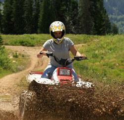
4 BLUE MOUNTAIN MOTORIZED TRAILS
2
City Parkland Missoula County
U.S. Forest Service State of Montana, Misc.
Check trailhead signs and land agency websites for the latest updates on trail conditions, seasonal closures and dog regulations.
Contact Name: U.S. Forest Service
Contact Phone: 406.329.3814
Blue Mountain’s extensive network of interconnected trails makes it easy to customize your hike, but it can also be easy to take a wrong turn. Bring a map of the area or download a trail map before you head out so you can explore with confidence.
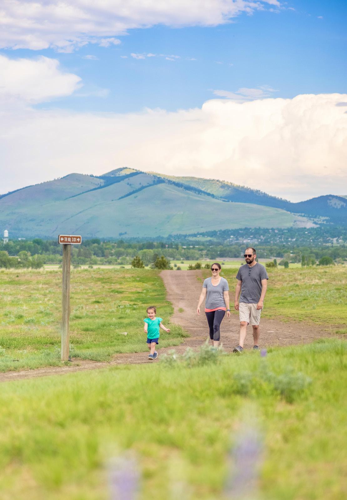
1 MACLAY FLAT NATURE TRAIL
1.8 miles round trip
13 ft. elevation gain 1 hour EASY
This nature trail hugs the Bitterroot River and offers a relaxing walk along the water’s edge. Popular with birders and families, the trail features interpretive signs, benches and access to the river.
NOTE: Biking and motorized use—including e-bikes—are not permitted.
2 BLUE MOUNTAIN ROCKY TOP LOOP
4.4 miles round trip
803 ft. elevation gain 2-3 hours MODERATE
Start at the Blue Mountain trailhead, where the trail leads from open grasslands into shaded pine woods before climbing to the Rocky Top viewpoint and sweeping views of the valley below.
NOTE: No motorized use—including e-bikes—is permitted.
BLUE MOUNTAIN RECREATION AREA. TAYLAR ROBBINS
3 BLUE MOUNTAIN EQUESTRIAN TRAIL
9.7 miles round trip
3,478 ft. elevation gain 5-7 hours HARD
This route is perfect for a day on foot—or on horseback. Start at the Blue Mountain trailhead and follow Trail #3.01 all the way to Blue Mountain Lookout. Along the way, there are sections of exposed grassland, shaded pine woods and multiple sets of switchbacks to assist in your ascent and descent.
NOTE: Bikes and motorized vehicles are not allowed on the trail.
4 BLUE MOUNTAIN MOTORIZED TRAILS
3.8 miles of ATV access
14.5 miles of motorcycle access
HARD
To access the motorized trailhead, take Forest Service Road #365 for about 3 miles. The motorized trailhead will be on the south side of the road. There are many trails to explore in this area of Blue Mountain. These trails are technical and challenging; please be prepared and know your limits when exploring this area.
NOTE: Off-road vehicle permit required (can be purchased at Missoula County Courthouse); season open May 1 – Dec. 1. An off-highway vehicle (OHV) decal—available at the Missoula County Courthouse—is required to ride these trails. Montana law also requires that motorcycles and ATVs driven on public roads be street-legal and registered with the Montana Department of Motor Vehicles.
Dogs must be under voice control in all areas except Maclay Flat, where they must be on a leash.
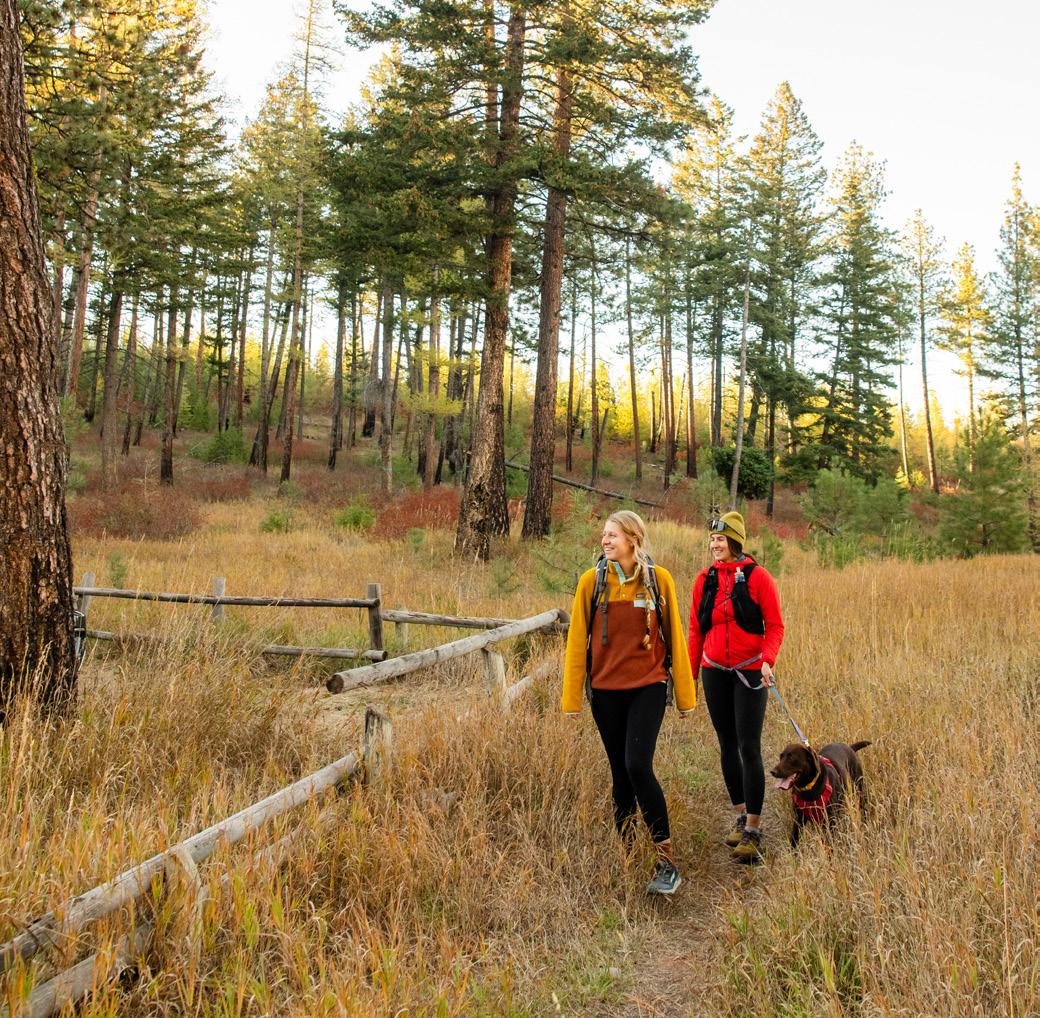
GRANT CREEK TRAIL + BLUEBIRD PRESERVE
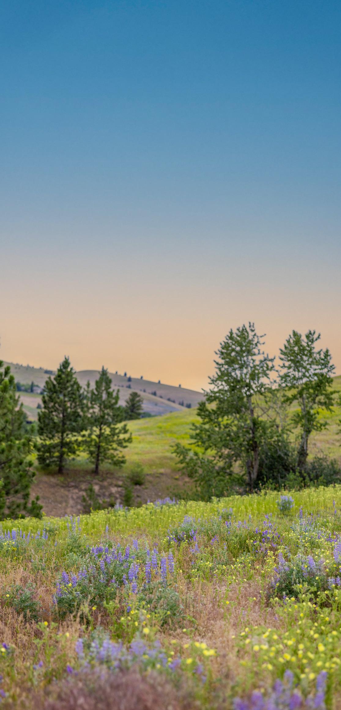
The Grant Creek Trail and Bluebird Preserve together offer one of Missoula’s most accessible outdoor recreation areas on the valley’s north side. The paved Grant Creek Trail winds through the scenic Grant Creek corridor, connecting neighborhoods and open space along a peaceful creekside route. The Bluebird Preserve expands the experience with rolling grasslands, native wildflowers, natural wildlife habitat and breathtaking views of the Missoula and Bitterroot valleys. Together, these adjacent areas provide a unique blend of easy walking and biking opportunities, conservation land and scenic open space, making them a popular destination for recreation close to town.
Check trailhead signs and land agency websites for the latest updates on trail conditions, seasonal closures and dog regulations.
Contact Name: City of Missoula
Contact Phone: 406.552.6000
2
1
FEATURED TRAILS
1 2 GRANT CREEK TRAIL
BLUEBIRD LOOP
1 GRANT CREEK TRAIL
6.7 mile round trip
Featured Trail Unpaved
Featured Trail Paved Trail Unpaved Trail Paved City Parkland Missoula County
U.S. Forest Service State of Montana, Misc.
488 ft. elevation gain 2.5-3 hours EASY
Choose your own challenge on the Grant Creek Trail. This smooth, paved trail is accessible for all users and travels up the Grant Creek Valley. Listen for birds as you pass the Charlotte Reed Marbut Nature Reserve or stop and say hello to the cattle herd at the Grant Creek Ranch. Adventurers looking for a challenge can continue past the Grant Creek Trail to Snowbowl Road or the Ravine Creek Trail in the Lolo National Forest.
2 BLUEBIRD LOOP
2.3 miles round trip 433 ft. elevation gain 1-1.5 hours MODERATE
See another side of the North Hills at the Bluebird Preserve. Start at the Bluebird trailhead. Climb up the Bluebird Trail, then enjoy the rolling terrain of the Red Tail Trail. Turn onto the Overlook Trail to take a break and enjoy the view of the Missoula Valley and Lolo Peak. Follow the Bluebird Trail back to the trailhead.
Bluebird
Red Tail Trail
Overlook Trail
Bluebird
MAP KEY
NORTH HILLS
PRESERVE
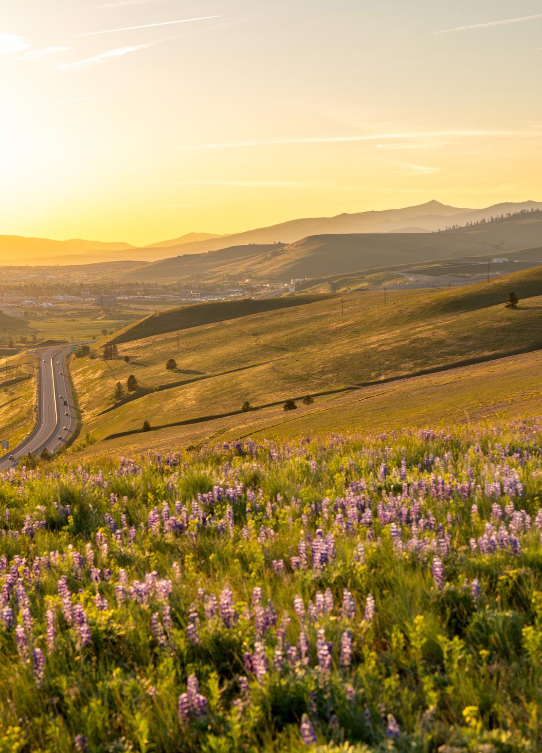
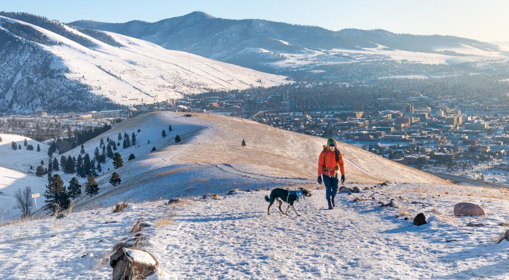
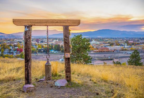
Located just north of downtown Missoula, Waterworks Hill is a popular, 470-acre open space that offers panoramic views of the city, Lolo Peak and the surrounding mountains. Wide gravel trails wind through rolling grassy hills dotted with colorful wildflowers each spring, making it a favorite destination for hikers, runners and dog walkers. The south face of the hill is home to the Missoula Peace Park, featuring benches, a bell, small amphitheater and a peace sign visible from downtown. With its open terrain, stunning sunset views and easy access from town, this area is a great place to enjoy a quick outdoor escape. Keep in mind that there is very little shade and the area can get windy, especially on exposed ridgelines.
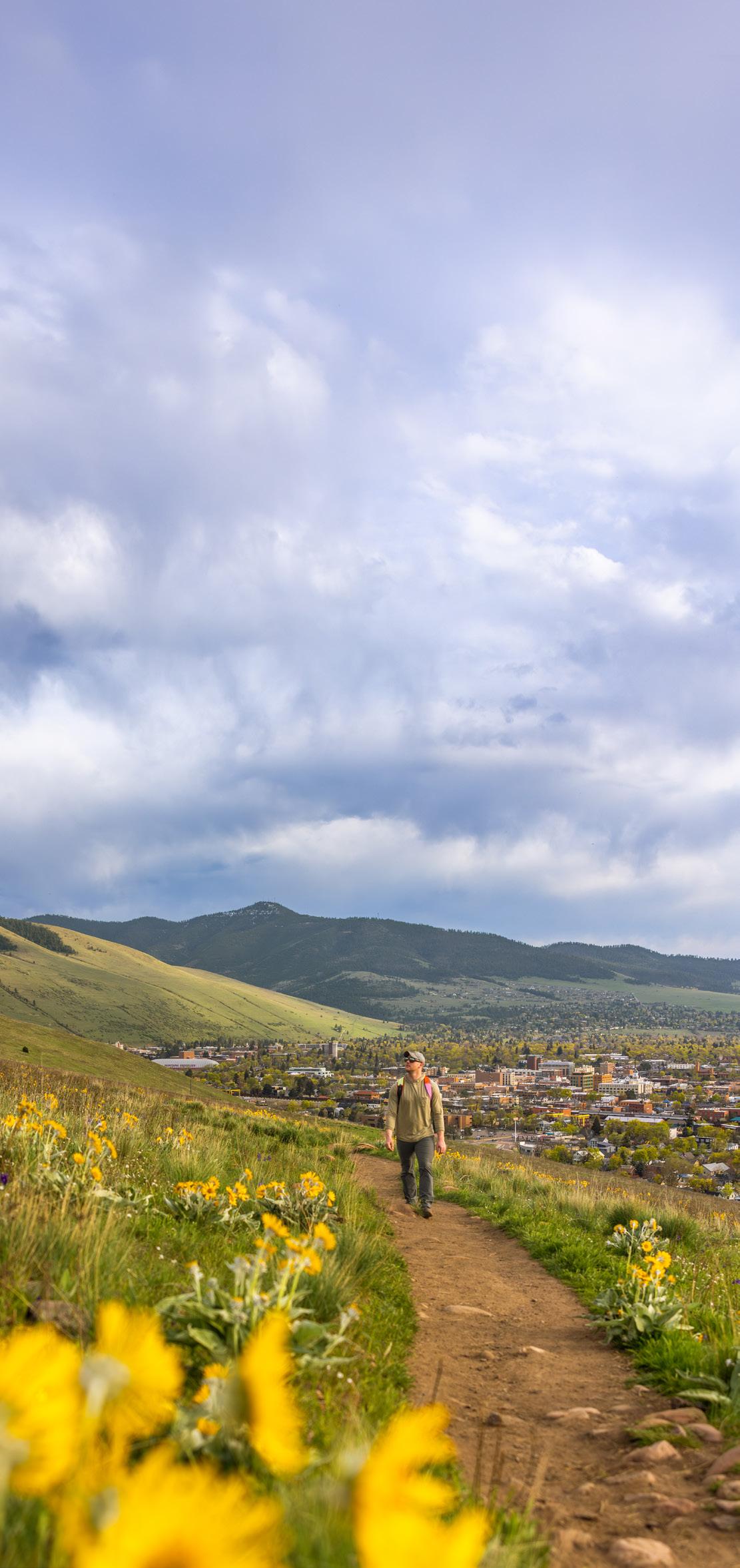
Be sure to explore this area to see Montana’s state flower, the Bitterroot, which blooms in late spring. Learn more about the Bitterroot flower on page 66 in the guide.
NORTH HILLS PRESERVE. KASSIDY MALCOLM
Charlo St.
Dr.
Cherry Gulch
1 NORTH HILLS HIKE TO THE HOMESTEAD
3.24 round trip
532 ft. elevation gain
1-1.5 hours EASY
Walk from downtown to the Moon-Randolph Homestead to experience one of the oldest intact ranch homesteads in Western Montana. Start from the Orange Street trailhead and climb the Froelich Trail to the Homestead Trail. A short connection on the historic Moon-Randolph Road trail will bring you to the homestead, which is open on Saturdays from 11 a.m. – 5 p.m., May – Oct.
2 WATERWORKS LOOP
4 miles round trip
550 ft. of elevation gain
1.5-2 hours EASY
Enjoy an introduction to Missoula’s North Hills on the iconic Waterworks Loop. Start from Waterworks main trailhead and follow the City View Trail to the North Hills Ridge Trail. Once you reach the summit, loop back around on the Homestead Trail and follow the City View Trail back to the main trailhead.
NORTH HILLS PRESERVE. KASSIDY MALCOLM
3 CITY VIEW TRAIL (FROM ORANGE STREET TRAILHEAD)
2 miles round trip
282 ft. elevation gain
45 minutes-1 hour EASY
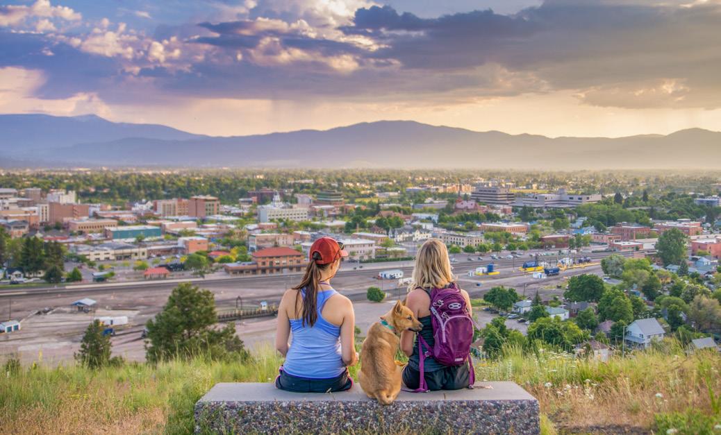
An easy entry to the North Hills offering one of the best views of Missoula. The City View Trail travels along the south face of Waterworks Hill. This out-and-back journey is accessible from the Orange Street trailhead or Waterworks main trailhead, or walk from downtown to make it a loop.
4 UNIVERSAL TRAIL
1 mile round trip
50 ft. elevation gain
30 minutes-1 hour EASY
This 1-mile, round-trip, packed-gravel trail leads to a beautiful overlook of Missoula and the Missoula Valley. This trail is located at the main Waterworks trailhead and it is ADA-accessible, with parking spots dedicated to handicapped spaces.
NOTE: Dogs must be leashed for the first 300 yards from any Waterworks Hill trailhead and anywhere posted. In all other areas of the North Hills, dogs must remain under voice control. Be aware of seasonal on-leash requirements on the Ridge Trail in late spring, which help protect fragile cushion plants like Missoula phlox and bitterroots.
WATERWORKS HILL. TAYLAR ROBBINS
NORTH HILLS PRESERVE. KADEN HARRISON
CITY CENTER
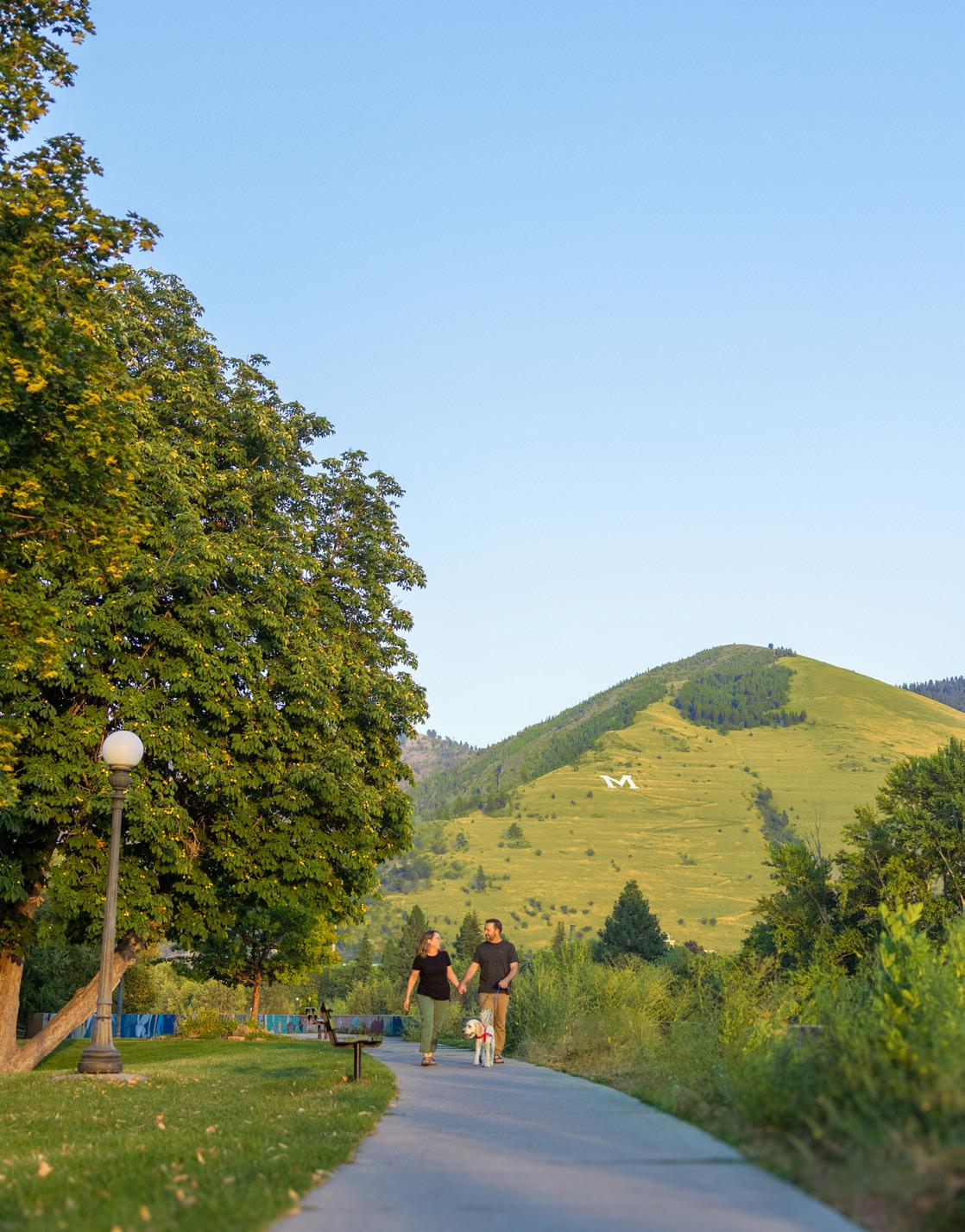
If you’re looking to stretch your legs without leaving town, Missoula’s downtown and city center trail system offers easy access to outdoor recreation in the heart of the city. Connected by scenic paths along the Clark Fork River, these trails provide a mix of urban convenience, natural beauty, and access to local parks, attractions, and some of Missoula’s most iconic landmarks. Great for a quick walk, morning run or leisurely bike ride, the city center trails offer an easy way to experience Missoula’s outdoor culture close to downtown.
Bitterroot Trail
McCormick
Silver
Franklin
Ron’s River Trail
Milwaukee Trail
Shady Grove
CLARK FORK RIVER
Featured Trail Unpaved Featured Trail Paved Trail Unpaved Trail Paved
Check trailhead signs and land agency websites for the latest updates on trail conditions, seasonal closures and dog regulations. Contact Name: City of Missoula Contact Phone: 406.552.6000
Kim
Caras
1 GREENOUGH PARK LOOP
1.5 miles round trip
87 ft. elevation gain
1-1.5 hours EASY
Visit Missoula’s first park, donated by the Greenough family in 1902. Follow City Drive Trail up the west side of the park, cross the creek at City Drive and loop back through the park on the Greenough East Pedestrian Trail. You’ll follow the Bolle Bird Loop along this route, stopping along the way to enjoy views of Rattlesnake Creek and learn about the birds that call this scenic preserve home.
2 DOWNTOWN CLARK FORK LOOP
4 miles round trip
4 ft. elevation gain
1.5-2 hours EASY
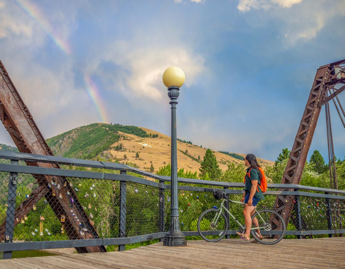
From Caras Park, follow Ron’s River Trail along the north side of the Clark Fork River, where you’ll pass iconic Missoula landmarks like A Carousel for Missoula, Brennan’s Wave and—in the summertime— the Clark Fork River Market. Cross to the south side at the Madison Footbridge, then head west along the Milwaukee Trail. Continue past the historic Milwaukee Depot and through the Clark Fork Natural Area, then cross the river again at Orange Street to loop back to Caras Park.
3 BITTERROOT BRANCH
~10.55 miles round trip
~ 53 ft. elevation gain
~3-4 hours EASY MODERATE
Explore Missoula along the Bitterroot Branch Trail. This historic railway-turned-multiuse path connects neighborhoods throughout Missoula. Use the trail to connect to stops in town, or take a bike and extend your adventure all the way down the beautiful Bitterroot Valley (the paved Bitterroot Trail ends in Hamilton, Montana, 40 miles south of Missoula).
VAN BUREN STREET FOOTBRIDGE. TAYLAR ROBBINS

BEYOND MISSOULA
Just outside of Missoula’s city limits, there’s a world of recreation that is waiting to be explored. Perfect for a day trip, or a multi-day excursion, set out into the lands that lie beyond Missoula for some of Montana’s most iconic adventures without venturing too far from your home base. Most of the following trails are located within a 90-minute drive or less from Missoula, giving you easy access to some of Western Montana’s best hiking while making the most of your time in the area.
GLACIER NATIONAL PARK
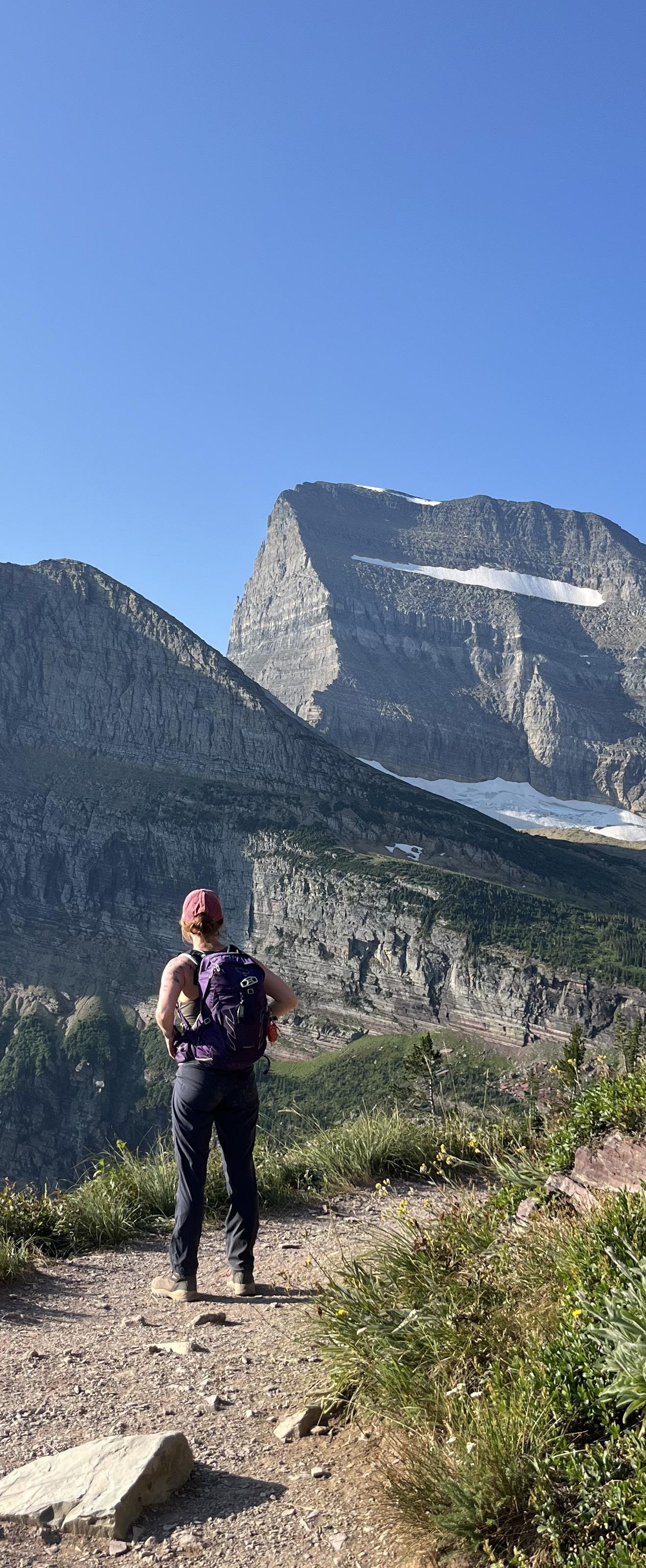
Located just under three hours north of Missoula, the West Entrance of Glacier National Park provides access to some of the most spectacular hiking and outdoor adventures in Montana. Crystal-clear alpine lakes, towering mountain peaks, scenic waterfalls and wildlife-filled valleys create endless opportunities to explore this iconic landscape. Glacier offers trails for every skill level, including easy walks along Lake McDonald, a classic hike to Avalanche Lake, the scenic Trail to the Cedars and a climb to the Hidden Lake Overlook. As you venture into the park, remember that you are in bear country. Carry bear spray, know how to use it, stay on designated trails, make noise while hiking and always be aware of your surroundings. With proper preparation and respect for the wilderness, a trip to Glacier National Park is an unforgettable outdoor experience.
SOUTH OF MISSOULA
Looking to experience a different side of Western Montana? Head south into the Bitterroot Valley, where towering peaks, crystal-clear lakes, rushing waterfalls and expansive wilderness await. The Bitterroot offers a wide variety of hiking opportunities, including quick, family-friendly walks, challenging mountain summits, alpine adventures and secluded lakes. It’s a refreshing change of pace from Missoula’s local trails and home to some of the region’s most memorable outdoor experiences.
TRAVELERS’ REST STATE PARK LOOP
1.5 mile loop
26 ft. elevation gain
30-45 minutes EASY
The Travelers’ Rest State Park Loop is an easy, family-friendly walk that combines beautiful scenery with Montana history just 15 minutes south of Missoula. Winding through cottonwood groves, open meadows and along Lolo Creek, the trail follows the only archaeologically verified campsite of the Lewis and Clark Expedition. Interpretive signs throughout the loop share the stories of the Corps of Discovery and the Indigenous peoples who have gathered here for centuries, making this a relaxing hike that’s just as educational as it is scenic.
Approximately 13 miles from Missoula
BASS CREEK TRAIL
~16.1 miles
~3,152 elevation gain
Variable Time MODERATE HARD
Located just about 40 minutes south of Missoula, the Bass Creek Trail offers a great adventure into the Bitterroot National Forest. While the full out-and-back route to Bass Lake is 16.1 miles, you can turn around at any point and still be rewarded with beautiful views. Be prepared for stream crossings, rocky terrain, steep climbs and switchbacks, so sturdy footwear is recommended. If you continue to Bass Lake, your effort is rewarded with stunning alpine scenery surrounded by rugged mountain peaks.
Approximately 28 miles from Missoula
Check trailhead signs and land agency websites for the latest updates on trail conditions, seasonal closures and dog regulations.
WEST OF MISSOULA
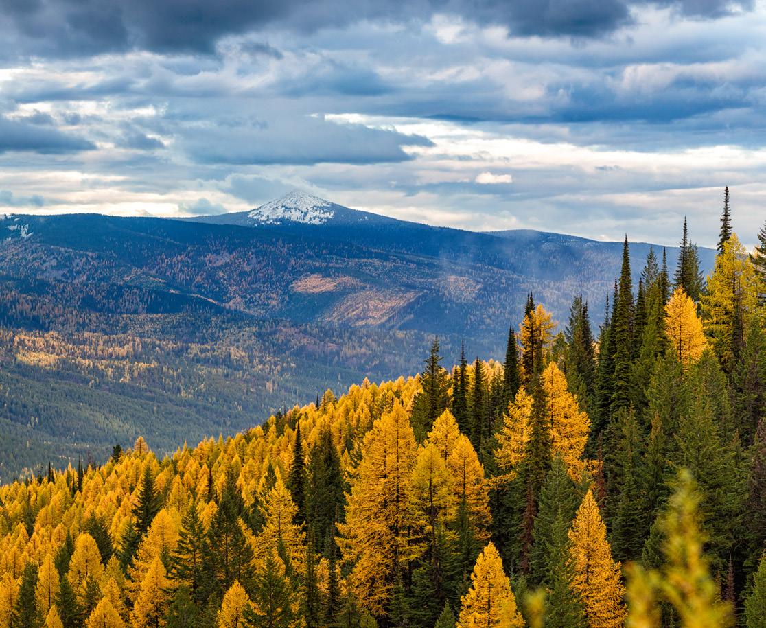
Venture west into the mountains to explore some of Montana’s most dramatic scenery. Among the towering pines and golden larches, you’ll find endless acreage just waiting to be discovered. Multi-day backpacking adventures, thrilling whitewater rapids and unforgettable landscapes make heading west a perfect day of outdoor adventure.
CH-PAA-QN PEAK
7.2 miles round trip
1,965 ft. elevation gain
5-6 hours HARD
At 7,996 feet, Ch-paa-qn Peak (pronounced “Cha pa kwin”) is the highest point in the Ninemile Ranger District and one of the most prominent peaks west of Missoula. Named from the Salish word meaning “shining peak,” the mountain sits at the south edge of the Flathead Reservation and offers 360-degree views of the Bitterroot, Mission, Swan, Flathead and Coeur d’Alene Mountains. Popular with hikers in summer and backcountry skiers in winter, Ch-paa-qn is typically accessed from the Reservation Divide Trailhead and rewards visitors with panoramic vistas from its distinctive pyramid-shaped summit.
NOTE: The Confederated Salish and Kootenai Tribes require a permit for all non-members recreating in this area. For more information, please visit: cskt.org/wildland-recreation.
Approximately 40 miles from Missoula
HISTORIC LOLO TRAIL AT HOWARD CREEK
14.4 miles round trip
4,401 ft. elevation gain
8-8.5 hours HARD
Historic Lolo Trail at Howard Creek offers access to one of the Northern Rockies’ most significant historic routes. Located along U.S. Highway 12, the site features a picnic area, interpretive displays and a short 0.4-mile loop that provides an easy introduction to the area’s rich history. For those seeking a longer adventure, the trail continues beyond Howard Creek, offering a more challenging hike through scenic forests and historic landscapes along the renowned Lolo Trail.
Approximately 30 miles from Missoula
CH-PAA-QN PEAK
NORTHEAST OF MISSOULA
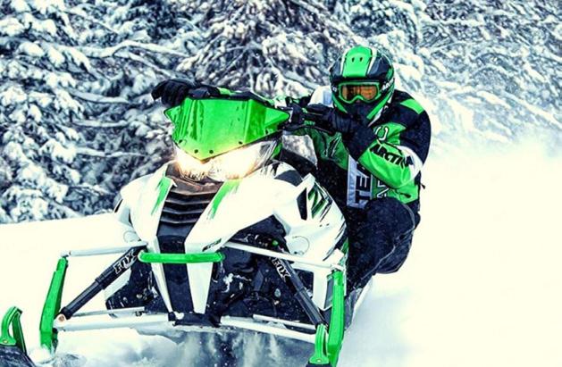
Head northeast into the Seeley-Swan Valley and the legendary Bob Marshall Wilderness, where rugged mountain landscapes, crystalclear alpine lakes and endless outdoor recreation await. This scenic region is known for its incredible hiking, backcountry camping, fishing and wildlife viewing, with hundreds of lakes tucked between the Swan and Mission mountain ranges. When winter arrives, the area transforms into a snow-covered playground with miles of snowmobile trails and other winter recreation opportunities. Peaceful lakeside hikes, remote wilderness backpacking trips and weekend camping getaways make this region home to some of Montana’s most iconic outdoor experiences.
MORRELL FALLS
5.5 miles round trip
439 ft. elevation gain
2-2.5 hours
EASY
Located about 1 hour and 20 minutes from Missoula, this 5.5-mile out-and-back trail is an easy adventure perfect for hikers of all skill levels. The wide, gentle path is also popular with horseback riders and mountain bikers, making it a great option for a relaxing day outdoors. Visit between May and October to enjoy the trail at its best, and if you’re looking for a quieter experience, head out early or later in the day. Dogs are welcome, with off-leash opportunities available in some areas.
Approximately 60 miles from Missoula
HOLLAND LAKE FALLS
3.1 miles round trip
495 ft. elevation gain
1.5-2 hours
EASY
Located about 90 minutes north of Missoula, this popular hike in the Flathead National Forest leads to the beautiful Holland Falls and offers an excellent reward for a relatively short effort. The wellmaintained trail follows the shoreline of Holland Lake, providing stunning views of the surrounding mountains before climbing gently toward the waterfall. A short rocky section near the end adds a bit of challenge as you approach the impressive cascading falls. Because of its scenic beauty and accessibility, the trail can be busy on weekends, so an early start is recommended for a quieter experience.
Approximately 75 miles from Missoula
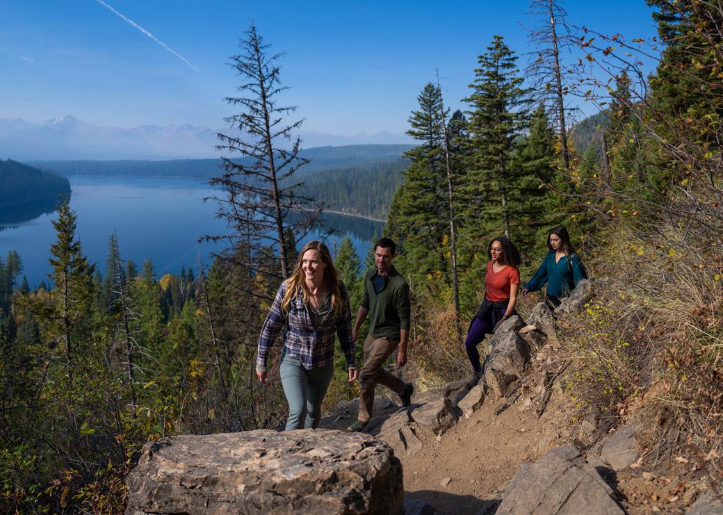
TRAIL TO HOLLAND LAKE FALLS. JOURNAL OF LOST TIME


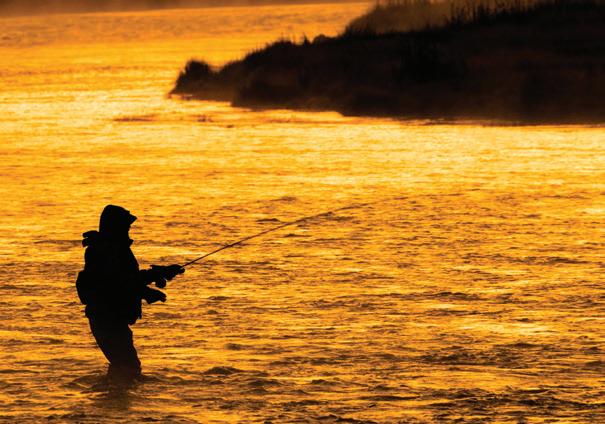
Flora and Fauna OF MISSOULA
Missoula’s trails, rivers and open spaces are home to an incredible variety of native plants and wildlife. From colorful wildflowers carpeting spring hillsides to elk grazing on nearby mountains and trout swimming in cold, clear streams, these species help tell the story of the landscape. As you explore, take time to observe the natural world around you, stay on designated trails and give wildlife plenty of space. A little respect goes a long way in helping protect these special places for future generations to enjoy.
BITTERROOT FLOWER
Montana’s state flower, the bitterroot blooms in shades of pink and lavender each spring. Look for it on dry, rocky hillsides around Missoula. The plant holds immense cultural significance to multiple Indigenous tribes in the region who continue the time honored tradition of harvesting its roots each spring. These delicate flowers are best admired where they grow—leave them for others to enjoy and for pollinators to visit.
INDIAN PAINTBRUSH
With its brilliant red, orange and pink blooms, Indian paintbrush adds splashes of color to mountain meadows and open hillsides. Its vibrant “painted” appearance makes it one of the easiest wildflowers to spot. Enjoy from a distance and avoid trampling nearby plants.
LUPINE
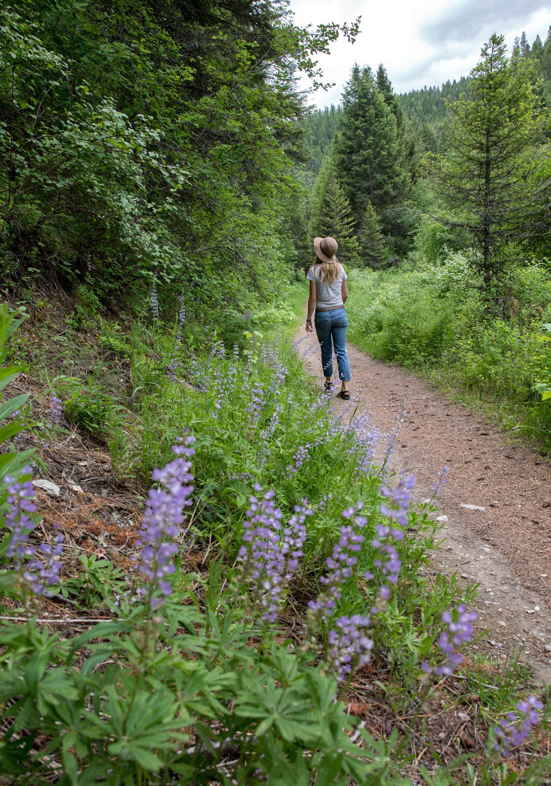
Tall spikes of purple, blue and sometimes pink flowers make lupine a standout in late spring and early summer. These wildflowers are important for pollinators and often grow in sunny meadows and along trails. Pause for a photo, but leave the blooms for bees and butterflies.
ARROWLEAF BALSAMROOT
Known as the “sunflower of the mountains,” arrowleaf balsamroot brightens hillsides with large yellow blossoms each spring. Its arrowshaped leaves give the plant its name. Look for entire slopes painted gold during peak bloom season.
PHLOX MISSOULENSIS
This rare native wildflower, also known as Missoula phlox, is found in only a few places in Western Montana. Its low-growing clusters of white, pale blue and sometimes pink flowers bloom close to the ground in spring. Because it is uncommon and sensitive, please stay on trails and admire it from afar.
TOWN DEER
Mule deer and white-tailed deer are common sights throughout Missoula, from neighborhoods to parks and open spaces. While they may seem comfortable around people, they are still wild animals. Give them plenty of space and never feed them.
ELK
These impressive animals can often be found in the forests and valleys surrounding Missoula. Elk are especially active during the fall rut, when males can be heard bugling across the landscape. Each winter, Mount Jumbo closes to protect the elk that gather there. Watch from a safe distance and use binoculars whenever possible.
CUTTHROAT TROUT
Recognizable by the distinctive red-orange markings beneath their jaws, cutthroat trout are native to Montana’s rivers and streams. Healthy populations are a sign of clean, cold water. If you’re lucky enough to spot one, observe quietly and help protect their habitat by leaving no trace.
Best Adaptive Trail
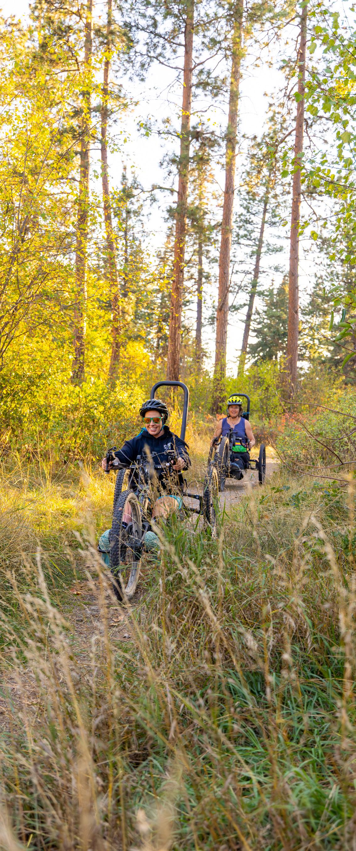
Missoula’s Mission to MARS trail at Marshall Mountain was named the best adaptive mountain bike trail in North America by Singletracks Magazine. The completely accessible, 1.6-mile route offers adaptive access to some of Missoula’s best riding.
All-Abilities Recreation
IN MISSOULA
In Missoula, we take pride in being a city for everyone. From transportation to accommodations and activities, there are plenty of ways for folks of all abilities to enjoy a getaway to Missoula. With ADA accessible trails connecting you to every corner of the valley, there’s no shortage of routes to take in the views from anywhere in town, and with sensory-friendly experiences available at some of the city’s biggest and best attractions—both indoor and outdoor—we can say that Missoula’s a city for everyone and mean it.
Looking to get outside? Join Missoula Adaptive Recreation & Sports, a nonprofit that provides adaptive recreational opportunities such as biking, skiing, hockey and rafting yearround. Wheelchair-friendly trails across town allow access to some of the most scenic parts of the city, from Kim Williams and Greenough Park to Marshall Mountain and the Rattlesnake National Recreation Area and Wilderness
MISSOULA’S ACCESSIBILITY GUIDE
Discover accessible transportation, lodging, attractions and community resources that make Missoula, Montana, a welcoming destination for all.
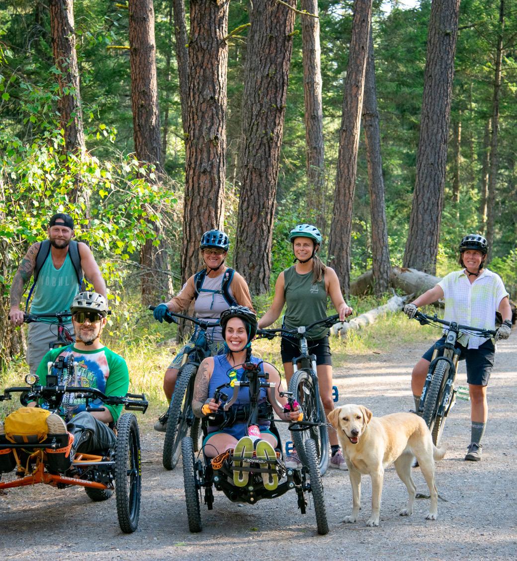
TEN WAYS TO Explore Like a Local
You conquered the trail. Now here’s how to spend the rest of the day in Missoula.
The views were worth the climb, but the adventure doesn’t have to end when you reach the trailhead. In Missoula, a great day outside naturally flows into great food, cold drinks, riverfront relaxation and plenty of ways to keep exploring. Whether you’re cooling off in the Clark Fork, wandering downtown or planning tomorrow’s adventure, there’s always more to discover in Missoula.
1.
2.
3.
GRAB A BEER FROM A LOCAL BREWERY
Celebrate a day on the trail with a locally brewed pint—Missoula has an impressive number of breweries to choose from.
EXPLORE MISSOULA’S ART SCENE
After a day outdoors, slow things down with a visit to the Missoula Art Museum, browse downtown galleries or admire public art throughout the town.
TREAT YOURSELF TO AN ICED COFFEE FROM BLACK COFFEE ROASTING COMPANY
The best way to cap off a morning ride? A cup of coffee from one of Missoula’s best local roasters. With excellent beverages and locally made pastries and treats, this is a must-stop after every adventure.
4. REFUEL WITH A MEAL AT CIAO MAMBO
After a day on the trail, settle in for authentic Italian cuisine, handcrafted pasta and timeless family recipes.

5. EXPLORE DOWNTOWN MISSOULA
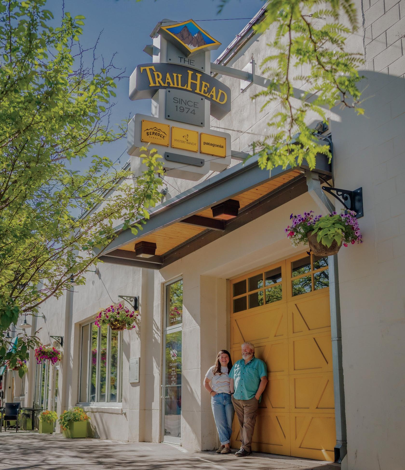
Wander through locally owned shops, bookstores and outdoor outfitters while soaking up the charm of Downtown Missoula.
6. RELAX IN CARAS PARK
Watch surfers ride Brennan’s Wave, visit A Carousel for Missoula and Dragon Hollow Playground or enjoy a leisurely stroll along the Riverfront Trail.
7. ENJOY A SWEET TREAT FROM BIG DIPPER ICE CREAM
Nothing says “post-hike reward” quite like a scoop (or two) of locally made ice cream.
8. EXPLORE MISSOULA HISTORY AND CULTURE
Missoula boasts a variety of world-class museums that range from art to natural history to U.S. Forest Service history.
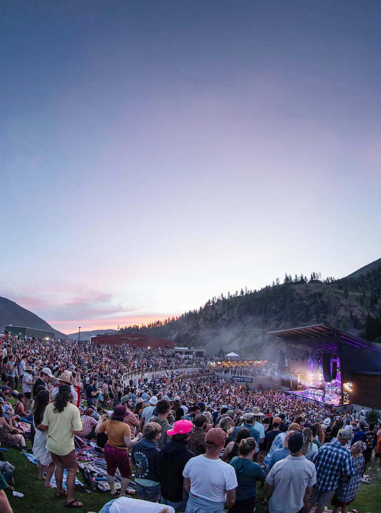
9. CATCH SOME LIVE MUSIC
End your day with great tunes, local brews and the laid-back atmosphere that makes Missoula’s music scene so memorable.
10. START PLANNING TOMORROW’S ADVENTURE
With hundreds of miles of trails, rivers, and public lands nearby, today’s hike is just the beginning. Learn more at destinationmissoula.org/peak-to-paddle.
KETTLEHOUSE AMPHITHEATER. JEFFREY NEUBAUER COURTESY OF LOGJAM

Starts at The Trail Head

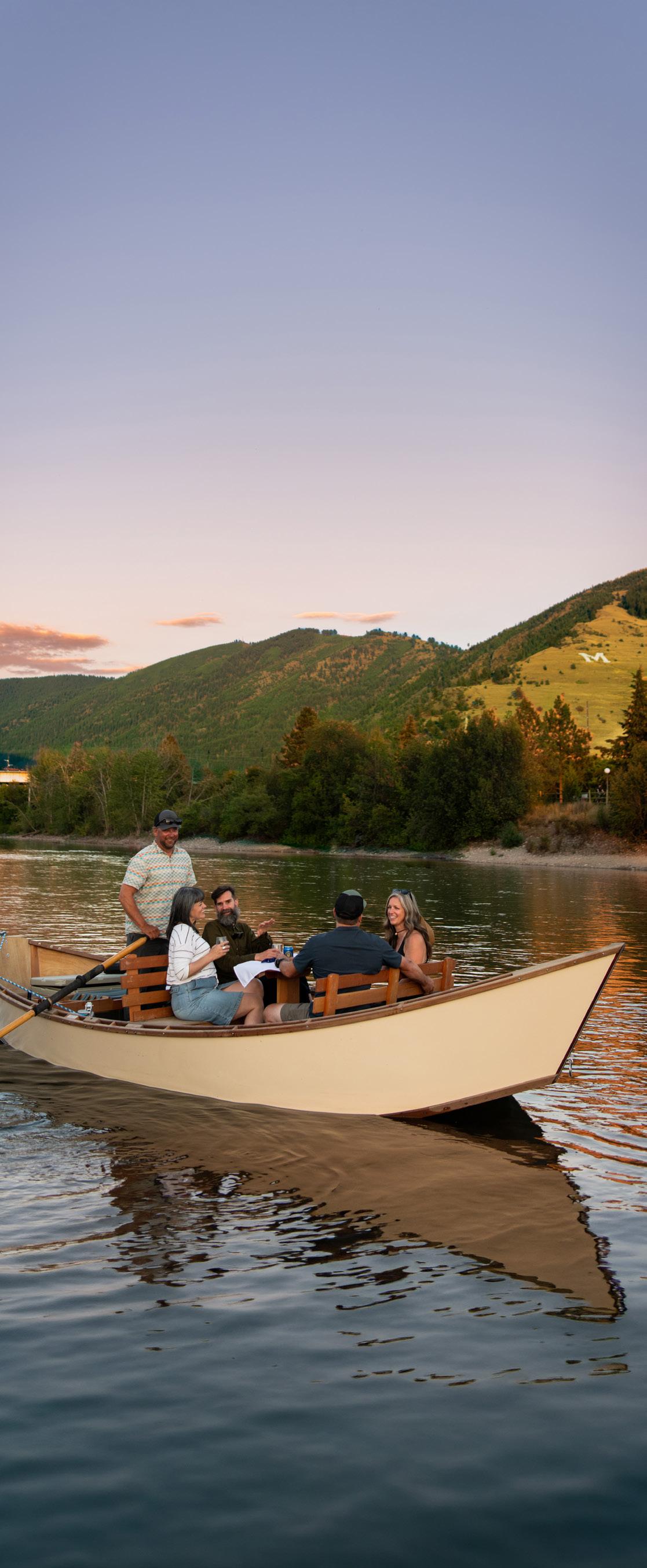
CLARK FORK RIVER. HOLLY GANNET
Riverwise Recreation DIVE INTO THE FUN RESPONSIBLY
As a city where three rivers converge, Missoula is shaped by its access to water. We swim in it, play on it and unwind along it. With that comes responsibility. Before recreating on the waters here, make sure to research regulations surrounding fishing, boating and floating on Montana’s rivers. Always be sure to adhere to Clean, Drain, Dry guidelines, and comply with Fish, Wildlife & Parks guidelines when it’s time to inspect your boat for aquatic invasive species that could potentially threaten our waters. Also keep in mind that during the hottest months of the summer, Hoot Owl Fishing Restrictions go into effect. This prohibits anyone from fishing from 2 p.m. to midnight typically from mid-July to September. We can’t wait to share our waterways with you. Show our rivers some love, and they’ll love you right back.
If you have questions while on the river, look for a River Ambassador! Created through a partnership of the Clark Fork Coalition, Montana Fish, Wildlife & Parks, the City of Missoula, Missoula County, the Missoula Conservation District and ASUM Transportation, these friendly folks spend time along the Clark Fork, Bitterroot and Blackfoot rivers in the Missoula area between late June and early September. Just look for the people wearing yellow T-shirts with the colorful River Ambassador logo on the front and the words “RIVER AMBASSADOR” on the back.
Don’t forget to purchase your conservation license.
Aquatic Invasive Species Identification Guide
Protect Montana Waters from Aquatic Invasive Species
River Ambassadors
Hoot Owl Regulations
N.Higgins Ave.
NEW RIVER RESTORATION AND ACCESS PROJECT
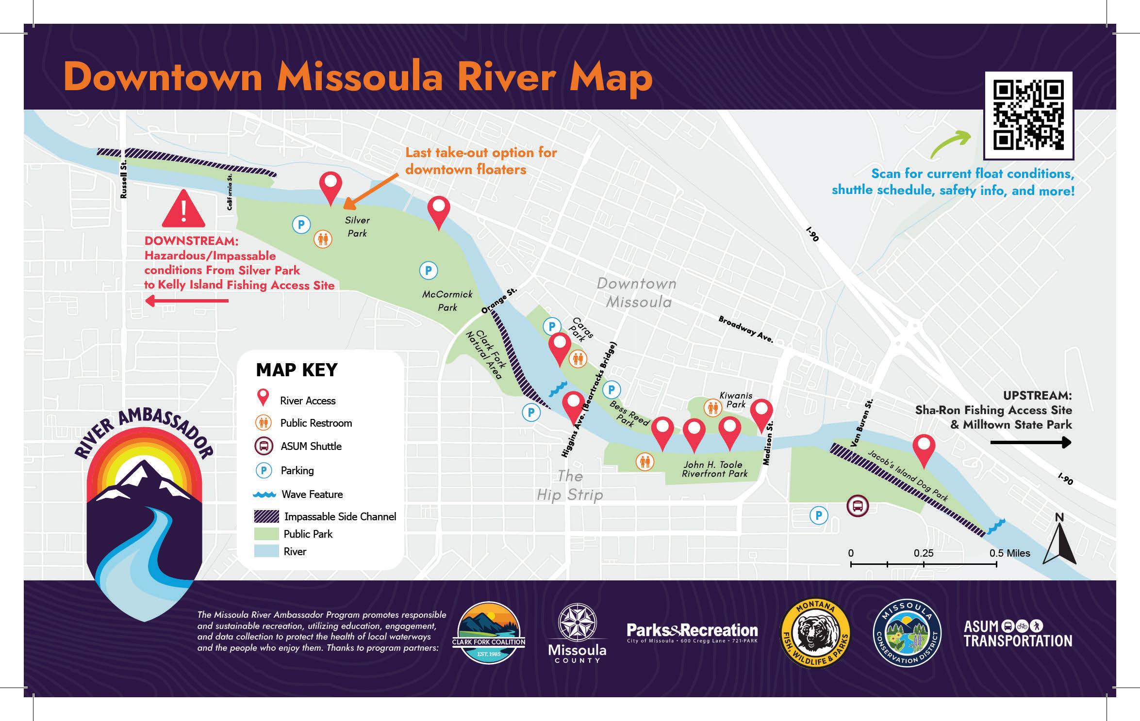
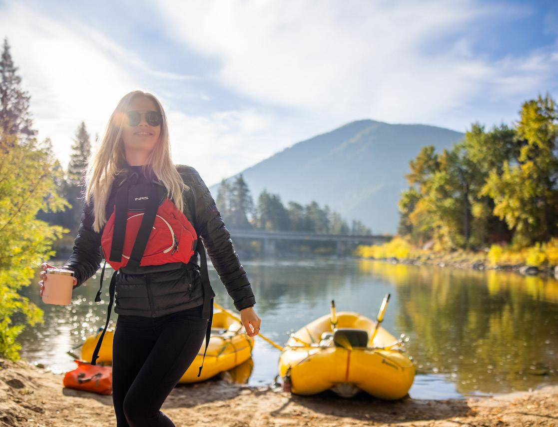
The Clark Fork River Restoration and Access Project is a longterm effort to improve public access to the Clark Fork River in Downtown Missoula, while restoring and protecting the health of its riverbanks and riparian habitat. As the Clark Fork has become one of Missoula’s most cherished natural and recreational resources, growing use by floaters, swimmers and other river users has led to erosion, damaged vegetation and declining riverbank habitat quality. The project creates an intuitive system of sustainable river access points paired with ecological restoration of the adjacent riverbanks to reduce erosion, improve water quality, protect fish and wildlife habitat, and ensure the Clark Fork remains a healthy, welcoming destination for residents and visitors.
Silver Park
Jacob’s Island Off-Leash Dog Park
Caras Park
John H. Toole Riverfront Park
CLARK FORK RIVER. TAYLAR ROBBINS Madison St.
CLARK FORK RIVER
The Clark Fork River is a 310-mile waterway that flows through Western Montana and northern Idaho, making it the largest river in Montana by volume. Named after William Clark of the 1804-1806 Lewis and Clark Expedition, the river winds through rugged mountain landscapes before emptying into Lake Pend Oreille in Idaho. In Missoula, the Clark Fork serves as the heart of the community, offering endless opportunities for recreation. Locals and visitors alike can cast a fly, paddle a kayak or stand-up paddleboard, surf at Brennan’s Wave, float through town or simply relax along its scenic banks. The river’s rich history, ecological importance and accessibility make it one of the defining features of the Missoula experience.
SHA-RON TO SILVER PARK
6 miles
2-3 hours depending on flow
EASY
A favorite after-work float, this stretch of the Clark Fork River offers easy access, mellow water and plenty of opportunities to relax and enjoy the scenery. The route is well-suited for beginners, but floaters should be aware of a diversion dam at the head of Jacob’s Island and Brennan’s Wave just downstream of Beartracks Bridge. Use caution when navigating the diversion dam and stay river right through the sneak channel. As you approach Brennan’s Wave, remain river left in the main river channel if you want to continue down to Silver Park take out. If you are tubing or paddleboarding and want to get off the river before Silver Park, there are several new river access sites including Madison Street Bridge, Toole Park and Beartracks Bridge. With just a couple of mild rapids along the way, this 6-mile float delivers plenty of fun in a convenient in-town setting. Please use official river access sites to prevent erosion and help preserve riverbank restoration efforts.
Check river access signs and land agency websites for the latest updates on river conditions, access points, water levels, seasonal closures and regulations before heading out.
Ben Hughes Park
WAVE
Weigh Station
Marco Flats Fishing Access Site
BLACKFOOT RIVER. ANNA SMIDT
BLACKFOOT RIVER
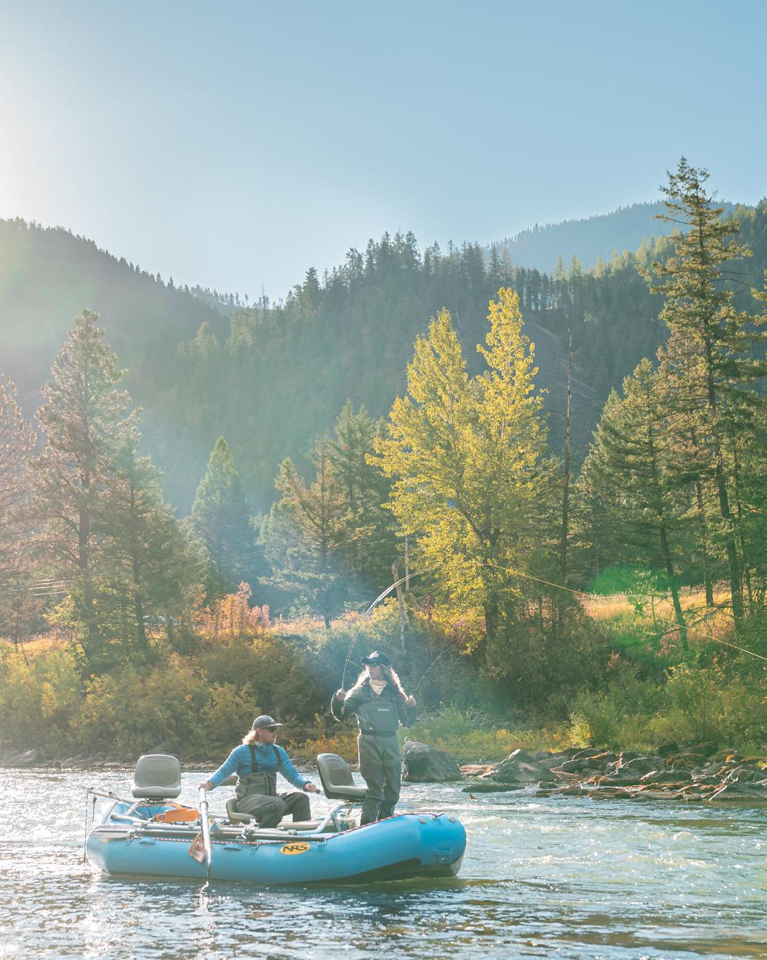
The Blackfoot River is a 130-mile freestone river in Western Montana that flows from the Continental Divide to its confluence with the Clark Fork River just east of Missoula. Renowned as a blue-ribbon fly-fishing destination and made famous by Norman Maclean’s “A River Runs Through It,” the Blackfoot offers exceptional opportunities for recreation and exploration. Visitors can access the river through multiple boat ramps, day-use sites and campgrounds located along its corridor. For those seeking a more immersive experience, the river also features eight float-in campsites available by permit. Several local outfitters provide guided float trips, equipment rentals and shuttle services, making it easy to experience one of Montana’s most iconic rivers.
JOHNSRUD PARK TO WEIGH STATION
7 miles
4-5 hours depending on flow EASY
This popular float offers a relaxing journey through the scenic Blackfoot River corridor. The route provides opportunities to spot wildlife, enjoy mountain views and experience a peaceful stretch of river suitable for most skill levels. Water conditions can vary throughout the season, so always check river flows and be prepared for changing conditions.
Check river access signs and land agency websites for the latest updates on river conditions, access points, water levels, seasonal closures and regulations before heading out.
Johnsrud Park ParkJohnsrud Rd.
BITTERROOT RIVER
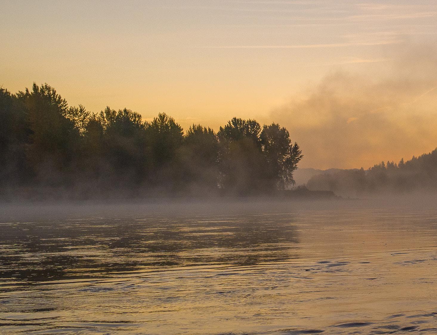
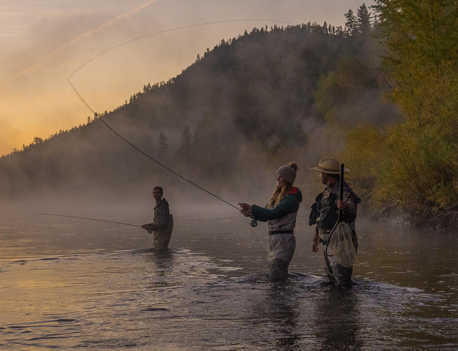
The Bitterroot River is an 84-mile-long freestone river that flows north through Western Montana from the confluence of its east and west forks. Renowned as a blue-ribbon fly-fishing destination, the river winds through the scenic Bitterroot Valley between the Bitterroot Mountains to the west and the Sapphire Mountains to the east before joining the Clark Fork River near Missoula. The Bitterroot offers excellent opportunities for rafting, floating in drift boats and fishing, with numerous public access sites along its length. While the Bitterroot is known for its generally gentle character, changing river channels, sweepers and logjams can create unexpected hazards. Conditions shift frequently, so we strongly recommend floating with a knowledgeable local guide, especially if you’re unfamiliar with the river. Several outfitters based in Darby, Hamilton and Missoula provide guided trips, rentals and shuttle services.
JOHN AND NANCY OWEN FISHING ACCESS
SITE TO FLORENCE BRIDGE FISHING ACCESS
10.5 miles 4-5 hours depending on flow
EASY
This 10.5-mile float from the John and Nancy Owen Fishing Access Site to the Florence Bridge Fishing Access Site is a scenic, beginnerfriendly stretch of the Bitterroot River that typically takes 4–5 hours, depending on river flows. Both the put-in and take-out feature boat launches, making this an easy shuttle for rafts and other nonmotorized watercraft. Along the way, you’ll drift past the renowned Lee Metcalf National Wildlife Refuge, where osprey, bald eagles, great blue herons, deer and other wildlife are common sights. While this is generally considered an easy float, river conditions can change quickly, so always check current streamflows and be aware of hazards before heading out.
Check river access signs and land agency websites for the latest updates on river conditions, access points, water levels, seasonal closures and regulations before heading out.
BITTERROOT RIVER. JOURNAL OF LOST TIME
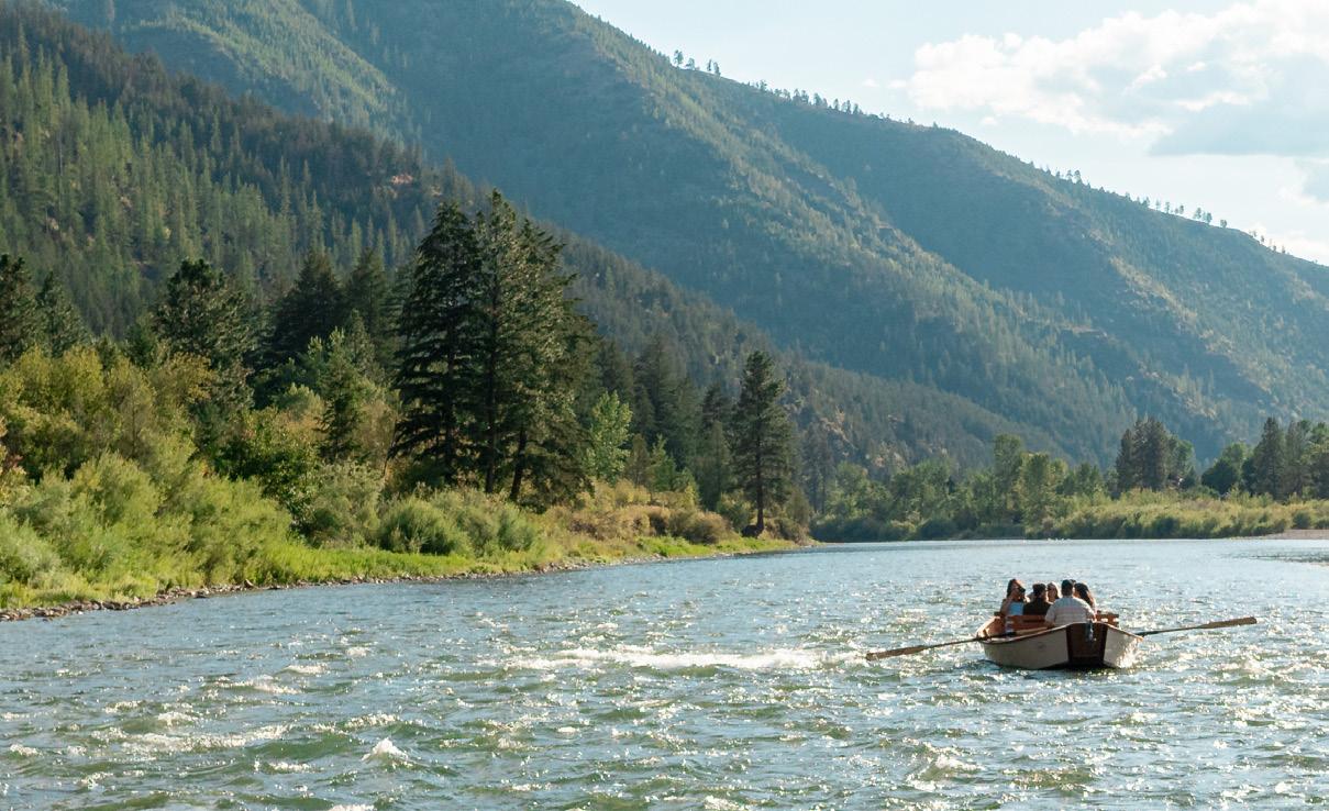
There’s no better way to explore Missoula’s surrounding rivers than with a local guide. First-time anglers and seasoned pros alike can leave the details to the experts and focus on enjoying the day on the water.
GUIDING SERVICES
10,000 WAVES
802 W. Spruce St.
406.240.9833
10000-waves.com
ADVENTURE MISSOULA
39 Juniper Ln., Alberton, MT
406.813.0595
adventuremissoula.com
BITTERROOT BACKPACKING
732.272.6878
bitterrootbackpacking.com
BLACKFOOT RIVER OUTFITTERS
275 N. Russell St.
406.542.7411
blackfootriver.com
BLUE HERON NATURE TOURS
406.214.4473
blueheronnaturetours.com
CLARK FORK YACHT CLUB
509 S. Higgins Ave., Ste. 3366
406.552.5900
clarkforkyachtclub.com
LOVE BOAT PADDLE CO.
738 S. 1st St. W.
406.830.3040 loveboatpaddleco.com
MONTANA RIVER GUIDES
138 Big Bend Ln., Alberton, MT
406.214.0245 montanariverguides.com
MONTANA WOOD BOAT TOURS
406.214.6177 montanawoodboattours.com
NORTH SKY ADVENTURES
406.302.8188
northskyadventures.com
RIVER CITY BREWS
RAFTING TOURS
39 Juniper Ln., Alberton, MT
406.813.0595 rivercitybrews.com
SPOTTED DOG CYCLES
738 S. 1st St. W.
406.529.0668 spotteddogcycles.com
GEAR RENTALS & RESOURCES
BOB WARD’S SPORTS & OUTDOORS
3015 Paxson St. 406.728.3220 als.com/locations/missoula
FORAGE MARKET
160 N. Pattee St. 406.692.2899
GOOD FOOD STORE
1600 S. 3rd St. W. 406.541.3663 goodfoodstore.com
HERE MONTANA
406.396.4843 heremontana.org
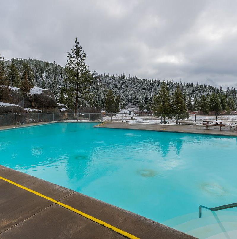
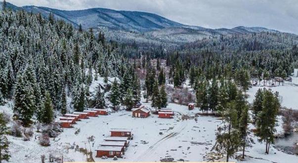
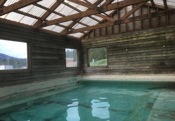
LOLO HOT SPRINGS
38500 U.S. Hwy 12 W., Lolo, MT 406.273.2290 lolohotsprings.com
MISSOULA ANIMAL SERVICES 6700 Butler Creek Rd. 406.541.7387 missoulapublichealth.org/ animals
NATIONAL MUSEUM OF FOREST SERVICE HISTORY
6305 U.S. Hwy 10 W. 406.541.6374 forestservicemuseum.org
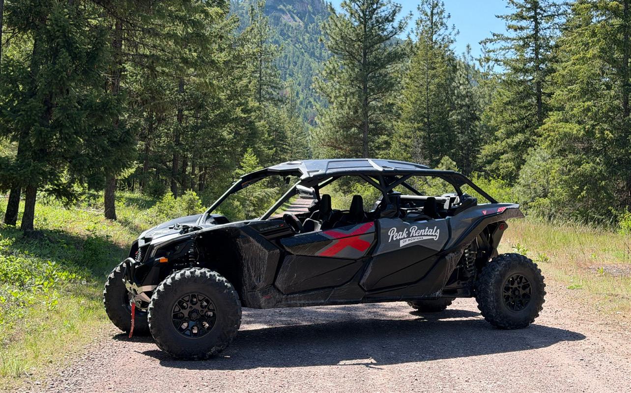
PEAK RENTALS 14377 Pulp Mill Rd. 406.317.3800 peakrentalsofmt.com
RUN WILD MISSOULA 125 E. Main St. 406.544.7073 runwildmissoula.org
RUNNERS EDGE
304 N. Higgins Ave. 406.728.9297 runnersedgemt.com
STOCKMAN BANK 321 W. Broadway St. 406.258.1400 stockmanbank.com
THE TRAIL HEAD 221 E. Front St. 406.543.6966 trailheadmontana.net
CLARK FORK RIVER. ANNA SMIDT
MISSOULA BY THE SEASON
WINTER
SPRING
SUMMER
FALL
AVERAGE SUNRISE AND SUNSET










Now Open!
A