2 minute read
Chalk, cheese, and ancient trees

By Charlotte Dacre, Ancient Woodland Inventory Officer, WSBRC
The Ancient Woodland Inventory (AWI) project was first introduced in the 1980s and put Britain, quite literally, on the map for woodland conservation.
The project aimed to identify ancient woodland sites across the country, with hopes of using this information in future conservation projects. However, digital mapping programmes had only just come into focus, and ecologists had a hard time putting all the pieces of the puzzle together.
Time vs. technology
Today, forty-something years later, we are now reviewing the original dataset through the lens of modern technology. Our hope is to accurately portray our past whilst collecting additional data on local wildlife. Through modern mapping technology, we can collect and reconnect pieces that may have been overlooked in the original inventory.
All of this has been made possible thanks to the help of the Wiltshire and Swindon History Centre, who hold almost all of our long-standing maps, and our volunteers who spent the summer photographing plants of potential interest.
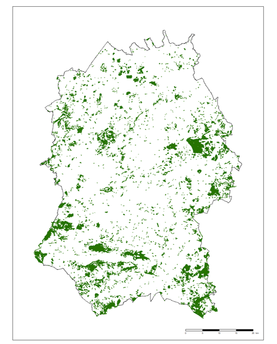
Project progress so far…
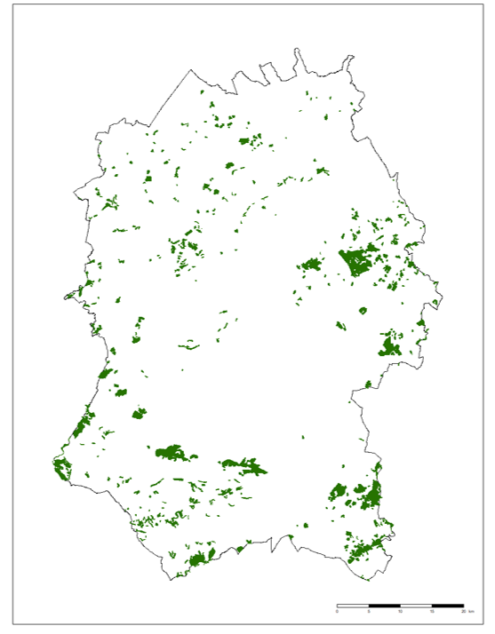
So far, with help from our volunteers, we have been able to identify over 7,100 parcels of potential ancient woodland across Wiltshire. That’s more than 6,000 additional parcels compared to the original inventory.
Call for Volunteers!
We’re interested in recruiting amateur botanists and flora enthusiasts alike to help survey the county. Full training will be provided. To register your interest, email Charlotte Dacre at CharlotteD@wiltshirewildlife.org.