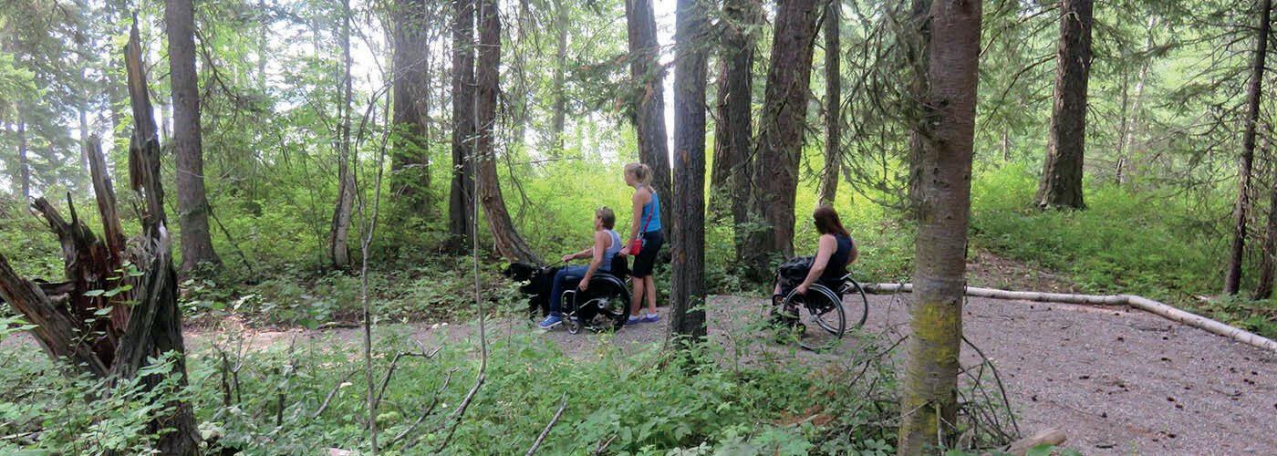
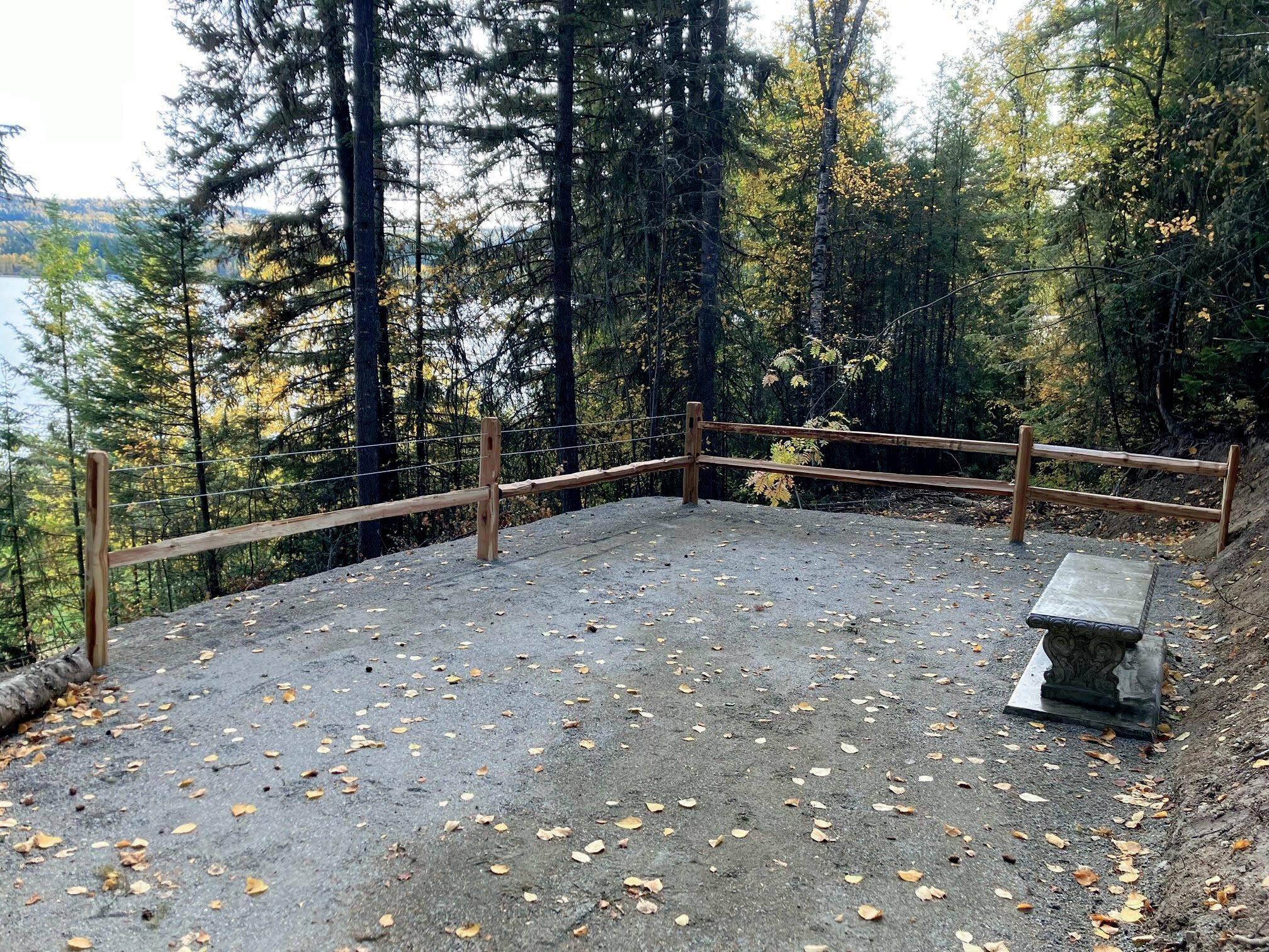
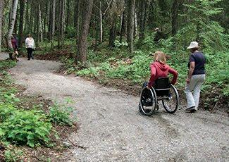
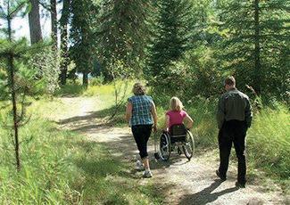
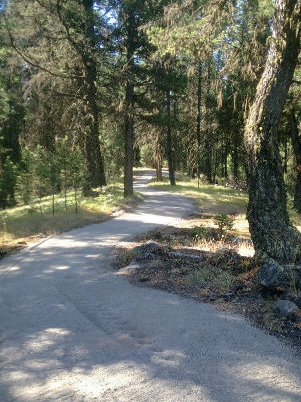
The Cariboo Regional District has embraced the vision of creating a wheelchair accessible trail network in the Cariboo Chilcotin. Since 2006, we have worked with various community groups to develop the Cariboo Chilcotin as a world leader in accessible outdoor recreation and tap into niche tourism markets for people of all abilities. The CRD acknowledges several of our accessible trails are on the unceded territories of some local First Nations.
North Cariboo
1
For more information about these trails, visit cariboord.ca/trails.
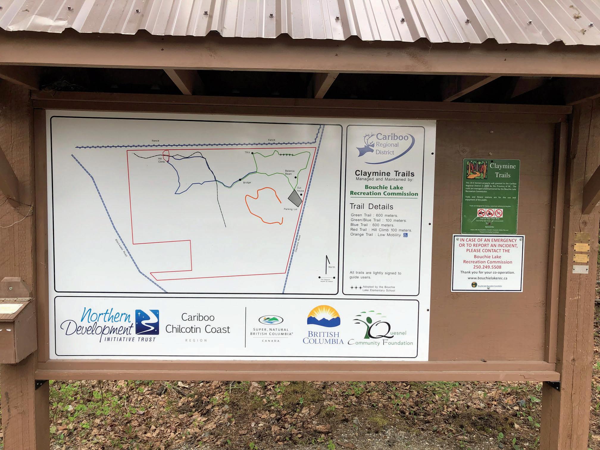
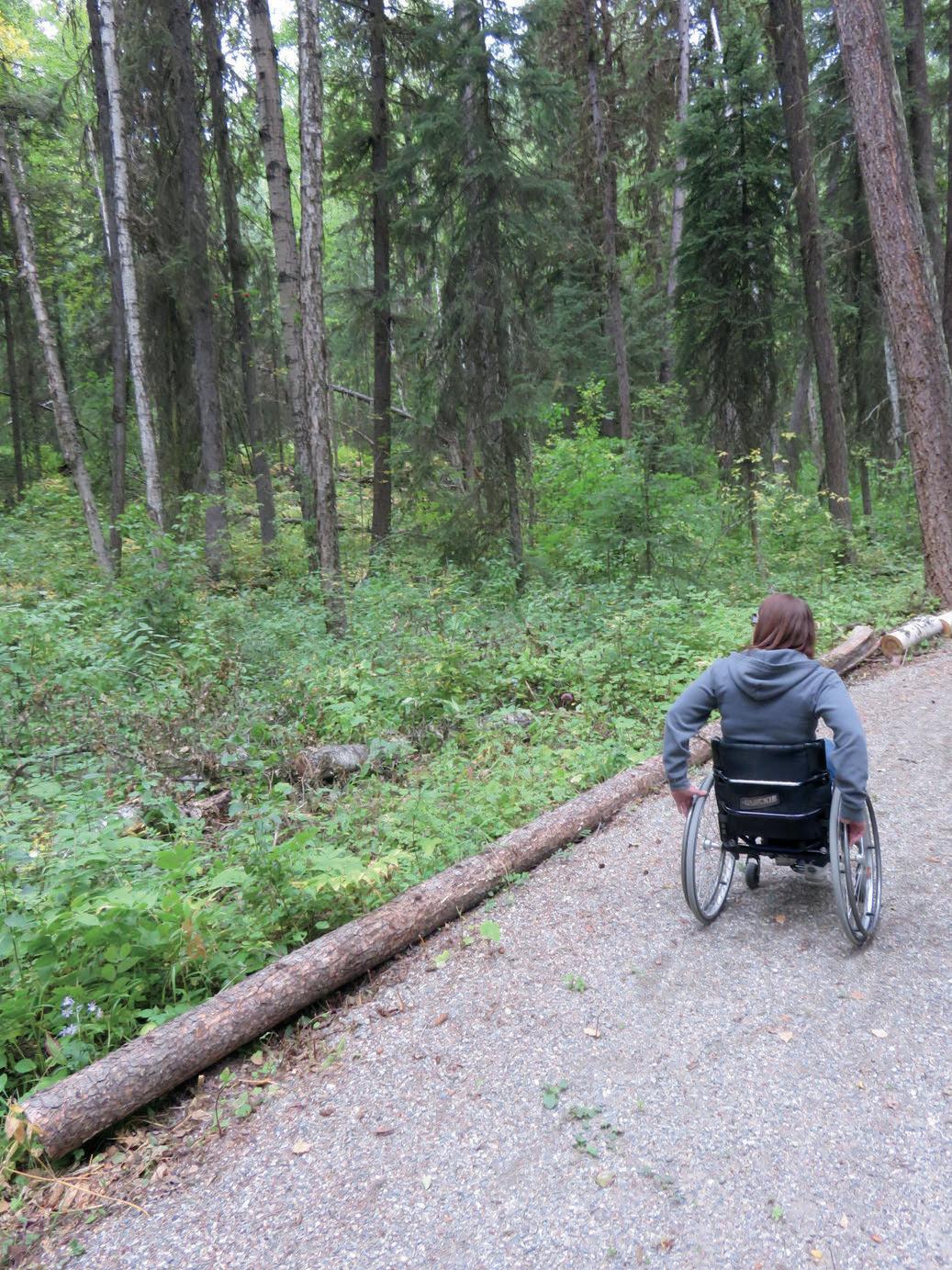
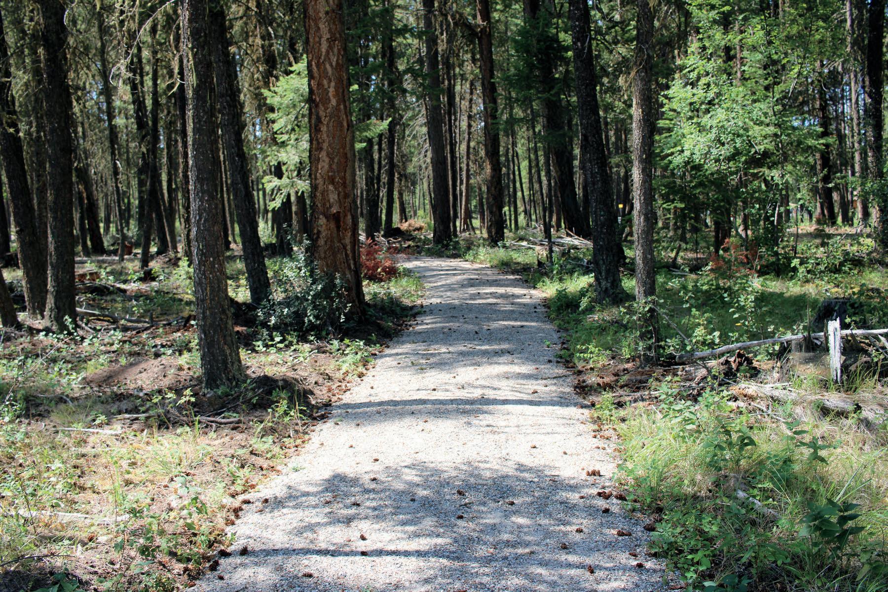
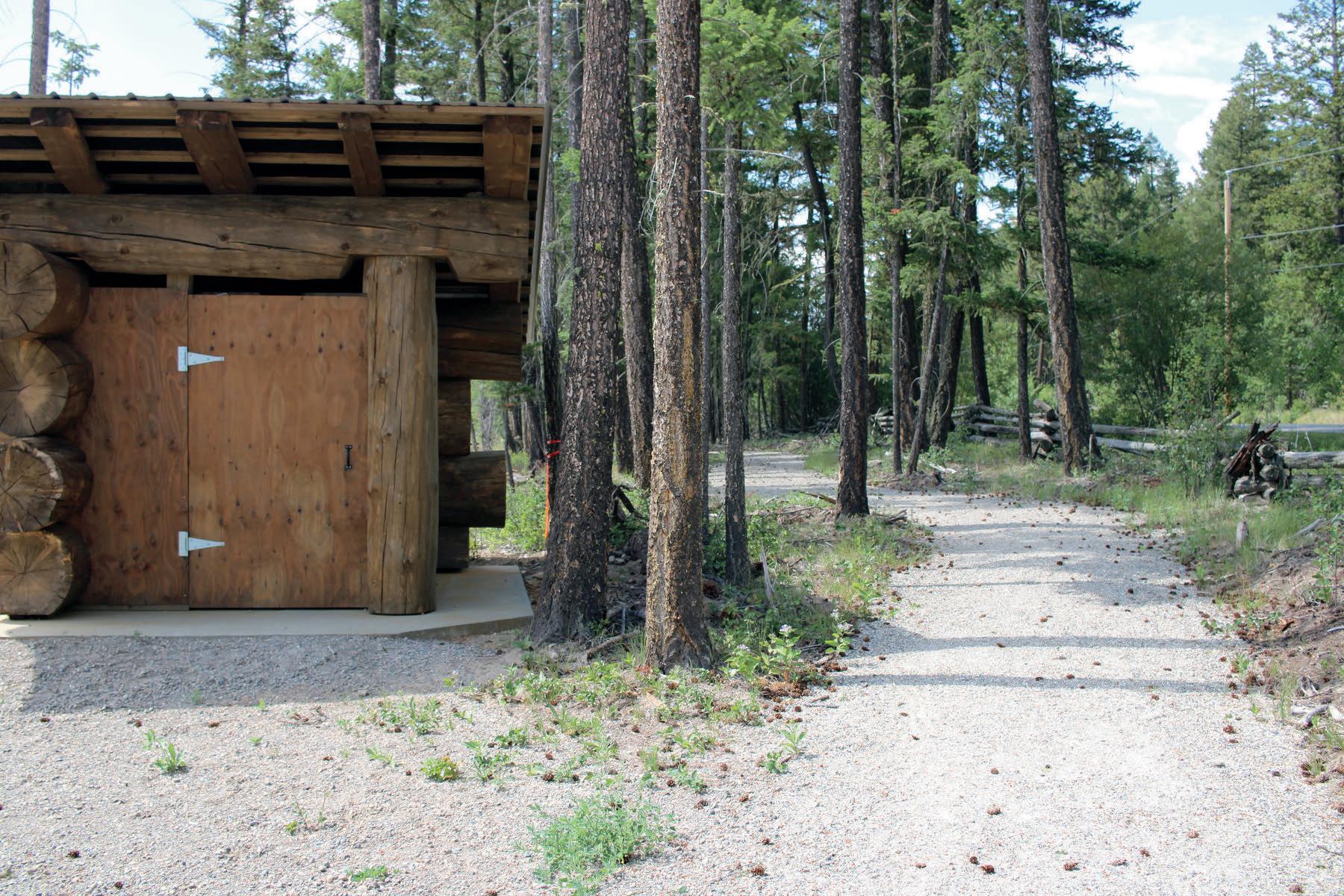
The Claymine Low Mobility Trail is approximately 1 km long with a gentle grade. It winds through lush forest, looping around a large glacial erratic boulder, before travelling back to the trailhead. A wide variety of wildlife and bird species can be spotted in the area and there is an active herons' nest in the vicinity of the trail. An accessible outhouse and informational kiosk are available at the trailhead for visitors' convenience and an accessible picnic table is located along the trail.
Kosta's Cove Low Mobility Trail (2 km)
This trail starts at the area of Kosta's Cov popular 10 Mile Lake offers an accessible and a multi-purpos convenience and enjo northward along the l with rest areas interspersed along th features a gentle grade along the lakeshore while the trail section through the forest is of more significant difficulty, which may require assistance for some users. The Kosta's Cove Accessible Trail is located about 12 kilometres north of Quesnel on Bjornson Road, at the north end of 10 Mile Lake.
Claymine Low Mobility Trail (1 km)
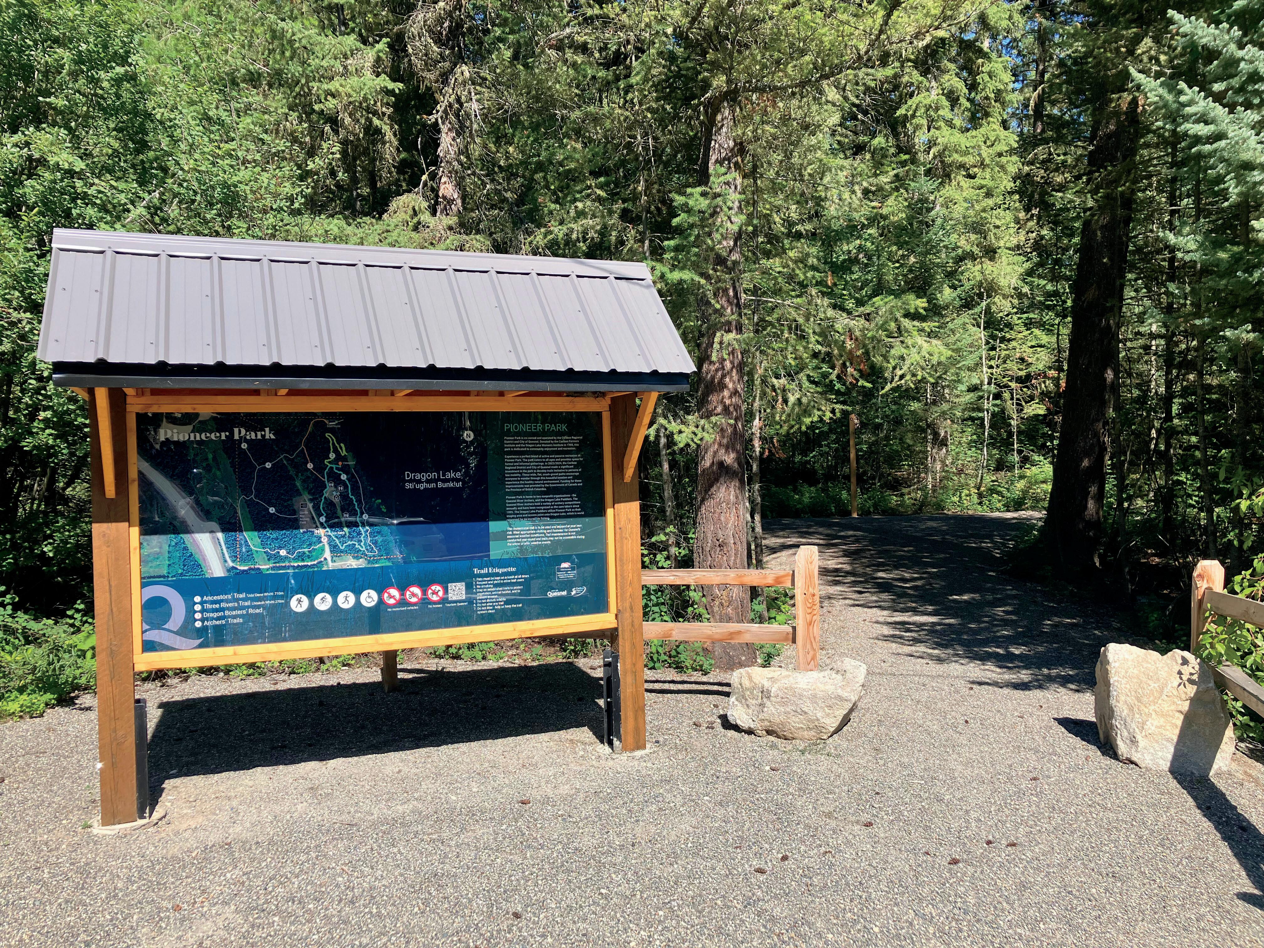
The Pioneer Park Accessible Trails are located on the western shore of Dragon Lake, south of Quesnel and accessed via Campsite Road. Approximately 1 km long in total and featuring a packed, crushed gravel surface, the trails travel through forest, offering views of Dragon Lake, and pass green space and a covered 3
entral Cariboo
a gentle grade
The Sisters Creek Recreation Site Accessible Trail is located in the community of Kersley and opened in June 2010. As one of the initial wheelchair accessible trails built in the Cariboo Chilcotin, the Sisters Creek Recreation Site Accessible Trail has the distinction of being the first trail in the Forest Capital of nada Legacy Trail Network. The trail is proximately 800 metres long and leads to a eelchair friendly viewpoint overlooking the ser River. The trail features a packed, h d l
e Big Lake Community Hall Low Mobility Trail located at the Big Lake Community Hall perty. Approximately 500 metres long and turing packed, crushed gravel surface, the l loops from the hall, through the forest, ng the lakeshore, and back to the hall. At the lhead, an informational kiosk displays a map the trail and an accessible washroom is ilable in the hall. Benches and an accessible nic table can be found along the trail. This l is located approximately 50 km northeast of Williams Lake, on Jones Road.
Bullion Pit
Low Mobility Trail (700 m)
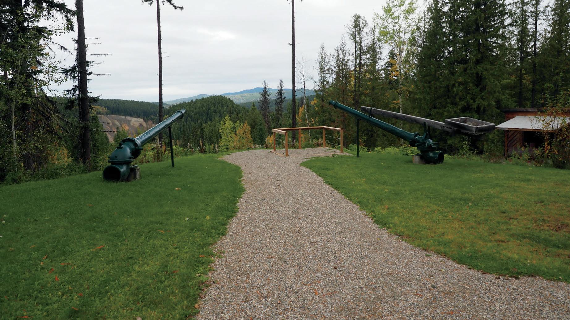
The Bullion Pit low mobility trail is a seven hundred metre crushed gravel trail with a gentle grade. There is a one hundred metre steeper section of the trail of higher difficulty. The trail winds through the site of the legendary Bullion Pit hydraulic mine and includes a view of the man-made canyon from the days of the goldrush. Equipment used during the mining, including hydraulic jets, are on view, as well as the remains of ditches that brought the water to the mine through the forest. Accessible picnic tables and an accessible outhouse are located at the trail head. Ongoing management of the site is provided by the Likely and District Chamber of Commerce.
7 6
Dugan Lake Low Mobility Trail (1 km)
7
The Dugan Lake Accessible Trail traverses along the shoreline of Dugan Lake, which is situated among rolling hills in a Spruce & Lodgepole Pine forest. Dugan Lake offers a Recreation Sites and Trails BC campsite, and is a great spot for viewing wildlife. The trail has a gentle grade with one steeper section. Three accessible benches and an accessible outhouse are available for trail users' convenience. This trail also features an accessible dock, which is a great place to cast a line into this popular fishing lake. The Dugan Lake Accessible Trail is located approximately 24 kilometres east of Williams Lake on the Horsefly Lake Road, about 2.5 kilometres past the junction of the Horsefly and Likely Roads.
sler Low Mobility Trail (3 km)
8
he Esler Sports Complex Low Mobility Trail ystem is located on Wilke Road, off Hodgson oad, southwest of Williams Lake. pproximately 3 km long in total and featuring acked, crushed gravel surface, the trail system loops through open-canopy forest and around the Esler Sports Complex’s soccer, slo-pitch and minor fastball fields. A disc golf course also runs adjacent to a portion of the trail.
Gavin Lakeshore Low Mobility Trail (305 m)
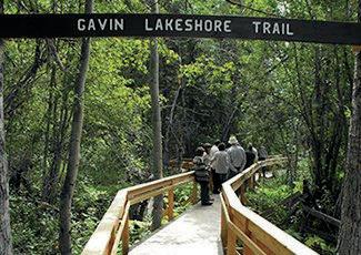
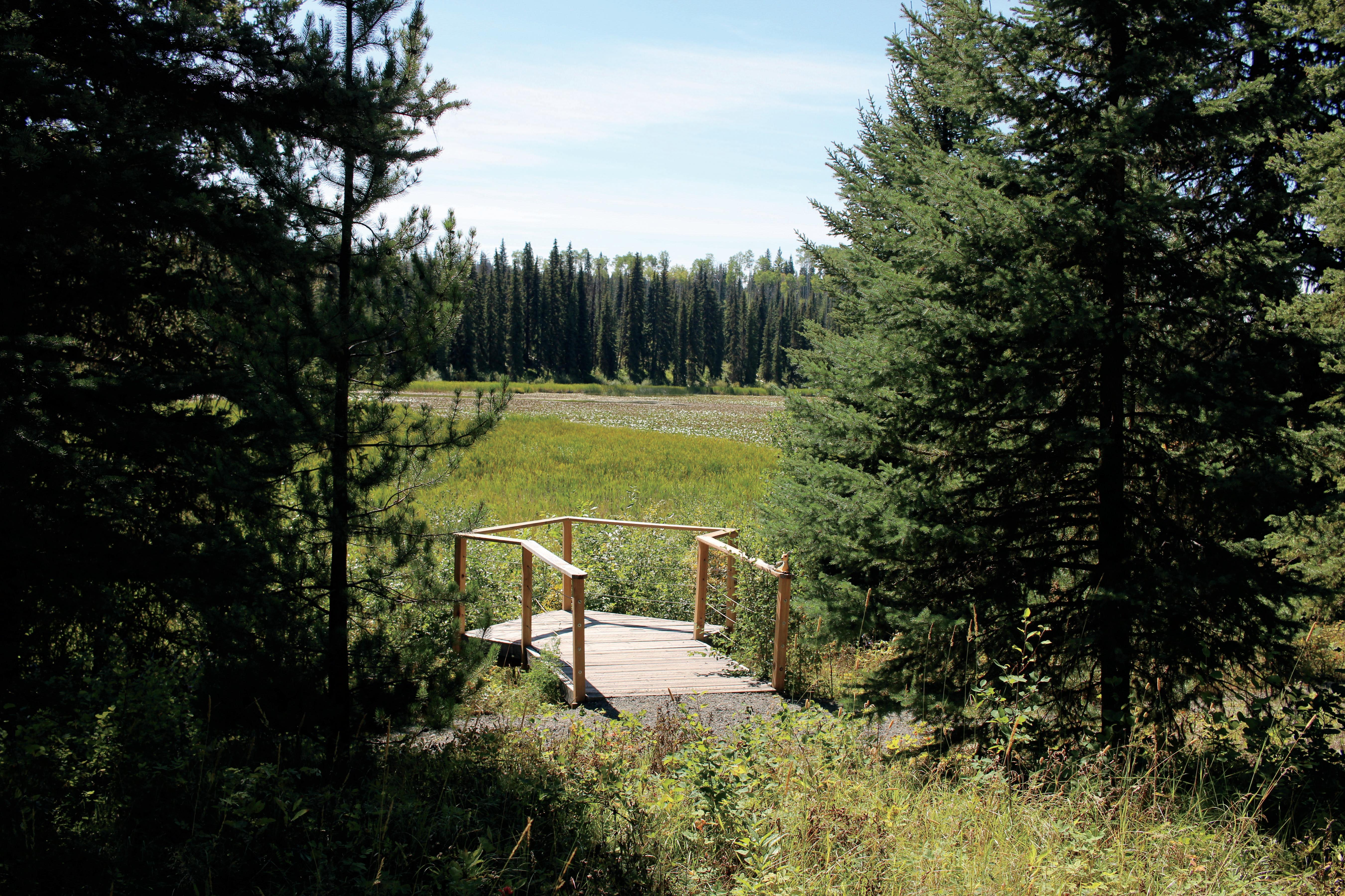
The Gavin Lakeshore low Mobility Trail is located at the Gavin Lake Forest Education Centre. The trail is approximately 305 m long and consists of an accessible boardwalk passing through wetland and “wet” forest along the shores of Gavin Lake, featuring beautiful viewpoints and the opportunity to spot beaver, muskrat, moose and several varieties of b d and waterfowl. The trail features two accessi bridges and an accessible dock/view platform. Benches and turnaround/pass points have been placed in convenient locatio along the route, and an information kiosk a accessible outhouse are located at trailhead. This trail also joins the “Around Lake” trail which is a 6 km hiking trail follow the entire shoreline of Gavin Lake. The nea Forest Education Centre features accessi washroom and showers, dining hall, lounge, a two cabins to allow ease of use and comfort low-mobility trails.
Wheelchair Low Mobility Salmon iewing Trail (2.2 km)
meanders along the Horsefly River, views of the salmon spawning channel utiful landscape A viewing platform erlooks the convergence of the Horsefly d the start of the spawning channel is s final destination. The trail has a very ade with one optional section that has a slope offering a more challenging ce An accessible outhouse is provided ors' convenience and the site offers space for parking. Horsefly is located etres northeast from Williams Lake.
Moffat Falls Rec Site
Low Mobility Trail (300 m)
11
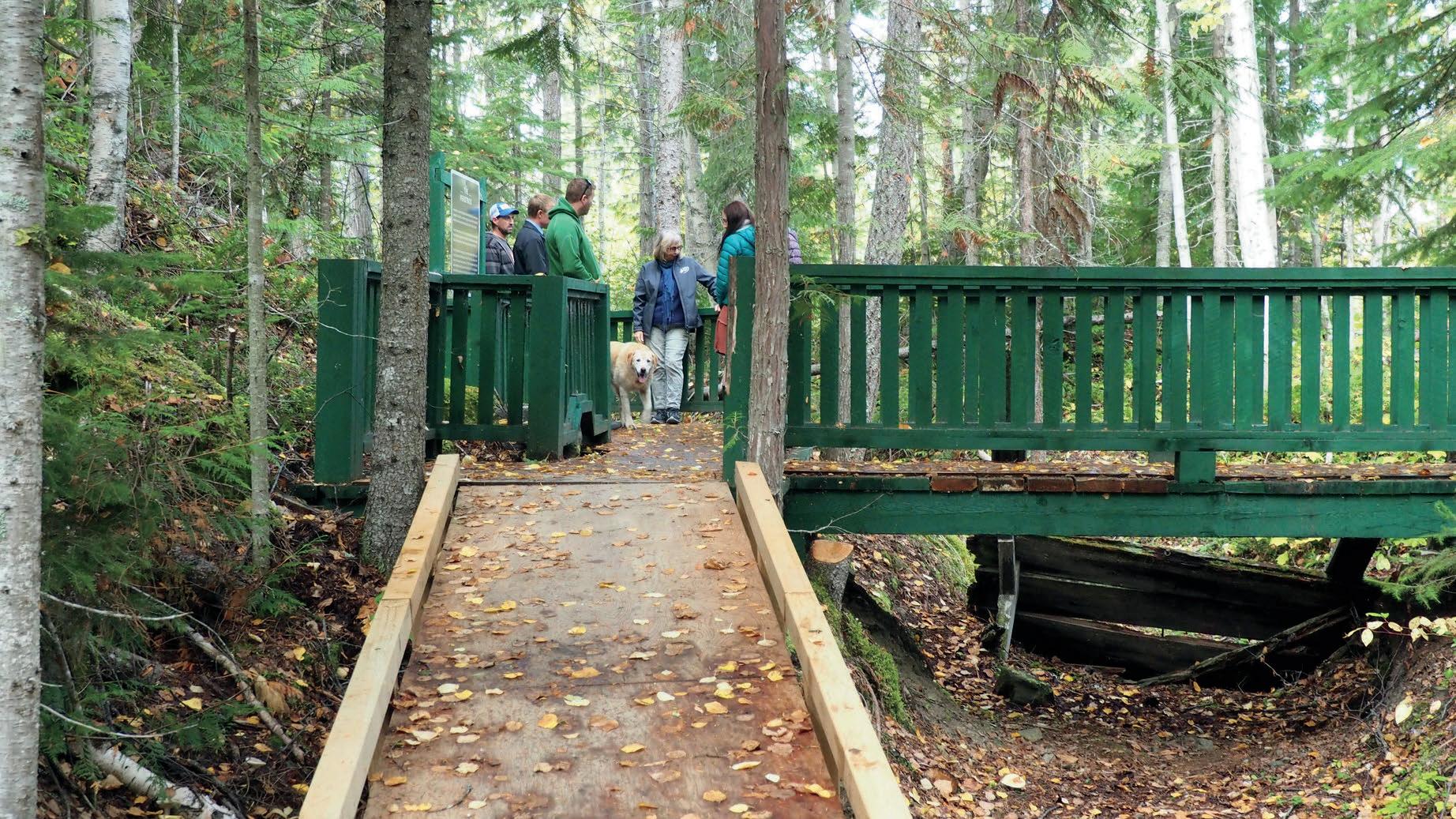
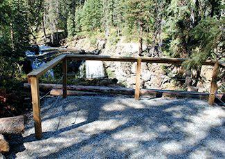
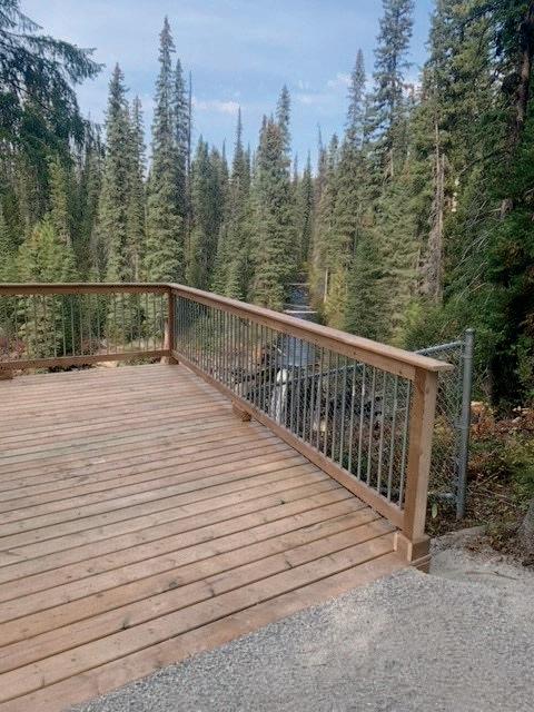
Approximately 300 metres long and featuring a packed, crushed gravel surface, the Moffat Falls Recreation Site Low Mobility Trail travels through the forest to Horsefly River, crosses a large bridge over the river, and ends at a secure viewpoint offering an amazing view of Moffat Falls. The trail has an extremely gentle grade with no steep sections. At the trailhead, an information kiosk displays a map of the trail and an accessible outhouse is provided for visitors' convenience A bench and rest area overlooking
12
The Quesnelle Forks Low Mobility Trails network consists of approximately 860 metres of trails, offering unique vantage points of this gold rush ghost town and the junction of the Quesnel and Cariboo Rivers. The trails have a packed crushed gravel surface and gentle grade. One accessible picnic table and three benches are interspersed along the trails and the site has three accessible outhouses. Quesnelle Forks is a beautiful historic site that features restored pioneer buildings and a historic cemetery and is the location of the earliest mining camp in the Cariboo.
99 Mile Low Mobility Trail (1.7 km)
South Cariboo 13
This trail winds through lush forest and features four viewpoints, including one overlooking a wetland and another providing an expansive view of 100 Mile House and Stephenson Lake. Accessible picnic tables and benches are interspersed along the trail route. The trail finishes at the Nordic Beanstalk Cabin site, which features a fire pit as well as an accessible outhouse and picnic table. The majority of the trail offers a gentle grade, with one 600 metre section of moderate difficulty and one 100 metre steeper section of higher difficulty. The 99 Mile Accessible Trail is located about 2 kilometres south of 100 Mile H t th H Cit M tain Bike Club kilometres up Road can be
108 Lake and Sepa Lake Low Mobility Trails (7 km) 14
The 108 Lake and Sepa Lake Accessible Trails allow users to enjoy the beautiful settings surrounding the 108 and Sepa Lakes, including the popular 108 Mile Heritage Site. These trails feature a gentle grade, and diverse wildlife and waterfowl species may be spotted while exploring this trail network. Two accessible outhouses, picnic tables in three locations, and ten rest stops with benches are provided along the trails for users' convenience. Three parking lots and trail access points are located around the 108 Lake – one at 108 Beach, one at West Beach and one at the 108 Heritage Site. Parking and trail access is also available at Sepa Lake. 108 Lake and Sepa Lake are located adjacent to Highway 97, 13 kilometres north of 100 Mile House.
Exeter Valley Accessible Nature Trail (700 m)
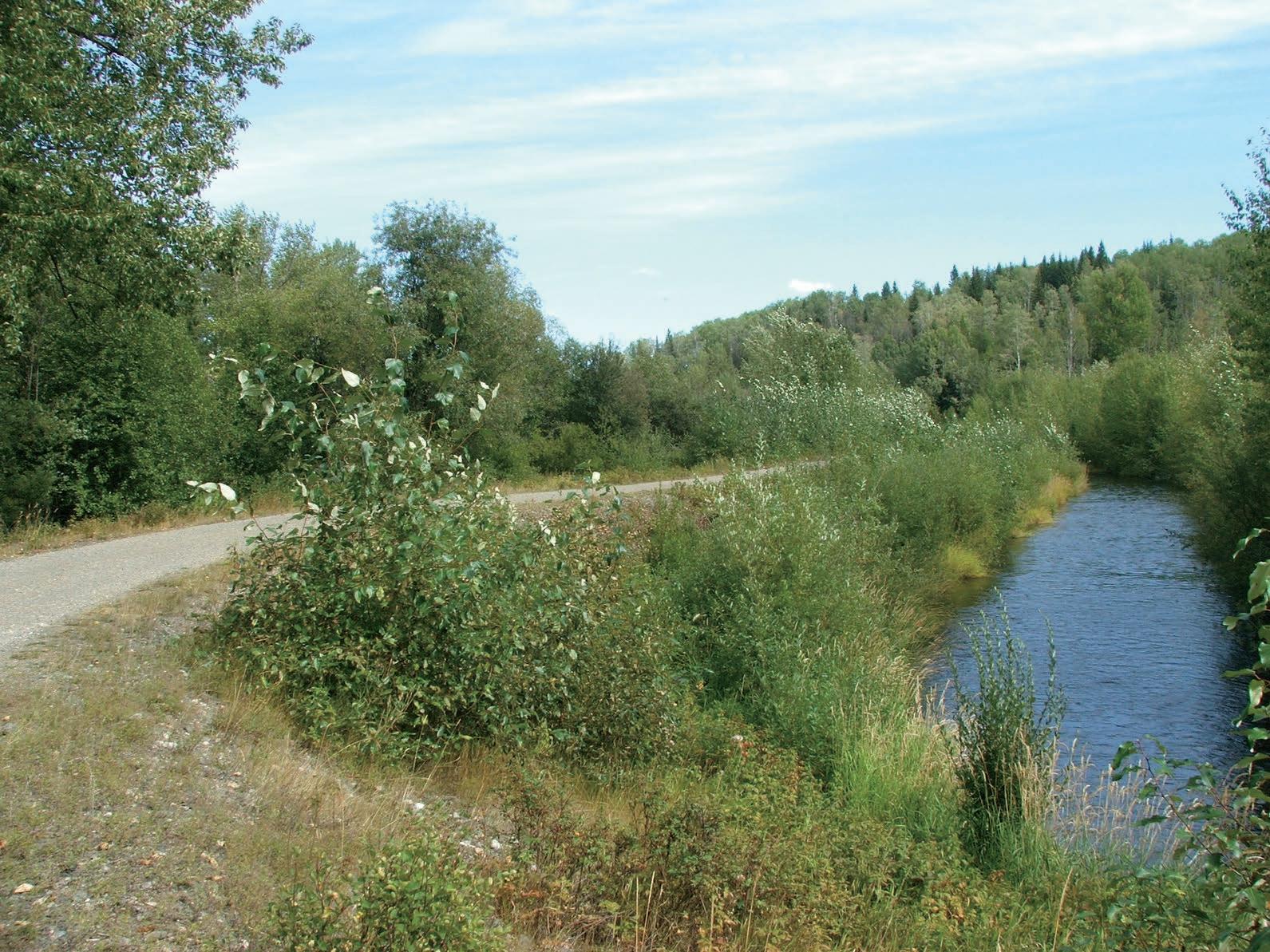
The 700 metre Exeter Valley Accessible Nature Trail is located at the South Cariboo Recreation Centre property in 100 Mile House, just off of Highway 97. The trail commences at the bridge over the outlet of the 100 Mile Marsh and travels alongside a creek before looping through an aspen grove near the recreation centre ballfields. Three accessible picnic tables/rest areas are located along the trail. The trail gives views of meadows and forest, while nearby wetland features numerous bird species.
Hendrix Falls Low Mobility Trail (350 m)
The Hendrix Falls Low Mobility Trail is located just off of 701 Road, east of Forest Grove. The approximately 350 m trail winds through a forested area leading to a viewpoint overlooking the falls. An accessible outhouse is available at the trailhead and there is ample parking. The trail system’s gentle grade makes it easy to enjoy for people of all mobility levels and ages. A kiosk with information is available at the trailhead. 16
Interlakes Pioneer Heritage Low Mobility Trail (1 km)
Located in Roe Lake and beginning at the Interlakes Community Complex, this trail travels from the Complex past lush wetland and through forest, up to the Roe Lake Rodeo Grounds. A viewpoint along the wetland offers interpretive signage that highlights the birds and animals which are native to the area. The trail features rolling grades, with a more challenging section that may require assistance for trail users with low mobility. Rest stops with benches and accessible picnic tables are placed periodically along th outhouse is availabl visitors. The Interlak located about 56 kil Mile House on Highw
m)
This 500 metre trail is located at the Valentine Lake recreation site, west of 100 Mile House. It features a packed, crushed gravel surface and travels through open-canopy forest along the shore of beautiful Valentine Lake. An accessible outhouse is available at the trailhead and there is a picnic table and an accessible fishing dock along the path. The trail system’s gentle grade makes it easy to enjoy for people of all mobility levels and ages.
The Mountain Spruce Low Mobility Trail is located at the Mountain Spruce Community Park, situated near Sulphurous Lake, east of 100 Mile House. The approximately 1.6 km trail winds through a forested area with spruce and fir trees, with a viewing platform overlooking Heron Lake and surrounding wetlands. At the trailhead is an information kiosk, an accessible outhouse, and a picnic table. Along the trail is another accessible outhouse and several benches offering spots to rest and take in the scenery. The gently graded trail allows people of all ages and mobility levels to enjoy the trail.
Mountain Spruce Low Mobility Trail (1.6 km)
Valentine Lake Low Mobility Trail (500
Chilcotin
Bull Canyon Provincial Park Low Mobility Trail (1 km) 20
Approximately one kilometer long and featuring a packed, crushed gravel surface, the Bull Canyon Provincial Park Low Mobility Trail travels through forest, offering views of the glacial blue Chilcotin River and passes indigenous pit houses. There is a viewpoint near the river and benches and rest stops along the trail. An accessible outhouse and plenty of parking are also available. The trail has a slight grade with one gentle hill. An information kiosk at the trailhead displays a map of the trail's route.
Hotnarko Falls
Low Mobility Trail (400 m)
2121
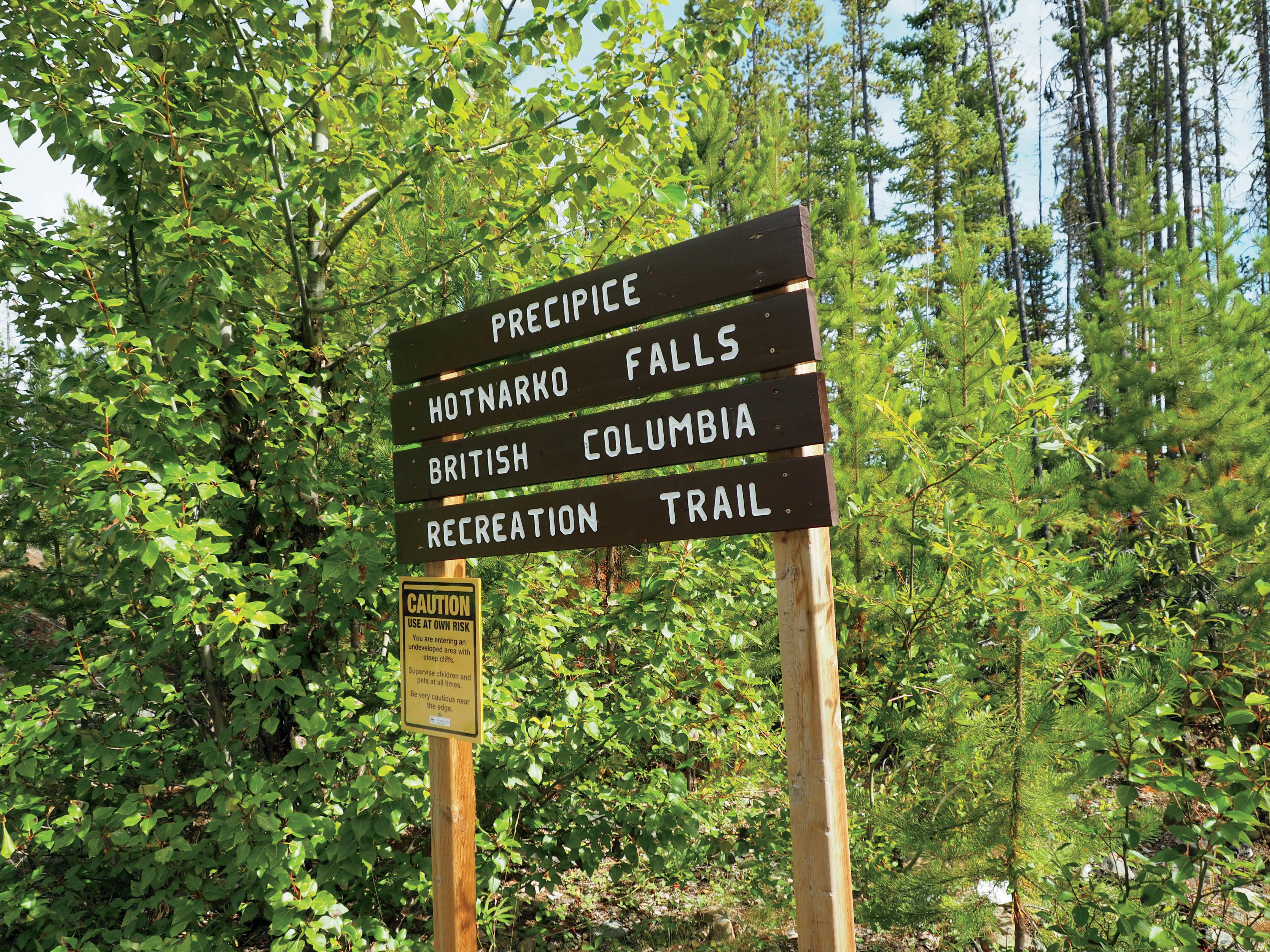
This trail is approximately 400 m long and consists of packed, crushed gravel with a gentle grade. It provides a spectacular view of Hotnarko Falls and “the Precipice”. The site involves a large drop off with some sections without a barrier. Accessible picnic tables and viewing sites at the eastern and western ends of the trail makes it perfect for a rest or snack break. There is a trail map located at the trail head so you can plan your route/rest stops.
Nimpo Lake Low Mobility Trail (1.1 km)
22
Nimpo Lake Low Mobility Trail is part of the Community Trails Network at Nimpo Lake. Approximately 1.1 km in length, this packed, crushed gravel trail features a gentle grade and winds through the site, featuring beautiful views of the forest and wetland. There is an accessible outhouse and map of the community trails at the trail head and benches and rest along the trail.