1 minute read
Neighborhood Analysis


Lower Price Hill Typologies
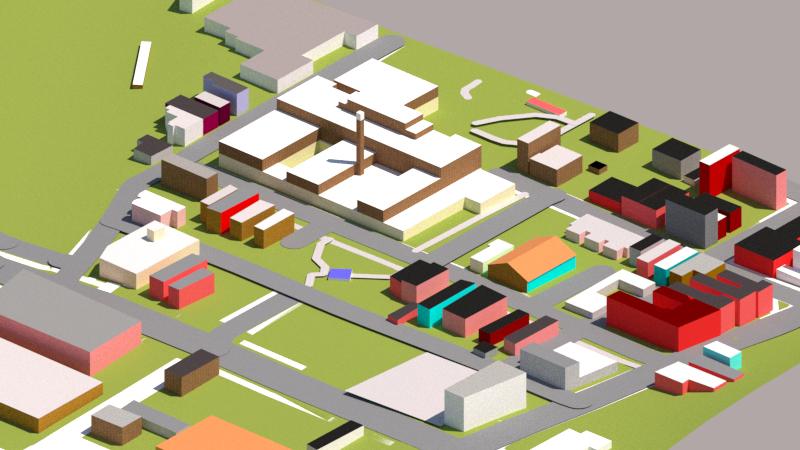
Sketch-Up Render FigureGround
Advertisement
Lower Price Hill/Queensgate - Land Use Map
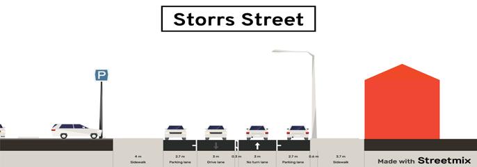
Cross Sections Street Elevation
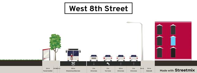
This part of Lower Price Hill is mostly residential with some small business on State Ave. The largest feature in this section of Lower Price hill is the Oyler School that can be seen as the building with the large, thin tower. This part of the neighbor is denser than most other areas in the neighbor with building being more tightly packed in. This area has a major road in it call West Eighth Street that heads right into downtown if you go far enough. This road has a bus route that allows resident to have cheap route into downtown if they need to. Olyer School has quite unique architecture and really stand out well in the neighborhood. It was built near the begin of the 1900’s and still host a large amount of students.
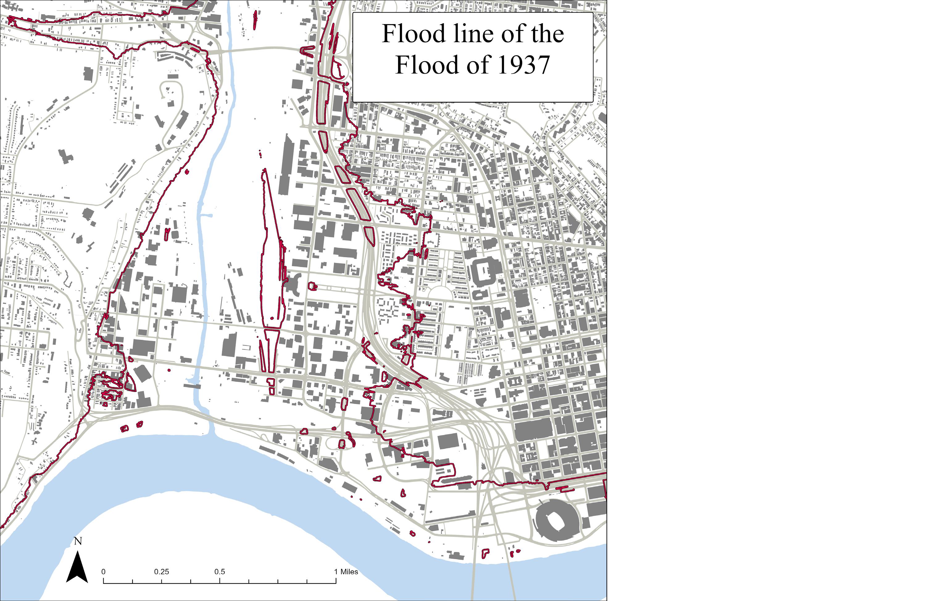
These area would be the most likely to be flooded in a flooded the size of 1937’s happened in Cincinnati again. This includes almost all of Lower Price Hill and Queensgate. While this is more of an approximation from elevation, the damage would still be substantial. Expecially to Lower Price Hill and Queensgate.
This map is showing the potential danger zones if a flood as bad as the 1937 flood were to happen to Cincinnati again. Lower Price Hill and Queensgate would be especially susceptible because of the Mill Creek Valley.