5 minute read
The Appalachian Trail


Stretching almost 2,200 miles from Mount Katahdin in Maine to Springer Mountain in Georgia, the Appalachian Trail passes through 14 states and is said to be the world’s longest hiking-only trail — and a grueling one at that. Taking between five and seven months to complete in its entirety, only about one in four people who hike the trail make it all the way.
Featuring mountainous terrain the entire way, the elevation gain and loss along this National Scenic Trail is equal to hiking Mount Everest from sea level and back 16 times.
Planning for it is likewise intense. You’re asked to let friends and family know where you are, what your itinerary is and the section of the trail you’re on. Given it passes through many managed and public lands, it’s important to note that some require permits or charge fees to stay overnight, be it in shelters or campsites. Adding to the complexity, those rules can vary for long-distance hikers. For example, a backcountry permit must be secured for the leg through Great Smoky Mountains National Park prior to arrival.

Getty
What to know
Additional things to remember before heading outdoors
The trail is well-marked in most places; however, in some federally designated wilderness areas, signage is far less prominent and storms may render the trail hard or impossible to find.
A map and compass are essential and potentially your most reliable source of information to find help, find an alternate route or identify your location and access points to rescuers.
Cell phones and navigation apps, while helpful, depend on battery life and electricity is hard to come by.
Cell service is not available in many locations along the trail; satellite messengers and personal locator beacons with two-way communication are crucial in case of emergency when cell service is
The Flora and Fauna
From red spruce and balsam fir to buckeye, beech, birch, sugar maple, ash, red, white and chestnut oak, sycamore, poplar, walnut, and eastern hemlock, there are a multitude of trees species along the trail. Also abundant? Grasses, mushrooms, moss and ferns. There are many edible plants, too, including blackberries, ramps, mulberries, huckleberries and dandelions.
Most hikers do end up seeing a few black bears during a trek across the Appalachian Trail, along with (mostly) non-venomous snakes. A bigger threat? Ticks, which can transmit Lyme disease and other pathogens. However, most encounters will be of the spider, mosquito and white-footed or deer mouse variety.

Elijah Mears
The Weather
Weather conditions change on a dime along the Appalachian Trail, regardless of the time of year. Seeing potential snowfall into April, you can expect wintery conditions in late spring or early fall in the southern Appalachians — especially above 5,000 feet, when deep snowfall is possible. Vermont, New Hampshire and Maine also experience winter weather during this time. The highest peaks in Tennessee, North Carolina and southwest Virginia experience their fair share of harsh conditions, too, with an average 100 inches of snowfall each year.
Snow can linger until June in Maine and New Hampshire, especially in the most remote areas.
Hot, humid conditions are typical along the trail during summer, especially in the Virginias, the midAtlantic and at lower elevations of the South and New England.
Whatever the season, cold, hypothermia-inducing rain and snow are potentially dangerous for hikers who find themselves caught unaware. In fact, hypothermia can even creep in during a light rain on a 60-degree afternoon, or any time weather conditions — be it rain, snow or water temperatures — lower a person’s core body temperature below 95 F.
The Hikes, Drives and Viewpoints
It’s all but impossible to narrow down the most scenic and spectacular vistas along the Appalachian Trail — but some certainly stand out.
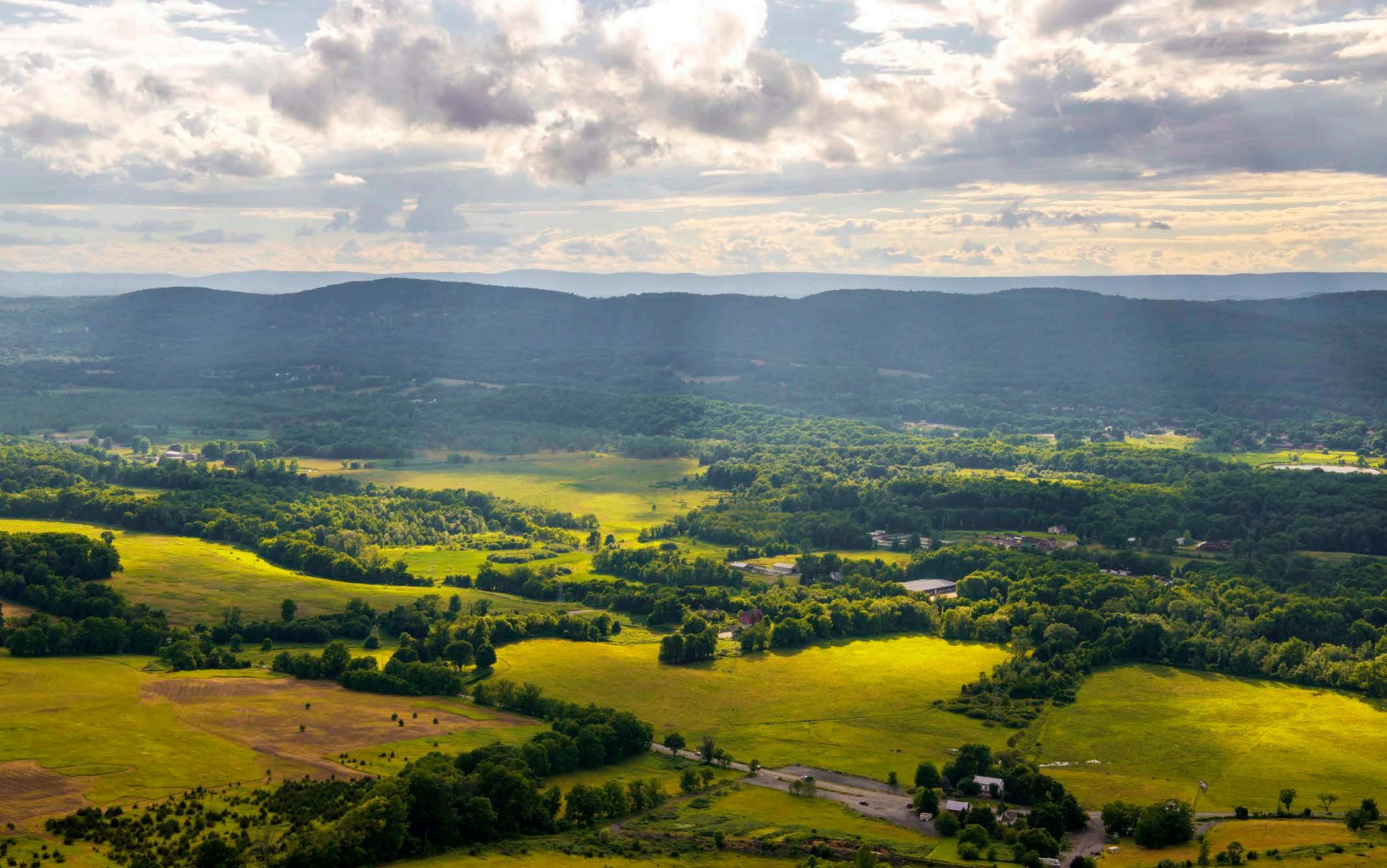
Pinnacle Summit, Pennsylvania
Along the Blue Mountain Ridgeline in Pennsylvania, find the Pinnacle Summit, with its views of the state’s picturesque, rolling farmlands.
Clingman's Dome, Tennessee

Getty
For 360-degree views above Great Smoky Mountain National Park’s tree line, pause at Clingman’s Dome, situated at an elevation of 6,643 feet.
McAfee Knob, Virginia
McAfee Knob is situated in Virginia’s Jefferson National Forest, where a 4.5-mile hike to 1,740 feet in elevation provides panoramas of the Shenandoah Valley.
Dragon's Tooth, Virginia
Offering a lookout atop Cove Mountain, Dragon’s Tooth in Virginia has you crisscrossing creeks and gaining an elevation of 1,505 feet.

Getty
Max Patch, North Carolina
Take in views of the Smokies to the west and Black Mountains to the southeast from Max Patch in North Carolina.

Getty
Mount Moosilauke, New Hampshire
Hit the bare summit of New Hampshire’s 4,802-foot Mount Moosilauke for sweeping tableaus of the New England peaks.
Baldpate, Maine
Featuring a network of boardwalk-like structures and a wooden ladder, the west peak and the east peak views at Baldpate in Maine are not to be missed.
About the Trail
Location - About the TrailExtending from Springer Mountain in Georgia to Mount Katahdin in Maine
Established - October 2, 1968
Length - 2,194 miles