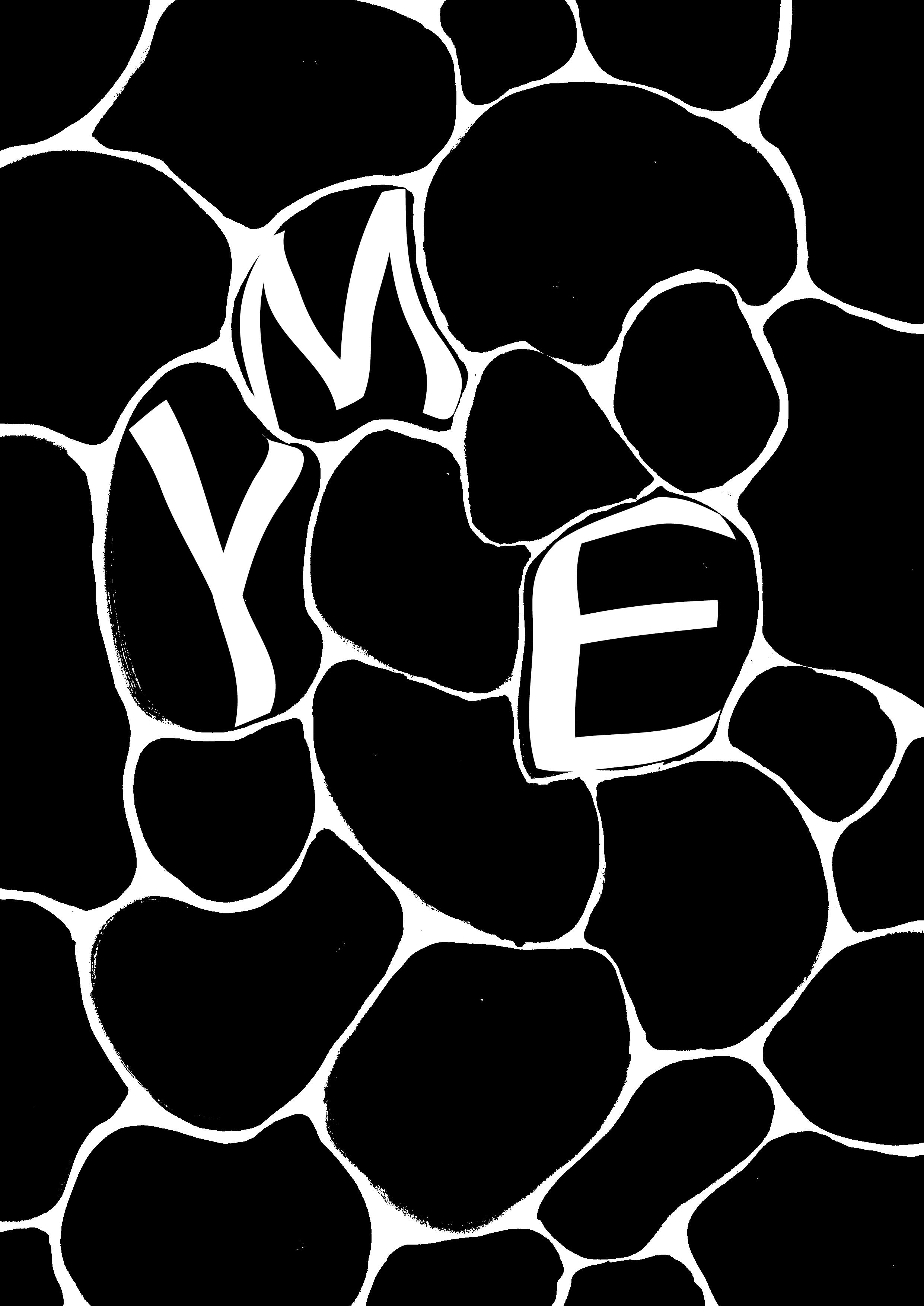
Langsomt begynte isen å smelte, og formet av kulden, men vekket til live av varmen, oppsto det et underlig vesen – et veldig troll. Trollet var tvekjønnet, og dets navn var Yme. Større kjempe skal aldri ha levd.
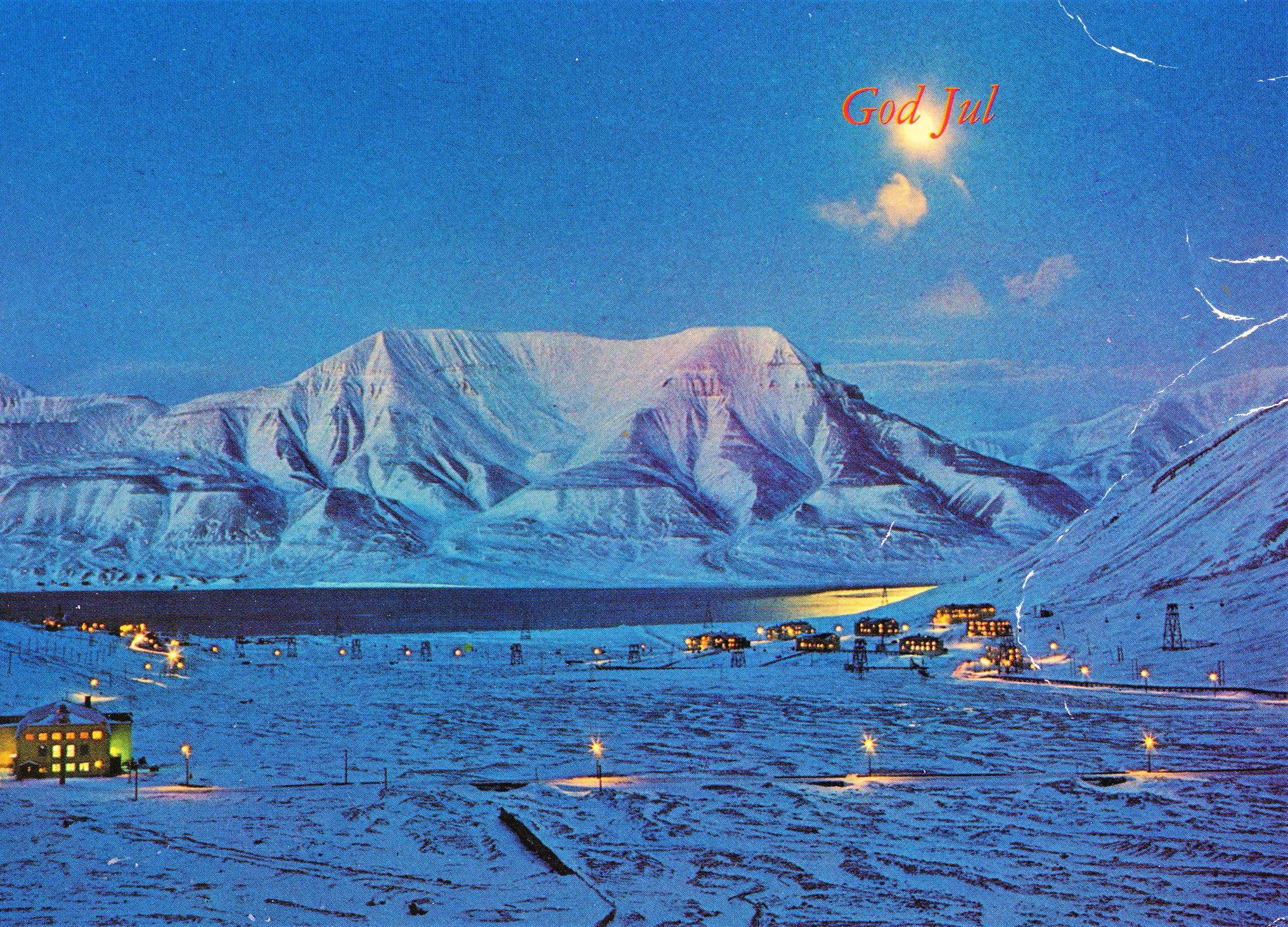
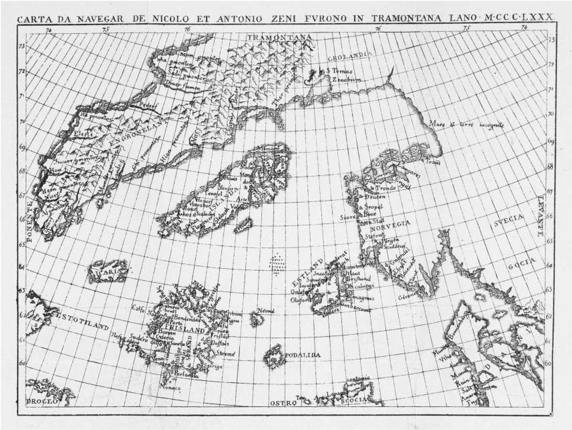

Langsomt begynte isen å smelte, og formet av kulden, men vekket til live av varmen, oppsto det et underlig vesen – et veldig troll. Trollet var tvekjønnet, og dets navn var Yme. Større kjempe skal aldri ha levd.
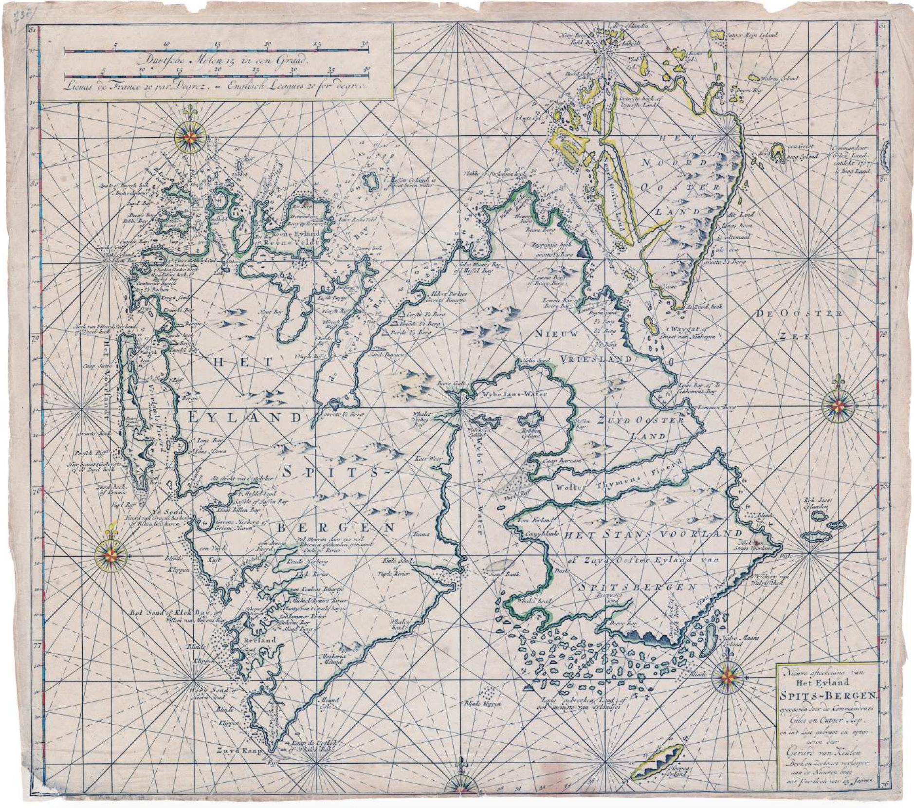
1194
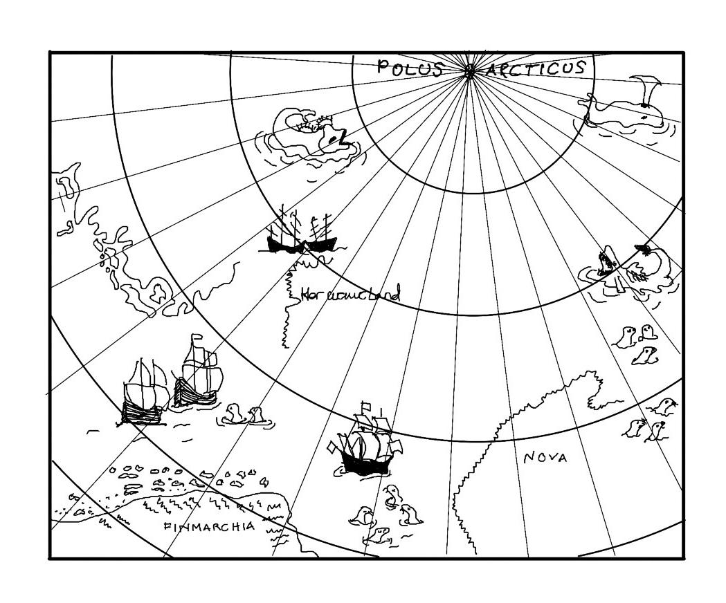
The name Svalbard dates from 1194. The Icelandic annals for this year mention the Svalbarði find in Landnámabók.
1596
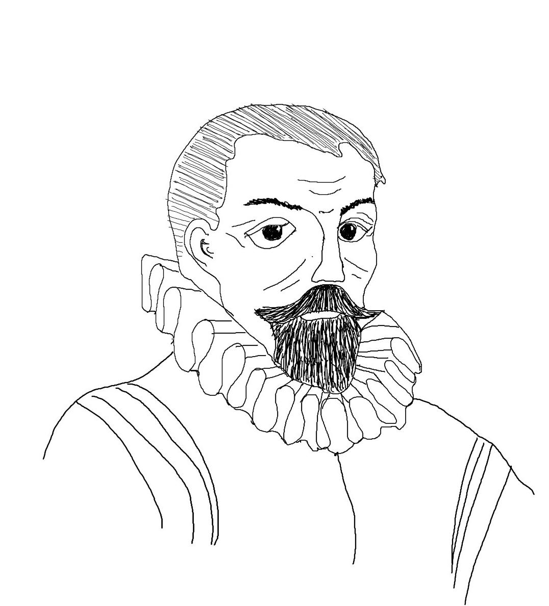
The Dutchman Willem Barentsz discovers Svalbard
1607
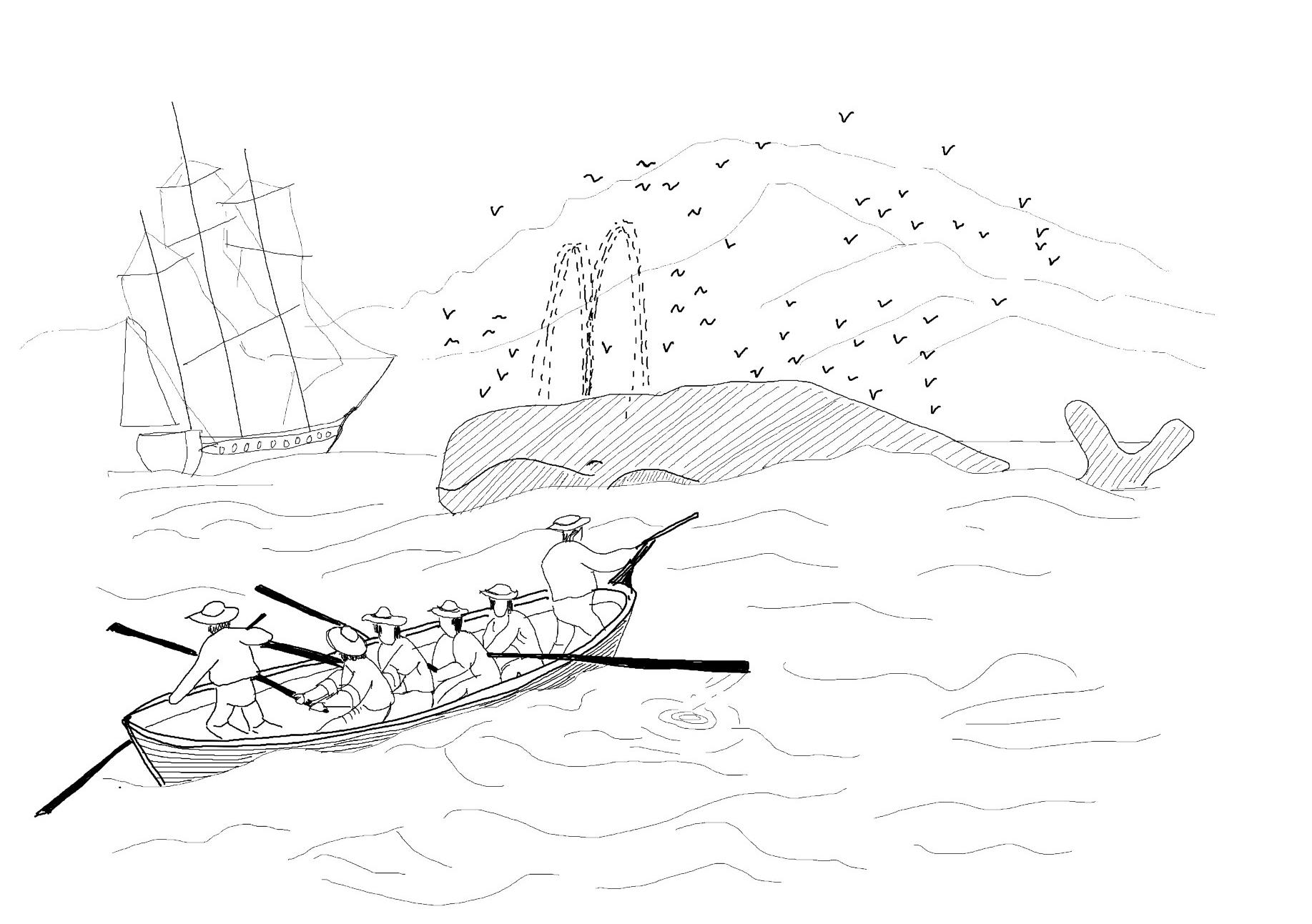
People become aware of the fishing opportunities that existed at Svalbard. The question of sovereignty gradually became relevant. 1715
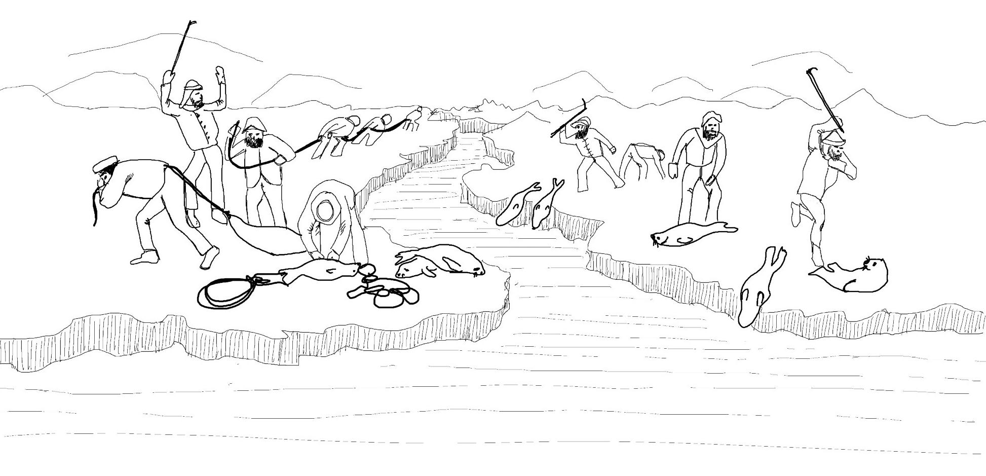
After the whalers came the fur hunters. Russian fur hunters overwintered on Svalbard from 1715
1870
The question of sovereignty reappeared on the international agenda from the 1870s, first with a halfhearted Swedish push.
1899
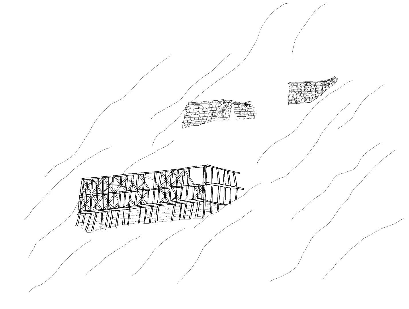
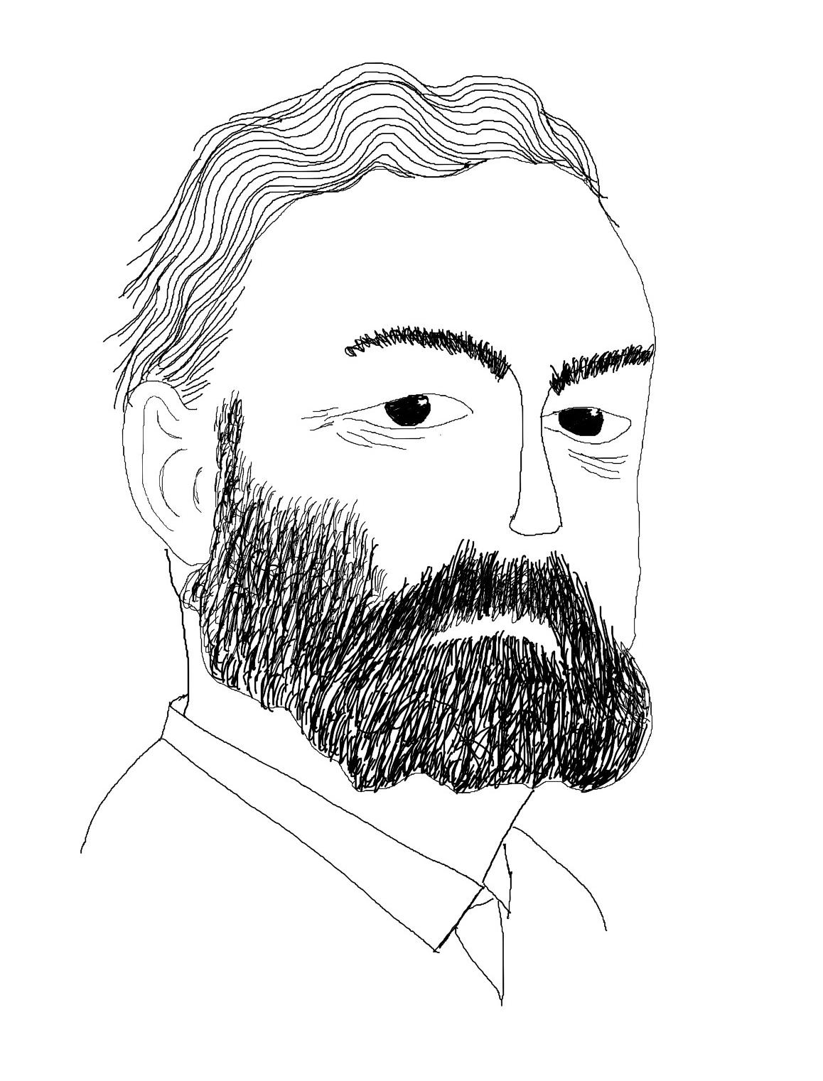
Arctic Ocean skipper Søren Zakariassen from Tromsø gave coal samples to Henrik Næss from Trondheim. Together with five other citizens of Trondheim, Næss formed in 1900. A community of stakeholders to exploit coal deposits in Platåberget on Svalbard.
1906
In 1906, John Longyear formed a mining communityArtic Coal Company. ”Trøndergruva” was sold to the company and was then called the ”American Mine”.
Mine 1a
1901
Mine 1a, also called Trøndergruva was bought.
1916
Store Norske Spitsbergen Kulkompani AS was founded. The company took over the coal mining business in Longyearbyen after the American company Arctic Coal Company, and made major investments after the acquisition.
1917
Mining facilities and Russian construction were built in Barentsburg.
1910
First settlement in Grumant and later active Russian mine.
1920
Coal dust explosion in Mine 1 3rd of january. Of the 34 men who worked shifts that night, 26 men lost their lives. The mining accident marked a change in how the company viewed safety in the mines.
1920
Svalbard treaty 9 February 1920, sovereignty over Svalbard was granted to Norway.
1921
New storage and loading facility at Hotellneset.
Mining accident in Ny-Ålesund and the end of mining operations.
1929
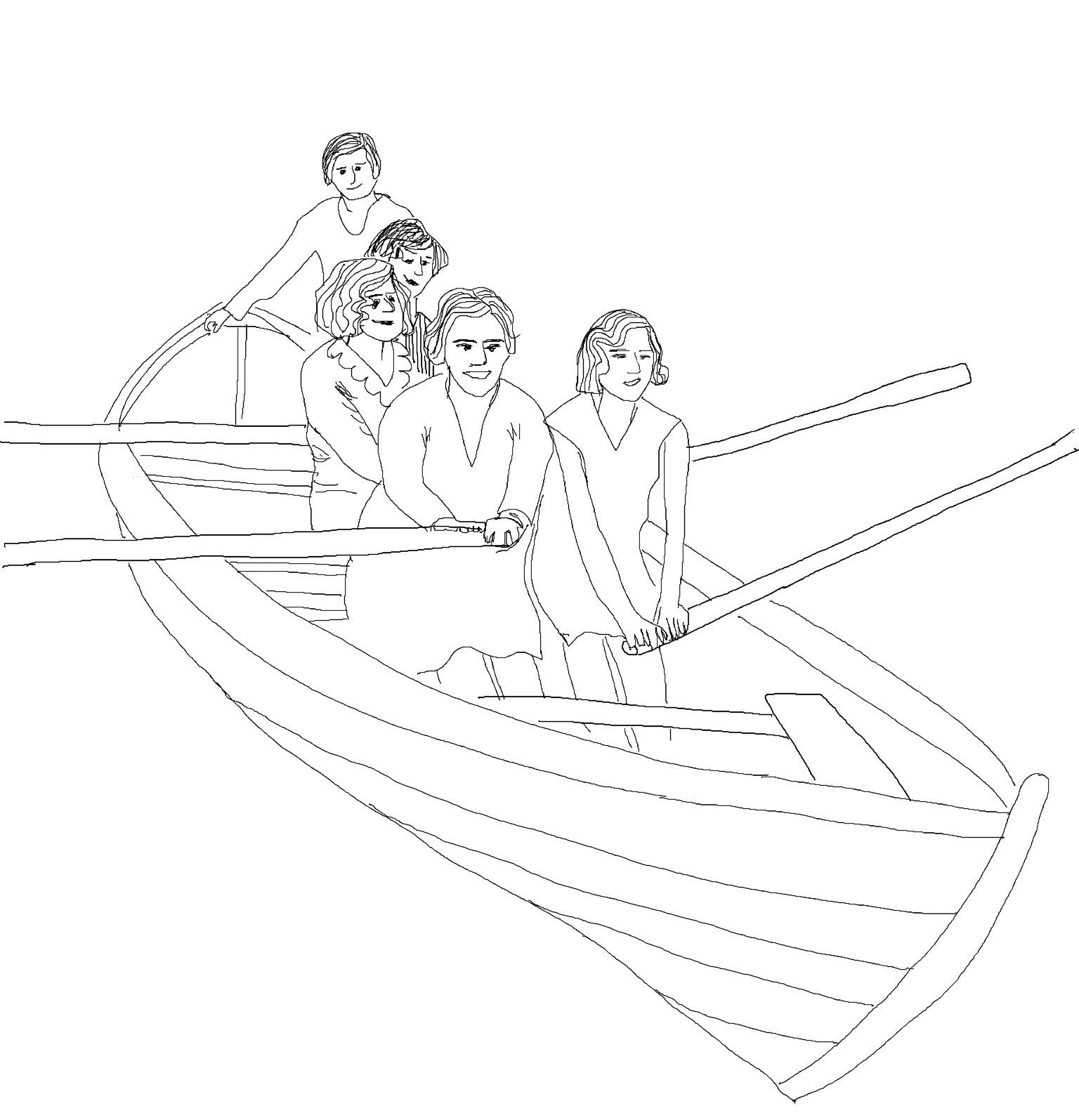
”Girl boat” SNSK opened for female employees. The dining room soon became unrecognizable. clean, tidy, shiny windows, pretty cover and soon the girls appeared in white outfits.
1933
Store Norske was refinanced by the state. 2/5 owned by the state.
1936
New acquisitions in Longyearbyen.
The power station upgrade
New cabelway with silo
Housing construction
1939
1934
Store Norske purchases the Svea mine.
Start of production in Mine 1b and development of Sverdrupbyen.
1941
Evacuation of Svalbard and Longyearbyen.
1955 Russians and 765 Norwegians were evacuated from the island; the Soviet citizens to Arkhangelsk and the Norwegians to Britain. The coal depots on Svalbard were set on fire, and facilities such as cable cars and the power station were destroyed during the evacuation.
In early 1942, an expedition is equipped to re-establish a Norwegian garrison on Svalbard. In May, ”Polar Bear” and ”Selis” set out with a force recruited from evacuated Svalbard people. The mission fails and is shot and bombed down at the ice edge of Barentsburg.
1943
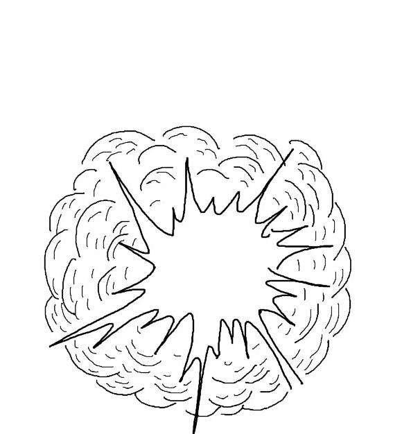
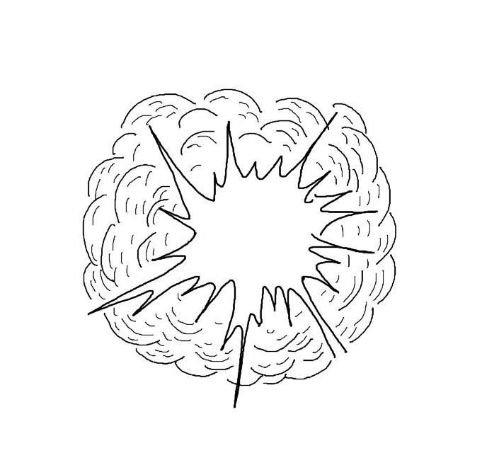
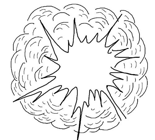
German attack on Svalbard. Longyearbyen was attacked and the city burned, which led to a new economic crisis for Store Norske. The town was destroyed, but in Sverdrupbyen, Mine 1 and most of the buildings were untouched by the attack.
1944
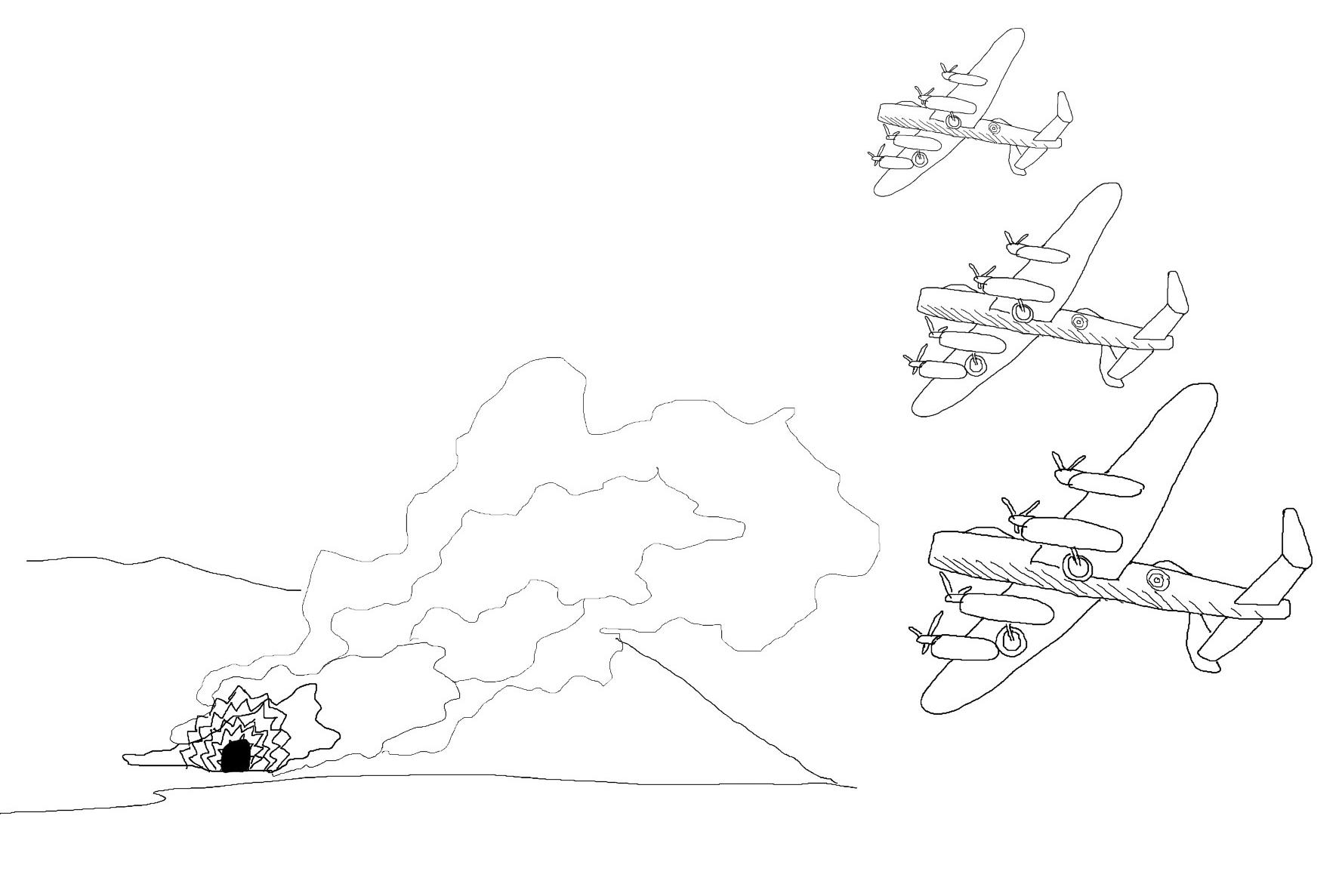
German attack on Svea. There were no people in Svea, and the operation could be carried out almost unnoticed. Plants and buildings were burned.
1945
Reconstruction of the facilities in Longyearbyen and Svea. The quays were repaired, and the power station was back in operation. Mine 1 was put into operation for the collection and preliminary production of coal for the power station and housing needs.
During 1945-46, a number of warehouses and homes were built in Svea, as well as a hospital and a temporary power plant.
1946
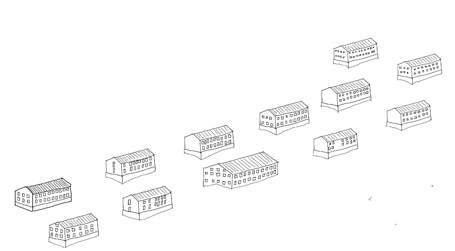
Nybyen was laid out. The need for housing was great when SNSK took up mining operations.
1948
The common hall, ”Stormessa” in Nybyen, opend. It was common with long tables, and the room could seat up to 550 people.
1950
Request for reopening of Svea. There was a precarious shortage of coal in Europe. Due to the problems in Svea the management decided that nothing more should be done with the Svea mine. Production in Longyearbyen was increased as much as possible
1951
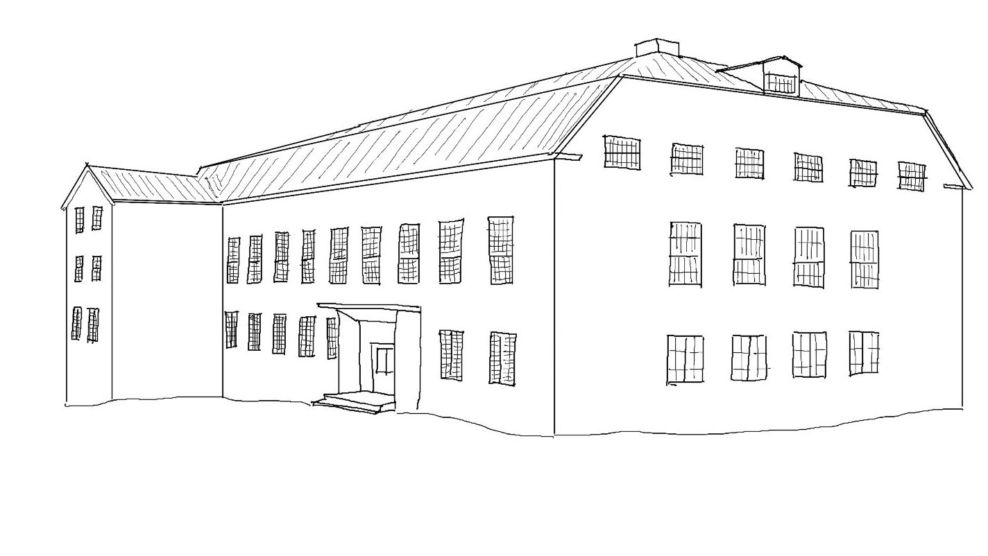
Huset, the new town hall opens. It has been served alcohol here since alcohol was first allowed to be served in the 50s. Most of the city’s institutions, including the school, hospital and post office, have been housed in the House.
1949
Closure of operations in Svea Vestgruva. Due to everincreasing water inflow in the inner part of the mine, and lack of pumping capacity, operations were disrupted. At the same time, the market was failing and it was difficult to sell the coal from Svea.
1950
The Korean War in 1950 initiated a precarious coal shortage, and the authorities wanted to cover the need for Norwegian coal from Svalbard.
1950
In Longyearbyen, 911 people overwintered, of which 86 were family members.
1952
1953
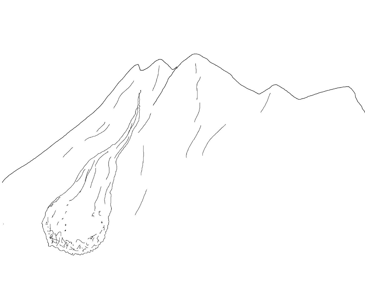
Landslide accident in Vannledningsdalen. June 11 three people died and 30 were injured
Explosion accident in Mine 2 in January. 6 people die.
1954
In an attempt to increase coal sales in Norway, the quality of coal had to be improved. It was therefore decided to invest in a new ”skeideverk” (sorting machine) at Hotellneset
1957
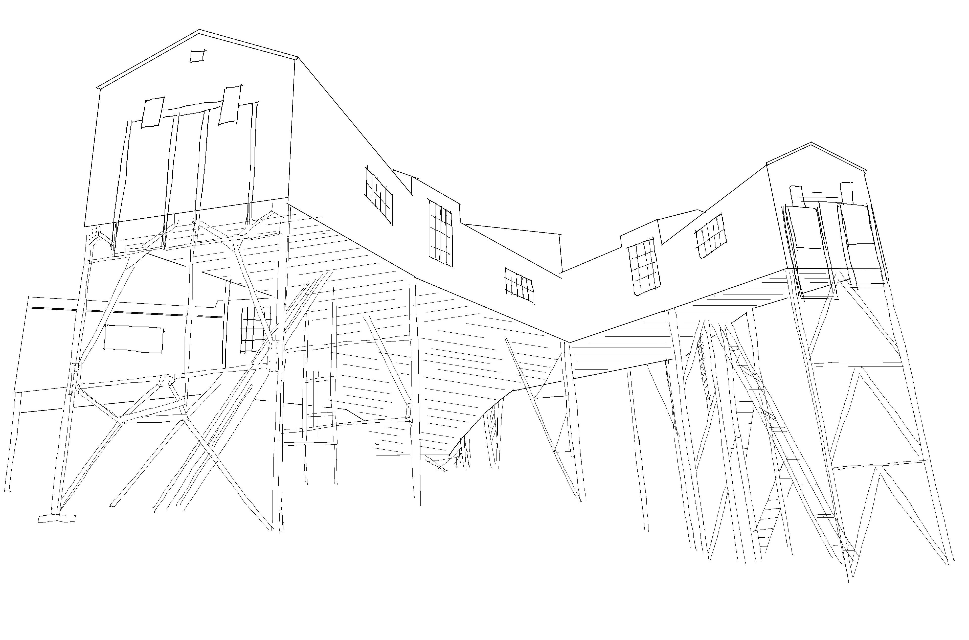
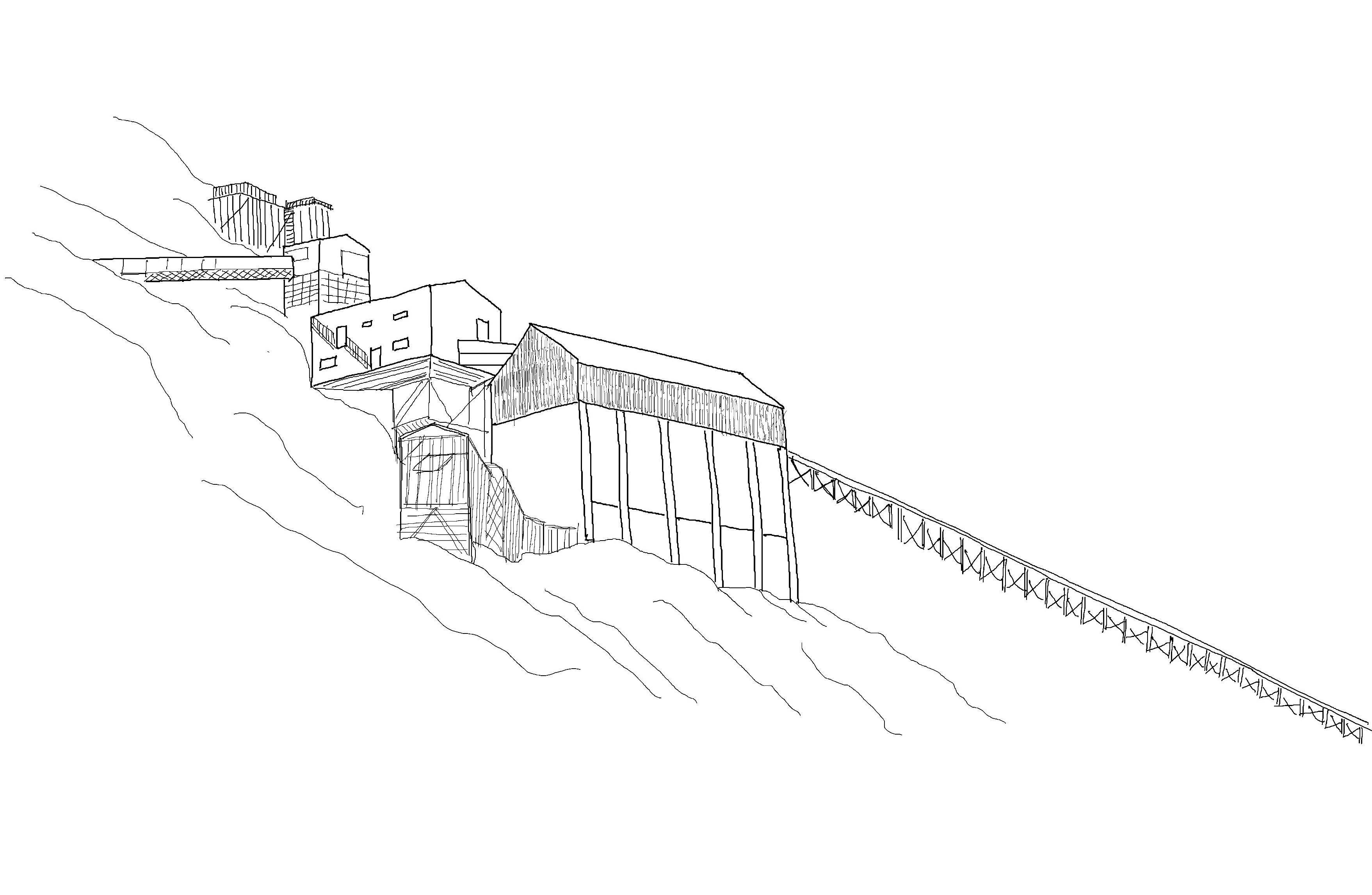
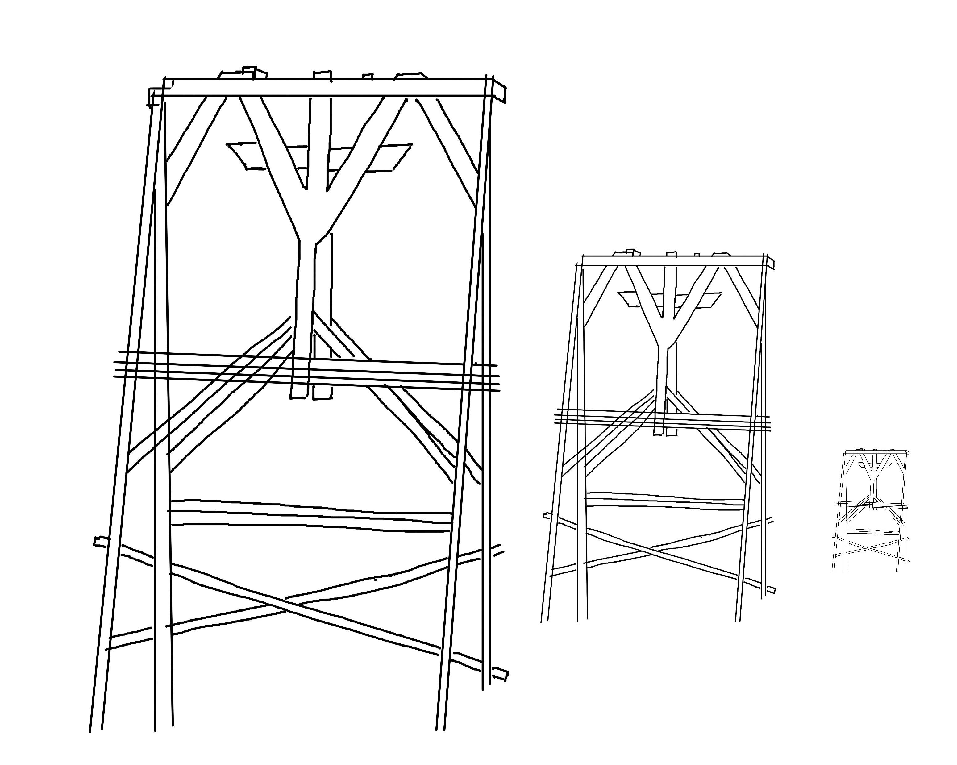
The cableway center was built. One of the most striking things about Longyearbyen is the cableway bucks and the cableway center. Coal transport from the mines for unloading or storage took place by cableway until 1987, and the facilities were built in step with the mines.
1959
1961
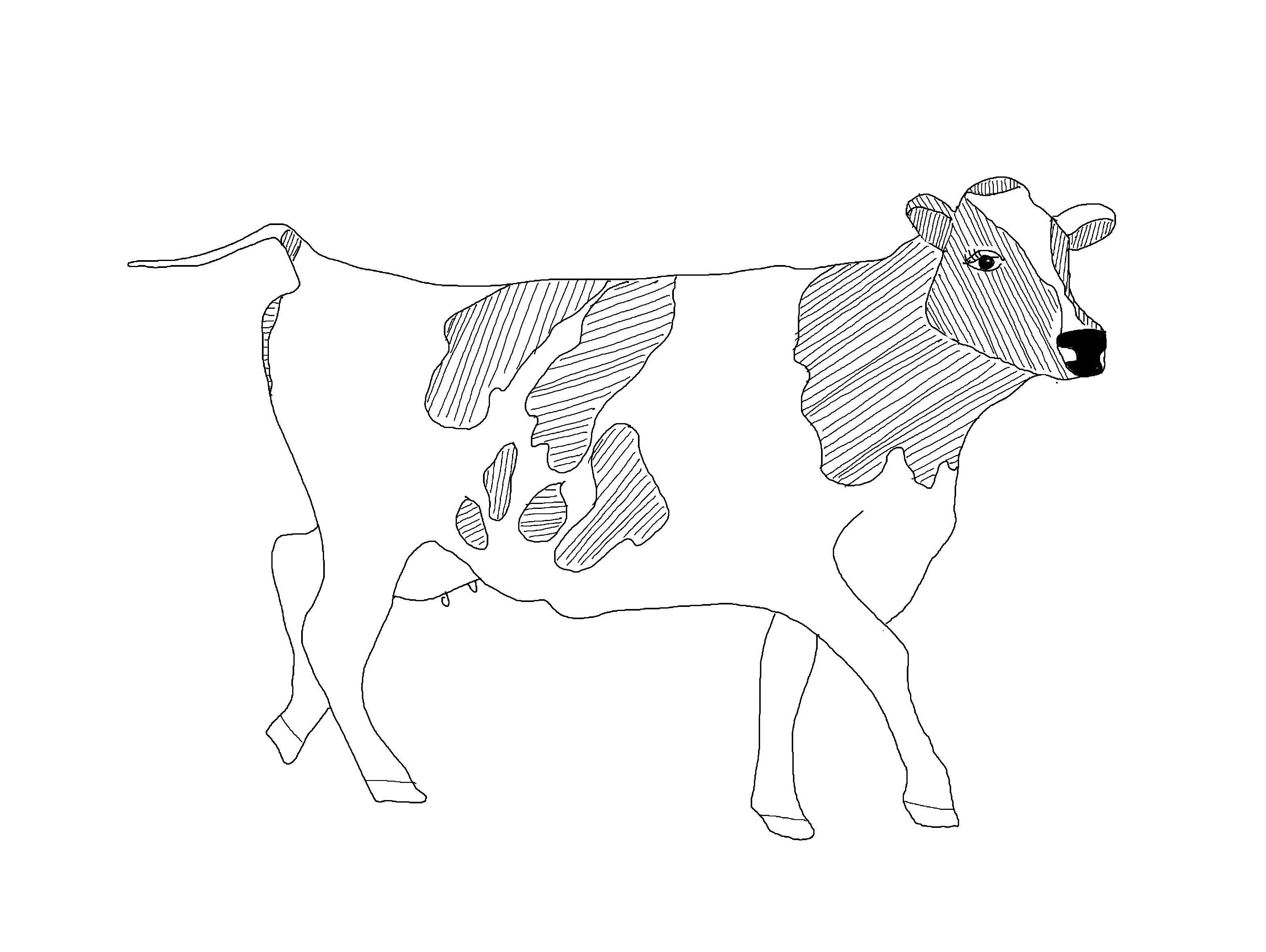
End of cattle farming in Longyearbyen. so-called recombinant milk was later used via a machine which was popularly called ”Jernkua”/”iron cow”. This made it possible to serve fresh milk to the adult population as well.
1962
Mine 5 in operation. The coal reserves in mine 1 and 2 came to an end, and in 1955 SNSK decided to establish a new mine - Mine 5 in Endalen. The first year of operation was in 1959.
The Russian mining town of Grumant was abandoned in 1962.
Gas explotion in Kings Bay mine in Ny-Ålesund on November 5, 1962. The worst mining accident in Norway’s history. 21 people died in the accident. 1962
1963
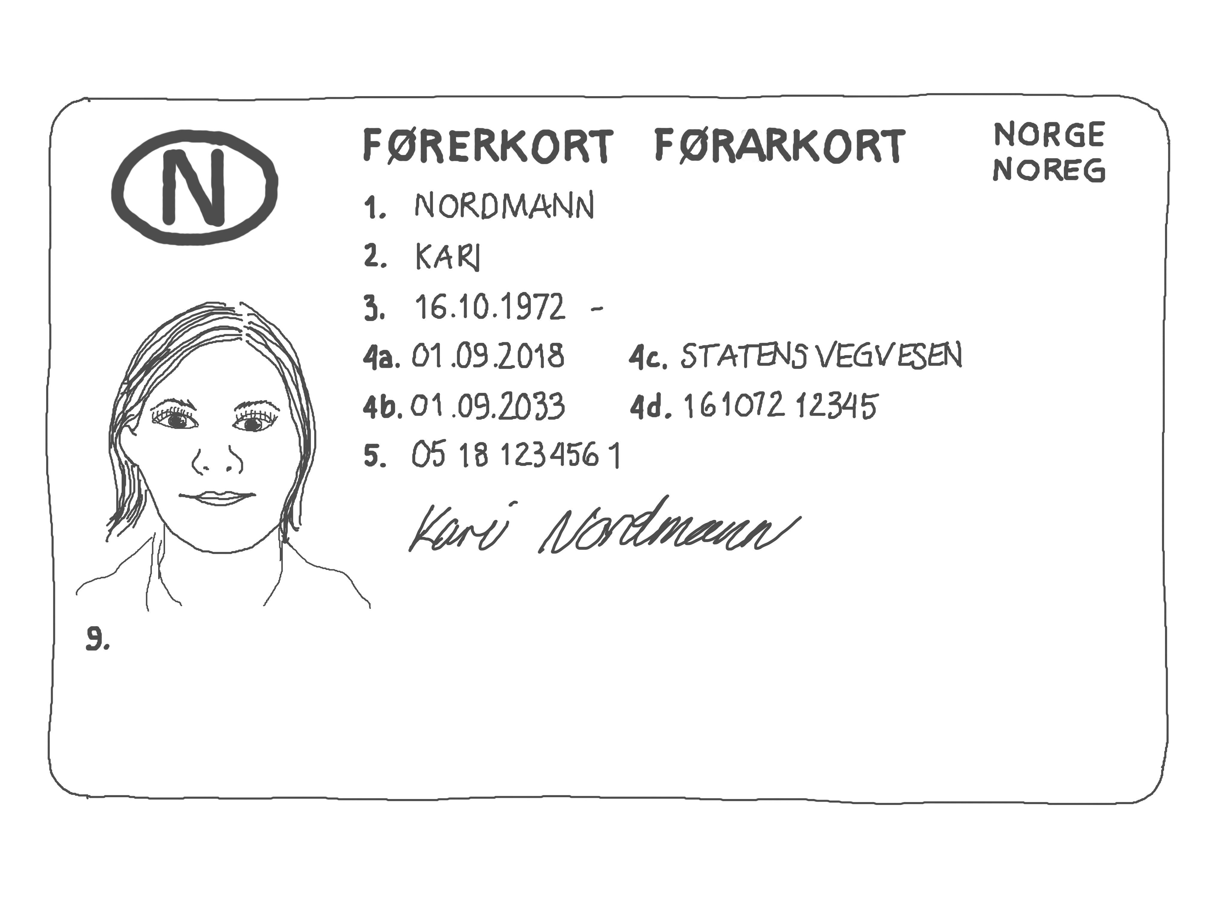
The requirement for a driver’s license for a car was introduced in Longyearbyen
1964
To meet the quality requirements of the metallurgical industry, Store Norske invested in a new preparation plant.

1966
Investigations in Mine 7 begin. It became clear as early as the mid-1960s that mine 5 could hardly be operated any longer than until the early 1970s. There were high hopes for mine 7
1971
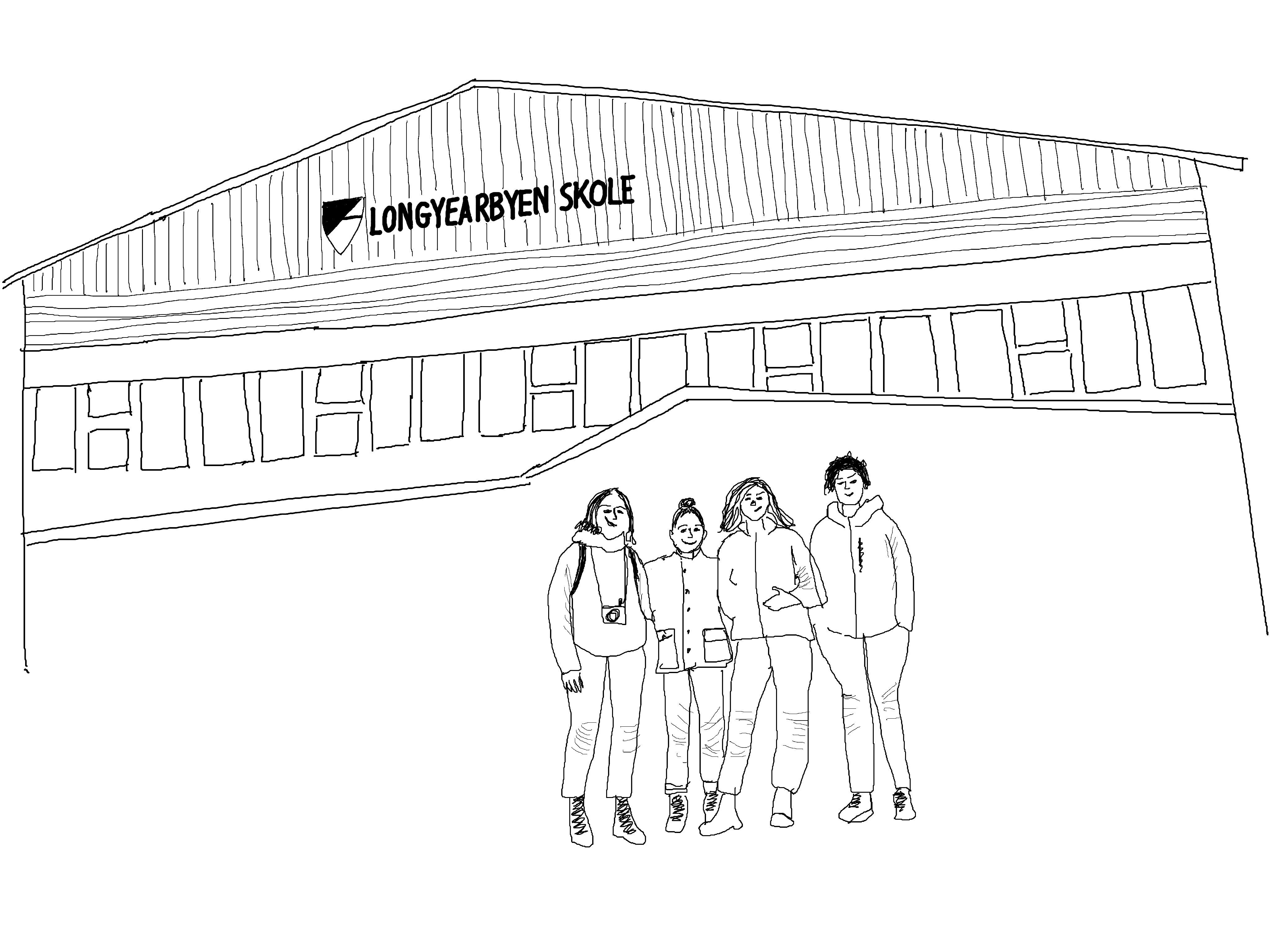
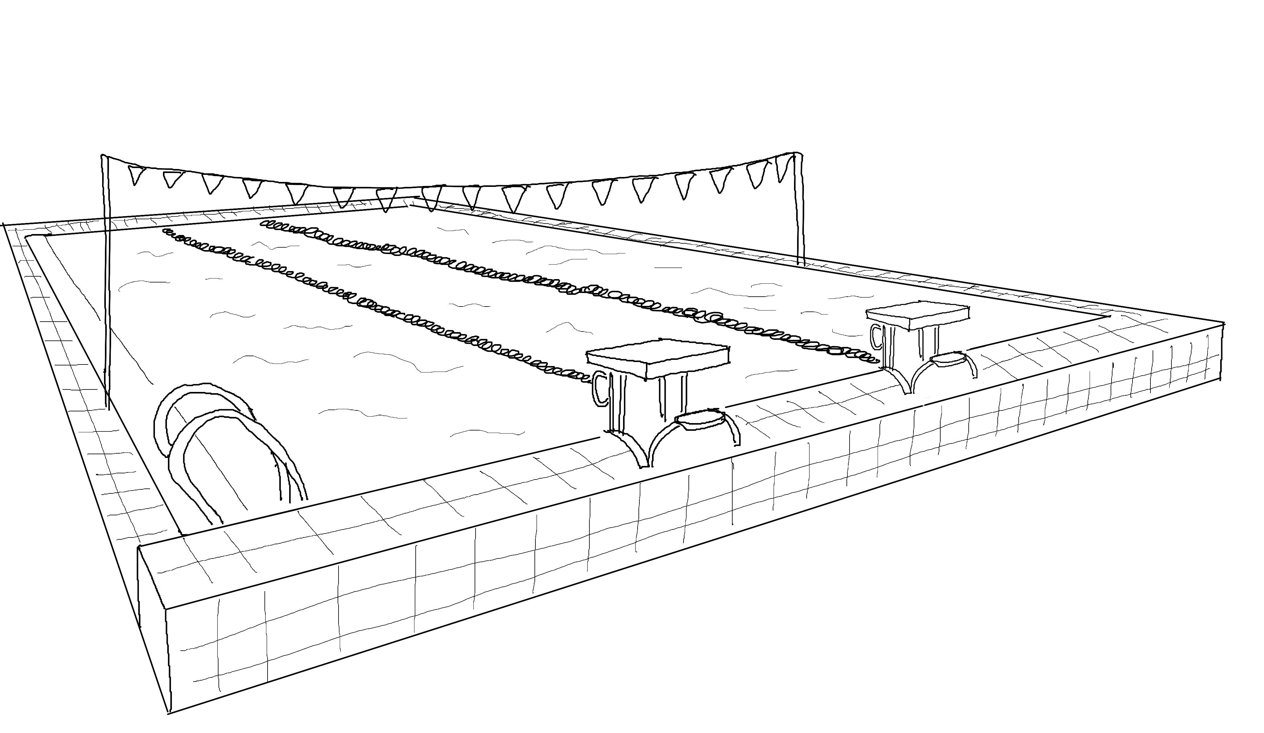
”Nyskole”/ ”The New school” The ”new school” with gymnasium and pool was taken into use in the autumn of 1971. At the same time, a 9-year primary school was introduced, and this is the first year that there was a full-day offer for 6-year-olds. In 1976, the state took over the operation of the school.
1971
Mine 3 opens for production operations.
1971
The local Svalbard council was established and was the beginning of the introduction of local democracy in Longyearbyen. It consisted of 14 representatives.
1977
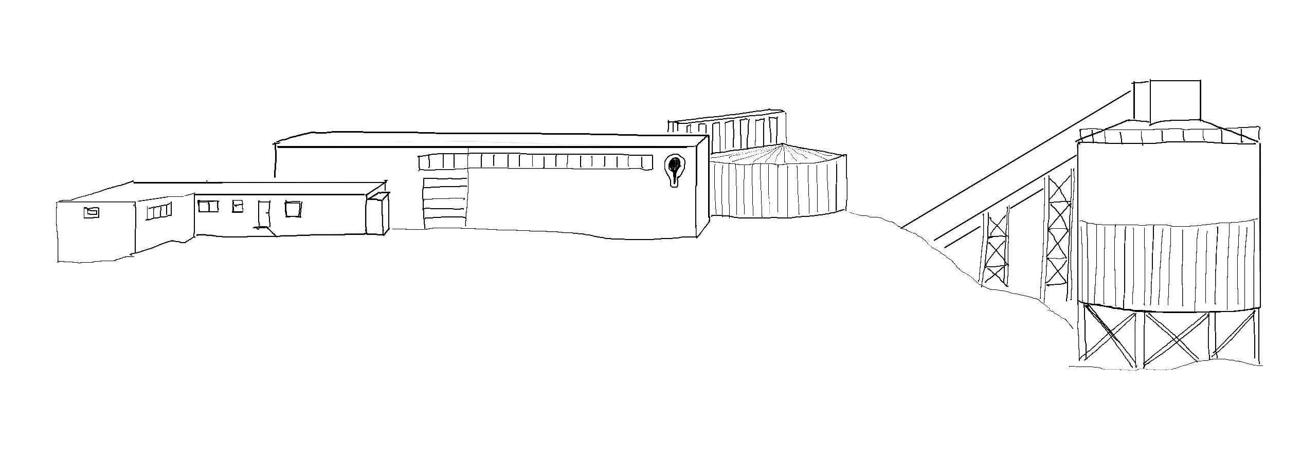
Store Norske becomes a state-owned company
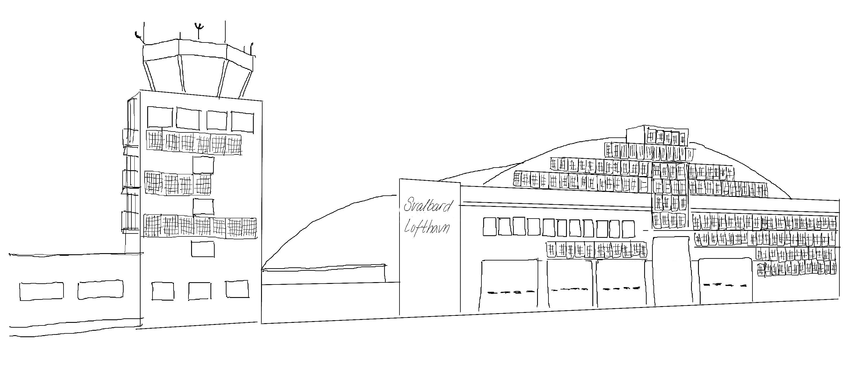
The first plane lands at a new airport. The Norwegian state began building a year-round airport. The air connection with the mainland was considered a crossroads in the Svalbard community. With the planes came fresh produce, newspapers, television programs on videotape, relatives and friends - but also the flu, bureaucrats and parliamentary representatives
1978
The average number of employees on Svalbard in 1977/78 was 135 women and 600 men. The population of Longyearbyen was approx. 670 men, 230 women and 200 children, a total of 1100 people.
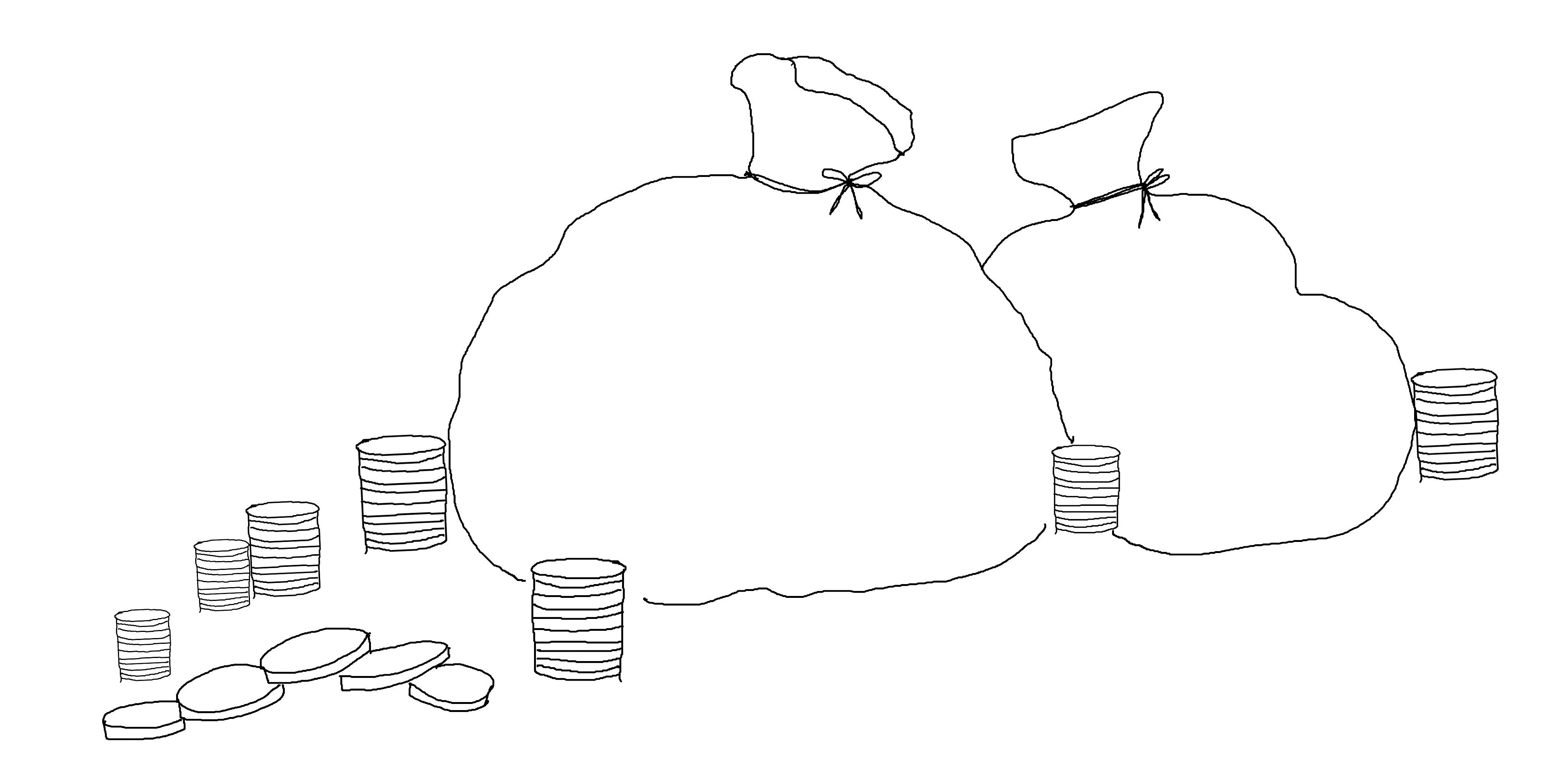
The Svalbard banknotes became history. SNSK had its own banknotes from 1916, and until 1980 they were the current currency in Longyearbyen.
1983
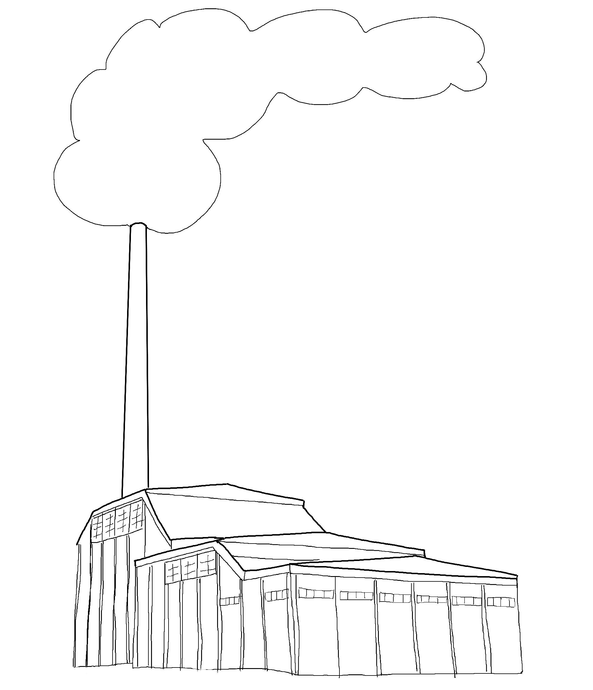
New power plant in Longyearbyen.
1981
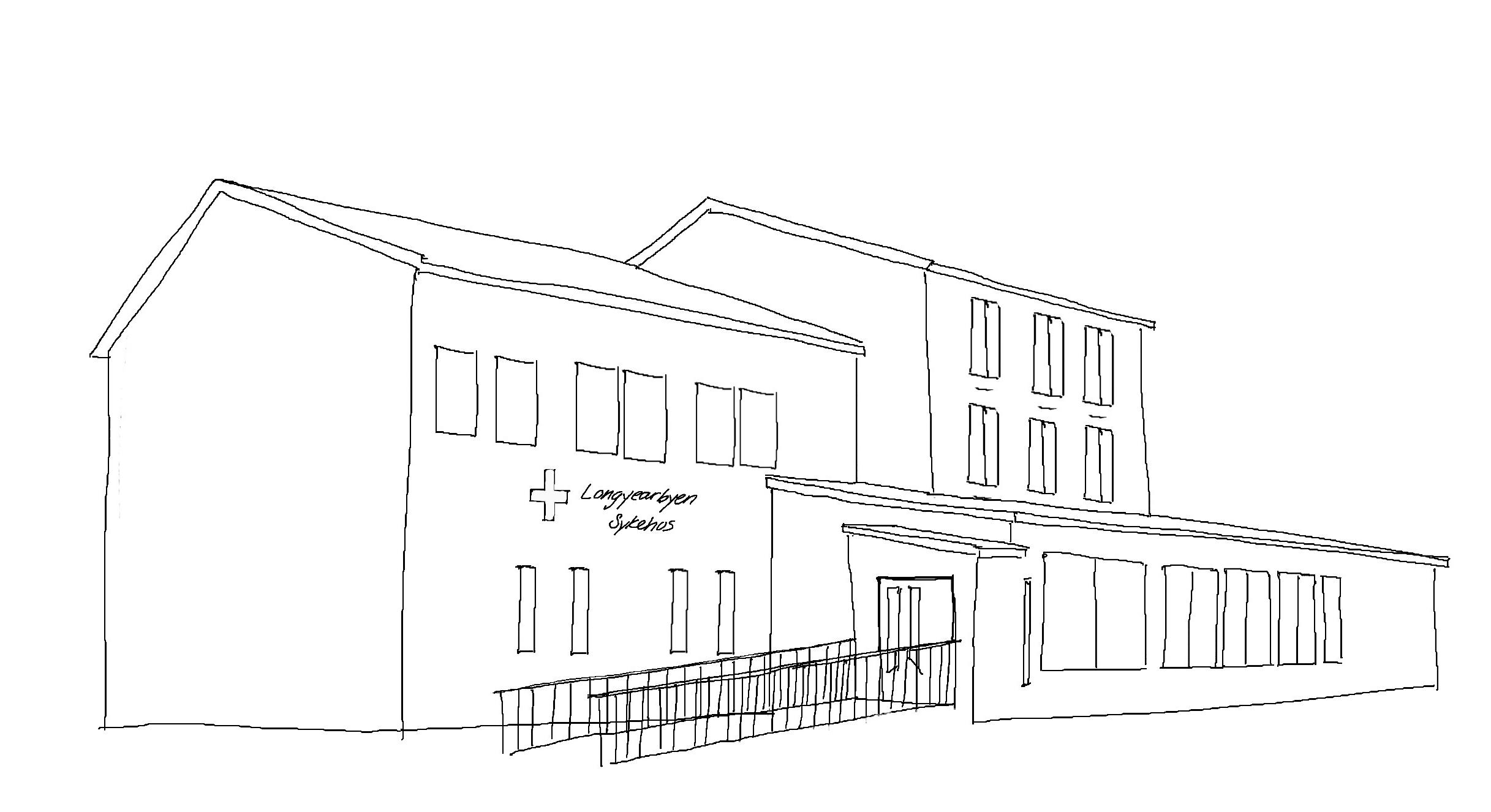
The state took over the hospital and the health service
Sverdrupbyen was moved from. At the same time, ”Nybyen”/”The New City” was slowly but surely also moved from where. 1983
1984
Longyearbyen gets a colour palette - fargeplan
1985
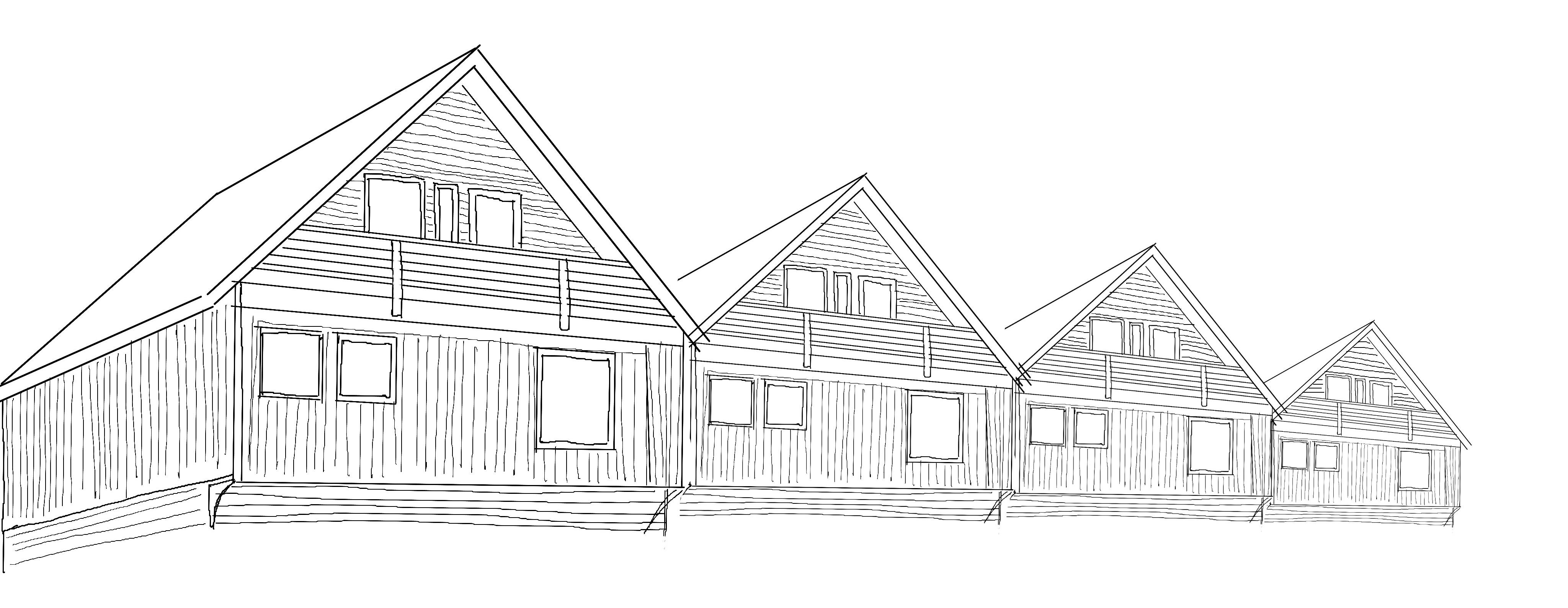
Approved development of the Svea mine. The reason for this was that Mine 7 had to shut down its operating system in the mine due to a flood in the mine in 1984.

1986
Fall in coal prices. The reason for this was the development in oil prices, but also the tougher competition between South Africa and Australia in the European market was contributing.
1990
The state took over the community operations in Longyearbyen from Store Norske in the early 90s.
1992
Staffing increase in Svea. Increased coal extraction required a further increase in staffing, and in 1992 there was a staffing of 33 in Svea. Several of these were transferred from Mine 7, which eventually ran on limited operation.
1987
Operating pause in Svea.
Reorganization of Store norske into three branches: Community operations Business Tourism

1992
The Svalbard store opened in the downtown area
1996
Last year of production for mine 3. Due to operational considerations, production stopped.

1996
A plane crashed while approaching Longyearbyen, the Operafjell accident. There were 141 people on the plane to Barentsburg, all of whom died.
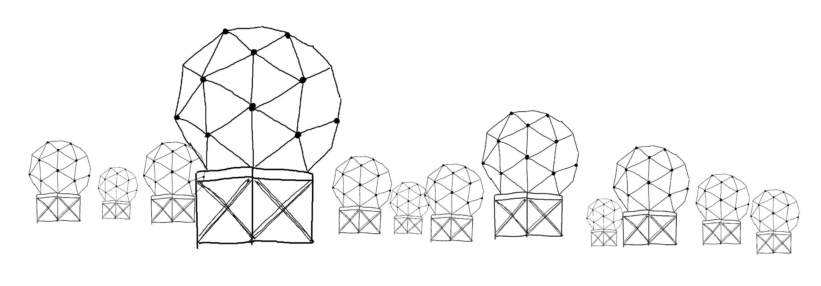
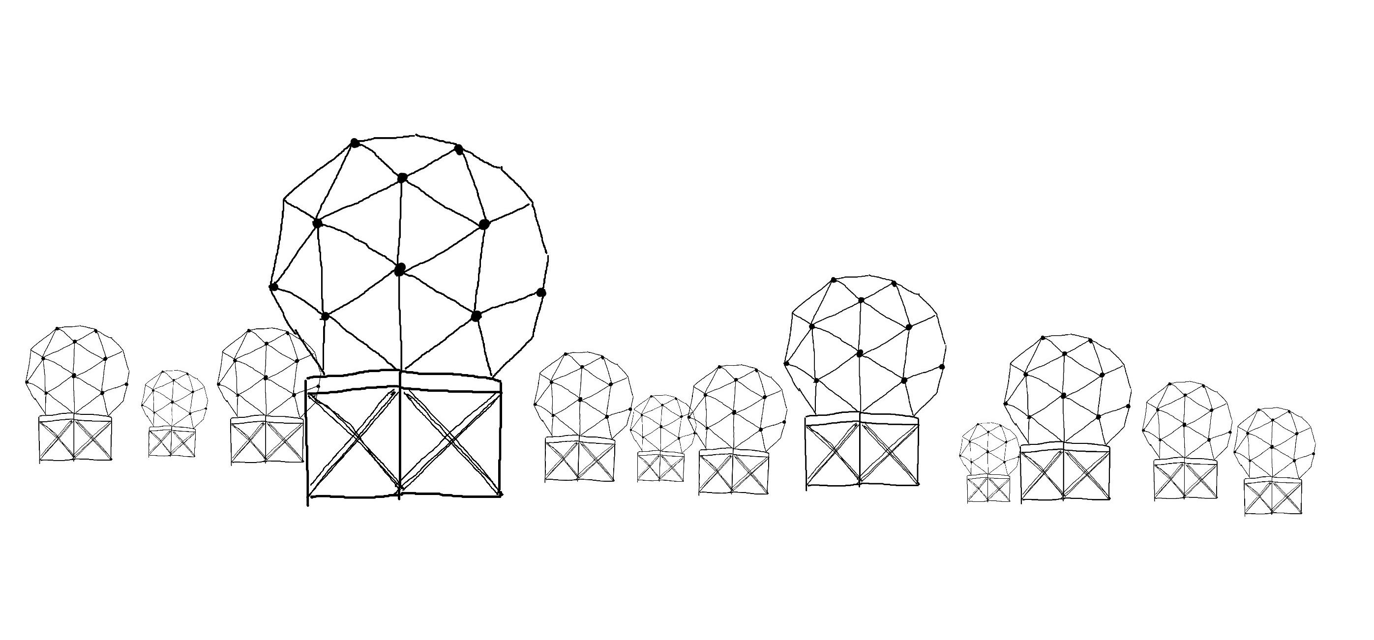
Svalbard satellite station is established as the northernmost in the world. Started with six antennas where the owners were the European Organization for Meteorological Satellites, NASA and the National Oceanic and Atmospheric Administration and the Norwegian Kongsberg satellite service.
1997
There was an explosion in the mine with a subsequent mine fire. 23 miners died, 13 from Russia and 10 from Ukraine. After the accident in 1997, the mine was filled with water to put out the fire, after which the mining operations were stopped for many years and the buildings fell into disrepair.

1997
Production in Svea Vest. It quickly turned out that the coal was not of satisfactory quality, this due to the intermediate stone mixture. The coals had both a lower calorific value and a higher sulfur content
2000
The greatest time for coal mining on Svalbard

The norwegian parliament decides on permanent operation of Svea Nord.
Coal mining is profitable. For the first year since the beginning of the 70s, coal mining is making a profit.


Store Norske Gold established. The company’s purpose was to map, investigate and operate gold and other mineral deposits.
2004 Fire in Svea Nord
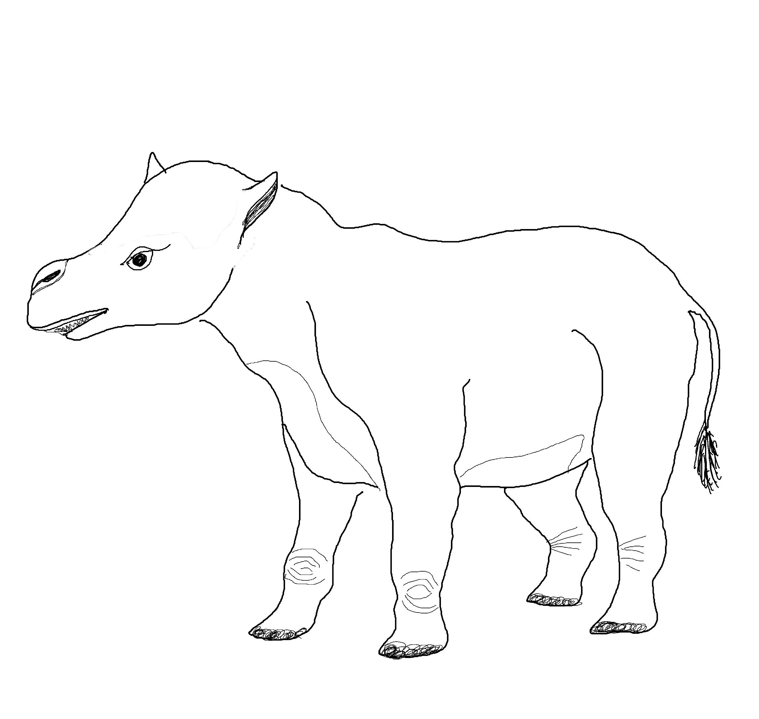
The pantodon in the ceiling. Discovered by two miners in Mine 7. The pantodon was a mammal that lived 60 million years ago. At that time there were large, flat coastal plains with rivers and marshes on Svalbard and it was much warmer and wetter than now.
The Kjell Henriksen Observatory (KHO) is located at Breinosa.
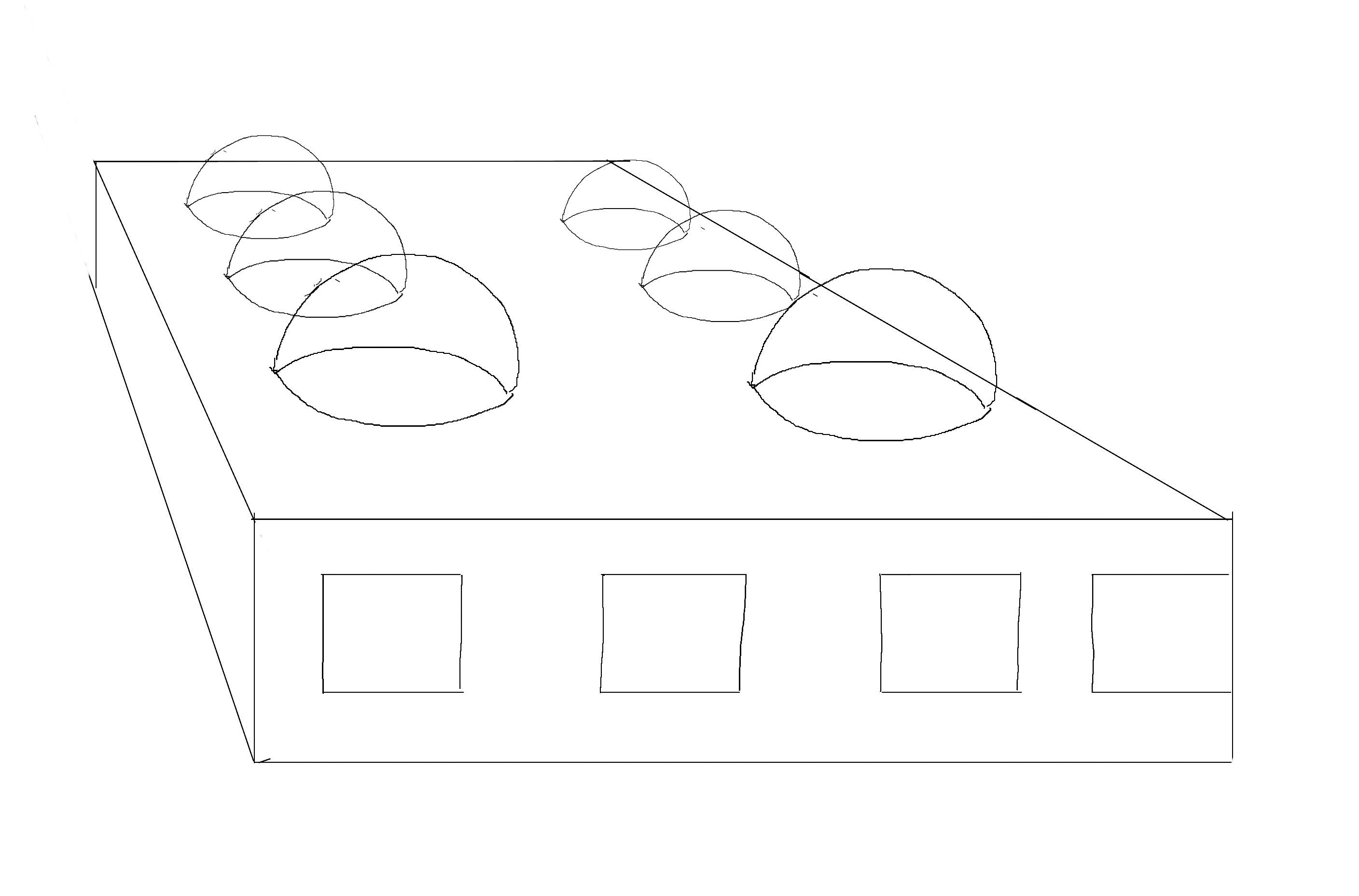
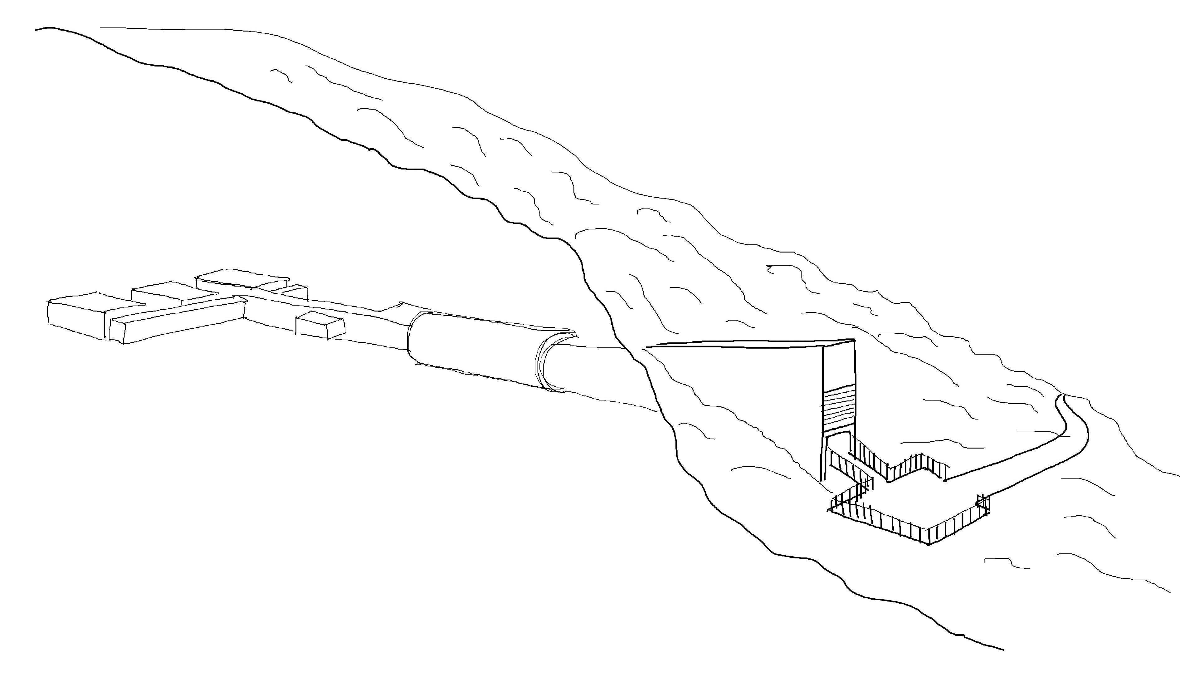
Svalbard Global Seed Vault has room for 4.5 million seed samples from useful plants from around the world. The storage will ensure that the plants do not die out in local or global disasters, and for the seeds to last for many years, the mountain halls keep low humidity and a temperature of minus 18 degrees.
Svalbard satellite station has increased to 14 satellites.
From June 2008 to June 2009, the price of coal more than halved.
2010
Persistently low coal prices put Store Norske in a tough financial situation.
2015
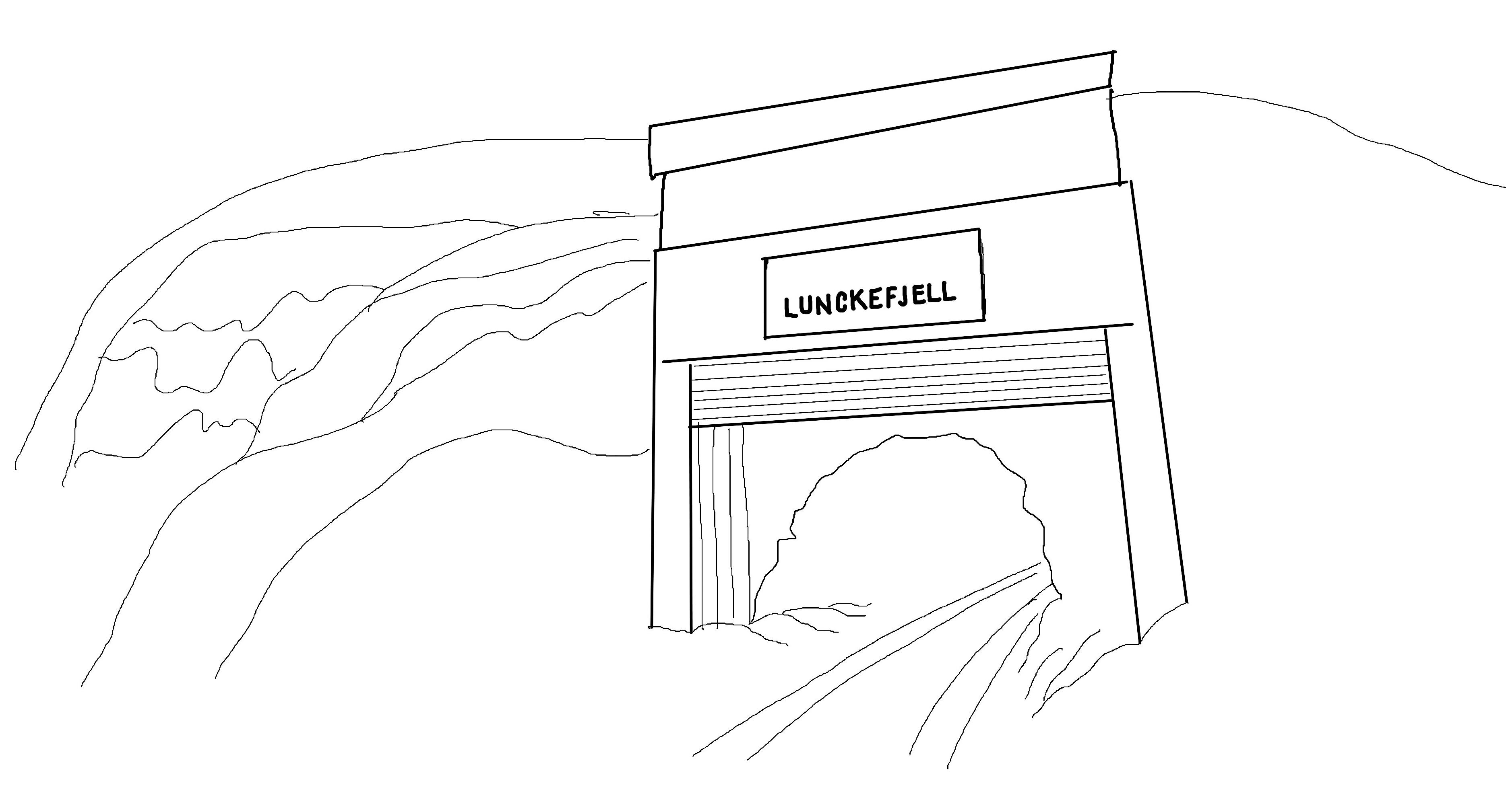
Lunckefjell was at a standstill. Continued falling coal prices through 2015 made by the company decided to reduce coal operations to a minimum
2014
Opening of Lunckefjell mine
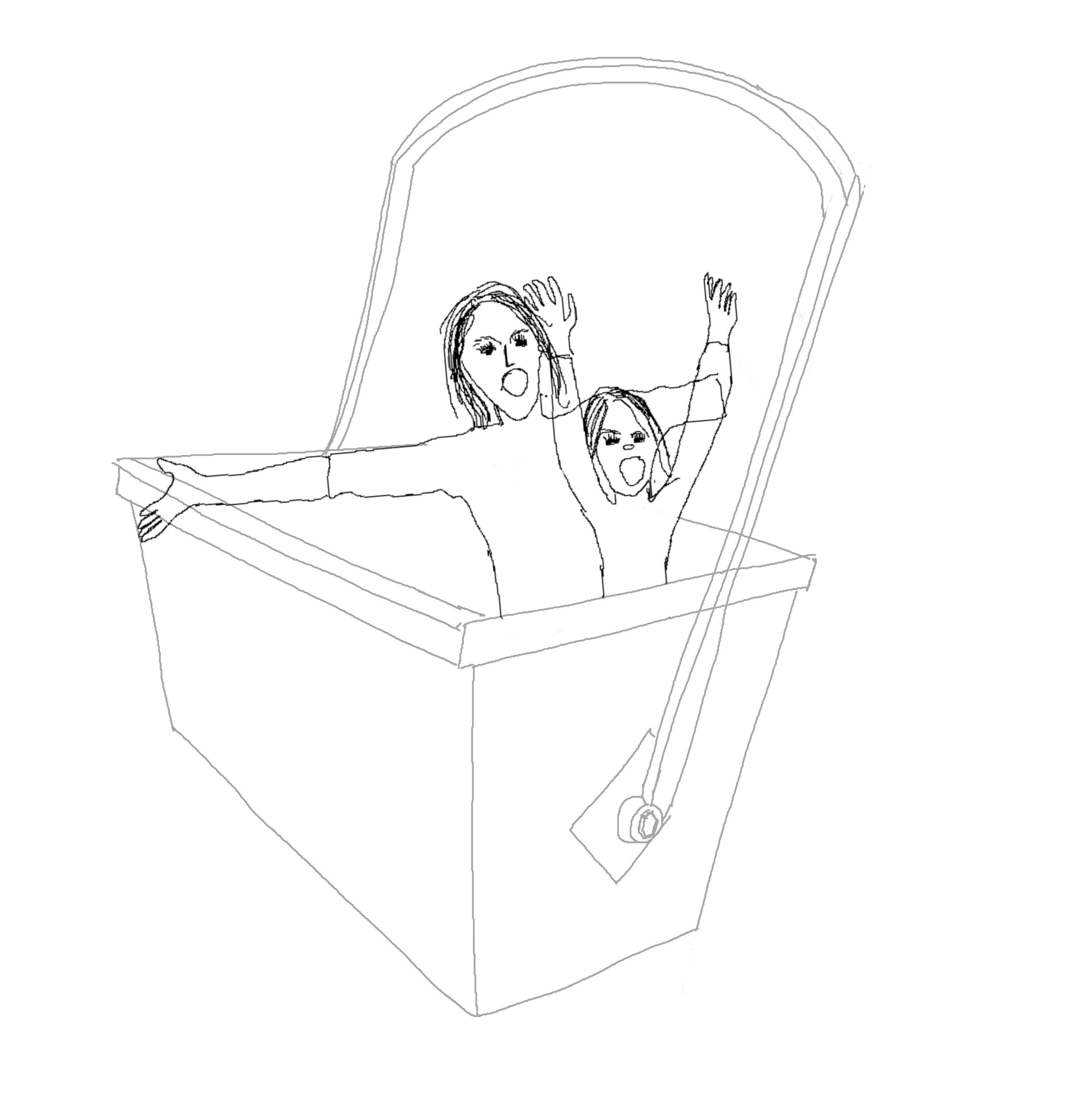
2015 Mine 3 was opened to visitors and became one of the tourism offerings in Longyearbyen.
2015 Population in Barentsburg is 470
2016
Svea Nord in downtime and significant downsizing in the coal company. About 50% of employees had to leave
2017
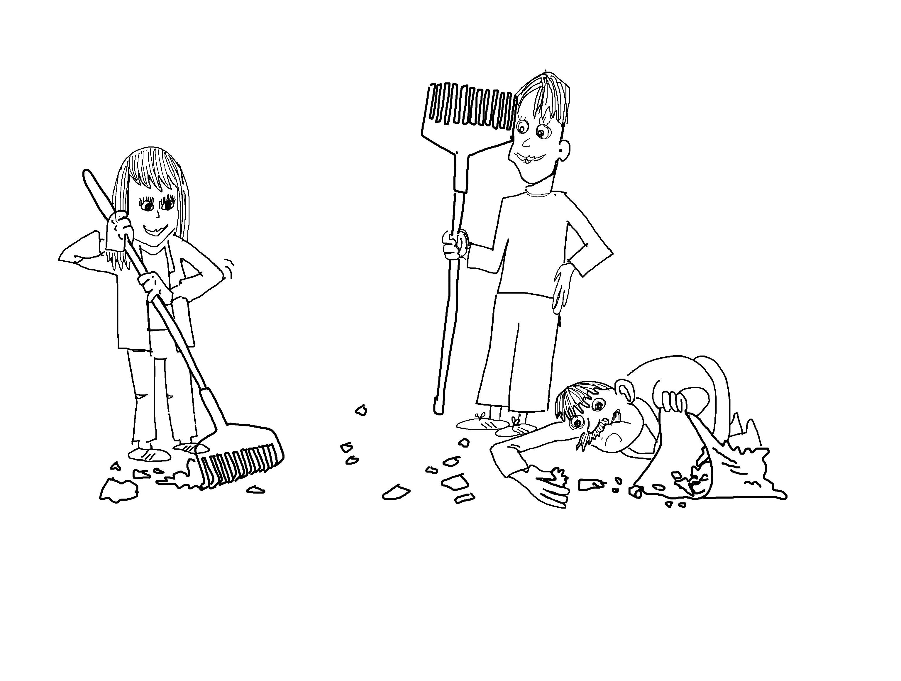
Decision on final closure of the mines in Svea and Lunckefjell. the government decided to wind up and clean up the coal operations in Svea and Lunckefjell. 141 million NOK was allocated for this cleanup work for 2018.
The environmental project Svea and Lunckefjell The clean-up project started
2019
The Lunckefjell mine closed
2020
Population in Longyearbyen is 2368
2020
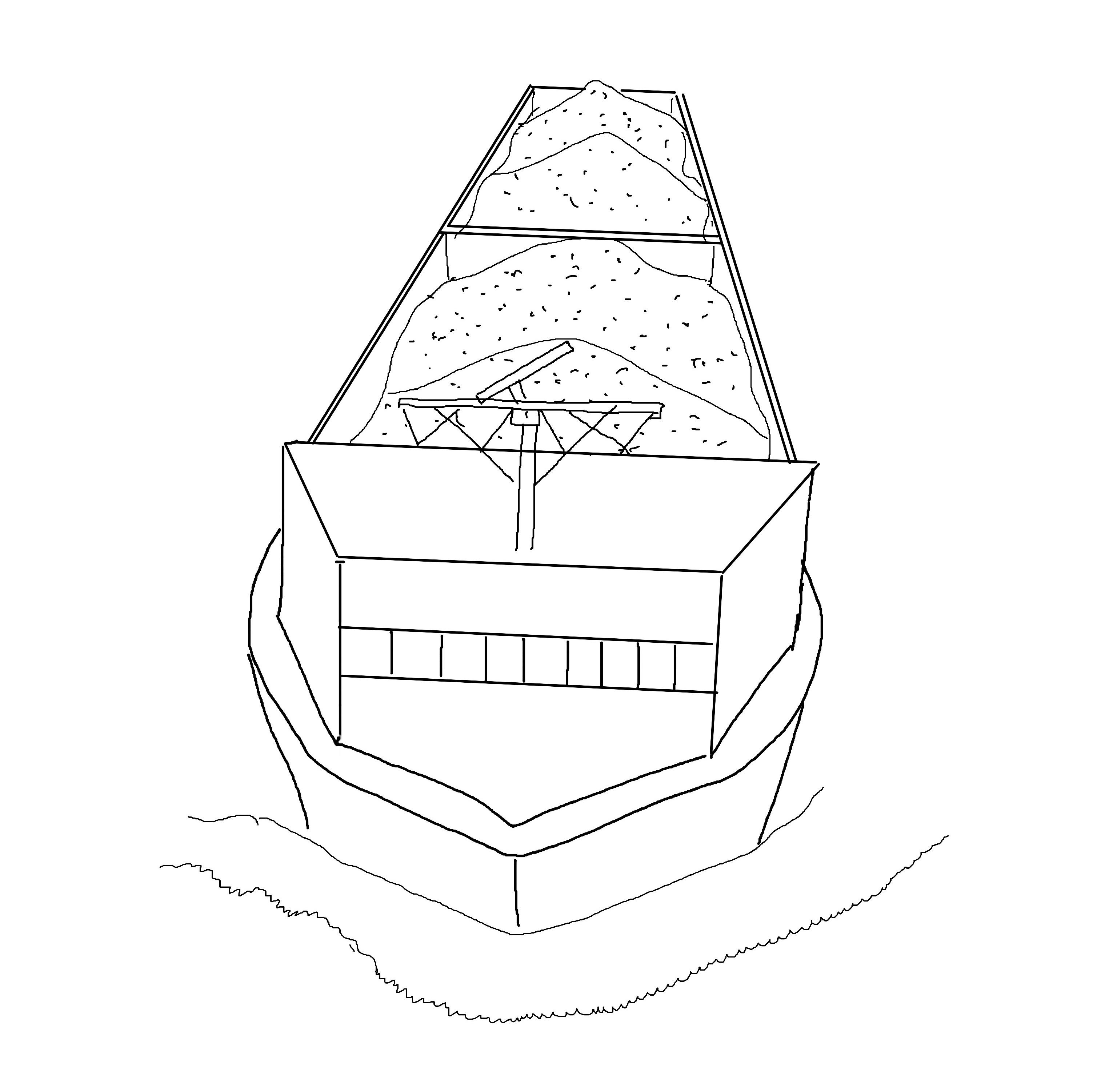
The last coal boat departs from Svea.
Large water intrusion in Mine 7 production stop from August to October 2020 The summer of 2020 was extremely hot in Longyearbyen, and it led to large snowmelt in the glacier over Mine 7
2021
Last phase of the clean-up in Svea.
2022
Store Norske is building Folkehøgskole and buying more real estate on Svalbard
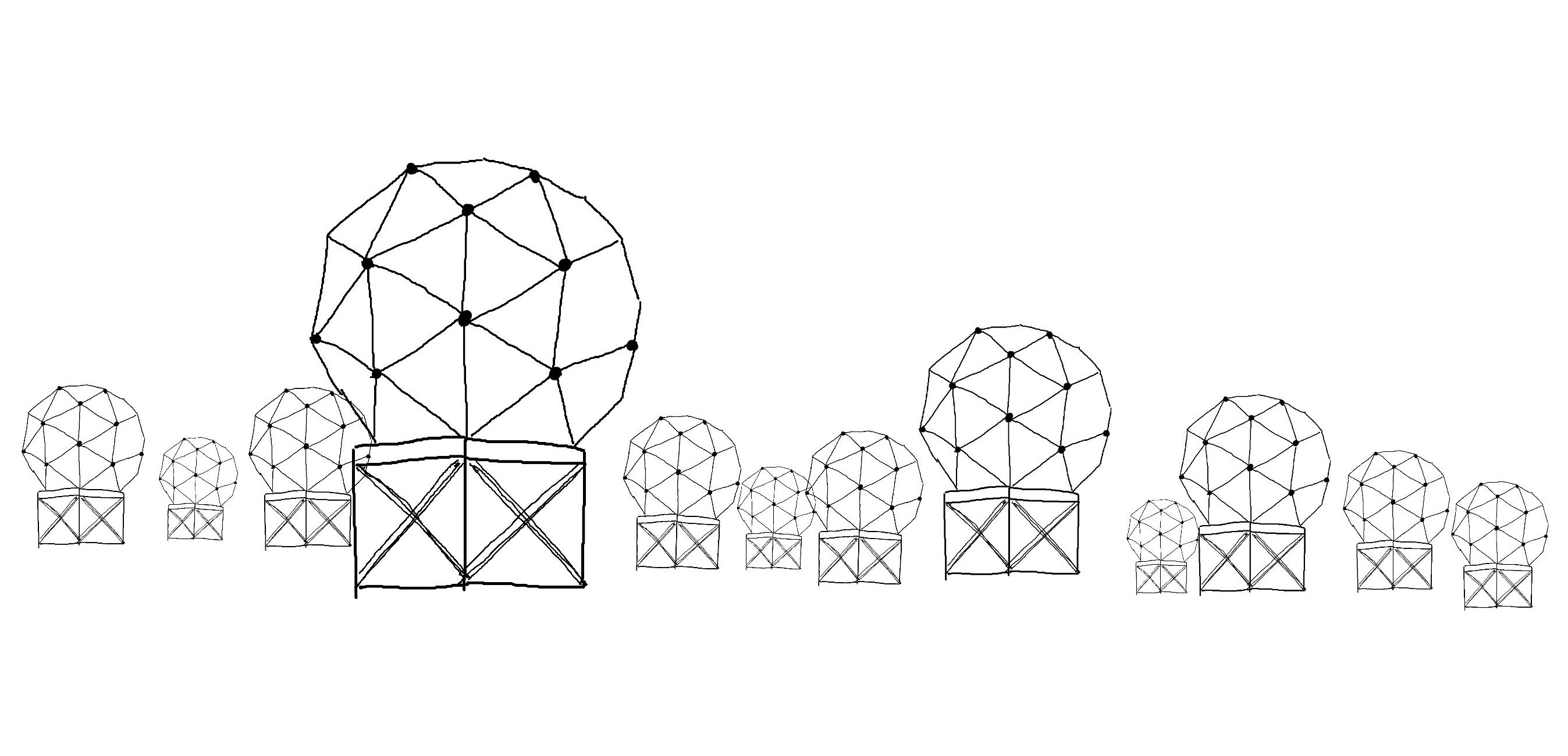
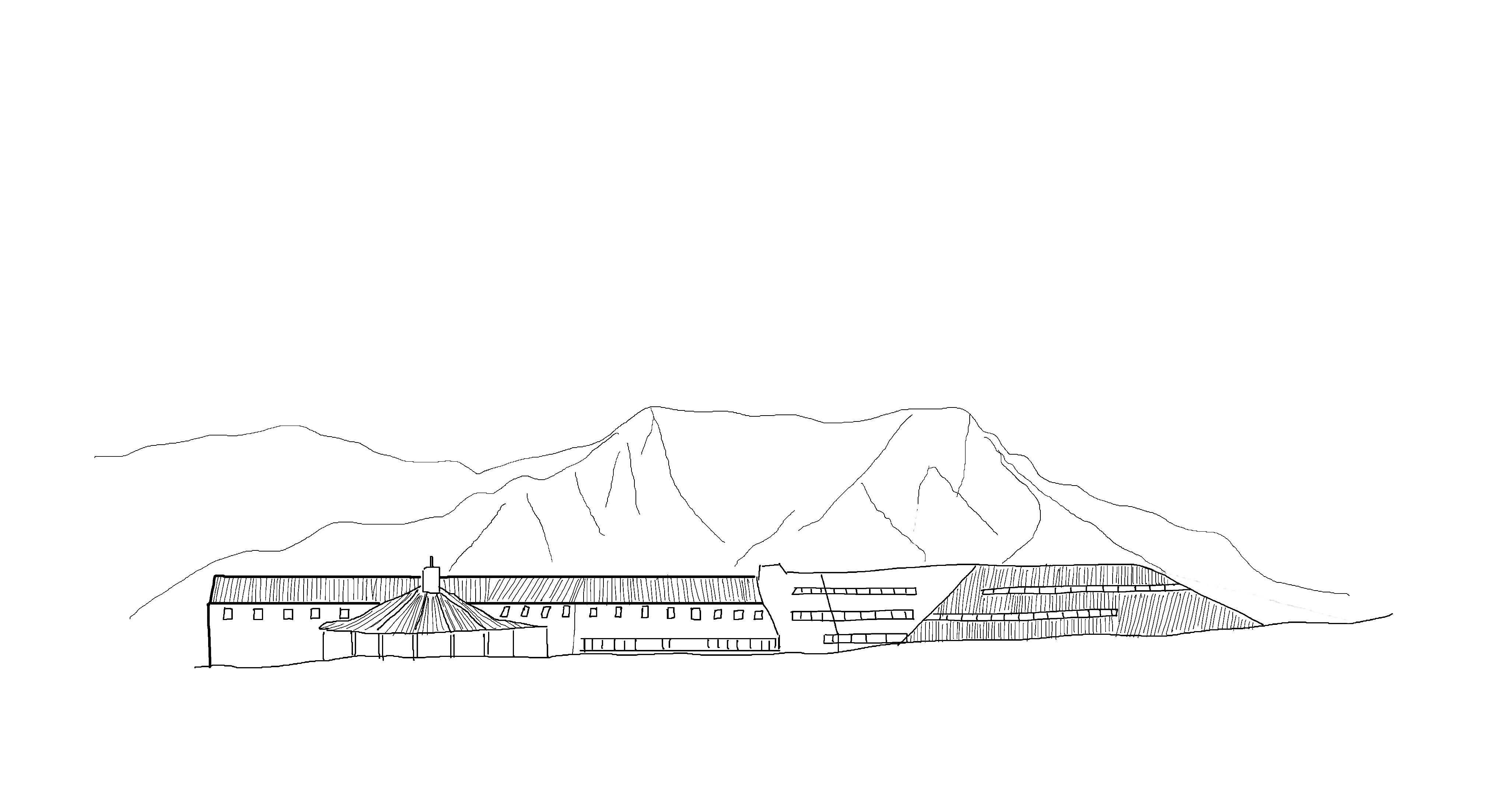
Svalbard satellite station has increased to 130 satellites.
2025
UN meets on Svalbard around the table at YME to discuss climate strategy.
When coal mining began at the beginning of the 20th century, new demands were made and the need for a clarification of rights to natural resources arose.
In 1907, Norway initiated a new international administrative order continued on the principle of ”Terra Nullius”, where no country had supremacy, but everyone had the rights to conduct business. The Svalbard Treaty was signed on 9 February 1920. The states that signed the treaty were Norway, the United States, Denmark, France, Italy, Japan, the Netherlands, Great Britain and Sweden.
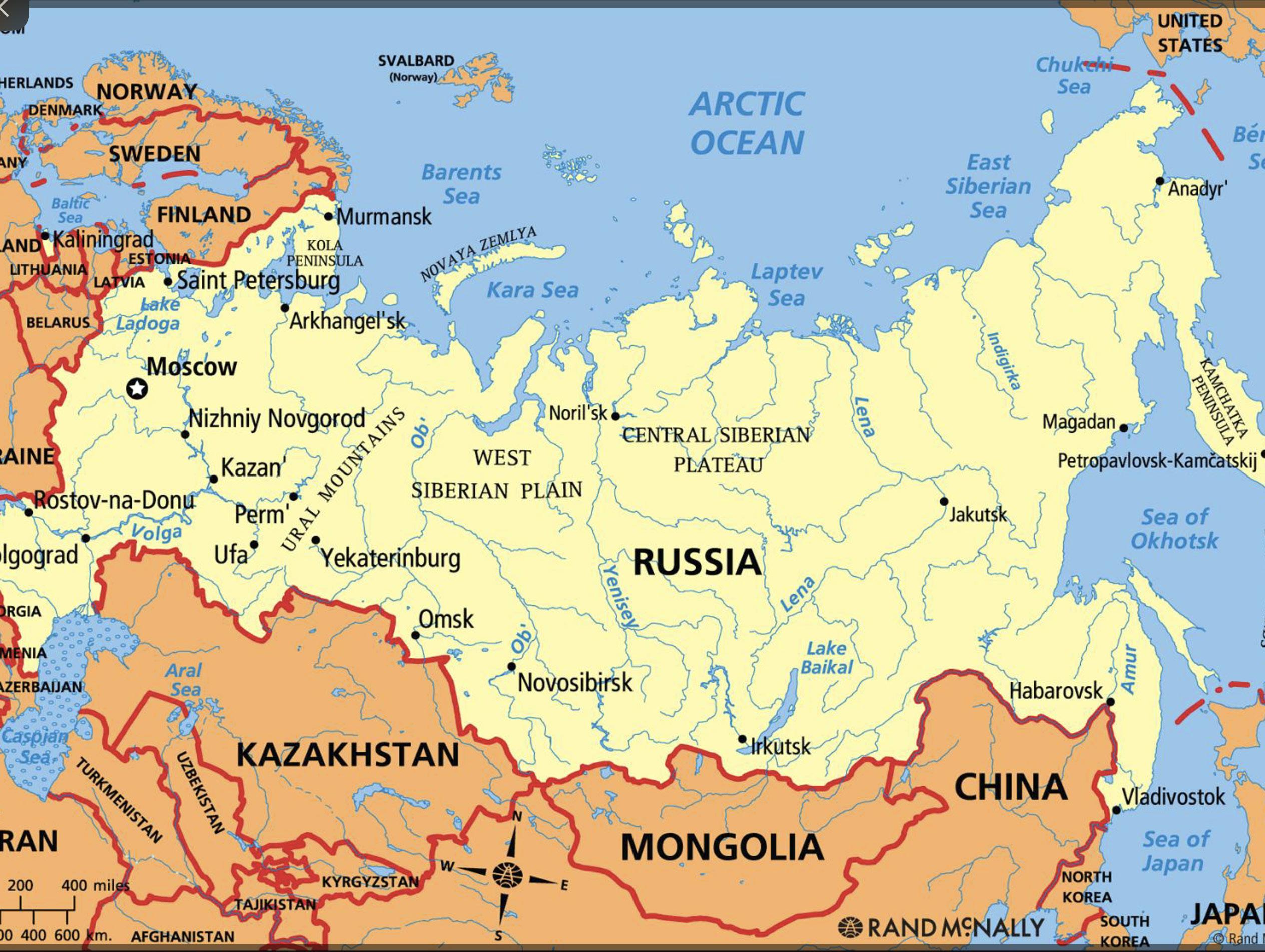
The Arctic region is now more accessible due to the Arctic melt. As a result, Arctic nations are rushing to claim undeveloped and, in some cases, unseen territory and natural resources possibly worth hundreds of billions of dollars.
In the past three decades, global warming has shrunk the size of the Arctic Ocean’s summer ice by half. The region is now more accessible than it’s been in 1,000 years, and governments around the world have taken notice. The melting of the Arctic has grave implications for global weather patterns and rising sea levels, and most of the world sees it as a looming disaster. But for the five Arctic nations — the US, Canada, Denmark, Norway, and Russia — it also means access to promising new trade routes and untapped fossil fuel resources.
Each country has jurisdiction to exploit the natural resources within 200 nautical miles of its coast, an “exclusive economic zone.” They can reach beyond that distance if the submerged part of their land, their continental shelf, extends beyond the 200 nautical miles. Countries make claims based on where they argue the edges of their continental shelves are. Problems arise when claims overlap, as they do in multiple cases in the arcitc ocean.
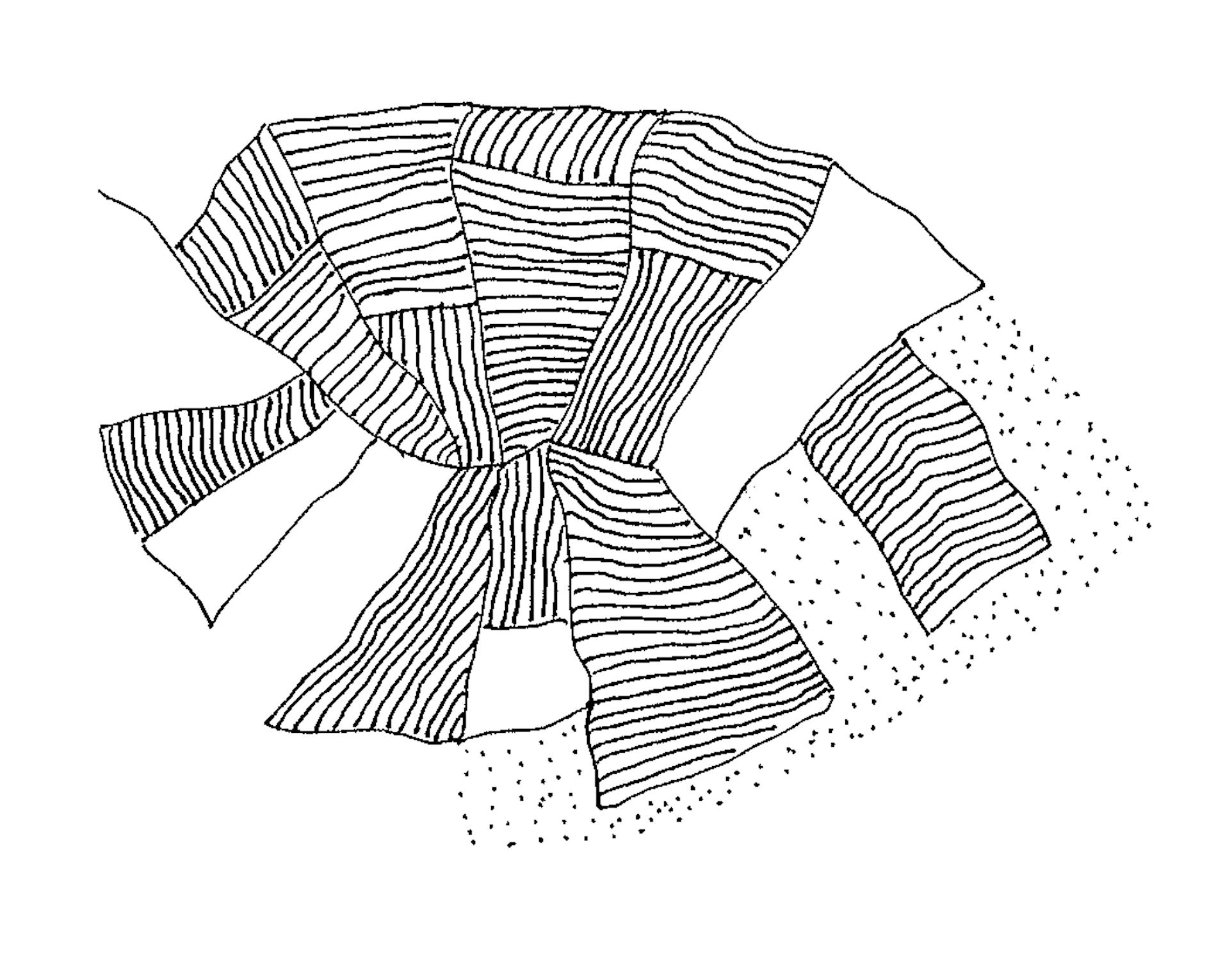
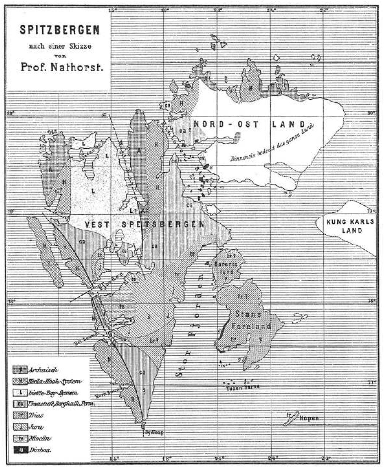
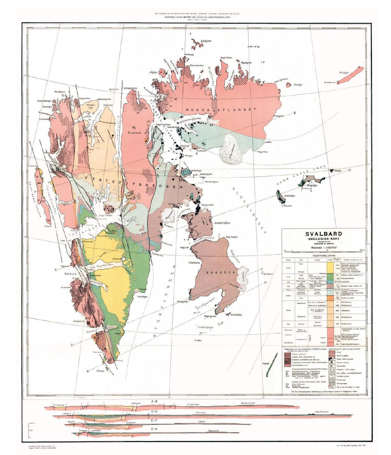
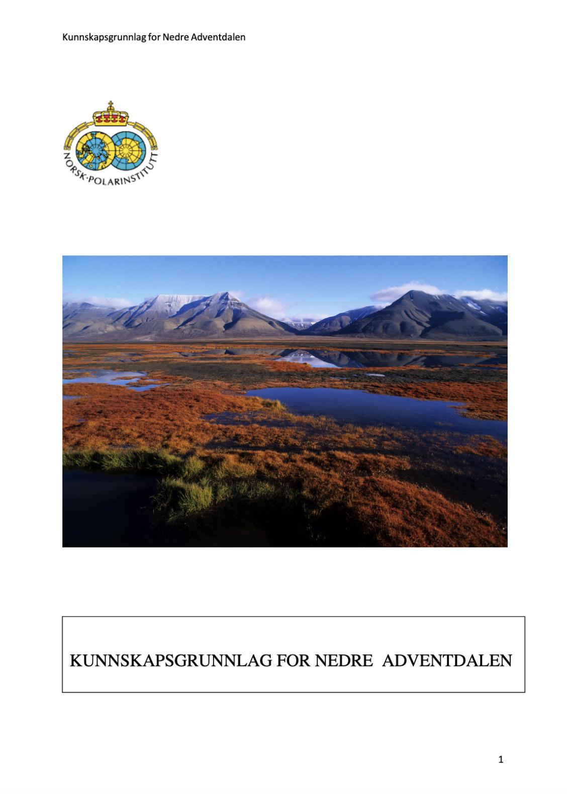
On svalbard one can find rocks from all the geological periods. Few places displau geology better than Svalbard, because the vegetation is very sparse. Thus Svalbard is a popular location for international geological research. Svalbard resembles a landscape from the end of the ice age. Little vegetation, and, for now, more than half of the area is covered with glaciers that are pushing forth moraines. The rivers carry stones, gravel and clay that are deposited as flats in the valleys and as dektas out in the sea.
The oldest rock types are from the Precambrian period ( 1000-440 mill. yrs ago) and make up the bedrock, consisting of metamorphosed sedimentary and igneous rocks such as mica slates and gneiss and intrusive rocks such as granites.
400 mill yrs ago the earths crust in the Svalbard area was in motio. Mountain chains were formed (Caledonian) that the granite intruded into. Granite make up some of the highest, present-day, mountain peaks on Svalbard.
About 375 mill yrs ago came the devonian period. During this period central parts of Spitsbergen subsided. Immense layers of sediment, several thousand meters thick, were deposited.
The carboniferous period wad humid. During this period sediments were depositet in shallow seas and on flat low lying land areas. Sand, clay and plant remains from the swamps gave rise to sandstone, slate and layers of coal. 300 mill yrs ago the sea flooded land areas, and limestone, dolomite and layers of anhydrite and gypsum were deposited.
During the triassic, jurrasic and cretaceous periods Svalbard moved from 50 degrees north to 70 degrees north and the climate was temperate and humid. Rocks from this period are rich in sea fossils. Volcanic activity led to the formation of igneous rocks in the strata.
65-2 mill yrs ago there were strong movements in the earths crust. This led to mountain formation. At the same time large swamps formed in the central areas of Spitsbergen around Longyearbyen, Sveagruva og Barentsburg. This gave rise to the coal deposits.
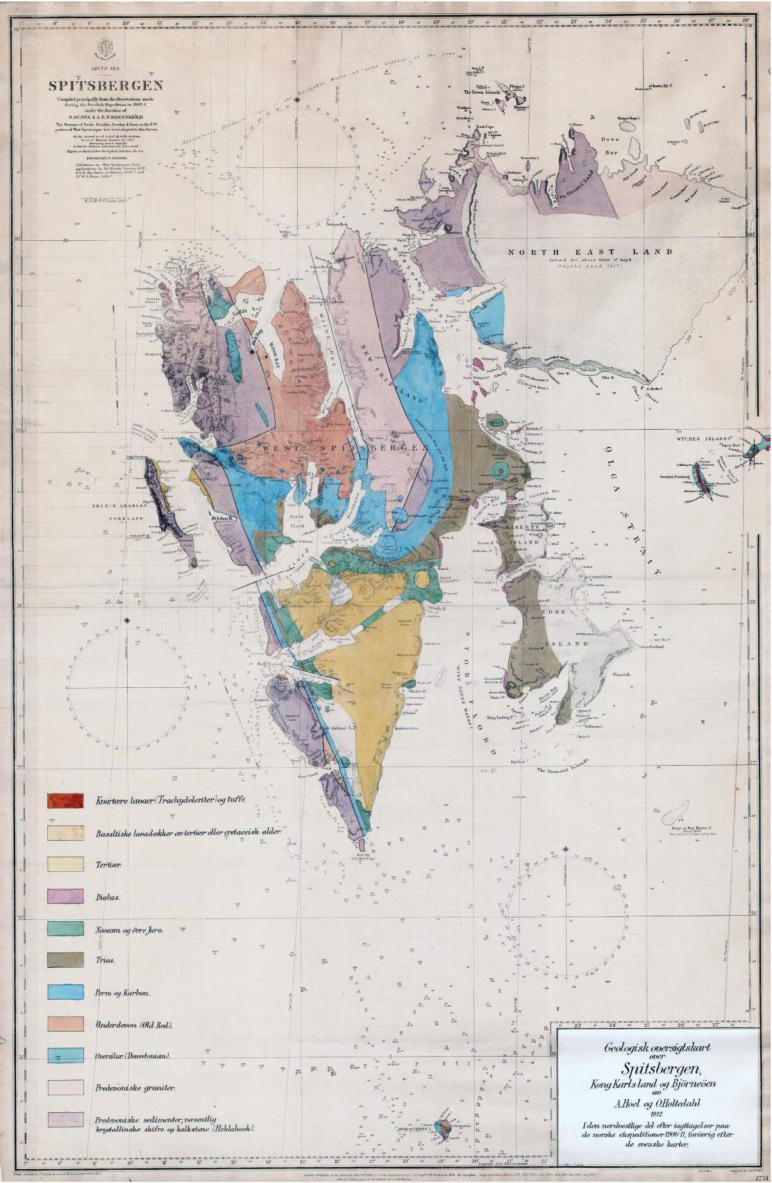
geological map from 1912
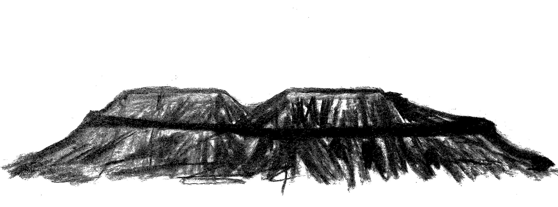
Millions of years ago, dead plants and animals were covered for a long time in sand and mud before they decomposed. The weight of deposits above lead to high pressure and rising temperatures. Over millions of years the remains of the plants and animals were transformed into coal, oil and gas.
The peat bogs were weighed down and carbonized. THey slowly became fossil solar energy - intercepted through photosynthesis and preserved until today these processes still contintue. But since such processes are very slow, we recognize coal, oil and gas as non-renewable energy resources. The ice sheet has over the years torn at the overlaying deposits, the result being that the coal bearing layers today are close to the surface, in several places they are exposed out in the open.
carbon in the periodic table
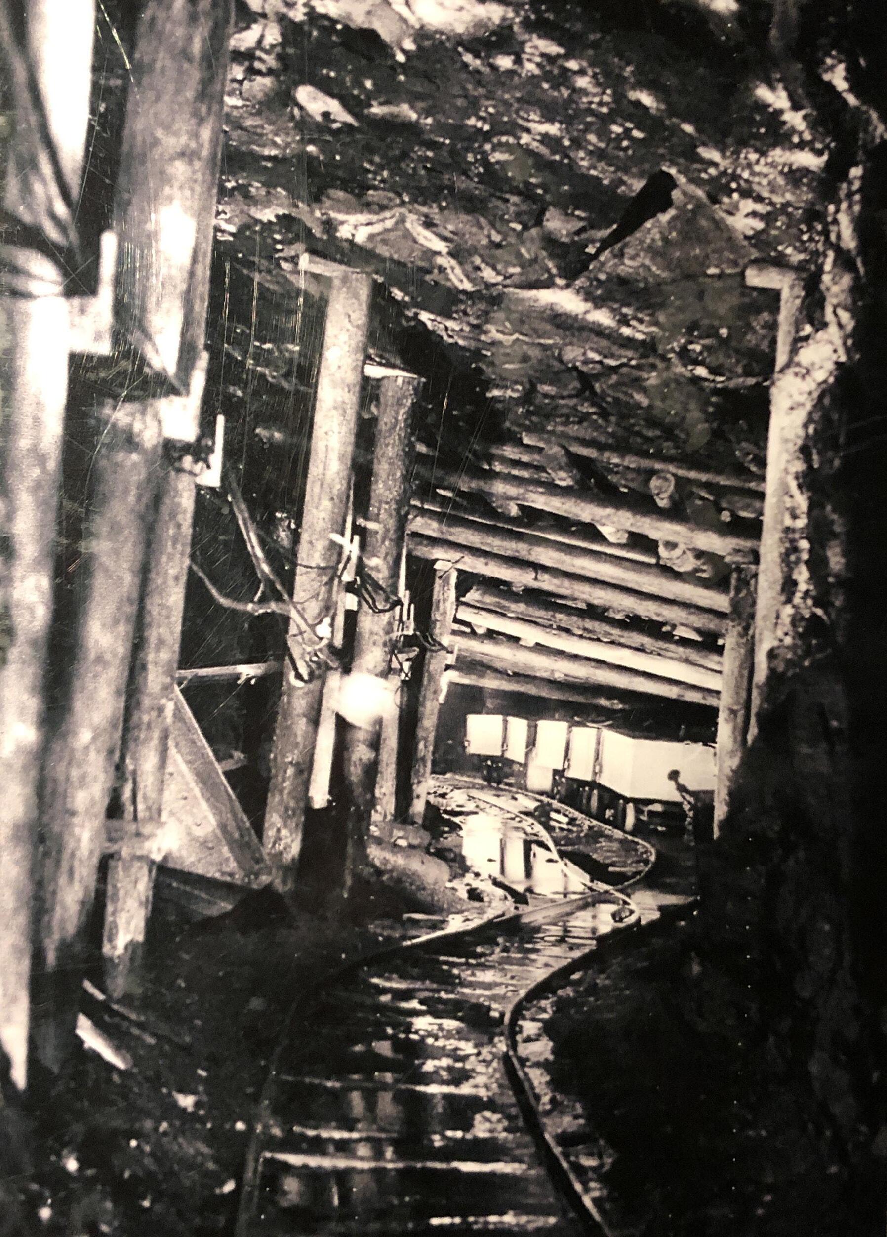
It was the coal mining that established communtities. Until the end of the 20th century it was the need of the mining industry taht steered the development of the community and the build up of services. It was parts of the west coast that showed themselves early to be the most interesting areas for coal mining. These areas were ice free in the summer, and here the coal depoits were cleary visible visible.
The first year round operation on Spitsbergen was in Advent City, which was situated on Reveneset. It was operated by the English company the Spitsbergen Coal and Trading Company Ltd. During the winter of 1905/06 30 men overwintered.
The Mining Code for Svalbard came into effect at the same time as the Svalbard Treaty in 1925. It included, among other things, that a post of Comissioner of Mines for Svalbard would be established. He would reside on the archipelago during the summer, and undertake inspections of the works, both Norwegian and foreign.
The number of coal mining sites varied from year to year. The main tendency was for many of the smaller companies to last only a short while before they were closed down. Others were sold and operations were continued by others nations. The Norwegian coal industry during the 20th century was only occasionally profitable. One can ask if coal mining was/is a politicical tool, to gain sovereignity over Svalbard?
The vegetation on Svalbard can be divided into the following main types; renroseheier, rødsildre-lavmark, mosetundra, polarviemark, polarsnellemark, fuglefjellvegetasjon, fjellbunkemark, våtmark of strandenger.
The tundra looks different no matter where you go due to the complex mosaic with different regional climate patterns and geological background.
The vegetation in the fjord areas in the central west coast can be surprisingly rich, while barren, desert-like tundra can be found in the far northeast, in the Northeast and surrounding islands.
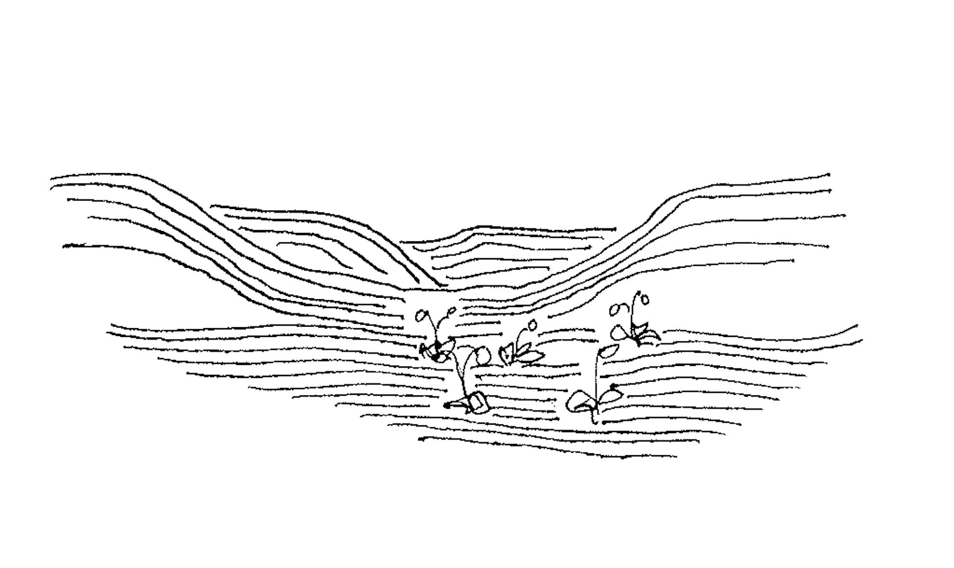
Permafrost
The melting of glaciers and sea ice is approaching tipping points where it is too late to stop. Across the northern hemisphere, the permafrost drops off the roof. It is permafrost when the temperature in the ground does not exceed zero degrees two years in a row. In Svalbard, warming has been measured in the permafrost all the way down to 80 meters below the ground. The permafrost covers 24 percent of the northern hemisphere.
Vegetation types Spitsbergen
Innsjø, elver
Skygge, utsmeltningsområder
Utsmelting av breer
Nakne leir og grusflater
Bart fjell, grus- og blokkmark
Isbre
Sparsomt veg. leir/strand/grusflater
Overirringsflater, elvevifter
Snøleier/bunkemark
Sump og våtmark
Mosetundra
Frodig mosetundra, fuglefjell
Lesider, grasrike
Grasheier, knauser
Åpne heisamfunn (reinrose/bergstarr)
Etablerte heisamfunn
Frytlemark
Pionersamfunn
Polarørken, oppfrysningsmark
On Svalbard there are different types of glaciers. The largest glaciers are called ice caps. These are found especially on the easternmost islands. The largest ice cap is Austfonna in Northeast Norway with a total area of 8120 km² and with a volume around 1900 km². Together with Vatnajökull in Iceland, Austfonna is the largest existing ice cap. Only the much larger ice shields in Greenland and Antarctica surpass Austfonna and Vatnajökull in size. Spitsbergen is dominated by another glacier type, the so-called Spitsbergen type. It consists of large continuous ice masses and is divided into a large number of ice streams and glacier fronts of mountain ridges and nunataks. The glacier type is particularly common in the southern and northwestern part of Spitsbergen. Many of the glacier fronts are calving in the sea. In the central part of Spitsbergen there are mainly smaller glaciers that only fill parts of the valley landscape. These glaciers are called valley glaciers or bottom glaciers. The Longyear Glacier and the Lars Glacier at Longyearbyen are examples of such valley glaciers.
The environment in the sea and on land is limited by ice and snow cover, because it effectively reduces available sunlight even if the midnight sun has risen. The long dark period does not have an equally direct impact on wildlife, but it is at least as strong and important. For some animal groups, this is solved by migrating to warmer regions, as most birds do. There are no animals on Svalbard that go to sleep like elsewhere in arkits. On the other hand, the flora and fauna of Svalbard have found different survival strategies to cope with the dark and cold winters. Many animals survive in so-called resting stages, while others lower the activity dramatically to save energy.
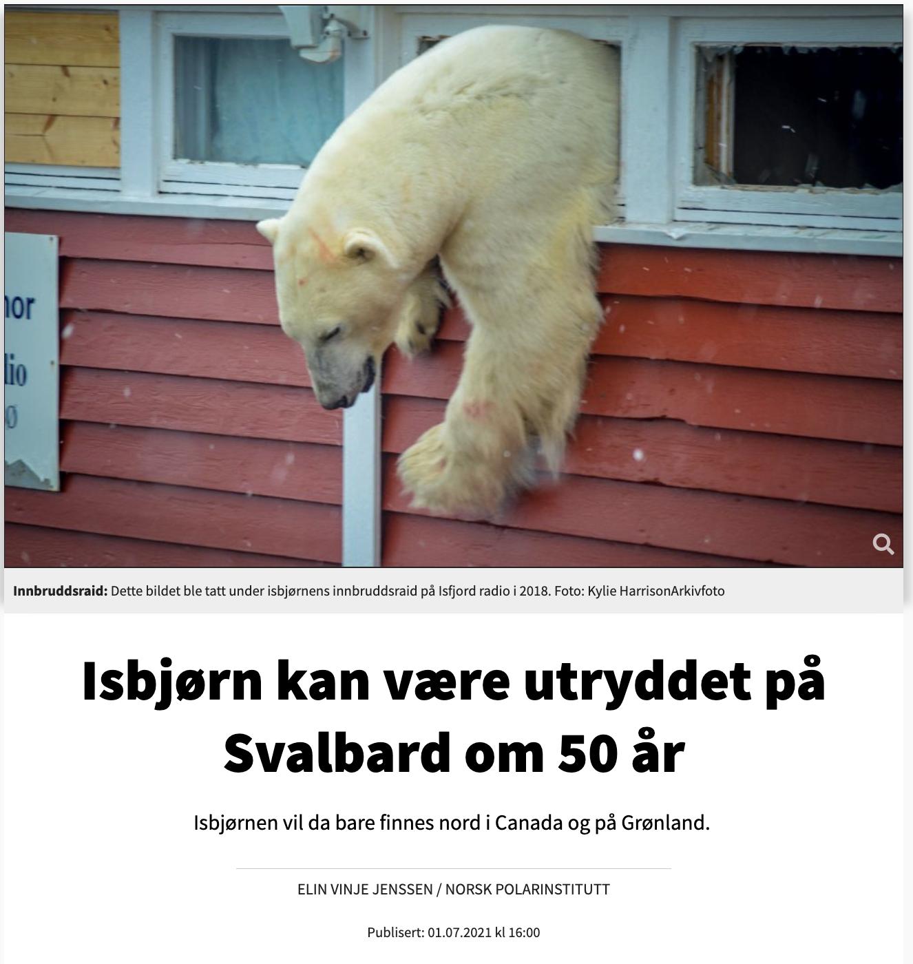
In 50 years, the Arctic basin will be ice-free in the summer, the ice will melt much earlier in the spring and freezing will occur later in the autumn. The perennial ice will be completely gone. The number of polar bears on the planet is reduced, and in Svalbard polar bears will largely be gone
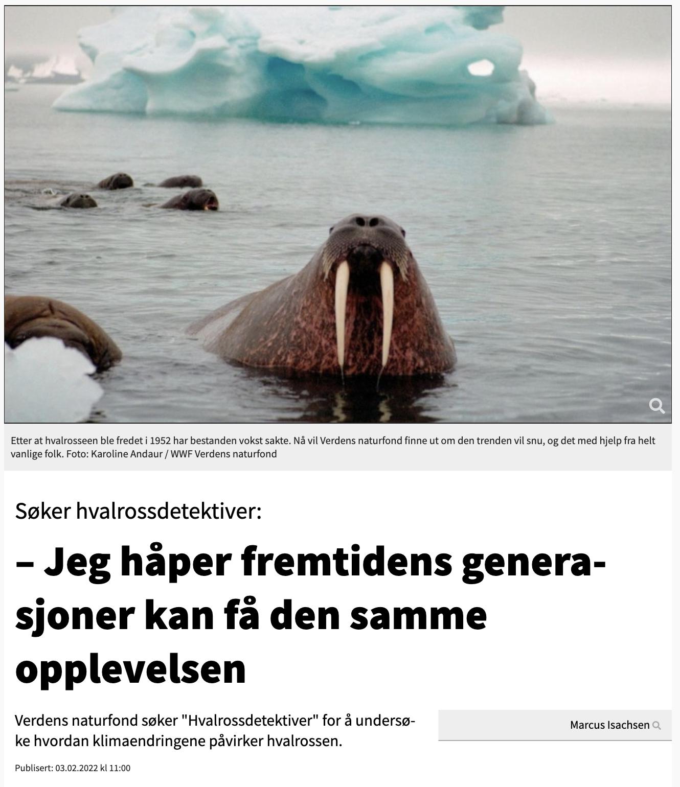
Walrus were once very common on Svalbard, but 350 years of intense hunting made the population almost extinct. They were protected on the archipelago in 1952. Then there were only a couple of hundred animals left. After more than 50 years of conservation, the population is still low, and the species can be found on the Norwegian red list of endangered animal species.
Rødnebbterne
Rødnebbternen has the longest migration route of all birds, and is the species that experiences the most daylight during the year. Of the terns, it is the one that nests furthest north, at the same time as it pulls furthest south - from Svalbard to Antarctica, a round trip of 30-40,000 km!
A polar fox couple stays together their whole life. They breed and feed mainly on land, but can also find food out on the fjord ice and in coastal frozen sea areas. It is thus an important top predator in both the land-based and marine ecosystem.
The diversity of birds in Svalbard is being squeezed in different ways. Several of the nesting seabird species that live here are on the Red List of species that are at risk of extinction, either because they are found in small populations or have a negative population development.
Polarlomvi is one of the native birds on Svalbard that the researchers believe is most struggling to adapt to the high temperatures. Since the mid-1990s, all colonies with Polarlomvi monitored on Svalbard have shown signs of decline. If this trend continues, in 40-50 years there will not be many Polarlomvi left on Svalbard.
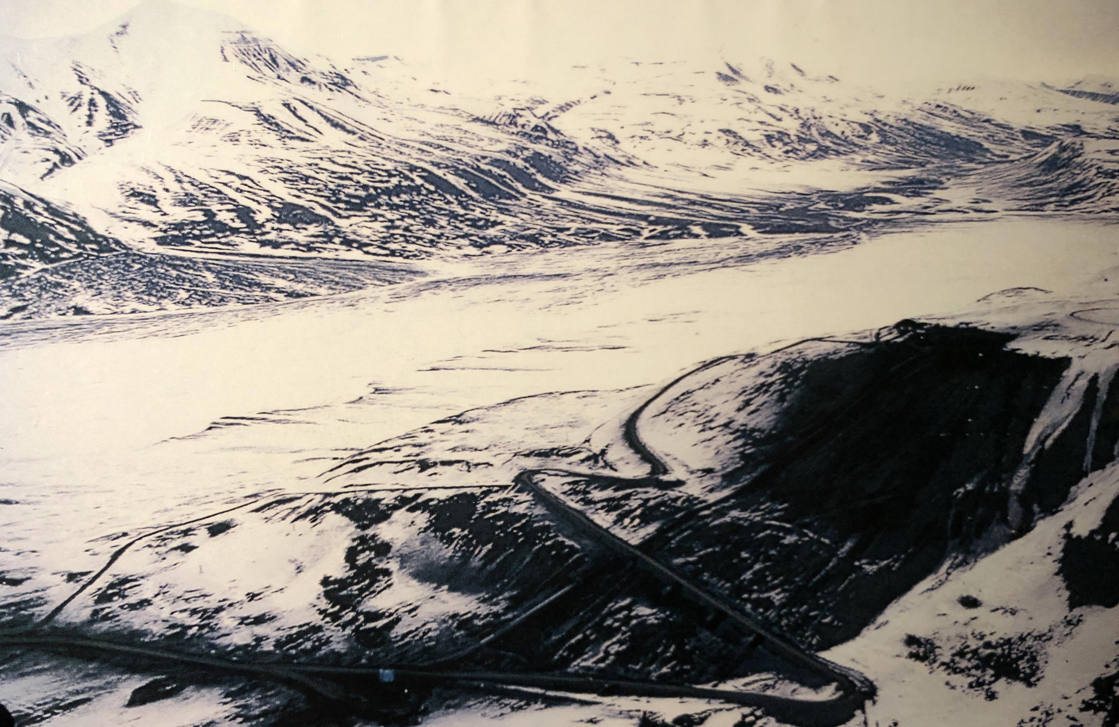
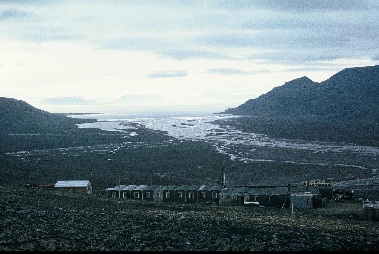
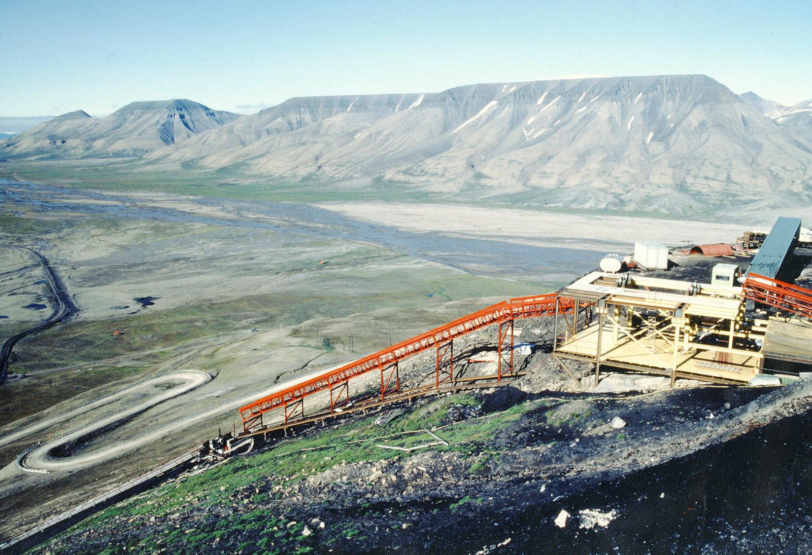
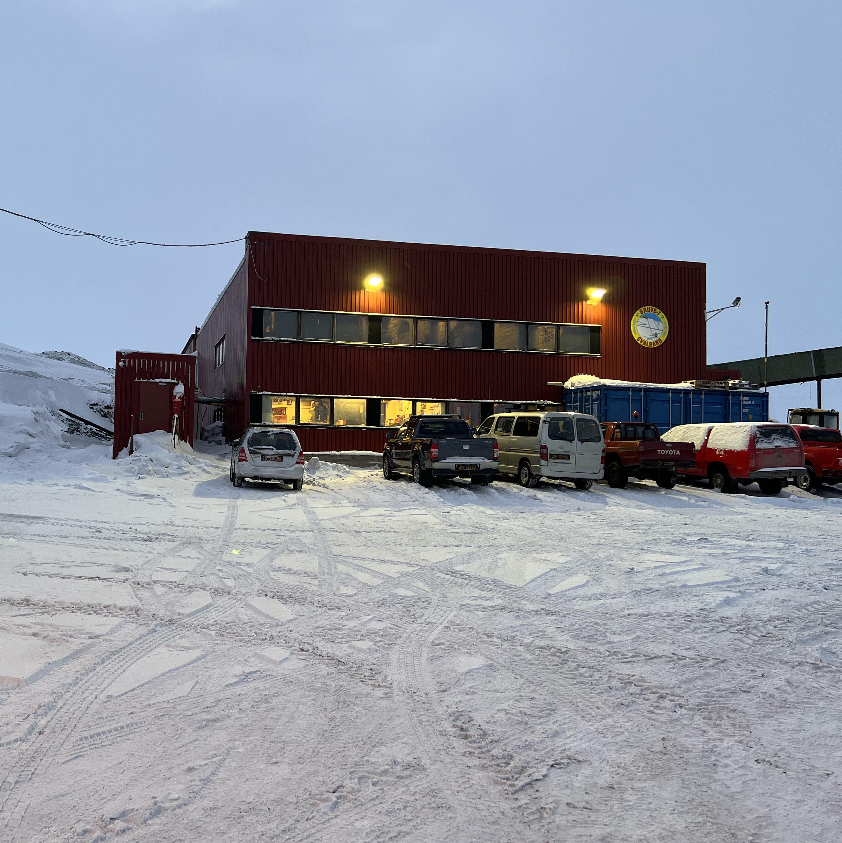
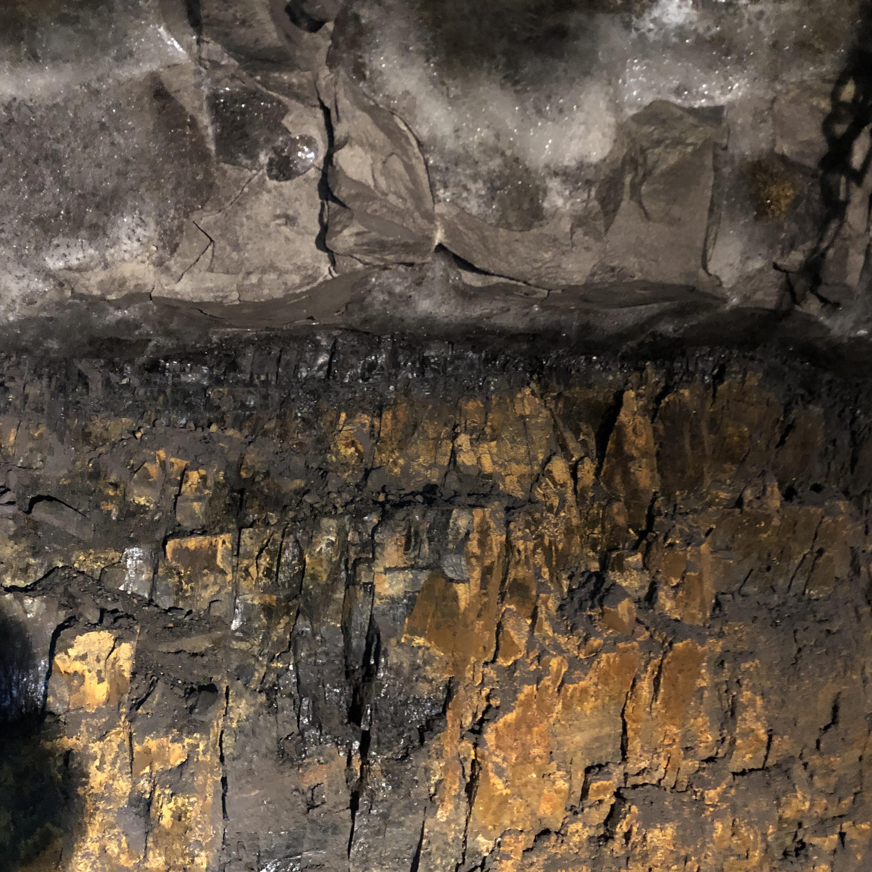
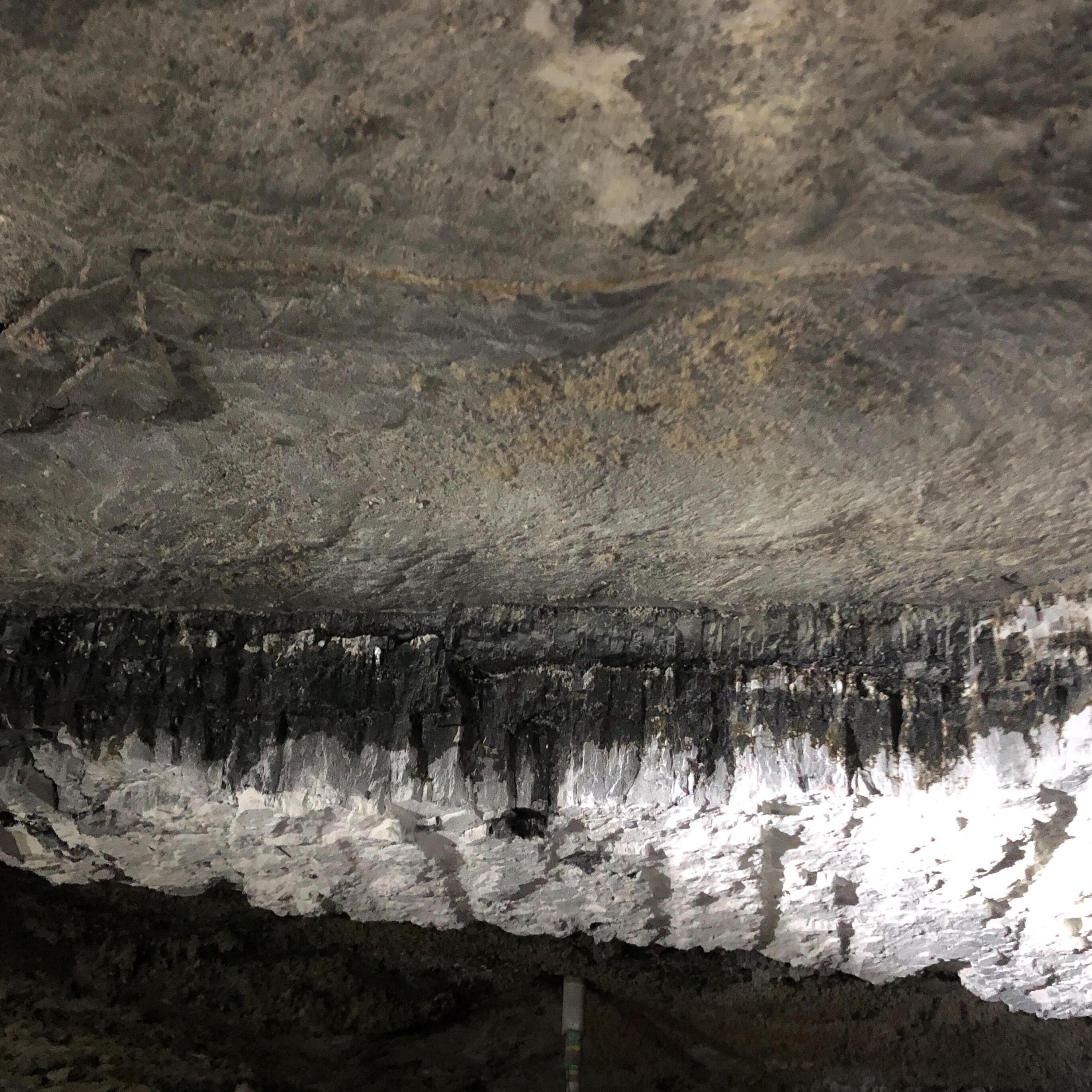
The coal layer in Mine 7 is on average 1.5 meters high. ”Kullfløtsen”, the layer of coal, is of the type ”Longyearfløtsen”, wich identifies as a layer of apporx 2m of high quality coal.
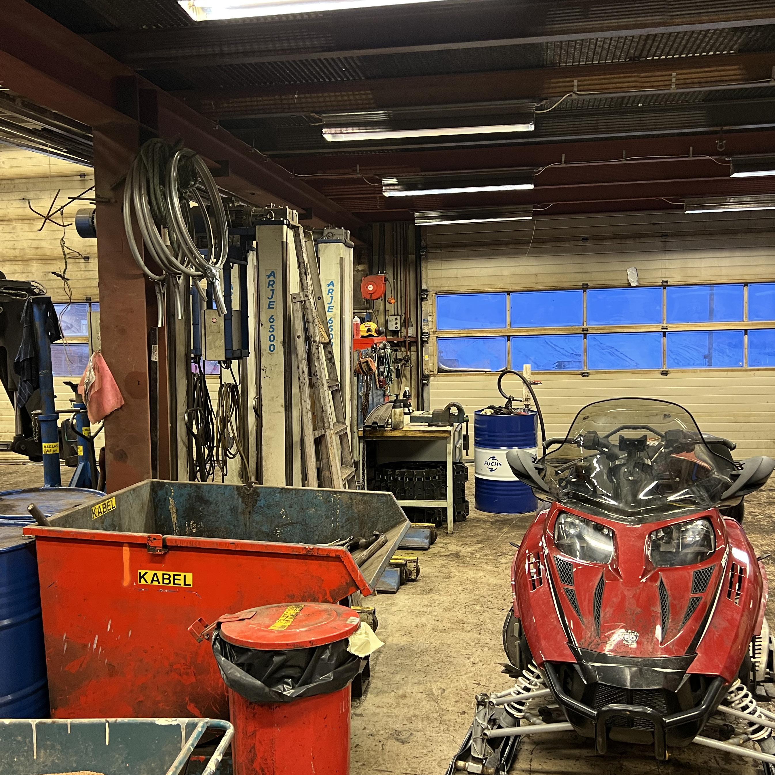
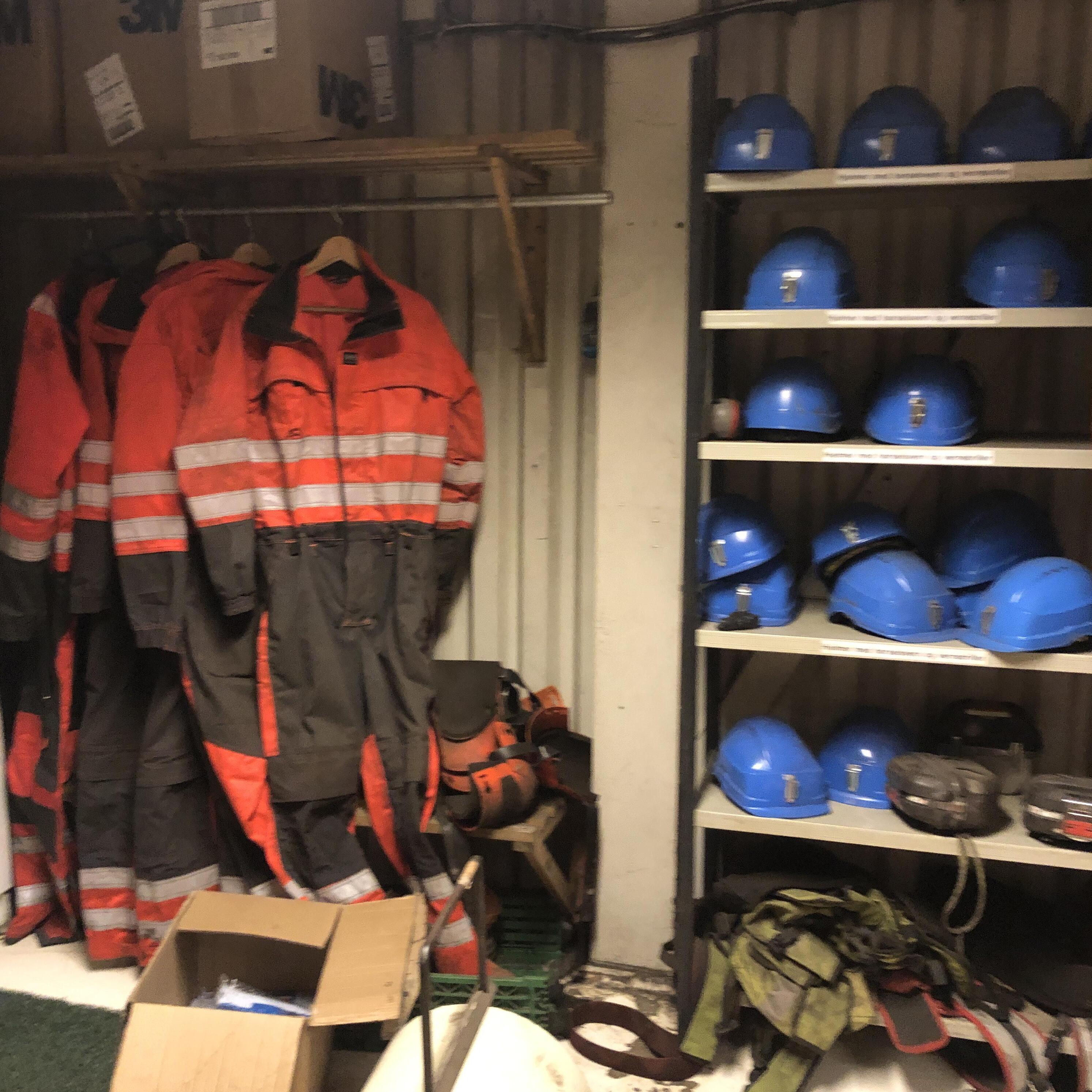
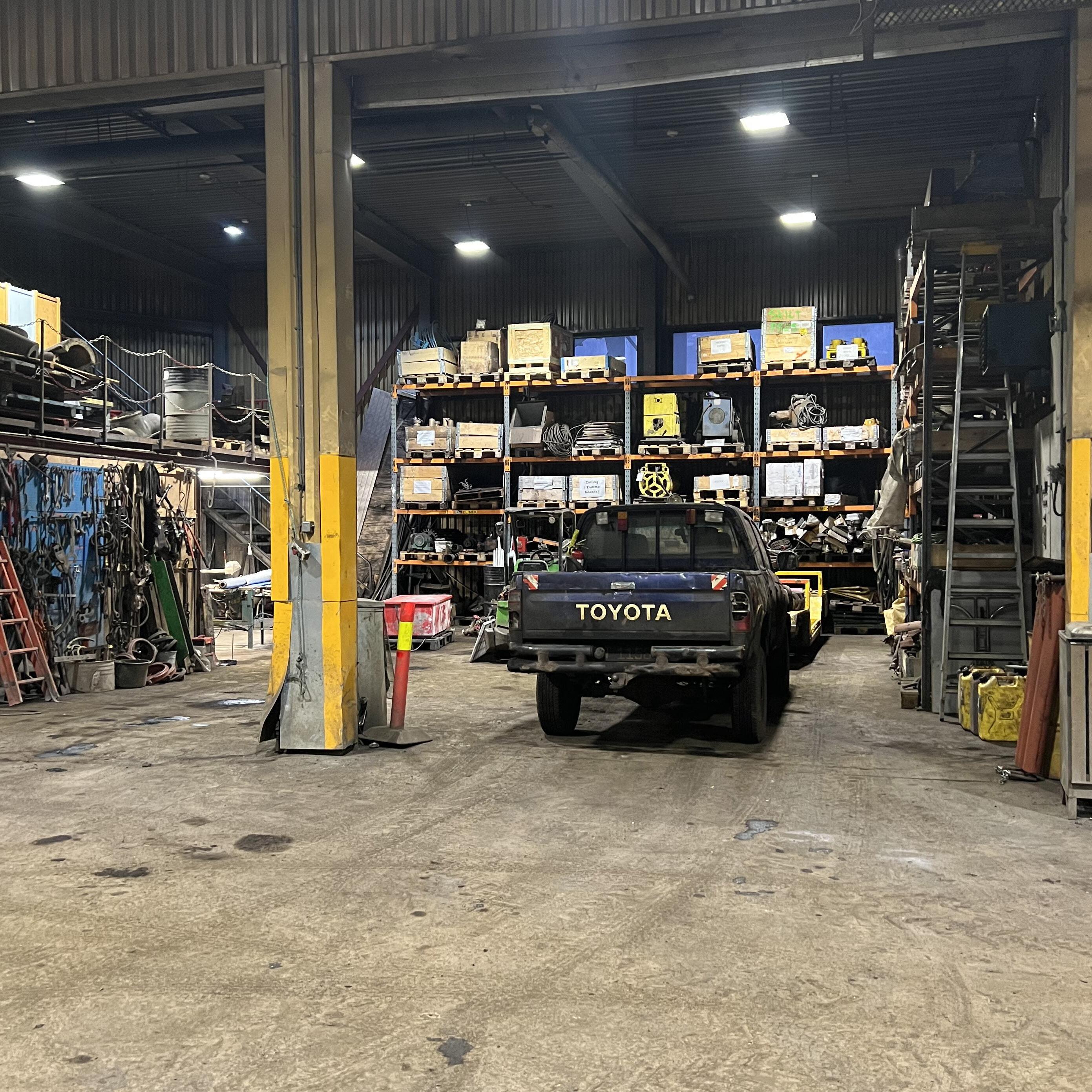
The mine is located 15 km from Longyearbyen and has 24 employees. The working day is at 7-15.
Production is run according to the ”space and pillar” method. When you take out coal, coal pillars are left that hold the moutain massif up.
Lie (ligg) is the floor and hang (heng) is the ceiling.
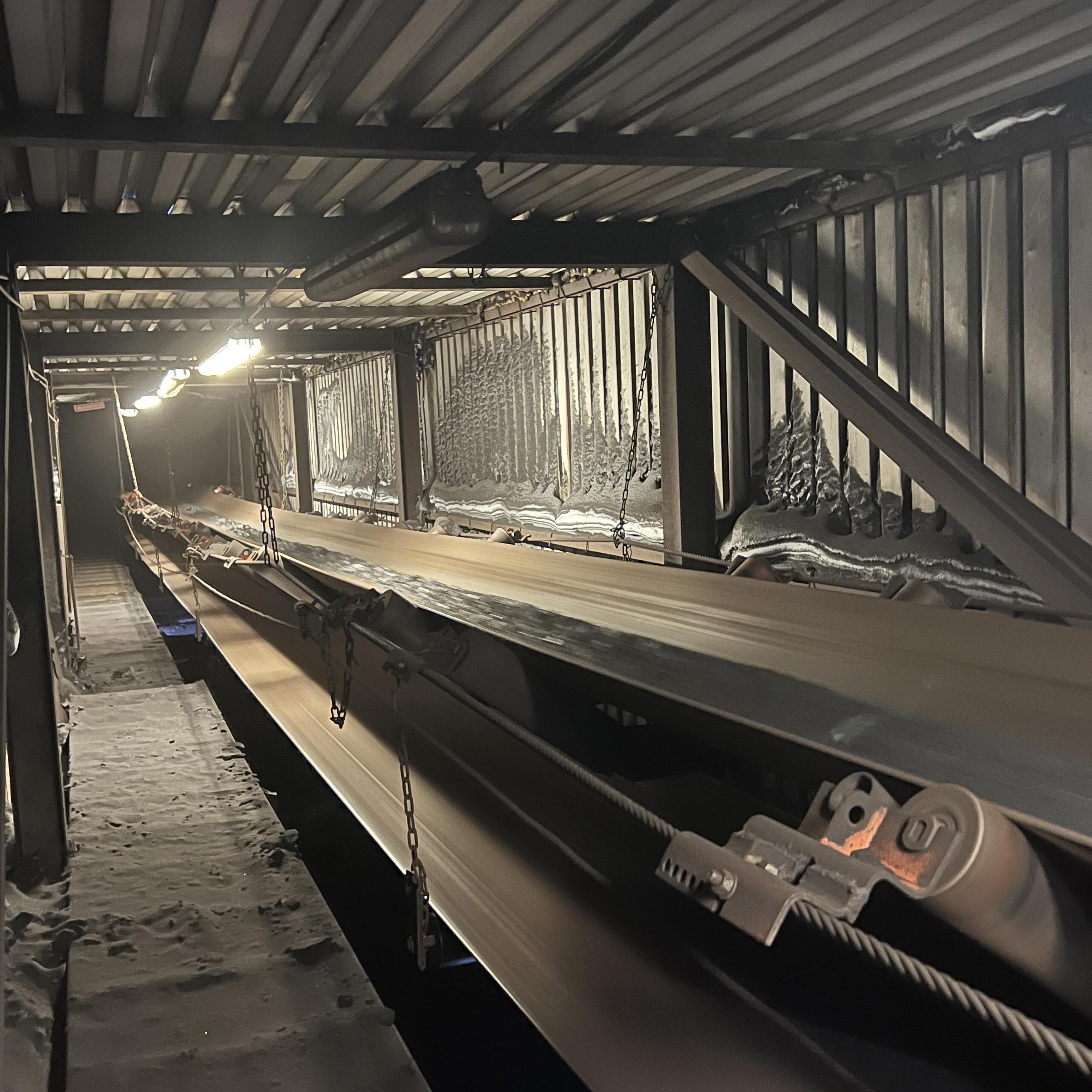
First, the coal is cut on site (stuff) with the belt-walking machine CM. The coal is loaded onto a shuttle car that drives it to the feeder and on to the conveyor belt, which takes the coal out of the mine.
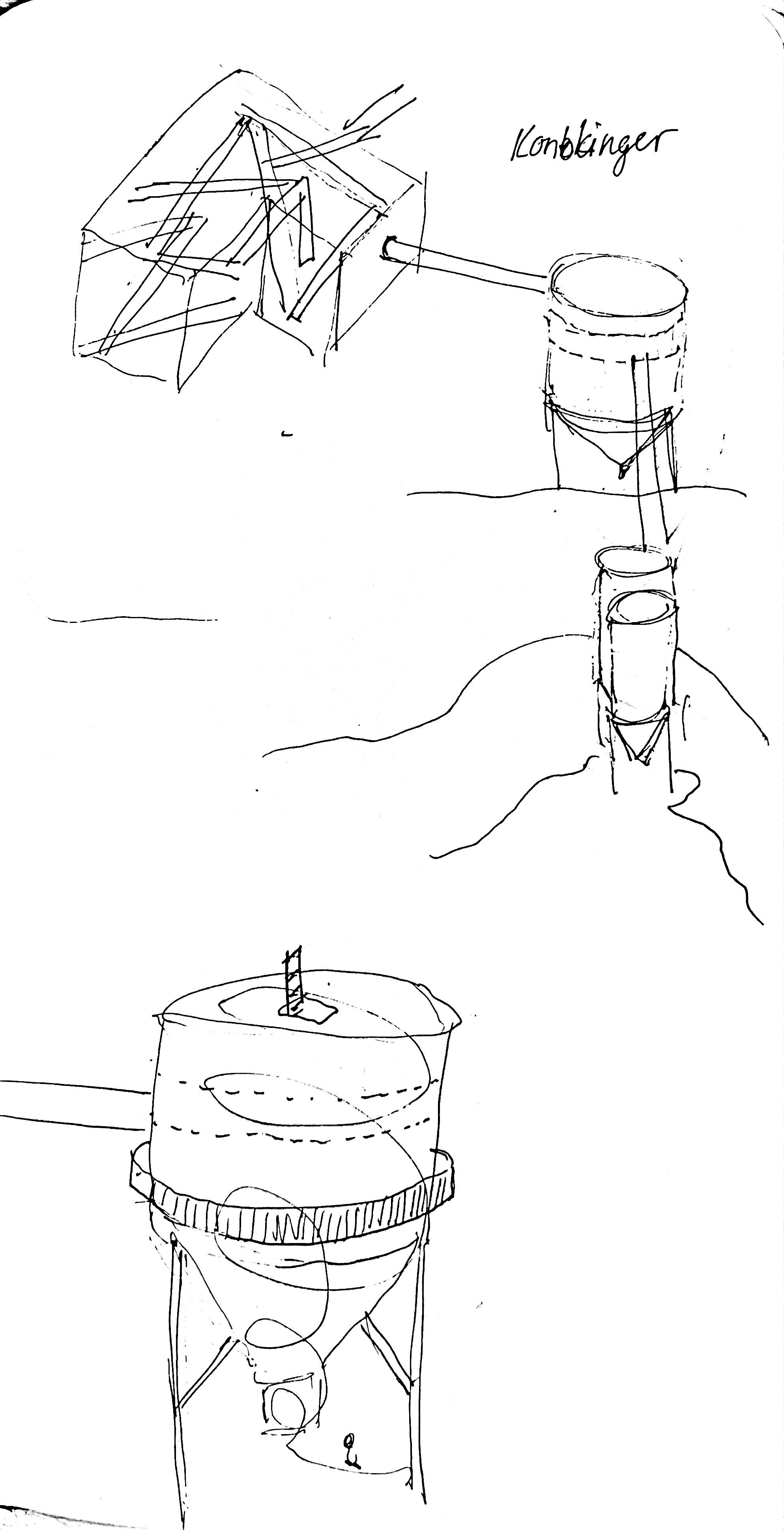
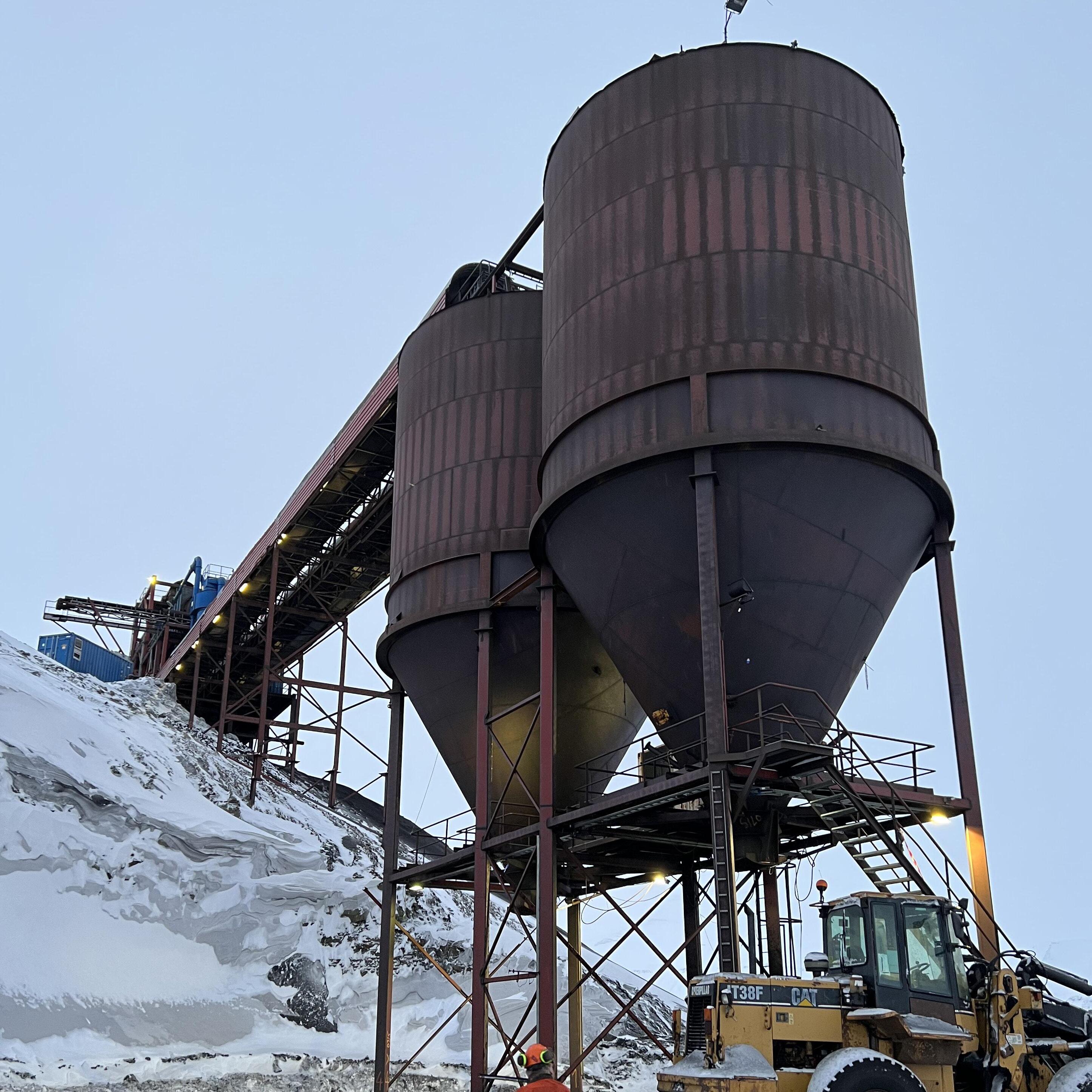
The coal then ends up in two silos pending transport to Hotellneset. Mine 7 produce on average 80 000 tons coal a year. Around 25,000 tonnes of the coal from Mine 7 goes to the power plant in Longyearbyen. The rest is exported to German metallurgical industry.
With normal coal prices, it costs between 40 and 60 million kroner a year to run the mine.
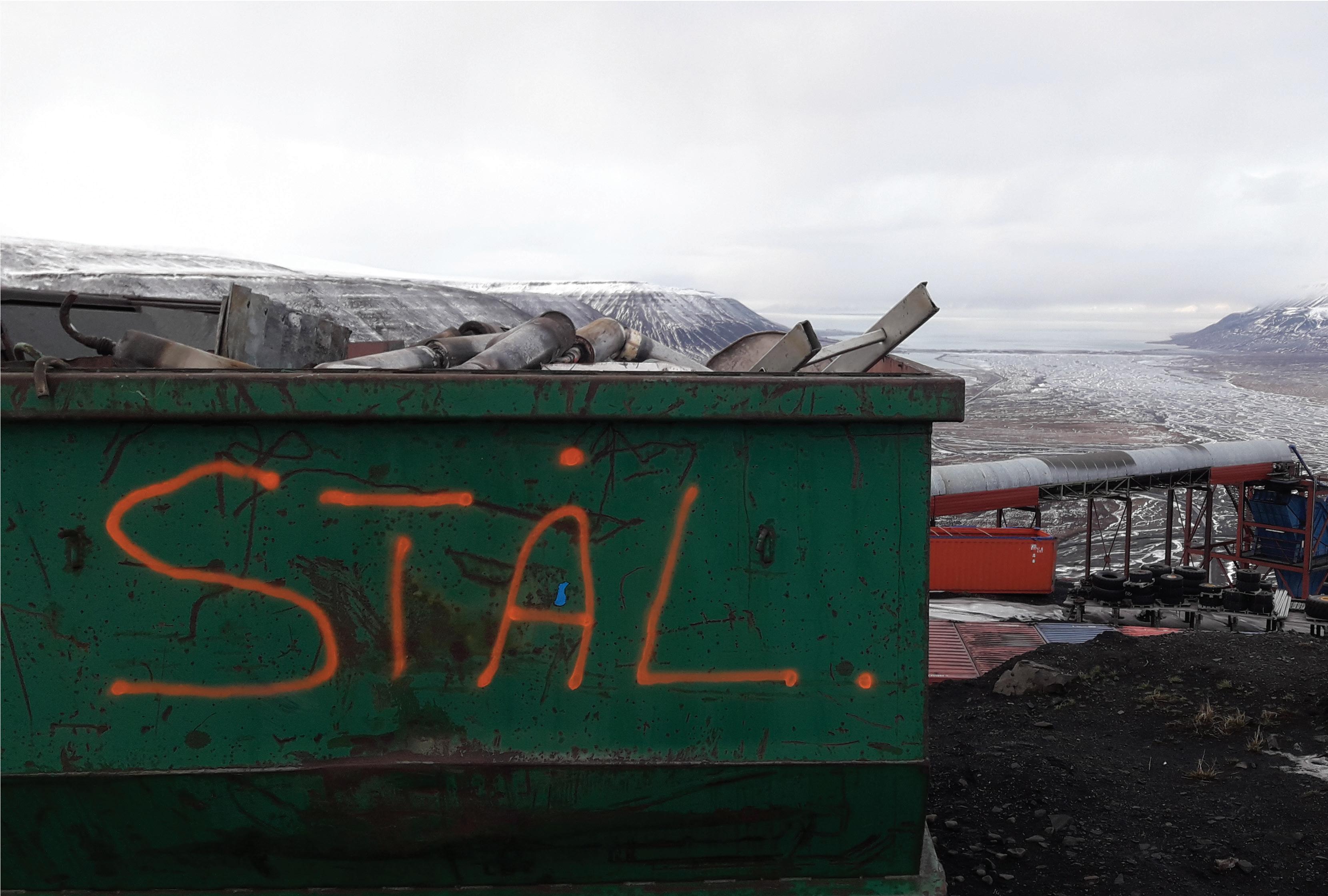
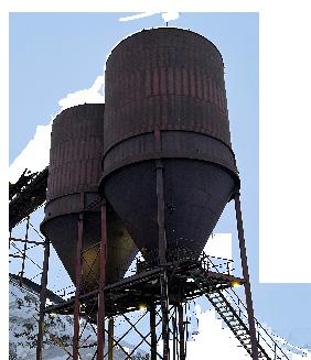
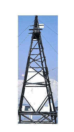
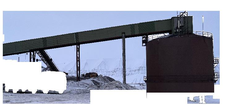
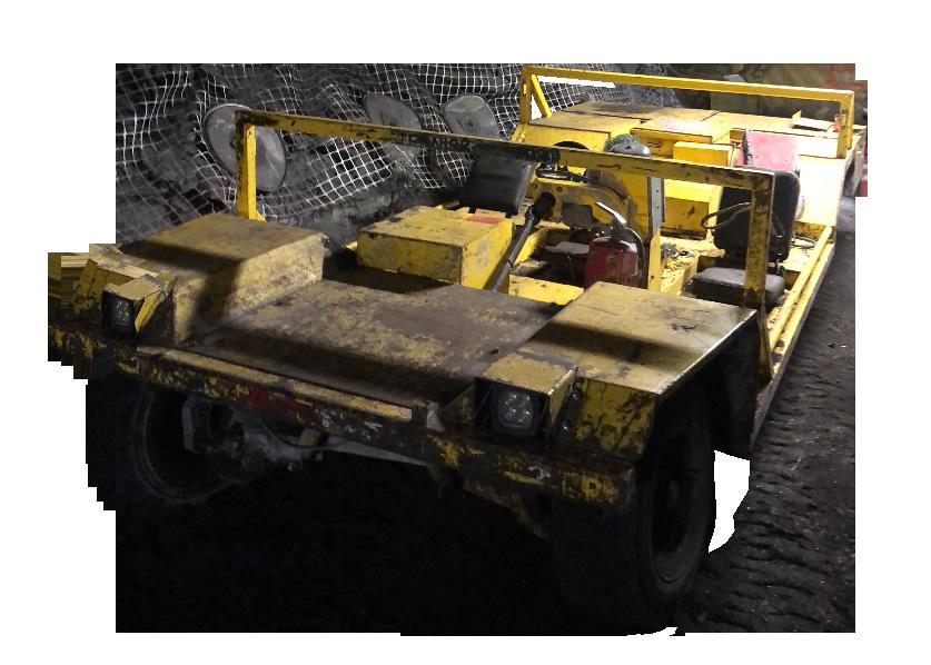
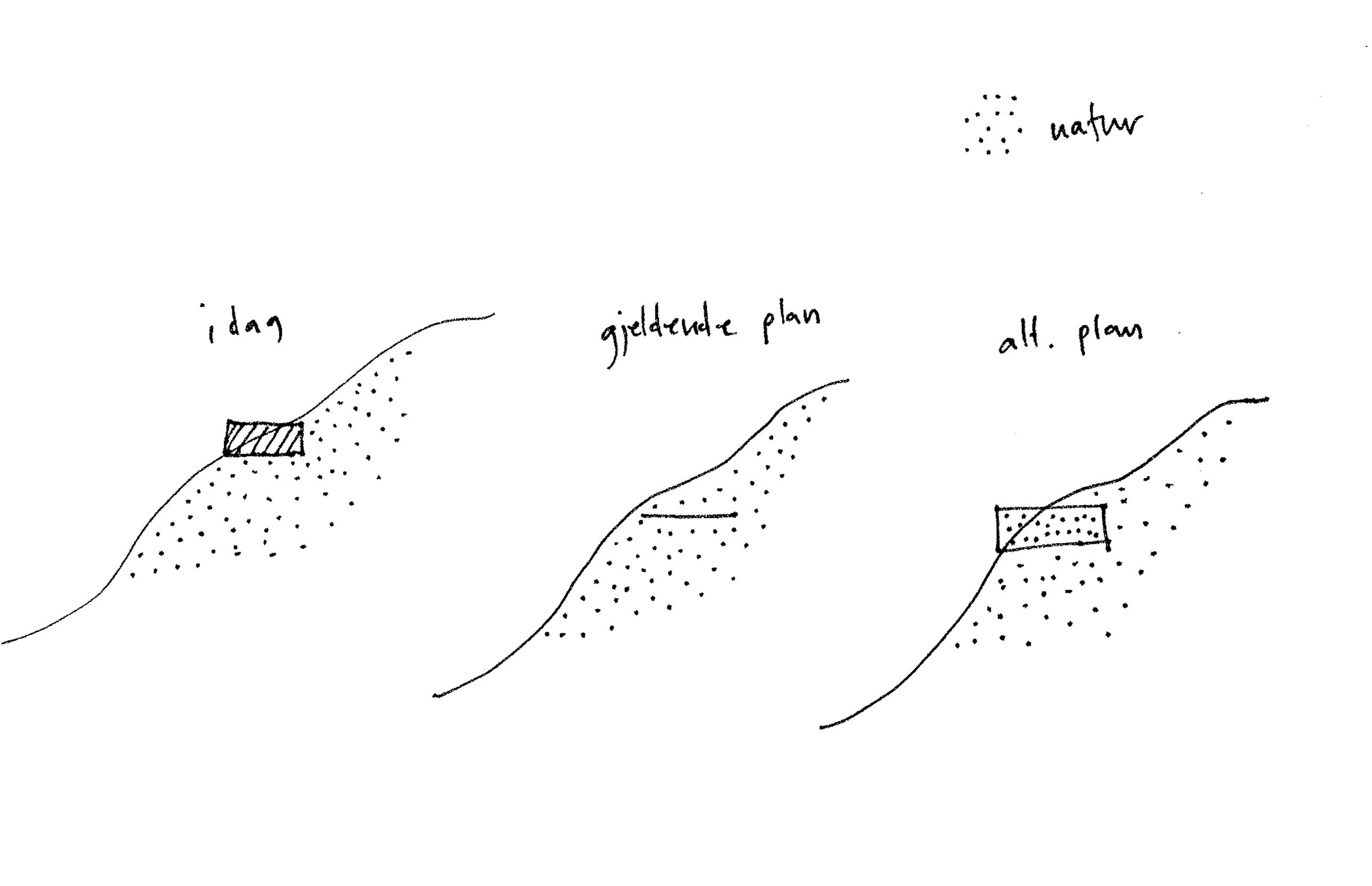
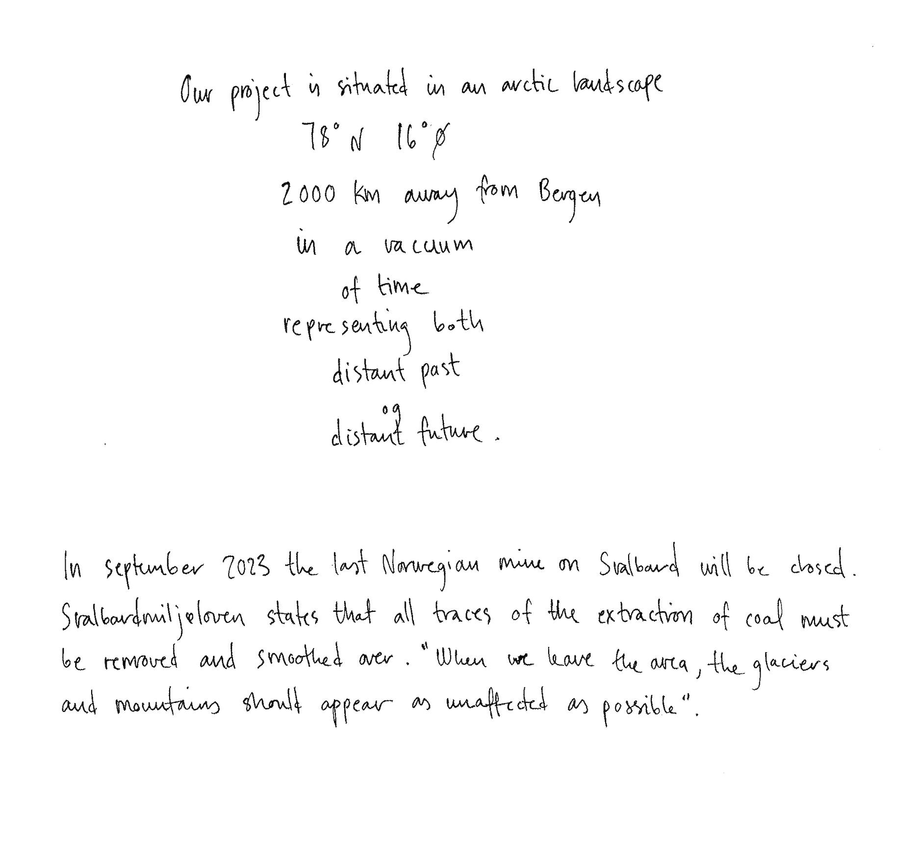
The last Norwegian mine on Svalbard, Gruve 7, is decided to close. The Svalbard Environmental Protection Act 3 states that all traces of the extraction of coal must be removed, and nature restored to its original condition. On one hand Svalbard is a fragile arctic landscape, still in the ice age. On the other hand it is functioning as a theme park, and a mean of power for Norway as a nation.If we question the legitimacy of human presence on Svalbard at all, the one overcoming purpose is science, and what we can learn from it.
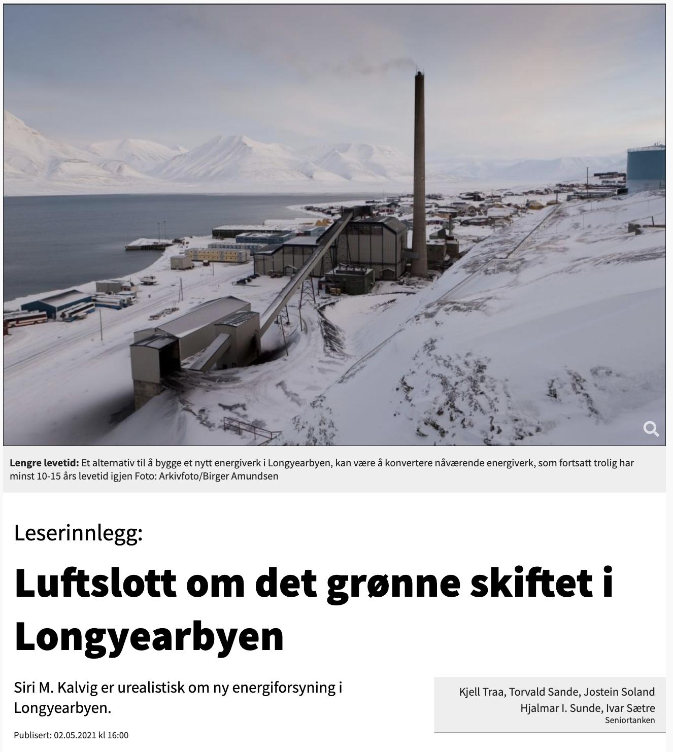
The present changes on Svalbard are urgent. Reports show temperatures increasing faster than any other place in the world. The social composition is moving from being a Norwegian coalmining society to an international multicultural society. How we interact with nature is moving from extracting coal and using it for energy, to entering an infrastructural upheaval, where one must find options for energy supplies. As of now, tourism alianate the nature on Svalbard, and the scientific findings from research on arctic climate and nature can only be read about in reports on paper.
Trough the perspective of the current situation in the world, the time and place for a collective agreement on anything is urgent. It is proven, through The International Space Center, that science conquers politics and worldwide conflicts.
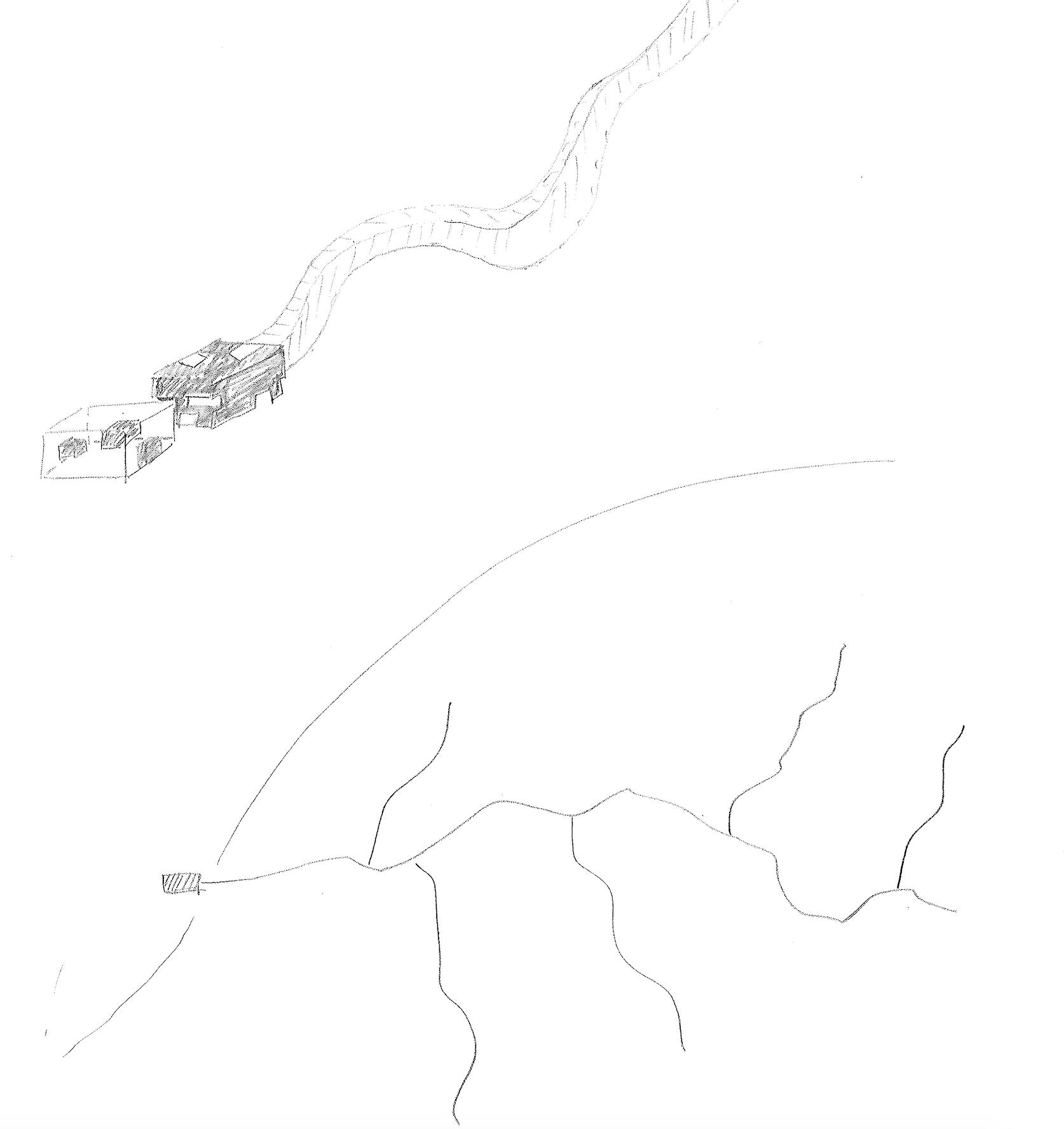
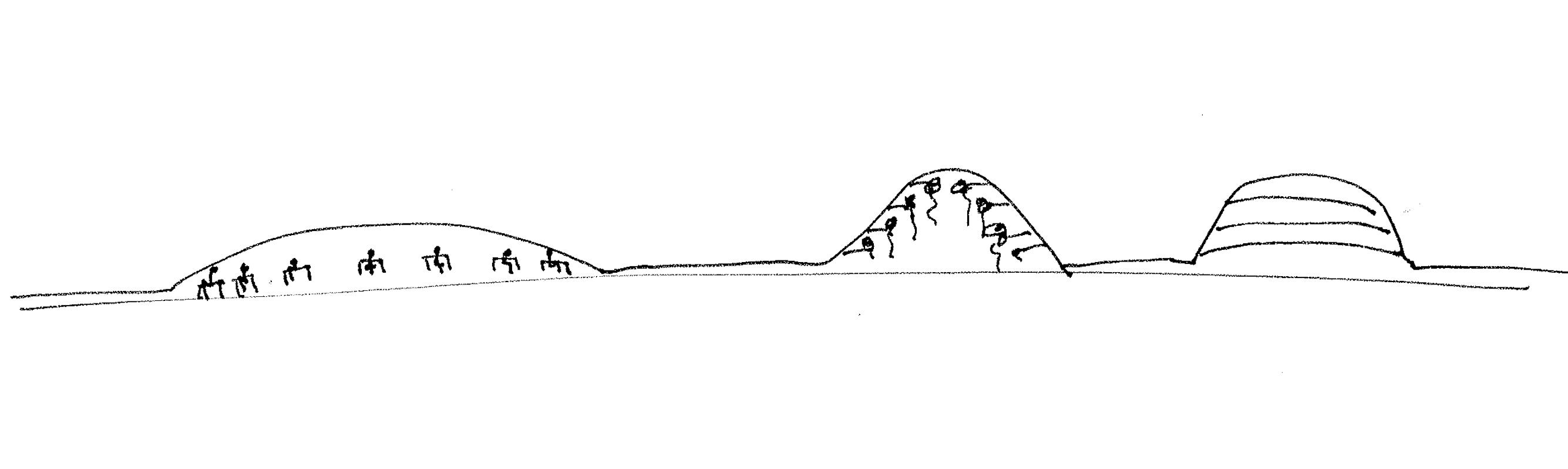
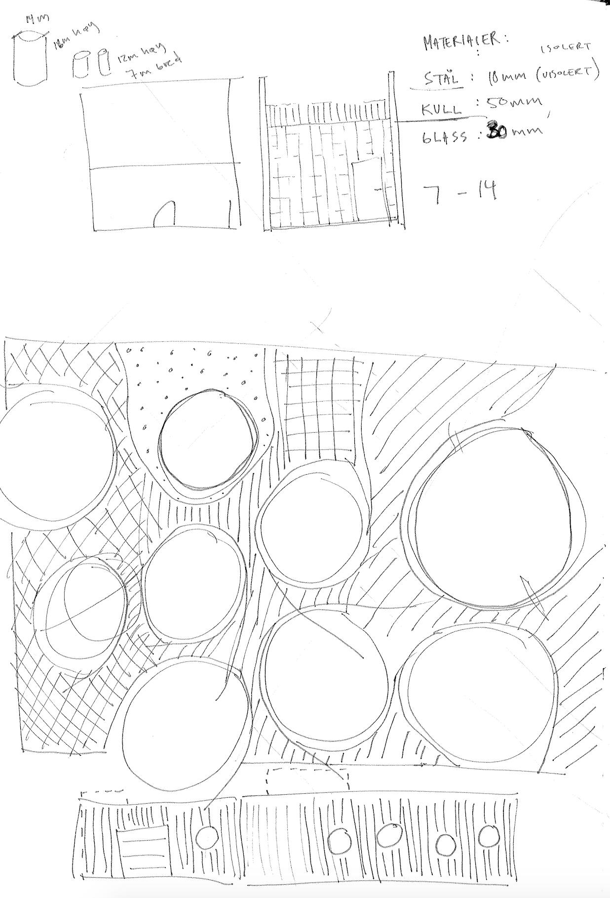
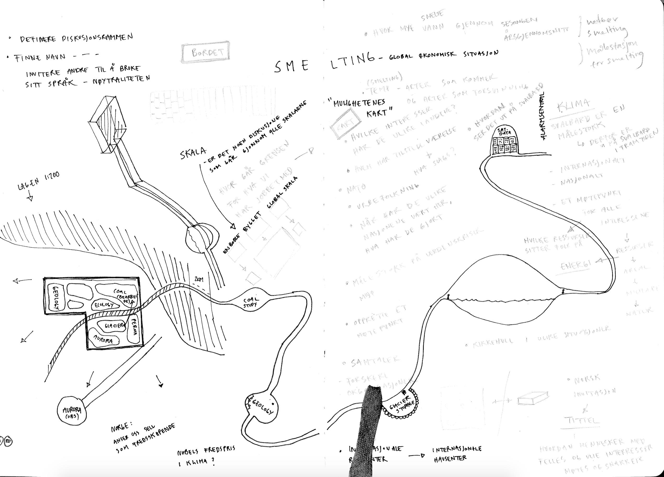
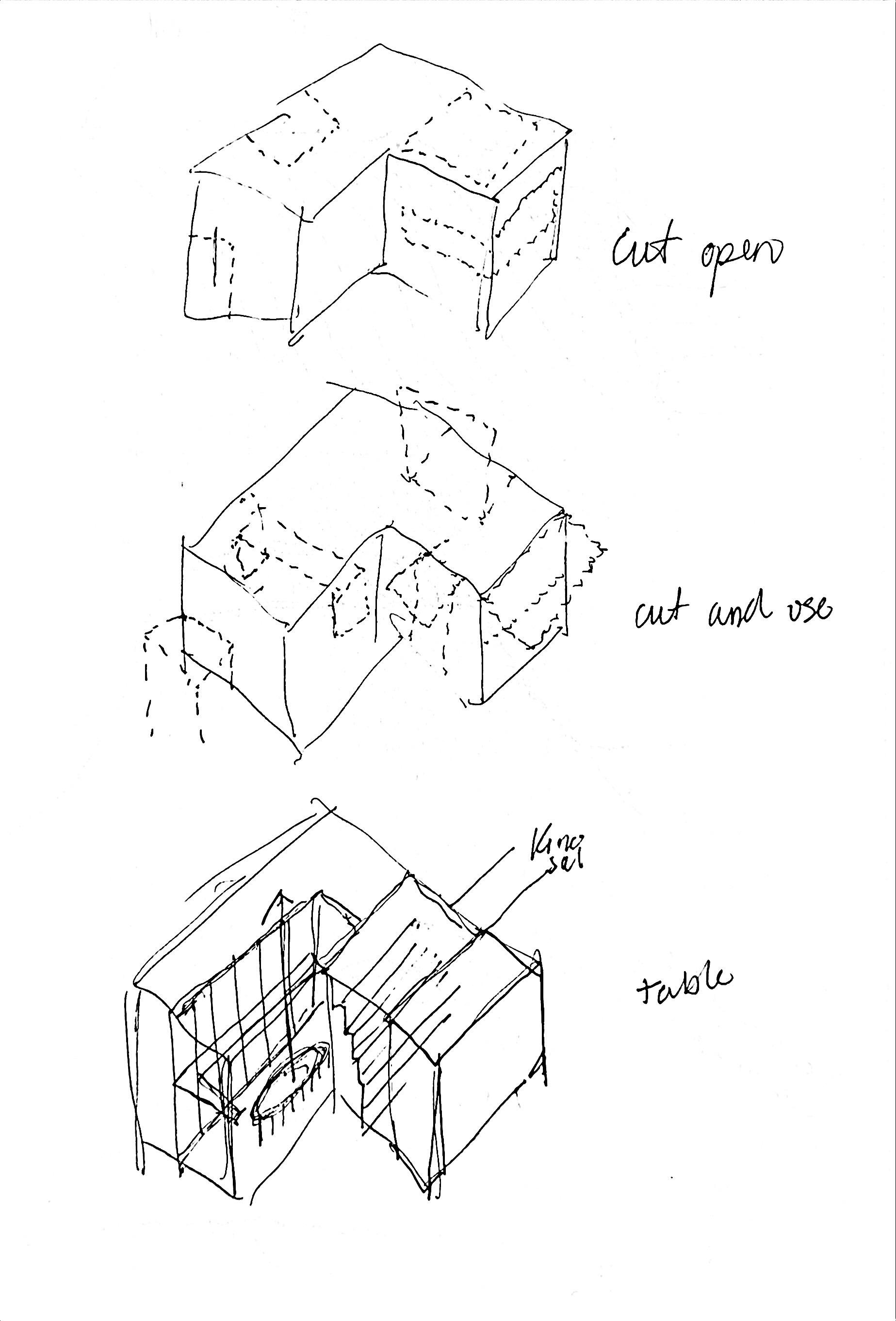
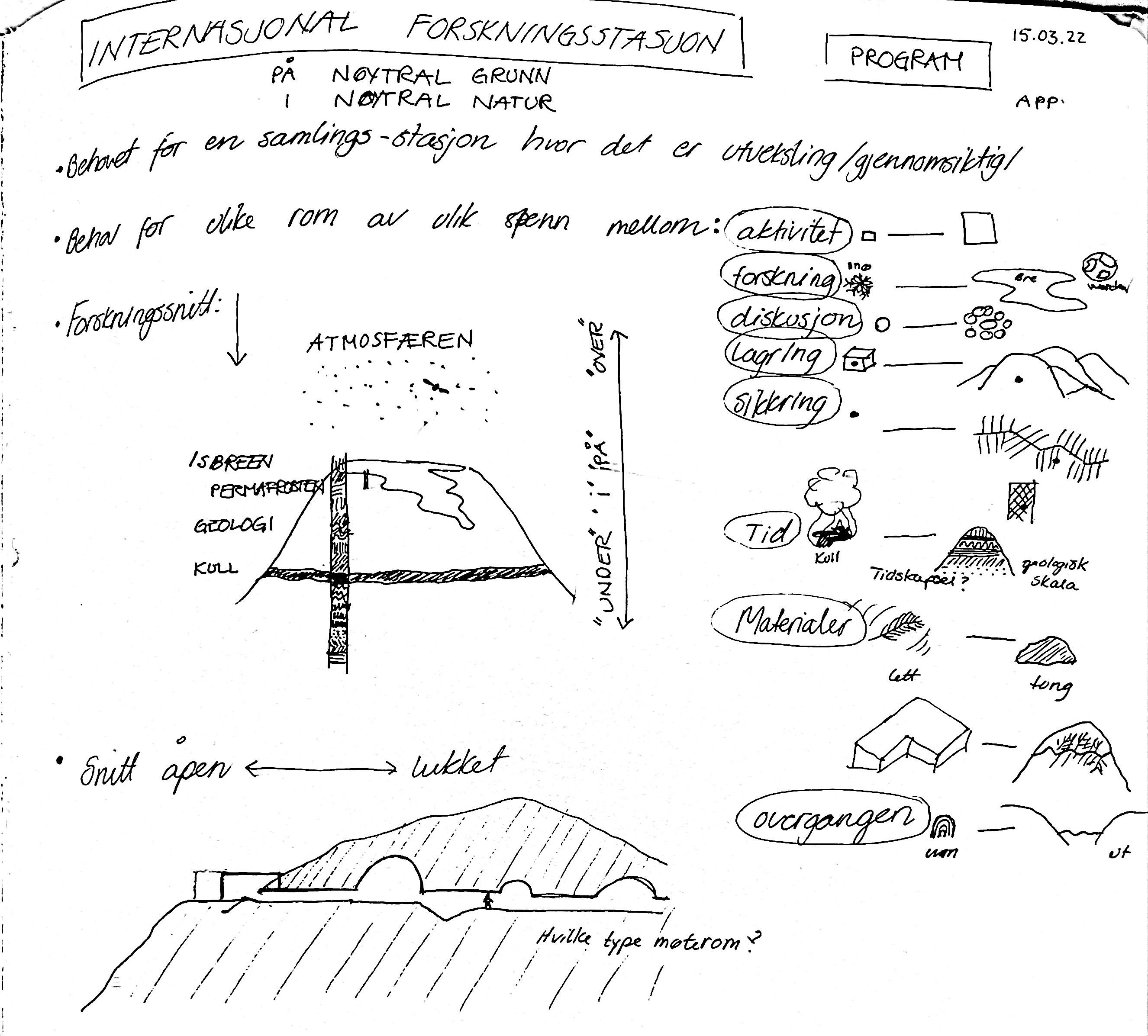
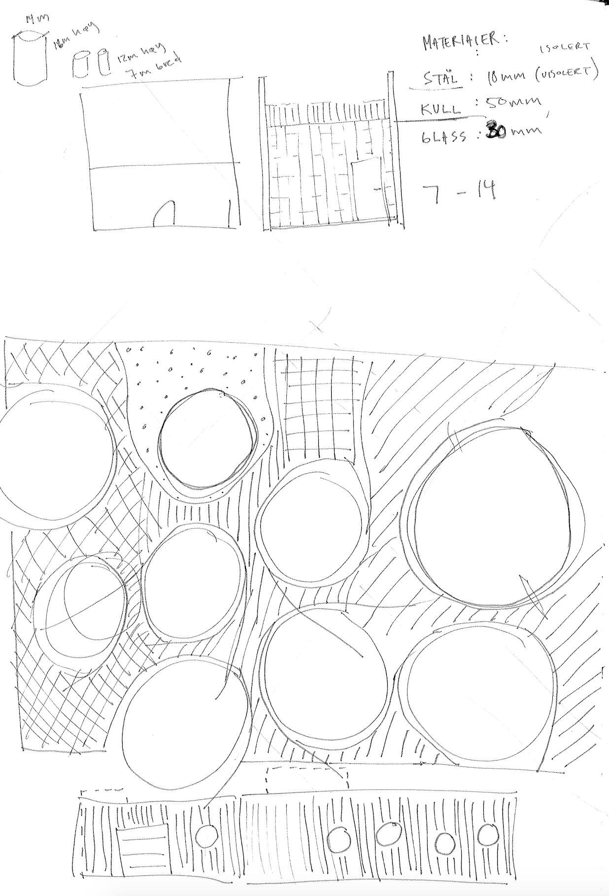
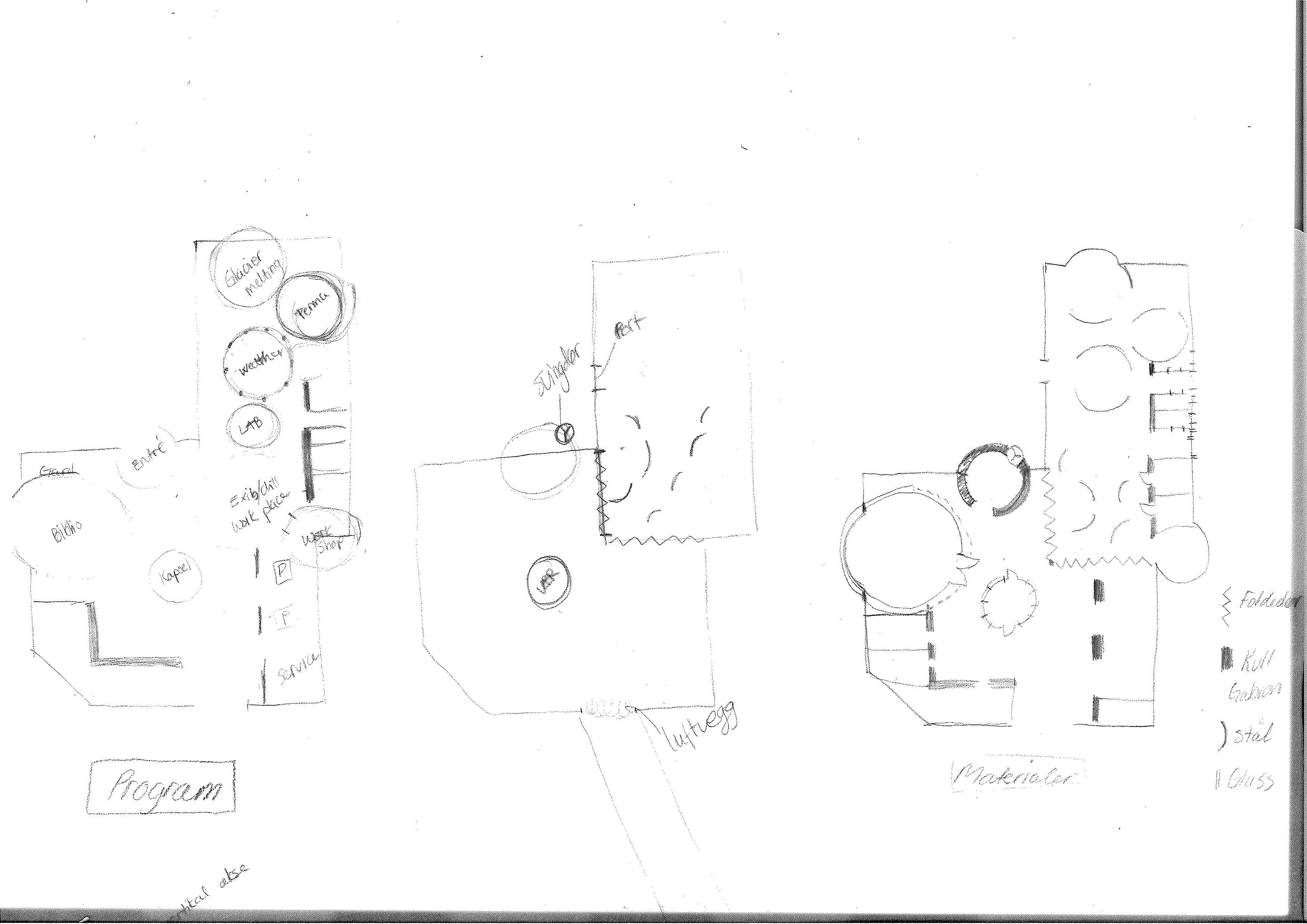
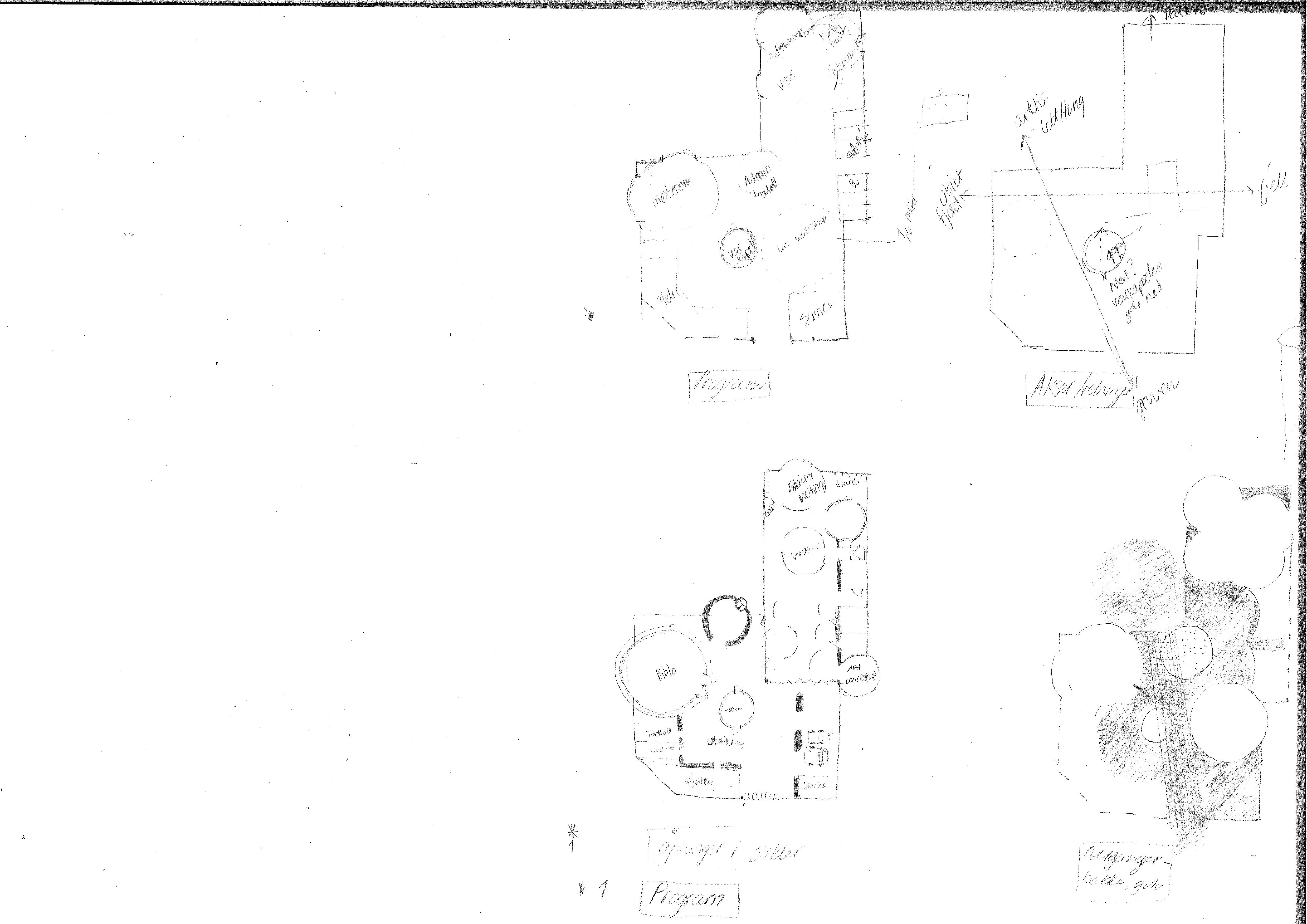
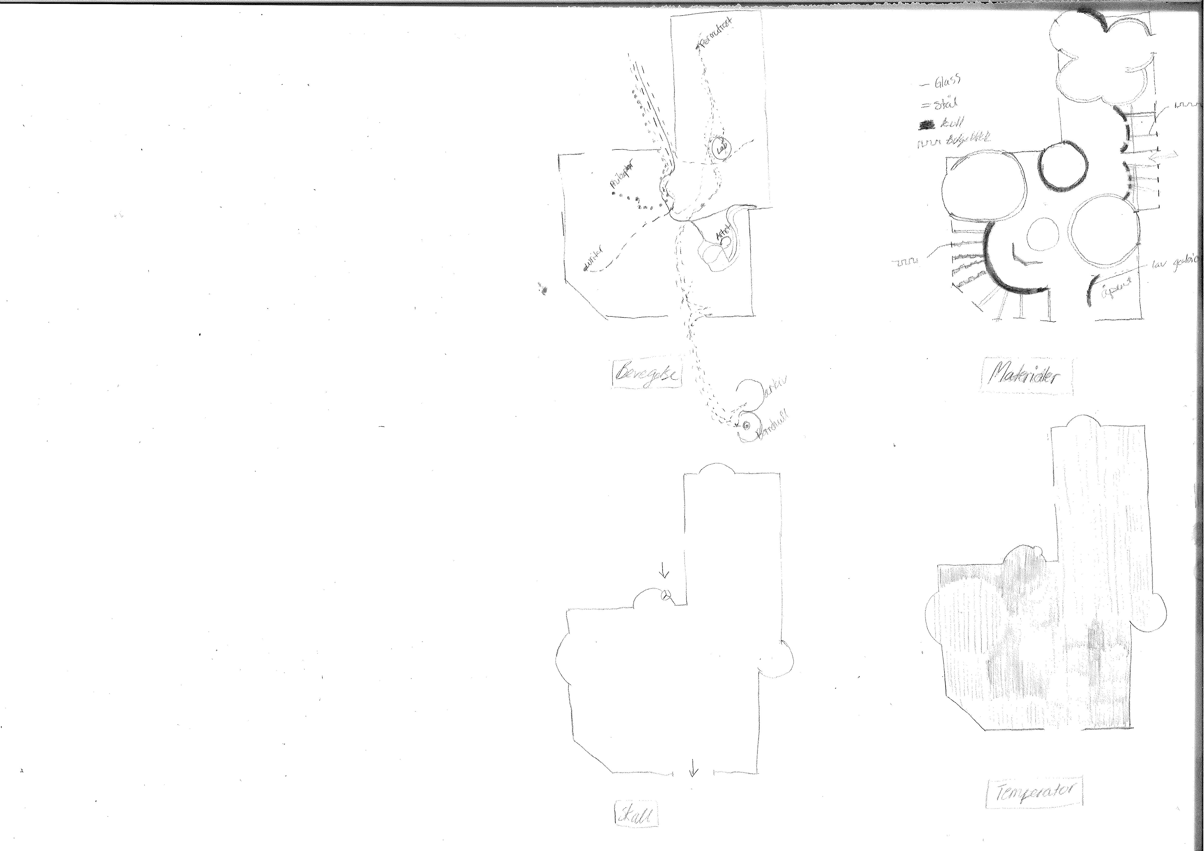
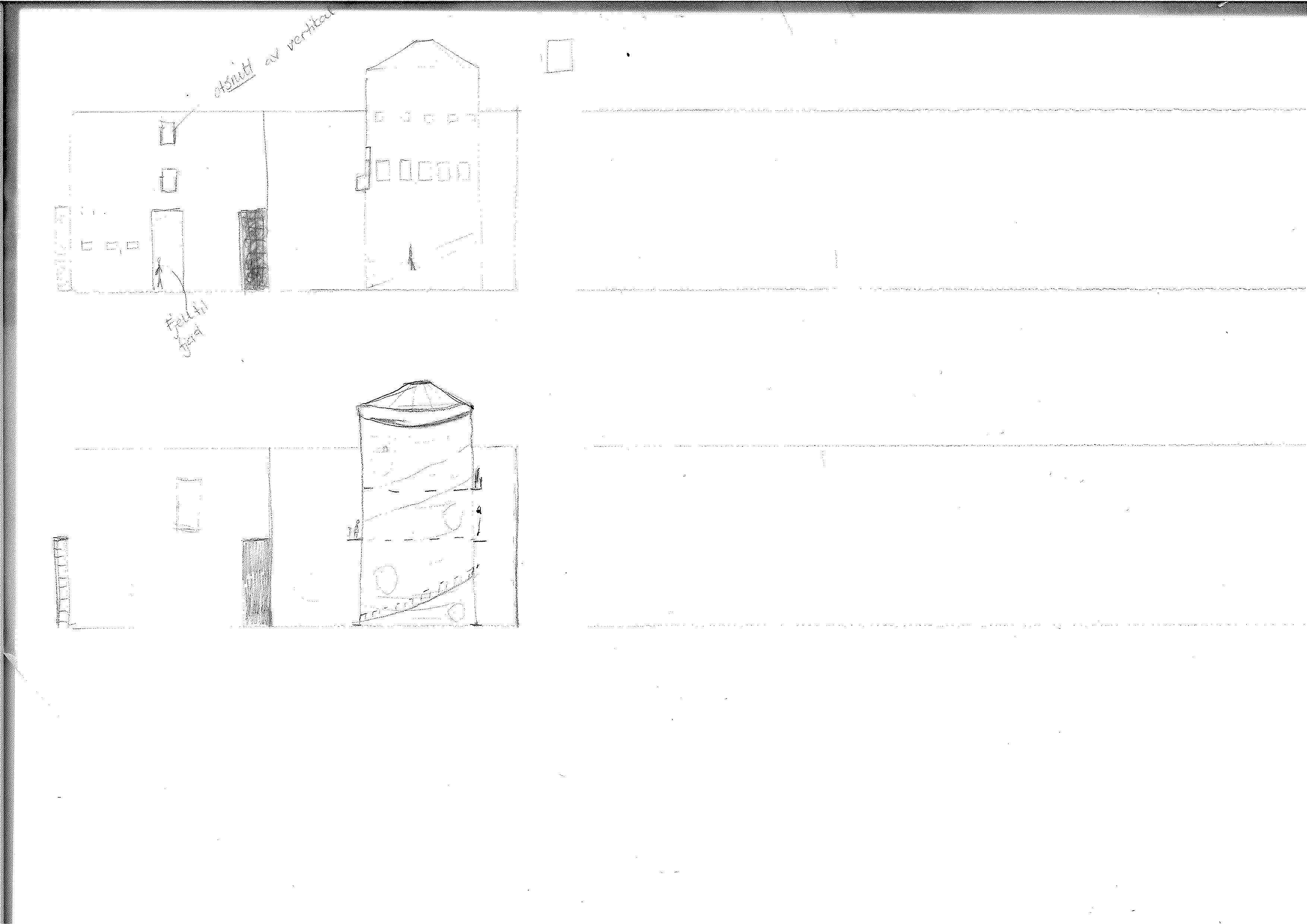
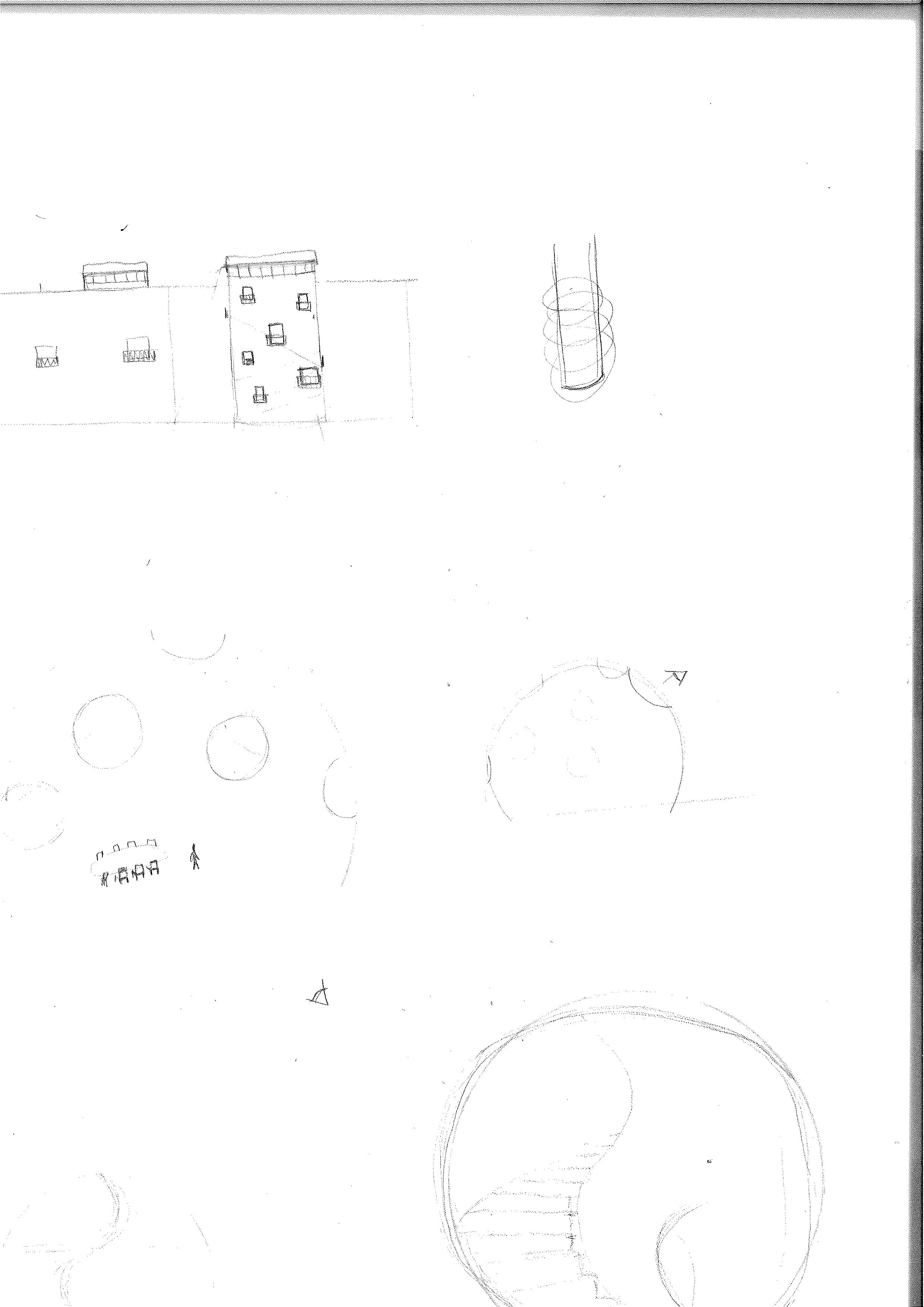
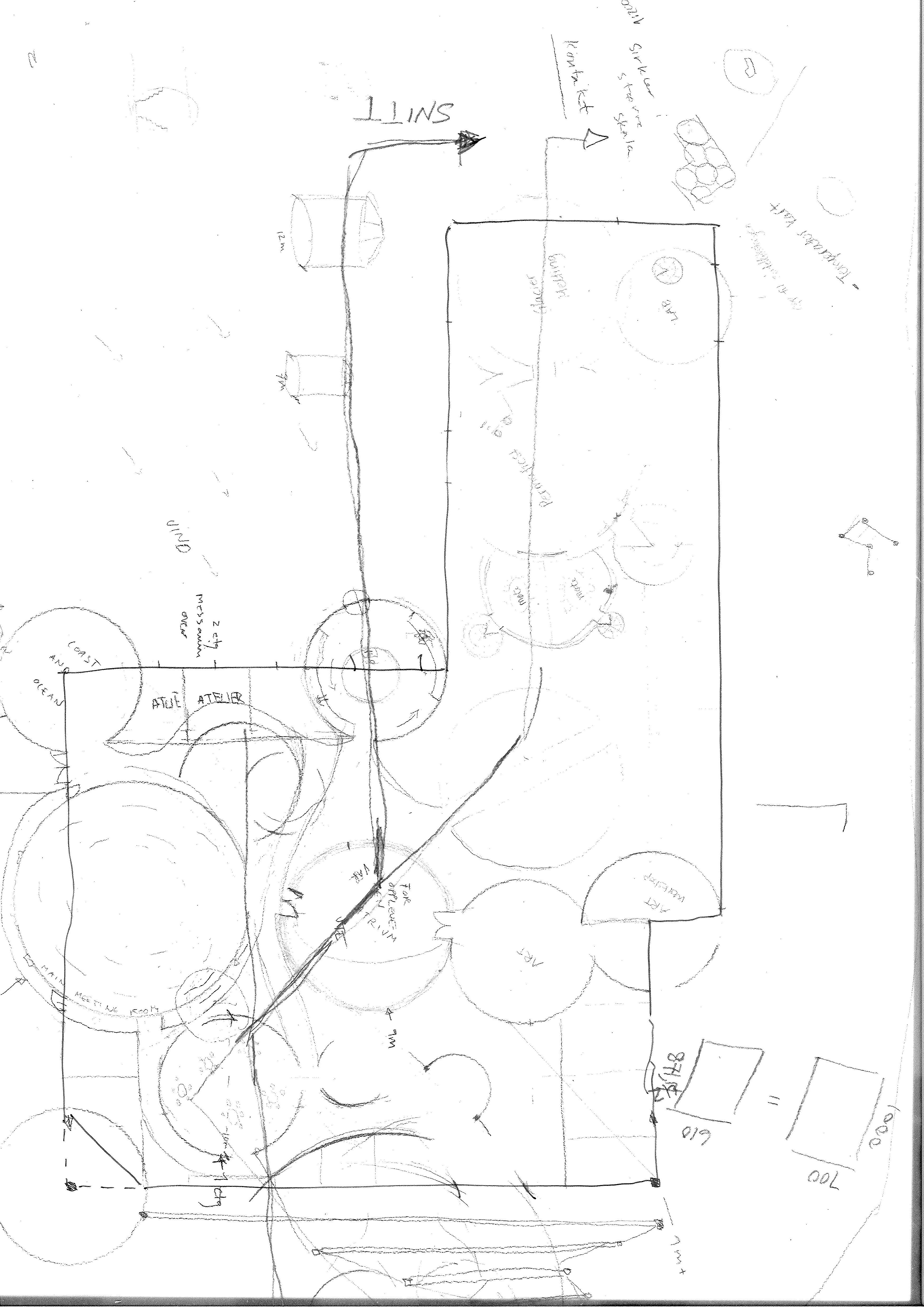
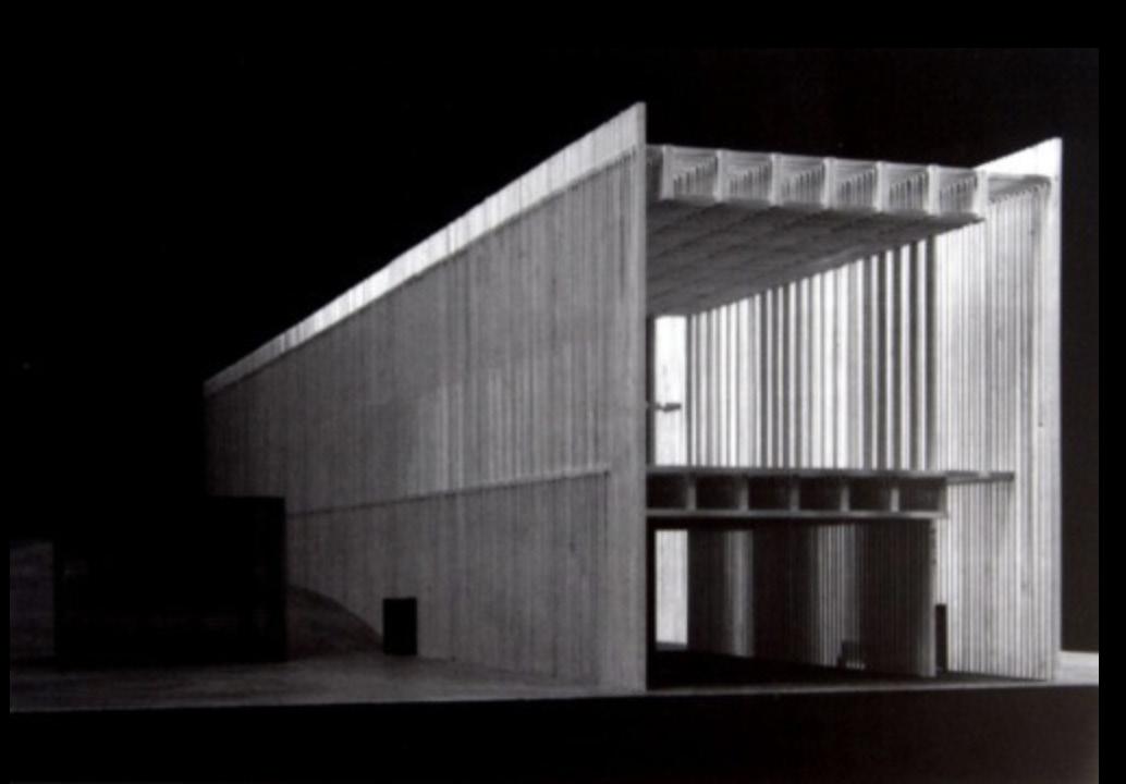
YME punctures the mountain Breinosa, 15 kilometers from Longyearbyen, on the edge between built society and the untouched arctic desert. Due to its location, both far enough from contamination of society and close enough to wilderness, the site is heavily used for research, field work and collecting data. The site is an intersection of resources. Observing upper atmosphere gives us indicators about the future, and digging deep down into the layers of mountain gives us knowledge about the past. The horizontal section of the site runs through a perishable skeleton of steel on the surface, into a tunnel going 7 kilometers into the dark abyss inside the mountain massif.
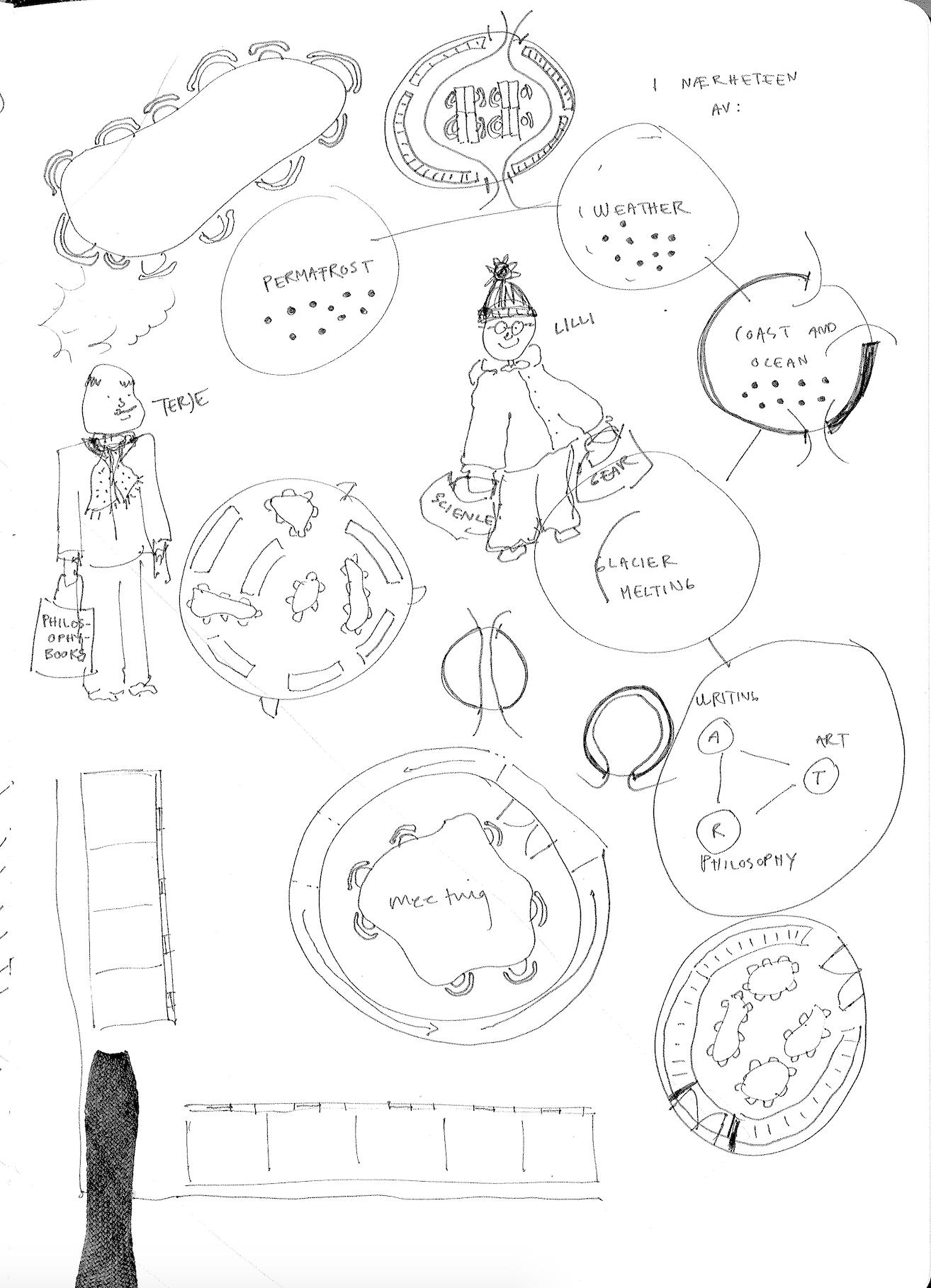
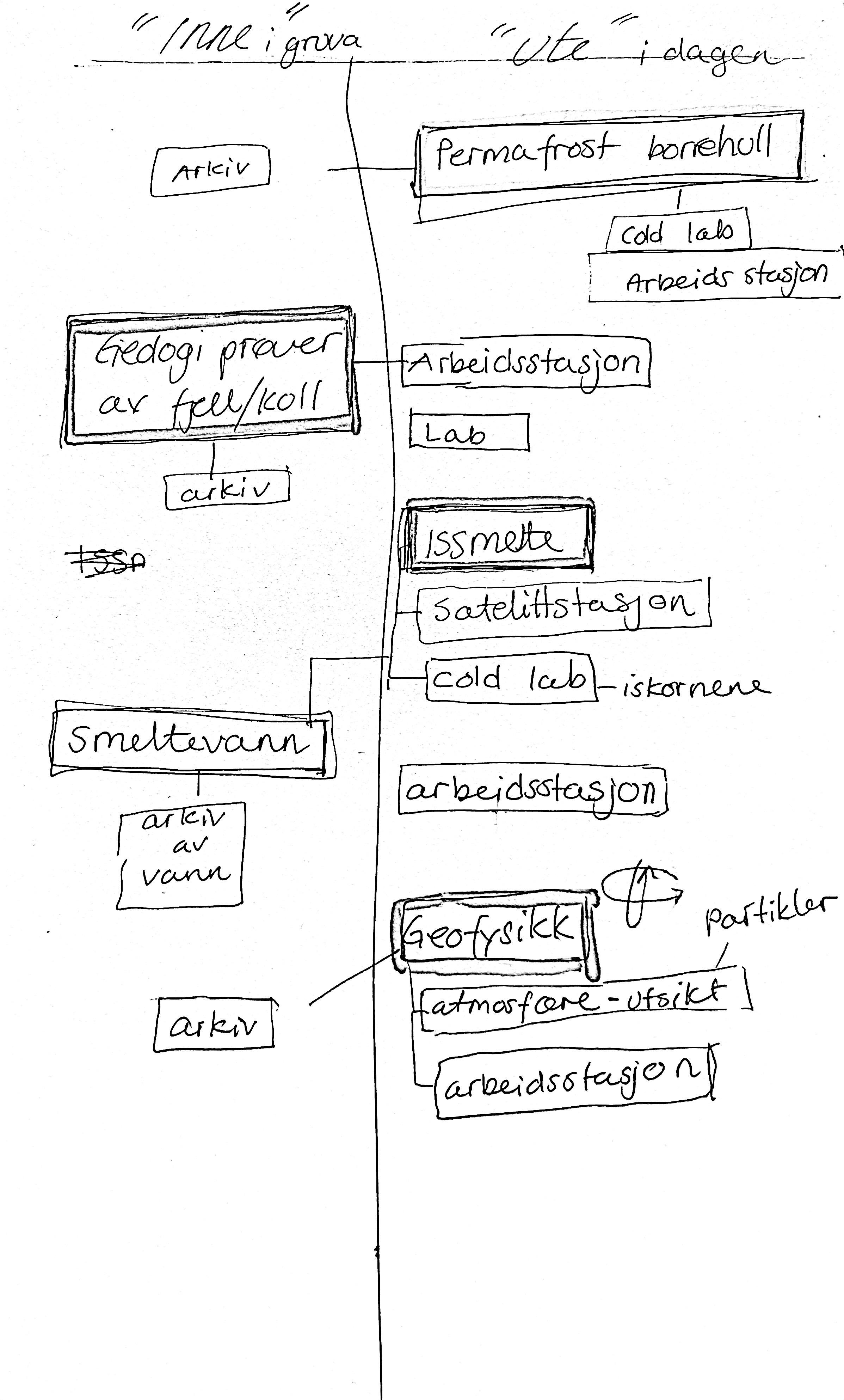
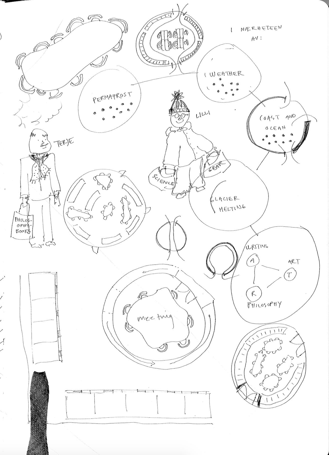
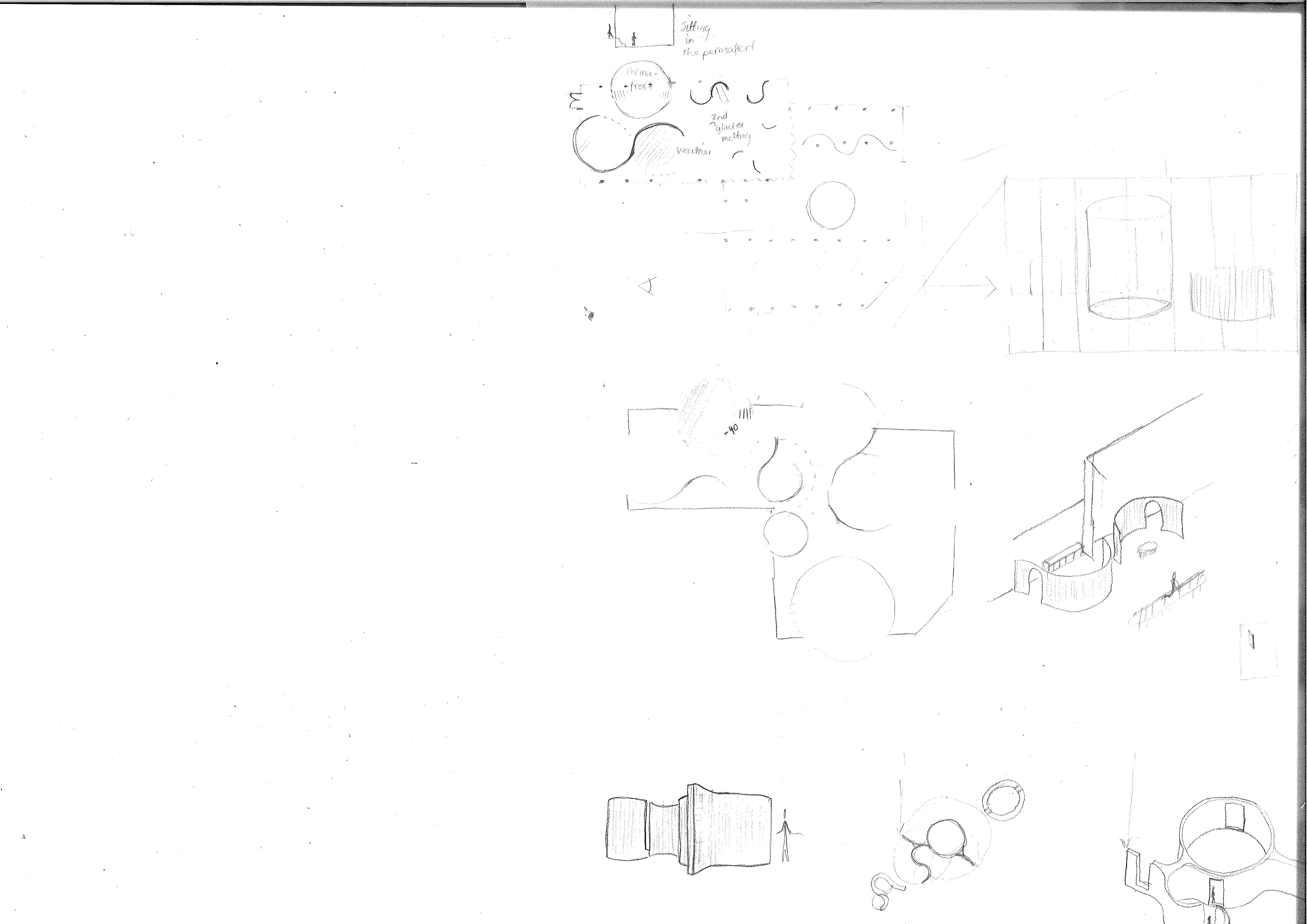
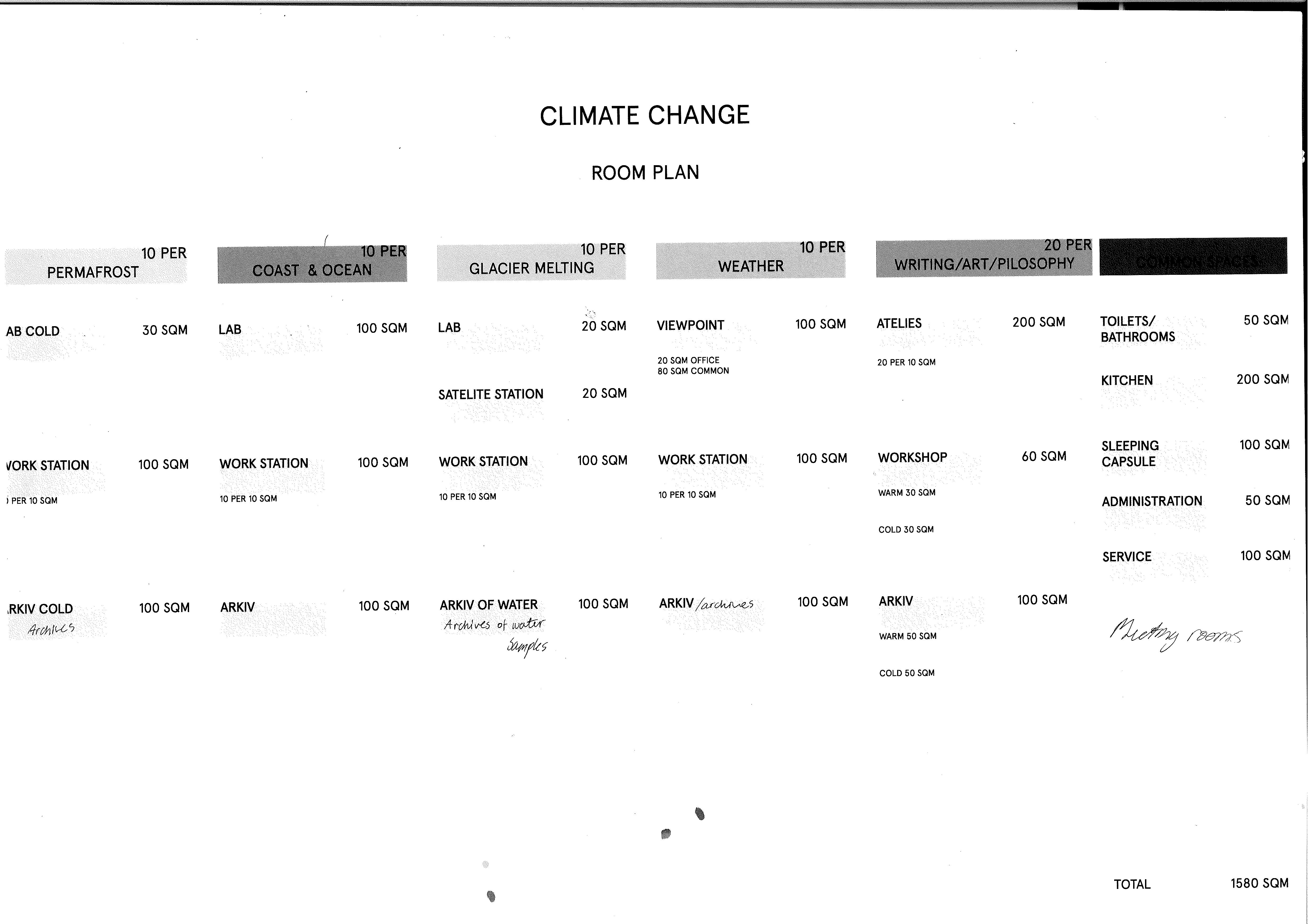
The common umbrella of YME is reserach on climate change. Under this there are five spheres,collecting fileds of science. There are individual rooms serving each sphere, and common rooms. We have excavated parts in the tunnel to shape rooms with spatial and climatic qualities serving a need for archiving findings and data. The project questions how we treat nature in the framework of existing built structures at Svalbard. The site at Mine 7 has its wound, which can provide knowledge, and be a host for diplomacy, instead of vanishing for the benefit of fabricated nature. We preserve some DNA for historical and symbolic value for the future. People without culture are like a tree without its roots.
The Arctic is heating up between two and three times as fast as the rest of the world.
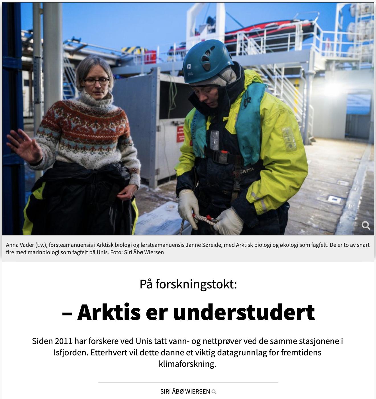
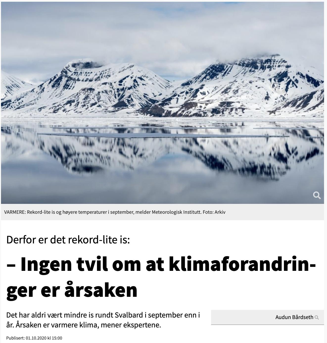
Since the early 1970s, the average temperature on Svalbard has risen between 3-5°C. This is a lot for a place where cold and ice have been the very foundation of ecosystems. It has created disturbing changes in ecosystems, both on land and at sea.

The
international research station for climate change
We have to work without disciplines to understand how climate change is operating as a system.













Hvor
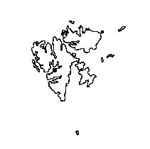
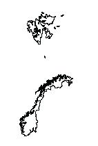
Hvor er dette, sett i sammenheng?
Gruve 7
Longyearbyen
Svalbard
Norge
Arktis
Antropocene
Jordkloden
Hvem gjøres det for?
03.02.2022 23.02.2022

Hvem
Hvem gjøres det for?
Naturen (i det lange løp)
Hva
Hva er det som gjøres?
Arktisk Natur Hvorfor
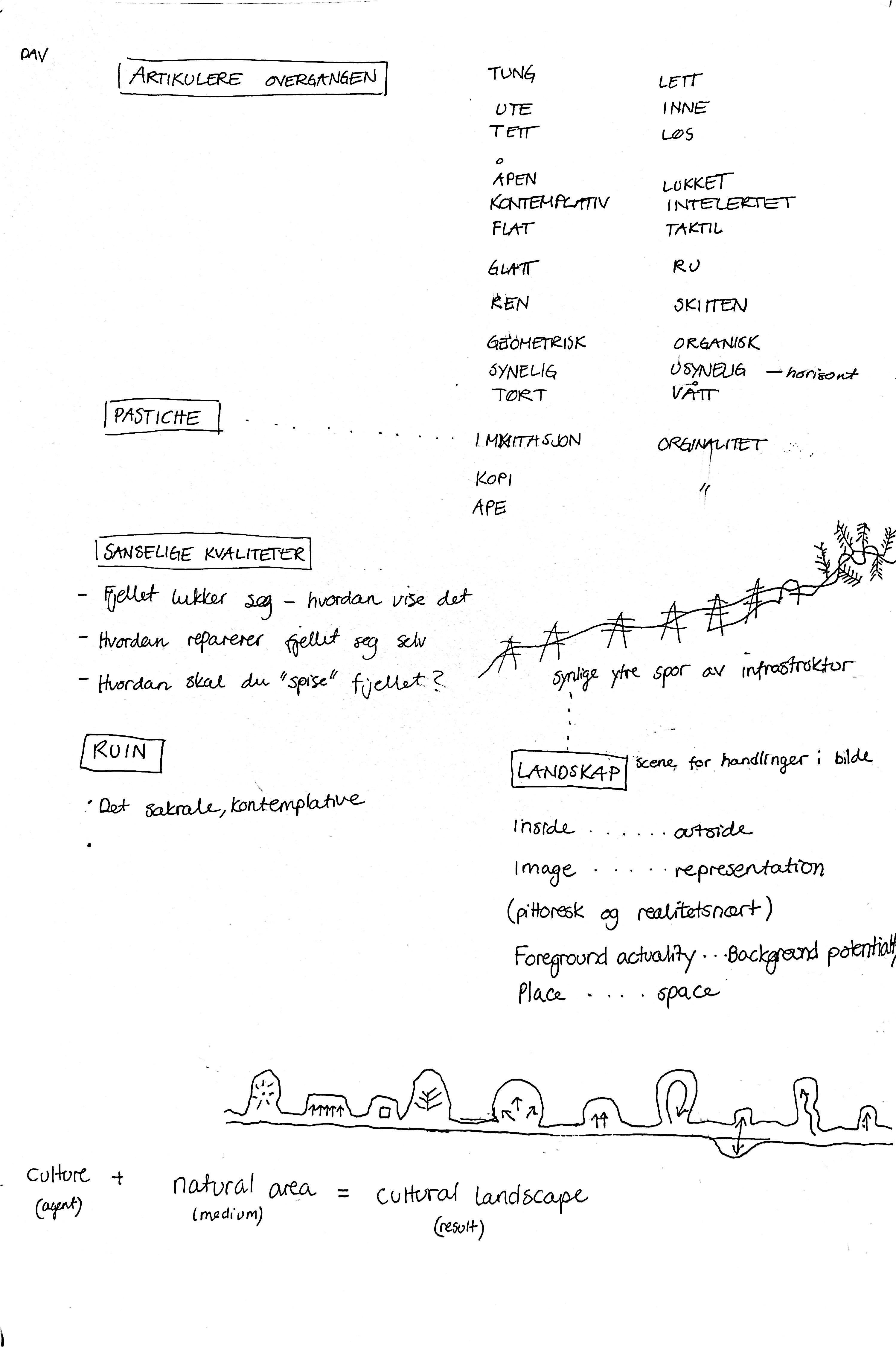
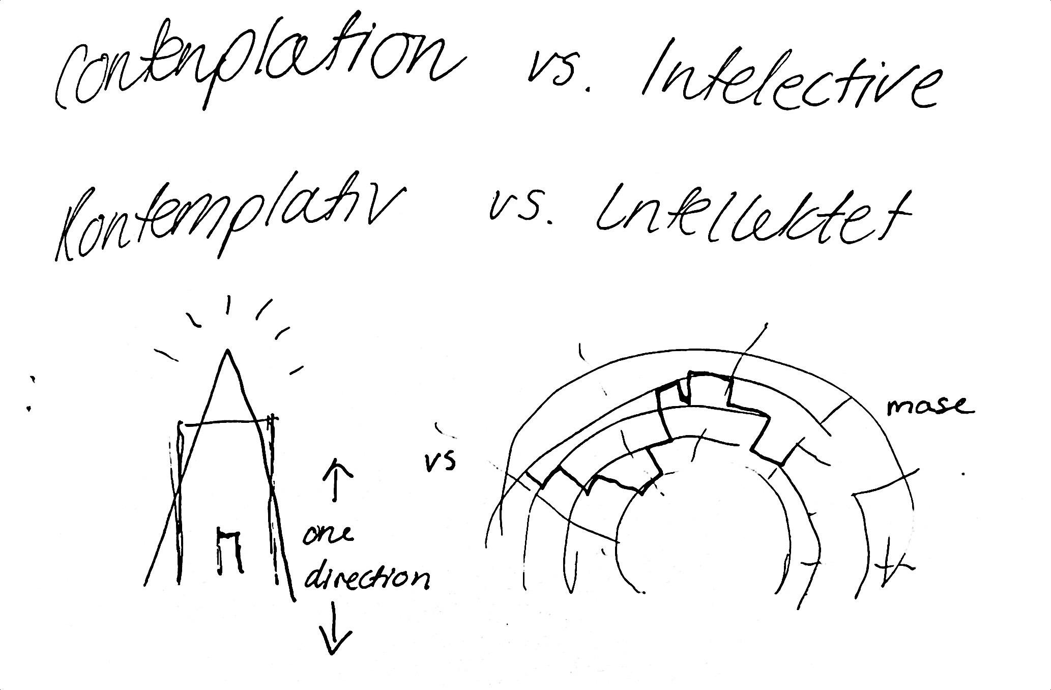
En nærhet til naturen i alle retninger kontemplativ vs intellektet retninger (en retning mot en labyrint) indre og ytre landskap sakrale tilnærming i aurora
Kontemplativt rom undrende, innadvendt, grublende og fordypet i tanker
Tilnærming til kirke<-- -->ruin som en kunnskapsressurs
Hvordan gjøre det?
Omprogrammere eksisterende strukturer som i dag er veldig spesifikt laget til sitt formål og program
Bevare strukturen og gi regler og premisser for hvordan det jobbes med omprogrammere strukturen og området til noe som tjener naturen i det lange løp
Strukturens spesifikke nytteverdi for gruvene skal omdefineres til et fleksibelt sted med form og romkvaliteter satt i en ny sammenheng
Mulighetsstudier med senarioer for naturen, med naturen og uten naturen
Naturen (i det lange løp)
Arktisk Natur
Hvor
Hva er det som gjøres?
En nærhet til naturen i alle retninger kontemplativ vs intellektet
retninger (en retning mot en labyrint) indre og ytre landskap sakrale tilnærming i aurora
Hvor er vi, sett i sammenheng?
Gruve 7
Longyearbyen
Svalbard

Hvem
Hvem gjør vi det for?
Natur-lab (Sensory Lab)
1. Tilbakeføring og bygging av arktisk natur geologi og arter (pantodonten)
2. Laboratorium: Kunnskap om arktisk natur Naturen som tilpasser seg: eks.hundegård med ærfugl reservat
3. Gruveindustriens historie Kunnskap Teknikker Geologien (ikke museum)
Hvordan gjøre det?
Omprogrammere eksisterende strukturer som i dag er veldig spesifikt laget til sitt formål og program
Bevare strukturen og gi regler og premisser for hvordan det jobbes med
Hvorfor gjøre det?
Teste møtet mellom natur og industri i det kontemplative. Gi rammene for noe som ikke er relevant lenger ny verdi for svalbard og longyearbyen uavhengig hva som skjer i framtiden. Styrke menneskers nærhet til, og kunnskap om, arktisk natur.
Norge
Arktis
Antropocene
Jordkloden
Kontemplativt rom undrende, innadvendt, grublende og fordypet i tanker
Naturen
Arktisk Natur
Tilnærming til kirke<-- -->ruin som en kunnskapsressurs
Natur-lab (Sensory Lab)
1. Tilbakeføring og bygging av arktisk natur geologi og arter (pantodonten)
2. Laboratorium: Kunnskap om arktisk natur Naturen som tilpasser seg: eks.hundegård med ærfugl reservat
3. Gruveindustriens historie Kunnskap Teknikker Geologien (ikke museum)
omprogrammere strukturen og området til noe som tjener naturen i det lange løp
Hva
Lage en arena for å lære og snakke om, problemer i den vestlige verden.
Hva er det vi gjør?
Strukturens spesifikke nytteverdi for gruvene skal omdefineres til et fleksibelt sted med form og romkvaliteter satt i en ny sammenheng
Mulighetsstudier med senarioer for naturen, med naturen og uten naturen
Dekke et behov gjennom eksisterende strukturer, for å unngå å tilfrakte nye forgjengelig materialer fra fastland til arktis.
Gjøre et eksempel av gjenbruk, oppsirkulering, sirkulær byggepraksis.
En nærhet til naturen i alle retninger
360 utsikt - opp og ned Nordlysobservatorium indre og ytre landskap
Kontemplativt rom undrende, innadvendt, grublende og fordypet i tanker
Tilnærming til kirke<-- -->ruin som en kunnskaps ressurs
Inkludering av alle kultur
Natur-lab
1. Tilbakeføring og bygging av arktisk natur
2. Laboratorium: kunnskap om arktisk natur inkludert kull og gruvehistorie
Pantodonten
Naturen som tilpasser seg: eks.hundegård med ærfugl reservat
3. Gruveindustriens historie (ikke museum)
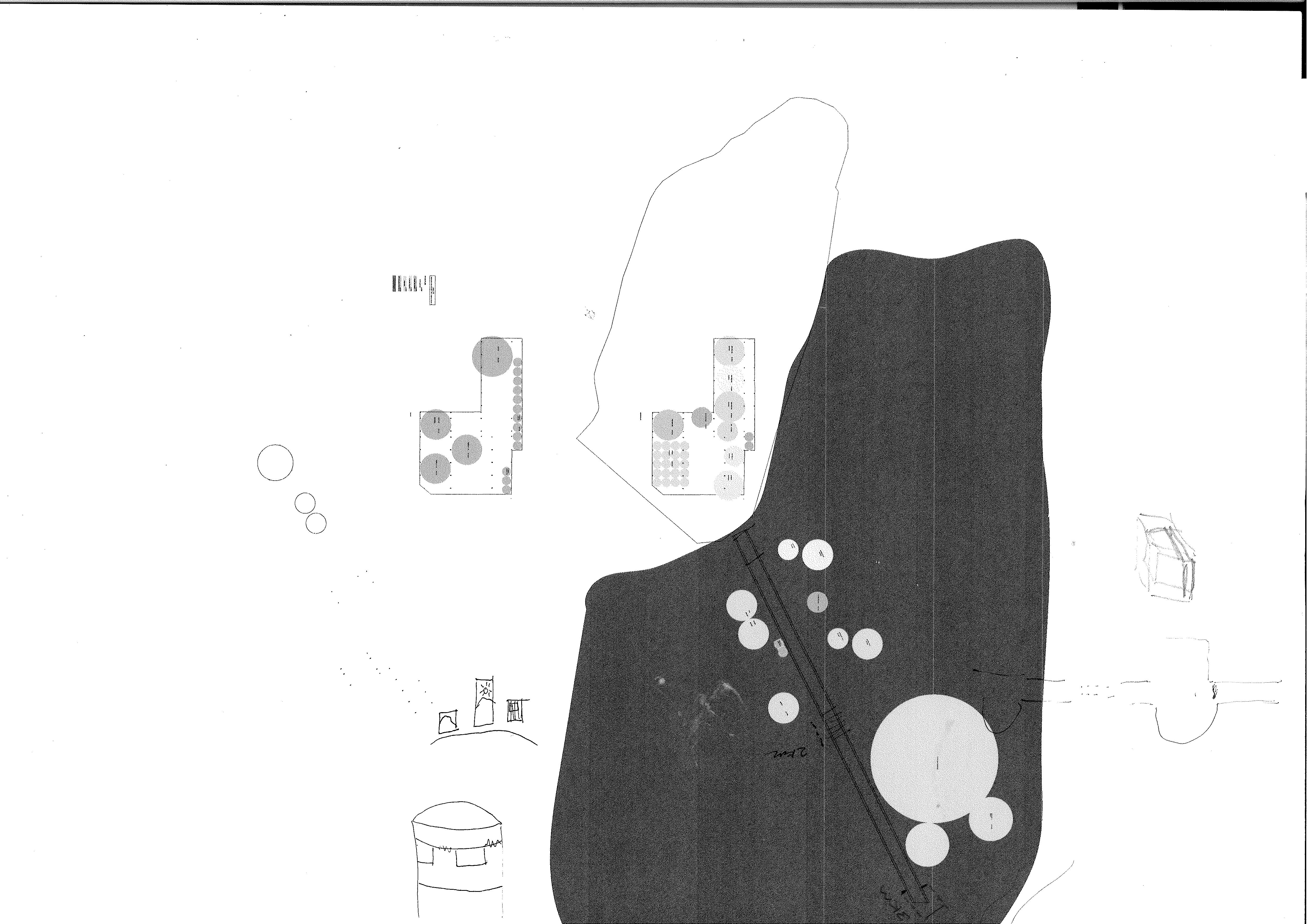


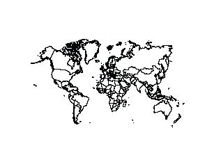
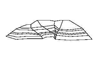
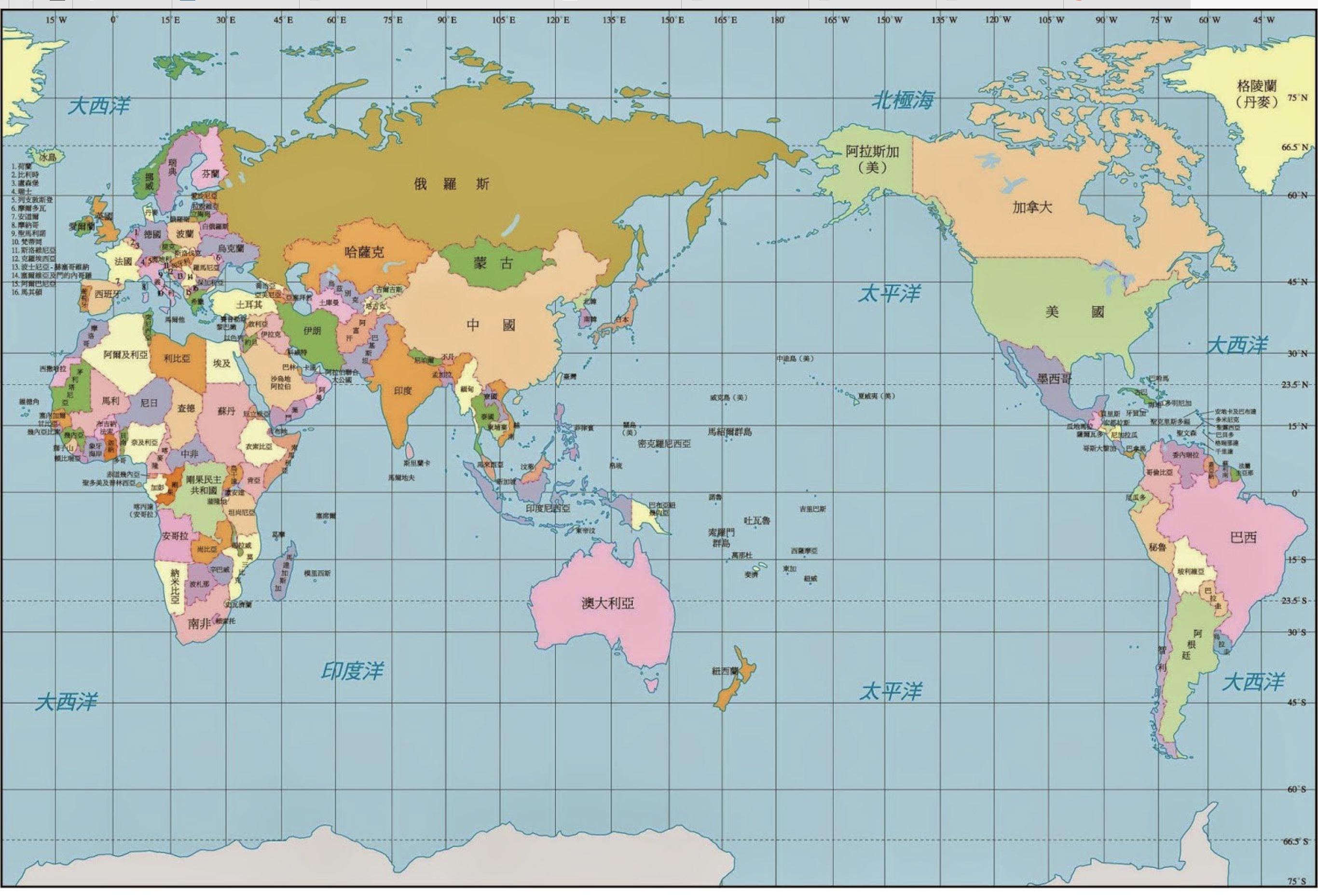
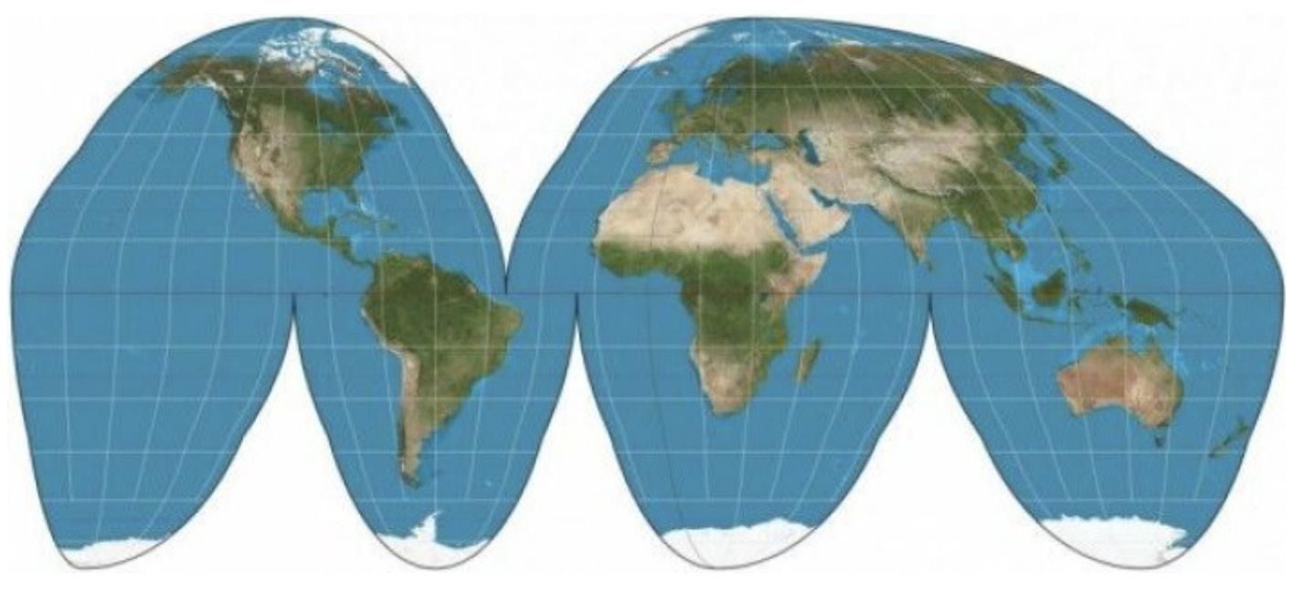
Geopolitical aspect of projection and sclae of world maps
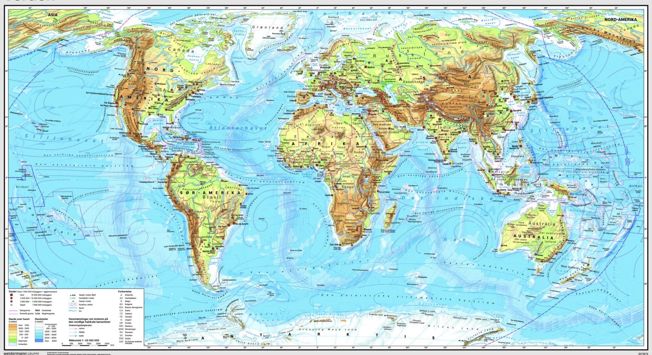
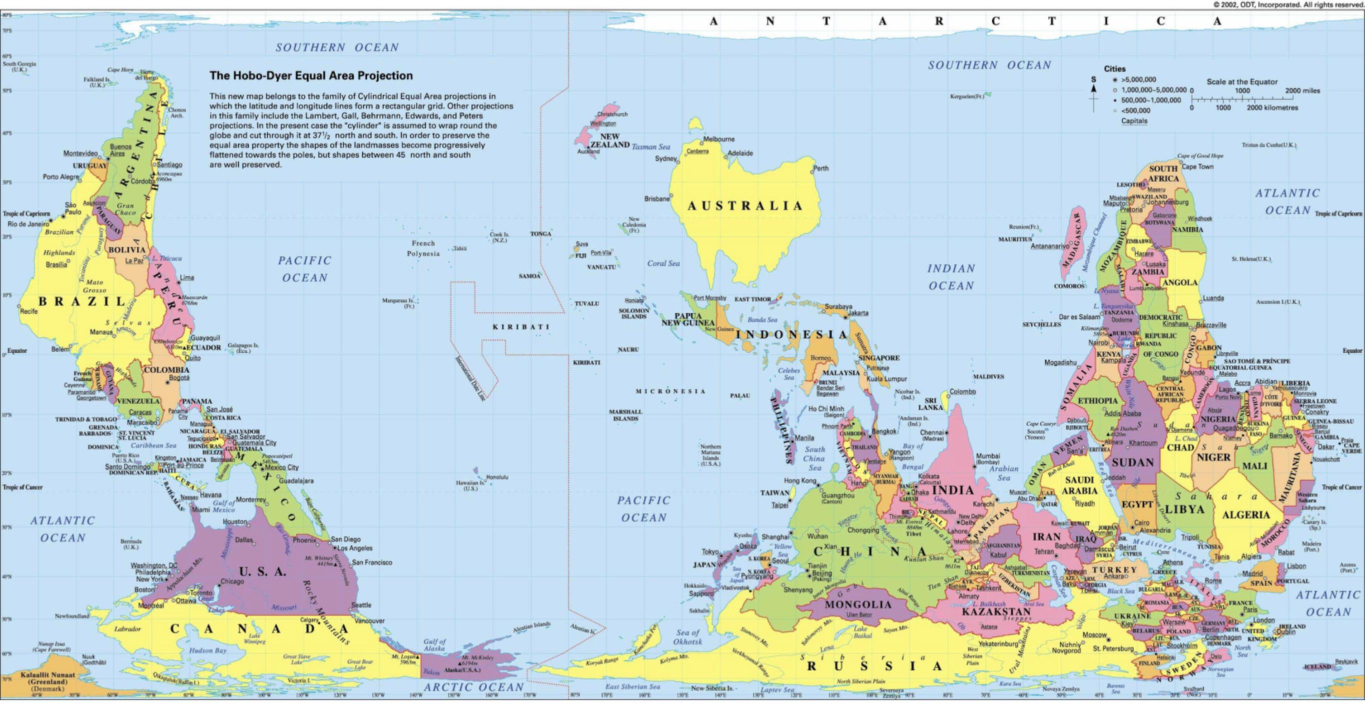
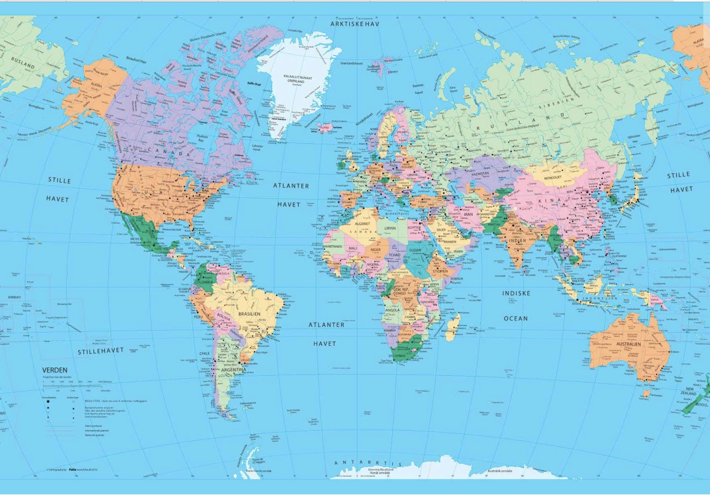
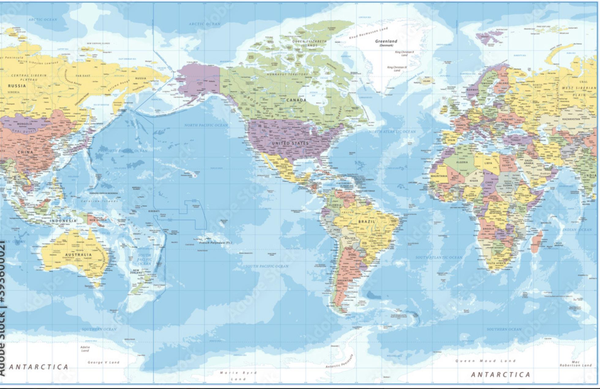
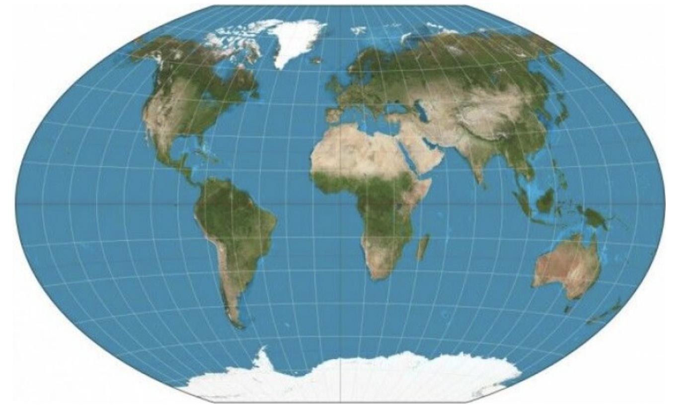
Winkel triple projection
Winkel-triple projection is from 1922 and one of the most used. It does not recreate the area or shape precisely, but isa compromise. When
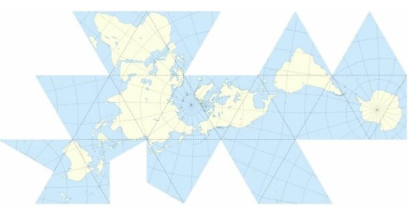
Dymaxion projection
Projects the globe onto an icosahedron. The idea is to fold the three-dimensional icosahedron into a two-dimensional map.
Goode Homolosine projection
Is from 1923 and also known as the orange peel map. The size ratios are correctly recreated, while the angles are slightly distortedwhen movingnorth and south. It has been used to divide the world into religions.
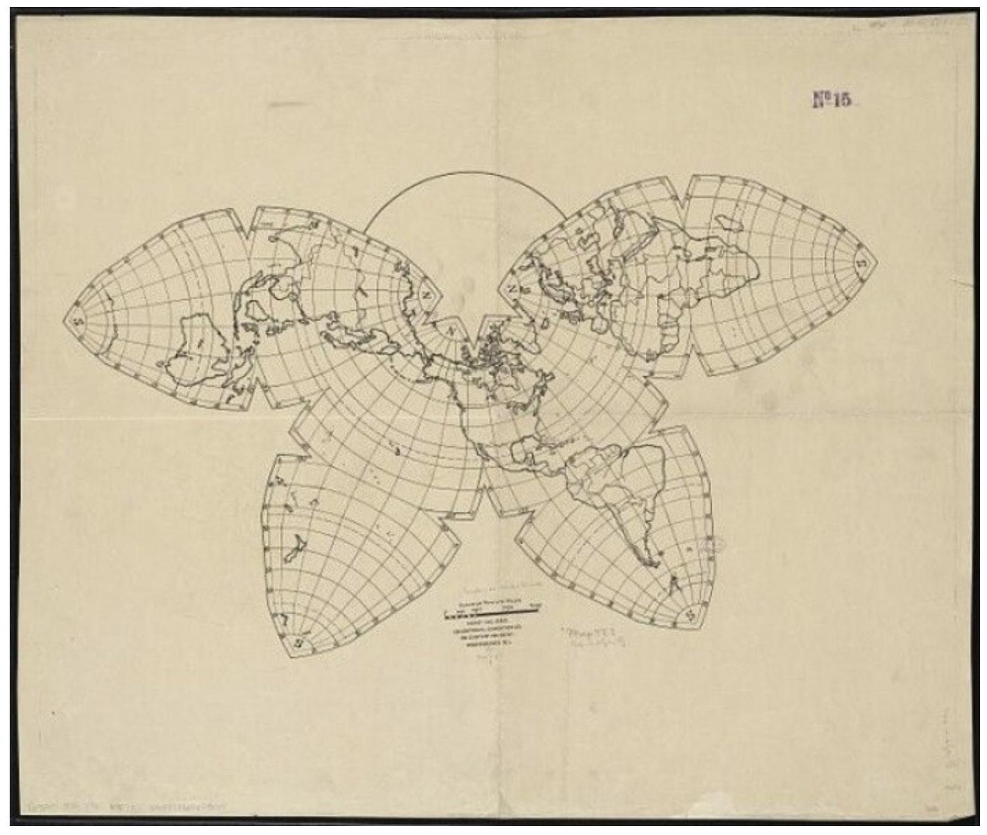
The bufferfly projection
The map is projected onto a three-dimensional multifacedted figure that is self-developed by the architect and cartograph Bernard Joseph Cahill.
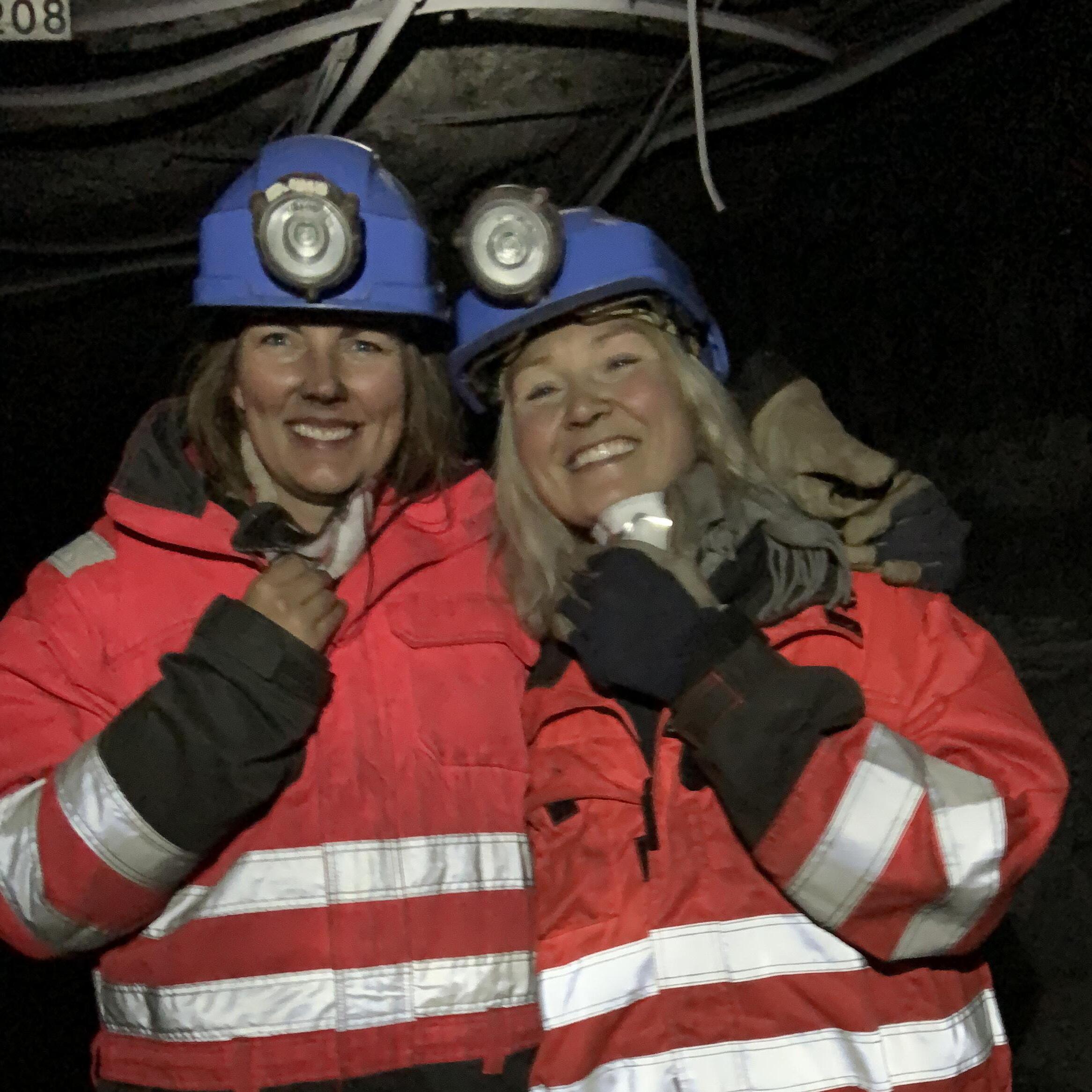
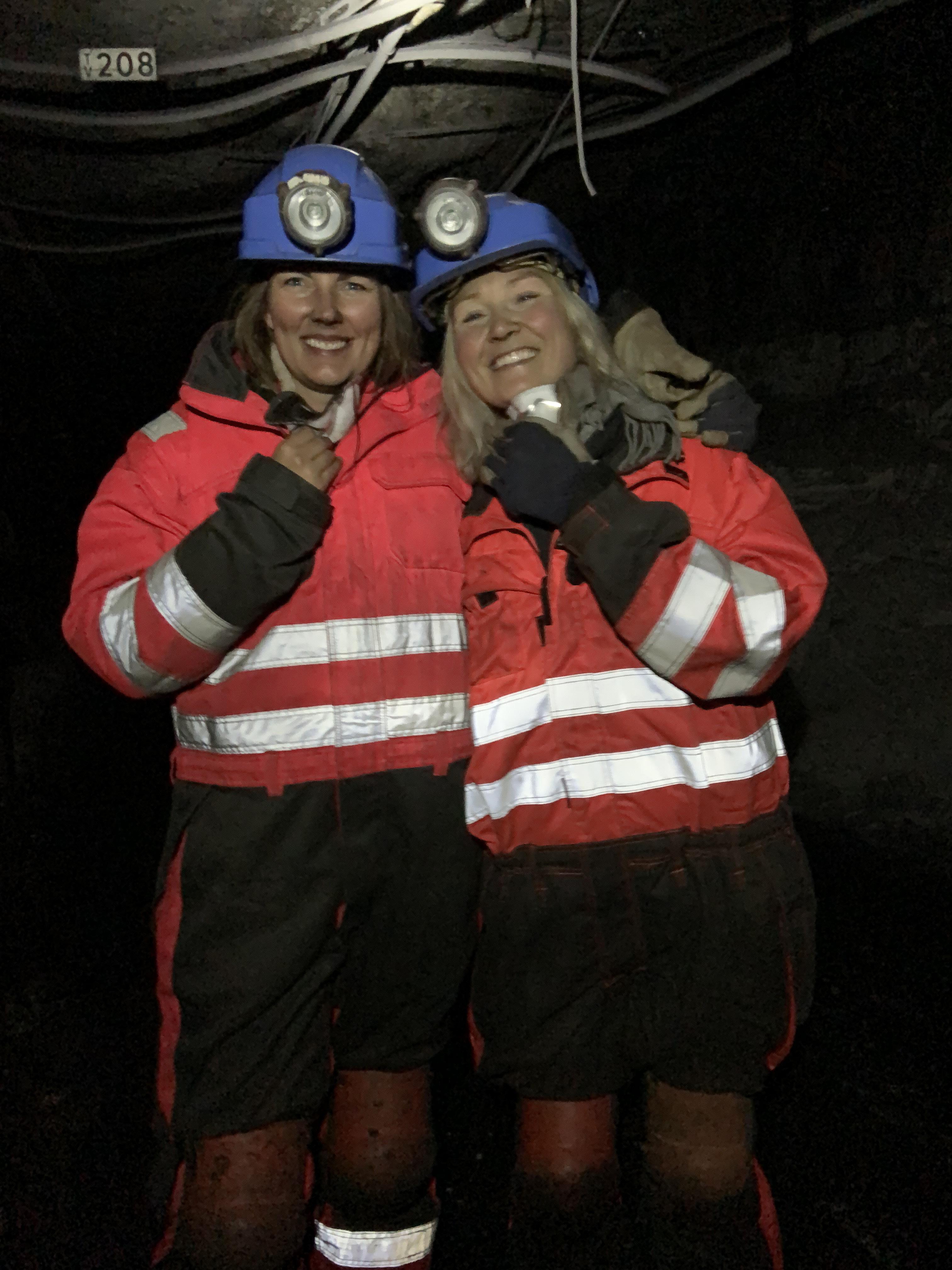
Coal mining: Svalbard museum, Store Norske
Vegetation: Norsk polarinstitutt
Fauna: Artsobservasjoner.no Svalbardbirds.com Svalbard miljøvernfond Norsk polarinstitutt
Terrotory: https://www.stortinget.no/no/Stortinget-og-demokratiet/Historikk/svalbardtraktaten-100-ar/ https://www.snsk.no/ https://svalbardmuseum.no/no/ uniqa.org
Lekoral.no/verdenskart wikipedia.no/verdenskart external-preview.redd.it studycli.org