3 minute read
Transit: Connecting through the past to reach the present and beyond


As one of the most affluent neighbourhoods in the City of Vancouver, the rows of spacious mansions and luxury boutiques that fill the shopping villages of Dunbar-Southlands come as no surprise when passing through the area. Highend vehicles drive along the main streets and sit parked along the roads, as the odd transit bus slowly trundles its way down towards the neighbourhood’s only transit exchange, Dunbar Loop. Located at the intersection of Dunbar Street and West 41st Avenue, the transit hub serves as a connection point for numerous bus routes, including the #7 trolleybus, one of the 20 busiest routes in Vancouver. It is also the only local-service bus route serving the majority of the north-south extent of the neighbourhood around Dunbar Village 29 .
Dunbar Loop serves more as a congregation point for people, rather than for business or in an economic sense. It draws people in from across the neighbourhood and in large numbers, but only for the purpose of then moving them along to places elsewhere, essentially serving as a node of connection, and not as a node of final destination. When residents need to use transit to connect to other parts of the region, Dunbar Loop is usually their first stop, making it also a point of connection through necessity.
Advertisement
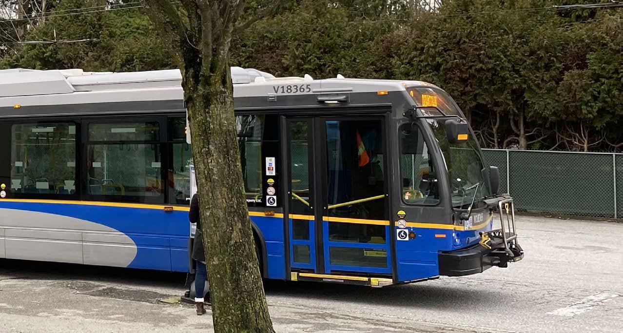
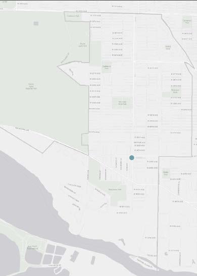
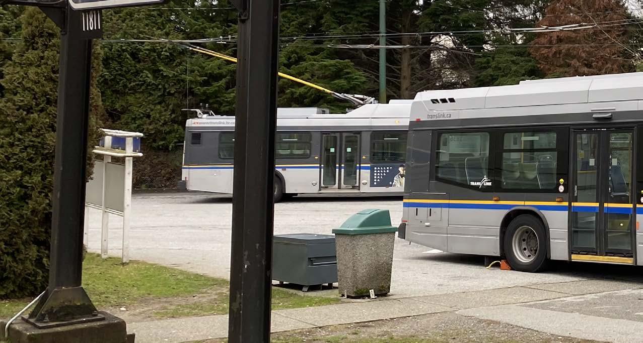
Top: Map of transit nodes in Dunbar-Southlands Right: Bus loop. Image from: TransLink Bottom: Bus loop. Image by: Stephen Ohno
TRANSIT
CONNECTING THROUGH THE PAST TO REACH THE PRESENT AND BEYOND
By: Stephen Ohno

As a node specifically catering to commuters and users of transit, Dunbar Loop is not a destination that others would likely spontaneously visit if they had no business there. Due to the lack of surroundings that would invite significant interest, the nearby area is ultimately not particularly busy, as visitors appear to opt for the busier northern sections of Dunbar Village instead. This cements the exchange as a single-purpose node, attracting people in numbers but only for a specific reason, in this case, transit.
The loop, while being the centre point of its own small local area, does not exemplify many of the characteristics present in a New Urbanist environment. It is not particularly pedestrian friendly or walkable asides from a block in the immediate vicinity, as the majority of users arrive and depart via bus. Aesthetic cohesion is not a visible priority, nor is high density, as single-detached, low-variety housing and commercial properties dominate the area. Nearby, general services such as grocery and convenience stores are present, but nothing that could be considered to be transit-oriented development (TOD) in any sense. The loop has not seen similar levels of TOD to other transit hubs such as Marine Drive Station, which has recently spurred the construction of a multitower mixed-use development that cites transit as one of its main selling points 30 .
Many of the exchange’s physical structures have not seen modernization in nearly a decade. With lukewarm support for transit service in the area in recent years 31 , TransLink has not seen fit to push for loop expansion or bus upgrades. As evidenced in the furnishings and maps, many elements of the loop date back almost twenty years. This can be seen as reflective of the neighbourhood at large. While other areas of the city have been more enthusiastic to embrace transit, reductions in vehicle usage, and have seen many small independent stores shutter, Dunbar has been bucking the trend, keeping to a mindset reflective of a time before the adoption of the Dunbar Community Vision plan in 1998 32 . Dunbar Loop is just one of many aspects of the neighbourhood still in the mould of a different time, and it is unclear if this attitude will change anytime soon.