ABOUT ME


Hello!
I’m a class of 2023 graduate from Thomas Jefferson University with a Bachelor of Landscape Architecture.
My passion for landscape architecture is rooted in my curiosity about nature and enjoying the outdoors. Within this profession, I realize the importance of dedicating the site to the people and the landscape. I believe it is mandatory to develop designs that support communities and encourage them to learn and respect the surrounding environment. Ultimately, this approach can create a unique and beautiful bond that unites us with our planet, which is what I believe is the duty of a landscape architect.
01Academic Work

1.1 Tilden Middle School
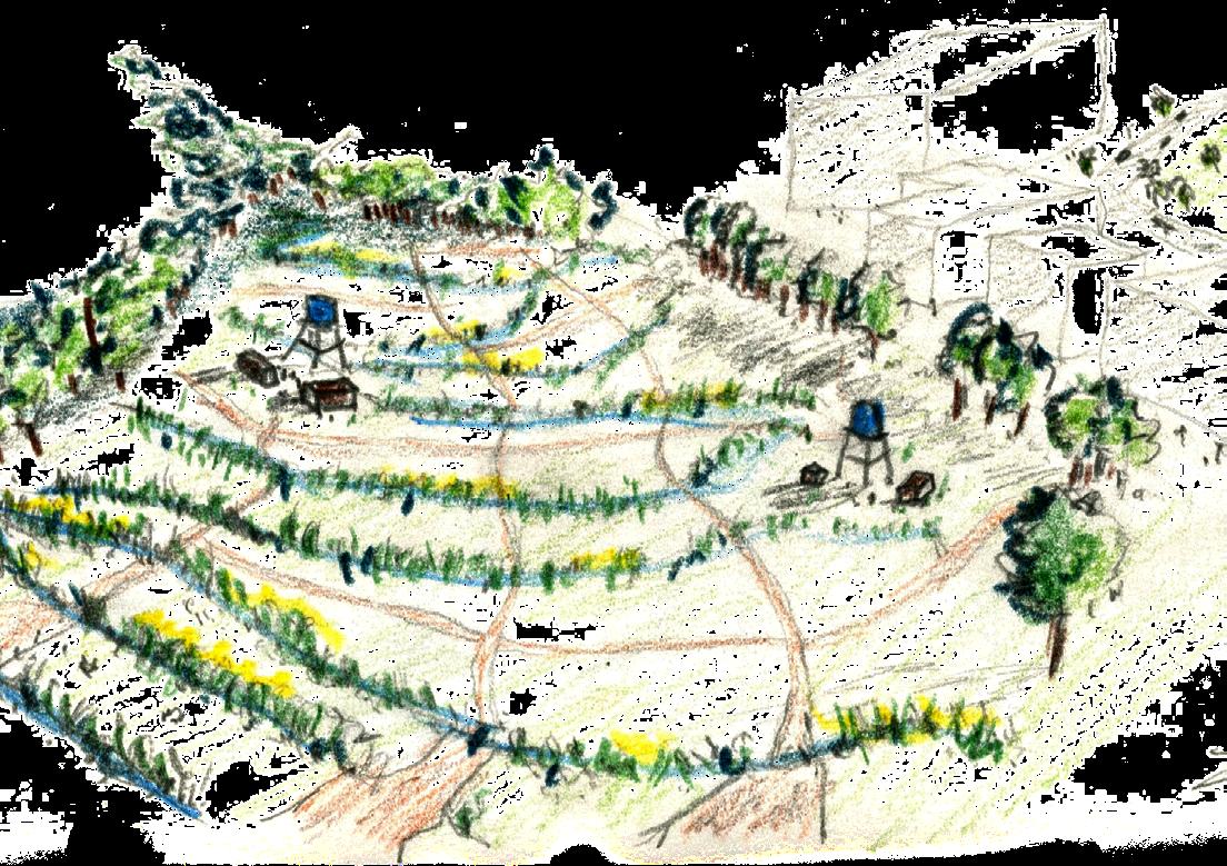
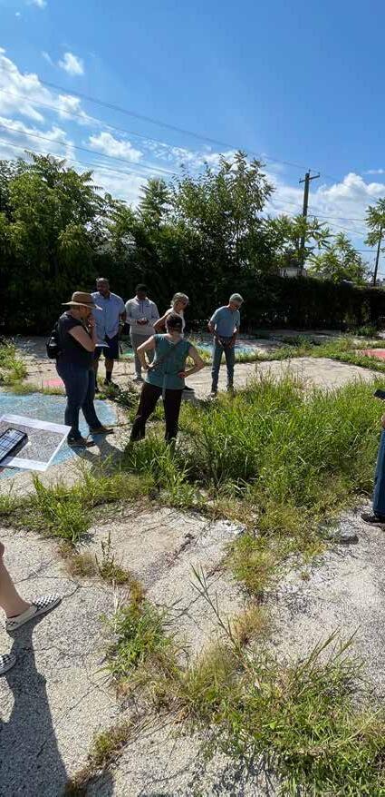
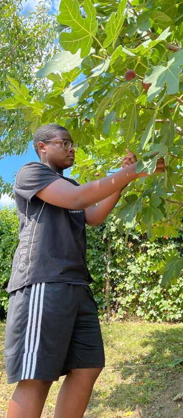
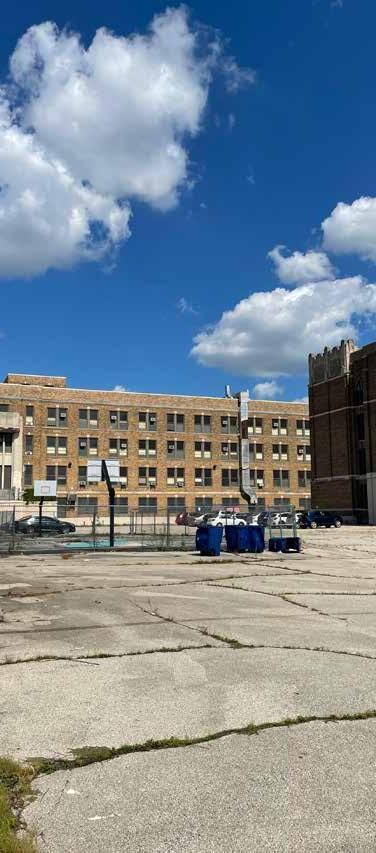
As part of a collaborative studio with the third-year students, our focus was the shared schoolyard between Bartram High School and Tilden Middle School. In the early stages of the project, we engaged with students from Tilden Middle School, aiming to build relationships, listen to their stories, and understand their perspectives on the current state of their community and their aspirations for the schoolyard’s future.
The process presented significant challenges due to the difficult conditions in the community, including a high incidence of gun violence. As a result, our class decided to discontinue site visits to the school for safety reasons.
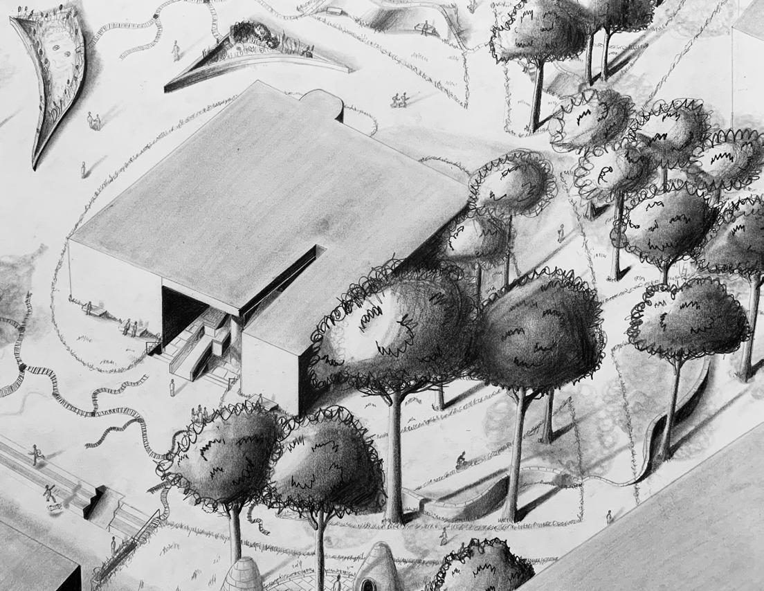
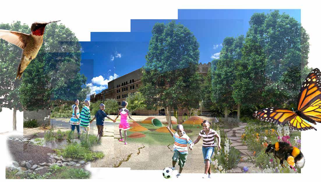
This decision motivated me to set a primary goal for the project, which was to dedicate the reimagined schoolyard strictly to the children of Tilden Middle School. Additionally, the project required integrating stormwater management solutions and redesigning the parking layout. Ultimately, I envisioned transforming the schoolyard into a vibrant pollinator hub—a space where children can explore, learn, and find inspiration.
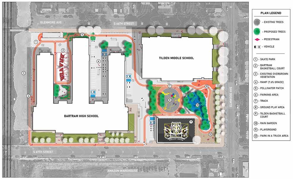
Diagram
Early Concept Program Diagram
My goal for the project is to develop a conceptual plan that dedicates the site to the children that attend to both Tilden Middle School and Bartram High School by providing both institutions dedicated spaces, such as their own basketball courts, but also connecting them through a painted track that ribbons them together.
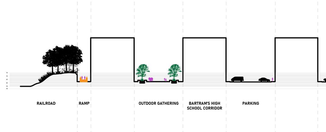
Railroad (West) - Elmwood Ave (East)
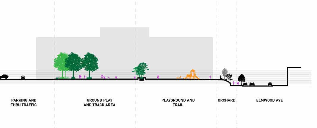
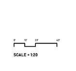
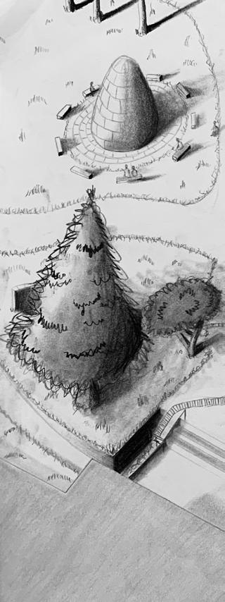
A. Seatwall & Rain Garden
1.2 Capstone: Continuity of Cultivation
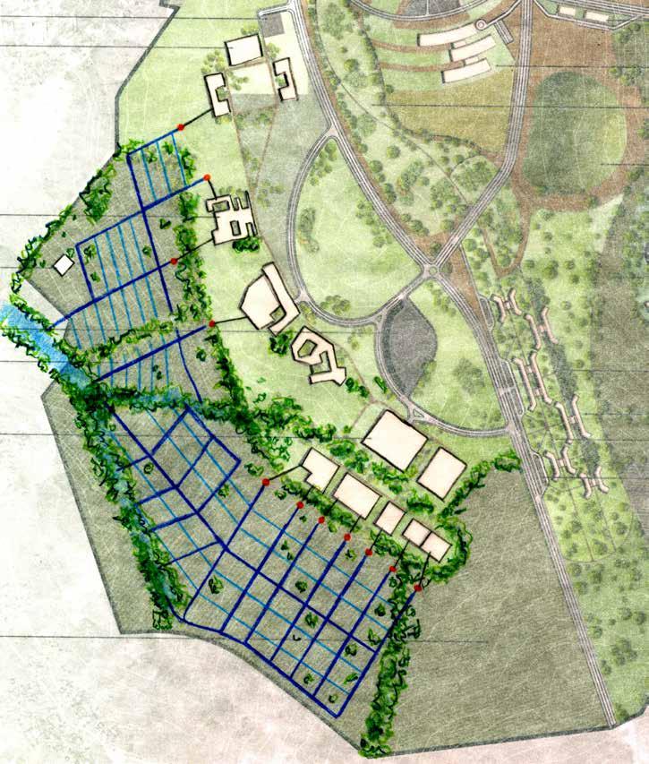
Farmland cultivates the majority of land within the site and throughout Malawi and is a vital component of Malawi’s economy and culture. However, the challenging weather conditions and changing climate make it increasingly difficult to be sustainable.
This project aims to integrate agricultural spaces with the overall development, support local communities, enhance productivity, and educate and research sustainable farming that accommodates seasonal weather patterns, flooding, and better manages rainfall within the site.
Overall the project explores environmental, societal, and economic approaches that can be passed down to future generations for sustainable farming practices.
Maize Crop Schedule
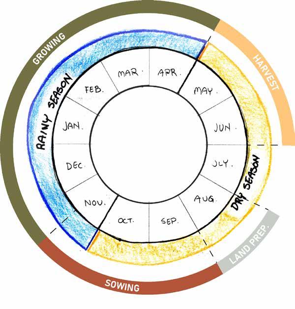
Farming is challenging in Malawi due to changing climate.
During the rainy season, Malawi experiences heavy amounts of rainfall. In 2023, Malawi experienced the heaviest amount of rainfall during January. Rainfall in Malawi can become destructive to farmlands - ultimately washing away all crops and livestock.
The dry season also creates difficult conditions since most of the farmlands dry out.
Maize’s growing phase takes place during the rainy season, which makes maize difficult to maintain, grow, and harvest.
So what are some methods that can reduce the destructive effects of rainfall and support crop growth and harvest?
Water Topography Study
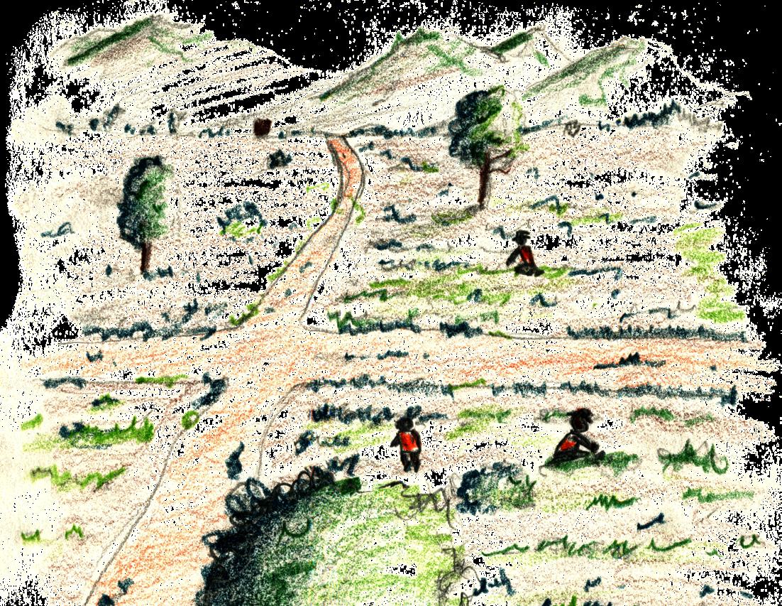
The area I worked on, in particular, has water runoff along gentle slopes from the roads that feed into ephemeral streams.
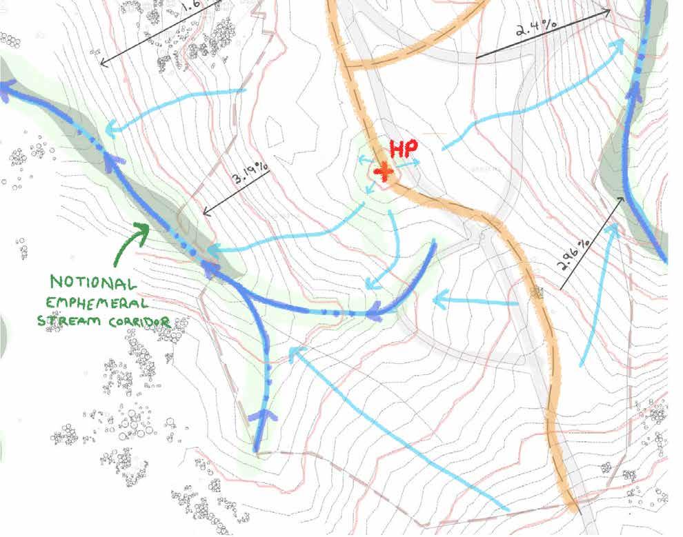
Ridgeline
Stream Centerline
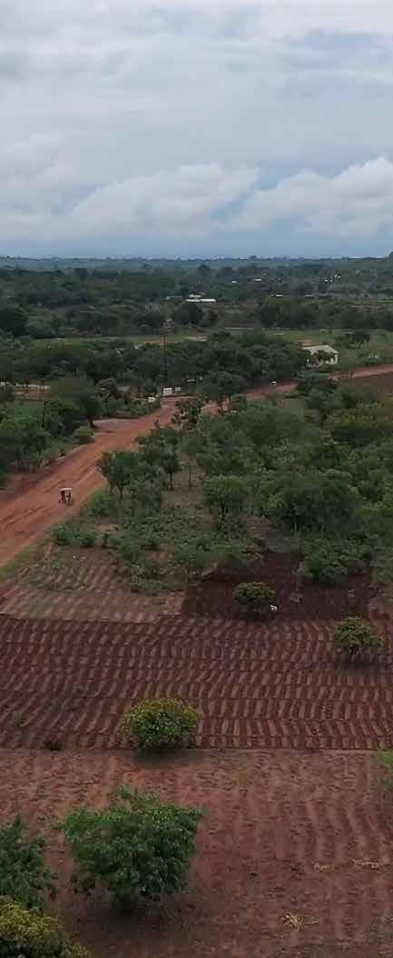
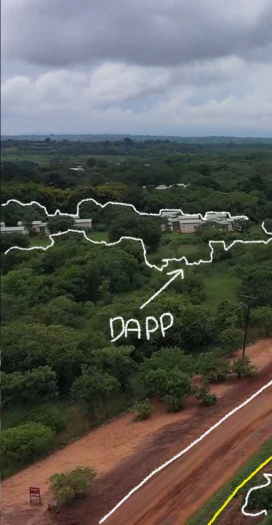
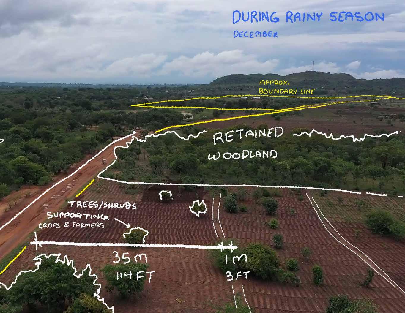
With the help of drone footage, we can determine the various elements that farmlands consist of and support their functionality within our site.
Most, if not all farmland consists of the same elements but vary in scale and quantity.
The elements that are included were identified as being native vegetation that provides shade for farmers and supports crop growth; residential and storage units constructed with brick, wood, and reeds; plowed fields; accessible pathways; and retained woodlands.
Development Aid from People to People (NGO)
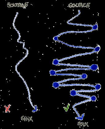
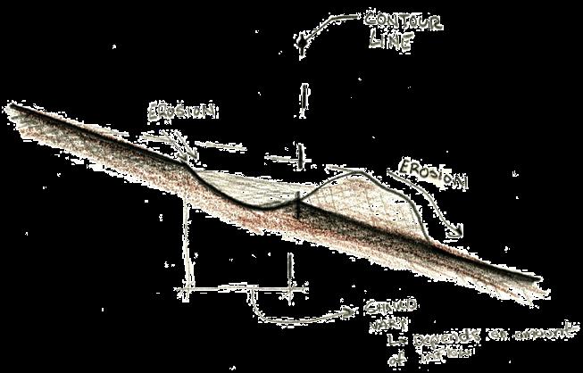
Interceptor Swale System
With the use of interceptor swales, water can be better maintained and irrigated sufficiently to control the heavy amounts of rainfall.
Essentially, interceptor swales act as a “speedbump” for water runoff. The water that is collected can then be fed into crop fields and promote growth.
Canal System Study
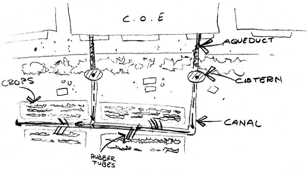
An additional strategy for water irrigation is the use of canals that are typically powered by water pump generators. Water is then collected through rubber tubes and poured between each row of crops.
Both swale and canal strategies create an immersive space that revolves around water, agriculture, teaching, and engagement.
Proposed Site Section
SHADED
Through agriculture, teaching, and engagement, the site creates a journey for the community and ultimately tells a story of their culture.
Additionally, the site tells the story of the water’s journey and function throughout the landscape.
With the use of interceptor swales and canals, water can be better managed and used to irrigate farm fields during the dry season.
View the full presentation here:
https://issuu.com/theofficialleo/docs/lb_ capstone_2023-09-07_pages_
02Professional Work
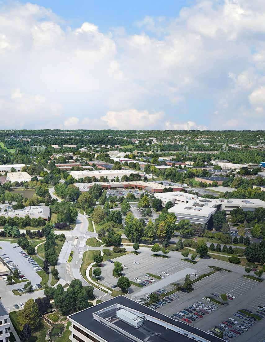
2.1 King of Prussia - Renaissance Park Connectivity Master Plan
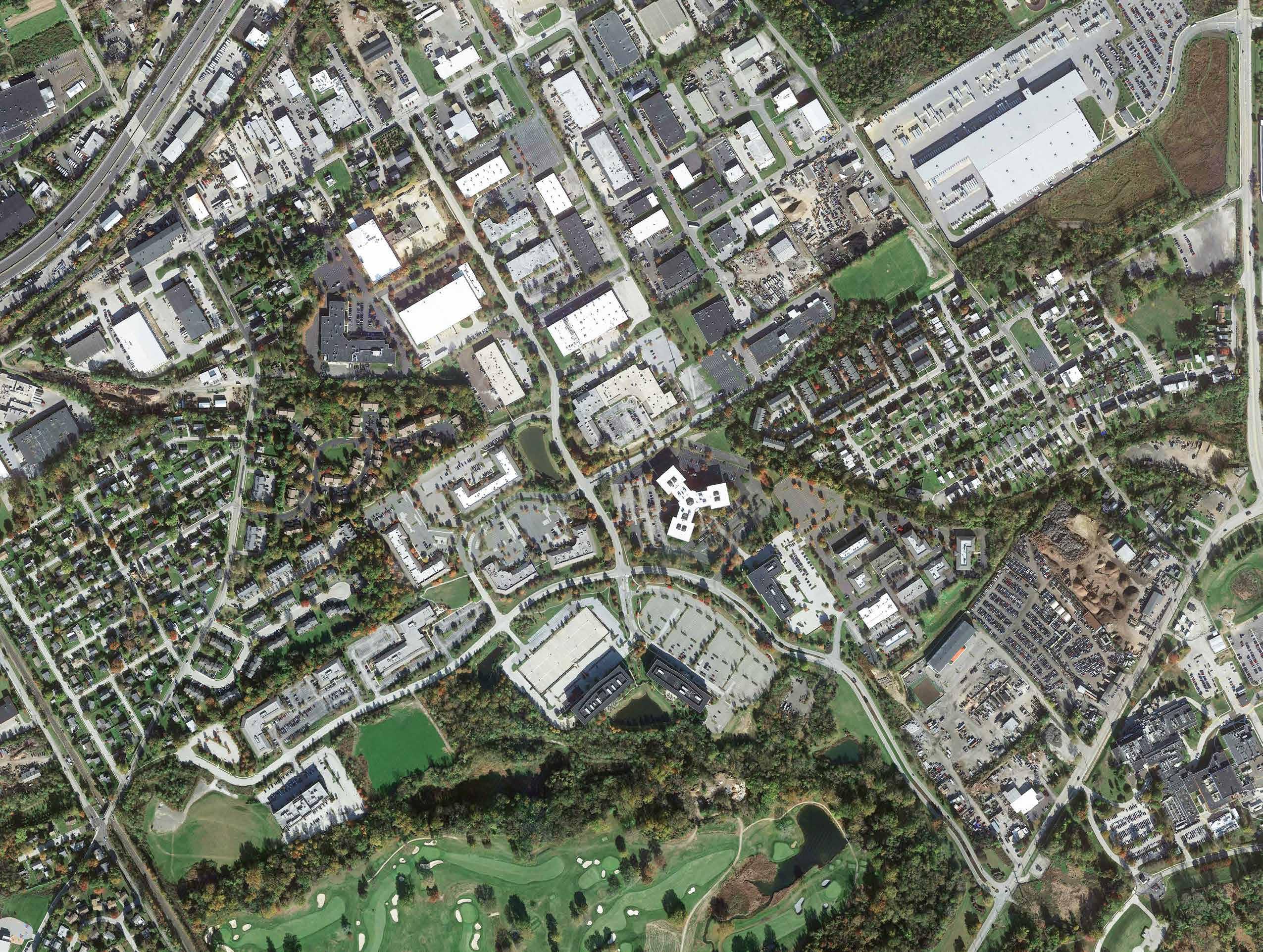
Renaissance Park (RP), initially planned as a 350-acre business park in the early 1980s, capitalized on a prime location in Montgomery County. The site was nestled by quarries and conveniently connected to Philadelphia’s key transportation routes. Rail lines and interstates surrounded Renaissance Park, with residential communities and parks bordering it for decades.
With the changing life and work styles due to the COVID pandemic, the local RP community have collaborated with the King of Prussia District on the vision for Renaissance Park for the next several decades.
Recognizing current conditions and future redevelopment potential, enhancing multimodal connectivity became a top priority when a visioning study was completed in 2022.
The Renaissance Park Connectivity Master Plan is a major accomplishment for the King of Prussia District and Upper Merion Township as it serves for continued transportation planning that affects a ‘tri’-County region: Montgomery, Chester, and Delaware.
RENAISSANCE PARK
Chapter 1: Overview
1.1 History
Renaissance Park was developed as a business park beginning in the 1980s on approximately 350-acres in the southeast portion of Upper Merion Township, Montgomery County. Located within the confines of the major regional highways, the park is adjacent to residential areas, active quarries, recreational areas and industrial sites. The Park was at one time the site of three (3) active quarries and a rail corridor now controlled by Norfolk Southern.
As mentioned earlier, Renaissance Park, developed in the 1980s as a business park on approximately 350 acres in Upper Merion Township, Montgomery County, is surrounded by residential areas, quarries, recreational spaces, and industrial sites. Once home to active quarries and a rail corridor now controlled by Norfolk Southern, the park remains largely unknown as a destination despite hosting many vital businesses.
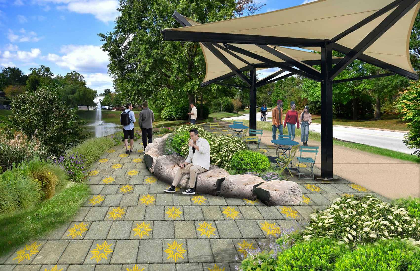
As residents, workers and tourists traverse the King of Prussia area, Renaissance Park has remained largely unknown as a destination. However, the Park has become home to many vibrant and vital businesses. While Montgomery County and Upper Merion Township have changed over the past twenty years, Renaissance Park has remained a sprawling, auto-centric suburban office park. This Connectivity Master Plan seeks to recommend multimodal transportation improvements and open space amenities that will help the park transform into a modern, 21st century part of the King of Prussia District.
While Montgomery County and Upper Merion Township have evolved over the past 20 years, Renaissance Park has stayed a sprawling, auto-centric office park. This Connectivity Master Plan aims to propose multimodal transportation improvements and open space amenities to transform the park into a modern, 21st-century part of the King of Prussia District.
County
Merion Township Renaissance Park within the King of Prussia District

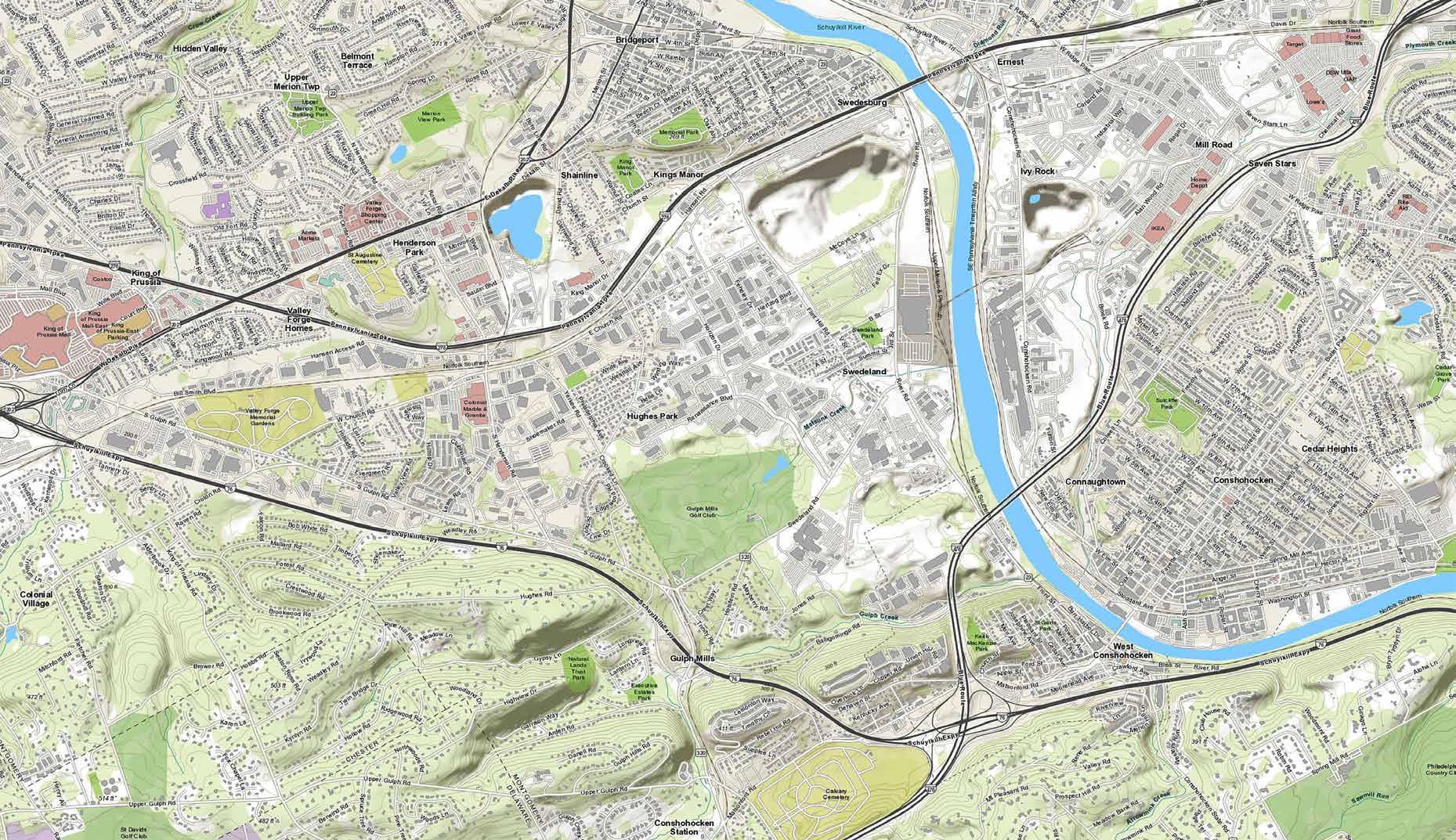
Renaissance Park Context





Renaissance Park lacks direct access from the east or west, with entry limited to intersections at its north (Church Road) and south (Horizon Boulevard) ends, making internal circulation and connectivity challenging. Workers face delays due to the 1-mile distance to the interstate network, impacting the park’s marketability despite its prime location in Montgomery County. Additionally, major arterials like SR 202 and I-276 separate Renaissance Park and nearby areas from the northern township, highlighting the need for improved multimodal connectivity within Upper Merion Township and surrounding communities.
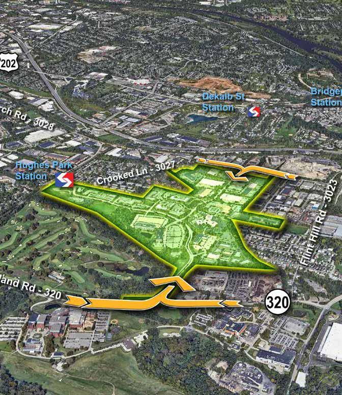
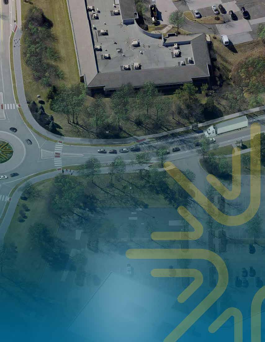
Illustrated aerial of Renaissance Park showing the only two (2) vehicular access points from Church Road and Swedeland Road.

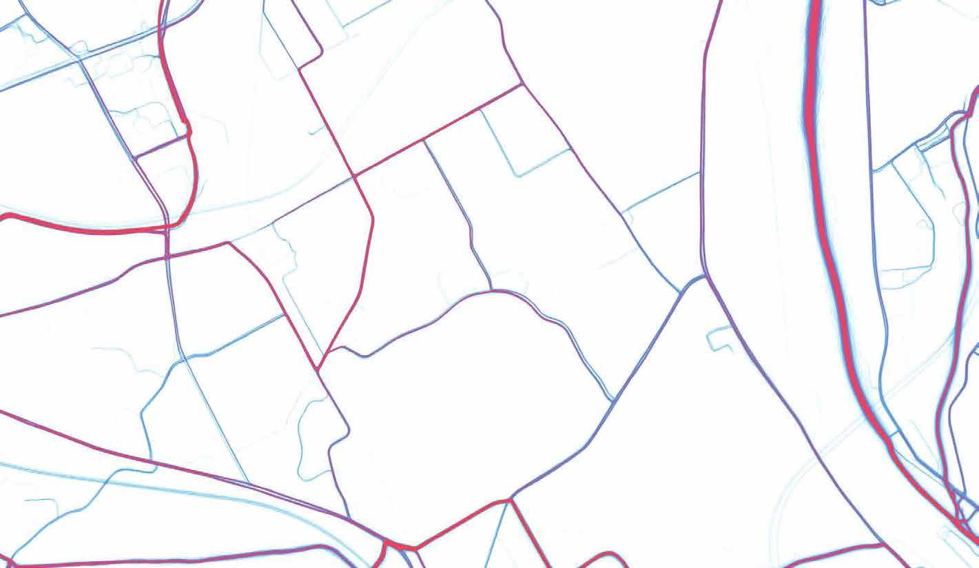
As a runner myself, I was pleased to utilize STRAVA as a tool for site analysis and data collection, which we effectively incorporated into our projects.
STRAVA is a fitness APP that is used for tracking and comparing athletic performance. Public data available from STRAVA shows the amount of ‘use’ certain routes have for runners and bikers.
A ‘heat’ index (darker lines represent high usage) applied to the mapping is an important analysis tool as walkers/ runners/bikers provide excellent field data on which routes are comfortable, safe, well-sued and inviting.
STRAVA data for Renaissance Park indicates that cyclists and walkers take advantage of the relatively low levels of traffic and slow vehicle speeds on its roads.
STRAVA Run Heat Map
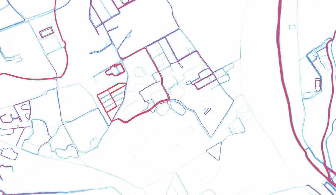
Additionally, input received at the initial Public Meetings indicate that the current traffic levels (low since the pandemic) in the park are very inviting to residential neighbors who use the park for walking/ jogging and bicycle exercise.
Comments received also indicate the desire to have the RP roads or paths lead them outside of the Park and toward other trails and open spaces.
STRAVA Ride Heat Map




2.2 Millerstown Borough - Pedestrian & Bicycle Connectivity Master Plan
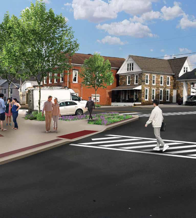
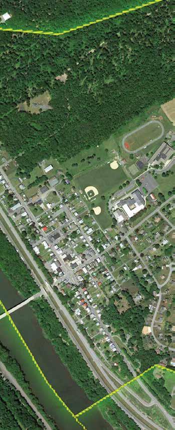
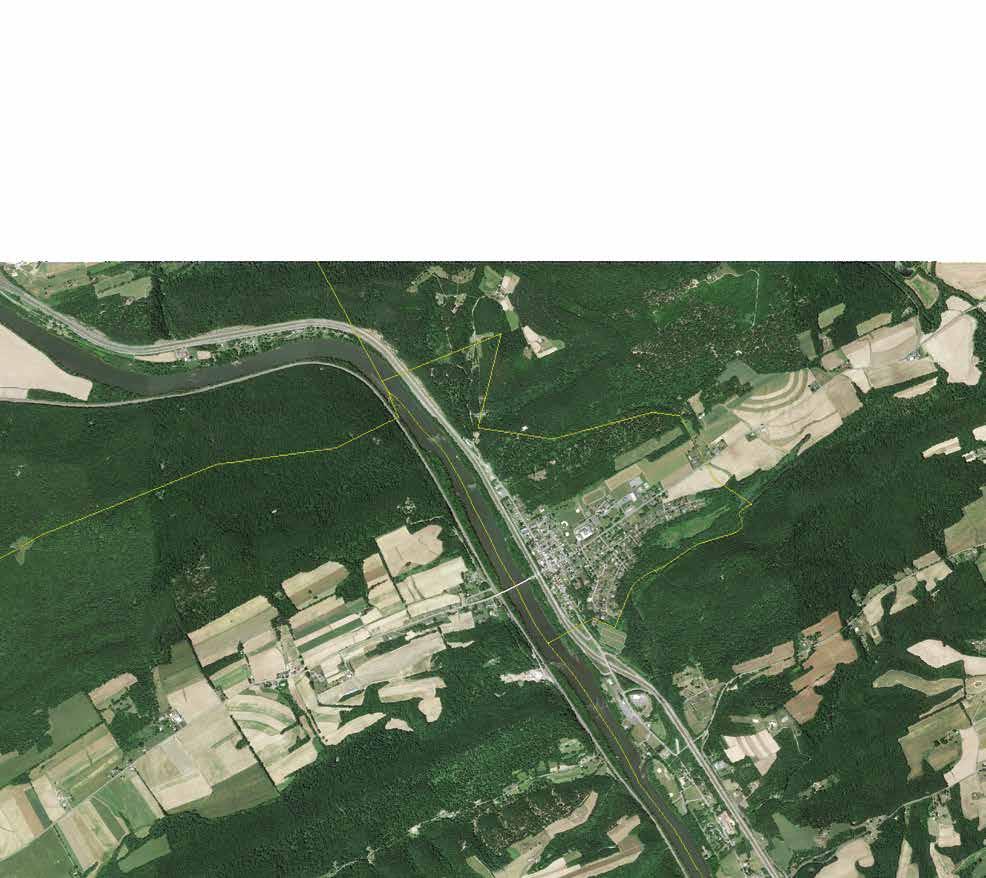
The Millerstown Bicycle and Pedestrian Connectivity Master Plan explores opportunities in this rural village, located in Perry County, Pennsylvania, for enhanced multimodal transportation options for cyclists and pedestrians to travel safely in and around Millerstown Borough. The Master Plan is a comprehensive analysis of existing transportation systems in Millerstown and recommends improvements to create a more connected and safer community through pedestrian and cycling infrastructure that is appropriate to this village setting.
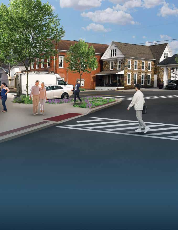
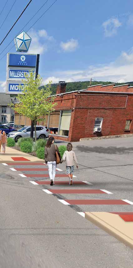
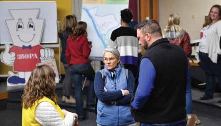
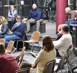
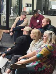
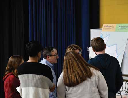
The consulting team actively involved the local community in a thorough public participation process, gathering valuable existing conditions information and feedback on initial ideas. The goal for public participation was to ensure that the final plan reflects the community’s interests. There were three (3) special public meetings, two (2) public meetings at Borough Council and opportunities to directly contact the consultant team with comments, suggestions and questions.




Millerstown
Millerstown

















































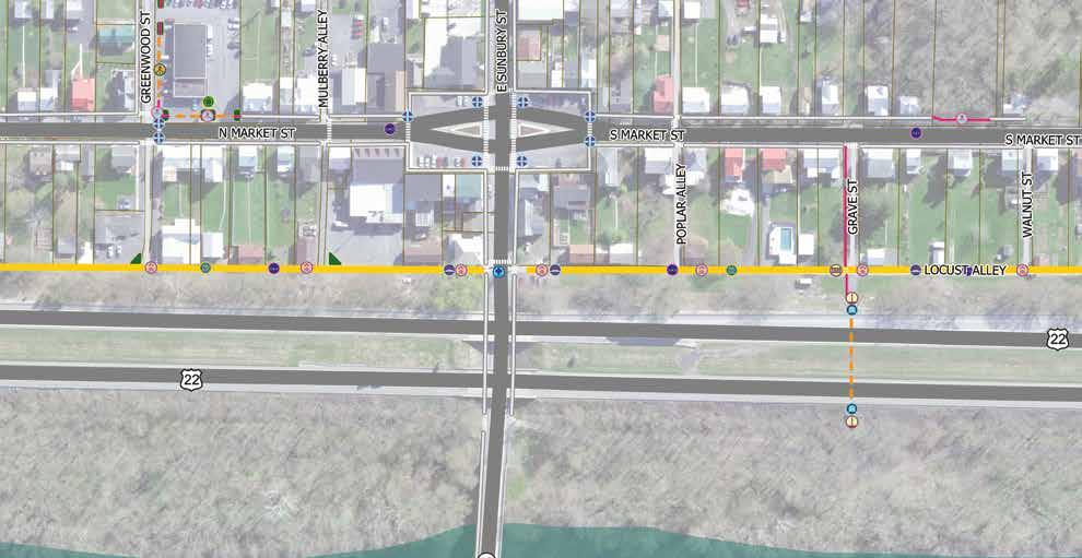
Proposed Improvements Plan
3.1.13 Bollards
Bollards are sturdy, vertical posts typically made of metal, wood, or concrete, installed to control or direct traffic by preventing vehicles from entering specific areas. They are commonly used to protect pedestrians, buildings, and infrastructure from vehicle damage. Bollards can also be made adjustable and can be “lockable” and are easily removed or lowered by municipal officials, emergency responders or maintenance personnel.
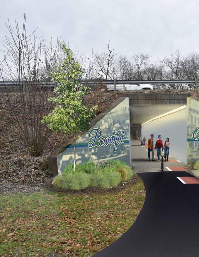
Locations such as the highway underpasses are good candidates for bollard placement, since they can allow emergency vehicles and PennDOT maintenance vehicles to access these areas while preventing public vehicular access. These bollards serve to maintain safety and control traffic flow effectively at select locations.
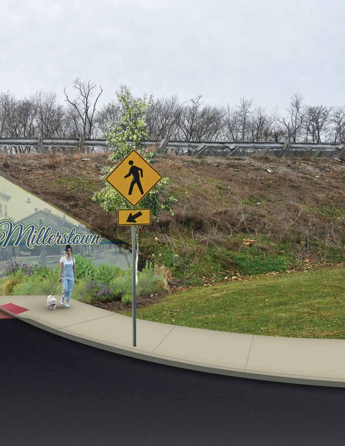
Millerstown
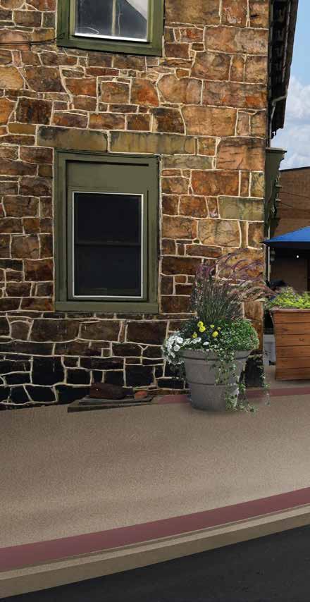
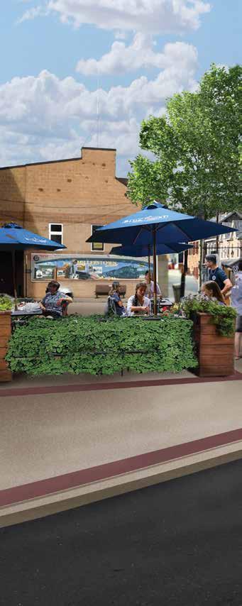
Recommended connectivity improvements in Millerstown are composed of a number of elements or “tools,” that when combined, help to create an overall system.
Each improvement is assigned a symbol, which is utilized to denote its location on the improvement recommendations maps contained in the report.
Read the full report here:
https://millerstown.org/index_htm_files/240515_ Millerstown_ConnectivityReport_DRAFTreduced.pdf
2.3 Reading - Schuylkill River Trail Master Plan
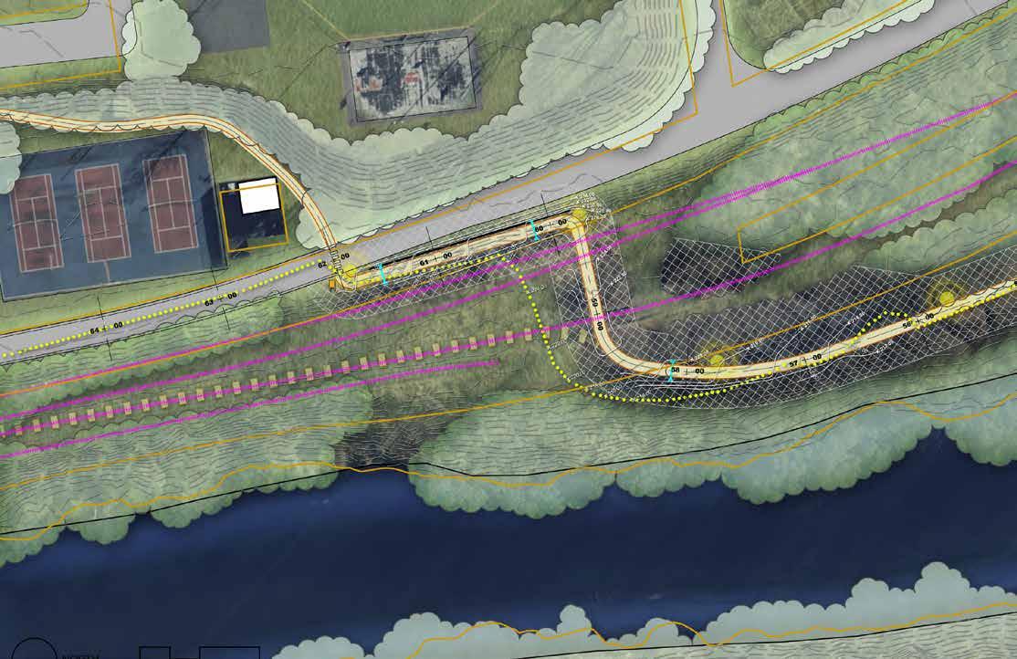
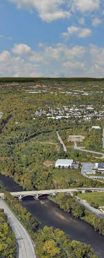
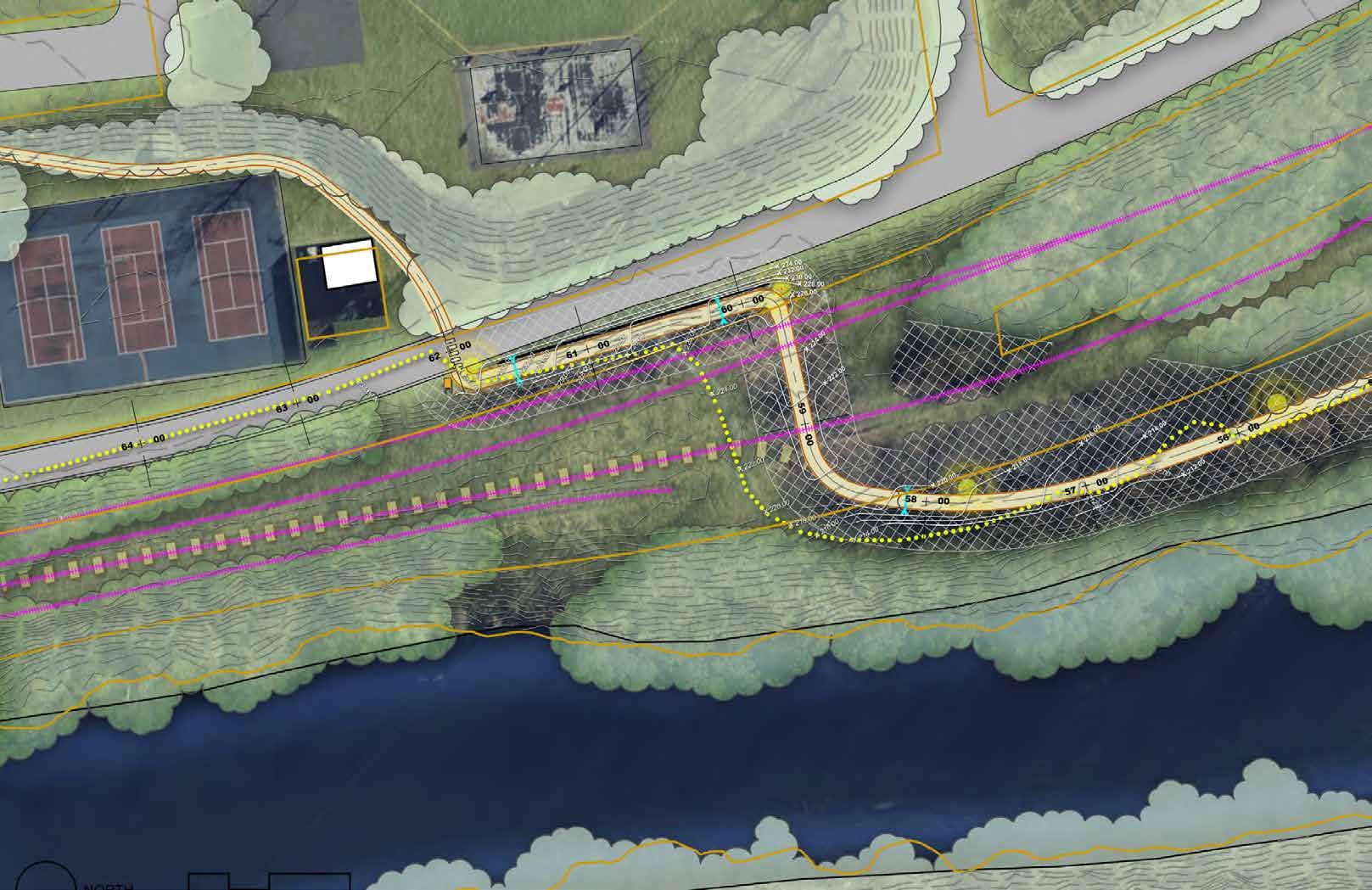
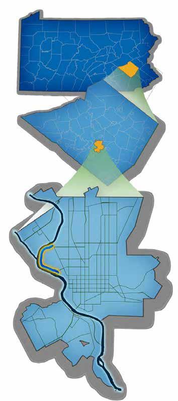
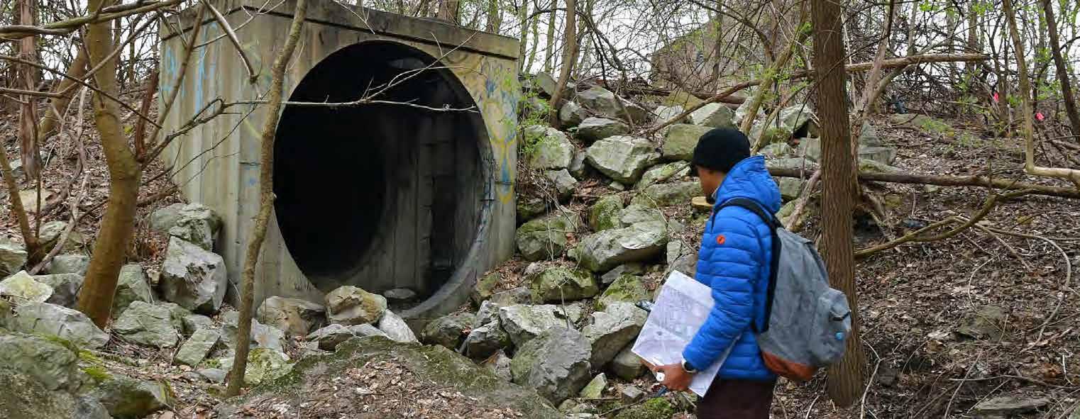
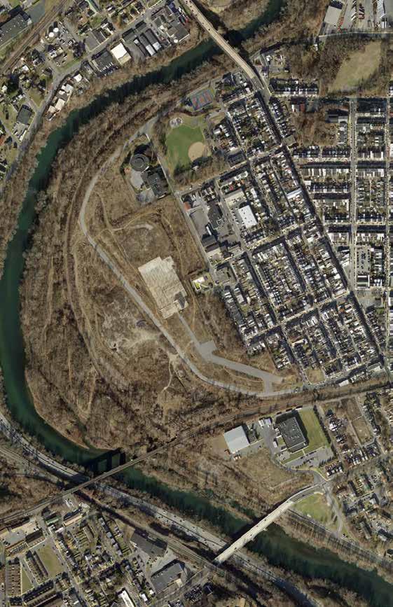
Located in the City of Reading, the Riverview Trail section was constructed approximately 35-40 years ago by the Schuylkill River Greenways National Heritage Area (SRGNHA) and the City of Reading. It is assumed that no permits or easements were obtained when the existing trail was constructed. Built before modern permitting and design standards, the trail follows a winding path through the landscape, with some horizontal curves that don’t meet with today’s guidelines. Additionally, its eight-foot width is slightly narrow for a modern multipurpose trail. In some areas, the trail was constructed just inches above remnants of the canal walls of Reach 80 of the Schuylkill Canal. Two filled-in canal locks along this mile of trail serve as striking reminders of the historic canal system and its role in the coal industry that helped shape America.
Berks County
The one-mile “Riverview” section of the Schuylkill River Trail (SRT) is a small yet vital link in the eventual 120-mile trail. This segment stretches from the Buttonwood Street Bridge to the Schuylkill Avenue Bridge terminus upriver. The SRT is a key part of the Circuit Trails network, a planned 600+ mile “superhighway” of off-road, non-motorized trails connecting the Delaware Valley region.
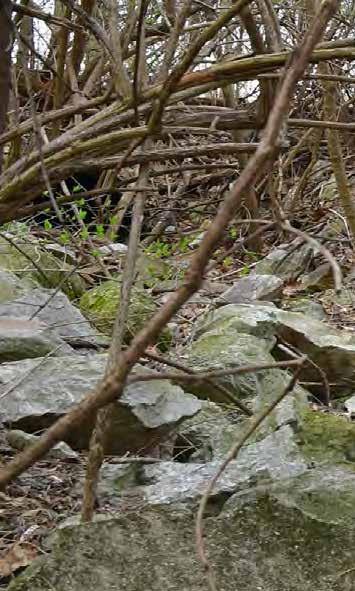
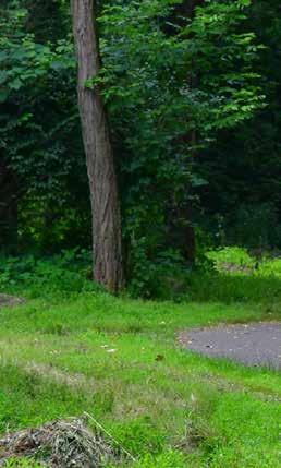
Over time, understory vegetation and canopy growth have encroached on the trail, diminishing clear sight lines and creating a sense of isolation that can make users feel unsafe. This reduced visibility has likely contributed to lower trail usage, further worsening its perceived remoteness.
1. Introduction
Riverview Trail – Background
The one (1) mile existing trail section referred to as the “Riverview” section of the Schuylkill River Trail (SRT) is a small but important link of the eventual 120-mile SRT. The limits of this trail section run approximately from the downriver terminus at Buttonwood Street Bridge to the Schuylkill Avenue Bridge terminus upriver. The SRT is a critical component of the Circuit Trail--- a 600+ mile trail “superhighway” network in the Delaware Valley--- envisioned to connect the region via off-road, non-motorized linkages.
The SRT is being developed under the leadership of the Schuylkill River Greenways National Heritage Area (SRGNHA) that has guided the development of the SRT with valuable partners for the last 50 years. Eighty miles of the SRT are complete across five counties. SRGNHA is planning to build the remaining 40 miles of trails located mainly in Berks and Schuylkill Counties.
City of Reading
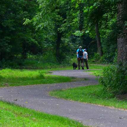
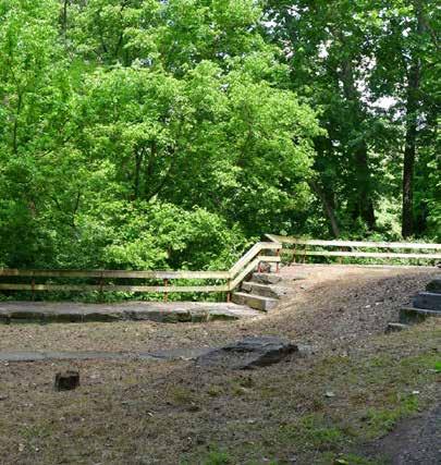
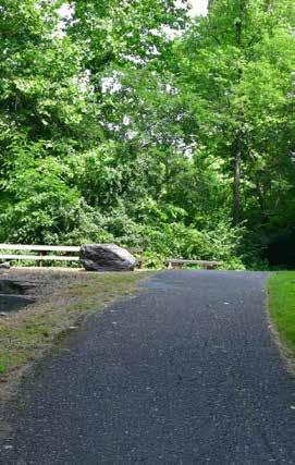
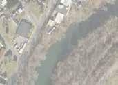

While the existing trail is serviceable, it has several challenges in its current configuration. These challenges also point to opportunities / new design approaches when creating a new alignment and surface for the Riverview section of the SRT.
These challenges include the substandard eight-foot-wide trail, which should be widened to a minimum of ten feet, along with improvements to address numerous issues. The trail’s poorly executed horizontal alignment, unnecessary turns, and thick eye-level
vegetation limit sightlines, making navigation difficult and creating safety concerns. A 300-foot section near the river embankment is eroding due to unstable coal colm fill, requiring stabilization. The upriver segment is too steep to meet ADA standards and needs re-alignment. Drainage improvements, such as culverts, should be added to prevent water damage and freezing hazards. Securing easements from Norfolk Southern Railroad for revised trail alignment, particularly in downriver segments, is expected to be a significant challenge.
Consultants generally considered a riverfront alignment (similar to the existing trail) as well as inland routes, and on-road routes that were divorced from the river. However, there were no advantages to an inland alternative given the fact that a near-river alignment responds to where most trail users of the SRT prefer to be – close to the water.
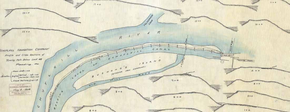
Historic plan of Schuylkill canal showing Lock 45, Kissinger’s Dam No.22, and the Canal Tow Path.
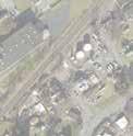
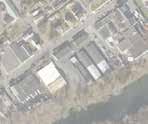














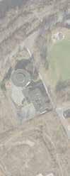









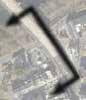

In 2020, the City of Reading constructed a new section of the multiuse SRT f rom Reading Area Community College (RACC) to the Buttonwood Street Bridge. This new trail section is the connection to the existing Riverview trail section. It is a combination of off-road trails and on-road (River Road) trail segments.
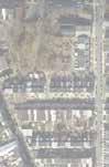










































The 100-year flood plan, as defined by FEMA (Federal


The 100year flood plain, as defined by FEMA (Federal Emergency Management Agency) indicates that the area will flood each year.
indicates that there is a 1% chance that this area will flood each year.

The 500-year flood
indicates that this is a 0.2%
that is
The 500-year flood plain indicates that this is a 0.2% chance that this area will flood each year.

will flood each year.





















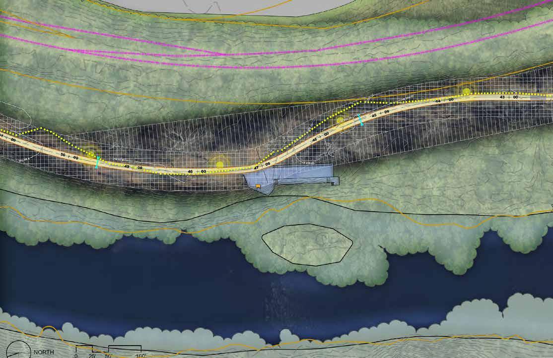
Proposed Improvements Plan Sheet 2