5 minute read
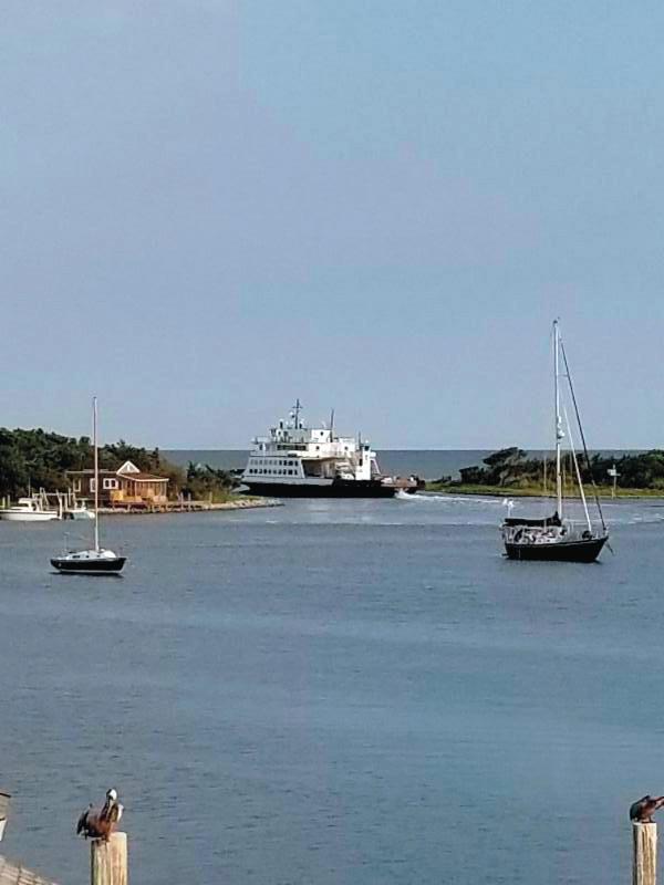
Modern ferries traverse historic routes

COURTESY HYDE COUNTY
Far left: Silver Lake Ferry

COURTESY NCDOT
Left: M/V Hatteras
Moder� ferries traverse historic routes
by Mary Helen Goodloe-Murphy mhgm@thecoastlandtimes.com
Sounds and rivers dominate the Outer Banks and for centuries served as primary transportation arteries.
In 1915, the first vehicles arrived on the Outer Banks and drivers wanted to move those vehicles across the waters.
The history of North Carolina’s ferry division starts with entrepreneurs creating makeshift ferries in the 1920s.
At Oregon Inlet, Capt. J.B. (Toby) Tillett of Wanchese hooked up a tug-and-barge towing system. Eventually, he built wooden trawler type ferry. In 1934, the State Highway Commission started subsidizing Tillett’s business to reduce fares. In 1942, another agreement between the commission and Tillett eliminated tolls completely.
In the early 1940s, another entrepreneur, T.A. Baum, started a ferry business across the Croatan Sound between Manns
Harbor and Roanoke Island. Baum used two 10-car capacity wooden ferries. In 1947, his widow sold the franchise to the state to become the first route of the new ferry operations. This ferry route would end with the opening of the Umstead Bridge across the Croatan Sound.
About four years later, Tillett sold his operation to the state. This ferry service ended in 1963 with the opening of the Herbert C. Bonner Bridge.
As roads were completed, demand for ferry service between Hatteras and Ocracoke islands increased. Frazier Peele met the demand with a four-car wooden ferryboat. Sometimes the shoreline was so shallow, Peele couldn’t make landfall and customers drove vehicles through salt-water to land. His ferry operated from 1953 to 1957 when the state purchased his business.
Another route was established crossing
the Pamlico Sound. The West India Fruit and Steamship Co., owned by a family in Sea Level, built a 128-foot ferry to cross the Pamlico Sound between Atlantic and Ocracoke. In 1961, the state purchased the ferry and instituted its first toll ferry. In May 1964, the operation was moved to Cedar Island for deeper water.
The Currituck Sound ferry service started in 1962 for the purpose of transporting Knotts Island school students to schools in Currituck.
On July 1, 1974, the North Carolina Ferry Division was formed.
Today, the state’s ferry system is the second largest in the nation. Only Washington has a larger ferry fleet.
During times of emergencies, the ferry system moves people out of harm’s way. Most recently, for Hurricane Isaias, the ferry division evacuated 3,538 people and 1,710 vehicles from Ocracoke on the
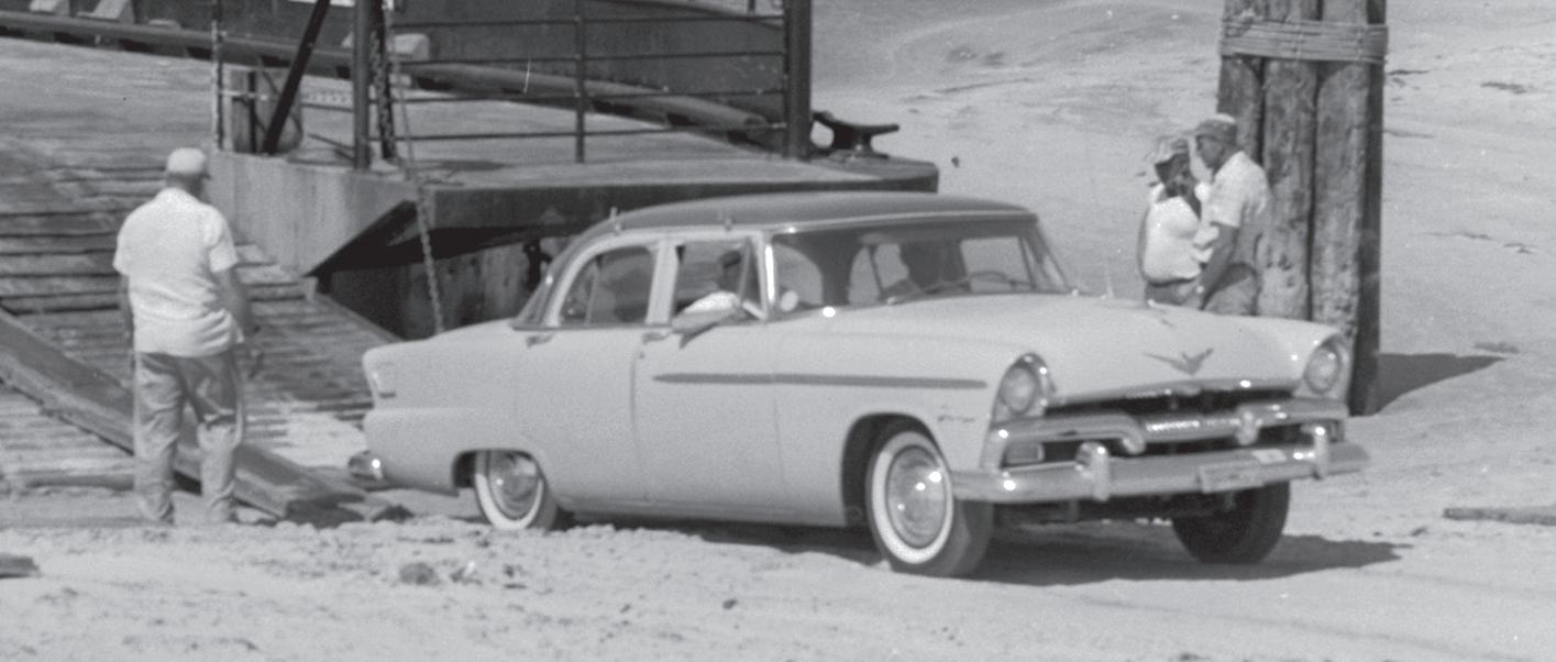
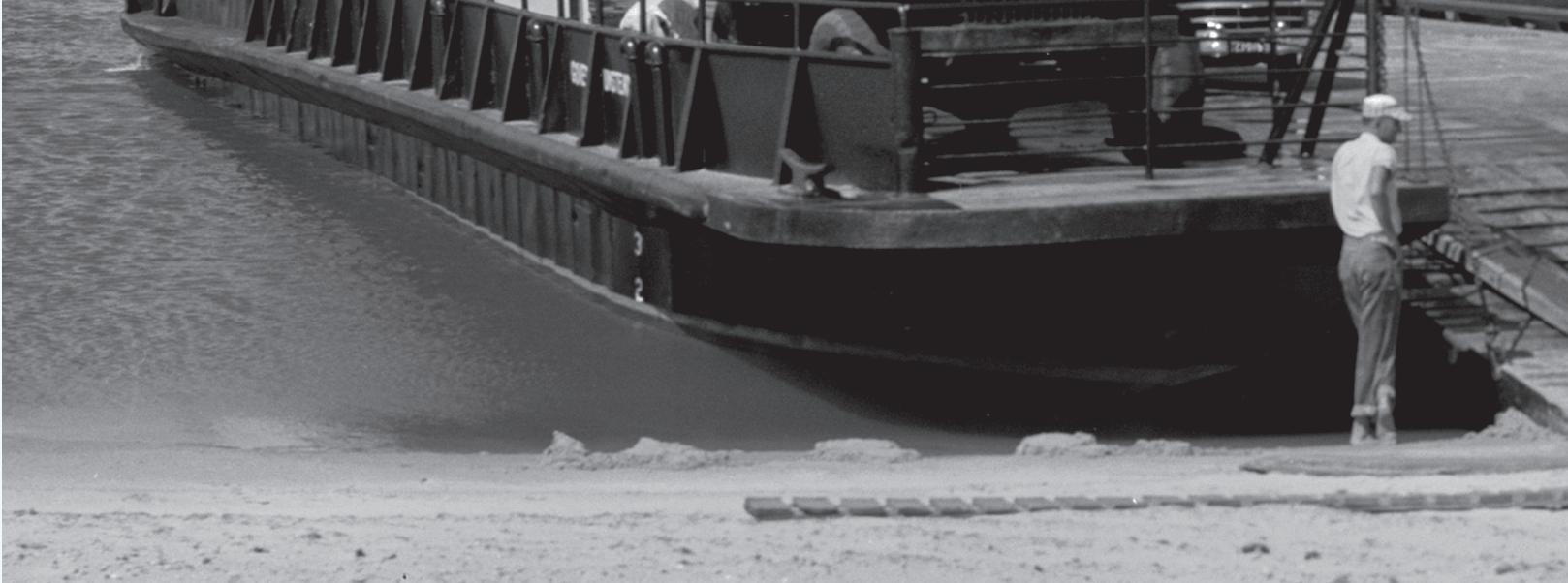
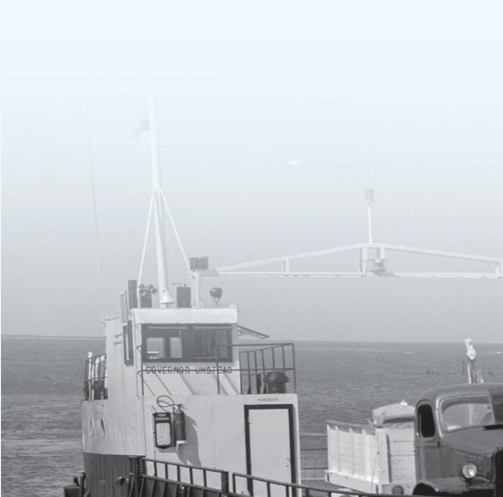
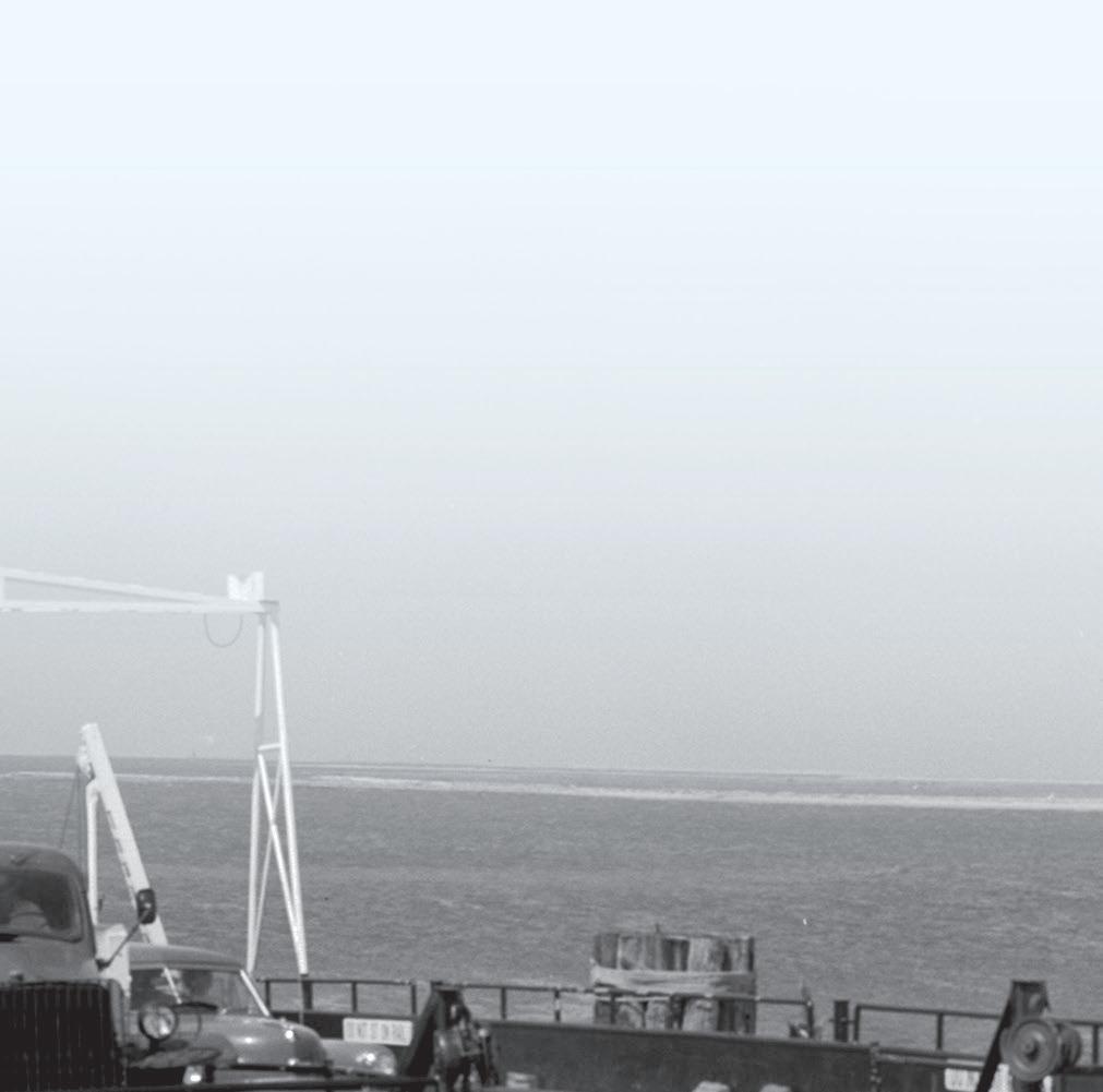
CAPE HATTERAS NATIONAL SEASHORE PHOTO
Ferry unloading, Ocracoke, North Carolina, 1958.
Hatteras, Swan Quarter and Cedar Island routes.
North Carolina’s seven ferry routes
Knotts Island - Currituck: Created in the fall of 1962, this route is the world’s longest free ferry. It links NC 615 to the mainland, across the Currituck Sound between Knotts Island and Currituck. The route was created to shorten travel time for Knotts Island school children to county schools on the mainland.
Hatteras - Ocracoke: Service began across Hatteras Inlet in 1953 to connect the islands of Hatteras and Ocracoke. The route links NC 12 and is part the Outer Banks National Scenic Byway. The route is the busiest in the system.
Swan Quarter - Ocracoke: The newest route in the system had service start across Pamlico Sound between Swan Quarter and Ocracoke in 1977. The route was created to connect residents of Ocracoke to the county seat for Hyde County.
Cedar Island - Ocracoke: In 1961, service was started between Cedar Island and Ocracoke to provide a connection for NC 12 to the mainland. The route is part of the Outer Banks National Scenic Byway.
Bayview - Aurora: Service started in 1966 to connect NC 306 across the Pamlico River. The route connects workers at mining companies in Aurora to homes on the north bank of the river.
Cherry Branch - Minnesott Beach:
To complete NC 306, service across the Neuse River started in 1973. This route is used heavily by workers at the Cherry


Point Marine Corps Air Station to commute to and from their homes in Pamlico County.
Southport - Ft. Fisher: In 1965, service across the Cape Fear River was designed to connect visitors traveling between attractions north and south of the mouth of the Cape Fear.
Emergency Route between
Rodanthe and Stumpy Point. The route provides an alternative when the northern end of Hatteras Island is inaccessible by vehicle. It runs on an as-needed basis.
North Carolina’s three classes of ferries
Hatteras Class, with a draft of four feet, travels the routes with shallow waters. Sailing for the North Carolina Ferry system are the Ocracoke (1990), Cape Point (1990), Thomas Baum (1995), Frisco

(1990), Chicamacomico (1990), Roanoke (1993) and Kinnakeet (1989). NCDOT is phasing out this class of ferry with a capacity of 30 vehicles.
River Class, with a draft of six feet, is double-ended, eliminating the need for the vessel to turnaround at the docks. In this class are the Croatoan (2003), W. Stanford White (2003), Hatteras (2006), Neuse (1998), Southport (1996), Fort Fisher (2000), Floyd J. Lupton (2000), Daniel Russell (1993), James B. Hunt (1984), and Rodanthe (2019). This ferry class has a capacity of 40 vehicles.
Sound Class, with drafts between six and seven-and-a-half feet, sails the waters of the Pamlico Sound. Running the sound routes are the Carteret (1989), Cedar Island (1994), Silver Lake (1965), Swan Quarter (2011) and Sea Level (2012).
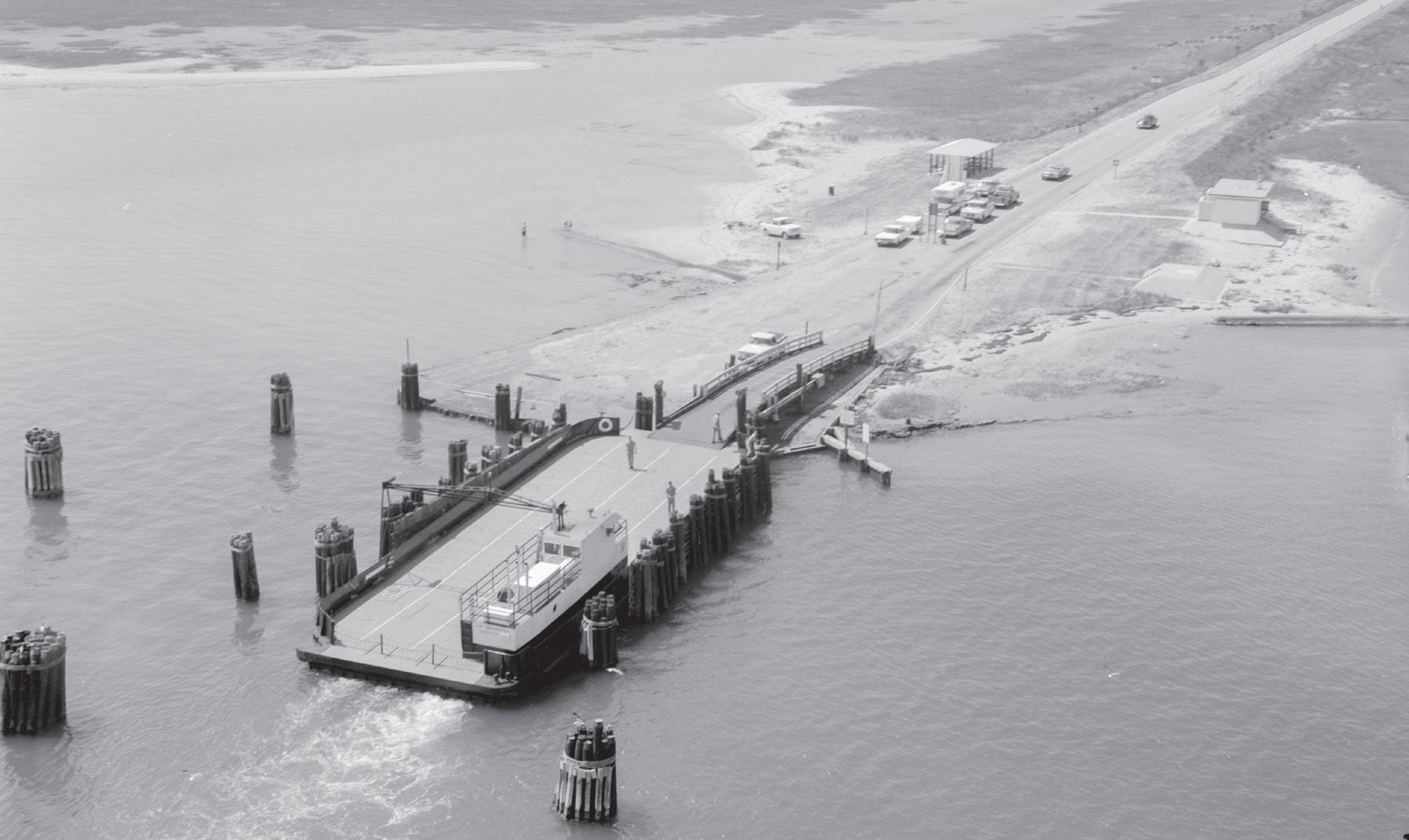
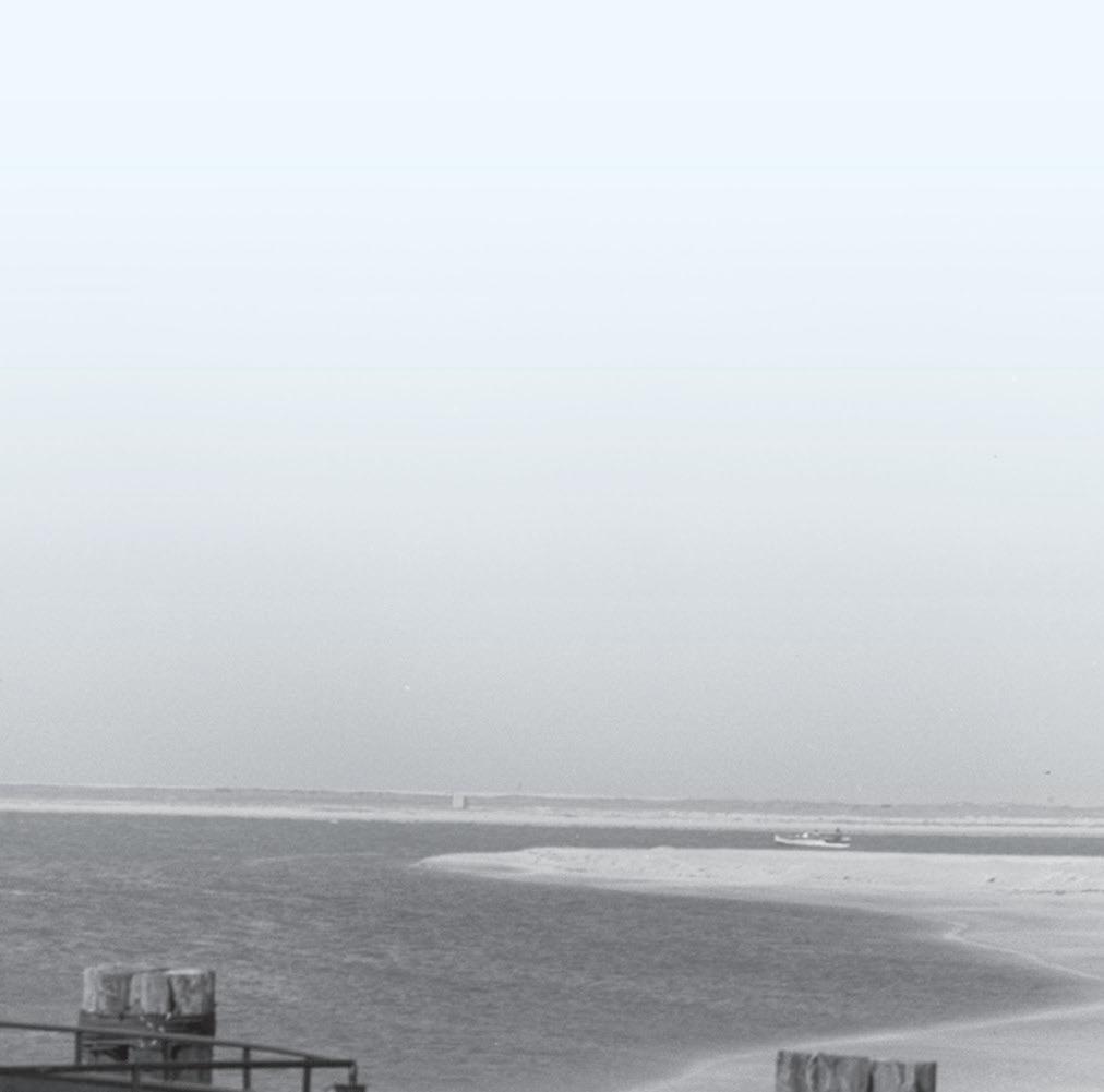
CAPE HATTERAS NATIONAL SEASHORE PHOTO
Aerial view, ferry on north landing, Ocracoke Island, 1966.