August 28, 2015
BALLINGER PARK MASTER PLAN
BALLINGER PARK MASTER PLAN
INTRODUCTION ..................................................................
Heart & Soul
Existing Site
Site Ecology
EXPERIENCE ........................................................................
Enhancing Ecology
Journey Through & To
ZONES .................................................................................
Community Terrace
Athletic Fields
West Side
East Side
BUILDING THE PARK ..........................................................
Phasing
Maintenance and Permitting
Grants and Cost
Cost Estimate
PROCESS ............................................................................
Timeline
Background Research
Public Meeting #1
Public Meeting #2
Public Meeting #3
APPENDIX ..........................................................................
Detailed Probable Cost of Construction and Assumptions – Berger Partnership
Environmental permitting and implementation summary – Watershed Company
Critical Areas diagram from Ballinger Golf Course Scoping Session – City of Mountlake Terrace
Critical Areas Map from 2011 Shoreline Master Program Update – City of Mountlake Terrace
Substantial Shoreline / critical area boundaries map – Berger Partnership
Washington Department of Fish and Wildlife site meeting summary 8-4-15 – Watershed Company
Department of Ecology email summary with Ralph Svrjcek and Greg Johnston – Watershed Company
Civil storm water narrative – Magnusson Klemencic Associates Plant
BALLINGER PARK MASTER PLAN
heart&soul
The City of Mountlake Terrace has a treasure in Ballinger Park, an exceptional site situated in and accessible to a vibrant, growing community.
The opportunity of this park lies not only in what it can become but also in the richness of the site as it exists today! This park is already loved and holds the potential to welcome and serve so many more people. It is a site with great natural riches that can be enhanced and enriched.
Water is at the heart of the ecology of this park – the ponds, the lake, the creek. Exploration, discovery, and contemplation are at the heart of the experience of the park. These are inextricably woven in intangible and innate ways.
Herein lies the future of Ballinger Park where an enhanced human experience and enhanced ecological function coexist and thrive.



BALLINGER PARK MASTER PLAN
existing site
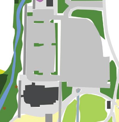
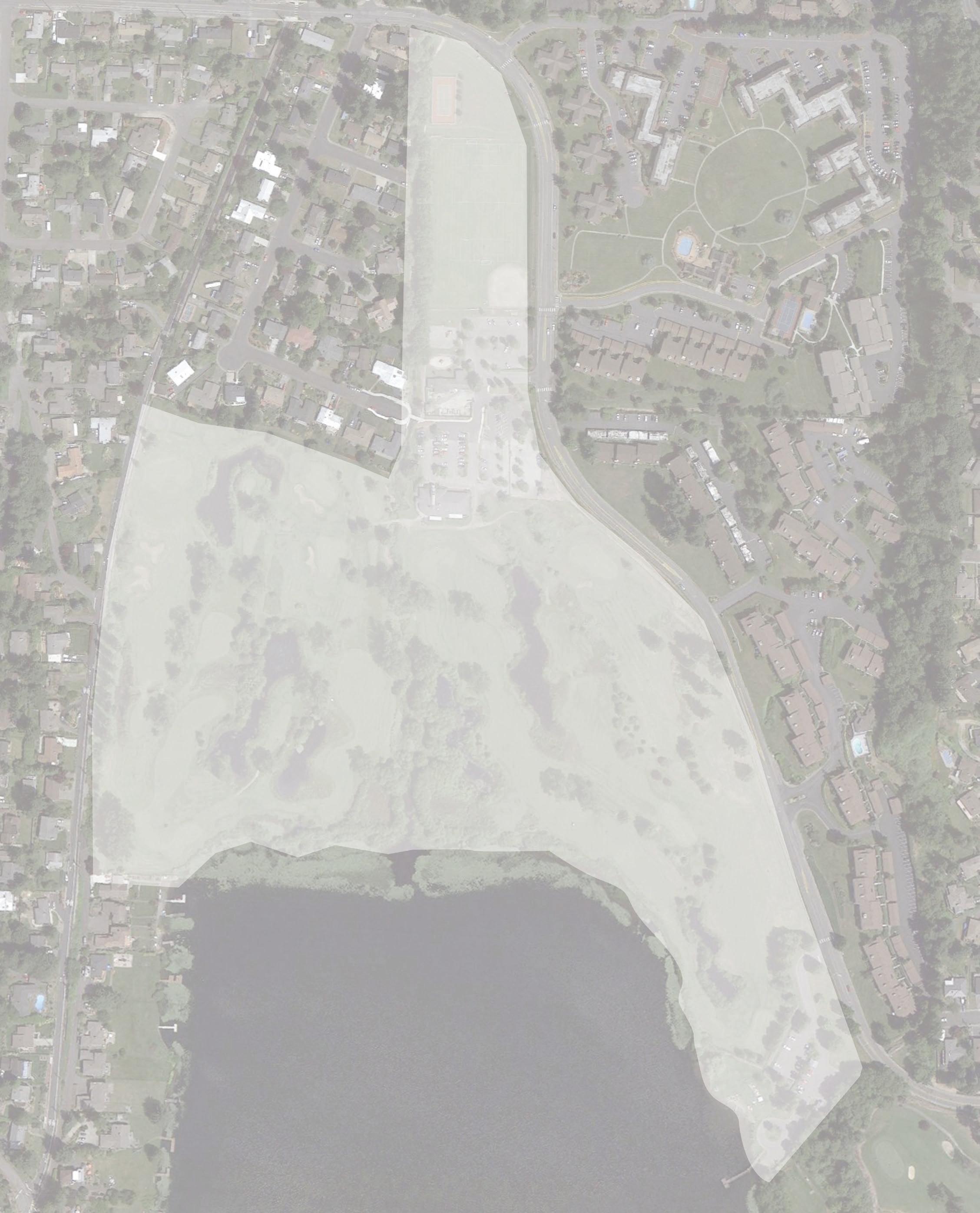
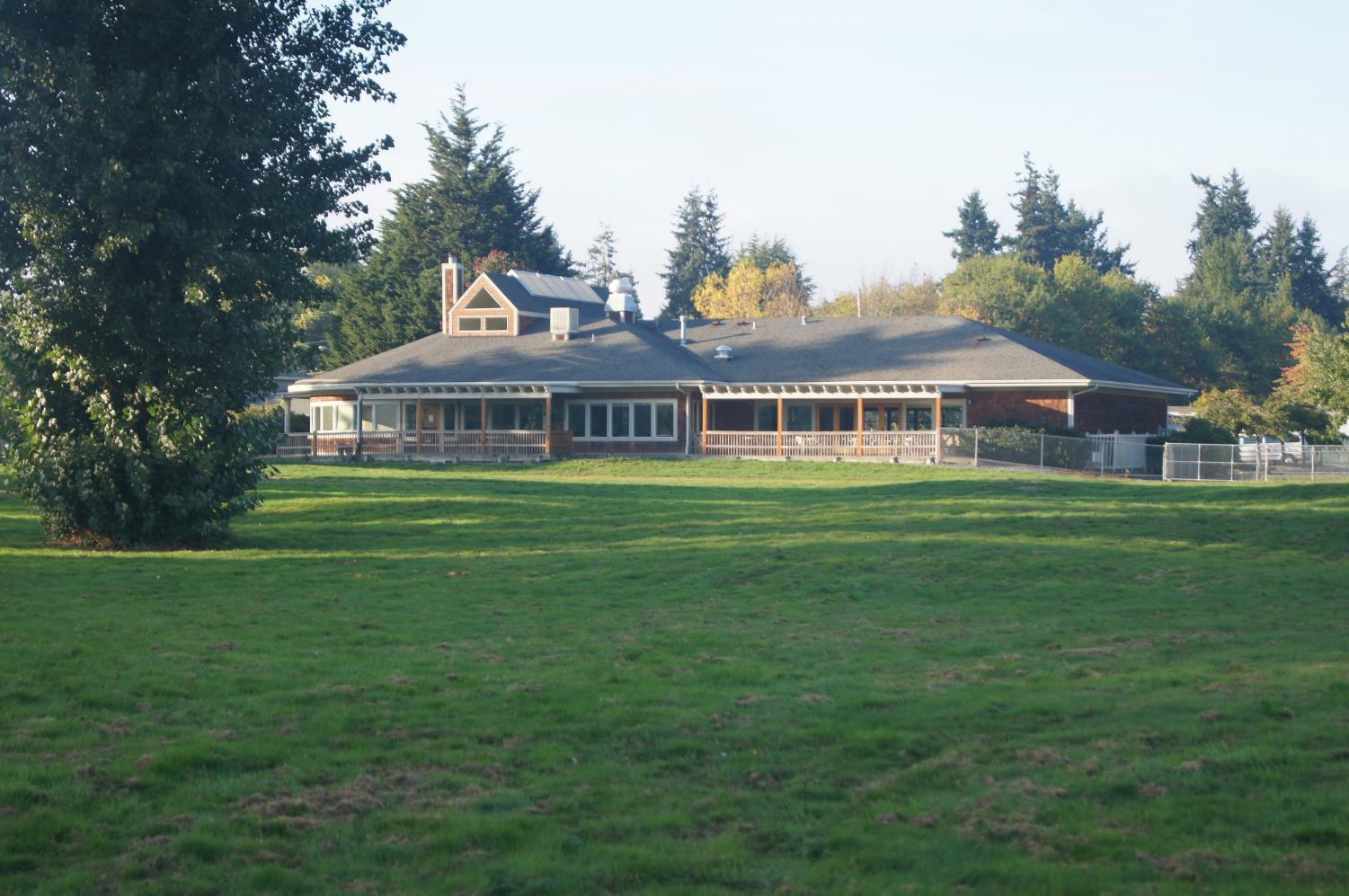
The park currently sits among valuable existing community elements – the playfields, boat ramp, Interurban Trail, the Clubhouse – and has the unique potential to bind these formerly separate pieces into a whole.
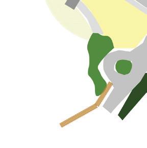
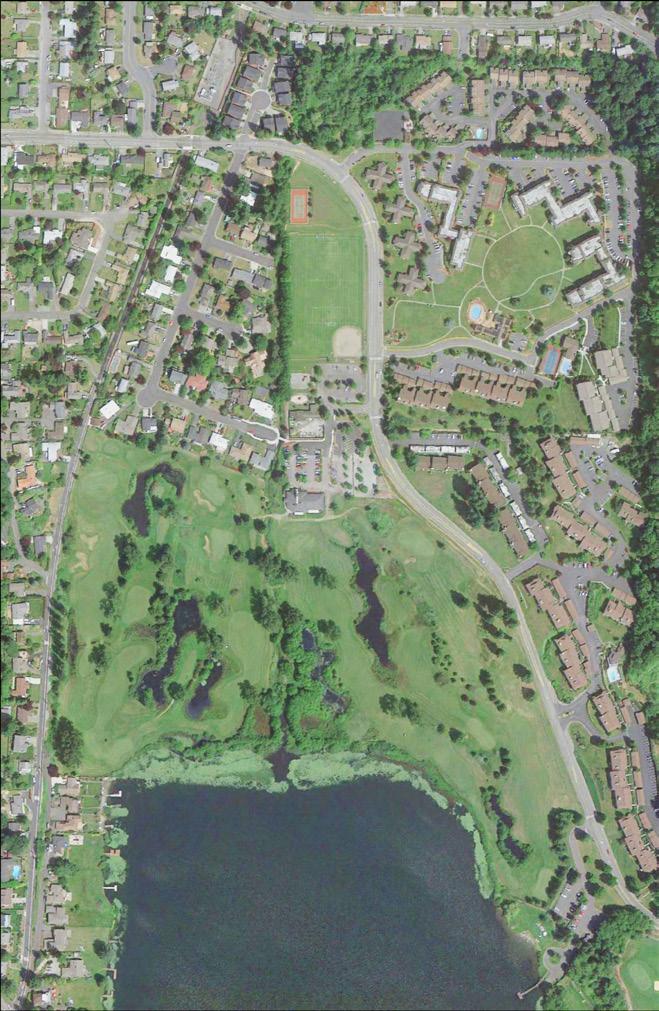
With the Ballinger playfields and playground to the north, Ballinger Lake Park with its beach and boat ramp to the southeast, the Interurban Trail to the west, the new Lakeview Trail to the east, and the lake itself to the south, Ballinger Park provides the opportunity to unify all these elements into a cohesive whole and become a destination park experience for the city and the region.
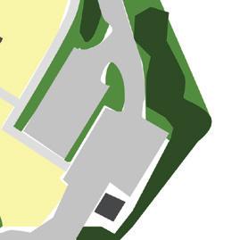
In addition to these community elements, the infrastructure to support a park is already there. With underutilized parking, the former clubhouse as a community space, utilities in place (including irrigation and drainage infrastructure), the master plan and investment can focus on experiential elements of the park. It is rare that a site is blessed with such intact infrastructure from the beginning.
BALLINGER PARK MASTER PLAN
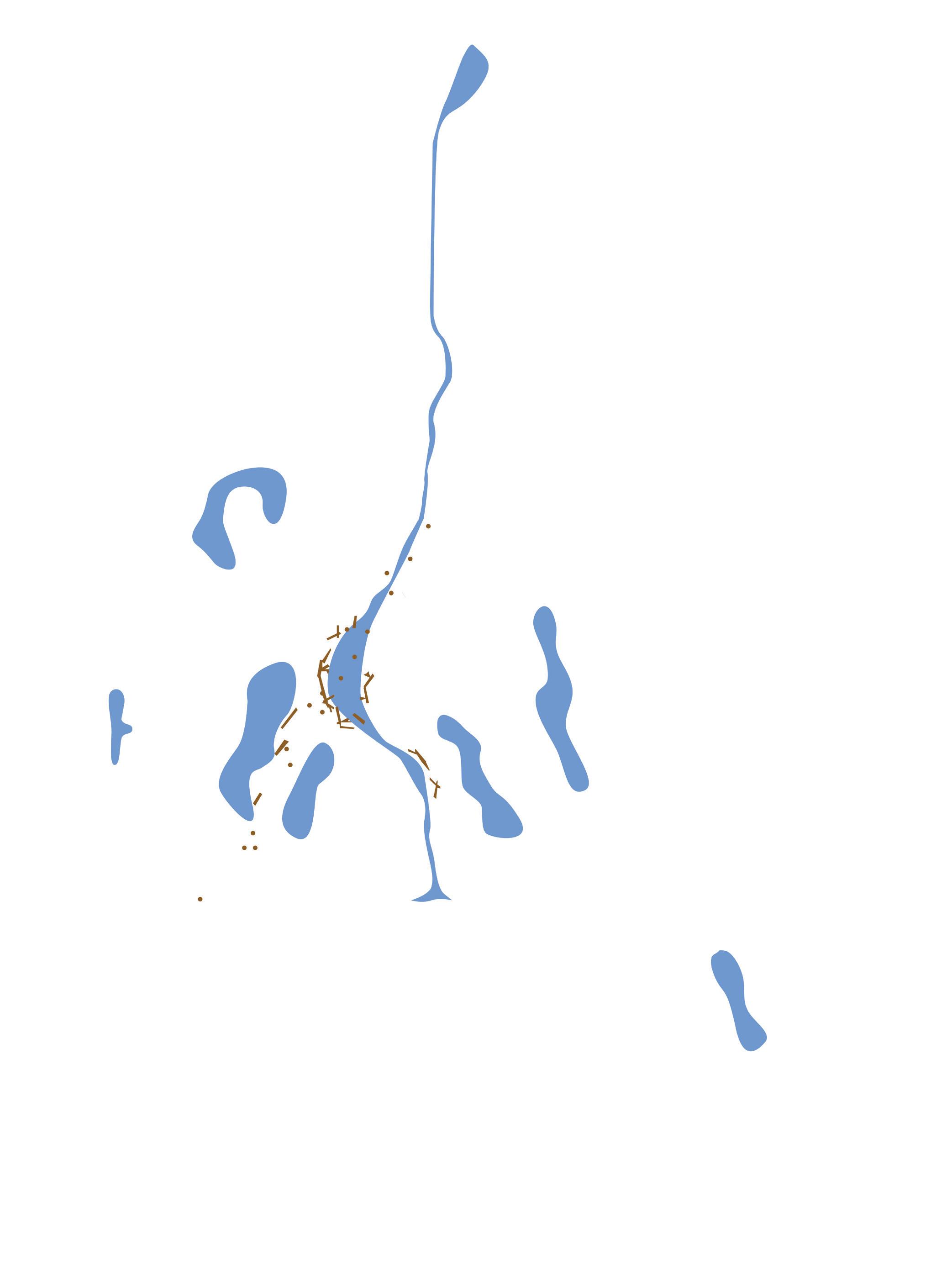
Water is at the heart of the ecology of the park. The interrelation of the creek, the ponds, and the lake create a unique chance for hyper-ecology.
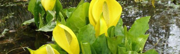
The ponds carved as past golf course improvements have evolved into fledgling wetlands. By diversifying this wetland system, more wildlife will be attracted to the site and more pollutants will be filtered out.
The most ecologically under-performing element of the site is Hall Creek, which is heavily channelized and choked by non-native plants; this is one of the exceptional opportunities of the site.
Lake Ballinger is prone to algae blooms due to high levels of phosphorous and other nutrients. Reducing nutrient loading and heavy pollutants into the lake is a top priority for management of the watershed.
With the challenges of Hall Creek and the health of Lake Ballinger, the creek’s path and purpose on the site is reimagined to enhance its ecological function. Water is slowed, spread and treated to remove silt and pollutants, improve habitat and reduce flooding risk.
The existing Hypolimnetic Weir at the mouth of Hall Creek will be maintained in its present day location (see p. 58). Correspondence with the Department of Ecology (see p. 100) indicates that this structure is providing benefit to reduce phosphorous and other nutrient loading into the lake. Next phases of work should consider further conversations with DOE and WDFW to facilitate discussions of the weir and how safe fish passage can be achieved.
Opportunities for innovative treatment of surface runoff abound beyond the creek and ponds (see p. 102). These will additionally improve water quality entering the lake and provide potential funding opportunities.



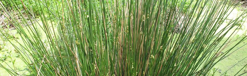

WETLAND
ECOLOGY
As we have seen, the ecological richness of the site, and its namesake lake, makes Ballinger Park special. Rather than a heavy-handed approach that draws people to the site, the preferred master plan looks to a dynamic series of paths and found discoveries that allow mind and body the ability to contemplate, wander and explore. Further opportunities are provided by observing the site in different ways throughout the seasons and throughout the years. It’s a place for the community that lives here and for passersby who cherish a break from our daily routine. It is a place where our future stewards can learn why it’s important to care about our environment and learn to love it!
The following section explores how the plan looks to blend these elements into a cohesive whole in further detail.
BALLINGER PARK MASTER PLAN
WETLAND MEADOW
CLIMAX
BALLINGER PARK MASTER PLAN
enhancing ecology
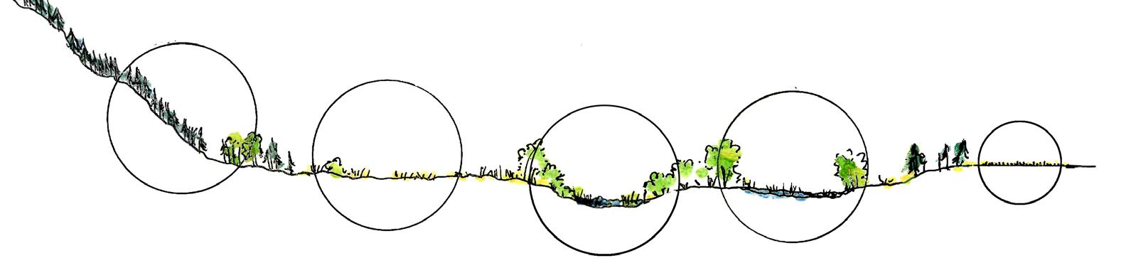
A truly diversified & healthy ecology includes many habitat types, with the most diversity residing at intersections and edges.
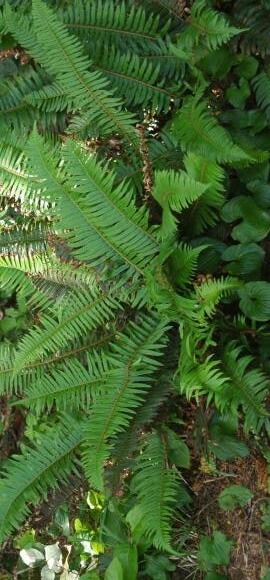
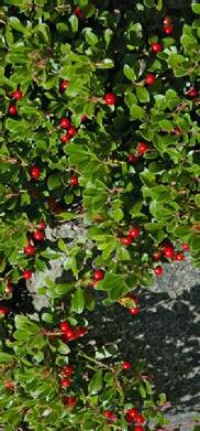
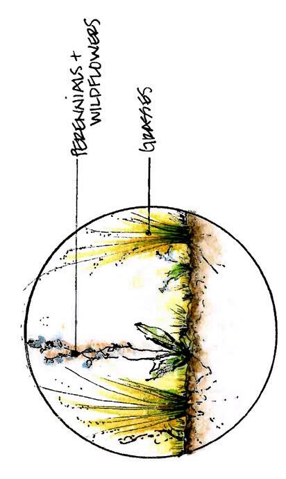
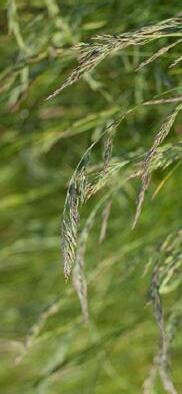
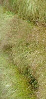
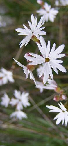
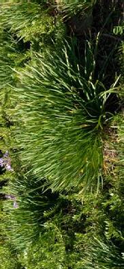
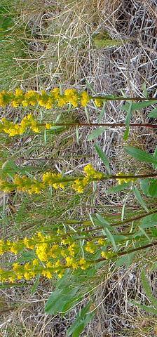
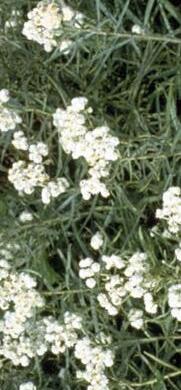
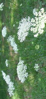
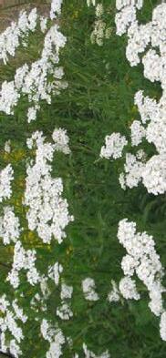
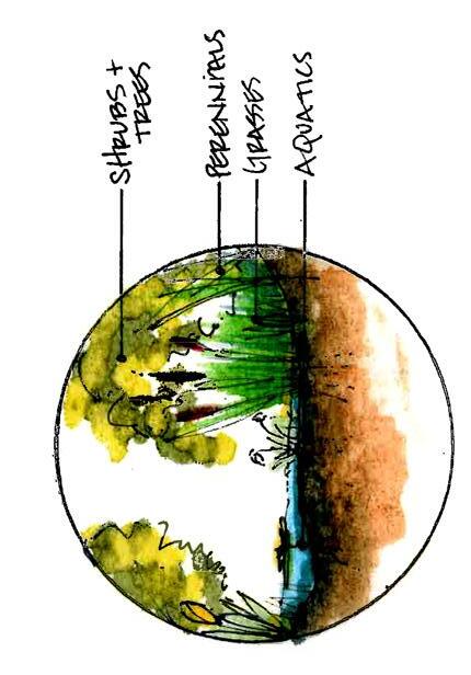
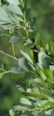
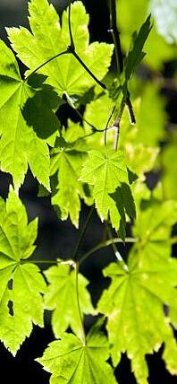
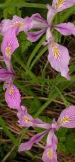
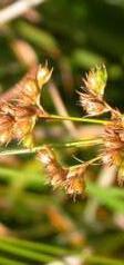
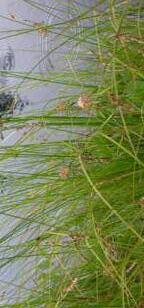
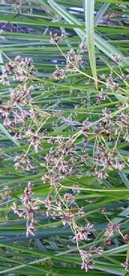
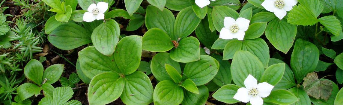
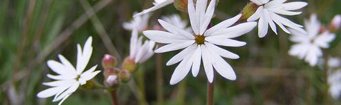
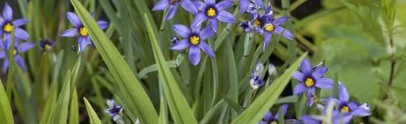
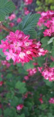
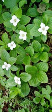
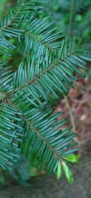
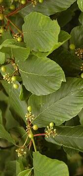
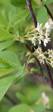
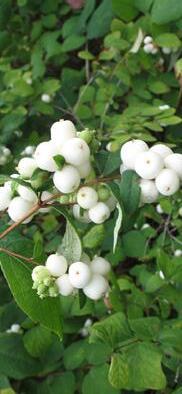
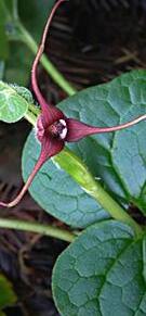
At the park, open meadow, forest, wetland, open water and mown lawn provide a variety of habitat and experiences for creatures and humans while improving the health of Hall Creek, Lake Ballinger, and Lake Washington (see p. 104 for plant species).
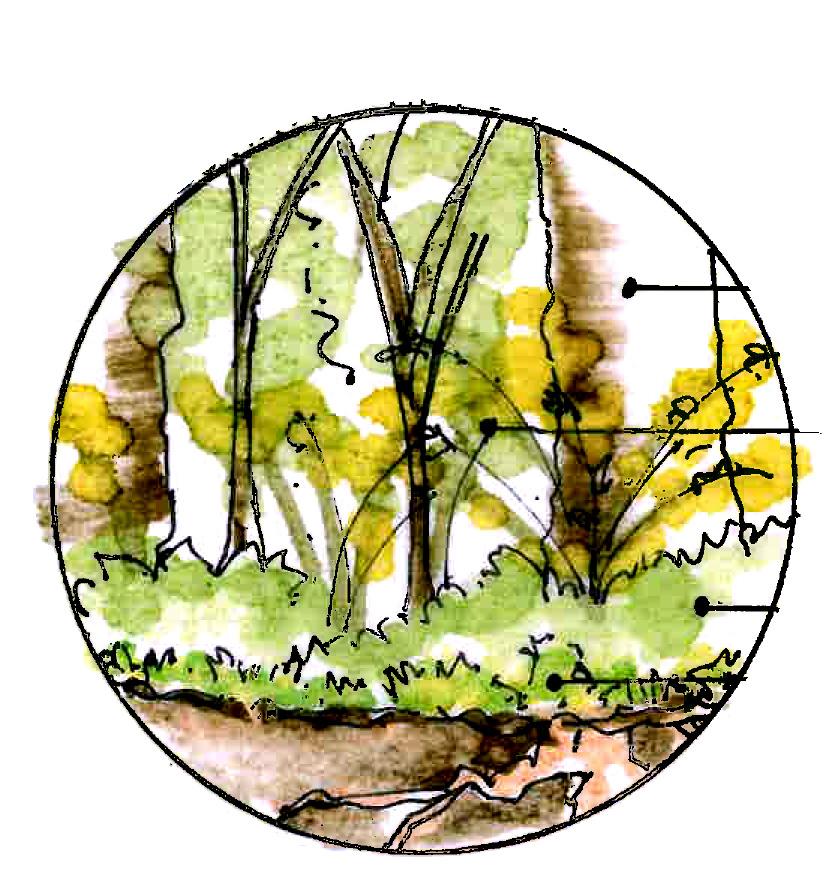
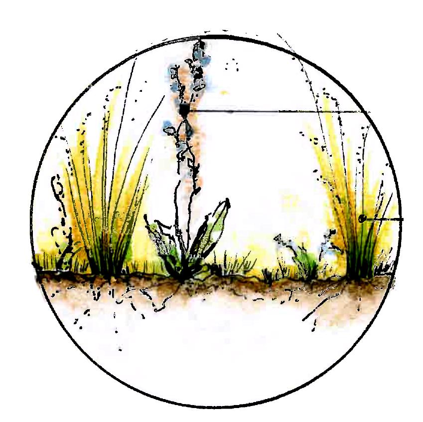
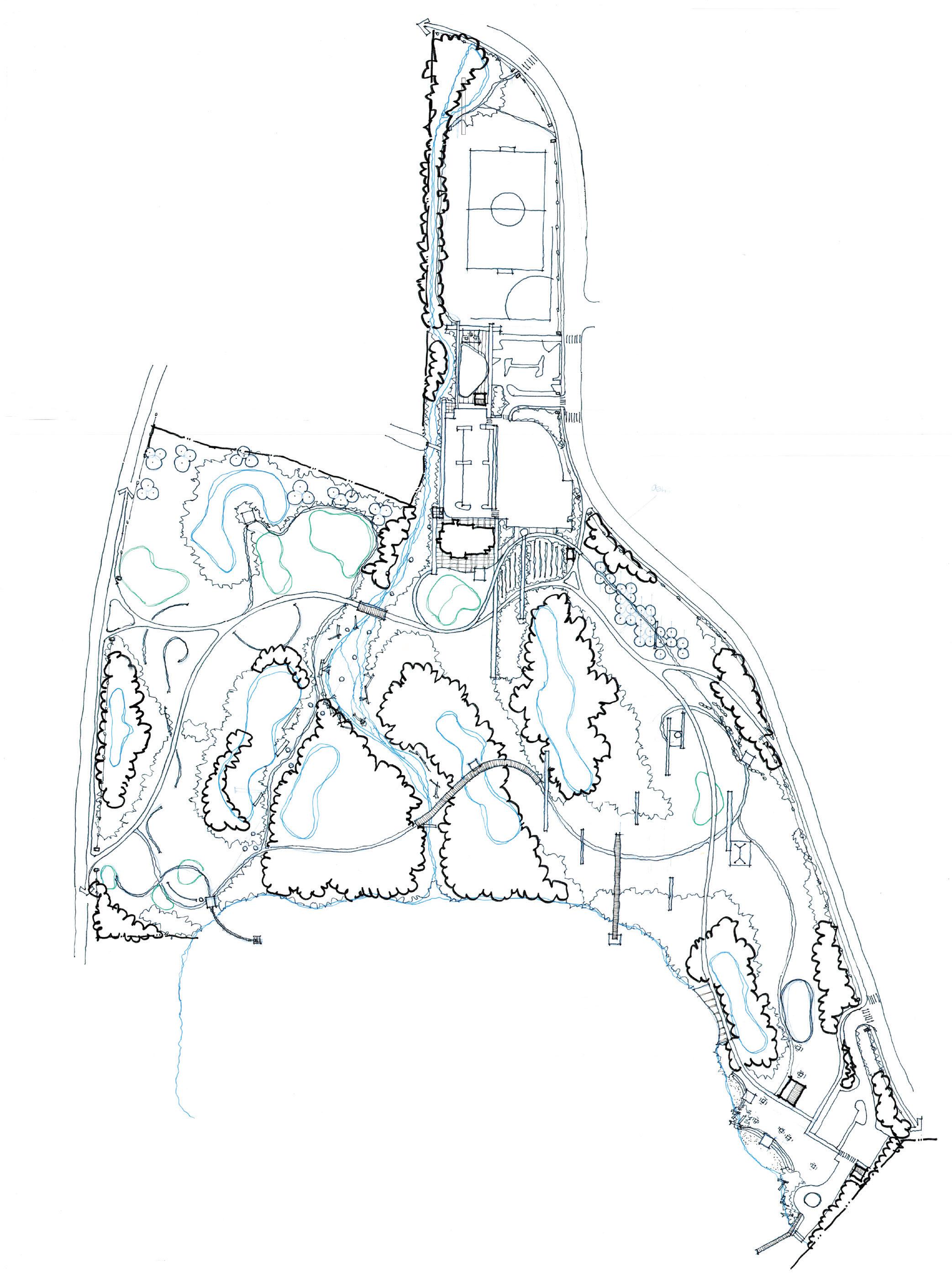
It is the intent of the master plan to enhance the existing vegetation and provide a long range vegetation management plan to provide a healthy sustaining and functioning ecosystem.
Human experience and enhanced ecology coexist and thrive.

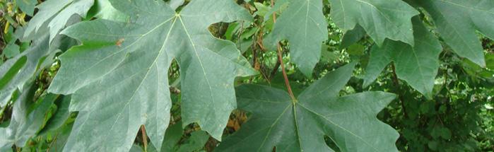
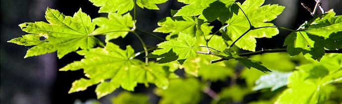
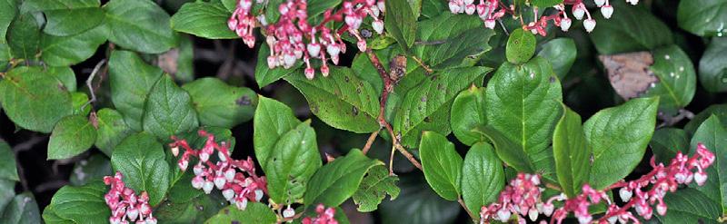

CLIMAX FOREST
MEADOW
WETLAND
BALLINGER PARK MASTER PLAN
journey through
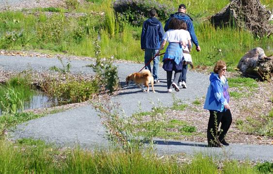
While water and habitat is at the heart of the ecology of this park exploration, discovery, and contemplation are at the heart of the human experience. These are inextricably woven in intangible and innate ways.
We passionately believe that people are part of their urban ecology and that this site must be improved for people as well as habitat.
Trails take people into, through, and over ecology, allowing them to interact, observe, and explore.
Trails and vegetation work in tandem to provide safe and controlled access to wetlands and the lake. Paths create a framework for a varied experience, presenting views and leading to discoveries.
Enhanced human experience and ecology coexist and thrive.
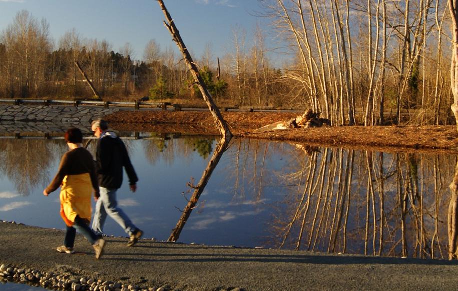
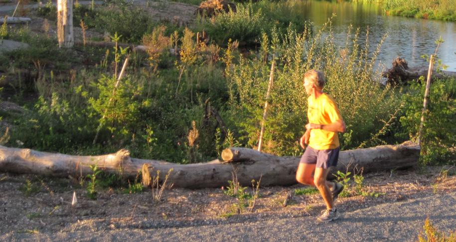
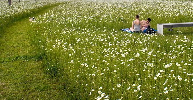
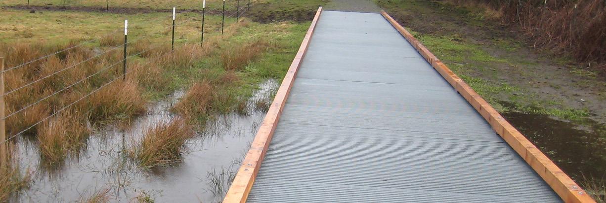
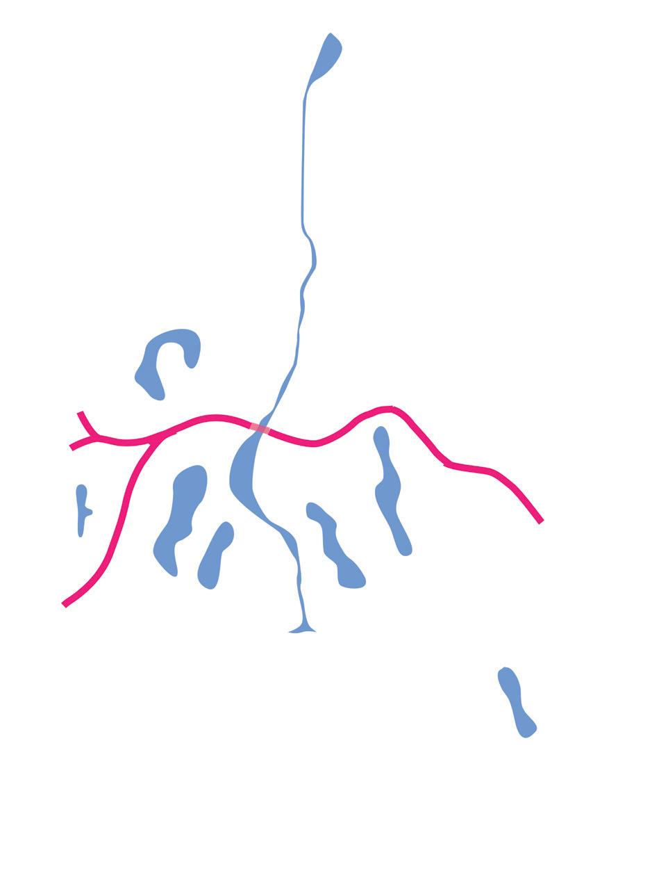
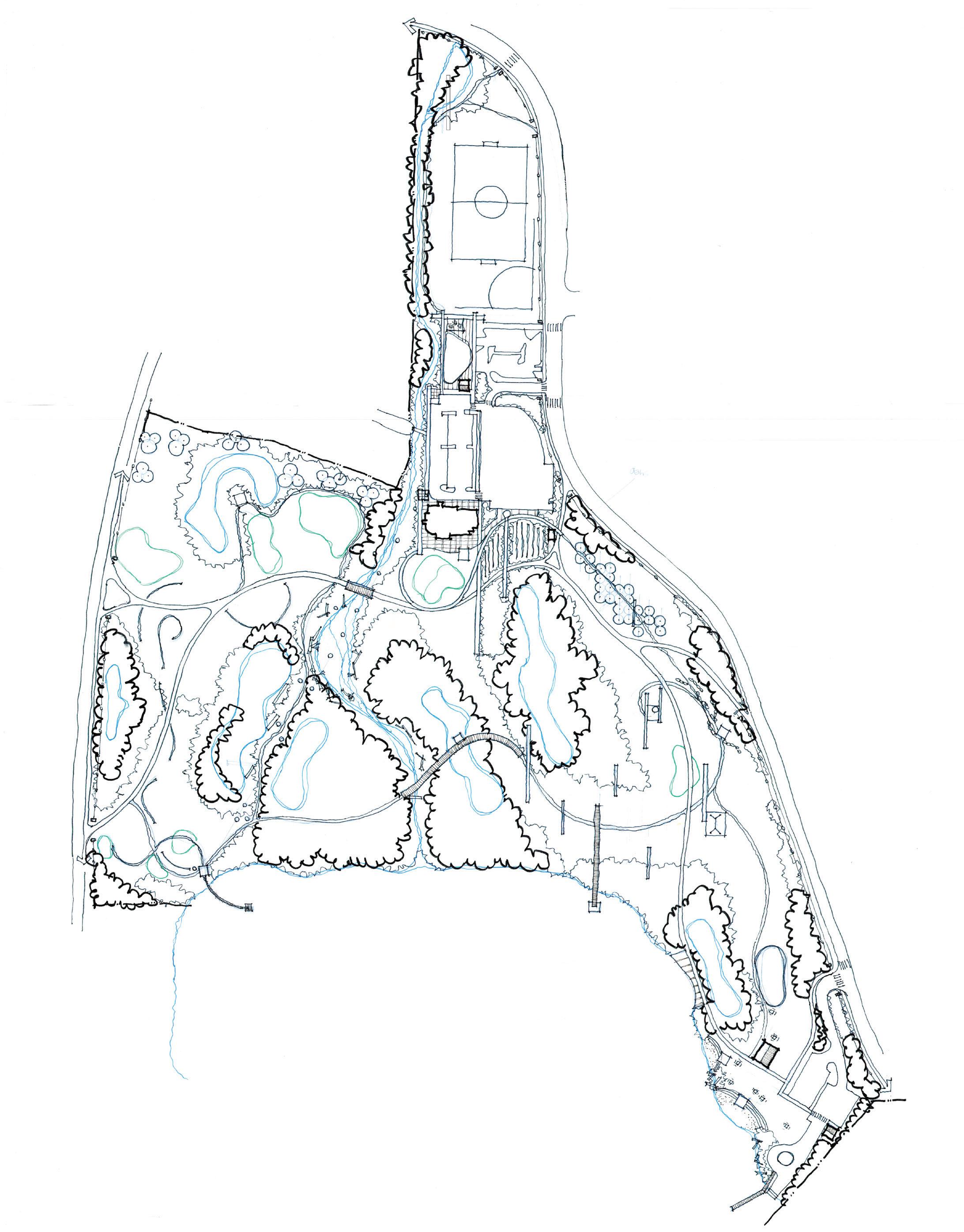
The main paved pathway connects the Interurban Trail and the Lakeview Trail. This connection brings more people into more areas of the park, enhancing safety.
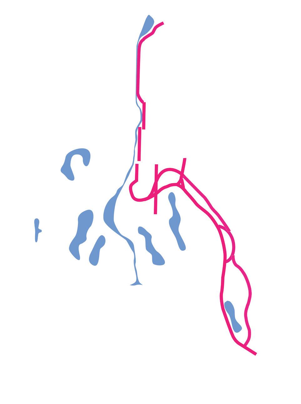
The fields, Clubhouse, and beach are connected by a series of paths. The Clubhouse parking lot and beach parking are connected by a paved pathway, creating a direct and accessible route. Gravel paths can be used instead for a varied experience. Gravel paths extend north along the fields and connect to existing crosswalks.
BALLINGER PARK MASTER PLAN
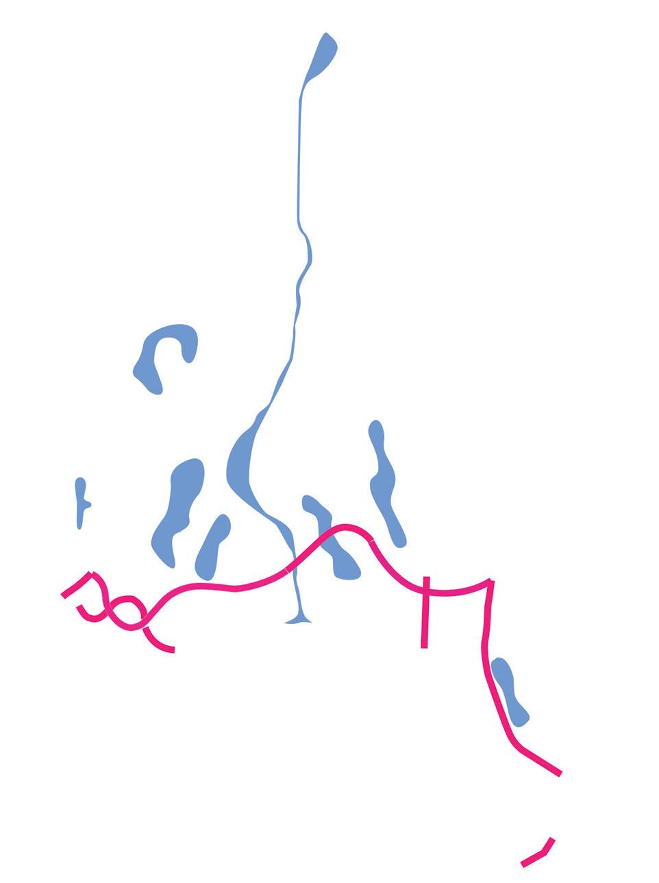
A trail along the lake brings people near and over the water
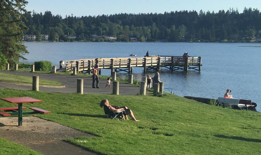
This trail is accessible and dynamic, changing from gravel to boardwalk to paved. Piers take people out over the lake. Mown and mulch paths are alternate routes along the trail providing a variety of possible experiences.
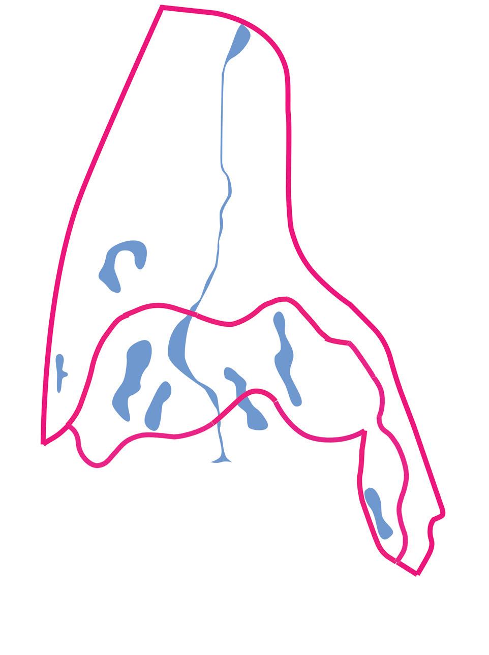
Loops are created with a hierarchy of paved and soft surface paths providing different experiences for contemplation and exercise. Most of the trails are ADA accessible, also serving bikes and parents with strollers. A Cross Country loop of 3.1 miles utilizes the adjacent Lakeview and Interurban Trails along with interior trails to complete the course.
BALLINGER PARK MASTER PLAN
journey to
Beyond arriving by car, the park is uniquely situated to welcome walkers, bikers and more from the Interurban Trail to the west and the new Lakeview Trail to the east connecting to the Mountlake Terrace transit center and points beyond.
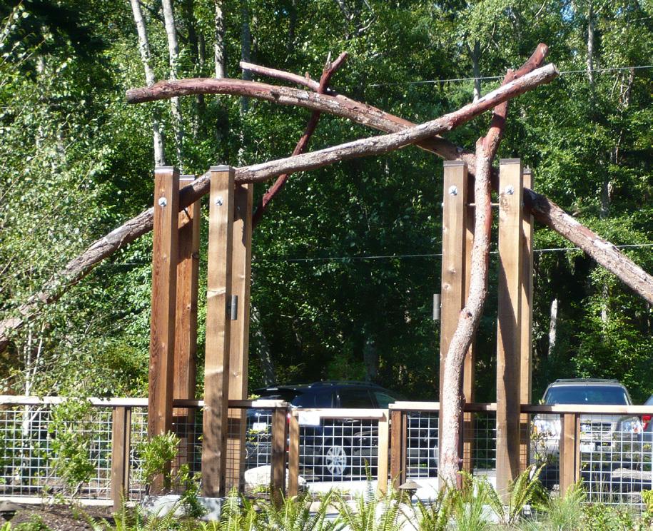
One of the greatest opportunities for the park is to enhance the edges of the site, inviting people to enter and experience it. Even the docks and viewing piers become portals, welcoming those using Lake Ballinger into the park. Fences or dense vegetation along the edges lead people to specific entry points, controlling access to the park. Entry portals will announce a visitor’s arrival, creating an iconic symbol that welcomes pedestrians, bicyclists, boaters and motorists alike, while allowing for regulatory signage.
These portals are an opportunity for something big, bold, and graphically awesome, unique to Ballinger Park! The size would depend on the type of entry – pedestrian, vehicular, bike, and the typical speed of their travel.
A quick, low cost application is as simple as attaching screen-printed construction screens to the fence line. A permanent structure in the future might technically function as a sign but be so much more, potentially interactive or responsive to the wind and rain.


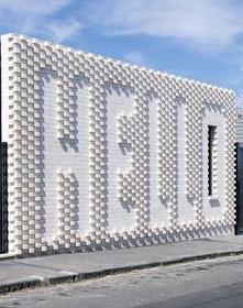
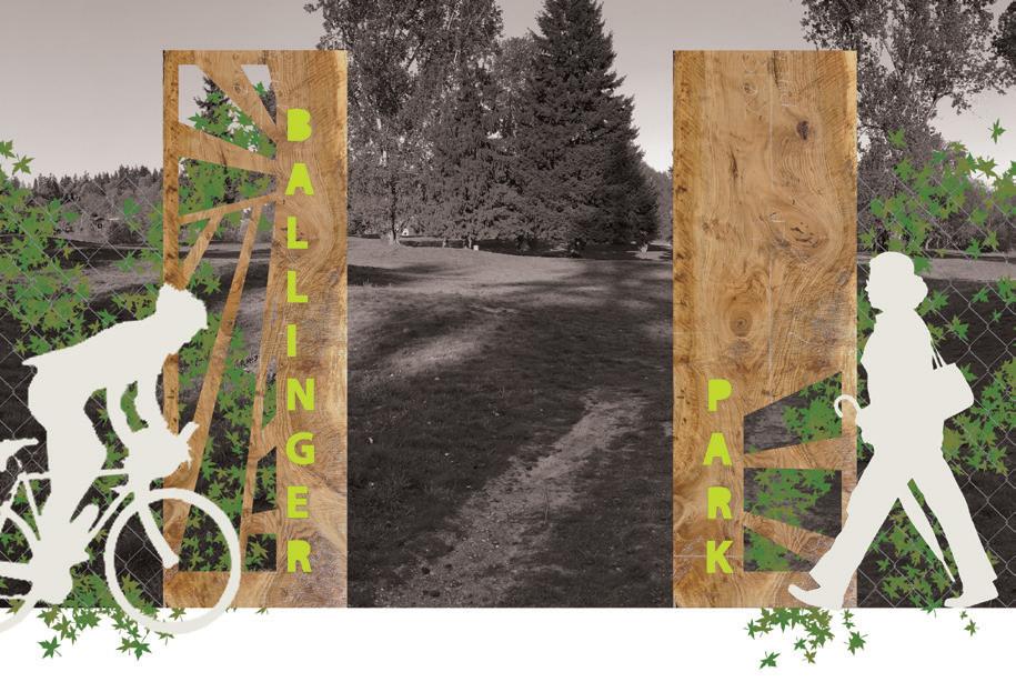
The character of the park is created by discoveries found while wandering the trails.
Discoveries work together with the magic of the site to create zones or areas that are contemplative, or active, or perfect for gatherings.
Some of these discoveries celebrate existing elements – the old tees and greens as clearings for pausing or gathering or art – while others are newly created – orchards, community gardens, a gathering terrace.
The following zones present the site through six phases that will be studied further in building the park.
BALLINGER PARK MASTER PLAN
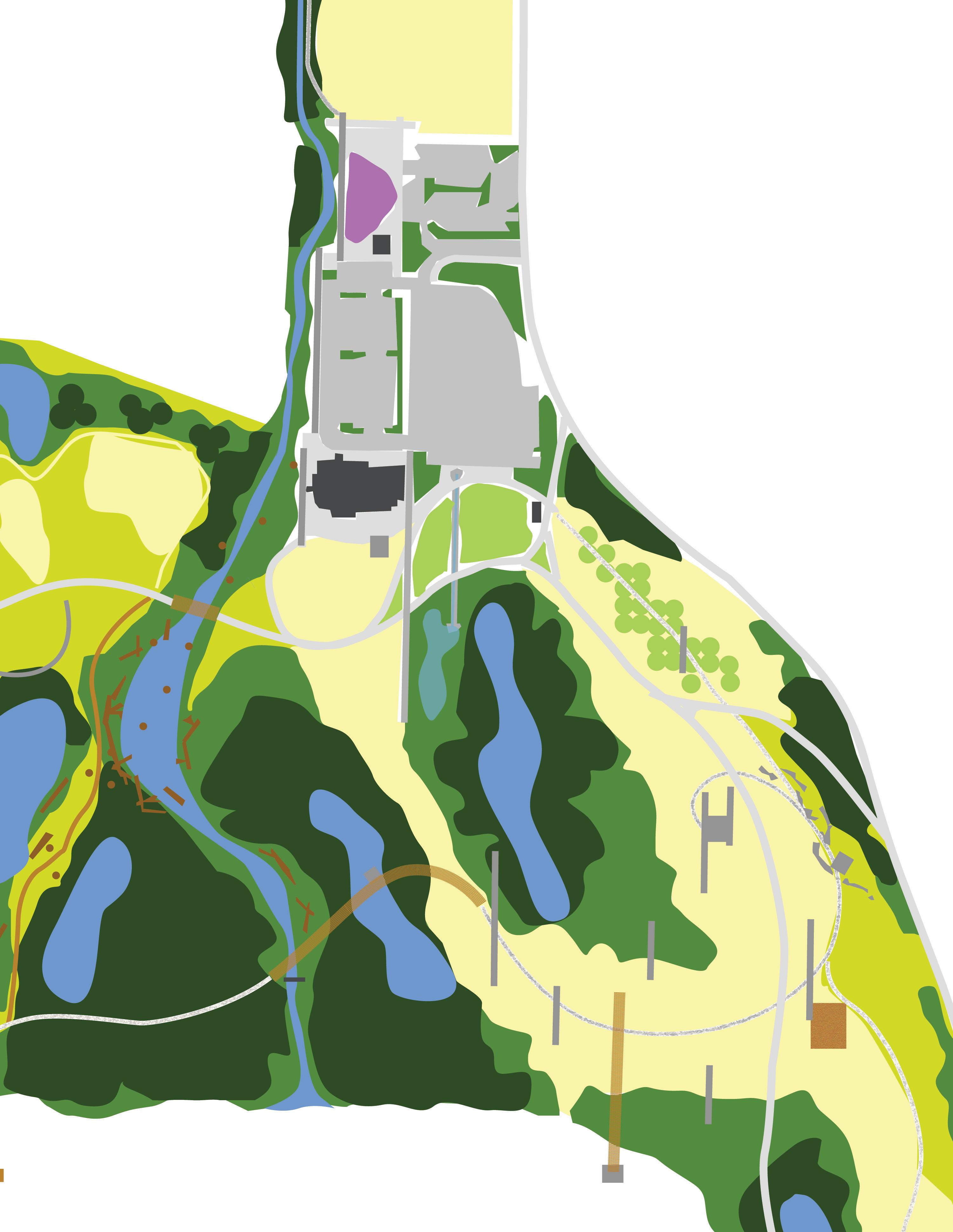
The Community Terrace serves as the formal entry and gathering place for the park.
This is the least natural area of the park, creating a transition from urban everyday life to the park’s ecological immersion.
BALLINGER PARK MASTER PLAN
community terrace
BALLINGER PARK MASTER PLAN
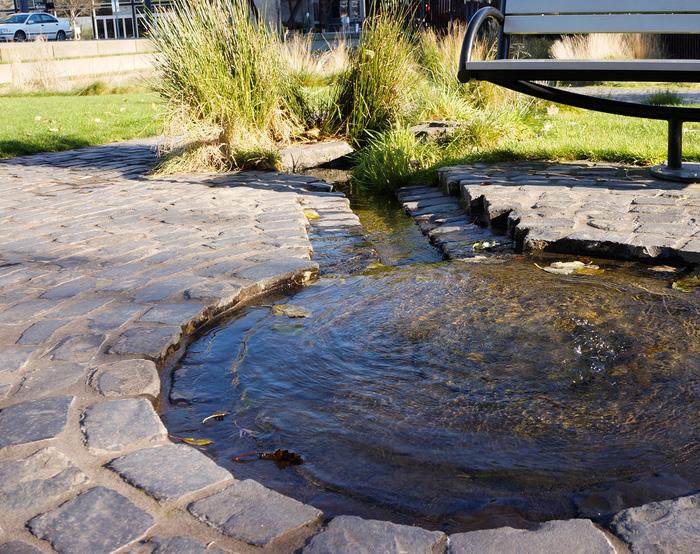
• The Entry Runnel is charged with water intercepted from springs across the street and the parking lot, feeding an enhanced wetland
• The enhanced wetland acts as a filter and treatment area for parking lot runoff, cleaning the water before it enters the ponds.
• Community Gardens welcome people into the park. An associated shed is for gardeners to use. It is envisioned these would be developed after a user group is identified.
• A native plant orchard showcases native plants you can grow at home!
• A paved terrace allows for expanded use of the building, allowing events to spill outside for larger gatherings.
• The formal green is adapted as part of the flex space adjacent to the Clubhouse.
• Modified parking lot in area of former maintenance facility allows space for the dechannelization of Hall Creek. A new path on the west side of the Clubhouse provides additional pedestrian access to the park.

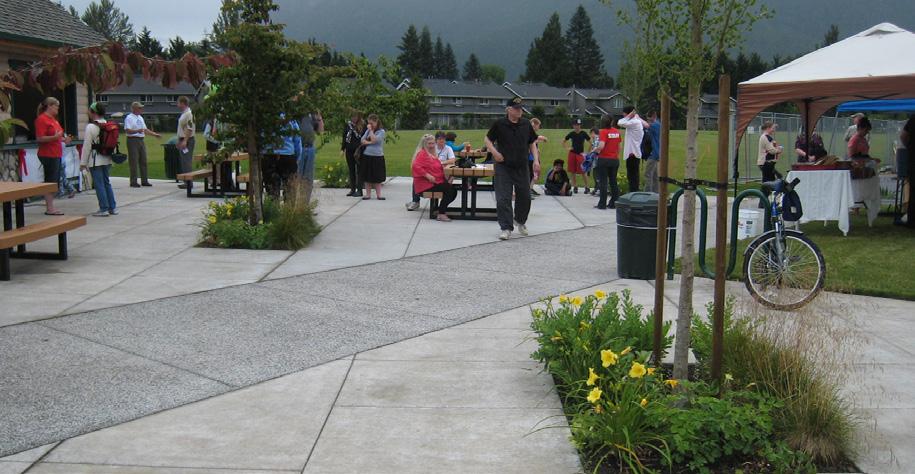
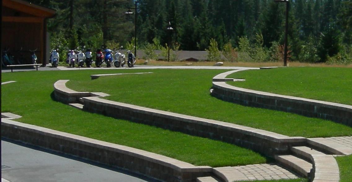
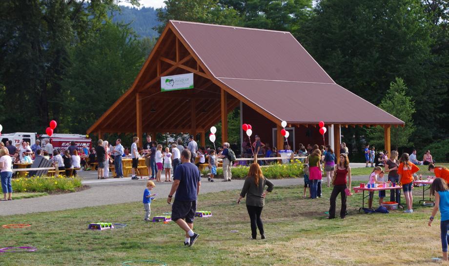
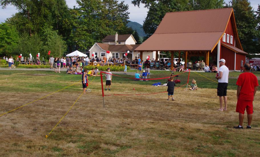
Tanner Springs Park, Portland
Suncadia, Roslyn
Si View Park Plaza, North Bend
Confluence Park Plaza, Issaquah
Confluence Park Plaza, Issaquah
The Athletic Fields are the game area.
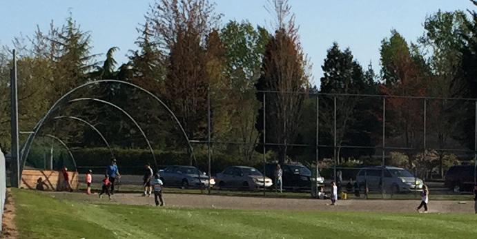
This is the area for organized sports. The existing field configuration is kept and enhanced with added features. The wetland ecology to the south is brought north, unifying the park and maximizing ecological function.
athletic fields
BALLINGER PARK MASTER PLAN
BALLINGER PARK MASTER PLAN
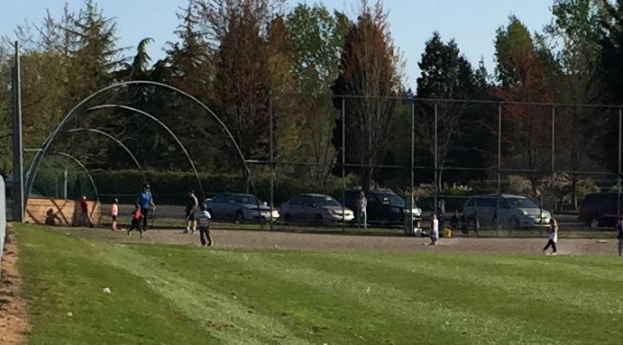
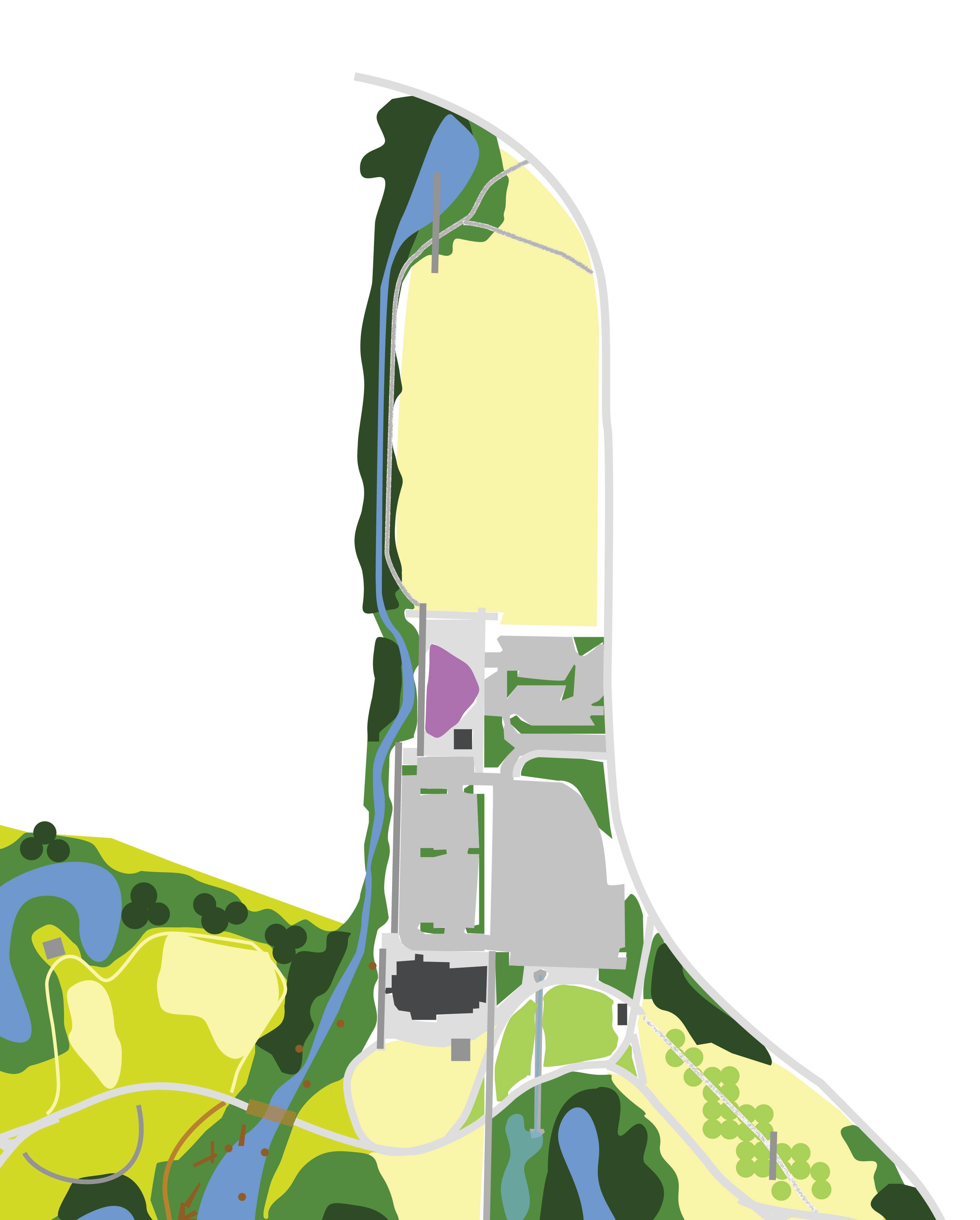
• Existing playfields are maintained in the current orientation.
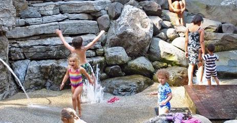
• A new play area and splash pad replace the old play area.
• A new restroom replaces the existing that was part of the relocated maintenance facility. Showers and storage areas are included
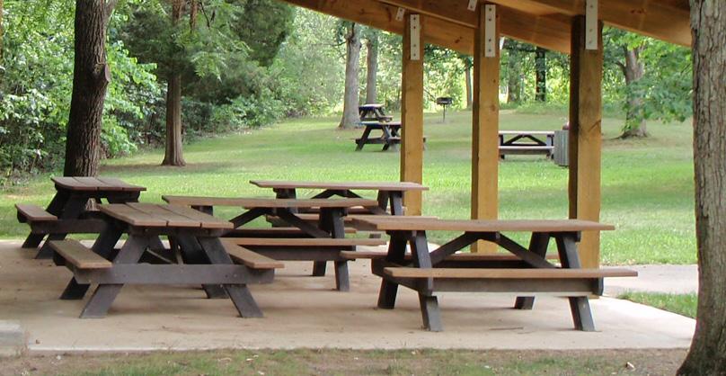
• Benches and tables provide seating for parents watching their kids on the playground or spectators watching a game.
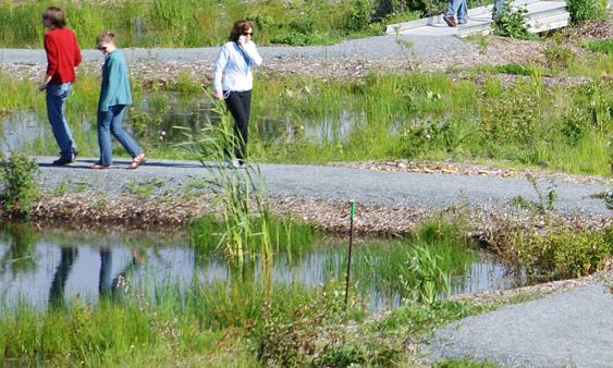
• Hall Creek is expanded into a wetland area in place of the old tennis courts and near the play area, bringing the ecology to the athletic field area. Trails and simple walls bring people to the edge of the creek.
• Trails link to the crosswalks at the north end of the park.
Tear Drop Park, New York City
Ballinger Park, Mountlake Terrace
Magnuson Park, Seattle
The West Side is the contemplative area.
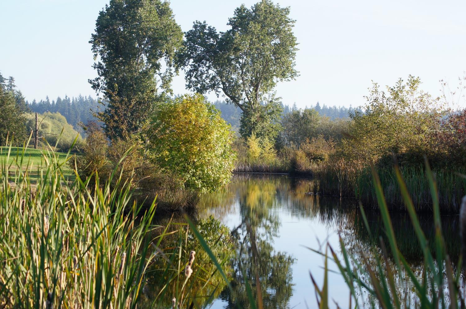
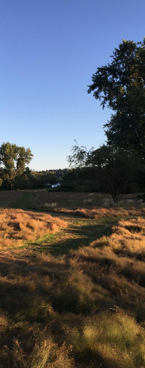
The rolling topography and ponds of the old golf course and the quiet surrounding neighborhoods create a feeling of quiet contemplation on this side of the creek.
There is no manicured lawn here, only meadows. As people wander and discover, they create their own paths.
Discoveries work with and enhance the topography and ponds, curving around and into hills or water.
west side
BALLINGER PARK MASTER PLAN
BALLINGER PARK MASTER PLAN
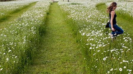
• A mown path connects the clearings that are the remnant tees and greens. A stone pad is tucked away near the pond, creating a node inviting curiosity and discovery.
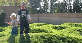
• The remnant rolling topography of the old golf course invites play as existing today. That magnetic quality is enhanced with integrated play opportunities around the site.
• New bridge over an improved Hall Creek connects the two sides of the park and the Interurban and Lake View Trails.
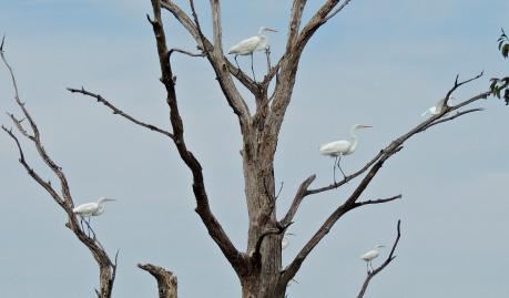
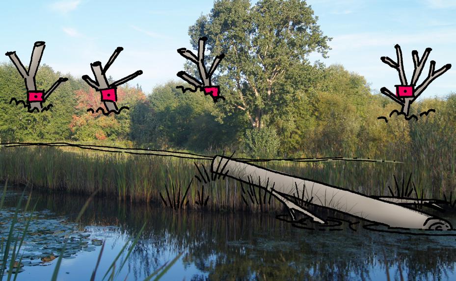
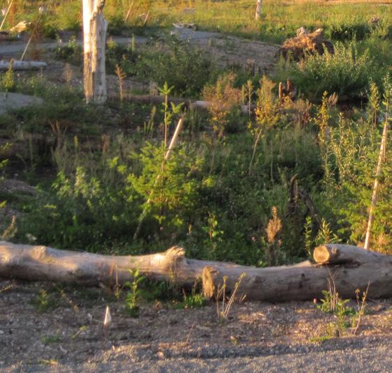
• Snags implemented as part of the Hall Creek restoration create a subtle rhythm. Brightly painted bat boxes are affixed to the snags at a consistent height visually connecting the snags and drawing the eye through the site.

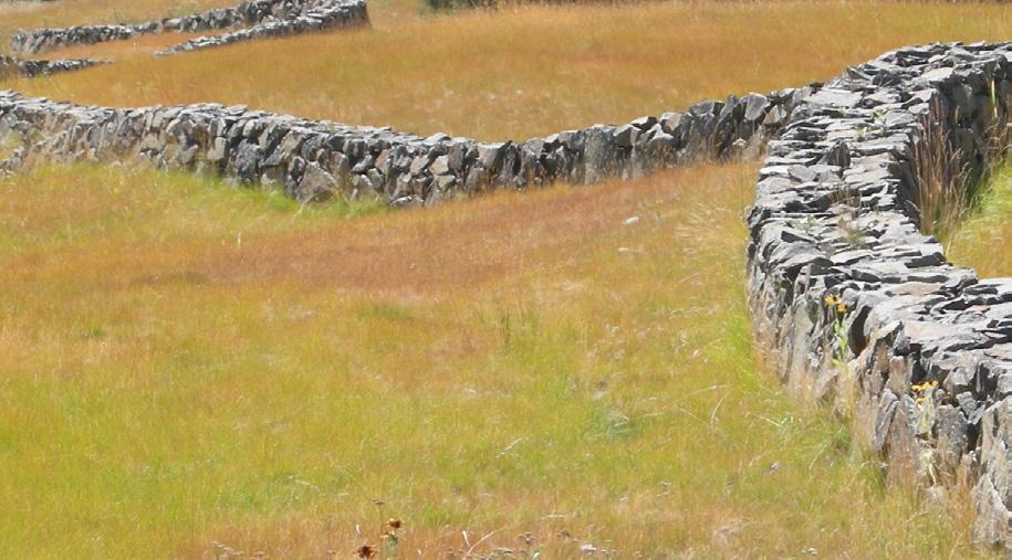
• Sculptural wall forms integrate with the existing topography.
• Connections with Interurban trail make use of existing topography and entries. A south entry encourages more people to travel through more of the park, increasing safety and comfort of park users.
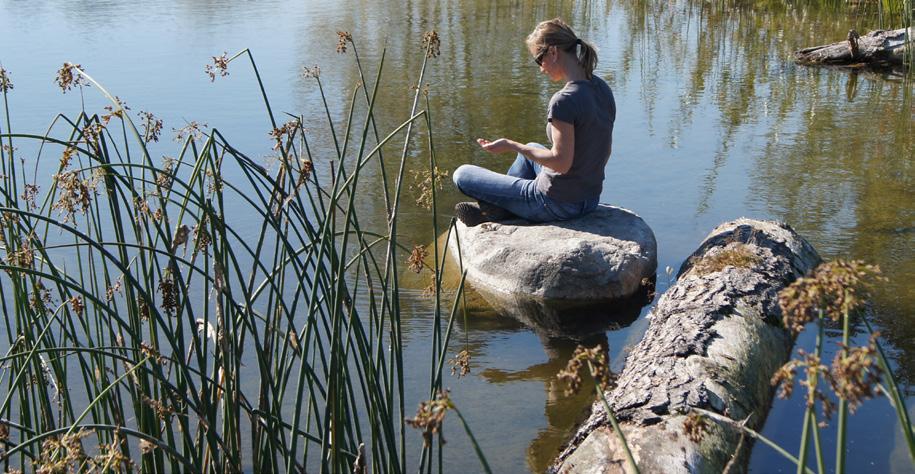
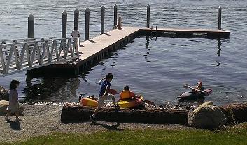
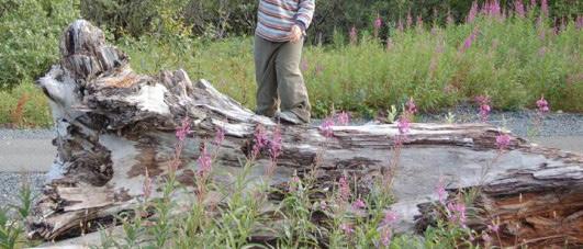
• Downed logs extend the trail system into the pond, inviting people over the water.
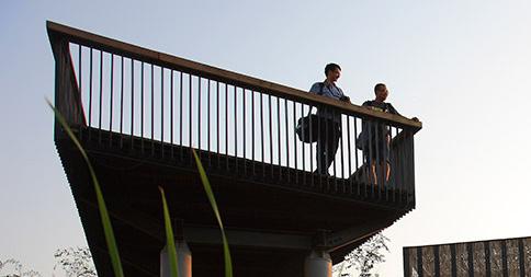
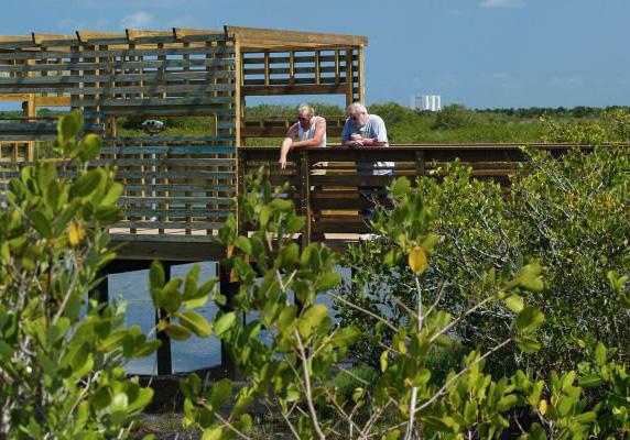
• A future wildlife viewing platform over the water meanders up the hill following a mown path that connects unique greens and views.
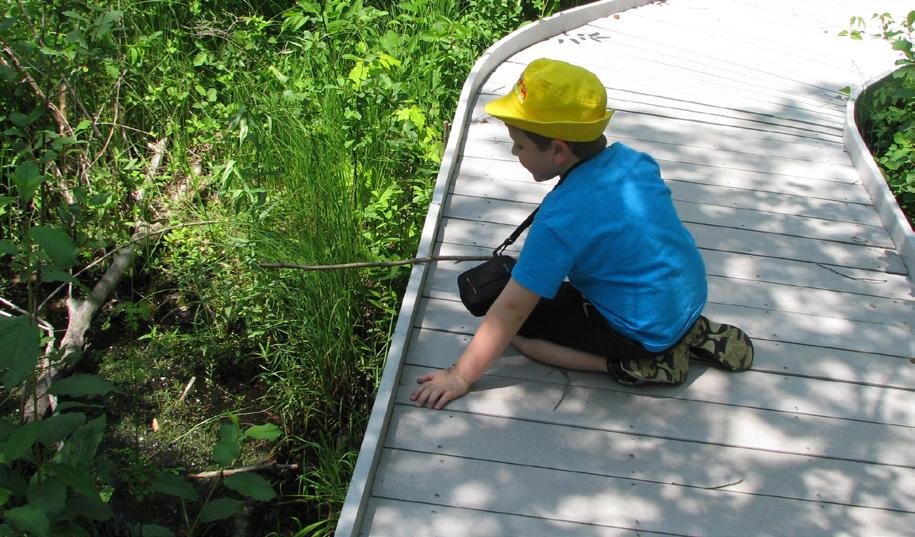
• A boardwalk over the wetland and creek brings people out over the water, creating a varied experience for all users. A discovery node over the pond might
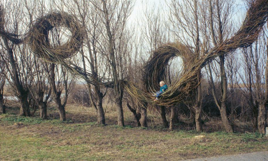
Magnuson Park, Seattle
The East Side is the active side.
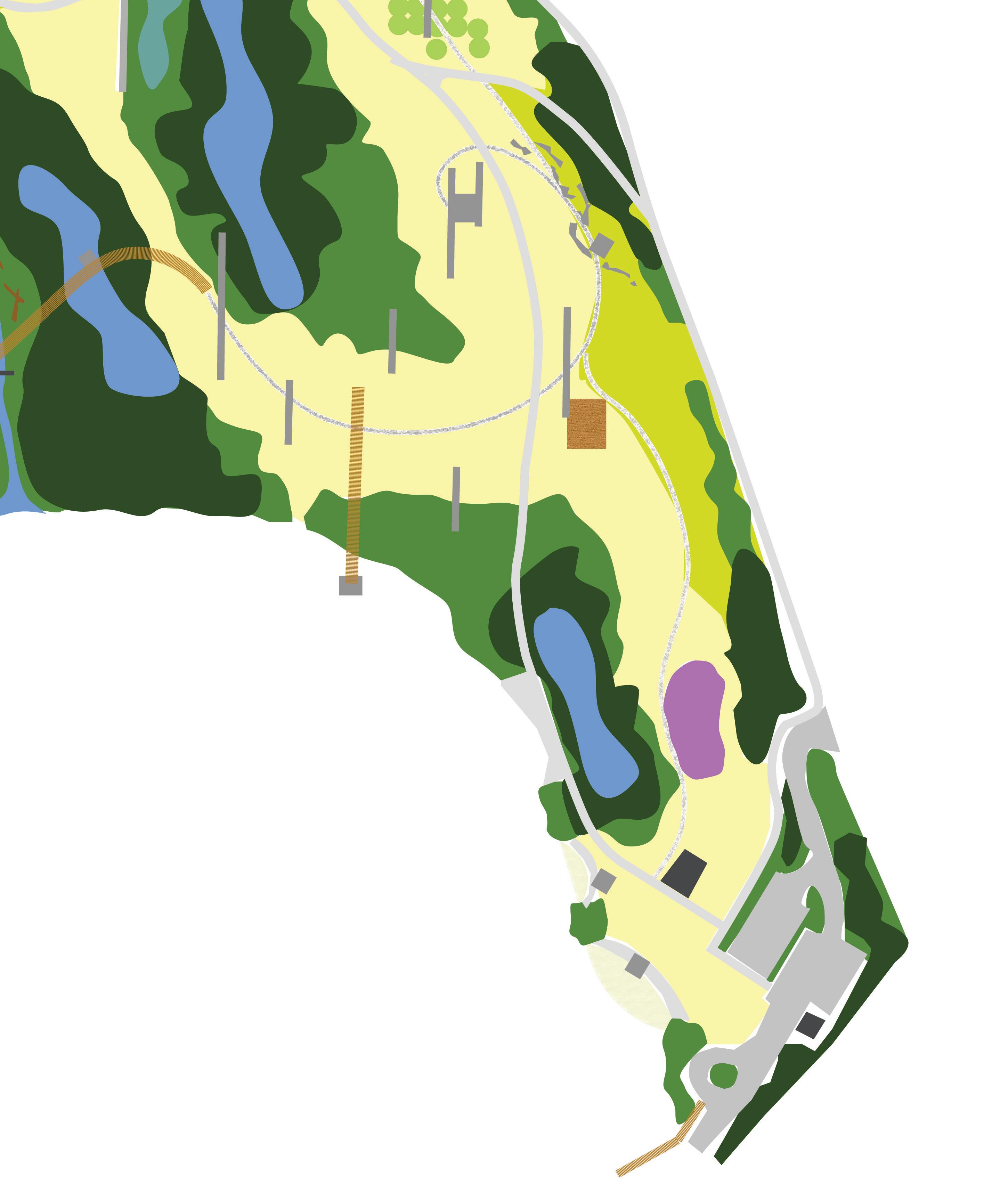
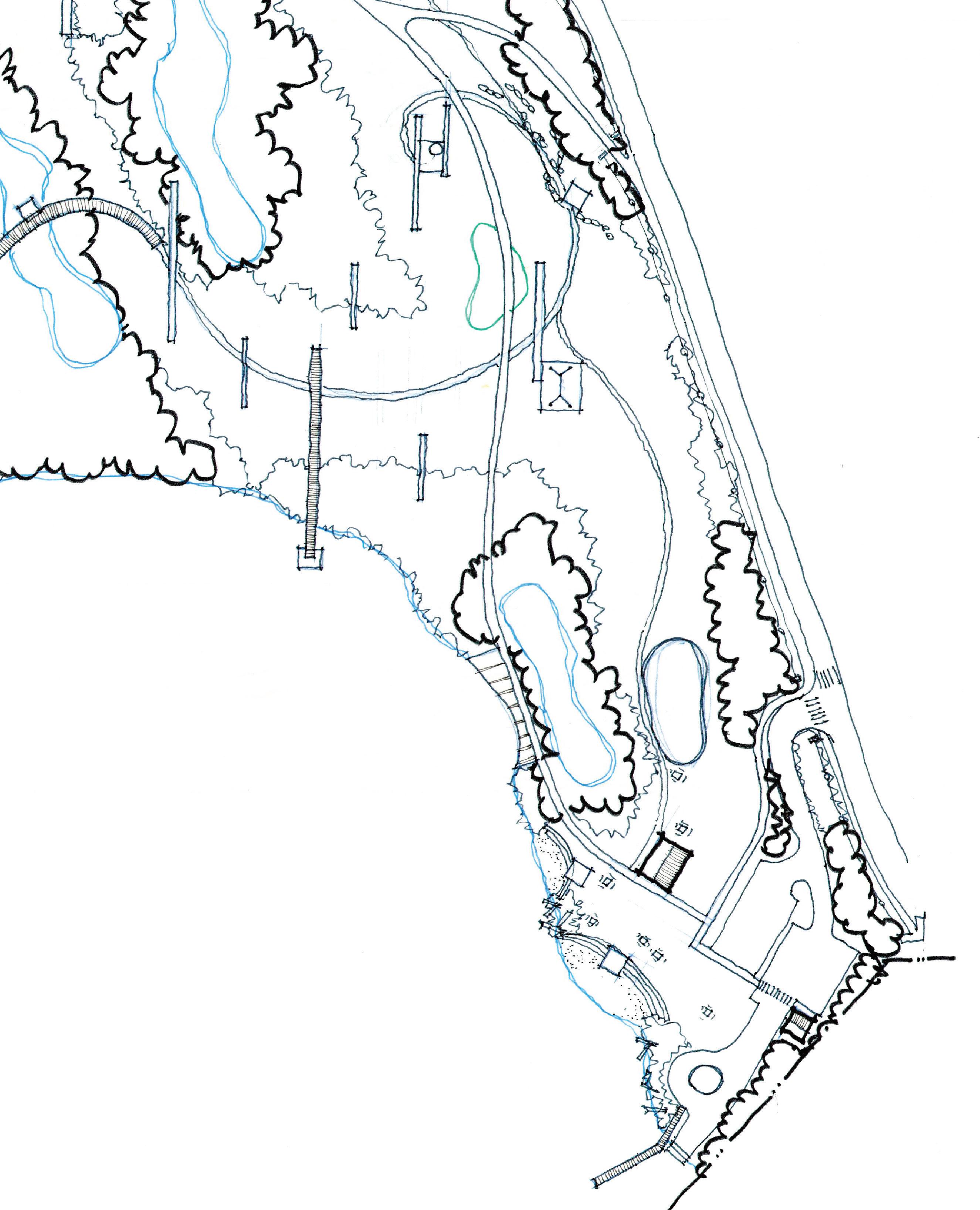
This side is busier and more active, connecting the Clubhouse and beach area and bordered by Lakeview Drive. The topography on this side of the creek is flatter, less rolling. This side feels more urban and is more intensely maintained, with mown lawn providing space for unprogrammed games, linear discovery elements, and hardened lake edges.
east side
BALLINGER PARK MASTER PLAN
BALLINGER PARK MASTER PLAN
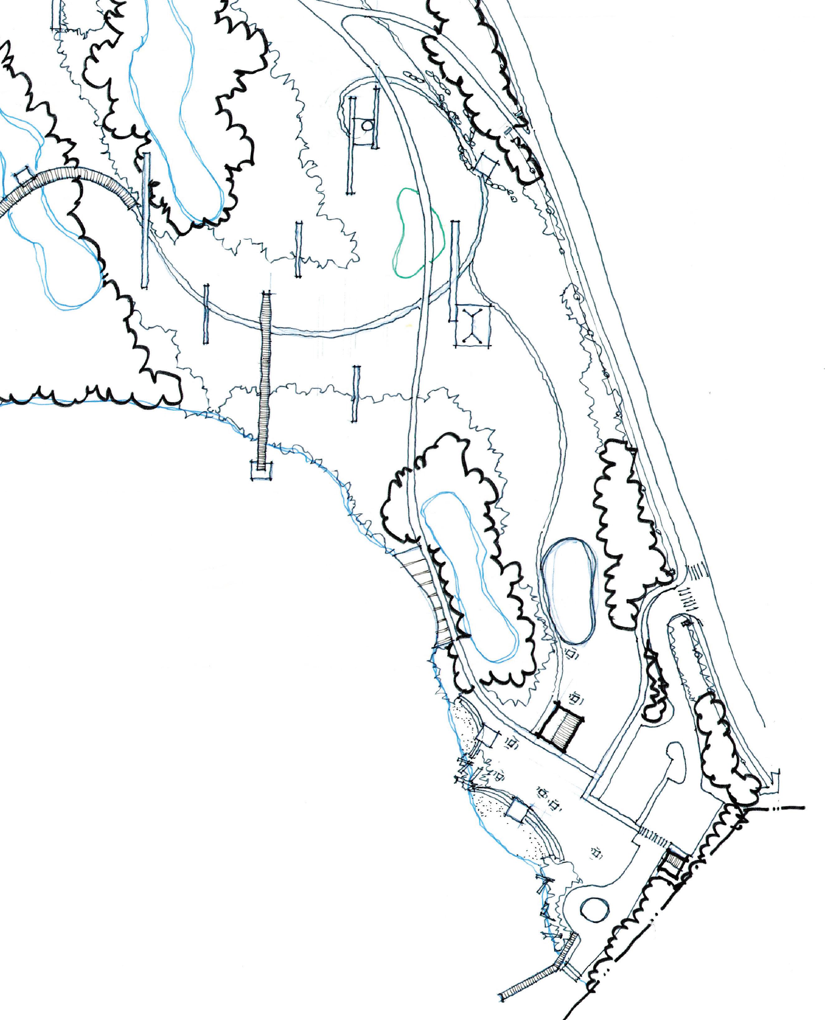
• An east trail connection to the new Lakeview Trail leads people through the park to the Clubhouse or the Interurban Trail.
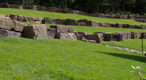
• Boulders set into the hillside provide spots to picnic or an area for school groups to gather. The boulders overlook a stone discovery pad that can be used for art installations or impromptu performances.
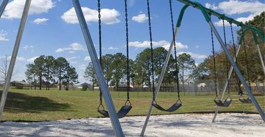
• Set in the lawn, overlooking the lake, these are the big swings many of us remember from childhood. Set out on their own, they become a visual beacon and destination for everyone to enjoy.
• Stone bands cross the paths at intervals, creating a structured rhythm to this side of the park and encouraging imaginative exploration in the landscape.
• One band becomes a new fishing pier, separated from the boat dock and swimming area in a more quiet area of the park with fantastic views. 1 2 5 4 3

Redmond Central Connector, Redmond
BALLINGER PARK MASTER PLAN
• The main pathway through the old fairway is paved, providing an accessible and direct connection between the beach and Clubhouse. This path creates a hardened edge at the lake where erosion is an issue, armoring the shore and providing access to the water.
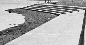
• Improved beach areas with concrete steps prevent shore erosion and provide seating. Beach areas are framed by areas of native vegetation to control erosion.
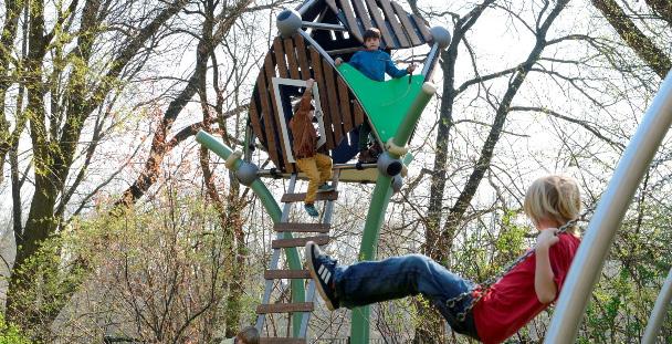
• A new play area is provided for this popular family spot. Play equipment like a modern treehouse brings kids up to the views.
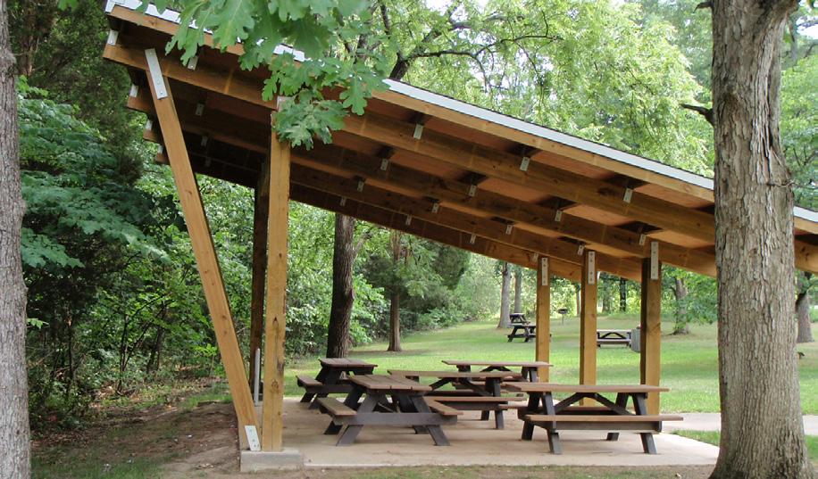
• A new picnic shelter and more picnic tables provide family gathering space.
• A new restroom is provided with showers, changing and storage areas.
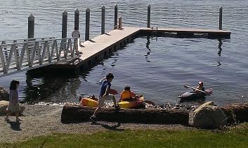
• The pier is replaced with a floating dock with cleats for non-gas powered watercraft. The boat ramp is to receive improvements in the future to stop erosion and remove the old tire riprap walk.
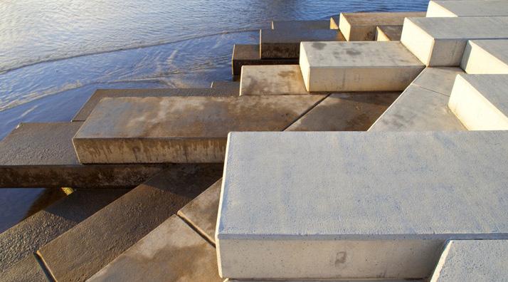
Jack Evans Boat Harbour, Australia
Green Lake, Seattle
With consensus from the community on the preferred master plan, the next steps are implementation! This is where the rubber meets the road and strategies are developed to consider how the park will be constructed. This section provides background information that will aid in planning, permitting and funding for future development.
BALLINGER PARK MASTER PLAN
building the park
A crucial part to any successful project is phasing. As money to fund the park will not be available all at once, it is important to understand what is possible with the money and manpower available at any given time. There are easy wins that can be done now such as letting meadows grow and mowing paths, which is already being done, as well as short-term projects that fit within current budgets and volunteer efforts. Development of pathways and walls will take more time and money. Some of these things can be done soon with small grants or partnerships with organizations. Later developments would take major grant opportunities or public partnerships. The phasing timeline below outlines what can be done now and what can be done in the future as more resources are available.
Seize opportunities as they come!
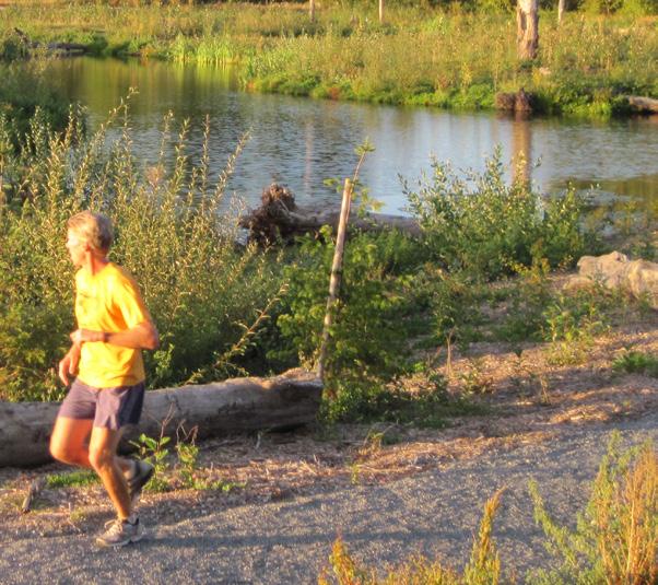
now Mown desire paths (already being done!)
Allow meadows to grow (already being done!)
Downed logs
Screen-printed entry portal signs

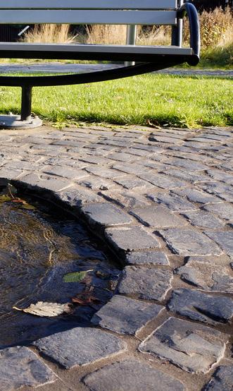
Seating boulders
soon Dirt trails
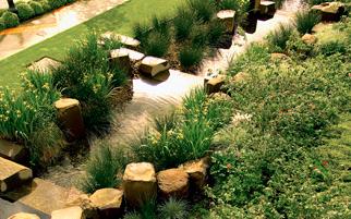
Hardscaped connection to Interurban Trail
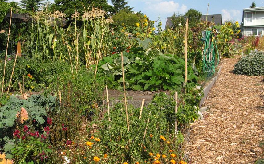
Community gardens
Orchard
Rain garden
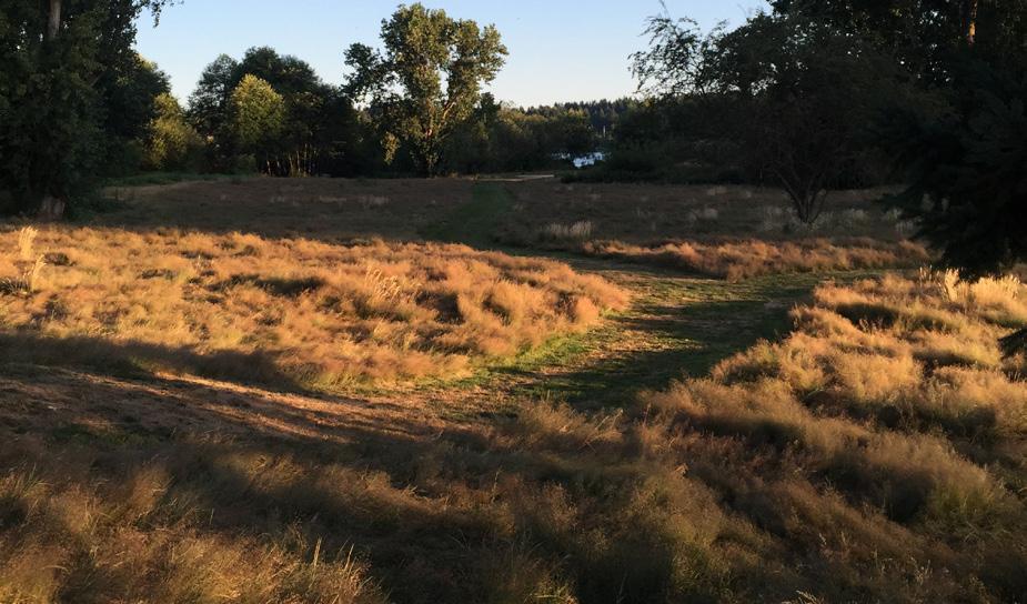
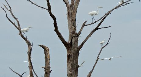
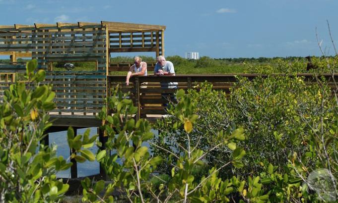
Picnic tables and seating areas
Extension of beach & concrete steps at beach
Snags
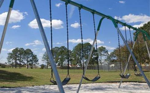
Swings
Interpretive signage
Hardened
BALLINGER PARK MASTER PLAN
seize opportunities as they come!

Parking lot modifications
Tennis court removal
New restrooms
New playgrounds
Picnic shelter
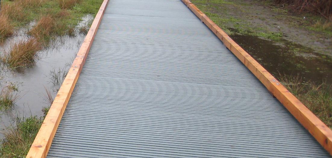
Creek restoration
Bridge, boardwalk, piers, docks
Viewing platforms
Boat ramp improvements
Entry portal sculpture signs
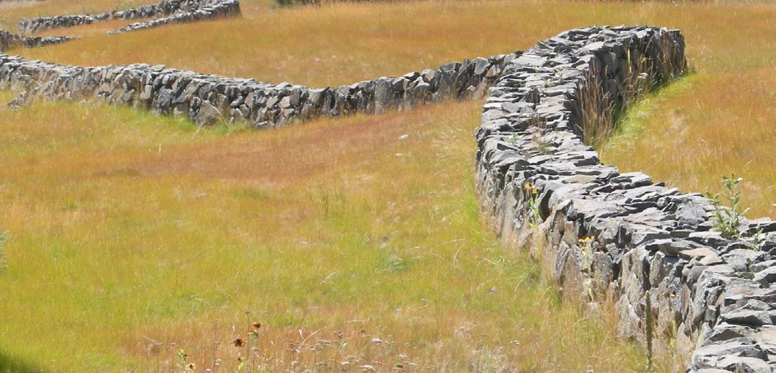
Maintenance considerations
During the master planning phase, careful consideration was given to ongoing maintenance needs for the park. In addition to selecting materials that are resilient, durable and long lasting, the layout of the park also considered frequent flooding that occurs on the site, settling soils, and limited resources for park maintenance. Elements of the plan that exemplify this include:
• The majority of park program elements and structures, such as restrooms, play areas, community gardens, etc., are located outside of the lower level floodplain of the site.
• Elements that are installed in the floodplain (pathways, docks and piers, stairs to the beach) would be built of durable materials that withstand flooding, or are easily cleaned off or repaired after a flood.
• Flexible and lightweight pavements should be considered since the majority of the site is on peat soils that are shifting.
• Layout of new looped pathways provide the ability to get to remote parts of the park for maintenance, and also allow for increased activity that will deter undesirable activity and camping.
• New utility infrastructure is proposed that will eliminate utilizing the parking lot as a backwater when Hall Creek floods.
• Stormwater runoff from the parking lot will be conveyed to a created wetland that will provide water quality treatment. This system is designed to be low maintenance.
• The park will continue to utilize existing drainage and irrigation infrastructure that was installed for golf course operations. This will minimize the amount of new infrastructure needed for park construction.
• New docks and fishing piers will utilize open grating to meet the requirements of the WDFW hydraulic code. These materials, along with their supporting structures, shall be durable and long lasting.
• New restroom buildings are proposed as pre-fabricated concrete buildings. These are highly durable, have flexible layouts that allow shower and storage facilities as well as low maintenance fixtures and finishes.
• Natural revetments and bank stabilization methods should be utilized around the boat ramp to stop erosion. These methods are typically lower maintenance, longer lasting, and provide the benefit of habitat for the aquatic environment.
• Large turf areas that formed the fairways of the former golf course are proposed to be managed as native wildflower meadows. These will require seasonal mowing to control invasive plants, will help control geese populations, and will provide better wildlife habitat to support the goals of the community vision.
• A large portion of Hall Creek is proposed to be reestablished with shallow banks and wide high flow flood terraces. This will reduce erosion and provide easier access into these areas to control invasive plant materials.
• Large tracts of existing vegetation shall be maintained to the greatest extent feasible. This will help control the potential for invasive plant materials to establish and will create a better environment to infill with native plant materials.
• Volunteer groups and work parties can be held to assist with maintenance activities such as controlling invasive plants and providing habitat diversity to support the park program.
building the park
BALLINGER PARK MASTER PLAN
Permit Timeline
Anticipated Permit Timeline/Schedule for each project phase
Implementation of the project will require permit approvals from multiple permit authorities. In an effort to assist with future planning, the timeline below provides approximate durations of design, construction and post construction phases and the associated permit activities. Several aspects of permitting have different requirements, and they are further broken down in their respective task. Each phase of work will be subject to separate permitting schedules. Timelines will need to be verified as actual funding becomes available and phases are implemented.
Potential state and federal approvals and processes
• Corps Section 404 permit, possibly Nationwide (NWP) 27 for restoration activities. Note: If design does not fit any NWPs then an individual permit may be required.
• Endangered Species Act compliance
• Cultural Resources assessment
• Ecology 401 Water Quality Certification
• Ecology Coastal Zone Management Consistency determination
• WDFW HPA
• NPDES permit
• City Permits
Grants and obligations, funding cycles
Since limited money is available for implementation of the master plan, there are various options to apply for grants to implement the project. The State of Washington Recreation & Conservation Office (RCO) offers a wide range of grants that are well suited to this project. Applications for these grants are typically accepted on an annual or semi-annual basis. The application process begins in the spring, and can take up to a year to award. Projects are presented and then ranked in order of priority to receive funding within an annual funding cycle. Several of the grants require a monetary match, something to consider with long-range planning. Other grants are available through public and private agencies as well.
It was also noted during the master planning process that a former RCO grant had been utilized to construct the existing tennis courts on site. Once RCO contributes funding toward park improvements, they need to be maintained in perpetuity. Therefore, their removal will need to be reviewed and approved by RCO to ensure the same level of recreation is provided on site. Since the Master Plan is adding a new play area, expanding an existing play area, providing enhanced picnic areas and a shelter, it is expected that an increased level of recreation has been provided.
Grants available through RCO for consideration
ALEA: Aquatic Lands Enhancement Account – Restore aquatic lands to provide public access to the waterfront.
LWCF: Land and Water Conservation Fund – Development of public outdoor recreation areas and facilities.
WWRP: Washington Wildlife and Recreation Program – Trails, water access, restoration and habitat conservation
YAF: Youth Athletic Facilities – Renovation of outdoor athletic facilities
USACE: Army Corps of Engineers

BALLINGER PARK MASTER PLAN
grants & cost estimate
Ballinger Cost Estimate
A probable cost of construction estimate has been prepared for planning purposes (see pp. 50 and 51). The estimate has been divided into phases reflecting a potential for how the park will be implemented, and provides a cost range from low to high depending on engineering and permitting complexities. If the project was able to be executed in one phase, the project cost is estimated to be in the ballpark of $12,000,000. A further detailed breakdown of the estimate, along with definitions and what is included in the prices is provided in Appendix (pp. 76-83).
Design fees and how they are estimated
Design fees are provided as a range for each phase, and are estimated at between 10% or 14% of the construction cost, largely depending on complexity of any required engineering or permitting requirements. The fees would be negotiated at the beginning of each phase of work once more information is known about project scope and permitting requirements.

BALLINGER PARK MASTER PLAN
cost Trails
Meadow Seeding
2 1 3 4 5 6
Entry Signage and Fencing
Construction: $727,000 - $836,000
Design: $102,800 - $117,000
Creek Restoration
Construction: $2,435,500 - $2,801,000
Design: $341,000 - $392,000
The Community Terrace
Construction:
$766,500 - $881,500
Design: $107,000 - $123,500
The Athletic Fields
Construction: $983,000 - $1,130,000
Design: $137,500 - $158,000
The West Side
Construction:
$1,269,000 - $1,459,500
Design: $177,500 - $204,000
The East Side
Construction: $5,251,000 - $6,039,000
Design: $735,000 - $845,500
TOTAL (including overheads)
Construction: $11,433,000-$13,148,000
Design: $1,600,500 - $1,840,500
Escalation (3%/year)
$394,500
Cost estimate phases can be further broken into smaller phases should funding necessitate.
Refer to full cost estimate spreadsheet and definitions in Appendix pp. 76-83 for more information.
asphalt paving gravel
mulch
meadow native seed mix
perimeter fence
vertical signage elements/ portals
excavation
native habitat planting
woody debris creek bank stabilization
bridge
boardwalk
irrigation
runnel & stone bands
rain garden excavation & planting
hardscaped terrace
maintenance building removal
parking lot asphalt removal and repaving
community garden, orchard & shed
new restroom with showers and storage
planting & irrigation
splash pad & play equipment
seating area paving & tables
wetland planting
irrigation
snags
stone walls & discovery pads
viewing platform
wetland & other planting
swings
fishing pier
boat dock
boat ramp improvements
seating boulders
stone discovery pads & bands
hardened edge at lake
seat steps at beach
playground equipment & surfacing
irrigation
shelter & picnic tables
new restroom & showers
Community support for Ballinger Park was elevated during the master planning process. It became evident at each meeting that the citizens care for the environment and are in full support of creating a special place that fosters stewardship of the environment. The public meetings were well attended and represented a good cross section of the community.
The following section summarizes the planning process, documented community input, along with meeting notes from different jurisdictional agencies with their input on local issues associated with Ballinger Park.
BALLINGER PARK MASTER PLAN

BALLINGER PARK MASTER PLAN
TRAIL CONNECTIONS
LAKE TRAIL
MOWN PATHS
COMMUNITY GARDENS
GATHERING SPACE
FISHING PIER
BOARDWALKS
BOAT DOCK
WILDLIFE OBSERVATION PLATFORM
INTEGRATED & NATURAL MATERIALS
AMPHITHEATER
DOG PARK
PLAY AREA LOCATION
COMMUNITY MEETING #3!
MASTER PLAN
IMPLEMENTATION

Design Team:
BALLINGER PARK MASTER PLAN background research
Berger Partnership Landscape Architecture The Watershed Company Environmental Consulting Jenni Creveling, PWS

Site understanding is the foundation of good design. At Ballinger Park, this understanding included a knowledge of the complex ecology of the site and the previous planning associated with the site.
Prior reports and plans for the site were reviewed including:
• Lake Ballinger Rehabilitation Study – Kramer, Chin & Mayo, Inc. 1977
• Soils and Foundation Investigation – Roger Lowe & Associates 1977
• Mountlake Terrace Wetland and Stream Inventory – ESA April 12, 2004
• DOE response letter to Lake Ballinger Association – DOE April 4, 2009
• Future recommendations for Ballinger Lakes Golf Course (memo) – Mike Shaw, Curt Brees & Don Sarcletti March 5, 2012
• Lake Ballinger Park: Transforming a Former Golf Course into a Passive Park – UW CEP 460 Autumn 2013
• Ballinger Park Open House and Tour presentation – City of Mountlake Terrace –June 11, 2013
• City of Mountlake Terrace Shoreline Master Program Update maps – 2015

Magnusson KlemencicAssociates Civil Engineering
Steven Haluschak, P.E., LEED AP
From this background research came an understanding of the limitations and opportunities inherent in the site. Much of the site is within the Shoreline Planning boundary which limits the amount and kind of development. The ponds created as part of the old golf course redesign are now classified as wetlands, which further limits development on the site.
These constraints, while providing restrictions, also provide great opportunity and reinforcement for a variety of experience.
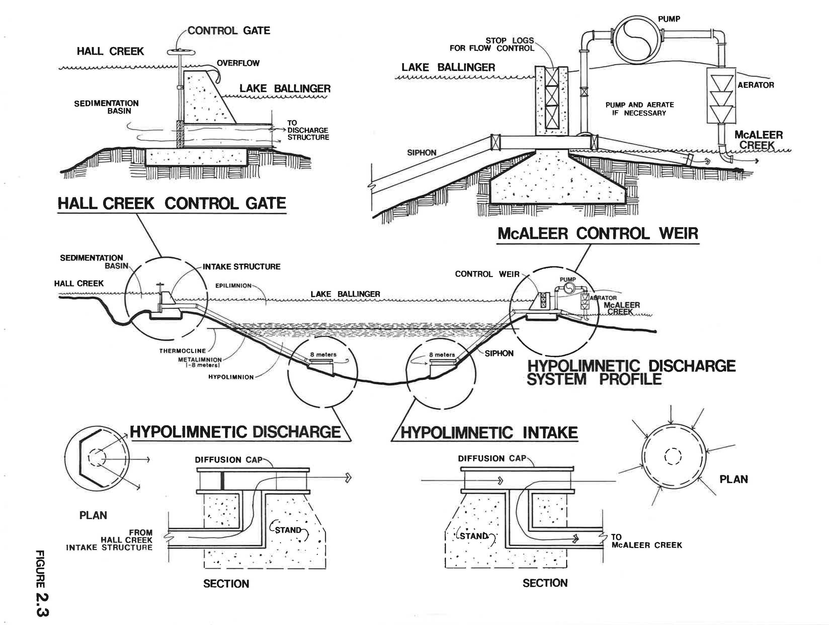
Diagram explaining the Hypolimnetic Structure and Control Weir at the south end of Hall Creek.
From ‘Lake Ballinger Rehabilitation Study’, Kramer, Chin & Mayo, Inc. 1977.
BALLINGER PARK MASTER PLAN
Hall Creek and Watershed Stewardship
Although much of the contributing watershed extends beyond the limits of the park, it is clear that the impacts Hall Creek and Lake Ballinger have on the site should not be overlooked. In order to better understand past efforts to improve water quality and flooding issues of Hall Creek and Lake Ballinger, the project team reached out to the Department of Ecology and the Washington State Department of Fish and Wildlife for guidance. Through these conversations, the team learned that the water level of Lake Ballinger is controlled at a seasonally adjusted level. In addition, the Department of Ecology has jurisdiction over the Hypolimnetic Weir and its seasonal adjustments. The Department of Fish and Wildlife has a vested interest in fulfilling the safe fish passage act, and may have some benefit to studying how Hall Creek interfaces with the existing Hypolimnetic weir (see adjacent diagram). Correspondence and meeting notes are included in the appendix that summarize these conversations, and possible future actions that may be explored while the design for the park site is evolving. It became clear from these conversations that a greater community-wide effort is needed to improve water quality that extends beyond the Ballinger Park site. This project could be a catalyst that looks to make regional improvements within the watershed, and in turn provide a benefit to the community through the ecological assets the park provides. Further communication is needed with these agencies to determine how development of the park could help achieve broader goals within the watershed.
The master plan looks to implement the following elements to help improve water quality and ecological function:
• Improvements to the creek begin in the northern reach of Hall Creek by reducing the channelization and providing areas with a widened floodplain.
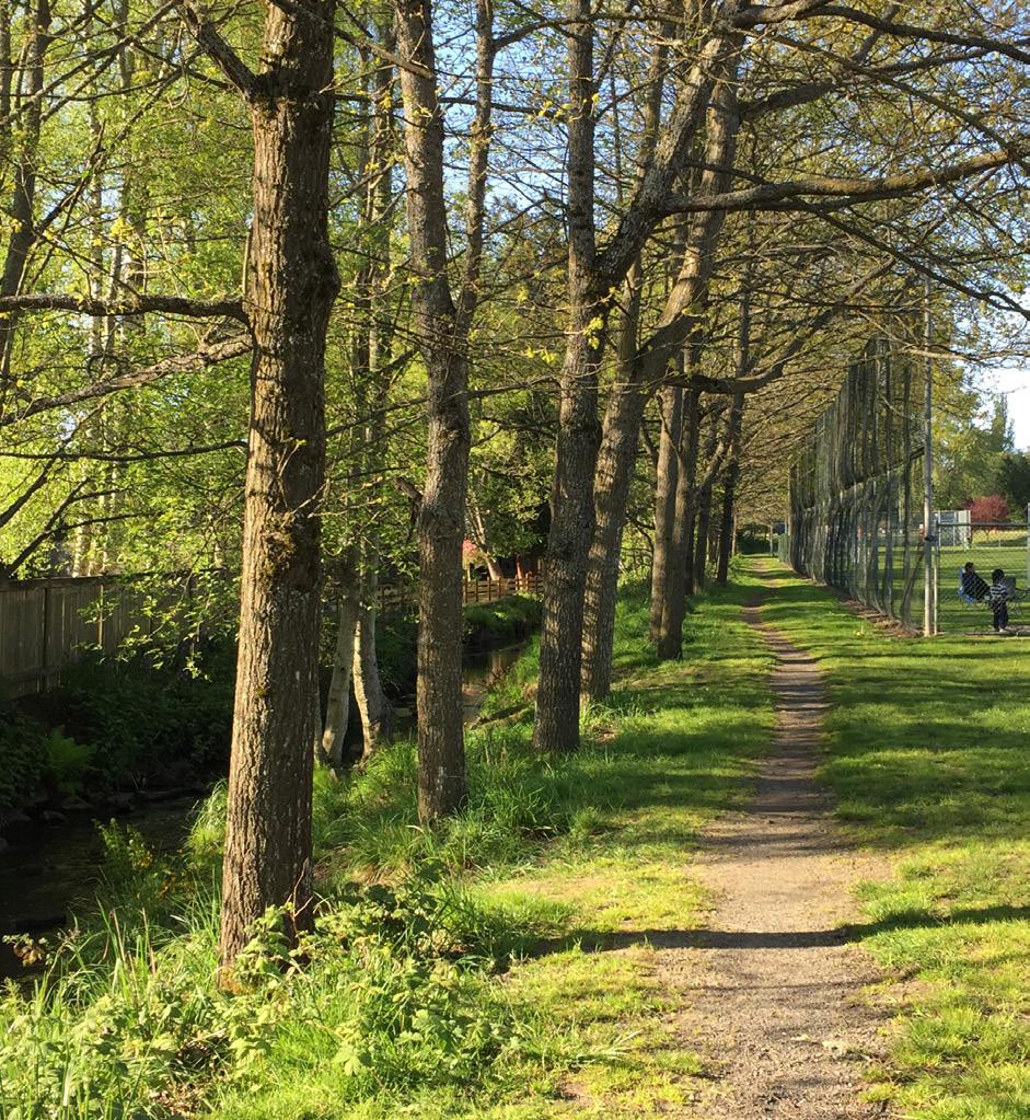
• The edge along the field is maintained in the present day state with the inclusion of Large Woody Debris to form riffle pools – the existing grove of trees helps to shade and cool the water, and invasive plants are removed.
• The existing parking lot is reconfigured where the existing maintenance shop is removed to allow the creek channel to be widened to increase volume and provide better creek habitat.
• Water quality is improved by removing channelization and allowing sediments to drop out of water as the creek flows out onto the southern portion of the site.
• Flooding issues are reduced by directing water away from the community clubhouse.
• Wildlife habitat is improved by creating more of a floodplain and allowing restoration to occur in a phased approach.
• Weir/hypolimnetic intake structure is maintained to continue to provide oxygen-rich water to reach the lower oxygen deprived water of Lake Ballinger.
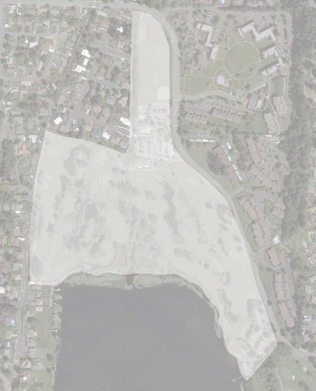
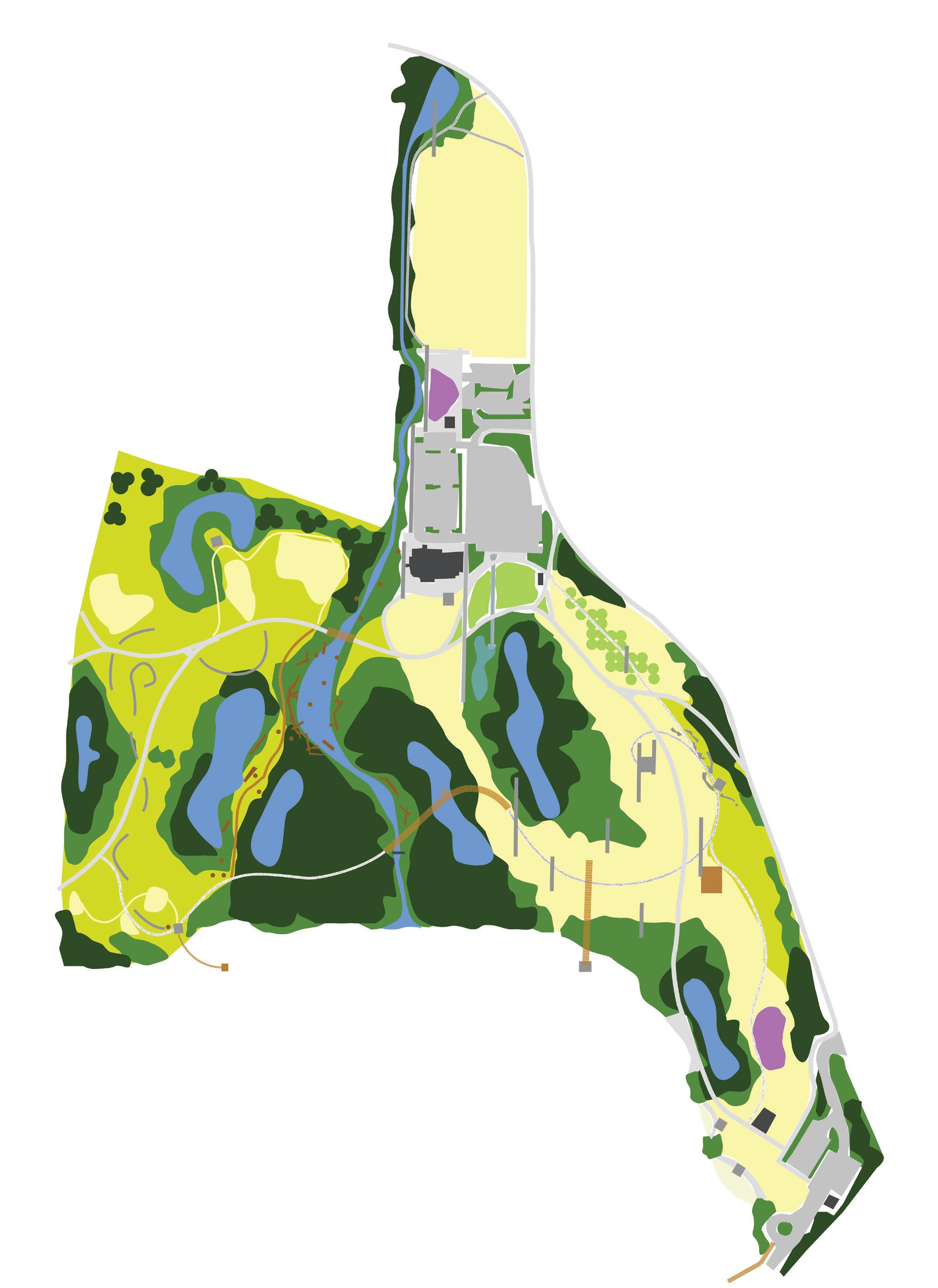
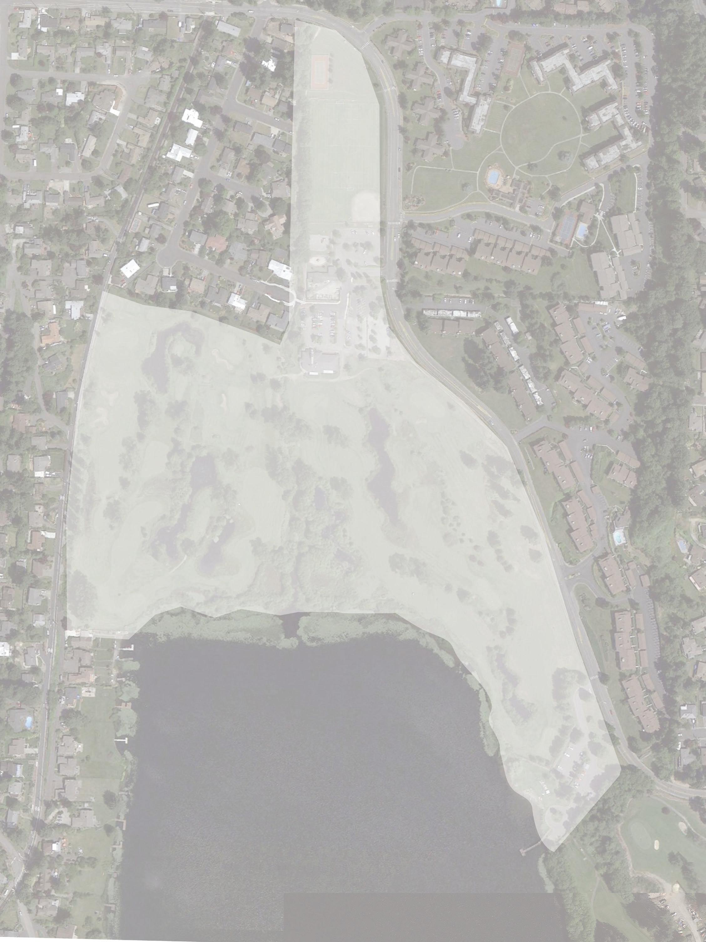
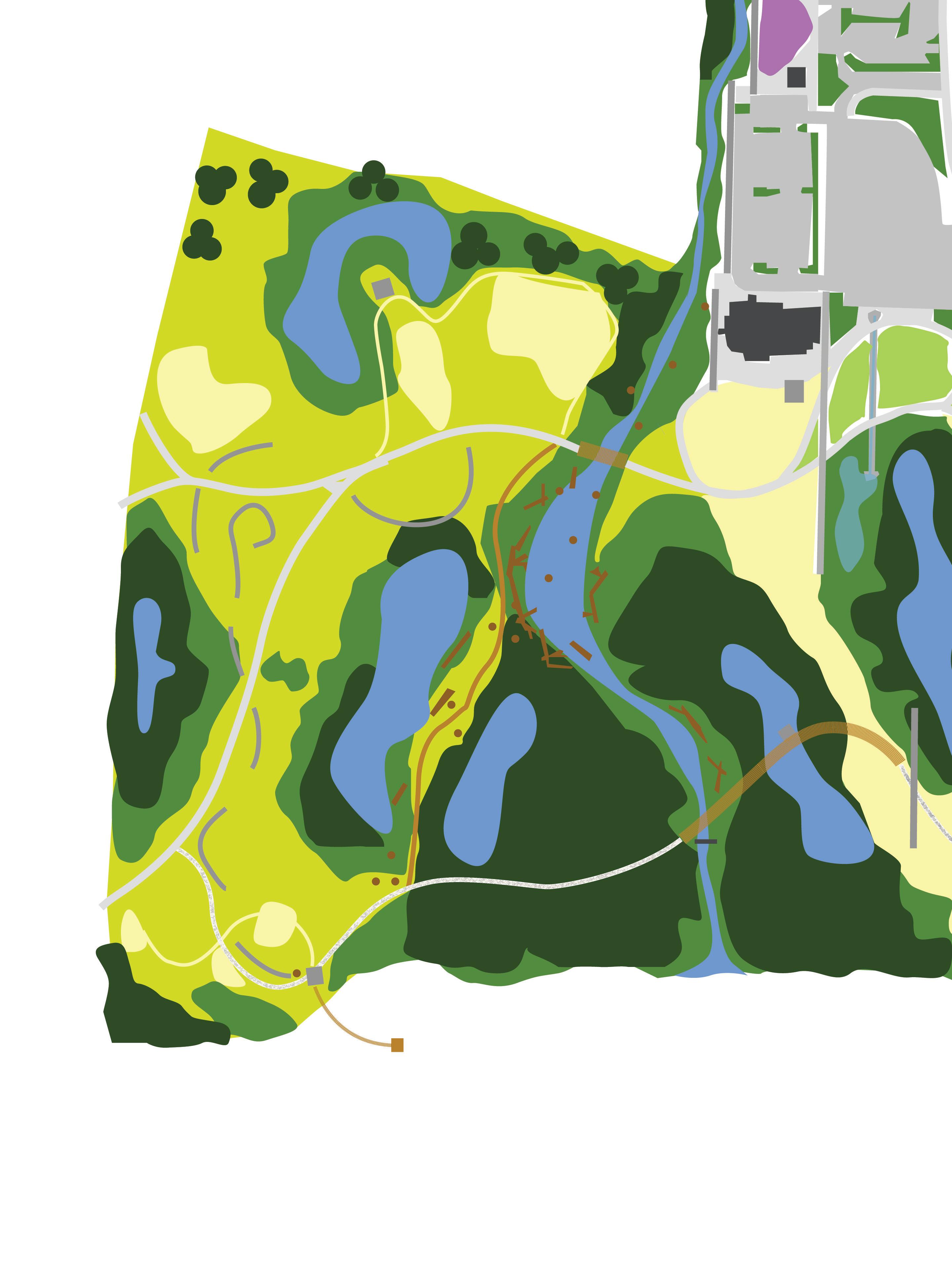
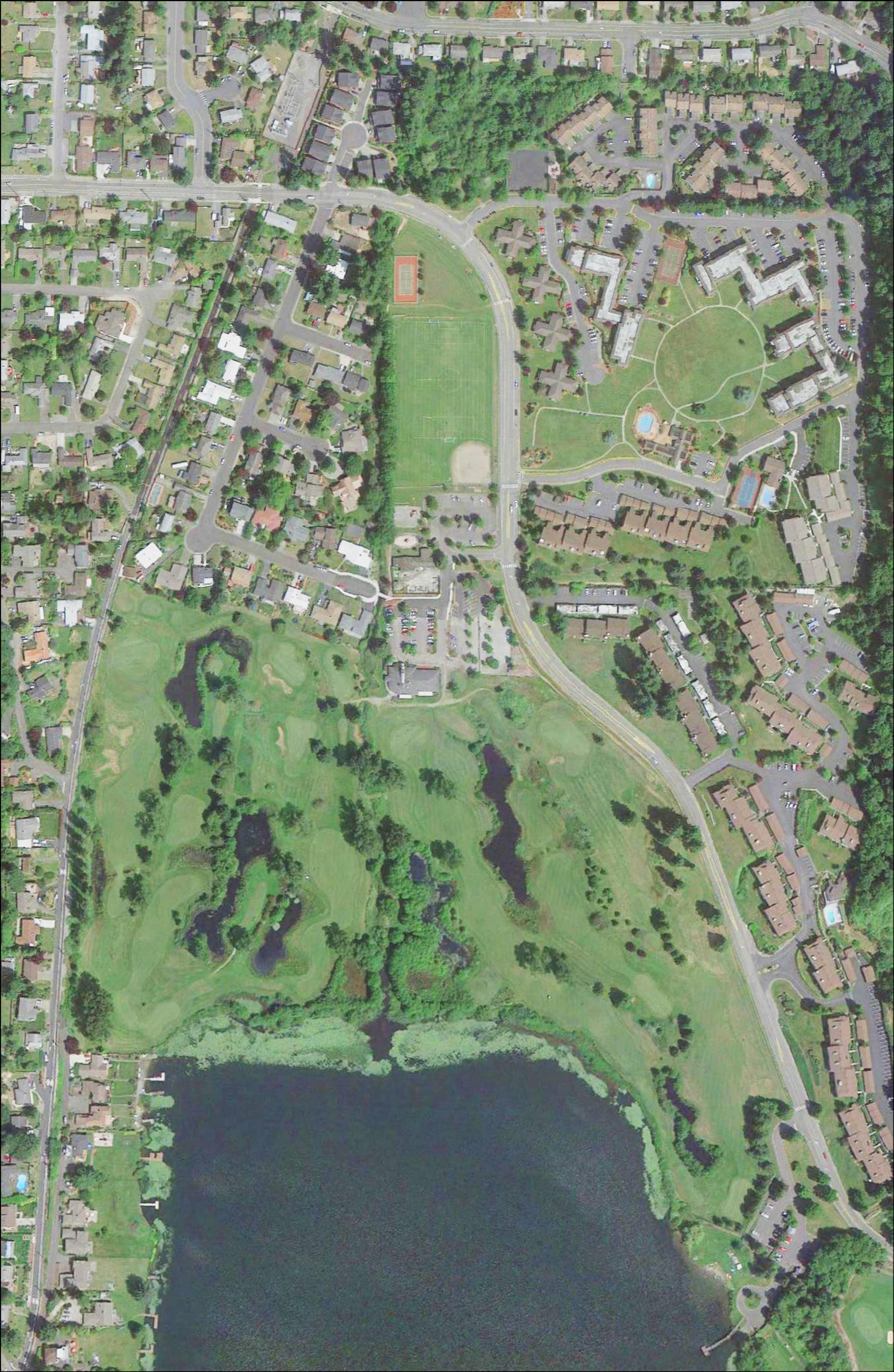
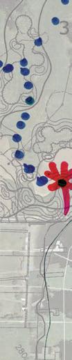
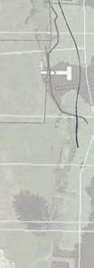
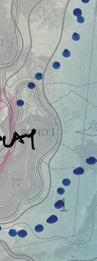
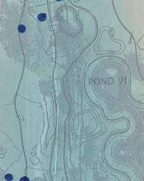
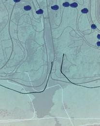
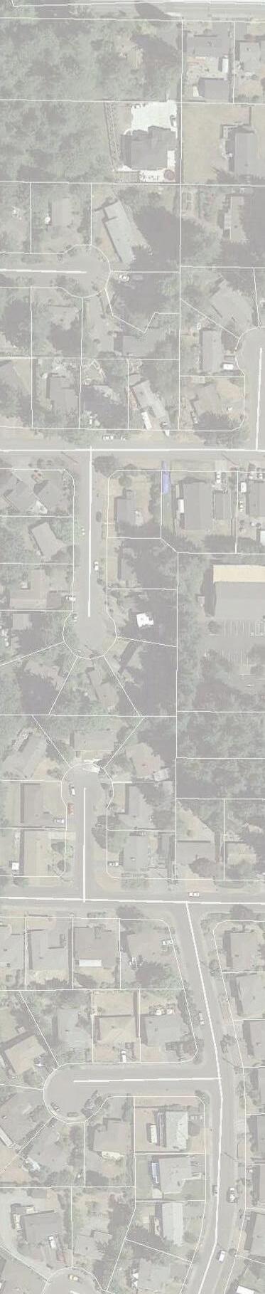
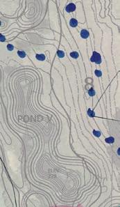
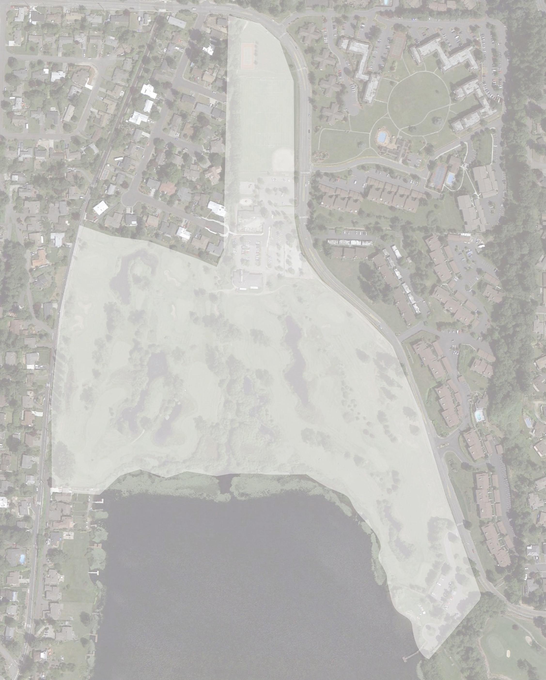
The map to the left depicts the ecological planning boundaries on the site. Note that the areas beyond the wetland boundaries (delineated by the white line) are typically spaces where flood sensitive infrastructure is proposed. Refer to Appendix (pp. 84-92) and maintenance considerations (p. 46) for more information. A larger version of this map is in the Appendix, p. 94 for reference.
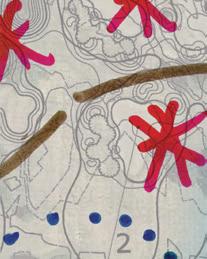
The map to the right depicts site potentials and opportunities.
BALLINGER PARK MASTER PLAN



























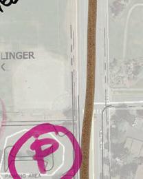

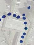


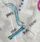










































































































































BALLINGER PARK MASTER PLAN
public meeting #1
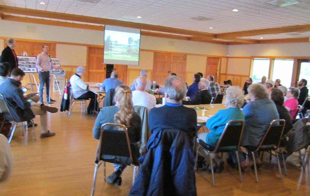
Held at the Community Clubhouse at Ballinger Park on April 14, 2015, there were approximately 75 people in attendance. A presentation was given to the community with background information on the history of the site, the golf course operations, critical areas and their buffers, wildlife and recreation opportunities. Additional information was provided on issues with flooding, water quality issues of Ballinger Lake, as well as a Hypolimnetic weir that was installed on Hall Creek in 1981 that was an attempt to improve water quality.
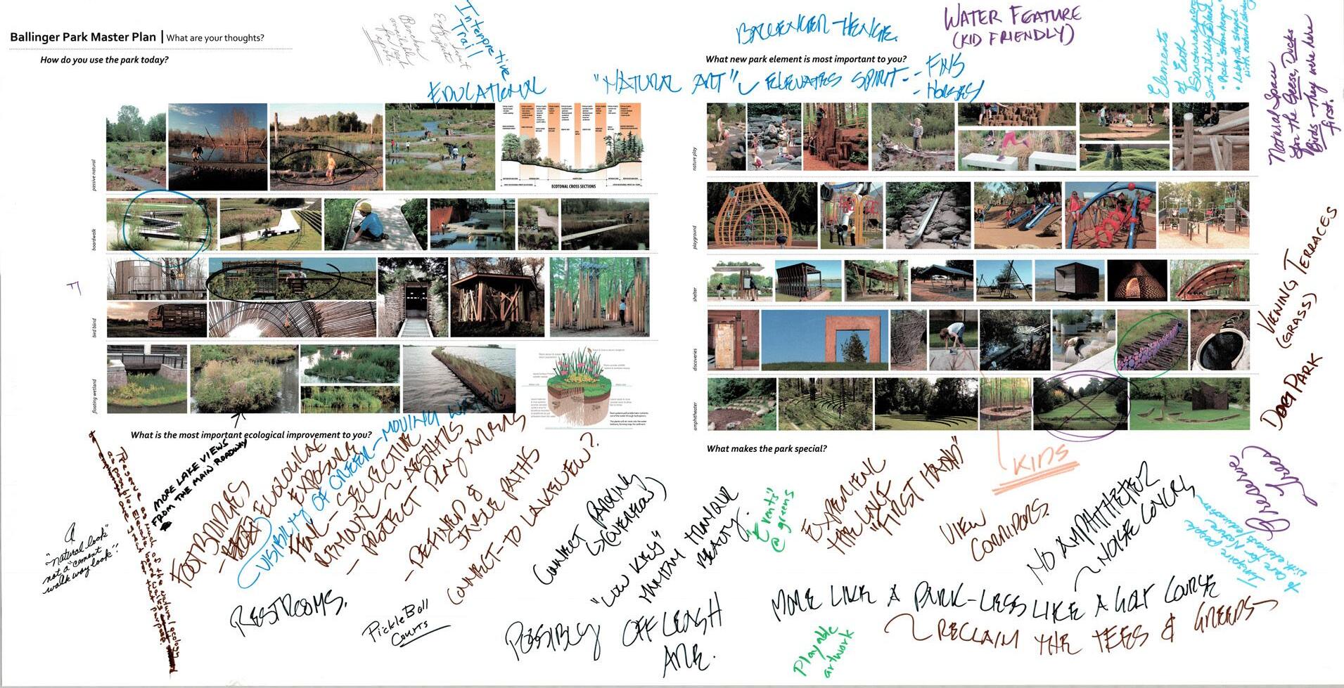
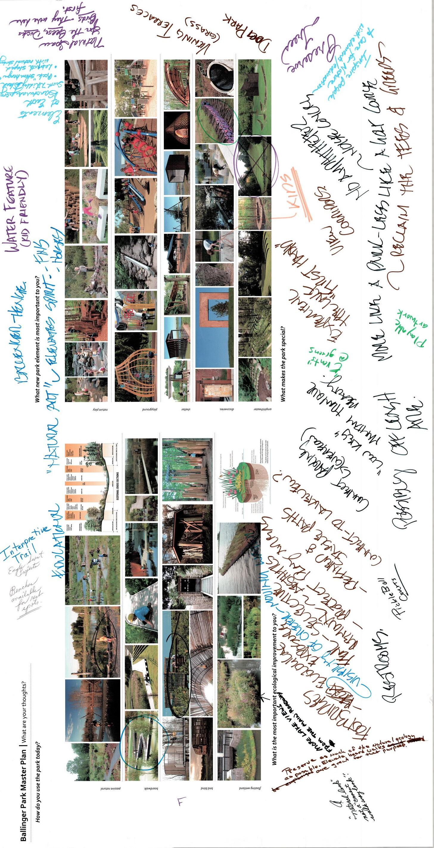
A questionnaire was provided for attendees to give feedback during the meeting. There were 23 questionnaire responses total. The attendees were asked:
• How do you use the park today?
• What would make your experience better?
• What new park element is most important to you?
• What is the most important ecological improvement to you?
• What makes the park special?
BALLINGER PARK MASTER PLAN
public meeting #1
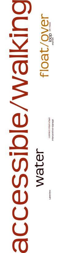
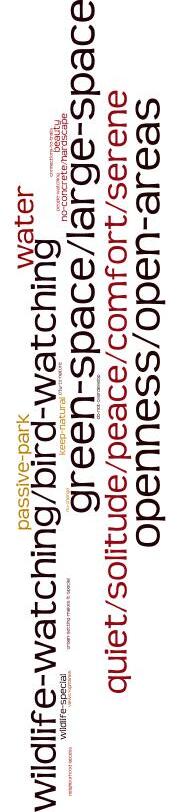
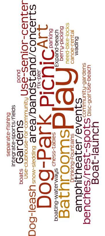
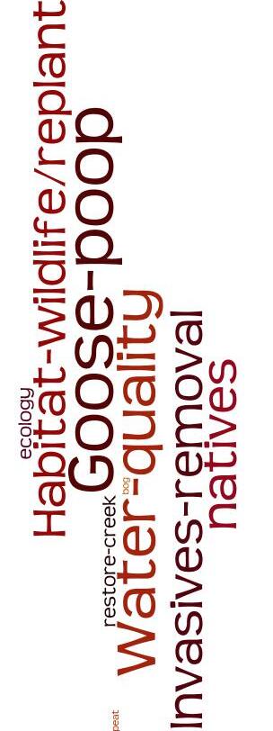
After the meeting, the community was divided into three groups and asked to provide their thoughts on what activities they would like included in the planning. Input was analyzed using wordles to visually represent commonalities. Common themes rose to the top of the list that would form the framework of three alternates that were presented in Meeting #2. Common elements in the group meetings and questionnaires included the following:
• Preserve large open areas, green spaces
• Wildlife/bird watching
• Quite, solitude, comfortable and peaceful
• Access to water and views
• Keep natural and passive
• Geese are a problem
• Water quality
• Invasive removal
• Accessible walking trails
• Updated bathroom facilities are needed
• Walking dogs (on and off leash) – several asking about a fenced OLA
• Play is important, especially unstructured discovery play (natural play)
BALLINGER PARK MASTER PLAN
public meeting #2
The second public meeting was held on June 2, 2015, where the themes from the previous meeting were summarized and preferred alternates based on those themes were presented. Approximately 70 people from the community were in attendance.
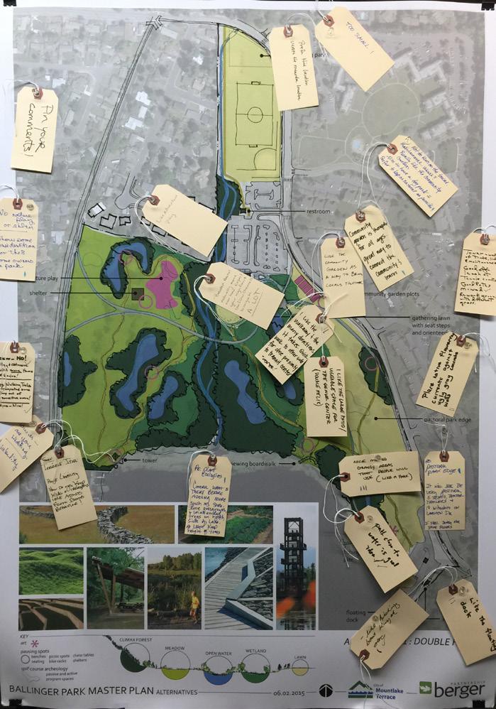
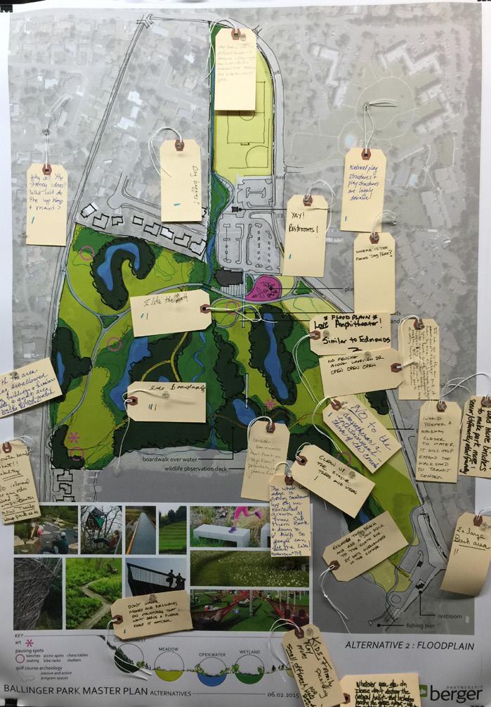
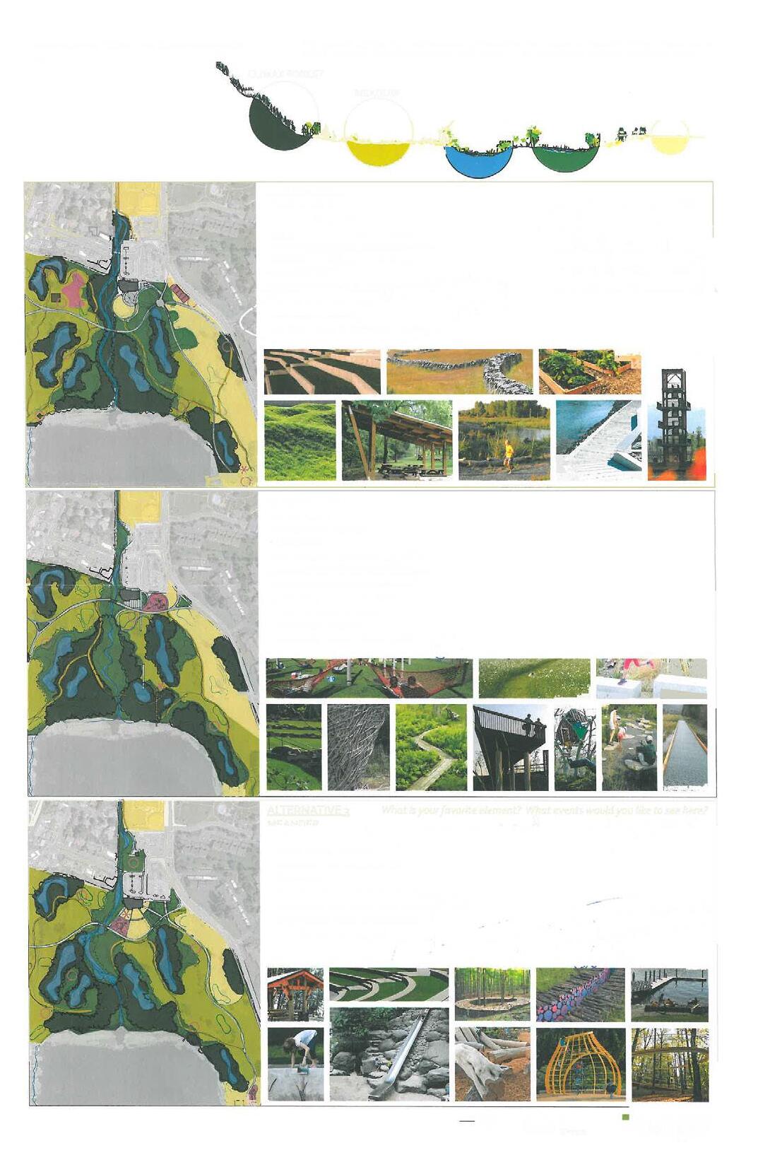
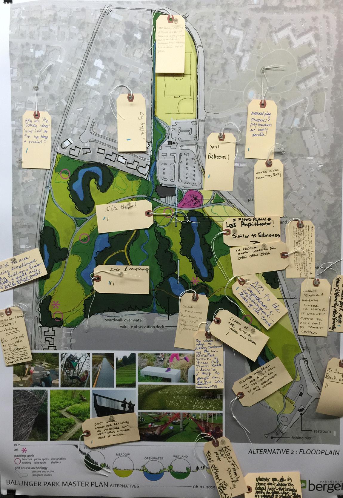
In the three alternate schemes, a different creek treatment featured prominently and became the identifying name of each. Schemes varied in their treatment of ecology habitat, kinds and locations of play, the presence and size of offleash dog park, trail location, and other various elements.
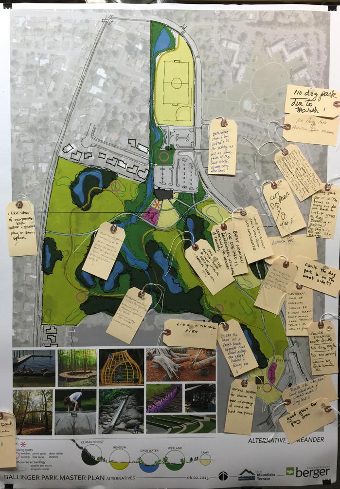
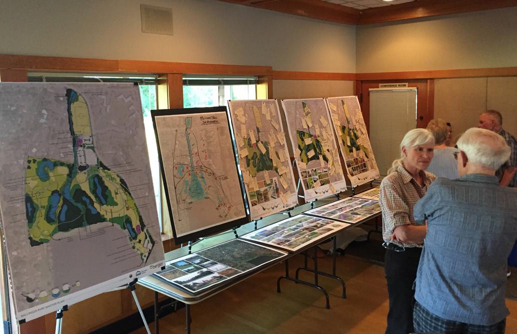
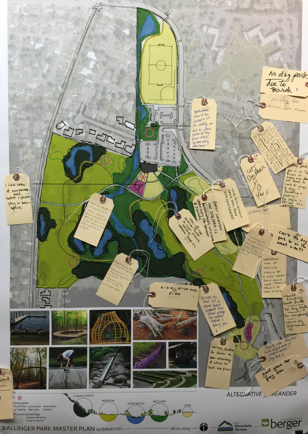
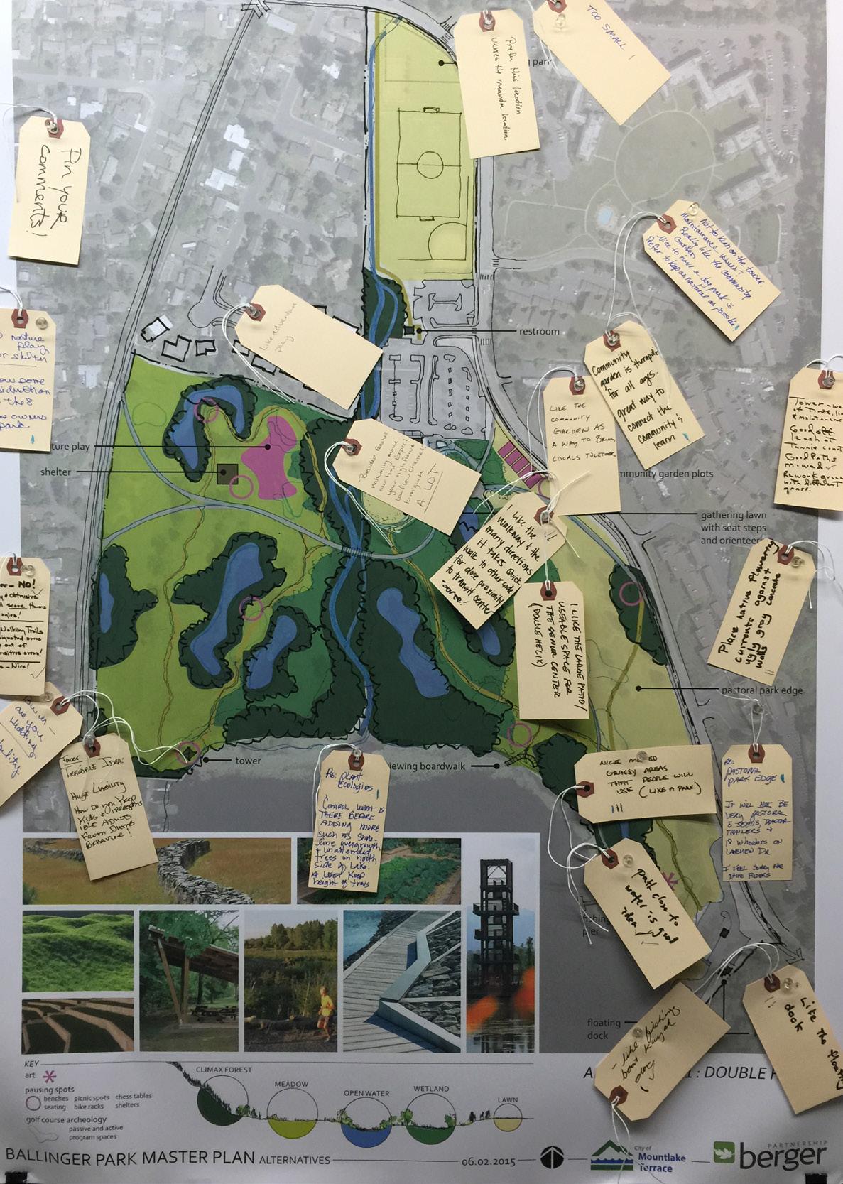
A questionnaire was provided, asking which aspects of each scheme was liked or disliked. There were 20 responses. After the presentation, attendees were encouraged to stop by two stations where questions would be answered and more input was welcomed by way of comment tags that could be pinned on the board near the element in question.
Some of those who wished to attend but could not sent letters voicing their desires for the future park.
In this meeting, the idea of concessions at the boat launch area was brought up. We agree that concessions are an excellent future potential for the park, and the Master Plan is flexible for such an added element.
We heard concern about this park being the wrong place for an off leash dog area. There was voiced a need for a large, open dog park in the city, but the general consensus was that Ballinger Park was the wrong place. Delicate ecology as well as the general feel of the park were most referenced as reasons against.
A clarification was also made in regards to the existing Senior Center program that currently utilizes the Community Clubhouse. The master plan recognizes that the Senior Center programming will continue to be an integral part of the park. Exterior improvements made around the Community Clubhouse will provide enhanced functions of existing programs for outdoor events and activities. In addition, these elements will increase the functionality of the space as a rental venue for private celebrations, weddings and other public events that may be held on site. Future funding for the park will need to consider ongoing building maintenance, and how the existing commercial kitchen can be better utilized to possibly provide revenue to help offset maintenance funding.
Common elements in the group meetings and questionnaires included the following:
People liked:
• Interpretive signage
• Integrated and natural materials
People disliked:
• Viewing tower
People disagreed on the ideas of:
• Amphitheater
• Dog park
• Play area location
BALLINGER PARK MASTER PLAN
BALLINGER PARK MASTER PLAN
public meeting #3
At the third and final meeting, held on July 14th, 2015 at the Community Clubhouse at Ballinger Park, the preferred master plan was presented. This plan was based on the input from Community Meeting #2, and blended the most liked elements from the three presented alternates.
In a question/answer period at the end of the presentation, public comments were as follows:
• There was applause from the group that attended the presentation in support of the splash pad component at the upgraded play area near the athletic fields. The existing equipment is in need of replacement, and there is a high demand for a larger diversity of play experiences at the park. The new splash pad has been located near the parking lot and is adjacent to a new restroom that will have showers and storage facilities.
• One theme of the conversation was the issue of safety in the park. Homelessness and general misuse were mentioned as concerns. We have responded to this in our recommended scheme by introducing another trail connection to the Interurban Trail, bringing more people into and through more of the park. This will aid in safety by introducing more eyes on all areas of the park, and providing less privacy for inappropriate behaviors.
• Flooding issues were discussed. The question was asked how the design reduces flooding of the lake. Improvements to Hall Creek will expand high flow water events and help slow and spread out water from flood events to minimize damage to the park. Park elements are located in areas that are above the typical flood elevations, and are designed to be durable where they may be inundated by flood waters. The project itself will not be able to eliminate flooding associated with Lake Ballinger, but will be able to accommodate floodwaters in a way that does not damage park infrastructure.
• Further questions were raised as to how the park will increase wildlife habitat, and if native plants would be utilized in restoring or creating natural areas. The wetland buffer areas will be enhance with native plants as represented in the planting matrix that was presented in an earlier meeting. This will then increase the varied edges that will help enhance species diversity. Additional meetings with WDFW have encouraged the project to consider providing prime habitat for threatened or endangered species to help enhance the park experience.
• There was also concern over the off-leash dog park and why one is not represented in the final plan. After careful consideration, the city determined that Ballinger Park is not an ideal location for an off-leash dog area. Alternative locations, in addition to the new off-leash dog park that recently opened, will be monitored as use and demand arises. Ballinger Park will continue to allow dogs on-leash, and is in support of how many participants of the public meetings have supported park use.
BALLINGER PARK MASTER PLAN public meeting #3
• Location of the proposed future wildlife viewing dock and its proximity to adjacent homes on the west edge of the shoreline was raised as a possible issue. The final location of this dock will be determined in a future phase and will need to take proximity into consideration. The current location builds off a point where people have worn down the vegetation at the water’s edge to get a view over the lake. It is a fair distance away from the closest residential dock, but could be moved further east, and may be better suited to be higher off the water and closer to where wildlife is more frequently observed.
• There was support for the Community Gardens, and many people were curious what type of program would support their use and upkeep. Although there is not a dedicated group that has been identified, partnerships with Seattle Tilth or the Snohomish County Master Gardeners could be formed to provide structure and maintenance for them. The city could also utilize these beds to raise plants that are used in civic spaces around Mountlake Terrace. There was positive support for the gardens that shape a main entrance to the park along with reinforcing programs occurring at the Community Clubhouse through the Senior Center garden club.
• Kayak rentals and possible concessions occurring at the boat ramp/beach access was raised by a community member. There is a possibility this could occur and would need to be discussed further in the future. There may be a partnership that could be formed with a private entity that could support this function, much like the boat rental facility at Enatai Park in Bellevue that is currently managed by Cascade Paddle Sports.
• Will existing trees and vegetation be removed from the park? The preferred master plan is rendered with an eye to show where vegetation types occur, and how they would be enhanced. In addition, meadow and turf areas are laid out to provide key view corridors open to maintain visibility and safety of the site. It may appear existing vegetation is being removed by looking at the plan graphics, but this is quite contrary to the actual intent. Existing vegetation should be retained to the greatest extent feasible and enhanced as explained above to increase habitat diversity and the overall experience of the park.
This scheme was then documented in a Master Plan explaining each element and potential for implementation.
BALLINGER PARK MASTER PLAN
appendix
Probable Cost of Construction
Probable Cost of Construction
Probable Cost of Construction
Probable Cost of Construction
Project: Ballinger Park Master Plan
New Floating dock (replaces existing dock)
Memo
Project: Ballinger Park Master Plan
Subject: Probable Cost of Construction Assumptions & Definitions
Assumptions:
Date: 8.19.15
Page: 1 of 3

Given that the project is at an early level of development, much of the cost work must be based on assumptions of construction type and allowances used to estimate quantities. Additionally, area square footages used to calculate some of the costs are based on materials that are not ground trothed (i.e. aerial photographs, GIS information, As-built plans), leading to a reasonable but not exact level of accuracy. An awareness of these assumptions is critical in using this cost estimate as an effective tool. A list of assumptions related to the estimate follows.
1. Estimate is divided into phases for planning purposes. Actual project costs will vary based on elements included in actual ph ase and year the project is constructed.
2. All pricing is based on fair market value of municipal construction.
3. Escalation: Prices are based on Summer Qtr 2015 dollars and are assumed to be 3% annually. Prices are subject to change with fluctuations in the market.
4. This estimate has been prepared on the assumption that a general contractor will complete the work.
Cost Ranges:
Some elements included in the PCC are included as a range in order to identify range of scope/complexity of the respective park element and to allow the city further leeway in establishing a budget.
Mark-up Definitions:
There are numerous mark-ups that are generally applied to the direct construction costs, and the range of these mark-ups can vary greatly. We are including these possible mark-ups for your consideration in later budgeting.
Mark-ups are generally required to allocate prime contractor costs beyond those that can be qualified under direct costs. Additional post-bid mark-ups may also be included to reflect additional costs to the project beyond those of the general contractor including sales tax, design fees and administrative costs. A typical percentage assigned to each of these mark-ups is noted below and is typical for similar projects but may vary based on a variety of factors.
Memo
Project: Ballinger Park Master Plan
From: Probable Cost of Construction Assumptions & Definitions
Construction Contract Mark-ups:
Date: 8.19.15
Page: 2 of 3
Direct construction costs: The sum of line item costs in the estimate. These are the direct costs to the prime contractor.
Design Contingency: Design contingency is a reflection of the level of design on which the PCC is based. This contingency is an allowance to reflect unforeseen or nonquantifiable elements of the project that will be incorporated during subsequent design development work. This contingency is higher in the early phases of design and gets lower as the design approaches completion. This is not a bid contingency or an owner construction contingency.
General Conditions: Direct field costs to the general contractor which cannot be charged to any particular item of work. These items include but are not limited to: mobilization, job shack, phone and fax, storage shed, temporary work, demobilization, etc. General conditions are generally assumed to be between 5-8%.
Contractor Overhead: Home office costs to the general contractor including but not limited to: accounting, billing, estimating, project management, etc. Contractor overhead is generally assumed to be 5%.
Contractor Profit: This fee is a percentage of gross project costs. Contractor profit is generally assumed to be 6%
Escalation: Escalation is a provision for inflation increasing the cost of labor, material and equipment over time. Escalation is typically applied from the date of the estimate projecting to the midpoint of future construc tion. For the purposes of this cost estimate, given no firm timeline, no escalation has been included. While a rate of escalation is highly dependent on existing economic conditions, the rate is historically in the ballpark of around 3% to 5% annually.
POST-BID COSTS (Soft Costs)
Sales Tax: This PCC assumes no sales tax. However, the local tax rate will ultimately be applied to the costs.
PROBABLE COST OF CONSTRUCTION QUALIFICATIONS
Memo
Project: Ballinger Park Master Plan
From: Probable Cost of Construction Assumptions & Definitions
Date: 8.19.15
Page: 3 of 3
This Probable Cost of Construction is prepared as a guide only. The Berger Partnership makes no warranty that actual costs will not vary from the amounts indicated and assumes no liability for such variance.
This PCC is based on master plan level design.
Fees such as permits, inspections, and utility connections are not included in this PCC.
No maintenance costs are included in this PCC.
End of Memo
August 4, 2015
Andy Mitton
The Berger Partnership 1721 8th Avenue South Seattle, WA 98109‐3015
Via email: andym@bergerpartnership.com
Re: Ballinger Park Master Plan
Environmental permitting and implementation summary
The Watershed Company Reference Number: 130309
Dear Andy:
This letter summarizes our involvement in the development of the Ballinger Park Master Plan, as presented in the following three categories:
1. Review of existing conditions and ecological restoration considerations.
2. Investigation into the status of the hypolimnetic system and fish habitat considerations.
3. Summary of relevant regulatory considerations for moving forward.
1. Existing ecological conditions and restoration considerations
The master planning process included an integrated approach to consider the ecological value and potential of the many natural features present at Ballinger Park. These features include the ponds, wetlands, stream, shoreline, lake habitat, and uplands, all of which contribute to overall ecological diversity and wildlife habitat of this unique location.
There have been a number of different wetland delineation efforts at the park site over the past decade or so. These were reviewed in light of today’s delineation guidelines and applicable regulatory codes.
Ballinger Park Master Plan –Summary
Andy Mitton August 4, 2015
Page 2
A 2004 wetland reconnaissance study was fairly general in nature, and the wetland rating forms have changed substantially since the ones were prepared for this effort. For the current master plan, approximate wetland boundaries presented were based on a map figure labeled “June 10 Volunteer Assessment Report” accompanied with updated field observations. These boundaries were more accurate than the 2004 evaluation in that they included much of the non‐pond wetland area. A “desktop” wetland rating was performed using the previous information and updated field observations to determine likely ratings under current rules. Specific wetland boundaries and these ratings will need to be confirmed and refined with a formal delineation study during the design phase for the park.
Following is a summary of the buffer determinations used for master planning. Wetlands within the shoreline management area are subject to the buffers listed in the Shoreline Management Plan; those outside the shoreline zone are subject to the buffers in the Critical Areas code. Applicable buffer widths are based on the approximate habitat score from the wetland rating forms.
Lakeshore wetland (within shoreline zone), Category II with 28 habitat points = 165’ buffer
Depressional wetlands (within shoreline zone), Category III with 21 habitat points = 105’ buffer
Depressional wetlands (outside shoreline zone), Category III = 65’ buffer (not affected by habitat score)
Hall Creek, Stream Class II = 100’ buffer
The public process associated with the master planning phase confirmed the public and City’s commitment to preserving and restoring the natural features and habitat values in the park. The preferred plan presents site‐wide improvements to address wetland, lakeshore, stream, and buffer restoration; invasive plant removal and native revegetation; wildlife habitat; water quality; erosion control; stormwater management; and aesthetics.
2. Hypolimnetic system and fish habitat considerations
During the master planning phase, a number of questions came up regarding the hypolimnetic injection system that was installed in Lake Ballinger in 1981. In
Ballinger Park Master Plan –Summary
Andy Mitton
August 4, 2015
Page 3
response to these questions and for the purpose of planning for implementation of the master plan in the future, staff at both Washington Department of Fish and Wildlife (WDFW) and Washington Department of Ecology (Ecology) were contacted to review the history and provide input for future management with respect to maintenance of and/or improvements to the intake that might benefit the functioning of the overall aquatic system and associated habitat. Ultimately, members of the master plan project team, City of Mountlake Terrace staff, and a representative from WDFW met at the Ballinger Park site on July 22, 2015. A summary of this meeting and email correspondence with a representative from Ecology are included with this letter. It was agreed that it will be important to include WDFW and Ecology when moving forward into the design phase for the park.
3. Regulatory considerations
This letter also summarizes applicable local, state, and federal regulations as they are expected to apply to implementation of the Ballinger Park Master Plan.
Local Regulations – Mountlake Terrace
Wetlands and streams in the City of Mountlake Terrace are regulated under the Chapter 16.15 of the Mountlake Terrace Municipal Code (MTMC). In addition, Lake Ballinger is considered a Shoreline of the State and is subject to the Mountlake Terrace Shoreline Master Program (SMP), Chapter 16.10 of the MTMC. The shoreline environment designation for the lake edge within the park is Conservancy.
As indicated above, wetland classifications and required buffers are determined based on wetland ratings and whether or not they are within the shoreline management zone. Expected classifications and buffer widths are listed above; these will need to be confirmed, refined, and updated with a formal delineation study during the design phase for the park.
The recommended master plan focuses on improving the park user experience, as well as improving the wetland and stream condition and overall ecologic value of the park. Final detailed design of these enhancements will need to be carefully planned to avoid adverse impacts to existing critical areas and facilitate environmental permitting of the project.
Ballinger Park Master Plan –Summary
Andy Mitton
August 4, 2015
Page 4
As restoration activities proceed, it may be possible to create an informal mitigation bank, keeping track of square footage and/or credits of ecological lift. These improvements could then possibly be used as mitigation credit for future park improvements, or other nearby park and/or public works projects.
State and Federal Regulations
Wetlands and streams are also regulated by the U.S. Army Corps of Engineers (Corps) under Section 404 of the Clean Water Act. Any filling of Waters of the State, including wetlands (except isolated wetlands), would require notification and permits from the Corps. The Ballinger Park wetlands would likely not be considered isolated.
Federally permitted actions that could affect endangered species (i.e. salmon or bull trout) may also require a biological assessment study and consultation with the U.S. Fish and Wildlife Service and/or the National Marine Fisheries Service. Application for Corps permits may also require an individual 401 Water Quality Certification and Coastal Zone Management Consistency determination from Ecology.
In general, neither the Corps nor Ecology regulates wetland buffers, unless direct wetland impacts are proposed. When direct impacts are proposed, mitigated wetlands may be required to employ buffers based on Corps and Ecology joint regulatory guidance.
The Washington Department of Fish and Wildlife (WDFW) also regulates State waters. Specifically, they must review, condition, and approve or deny “any construction activity that will use, divert, obstruct, or change the bed or flow of State waters.” Any project that requires in‐stream or in‐lake work would require a Hydraulic Project Approval (HPA) from WDFW.
Ecology also requires project proponents to apply for a National Pollutant Discharge Elimination System (NPDES) Construction Stormwater permit if they disturb more than one acre of land through clearing, grading, excavating or stockpiling of fill, if stormwater runoff from the site could enter surface waters of the State.
Ballinger Park Master Plan –Summary
Andy Mitton
August 4, 2015
Page 5
The enhancement activities proposed as part of the master plan would likely require the following state and federal approvals and processes:
Corps Section 404 permit, possibly Nationwide (NWP) 27 for restoration activities. If final design does not fit any of the NWPs, then an Individual Permit may be required.
Endangered Species Act compliance
Cultural Resources assessment
Ecology 401 Water Quality Certification
Ecology Coastal Zone Management Consistency determination
WDFW HPA
NPDES permit
Future park features and improvements will need to be carefully designed to avoid and minimize any adverse impacts to the existing ecology of the park. With this type of project in an urbanized area, there may be a fine line between restoration and impact from an environmental permitting perspective. This distinction may hinge on the intent of the proposed action and detailed design.
For example, new boardwalk would need to be sited to avoid trees and large shrub patches as possible. Depending on the height and design of the boardwalk, small shrubs and emergent vegetation should remain. If the boardwalk is narrow enough to allow light underneath, most of the vegetation impact in the wetland may be considered temporary. Vegetation damaged during construction, but still rooted, would be expected to rebound fairly quickly; if not, supplemental planting would likely be required. Soils and hydrology would remain intact, so any required mitigation for boardwalks would likely be focused on vegetation restoration.
Typically the Corps and Ecology do not consider raised boardwalks on pin piles as fill, and therefore, these features do not usually require authorization from either agency.
As mentioned above, wetland restoration activities in the park could possibly be tracked for advance mitigation credit from the Corps. Eligibility for this program would require consultation with the Corps, but could possibly provide mitigation credit for future park improvements, or other nearby park and/or public works projects.
Ballinger Park Master Plan –Summary
Andy Mitton
August 4, 2015
Page 6
We look forward to seeing specific elements of the master plan move forward. Please call if you have any questions or if we can provide additional information at this time.
Sincerely,
Jennifer Creveling, PWS Principal / Senior Biologist
enclosures
Critical Areas
Boundary
Hall Creek
Physical
Site Characteristics and Constraints
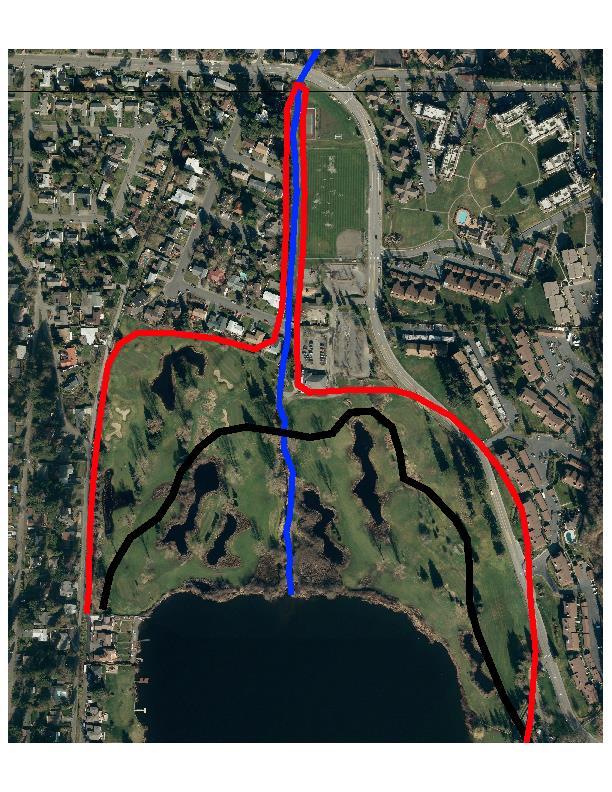
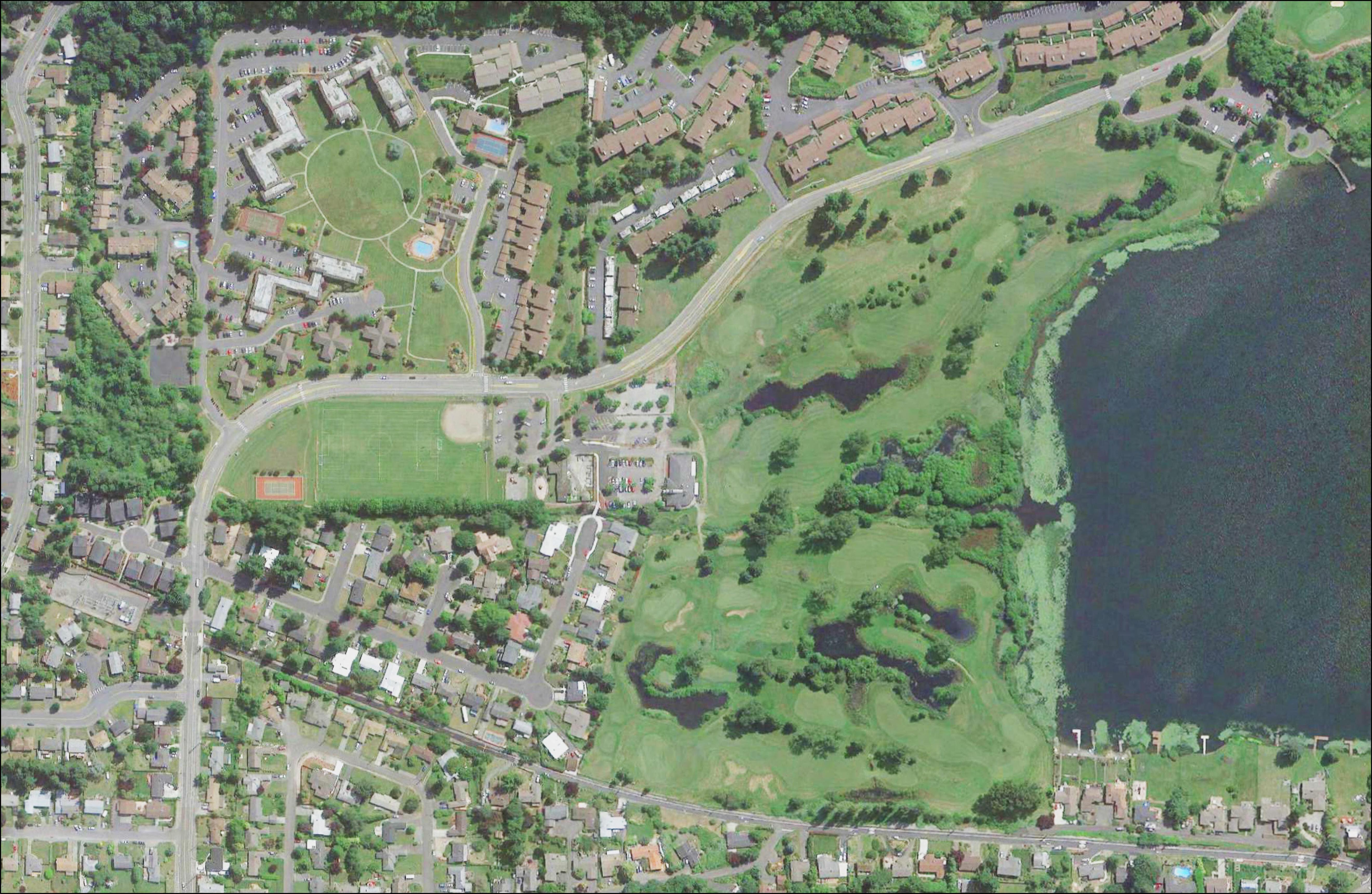
Diagram from Ballinger Golf Course Scoping Session presentation given 06-11-2013.
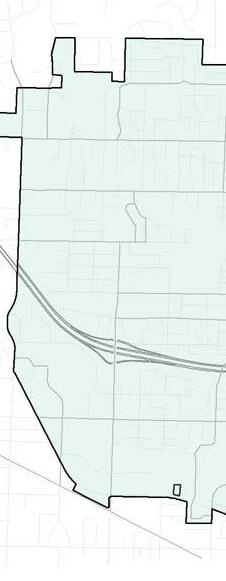
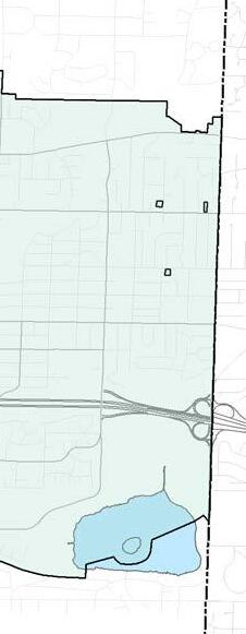
of Enlargement
depicted on this map are
jurisdiction
They have not been formally delineated or surveyed and are intended for planning purposes only. Additional site-specific evaluation may be needed to confirm/verify information shown on this map.

HALL
WEIR
DEPRESSIONAL WETLANDS (CATEGORY III), LAKESHORE WETLAND (CATEGORY II), AND HALL CREEK (STREAM CLASS II)
SHORELINE PLANNING AREA (PER 2011 SHORELINE MASTER PROGRAM UPDATE) LIMITS OF WETLANDS / SATURATED SOILS / 100 YEAR FLOODPLAIN (PER 2011 SHORELINE MASTER PROGRAM UPDATE) WETLAND AND CREEK BUFFER BOUNDARY
DRAINAGE AS-BUILTS PROPERTY LINE

August 4, 2015
Andy Mitton
Berger Partnership
Via email: andym@bergerpartnership.com
Re:
Ballinger Park
Master Plan
– Summary of July 22, 2015 Field Meeting with the Washington Department of Fish and Wildlife
The Watershed Company Reference Number: 130309
Dear Andy:
As you know, members of the Master Plan project team and City of Mountlake Terrace staff met at the Ballinger Park site on the morning of July 22, 2015 with Christa Heller, Area Habitat Biologist with the Washington Department of Fish and Wildlife (WDFW). Present were: Christa Heller, WDFW; Chad Schulhauser, MLT (Public Works Director); Ken Courtmanch, MLT; Jeff Betz, MLT; Tim Nye, MLT; Shawn Hjert, MLT; Edith Duttlinger, MLT; Greg Johnston, Watershed Co; Steven Halushack, MK; and Andy Mitton, Berger The original, primary purpose of the meeting was specifically to view the on-site intake structure for the existing hypolimnetic injection system and discuss its current condition, function, and benefit. We would then record and take into consideration any recommendations Ms. Heller might have representing WDFW with respect to maintenance of and/or improvements to the intake that might benefit the functioning of the overall aquatic system and associated habitat.
We did observe and discuss the intake to the hypolimnetic injection system with Ms. Heller, and we also discussed the overall park Master Plan and a number of its elements pertaining to creek restoration and habitat goals as well. At the outset, Ms. Heller indicated that, from WDFW’s perspective, the project should at a minimum abide by state law for safe fish passage, which includes removing any blockages or barriers. After some discussion of upstream conditions (to include stormwater inputs, unmaintained in-line sediment ponds, etc.) she also indicated that the project should look to leverage basin-wide improvements, possibly including reduction of stormwater inputs, evaluation of sediment transport and storage, removal of sediment and/or increasing storage capacity in the existing sediment ponds (if needed), and improving water and habitat quality.
Extending upstream along Hall Creek from the footbridge near the existing Clubhouse to Lakeview Drive, the creek channel is straight and narrow with little or no floodplain.
Field Meeting Summary Mitton, A August 4, 2015 Page 2
Banks are armored with angular rock which has sloughed into the channel bottom at numerous locations. Though existing streamside vegetation is fairly dense and provides a moderate amount of shading, the vegetated corridor or effective buffer width is quite narrow and constrained. Much of the vegetation consists of invasive, non-native species including, but not limited to, Himalayan blackberry, nightshade, morning glory, Scotch broom, and English ivy. Recommendations discussed for this reach include:
• providing a widened riparian corridor and floodplain where feasible (as proposed, including at the tennis court),
• removal of angular rip rap armoring where not essential for erosion protection (especially where it has sloughed into the channel bottom),
• placement of logs and root wads in the channel to break up long sections of glide habitat to include pool/riffle sequencing with the wood providing cover in the pools,
• removal of non-native vegetation,
• planting native vegetation with an emphasis on conifer tree species, and
• investigating sediment supply and transport from upstream, especially as it relates to existing, but unmaintained, sediment ponds.
Removal of rip-rap from the channel bottom would improve spawning habitat, and bank armoring removal should be done preferentially on the park side to avoid impacts to private property and where less infrastructure and improvements would be affected. Most existing trees should be retained for now to provide shade, even if not strictly native. However, if an opportunity exists where the existing oaks can be thinned, a widened high flow terrace could be provided.
Involving adjoining property owners along the creek to the west will be crucial for realizing in-stream and riparian habitat improvements along this upper reach. Immediate neighbors adjacent to Hall Creek on the west side should be notified when the next design phase starts, to involve them in process and partner for work on the channel and riparian corridor Where park visitors are allowed actual and visual access to the stream channel in accordance with the park Master Plan and design, this should be done in limited, defined areas and in a manner which minimizes habitat impacts such as bank erosion and damage to streamside vegetation. Access for the public can be provided in part by overlooks with low plantings in front to reduce impacts to the stream banks and channel. If direct access is provided to the channel, reduce bank steepness at those locations and provide improvements that won’t erode.
Extending downstream from the clubhouse to Lake Ballinger, the existing stream channel is lower-gradient and flows through meadowy areas with adjoining ponds remaining from the former golf course. The Master Plan through this section proposes
Field Meeting Summary Mitton, A August 4, 2015 Page 3
channel realignment with widened floodplain and riparian areas, native revegetation, and placement of large wood, including snags. Ms. Heller commented that lower cost alternates to the plan should be identified and considered such that if funding does not become available for major changes, lower cost options can be implemented that will still improve the habitat functioning of the stream. For example, the amount of grading needed to realign the channel should be taken into consideration.
Ms. Heller recommended against making direct connections between the existing or realigned stream channel and the existing ponds due to concerns regarding potential fish stranding, temperature, and related sedimentation issues. Use of these ponds by a broader array of wildlife beyond fish should be encouraged. In particular, the ponds could or should be managed to improve and expand habitat for struggling western pond turtle populations (see http://wdfw.wa.gov/conservation/western_pond_turtle/).
Chris Anderson – Wildlife Biologist from WDFW - can be contacted for information on species in addition to fish that the project may look to create new habitat for, including western pond turtles as mentioned and Pacific chorus frogs. Native aquatic vegetation in the ponds should also be encouraged over non-natives; the existing pond lilies appear to be non-native.
With respect to the intake to the hypolimnetic injection system, Ms. Heller’s main concern was that the structure appeared to be a seasonal barrier to upstream fish movements. She had similar concerns for the lake outlet weir, off-site, which was visited last on the tour. Weir planks are removed from each of these structures during the winter high-flow season, according to the protocol for their operation, to allow the upstream migration of adult fish such as coho and cutthroat. However, installation of these planks during the summer low-flow season limits the movements of juveniles. Ms. Heller indicated that she intended to check on WDFW’s mapping and other documentation of migration barriers to see if and how these structures were described and evaluated as barriers. She would also see if there might be legal or operational conflicts regarding the weirs between WDFW and Ecology. Regardless, the stream channel design throughout Ballinger Park should include features to ensure that water would be well-aerated before entering the hypolimnetic structure.
At the boat ramp area, Ms. Heller directed City staff to be aware of recent updates to the state’s Hydraulic Code regarding the design of boat ramps, docks, and piers. Requirements pertain to the amount of grating required to provide light penetration for docks, piers, and connecting ramps, as well as freeboard required, etc. A grated ramp would be needed to connect a floating dock to shore. Bioengineered shore protection including native vegetation along the shore was encouraged, with defined viewpoints to the lake. Existing failed bank stabilization using tires should be removed from the park property as well as along the Nile golf course, and concrete turf grid blocks should also
Field Meeting Summary Mitton, A August 4, 2015 Page 4
be removed from the water. An existing storm drainage outfall pipe extending into the lake should be cut back to the water’s edge and provided with better bank stabilization, preferably part of a bioengineered bank. In-progress Luther Burbank Park improvements on Mercer Island were referenced by Ms. Heller as being similar in scope and function to what is depicted by the Master Plan for Ballinger Park.
Please let us know if you have any comments, questions, or additions to this summary of the site visit.
Sincerely,

Greg Johnston, CFP Senior Fisheries Biologist
From: Greg Johnston <GJohnston@watershedco.com>
Sent: Tuesday, July 07, 2015 11:42 AM
To: Andy Mitton
Cc: Jenni Creveling
Subject: FW: Ballinger Park Master Plan - Update
Attachments: DOE Response to Lake Ballinger Association 4_08_09.pdf
Andy and Jenni:
I spoke with Ralph Svrjcek at Ecology about the Ballinger Park Master Plan today, as it might relate to water quality in the lake and, specifically, the hypolimnetic injection/discharge system. We talked at some length about the discharge at the outlet of the lake, which of course is not on our site or in our project area. In his 2009 letter, he stated that the hypolimnetic discharge was to be de-activated due to low oxygen. However, during our conversation it became clear that oxygen and phosphorus were interrelated, and that he wasn’t comfortable sending high-phosphorus water downstream along McAleer Creek to Lake Washington, regardless of dissolved oxygen levels. He generally didn’t like the idea of sending Lake Ballinger’s nutrient problems downstream, possibly benefitting Lake Ballinger at the expense of Lake Washington. Granted that Lake Washington is a larger water body and so there would be a dilution effect. So the take home message is that Ecology may be reluctant to re-activate the discharge system even if aeration were provided and the problem with low dissolved oxygen solved.
With regard to the hypolimnetic injection intake, which is on the park site, he agreed that it would or could have some benefit independent of the functioning of the outlet, and that its structure and function should probably be retained at least for now. However, the whole system may need to be re-evaluated at some point and a new approach taken. For now, I think we should work around the intake structure and keep future options open the best we can. Ralph wanted to emphasize that source control of phosphorus and other nutrients/pollutants was of primary importance in the highly urbanized watershed upstream of the lake. He was concerned that people would view the hypolimnetic injection/discharge system as an indication that the problem of nutrient loading to the lake had been addressed and resolved, when this is not the case. He stressed that continued work throughout the watershed to reduce nutrient loading was still needed, and that is what would most reliably provide benefits.
Greg
From: Greg Johnston
Sent: Monday, June 15, 2015 4:34 PM
To: 'Ralph.Svrjcek@ecy.wa.gov'
Cc: 'Andy Mitton'; Jenni Creveling
Subject: Ballinger Park Master Plan ‐ Update
Ralph:
As an update, we have scheduled a site meeting with Christa Heller of WDFW and City staff on Wednesday, July 22nd at 9:00 AM, and you are more than welcome to attend as well. We can email you a week or so ahead with the preferred alternative Master Plan attached and directions if needed. The preferred Master Plan is scheduled to be selected on or about July 14th. The meeting location will be the Ballinger Community Clubhouse (23000 Lakeview Dr), at the former golf course which is the project site. Regardless of the meeting, let us know if you have any comments or questions about this project.
Thanks, Greg Johnston
Ralph:
The City of Mountlake Terrace has retained The Berger Partnership, to which we are a subconsultant, to prepare a Master Plan for Ballinger Park, the former golf course area including the mouth of Hall Creek at Lake Ballinger. This area includes the inlet for the lake’s hypolimnetic injection system, discussed in your letter dated April 8, 2009 (attached) to Jerry Thorsen, President, Lake Ballinger Community Association. Questions have arisen during this process as to whether or not the hypolimnetic injection system is working, whether or not it is beneficial, and, more specifically, does it provide benefits without the hypolimnetic discharge system also functioning. As described in your letter, operation of the discharge system was halted due to resulting low oxygen levels in McAleer Creek. The hypolimnetic discharge system is outside the Master Planning project area, but the inlet structure for the hypolimnetic injection system is within it.
As part of the Master Planning process, those of us involved would be interested in knowing if you, representing Ecology, have any recommendations regarding the hypolimnetic injection system and intake structure. If it is not working or provides little benefit even when working, then it has been questioned whether or not it should be accommodated by the Master Plan and if resources should be directed towards retaining and maintaining it. However, if it does provide or has the potential to provide beneficial functions, do you have any recommendations with respect to its maintenance and/or improvements that would provide the most benefit in terms of water quality in Lake Ballinger and extending downstream along McAleer Creek?
Also attached are a timeline, I think put together by the City, a schematic, and an announcement for a community meeting on June 2nd.
Thanks,
GREG JOHNSTON
Senior
Fisheries Biologist

(425) 822‐5242 x212 | Kirkland, WA (360) 435‐9224 | cell
Same address, whole new website! watershedco.com
Connect with me on LinkedIn Blog ‐ "Stilly Broodstocking"
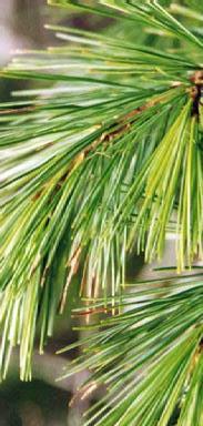
Ballinger Park Master Plan l Plant Ecologies
Ballinger Park Master Plan
l Plant Ecologies
Ballinger Park Master Plan
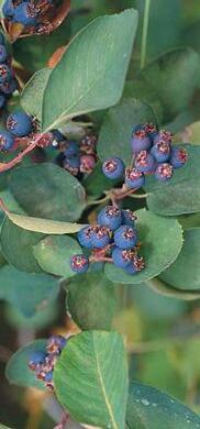
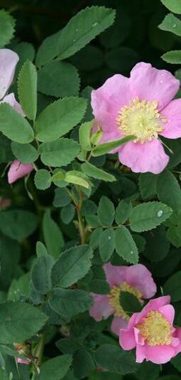
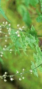
Ballinger Park Master Plan l Plant Ecologies

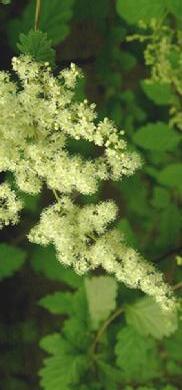
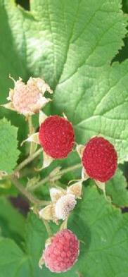
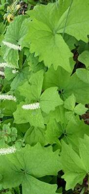
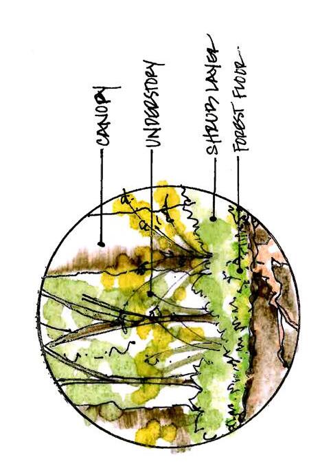
Ballinger Park Master Plan l Plant Ecologies
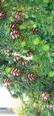
Park Master Plan Plant Ecologies