
C R E A T I
PORTFOLIO

EDUCATION
BACHELOR IN ARCHITECTURE AND DESIGN
THE UNIVERSITY OF TEXAS AT ARLINGTON
August 2020 - May 2024
ASSOCIATE IN ART & SCIENCES ( Marketing and management)
HOUSTON COMMUNITY COLLEGE
January 2018 - May 2020
ENGLISH LANGUAGE CERTIFICATE
HOUSTON COMMUNITY COLLEGE
August 2017 - December 2017
ENGLISH LANGUAGE CERTIFICATE
THE UNIVERSITY OF TEXAS AT ARLINGTON
March 2017 - July 2017
HIGH SCHOOL DIPLOMA
LYCEE SAINTE MARIE DE COCODY
September 2015 - July 2016


ASSOCIATIONS
NATIONAL SOCIETY OF COLLEGIATE SCHOLARS
HOUSTON COMMUNITY COLLEGE
January 2018 - May 2020
HONOR COLLEGE
THE UNIVERSITY OF TEXAS AT ARLINGTON
August 2020 - December 2022
TAU SIGMA National Honor Society
THE UNIVERSITY OF TEXAS AT ARLINGTON
August 2020 - May 2024
AIAS (American Institute of Architecture Student)
THE UNIVERSITY OF TEXAS AT ARLINGTON
January 2024 - June 2024
SOFTWARE






















EXPERIENCE
STUDENT COUNCIL
THE UNIVERSITY OF TEXAS AT ARLINGTON
May 2017 - July 2017
ARCHITECTURE INTERN
ACA CABINET: Architect Consultants and Associates
Ivory Coast (Cote d’Ivoire)
July 2021 - August 2021
FREELANCE
Drafting & Graphic Design
June 2024 - Present











COMPETITION
ARCHITECTURE COMPETITION: BRIDGE THE GAP 4th PLACE
THE UNIVERSITY OF TEXAS AT ARLINGTON
January 2023 - February 2023
TABLE OF CONTENTS
This portfolio presents a curated selection of projects from my undergraduate studies in architecture, along with personal initiatives and artistic explorations. Each piece reflects my growth as a student, showcasing my technical skills, creative thinking, and commitment to sustainable design. From academic projects to Basic Learning projects and sketches, this collection highlights my journey and passion for architecture.
Deep Elum, Dallas, Texas
Exeter, New Hamisphire

Tokyo, Japan
New
Santa
UTA, Arlington, Texas
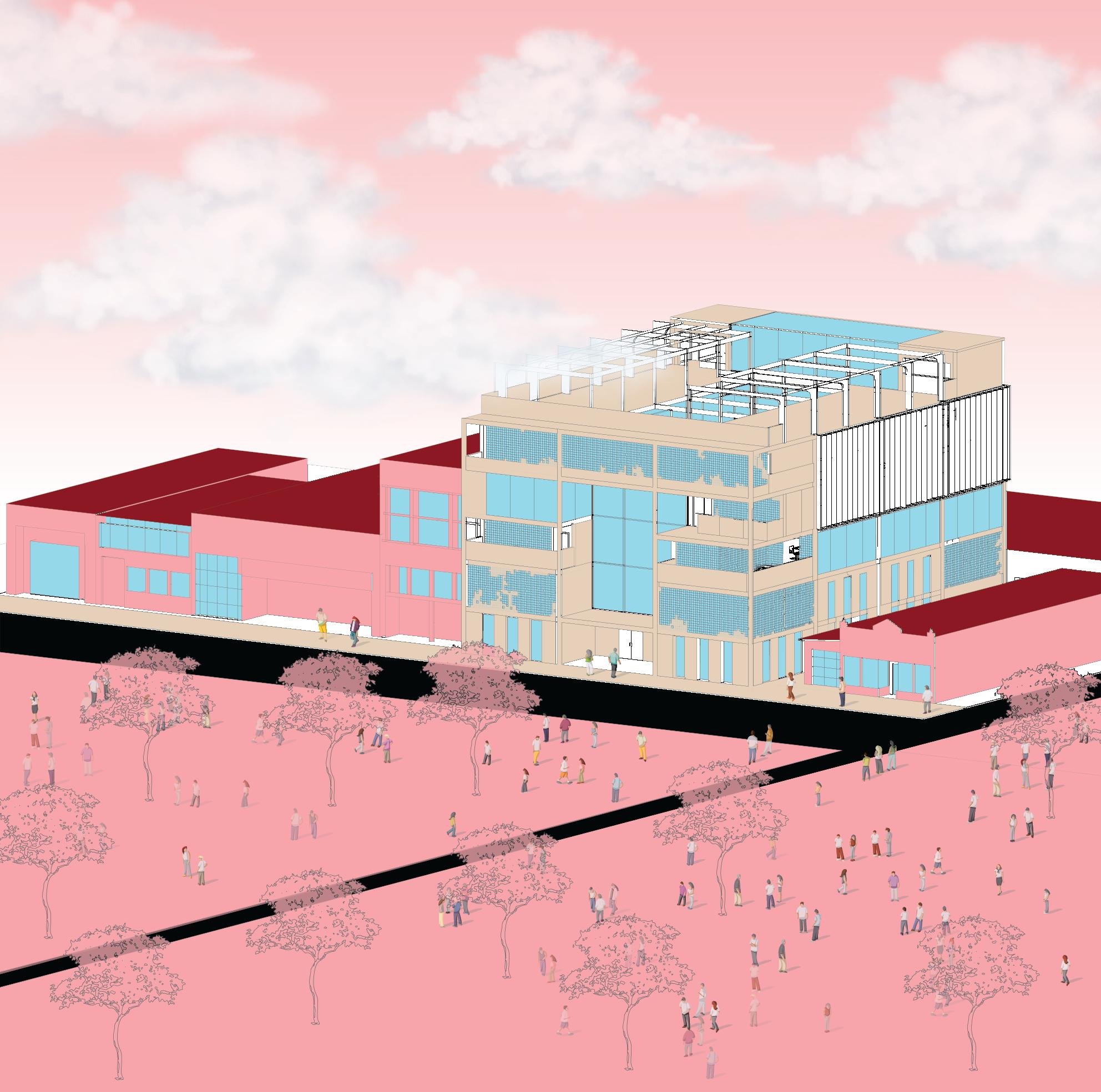
INSTITUTE OF PHOTOGRAPHY
Deep Elum, Dallas
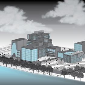
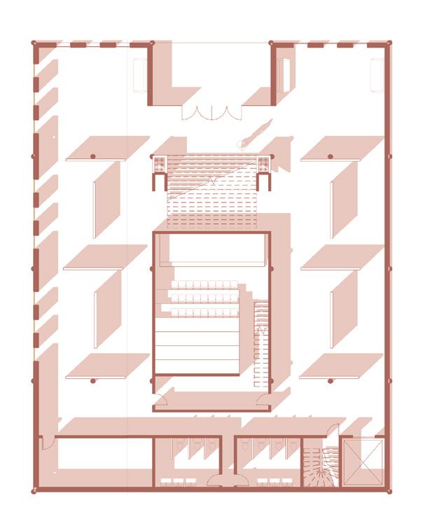
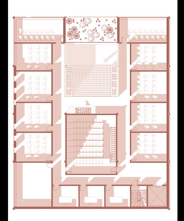
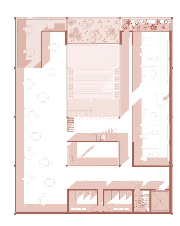
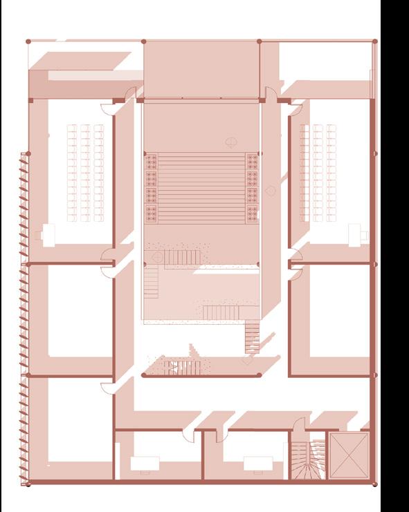
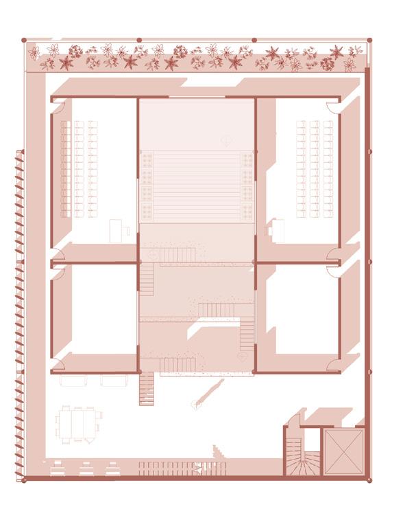
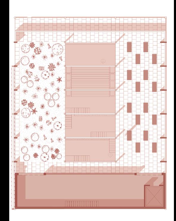
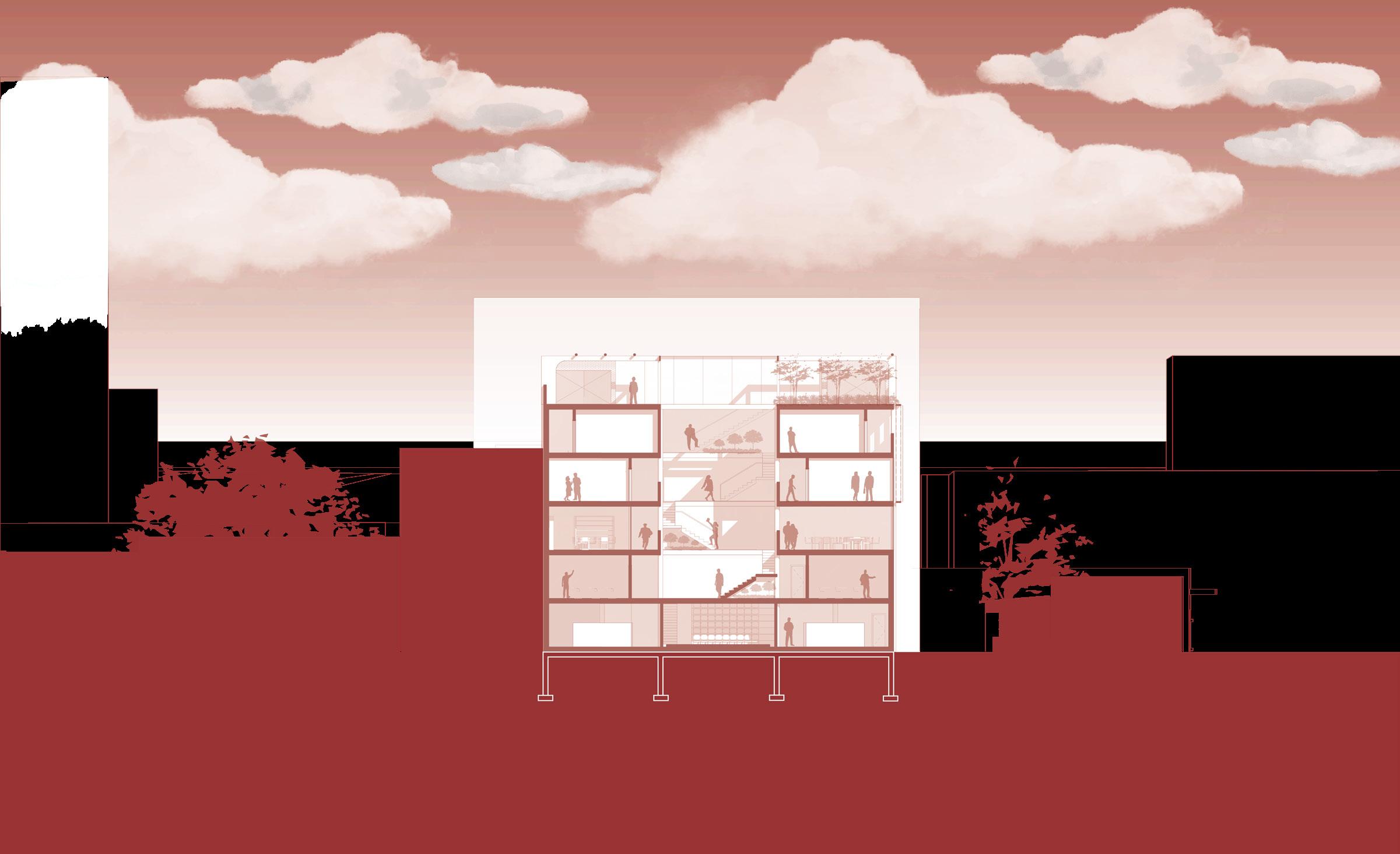
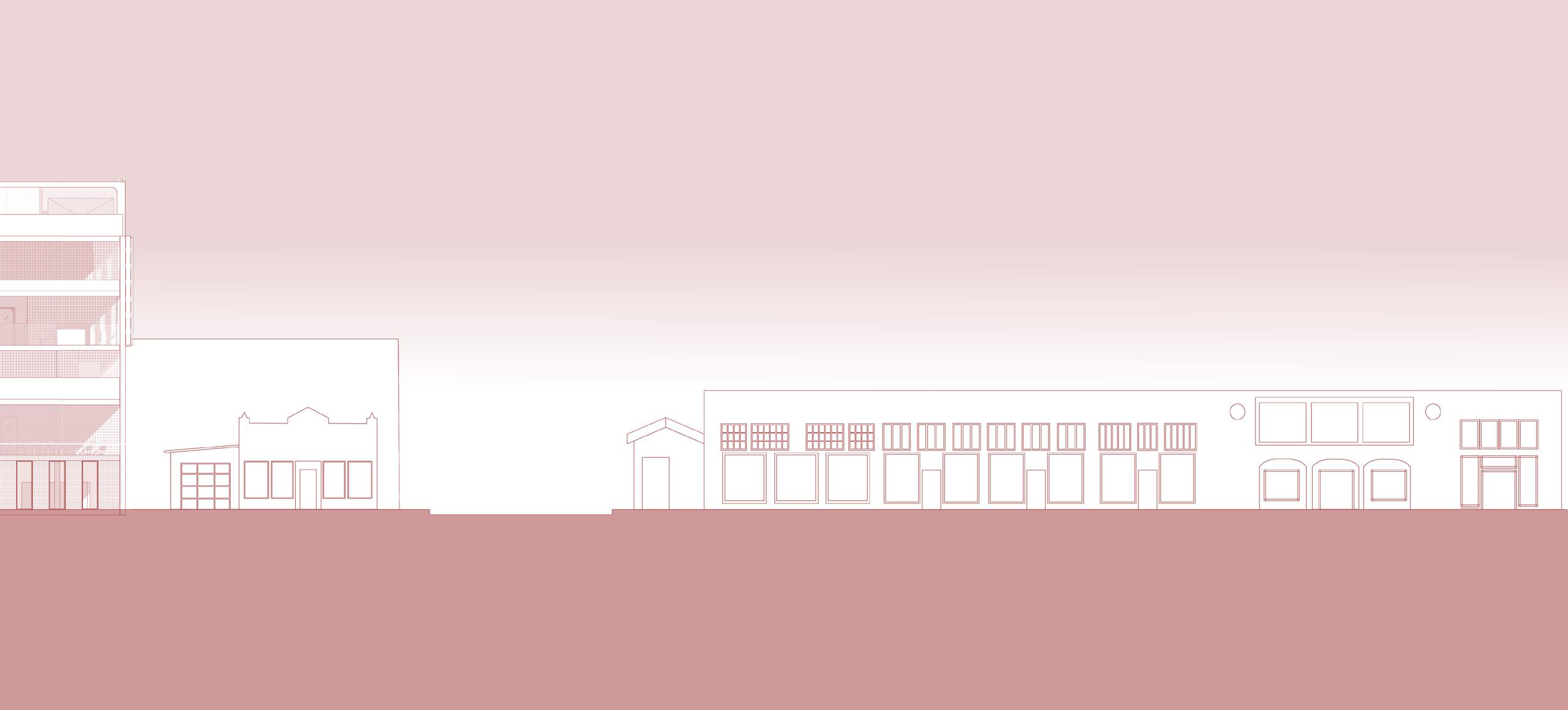
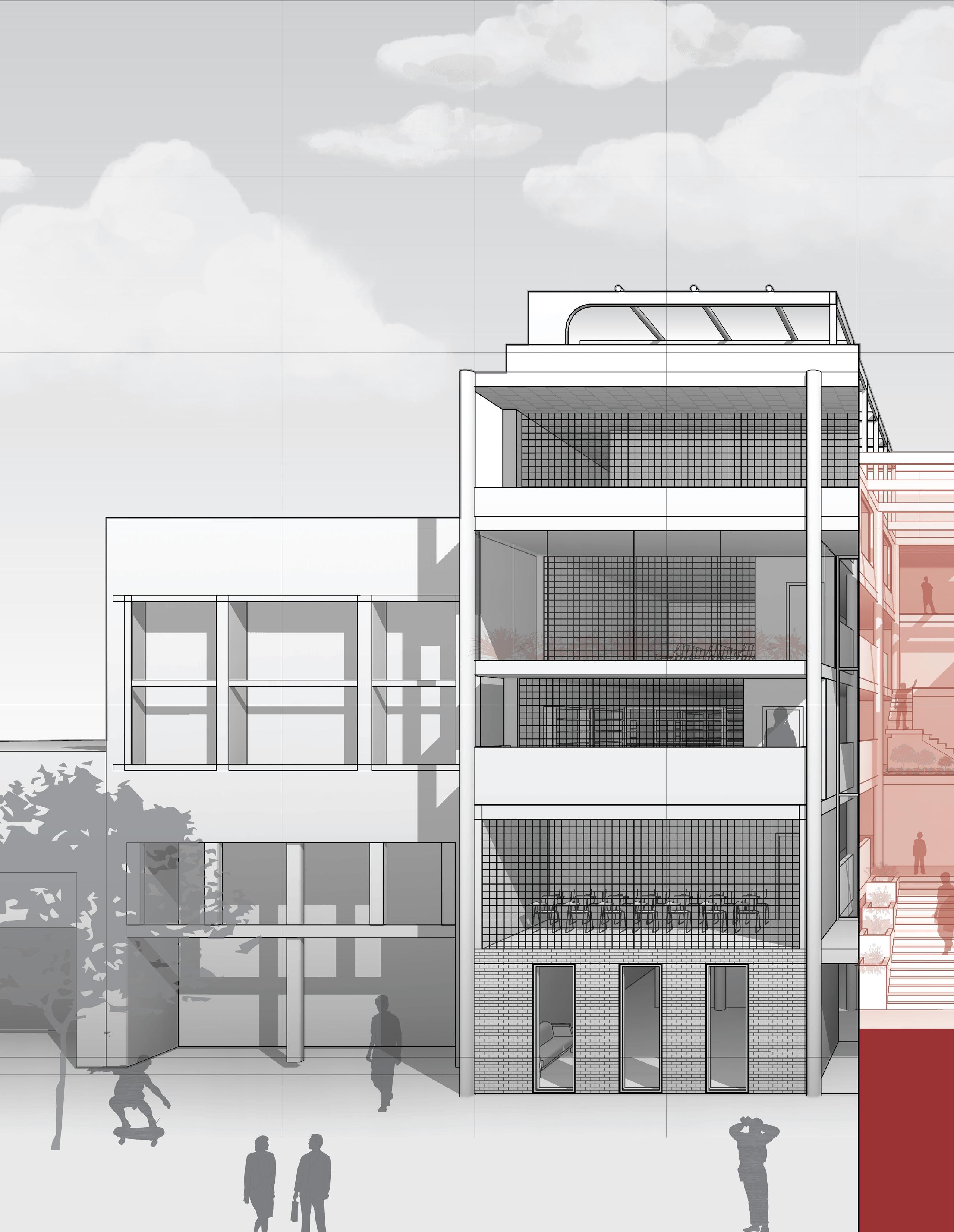
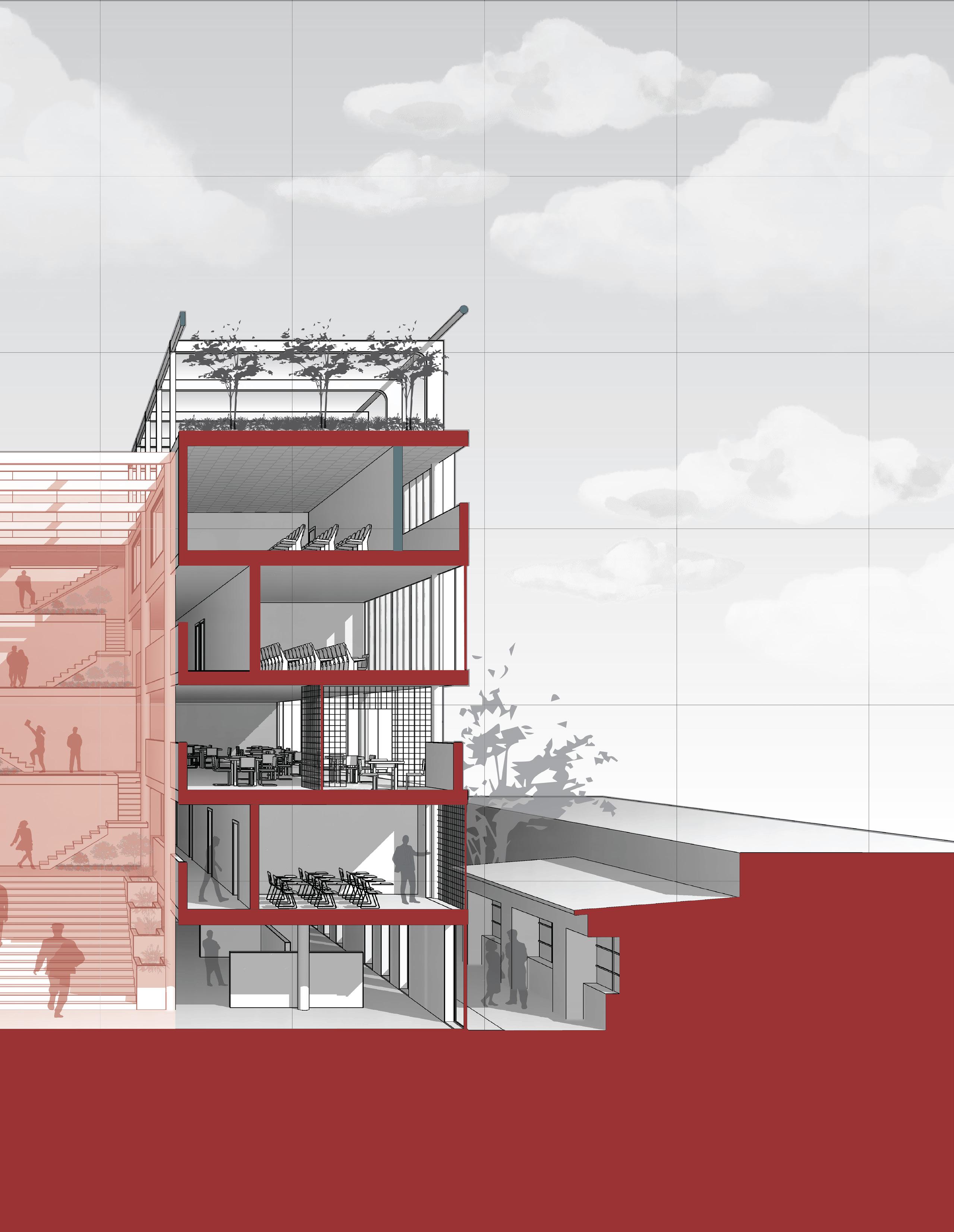
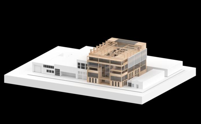
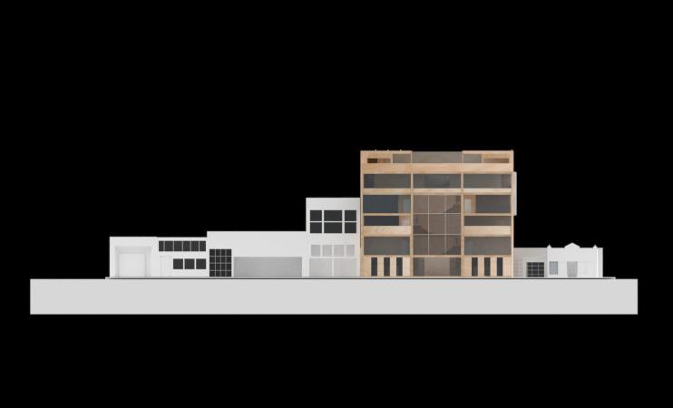
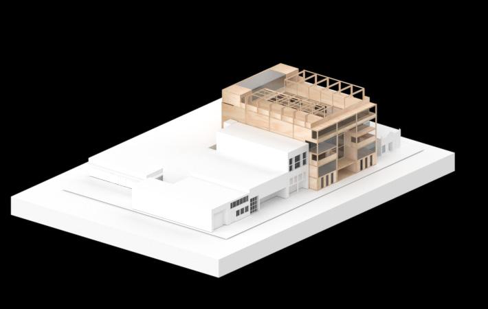
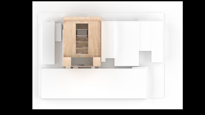
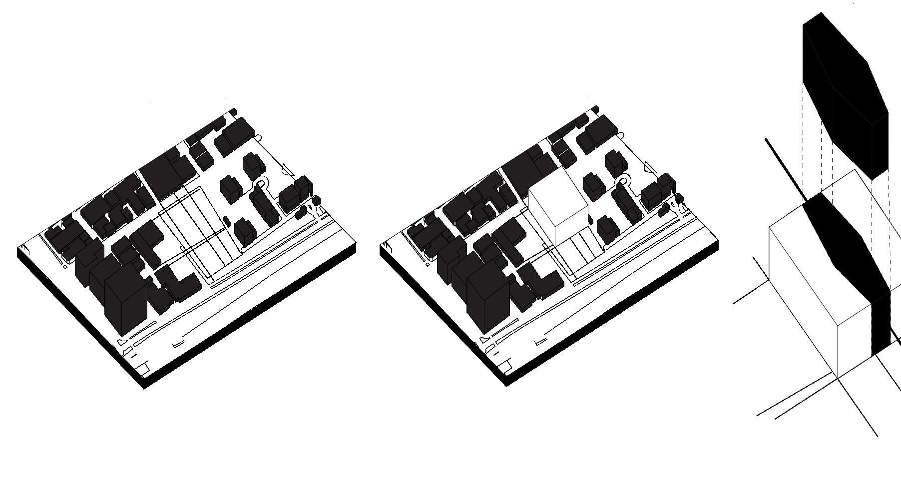
After an immersive visit of the site, a parking lot located within the neighborhood of Deep Ellum in Dallas, the purpose of this project was to design an institute of photography that can be used for both a school and a gallery.
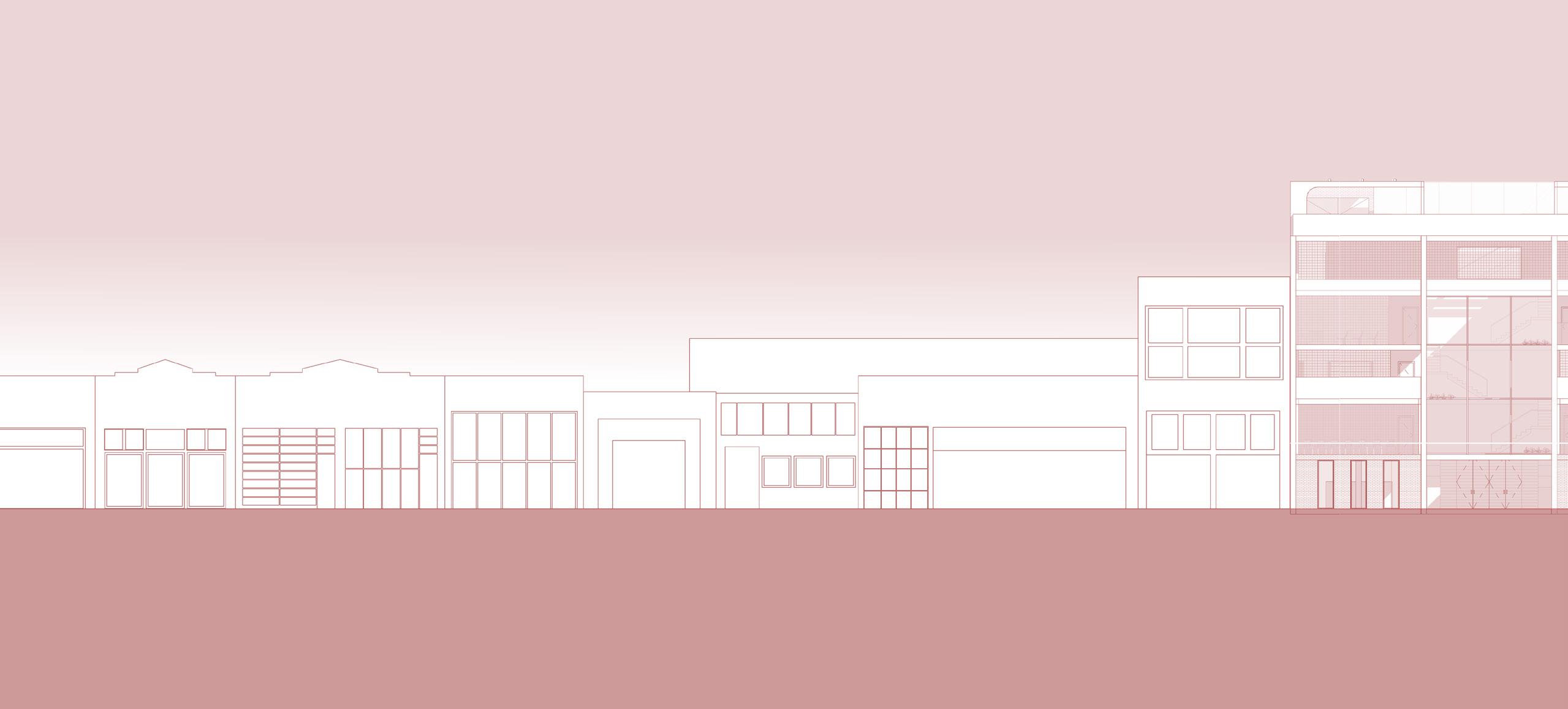
The design process was influenced by the dynamic surrounding context by meticulously and thourougly taking into consideration certain elements such as height, materiality, proportion of the surrounding buildings to ensure that the proposed new construction of the institute would integrate perfectly within its urban environment while fulfilling its purpose.
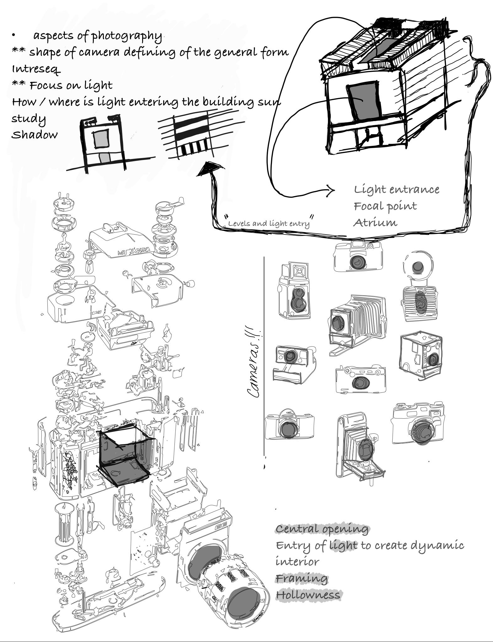
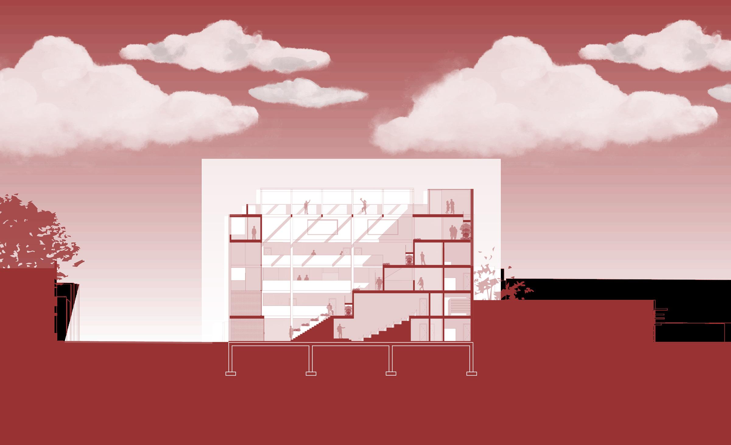
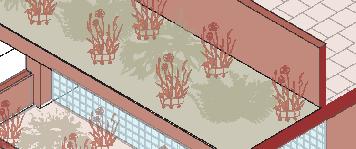
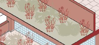
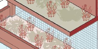
The idea was to incorporate some elements that partake in photography. Among those, there is the use of light within the interior spaces by creating a central atrium that represents the connection between each part of the building, but also represents the main and central circulation path in the building. Encouraging the people to explore, and want to see more, by creating different experiences from the lowest floor to the roof which offers views to the landscapes beyond the facing building while also enjoying the communal space comprise of a seating area and a japanese garden.
DIAGRAMS

Site
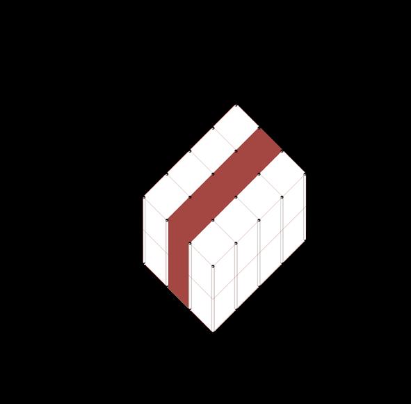
Proportion and Column grid
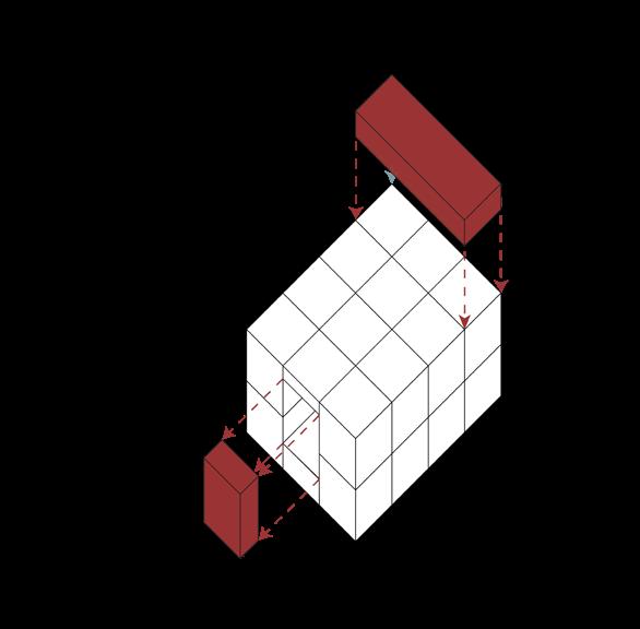
Substraction and addition
FLOOR
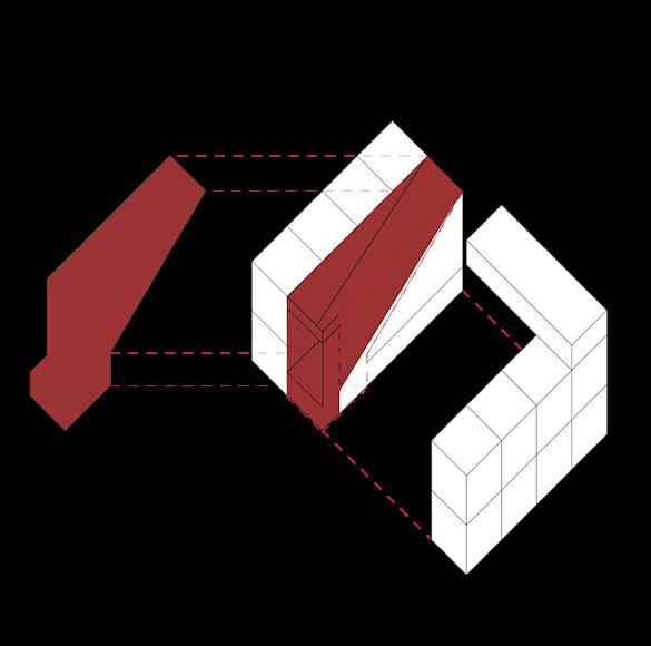
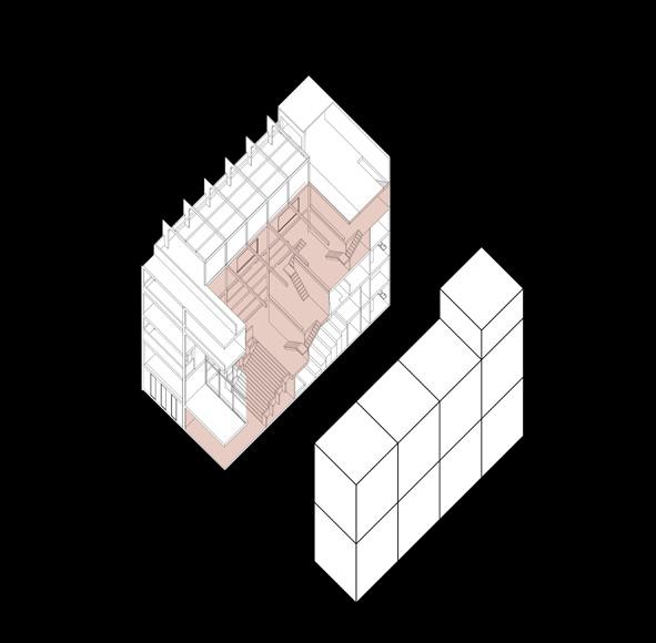
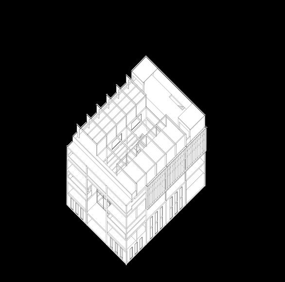
Carving into the mass Void Created Final design
LONGITUDINAL SECTION








































































































PRECEDENT: Phillip Exeter Library
Exeter, New Hamisphire
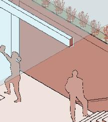
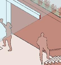
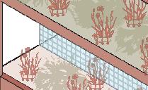
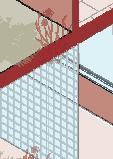
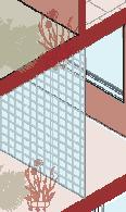
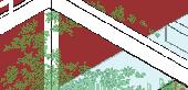
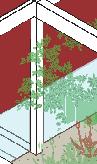
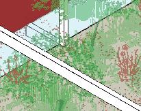
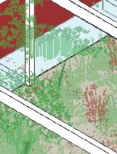
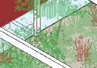
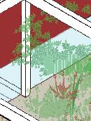
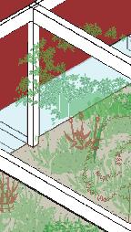
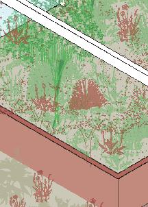
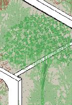
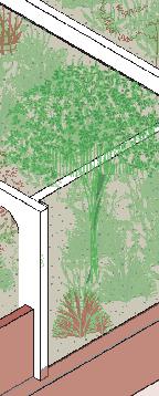
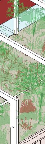
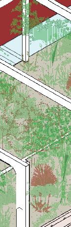
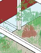
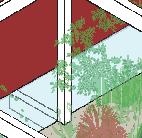
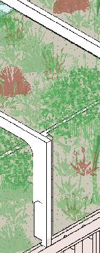
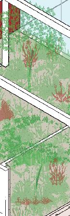
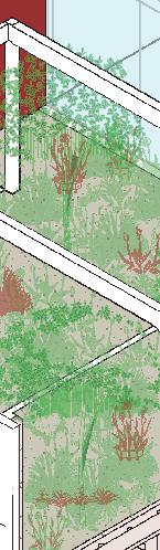
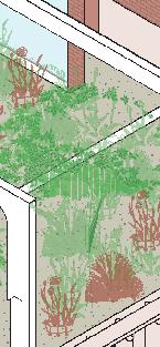
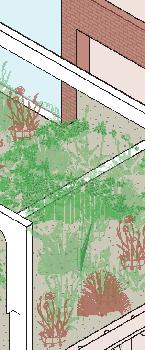
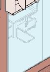
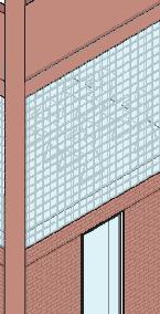
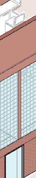
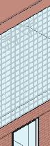
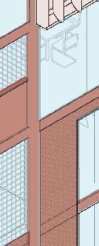
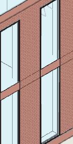
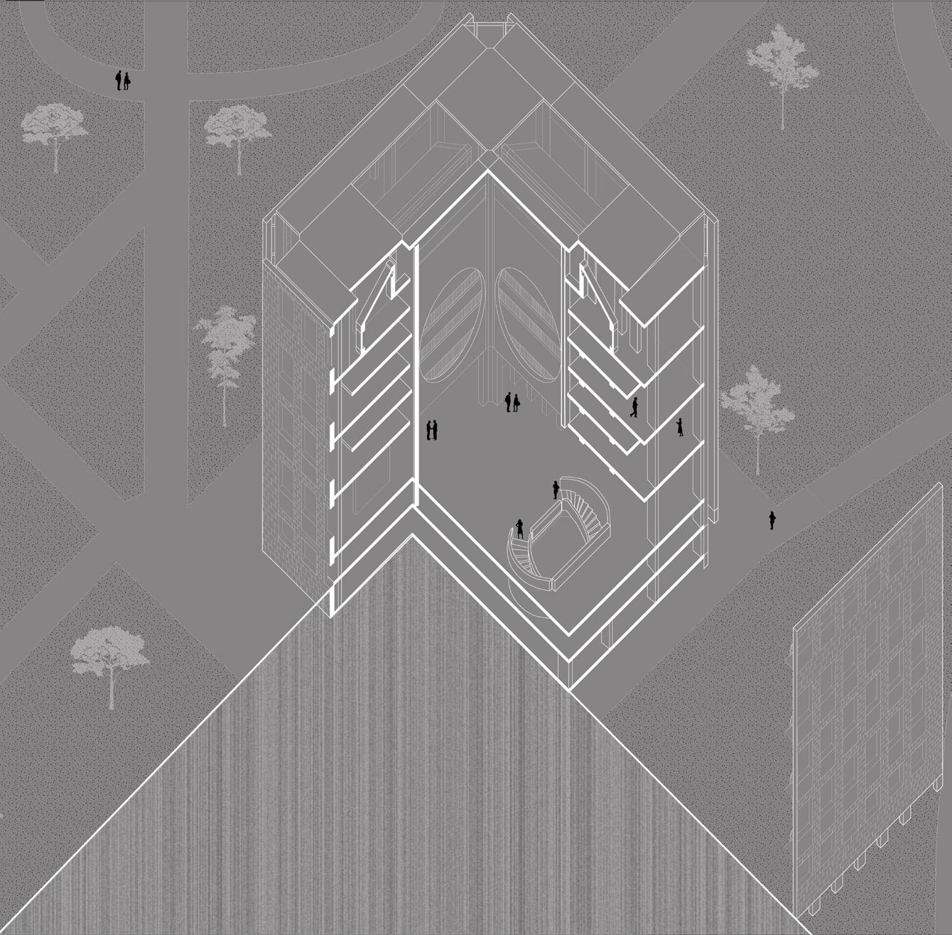
This drawing is a narrative drawing for the Exeter Library by Louis Khan. The idea was to create a visual representation that explains the concept of the building,
This mixed division of section and front elevation of the builing showcases the meticulous design of the interior spaces and the relationship of the facade with the surrounding context.
The library, designed by Louis Khan, exemplifies his ability to harmonize the building’s design with its historical context. Taking inspiration from the New England architectural vernacular, its use of materials such as red brick in the facade integrates the library with the existing historical fabric of the town, creating a visual dialogue between the library and its context.
The division in the design of the interior spaces reflects his commitment to both functionality and aesthetics. Catering for various needs, from quiet study areas to expansive reading spaces, the central atrium serves as the heart of the library, allowing natural light to enter the building but also create a connection between the different spaces harmoniously, creating an intertwined balance between light and space.






TOKYO CULTURAL CENTER
Tokyo Japan
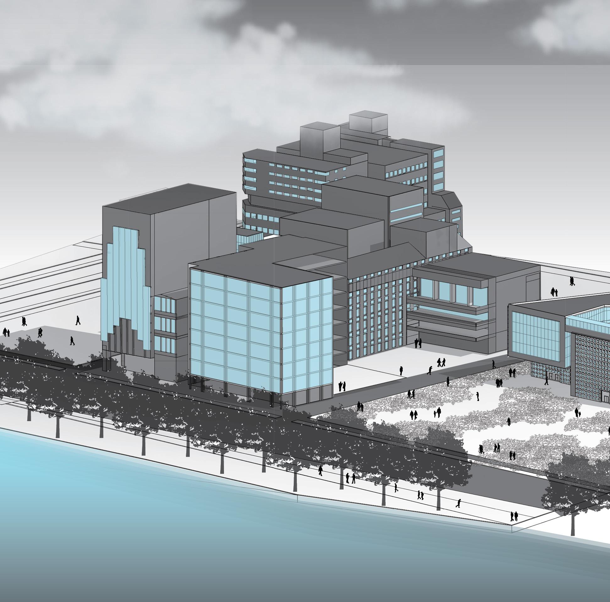
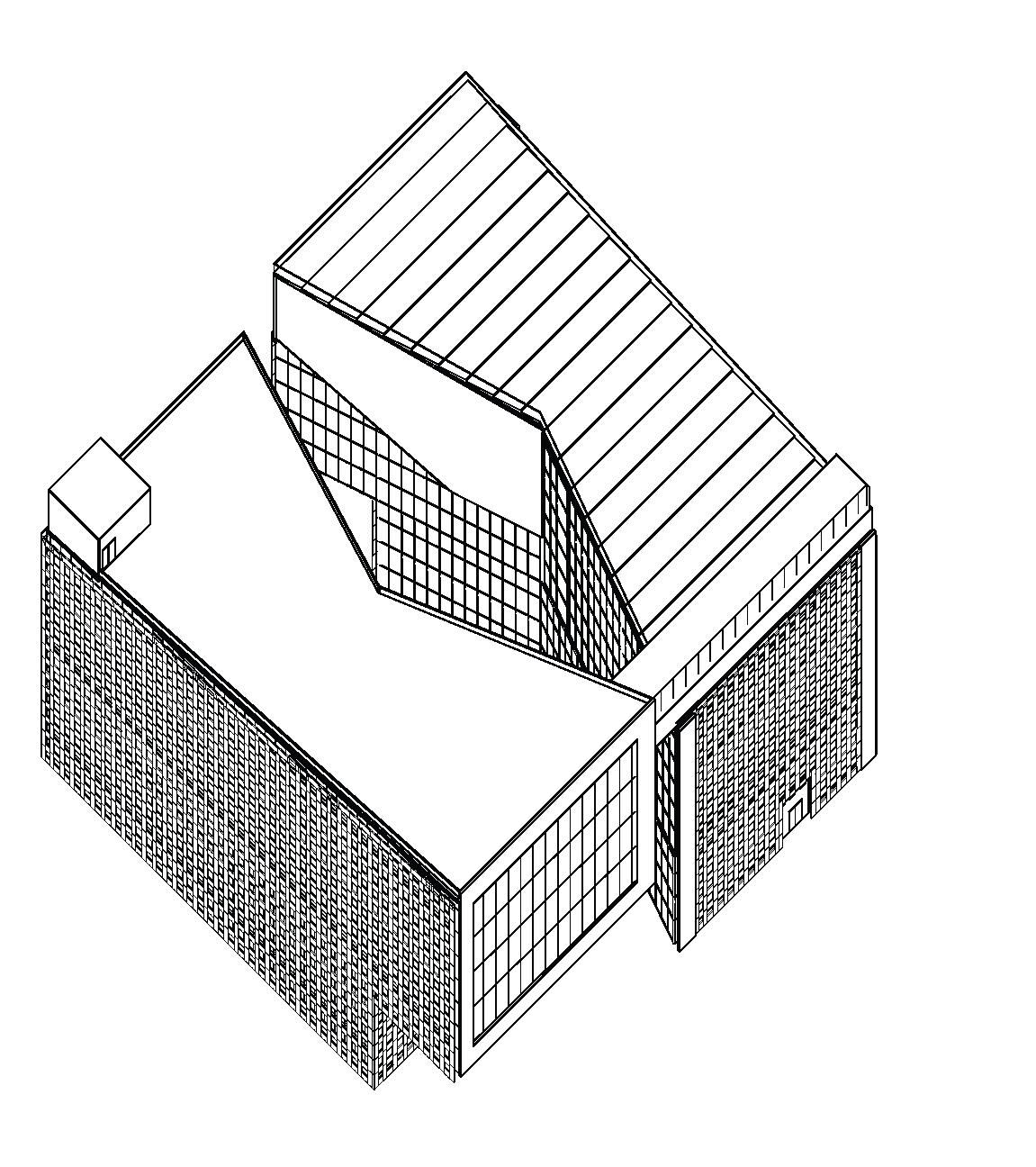
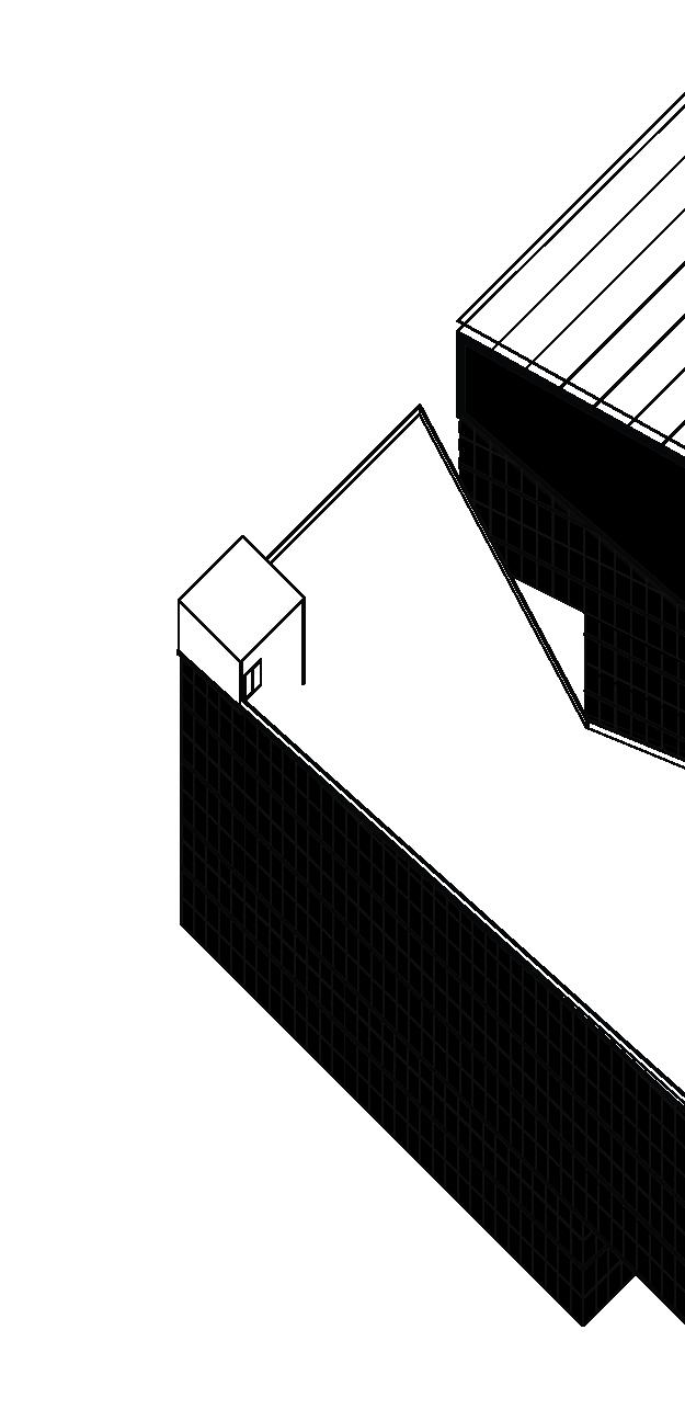
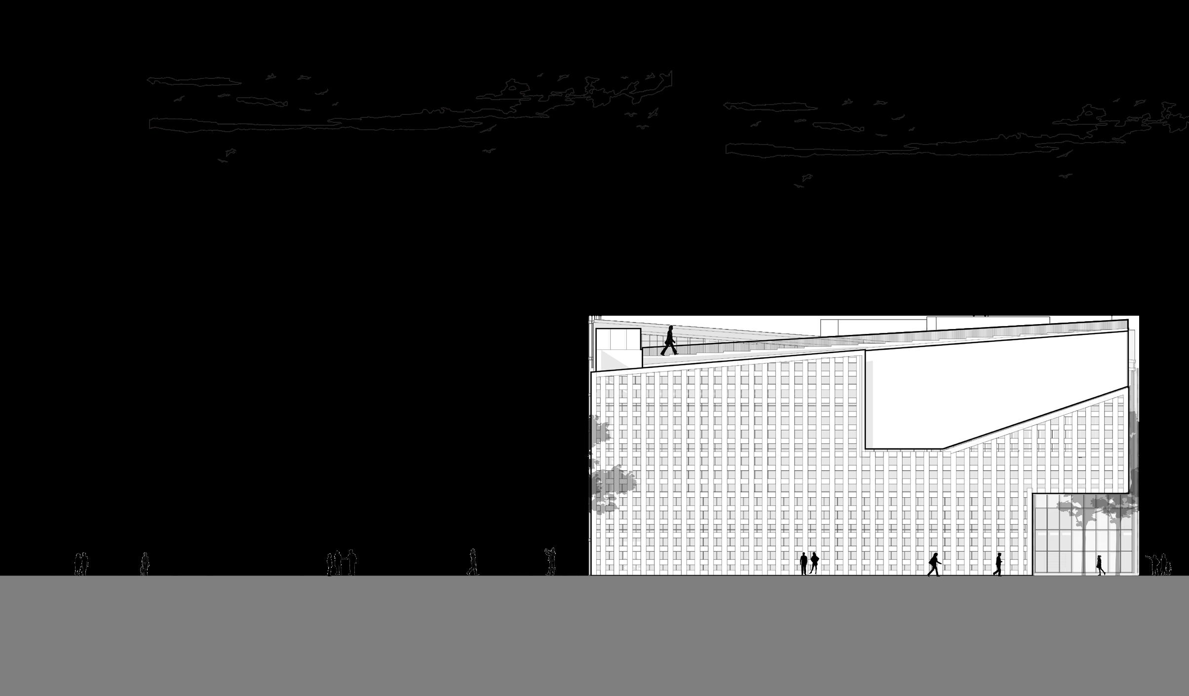
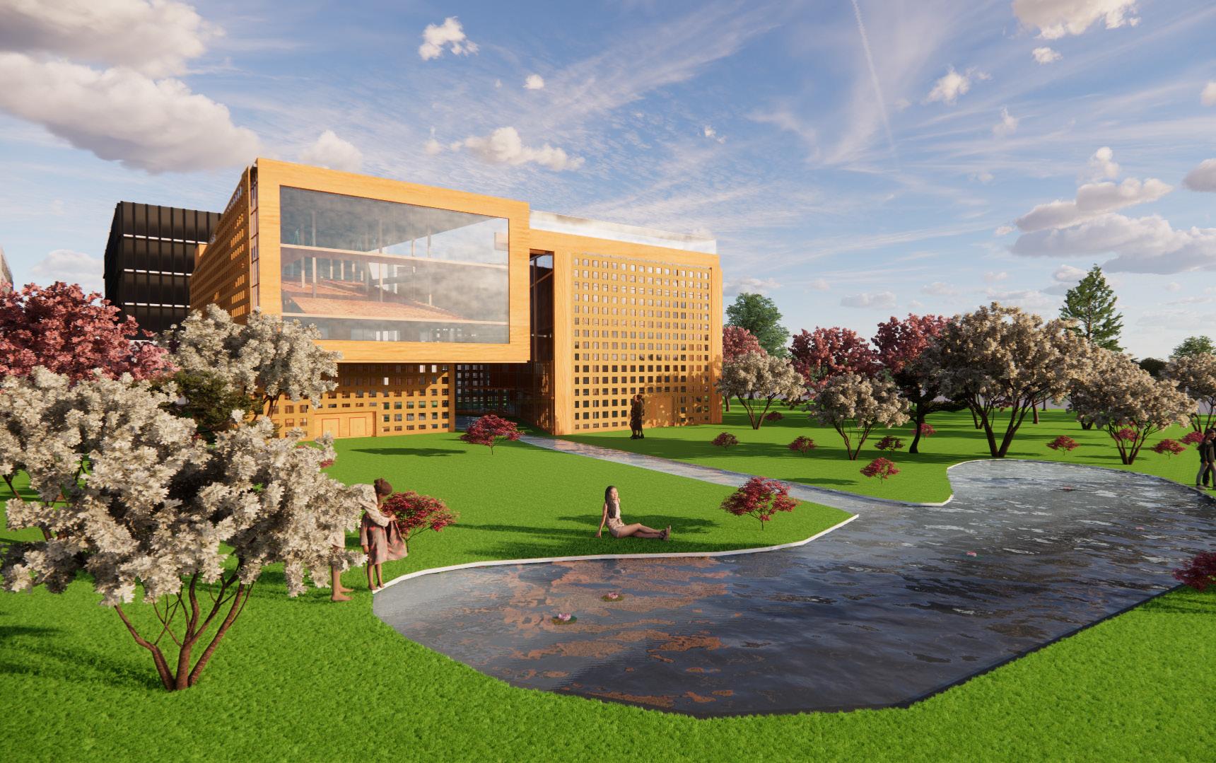
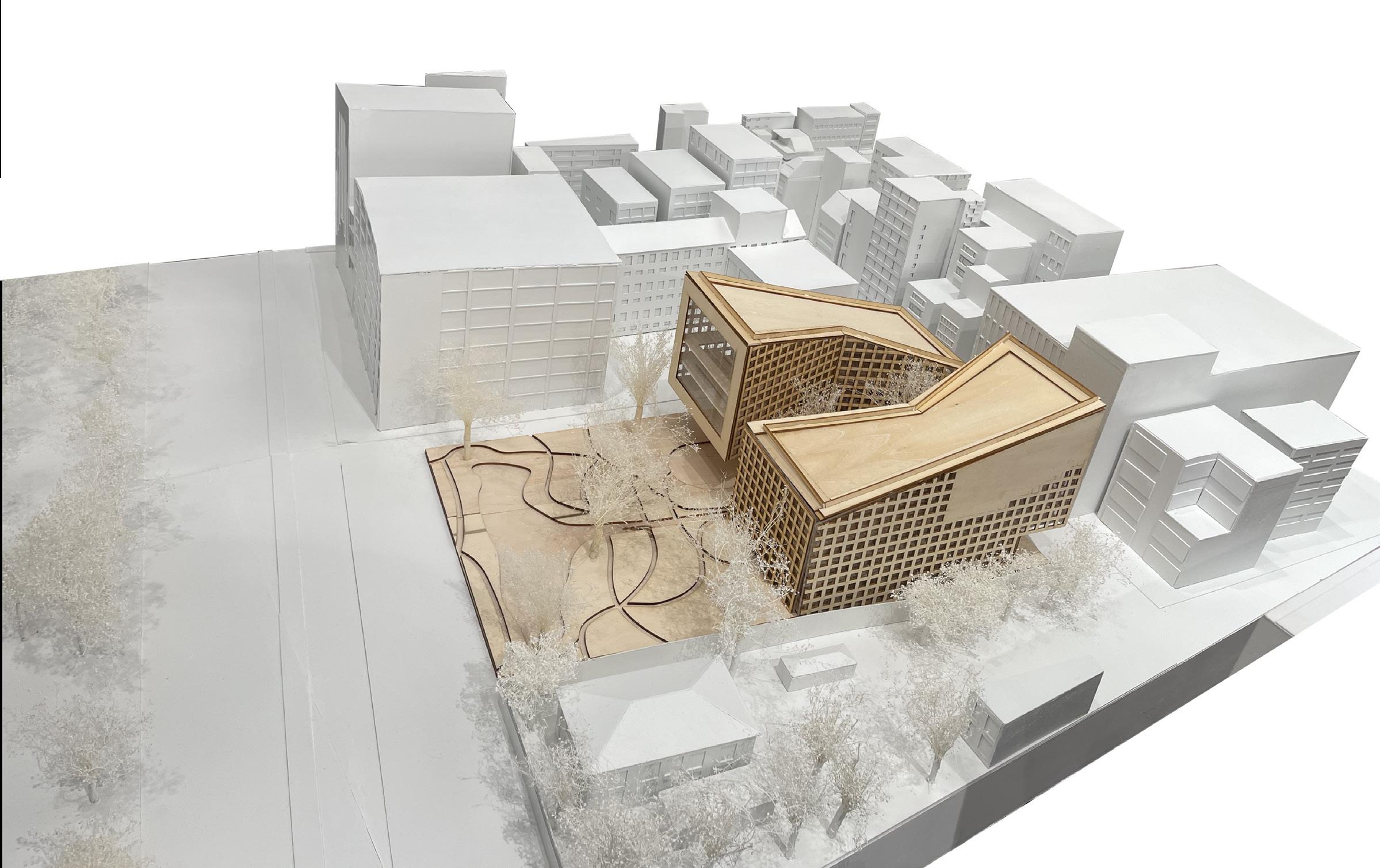
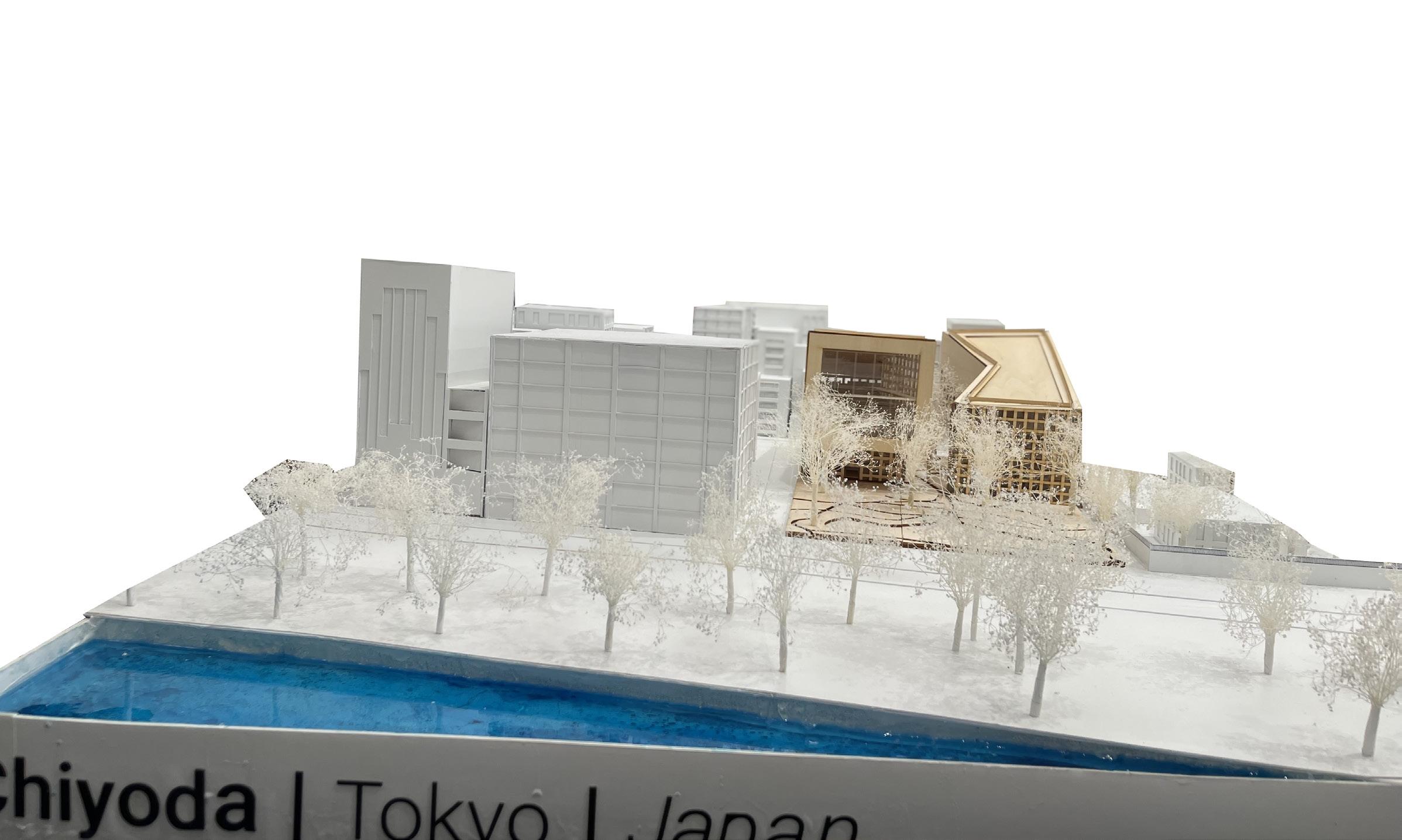
This project attempt to embody an equilibrium between tradition and innovation, combining elements that pay homage to Japan’s historical legacy while embracing contemporary design expressions. Some design ideas were based on an alignment to the Imperial Palace, a historical landmark in the area.
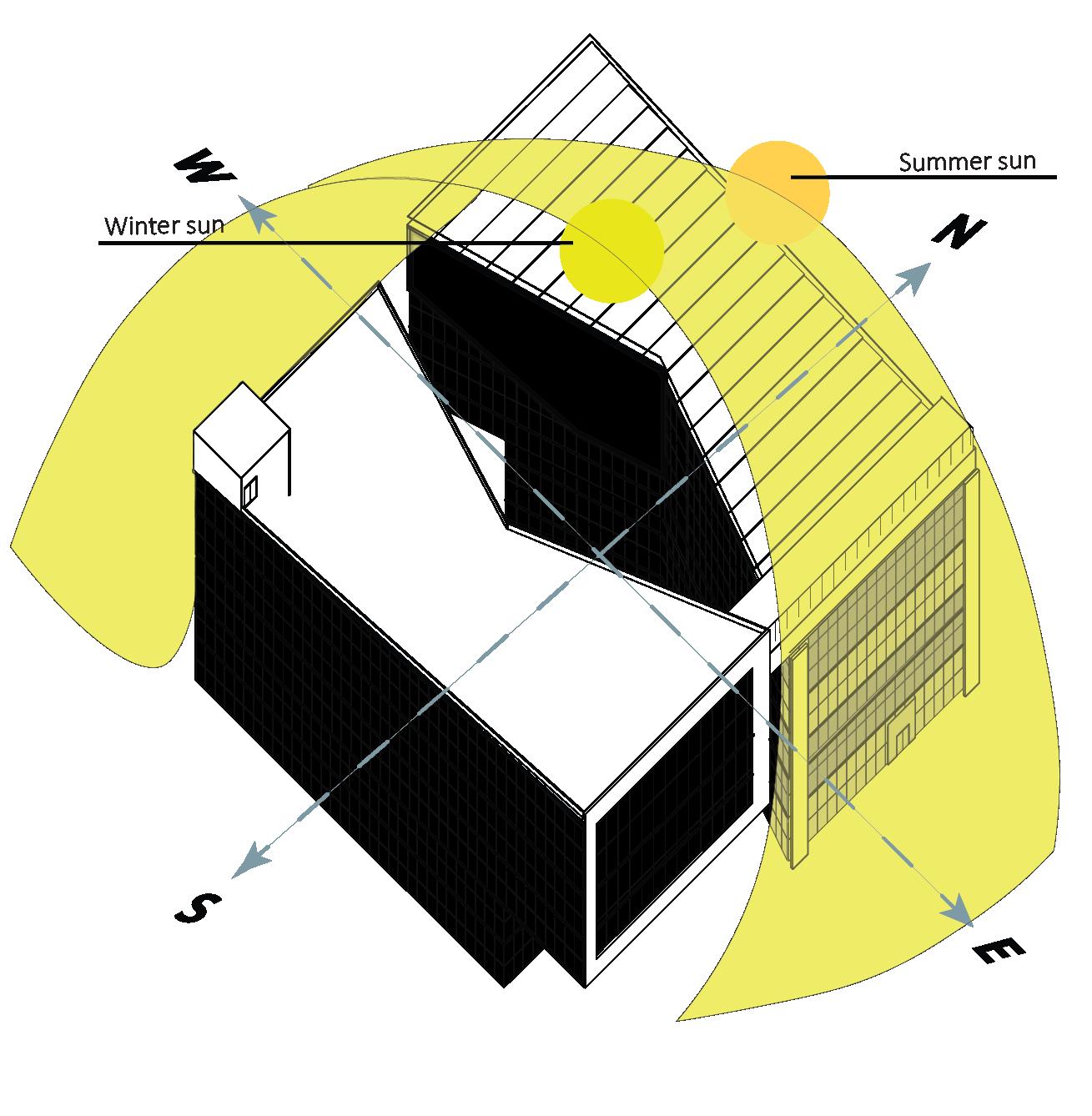
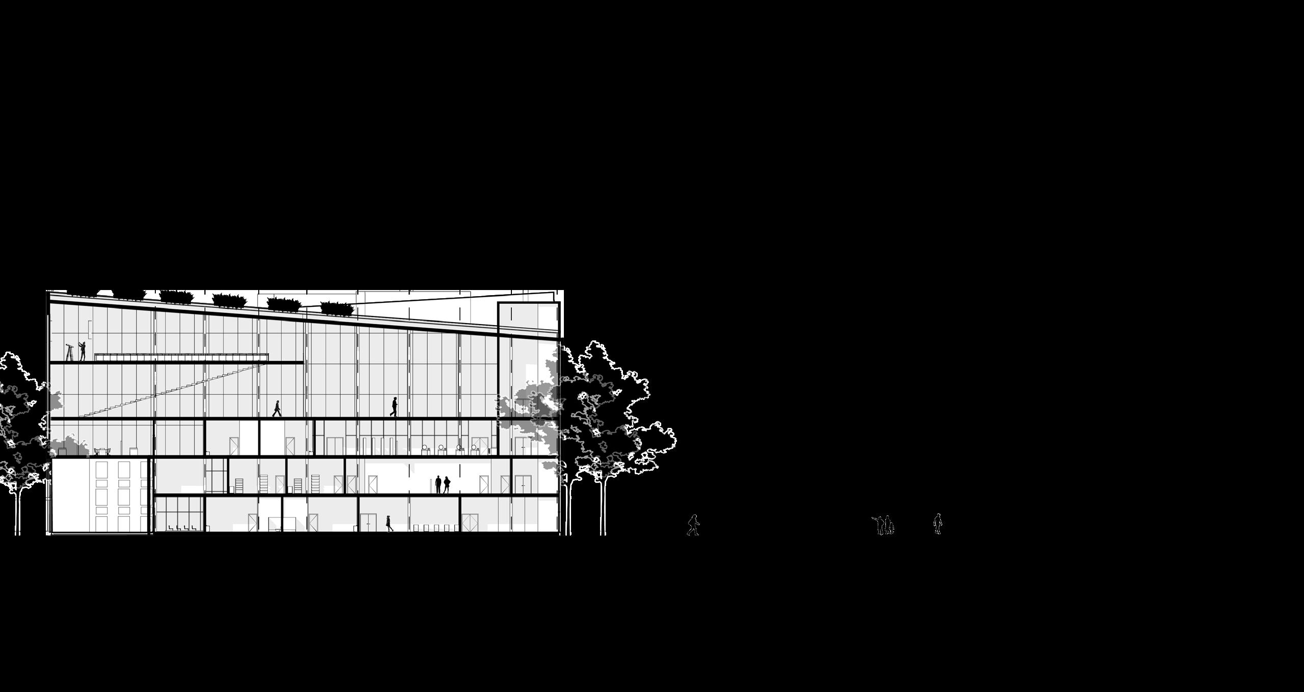
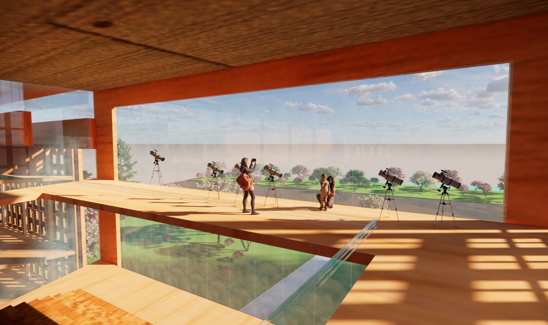
The incorporation of an elevated pitch roof not only welcomes natural light into the interior spaces but also offers panoramic views, symbolizing a connection between Japan’s historical context and its contemporary cultural expressions. Further enriching the cultural narrative are the gardens that embellish the building’s exterior. These gardens invite a tranquil ambiance while creating a profound sense of cultural engagement. They serve as sanctuaries within the urban sprawl, offering visitors an immersive experience that celebrates the essence of Japanese heritage and aesthetics.
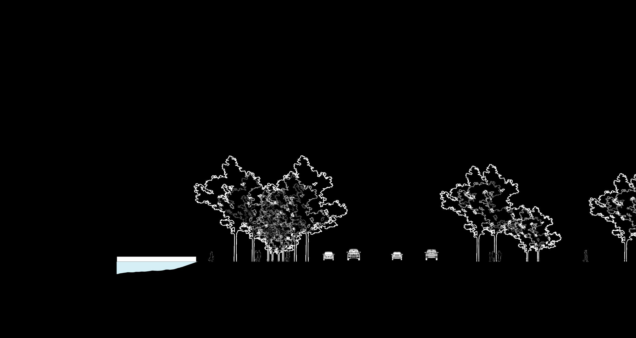
In line with contemporary sustainability imperatives, the project boldly integrates green technology within its architectural framework. This approach includes the incorporation of a green roof, promoting ecological balance and energy efficiency within the structure. Moreover, the design promotes eco-friendly modes of transportation by encouraging visitors to explore the surrounding landscape through biking and walking trails.
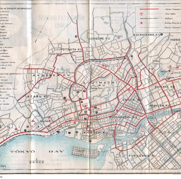
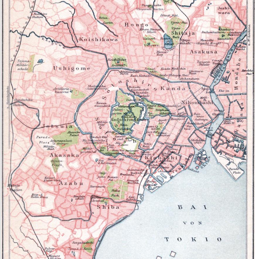














TOKYO : PROPOSED SITE ANALYSIS
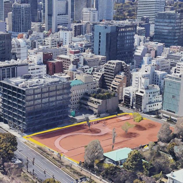
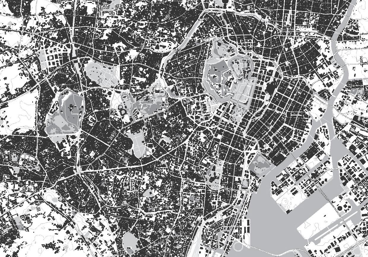
FIGURE GROUND AXIS CIRCULATION
Generation of Axis based on the main road and the alignment of surrounding buildings.
Land use limited to 50% and maximum vertical occupation based on the street scape.
Splitting the building to create a core garden. Alignement the Imperial palace.
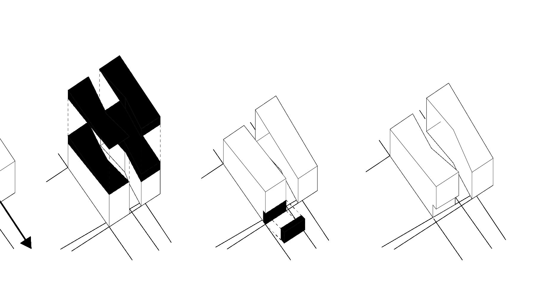
create Alignement with
Substraction, create a pitched roof for natural light, water drainage and for cultural importance.
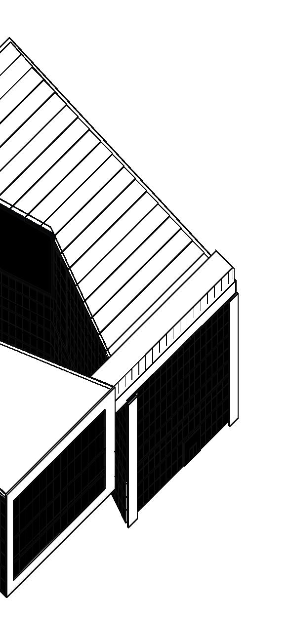
Carving into the building to emphasize main entraince and create alignments.
Final shape of building.
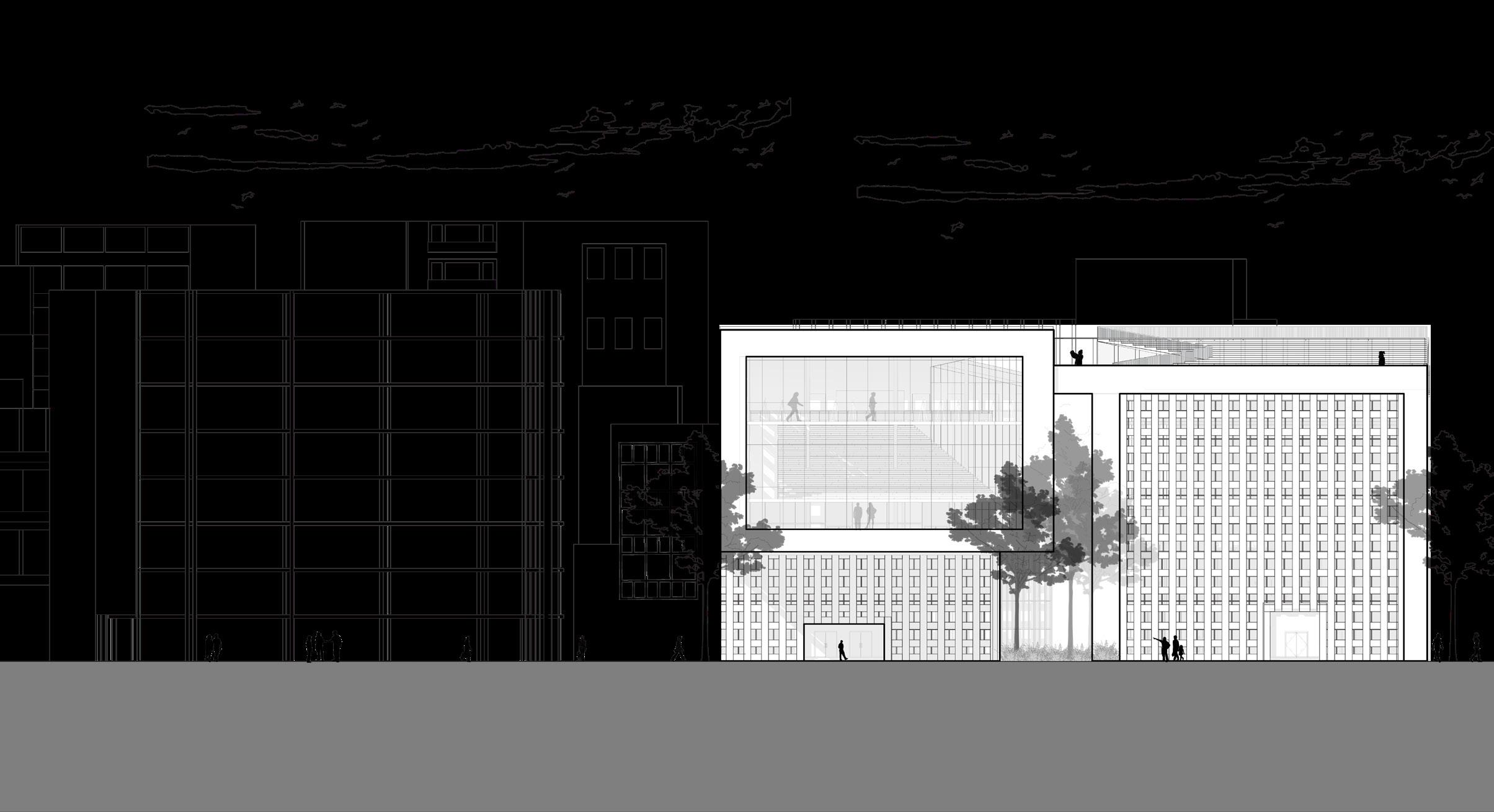
NORTH ELEVATION
LONGITUDINAL
EAST ELEVATION
Japanese gardens offer a multitude of benefits, ranging from stress reduction to the promotion of mindfulness and spiritual enrichment through their deep-rooted philosophical principles. With a focus on harmonizing with nature, these gardens provide a sanctuary for individuals to connect with the natural world, facilitating mental clarity and a sense of balance. Additionally, the act of strolling through these gardens promotes physical well-being, while their intricate design and symbolic elements often inspire creativity and new perspectives, making Japanese gardens not only aesthetically pleasing but also conducive to holistic well-being and personal growth.
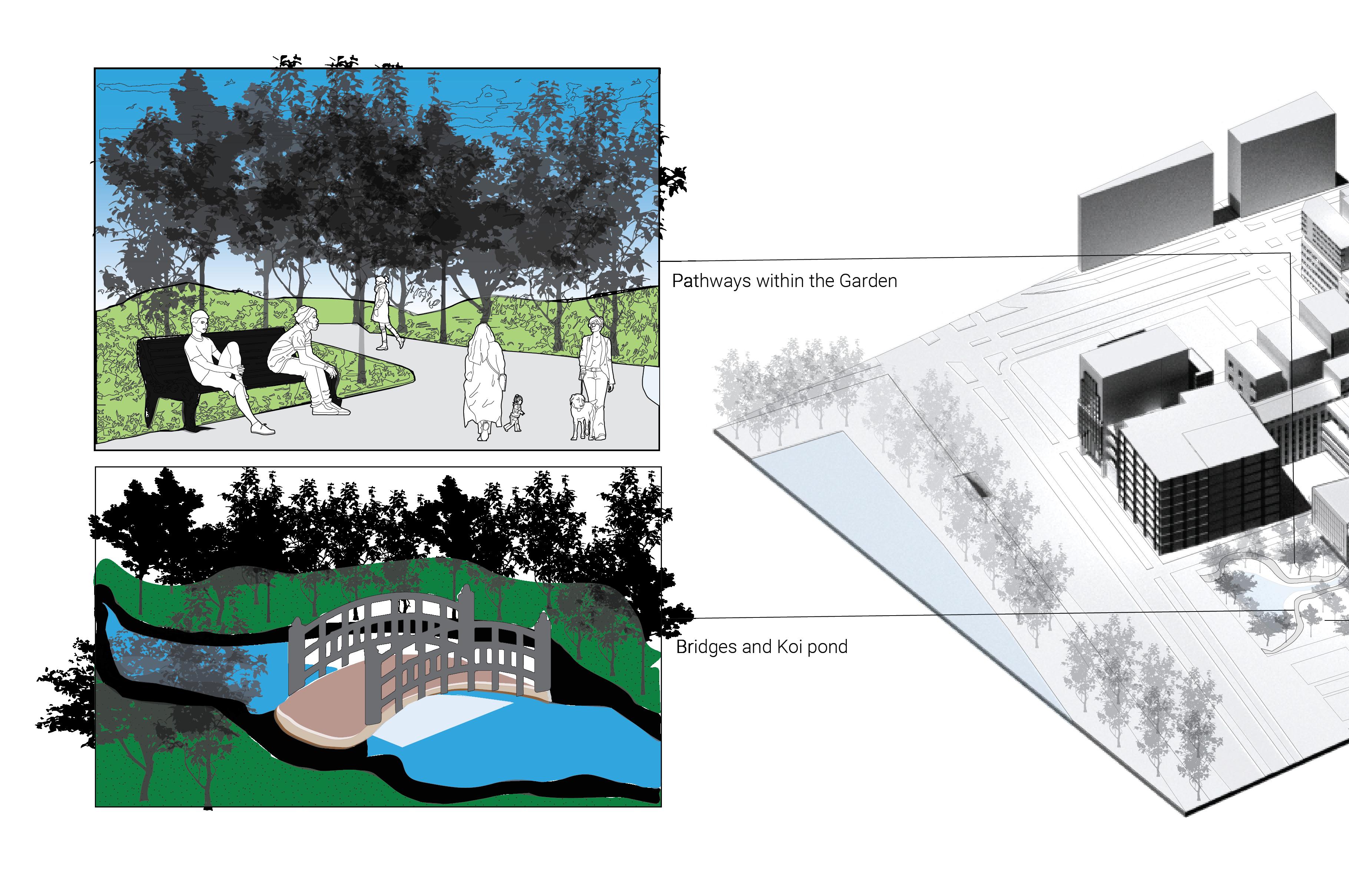
The incorporation of a koi pond and bridges carries rich cultural and symbolic significance. The koi pond, adorned with vibrant and gracefully swimming koi fish, represents good fortune, and perseverance fostering a sense of serenity and optimism. The bridges, spanning over ponds, not only serve as practical passageways but also symbolize the journey of life and the transitions between different states of being. Crossing a bridge within a Japanese garden signifies a metaphorical passage, inviting contemplation on the cyclical nature of existence and the pursuit of inner peace. Together, these elements contribute to the profound spiritual and philosophical experience offered by Japanese gardens.
Providing a designated seating area or café space enables visitors to relax and immerse themselves fully in the serene ambiance of the garden. It offers an opportunity for contemplation and appreciation of the natural surroundings, allowing individuals to extend their stay and engage more deeply with the garden’s tranquility and beauty. Offering an exterior seating space allows visitors to enjoy the garden’s natural beauty and tranquility at their own pace. It encourages individuals to pause, reflect, and reconnect with nature, promoting mental and emotional well-being through the therapeutic benefits of outdoor relaxation and green spaces
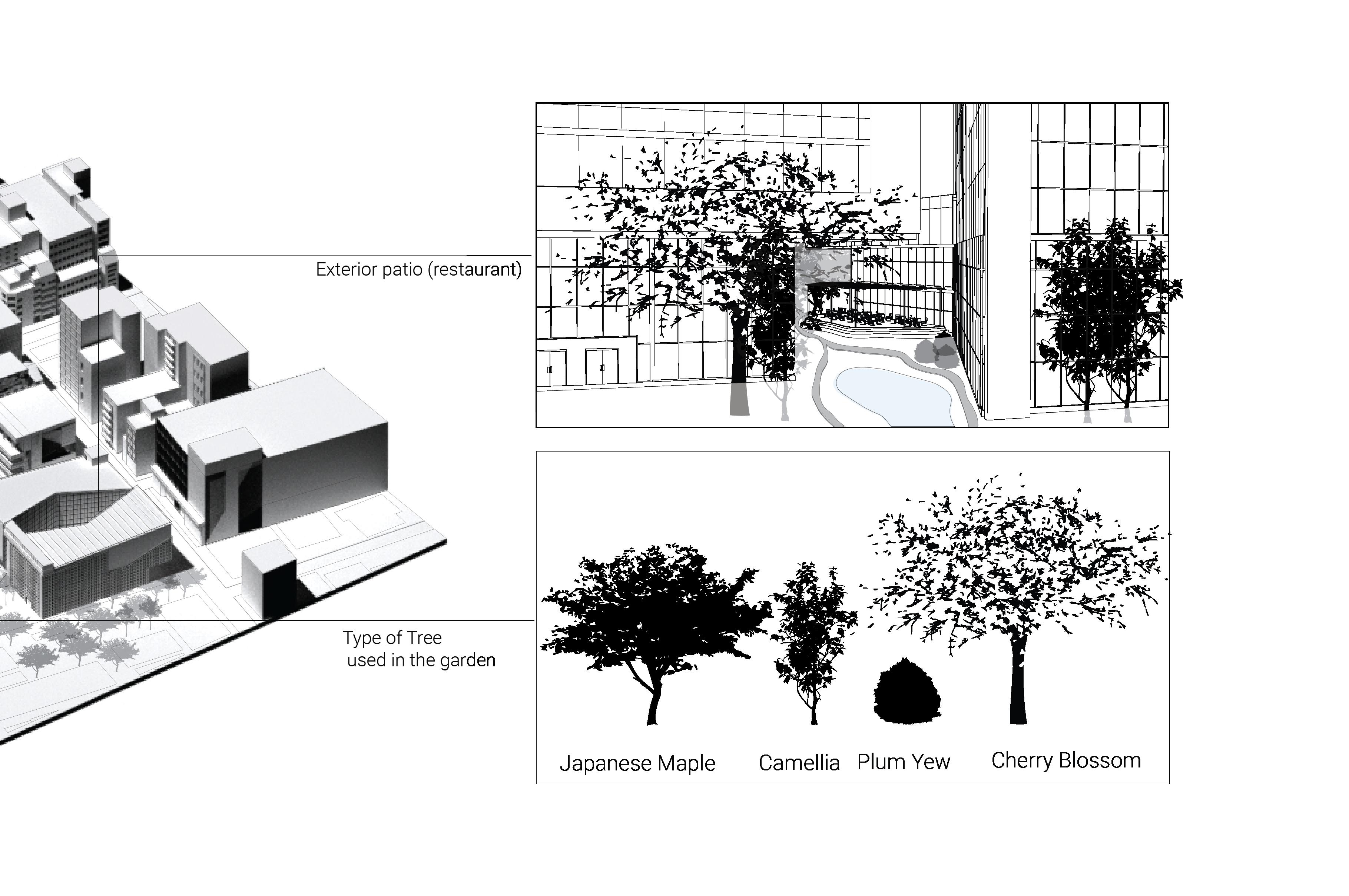
In traditional Japanese gardens, the Japanese maple symbolizes peace, the plum tree represents resilience, camellias embody love and devotion, and cherry blossoms epitomize the transient nature of life. These carefully selected plants reflect the cultural values of impermanence, endurance, and the beauty found in human connections, fostering contemplation on the interconnectedness of nature and the human experience.
MODELS
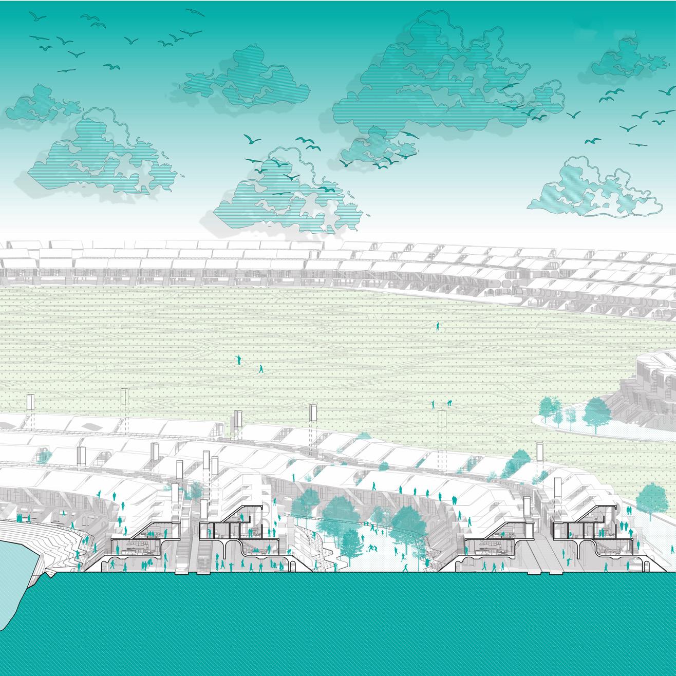
THE TRANSCALAR CITY/CARBON SINK
New Texas Triangle
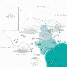
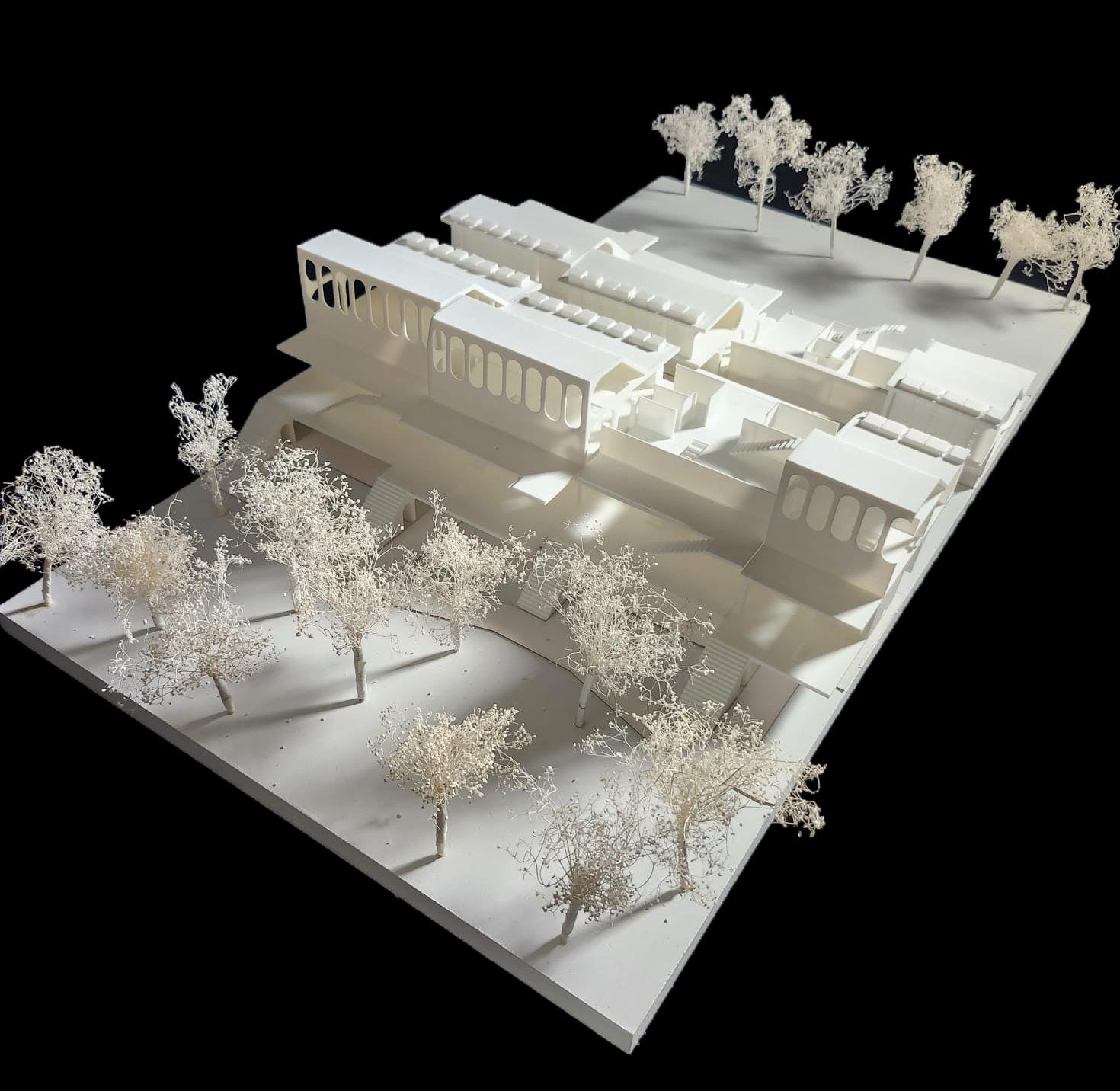
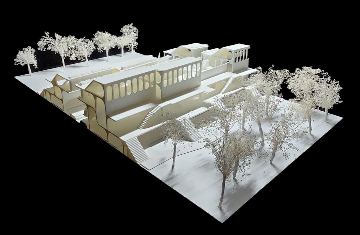
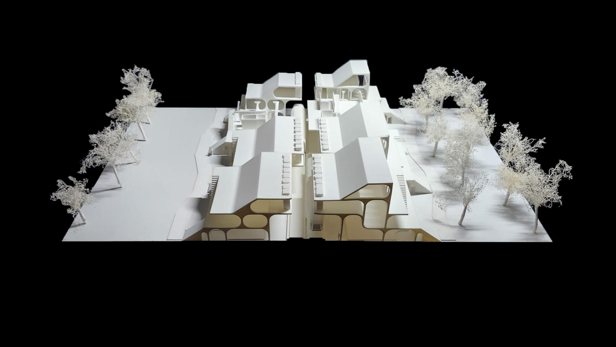
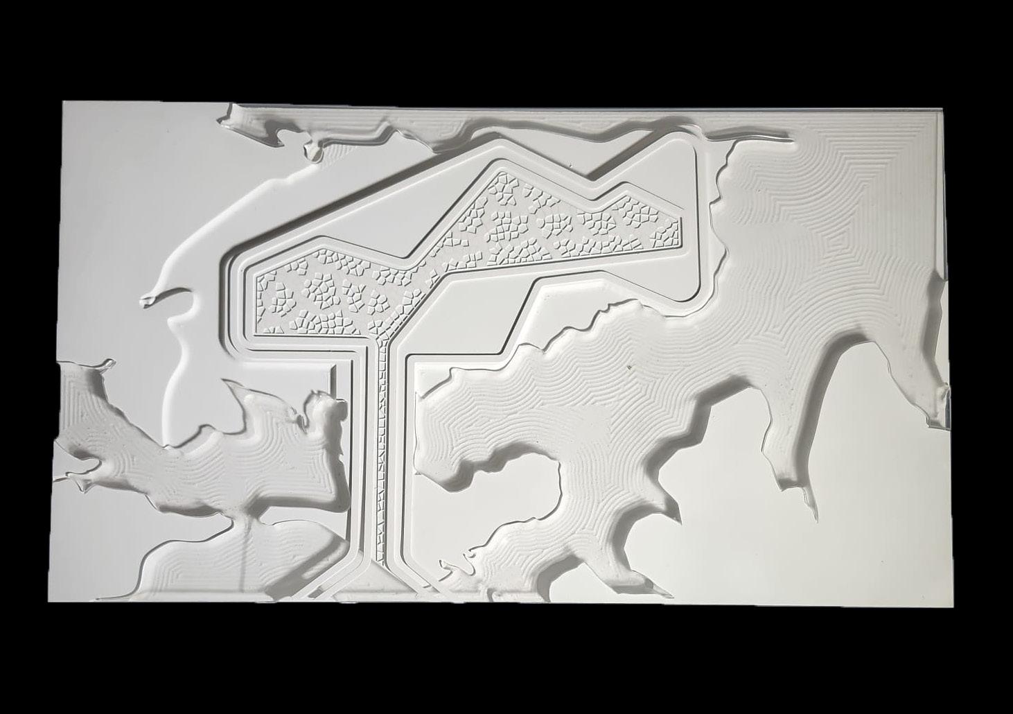
This comprehensive project is structured into two distinct yet interconnected phases.
The initial phase sets the groundwork, focusing on data collection and the conceptualization of a prototype. This prototype serves as the foundation, paving the way for the next phase, which is about transforming it into a clustering system within the New Texas Triangle.
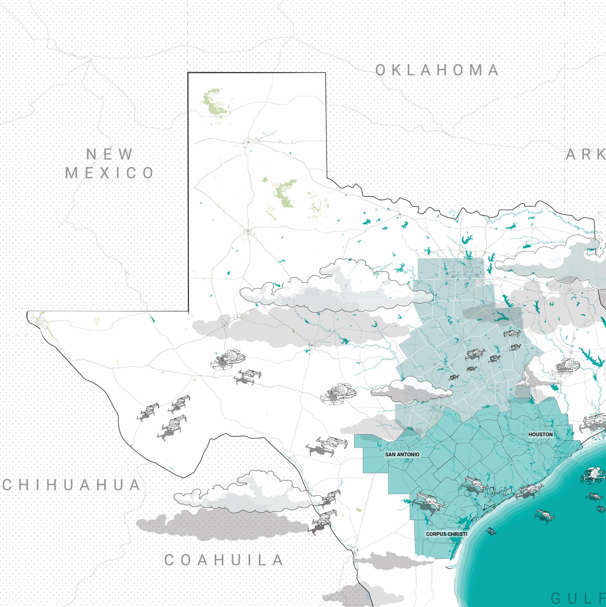
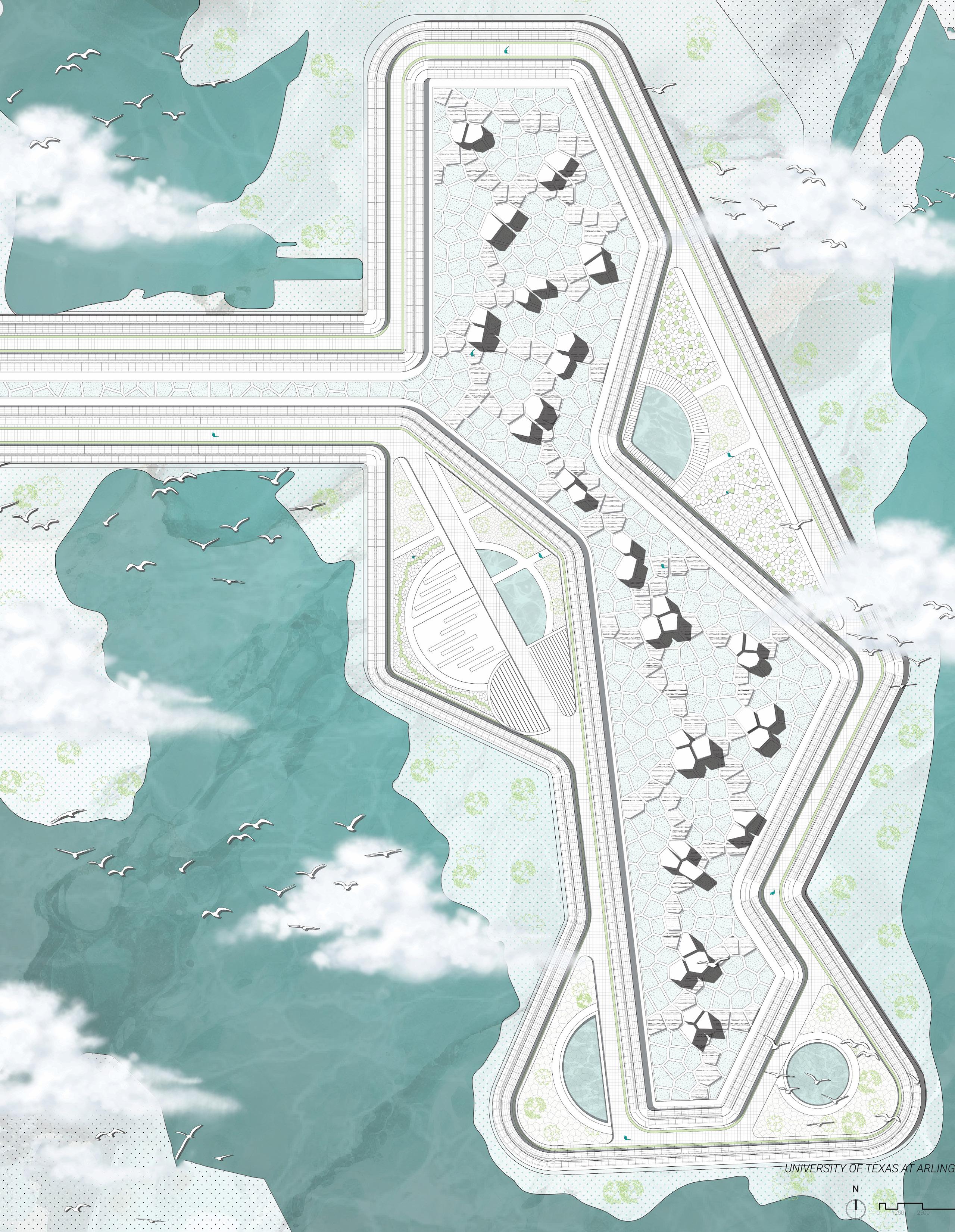
At its core, this project aim to exemplify avant-garde urbanization patterns specifically tailored for the New Texas Triangle. It places an emphasis on addressing key facets of urban development, prominently centered around innovative solutions in water, energy, and mobility infrastructure.
However, it isn’t solely focused on urban planning; rather, it encapsulates a broader territorial strategy that rethinks the role of technology within architectural typology, envisioning it as an integral part of a larger interconnected system.
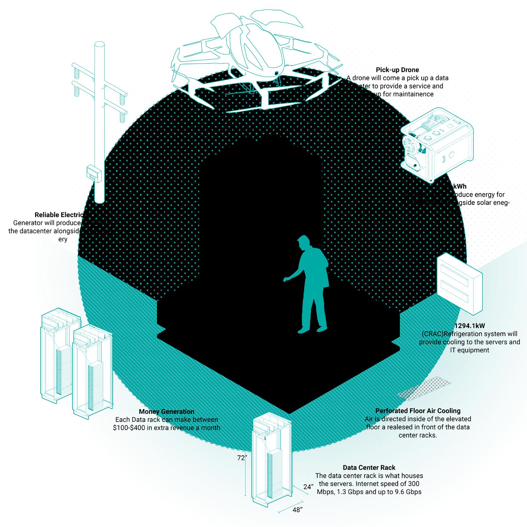
Central to this strategy is the decentralization of data centers, steering away from a conventional commercialized approach towards a more personalized and private framework. Allowing greater agency and control over datas while ensuring fortified security and unwavering privacy protocols.
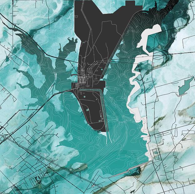
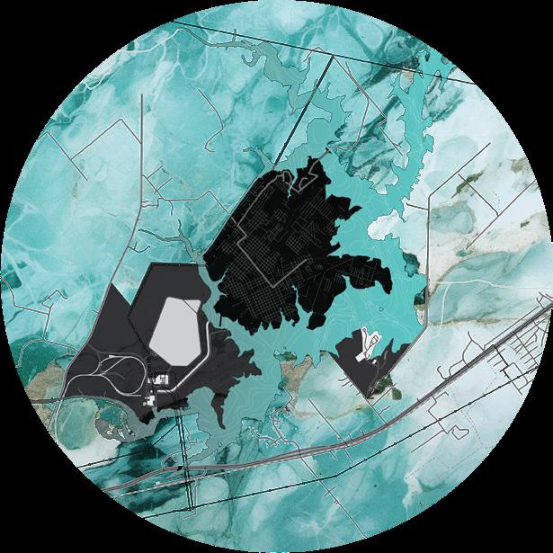
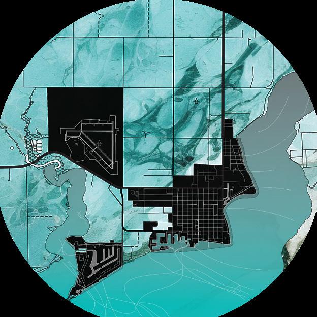
Selected Site
CPS Coal plant Calaveras, Texas
Alternate Site Palacios, Texas
Alternate Site Coleto Creek, Texas
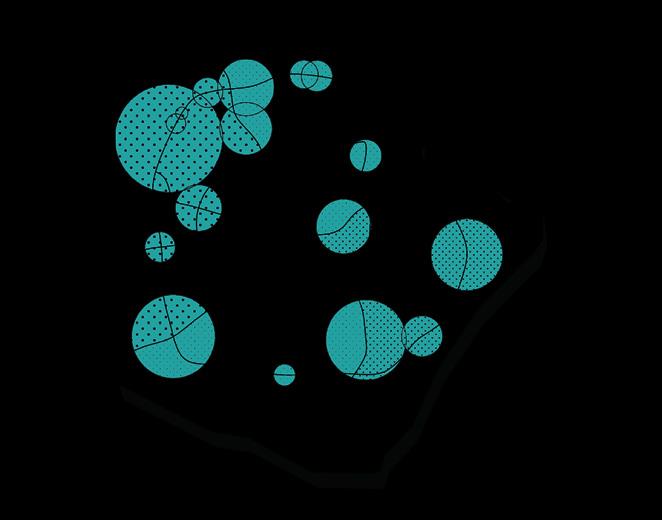
Bexar County
23 Large Scale Data Centers
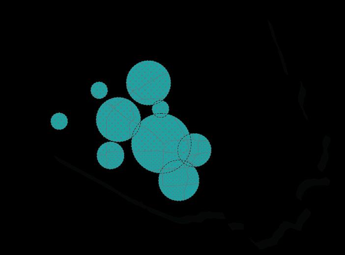
Harris County
30 Large Scale Data Centers
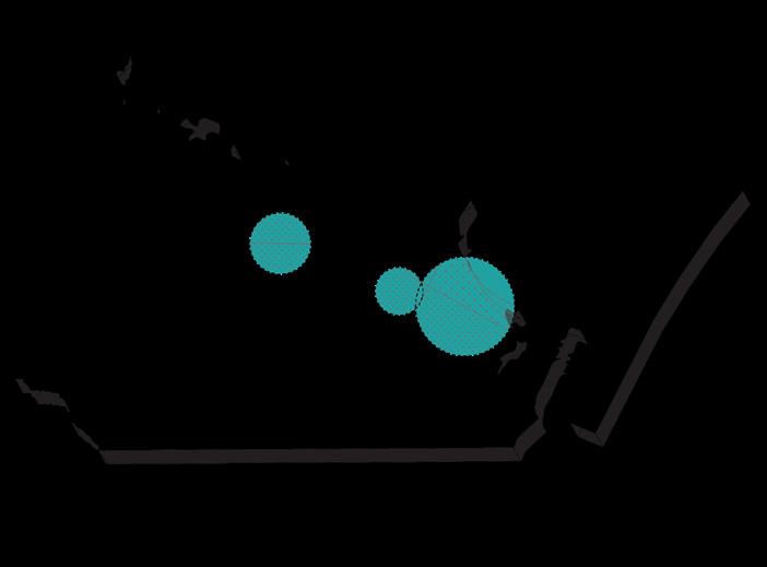
Nueces County
3 Large Scale Data Centers
Background
The demand for data centers has surged in recent years, driven by the exponential growth in digital data and the increasing reliance on cloudbased services. This heightened demand stems from various sectors, including technology, finance, healthcare and entertainement, all seeking robust and scalable infrastructure to store, process, and transmit data. However, this surge in demand has brought forth several critical issues. Energy consomption and environmental concerns are at the forefront, as data center require vast amounts of power for cooling and maintening servers.
Hyptothesis
Transforming a defunct coal plant site into a carbon sink area presents a multifaceted opportunity with very diverse and vast environmental, economic, and social benefits. The process involves a thorough site assessment, planning, and design to remediate the area and restore ecosystems while maximizing carbon sequestration It’s a comprehensive approach that not only mitigates climate change by absorbing CO2 but also fosters environmental restoration. This vision emphasizes smart technologies such as IoT and data analytics, ensuring efficient resource usage and waste management. Resilient infrastructure and a focus on carbon neutrality underscore the city’s dedication to combating climate change.
Territorial Strategy
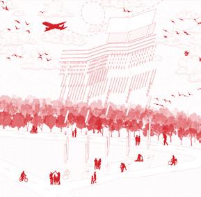
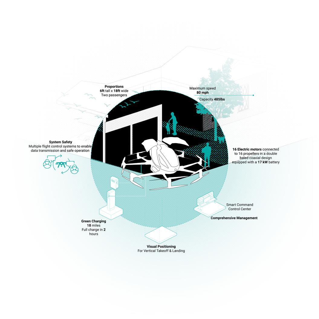
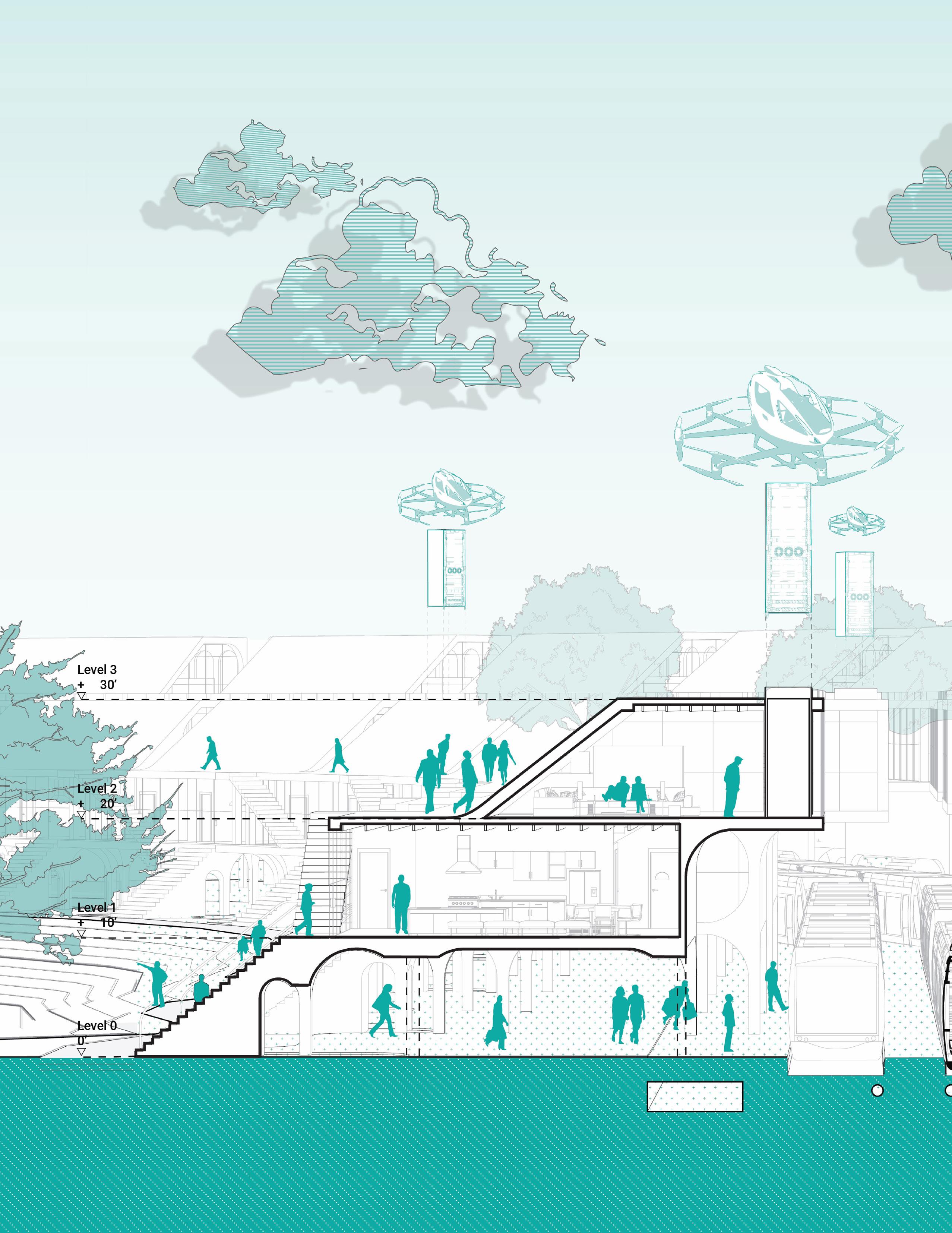
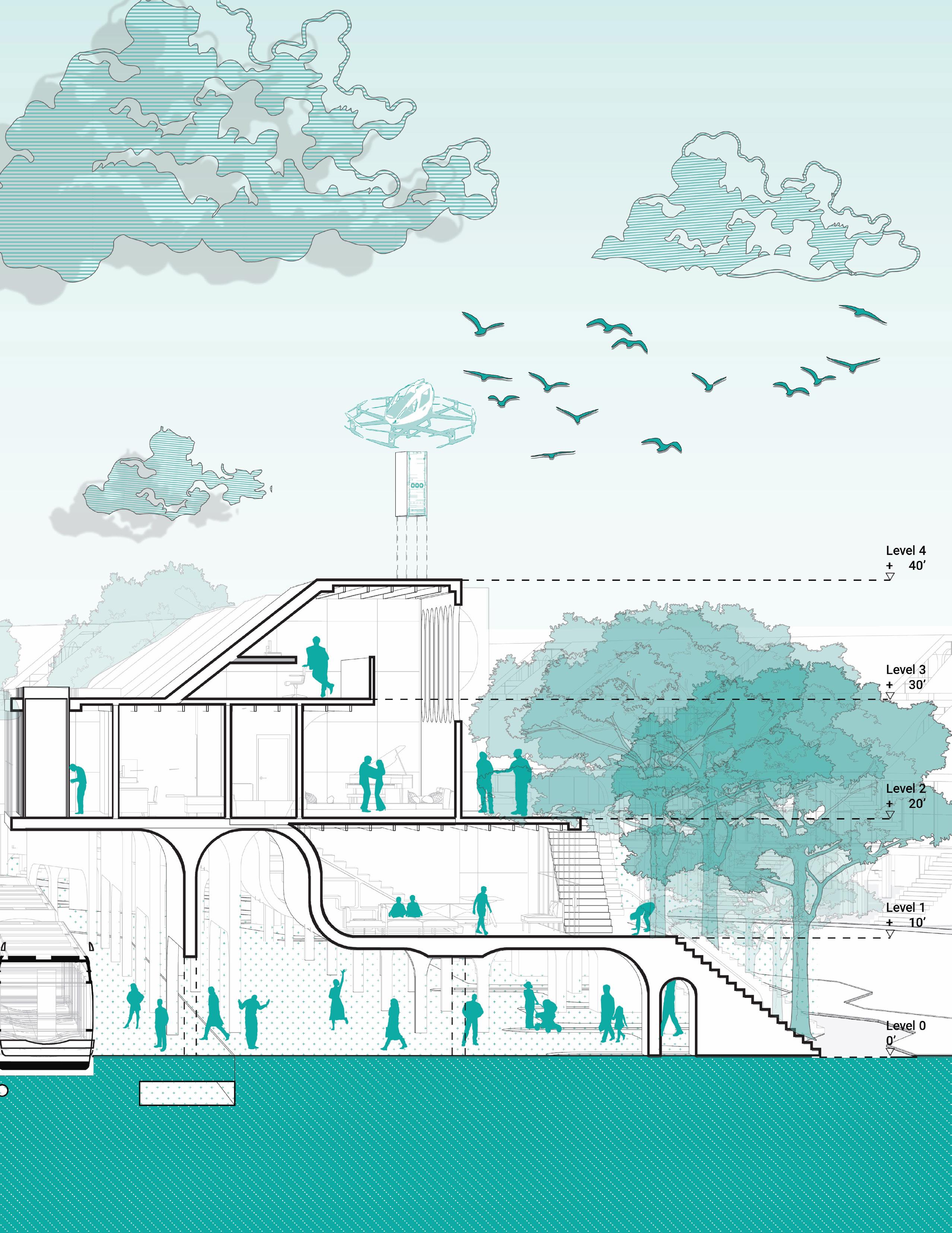
Having a data center in a home offers various uses and benefits, contributing to energy efficiency as well as emergency preparedness. The data center’s power generation system, operates in conjunction with solar energy, ensuring a consistent power supply even during outages. The excess energy produced during operations can be efficiently redirected, to power household appliances. In scenarios necessitating swift data center relocation, innovatives solutions such as car drones come into play. These car drones are designed to efficiently transport heavy payloads, accommodating the variable weight of server racks. Consequently, in times of emergency, the data center can be quickly transported to a secure location, preserving data integrity and ensuring uninterrupted services
SUSTAINABLE STRATEGIES
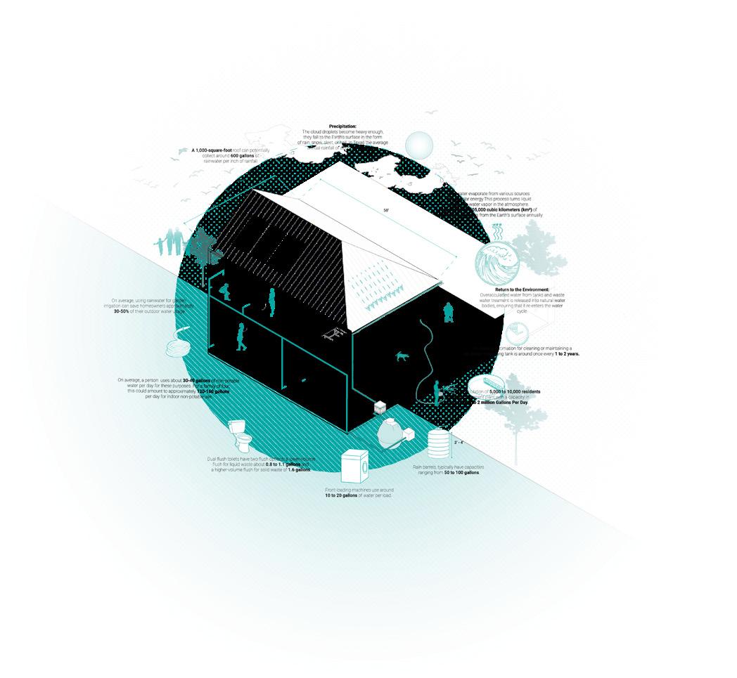
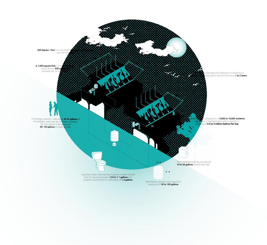
General Water conservation: Rainwater Harvesting
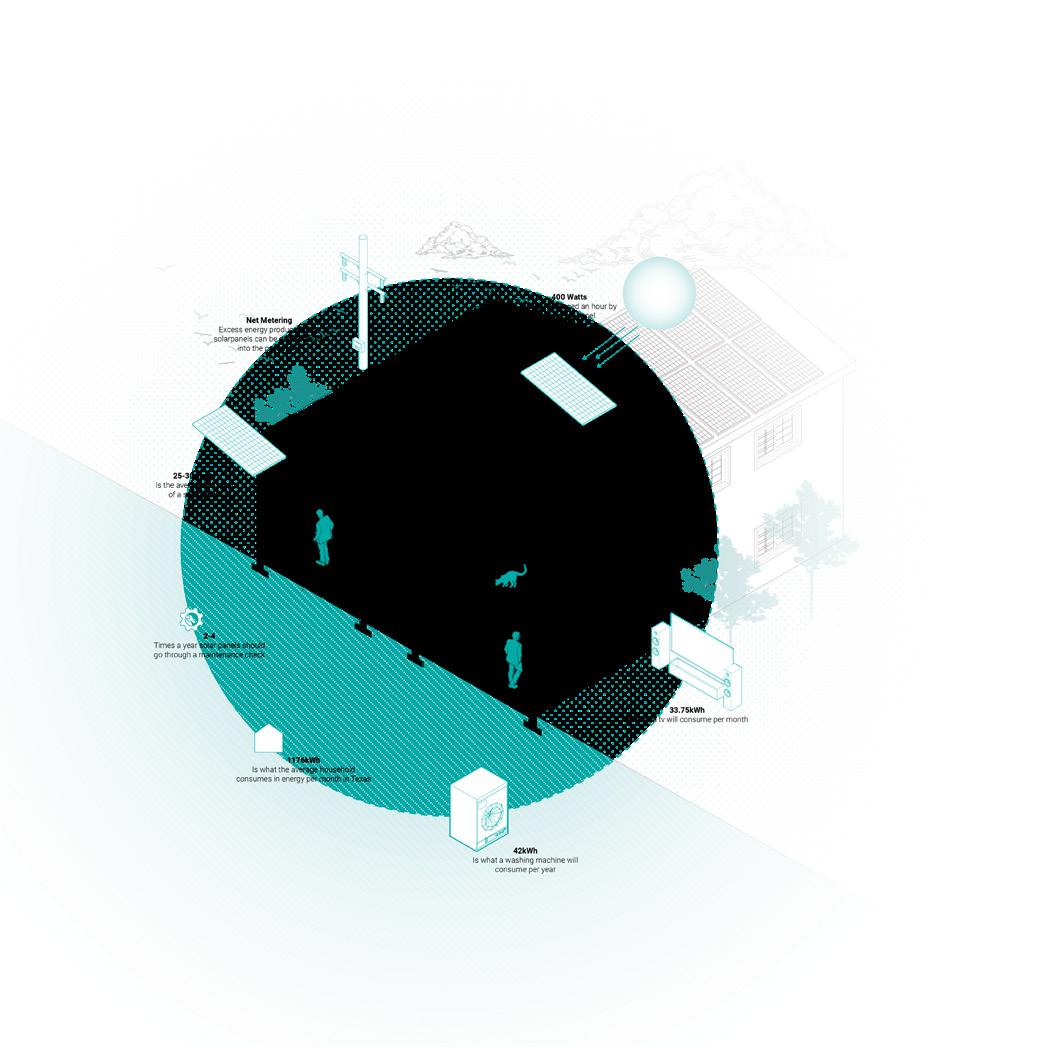
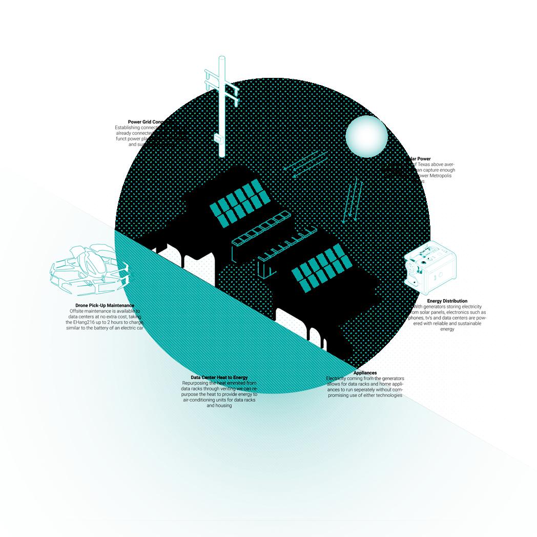
General Energy Production : Solar Panels
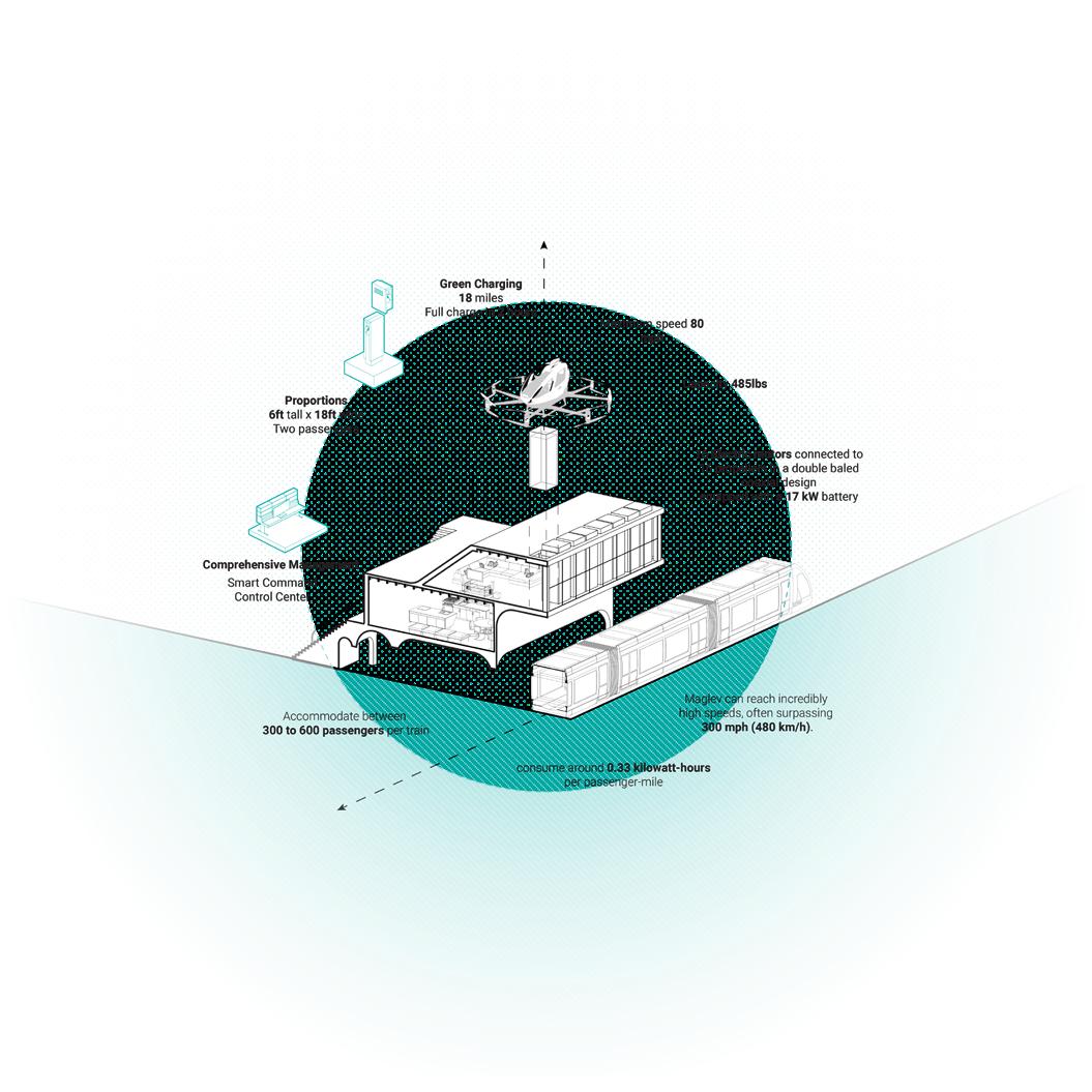
General Mobility Access: Drones (Ehang)
Prototype Water conservation: Rainwater Harvesting
Prototype Energy Production : Solar Panels
Prototype Mobility Access: Train (Maglev)
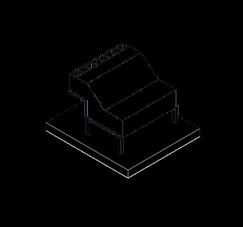
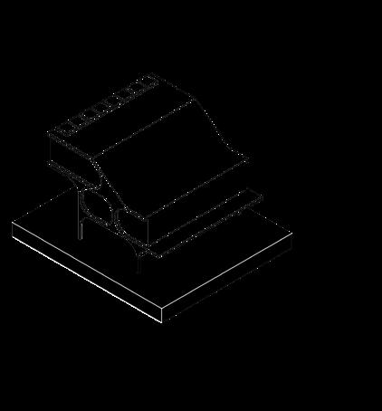
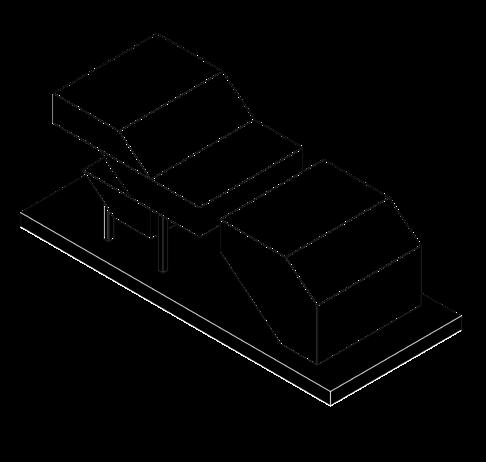
Evolution of Mass
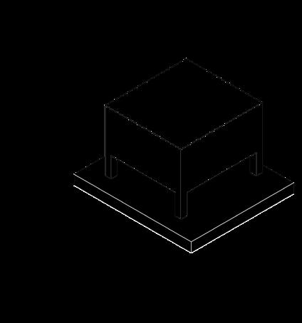
Evolution of Form
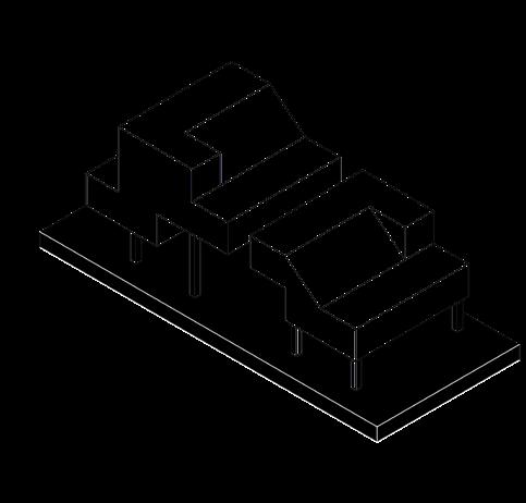
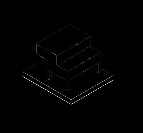
PROCESS DIAGRAMS
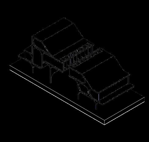
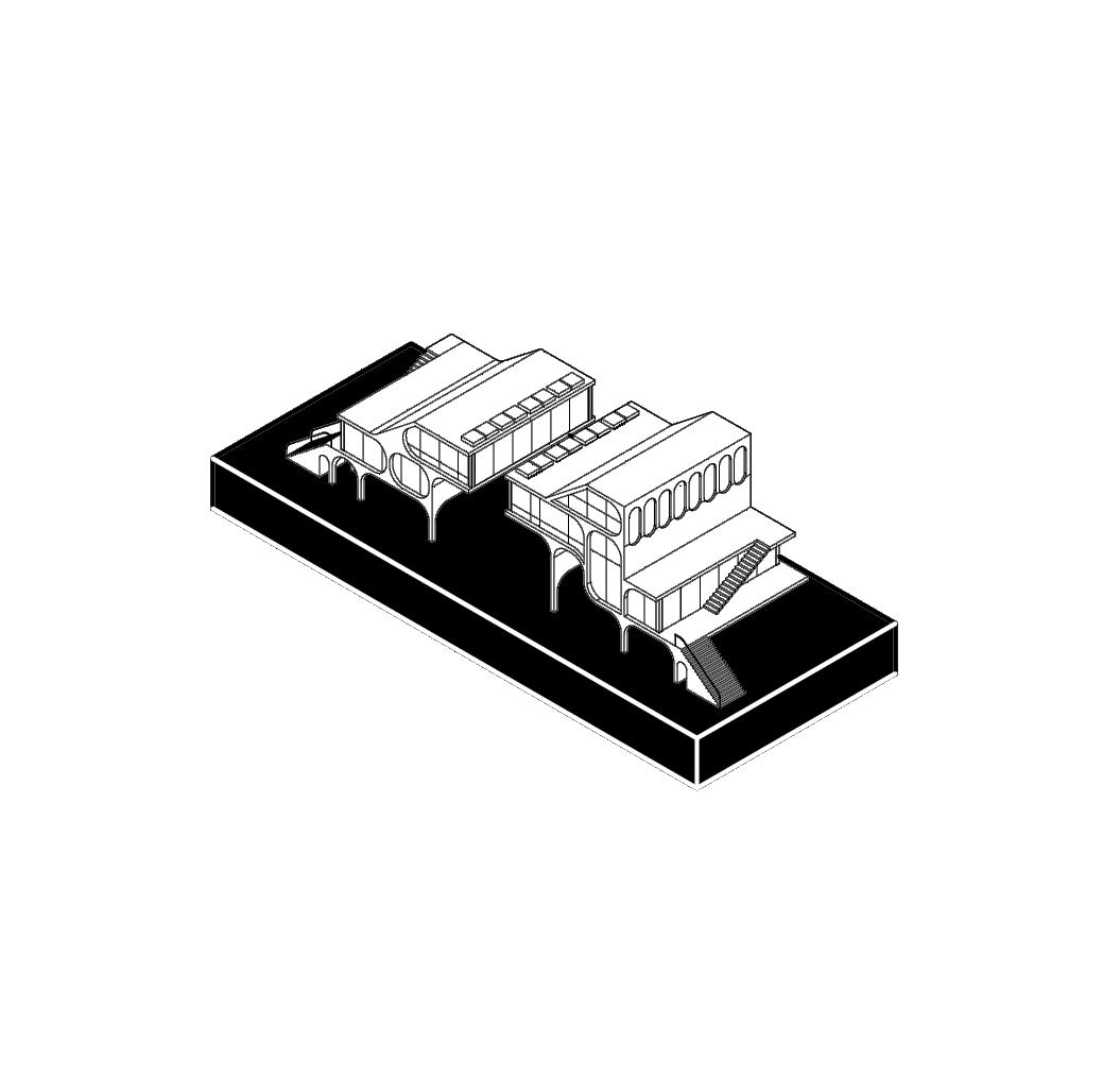
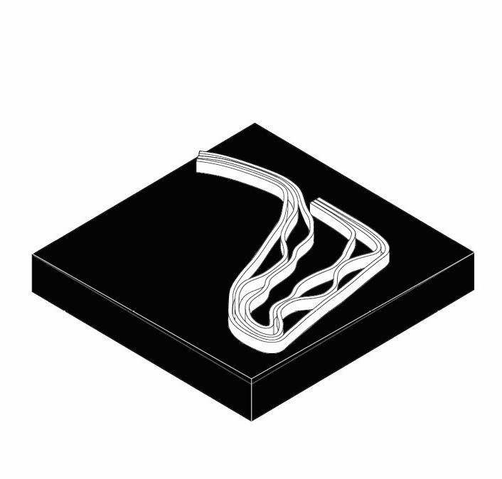
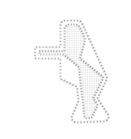
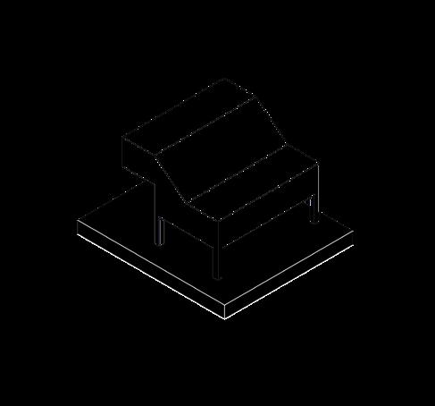
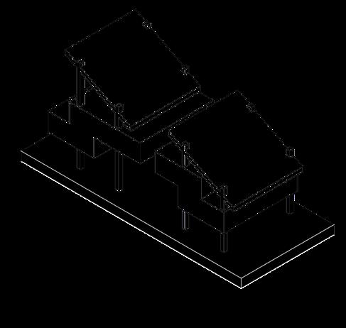
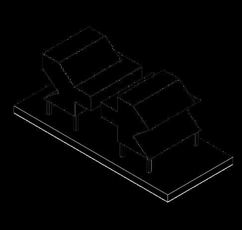
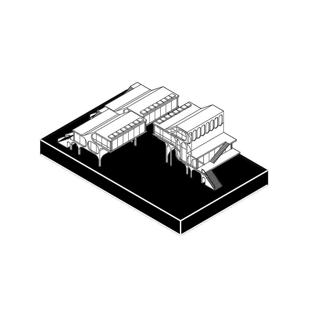
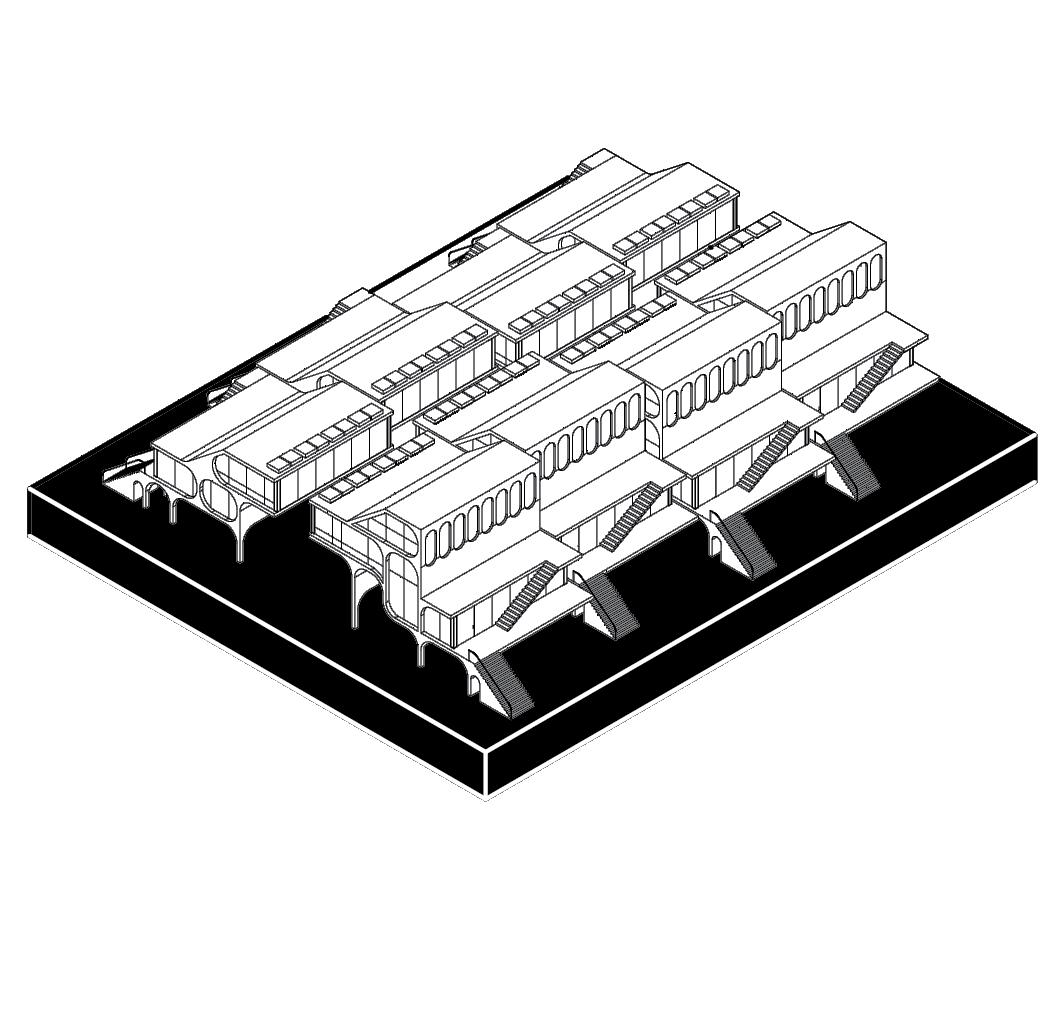
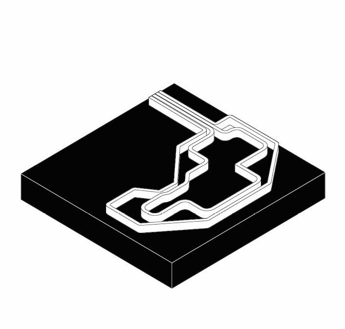
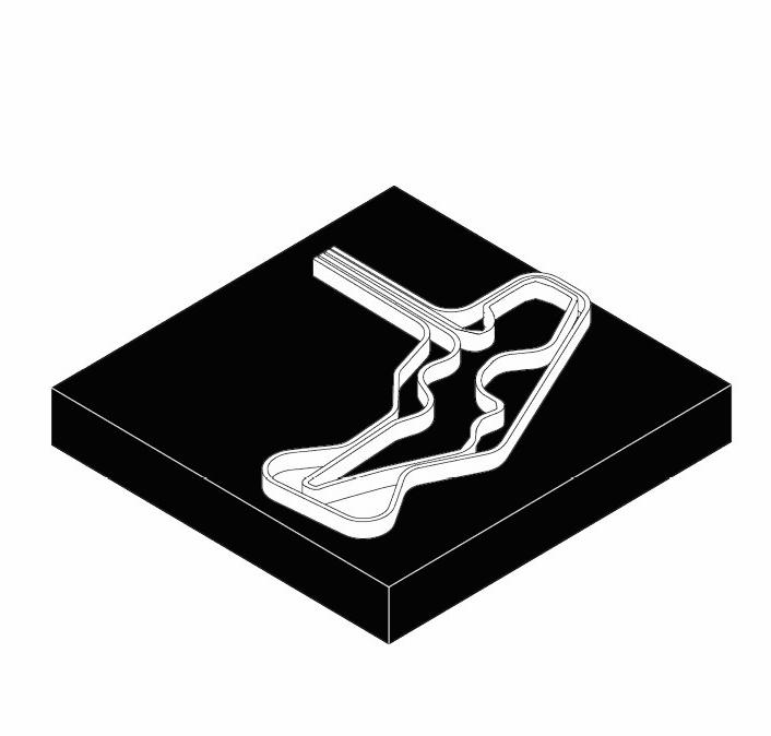
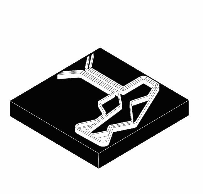
Cluster : Axonometric

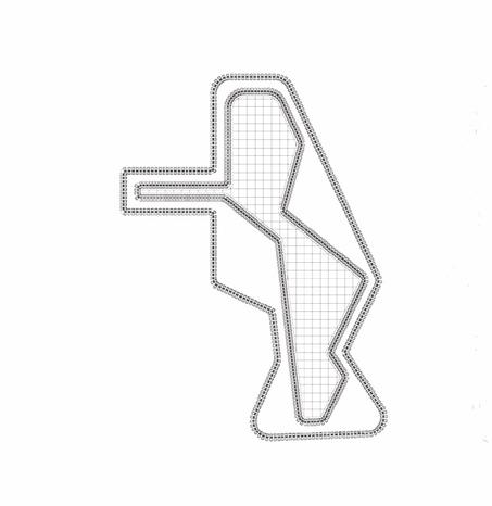
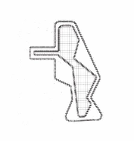
Evolution of Cluster
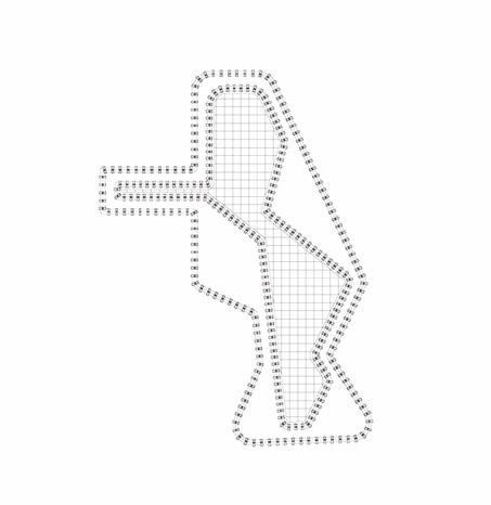
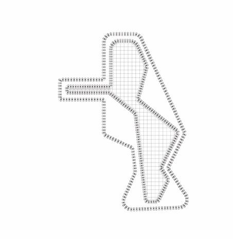
Cluster Growth
DESIGN BUILD: THE SPLINE
Dallas, Texas
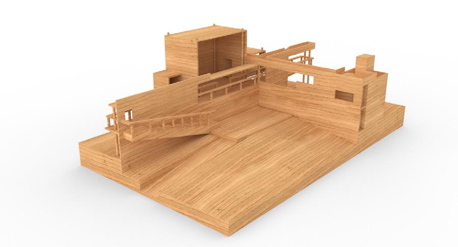
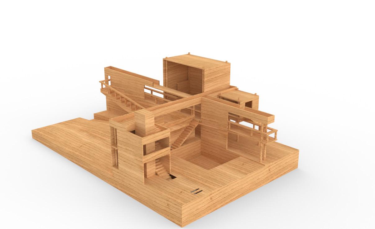
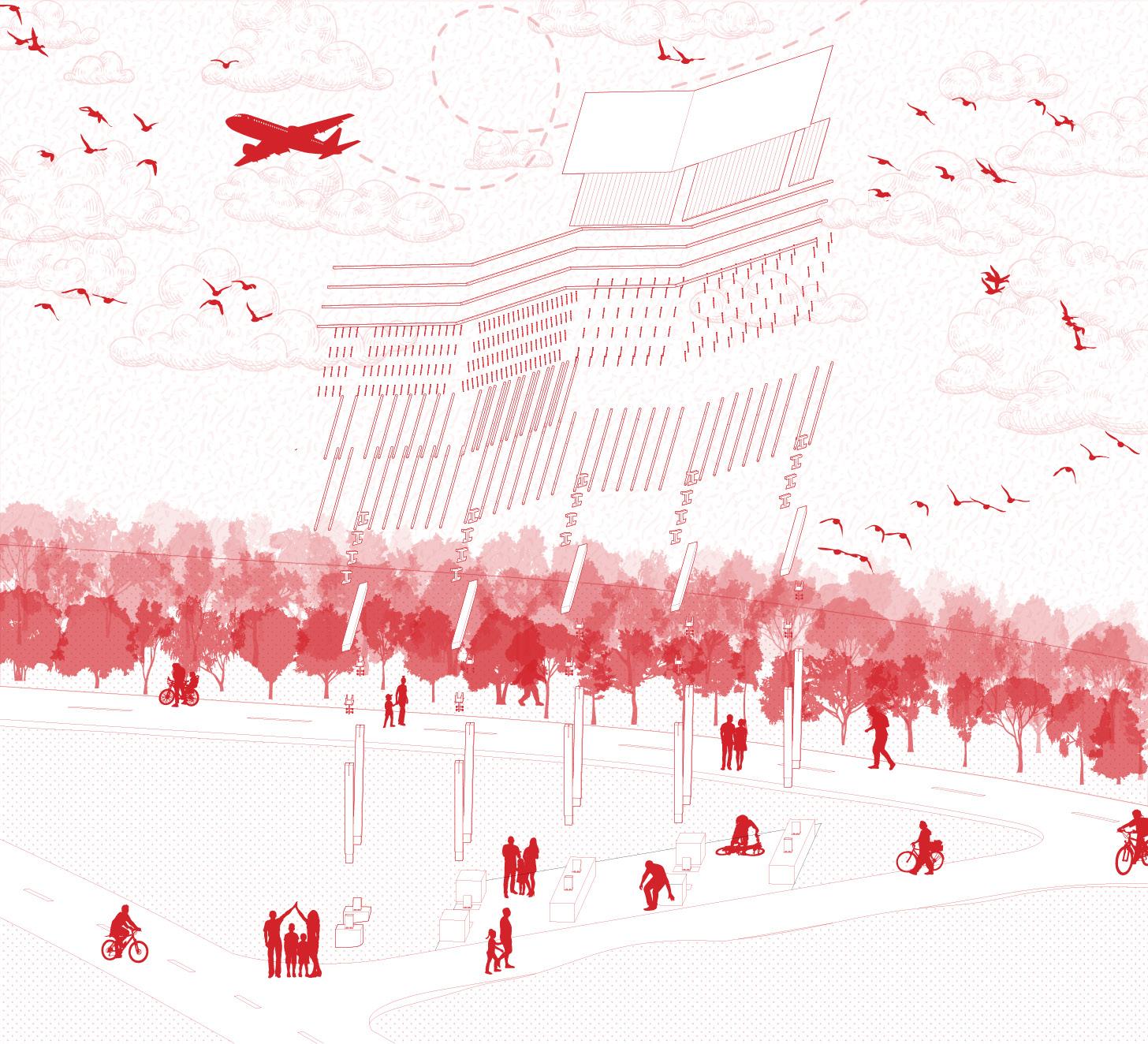
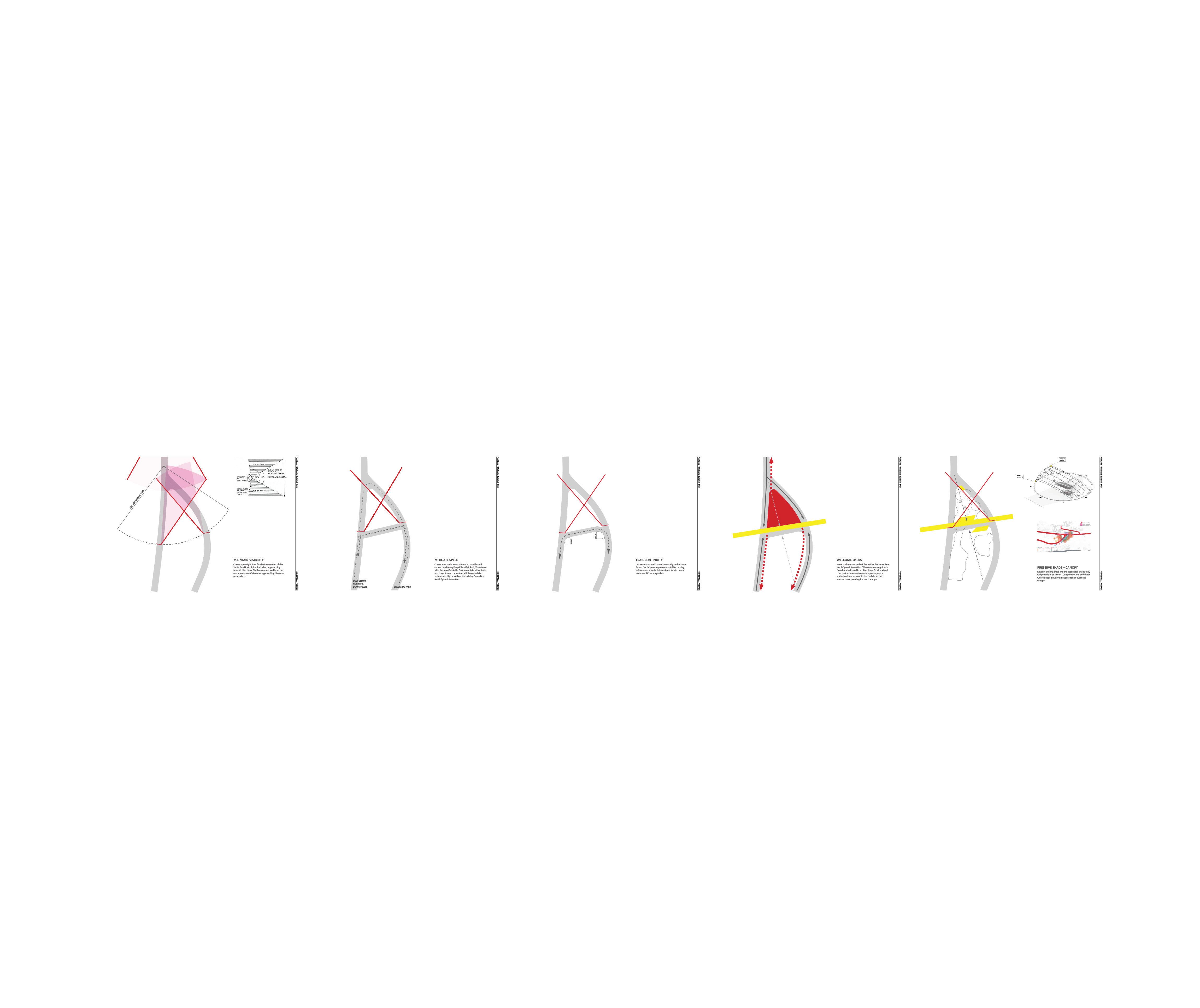
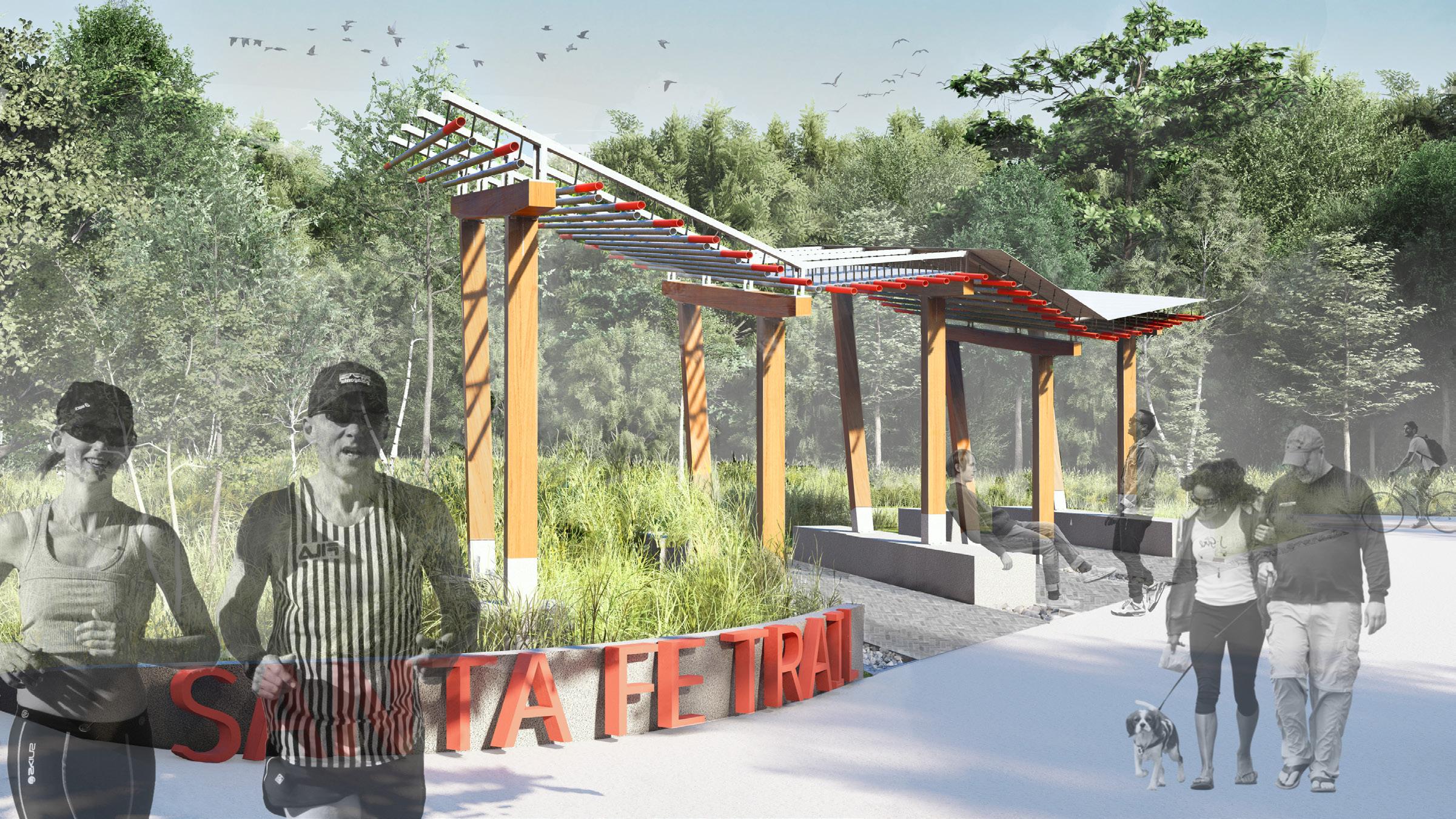
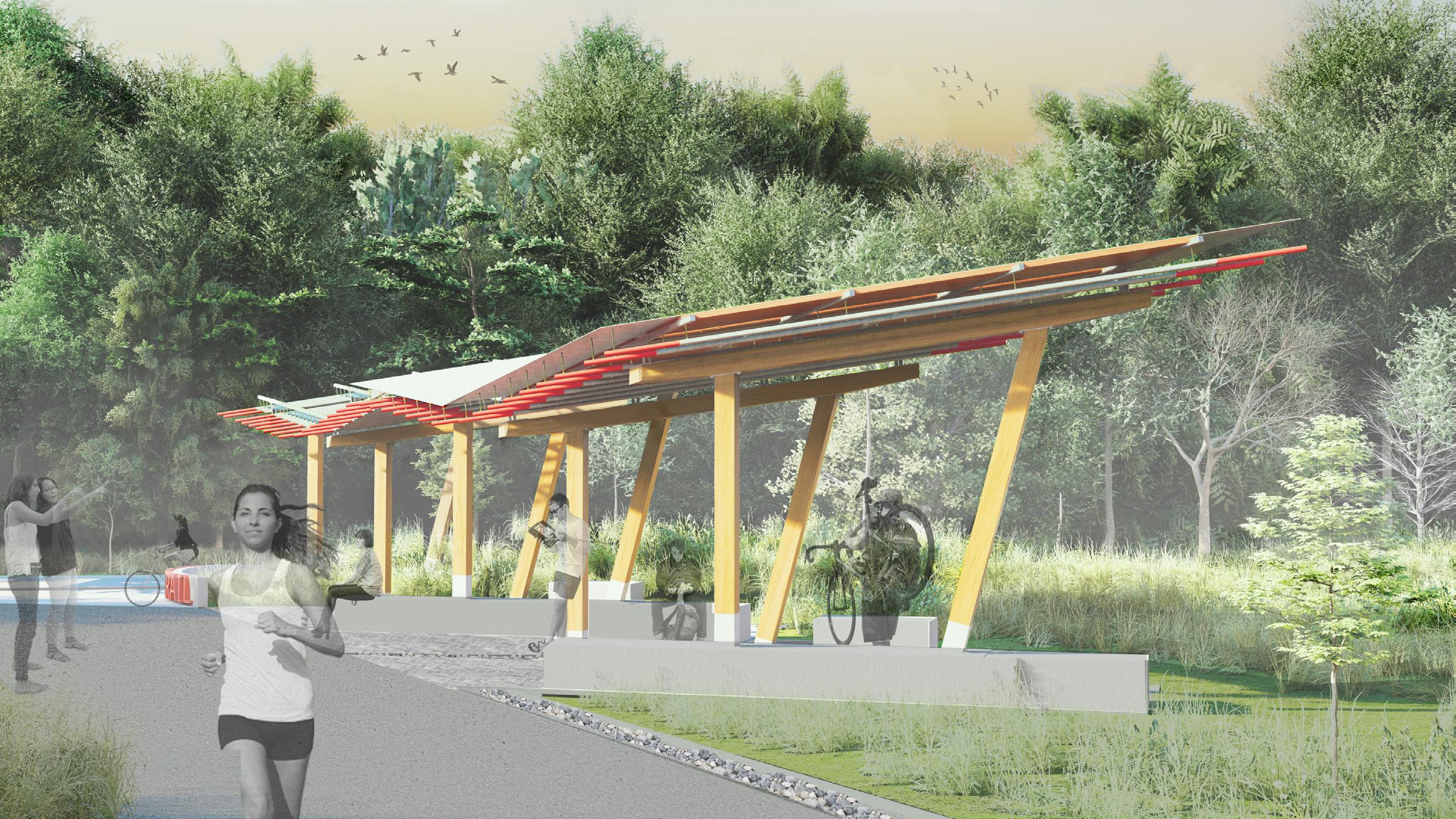
The spine pavilion stands as a testament to architectural innovation along the Spine Trail and Santa Fe Trail. Positioned strategically at the intersection of these historic pathways, it serves not only as a point of convergence but also as a harmonious meeting and resting place for travelers and local.
The project unfolded across two consecutive semesters within the framework of design-build studio courses. Initially conceived through meticulous research, historical exploration, and the birth of original ideas, the pavilion’s conceptualization was grounded in an understanding of its role within the local ecosystem of trails. The first semester laid the groundwork, nurturing the vision and setting the stage for subsequent enhancements that would enrich both its form and function.
As the project transitioned into its second phase, the focus shifted towards refinement and realization. Building upon the groundwork laid by the preceding class, we embarked on a journey of design evolution, introducing modifications aimed at optimizing the pavilion’s design for its intended purpose.
With each adjustment, the pavilion grew not only in structural integrity but also in its ability to harmonize with its surroundings and fulfill the diverse needs of those who traverse the trails.
As a design-build project, our team also underwent extensive training in wood and metal workshops, learning to operate machinery and take charge of the fabrication process. Through trial and error, we developed and refined each connection to ensure the pavilion’s structural integrity.
As a class, we worked closely with the client and the city of Dallas, holding meetings to present our ideas, address concerns, and navigate the restrictions and limitations posed by the real-world nature of this project.
CONNECTIONS DETAILS
This drawing showcases a set of column, base and beams connection. That set is replicated to create a total of four bays.
The design reflects a careful consideration of a sun study and various site analyses, allowing the structure to adapt to the specific environmental conditions.
By adjusting the angles of the columns and beams, the pavilion not only meets the functional needs of its users but also enhances natural light and ventilation throughout the space.
This approach ensures that the structure harmonizes with its surroundings while providing a comfortable and inviting atmosphere for all who use it.
This drawing illustrates the roof connection, designed as a layered system where each layer serves a specific purpose.
The primary objective of this drawing is to demonstrate how these layers interconnect, enhancing the overall stability and constructability of the roof. Each layer is intented to fulfill a specific function while integrating with adjacent layers, creating a cohesive and robust roofing structure.
This approach not only reinforces the roof’s durability but also emphasizes the thoughtful engineering behind its design, ensuring that it can withstand various environmental challenges while maintaining aesthetic appeal.
The drawing represents a set of carefully designed brackets, each with distinct angles and shapes to accommodate the varying geometries across the four bays of the pavilions.
These differences are intentional, as the varying angles present structural challenges when connecting the columns and beams. The brackets serve as a critical element, enabling an easy connection between these structural components despite the irregularities in the pavilion’s layout.
Their adaptability is what ensures the structural integrity of the pavilions, allowing for smooth transitions and alignment along the bays.
Before European settlers, the White Rock Creek area was a landscape shaped by the interactions between Native American populations and their environment. Source: Dallas Planning +
Source: Dallas Planning + Urban Design,
Source: Dallas Planning + Urban Design, Neighborhood Map
Before European settlers, the White Rock Creek area was a landscape shaped by the interactions between Native American populations and their environment.
Before European settlers, the White Rock Creek area was a landscape shaped by the interactions between Native American populations and their environment.
Before European settlers, the White Rock Creek area was a landscape shaped by the interactions between Native American populations and their environment.
Roads were constructed used to travel from various areas and Dallas.
The Southern Pacific Rail Roads were constructed used to travel from various areas and Dallas. Used for transportation of coal and machinery near White Rock Lake .
Used for transpor tation of coal and machiner y near White Rock Lake .
With valuable resources, agriculture became a central land use, with settlers cultivating crops like cotton and utilizing the creek’s water for irrigation.
With valuable resources, agriculture became a central land use, with settlers cultivating crops like cotton and utilizing the creek’s water for irrigation.
- 1900
Roads were constructed used to travel from various areas and Dallas.
Used for transpor tation of coal and machiner y near White Rock Lake .
Roads were constructed used to travel from various areas and Dallas. Used for transpor tation of coal and machiner y near White Rock Lake .
The emerging of the unpaved trails occur The trails are par tially represented as not many people were traveling towards the West side of White Rock Lake.
Roads were constructed used to travel from various areas and Dallas. Used for transpor tation of coal and machiner y near White Rock Lake .
With valuable resources, agriculture became a central land use, with settlers cultivating crops like cotton and utilizing the creek’s water for irrigation.
The expansion of agricultural activities and the growth of settlements. This marked a transition from rural to more suburban land use patterns.
With valuable resources, agriculture became a central land use, with settlers cultivating crops like cotton and utilizing the creek’s water for irrigation.
1850 - 1900 1980 - 1990
The emerging of the unpaved trails occur
The emerging of the unpaved trails occur. The trails are partially represented as not many people were traveling towards the West side of White Rock Lake.
- 1990
The trails are par tially represented as not many people were traveling towards the West side of White Rock Lake.
The emerging of the unpaved trails occur.
The trails are par tially represented as not many people were traveling towards the West side of White Rock Lake.
The emerging of the unpaved trails occur. The trails are par tially represented as not many people were traveling towards the West side of White Rock Lake.
The expansion of the Santa Fe Trail continued as an unpaved pathway. This marks the removal of the abandomed Road.
The expansion agricultural and the g settlements. a transition f more suburban patt
The population to a with agricultural giving comme industrial
1990 -
The expansion of agricultural activities and the growth of settlements. This marked a transition from rural to more suburban land use patterns.
The expansion activities and settlements. This from rural to more use patterns. 1800s
1900-1930
The expansion agricultural and the settlements. a transition more suburban patt
1990-2000
1990 -
The expansion Santa Fe Trail as an unpav This marks of the abandomed Road.
The expansion Santa Fe Trail unpaved This marks the abandomed Southern Road.
The Dallas concr 2000s, accessible activities
The expansion of the Santa Fe Trail continued as an unpaved pathway This marks the removal of the abandomed Road.
The expansion Santa Fe Trail as an unpa This marks of the abandomed Road.
1900 - 1930
aluable resources, agriculture became a land use, with cultivating crops and utilizing creek’s water for irrigation.
xpansion of agricultural activities growth of This marked from rural to suburban land use erns.
xpansion of agricultural activities growth of This marked from rural to suburban land use erns.
1930 - 1950
1900 - 1930
The expansion of agricultural activities and the growth settlements. This marked a transition from rural to more suburban land use patterns.
The expansion of agricultural activities and the growth of settlements. This marked a transition from rural to more suburban land use patterns.
- 1990
1900 - 1930 1990 - 2000
1950 - 2000
1930 - 1950
- 2000
1900 1990 1900 - 1930 1990 - 2000
1930 - 1950
The expansion of agricultural activities and the growth of settlements. This marked a transition from rural to more suburban land use patterns.
The increasing urban population of Dallas led to a shif t in land use, with agricultural activities giving way to residential, commercial, and industrial development.
The increasing urban population of Dallas led to a shif t in land use, with agricultural activities giving way to residential, commercial, and industrial development.
1930 - 1950
The increasing urban population of Dallas led to a shif t in land use, with agricultural activities giving way to residential, commercial, and industrial development.
The increasing urban population of Dallas led to a shif t in land use, with agricultural activities giving way to residential, commercial, and industrial development.
The increasing urban population of Dallas led to a shift in land use, with agricultural activities giving way to residential,commercial, and industrial development. expansion of agricultural and the growth of marked a transition more suburban land patterns.
The increasing urban population of Dallas led to a shif t in land use, with agricultural activities giving way to residential, commercial, and industrial development.
2000 - 2010
1990 - 2000
- 1950 2000 - 2010
Suburban neighborhoods emerged accommodating the growth of Dallas. This trend of urban sprawl in many par ts of the United States during this period.
The increasing urban population of Dallas led to a shif t in land use, with agricultural activities giving way to residential, commercial, and industrial development.
Suburban neighborhoods emerged accommodating the growth of Dallas. This trend of urban sprawl in many par ts of the United States during this period.
Suburban neighborhoods emerged accommodating the growth of Dallas. This
1950 - 2000
Suburban neighborhoods emerged accommodating the growth of Dallas. This
Suburban neighborhoods emerged accommodating the growth of Dallas. This
trend of urban sprawl in many par ts of the United States during this period.
trend of urban sprawl in many par ts of the United States during this period.
2010 - 2023
q u
2000 - 2010 1950 - 2000
2010 - 2023 resources, became a use, with ating crops utilizing er for irrigation. The expansion of agricultural activities and the growth of settlements. This marked a transition from rural to more suburban land use patterns.
Suburban neighborhoods emerged accommodating the growth of Dallas. This
Suburban neighborhoods emerged accommodating the growth of Dallas. This reflected the broader trend of urban sprawl in many parts of the United States during this period.
trend of urban sprawl in many par ts of the United States during this period.
trend of urban sprawl in many par ts of the United States during this period.
- 2023
2010 - 2023
xpansion of the rail continued ved pathway. the removal abandomed oad.
1990 - 2000
emerging of the trails occur are par tially ed as not many ere traveling West side of ock Lake.
The expansion of the Santa Fe Trail continued as an unpaved pathway This marks the removal of the abandomed Road.
2000 - 2010 1950 - 2000
xpansion of the rail continued ved pathway. the removal abandomed oad.
of the occur par tially ot many aveling est side of Lake.
The expansion of the Santa Fe Trail continued as an unpaved pathway. This marks the removal of the abandomed Road.
The expansion of the Santa Fe Trail continued as an unpaved pathway. This marks the removal of the abandomed Road.
The Santa Fe Trail in Dallas was paved with concrete in the early 2000s, making it more accessible for various activities and increasing its popularity.
The expansion of the Santa Fe Trail continued as an unpaved pathway. This marks the removal of the abandomed Road.
The Santa Fe Trail in Dallas was paved with concrete in the early 2000s, making it more accessible for various activities and increasing its popularity.
The Santa Fe Trail in Dallas was paved with concrete in the early 2000s, making it more accessible for various activities and increasing its popularity
The Santa Fe Trail in Dallas was paved with concrete in the early 2000s, making it more accessible for various activities and increasing its popularity. expansion of the continued as an unpaved pathway. the removal of the Southern Pacific Trail Road.
2000 - 2010
The Santa Fe Trail in Dallas was paved with concrete in the early 2000s, making it more accessible for various activities and increasing its popularity.
The Santa Fe Trail in Dallas was paved with concrete in the early 2000s, making it more accessible for various activities and increasing its popularity.
“The Loop” connects various Dallas neighborhoods, parks, and recreational areas to promote outdoor activity and transpor tation for visitors and residents.
The Santa Fe Trail in Dallas was paved with concrete in the early 2000s, making it more accessible for various activities and increasing its popularity
“The Loop” connects various Dallas neighborhoods, parks, and recreational areas to promote outdoor activity and transpor tation for visitors and residents.
2010 - 2023
“The Loop” connects various Dallas neighborhoods, parks, and recreational areas to promote outdoor activity and transpor tation for visitors and residents.
“The Loop” connects various Dallas neighborhoods, parks, and recreational areas to promote outdoor activity and transpor tation for visitors and residents.
“The Loop” connects various Dallas neighborhoods, parks, and recreational areas to promote outdoor activity and transportation for visitors and residents.
“The Loop” connects various Dallas neighborhoods, parks, and recreational areas to promote outdoor activity and transpor tation for visitors and residents.
“The Loop” connects various Dallas neighborhoods, parks, and recreational areas to promote outdoor activity and transpor tation for visitors and residents.
BRIDGE THE GAP (Competion)
UTA, Arlington, Texas
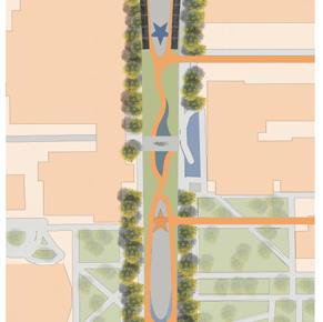
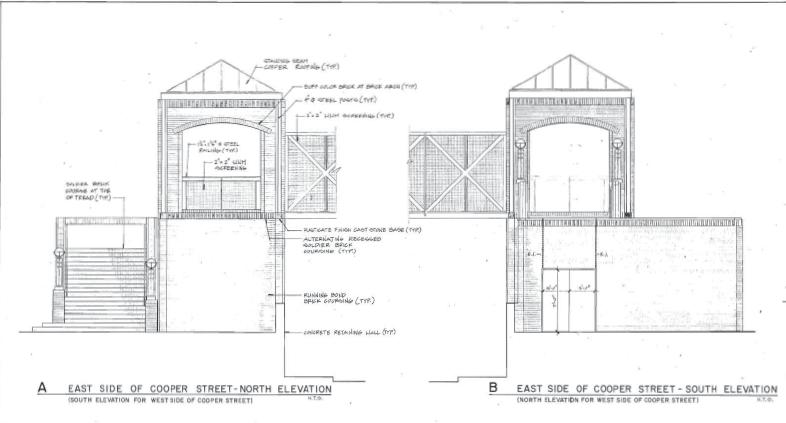
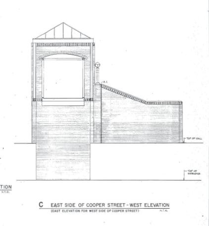
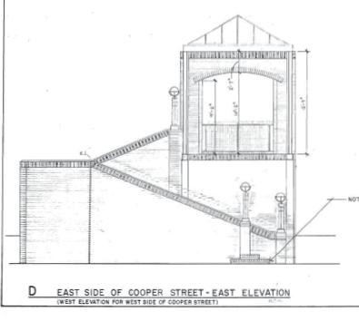
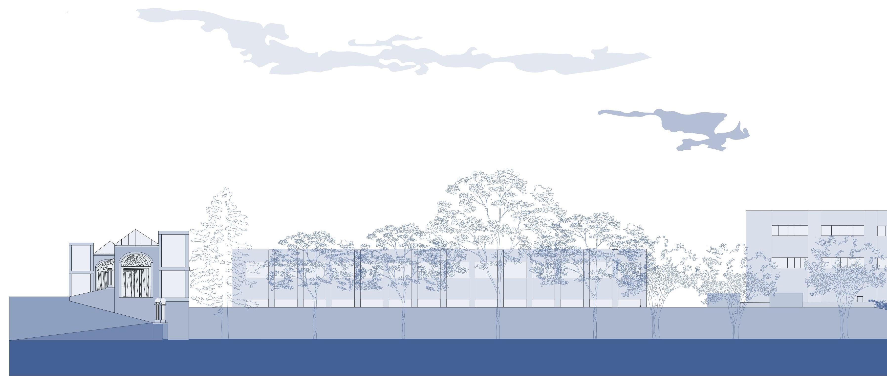
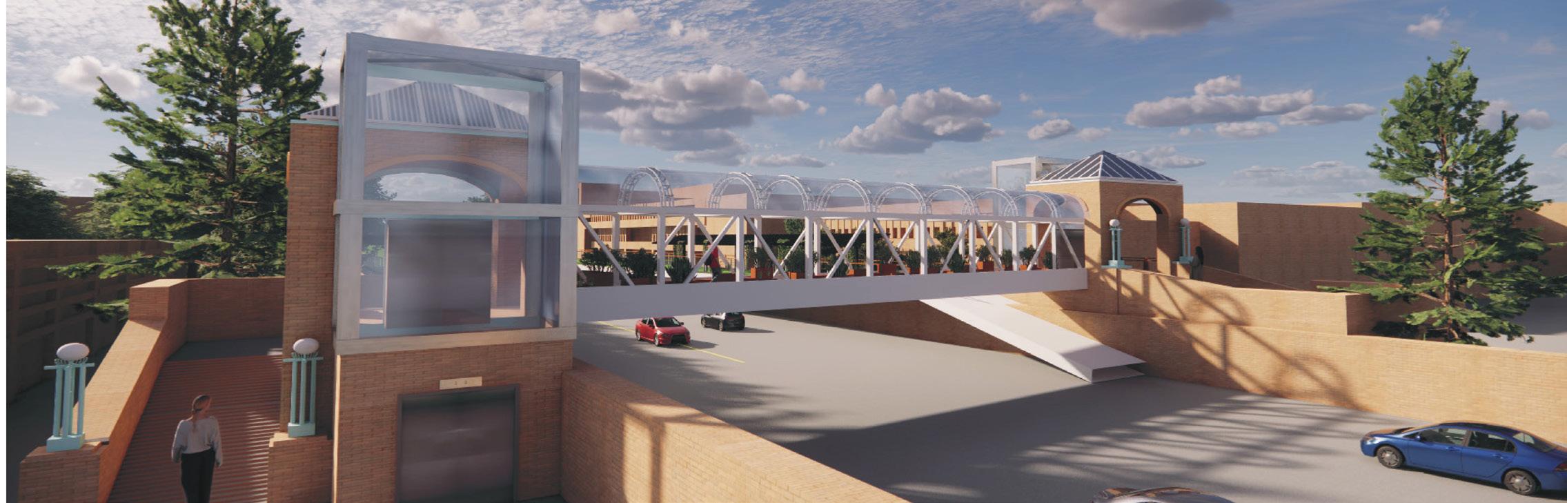
The “Bridging the Gap at UTA: The North Bridge, South Bridge Competition” is a two-week design event initiated by CAPPA to create immediate and long-term strategies for uniting UTA’s East and West Campuses, which are divided by Cooper Street (State Route 157). The competition focuses on enhancing the North and South pedestrian bridges that span six lanes of traffic, which serve as both functional pathways and cultural icons for UTA. Students and faculty are invited to redesign the bridges as part of the “UTA Connecting Corridor” project, with short-term improvements planned for 2023 and long-term strategies to reshape the campus landscape over time.
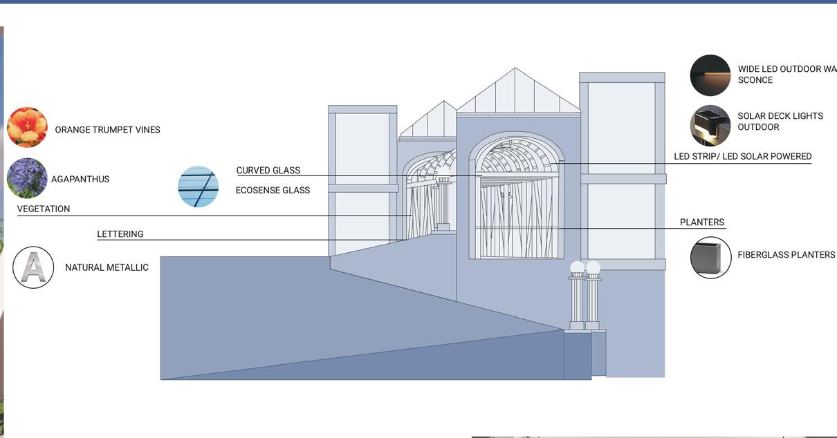
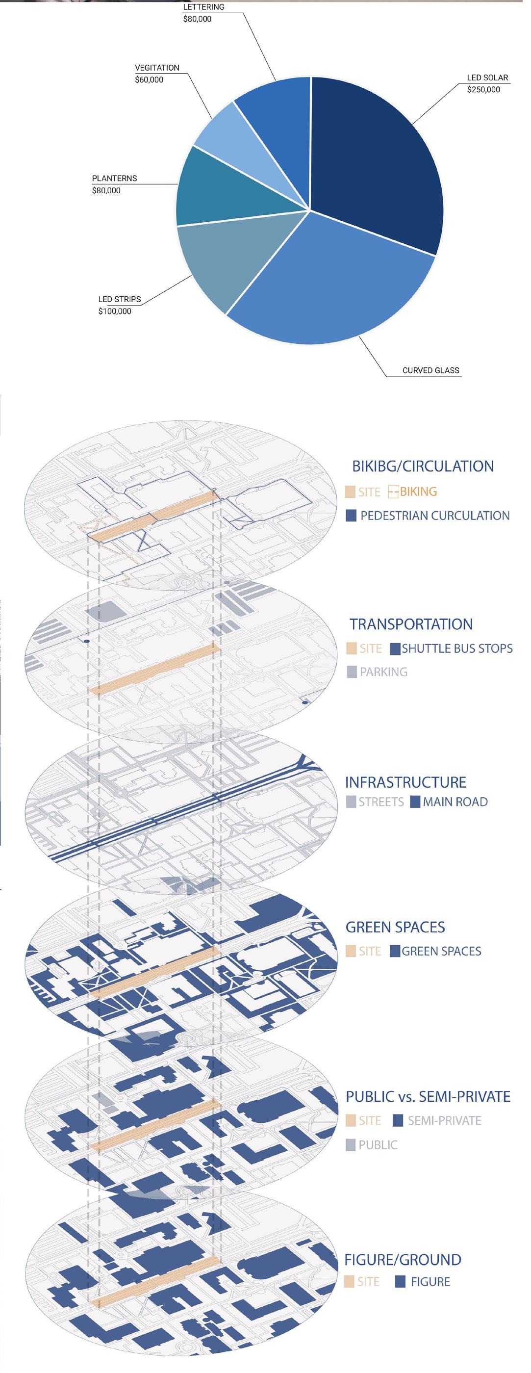
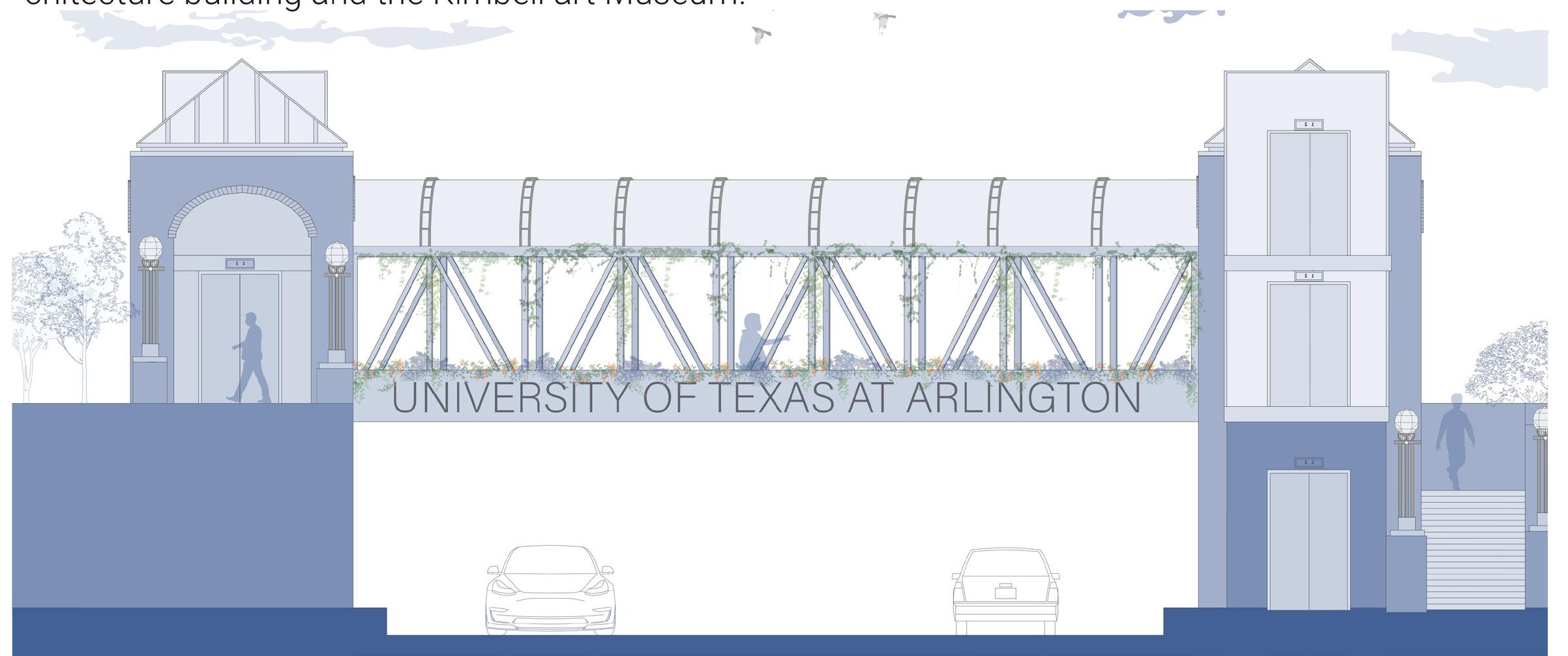
The main challenge when looking at and rethinking the site of the UTA campus is how to connect both sides while still providing the traffic corridor of Cooper St. Revitalizing the look of the already existing bridges without changing the main structural elements in order to fit the estimated budget.
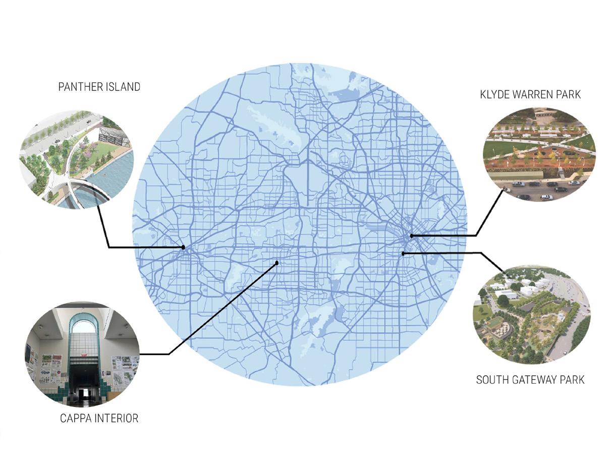
Implementing sustainable materials and reutilizing elements for the purpose of reducing our resource footprint. Keeping the bridges with its basic elements and materiality is essential to maintain a sense of place and connection with the context of the campus, especially with the maintenance of the classical brickwork.When thinking of a larger scale context, iconic elements of the work of louis khan serves as inspiration to the design of the ceilings in the bridges, same elements also found inside the College of architecture building and the Kimbell art Museum.
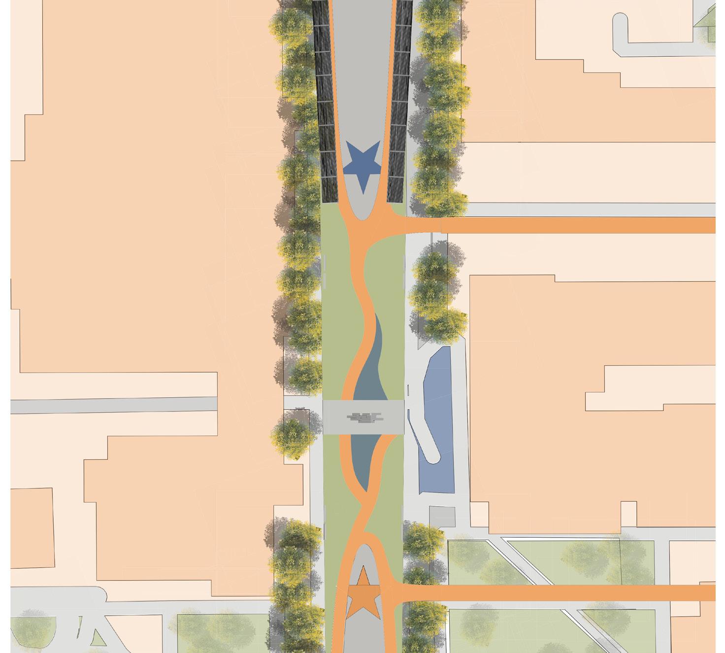
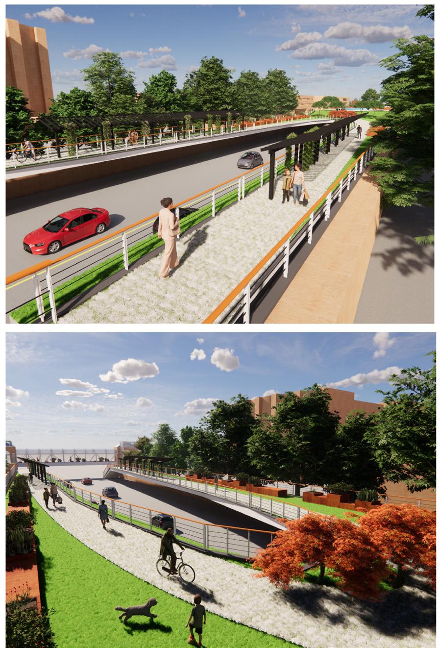
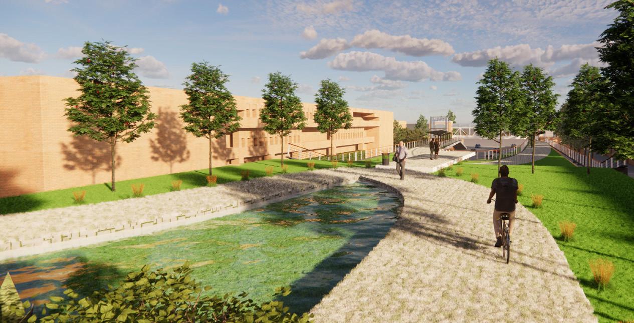
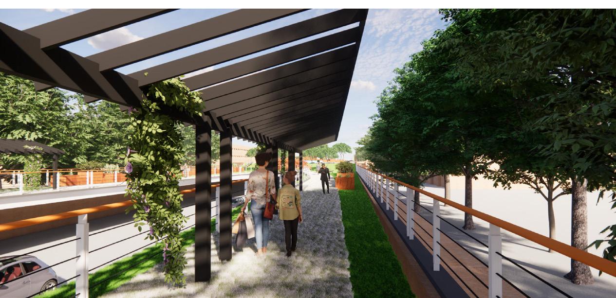
The idea for the Long-term is to design to fully connect existing pathways within the connection corridor that are currently underutilized. This is achieved by the addition of continuous pathways between all three bridges that create circulation patterns designed to be accessible by all.
These pathways circulate to a fully developed green space built around the existing central bridge. This garden terrace provides respite from the views of heavily trafficked Cooper street below.
This design allows for the existing structures to continue to be used, while adding necessary additions to bridge the gaps between each structure in order to fully realize this site into the UTA Connection Corridor it was intended to be
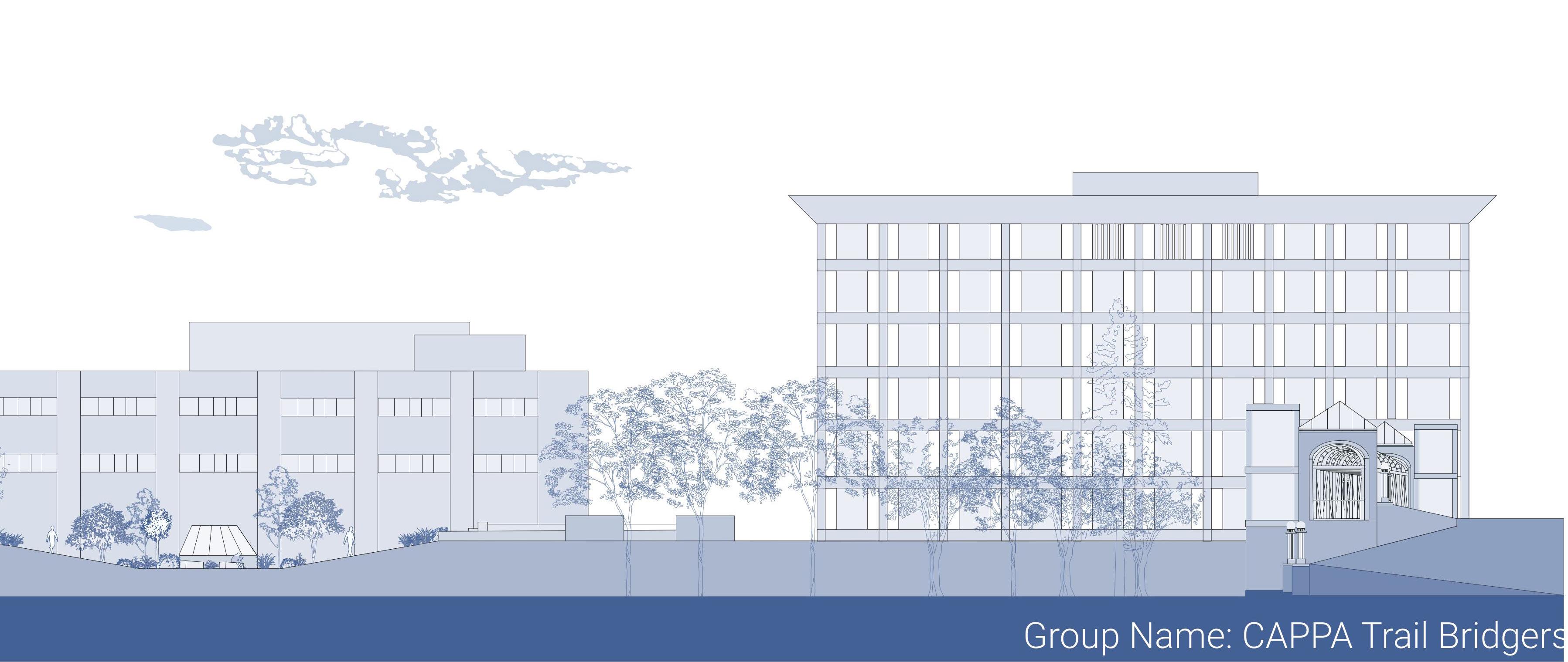
ELEVATION
MISCELLANEOUS
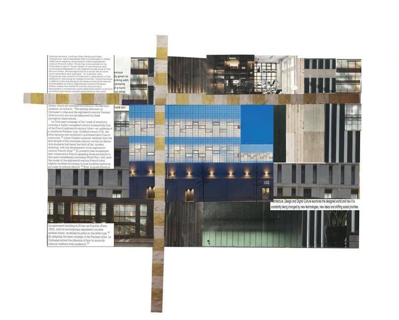
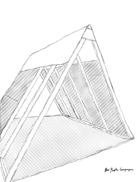
Conceptual Drawings
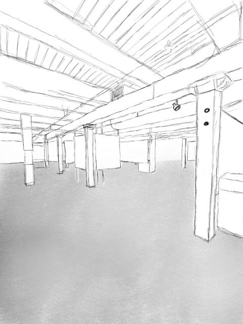
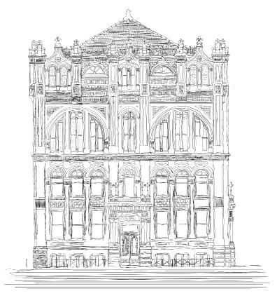
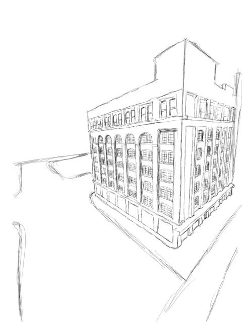
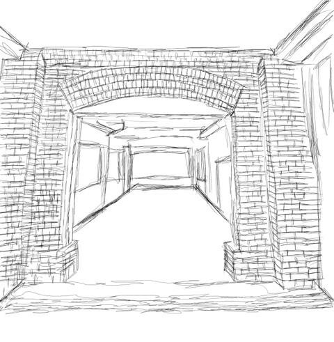
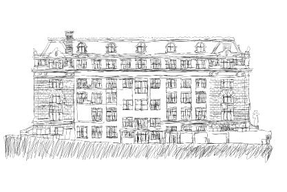
Sketches