FEATURE
UTILIZING GIS TECHNOLOGY TO VISUALIZE THE SUBMARINE CABLE MARKET BY KIERAN CLARK
G
eographic Information System (GIS) technology has revolutionized the way different industries gather, manage, analyze, and present location-based data. The submarine cable industry is one of the many sectors that have greatly benefited from the application of these tools. Submarine cables are the backbone of the internet and carry over 99% of global data traffic and are thus critical to understand from an economic and national security perspective. GIS technology allows businesses, governments, and end-users to easily visualize and interpret submarine cable and related data, helping them to make informed decisions about appropriate regions to invest in new cables, where to land them, and how to maintain and manage existing systems. One of the key advantages of using this technology in the submarine cable industry is the ability to layer multiple sets of data to provide a greater understanding of a region’s needs and challenges. For instance, combining information on the age of cable systems with bandwidth demand growth and circuit capacity cost can help prospective and current cable owners determine where the most lucrative business
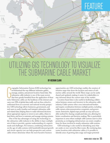
opportunities are. GIS technology enables the creation of intuitive maps that show the location and status of submarine cables around the world. These maps can be easily shared and updated, making it easier for stakeholders to stay informed about the current state of the market. Location-based data is also useful in facilitating collaboration between owners and investors in the submarine cable industry. Cable systems often cross international borders and require coordination between multiple parties, including cable owners, telecommunication companies, and governments. Interactive, digital maps provide an easy and accessible method for sharing complicated data sets, allowing for better coordination and decision-making. This is particularly important in areas where multiple cable systems exist in close proximity, as overlapping infrastructure can create complications for those involved in nearby submarine cable systems. GIS technology is also useful in identifying areas that are under or over-served by fiber routes. By overlaying data center locations with submarine cables, it is possible to identify areas of growing data usage and target potential MARCH 2023 | ISSUE 129 55