EXORDIUM

Welcome to the premier edition of SubTel Forum’s Cableship Codex, featuring the Global Fleet – Capacity, Age
& Coverage.
Cableship Codex arrives at a pivotal moment for the global submarine cable industry. Demand for subsea infrastructure is accelerating under the weight of artificial intelligence, hyperscale cloud expansion, offshore energy development, sovereign digital strategy, and growing geopolitical competition. Yet behind every new system announcement stands a far smaller and less visible asset base: the global fleet of cable ships.
These vessels are the physical enablers of the digital economy. They survey routes, install and bury cable, maintain aging infrastructure, and respond to faults across some of the harshest marine environments on Earth. Without them, the modern internet does not function.
Despite their importance, the cable ship sector has long remained surprisingly opaque. Information is scattered across operator announcements, vessel registries, AIS feeds, project disclosures, and industry rumor. Even experienced professionals often lack a consolidated view of fleet deployment patterns, operational geography, or broader marine trends.
Cableship Codex was created to help close that gap.
This new quarterly publication from Submarine Telecoms Forum provides structured intelligence and operational insight into the vessels supporting global subsea infrastructure. Combining AIS de-
rived activity mapping, geospatial analysis, vessel profiling, fleet analytics, and industry interpretation, Codex focuses entirely on the marine layer of the submarine cable business.
Issue 1 establishes the framework for what this publication will become. Within these pages, readers will find operational assessments of cable ships across multiple regions, detailed vessel specifications, deployment pattern analysis, and commentary on the evolving role of marine infrastructure in global connectivity. The methodology developed by Senior Analyst Kieran Clark combines AIS normalization, ArcGIS based mapping, operational clustering, and route activity analysis to identify where vessels are working and what those patterns may indicate.
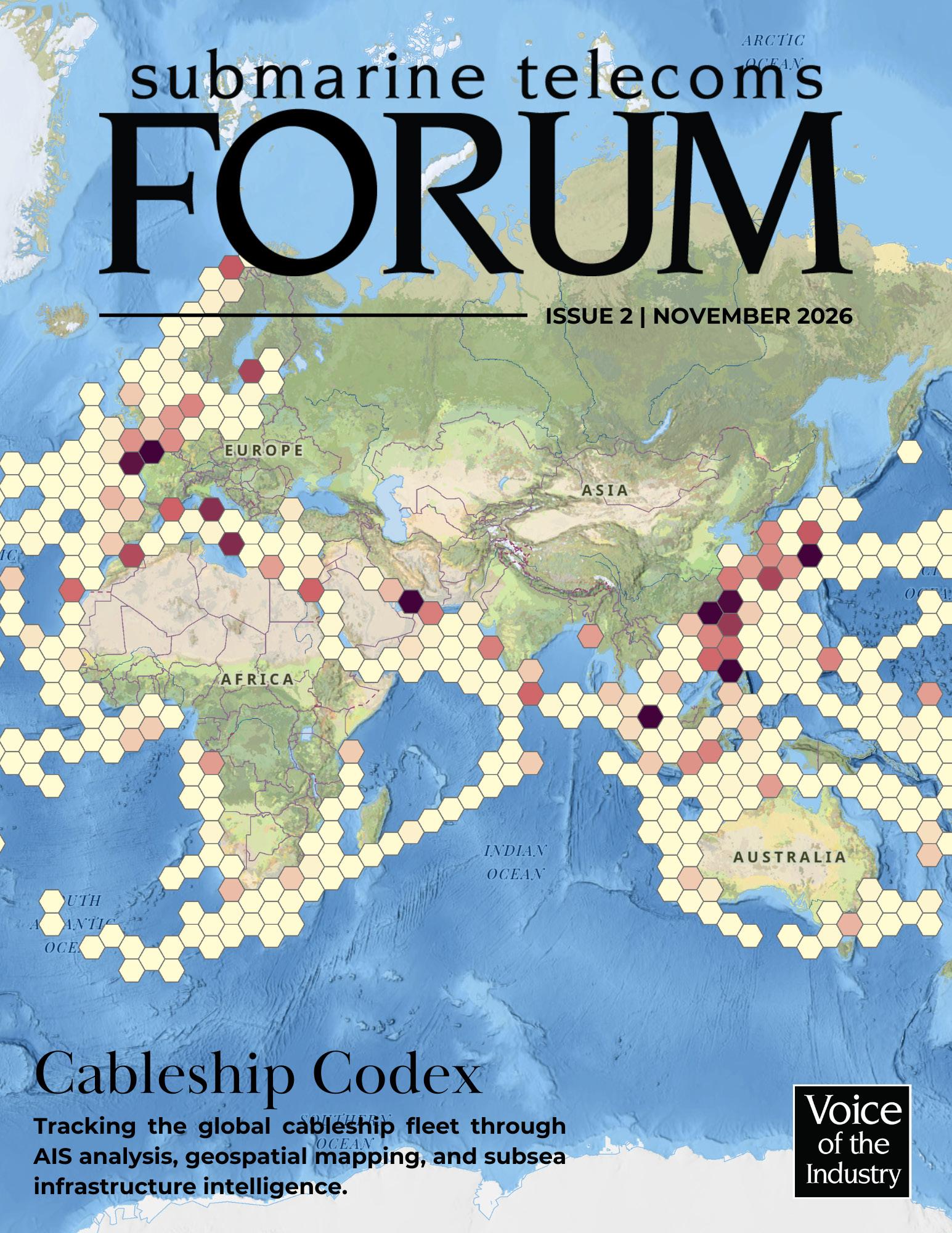
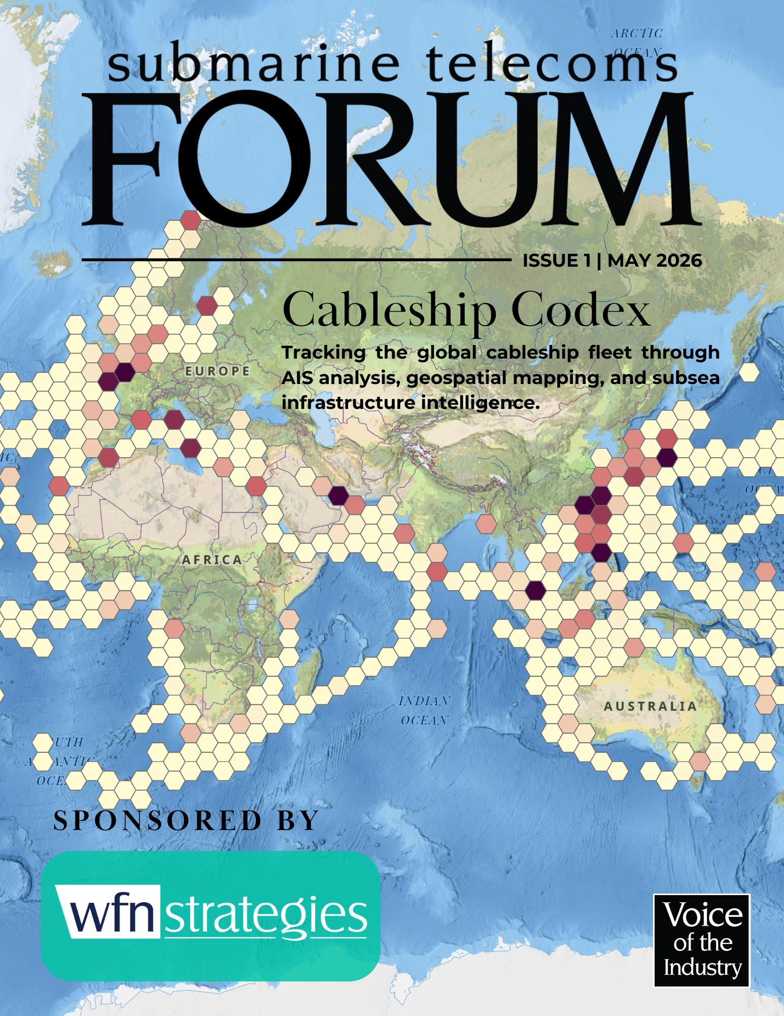
Some vessels show concentrated activity near mature maintenance zones in the Mediterranean and North Sea. Others display transoceanic operational footprints stretching from Northern Europe to the Caribbean, reflecting the complexity of maintaining globally interconnected infrastructure. Dense clustering near Singapore, the Malacca Strait, the Sicily Channel, and Atlantic branching regions reinforces the importance of strategic maritime chokepoints within the global communications network.
The publication also arrives during mounting pressure on the global fleet. Many cable ships supporting today’s infrastructure were designed decades ago. Demand for repair readiness continues to rise. New system kilometers are expanding across AustralAsia, EMEA, the Indian Ocean, and increasingly high latitude regions. Offshore power interconnection projects now compete for marine assets alongside telecommunications systems. Environmental regulation, security scrutiny, crew availability, and

long lead manufacturing cycles are reshaping fleet economics and modernization planning.
Our goal with Cableship Codex is not simply to catalog vessels. It is to better understand the operational heartbeat of the subsea industry itself: where fleets concentrate, where risk accumulates, where maintenance demand is increasing, and where future infrastructure growth may outpace available marine capability.
Submarine Telecoms Forum has spent twenty five years tracking the evolution of global subsea infrastructure. Cableship Codex represents the next step in that mission, bringing greater visibility and operational understanding to the vessels that quietly keep the world connected.
Thank You
Our thanks to this issue’s sponsor, WFN Strategies.
And now you can confidently answer that question: Where in the World Are All Those Pesky Cableships?
EDITORIAL AND ANALYTICS
Analytics Kieran Clark | kclark@subtelforum.com |
SALES AND ADVERTISING REPRESENTATION
Sales and Advertising
Nicola Tate | ntate@associationmediagroup.com | +1 804 469 0324
Advertising information: subtelforum.com/advertise-with-us
About the Cableship Codex
The Cableship Codex is published biannually by Submarine Telecoms Forum, Inc. as a guide to the global submarine cable fleet and the vessels that support subsea network deployment and maintenance. It provides verified fleet data, operational insights, and vessel information for the submarine telecommunications industry. Each edition offers a concise view of fleet availability, maintenance coverage, and the maritime assets supporting global subsea communications.
NEXT ISSUE
November 2026
Authors Index subtelforum.com/authors-index Industry Directory directory.subtelforum.com
Almanac Archive subtelforum.com/almanac-archive
Online Submarine Cable Map subtelforum.com/submarine-cable-map
GOVERNANCE Board of Directors

Good reading, and Slava Ukraini .


Wayne Nielsen is the founder and publisher of Submarine Telecoms Forum, one of the industry’s most trusted intelligence platforms, reaching more than 150,000 readers in 115 countries. He is also Managing Director of WFN Strategies, with over 35 years of global submarine cable experience spanning commercial, governmental, and offshore energy systems.
Wayne Nielsen, Margaret Nielsen, Kristian Nielsen and Kacy Nielsen Corporate information: subtelforum.com/corporate-information SUBMISSIONS
Contributions are welcomed and should be submitted to: pressroom@subtelforum.com
PUBLISHING AND LIABILITY NOTICE
Submarine Telecoms Forum magazine is published bimonthly by Submarine Telecoms Forum, Inc. It is an independent commercial publication serving as a freely accessible forum for professionals engaged in submarine cable systems and global digital infrastructure. No part of this publication may be reproduced or transmitted in any form, in whole or in part, without prior written permission from the publisher.
While every effort is made to ensure accuracy, the publisher accepts no liability for errors or omissions in editorial or advertising content, or for any consequences arising therefrom. The editor reserves the right to edit all submitted material.
SUBSCRIPTIONS AND ENQUIRIES
Submarine
|
Copyright © 2026 Submarine Telecoms Forum, Inc.


TRACKING AND MAPPING GLOBAL CABLE SHIP OPERATIONS METHODOLOGY
by Kieran Clark
This edition of the Cableship Codex was developed by the analysts at Submarine Telecoms Forum, Inc. using a structured research framework that combines vessel identification, AIS-derived movement analysis, geospatial interpretation, and industry knowledge of submarine cable operations.
The Cableship Codex tracks cable ships and related subsea support vessels operating across global communications infrastructure routes. Vessel records are organized by ship name, AIS identity, operational geography, observed activity patterns, vessel characteristics, and supporting maritime attributes where available.
AIS activity data was collected and processed to identify vessel movement patterns, operating regions, speed profiles, and activity density. Records were normalized by vessel name and analyzed using ArcGIS Pro to produce hexagonal activity mapping, regional clustering, and map series outputs for each unique vessel. Supporting metrics, including top speed, average underway speed, days active, and AIS position counts, were calculated from the underlying vessel movement records.
Geospatial analysis focused on identifying concentrated areas of activity rather than simple transit routes. Dense AIS clusters, recurring low-speed movement, and repeated presence near known cable corridors, landing regions, offshore hubs, and repair zones were interpreted as indicators of likely cable-related operations, including maintenance, repair, survey, installation support, or standby activity.
Data validation and normalization were conducted throughout the analysis process to reduce duplicate vessel naming, remove anomalous speed records, and improve consistency across vessel pages. Speed-based metrics exclude invalid, neg-
ative, and unrealistic AIS values to limit distortion from reporting errors or transmission artifacts. Average speed values are based on underway records to better represent operational movement rather than time spent idle, anchored, or in port.
Each vessel profile combines quantitative AIS-derived statistics with analyst interpretation of the mapped activity footprint. The narrative analysis emphasizes primary operating regions, secondary activity zones, and broader strategic relevance to global subsea cable infrastructure.
While every effort is made to ensure accuracy, AIS data may contain gaps, reporting errors, spoofed positions, inconsistent naming, or incomplete vessel coverage. All operational assessments represent best estimates based on available data at the time of publication and should be interpreted as indicative rather than definitive records of vessel assignments. For corrections, updates, or additional vessel information, please contact our Senior Analyst at kclark@subtelforum.com

Kieran Clark is Senior Analyst at Submarine Telecoms Forum, Inc. He joined in 2013 as a Broadcast Technician supporting live event streaming, bringing over eight years of production experience. Promoted to Analyst in 2014, he now leads research and maintenance for the SubTel Forum Submarine Cable Database and Online Map, with analysis featured across most SubTel Forum publications.
BELOW IS A LIST OF ACRONYMS AND TERMINOLOGY USED IN THIS PUBLICATION:
AIS (Automatic Identification System) – A vessel tracking system that broadcasts a ship’s position, speed, and identity.
Activity Concentration – The density of AIS positions within a geographic area, used to identify operational hotspots.
Average Underway Speed (knots) – The average speed of a vessel while actively moving.
Beam (m) – The maximum width of a vessel.
Cable Capacity (tonnes) – The maximum amount of submarine cable a vessel can carry.
Cable Tanks – Onboard compartments used to store submarine cable.
DP Class (Dynamic Positioning Class) – A vessel’s dynamic positioning capability and redundancy rating.
Flag State – The country where a vessel is registered.
Gross Tonnage (GT) – A measure of a vessel’s internal volume.
Length Overall (LOA) (m) – The total length of a vessel from bow to stern.
Owner / Operator – The company responsible for owning or operating the vessel.
Plough Capability – The ability to deploy equipment used to bury cable beneath the seabed.
Range / Endurance – The distance or duration a vessel can operate without resupply.
ROV (Remotely Operated Vehicle) – An unmanned underwater vehicle used for inspection, survey, and cable operations
Top Speed (knots) – The highest recorded vessel speed during the reporting period.
Underway Percentage (%) – The percentage of AIS positions where a vessel was actively moving.
Work-Class ROV – A heavy-duty ROV used for subsea construction, burial, inspection, and repair tasks.

Independent submarine cable consultancy providing end-to-end
• 25 years dedicated to subsea cable systems
• 180+ projects for 90+ clients across every ocean
• Vendor-neutral advice from feasibility through operations
• ISO 9001, 14001, 27001 & 45001 certified
• Trusted by commercial, government, and offshore energy clients


BY THE NUMBERS ANALYTICS
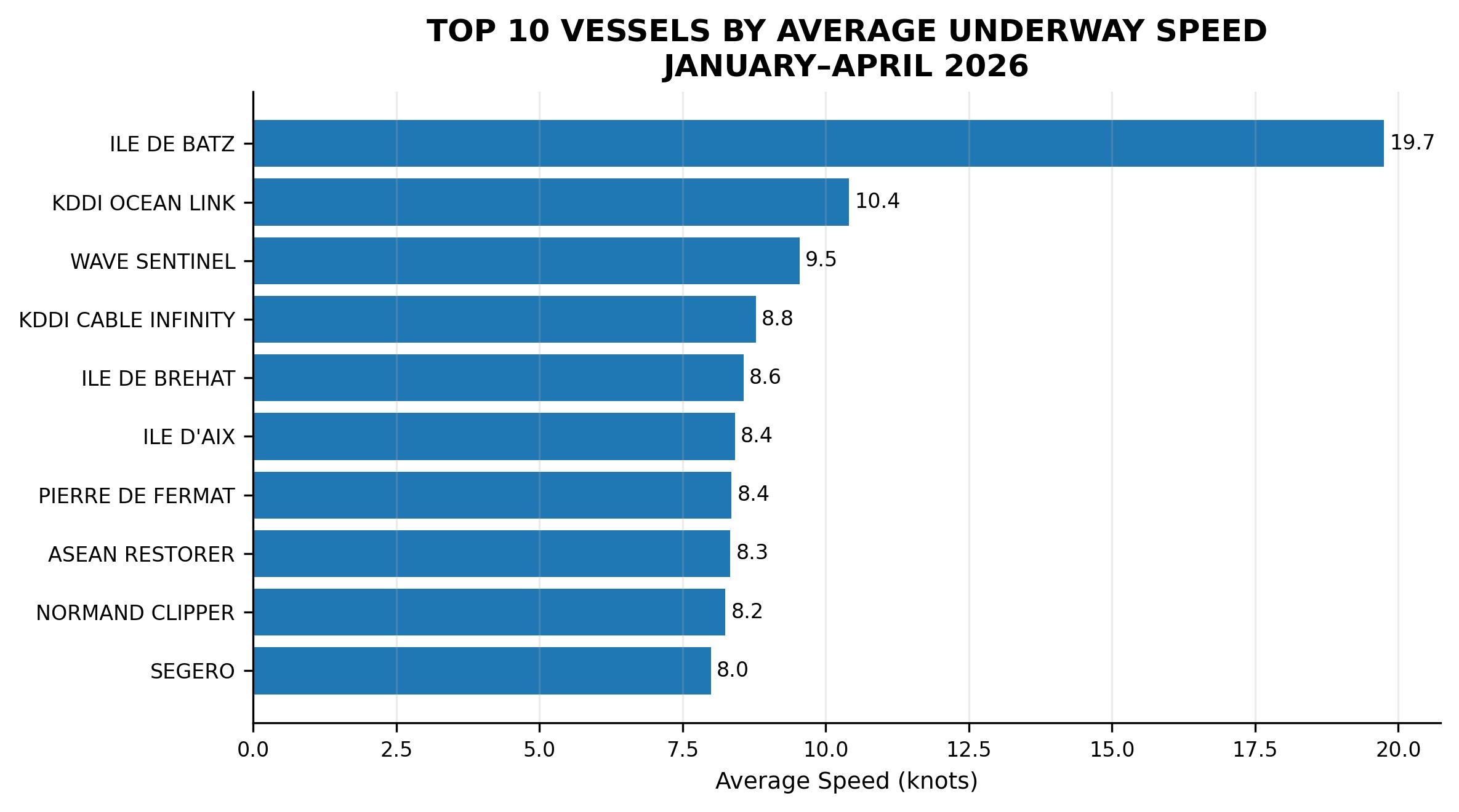
Average underway speed varies across the fleet, separating long-distance transit activity from localized cable work. Faster vessels likely reflect broader regional movement, while slower averages suggest repair, survey, or installation operations concentrated around specific cable corridors.
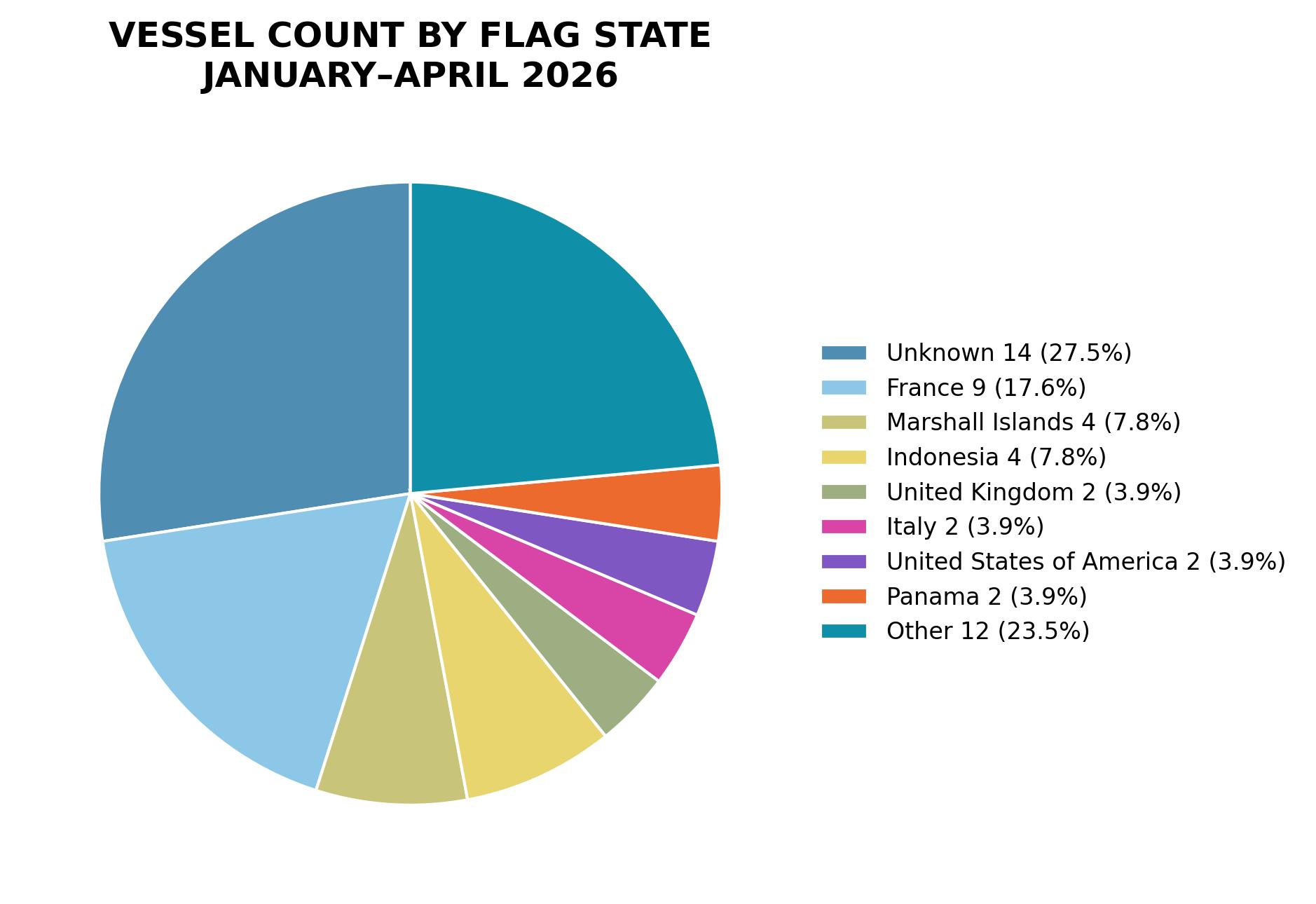
Flag-state distribution shows a diverse international fleet, with France leading among confirmed registrations. Smaller groups are spread across several countries, while unattributed records reflect gaps in public vessel metadata or incomplete AIS-linked ownership information.
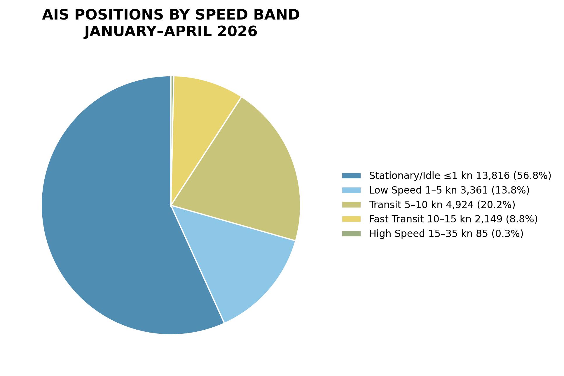
AIS speed patterns are dominated by stationary and low-speed records, showing that cable ships spend substantial time in port, standby, survey, repair, or installation modes. Faster transit activity represents a smaller share of observed positions.
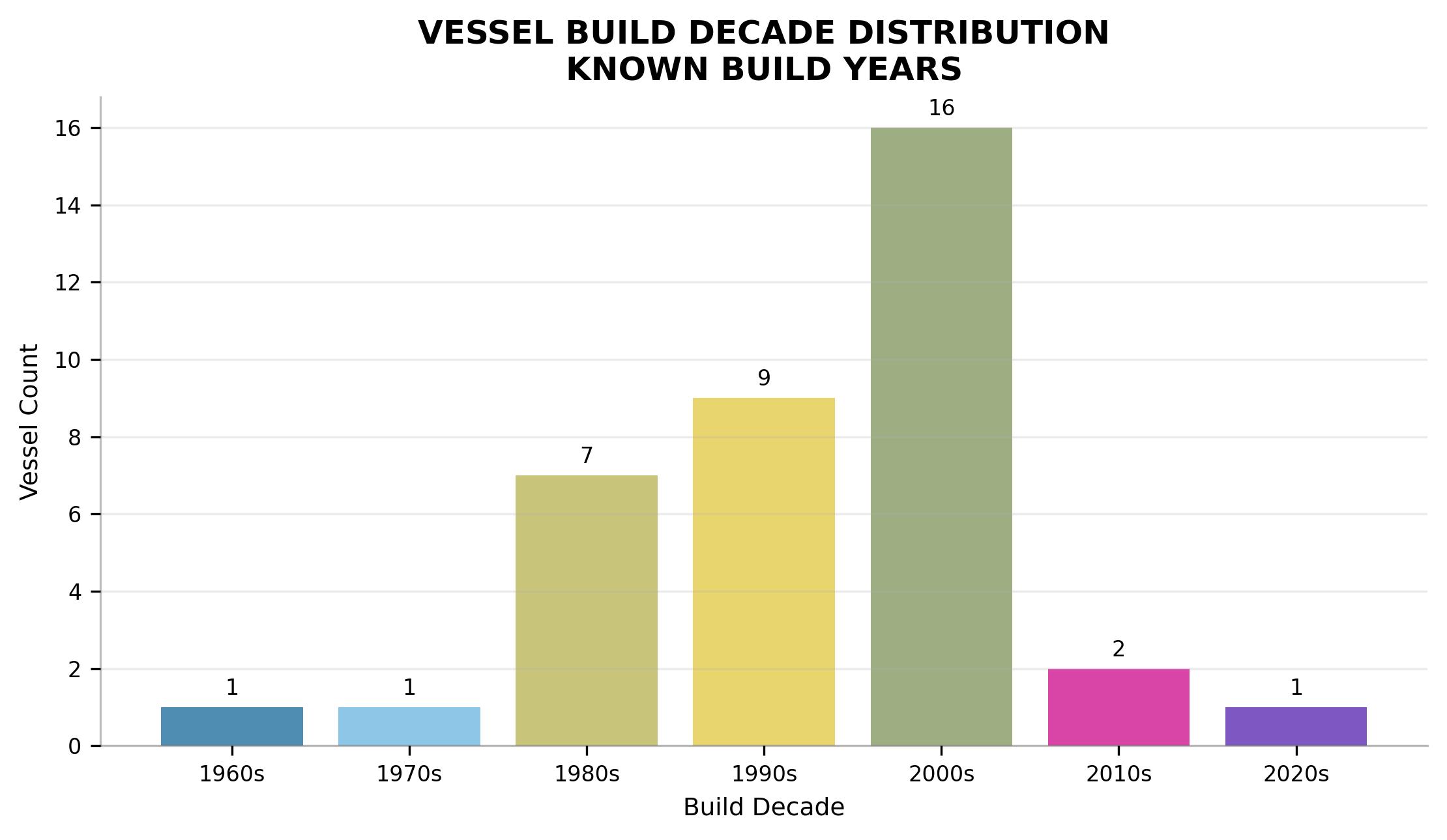
Known build-year data shows a fleet concentrated in the 1990s and 2000s, underscoring the long service lives typical of cable ships. Newer vessels remain limited, reflecting slow replacement cycles in this specialized maritime sector.

Jan 1 - Apr 30, 2026

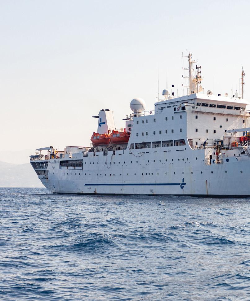
ANTONIO MEUCCI
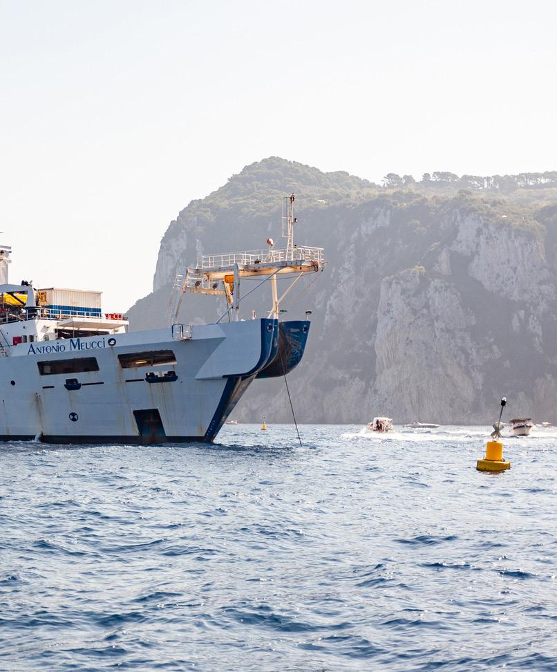
Owner / Operator Orange Marine
ANTONIO MEUCCI




AIS activity for ANTONIO MEUCCI forms a broad central Mediterranean operating pattern extending from waters west of Sardinia through the Sicily Channel and into the Ionian approaches east and southeast of Sicily. The distribution is not a simple point-topoint transit: it shows repeated occupation of several adjacent hexagonal cells, with the strongest concentration located off the eastern side of Sicily near the approaches between Sicily, Calabria, Malta, and the Ionian Sea. Lower-intensity cells trace a wider corridor across offshore waters south of Sicily and toward the western Mediterranean, indicating a mix of slow operational movement, repositioning, and possible cablerelated survey, support, or inspection activity over the reporting period.
EASTERN SICILY AND IONIAN APPROACHES
The dominant activity area is the high-concentration cell east of Sicily, positioned near the transition between the Strait of Sicily, the Malta area, and the Ionian Sea. This location stands out clearly from the rest of the map and suggests the vessel spent a meaningful portion of the period operating or holding within a relatively confined offshore zone. The surrounding lower-intensity cells form a cluster around this point, extending both north-south and east-west, which is consistent with repeated approaches, short operational legs, or localized work around a subsea route or landing approach. The pattern is compatible with cable survey, repair support, inspection, or installation support, although the map does not identify a specific project or system.
SICILY CHANNEL AND MALTA CORRIDOR
A secondary activity belt crosses the waters south of Sicily and north of Malta, with multiple low-to-moderate concentration cells distributed along the Sicily Channel. These cells form a loose operational corridor rather than a single direct track, showing that the vessel moved through or worked across several offshore segments between western Sicily, the Malta vicinity, and the eastern Sicily concentration. The spacing and alignment of the cells suggest repeated transits or staged movements along a corridor commonly used for Mediterranean subsea infrastructure routes. Activity in this area appears less intense than the eastern Sicily focus, but it is broad enough to indicate more than incidental passage.
WESTERN MEDITERRANEAN APPROACH
Additional lower-intensity activity appears west of Sardinia and along the western side of the central Mediterranean track. These cells are more separated from the main Sicily cluster and likely represent repositioning, approach, or departure movements associated with the broader operational campaign. The western cells do not show the same density as the eastern Sicily area, but they help define the vessel’s wider operating envelope across the basin. Their alignment toward the Sicily Channel indicates connectivity between offshore work areas rather than isolated port-area behavior.
OPERATIONAL OVERVIEW
Overall, ANTONIO MEUCCI’s AIS pattern indicates sustained central Mediterranean deployment with a primary operational focus east of Sicily and supporting movements through the Sicily Channel and western approaches. The combination of a strong localized concentration, multiple adjacent offshore cells, and a broader corridor across deepwater routes is consistent with specialized subsea cable activity, including survey, inspection, repair support, installation support, or route-related standby. The vessel’s movements appear operationally deliberate, with repeated presence in strategically important offshore corridors rather than routine commercial transit alone.
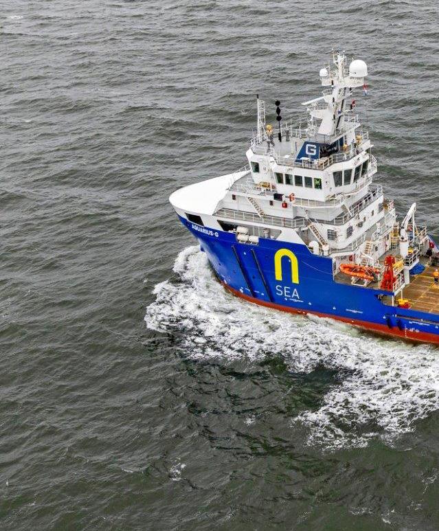
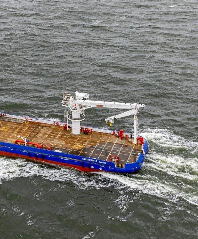
Owner / Operator Rederij Groen BV


AIS activity for AQUARIUS-G forms a clear southern North Sea corridor extending from the East Anglia offshore area toward the Dutch coast, with the most intense concentration at the eastern end near the Amsterdam and IJmuiden coastal approaches. The distribution is not random transit traffic: it shows linked hexagonal clusters, several localized dwell areas, and a broad west-to-east operating footprint across open water. The pattern supports interpretation as a vessel engaged in repeated offshore support, survey, inspection, or cable-related movements between coastal access points and offshore work areas.
AMSTERDAM AND IJMUIDEN APPROACHES
The strongest activity is concentrated on the Dutch side, immediately west and southwest of Amsterdam and close to the IJmuiden coastal gateway. This area contains the darkest activity cell on the map, indicating the highest density of AIS positions for the period. A second elevated cell sits just offshore to the west, suggesting movement between port, anchorage, pilotage, or nearshore work zones. The clustering around this coastal approach is consistent with staging, mobilization, demobilization, waiting on weather or permits, or repeated nearshore operations linked to offshore tasks. Its position near a major maritime access route makes it a logical operational base for work extending into the southern North Sea.
CENTRAL SOUTHERN NORTH SEA CORRIDOR


A chain of lower to moderate activity cells extends westward from the Dutch coast into the central southern North Sea. These cells are spaced in a way that suggests repeated passage along a preferred operational route rather than isolated voyages. The corridor includes several pale and moderate-intensity hexagons, indicating that AQUARIUS-G moved through this area frequently but did not remain as concentrated there as it did near the Dutch coast. The visual pattern is compatible with transits between port and offshore assignments, or with sequential survey or inspection coverage along a route. The absence of a single continuous high-density offshore block suggests the vessel likely alternated between moving, pausing, and working in multiple locations.
EAST ANGLIA OFFSHORE AREA


At the western end of the mapped activity, several cells appear offshore from the Great Yarmouth and Lowestoft area. These are generally lower intensity than the Dutch coastal cluster, but they establish a clear operational connection to the UK side of the southern North Sea. The cells sit offshore rather than inside a specific harbor, suggesting AQUARIUS-G was not simply calling at port but was present in nearby working waters. This area may represent a survey box, a cable or seabed inspection area, a support location, or the western extent of a broader cross-sea operating route.
OPERATIONAL OVERVIEW
Overall, AQUARIUS-G shows a sustained four-month pattern of activity linking the Dutch coast with offshore areas across the southern North Sea and the East Anglia sector. The combination of a dominant nearshore Dutch concentration, secondary offshore clusters, and a westward corridor is consistent with a vessel operating from or frequently returning to the Amsterdam/IJmuiden area while undertaking repeated offshore assignments. The activity is best characterized as staged, route-based marine work rather than simple passage through the region, with the map supporting likely survey, inspection, support, or cable-related operations across multiple work zones.
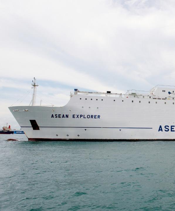
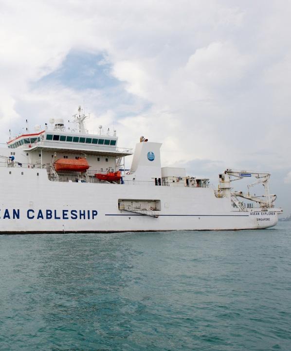
ASEAN EXPLORER
Owner / Operator ASEAN Cableship Pte Ltd.
Year Built Flag Indonesian—flagged
Range / Endurance 60 days
Cable Capacity
Cable Tanks
ROV System
Plough Capability
tonnes excluding spare tanks
x 3.0m burial workclass ROV

ASEAN EXPLORER


ASEAN EXPLORER shows a wide but clearly uneven AIS footprint across maritime Southeast Asia between January and April 2026. The pattern is anchored by a very strong concentration around Singapore and the adjacent Strait of Malacca/Singapore Strait approaches, with progressively lighter activity extending north along Peninsular Malaysia and east into the South China Sea. Additional lower-intensity positions form a broad southeast-trending corridor through Indonesian waters, including the Java Sea and areas north of Java. This distribution suggests a vessel operating from a regional hub, combining concentrated work or standby periods with longer inter-area transits.
SINGAPORE AND MALACCA STRAIT HUB
The strongest visible activity is centered on Singapore, where the only high-intensity cell appears immediately around the port and strait complex. This concentration likely reflects repeated arrivals, departures, waiting periods, mobilization, demobilization, bunkering, or support activity in one of the region’s principal offshore and subsea service hubs. The nearby cells along the southern Malay Peninsula and into the lower Strait of Malacca indicate movement through a major chokepoint rather than isolated open-water presence. Given the vessel’s broader regional spread, the Singapore cluster is consistent with a base of operations supporting cable survey, inspection, repair readiness, or related marine project activity across surrounding Southeast Asian waters.
SOUTH CHINA SEA AND INDONESIAN TRANSIT CORRIDORS
Away from Singapore, the AIS pattern becomes more dispersed, with light to moderate cells extending north and northeast off Malaysia toward the South China Sea and Gulf of Thailand margins, and southeast through the waters between Sumatra, Java, Borneo, and eastern Indonesia. These cells suggest transits between work areas or shortduration operational stops rather than a single sustained offshore campaign. The chain of positions across the Java Sea and adjacent Indonesian approaches is consistent with routeing between Singapore and offshore regions near Java, the Sunda Shelf, and island passages further east. Isolated cells near Indonesia and the southern South China Sea likely represent brief survey, support, or repositioning activity.
OPERATIONAL OVERVIEW

Overall, the map indicates that ASEAN EXPLORER was regionally active for the full reporting period, but its operational gravity remained around Singapore and the surrounding straits. The vessel appears to have used this hub to access multiple Southeast Asian operating areas, with the lower-intensity tracks showing connectivity across key cable and maritime corridors rather than continuous work in one remote location. The combination of a dense port-area cluster, moderate corridor activity, and scattered offshore cells is consistent with a specialized vessel cycling between staging, transit, and intermittent field operations across Malaysia, Singapore, Indonesia, and the wider South China Sea region.
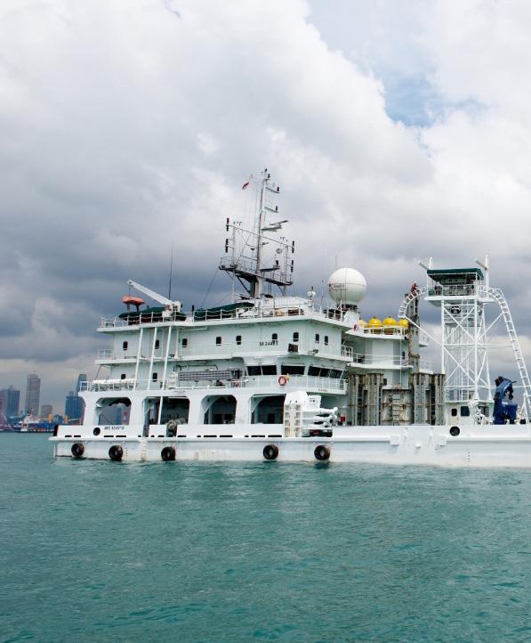
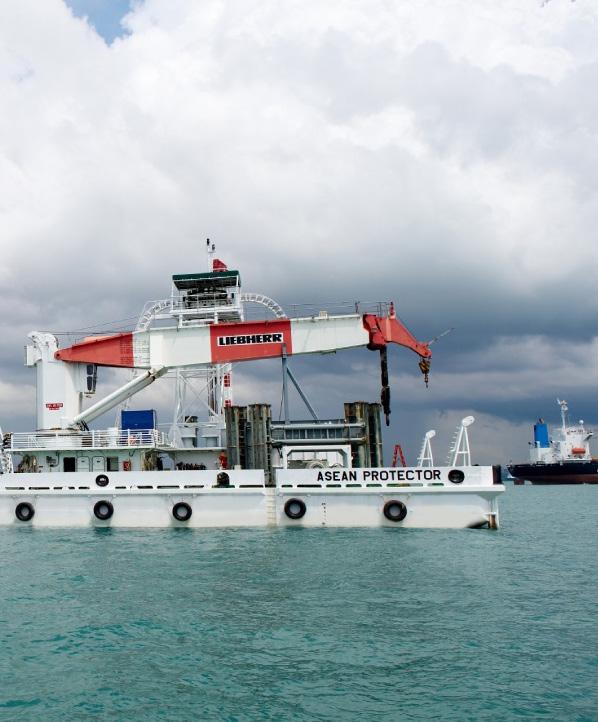
Owner / Operator ASEAN Cableship Pte Ltd.
Year Built Flag
ASEAN PROTECTOR


AIS activity for ASEAN PROTECTOR during January through April 2026 is concentrated around Singapore and the adjacent Singapore Strait, with the strongest density immediately off the southern and southwestern Singapore waterfront. The pattern shows a dominant stationary or slow-moving operational footprint near the main port and anchorage complex, supported by smaller clusters east of Singapore and scattered lower-density positions extending southwest toward the Riau Islands. Overall, the distribution suggests a vessel primarily engaged in port-adjacent standby, support, inspection, or cable-related operations rather than continuous long-distance transit.
SOUTHERN SINGAPORE PORT AND ANCHORAGE AREA
The highest activity concentration appears just south and southwest of central Singapore, close to the principal harbor approaches, offshore anchorages, and heavily trafficked waters around the Singapore Strait. This dark, compact cluster indicates repeated presence in a limited operating area and is consistent with prolonged standby, mobilization, demobilization, or localized support work. Given the vessel’s limited spatial spread in this zone, the activity likely reflects extended operational availability near port infrastructure rather than an underway passage. The position also places the vessel near a critical maritime chokepoint where submarine cable, port service, and marine maintenance vessels commonly stage before or after offshore assignments.
EASTERN SINGAPORE STRAIT AND JOHOR APPROACHES
A secondary set of activity cells is visible east of Singapore, between the Singapore coast, the Johor shoreline, and the waters north of Batam. These cells are less intense than the main western cluster but still indicate repeated presence across the eastern approaches to the Singapore Strait. The pattern suggests short relocations or intermittent operational pauses in an area used by vessels moving between Singapore anchorages, regional offshore work sites, and nearby Indonesian waters. The moderate density near the eastern side of Singapore may reflect inspection, support, waiting-onorders, or positioning activity associated with the broader port and strait environment rather than a single continuous transit corridor.
SOUTHWESTERN STRAIT AND RIAU ISLANDS TRANSIT AREA
Lower-density cells extend southwest from Singapore toward the waters between the Riau Islands and the broader approaches to the Strait of Malacca and Singapore Strait. These lighter, more dispersed positions are consistent with intermittent movements, repositioning, or isolated pauses rather than sustained operations. The spacing of the cells suggests the vessel occasionally moved away from the main Singapore anchorage area but did not maintain the same level of repeated activity there. This southwestern pattern likely reflects regional transit or short-duration standby in nearby offshore waters, potentially linked to movements between Singapore, Indonesian island waters, and the wider regional maritime service area.
OPERATIONAL OVERVIEW
ASEAN PROTECTOR’s AIS pattern is best characterized as a Singapore-centered operational deployment with one dominant high-density cluster near the southern port and anchorage zone, supported by secondary activity east of Singapore and scattered low-density positions to the southwest. The distribution indicates a vessel spending substantial time at low speed or stationary in constrained maritime areas, consistent with support, survey, repair readiness, or cable-service staging. There is no visible evidence of a broad open-sea campaign on this map; instead, the activity appears focused on localized port-adjacent operations and short regional repositioning within one of Southeast Asia’s busiest maritime chokepoints.
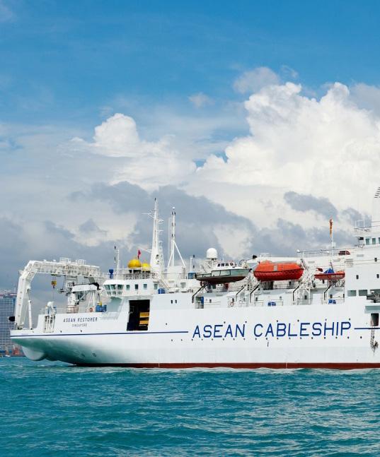
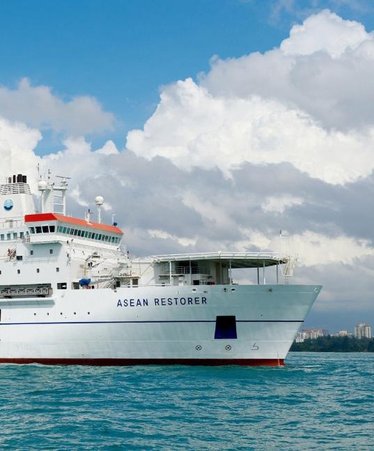
ASEAN RESTORER
Owner / Operator ASEAN Cableship Pte Ltd.
Year Built Flag
Plough Capability


ASEAN RESTORER


The AIS activity pattern for ASEAN RESTORER shows a broad east-west operating arc across the northern Indian Ocean, the Malacca-Singapore corridor, the South China Sea, and the western Pacific approaches near the Philippines and Taiwan. Activity is not concentrated in a single work box; instead, the map shows a chain of separated hexagonal cells consistent with long-distance mobilization, repositioning, and intermittent cable-related support or survey activity. The highest visible emphasis appears toward the Taiwan-Philippines side of the route, with additional recurring presence near Singapore and along the Indian Ocean approach from the Arabian Sea past Sri Lanka.
TAIWAN-PHILIPPINES CORRIDOR
The strongest regional signal is in the corridor from the northern Philippines toward Taiwan, where several adjacent cells appear in close succession and one cell northeast of the Philippines shows comparatively stronger shading. This pattern suggests the vessel spent meaningful time transiting or operating along a route that connects the Luzon Strait region with waters east and south of Taiwan. The spacing and alignment of the cells are consistent with cable-vessel movement along an offshore corridor rather than general port traffic. The activity may reflect survey, inspection, support, or repositioning associated with submarine cable routes crossing this high-density telecommunications and power-cable region, although the map does not identify a specific system or operator.

SINGAPORE AND MALACCA APPROACHES
A second notable cluster appears around the Singapore and southern Malay Peninsula area, extending into the approaches between the Indian Ocean and the South China Sea. The cell near Singapore is one of the more visually distinct concentrations on the map, indicating a likely staging, port-call, or operational pause location. Given Singapore’s role as a regional marine services hub, the pattern is consistent with a cable vessel using the area for logistics, crew, equipment, or onward routing. Nearby cells to the west and northeast indicate movement through the Malacca Strait and into the South China Sea, forming a clear connection between the Indian Ocean transit segment and the later activity toward the Philippines and Taiwan.
INDIAN OCEAN TRANSIT ARC
West of Singapore, the vessel’s AIS footprint continues across the Bay of Bengal and around Sri Lanka toward the Arabian Sea. Activity cells appear south of India, near the Colombo area, and farther northwest off the Indian west coast. These cells are more widely spaced and generally lighter in concentration, suggesting passage-making with limited localized dwell time. The route geometry follows a practical offshore corridor between South Asia and Southeast Asia, consistent with a vessel repositioning between work areas or moving along a submarine cable alignment where brief slowdowns or reporting density create visible concentrations.
OPERATIONAL OVERVIEW
Overall, ASEAN RESTORER’s mapped activity indicates sustained regional mobility rather than a single fixed project location. The vessel appears to have operated across a large cable-relevant corridor linking the Arabian Sea, Sri Lanka, Singapore, the South China Sea, the Philippines, and Taiwan. The pattern supports an interpretation of cableindustry transit, staging, and possible survey or support work, with the most prominent operational focus in the Taiwan-Philippines corridor and secondary activity around Singapore.
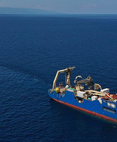
BOLD MAVERICK
The AIS pattern for BOLD MAVERICK shows a long inter-regional movement corridor extending from the western Pacific across the Indian Ocean, around southern Africa, and northward along the Atlantic approach to northwest Europe. Most mapped cells are low-density and aligned in a continuous chain, indicating predominantly transit activity rather than broad-area loitering. The clearest concentration occurs at the northern European end of the track, while the remainder of the route is marked by scattered but coherent positions through major ocean passages and coastal approach zones.
NORTHWEST EUROPEAN TERMINUS
The strongest visible activity is concentrated near northwest Europe, in the general North Sea and nearby Atlantic approach area. The dark, high-density cell at the end of the track suggests a sustained stop, repeated short movements, or localized operations rather than a simple passing transit. This pattern is consistent with staging, port approach activity, mobilization or demobilization, or a limited offshore support task close to a European operating base. Adjacent lower-density cells extending southward along the European Atlantic margin indicate the vessel approached this area after a long northbound passage, with the concentrated endpoint standing out as the principal operational feature on the map.
INDIAN OCEAN, CAPE, AND WESTERN PACIFIC CORRIDOR
Away from northwest Europe, the map shows a broad but relatively low-density corridor from East Asia through the western Pacific and across the Indian Ocean. Positions appear near the East China Sea, Taiwan and Philippine approaches, and onward toward Southeast Asia before the track trends southwest across open water. The vessel then follows the southern Indian Ocean route toward the Cape of Good Hope and continues north along the Atlantic side of Africa. The regular spacing and limited clustering along this corridor suggest relocation or long-distance transit, potentially between work areas, rather than intensive survey or repair activity. The Cape passage is a notable chokepoint in the route, linking the Indian Ocean leg with the South Atlantic and west African approach.
OPERATIONAL OVERVIEW
Overall, BOLD MAVERICK’s activity is best interpreted as a long-range repositioning or deployment voyage with a defined operational or staging focus in northwest Europe. The vessel does not show multiple dense offshore work boxes or repeated grid-like survey lines; instead, most AIS positions form a continuous oceanic transit chain across several major maritime regions. The northern European concentration likely reflects the most meaningful operational period visible on the map, while the East Asia, Indian Ocean, southern Africa, and west African segments appear more consistent with passage between regions. This pattern would be compatible with cable-related support, installation preparation, inspection logistics, or general project mobilization, but the visible evidence does not identify a specific cable system or operator.
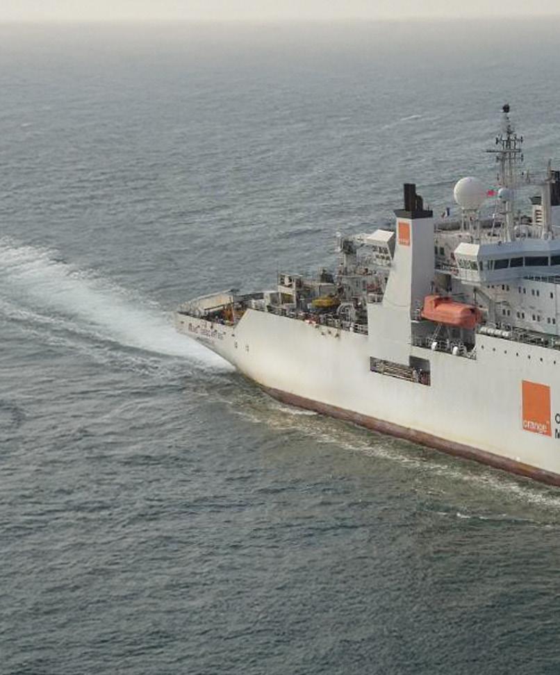
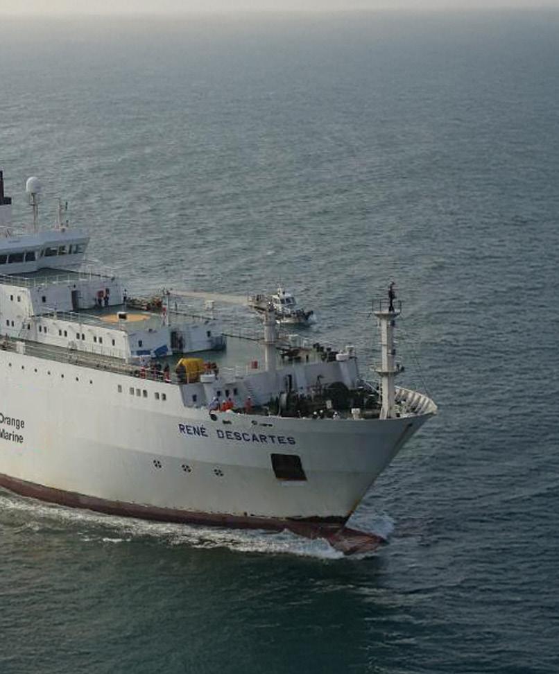
C/S RENÉ DESCARTES
Owner / Operator Orange Marine


C/S RENE DESCARTES


Sources:
AIS activity for C/S RENE DESCARTES is concentrated along the Strait of Malacca and adjacent approaches between northern Sumatra, the west coast of Peninsular Malaysia, and Singapore. The mapped pattern forms a clear northwest to southeast operating corridor rather than a dispersed regional footprint. Activity is present across multiple hexagonal cells, but the strongest signal is in the central-northern strait, with additional moderate concentrations farther south near the Malaysian west coast and the Singapore approach. The distribution is consistent with sustained cable-vessel work, support movements, or staged transits within a major submarine cable and shipping corridor.
CENTRAL-NORTHERN STRAIT OF MALACCA
The most prominent activity cluster appears offshore between northern Sumatra and the Malaysian coast, broadly west of the Ipoh to Georgetown area and northeast of Medan. This cell is the highest-intensity feature on the map and stands out from the surrounding lower and moderate activity bins. Its position in the middle of the strait suggests the vessel spent a significant portion of the reporting period operating in or repeatedly returning to this area. The compact nature of the strongest concentration is consistent with localized cable-related operations such as survey lines, inspection, repair support, or installation support, rather than a simple one-way passage through the region.
NORTHERN APPROACHES AND WEST MALAYSIA CORRIDOR
A chain of lower to moderate activity extends northwest from the main concentration toward the waters off Banda Aceh and the southern Thailand approach. These cells show that the vessel’s operating area was not limited to one point, but followed the general axis of the strait. Similar moderate cells appear along the Malaysian side of the corridor near Georgetown and farther south, indicating repeated movement or stationing along a route that parallels the coast. The arrangement suggests a structured operational footprint, with activity distributed along a likely cable corridor or work route linking the northern entrance of the strait with central operating areas.
SOUTHERN STRAIT AND SINGAPORE APPROACH
Farther southeast, additional activity is visible near the Kuala Lumpur and Port Klang area and continuing toward the Singapore approach. The intensity here is lower than the central-northern hotspot, but the presence of multiple cells indicates the vessel also operated or transited through the southern part of the strait. This pattern is consistent with movements between work areas, port access, staging locations, or onward routing through one of the busiest maritime gateways in Southeast Asia. The cells near Singapore show connection to the broader regional corridor without indicating a dominant concentration there.
OPERATIONAL OVERVIEW
Overall, the map shows C/S RENE DESCARTES maintaining a sustained presence within the Strait of Malacca from January through April 2026, with activity organized along a continuous northwest-southeast corridor. The strongest operational emphasis is in the central-northern strait, while secondary activity links that area to both the northern approaches and the southern Singapore gateway. The visual pattern supports interpretation as cable-sector operational activity involving localized work and repeated corridor movements, rather than broad-area roaming. The vessel’s footprint aligns with a strategic submarine cable environment where precise positioning, route following, support transits, and potential maintenance or survey activity would be expected.
CABLE INNOVATOR
CABLE INNOVATOR


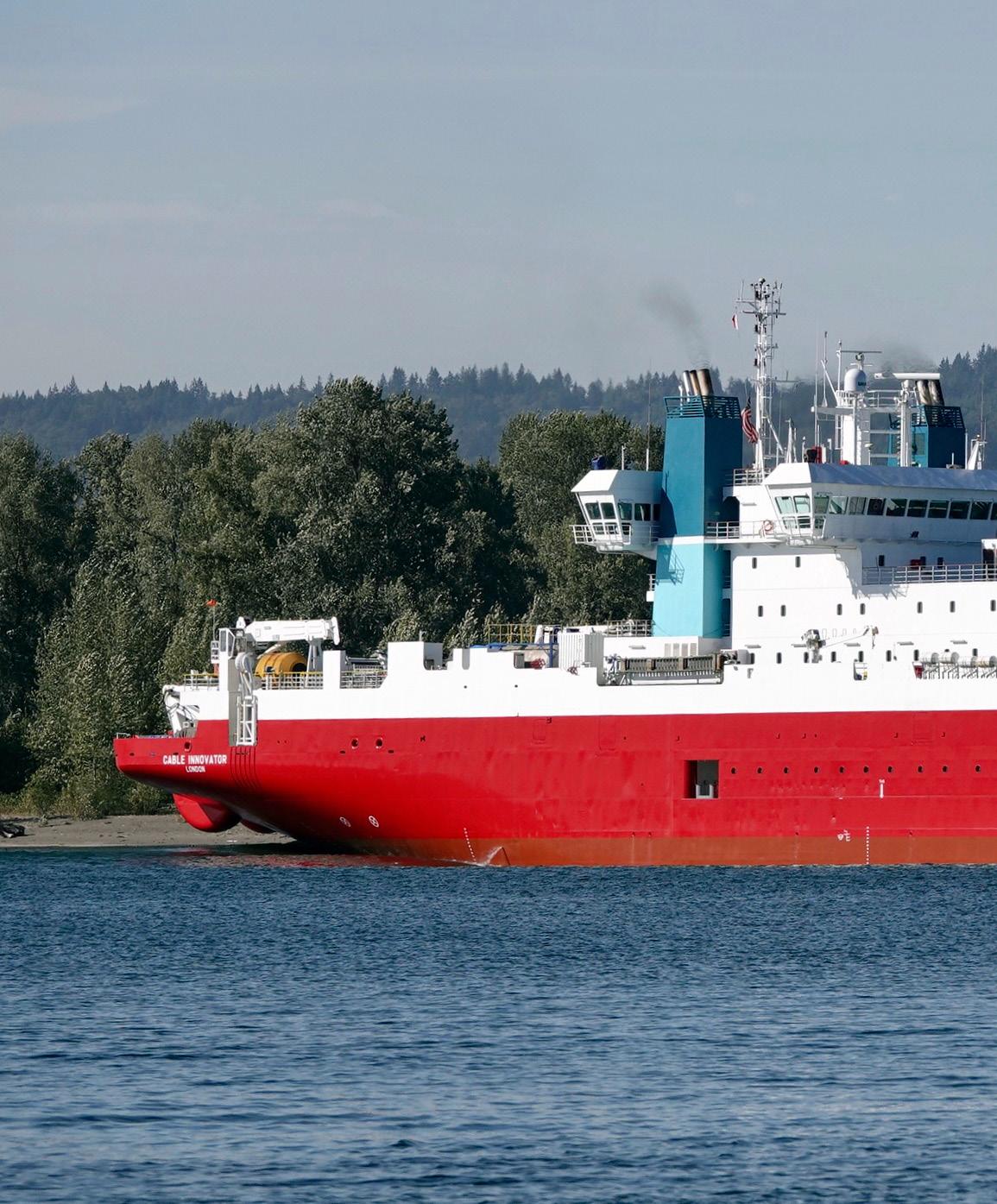
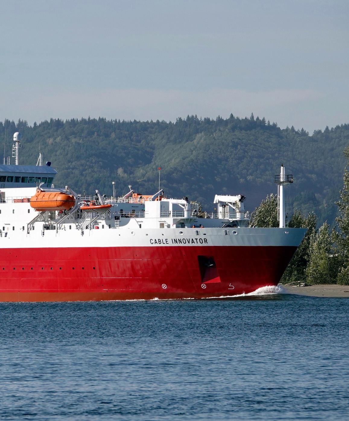
AIS activity for CABLE INNOVATOR during the January through April 2026 period forms a broad North Pacific operating footprint, with vessel presence extending from the Aleutian and Gulf of Alaska sector southeastward toward the Pacific Northwest. The hexbin pattern is mostly low to moderate in intensity across offshore waters, indicating distributed transits or intermittent work rather than a single continuous station-keeping area. The clearest concentration appears near the Vancouver and Seattle approaches, while additional lighter cells trace a wide arc through waters offshore British Columbia, southeast Alaska, and the northeastern Pacific.
PACIFIC NORTHWEST APPROACHES
The strongest mapped activity is located near the coastal waters between Vancouver and Seattle, where the only distinctly higher-intensity cell is shown. This pattern suggests the vessel spent comparatively more time in or near a port, staging, mobilization, demobilization, or nearshore operational area. Given the vessel type and the tight coastal position, the activity is consistent with cable-related support, inspection, repair readiness, or preparation for offshore work, although the map does not identify a specific project or landing. The concentration sits at the transition between inland and open-ocean routes, making it a logical operational node for a vessel moving between port services and North Pacific cable corridors.
GULF OF ALASKA AND ALEUTIAN CORRIDOR


A second pattern is the broad chain of low-intensity activity stretching westward and northwestward across the Gulf of Alaska toward the Aleutian region. These cells are spread over a long offshore corridor rather than clustered in one work site, which points to extended passage, route-following, or intermittent survey and support activity. The spacing and orientation align with major North Pacific transit routes and with the general geography of submarine cable approaches between Alaska, the Pacific Northwest, and wider transoceanic routes. The lack of strong concentration in these offshore cells suggests the vessel did not remain fixed for long periods in any single offshore location, or that any work was distributed over multiple segments.
OFFSHORE BRITISH COLUMBIA TO NORTHEAST PACIFIC
Several low-intensity cells also appear offshore of British Columbia and farther south in the northeastern Pacific, including a small extension away from the main coastal corridor. This indicates that the vessel’s activity was not limited to port approaches or Alaska-bound transit alone. The pattern may reflect offshore maneuvering, route verification, cable corridor attendance, or positioning associated with broader marine operations. Because the cells remain light, the activity is best interpreted as secondary movement or dispersed operational presence rather than a dominant project area.
OPERATIONAL OVERVIEW


Overall, CABLE INNOVATOR shows a four-month activity profile characterized by sustained regional mobility across the northeastern Pacific, anchored by a stronger coastal concentration near Vancouver and Seattle. The map supports an interpretation of a cable vessel moving between port-based logistics and offshore operating areas, with a wide but generally low-intensity footprint through Alaska and adjacent North Pacific waters. The vessel’s pattern is consistent with cable industry support, transit, survey, or readiness activity, with the Pacific Northwest functioning as the principal activity focus visible in the AIS concentration map.
CABLE RETRIEVER
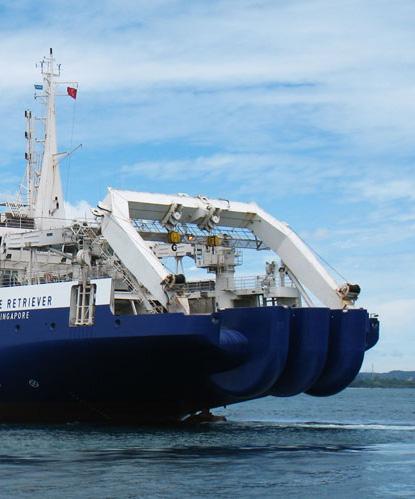
CABLE RETRIEVER


AIS activity for Cable Retriever is distributed across a broad western Pacific operating area, with the densest clusters arranged between the northern South China Sea, Luzon Strait, Taiwan approaches, and waters off the Philippines. The heat pattern shows repeated presence rather than a single continuous passage, indicating a mix of stationkeeping, slow operational work, and repositioning between offshore work areas. Lowerintensity cells extend southwest toward the central and southern South China Sea, suggesting connecting transits or secondary assignments along regional cable corridors.
LUZON STRAIT AND NORTHERN SOUTH CHINA SEA
The strongest activity is concentrated in the corridor between Hong Kong, Taiwan, and northern Luzon, where several adjacent cells show moderate to high intensity. This is a strategically important submarine cable region, and the mapped pattern is consistent with a vessel conducting cable support operations such as inspection, repair readiness, route verification, or localized work at offshore cable crossings and approaches. The clustering east and southeast of Hong Kong, together with activity nearer Taiwan and the Luzon Strait, suggests the vessel spent meaningful time within a dense network of regional telecommunications routes rather than simply transiting through open water.
MANILA AND LUZON APPROACHES
A second clear activity focus appears west and northwest of the Philippines, including a stronger cell near the Manila and Luzon approach area. The pattern indicates repeated vessel presence in waters where cables typically converge toward landing areas and deepwater route segments. The concentration does not form a long uninterrupted track, but instead appears as localized operating cells, which supports an interpretation of targeted cable-related work or standby positioning. This area may reflect maintenance, inspection, or repair support activity associated with routes entering or skirting the Philippine archipelago.
SOUTH CHINA SEA TRANSIT AND STAGING CORRIDOR
Lower-intensity cells extend southwestward through the South China Sea toward waters north of Borneo and in the general direction of the Singapore and Malaysia region. These cells are lighter and more separated than the northern clusters, indicating less time spent in each area and a greater likelihood of passage, staging, or repositioning. The alignment follows a plausible regional cable and vessel logistics corridor linking major Southeast Asian ports, repair bases, and offshore cable routes. The distribution suggests Cable Retriever moved between operational zones while maintaining intermittent activity along the broader South China Sea network.
OPERATIONAL OVERVIEW
Overall, the AIS map presents Cable Retriever as active across a wide regional maintenance and support theater rather than confined to one port or single offshore site. The strongest evidence points to sustained operations in the northern South China Sea and Luzon Strait area, supported by additional activity near the Philippines and lighter movements farther southwest. The spatial pattern is consistent with a cable vessel engaged in a combination of operational attendance, cable route work, standby coverage, and transits between regional work areas during the reporting period.
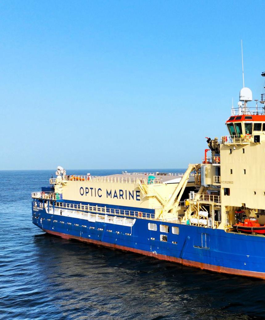
CABLE VIGILANCE
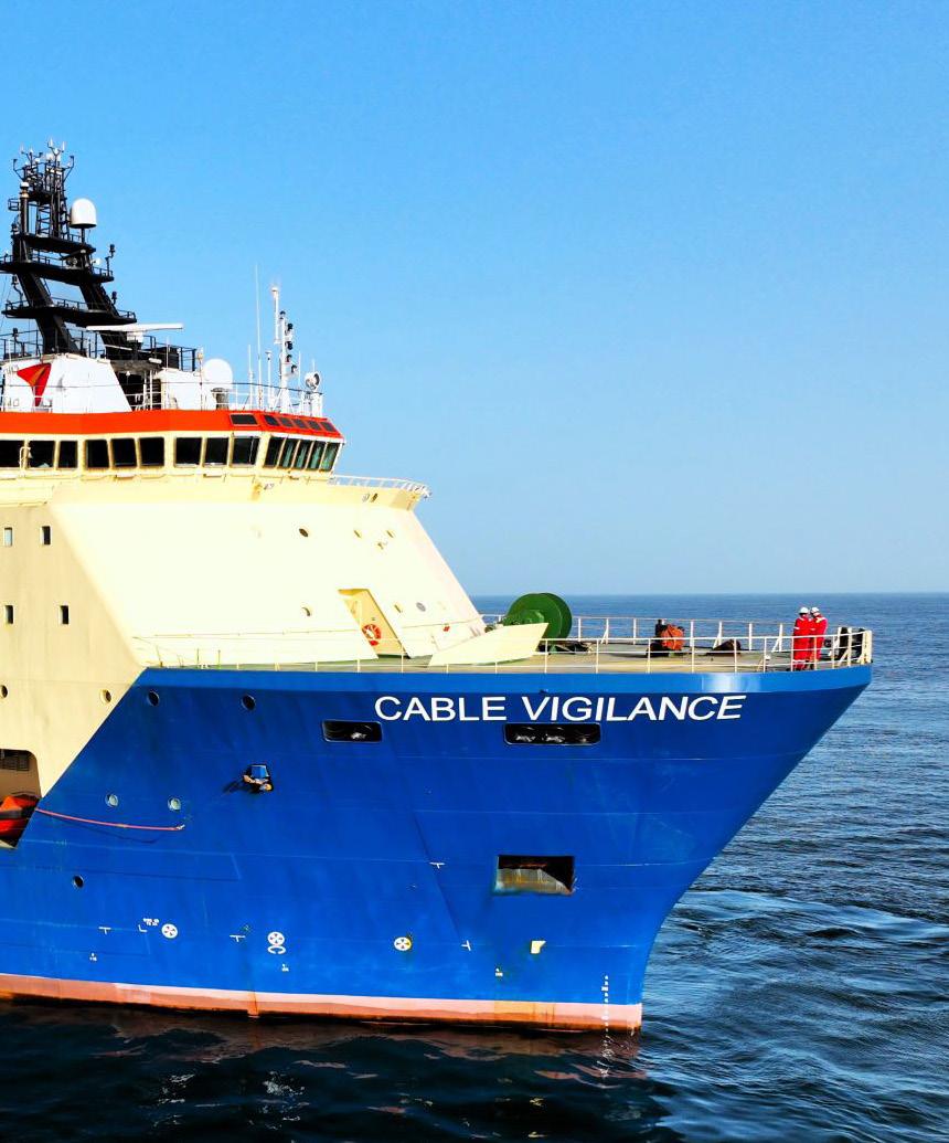
Owner / Operator OMS Group
CABLE VIGILANCE


AIS activity for CABLE VIGILANCE during January through April 2026 is distributed across the western approaches to Europe, with the strongest concentration in the eastern English Channel and adjacent southern North Sea. The map also shows a chain of lower-intensity positions extending southwest from the Channel Islands and Brittany toward the Bay of Biscay, with a secondary concentration off northern Spain. Overall, the pattern indicates a vessel operating between established cable-relevant corridors, combining concentrated work areas with connecting transits along the UK, French, Belgian, and Spanish maritime approaches.
EASTERN ENGLISH CHANNEL AND SOUTHERN NORTH SEA


The highest activity is focused near the eastern English Channel and the southern North Sea, offshore of southeast England, northern France, Belgium, and the Netherlands. This dark, compact cluster stands out clearly from the rest of the track pattern and suggests repeated presence in a confined operational area rather than simple passage. Its position near major cross-Channel and North Sea routes is consistent with cable maintenance, inspection, repair readiness, or localized support activity in a dense subsea infrastructure and shipping environment. The proximity to London, Brussels, Antwerp approaches, and the Dover Strait region reinforces the interpretation of a high-priority operational zone where station-keeping or repeated short movements likely occurred.
ATLANTIC FRANCE AND BAY OF BISCAY

A broader, lower-intensity corridor extends from the western English Channel past the Channel Islands and the French Atlantic coast toward the Bay of Biscay. The hexagons in this section are lighter and more dispersed, indicating intermittent presence or transit rather than a single sustained work site. Activity appears west of Brittany, near the approaches to Saint Helier and the Channel Islands, and farther south along the French offshore margin. A more pronounced secondary patch appears in the southeastern Bay of Biscay near the Basque coast and the Bilbao area, suggesting a short operational stop, staging movement, or localized survey or support task distinct from the main Channel concentration.
OPERATIONAL OVERVIEW


The vessel’s AIS footprint suggests a cable-sector operating pattern spanning multiple European offshore regions, with the eastern English Channel and southern North Sea acting as the principal area of activity and the Atlantic France to Bay of Biscay line serving as a connecting or secondary operational corridor. The concentrated cluster near Belgium, northern France, and southeast England likely reflects targeted work or standby activity in a busy subsea cable environment, while the lighter western and southern cells are more consistent with repositioning, route-following, or brief interventions. Taken together, the pattern indicates sustained regional deployment rather than a single direct transit.
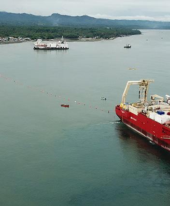
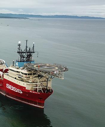
CS FU HAI
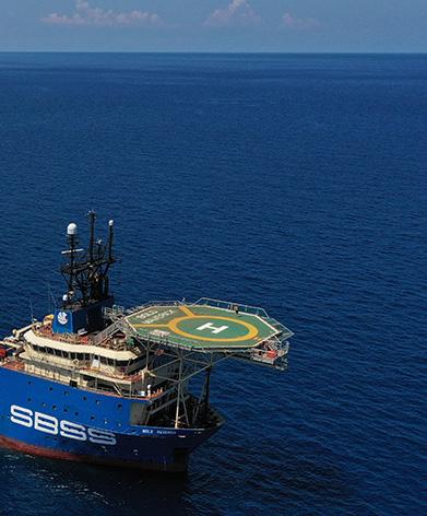
Owner / Operator SBSS
/ DNV1A1


CS FU HAI


CS FU HAI shows a broad but clearly structured AIS footprint across the East China Sea and adjacent western Pacific, with activity distributed between coastal staging areas, cross-sea transit corridors, and offshore work zones. The pattern is not a single direct voyage; instead, it indicates repeated presence along a north-south corridor off eastern China, an east-northeast route toward Japan, and a separate offshore cluster east of Taiwan. Most cells are low to moderate in intensity, suggesting movement between work areas, while the strongest concentration occurs near the Zhejiang coast around Ningbo and Hangzhou Bay.
ZHEJIANG COASTAL CONCENTRATION
The most prominent activity is centered off the Ningbo and Hangzhou Bay area, where the map shows the highest-density cell and adjacent moderate-density cells extending toward Shanghai and offshore approaches. This concentration is consistent with a vessel repeatedly returning to, departing from, or holding near a coastal logistics and marine operations zone. For a cable ship, this type of pattern may reflect mobilization, demobilization, port approach movements, standby periods, or nearshore cablerelated support activity. The proximity to major coastal infrastructure and the clustering of multiple cells suggest that this area functioned as the principal operational anchor during the mapped period, rather than simply a point passed during transit.
EAST CHINA SEA TRANSIT CORRIDORS
A chain of lower-intensity cells extends southward from the Shanghai-Ningbo area toward waters west and north of Taiwan, forming a visible corridor through the East China Sea. Additional cells trend east-northeast from the Chinese coast toward the northern Ryukyu region and Kyushu, including waters offshore from Fukuoka. These linked cells point to repeated or sustained vessel movement between coastal China, the Taiwan-adjacent sea space, and Japan-facing approaches. The spacing and generally lighter intensity of these cells suggest transit legs, route verification, or repositioning rather than a single compact work site. Their alignment is consistent with cable vessel operations that require movement along established marine corridors between shore approaches, offshore segments, and regional service bases.
OFFSHORE WESTERN PACIFIC WORK AREA
A separate group of cells appears east of Taiwan in the open western Pacific, including one moderate-intensity cell within a short east-west series. This offshore activity is spatially distinct from the coastal concentration and indicates that CS FU HAI spent time away from immediate port approaches. The compact nature of this grouping may represent localized cable survey, inspection, repair support, installation support, or standby activity associated with an offshore segment. Because the surrounding cells are limited and separated from the main coastal corridor, this area likely reflects a defined operational task or waypoint rather than routine coastal traffic.
OPERATIONAL OVERVIEW
Overall, the AIS record presents CS FU HAI as engaged in sustained regional cablevessel activity combining port-centered staging near Zhejiang, corridor movements across the East China Sea, and discrete offshore work east of Taiwan. The strongest evidence supports repeated operational reliance on the Ningbo-Hangzhou Bay area, with secondary movement toward Japan and Taiwan-adjacent waters. The mixture of dense coastal presence, elongated transit chains, and compact offshore clusters is typical of a cable ship alternating between logistics, repositioning, and task-focused marine operations within a broad East Asia service area.
Owner / Operator E MARINE


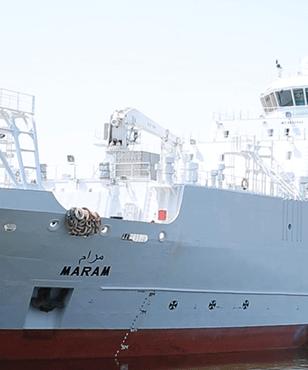
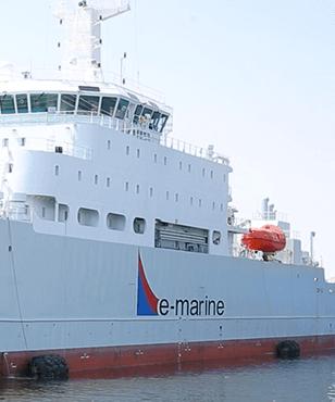
CS MARAM


CS MARAM’s AIS pattern for the January through April 2026 window shows a broad east-west operating footprint extending from the northern Red Sea through the Gulf of Aden and across the Arabian Sea toward western India. Activity is not evenly distributed: the strongest concentration is positioned near Egypt and the Suez approaches, while lower-intensity cells trace a continuous regional corridor along major submarine cable and commercial transit routes. The map indicates a vessel engaged in a mix of stationary or slow-speed work areas, corridor movements, and regional repositioning.
NORTHERN RED SEA AND SUEZ APPROACHES
The most prominent activity is concentrated in the northern Red Sea near Egypt, south of the Mediterranean entrance and close to the Suez-linked maritime corridor. This high-intensity cell stands out clearly from the rest of the track pattern and suggests repeated presence or extended operations in a confined area. Given the vessel type and the location, the pattern is consistent with cable-related work such as survey, inspection, repair support, or installation preparation near a strategically important landing and transit zone. The concentration also indicates that CS MARAM likely spent a meaningful portion of the reporting period operating or waiting in this area rather than simply transiting through it.
RED SEA TO GULF OF ADEN CORRIDOR
South of the main concentration, a chain of lower-intensity activity cells follows the Red Sea toward the Bab el-Mandeb and Gulf of Aden. The spacing and alignment of these cells suggest corridor-based movement rather than isolated port calls. Activity appears near the central and southern Red Sea, then continues toward the waters off Djibouti, Yemen, and the entrance to the Arabian Sea. This distribution is consistent with a vessel moving along or supporting infrastructure routes that connect the Mediterranean and Red Sea region with the Indian Ocean. The relatively light concentration in these cells implies passage, route checking, or short-duration operational pauses rather than one dominant worksite.
ARABIAN SEA AND WEST INDIA APPROACHES
Additional activity is visible across the Arabian Sea, including cells offshore Oman and farther east toward the approaches to western India. These areas form a continuation of the same regional operating corridor and indicate that CS MARAM’s work scope or movements extended well beyond the Red Sea. The offshore pattern suggests regional repositioning, possible survey or support work along long-haul cable alignments, and transit between operating areas. The presence of cells near the western Indian coastline indicates connection to a major landing or service region, although the map does not show enough detail to identify a specific destination or project.
OPERATIONAL OVERVIEW
Overall, CS MARAM shows the profile of a cable vessel active across a major Europe-toAsia maritime and communications corridor, with the clearest operational emphasis near the northern Red Sea and Suez approaches. The remaining activity forms a coherent route through the Red Sea, Gulf of Aden, Arabian Sea, and toward western India. The visual pattern supports an interpretation of mixed cable-related operations, including concentrated work, support activity, and long-distance repositioning between strategic cable regions.
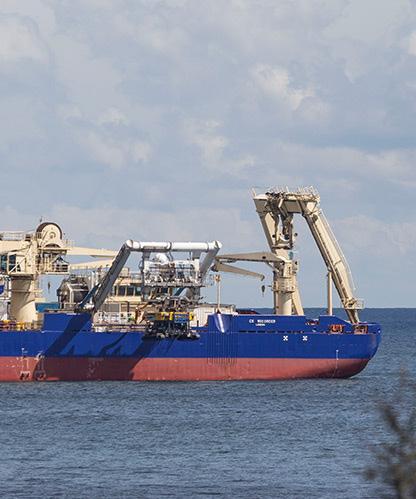
Owner / Operator Global Marine
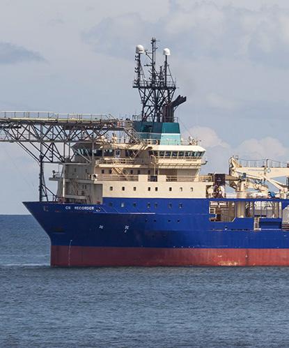
CS RECORDER


AIS activity for CS RECORDER during Jan 1 to Apr 30, 2026 is organized as a broad transatlantic track extending from the western North Atlantic toward the European margin. The visible pattern is not port-centered; instead, positions form a chain of offshore hexagons across open ocean, with intermittent higher-density cells along the route. This distribution suggests a sustained cable-sector deployment, likely involving survey, inspection, maintenance support, or corridor-following transit rather than routine coastal trading. Activity is strongest where the vessel appears to slow or remain within adjacent cells, while the more widely spaced cells indicate passage between work areas.
TRANSATLANTIC ROUTE CORRIDOR


The dominant feature is the continuous northeast-trending corridor across the North Atlantic between waters east of North America and the approaches to western Europe. The line of activity follows a plausible long-haul submarine cable alignment, with repeated AIS presence across multiple offshore cells rather than a single isolated crossing. Several cells in the central Atlantic show moderate concentration, indicating that the vessel likely spent time progressing along a defined route, possibly conducting line inspection, route verification, or support work. The pattern is consistent with a cable vessel operating over a long offshore segment where work areas are separated by extended transit legs.
EASTERN ATLANTIC AND EUROPEAN APPROACHES

Activity becomes more structured near the eastern Atlantic, particularly along the approach toward the Bay of Biscay, France, the United Kingdom, and the wider Iberian offshore region. A slightly stronger concentration appears west of the Iberian Peninsula and near the transition between the open Atlantic and European coastal approaches. This may reflect a work stop, slower maneuvering, or a staging point associated with route operations before continuing toward northwest Europe. The cells closer to France and the English Channel area are more linear and dispersed, suggesting transit toward or away from European landing-region waters rather than prolonged activity inside a specific port or nearshore zone.
MID-ATLANTIC AND AZORES-SIDE OFFSHORE ACTIVITY
contributors, and the GIS User Community
A secondary cluster is visible in the mid-Atlantic, southwest of the main European approach and broadly in the vicinity of the Azores-side oceanic region. The cells here are not as intense as a fixed operational hotspot, but they show enough adjacency and density to indicate more than a simple straight-line passage. This pattern likely reflects intermediate offshore work, route-following, or a pause between longer cable-corridor segments. The surrounding scattered cells to the west and east appear consistent with connecting transit, while the grouped mid-ocean cells suggest a deliberate operational presence along the same broader transatlantic alignment.
OPERATIONAL OVERVIEW
Overall, CS RECORDER’s AIS record shows a sustained offshore campaign across the North Atlantic rather than localized harbor activity. The map supports interpretation as cable-related operations along a transoceanic route, with moderate concentrations in the central and eastern Atlantic and scattered positions marking transit between those areas. The absence of dense coastal clustering indicates that most recorded activity occurred offshore, while the route’s alignment toward western Europe suggests engagement with Atlantic cable corridors serving European landing regions. The operational profile is consistent with a specialized cable vessel alternating between passage, survey-like movement, and localized work periods.
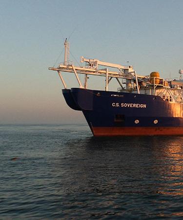
CS SOVEREIGN
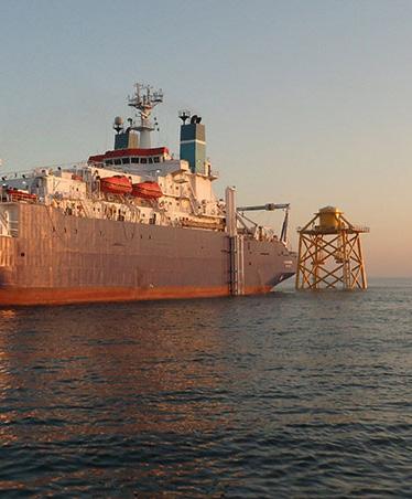
Owner / Operator Global Marine
CS SOVEREIGN


Sources:


Esri, TomTom, Garmin, FAO, NOAA,


AIS activity for CS SOVEREIGN shows a broad but coherent operating footprint across the North Sea, English Channel approaches, and adjacent waters of northwest Europe during January through April 2026. The pattern is not a single linear passage; it combines a dense focal area off southwest Britain with a chain of lower-intensity positions extending north through the central and northern North Sea. Additional activity near the southern North Sea and Channel indicates repeated movements between UK, Dutch, Belgian, and French-facing waters, consistent with a cable vessel alternating between operational work areas, support calls, and transits.
SOUTHWEST UK AND BRISTOL CHANNEL FOCUS
The strongest concentration is located off southwest Britain, around the Bristol Channel, Welsh coast, and western approaches near Cardiff and the Severn estuary. This red high-density cell stands out clearly from the surrounding lighter activity and likely represents the principal operational cluster on the map. The location is consistent with a vessel holding station, conducting slow survey or cable-related work, or supporting nearshore operations where offshore routes converge toward coastal landing areas. Adjacent lower-intensity cells south of Wales, west of southern England, and toward the English Channel suggest related maneuvering, approach routes, or repositioning rather than simple through-transit. The concentration near a complex coastal and estuarine setting indicates a period of focused activity rather than incidental AIS presence.
NORTH SEA TRANSIT AND SECONDARY ACTIVITY CORRIDOR
A second major feature is the elongated corridor of activity running from the southern North Sea northward along the UK east coast and into the central and northern North Sea. Hexagons appear off eastern England, near the Netherlands and Belgium, and farther north between Scotland and Norway, with several light to moderate cells forming a connected offshore route. This distribution suggests repeated vessel movements through established offshore corridors rather than one isolated voyage. The map also shows activity near the Dutch and Belgian approaches, including waters off Amsterdam, The Hague, and the southern North Sea, which may reflect staging, port access, or operational support activity. Farther north, scattered cells west of Norway and east of Scotland likely reflect transit between work areas or positioning in offshore cable corridors.
OPERATIONAL OVERVIEW


Overall, CS SOVEREIGN’s AIS pattern is consistent with a cable-sector vessel engaged in sustained regional operations rather than a purely port-to-port passage. The vessel appears to have concentrated most intensively off southwest Britain while also maintaining a wider operating envelope across the English Channel approaches and North Sea. The low average movement implied by the map’s dense operational cells supports an interpretation of station-keeping, survey, inspection, repair support, or cable work in selected areas, with lighter cells marking repositioning legs. The geographic spread across UK, Dutch, Belgian, French, and Norwegian-facing waters indicates flexible deployment across northwest European subsea infrastructure corridors during the reporting period.


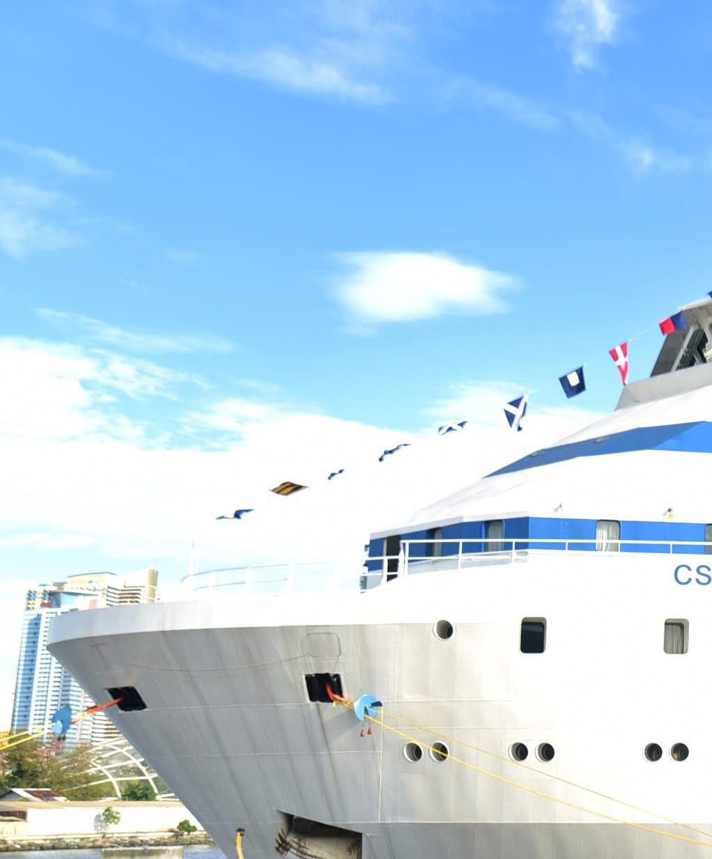
CS VEGA II
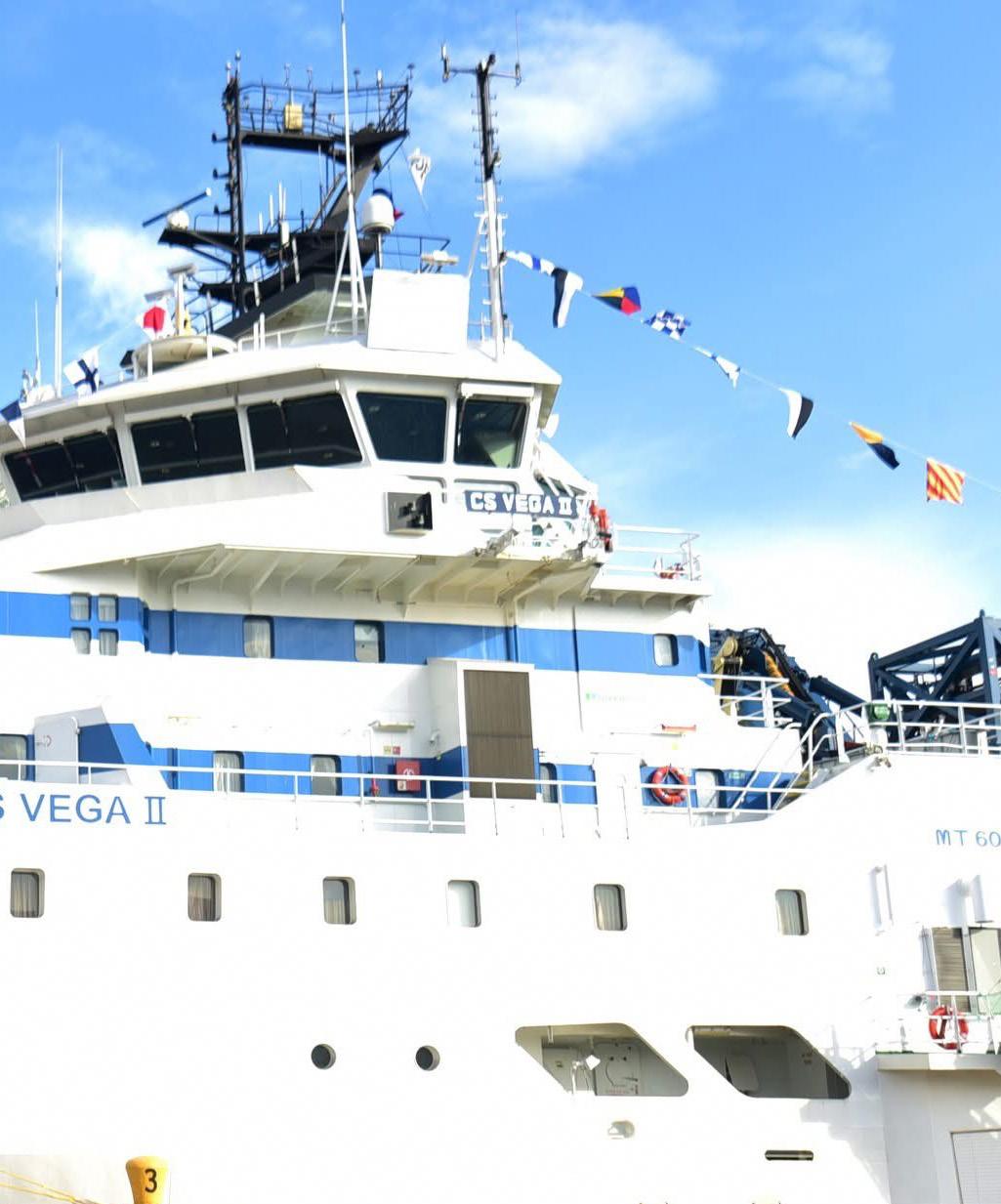
CS VEGA II


CS VEGA II’s
AIS activity from Jan 1 to Apr 30, 2026 is dominated by a compact cluster on the southwest Luzon coast, with a smaller set of separated positions extending southeast through the inter-island waters of the central Philippines. The display does not show a continuous survey grid, cable-lay corridor, or broad offshore working area. Instead, it indicates a vessel spending much of the period near Batangas City and making limited offshore movements toward Mindoro, Romblon, the Sibuyan Sea, and the approaches toward Masbate. Density is sharply higher at Batangas than elsewhere, while all other mapped cells remain light and discontinuous.
SOUTHWEST LUZON AND BATANGAS

The strongest concentration is immediately off Batangas City, on the northern side of the Verde Island Passage and near the entrance to Batangas Bay. Multiple adjacent high-intensity cells indicate repeated AIS presence in the same small operating area, consistent with port calls, standby, mobilization, demobilization, or nearshore cable support activity rather than a single transit. This location is operationally significant because it sits between Luzon and Mindoro, adjacent to busy domestic shipping routes, sheltered port infrastructure, and nearshore utility corridors. The compact geometry suggests the vessel was likely working from, waiting off, or repeatedly returning to the Batangas area during the reporting window, with activity focused close to shore.
SIBUYAN SEA AND CENTRAL PHILIPPINE MOVEMENTS
A secondary pattern appears as widely spaced, low-intensity positions southeast of Batangas across waters bordered by Oriental Mindoro, Romblon, Sibuyan Island, and Masbate. These cells are isolated rather than forming a continuous line, which suggests intermittent transits, repositioning stops, or brief operational checks rather than sustained route survey. The points occupy open inter-island waters and passages that connect the Verde Island Passage with the Sibuyan Sea and onward toward the central Philippines. Their separation from the Batangas cluster indicates that offshore movements occurred, but the lack of density implies they were limited in duration, likely reflecting movement between work areas, holding points, or routing through the archipelago.
OPERATIONAL OVERVIEW
Operationally, the map presents CS VEGA II as locally anchored to the Batangas operating environment while maintaining a modest regional reach into the central Philippine island chain. The vessel’s relatively compact AIS footprint is consistent with cable-sector support where port access, weather windows, vessel readiness, and short tasking periods can produce concentrated harbor-adjacent activity and scattered offshore fixes. No clear evidence is visible for a long-distance installation campaign or systematic survey pattern during the period. The most supportable interpretation is a Batangas-centered staging or support phase, accompanied by limited transits or brief offshore activity across the Verde Island Passage and Sibuyan Sea region.
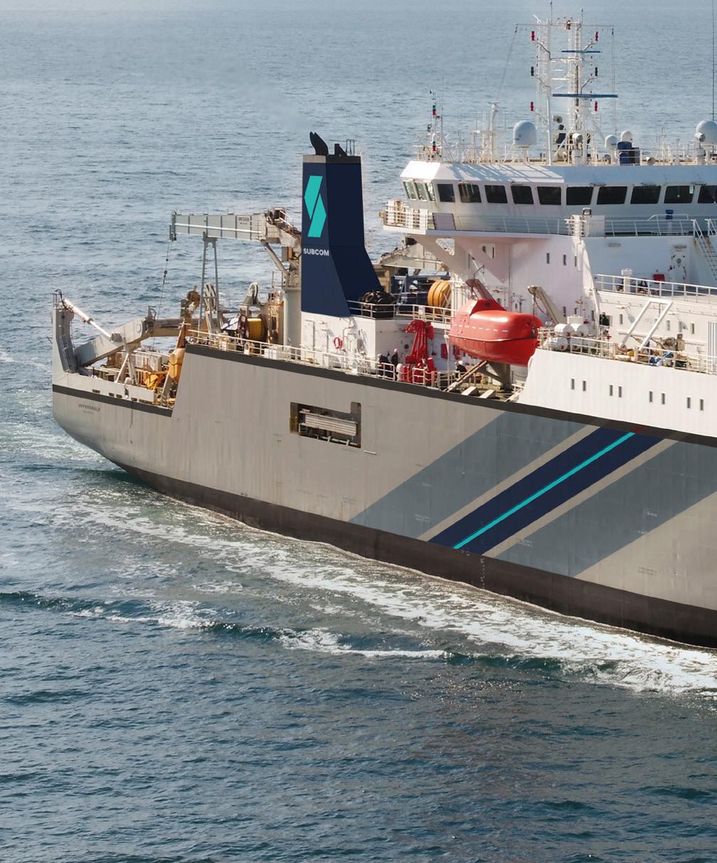
Owner / Operator SubCom
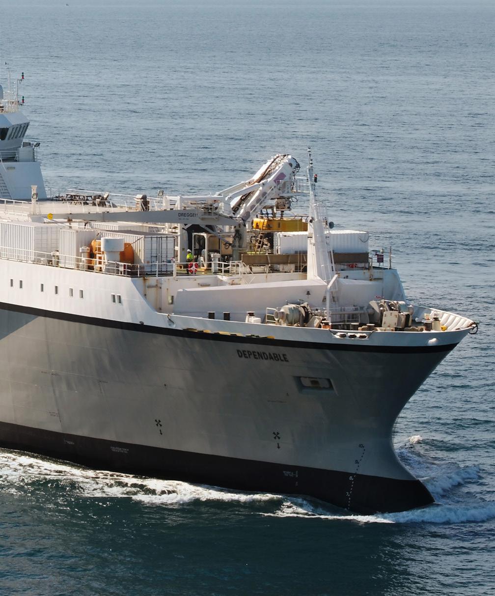
Year Built
by Keppel Hitachi Zosen (Hull 031) Flag
States of America


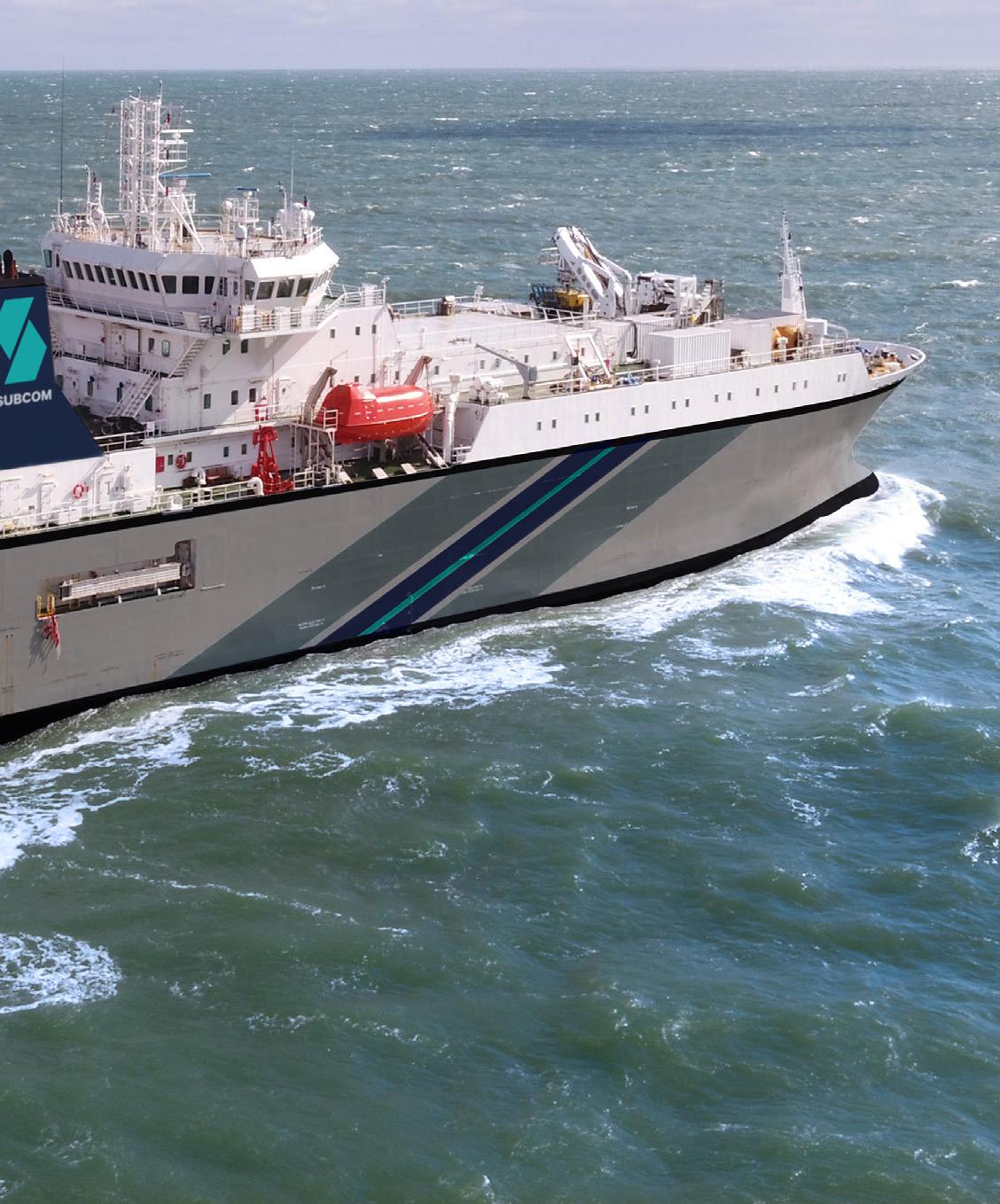
DEPENDABLE’s AIS activity from January through April 2026 shows a broad southwestto-northeast operating corridor across the western South Pacific, linking the east coast of Australia with New Caledonia, Vanuatu, and Fiji. The mapped positions are not evenly distributed: most cells are light, indicating transit or low-density presence, while several stronger clusters appear along the Coral Sea and around the New Caledonia approaches. The pattern suggests a vessel moving between regional ports and offshore work areas, with intermittent concentrated operations consistent with cable-related survey, support, inspection, or repair activity rather than simple point-to-point passage alone.
CENTRAL CORAL SEA AND NEW CALEDONIA APPROACHES
The strongest activity is concentrated in the central Coral Sea southwest and west of New Caledonia, where the darkest hexagon marks the primary operational focus on the map. Nearby moderate cells extend toward Noumea and along the route leading northeast toward Vanuatu and Fiji, indicating repeated presence in this offshore corridor. This distribution suggests DEPENDABLE spent meaningful time either holding position, working at low speed, or conducting repeated passes in waters associated with regional subsea connectivity routes. The proximity to New Caledonia and the continuation toward island landing areas are consistent with cable survey, maintenance support, or repair readiness activity, though the map does not identify a specific system or operator.
EASTERN AUSTRALIA COASTAL CORRIDOR
A second, more dispersed activity band follows the eastern Australian seaboard from the Sydney offshore area northward past Brisbane and toward the Coral Sea off Queensland. Most cells in this zone are low to moderate, suggesting transit, staging, or repositioning rather than a single prolonged worksite. The moderate concentration near Sydney indicates a notable call, approach, or operational pause, while the cells offshore from Brisbane and farther north toward Townsville align with movement into or out of the wider Coral Sea operating area. This coastal pattern likely reflects the vessel using Australian ports or coastal waters as logistical gateways before proceeding to offshore work areas near New Caledonia and the island chains farther northeast.
OPERATIONAL OVERVIEW
Overall, DEPENDABLE appears to have operated as a regional subsea support asset over an extended western South Pacific circuit, combining long-distance transits with concentrated offshore activity. The densest footprint near New Caledonia is the clearest indicator of operational focus, while the lighter chain of positions to Fiji, Vanuatu, and eastern Australia shows broader network coverage and repositioning. The activity pattern is consistent with a vessel supporting cable inspection, survey, repair standby, or related marine operations across a geographically dispersed island and coastal environment. No single port dominates the map, but the Coral Sea and New Caledonia approaches clearly anchor the observed operating profile.


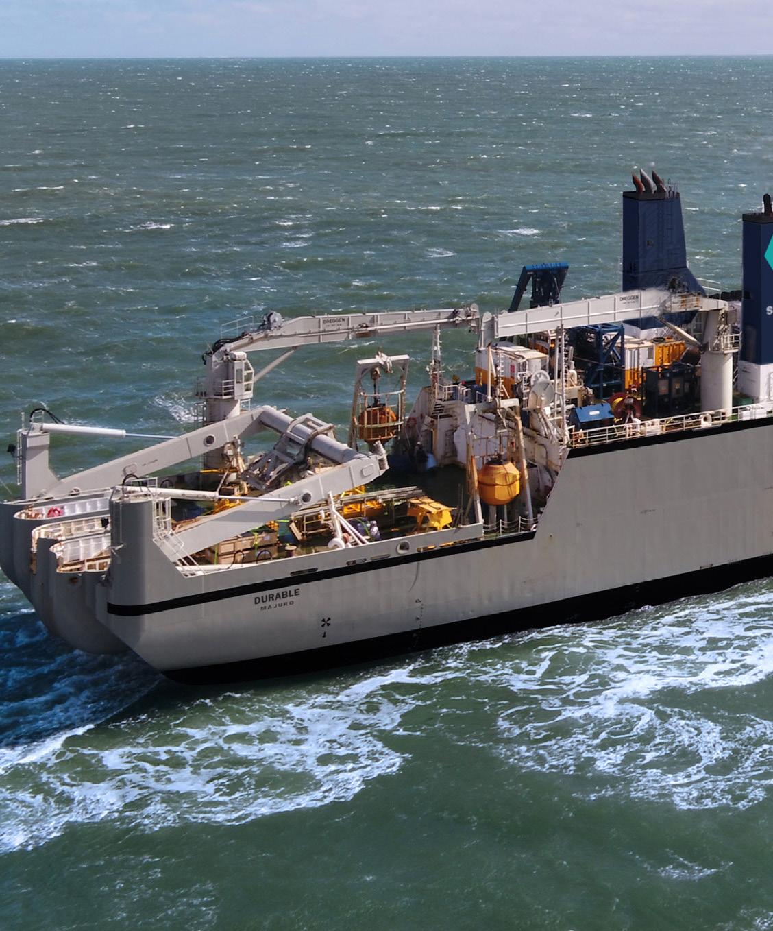
Owner / Operator SubCom


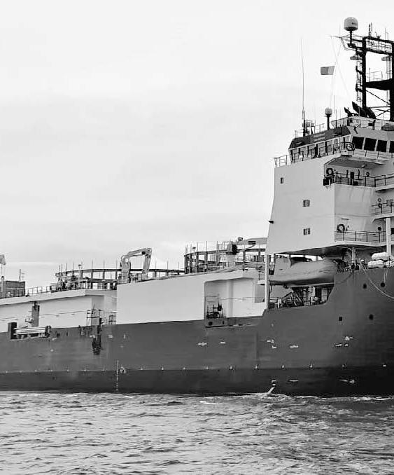
DURABLE’s AIS activity for the period is distributed across a broad Atlantic operating envelope rather than concentrated in a single coastal area. The visible pattern forms a chain of activity cells extending from the western North Atlantic near the northeastern United States and eastern Canada, southeastward across the central ocean, and onward toward the eastern tropical Atlantic off West Africa. Activity concentration is generally light to moderate across the mapped cells, suggesting an extended voyage or series of offshore work segments with intermittent occupation of widely spaced areas rather than prolonged station keeping in one compact zone.

CENTRAL ATLANTIC TRANSIT CORRIDOR
The most prominent feature is the continuous mid-ocean corridor linking the western Atlantic with the eastern side of the basin. The hexagonal cells trace a stepped route across the North Atlantic, with activity appearing at regular intervals from offshore North America toward the central Atlantic and then southeastward. This alignment is consistent with a long-range cable-related transit, survey passage, or support movement between work areas. The absence of a dense cluster in the middle of the ocean suggests the vessel was not fixed over one repair or installation site for an extended period, but the repeated cell coverage indicates a sustained presence along a defined offshore track.
EASTERN TROPICAL ATLANTIC AND WEST AFRICA
A second important area appears in the eastern tropical Atlantic, where activity cells are positioned offshore of West Africa and near the Gulf of Guinea region. Several cells lie west and southwest of the African coastline, including waters broadly offshore of the Ghana to Angola sector. This distribution may reflect approach, staging, survey, or support activity associated with subsea infrastructure routes making landfall along the West African margin. The pattern remains offshore rather than tightly coastal, indicating that the mapped AIS positions likely represent vessel movement along deepwater or outer-shelf approaches rather than harbor maneuvering or short local port activity.
WESTERN ATLANTIC APPROACH
The western end of the activity pattern is located offshore of the northeastern United States and eastern Canada, with cells extending from the area east of New York and the Canadian Maritimes toward the open Atlantic. These positions indicate that DURABLE either departed from, approached, or worked near the western North Atlantic cable corridor before proceeding across the ocean. The geometry of the cells suggests an offshore approach route rather than localized coastal operations. This region is significant because it anchors the western side of the observed Atlantic track and connects the vessel’s movements to major transatlantic routing areas.
OPERATIONAL OVERVIEW
Overall, the AIS evidence shows DURABLE operating as a long-range offshore asset across the Atlantic during the reporting period. The vessel’s movements are best interpreted as a combination of oceanic transit and cable-industry support or survey activity spanning multiple offshore regions. The map does not show one dominant high-density worksite; instead, it shows a broad, purposeful route connecting western Atlantic approaches, central ocean segments, and eastern tropical Atlantic waters near West Africa. This pattern supports an operational profile involving sustained mobility, route-following behavior, and potential engagement with transoceanic subsea cable corridors rather than localized port service.
Jan 1 - Apr 30, 2026
Sources: Esri, TomTom, Garmin, FAO, NOAA, USGS,
OpenStreetMap contributors, and the GIS User Community
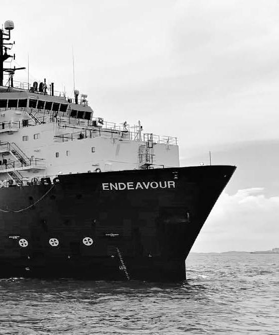
AIS activity for ENDEAVOUR during the January through April 2026 period is displayed as a sparse, globally separated pattern rather than a continuous route trace. The map shows a small number of low-intensity concentration cells, with no dense corridor or compact hotspot indicated by the legend. Activity is split between the western Pacific and the Australia–Tasman Sea region, suggesting intermittent operating windows, staging movements, or separated work areas rather than one sustained local campaign. The distribution is consistent with a vessel engaged in specialist offshore support, survey, cable-related inspection, or transit between regional assignments.
WESTERN PACIFIC AND SOUTHEAST ASIA
The most prominent regional grouping appears in the western Pacific and Southeast Asia sector, where several adjacent concentration cells are positioned between the Asian mainland, the South China Sea region, and waters north of Australia. The cells are lightly shaded, indicating low relative intensity, but their proximity forms the clearest cluster on the map. This pattern may reflect repeated presence in a broad operating area rather than a single fixed worksite. For a cable-capable or offshore support vessel, such a footprint is compatible with regional mobilization, survey support, inspection activity, or transits between ports and offshore work locations. The absence of a highdensity center suggests the vessel did not remain stationary for long periods within one mapped cell.
AUSTRALIA AND TASMAN SEA
A second distinct activity grouping is visible around Australia and the Tasman Sea. The cells are positioned across waters near the Australian margin and toward the area between southeastern Australia and New Zealand. As with the western Pacific grouping, the shading remains low, indicating dispersed or limited AIS concentration rather than heavy localized activity. The geometry suggests ENDEAVOUR may have been moving between coastal approach areas and offshore sectors, potentially supporting survey, maintenance, or transit requirements. The separation between the Australian-side cells and the western Pacific cells indicates that the vessel’s activity was not confined to a single basin during the reporting period.
DISPERSED LOW-INTENSITY OPERATIONS
Across the full map, ENDEAVOUR does not show the strong linear signature often associated with a clearly defined long-distance cable lay route, nor does it show a single intense point associated with extended port stay or prolonged repair stationkeeping. Instead, the map presents broad, low-intensity cells in two separated maritime regions. This supports an interpretation of periodic movements, short operating windows, or limited AIS reception density across remote offshore areas. The vessel appears to have maintained regional mobility rather than concentrating all activity in one operational zone.
OPERATIONAL OVERVIEW
Overall, ENDEAVOUR’s AIS pattern indicates broad Indo-Pacific activity with the strongest visible emphasis in the western Pacific and a secondary presence near Australia and the Tasman Sea. The mapped concentrations are subdued, so conclusions should be kept at regional scale. The vessel’s movements are consistent with offshore support or cable-sector tasks involving transit, staging, inspection, survey, or intermittent field operations, but the map does not provide evidence for naming a specific project, operator, cable system, or work scope.
FJORDKABEL
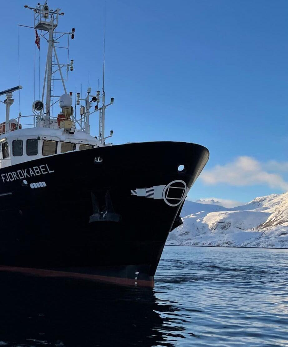
Owner / Operator Seaworks Kabel AS
Jan 1 - Apr 30, 2026


Sources: Esri, TomTom, Garmin, FAO, NOAA,
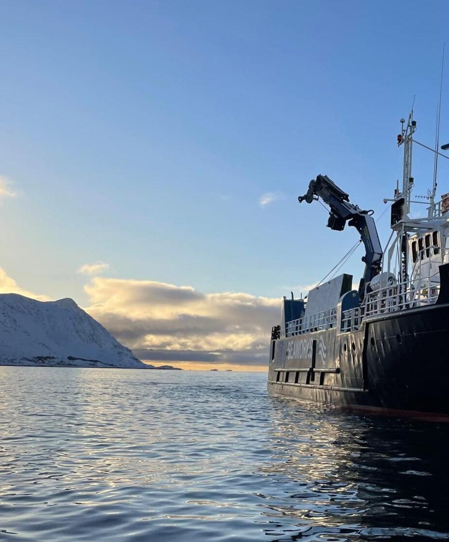
AIS activity for FJORDKABEL is concentrated along the Norwegian margin, forming a clearly defined coastal corridor from the southwest coast northward into the Norwegian Sea. The mapped positions do not show broad offshore roaming or activity across the Baltic, Sweden, Finland, or the wider North Atlantic. Instead, the pattern follows the shape of Norway’s outer coast, with repeated presence in discrete coastal hexagons. The strongest signal is in northern Norway, while lower to moderate activity appears at intervals along the western coastline, indicating a mix of localized work areas and connecting transits during the January to April period.
NORTHERN NORWEGIAN COAST
The dominant activity area is on the northern Norwegian coast, where the darkest concentration cell appears near the outer coastal belt facing the Norwegian Sea. This is the clearest focal point on the map and suggests repeated vessel presence in a limited operating area rather than simple passage. The surrounding adjacent cells show lighter but still visible activity, implying that the vessel worked or maneuvered across a compact regional zone. Given the coastal setting and the vessel’s slow overall movement profile, this pattern is consistent with cable-related operations such as inspection, survey, maintenance support, or localized repair readiness near a northern landing or route segment.
WESTERN NORWAY TRANSIT CORRIDOR
A secondary pattern extends along western Norway, where a chain of low to moderate activity cells tracks the coastline between the southwest and the north. These cells are aligned in a narrow coastal arc rather than spread across open water, indicating that the vessel likely used established nearshore routes while moving between work areas. The spacing of the cells suggests intermittent presence rather than continuous station keeping throughout the entire corridor. This portion of the map appears more consistent with repositioning, coastal transit, or short-duration support stops than with a single sustained offshore operation.
SOUTHWESTERN APPROACHES
The southern end of the mapped activity shows lower-intensity cells near the southwestern Norwegian coast. This area appears less prominent than the northern concentration but remains part of the vessel’s overall operating footprint. The pattern may reflect approach, departure, or staging movements connected to the broader coastal route. The lack of dense clustering here suggests that any work in this area was limited compared with the northern focus, although the cells still confirm recurring AIS presence along the coastal approach to western Norway.
OPERATIONAL OVERVIEW
Overall, FJORDKABEL’s AIS pattern shows a vessel operating primarily within Norway’s coastal cable environment, with the highest concentration in northern Norway and a supporting movement corridor along the west coast. The activity is geographically coherent, coastal, and route-following, with one clear northern hotspot. This supports an interpretation of cable-related work involving localized operations combined with repositioning along the Norwegian margin, rather than open-ocean transit or dispersed regional activity.
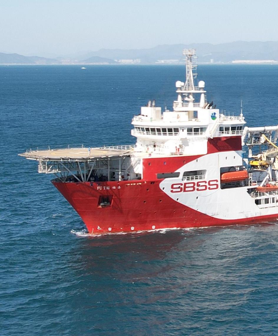
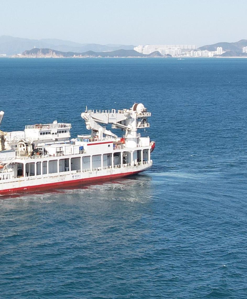
Owner / Operator SBSS


FU TAI’s AIS pattern for January through April 2026 shows a broad but clearly coastal operating footprint along the western margin of the East China Sea and northern South China Sea. Activity is distributed in a chain of hexagonal cells from the Shanghai and Zhejiang offshore area southward past Fujian, the Taiwan Strait, waters east and south of Taiwan, and toward the Pearl River Delta and Hong Kong region. The strongest concentration is not a continuous transit corridor, but a set of separated work areas, indicating repeated localized operations combined with repositioning between coastal and offshore zones.
YANGTZE DELTA AND NORTHERN EAST CHINA SEA
The most prominent activity appears offshore of Shanghai and the Yangtze River Delta, where the highest-intensity cell is located close to the Chinese coast. Adjacent cells extending east and southeast from Shanghai toward the open East China Sea show additional moderate activity, suggesting the vessel spent meaningful time in this northern sector rather than simply passing through. This pattern is consistent with a work phase involving slow movements, holding, survey lines, inspection, support, or staging near a major coastal landing and offshore route area. The position of the cluster near Shanghai, Ningbo, and the approaches to the East China Sea highlights this as the primary operational focus shown on the map.
TAIWAN STRAIT AND FUJIAN COAST
A second activity corridor extends southward along the Fujian coast and through the Taiwan Strait. Several low to moderate cells appear between the Wenzhou, Fuzhou, and Taipei latitudes, forming a stepped offshore track rather than a single narrow route. The distribution suggests FU TAI moved between operational blocks while remaining close to established coastal and cross-strait maritime corridors. The cells do not show the same concentration as the Shanghai area, but they indicate recurring presence and possible interim tasks such as route verification, standby, cable-related support, or controlled transits between northern and southern work areas.
SOUTH CHINA SEA, TAIWAN, AND HONG KONG APPROACHES
The southern portion of the map shows activity around the Pearl River Delta, offshore Hong Kong, near Shantou, and south to southeast of Taiwan. These cells are mostly lighter in intensity, with one more noticeable area southeast of Taiwan. The pattern indicates that FU TAI’s operating window included both the northern South China Sea and waters around Taiwan, likely linking coastal staging areas with offshore assignments. The scattered geometry supports a vessel moving between multiple maritime zones rather than remaining fixed in one port approach or offshore station.
OPERATIONAL OVERVIEW
Overall, FU TAI appears to have been engaged in an extended regional operating program across eastern and southeastern China’s offshore waters, with the clearest emphasis near Shanghai and the Yangtze Delta. The map supports an interpretation of cable-sector or offshore support activity involving localized work periods, slow maneuvering, and periodic repositioning along the coast. The broader footprint from Shanghai to Hong Kong and around Taiwan indicates a vessel operating across several strategic landing, route, and transit areas during the reporting period.
GIULIO VERNE
Owner / Operator Prysmian Group
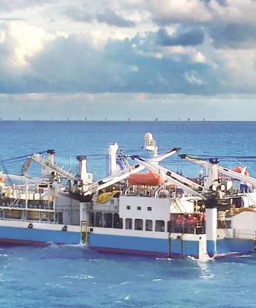
7,000 Te carousel; static tank max 2,500 Te
Cable Tanks 1 carousel; flexible static tank configuration
ROV System Platform for jet trenching ROVs
Plough Capability
GIULIO VERNE


Sources:
Esri, TomTom, Garmin, FAO, NOAA,


The AIS pattern for GIULIO VERNE shows a broad operating footprint extending from the Atlantic approaches of western Europe into the western and central Mediterranean. Activity is not distributed evenly across the map: most hexagons are low-intensity cells forming a loose corridor along offshore France, Iberia, Morocco, Algeria, Tunisia, Sardinia, and Italy, while the clearest concentration appears along the Italian margin. The pattern is consistent with a cable-capable vessel moving between regional work areas, staging points, and transit corridors rather than remaining confined to a single offshore site.
CENTRAL ITALIAN MARGIN


The strongest activity concentration is positioned along the west-central Italian coast, adjacent to the Rome area and the Tyrrhenian Sea. This cell stands out distinctly from the surrounding low-activity hexagons and indicates the vessel spent comparatively more time in this part of the route network. The location and intensity are consistent with localized cable-related operations, potentially including survey, inspection, repair support, installation preparation, or nearshore coordination. Nearby lower-intensity cells around Sardinia, Tunisia, and the central Mediterranean suggest the Italian concentration was connected to wider regional movements rather than an isolated port call or single transit pass.

ATLANTIC APPROACHES AND IBERIAN MARGIN
A second visible theme is the chain of low-intensity activity along the eastern Atlantic, extending from the waters west of France southward past Portugal toward the Morocco and Casablanca area. The cells are spaced in a corridor-like arrangement and do not show the same intensity as the Italian focus, suggesting movement through the region or intermittent work rather than prolonged station-keeping. This distribution aligns with a vessel transiting between northern European waters and Mediterranean operating areas, with possible pauses or route adjustments along established offshore cable and maritime corridors near the Bay of Biscay, Portuguese margin, and northwest African approaches.
WESTERN MEDITERRANEAN CORRIDOR


Additional low-level activity appears across the western Mediterranean between southern Spain, Algeria, Tunisia, Sardinia, and the central basin. These cells connect the Atlantic-side pattern to the stronger Italian activity and indicate repeated or extended movement through the western Mediterranean rather than a single direct crossing. The geometry of the cells suggests regional repositioning and operational support across multiple offshore areas. While the map does not identify a specific cable system or project, the distribution is compatible with cable vessel logistics, including transits between work fronts, standby areas, and coastal access points across the Mediterranean.
OPERATIONAL OVERVIEW
OpenStreetMap contributors, and the GIS User Community
Overall, GIULIO VERNE’s AIS record for the period depicts a vessel active across a wide European and North African operating theater, with the most meaningful concentration near the west-central Italian coast and lower-density tracks linking that area to the Atlantic and western Mediterranean. The pattern supports an interpretation of mixed operational behavior: localized activity in the Tyrrhenian region, broader transits along the Iberian and North African margins, and connecting movements through the western Mediterranean. The map indicates regional cable-sector mobility rather than continuous high-intensity work in one location.
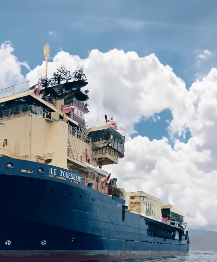


Sources: Esri, TomTom, Garmin, FAO, NOAA,


AIS activity for ILE D OUESSANT is highly localized along the northwest African margin, with the visible heat pattern concentrated offshore between the Western Sahara, Mauritania, and Senegal coastal zones. The map does not show a broad passage track across the North Atlantic, English Channel, Bay of Biscay, or Mediterranean approaches despite the wide regional extent displayed. Instead, the pattern indicates sustained presence in a limited set of offshore cells, consistent with a vessel engaged in slow operational work rather than routine port-to-port transit.
NORTHWEST AFRICAN OFFSHORE CORRIDOR


The strongest activity theme is a compact offshore corridor west of the Sahara and Mauritanian coast. Several adjacent concentration cells form a north-south operational footprint extending from waters off Western Sahara toward the Mauritanian margin. This alignment suggests repeated vessel positioning along a defined offshore route or work area, consistent with cable survey, inspection, repair support, or installationrelated activity. The concentration is not centered on a major port shown on the map, and its offshore placement indicates the vessel was likely working seaward of the coastal shelf rather than simply approaching or departing a harbor. The pattern appears purposeful and spatially constrained.
WESTERN SAHARA AND MAURITANIA MARGIN
The densest northern cell lies offshore of Western Sahara, with additional activity immediately to the south along the Mauritanian-facing portion of the margin. The separation and partial overlap of the cells suggest the vessel may have shifted between nearby work boxes or successive operational segments. This is consistent with phased marine operations where a cable vessel alternates between holding position, advancing slowly along a route, and repositioning to the next task area. The lack of a long continuous visible track across open ocean reinforces that the mapped period was dominated by localized offshore work rather than extended transoceanic transit. Activity here likely reflects the primary operational focus.
SOUTHERN OFFSHORE EXTENSION
A smaller but still visible cluster appears farther south, offshore of the MauritaniaSenegal approaches and west of the broader Dakar region shown on the basemap. This southern cell is more isolated from the northern concentrations, suggesting either a secondary work location, a staging area, or a repositioning point within the same regional offshore campaign. Its lower visual intensity compared with the northern margin indicates less sustained presence, but it remains part of the overall northwest African activity pattern. The distribution is consistent with a vessel moving between discrete offshore task areas rather than continuously operating across the entire coastline.
OPERATIONAL OVERVIEW
Overall, ILE D OUESSANT’s AIS footprint from January through April 2026 indicates a prolonged, low-mobility operational deployment focused on the northwest African offshore margin. The vessel’s activity is concentrated in a small number of offshore cells and lacks evidence of widespread regional trading or long-distance transit during the mapped window. The pattern is most consistent with specialized subsea cable-related work, such as route survey, inspection, maintenance support, or installation support, conducted in phases along the Western Sahara, Mauritania, and Senegal offshore corridor.
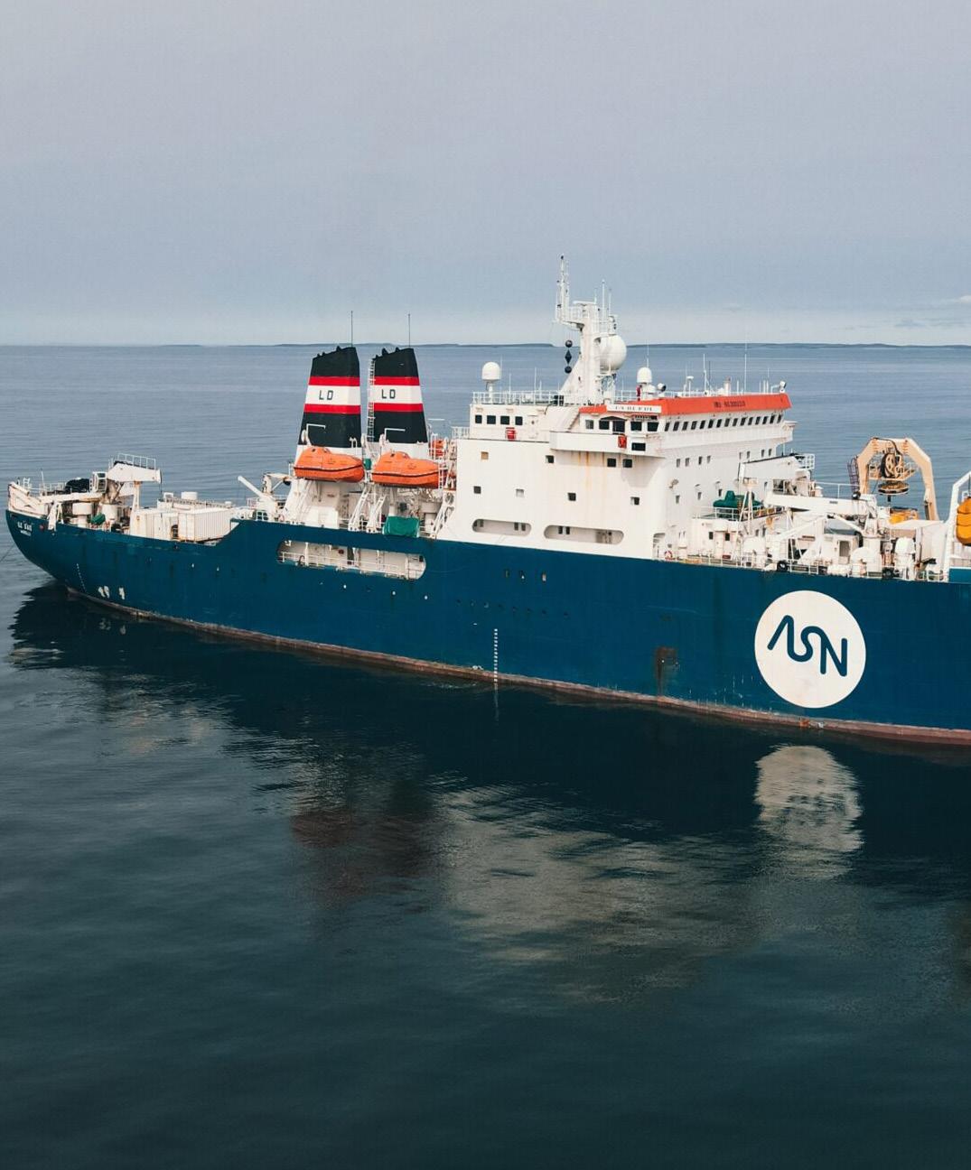
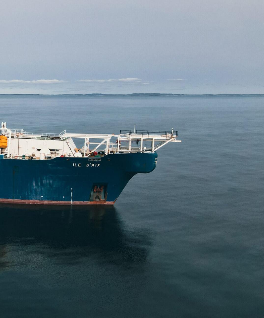


AIS activity for ILE D'AIX is distributed across a wide Asian operating area, with concentrations extending from Sri Lanka and the Bay of Bengal through the Malacca and Singapore approaches, onward into the South China Sea, Hong Kong area, and Taiwan. The pattern is not a simple ocean passage track; instead, it is shown as separated activity cells, indicating periods of localized work, staging, or slow operational movement at several maritime nodes. The strongest cells appear near Colombo and Taiwan, while lighter concentrations form an east-west chain across key regional cable and shipping corridors.
PORT STAGING AT COLOMBO AND TAIWAN
The most prominent activity concentrations are located near Colombo and off Taiwan, where the map shows the highest-intensity cells for the reporting period. These areas likely represent important operational endpoints, staging locations, or work zones rather than brief transits. Colombo is positioned at the western edge of the displayed activity pattern and sits close to major Indian Ocean cable routes and port support infrastructure. The Taiwan concentration is similarly notable, positioned near a dense regional communications and shipping environment. The separation between these two stronger clusters suggests ILE D'AIX was engaged across multiple work areas during the period, with substantial time spent in port-adjacent or nearshore operational settings.
BAY OF BENGAL AND MALACCA APPROACHES
A broader series of lower-intensity cells extends from the Bay of Bengal toward the Andaman Sea, the Strait of Malacca, and the Singapore region. These cells form a logical corridor between the Indian Ocean and Southeast Asian waters, following one of the busiest maritime passages in the world. The spacing and distribution suggest a combination of transit, waiting, and possible cable-related support or inspection activity rather than continuous high-speed movement. The Singapore-area cell is especially relevant because it lies near a major regional marine services hub and a key junction for vessels moving between the Indian Ocean, South China Sea, and western Pacific.
SOUTH CHINA SEA AND HONG KONG LINKAGES
East of Singapore, additional activity appears in the South China Sea and near Hong Kong. These lighter cells indicate that the vessel’s operating footprint extended beyond the Malacca-Singapore corridor into another major cable and commercial shipping region. The Hong Kong-area concentration may reflect port access, standby, or support activity, while the cell farther south in the South China Sea suggests movement or work along a regional route. Together with the Taiwan concentration, these points show a continued northeastward operating pattern across East Asian waters.
OPERATIONAL OVERVIEW
Overall, the AIS evidence shows ILE D'AIX operating as a regionally mobile cablesupport vessel with repeated localized activity rather than a single direct voyage. The map supports an interpretation of staged operations across major Asian cable corridors, with stronger presence near Colombo and Taiwan and connecting activity through the Bay of Bengal, Malacca-Singapore area, South China Sea, and Hong Kong. The visible pattern is consistent with a mix of port calls, operational standby, survey or repair support, and controlled transits between work areas.
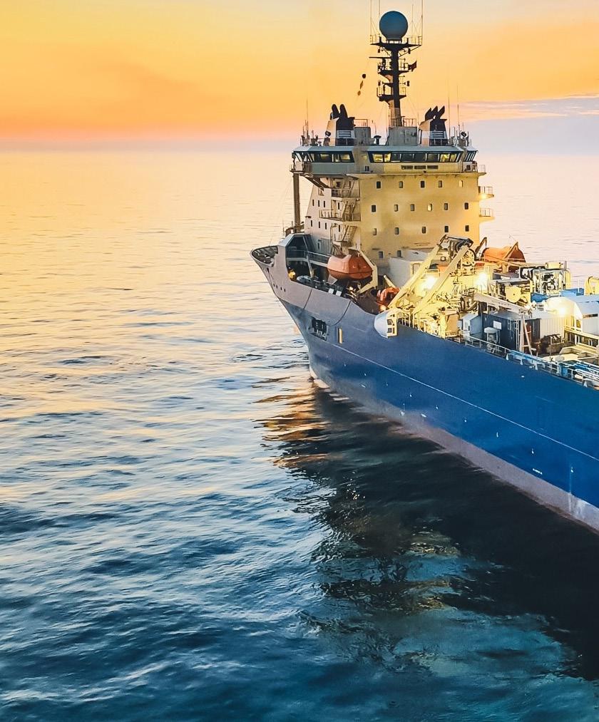
ILE DE BATZ
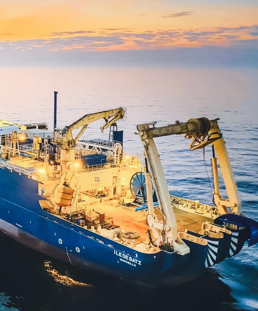
ILE DE BATZ


Sources: Esri, TomTom, Garmin, FAO, NOAA, USGS,
AIS activity for ILE DE BATZ is concentrated in the central-western Persian Gulf, with the strongest density immediately off the Saudi Arabian coast near Dammam and close to Bahrain. The map shows a clear operational focus in this nearshore area, while additional lower-density positions extend northward along the western Gulf toward Kuwait and offshore Saudi waters. A small number of isolated positions appear farther east in the Gulf near the Iranian side. Overall, the pattern suggests a vessel engaged in localized marine work near Dammam-Bahrain, supported by repeated transits or repositioning along a broader Gulf corridor.
DAMMAM-BAHRAIN OPERATIONAL CLUSTER
The most prominent activity cluster is located off Dammam, adjacent to Bahrain and the approaches to the northern Gulf shipping lanes. The darkest concentration indicates repeated presence in a compact area rather than simple passage, which is consistent with cable-related operations such as survey, inspection, repair support, or installation support. The proximity to major coastal infrastructure, port approaches, and the shallow waters between eastern Saudi Arabia and Bahrain suggests work associated with nearshore or landing-zone activity. Surrounding medium-density cells show the vessel moving between the core work area and nearby offshore positions, indicating an operational footprint centered on this Dammam-Bahrain sector.
WESTERN PERSIAN GULF TRANSIT CORRIDOR
North of the primary cluster, the map shows a chain of lower-intensity AIS positions running along the western side of the Persian Gulf. These cells extend away from Bahrain and Dammam toward offshore Saudi waters and the broader approaches leading in the direction of Kuwait and the northern Gulf. The spacing and lighter concentration suggest transit, repositioning, or route-following rather than sustained work at every point. This pattern likely reflects the vessel moving between operational areas, staging locations, or survey lines while remaining broadly aligned with the Gulf’s western coastal corridor. The distribution is linear enough to indicate purposeful movement, but not dense enough to suggest a second major worksite.
EASTERN GULF ISOLATED POSITION
A single isolated activity cell appears farther east, offshore from the Iranian coast in the central Gulf region. Its separation from the western Gulf corridor and the absence of surrounding density indicate that this was likely a brief transit, waypoint, or shortduration stop rather than a sustained operational cluster. The position demonstrates that ILE DE BATZ ranged beyond the Dammam-Bahrain area during the reporting period, but the limited mapped intensity does not support identifying this eastern location as a primary work area. It is best interpreted as peripheral activity associated with broader Gulf movements.
OPERATIONAL OVERVIEW
Across the January to April 2026 period, ILE DE BATZ shows a pattern dominated by repeated activity near Dammam and Bahrain, with secondary movement along the western Persian Gulf and only limited isolated activity farther east. The distribution is consistent with a cable-capable vessel conducting focused offshore or nearshore work in the central-western Gulf, supported by transit legs between nearby coastal and offshore locations. The map does not indicate broad regional dispersion; instead, it points to a defined operational campaign centered on the Saudi-Bahrain maritime area.
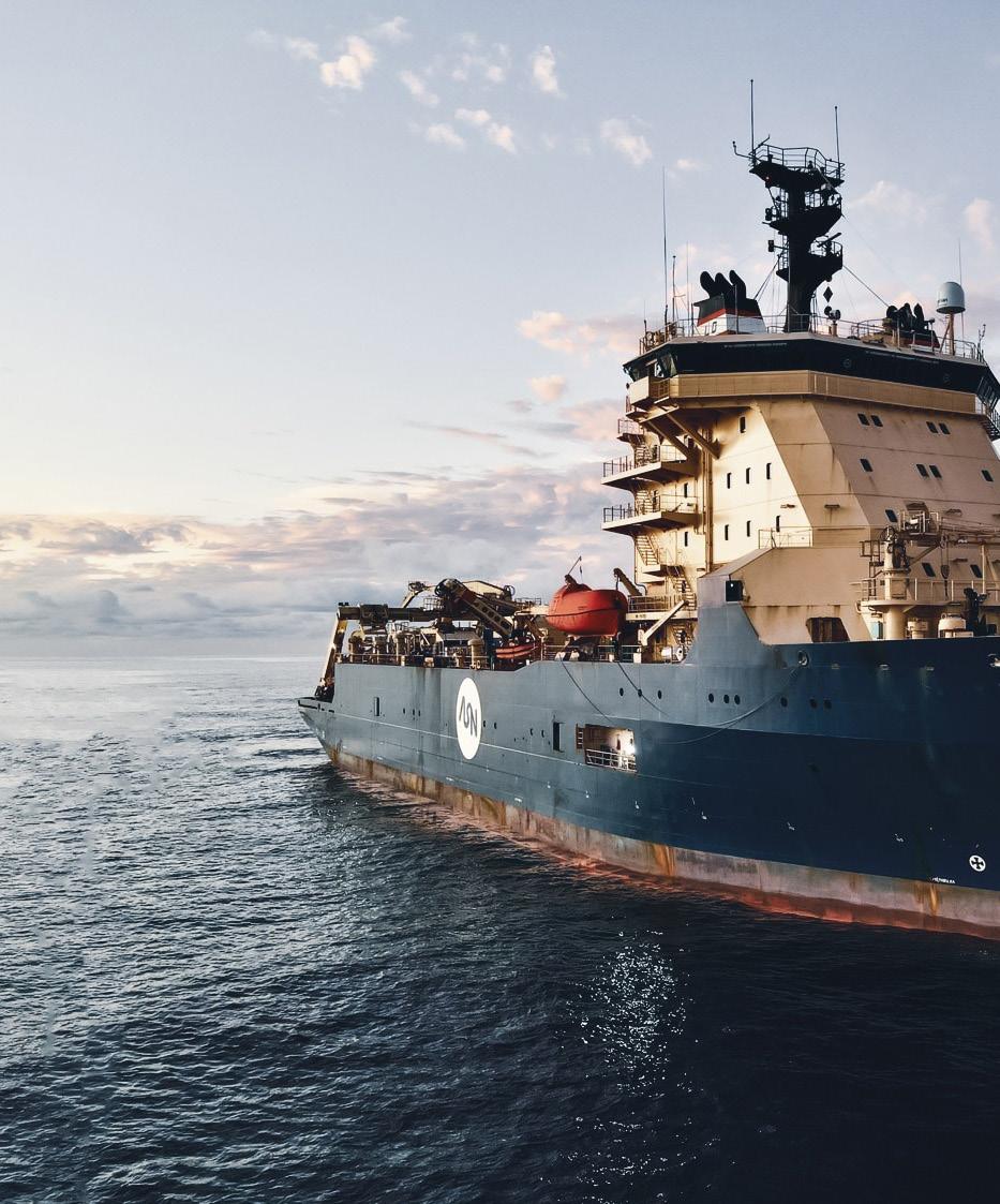
ILE DE BREHAT
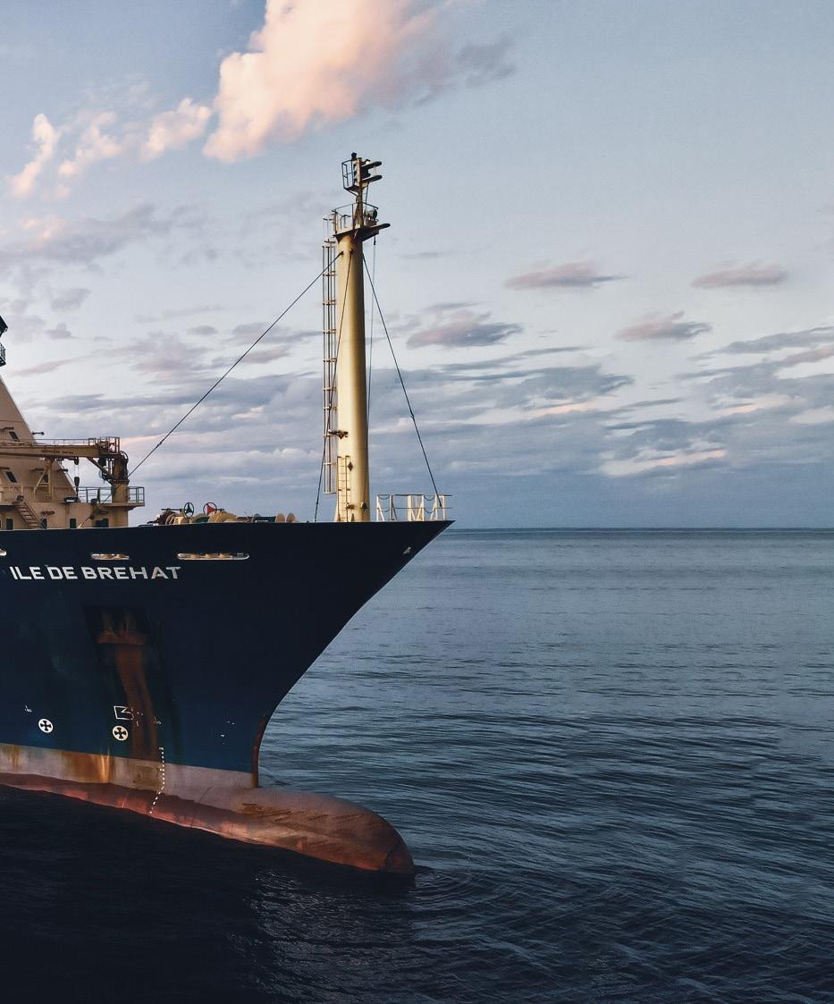
ILE DE BREHAT
AIS activity for ILE DE BREHAT is distributed across a broad intercontinental footprint, with visible positions forming a loose sequence from the northeastern Atlantic and western Europe southward along the eastern Atlantic margin, around southern Africa, and into the western Indian Ocean. The map does not show a single compact highdensity operating box; instead, activity is organized as widely spaced hexagonal cells that suggest long-range relocation and intermittent operational presence. Concentrations appear generally light to moderate, indicating that the vessel’s reported movements were spread across ocean basins rather than dominated by one port area or localized work site.
ATLANTIC CORRIDOR FROM EUROPE TO SOUTHERN AFRICA
The strongest visual theme is a north-south Atlantic corridor extending from waters west of Europe toward the west coast of Africa and onward to the southern Atlantic approach. The cells are aligned in a way that is consistent with oceanic transit between European staging areas and African or South Atlantic work regions. Several adjacent cells off northwest and west Africa indicate repeated presence or slower movement through this corridor, which could reflect routeing, standby, survey support, or cablerelated positioning rather than a simple single-pass voyage. The pattern remains broad, however, with no tightly clustered hotspot that would indicate prolonged stationary operations in one small area.
SOUTHERN AFRICA AND SOUTH ATLANTIC APPROACHES
A second notable area is visible around southern Africa, where activity cells appear near the transition between the South Atlantic and the waters south of the continent. This geography is operationally significant because it sits between Atlantic routes and Indian Ocean routes, and the vessel’s mapped positions suggest either passage around the Cape region or activity associated with regional marine infrastructure. The spacing of the cells implies movement over a large area rather than harbor-only behavior. For a cable vessel, this type of pattern can be consistent with mobilization, demobilization, inspection runs, or transit between offshore work fronts.
WESTERN INDIAN OCEAN AND EAST AFRICAN MARGIN
Additional activity appears in the western Indian Ocean, including cells east and southeast of Africa and near the East African margin. These positions extend the vessel’s footprint beyond the Atlantic corridor and indicate that ILE DE BREHAT was active across both sides of southern Africa during the reporting period. The distribution may reflect onward transit to cable work areas, regional support activity, or staging near Indian Ocean routes. As in the Atlantic, the mapped activity is not concentrated enough to identify a specific project location, but it clearly shows the vessel operating within a major submarine cable transit and service region.
OPERATIONAL OVERVIEW
Overall, the AIS map depicts ILE DE BREHAT as operating across a large Africa-linked Atlantic and Indian Ocean network rather than remaining in a single local market. The visible pattern supports an interpretation of long-distance cable-vessel deployment, with movement between European, African, South Atlantic, and western Indian Ocean sectors. Activity is geographically extensive and operationally purposeful, but the lowto-moderate concentration shading suggests dispersed transit and intermittent offshore presence rather than one dominant, prolonged work site.
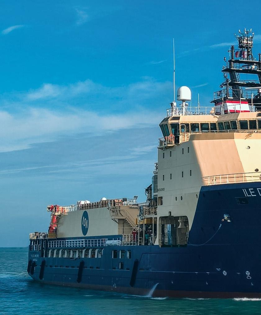
ILE DE MOLENE
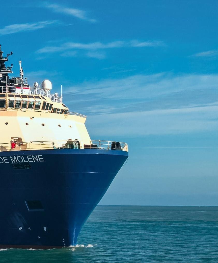
/ Operator


Sources: Esri, TomTom, Garmin, FAO, NOAA, USGS,
AIS activity for ILE DE MOLENE during the January through April 2026 period is distributed across a broad Atlantic operating area rather than concentrated in a single port or coastal worksite. The mapped hexagons form a connected chain from the western North Atlantic and U.S. East Coast region southward through the Caribbean basin, with additional activity extending toward the central and eastern North Atlantic. Most cells show low to moderate concentration, indicating extended transits and intermittent operational presence rather than a prolonged stationary campaign in one location.
CARIBBEAN AND CENTRAL AMERICA APPROACHES


The most prominent activity appears in the southern part of the mapped footprint, around the Caribbean and Central America approaches. Several cells in this area show stronger concentration than the surrounding Atlantic cells, suggesting a period of slower or repeated vessel presence consistent with cable-related support, survey, inspection, repair readiness, or staging activity. The pattern is not confined to a single harbor-scale location, but it does indicate focused use of the region compared with the wider transit corridor. Its position near major Caribbean routes and approaches between Central America, northern South America, and the wider Atlantic supports an interpretation of operational movement associated with submarine cable infrastructure or related maritime support functions.
WESTERN ATLANTIC TRANSIT CORRIDOR
A second clear feature is the north-south corridor running along the western Atlantic side of the map, broadly linking the U.S. East Coast and western North Atlantic with the Caribbean. The hexagons in this corridor are mostly pale, showing lower concentration, but their alignment indicates repeated or continuous movement through offshore waters rather than isolated AIS points. This is consistent with a cable vessel repositioning between work areas, mobilization points, or maintenance zones. The corridor also passes offshore of major coastal regions, where cable ships commonly transit between Atlantic landing areas, deepwater cable routes, and Caribbean access points. The lack of a dense cluster along the immediate coast suggests that much of this activity was offshore passage rather than port-based activity.
CENTRAL AND EASTERN NORTH ATLANTIC PRESENCE
The map also shows activity extending eastward across the North Atlantic, including cells positioned well offshore between North America and Europe. These cells are generally low intensity, with one slightly stronger area toward the eastern side of the mapped Atlantic footprint. This distribution suggests long-distance ocean passage or positioning across transatlantic routes rather than concentrated work in European coastal waters. For a cable vessel, this type of pattern may reflect relocation between regional assignments, standby movement, or support for offshore cable corridors, although the map does not identify a specific system or operator.
OPERATIONAL OVERVIEW
Overall, the AIS pattern indicates a vessel engaged in broad Atlantic and Caribbean movement with limited but identifiable areas of stronger presence. The strongest emphasis is southward, around the Caribbean and Central America approaches, while the western Atlantic corridor and central Atlantic cells show supporting transit or repositioning behavior. The activity is consistent with a cable-capable vessel moving between operational theaters, with intermittent regional focus rather than a single sustained worksite.
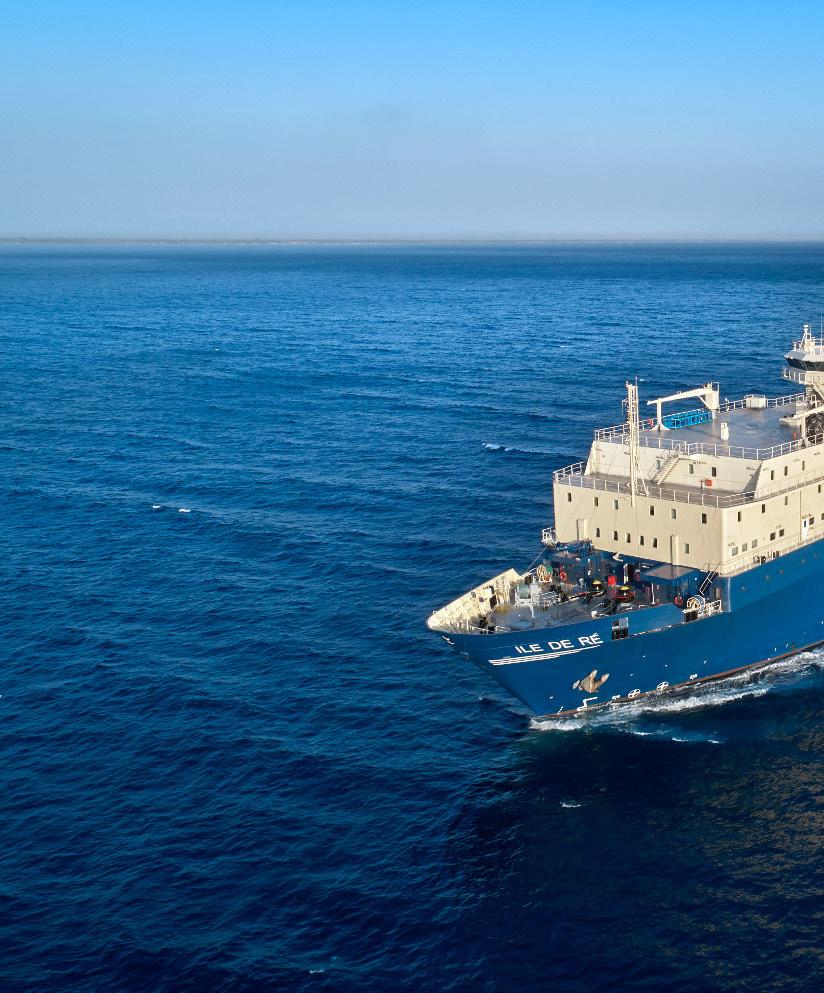
Owner / Operator OMS Group
Year Built Flag Indonesia
DP Class Bureau Veritas DYNAPOS AM/AT
Length Overall 143.40m (470ft)
Beam 23.30m (76.4ft)
Gross Tonnage 14,091 GT
Maximum Speed —
Range / Endurance 32 days
Cable Capacity 5040 tons @ 3032m³
Cable Tanks
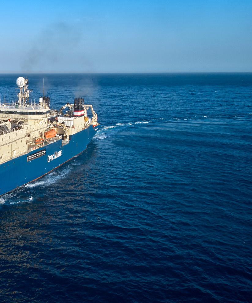
ROV System —
Plough Capability


The AIS distribution for ILE DE RE during Jan 1-Apr 30, 2026 shows a broad western Pacific operating footprint rather than a single localized worksite. Activity is arranged in a chain of offshore grid cells extending from the Singapore Strait and southern South China Sea northeast through waters off Vietnam, toward the Luzon Strait, Taiwan, and the South China coast near Hong Kong. The pattern combines low-to-moderate corridor coverage with several stronger coastal or approach-area clusters, suggesting a mix of long transits, port-facing staging, and potential cable-related survey, support, or intervention activity across regional telecom routes. No single high-density offshore work box dominates the map.
SOUTH CHINA SEA TRANSIT CORRIDOR
The central feature is the diagonal run of activity across the South China Sea, with sequential offshore cells between the Singapore region, the coast of Vietnam, the area west of Luzon, and the waters south of Taiwan. These cells are comparatively dispersed and appear aligned with a practical deepwater route rather than fixed station-keeping. The spacing suggests repeated passage or a prolonged movement window along a regional cable corridor, possibly linking staging in Southeast Asia with work areas farther north. Activity off southern Vietnam and the central basin is lighter than the endpoint clusters, which indicates the vessel was likely in transit or conducting limited inspection and support operations rather than maintaining a concentrated installation or repair spread there. The corridor also broadly parallels established regional connectivity routes through the basin.
TAIWAN, HONG KONG, AND SINGAPORE APPROACHES
The strongest visible concentrations are near major coastal approach zones: the Singapore Strait, the waters east and south of Hong Kong, and the offshore area around Taiwan. These locations are consistent with port calls, mobilization, demobilization, bunkering, or standby periods associated with cable vessel operations. The Taiwan and South China coast cells sit close to dense subsea cable landing and maintenance environments, while the Singapore-area cell is positioned near one of the region’s principal maritime service hubs and the entrance to the Malacca Strait. The clustered character in these areas contrasts with the more linear mid-basin track, indicating that operational attention was focused around gateways, landing approaches, and logistics nodes rather than uniformly spread across the route. These clusters likely represent the most operationally significant parts of the vessel’s reported pattern.
OPERATIONAL OVERVIEW
The map indicates ILE DE RE was active across a multi-country Southeast and East Asian operating area during the reporting period, with movements spanning Singapore, Vietnam-facing offshore waters, the Philippines/Luzon sector, Taiwan, and the South China coast. The distribution is consistent with a cable vessel cycling between transit corridors and port-proximate operational zones, rather than remaining on one repair site. Overall, the vessel’s AIS pattern likely reflects regional cable maintenance or project support readiness, with concentrated presence near strategic landing and service areas and lower-intensity passage across the open South China Sea connecting those nodes. The pattern suggests flexible regional deployment rather than a single, continuous offshore campaign.
/ Operator
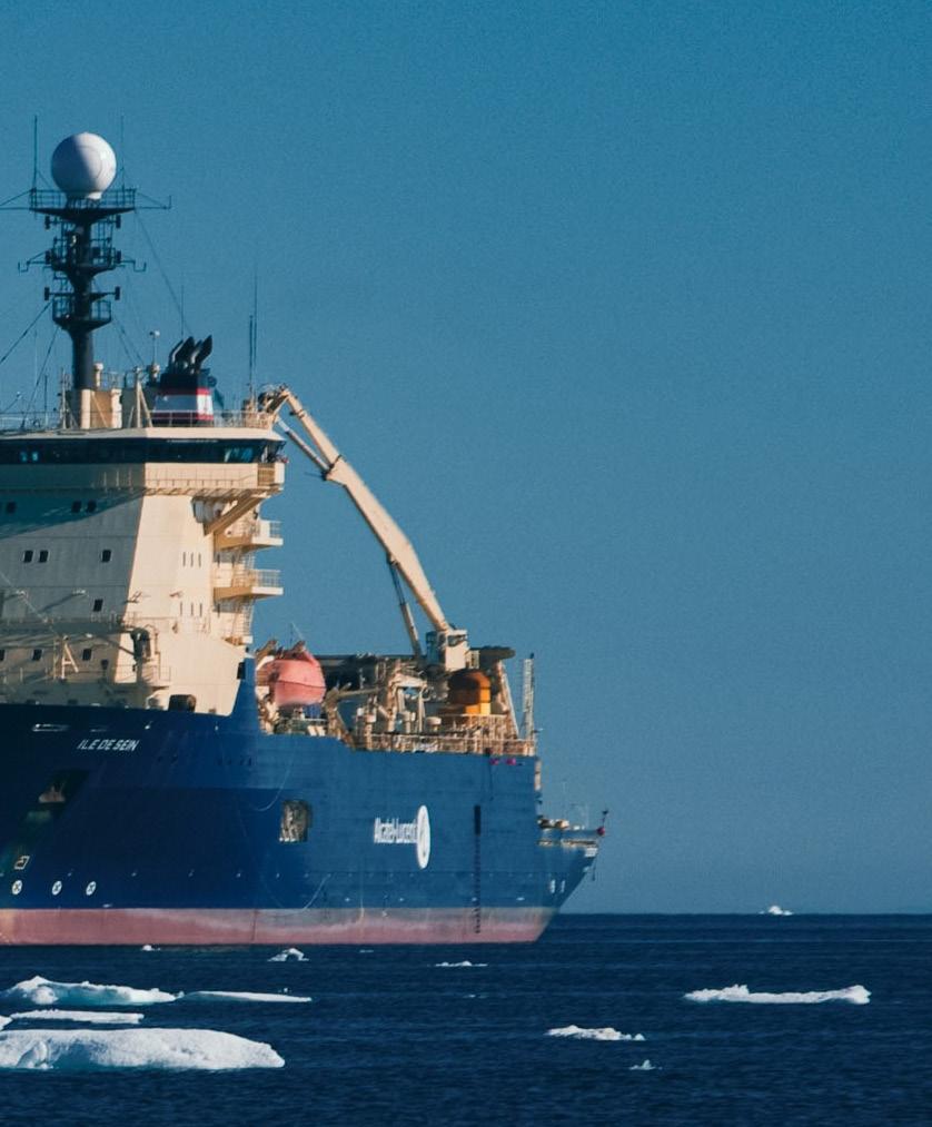
Range / Endurance
Cable Capacity
2 x 3000 mT;
2 x 250 mT
Cable Tanks 2 Main / 2 Spare
Plough Capability


Sources: Esri, TomTom, Garmin, FAO, NOAA,

AIS activity for ILE DE SEIN during Jan 1 to Apr 30, 2026 is distributed across a broad corridor linking the western Caribbean, the Panama area, and the Pacific margin of Central and South America. The map does not show a single compact work site; instead, it presents a chain of low to moderate concentration cells extending from waters off Central America southward toward Ecuador, with additional activity around the Caribbean approaches to Colombia and Panama. The pattern is consistent with a vessel moving between regional operating areas while also spending time in localized zones that could reflect survey, cable support, inspection, or standby activity.
PANAMA AND COLOMBIA APPROACHES
The most prominent regional focus is around the Panama-Colombia interface, where activity appears on both sides of the isthmus and near the southern Caribbean coast. Concentration cells are visible near Panama City and along the approaches toward Cartagena and Barranquilla, forming a connected operating footprint between the Pacific entrance area and the Colombian Caribbean margin. This distribution suggests that the vessel was not simply passing through the region, but likely engaged in repeated movements, staging, or route-related work around key maritime gateways. The presence of cells on both the Caribbean and Pacific sides of Panama is notable because it indicates operational continuity across a strategically important cable and vessel transit corridor.
CENTRAL AMERICAN PACIFIC CORRIDOR


A second clear feature is the north-south chain of activity along the Pacific side of Central America. Hexagonal cells extend from the offshore area south of Mexico and Guatemala past Nicaragua and Costa Rica toward Panama. Most of these cells are light to moderate in intensity, indicating dispersed movements rather than a dense single location. The alignment parallels the regional continental margin and is consistent with a transit or inspection corridor, potentially associated with subsea infrastructure routes, cable survey lines, or support movements between port and offshore work areas. The spacing of the cells suggests sequential occupation of offshore segments rather than random open-ocean transit.
ECUADOR AND SOUTHERN PACIFIC ACTIVITY
A separate southern cluster is visible off Ecuador, including waters near Guayaquil and the adjacent Pacific coast. This area shows a small but distinct concentration, separated from the main Central America-Panama grouping by intervening cells along the Colombian Pacific margin. The Ecuadorian activity may represent a southern work area, a port call region, or the end of a longer operating corridor. Its presence reinforces the impression that ILE DE SEIN was active across a multi-country Pacific route rather than remaining within a single national operating zone.
OPERATIONAL OVERVIEW
Overall, the AIS pattern indicates sustained regional deployment across the CaribbeanPacific gateway and the eastern Pacific margin of Latin America. The vessel’s footprint combines broad transits with repeated localized activity, especially around Panama, Colombia, and Ecuador. This type of distribution is compatible with cable vessel operations involving survey support, inspection, repair readiness, or mobilization between subsea infrastructure corridors. The map supports an interpretation of a vessel operating across multiple related areas, with the strongest operational emphasis near Panama and northern Colombia, supplemented by corridor movements along Central America and a distinct southern presence off Ecuador.
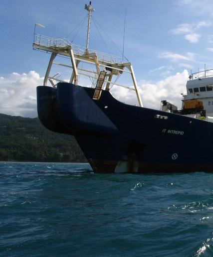
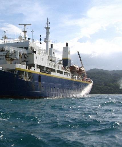


Sources:


From Jan 1 to Apr 30, 2026, AIS activity for IT INTREPID is distributed across a broad western Atlantic and Caribbean operating area rather than confined to a single route. The hex pattern forms a north-south corridor from the waters east of Florida and the Bahamas, through the Greater Antilles, and into the southern Caribbean off Colombia and Venezuela. Most cells show light to moderate concentration, indicating intermittent transits or short work periods, while several darker cells mark repeated presence. The visible pattern is consistent with a cable-related vessel moving between staging areas, offshore work sites, and regional transit corridors across multiple island passages.
EASTERN CARIBBEAN FOCUS
The strongest activity is concentrated in the eastern Caribbean, particularly around Puerto Rico and the adjacent waters between Hispaniola and the Leeward side of the island chain. A darker cell near Puerto Rico indicates repeated AIS presence, while surrounding lighter cells extend toward Santo Domingo and the northeastern Caribbean approaches. This arrangement suggests the vessel spent meaningful time operating or holding in this region, with additional movement through nearby passages. The distribution is compatible with localized cable survey, repair, inspection, or support activity connected to a wider operating circuit, rather than a simple point-topoint voyage.
SOUTHERN CARIBBEAN CORRIDOR
A second notable cluster appears across the southern Caribbean, extending from the area north of Colombia toward the waters off Venezuela. One of the more prominent high-concentration cells is positioned offshore of the Venezuelan coast, while a chain of lighter cells links westward toward Cartagena, Barranquilla, and the Panama approach. This pattern indicates repeated use of the southern Caribbean corridor, likely combining transit with periods of station keeping or slow operational work. The spacing of the cells suggests the vessel was not limited to coastal port calls, but was active offshore along routes that align with regional subsea infrastructure corridors.
BAHAMAS AND WESTERN ATLANTIC TRANSITS
North of the Caribbean, activity extends through the Bahamas and the western Atlantic east of Florida. The map shows a series of cells stepping from the Miami and northern Bahamas area southeastward toward the Greater Antilles, with one stronger cell in the northern part of this chain. This distribution indicates that IT INTREPID used the Bahamas approaches as an important transit and possibly staging area during the reporting period. The activity is more linear and dispersed than the eastern Caribbean concentration, supporting interpretation as repeated passage between work areas rather than a single extended operation.
OPERATIONAL OVERVIEW


contributors, and the GIS User Community
Overall, IT INTREPID’s AIS footprint shows a mobile, regionwide operating program across the western Atlantic and Caribbean. The vessel appears to have moved between several offshore zones, with stronger concentrations near Puerto Rico, off Venezuela, and in the Bahamas corridor. The pattern supports likely subsea cable survey, repair, installation support, or inspection activity, with transits linking distinct work areas. The four-month distribution reflects sustained regional deployment, combining offshore presence, corridor movements, and probable operational pauses at selected locations across the Caribbean basin.
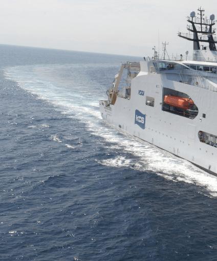
KDDI CABLE INFINITY
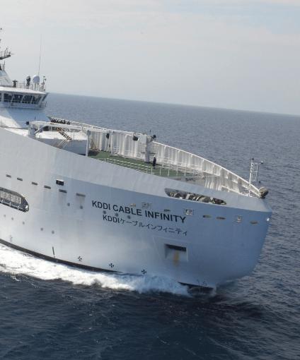


KDDI CABLE INFINITY


The AIS pattern for KDDI CABLE INFINITY shows a clearly structured operating footprint centered on western Japan, with the strongest concentration in the Korea Strait near Fukuoka and northern Kyushu. From that core, lower-intensity cells form a southeast-trending chain across offshore waters south of Honshu and Shikoku, continuing toward the outer Philippine Sea. The pattern distinguishes a compact operational cluster near port and coastal approaches from a broader series of lighter positions that are more consistent with corridor transits, mobilization legs, or offshore cable-support movements rather than general regional trading.
KOREA STRAIT AND NORTHERN KYUSHU
The densest activity is positioned off Fukuoka, between northern Kyushu and the southern approaches to the Korea Strait, with nearby context including Busan to the northwest and the western end of Japan’s Inland Sea corridor to the east. The dark cell indicates repeated presence or slow operational behavior in this zone, which is consistent with staging, port-call support, cable maintenance readiness, or work on subsea infrastructure near a major landing and traffic region. Its proximity to Fukuoka and the narrow sea lane between Japan and Korea suggests activity tied to coastal access, logistics, or a localized operational task rather than simple through passage across the strait.
OFFSHORE JAPAN AND WESTERN PACIFIC CORRIDOR
Beyond the main cluster, AIS positions extend southeast from Kyushu into a segmented offshore track south of western and central Japan. These lighter hexagons pass offshore of the Osaka and Tokyo regions but remain largely seaward, forming a chain rather than a broad area of coverage. The spacing and moderate intensity suggest intermittent movement along an offshore corridor, likely reflecting transit between work areas, survey-line repositioning, or cable-support voyages across the western Pacific margin. Several cells south and southeast of Japan are isolated and pale, indicating brief presence or passage through open water rather than extended station-keeping. This distribution remains aligned with likely submarine cable routes and support corridors serving Japan’s Pacific-facing coast.
OPERATIONAL OVERVIEW
Overall, the map indicates a vessel operating from a western Japan focal area with occasional longer-range movements into offshore Pacific waters. The strongest signal near Fukuoka likely reflects the principal operational base, staging area, or work site during the period, while the dispersed southeastward cells suggest supporting transits or intermittent offshore tasks. The absence of multiple dense clusters elsewhere implies that activity was not evenly distributed across Japan, Korea, or the wider Philippine Sea. Instead, KDDI CABLE INFINITY appears to have combined concentrated coastal work around northern Kyushu with selective movements along established offshore routes relevant to cable maintenance, inspection, or installation support.
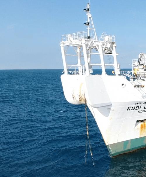
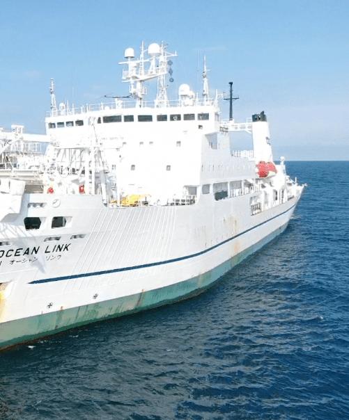


AIS activity for KDDI OCEAN LINK is distributed across a broad western Pacific operating area, extending from the waters east of Taiwan through the Ryukyu island chain, southwest Japan, the Korea Strait, and onward to the Pacific side of Honshu. The pattern is not a simple point-to-point transit track. Instead, it shows multiple hexagonal activity cells, with the strongest concentration near the Tokyo region and additional lower-intensity coverage around Kyushu, Shikoku, western Honshu, and the East China Sea. This distribution suggests a combination of cable-related operations, port approaches, staging movements, and regional repositioning.
TOKYO AND PACIFIC APPROACHES
The most prominent activity appears around the Tokyo and central Honshu area, where the map shows the highest-intensity cell along Japan’s Pacific coast. This concentration indicates repeated presence or prolonged operations in a compact area rather than a single passage. Given the vessel type and the coastal setting, the pattern is consistent with cable survey, repair readiness, installation support, or maintenance-related activity near a major Japanese landing and service region. A separate moderate-intensity offshore cell east to southeast of Japan further suggests activity extending beyond port approaches into open-water operational grounds or a staged offshore work area.
SOUTHWEST JAPAN AND KOREA STRAIT
A second important activity corridor is visible around southwest Japan, including waters near Kyushu, Fukuoka, the Korea Strait, and the approaches between Japan and the Korean Peninsula. The cells in this region are mostly lower to moderate intensity, indicating repeated but less concentrated presence than near Tokyo. This pattern likely reflects a mix of transit, standby, and operational support movements across a strategically important cable and shipping corridor. The distribution around Fukuoka, western Honshu, and adjacent offshore waters suggests the vessel may have been moving between Japanese ports and offshore work locations while maintaining coverage along key regional routes.
TAIWAN, RYUKYU ISLANDS, AND EAST CHINA SEA
Lower-intensity activity extends southward toward Taiwan and across the East China Sea, with several cells aligned broadly along the island chain and offshore approaches between Taiwan, the Ryukyus, and southern Japan. These positions appear more scattered than clustered, suggesting transit or intermittent work rather than one sustained localized operation. The pattern is consistent with a vessel moving along established submarine cable corridors or repositioning between assignments in Japan and the wider western Pacific. The presence of activity near Taiwan and the southern East China Sea also indicates operational reach into a region where cable routes, island connections, and cross-border marine corridors are closely spaced.
OPERATIONAL OVERVIEW
Overall, KDDI OCEAN LINK shows sustained regional activity centered on Japan, with the clearest operational focus near Tokyo and secondary movement across southwest Japan, the Korea Strait, the Ryukyus, and Taiwan approaches. The map indicates a vessel engaged in more than routine transit, with several areas suggesting slow or repeated operations consistent with cable maintenance, survey, repair support, or staging. The broad footprint across Japanese coastal waters and adjacent offshore regions reflects a flexible support role across multiple cable-relevant corridors, while the isolated offshore and scattered southern cells point to repositioning or discrete operational tasks beyond the primary Tokyo-area concentration.
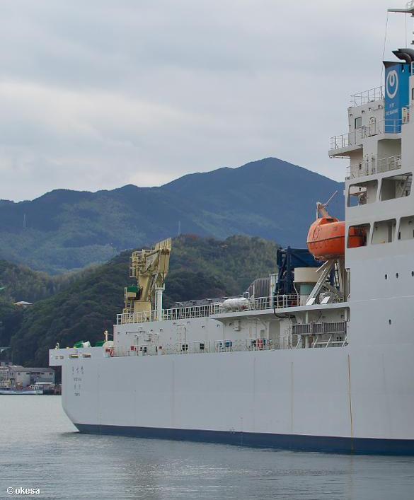
KIZUNA
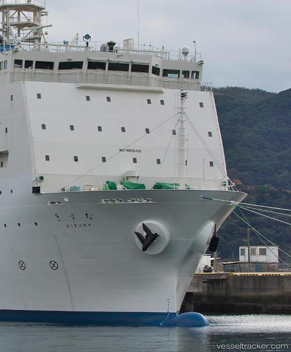
Owner / Operator NTT-WEM


KIZUNA’s AIS pattern for Jan 1 to Apr 30, 2026 shows a predominantly north-south operating corridor along the western Pacific margin, extending from waters east of the Philippines through Taiwan and the Ryukyu island chain toward southern Japan. Activity is not evenly distributed across the area; instead, the map shows a linked series of lowto-moderate cells with one stronger concentration near southwestern Japan. The pattern suggests a vessel moving between regional cable work areas or staging points, with intermittent operational pauses along a broader offshore route rather than continuous open-ocean transit alone.
SOUTHWESTERN JAPAN AND RYUKYU CORRIDOR
The strongest visible activity occurs around the approaches to southwestern Japan, near the northern end of the Ryukyu chain and south of the main Japanese islands. The higher-intensity cell in this area indicates repeated presence or slower movement, consistent with focused cable-related work such as survey, inspection, repair support, or preparation near a landing approach or offshore route segment. Surrounding lowerintensity cells extend southward along the island chain, suggesting KIZUNA was not simply passing through but was likely working or repositioning along a structured route. The geography is significant because the Ryukyu arc forms a natural corridor between Japan, Taiwan, and the wider Philippine Sea.
TAIWAN TO PHILIPPINES TRANSIT AND WORKING LINE
A second clear pattern runs from waters east and south of Taiwan toward the northern and central Philippines, with multiple activity cells aligned along the offshore side of Luzon and the Luzon Strait region. These positions suggest a repeated transit or work line rather than isolated random movement. The spacing of cells indicates movement along a cable-relevant corridor connecting Taiwan, the Philippine Sea, and routes toward Japan. Activity is generally lower than the southwestern Japan cluster, but its continuity is important. It likely reflects staged operations, route-following, or support movements along a long regional network corridor crossing busy and strategically important waters.
ISOLATED HONSHU OFFSHORE POSITION
A separate isolated activity cell appears offshore east or southeast of the Tokyo/Honshu region, distinct from the main north-south chain of positions farther west and south. Because it is spatially separated from the principal corridor, this point likely represents a brief call, transit waypoint, standby position, or limited task rather than a sustained operating area. Its presence shows that KIZUNA’s period activity extended beyond the Ryukyu-Taiwan-Philippines alignment into waters off central Japan. However, the lack of adjacent clustered cells suggests this was secondary to the vessel’s main operating focus farther southwest.
OPERATIONAL OVERVIEW
Overall, the AIS evidence indicates a regional cable-capable vessel engaged in a combination of corridor movements and localized offshore activity across Japan, Taiwan, and the Philippines. The strongest operational signal is near southwestern Japan, supported by a broader chain of lower-density positions down through the Ryukyu Islands and toward Luzon. This distribution is consistent with cable survey, maintenance, repair support, installation support, or route inspection activity along established submarine cable corridors. The isolated Honshu-area position appears ancillary. The overall pattern reflects purposeful regional deployment rather than simple port-to-port transit.
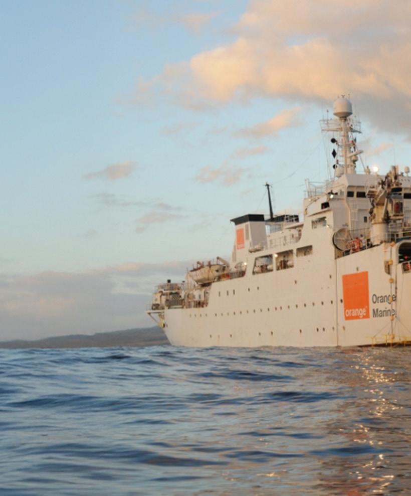
LEON THEVENIN
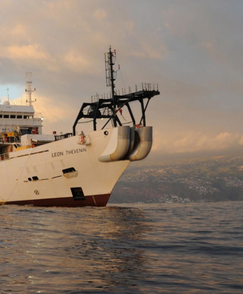
Owner / Operator Orange Marine

LEON THEVENIN


AIS activity for LEON THEVENIN during the January through April 2026 period is distributed across a broad Atlantic-side operating area rather than being confined to a single port approach or coastal lane. The mapped hexagons form a north-south chain from the waters off southern Africa, past Namibia and Angola, and into the Gulf of Guinea and eastern tropical Atlantic. Most cells show low to moderate concentration, indicating repeated movement through offshore corridors, with one stronger cluster at the southern end of the pattern.
SOUTHERN AFRICA OFFSHORE FOCUS
The most prominent activity concentration appears offshore of South Africa, south of the Namibia and South Africa coastal sector. This southern cell is the only area shown with a noticeably stronger color intensity than the rest of the track pattern, making it the clearest focal point on the map. Its position well offshore suggests time spent away from normal coastal traffic density, consistent with a specialized cable vessel either holding in an operating area, conducting offshore work, or staging between assignments. The surrounding lower-intensity cells north of this point indicate that the vessel did not remain exclusively in one location, but the southern offshore area stands out as the primary concentration for the period.
SOUTHWEST AFRICA TRANSIT CORRIDOR
A continuous series of lower-intensity hexagons extends northward along the southwest African margin, offshore of Namibia, Angola, and the central eastern South Atlantic. The spacing of these cells suggests an extended transit or sequence of operational movements rather than dense localized harbor activity. This pattern is compatible with a cable vessel moving between work areas along established offshore routes, potentially supporting survey, inspection, repair, or installation-related tasks. The track remains broadly oceanic and parallel to the continental margin, which is typical of vessels operating in relation to submarine cable corridors rather than vessels engaged primarily in nearshore port service.
GULF OF GUINEA AND EASTERN ATLANTIC REACH
Additional activity is visible farther north, offshore of West Africa and into the Gulf of Guinea region. These cells are lighter in concentration, but they extend the vessel’s operating footprint across a wide regional arc from the equatorial Atlantic toward the northwest African offshore area. The distribution indicates that LEON THEVENIN covered substantial distance during the reporting window, with activity spanning multiple maritime zones rather than a single national coastline. The northern cells appear as part of the same broad operational chain, suggesting repositioning or passage between cable-related work areas across the eastern Atlantic.
OPERATIONAL OVERVIEW
Overall, the AIS pattern depicts a cable-capable vessel engaged in broad regional operations across the eastern South Atlantic, with the strongest emphasis offshore of southern Africa and a connected corridor of lighter activity extending north along West Africa. The map does not show a compact port-based pattern; instead, it shows offshore presence, long-range movement, and repeated activity across widely separated cells. This is consistent with a vessel supporting subsea telecommunications work, including possible survey, maintenance, repair support, installation support, or repositioning between assignments.
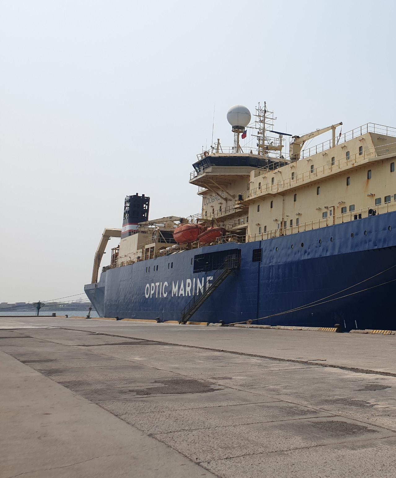
LODBROG
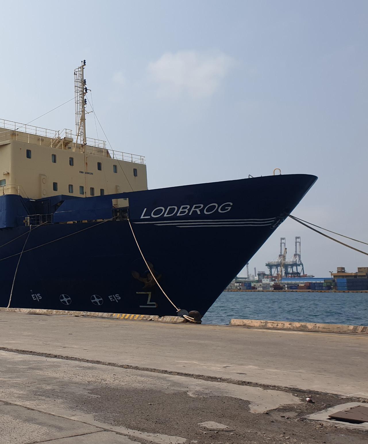
Owner / Operator OMS Group


LODBROG


LODBROG’s AIS pattern for January through April 2026 shows a broad Asia-Pacific operating footprint arranged as a discontinuous corridor from the northern South China Sea toward the Indonesian archipelago, Papua New Guinea, and the Coral Sea east of Australia. The mapped activity is not uniformly distributed; it combines one clearly stronger concentration near the China coast and northern South China Sea with lighter, more widely spaced cells across the southwest Pacific. This pattern suggests a vessel engaged in extended regional movements with selected work or staging areas rather than simple point-to-point passage.
NORTHERN SOUTH CHINA SEA AND CHINA COAST APPROACHES
The strongest visible concentration is located near the northern South China Sea, close to the approaches to Hong Kong and the adjacent China coast, with one hexagon shown at the highest relative intensity on the map. Surrounding lower-intensity cells extend southward from this area, indicating repeated presence or slower movement in the broader offshore corridor between the South China coast, Taiwan-Luzon approaches, and the northern Philippine Sea margin. For a cable-capable vessel, this distribution is consistent with operational staging, inspection, survey, repair readiness, or controlled movements near established regional cable routes and dense maritime infrastructure. The concentration appears more significant than the rest of the track, indicating this was likely the primary activity area during the period.
INDONESIAN ARCHIPELAGO TO CORAL SEA CORRIDOR
South of the main northern cluster, LODBROG’s activity becomes more dispersed, forming a chain of low to moderate cells through waters adjacent to the Philippines, Indonesia, Papua New Guinea, and into the Coral Sea. These cells are separated over long distances and do not show the same intensity as the northern South China Sea area, suggesting transit legs, repositioning, or intermittent operational pauses rather than a single compact worksite. The alignment broadly follows a logical subsea cable and vessel movement corridor linking Southeast Asia with the southwest Pacific and eastern Australia. Several cells east and northeast of Australia indicate presence in the Coral Sea region, where activity may reflect support, survey, standby, or routing movements associated with offshore cable infrastructure.
OPERATIONAL OVERVIEW
Overall, the map indicates a sustained multi-month deployment across a large AsiaPacific operating area, with the clearest operational emphasis near the northern South China Sea and China coast approaches. The remainder of the AIS footprint likely reflects extended repositioning through key regional seas and island corridors toward the Coral Sea. The combination of concentrated and scattered activity is consistent with a specialized cable vessel balancing localized work or readiness with longer-distance mobilization. No single continuous route is fully defined, but the visible pattern supports an interpretation of regional cable-sector operations rather than ordinary commercial transit alone.
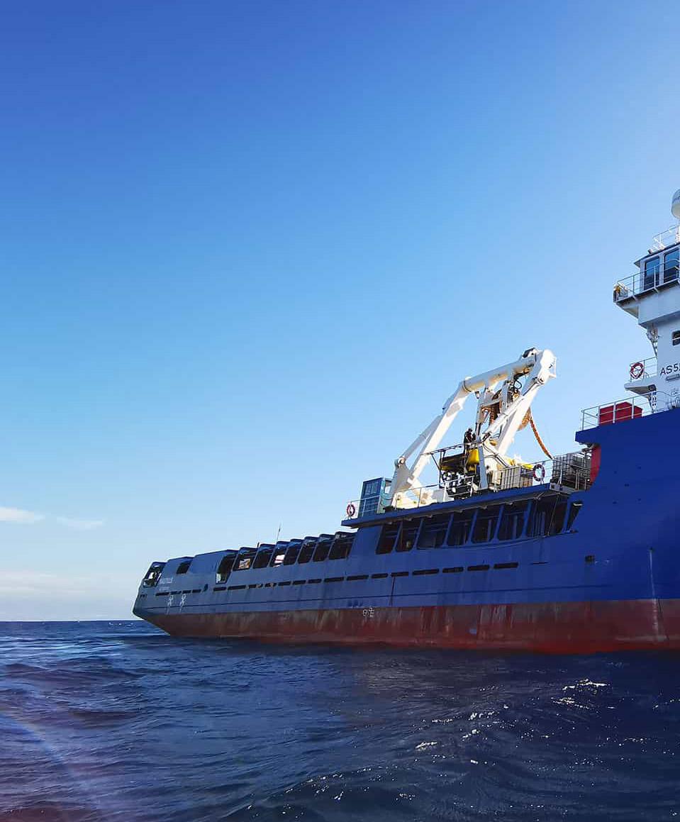
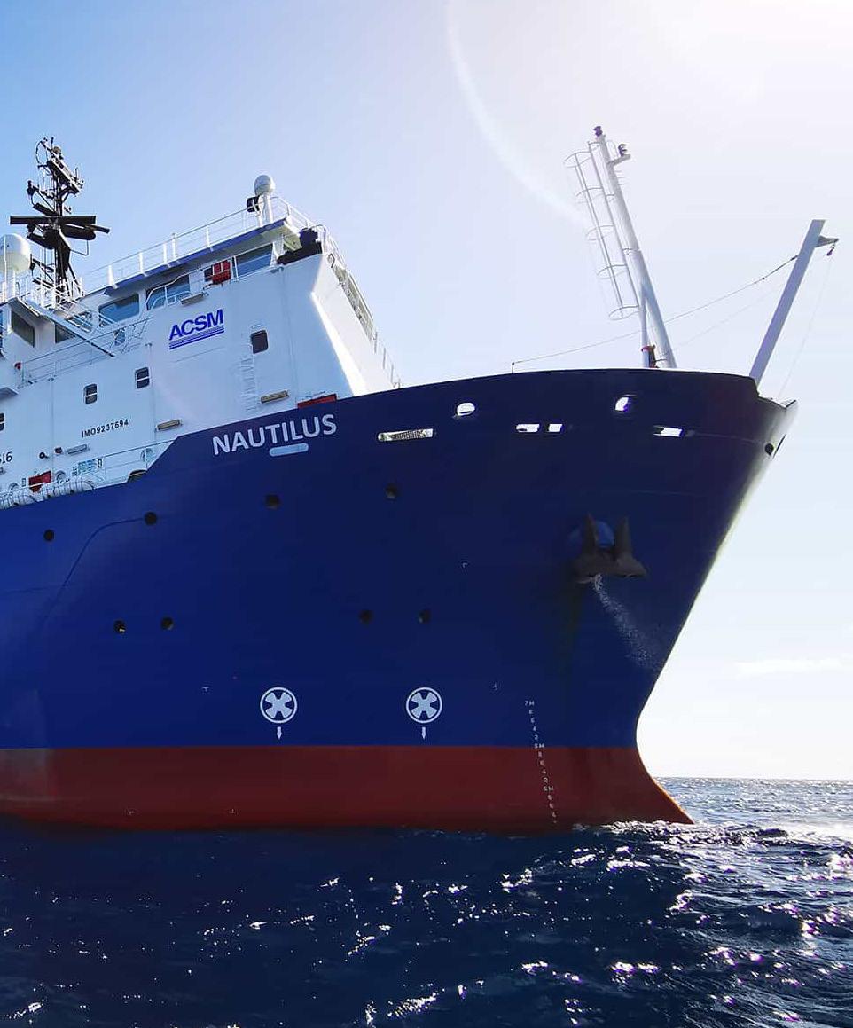

Jan


Sources:


Esri, TomTom, Garmin, FAO, NOAA,
AIS activity for NAUTILUS forms a broad east-west pattern across the Mediterranean, with most mapped cells shown as low concentration and separated by substantial gaps. The vessel’s presence is visible from the western Mediterranean near the Spain-Algeria corridor, across the central basin around Tunisia and Libya, and into the eastern Mediterranean near Egypt and the Levant. The overall distribution suggests a longrange operating period that combined transits between basins with localized pauses or work areas, rather than a single continuous high-density route.
EGYPT AND SUEZ APPROACH
The strongest activity is concentrated in the eastern portion of the map, where the only high-intensity cell appears over Egypt near the Suez and northern Red Sea approach area. This concentration stands out clearly from the otherwise pale, low-density cells across the Mediterranean. Its location is operationally significant because the Suez approach is a key maritime gateway linking the Mediterranean with the Red Sea and wider Indian Ocean routes. The concentration may reflect staging, waiting, support activity, inspection, repair readiness, or survey-related movements near a strategic transit zone. The isolated nature of the higher-density cell indicates that NAUTILUS spent proportionally more time or repeated more movements in this area than anywhere else shown on the map.
CENTRAL AND EASTERN MEDITERRANEAN CORRIDOR

A series of low-concentration cells extends westward from Egypt across the eastern and central Mediterranean, including areas south of Greece, near Libya, and toward Tunisia. These cells form a loose corridor rather than a continuous track, indicating intermittent activity across offshore waters. The spacing of the cells suggests that the vessel may have moved between operational areas, port approaches, or offshore work locations rather than maintaining a single fixed survey line. The central Mediterranean pattern is consistent with regional transit or support movements associated with subsea infrastructure work, where a vessel may reposition between cable routes, repair zones, or logistical staging points. No single central Mediterranean cell dominates the map, so this region appears secondary to the activity near Egypt.
WESTERN MEDITERRANEAN PRESENCE
Low-level activity is also visible in the western Mediterranean, particularly near the maritime space between eastern Spain, Algeria, and the western approaches toward Tunisia. These cells indicate that NAUTILUS was not limited to the eastern basin during the mapped period. The western pattern is comparatively light and dispersed, suggesting passage, mobilization, demobilization, or short-duration operational presence rather than prolonged activity. The positions align with major Mediterranean routing areas used by vessels moving between European, North African, and central Mediterranean waters, but the map does not show a concentrated cluster comparable to the Suez approach.
OPERATIONAL OVERVIEW
Overall, NAUTILUS shows a Mediterranean-wide operating footprint with one clearly dominant focus near Egypt and the Suez/northern Red Sea gateway. The remaining activity forms a chain of lower-density cells across the western, central, and eastern Mediterranean, supporting an interpretation of regional repositioning combined with selective operational stops. Based on the visible distribution, the vessel’s activity is most consistent with subsea cable-related support, survey, inspection, repair readiness, or transit between work areas, with the eastern gateway region representing the principal area of sustained attention.
NAVALINK POLARIS
NAVALINK POLARIS


OpenStreetMap contributors, and the GIS User Community

AIS activity for NAVALINK POLARIS during the mapped period is organized as a broad west-to-east operating corridor across Southeast Asia, with the strongest concentration at Singapore and a discontinuous chain of lower to moderate activity extending through the Indonesian archipelago toward the Papua region. The map does not show a compact offshore work grid; instead, it indicates repeated presence in selected corridor cells, consistent with a vessel moving between staging points, transit legs, and localized operational stops. Activity remains largely within the island passages and regional approaches rather than spreading into open-ocean areas north or south of the main route.
SINGAPORE STAGING AND WESTERN GATEWAY
The most prominent activity concentration is centered on Singapore, where the mapped cell is clearly the highest-intensity area. This pattern supports interpretation of Singapore as the principal staging, port-call, or mobilization location for the vessel during the period. The adjacent cells extending southeast from Singapore show reduced but continuous activity, indicating departure or arrival routing into Indonesian waters. Given Singapore’s position as a major maritime support hub, the concentration is consistent with preparation, resupply, crew movement, equipment handling, or standby activity before and after regional operations. The strong contrast between Singapore and the lower-intensity corridor cells suggests that the vessel spent proportionally more time near the gateway area than along most individual transit segments.
INDONESIAN ARCHIPELAGO TRANSIT CORRIDOR
Across Indonesia, activity forms a segmented route running from the western archipelago past the Java region and onward through central island waters. The occupied cells are spaced along navigable passages rather than clustered into a dense survey block, suggesting controlled transit with possible pauses or short operational windows at intervals. Several cells around central Indonesia show moderate concentration, which may reflect routing constraints, waiting periods, inspection activity, or support work near inter-island corridors. The overall pattern is compatible with a submarine cable support vessel repositioning through established maritime passages, where movement would be shaped by island geography, traffic separation considerations, and access to sheltered waters or service points.
EASTERN INDONESIA AND PAPUA APPROACHES
The eastern portion of the map shows continued activity from central Indonesia toward the waters west of Papua and near the Papua New Guinea approaches. Concentrations here are generally moderate to low, but the connected sequence of cells indicates that the vessel did not simply remain in the western archipelago. The pattern suggests an operational reach extending toward eastern Indonesian waters, potentially involving reconnaissance, inspection, cable support, or transit to and from a work area farther east. Activity remains aligned with regional passages and coastal approaches rather than dispersing broadly into the open Pacific, reinforcing the impression of purposeful corridor movement.
OPERATIONAL OVERVIEW
Overall, NAVALINK POLARIS appears to have operated as a regional cable or maritime support asset moving between Singapore and multiple Indonesian corridor segments, with the highest dwell or recurrence at the Singapore gateway. The mapped activity supports a profile of staging, transit, and selective localized work rather than one continuous offshore survey grid. The eastward reach toward Papua indicates broad regional coverage, while the strongest concentration near Singapore points to that area as the primary operational anchor for the period.
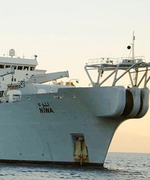
Owner / Operator E MARINE


Sources: Esri, TomTom, Garmin, FAO, NOAA,


NIWA’s AIS footprint for Jan 1–Apr 30, 2026 is dominated by a north-south pattern through the Red Sea rather than dispersed regional roaming. Activity is arranged as a chain of hexagonal concentrations extending from the northern Red Sea near Egypt and the Gulf of Suez approach, southward along the central basin toward the Saudi coast near Jeddah. The map shows several high-intensity cells embedded within a wider sequence of lower-density cells, indicating a combination of focused operational presence and connecting movements. The distribution is consistent with a vessel working along an offshore corridor, with limited evidence of broad port-to-port wandering.
RED SEA BACKBONE CORRIDOR
The strongest visible theme is the Red Sea corridor itself. NIWA’s positions occupy a repeated offshore alignment following the long axis of the sea, with activity stepping between the Egyptian side in the north and the central Red Sea offshore of western Saudi Arabia. The spacing of the cells suggests progressive movement between work areas, while the darker cells indicate locations where the vessel likely slowed, held station, or returned repeatedly. This pattern is consistent with survey, inspection, support, or cable-related work conducted in segments along a long-distance marine route. The absence of comparable activity outside the Red Sea emphasizes that the deployment was geographically focused rather than a general regional transit record.
JEDDAH AND CENTRAL SAUDI WATERS

South of the central Red Sea, AIS density continues toward the Saudi coast, with visible cells around and northwest of Jeddah and offshore of the Al Madinah region. The pattern here is less continuous than the northern chain but still shows localized operational presence, including one stronger offshore concentration and several lowerintensity cells on either side. That mix suggests an operational area connected to transit legs rather than a simple port call. Jeddah is the most prominent port geography visible near the southern portion of the track, and the vessel’s nearby distribution likely reflects approach, staging, or support movements associated with offshore work in adjacent Red Sea waters.
OPERATIONAL OVERVIEW
Overall, NIWA’s activity indicates a sustained Red Sea deployment with work concentrated in discrete offshore blocks linked by corridor movements. The highestdensity cells point to probable operational pauses or repeated passes, while the paler cells likely represent transits between those areas. The visible geography supports an interpretation of activity associated with the Egyptian and Saudi Red Sea corridor, including the northern approaches and the Jeddah-facing central sector. No specific project, operator, or cable system can be identified from the map alone, but the spatial pattern is consistent with marine survey, inspection, support, or cable-related operations conducted in phases.
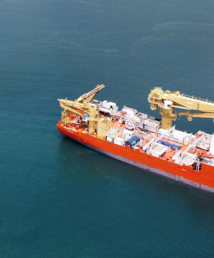
NORMAND CLIPPER
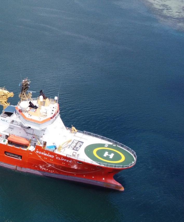
NORMAND CLIPPER


AIS activity for NORMAND CLIPPER shows a broad western Pacific operating pattern extending from the Korea Strait and southwest Japan, through waters east of Taiwan, and onward into the Philippine Sea. The hexbin distribution is mostly low to moderate, indicating a vessel track dominated by extended regional movement rather than a single compact worksite. Several warmer cells mark short-duration concentrations at key maritime gateways, while a long chain of lighter cells suggests repeated or continuous passage along an offshore corridor between northern and southern operating areas.
KOREA STRAIT AND SOUTHWEST JAPAN
The strongest northern concentration appears around the Korea Strait, between the southeast coast of Korea and northern Kyushu. Activity is clustered near the Busan–Fukuoka approaches, with adjacent cells extending toward the Yellow Sea side of the Korean Peninsula and into waters west of Japan. This pattern is consistent with port approach, staging, or operational support activity near a major regional maritime hub. The concentration is not isolated to one harbor point; instead, it spans nearby offshore cells, suggesting a combination of approach transits, waiting, and maneuvering in a constrained passage area. Given the vessel type and the wider route context, this northern cluster could reflect mobilization, demobilization, or support movements associated with subsea work, though the map does not identify a specific project or cable system.
TAIWAN AND LUZON APPROACHES
A second notable activity area is visible from the waters off Taiwan southward toward northern Luzon. Several moderate to warmer cells appear west and southwest of Taiwan and near the Luzon Strait region, including activity close to the northern Philippines. This is a strategically important corridor where regional shipping lanes and subsea infrastructure routes commonly converge. The mapped pattern shows the vessel passing through and lingering in selected cells rather than maintaining a fully uniform transit. That may indicate inspection, survey support, cable-related standby, or controlled routing through a complex operating environment. The warmer cells near the Philippines suggest more concentrated presence than the surrounding offshore transit cells, making this the most significant southern focus on the map.
WESTERN PACIFIC OFFSHORE CORRIDOR
Between Japan, Taiwan, and the northern Philippines, the vessel’s AIS footprint forms a long offshore arc through the Philippine Sea. Most cells along this arc are low intensity, implying passage rather than prolonged station-keeping. The route trends southeastward from the Japanese island chain and then southwestward toward the Luzon area, creating a clear connection between the northern and southern clusters. The spacing and continuity of the cells support an interpretation of regional repositioning or long-distance operational transit, potentially linking separate work windows or support calls across East Asian waters.
OPERATIONAL OVERVIEW
Overall, NORMAND CLIPPER’s activity indicates a sustained regional deployment across East Asia and the western Pacific, with concentrated presence at the Korea Strait and Luzon–Taiwan approaches and lower-intensity transit between them. The pattern is compatible with a subsea support vessel moving among ports, offshore corridors, and possible cable or seabed work areas. No single compact worksite dominates the map; instead, the vessel appears to have operated across a wide network of strategic maritime passages, balancing transit, staging, and localized operational activity.
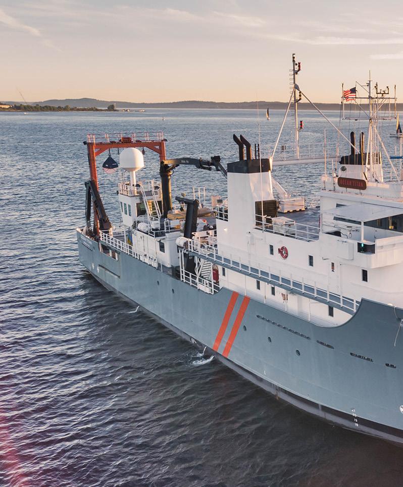
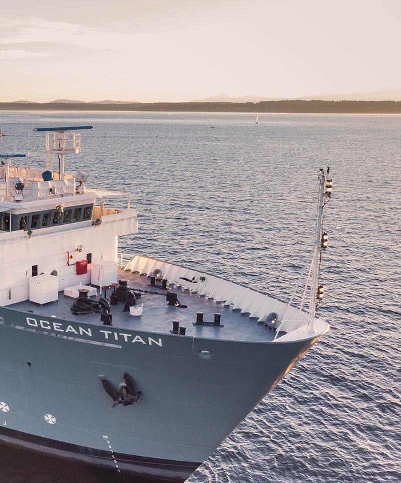
Owner / Operator Stabbert Maritime


OCEAN TITAN’s AIS pattern for January through April 2026 shows a wide-ranging but relatively diffuse operating footprint across the Indian Ocean basin. Activity is displayed as a chain of lightly shaded hexagonal cells rather than a compact cluster, indicating movement spread over long distances with limited visible dwell intensity in any single area. The vessel appears to have worked or transited between southern Africa, the central Indian Ocean, Southeast Asia, and the waters northwest of Australia, forming a broad regional circuit consistent with long-distance marine project support, survey repositioning, or cable-sector transit activity.
BROAD INDIAN OCEAN TRANSIT CORRIDOR
The strongest visible theme is the continuous corridor extending from the southern Indian Ocean east of South Africa across the central Indian Ocean and then northward toward the Bay of Bengal and Southeast Asia. The cells form a connected passage rather than isolated points, suggesting repeated or sustained movement along an oceanic route. This pattern is consistent with a vessel repositioning between project areas or supporting widely separated offshore scopes. The absence of dark concentration cells suggests that the activity was not dominated by prolonged stationary work at one location, but instead by extended ocean passages and intermittent operations across a broad corridor.
SOUTHEAST ASIA AND BAY OF BENGAL APPROACHES
A second notable activity area is visible around the eastern Indian Ocean, from the Bay of Bengal toward the approaches to Thailand, Malaysia, Singapore, and nearby Indonesian waters. Several cells are positioned near major regional maritime gateways, including the general Singapore and Malacca Strait area. This distribution may reflect staging, port access, mobilization, demobilization, or transit between dense commercial and offshore service regions. For a cable-capable or marine support vessel, this area would be a logical operating hub, although the map does not show a tight nearshore cluster that would confirm a specific landing, repair, or installation site.
SOUTHERN INDIAN OCEAN AND AUSTRALIA APPROACH
The southern portion of the map shows a west-to-east band of activity beginning near South Africa and continuing across the southern Indian Ocean toward waters west and northwest of Australia. Additional cells near Australia suggest the vessel either approached or departed that region during the reporting period. This route geometry is consistent with inter-basin transit and possible support to offshore work areas spread across the eastern Indian Ocean. The activity remains lightly concentrated, reinforcing the interpretation of passage-based operations rather than a single localized campaign.
OPERATIONAL OVERVIEW
Overall, the AIS evidence indicates that OCEAN TITAN was active across a large geographic range, with movement linking southern Africa, the central Indian Ocean, Southeast Asia, and the Australian approach. The map supports an interpretation of long-distance maritime project mobility, potentially including cable survey, installation support, inspection, repair support, or repositioning between assignments. The most important operational characteristic is geographic reach rather than localized intensity: the vessel’s activity footprint is expansive, connected, and oceanic, with no dominant high-density work zone visible in the mapped period.
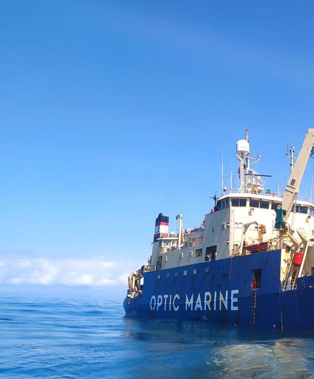
PETER FABER
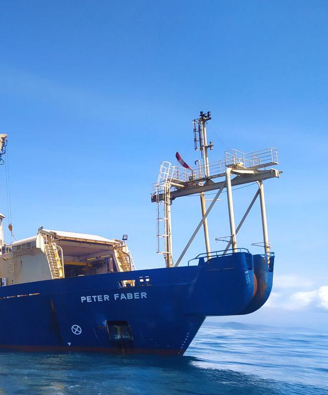
Owner / Operator OMS Group
PETER FABER

The AIS pattern for PETER FABER between January and April 2026 is centered on Australian waters, with activity distributed around the south, east, and west coasts rather than showing a single long oceanic passage. The strongest concentration appears off southeastern Australia near Melbourne and Bass Strait, while secondary presence is visible near the New South Wales coast around Sydney and across offshore areas west and northwest of Australia. Lighter hexagons along the Queensland and Coral Sea side indicate broader movement or lower-intensity work areas, consistent with repositioning, survey support, or cable-related operations across multiple coastal sectors.
SOUTHEAST AUSTRALIA AND BASS STRAIT
The most prominent activity concentration is located off Victoria, near Melbourne and the western approaches to Bass Strait. This darker cell indicates the highest relative density on the map and suggests repeated vessel presence, reduced-speed maneuvering, or station-keeping behavior in this sector. The nearby cell off the New South Wales coast, close to Sydney, shows a lower but still notable level of activity, implying that the vessel may have been working or staging along the southeastern Australian corridor rather than simply passing through. The pattern is consistent with offshore cable survey, inspection, repair support, or preparatory operations in a region where coastal landings and intercity subsea routes would be operationally relevant.
WESTERN AND EASTERN AUSTRALIAN OFFSHORE MOVEMENTS
A second pattern is visible through scattered but organized activity cells along western Australia and the eastern seaboard. Off Western Australia, several pale to moderate cells appear from the southwest coast toward the northwest offshore region, suggesting intermittent transits, staging, or lower-density operational work rather than one concentrated worksite. On the eastern side, a chain of light cells extends from offshore New South Wales and Queensland toward the Coral Sea, indicating broader movement along the continental margin. These positions likely reflect repositioning between work areas, route familiarization, survey line approaches, or support activity associated with offshore infrastructure corridors. The absence of intense clustering in these areas points to less prolonged activity than observed near Bass Strait.
OPERATIONAL OVERVIEW
Overall, PETER FABER’s AIS footprint indicates a vessel operating across a wide Australian theater, with the clearest operational emphasis in southeastern waters and supporting movements around both coasts. The map does not show a dominant connection to Indonesia, Singapore, or New Zealand despite their geographic visibility, and the recorded positions remain principally Australian. The combination of a strong southeastern cluster, secondary coastal cells, and dispersed offshore coverage is consistent with a cable-sector vessel alternating between concentrated work periods and longer repositioning or survey-support transits during the reporting window.
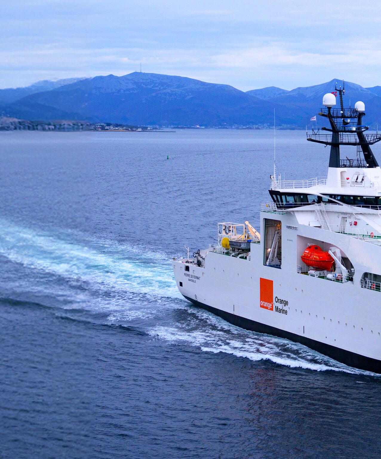
PIERRE DE FERMAT
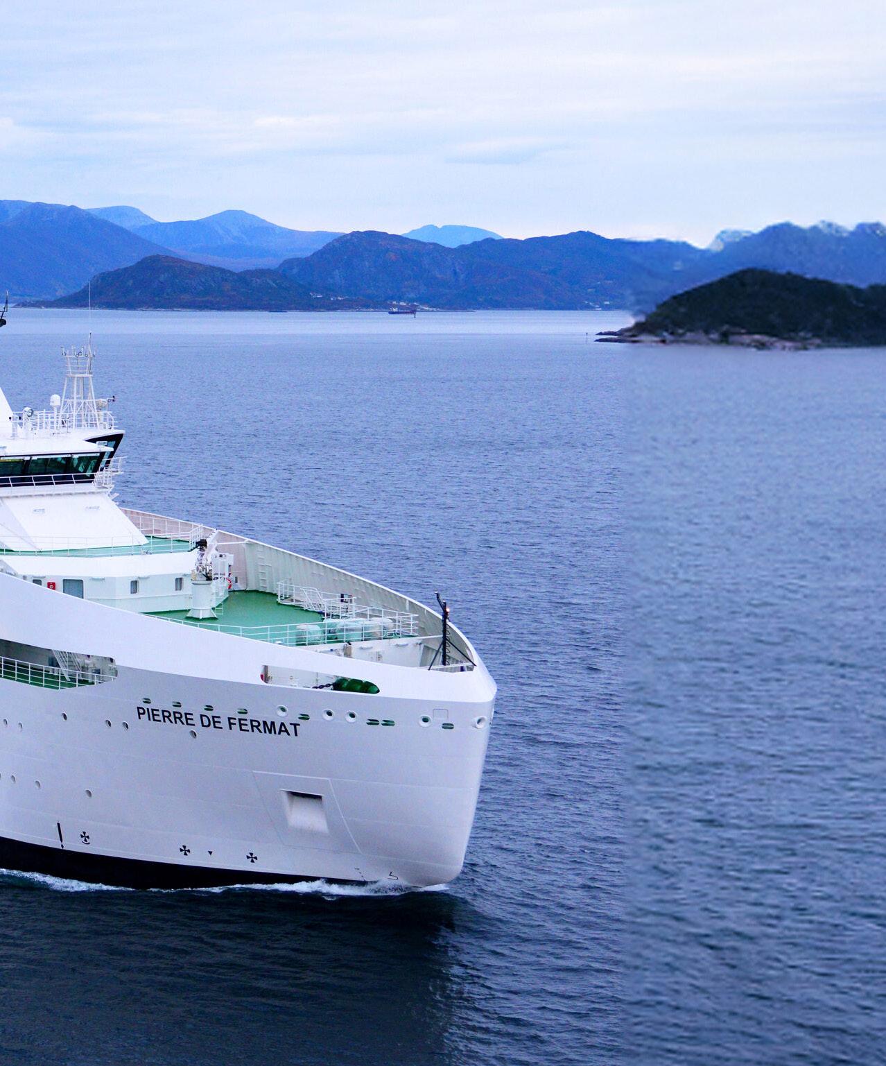
Owner / Operator Orange Marine


PIERRE DE FERMAT


Sources:


TomTom,


AIS activity for PIERRE DE FERMAT during the January through April 2026 period is distributed across a broad northeast Atlantic operating envelope, with the clearest concentration in the English Channel area and lower-density coverage extending around the United Kingdom, Ireland, the Bay of Biscay, Iberian Atlantic margin, and toward northwest Africa. The pattern indicates a vessel engaged in a combination of localized offshore work and wider repositioning or transit. Most mapped cells are low intensity, but the single stronger cell near northern France and the Channel stands out as the principal operational focus.
WESTERN ENGLISH CHANNEL AND NORTHERN FRANCE


The strongest visible AIS concentration is located in the western to central English Channel region, broadly between southern England and northern France, near the approaches to the Bay of Seine and the Channel’s dense maritime corridor. This higherintensity cell suggests repeated presence or slower activity in a confined offshore area rather than a simple passage. Given the vessel type and the geography, the pattern is consistent with cable-related survey, inspection, repair support, or preparatory work near established landing zones and cross-Channel infrastructure corridors. Its position also places the activity close to major traffic routes, making controlled station-keeping or repeated operational passes a likely interpretation.
ATLANTIC APPROACHES, BAY OF BISCAY, AND IBERIA


A secondary pattern of lower-intensity cells extends southwest from the Channel area along the Atlantic façade of France, across the Bay of Biscay, and down the coasts of Spain and Portugal toward the Morocco and Casablanca region. These cells are more scattered and do not show the same concentration as the Channel area, suggesting transits, staging movements, or intermittent operational stops rather than a single sustained worksite. The distribution follows a logical north-south offshore corridor used by cable vessels moving between northern European waters, Iberian landing regions, and northwest African approaches. The spacing of cells indicates broad-route coverage with occasional localized presence.
UNITED KINGDOM, IRELAND, AND NORTH SEA MARGIN
Additional low-density activity appears around the United Kingdom, Ireland, and the southern North Sea margin, including offshore areas west of Ireland, around the Irish Sea approaches, and east of the United Kingdom toward the Netherlands and broader North Sea access routes. These positions likely reflect repositioning between work areas, port approaches, or standby movements serving multiple cable corridors around northwest Europe. The lack of a strong cluster in these cells suggests that they were not the dominant operational location during the period. However, the geographic spread is consistent with a cable vessel maintaining regional mobility across important submarine cable and telecom infrastructure zones.


OPERATIONAL OVERVIEW
Overall, the AIS map indicates that PIERRE DE FERMAT operated over a wide northeast Atlantic and western European footprint, but with the most meaningful concentration in the English Channel near northern France. The vessel’s broader distribution from Ireland and the North Sea to Iberia and northwest Africa likely reflects a mix of transit, staging, and intermittent support activity. The Channel cluster is the strongest evidence of focused offshore work, while the remaining cells indicate a vessel moving between regional cable corridors and access points rather than remaining confined to one route or port area.
PRIMA NUSANTARA X

PRIMA NUSANTARA X


AIS activity for PRIMA NUSANTARA X is distributed across a broad Indonesian and western Pacific operating area, with concentrated clusters rather than a single continuous track. The mapped hexagons show repeated presence from the Singapore Strait and adjacent Malaysian waters through the Java Sea, southern and eastern Kalimantan approaches, the Makassar Strait area, and northward toward the southern Philippines. The pattern suggests a vessel moving between regional work areas and maritime staging corridors, with several zones showing localized loitering or repeated passes consistent with support, inspection, survey, installation support, or standby activity.
SINGAPORE STRAIT AND WESTERN APPROACHES
The most commercially significant cluster appears around Singapore and the nearby approaches between Peninsular Malaysia, Sumatra, and the southern South China Sea. Activity is denser close to Singapore, with additional connected cells extending north and northeast along the Malaysian side and southeast toward the Karimata Strait. This distribution is consistent with a vessel using Singapore as a logistics, bunkering, crew change, or project mobilization hub, while also transiting into Indonesian waters. The concentration near one of the region’s busiest maritime gateways indicates repeated port-adjacent operations or short-range movements rather than a simple one-time passage.
JAVA SEA AND KALIMANTAN-SULAWESI CORRIDOR
A second broad pattern extends across the Java Sea and into waters around southern and eastern Kalimantan, with cells distributed between the Jakarta-Surabaya side of Java, Banjarmasin, Samarinda, Mamuju, and Makassar. These positions form a stepped corridor across central Indonesia, suggesting regional repositioning between operating areas rather than random coastal traffic. The spacing of the cells indicates movement through established inter-island routes, with localized activity near offshore approaches where cables, port access routes, and subsea infrastructure corridors may be present. The moderate concentrations in this area support an interpretation of transit combined with intermittent operational work or waiting periods.
SOUTHERN PHILIPPINE OPERATING AREA
The strongest isolated hotspot is located near the southern Philippines, east of the Celebes Sea and near the Davao area. This cell stands out from the surrounding lowerdensity cells to the south and southeast, indicating repeated presence or slower movements in a relatively compact area. The separation from the Indonesian clusters suggests a distinct operating phase rather than a direct extension of the Java Sea pattern. Given the vessel type context and the localized nature of the concentration, the activity may reflect project support, cable-related inspection, repair readiness, or staging near a Philippine landing or offshore work zone.
OPERATIONAL OVERVIEW
Overall, PRIMA NUSANTARA X shows a multi-area regional deployment profile across Southeast Asian and southern Philippine waters during the reporting period. The activity pattern combines major maritime hubs, inter-island corridors, and compact offshore hotspots. Singapore appears to function as a key western anchor point, while the Java Sea and Kalimantan-Sulawesi corridor represent transit and intermediate operating waters. The separate concentration near Davao indicates an additional focused work area. Taken together, the AIS evidence supports a vessel engaged in regional subsea or maritime support operations with periodic transits between staging locations and localized work zones.
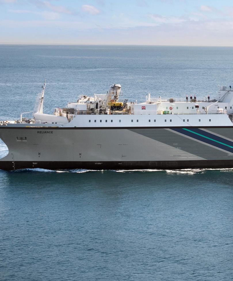
RELIANCE
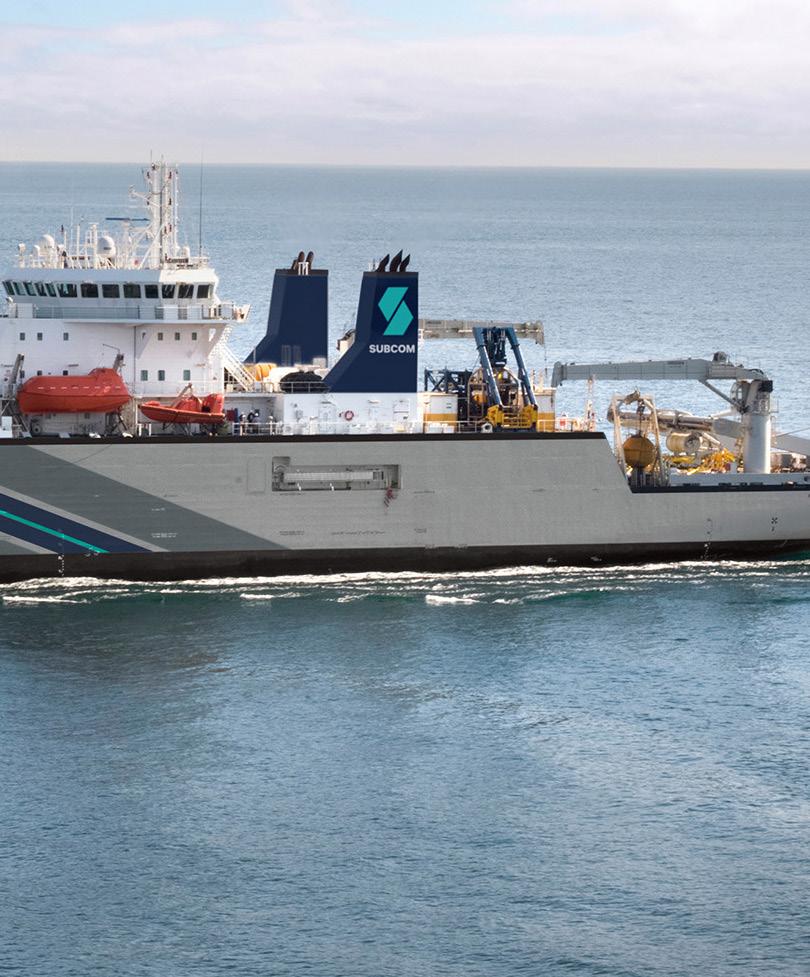
RELIANCE’s AIS pattern for January through April 2026 shows a broad, low-tomoderate concentration of activity spanning the Atlantic and extending toward the western Indian Ocean. The visible positions form a long-range operational footprint rather than a single localized worksite, with hexagonal activity cells distributed from the eastern North Atlantic and West African margin through the equatorial Atlantic and onward toward southeast Africa. The map suggests sustained vessel availability across multiple offshore regions, with scattered transit segments linking more persistent clusters. Overall, the pattern is consistent with a cable-capable vessel engaged in longdistance mobilization, support, or intermittent operational tasks rather than remaining fixed at one port or cable landing area.
EASTERN ATLANTIC AND WEST AFRICA CORRIDOR
A prominent chain of activity appears offshore of western Europe, northwest Africa, and the broader West African margin, including waters facing Morocco, Mauritania, Senegal, and the Gulf of Guinea region. The cells are generally light in intensity, indicating dispersed use of the corridor rather than a compact station-keeping pattern. This distribution suggests RELIANCE transited or staged along a major Atlantic route that connects European, West African, and equatorial offshore markets. The spacing of cells, with limited overlap and no single dominant hotspot, is consistent with passage between assignments, survey support, or readiness movements along submarine cable corridors serving the eastern Atlantic basin.
SOUTHEAST AFRICA AND WESTERN INDIAN OCEAN
The strongest visible concentration appears farther south and east, around the waters off southeast Africa and the western Indian Ocean, including the approaches toward Mozambique, South Africa, and the region west of Madagascar. Several adjacent cells in this area show slightly greater activity than the more scattered Atlantic positions, suggesting a more persistent operational focus. The pattern may reflect cable survey, repair support, inspection, or installation-related movements near regional offshore routes and coastal approaches. Although the map does not show a tight port-centered cluster, the density and continuity of cells indicate that this was likely the most active operating region during the period.
OPERATIONAL OVERVIEW
Taken together, the AIS evidence indicates that RELIANCE operated over an unusually wide geographic envelope during the reporting window, linking the eastern Atlantic, West African offshore areas, and southeast African waters. Activity is best interpreted as a combination of long-distance transits and selective offshore work periods, with the clearest operational emphasis near the western Indian Ocean side of Africa. The absence of a highly concentrated high-intensity hotspot suggests the vessel was not confined to a single repair or installation site for the full period. Instead, the pattern likely reflects flexible deployment across cable-relevant maritime corridors and regional support areas.
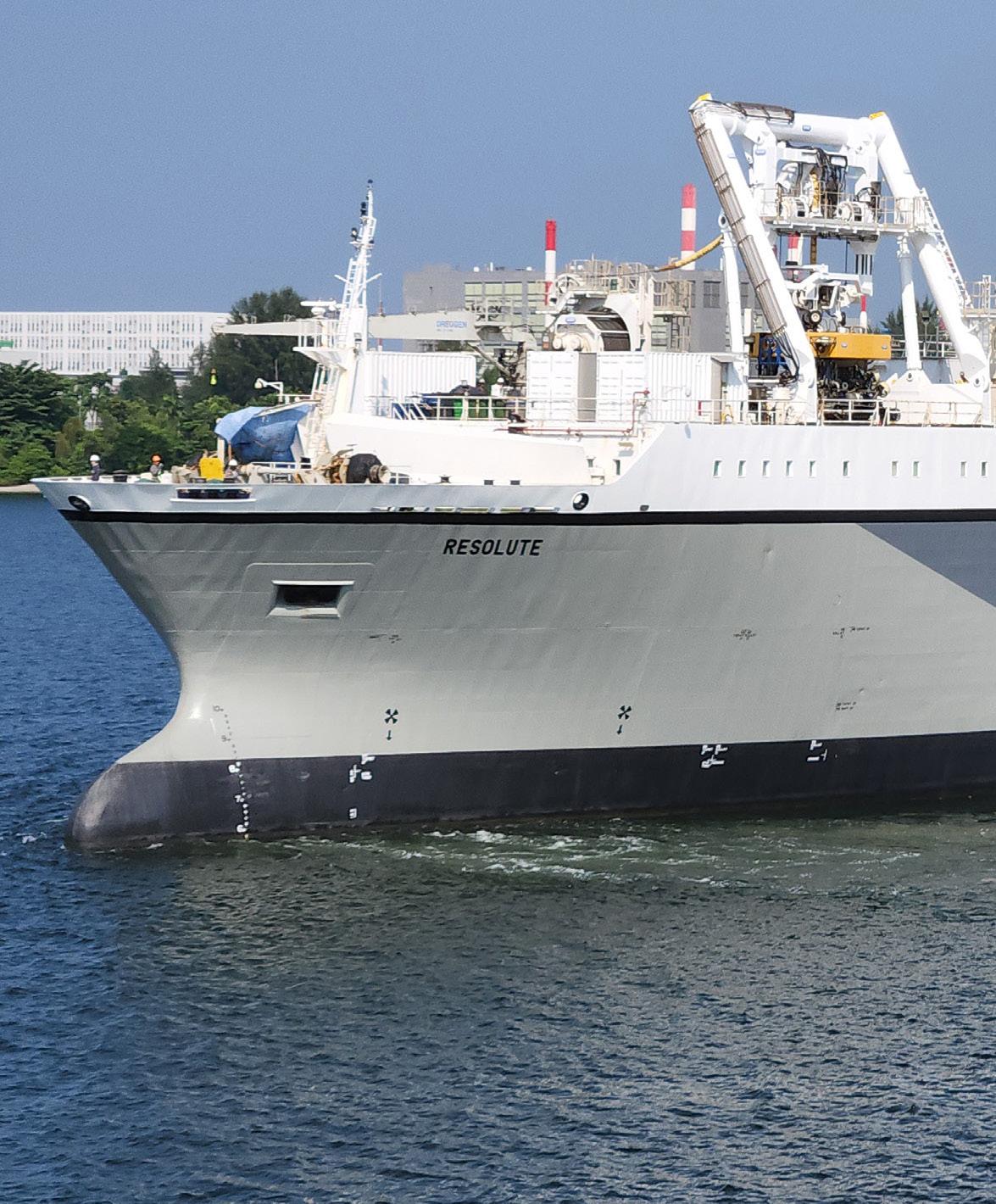
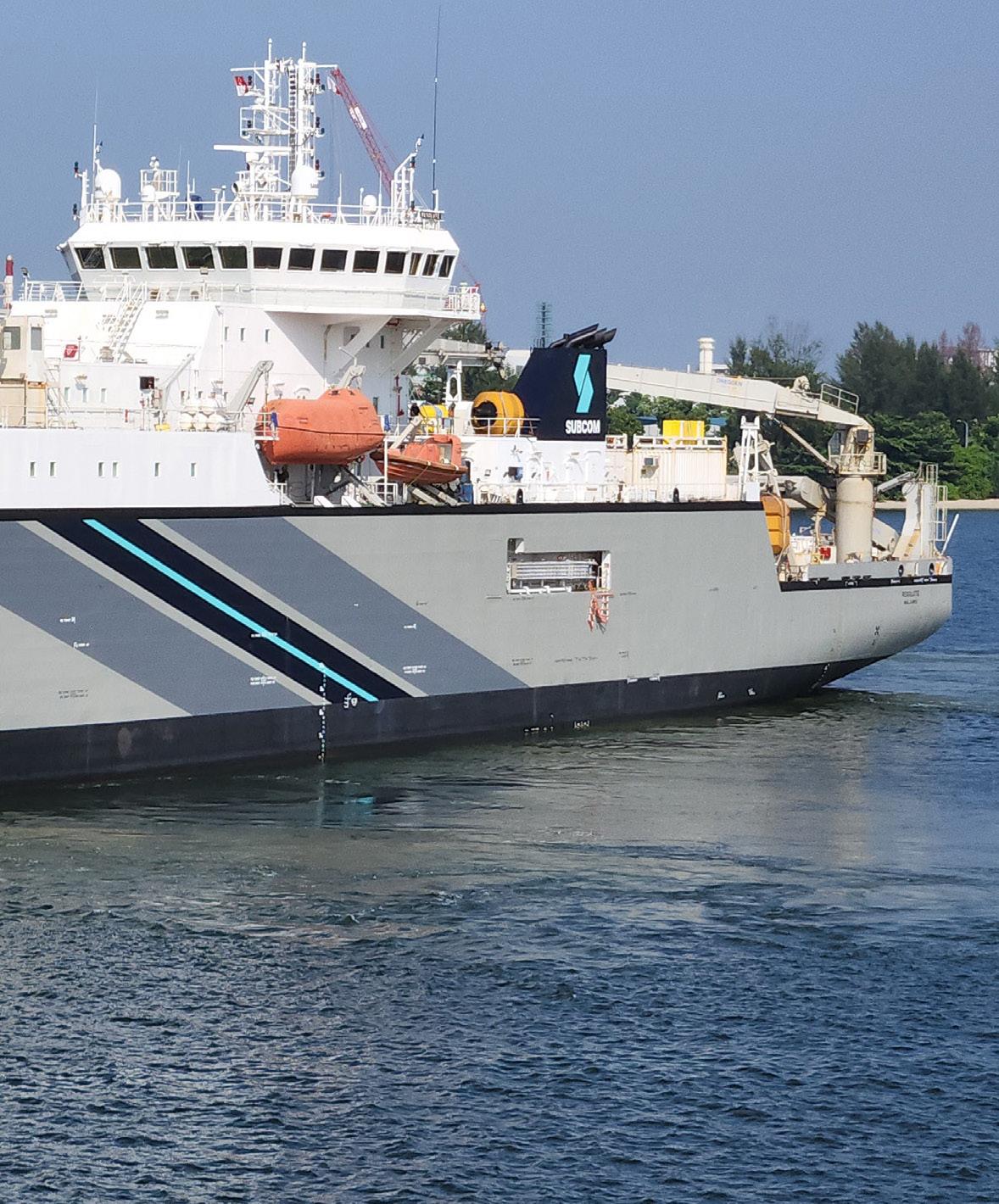


Jan 1 - Apr 30, 2026


RESOLUTE’s AIS activity for January through April 2026 shows a broad Indo-Pacific operating footprint rather than a single localized worksite. The mapped positions form a chain of low-to-moderate concentration hexagons extending from the South China Sea and western Pacific through Indonesia and northern Australia, then southward along the western side of Australia and across the southern coast toward the southeast. The distribution suggests a mobile cable or marine support vessel moving between widely separated operating areas, with several areas of repeated presence indicating potential survey, support, inspection, or staging activity.
WESTERN AUSTRALIA AND EASTERN INDIAN OCEAN
The strongest visible concentration appears off Western Australia, where one offshore hexagon is more intensely shaded than most other cells on the map. This location sits west of the Australian coast along the north-south track linking Indonesian waters with southern Australia, making it a plausible area of repeated vessel presence rather than simple passage. The isolated intensity suggests RESOLUTE may have spent time holding, working slowly, or revisiting the area, consistent with cable-related survey, inspection, maintenance support, or pre-positioning activity. Adjacent lower-intensity cells to the north and south show that this concentration is part of a broader corridor rather than a standalone point.
SOUTH CHINA SEA AND WESTERN PACIFIC CORRIDOR
A second notable pattern extends from the Hong Kong and northern South China Sea area eastward across the western Pacific. Several adjoining hexagons form a loose eastwest corridor, with one stronger cell near the northern South China Sea and additional lower-intensity cells farther offshore. This arrangement is consistent with long-distance transit between regional ports and offshore operating grounds, with possible pauses or slower activity near established maritime approaches. The spacing of the cells suggests RESOLUTE did not remain confined to coastal waters, but instead operated across open-ocean routes that could connect cable landing areas, survey lines, or support assignments across the wider Pacific margin.
AUSTRALIAN SOUTHERN AND EASTERN APPROACHES
Activity also appears around southern and southeastern Australia, including cells west of the Great Australian Bight, south of the continent, and near the Sydney-Melbourne region. These cells are generally lighter than the Western Australia focus, but they show a coherent continuation of the vessel’s route around the Australian margin. The pattern may reflect relocation, port approach activity, or intermittent offshore support work. The southeastern cluster is especially relevant because it lies near major coastal population centers and established maritime corridors, where cable vessels may stage, mobilize, demobilize, or transit between offshore assignments.
OPERATIONAL OVERVIEW
Overall, RESOLUTE’s mapped activity indicates sustained regional mobility across a very large operating area, with the most evident repeated presence off Western Australia and secondary activity in the South China Sea, western Pacific, and southern Australian approaches. The combination of widely spaced transit corridors and localized concentration cells is consistent with a vessel supporting cable-sector operations across multiple geographies, including possible survey, inspection, repair support, installation support, or repositioning between assignments. No single continuous high-density work box is visible, so the period is best interpreted as mixed transoceanic movement and selective offshore operational presence.
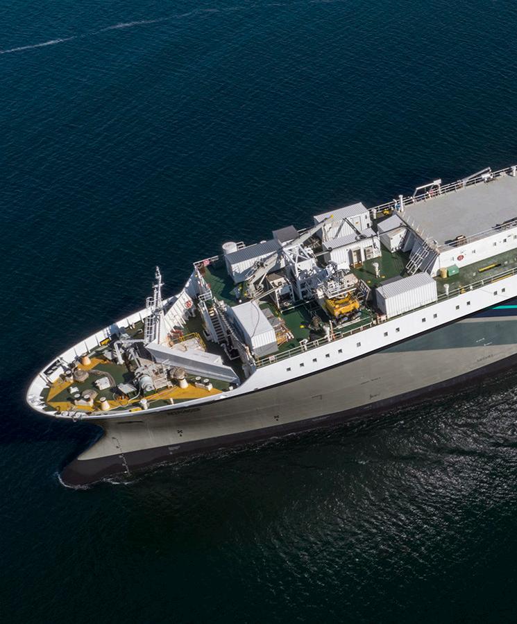
RESPONDER
Owner / Operator SubCom
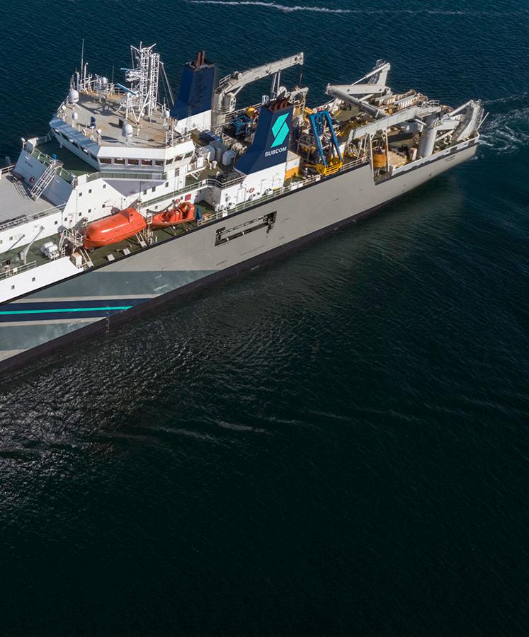
Plough

RESPONDER’s AIS activity from January through April 2026 shows a broad southwest Pacific operating footprint, with movement distributed across eastern Australia, the Tasman Sea, New Zealand approaches, New Caledonia, and adjacent Coral Sea waters. The pattern is not a simple point-to-point voyage; it combines a dominant concentration near Sydney with multiple lower-density cells forming offshore corridors and intermittent operating areas. This distribution suggests a vessel alternating between port-adjacent work, offshore transit, and likely cable-related support or inspection activity across a regional network of routes.
SYDNEY AND NEW SOUTH WALES APPROACHES
The strongest activity is clearly concentrated off Sydney and the New South Wales coast, where the highest-density cell appears immediately seaward of the port area. This cluster indicates repeated presence, slow maneuvering, or extended stationkeeping near a major landing, harbor, or offshore approach zone. The intensity relative to the rest of the map suggests Sydney was the principal operational focus during the period, likely serving as a staging point, work location, or recurring return port. The adjoining lower-density cells extending north and south along the coast are consistent with approach and departure tracks rather than the same level of sustained activity.
TASMAN SEA AND SOUTHWEST PACIFIC CORRIDORS
Outside the Sydney concentration, RESPONDER’s activity forms a dispersed but coherent set of cells across the Tasman Sea and southwest Pacific. A chain of lower to moderate-density positions extends from eastern Australia toward New Zealand, including activity offshore from the Auckland region and across the central Tasman Sea. This pattern suggests transits between regional ports and offshore work areas, with some localized dwell or slower movement where cells appear more developed. Additional activity north of New Zealand and toward New Caledonia, including the Noumea area, indicates operations or repositioning across the broader Coral Sea and southwest Pacific island corridor. The cells near Brisbane and farther offshore are lighter and more separated, likely reflecting passage, survey-line approaches, or intermittent support movements rather than a single concentrated campaign. Overall, the corridor pattern is consistent with a vessel supporting marine infrastructure or subsea cable activity over a wide regional area.
OPERATIONAL OVERVIEW
The map indicates RESPONDER was active across a large operating theater, but with a clear hierarchy of use. Sydney stands out as the primary area of concentration, while the remaining cells show regional connectivity between eastern Australia, New Zealand, New Caledonia, and the Coral Sea. The vessel’s footprint suggests a combination of port staging, offshore transit, and probable cable support, inspection, repair readiness, or survey-related work. The activity does not appear confined to one linear route; instead, it reflects flexible deployment across several southwest Pacific maritime corridors and coastal approach zones.


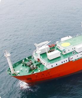
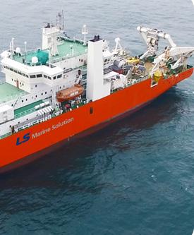
Year Built April 1998


SEGERO’s AIS pattern for Jan 1 to Apr 30, 2026 shows a broad but coherent operating footprint across the western Pacific margin, with activity distributed from the Yellow Sea and Korea Strait through the East China Sea to waters east and south of Taiwan. The map indicates a connected north-south corridor rather than a single isolated port call. Concentrations are strongest around the southern Korean coast, Jeju vicinity, and adjacent Korea Strait, while additional moderate clusters and lighter cells extend offshore along the China coast and around Taiwan, suggesting a mix of operational work areas, support movements, and transits.
KOREA STRAIT AND SOUTHERN KOREA APPROACHES
The most prominent activity appears around the Korea Strait, Jeju, and the southern coast of South Korea near the Busan and Ulsan area. The darker and more closely grouped cells in this region suggest repeated vessel presence rather than simple passage. This pattern is consistent with staging, survey, inspection, or cable-related support activity in a high-traffic maritime corridor linking the East China Sea, Korea Strait, and the Sea of Japan. The position of the cells near major Korean ports also indicates likely use of coastal logistics, mobilization, demobilization, or sheltered operating windows, with vessel movements concentrated near established maritime approaches rather than far offshore.
EAST CHINA SEA AND TAIWAN CORRIDOR
A second visible activity band extends southward through the East China Sea toward Taiwan, with cells positioned offshore of eastern China, near the Taiwan Strait approaches, and around waters east and south of Taiwan. These cells are generally lighter and more dispersed than the Korea Strait cluster, indicating lower intensity or more intermittent activity. The alignment suggests corridor movement between northern and southern work areas, potentially following subsea infrastructure routes, survey lines, or transit paths across the continental shelf and island-margin waters. Moderate activity southeast of Taiwan likely reflects a distinct operating area or waypoint near an important regional junction between the East China Sea, Philippine Sea, and Luzon Strait approaches.
OPERATIONAL OVERVIEW
Overall, SEGERO’s activity indicates sustained regional deployment across a strategically important submarine cable and maritime operating zone rather than a localized coastal assignment. The strongest evidence supports repeated work or support activity near southern Korea and Jeju, supplemented by broader movements through the East China Sea and around Taiwan. The distribution is consistent with a vessel engaged in cable survey, inspection, repair support, installation support, or related offshore operations, with transits linking multiple work areas. Scattered cells along the route likely represent passage or repositioning, while the denser clusters identify the primary operational focus during the period.
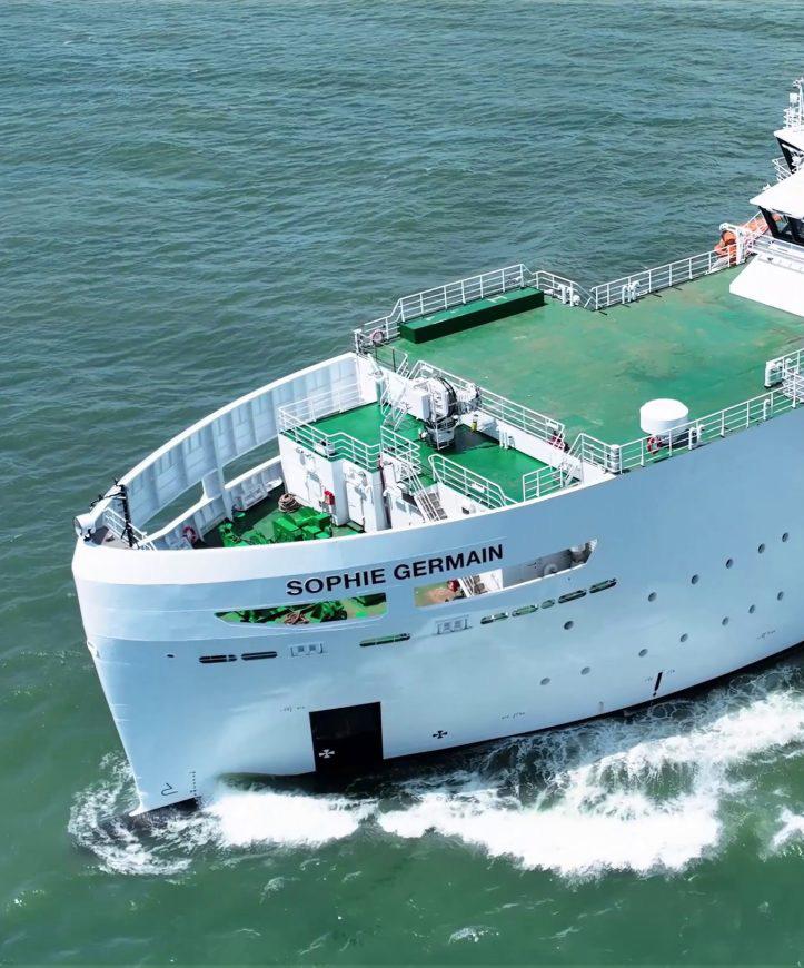
SOPHIE GERMAIN
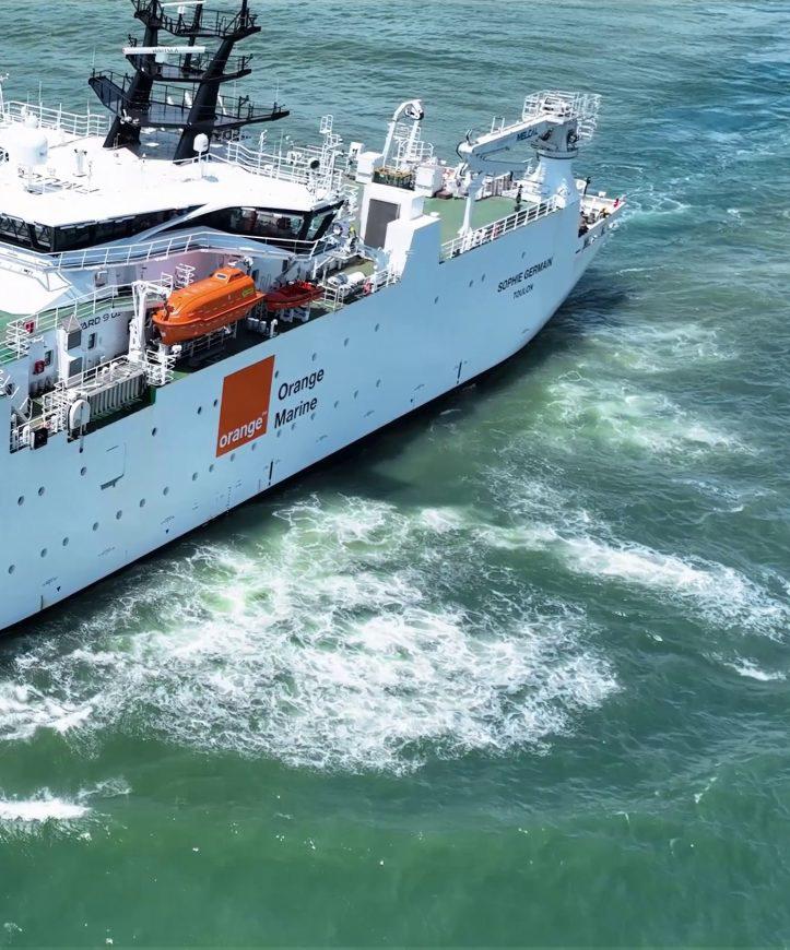


AIS activity for SOPHIE GERMAIN forms a clear northwestern-to-central Mediterranean corridor, with the strongest concentration in the Gulf of Lion and secondary activity extending southeast along the Italian margin. The mapped positions are not evenly distributed across the basin; instead, they follow a chain of offshore hexagons from the Marseille area toward the Ligurian and Tyrrhenian seas, then onward past western and southern Italy. This pattern is consistent with a vessel alternating between focused work areas and longer repositioning or transit segments, rather than broad regional roaming.
GULF OF LION CONCENTRATION


The most prominent activity is located offshore southern France, west of the Ligurian Sea and near the Marseille sector. This hexagon is the darkest cell on the map, indicating the highest relative concentration of AIS activity during the period. Its position at the western end of the mapped corridor suggests a primary operating, holding, or staging area. The concentration may reflect repeated slow vessel movements, station keeping, or localized work typical of cable survey, inspection, support, or maintenance activity. Nearby lighter cells between the French coast, Corsica, and northern Italy show that this was not an isolated transit point, but part of a broader operational footprint across the northwestern Mediterranean.


ITALIAN MARGIN TRANSIT CORRIDOR

A continuous sequence of lower-intensity cells extends from the Ligurian Sea southeastward along the west coast of Italy. Activity appears offshore of the Genoa and Tuscany approaches, across the central Tyrrhenian Sea, and farther south toward the Naples and Calabria sectors. The spacing and alignment of these cells indicate a structured maritime route rather than random movement. The vessel appears to have used the Italian margin as a principal corridor connecting the high-use French sector with southern operating areas. The generally pale shading along much of this corridor suggests intermittent presence, likely representing transits, brief stops, or lower-density operational passes between more concentrated zones.
SOUTHERN ITALY AND IONIAN APPROACHES
A secondary area of elevated activity is visible near southern Italy, east of Calabria and north of Sicily, where one cell is distinctly stronger than the surrounding corridor. This concentration sits near the transition between the Tyrrhenian, Sicilian, and Ionian approaches, a strategically important maritime junction. The vessel’s presence here suggests either a focused work episode or a pause associated with route transition, support activity, or operational coordination. Adjacent lighter cells around Sicily and southern Italy reinforce the interpretation that SOPHIE GERMAIN moved through this area as part of a wider Mediterranean operating pattern rather than a single direct passage.
OPERATIONAL OVERVIEW
Overall, SOPHIE GERMAIN shows a disciplined activity pattern centered on two notable zones connected by a coherent offshore route along Italy. The dominant Gulf of Lion concentration indicates the strongest sustained presence, while the southern Italian cluster marks a smaller but meaningful secondary focus. The intervening chain of cells suggests repeated movement along a practical Mediterranean corridor, consistent with cable-related survey, inspection, repair support, installation support, or repositioning activity. The map does not indicate widespread basin coverage; instead, it shows selective engagement along established offshore pathways between southern France, western Italy, and the central Mediterranean.


The AIS pattern for SUBARU shows a broad western Pacific footprint rather than a single localized work site. Activity is arranged as a chain of hexagonal cells extending from the waters off central Japan southward along the offshore margin between the East China Sea and the Philippine Sea, then toward Luzon and the central Philippines. Most cells are light to moderate, indicating dispersed movement or intermittent occupation, while the clearest concentration appears close to Japan. The overall pattern suggests a vessel alternating between regional transits and focused periods of low-speed operational work across a wide maritime corridor.
JAPAN AND TOKYO APPROACHES


The strongest visible cluster lies east and southeast of Japan, with the highest-intensity cell positioned near the Tokyo area and adjacent offshore waters. Additional lowerintensity cells extend around the Japanese Pacific approaches, including waters between Honshu and the open North Pacific. This concentration is consistent with a staging, mobilization, inspection, or cable-related support phase near a major port and offshore operating area. The proximity to Tokyo and the nearby coastal shelf suggests the vessel likely spent meaningful time in controlled movements, port approaches, or localized offshore activity before or after longer regional passages. Compared with the rest of the map, this area represents the most concentrated operational signal.
TAIWAN-LUZON AND PHILIPPINE SEA CORRIDOR
Southwest of Japan, activity forms a discontinuous corridor across the northern Philippine Sea and along the island arc between Taiwan and Luzon. Cells appear east and southeast of Taiwan, west of the Ryukyu-to-Philippines offshore corridor, and near the waters north of Manila. The spacing of these cells indicates movement through a broad regional route rather than a continuous dense work area. This pattern is consistent with transit between Japanese waters and the Philippines, with possible pauses for inspection, route verification, or support tasks in offshore areas that align with common submarine cable and maritime service corridors. The scattered distribution suggests intermittent occupation rather than one sustained local campaign.
OPERATIONAL OVERVIEW
Overall, SUBARU’s mapped activity indicates a vessel engaged across a large regional operating envelope spanning Japan, Taiwan, Luzon, and the Philippine Sea during the reporting period. The dominant signal is the Japan-centered cluster, while the remaining cells define a southbound and southwestbound operating corridor with scattered offshore positions. The low-speed character implied by the distribution is consistent with a mix of careful operational maneuvering and repositioning, rather than high-speed passage alone. No single continuous route is shown, so the evidence supports a cautious interpretation of regional cable, survey, support, or maintenancerelated activity with Japan serving as the principal visible focus.
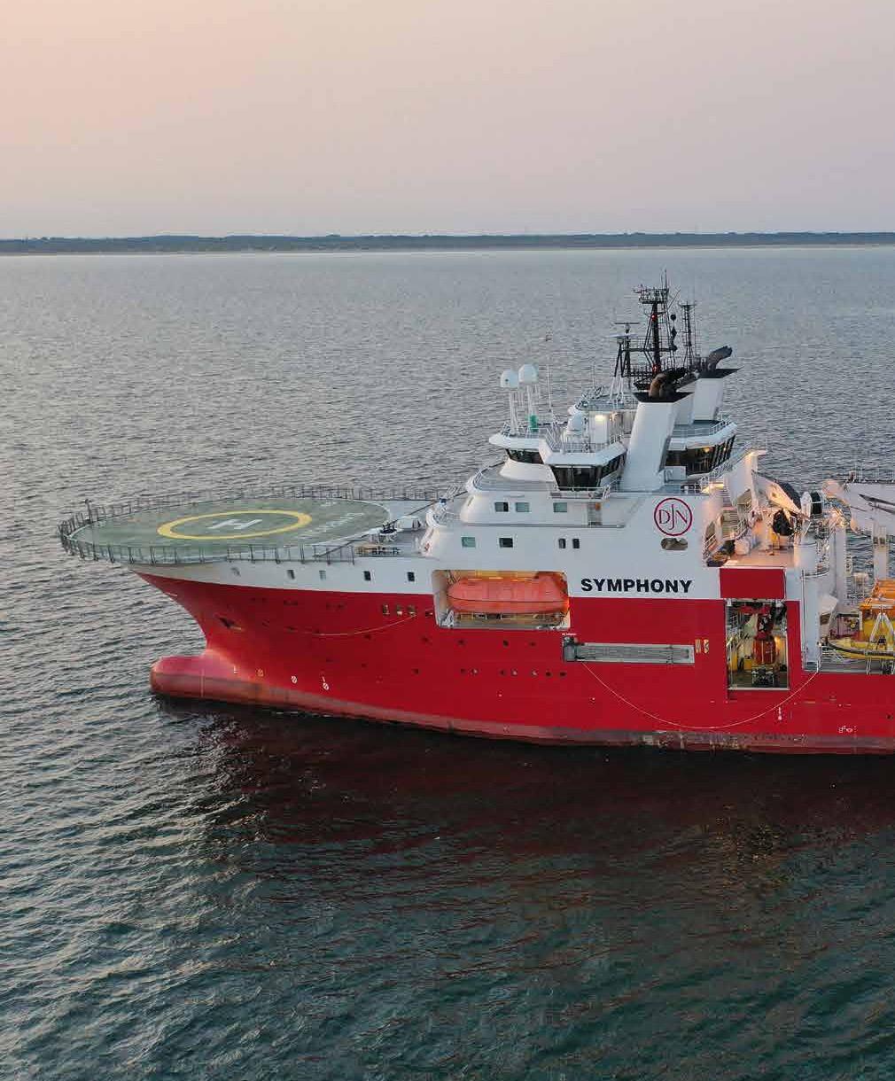
SYMPHONY
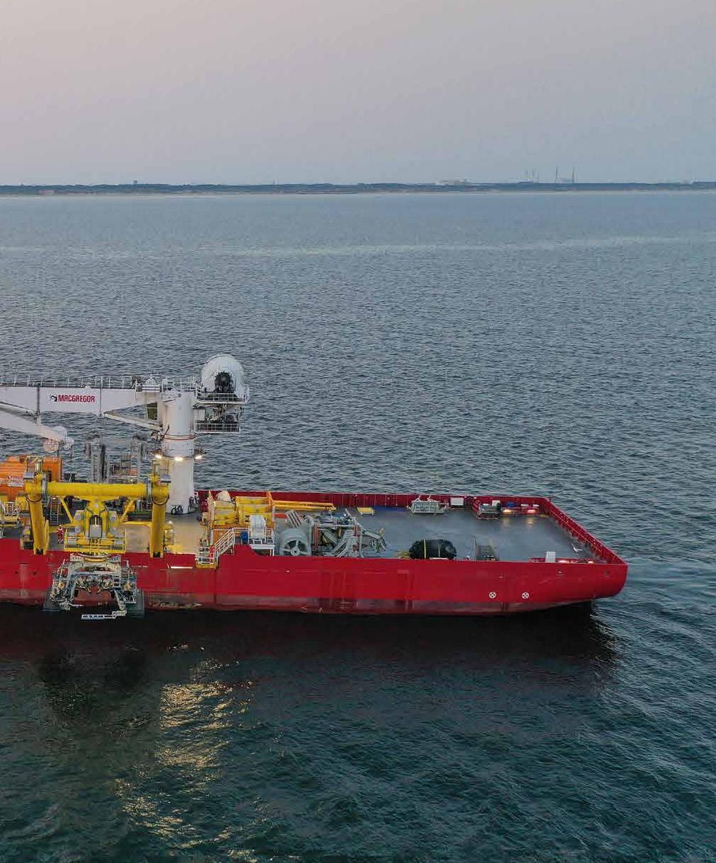
Owner / Operator Jan De Nul


Sources:
TomTom,

The AIS activity for SYMPHONY shows a broad but coherent operating footprint across the southern and central North Sea, with the densest returns concentrated close to the Dutch and Belgian approaches and a secondary chain extending northeast toward Denmark. The map indicates a vessel engaged in repeated offshore movements rather than a single point-to-point transit. Activity is distributed across recognized maritime corridors, nearshore approach areas, and offshore working grounds, consistent with cable-related survey, inspection, repair support, or installation support operations.
DUTCH AND BELGIAN APPROACHES


The strongest concentration is located off the Netherlands, near the approaches to Amsterdam, The Hague, Rotterdam, and adjacent southern North Sea waters. The darkest cell on the map sits in this zone, indicating the most persistent or repeated AIS presence during the reporting period. This pattern is consistent with a vessel staging from or working near major port and offshore infrastructure gateways, where cable landing approaches, offshore energy routes, and dense commercial traffic overlap. Nearby activity also extends southwest toward the Belgian coast and the eastern English Channel, suggesting repeated movements between coastal access points, offshore work locations, and established traffic lanes rather than isolated passage through the area.
SOUTHERN NORTH SEA AND ENGLISH CHANNEL LINKAGE
A second notable cluster appears across the southern North Sea between eastern England, the Netherlands, Belgium, and the Channel approaches. The activity cells form a loose corridor from waters off the English east coast toward the continental shelf and onward toward Belgium and the Netherlands. This distribution suggests operational connectivity between offshore working areas and ports on both sides of the southern North Sea. The pattern could reflect mobilization, demobilization, standby, or surveystyle movements associated with subsea infrastructure routes. The presence of multiple moderate-intensity cells indicates that SYMPHONY returned to several locations within this wider zone, rather than simply crossing it once.
NORTHEASTERN EXTENSION TOWARD DENMARK


A clear northeastward trail of lower to moderate activity extends from the central North Sea toward the waters west of Denmark and the Skagerrak area. These cells are less intense than the Dutch coastal concentration but remain organized in a recognizable offshore progression. This suggests transit or intermittent operational work along a wider North Sea route, potentially linking southern North Sea activity with northern staging or project areas. The distribution does not show a single compact worksite in this northern sector, but it does indicate repeated presence along the route, with activity near the Danish offshore margin and nearby approaches.
OPERATIONAL OVERVIEW
Overall, SYMPHONY’s AIS footprint indicates sustained offshore engagement across a large North Sea operating area, anchored by a principal concentration off the Dutch and Belgian coast and supported by secondary movements toward the English Channel, eastern England, and Denmark. The vessel’s pattern is compatible with subsea cable support activity involving a combination of port access, offshore positioning, inspection or survey lines, and regional transit. The strongest operational emphasis is clearly in the southern North Sea, where dense maritime infrastructure and coastal access points provide the most plausible context for the observed activity.
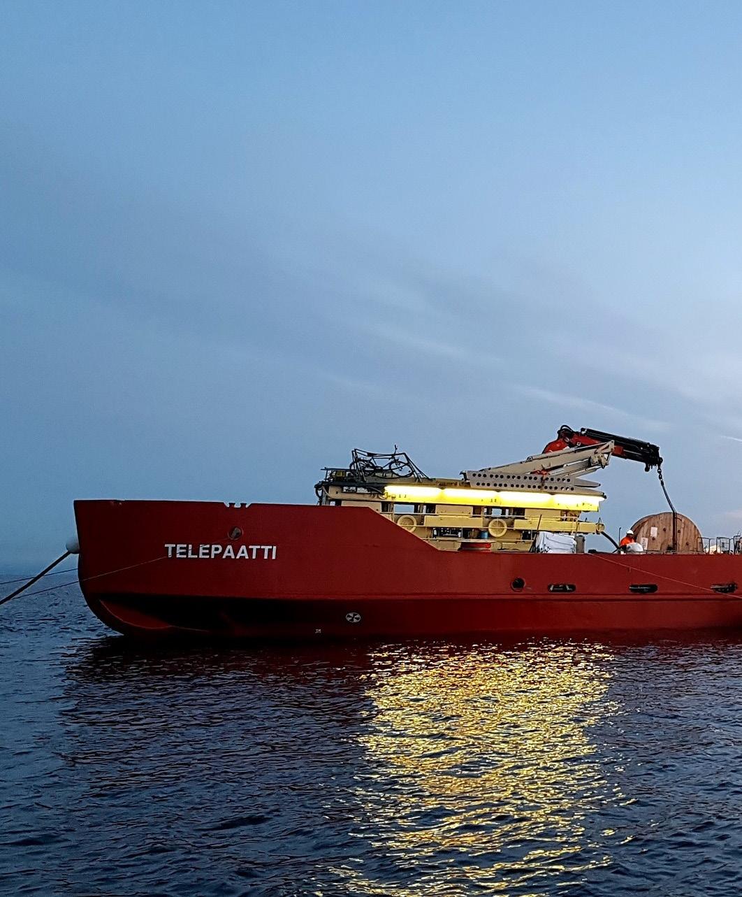
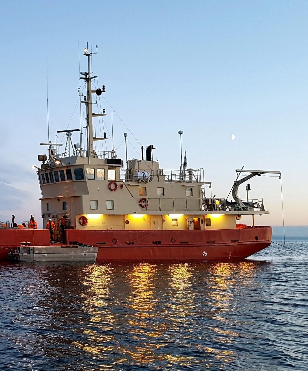
Owner / Operator Lilaco Offshore Oy


TELEPAATTI’s AIS pattern is concentrated in the northern Baltic, with activity distributed from the Gulf of Bothnia southward through the Åland Sea and into the Gulf of Finland. The map shows a clear primary focus west of Helsinki and north of the Tallinn approach, where the highest concentration cell is surrounded by a broader field of lower-density positions. Additional, lighter activity extends along a north-south corridor on the Finnish side of the Gulf of Bothnia, suggesting repeated regional movements rather than a single long-distance passage.
ÅLAND SEA AND ARCHIPELAGO SEA FOCUS
The strongest activity is centered in the waters between the Swedish coast, the Åland area, and the southwestern Finnish archipelago. The high-intensity cell indicates the vessel spent substantial time in this operating area compared with the rest of the mapped track. Its position, close to the transition between the Gulf of Bothnia, the Archipelago Sea, and the northern Baltic, is consistent with localized marine work, standby, or repeated maneuvering associated with cable inspection, maintenance support, or survey-type operations. The surrounding lower-density cells show that the vessel did not remain fixed at one point, but worked or transited across adjacent waters in a compact operational zone.
GULF OF FINLAND APPROACHES
A secondary activity area appears around the western Gulf of Finland, including waters near Helsinki and the general Tallinn approach. The cells here are lighter than the main Åland Sea concentration, but they form a recognizable extension of activity into one of the busiest maritime corridors in the region. This pattern may reflect mobilization, port approach, coastal support movements, or transit between Finnish and Estonian waters. The spacing of the cells suggests TELEPAATTI used this area as part of a broader regional operating circuit rather than as the dominant work site during the mapped period.
GULF OF BOTHNIA CORRIDOR
North of the main concentration, a chain of low-density cells follows the Finnish side of the Gulf of Bothnia. These positions extend over a long coastal reach, indicating intermittent movement along the gulf rather than intensive station-keeping. The alignment is consistent with coastal transit, repositioning between ports or work areas, or lower-intensity inspection and support activity along established marine infrastructure routes. The absence of a high-concentration cluster in this northern sector suggests these movements were comparatively brief or spread over a wider area.
OPERATIONAL OVERVIEW

Overall, TELEPAATTI’s mapped activity indicates a regional northern Baltic operating profile, with the strongest emphasis on the Åland Sea and adjacent southwestern Finnish waters. The vessel appears to have combined concentrated local activity with broader transits through the Gulf of Finland and along the Gulf of Bothnia. The distribution is consistent with a cable-support or survey-capable vessel alternating between focused operational work, coastal repositioning, and access to key Baltic approaches. The map does not indicate a single continuous route, but rather a pattern of repeated presence around strategic junctions linking Finland, Sweden, Estonia, and the northern Baltic basin.
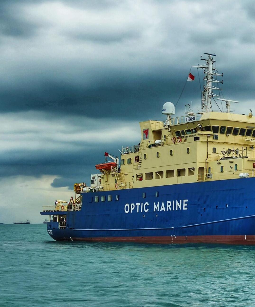
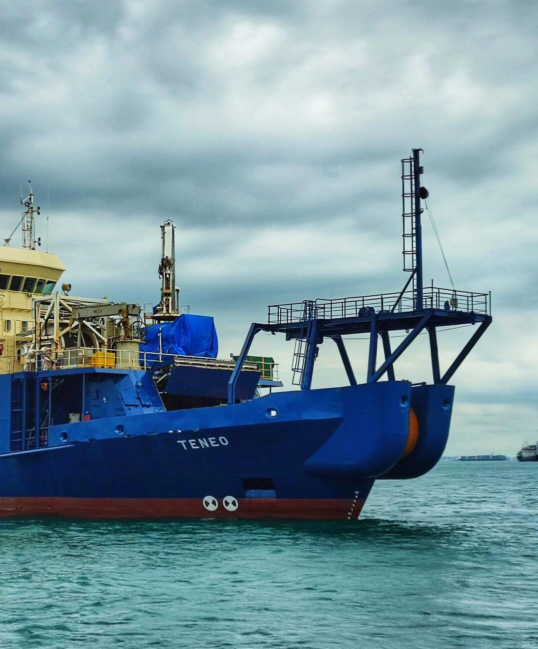
Owner / Operator
OMS Group


TENEO’s AIS activity from January through April 2026 is distributed across a broad Southeast Asian operating area, but the pattern is not uniform. The map shows a clear primary concentration centered on the Singapore region, with lighter surrounding coverage extending through the Strait of Malacca, the southern South China Sea, the Java Sea, and eastern Indonesian waters. The overall footprint suggests a vessel engaged in regional cable-sector operations, combining periods of localized activity near major maritime and telecommunications hubs with broader transits between island groups and offshore corridors.
SINGAPORE AND MALACCA STRAIT
The strongest activity is concentrated around Singapore and the adjacent MalaysiaIndonesia maritime crossroads. This hexagon is the only clearly elevated cell on the map, indicating repeated or prolonged AIS presence in the immediate vicinity of one of the region’s busiest cable, port, and logistics nodes. The location is consistent with staging, mobilization, demobilization, inspection support, or cable-related standby activity near established subsea infrastructure routes and service facilities. Surrounding lighter cells across the Strait of Malacca and nearby waters show that TENEO’s presence was not confined to port approaches alone, but extended into the wider western gateway between the Indian Ocean and the South China Sea.
SOUTH CHINA SEA APPROACHES
A secondary pattern appears across the southern South China Sea and the waters between Vietnam, Malaysia, Brunei, and the western Philippines. The hexagons here are lighter than the Singapore-area concentration, but they form a coherent offshore spread rather than isolated points. This suggests transits or intermittent operational presence along regional subsea cable corridors linking mainland Southeast Asia, Borneo, and the Philippine side of the basin. The absence of a stronger concentration in these cells points more toward route movement, reconnaissance, support calls, or short-duration work windows than a single extended worksite.
INDONESIAN ARCHIPELAGO AND EASTERN CORRIDORS
Additional lighter activity is visible across Indonesian waters, including areas south of Borneo, around the Java Sea, and farther east toward the island chains leading toward Sulawesi and Papua. These cells indicate that TENEO operated well beyond the Singapore hub, covering a large archipelagic theater where subsea cable routes must navigate complex passages, deep basins, and multiple coastal approaches. The broad spacing of the activity suggests regional repositioning or support between separated work areas rather than continuous concentrated operations in one Indonesian location.
OPERATIONAL OVERVIEW
Overall, TENEO’s map profile is consistent with a cable-capable vessel active across Southeast Asia, with its operational center of gravity near Singapore and supporting movements across surrounding regional corridors. The combination of one dominant concentration and many lower-intensity cells indicates a program involving both hubbased activity and wide-area mobility. The vessel appears to have maintained a sustained regional presence during the period, likely alternating between port-adjacent staging, offshore support, cable inspection or repair readiness, and transits between cable route segments across the South China Sea and Indonesian archipelago.
Owner / Operator Global Marine


AIS activity for WAVE SENTINEL during the January through April 2026 window is shown as a broad, low-intensity distribution around South America rather than a compact operational cluster. The mapped positions form a large continental-scale loop, with hexagonal activity cells extending along the Pacific side, across the southern approaches, and up the Atlantic side toward northern South America. The color scale indicates no strong localized hotspot; instead, the pattern is consistent with extended vessel movement, intermittent station keeping, or widely spaced survey/support activity across multiple maritime regions.
SOUTH AMERICA PERIMETER TRANSIT
The strongest visible theme is the vessel’s large-scale perimeter movement around South America. Activity cells trace a continuous arc from the northern and northwestern part of the continent down the Pacific margin, around the far south, and back northward along the Atlantic side. This distribution suggests a vessel engaged in long-distance mobilization, regional repositioning, or a campaign requiring access to multiple coastal approaches. The spacing of the cells indicates that the vessel was not concentrated in a single port area or short cable corridor. Instead, the AIS pattern reflects broad route coverage around the continent, with activity appearing offshore and near major coastal regions rather than confined to one national waterspace.
ATLANTIC MARGIN COVERAGE
A notable portion of the mapped activity appears along the eastern and northeastern side of South America, including offshore areas adjacent to Brazil and farther north toward the Caribbean-facing approaches. These cells are broadly distributed and remain low in concentration, pointing to transit or distributed offshore work rather than a single fixed operation. The Atlantic-side pattern could be consistent with cablerelated support, inspection, survey transit, or vessel repositioning along a coastline with multiple landing-zone regions and offshore routes. The absence of a dense high-activity cluster suggests the vessel did not remain for an extended period at one specific worksite within the map’s resolution.
PACIFIC AND SOUTHERN APPROACHES
The Pacific-side cells extend down the western margin of South America and continue into the southern ocean approaches below the continent. This segment of the track is important because it links the northern Pacific-facing waters with the Atlantic return route through the far south. The mapped pattern shows a chain of activity rather than isolated points, indicating sustained movement across a long geographic corridor. Activity near the southern end of the continent may represent passage between ocean basins, staging for onward operations, or support movement through a strategically significant maritime gateway.
OPERATIONAL OVERVIEW
Overall, WAVE SENTINEL’s AIS record shows a vessel active across a very large operating area with low concentration in any one location. The pattern supports an interpretation of regional transit combined with possible cable survey, repair support, inspection, or mobilization activity, but the map does not identify a specific project or operator. The most defensible conclusion is that the vessel conducted broad South American perimeter movements during the reporting period, maintaining coverage across both the Pacific and Atlantic margins while avoiding the kind of dense clustering normally associated with prolonged onsite installation or repair work.