SURVEY + SUBSURFACE UTILITY ENGINEERING (SUE)

SURVEY + SUBSURFACE UTILITY ENGINEERING (SUE)
Stratus is a multidisciplinary architecture, engineering, and consulting firm delivering integrated infrastructure, water resources, and civic solutions across the country. We bring together survey, SUE, engineering, and design expertise to support projects at every stage, from early planning through construction.
Survey and SUE are critical components of this integrated approach, providing accurate, field-verified information required to inform design, coordinate utilities, and reduce project risk. By aligning field services with engineering teams, Stratus delivers coordinated solutions that improve project outcomes and long-term performance. Stratus supports projects with a team of more than 1,000 professionals across architecture, engineering, and consulting disciplines.
This collective strength enables us to deliver comprehensive, end to end services across multiple sectors.
Services
Architecture
Building Envelope
Civil Engineering
Electrical Engineering
Environmental Engineering
Fire Protection
Geomatics
Interiors
Landscape Architecture
Mechanical Engineering
M/E/P
Refrigeration
Planning
Process Engineering
Structural Engineering
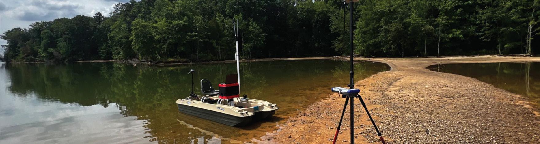
Stratus delivers integrated survey and subsurface utility engineering (SUE) services that support infrastructure and water resource projects from planning through construction. Our teams provide accurate existing conditions, utility identification, and coordinated field investigation, helping reduce uncertainty, avoid conflicts, and support confident decision-making.
We understand that survey and SUE are more than technical services. They are foundational inputs that directly impact design, constructability, and project risk. By combining field expertise with advanced technology, Stratus delivers data that is clear, defensible, and aligned with real-world conditions, supporting infrastructure projects including water and wastewater treatment facilities, pump stations, and utility systems.
• Survey Services – Boundary, topographic, and ALTA surveys supported by accurate field data collection, construction staking, and as-built documentation.
• Subsurface Utility Engineering (SUE) – Quality Level
A through D investigations including utility designation, test hole verification, and subsurface mapping to reduce conflicts and improve coordination.
• Geospatial + Data Integration – Advanced technologies including UAV/drone mapping, LiDAR, photogrammetry, and GPS to capture and integrate field data into design workflows.
• Utility Coordination + Risk Reduction – Early identification of conflicts to support constructability, schedule certainty, and reduced rework across projects.
SURVEY + SUE SERVICES
• Existing conditions and boundary surveys
• ALTA/NSPS and topographic surveys
• Construction staking and as-built surveys
• Utility designation and mapping
• Ground penetrating radar and electromagnetic locating
• Vacuum excavation and test hole validation
TECHNOLOGY + DATA COLLECTION
• UAV/drone data capture and aerial mapping
• Photogrammetry and LiDAR scanning
• GNSS, RTK, and high-precision field instrumentation
• GIS integration and geospatial data coordination
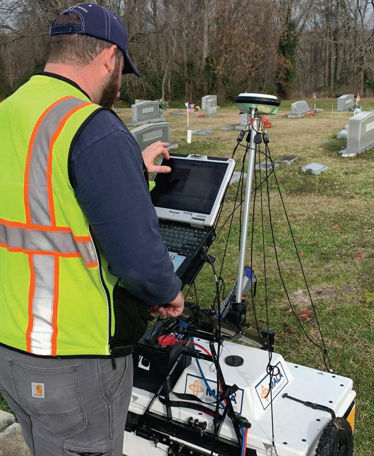
Our teams work directly with engineers and project stakeholders to deliver accurate, coordinated field data that informs design and reduces risk.
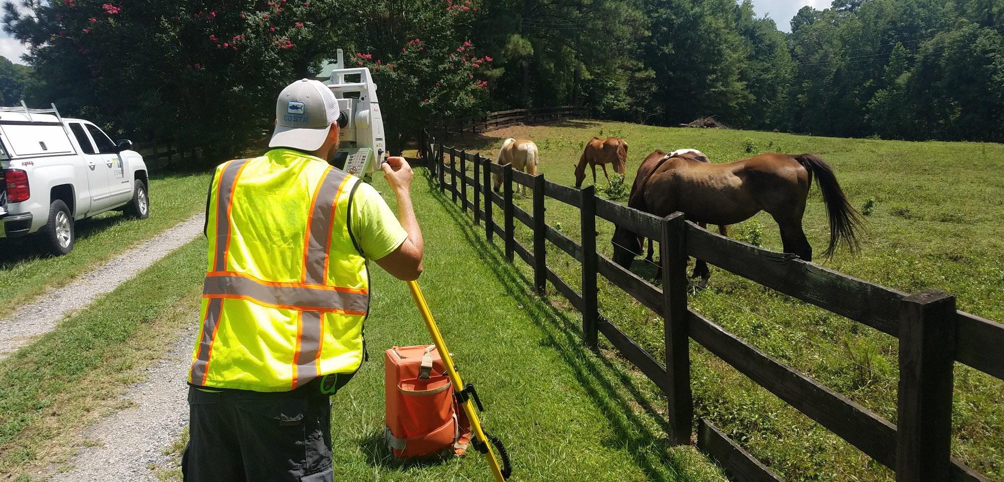
• Field investigation to locate and document existing utilities
• Utility designation supported by geophysical methods
• Test hole verification to confirm depth and alignment
“Accurate field data upfront leads to fewer surprises in design and construction.”
• Topographic mapping aligned with grading and drainage design
• Integration of survey data into CAD and modeling platforms
• Early coordination with design teams to resolve conflicts
Charlotte, NC
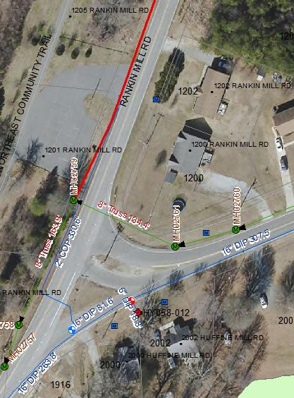
Stratus supported survey and subsurface utility engineering services to support the design of approximately five miles of a 48-inch water transmission main replacement. Services included existing conditions survey, topographic verification, and detailed documentation of utility structures including inverts and locations. The team performed SUE Level B designation along the corridor and completed targeted SUE Level A test hole investigations to confirm critical crossings and reduce conflicts. Additional work included easement mapping and coordination with stakeholders. This effort delivered accurate, field-verified data that informed alignment design, improved constructability, and reduced risk across a major water infrastructure project.
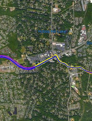
Greensboro, NC
Stratus provided integrated survey and SUE services for the development of new water and wastewater infrastructure supporting a North Carolina National Guard facility. The project included 20,400 LF of gravity sewer, 4,500 LF of force main, and 11,600 LF of water main, along with a new lift station. Services included existing conditions survey, topographic mapping, and SUE investigation to identify and verify subsurface utilities. The team coordinated multiple utility systems to support design and construction planning. Accurate field data enabled efficient routing, reduced conflicts, and supported delivery of a complex, multi-system infrastructure solution.
Southport, NC
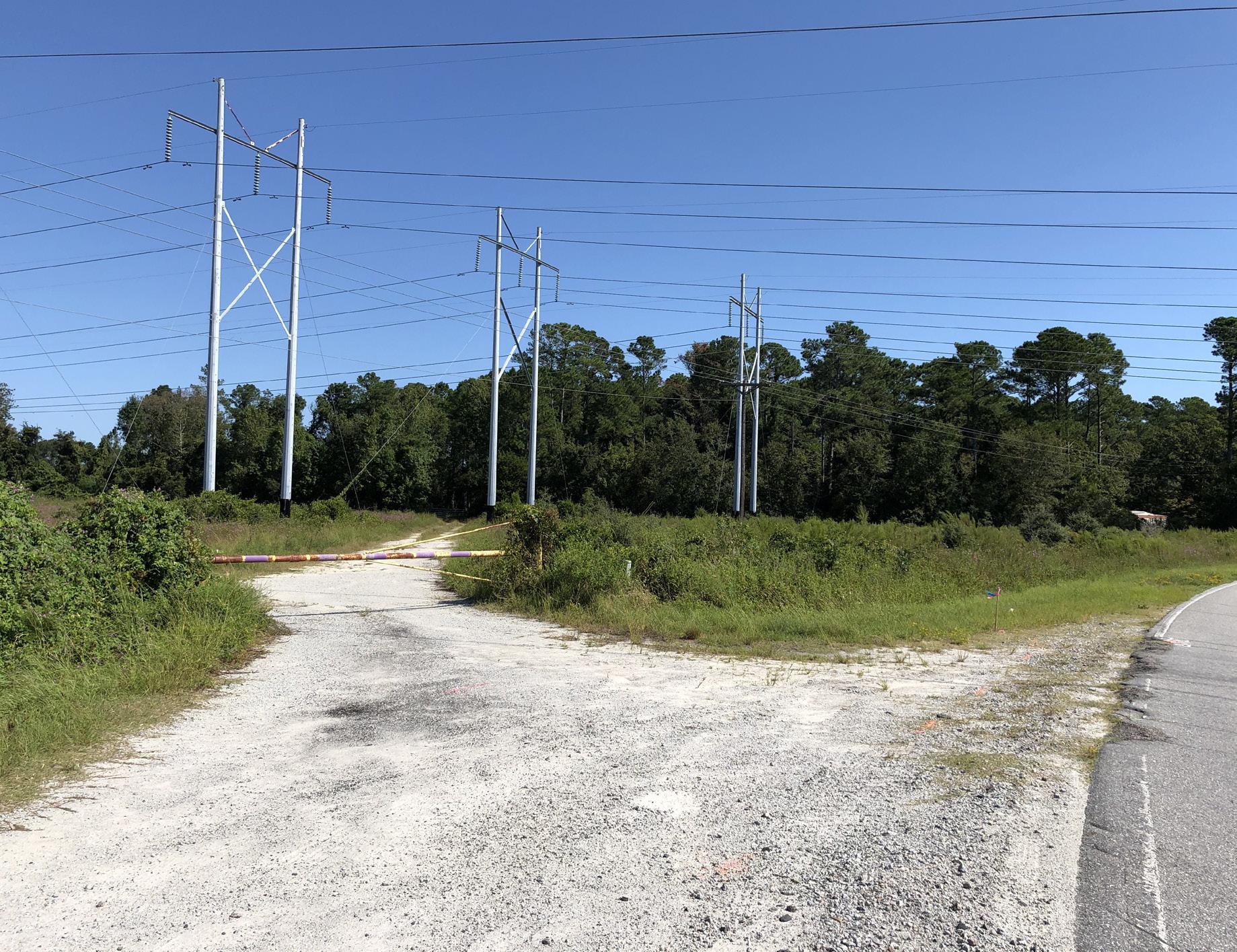
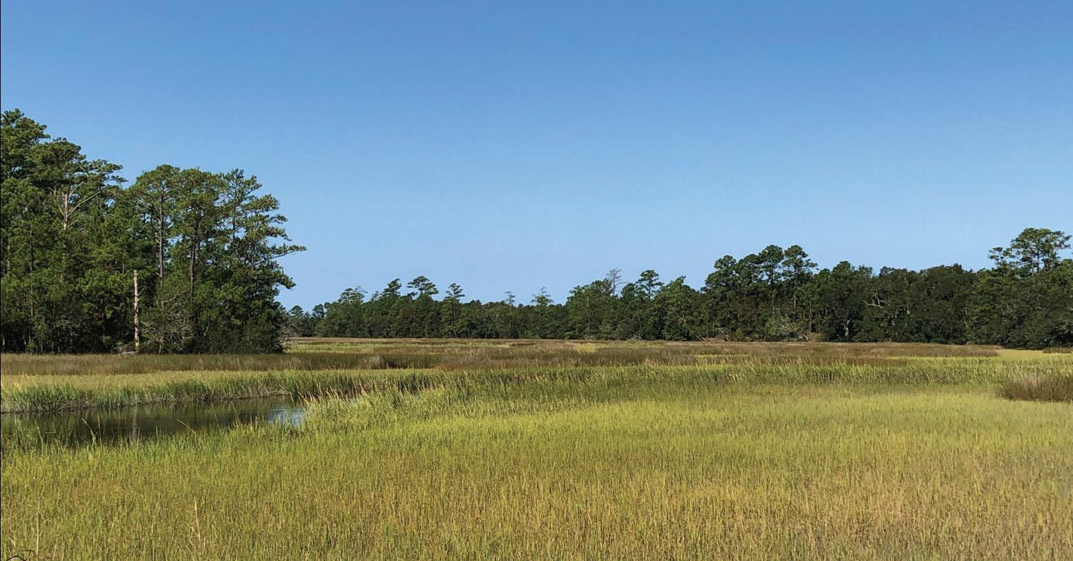
Stratus delivered survey and subsurface utility engineering services to support improvements to the Southport Wastewater Treatment Plant. Services included existing conditions survey, topographic mapping, and utility coordination to document on-site and subsurface infrastructure. Survey data supported design development for upgrades to treatment processes, site systems, and utility connections. Coordination of existing utilities and plant infrastructure was critical to maintaining operations while planning improvements. This work provided accurate, field-verified data to inform design, reduce conflicts, and support efficient delivery of upgrades to a critical municipal wastewater facility.
Lexington County, SC
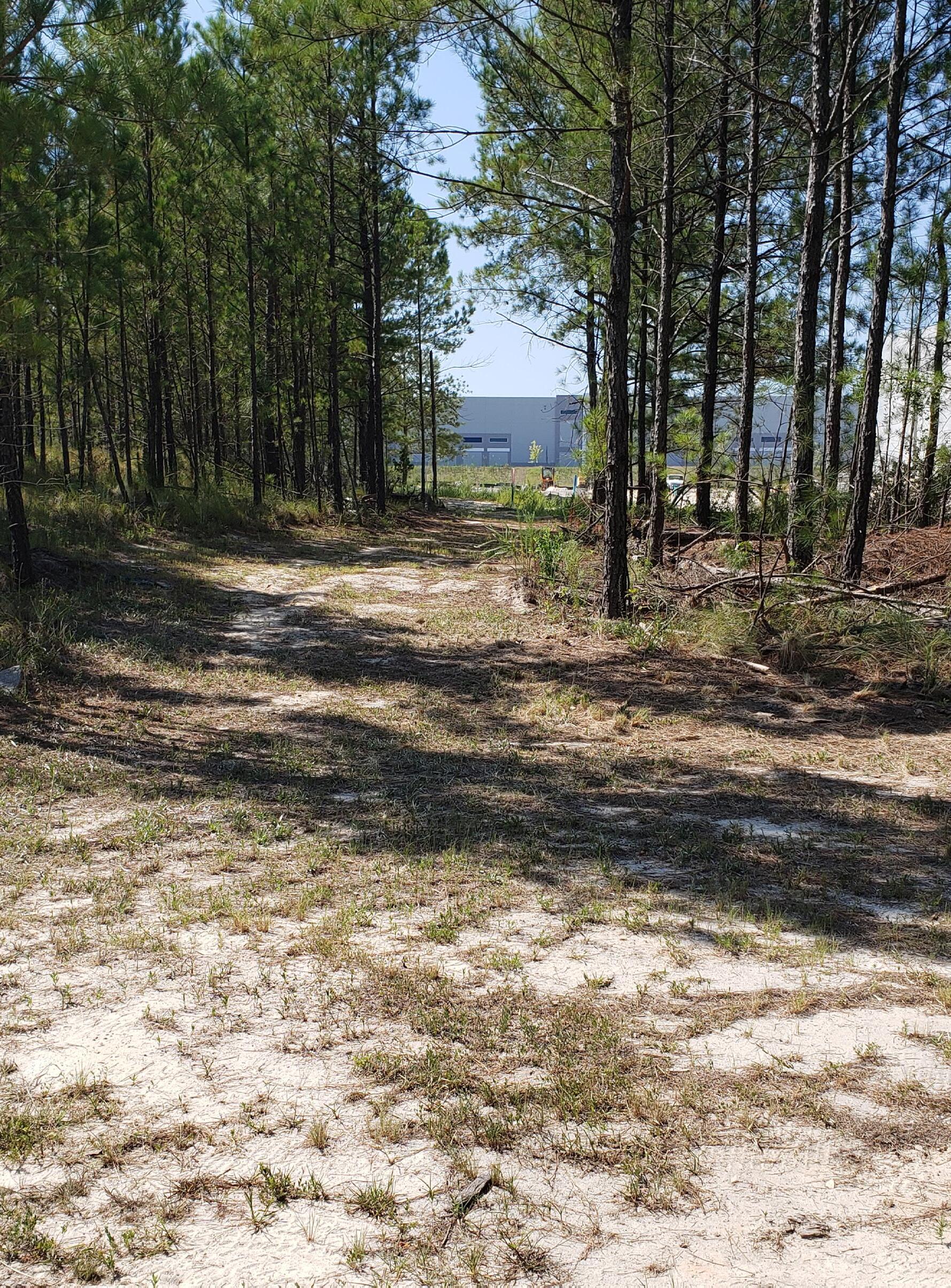
Stratus provided survey and utility coordination services for the development of a new pump station supporting industrial park infrastructure. Services included existing conditions survey, topographic mapping, and documentation of site features and utilities to support design and permitting. Survey data informed grading, drainage, and utility routing, ensuring integration with the surrounding infrastructure network. The project required coordination of water and wastewater systems to support future development within the industrial park. This work demonstrates Stratus’ ability to support utility infrastructure projects through accurate field data and coordinated survey services.
Charlotte, NC
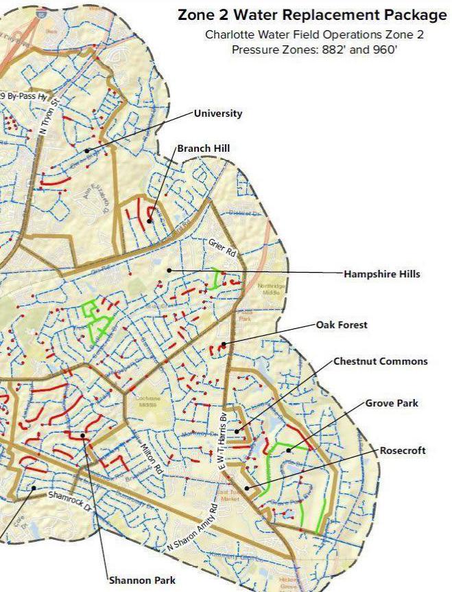
Stratus supported a multi-phase waterline replacement program involving approximately 64,000 LF of infrastructure across a large service area. Survey services included boundary and right-of-way determination for approximately 3,500 parcels, topographic survey, and existing conditions documentation. SUE Level B utility designation was performed to identify and map subsurface infrastructure across the project corridor. Additional services included easement mapping and preparation of legal descriptions. This work provided critical data to support design coordination, property impacts, and construction planning for a large-scale utility replacement program across an active service region.
Charlotte, NC
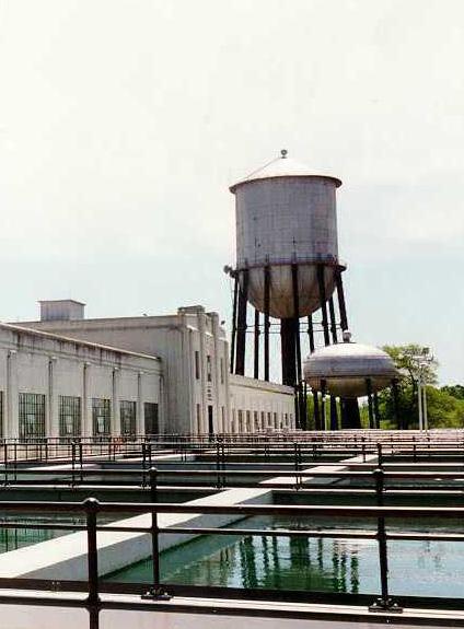
Stratus delivered survey and SUE services for the design of a 15,000 LF pipeline connecting water treatment facilities. The effort included boundary verification, topographic survey, and integration of UAV LiDAR and aerial mapping to support detailed data collection. The team performed SUE
Level B designation and completed approximately 50 SUE
Level A test holes to confirm utility depth and location. This combination of field investigation and advanced technology improved design accuracy, reduced risk associated with underground conflicts, and supported efficient coordination across the project corridor.
Chesterfield County, VA
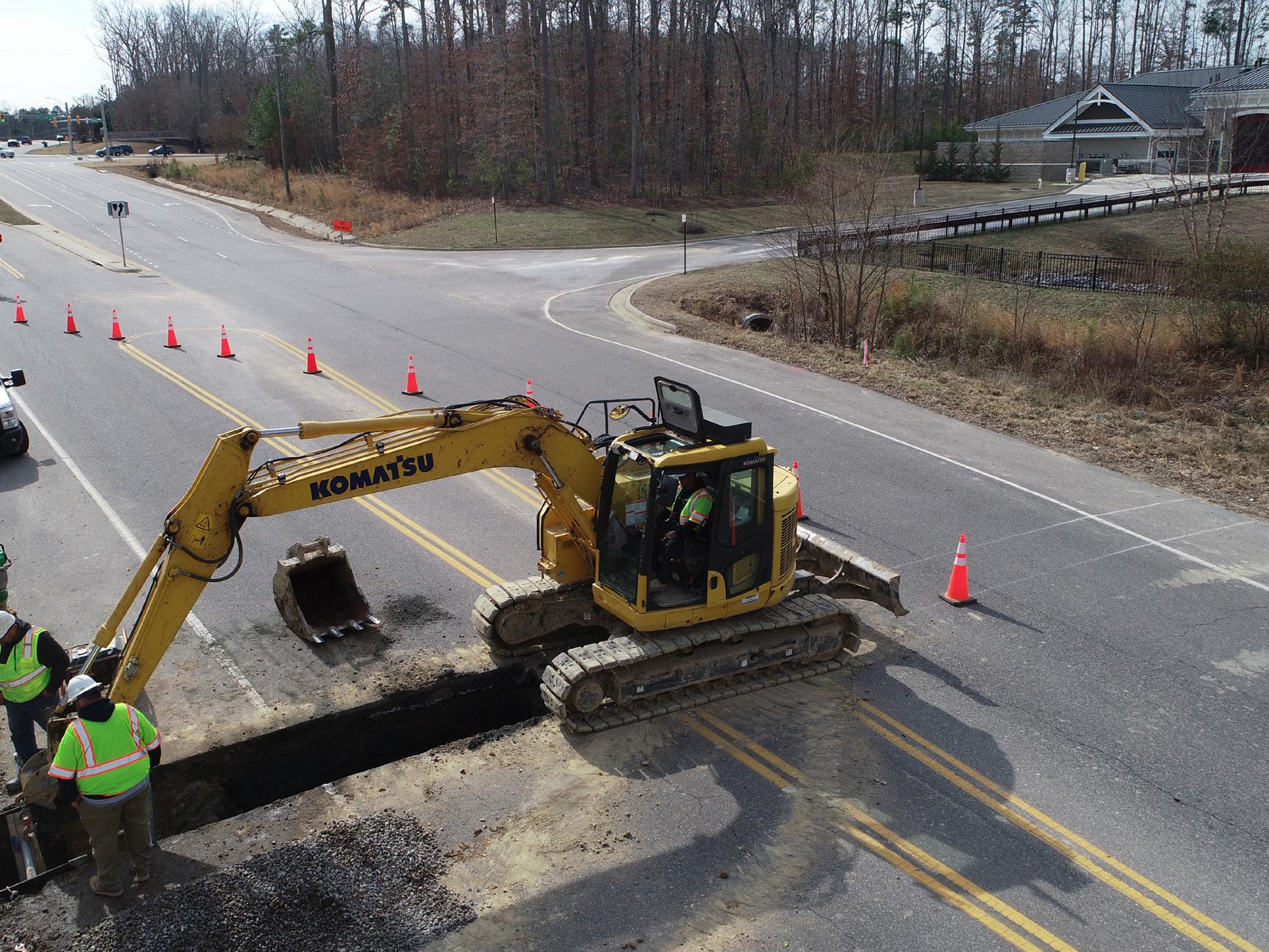
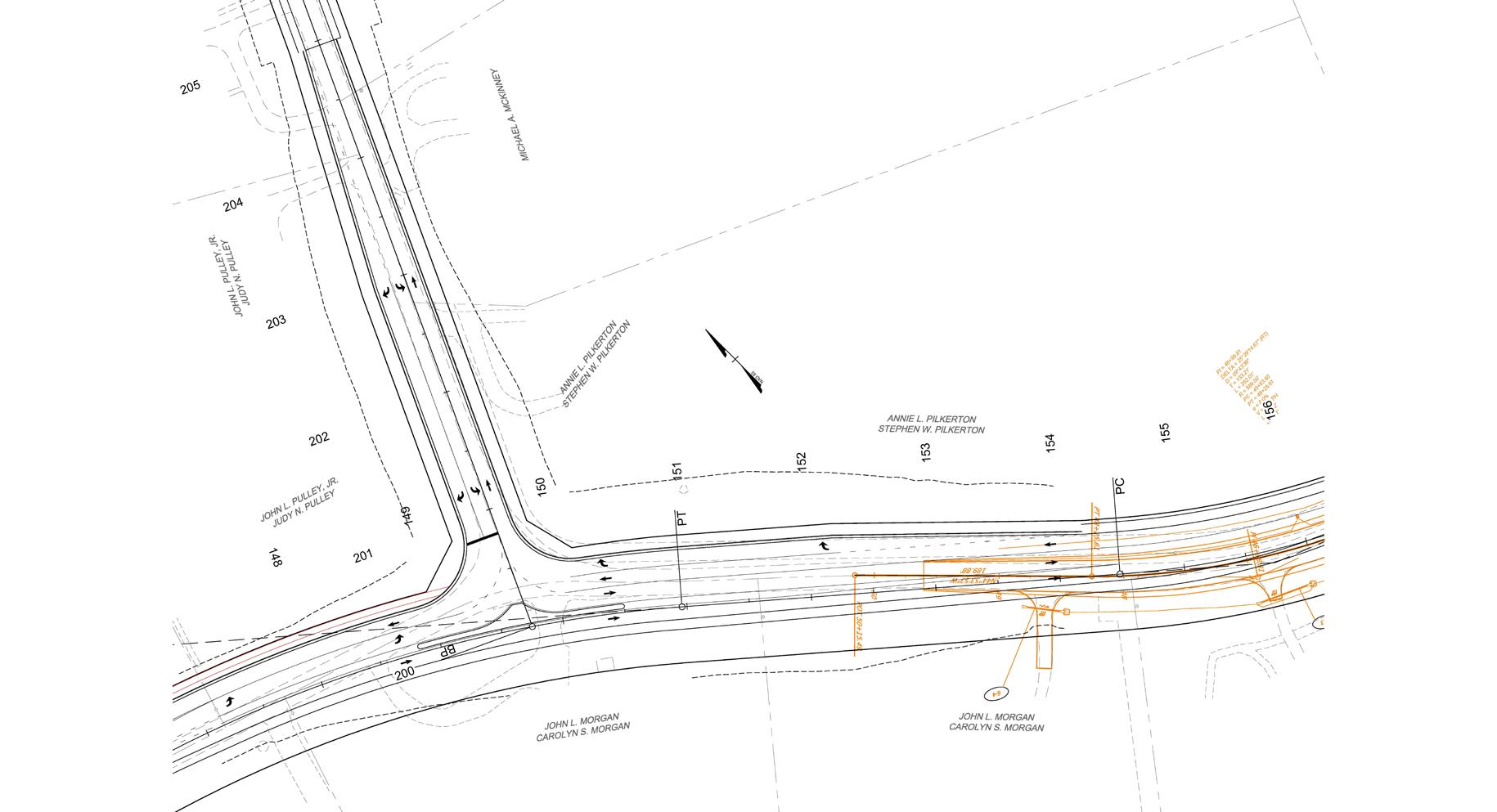
Stratus provided engineering support and survey coordination for approximately 9,000 LF of waterline installation within an active infrastructure corridor. Services included utility coordination, right-of-way support, and permitting across roadway and environmental constraints. Survey data supported alignment design, grading, and integration with existing infrastructure systems. The project required coordination with multiple stakeholders and concurrent infrastructure improvements to minimize conflicts and maintain schedule. This work highlights the role of accurate field data and coordinated survey efforts in delivering complex utility infrastructure within constrained environments
Chesterfield County, VA
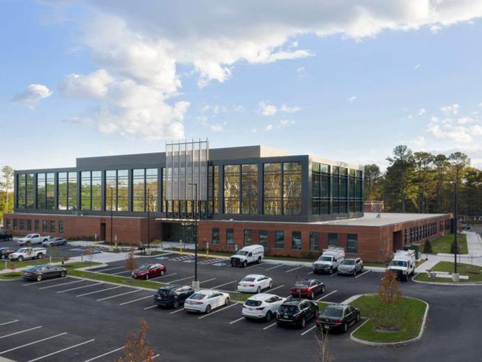
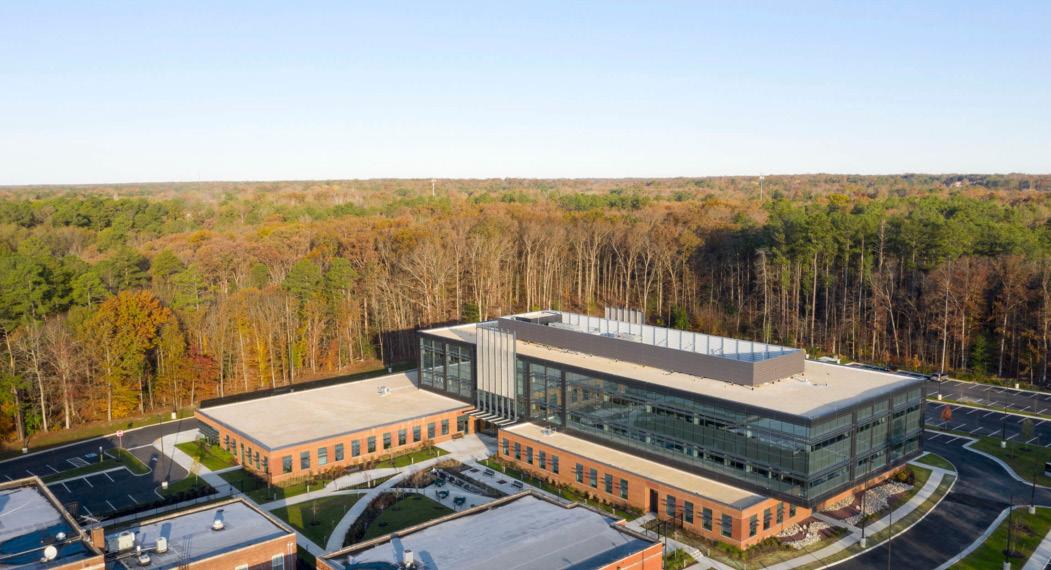
Stratus supported site design and utility coordination services for the development of the VDOT and Virginia State Police Joint Safety Operations Center. The project included schematic through final design, as well as coordination with local and state agencies. Scope included site layout, grading, drainage, stormwater management, and design of domestic water, fire protection, and sanitary sewer systems. Survey and site data supported alignment of utilities and infrastructure within a constrained site and adjacent roadway corridor. Work included approximately 1,600 linear feet of new waterline installation and upgrades to existing systems to meet operational requirements. The project demonstrates Stratus’ ability to support civic and public-sector facilities through coordinated site infrastructure and utility design.
Wilkesboro, NC
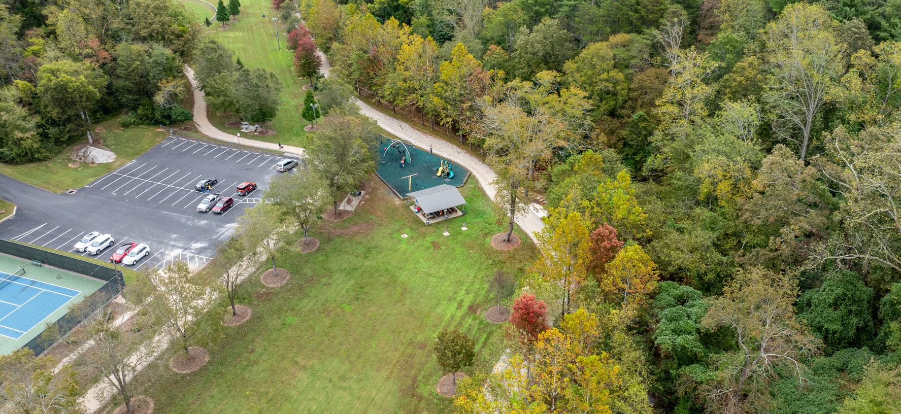
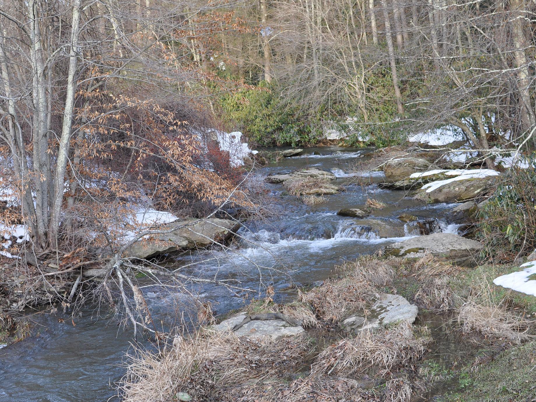
Stratus provided engineering, design, and permitting services for the restoration of approximately 6,000 LF of stream corridor. Survey and field data collection were used to define existing conditions and inform grading, drainage, and stream alignment. The project addressed erosion, protected adjacent infrastructure, and improved water quality and habitat. Coordination with regulatory agencies and stakeholders supported implementation of resilient, longterm solutions. This project demonstrates how survey and field-verified data support water resource improvements, enabling design decisions that reflect actual site conditions and environmental constraints.
Banner Elk, NC
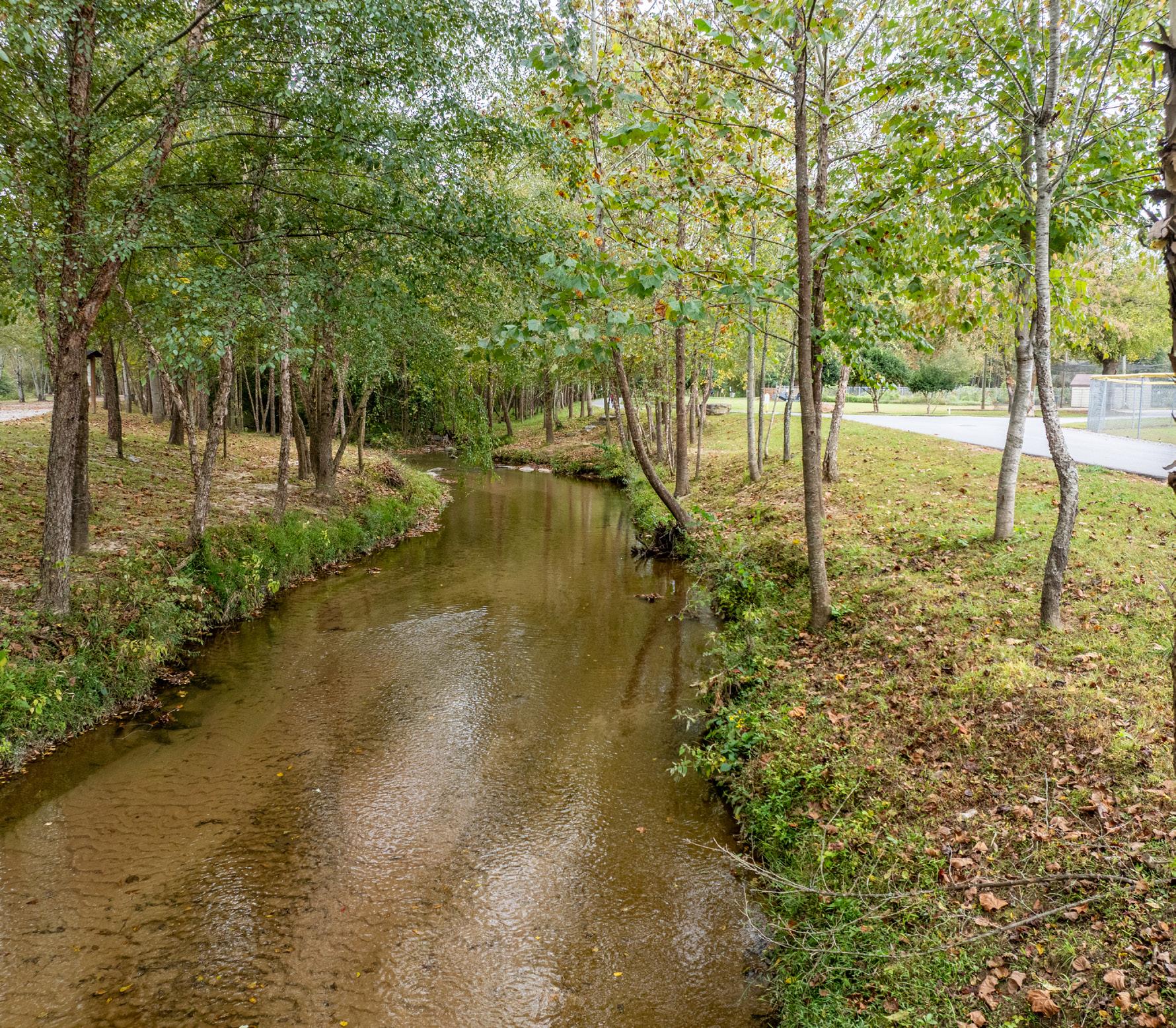
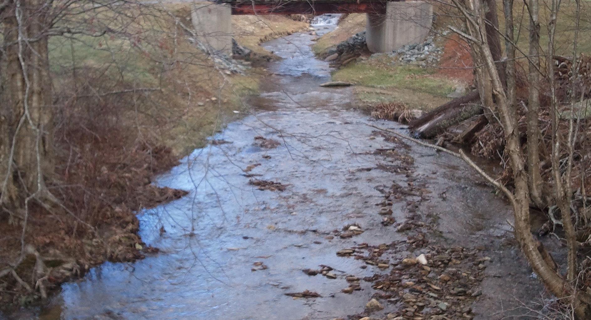
Stratus delivered stream restoration design supported by detailed field investigation, including topographic survey, bank condition assessment, and watershed analysis. Survey data informed plans to stabilize the channel, reduce erosion, and improve hydraulic performance. Services included grading design, in-stream structures, erosion control, and permitting coordination. Integration of survey data ensured alignment between design intent and existing conditions, supporting regulatory approval and construction execution. The project highlights the role of survey and field data in supporting effective, constructible restoration strategies
Raleigh, NC
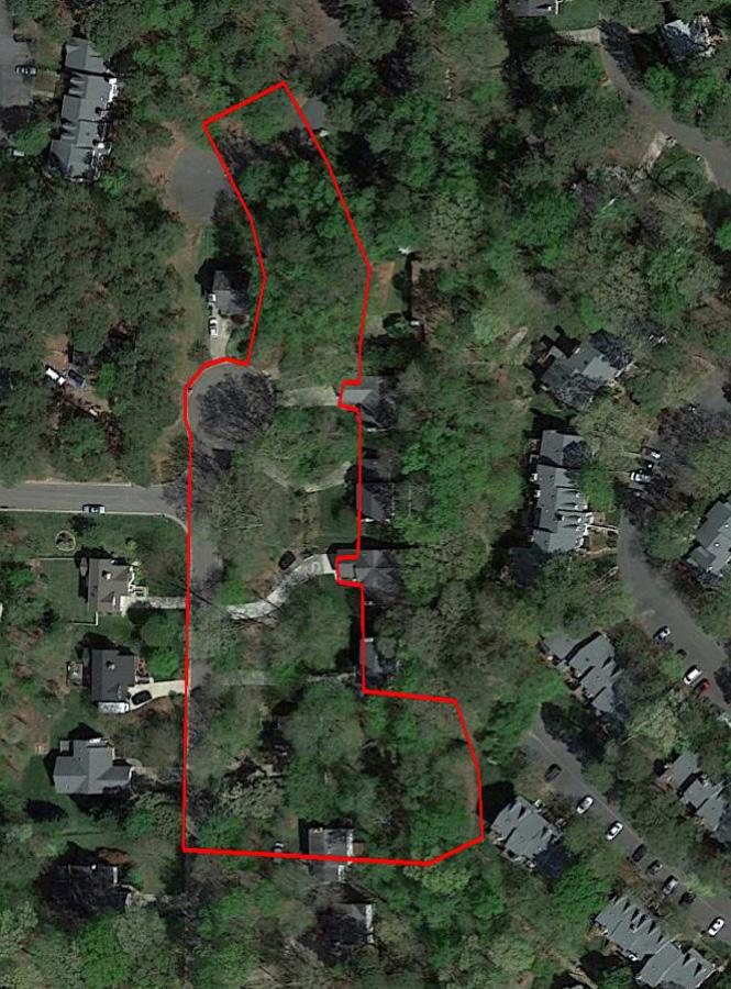
Stratus has supported the City of Raleigh through an on-call contract delivering more than 60 task orders for municipal infrastructure projects. Services included boundary surveys, easement research and mapping, design survey, as-built documentation, and SUE support for drainage and utility improvements. Work required responsiveness and coordination across multiple agencies and project types. Survey data supported design development, permitting, and construction, demonstrating the ability to deliver scalable, reliable survey and SUE services to meet ongoing municipal needs.
Charlotte, NC
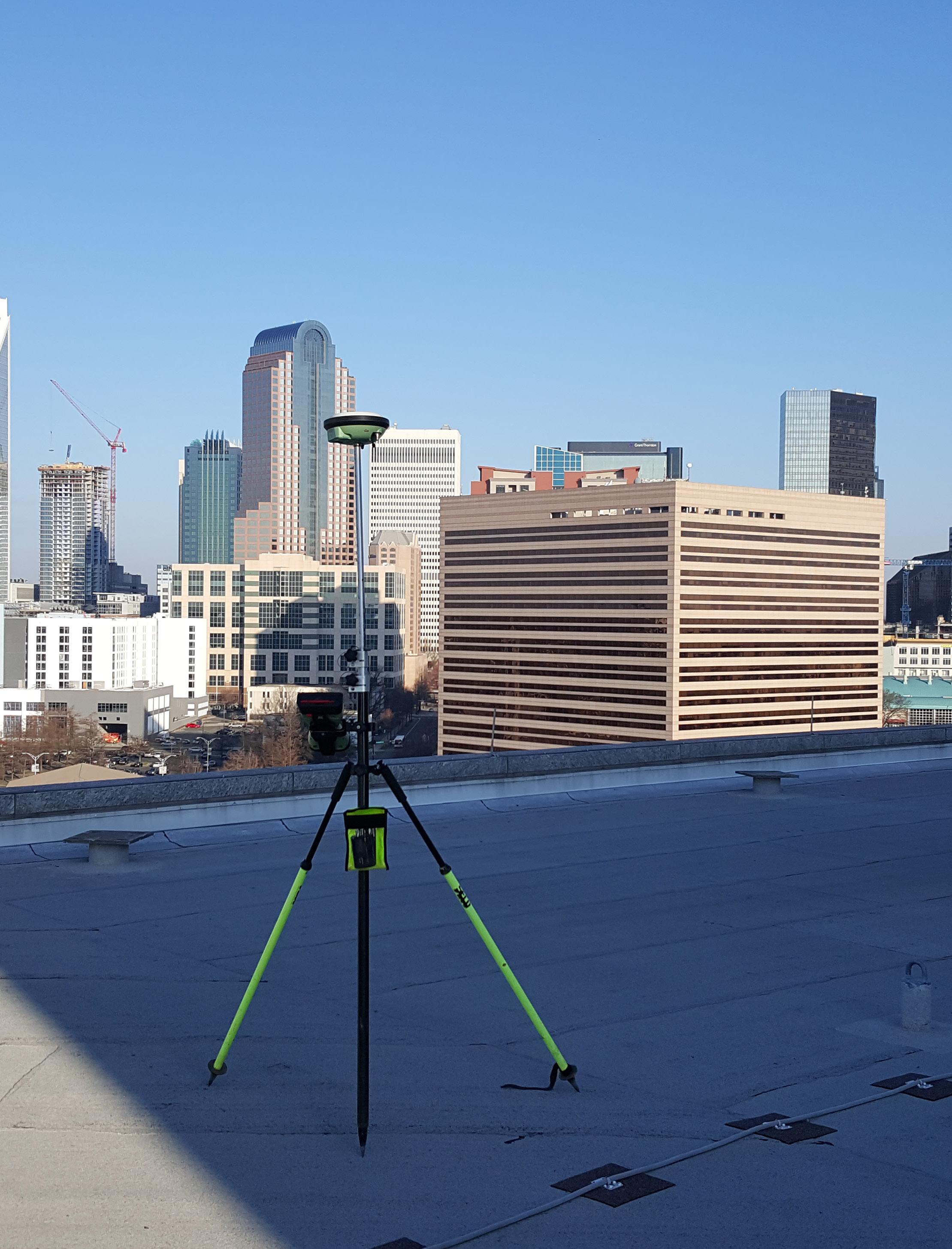
Stratus provides ongoing on-call surveying services for transportation, stormwater, and infrastructure projects across the City of Charlotte. Services include topographic surveys, existing conditions documentation, construction staking, and SUE Level B utility designation along roadway corridors. Work includes streetscape improvements, flood studies, and infrastructure upgrades requiring rapid deployment and accurate field data. This program demonstrates Stratus’ ability to support large municipalities with responsive, high-quality survey and SUE services across a variety of project types.
Forsyth County, GA
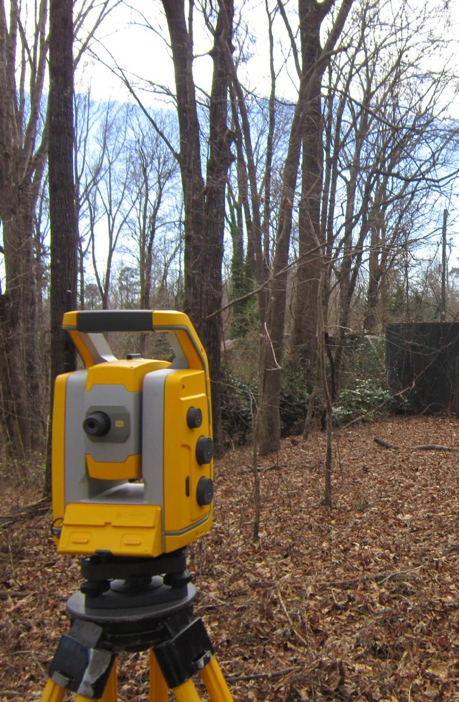
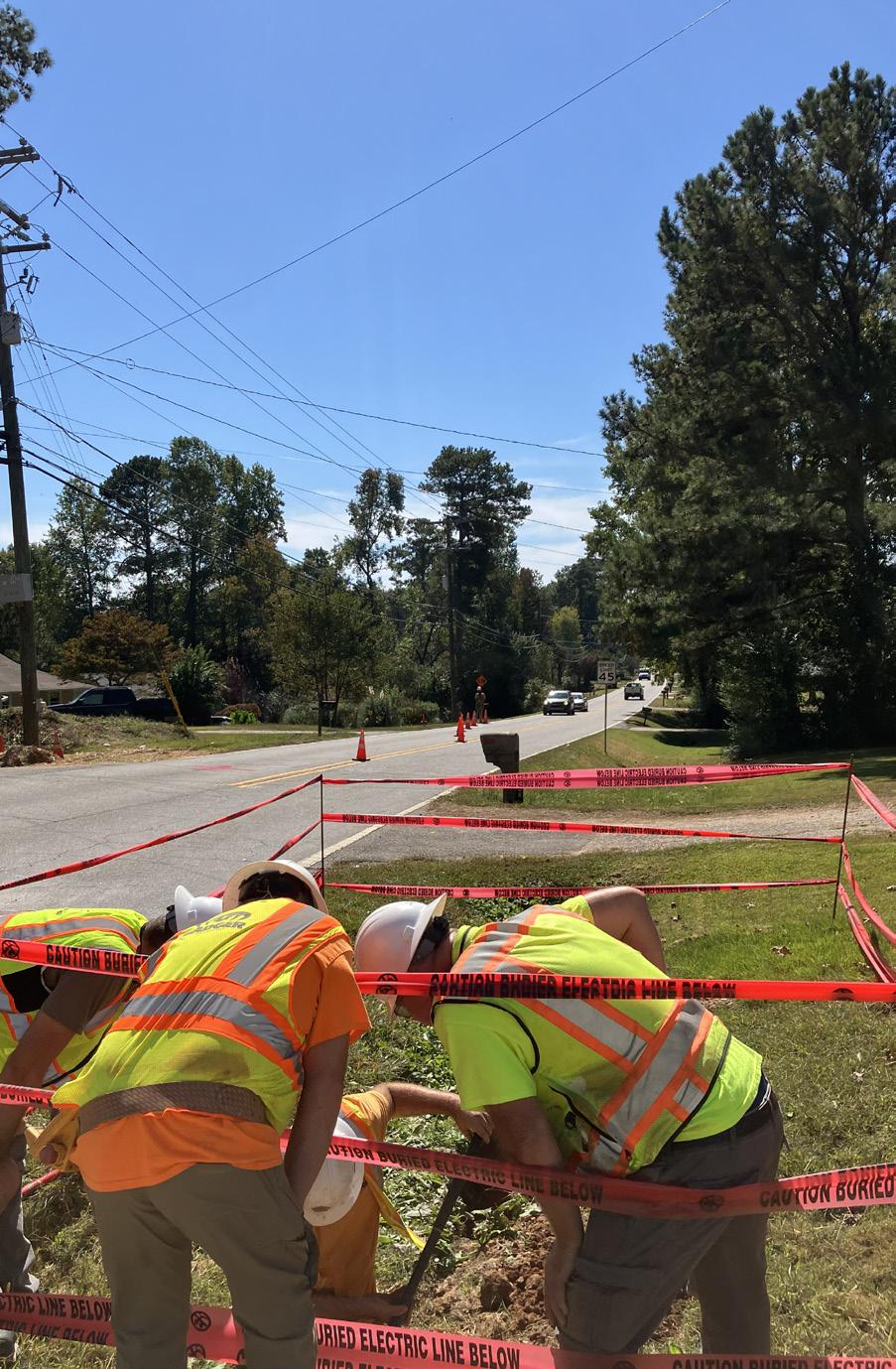
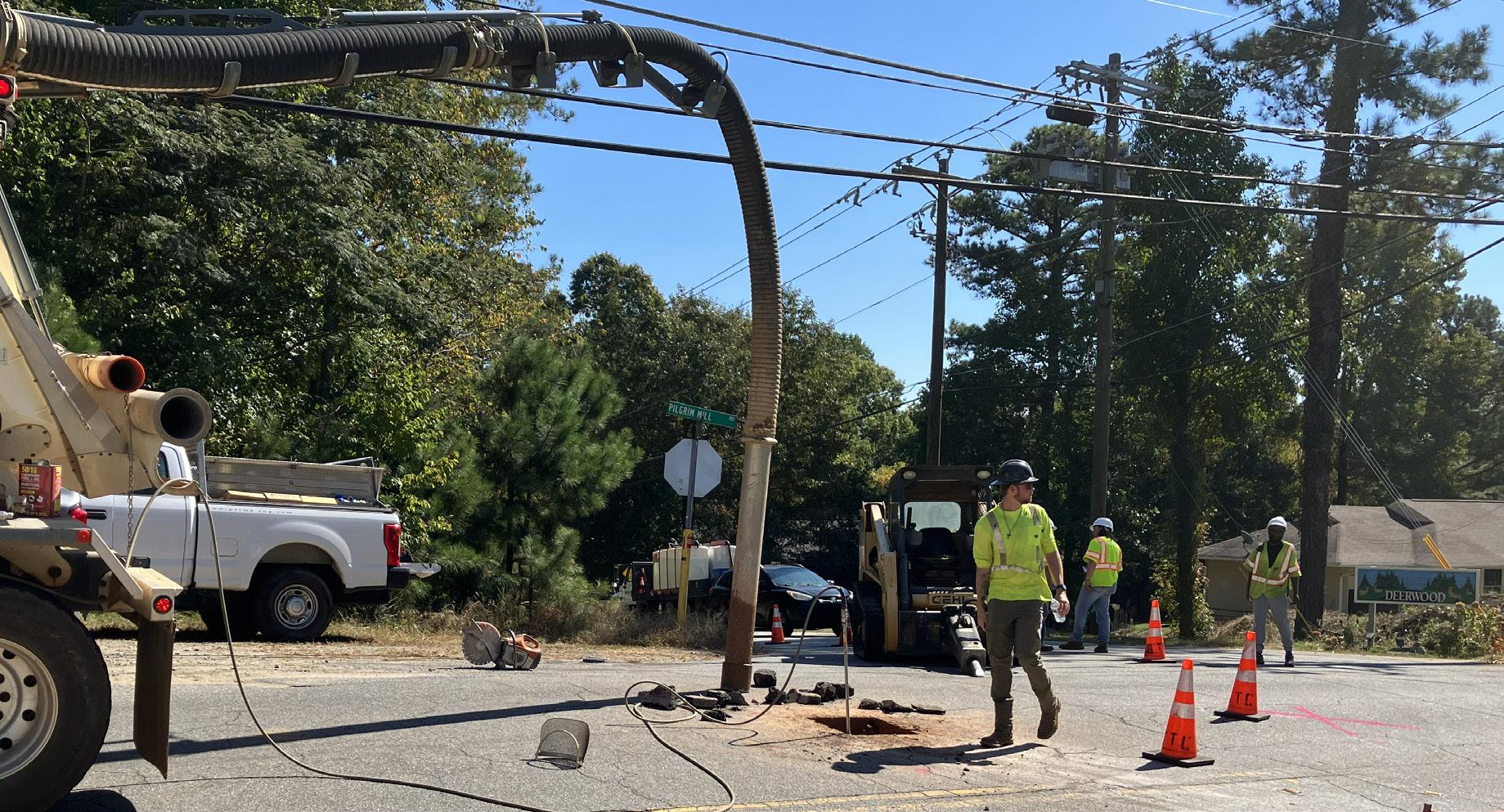
Stratus provides survey and subsurface utility engineering services as part of an ongoing demand-services contract supporting water infrastructure improvements across Forsyth County. Under this program, Stratus delivers responsive survey, SUE, and design support for a range of capital projects.
For this project, services supported the installation of approximately 15,000 linear feet of 48-inch raw water transmission main connecting a new intake structure at Lake Lanier to an existing system. Work included existing conditions survey, utility coordination, and SUE investigations to identify and verify subsurface conditions. Survey data informed alignment design, permitting, and constructability for a major water infrastructure project.
Gwinnett County, GA
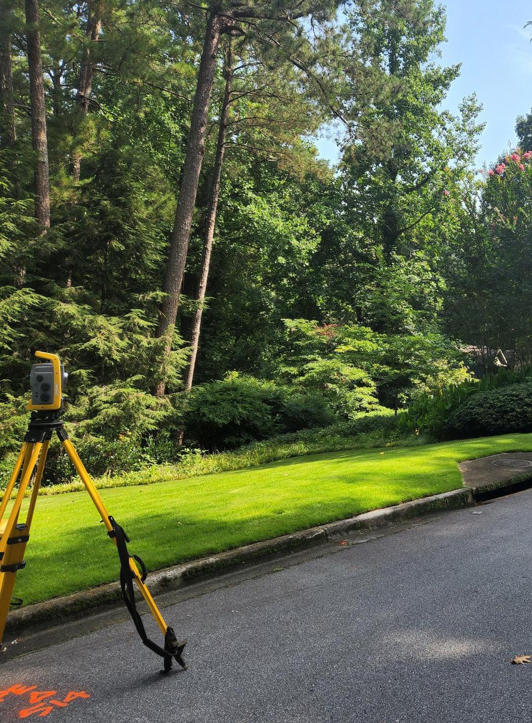
Stratus delivers survey and subsurface utility engineering services as part of a long-standing demand-services contract supporting capital improvement projects across Gwinnett County. Through this ongoing program, Stratus delivers survey, SUE, design, and coordination services across water and utility infrastructure systems.
For this project, services supported a multi-mile water main replacement along Nesbit Ferry Road, Spaulding Drive, and adjacent corridors. Work included existing conditions survey, SUE Level B utility designation using ground penetrating radar and electromagnetic locating, and mapping of underground utilities. Survey data was integrated into design efforts to evaluate conflicts and support alignment development across a complex corridor.
DeKalb County, GA
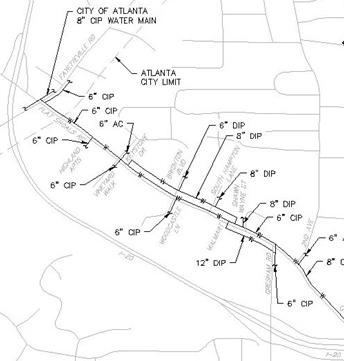
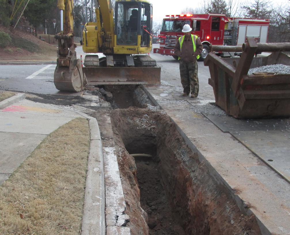
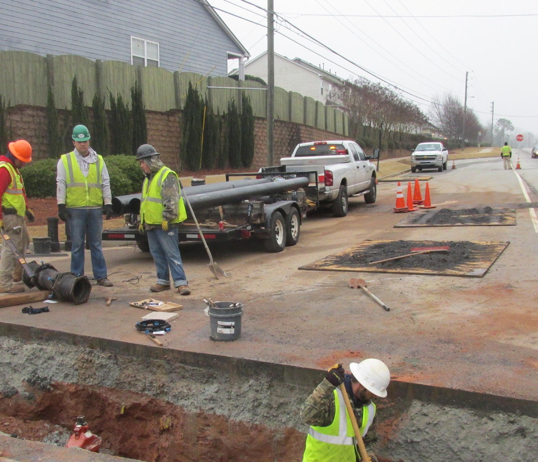
Stratus provides survey and subsurface utility engineering services as part of a multi-year demand-services contract supporting infrastructure improvements across DeKalb County. Through this program, Stratus delivers surveying, SUE, and coordination services for water and utility projects of varying scale.
For this project, services supported the replacement of approximately 28,915 linear feet of waterline along Flat Shoals Road and Frazier Road. Work included route survey, existing conditions documentation, and mapping to support design and permitting. Survey data informed corridor alignment, utility coordination, and construction planning, supporting efficient delivery of a large-scale municipal infrastructure upgrade.
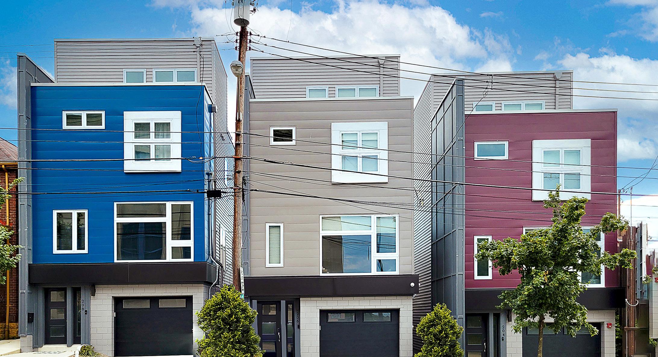
Pittsburgh, PA
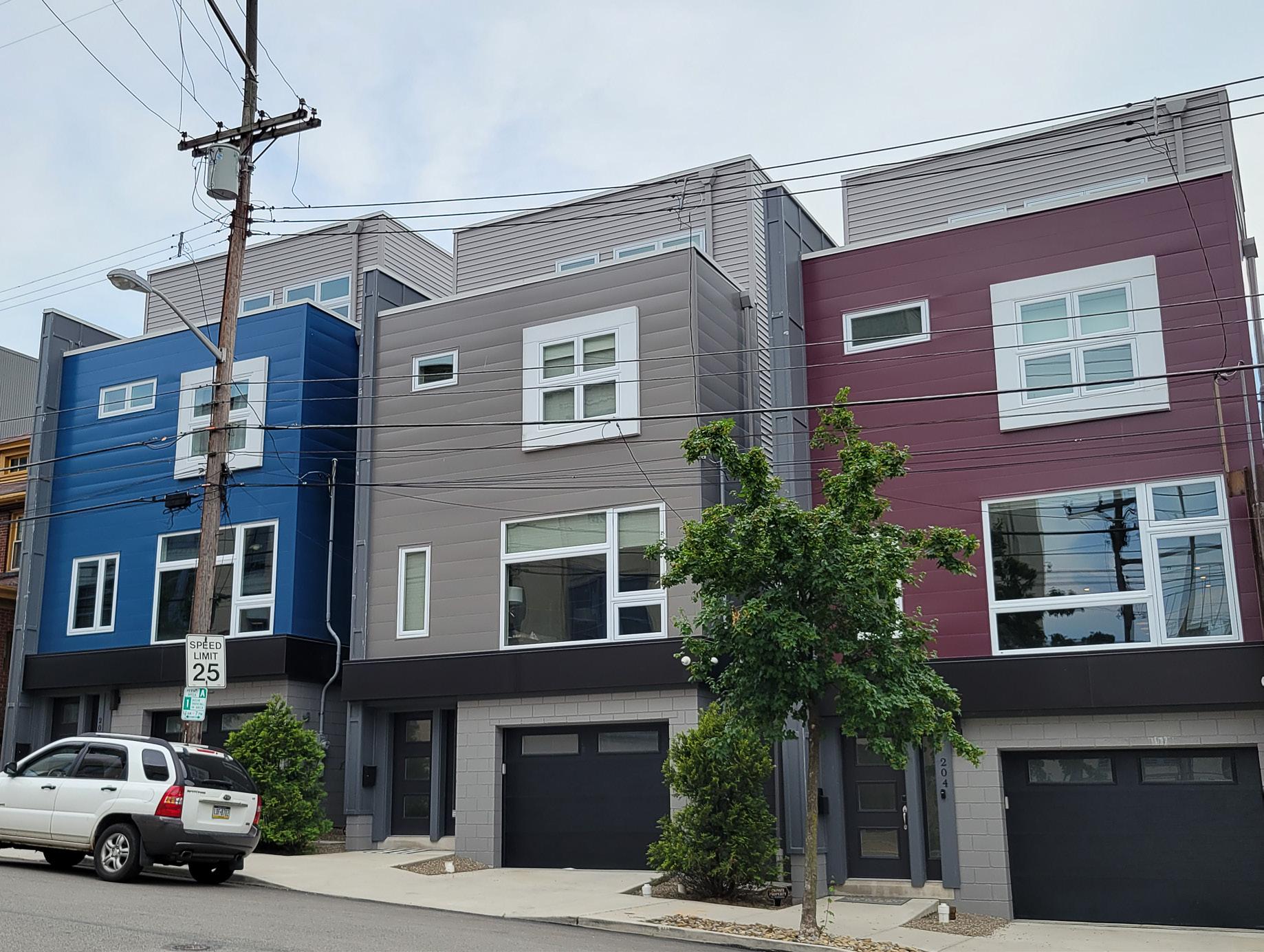
Stratus delivered civil engineering and survey services to support the development of this infill residential project in Pittsburgh’s Lawrenceville neighborhood. The project included three 3.5-story single-family townhomes constructed on a constrained urban site, requiring accurate existing conditions data and careful coordination with surrounding infrastructure. Survey services supported site layout, grading, and utility coordination, ensuring alignment between design intent and field conditions. The team worked closely with project stakeholders to deliver reliable data that informed both design and construction activities. This project reflects the ability to support urban infill development with precise survey and civil coordination, helping ensure efficient construction and successful integration within an established neighborhood.
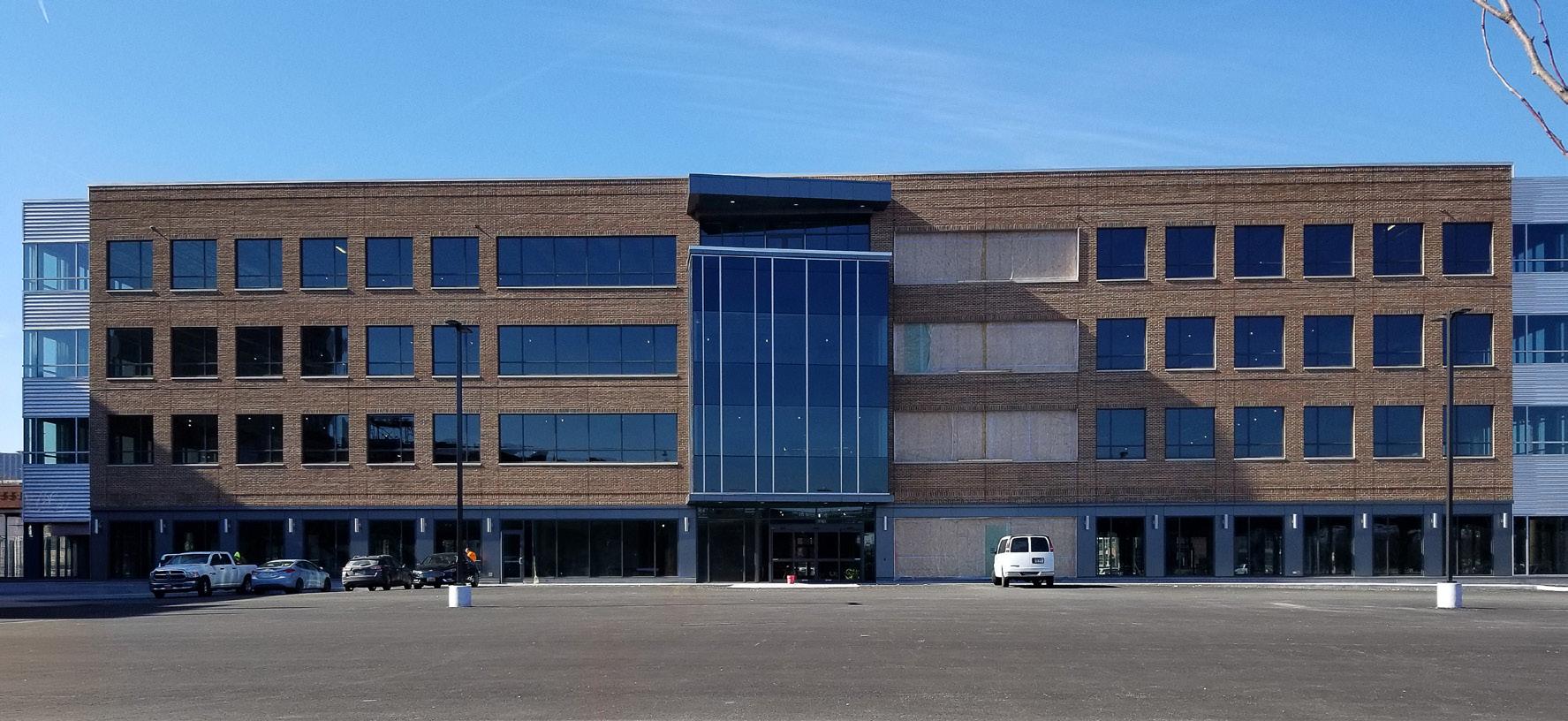
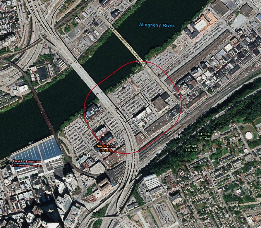
Pittsburgh, PA
Stratus provided survey and civil engineering services for this 4-story, 105,000-square-foot office building located within a larger riverfront redevelopment in Pittsburgh’s Strip District. Services included ALTA survey, as-built documentation, stormwater management support, and construction stakeout. The project was constructed on an existing parking site, requiring accurate field data and coordination with existing infrastructure and site constraints. Survey efforts supported permitting, design coordination, and construction activities, ensuring accuracy across all project phases. The building includes multiple floors of office space, public amenities, and structured site improvements. This project demonstrates Stratus’ ability to deliver comprehensive survey support for large-scale urban commercial development within active redevelopment environments.
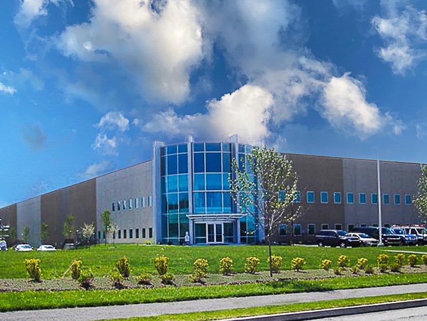
Findlay Township, PA
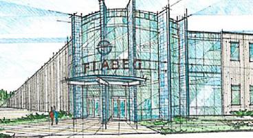
Stratus supported survey and civil engineering services for the development of this 230,000-square-foot manufacturing and warehouse facility within the Clinton Industrial Park. The project required coordination of site design, utility infrastructure, and construction layout across a large industrial parcel. Survey services supported land development planning, grading, utility design, and construction activities, ensuring accurate alignment between design documentation and field conditions. The facility includes manufacturing space, parking, and truck loading areas designed for operational efficiency. The team’s work helped facilitate the development of a complex industrial site while managing infrastructure coordination and site constraints. This project highlights Stratus’ experience delivering survey and utility coordination services for largescale industrial and logistics facilities
Cranberry Township, PA
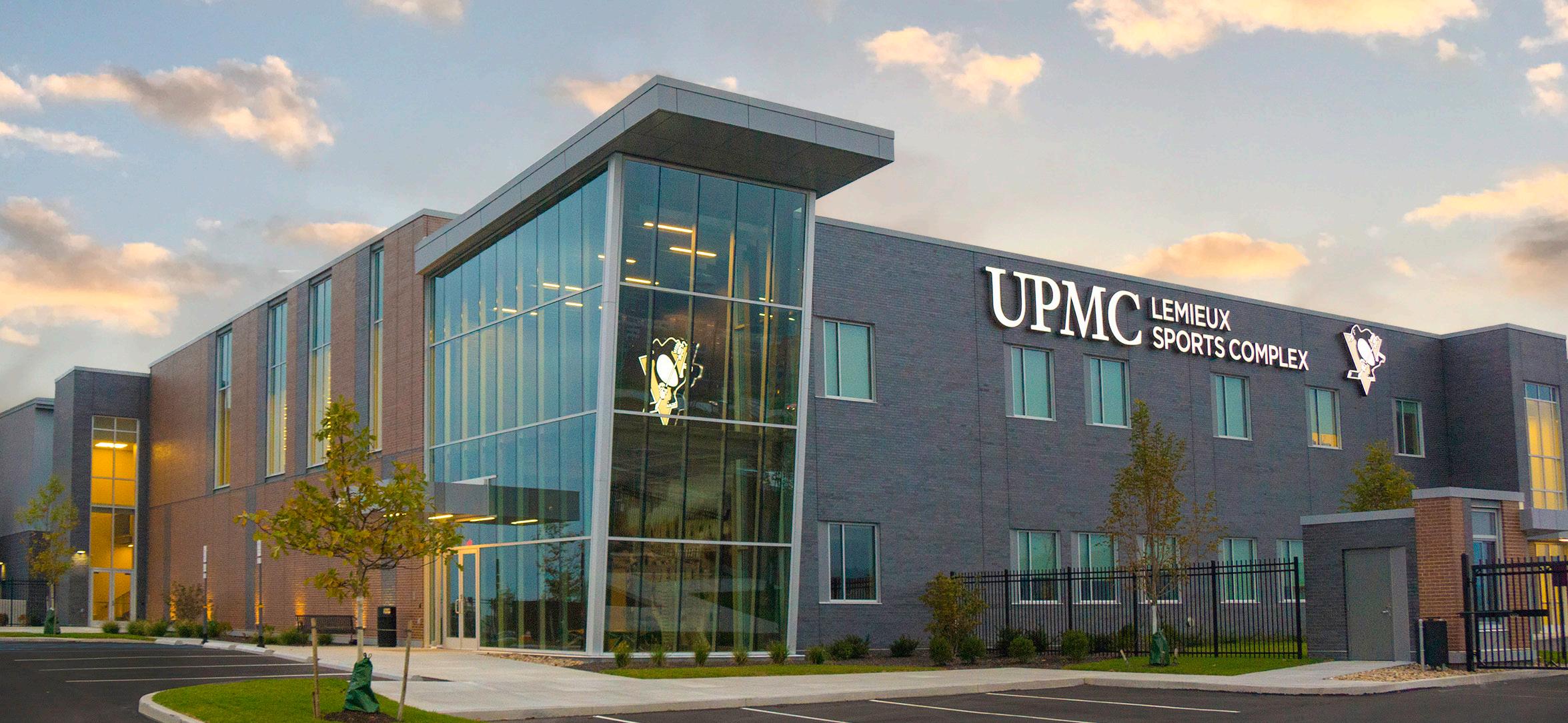
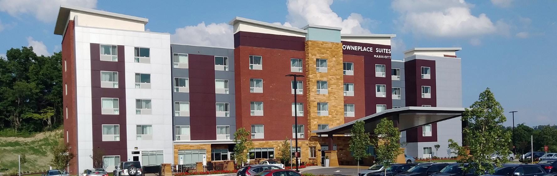
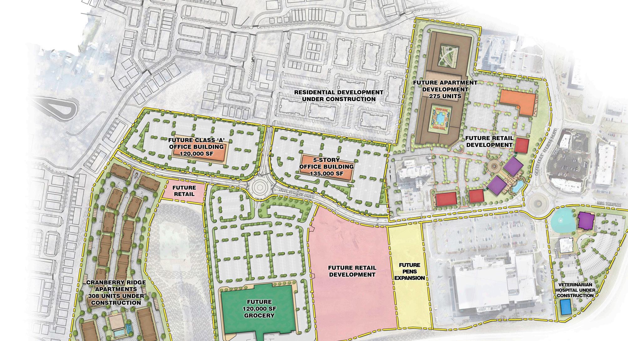
Stratus delivered survey services as part of a multidisciplinary team supporting the master planning and development of this large-scale mixed-use project. The development includes commercial, hospitality, recreation, restaurant, and retail components, requiring comprehensive coordination across multiple design disciplines. Survey efforts supported site planning, grading, stormwater management, and infrastructure layout, helping establish accurate base data for design and construction. The project required coordination across a complex site with multiple uses and phased development. Survey data played a critical role in informing design decisions and supporting project delivery. This project demonstrates Stratus’ ability to support large-scale, multi-phase developments through integrated survey and site coordination services.
Chesterfield County, VA
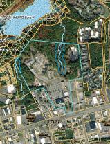
Stratus conducted a comprehensive boundary survey for a 100-acre property supporting development of the Virginia State Police Headquarters in Chesterfield County. The survey was completed in accordance with Virginia standards and provided accurate property boundary definition, existing conditions documentation, and mapping to support site planning and development.
Survey data informed property management decisions, land use coordination, and future infrastructure planning, ensuring compliance with regulatory requirements. The project demonstrates Stratus’ ability to deliver precise, large-scale boundary surveys that support planning, permitting, and development for public-sector clients.
Chesterfield County, VA
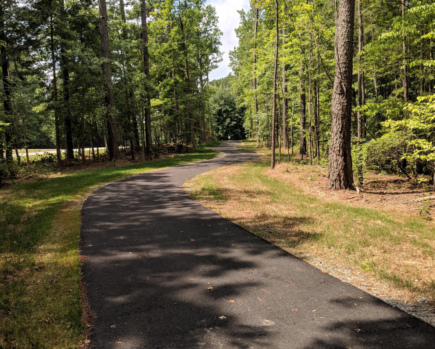
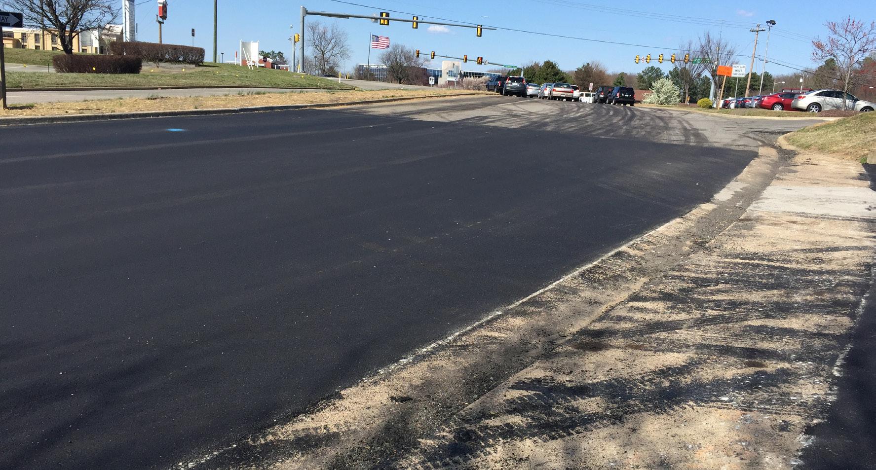
Stratus supported survey and subsurface utility engineering services as part of an ongoing demand-services contract supporting water and wastewater infrastructure improvements throughout Chesterfield County. Through this multi-project program, Stratus delivers survey, SUE, and coordination services for utility systems including waterlines, sanitary sewer, pump stations, and storage facilities.
Since 2010, the team has supported more than 30 projects involving new installations, system upgrades, and infrastructure planning. Services include existing conditions survey, utility coordination, and support for design development and permitting. Survey data informs alignment, system integration, and construction planning across diverse project types, demonstrating Stratus’ ability to deliver reliable field data and support long-term municipal infrastructure programs.
“Behind every successful project is a team that understands the field, the data, and how they come together to move work forward.”

Keith Stanley PE
Vice President
keith.stanley@stratusteam.com

Keith Stanley has more than 23 years of experience supporting infrastructure projects with a strong focus on site development, utilities, and stormwater systems. He provides leadership across planning, design, and construction, coordinating survey data, field investigations, and engineering teams to support accurate existing conditions and informed decision-making. Keith’s experience includes grading, drainage, and utility systems, delivering projects that rely on coordinated field data and site-based analysis.
• WWTP Replacement – Buckingham Correctional Center, VA
• VDOT / VSP Joint Safety Operations Center, Chesterfield, VA
• Occoneechee State Park Sprayground, Clarksville, VA
• Lake Anna State Park Infrastructure Improvements, VA
• Pocahontas State Park Cabins, Chesterfield, VA
• Dodd Park ADA Access, Chesterfield County, VA
Craig Silvanic has more than 27 years of experience in survey and subsurface utility engineering, including leadership of large-scale utility infrastructure projects. He manages geomatics services including SUE, utility mapping, and geospatial data collection using advanced technologies such as GPR, GPS, and robotic instrumentation. Craig specializes in solving complex utility coordination challenges and delivering accurate, field-verified data to support infrastructure design, construction, and system expansion across municipal and water resource projects.
• Charlotte Water – 960 Zone Water Improvements, Charlotte, NC
• Camp Burton Water & Sewer Utilities, Greensboro, NC
• Southwest Durham Wastewater Treatment Plant, Durham, NC
• Westside Wastewater Treatment Plant, High Point, NC
• City of Durham Water Main Projects, Durham, NC
• Charlotte Water – LSC to CBD Sewer Improvements, Charlotte, NC

Derek Goddard has more than 24 years of experience supporting environmental, infrastructure, and land development projects, with a focus on stream restoration, water quality, and regulatory permitting. He has led the design and implementation of more than 16 miles of stream restoration and secured over $17 million in grant-funded water quality projects. Derek specializes in coordinating complex permitting efforts, including Section 404 and 401 approvals, and integrates survey, environmental analysis, and field data to support successful project delivery.
• Cub Creek Park and Greenway, Wilkesboro, NC
• Chimney Rock Borrow Site, Rutherford County, NC
• Historic Banner Elk School Restoration, Banner Elk, NC
• Wilkes County Administration Complex, Wilkesboro, NC
Surveyor -Environmental Specialist
• Stream Restoration and Stabilization Projects, Southeast U.S. (16+ miles)
• Water Quality and Permitting Programs, Southeast U.S.
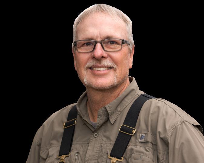
Timm Oberhoff has more than 34 years of experience leading field survey operations for commercial, civic, and infrastructure projects. He specializes in establishing horizontal and vertical control, topographic surveying, and construction layout using GPS and robotic total station equipment. Timm works closely with contractors and project teams to deliver accurate field data that supports design, permitting, and construction, ensuring projects remain on schedule and within tolerance requirements.
• Wilkes County Administration Complex, Wilkes County, NC
• Cub Creek Park As-Built Survey, Wilkesboro, NC
• Main Street Survey, Wilkesboro, NC
• Tri-County Paving Quarry Topographic Survey, West Jefferson, NC
• Holiday Inn Express Foundation Survey, NC
• Faith Fest Phase 2 Construction Staking, Wilkesboro, NC
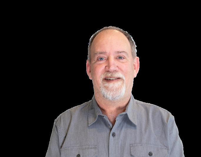
Gregory Jones is a Pennsylvania Licensed Professional Land Surveyor with more than 35 years of experience supporting land development, infrastructure, and utility projects. He provides oversight for boundary, topographic, and construction surveys, with deep expertise in utility layout and field coordination. Gregory’s experience spans residential, commercial, and infrastructure projects, delivering accurate, defensible data that supports design, permitting, and construction activities.
• Shenango Waterline, Hermitage, PA
• Dock Replacement – Synthomer, Elizabeth, PA
• Construction Layout – Scottdale Yard, Scottdale, PA
• Greenwood Drive Utility Project, Cranberry Township, PA
• Enola Railyard, Harrisburg, PA
• Leetsdale Industrial Park Improvements, Leetsdale, PA

Byron Henning has more than 40 years of experience managing survey and infrastructure projects, with expertise in utility systems, stormwater, and wastewater rehabilitation. He oversees survey data collection, quality control, and field coordination, and provides construction-phase support including inspection and reporting. Byron’s experience spans municipal programs, utility infrastructure, and facility improvements, supporting accurate data, regulatory compliance, and successful project delivery.
• Gwinnett County – Nesbit Ferry & Spalding Drive Waterline, Gwinnett County, GA
• DeKalb County – Group 4 Waterline Replacement, DeKalb County, GA
• Gwinnett County – Duluth Highway Waterline Replacement, Gwinnett County, GA
• Fulton County – 36-Inch Transmission Main Relocation, Fulton County, GA
Program Manager - Survey
• Cub Creek Park Stream Restoration – Phase III, Wilkesboro, NC
• Marshes Glenn Sewer Rehabilitation, Gwinnett County, GA
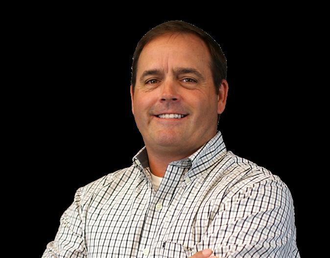
Thomas Condrey has more than 40 years of experience providing survey and subsurface utility engineering services for municipal and infrastructure projects. He oversees topographic, boundary, and ALTA surveys, along with SUE investigations, utility designation, and mapping. With experience ranging from field operations to program management, Thomas ensures accurate data collection and coordination that supports design development, reduces conflicts, and improves constructability across complex projects.
• VDOT / Virginia State Police Joint Operations Safety Center, Chesterfield County, VA
• Waterline Improvements – Rockcrest Pulliam Gem, Chesterfield, VA
• Sewer Infrastructure – Virginia Distribution Center / VDOT, Henrico, VA
• Wastewater Pump Station Improvements – Chesterfield County, VA
• Honeywell Plant Improvement Survey, Chester, VA
• Fredericksburg Safety Rest Area and Welcome Center I-95 Southbound, Fredericksburg, VA
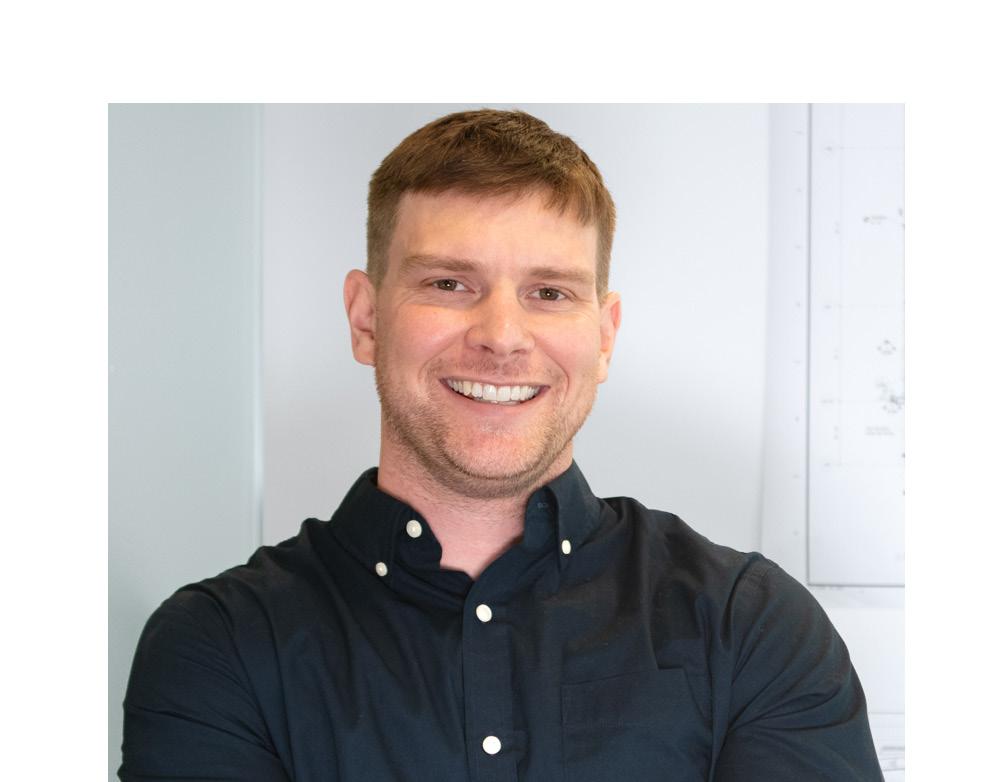
Greg Palmer is a Survey Technician and Surveyor-in-Training who contributes to all phases of survey projects, including field data collection, boundary surveys, and construction support. He is experienced in UAV data capture and aerial mapping, integrating drone technology with traditional survey methods to improve efficiency and accuracy. Greg supports infrastructure, land development, and municipal projects with reliable field execution and strong technical coordination.
• Southwest Regional Stormwater Analysis, Cranberry Township, PA
• Lakewood Drive Stormwater Analysis, Hampton Township, PA
• Construction Layout – Scottdale Yard, Scottdale, PA
• Dock Replacement – Synthomer, Elizabeth, PA
• SHIM Accessibility Improvements, Bethel Park, PA
• Arcadis – East Palestine Project, East Palestine, OH
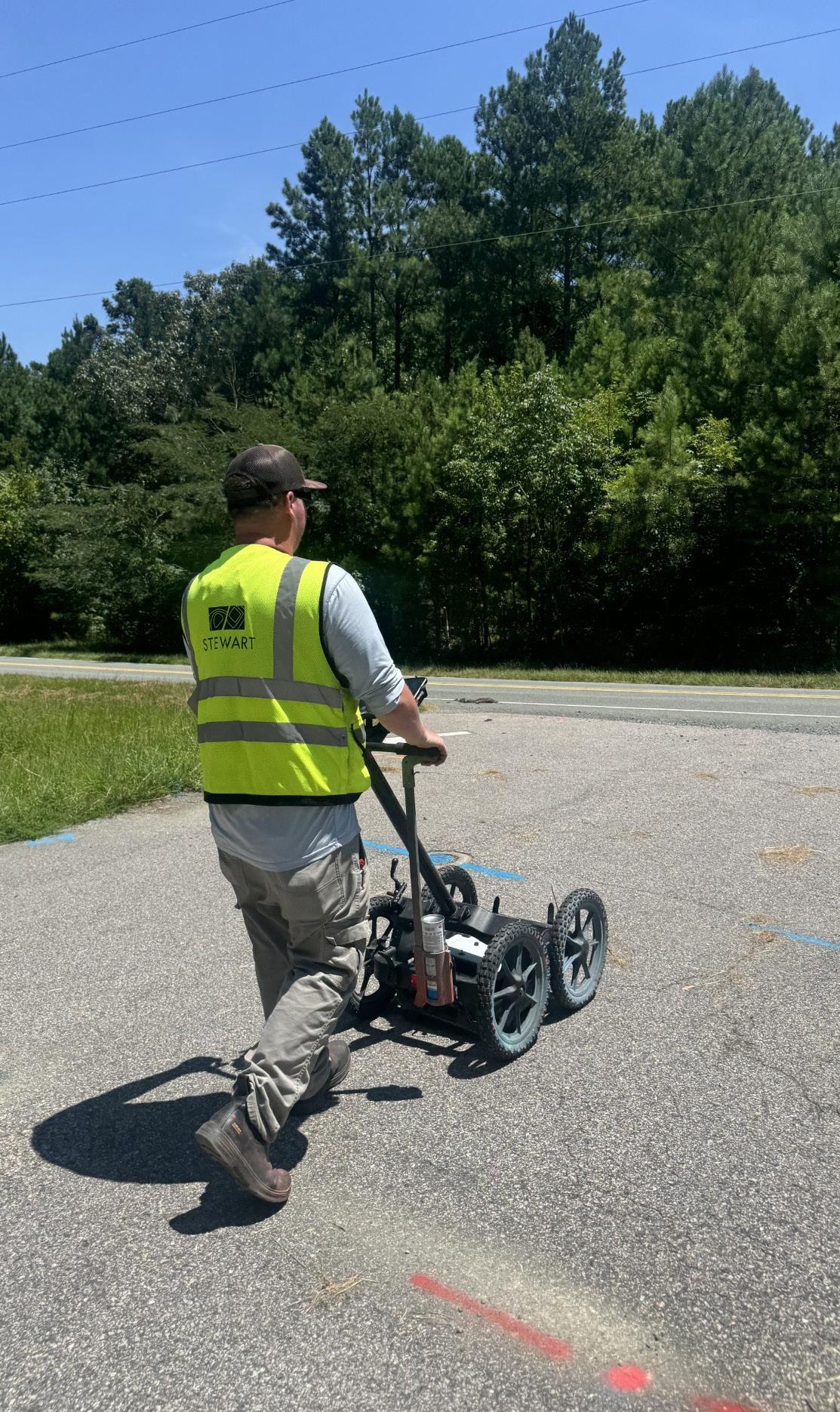
Survey and SUE work require accuracy, coordination, and responsiveness across every phase of a project. Stratus brings an integrated, field-informed approach that connects data collection, engineering, and design to improve project outcomes.
Stratus provides survey, SUE, engineering, and consulting services within one team, supporting coordinated delivery from planning through construction.
We focus on delivering accurate, realworld data, ensuring design decisions reflect actual site conditions and constructability requirements.
Early identification and verification of utilities supports fewer conflicts, reduced rework, and greater schedule reliability.
Use of UAVs, LiDAR, geospatial tools, and modern survey equipment improves precision, efficiency, and data integration.
Stratus combines local expertise with expanded capabilities to support infrastructure and water resource projects of varying size and complexity.
Stratus teams have delivered more than 50 projects in collaboration with leading engineering partners, including extensive work with Hazen and Sawyer across North Carolina. This includes work at major facilities such as the Franklin Water Treatment Plant and Brown Creek Pump Station, as well as ongoing work for the Cities of Greensboro, Charlotte, and Raleigh.
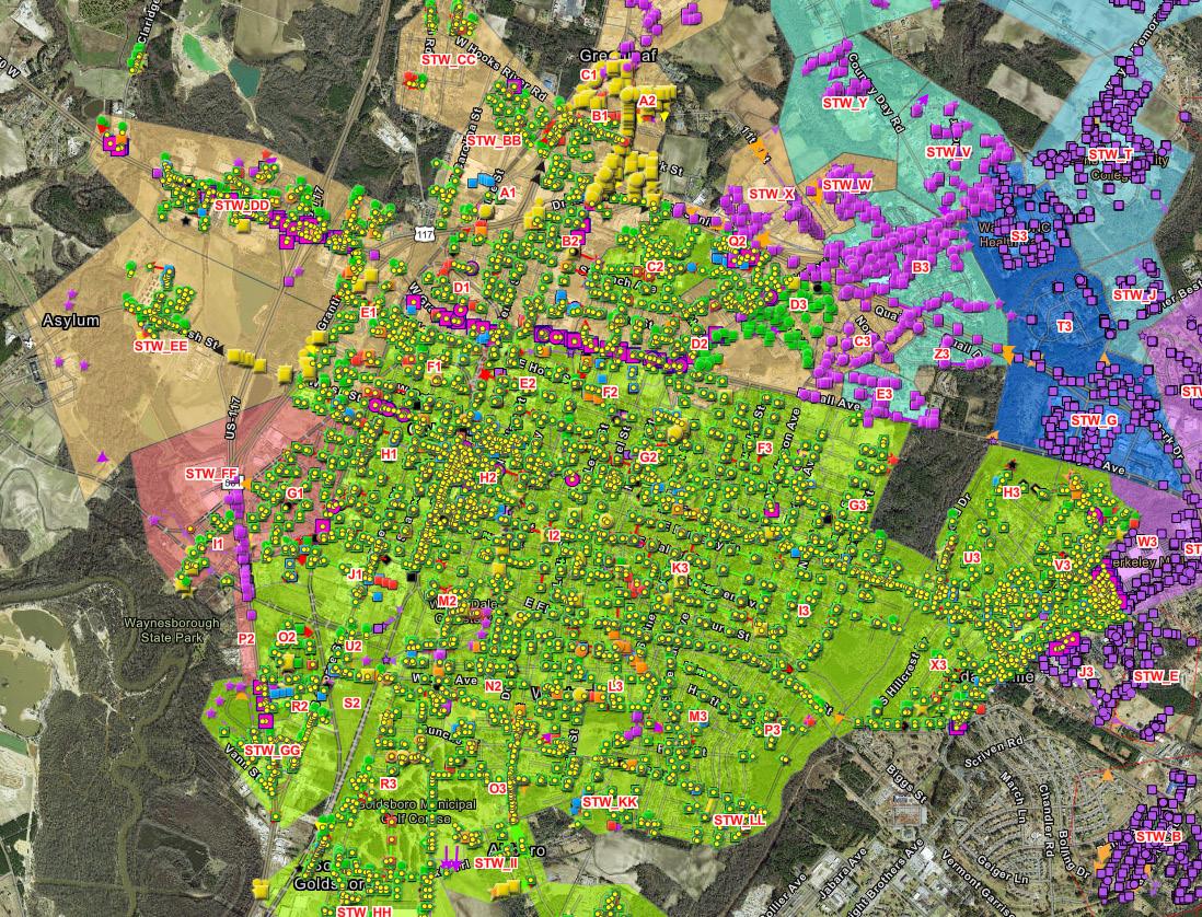
Projects span water, wastewater, and stormwater systems, including stream restoration, asset inventories, and GISsupported infrastructure planning.
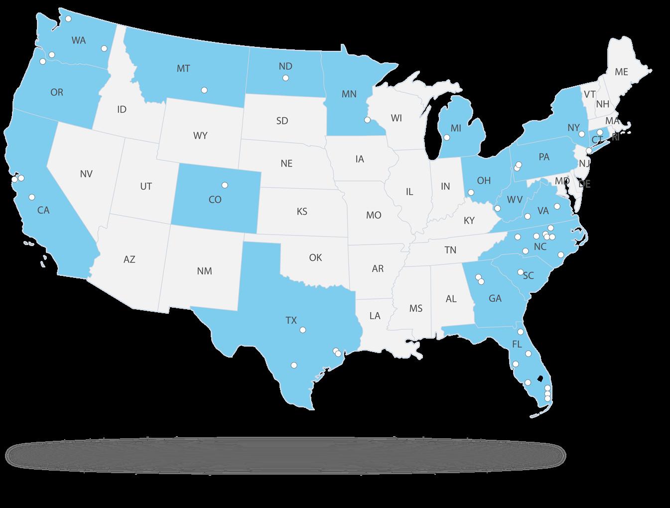
We currently provide survey and SUE services across Virginia, Georgia, South Carolina, North Carolina, and Pennsylvania, supporting projects with regional expertise and multi-state resources.
Stratus delivers integrated survey and subsurface utility engineering services that provide the accurate data and coordination required for successful project delivery.
From initial field investigation through construction support, our teams focus on precision, reliability, and alignment with project goals, helping clients reduce risk and move forward with confidence.
By combining field expertise, advanced data collection, and multidisciplinary collaboration, Stratus supports infrastructure projects that perform today and adapt to future needs.

President