1 minute read
Eye in the Sky


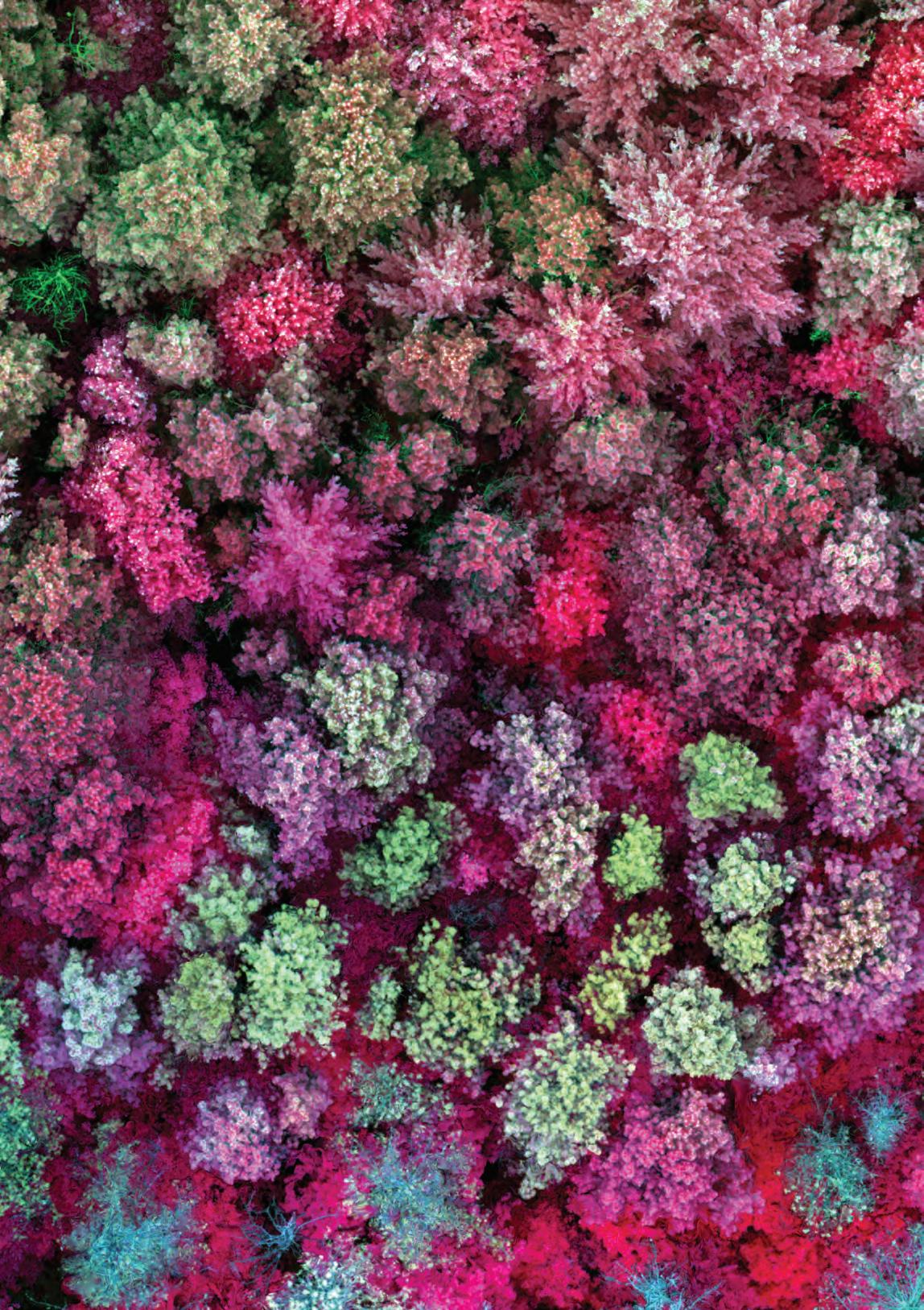
According to Russ Congalton, professor of natural resources and the environment, remotely sensed imagery has played a role in forest management for many years. However, with the recent advancements in unmanned aerial systems (UAS), also known as drones, the ability to capture imagery has become significantly easier and more cost effective. In addition, the imagery has become more detailed, allowing scientists and land managers to detect, measure and study everything from species composition and tree health, height and crown size to invasive species spread and wildlife monitoring.
Congalton and his team of researchers in the UNH Basic and Applied Spatial Analysis Lab are using UAS imagery (similar to what is pictured here) in several projects, including studying the impacts of urban development on New Hampshire’s forests and forest ecosystems. They have also used the technology, which is safer and more effective than traditional water sampling methods, to monitor and track cyanobacteria blooms on New Hampshire lakes.