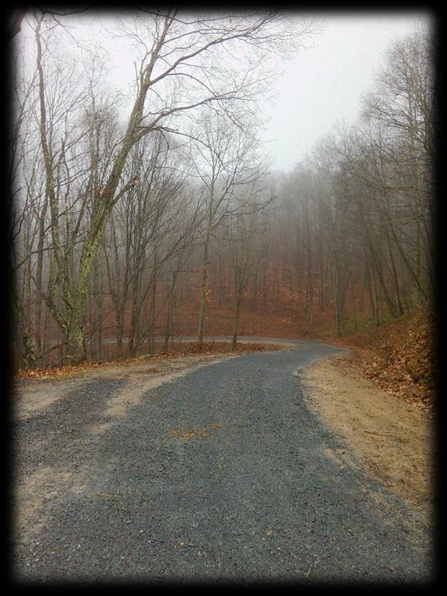
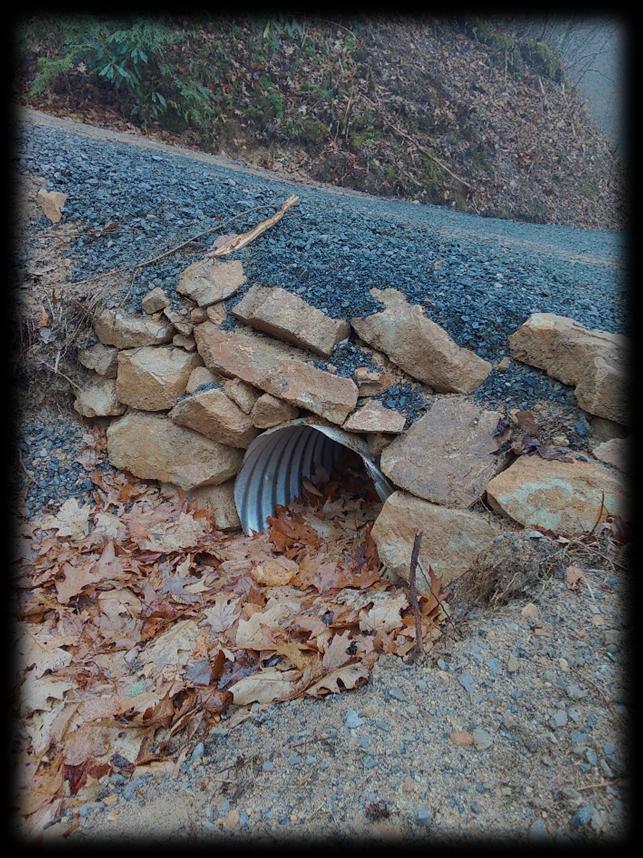
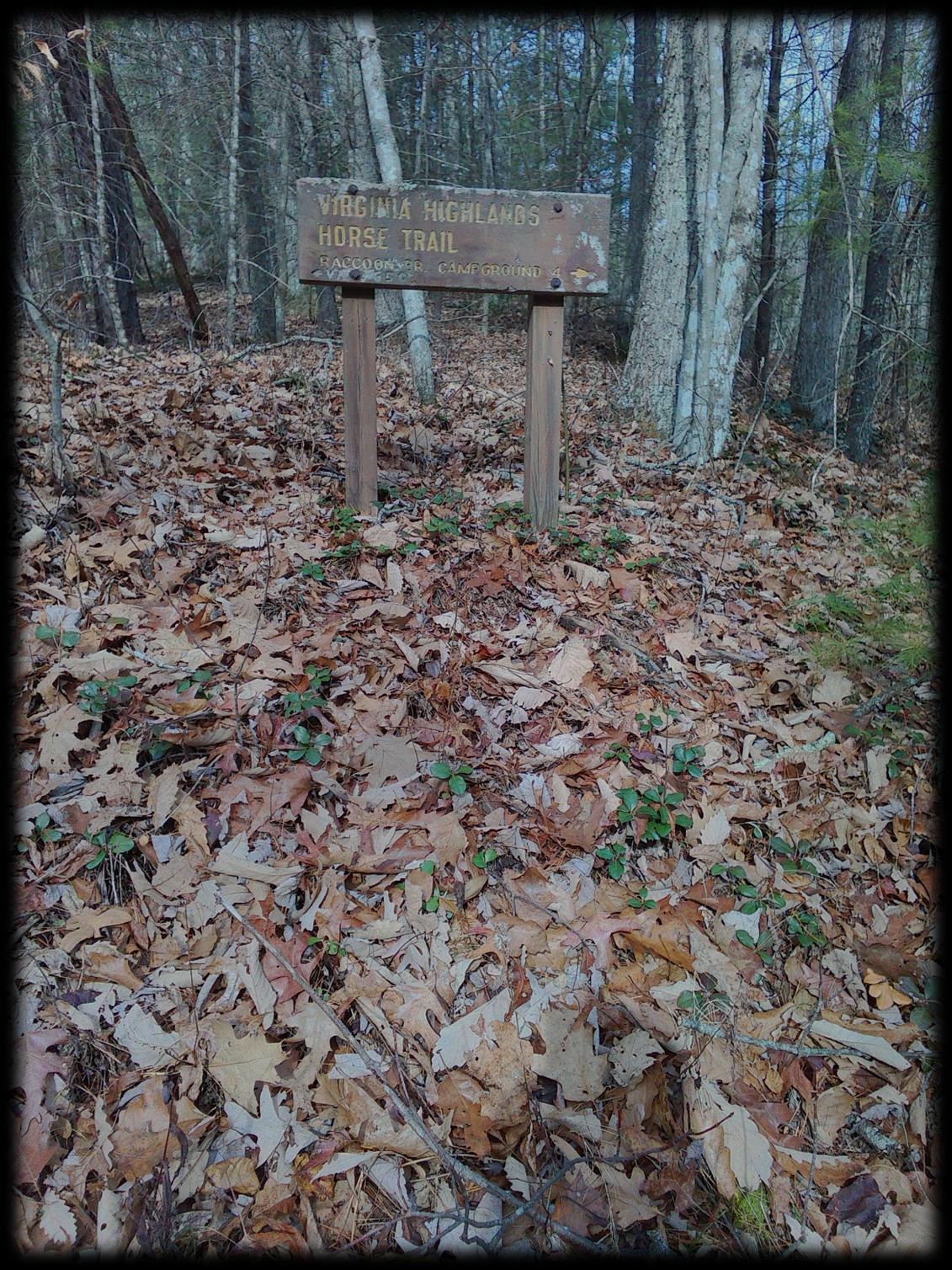
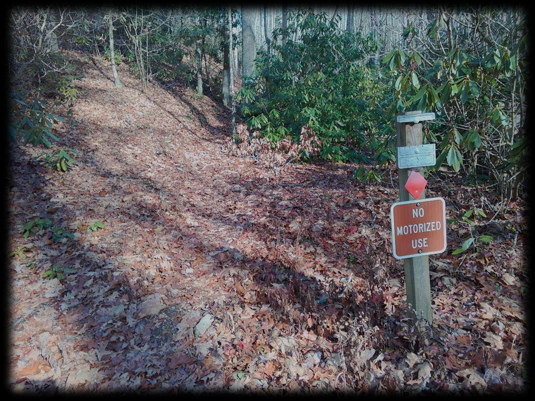
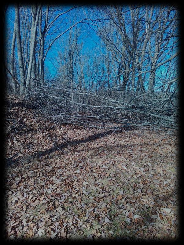
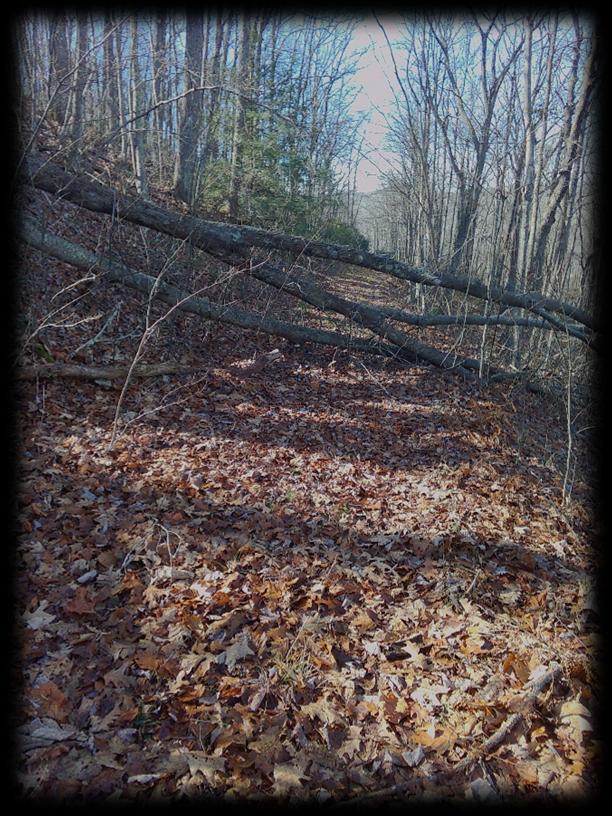
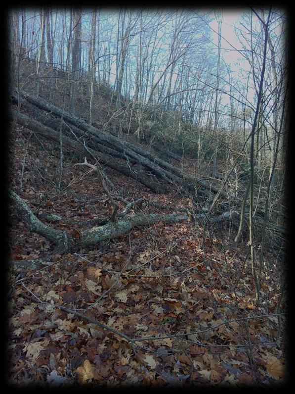
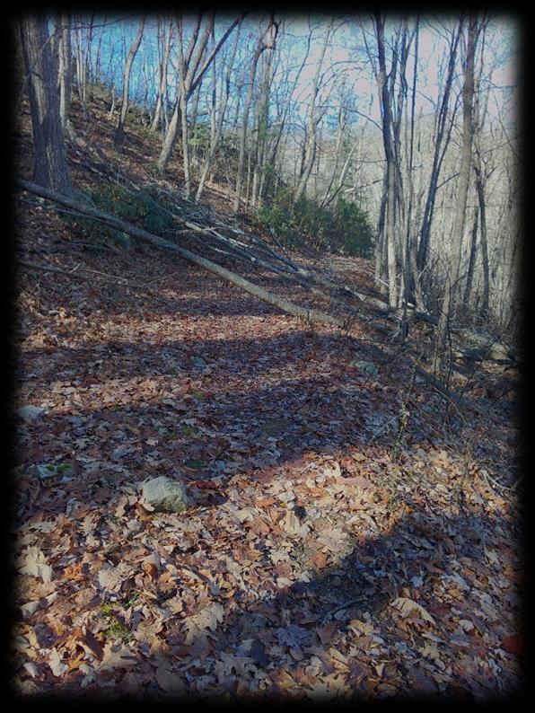
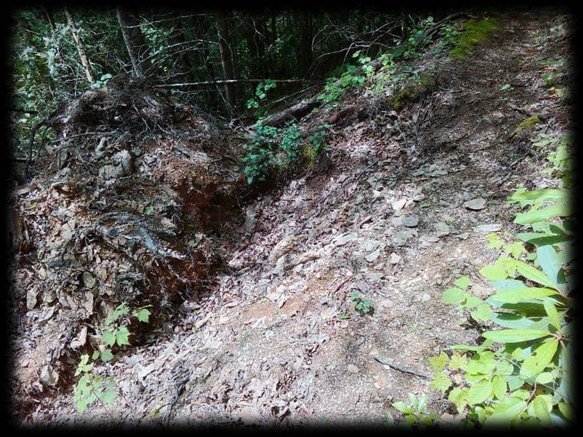
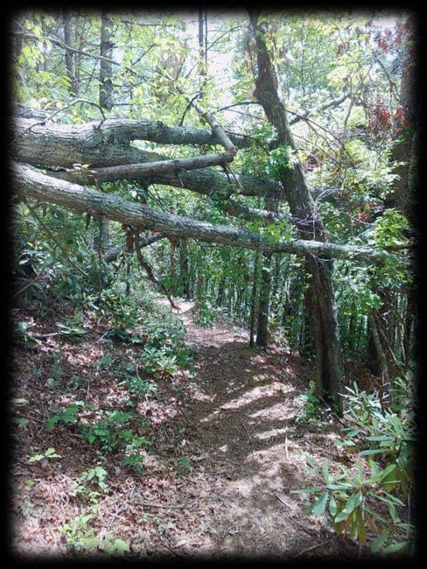
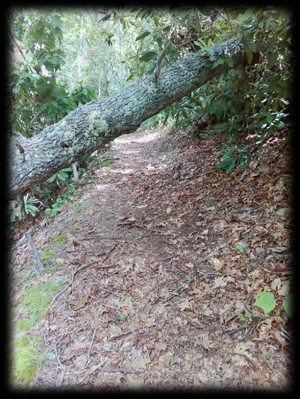
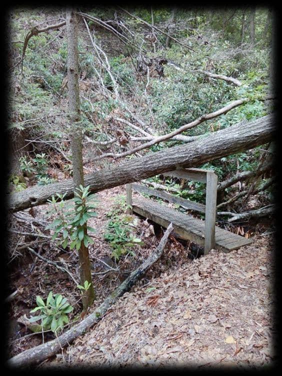
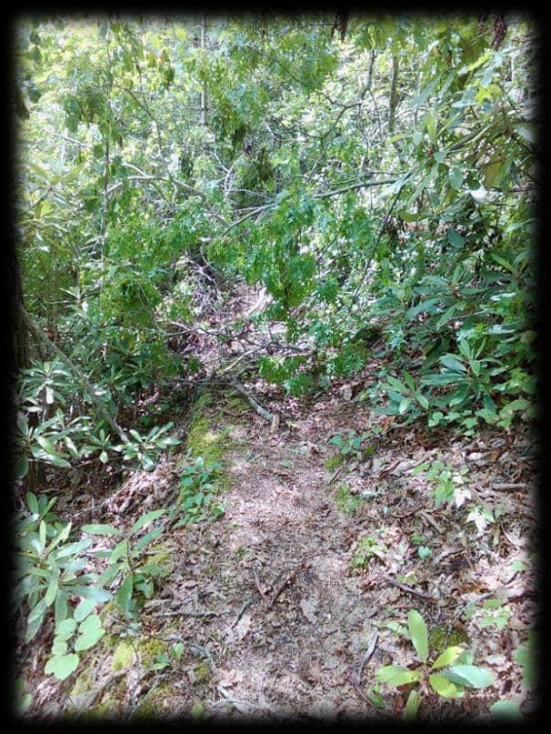
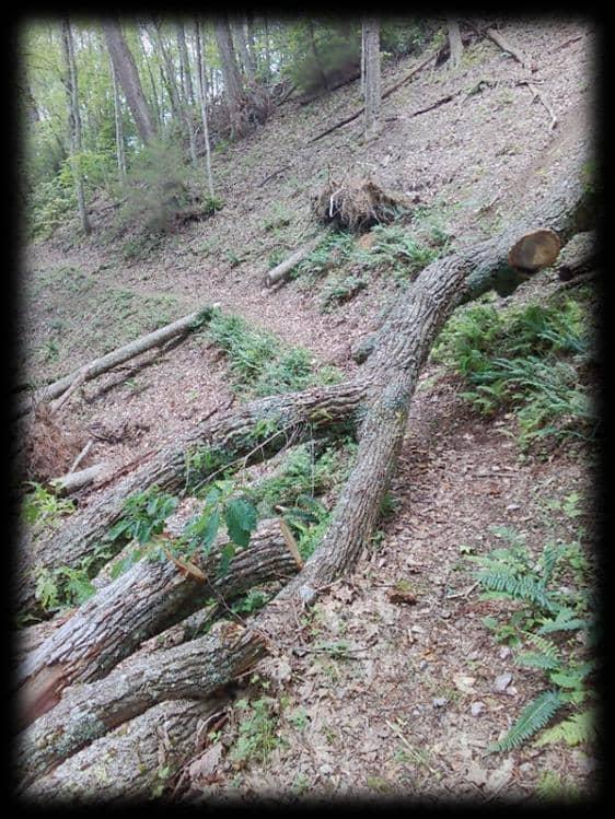
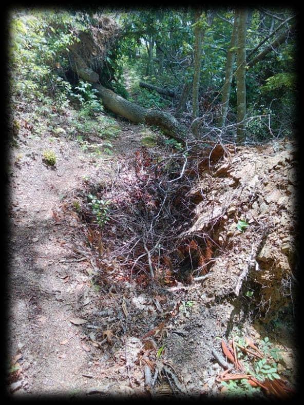
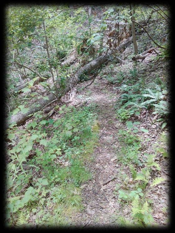
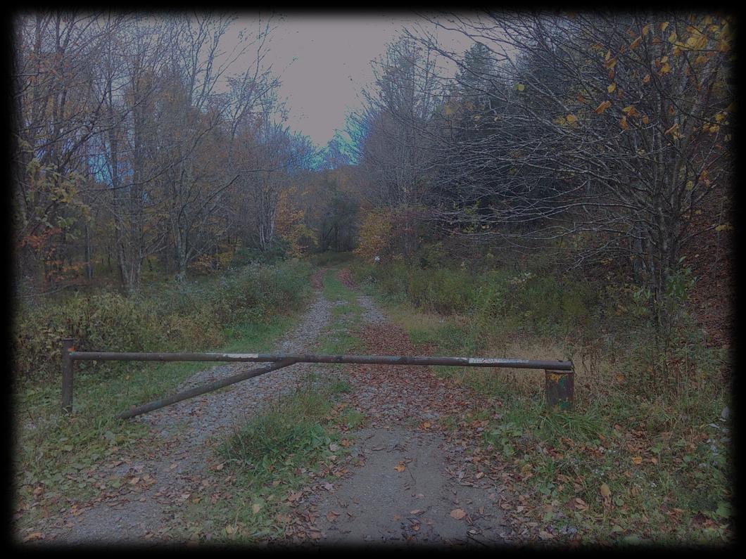
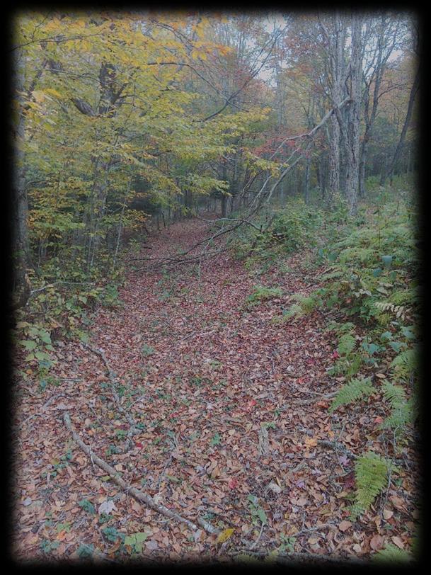
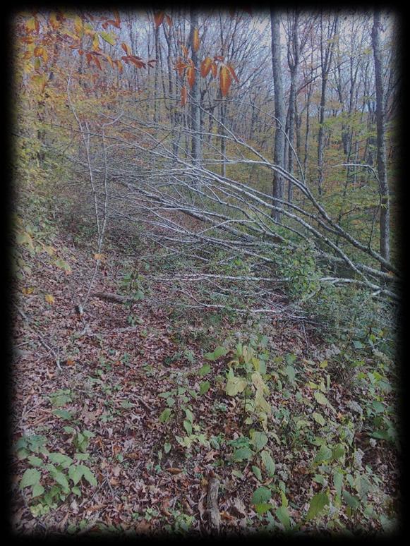
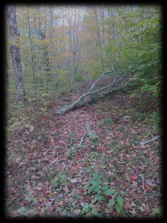
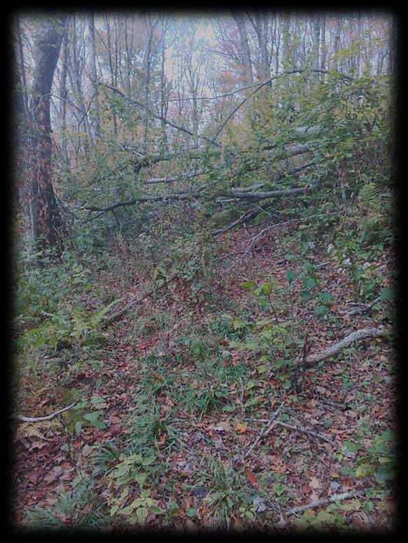
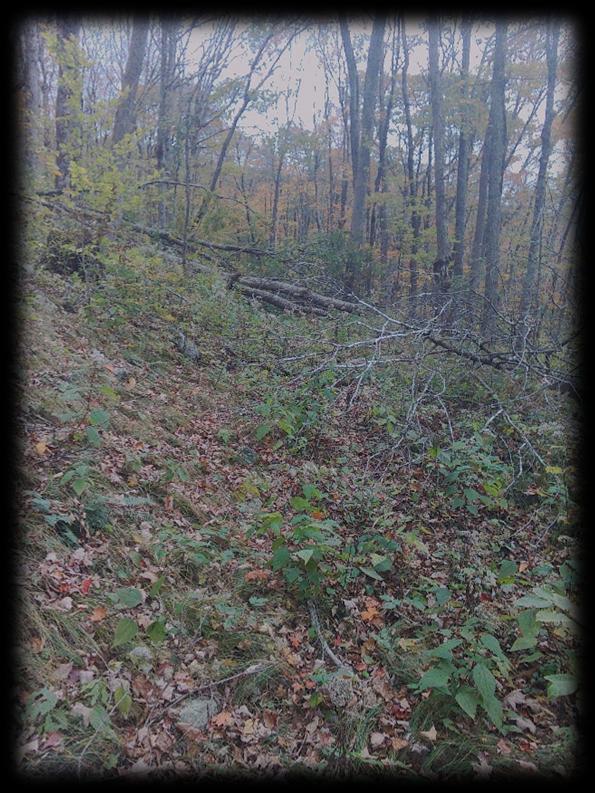
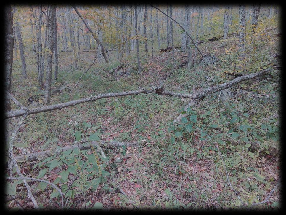
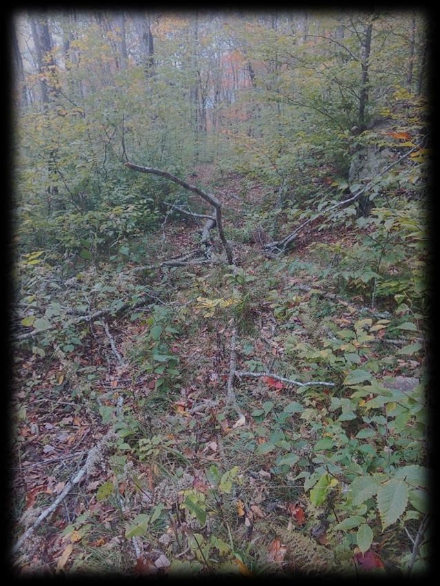
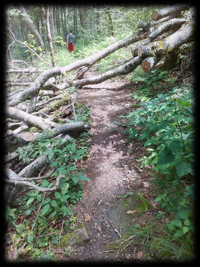
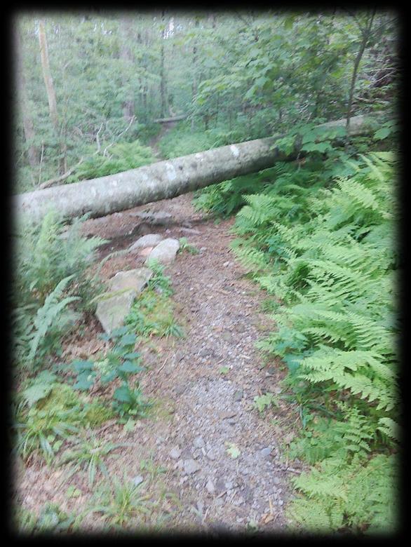
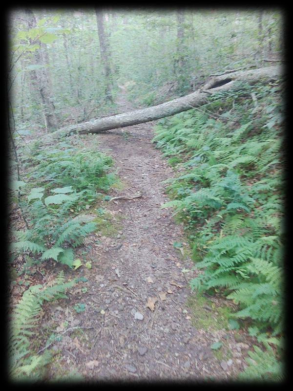
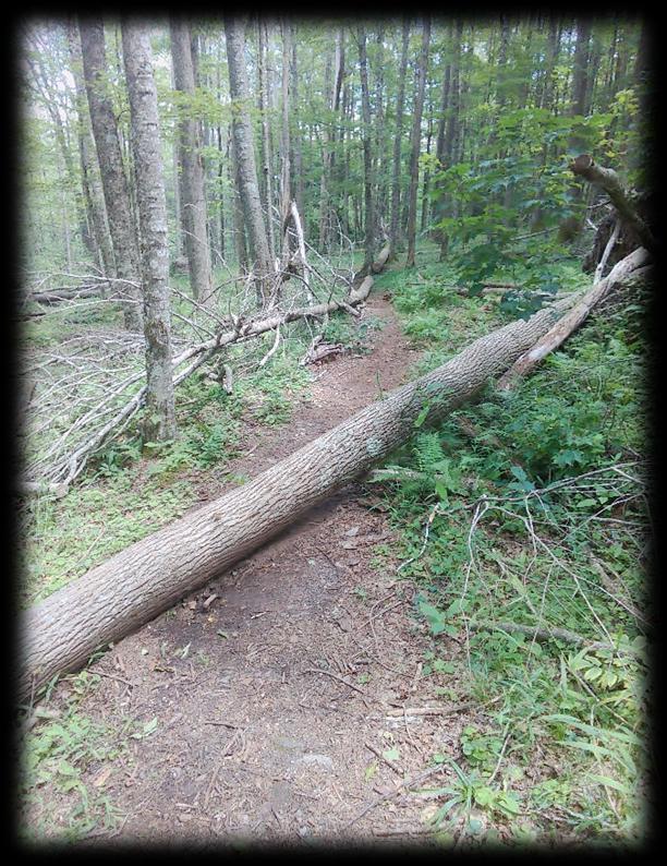
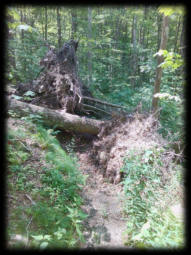
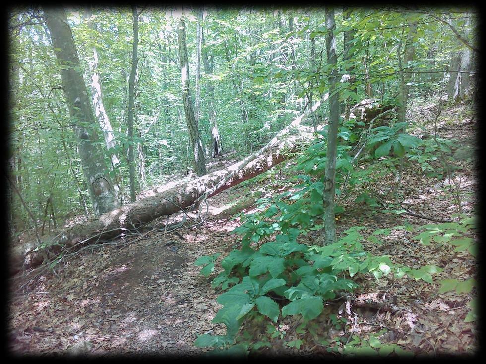
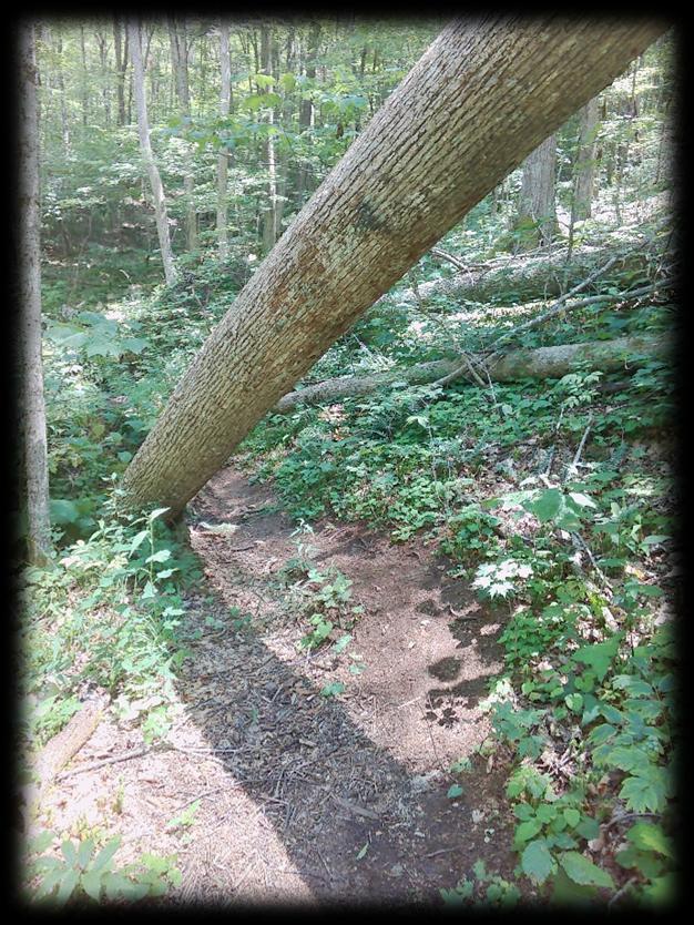
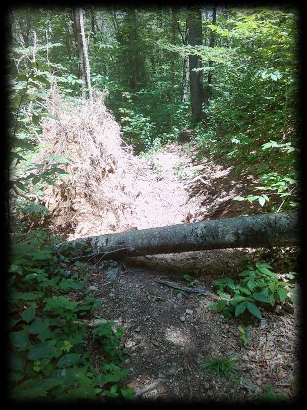
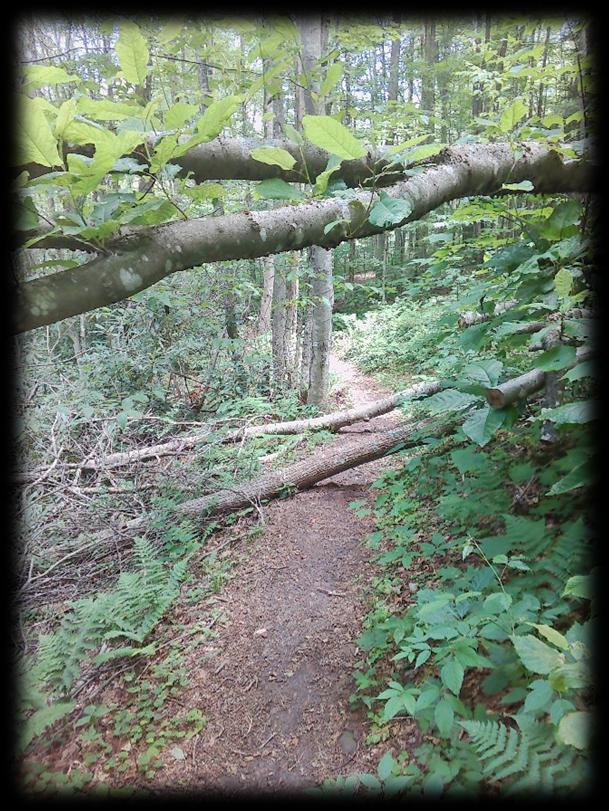
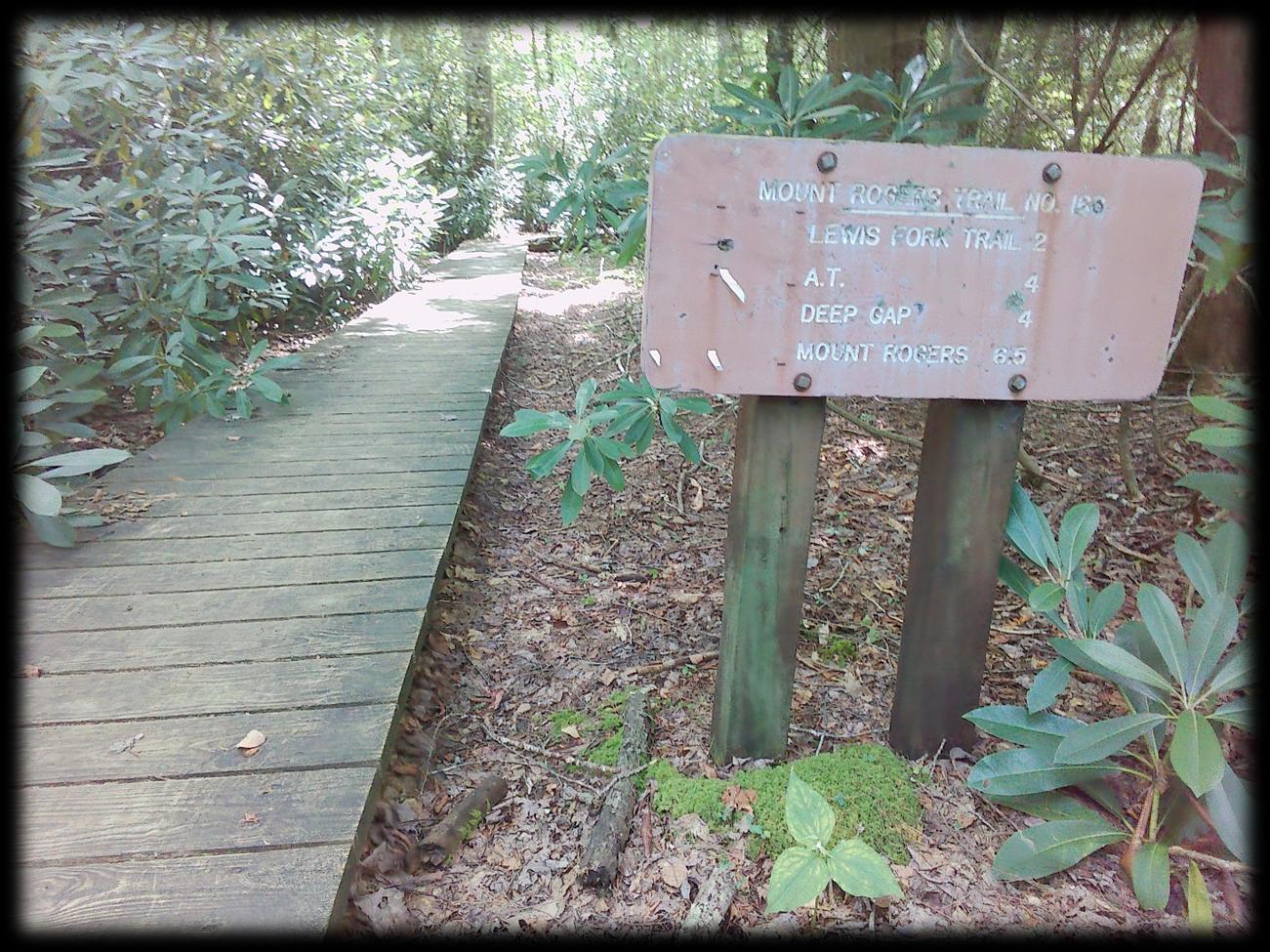
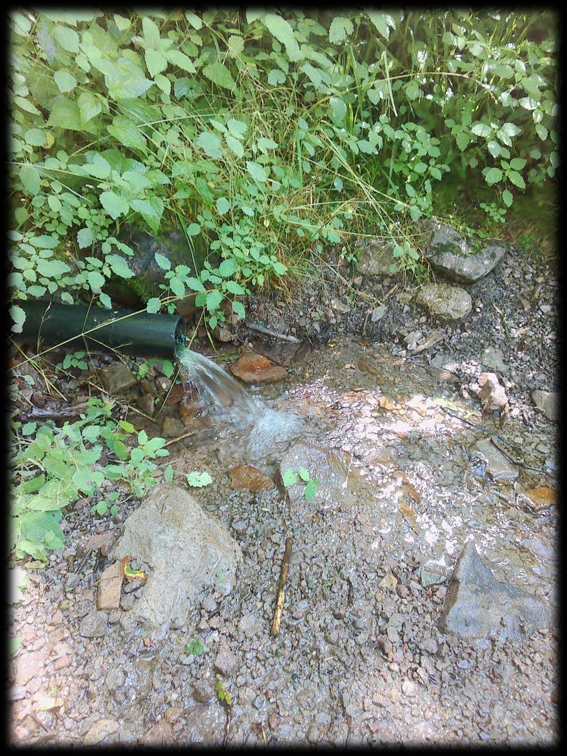
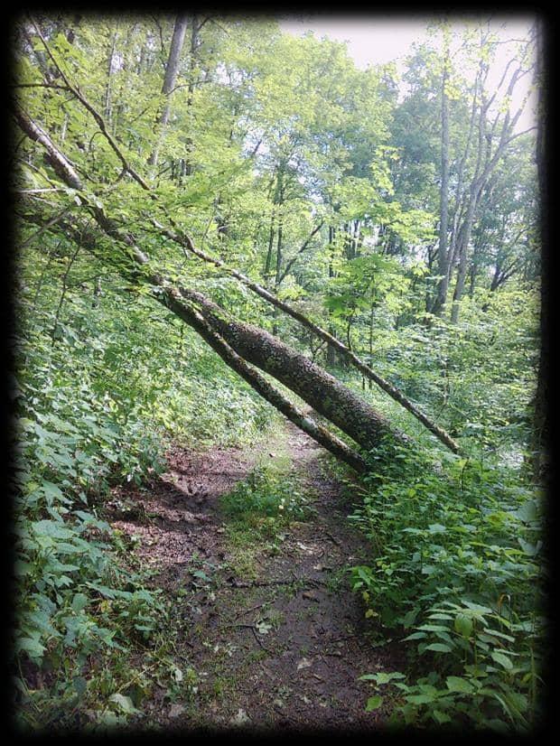
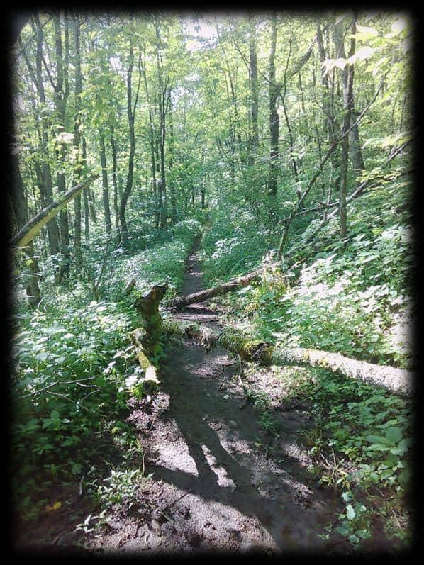
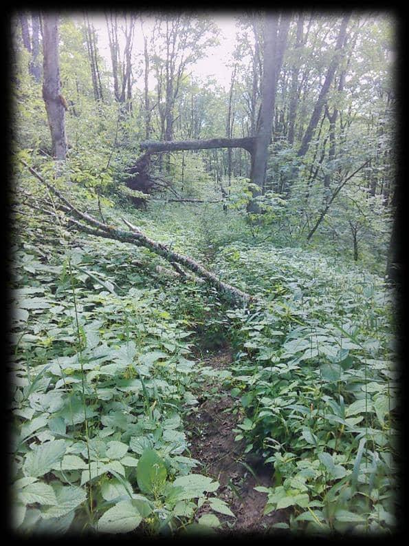
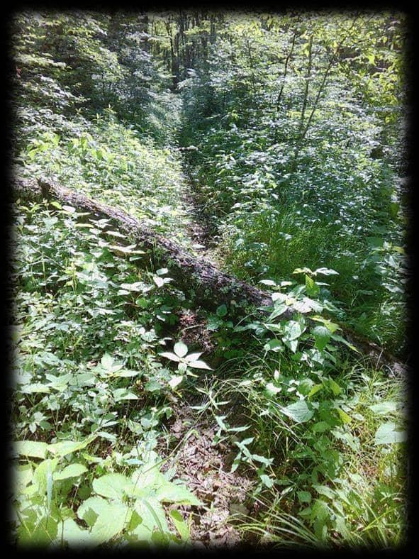
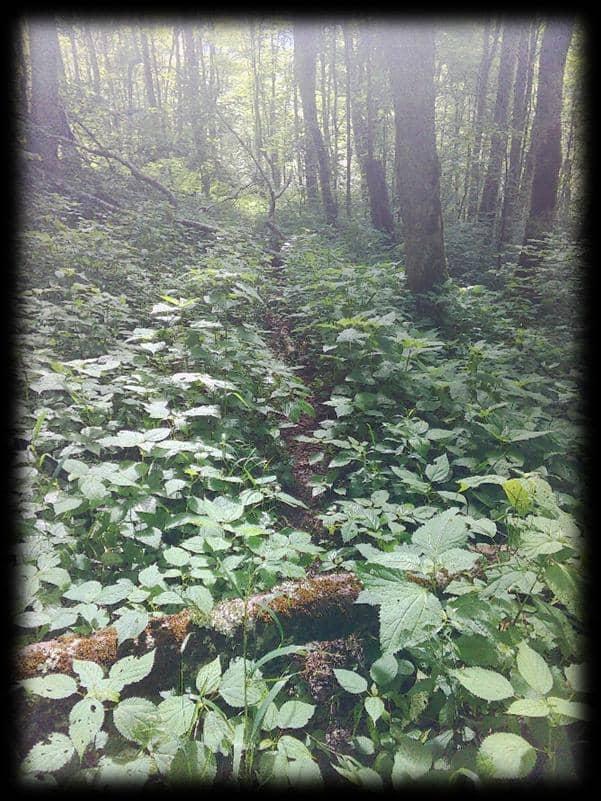
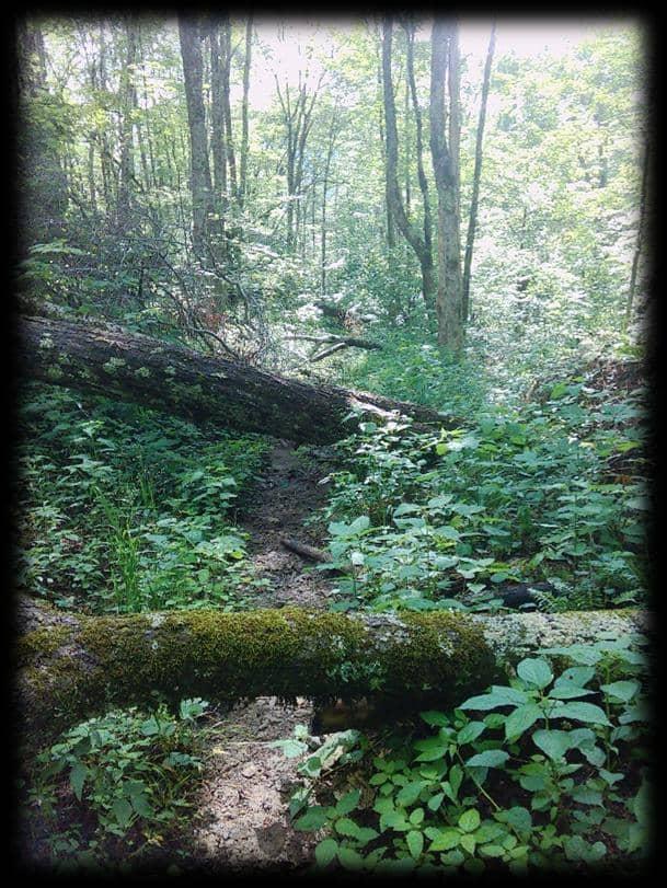
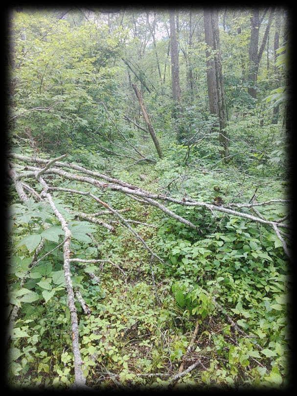
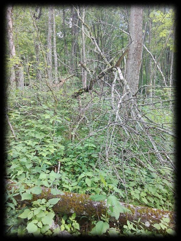
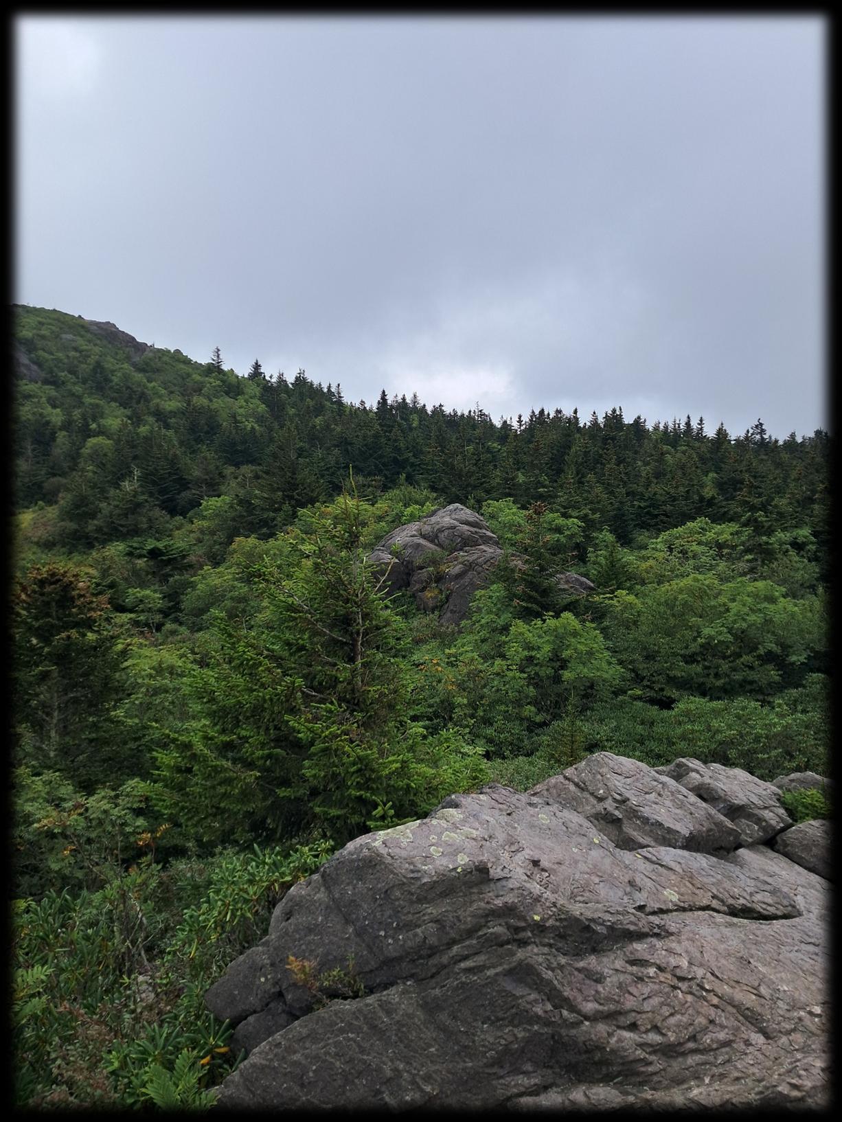
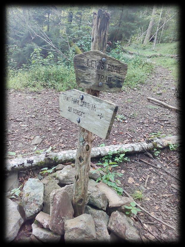
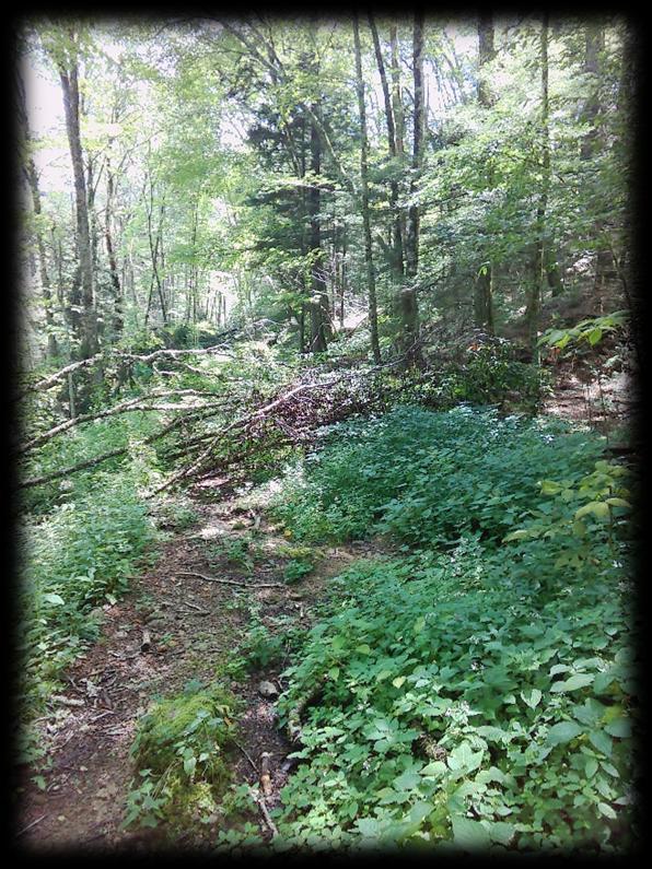
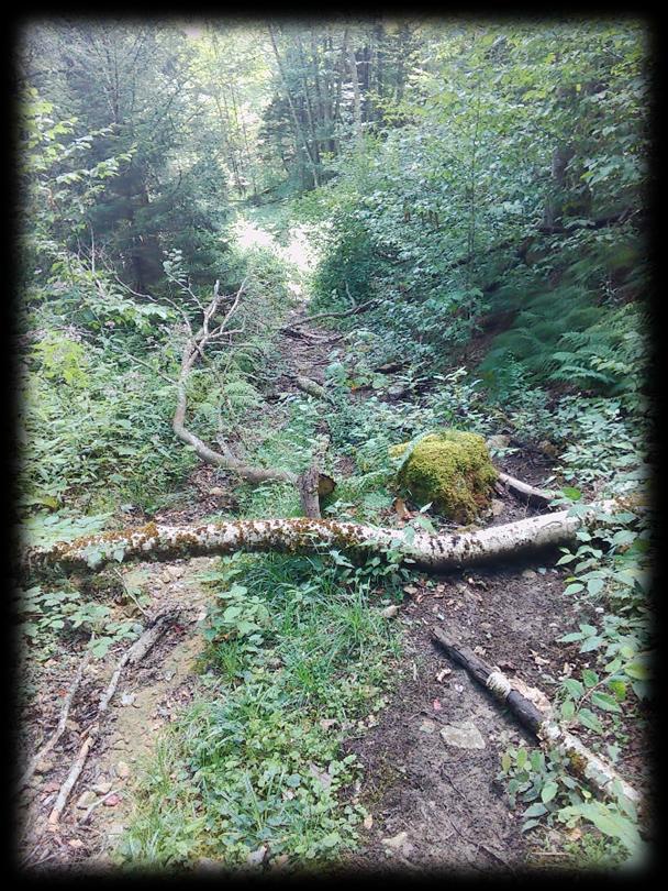
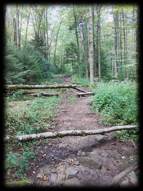
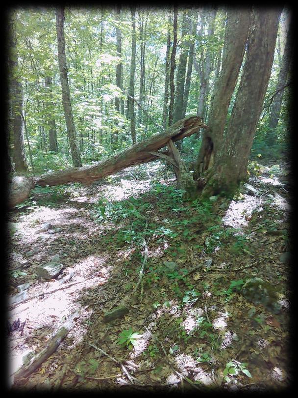
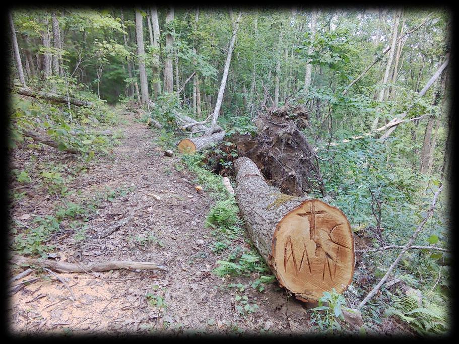
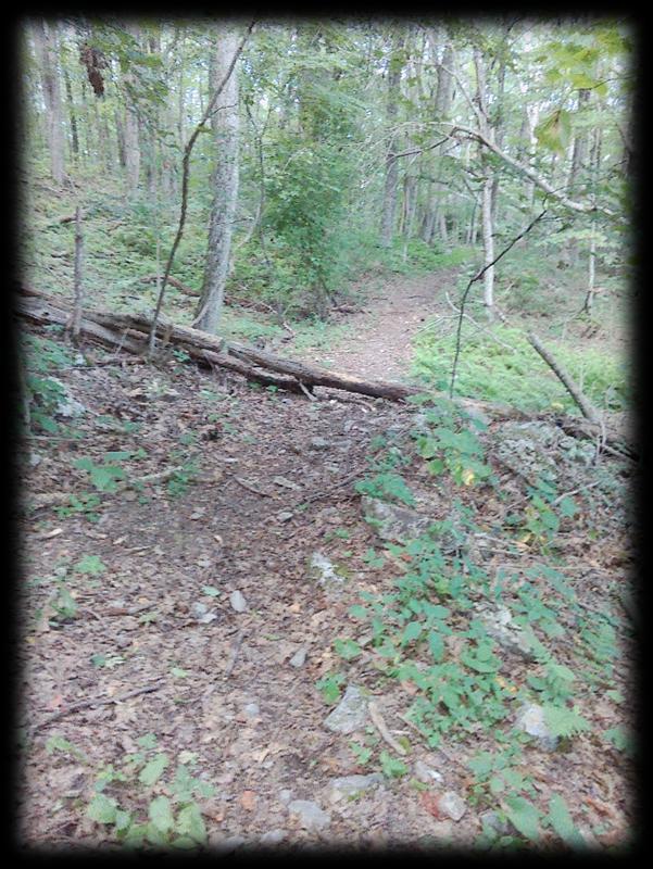
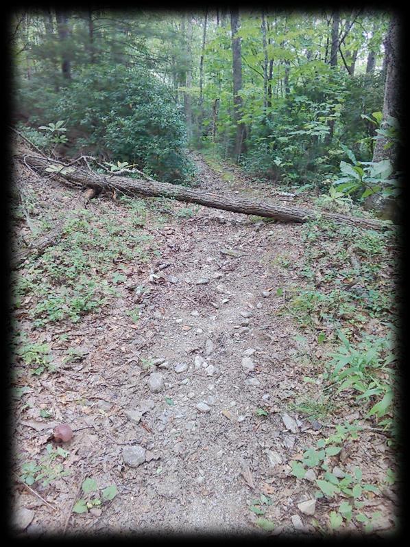
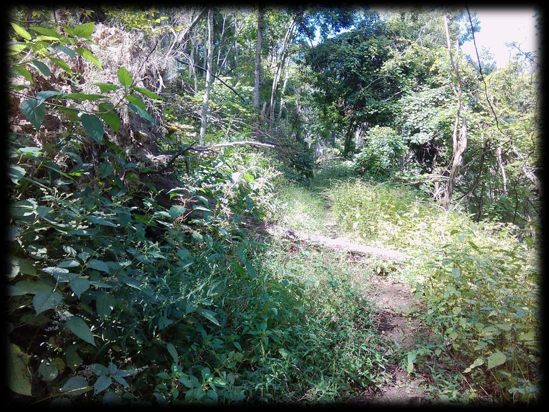
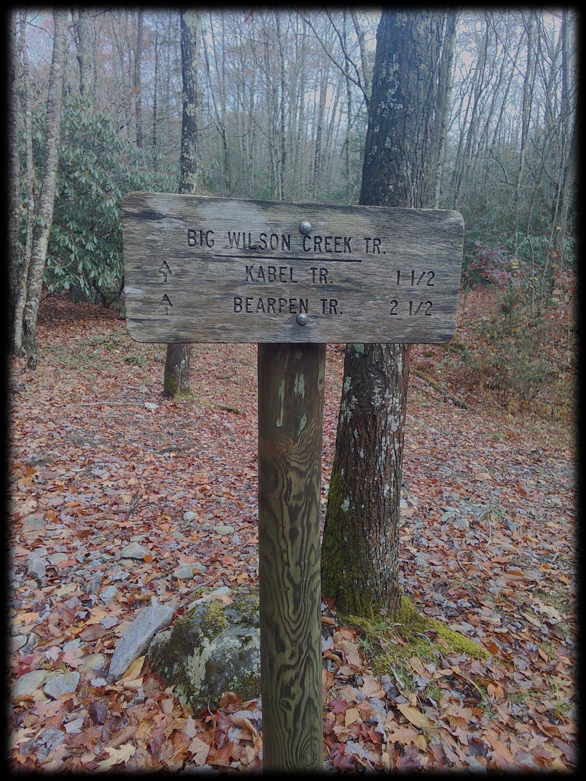
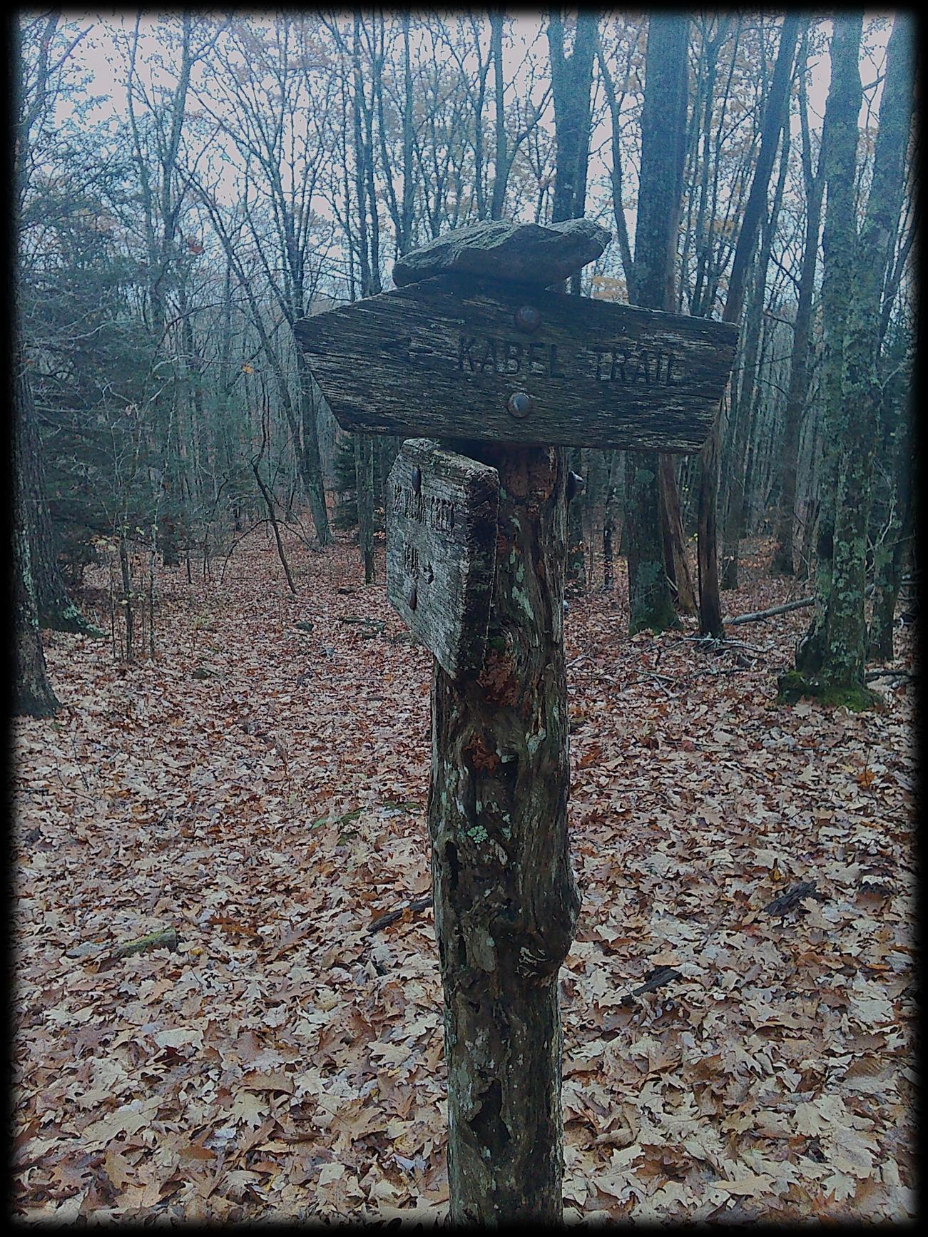
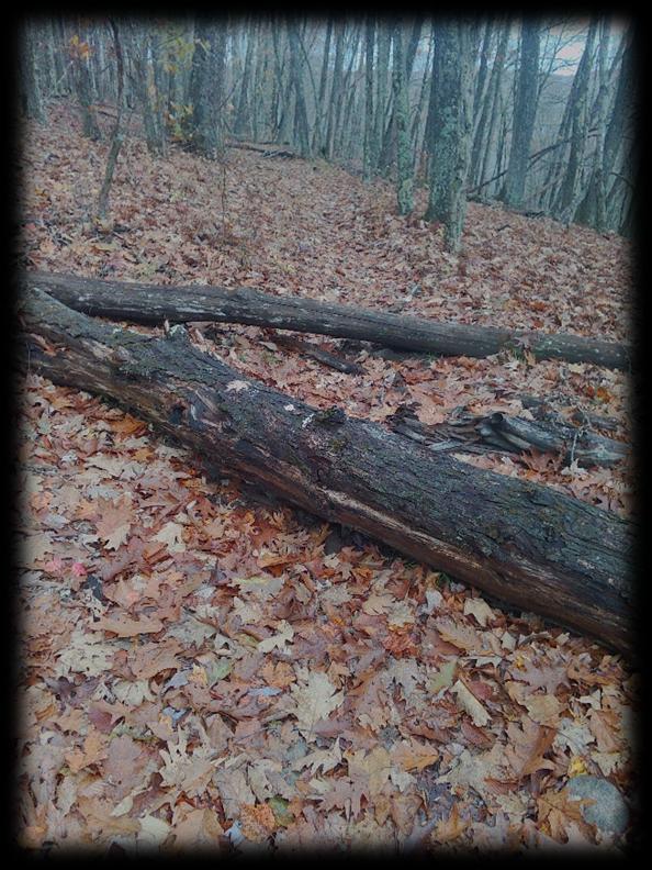
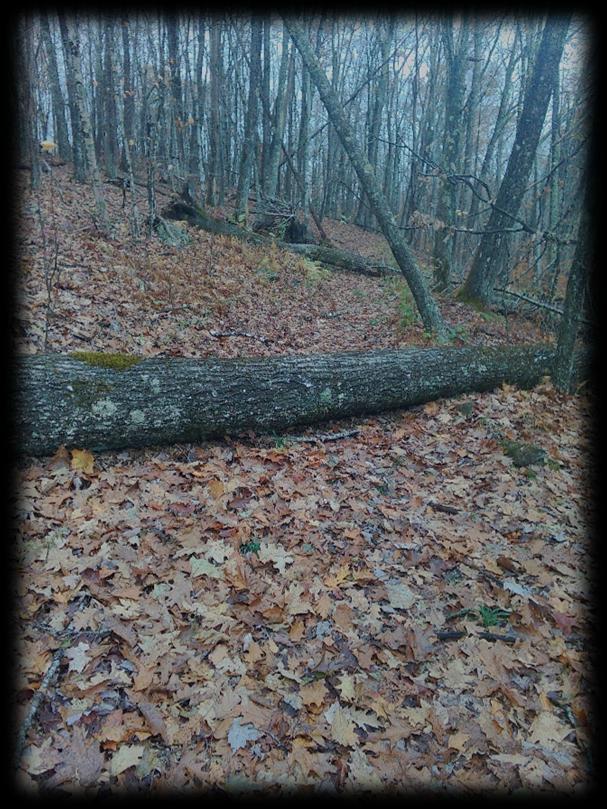
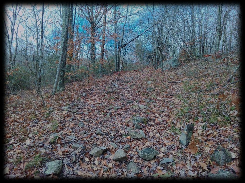
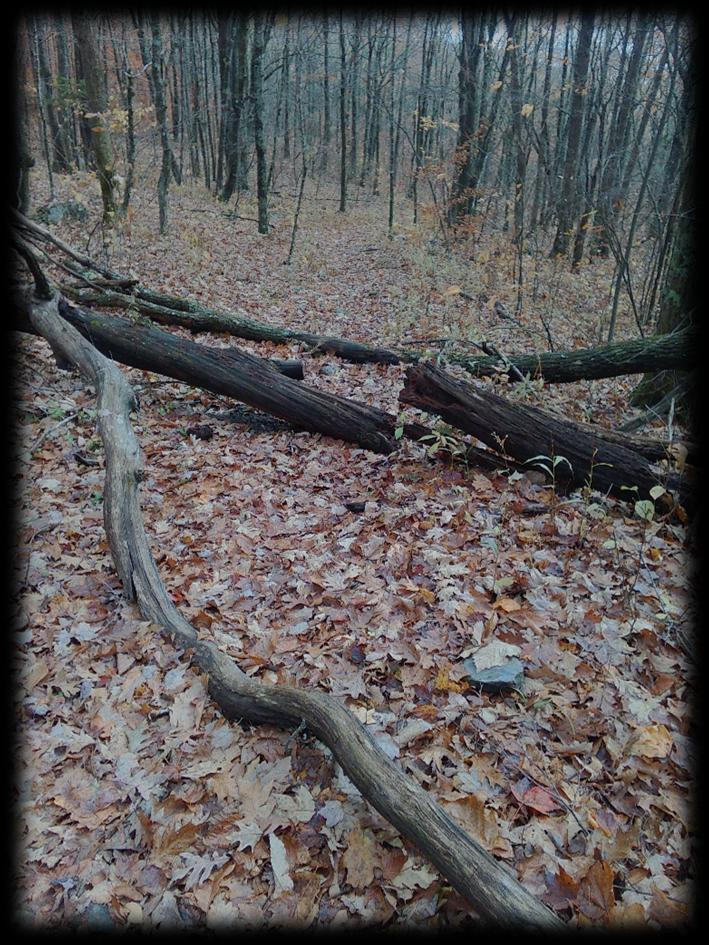
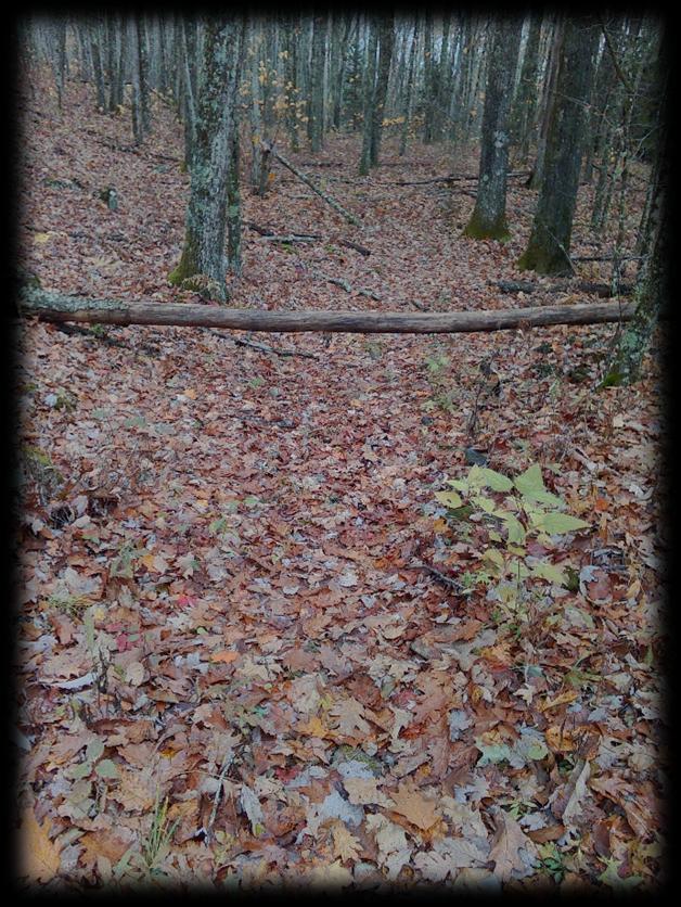
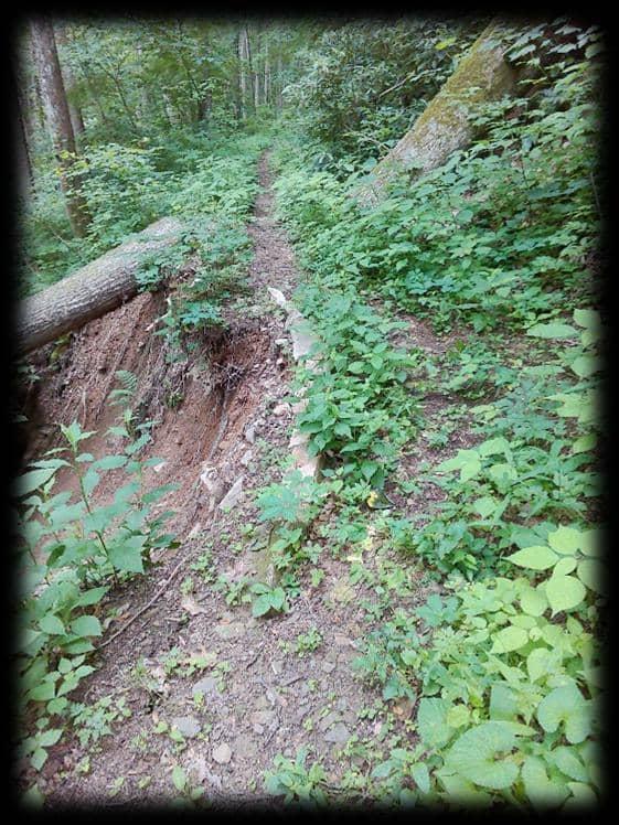
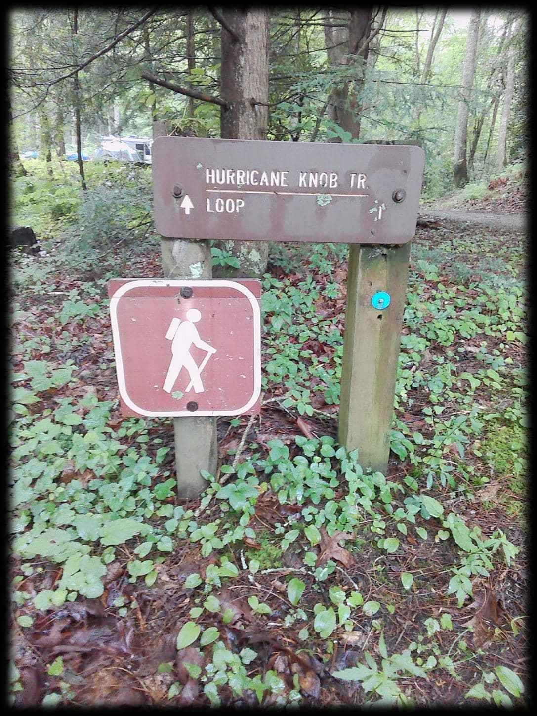
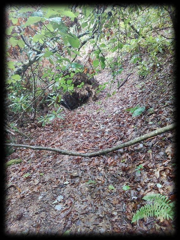
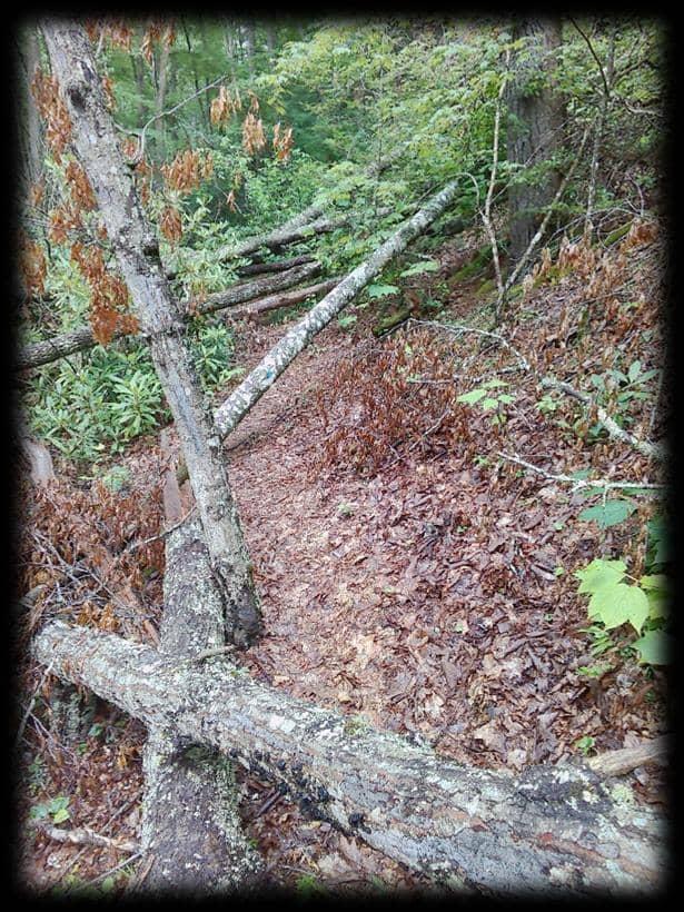
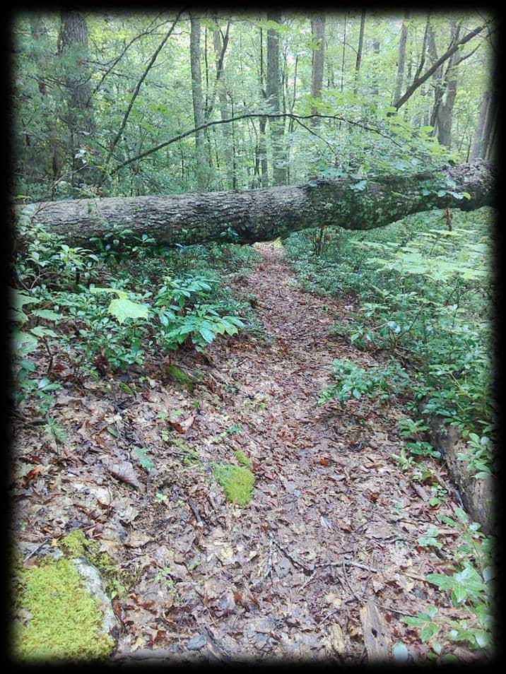
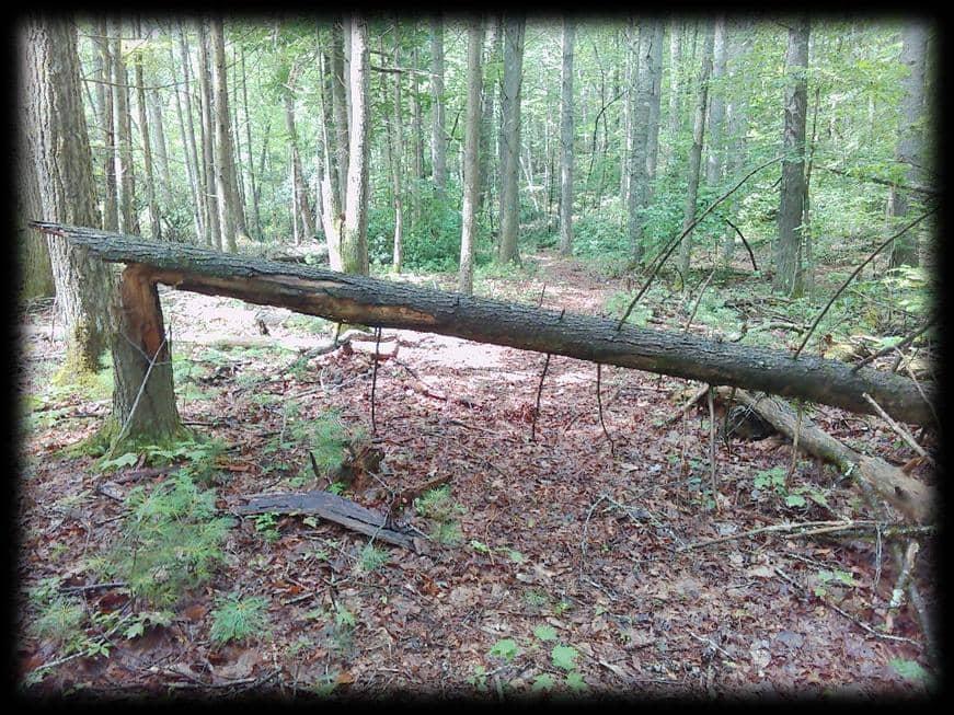
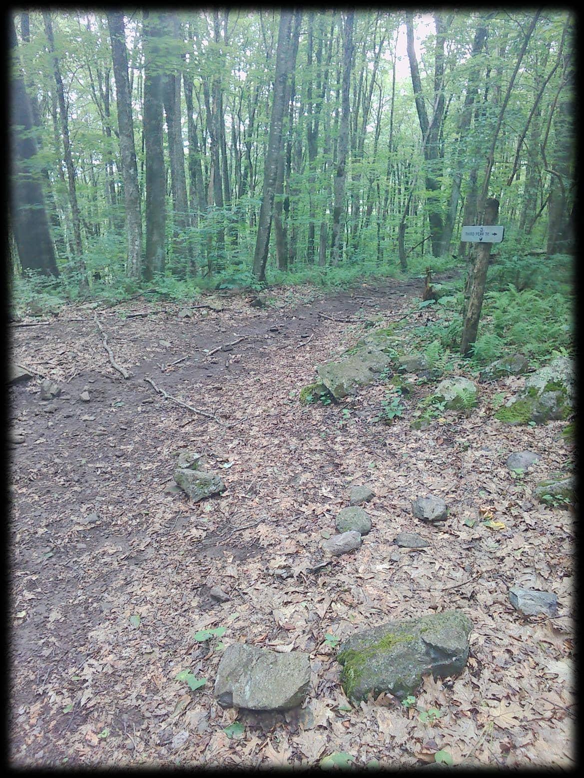
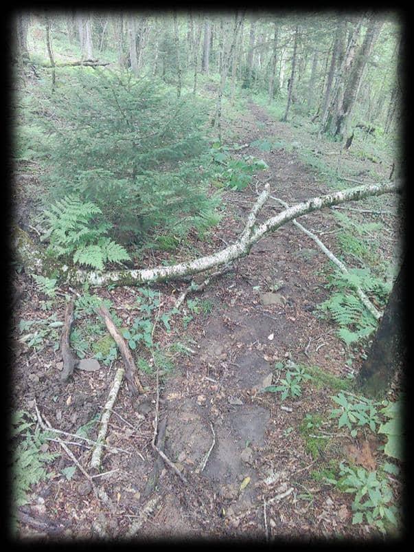
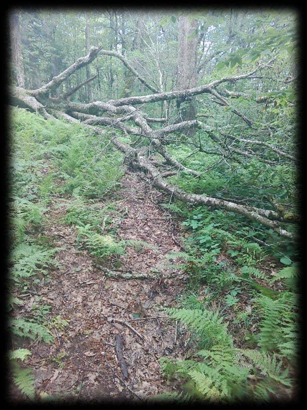
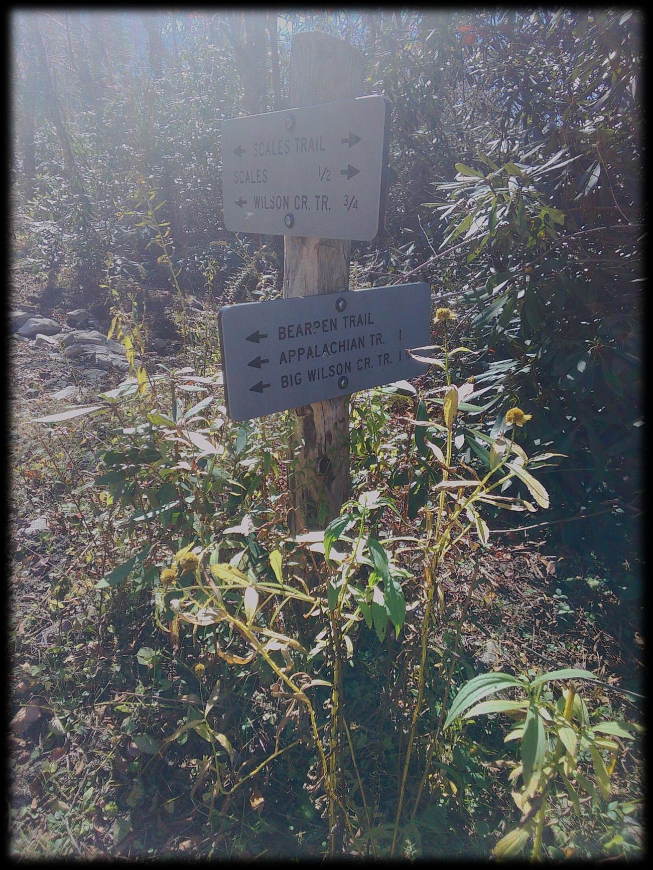
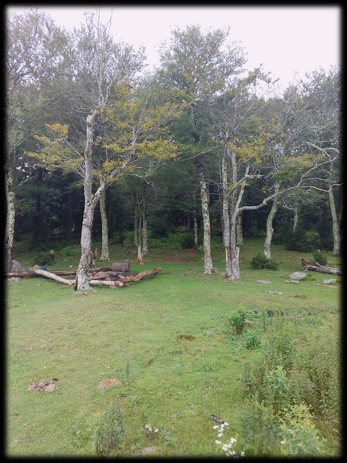
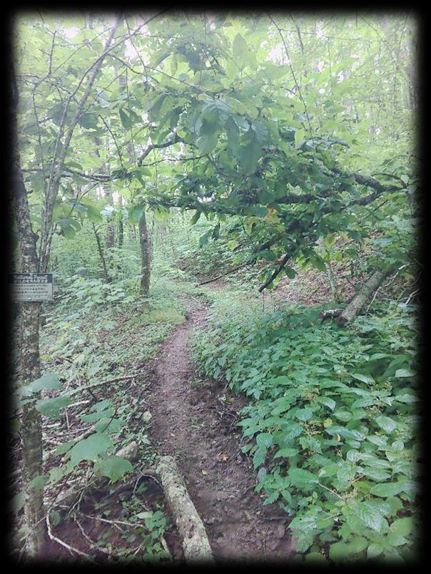
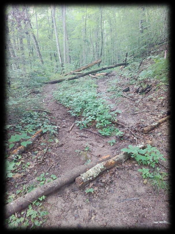
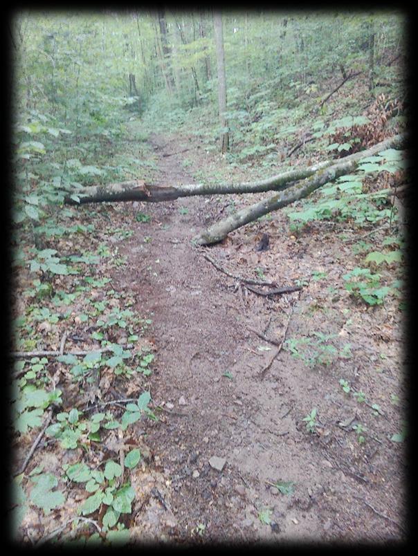
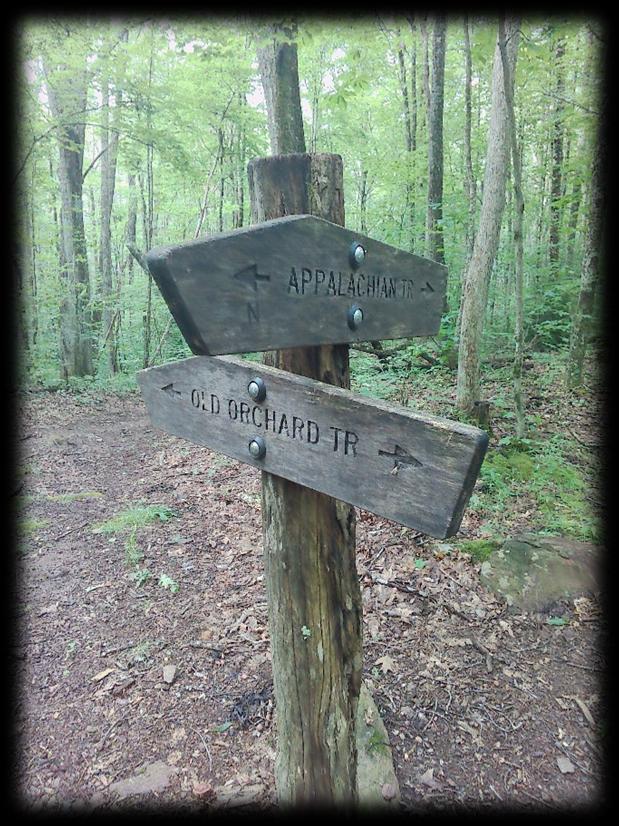
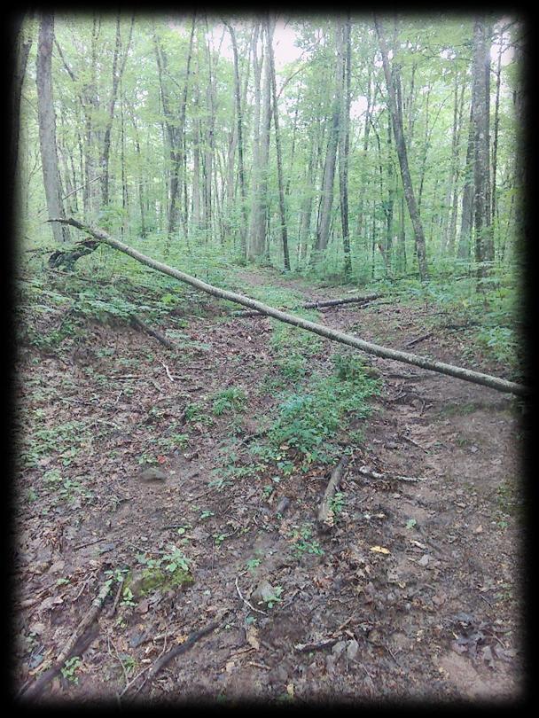
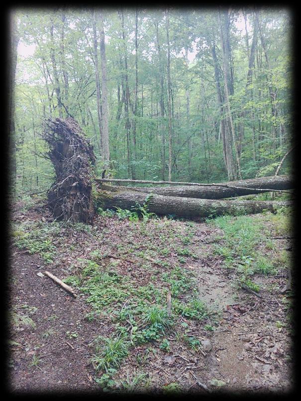
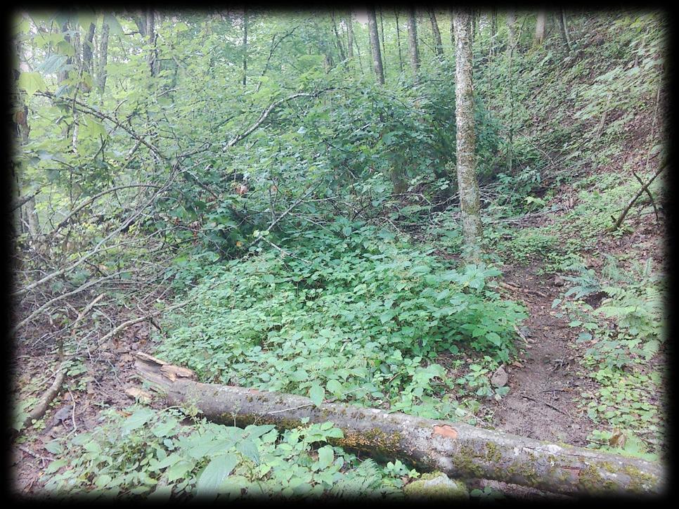
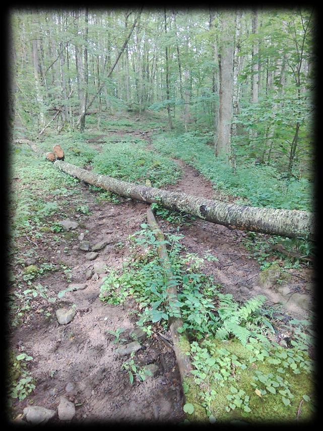
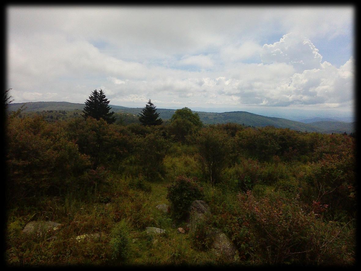
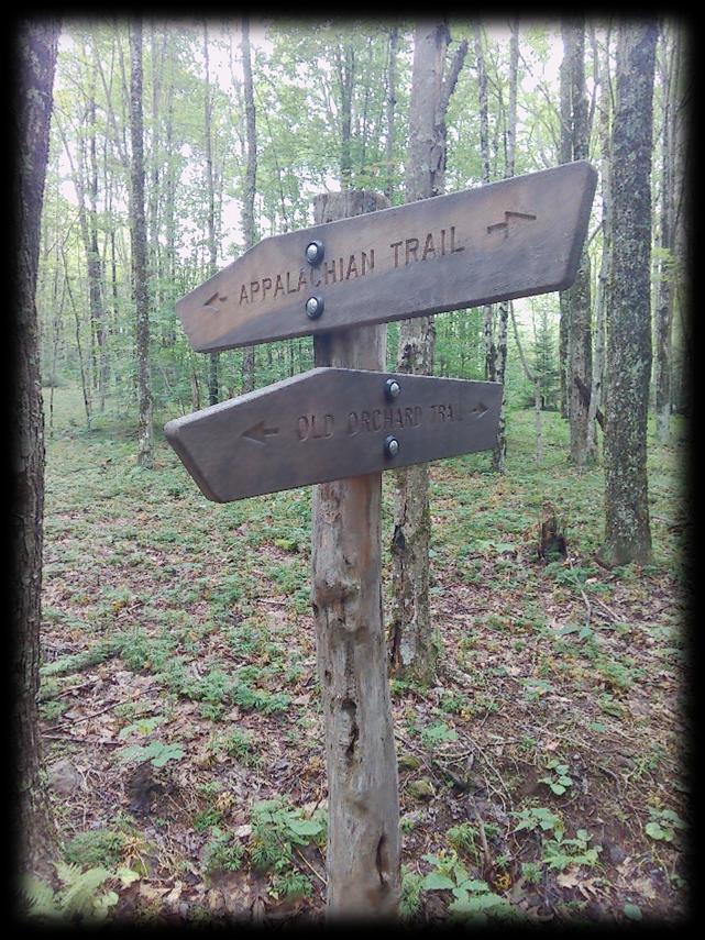
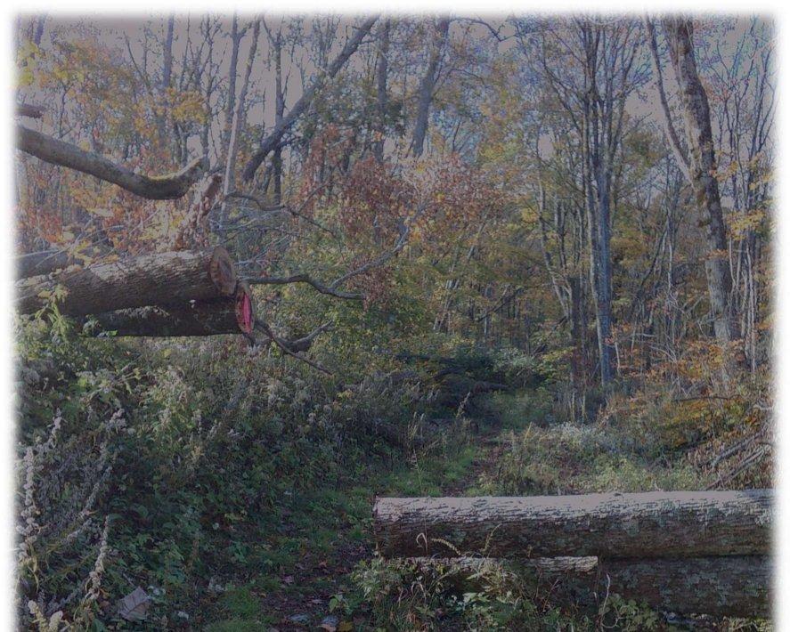
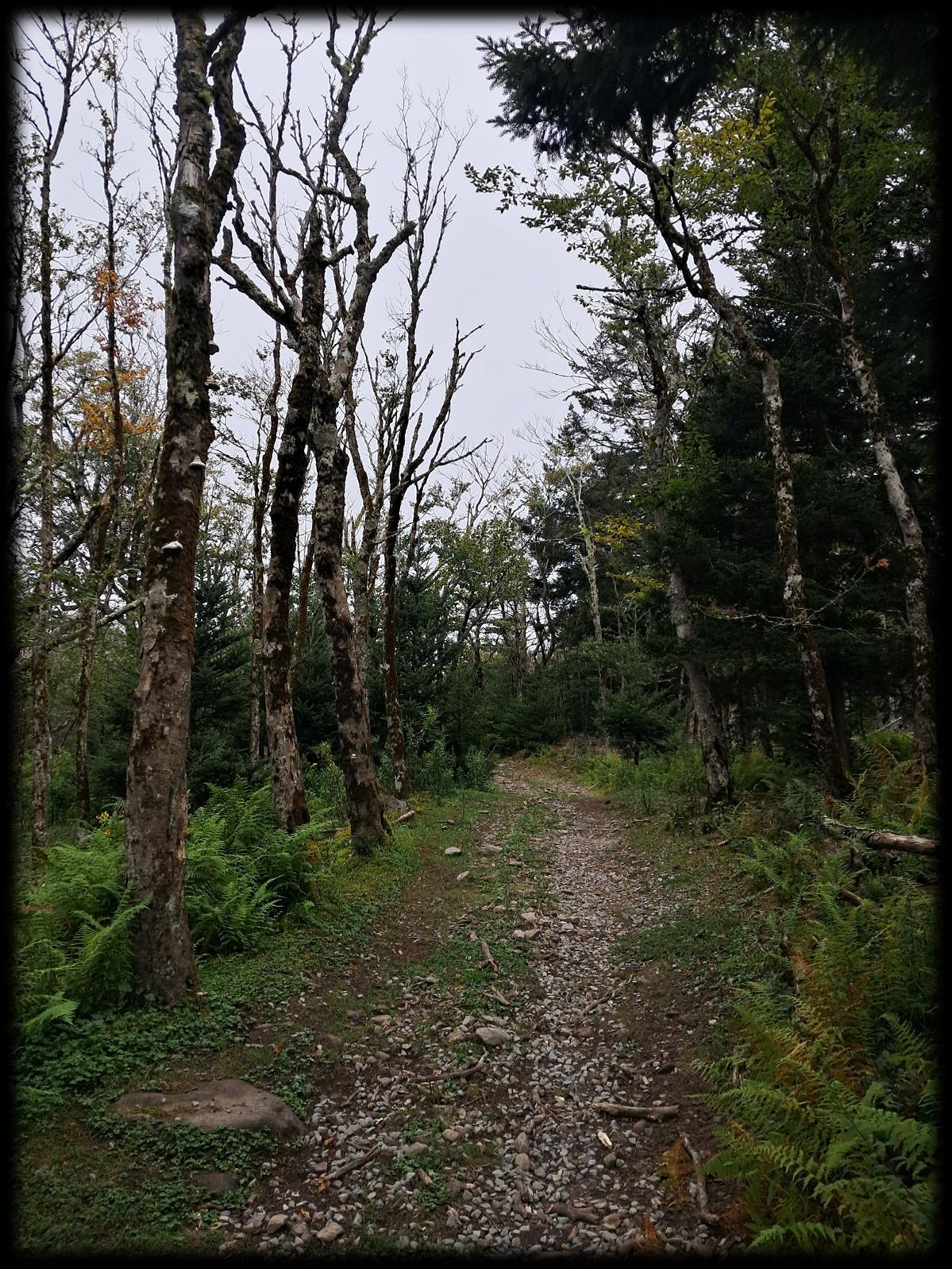
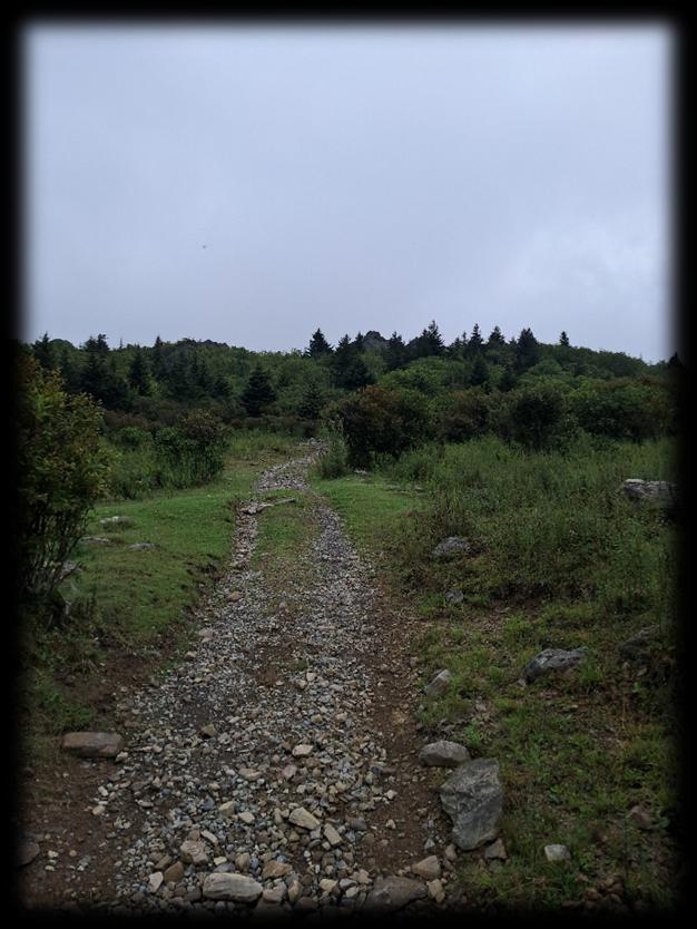
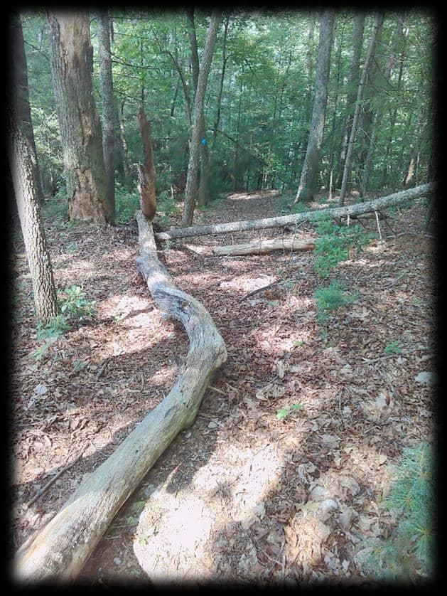
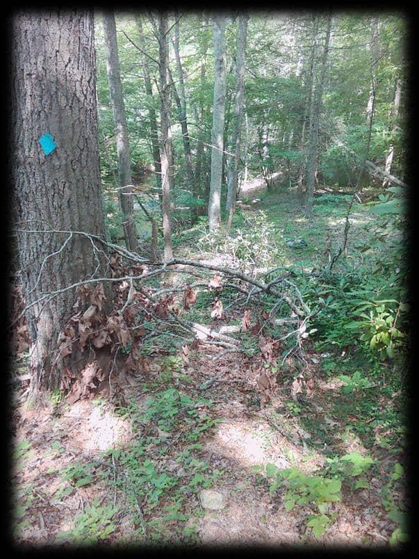
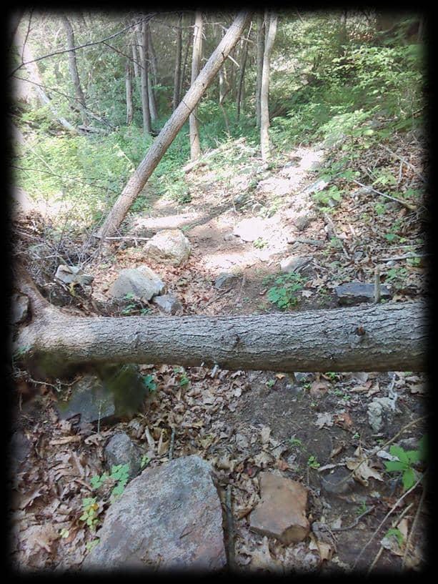
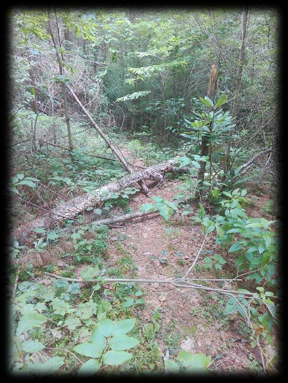
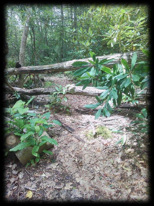
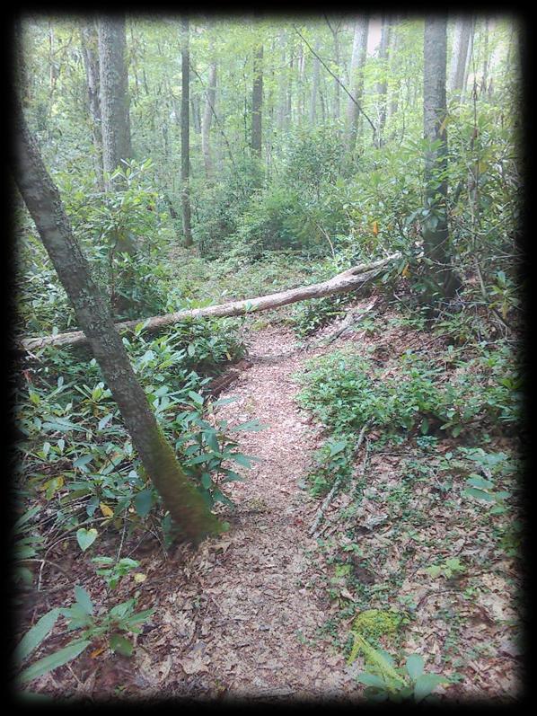
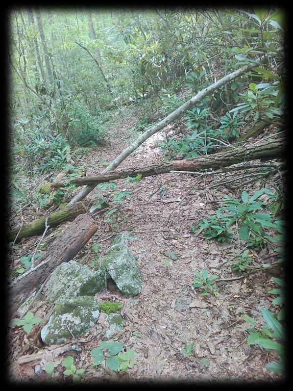
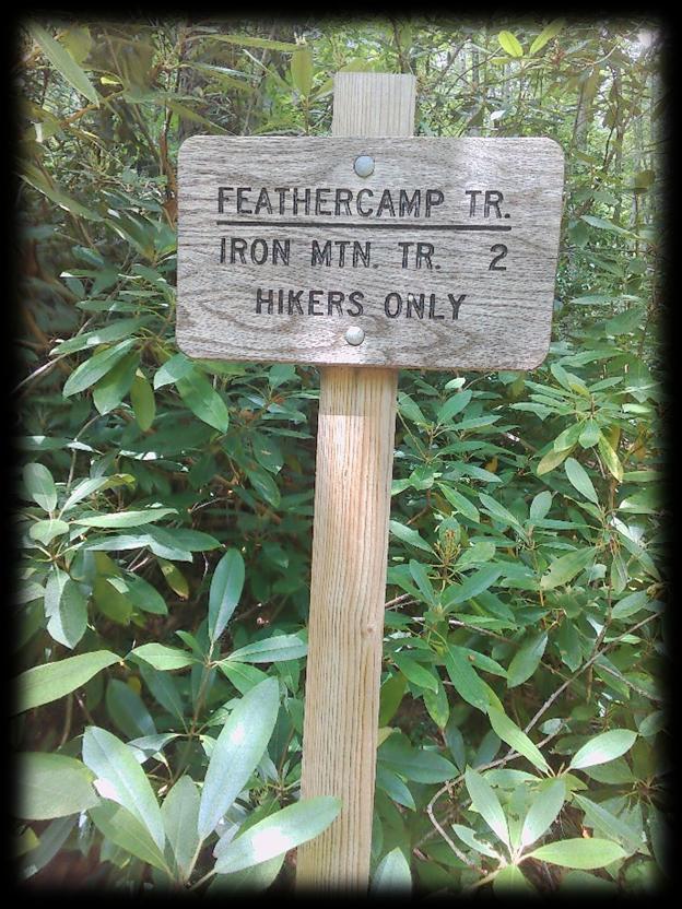
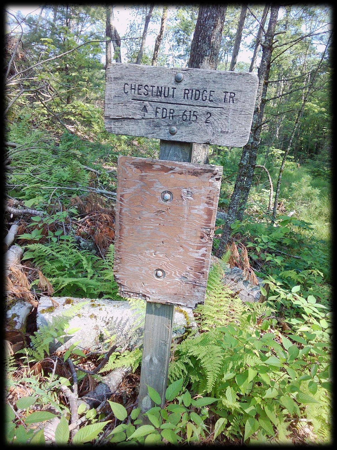
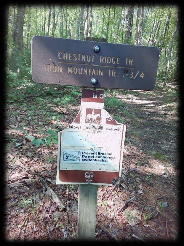
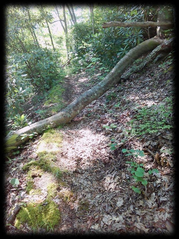
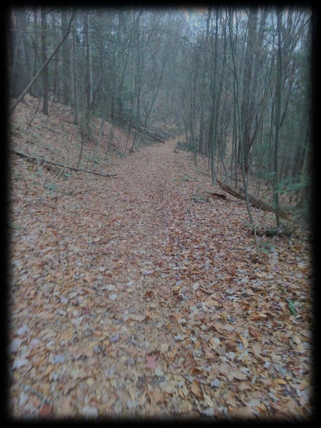
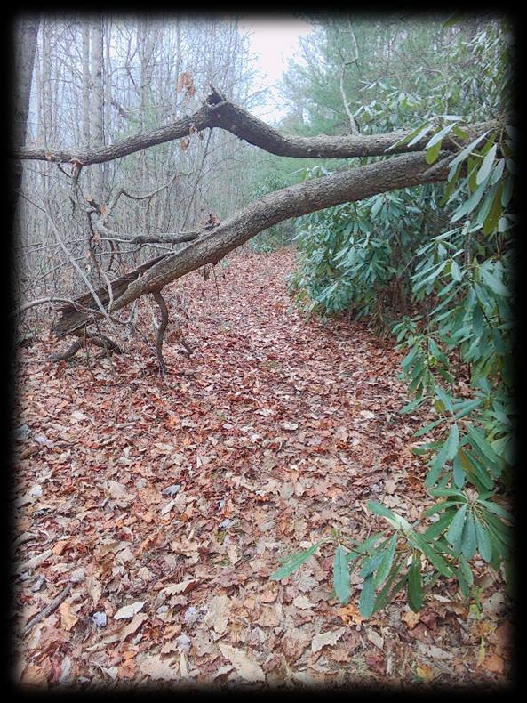
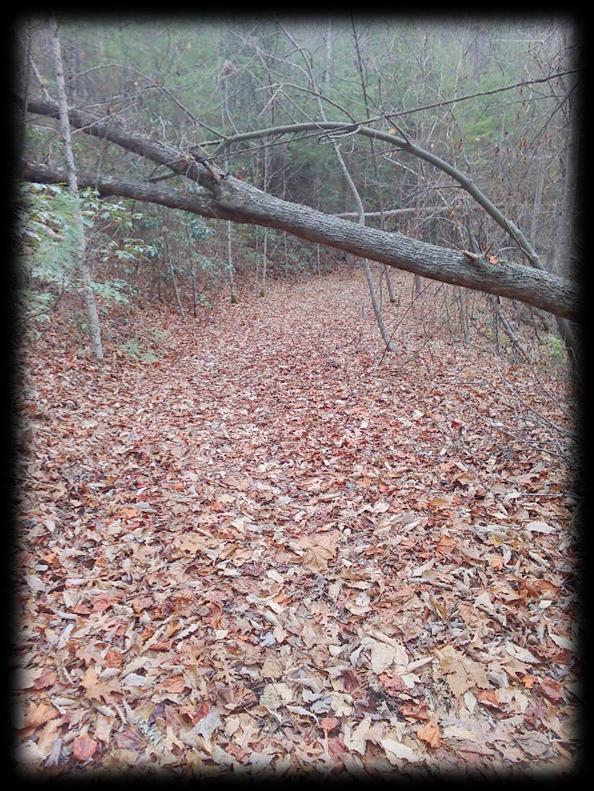
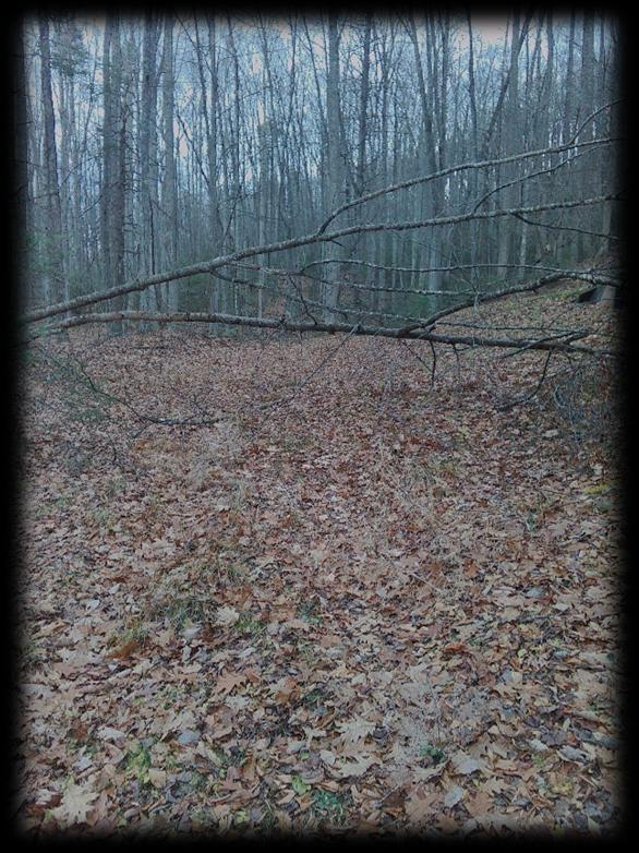
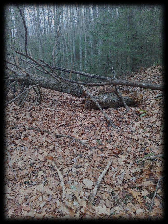
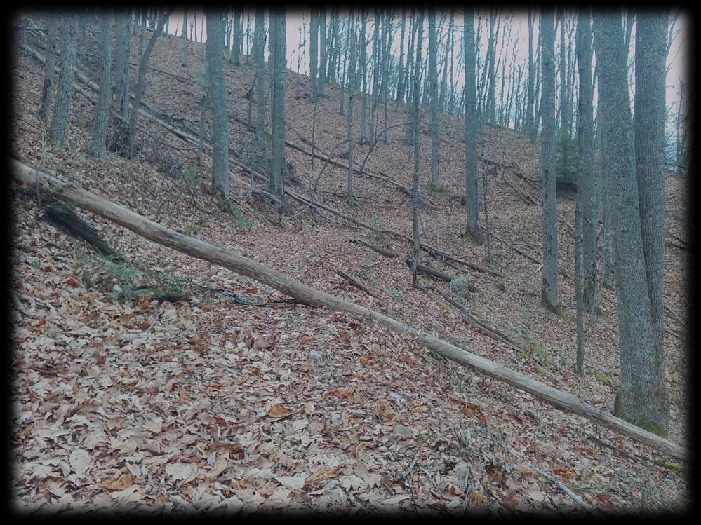
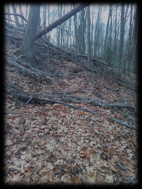
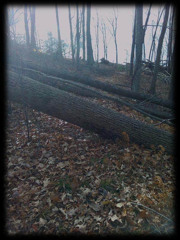
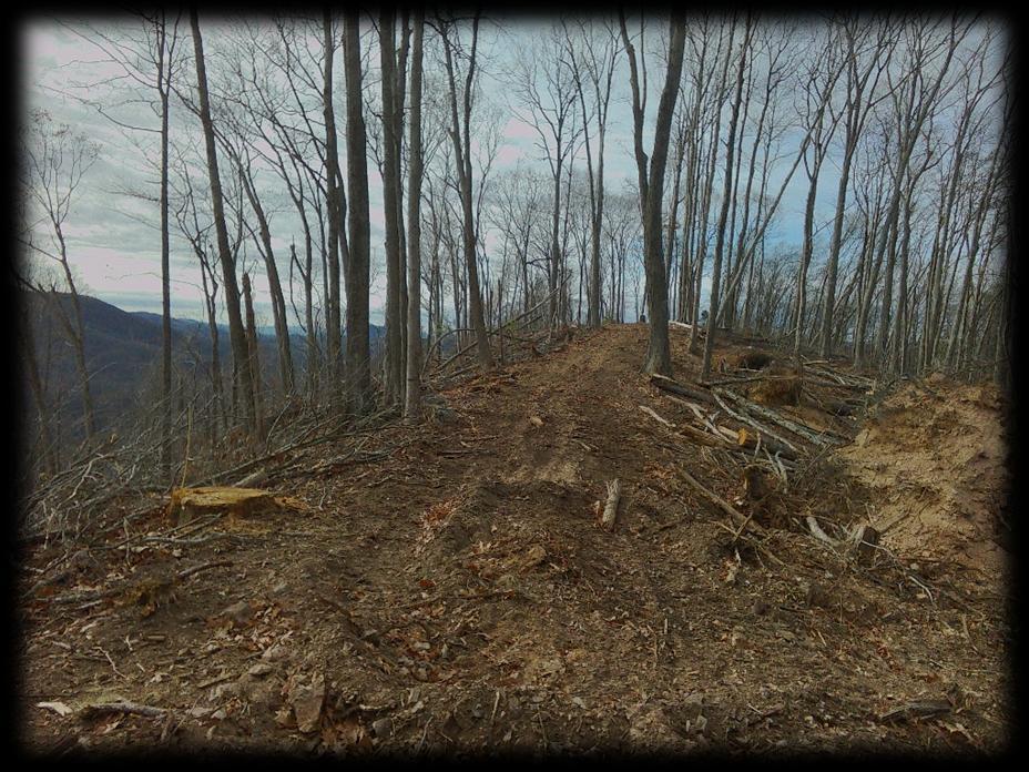
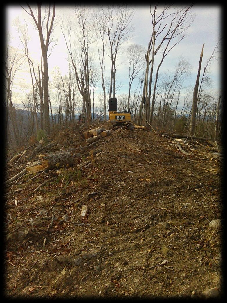
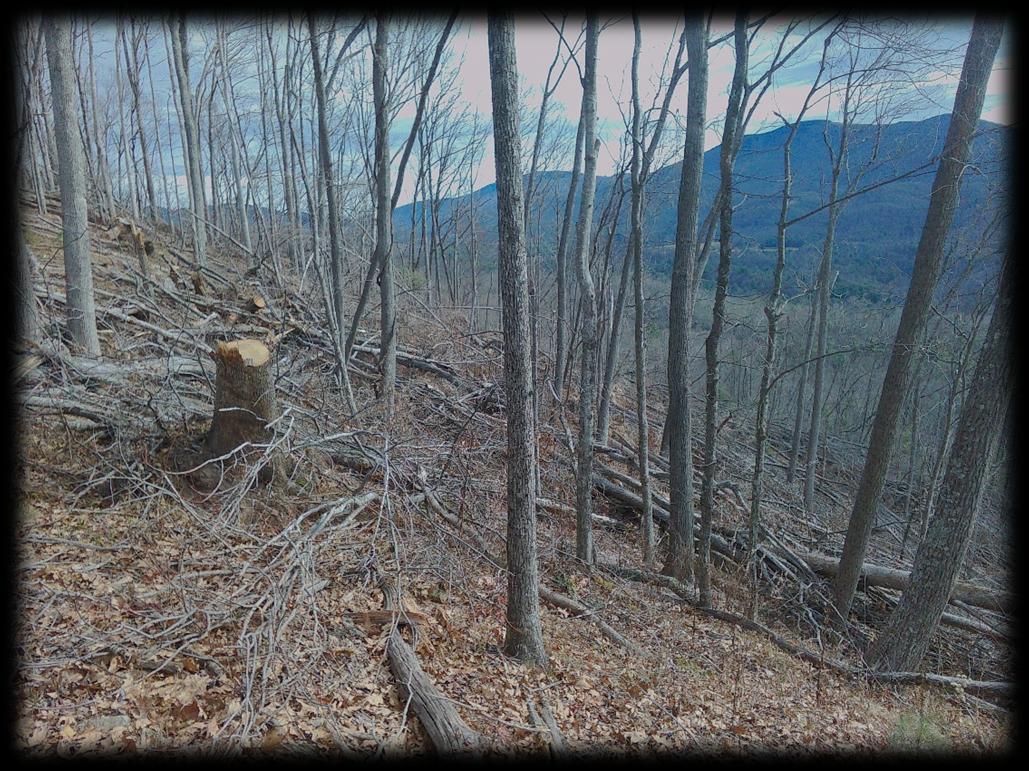
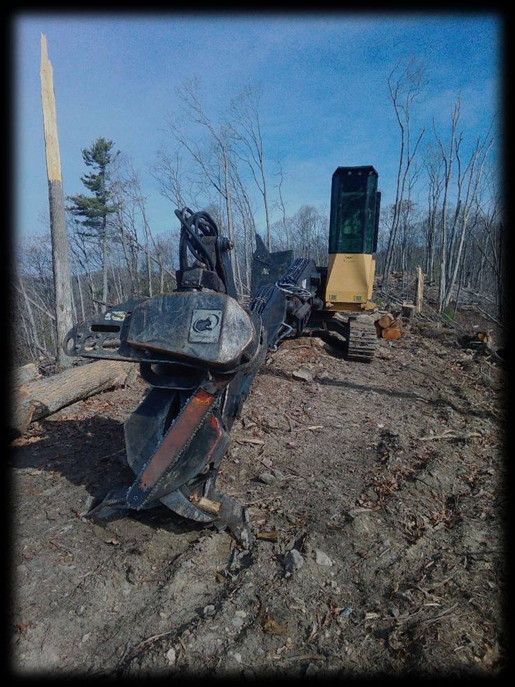
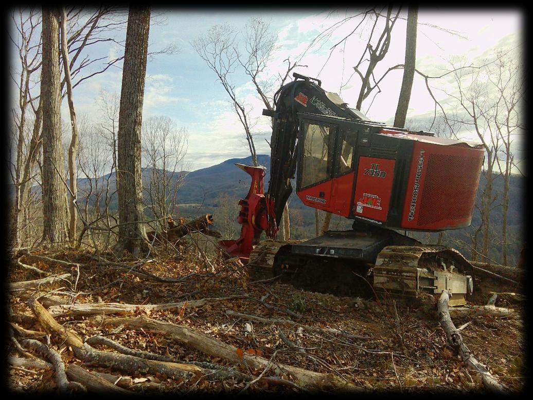
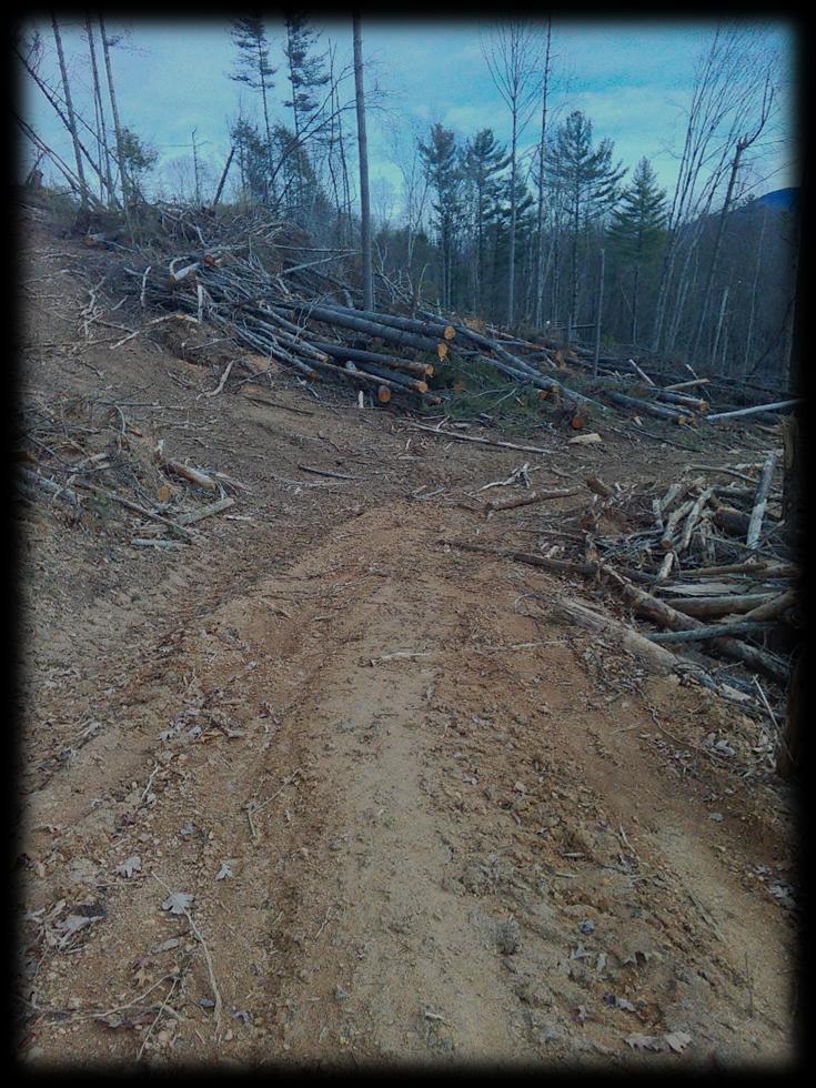
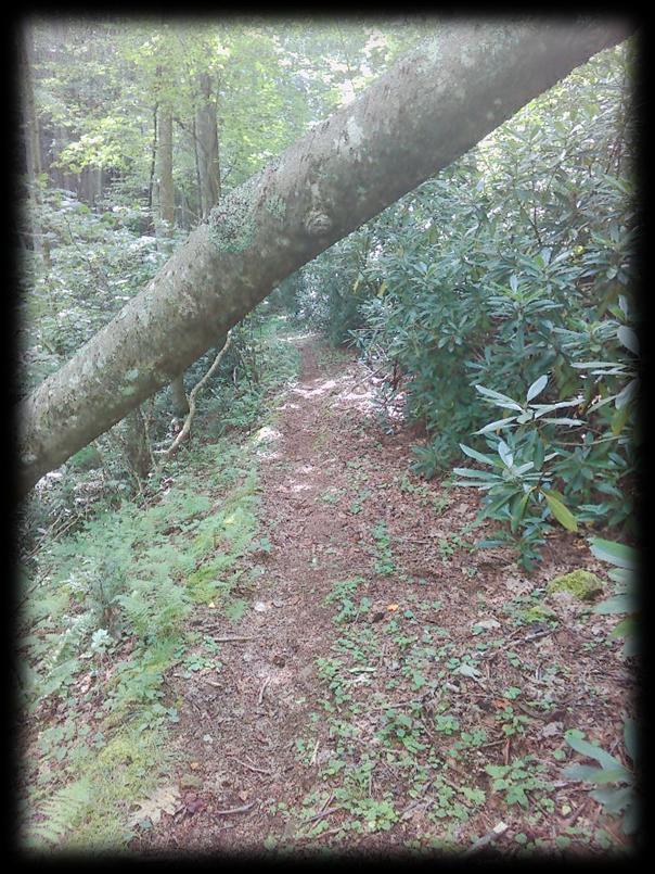
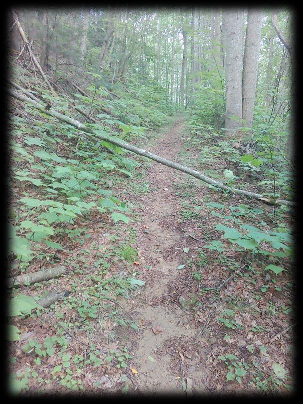
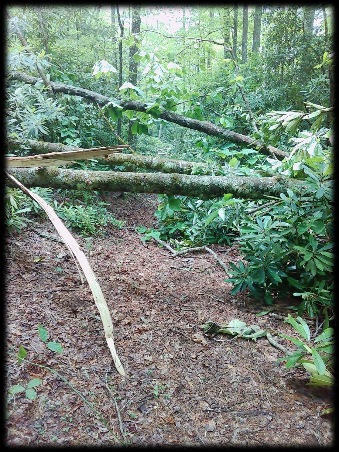
Mount Rogers Recreation Area -Trail Assessment Hurricane Helene Outdoor Recreation Recovery and Assessment Initiative
Mount Rogers Recreation Area - Trail Assessment
Hurricane Helene Outdoor Recreation Recovery and Assessment Initiative
Prepared by the Mount Rogers Planning District Commission for Friends of Southwest Virginia Version 1.0 | 2026
Funded by the Appalachian Regional Commission and the Virginia Department of Housing and Community Development
Executive Summary The Hurricane Helene Outdoor Recreation Recovery Planning Project was undertaken to assess, document, and support the recovery of Southwest Virginia's outdoor recreation assets following the significant impacts of Hurricane Helene. Funded through the Appalachian Regional Commission, this initiative provides a comprehensive, data-driven evaluation of storm-related damage and establishes a strategic framework for restoration, resilience, and future investment.
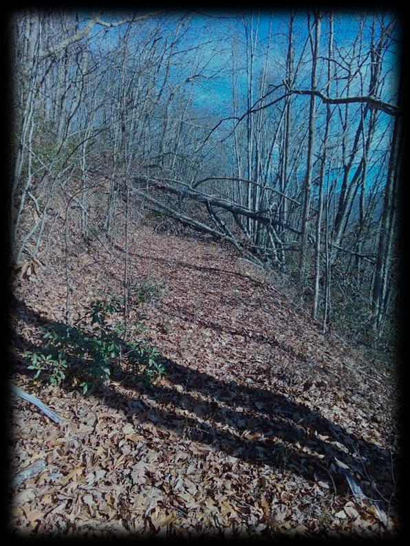
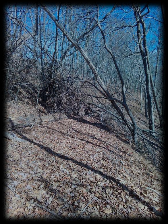
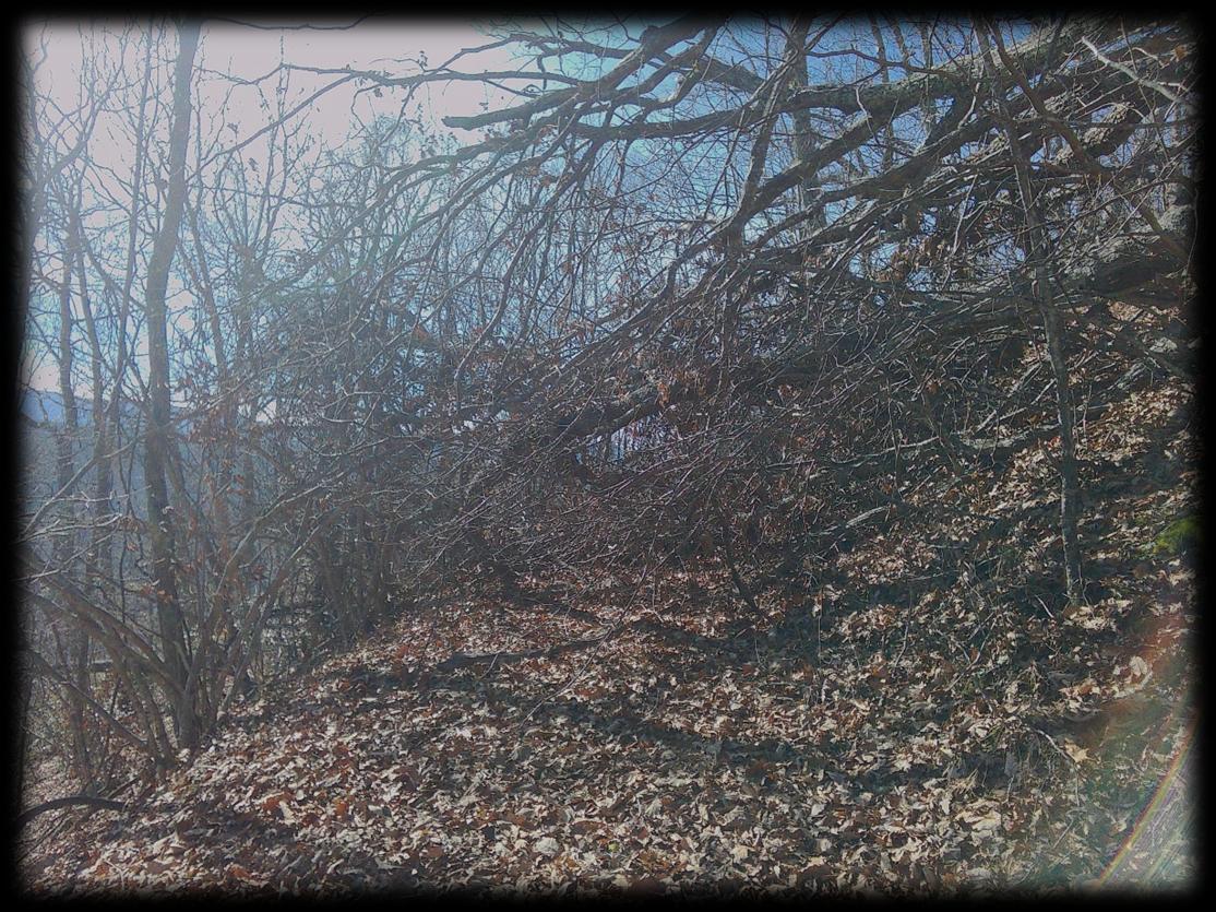
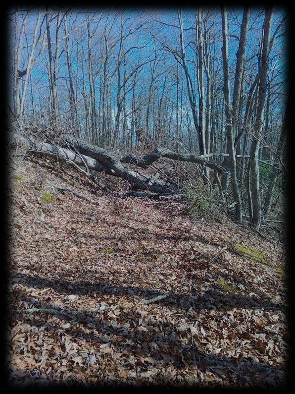
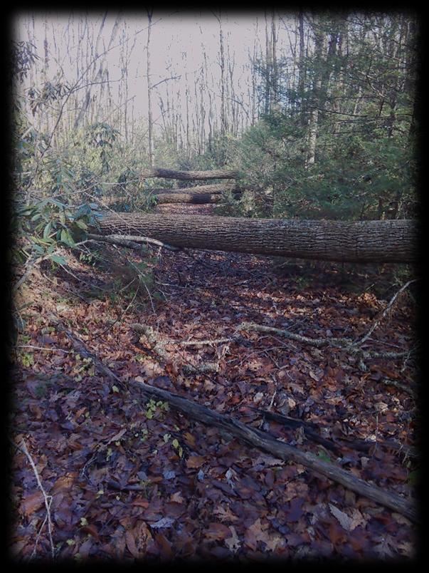
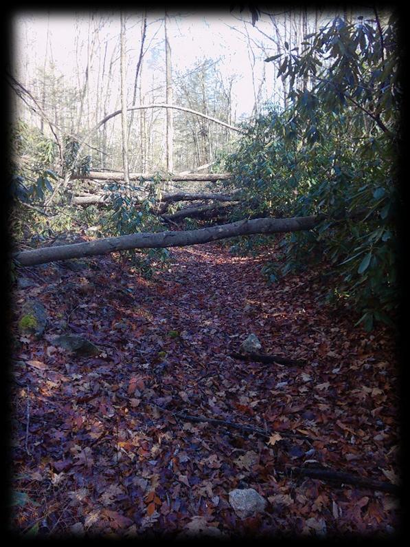
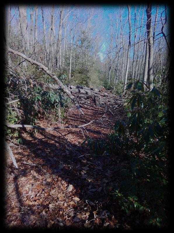
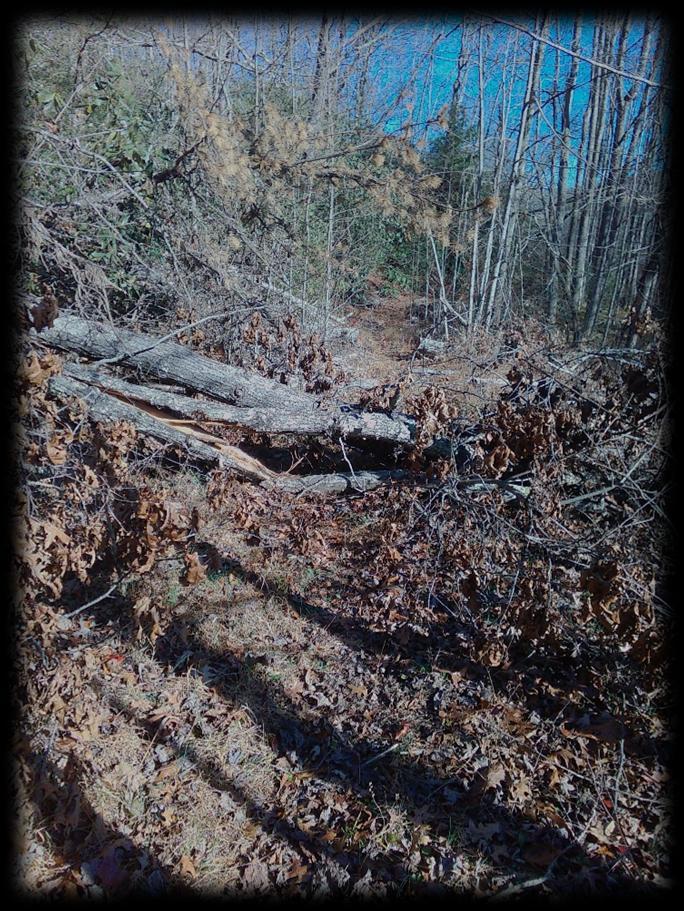
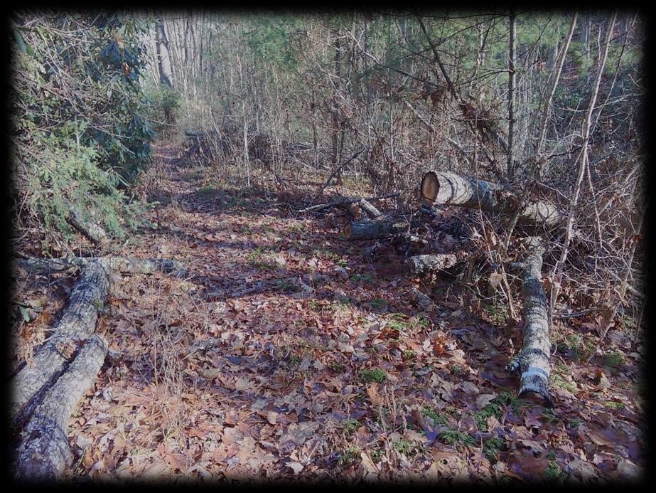
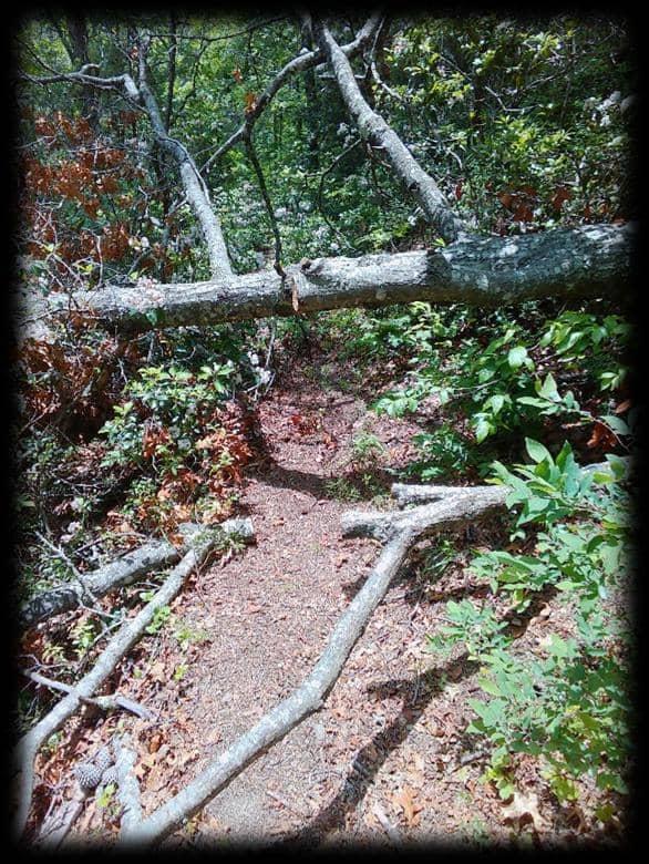
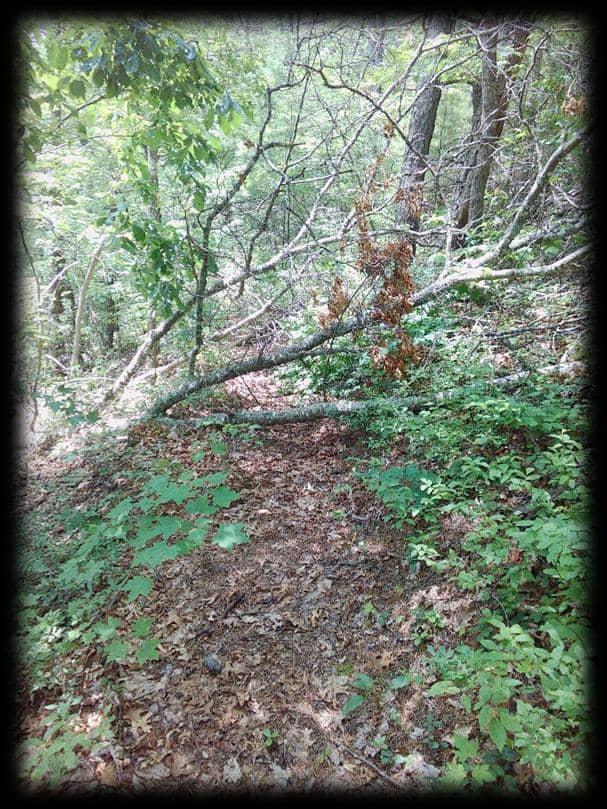
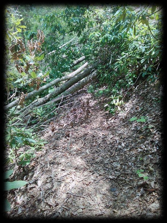
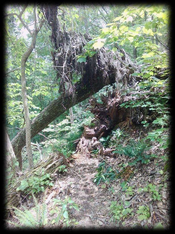
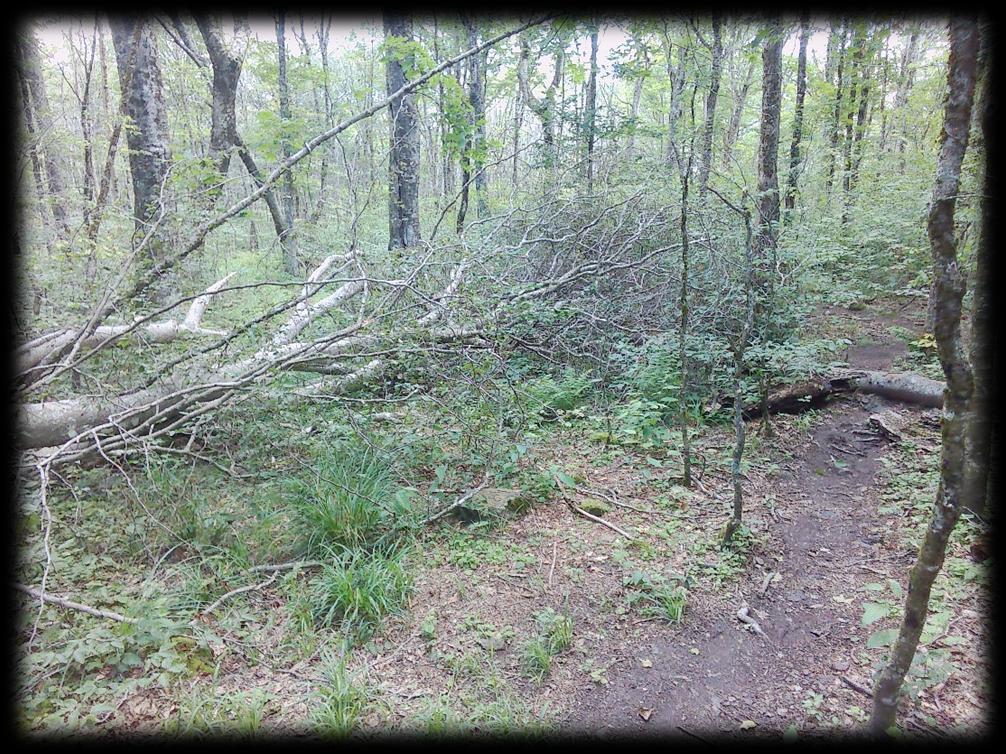
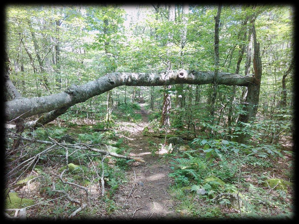
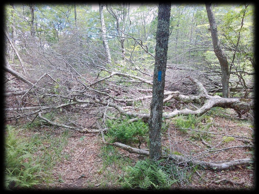
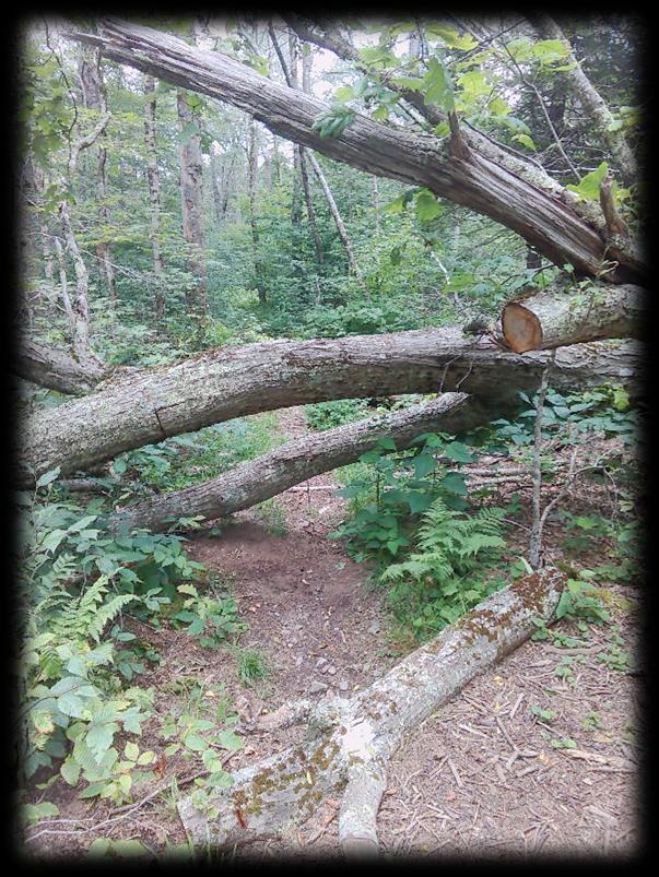
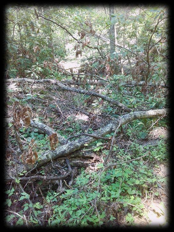
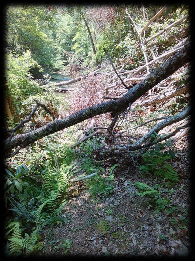
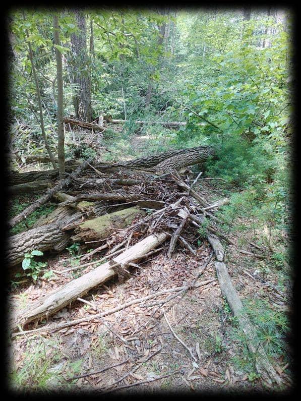
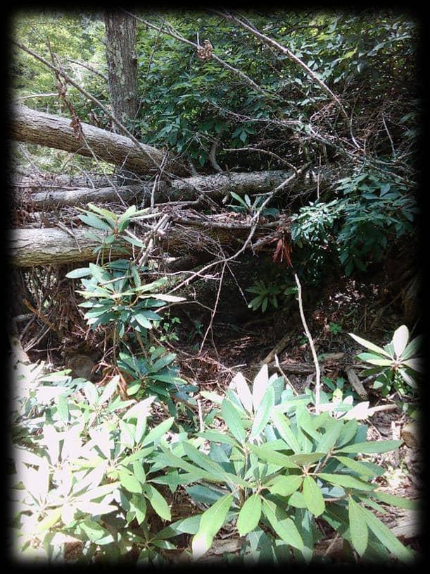
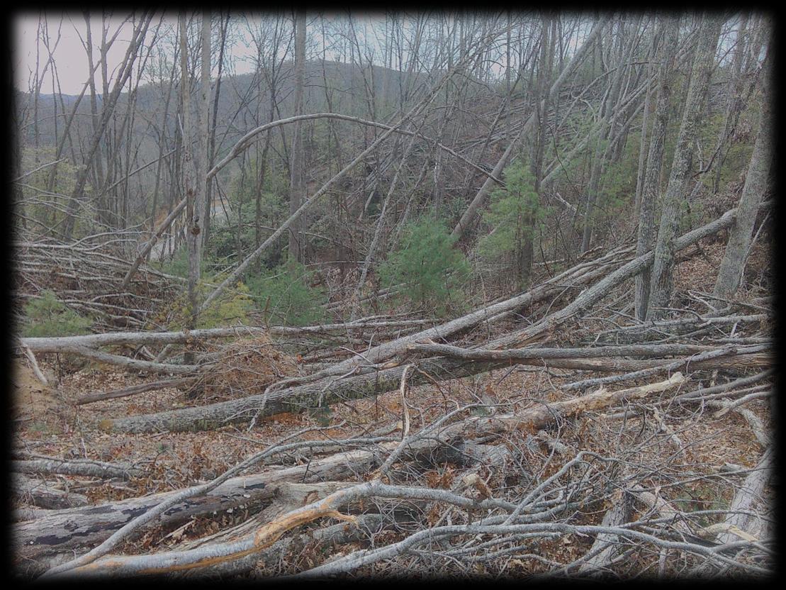
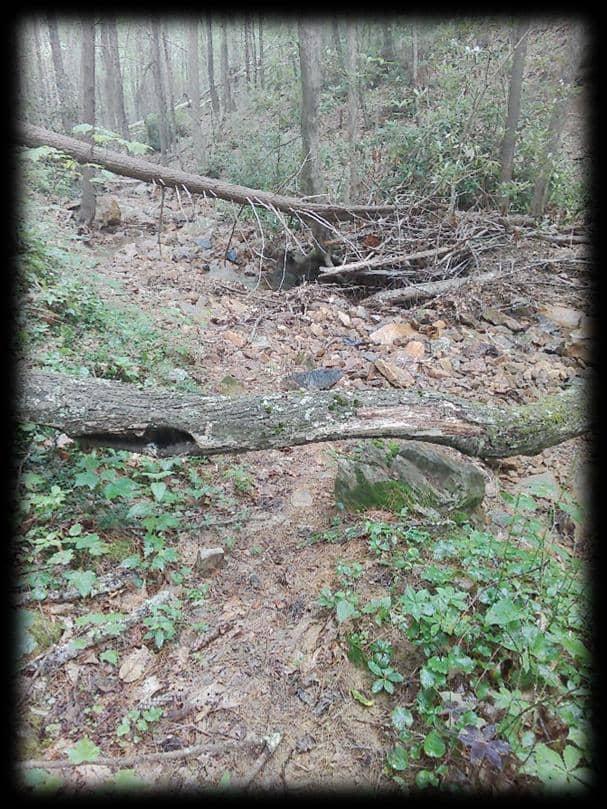
Outdoor recreation assets across Southwest Virginia, including trail systems, river access points, forest service roads, and park facilities, are critical to the region's economy, tourism industry, and quality of life. Hurricane Helene caused widespread damage to these assets, particularly across high-use trail networks and key access corridors. Field assessments confirmed that several trails sustained severe damage, while others remain obstructed or only partially functional, limiting safe public access and disrupting recreation-based economic activity.
This assessment focused on the Mount Rogers National Recreation Area, prioritizing high- impact trail systems in Grayson and Smyth Counties, with targeted supplemental assessments conducted in limited areas of Wythe and Washington Counties.
In response, Friends of Southwest Virginia, in partnership with the Mount Rogers Planning District Commission, led a coordinated regional effort to assess on-the-ground conditions and develop a comprehensive inventory of impacts. This work included field-based GPS data collection, photographic documentation of damage, and the development of GIS mapping and datasets to support informed decision-making and prioritization of recovery efforts.
This report presents the findings of that assessment, including the extent and severity of damage across priority outdoor recreation assets, and outlines strategic recommendations for restoration and reinvestment. The project also advances a broader regional goal of strengthening the resilience of outdoor recreation infrastructure to better withstand future events while continuing to serve residents and attract visitors.
This effort reflects a unified regional response, bringing together planning district commissions, state agencies, local governments, and community partners to align resources and coordinate recovery. While Hurricane Helene had a significant impact on Southwest Virginia, this project positions the region to rebuild stronger, enhance long-term sustainability, and reinforce the value of outdoor recreation as a key economic driver.
Trail Damage Assessment Key Trail Damage Assessment Classifications Trail Damage Map Summary To e ectively assess and manage the impact of Hurricane Helene, all trails are being categorized into one of three damage levels: Severe, Moderate, or Light. These classications are being utilized on a comprehensive map to visually represent the extent of damage across the trail network. This mapping initiative is crucial for rapidly identifying the most impacted trails, enabling e icient prioritization of resources, and guiding strategic planning for repair and restoration e orts.
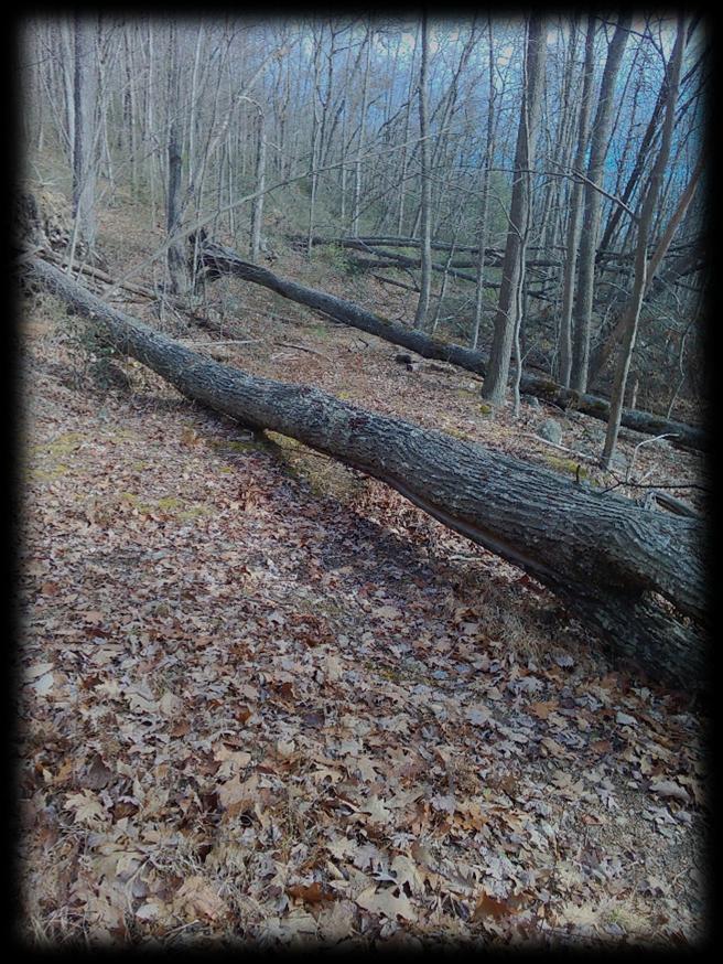
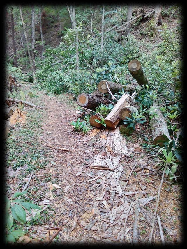
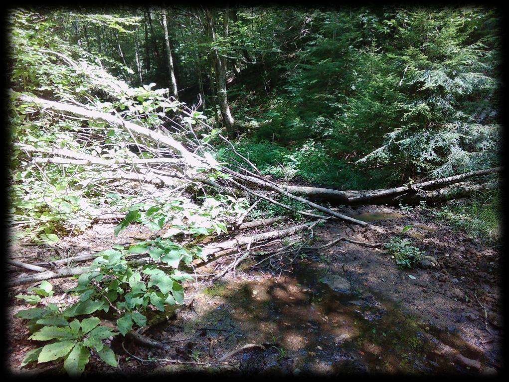
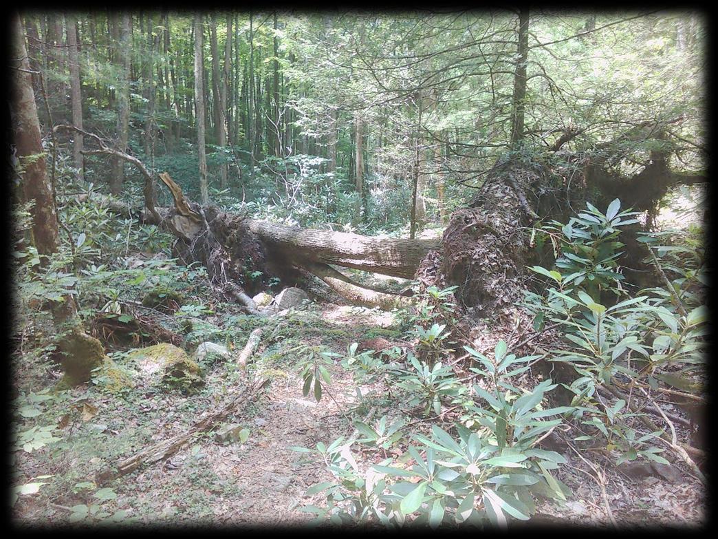
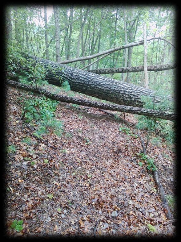
Trail Damage Classifications Severe Damage Severe damage means the trail is impassable or extremely di icult to traverse, requiring signicant professional intervention and heavy equipment for repair. This level of damage often necessitates long-term closures for public safety and extensive restoration e orts.
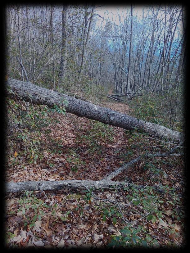
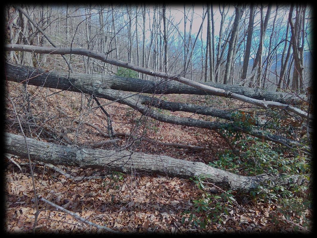
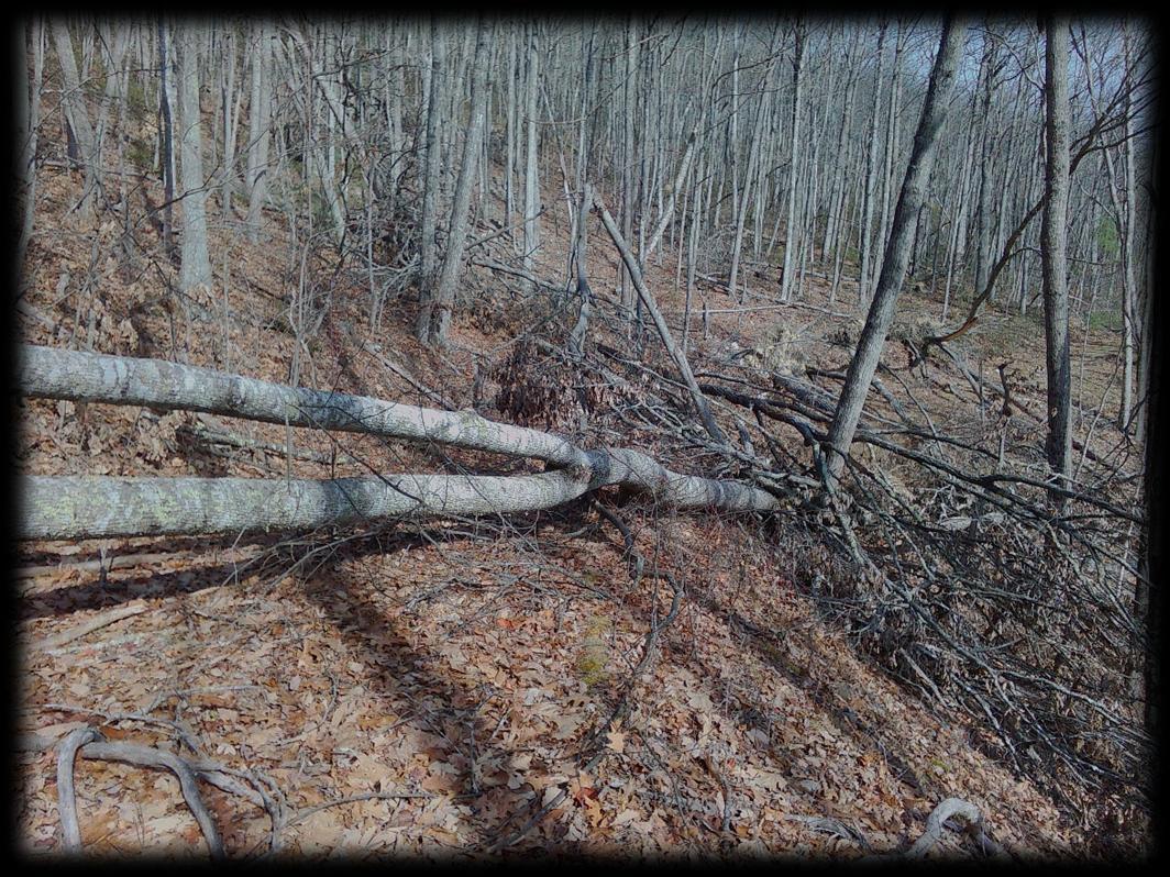
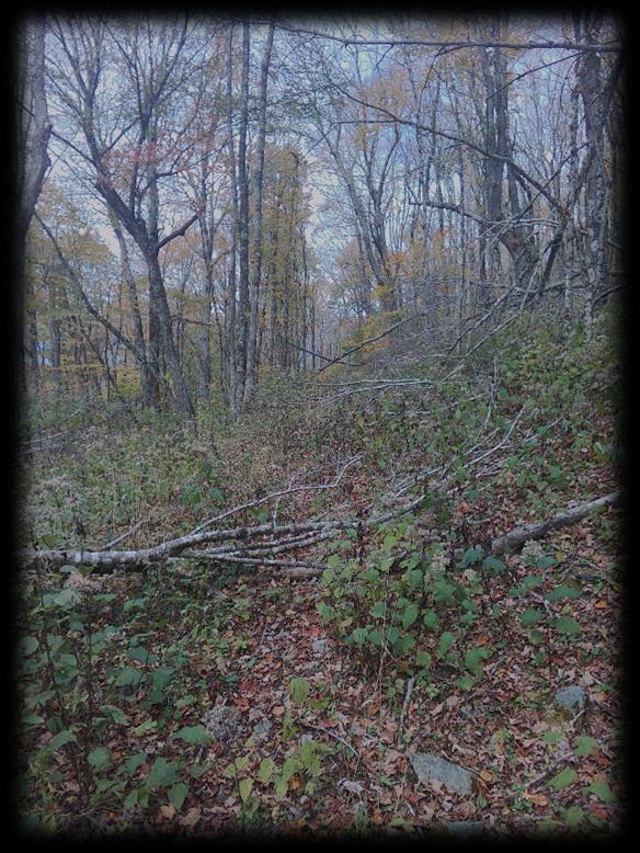
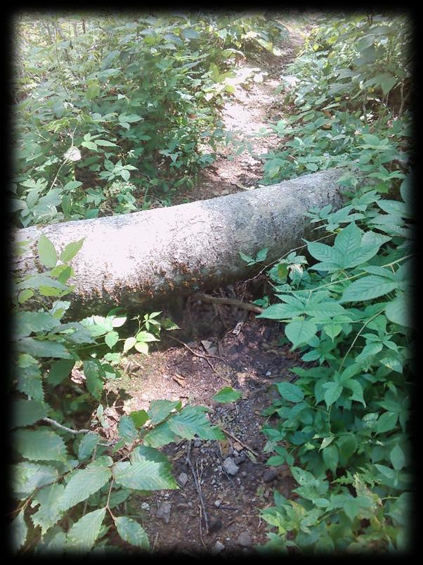
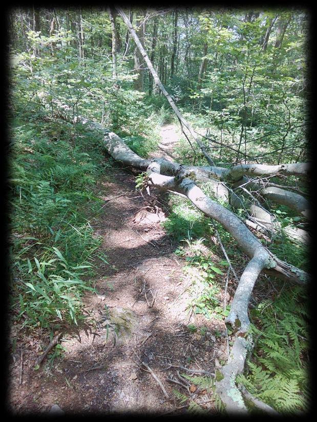
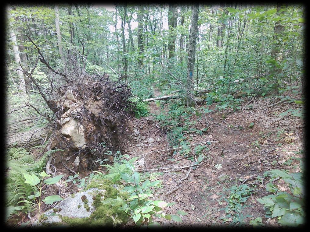
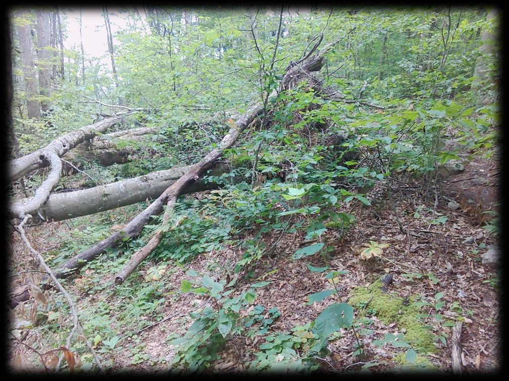
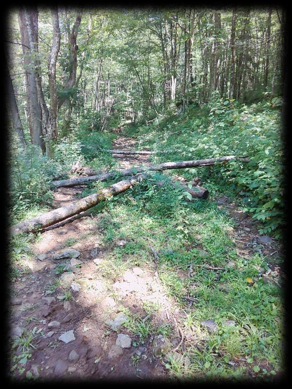
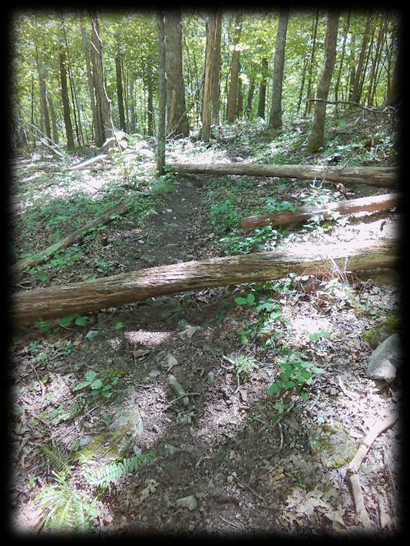
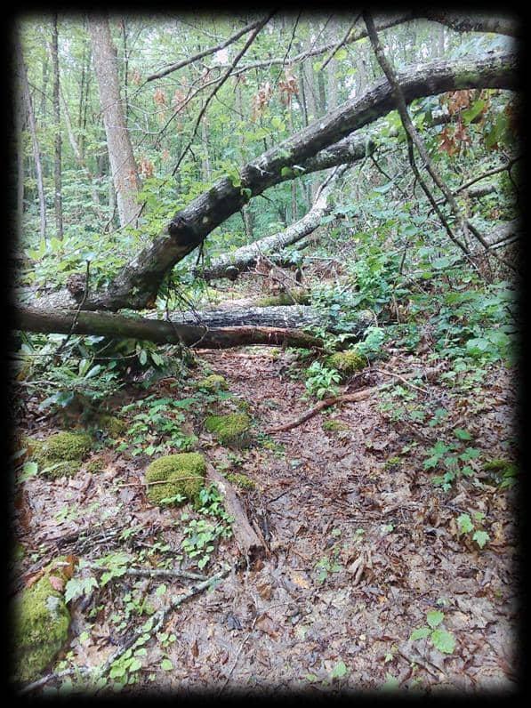
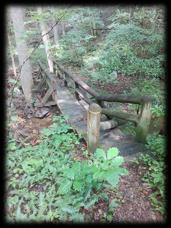
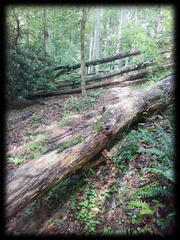
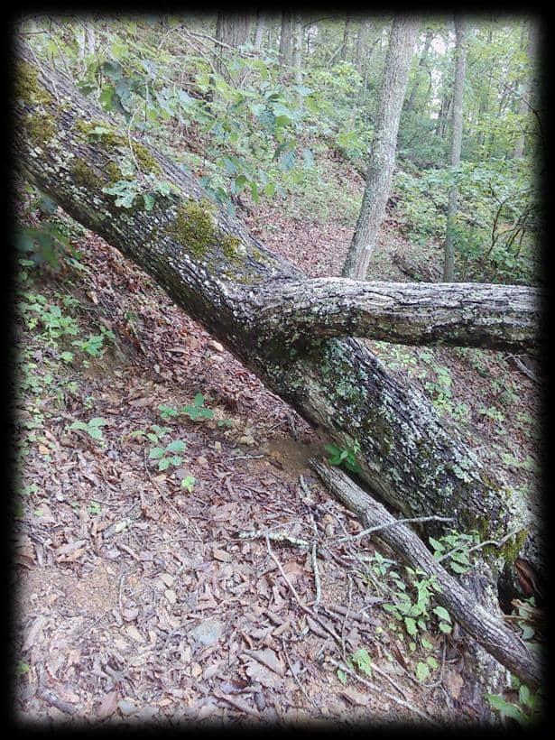
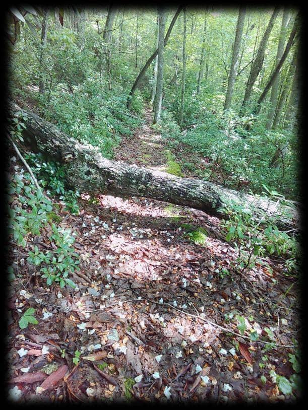
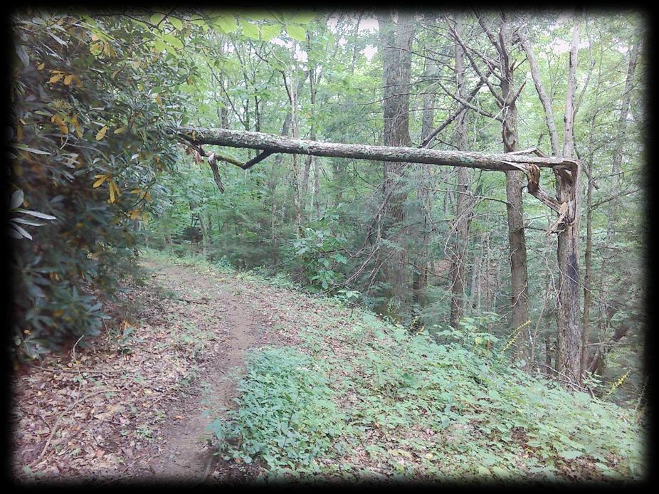
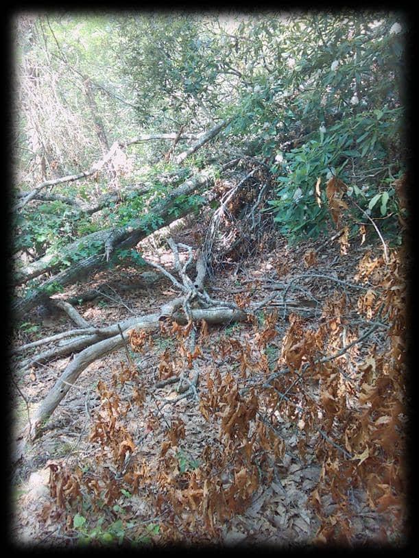
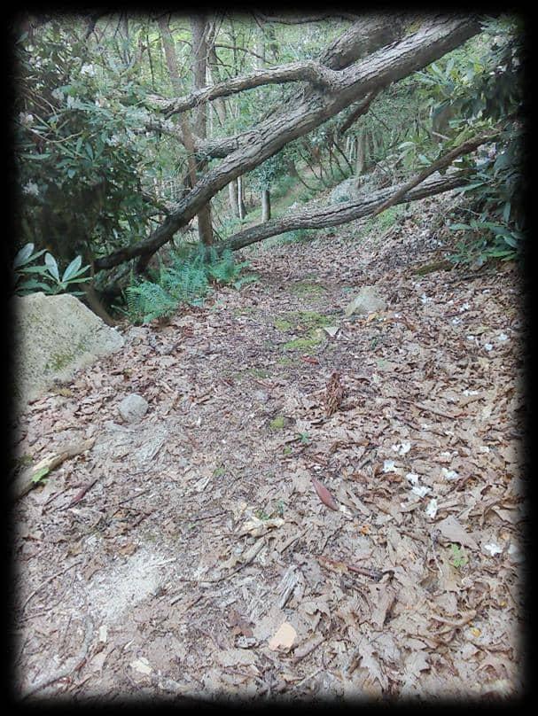
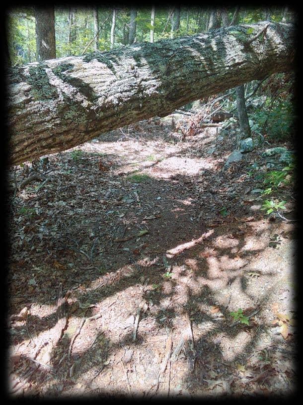
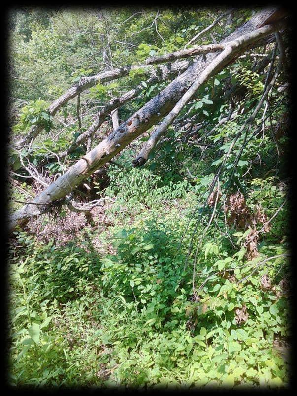
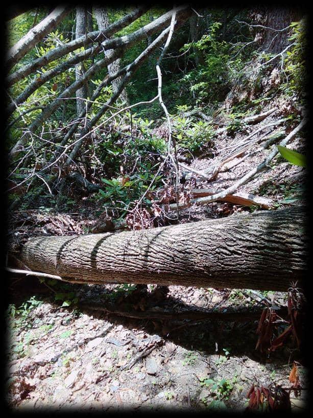
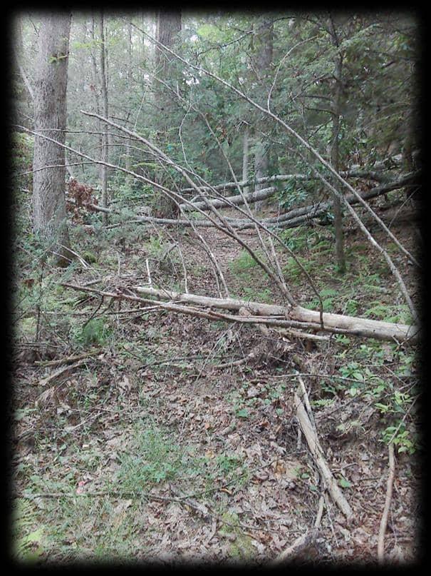
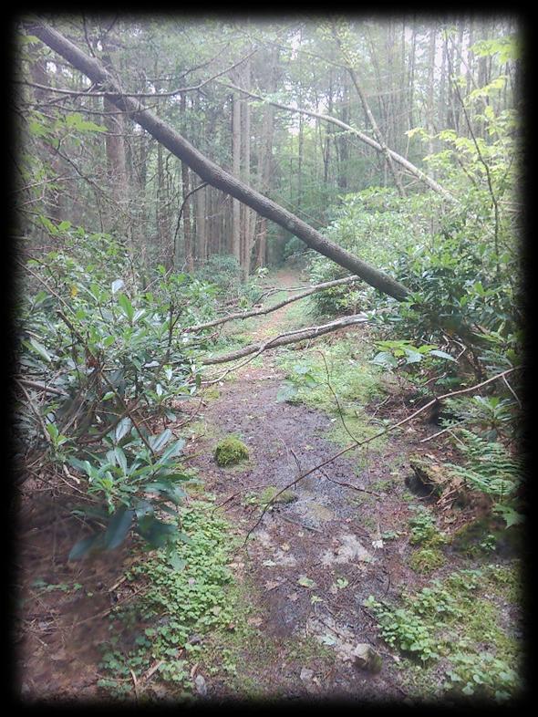
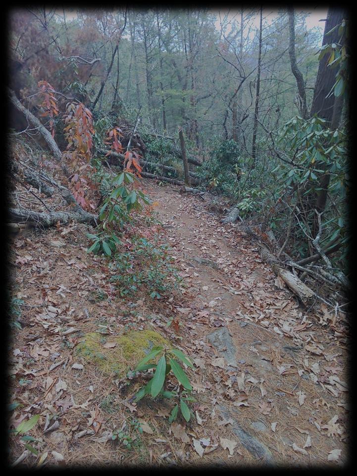
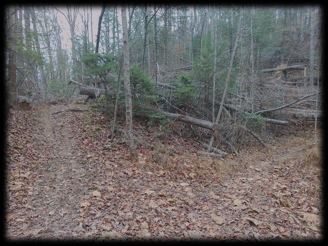
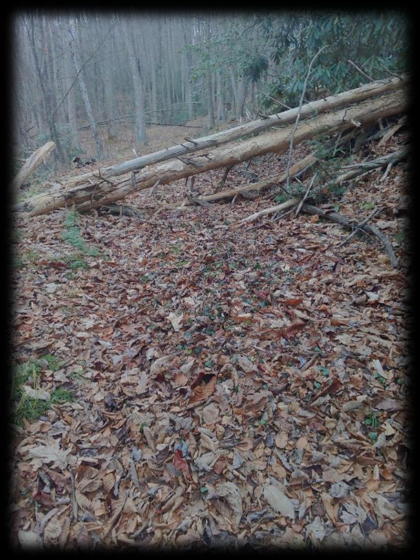
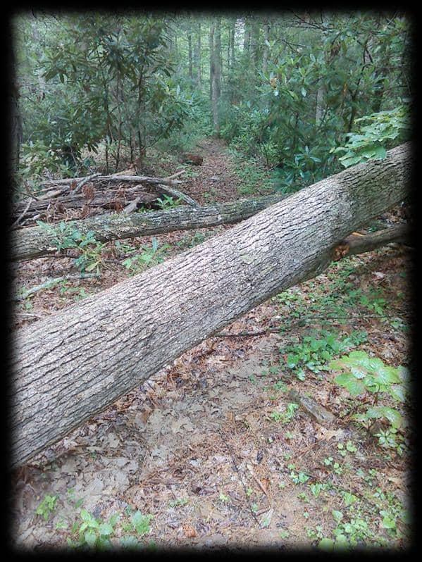
Characteristics of Severe Damage: • Large trees down across trail: Multiple large trees, especially those over 24 inches in diameter, creating impassable barriers or root masses that destabilize the trailbed.
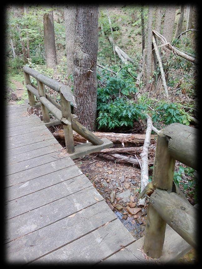
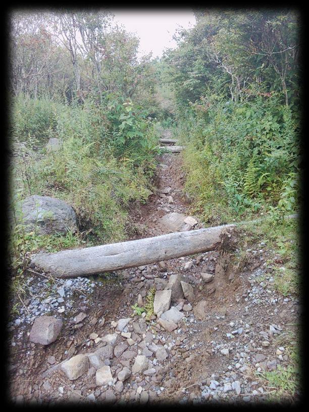
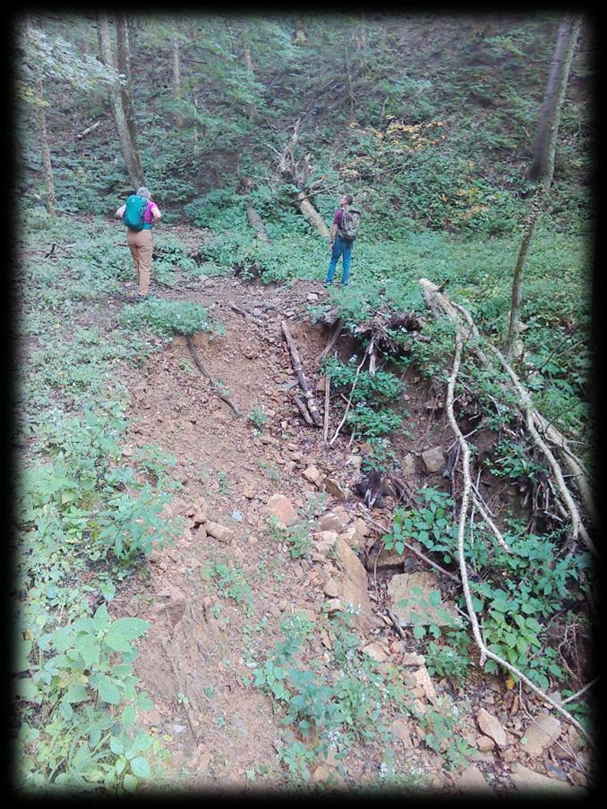
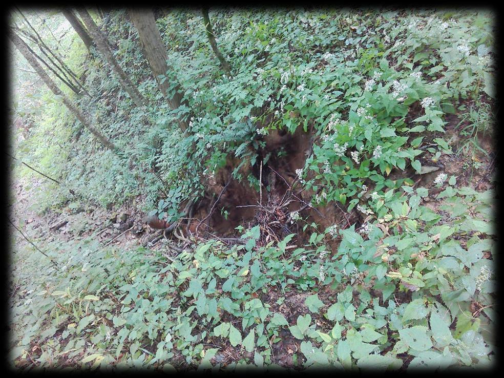
• Major washouts of existing trail: Extensive erosion that has removed signicant portions of the trail tread, exposing underlying bedrock, creating deep gullies, or completely obliterating sections of the path. This may include signicant undermining of bridges or other trail structures.
• Landslides or rockfalls: Movement of earth or rocks that has covered or destroyed substantial sections of the trail, making it unsafe or impossible to pass.
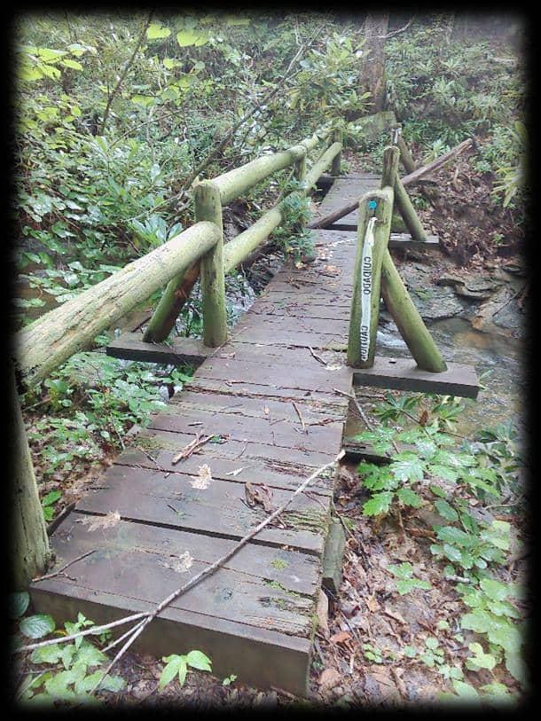
• Catastrophic bridge or culvert failure: Complete destruction or severe compromise of essential trail infrastructure.
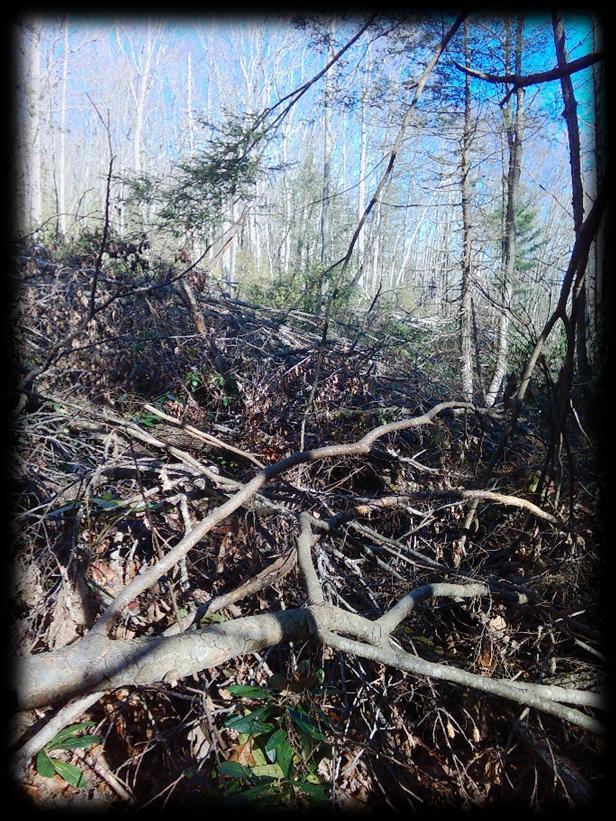
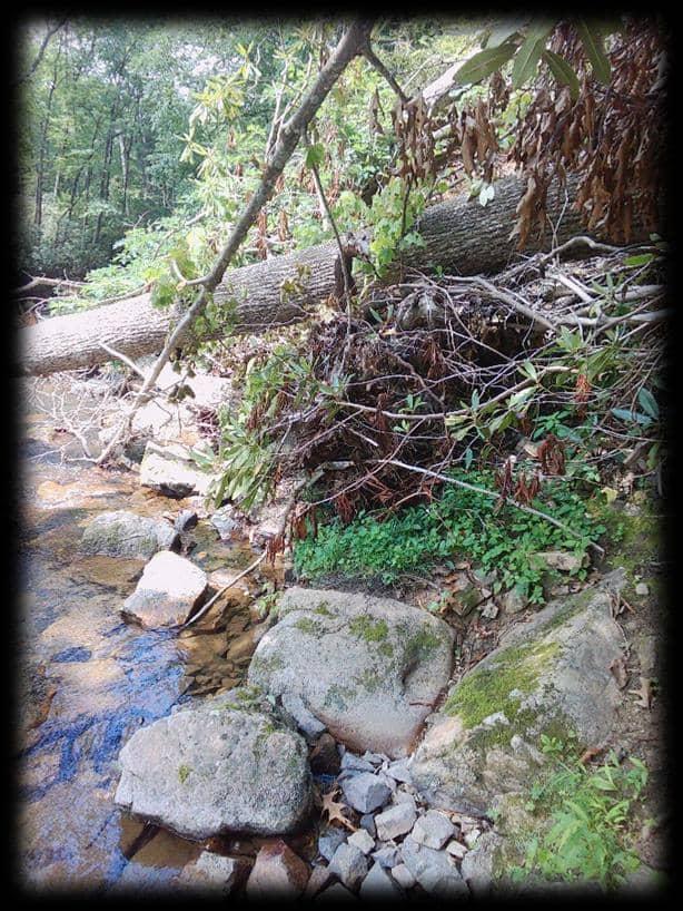
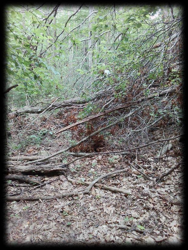
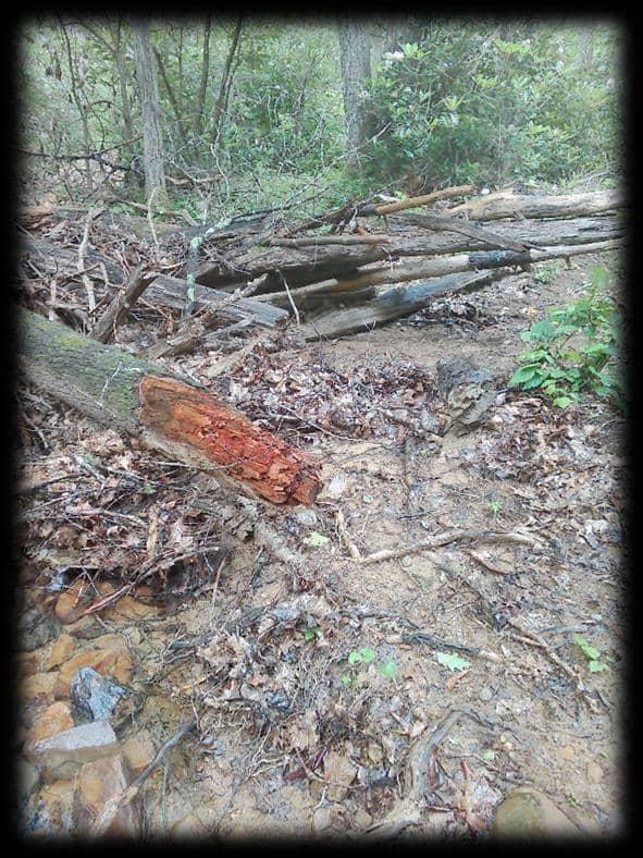
• Signicant accumulation of debris: Piles of large branches, rocks, and sediment making the trail unrecognizable or highly hazardous.
Moderate Damage Moderate damage indicates the trail is di icult but potentially passable with caution, though it requires substantial e ort to clear and repair. This level of damage may warrant temporary closures or advisories for users.
Characteristics of Moderate Damage:
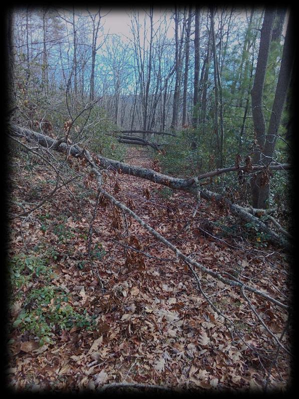
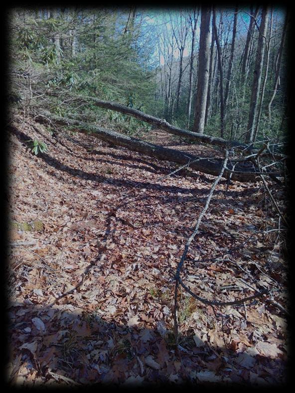
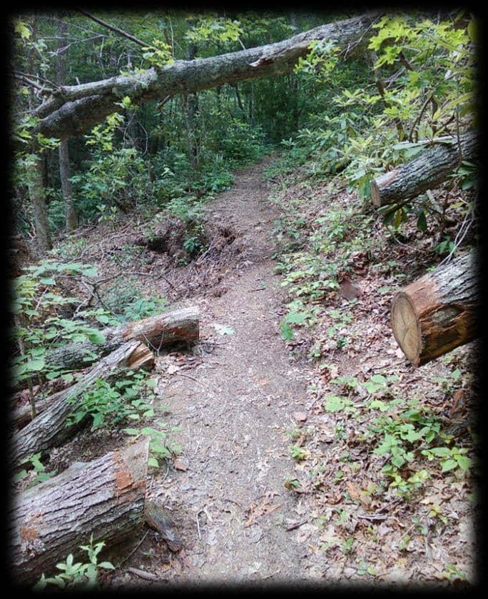
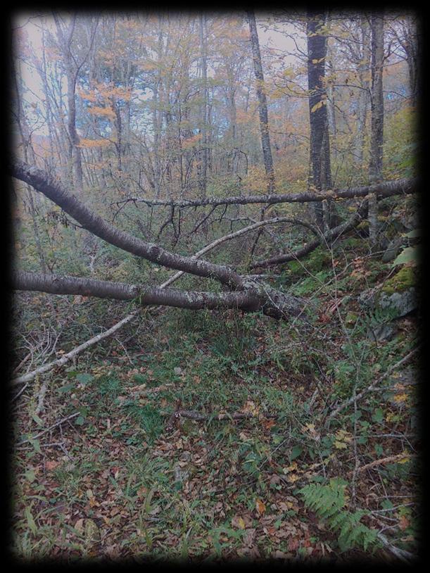
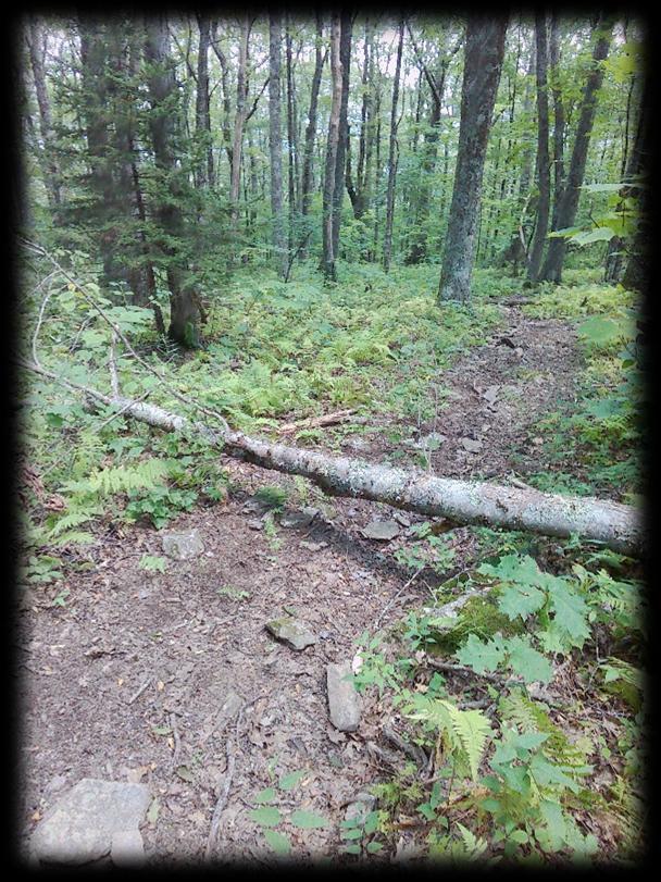
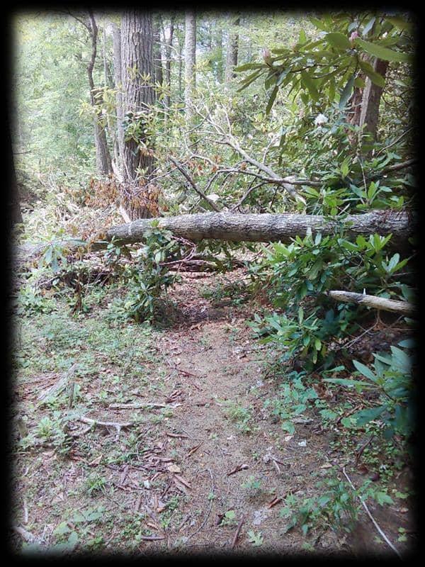
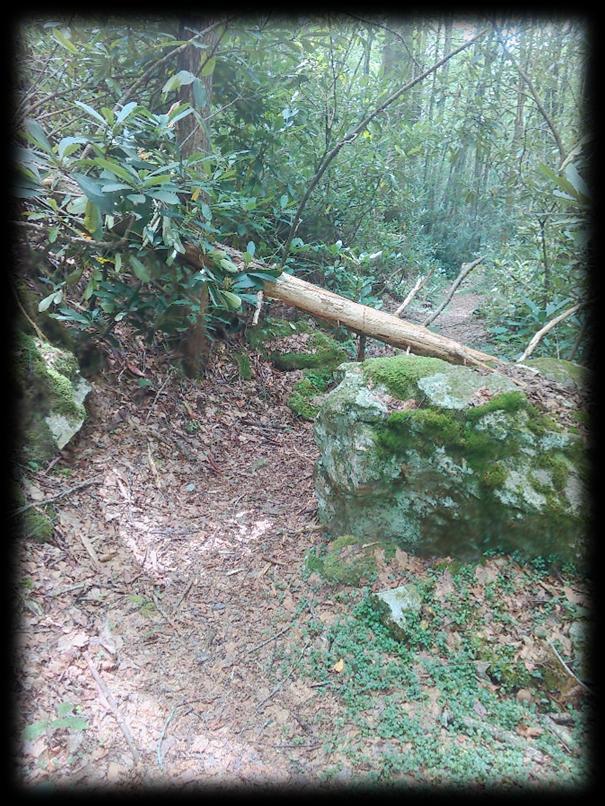
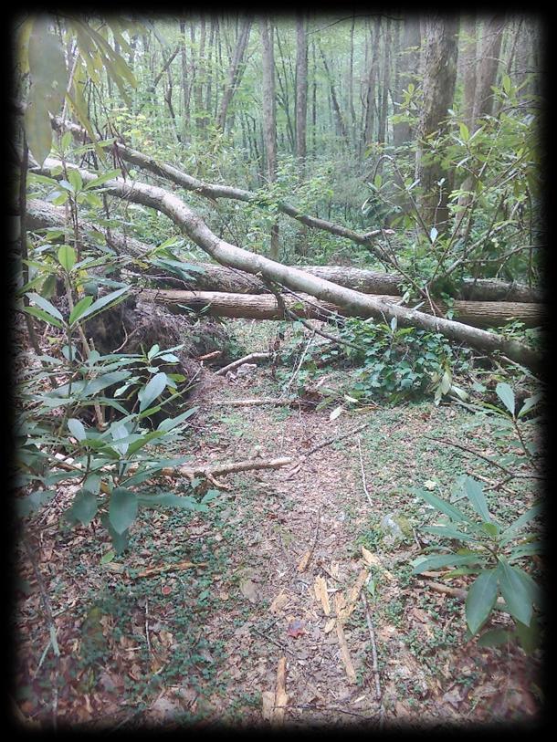
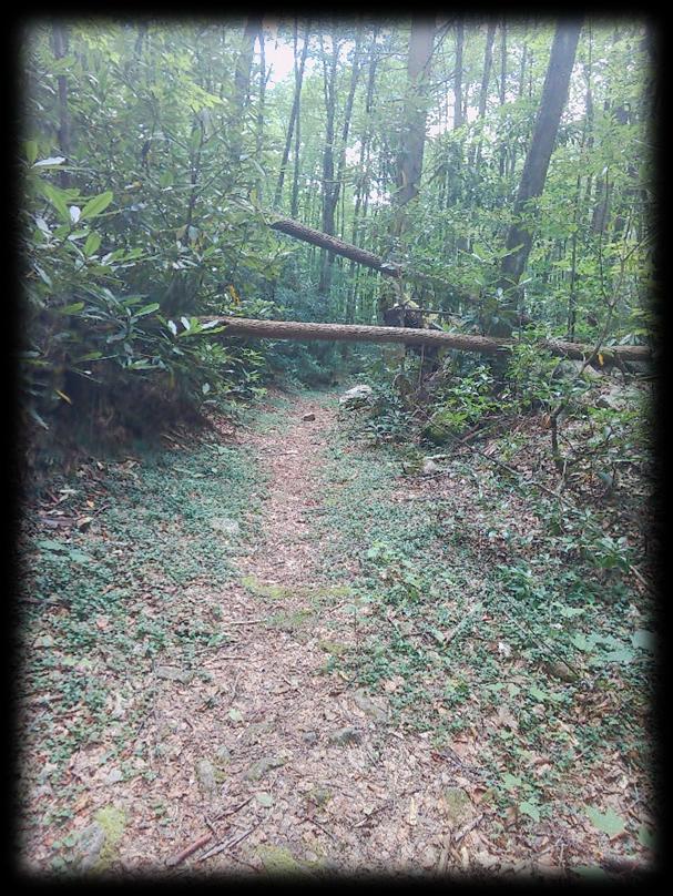
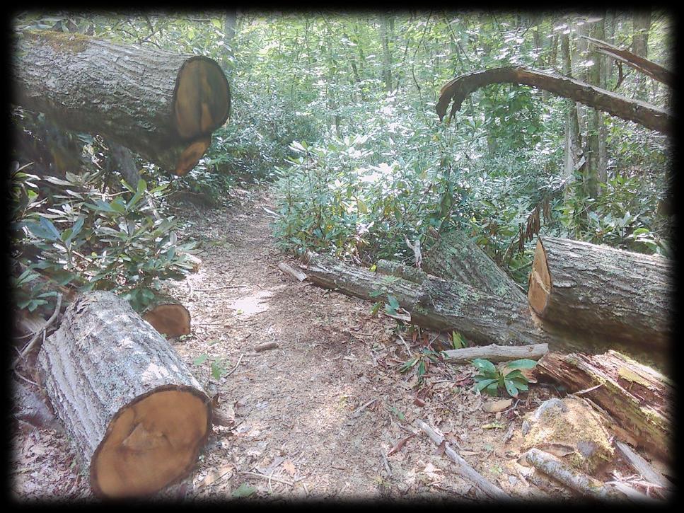
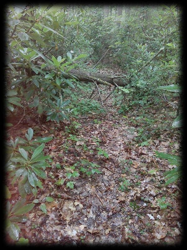
• Small trees down across trail: Several small trees (generally 4-24 inches in diameter) that block the trail but can potentially be cut and removed with hand tools or chainsaws by experienced crews.
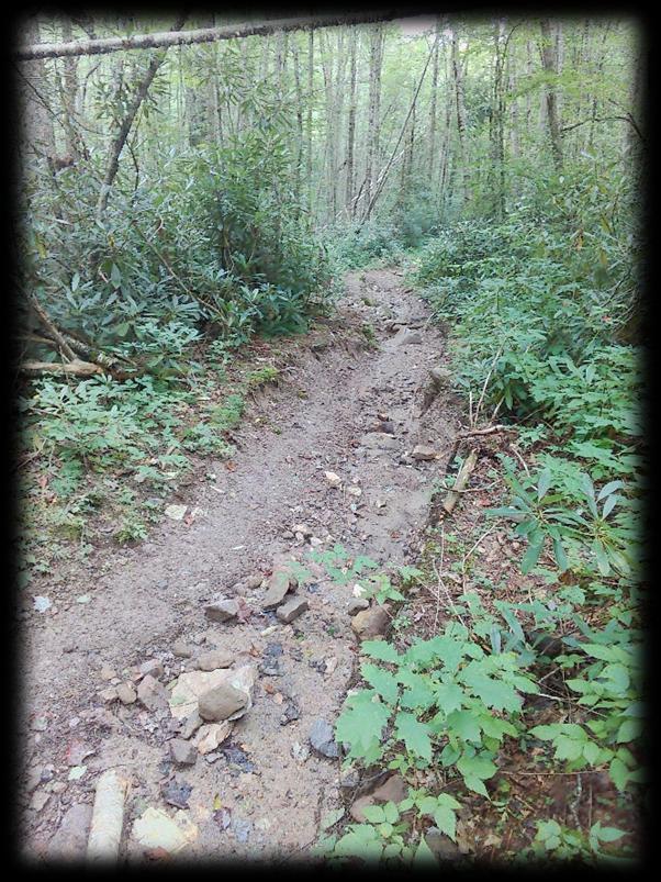
• Moderate washouts of existing trail: Noticeable erosion and gullying on the trail surface that make walking di icult and potentially hazardous, but the general path of the trail is still discernible. This might include undermining of trail edges or minor damage to drainage structures.
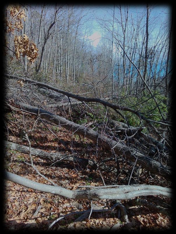
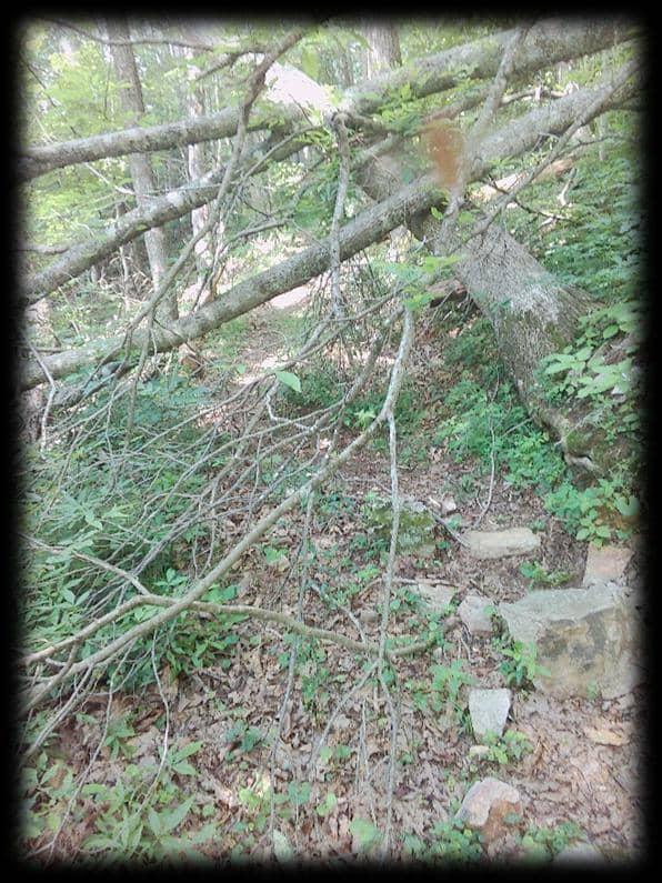
• Signicant small brush laying across trail: Dense accumulations of brush and branches that impede passage, requiring substantial time and e ort to clear.
• Damaged but repairable trail structures: Minor damage to foot bridges, stairs, or culverts that can be xed with moderate e ort and materials.
• Localized accumulation of debris: Scattered debris that signicantly obstructs the trail but doesn't completely block it.
Light Damage
Lightdamage means the trail is passable with minor obstructions, and repairs can typically be handled by volunteers or light maintenance crews with hand tools. This level of damage usually does not require closures but might warrant advisories about minor impediments.
Characteristics of Light Damage:
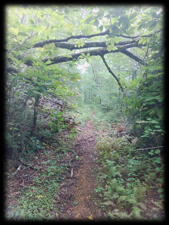
• Small brush laying across trail: Scattered small branches, leaves, and minor debris that are easily stepped over or kicked aside, creating minor impediments.
• Minor washouts of existing trail: Supercial erosion or minor rutting on the trail surface that does not signicantly impede passage and can be easily re-graded.
• Isolated small downed branches: A few small branches (under 4 inches in diameter) that are easily moved by hand.
• Minor drainage issues: Clogged drains or small puddles that can be easily addressed.
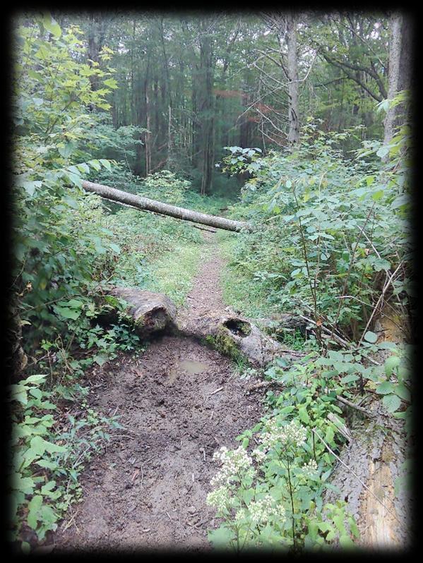
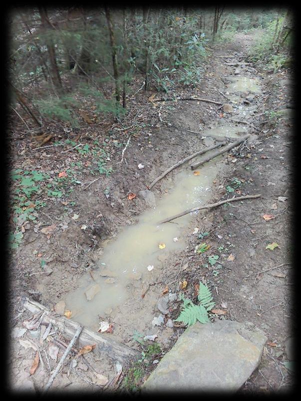
• Muddy sections: Isolated muddy areas caused by increased water ⿿ow that do not signicantly alter the trail's integrity.
Individual Trail Assessments Sources: Esri,
Garmin, Intermap, increment P Corp., GEBCO, USGS, FAO, NPS, NRCAN, GeoBase, IGN, Kadaster NL, Ordnance Survey, Esri Japan, METI, Esri China (Hong Kong), (c) OpenStreetMap
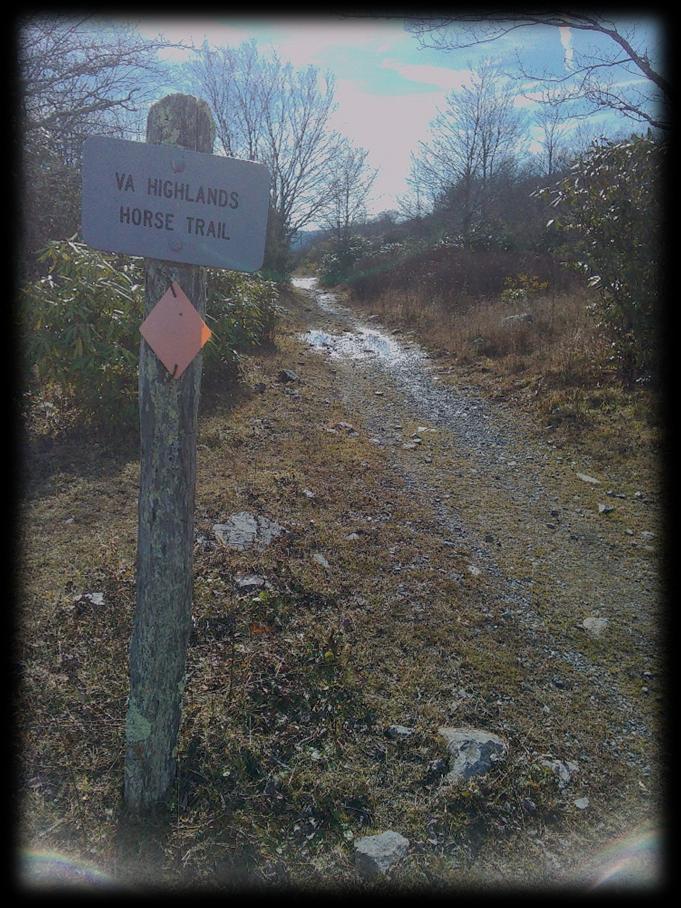
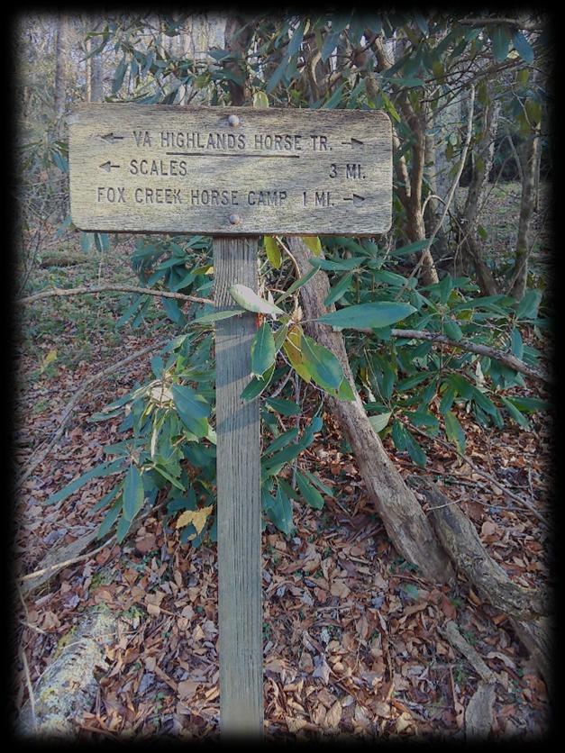
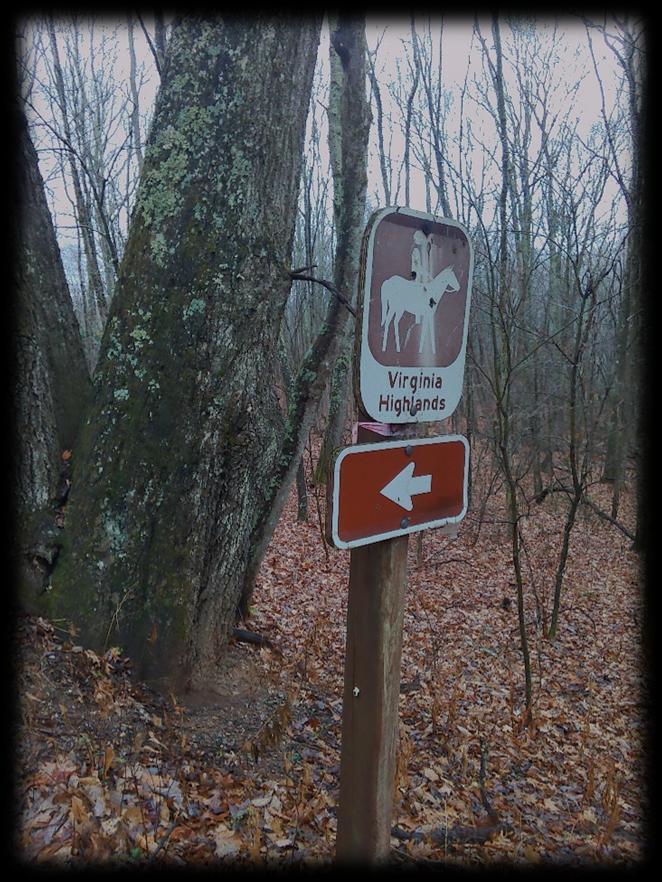
VirginiaHighlands"Horse"Trail(PartI)
IDName Comment Date&TimeElevation
1SmallTree Lowtree.5".
2LargeTreeAcrossPath14"LowTree.
2025-11-07T14:57:39Z1417.54663100000
2025-11-07T16:03:32Z1570.20617700000
3BrokenTreeTopsTreeTops&LimbsAcrossTrail.2025-11-07T17:44:09Z1480.59411600000
4Tree 6"LowAshTree.
2025-11-07T19:45:59Z1398.53076200000
5Tree Dead8"TreeAcrossTrail.2025-11-07T20:23:43Z1237.05383300000
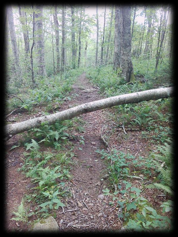
Highlands Horse Trail (Part I) ID #1 – Small Tree
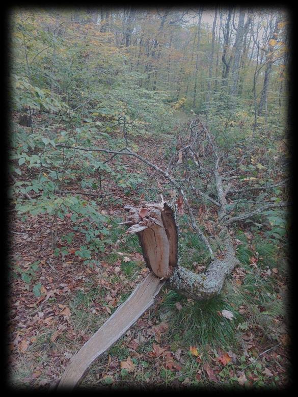
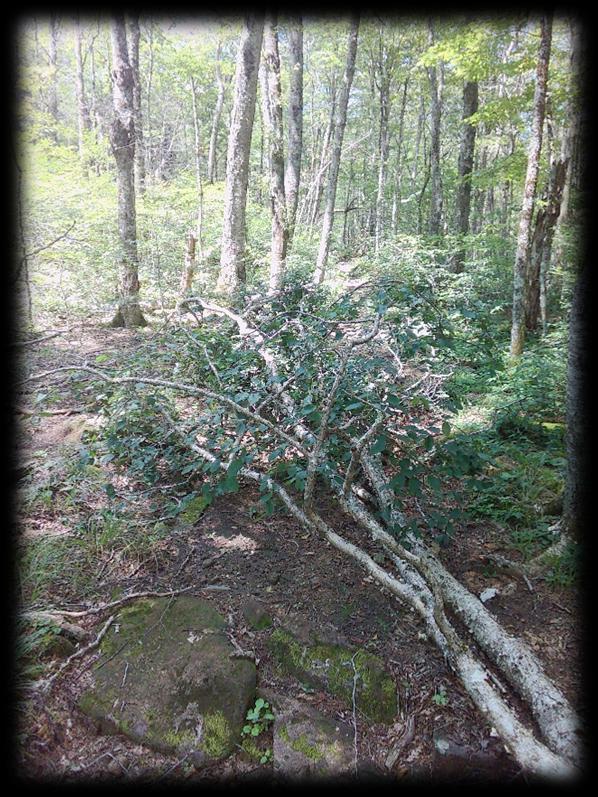
ID #3 – Broken Tree Tops
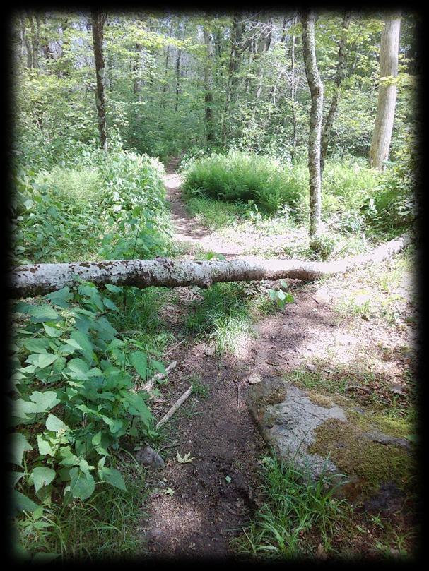
ID #4 - Tree
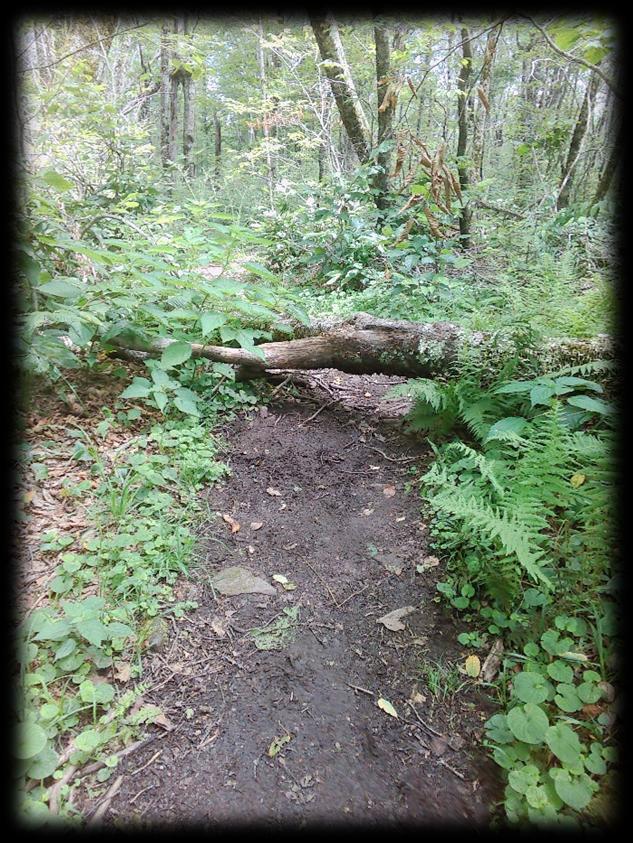
ID #5 – Tree
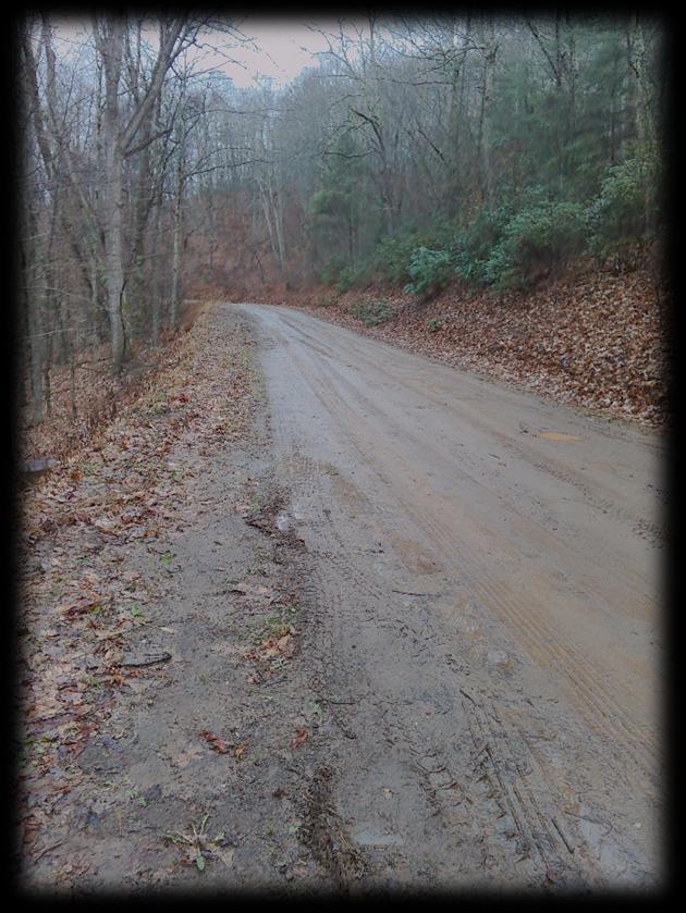
FS 84 – Hurricane Road
IDName Comment
VirginiaHighlands"Horse"Trail(PartII)
Date&TimeElevation ObstructionRemoved
1TreeClusterThreeLargeTrees.Two24"Plus.OneWithLargeBranches.2025-11-24T16:11:20Z1072.82421900000
2LargeTreeBranchesMultipleTreeTops.6"-12".
3TreeClusterContinuedTwoAdditionalTreesAcrossTrail.
4LargeTreeTopsMultipleBranches.4"-10".
5TreeClusterLargeImpassableCluster.
6HugeTreeCluster100Yards.Impassable.
7TreeTop LargeOakTreeTop.
824"OakTreeAcrossTrailLargeOakTreeTop.
9TreeClusterClusterApprox30Yards.
10SmallTreeClusterLargeLimbs.
11TreeTopsThreeLargeOakTreeTops.
12TreeCluster50Yards.Multiple24"Oaks.
13SmallLimbsPassable.
14Tree ThreeMedium8"Branches.
15TreeClusterSixLargeTrees.
16Trees ThreeSmallTreeTops.8".
17Trees FourLargeTrees.Hanging3-4'.
18LargeTreeClusterApprox40Yards.Impassable.
19Impassable200YardsPlus.
20Tree OneTreewithTwoLargeBranches.
21TreeCluster25Yards.
22Tree TwoLowLimbs.
2025-11-24T16:15:49Z1073.77600100000
2025-11-24T16:18:27Z1069.33459500000
2025-11-24T16:23:15Z1067.31921400000
2025-11-24T16:25:55Z1068.40148900000
2025-11-24T16:29:46Z1072.36706500000
2025-11-24T16:38:25Z1080.26086400000
2025-11-24T16:43:44Z1093.65966800000
2025-11-24T16:51:35Z1113.58068800000
2025-11-24T17:00:59Z1115.07360800000
2025-11-24T17:06:58Z1110.75354000000
2025-11-24T17:09:44Z1112.56372100000
2025-11-24T17:14:56Z1113.58068800000
2025-11-24T17:18:21Z1106.36816400000
2025-11-24T17:24:08Z1095.28320300000
2025-11-24T17:35:26Z1059.49072300000
2025-11-24T17:46:10Z1029.27795400000
2025-11-24T17:49:25Z1022.43853800000
2025-11-24T17:54:50Z1017.26001000000
2025-11-24T18:00:08Z1008.81573500000
2025-11-24T18:04:15Z999.61566200000
2025-11-24T18:27:43Z929.70080600000
Highlands Horse Trail (Part II) Hurricane Road to Highway 16 ID #1 – Tree Cluster
ID #2 – Large Tree Branches
ID #3 – Tree Cluster Continued
ID #4 – Large Tree Tops
ID #5 – Tree Cluster
ID #6 – Huge Tree Cluster
ID #7 – Tree Cluster
ID #8 – 24” Oak Tree Across Trail
ID #9 – Tree Cluster
ID #10 – Small Tree Cluster
ID #11 – Tree Tops
ID # 12 – Tree Cluster
ID #13 – Small Limbs
ID #14 – Tree
ID #15 – Tree Cluster
ID #16 – Trees
ID #17 – Trees
ID #18 – Large Tree Cluster
ID #19 – Impassable
ID #20 – Tree
ID #21 – Tree Cluster
Highway 16 side of the trail has been cleared.
ID #22 – Tree
Dickey's Knob Trail (2.6 Miles)
Dickey's Knob Obstructions (17)
Sources: Esri, HERE, Garmin, Intermap, increment P Corp., GEBCO, USGS, FAO, NPS, NRCAN, GeoBase, IGN, Kadaster NL, Ordnance Survey, Esri Japan, METI, Esri China (Hong Kong), (c) OpenStreetMap contributors, and the GIS User Community
IDName Comment
Dickey'sKnobTrail
DateElevation ObstructionRemoved
1TrailCompromisedTreeRootMassTookOutTrail.6/9/2025865.645569000000000
2TrailCompromisedTreeRootBall. 6/9/2025872.718261999999000
3HangingTrees6'-8'AboveTrail. 6/9/2025886.425048999999000
4TreeAcrossTrail. 6/9/2025897.537903000000000
5DownTreesLocatedAtBridge. 6/9/2025908.874694999999000
6DownTreesTreesDown.CrossingTrail.6/9/2025910.022338999999000
7BrushInTrailBrush.Passable. 6/9/2025912.718932999999000
8TreeAcrossTrail. 6/9/2025932.649291999999000
9ObstructionRootBallMass&DownTree.6/9/2025959.101807000000000
10TreesSectionofTrees.Twohavebeencut.6/9/2025970.233337000000000
11Tree12"Diameter. 6/9/2025978.127074999999000
12Branches4CuttableBranches.6/9/2025984.583923000000000
13TreesClusterof5Trees. 6/9/2025996.676513999999000
14TreeDangerousTree.Large.Passable.6/9/2025998.440002000000000
15BranchesLargeBranches. 6/9/20251001.127258000000000
16ObstructionRootBallMass. 6/9/20251022.933044000000000
17ObstructionPineTreeDown. 6/9/20251029.977783000000000
Dickey’s Knob Trail ID: 1 – Trail Compromised
ID: 2 – Trail Compromised
ID: 3 – Hanging Trees
ID: 4 – Across Trail
ID: 5 – Down Trees
ID : 7 – Brush In Trail
ID: 8 – Tree
ID: 9 – Obstruction
ID: 10 - Section of Trees
ID: 11 – Tree
ID: 12 – Branches
ID: 13 – Trees
ID: 14 – Tree
ID: 15 – Large Branches
ID: 16 – Obstruction
ID: 17 – Obstruction
Sources: Esri, HERE, Garmin, Intermap, increment P Corp., GEBCO, USGS, FAO, NPS, NRCAN, GeoBase, IGN, Kadaster NL, Ordnance Survey, Esri Japan, METI, Esri China (Hong Kong), (c) OpenStreetMap contributors, and the GIS User Community
IDNameCommentDate&TimeElevation ObstructionRemoved
1BranchesMultiplesmallbranches.2025-10-10T15:32:20Z1219.28820800000
2BranchesTreetop.Multiplesmallbranchs.2025-10-10T15:49:57Z1331.59240700000
3TreeLimbLargebrokenlimb.8"-10".2025-10-10T15:58:47Z1353.22094700000
4TreeCluster4or5treeswithmultiplelargelimbs.2025-10-10T16:03:23Z1357.30773900000
5TreeClusterThreetrees.
6TreeSmall6"tree.
7TreeSmall6"tree.
2025-10-10T16:09:07Z1370.26806600000
2025-10-10T16:16:31Z1393.02563500000
2025-10-10T16:18:12Z1395.05041500000
8LimbCluster100'ofscatteredlimbs. 2025-10-10T16:21:26Z1399.80908200000
9SmallTreeSmall6"Tree.Passable.
10TreeClusterTwoMediumbirchtrees.
2025-10-10T16:34:52Z1433.12890600000
2025-10-10T16:47:27Z1411.92028800000
SugarMapleTrail
Sugar Maple Trail ID: #1 – Branches
ID: #2 - Branches
ID: #3 – Tree Limb
ID: #4 – Tree Cluster
ID: #5 – Tree Cluster
ID: #6 – Tree
ID: #7 – Tree
ID: #8 – Limb Cluster
ID: #9 – Small Tree
ID: #10 – Tree Cluster
Sources: Esri, HERE, Garmin, Intermap, increment P Corp., GEBCO, USGS, FAO, NPS, NRCAN, GeoBase, IGN, Kadaster NL, Ordnance Survey, Esri Japan, METI, Esri China (Hong Kong), (c) OpenStreetMap contributors, and the GIS User Community
IDName Comment
1Tree 16"Birch.
2Tree 10"Birch.
3TreeTop Branchesintrail.Trailrerouted.
4Tree 8"Tree.Low.
5Tree 8"DeadTree.
6Tree Large24"Treewithfarreachinglimbs.Causedtrailtoreroute.
7Tree 18"LargeTreehangingovertrail.
8TreeCluster4Largetreesacrosstrail.Unpassable.Trailhasbeenrerouted.
9Tree 24"Treewiththreelargebranchesacrossthetrail.
10Tree 18"LowTree.6"Offground.
11Tree 18"LowTree.
12RootMass&TreeRootmasshastakenouttrailbed.Small8"treeacrosstrail.
13TreeClusterClusterofsixlargetrees.
14LargeBranches.Halfhavealreadybeencut.
15Tree 22"Birch
16Tree 12"Tree.
17Trees Two12"treesalongtrail.
18RootMass&LargeTreesTworootmassed&24"treesobstructingtrail.
19Tree 24"DeadTree.
20Tree 24"TreeHangingovertrail.
21RootMass&Tree12"Tree.Rootmassremovedtrailbed.
22TreeClusterThreesmalltrees.8".
DateandTime
2025-07-25T16:05:38Z 1468.74414100000
2025-07-25T16:08:27Z 1468.46423300000
2025-07-25T16:12:53Z 1460.80383300000
2025-07-25T16:18:04Z 1449.33630400000
2025-07-25T16:20:43Z 1449.33630400000
2025-07-25T16:23:36Z 1441.19995100000
2025-07-25T16:30:45Z 1439.61377000000
2025-07-25T16:34:20Z 1436.98254400000
2025-07-25T16:38:36Z 1430.38574200000
2025-07-25T16:48:00Z 1398.22277800000
2025-07-25T16:52:25Z 1388.56555200000
2025-07-25T17:00:22Z 1347.16528300000
2025-07-25T17:02:59Z 1343.22778300000
2025-07-25T17:06:48Z 1334.21423300000
2025-07-25T17:09:34Z 1329.31567400000
2025-07-25T17:11:05Z 1324.58496100000
2025-07-25T17:13:28Z 1316.69128400000
2025-07-25T17:17:16Z 1298.03918500000
2025-07-25T17:26:12Z 1264.79394500000
2025-07-25T17:35:10Z 1228.87072800000
2025-07-25T17:39:12Z 1215.61181600000
2025-07-25T17:46:03Z 1190.01782200000
MountRogersTrail
Mount Rogers Trail ID #1 – Tree
ID #2 – Tree
ID #3 – Tree Top
ID #4 – Tree
Id #5 – Tree
ID #6 – Tree
ID #7 – Tree
ID #8 – Tree Cluster
ID #9 – Tree
ID #10 – Tree
ID #11 – Tree
ID #12 – Root Mass & Tree
ID #13 – Tree Cluster
ID #14 – Large Branches
ID #15 – Tree
ID #16 – Tree
ID #17 – Trees
ID #18 – Root Mass & Large Trees
ID #19 – Tree
ID #20 – Tree
ID #21 – Root Mass & Tree
ID #22 – Tree Cluster
Sources: Esri, HERE, Garmin, Intermap, increment P Corp., GEBCO, USGS, FAO, NPS, NRCAN, GeoBase, IGN, Kadaster NL, Ordnance Survey, Esri Japan, METI, Esri China (Hong Kong), (c) OpenStreetMap contributors, and the GIS User Community
Helton Creek Trail I IDNameComment Date&TimeElevationObstructionRemoved
1TreeTreeleaningacrosspath14"diameter.2025-06-20T13:38:42Z1406.26586900000
2TreeTwosmalltreesdownacrosstrail.
3TreeTwosmalltreesacrosstrail.
4TreeTreeacrosstrail10inchdiameter.
5TreeTwosmalltreesacrosstrail.
2025-06-20T13:44:01Z1414.22497600000
2025-06-20T13:48:37Z1424.40478500000
2025-06-20T13:51:27Z1418.47045900000
2025-06-20T13:55:14Z1410.57666000000
6TreeFourtreestotal.Twosmall,two18"diameter.2025-06-20T13:57:22Z1406.90039100000
7TreeSeveralsmalltrees.
8OvergrownTrailnotmaintained.Concluded.
2025-06-20T14:02:08Z1397.41101100000
2025-06-20T14:07:41Z1393.11889600000
HeltonCreekTrail
Helton Creek Trail ID: 1 – Tree
ID: 2 – Tree
ID: 3 – Tree
ID: 4 – Tree
ID: 5 – Tree
ID: 6 – Tree
ID: 7 – Tree
ID: 8 - Overgrown
Pine Mountain Trail I Sources: Esri, HERE, Garmin, Intermap, increment P Corp., GEBCO, USGS, FAO, NPS, NRCAN, GeoBase, IGN, Kadaster NL, Ordnance Survey, Esri Japan, METI, Esri China (Hong Kong), (c) OpenStreetMap contributors, and the GIS User Community
Pine Mountain Trail (2.3 Miles)
Pine Mountain Trail Sources: Esri, HERE, Garmin, Intermap, increment P Corp., GEBCO, USGS, FAO, NPS, NRCAN, GeoBase, IGN, Kadaster NL, Ordnance Survey, Esri Japan, METI, Esri China (Hong Kong), (c) OpenStreetMap contributors, and the GIS User Community
LewisForkTrail
IDNameComment Date&TimeElevationObstructionRemoved
3WashoutTrailBedHasWashedFromFlooding.2025-08-14T19:08:08Z1199.91760300000
2TreeClusterThreeLowTrees.
3LowTreesFourLowTreesAcrossTrail.
4Tree14"TreeAcross.
2025-08-14T18:57:29Z1211.82360800000
2025-08-14T17:48:37Z1311.91394000000
2025-08-14T17:38:37Z1338.94494600000
5LowTreesSeveralLowTrees.Spaced20'-30'apart.2025-08-14T17:30:25Z1344.61804200000
6BranchesBranchesLayingInTrail.
7BranchesBranchesAcrossTrail.
8WashoutTrailWashedOut.Nowditch.
2025-08-14T17:19:18Z1360.50817900000
2025-08-14T17:16:23Z1365.08020000000
2025-08-14T15:53:20Z1508.17565900000
Lewis Fork Trail ID: #1 – Washout
ID: #2 – Tree Cluster
ID: #3 – Low Trees
ID: #4 – Tree
ID: #5 – Low Trees
ID: #6 – Branches
ID: #7 – Branches
ID: #8 – Washout
ID: #8 – Washout
Sources: Esri, HERE, Garmin, Intermap, increment P Corp., GEBCO, USGS, FAO, NPS, NRCAN, GeoBase, IGN, Kadaster NL, Ordnance Survey, Esri Japan, METI, Esri China (Hong Kong), (c) OpenStreetMap contributors, and the GIS User Community
First Peak Trail (3.2 Miles)
First Peak Trail Sources: Esri, HERE, Garmin, Intermap, increment P Corp., GEBCO, USGS, FAO, NPS, NRCAN, GeoBase, IGN, Kadaster NL, Ordnance Survey, Esri Japan, METI, Esri China (Hong Kong), (c) OpenStreetMap contributors, and the GIS User Community
HightreeRockTrail IDNameComment Date&TimeElevation ObstructionRemoved
1Tree6"LowHangingBirch.
2TwoTreesLowOlderTrees.
2025-08-28T17:09:22Z1324.71557600000
2025-08-28T17:15:57Z1295.24926800000
3SplitTree.EasilyPassable.TrailRerouted. 2025-08-28T17:19:25Z1278.28613300000
4TreeLowOlderTree.12". 2025-08-28T18:34:20Z1171.56164600000
5Tree12"LowPine.
2025-08-28T18:40:18Z1161.19531200000
6Tree18"Treewithrootmass.SteepArea.2025-08-28T19:04:43Z1098.21313500000
Hightree Rock ID: #1 – Tree
ID: #2 – Two Trees
ID: #3 - Split Tree
ID: #4 – Tree
ID: #5 – Tree
ID: #6 - Tree
IDNameComment
1TreesMultipleLowTrees.2025-10-28T17:33:18Z1286.94494600000
2LowTreesTwo24"Oaks.Onground.2025-10-28T17:35:03Z1289.56689500000
3OldTreesTreeand8"limb.2025-10-28T18:28:41Z1337.75988800000
4Tree6"DeadTree. 2025-10-28T18:41:32Z1329.18505900000
KabelTrail
Kabel Trail ID #1 – Trees
ID #2 – Low Trees
ID #3 – Old Trees
ID #4 – Tree
Jackie Street Trail I Sources: Esri, HERE, Garmin, Intermap, increment P Corp., GEBCO, USGS, FAO, NPS, NRCAN, GeoBase, IGN, Kadaster NL, Ordnance Survey, Esri Japan, METI, Esri China (Hong Kong), (c) OpenStreetMap contributors, and the GIS User Community
IDNameComment
1TreeClusterThreelargetrees.Trailhasbeenrerouted.2025-08-28T16:12:26Z1359.58447300000
Jackie Street
ID: #1 – Tree Cluster
Trail (13 Miles)
Iron
Sources: Esri, HERE, Garmin, Intermap, increment P Corp., GEBCO, USGS, FAO, NPS, NRCAN, GeoBase, IGN, Kadaster NL, Ordnance Survey, Esri Japan, METI, Esri China (Hong Kong), (c) OpenStreetMap contributors, and the GIS User Community
Iron Mountain Trail Mountain
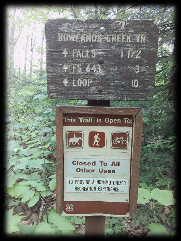
Iron Mountain Trail Rowland's Creek Trail (3.2 Miles)
Rowland's Creek Obstructions (6)
Sources: Esri, HERE, Garmin, Intermap, increment P Corp., GEBCO, USGS, FAO, NPS, NRCAN, GeoBase, IGN, Kadaster NL, Ordnance Survey, Esri Japan, METI, Esri China (Hong Kong), (c) OpenStreetMap contributors, and the GIS User Community
IDNameCommentDate&TimeElevationObstructionRemoved
1Tree ToppedTree.Trailremainsaccessable.
2Tree OldTree.3'High.Requiressteppingover.
2025-06-13T14:56:07Z1163.08007800000
2025-06-13T15:00:11Z1156.43664600000
3CreekWashoutCompleteWashout.BeingreroutedbyFS.Crossingexistedbefore.2025-06-13T18:09:44Z1026.59997600000
4Tree 2.5'TreeDown.Cutforpassing.
2025-06-13T15:27:54Z1005.49401900000
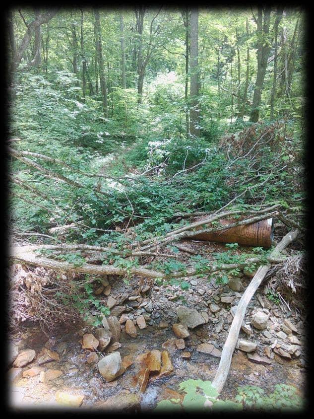
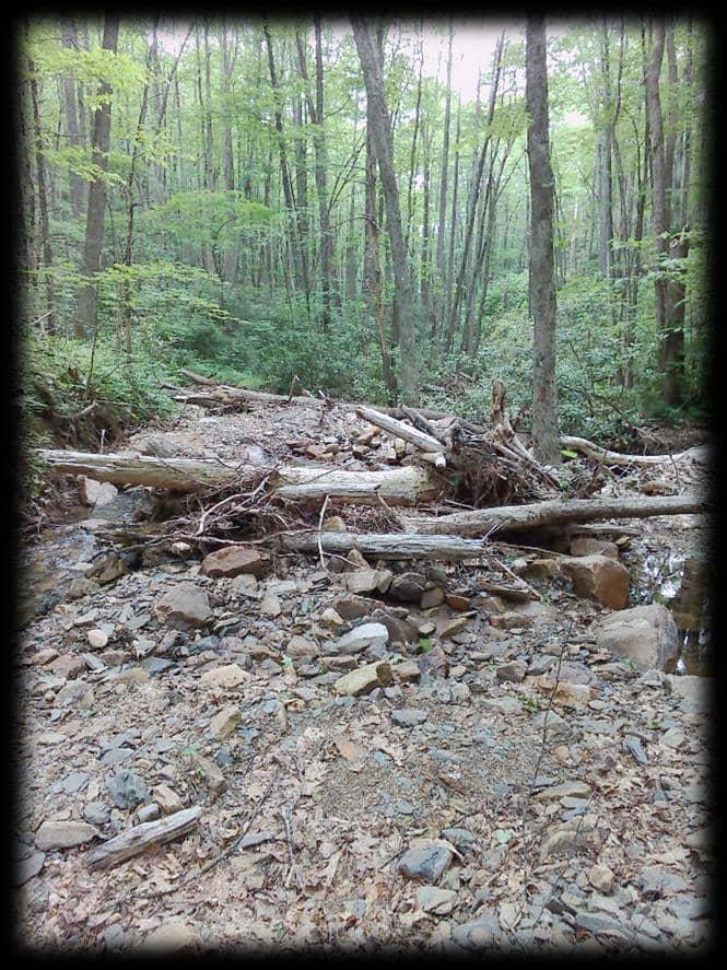
5CreekWashoutDebris&Rock.Piledup.CulvertBuried.LocationmarkedbyFS.2025-06-13T15:32:30Z995.49151600000
6RockSlide30'SlideIntoCreek.TrailCompromised.
2025-06-13T16:09:45Z867.17584200000
RowlandCreekTrail
Rowland's Creek Trail ID: #3 – Creek Washout
ID: 4 – Tree
ID: 5 – Creek Washout
ID: 6 – Rock Slide
IDNameComment Date&TimeElevationObstructionRemoved
1Branches&RootMassSmallBranches.Rootballmasstookpartoftrail.
3Tree Onetreewithlargebranches.Branches8"-10".
4Bridge Bridgedamaged.Missingrailingandplanks.
5Brush Brushsmasheddownbytree.Overtopoftrail.
6Bridge Damagedrailingandpiledupbrush.
7TreeClusterThreeclustersoflargetimber.
8RootMassRootmasshastakentrailbed.
9Tree Large24"tree.
10Tree 12"Tree.
11Tree 20"Tree.4'Offground.
12Tree 10"Pine.EasilyRemoved.
2025-07-17T14:40:17Z868.87402300000
2TreeClusterTotalofsixtreesdownacrosstrail.Fivearound12".Onelargetree24".2025-07-17T14:42:45Z870.24560500000
2025-07-17T14:47:38Z873.76330600000
2025-07-17T14:50:14Z877.89679000000
2025-07-17T14:54:40Z882.43151900000
2025-07-17T15:01:10Z893.18981900000
2025-07-17T15:03:50Z900.78497300000
2025-07-17T15:09:11Z913.07348600000
2025-07-17T15:12:55Z927.20947300000
2025-07-17T15:18:11Z927.32147200000
2025-07-17T15:21:58Z901.67138700000
2025-07-17T15:26:38Z880.50939900000 HurricaneKnobTrail
Hurricane Knob Trail ID: 1 – Branches & Root Mass
ID: 2 – Tree Cluster
ID: 3 – Tree
ID: 4 – Bridge
ID: 5 – Brush
ID: 6 – Bridge
ID: 7 – Tree Cluster
ID: 9 - Tree
ID: 10 - Tree
ID: 11 - Tree
ID: 12 - Tree
Third Peak Obstructions (2)
Sources: Esri, HERE, Garmin, Intermap, increment P Corp., GEBCO, USGS, FAO, NPS, NRCAN, GeoBase, IGN, Kadaster NL, Ordnance Survey, Esri Japan, METI, Esri China (Hong Kong), (c) OpenStreetMap contributors, and the GIS User Community
ThirdPeakTrail IDNameComment Date&TimeElevationObstructionRemoved
1Tree5"Tree 2025-07-18T16:25:29Z1486.42590300000
2TreeLargetree30".5largelimbscoveringoriginaltrail.2025-07-18T16:43:04Z1431.91589400000
Third Peak Trail ID: 1 – Tree
ID: 2 – Tree
Sources: Esri, HERE, Garmin, Intermap, increment P Corp., GEBCO, USGS, FAO, NPS, NRCAN, GeoBase, IGN, Kadaster NL, Ordnance Survey, Esri Japan, METI, Esri China (Hong Kong), (c) OpenStreetMap contributors, and the GIS User Community
Scales Trail (1.3 Miles)
Scales Trail Sources: Esri, HERE, Garmin, Intermap, increment P Corp., GEBCO, USGS, FAO, NPS, NRCAN, GeoBase, IGN, Kadaster NL, Ordnance Survey, Esri Japan, METI, Esri China (Hong Kong), (c) OpenStreetMap contributors, and the GIS User Community Old
IDNameCommentDate&TimeElevationObstructionRemoved
1TreesTwosmalltreeshangingovertrail.8'Up.
2TreesLargepine&twolowsmalltrees.
3TreeLow6"tree.
4TreesTwosmalllowtrees.
5Tree&RootMassTwo24"branches.Rootmass.
2025-08-14T13:25:34Z1115.87609900000
2025-08-14T13:28:35Z1126.66235400000
2025-08-14T13:34:16Z1143.63488800000
2025-08-14T13:41:07Z1162.10961900000
2025-08-14T13:44:44Z1174.55676300000
6TreeBranchesBranchesstickingoutintotrail.Othersmalltreesonground.2025-08-14T13:48:44Z1178.32641600000
2025-08-14T13:59:50Z1218.02856400000
7Tree12"Birch.
OldOrchardTrail
Old Orchard Trail ID: #1 – Trees
ID: #2 – Trees
ID: #3 – Tree
ID: #4 – Tree
ID: #5 – Tree & Root Mass
ID: #6 – Tree Branches
ID: #7 – Tree
Sources: Esri, HERE, Garmin, Intermap, increment P Corp., GEBCO, USGS, FAO, NPS, NRCAN, GeoBase, IGN, Kadaster NL, Ordnance Survey, Esri Japan, METI, Esri China (Hong Kong), (c) OpenStreetMap contributors, and the GIS User Community
Elk Garden Trail Elk Garden Trail
Elk Garden Trail Sources: Esri, HERE, Garmin, Intermap, increment P Corp., GEBCO, USGS, FAO, NPS, NRCAN, GeoBase, IGN, Kadaster NL, Ordnance Survey, Esri Japan, METI, Esri China (Hong Kong), (c) OpenStreetMap contributors, and the GIS User Community
Feet
Crest Trail (4 Miles)
Crest Trail Sources: Esri, HERE, Garmin, Intermap, increment P Corp., GEBCO, USGS, FAO, NPS, NRCAN, GeoBase, IGN, Kadaster NL, Ordnance Survey, Esri Japan, METI, Esri China (Hong Kong), (c) OpenStreetMap contributors, and the GIS User Community
Rhododendron Gap Trail (1.4 Miles)
Rhododendron Gap Trail Sources: Esri, HERE, Garmin, Intermap, increment P Corp., GEBCO, USGS, FAO, NPS, NRCAN, GeoBase, IGN, Kadaster NL, Ordnance Survey, Esri Japan, METI, Esri China (Hong Kong), (c) OpenStreetMap contributors, and the GIS User Community
01,0002,000 500 Feet
IDNameComment Date&TimeElevationObstructionRemoved
1HangingTree12"Tree.Hanging11'Feet.2025-09-05T14:43:54Z1202.47424300000
2HangingTreesTwoTreesHanging15'.2025-09-05T15:02:05Z1216.80615200000
3WashoutSmallWashout.CulvertMisplaced.2025-09-05T15:22:06Z1258.84094200000
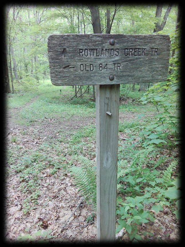
Old 84 Trail ID: #1 – Hanging Tree
ID: #2 – Hanging Trees
ID: #3 – Washout
Sources: Esri, HERE, Garmin, Intermap, increment P Corp., GEBCO, USGS, FAO, NPS, NRCAN, GeoBase, IGN, Kadaster NL, Ordnance Survey, Esri Japan, METI, Esri China (Hong Kong), (c) OpenStreetMap contributors, and the GIS User Community
Skulls Skulls Gap Trail (1 Mile)
Skulls Gap Trail South Fork Holston Anglers Trail I SouthForkHolstonAnglerTrail IDNameComment Date&TimeElevationObstructionRemoved
1Trees Clusteroftreesdown.7treestotal.
2025-06-26T14:35:37Z758.65057400000
2TreeTreedown.Onetreewithmultiplelimbs.Passable.2025-06-26T14:40:43Z759.97552500000
3TreeTreedown.Multiplebranches.
4TreeLargetree,around2'indiameter.
5TreeDeadPine.Easyremoval.
6BranchesLargeBranchesAcrossTrail.
7TreeSmallPine.8"Diameter.
8TreesTreeCluster.Largebranches.
9BlockedTrailUnpassable.MultipleTrees.
10TrailOpeningEndofmasstreefall.
11Tree14"OakTree.
2025-06-26T14:42:43Z757.94140600000
2025-06-26T14:46:28Z766.22705100000
2025-06-26T14:48:47Z766.05914300000
2025-06-26T15:06:28Z743.43219000000
2025-06-26T15:12:41Z737.77777100000
2025-06-26T15:15:56Z736.48083500000
2025-06-26T15:20:19Z735.94897500000
2025-06-26T15:47:19Z736.72345000000
2025-06-26T15:58:25Z735.84637500000
12Trees14"Tree,Branches,and4moretrees.2025-06-26T16:29:37Z732.18872100000
13BlockedTrailUnpassable.
14TrailOpeningEndofmasstreefall.
15Trees&BrushTreesarelowtotheground.
16BlockedTreeCluster.
17TreesTreeCluster.
18TreesBranches.
2025-06-26T16:33:10Z731.61022900000
2025-06-26T16:50:42Z732.69256600000
2025-06-26T16:55:31Z733.20575000000
2025-06-26T16:56:55Z733.04711900000
2025-06-26T17:03:45Z731.69421400000
2025-06-26T17:05:45Z731.30230700000
South Fork Holston Anglers Trail ID: 1 – Trees
ID: 2 – Tree
ID: 3 – Tree
ID: 4 – Tree
ID: 5 – Tree
ID: 6 – Branches
ID: 7 – Tree
ID: 8 – Trees
ID: 9 – Blocked
ID: 10 – Trail Open
ID: 11 – Tree
ID: 12 – Trees
ID: 13 – Blocked
ID: 14 & 15 – Trail Opening
ID: 16 – Trees & Brush
ID: 17 – Blocked
ID: 18 – Branches
IDNameComment
1SmallTreeCluster3SmallTrees.
2Tree Tree6".OnGround.
FeathercampTrail Date&TimeElevation ObstructionRemoved
2025-08-07T16:09:59Z1017.79187000000
2025-08-07T16:15:24Z1004.95282000000
3Tree ForkedAcrossTrail.EachBranch8".2025-08-07T16:22:27Z985.57299800000
4Trees 8"Tree.
5SmallTreesTwo4"Trees.
6Tree Large2'Tree.
7Tree Old10"Pine.
8TreeClusterThreeLargeTrees.
2025-08-07T16:28:51Z970.16803000000
2025-08-07T16:36:06Z947.97027600000
2025-08-07T16:55:59Z827.47375500000
2025-08-07T17:16:11Z762.31750500000
2025-08-07T17:18:18Z755.84204100000
9Trees Two6"TreesSuspendedAboveTrail.2025-08-07T17:22:58Z741.97662400000
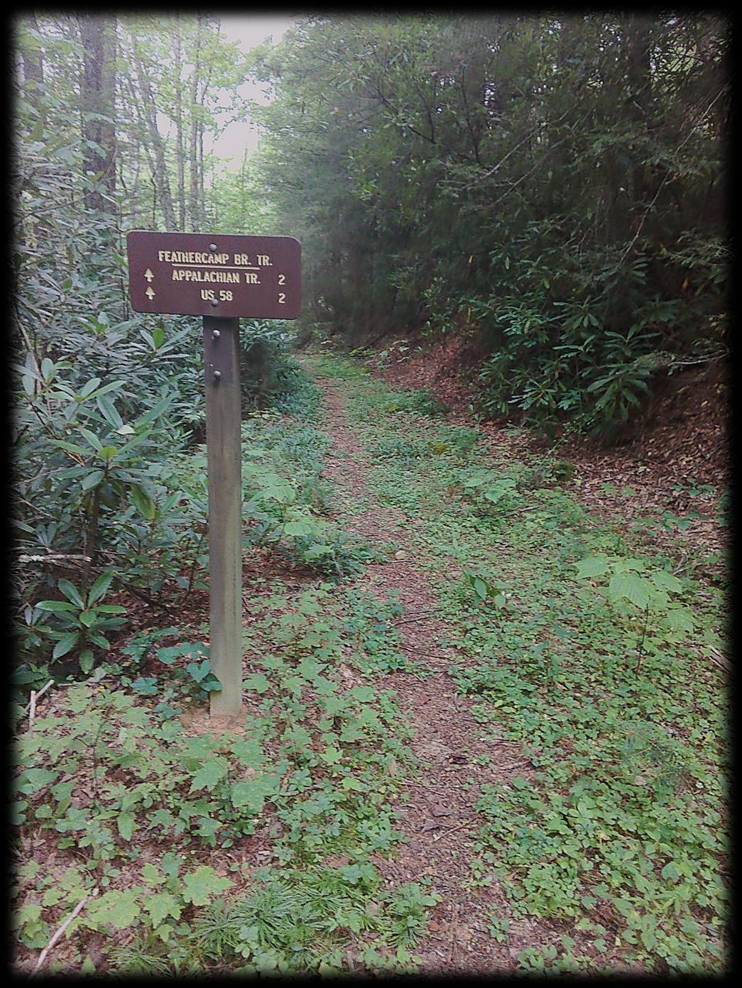
Feathercamp Trail ID: #1 – Small Tree Cluster
ID: #2 – Tree
ID: #3 – Tree
ID: #4 - Tree
ID: #5 – Small Trees
ID: #6 – Tree
ID: #7 – Tree
ID: #8 – Trees
ID: #9 – Trees
Sources: Esri, HERE, Garmin, Intermap, increment P Corp., GEBCO, USGS, FAO, NPS, NRCAN, GeoBase, IGN, Kadaster NL, Ordnance Survey, Esri Japan, METI, Esri China (Hong Kong), (c) OpenStreetMap contributors, and the GIS User Community
! Chestnut Ridge Obstructions (1)
Chestnut Ridge Trail (1.8 Miles)
IDNameCommentDate
1TreeTreedown.12".Low.2025-06-27T14:31:36Z1031.00415000000
ChesnutRidgeTrail
Chesnut Ridge Trail ID: 1 - Tree
Sources: Esri, HERE, Garmin, Intermap, increment P Corp., GEBCO, USGS, FAO, NPS, NRCAN, GeoBase, IGN, Kadaster NL, Ordnance Survey, Esri Japan, METI, Esri China (Hong Kong), (c) OpenStreetMap contributors, and the GIS User Community
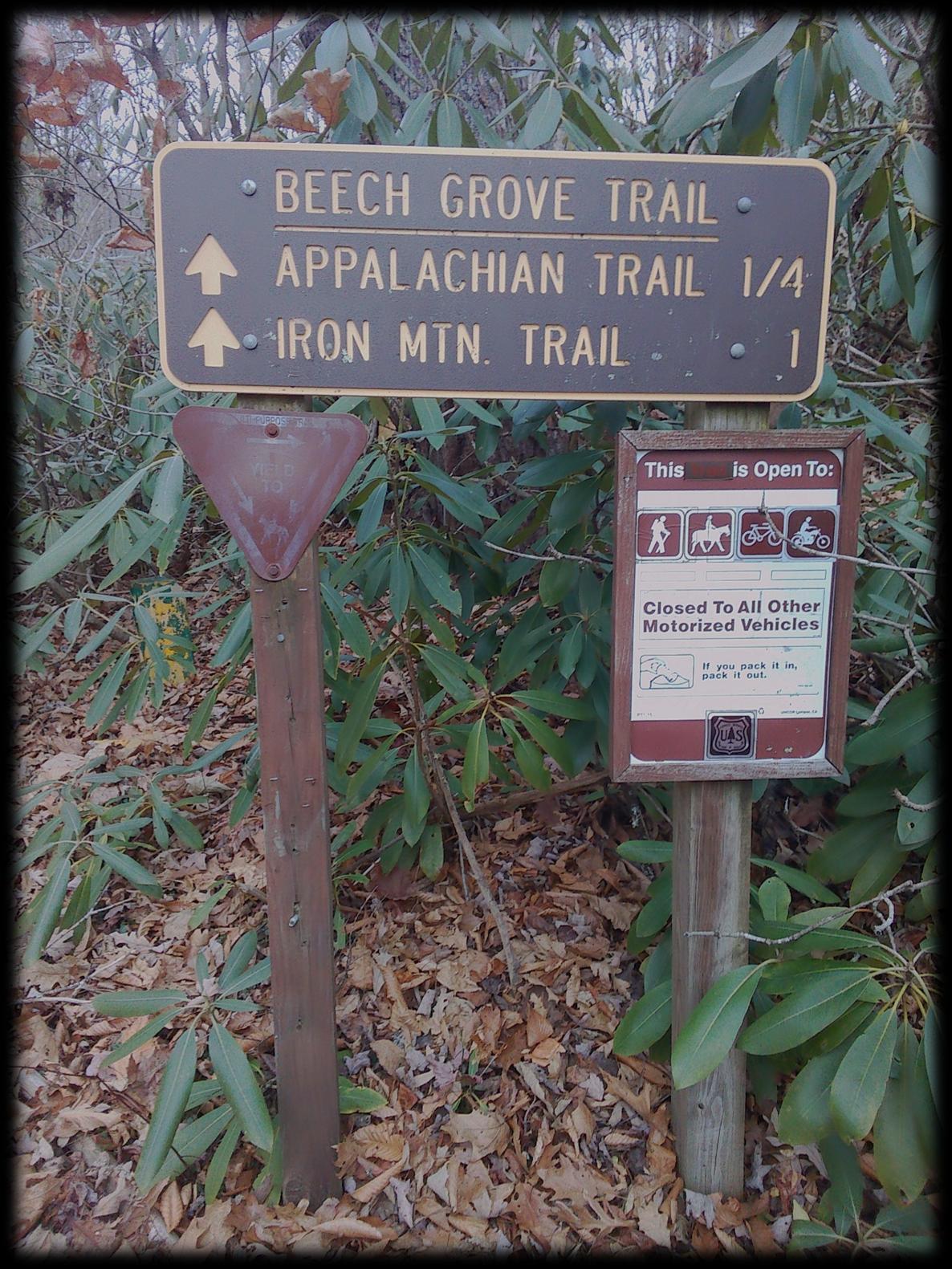
BeechGroveTrail IDNameComment
1Tree12"Tree.Hanging5'.Passable.2025-11-18T19:00:22Z866.57867400000
2Tree18"Tree.Hanging5'. 2025-11-18T19:07:49Z846.01379400000
Beech Grove Trail ID #1 – Tree
ID #2 – Tree
IDName Comment
1DeadTreeLow&Passable.
StraightMountainTrail Date&TimeElevation ObstructionRemoved
2025-11-18T15:24:36Z960.59472700000
2LargeBranchesTwoLargeLimbs.Hangingapproximately4".2025-11-18T15:26:23Z962.03161600000
3Tree 18"PineTree.
4MultipleTreesTwoSmallLow-HangingTrees.
5Tree&LimbClusterMultipleTreeTops.
6LargeClusterTreeClusterContinued.
2025-11-18T15:31:42Z980.03985600000
2025-11-18T15:44:14Z1043.46997100000
2025-11-18T15:47:57Z1059.00549300000
2025-11-18T15:52:28Z1065.07983400000
Straight Mountain Trail Beartree Lake
ID #1 – Dead Tree
ID #2 – Large Branches
ID #3 – Tree
ID #4 – Multiple Trees
ID #5 – Tree & Limb Cluster
ID #6 – Large Cluster
36° 40' 29.66" 81° 41' 55.27"
36° 40' 18.77" 81° 41' 54.33"
Miles)
Sources: Esri, HERE, Garmin, Intermap, increment P Corp., GEBCO, USGS, FAO, NPS, NRCAN, GeoBase, IGN, Kadaster NL, Ordnance Survey, Esri Japan, METI, Esri China (Hong Kong), (c) OpenStreetMap contributors, and the GIS User Community
Rush Trail IDNameCommentDate&TimeElevation ObstructionRemoved
1TreeClusterHangingTrees.5Total.6'2025-08-07T14:56:10Z947.76501500000
2TreeHanging5'AboveTrail2025-08-07T15:14:23Z1008.32122800000
3SmallTree4"Tree 2025-08-07T15:23:38Z1009.59021000000
RushTrail
Rush Trail ID: #1 – Tree Cluster
ID: #2 – Tree
ID: #3 – Small Tree
Sources: Esri, HERE, Garmin, Intermap, increment P Corp., GEBCO, USGS, FAO, NPS, NRCAN, GeoBase, IGN, Kadaster NL, Ordnance Survey, Esri Japan, METI, Esri China (Hong Kong), (c) OpenStreetMap contributors, and the GIS User Community
IDNameComment
1Trees3Trees@8"InDiameter.2025-06-27T15:49:56Z978.85485800000
Beartree Gap Trail LittleDryRunTrail IDNameComment Date&TimeElevation ObstructionRemoved
1Trees4Total.One30"Plus.Othersaresmall.2025-07-09T18:10:44Z808.10321000000
2TreesTwoTrees.Low&Passable.2025-07-09T17:55:30Z799.04309100000
3Washout15'OfTrailWashedOut.
4Tree12"TreeDown
5Tree12"TreeDown
6TreeSmallLimbs.
7TreeLargeLimbs.SingleTree.
2025-07-09T17:48:02Z808.14990200000
2025-07-09T17:44:06Z812.90850800000
2025-07-09T17:33:41Z831.83117700000
2025-07-09T17:24:55Z842.96270800000
2025-07-09T17:03:20Z873.69799800000
Little Dry Run Trail ID: 1 – Trees
ID: 2 – Trees
ID: 3 – Washout
ID: 4 – Tree
ID: 5 - Tree
ID: 6 - Tree
ID: 7 - Tree
Sources: Esri, HERE, Garmin, Intermap, increment P Corp., GEBCO, USGS, FAO, NPS, NRCAN, GeoBase, IGN, Kadaster NL, Ordnance Survey, Esri Japan, METI, Esri China (Hong Kong), (c) OpenStreetMap contributors, and the GIS User Community
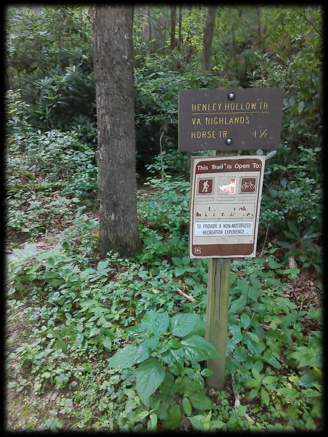
Henley Hollow Trail I
Feet
Henley Hollow Trail (1.4 Miles)
Henley Hollow Trail