SOPHIE ROBERTO
URBAN PLANNING PORTFOLIO

URBAN PLANNING PORTFOLIO
Urban Planning | 513.913.8121 | rober3se@mail.uc.edu
education
UNIVERSITY OF CINCINNATI - DAAP
Bachelor of Urban Planning - 3rd year
Dean’s List 2022-2024
WALNUT HILLS HIGH SCHOOL
Cincinnati, Ohio
Expected graduation in May 2027
Cincinnati, Ohio
President of Volunteer Club, Honors Student, Track & Field, Soccer, Orchestra Class of May 2022
professional experience
ZONECO LLC
Planning Intern
• formulated modern and updated zoning codes through text and design
• updated zoning codes to create efficient and ethical built environments
• designed and rendered street typologies, graphics
• receptive to clients needs in the process of rewriting codes
• Adobe Creative Suite, Rhino7 3D modeling, Microsoft Suite
KENTON COUNTY PLANNING & DEVELOPMENT SERVICES
Planning Intern
• assisted in redevelopment of the Kenton County comprehensive plan
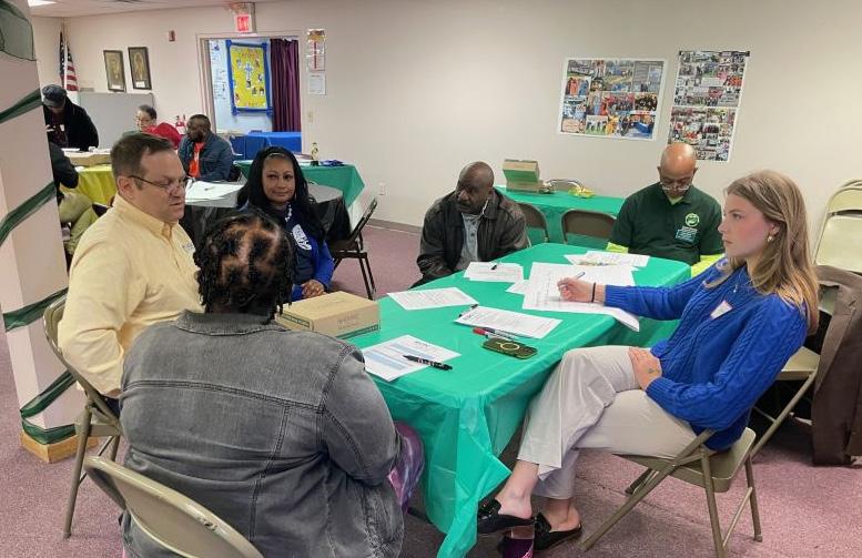
• assisted in hosting community engagement events
Cincinnati, Ohio
August 2024 - December 2024
Covington, Kentucky
January 2024 - April 2024
• managed and presented staff recommendations to the Kenton County Planning Commission
• reviewed concept & development plans
• ArcGIS, Adobe Suite, Microsoft Suite
THETA PHI ALPHA SORORITY
University of Cincinnati
President January 2025 - Present
• manage the executive board and 100 members
• be a liaison between the chapter and the greater Greek Life community
• efficiently delegate tasks within the chapter
• maintain patience and diligence in high-stress situations
• manage time efficiently to ensure meetings and deadlines are followed through
MOUNT WASHINGTON COMMUNITY COUNCIL
Vice President
• led board meetings in the absence of the President
Cincinnati, Ohio
October 2021 - January 2024
• mobilized the community to pass new legislation, presented proposals the City of Cincinnati government at town hall
• served as a leader in the community, organized neighborhood events and festivals
leadership additional
SKILLS: Adobe Suite, Rhino7 3D, ArcGIS, Microsoft Suite, public speaking, public engagement, writing
AWARDS: Dean’s List & Cincinnatus Scholar - University of Cincinnati, Outstanding Junior Award - Theta Phi Alpha, Outstanding Solo Violinist Award - Ohio Music Education Association
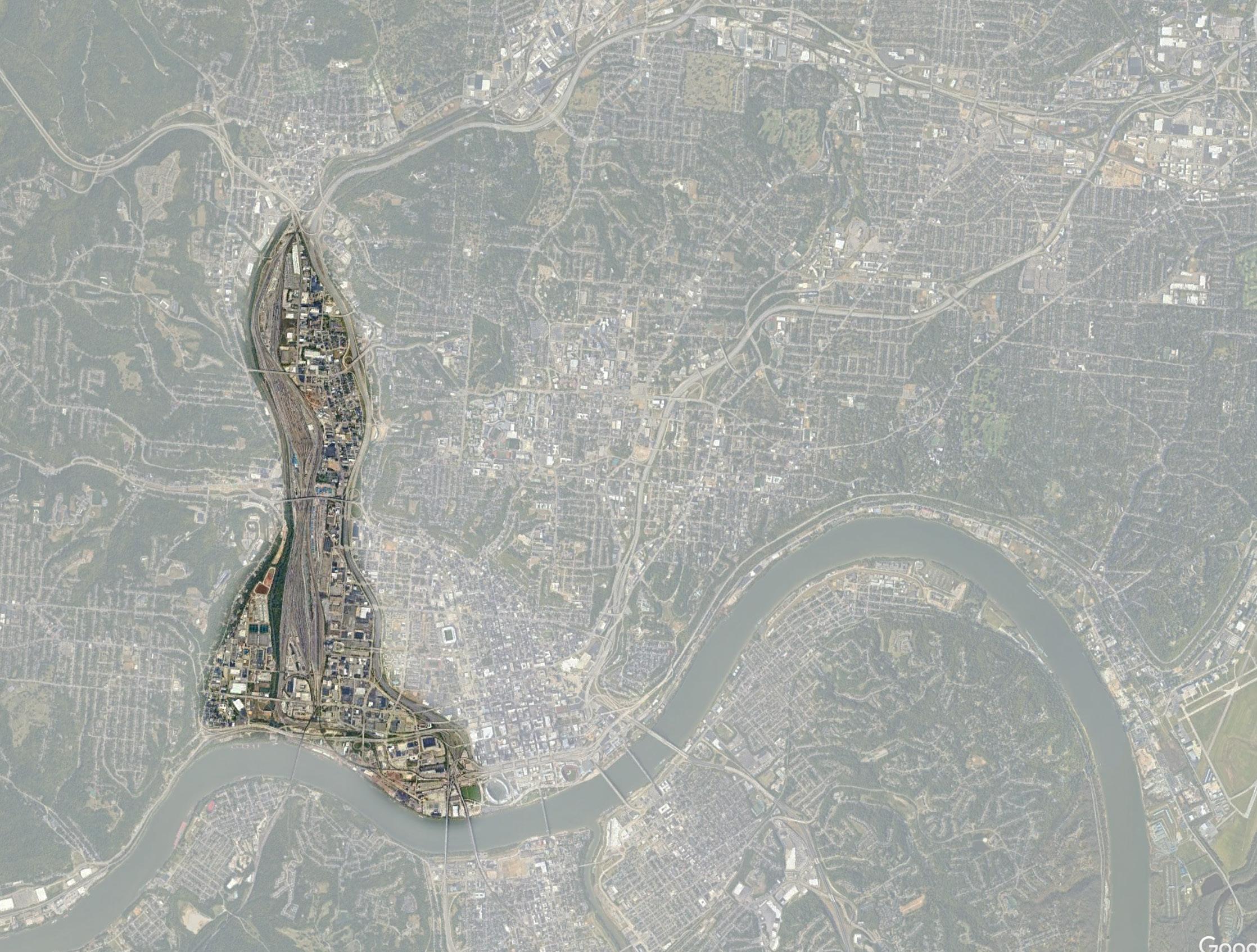
Group project focused on redeveloping Camp Washington, Lower Price Hill, and Queensgate, three neighborhoods located just west of downtown Cincinnati. Our plan was to turn the site into a self sufficient Sponge City.
My individual work surrounds the third project objective of deepening the third space experience in the study area to restore a sense community and positive human interaction.
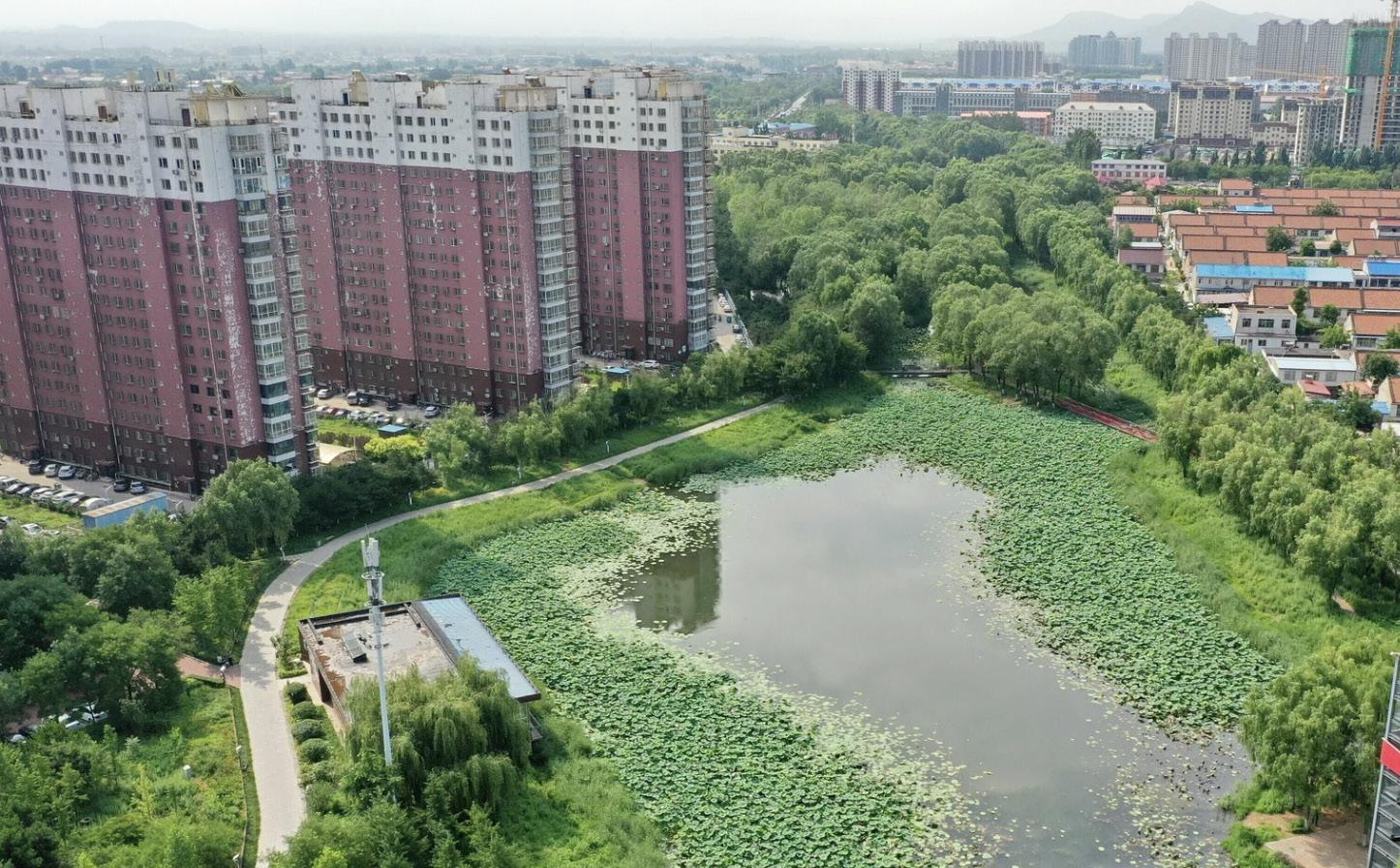
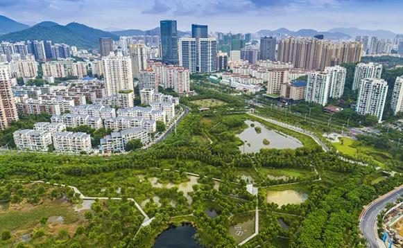
• Urban area that replaces impermeable surfaces with green lands and marshes, with built environment developed around the sponge
• Restores ecological balance
• Mitigates urban heat island effect, water pollution, and storm water management
• Self sufficient ecosystem
• Land use is mainly industrial, over 70% of the land is impervious and blight with several existing brownfields throughout
• The topography of the site sits it at a valley between major Cincinnati hills, exposing the site to runoff and trapped air pollution
• The Mill Creek runs through the site, eventually connecting to the Ohio River
• Poor pedestrian & transportation infrastructure, disconnected from downtown Cincinnati mainly due to the construction of I-75
• Unhealthy living conditions & urban heat island effect
GROUP WORK
By 2050, the industrial core of Cincinnati will be a self sufficient sponge city, with marshes located on the southern portion of the site climbing upwards along the rail lines. Through implementing goals and strategies based on our three objectives of 1) restoring the ecosystem, 2) creating equitable economics, and 3) deepening the third space experience, the neighborhoods will be environmentally, economically, and socially restored. With spectacles like a sponge city walk, water-powered renewable energy, and vibrant business districts, the area will be brought to light as a place Cincinnati can be proud of, and not keep in the dark.
IDENTIFYING ITS LOCATION ON THE SITE
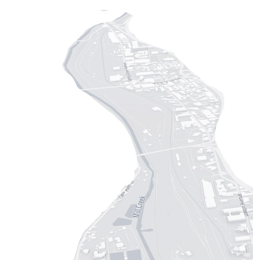
• The sponge will form along the Mill Creek into the Ohio River
• In order for the Mill Creek to flood, we will be tearing down the Mill Creek Barrier Dam that closes off the valley from the Ohio River
• We identified vacant lots and brownfields along the Mill Creek for the sponge to flood into and revitalize ecologically
• New infrastructure such as bridges will be built to allow for travel
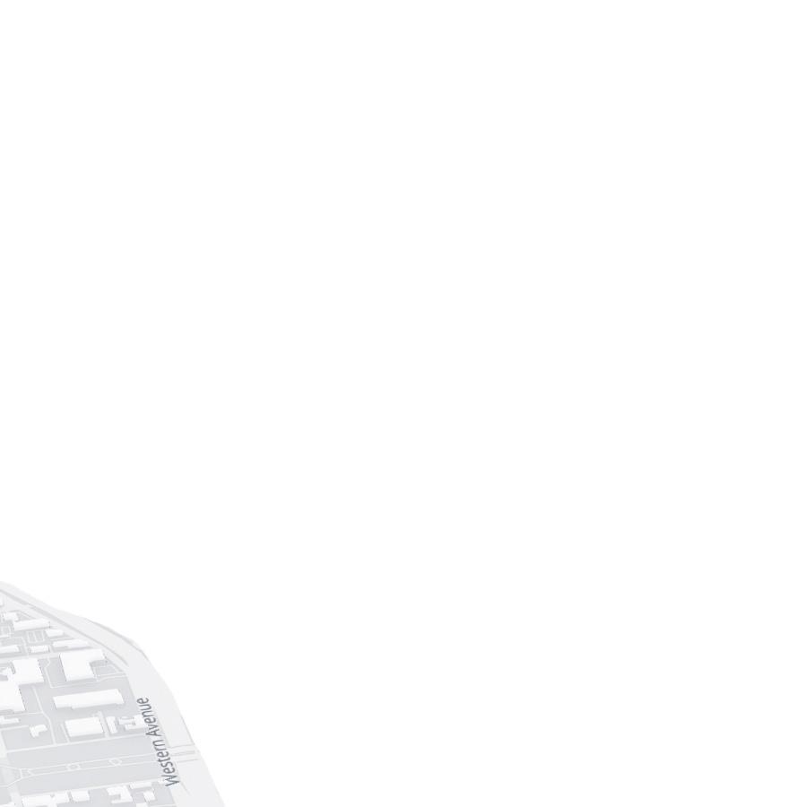
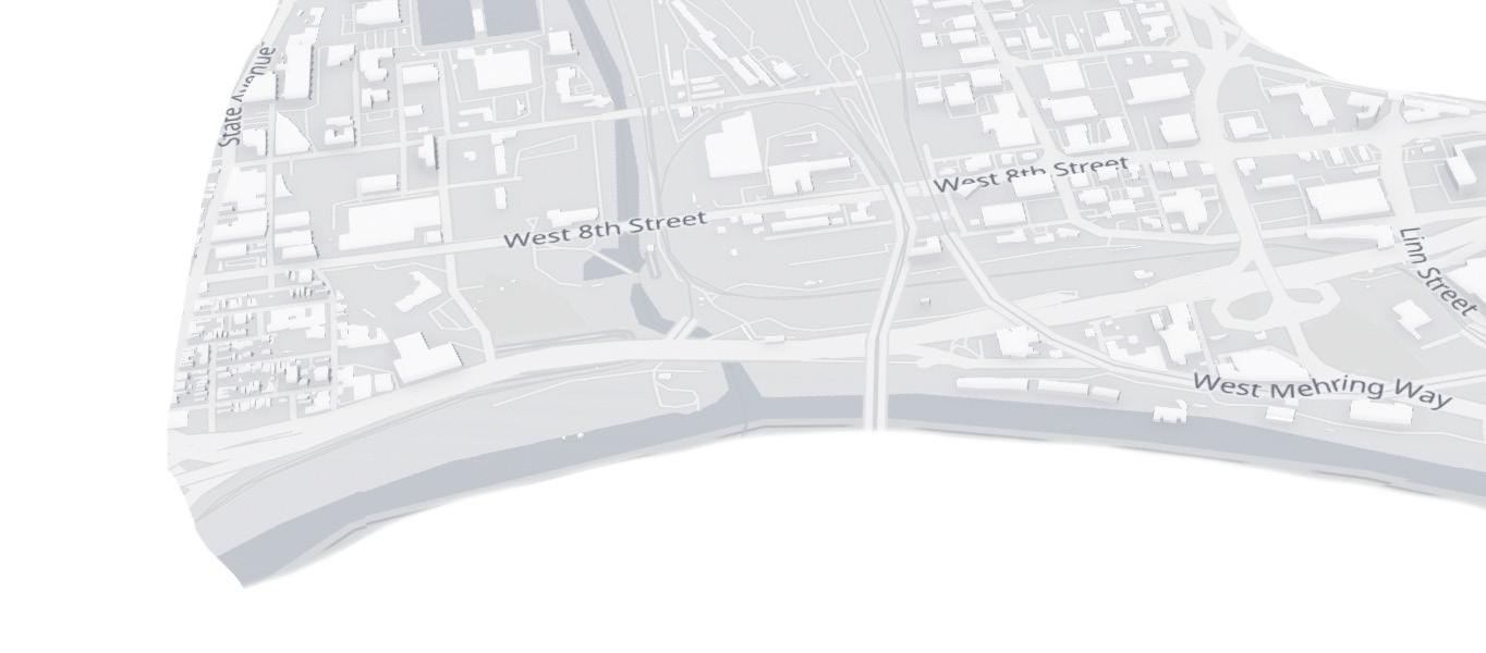
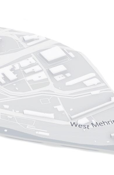
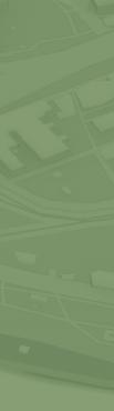
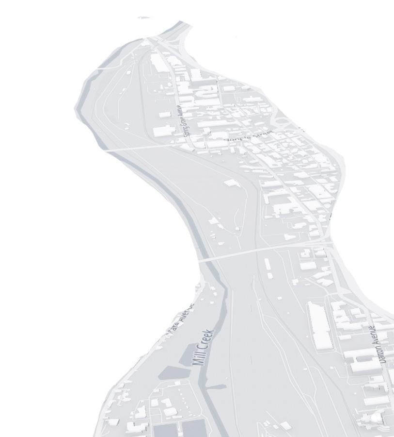
CONCEPTUAL SPONGE MAP: The porous graphic identifies the location of where the sponge could thrive on the site.
OBJECTIVE 3: DEEPEN THE THIRD SPACE EXPERIENCE
The sponge creates an opportunity to develop parks and pedestrian infrastructure surrounding the marshlands, increasing beautification and enhancing the third space experience of the study area. The sponge will make the study area a destination in Cincinnati, taking the neighborhoods out of hiding and bringing in activity that wasn’t there originally, increasing vibrancy in general.
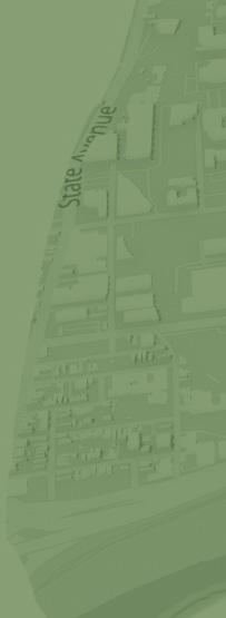
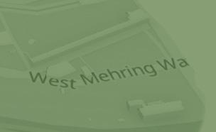
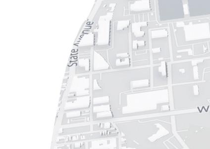
OBJECTIVE 3 MAP: Identified areas of focus for development are shaded.
INDIVIDUAL WORK
My individual work surrounds the third project objective of deepening the third space experience in the study area to restore a sense community and positive human interaction.
STRATEGIES TO ACHIEVE OBJECTIVE 3
1. Transforming vacant lots into green space
2. Empowering the area through beautification
3. Using the Sponge to enhance the pedestrian experience
4. Creating Sponge Parks for engagement with nature
5. Riverfront park/entertainment center
STRATEGIES MAP: Icons represented selected sites for potential development based on the five strategies.
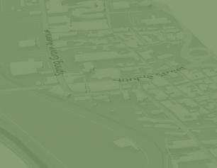
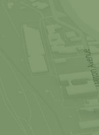
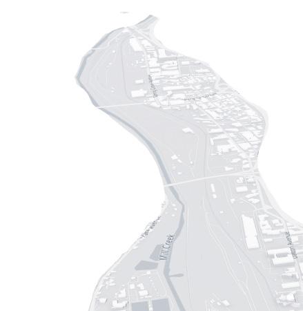
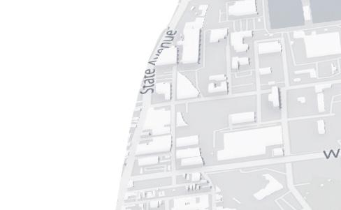




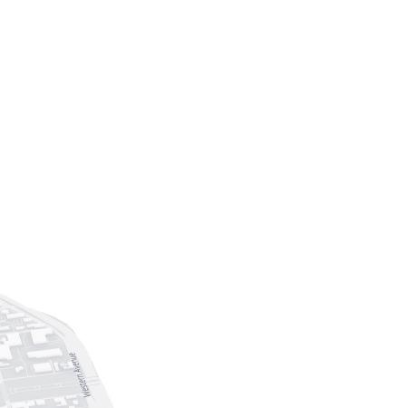
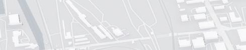
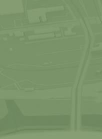



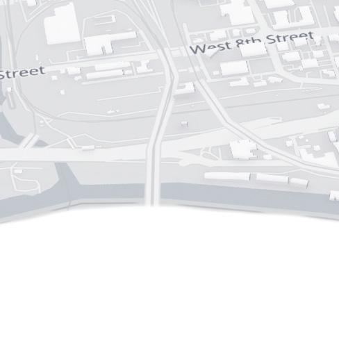
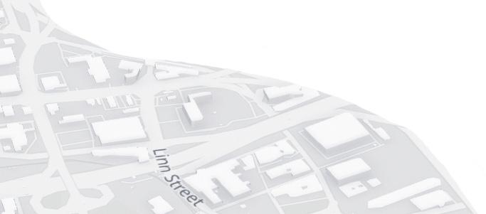

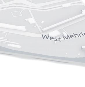

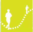



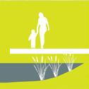





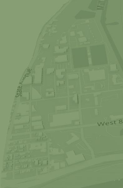


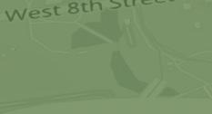

ICONS ARE LOCATED IN AN AREA WHERE THERE IS POTENTIAL FOR A SITE DESIGN BASED ON EACH STRATEGY.
THE BLACK GRAPHIC ON THE MAP IDENTIFIES THE LOCATION WHERE THE SPONGE COULD THRIVE ON THE SITE.
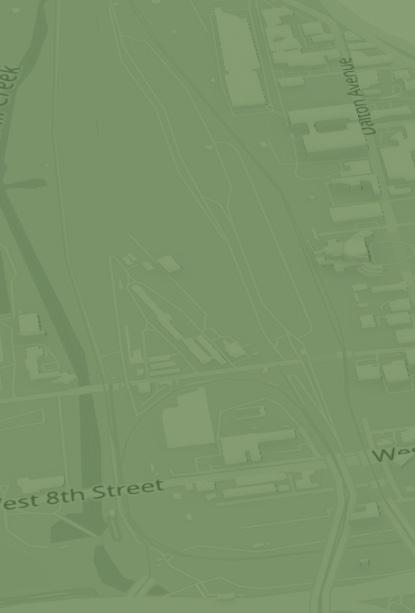

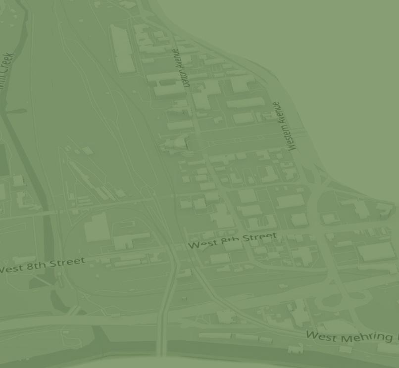
THE GREEN GRAPHICS LOOSELY IDENTIFY THE AREAS OF FOCUS BASED ON MY PERSONAL PROJECT OBJECTIVE.
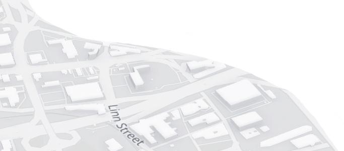

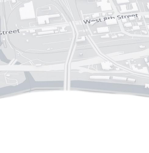
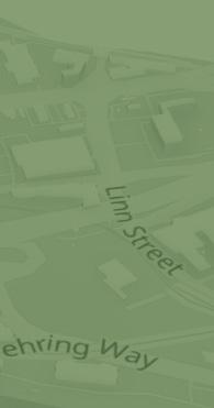

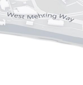


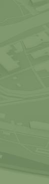

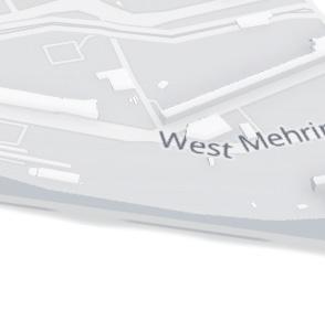
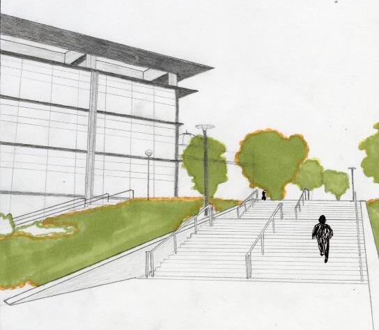
For the last part of this project, we had to select a strategy and create a site design based off of it. I chose my third strategy, which is enhancing the pedestrian experience with the sponge. I developed a plan to create a pedestrian bridge over the rail yard, which will not only create a safer way to cross the Hopple Bridge, further connecting Camp Washington with neighboring areas, but also serve as a beautiful lookout to enjoy the sponge’s natural beauty.
PHASE 1: Preparing for Sponge Growth
• Soil under the railways is dug out, railways stay in place
• Sponge will extend north from the Ohio River at it’s own pace
• Natural ecological restoration
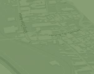
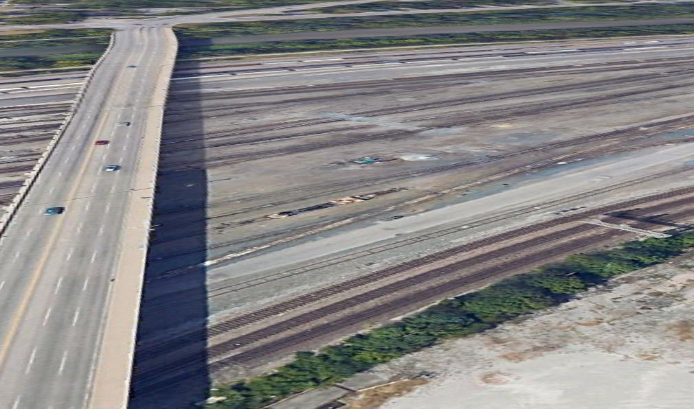
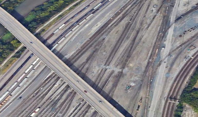
IMAGES FROM GOOGLE EARTH PRO
The focus of the site is the Hopple Bridge
• The bridge connects Camp Washington to English Woods, a neighborhood west of the site
• Very unsafe for pedestrians
• Has a beautiful view of the railway over the sponge but cannot be utilized with the existing 5-lane bridge
• There is 1 sidewalk on the bridge, no protections from cars or debris
PHASE 2: Construction of the Bridge
• Construction of the pedestrian bridge will start on the East side of the Hopple Bridge due to the intense intersection to the West
PHASE 3: Connection with the Bridge
• Once pedestrian bridge construction is complete, it will become connected to the Mill Creek ped. path that extends Southbound to the riverfront park
SITE VISIT
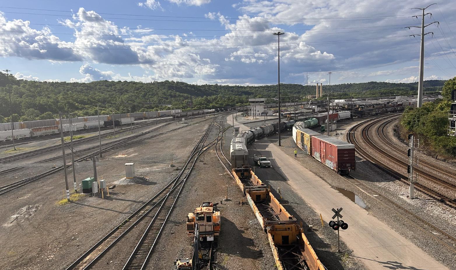
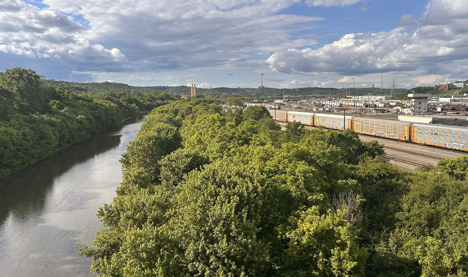
PERSONAL IMAGES FROM MY SITE VISIT
• Both images show the view from Hopple Bridge looking North
• Image on the right showing how the Mill Creek runs vertically adjacent to the rail yard
• Rail yard will turn into a Sponge
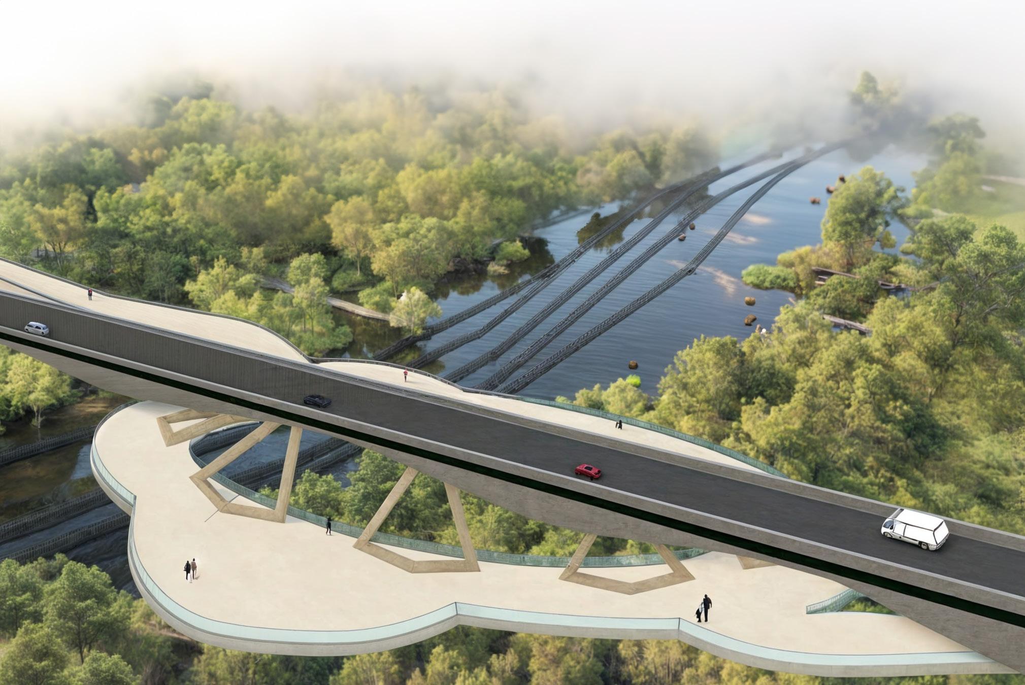
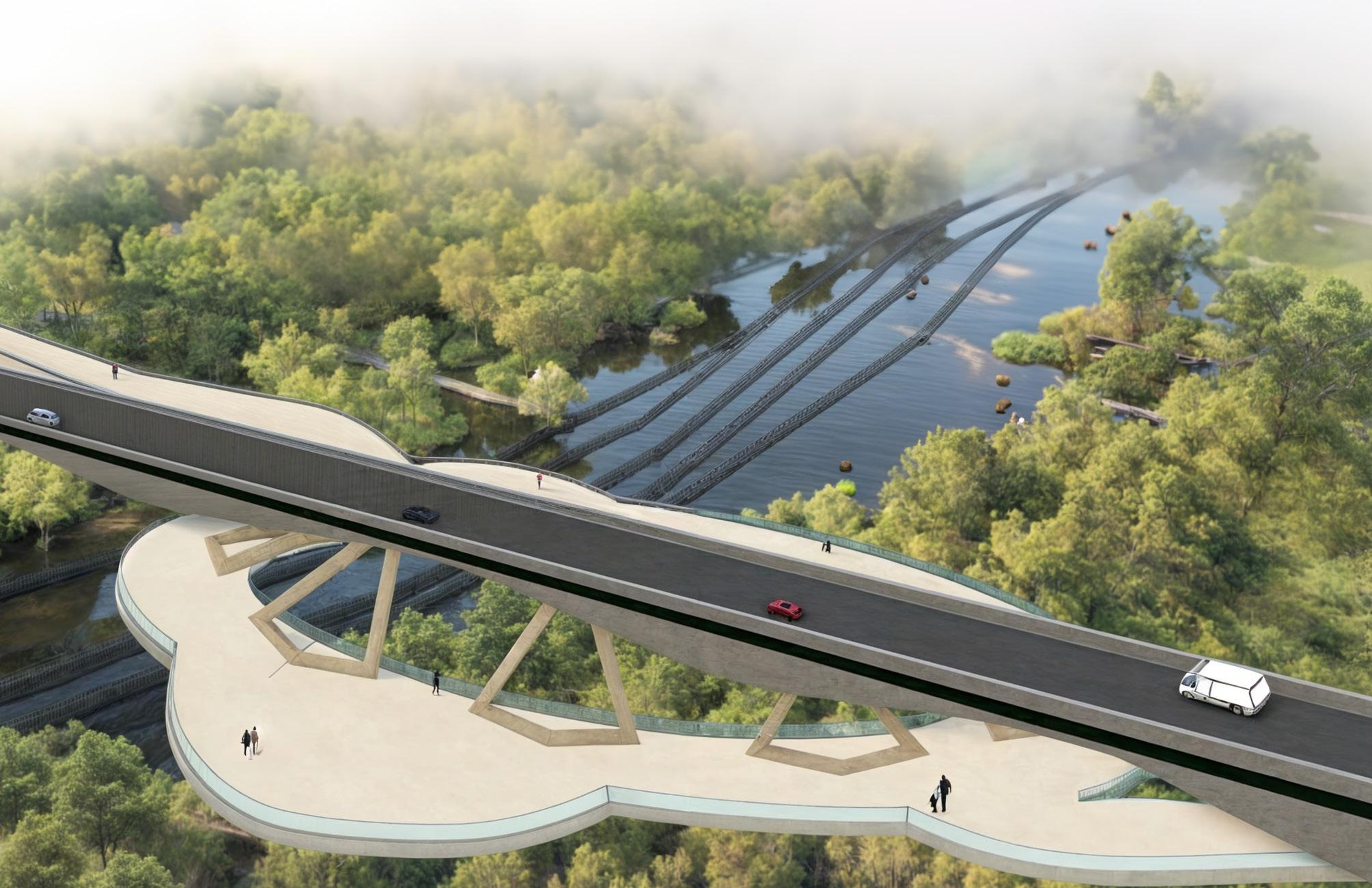
• Organically shaped walking path below the existing bridge
• Pathway has lookouts to stop and enjoy the Sponge marsh
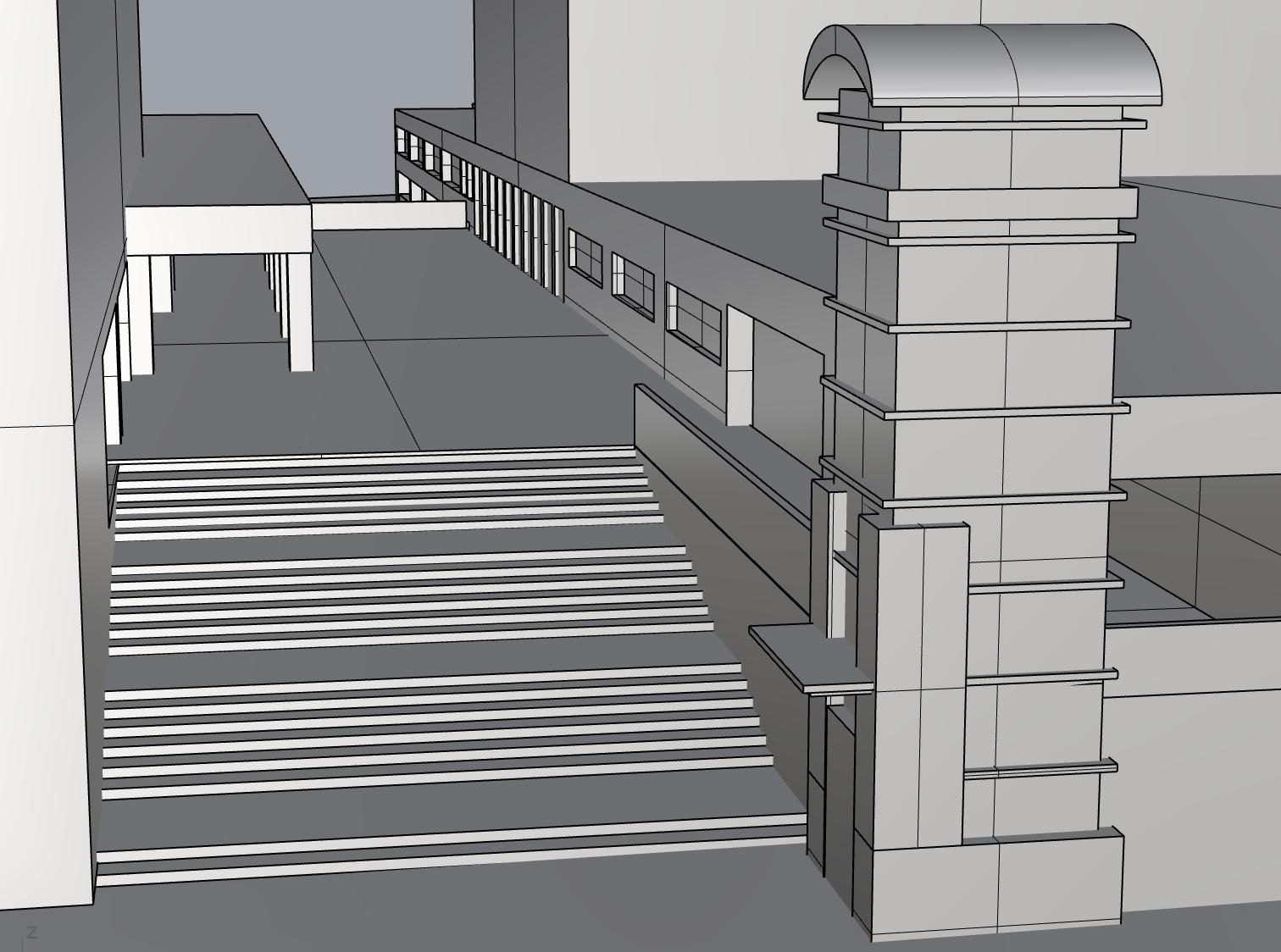
• Made with Rhino7 3D, Adobe Illustrator, Adobe Photoshop
* This render is merely conceptual, and has not taken into account the structural engineering needed for a the design.


























































OVERHEAD VIEW












• Pedestrian path is tan







• Existing Hopple Bridge is gray



































































































• Showing the beams connecting the Ped Path to the existing bridge




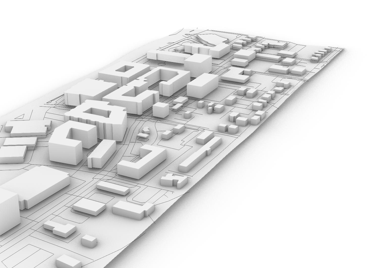
Individual project focused on the comprehensive development of English Woods, a small neighborhood atop a hill west of Camp Washington, Cincinnati. The neighborhood currently has one culdisac of residential condos and one high-rise apartment. The rest of the site is a blank canvas.

T6 Core consists of large scale dense buildings with service and commercial on the first floor and residential above.
T5 Main Street consists of smaller 4-5 story densely placed buildings with service and commercial on the first floor and residential above.

T5 Neighborhood Small Setback consists of row houses and more commercial/service buildings with residential above the first floor.
T4 Neighborhood Small Footprint consists of small 2-3 story duplexes.
The planned development areas consisting of a grocery store, elderly home, rec center, library, and the central plaza.
The parks and recreation areas consist of tastefully landscaped parks that are a larger scale and significance than the pocket green spaces.





A collection of graphics, writing, and mapping from my past two co-op experiences.
• Managed projects reviewing variances, conditional use permits, and appeals to determine a staff recommendation
• Presented issues to the planning commission
• Assisted with in-house research and public outreach events to determine comprehensive plan updates and amendments.
• Assisted in reviewing Stage I plans as well as
• concept development plans and final development plans
• Managed staff reviews of map and text amendments
• Presented issues to the planning commission
• Redesigning the Direction2030 logo
• Updating zoning code graphics based on boss’s directions
• Updating the KCPC meeting introduction video
WRITING/TEMPLATE MAKING
• district templates
• diagnostic spreadsheets
• design templates
RENDERING/MAPPING
• Rhino7 typologies, rendered for the graphics team to use
• ArcGIS + QGIS updated zoning maps

People in America often wonder, “what’s next?”, rarely looking back to notice what came before the country we know so well today. Before the gold rush, before the tea trade, before the pioneers, before Columbus, there was already a well established and culturally rich empire. The Indigenous people of America were made up of over one thousand tribes, hundreds of languages, and a population of just about fifty-million. Each tribe had their own subcultures, rituals, stories, and heritages. When European settlers came to America, they immediately recognized the beauty in the land and way of life, and gradually the white man’s inescapable greed gained over. In “38”, Layli Long Soldier addresses this greed with a sharp edge knife, making sure to cut into the reader’s minds cleanly and directly. By explaining the event of the Dakota 38, she argues the importance of acknowledging historical injustices against the Indigenous people of America, highlighting the continued impact of the trauma shared between her and every other Native American. Her poem serves both as a memorial to the Dakota 38, but also as a call to action to put an end to the erasure of Indigenous history and the white savior agenda.
Avoiding any lyrical or more artistic diction that could undermine her argument, Long Soldier jumps into her piece demanding that, “Here, the sentence will be respected.” (Long Soldier, page 427). This line immediately sets the tone for the entire poem as a reading that will be informative and matter-of-fact. For what Long Soldier is trying to communicate, the diction chosen could make or break the piece. To highlight how seriously she takes the matter of the Dakota 38, Long Soldier makes it clear that she wants to be as correct as possible in the matter of explaining the historical event. She writes, “In any case, you might be asking, “Why were thirty eight Dakota men hung?” // As a side note, the past tense of hang is hung, but when referring to the capital punishment of hanging, the correct past tense is hanged. // So it’s possible that you’re asking, “Why were thirty-eight Dakota men hanged?” (Long Soldier, page 428). By simply diving into the most exact and correct usage of the word “hanged” within the context, Long Soldier is arguing that not even the smallest detail of a culturally important historical event can be left behind. Everything about the Dakota 38 is important to the history of the Dakota people, and leaving out even a minor detail is disrespectful.