Schuyler Wilkerson Architecture Selected works 2023
Portfolio
Contents Brief description of myself and mindset About me 04 Spring 2022 l Demopolis, AL Demopolis Quarry 16 Summer 2020 l Boston, MA Ecological Community 06 Fall 2022 l Ourigane l MAR Water Commune 20 Fall 2021 l Hyde Park/ Milton, MA Hyde Park/ Hollingsworth Dam 10 Fall 2022 l Nashville, TN SEED - A New Vison of North Nashville 26 02
About Me
Wentworth Institute of Technology Boston, Massachussetts
Graduate Student NOMA/S & AIA
My primary focus is bettering the black community by analyzing and understanding the current urban landscape of cities/communities to devise strategies and plans that allow us to build or improve these communities beyond a one-dimensional solution. So, we can take those findings and make the proper suggestions to help these communities improve the overall health and life of those people within the community. The research would extend into the psychology and sociology of how architecture and impoverished communities are affected by different systems. Furthermore, use architecture as a vessel to aid communities and spaces to develop individually at a human scale.
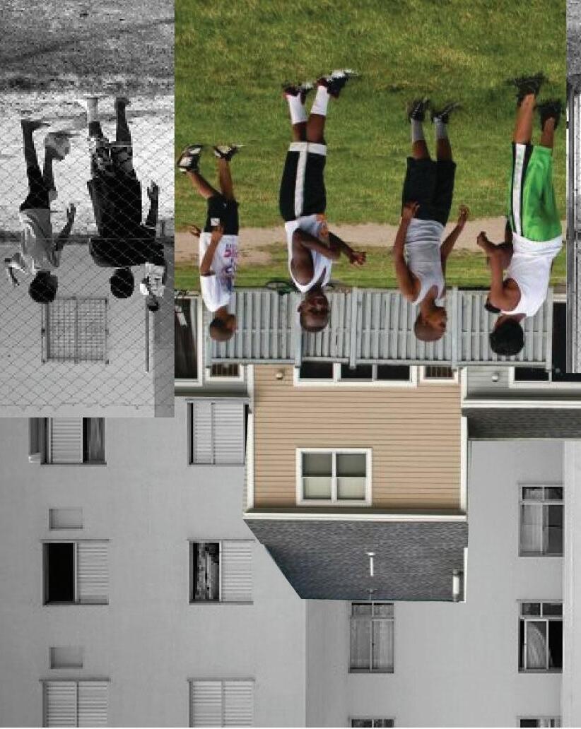
Fall 2022 l Intentions and Idenity l Community Collage A college of the community before and after reconstruction 03
“There is a thing in the world that makes the world. It came before the world, and it will remain after it. Everything in the world knows it but does not remember it. It allows all to know of its existence, yet all does not accept its existence.
The more all remember of the thing the more aware it becomes. Something in the world met that thing. After realizing it cannot be dictated, that something wonders ‘what does this thing experience?’. If that thing told you something about everything, what do you do with it?
Do you tell something else? Do you keep it to yourself? Do you accept it?
Are you compassionate?
04
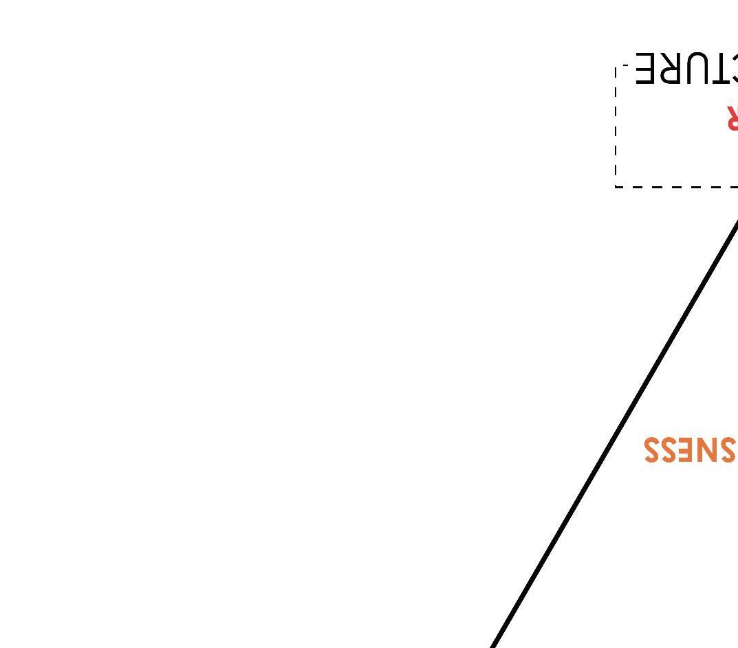
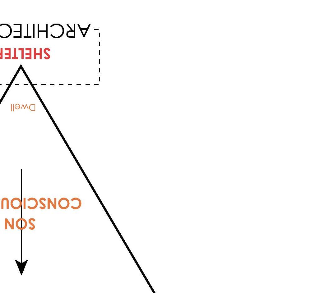
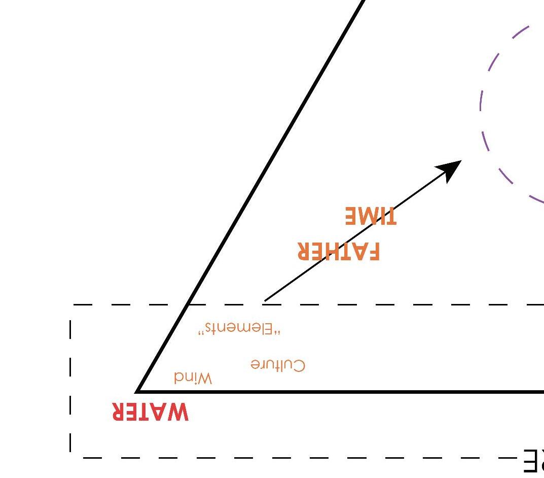
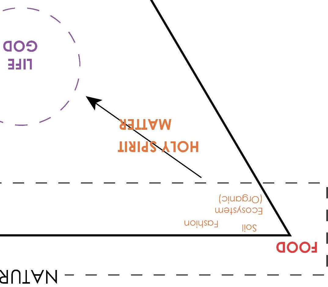
A diagram that represents, the impact architecture has on the natural flow of life. Constantly updated with new terms and is meant to be thought-provoking and subjective.
05
Ecological Community
Roxbury, Massachussetts, USA
Summer, 2020 | Studio 4 | Ben Matteson
Goal: Utilize space for post-production digital media that is accessible to the community and school. Making each level welcoming and inviting, by incorperating a multi-layered ecosystem with changing conditions.
During the Summer of 2020, many schools and communities had to adapt and become resilient to the global health impact that Covid had physically. With many individuals at home and more access to screens, an awareness for social justice had taken over the lives of individuals mentally the cultural value of Community and justice had increased.
For the final project of the semester, the Institute will build an addition to the Wentworth Annex complex to truly transform it into a College for the Material and Media Arts, a cohesive college building with improved circulation between departments, and spaces for interaction, gathering, and collaboration, including a new exhibition space and café. In addition to the Architecture, Interior Design, Industrial Design, and Construction Management departments, the addition will house studios for collaborative projects, informal workspaces, a mediatheque, and production and presentation spaces for new media, including digital video and animations. The addition will also include shared outdoor social and workspaces. All Programs added within the design have to be accessible and embrace the surrounding community.
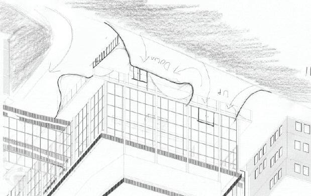
Utilize space for post-production digital media that is accessible to the community and school. Making each level welcoming and inviting by incorporating a multi-layered ecosystem with changing conditions throughout, allowing those inside to feel a part of the school and community.
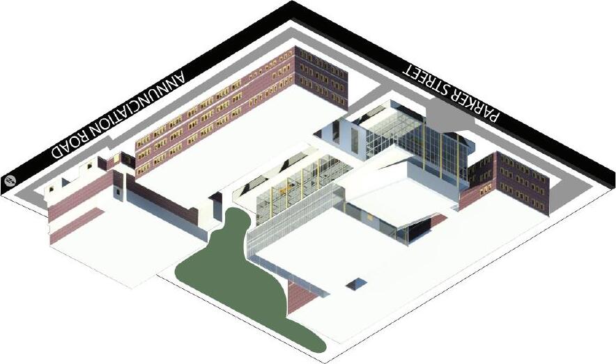 Parker Street Entrance
06
Design Render
Community Activism
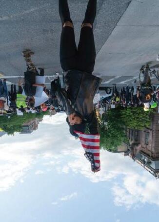
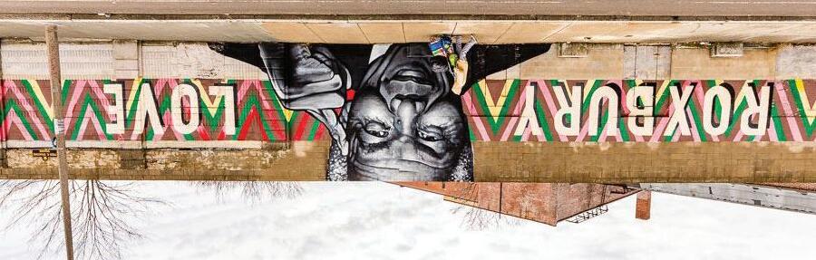
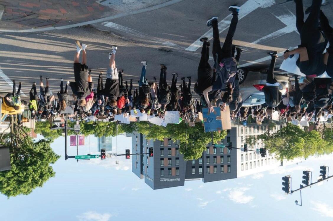
During the peak of social awareness and covid, many communities around the United States supported the sociopolitical movement of Black Lives Matter (BLM) in another attempt to be seen as equals and to bring macro awareness to police brutality. The Roxbury community in Boston, Massachusetts took to the streets to protest discrimination while advocating for justice.
https://steemit.com/streetphotography/@mikeycolon/roxbury-massachusetts-nelson-mandela-mural
Photo CC Mikey Colon 2018
Reduced to
in 2020 for Housing 07
BLM march from Nubian Square to state captial
Rubble
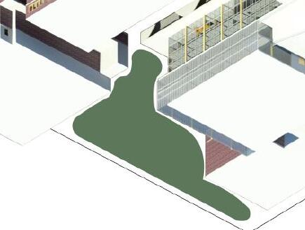
The currently existing parking lot is converted into a temporary green space to allow any user to experience the outdoor space; with freedom agency. A more active community intervention is preferred, yet a positive intervention would require an extended, complex study on the demographic and sociology of the site location.
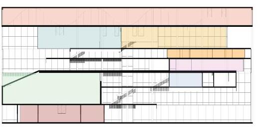
Program Section
Auditorium
Storage The Lab Business Rooms
Collaborative Center for Community and Learning Partnership
Cafe
Exhibition Space
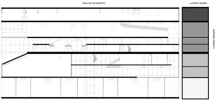
Programs are designed to a scale from neccesities, having enough space for the activies to be conducted and not domianting to each other. Still with enough space for agency to take place in open spaces.
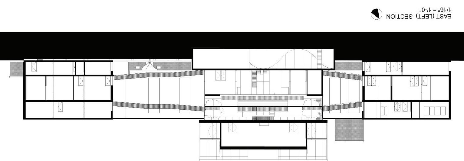
The design is intended to be a space between the Wentworth Institute of Technology and the Alice Taylor apartments neighboring the site. Bridging a gap between those who attend the school and the local community members through program spaces for the public and students to share. All private programs were moved to upper levels to force circulation and interaction between users in various spaces.
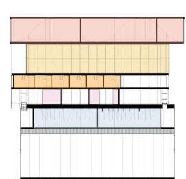
Floor Plate Section Spatial Density Material Density 08
The design still connects to Annex South and North, using the existing corridor form but has become more accessible for users and equipment by changing stairs to ramps.
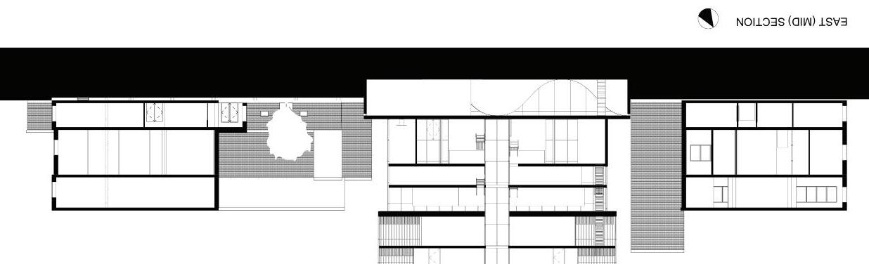
 East Middle Section
09
East Left Section
Hollingsworth Dam/Hyde Park
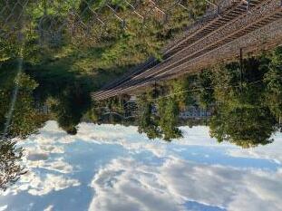
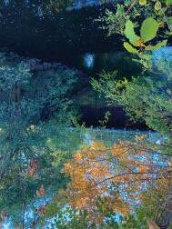
Fall 2021 | Studio 7 | Robert Cowherd & Ryan Thomas Hyde Park, Massachusetts
Groupmates: Molly Bowman, Richard D’Avella, Lily Langdon, Brendan McBride, Oz Perez
Goal: Improving Individual Experience Through Shared Transportation and Resources.
This studio course introduces topics of design in the urban context. Students engaged with complex issues and agendas and develop proposals in response to the physical, cultural, and social contexts that inform design at the urban scale. Topics pertinent to the Urbanism concentration were addressed. Armed with the skills and methods of visual analysis, a sense of the multiple forces driving the formation and transformation of cities throughout history, and a firm command over the interplay between social-economicpolitical forces and form in the built environment, this studio engages a specifically situated community to analyze and propose specific architectural interventions at the architectural and urban scales.
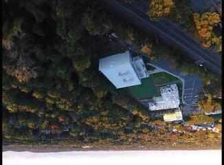
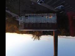
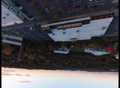
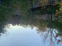
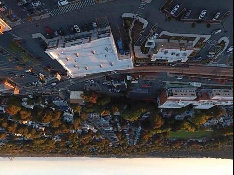
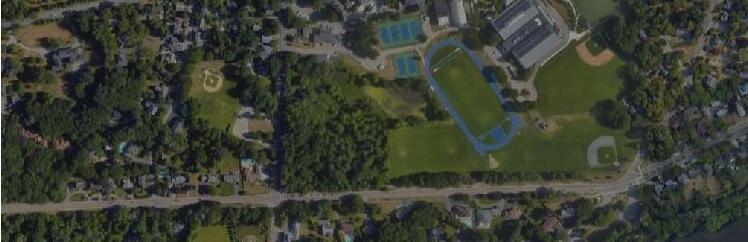
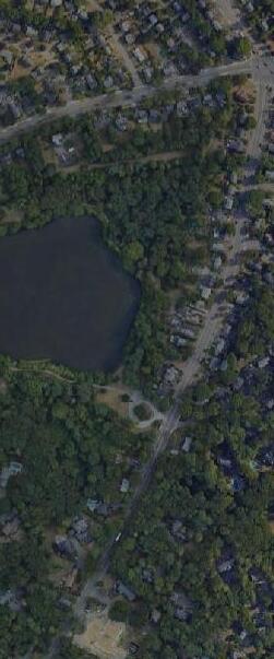
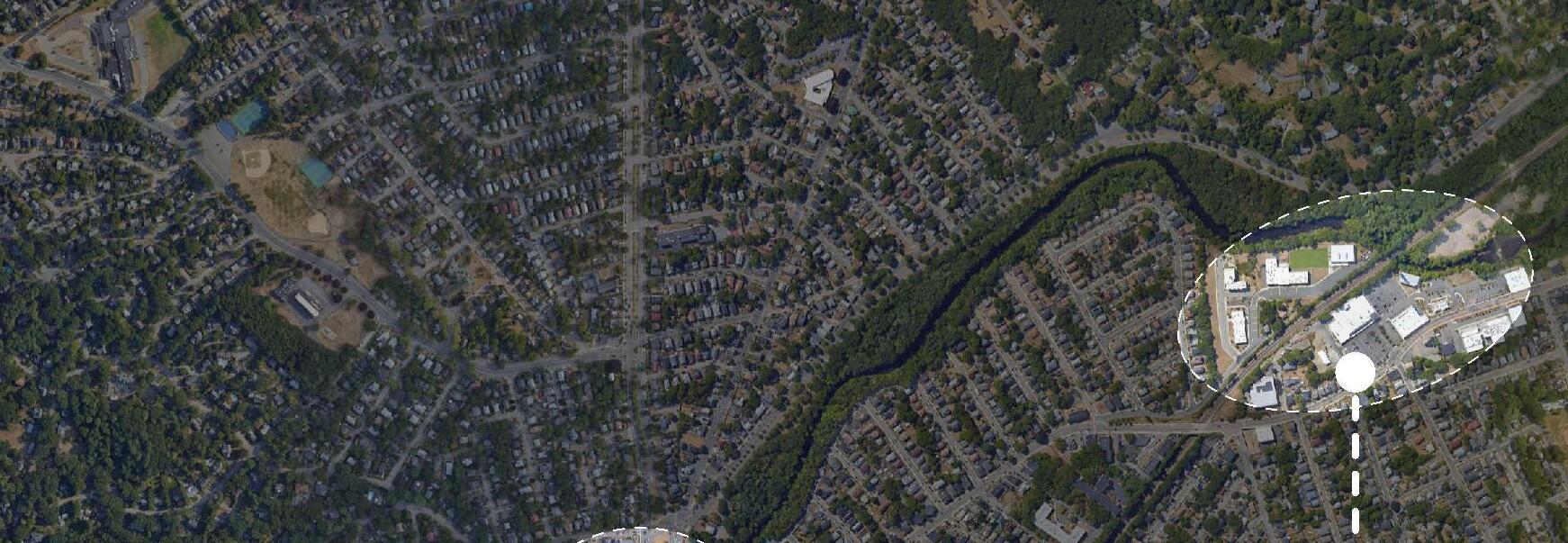
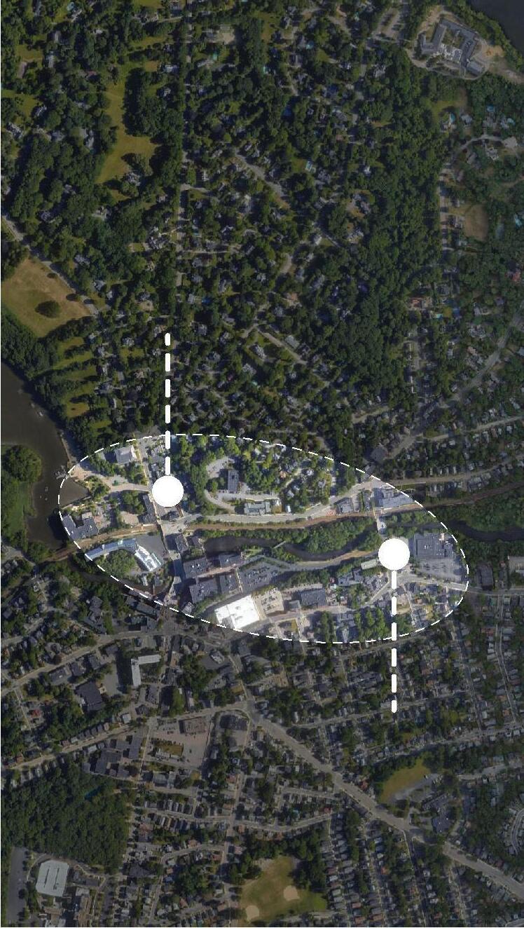
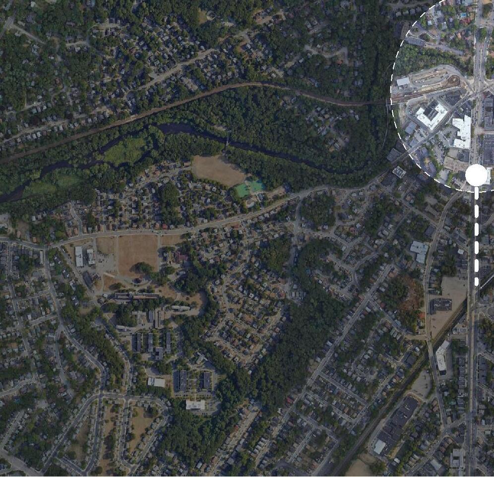
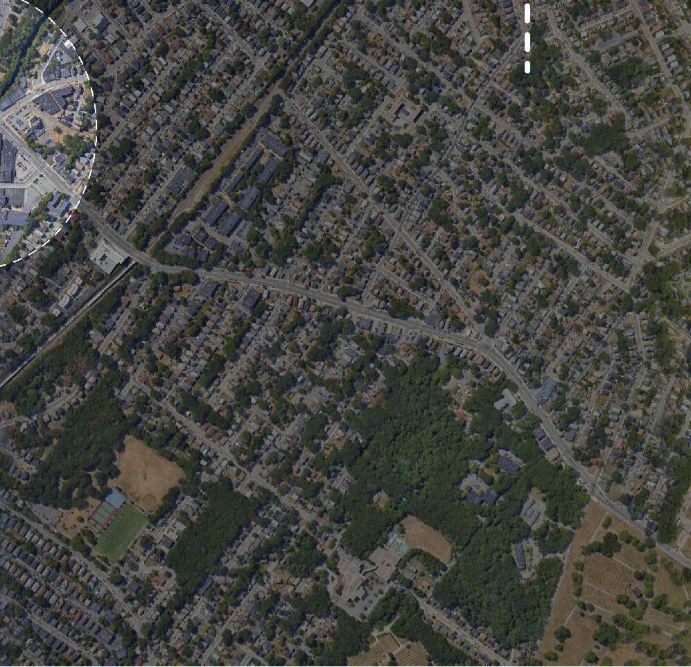
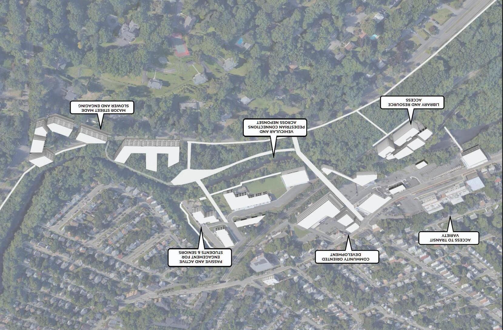
The studio was divided, into four groups for different sites near the Neponset River, each with students designing an intervention within their sites. The Hyde Park site was particularly, interesting because of the clear duality and shift in demographics between the local neighborhoods of Hyde Park, a more diverse, black and brown, woman, dominant community, and Milton a traditional, historic, wealthy community. I had indirectly found myself in a leadership role in the inventions during the project as I was the only black, local student in the group. The internal goal was to educate and inform my groupmates about the sensitive and extreme challenges an intervention in this community could affect. Eventually, producing a more empathetic design for the final review.
10
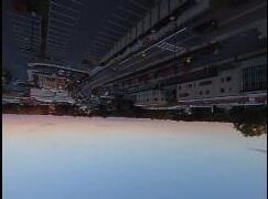
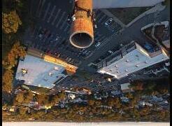
Site Photos
Site Locations

 Mattapan Square
Hyde Park/ Hollinsworth Dam
Milton
Central Ave
Mattapan Square
Hyde Park/ Hollinsworth Dam
Milton
Central Ave
11
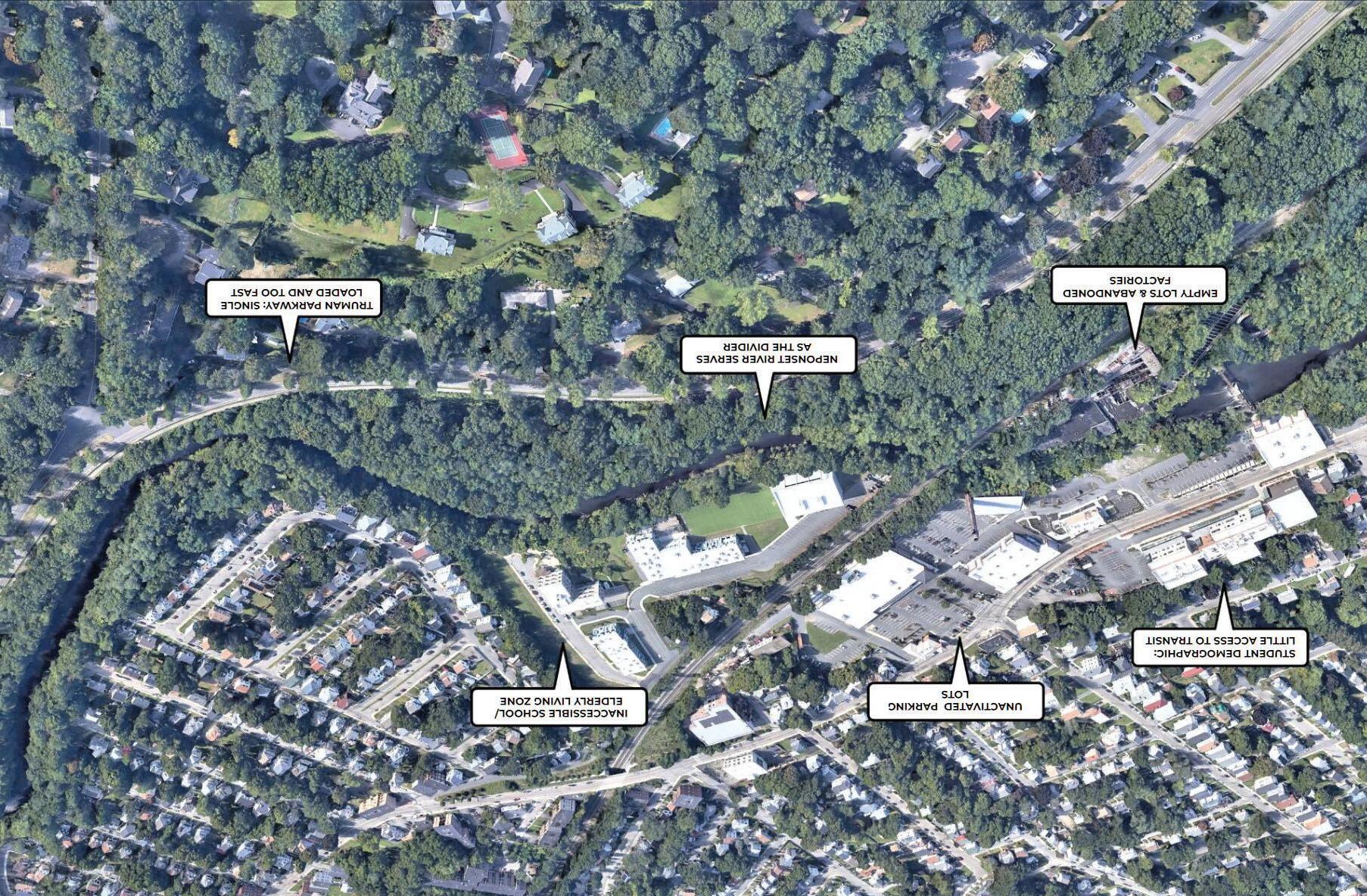
Challeneges
12
13
Interventions
Interventions Continued

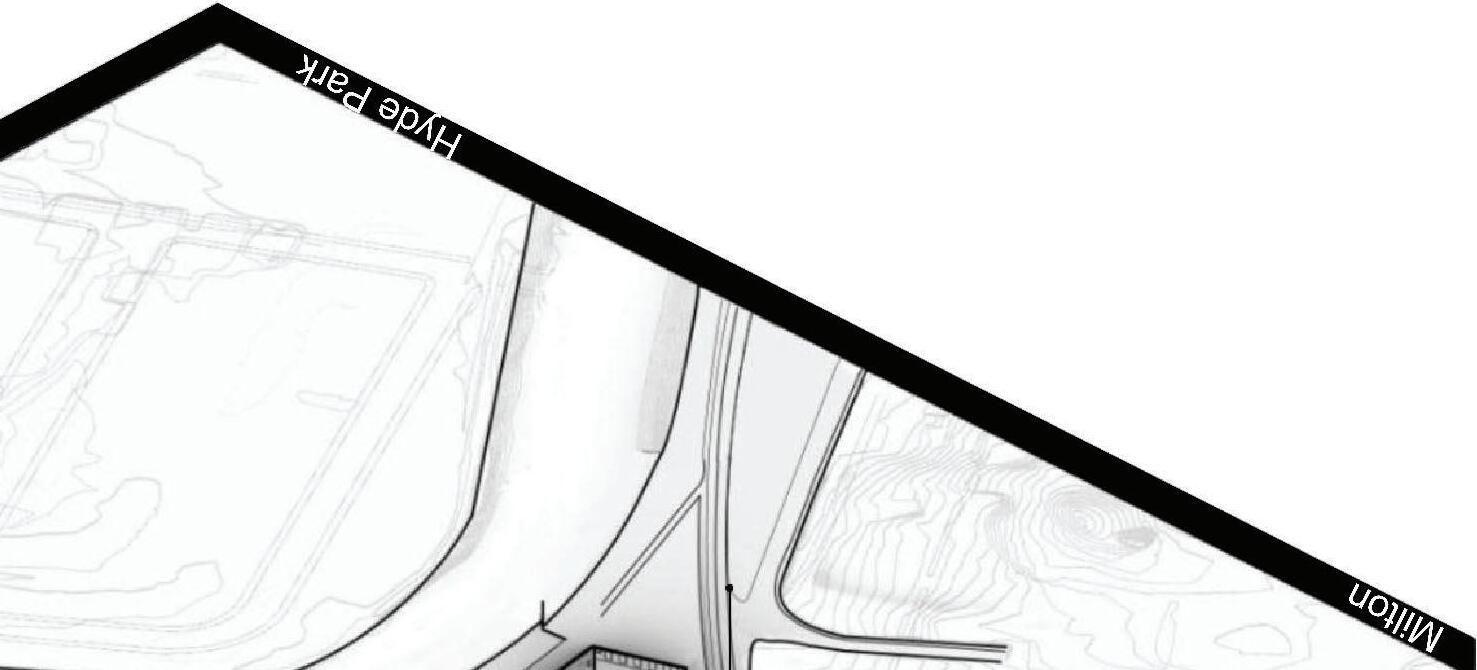
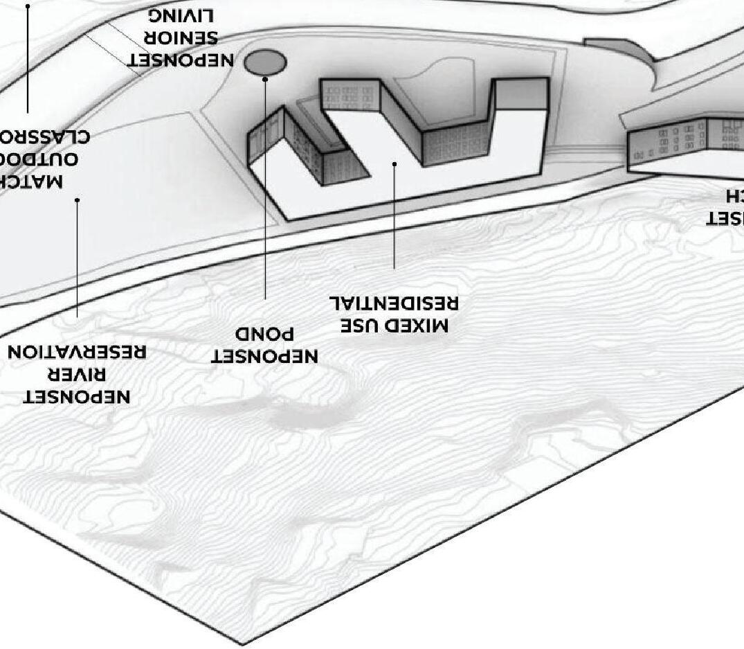
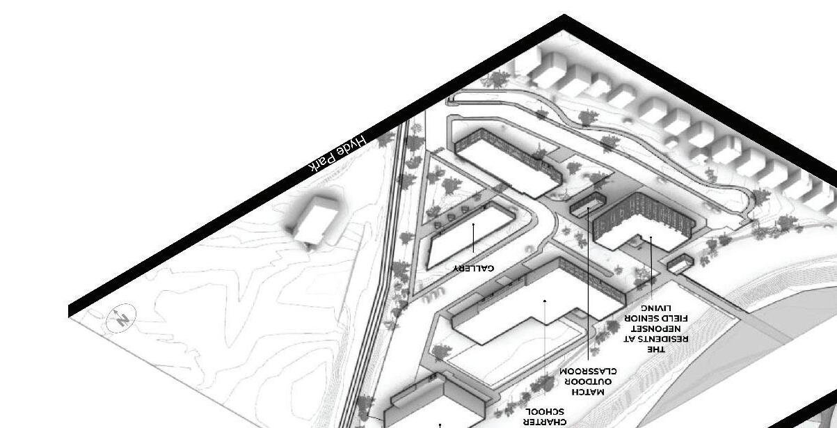
Improve Street Safety with Ample Residential Housing
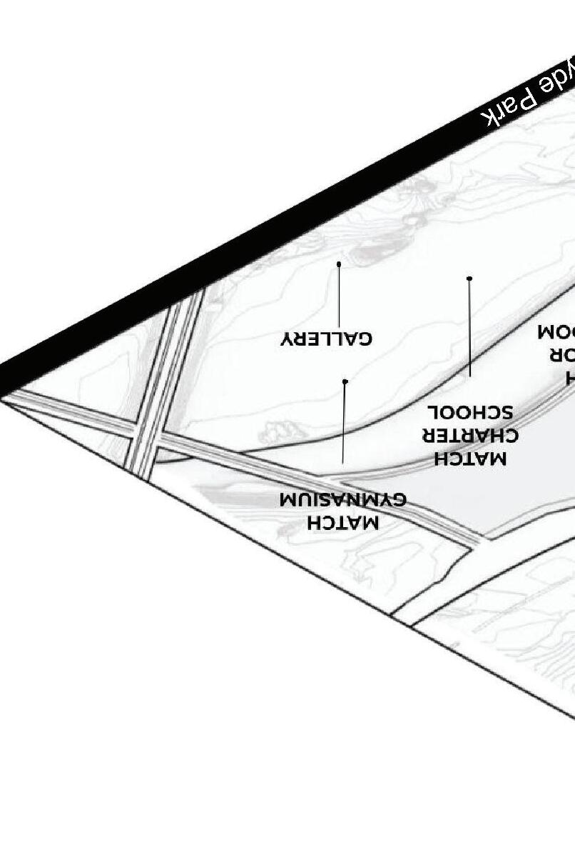
Reforming Truman Parkway to reduce the speeding cars in the area while increasing safety for non-automotive forms of transportation. Achieved by squeezing the roads together and stretching the remaining streetscape and incorporating new technology to assist in day-to-day safety. The site can subconsciously support Milton’s need for affordable housing by allowing an ample number of units within the complex while circulating through the Neponset River into Hyde Park. Optimistically providing housing for families in need within the area that interacts with the site daily.
 Design CC by Schuyler Wilkerson
14
Interventions Continued
Access
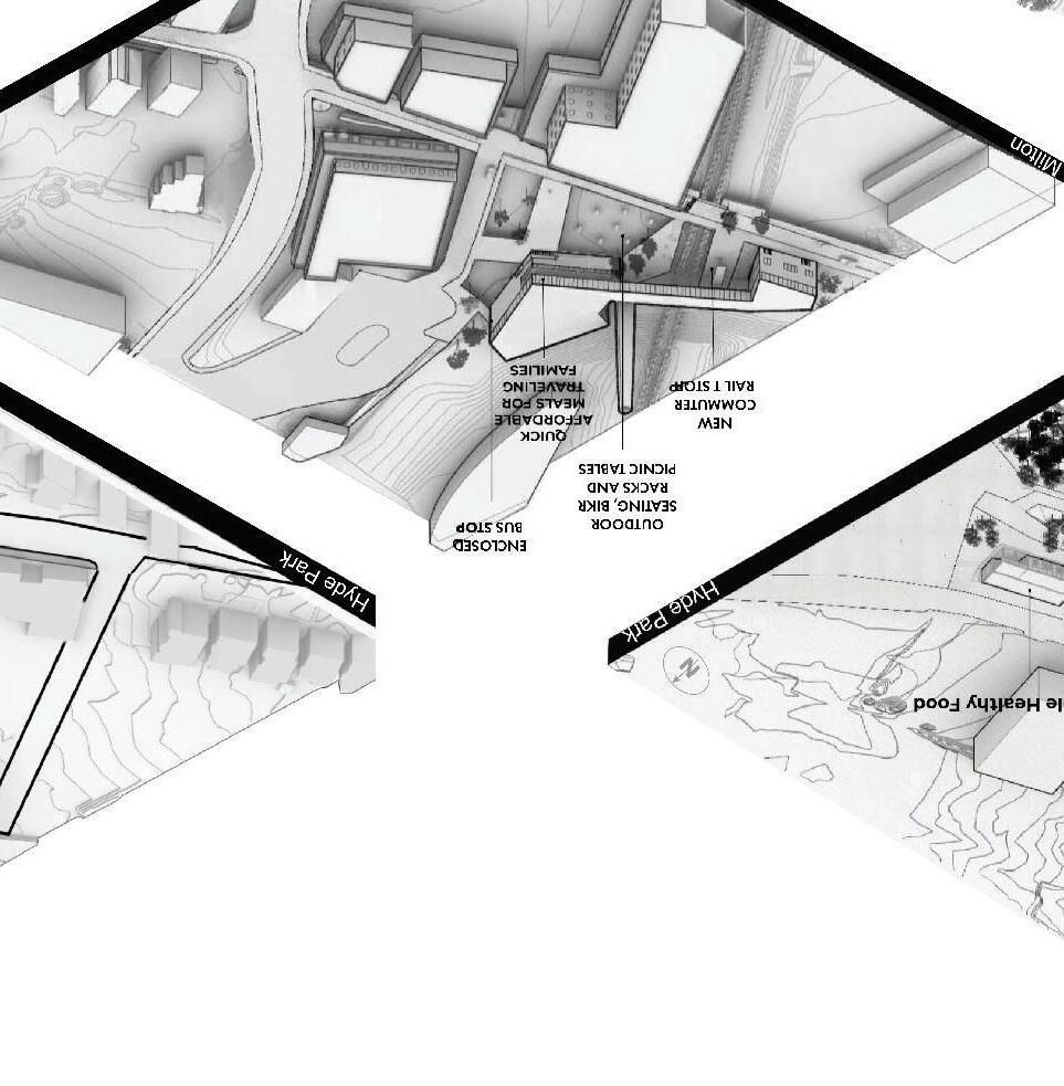
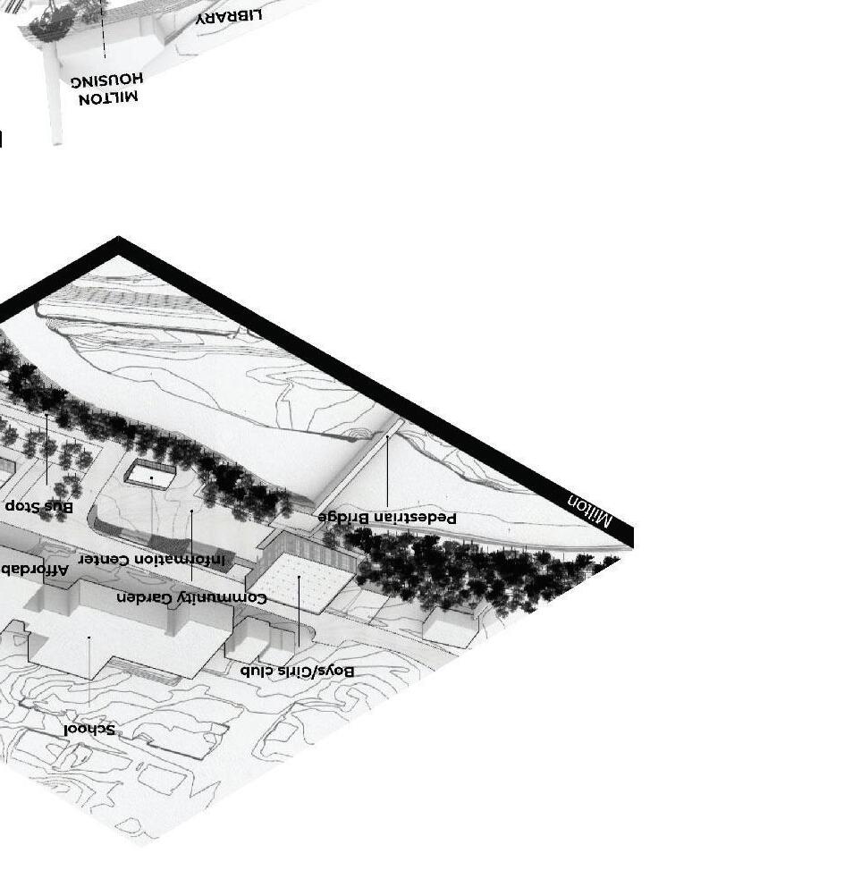
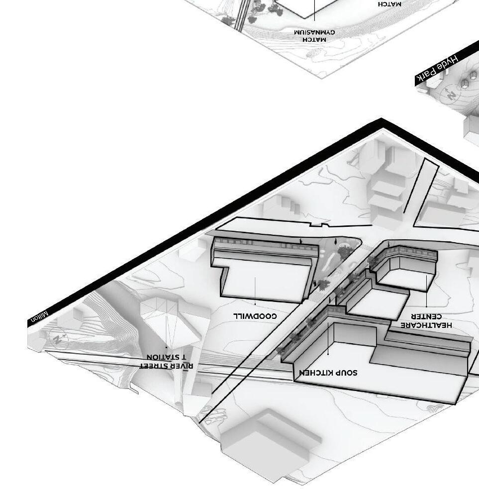
Connecting Two Towns Via One Historic Main Street
A Place for Intergenerational Learning
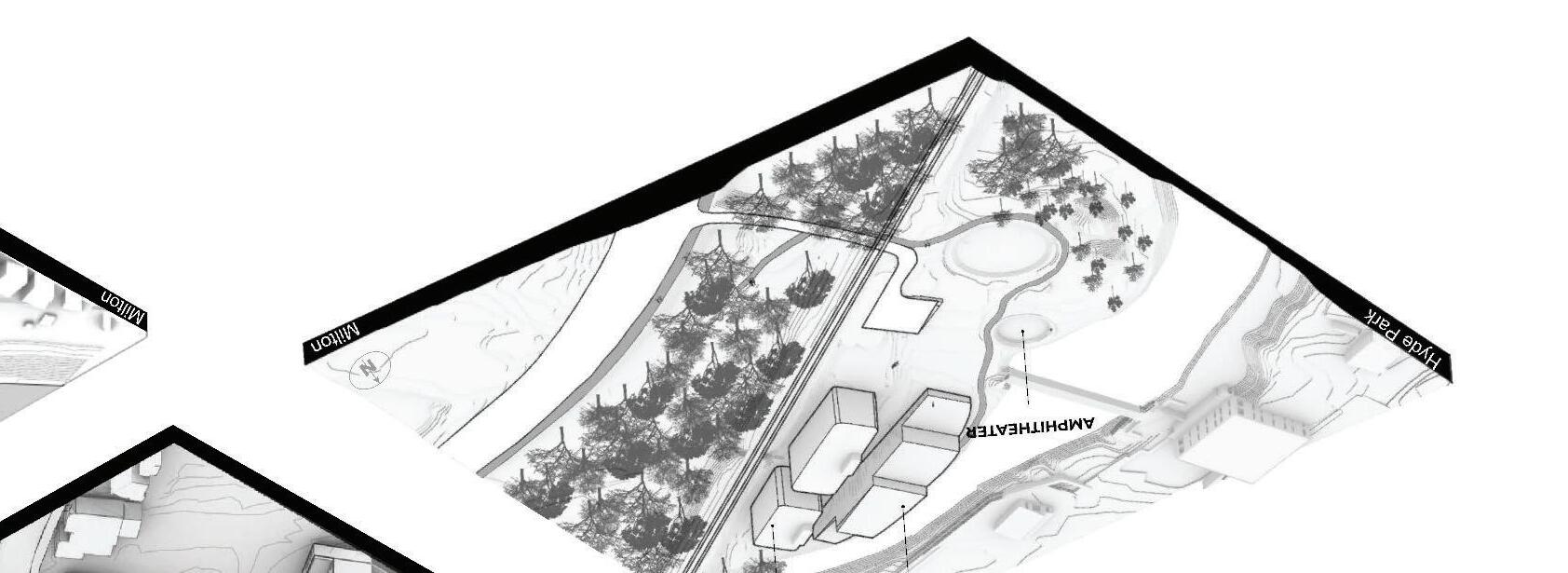 Accessible Education Hub
Center for Community Learning Reources
to Resources Through Transit
Design CC by Richard D’Avella
Design CC by Oz Perez
Design CC by Lily Langdon
Design CC by Molly Bowman
Accessible Education Hub
Center for Community Learning Reources
to Resources Through Transit
Design CC by Richard D’Avella
Design CC by Oz Perez
Design CC by Lily Langdon
Design CC by Molly Bowman
15
Design CC by Brendan McBride
DEMOPOLIS QUARRY
Spring 2022 l Studio 8 l Sammuel Maddox Demopolis, Alabama
Groupmates: Joseph Scheuermann, Joe Tran
Goal: Revitalize Demopolis through the means of active intervention. While contributing to local economic and population growth by in cooperating different forms of day-to-day communal programs.
The semester was, dedicated to an attempt to empathize and assist with the betterment of local lives in the Black Belt of Alabama. This Project is 1 of 5 intervention locations across the black belt region curated by a group of 3 students, each with a design that supports the overall classroom goals. Demopolis history faced many adversities some of the challenges this group acknowledges are health, economy, and education.
The group agreed to design interventions in individual locations within the Demopolis that each prioritizes one of the challenges locals face. The three separate designs would also produce a duality between the challenges faced and intersectionality towards the other design, as a way to ensure betterment in health and income.
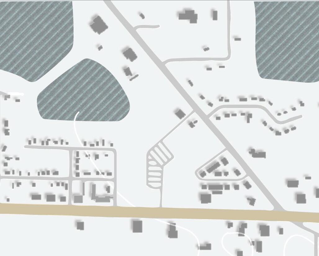
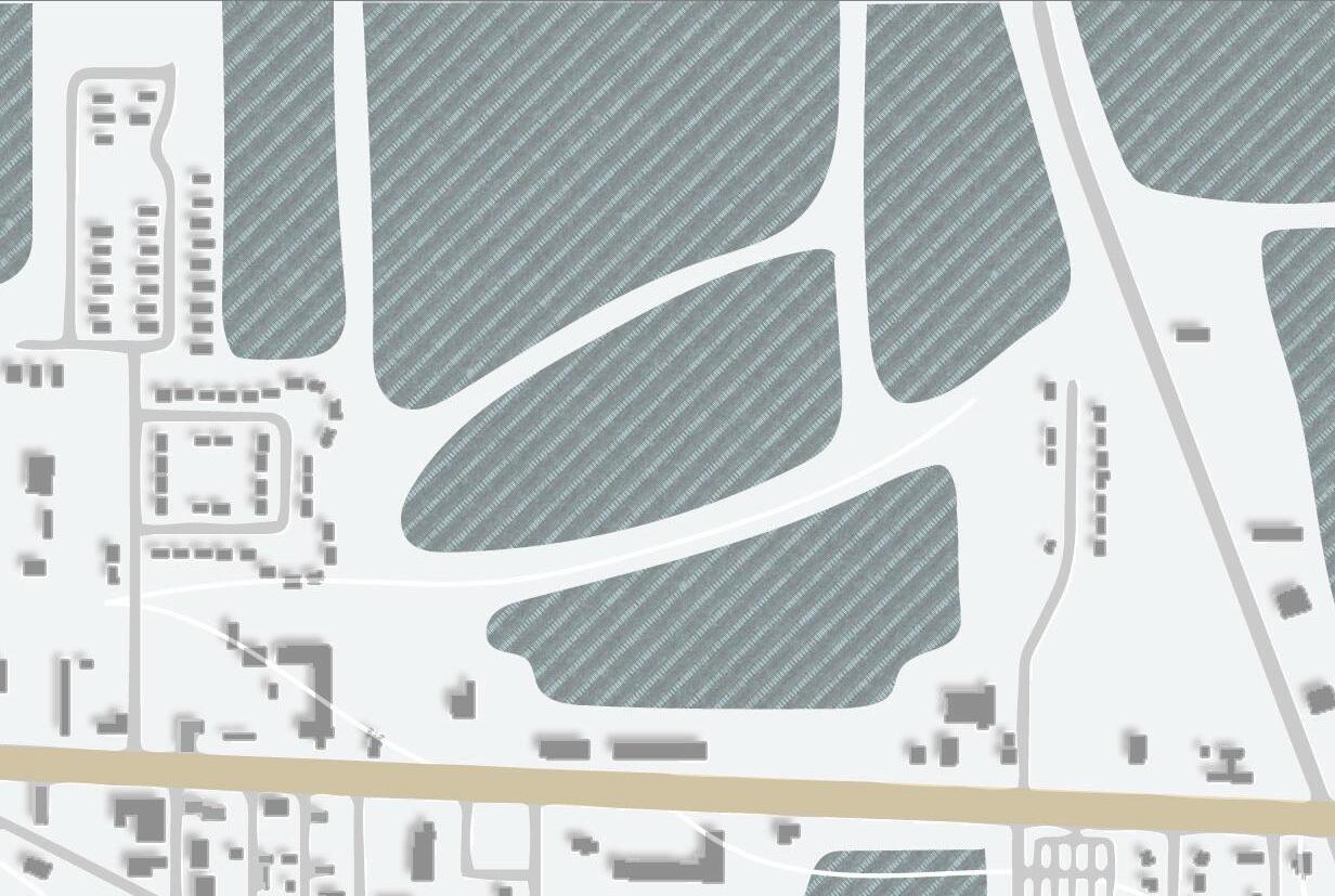
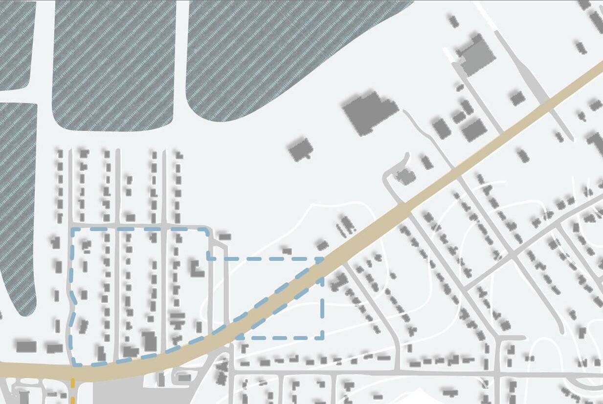
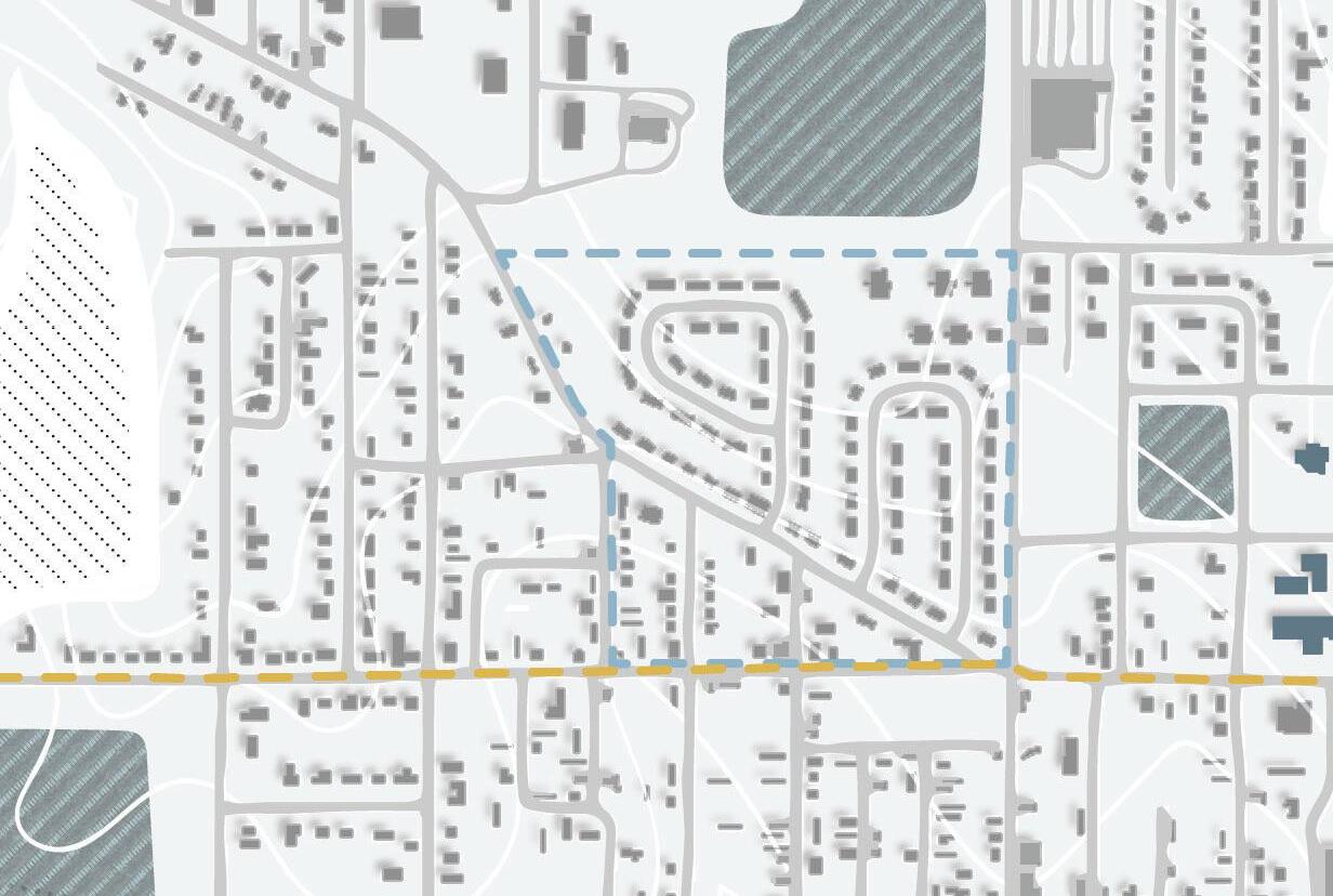
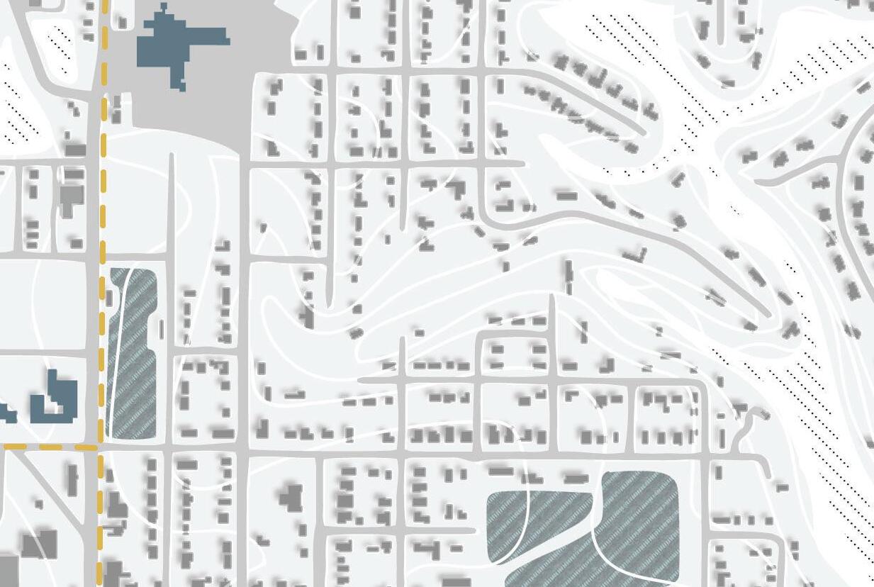
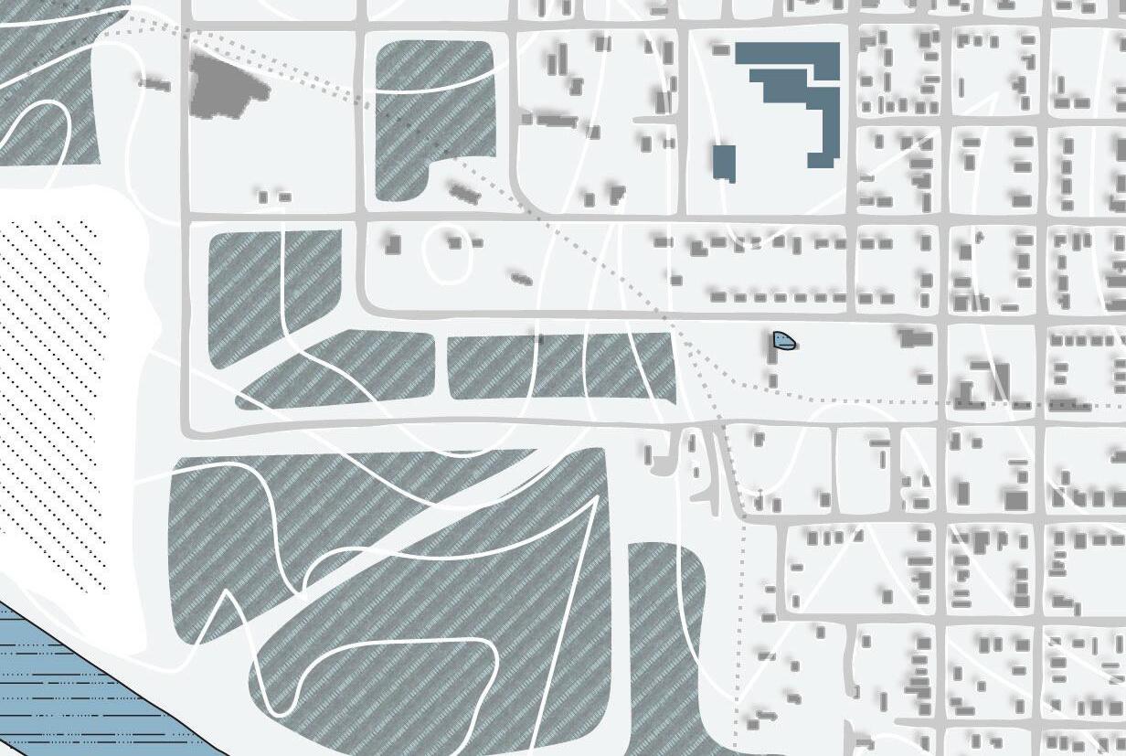
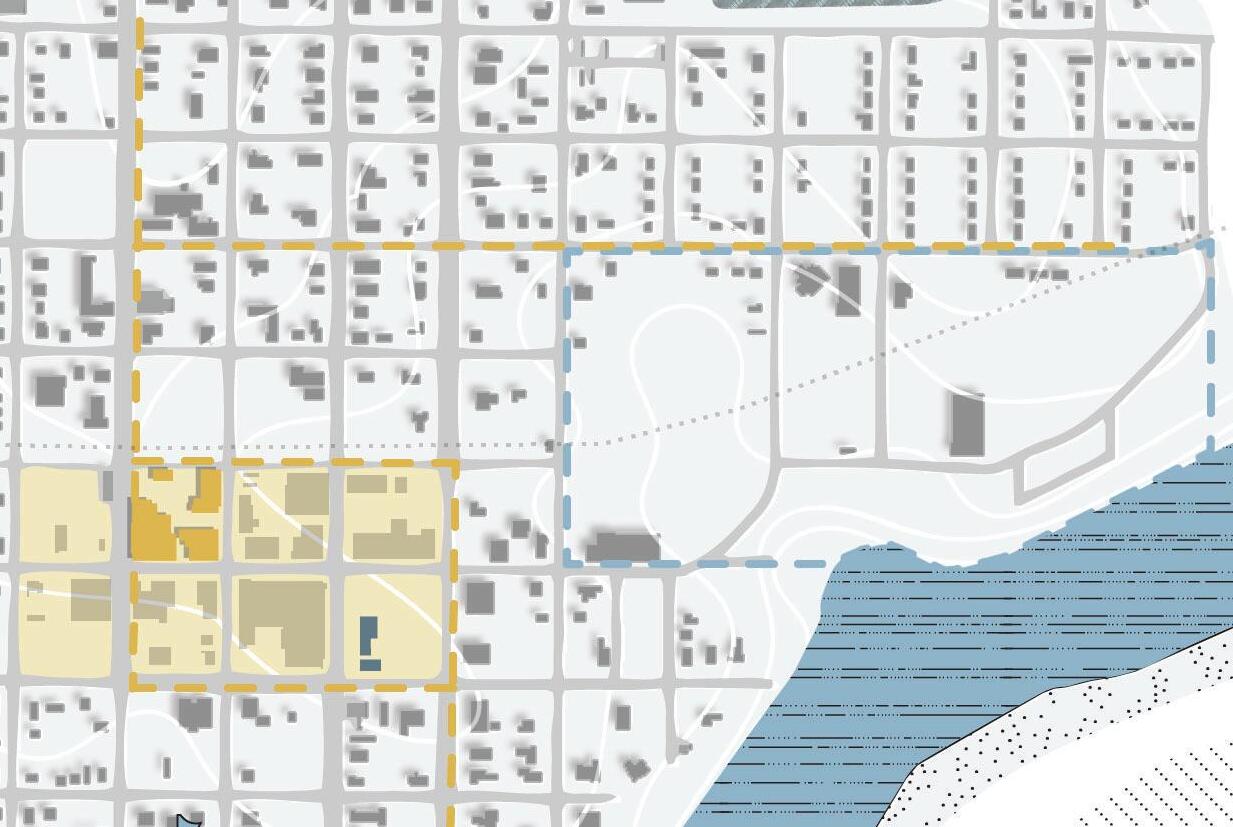
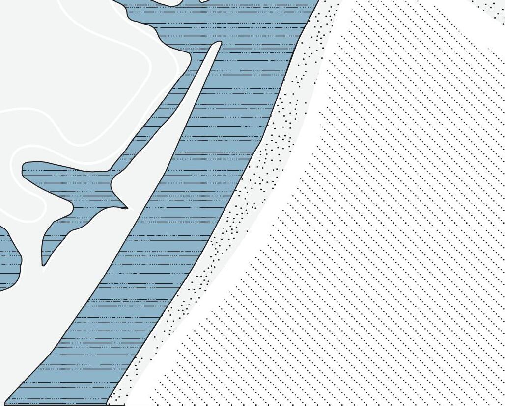
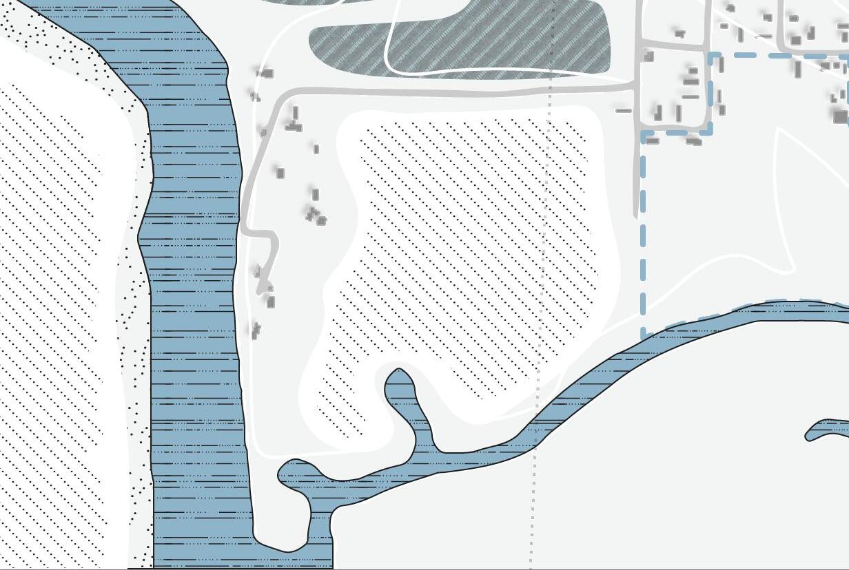
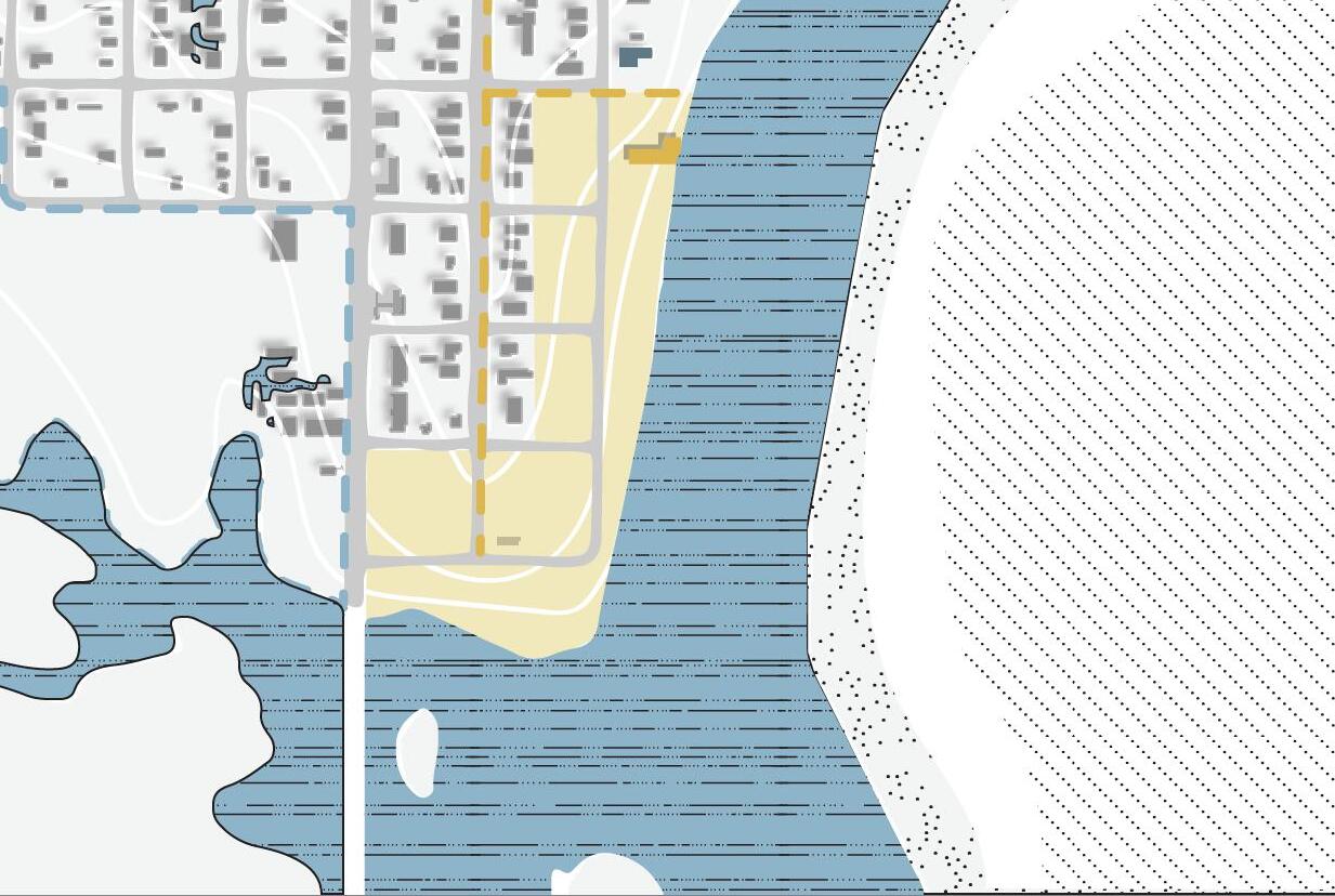
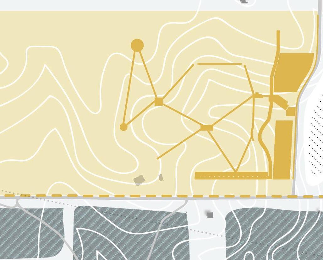
Demopolis Master Plan
3 2 1 16
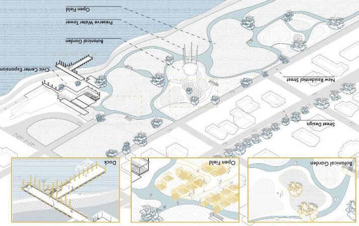

 A rehabilitation design on the edge of Demopolis and the Demopolis lake. allowing for a more functional public landscape while enhancing the local civic center for events.
A revitalization of an old commercial building, to increase local happiness by tourists and locals congregating while contributing to the local economy.
Riverside Park
2. Riverside Park Joe’s Winery & Taproom
3. Joe’s Winery & Taproom
1. Demopolis Quarry
Design CC by Joseph Scheuermann
A rehabilitation design on the edge of Demopolis and the Demopolis lake. allowing for a more functional public landscape while enhancing the local civic center for events.
A revitalization of an old commercial building, to increase local happiness by tourists and locals congregating while contributing to the local economy.
Riverside Park
2. Riverside Park Joe’s Winery & Taproom
3. Joe’s Winery & Taproom
1. Demopolis Quarry
Design CC by Joseph Scheuermann
17
Design CC by Joe Tran
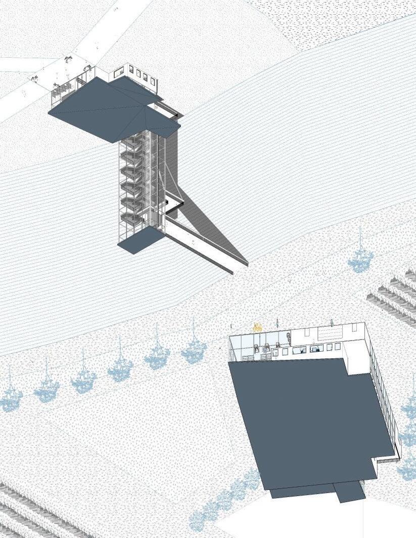
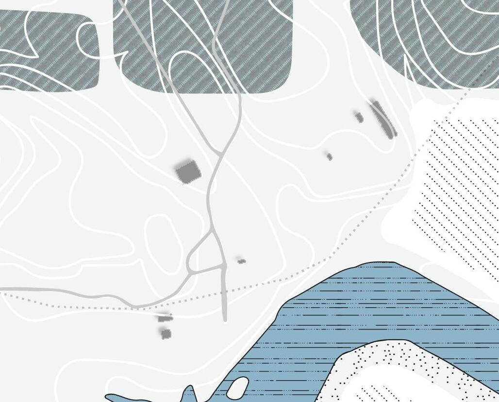
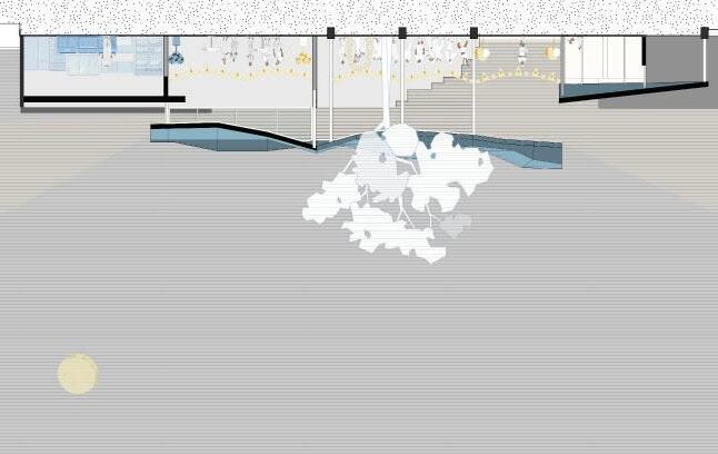
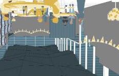
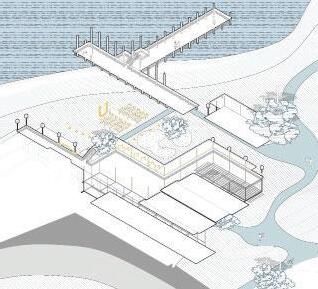
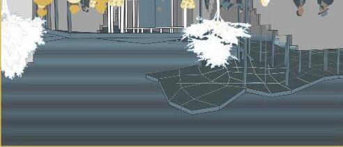
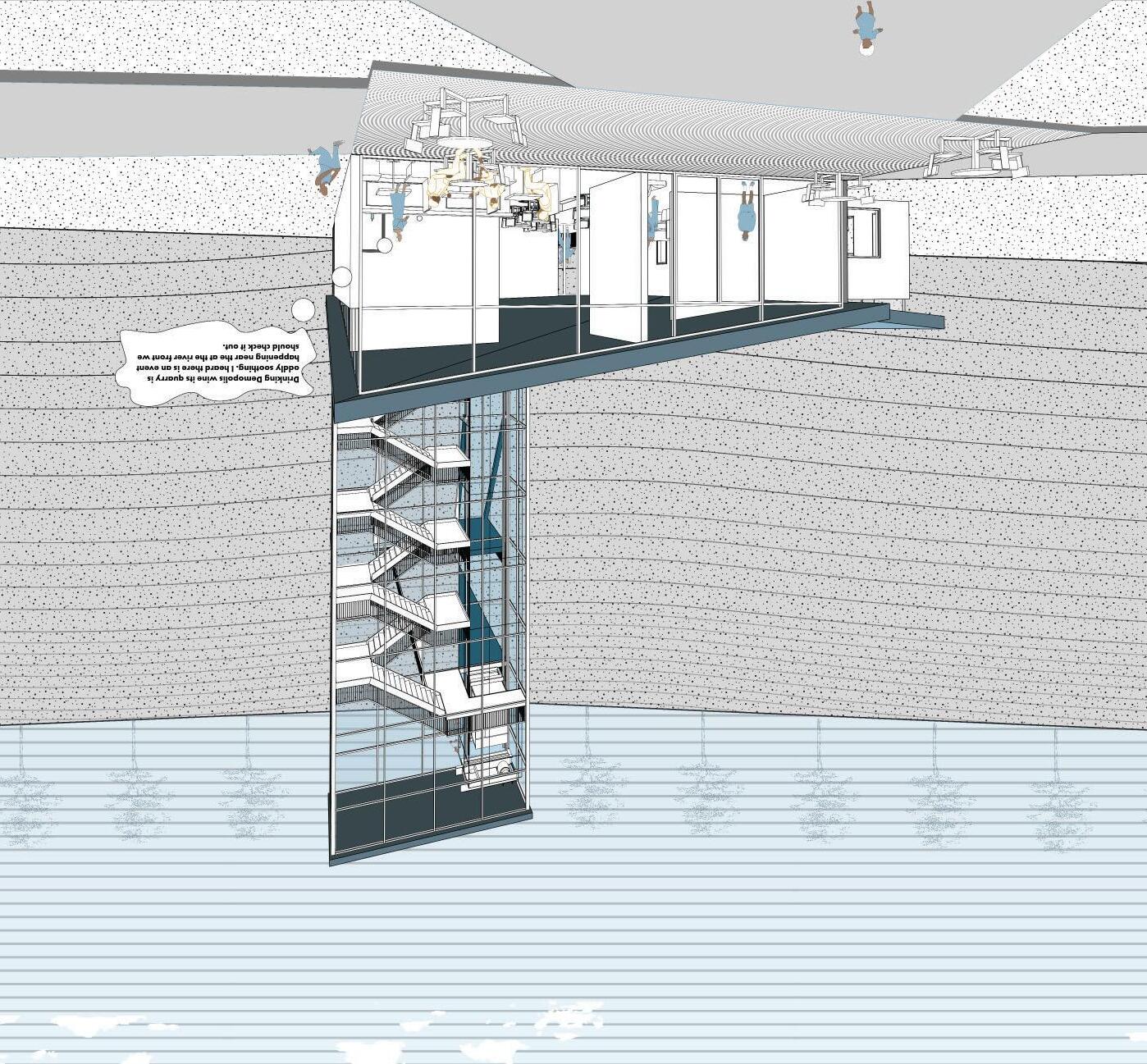
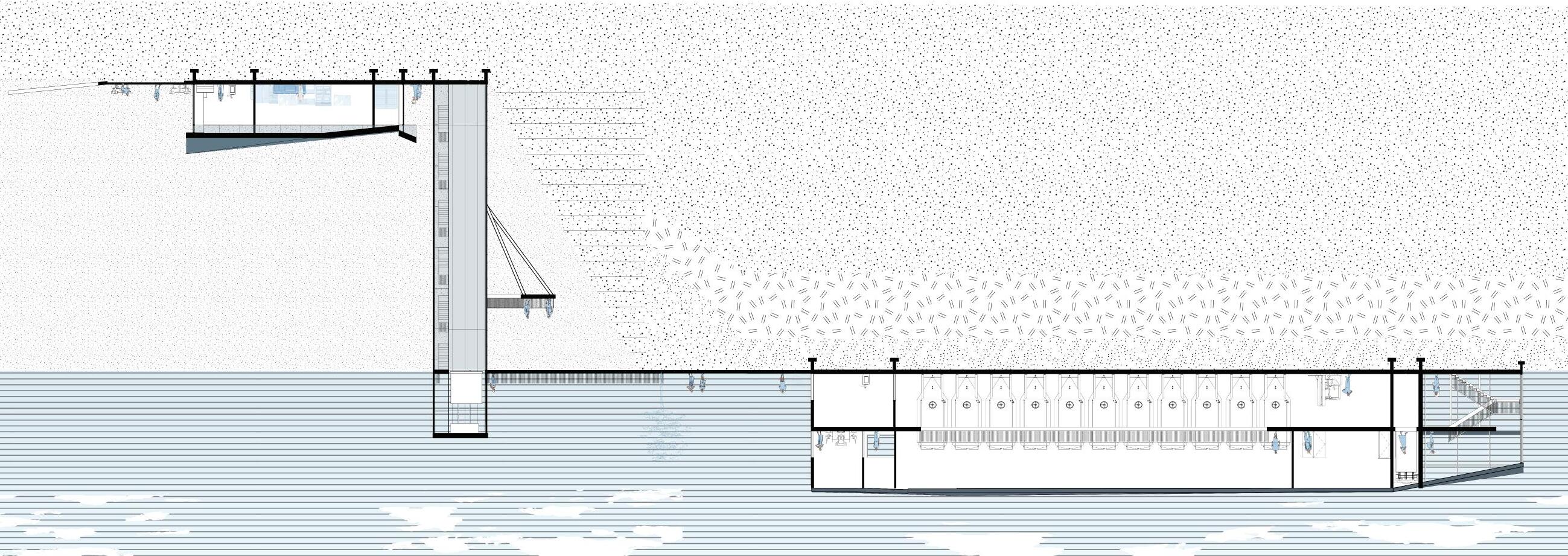
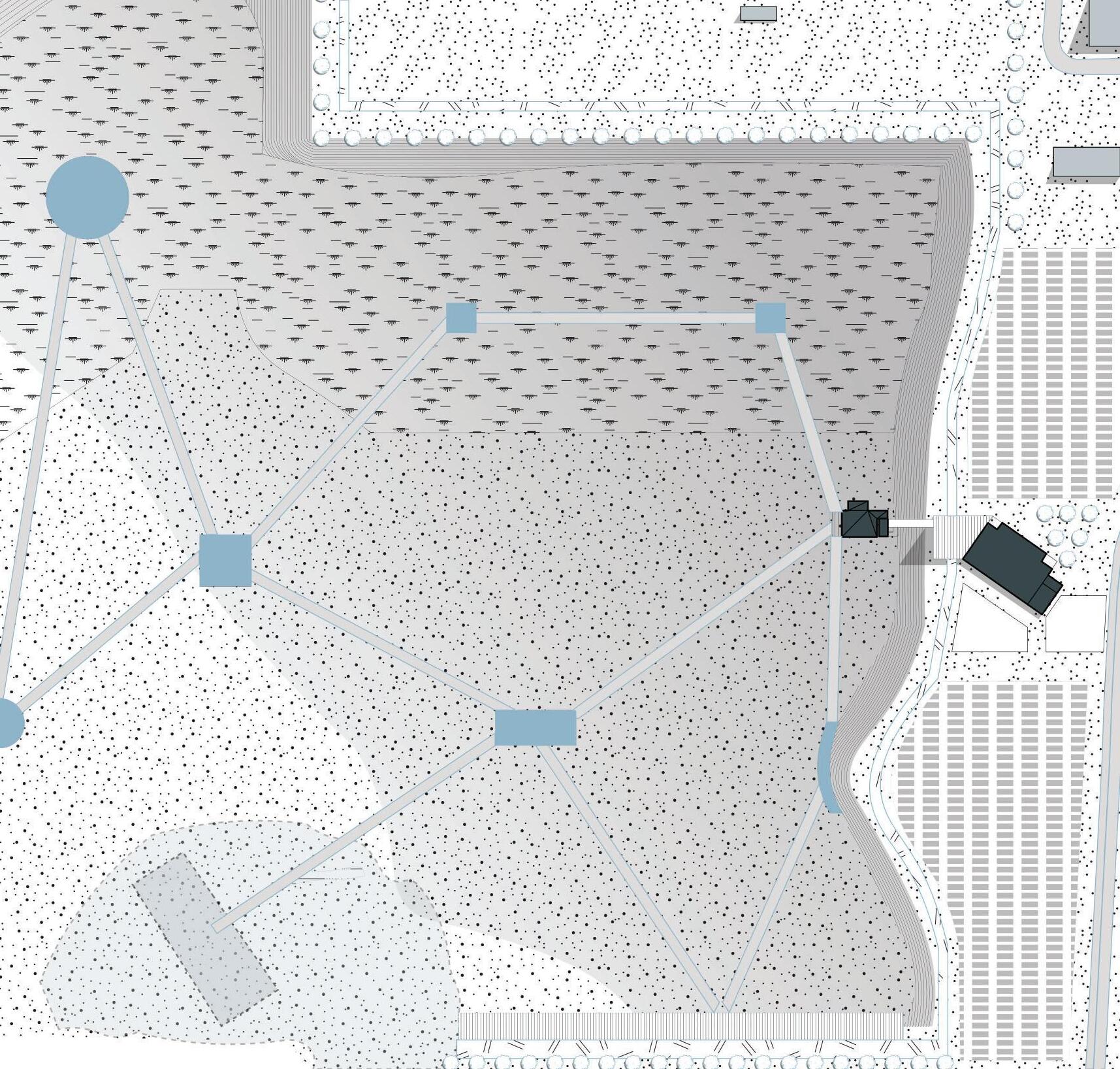 The Design overlooks a historically industrial rock quarry submerged into the surrounding black belt soil in Demopolis. The Desire to revitalize the quarry for public use was an attempt to offer another way for locals to better their health and attract tourism to increase the local economy.
1 Wine Crop
Quarry Park Intervention
5 Quarry Swimming Lake
3 Quarry Circulation Tower
7 Future Pavilion Park
2 Wine Processing & Ageing
6 Quarry Boardwalk
The Design overlooks a historically industrial rock quarry submerged into the surrounding black belt soil in Demopolis. The Desire to revitalize the quarry for public use was an attempt to offer another way for locals to better their health and attract tourism to increase the local economy.
1 Wine Crop
Quarry Park Intervention
5 Quarry Swimming Lake
3 Quarry Circulation Tower
7 Future Pavilion Park
2 Wine Processing & Ageing
6 Quarry Boardwalk
7 6 5 4 3 2 1
4 Quarry Resturant
500 Feet 100 250 50 25 10 18
Demopolis Quarry
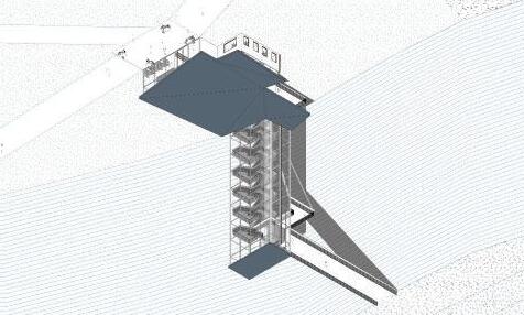
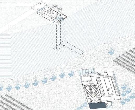
The design intends to utilize the elevated black belt soil as a field for vineyard crops and revitalize the quarry. The upper design acts as processing and storage for the surrounding vineyard crops. From the pre-production of crops to packaging/labeling and selling can all take place in the upper third. The second section is the circulation tower to transport people and goods into the quarry, where the third section of the design is located. Within the quarry, people are free to roam the boardwalk (distance) as a way to stay active. The restaurant intends to attract tourists to experience the Demopolis quarry, consuming local meals and products from the vineyard.

100 Feet 25 50 10 19
Water Commune
Fall 2022 | Studio 8| Yasaman Esmaili & N Johnathan Unaka Tizyane, Morocco
Groupmate: Joshua Ssebuwufu
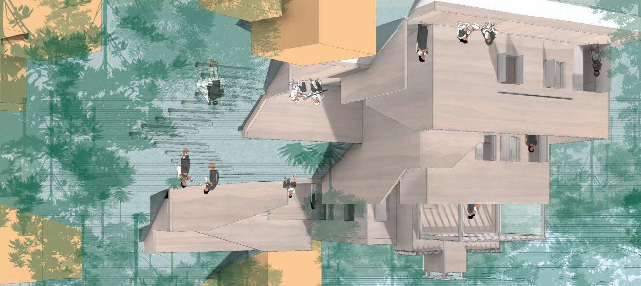
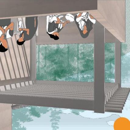
This project is intended to be used by women, men, and children of all ages, from the village of Tizyane, Marrakesh-Morocco A significant social, cultural, political, and economic resource in Morocco is the access, collection, and management of water. Many challenges faced by the residents here in the Tizyane village arise from water management. This project embarked on addressing these issues, but most importantly the acknowledgment of the cultural sensitivities involved. The Water commune proposal aims to utilize local knowledge and techniques in an architectural aggregate to solve the issue of domestic water management, while also providing space that fosters community amongst the children, women, and men of the Tizyane village.
20
Design Render
So many problems today that have no definitive solution. Centuries of deteriorating evolution found itself at the forefront of progress and growth which allowed the unprecedented want of capitalism. The challenges the world faces today are an absolute result of a deficiency of community caused by the capitalistic ideals of individualism. Community fosters collective growth leaving no one behind, yet the magnitude of success may not necessarily be equal, henceforth precluding large disparities amongst the public. We, as a community value each other’s community, and the communities together value ecology. Education is the most critical social need in developing a community and requires accessibility to all (age, gender, and sociology-economic status). Education requires sensitivity to the culture, traditions, and norms even as it institutes new knowledge to solve the challenges the people face. The intervention is essential to such a rugged geographical location and is predicated primarily on the cultural needs of organic life. If an ecosystem is lucky their necessities for most organic life in the area can be very similar, like water, so the problems producing these issues are close relationship to climate change.
The site for intervention was chosen because of its location on the ravine (an eroded gorge where a seasonal tributary of the river flows) which would serve greatly in the education of the residents. Secondly its proximity to the village water reservoir which would make potential connections easy to establish. Lastly, its location on the south-side of the village which also serves as the exit/entry to the village thus the need for a community stop-center.
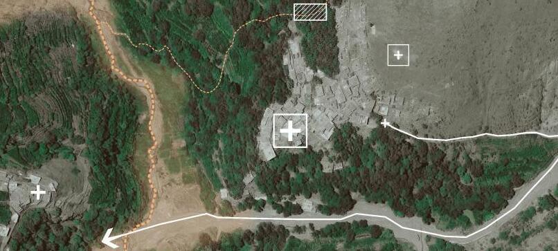
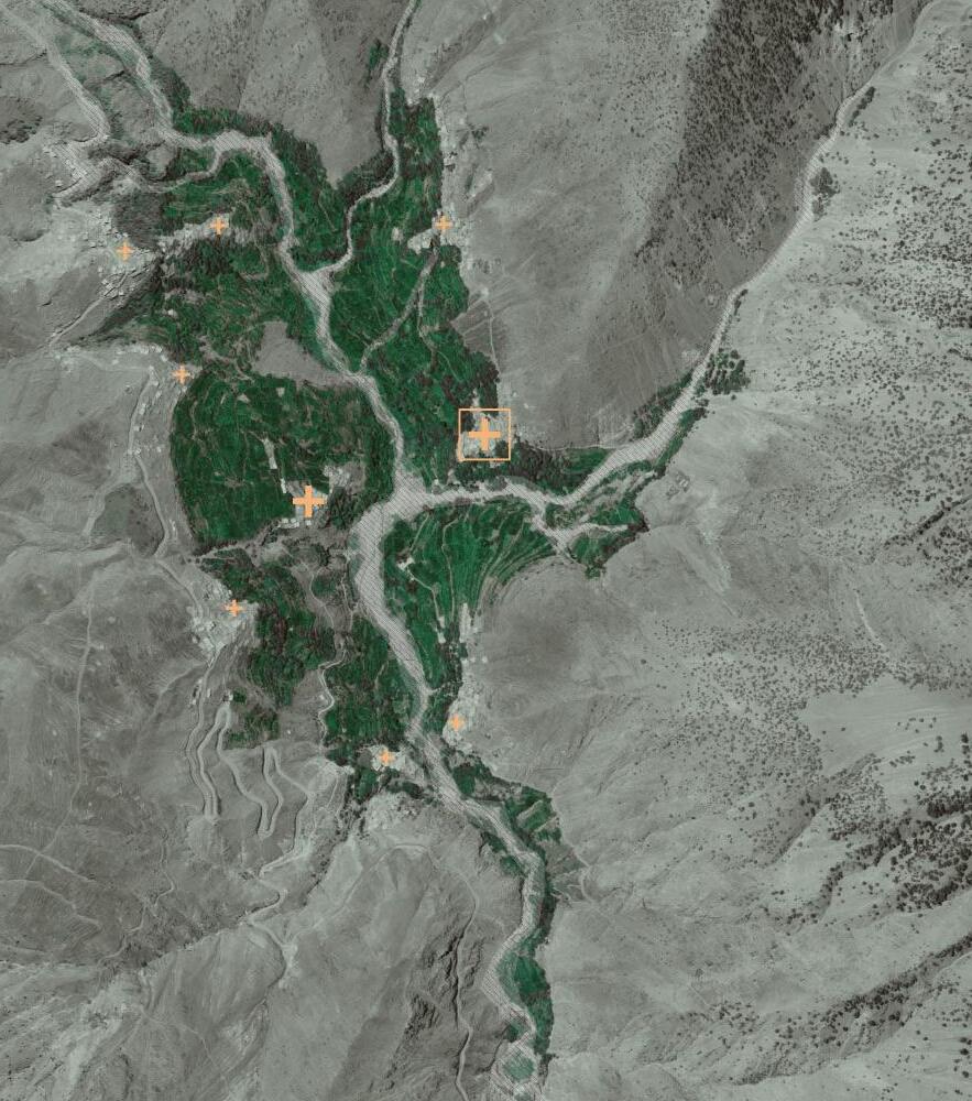 Tizyane Village
SITE
Ouirgane Valley
Bridge River Water
Village
Tizyane
Location Basin Reservoir
Vehicular access road to the village Village
21
Azzaden Valley, Morocco
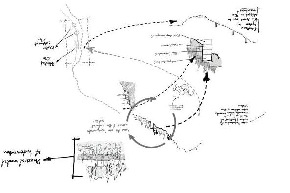
1. Water management is an issue that stems right from the day-to-day domestic life of the villagers at their homes and thus undertook analyses of the existing architecture and how it performs these duties. These explorations revealed the program classifications the villagers assigned to different spaces such as; Social spaces are located usually at the top level, working/ infrastructure in the middle, while storage of produce and livestock is at the bottom floor.
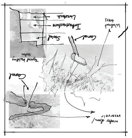
2. Water Tower concept model
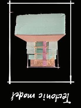
3. Image shows the iterative process underwent to explore and identify working foundations in the village upon which an intervention can be built.
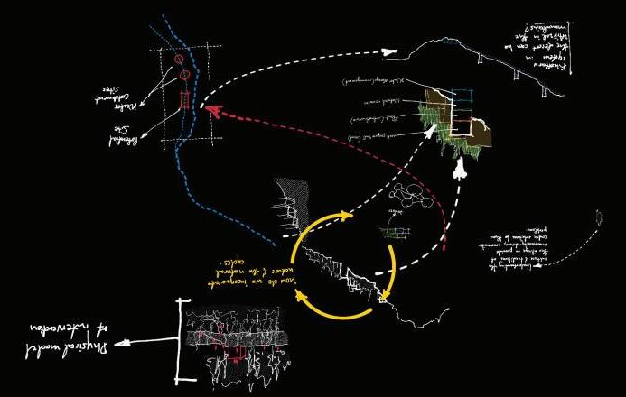
4. The design iteration here considered using a water tower attached to the side of the building to improve accessibility to domestic water, additionally a tool that could be used, for the management of collected water.
 1.
3.
2.
1.
3.
2.
22
4.
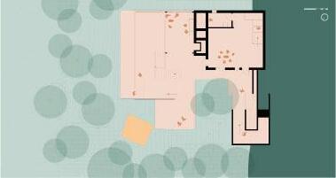
Given the strategic location of this site to the entry/exit of the village at the south, this intervention will provide a stopand-go space for the community members. As seen in the image, several outdoor spaces of the building are accessible to the rest of the community members who may not want to go to the inside of the building.
The Third Floor
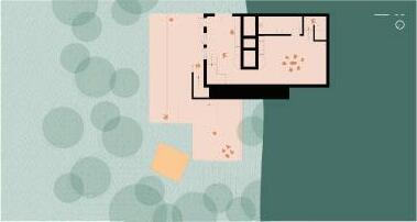
Lower level of the building, hosts the livestock and produce storage areas. The produce storage is walled off from the livestock to protect it from any incursions from the animals.
The Second Floor
Hosting the kitchen and work room since they are labor intensive and produce a lot of heat and exhaust gases. This allows to keep waste away from the living social areas on the first floor. There is a patio on the outside which is an extension of the terraces and provides a space for social activities on this level as well.
The First Floor
An open layout communal area that hosts various activities as needed by the community members. On the exterior is situated a shaded terrace which can be used as an entertainment area, or as a laundry area for the women of the village. There is access to the shaded terrace from both inside the building and outside.
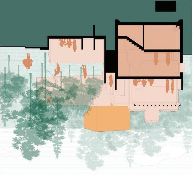
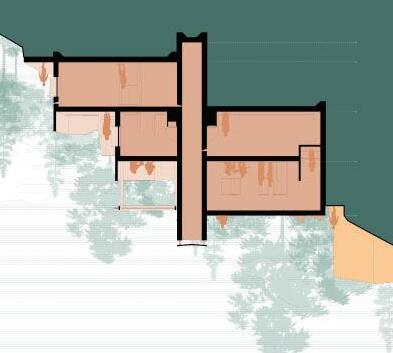
The proposal seeks to merge with the site context through scale (designing in sections to overcome the steepness of the mountain slope), material (using locally sourced materials and techniques through rammed-earth building), and form (building on the familiar building language in the village to create a new architectural aggregate that benefits the community).
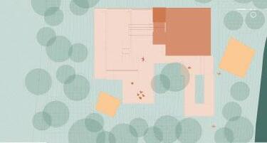
This section cuts through the last 2 floors as well as the shaded roof terrace on the first floor. This section is intended to show the layer relationship
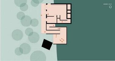
This section cuts through all three floors and is intended to show the relationship of the program spaces to the water tower.
 The Roof Plan
Section B (North-South)
The Roof Plan
Section B (North-South)
23
Section A (East-West)
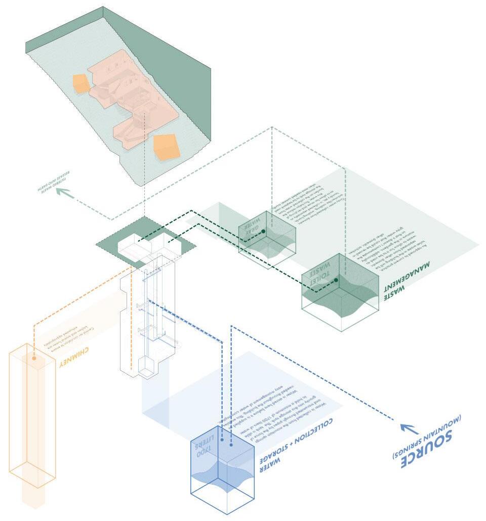
Wast Management Diagram 24
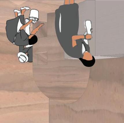
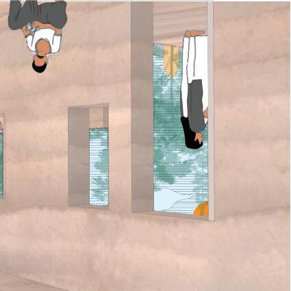
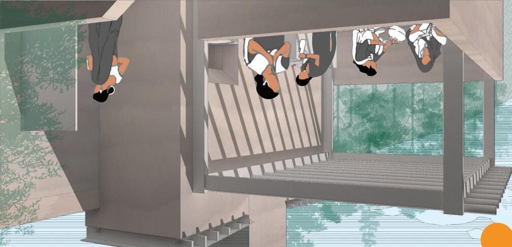
Water Commune Perspective
Shaded TerraceCommunity Room Perspective
25
Kitchen Perspective
SEED A NEW VISION FOR
NORTH NASHVILLE
Contributors: 2022 WITNOMAS members

The impact of Dwight D. Eisenhower’s Interstate Highway System which emerged in the 1960s, and tore through neighborhoods in North Nashville, is still alive and well in the lives of the residents in this community.

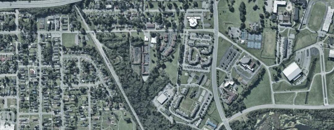
A closer look at North Nashville, especially the Jefferson Street Neighborhood, zip code 37208, tells the larger story of housing segregation and later displacement in Nashville. This area has been a historically Black neighborhood since the settlement of African Americans around Fort Gillem in 1864. The camp was a temporary home to many newly freed slaves, and bisecting the Fort was a wagon road that later came to be known as Jefferson Street. This area grew to become the black metropolis, education, and cultural center of North Nashville. With institutions like Tennessee State University, Fisk University, and Meharry Medical College, residents of this neighborhood enjoyed the great services that these HBCUs had to offer. And here a seed was sown.
The emergence of the Interstate highway system in the 1960s saw the Jefferson Street neighborhood become a target, and many residents moved out of their homes and businesses and were displaced to give room for the construction of I-40, which created a physical barrier right through the middle of the neighborhood. Likened to a tree whose stem and branches have been severed, but the stump and seed remained.
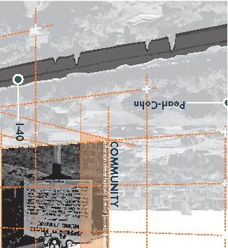
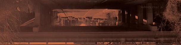
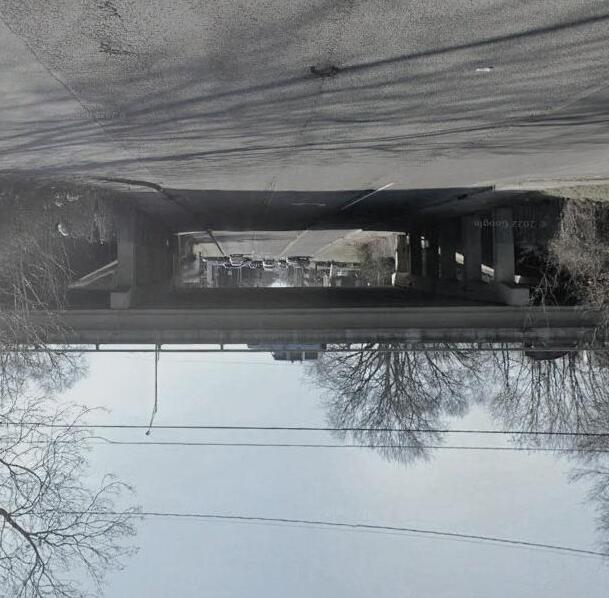
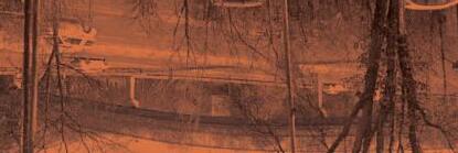
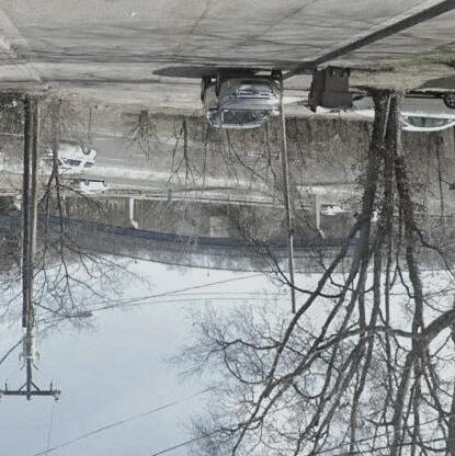
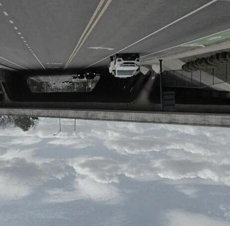
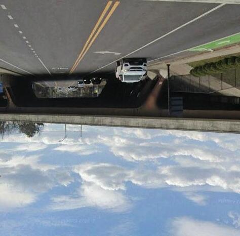
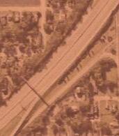
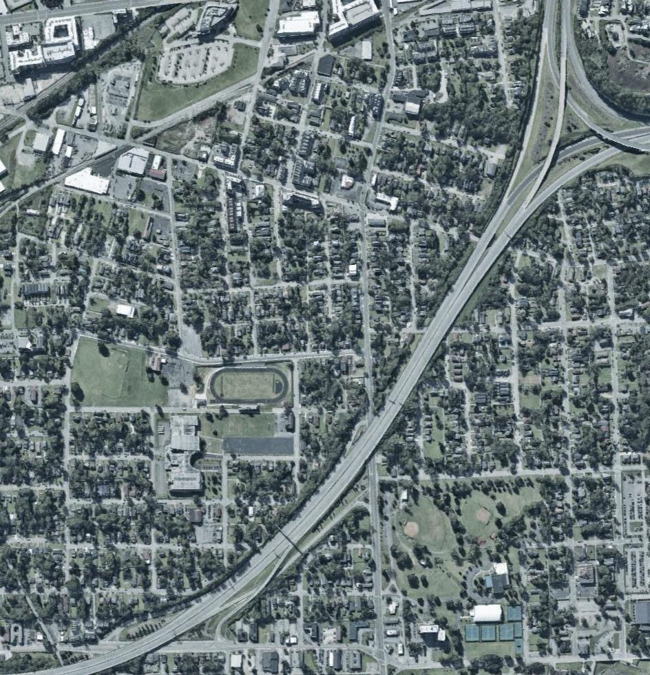
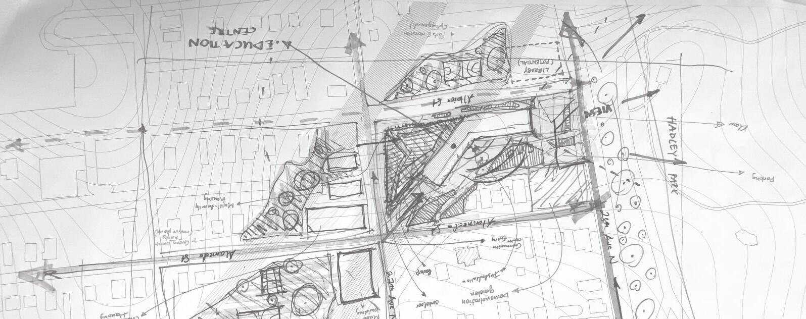
In our proposal, we asked ourselves, “How can the Jefferson St neighborhood be rejuvenated?” “What can be done to restore the community fabric, break the wall and bridge the gap created by the construction of I-40? Our proposal aims to create a historically sensitive approach to counter the impact of the construction of the I-40 highway, to realize a revitalized and rejuvenated Jefferson Street neighborhood.
One thing was clear: removing the highway was the only solution that would remedy the various challenges facing this neighborhood. Reclaiming what was taken to restore what once existed. Like a severed tree stump and dried seed, the life in Jefferson St neighborhood still exists only waiting for the right conditions for it to sprout again. Following that, A tri-strategic plan to re-imagine Jefferson Street, Removing the highway to reunite streets severed streets, and creating a new cultural and education hub for the neighborhood was formed.
Jefferson St revitalization focused on rejuvenating existing businesses and activating under-utilized spaces to bring more life and foster economic growth for the local businesses. Reworking the street to allow for bus lanes as well as bike lanes envisions a sustainable future and lowering the transit carbon footprint.
Removing the highway focused on reconnecting severed streets. Through this process, the barrier once created by the highway is broken, giving room for new public spaces like parks that frame the reclaimed land and a perfect transition through the neighborhood. Highway removal also makes redundant the need for a bridge as these public spaces become the link between the two sides once separated by the highway thus creating a “metaphorical bridge”.
A cultural and education hub through the addition of a museum and community center to celebrate the resilience of the Jefferson Street community. Given its location, the museum also acts as the meeting point for all the educational institutions in the area and is a perfect transition for recreation in Hadley Park. This hub also stands to celebrate the art and music history of this neighborhood, providing space for display but also space to nurture future change-makers of the neighborhood.
A proposition of a zoning variance will be requested to allow for increased density and support local arts, entrepreneurship, and business development opportunities while upholding contextual typologies. The site is currently zoned in the Urban Neighborhood Maintenance (T4 NM) district to the Commercial Attraction district. This will revitalize the community and both economic and social growth.
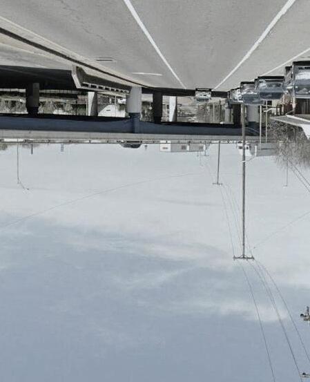
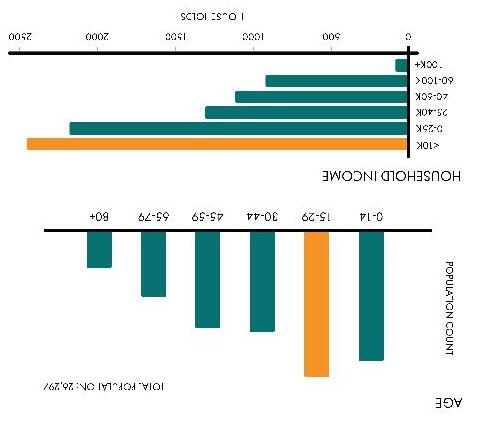
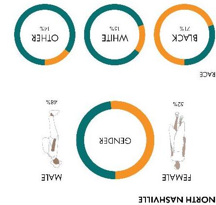
Demographics
Site Analysis
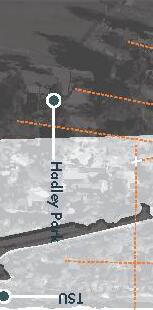

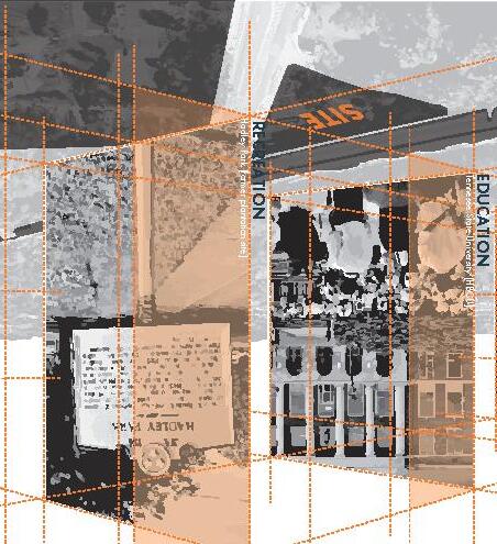
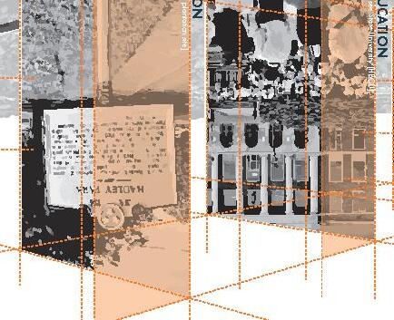
Tennessee State University Hadley Park Pearl Cohn Entertainment Magnet High School Meharry Medical College Robert ChurchWell Museum Magnet Fisk University 0 25 mi 0 5 mi 0 75 mi 1 0 mi Jefferson St I-40 SITE Jefferson street historic district [music district]
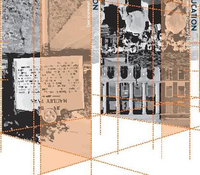
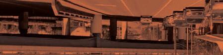
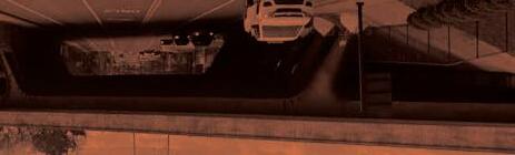
28th Ave at I-40
Existing Conditions 1.
2. Jefferson at I-40
3. Alameda St at
4. 21st Ave at I-40
26
Narrative Diagram
Site Development
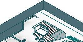
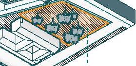
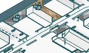






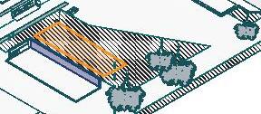
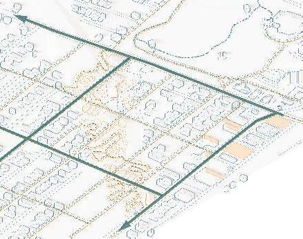
Activating Jefferson Street through re-imagining the programming of existing under-utilized areas to create spaces to support existing businesses and the overall public realm.
Site Programming



New Transit
Routes
Community + Cultural Center
Space


Children’s Play park
Activating Jefferson Street through re-imagining the programming of existing under-utilized areas to create spaces to support existing businesses and the overall public realm.
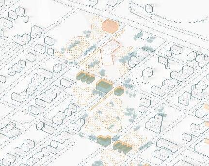
Removing the highway left a lot of space which was set aside for the creation of a park that helps to organically patch the gap between the two sides of the neighborhood formerly separated by the highway. The reclaimed mounds offer new opportunities for public art, music, and recreation.
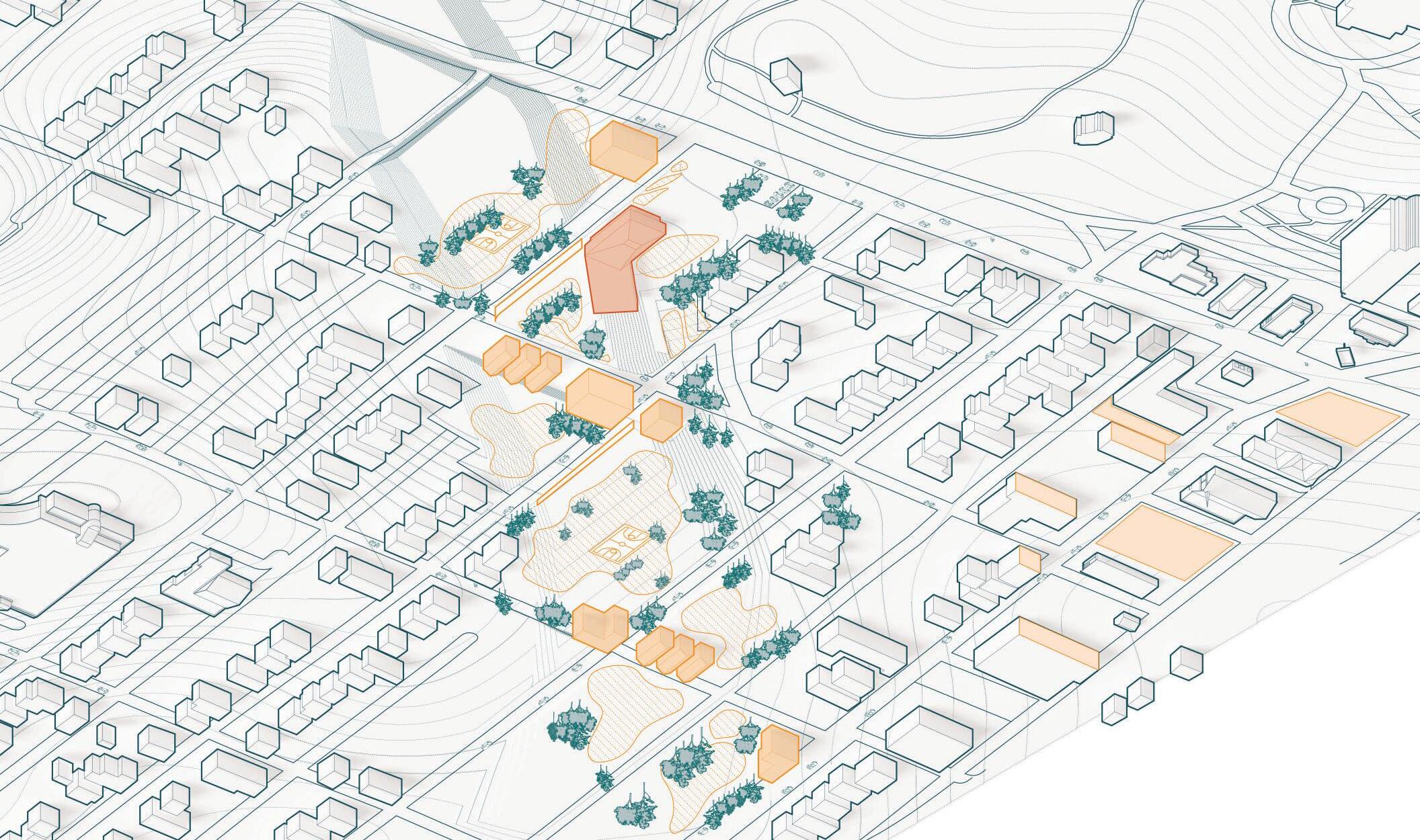
Urban Isometric Community Plan Legend
Music Pop-ups Public Art Bus Stop Outdoor seating
New Mixed-use + Housing development Activation of existing spaces Green park Jefferson Street Revitalization
Bus
Bike
Pedestrian
27
New Public
Residential Commercial Cultural + Community amenity
routes
routes
paths + sidewalks