Planning Commission, Board of Zoning Appeals & Department of Planning
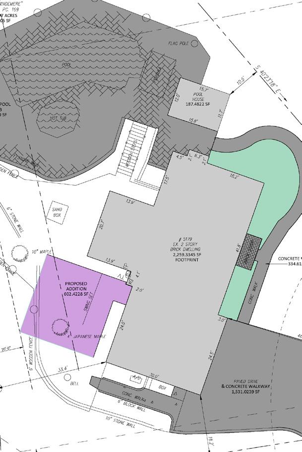
were heard and approved by the Board of Zoning Appeals. One request was for the reduction of a rear yard setback and one request was to place an accessory structure in front of the front building line of a home.
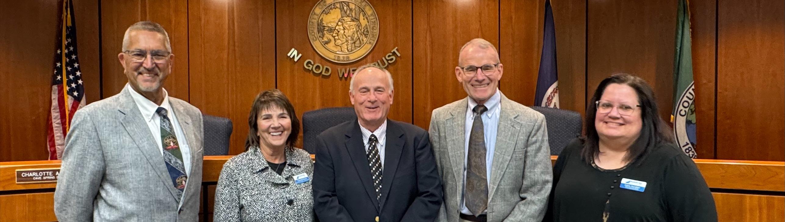
The Board of Zoning Appeals (BZA) hears variance applications relative to the Zoning Ordinance and administrative appeals of Zoning Administrator decisions. The board consists of five members appointed by the Board of Supervisors.
Planning staff thank outgoing BZA member Eric Thomas (2000 - 2025) for 25 years of service as the Vinton Magisterial District Representative!
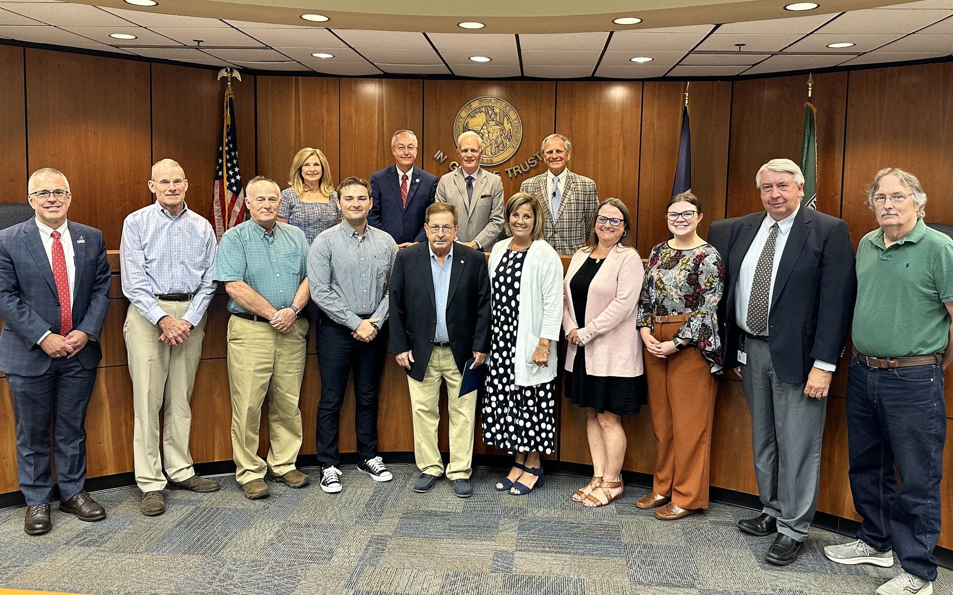
Eric Thomas was recognized by the Board of Supervisors for 25 years of service in July 2025.
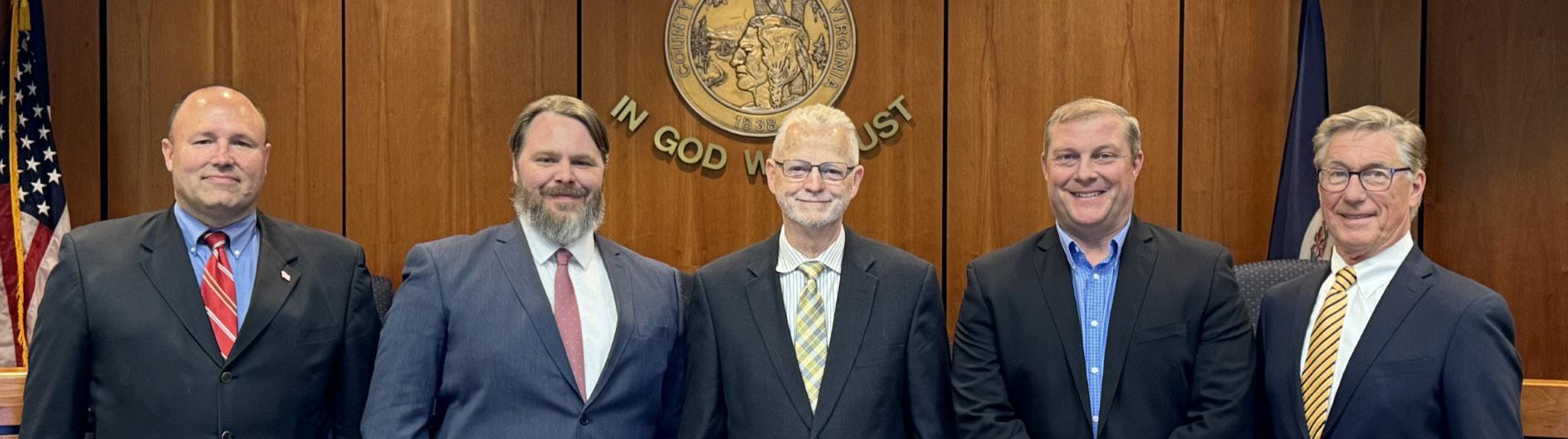
The Planning Commission is an advisory board to the Board of Supervisors. The Commission makes recommendations on a variety of land use issues. The Commission is also charged with preparing and maintaining the Comprehensive Plan and recommending changes to reflect new land use policies.
The Planning Commission held 16 meetings in 2025. Wayne Bower served as Chairman and Kelly McMurray served as ViceChairman.
The Planning Commission held which included:
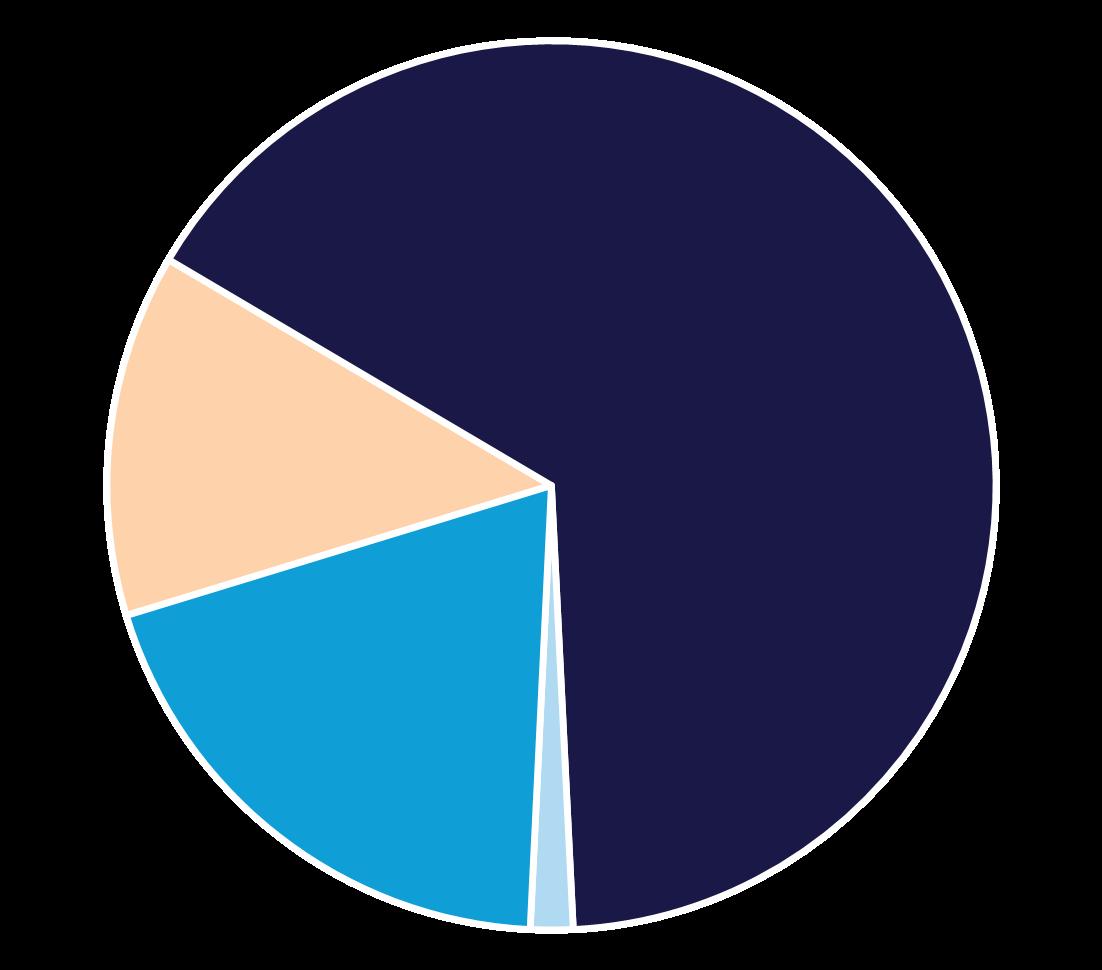
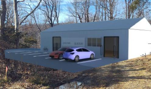
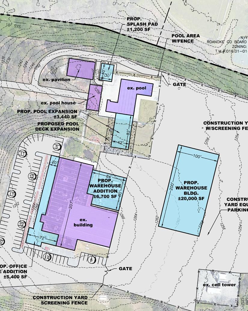
43,757 Square Feet of Industrial/Commercial
26,700 Square Feet Industrial
17,057 Square Feet Commercial
625 Dwelling Units
353
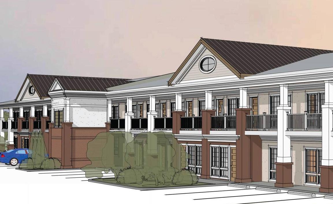
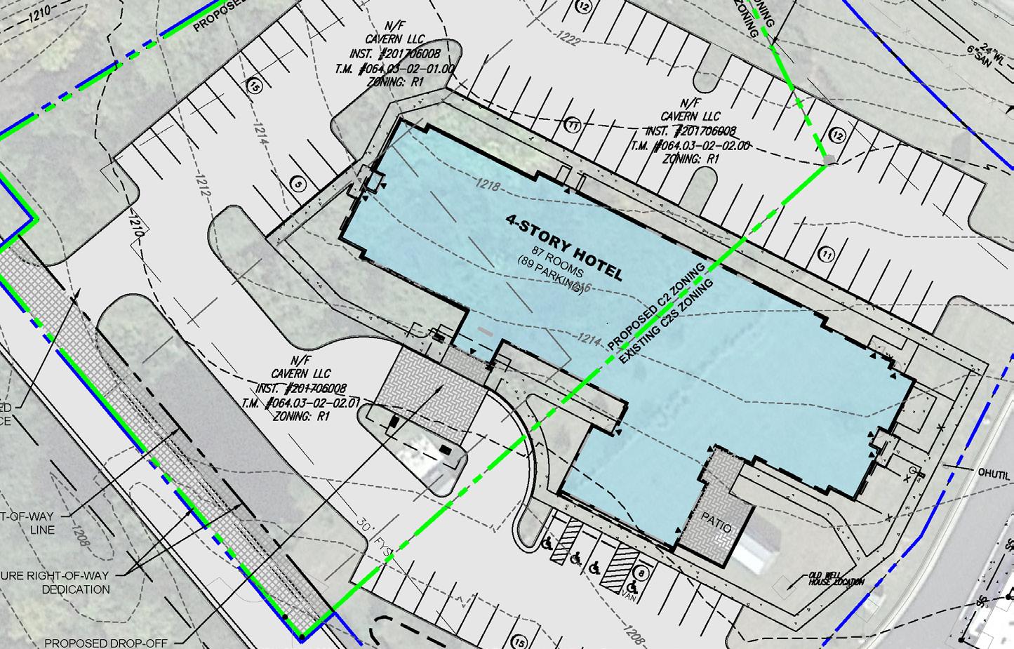
Multi-Family Dwelling Units 86 Hotel Rooms
6 Single Family Dwellings, Attached
36 Two Family Dwellings
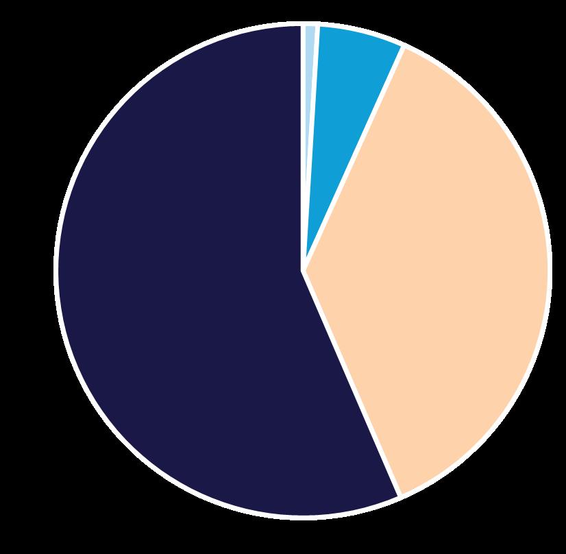
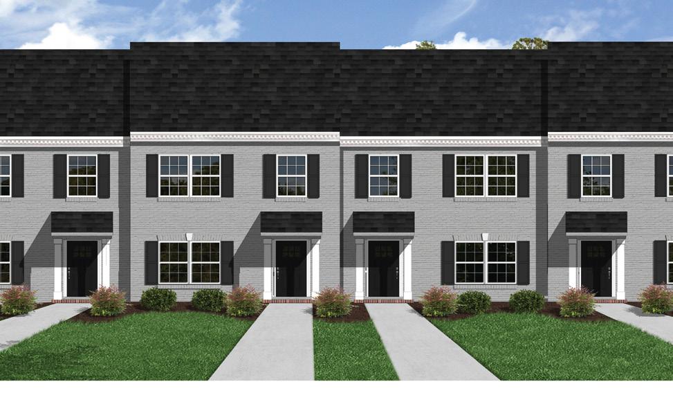
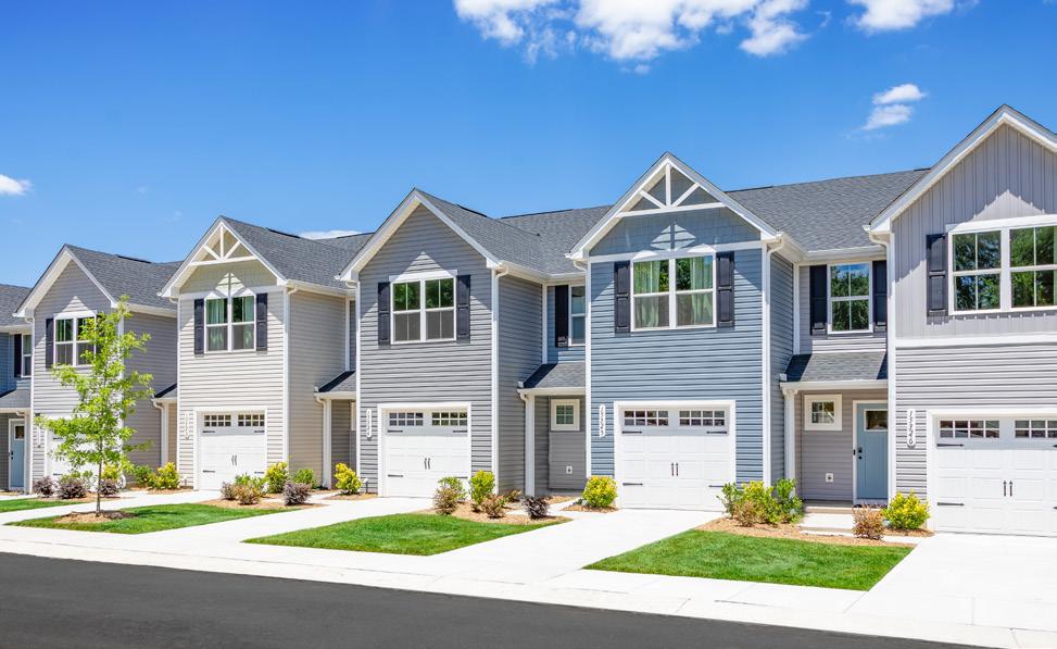
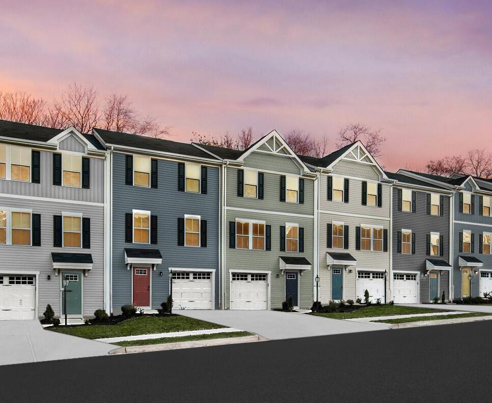
230 Townhouses
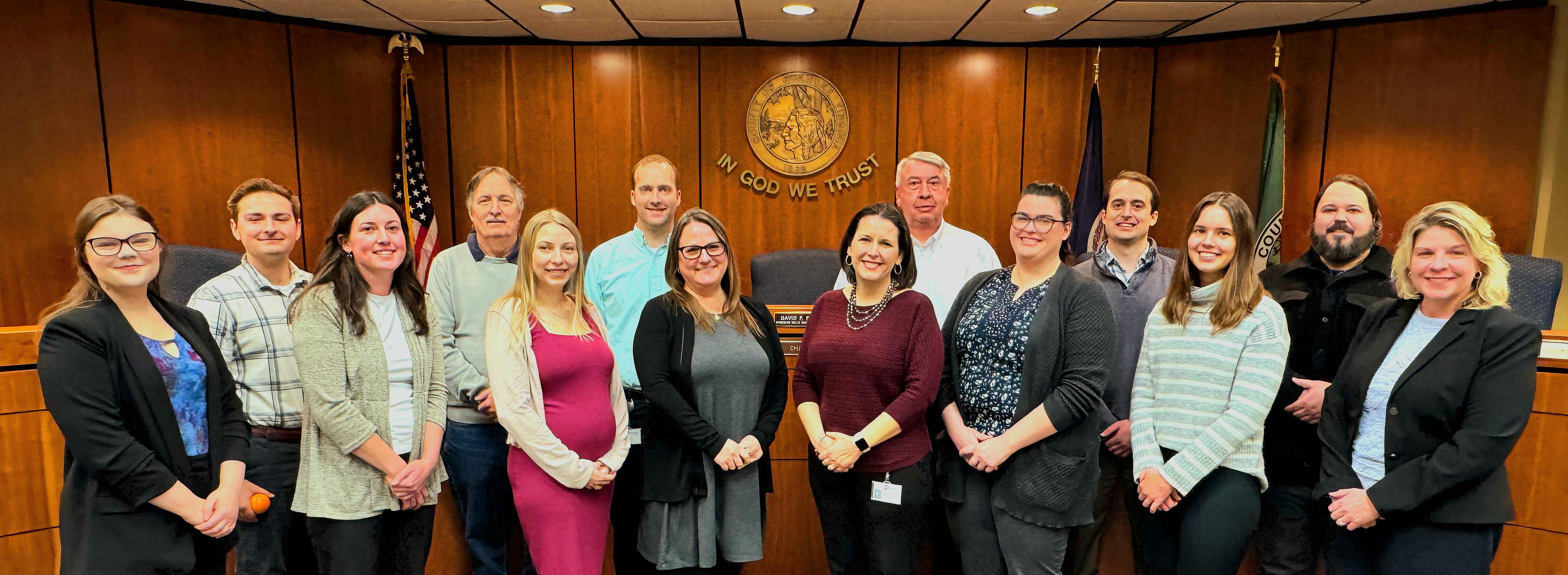
PHILIP THOMPSON, AICP, CZA
Director of Planning
MEGAN CRONISE, AICP
Assistant Director of Planning
CECELIA THOMAS, CZA
Administrative Assistant
BECKY JAMES, CZA, CTM
Zoning Administrator
BILL RICHARDSON
Zoning/Code Enforcement Supervisor
PAULA BENKE
Transit Planner
ALYSSA DUNBAR, CZA
Development Review Planner
ISAAC HENRY, AICP
Principal Planner
NATHAN GRIM
Transportation Planner
ROSS HAMMES
Long Range Planner
SKYLAR CAMERLINCK, CZA
Long Range Planner
SARAH GILMORE, AICP
Long Range Planner
JASON NOWAK
Zoning/Code Enforcement Planner
SUMMER BORK, AICP, CZA
Transportation Planner
WILLIAM KING
Summer Intern

Will, a senior Accounting major at James Madison University, joined us as our Summer intern, gaining insight into the daily work of the Planning and Economic Development Departments. From contributing to regional projects to supporting community engagement efforts, he was a valuable part of the team. We wish him the best in his future endeavors!
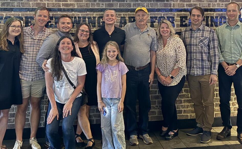
Dedicated staff members Paula Benke and Isaac Henry graduated as part of the Leadership Roanoke Valley class of 2025, with Paula continuing to serve as an advisor for the 2026 class. We commend their time and effort in accomplishing this achievement and look forward to the valuable leadership they will continue to bring to our community.
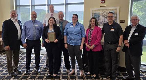
Planning staff, along with Development Services, Parks, Recreation & Tourism, and Economic Development, were instrumental in Roanoke County earning VDOT’s Salem District Locality of the Year award thanks to their unwavering dedication and consistent effort in advancing five greenway segments to active construction in 2025.
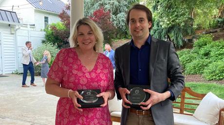
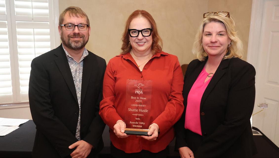
Planning staff, in partnership with Roanoke Valley Television, accepted two summit awards - a ‘Best in Show (Tactics) and a Gold Summit Award - for the production of their ‘Shuttle Hustle’ video highlighting the McAfee Knob Trailhead Shuttle.
Planning staff are active in regional planning efforts to ensure decision making is coordinated across jurisdictional boundaries. The following are a few of the regional boards and committees that Planning staff assisted with over the past year.
Planning staff support the Roanoke Valley-Alleghany Regional Commission by sitting on and advising many of their committees and boards, including the Roanoke Valley Transportation Planning Organization, the Transportation Technical Committee, the Hazard Mitigation Plan Steering Committee, the Regional Bicycle & Pedestrian Advisory Committee, and the Roanoke River Blueway Committee.
Planning staff served on the Roanoke Valley Greenway Commission, helping to advance the cause of greenways in the Roanoke Valley and coordinate greenway projects across jurisdictional lines. Planning staff were instrumental in the June 2025 adoption of amendments to the recommendation map of the 2018 Roanoke Valley Greenway Plan. Since June 2025, Isaac Henry has also served on the Executive Committee of the Greenway Commission as Secretary.
The Council of Community Services (CCS) focuses on improving health, ending homelessness and increasing access to resources not only in the Roanoke Valley, but across the Commonwealth of Virginia. In 2025, the CCS Board of Directors promoted Alison Jorgensen to President and CEO when Anne Marie Green retired. CCS also purchased a new building nearby on Campbell Avenue that better suits the organization’s needs.
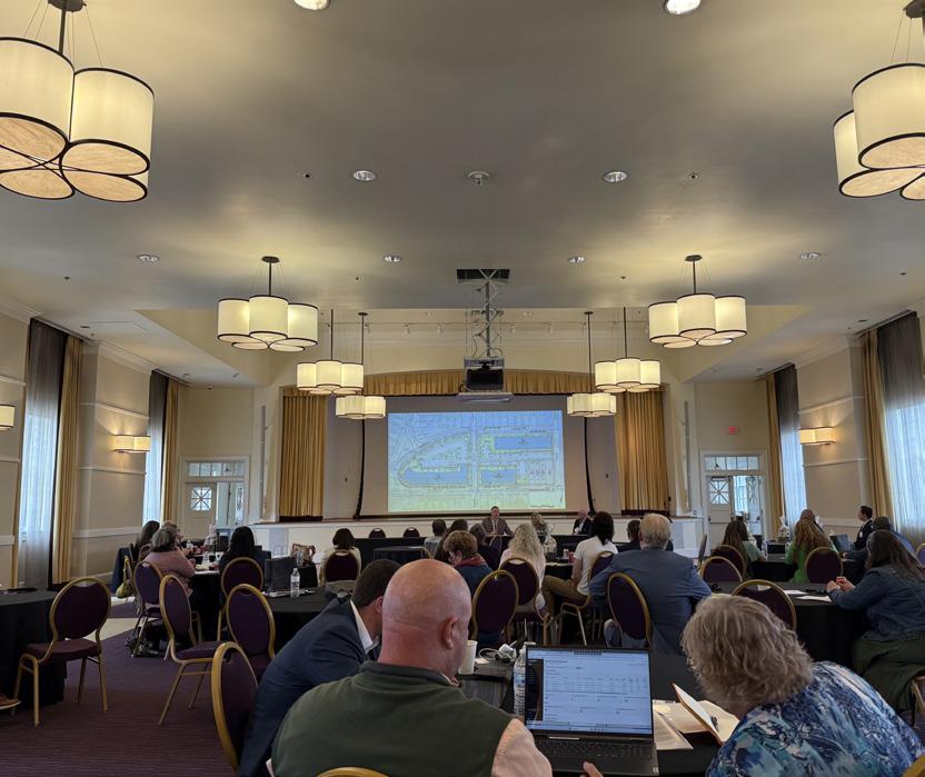
Planning staff attended a variety of conferences, symposiums, and workshops throughout the state to remain informed on emerging issues, best practices, and trends shaping the planning profession. These events provided valuable insights into statewide topics such as affordable housing challenges, legislative updates, transportation funding, and local program administration. They also offered opportunities for staff to collaborate and exchange ideas with planners, housing advocates, state agencies, and local government professionals from across Virginia.
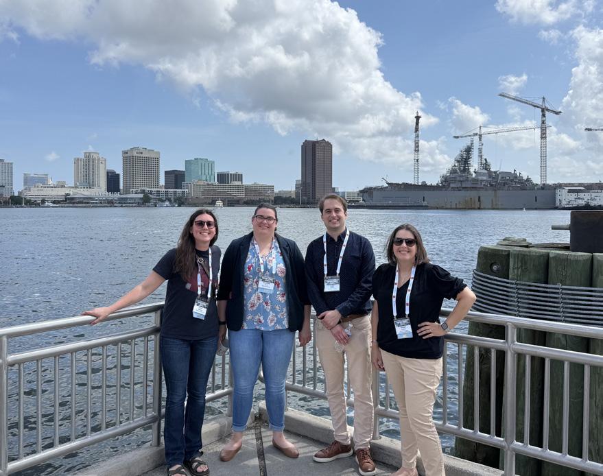
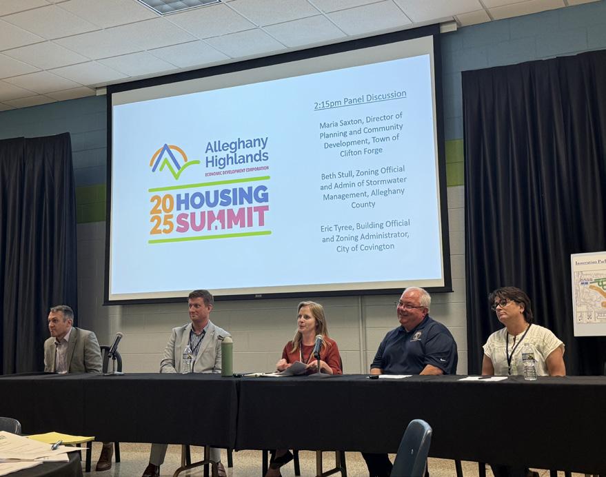

Planning staff attended the following conferences, symposiums, and workshops in 2025:




April: Appalachian Trail Landscape Partnership Annual Meeting Roanoke, VA
May: Roanoke Regional Housing Network Biennial Symposium Roanoke, VA
June: VDOT Salem District Local Assistance Partnership Day Ferrum, VA
July: Virginia Chapter of the American Planning Association Conference Portsmouth, VA
August: Alleghany Highlands Housing Summit Clifton Forge, VA
August: Community Transportation Association of Virginia Conference Roanoke, VA
September: VDOT Local Programs Workshop Norfolk, VA
September: Virginia Association of Zoning Officials Conference Virginia Beach, VA
November: VA Department of Rail and Public Transportation Conference Lynchburg, VA
November: Virginia Governor’s Housing Conference Roanoke, VA
1,320 Reviews Performed
230 Certificates of Occupancy Issued
1,039 Permits Issued
2,406 Code Enforcement Violations
6,420 Code Enforcement Inspections
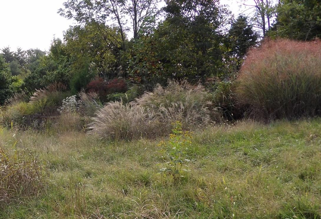
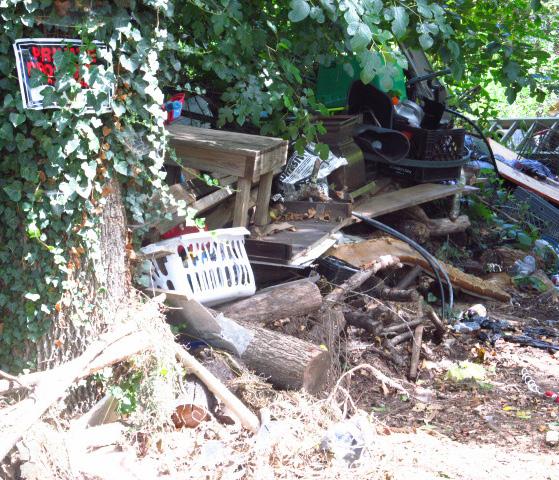
9.67 Average Number of Days to Resolve Cases
387 Court Cases
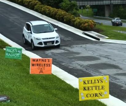
863 Illegal Signs Removed from Right-of-Way
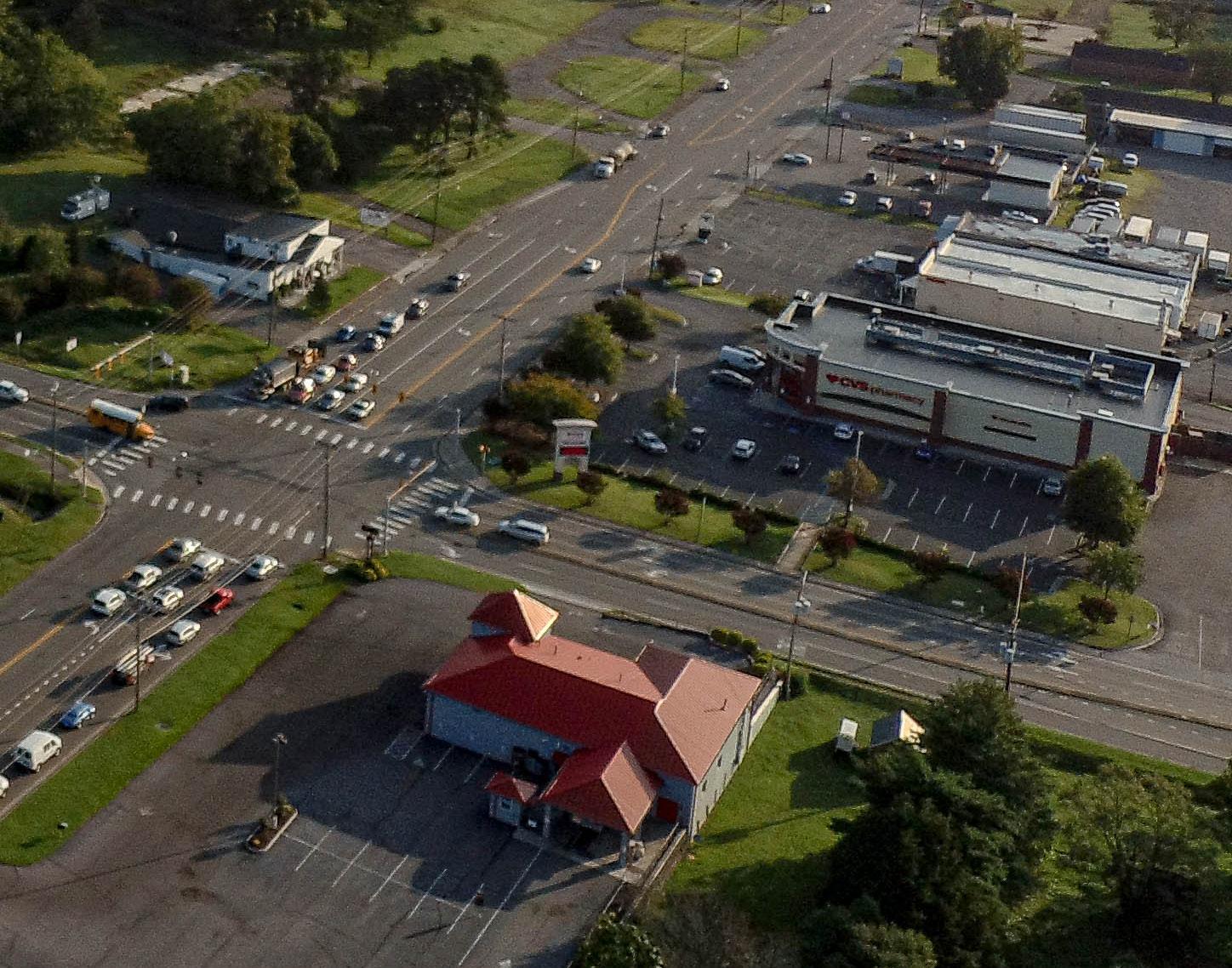
In February, the Board of Supervisors adopted the Safe Streets and Roads for All Comprehensive Safety Action Plan as part of the 200 Plan. County staff will now focus on implementing recommendations included in the plan for high crash corridors and intersections.
In November, the Board of Supervisors adopted the West Roanoke River Greenway Feasibility Study as part of the 200 Plan. This study identifies potentially viable alignments for the Roanoke River Greenway between Green Hill Park and Montgomery County.
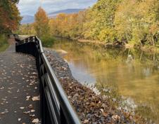
The Roanoke County 200 Plan was recognized with an Achievement Award from the National Association of Counties (NACo). Achievement Awards shine a spotlight on the hard work and innovation happening in county governments across the nation.
EXISTING CONDITIONS ANALYSIS
(January - June ‘25) STAKEHOLDER INTERVIEWS (March - August ‘25)
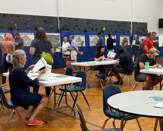
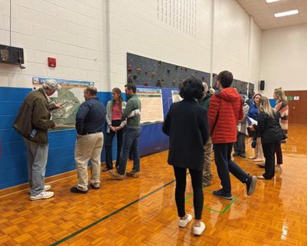
2ND COMMUNITY MEETING
(October ‘25)
1ST ROUND OF COMMUNITY MEETINGS (April - May ‘25)
(October - November ‘25) FINALIZE GLENVAR CENTER PLAN DOCUMENT (December ‘25- April ‘26)
2ND COMMUNITY SURVEY
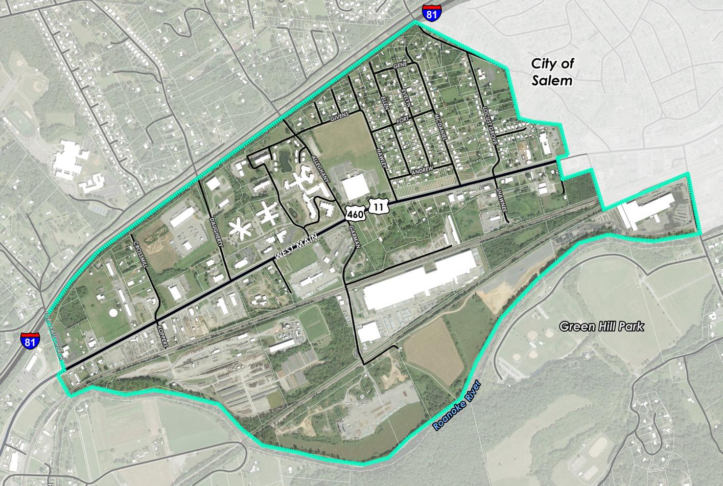
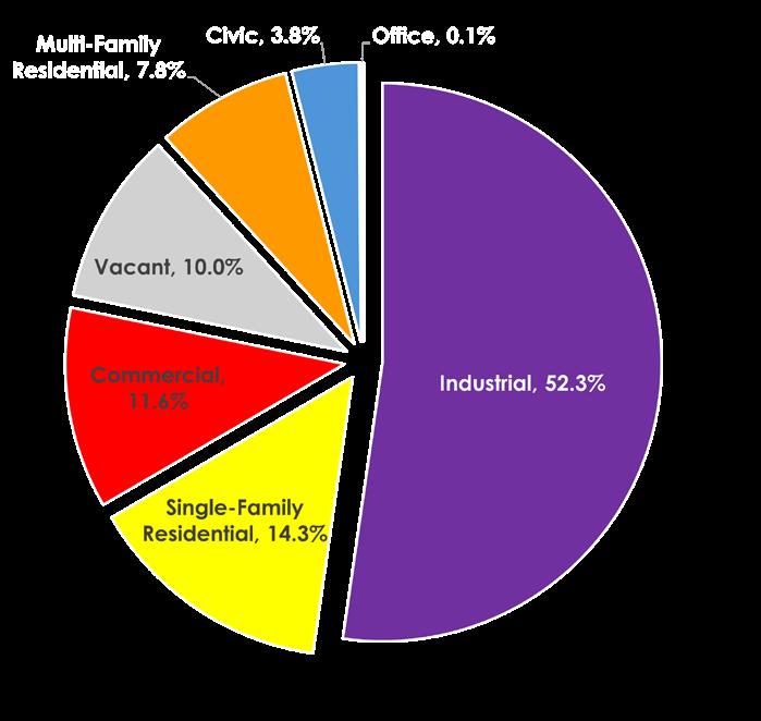
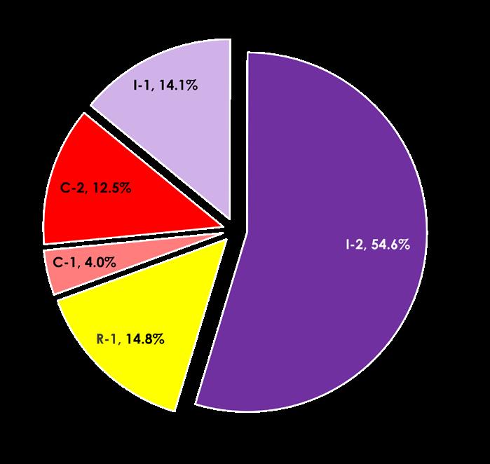
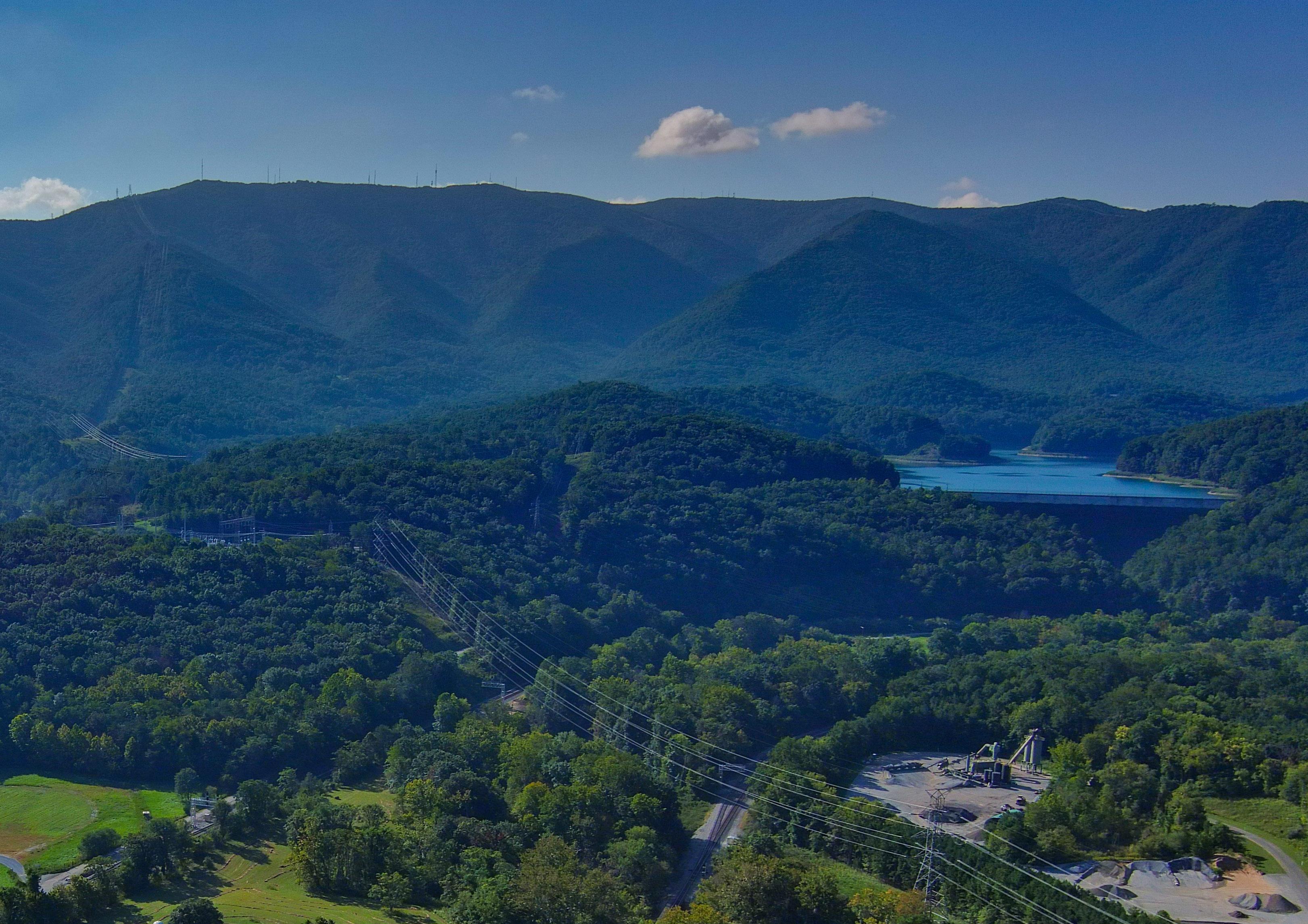
As recommended in the 200 Plan, a Glenvar Center Plan was initiated to examine the land use, housing, community facilities, transportation, and natural and cultural resources of the area bounded by the City of Salem, the Roanoke River, Fort Lewis Church Road, and Interstate 81.


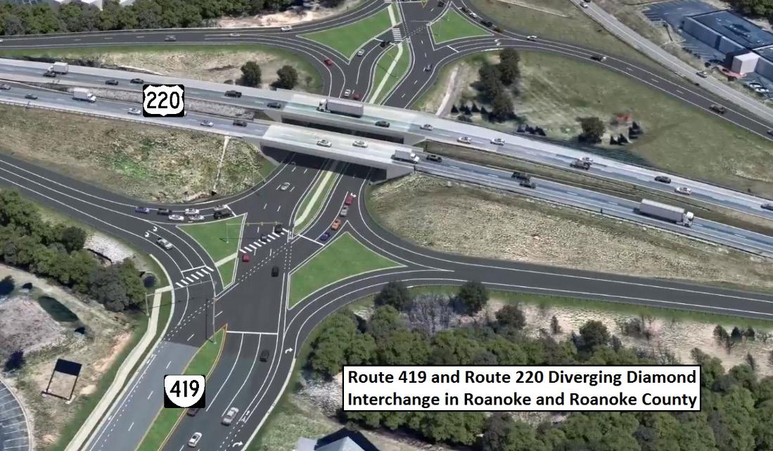
Route 419 and Route 220
Diverging Diamond Interchange started construction, with completion anticipated in 2028.
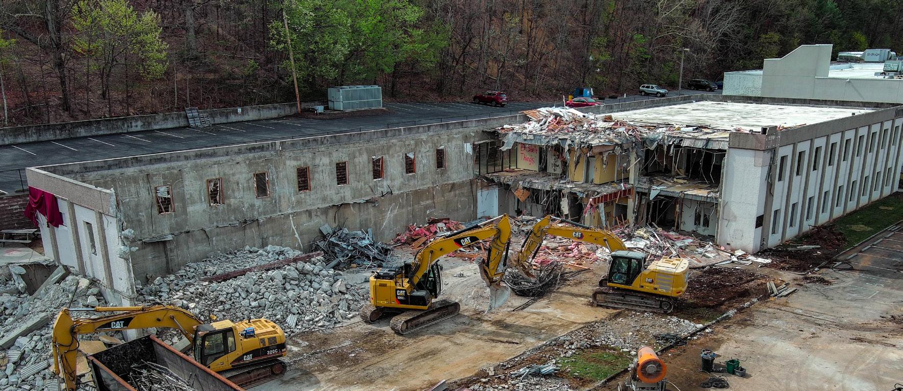
Spring 2025 Demolition
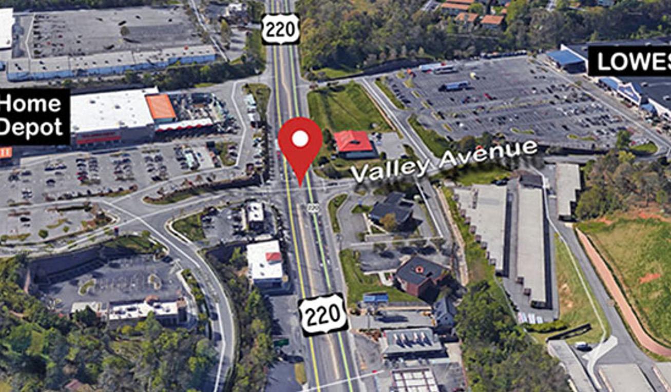
Route 220 Signalization
Improvements have starting construction, with completion anticipated in 2028.
Several new businesses opened their doors in the 419 Town Center area.


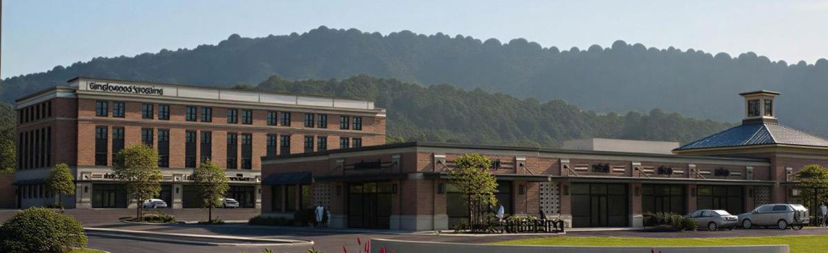
Future Development Rendering
Park
to prepare the site for future mixed-use development.
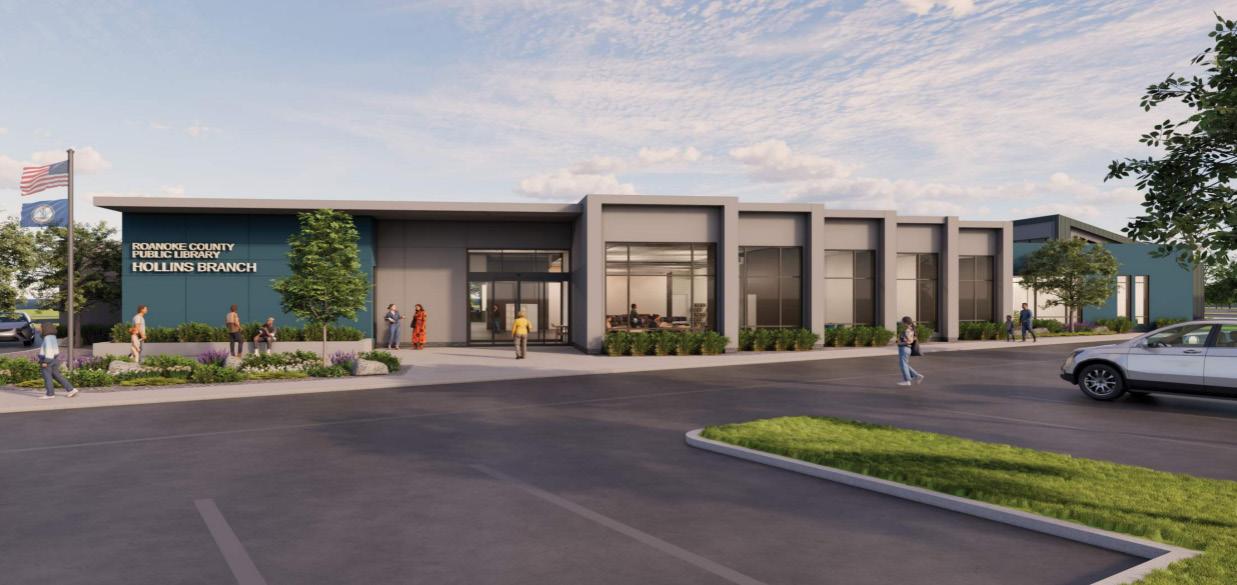
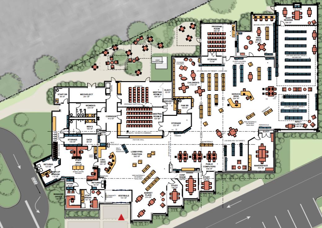
The Hollins Library renovation is anticipated to start in Spring 2026.
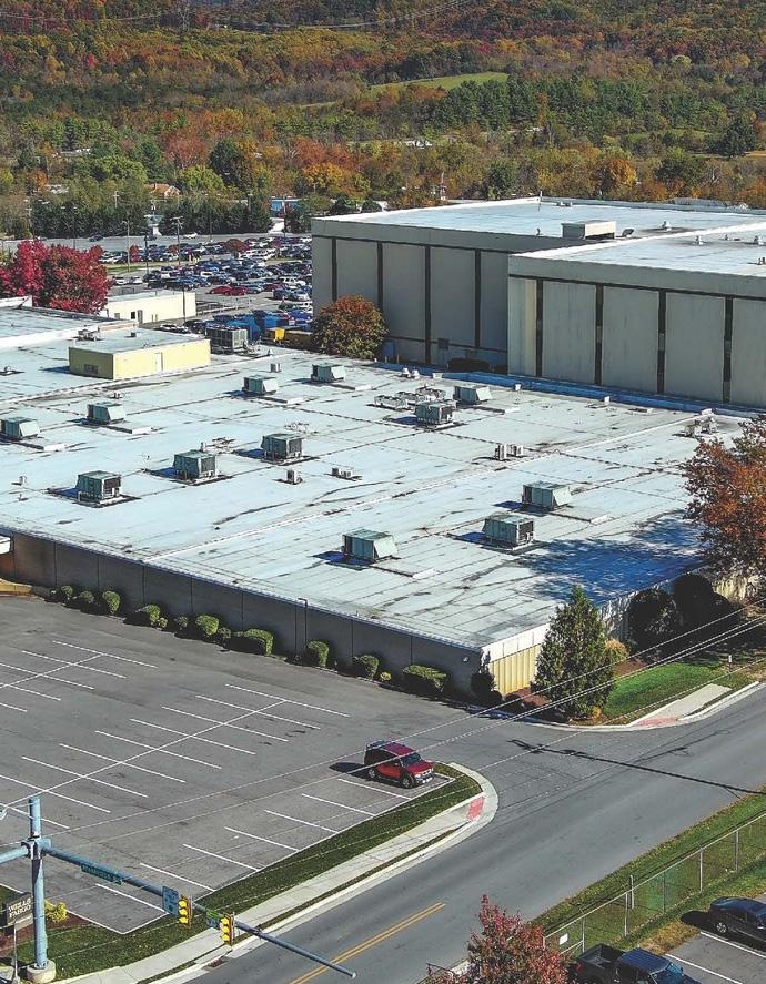
Wells Fargo is investing $87 million to modernize its existing facility and create 1,100 new jobs.
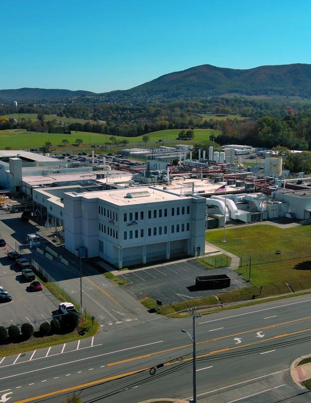
Elbit Systems of America is investing $30 million to expand its facility, which will create 288 new jobs.
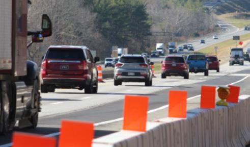
Interstate 81 Widening between Exit 143 and Exit 150 started construction, with completion anticipated in 2031.
Several new businesses opened their doors in the Hollins Center.


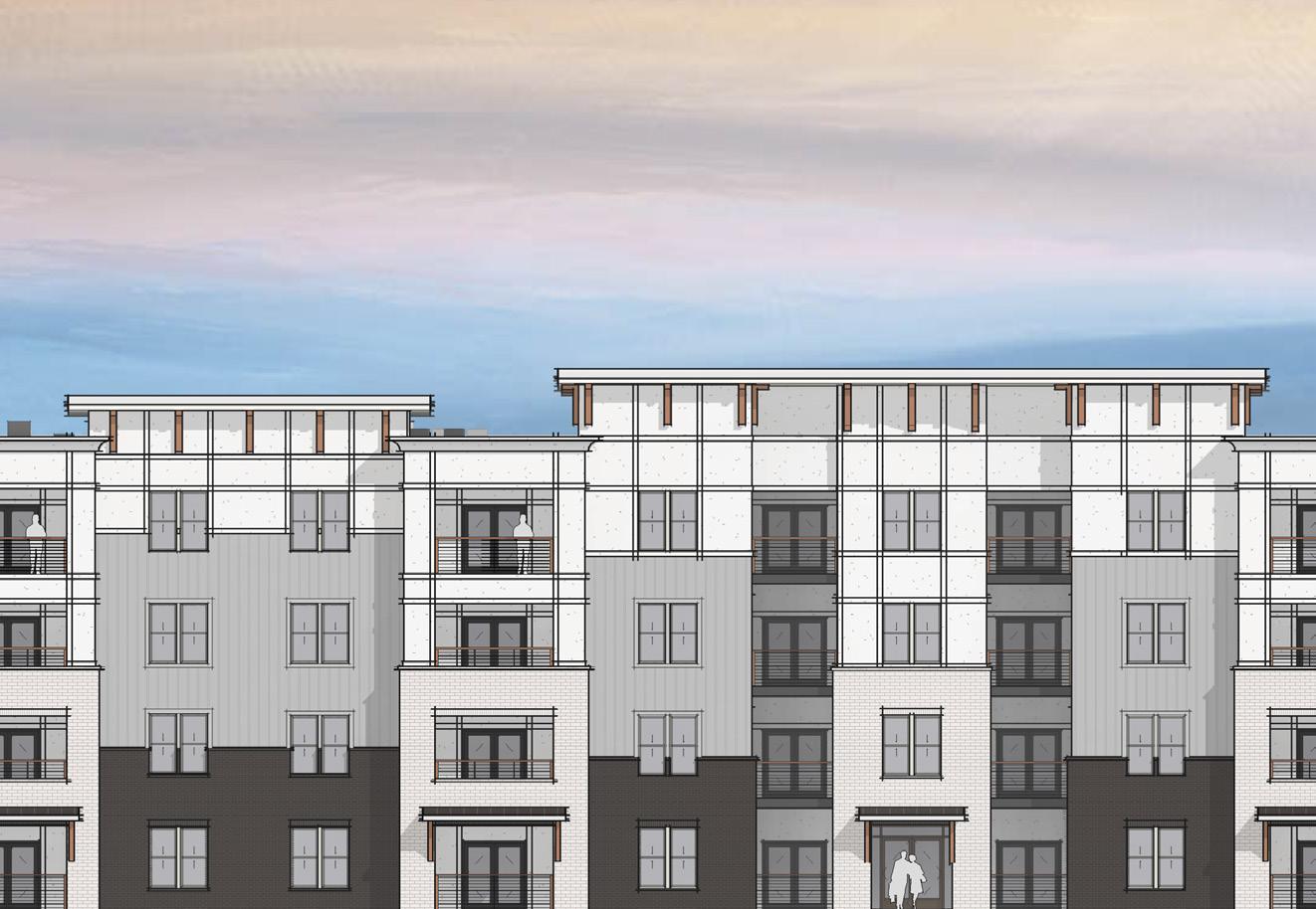
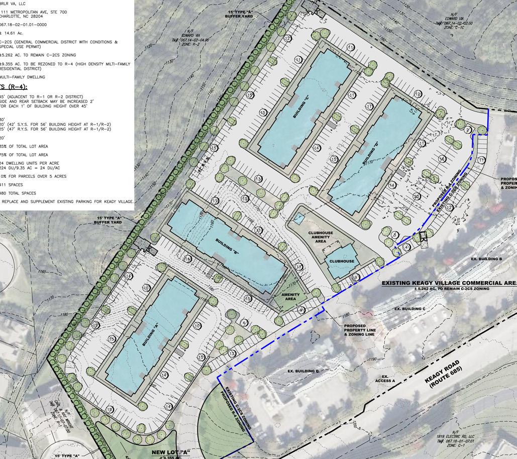
A Rezoning Application was approved on the parcel behind Keagy Village for a 224-unit multi-family development.
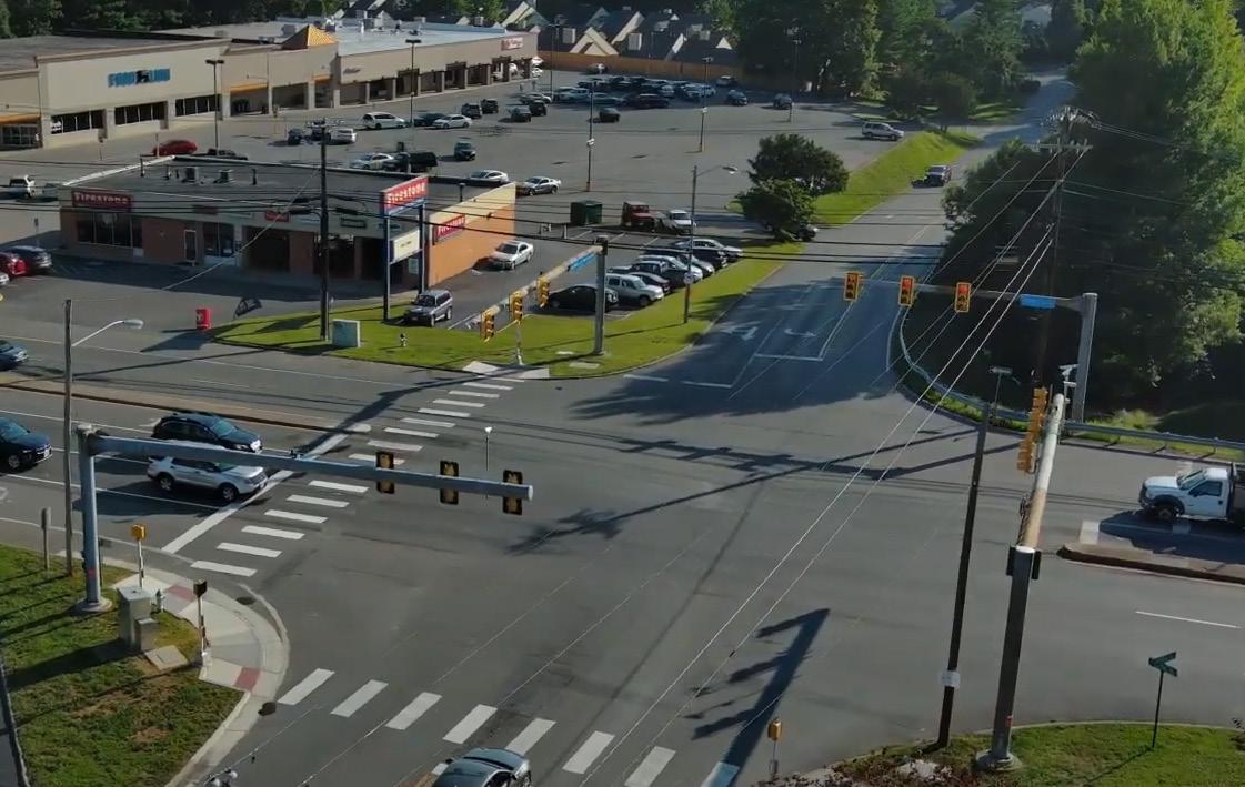
Preliminary Engineering for Route 419 Safety and Pedestrian Improvements continues, with advertising anticipated in FY 2028.

Ivybrook Academy officially opened their doors in January 2025, offering a unique, hands-on learning experience for young minds.
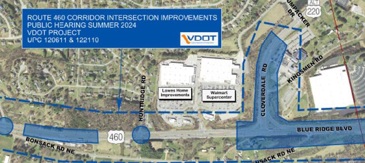
Route 460/Challenger Avenue Improvements are in the right-of-way phase, with construction advertisement anticipated in mid-2026.
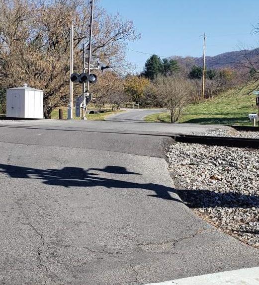
Funding was requested to initiate a railroad crossing elimination study for Glade Creek Road and Laymen Road.
Planning staff participate in many long range planning efforts in addition to their day-to-day work. The following are a few of the major projects Planning staff worked on over the past year.
As recommended in the 200 Plan, a Housing Market Analysis Study has been initiated to identify housing needs in the County and inform program, policy, and development recommendations for meeting those needs. The study is being performed by RKG Associates and is anticipated to be completed in 2026.
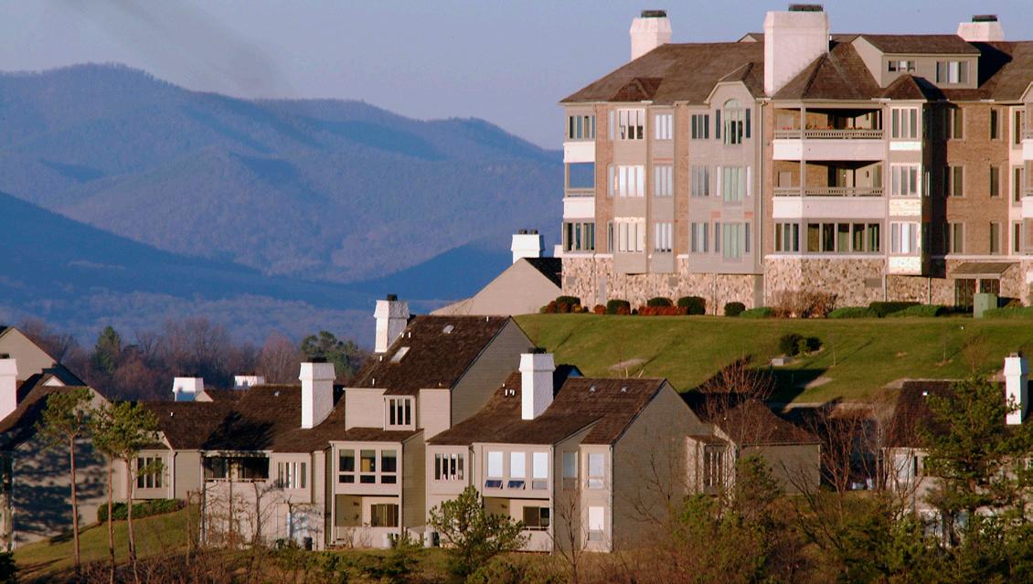
Planning staff assisted in the development of the 2025 Hazard Mitigation Plan, prepared by the Roanoke Valley-Alleghany Regional Commission. The Hazard Mitigation Plan is a regional strategy to reduce risks from natural and human-caused hazards across the Roanoke Valley and Alleghany Highlands. The plan identifies hazards, assesses regional vulnerability, and outlines mitigation actions and projects eligible for federal funding.
Application deadlines and funding award timeframes vary by grant program. Several projects applied for in 2024 were awarded in 2025, and awards for some applications submitted in 2025 were announced in the same year. Additionally, some 2025 application awards will not be finalized until mid-2026
Funding Awarded for:
• CORTRAN
• McAfee Knob Trailhead Shuttle
• I-581 at Exit 2 (Peters Creek Road)
Interchange Improvements, Phase 1 Deficit
• West Main Street/Dow Hollow Road
Intersection Safety Improvements
• Route 419 Streetscape Improvements, Phase 2 (Ogden Road to Starkey Road).
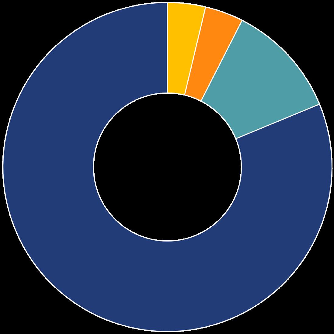
Surface Transportation Block Grant (STBG) Out of Cycle Requests $2,755,540
FTA 5310 Urban $382,188
FTA 5310 Rural $127,872 DRPT Demonstration Project Grant $126,400 $3.39 M*
$6.3 million in Congressionally Directed Spending awarded in February 2026. *
Funding Requested for:
• CORTRAN
• McAfee Knob Trailhead Shuttle
• NPS Appalachian Scenic Trail: McAfee
Knob Trailhead Parking and Transit Access Improvements
• Preliminary Engineering and Safety Audit: Garst Mill Road and Bradshaw Road
• Glade Creek Railroad Crossing Elimination: Glade Creek Road and Layman Road
• Brambleton Avenue Midblock Crosswalk: Brambleton Avenue between Cave Spring Middle School and Cave Spring Baptist Church
• West Roanoke River Greenway Phase 2
Preliminary Engineering
• East Roanoke River Greenway Gap
Preliminary Engineering
• I-581 at Exit 2 (Peters Creek Road)
Interchange Improvements, Phase 1 Deficit
• West Main Street/Dow Hollow Road
Intersection Safety Improvements
• Route 419 Streetscape Improvements, Phase 2 (Ogden Road to Starkey Road)
Deficit
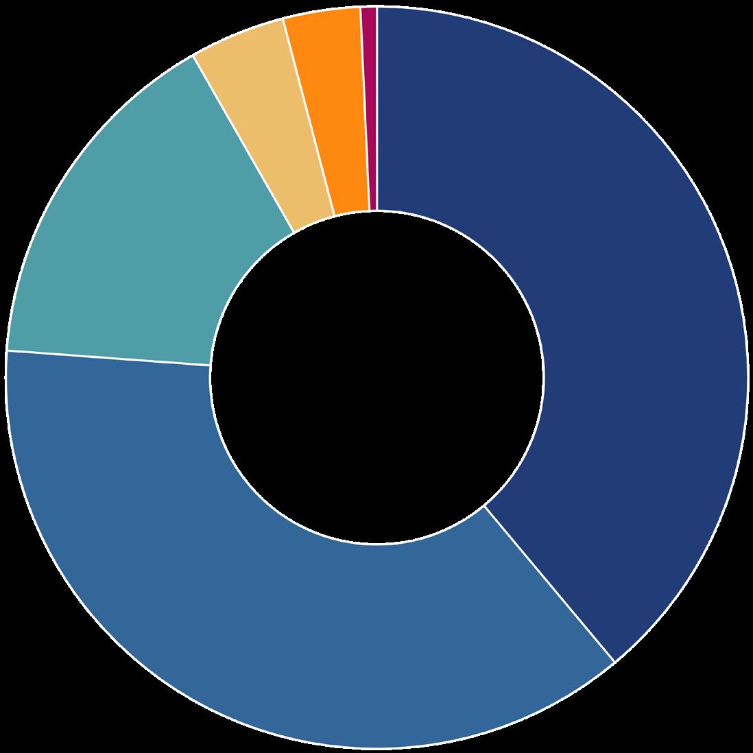
$17.7 M
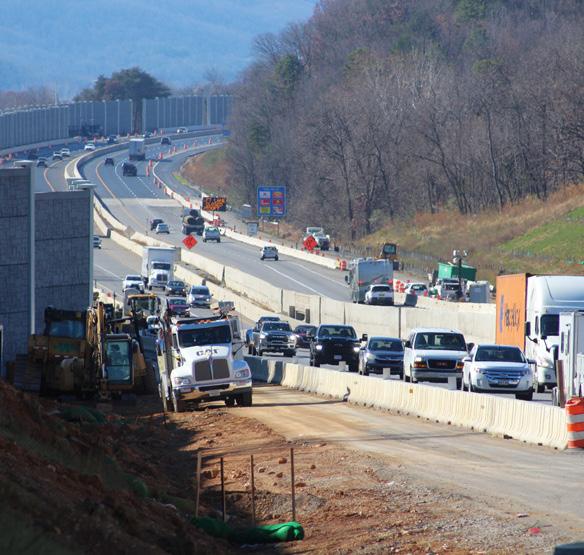
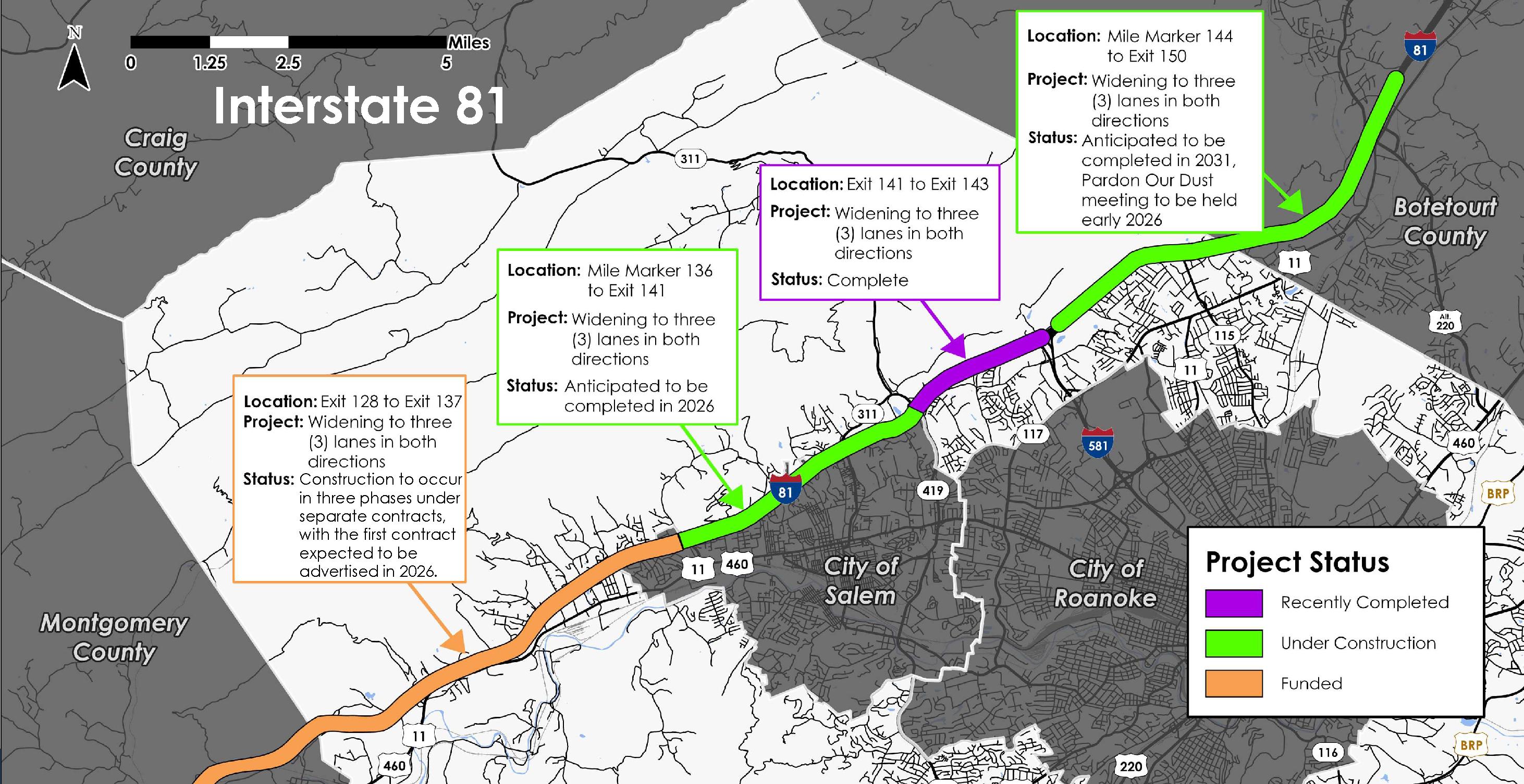
The widening of Interstate 81 to three (3) lanes in both directions continues with construction active between Mile Marker 136 and Exit 141 and between Exit 143 and Exit 150.
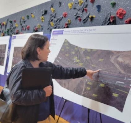
In August, the Board of Supervisors adopted a resolution of support for Exit 143 (I-581) to Exit 150, and in November, a Design Public Hearing for the widening project between Exit 128 (Ironto) and Exit 137 (Wildwood Road) was held at Glenvar Elementary School.
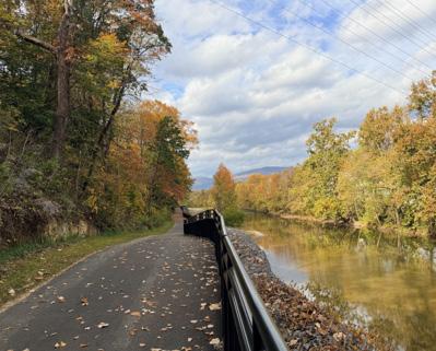
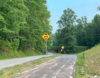
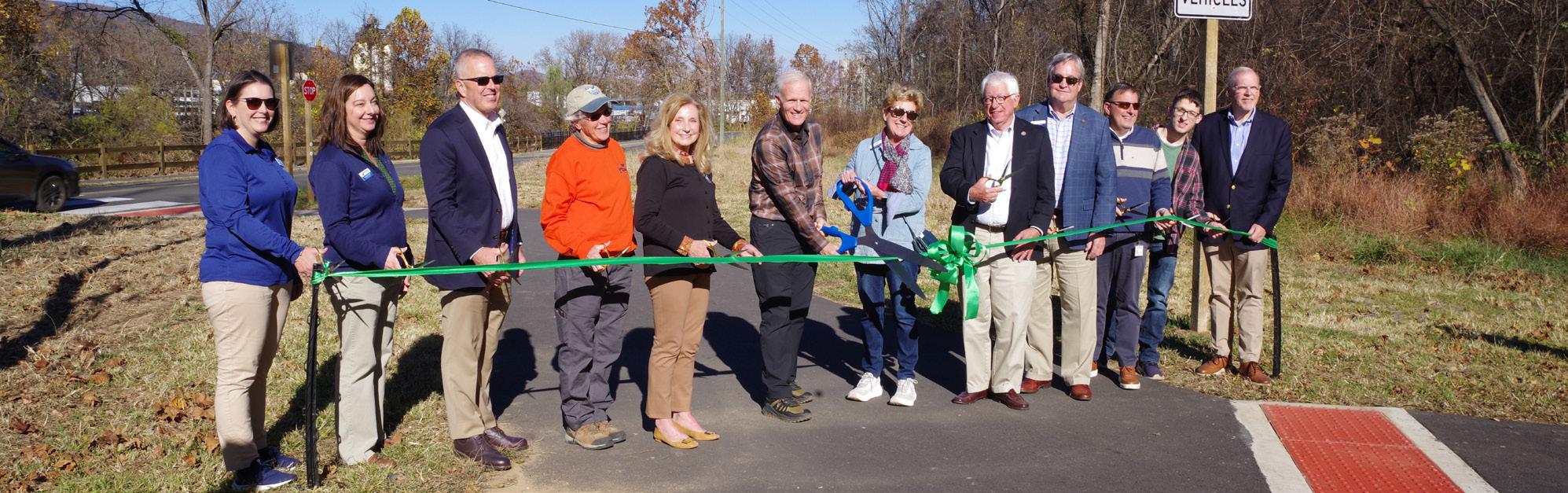
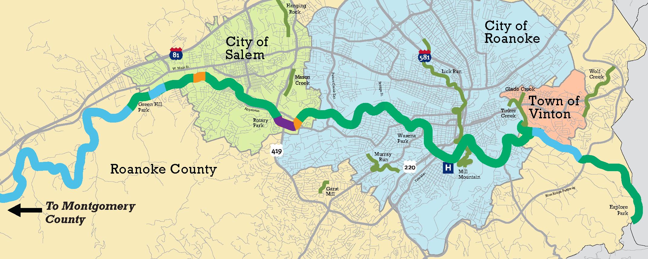
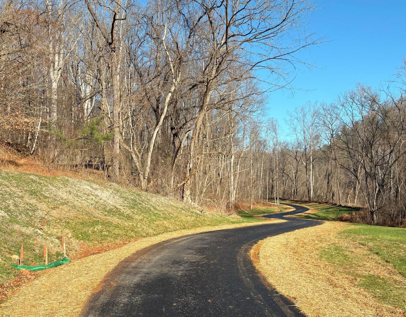
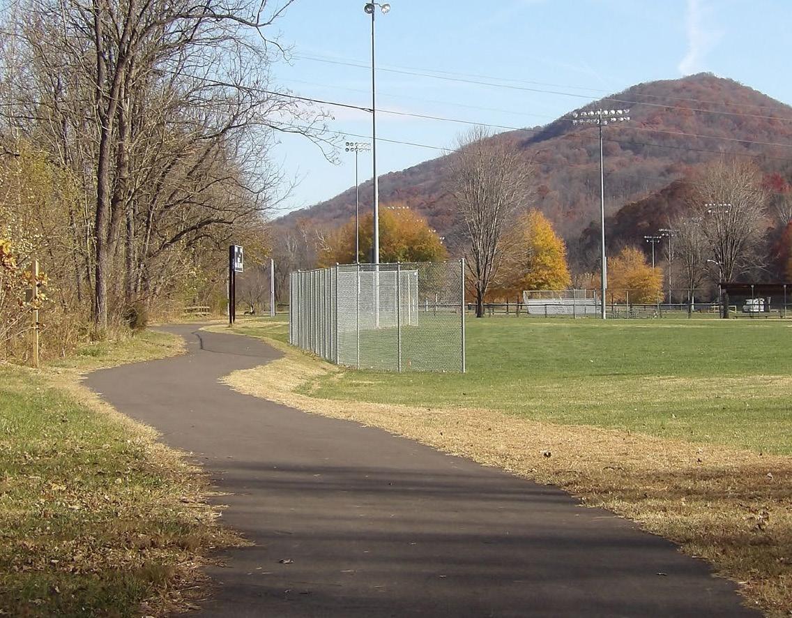
Many greenway segments were completed or neared completion in 2025. These include:
• A: West Roanoke River Greenway Phase 1
• B: Greenway Segment along Highland Road passing under the Blue Ridge Parkway to Explore Park
• C: Greenway segment through Explore Park to Rutrough Point
• D: Glade Creek Greenway through Vinyard Park West

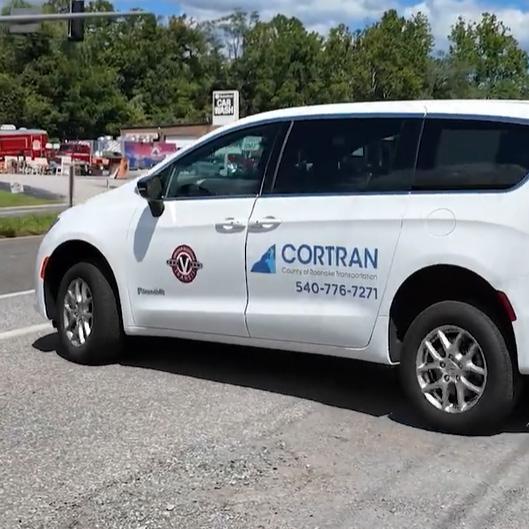
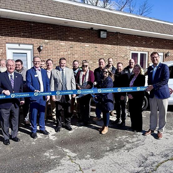
Beginning in August, Virginia Regional Transit (VRT) became the new service provider for the CORTRAN program. Ridership has seen a 12.7% increase attributed to the scheduling platform provided by VRT. Planning staff also joined in welcoming VRT to their new location at a ribbon cutting hosted by the Roanoke Regional Chamber in October.
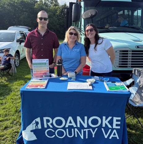
Planning staff had a great time connecting with the community at the annual Touch-A-Truck event at Green Hill Park in August. With over 4,200 people in attendance, attendees got a close-up look at the McAfee Knob Trailhead Shuttle and the brand-new CORTRAN van with VRT branding, while staff handed out information and stickers to kids.
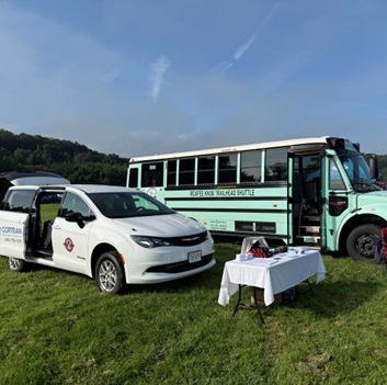
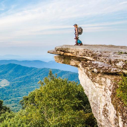
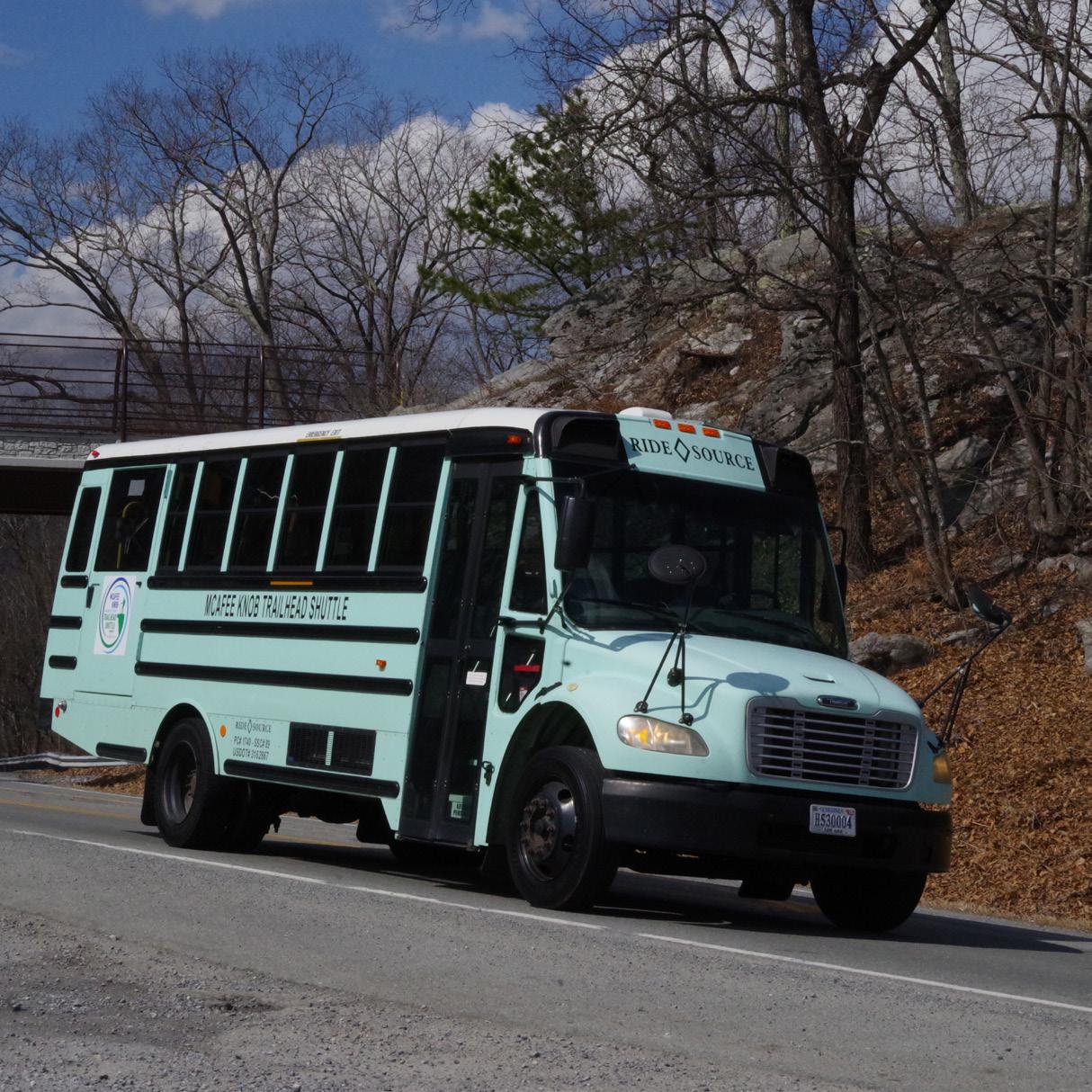
The McAfee Knob Trailhead Shuttle wrapped up its 2025 season with 1,968 trips carrying hikers, local and visitors. The service helped reduce congestion at the trailhead, improved safety, and made access easier for those eager to experience the famous Dragon’s Tooth and McAfee Knob views.
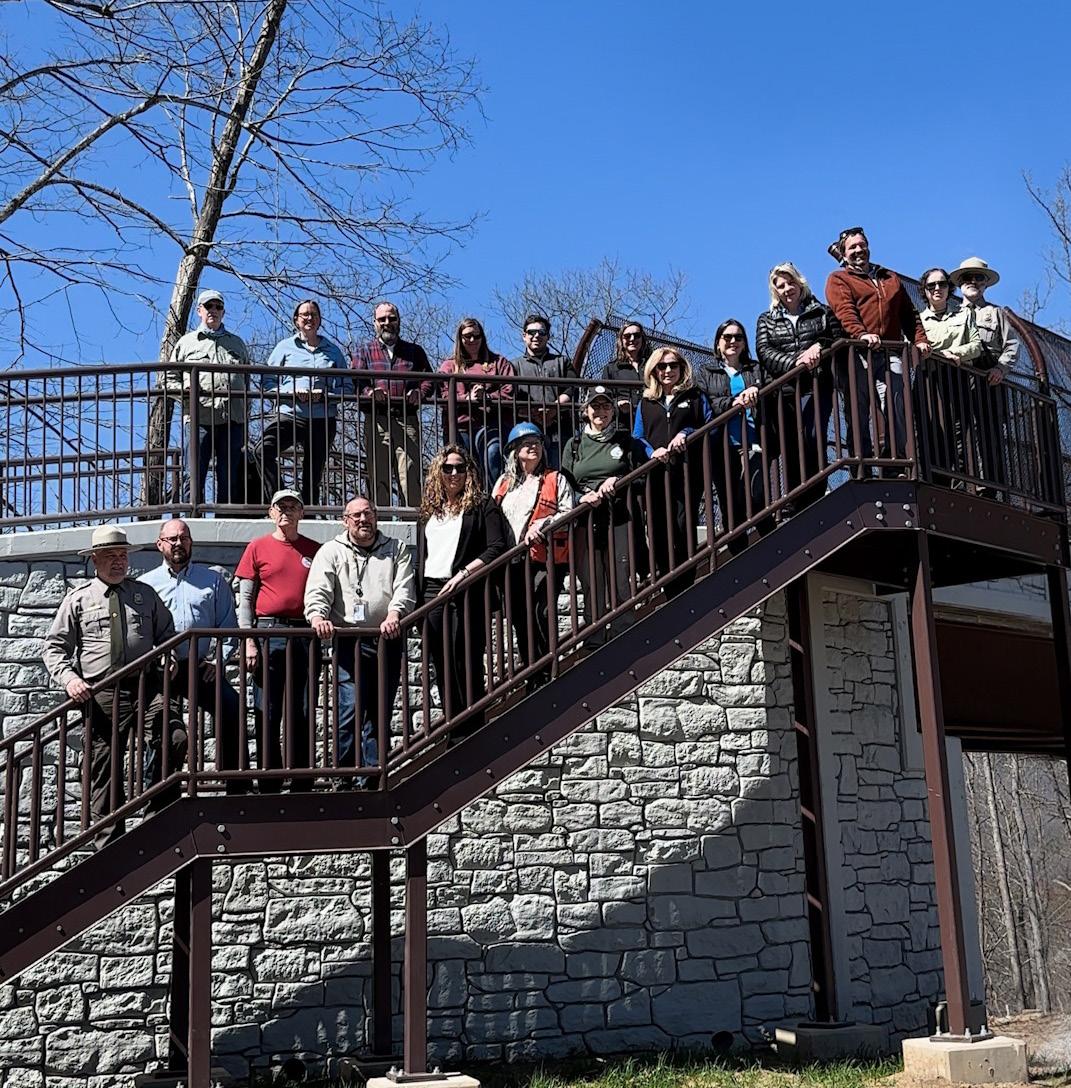

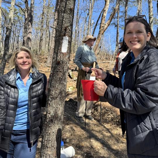
In March, a media event was held marking the opening of the new Appalachian National Scenic Trail (AT) Pedestrian Bridge over Route 311. While construction started in December 2023, efforts to obtain funding started over a decade ago. Megan Cronise and Paula Benke had the opportunity to commemorate the accomplishment by painting a new blaze marking the AT route.

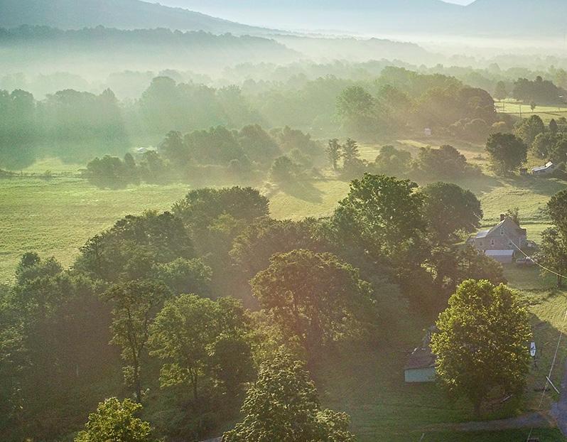
The Roanoke County Board of Supervisors adopted the Roanoke County SS4A Comprehensive Safety Action Plan on February 25, 2025, with the goal of preventing deaths and serious injuries for all roadway users, including pedestrians, bicyclists, motorists, commercial vehicle operators, transit riders and micromobility users. Since that time, County staff have worked to implement the Action Plan in a variety of ways.
June 2025 - County staff submitted a SS4A Implementation Grant for:
• Road Safety Assessment on Bradshaw Road; and
• Preliminary Engineering for pedestrian improvements along Garst Mill Road.
Ongoing starting in February 2025 - County staff meets monthly with VDOT staff to discuss implementation of the Action Plan recommendations.
• Completed items include:
• Challenger Avenue at Valley Gateway Blvd.: Traffic signal timing evaluated and deemed sufficient
• Hardy Road and Feather Road: New advance warning sign installed
• Shadwell Drive/Sanderson Drive/Hollins Road: Sight distance improved and determination made that guardrail was not warranted
• Washington Avenue: Speed study conducted confirms retaining the 45 MPH speed limit
• Designated funding includes:
• Hardy Road at Feather Road: Funding included in FY 2026-2031 Secondary Six-Year Program to improve sight distance
• Studies include:
• Plantation Road: Walkability Action Plan was completed between Vista Avenue and City of Roanoke
• Electric Road: VDOT Study is underway between Starkey Road and Springwood Park Drive
• Ongoing items include:
• Bent Mountain Road, Jae Valley Road, and Bradshaw Road: Highway Safety Improvement Program funding has been approved to study potential safety improvements
• Bent Mountain Road and Bradshaw Road: Roadways are being measured to determine potential safety improvements
• Challenger Avenue at Valley Gateway Blvd.: Eastbound Route 460 right signal head will be removed to reduce confusion and intersection crashes will be monitored
• Shadwell Drive/Sanderson Drive/Hollins Road: Speed study underway to confirm lowering speed limit to 40 MPH
View Roanoke County’s SS4A Action Plan, additional information and implementation efforts at www.RoanokeCountyVA.gov/SS4A.
On February 25th, the Board of Supervisors adopted the Safe Streets and Roads for All Comprehensive Safety Action Plan as part of the 200 Plan, which was developed through collaboration between Roanoke County, Botetourt County, and the Town of Vinton.

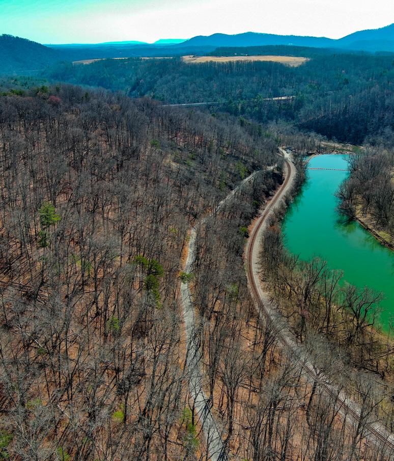

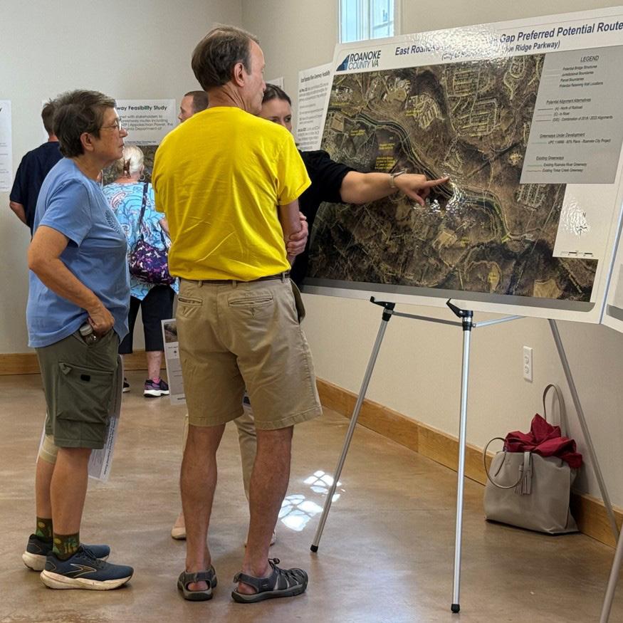
The East Roanoke River Greenway Gap Feasibility Study was completed in September to determine a potential alignment for the remaining section of the East Roanoke River Greenway.
On November 18th, the Board of Supervisors adopted the West Roanoke River Feasibility Study as a component of the 200 Plan, which identifies potentially viable routes for the Roanoke River Greenway between Green Hill Park and Montgomery County.
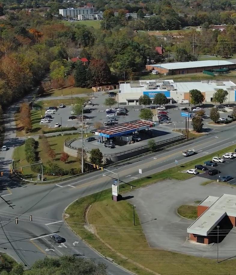
Staff participated in the development of an action plan through the Virginia Walkability Action Institute that focused on improving conditions for non-motorized road users in the Plantation Road/ Hershberger Road/Hollins Road corridor.
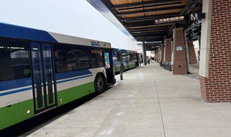
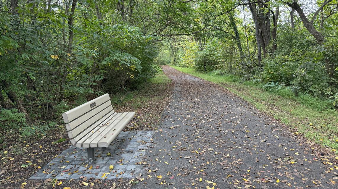
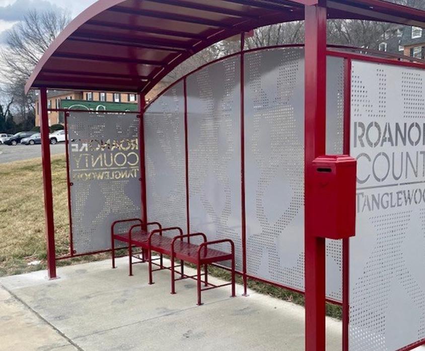
In 2025, staff worked with the Roanoke Valley Alleghany Regional Commission to update the 2013 Bus Stop Accessibility Study. The study aimed to improve pedestrian safety and ease of access to bus stops— especially for people with disabilities—by identifying priority stops, needed improvements and costs, best practices from other areas, and potential funding sources.
In June 2025, the Roanoke Valley Greenway Commission adopted an update to the 2018 Roanoke Valley Greenway Plan, consisting of changes to the recommended greenway network map. These changes reflect new recommended greenway alignments adopted by localities since 2018, as well as requests from state agencies and citizens
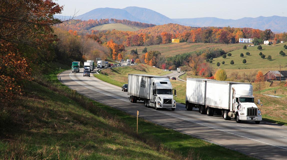
Staff participated in the Roanoke Alleghany Regional Truck Parking Study, which analyzed freight activity and truck parking needs across the region. The study found much of the region’s truck traffic is pass-through freight along the I-81 and I-64 corridors, and identified a growing shortage of commercial truck parking. Despite few local destinations for parked trucks, the study emphasized the region’s strategic importance within the national freight network, outlining recommendations to expand capacity and improve safety.
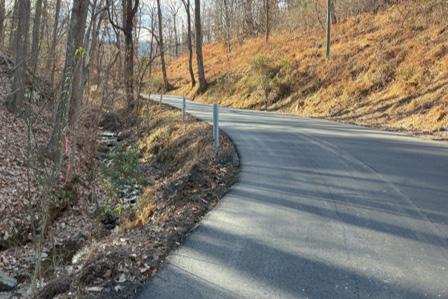
In December, improvements were completed to the existing Franklin Street roadway, including minor widening and plant mix asphalting.
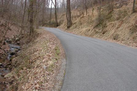
Before After
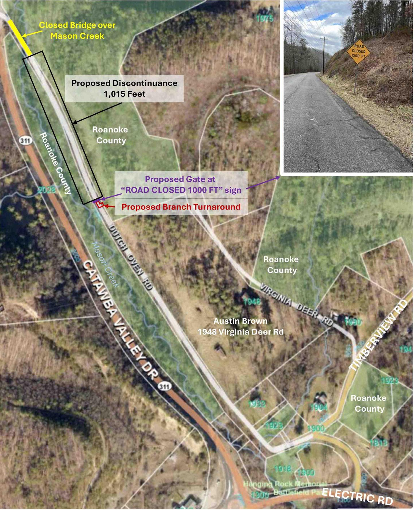
A 0.19 mile stretch of Dutch Oven Road was discontinued, allowing Roanoke County to install a gate to restrict vehicle access, addressing concerns about issues near the northern end of the road.
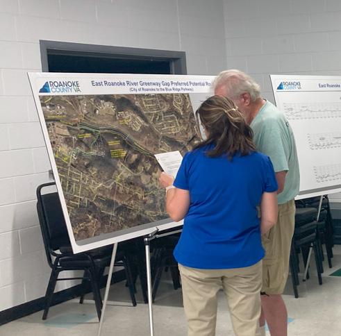
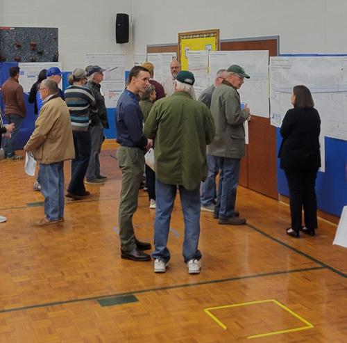
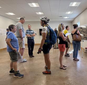
were supported or hosted to inform the public and gain feedback on a range of projects, including planning studies, greenway and VDOT projects, the Housing Market Analysis Study, and land use applications.
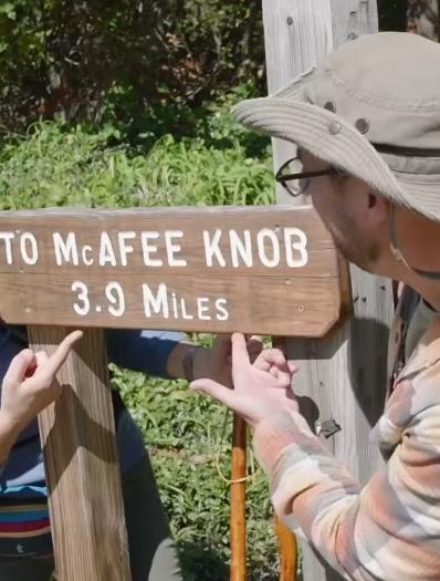
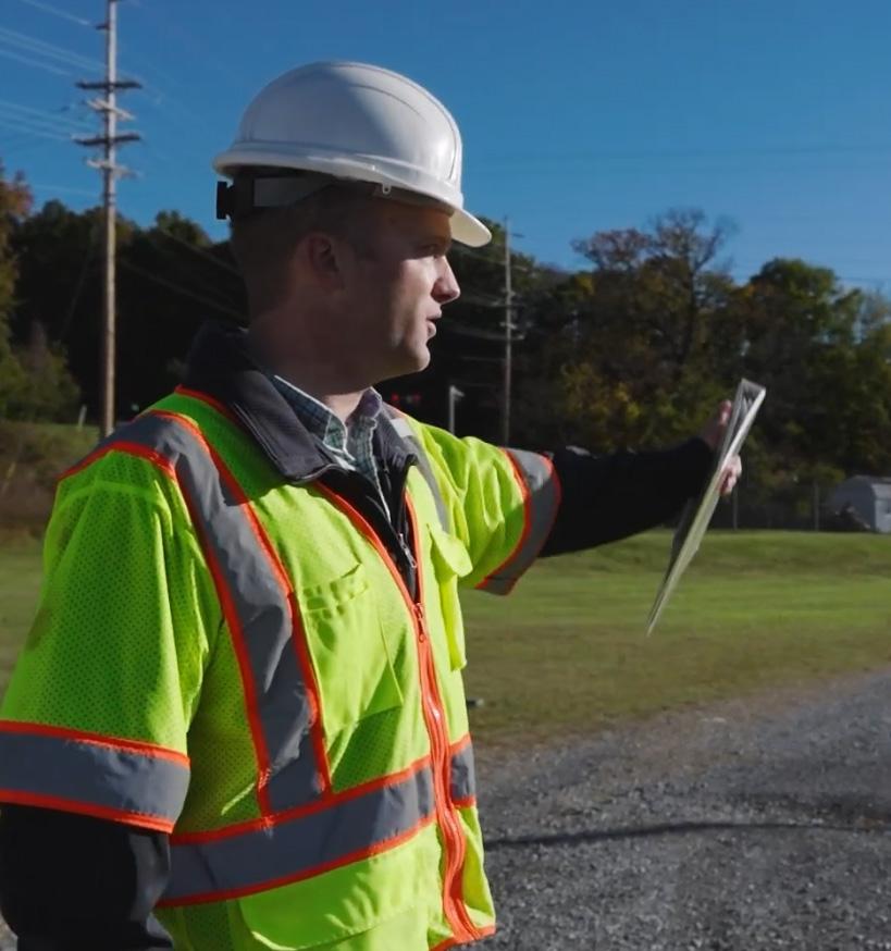
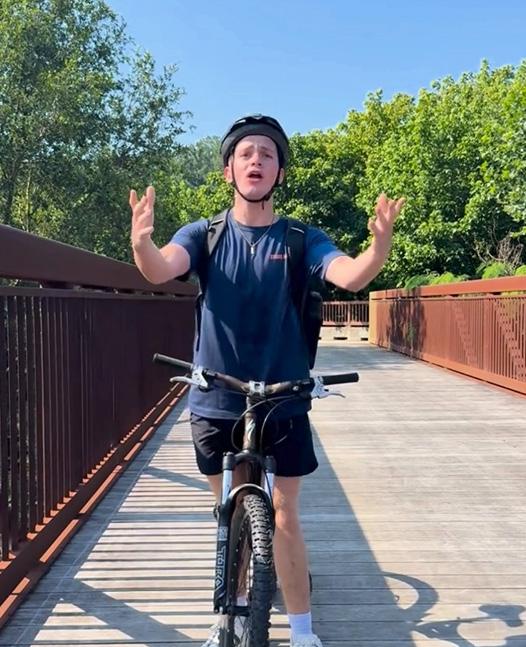
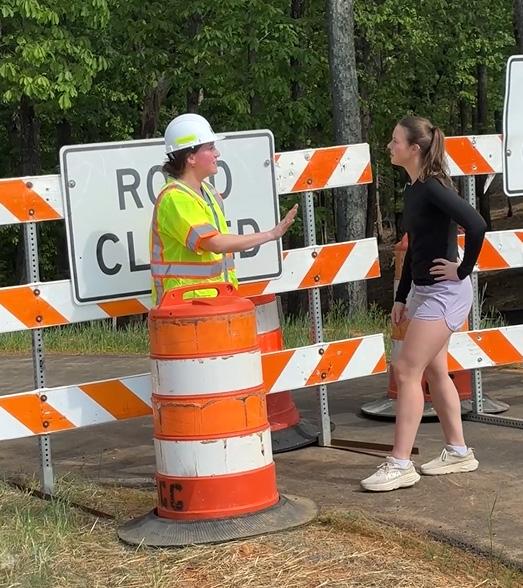
A County-wide Social Media Strategic Plan was initiated in March. As part of its implementation, Planning staff increased their efforts to inform the community on Planning matters through more videobased content, including expanding social media outreach to Instagram in an effort to reach a larger demographic of the community.
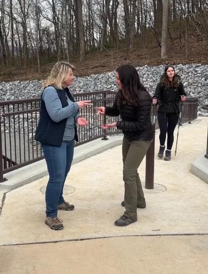
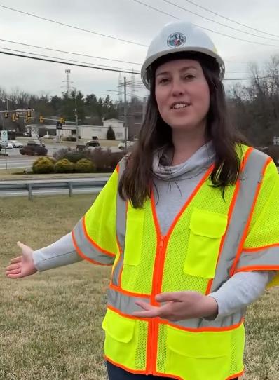
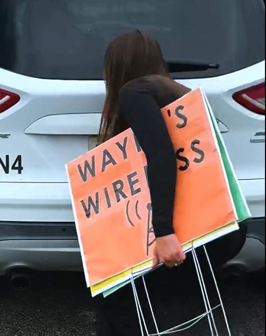



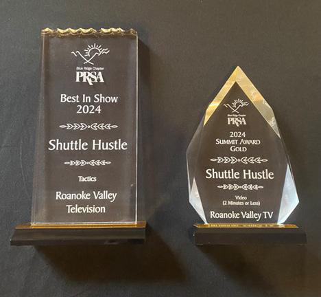
Although a majority of the social media content for engaging the community was created in house by Planning staff and in coordination with the Public Information Office, staff would like to extend a thank you to Roanoke Valley Television, the Roanoke Valley’s civic media resource, for their award-winning help with ideas and production!
155,586


Views of social media content across Instagram and Facebook 1,811 Post Reactions 604 Shares 123 Comments








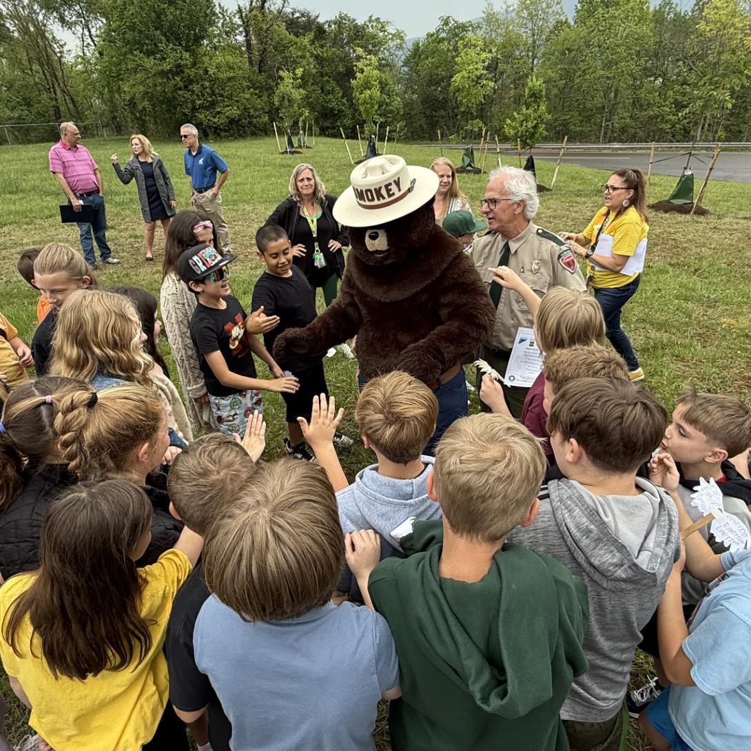
The annual Arbor Day celebration was hosted at Glenvar Elementary, where the County planted ten new shade trees and marked its 27th consecutive year of being recognized as a Tree City USA community. Students participated by reading poems and sharing handmade artwork, and special guests included the Virginia Department of Forestry and Smokey Bear.
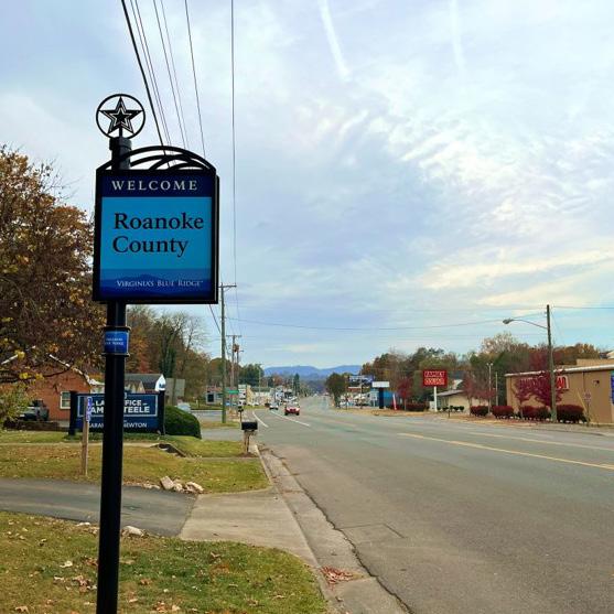
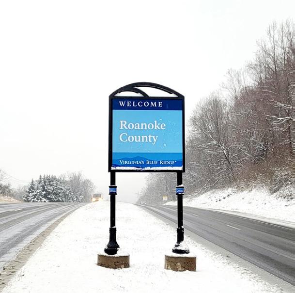
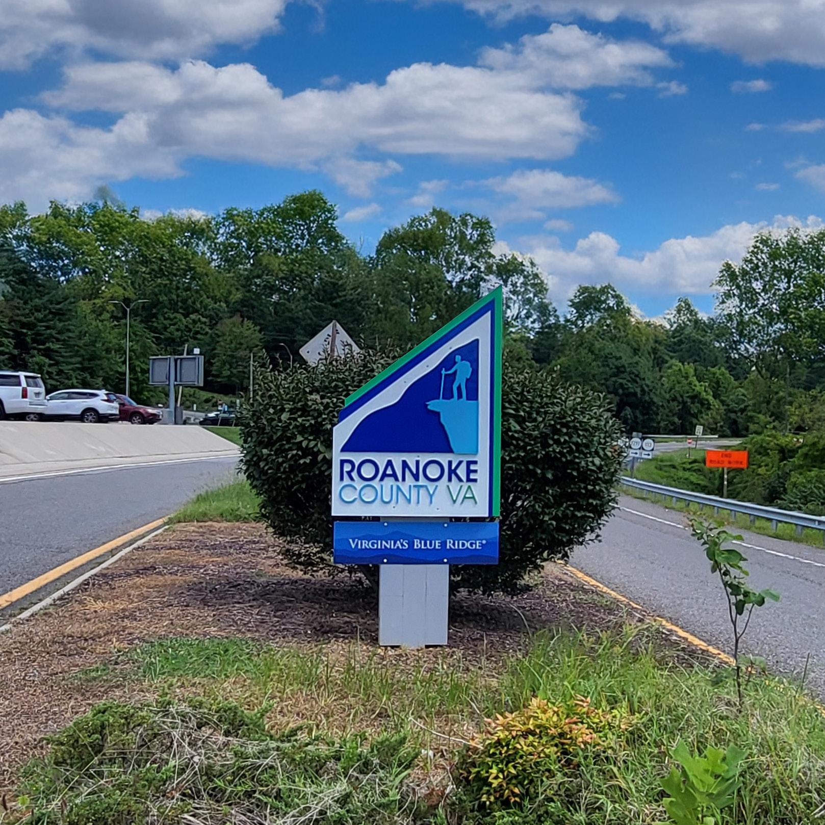
The Planning and Economic Development Departments collaborated with Visit Virginia’s Blue Ridge (VBR) and the Cities of Roanoke and Salem to upgrade gateway signage at high-traffic jurisdictional boundaries with new VBR-branded signs. Nine (9) new gateway signs were installed on Route 419, Route 220, Route 460, Peters Creek Road, Williamson Road, Plantation Road, Brambleton Avenue, and Jae Valley Road. Roanoke County’s existing “hiker” gateway signs on Route 460 (at Botetourt County line), Route 11/460/West Main Street (at City of Salem line), and Route 24 (at Bedford County line) were outfitted with VBR branding. The installation of a new Roanoke County/City of Salem VBR gateway sign at the intersection of Route 419 and Keagy Road allowed the “hiker” gateway sign (refurbished and now outfitted with VBR branding) that had been at that location to be moved to Thompson Memorial Drive (at City of Salem line) replacing the outdated gateway sign there. This project implemented the vision outlined in the 2018 VBR Regional Wayfinding and Signage Plan.
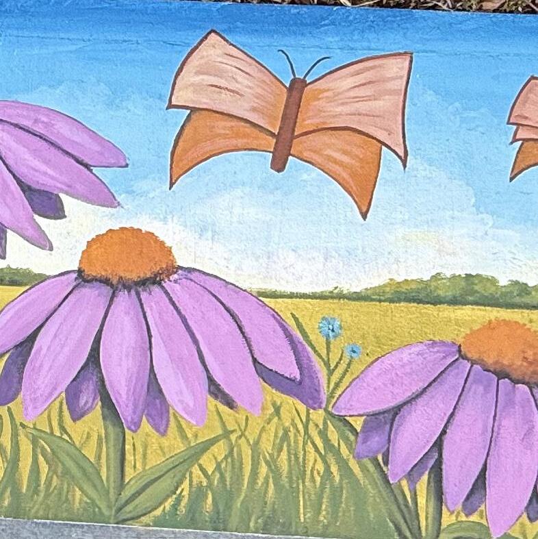
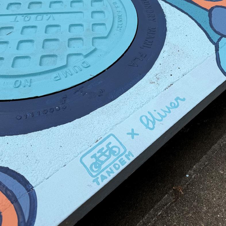
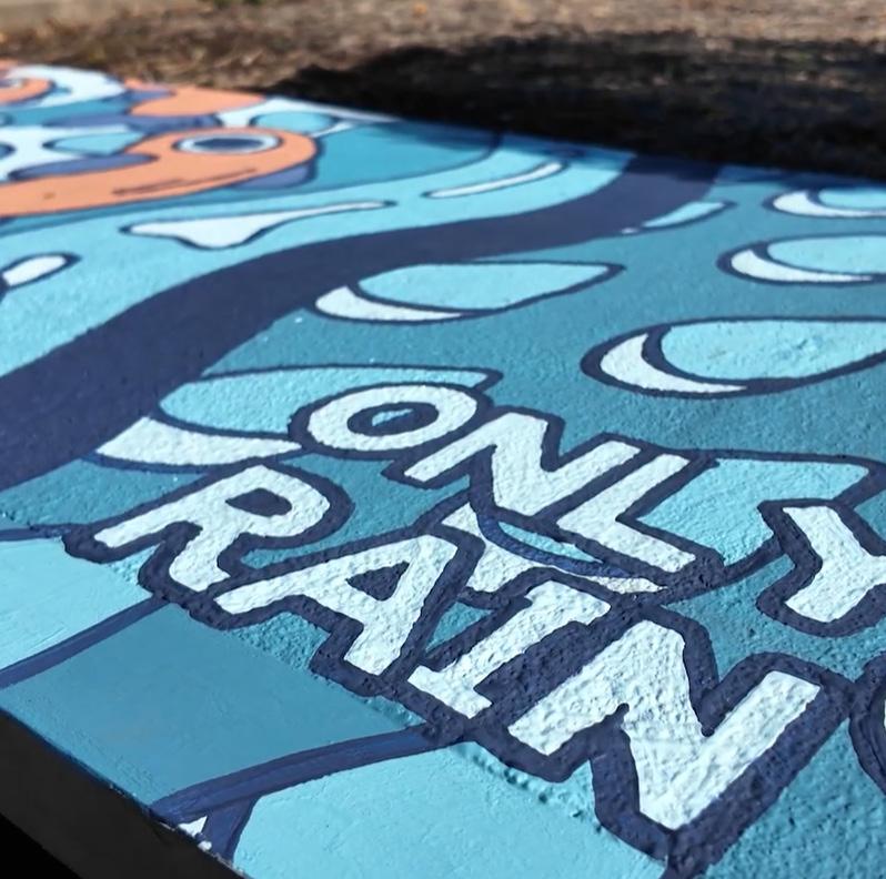
A Mural Concept Contest held during the summer resulted in two new storm drain murals being painted at County libraries. At South County Library, Tandem Arts Collective painted a storm drain with an “only rain”down the drain, while local artist Rayne McPhee painted one at the Vinton Library incorporating many of the colorful designs kids submitted during the competition.
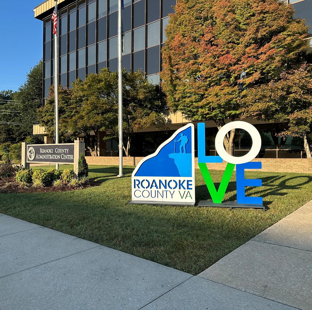
Roanoke County’s first LOVE sign, designed in-house by County staff through interdepartmental collaboration, was unveiled in September. The LOVE sign was brought to life by a local metal fabricator, LiftArc Studios, with help from their student intern from the regional Burton Center for Arts and Technology school. The LOVE sign primarily lives outside of the Explore Park Visitor Center, but was designed to be mobile and transported to various County events throughout the year.