Regional Planning and DevelopmentAgency of Wonosobo Regency
General Description
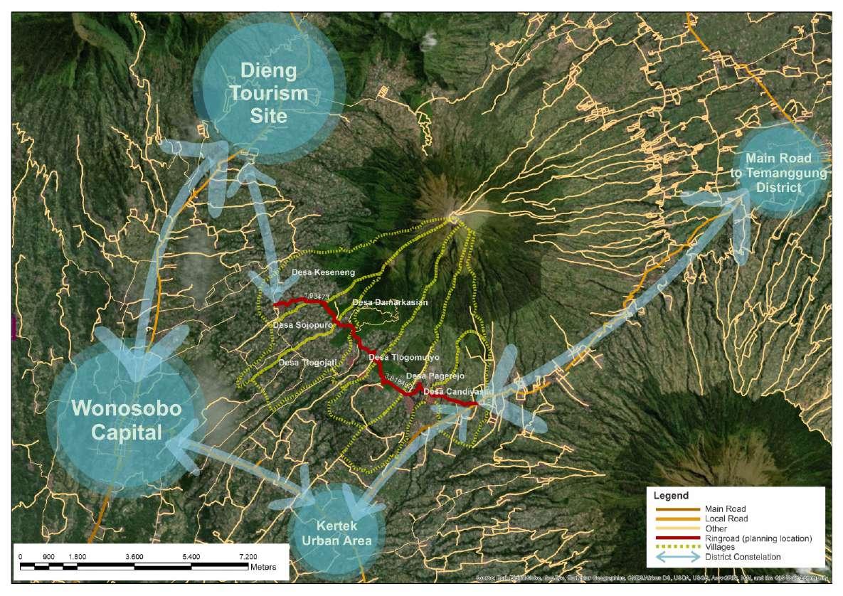
Site Location
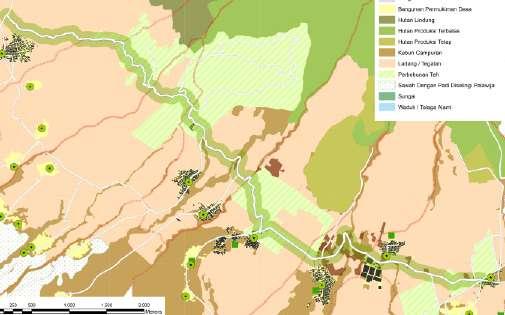
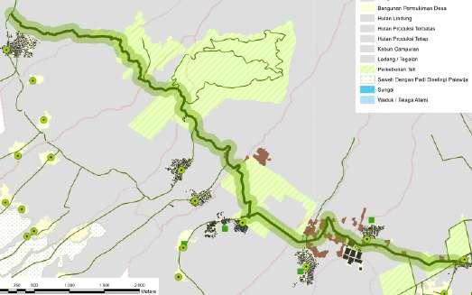
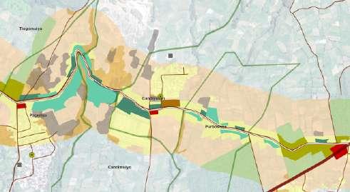
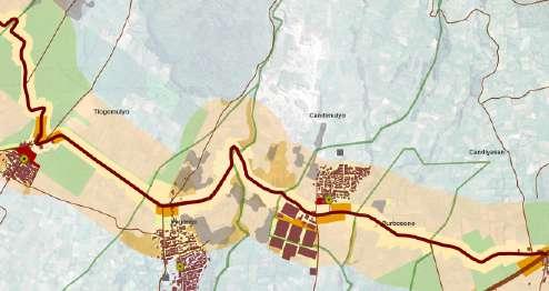
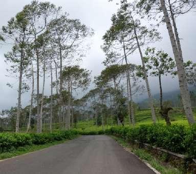
The road passes through 9 villages which will get direct impact. The nine villages include Candiyasan Village, Pagerejo Village, Purbsono Village, Candimulyo Village, Tlogomulyo Village, Damarkasian Village, Tlogojati Village, Sojopuro Village, and Keseneng Village. The villages have their respective characteristics, based on the dominant land use aspects, environmental conditions, as well as community social and culturalactivities.
WonosoboRegencytendstodevelopeastward,thiscanbeseenfromtheexistence of regional service and activities center as stipulated in the Wonosobo District Spatial Planning. Therefore, in the spatial document there is a program plan for the main infrastructurenetworkintheformofaringroadinurbanareasofWonosobo,Kertek,and Garungtodivertflowsandovercometrafficproblemsintheurbanarea.Itisexpectedthatin the long run, regional economic growth and development will proceed well because it is supportedbythedevelopmentofgoodtransportationinfrastructure.
The purpose of The Candiyasan - Keseneng Corridor Master Plan preparationistocompileastrategicreferenceforthedevelopmentofnorthern ring-road of Wonosobo Regency as an alternative road to access Dieng tourism objects. Other than that, the preparation of the CandiyasanKeseneng Corridor Master Plan is to realize an effective and productive ring roadcorridorareathroughsustainablelanduseplanningmanagement.
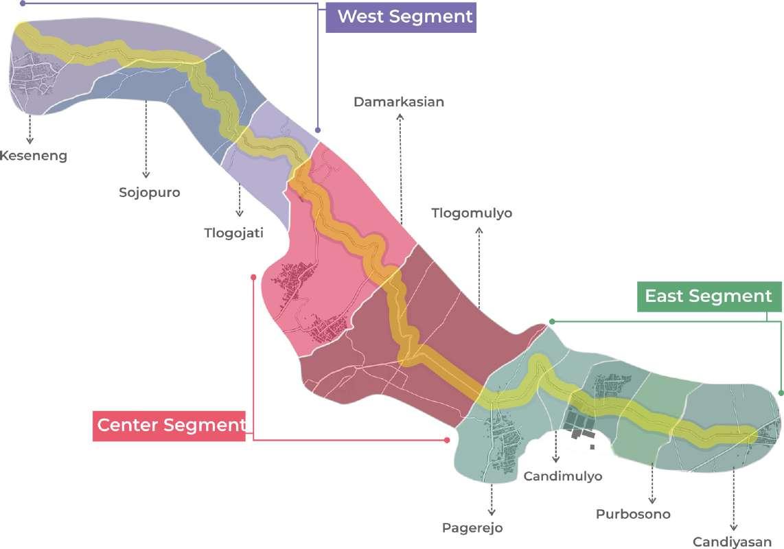
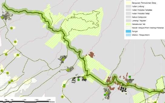
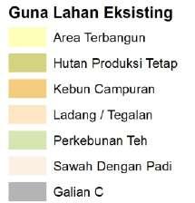
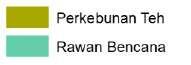
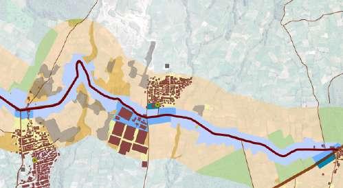
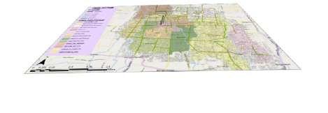
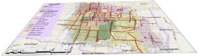
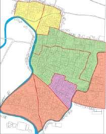
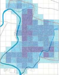
Total length of the site is 9,5 km long.Therefore, the site was divided into 3 segments as described in the picture below
Development Concept:
Land use and activities regulation to prevent the environmental quality degradation the ring road becomes an alternative road with adequate supporting facilities
have a preventive and curative plan for unexpected conditions
Planning Scenario Alternatives
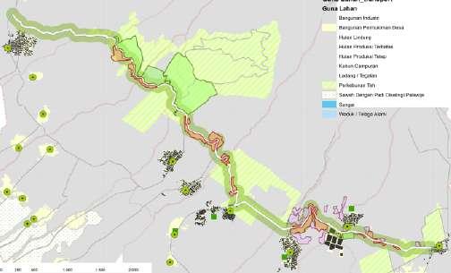
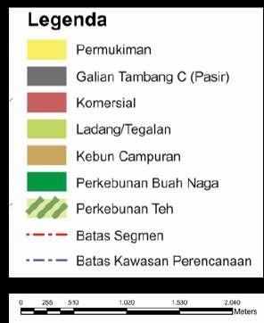
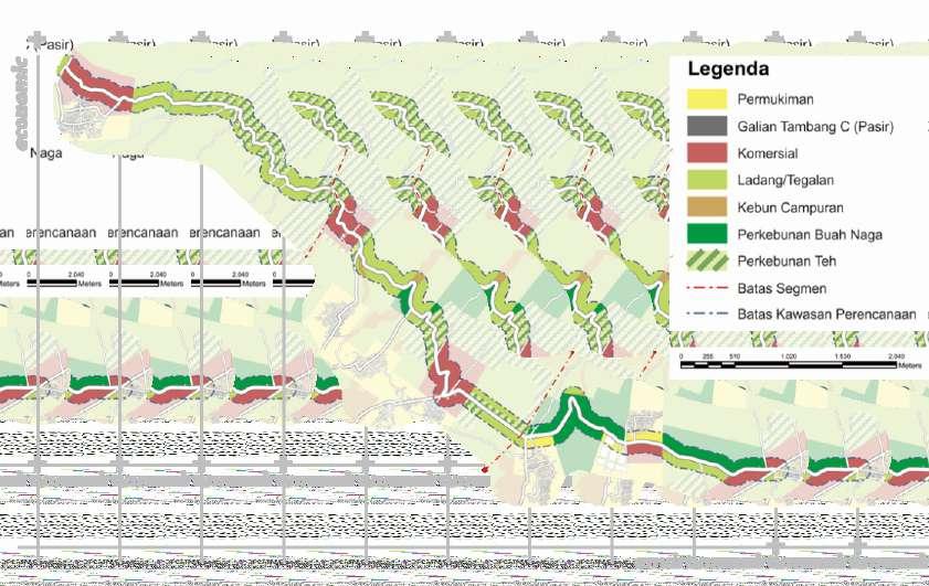
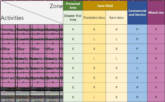
The regulatory approach is corridor scenario planning based on rigid regulation to create an expected development climate, where community socio-economic rights and environmentalconditioncanstillbeguaranteed.
Regulatory Approach
East Segment
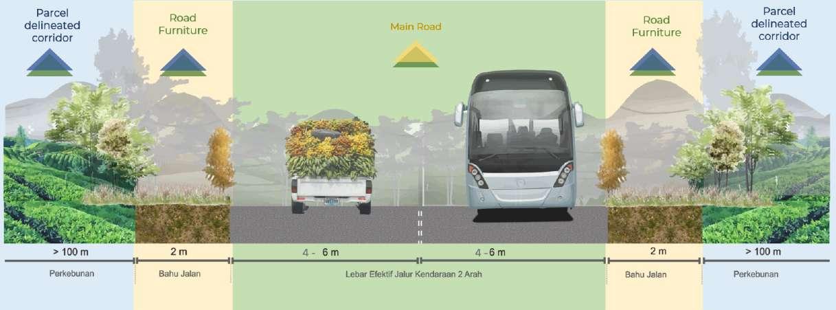
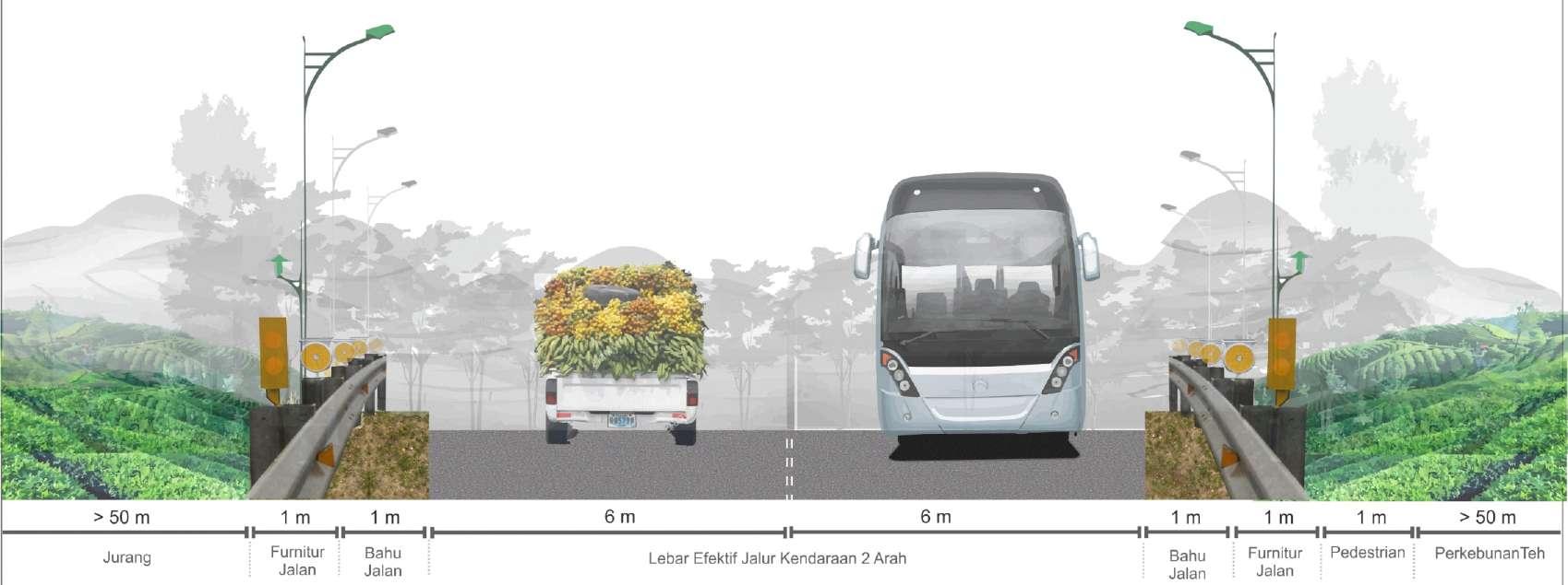
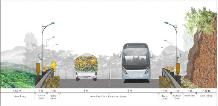
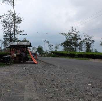
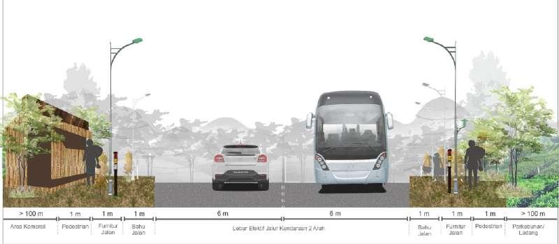
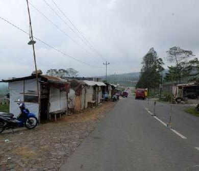
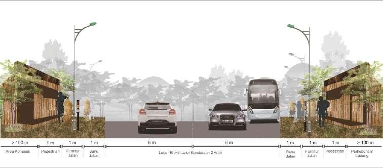
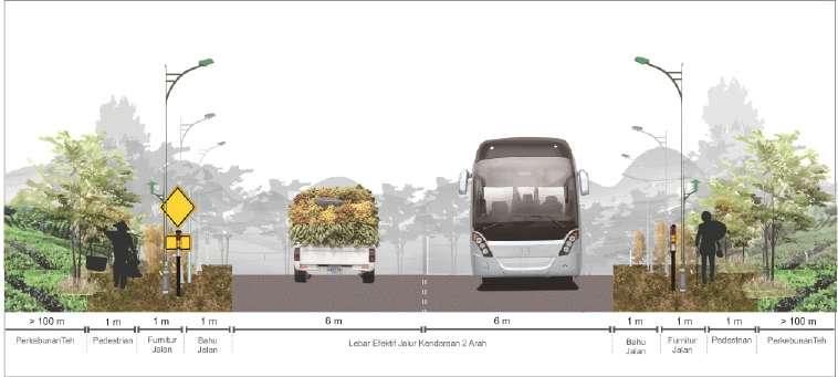
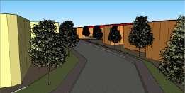
Ilustration of Road Section Regulation
PROJECT WORK
Street Vendors Regulation Study inYogyakarta
ProfessionalAssistant and Suryevor Coordinator | July, 2019 - September, 2019
Department of Industry and CommerceYogyakarta
General Description
Overlay
Street vendors are one form of the informal-economy sectorinacity.Streetvendorsaresellersofgoodsand/or services individually or in groups engaged in economic activities that use public facilities and are temporary / nonpermanentbyusingmovableorimmovableequipment. In the stipulated regional regulation, there are provisions that regulate street vendors selling in the permitted area. Based on the foregoing, it is necessary to conductastudyofvendorstradersinYogyakartasothatitis expected to be able to provide recommendations and regulations for improving the implementation of traders in theCityofYogyakarta. General
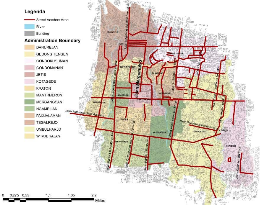
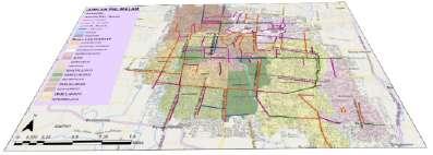
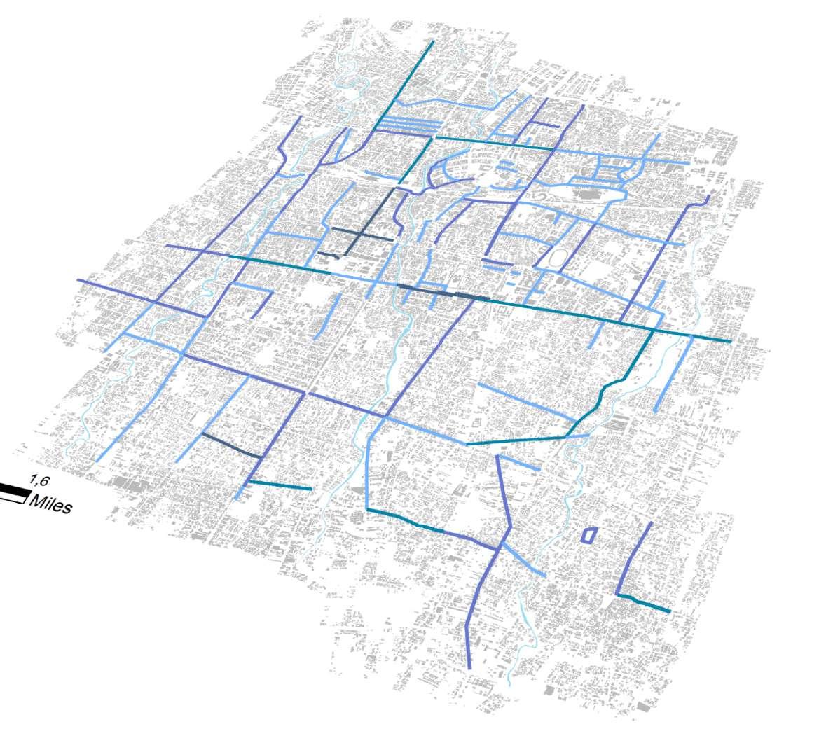
The study shows that the presence of street vendors in Jogja is already at an overcrowdedlevel,thishasanimpactontheaccessibilityofdisturbedroadsaswellas the declining quality of the environment both physical and non-physical because traders do not provide the minimum standards of established trading facilities. The alternativeisusingtheagglomerationapproachbyprovidingspecialspacefortraders atseveralpoints.Determinationofthesepointsisbasedonthecharacterofthearea, proximitytotheexistinglocation,andlandavailability.Thedeterminationoflocationis illustratedonthemapofrecommendedagglomerationlocationsbelow.
Market Center Based Street Vendors Transit Based Street Vendors
Corridor Tourism Based Street Vendors
Locus Regulation
PROJECT WORK
Study of UrbanArea Typology Identification in Sleman Regency
ProfessionalAssistant and Suryevor Coordinator | May, 2019 -August, 2019
Department of Land and Spatial Planning Sleman Regency
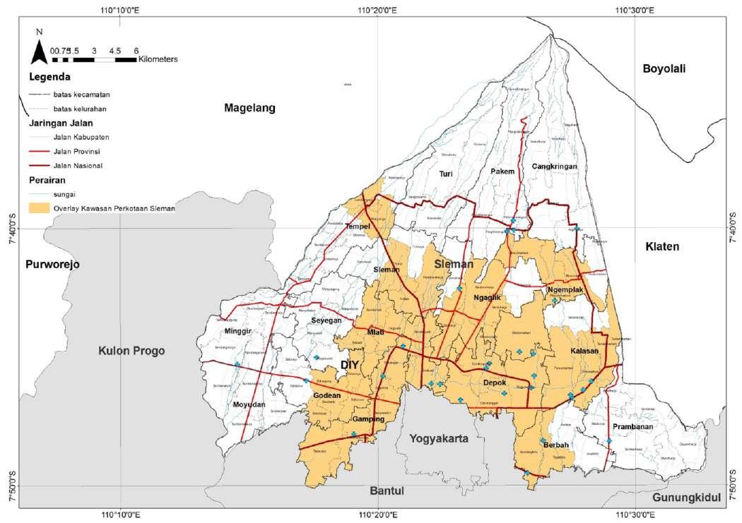
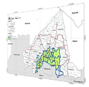
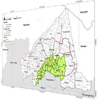
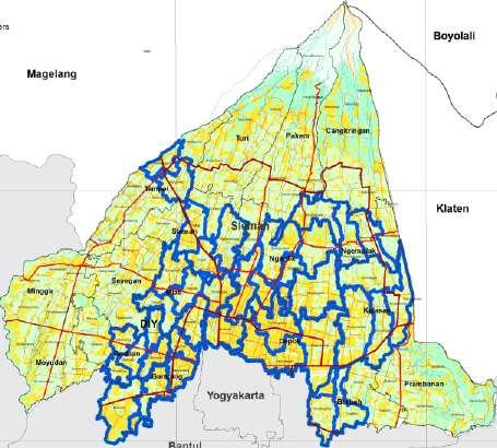
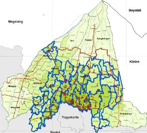
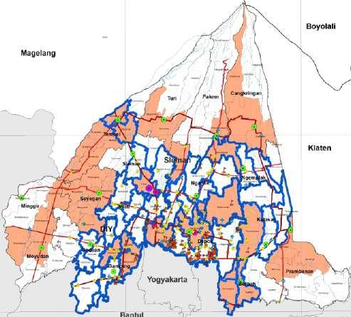
In total, there are 65 villages by administration that have urban area character in Yogyakarta
Urban area is an area that has heterogeneity in activitiesapartfromagriculturewiththearrangementofthe function as a place of urban settlement, centralization and distribution of government services, social services, and economicactivities.
In general, the target of Typology Identification of Sleman Regency Urban Areas is the compilation of the Typology Identification Documents of Sleman Regency UrbanAreasthatcanbeusedtohelptheimplementationof development policies and in line with policies for the preparation of the study of the Sleman Regency Regional Spatial Plan The method of this study is identify characteristics and then to group urban areas to help implementdevelopmentpolicies
Land-use Diversity Comparison
Urban area is identified with high level of land-use diversity
Strategic Facility Comparison
Urban area is identified with the availability of educational facilities, markets and modern shops that support the level of regional heterogeneity
District Center Comparison
Urban area is not dentical with the status of the subdistrict center, despite having office centers as public facility
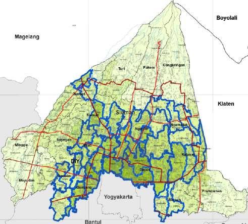
Density Comparison
Urban area is identified with high level of building density
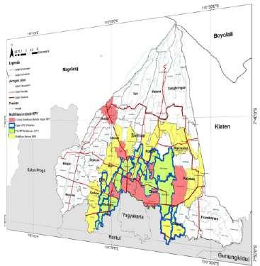
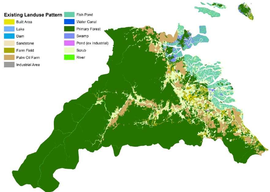
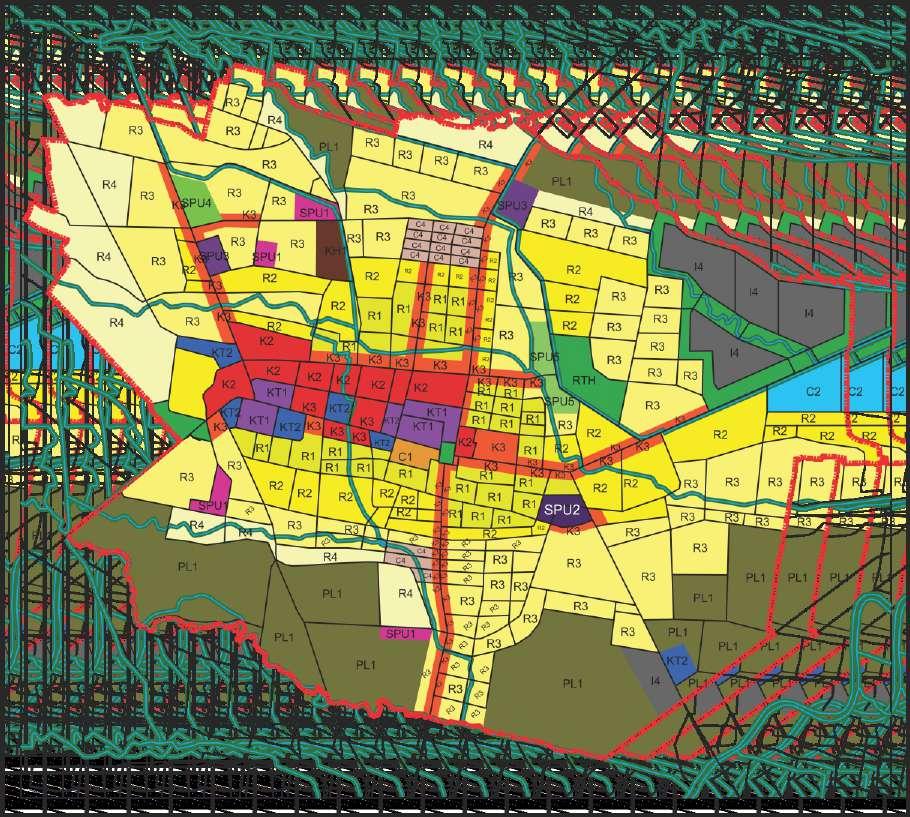
Land-use Pattern Existing Plan
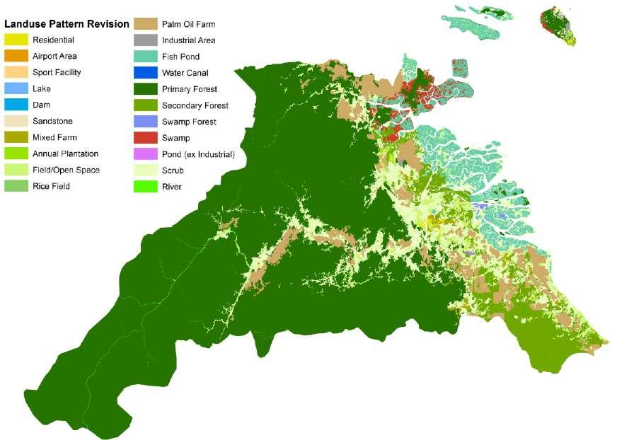
Land-use Pattern Revision
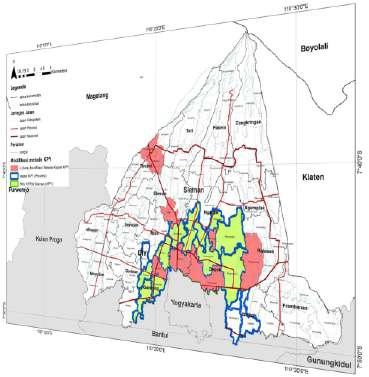
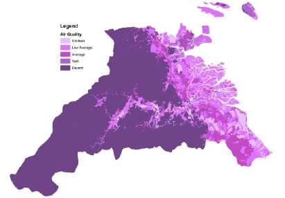
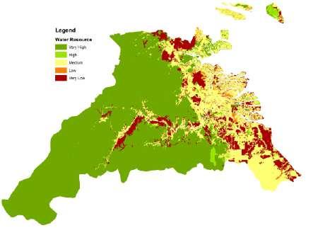
District spatial planning (RTRW in Indonesia) includes: objectives; policies and strategies for spatial planning in district areas; district spatialstructureplan;districtspatialland-usepatternplan;districtstrategicareas;etc.Thesespatialplanningshouldbeevaluatedbasedon national policies and strategies that affect spatial use; and / or district internal dynamics that affect fundamentally spatial use, such as largescale natural disasters or regional divisions determined through statutory regulations. The evaluation is also carried out by analyzing the existingconditionsthroughthematicmapping.
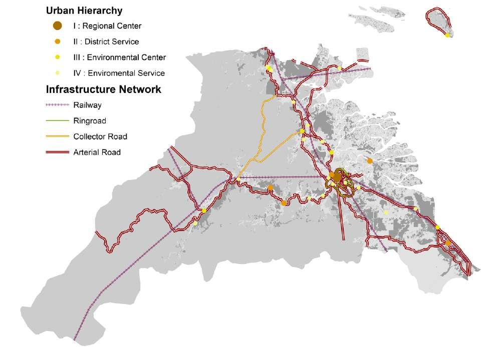
Urban Structure and Network Existing Plan
Urban Structure and Network Revision
Thematic Spatial Analysis
ACADEMIC WORK
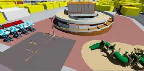
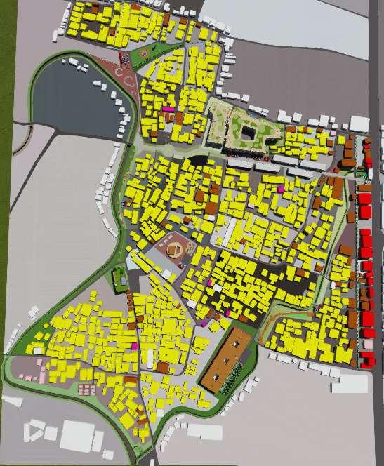
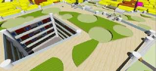
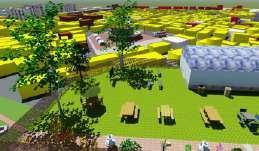
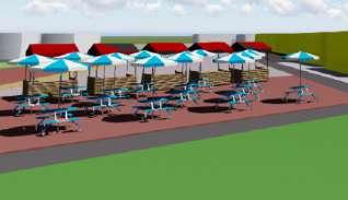
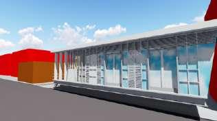
River-Front Village Development Plan
Kricak Village, Sleman,Yogyakarta
General Description
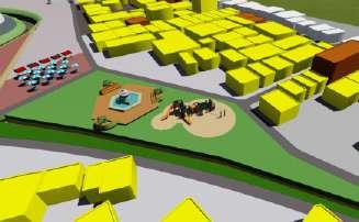
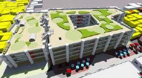
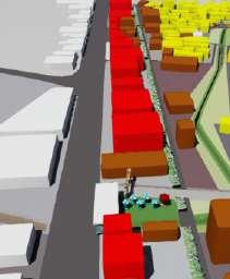
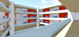
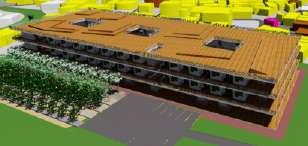
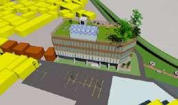
Kricak Kidul Mbanyu Mili Planning is a medium-term plan that takes 5 to 10 years to come. Target in the 2026, Kricak Kidul area can transform into a comfortable area