1 minute read
URBAN DESIGN


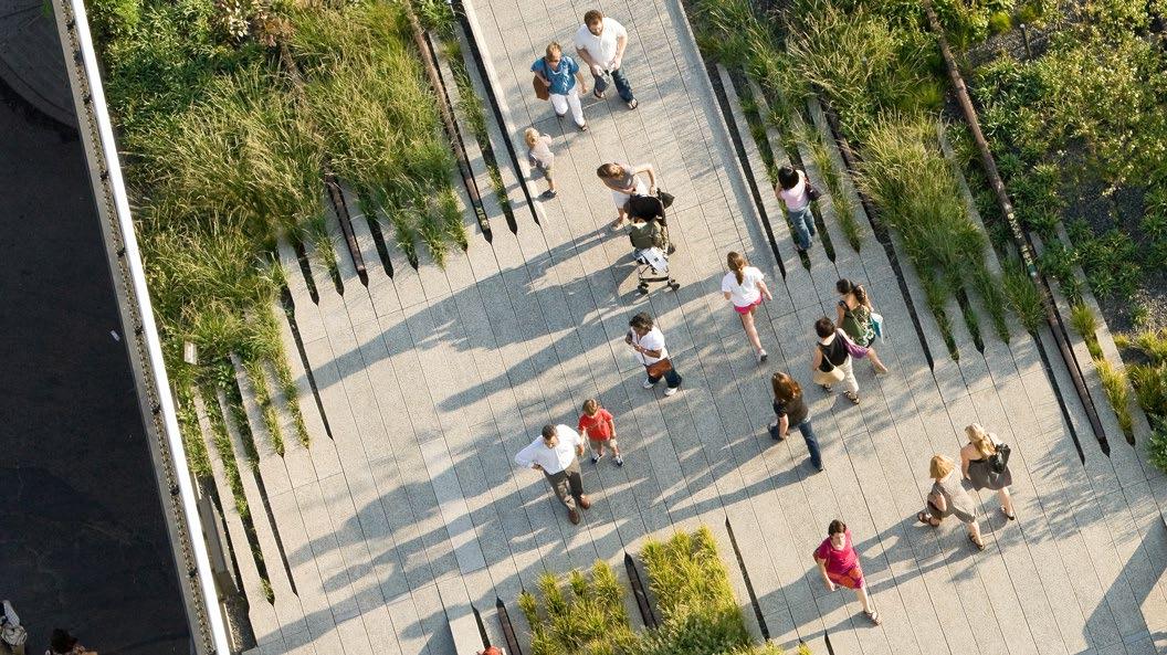
A people-first approach to updating the vision and strategy will address stakeholder desires for a walkable, connected, mixed-use future for Panther Island. The vision update offers a unique opportunity to define a path towards creating a distinctive place that is authentic to Fort Worth and Panther Island’s history, while also harmonizing programmatically and aesthetically with the surrounding districts. Promoting pedestrian connectivity and walkability through streets, open spaces, and trails will showcase the people-first approach to planning. A high-capacity transit system that runs through Panther Island to link surrounding neighborhoods would strengthen regional connectivity and walkability within the district.
Providing more of a mixed-use approach across the district will only strengthen the long-term success of the district to cater to flexible economic driven demands and provide various micro-district identities and zones. Urban design and planning approaches and recommendations can play an important role in enhancing the attractiveness of Panther Island to future residents, workers, retailers, businesses, and other users, including offering new amenities and urban experiences.
Advertisement
Creating a mix of large- and smaller-scale signature and neighborhood open spaces across the district is crucial for the vision update's success, offering valuable amenities to users and to the region. Panther Island offers a unique opportunity to provide a balance of open space and development. Revisiting the location, size, amount, and network of open spaces will strengthen the public realm experience and provide linkages and nodes of activity throughout the project.
Planning and urban design approaches need to grapple with physical constraints. The relationship between development, stormwater canals, the river, the street network, utility networks, and transportation systems is complex, especially given the longterm phased buildout of Panther Island ahead. The team will continue to study how desired water levels for normal and flood conditions along the canals and rivers edge and the buildout of the canal system affect potential development typologies, and offer recommendations on parking, building typologies, island ingress/egress, and urban design that are both practical and visionary.


