



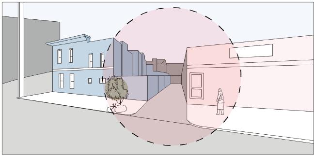
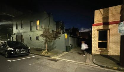


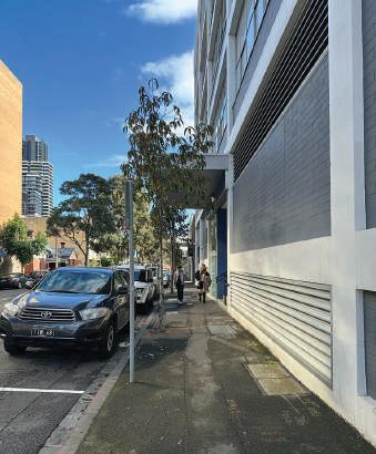
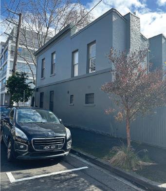
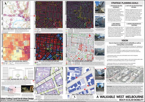
Enhancing walking experience directly relates to creating thoughtful interfaces for buildings. As the chose site has inactive Interfaces, this can be designed to foster a active relationship between built environment and the Pedestrian (Dovey et al, 2017). Developing such interfaces can encourage walking positively.
3.
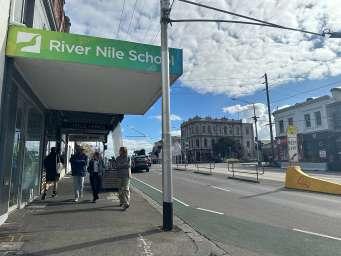


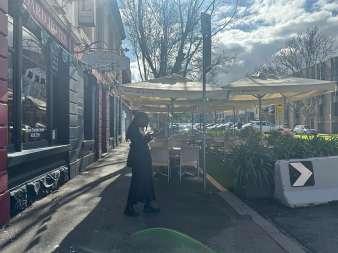
Taking in consideration the lack of biking lanes in selected site, and wide vehicular car dominated road, the objective of introducing bike lanes is pivotal. Bike friendly Infrastructure makes neighborhood more active while reducing long walking trips to destinations.
Making a neighborhood that can be accessed safely and securely during both day and night times is vital. A safer footpath with well lit and visible paths can ensure well-being of pedestrians (Corazza et al, 2016). Aligning with strategic goals, pedestrian securing should be prioritized for a livable neighborhood.
4.
Creating equitable neighborhood signi es fostering equal access to opportunities and facilitating easy connectivity. Equitable growth for an urban area will help creating a more inclusive society which considers every individuals well-being (Krieger et al, 2009)
How to improve neighborhood walkability as well as metropolitan connectivity?
The vision for Melbourne’s Economic Development Strategy 2031 highlights on making the city more prosperous and equitable to promote the social, environmental and economic growth.
Discussing the vision for future in regards with improving West & North Melbourne site areas walkability and metropolitan connectivity, following points need to be considered:
1. Envisioning a safe, secure and comfortable street which integrates Pedestrians well-being.
2. Integration of more public transport options, such as bus facility within walkable distance and proper biking routes as a part of street scape.
3. Reducing reliance on cars and promoting a more sustainable Metropolitan connectivity route that is quicker and easier.


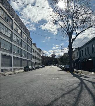
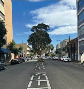

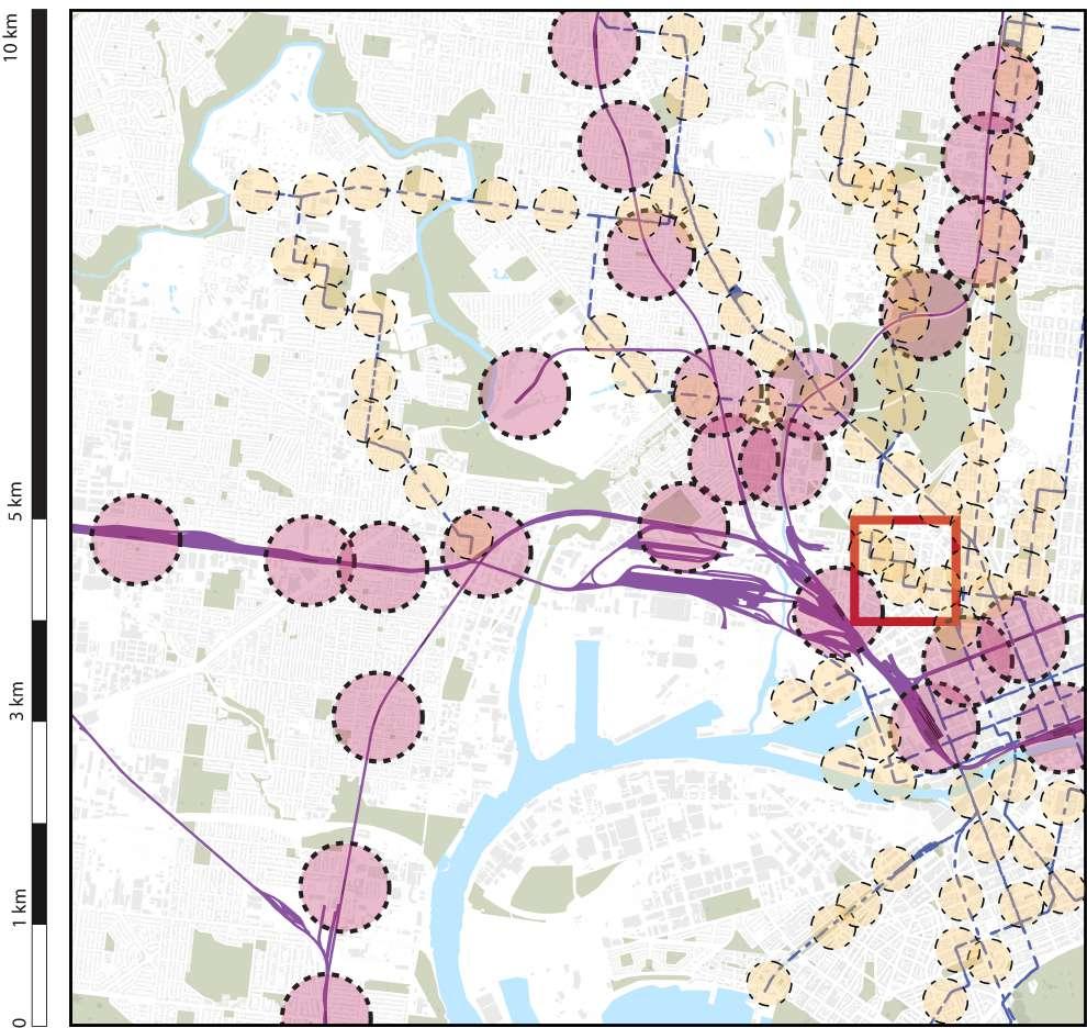
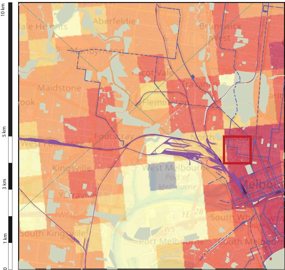
Summary: West & North Melbourne’s neighborhood is located at a prime spot near Queen Victoria Market and the CBD area. Even with its location, it lacks basic walkability and biking infrastructure. Also considering this area has dense car dominated streets, walkability is not a prioritized factor of this neighborhood. This site analysis is focused on analyzing street behavior in consideration with the density, mix and access factors suggested by Dovey et al (2018).
What
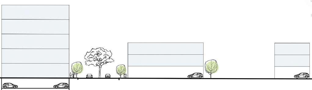
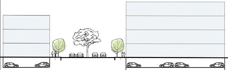
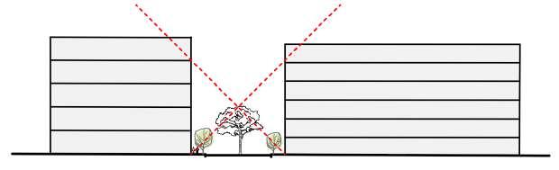
Tall buildings kill diversity of the city and as high building gets, streets become boring (Dovey, Lecture 05)
Better public transport due to densi cation of urban area (Dovey, Lecture 05).
As explained by Jiangyan in The human scale (2012), Due to increase in opportunities, city densi es to occupy increasing population for quick access to work.
The proxemics of such scenario is more public than personal due to packed pedestrian pathways (Whitten, Lecture 03)
access-ways (Raws, 2017).
• The increase in Building height and density allows street life vitality, better public transport, and increases urban e ciency. But there is also cost of height & density such as loss of solar access & privacy, inactive interfaces, and overall loss in diversity of public spaces (Dovey, Lecture 05).
Car dominated streets consume maximum urban spaces in comparison to public transport (Whitten, Lecture 04)
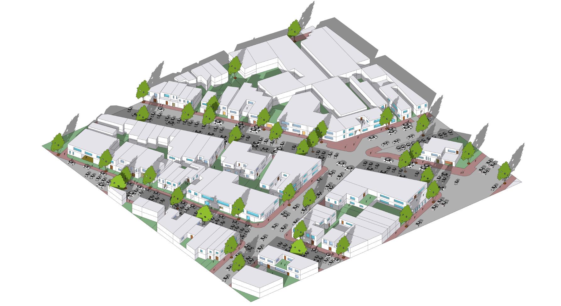
The quality of public realm is disrupted due to surface parking spaces and multiple vehicular access ways (Whitten, Lecture 04)
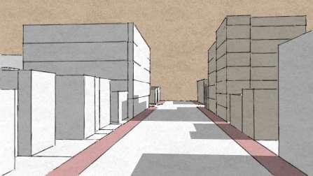
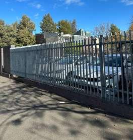
Frontage design impacts on pedestrians while walking (McAllister, Lecture 06), in this scenario due to unpleasant walking area, permeability decreases.
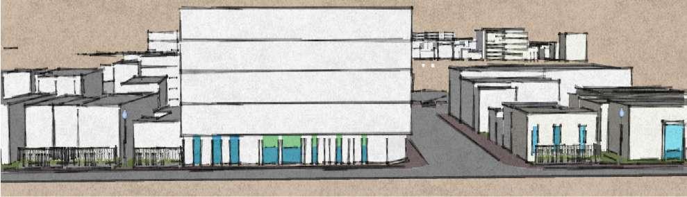
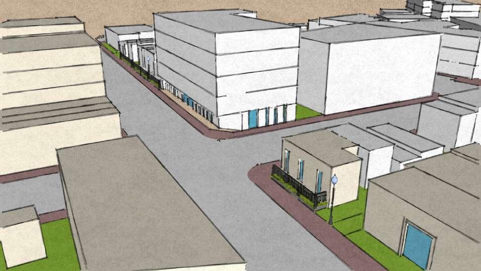
KEY DRIVERS: Parking Overlay across all the site area, Maximum building height is 9m
(Refer Fig 7). Opaque/Blank walls to be prohibited 4. Distance between lot frontage and car parking to minimum 4m.
During summer time, considering how hot days have increased in Melbourne, the streets here will be too heated.
• Code 1 & 3 are not applicable here, as the private control doesn’t allow gradual height density for buildings. Therefore, as stated by The human scale (2012) Melbourne’s example, suburban areas come into picture with a very stagnant and boring environment. It also allows increase in car dependency to reach places of opportunities (Refer Fig 15).
• The prospectiveness of code 2 allows activation of certain areas, but due to car dependant street, very less social interaction happens. Walking also happens very less which can be not good for physical health (Whitten, Lecture 04)
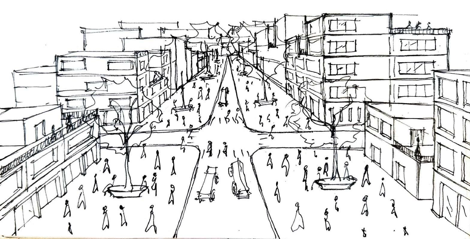
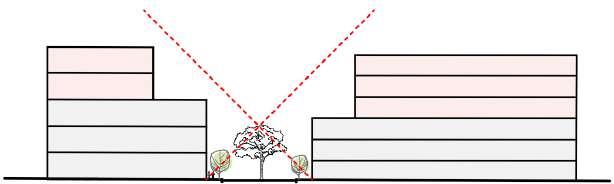
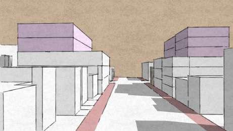
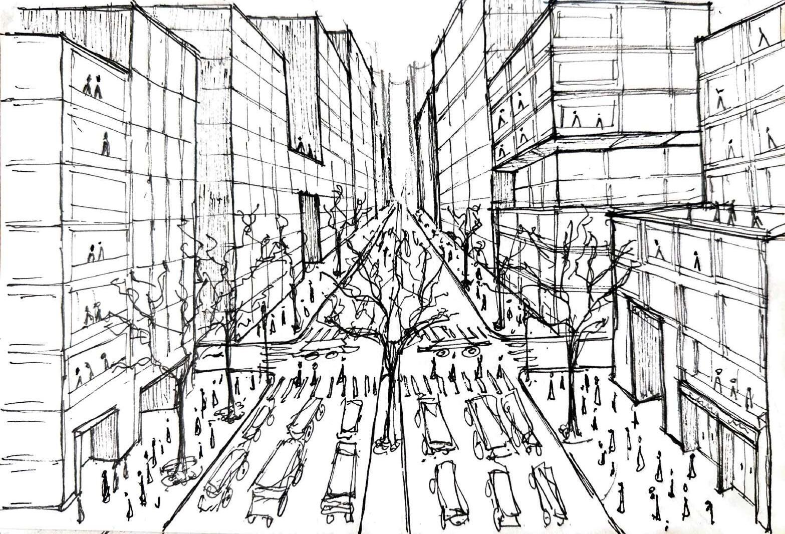
Best practice for ideal case is when the buildings ensures “good density” making streets more lively (McPherson, Lecture 08).
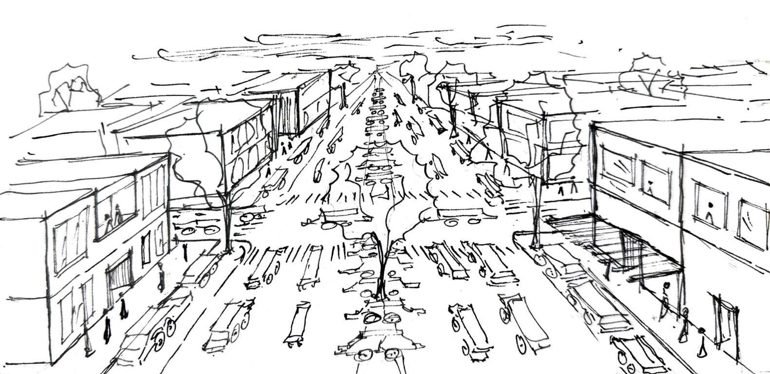
Densities in building heights allow much more open pro le (McPherson, Lecture 08).
Wong Kar Wai (1994) shows through Hongkong based cinematography that proximity of space causes chance encounters to happen and also increases safety of public spaces (Chunking Express, 1994)
A dynamic relationship builds between pedestrians and urban spaces during both day and night time (Night on Earth, 1991), which is healthy and safe.
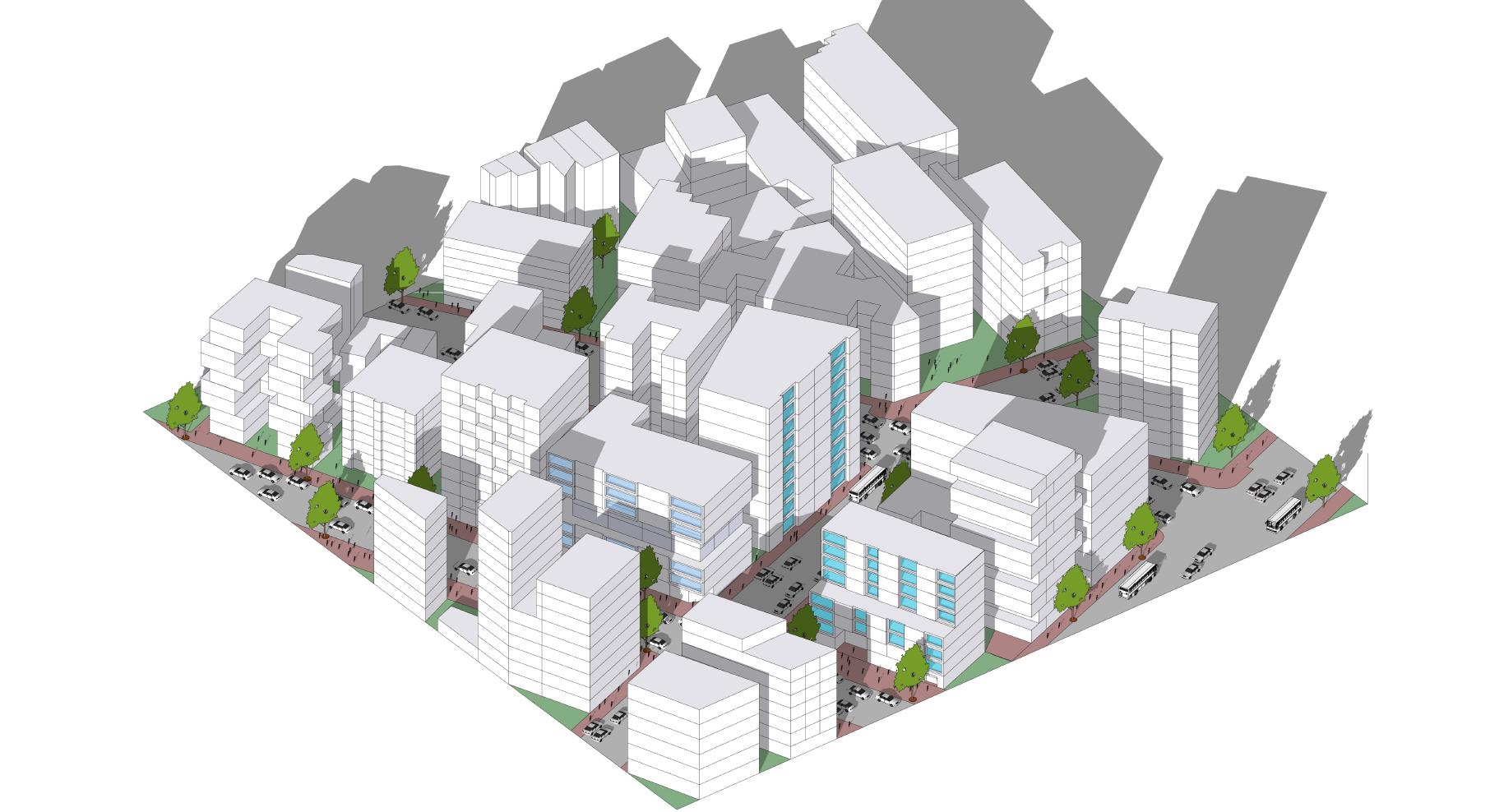
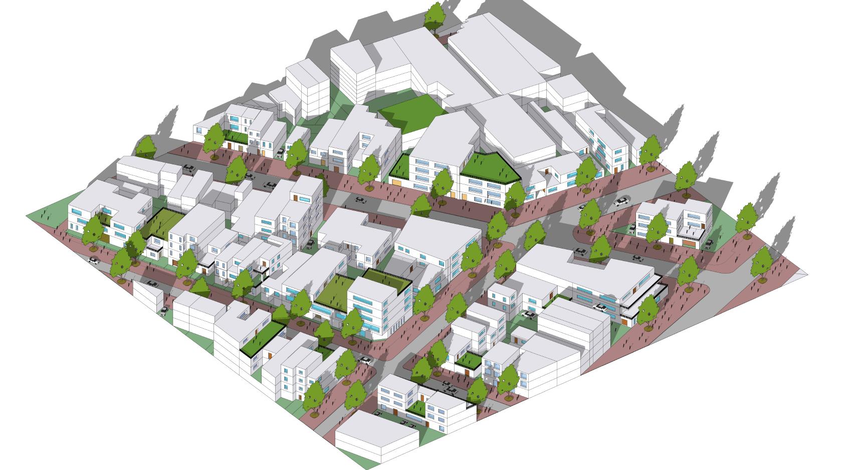
KEY DRIVERS: Diverse heights allowed with maximum height of 16 m, no surface car parking. Code 1, 2 & 3 are all applied on the private areas in Scenario 3 (Refer Fig 17). Due to introduction of these codes, the city is formed on the basis of managerialism which makes the city’s governance for its citizens (Aspen , 2013). Due to pedestrian friendly street design, walking becomes more permeable. The perspective-ness of Code 3 for parking design, private spaces are utilised by private cars and public spaces such as pedestrian walkways are fully utilised by public (Monica - Panel Discussion, Lecture 09)