6 minute read
Sustaining Members


SUSTAINING FIRM MEMBERS Thank you for your support!
Civil Training, LLC Attn: John Cooke 5300 Wellington Branch Drive, Suite 100 Gainesville, VA 20155 P: 732-859-8353 F: 732-377-5454 john.cooke@civiltraining.com www.civiltraining.com
Advertisement
Cooper Aerial Surveys Attn: Pete Priestner 412 East Street Rd. Trevose, PA 19053 P: 800-229-2279 pete@cooperaerial.com www.cooperaerial.com
Keystone Precision Solutions Attn: George Allport, Jr. 1670 East Race Street Allentown, PA 18109 P: 610-266-2699 georgejr@keypre.com www.keypre.com
Klein Agency, LLC Attn: Mark Amirault PO Box 219 Timonium, MD 21094 P: 410-832-7600 F: 410-832-1849 mamirault@eakagency.com www.kleinagencyllc.com
Maine Technical Source Attn: David Filipski 2634 James Street Syracuse, NY 13206 P: 800-322-5003 dfilipski@mainetechnical.com www.mainetechnical.com Precision Laser & Instrument, Inc. Attn: Robert J. Barth 85 11th Street Ambridge, PA 15003 P: 724-266-1600 F: 724-266-8161 rjb@laserinst.com www.laserinst.com
Rodriguez Consulting LLC Attn: David Spellman 1301 N. 2nd St. Philadelphia, PA 19122 P: 215-839-8087 dspellman@rodriguezconsulting.biz
Steckbeck Engineering & Surveying, Inc. Attn: Jason E. Chernich, PLS 279 N. Zinns Mill Road Lebanon, PA 17042 P: 717-272-7110 jchernich@steckbeck.net
Szalankiewicz Engineering Attn: James Szalankiewicz Box 206 Elderton, PA 15736 P: 724-354-4852 sellc@windstream.net
Wetland Studies & Solutions, Inc. Attn: Eric Calladine 5300 Wellington Branch Dr.,
Suite 100 Gainesville, VA 20155 P: 703-679-5600 F: 703-697-5601 ecalladine@wetlandstusies.com www.wetlandstudies.com
Nor East Mapping, Inc. Attn: Ron Henry, CP PO Box 270 Kylertown, PA 16847-0270 P: 814-345-1167 F: 814-345-1176 noreastmapping@verizon.net www.noreastmapping.com
Announcing
By Michael F. Brinkash, PLS
You may be aware of the first book Mike Brinkash wrote in 2007, County and Municipal Boundary Descriptions: A Compilation of Boundary Descriptions Contained in Pennsylvania Laws for County, Township, City, Borough and Town Boundaries (A Supplement to Research)
This is also available on the PSLS Store $80.00 plus shipping

I began my entry level surveying experience in November 1969 while a junior in high school, I worked part time during holidays and summer vacation between my junior and senior years. This year is my 51th anniversary of land surveying.

After graduation from high school in 1971 I continued to work full time surveying. I enlisted in the United States Army Reserves on January 18, 1973 and was honorably discharged September 25, 1978. My Basic Training was at Fort Knox, KY and my A.I.T. was at Fort Lee, Virginia. This afforded me the opportunity to fulfill my military obligation while continuing to work and train as a surveyor, as well as taking Correspondence Courses in Surveying and Engineering.
I was licensed to practice surveying professionally in PA on September 8, 1977 and in New York in June 2009.
Professional Association Memberships:
Pennsylvania Society of Land Surveyors (PSLS)
New York State Association of Professional Land Surveyors (NYAPLS)
National Society of Professional Surveyors (NSPS)
Associate Member of the American Association for Geodetic Surveying (AAGS)
How the document, “County and Municipal Boundary Descriptions” came to be. In April 1993 the survey company of Gasperetti & Brinkash Associates, was employed to determine the location of one of the county boundary lines between Northumberland County and Columbia County. This was a boundary survey request that our company had never received. Due to the fact that both residential and industrial improvements were occurring along the county boundary line, the question of tax dollars came into play. We estimated total work time involved just like any other boundary survey since our initial thought was to rely on all property deeds and coal company maps to reproduce the line. This was a mistake.
The survey length was 4.5 miles and our plan was to set GPS survey stations along the line at road crossings. We had a total of 5 stations with only 2 being intervisible. Sun shots were taken from all stations to establish meridians and checks. We employed the GPS services of Larry Straight, PLS, since we did not own any GPS equipment at that time. Although Larry had given us a great price for all of the survey points and post-processing, we decided to reduce the number of points to five since we had experience with solar shots.
Continued on page 12….
It took us 3 days of research time alone just to determine the record process to retrace a county boundary line. In total, we had 12 days research time just to find the appropriate records to be relied upon to perform the survey. Had this document been available at the time of this survey we would have been at our original estimated time needed to do the job.
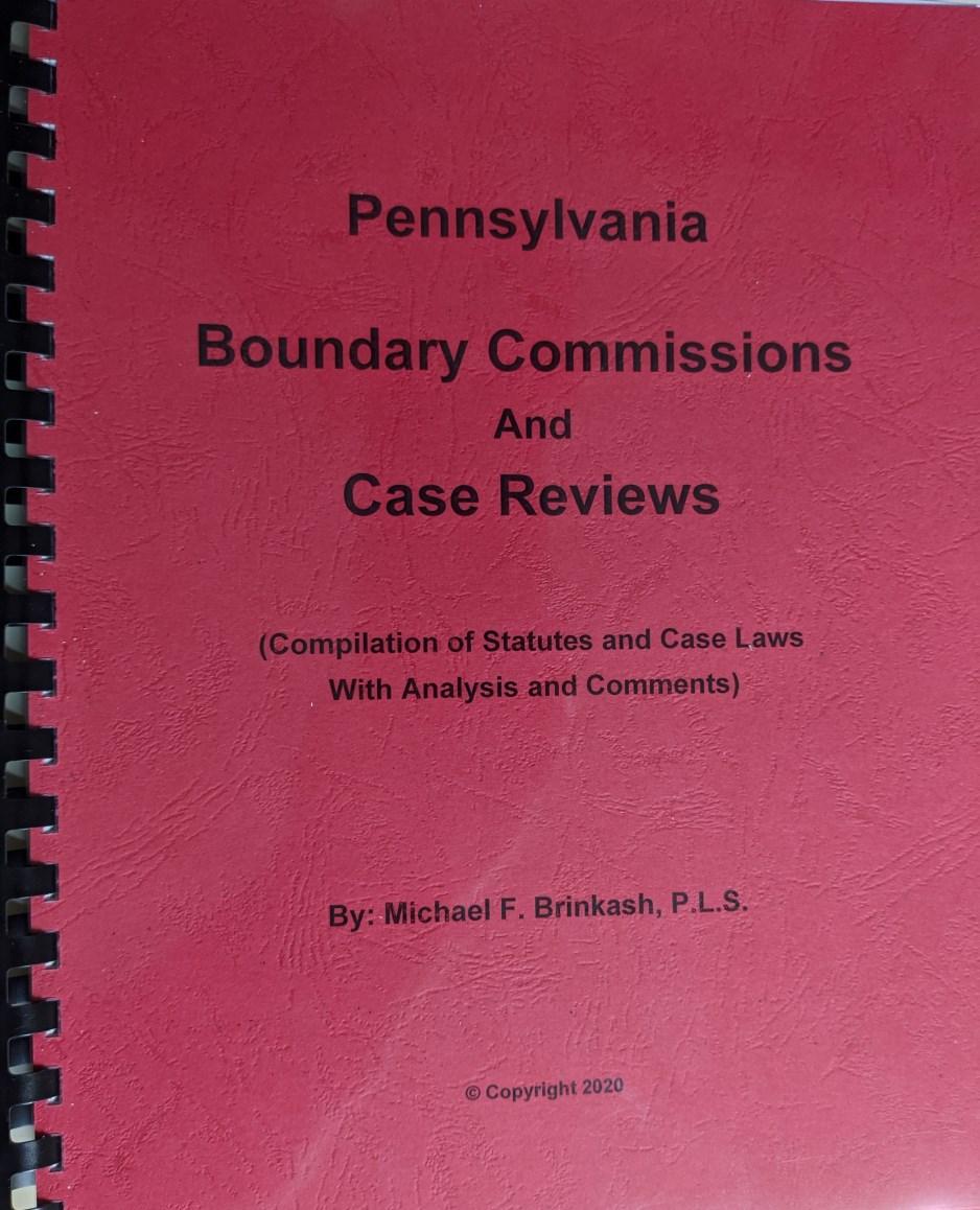
How the document, “Pennsylvania Boundary Commissions and Case Reviews” came to be.
In October 2017 I had been appointed to a County Boundary Commission as recommended to the courts by Commissioner David H. Widmer, PLS and Commissioner John R. Smoker, PLS. I did not anticipate the survey process, including finding the appropriate records, to be a problem. To my surprise, Mr. Widmer had compiled numerous pertinent records prior to me arriving on site along with preliminary surveys. I understood our job, as lands surveyors, was to find the original boundary lines between Butler County and Lawrence County.
However, what I did not know for sure is what surveying rules and laws applied to a retracement survey for a County Boundary. Were they the same as any other boundary retracement survey? The short answer is yes as applied to “Rules of Construction” and laws dealing with “Acquiescence”. I wanted our final boundary decisions to be based on principles having strong surveying and legal foundations. This is what led to the research of case laws dealing with decisions of Boundary Commissions which were subsequently appealed to the higher Courts of Pennsylvania.
The copyright for “County and Municipal Boundary Descriptions” was given to the PSLS in 2005 and, the copyright for “Pennsylvania Boundary Commissions and Case Reviews” in 2020 is now being given to the PSLS.
It is my hope that these two documents will provide knowledge to surveyors performing County and Municipal Boundary surveys, to members of Boundary Commissions to fully understand their duties, and to attorneys involved in the litigation of these types of surveys. It is further my hope that the PSLS will update these documents when the need arises.
$10 per ticket Contact Chapter Presidents Drawing 6:30 p.m. January 26, 2021 Livestreamed On Website and PSLS Facebook page

Remember the “PSLS Kids’ Page” on www.psls.org.
A new page of our coloring book is posted each week. Coloring books are also available through our online store.

President: Amy Hopkins, PLS Immediate Past President: Brian Yorkiewicz, PLS
Elections for the Officers below will be during the annual Membership meeting on January 29th at 10:00 a.m. via GoToMeeting.
President Elect: Terry McMillen, Jr., PLS Vice President: Pete Brothers, PLS Secretary: Lawrence Leso, Jr., PLS, PE Treasurer: Richard Shewman, PLS NSPS Director: Michael Given, PLS
Nominations for anyone seeking these positions can be made at the meeting.
Biographies of PSLS Officer Nominees
President-Elect: Terry E. McMillen, Jr., PLS
Terry has been a member of PSLS since 1992 as a Student member and later to a Member with the Laurel Highlands Chapter. Served as the Laurel Highlands Chapter President 2006 and 2007. Terry began his career at McMillen Engineering in 1986 as a part-time surveyor. Terry was promoted to Vice President of Surveys in January 2009. In this role, he maintained his duties as Chief of Surveys and was also responsible for ensuring the accurate and timely completion of all projects.
January 2013, Terry was promoted to Vice President and served dual roles as Vice President and Chief of Surveys. April 2020, Terry was promoted to President and serves dual roles as President and Chief of Surveys.
Terry is currently the Vice President of PSLS.
