1 minute read
Historic Features & Critical Elevations


Stormwater Management Meets Preservation
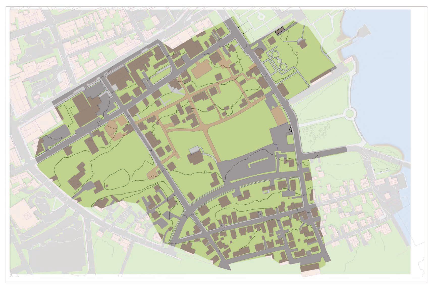
Reviewing historic maps over present day aerial imagery reveals how the flooding problems today correlate to the historic landscape. The Puddle Dock tidal inlet that once brought ships and commerce to Strawbery Banke has since been filled in but the tendency for this area to be wet remains. Although restoring the Piscataqua riverbank to its original form is not feasible, the museum can use nature as a guide to inform the decision-making process.
Advertisement
The purple outline on the adjacent map and diagram illustrates how the historic Puddle Dock tidal inlet relates to the modern landforms and development. A portion of the Strawbery Banke Museum campus was once inundated twice daily: home to fringing salt marsh and hydric soils. The passage beneath the former Liberty Bridge flushed freely, independent of drainage structures or pipes, letting rain find its own path to the river. Today, Marcy Street, Prescott Park, and surrounding development prevent this landscape from draining at high tide.
The blue outline illustrates our approximate 500-year floodplain. The finished floor elevation (FFE) of each building on the campus illustrates its relationship to the floodplain. Although it is beyond the scope of this study, the museum must prepare to make necessary adaptations to these historic building while adhering to historic preservation standards.
For any buildings with elevations that fall below the 500-year floodplain, the museum will need to decide how
Buildings
Flood Elevations

CURRENT 500-YEAR FLOODPLAIN ELEV. 10.0’ (NAVD88)
FUTURE 500-YEAR FLOODPLAIN ELEV. 13.0’ (NAVD88)
HISTORIC PUDDLE
Building Vulnerability Index
HIGH VULNERABILITY (FFE BELOW ELEV. 10.0’)
MODERATE VULNERABILITY (FFE BELOW ELEV. 13.0’)
LOW VULNERABILITY (FFE ABOVE ELEV. 13.0’)


