1 minute read
Land Coverage


Understanding The Source Of The Problem
Throughout the Strawbery Banke Museum campus and the larger watershed, there are a variety of conflicting land uses that are incompatible with implementing stormwater controls. Stormwater management techniques must be integrated into the landscape and work in tandem with the museum’s many active and passive uses of the site.
Advertisement
The more impervious cover (roofs, pavement, compacted surfaces, etc.) in a watershed, the more stormwater will flow to the low point. Conversely, the more green space, the less stormwater flows to the low point.
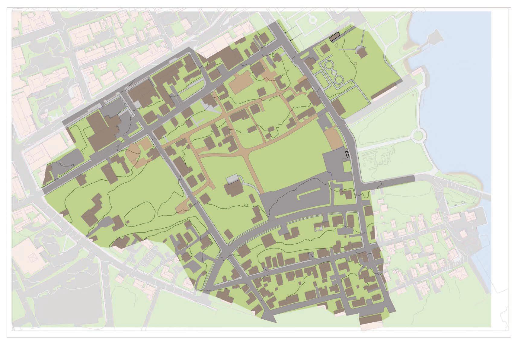
The pie charts below represent the land cover breakdown for the watershed (purple) and Strawbery Banke Museum (pink dashed). The campus represents approximately 55% of the total watershed area, including the low point, which gives the museum significant influence over water management.