8 minute read
Mapping the heat beneath our feet


Mike Popham, CEO of STRYDE, UK, describes the evolution of seismic imaging technology and how these advancements are already opening up opportunities for the geothermal sector.
For decades, seismic imaging has unlocked the subsurface for exploration and generated ever-clearer pictures of what lies beneath the ground to inform drilling and extraction strategies.
However, it has traditionally been an expensive and complex undertaking that carries health, safety, and environmental (HSE) risks and can have damaging environmental consequences for survey sites. There have been limitations, too, on where seismic acquisition can be conducted because the cumbersome nature of traditional equipment has meant that it has been difficult to conduct surveys in built-up areas, areas with dense vegetation, or in rugged terrain.
Yet, advances in technology are changing that. Nodes – no heavier or larger than a smart phone – and their compact infrastructure, pioneered by seismic technology providers such as STRYDE, are increasingly replacing traditional survey methods, such as the use of cables.
Critically, as explored in this article, this latest generation of nodal technology is making seismic imaging far more affordable, which is opening up the benefits of the technology to other industries.
For emerging, clean industries of the future such as geothermal, the benefits of high-density seismic could be game-changing.
What is seismic imaging?
Seismic acquisition involves injecting energetic vibrations into the earth from a source, for example, a vibroseis truck. The seismic waves generated are reflected and recorded by sensors on the surface. This data is then processed and interpreted to determine the properties of the Earth’s subsurface, such as imaging the different layers in the subsurface or understanding the properties of the rocks at different depths.
Until very recently, carrying out seismic surveys was expensive. Traditionally, long lines of cables with arrays of sensors were laid out to detect seismic waves, which often meant clearing large swathes of land during the early stages of a survey. It was a labour- and machine-intensive process, costly to the organisations requiring the surveys, risky for individuals in the field, and in many cases, damaging to the environment.
So, while seismic acquisition has been – and continues to be – one of the very best ways to understand the properties of the ground below, its expense and complexity means that it has been reserved almost exclusively for the oil and gas industry.
Advances in seismic imaging technology
In recent years, seismic technology has evolved, with the industry switching to using nodes for seismic imaging. Nodes are rugged, self-contained units, typically comprising a sensor, a power source, and electronics, enabling the recording of seismic data. Nodes reduce the equipment needed in the field, improve efficiency, and in most cases, allow improved seismic imaging. However, even today, most nodes remain too heavy and too expensive to enable high-density imaging of the subsurface without a sizeable budget. Furthermore, the weight of most nodes means vehicle-based deployment is still required.
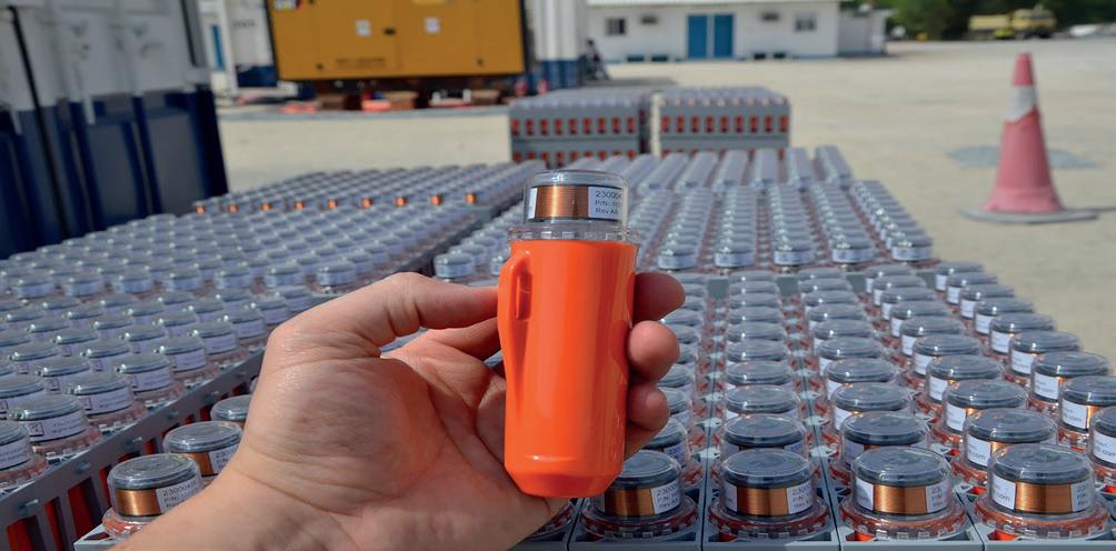
The newest generation of nodal technology removes these constraints, unlocking the potential for lower cost, higher quality seismic imaging whilst also improving safety and significantly reducing the environmental footprint of acquiring land seismic. STRYDE’s nodes are small and lightweight, at just 150 g per unit. The equipment needed to handle a large node inventory is also extremely compact, making mobilisation of a seismic survey easier, faster, and lower cost. In the field, efficiencies continue to be evident; one person can carry 90 nodes and deploy them across a survey area on foot. This removes the need for heavy vehicles to transport equipment alongside the crew, allowing seismic contractors to work without necessitating road closures, clearing vegetation, and minimising the carbon footprint of a project. It also broadens the types of terrain where seismic acquisition projects can be deployed – for instance nodes are far easier to deploy in built-up urban environments or in mountainous terrain since recording equipment can be moved on foot.
The size and weight of nodes not only facilitates faster deployment, it also allows higher numbers of nodes to be deployed. It is this potential for higher trace density and finer spatial sampling that increases the quality of a subsurface image.
But for high trace density deployment to be cost-effective, nodes need to be affordable, and that is where STRYDE really comes into its own. Its nodes achieve everything necessary to deliver a low-cost, high-quality subsurface image, without being overloaded with other unnecessary and costly features.
It is this principle – achieved through advances in technology – that presents a great opportunity for seismic imaging to play a crucial role in driving the energy transition.
Nodal technology has made high trace density seismic imaging more accessible and affordable than ever.
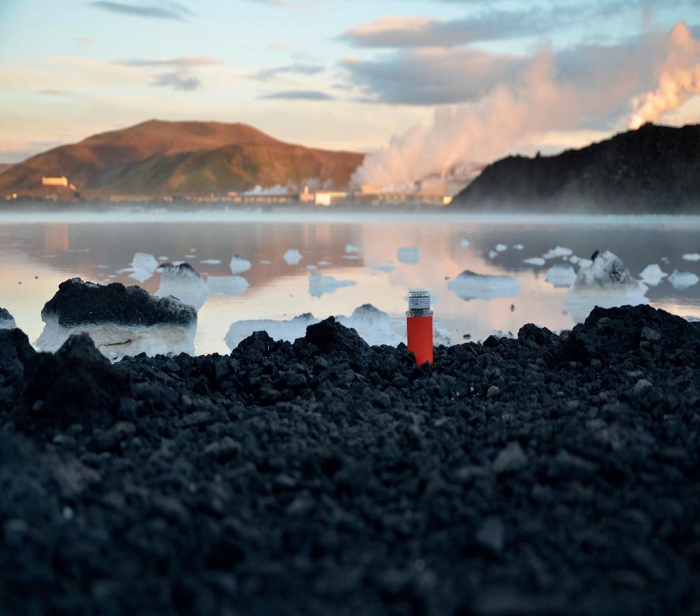
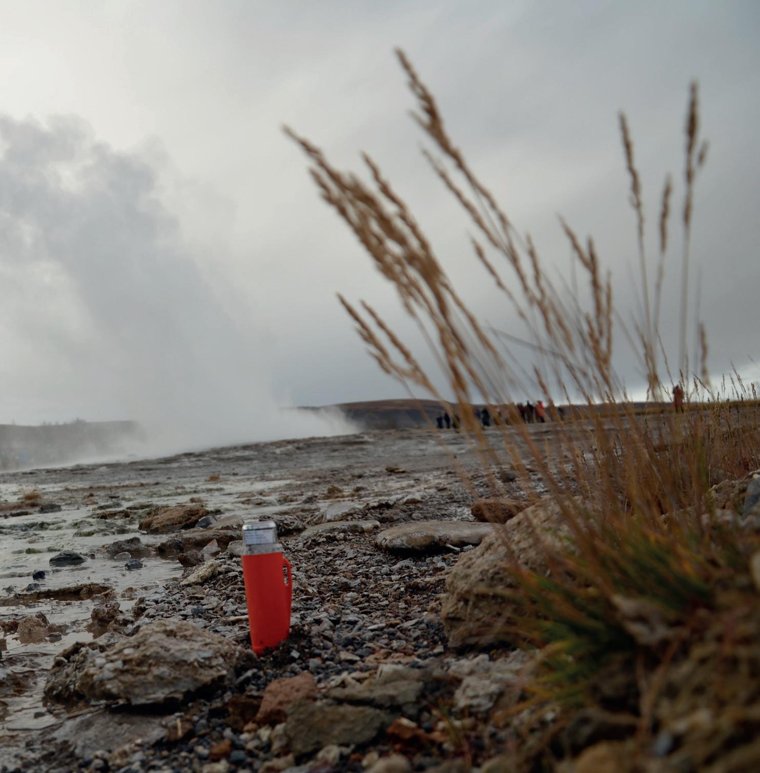
Figure 1. One of STRYDE’s nodes during a seismic survey in Europe.
Figure 2. Nodes of this size are making seismic more environmentally friendly.
Opportunities for geothermal
Geothermal energy is still an emerging form of renewable energy in Europe, with approximately 3 GW of geothermal capacity expected to be installed in the region over the next decade to decarbonise energy and provide heating.
To rapidly scale-up geothermal capacity – and for geothermal to play a central role in the energy mix – new sites must be found beyond the known heat vents and hot springs, requiring subsurface images to identify the best locations for well placement.
Producing geothermal energy means drilling wells that are sometimes over 1 mile deep into underground reservoirs. Knowing where faults and stress fields lie helps a developer decide where to tap into the rock’s natural permeability and to optimise well trajectory.
It therefore comes with some of the same challenges associated with oil and gas extraction. Like fracking, areas around existing geothermal power plants have experienced tremors. This means understanding the structural geology and stratigraphy of the subsurface is critical to the success of geothermal projects.
It is here that seismic imaging can play a big role.
Challenges in using seismic for geothermal projects
While obtaining high-definition images of the subsurface is clearly a huge benefit to developers of geothermal power plants, the cost of using traditional means of obtaining the data required to process these images is prohibitive.
Geothermal developments are typically located in urban or industrial areas. This introduces additional seismic acquisition challenges, which are particularly prevalent if attempting to use traditional cabled systems or bulky nodes. For example, seismic crews have limited access in urban environments due to buildings and infrastructure. Road closures or traffic delays needed to move bulky equipment by vehicle are frustrating for the local population. Finally, receiver equipment is vulnerable to vandalism or theft if it is clearly visible.
These challenges mean that developers have to compromise on survey geometry, and ultimately seismic image quality, by acquiring sparser surveys. However, using the latest generation of smaller nodes simplifies these issues. Smaller nodes can easily be buried or hidden from view and the lack of a requirement for a fleet of large vehicles to move bulky equipment avoids traffic delays.
Put simply, by allowing the seismic industry to move to significantly smaller and lower cost nodes, STRYDE has redefined the practicalities of acquiring land seismic. Productivity increases significantly, with no downtime due to unreliable equipment. The overall cost of acquiring seismic is minimised, through a combination of reduced equipment costs, streamlined crews with fewer people and vehicles, and accelerated project delivery.
Surveys are also safer and more environmentally friendly. Vehicle use is typically reduced by over 50%, decreasing project emissions and HSE exposure. Small teams can deploy a node every 15 sec. on foot, with individuals carrying up to 90 nodes each, meaning line clearing is eliminated. In short, this technology widely used in other industries can help to unlock the opportunity of geothermal at more sites across Europe and the world.
The low cost of the STRYDE nodes has also made it practical for geothermal operators to continuously collect passive seismic data once a plant is in operation, meaning that if small tremors begin to occur, an operator already has access to the data that will inform themselves and regulators as to what caused this event and how to prevent it in future.
Technology in practice
STRYDE’s nodal system enabled companies GTG and realtimeseismic to successfully conduct a variety of complex geothermal projects in Europe using their nodal system.
Figure 3. Seismic has a key role to play in the energy transition, particularly in geothermal projects. Owing to the flexibility of the nodal system and speed at which data can be processed once the nodes are harvested, GTG and realtimeseismic were able to shoot a city-based 3D study in just one month, in contrast to the six to 10 months it would have once taken with traditional cabled systems. The size and weight also enabled GTG and realtimeseismic to complete surveys during COVID-19, when restrictions limited the number of people who could be sent onsite. These projects in Belgium, France, and Switzerland demonstrated that, through the use of high trace density acquisition and modern data analytics, seismic imaging could be used effectively in a city to not only generate an image of the subsurface, but also to help reveal the true geology of the subsurface. As the energy transition continues, and as governments and business seek to end reliance on fossil fuels, ensuring there is a good mix of green renewable energy sources able to power the planet is essential. Seismic technology – which has been so important to the oil and gas industry for so long – can help investors and developers unlock geothermal energy, through safer, faster, higher-density surveys that will inform operations teams where faults and stress fields lie, and optimise well trajectory, as this source of energy becomes more prominent in cities and towns.