5 minute read
Snowshoe Calabogie’s Tall Tree Trail


The Tall Tree Trail Calabogie’s snowshoeing secret of the jingwakoki
BY TIM YEARINGTON PHOTOS BY TIM YEARINGTON
Advertisement
TIMBER WOLVES PROWL here. Cougars appear and disappear like ghosts. And sometimes, as the north wind paints your cheeks red, the very snowshoeing trail you’ve been following through the jingwakoki can vanish too.
In Ojibway, jingwakoki means pine forest. It’s a wilderness place where pines are akin to humans and are called the standing people, ancient ones, grandparents who will gladly talk to you and guide you upon your journey. If you care to listen.
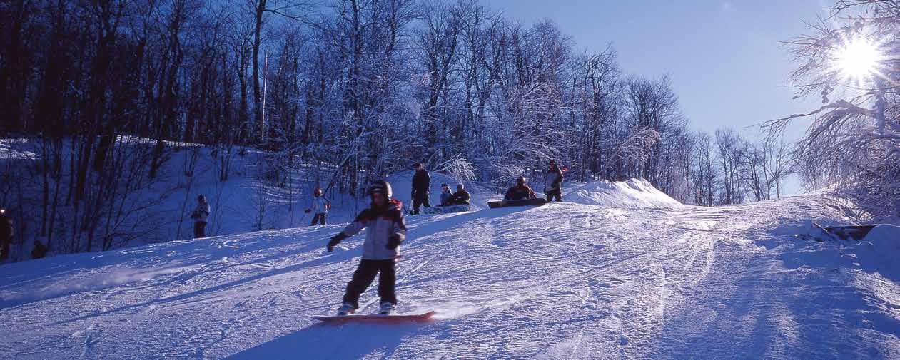
Not far from Calabogie there is a jingwakoki that is home to more than just a ski hill. There’s a short but spectacular snowshoeing route known to locals as the Tall Tree Trail. This area long ago was covered in glaciers; then there were forests, forest fires and logging. But all in all it has grown back majestically.
The secret of this jingwakoki has always been about what’s really there, or rather about what’s really here. It’s about that, about one idea, a place called here.
Here is where the pileated woodpecker is still called the circle maker. Here is where the spirit of Pagwadjinini (the sasquatch or wild man) still roams the deepest parts of
the jingwakoki, and shows us the truth about living wild and free. Here is where Mother Earth is still embodied as a turtle and the spirit of Father Sky soars as an eagle. Here is where the Tall Tree Trail still waves at you in the wind on the edge of a ridge. It’s here – right here – that’s far beyond a walk in the park and it’s here that contains way more than rabbit tracks in the snow.
To local residents, the Tall Tree Trail is sacred; it’s a pathway where Mother Earth merges harmoniously with Father Sky to create a here composed of rockhard reality.
The trail brings you to a narrow pond where a granite cliff towers into the sky. It is here, atop this red rock face, where the true Tall Tree Trail becomes visible. Like a native zig-zag design, a high horizon of pines lines its craggy horizon.
The best way to experience the trail is on snowshoes when wintergreen berries have turned red and juniper (or sky berries) have turned blue. Try one

of each, and keep an open mind to what you’ll see next.
The trail can be snowshoed in and out again in less than two hours from your vehicle, and the trail’s best use is as a gateway to deeper parts of the jingwakoki. Snow enables you to visit places difficult to reach in summer. There’s not much undergrowth, no leaves to block the view, no mud, no bugs. Ponds and swamps are easily crossed and are a great spot to be in the sun or build a campfire to roast those now-frozen wieners you brought along for your children and the kid that’s still inside you.
Traditional ash and rawhide snowshoes know their way through snow and through the jingwakoki as well. They are made of the very essence of the trees and animals you are there to experience. And they’re quiet. They don’t yell out, Human coming! to the timber wolf you just missed around the bend.
Treat yourself to a winter adventure. Make tracks to explore the deep snow
GETTING THERE
WEAR WARM WINTER clothing and bring spare socks, hat, mitts and plenty of water. Sunglasses on a bright day are a good idea. Bring a thermos of something hot to drink, as well as trail snacks. A camera, binoculars and field guides are handy. This route has a gentle roll, and is not rugged or extremely hilly. Ski poles will help if the snow is deep.
Take Highway 417 west beyond Arnprior to the intersection of Highway 508. Exit left and drive through Burnstown and Springtown until you get to Calabogie. Keep going west beyond the Highway 511 junction at Munford’s Gas. You’ll see the ski hill in the distance. Continue past Calabogie Peaks Resort. Zero your odometer at the ski hill parking lot and continue up the main road for three kilometres. As the road levels you will see a small rock cut on the left. It may be marked with an Inukshuk, or it may not. Park here. The trail entrance is an old logging road that runs due south. Triangular yellow signs with “ttt” indicate the Tall Tree Trail that runs about 1.5 kilometres to the pond and the rock cliff. Follow your own tracks back, or return via the pond parallel to the trail. (This means bushwhacking from the end of the pond to meet the trail again.)
Be well on your way back before it gets dark, and carry a flashlight, headlamp and compass just in case. Avoid any water that may not be frozen solid, and stick to the shore of the pond. Don’t try to ascend the base of the cliff area on snowshoes. There are cavities in the fallen rock scree and around boulders, so you could be injured or stuck. Bears have been known to hibernate among these rocks too. This rock face is a sacred native site, so treat it with respect. All you bring in, bring out. Happy tracks!

of the Calabogie area. Bring along your sense of adventure like a wildlife lover brings along a field guide to animal tracks. Bring along something to feed the thirst and hunger of your body, but don’t worry about food for your spirit. The jingwakoki itself will provide for that.
You’ll hear voices your ears cannot hear. You’ll see things your eyes cannot see. You’ll find treasures you weren’t even aware you were seeking. Come here and taste its reality. Absorb it like
snowflakes that land on your tongue and become a part of who you are. Snow falls and snow blows. Trails come and trails go. But in the heart of the jingwakoki the Tall Tree Trail will always be here. ≈ Tim Yearington lives near Calabogie, Ont. His passion is to share his Objibwe spirit in his artwork, his writing or in time spent with others. He guides snowshoeing adventures through the Adventure Centre at Calabogie Peaks Resort. For more information call 752-2720 ext. 1705, or www3.sympatico.ca/yearington, or yearington@ sympatico.ca