SELECTED WORKS | 2021NERMEENnermeenzaidi@gmail.com2022ABBASZAIDI|ARCHITECT

‘PARK IN THE PARK’ COURTYARD OFFICE COURTYARDBOULEVARD METRO “Experience / Journey through the space is what makes it livable .” SEMIPUBLICPUBLICPRIVATE

NERMEEN ABBAS ZAIDI URBAN DESIGNER PERSONAL STATEMENT INTERESTS AND ACTIVITIES PERSONAL DETAILS ACHIEVEMENTS AND VOLUNTARY EXPERIENCE: EDUCATIONAL QUALIFICATION PROFESSIONAL EXPERIENCE ESSENTIALS Languages known: English, Hindi Father’s Name: Syed Qamar Abbas Zaidi Date of Birth: 13th October 1994 Nationality: Indian Gender: References:FemalePaolo Testolini, Global Sector Leader - Cities and Places, Woods Bagot, Dubai, U.A.E +971 Paolo.Testolini@woodsbagot.com529022533 XIIth: 2012 - 2013 Our own English High School, Sharjah, U.A.E | CBSE –B.Arch82.3%: Sept 2013 - June 2018 Manipal Academy of Higher Education, Dubai | CGPA: 8.95 M.Arch Urban Design: Sept 2021 - Present RC14 - Machine Thinking Urbanism Bartlett School of Architecture, UCL, London SOFT SKILLS SKILLS (ANALOGUE) CommunicationDesignTeamworkThinking Skills Problem Solving Critical Observation Physical Modelling Hand Drafting CANON 700D Photography Sketching Poetry Illustrations HI, I’m a Computational Urban Designer and Design Architect. My objective is to work in a dynamic and professional environment where I can realize my potential and grow as an individual through learning and Iexperience.haveinterest in creating sustainable and creative conceptual designs where I can take a biomimetic approach towards designing. I have worked on masterplanning / urban design and architectural projects/competitions with various scales. Stages of projects ranged from Vision, Pre-Concept to Concept. In future, I would like to realize trends of biomimicry and mobile architecture in an urban environment. Top 13th finalist of Undergraduate Research Competition - Abu Dhabi Univesity - 2017 3rd Place in Academics 5th Semester - 2015 Participated in British University in Dubai Sustainable Summer School Part2014of the Tall Building Studio 2014 - Manipal Executive Education 3rd Place in Intercollege Photography Competition Data Anlytics and Machine Learning, GH_CPython, Space Syntax, JMP, Tableau, Adobe Suite, Lumion, ArcGIS, Microsoft Office, Figma, Miro. Volunteered at Abwaab Pavilion 2016 Volunteered at GAF 2017 Licensed Architect in India LinkedIn+44nermeenzaidi@gmail.com7880310916NermeenAbbas Zaidi Instagram : design_imation SUMMER INTERNSHIP 1 monthYaghmour2015Architects and Planners DESIGN MANAGER (ARCHITECT/URBAN DESIGNER) 12.5 months (July 2019 - July 2020) RSP Design Consultants (India) Pvt Ltd UX UI / VISUAL DESIGNER Proactive23thhttps://www.proactiveforher.com/Dec2020-10thJuly2021forher,India SUMMER INTERNSHIP 1 month - 2016 Choksy Project Management Consultancy INTERNSHIP 10 months (July 2017 - April 2018) Woods Bagot, Dubai GRADUATE ARCHITECT / URBAN DESIGNER 12 months (July 2018 - June 2019) Woods Bagot, Dubai














Contents 01 02 03 04 SUSTAINABLE-ABUMASTERPLANINSAUDIMASTERPLAN IN DUBAI AGRO MATRIXRC 14 MACHINEURBANISMTHINKING
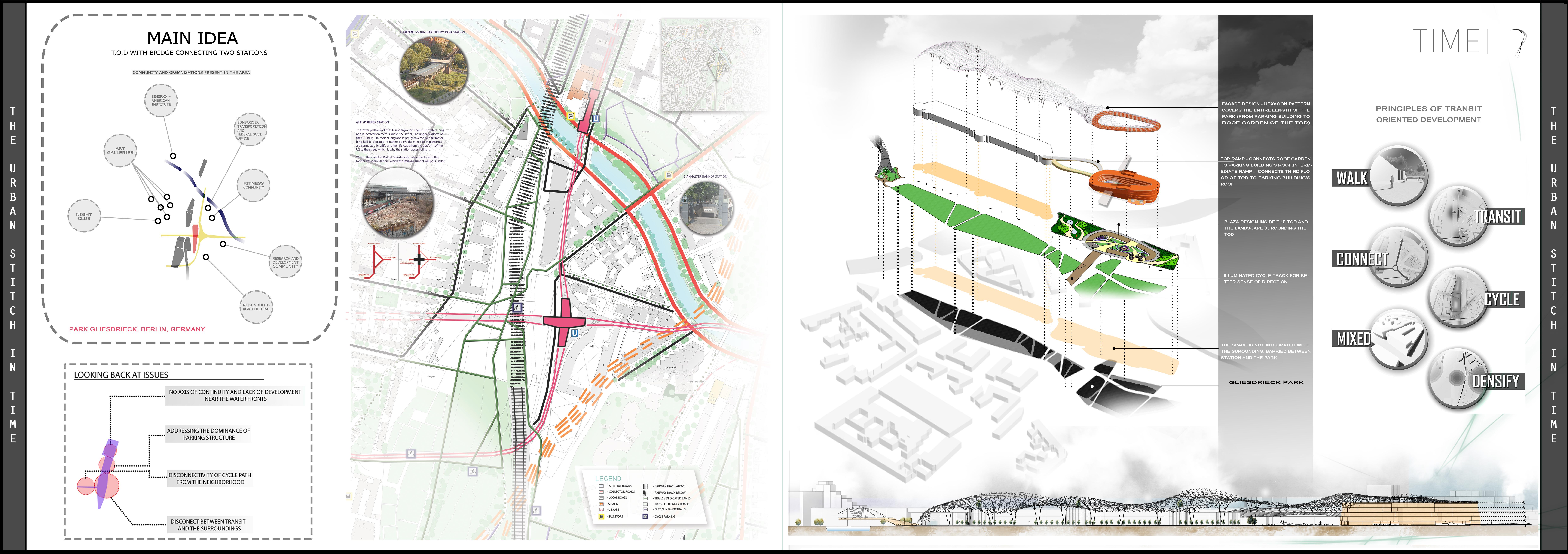
TRANSIT DEVELOPMENTORIENTED-BERLINSUSTAINABLEDHABIWORKPLACE EXPERIENCEAIRPORT-DUBAI BOARDWALKHMDADESIGN

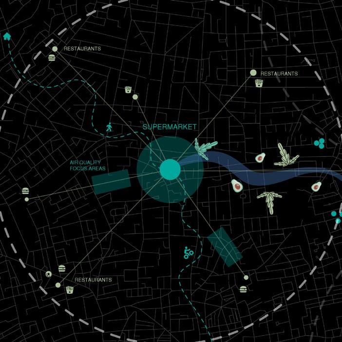
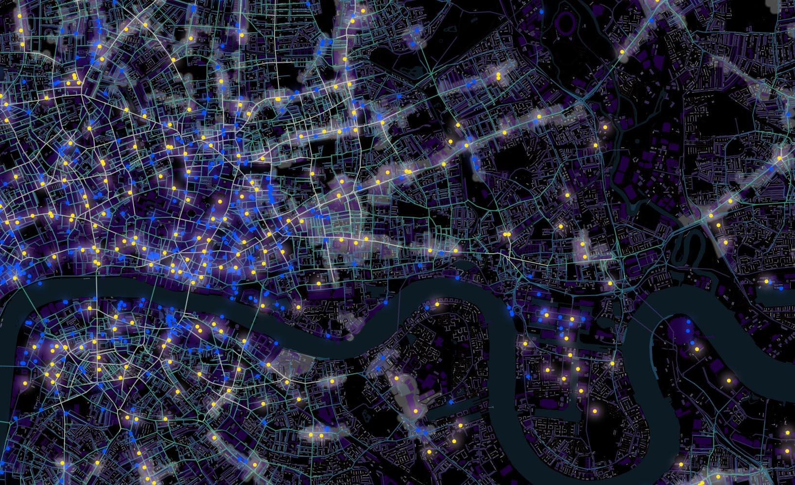
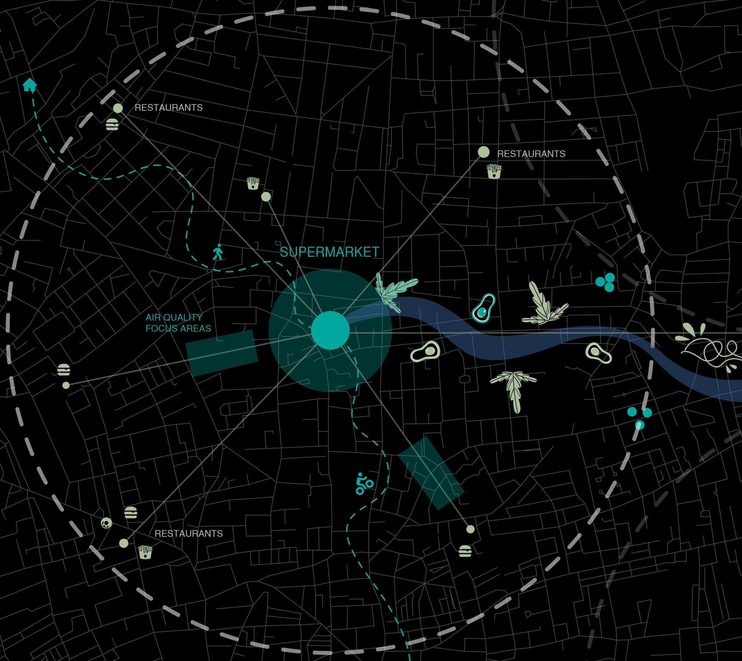
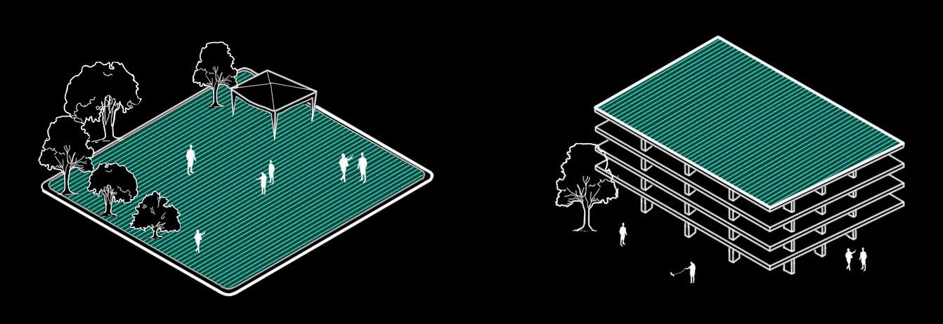
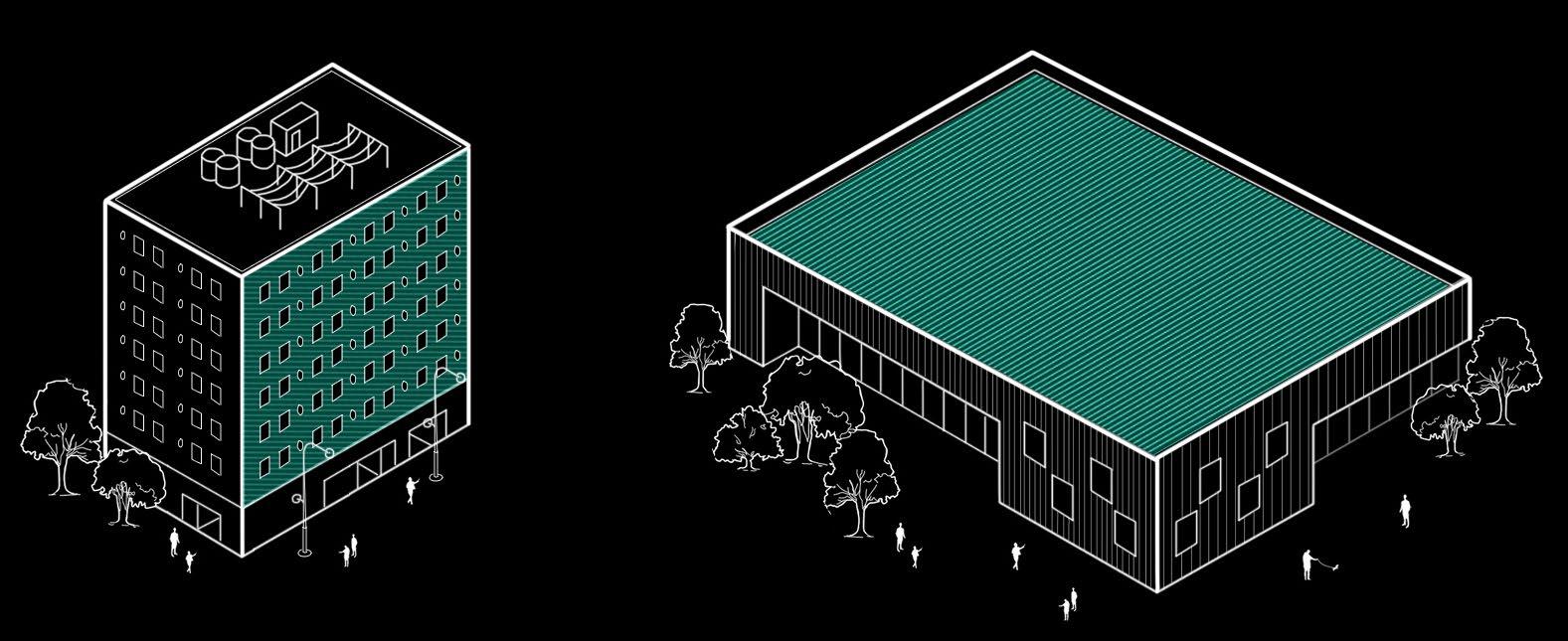
DESIGN OVERVIEW: A lot of people in the UK live in food desert neighbourhoods. The scarcity of supermarkets and more fast-food restaurants in neighbourhoods is helping fuel problems like obesity and diabetes. Keeping in mind the need for supermarkets and fresh food in most neighbourhoods along with food nostalgia we aim to design food-centric communities that transition to a dominant supermarket culture in London which would grow it's own food and infuse well with the restaurant or take-away culture to create a healthy and balanced lifestyle. We intend to find overlap with polluted areas to grow food and allow participatory design for production, consumption and recycling of food. Creating a food-matrix which we call Agro-Matrix. In the Agro-Matrix we aim to connect different urban nodes to apply these different design strategies. We intend to use interconnected Urban agriculture techniques which include Rooftop farming, Vertical farming, street farming and underground farming to grow food at the city level. We would like to propose urban interventions that act as catalysts to pull users of all communities towards supermarkets to promote healthy eating and living.
AGRO-MATRIX
THE AGRO-MATRIX: INTERCONNECTED FOOD-SYSTEM AT THE NEIGHBOURHOOD LEVEL ON GROUND FARMING ELEVATED FARMING VERTICAL FARMING ROOF FARMING URBAN AGRICULTURE THE NEIGHBOURHOOD IS THE SUPERMARKET
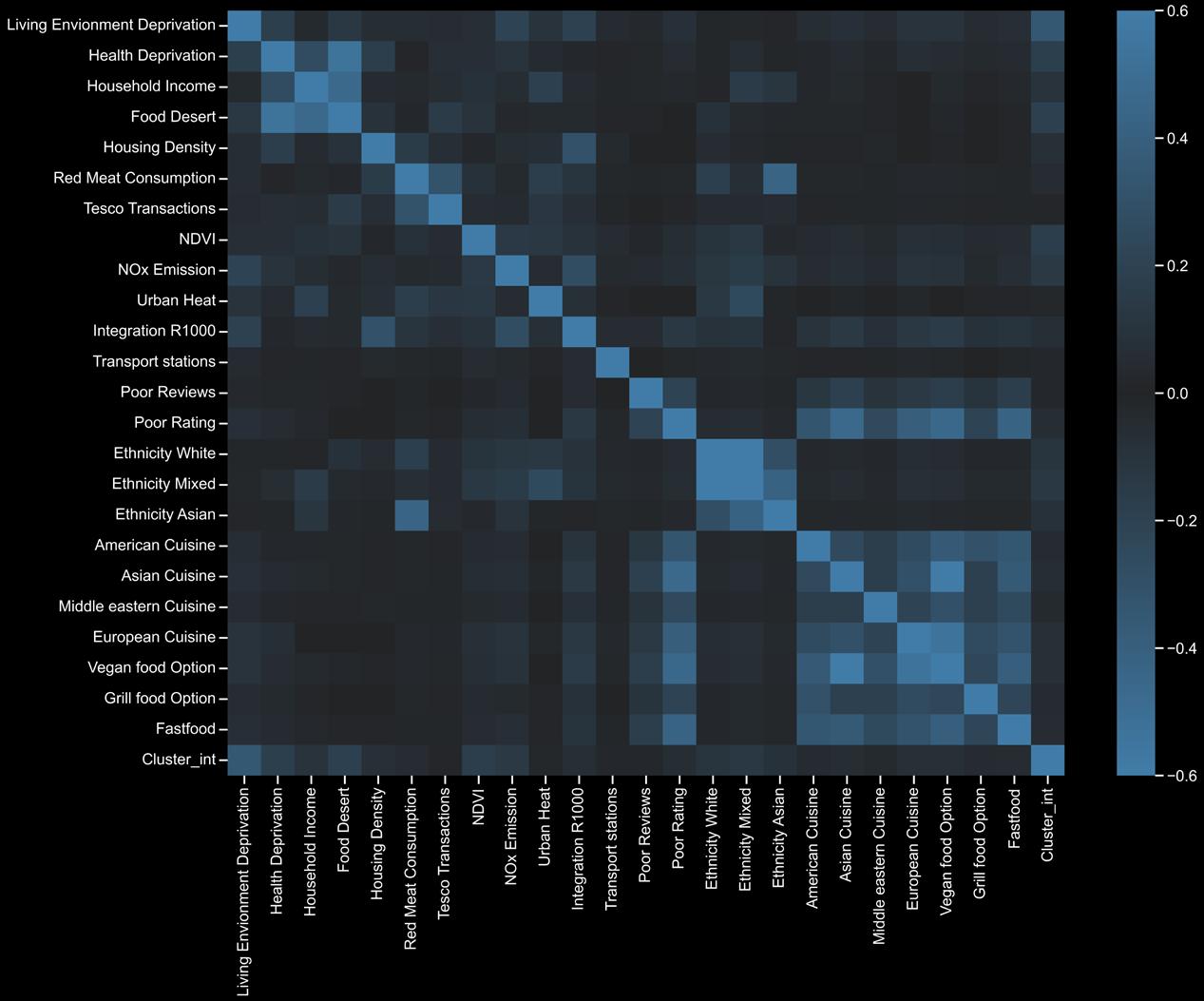
HOUSEHOLD INCOME READY MADE CONSUMPTION SUPERMARKET TYPESTESCO HEALTHTRANSACTIONSDEPRIVATION NOX EMISSIONS URBAN HEAT ISLAND WHITE ETHNICITY FOOD DESERT HOUSING DENSITY RED MEAT CONSUMPTION MIXED ETHNICITY RESTAURANT POOR RATINGS & REVIEWS TYPES OF RESTAURANT CUISINES ASIAN ETHNICITYTYPES OF FOOD OPTIONS DATA ANALYTICS AND MACHINE LEARNING


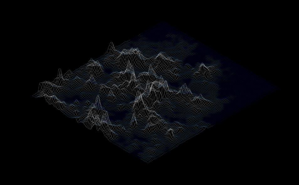

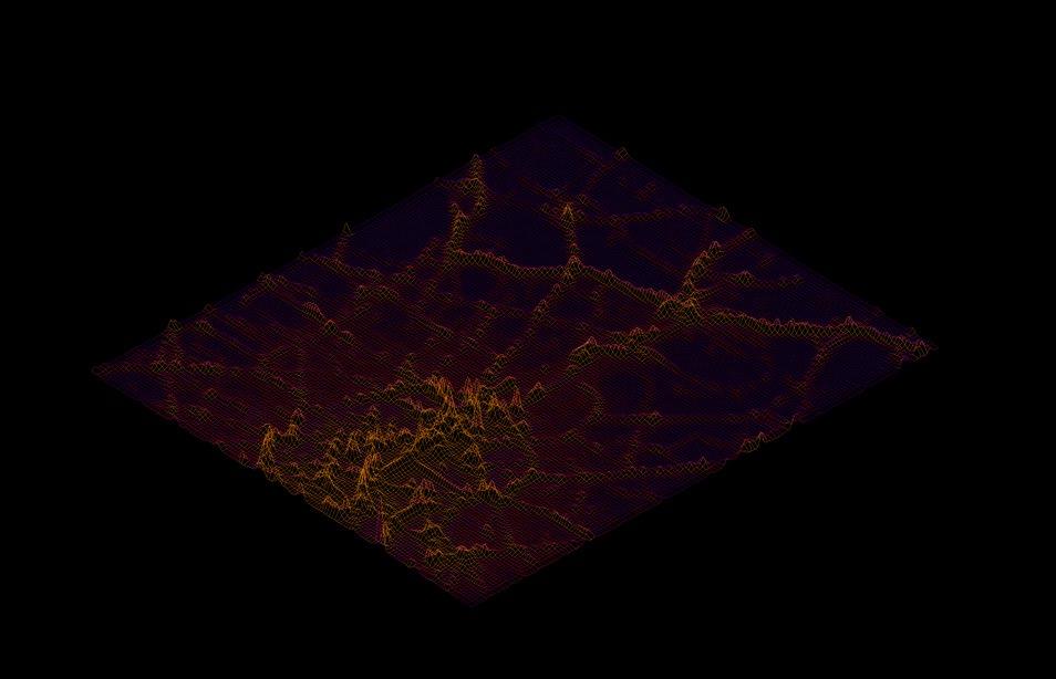
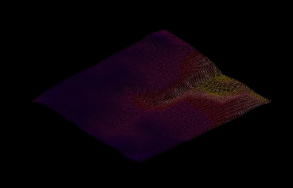
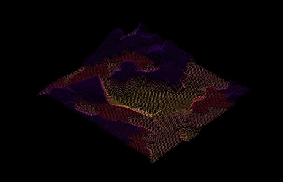
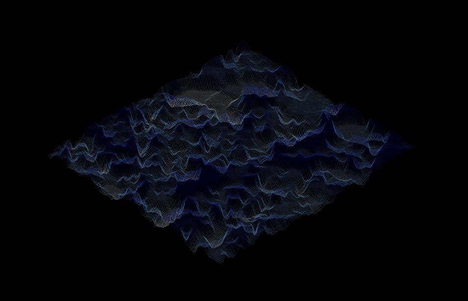


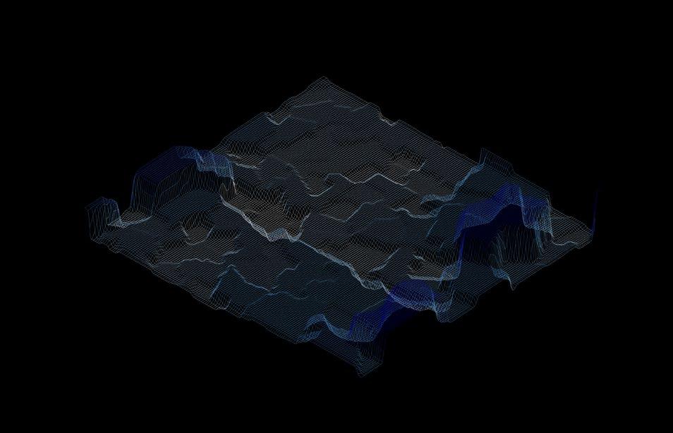
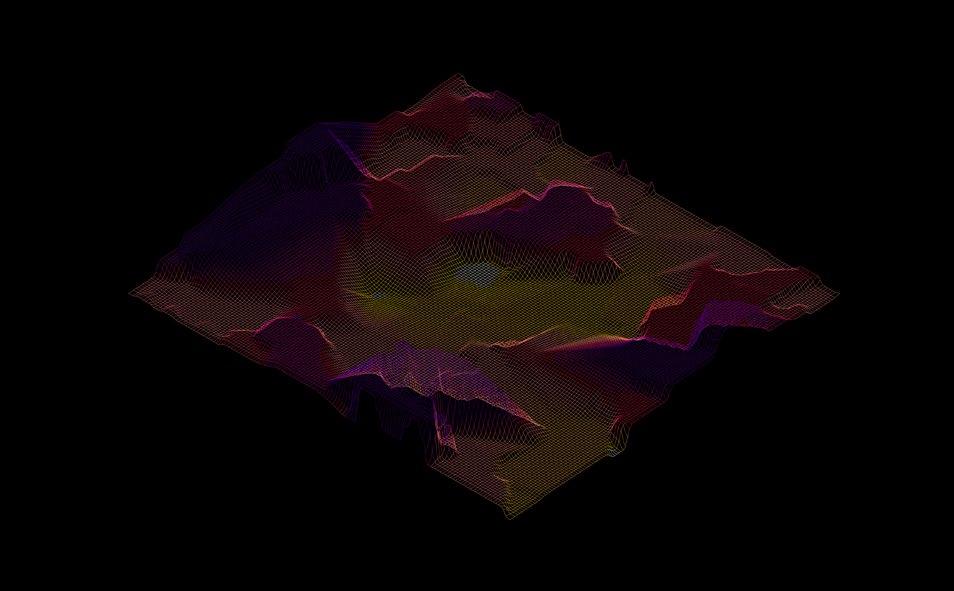
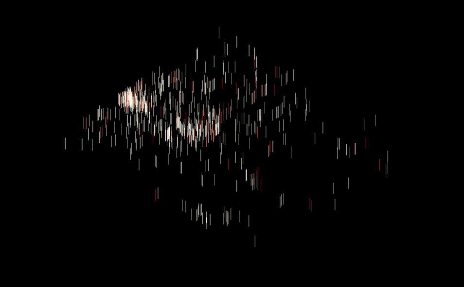
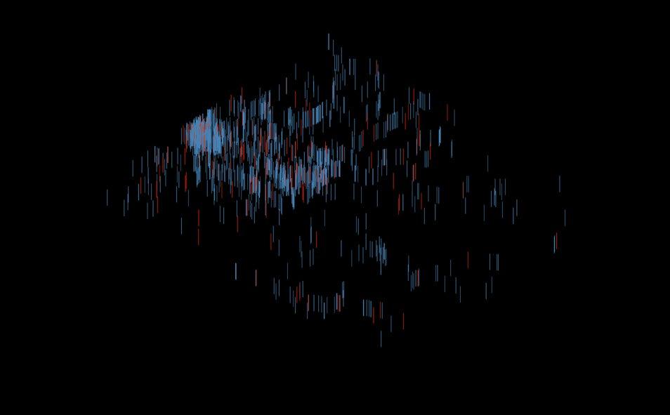
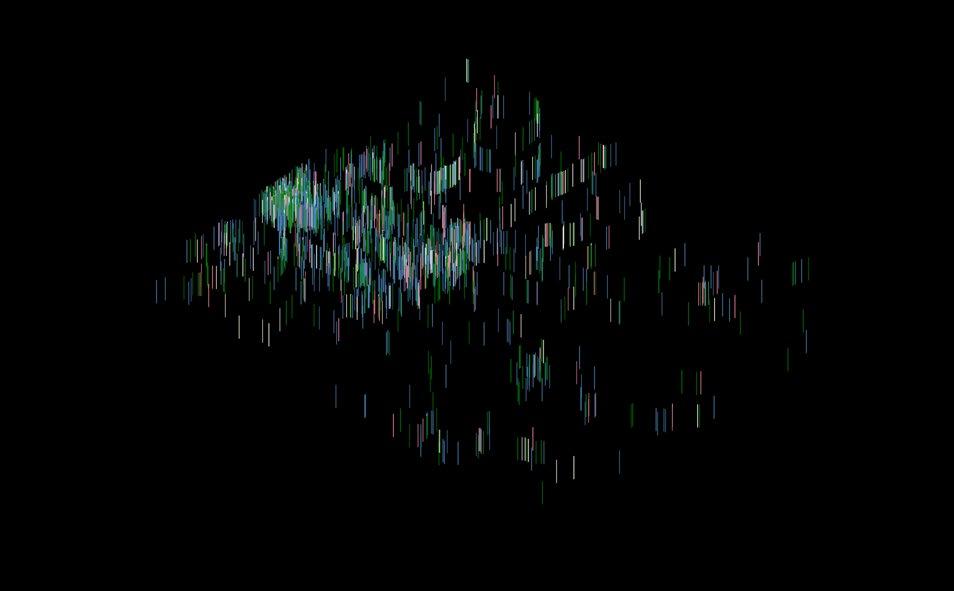
PCA 1 PCA 2 K - MEANS
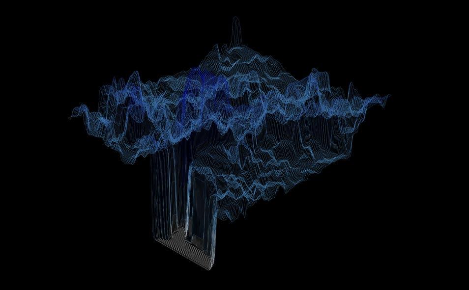
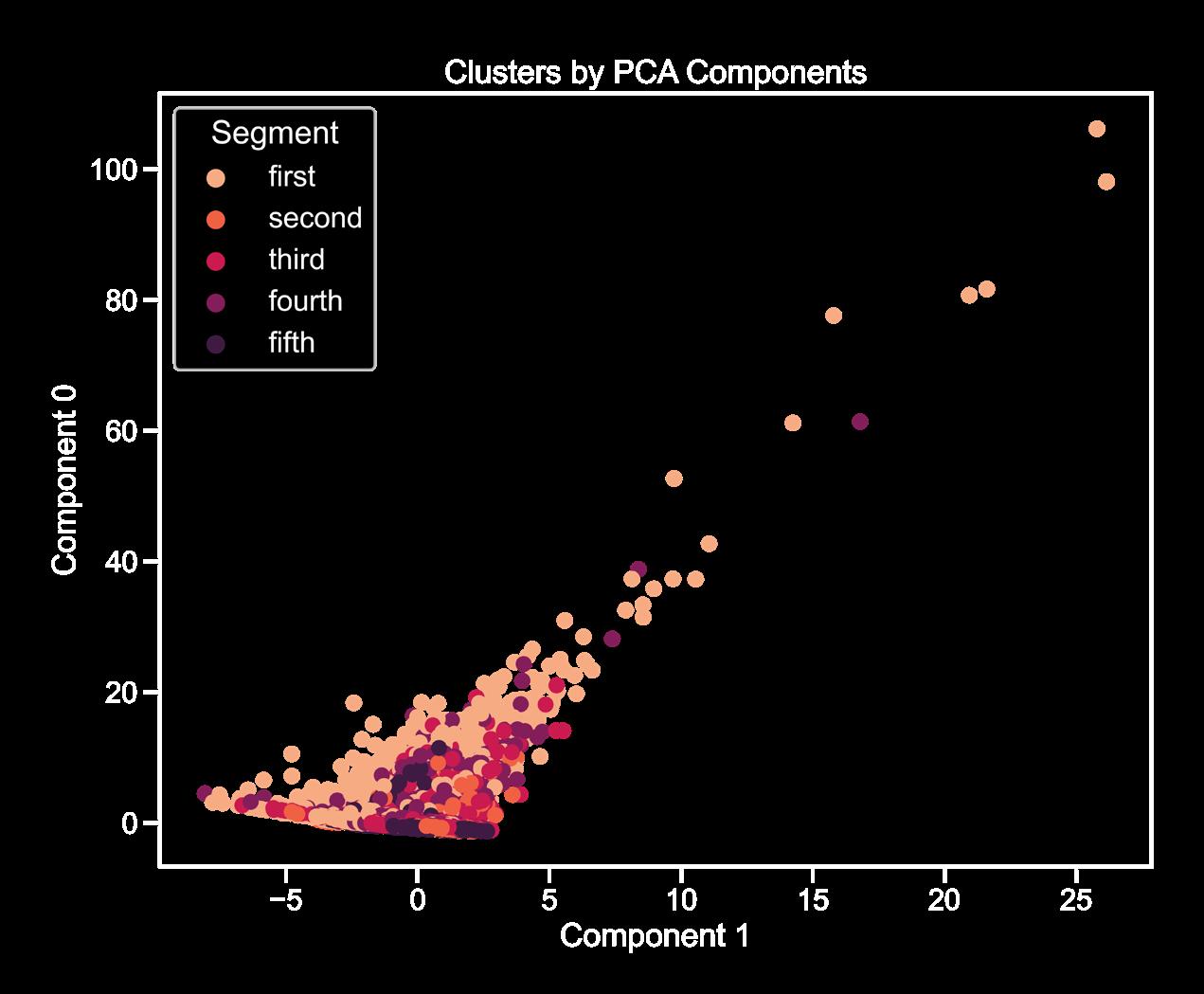
The K-Means cluster map shows how distinct data sets are represented inside different clusters. As a conclusion from the PCA analysis, the combination of High Food desert and Low Household Income further helps us narrow down the areas for interventions. We finally chose the Poplar as our site.
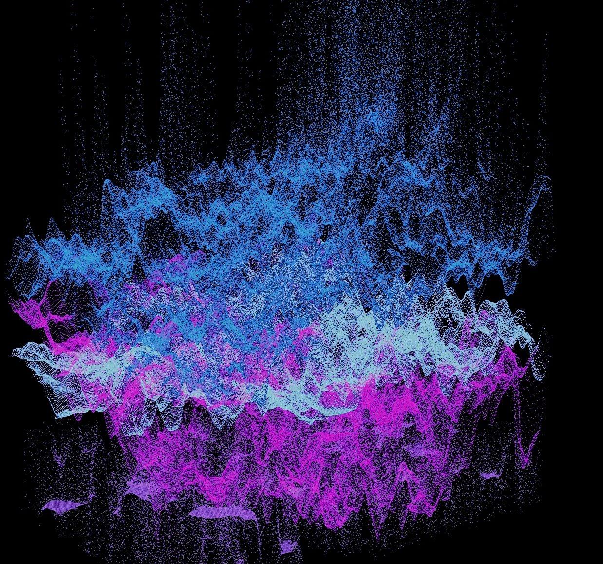
PRINCIPAL COMPONENT ANALYSIS CLUSTERS BY PCA COMPONENTS CORRELATION HEATMAP
VERTICAL FARMS:
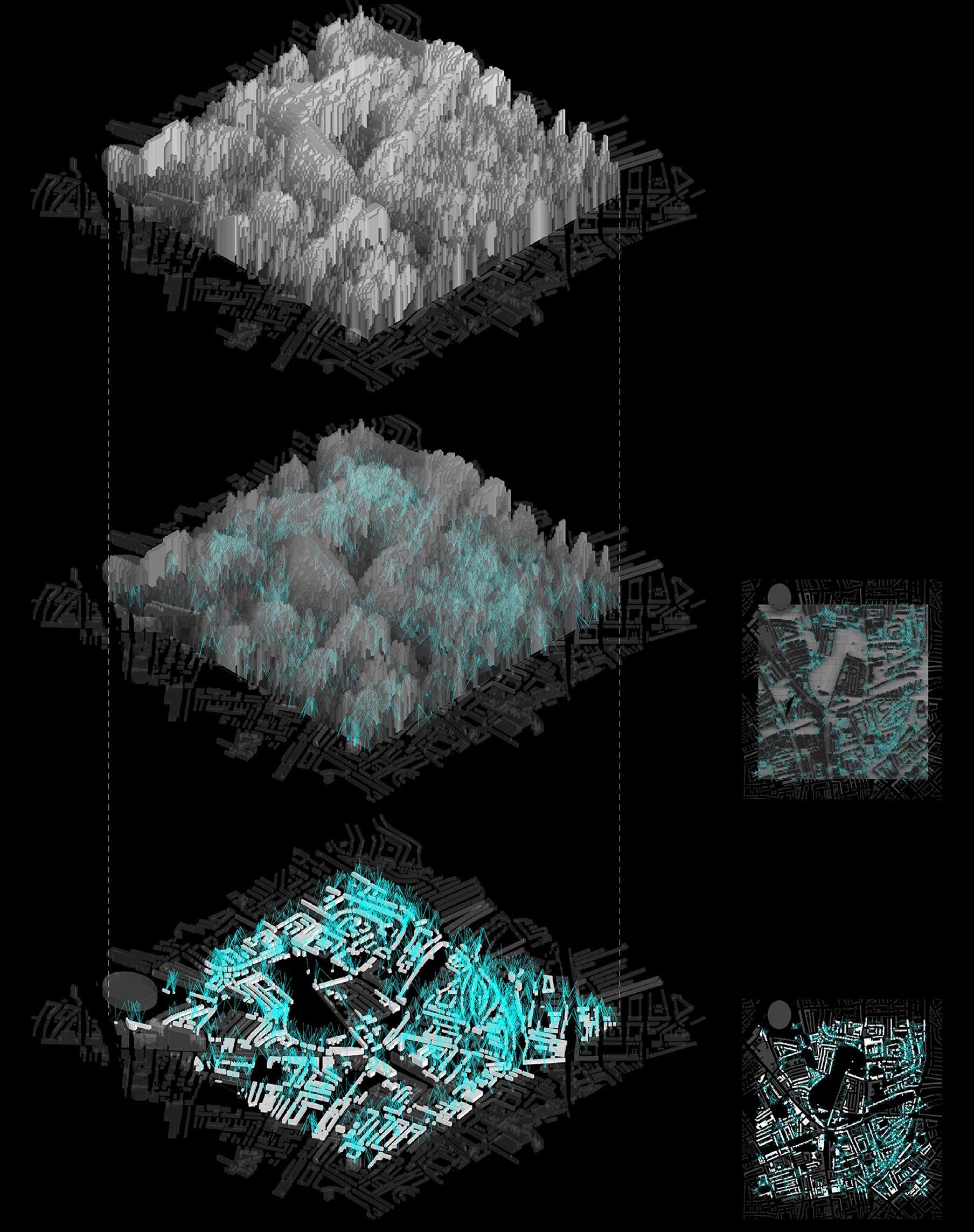
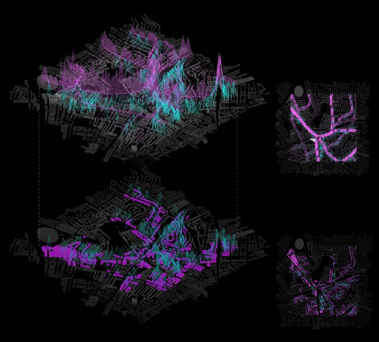
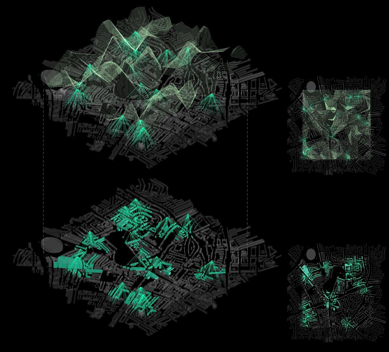
BUILDINGS AWAY FROM SHADOW BUILDINGS NEAR NOx BUILDINGS NEAR SOLAR RADIATION PROPOSING VERTICAL FARMS
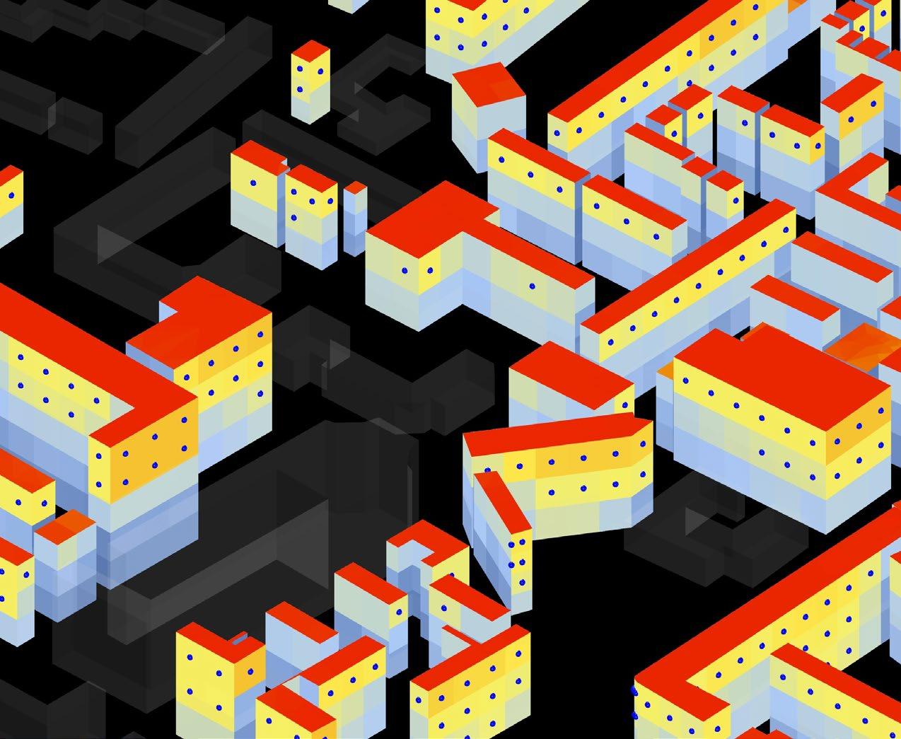
For proposing vertical farms, we start with finding buildings that are near a 100m radius to the highest values of NOx, highest values away from Shadow and Highest values of solar radiation. After obtaining the buildings, we run a simulation on Galapagos to check for the optimal height above these buildings according to the average sunlight hours throughout different seasons in the year. We apply the incident radiation to the optimal heights received and we zoomed in a bit more. We select radiation values between 3 and 5 to get the high radiation values for each square facade of the Webuildings.thenpropose vertical modules that can help grow food by gaining an appropriate amount of solar radiation throughout the Theyear.size of these modules depends on the amount of radiation received by each square facade.
PROPOSING VERTICAL FARMS OPTIMAL HEIGHT - GALAPAGOS INCIDENT RADIATIONPRODUCTION: VERTICAL
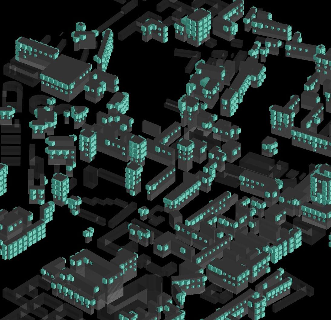
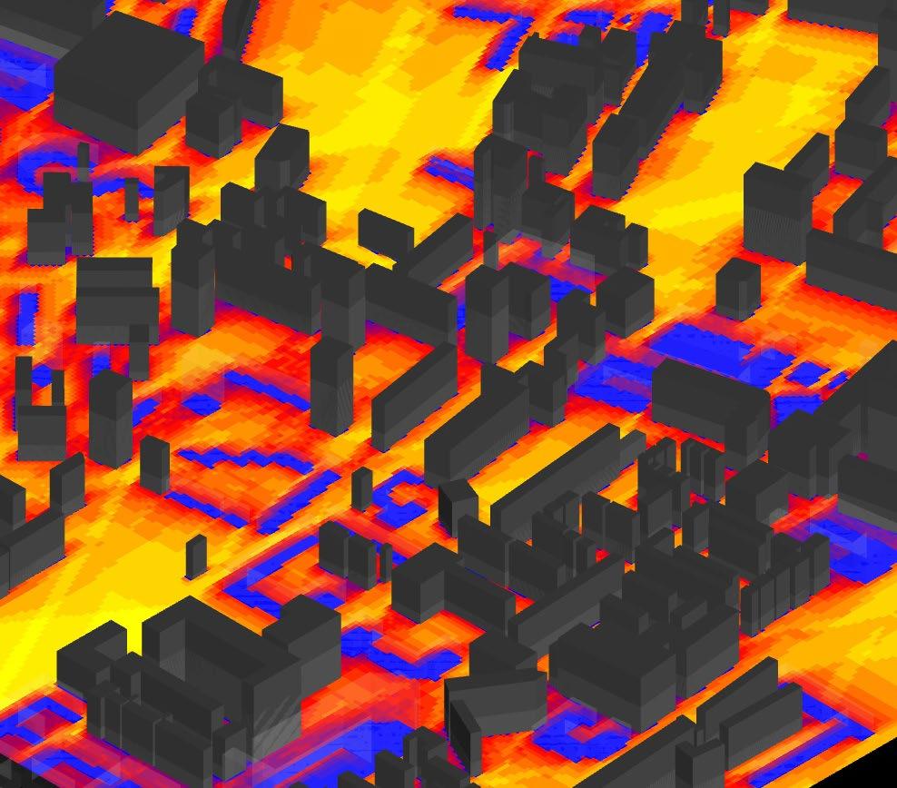
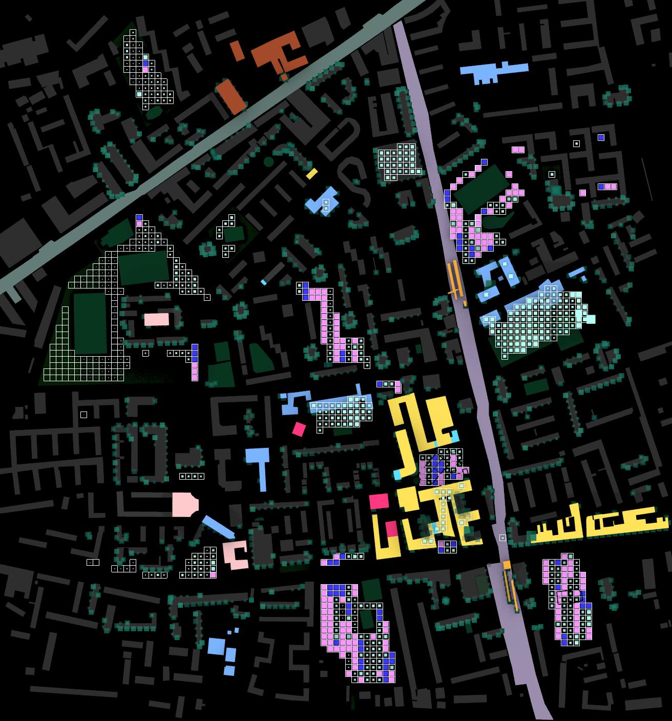
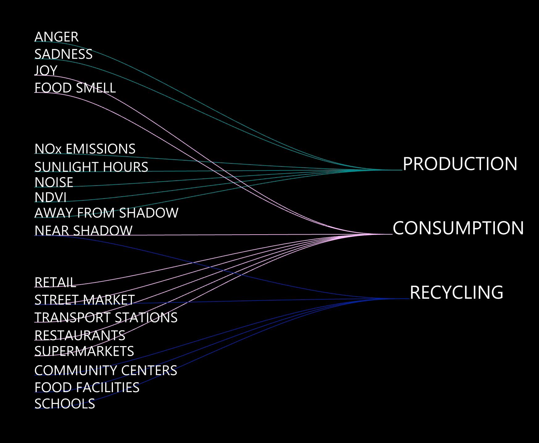
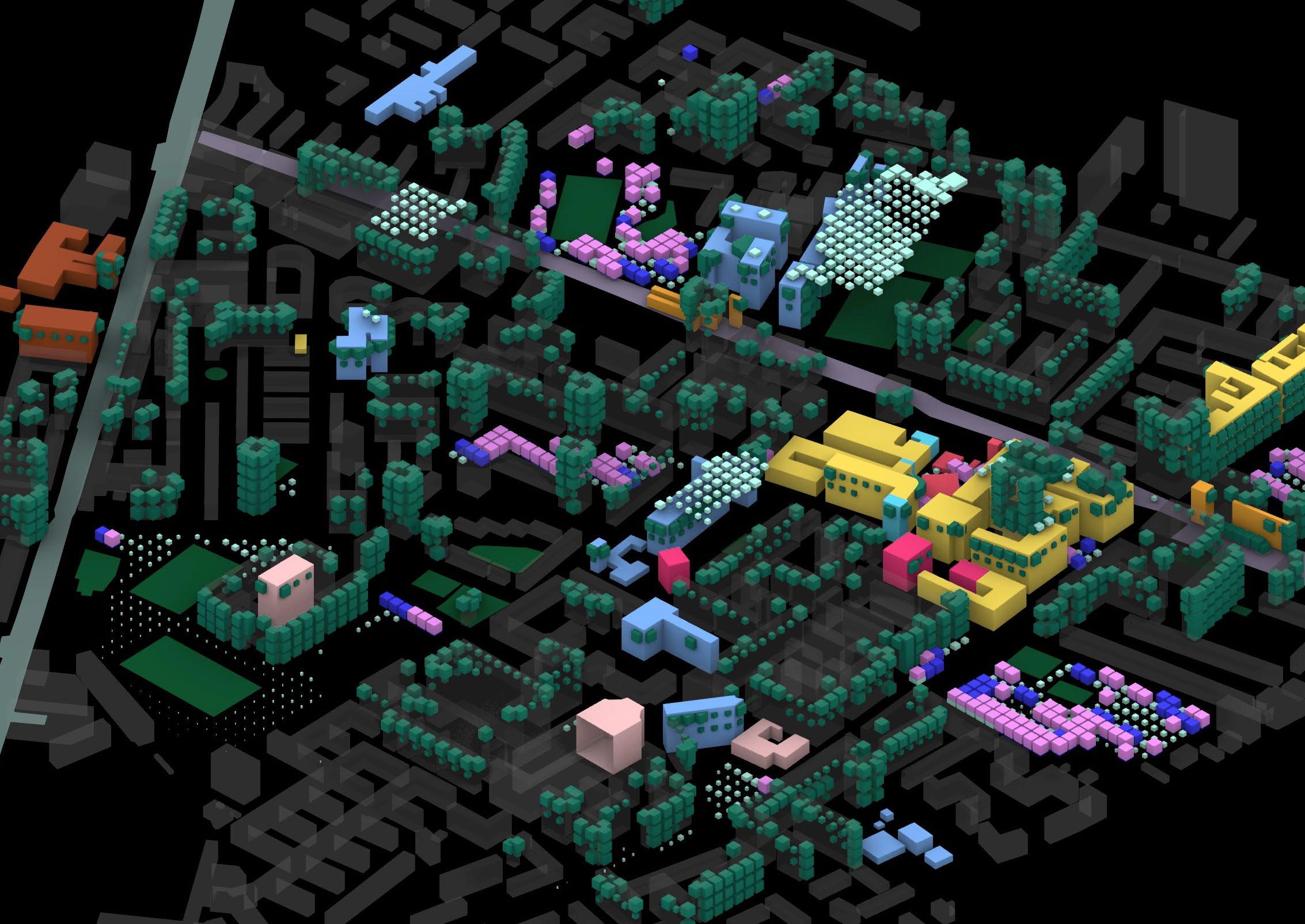
Using the Data from GIS, Environment Simulations and Grasshopper plug-in Elk, we use these data points as attractors. We locate areas of production, consumption and recycling in our site using parameters that are relevant to these areas. We define a node which has a supermarket proximity of 200m. We wanted to locate Production areas that are near : Anger (associated lack of nutrition), sadness (green spaces will improve mental wellbeing), sunlight hours (to go food), noise (for plants to absorb sound) areas away from Shadow and NDVI.
AGRO MATRIX SCRIPT - P.C.R (PRODUCTION, CONSUMPTION AND RECYCLI NG) POPLAR
THE AGRO-MATRIX SCRIPT:
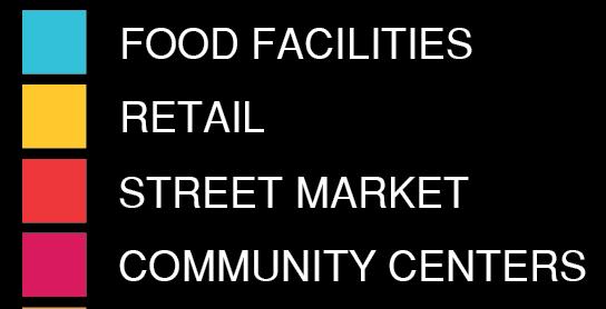
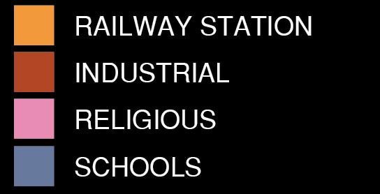
For Consumption areas we wanted them to be near: Joy, Food smell, areas near Shadow, retail spaces, street markets, transport stations for better accessibility, restaurants and Forsupermarkets.Recycling areas we wanted them to be near: Areas near Shadow, retail, street market, community centres, food facilities and schools (for promoting recycling activity). After putting in these objectives we use Wallaci to decide t the optimal location for our PCR points in the city.
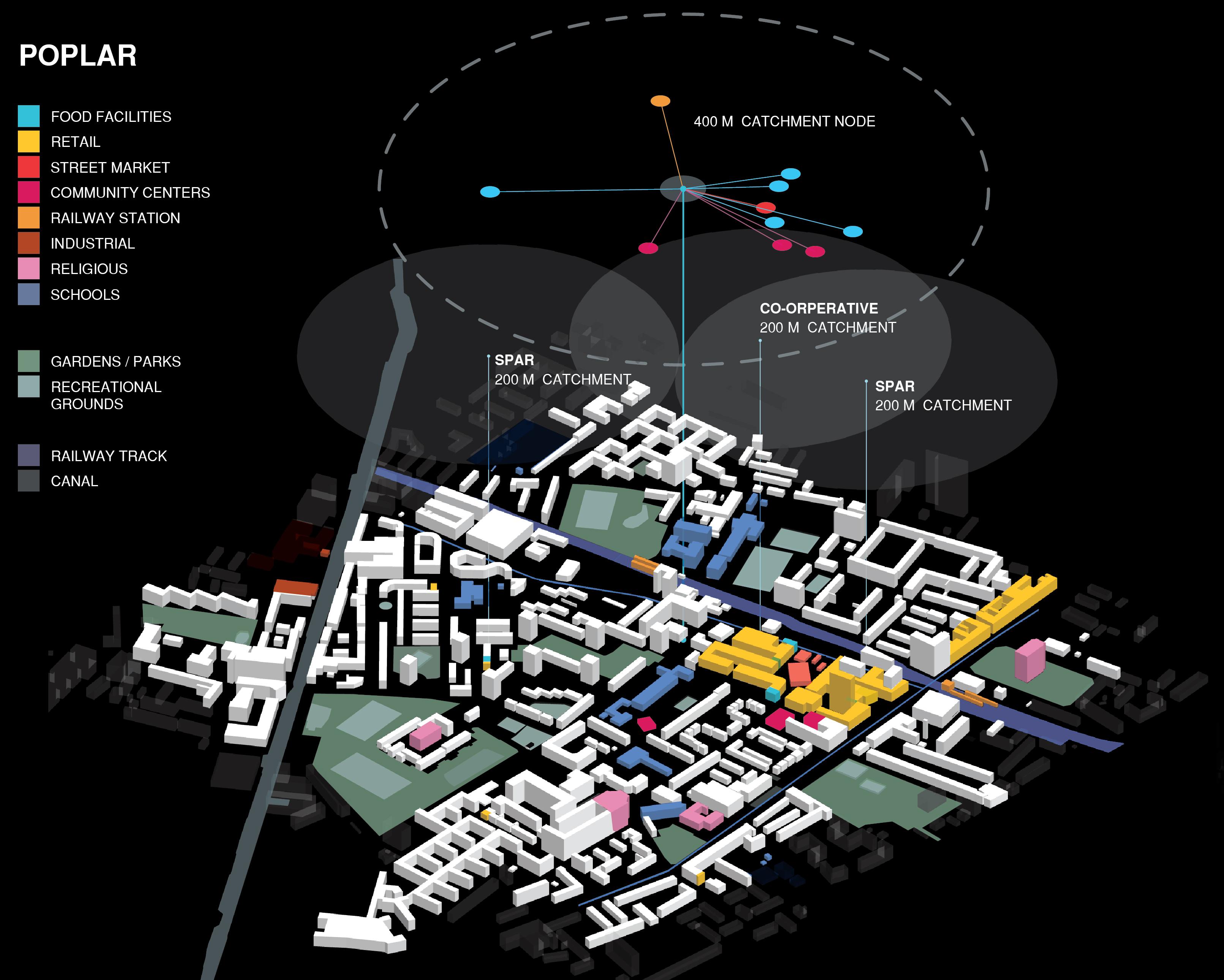
ENVIRONMENT SIMULATIONS HOURSSUNLIGHTSHADOWNOxSOUNDRADIATIONSOLARNDVI EMOTIONS AND SMELL Source: https://goodcitylife.org/ SMELLEMISSIONSFOODJOYSADNESSANGERSMELLLANGDON PARK CHRISP MARKET POPLAR GROUNDRECREATIONALP.O.S LANGDON PARK SCHOOL PLAN
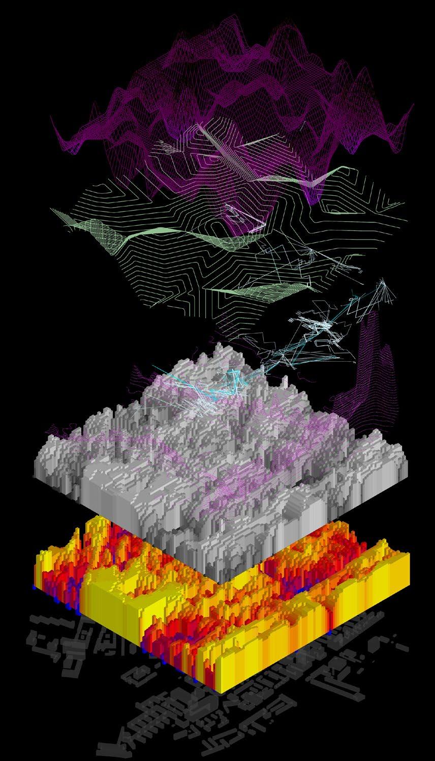
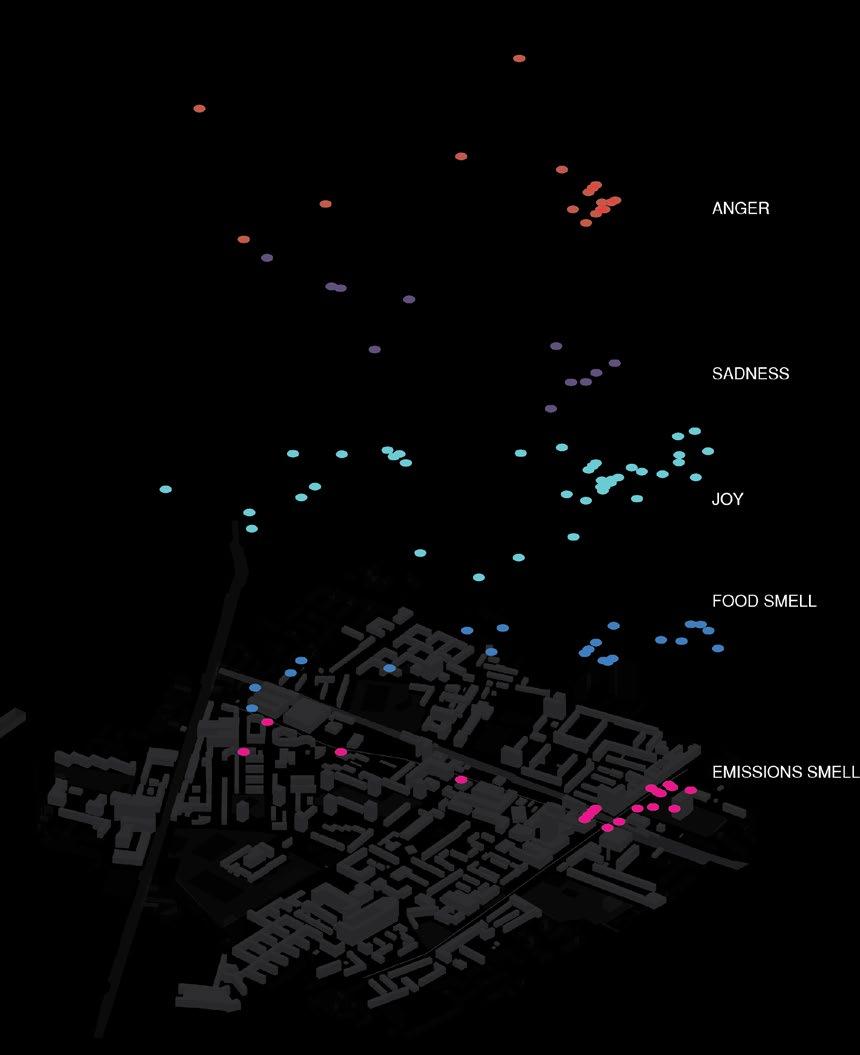
RECYCLINGCONSUMPTIONPRODUCTIONFACILITIESOFPROXIMITYSMELLANDEMOTIONS SIMULATIONSENVIRONMENT CONSUMPTIONPRODUCTIONRECYCLING
AGRO MATRIX SCRIPT - P.C.R (PRODUCTION, CONSUMPTION AND RECYCLI NG)
We wanted to locate Production areas that are near : Anger (associated lack of nutrition), sadness (green spaces will improve mental well-being), sunlight hours (to go food), noise (for plants to absorb sound) areas away from Shadow and NDVI. For Consumption areas we wanted them to be near: Joy, Food smell, areas near Shadow, retail spaces, street markets, transport stations for better accessibility, restaurants and supermarkets. For Recycling areas we wanted them to be near: Areas near Shadow, retail, street market, community centres, food facilities and schools (for promoting recycling activity).
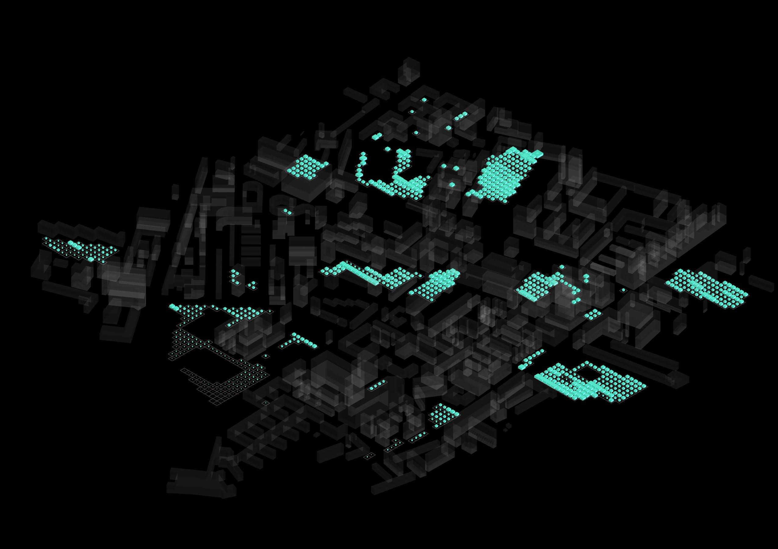
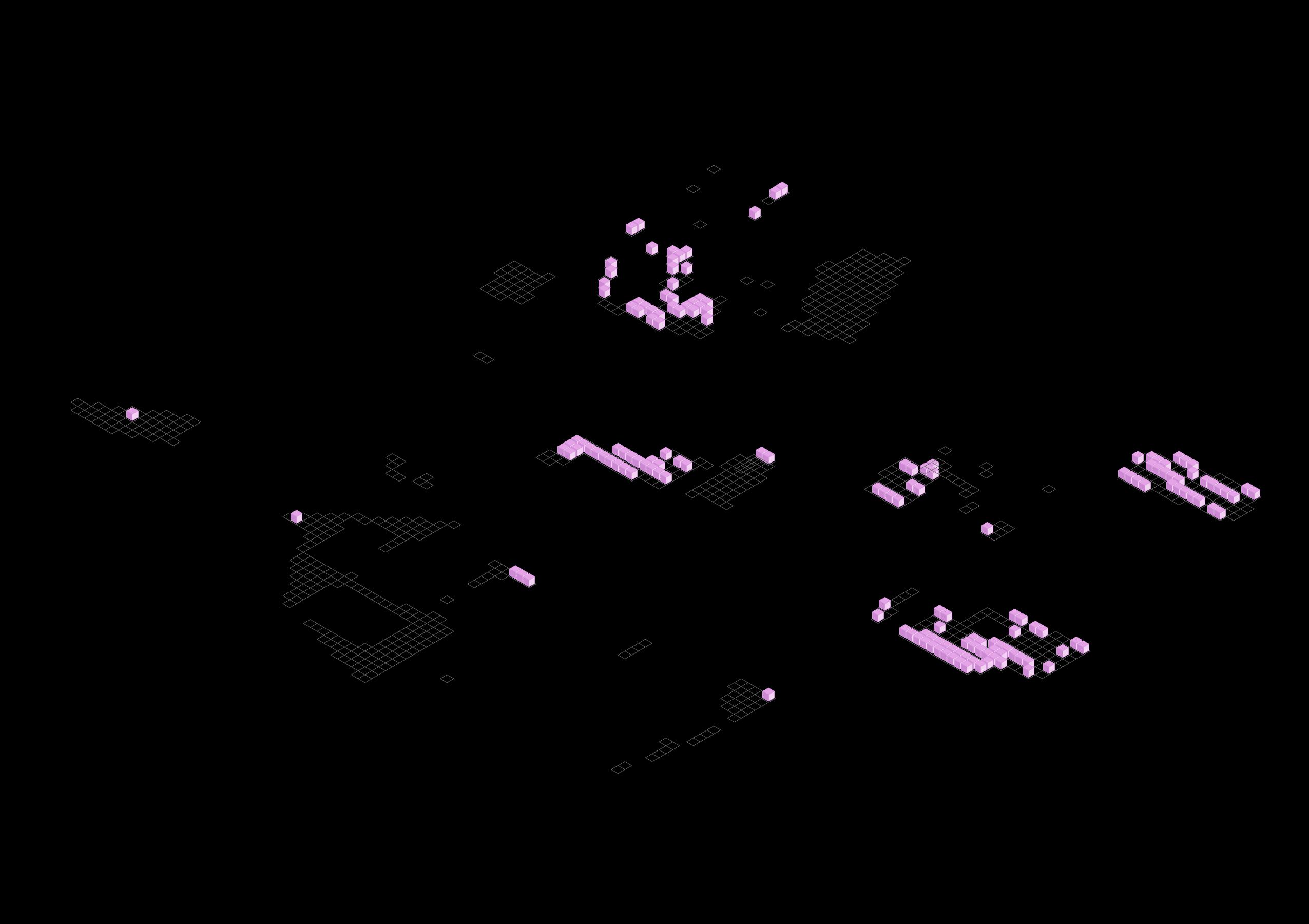
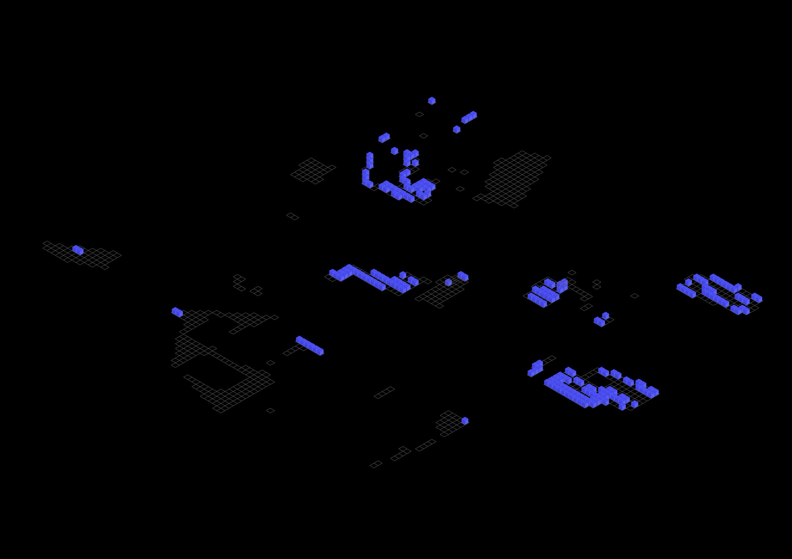
CHRISPGROUNDPOPLARMARKETRECREATIONAL PRODUCTION: ROOF PRODUCTION: VERTICAL LANGDON PARK SCHOOL LANSBURY LAWRENCE PRIMARY SCHOOL P.O.S LANGDONPRODUCTION:PARK ON-GROUND CONSUMPTION RECYCLING EAST INDIA SQUARE
THE MASTERPLAN
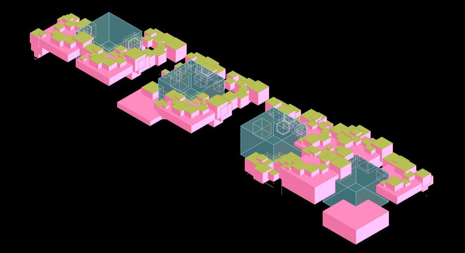
DESIGN TYPOLOGIES AND THE MASTERPLAN: Inspired by the design of follies by Bernard Tschumi for the Parc De La Villette, we aim to enhance the food-system of the city through different intervention typologies that have different functions. The purpose is to bring production, consumption and recycling points close to each other that form a cycle of food related activities in a neighbourhood. The vision is to propose modular and flexible structures that can be replicated in different parts of the masterplan. This part of the materplan is the Poplar reacreational ground. We propose different types of food crops in the production cubes of the masterplan.
OPERATIVE DESIGN: We use Operative design as a Generative Design method for proposing typologies for our interconnected food-system.
Anthony Di Mari and Nora Yoo are the authors of the book Operative Design where they suggest a series of spatial verbs that represent the abstract idea of spatial formation.
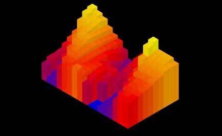
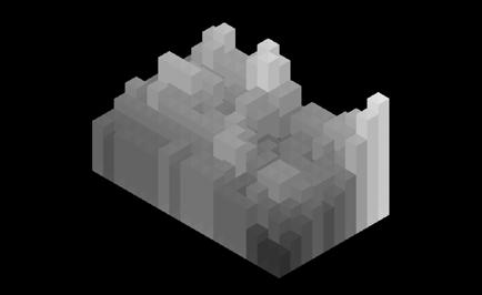
Operative design contains a set of spatial verbs that help us explore form finding. We use evolutionary algorithms for this generative process and to apply these methods/spatial verbs.
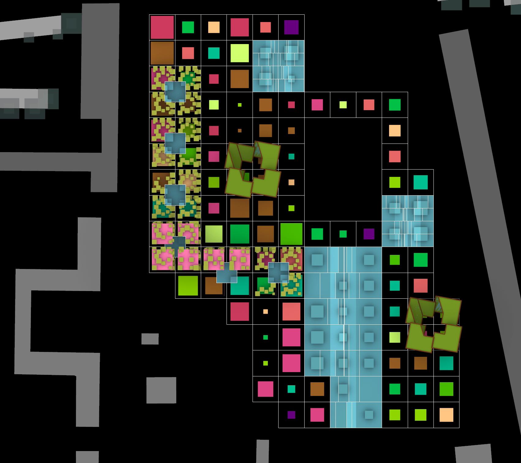
LettuceCarrotsTomatoes CabbageSpinachCucumber BroccoliPotatoApple GrapesStrawberries GREENHOUSEPRODUCTION:RECYCLING: FARM START / INCUBATOR HUB CONSUMPTION: FARM TO TABLE RESTAURANTS
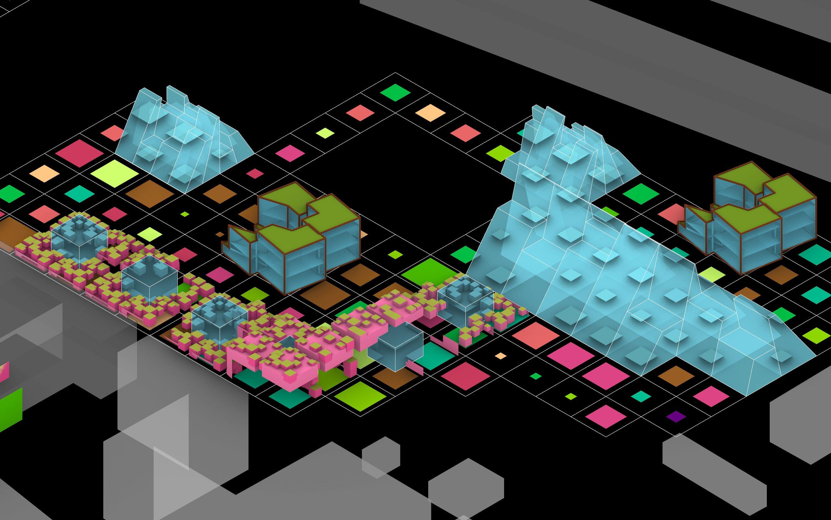
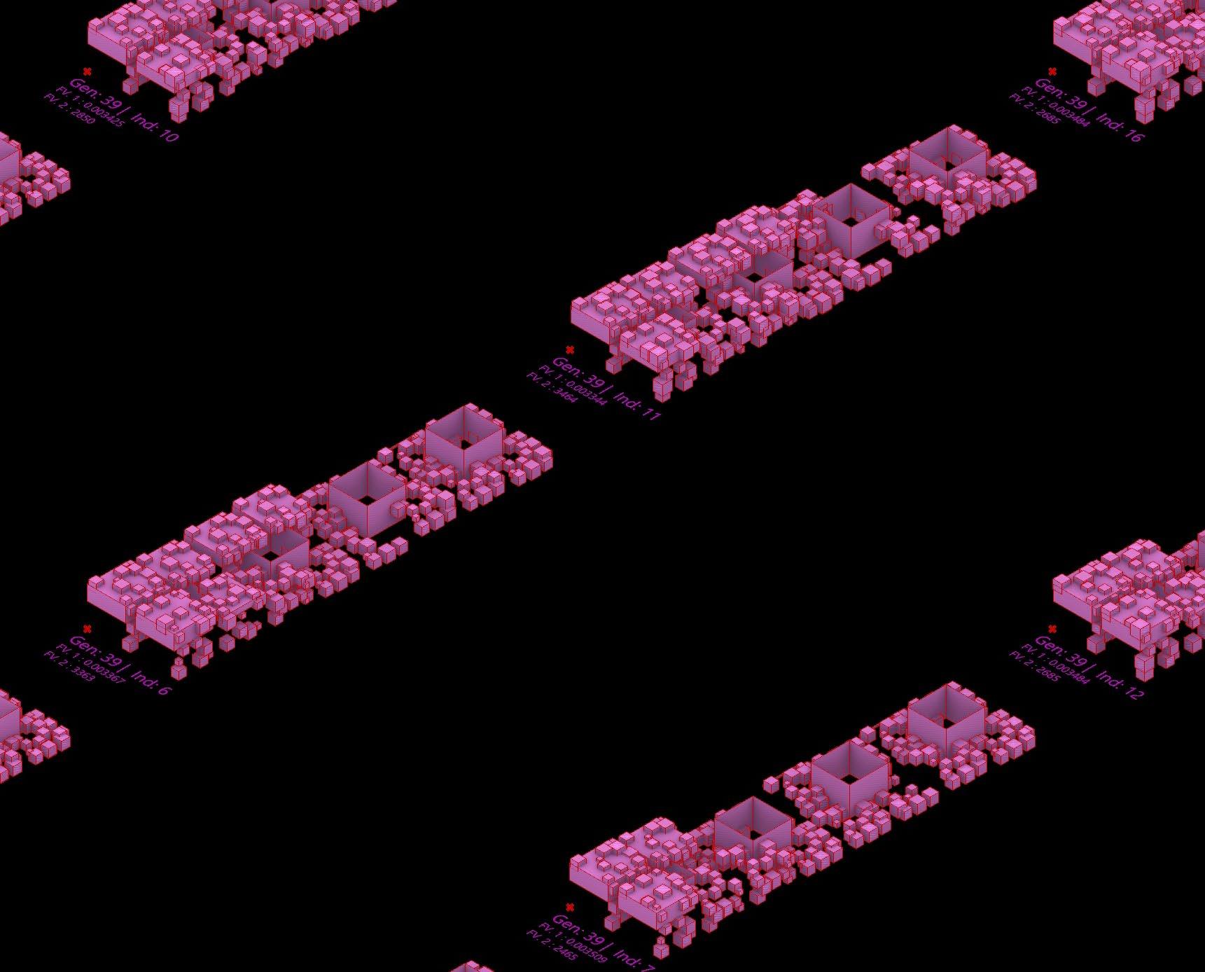
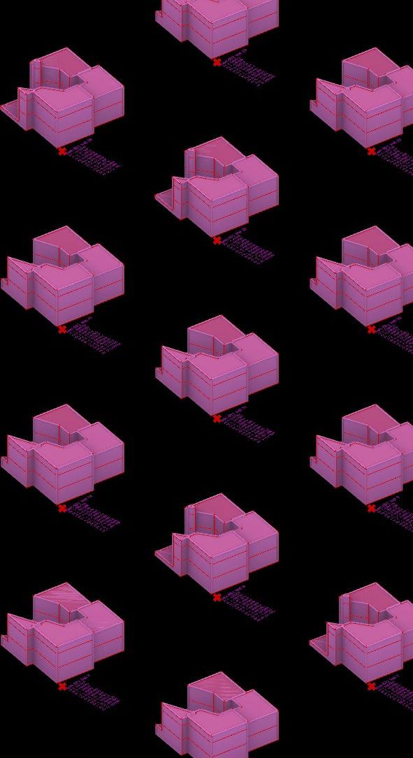
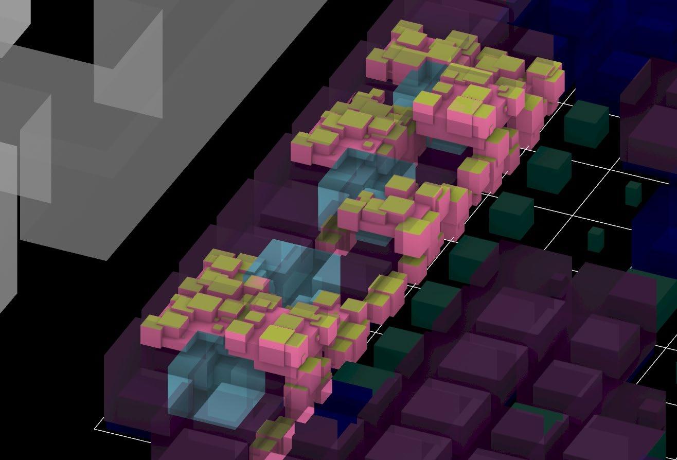
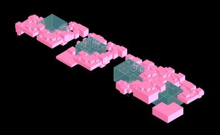
CONSUMPTION: FARM TO TABLE RESTAURANTS PARETO PHENOTYPES ITERATION (WALLACI) CONSUMPTION: FARM TO TABLE RESTAURANTS ITERATIONS (GALAPAGOS) CONSUMPTION: FARM TO TABLE RESTAURANTS PARETO PHENOTYPES ITERATION (WALLACI) PROPOSING TYPOLOGIES ON PRODUCTION, CONSUMPTION AND RECYLING CUBES DESIGN TYPOLOGIES
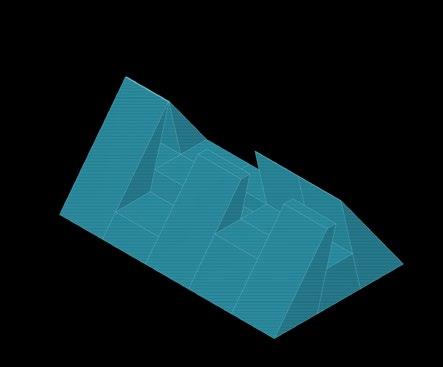
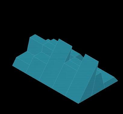
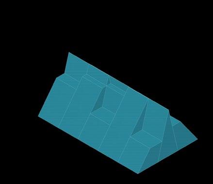
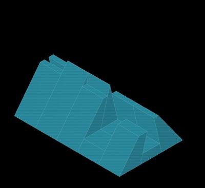
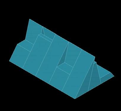
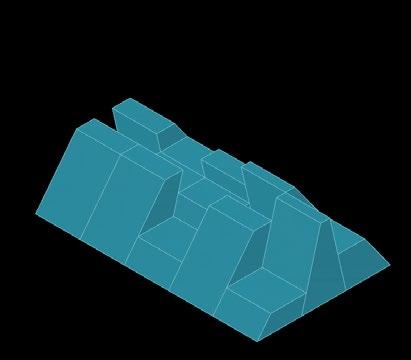
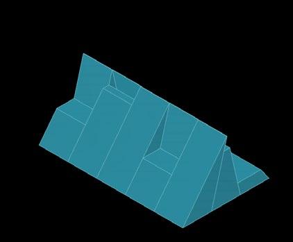
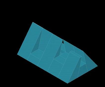
of Galapagos. Importing
extrusion
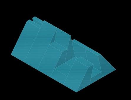
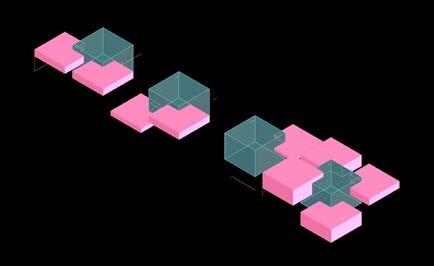
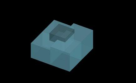
PRODUCTION: GREENHOUSES Design for typology using Evolutionary Algorithm The Production Grid From The PCR Script. Here 2 different Operative Design Verb used form the design.
are
Optimal
greenhouse
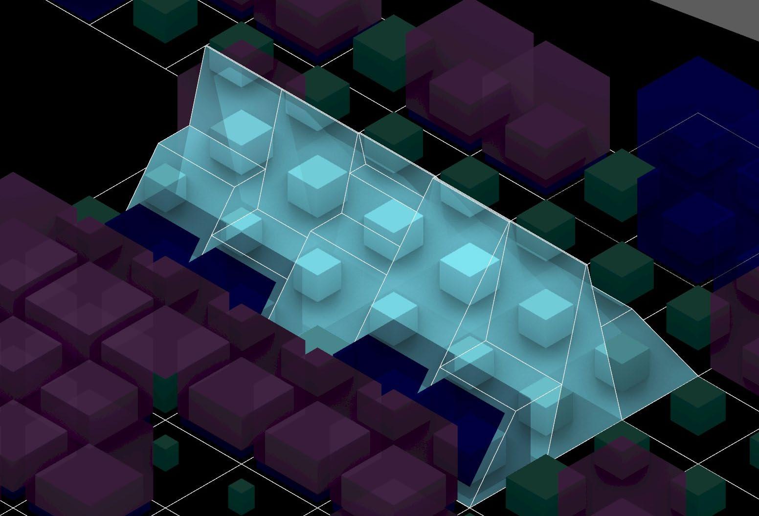
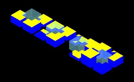
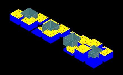
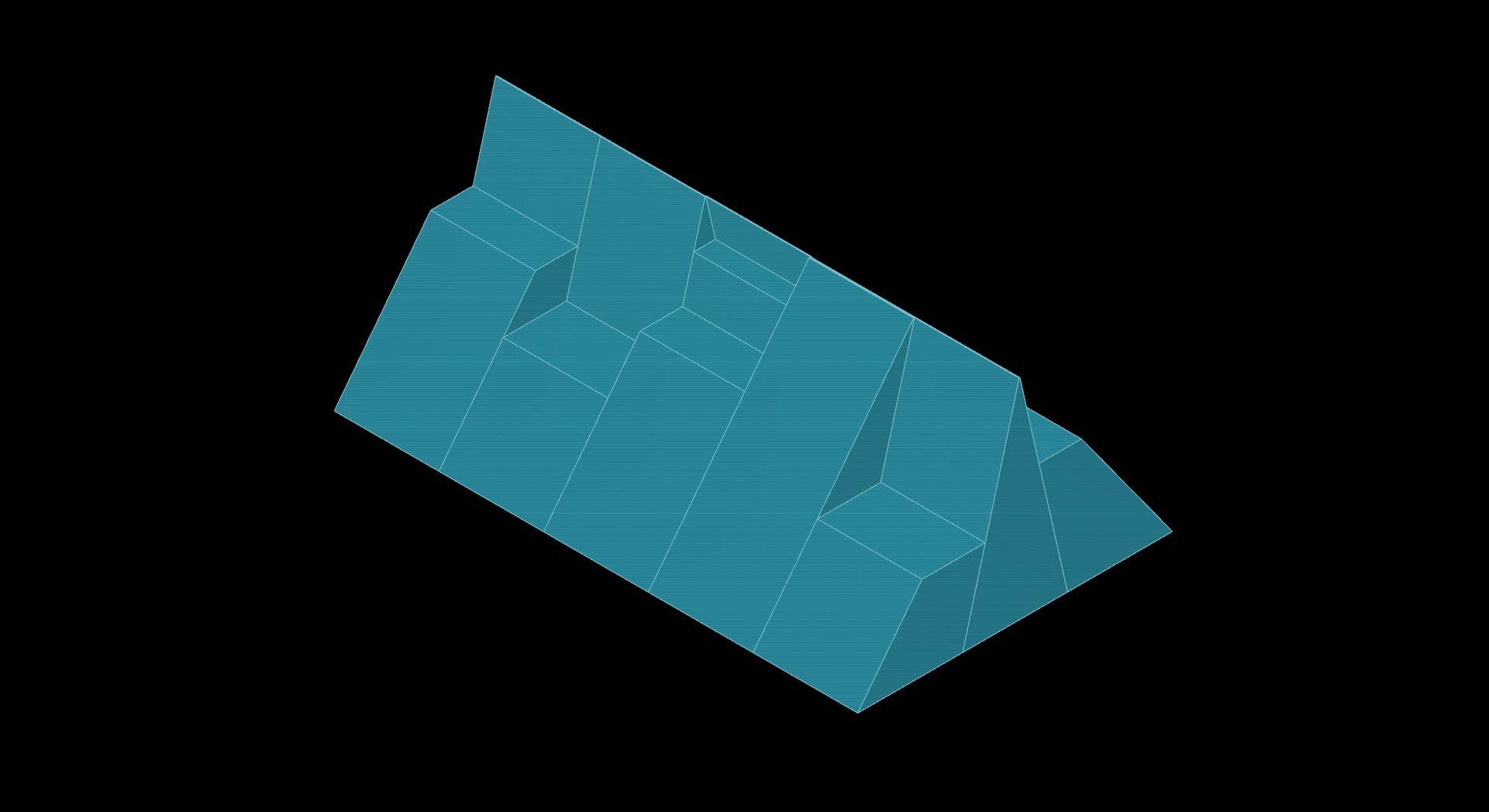
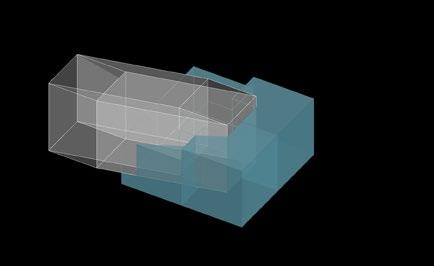
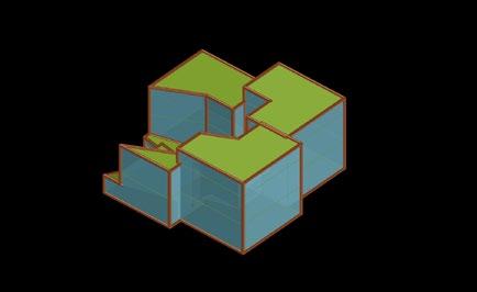
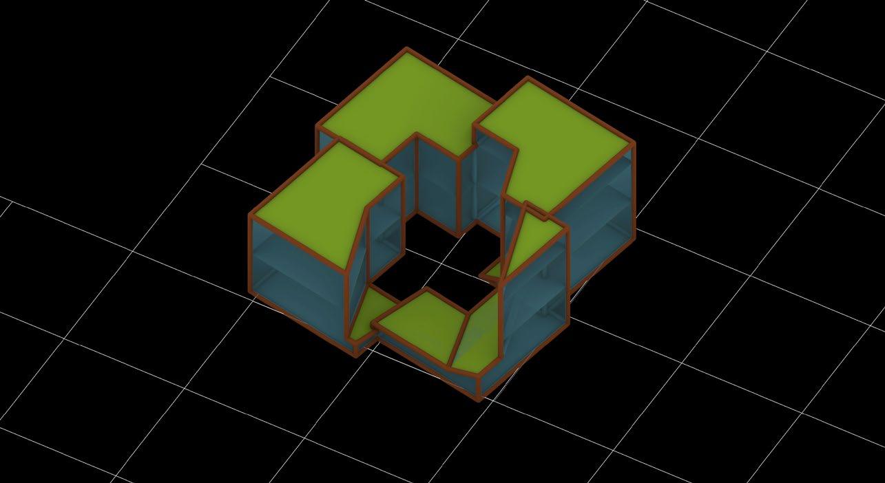
EXTRUDEGRID SUN HOUR ANALYSIS EXTENDED HEIGHTBASED ON SUN HOUR SHADOW ANALYSIS EXTENDED HEIGHT - BASED ON SHADOW TAPER TO JOIN THE EDGE TAPER RESULT 1.OBJECTIVES:MAXIMIZESOLAR RADIATION 2. MINIMIZE SHADOW RANGE THE PROCESS: CARVE + LIFT + MERGE RESULT: GREENHOUSE RECYCLING: FARM START / INCUBATOR HUB Farm start / Incubator hub is a place for work-based training, mentoring and supporting a new generation of economically resilient urban farmers / growers. These hubs include small composting units that help upcoming urban farmers practise recycling of food. A typology with green roofs and a dynamic form to inspire the career of farming, the structure let's in maximum sunlight by opening a huge courtyard space. THE PROCESS: CARVE + LIFT + MERGE EXTRUDEGRID CARVE - FORMS L-SHAPED COURTYARDS EXTRUDING COURTYARD TOWARDS SUN RAYSCOURTYARDSL-SHAPED EXTRUDE CONTOURS - FLOOR AREA INSCRIBE FRAME RESULT: FARM START / INCUBATOR HUB 2.1.OBJECTIVES:MAXIMUMSUNLIGHTMAXIMUMFLOORPLATE
restaurants that
courtyard
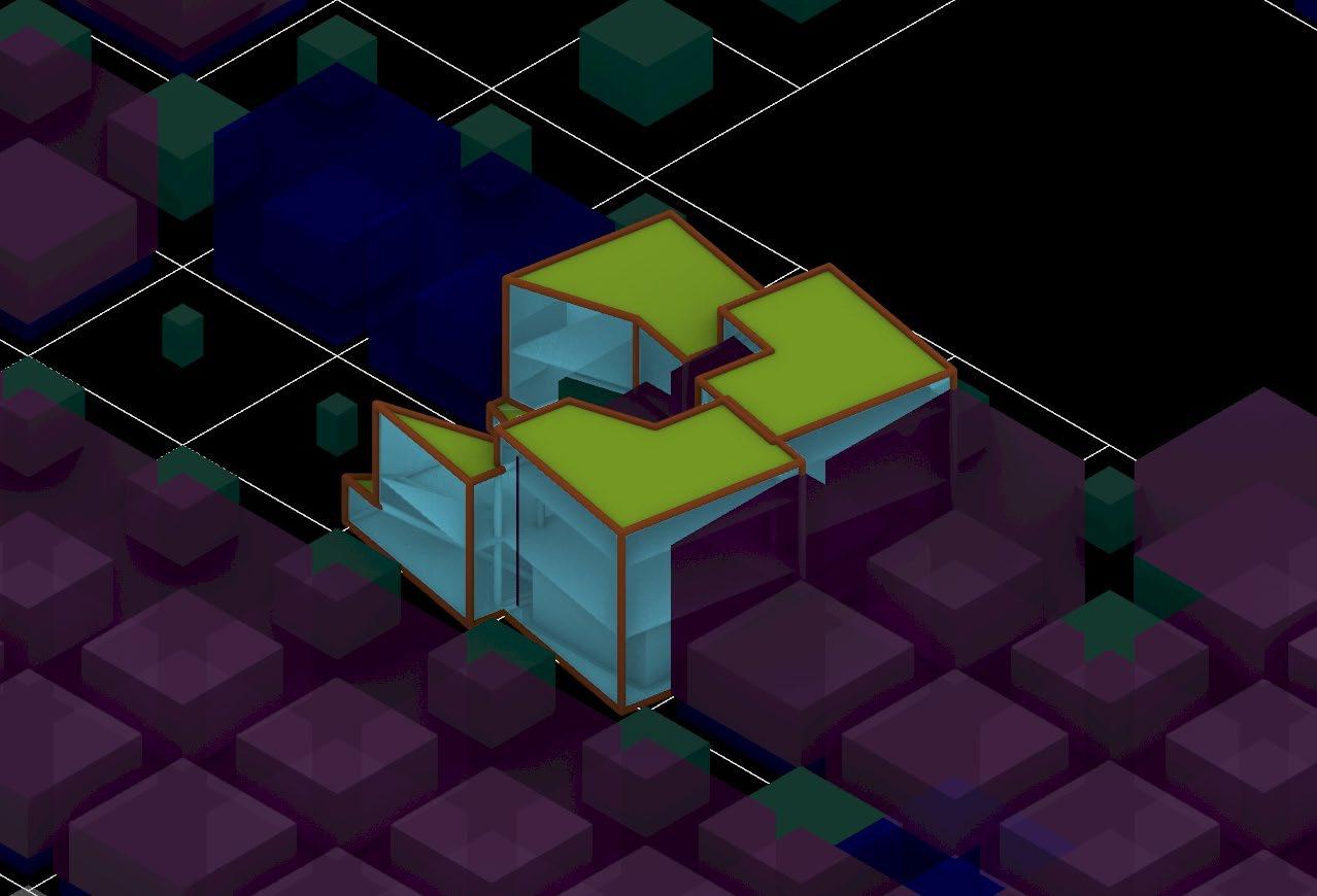
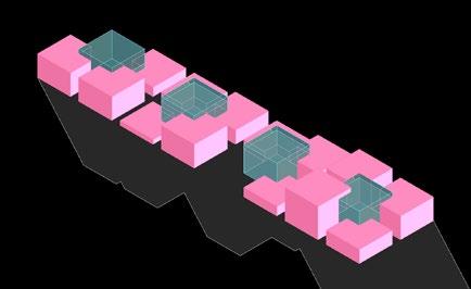
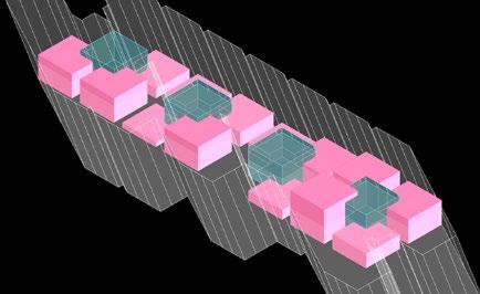
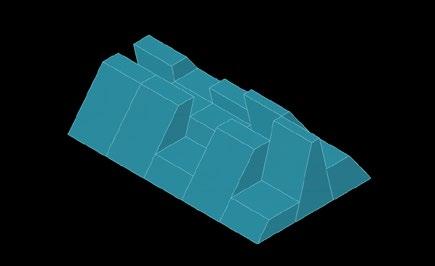
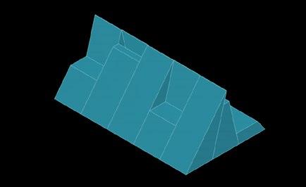
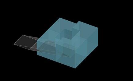
merge seatings/roof elements. THE PROCESS: CARVE + LIFT + MERGE EXTRUDEGRID CARVE - FORMS L-SHAPED COURTYARDS LIFT - WITH SHADOW ANGLE EXTRUSION SHADOW ANGLE LIFTED GEOMETRY SUNLIGHT HOURS VALUES ON BLOCK SUNLIGHT HOURS MERGE RESULT: FARM TO TABLE RESTAURANT 2.1.OBJECTIVES:MAXIMUMSUNLIGHTMINIMIZEVOLUME
We
exploration
Extend and Tapper to
seatings
Light
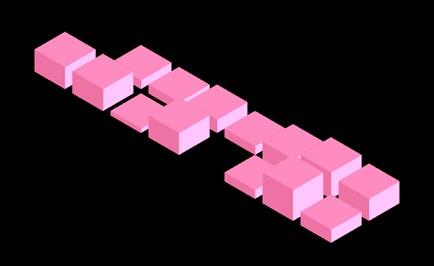
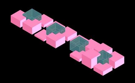
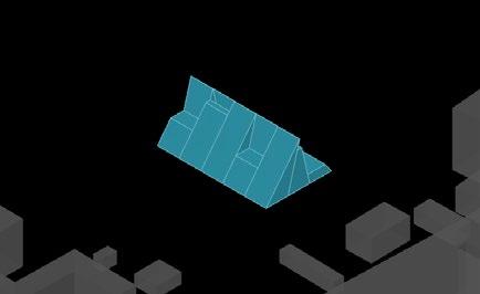
CONSUMPTION: FARM TO TABLE RESTAURANT weight, modular, shaped directly use products produced from farms. The typology has transforming to roof elements. The structure allows from maximum sublight as people in London enjoy being in the sun and minimum volume for the structure to be light weight. use shadow angle's to lift the structure and high sunlight hour values to







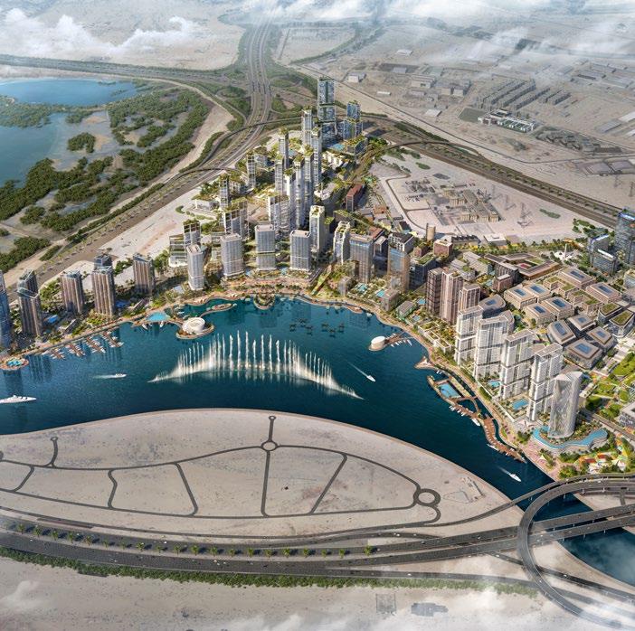
Dubai Design District Masterplan
WOORPFESSINALORK
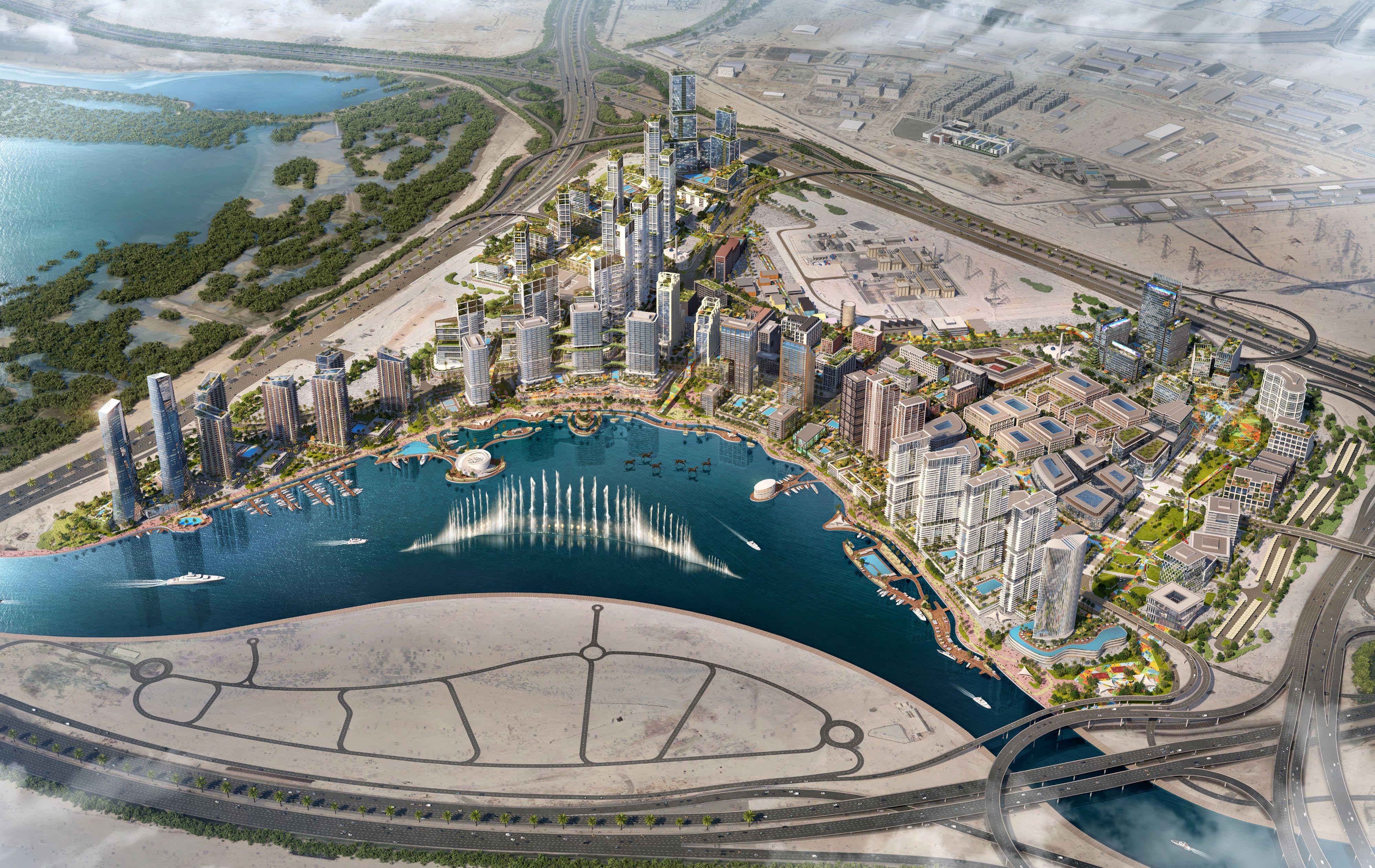
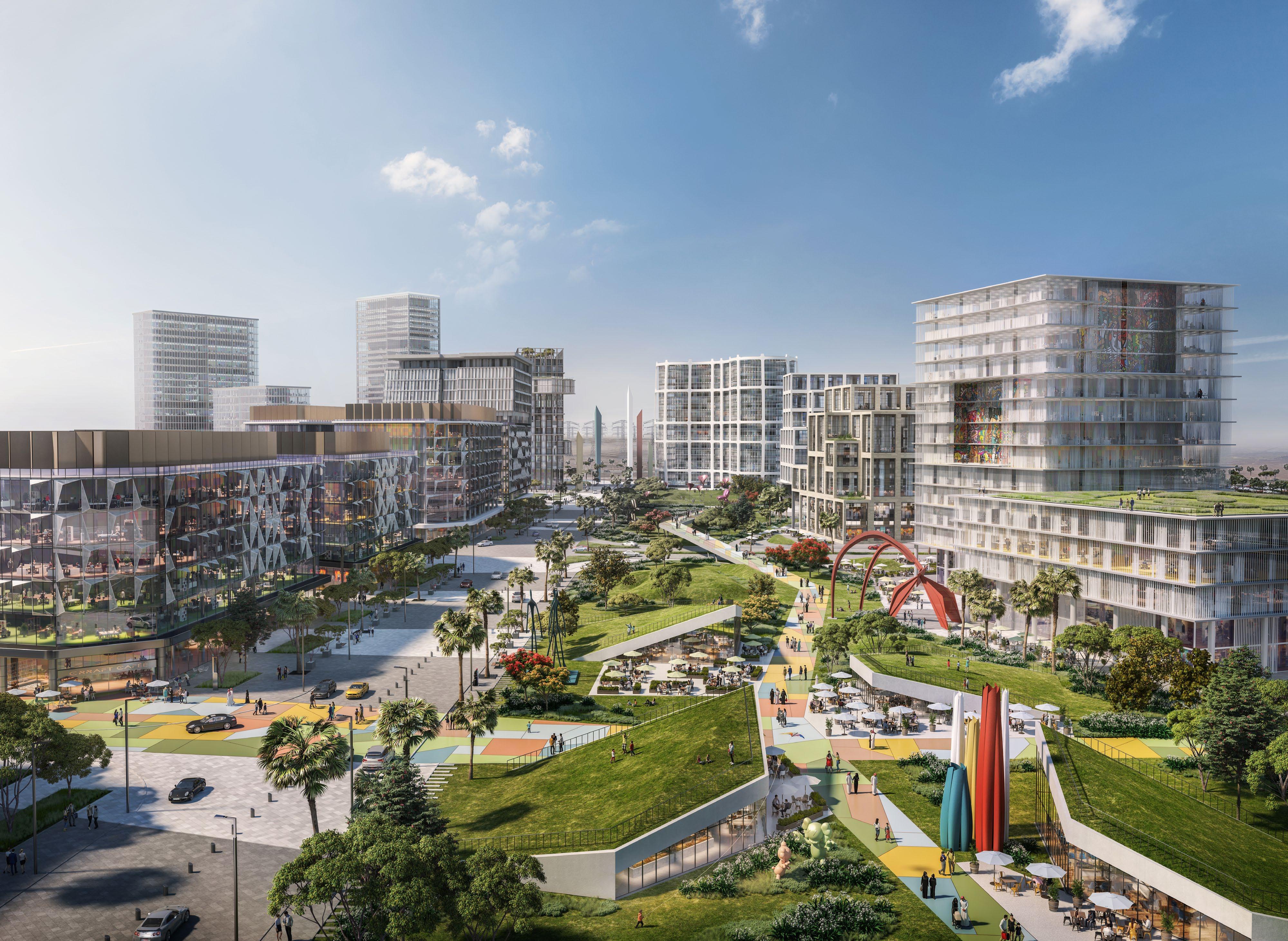
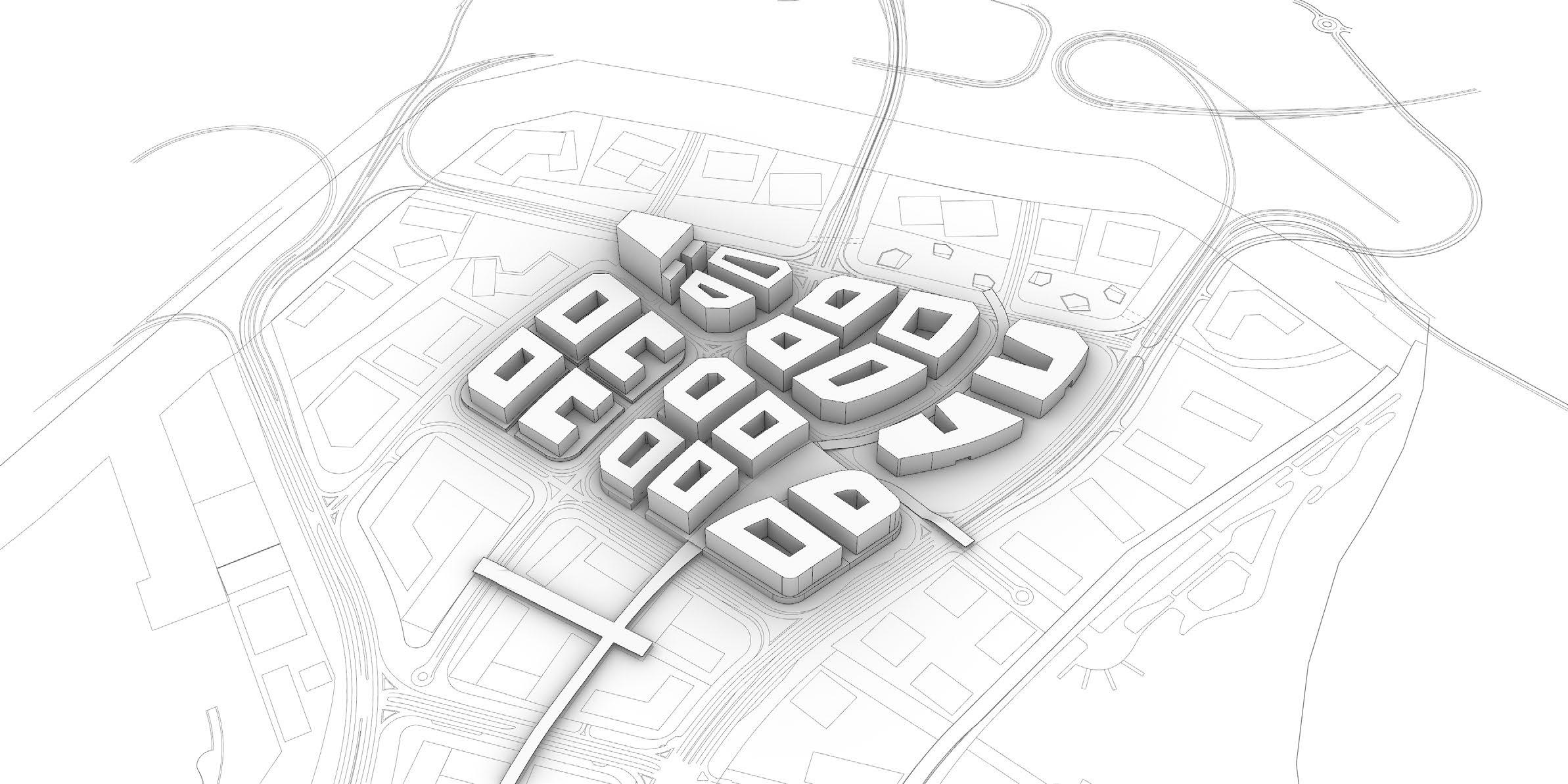
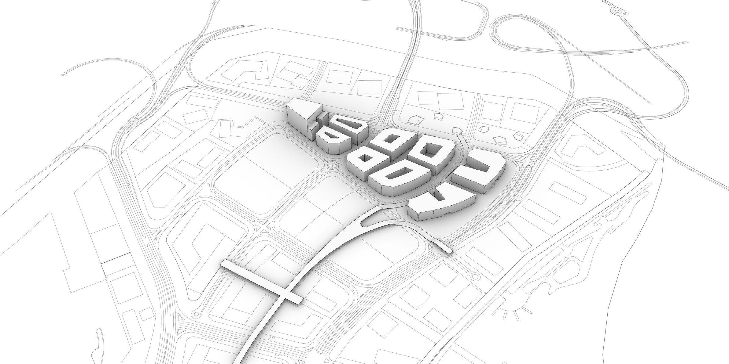
Site Area: 180 Ha Stage: Pre-Concept and Concept Scope: Masterplanning About: The design quarter/masterplan is a development of proposal done in 2016. The Pre-Concept stage involved validating the previous proposal and proposing 3 new options of GFA and massing. The concept stage proceeded with the selected option. In this stage the main concept was formed and tied down with the architectural character of all the districts. Role: Modelled Buildings and their facades in Rhino. Worked on render views. Sent comments and packages to render company and landscape consultants. Worked on Walkabilty and landscape Coordinatedstrategy. with infrastructure consultants regarding road widths and plot setbacks. Developed Masterplan layout, Rhino Massing and Area Schedule simultaneously to achieve Community facility, Parking requirements and target GFA with appropriate building heights. Generated data from Grasshopper using TT toolbox plugin. Used Elk plugin to generate existing site conditions data. Worked on General Floor Plans and Typologies for every district. Developed Concept diagrams for designline and district character. Helped with design report.Worked on street studies, canal activation studies and site analysis diagrams. Validated initial MP in terms of landscape/open space, walkability and massing.
WOORPFESSINALORK
1.
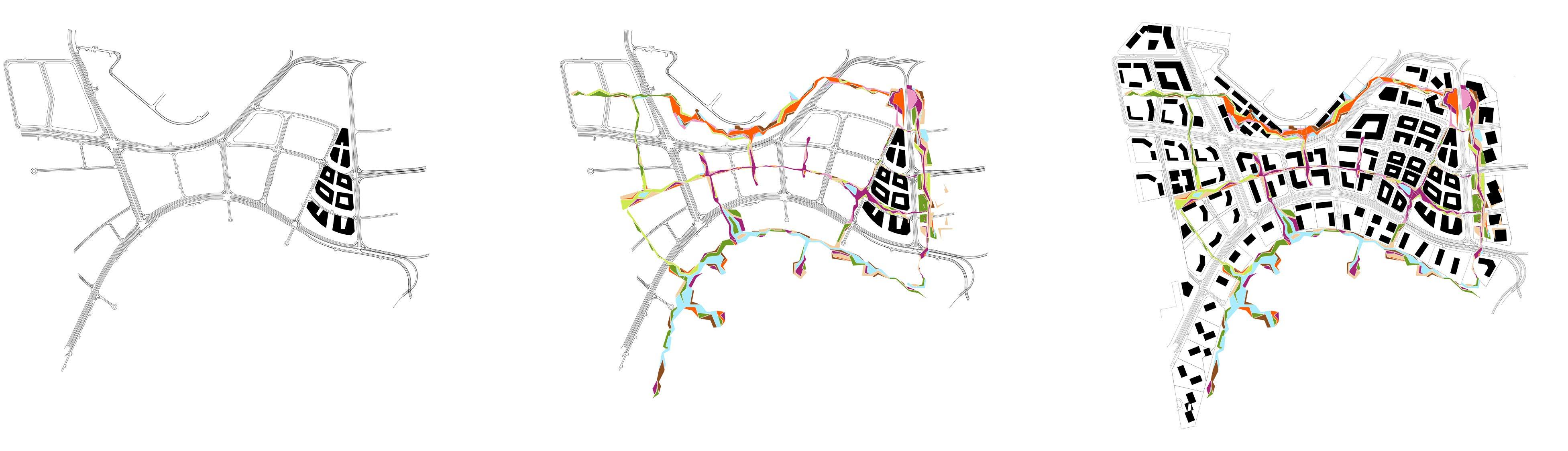
The Design Line is activated with art, activities and community facilities. It serves as a destination in its own right. It aims to connect communities, generate economic activity, inspire bold design solutions and activate a successful urban conditions. An Exisiting Node 3. The Master Plan Crafted around the Design Line The Design Line - A Public Realm
2.
Masterplan Approach and The Designline
WOORPFESSINALORK
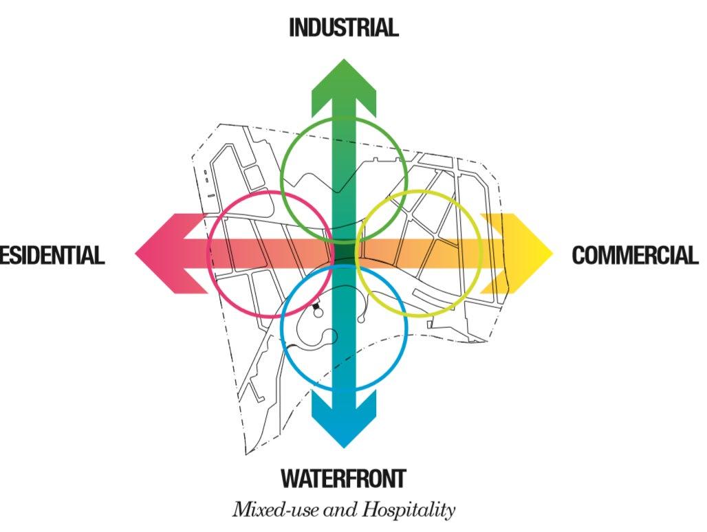
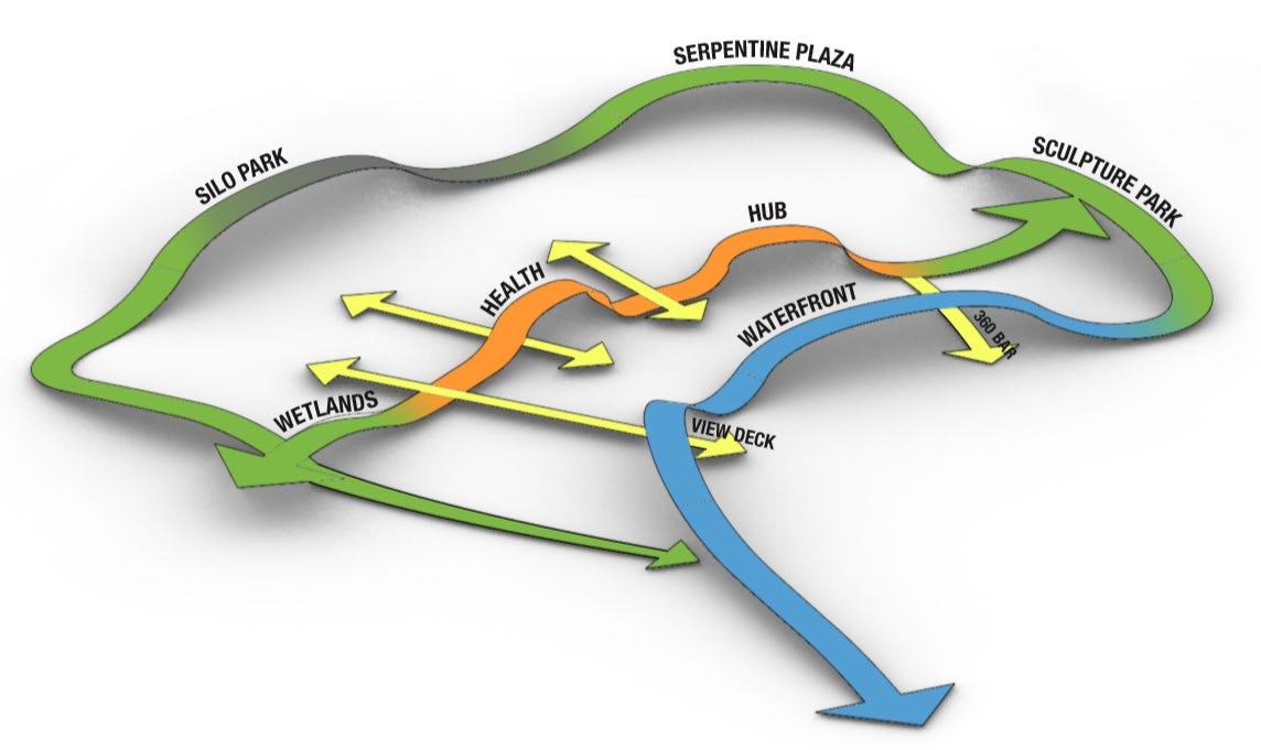
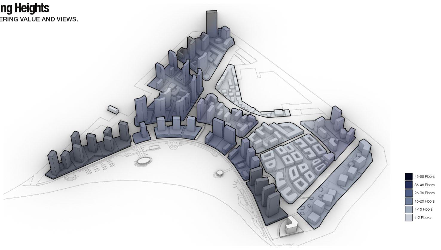
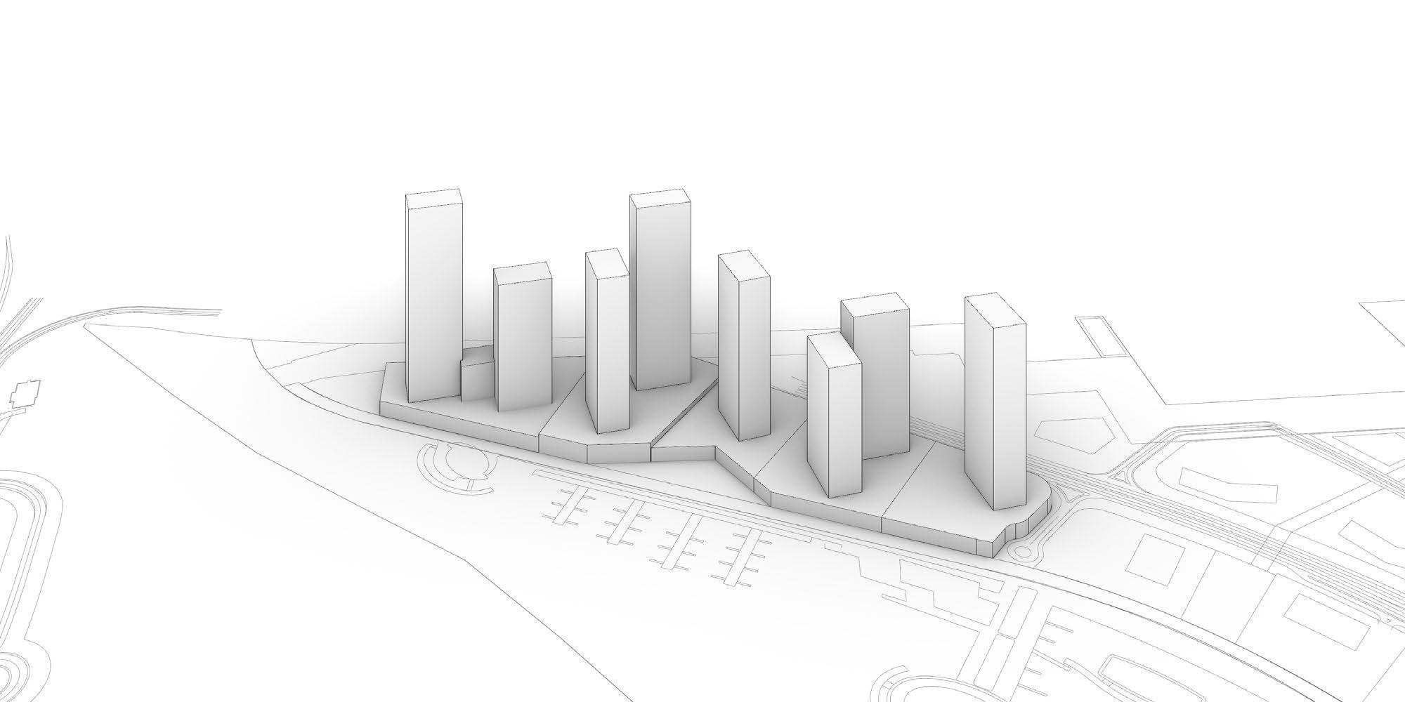
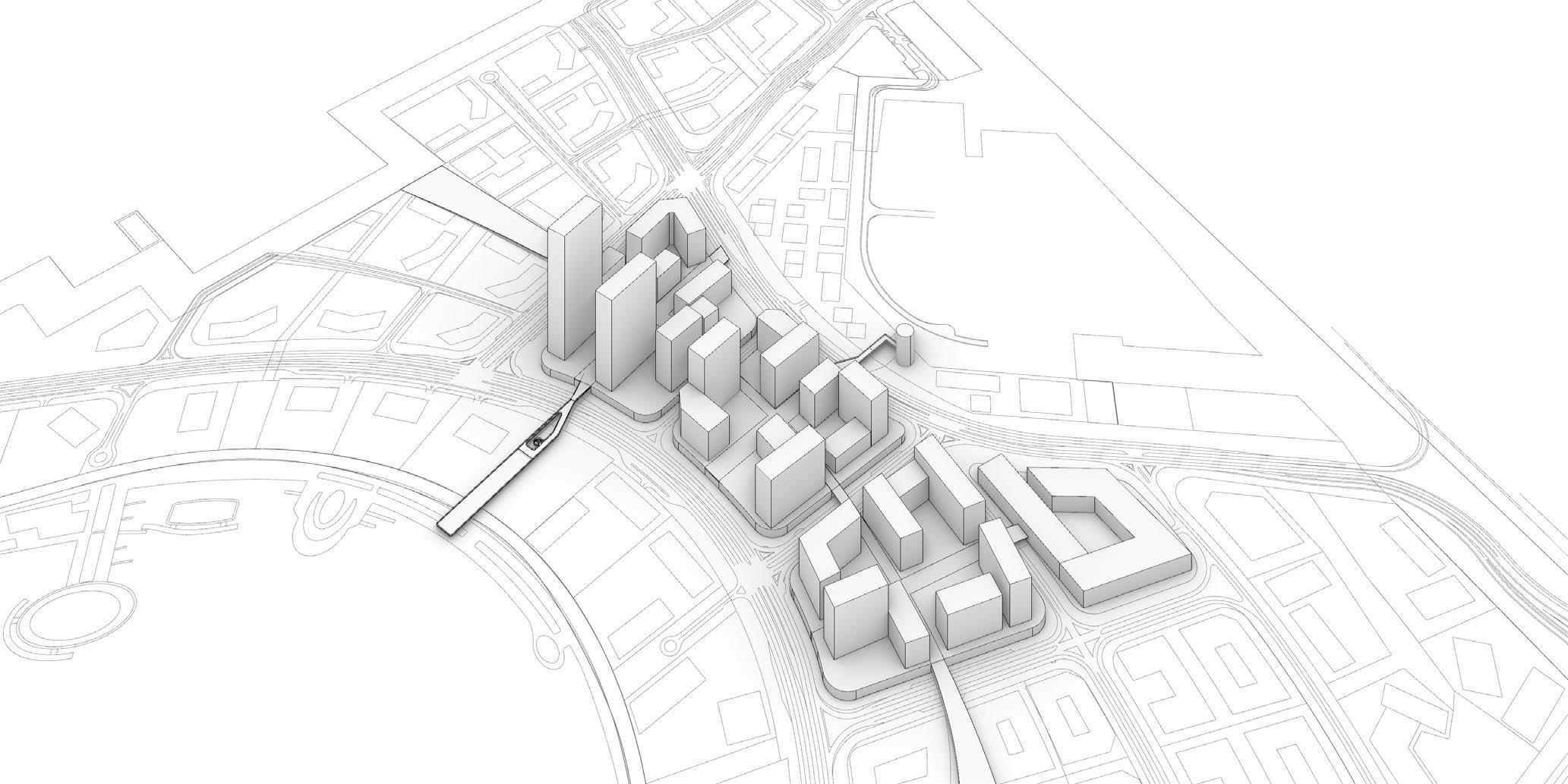
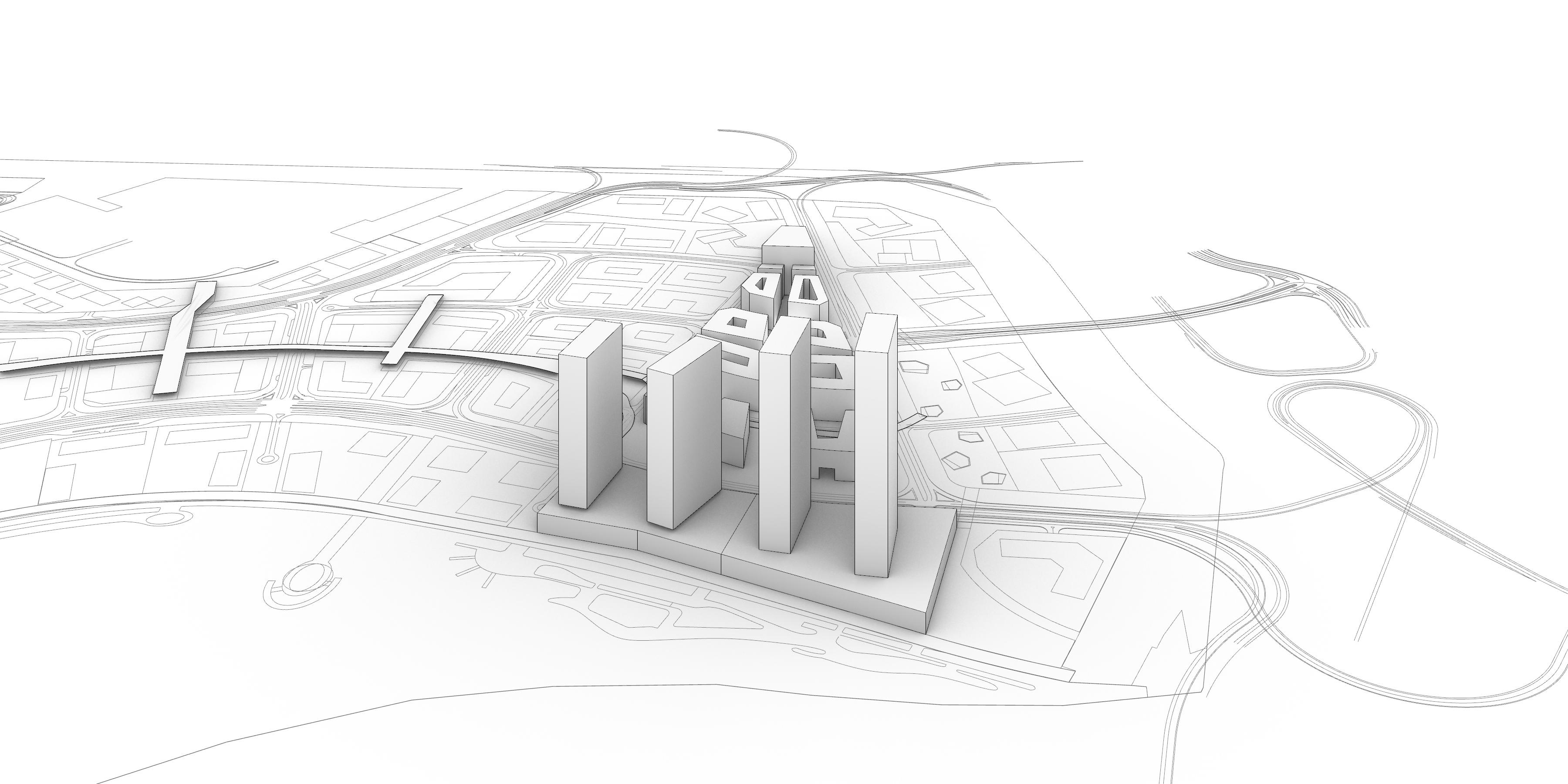
G+3 G+3 G+3 G+2 G+3 G+1 G+1 G+1 G+2G+2 G+2 Intermediate School - 25,000 GFA Secondary School - 19,517 GFA Primary School - 38,059 GFA Kindergarden (Ground) 13,409 GFA Children’s Nursery 3,426 GFA Private Daycare 2,445 GFA Commercial Shopping Center26,616 GFA Retail 47,165 GFA Mosques- G+1 - 13,882 GFA Private Clinic - 2,472 GFA Private Speciality Clinic 2,475 GFA Healthcare Centre G+2 12,688 GFA Private Polyclinic- 2,443 GFA Post Office G+2 3,531 GFA Cultural 9,234 GFA Private Hospital G+1 4,000 GFA Level 1 LevelLevelLevelLevelLevel G+1 G+1 G+2 G+2 G+2 G+1 Surface Parking 1 Basement 2 Basements 1 Podium 2 Podiums 3 Podiums 1 Basement + 1 Podium 1 Basement + 2 Podiums 1 Basement + 3 Podiums 1 Basement + 4 OpenMosqueEducationalUtilitiesIndustrialHospitalityMixedCommercialResidentialPodiumsUseSpace Masterplan Strategies Land Value & Heights ParkingLanduse StrategyCommunity Facilities WOORPFESSINALORK The designline adds more value to the plots. There was a constant change of massing in order to achieve the required GFA and Landuse. Simultaneously, the Community Facilities and parking requirements were also met.
WNALORK
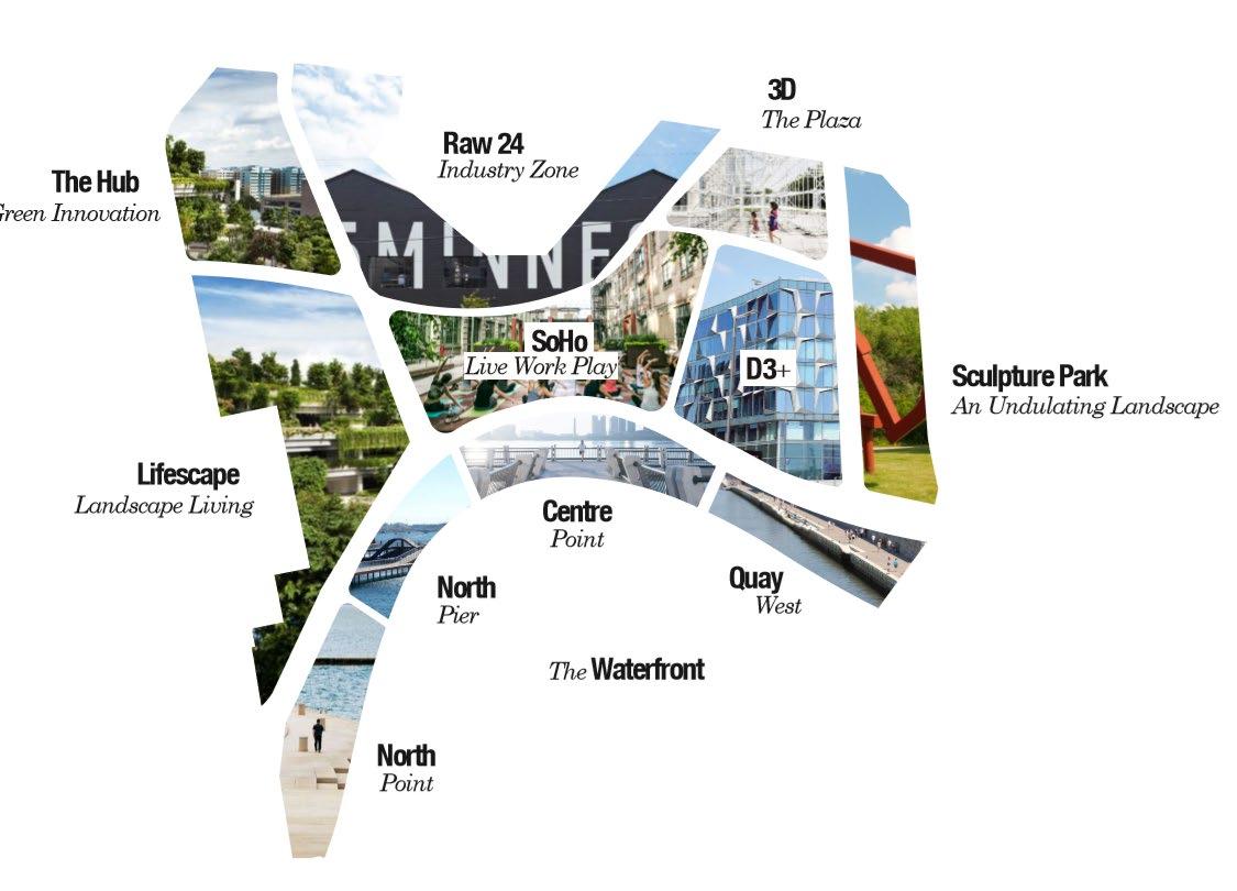
The Districts
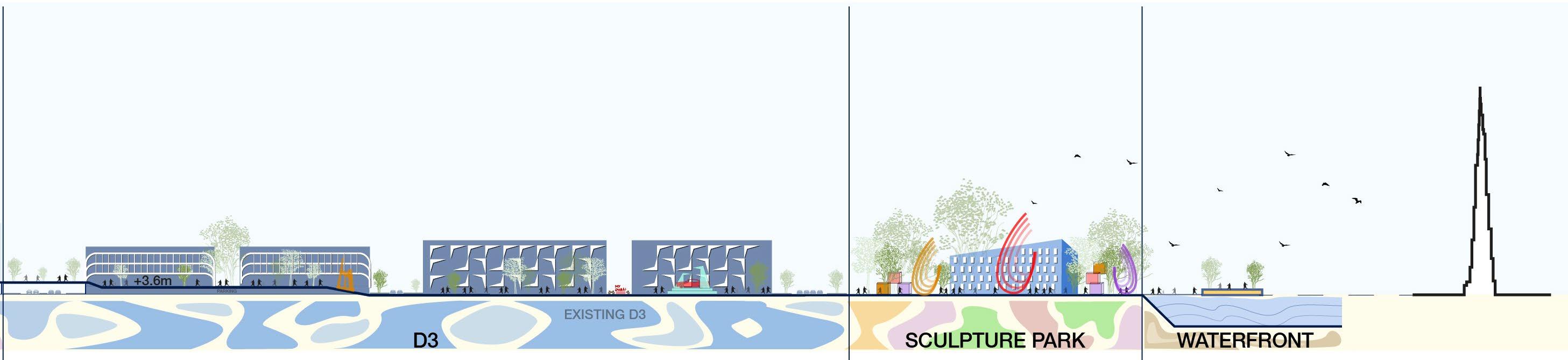
Angled buildings for maximizing views to wetland and waterfront. Art and design inspired by nature. Brings nature into the zone. Centred on lush green space for outdoor activity and increases the well-being of individuals through vertical greenery and foliage.
SCULPTURE PARK Commercial Buildings. A billboard to the site. Connection to d3. Large mostly uninterrupted plots. Possibility to connect to waterfront under the overpass. Commercial + residential + small amount of F+B. Has a linear park running across the district.
Commercial private courtyard buildings that embrace the extension of the current design district. The designline passing through behaves a water plaza for public engagement.
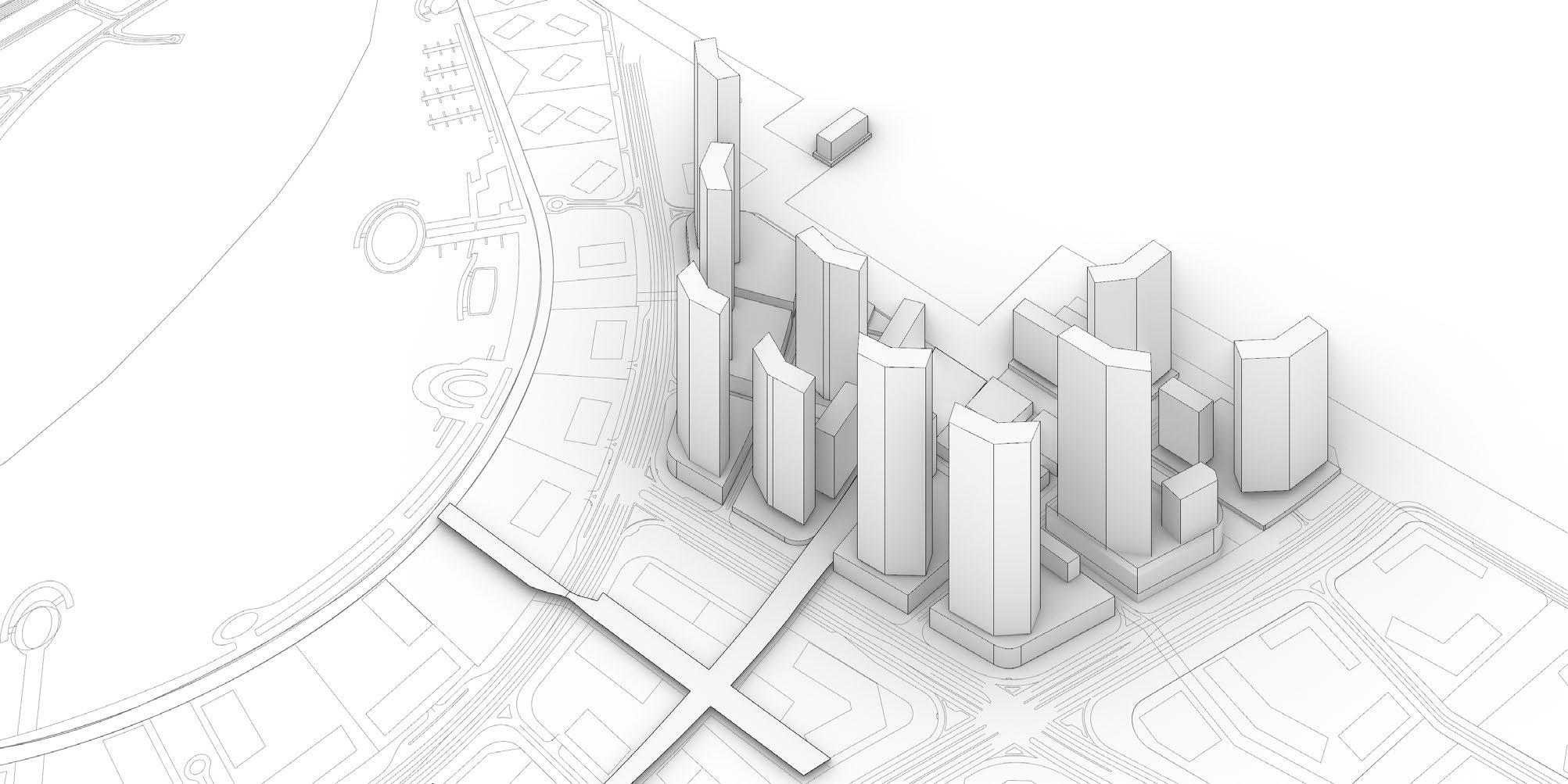
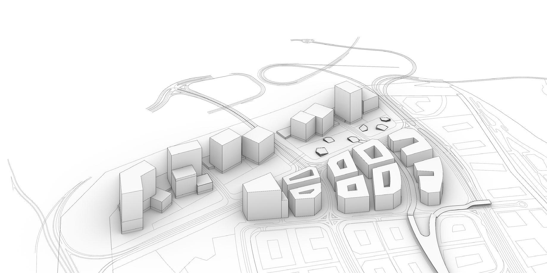
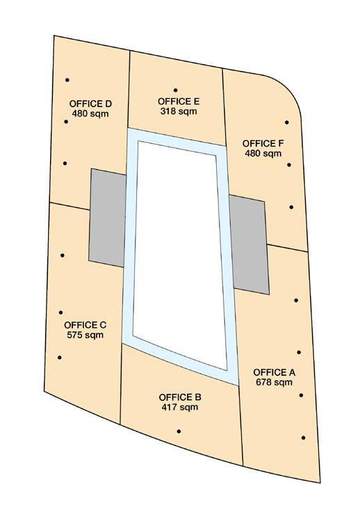
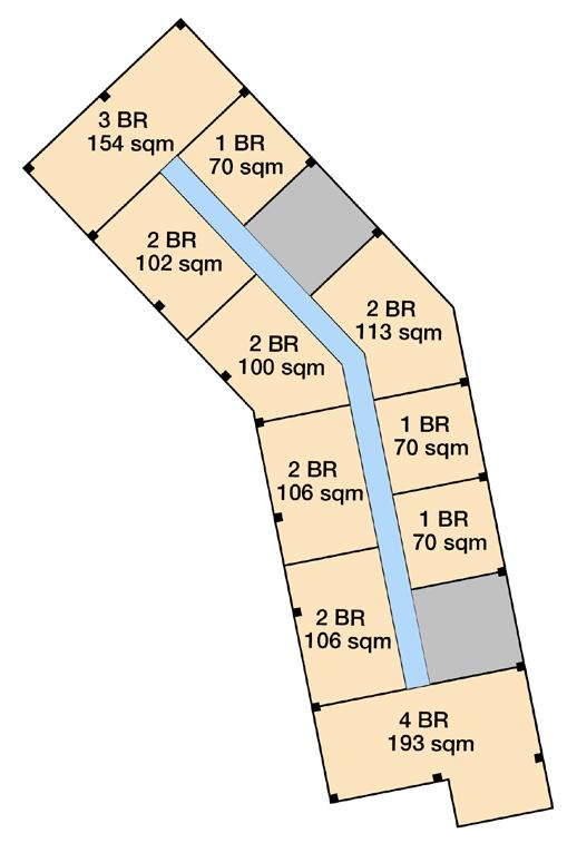
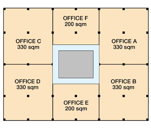
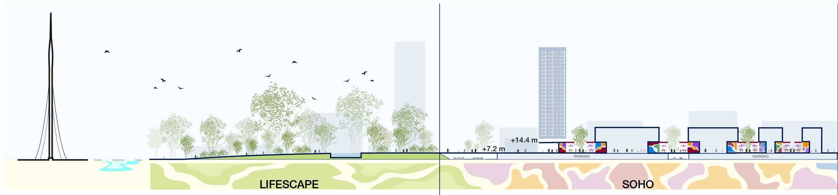
NORTH POINT SOHO Exclusive waterfront corner within the masterplan with no through traffic Waterfront, downtown & wetlands Opportunityviews.for larger plots with Residential buildings and hotels. Premium View apartments at the center of the plan.
MAXIMIZING HEIGHT TOWARDS LIFESCAPE ACTIVATED BY RETAIL
WONALORK
Socially Active Lane-ways for the distinct characteristic of the space between the buildings. (Residential) Organic and Healthy Cafés and shows are located within the base of the buildings accessible from the Design Line. Premium view apartments at corners. Provides waterfront views to the existing design district. Premium views to large apartments like 3-4 bedroom located at corners. Visually connects the masterplan back to the waterfront.
FRONTAGE
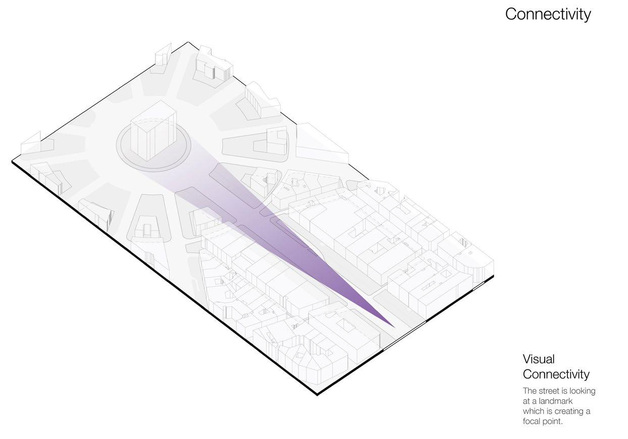
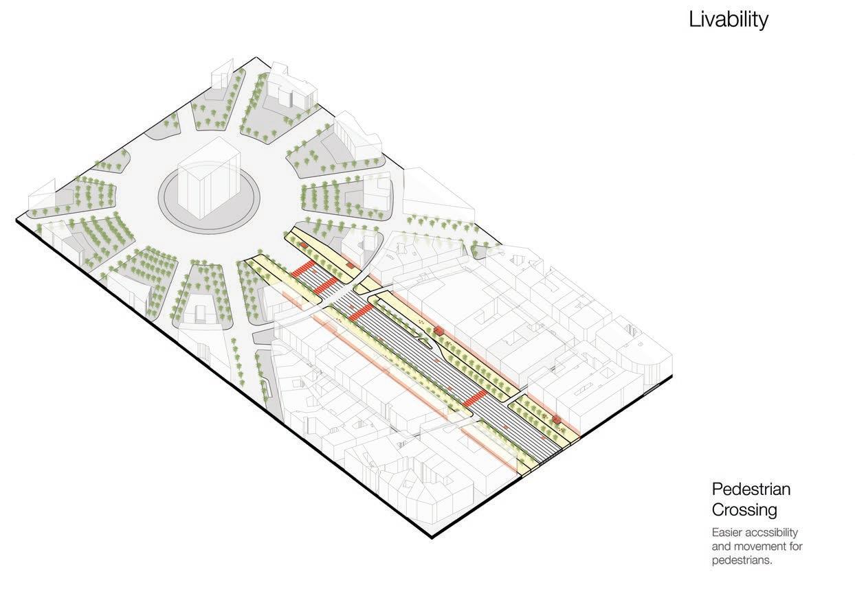
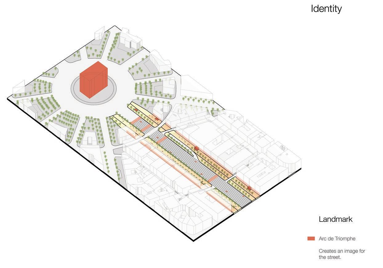
The street is looking at a landmark which is creating a focal point Pedestrian Crossing Easier accessibility and movement for pedestrians.
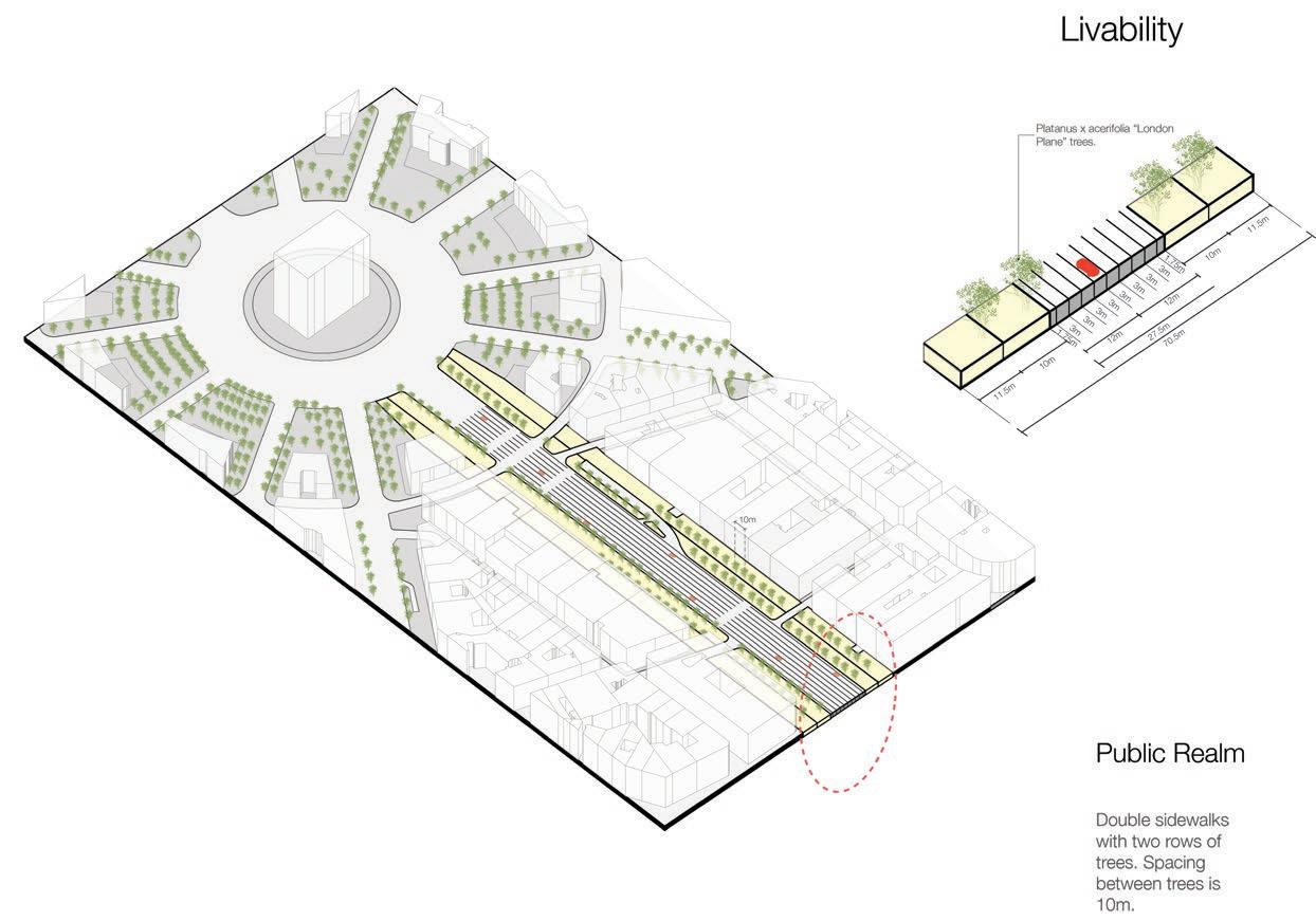
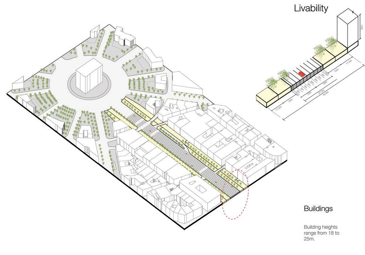
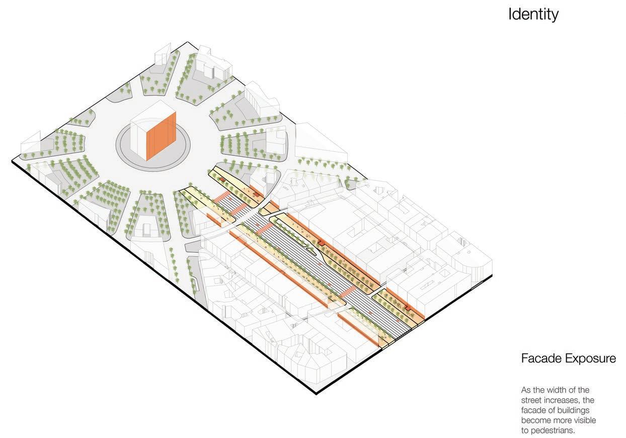
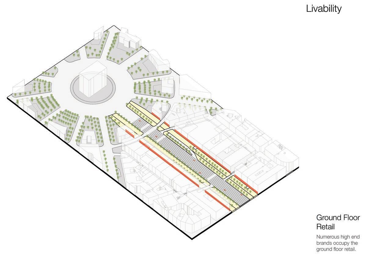
Through this study terms t also helps us understand the importance of a landmark that is positioned as a focal point. Hence, the boulevard is livable, connected and holds a sense of identity.
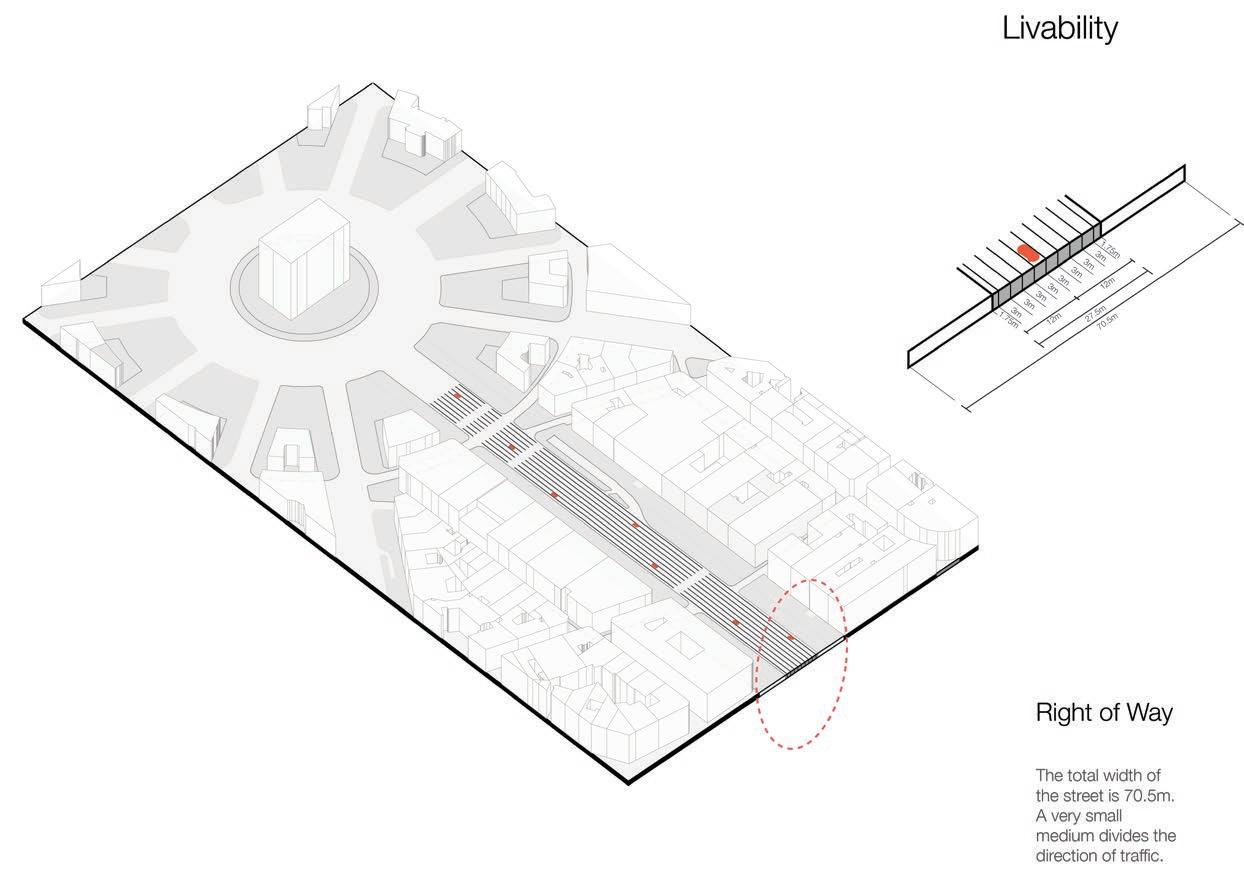
Right of Way
of Right of way distribution, Public Realm, Active Frontage, Pedestrian Connectivity and Human friendly Building proportions. I
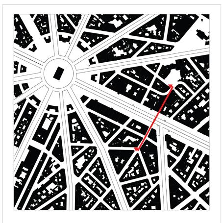
The total width of the street is 70.5 m. A very small medium divides the direction of traffic. Active Frontage Provides activities like shopping, cafes, etc. Develops a character for the street.
Projected Connectivity
Boulevard Study - Champs Elysee, Paris
storefronts, stairs escalators to subway, seating areas. Visual
WOORPFESSINALORK ConnectivityPhysical Arterial LocalCollectorRoadRoadRoad Connectivity Connectivity vvvvLivabilityLivabilityLivabilityActivities
we determine the best practices for a Boulevard in
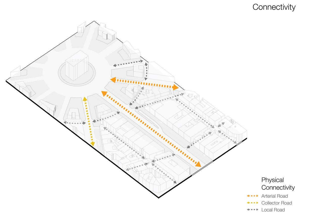
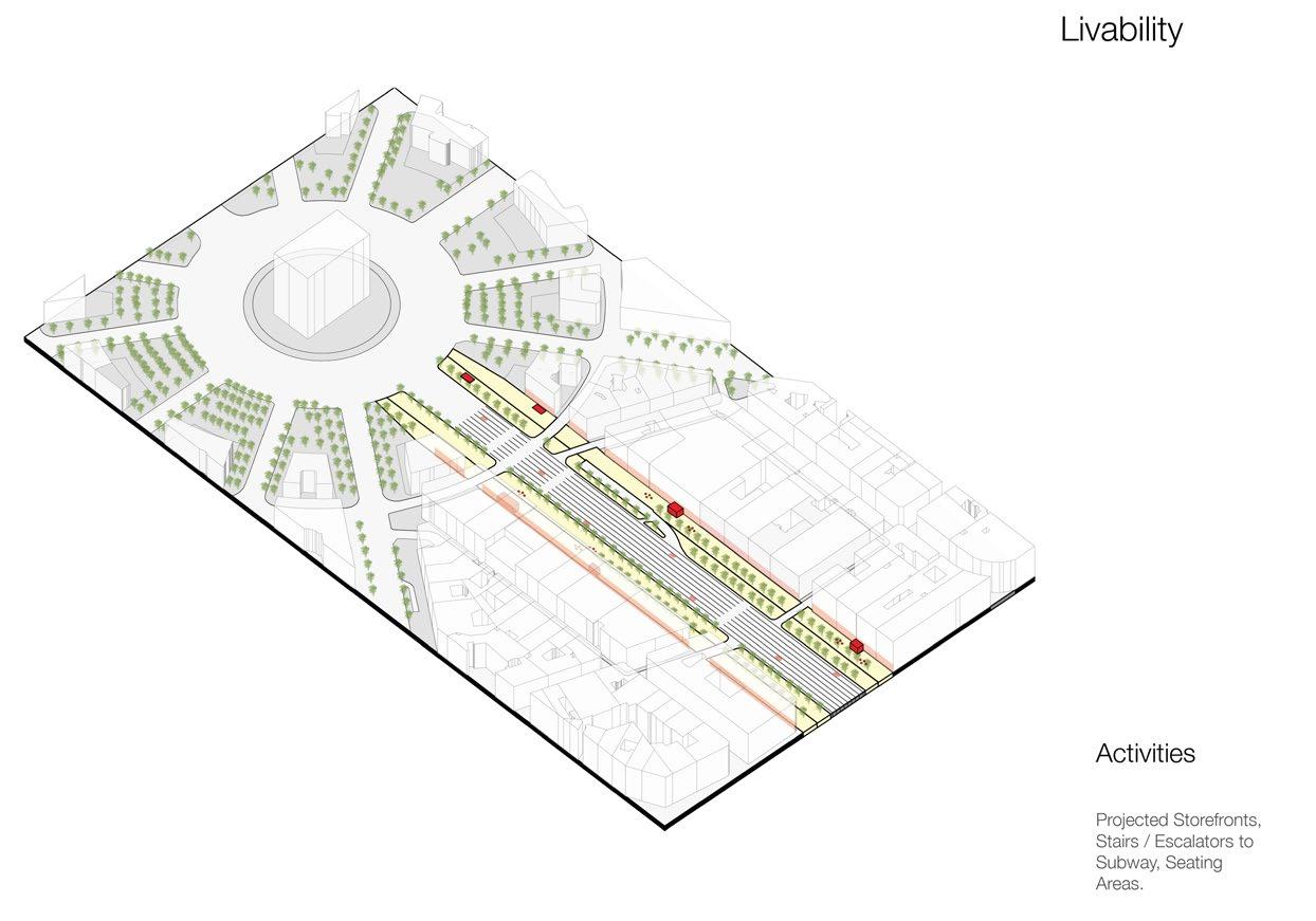
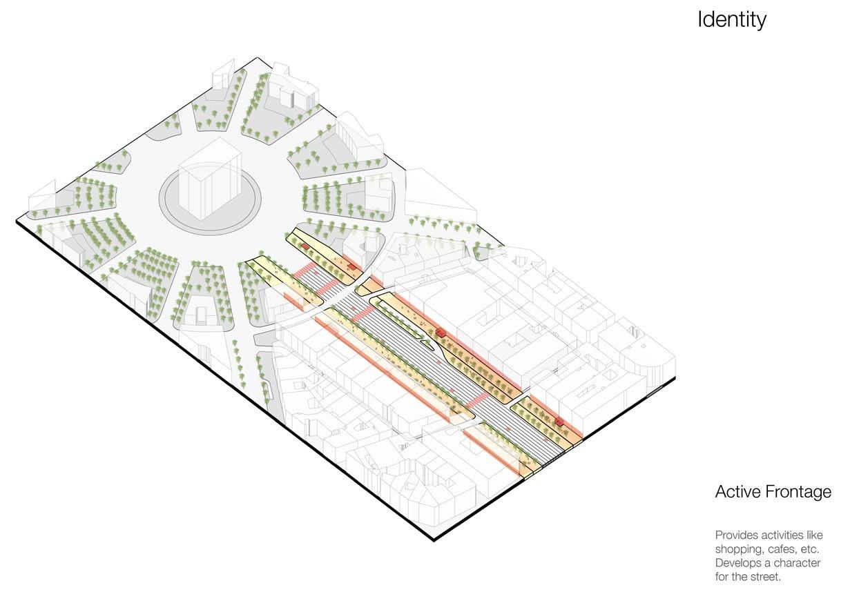
Similarly we studied La-Ramblas for Medium Street and Zrinyi Utca, Budapest for Pedestrian Street. LOCAL ARTERIALARTERIALCOLLECTORCOLLECTORPEDESTRIANSEMI-PEDESTRIANROADROADROADROADROAD WOORPFESSINALORK Livability LivabilityIdentityIdentity Livability Landmark Arc de CreatesTriompheanimage for the street. Public Realm Double sidewalks with two rows of trees. Spacing between trees is 10m. Buildings Heights range from 18 to 25m. Facade Exposure As the width of the street increases, the facade of buildings become more visible to pedestrians. ARTERIAL ROAD ARTERIAL PEDESTRIANSEMI-PEDESTRIANLOCALCOLLECTORCOLLECTORROADROADROADROAD Ground Floor Retail Numerous high end brands occupy the ground floor retail.
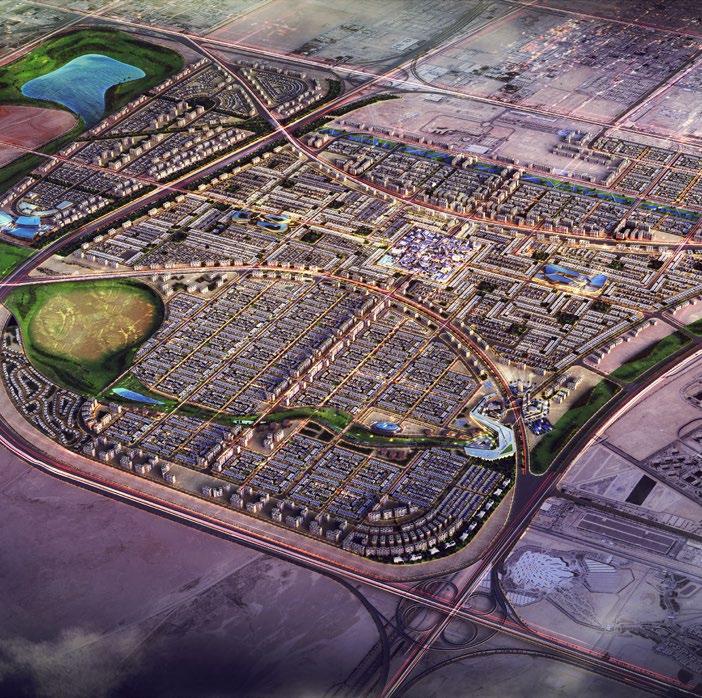
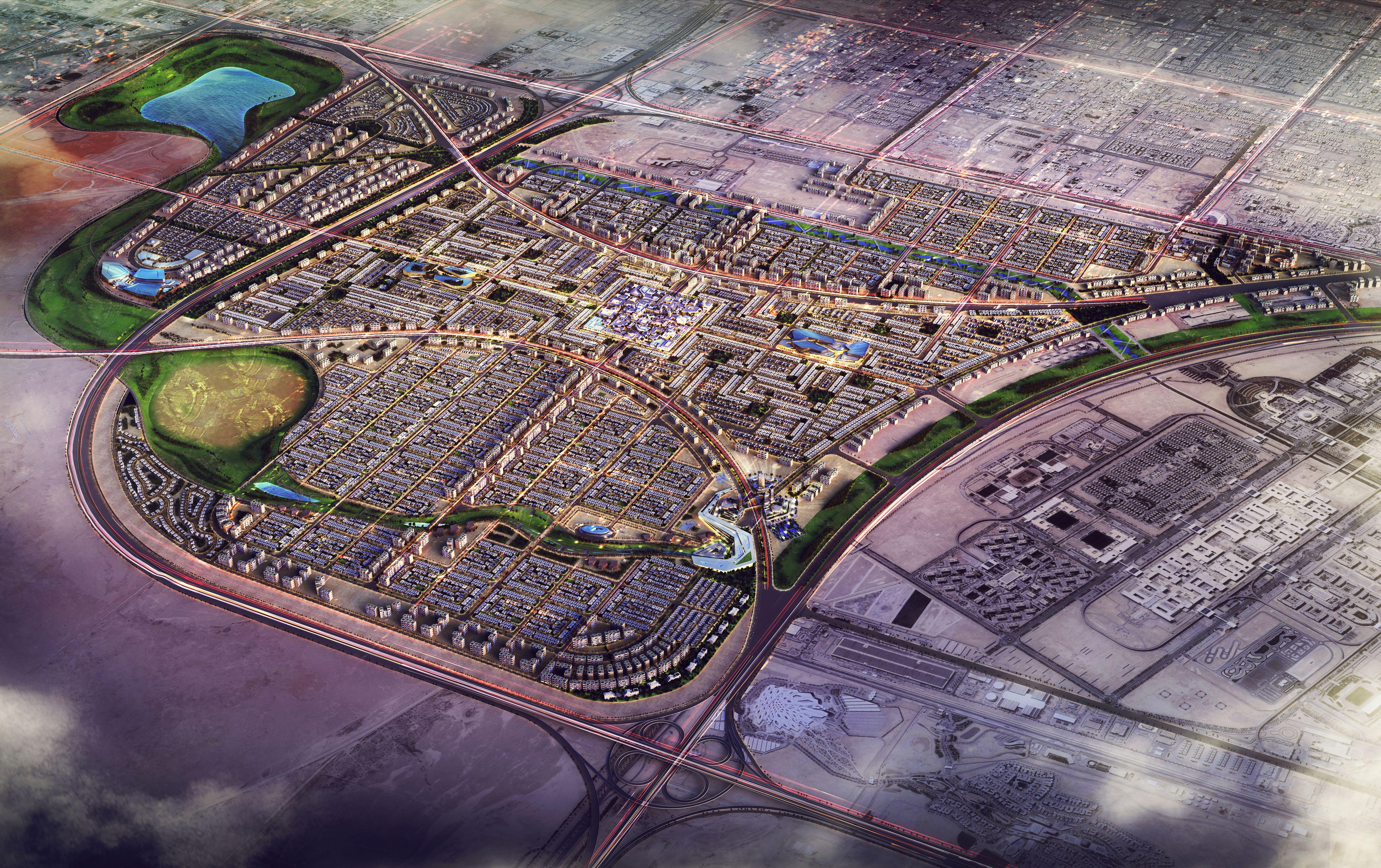
Site Area: 3500 Ha Stage: Concept - Competition
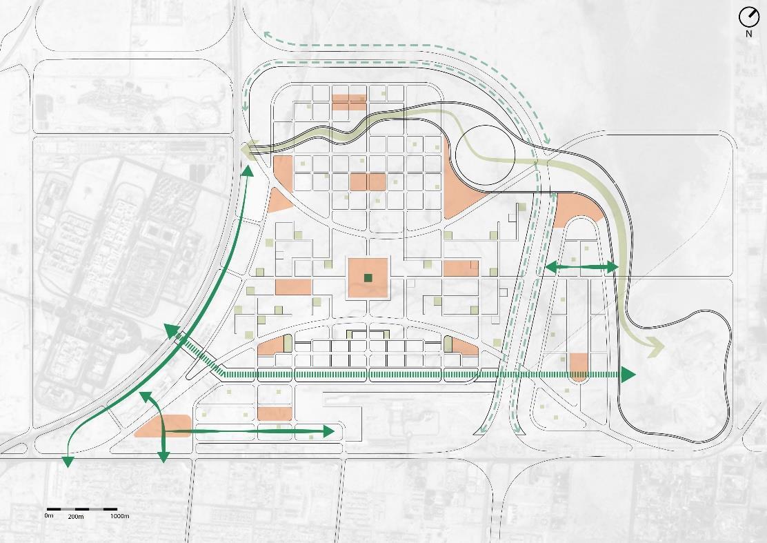
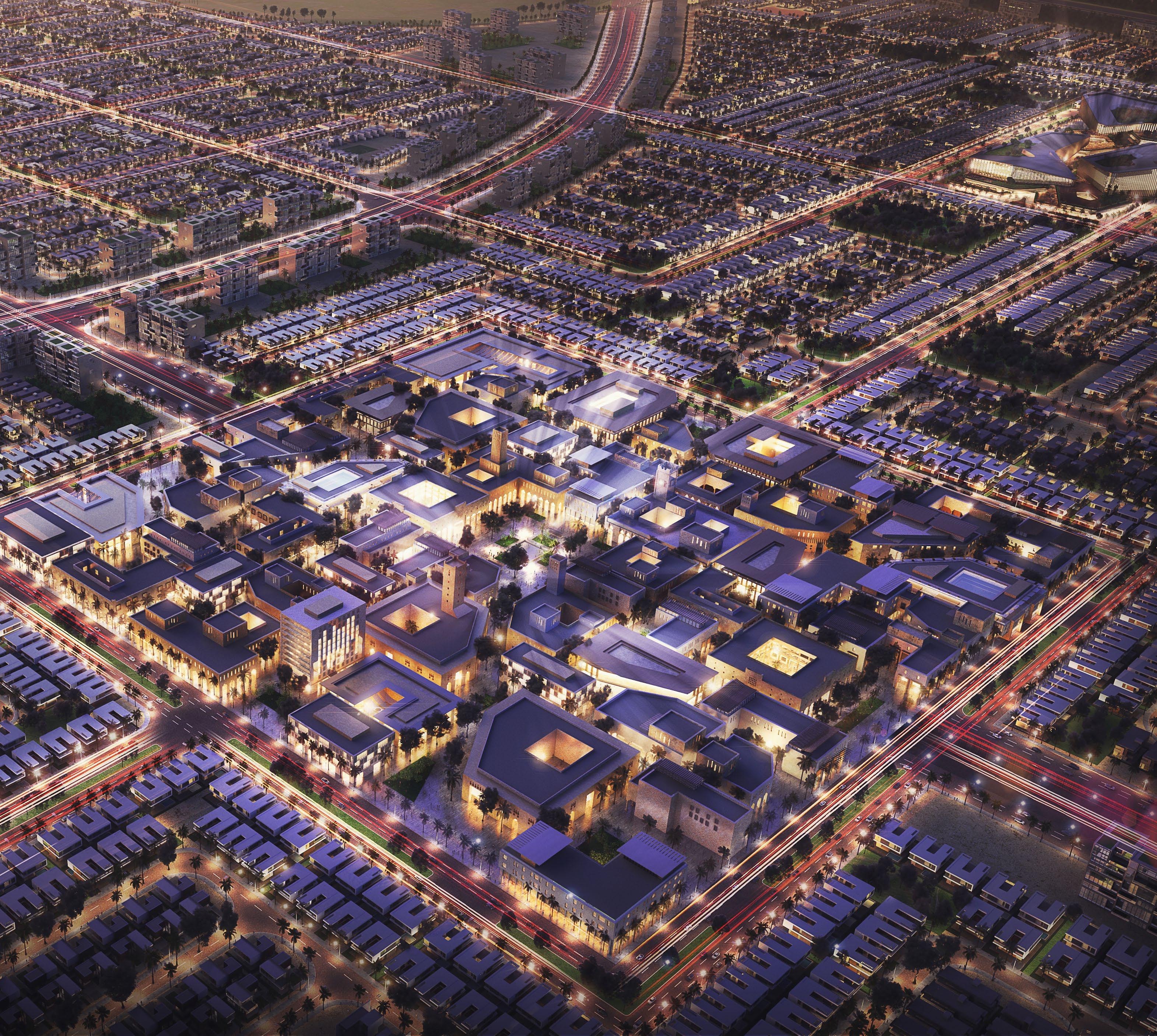
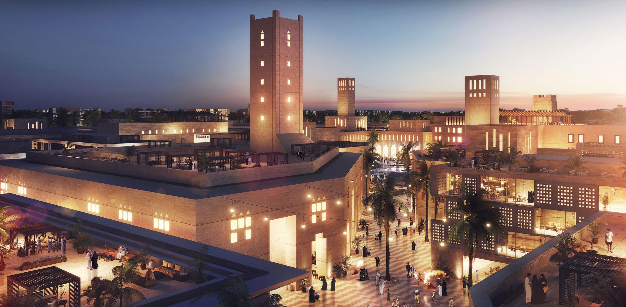
Scope: Masterplanning About: An iconic community - The development mediates between cultural and environmental assets. Tranquil cityscapes with small alleys that lead to open spaces, flora and fauna, and green spaces with low and high density development intervention on the other.
Role: Worked on Masterplan Layout. Developed Landscape in plan and Studiedsection. traditional / cultural architectural elements of the place. Understand the history and highlighted important landmarks of the location. Studying the landscape of the place. Developed plans and 3d model for Typologies (following the brief). Worked on the Report and Presentation for the Helpedproject.modeltraditional elements for Render Co-ordinatedviews.with Sustainability Developedconsultants.Site Analysis and concept diagrams.
Riyadh Masterplan Development, Saudi Arabia WOORPFESSINALORK
WOORPFESSINALORK Macro and Micro Analysis
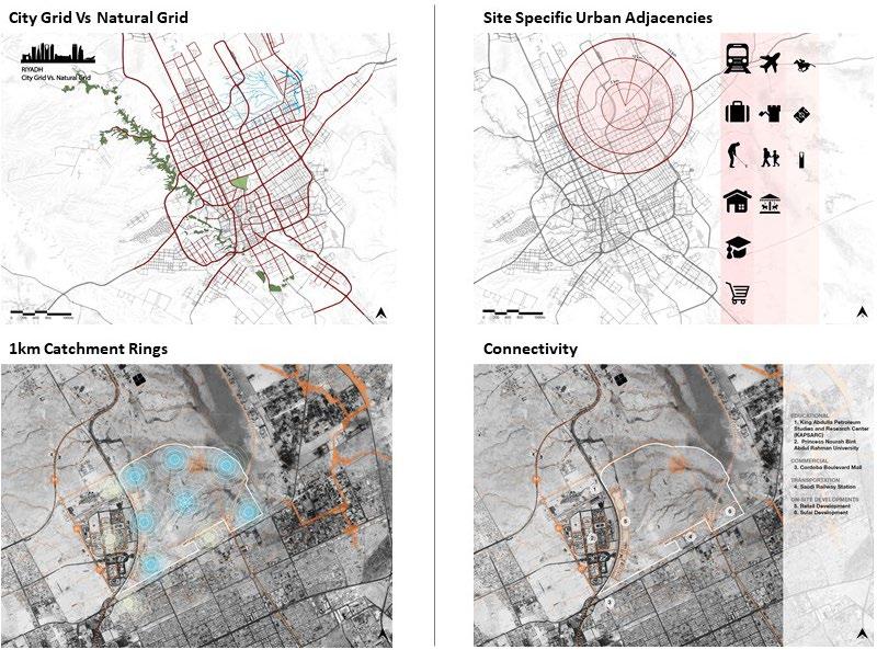
WOORPFESSINALORK The Masterplan Landuse Existing Constraints Open Spaces Walkability Landuse Existing Constraints Open Spaces Walkability
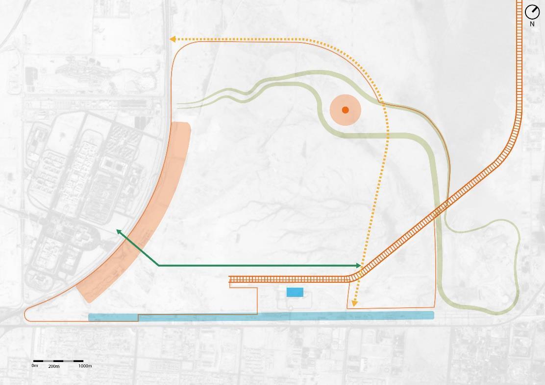
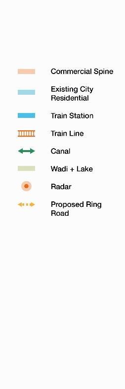

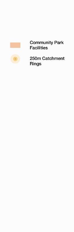
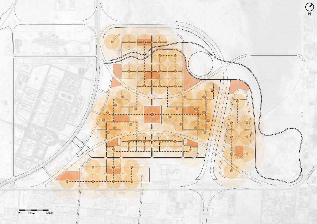
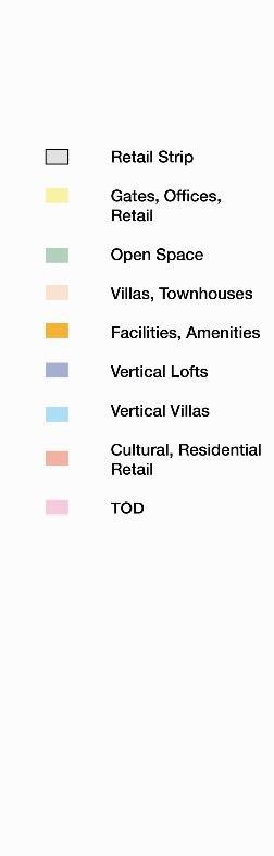
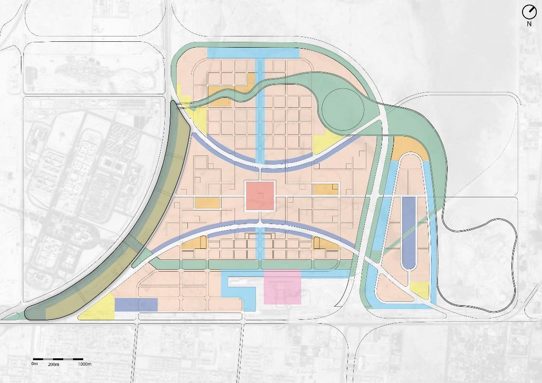
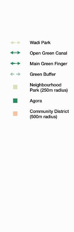
WOORPFESSINALORK Developing each district - Villa, Townhouses - Community Living
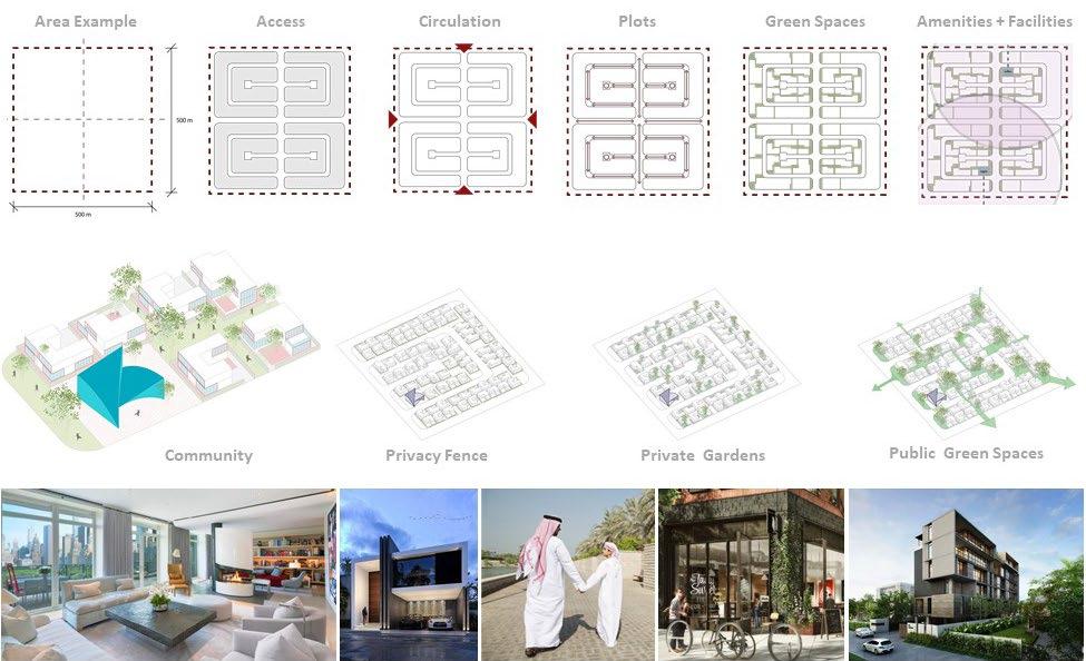
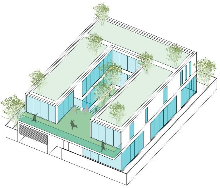
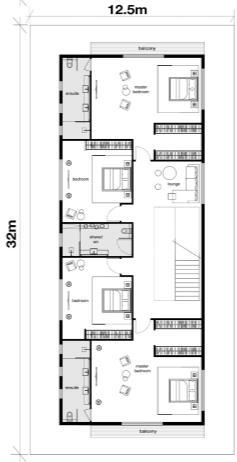
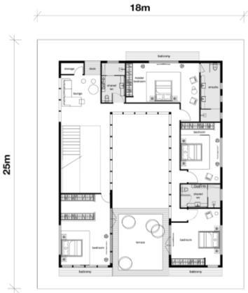
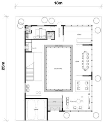
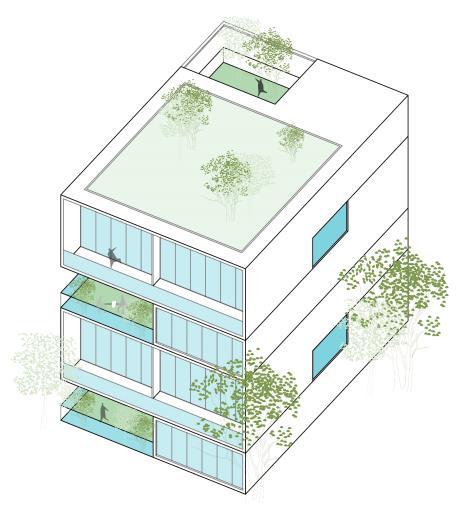
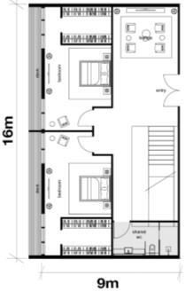
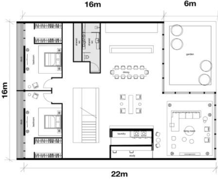
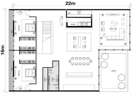
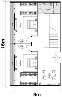
Villa Typologies Villa Typologies Option Series 2 GF FF Budget Villa Premium Villa High End Villa GF FF GF FF WOORPFESSINALORK The brief specified requiredment for Budget, Premium and High-End Villas and Townhouses. In Addition, we proposed Vertical Villas. Building Footprint: 246 sq m Plot Area: 450 sq m Setback: GrossCoverage:2m55%FloorArea: 450 Building Footprint: 200 sq m Plot Area: 400 sq m Setback: GrossCoverage:2m50%FloorArea: 400 Building Footprint: 162 sq m Plot Area: 400 sq m Setback: GrossCoverage:2m41%FloorArea: 320
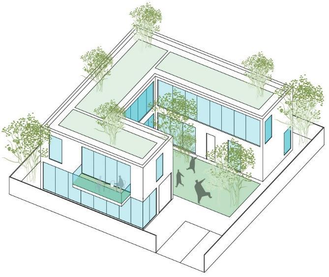
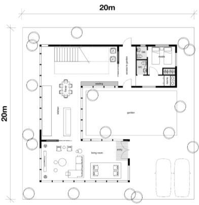
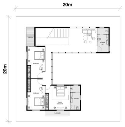
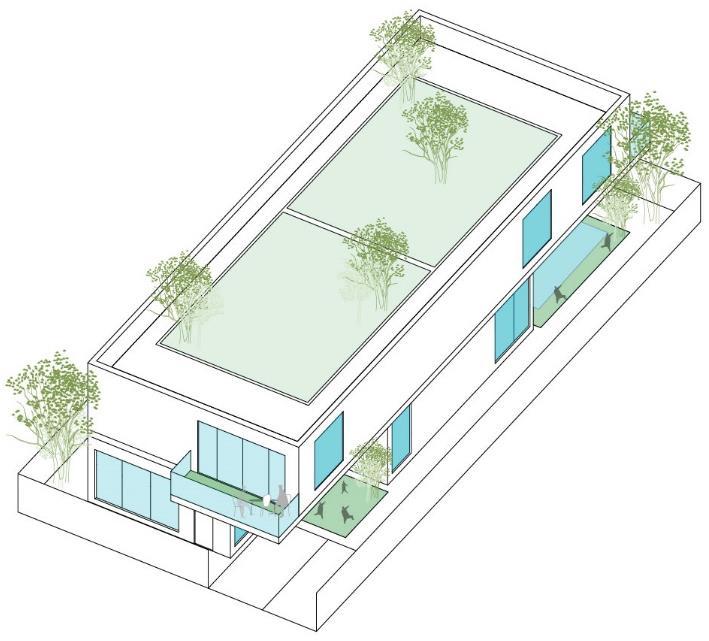
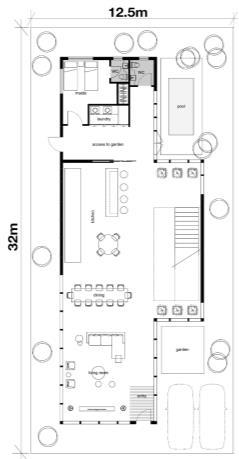
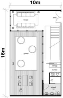
WOORPFESSINALORK Townhouses Typologies Townhouse Typologies Option Series 1 Budget T.H. GF GF Standard T.H. Standard T.H.Budget T.H. FF FF GF FF FFGF Option Series 2 Building Footprint: 180 sq m Plot Area: 300 sq m Setback: GrossCoverage:2m60%FloorArea: 240 Building Footprint: 150 sq m Plot Area: 250 sq m Setback: GrossCoverage:2m60%FloorArea: 200
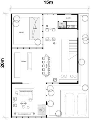
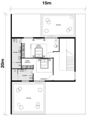
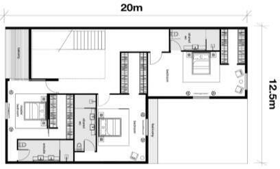
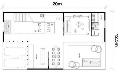
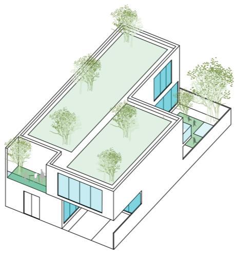
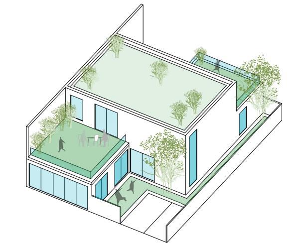
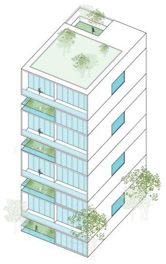
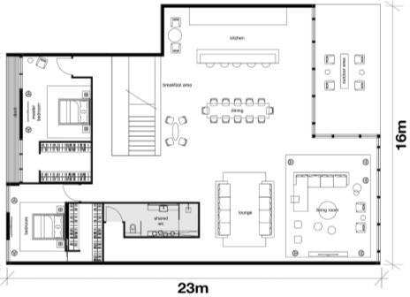
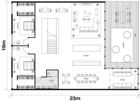
Premium Vertical Villa High End Vertical Villa Premium Vertical Villas Type A UL LL Type B UL LL High End Vertical Villas Type A Type B UL LL UL LL WOORPFESSINALORK Vertical Villa Typologies
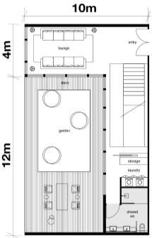
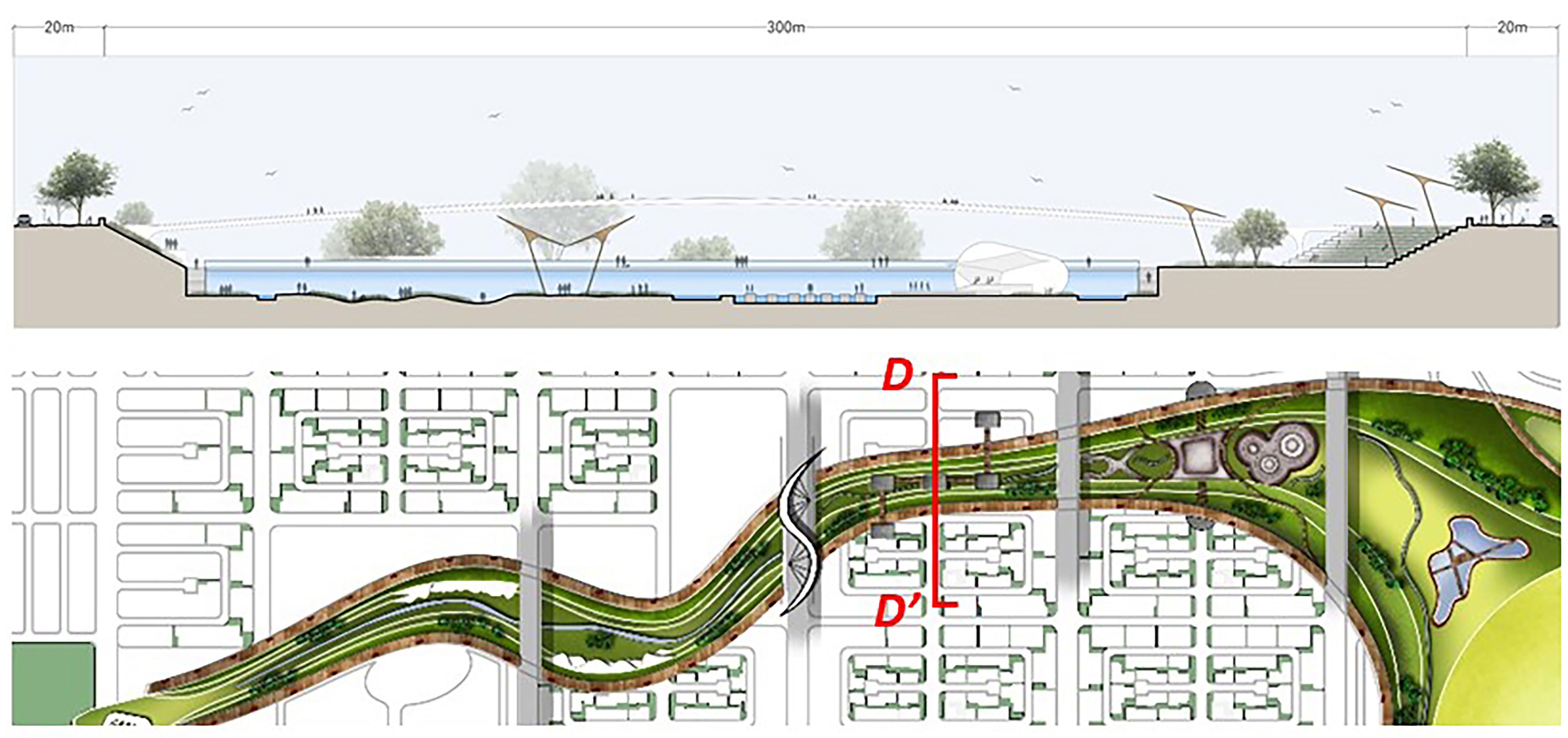
Landscape Approach - The Wadi Park WOORPFESSINALORK

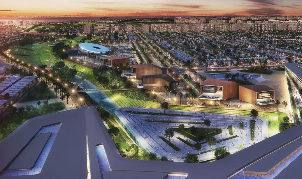
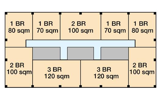
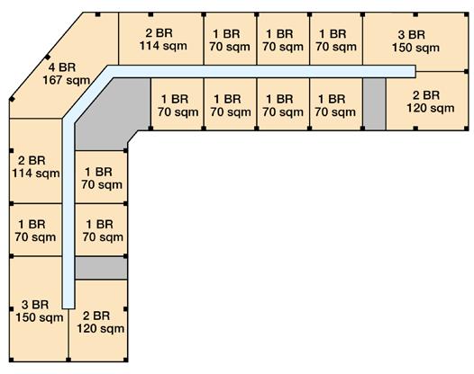
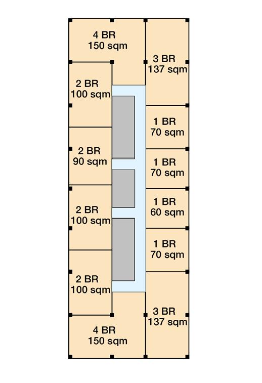
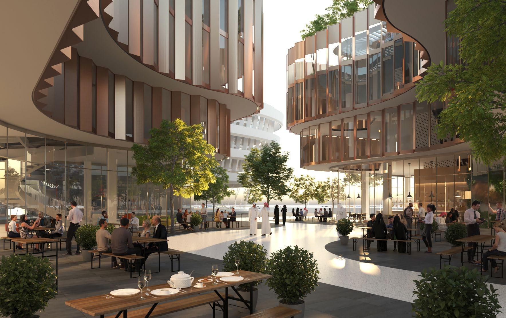
Role: Proposed Design and Massing options. Modeled buildings and worked on Ground and Typical Plans. Worked on Parking Developedstructure.standard Typologies that follow daylight depth guideline Generatedprovided. Area Schedules and helped achieve Parking Calculations. Send packages to TIS, structure and cost consultants. Co-rdinate and work with sustainability consultants. Worked on Ladybug for initial Environmental Analysis. Studied and developed site analysis diagrams that produced an environmental grid to work on. Worked on Concept Diagrams.
Site Area: 2.44 Ha Stage: Concept - Competition
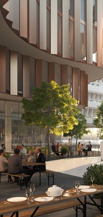
About: The brief called for 3-4 office building designs that follow Leed Platinum, Estidama Pearl and Well Gold rating. We took an holistic approach and added value to the public realm that connects the buildings together. Our main driver for the design was the environmental grid that helped us create intimate wind sikkahs between buildings.
MC2 - Masdar City (WAN Silver Award 2020) - Highly Confidential WOORPFESSINALORK
Scope: Workplace and Public Realm
Location: Terminal 3 Stage: Concept Scope: Experience Space
An experience space at Dubai Airport
(View from Mezzanine.)
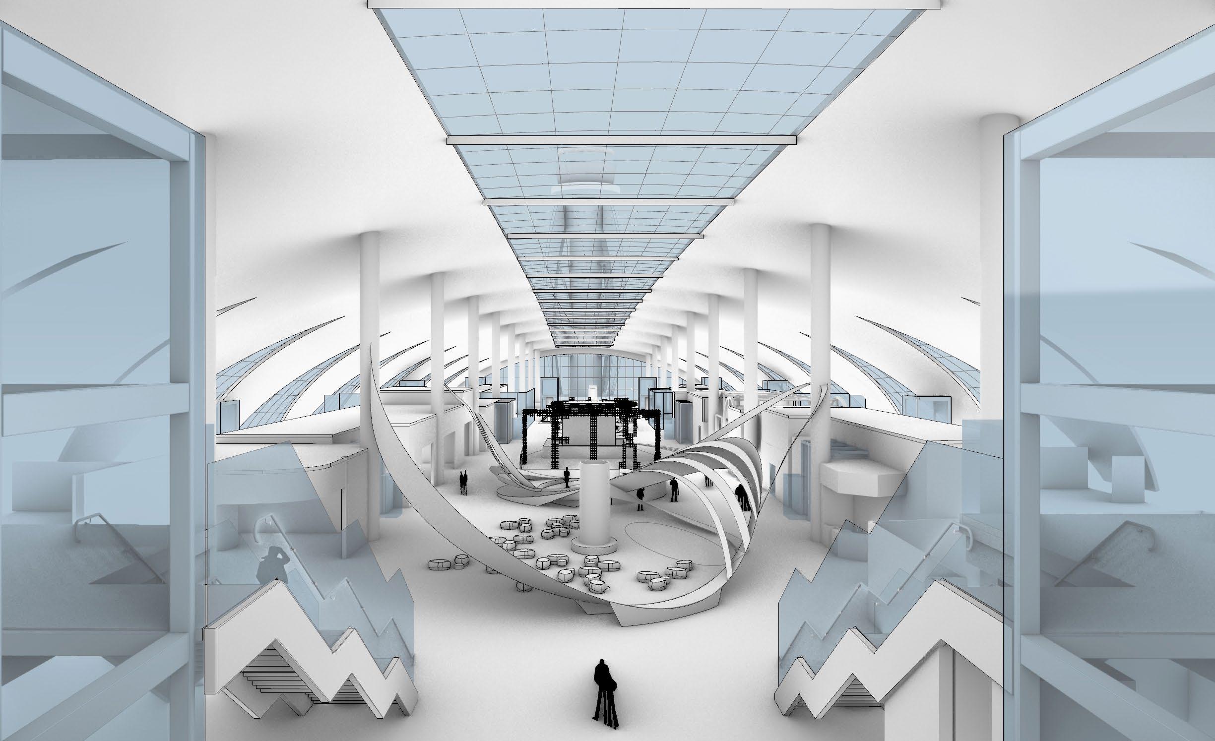
Furtherdepartment.developed plans and 3d models for 3 concepts. The process also involved using Lunchbox plugin in Grasshopper to generate panelling options on the structures. All 3 options were significate to the culture of dubai. The process involved improvisation and variation on the 3 concepts, making them stronger in terms of inspiration, experience and activation of space. Generate views to sell the USP of the design Co-ordinateproposal.with structural consultants Communicate proposals to the Clients and negotiate materialization and budget.
Sand Dunes Concept
- (Highly Confidential)
About: The space calls for an experience that helps unify the surrounding space into a holistic retail/relaxation area. The aim is to activate the surrounding retail stores and create a comfortable journey for the passengers passing through an interactive pavilion structures. The brief required retail, a stage and seating arrangement for the space.
The form flows like the sand dunes moving across the deserts of UAE. The design twists and turns in elevation and plan, sometimes forming a ceiling and flooring wayfinding, seating space, semi covered retail and finally converges into a stage. The design has a certain amount of visibility and circulation space without any obstruction on retail stores on either side. The stage is visible to the bar and the cafe in front. The design provides unobstructed views to the observation tower near the airport (visible through the skylight).
Role: Modeled existing conditions of Dubai airport with it’s roof elements and circulation for the airport concept
WOORPFESSINALORK
HMDA - Proposed Boardwalk, Mehdipatnam WOORPFESSINALORK
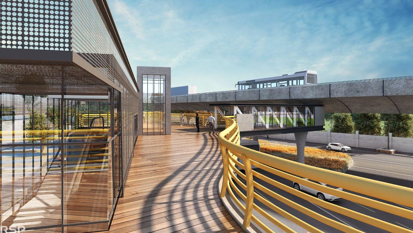
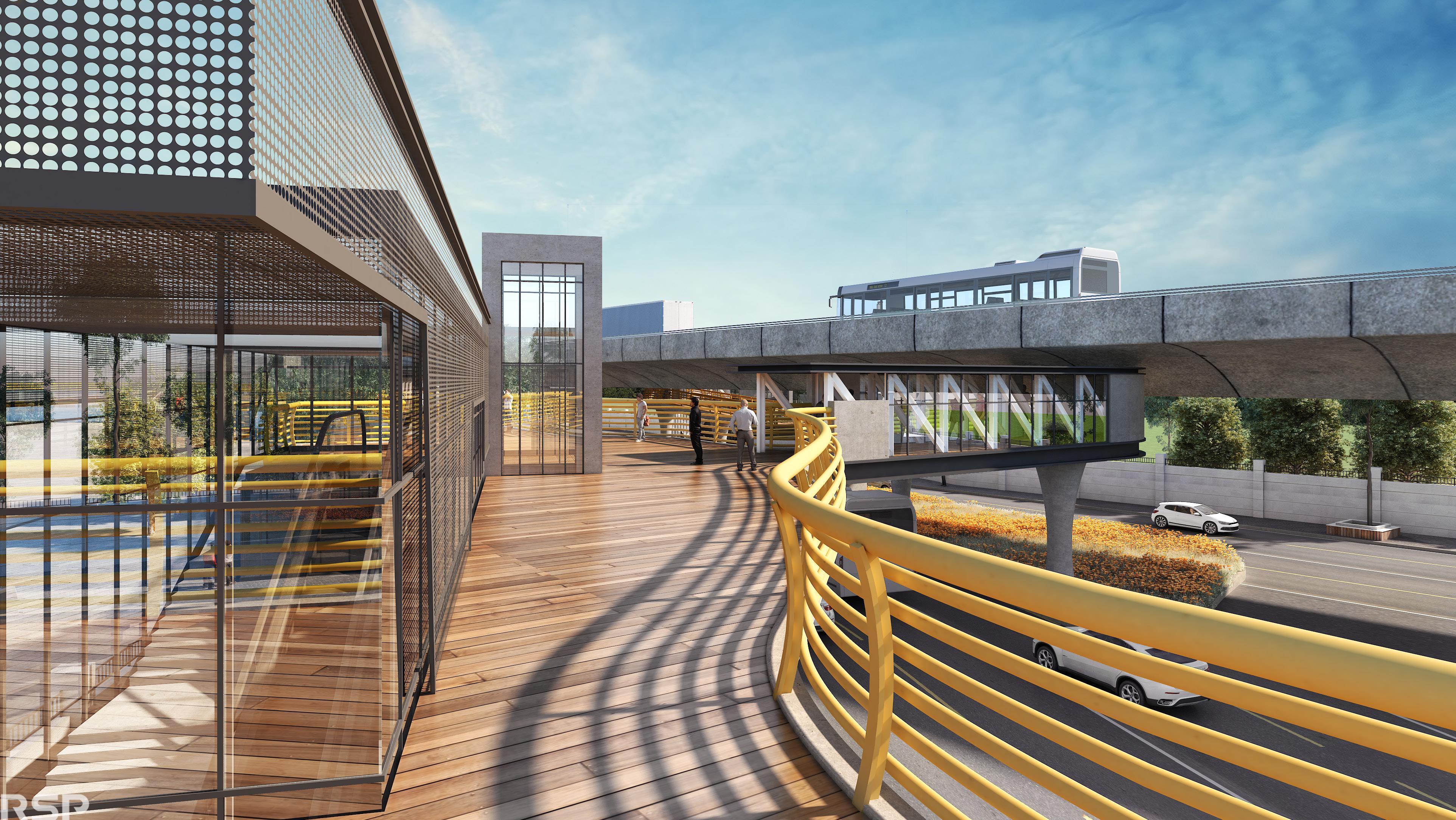
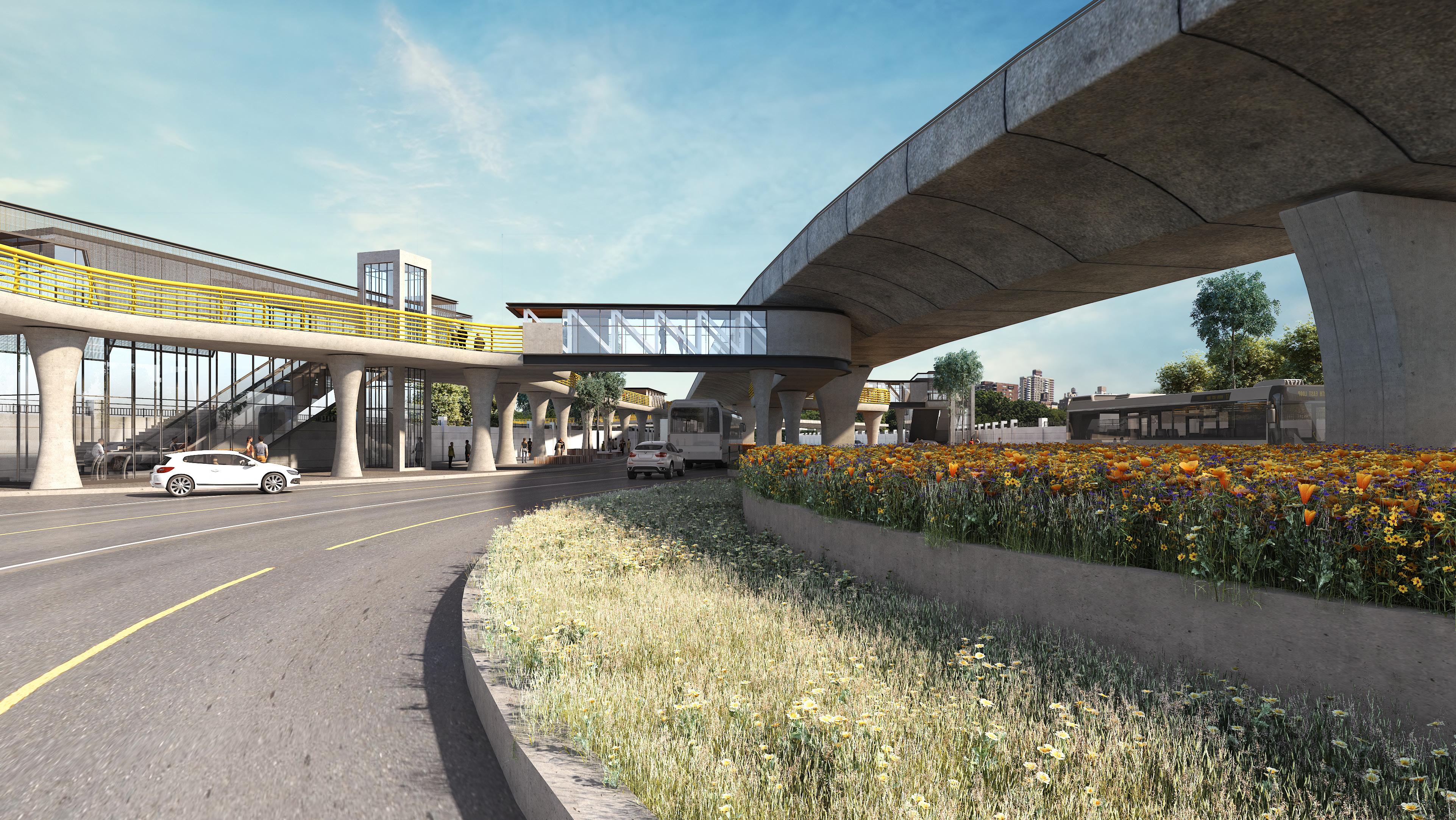
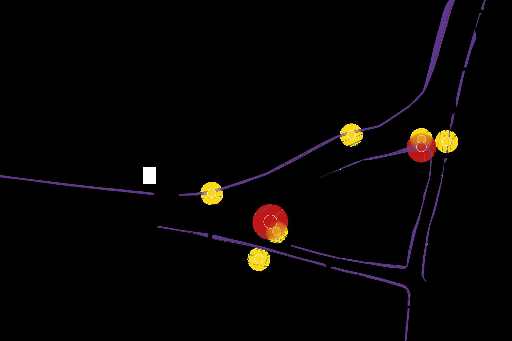
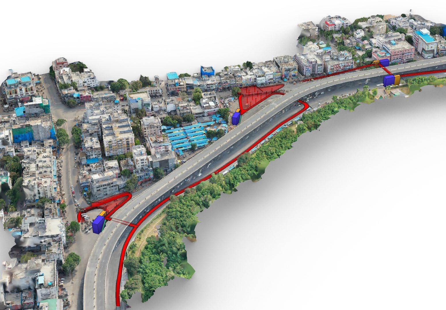
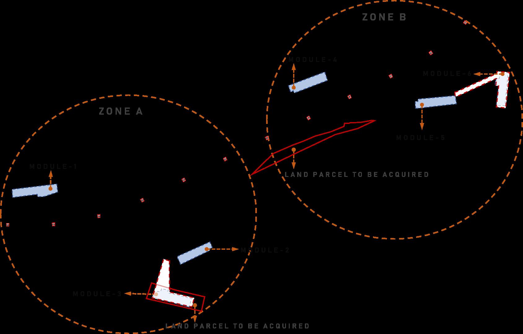
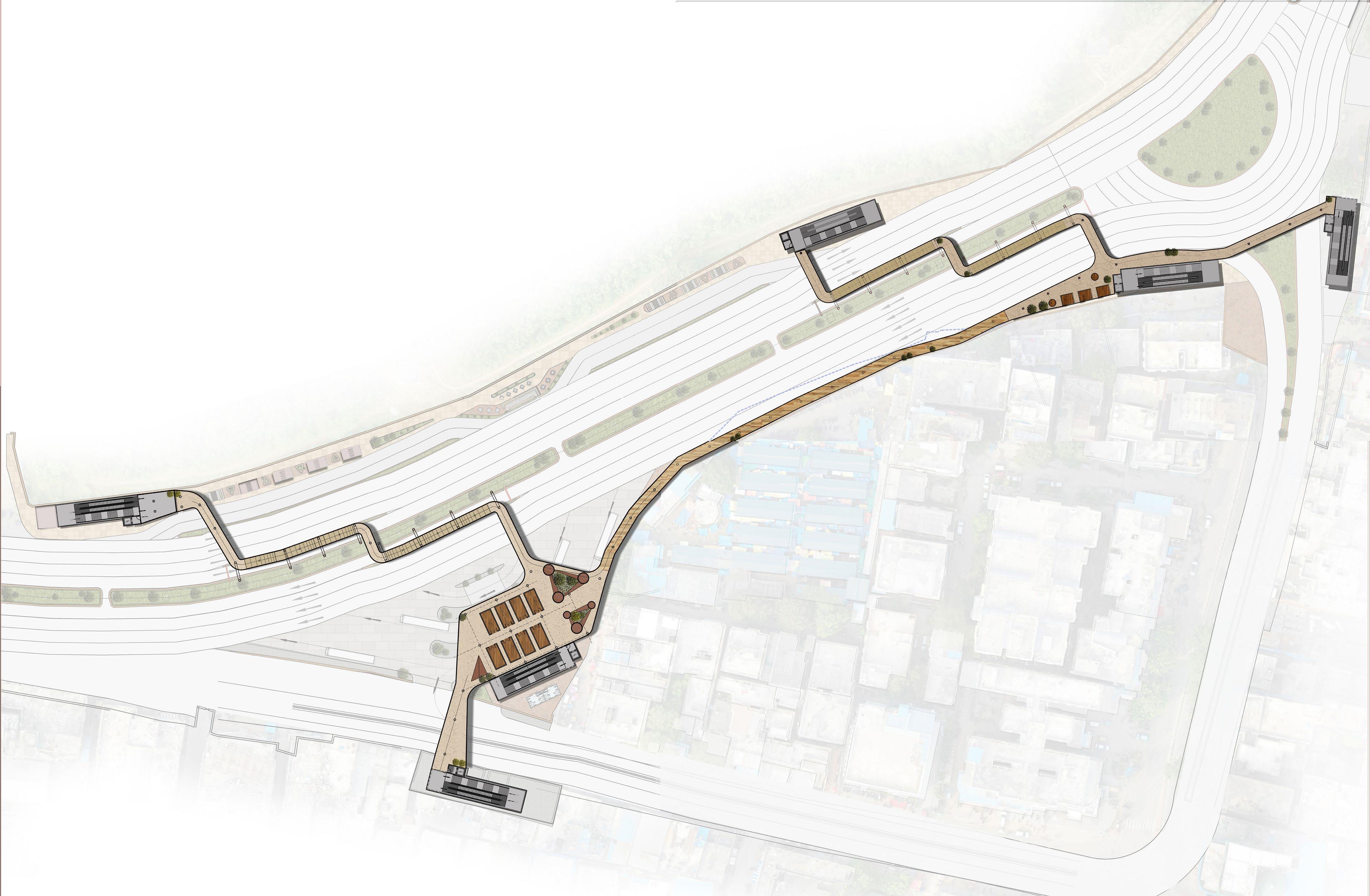
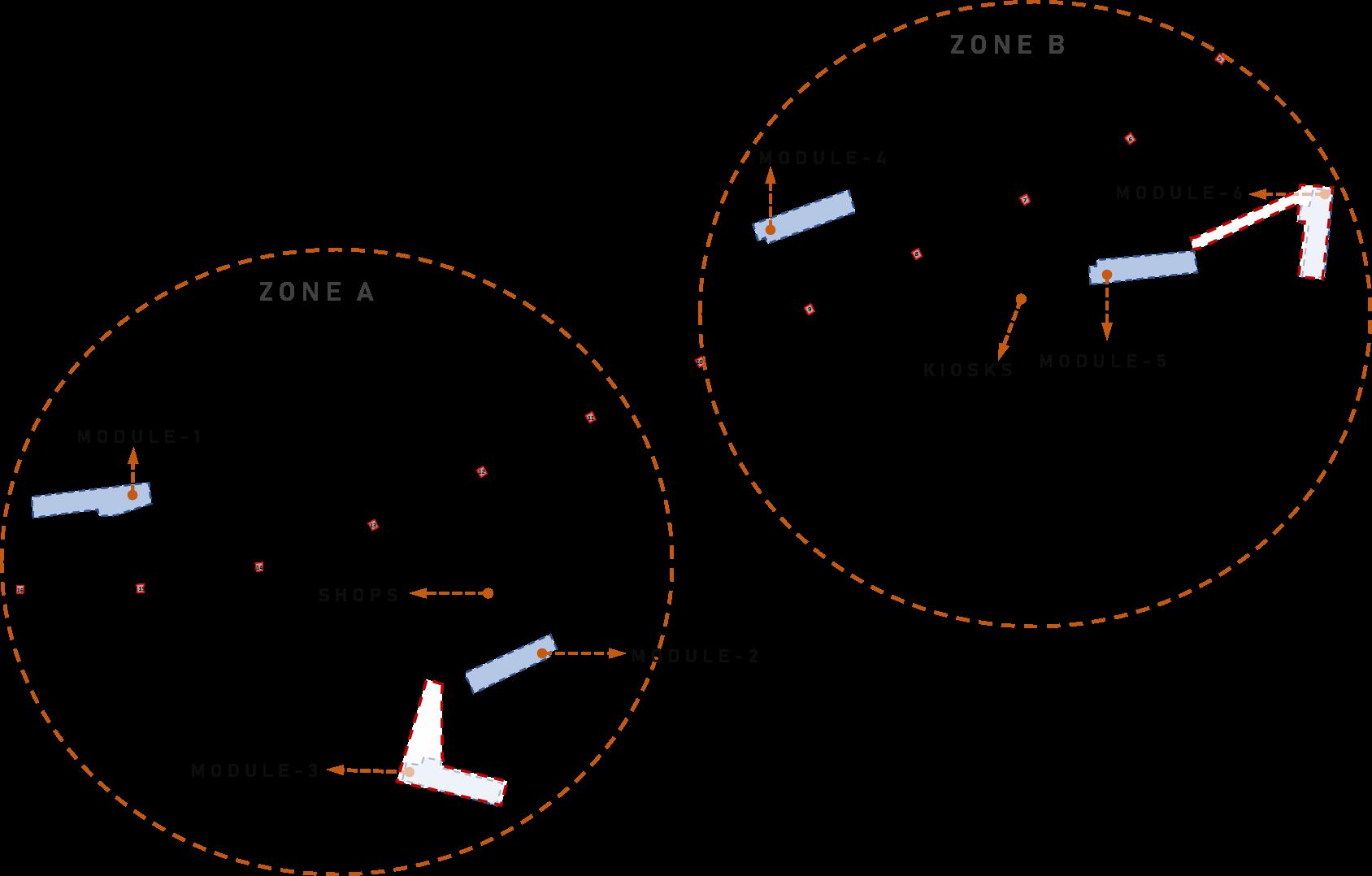
About: Mehdipatnam, Hyderabad, India; consists of Military land at one side of the flyover and commercial/residential buildings on the other. A series of bus stops on the Military side and a bus terminal on the commercial side bring in a lot of pedestrian flow into the area. People want to cross towards either side of the Inner Ring Road but the heavy vehicular traffic in the area makes it a difficult task. Also, the major flow of pedestrians is from the bus stops at the Military side to the Rythu Bazaar area on the commercial side.
Length: 600m Stage: Concept and Tender Scope: Urban Design
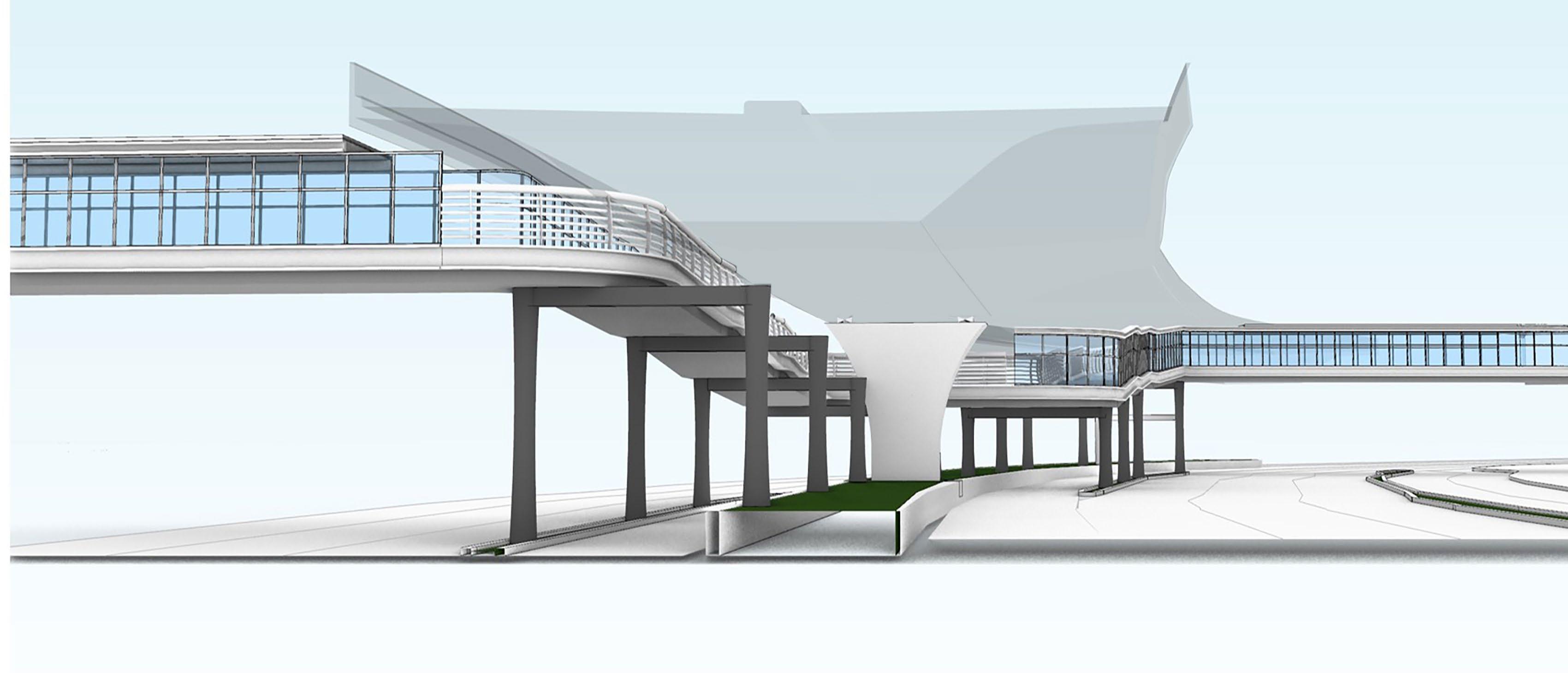
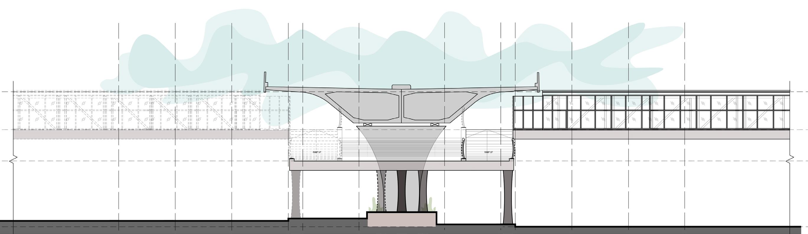
Role: Modelled the revised design scheme. Worked on site analysis, masterplan strategy. Adjusted the masterplan and introduced appropriate number of lanes to manage traffic. Documented the Site. Created design options in Rhino. Worked on the Cad file and detailed the boardwalk movement. Added kiosks, shops and shaded roofs to boardwalk. Studied flyover’s column heights and created sections that leave adequate headroom at the boardwalk while it crosses underneath the flyover. Worked on presentation and documentation of the project.
WOORPFESSINALORK
Major Accident-Prone Crossings Strategic Placement of POIs and Modules MILITARY AREAJUNCTION INFORMAL PARKING BUS STOPS BUS STATION RYTHU BAZAARWOORPFESSINALORK Mobility Masterplan StrategyContext - (With Initial Design Option)
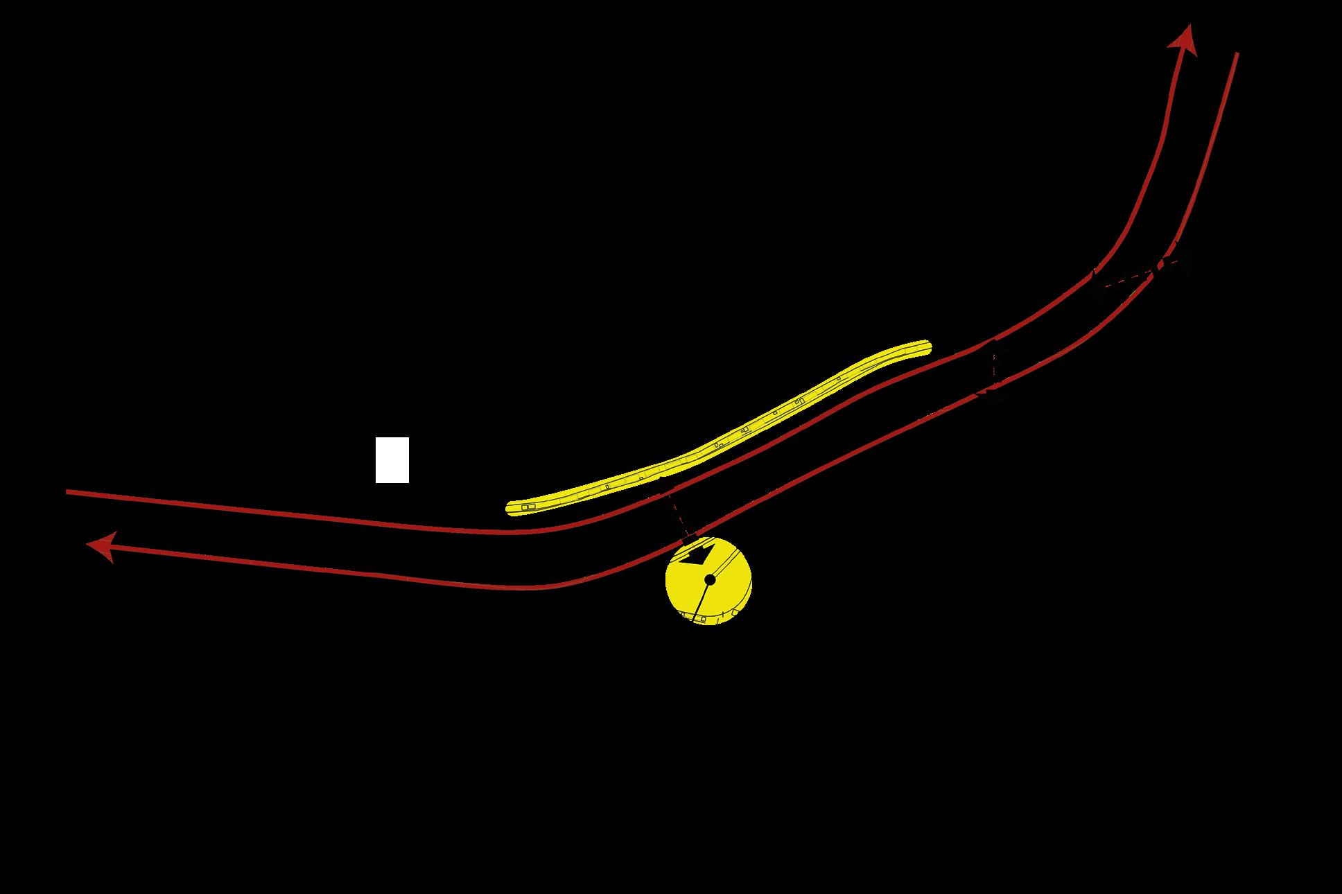
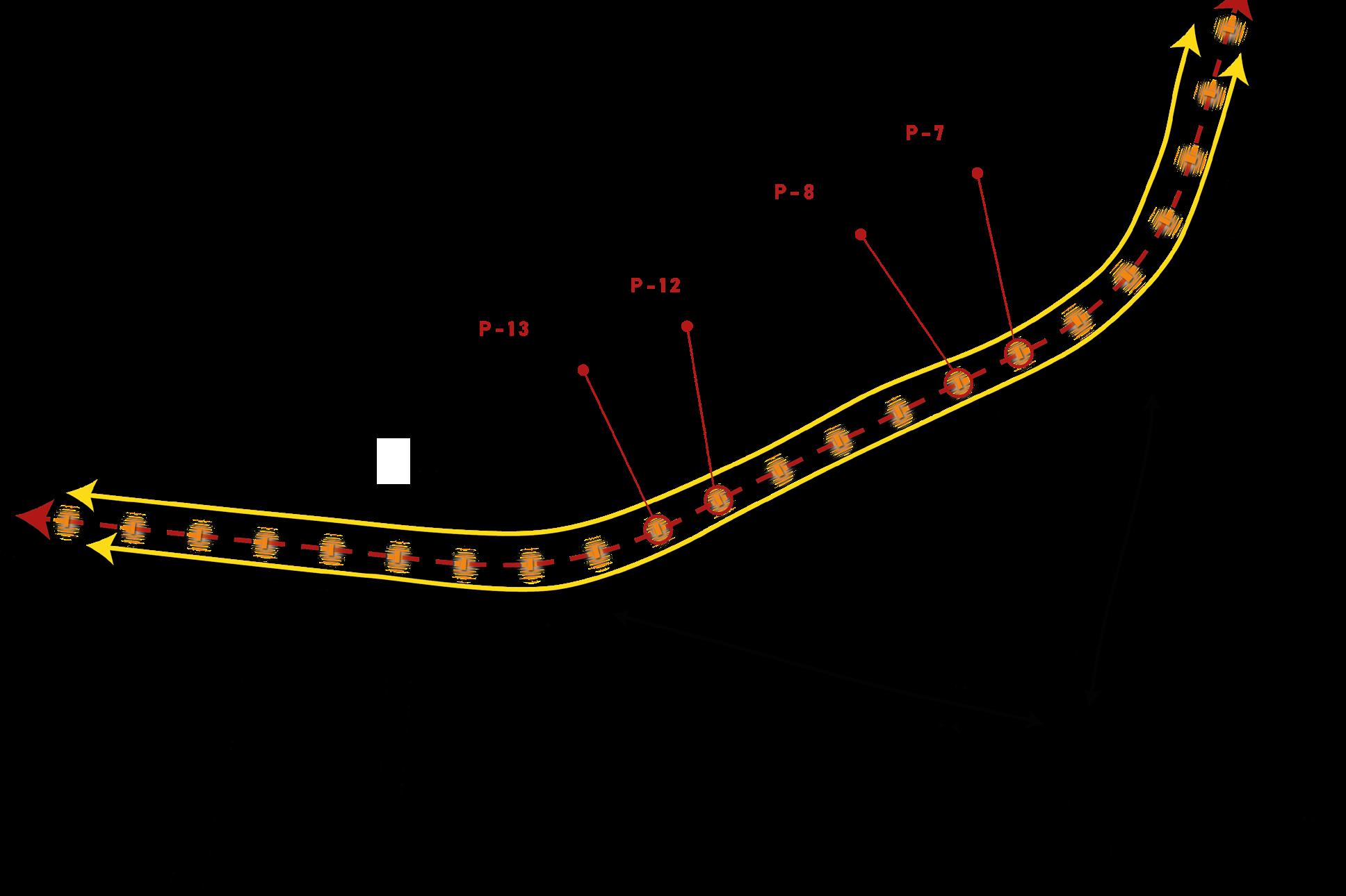



WOORPFESSINALORK The Design Scheme FLYOVER SHADEDABOVEBOARDWALKROAD SHADEDABOVEBOARDWALKROADUNDERBOARDWALKFLYOVER MUOCLN BEAM MUOCLN 13RAPILL 900 MM MEDIAN INTRODUCED LANE 1 LANE 1LANE 2 LANE 2LANE 3 LANE 3LANE 4 LANE 4 HEIGHT RESTRICTOR BARRIER WALKWAY RAMPING DOWN SPEED TABLE MEDIAN LANE 2LANE 3LANE 4 LANE 1 LANE 4LANE 3LANE 2LANE 1 M5.5M3.4M3.0 4.3 VARIESM2.4M M2.1 +8.55+6.15+4.17+0.00BARRIERRESTRICTORHEIGHT SPEED TABLE SPEED TABLE Section under flyover in Zone A - 900 mm wide medians are introduced to rest columns. Instead of single columns that sits on the expanded central medi an (Under Skywalk), there are two columns. One sits on introduced median and the other sits on main median. Perspective View of Boardwalk in Zone A
WOORPFESSINALORK Ground Level Plan MODULES A GLASS ENCLOSURE WITH ESCALATOR, STAIRS AND ELEVATOR
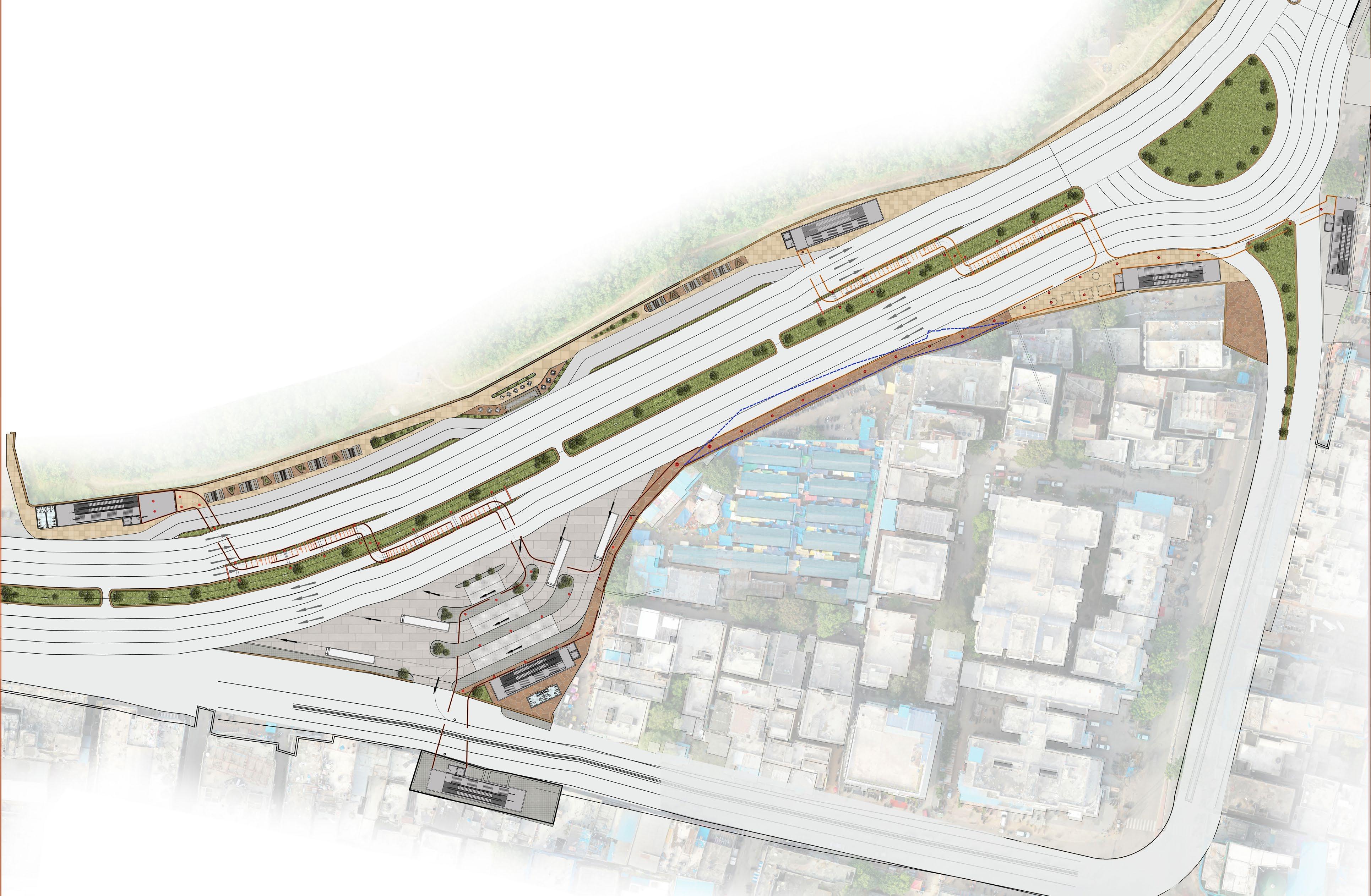
WOORPFESSINALORK Upper Level Plan MODULES A GLASS ENCLOSURE WITH ESCALATOR, STAIRS AND ELEVATOR
NRREFEECELETTER
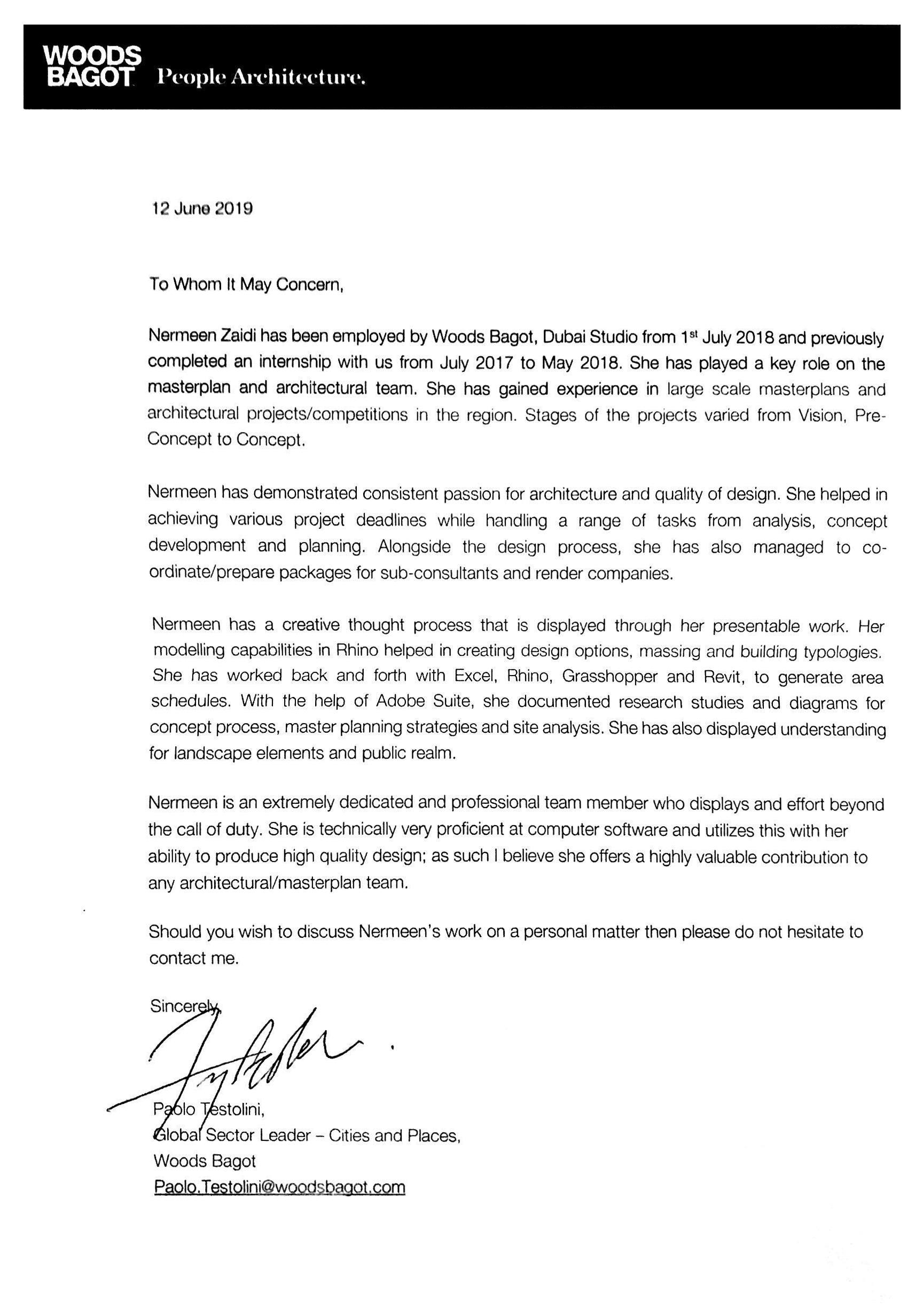
NRREFEECELETTER
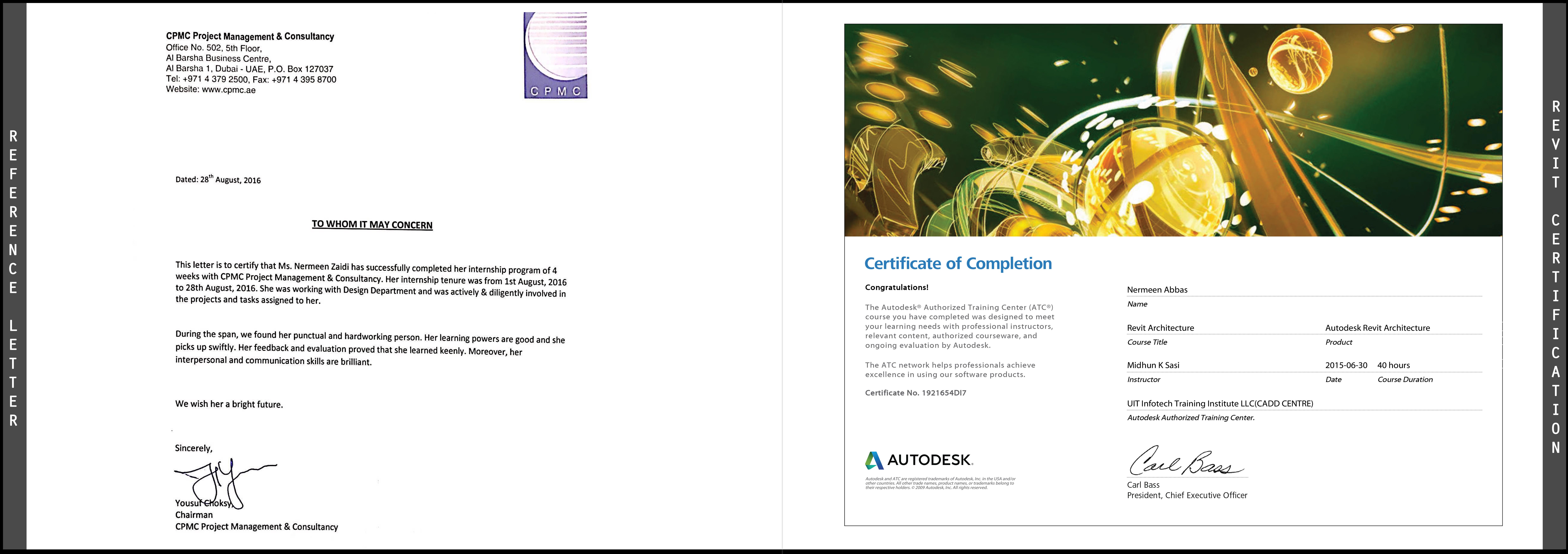
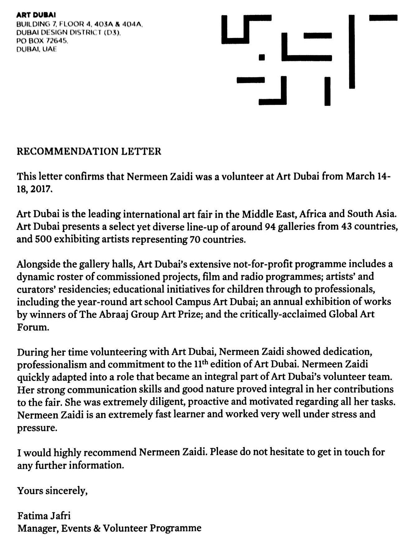
NRREFEECELETTER
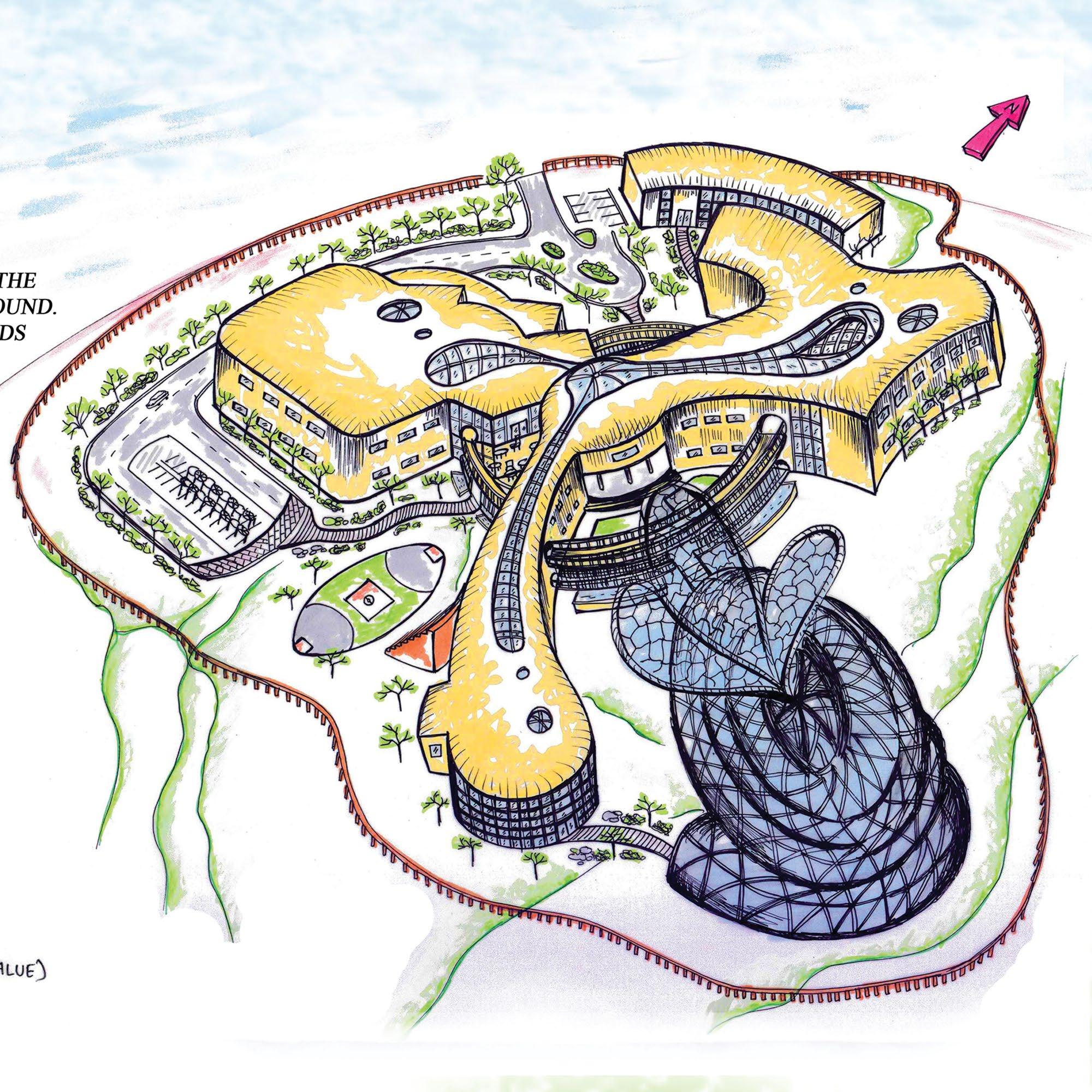
Curved (MadeAuditoriumSkylightRoofofETFE and steel support membranes) (at the highest contour level) Shades for the playground and assembly area Bridges with water curtain system below Football Court (Australian Rugby) Shaded by higher countour levels - 37, 38, 39.