7 minute read
Measuring Gravity – By the Atoms


A quantum technology developed by NASA along with industry partners could improve the way scientists monitor freshwater resources at the local level by measuring their effects on gravity.
Earth’s gravity changes slightly from one region to another, and locally, it can change over time. Atmosphere, tides, and ocean currents account for much of that change, as well as water moving underground in aquifers, and melting snow and glaciers.
Advertisement
Changes in freshwater resources have immediate impacts on the people who depend on them for drinking, farming, or industry. Developing methods to monitor and share information about these vital resources is one way NASAhelps improve life on Earth.
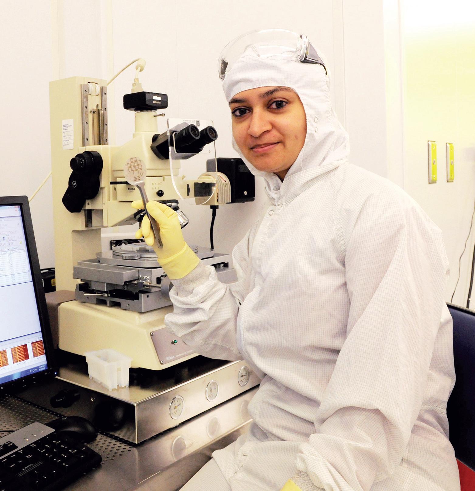
The Atom Interferometer Gravity Gradiometer, developed in partnership with the Fremont, California-based AOSense, offers the potential for accurate, direct, real-time measurement of Earth’s gravitational field and its changes over time, said Earth scientist Scott Luthcke. (See Cutting Edge, Winter 2019, Page 12).
Luthcke and Goddard physicist Babak Saif led development of the gravitymeasuring technology which works by pulsing a laser through a cloud of super-cooled atoms. Measuring the laser’s interaction with the atoms creates an interference pattern. Scientists know how the atoms should behave at a quantum level, so the interference serves as a real-time measurement of gravity’s pull on the atoms.
“One of these instruments in low Earth orbit could advance our current understanding of how Earth’s gravity changes over time and in different regions by an order of magnitude,” Luthcke said. “It’s like being able to improve from looking at large areas, say the size of the entire East Coast, down to the local aquifer level. This is great, not just for science, but as an instrument that provides data for people who do local and regional water management; that’s real societal impact.”
The team’s ideal gravity gradiometer mission would consist of two gravity meters, each consisting of a laser pulsing a cloud of 10 million or more atoms. Flying together in one spacecraft, separated vertically by up to six feet (two meters), each instrument would measure the subtle differences in gravity – the gradient – between them.
Interferometry measures a fundamental feature of quantum mechanics where a single particle, electron, photon, ion, or atom can act as a wave, occupying more than one position at any point in time. This quantum state is known as superposition. In their instrument, each atom acts as an interferometer, Saif said. The laser pulse reveals detailed information about each atom’s superposition. “With 107 atoms averaged together, this gives you very high-precision measurement,” he said.
Navigating Other Worlds
AIGG has applications across planetary exploration as well, Saif said. The Gravity Recovery and Interior Laboratory (GRAIL) mission mapped the Moon’s gravity, providing insight into our natural satellite’s structure. An AIGG probe of the Moon or Mars could locate underground networks of lava tubes – a potential target for exploration and source of shelter.
Precise gravitational maps of other moons, asteroids or other small bodies could improve safety and precision of future landing or sample missions. Traditionally, missions compile those maps by close orbiting closely over time and inferring gravitational forces from spacecraft positioning data.
The Origins, Spectral Interpretation, Resource Identification, SecurityRegolith Explorer (OSIRISREx) spacecraft orbited the near-Earth asteroid Bennu almost two years before selecting a sample site: precision mapping the rocky asteroid and its low-gravity environment. Saif said their instrument could provide an accurate map within months or less, depending on the object.

The Atom Interferometer Gravity Gradiometer, shown here at the AOSense Lab in Fremont, California, directly measures changes in gravity’s effect on atoms suspended in a cloud at super-cold temperatures.
Image Credit: AOSense Inc.
In addition to mapping worlds like these more quickly or even whole solar systems, Saif said, the AIGG instrument could someday be used to read any gravity signature – including the 96 percent of our universe that is unknown dark matter or dark energy.
“The best part is, there is no telescope is required,” he said. “Our system is completely closed – you’re reacting to the gravity field directly, and the measurement is all internal. You don’t have to measure distance to another spacecraft, or object, or read the position of stars. From the point of view of radiation, it’s better too, because your instrument can be shielded from interference; none of it is exposed to the environment.”
Bringing it Home
With all the applications for exploration, Luthcke said he doesn’t want to get distracted from the “singular thing that would have the most impact for humans – which is to put one of these instruments in low Earth orbit.”
“We’ve got something right in front of us that can vastly improve our understanding and model of the time-variable gravity field of Earth,” he said. “That would benefit people everywhere that depend on effectively managing Earth’s precious water resources.”
Satellite Geodesy – Innovation Born at Goddard
Earth scientists have measured our planet’s mass and shape from orbit since the first satellites returned precise data about gravity's effects on their position and velocity. In 1955, Dr. John A. O’Keefe formally proposed using this data to infer Earth’s shape by calculating gravity’s influence on the spacecraft.America’s second successful satellite, Vanguard 1, provided the tracking data scientists used to calculate that Earth is ever-so-slightly pear-shaped. Since then, countless missions’ data added to this model of Earth in a field called satellite geodesy: a fundamental necessity for working global positioning systems.
“I just think it’s really cool, that satellite geodesy of Earth really started here at Goddard,” Earth Scientist Scott Luthcke said. “If you look at your phone and it tells you where you are, that’s the result of satellite geodesy.”

The Gravity Recovery and Climate Experiment - Follow On mission continues the legacy of GRACE, tracking Earth’s water movement and surface mass changes across the planet.
Image Credits: NASA/JPL-Caltech
Radar and lidar altimetry missions measure the round-trip travel time of photons bouncing back from Earth’s surface, revealing elevation, tree canopy, ice sheet height, and changes of mass over time. More recently, NASA’s Gravity Recovery and Climate Experiment (GRACE) and the GRACE Follow-On mission used range measurements between two precision-orbiting spacecraft to show how gravity changes from month to month. These missions showed changes in mass to Earth’s ice sheets over time, as well as changes in groundwater distribution over their 20-year record.
To improve resolution of these water resources down to smaller scales and shorter time intervals, the Atom Interferometer Gravity Gradiometer (AIGG) directly measures gravity’s pull against free-falling atoms, Goddard physicist Babak Saif said.
“Usually, when we do gravity measurements on the science side,” he said, “we don't measure the gravity. We always measure something else and then infer gravity. With AIGG, you’re actually measuring the behavior of the atoms as they are falling, when they’re not being affected by anything but gravity.”
To prove their instrument, Saif and Luthcke said they would like to combine data from a scaled-down gradiometer with a GRACE-successor mass measurement mission like NASA’s Mass Change future mission, an integral part of the Earth System Observatory. Adding a gradiometer to the mass change mission would enhance the science return for a relatively small additional cost.
“Now you’re talking about mapping the change in gravity even every few days,” Luthcke said, “and at a high spatial resolution. You’re not just calculating how deep the water is by measuring individual wells; you’re really measuring the change in the mass, where the water moves in the earth. Imagine understanding the mass change at the size of individual glaciers and ice-drains. Imagine being able to predict what will happen with those currents or aquifers or glaciers in the next few days or weeks like we do now with weather.”