1 minute read
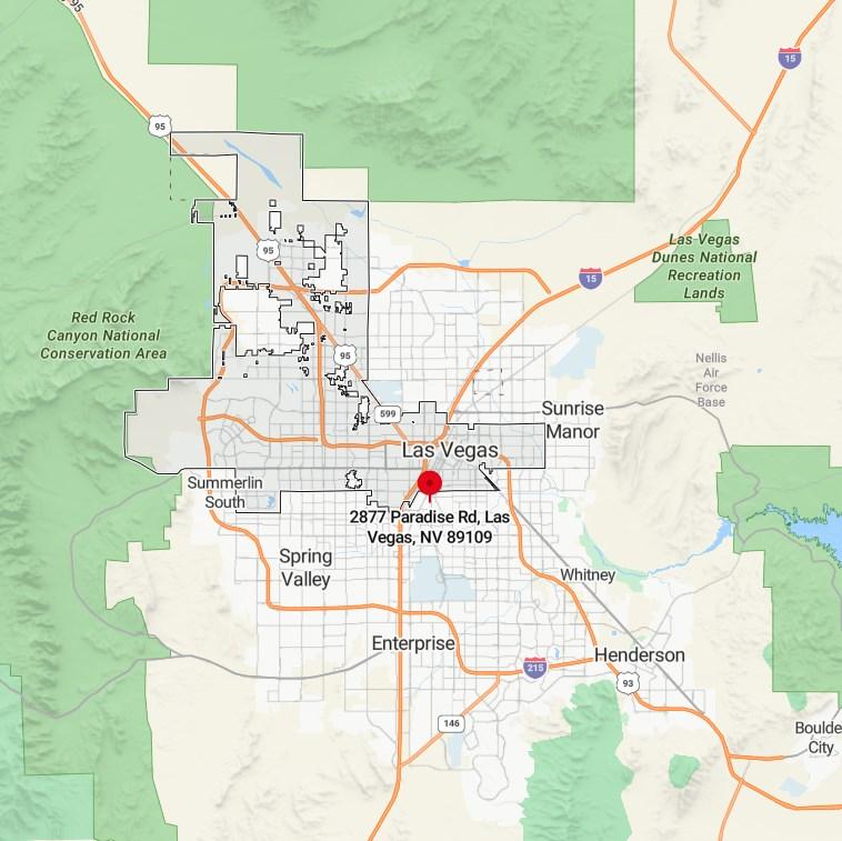
CITY BOUNDARY MAP


Advertisement
641,903 $53,000 34 50.39% 49.61%
Clark County
HOUSING
56.74% of homes owner occupied
43.26% of homes rented
POPULATION DENSITY
4,222.5 inhabitants per sq. mile
190,724 housing units at an average density of 1,683.3 per square mile
History
AGE DEMOGRAPHIC
25.9% under age 18
8.8% between ages 18 to 24
32% between ages 25 to 44
21.7% between ages 45 to 64
11.6% above age 65
City Quick Facts
25th most populous city in the US
A top 3 destination in the US
Incorporated in 1911
2,001 feet elevation
Highest Average Temperature 104.2
Lowest Average Temperature 30
The area was named Las Vegas, which is Spanish for "the meadows", as it featured abundant wild grasses, as well as the desert spring waters needed by westward travelers. Las Vegas was founded as a city in 1905, when 110 acres of land adjacent to the Union Pacific Railroad tracks were auctioned in what would become the downtown area. In 1911, Las Vegas was incorporated as a city. 1931 was a pivotal year for Las Vegas. At that time, Nevada legalized casino gambling and reduced residency requirements for divorce to six weeks. This year also witnessed the beginning of construction on nearby Hoover Dam. The influx of construction workers and their families helped Las Vegas avoid economic calamity during the Great Depression. The construction work was completed in 1935.