1 minute read
Monterey-Salinas Highway


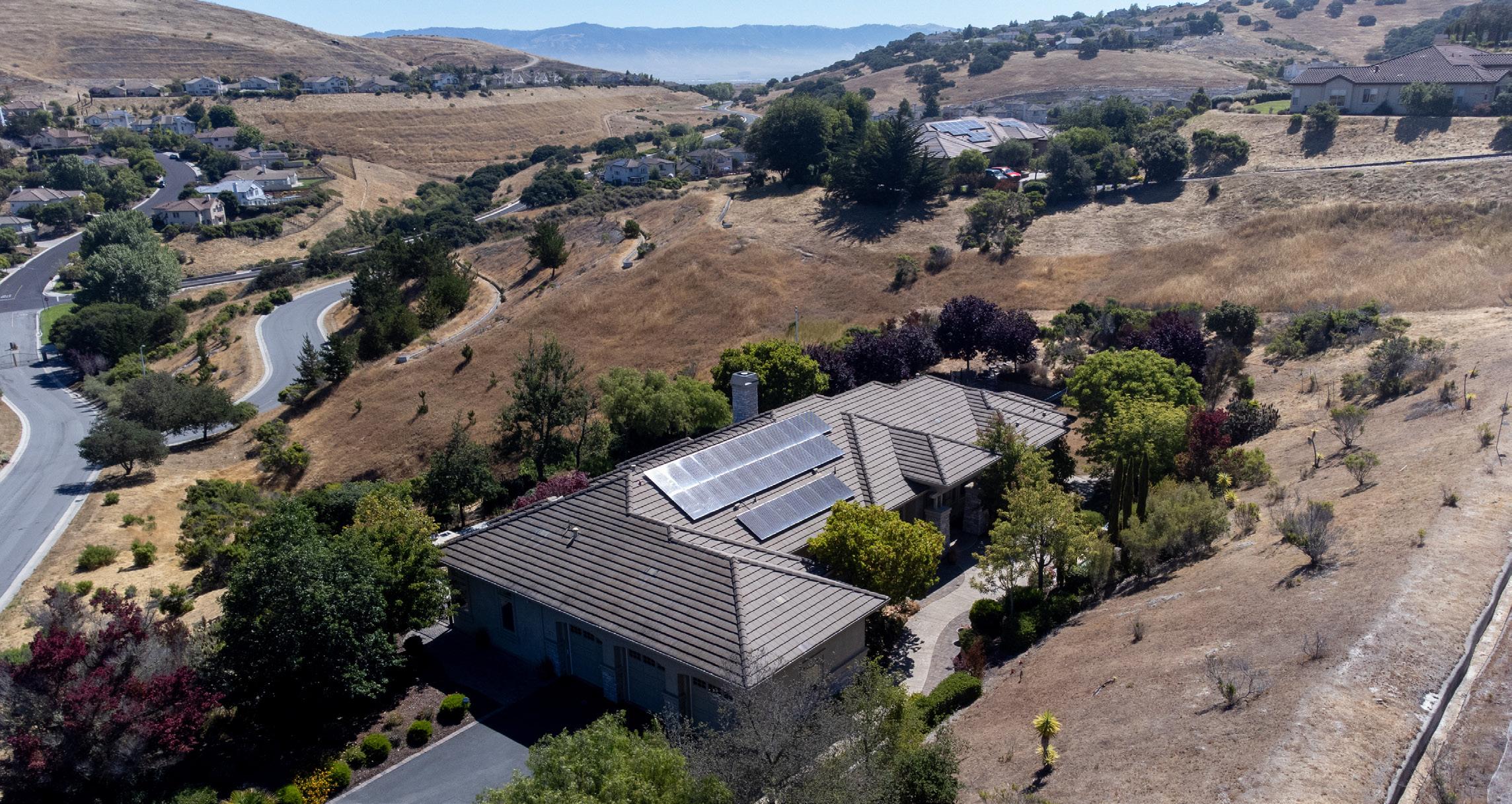
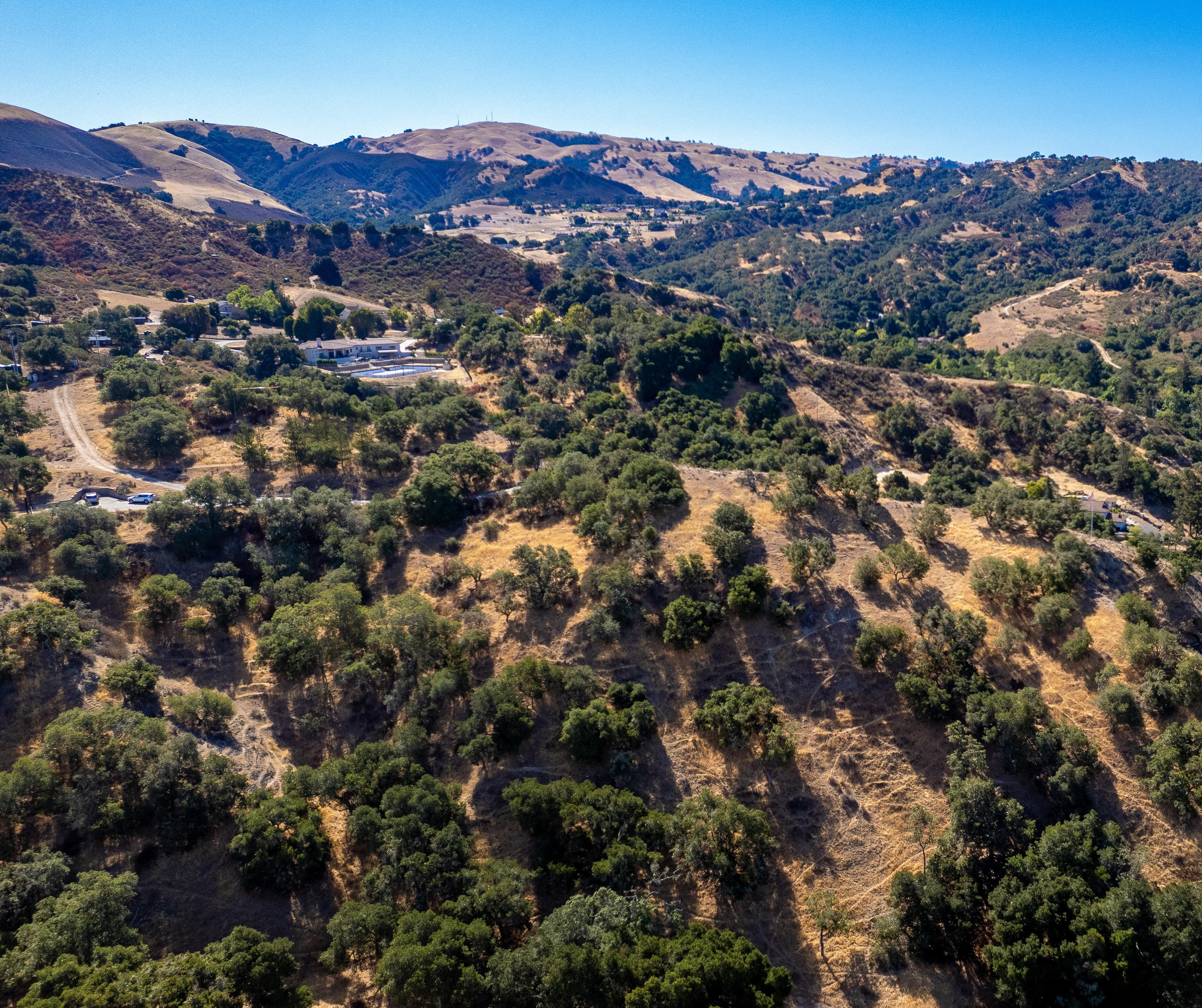
Spanning the area between Monterey and east toward Salinas, is California State Route 68, also known as, the Monterey – Salinas Highway. This corridor offers many communities and developments for those looking to be close to town with space among the natural terrain of the oak-studded coastal hills. Communities found here include Corral de Tierra, San Benancio, Toro Park, Spreckels, and Pasadera, with its Jack Nicklaus designed golf course. An array of single family homes and estates can be found offering sweeping views of both rolling hills and the ocean beyond.
At the end of the corridor lies Salinas - the largest municipal in Monterey County located at the mouth of the Salinas Valley roughly eight miles from the Pacific Ocean. It has a climate more influenced by the ocean than the hot-summer interior ideal for the floral industry, grape vineyards, and vegetable growers. Salinas serves as the main business, governmental and industrial center of the region. It is known for its vibrant and large agriculture industry and being "The Salad Bowl of the World".