NORTHWEST INDIANA REGIONAL DEVELOPMENT AUTHORITY
NORTHWEST INDIANA REGIONAL DEVELOPMENT AUTHORITY
In 2016, when the Northwest Indiana Regional Development Authority (RDA) completed its Comprehensive Strategic Plan, the organization—working with local, state, and federal partners— set out, in partnership with the Northern Indiana Commuter Transportation District (NICTD), to modernize and expand commuter rail in Northwest Indiana. Less than a decade and $1.5 billion later, the South Shore Line is double-tracked, the West Lake extension is nearing completion, and the Northwest Indiana Region is better connected to high-paying jobs in Chicago. These projects—paired with earlier efforts to restore the lakefront, strengthen the Gary/Chicago International Airport, and the federal government’s establishment of the Indiana Dunes National Park in 2019—demonstrate what disciplined, strategic investment can achieve: measurable results with long-term economic return.
But even with rail improvements nearly complete and Transit Development District (TDD) boundaries now established, the job is not finished. Northwest Indiana is facing continued growth pressures from the expanding Chicago metro, and the economic landscape along the lakefront is evolving—evidenced by major industrial transitions such as the recent Nippon Steel deal. These shifts will shape the Region’s competitiveness for decades.
This is why we undertook this strategic plan: to prepare for the next 20 years of investment, ensure infrastructure dollars are deployed responsibly, and position the Region to capture private-sector growth. Getting this right requires the RDA leadership and local, state, and federal partners, once again, to be focused—listening to communities, understanding changing economic conditions, and directing resources where they will generate the greatest return on investment.
The Region has momentum, but sustaining it will take continued coordination, strong governance, and a long-term vision rooted in fiscal responsibility and strategic growth.
Sincerely,

Sherri Ziller
President and CEO, Northwest Indiana Regional Development Authority

The Northwest Indiana Regional Development Authority (RDA) is a quasi-governmental entity created by the State of Indiana to advance transformative regional investments in economic development, transportation, shoreline redevelopment, and quality of place. The organization plays a central role in delivering the large-scale projects that strengthen Northwest Indiana’s competitiveness and support transit-oriented development, blight elimination, lakefront revitalization, and catalytic infrastructure.
This Comprehensive Strategic Plan reflects an 18-month effort grounded in extensive collaboration and regional engagement. More than 100 stakeholders—including state officials, county and local governments, business and industry leaders, nonprofit partners, and community organizations—contributed their insight and expertise. Their perspectives helped shape the priorities and strategies presented in this plan.
This plan represents the collective work of a broad coalition committed to strengthening the Region’s economic future and advancing a more connected, vibrant, and resilient Northwest Indiana.
RDA Leadership, Advisory and Technical Teams
Northwest Indiana Regional Development Authority
Donald Fesko, RDA Chairman
Sherri Ziller, President and CEO
Leadership Team
Policy Analytics Co-Lead Advisory Consultant & Co-Project Manager
MKSK Co-Lead Advisory Consultant & Co-Project Manager
WSP Lead Technical Consultant Support Team
CDTA (Brian H. Hurd) Advisory Consultant
AveNew Advisory Consultant
JQOL Technical Consultant
Policy Analytics is a public finance and policy advisory firm with over 20 years of continuous work for the RDA. The firm has shaped fiscal tools, redevelopment strategies, and legislative frameworks across Northwest Indiana.
Role: Co-Lead Consultant and Co-Project Manager. Responsible for project management, policy review, demographics, financial modeling, and Return on Investment (ROI) analysis, including the use of REMI economic modeling to evaluate regional impacts and quantify long-term benefits
MKSK is a nationally recognized planning, urban design, and landscape architecture firm with offices across the Midwest and Southeast. The firm specializes in comprehensive planning, redevelopment, open space, and infrastructure strategies.
Role: Co-Lead Consultant and Co-Project Manager. Leading engagement, land use and redevelopment frameworks, shoreline and parks planning, and Transit-Oriented Development (TOD) best practices
WSP is a global engineering and professional services firm with deep expertise in transportation, infrastructure, and environmental systems. The firm brings extensive experience in infrastructure planning, multimodal transit integration, and engineering cost estimation for large-scale projects.
Role: Technical Consultant. Providing transportation and infrastructure engineering recommendations, feasibility testing, and cost estimating
Brian H. Hurd is a national expert in working in disinvested communities, with a career spanning real estate development, nonprofit leadership, and civic advisory work.
Role: Advisory Consultant. Focused on community engagement, land use and redevelopment, and advising on the RDA’s emerging Land Development Entity
AveNew is a consulting firm specializing in creative transportation and infrastructure policy and engineering solutions. The firm combines expertise in planning, design, and implementation to help partners deliver innovative, resilient, and community-focused infrastructure investments.
Role: Advisory Consultant. Focused transportation and policy stakeholder input and advisory services
JQOL (Quality of Life Engineering) is a civil engineering and consulting firm specializing in site engineering, utility infrastructure, and structural systems.
Role: Technical Consultant. Contributing infrastructure engineering expertise and cost estimates to support implementation feasibility
The Northwest Indiana Regional Development Authority (RDA) is advancing a results-driven strategy for the next two decades with a Comprehensive Strategic Plan focused on six key regional priorities. Building on 20 years of successful project delivery and strong fiscal stewardship, this plan is designed to drive private investment, unlock the economic potential of underutilized assets, and support job growth and infrastructure modernization across the Northwest Indiana Region.
The Northwest Indiana Regional Development Authority (the RDA) was established in statute 20 years ago. Governor Mitch Daniels and key legislators, Senator Earline Rogers and Representative Chet Dobis saw a need for the Northwest corner of the State of Indiana (aka The Region) to compete with governmental organizations in Illinois that worked for the benefit of the City of Chicago and its suburban counties. The Indiana General Assembly had enacted gaming legislation that provided revenue to strengthen the region’s economy and wanted a governmental structure that would transcend local politics and produce large-scale regional investments.
In the RDA’s enacting legislation, the General Assembly required the RDA to undertake a Comprehensive Strategic Plan centered on the primary focus areas set out in that legislation – shoreline, airport, and commuter rail. This plan was completed before any grants were given or projects were initiated and those planning steps provided a roadmap for the last 20 years.
For the past two decades the RDA has worked to achieve that vision and has made great progress. Lakeshore investments have been made. The Gary Airport has been stabilized and is using its greater capacity. The modernization of the South Shore commuter rail is no longer a dream, but a reality that is providing competitive commute times into Chicago resulting in higher wages for the region. This generational infrastructure project is also moving developers to open their pocketbooks and make new investments. The RDA has also forged strong partnerships locally, regionally, and within the State of Indiana that have resulted in more effective deployment of infrastructure dollars to the region.
However, both in reviewing the data, and in regionwide stakeholder interviews, the unavoidable conclusion is that the job is not done. Average household incomes in the region remain markedly below those in the rest of the Chicago MSA. Employment, job creation, and investment returns are lower in the region than on the other side of the state border. As a result, while great progress has been made, the RDA
determined that more needed to be done and a refinement of the organization’s mission and focus must be undertaken. In short, like the plan that preceded the first 20 years of the RDA’s history, the next 20 years should be informed by in-depth analysis of the needs of the region and the best paths to follow.
The RDA constructed a team comprised of economic analysts, engineers, and planners to examine the history of the organization’s investments and progress and to provide prioritization on the RDA’s efforts for the next period of its history. As in past RDA strategic planning projects, there was a focus on where investments can be made to maximize the returns to the Northwest Indiana economy and to the State’s fiscal structure. The RDA’s raison d'être is making “multijurisdictional large-scale infrastructure investments.” To accomplish this, clear guidance and wise direction are necessary. The Comprehensive Strategic Plan that follows provides just that.
Investment decisions also require judicious timing. Not everything that this report identifies as important infrastructure is needed immediately and some investments will require proper sequencing. The RDA understands this and will embed timing constraints into its plans for future projects.
Advancing RDA's Mission
RAIL & TRANSIT DEVELOPMENT DISTRICTS
Continue to...
Enhance commuter rail
Promote TOD & economic development through TDDs
CONNECT TO THE GREATER CHICAGO ECONOMY
Continue to...
Invest in infrastructure to improve air service
Support roadway infrastructure projects
RECLAIM & ENHANCE THE LAKE MICHIGAN SHORELINE
Continue to...
Invest in lakefront clean ups & park development
Increase public access to the lakefront
MANAGE & SUPPORT REDEVELOPMENT ACROSS THE REGION
Continue to...
Promote brownfield remediation & redevelopment
Promote TOD & economic development through TDDs
Advance RDA’s work through new initiatives...
Advance RDA’s work through new initiatives... AND AND AND AND
Expand commuter rail
Further invest in TDDs and TOD
Advance RDA’s work through new initiatives...
Invest in cargo and passenger air service
Explore strategies to mitigate road congestion
Leverage Indiana’s competitive advantages in the Chicago market
Advance RDA’s work through new initiatives...
Address environmental barriers to lakefront development
Mitigate barriers to accessing the lakefront
Leverage the Indiana Dunes National Park & State Park
Further invest in TDDs and TOD
Create a Land Development Entity to accelerate redevelopment
State
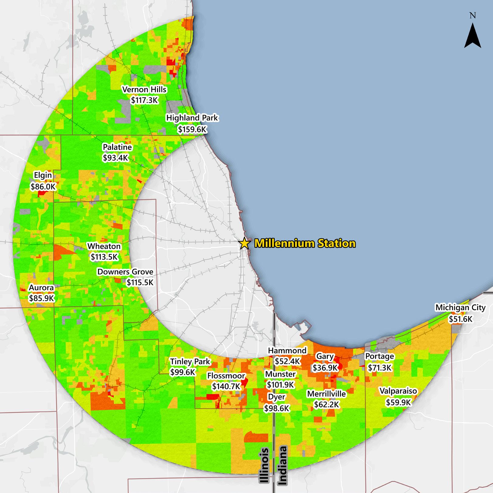
The median household income for Illinois communities within 20 to 40 miles of downtown Chicago ranges from about $65,000 to over $200,000. Most suburban cities in Illinois have median household incomes within the $90,000 to $200,000 range.
In Indiana, the communities with the highest incomes only reach $80,000 to $150,000. Communities surrounding the cities of Hammond and Gary drop to less than $55,000 median household income. The socioeconomic data clearly shows an income divide between Illinois and Indiana portions of the Chicago Metropolitan Statistical Area (MSA).
Median Household Incomes in Communities within 20-40 Miles of Downtown Chicago
Within 20-40 Miles of Millennium Station No Data
Less than $30K
$30K to $50K
$50K to $75K
$75K to $100K
$100K to $150K
$150K to $250K
Greater than $250K
Commuter Rail County Boundaries

Millennium Station State Boundaries
Northwest Indiana is Next to One of the World's Largest Economies
The Greater Chicago economy is the ninth largest on the planet. There are more jobs in the Chicago MSA than in the entire State of Indiana. Improving access to the Chicago economy provides high-wage employment opportunities for Northwest Indiana residents.
Chicago's Employment Premium Provides High-Wage Opportunities
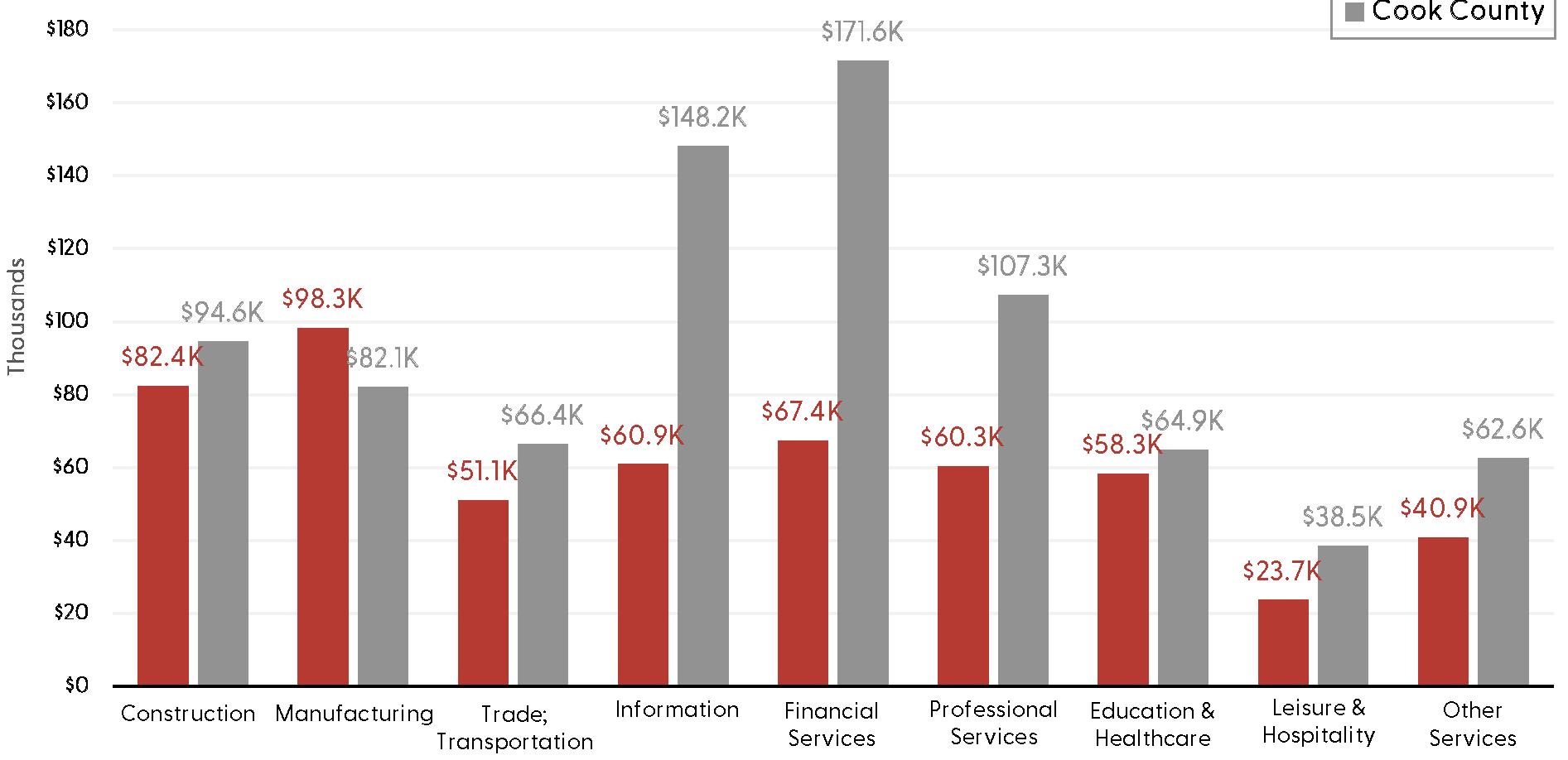
Not only does Chicago have a large employment base, but jobs pay better than those in Northwest Indiana. Jobs in Cook County (Illinois) pay 43% more than similar jobs in Lake County. The wage premium for professional jobs ranges from 75% to 155%. Average wages in Cook County are higher than in Lake County for all industries except manufacturing.
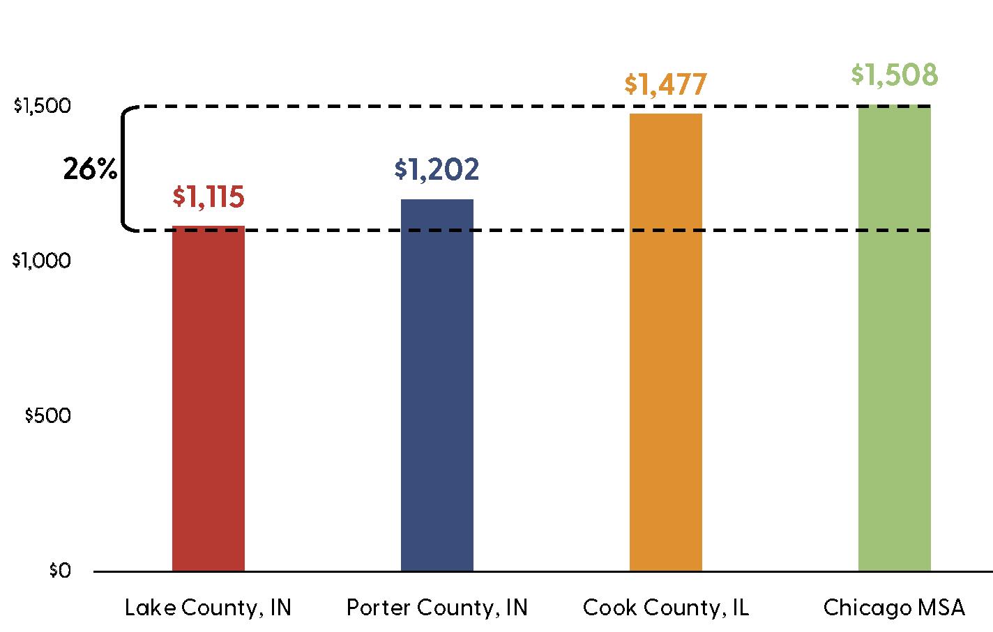
Improved access to Chicago allows Northwest Indiana residents to take advantage of Chicago's high wage rates, while also benefiting from Northwest Indiana's low cost of living. Total median monthly housing costs in Lake County are 26% lower than the median for the Chicago MSA. Total median monthly housing costs in Porter County are 21% lower than the median for the Chicago MSA.
Comparison of Total Employment (Number of Jobs, 2023)
Median Monthly Housing Costs
Note: This comparison includes real estate taxes. Average Annual Wages (2023)
The Next 20 Years
Accelerate redevelopment by assisting with assembling, acquiring, and stabilizing challenging properties; providing added capacity and expertise; and operating collaboratively with local municipal entities.
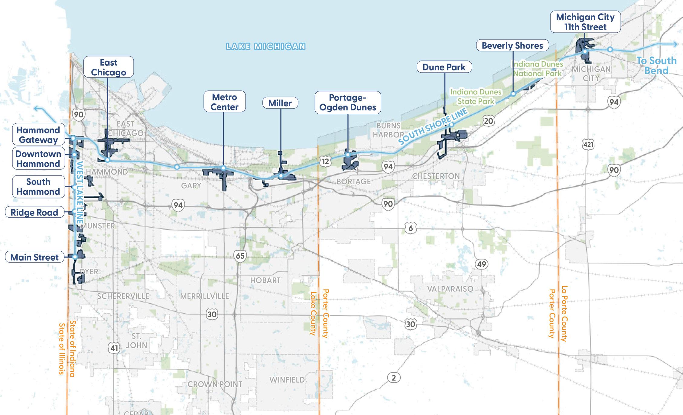
The umbrella challenge facing the RDA in its mission to improve the economy and quality of life in Northwest Indiana is to accelerate redevelopment. The RDA is tackling the need for redevelopment through the tool provided in 2017 called Transit Development Districts, (TDDs). These geographies, with now 11 districts designated and approved, give the RDA the authority to collect incremental property taxes and incremental local income taxes within each TDD, to be used for development projects inside the district. However, an additional tool has been recommended as part of this analysis, the establishment of a Land Development Entity (LDE). At its September 2025 board meeting, the RDA implemented this recommendation and the LDE was authorized as a non-profit under the RDA.
The LDE’s purpose is to provide a tool to pursue land assembly, environmental cleanup, and eventual redevelopment of large multi-parcel sites, attracting private investment and returning the land to economic vitality and taxable status. The RDA in implementing the LDE is creating an assessment of critically needy sites and pursuing largely federal grant funds to assist in the cleanup. This work will be undertaken in collaboration with municipalities across the region.
Establish a Land Development Entity (LDE)
Work with Agencies & Municipalities to Identify Potential Properties and Procure Grant Funding to Assist in Environmental Cleanup
Established Transit Development Districts
West Lake Line
1,127 acres
Total Area of TDD Boundaries
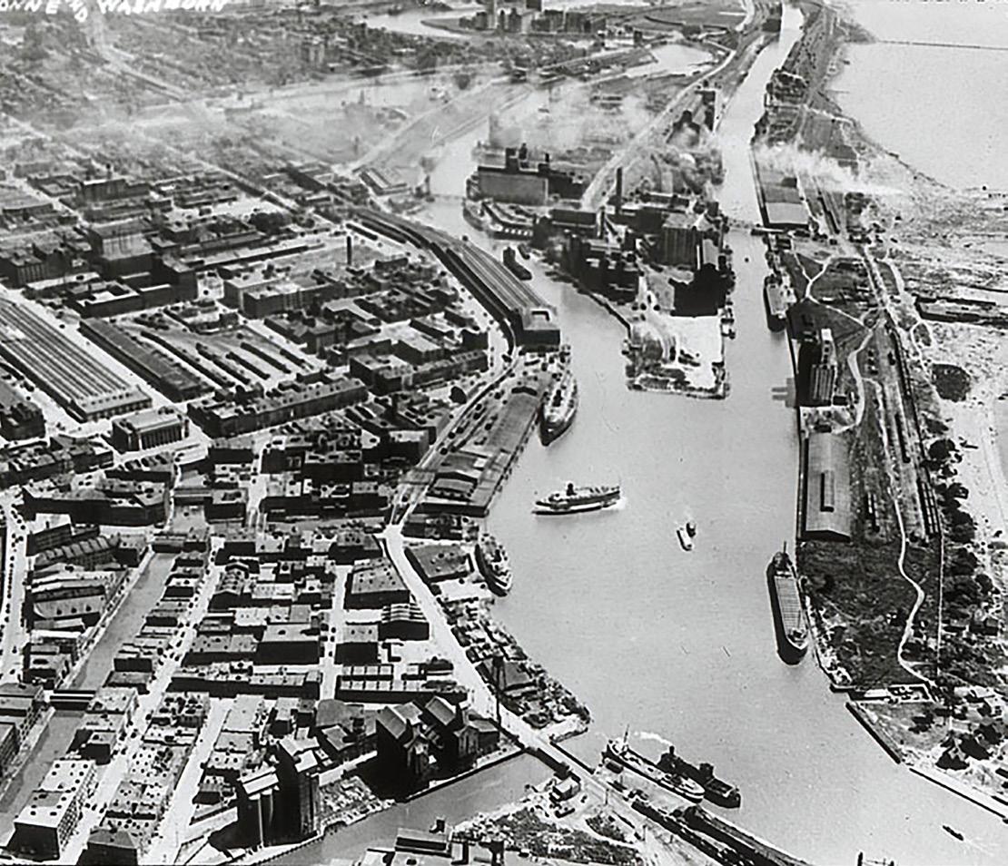
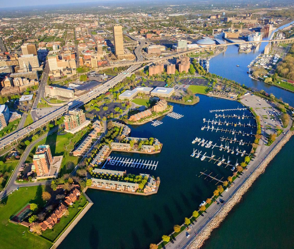
Example: Buffalo Inner and Outer Harbor Redevelopment
South Shore Line
1,851 acres
Total Area of TDD Boundaries

Regional Airports
Residents and businesses of Northwest Indiana benefit from a third Chicago cargo and passenger airport and enhanced connections to goods and services.
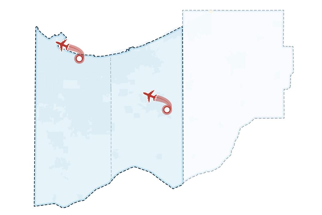
The future expansion of Gary/ Chicago International Airport (“Gary Airport”) will position Northwest Indiana to serve a larger share of the greater Chicago region’s air travel and air cargo growth while relieving pressure on existing Chicago airports. By expanding infrastructure, modernizing technology, and improving access, Gary Airport can be positioned to serve as the Chicago region’s third major commercial airport and a designated reliever to O’Hare International Airport.
The expansion of the Gary Airport into a full-size reliever airport for Chicago O’Hare is estimated to increase annual airport revenue by $58.8 million from 2024 levels after full buildout.
Recommended Initiatives
Modernize the Facilities & Expand Capacity of the Gary/Chicago International Airport to Serve the Region's Growing Need for Cargo Operations
As the Compact Ends, Develop a New Revenue Strategy for Future Infrastructure Investments at the Gary/Chicago International Airport, with Increased Connections to the State of Indiana
More information located on pages 30, 92, and 190
Position Porter County Regional Airport as a Future Cargo Hub for Northwest Indiana
Summary of GYY Expansion Impacts
The increase in airport activity and revenue is estimated to support an increase in gross regional products (GRP) of $320 million by 2050 for Northwest Indiana, increasing personal income by $565 million, and add over 3,200 jobs and 4,000 residents above the baseline.
Difference from Baseline Model; Lake and Porter Counties (Constant 2025 Dollars), 2050
Gross Regional Product Impacts
The Next 20 Years
National and State Parks
A destination lakefront anchored by Indiana Dunes National and State Parks with accessibility, a transformed user experience, and boosted economic development potential.
This recommendation focuses on two of Northwest Indiana’s most valuable natural and tourism assets: Indiana Dunes National Park and Indiana Dunes State Park. The new Indiana Dunes National Park, the 61st in the nation, ranks 13th in annual visitation with more than 2.8 million visitors each year, while the adjoining State Park remains one of Indiana’s premier outdoor destinations. The RDA will work toward the designation of U.S. Highway 12 as a Scenic Byway in order to highlight the natural beauty and tourism potential of the Indiana Dunes while supporting nearby communities and small businesses.
The RDA will work with the municipalities along the shoreline to improve, enhance, and develop iconic entrances to the National and State Parks. These enhanced strategic access points will augment the tourist experience with support services such as outfitting, retail, and lodging that will benefit National or State Park visitors and draw even more tourists into these communities.
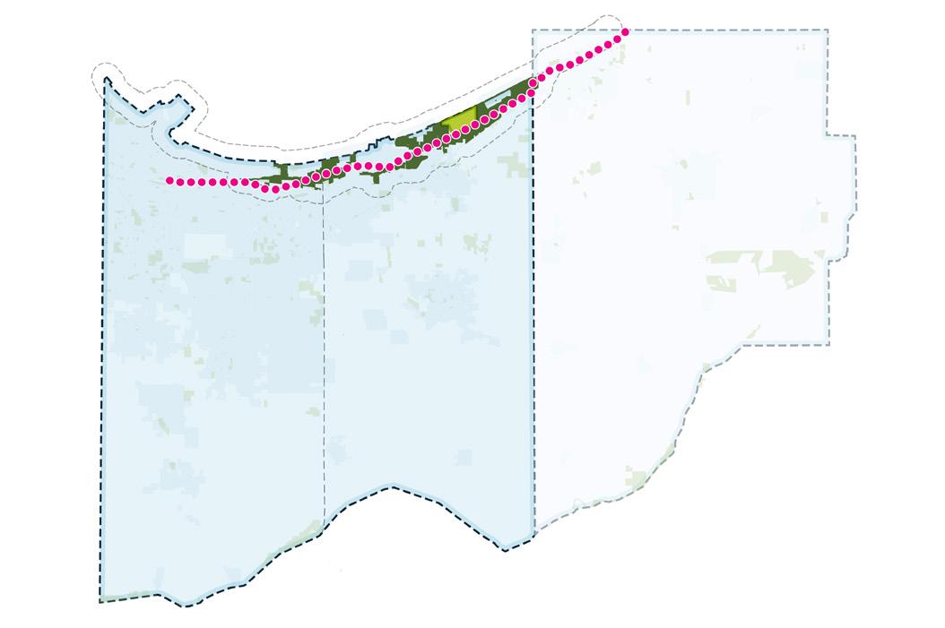
Link the National Park Corridor: US 12 as a Scenic Byway
Complete the Marquette Greenway & Connections
Utilize NICTD Stations as Mobility Hubs
Establish Iconic Access Points from Lakefront Communities to the Indiana Dunes National & State Parks
Improve the Parks Visitor
Experience with Services, Amenities, and a Regional Identity
More information located on pages 30, 104, and 202
Summary of Park Tourism Impacts
Impacts
Difference from Baseline Model; Lake and Porter Counties (Constant 2025 Dollars), 2050
Increased tourist visits and tourism spending at the Indiana Dunes National Park is estimated to produce $80 million above baseline economic output (GRP) by 2050 in Northwest Indiana, supporting over $170 million in personal income. The increased tourism demand is also estimated to create over 900 jobs and attract 2,350 residents to Northwest Indiana.
The Next 20 Years
A transformed lakefront as a destination for rich ecological and recreation opportunities connected to lakefront communities.
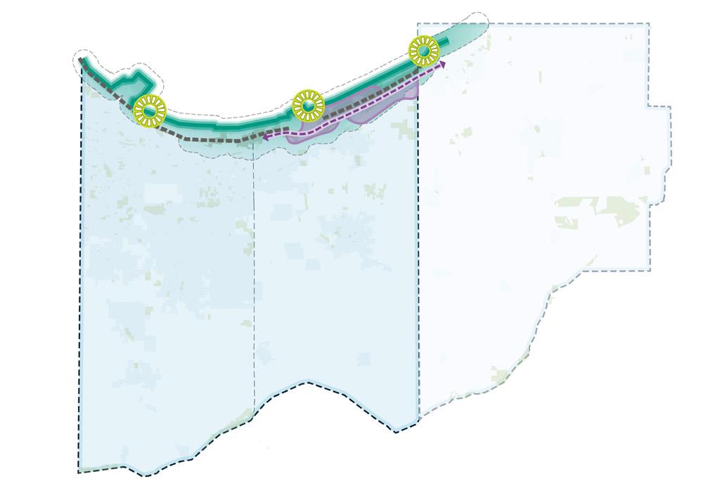
The lack of sanitary sewer service and other foundational infrastructure in several lakefront communities limits economic development and contributes to environmental issues that close beaches and reduce tourism. As major industrial and utility sites—such as the Bailly and Michigan City generating stations—reach the end of their useful life, they offer opportunities for transformative redevelopment that advances the Marquette Plan’s vision for greater public access and a more vibrant lakefront. This analysis estimates the economic impacts and resulting benefits to Northwest Indiana.
Summary of Shoreline Reinvestment Impacts
Recommended Initiatives
Reclaim Un-Needed Industrial & Utility Properties and Reposition for Use as Lakefront Amenities
Construct & Connect to Municipal Sewer System(s) to Serve Existing and Future Development
The redevelopment of the former power generation sites is estimated to bring nearly 400 new residents to Northwest Indiana, employing roughly 300 people. The private investment is estimated to produce $27 million in economic output, annually, by 2050 and $48 million in personal income.
Difference from Baseline Model; Lake and Porter Counties (Constant 2025 Dollars), 2050
Zones of Shoreline Access
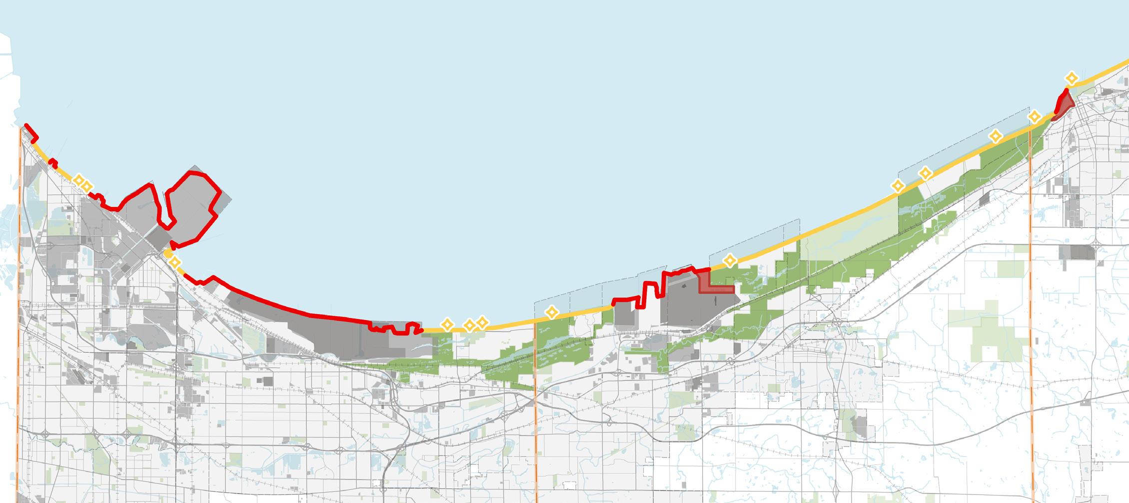
Public Beach Access
Accessible Shoreline
Inaccessible Shoreline
Priority Utility Property for Reclamation
Industrial Land Use Municipal Boundary County Boundary
Areas with Potential for Septic-to-Sewer Conversion
National Park Property
Parks
Water Body
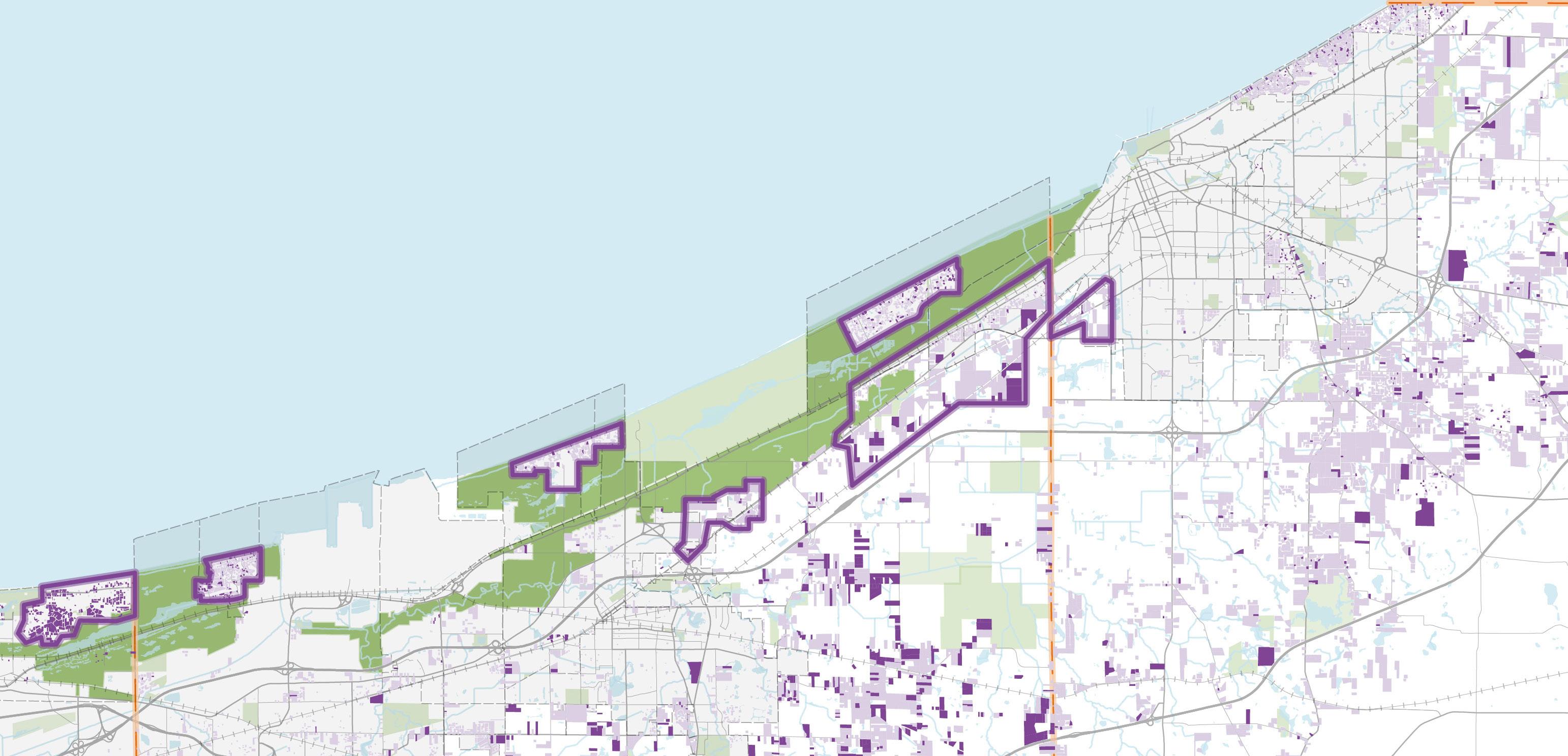
Commuter Rail
Advance economic opportunities for regional and community growth through continued infrastructure investment in efficient, convenient commuter rail service.
The RDA’s 2016 Comprehensive Strategic Plan took the lead in arguing for the expansion of commuter rail across the Region and demonstrated a four times return on investment to the State for each dollar expended. The South Shore Double Track was completed in 2024, and the West Lake Corridor Project will be finalized in early 2026 at a cost of $1.5 billion.
Northwest Indiana’s transformative investment in expanding and modernizing the South Shore Line was forecast in its 2016 plan to produce $2.7 billion in new investment by 2037 and is already on pace to exceed that number. The RDA's recommendations in this report for expanding commuter rail in Northwest Indiana are not specific for the station sites and rail lines. The locations and feasibility for a particular station site/situation or the actual rail lines are and must be subject to future planning and activities done in collaboration with the Northern Indiana Commuter Transit District (NICTD) and local communities.
This report recommends that the RDA work to further extend commuter rail service and evaluate potential segments that are supported by existing and new commuter rail lines and that promise market-driven follow-on development.
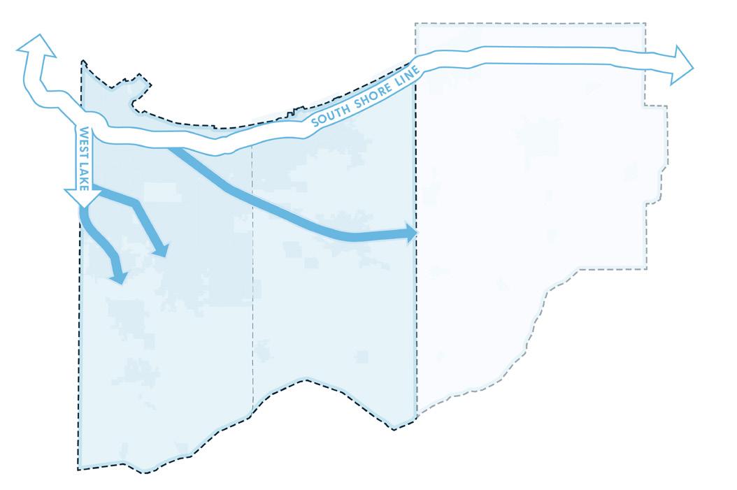
Extend Commuter Rail Service that is Supported by Existing Commuter Rail Lines by Evaluating Potential Segments
Continue Upgrading Existing Stations along Commuter Rail Lines
Explore Potential TOD Opportunities Unlocked by New, Enhanced Rail Service
The success in adding the West Lake Corridor line and in Double Tracking the South Shore from Gary to Michigan City is just the beginning. More communities lie outside the commuter rail network that has been created and extended. The RDA is committed to evaluating the most important additional connections to be made where the highest return on investment can be realized.
The analysis done for this report demonstrates that expansion of the commuter rail network increases commuter earnings and induces private development around the new stations.
Difference from Baseline Model; Lake and Porter Counties (Constant 2025 Dollars), 2050
Increased connectivity to the Chicago economy and higher-paying jobs is estimated to provide over $812 million of economic output (GRP) in Northwest Indiana by 2050, supporting over $634 million in personal income. The expansion is estimated to bring approximately 6,500 new residents and 7,300 new jobs to Northwest Indiana above baseline.
The Next 20 Years
Highway Corridors
Improved transportation infrastructure that enhances the region’s economic vitality, quality of life, and attractiveness for residents, businesses, and visitors
Indiana is home to some of the busiest interstate highways in the country, including I-94 and I-65. Despite substantial commercial activity along these corridors, congestion remains a major barrier to trade between the City of Chicago and other key markets in the region and beyond. In Northwest Indiana, the existing interstate system—even with modest capacity upgrades — will continue to limit the flow of goods and people, holding back economic growth, new investment, and in-migration.
Two key recommendations from the RDA’s strategic planning analysis include exploring improvements to I-90 and I-94 to increase safety and efficiency, and evaluating alternative routes for a new regional highway to add capacity to the regional system. While these steps will require additional feasibility studies and collaboration with state and federal agencies, the region’s economy is directly tied to transportation mobility improvements, and continued delays only deprive the state and region of significant fiscal returns.
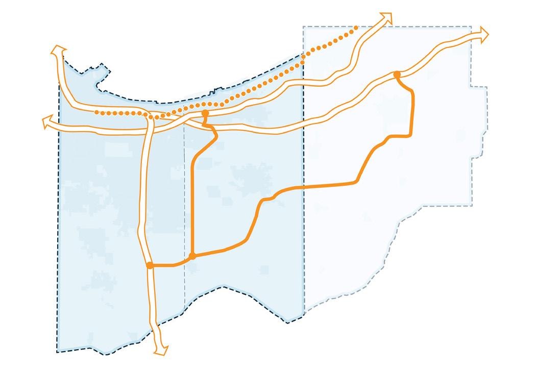
Recommended Initiatives
Improve Access to the Lakefront and Key Destinations:
Provide Alternative Truck Routes to Enable Designating US 12 as a Scenic Byway
Improve at-Grade Crossings to Make the Lakefront More Accessible
Explore Improvements to I-90 and I-94 to Increase Safety and Efficiency
Consider Alternative Routes for a New Regional Highway to Add Capacity to the Regional System
More information located on pages 30, 170, and 210
Difference from Baseline Model; Lake and Porter Counties (Constant 2025 Dollars), 2050
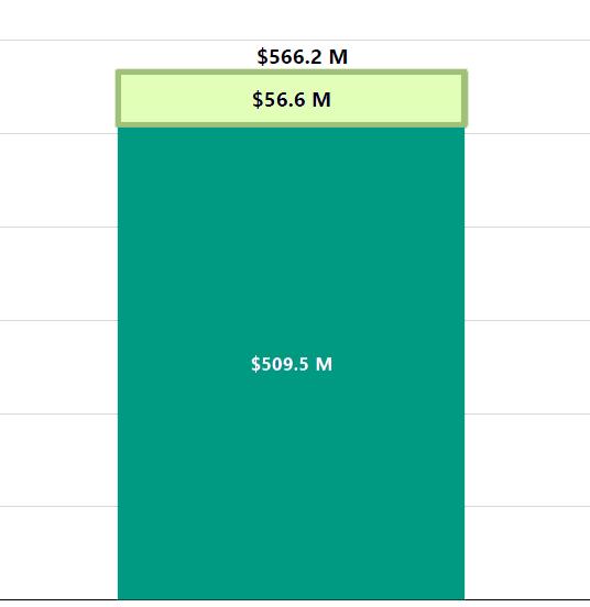
The model estimates that by 2050 the improvements in surface transportation will lead to an increase in GRP of $146 million and an increase in personal income of $327 million. Population and employment are also estimated to increase. Population is estimated to increase by roughly 870 individuals while employment is estimated to increase by over 4,100 jobs.
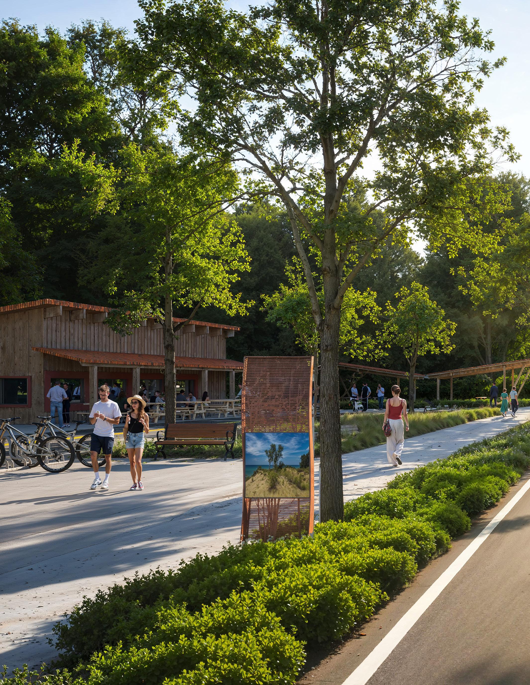
The Introduction chapter highlights the RDA’s 20-year impact as a state-created catalyst for growth in Lake and Porter Counties. It emphasizes major investments in shoreline restoration, airport expansion, and commuter rail that have spurred over $500 million in new development through Transit Development Districts. This chapter underscores how the RDA’s tools and partnerships now position Northwest Indiana to compete within the greater Chicago economy and frames the Strategic Plan as a roadmap to sustain and expand that momentum.
Mission
The Northwest Indiana Regional Development Authority (the RDA) is an independent, quasi-governmental regional development entity created by State statute in 2005 to provide infrastructure, economic growth, and enhanced quality of life in Northwest Indiana. The RDA was directed in its enabling legislation to focus its development efforts on the Lake Michigan shoreline, airport infrastructure, commuter rail and bus transit. Its geography has been Lake and Porter Counties in Indiana.
Over the past two decades, the RDA has become the Region’s most effective vehicle for advancing large-scale, high-impact infrastructure—restoring the lakefront, strengthening the Gary/Chicago International Airport, catalyzing major mixed-use redevelopment, and delivering once-in-ageneration rail expansions.
The RDA drives transformative investment and sustainable growth to make the region a destination for residents, businesses, and visitors. Its work is guided by core values of being Bold, Collaborative, Transparent, Non-Partisan, Efficient, Accountable, and Equitable—ensuring growth that is visionary, inclusive, and results-driven.
Figure 1: RDA Core Values
Setting high goals and a bold vision
COLLABORATIVE
Working with State and Federal agencies and public-private partnerships
TRANSPARENT
Instilling public confidence
NON-PARTISAN
Working with individuals and government agencies without regard to political affiliation
EFFICIENT
Securing existing resources and preserving finances
ACCOUNTABLE
Increasing prudent allocation of resources
SOCIAL EQUITY
Respecting the diversity of the region
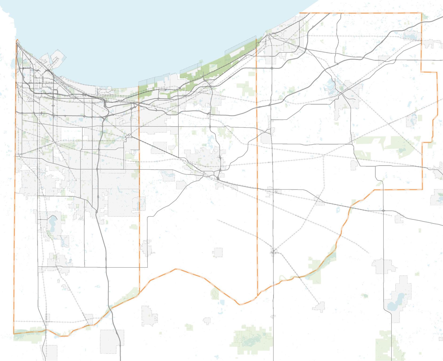
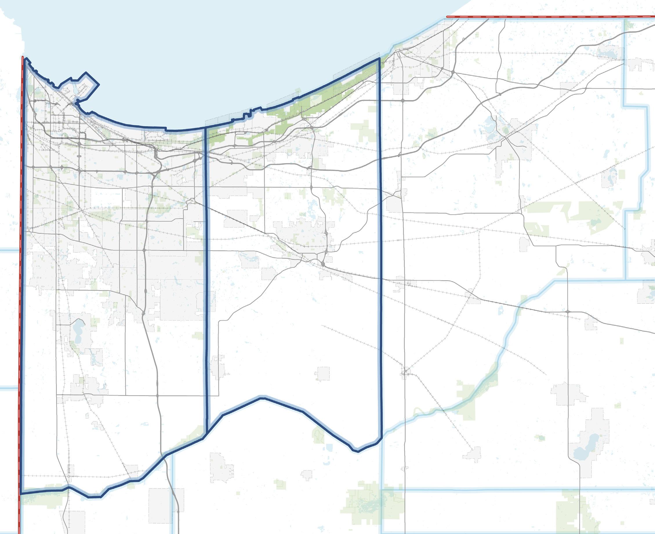
2: RDA Geography By Statute
Over the past 20 years, the RDA has driven transformative investment across its core focus areas—commuter rail, airports, shoreline, and regional development. This plan builds on that momentum to elevate Northwest Indiana’s revitalization and position the region for its next era of growth.
Supporting the expansion and modernization of the South Shore Line, the West Lake Corridor extension, and key rail infrastructure to strengthen regional connectivity and economic growth through the establishment of Transit Development Districts (TDDs) and coordinated Transit-Oriented Development (TOD) planning.
Supporting improvements to advance the Gary/Chicago International Airport as a regional air cargo and business hub through infrastructure and access enhancements, while supporting the growth and modernization of other regional airports.
Supporting restoration and redevelopment of the Lake Michigan shoreline to enhance public access, recreation, and private investment, transforming the lakefront into a catalyst for economic and community vitality.
Supporting strategic investment, redevelopment, and partnerships that grow jobs, attract business, and revitalize Northwest Indiana communities through the establishment of TDDs, innovative financing tools, and the RDA’s Land Development Entity, which supports implementation and securing grants for transformative projects.
The RDA was established in 2005 under Indiana Code 36-7.5 as a separate body politic and corporate empowered to lead transformative, region-scale investment in infrastructure and economic development across Lake and Porter Counties. The legislation (IC 36-7.5-0.1-1) identifies the RDA’s purposes focused on economic development, transportation (air, rail, and bus), and shoreline redevelopment, recognizing the unique opportunities and challenges of Northwest Indiana’s proximity to Chicago.
The RDA is governed by a multi-jurisdictional Board of Directors, which includes appointments from the Governor’s office, Lake and Porter Counties, and participating municipalities. The Board exercises all policy and fiscal authority, while a President/CEO and professional staff manage operations and project delivery. Statutorily, the RDA may acquire, finance, construct, lease, and manage major projects; issue bonds; receive grants; and enter into public-private partnerships.
The RDA’s governance and structure were designed to ensure regional coordination and accountability, with reporting requirements to the governor, State Budget Committee, and participating local units. This framework enables the RDA to function as a regional implementation and financing mechanism, translating state and local priorities into tangible infrastructure investments that drive long-term economic growth and quality-of-life improvements across Northwest Indiana.

Board Chair
Donald Fesko
President and CEO

Sherri Ziller
Vice-Chairman & East
Chicago Appointment

Milton Reed

Porter County Appointment
Todd Elliot

Porter County TDD Appointment
Jason Gilliana

Treasurer & Governor's Appointment
Chris Campbell

Hammond Appointment
Anne Taylor

Lake County TDD Appointment
Dewey Pearman
Lake County Appointment
Randolph Palmateer


Gary Appointment Alesia Pritchett

LaPorte County TDD Appointment
John Carr
RDA statute passed
$20M Runway Expansion
Organizational activities
$17.5M to NICTD for 14 new rail cars
$1.5M for Gary/East Chicago South Shore
$350K for Portage Northshore Lakefront Park
$6.5M to RBA for operational support
$30M Runway Expansion
$19.5M to Whiting Lakefront Park
$31M grant for Hammond Lakefront Park
$28.9M grant to Gary Marquette Park
$3.9M for Town of Porter Gateway to the Dunes Phase 2
$1.8M for Town of Porter Gateway to Dunes
$3M to Northwest Lake County Transit
$1.86M grant to Valparaiso for ChicaGo Dash Bus
$500K to Northwest Lake County Transit
$6M loan to Little Calumet for flood mitigation
$100K to NIRPC matching funds for FTA study
$17M Waterfront to East Chicago
$100K to NIRPC matching funds for FTA study
$318K to South Lake County Comm Serv Bus
Regional Bus Transit Development Districts Other Projects
GYY opens new extended runway
State Budget Committee approves RDA CSP Update Plan for rail projects HEA 1144-2017 passed
$6M to Town of Munster for TDD & 45th St. Realignment
$21.6M to NICTD for West Lake & Double Track Engineering & Project Planning
$12.9M for East Chicago Waterfront Revitalization Initiative Phase 2
$6.8M to Valparaiso ChicaGo Dash Bus
$250K to North Township Trustee for CMAQ Expansion grant match
$7.5M to Gary for Buffington Harbor access road
$10.2M Grants for West Lake & South Shore
$21.9M funding to West Lake & South Shore Rail Projects
$8.5M to East Chicago Waterfront Revitalization Initiatives Phase 3
$18.9M West Lake & South Shore Construction Grants
RDA and IFA issued debt and leases for West Lake & South Shore projects ($16.3M/year)
South Shore Double Track Project completed
West Lake Corridor Project to be completed
1.5 M FTA Planning Pilot Grant Awarded (TOD Study)
7 TDDs approved by local units, RDA Board & State Budget Comm.
$4.5M to Gary 12/20 TOD
$6M to Town of Munster TOD
$2.5M to Hobart for infrastructure relocation to 69th Ave
3 additional TDDs approved
Matching funds to become available for Gary Metro Station ($5M/year for 25 years)
TDD increment begins flowing for projects
$3M match for Gary Blight Elimination Lake County Convention Center Study updated
Another $3M match to be committed for Gary Blight Elimination
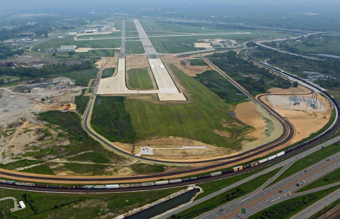
The RDA has provided $50 million to the Gary/Chicago International Airport (Gary Airport) to complete an extension of its main runway. This required the relocation of an in-use rail line which was required to extend the runway.
This project allowed for larger, heavier aircraft to consistently access the airport. The extension allows the airport to execute on its master plan for future growth and development and was completed in 2015.
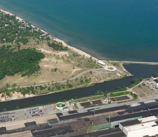
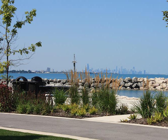
The RDA has spent $143 million in grants for Lake Michigan shoreline projects since 2006. This constitutes the largest investment in shoreline redevelopment in the Region’s history. These include:
• Hammond Lakefront Park
• Gary’s historic Marquette Park
• East Chicago’s waterfront clean up and revitalization
• Cleanup and development of Whiting Lakefront Park
• Town of Porter’s Gateway to the Dunes
• Portage Northside Lakefront Park
This constitutes the largest investment in shoreline redevelopment in the Region's history.
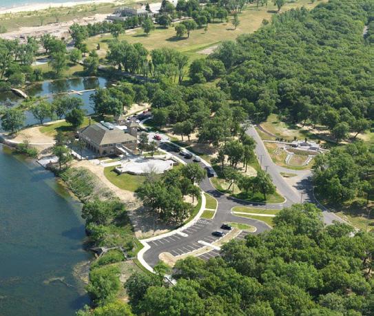
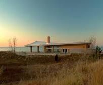
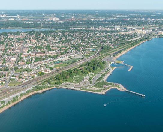
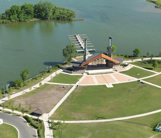
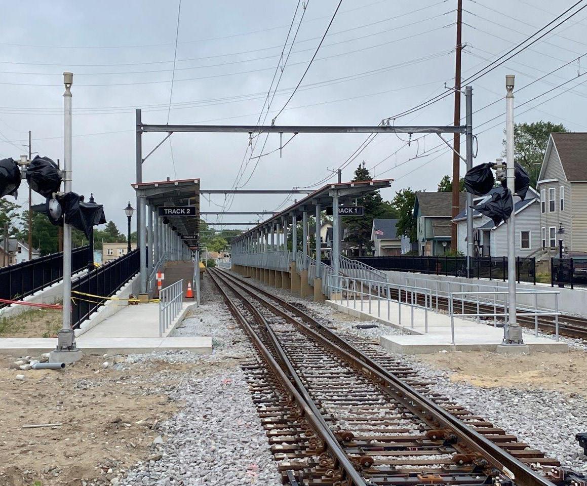
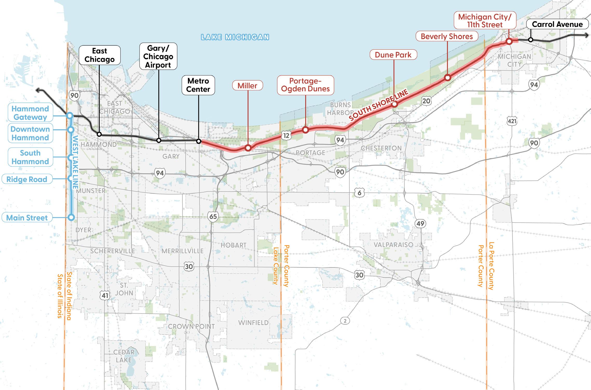
Since 2006, the RDA has led the vision, analysis, and advocacy for expanded commuter rail access in Northwest Indiana. With a grant as early as 2007 and first securing state appropriations in 2015 and 2017, the RDA has helped fund (at the time) the two largest transportation and economic development projects in Indiana:
• The West Lake Corridor project is a new line reaching south into Lake County at a cost of $900 million, to be completed early 2026.
• The South Shore Double Track project at $600 million will increase speeds and reliability and put Michigan City within 60 minutes of Downtown Chicago. It was completed on May 13, 2024.

In 2017 the Indiana General Assembly passed HEA 1144 which provided the RDA with a tool to capture property tax and local income tax within districts that operate like Tax Increment Financing Districts (TIFs).
Since that time, the RDA has designed and obtained state approval for 11 TDDs across the Region. The TDDs are boundaries that encompass the rail stations but extend up to 320 acres within the communities.
The taxes captured may be used for development purposes and projects within the TDD boundary.
The expansion of the two rail lines improves accessibility to and from Chicago, increases in-migration and commuting access, and is incentivizing private investment in projects across the region.
In 2016, the RDA projected $2.7 billion in new development catalyzed by expanded commuter rail access over the next 20 years.
By 2024, Northwest Indiana communities have reported investments in near-term development projects totaling more than $500 million, either started or announced. This estimate is already exceeding those original estimates—nearly twice the projected amount for 2024—even prior to the final completion of the rail.
Northwest Indiana's unique proximity to Chicago provides substantial benefits to Lake and Porter Counties in Indiana. Increasing access to Chicago provides opportunities for high wage jobs and allows Indiana to compete as a preferred place of residence for Chicago workers.
Breaking down barriers between Chicago and Northwest Indiana capital markets provides new investment and better employment opportunities for both regions.
The RDA’s mission is evolving from a focus on foundational infrastructure to one that includes regional competitiveness, drives private investment, and expands economic opportunity. Grounded in its statutory mandate under IC 36-7.5 to enhance transportation, airports, shoreline, and regional development, the RDA is well positioned to build on two decades of proven results—leveraging a strong return on investment from past projects to grow jobs, attract new business, and create a more connected and prosperous Northwest Indiana.
INVEST IN COMMUTER RAIL & TRANSIT DEVELOPMENT DISTRICTS
Continue to...
Enhance commuter rail
Promote TOD & economic development through TDDs
CONNECT TO THE GREATER CHICAGO ECONOMY
Continue to...
Invest in infrastructure to improve air service
Support roadway infrastructure projects
RECLAIM & ENHANCE THE LAKE MICHIGAN SHORELINE
Continue to...
Invest in lakefront clean ups & park development
Increase public access to the lakefront
MANAGE & SUPPORT REDEVELOPMENT ACROSS THE REGION
Continue to...
Promote brownfield remediation & redevelopment
Promote TOD & economic development through TDDs
Advance RDA’s work through new initiatives...
Advance RDA’s work through new initiatives... AND AND AND AND
Expand commuter rail
Further invest in TDDs and TOD
Advance RDA’s work through new initiatives...
Invest in cargo and passenger air service
Explore strategies to mitigate road congestion
Leverage Indiana’s competitive advantages in the Chicago market
Advance RDA’s work through new initiatives...
Address environmental barriers to lakefront development
Mitigate barriers to accessing the lakefront
Leverage the Indiana Dunes National Park & State Park
Further invest in TDDs and TOD
Create a Land Development Entity to accelerate redevelopment
As part of this process, the project team interviewed over 100 stakeholders from across Northwest Indiana and the state. These conversations brought together a wide cross-section of leadership, expertise, and community voices. Participants included:
Local Government Leaders: Mayors, city and town councils, planning directors, redevelopment commissions, and economic development staff from nearly every major community: Beverly Shores, Burns Harbor, Chesterton, Crown Point, Dyer, East Chicago, Gary, Griffith, Hammond, Hebron, Highland, LaPorte, Merrillville, Michigan City, Munster, Ogden Dunes, Pines, Portage, Schererville, Valparaiso, Whiting, Winfield, and other smaller incorporated towns in Lake, Porter, and LaPorte Counties
County Officials: Lake County and Porter County commissioners and staff
State Officials: Members of the Indiana General Assembly; representatives of the Governor’s Office; State Budget Committee members; Northwest Indiana legislators; and agency leadership from Indiana Department of Transportation (INDOT), Indiana Department of Natural Resources (Indiana DNR), Indiana Dunes State Park, Indiana Department of Environmental Management (IDEM), Indiana Economic Development Corporation (IEDC), Port of Indiana, and others
Federal Officials and Staff: Members of Indiana’s congressional delegation and the National Park Service
Regional and Transportation Partners: Northwestern Indiana Regional Planning Commission (NIRPC), Northern Indiana Commuter Transportation District (NICTD), Gary/ Chicago International Airport (GYY/Gary Airport), Chicago Airport Authority, and Indianapolis Airport Authority
Educational, Business, and Nonprofit Leaders: Indiana Dunes Tourism, South Shore Convention and Visitors Authority, Purdue University Northwest, Indiana University Northwest, Ivy Tech, Valparaiso University, Northern Indiana Public Service Company (NIPSCO), Urschel Labs, Powers Construction, WorkOne Northwest Indiana, One Region, Northwest Indiana Forum, and other community organizations
This broad base of input reflects both the urgency and the opportunity facing the region. Stakeholders consistently emphasized that while tremendous progress has been made, “the work is not done in Northwest Indiana.” This shared perspective reinforced the need for the RDA to continue evolving as the region’s trusted convener, investor, and implementer—bridging state and local priorities, private investment, and long-term competitiveness. The following pages summarize what the project team heard from conversations with stakeholders.
• Brownfield conditions and legacy industrial sites, particularly in Hammond, Gary, and East Chicago, remain difficult to assemble and remediate.
• Municipalities often lack the technical staff or financial tools to handle complex redevelopment.
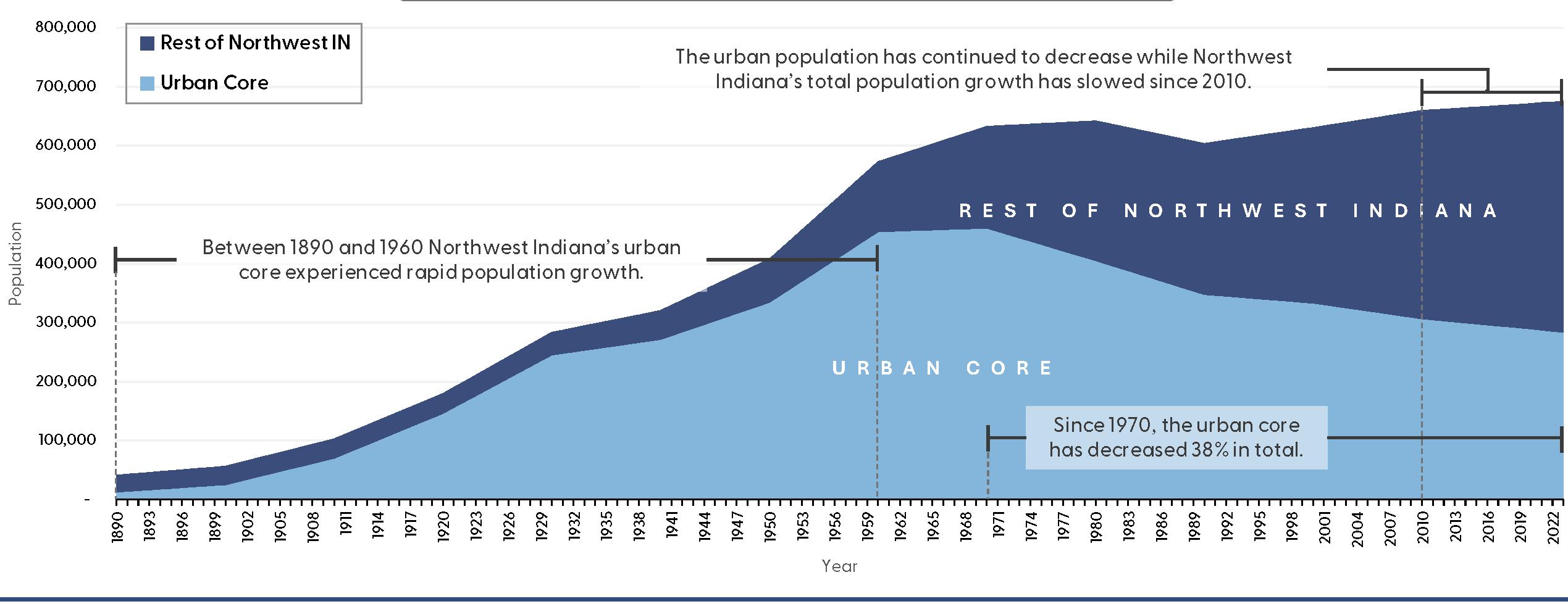
• Population decline in urban cores makes it harder to sustain infrastructure and attract private investment.
• Strong support for the RDA to establish a regional Land Development Entity (LDE) to acquire, clear, and reposition property for redevelopment
• TOD around South Shore Line stations is seen as a key strategy to rebuild population density and create new housing, retail, and employment hubs.
• State elected officials and county commissioners noted that redevelopment requires alignment with state-level funding and legislative tools, positioning the RDA as the convener and implementer.
• Lessons from the RDA’s prior lakefront work can serve as a model for future redevelopment efforts.
Challenges:
• Gary Airport struggles with limited passenger service and reputation challenges.
• Regional competition for air cargo remains intense, and governance under the Gary-Chicago Compact has been inconsistent.
Opportunities:
• Rebranding Gary Airport as the Northwest Indiana regional airport and expanding air cargo capacity are widely supported.
• The Porter County Regional Airport (VPZ) was highlighted as a potential future air cargo hub, complementing Gary Airport and providing capacity relief for Chicago’s larger airports.
• State officials emphasized the need for strong coordination among the State, Gary Airport, VPZ, and the RDA to ensure airport investments are tied to economic development outcomes.
• Replacing the Gary-Chicago Compact and identifying suitable replacement revenue is a tremendous opportunity.
• Stakeholders view the RDA as the trusted regional partner to advance airport projects, just as it has successfully done with shoreline and commuter rail initiatives.
Challenges:
• Heavy industry and legacy utilities dominate portions of the shoreline.
• Vacant and contaminated sites require costly remediation before reuse.
• Long-term funding and sustained leadership remain challenges.
Opportunities:
• Stakeholders consistently stressed that the lakefront is both the center of the state’s manufacturing industry and one of its greatest natural resources.
• There is tremendous potential in continuing to invest in the lakefront—balancing industrial activity with new recreational, residential, and commercial development.
• County commissioners and state officials emphasized that lakefront redevelopment will require regional coordination, legislative support, and the RDA’s leadership as the trusted implementer.
• Building on the Marquette Plan, the RDA can continue transforming underutilized shoreline into accessible, high-quality public and economic spaces.
Challenges:
• Gaps in first- and last-mile connections and absence of service to Valparaiso, Crown Point, and other fast-growing communities
• Funding and long-term operations for expansions remain a concern.
• The South Shore Double Track and West Lake Corridor are transformative projects already reshaping regional investment. The region is well on its way to deliver and exceed the projected $2.7 billion in private investment following the historic investment in modernizing the NICTD lines and encouraging TOD through TDDs.
• Stakeholders repeatedly emphasized the importance of future NICTD commuter rail lines to Valparaiso and continued extensions of the West Lake Corridor to bring population growth and jobs into Northwest Indiana.
• State elected officials noted that rail expansion is essential for positioning the region within the Chicago megaregion’s labor and housing markets.
• The RDA’s success in securing funding and delivering rail expansion projects demonstrates why it is the trusted partner to continue advancing new lines and station area development.
Challenges:
• Severe congestion on I-80/94, I-65, and US 30 corridors
• Safety concerns along US 12, US 20, and State Route 53, compounded by heavy truck traffic
• Funding constraints for large-scale corridor improvements
Opportunities:
• US 12 Scenic Byway designation could reposition the corridor as a heritage and tourism asset linked to the parks and lakefront.
• Corridor studies are underway for US 30, US 41, and State Route 53 with opportunities to target freight management, safety, and mobility improvements.
• State elected officials and INDOT staff emphasized that creative, multimodal approaches are needed, rather than simply expanding capacity.
• The RDA can play a catalytic role by aligning corridor strategies with redevelopment, TOD, and lakefront investments—ensuring that transportation projects deliver both mobility and economic development benefits.
Stakeholders made it clear that Northwest Indiana must focus on bringing new jobs and population into the Region while addressing long-standing challenges of disinvestment, fragmentation, and infrastructure decline. They stressed that the region’s future depends on balancing its industrial lakefront, world-class parks, growing commuter rail system, and strategic airport network.
Across every topic—from brownfields to TOD, from airports to the lakefront—stakeholders identified the RDA as the Northwest Indiana Region’s most trusted partner. Just as it has already delivered transformative projects for the shoreline, commuter rail expansion, and Gary Airport, the RDA is expected to lead the next generation of bold, catalytic investments. With strong collaboration among local leaders, state elected officials, and the Governor’s Office, the RDA is uniquely positioned to translate this shared vision into tangible outcomes for Northwest Indiana.
This page is intentionally blank.
The State of the Region chapter underscores Northwest Indiana’s strategic position as Chicago’s neighbor and gateway to national and global markets. It highlights the region’s competitive advantages in logistics, transportation, and workforce access, while recognizing the need to modernize infrastructure, strengthen local tax bases, and attract private investment.
Northwest Indiana sits within one of the most dynamic economic geographies in the world. Chicago, Northwest Indiana’s neighbor, is the 9th largest economy globally, serving as a hub for finance, logistics, technology, healthcare, and culture. This proximity creates unparalleled opportunities for Northwest Indiana: direct access to global markets, multimodal transportation infrastructure, and a vast labor pool that extends across the state line. The region’s location—on Lake Michigan, along major interstate and freight corridors, and directly connected by the South Shore Line—positions it as an essential gateway between Chicago and the rest of Indiana.
Despite its many advantages, Northwest Indiana faces significant challenges with transportation and access to jobs that limit its ability to fully capitalize on its geography. The region lacks seamless east–west connections and robust multimodal options, creating barriers to employment, education, and opportunity. These gaps in mobility not only constrain workforce access but also reinforce divides that hinder competitiveness in the broader regional market.
Beyond transportation, legacy industrial uses have left behind brownfields, fragmented ownership patterns, and underutilized corridors that deter reinvestment. Local governments grapple with aging infrastructure and stagnant tax bases, limiting their capacity to provide modern services or spark catalytic redevelopment. The housing stock is also aging and insufficiently diverse, constraining workforce and middle-income housing options.
Social and economic disparities are particularly acute in older urban centers, where decades of population loss and disinvestment have produced visible inequities compared to faster-growing communities. Without coordinated intervention, these overlapping challenges—mobility, land use, fiscal, and social—risk widening divides within the region and reducing Northwest Indiana’s long-term competitiveness.
The Northwest Indiana Regional Development Authority (RDA) is uniquely positioned to address the region’s most pressing barrier—transportation and access to jobs—and unlock its full potential. Through its Transit Development Districts (TDDs), the RDA is targeting catalytic sites and transforming land around South Shore Rail Line stations into mixed-use, transit-oriented districts. These efforts leverage billions of dollars in rail expansion to create stronger job access, reduce commuting barriers, and connect residents more directly to opportunity.
The RDA’s regional mandate enables it to overcome the fragmentation that often hampers redevelopment, coordinating land assembly, infrastructure modernization, and strategic investment at a scale no single municipality could achieve. Beyond infrastructure, the RDA acts as both convener and trusted implementer. Its ability to attract state and federal funding, coupled with a proven track record of delivering major projects, positions it as the region’s vehicle for transformational change. The RDA also works hand-in-hand with local governments to align zoning, redevelopment tools, and economic strategies with regional goals, ensuring that investments produce lasting and equitable benefits.
Northwest Indiana today is a region in transition—facing the legacy of industrial decline while standing next door to one of the most globally competitive economies on earth. The opportunity is clear: to harness Chicago’s scale, leverage local assets, and address long-standing barriers through coordinated, regional action. With the RDA’s leadership, the region can redefine itself as not only Chicago’s neighbor, but also its partner in driving growth, innovation, and shared prosperity across the state line.
Millenium Station Downtown Chicago
East Chicago 40 minutes from Chicago
Hammond Gateway 35 minutes from Chicago Main Street 55 minutes from Chicago
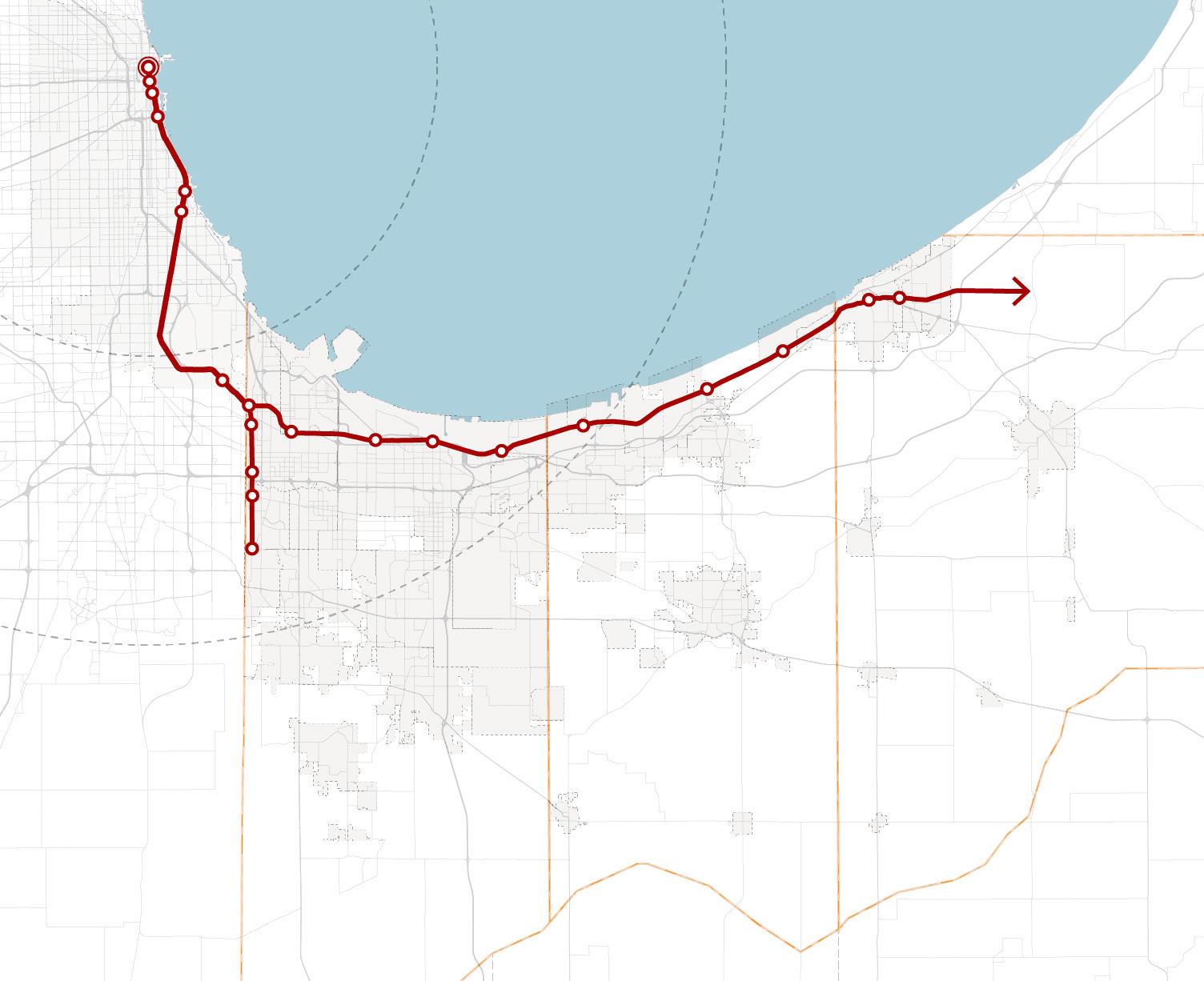
NICTD Stations
NICTD Rail Lines
Municipal Boundary County Boundary Roadway Railroad 11th Street 90 minutes from Chicago
PortageOgden Dunes 60 minutes from Chicago MICHIGAN CITY
The median household income for Illinois communities within 20 to 40 miles of downtown Chicago ranges from about $65,000 to over $200,000. Most suburban cities in Illinois have median household incomes within the $90,000 to $200,000 range.
In Northwest Indiana, the communities with the highest incomes only reach $80,000 to $150,000. Communities surrounding the cities of Hammond and Gary drop to less than $55,000 median household income. The socioeconomic data clearly shows an income divide between Illinois and Indiana portions of the Chicago Metropolitan Statistical Area (MSA).
Figure 9: Median Household Incomes in Communities within 20-40 Miles of Downtown Chicago
Within 20-40 Miles of Millennium Station No Data
Less than $30K
$30K to $50K
$50K to $75K
$75K to $100K
$100K to $150K
$150K to $250K
Greater than $250K
Commuter Rail County Boundaries
Millennium Station State Boundaries
Indiana
to
The Greater Chicago economy is the ninth largest on the planet. There are more jobs in the Chicago MSA than in the entire State of Indiana. Improving access to the Chicago economy provides high-wage employment opportunities for Northwest Indiana residents.
Chicago's Employment Premium Provides High-Wage Opportunities
Not only does Chicago have a large employment base, but jobs pay better than those in Northwest Indiana. Jobs in Cook County (Illinois) pay 43% more than similar jobs in Lake County. The wage premium for professional jobs ranges from 75% to 155%. Average wages in Cook County are higher than in Lake County for all industries except manufacturing.
Improved access to Chicago allows Northwest Indiana residents to take advantage of Chicago's high wage rates, while also benefiting from Northwest Indiana's low cost of living. Total median monthly housing costs in Lake County are 26% lower than the median for the Chicago MSA. Total median monthly housing costs in Porter County are 21% lower than the median for the Chicago MSA.
Figure 10: Comparison of Total Employment (Number of Jobs, 2023)
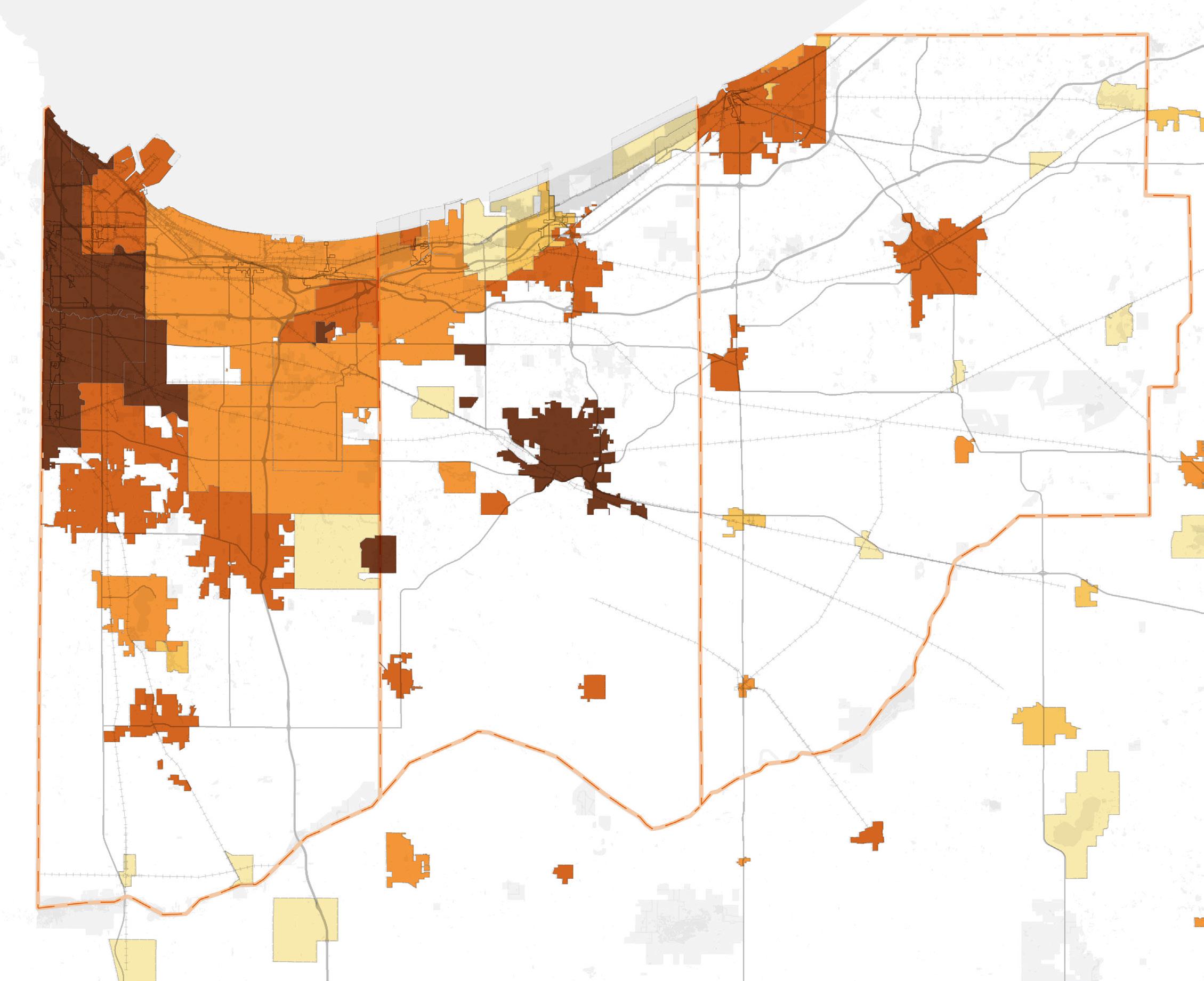
Population density—the number of people living within a square mile—is a key measure of how communities are organized and how land is used. Higher density typically signals more urbanized development, stronger demand for housing and services, and greater opportunities to support transit, walkability, and local businesses. Lower density, by contrast, often indicates more dispersed development, higher infrastructure costs per household, and reduced opportunities for economic clustering.
In Northwest Indiana, density clusters in the region’s cities and incorporated towns, particularly those closest to the Illinois state line and Chicago. Communities such as Hammond and Munster remain among the most densely populated, reflecting their urban form, neighborhood networks, and proximity to the Chicago job market. The City of Valparaiso in Porter County also stands out, combining its role as a county seat and university town with growing residential neighborhoods.
In addition to incomes lagging behind the greater Chicagoland region, Northwest Indiana’s population has largely plateaued, and the patterns of density also reveal the consequences of population decline. This is despite competitive advantages such as lower taxes, strong school districts, and high-quality amenities. Much of this stagnation stems from lingering perceptions tied to the Region’s industrial past, persistent stigma around urban areas and poverty—similar to challenges faced on Chicago’s South Side—and the fact that Northwest Indiana simply isn’t top-of-mind for households that have traditionally gravitated toward the northern suburbs.
Nowhere is this more evident than in Gary, a city built for nearly 180,000 people at its mid-20th-century peak but home to fewer than half that number today. This mismatch leaves neighborhoods with too much vacant land, oversized infrastructure, and a weakened tax base. The result is a place that struggles to sustain itself at its current population density, even while sitting next door to Chicago.
14: Population Density (per Square Mile)
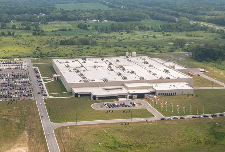
Employment density—the concentration of jobs per square mile—illustrates both the region’s industrial legacy and the distribution of today’s economic activity. As the map shows, the densest concentrations of employment are clustered along the Lake Michigan shoreline in Lake and Porter Counties, particularly in cities such as Gary, Hammond, East Chicago, and Portage. These areas reflect Northwest Indiana’s long-standing role as one of the nation’s industrial powerhouses, with steelmaking, energy production, and heavy manufacturing defining the economic landscape for more than a century.
Indiana is the most manufacturing-oriented state in the country, and Northwest Indiana embodies that distinction. The high job concentrations near the lakefront are a direct result of the steel mills, refineries, and associated supply-chain industries built generations ago that remain critical to the state’s economy. At the same time, other employment hubs appear in places like Valparaiso and Michigan City, where higher-density job centers are tied to education, healthcare, logistics, and professional services.
Despite this, challenges remain. While the region has an abundance of jobs in industrial sectors, it faces difficulties in attracting and retaining workers—particularly younger, highly skilled talent—who are often drawn to metropolitan Chicago or other markets offering more diverse employment options. Population decline in core industrial cities has compounded this challenge, leaving behind a mismatch between the number of jobs in certain sectors and the availability of a workforce that is both adequately trained and willing to remain in the region.
This dynamic underscores the critical importance of strategies that strengthen transportation connections and expand access to opportunity by creating seamless links between residents, local job centers, and Chicago’s global economy. By improving connectivity and reducing barriers to travel, these investments position Northwest Indiana’s workforce to compete more effectively across the region. Concentrating new housing, services, and office space near stations supports this effort, ensuring that land use planning reinforces—rather than limits—the benefits of expanded mobility.
Employment
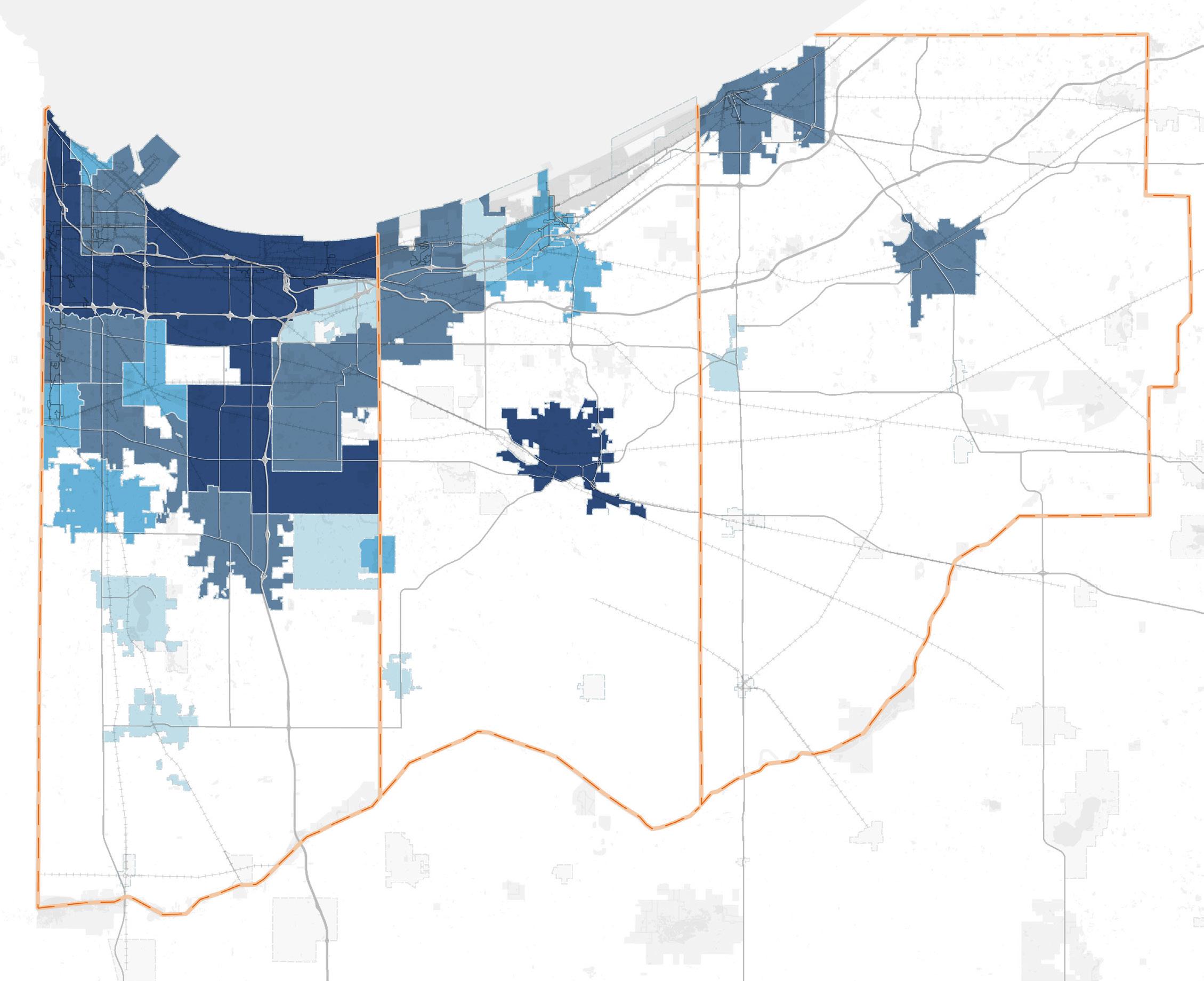
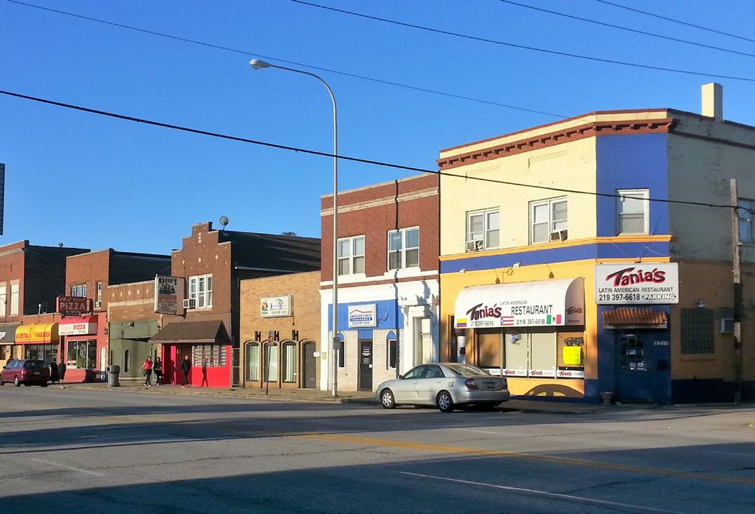
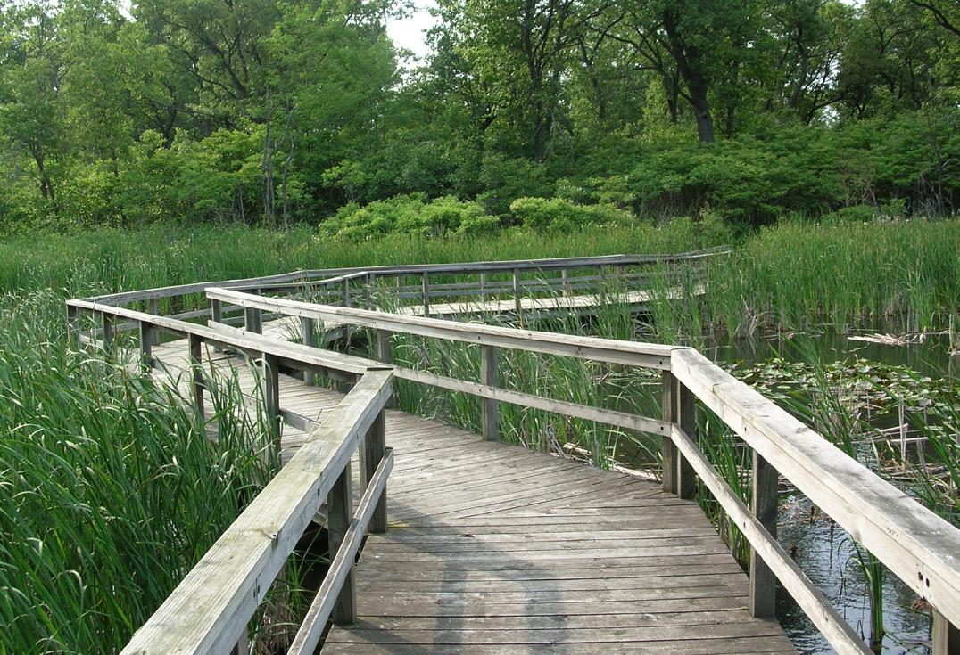
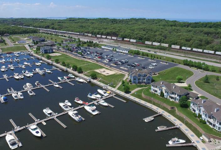
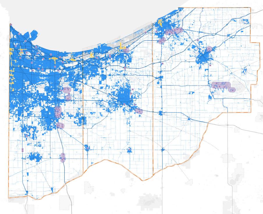
Development in Northwest Indiana has traditionally been focused near the Indiana-Illinois state line and along Lake Michigan, in cities like East Chicago, Gary, Hammond, Munster, Portage, and Michigan City. The region includes dense urban cores, growing suburban areas, productive agricultural land, and nationally significant natural areas like the Indiana Dunes. This diverse mix of land uses presents both opportunities and challenges as communities work to modernize infrastructure, revitalize older industrial areas, and accommodate new residential, commercial, and logistical development. Over the last 30 years, growth has moved south and east, especially in places like Schererville, Dyer, Crown Point, Valparaiso, Portage, and Chesterton.
Historically, land use in Northwest Indiana has been shaped by heavy industrial activity concentrated along the Lake Michigan shoreline and the Indiana–Illinois state line. Cities such as Gary, Hammond, East Chicago, Michigan City, and Whiting grew around steel production, oil refining, and freight rail operations. In contrast, county seats like Valparaiso (Porter County) and Crown Point (Lake County) developed as more traditional civic and commercial centers. Together, these urban areas feature dense street grids, smaller residential lots, and large footprints of heavy industrial land uses—many of which have declined over time and are now vacant or underutilized.
Over time, suburban development spread south and east into communities like Schererville, Dyer, Merrillville, Crown Point, Valparaiso, and Chesterton. These areas feature low-density residential subdivisions, big-box commercial corridors, and office parks, often located near major highways such as I-65 and US 30. Agricultural lands and small towns continue to dominate the more rural parts of Porter Counties.
16: Growth/Development since 1992
I-94 / US 20 Corridors near Michigan City I-65 Corridor through Merrillville & Crown Point Kingsbury Industrial Park
Developed Land (1992-2021)
Recent/Anticipated/Proposed Development
Existing or Future TDD Boundary County Boundary Roadway Railroad
Roadways only represent one mode that serve the movement of freight through and in the region. Rail lines, ships at Burns Harbor and other area waterways, various pipelines and air through the Gary airport all support the movement of freight in this region. Northwest Indiana has one of the busiest rail networks in the nation, given that the region serves as a gateway to Chicago and is home to major rail users such as the nation’s largest steel mills. Northwest Indiana’s rail network reflects its status as a gateway to Chicago, so that most rail lines radiate from Chicago as shown in Figure 17.
The freight rail system in Northwest Indiana consists of 828.8 miles of track, which includes major industrial leads, passing sidings, and yard tracks., Three of these railroads are Class I, three are local Class III railroads, and five are switching and terminal Class III railroads. A review of abandoned rail lines did not reveal any corridors that could easily be reactivated.
Class I Railroads are defined by the U.S. Surface Transportation Board (STB) as those with annual operating revenue exceeding $ 1 Billion annually. Class I railroads primarily focus on long-distance cross-country moves, providing service across the United States, Canada, and Mexico.
Class III Railroads or “Short Line” Railroads are defined by the STB as those with an annual operating revenue of less than $46.3 million. Class III Railroads can be broken down into Switching/Terminal or Local Railroads.
Switching and Terminal Railroads mainly operate within terminal yards and specialize in making up and breaking down trains, storing and classifying cars, serving industries within yard limits, and other related purposes, then connect into another railroad. Switching and terminal railroads are considered Class III regardless of their revenues.
Local Railroads provide “last-mile” service which connect to Class I railroads. These often do not have enough freight volumes that a Class I railroad would service. Like switching and terminal railroads, local short line railroads move railcars into and out of trains, but they also operate trains outside of yard limits.
As in other areas of the country, the Region’s rail network was once more extensive than it is now, and some rail lines that were once in use no longer are. Disused rail corridors could have different types of status as shown in Figure 17:
Inactive – Tracks in Place. These corridors do not have active service but are still under the responsibility of a rail carrier and could be placed back into service with investment.
Inactive – Tracks Removed. These corridors have not been placed through an abandonment process, but a higher level of investment would be required to restore service.
Abandoned – Right-of-Way Intact. These corridors have gone through an abandonment proceeding with the U.S. Surface Transportation Board (STB), but the corridor continues to have one owner or is controlled by multiple owners who each have an interest in maintaining the corridor. The corridor no longer has the legal status it did before abandonment. It could potentially be returned to service. In order to be returned to service, the operator would file notice of exemption with the STB and would need to be recertified.
Abandoned – Right-of-Way Not Intact. The corridor cannot be reconstructed because parcels that once comprised the corridor have been sold or reverted to adjacent property owners.
Interim Use/Railbanked – Per the 1983 amendments to the National Trails System Act, railroad right-of-way could be designated as “interim use” and converted to a recreational trail. This process is known as “railbanking.” Technically, a railbanked line remains part of the national rail network, albeit temporarily unused for railroad operations. If or when a railroad wishes to restore service on all or a part of the property, it may request that the interim trail use be vacated to permit reactivation for rail use. While theoretically possible, in practice, restoration of rail service on a railbanked right-of-way is very rare.
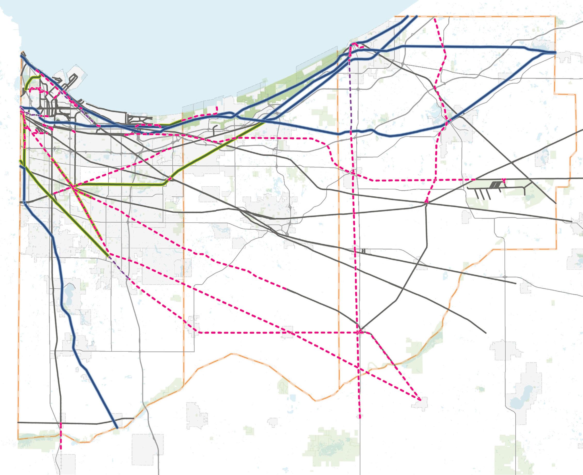
The NS and CSX mainlines that run between the New York Metropolitan Area and Chicago are the most heavily used rail lines of each carrier. Also within Northwest Indiana is the CN mainline which connects Chicago to markets in the eastern U.S. and Canada. An analysis has been performed that estimates trains per day of rail lines based on data for highway-rail grade crossings on those lines, shown in Figure 18.
An analysis of the Federal Highways Administration (FHWA) Freight Analysis Framework (FAF) found that approximately 19.8 million tons of freight move into, out of, and within the Chicago-Naperville, IL-IN-WI CFS Area (IN Part) as shown in Table 1. The Commodity Flow Survey (CFS) area includes the study area counties of Lake, Porter, and LaPorte, as well as Newton and Jasper Counties. Inbound rail movements accounted for 12 million tons or 61% of total tonnage, and outbound accounted for 4.8 million tons or 24% of total tonnage.
Highway-rail grade crossings are a major issue for Northwest Indiana because of the number of grade crossings and the number of trains and vehicles at these crossings. A total of 1,044 grade crossings are within the study area, and some of these crossings are on the busiest rail lines in the nation. Highway-rail grade crossings create safety risks and can reduce mobility, particularly when crossings are blocked by stationary or slow moving trains for extended periods of time. The most recent Northwest Indiana Regional Planning Commission (NIRPC) long-range transportation plan, Northwest Indiana 2050+, identified several of the most hazardous crossings in the region based on the number and severity of incidents between 2017 and 2021:
• CSXT’s Barr subdivision crossing of Lake Street in Gary
• NS Chicago Line District crossing of Clark Road in Gary
• NS Chicago District crossing of Grant Street in Gary
• CSXT’s Barr subdivision crossing of Calumet Ave in Hammond
• CSS crossing of Carroll Ave in Michigan City
The Northwest Indiana 2050+ Plan identified areas with blocked crossings incidents also shown in Figure 18. As shown, the largest delays occur in East Chicago and North Hammond. According to NIRPC, the following grade separations have been funded:
• CN at 45th and Calumet in Munster
• Kennedy Avenue overpass at NS and CN in Schererville
• Governor Parkway Railroad Overpass at NS in Hammond
• Closed crossings on Clark Road in Gary and rerouted to Buffington Harbor Drive
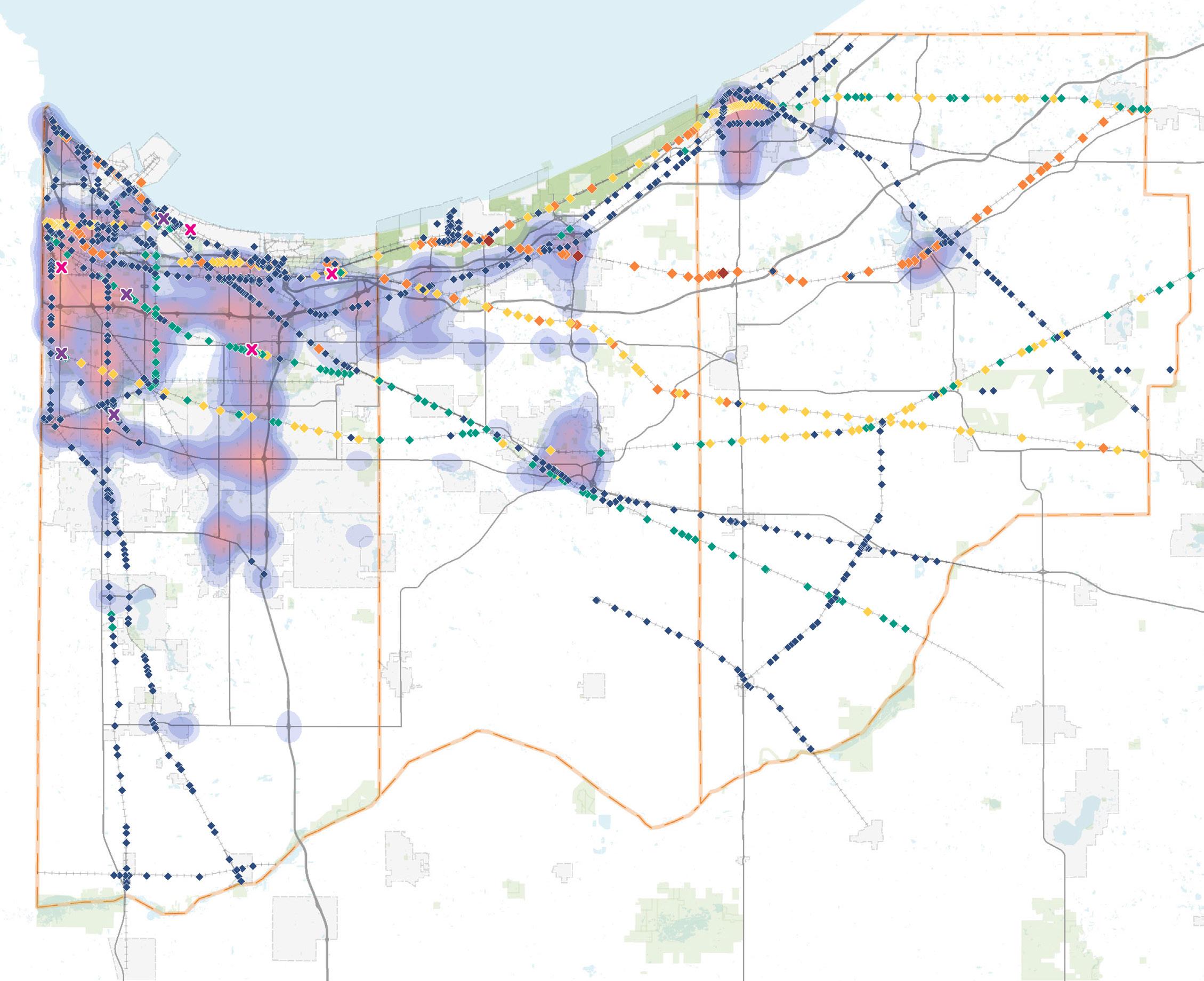
Most Hazardous Crossings Funded Grade Separation Projects
The Northern Indiana Commuter Transportation District (NICTD) operates the South Shore Line and West Lake Line in Northern Indiana and Chicago. The South Shore Line provides commuter service between downtown Chicago’s Millennium Station and South Bend International Airport while the West Lake Line, once completed, will provide commuter rail service from its southern terminus in Munster/Dyer to the South Shore Line in Hammond. NICTD owns 90 miles of track of which roughly 66 miles are located within the study area.
NICTD’s South Shore Line ridership peaked at 3.28 million in 2019. Ridership dropped significantly during the COVID-19 pandemic and declined further due to temporary service disruptions from Double Track and West Lake construction. Present day, ridership is rebounding—up nearly 16% in 2024—and this trend mirrors national transit recovery patterns. According to APTA, U.S. public transit ridership reached 85% of pre-pandemic levels by early 2025. Return-to-office momentum is also accelerating: employers now expect workers in the office an average of 3.2 days per week, and U.S. office buildings are operating at around 54% of pre-pandemic occupancy. In Chicago, downtown office attendance reached nearly 59% in September 2025, and leasing activity is rising. As more employees return to city centers, investments in transit infrastructure and service reliability will play a key role in sustaining this upward ridership trajectory.
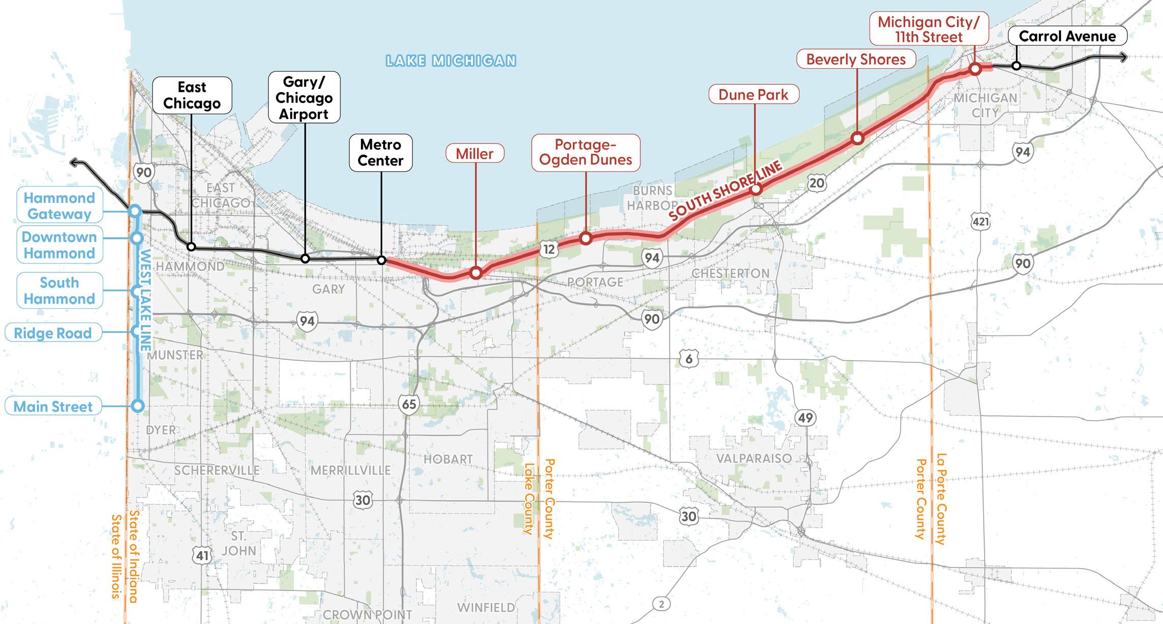
NICTD’s South Shore Line double-track improvements between Gary and Michigan City represent a transformational infrastructure upgrade completed in May 2024. This initiative added nearly 27 miles of a second mainline track, four new rail bridges, overhead electrification, and eliminated dozens of at-grade crossings—including removing street running in Michigan City. Station upgrades at five stops—including high-level platforms, accessible facilities, and expanded parking for nearly 1,450 vehicles—enable significantly improved service. As a result, NICTD was able to launch 14 additional weekday trains, expand express service, and reduce travel time on the route from approximately 100 minutes to about 67 minutes, greatly enhancing reliability, capacity, and rider appeal
The West Lake Corridor extension, soon to be branded as the Monon Corridor, is an approximately 9-mile southern branch extending the South Shore Line from Hammond through Munster to Dyer. Construction is well underway with an anticipated opening in 2026. The project includes four new stations, a maintenance and storage yard, multiple traction power substations, refurbishing dozens of rail cars, and thousands of park-and-ride spaces.
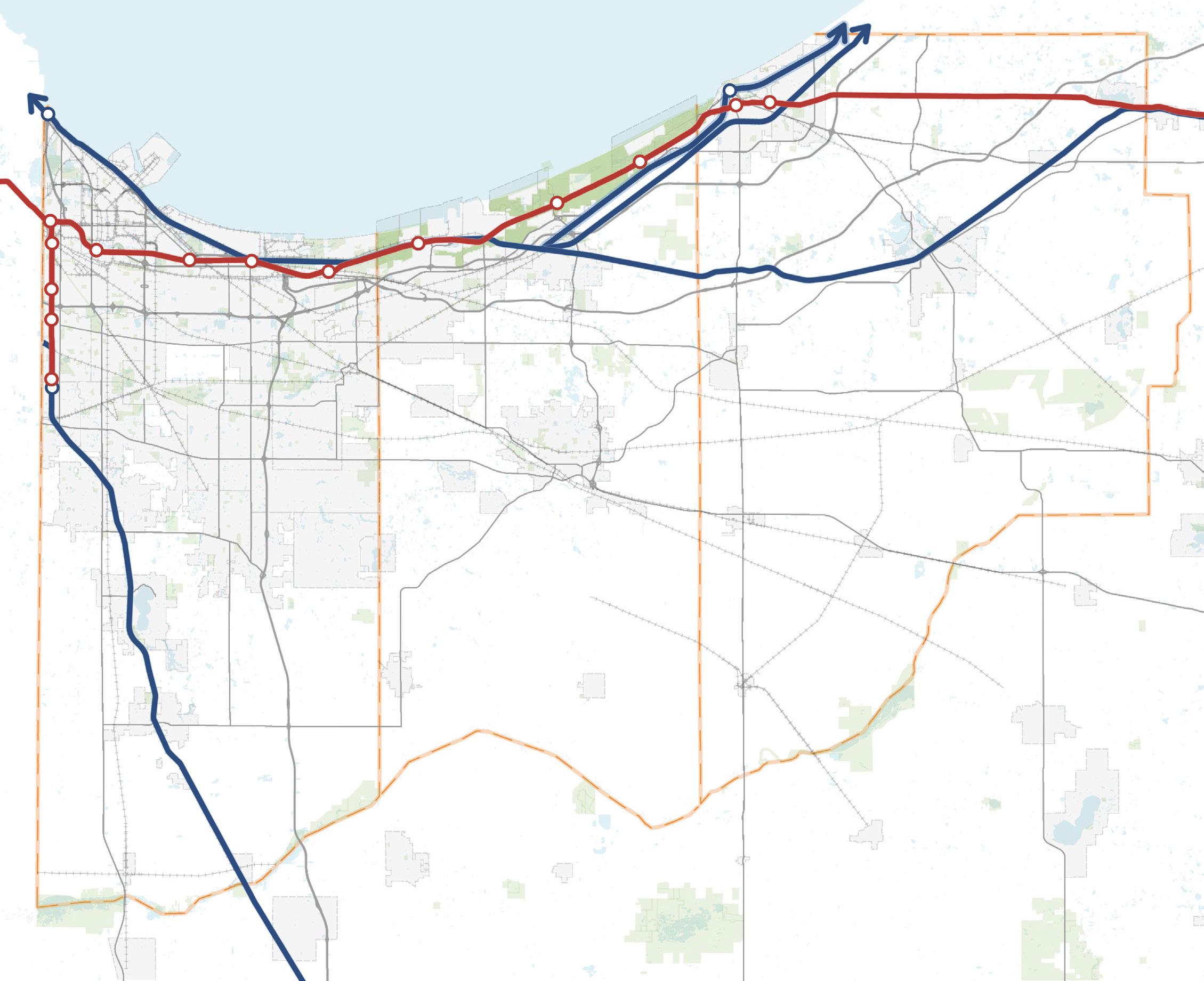
Commuter rail is finally leveling the playing field for Northwest Indiana. With more than $1.5 billion in public investment in the South Shore Line double-tracking and the new West Lake Corridor, the region is now poised to compete directly with Metra in terms of access, reliability, and commute times to Chicago. These improvements are projected to generate over $2.7 billion in private investment, with more than $500 million already underway at the time of this study—a clear signal of market confidence in the value of modern rail infrastructure.
By cutting travel times, expanding capacity, and improving station access, the South Shore Line is no longer a second-tier option for commuters, but a competitive alternative, to Metra. This shift is critical to the long-term competitiveness of communities along the corridor, particularly as interstate congestion worsens, highway commutes become less reliable, and drive times increase.
These rail investments not only link Northwest Indiana residents more directly to Chicago’s vast job market but also make the region more attractive for employers, developers, and new residents. While national trends around return-tooffice remain fluid, the modernization of commuter rail ensures that Northwest Indiana is positioned to capture the next wave of regional growth and economic opportunity.
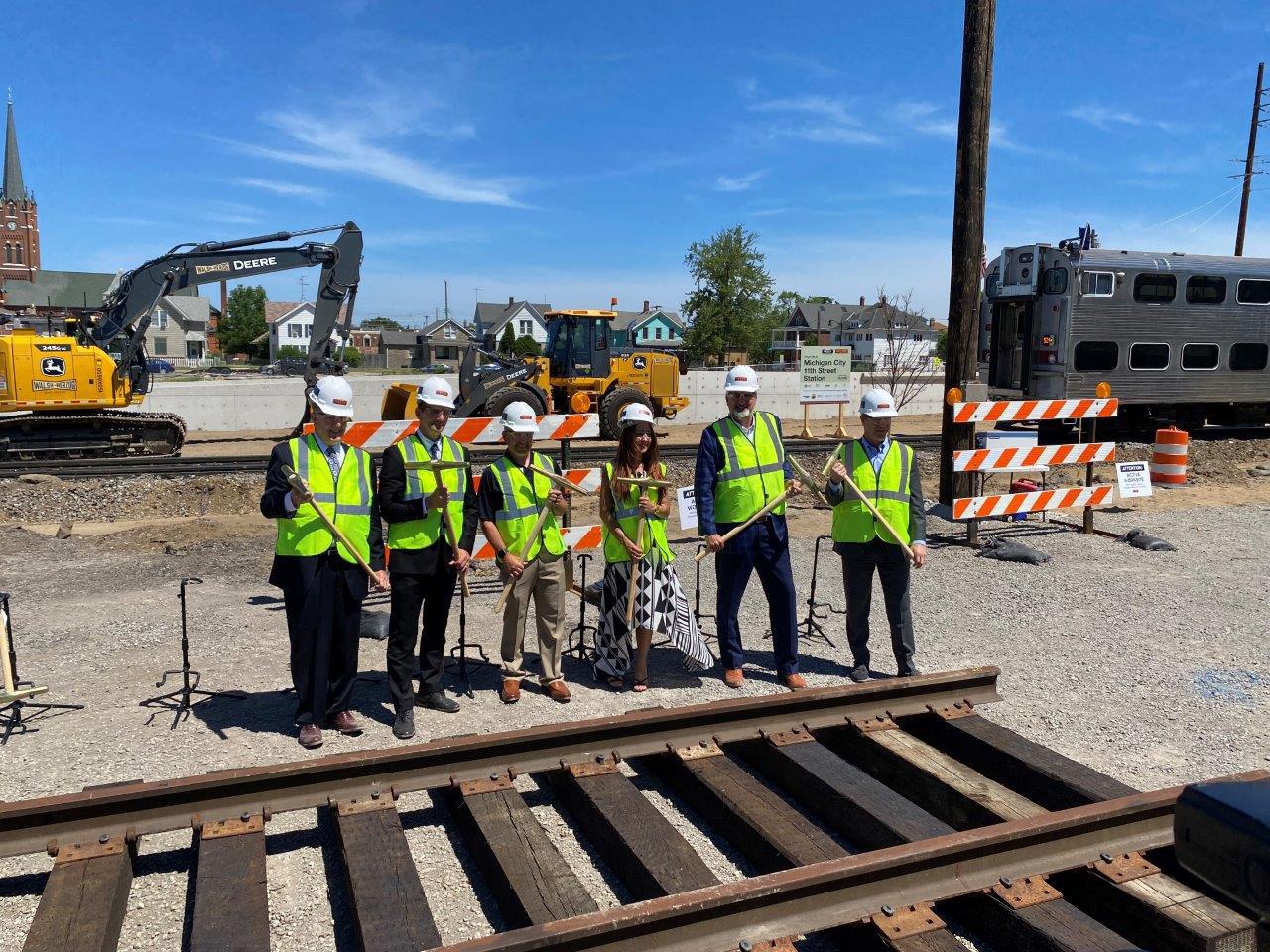
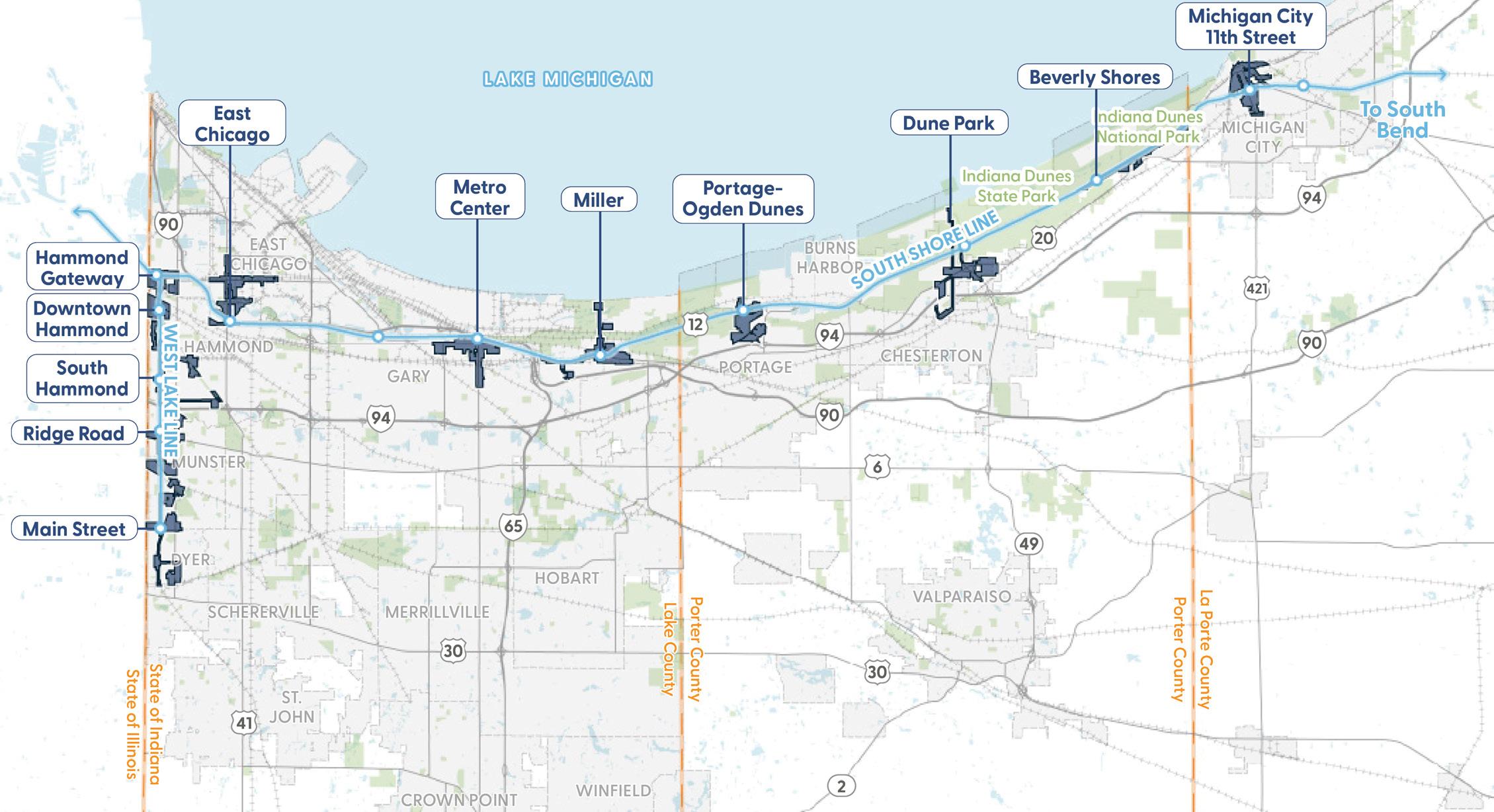
Transit-Oriented Development (TOD) through TDDs offers a powerful economic strategy for Northwest Indiana. By concentrating growth around South Shore Line stations, TOD maximizes the return on recent rail investments, creating dynamic districts that attract businesses, spur private development, and expand the region’s tax base. These transit-linked hubs become magnets for new employers and industries, generating jobs that provide residents with greater access to opportunity while strengthening the regional economy.
At the same time, TOD supports much-needed housing growth in walkable, transit-connected neighborhoods. By introducing a greater mix of housing types near stations, the strategy not only stabilizes older communities but also provides new options for workers and families seeking affordability and connectivity. In this way, TOD serves as both a catalyst for economic growth and a foundation for livable, resilient communities across Northwest Indiana.
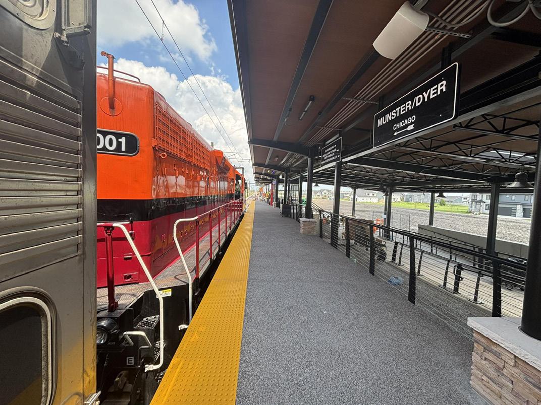
Northwest Indiana’s location – as the eastern gateway to the Chicago area and at the southern tip of Lake Michigan –creates significant opportunities and constraints within its roadway network. The region boasts the confluence of three major east-west interstate routes (I-80, I-90, and I-94) as well as a significant north-south interstate route (I-65) and several major regional routes (US 6, US 12, US 20, US 30, US 41) connecting the Northwest Indiana and Chicago region to the country. While carrying regional traffic into the Chicago area, they are also important roadways for local traffic traveling between cities within the Region and therefore are subject to additional strain during peak hours.
Level of Service (LOS) is a letter grade rating based on the average delay motorists experience on a roadway. The measure provides a straightforward method of sharing the general feel for how congested a roadway is during peak hours of a typical day. LOS is described by a letter designation ranging from LOS A to F. LOS A represents free-flow travel conditions while LOS F represents breakdown of traffic flow that occurs when demand exceeds capacity. The Regional roadway network experiences delays from regional travel heading into the Chicago area as well as through local trips within the RDA itself. The result is a relatively lengthy list of roadways that experience excessive delays, which are classified as LOS E or F.
The NIRPC Metropolitan Transportation Plan 2050+ analyzed Level of Service for the roadway network in Northwest Indiana and identified deficiencies as of 2019 (shown in Figure 23) are anticipated to worsen into the future if the projected traffic increases outpace efforts to accommodate the growth. This analysis compared current conditions (2019) to anticipated future conditions by 2050. The Year 2050 LOS (identified in Figure 24) should serve as a guideline for future capacity improvements in the area. Projects to address capacity along these roadways or parallel corridors should be investigated to allow continued flow of freight and commuters, although mode shifts away from personal vehicles to commuter rail may help future trips.
Many deficiencies shown may already be planned for improvement within NIRPC projects, and additional economic development opportunities in the area may drive the need for capacity improvements not currently identified or contemplated.
NO DELAYS
B NO DELAYS
C MINIMAL DELAYS
D NOTABLE DELAYS
E CONSIDERABLE DELAYS
F CONSIDERABLE DELAYS
Highest quality of service Free traffic flow with few restrictions on maneuverability or speed
Stable traffic flow� Speed becoming slightly restricted� Low restriction on maneuverability
Stable traffic flow, but less freedom to select speed�
Traffic flow becoming unstable� Speeds subject to sudden change�
Unstable traffic flow Speeds change quickly and maneuverability is low�
Heavily congested traffic� Demand exceeds capacity and speeds vary greatly�
Source: UtahDOT
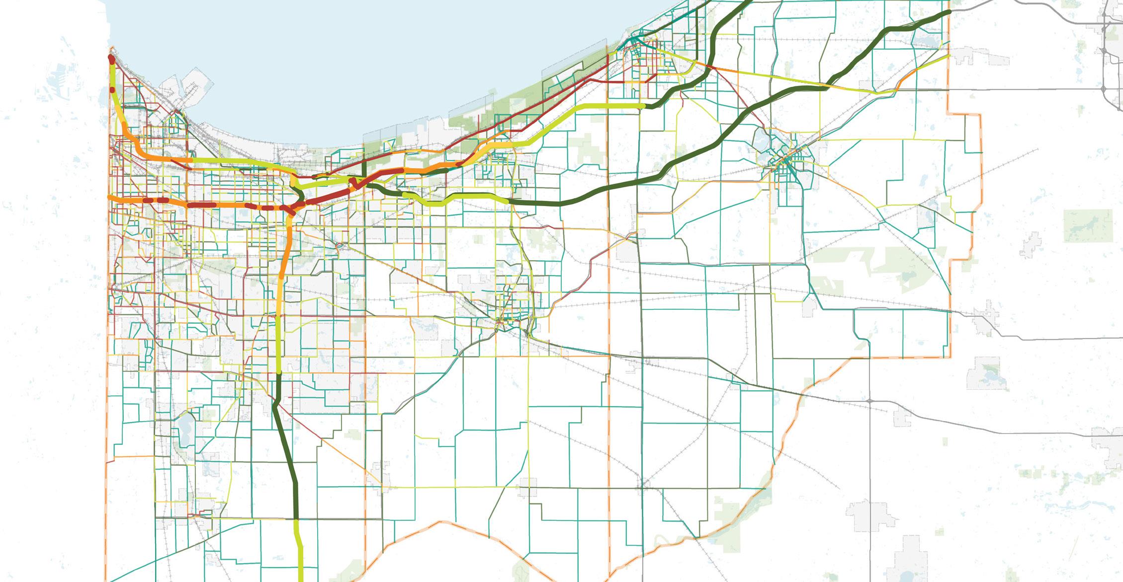
From the 2019 LOS analysis, the roadways exhibiting the most congestion are the major commuter and regional routes, including I-94 from Illinois to Burns Harbor, the northern reaches of I-65, most of US 41 within the urbanized area of Lake County, and US 30 east and west of Merrillville. Other segments include US 12 and US 20 from Illinois past Michigan City, SR 2 east of Valparaiso, and US 231 in southern Lake County. The major routes of US 12 and US 20 are already performing at LOS F through the National Park corridor.
22: Current Level of Service (2019)
23: Projected Future Level of Service (2050) MICHIGAN CITY
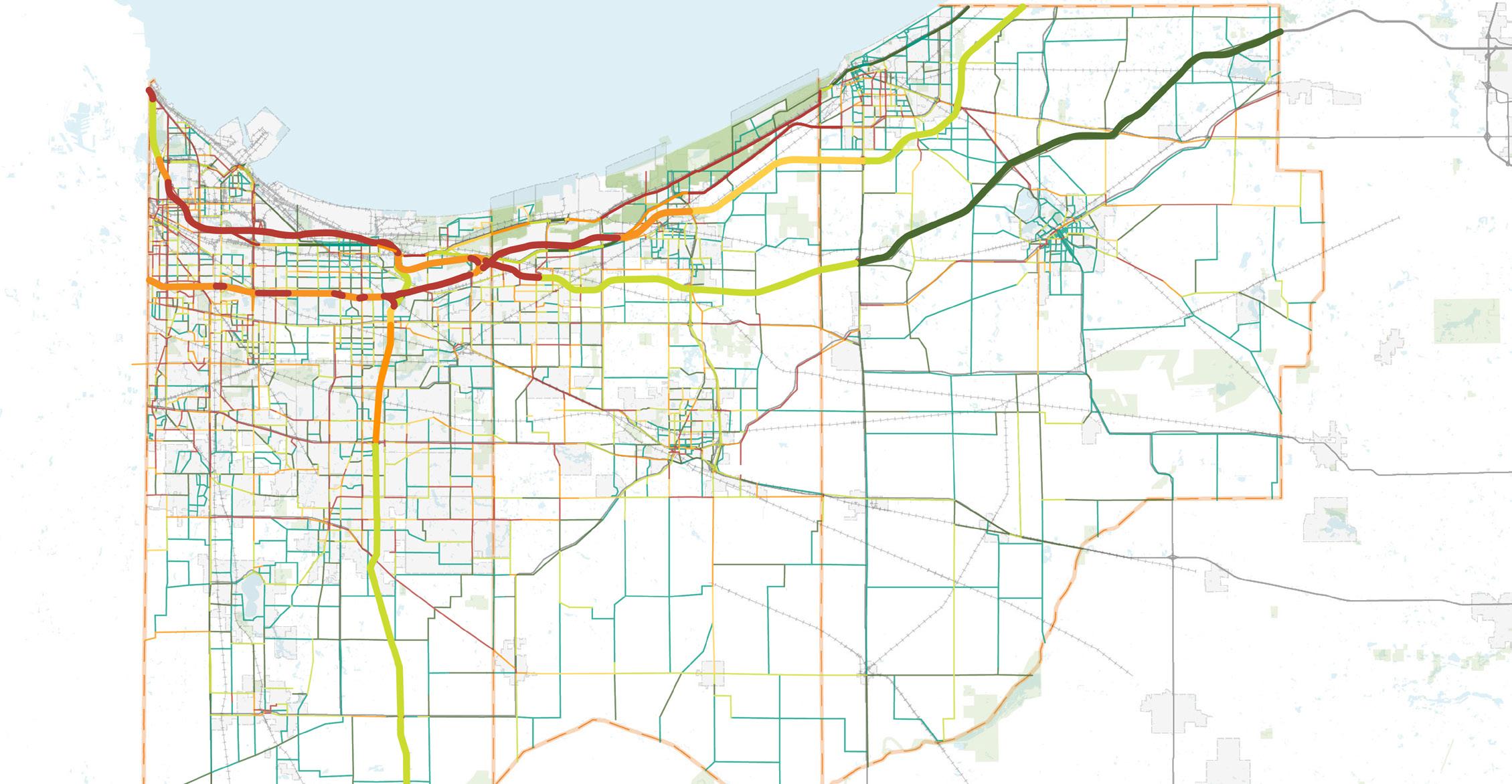
Forecasting growth ahead to the year 2050, without capacity improvements to accommodate the anticipated growth in the region, the roadway congestion is forecast to worsen substantially by 2050. Specifically, congestion on interstates approaching the Chicago area is anticipated to increase, reducing LOS on these corridors. I-90 to the west of the I-65 interchange in Lake County is expected to decrease in LOS drastically to LOS F in most segments of the highway corridor. The interchange of I-65, I-90, I-94 is expected to become more congested by 2050 which will result in decreased LOS for these highway corridors approaching this interchange.
Increased congestion is also expected along US 41 and US 30 in the same areas as already experiencing congestion in 2019. Without modifications, additional delays are forecast throughout the region, especially within the urban areas of northwest Lake County as multiple local collectors and arterials would experience Level of Service E or F in the peak hours. Short of major upgrades to the existing roadways to improve capacity or alternative routes into the Chicago area south of US 30, alternative strategies considered to reduce congestion.
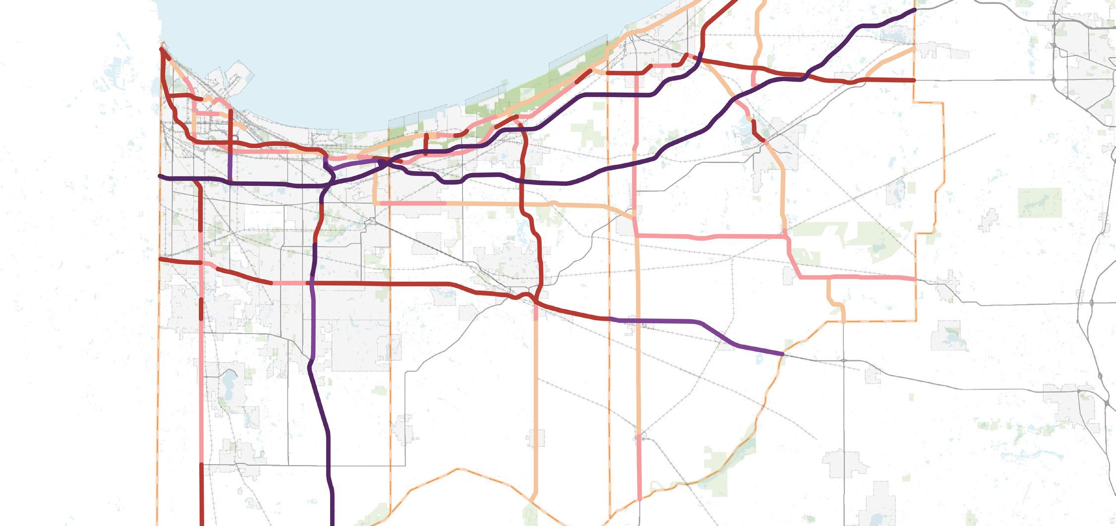
The majority of the freight moving in and out of the Region network is via truck traffic. The key roadways moving freight traffic and their respective truck average annual daily traffic (AADT) are shown on Figure 26 below. This graphic provides an understanding of the roadways that experience a high level of truck traffic. Historically, the truck AADTs have steadily increased in the Region, and this trend will continue as the region is expected to experience an increase of 13% of total freight tonnage and 42% total freight value by 2050. US 20 and parts of US 12 in the Region are designated as extra heavy-duty highways which allow for overweight trucks to travel through Northwest Indiana via a special permit to protect infrastructure and improve safety for all users.
A truck bottleneck refers to a segment of the roadway system that frequently experiences a significant decrease in truck speeds. While a bottleneck may cause congestion, congestion is not always the result of a bottleneck.
Therefore, a combined DPM-TTTR* Index is used in this analysis to identify truck bottlenecks that are representative of both delay and reliability challenges. The total hours of delay per mile (DPM) is multiplied by the TTTR ratios for each segment to calculate the TTTR-DPM Index values.
*TTTR: Truck Travel Time Reliability; TTTR ratio is a ratio of the 95th percentile time to the normal time for each segment.
24: Truck Average Annual Daily Traffic (AADT)
> 10,000 AADT
5,001 - 10,000 AADT 1,001 - 5,000 AADT
- 1,000 AADT
AADT
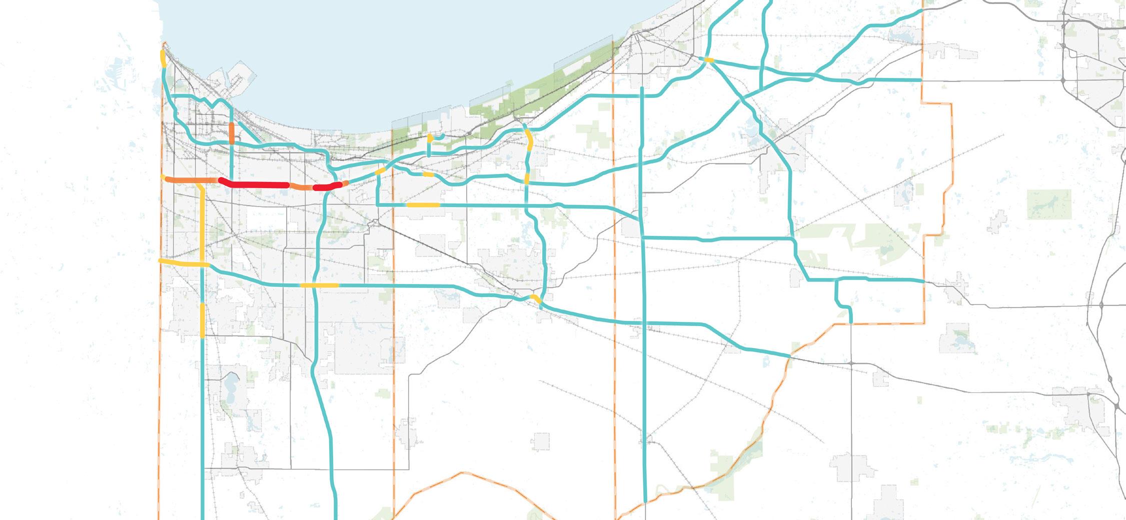
Crash injuries and fatalities are major concerns along the roadway network in Northwest Indiana. Current safety concerns identified as a heat map of injury crashes in the MTP 2050+ Plan, as shown in Figure 27, reveals high density of injury crashes as also occurring on the regions most congested corridors and urbanized areas. Crash injuries and fatalities are identified in the highest concentration in Hammond and East Chicago along the I-90, I-94 and US 41 corridors and interchanges. Gary and Merrillville also show high densities of injury crashes around interstate interchanges and intersections of major roadways. These areas not only show the highest density of injury crashes, but are also areas of higher traffic volumes and congestion.
While Northwest Indiana benefits from the NICTD South Shore commuter rail system, the region lacks a coordinated, region-wide bus network—a gap that presents a significant challenge to maximizing the benefits of commuter rail. In contrast, the success of the Chicago region’s METRA system is largely supported by the Pace suburban bus network, which provides essential first- and last-mile connections and broader access to employment and services. In Northwest Indiana, localized bus systems do exist in communities such as Gary and East Chicago, but service coverage is fragmented, inconsistent, limited in scope, and not coordinated with commuter rail.
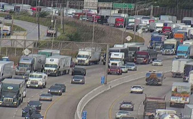
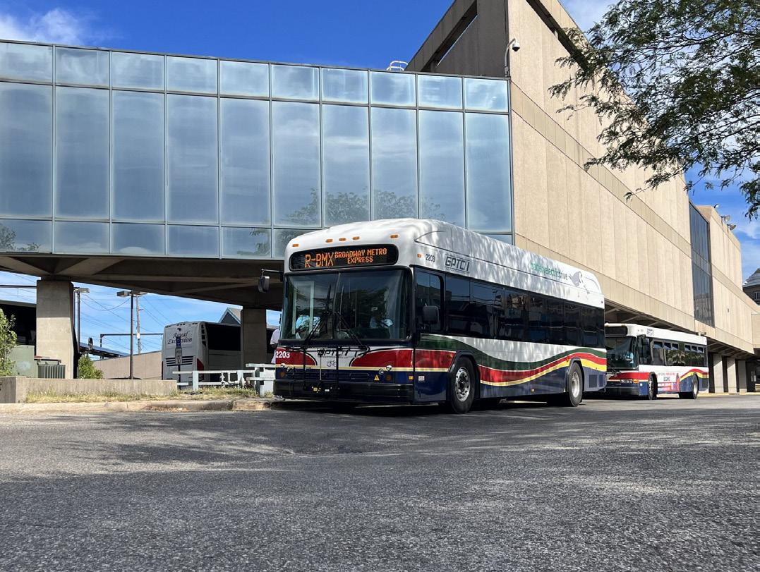
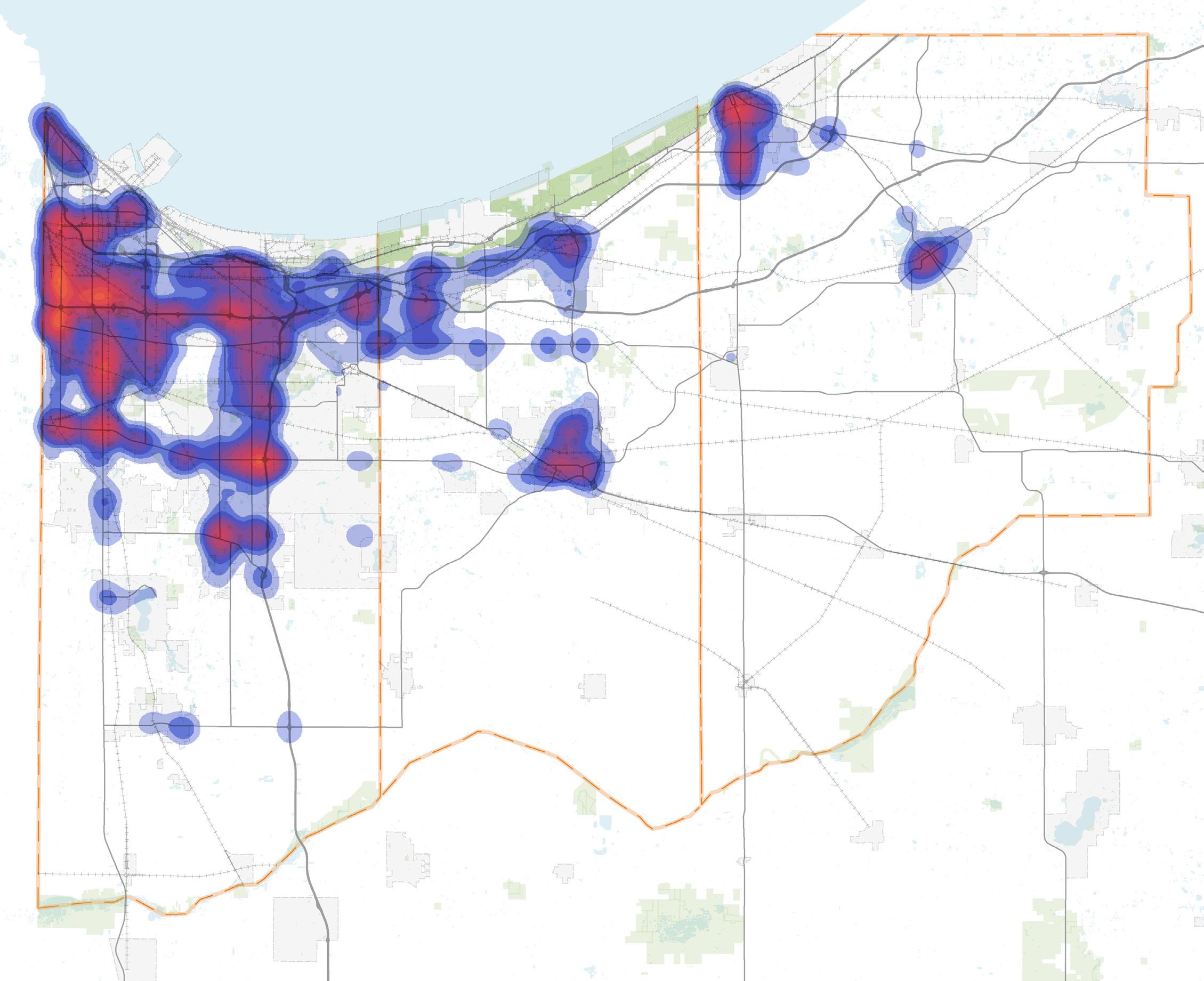
The Indiana Dunes National Park boasts numerous unique habitats, experiences, and amenities, including public beaches, trails, camping areas, and nature preserves. The Park averages 2.6 million visitors each year since its inception in 2019, with a peak in 2021 of 3.17 million visitors. Approximately 60% of visitors are from outside of the State of Indiana. This park has over 15 miles of shoreline (15,000 acres in area) and is the fifth most visited national park and the fifth most ecologically diverse park in the country. Despite its status, the park lacks many of the visitor focused amenities that other top parks have.
Many of these unique areas are separate from each other in noncontiguous sections of the park's territory, segmented by industrial areas, private communities, and freight railroads. The majority of these national park destinations and beaches are accessible by vehicle with dedicated parking areas, which also provide access to trails. The park is difficult to navigate (due to many points of ingress and egress), parking is often difficult to find, and there is a lack of cohesive experience for visitors along this linear parkway. Furthermore, few of these destinations and beaches are accessible for pedestrians or cyclists via pathways, sidewalks, or external regional trails from major roadways or nearby lakefront communities.
The Indiana Dunes State Park, located along the lakefront, averages over 1.3 million visitors a year, often as part of a multi-destination visit including the national park sites. The state park is accessed from a single point off IN-49 and for many visitors, accessing the state park is their first experience of the lakeshore. During weekends and summer months, Indiana Dunes State Park exceeds capacity, due to its singular access point and limited parking, with long-traffic backups onto IN-49 from its entry.
Table 2: Access to National or State Parks/Beaches
Park/Beach Types of Access
Lake Street Beach
West Beach
Portage Lakefront
Boaters Beach
Porter Beach
Vehicles w/ Parking Pedestrian Path Access
Vehicles w/ Parking Trails (internal)
Vehicles w/ Parking Trails (internal)
Trails (internal) Pedestrian Path Access
Vehicles w/ Parking Trails (internal) Pedestrian Path Access
Indiana Dunes Beach (Indiana Dunes State Park) Trails (internal)
Kemil Beach
Lake View Beach
Central Beach
Mount Baldy
Vehicles w/ Parking Trails (internal)
Vehicles w/ Parking
Vehicles w/ Parking
Vehicles w/ Parking Trails (internal)
Figure 27: Existing Lakefront Amenities and Status of the Marquette Greenway
Hammond Lakefront Park
Whihala Beach
Whiting Lakefront Park
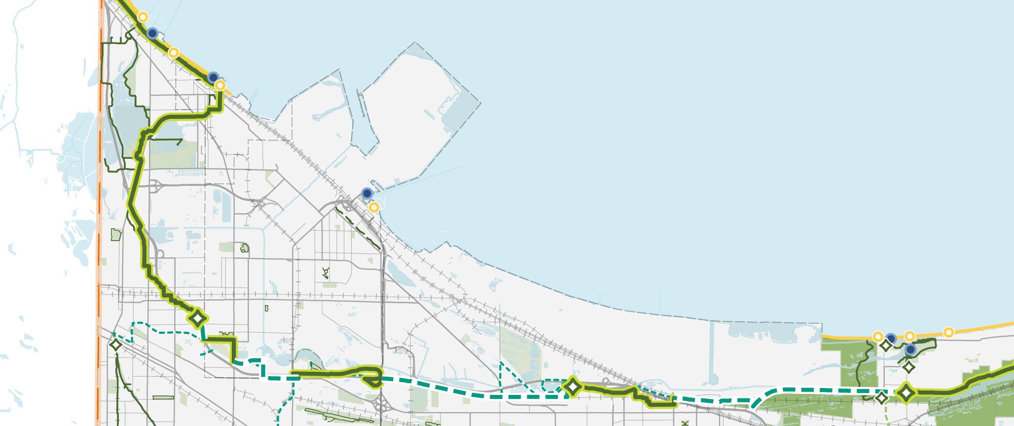
Boaters Beach
Jeorse Park Beach West Beach
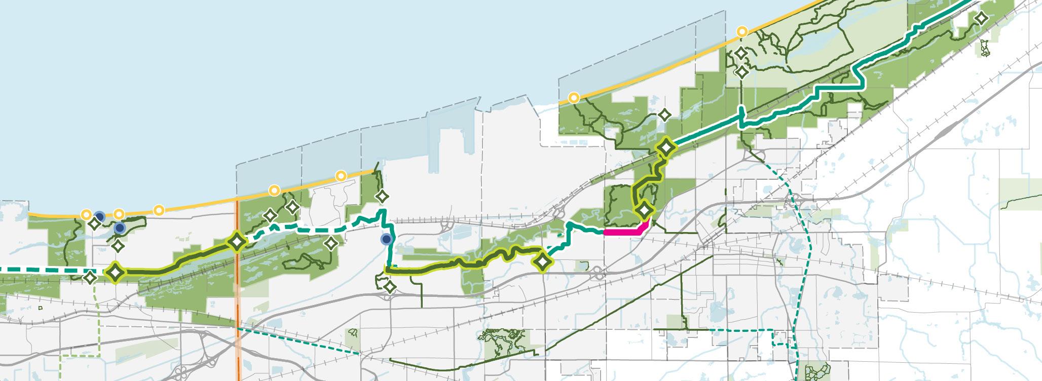
TOLLESTON DUNES
Lake View Beach
Kemil Beach
Central Beach Mt. Baldy
Washington Park Beach Porter Beach
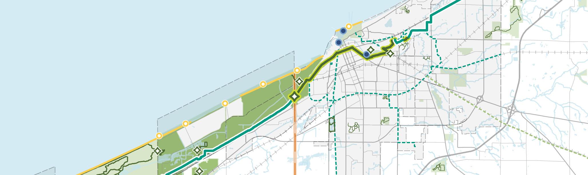
Marquette Greenway (Complete)
Marquette Greenway (Incomplete & Fully Funded)
Marquette Greenway (Incomplete & Partially Funded)
Marquette Greenway (Incomplete & Not Funded)
Existing Marquette Greenway Trailheads
Public Beach/Access
Marina / Boat Launch
Existing Trailhead Existing Trail
Other parks and public beaches along the Lake Michigan lakefront outside of the national or state parks also serve as important community assets for the lakefront communities. These areas are particularly segmented by industrial areas and difficult to access due to major roadways or interstates and a network of freight railroads.
The Marquette Greenway, once completed, will be the centerpiece of the regional trail system. The Marquette Greenway is planned to run along the entirety of the Lake Michigan shoreline in Indiana from Illinois to Michigan. This greenway will be a crucial link for the lakefront public parks and beaches, the Indiana Dunes National Park, the Indiana Dunes State Park, and the lakefront communities.
The Greenway incorporates the following built trails (as of 2018): Wihala Beach Trail, Wolf Lake Trail, George Lake Trail, Gary Green Link, Miller Marquette Greenway, NIRPC Trail, Brickyard Trail, Dune Kankakee Trail, and Calumet Trail.
Table 3: Access to Other Lakefront Parks/Public Beaches
Park/Beach Types of Access
Hammond Lakefront Park Vehicles w/ Parking
Whihala Beach
Whiting Lakefront Park
Jeorse Park Beach
Marquette Park Beach
Ogden Dunes Beach
Washington Park Beach
Vehicles w/ Parking Bike Trail (internal)
Vehicles w/ Parking Bike Trail (internal)
Vehicles w/ Parking
Vehicles w/ Parking Trails (internal) Pedestrian Path Access
Vehicles w/ Parking
Vehicles w/ Parking Trails/Pathways (internal)
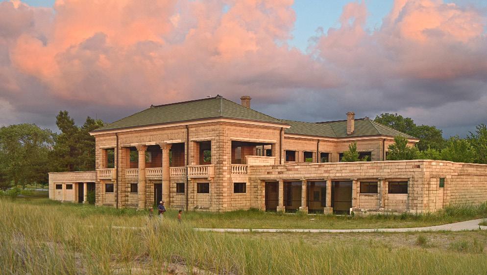
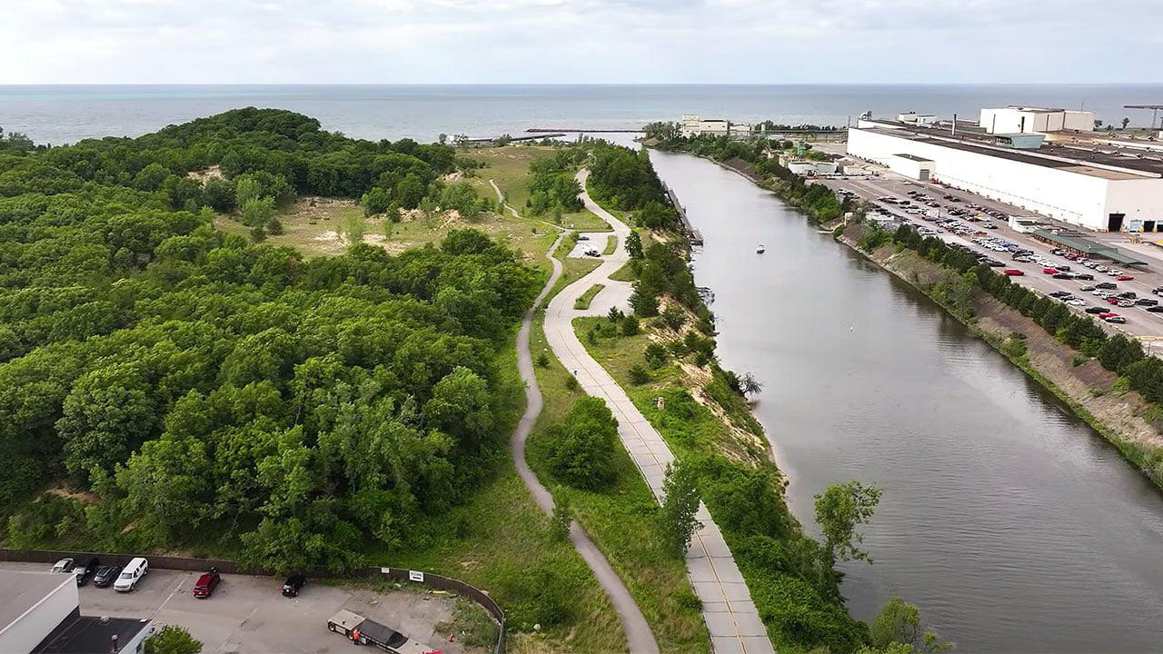
28: Regionwide Shoreline Access from the 2018 Marquette Action Plan
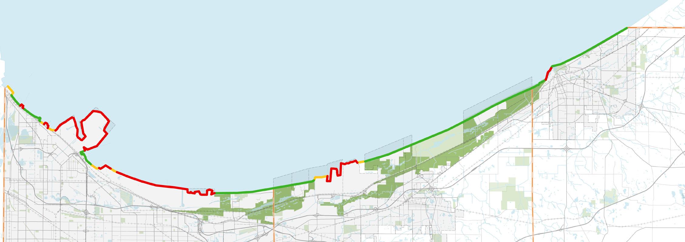
The 2018 Marquette Action Plan identified a series of key sites along Lake Michigan where improved public access and redevelopment could enhance both community connectivity and regional economic opportunity. These locations—many of which include aging industrial, utility, or privately held parcels—represent long-term opportunities to expand public access, restore shoreline ecosystems, and attract new investment along Indiana’s lakefront.
As these properties become available, the RDA should partner with private owners, the State of Indiana, regional entities, and philanthropic organizations to advance the vision set forth in the Marquette Action Plan. Through coordinated planning, environmental restoration, and targeted investment, the RDA can help transform underutilized shoreline areas into accessible, high-value destinations that strengthen quality of life and economic vitality across Northwest Indiana.
Before 2005, less than half (45%) of Indiana's Lake Michigan shoreline was publicly accessible, and since 2005 to the time of the Marquette Action Plan's publication, only 0.4 miles of additional shoreline have been converted to public access. There is opportunity to capture nearly 29 miles of unaccessible lakeshore and up to 2,500 acres of reclaimed land for parks and open space, and nearly 100 miles of land and water trails, shown in figure 28. There are several aging industrial sites and opportunities to reclaim shoreline parcels for public use or shoreline reclamation.
2003 (BEFORE MARQUETTE PLAN)
*from the 2018 Marquette Action Plan
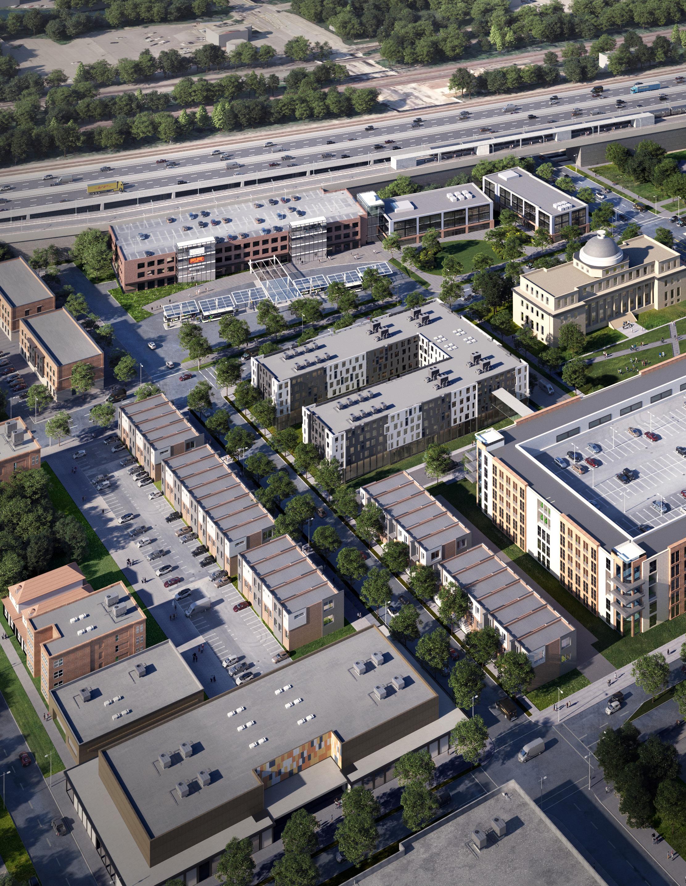
The Strategies for Economic Growth and Vitality chapter defines the RDA’s next 20 years of focused initiatives on redevelopment, regional airports, national and state parks, lakefront, commuter rail, and highway corridors— aligned with its statutory authority and mission. It identifies key opportunities and actions to drive measurable outcomes through strategic investment, guiding continued economic growth, private investment, and regional competitiveness across Northwest Indiana.
STRATEGY 1
Redevelopment
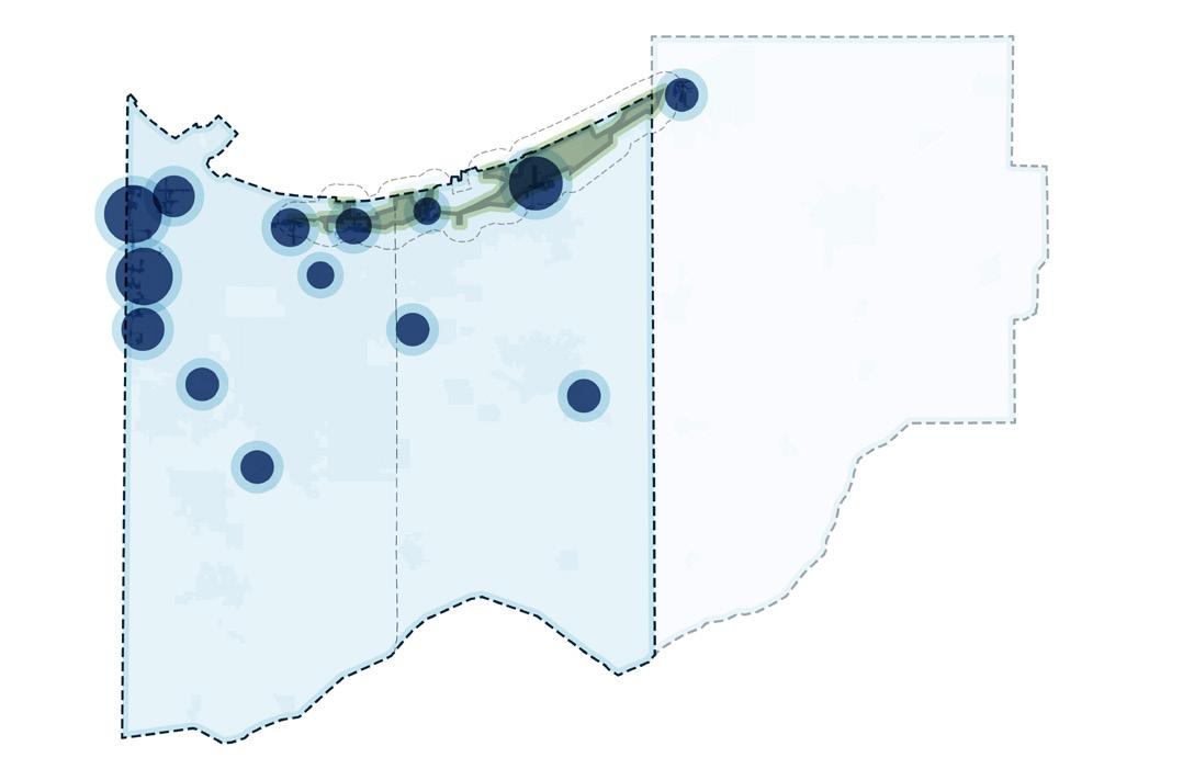
Create a Land Development Entity to assist with transformative investment and redevelopment
More information located on page 78
STRATEGY 3
National and State Parks
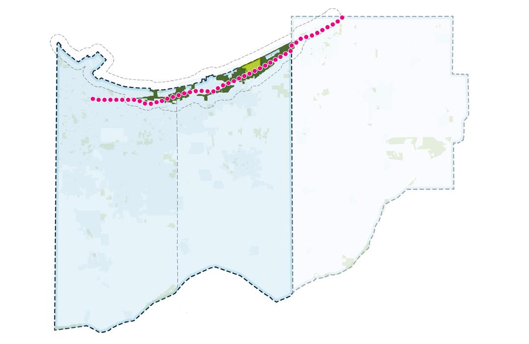
Leverage the Indiana Dunes National and State Parks for regional and national tourism
STRATEGY 2
Regional Airports
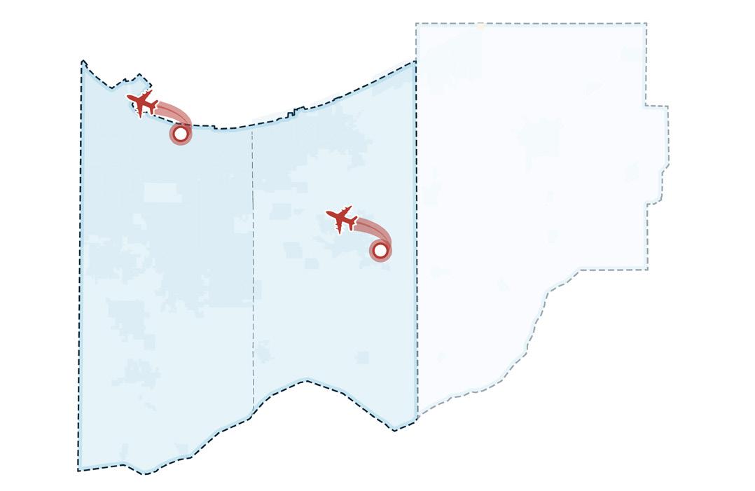
Reposition regional airports into key cargo and passenger aviation hubs
information located on page 92
STRATEGY 4
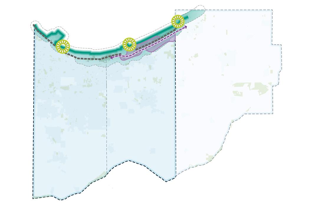
Remove barriers to growing and strengthening lakefront communities
STRATEGY 5
Commuter Rail
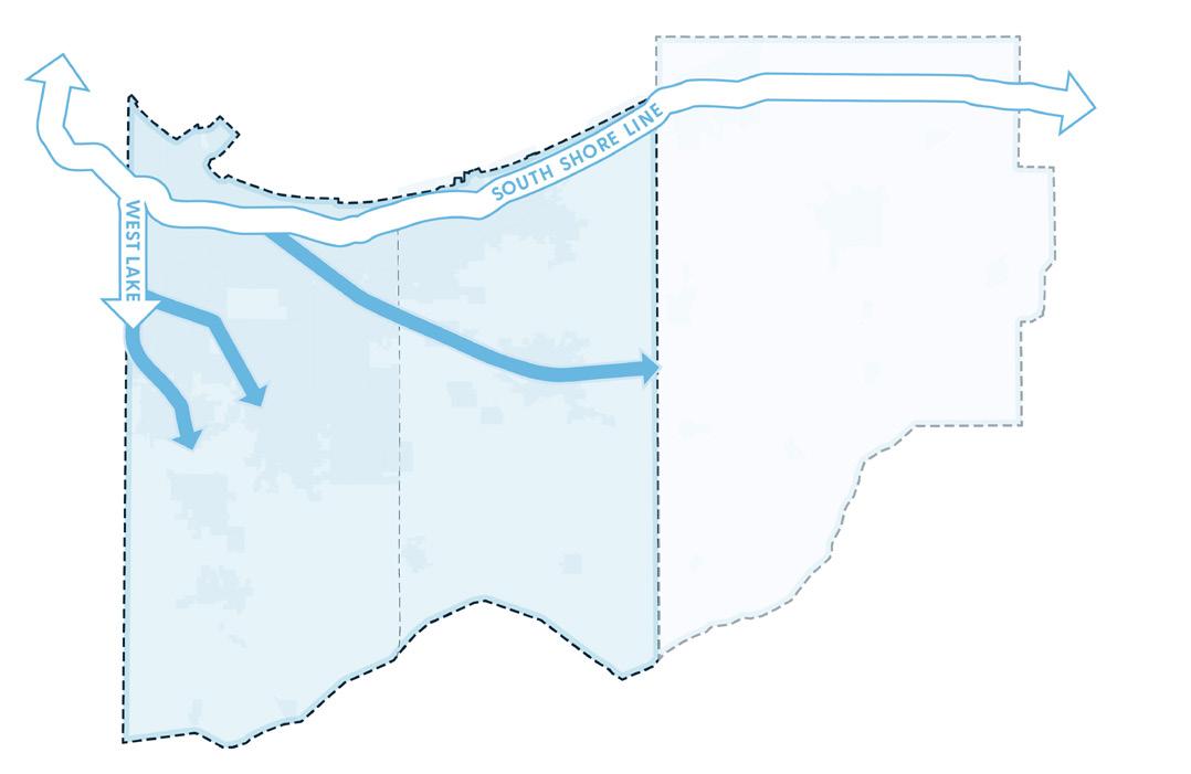
Expand commuter rail transit to serve more Northwest Indiana communities
More information located on page 140
STRATEGY 6
Highway Corridors
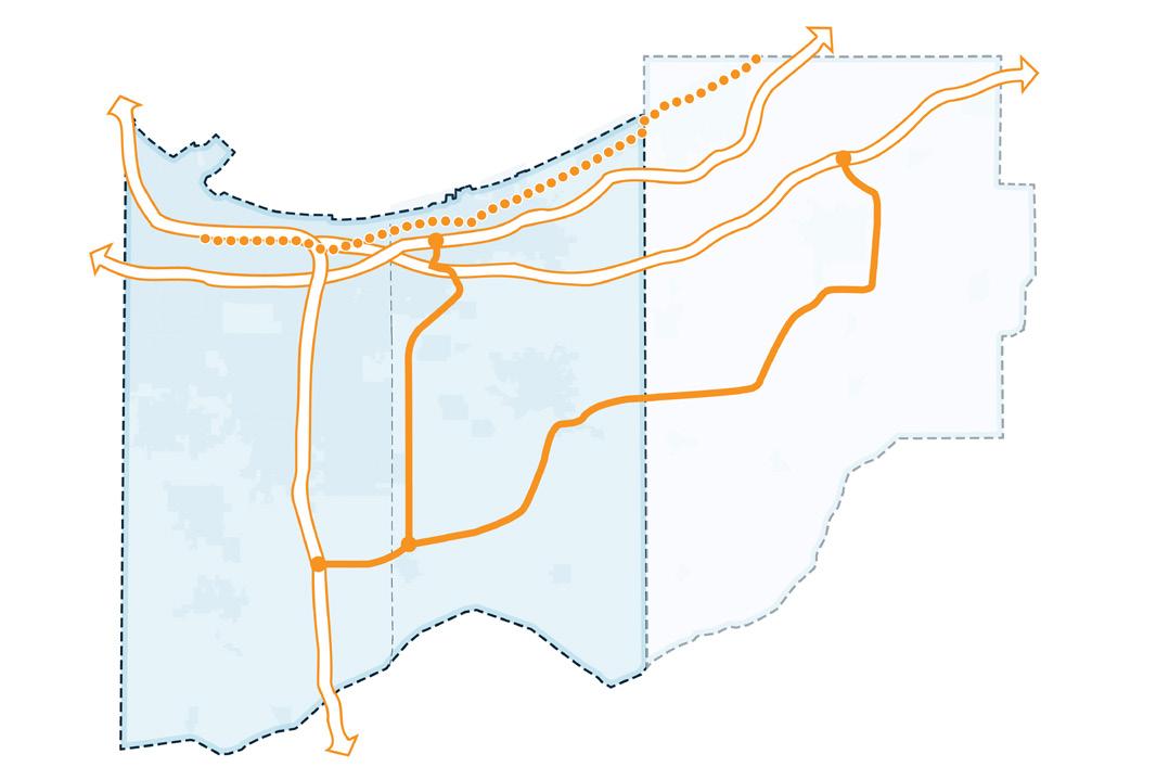
Reduce the negative impacts of congestion on highway corridors
More information located on page 170

Regional Development - RDA Major Focus Area
Accelerate redevelopment by assisting with assembling, acquiring, and stabilizing challenging properties; providing added capacity and expertise; and operating collaboratively with local municipal entities.
The Land Development Entity (LDE) will operate as a non-profit subsidiary of the RDA, designed to provide the tools and capacity necessary to assemble and reposition properties for redevelopment. It will work in partnership with municipalities, state agencies, federal entities, and non-profit and private corporate entities to assemble and acquire strategic properties; remediate environmentally degraded sites; and manage the layers of funding, incentives, and partnerships required for transformative catalytic growth. The LDE will pursue grants, manage funding streams, and leverage tools such as Transit Development District (TDD) incentives and federal programs—including TIFIA, BUILD, and RRIF—to support transformative redevelopment efforts.
In addition to addressing brownfields and smaller infill sites, the LDE will play a pivotal role in enabling large-scale, complex redevelopment projects in collaboration with the State of Indiana, federal government, local units of government, and the private market through public-private partnership (P3) deals.
The creation of an LDE is a critical next step to help Northwest Indiana achieve its redevelopment and economic growth goals. The history of large industrial sites, primary metals, and chemical operations including petroleum refining have left a legacy in the Northwest Indiana Region that make these properties unsuited to immediate and rapid economic development and redevelopment. An LDE is a recognized concept in other areas of the U.S. to accomplish the kind of land assembly, clean up, and preparation for redevelopment that is needed in Northwest Indiana.
Despite significant public investments—especially in commuter rail expansion—the region continues to face barriers to catalytic development. These barriers include fragmented land ownership, the presence of numerous documented and potential brownfield sites, and complex site conditions that inhibit private investment. While local governments and regional organizations have made progress, many lack the funding, capacity, or tools to address these challenges at the necessary scale.
The LDE is designed to fill this gap by providing a coordinated, region-wide approach to property assembly, environmental cleanup, and site readiness. The LDE will help optimize TDDs by maximizing the private investment potential generated by enhanced commuter rail service and other infrastructure improvements, and it will advance regional priorities aligned with the RDA’s comprehensive vision for economic and sustainable growth.
The following initiatives include infrastructure-focused projects in support of economic growth and development across Northwest Indiana:
Establish a Land Development Entity (LDE)
Work with Agencies & Municipalities to Identify Potential Properties and Procure Grant Funding to Assist in Environmental Cleanup
Each initiative requires the implementation of key projects and action steps that will be required by multiple entities and agencies working in partnership to bring each strategy to fruition. Collaborative work by other entities such as local units, state or federal agencies, other regional organizations, will be paramount to ultimately executing initiatives and implementing the projects in this plan.
Establish the Land Development Entity (LDE)
1) Form the LDE as a non-profit subsidiary of the RDA, finalize legal structure, and secure necessary board approvals and bylaws
2) Develop a governance structure, staffing plan, and operational protocols that ensure transparency, accountability, and alignment with RDA goals
3) Capitalize the LDE with initial funding of $5 million in RDA capital funds, utilize funds from the RDA's existing U.S. Environmental Protection Agency (EPA) Brownfield Revolving Loan fund, and pursue $2 million in Regional Infrastructure Accelerator (RIA) grant funding, and other sources as they become available
4) Establish key performance indicators to track private investment leveraged, jobs created, housing units delivered, and environmental outcomes achieved
a) Ensure compliance with federal, state, and local requirements and provide regular reports to the RDA board and stakeholders
Work with Agencies and Municipalities to Identify Potential Properties and Procure Grant Funding to Assist in Environmental Cleanup
1) Launch a Brownfield and Property Program to identify and prioritize brownfield, underutilized, and strategic parcels for acquisition in collaboration with local units and key stakeholders
a) Assemble properties for redevelopment or sale for redevelopment, with a focus on catalytic TOD and corridor projects
b) Work with Indiana Department of Environmental Management (IDEM), EPA, and other partners to secure funding for environmental assessments and remediation activities
2) Coordinate with local units to prioritize TDD tax increment and local income tax capture, combined with state, federal, and philanthropic grant funding, to support redevelopment
3) Pursue federal financing tools including TIFIA, BUILD, RRIF, Opportunity Zone, and P3 structures to advance large-scale redevelopment projects
4) Develop a strategy to attract private sector partners, including structuring P3 deals for transformative sites
5) Collaborate with state, federal, and local units to bundle sites and create investment-ready packages
See pages starting on 187 for the projected impact of these action steps
The LDE concept, as implemented around the country, comes in different flavors. In most cases, it is a standalone entity, usually a non-profit organization. To accomplish the task of redeveloping difficult land areas, an LDE needs to be able to undertake the following tasks and have the following powers:
• Property Acquisition and Retention. An LDE must have the authority to purchase or receive property, hold title, undertake the cleanup or other preparations for redevelopment and eventually, either sell the property to the private sector investor(s) or transfer to a local unit of government.
• Capacity Building. Professional expertise acquired via contracting or other means:
Access to real estate experience
Land planning skill sets
Environmental clean-up expertise
Financial skill sets
Understanding of redevelopment issues and experience
Skill in researching grant funding sources and applications thereto
• Continuity of Operations. The process of land assembly and clean-up is not done quickly. An LDE must be able to maintain its operational focus over years or even decades to see the project through to completion. Local units of government are, in most cases, simply unable to maintain focus for long enough for a project to reach the end of the redevelopment cycle with the result that the new investment is made and the development is operational.
• Separate Entity. The RDA will create a subsidiary non-profit entity with a separate board and by utilizing its own staff or other personnel resources, will initiate the LDE’s operations.
• Collaboration. The RDA will collaborate with the region’s municipalities to find those land areas that are targets of the local unit’s redevelopment efforts and are challenges for the local government to move forward.
One of the great strengths of an LDE as a tool for community redevelopment is the ability to adapt its form, structure, and function to meet a city or county’s character, culture, and crises. These urban planning and redevelopment functions are not isolated from existing local governments, but they are tools to assist in the efficient implementation of development planning.
LDEs can be an effective tool when there is a limited or emerging private market for acquisition, remediation, and redevelopment of properties, or there are existing local government laws and policies that create barriers to the transfer of properties by local governments. Because no two states have identical structures for the allocation of power between state and local governments, and each community has its own unique set of political and social pressures, an LDE should be crafted broadly to adjust to meet a particular community’s needs and objectives.
LDEs are special-purpose entities that are tied to local governments’ policies and priorities. The sheer number of parcels of property that are conveyed by an LDE makes it essential that the disposition policies and plans be coordinated carefully with the planning departments of the local governments. The underlying authorization, whether state statute, local ordinance, or interlocal agreement should identify the LDE’s purpose and focus.
Cooperation among local government officials facilitates the early identification of properties and efficient mechanisms for property management and disposition. In the absence of collaboration and cooperation, the program’s effectiveness can be impaired. The presence of other parallel local government agencies, such as housing authorities and redevelopment agencies, is not necessarily inconsistent with the purpose and function of an LDE. The RDA has already in its planning for an LDE discussed the desire to collaborate with local governments in Northwest Indiana. The RDA has the authority under its statute to acquire, hold, and transfer properties, IC 36-7.5-3-2.
Although an LDE’s primary function is to facilitate the conversion of abandoned or underutilized properties to productive use, few of them serve as the developer of the property. However, LDEs may play a critical role in determining the redevelopment of properties.
Largely because of the time duration required for an LDE to accomplish clean-up or other preparation of a property for redevelopment, an LDE may for a time be the owner (directly or indirectly) of significant numbers of properties. In those cases, these LDEs will have by default, property management functions, including maintenance and security. This may also include demolition of existing structures. At times an LDE may serve a true “banking” function of holding an inventory of property for long-term public purposes.
When a property is ready for redevelopment, an LDE may transfer the property at no cost or below market value as a form of subsidy or incentive for future development. However, it is sometimes effective to sell the parcels to the private developer and utilize the proceeds as part of a revolving fund to spur future development activity.
The Corporate Structure. An LDE’s formal legal structure is primarily determined by the allocation of powers and authority between the state and its local governments. LDEs that exist as independent public legal entities each have their own articles of incorporation and bylaws. In the case of the RDA’s initiative in creating an LDE as a non-profit subsidiary, the RDA will create bylaws and policies in accordance with its statute and other portions of the Indiana and federal code.
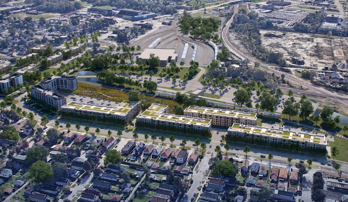
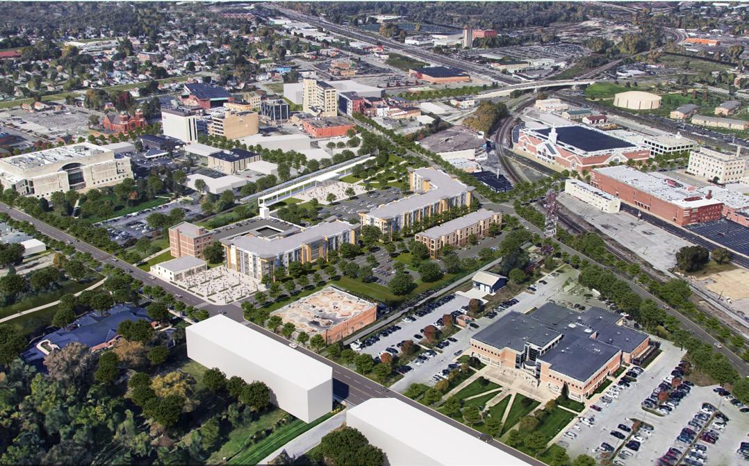
Establish a Land Development Entity (LDE)
The five major LDEs included this study and presented on the following pages—in Missouri, Ohio, Kentucky, Georgia, and Michigan—exist in very different legal and political climates.
• St. Louis Land Reutilization Authority (LRA)
• Cleveland Land Bank
• Louisville and Jefferson County Landbank Authority
• Metro Atlanta Land Bank (MALB)
• Genesee County Land Bank Authority (GCLBA)
The oldest land development entity in the country, the St� Louis LRA was created in 1971 by statute The LRA exists as a development board within the St� Louis Development Corporation, an umbrella not-for-profit agency, but the LRA also operates within a city department and staffed by city employees� The LRA has the authority to manage, maintain, market, and sell unoccupied and abandoned buildings and property that it owns in St� Louis� Its board is composed of three commissioners who are appointed by the mayor, the comptroller, and the superintendent of the public schools� The LRA receives all tax-delinquent properties not sold at the Sheriff's sale and through donations�
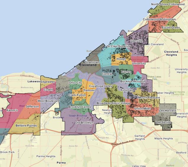
The Cleveland Land Bank was created in 1976 authorized by State of Ohio statute and operates as a city program within the Department of Community Development, rather than an independent legal entity� This land development entity owns, manages, and maintains vacant land owned by the City of Cleveland through three programs targeted toward homeowner yard expansion, infill development, and urban agriculture and community gardens�

The Louisville and Jefferson County Landbank Authority was created in 1988 by State of Kentucky statute The agency is a joint effort by the City of Louisville, Jefferson County, the Jefferson County School District, and the State of Kentucky This land development entity acquires, manages, and sells distressed, vacant, and/or unimproved properties in Louisville Metro to developers for redevelopment It is an independent public entity with its own board of directors, but the establishing interlocal agreement provides that the authority is staffed by local government department employees� Each participating local government appoints one member of the authority, the local school district appoints one member, and the governor has one appointment�
Establish a Land Development Entity (LDE)
The Metro Atlanta Land Bank was created in 1991 by an interlocal agreement between Fulton County and the City of Atlanta, authorized by Georgia law� MALB is governed by a board of directors, the City, and the County� MALB can acquire, hold, and transfer property within Metro Atlanta through several programs including: land banking depository, side lot disposition, permanently affordable housing, real property donations, and—in the future—fee simple property purchases� MALB has legal authority to hold properties for long-term purposes, but it primarily functions as a conduit for the immediate transfer of foreclosed or donated properties to public and private developers�
The GCLBA was created in 2002 by interlocal agreement between the State of Michigan and Genesee County� The GCLBA functions as a legally separate entity with a board of directors and its own full-time staff� It has the authority to acquire, develop, and sell vacant and abandoned properties, accepting properties from the Genesee County Treasurer after tax-foreclosure� GCLBA can act as a developer of commercial office space for itself and related entities� GCLBA builds upon its predecessors with the benefit of lessons learned in other jurisdictions and is founded upon some of the strongest state legislation in the country; it has created the most comprehensive set of solutions and is the most productive land development entity to date�
The following table provides a comparison of the five LDEs included as case studies based on functions, operations, and other characteristics.
Table 4: Range of Structures, Powers, and Activities of Land Development Entities
LOUIS CLEVELAND LOUISVILLE/ JEFFERSON COUNTY
Governance
Separate Board of Directors
Independent Staff
Shared Staff with other Departments
Authority to Make Property Dispositions
Source
Disposition
Disposition Priorities
Work with Agencies & Municipalities to Identify Potential Properties and Procure Grant Funding to Assist in Environmental Cleanup
The Northwest Indiana Region has thousands of acres of underutilized, vacant, and contaminated land as well as ten active, federally recognized U.S. EPA Superfund Program Cleanup sites and hundreds of brownfield sites, all of which would require hundreds of millions of dollars in cleanup to make productive land again. The density of brownfields in the Region is concentrated primarily in Lake County, Indiana, with the largest amount nearest the lakefront and Illinois State Line. Although the Region is much cleaner environmentally than in past decades, this area still ranks as one of the most polluted areas in the country. Many of these contaminated sites are within legacy cities with minority populations or near or within National Park and sensitive natural areas. Realizing the Region’s opportunity will require substantial investments in environmental cleanup over multiple decades.
Legacy industrialized cities, are plagued by industrial degradation and struggle with the scope of the problem. Region communities face many challenges, including financing assessment and cleanup, technical assistance, forensic research to identify potentially responsible parties, and lack an overarching redevelopment plan and clear action plan. In addition, property acquisition poses an additional barrier to this issue. The most significant issue identified by communities in the Region, however, is the need for a multi-jurisdictional approach with leadership from an entity such as the RDA's LDE that allows for overcoming political constraints and focusing on attainable and measurable actions that enable future economic development.
This is precisely the gap the RDA’s LDE is designed to fill. By assembling land, securing cleanup funding, addressing environmental constraints, and preparing sites for development, the LDE would enable communities to unlock catalytic opportunities that otherwise remain stagnant. It positions the RDA to take on the complex, region-wide challenges that no single jurisdiction can solve—clearing the path for TOD, housing, job centers, lakefront access, and recreation- and nature-based tourism that support long-term regional growth.
A brownfield is land that is abandoned, inactive, or may not be operated at its appropriate use and in which redevelopment is complicated because of the presence (or potential presence) of a hazardous substance that poses a risk to human health and/or the environment. When known or potential contamination is hindering transfer, reuse, or redevelopment of a property, the site may be considered a brownfield.
State and federal funding in the form of loans, subgrants or awards of professional services, coordination, and fund leveraging are available for Indiana brownfields. Assistance is available through the following sources:
• Phase I Environmental Site Assessment (Phase I ESA) Initiative
• Petroleum Orphan Sites Initiative (POSI)
• Revolving Loan Fund Incentive
• Indiana Finance Authority (IFA) State Revolving Fund Loan Program coordination
• IDEM Supplemental Environmental Project coordination
• Office of Community and Rural Affairs (OCRA)-IFA partnership coordination
• IDEM brownfield determinations / support letters
• EPA Brownfields and Land Revitalization CERCLA Section 128(a) State and Tribal Response Program Funding
The following pages include brief overviews of the following examples of brownfield redevelopment and the entities that led those remediation efforts.
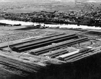
Former Navy Industrial Reserve Ordinance Plan (NIROP) Fridley (Minneapolis, MN)
Former NIROP Fridley facility dates back to 1940 when Northern Pump Company was under contract to the Navy, producing 5-inch gun mounts for Naval vessels during World War II� Historically, chlorinated solvents, were leaked, spilled, or disposed of on site and were found in groundwater at levels requiring cleanup�
In the early 1970s, paint sludge and spent liquid solvents were disposed of in pits and trenches� The Naval Facilities Engineering Systems Command (NAVFAC), the EPA, and the Minnesota Pollution Control Agency (MPCA) have been working together to clean up Former NIROP Fridley since the early 1980s� NIROP Fridley was listed on the National Priorities List (NPL) in November 1989�
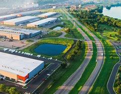
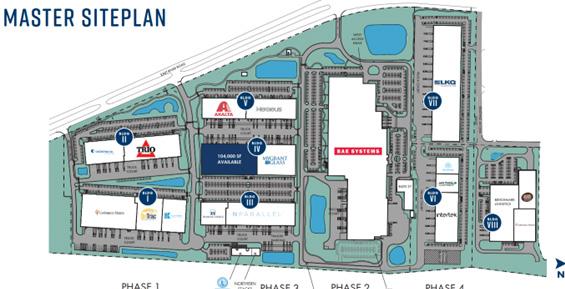
The Navy sold the property in 2004, but still has responsibility for environmental cleanup activities� The property was redeveloped from 2014 to 2020, and the area is now known as the Northern Stacks Industrial Park� Hyde Development purchased the NIROP site and adjacent land in 2013, as Fridley Land LLC Property redevelopment for commercial and industrial use started in 2014 and concluded in June 2020 Institutional controls remain such that the property is restricted to industrial or restricted commercial use, and groundwater use is prohibited
The previously vacant 122-acre property (86-acre Superfund site plus additional adjacent brownfields acreage) has 18 tenants which has added $112 million to the property tax base and $1�9 million annual tax capacity�
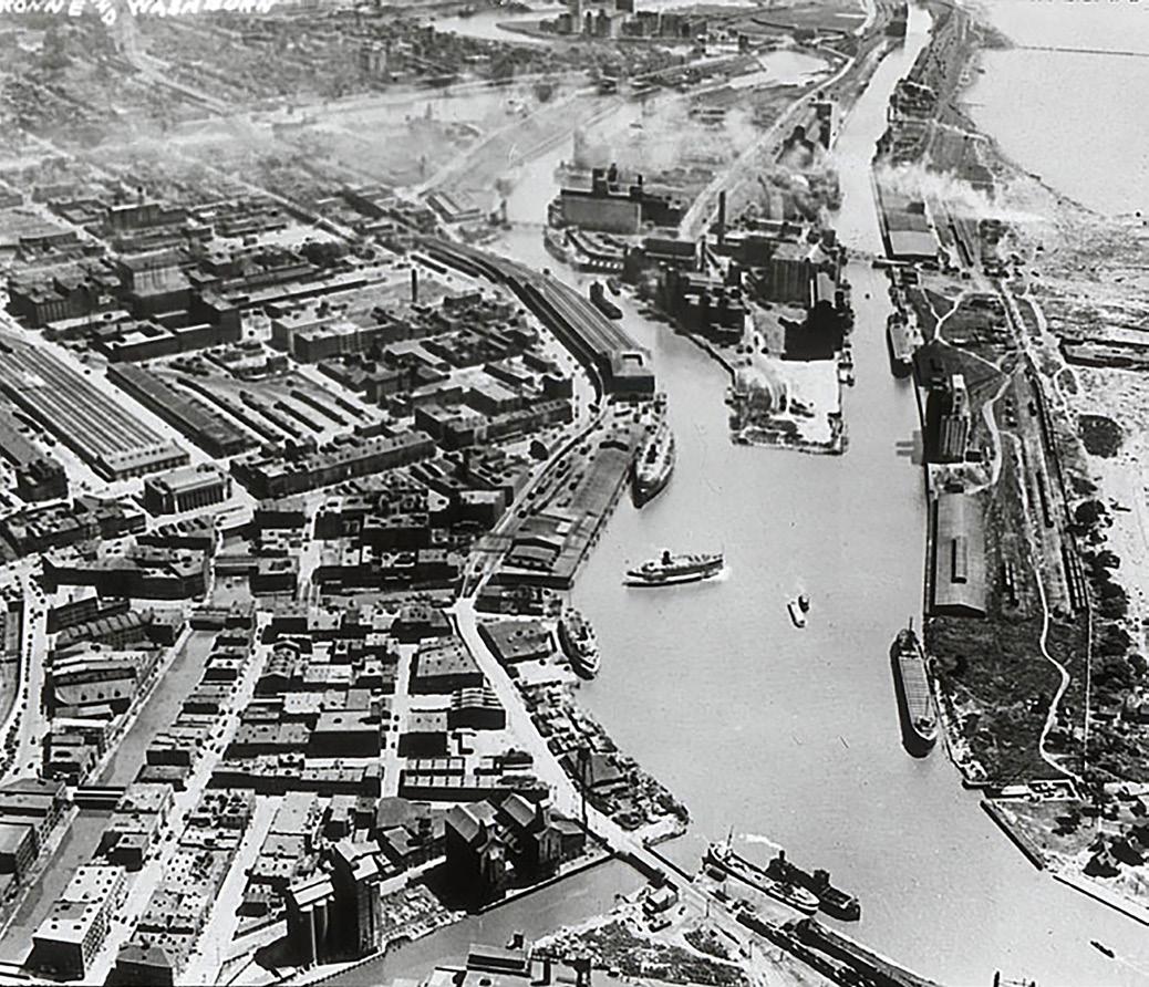
Millions of dollars of public and private investment have transformed Buffalo's historically industrial harbors
Buffalo's prominent waterfronts were historically isolated from the city and dominated by steel mills, tanneries, and shipping ports�
The federal projects that sparked the revival of the Buffalo River were the 2002 Great Lakes Legacy Act and the 2010 Great Lakes Restoration Initiative, which provided funding to the Army Corps of Engineers and the Buffalo River Restoration Partnership to complete dredging of the channel� Much of the money that funded waterfront redevelopment came from an agreement between Buffalo officials and New York Power Authority dedicating annual funding to historically impacted industrial waterfronts�
In 2011, the City of Buffalo was awarded funding from the State of New York to establish the Buffalo Harbor Brownfield Opportunity Area (BOA), 1,045-acre area including the Inner and
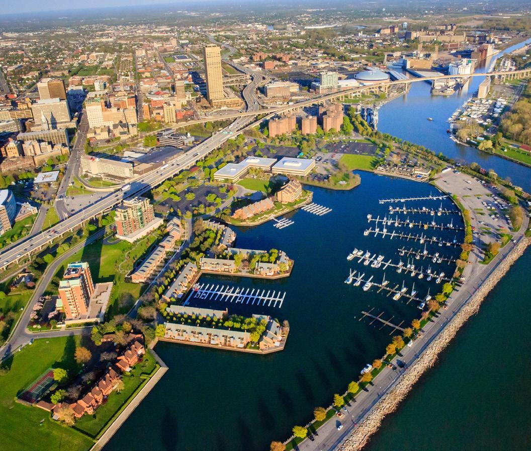
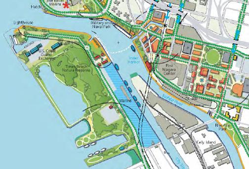
Outer Harbors, a portion of downtown, and a residential neighborhood� It contains a large concentration of vacant and abandoned brownfields—a legacy from past industrial users formerly located on the waterfront� This designation provides expanded eligibility for state-sponsored environmental and economic development programs, including favorable tax and investment incentives for private development�
The brownfield is broken into sub-areas that are currently going through remediation processes overseen by the EPA� The Erie Canal Harbor Development Corporation (ECHDC) is currently leading the charge on redevelopment efforts; over the past 10 years, ECHDC has spearheaded several projects along Buffalo's waterfront including development, public spaces, bike trails, a ferry service, and outdoor amenities�
Since 2008, Buffalo's Inner Harbor has been transformed into a mixed-use urban entertainment destination known as Canalside, a key piece to opening the Buffalo River to redevelopment� The $44 million cleanup of this site and dredging of the river was funded and paid for by the U�S� EPA and private industry� The cleanup was the result of 25 years of pressure from environmental organization Buffalo Niagara Riverkeeper� Today, Canalside honors its past featuring several restored pieces of the Erie Canal Harbor�
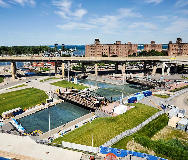
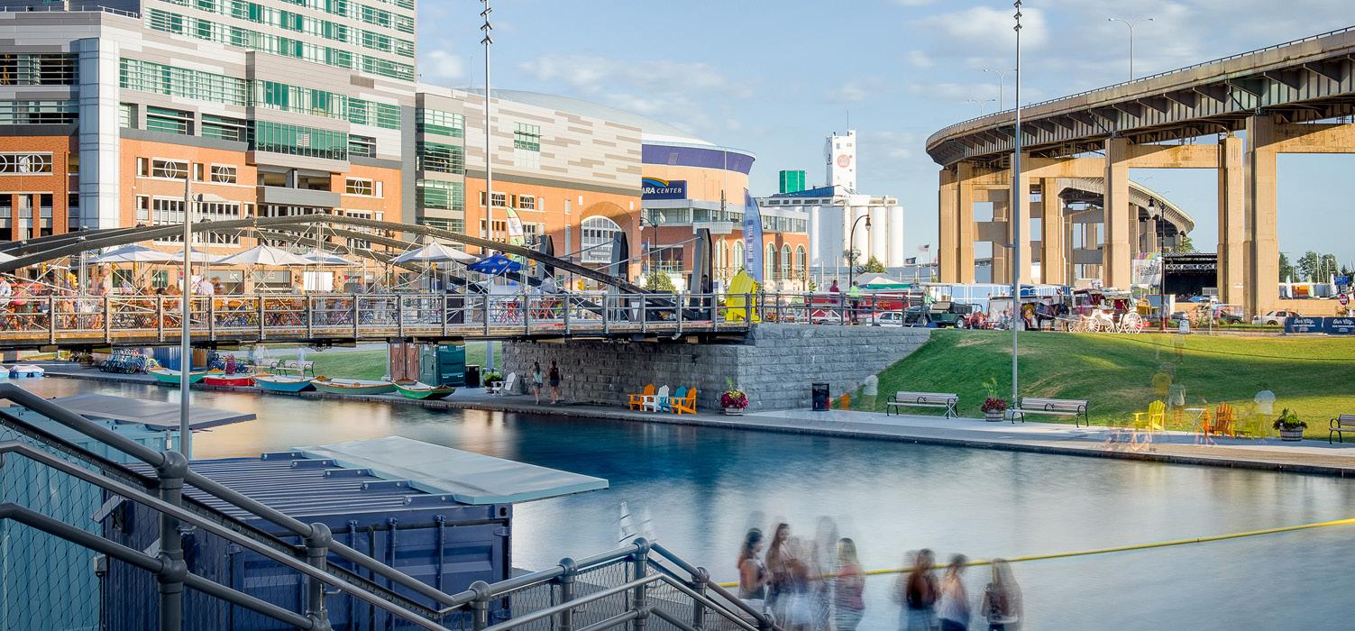
ECHDC and New York State Parks partnered in numerous studies and construction projects to transform another 429 acres of vacant Buffalo River waterfront� 182 acres of this area is now the Buffalo Harbor State Park, and the remaining land is operated by ECHDC, which completed capital improvement projects to increase public access, enabling multi-use trails, open spaces, and other public amenities�
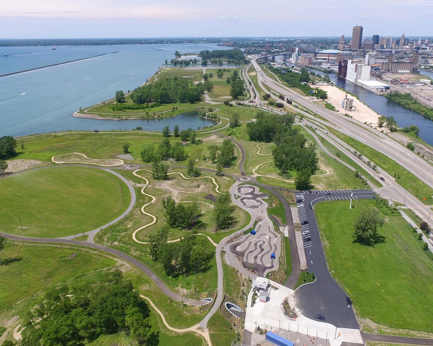
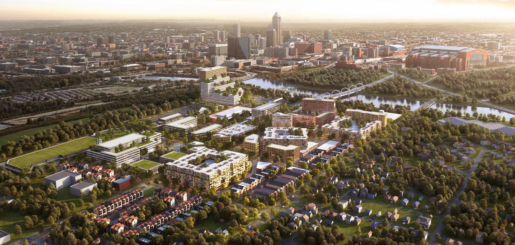
103-acre manufacturing plant to be transformed into an innovative, health-focused mixed-use community in Indianapolis
For nearly a century, the GM Stamping Plant anchored the Valley Neighborhood across the White River from Downtown Indianapolis� After GM’s 2009 bankruptcy, the plant closed and the 103-acre site sat vacant for years, creating a major economic gap�
The Revitalizing Auto Communities Environmental Response (RACER) Trust, created in 2011, was established to take ownership of shuttered GM sites, remediate environmental conditions, and return properties to productive use� RACER is a national model for a mission-driven land development entity—able to tackle complex, contaminated, or long-abandoned sites and prepare them for reinvestment in ways that restore jobs and tax base�
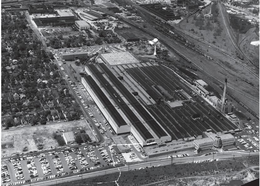
With coordinated leadership from the Indiana Economic Development Corporation, the City of Indianapolis, and the State of Indiana, the former stamping plant has now become Elanco Animal Health’s global headquarters, reactivating long-dormant industrial land just outside downtown
A larger mixed-use district is planned, including higher-education partners, new housing, trail connections, and more than 15 acres of riverfront parks—ultimately delivering 1,300+ homes, community and retail space, life-science workplaces, and 700 new headquarters jobs�
Indianapolis One Health Campus (continued)
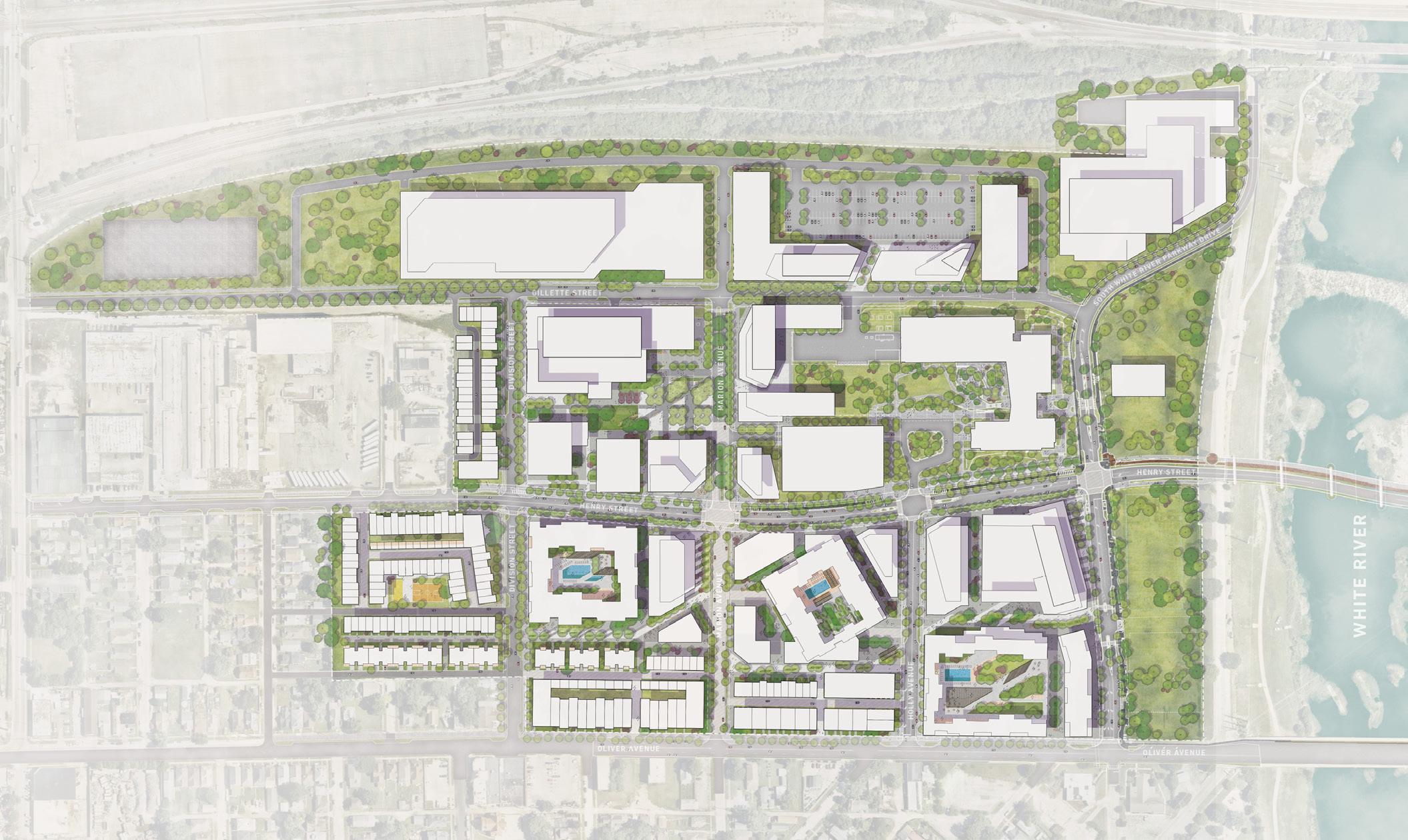
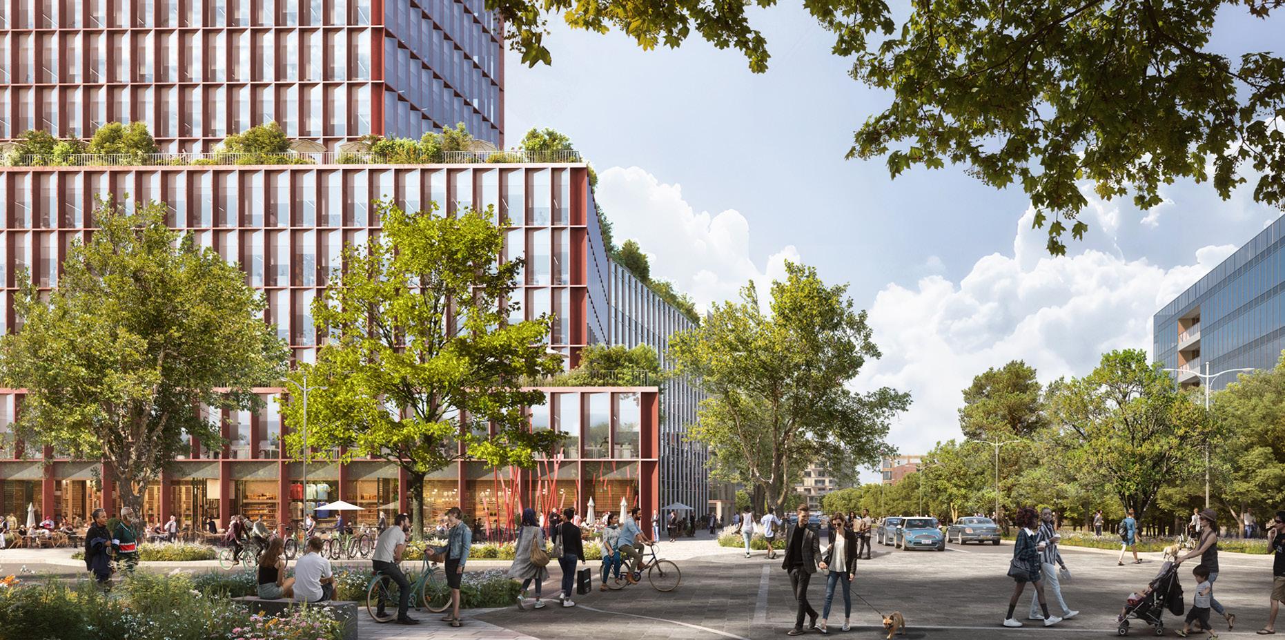

Residents and businesses of Northwest Indiana benefit from a third Chicago cargo and passenger airport and enhanced connections to goods and services.
This study segment primarily focuses on the Gary/Chicago International Airport (GYY or "Gary Airport"), with some attention to the Porter County Regional Airport (VPZ). The analysis was directed to opportunities for continued enhancements of cargo and commercial passenger air operations in the Northwest Indiana region. Growth of targeted services of these airports will better serve the residents living in and businesses operating in the Northwest Indiana region. This growth will also attract new economic development as the location of both airports boost development opportunities for corporate investment, additional aviation services, and enhanced cargo operations.
At this time, Gary Airport is an airport servicing cargo and limited general aviation services. Today, except for a UPS cargo contract at Gary Airport, most of the air cargo within the Chicago Metropolitan Statistical Area (MSA) is serviced by the Chicago O’Hare International Airport (ORD) and Midway Airport (MDW). Passenger service within the Chicago MSA is serviced entirely by ORD and MDW. In the past, and in its aspirations for the future, Gary Airport is planning for renewed passenger operations.
Opportunities for growth and increased competitiveness of GYY and VPZ are supported by future facility and infrastructure improvements, nearby development and revenue generation,
and shifting the primary focus towards targeted services that create local opportunity and fit within a regional strategy. The vision for the future is to have two regionally significant airports (GYY and VPZ) that provide enhanced cargo services with a growing passenger service that will be complimentary with ORD and MDW and elevate the region's economic development potential. In future decades, Gary Airport should function as the third regional airport servicing the Chicago MSA for both cargo and commercial passenger service, and VPZ should become a major cargo airport.
The Gary/Chicago International Airport Authority (GCIAA), which operates Gary Airport, continues to invest in infrastructure at the airport. The airport is governed by a multi-state compact with Chicago that limits the airport’s ability to develop and plan strategically.
The RDA recognizes these two airports as significant drivers of regional economic activity and the potential to better position these airports as key players in cargo and passenger services in Northwest Indiana. The RDA has supported improvements at Gary Airport, which include the main runway extension. The RDA also supported funding for runway and equipment improvements at VPZ.
Northwest Indiana is the second largest MSA in the State of Indiana after the Indianapolis Metropolitan Area. The catchment area for Gary Airport is the seven-county area inclusive of the Northwest Indiana region and the south suburbs of Chicago. The airport has long been working to develop its cargo capacity, and its long-term master plans identify Gary Airport as potentially the Chicago MSA’s third passenger airport. VPZ has substantial opportunities for growth as a cargo airport.
Demand for both cargo capacity and passenger service is projected to grow substantially over the next 20 years. GYY and VPZ present opportunities to meet that demand at much lower costs than the long-discussed and delayed Peotone Airport in Illinois along with advantages to the region's economy.
The following initiatives include infrastructure-focused projects in support of economic growth and development across Northwest Indiana:
Modernize the Facilities & Expand Capacity of the Gary Airport to Serve the Region's Growing Need for Cargo Operations
As the Compact Ends, Develop a New Revenue Strategy for Future Infrastructure Investments at the Gary Airport, with Increased Connections to the State of Indiana
Position Porter County Regional Airport as a Future Cargo Hub for Northwest Indiana
Each initiative requires the implementation of key projects and action steps that will be required by multiple entities and agencies working in partnership to bring each strategy to fruition. Collaborative work by other entities such as local units, state or federal agencies, other regional organizations, etc. will be paramount to ultimately executing initiatives and implementing the projects in this plan.
Modernize the Facilities and Expand Capacity of Gary Airport to Serve the Region's Growing Need for Cargo Operations
1) Prioritize development of a cargo facility on airport-owned land, as identified in the 2020 Airport Master Plan Update (AMPU). This preferred 6.1-acre site requires no property acquisition and represents the most cost-effective development option.
a) Consider two additional Gary Airport-owned sites as alternatives for future expansion and assess approximately 360 acres of developable land surrounding the Gary Airport airfield for airport-supportive uses, such as general aviation, warehousing, and logistics uses. Conduct feasibility and environmental studies as needed and prepare properties for investment through land development and infrastructure planning.
2) Identify and develop a Cargo Operations Business Model and attraction strategy for cargo carriers
3) Collaborate with GCIAA to leverage state, federal, and philanthropic dollars for infrastructure and operations improvements across its facilities
4) Leverage the Gary Intermodal Study completed by IEDC—including its identified needs and barriers—to inform and advance regional discussions on the potential for cargo facilities that support integrated truck and freight rail intermodal operations.
See pages starting on 187 for the projected impact of these action steps
As the Compact Ends, Develop a New Revenue Strategy for Future Infrastructure Investments at Gary Airport with Increased Connections to the State of Indiana
1) Begin the process for formally existing the Chicago/ Gary Compact. Per state legislation enacted in 2025, the Compact must be dissolved, with local action required by July 1, 2025, and full termination by January 1, 2026.
2) Replace the Compact by initiating a new regional framework for aviation collaboration. Investigate opportunities to enter into mutually beneficial partnerships with other Indiana airports. These partnerships could focus on aligning cargo and passenger strategies, joint grant pursuits, and coordinated development planning.
3) Provide resources to replace revenue lost to the Compact's dissolution
a) Support necessary short-term passenger terminal infrastructure upgrades to ensure facilities are adequately sized and equipped to provide high-quality service
b) Support Gary Airport’s long-term plan to replace the existing terminal, as proposed in the AMPU
Position Porter County Regional Airport as a Future Cargo Hub for Northwest Indiana
1) Prioritize a feasibility study in partnership with Porter County to assess cargo development potential at VPZ
a) Identify and assess developable sites with direct airfield access adjacent to the airport's runway and explore long-term development potential on nearby properties, including those that may require boundary expansion or property acquisition to support airside access
2) Collaborate with the Porter County Municipal Airport Authority and the Porter County Board of Commissioners to leverage state, federal, and philanthropic dollars for infrastructure and operations improvements across its facilities
See pages 97 and 103 for airport maps
Modernize the Facilities & Expand Capacity of the Gary Airport to Serve the Region's Growing Need for Cargo Operations
Potential development sites and cargo expansion areas surrounding the Gary Airport airfield were identified and assessed for their development feasibility and potential cargo capacity. This approach assesses the future potential of redevelopment of property both within and outside of Gary Airport property, whether for future cargo operations or other uses.
The Airport Master Plan Update (AMPU) for Gary Airport, completed and adopted in 2020, identified an area of 6.1 acres (780 ft deep by 340 ft wide) needed for development of a new cargo facility within Gary Airport-owned property to the north of its primary runway, shown in Figure 29. Estimated costs associated with infrastructure to accommodate a cargo facility at this location totaled $10 million.
Two additional cargo facility locations also on Gary Airport-owned property were assessed as alternative locations as part of this study; however the location identified in the AMPU remains the preferred location for a cargo facility.
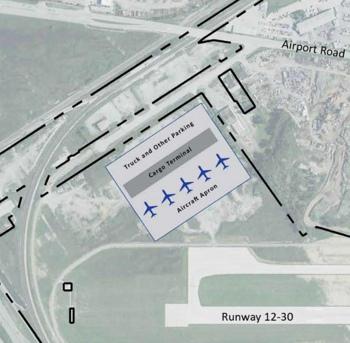
This study identified several sites totaling approximately 360 total acres of developable land immediately surrounding the Gary Airport airfield. These sites were evaluated for their redevelopment potential and ability to support air cargo operations as well as for potential uses such as warehousing and logistics that may benefit from proximity to the airport. These sites are depicted on an illustrative map (Figure 30). Redevelopment readiness was rated based on expected costs, such as land acquisition and environmental cleanup (Table 5).
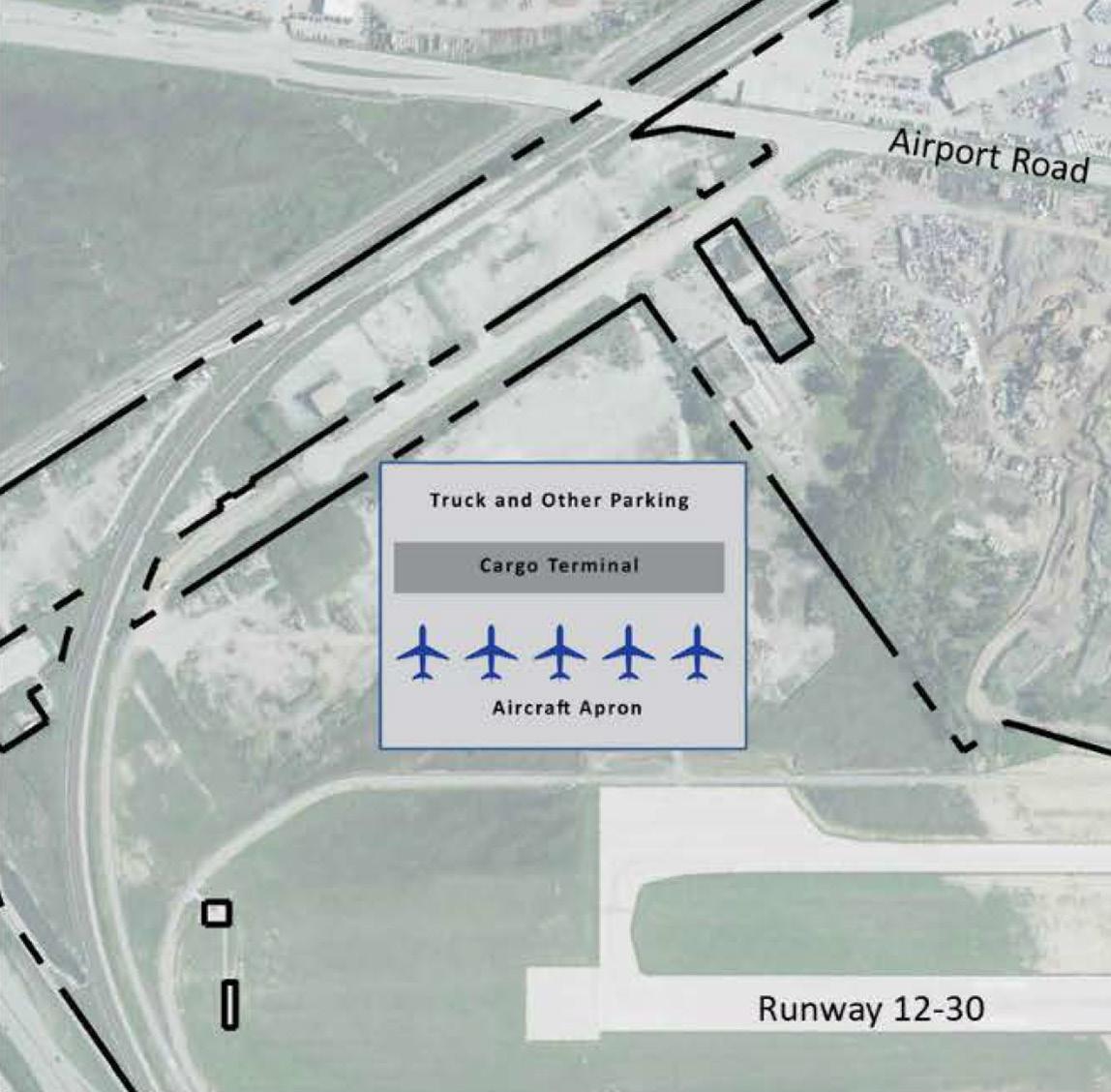
Cargo capacity was estimated using standard industry practices for buildings, ramps, and truck access. Table 6 depicts the capacity or capability (annual throughput) of building and ramp areas of facilities utilizing the parcels assessed to its entirety. It is recommended that once a site is potentially selected for further analysis, assessment of the partial utilization of the selected parcel may be conducted.
Highest Redevelopment Readiness (Sites 1 and 2). These include historical commercial and industrial facilities. Those parcels owned by Gary Airport have either been investigated previously or had remediation completed. Those owned by others must undergo an All Appropriate Inquiries (AAI) assessment to evaluate the parcels' environmental conditions and assess potential liability for any contamination. Some of these properties, such as 4912 West Industrial Highway, have had removal actions completed. It is not known, without more in-depth research, whether all of these sites are developable.
Site 1 (94.5 acres) is entirely owned by Gary Airport and located north of the extended runway. Roadway access exists from East Chicago Avenue and Cline Avenue. Site 2 (73.0 acres) is owned by multiple owners, including the City of Gary and the State of Indiana. Roadway access exists from Airport Road and North Clark Road.
Moderate Redevelopment Readiness (Sites 3 - 7).
Site 3 (40.4 acres), owned by NIPSCO, includes an electrical substation and had a leaking underground storage tank, which was cleared with a "No Further Action" letter in 2008. It has road access from Airport Road and Cline Avenue.
Site 4 (51.3 acres), owned by Summit Inc., has serious contamination issues, with over 20 hazardous substances detected—some of which have spread beyond the property. Removal actions have been required to be completed by 2030. Soil and groundwater pollution is still under review, and petroleum may be seeping into Boeing Ditch on Gary Airport property. The site is accessible from Airport Road and East Chicago Avenue.
*Building area includes warehouse and office space (0.92 for domestic annual tons per sq. ft.)
**Ramp area includes aircraft parking, GSE storage, and staging areas (0.19 annual tons per sq. ft.)
Modernize the Facilities & Expand Capacity of the Gary Airport to Serve the Region's Growing Need for Cargo Operations
Additional areas (sites 5, 6 and 7) are accessible via Airport Road. Both sites been found to have leaking underground storage unit (LUST) incidents. An unknown source of benzene in groundwater is suspected in these parcels.
Sites Unlikely to Redevelop. The 62-acre Gary Development Landfill site (southwest of Gary Airport) has not had institutional controls finalized. Although it is expected that much of the parcel will not be developable, there is a possibility for a community solar project on the landfill cap if excavation is avoided. The 12-acre MIDCO II site (north of Gary Airport) is not developable based on institutional controls that have been put in place.
Current Facilities. Gary Airport currently has no dedicated cargo buildings. UPS uses the terminal apron for aircraft parking due to the lack of passenger service. If passenger flights resume, cargo could also be handled through the cargo holds of those aircrafts (belly cargo).
Ongoing Infrastructure Projects. Gary Airport is beginning a $24 million first phase of long-term expansion to support its growing air cargo operations, which started in late 2020. Improvements include a Jet-A fuel pipeline and a new sanitary sewer system for cargo facilities.
Attracting Cargo Operators. The AMPU assumed the need for an operator interest in the development of the potentially demand-driven facilities, which could lead to third-party development of the facility. Potential Cargo Operation Business Models include three options:
1) The first option is the passenger airline model, which provides cargo services to the industry by offering for sale the capacity of the belly compartment of its aircraft.
2) A second option is the all-cargo carrier service that allows airport-to-airport air cargo services operations without the added passenger service.
3) The third option is the integrated express carriers model which include what carriers like FedEx Express, UPS, and DHL offer. These services include the movement of the customer’s goods door-to-door, providing shipment collection, transport via air/truck, and delivery.
To attract more cargo service, Gary Airport must identify carriers with unmet needs, analyze market trends, target high-demand routes, and understand local cargo types.
Gary Airport’s location near major industrial and commercial centers is a strength, but it faces competition from established cargo hubs like O’Hare and Midway, which offer robust infrastructure and global connections. To compete, Gary Airport must offer unique advantages—such as specialized services, lower costs, or better customer support.
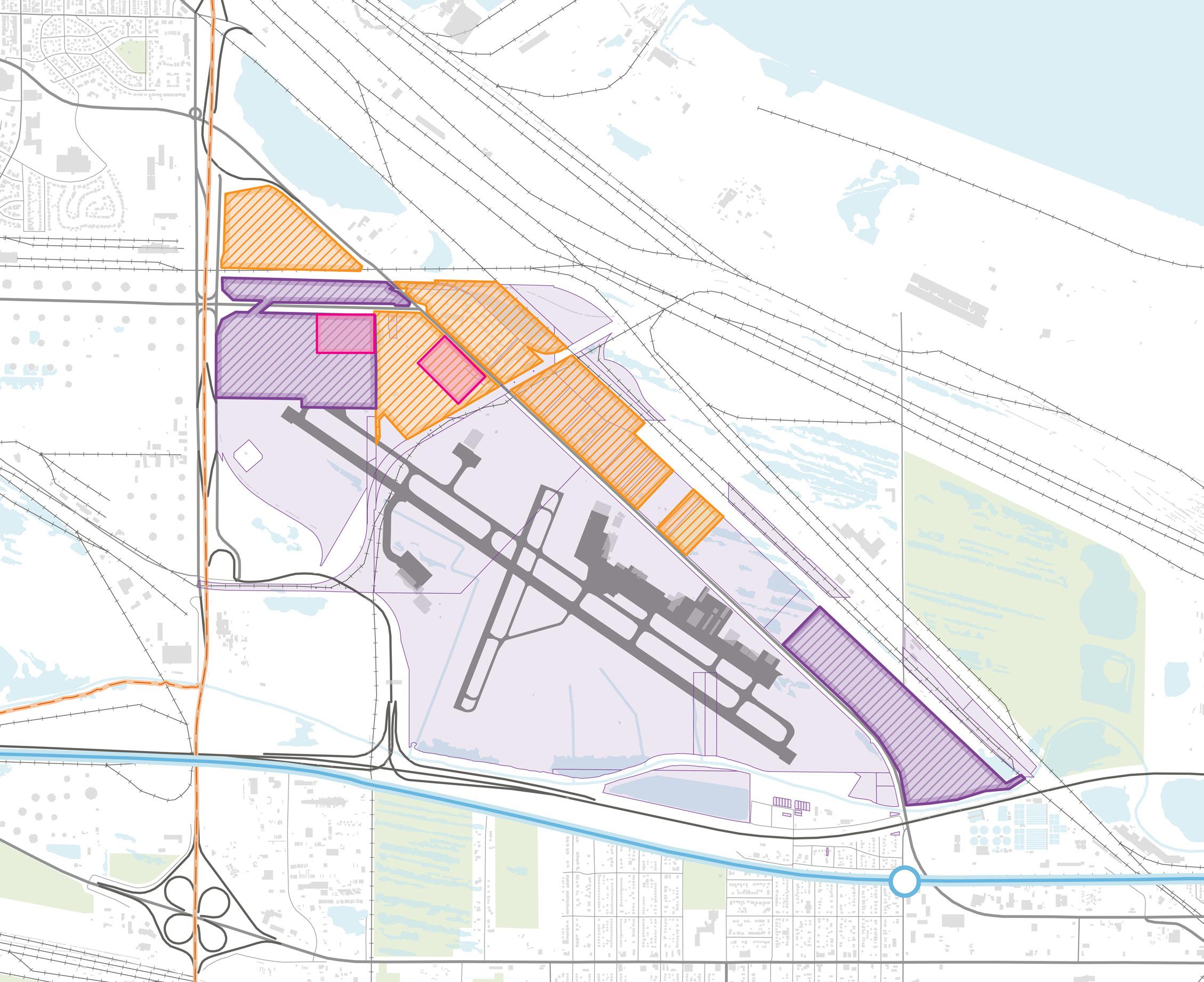
Modernize the Facilities & Expand Capacity of the Gary Airport to Serve the Region's Growing Need for Cargo Operations
Dedicated Air Cargo Infrastructure. While the development of dedicated cargo infrastructure should not be initiated without a cargo operator agreement, the AMPU Implementation Chapter identified the existing terminal facility as an interim alternative for air cargo operations, which is what is currently being utilized.
The AMPU identified infrastructure projects for general airfield improvements and general aviation facilities. These projects, if justified, can be implemented independent from additional cargo and passenger operations and benefit the Airport as whole because the proposed projects are not directly interfering with changes to cargo or passenger operations. Two roadway and access projects identified in the AMPU address airport access and airfield circulation. These projects could become more imperative or time-sensitive should cargo and passenger services be developed at Gary Airport and require additional infrastructure. These projects are not crucial to establishing cargo or passenger services, but would prove beneficial once airport activity increases..
Cost Estimates for airfield improvements and other facilities projects for Gary Airport were derived from the AMPU and listed in Tables 8 and 9.
Table 7: GYY Air Cargo Infrastructure Cost Estimate
Project
Air Cargo Infrastructure GCIAA to provide infrastructure to support third-party development of the cargo facility: 41 acres of site clearing and grading, 468 LF x 75 feet wide connector taxiway. Extend utilities to site: water approximately 500 feet and sanitary sewer approx. 1,500 feet. Widen Chicago Avenue 12' each side for 750 feet beyond existing cul-de-sac for truck traffic.
Air Cargo Expansion Property acquisition of approx. 51 acres, mitigation, site clearing, and grading for third-party development.
*Project Cost based on AMPU (2020)
Near-term
$10,000,000
**Near-term: 1 to 5 years or 2022 to 2027; Mid-term 6 to 10 years or 2028 to 2032; Long-term 11+ year or beyond 2033
Table 8: GYY Airfield Improvement Projects & Cost Estimates
Table 9: GYY Other Facilities Projects & Cost Estimates
As the Compact Ends, Develop a New Revenue Strategy for Future Infrastructure Investments at the Gary Airport, with Increased Connections to the State of Indiana
In 2025, the Indiana General Assembly directed the City of Gary to begin exiting the Chicago/Gary Compact— marking the start of a long-overdue shift toward local control and accountability. The Compact, originally created to coordinate the Chicago-area airport system, has failed to deliver sustained investment, joint marketing, or meaningful support for Gary Airport’s growth. While some capital funds were secured, regular promised commitments from Chicago’s airports never materialized.
State law now requires the Compact’s dissolution, with local action by July 1, 2025, and full termination by January 1, 2026. The City of Gary and the RDA should move quickly to replace it with a new, Indiana-led framework focused on economic growth, efficiency, and return on investment. Gary Airport should also pursue partnerships with other Indiana airports—including Indianapolis International, South Bend International, and Porter County Regional—to align cargo and passenger strategies, pursue joint grants, and strengthen the state’s aviation network.
The 2020 AMPU outlined a long-term vision for passenger service at the airport. While that has been an aspiration for many years, it is not realistic in the near or medium term. The scale of investments at the airport and to the access facilities surrounding it are immense. The financial resources are not available, and the airport’s ability to improve its functional capabilities for an efficient cargo operation must be proven in the near-term.
The airport has begun to make changes necessary to be ready to meet projected passenger demand. The Gary Airport facilities will require improvements, as well as expansion to existing facilities, to accommodate these increased aviation activities for both passenger services. The airport facility is capable of handling future demand with the improvements proposed in the AMPU, but if demand exceeds that, additional analysis will be needed to determine the best path forward for the facility.
Conditions of the Existing Terminal. Passenger terminals must be adequately sized and equipped to accommodate a high quality of service and efficiency for travelers. Facilities must be adequate for projected passenger volumes and conform to Federal Aviation Administration (FAA) standards.
The terminal, built in 1982, did suffer from underuse and outdated infrastructure; however, the structure is being renovated and made ready to accommodate a sought-after passenger airline that is yet to be determined. It is likely that further investment will be necessary once a passenger service has committed to begin.
Demand Forecasts. The capacity of Gary Airport's existing facilities were compared against PAL thresholds in terms of total enplanements and aircraft operations; to show passenger volumes are expected to increase significantly.
Planning Activity Level (PAL) is used to categorize passenger demand thresholds that dictate the size and quantity of facilities, amenities, and infrastructure needed to accommodate an expected amount of passengers. These PAL projections can help inform short- and long-term requirements and timelines for improvements in anticipation for increased passenger volumes over time.
Future growth in passenger volumes was segmented into short-term and long-term requirements to build a framework for future needs to restoring and maintaining operational efficiency passenger service at Gary Airport. The AMPU divides planning into two stages:
• Short-term (estimated in AMPU by 2025): Reach PAL 2 capacity
• Long-term (estimated in AMPU by 2035): Reach PAL 3 capacity
The short-term timeframe was considered the immediate benchmark for the airport’s operational capacity and passenger handling capabilities. Many short-term upgrades recommended in the AMPU will be sufficient to also meet long-term infrastructure needs of PAL 3.
To meet the long-term timeframe for forecasted PAL 3 needs by 2035, the departure lounges and concessions are the two areas that are near meeting capacity for PAL 3 requirements. All other areas of the terminal facility are not currently meeting capacity of PAL 3, indicating areas of the terminal that need the most expansion to handle future demand from a passenger capacity standpoint. The existing terminal and existing parking positions can accommodate two key aircraft types included in the PAL 3 forecast.
Passenger Terminal Upgrades. Reaching PAL 3 passenger volumes would trigger the need to plan for a new terminal to accommodate increased passenger service in the future.
The AMPU proposed a new terminal to meet the forecasted PAL 3 passenger demand, totaling 56,700 square feet, to replace the existing facility. Estimated cost is $73 million for a new terminal building, demolition of the existing terminal, parking lot and access improvements, and upgraded utilities.
Landside Access. Current parking and roads are sufficient for short-term (PAL 2) use. For long-term growth (PAL 3), improvements to the nearby Gary/Chicago Airport South Shore Line Station and a shuttle connection will be needed to reduce car dependency and improve access.
Gary/Chicago Airport Station. As cargo and passenger volumes grow, upgrades to the South Shore Line station will be necessary. Enhancements should include ADA-accessible connections and a frequent shuttle to the terminal for passengers and employees.
Cost Estimates
Cost Estimates for passenger terminal improvements for Gary Airport were derived from the AMPU and listed in Table 10 below.
Project Title Description
Construct New Terminal Construct a 56,700 SF two-level terminal (29,000 SF first level) with two new jet bridges, new terminal curb front roadway, and loop roadway back to Airport Road (approximately 3200 LF of two lane/25-ft wide road); full depth repaving of 464,200 SF parking lot adjacent to terminal; two entry/ exit locations with access and revenue control; new 77,900 SF concrete aircraft apron; demo existing 16,620 SF terminal.
A new transformer and switch gear are required to allow the connection to existing utilities.
*Project Cost based on AMPU (2020)
Recommended Timing**
Long-term / Demand-Driven
Project Cost*
$73,000,000
**Near-term: 1 to 5 years or 2022 to 2027; Mid-term 6 to 10 years or 2028 to 2032; Long-term 11+ year or beyond 2033
Position Porter County Regional Airport as a Future Cargo Hub for Northwest Indiana
VPZ is located on the east side of Valparaiso and has opportunities for future airside and air supported development if the airport boundary is expanded through property acquisition. Other sites have been identified for further development in previous planning (Figure 31); however, they are located across the highway and consequently do not provide an opportunity for direct airfield access for cargo development.
Current Facilities. Current facilities at VPZ are capable of serving air cargo providers; however recent planning has only focused on general aviation operations at this airport. Previous plans have identified areas adjacent to the runway for potential corporate development, but these areas may also be suitable for cargo activity.
Context within the Region. Other considerations for long-term growth and investment at VPZ are contingent upon investments and the success of future passenger and expanded cargo services at Gary Airport.
Multi-agency Coordination. Further land use planning should occur among VPZ, City of Valparaiso, and Porter County planning officials to determine the appropriate areas for further growth of and around the airport. A feasibility study, in partnership with Porter County, is recommended to assess cargo potential, identify developable airfield-adjacent sites, and explore long-term expansion options.
West Cargo Development Area. As shown in previous economic development plans, VPZ has identified a potential area, referred to as "West Cargo Development Area," adjacent to the runway for corporate development. Although this area has been identified for corporate aviation use, it could be potentially repurposed for cargo activity.
Table 11 shows the capacity or capability (annual throughput) of building and ramp areas of facilities utilizing the parcel assessed to its entirety. Assessment of cargo capacity was determined by industry common practices and standards, including different areas of the air cargo facility such as building, ramp, and truck access areas.
*Building area includes warehouse and office space (0.92 for domestic annual tons per sq. ft.)
**Ramp area includes aircraft parking, GSE storage, and staging areas (0.19 annual tons per sq. ft.)
12: VPZ Additional Development Opportunities
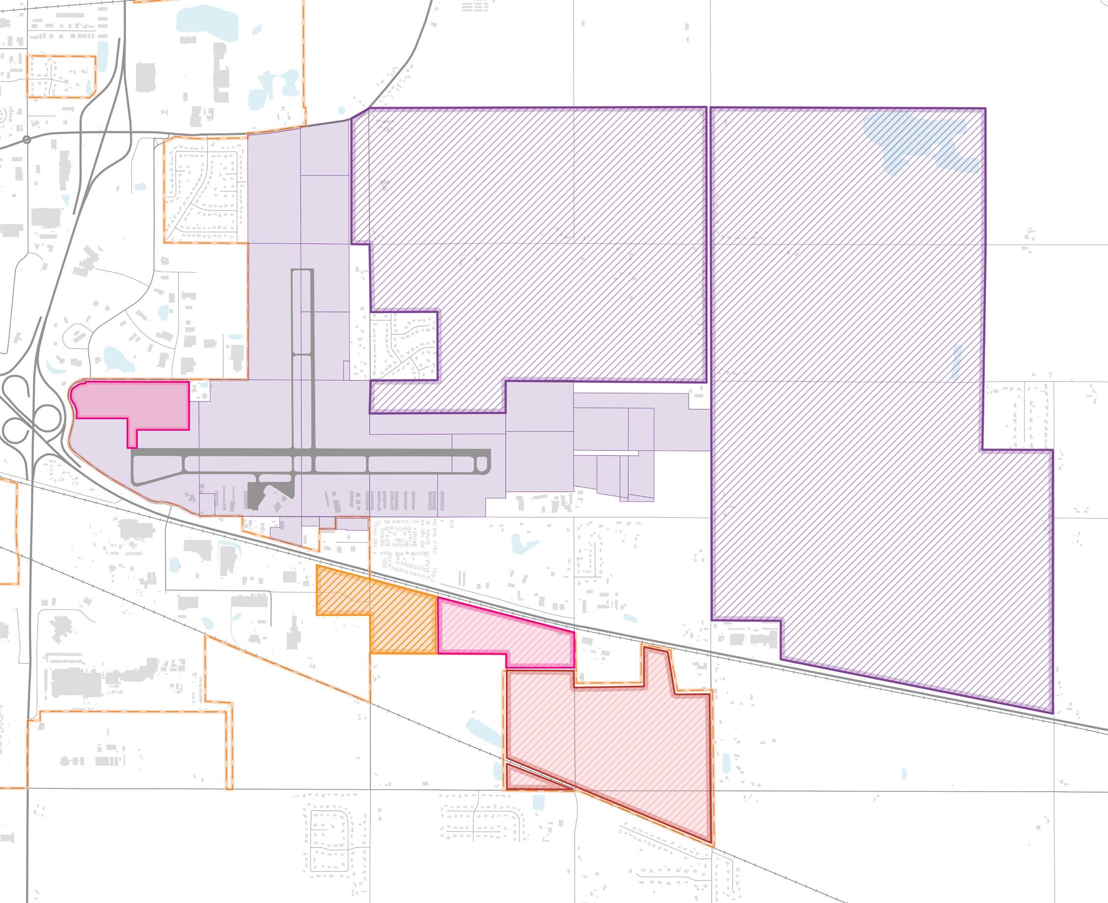
Potential Redevelopment SitePinelands
Potential Redevelopment SitesVon Tobel Corp.
Potential Redevelopment SitesFirst Nat'l Bank Trust
Cargo Facility Site (from Economic Development Plan)

Shoreline - RDA Major Focus Area
A destination lakefront anchored by Indiana Dunes National and State Parks with accessibility, a transformed user experience, and boosted economic development potential.
This study segment focuses on two of Northwest Indiana’s most valuable natural and economic assets: Indiana Dunes National Park and Indiana Dunes State Park. The Indiana Dunes National Park, the 61st in the nation, ranks 13th in annual visitation with more than 2.8 million visitors each year, while the adjoining State Park remains one of Indiana’s premier outdoor destinations. Years of fragmented lakefront development have left the shoreline divided among residential, industrial, and transportation uses—limiting access, connectivity, and the full economic return these assets can generate for the region.
Visitors primarily reach the lakefront by car using interstates, US routes, and state highways, with additional access provided by the NICTD South Shore commuter rail line. US 12, a key two-lane corridor that runs through the parks, offers an opportunity to strengthen visitor access and support local economic growth. Designating US 12 as a Scenic Byway would help highlight the natural beauty and tourism potential of the Indiana Dunes while supporting nearby communities and small businesses.
Achieving these goals will require practical collaboration among local, regional, state, and federal partners—as well as coordination with private landowners and industries. The RDA should work with the State of Indiana and regional partners to support infrastructure investments, environmental restoration, and transportation improvements
that enhance access and economic impact while maintaining fiscal responsibility. The RDA can also help convene a Lakefront Partnership Coalition of lakefront communities and park-adjacent jurisdictions to coordinate development efforts, promote the Dunes as a national destination, and pursue public and private funding to strengthen access, amenities, and infrastructure along the US 12 corridor and Lake Michigan shoreline.
Despite significant investments in the shoreline and parks, the region continues to lag behind other areas across the U.S. with natural assets and similar park designations. The shoreline region is amid a multi-decade transition from an economy based heavily on intensive industry to a more balanced economy that continues to elevate the shoreline as an asset for ecological and recreational tourism. Without infrastructure investment and collaborative management, the tourism and economic potential of these public resources will not be realized. The RDA is well situated to work with park management and local governmental and civic entities to maximize the returns of these environmental treasures.
The following initiatives include infrastructure-focused projects in support of economic growth and development across Northwest Indiana:
Link the National Park Corridor: US 12 as a Scenic Byway
Complete the Marquette Greenway & Connections
Utilize NICTD Stations as Mobility Hubs
Establish Iconic Access Points from Lakefront Communities to the Indiana Dunes National & State Parks
Improve the Parks Visitor Experience with Services, Amenities, and a Regional Identity
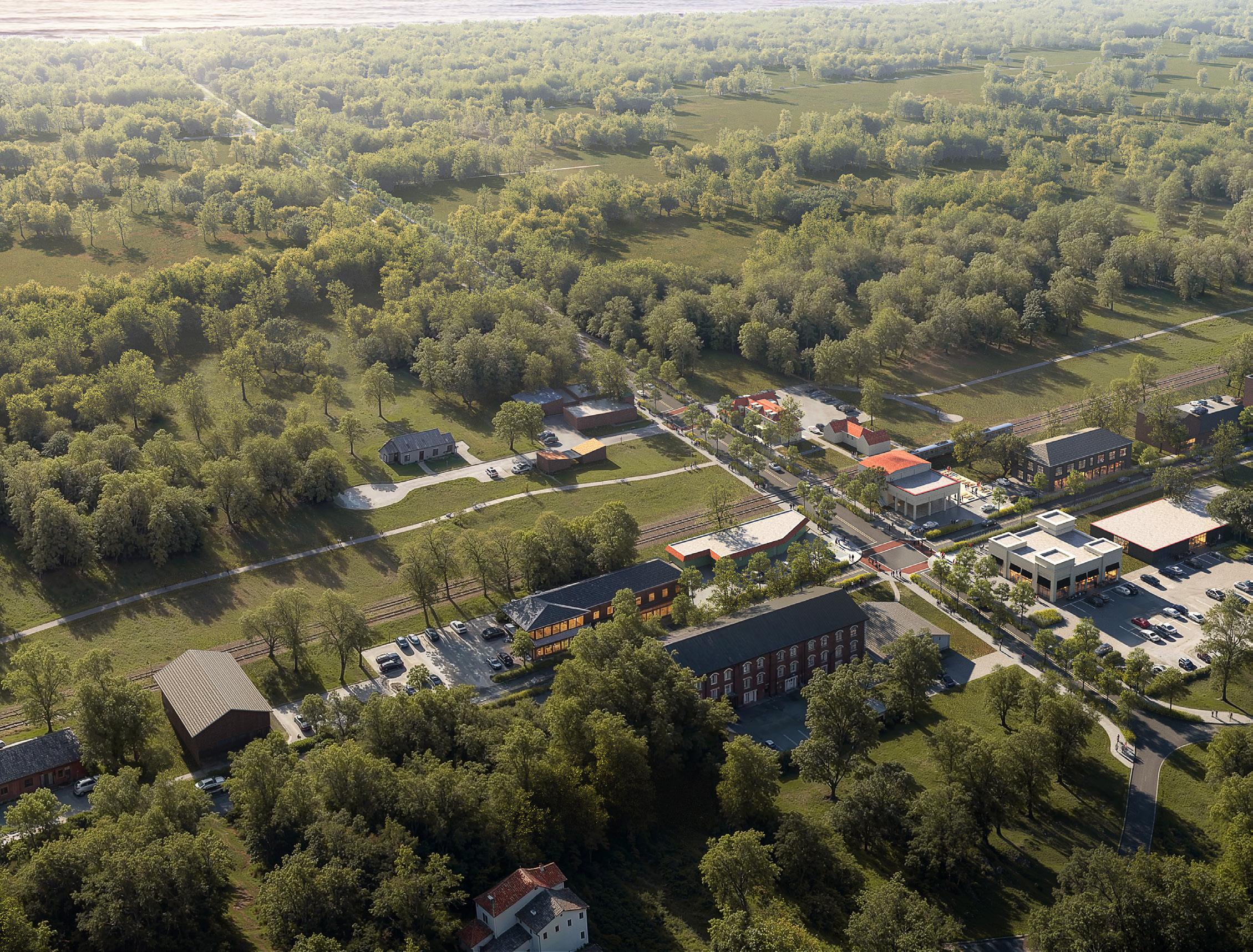
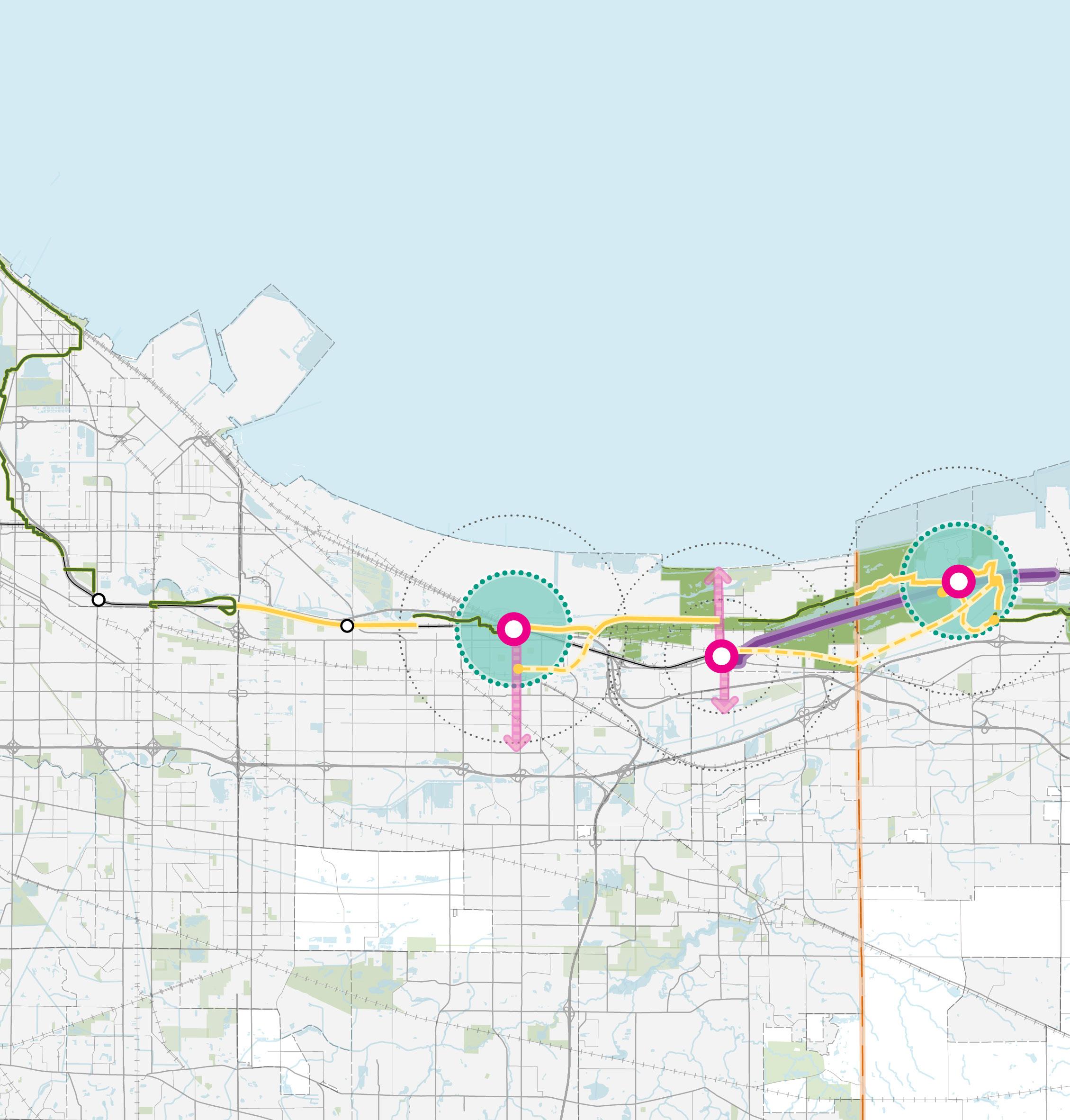
Improve the Parks Visitor Experience with Services, Amenities, and a Regional Identity
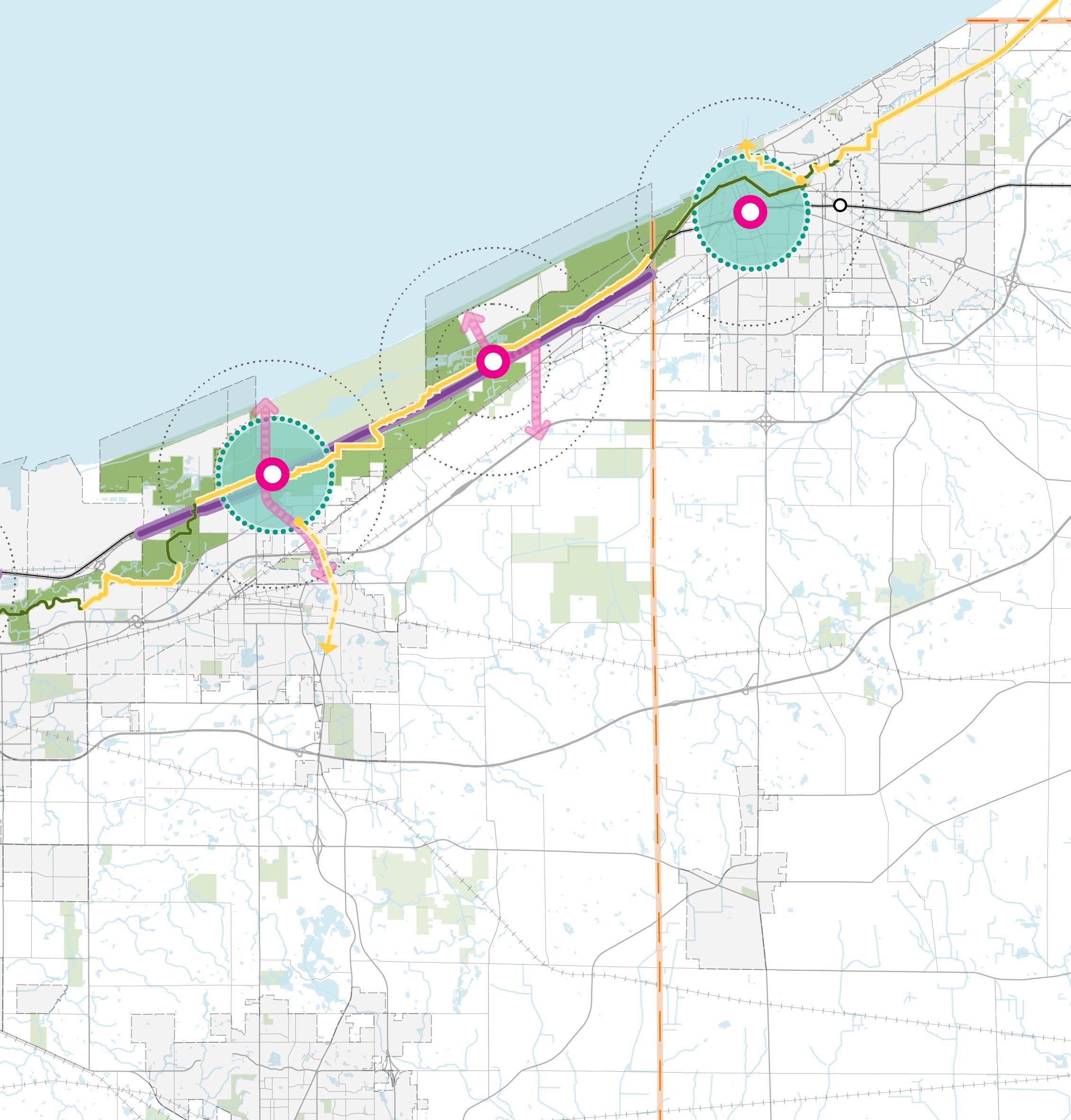
Establish US 12 as a Scenic Byway Complete the Marquette Greenway & Connections
Utilize NICTD Stations as Mobility Hubs
US 12 Scenic Byway Segments
NICTD Mobility Hubs
Community Corridors
Marquette Greenway Gaps
Potential Connections to Marquette Greenway
Marquette Greenway (Completed)
Community Gateway
Each initiative requires the implementation of key projects and action steps that will be required by multiple entities and agencies working in partnership to bring each strategy to fruition. Collaborative work by other entities such as local units, state or federal agencies, other regional organizations, etc. will be paramount to ultimately executing initiatives and implementing the projects in this plan.
Link the National Park Corridor
Establish US 12 as a Scenic Byway
1) Investigate the State Scenic Byways Program requirements and develop an outline of necessary steps and responsible parties to meet all criteria and work with Indiana Department of Transportation (INDOT) and other major stakeholders to complete the nomination process
a) One necessary step towards this designation is vetting and implementing alternative routes to divert truck traffic from US 12 (also mentioned in the Highway Corridors Strategy) that impact safety, take away from the park visitor experience, and contribute to congestion.
2) Coordinate with Indiana Dunes Tourism, the National Park Service (NPS), and Indiana Department of Natural Resources (Indiana DNR) to design and implement consistent wayfinding signage approach that advertises the Scenic Byway designation and tourist attractions
3) Evaluate and apply for federal BUILD and/or Scenic Byway grant funding for the corridor improvements. Coordinate with INDOT, Indiana DNR, NPS, Indiana Dunes Tourism, and local communities
Complete the Marquette Greenway and Trail
1) Support NIRPC and regional partners in identifying and advancing priority sections of the Marquette Greenway that lack sufficient local, state, or federal funding or require match dollars. Assist in pursuing and leveraging federal, state, and philanthropic grants to close funding gaps—prioritizing trail segments that connect to other regional trails, communities, South Shore Line stations, and major park or recreation destinations.
1) Support and coordinate with local municipalities, park and tourism agencies, and NICTD to identify potential routes, operations plans, and partnerships for public bus transit or shuttle
a) Existing and potential new transportation services should be coordinated with NICTD stations to further promote the use of public transit.
b) Build a marketing strategy around the transit/ shuttle system to encourage visitors to utilize the bus service instead of driving into the lakefront and parks
2) Assist in the identification of gaps or areas in need of improvement in the non-motorized network in lakefront communities in the vicinity of NICTD stations
3) Support and promote station area development that provides high-quality pedestrian linkages to NICTD stations, lakefront destinations, and the Indiana Dunes State and National Parks
a) Include sufficient, improved access points into the parks, such as the grade crossing at Tremont Road and US 12, which crosses the South Shore Line, to assist with ingress/egress and off-site parking during peak visitation periods—helping reduce congestion and improve park access
Establish Iconic Access Points from Lakefront Communities to the Indiana Dunes National & State Parks
1) Support partnerships to establish a National and State Park Gateway in the vicinity of the Dune Park Station and Indiana Dunes Visitor Center
2) Support park- and tourism-oriented development and amenities in these gateway communities in close proximity to the Indiana Dunes National and State Park, as well as other public lakefront destinations.
3) Coordinate with Indiana Dunes Tourism (Porter County) and the South Shore Convention and Visitors Authority (Lake County) to support and publicize potential tourism development in the region
4) Support streetscape enhancements along roadway as "Downtown to Dunes" community corridors that link communities to the Indiana Dunes National and State Parks visitor experience
a) This may include landscape enhancements, placemaking, wayfinding, new or improved bike and pedestrian facilities, and other amenities.
b) Community corridor improvements should address concerns of access points into the parks.
Improve the Parks Visitor Experience with Services, Amenities, and a Regional Identity
Improve Amenities within and near Parks to Sustainably Grow Tourism
1) Utilize development opportunities in lakefront proximate TDDs to provide amenities, visitor experiences, and lodging that serve lakefront communities and park visitors
2) Support the development of lodging options for park visitors, potentially within and/or adjacent to the adjacent to national park, managed by Indiana DNR or NPS and/or creative partnerships
3) Continue investment in shoreline restoration and management as put into action by NPS (Shoreline Restoration and Management Plan/Final Environmental Impact Statement) to preserve and protect the natural landscape of the Indiana Dunes and maintain and enhance quality visitor experiences
Create a Regional Lakeshore Identity
1) Support the “Sand and Steel” story and experience created by Indiana Dunes Tourism and the South Shore Convention and Visitors Authority
See pages starting on 187 for the projected impact of these action steps
Link the National Park Corridor
The pressure on the Indiana Dunes National and State Parks is a growing concern in the region from resident, visitor, and public safety perspectives. Greater ease and frequency of access to the destinations of Northwest Indiana’s lakefront should consider infrastructure improvements to all modes of transportation including: commuter rail, bus transit or shuttle, bicyclists, pedestrians, and vehicles. Improvements to the parks and US 12 are critical for fully realizing the potential of the shoreline.
Despite the unique experiences provided by the distinct areas within the ational Park, the park as a whole exists in disconnected areas along US 12, where travelers along the highway are continuously entering and exiting national park lands, sometimes without knowing. The fragmentation of park areas often requires using a vehicle and multiple vehicle trips, to travel between destinations which requires additional trip planning and effort to pinpoint specific locations to visit. This way of experiencing the national park can be confusing and difficult to navigate among park lands and non-park lands. In contrast, the Indiana Dunes State Park consists of one contiguous piece of land with a singular marked entry, making this park easy to find and access.
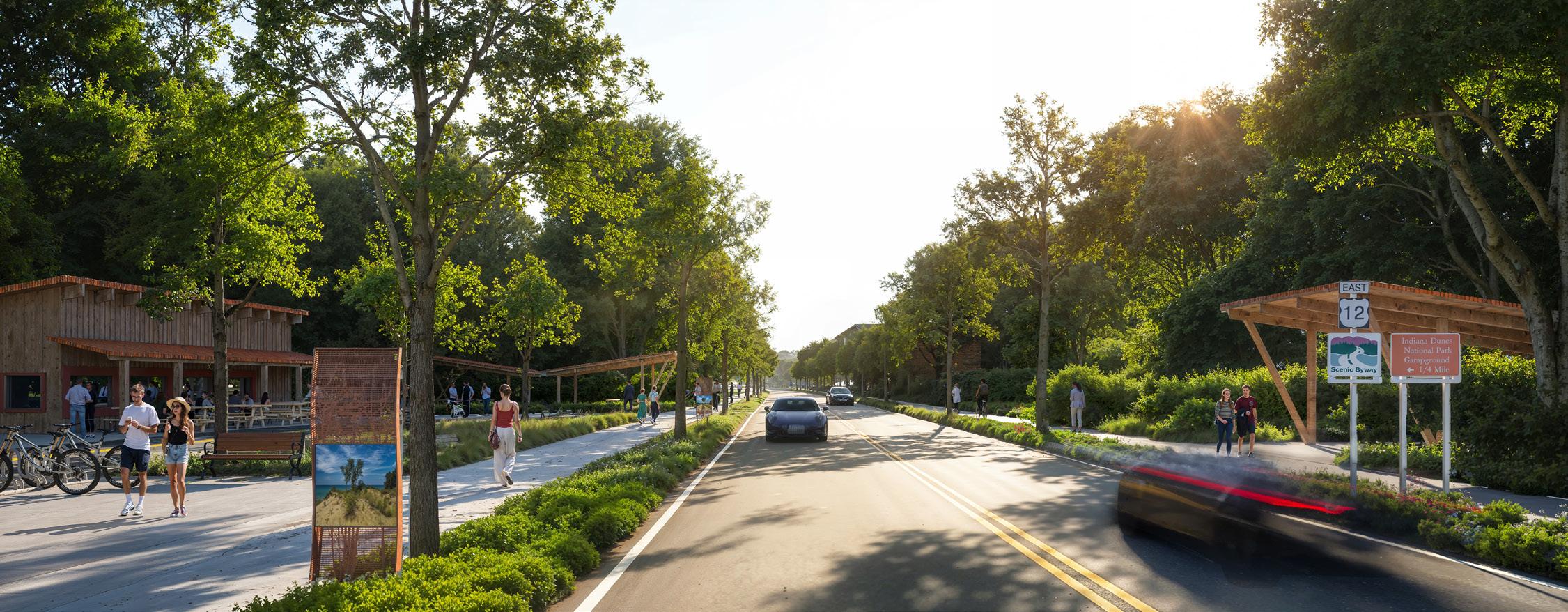
Due to the nature of this linear series of parks and conservation areas, US 12 is the primary means of experiencing the lakefront amenities by car and acts as the “front door” to the Indiana Dunes National and State Parks. Maintaining and improving connectivity throughout the parks is key to the ongoing economic growth of the region, and US 12 is a key route to accessing these assets. The variety of land uses along the shoreline and the US 12 corridor generate both personal vehicle and freight truck traffic in the vicinity of the national park, particularly in Gary, Burns Harbor, and Portage where more industrial uses still exist alongside national and state park property. If semi-truck traffic can be reduced or removed from US 12, there is an opportunity to explore designating US 12 as a Scenic Byway to further promote this corridor for ecological and recreation tourism. This could include scenic vistas, educational experiences, signage and wayfinding, and pedestrian infrastructure. This approach could further support TOD in Chesterton, Porter, Beverly Shores, Pines, and Michigan City. Example: Illustrative rendering
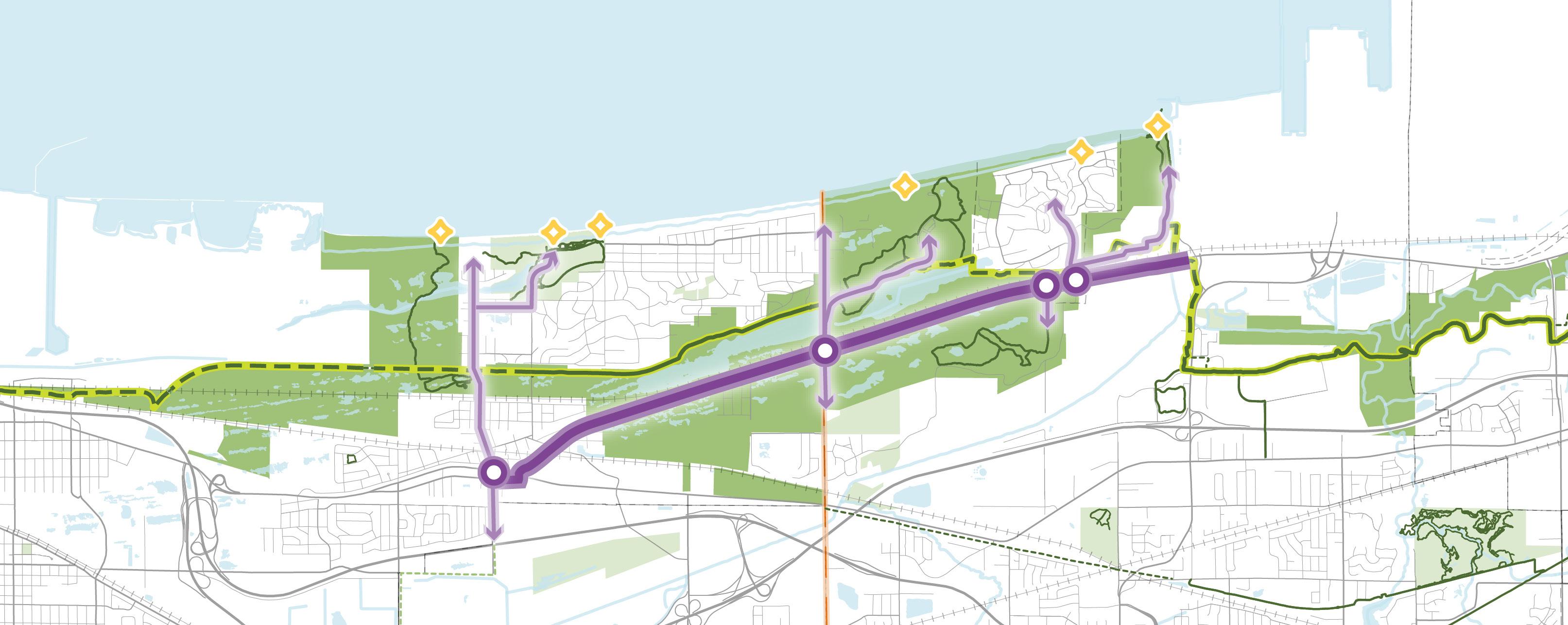
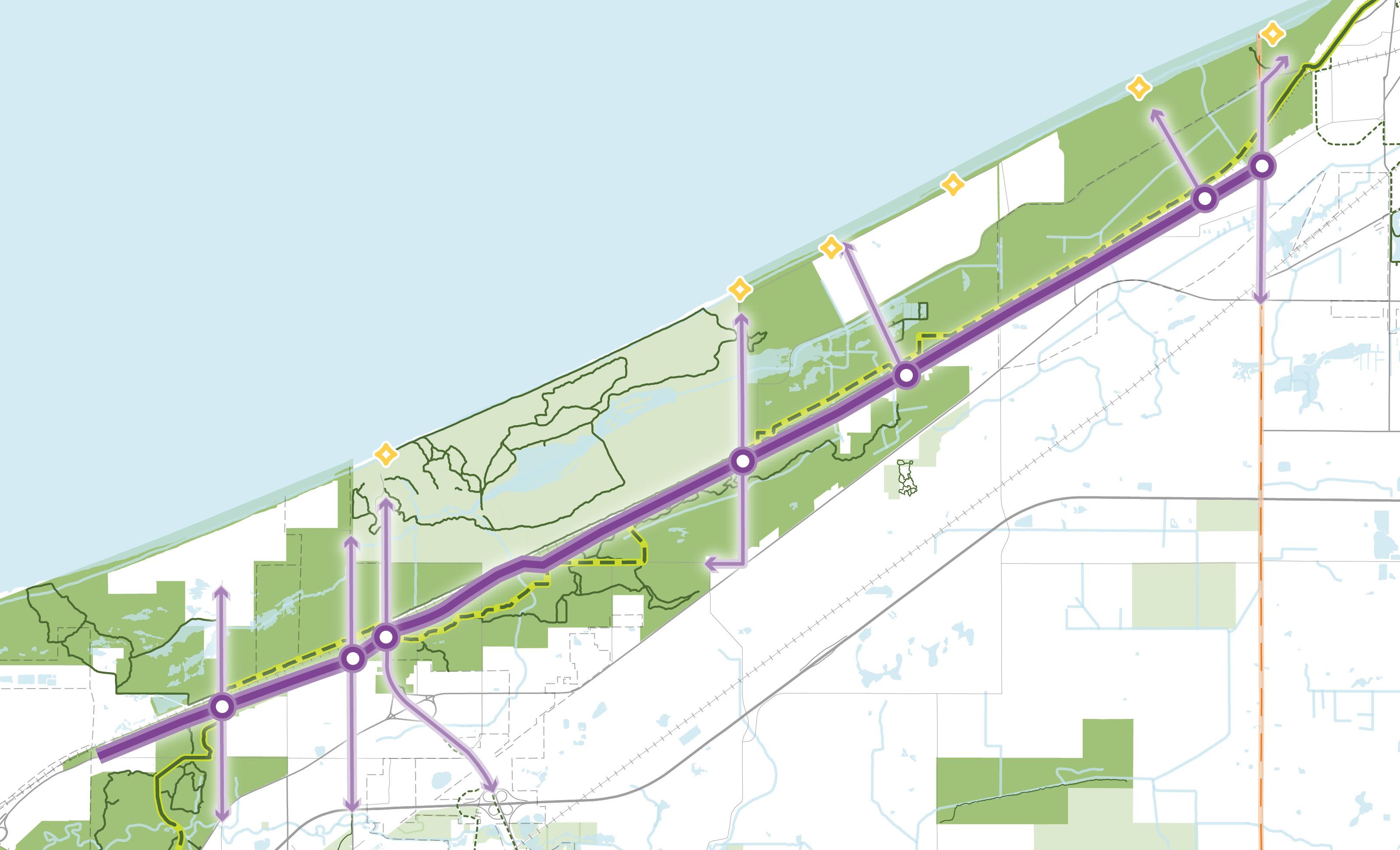
US 12 Scenic Byway Segments
Park Access Routes from US 12
Key Park Access Intersections
Public Beach Access
Marquette Greenway (Complete)
Marquette Greenway (Funded/ Partially Funded)
Link the National Park Corridor
Rerouting Truck Traffic. Reducing freight truck traffic on US 12 in these areas will create a better experience for park visitors by improving traffic flow, enhancing safety for all users, and prioritizing national park access and the overall tourist experience. A phased approach towards removing truck traffic from US 12 from the west and east could provide an opportunity with a positive impact to both parks.
Scenic Byway Designation. The National Scenic Byway Program is a voluntary, community-driven initiative administered by the Federal Highway Administration (FHWA) to recognize, protect, and promote America’s most exceptional roadways. Roads designated as National Scenic Byways must demonstrate one or more of six intrinsic qualities—archaeological, cultural, historic, natural, recreational, or scenic—that together create a distinctive and memorable travel experience of regional significance.
Scenic Byway designation has been explored in multiple prior planning efforts across Northwest Indiana, including the Marquette Plan and the Transit-Oriented Development Strategic Implementation Plans, reflecting long-standing regional interest in celebrating and promoting the Lake Michigan shoreline as both a transportation corridor and a tourism destination.
Cross-Jurisdictional Collaboration. The process of designating US 12 as a National Scenic Byway encourages local units collaborating regionally to have INDOT, Indiana Indiana DNR, NPS, Indiana Dunes Tourism, and South Shore Convention and Visitors Authority submit US 12 for National Scenic Byway designation.
Funding. Federal funding is routinely available to support National Scenic Byways. Recently, a grant by the Legacy Foundation in collaboration with the Lilly Endowment is supporting enhanced marketing, improved informational signage, and experience placemaking initiatives that aim to connect people to the Indiana Dunes National Park.

The Blue Ridge Parkway weaves through national park land, national forests, and scenic valleys offers access to mountain views, rustic small towns, heritage sites, and more.
Positioned between Shenandoah National Park and Great Smoky Mountains National Park, the Blue Ridge Parkway is a 469-mile scenic byway spanning 29 counties in Virginia and North Carolina�
The Parkway was always envisioned to be a driver of tourism in local economies and offers frequent turnouts for trailheads, campgrounds, natural attractions, and more� Furthermore, the Parkway itself is marketed as a destination for the best mountain views, fall foliage colors, and scenic driving loops� Commercial vehicles such as semi-trucks are not permitted on the Parkway in order to improve the experience of regional tourists and national park visitors�
The Parkway is a successful driver of economic spending in communities neighboring the national parks along the corridor; in 2022, it was estimated that over 1�3 billion dollars were spent by over 15 million park visitors in communities along the Blue Ridge Parkway� This spending supported over 17,000 jobs found in the gateway communities around the parks� This reinforces the importance of the infrastructure investment of the Parkway and links visitor spending to the scenic byway�
The Blue Ridge Parkway Foundation is currently creating the Blue Ridge Rising action plan to improve cross-jurisdictional relationships along the Parkway corridor� The regional comprehensive plan aims to foster economic development within the region's gateway communities and further enhance the Parkway experience�
Link the National Park Corridor
Completing the Marquette Greenway and strengthening north–south connections along the Dunes-Kankakee and Erie Lackawanna Trails will establish a continuous regional bike and pedestrian network consistent with Indiana’s statewide trail priorities. To date, 46 miles of the Greenway have been completed or secured with funding. The RDA will continue to support NIRPC and local partners in coordinating priorities; identifying matching resources; and pursuing federal, state, and philanthropic funding to complete remaining trail segments and enhance access to trailheads, stations, and lakefront destinations.
The Marquette Greenway is a key link for visitors and residents to access recreational experiences within the state and national parks, along the lakefront, and in lakefront communities.
Access from existing trailheads and new signature trailheads that highlight the Indiana Dunes National Park and Marquette Greenway can support connections to NICTD stations, US 12 Scenic Byway, national and state park sites, and the lakefront.
Signature trailheads could be established at the following locations:
• East of Downtown Gary to the west of Miller Woods. Connection to the planned Gary Green Link Trail should be incorporated.
• Miller Woods on Lake Street south of the Miller NICTD Station
• Tolleston Dunes near the Portage/Ogden Dunes NICTD Station, incorporating connections to the Riverwalk and the future Burns Parkway
• Indiana Dunes State Park near the Dune Park NICTD Station, incorporating trail connections from the Indiana Dunes Visitor Center
• Mt. Baldy, incorporating trail connections through Michigan City from Washington Park
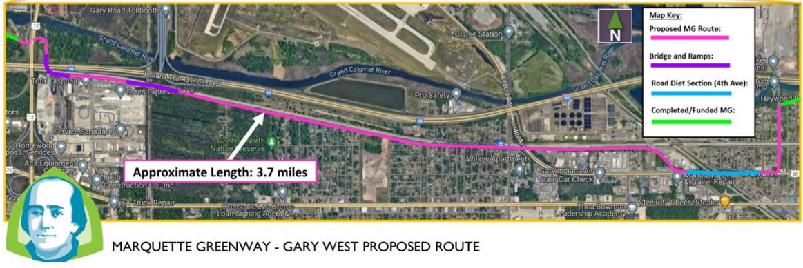
34: Marquette Greenway Gaps for Completion and Access/Gateway Points
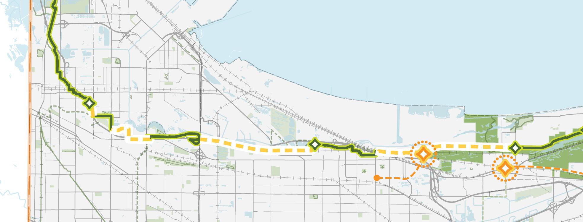
Trail along utility easement
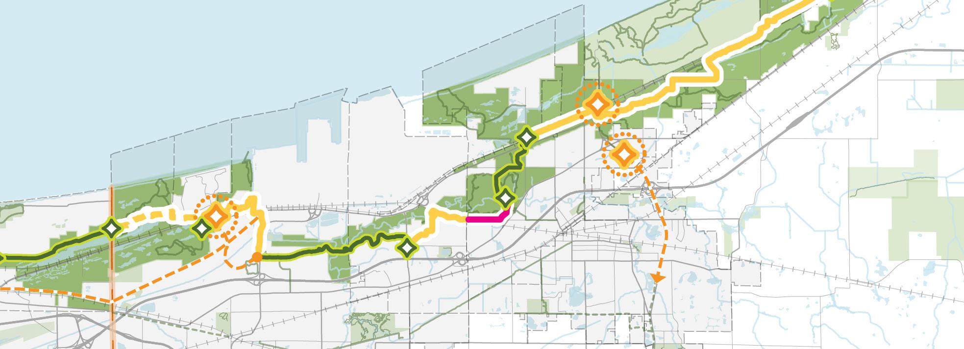
PORTAGE LAKEFRONT & RIVERWALK
along utility easement
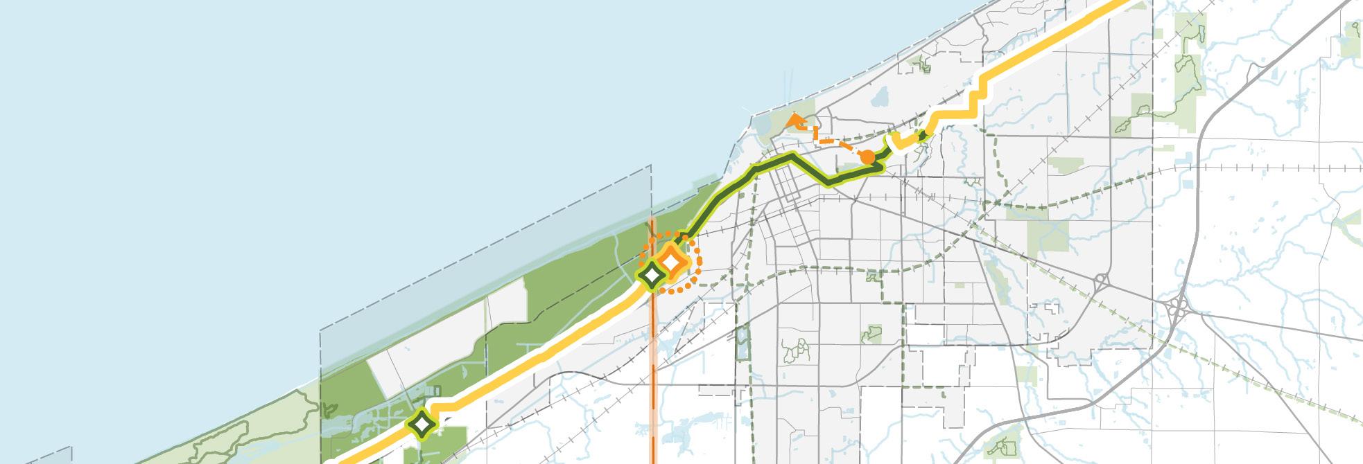
Marquette Greenway (Incomplete & Fully Funded)
Marquette Greenway (Incomplete & Partially Funded)
Marquette Greenway (Incomplete & Not Funded) Marquette Greenway (Complete) Existing Connecting Trailhead Potential Signature Trailhead
Link the National Park Corridor
There are a variety of alternative transportation services that could be implemented in Northwest Indiana to improve access and expand choices for park visitors. The RDA has identified opportunities to improve access to these parks by encouraging the use of commuter rail to access park destinations instead of driving. Connections between NICTD stations (first- and last-mile connections) and transit stops will help integrate visitation through public transit.
The improvements to the NICTD South Shore Line provide faster, more reliable rail connections throughout the national and state parks, to lakefront communities and destinations, and to the Chicago area. The improvements to rail infrastructure highlight a need for further connections from commuter rail stations to make these lakefront destinations even more accessible without a vehicle.
Five South Shore Line stations—Metro Center, Miller, Portage-Ogden Dunes, Dune Park, and Beverly Shores—sit within two miles of Indiana Dunes National and State Parks. Their proximity gives them strong potential as mobility hubs for park visitors, but each station needs improved first- and last-mile connections to fully link riders to the lakefront and park destinations.
Completing the network of local trails and closing the gaps in the bicycle network will expand biking and trail opportunities to and around the parks and lakefront. Improved multi-modal infrastructure offers visitors with a variety of ways to get around and encourage a “park once” experience, where tourists can park and begin their trip at one NICTD station and access multiple park destinations via rail without driving and parking again. This can simplify the visitor experience two-fold: reduce the number of vehicles traveling throughout the area and make visiting multiple destinations easier and more desirable, thus increasing the amount of time visitors spend in the national and state parks and surrounding communities.
Other public transportation services and options must be incorporated at or near NICTD station parking lots in order to promote use of alternative and active transportation modes over vehicles. These transportation connections should be part of a larger system incorporating other lakeshore destinations, communities, and NICTD stations into the visitor experience. For example, Dune Park, Miller, and Portage-Ogden Dunes Stations present opportunities to utilize NICTD parking lots for shuttle access. In addition, parking at Lighthouse Place Premium Outlets in Michigan City and the future new Metro Station in Downtown Gary could accommodate access to bus transit linking to lakefront destinations. The Indiana Dunes Visitor Center in Porter, near the Dune Park Station, presents an additional opportunity for a shuttle to the Indiana Dunes State Park.
A specialized transit or shuttle system that serves the national and state parks, the lakefront, and surrounding communities can provide an additional means of accessing multiple shoreline destinations and curate a unique tourist experience. These services should be convenient, reliable, safe, inexpensive for users, and Americans with Disabilities Act (ADA) accessible. Implementing these options will also reduce traffic and parking demand within the park areas.
Bike and pedestrian connections from NICTD stations to the parks and lakefront destinations will be crucial to those stations in close walking or biking distance to lakefront destinations. These facilities need to be adequately connected and continuous in order to support and promote walking or biking across the lakefront and around the parks. Bike infrastructure could include facilities accommodating visitors on bicycles or setting up a bikeshare programs and hubs among NICTD station and park destinations.
The “Downtowns to Dunes” strategy identifies targeted opportunities for streetscape improvements, connecting trails, park-supportive amenities, and improvements to overall multi-modal connectivity on local corridors between NICTD stations and the lakefront. These corridors are already strong connectors for the local network, but they also have the opportunity to increase access to the parks and contribute to a memorable procession to the parks and to the overall park visitor experience. Key roadways include:
• Gary: Broadway (Downtown) to future Marquette Greenway Trailhead
• Gary: Lake Street (Miller Beach) where an existing multi-use path leads to Lake Street Beach
• Dune Park/Porter: State Route 49 and Waverly Road, building off of the trail recently completed on Waverly Road from Downtown Porter
• Beverly Shores: Broadway from NICTD station parking lot and future Marquette Greenway/Calumet Trail trailhead to Lake View Beach
Utilizing TDDs. Roadway and pedestrian infrastructure improvements within TDDs should utilize captured TDD increment for funding future projects. The RDA will work with local municipalities, NPS, and Indiana DNR where corridors cross through these different jurisdictions to integrate the corridor experience with the park visitor experience.
Coordination in Planning and Funding
Improvements. The RDA will coordinate with NIRPC to identify access points for acquiring additional transportation funding and with INDOT to identify critical infrastructure improvements to enhance both the tourism and visitor experiences of the parks.
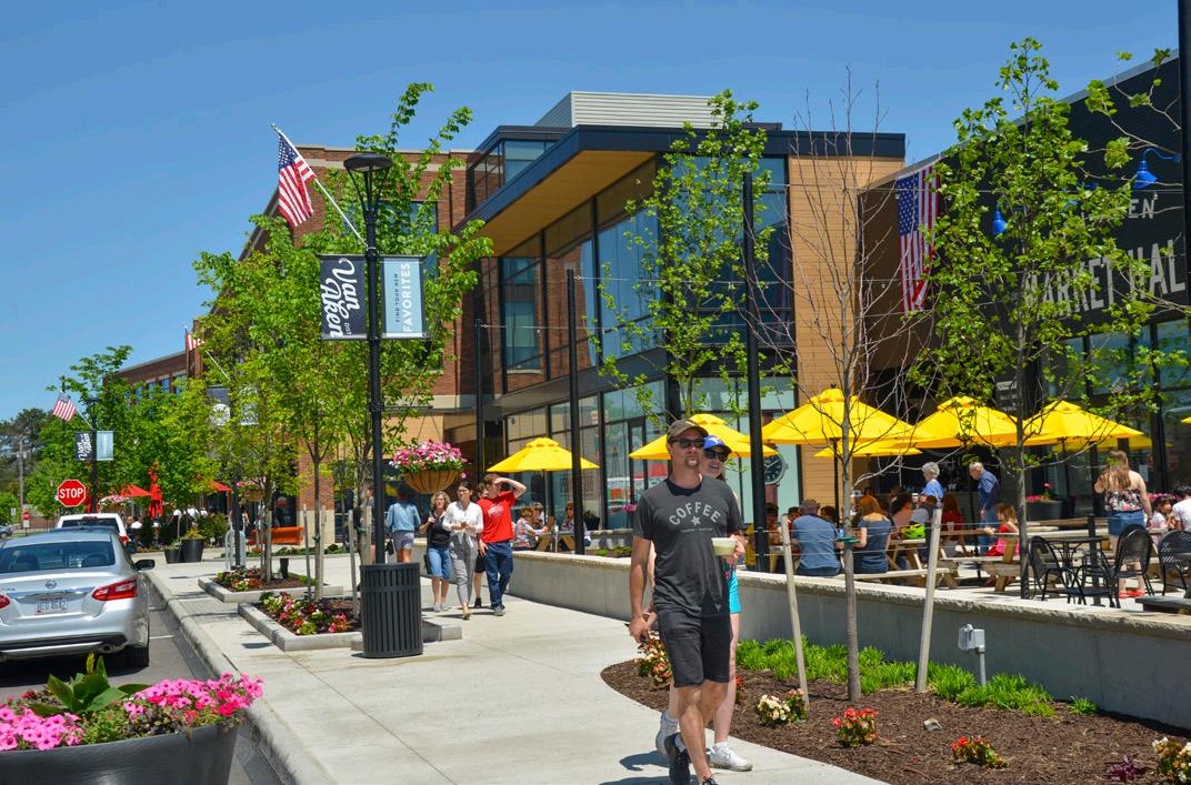
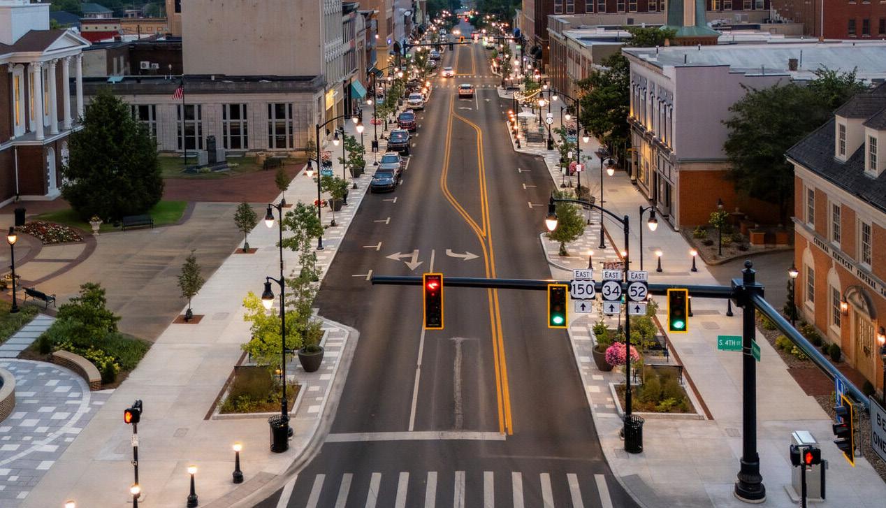
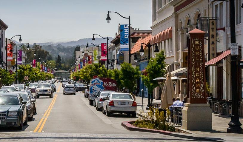
Link the National Park Corridor
Located within national park and state park properties, the Dune Park Station provides excellent opportunities access to park amenities, trails and public beaches. The station's proximity to both parks is a unique opportunity to prioritize multi-modal connections from the station to multiple recreation and nature experiences.
Park Access. State Route 49 (SR 49) is the sole public vehicular entrance and exit for the Indiana Dunes State Park. As such, long queues of park visitors develop from the park entrance causing congestion as far as US 12. Prioritizing ways to access the state park other than a personal vehicle will alleviate this congestion and reduce wait times to enter the park. With the Dunes-Kankakee Trail along SR 49, this rail station is one of the few South Shore Line station with existing bike and pedestrian access into the lakefront. Much of the Indiana Dunes State Park and internal trails are within a 20-minute walk from the Dune Park Station.
Public Transit. There is no bus transit servicing the area around the Dune Park South Shore Station. The South Shore rail line and station is positioned to provide easy access to national and state park property and the Indiana Dunes Visitor Center. The connectivity that SR 49 provides from the Towns of Chesterton and Porter, to the Indiana Dunes Visitor Center, to the rail station, and to park destinations makes it a prime candidate for a short route shuttle bus circulating among these points of interest.
Trail Access. The Dune Park Station area includes a trailhead for the Calumet Trail, which will be incorporated into the future Marquette Greenway, along US 12. This trailhead also provides access to the Dunes-Kankakee Trail that leads from the Indiana Dunes Visitor Center into the state park.
The Dune Park Station parking lot is well-positioned to also serve trail users at this trailhead in addition to commuter rail users. Incorporating amenities such as bike parking, seating, picnic areas, or even bike or scooter shares in this station area will establish this location as a major point of interest in the trail system for greenway users and park visitors.
The completion of the Marquette Greenway in this area will eventually provide high-quality connections to multiple trail systems and link several park areas. The Dunes-Kankakee Trail currently ends at the Indiana Dunes Visitor Center, but an extension is being planned further south along SR 49 into the Town of Chesterton.
Indiana SR 49 is already an important corridor, providing access into the Indiana Dunes State Park, including the Dune-Kankakee Trail from the Indiana Dunes Visitor Center, with future. This roadway plays an important role in the procession into the state park, and future corridor improvements and branding should support that experience. Extending non-motorized connections into Chesterton will help to build a stronger connection between the town and the parks. Waverly Road and an enhanced Tremont Road also have potential to provide alternative access to the parks.
Figure 35: Dune Park Station Mobility Hub Connectivity Improvements
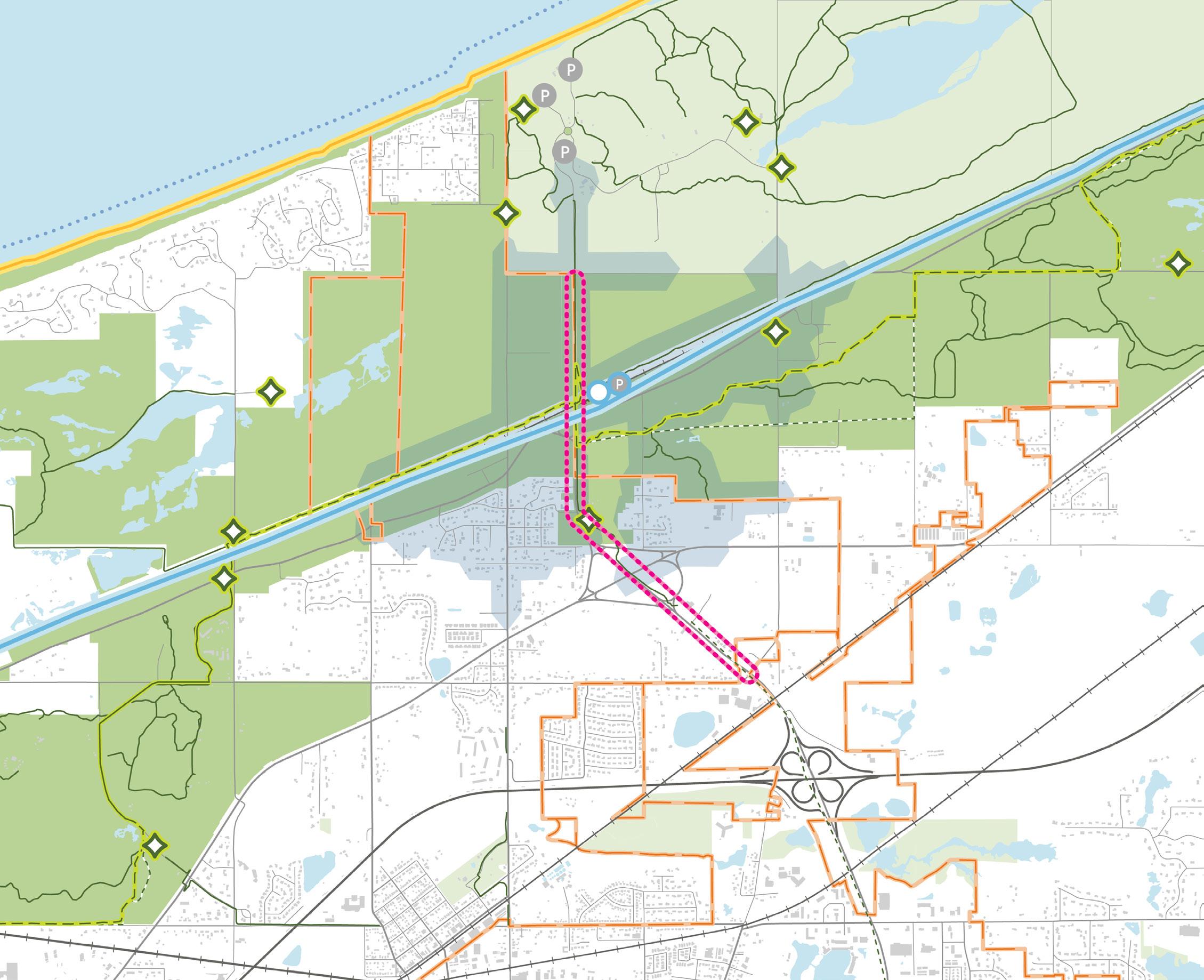
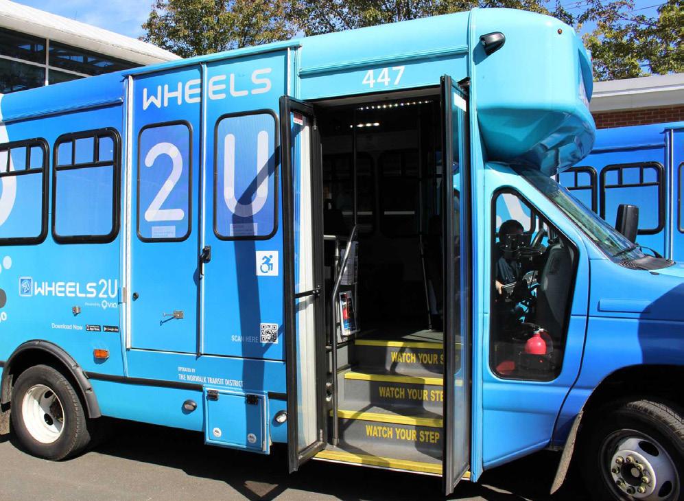
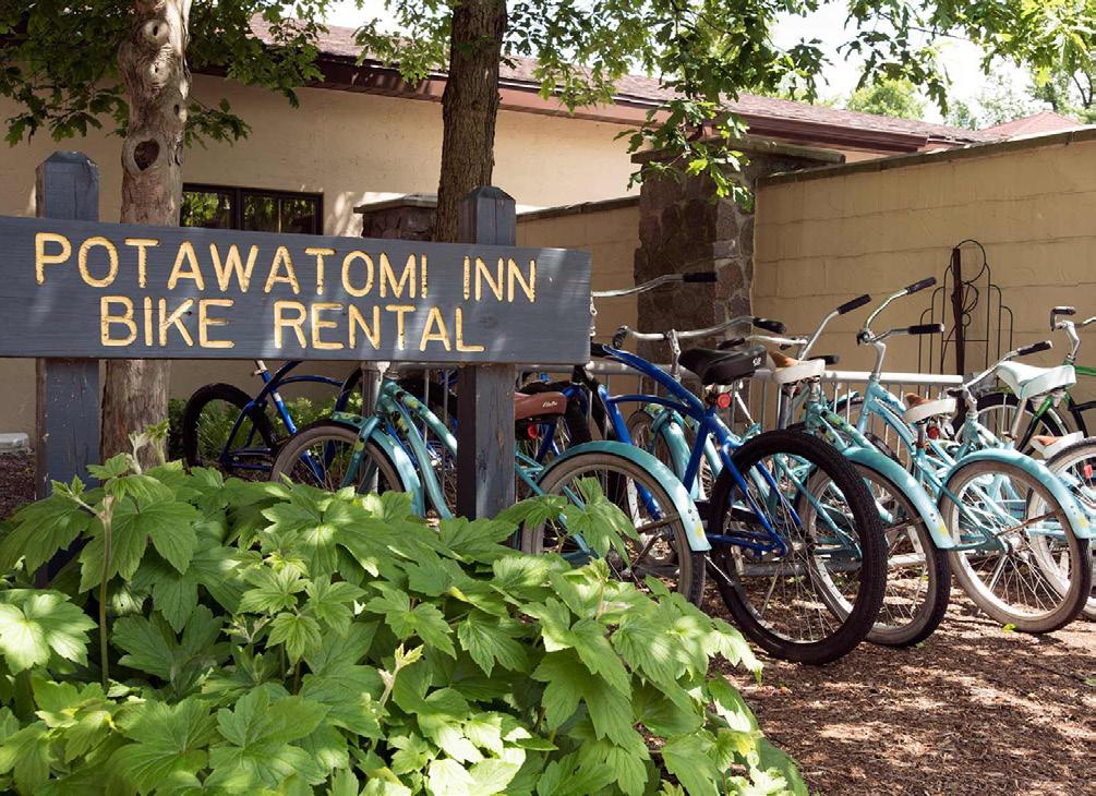
Westport, Connecticut has supplemented its regularly scheduled train service with an on-demand shuttle service within a designated service area of two Metro North stations� The goal of the service is to improve first- and last-mile connections for weekday commuters� Riders can use the mobile app to request a ride, specify their pickup or drop-off location, and track buses in real time� The shuttle has windows of operation during peak morning and afternoon commute times, and it does not operate continuously throughout the day�
Pokagon State Park in northeast Indiana sells bicycle rentals at the park’s inn and camping store for use on roads and paved trails within their property� The park offers a 1�6 mile hard-surface bike trail, and riders are also allowed to ride on the roads throughout the park� Bikes can be rented for $8�00 per hour, $20�00 per half day, or $25 00 for a full day
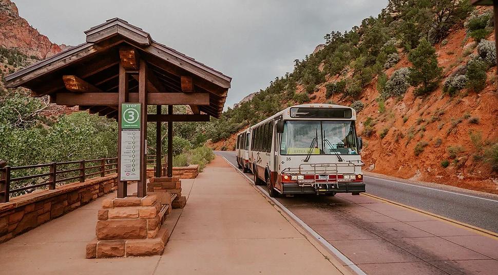
Zion Canyon Park n' Ride Shuttle Service between Springdale, Utah and Zion National Park
The Zion Canyon Shuttle connects the Zion Canyon Visitor Center with two shuttle lines (the Springdale Line and the Zion Canyon Line) with frequent stops through the national park via Zion Canyon Scenic Drive� Visitors may start their shuttle journey at any of the various lodging or visitor centers in Springdale, the gateway town and primary economic center directly outside the southern entrance of the national park� The Zion Visitors Center is the link between the Springdale line and the Zion Canyon line to ride further into the park and access additional trailheads and viewing areas� Free parking is available at the Visitors Center� There are various paid parking options available in Springdale within walking distances to various shuttle stops, offering free access into the park� Shuttles arrive every 10-15 minutes with a maximum ride time of 45 minutes
in either direction� The shuttles begin servicing the area around 7:00 AM and stop around 6:00 PM, with an off-season period in the winter where the shuttle does not run at all�
There are no vehicles allowed on roads internal to the park except for shuttles and administrative vehicles, and there is little to no parking for private vehicles within the national park; this helps mitigate traffic and allow for consistent shuttle movement and accurate arrival times� This also helps control the maximum amount of park users in the park during peak tourism months�
Building off of the success of the existing shuttle routes, study was conducted in 2019 exploring the addition of a shuttle route east of the park to Kane County� The study examined the demand and feasibility to improving park access to other economic centers, which would both increase tourism traffic to those areas and give current residents easier access into the park�
Establish Iconic Access Points from Lakefront Communities to the National & State Parks
The RDA will work with the municipalities along the shoreline to improve, enhance, and develop iconic entrances to the Indiana Dunes National and State Parks. These enhanced strategic access points will augment the tourist experience with support services such as outfitting, retail, and lodging that will benefit national or state park visitors and draw even more tourists into these communities.
Previous Plans. This segment of the study builds upon previous planning for TOD around NICTD South Shore Line stations completed by the RDA in partnership with each community. This includes opportunity sites identifies in the process of establishing TDD boundaries and individual TOD Strategic Implementation Plans. This study also identifies development opportunities outside of TDD boundaries with potential for further development around South Shore Line stations, Indiana Dunes National Park, and Indiana Dunes State Park.
Development within TDD Boundaries. A major goal within each of these TDDs in close proximity to the national and state parks is to include more services, retail, amenities in station areas to serve both residents and visitors. The RDA will utilize its resources within the TDDs to move these development priorities forward and thereby provide additional economic benefit to the communities in the vicinity of parks and lakefront destinations.
Enhancing trail connectivity, walkability, and seamless access from rail stations will reduce reliance on cars, create a more integrated visitor experience, and encourage longer stays that benefit local businesses and hospitality providers.
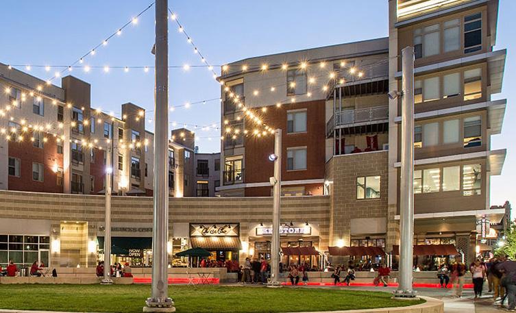
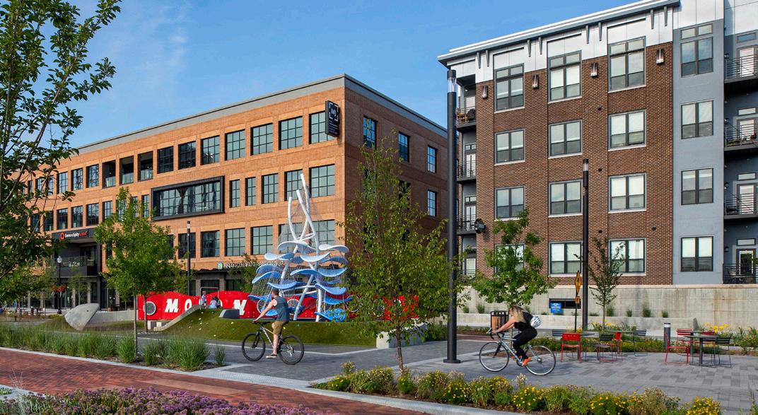
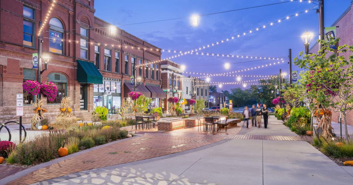
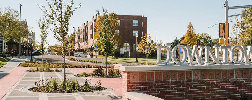
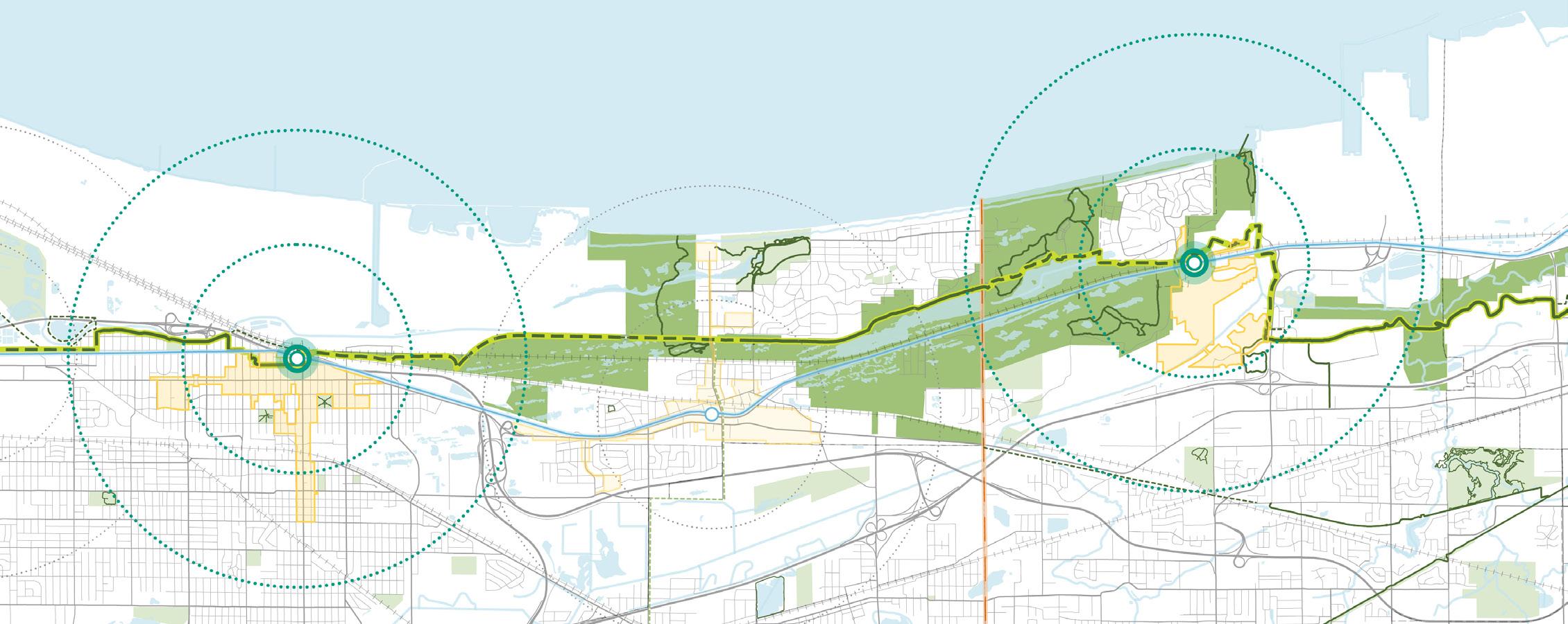
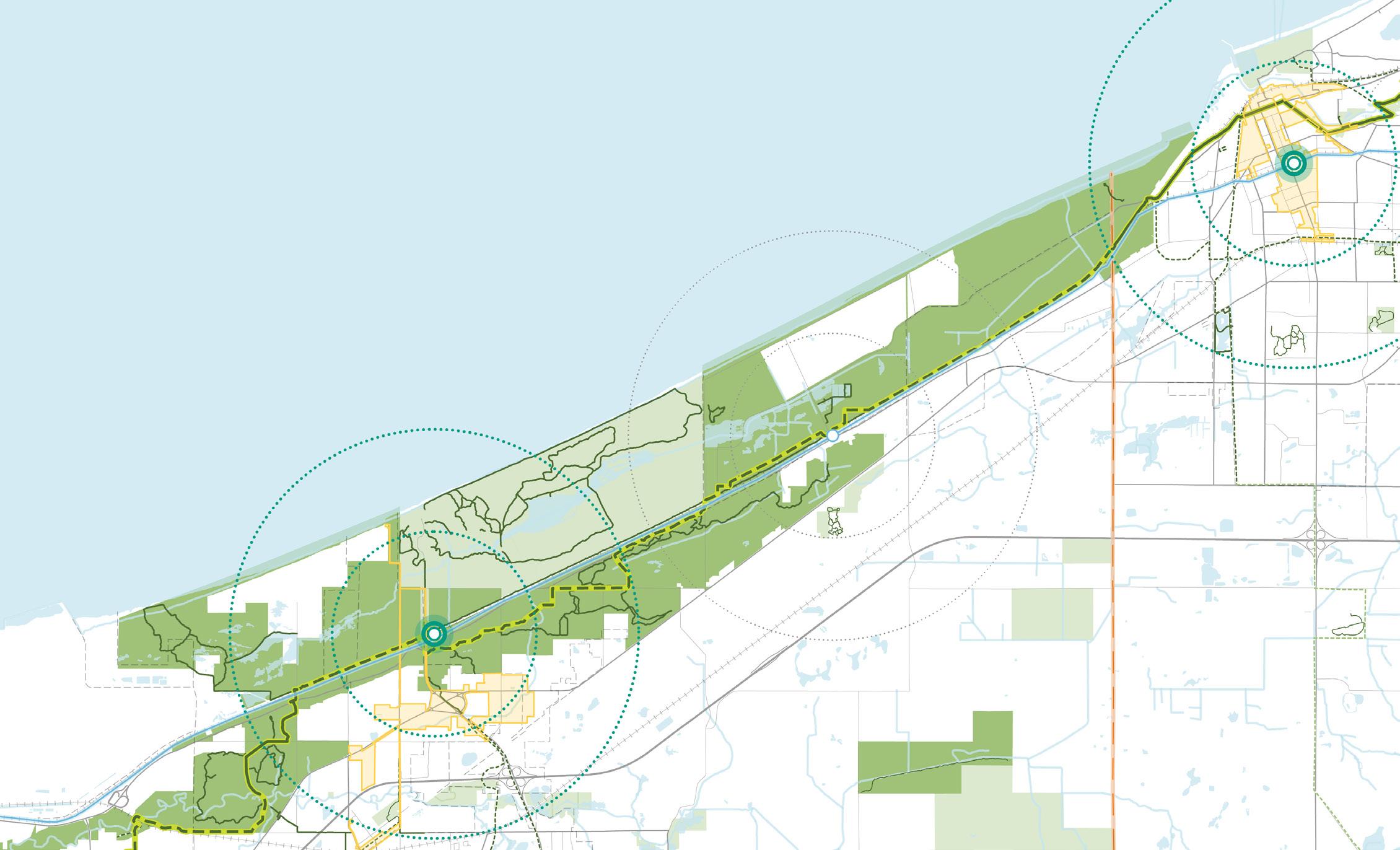
Establish Iconic Access Points from Lakefront Communities to the National & State Parks
Marking the singular access point into the Indiana Dunes State Park, the Dune Park Station area and developable areas along SR 49 present a true gateway opportunity as a formal park entrance, complementing the Indiana Dunes Visitor Center. Sites within the Dune Park TDD can support tourism geared towards both the national park and state park.
Development Opportunities. True TOD opportunities immediately adjacent to the Dune Park Station are limited, but areas of undeveloped or under developed land to the south along SR 49 and US 20 south of the station are still within one mile of the station and state park entrance. There is opportunity here to capitalize on park visitation and focus future development toward hospitality and commercial uses that build upon the park experience, extend stays into longer trips, and provide additional activities or experiences to complement the parks. These developable areas also serve to bridge the physical gap between the developed areas of the Town of Porter and Town of Chesterton.
Further development should be considered in the Towns of Porter and Chesterton to support shared tourism opportunities among the towns and the parks.
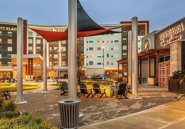
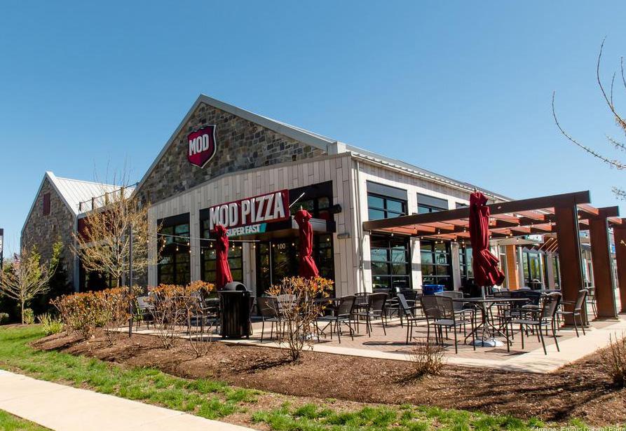
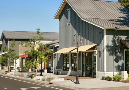
Figure 37: State Park Gateway Development Opportunities
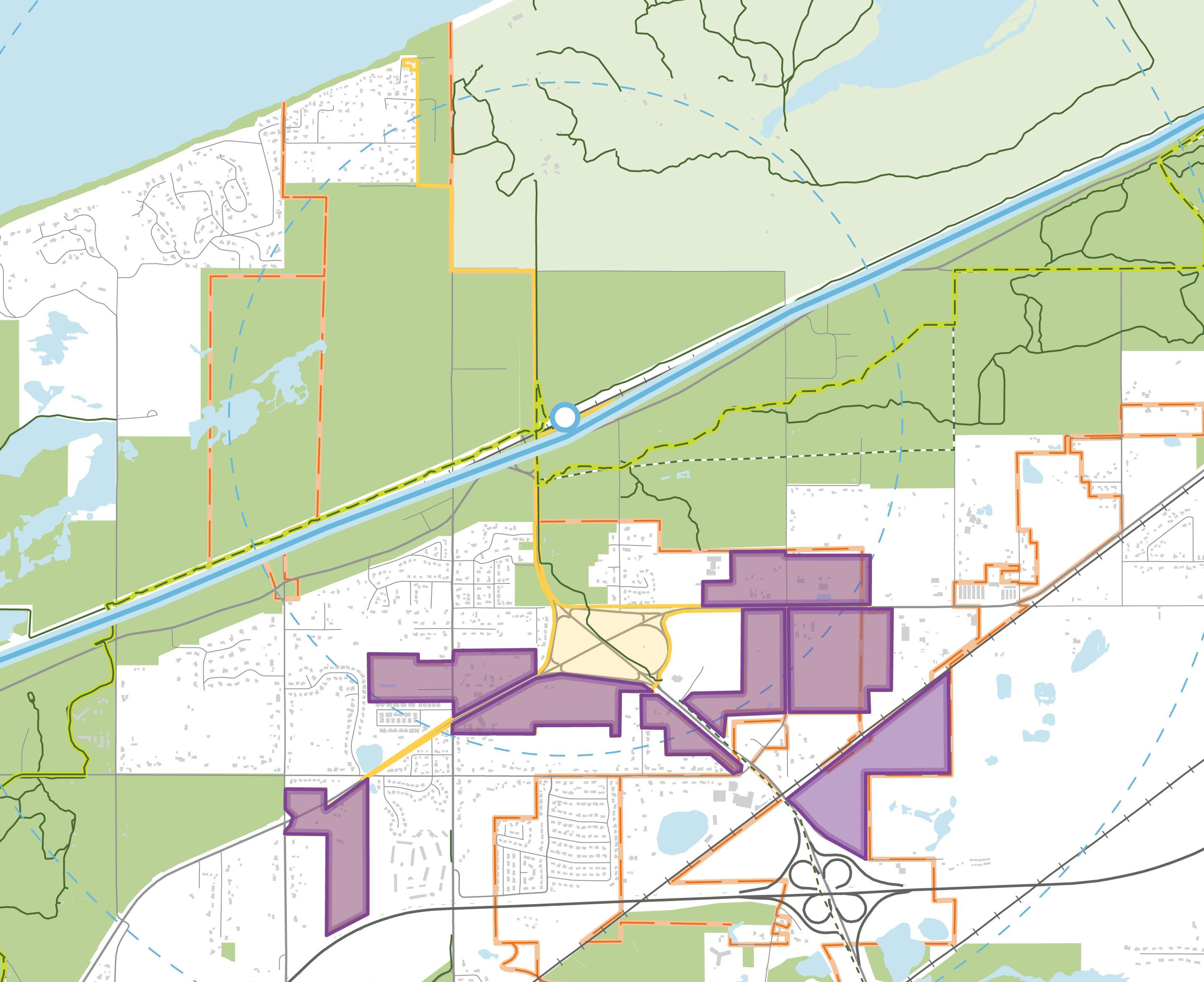
Potential TOD Area
Potential Future Development
Marquette Greenway (Complete)
Marquette Greenway (Incomplete)
Existing Trail
Planned Trail
Potential Future Trail
TDD Boundary
NICTD South Shore Line & Station
Municipal Boundary
National Park Property Parks
Railroad Roadway Water Body
Improve the Parks Visitor Experience with Services, Amenities, and a Regional Identity
The areas adjacent to and containing national park properties are not adequately marked, causing confusion for visitors or passers-by to know whether they are in the national park or not. A cohesive signage strategy that adequately and clearly marks the entrance into and/or exit from national park lands will make getting to and around the national park easier and create a seamless visitor experience. Interpretive signage is effectively used in other regions adjacent to national parks to support the storytelling of their respective regions.
Consistent wayfinding and signage helps establish a distinct identity for the area and develop a brand that is notable and marketable. This identity should be applied at key locations around the parks and associated amenities and communities as well as through coordinated marketing efforts.
Sand and Steel History. Indiana Dunes Tourism highlights the region's history of industry alongside nature. This identity could be leveraged to continue telling the story of the region and celebrating the natural assets of Lake Michigan.
Wayfinding and Interpretive Signage. The RDA will coordinate with INDOT for the provision of creative and interpretive signage across the region to solidify the identity of the Indiana Dunes lakeshore. The RDA will work to implement this strategy in Northwest Indiana to provide educational moments for visitors.
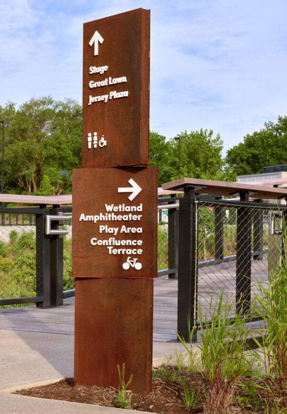
This page is intentionally blank.
Shoreline - RDA Major Focus Area
A transformed lakefront as a destination for rich ecological and recreation opportunities connected to lakefront communities.
With the designation of Indiana Dunes as the 61st national park in 2019, Northwest Indiana is unlocking new opportunities to grow its economy by leveraging its natural assets. The region’s unique combination of industrial heritage and the Lake Michigan shoreline positions it for a strategic transformation—one that balances economic revitalization with responsible environmental stewardship. The repurposing of lakefront industrial properties, the provision of upgraded infrastructure for residential lakefront communities, and the creation of additional lakefront access requires regional reach and substantial resources. The RDA is positioned to act on the Region's behalf to meet these demands in order to realize the potential that the lakefront promises for the public within the Region and the State of Indiana as a whole.
The RDA’s new Redevelopment Strategy, entailing the creation of an LDE, will support transformative redevelopment across the region. By aligning local, state, and federal efforts, the LDE helps eliminate longstanding barriers to redevelopment while protecting the region’s most valuable natural and economic assets. With smart planning and investment, Northwest Indiana can reclaim and reconnect its shoreline, unlock private sector growth, and improve quality of life for residents—without sacrificing its industrial strengths or fiscal responsibility.
Northwest Indiana has an industrialized lakefront with pockets of residential communities, parks, and conservation land interspersed along its shoreline. As aging and legacy industrial sites consolidate or close, there is a once-in-ageneration opportunity to return underutilized lakefront land to productive use. With the right infrastructure investments and policy tools, these sites can be transformed into new hubs for recreation, tourism, and development that generate long-term returns for local communities and taxpayers.
Northwest Indiana’s lakefront includes public beaches, parks, and marinas that serve residents and attract visitors. Many of these assets, however, are fragmented or difficult to access due to surrounding industrial sites and freight infrastructure. Additionally, legacy environmental impacts—such as soil and water contamination, outdated septic systems, and shoreline erosion—continue to present barriers to growth.
The following initiatives include infrastructure-focused projects in support of economic growth and development across Northwest Indiana:
Reclaim Un-Needed Industrial & Utility Properties and Reposition for Use as Lakefront Amenities
Construct & Connect to Municipal Sewer System(s) to Serve Existing and Future Development
Each initiative requires the implementation of key projects and action steps that will be required by multiple entities and agencies working in partnership to bring each strategy to fruition. Collaborative work by other entities such as local units, state or federal agencies, other regional organizations, etc. will be paramount to ultimately executing initiatives and implementing the projects in this plan.
1) Utilize the RDA's LDE as the central vehicle for advancing the strategic transition and redevelopment of lakefront properties. The LDE will lead coordination with state and local partners, private-sector investors, and philanthropic funders to acquire, remediate, and reposition key sites as they become available. Working closely with NIPSCO, IDEM, and the U.S. EPA, the LDE will assess cleanup progress, resolve regulatory and technical challenges, and guide redevelopment that supports long-term economic growth, recreation, and conservation along the Lake Michigan shoreline.
2) Leverage opportunities for targeted habitat restoration, including a focused dune survey to support responsible environmental stewardship and protect high-value natural assets
Construct and Connect to Municipal Sewer System(s) to Serve Existing and Future Development
1) Establish a working group of lakefront communities, Porter County, the State of Indiana, IDEM, and local utility providers to coordinate a regional approach to septic-to-sewer conversion
2) Focus efforts on areas north of US 12—such as Dune Acres, Ogden Dunes, Beverly Shores, and Pines—where aging septic systems pose long-term environmental and public health risks
3) Coordinate with municipal utility partners to evaluate capacity, service areas, and infrastructure needs. Gather records on existing septic systems, plumbing configurations, and building drain layouts to guide future system design and implementation.
4) Where applicable, leverage TDDs to fund sewer infrastructure in communities currently on septic systems but located near South Shore Line stations with potential for TOD
See pages starting on 187 for the projected impact of these action steps
38: Lakefront Strategy Overview Recommended Initiatives
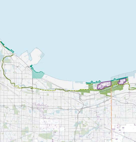
Construct & Connect to Municipal Sewer System(s) to Serve Existing and Future Development
Indiana Dunes National Park 94 65 41 12
Existing Public Beach / Access
Potential Public Lakefront Expansion Area
Industrial / Utility Redevelopment Site
Residential Parcels Served by Septic
Residential Parcels Probable Served by Septic Marquette Greenway (Completed) Marquette Greenway (Incomplete)
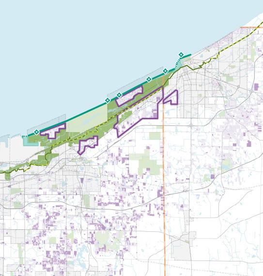
Reclaim Un-Needed Industrial & Utility Properties and Reposition for Use as Lakefront Amenities
Underutilized industrial and utility properties along the Lake Michigan shoreline present major opportunities to expand public access and recreation. The NIPSCO-owned Bailly (Burns Harbor) and Michigan City Generating Stations (Michigan City) are key examples. As these sites are retired or converted, they offer the chance for environmental remediation and transformation into public amenity areas. By reclaiming sites like the Bailly and Michigan City Generating Stations, the RDA can help build a more continuous and connected public lakefront.
The RDA’s LDE is well-positioned to lead or support these transitions—coordinating with NIPSCO, regulatory agencies, and local partners to plan cleanup, restoration, and redevelopment. These sites, identified in the Marquette Plan as access barriers, could become vital connections between communities and the lakefront.
The hardened engineered shorelines of the sites could be naturalized to transition into additional natural landscapes or publicly-accessible beaches. As part of redevelopment, restoring natural shorelines would improve ecological function; reduce the need for sand replacement; and provide more resilient, attractive, and accessible public spaces. Furthermore, adding beach frontage to properties adjacent to existing beaches and national park lands can make progress to ward a more contiguous, cohesive public lakefront.
Bailly Generating Station. This former coal-fired power plant in Burns Harbor is retired and now operates as a natural gas peaker facility (a power plant that runs only during periods of high electricity demand).
Michigan City Generating Station. The current plan is to retire the Michigan City power plant in its current coal-fired use by 2028. NIPSCO is currently evaluating whether they will operate a natural gas, battery, or other supportive facility on the site or close it permanently.
As these and other shoreline industrial and/or utility properties become available for cleanup and redevelopment, they create a potential opportunity for the RDA’s LDE to play a catalytic role in shaping their future.
Potential Funding. State and federal grants could assist with funding environmental cleanup, shoreline restoration, public access improvements, and recreational infrastructure.
Existing Shoreline Infrastructure. Transitioning sites to recreational or other uses would likely remove infrastructure that was being protected by methods such as breakwaters or riprap, these offshore structures will likely no longer be needed. These structures could be removed, presenting an opportunity to restore and reshape the shoreline naturally. Alternatively, these structures could also be reutilized in combination with nature-based shoreline stabilization methods, enabling more public recreational features.
A detailed shoreline sediment transportation analysis would be needed for further understanding of the shoreline conditions due to riprap, breakwaters, hardened shorelines, or other existing man-made infrastructure. Additional studies may also be necessary to understand changing wave, water level, and sediment transport characteristics.
Access to Sites. Planning for recreation infrastructure improvements on shoreline sites should ensure adequate access from the transportation network that considers motorists, pedestrians, and bicyclists from NICTD South Shore Line Stations and nearby communities. This includes access to and from nearby national park amenities to expand recreational opportunities and continuity of the lakefront.
Indiana Dunes National Park
Bailly Generating Station
Michigan City Generating Station
Indiana Dunes State Park
Public Beach Access
Accessible Shoreline
Inaccessible Shoreline
Priority Utility Property for Reclamation
Industrial Land Use
Municipal Boundary
County Boundary
Railroad
Habitat Restoration. There may be opportunities for strategic for habitat/ecological restoration on select lakefront sites. Dune habitat surveys are recommended to understand the status and composition of the dune system for protecting or restoring dune species and ecological communities.
Connection to the National Park. Because these properties are directly adjacent to the Indiana Dunes National Park, future opportunities of the site that focus on recreational infrastructure, complementing and connecting to the national park, should be coordinated with NPS.
Roadway
National Park Property
Parks
Water Body
Case Studies are presented and summarized on the following pages (pages 118 - 119) for examples of investments in shoreline infrastructure in Lake Michigan lakefront communities.
• St. Joseph, Michigan
• Benton Harbor, Michigan
Reclaim Un-Needed Industrial & Utility Properties and Reposition for Use as Lakefront Amenities
The Bailly Generating Station site presents a compelling opportunity for the RDA's LDE to lead a transformative reuse project in collaboration with public and private partners. The site's location adjacent to Indiana Dunes National Park and along the US 12 corridor positions it as a key component of broader lakefront and park access strategies. Reclaiming this site would enhance regional connectivity; expand public access to the lakefront; and support the region’s long-term vision for recreation, conservation, and quality of place. With leadership from the LDE, Bailly could become a model for converting legacy industrial sites into productive assets.
With portions of the site already remediated and further cleanup underway, the LDE could help coordinate planning, investment, and partnerships to guide the transition from industrial use to a private redeveloped use or a public amenity. A potential pathway to return the site to a productive future use is through accessing state and federal grants to assist in funding environmental cleanup, shoreline restoration, public access improvements, and recreational infrastructure. A public-private partnership (P3) involving NIPSCO, state agencies, and nonprofit or philanthropic partners may support long-term stewardship and redevelopment.
Ecological Restoration. High-level review of this site found a potential dune system that, if preserved, could provide protection against storm surges and flooding of inland areas and provide specialized ecological habitats for wildlife species. Historically, this site contained a sand dune landscape with wetlands in lower lying areas, which could be restored. Dune preservation on this site presents a future programming opportunity to introduce or expand upon a coastal dunes stewardship and education program.
Opportunity for Recreation and Amenities. Further inland amenity improvements such as native habitat and boardwalks or viewing platforms could simultaneously benefit the visitor experience and protect the dunes from erosion. Considering the sensitive coastal landscape and habitats of this lakefront, all improvements should incorporate sustainability and sensitive to preserve this landscape.
A connection to the Cowles Bog Trail is feasible given that the trail runs within 500 feet of Bailly Station Road. Additional trail connections to US 12 would enhance the access of the site. To support any future public beach access, expansion of parking would be necessary. The existing substation could be demolished to support a second parking lot for trail and national park access.
Shoreline Edge Conditions. Because of the stable and good condition of the Boaters Beach, no significant shoreline work would be immediately needed on the beach or offshore from the beach. It ties into the beaches of Indiana Dunes National Park on the east and directly abuts the riprap breakwater and revetment of Steel Mill Services (SMS) to the west; this breakwater provides protection to the beach from many of the largest storms that affect the area, so removal would need further study to determine potential impacts, if any.
Cost Estimate
The cost estimate below summarizes potential major cost items for site improvements.
Table 13: Cost Estimate - Bailly Generating Station Site Improvements
Construction Project Cost Site Preparation
$100,000
$750,000 Dewatering
Recreation/Infrastructure Improvements $250,000
Remaining Miscellaneous Items $850,000 Subtotal $5,850,000 Contingency 50%
Total $11,700,000
*Assumed 10,000 CY of non-hazardous soil to be excavated and disposed of off-site.
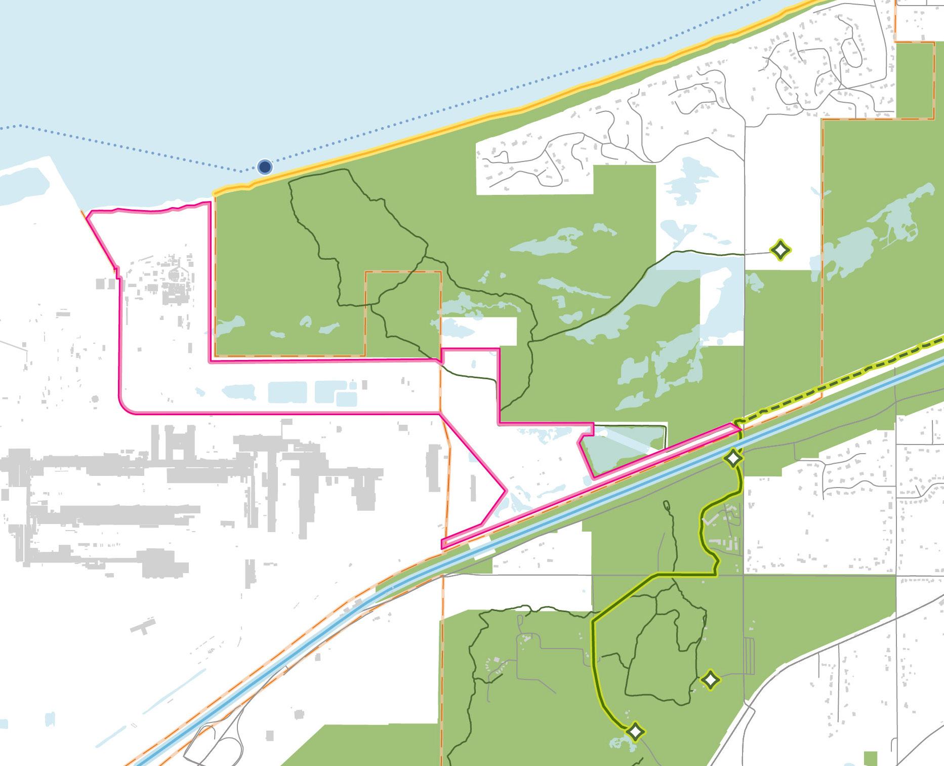
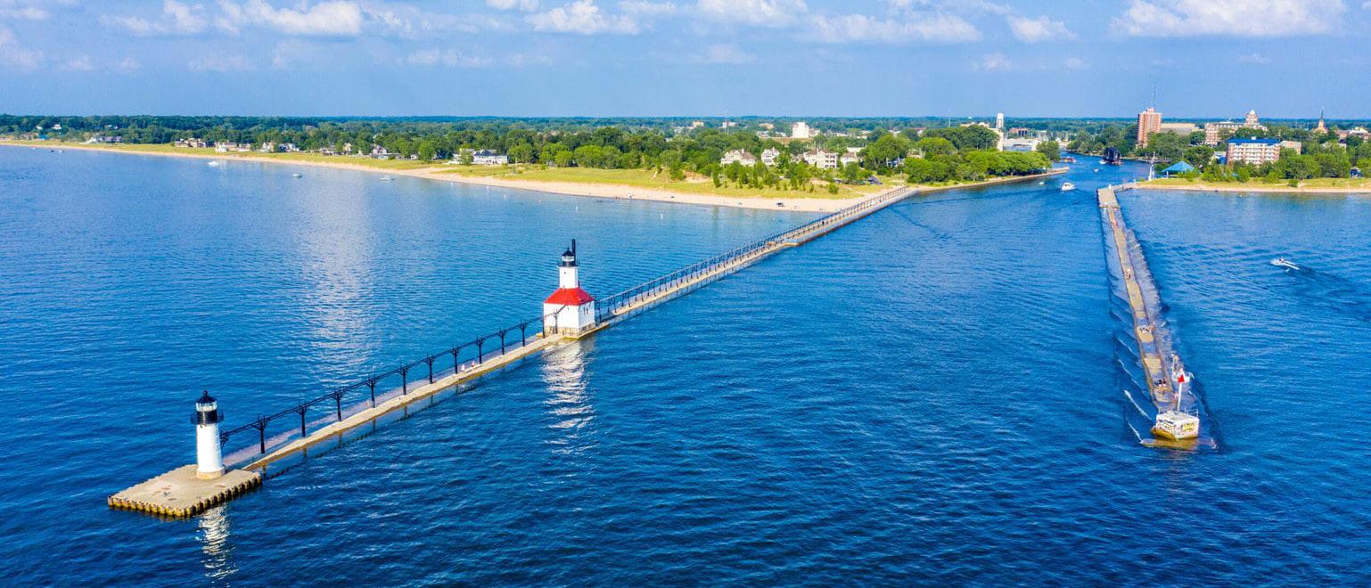
St� Joseph, located along Lake Michigan, is known for its various beaches, each with its own amenities� St� Joseph is also located at the terminus of the West Michigan Pike trail, which is a historic byway that connects many of Michigan's beach towns�
Being located along the lakefront also means that the city is at risk of flooding from storm surges due to high winds traveling across Lake Michigan creating massive waves� Shoreline protection structures, like bulkheads and seawalls, can be built to help mitigate flooding; however this runs the risk of increasing coastal erosion�
The community recognized that storm surge and water levels were an issue and came together to find a solution� Private donors (supported by the St� Joesph City Commission) funded an engineering study to assess the shoreline�
As an outcome of the study, the city passed the "no-build" zoning ordinance in Fall of 2012, prohibiting the construction of permanent structures within a certain elevation above sea level� The ordinance also recommends that setback lines be reviewed every 10 years or whenever Lake Michigan's water level changes by four or more feet�
This "no-build" ordinance was the first of its kind in the State of Michigan, and when the water levels of Lake Michigan rose between 2012 and 2016, a new study was conducted in 2017 to reassess� Besides a few isolated failures, the new study did not recommend additional regulations�
At the heart of the city's core is its Arts District, which has been the driving factor in transforming Benton Harbor into a flourishing center with a wide variety of studios, galleries, working/performing spaces, and more� The Arts District also boasts an array of shops and restaurants that has made Benton Harbor an entertainment destination for residents and visitors� The city is also in close proximity to the PawPaw River which is a popular destination for water recreation activities�
To help protect the shoreline and its geological features, the State of Michigan decided to preserve the boundaries of Lake Michigan from the City of Holland to the City of Bridgman� This preservation area contains numerous shipwrecks and various natural features like clay banks and rock piles�
In 2018, higher-than-acceptable levels of lead were discovered in Benton Harbor's tap water� Concerns of lead positioning triggered restriction for the use of water for cooking, hygiene, etc� Many environmental advocates came to the aid of Benton Harbor, and in 2021, $10 million was allocated for the replacement of the lead service lines� In 2023, the Michigan Department of Health and Human Services announced that all lead piped had been replaced�
Construct & Connect to Municipal Sewer System(s) to Serve Existing and Future Development
Improperly managed septic systems can lead to wastewater discharge that contaminates groundwater or surface water. Conversion from on-site septic systems to a centralized sewer system would improve surface and ground water quality, support increased densities of commercial and residential development unsupportable by decentralized wastewater treatment, and allow for predictable and consistent implementation of planning and zoning goals.
The Lake Michigan shoreline suffers from beach closures and subsequent economic impacts due to water quality issues from wastewater discharges. The goal to attract long-term private investment for the development of commercial and tourism amenities will never succeed if beach closures due to water pollution from septic systems remain a problem. Transitioning the lakefront communities of Dune Acres, Ogden Dunes, Beverly Shores, and Pines to sewer service is essential for protecting groundwater, the Lake Michigan shoreline, and the Indiana Dunes ecosystem. Septic-to-sewer conversion also supports major goals in this strategic plan: enabling redevelopment through the LDE, advancing TOD along the South Shore Line, creating the US 12 Scenic Byway, and enhancing lakefront access. Sewer infrastructure is foundational to sustainable growth, a cleaner Lake Michigan, and a stronger regional economy.
A high-level analysis identified the need to convert septic systems in Dune Acres, Ogden Dunes, Beverly Shores, and Pines. The Town of Pines, a lower-income community, has a strong case for state-supported investment, potentially partnering with Michigan City—especially as the city may have added sewer capacity from the state prison closure. Ogden Dunes and Dune Acres may find better connections through Portage or Porter based on location and existing infrastructure.
A variety of factors influence the various costs involved in decommissioning and removing septic systems and installing sewer lines. The costs mentioned in this study are preliminary estimates, and a refined cost assessment taking all specific variables into consideration would be part of implementing this needed investment. This system on average would cost $20 million based on cost estimates conducted.
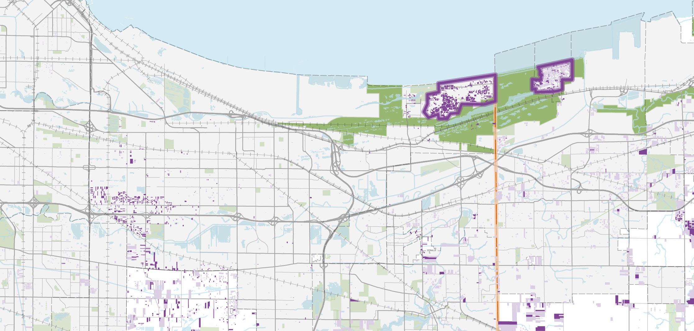
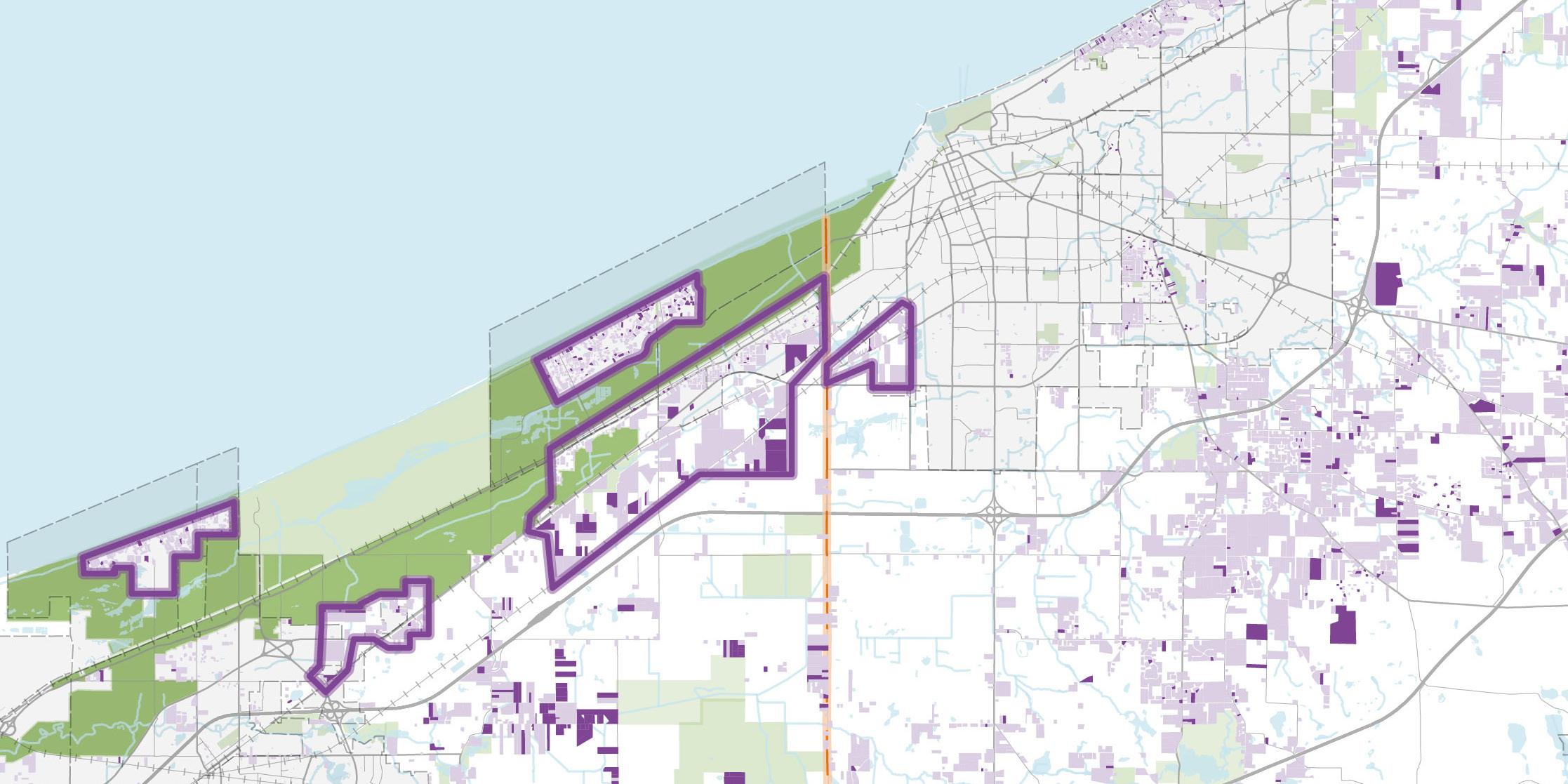
Residential Parcels Served by Septic
Residential Parcels Probable Served by Septic

Commuter Rail - RDA Major Focus Area
Advance economic opportunities for regional and community growth through continued infrastructure investment in efficient, convenient commuter rail service.
The vision for the future is to continue the expansion of the NICTD commuter rail system to continue to see the benefits of a more connected Northwest Indiana to the greater Chicago Metropolitan Statistical Area (MSA). This vision supports the ability for economic development centered around TOD with additional TDDs in Northwest Indiana.
The goal of enhancing existing regional commuter transit and expanding new services to other areas of the Region is a goal that has been at the forefront of the RDA’s planning since its first Comprehensive Strategic Plan presented to the State Budget Committee in 2007.
The 2016 RDA Strategic Plan reaffirmed the RDA’s dedication to this expansion. The RDA took the lead in arguing for the expansion of commuter rail across the Region, and in that 2016 report, demonstrated a four-times return on investment to the state for each dollar expended. The RDA’s commitment of debt service funding has now locked in those significant benefits to make these major projects a reality with their economic impact. The South Shore Double Track was completed in 2024, and the West Lake Corridor Project will be final in early 2026. These transformative projects are models of how rail investments can provide connections to jobs and spur economic development and revitalization.
The RDA's recommendations for expanding commuter rail in Northwest Indiana are not specific for the station sites and rail lines. The locations and feasibility for a particular station site/situation or the actual rail lines are and must be subject to future planning and activities.
Northwest Indiana’s transformative investment in expanding and modernizing the NICTD South Shore Line was forecast in its 2016 plan to produce $2.7 billion in new investment by 2037 and is already on pace to exceed that number.
Without continued new investment into the future, congestion on the Region's interstates and other portions of the transportation system will continue to grow. The use of rail transit to access employment and tourism opportunities can relieve the already congested roadway network, as residents and visitors choose taking rail to their destinations instead of driving.
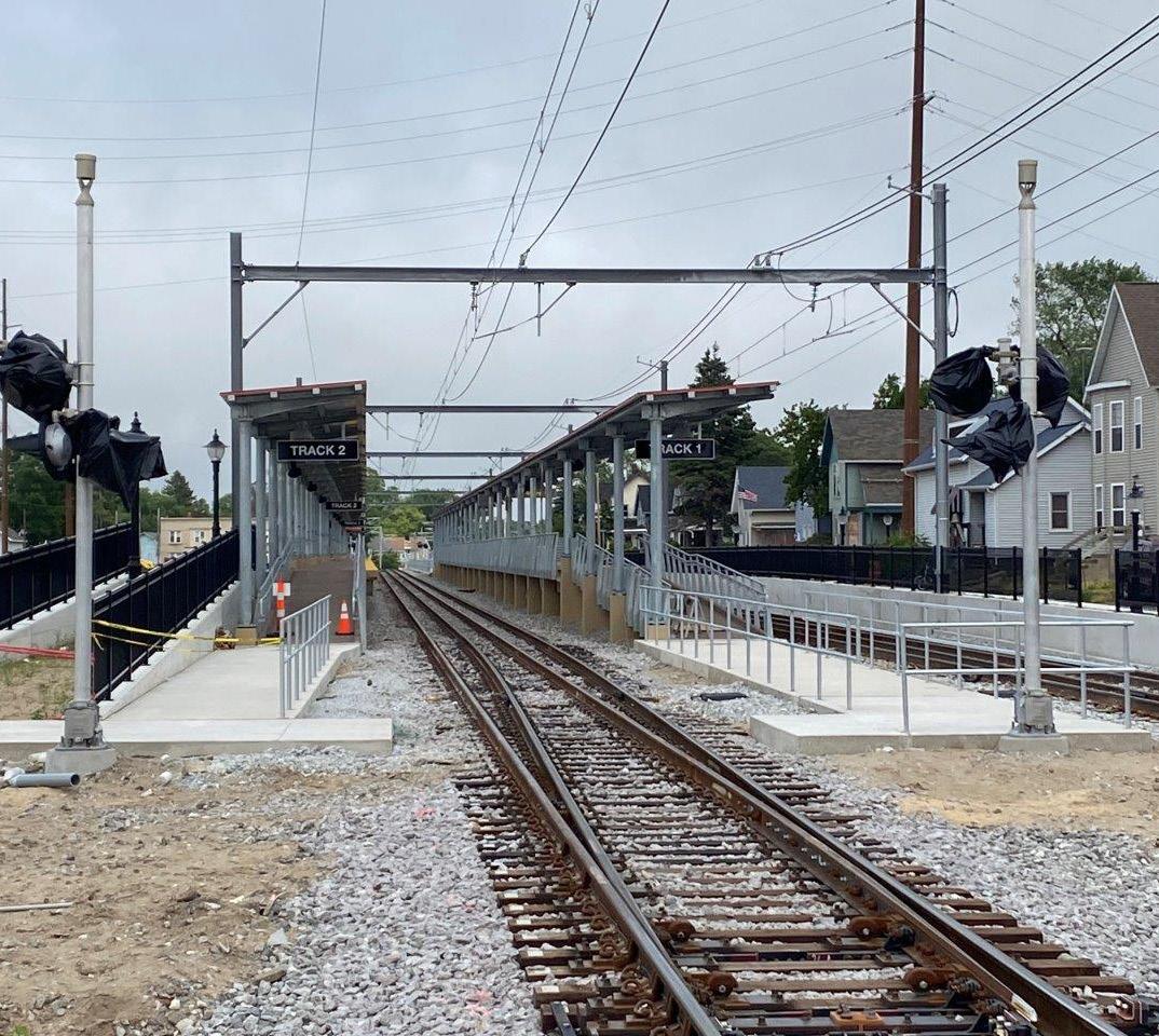
The expansion of commuter rail across Northwest Indiana will strengthen connections between the Region’s population centers, job hubs, and the greater Chicago economy— broadening access to employment, business, and trade. Through TDDs, communities can now capture and reinvest the value created by these transformative rail investments. The State of Indiana’s investment in the South Shore Double Track and West Lake Corridor Extension—estimated to generate $2.7 billion in private development—has already shown strong returns, with activity meeting or exceeding expectations. Continued expansion will enhance access to jobs, housing, and the Lake Michigan shoreline, reinforcing Northwest Indiana’s role as a connected and competitive regional economy.
If this strategic development continues, Northwest Indiana can expect to see a pattern of jobs, development, and quality of life that has been extant in the Chicago suburbs for the last four decades.
The following initiatives include infrastructure-focused projects in support of economic growth and development across Northwest Indiana:
Extend Commuter Rail Service that is Supported by Existing Commuter Rail Lines by Evaluating Potential Segments
Continue Upgrading Existing Stations along Commuter Rail Lines
Explore Potential TOD Opportunities Unlocked by New, Enhanced Rail Service
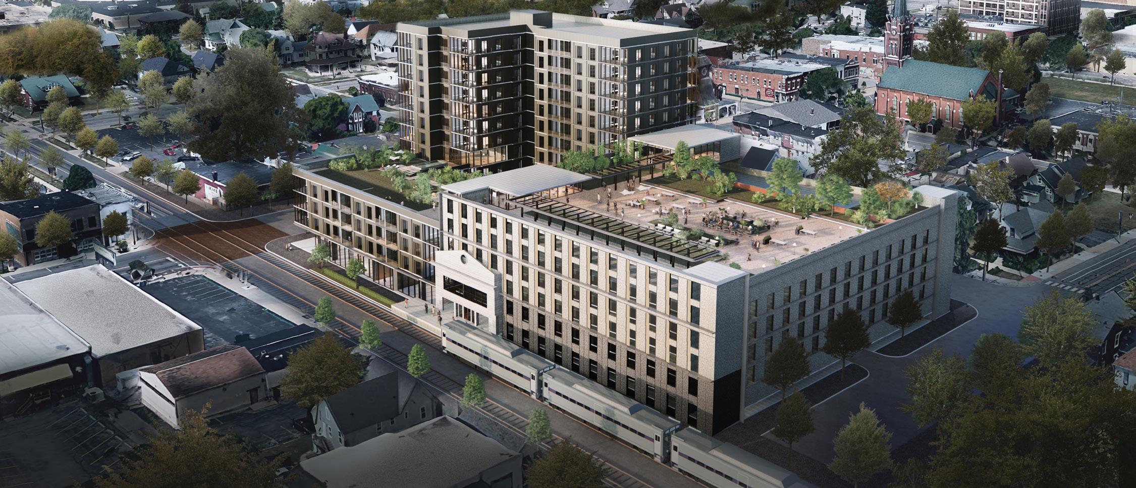
Continue Upgrading Existing Stations along Commuter Rail Lines
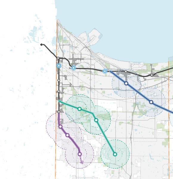
Expanded Commuter
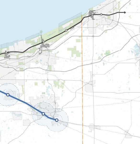
Upgraded/Replaced Existing Station
Potential Commuter Rail Service to Valparaiso
Potential Commuter Rail Service to Crown Point
Potential West Lake Line Expansion to St. John
Existing Station & NICTD Rail Line
Existing TDD Boundary
Recommended Initiatives
Each initiative requires the implementation of key projects and action steps that will be required by multiple entities and agencies working in partnership to bring each strategy to fruition. Collaborative work by other entities such as local units, state or federal agencies, other regional organizations, etc. will be paramount to ultimately executing initiatives and implementing the projects in this plan.
Extend Commuter Rail Service that is Supported by Existing Commuter Rail Lines by Evaluating Potential Segments
1) Begin discussions with NICTD leadership, the State of Indiana, and the Indiana State Legislature to evaluate the economic development case for continued expansion of the NICTD system in Northwest Indiana over the next 20 years. Utilize infrastructure cost estimates in this report and TOD land use scenarios to evaluate potential return on investment (ROI) and population growth in the Region.
a) Provide these findings as an input to NICTD’s 2025 Strategic Plan update
2) Collaborate with the State of Indiana and NICTD to secure federal funding for further study of the three prioritized alignments to Valparaiso, St. John, and Crown Point, including:
a) Preliminary engineering and environmental review
b) STOPS ridership model, REMI model (from this study), and workforce development and housing analysis
c) Ownership/right-of-way (ROW) analysis
d) Coordination with Federal Railroad Administration (FRA), INDOT, and existing freight users/owners to prepare a service development plan
3) Conduct high-level community and stakeholder education and engagement on this topic in an accessible forum in each geography
4) Collaborate with the State of Indiana to enact policies aimed to preserve key rail ROW segments or access rights as they become available to preserve long-term options for commuter rail expansion
5) Pursue funding opportunities and partnerships, which together form a comprehensive funding strategy for advancing commuter rail expansion
a) Grants such as Federal Transit Administration (FTA) Pilot TOD Planning, Small/New Starts, BUILD, and RAISE
b) Federal sources such as FRA’s Corridor ID Program and the Federal-State Partnership for capital improvements
c) Nationally Significant Multi-modal Freight and Highways Projects (Infra), National Infrastructure Project Assistance Program (Mega), and the Railroad Crossing Elimination Program
d) EPA's Brownfields and Economic Development Administration (EDA) grants can support environmental and infrastructure readiness.
6) Work with NICTD to identify parcels of land for acquisition for future rail expansion and TOD development as the commuter rail network is expanded in the future.
Explore Potential TOD Opportunities Unlocked by New, Enhanced Rail Service
1) Support TOD by using TDD tools to fund infrastructure and attract private investment around stations
2) Continue expanding existing TDDs and establishing new ones as additional commuter rail stations are planned and implemented
Continue Upgrading Existing Stations along Commuter Rail Lines
1) Collaborate with NICTD, the Cities of East Chicago, Gary, Hammond, and other communities as future needs arise to improve key stations such as East Chicago, Gary/ Chicago Airport, and Downtown Hammond
2) Coordinate efforts to pursue federal funding and public-private partnerships aligned with TOD within existing TDDs, supporting station enhancements and driving local economic growth
See pages starting on 187 for the projected impact of these action steps
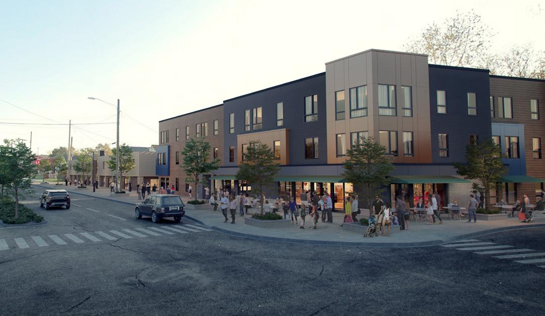
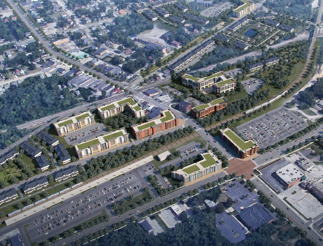
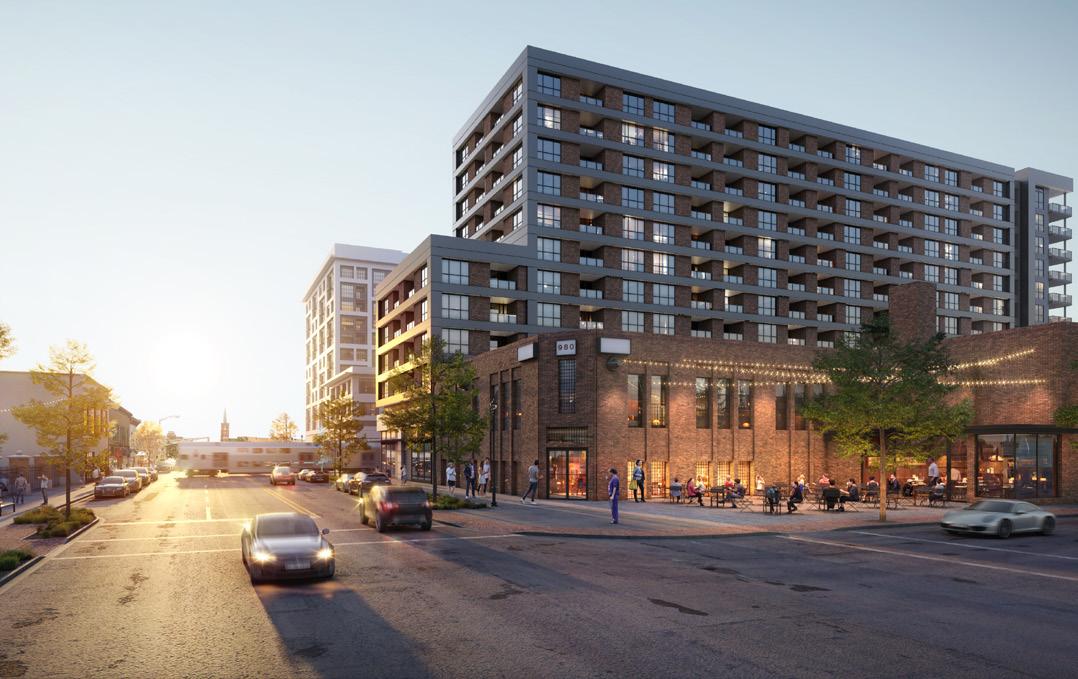
Renderings of TOD Potential
(Source: Transit-Oriented Development Strategic Implementation Plans)
Extend Commuter Rail Service that is Supported by Existing Commuter Rail Lines by Evaluating Potential Segments
For the St. John expansion, the proposed routing would extend rail service from the NICTD West Lake Line’s current terminus near the Munster/Dyer municipal boundary at the West Lake Main Street Station. The extension would operate along the CSX Monon subdivision ending at US 231 (West 109th Avenue) in St. John.
The CSX Monon subdivision between Dyer and US 231 (West 109th Avenue) is primarily single track with one 6,000 foot long passing siding between US 30 (Lincoln Highway) and West 77th Avenue in Dyer. The maximum timetable speeds along this railroad segment are 60 miles per hour for passenger service and 40 miles per hour for freight.
Passenger service on the CSX Monon subdivision consists of the Amtrak Cardinal long-distance passenger train service, which currently has three round trips per week. At the time of this report, Amtrak was considering increasing their Cardinal long-distance passenger train service frequency to daily service, and INDOT was considering restarting the Hoosier State passenger train service with two daily round trips.
Infrastructure Considerations
• Train signal and communication systems
• Public railroad-roadway at-grade crossing safety improvements
• Passing siding construction or extension
Cost Estimate
The probable cost estimate (Table 15) is a high-level estimate of major construction costs. Specific conditions and infrastructure needs impacting total costs will vary by location and segment.
ESTIMATED TRAVEL TIME**
TO ILLINOIS-INDIANA BORDER 20 MINUTES*
TO MILLENNIUM STATION 48 MINUTES*
DRIVE TIME COMPARISON**
TO INDIANA BORDER 1 HOUR 3 MINUTES
TO MILLENNIUM STATION 1 HOUR 50 MINUTES
*60 mph average **Measured from St. John
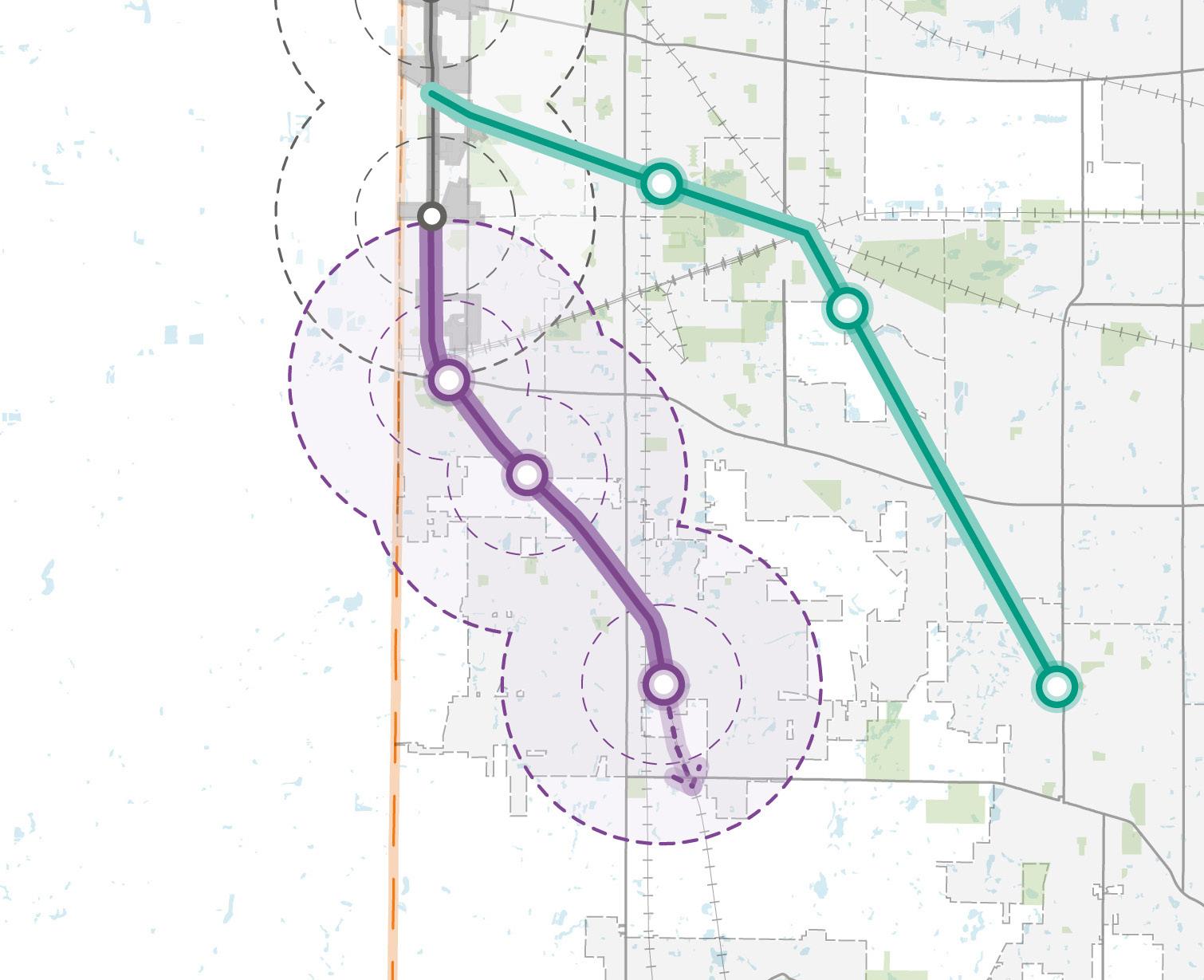
$416,000,000
Extend Commuter Rail Service that is Supported by Existing Commuter Rail Lines by Evaluating Potential Segments
The Crown Point expansion would extend a branch from the NICTD West Lake Line in Munster to Crown Point through the Town of Griffith. Beginning north of the Maynard Junction in Munster, the extension would connect and operate along the Canadian National (CN) Railway South Bend subdivision to Griffith until reaching US 73 (South Broad Street) where the alignment would enter a shared corridor including the Erie Lackawanna Trail ending in Crown Point.
The CN Railway South Bend subdivision between Munster and Griffith is double tracked. The maximum timetable speeds along this segment of the CN Railway South bend subdivision are 80 miles per hour for passenger service and 60 miles per hour for freight.
At time of this report, there is no passenger service on the CN Railway South Bend subdivision.
Infrastructure Considerations
• Train signal and communication systems
• West Lake Line to CN South Bend connection track
• Reconfiguration of the CN South Bend and Matteson subdivisions junction in Griffith
• Establishment of a new commuter rail corridor between Griffith and Crown Point
Probable cost estimate (Table 16) is a high-level estimate of major construction costs. Specific conditions and infrastructure needs impacting total costs will vary by location and segment.
ESTIMATED TRAVEL TIME**
TO ILLINOIS-INDIANA BORDER 18 MINUTES*
TO MILLENNIUM STATION 46 MINUTES*
DRIVE TIME COMPARISON**
TO INDIANA BORDER 1 HOUR 5 MINUTES
TO MILLENNIUM STATION 1 HOUR 50 MINUTES
*60 mph average
**Measured from Crown Point
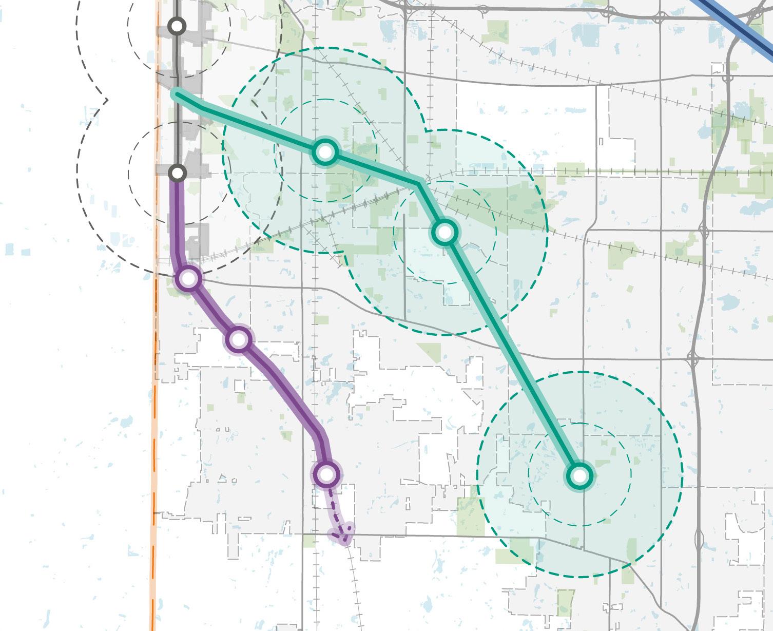
$1,161,680,000
Extend Commuter Rail Service that is Supported by Existing Commuter Rail Lines by Evaluating Potential Segments
Extending commuter rail service to Valparaiso has been studied extensively and is supported in the NIRPC 2050+ Plan. Valparaiso has already developed the market for commuters from its environs to downtown Chicago through the ChicaGo Dash commuter bus line.
The proposed FRA Corridor Identification Program for intercity rail from Chicago to Pittsburgh via Fort Wayne, Indiana, could complement a Chicago–Valparaiso commuter line, as both would share the same corridor owned by the Chicago, Ft. Wayne & Eastern Railroad (CFE), a subsidiary of Genesee & Wyoming, Inc. Service feasibility depends on agreements with the corridor’s owners.
The proposed route would connect Gary to Valparaiso through Hobart, beginning near the Gary/Chicago Airport Station, using the NS Gary Branch to Tolleston Junction then the CFE Fort Wayne Subdivision to Valparaiso. The NS Gary Branch is single track with speeds limited to 10 miles per house, and the CFE line is also mostly single track, with one passing siding in Hobart. Both railroad segments have speed limits of 60 miles per hour for passenger service and 40 miles per hour for freight.
Despite infrastructure limitations, this remains the most feasible alignment for connecting Valparaiso to the South Shore Line.
• Train signal and communications systems
• NICTD South Shore Line to NS Gary Branch connection track
• NS Gary Branch track improvements between the South Shore Line connection and Tolleston Junction
• Reestablish NS Gary Branch to CFE Fort Wayne subdivision connection at Tolleston Junction
• Public railroad-roadway at-grade crossing safety improvements
• Passing siding construction or extension
• The NS Gary Branch connection trackage improvements to increase speed are critical to the viability of this alternative.
• Due to the relatively-low use of the CFE line, running on the freight line should be explored further.
The Probable Cost Estimate (Table 17) is a high-level estimate of major construction costs. Specific conditions and infrastructure needs impacting total costs will vary by location and segment.
ESTIMATED TRAVEL TIME**
TO ILLINOIS-INDIANA BORDER 27 MINUTES*
TO MILLENNIUM STATION 55 MINUTES*
DRIVE TIME COMPARISON**
TO INDIANA BORDER 1 HOUR 6 MINUTES
TO MILLENNIUM STATION 1 HOUR 50 MINUTES
*60 mph average
**Measured from Crown Point
Figure 45: Expanded Commuter Rail Service to Valparaiso & Porter County Regional Airport
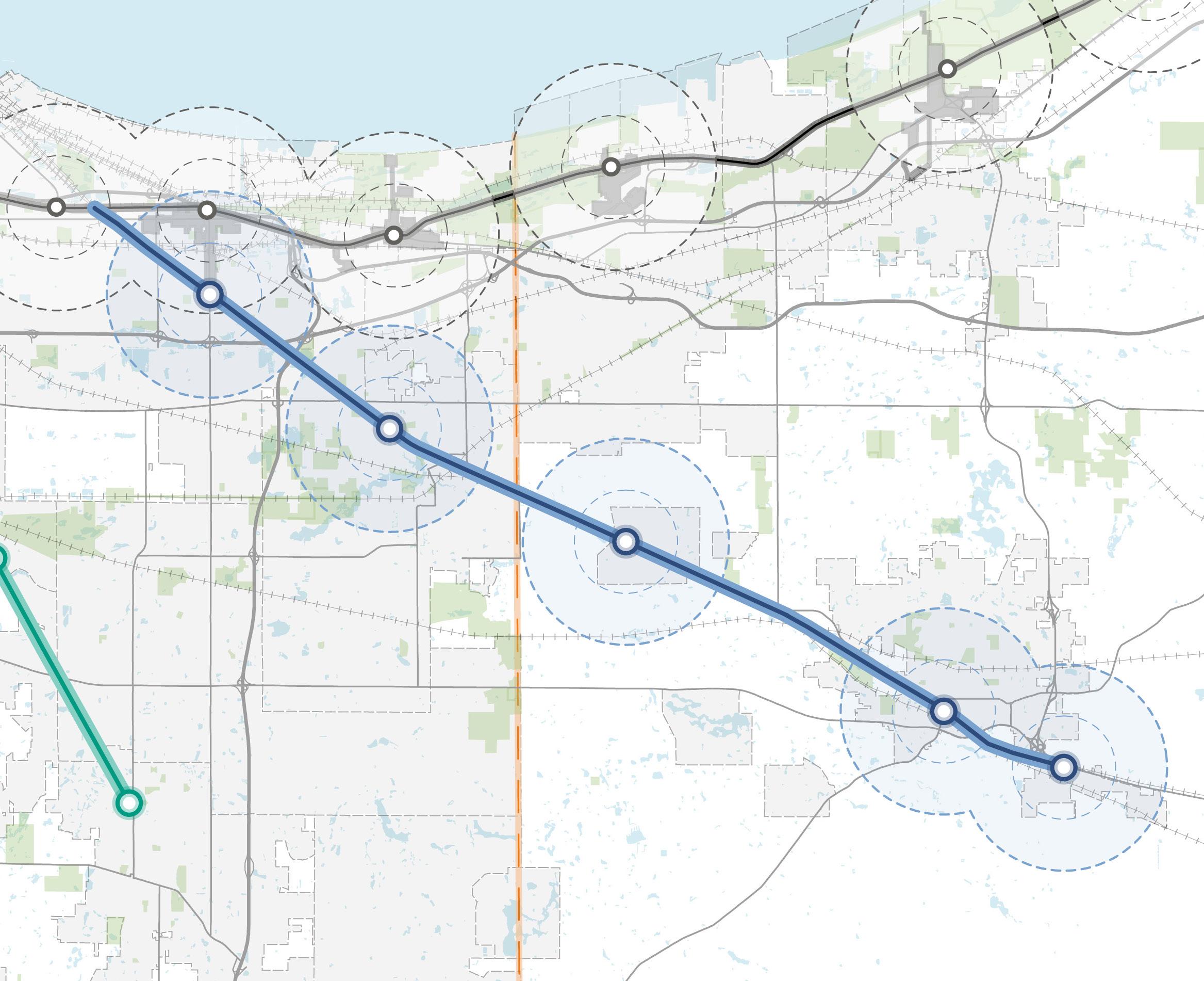
Table 16: Probable Cost Estimate for Rail Extension to Valparaiso & Porter County Regional Airport
$267,108,000
$1,157,468,000
$285,108,000
$1,157,468,000
Extend Commuter Rail Service that is Supported by Existing Commuter Rail Lines by Evaluating Potential Segments
The proposed NICTD commuter service expansions will likely require significant infrastructure improvements to increase speed, maintain freight capacity, and operational reliability.
Population of Markets Served. Generally, the higher the population served and more densely populated an area is, the more likely that a commuter rail service will attract significant ridership and be successful. As shown, Merrillville, Crown Point, Valparaiso, Schererville, and Hobart are the areas with the highest populations that are not currently served by commuter rail. Of these communities, Valparaiso has received the most attention from stakeholders for passenger rail service.
Ownership of Rail Corridors. Most rail lines in Northwest Indiana are owned by private railroad companies, and there are no intact, unused rail corridors. Any use of those rail lines for passenger rail services would need to be negotiated with the private railroad companies. The private railroad would need to consider any arrangement favorable so that investments and/or ongoing payments to access rail corridors improve the railroad’s profitability.
Consistency with Existing Usage. Passenger service cannot conflict with existing freight service, or if service is established on a railbanked right-of-way, rail service cannot endanger existing users. Establishing passenger service will be more feasible on a rail line with low traffic density, where freight trains and passenger trains will be less likely to conflict.
Consistency with Other Planning Initiatives. Any recommendations should be consistent with the plans and visions of other stakeholders. This will help to identify those projects that have momentum.
Populations Served By Commuter Rail & Potential Expansion and Investments
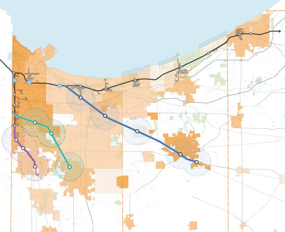
Upgraded/Replaced Existing Station
Potential New Spur to Valparaiso
Potential New Spur to Crown Point
Potential West Lake Line Extension to St. John Existing Station & NICTD Rail Line
Explore Potential TOD Opportunities
Unlocked by New, Enhanced Rail Service
TDDs are strategic economic development areas established by the RDA to promote high-quality TOD around South Shore Line and future West Lake Line stations. The goal of the TDD program is to create compact, mixed-use, walkable communities that reduce dependence on cars, improve connectivity, and strengthen the region’s economic competitiveness.
TOD within these districts emphasizes equitable development, enhanced mobility options, safer streets, and a better quality of life. TOD is a fiscally responsible growth strategy that helps Northwest Indiana communities attract private investment, create jobs, and make the most of public infrastructure. By focusing development around rail stations, TOD supports compact, walkable communities that reduce congestion and strengthen the local tax base.
Since the program launched, the RDA has worked with local communities to establish eleven TDDs. These efforts are guided by customized TOD Strategic Implementation Plans (available at NWITDD.com), developed in close coordination with each community. These plans offer targeted strategies for preparing station areas to attract private investment and accommodate future growth.
As new commuter rail stations are developed, they will be eligible for TDD designation or similar incentive structures that capture local income and property tax growth to support future TOD and infrastructure investment.
A typology-based approach was used to explore how future commuter rail station areas could support TOD. Development Typologies were applied to areas around potential future commuter rail stations to explore the types of TOD that could occur. Transit station areas are ideal for compact, walkable, mixed-use growth due to their access to transit. New development should prioritize urban form, pedestrian access, multi-modal connections, and a strong public realm. This was used to inform economic and population growth REMI modeling conducted as part of this process.
Typologies represent the desired character and mix of land uses, building heights, open space, housing types, and circulation patterns near future stations. They offer a flexible framework to guide development based on each area’s context and potential. Development Typologies are defined on the following pages.
• Urban Center
• Neighborhood Center
• Traditional Neighborhood
• Suburban Neighborhood
• Employment Cluster
Each typology includes a mix of land uses suited to its setting. These land use percentages are illustrative, not prescriptive, and help envision what balanced TOD could look like in each location.
Station Area Development Typology
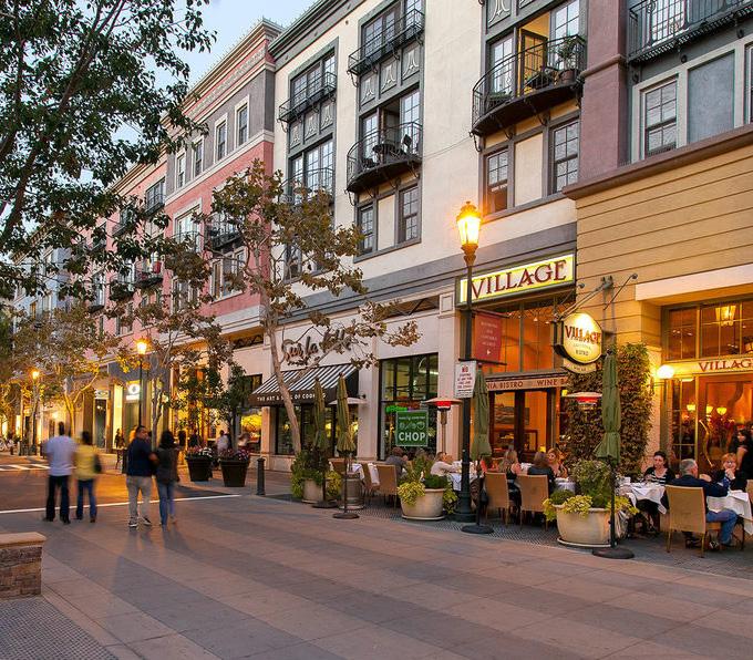
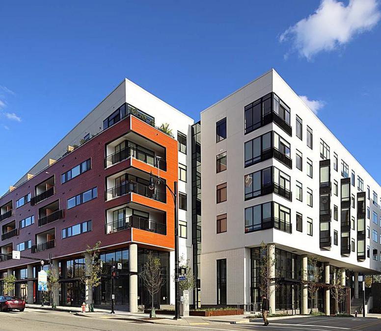
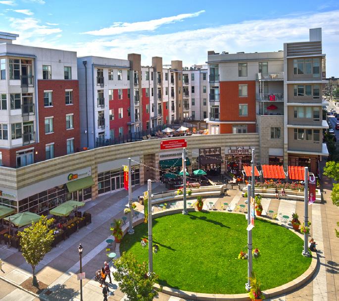
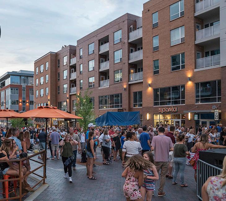
Characteristics: Urban Centers are the densest core of a city or town, typically referred to as “downtowns.” They are characterized by compact, highly-walkable blocks with buildings oriented to the sidewalks with activated groundfloors. Taller buildings contain a mix of uses serving the entire community. Housing types include primarily multi-family units above commercial uses with townhomes transitioning to lower density areas.
Gross Residential Density: 18 - 35 dwelling units/acre
Building Height: 4 - 8 stories
Open Spaces: Pocket parks, civic greens, plazas, activated alleys
Land Uses:
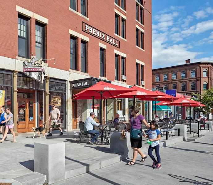
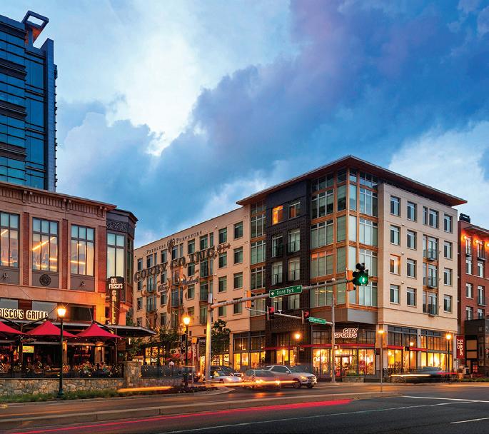
• Residential IV
• General Commercial
• Office
• Institutions
• Open Space
• Circulation/Infrastructure
Circulation and Infrastructure: On-street parking with parking lots or garages behind buildings or garages integrated into buildings that are public or shared among users; active and high-quality public realm with some pedestrian-only connections through public spaces or alleys; multi-modal streets in a regular street grid and frequent transit access.
*The framework presented on this page is an example for illustrative purposes and is not regulatory.
Station Area Development Typology
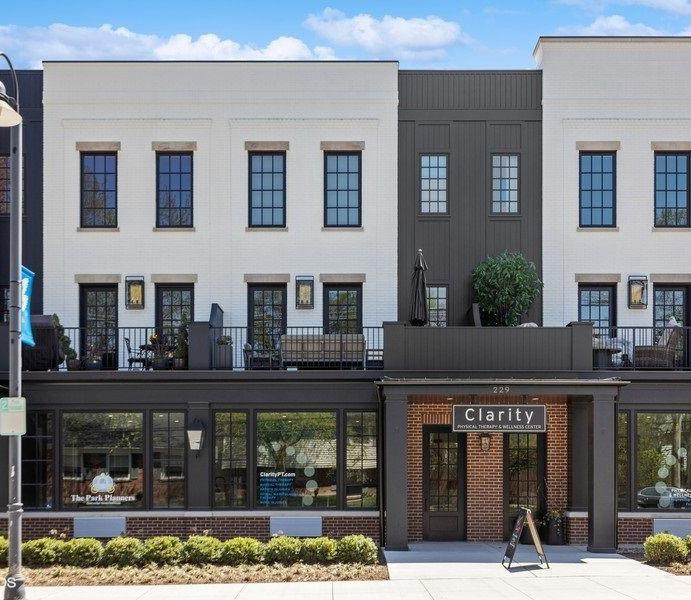
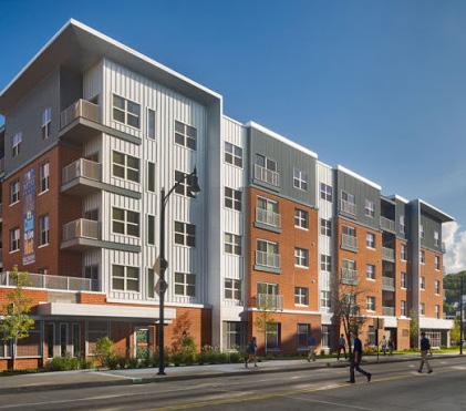
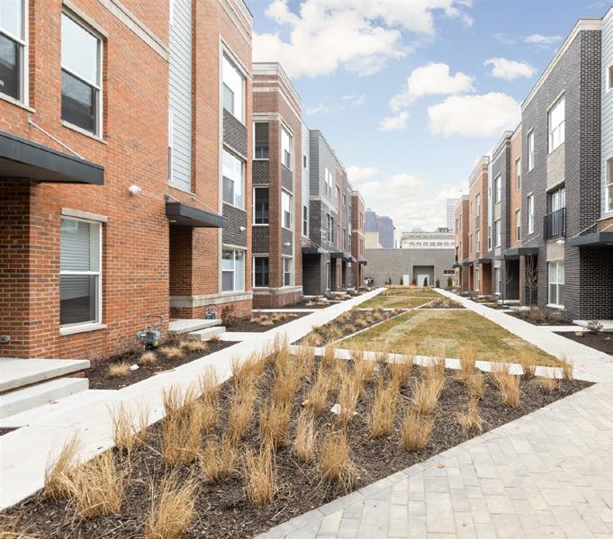
Characteristics: Neighborhood Centers serve both local community and the larger region and can be significant destinations with a mix of housing, employment, entertainment, and commercial services. Housing types are mixed, with a range of townhomes to multifamily buildings to mixed-use buildings. Development patterns should emphasize connectivity, walkability, and horizontal and vertical mix of uses. Compact, denser development patterns are closer to transit stations, tapering into more neighborhood-scale blocks.
Gross Residential Density: 12 - 27 dwelling units/acre
Building Heights: 3 - 5 stories
Open Spaces: Neighborhood-scale parks, pocket parks, plazas, recreation/sports parks, natural areas
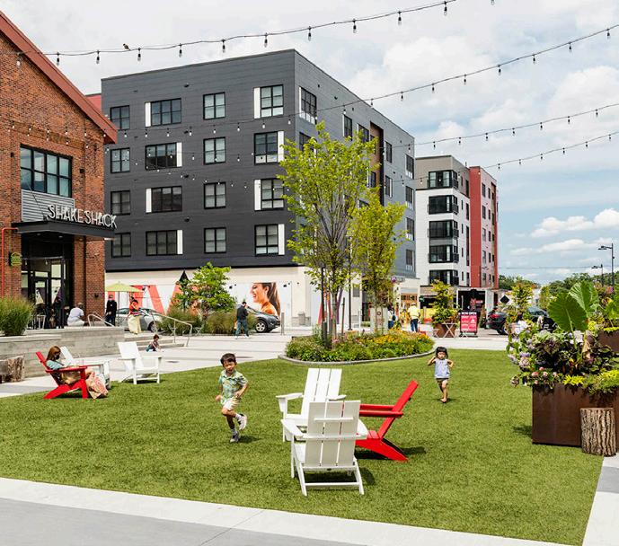
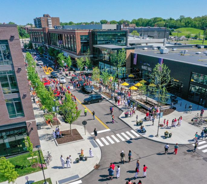
Land Uses:
• Residential III
• Neighborhood Commercial
• General Commercial
• Open Space
• Circulation/Infrastructure
Circulation and Infrastructure: Mix of on-street parking and surface parking lots or garages that are shared among users; balanced multi-modal circulation with walkable blocks and some transit access.
*The framework presented on this page is an example for illustrative purposes and is not regulatory.
Station Area Development Typology
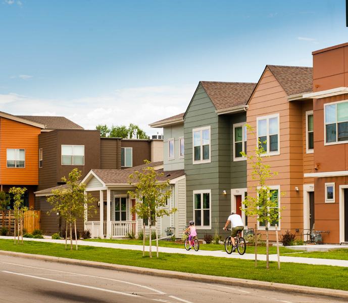
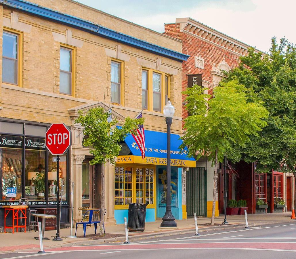
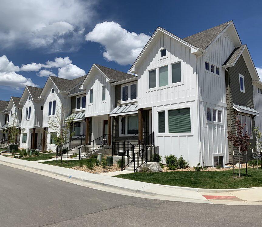
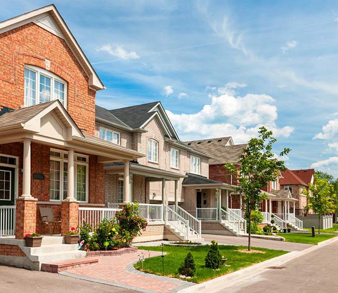
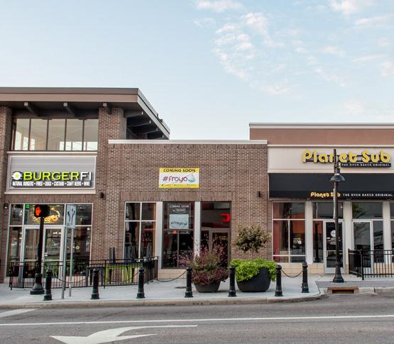
Characteristics: Traditional Neighborhoods are areas of primarily residential uses supported by neighborhoodserving businesses and amenities integrated within the neighborhood. Development pattern includes a mix of housing types, mostly compact lot single family homes, townhomes and duplexes, and small-scale multifamily buildings. The street grid is typically interconnected and walkable.
Gross Residential Density: 6 - 12 dwelling units/acre
Building Height: 2 - 3 stories
Open Spaces: Neighborhood parks, recreation/sport parks, natural areas
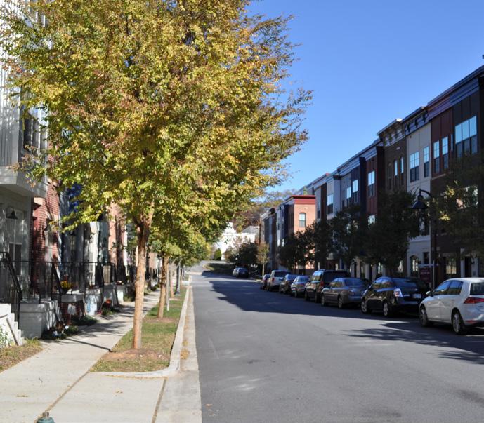
Land Uses:
• Residential II
• Neighborhood Commercial
• Institutions
• Open Space
• Circulation/Infrastructure
Circulation and Infrastructure: On-street parking, small residential parking lots, and private driveways, but mostly rear-loading or alley-accessible parking/ driveways; shared/public parking lots for commercial uses; interconnected streets with sidewalks and alley system; greenway/trail connections; regular access to transit and bike facilities or bike-friendly streets.
*The framework presented on this page is an example for illustrative purposes and is not regulatory.
Station Area Development Typology
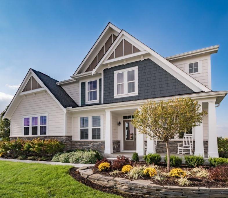
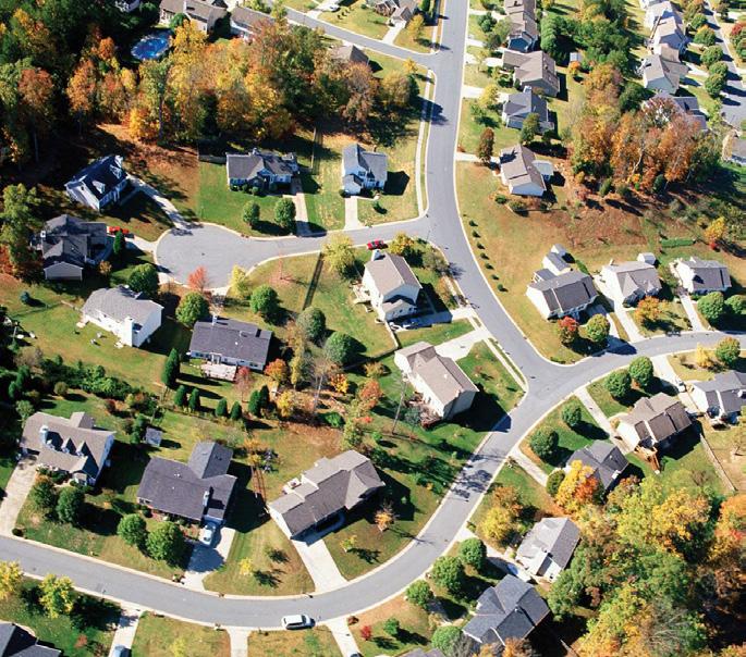
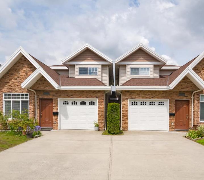
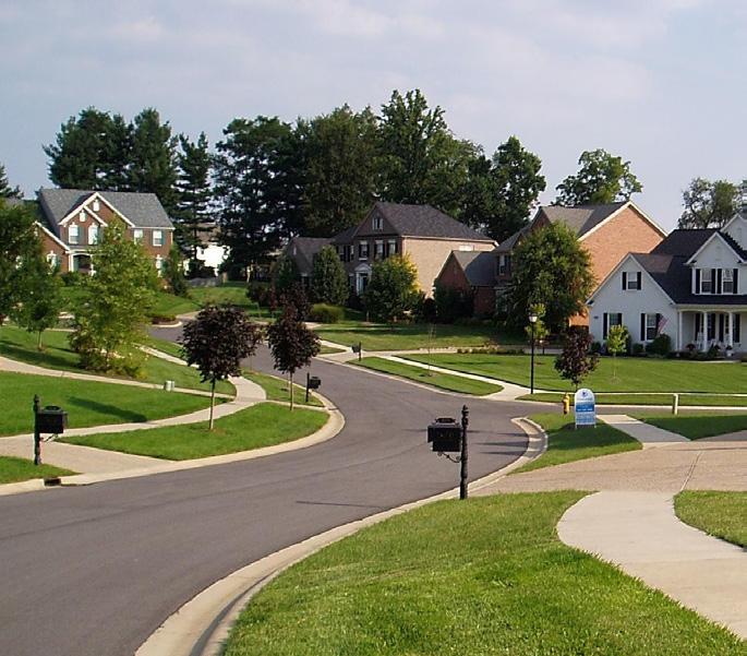
Characteristics: Suburban Neighborhoods generally contain medium- to large-lot homes with relatively uniform housing types and densities. Single-family is the predominant land use. There may be some duplexes, townhomes, or patio homes that exist in subdivisionstyle developments or complexes with shared internal amenities and parking. This typology has the lowest residential density (units per acre).
Gross Residential Density: 1 - 5 dwelling units/acre
Building Heights: 1 - 3 stories
Open Spaces: Community-scale parks, neighborhoodscale parks, recreation/sports parks, natural areas
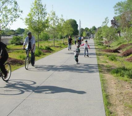
Land Uses:
• Residential I
• Open Space
• Circulation/Infrastructure
Circulation and Infrastructure: Wide, winding streets with or without sidewalks or paths; neighborhood developments accessed from arterial roadways; private driveways creating frequent curb cuts, with some on-street parking permitted; greenway/trail connections; minimal or no transit access, located on arterial roadways; bike-friendly low-speed streets.
*The framework presented on this page is an example for illustrative purposes and is not regulatory.
Station Area Development Typology
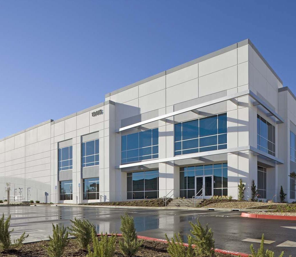
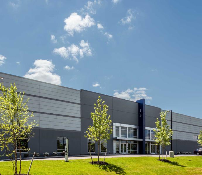
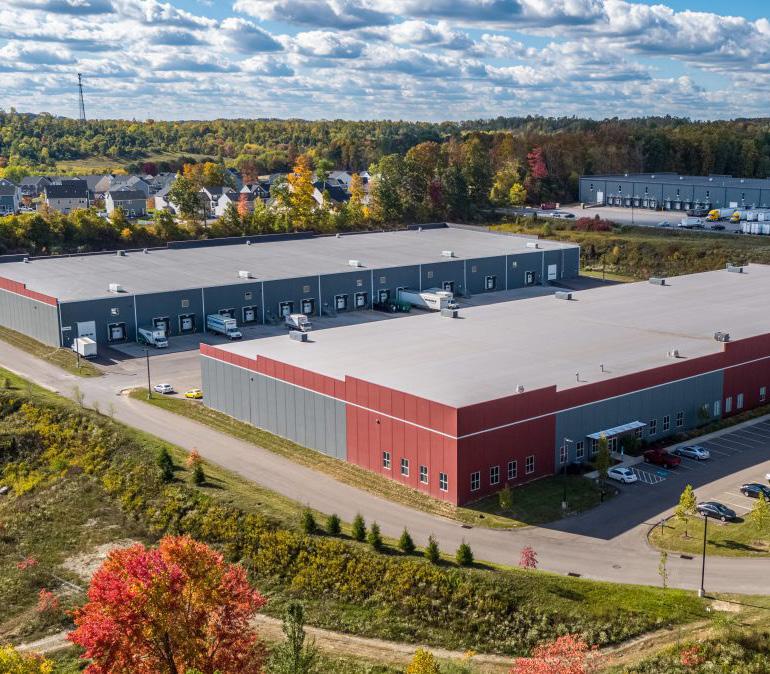
Characteristics: Employment Clusters are largely single-use areas consisting of office buildings, corporate headquarters, light industrial, warehousing, logistics centers, manufacturing/production, and technology centers. They can also include aviation cargo or rail freight if located near airports or rail yards. Development patterns are typically one-story large-footprint buildings with generous parking and circulation areas. Some office buildings or headquarters may be multi-story. Sites may include a single user or multiple users in the form of a business or industrial park.
Building Height: 1 - 2 stories
Open Space: On-site stormwater detention
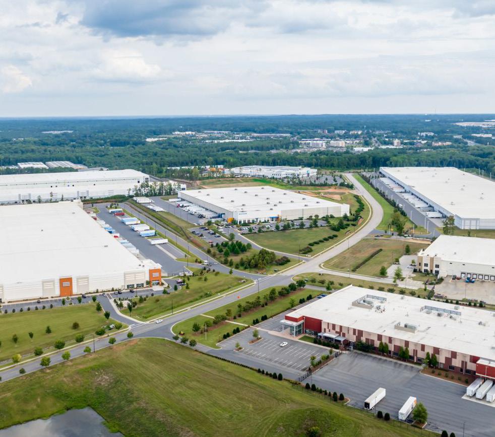
Land Uses:
• Warehousing & Office
• Open Space
• Circulation/Infrastructure
Circulation and Infrastructure: Surface parking for employees and trucks, loading areas/loading bays and truck circulation, rail spurs/railroad connections.
*The framework presented on this page is an example for illustrative purposes and is not regulatory.
Explore Potential TOD Opportunities Unlocked by New, Enhanced Rail Service
A potential new rail line branching from the South Shore Line alignment could establish an additional station in Gary, located south of downtown and north of I-94, with the potential to serve more Gary neighborhoods and Indiana University Northwest. The potential TOD area with a focus on Broadway could continue the redevelopment of this key corridor from the momentum building in downtown.
Table 17: TOD Potential - Gary Midtown/University Park
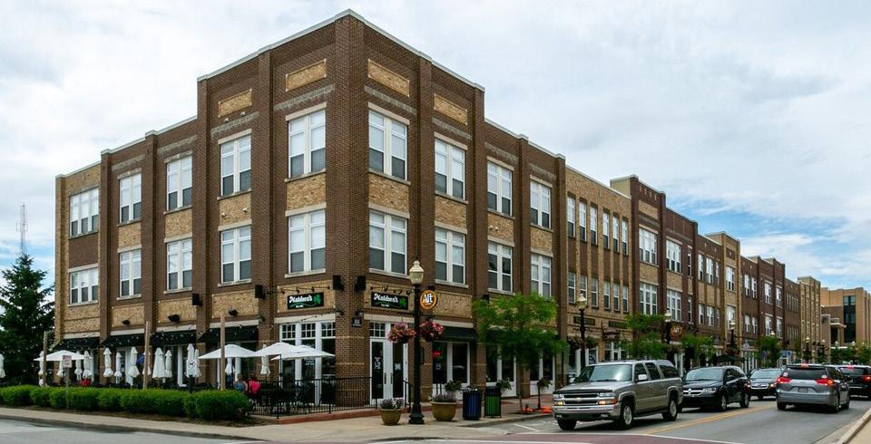
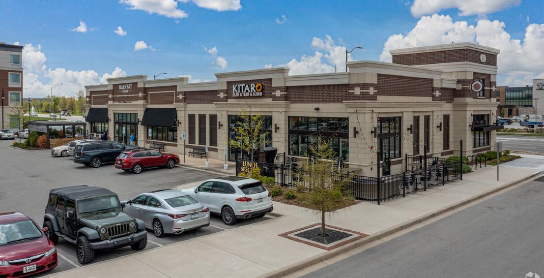
*Development potential measured as Gross Floor Area (GFA) in square feet.
Projected Impacts
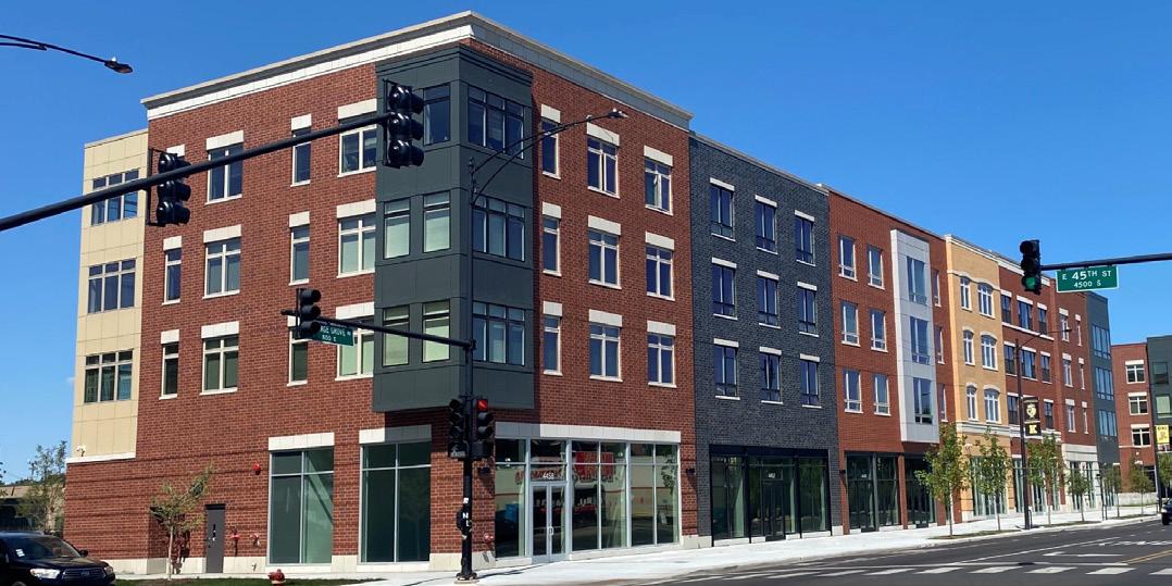
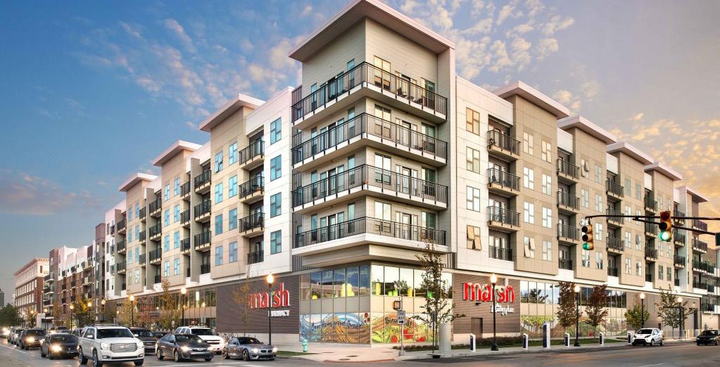
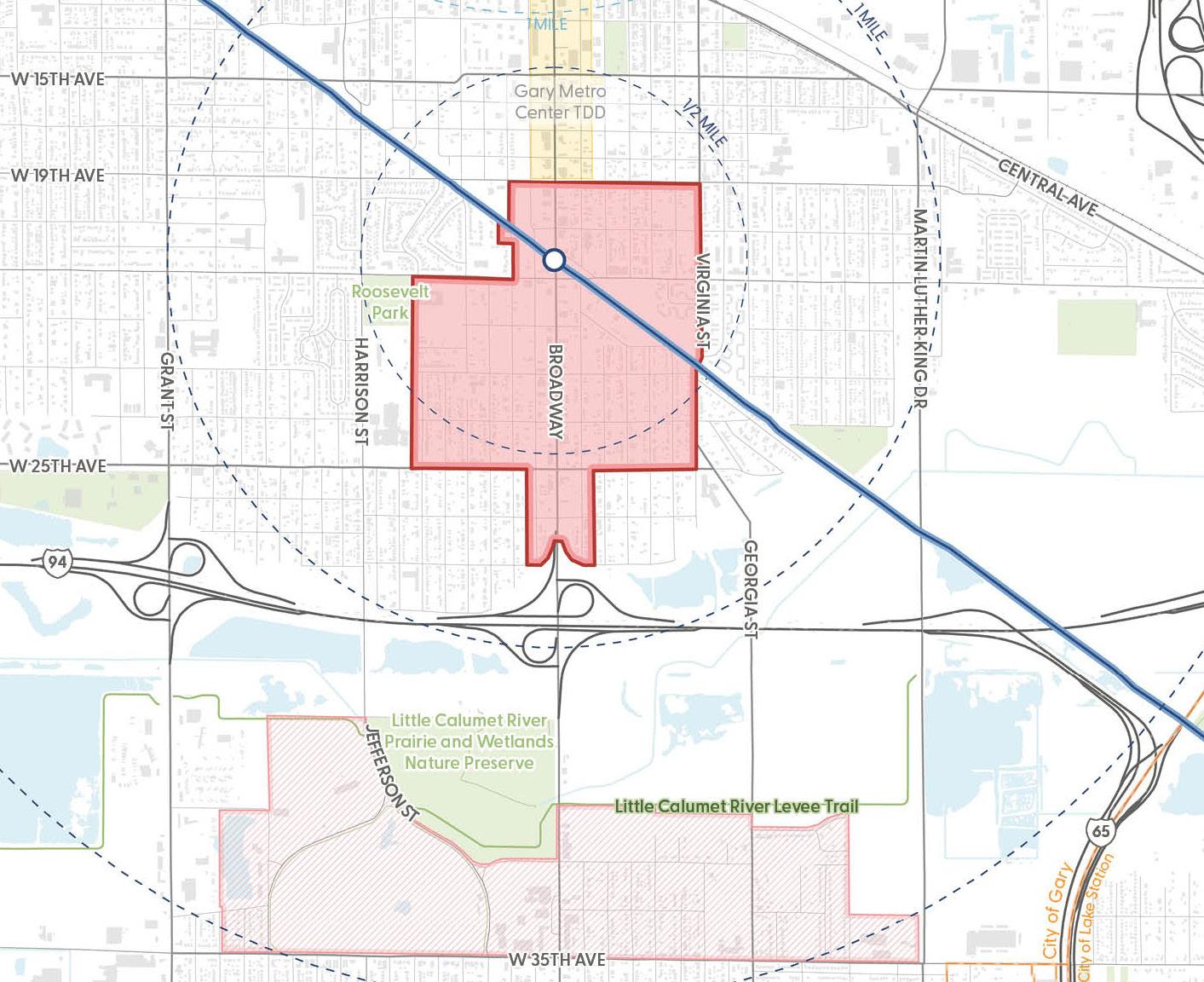
Potential New Station
Potential Rail Alignment
TDD Boundary
Potential TOD Area
Influenced Development Area Municipal Boundary Roadway Railroad
Existing Trail/Greenway Water Body Parks
Explore Potential TOD Opportunities Unlocked by New, Enhanced Rail Service
The City of Valparaiso is already a well-developed city with Valparaiso University and growing employment opportunities. Valparaiso currently runs its ChicaGo Dash bus service that connects residents and students to Chicago, demonstrating that there is already demand for and desire commute to Chicago from Valparaiso without the need for a car.
Urban Center Typology
Table 18: TOD Potential - Downtown Valparaiso
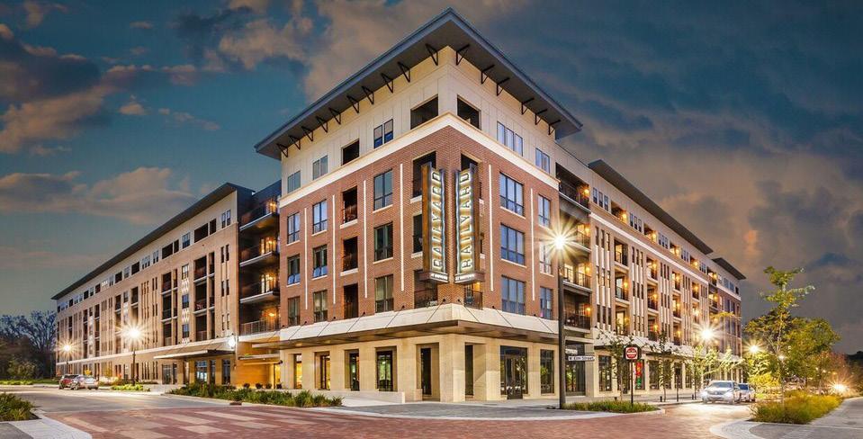
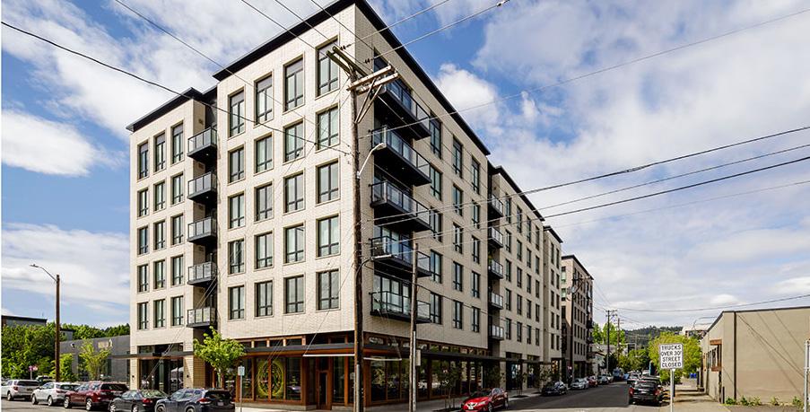
*Development potential measured as Gross Floor Area (GFA) in square feet.
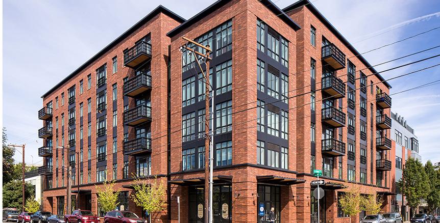
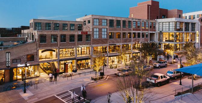
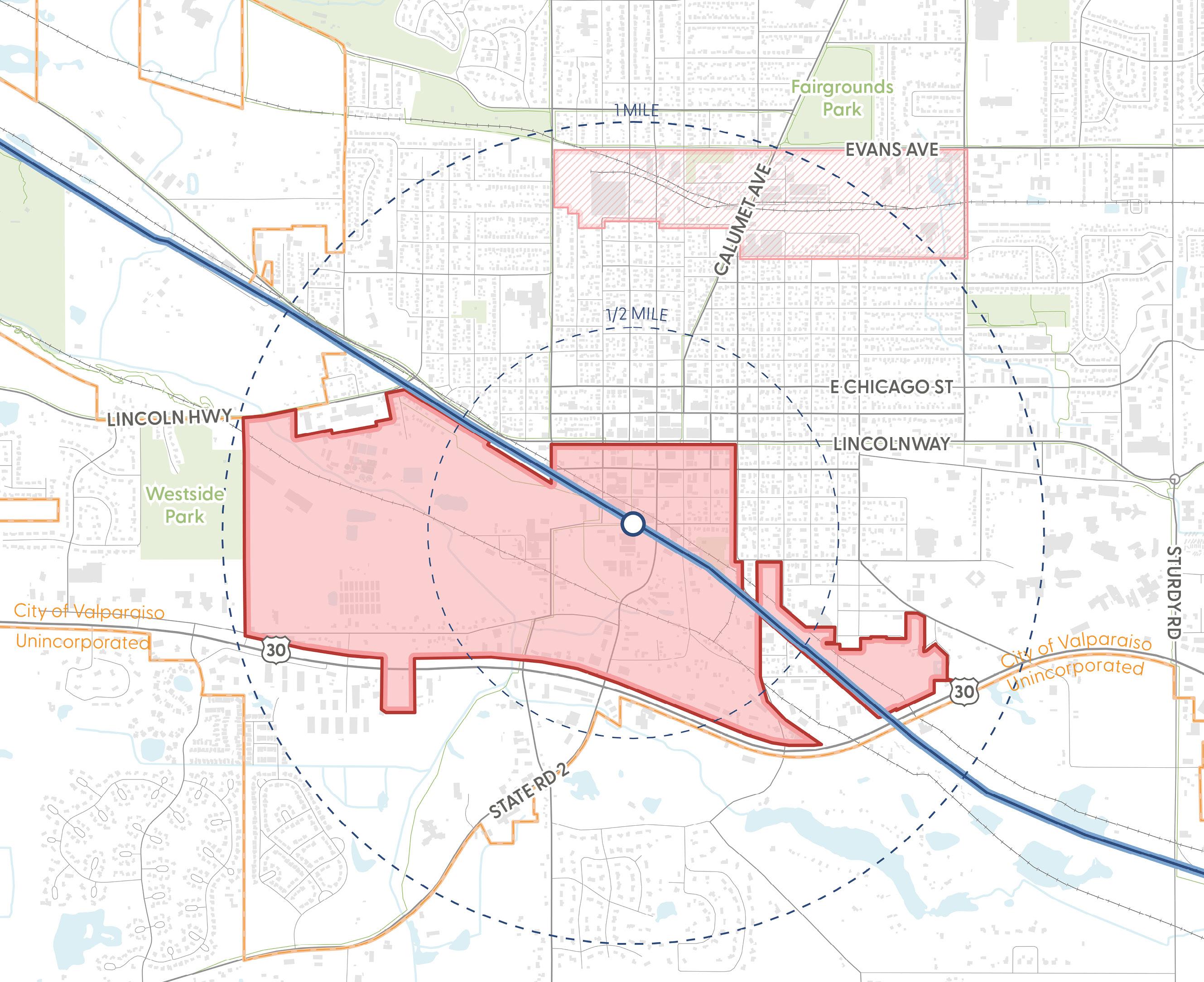
Potential New Station
Potential Rail Alignment
Potential TOD Area
Influenced Development Area
Municipal Boundary Roadway
Railroad
Existing Trail/Greenway Water Body
Parks
Explore Potential TOD Opportunities Unlocked by New, Enhanced Rail Service
A potential commuter rail line serving Crown Point intersects several large areas with redevelopment potential. Crown Point’s proximity and access to I-65 has significantly influenced the community’s desirability and growth for housing and jobs. TOD potential around this station could attract mixed-use, walkable development anchoring new economic activity centers around residential neighborhoods with access to both rail and regional trails.
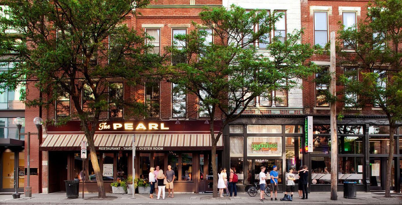
Table 19: TOD Potential - Crown Point
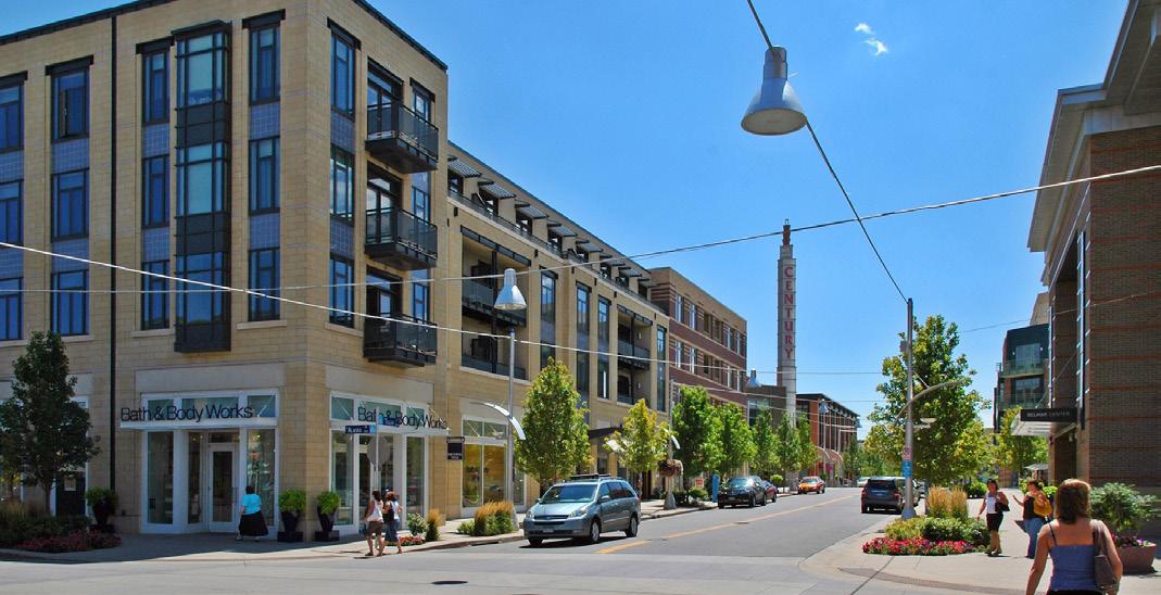
*Development potential measured as Gross Floor Area (GFA) in
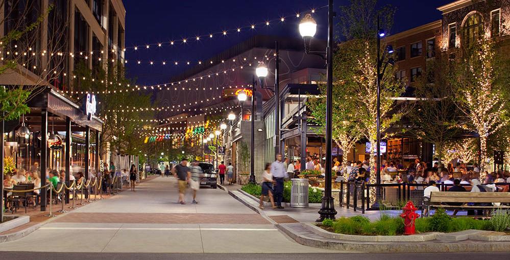
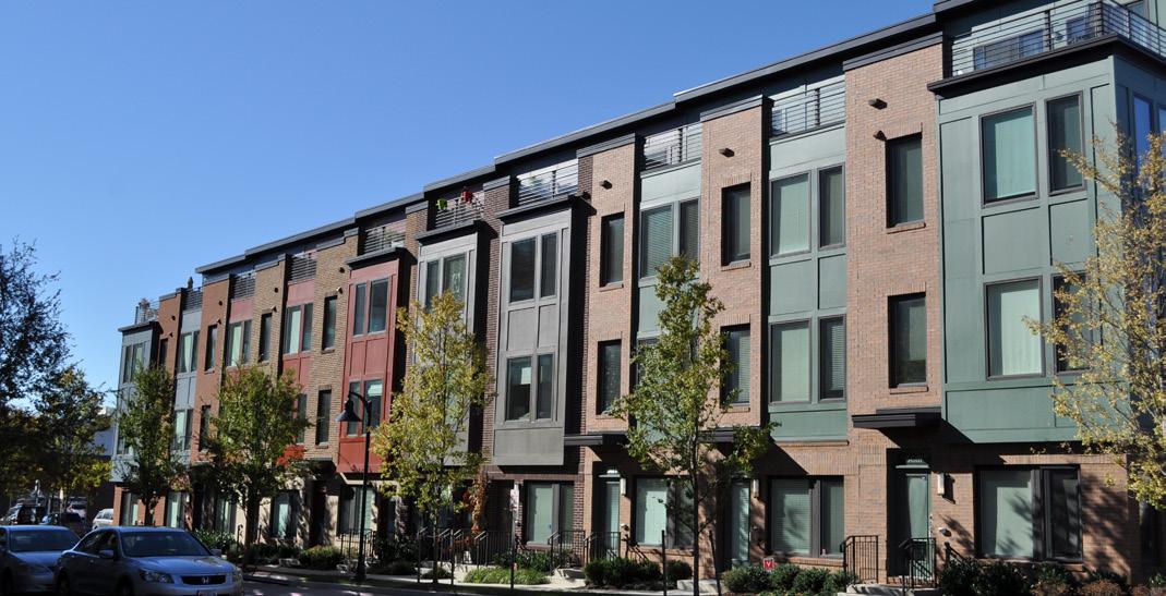
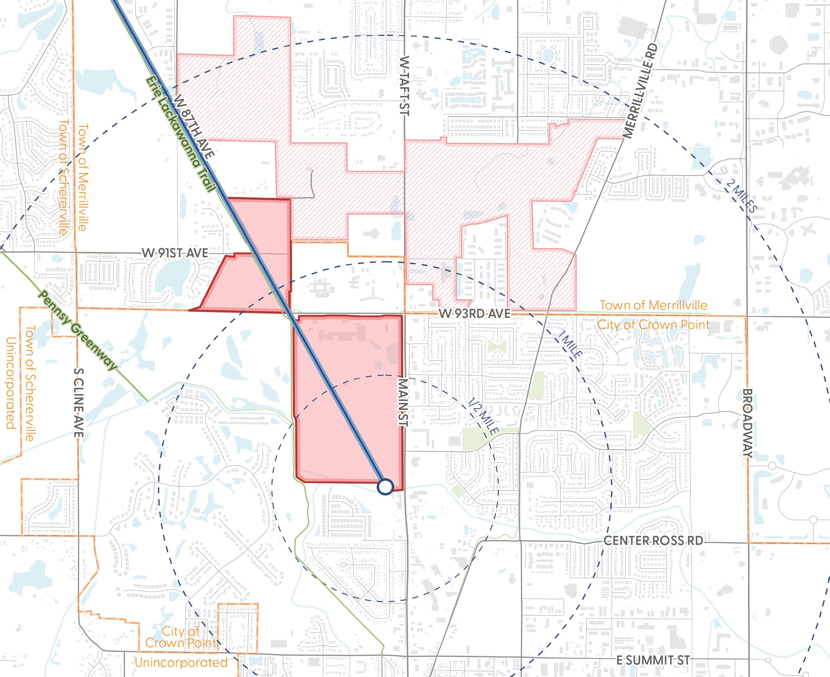
Potential New Station
Potential Rail Alignment
Potential TOD Area
Influenced Development Area
Municipal Boundary
Roadway
Railroad
Existing Trail/Greenway Water Body
Parks
Explore Potential TOD Opportunities Unlocked by New, Enhanced Rail Service
A station in St. John could potentially be located to accelerate the growth and development already occurring in this community, with close proximity to a Wicker Avenue / US 41 commercial area and newly constructed residential developments. This TOD opportunity includes land within Unincorporated Lake County that may trigger a different development approach to redevelopment of some portions of the TOD area.
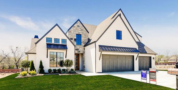
Table 20: TOD Potential - St. John
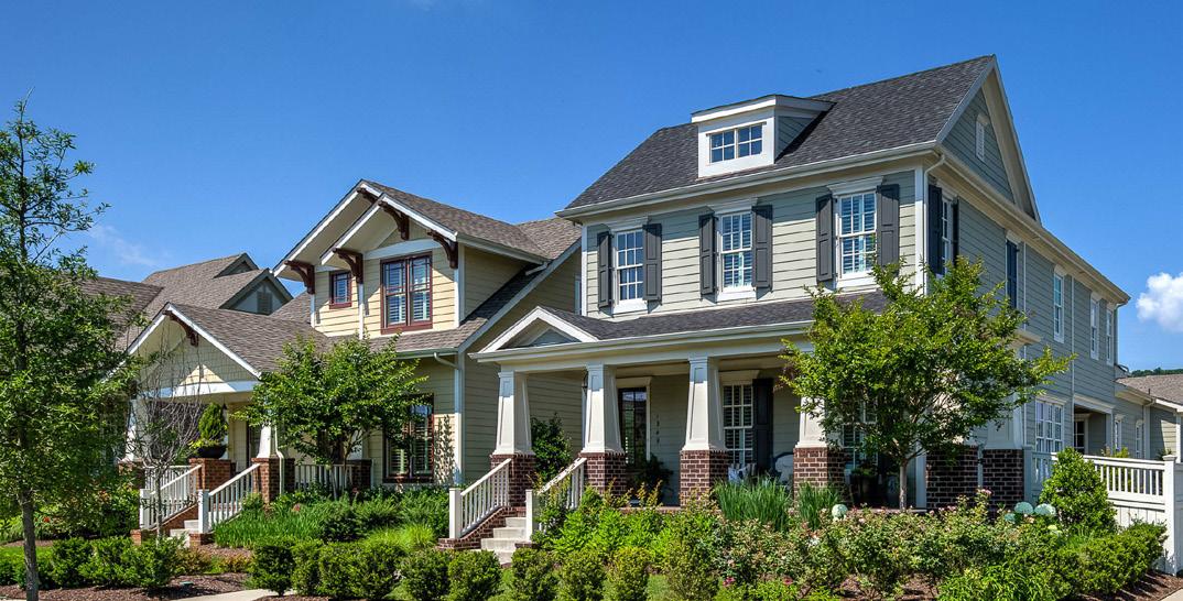
*Development potential measured as Gross Floor Area (GFA) in
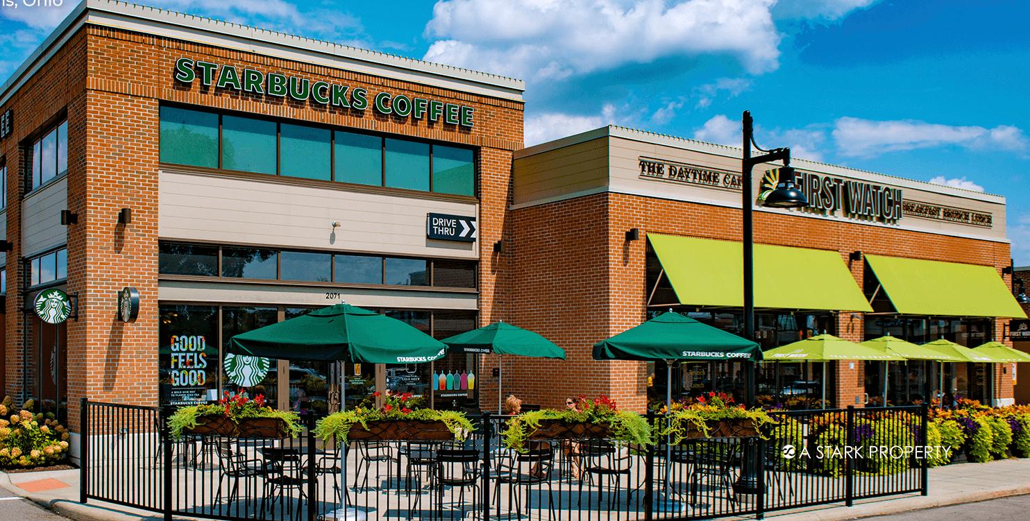
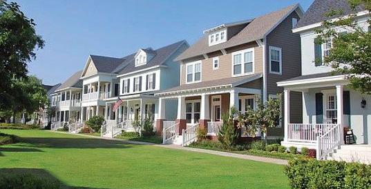
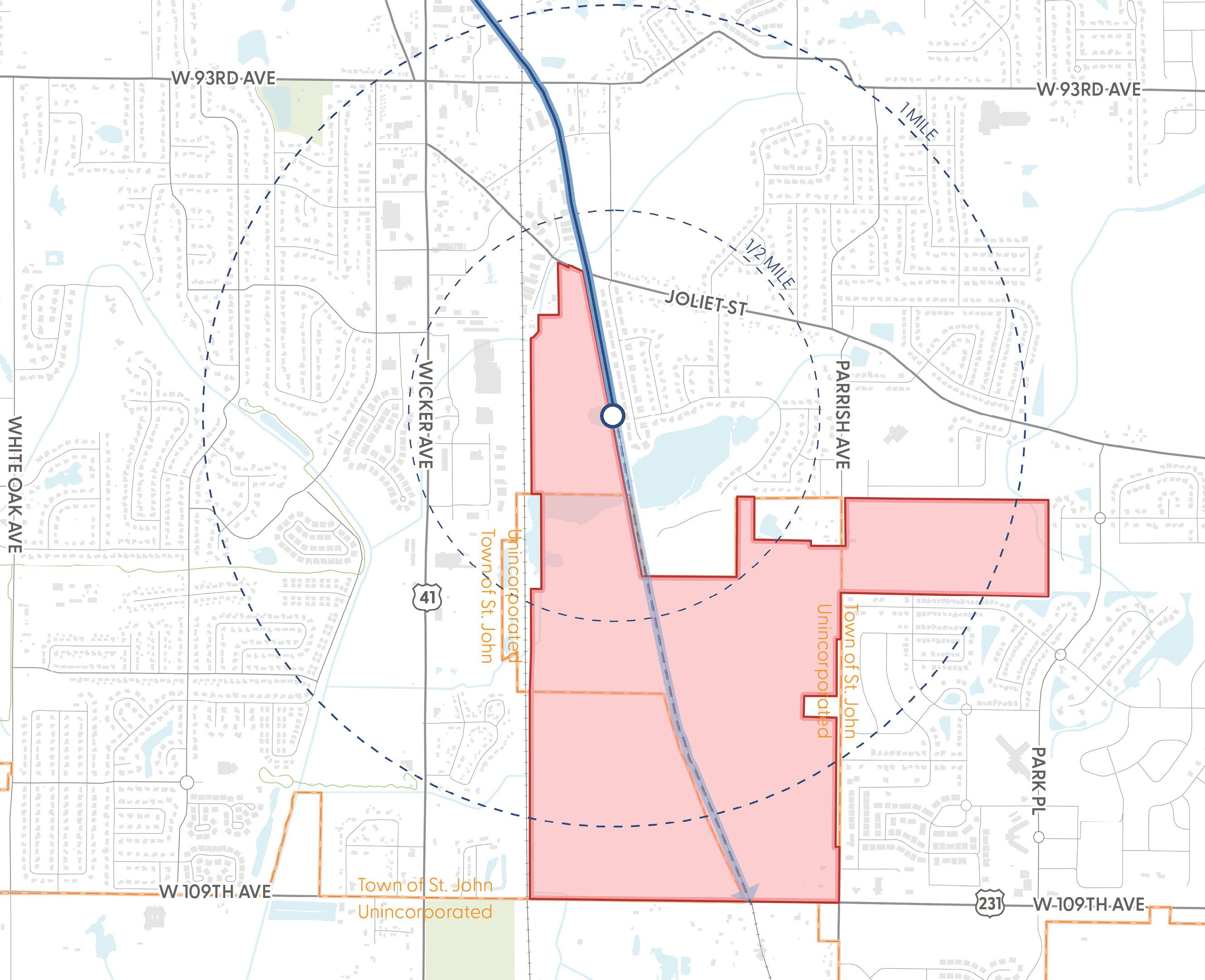
Potential New Station
Potential Rail Alignment
Potential TOD Area
Municipal Boundary Roadway
Railroad
Existing Trail/Greenway Water Body
Parks
Modern commuter rail stations should be accessible, safe, and welcoming. Key elements include ADA-compliant design, convenient parking and drop-off areas, and adjacent development that supports both rail users and surrounding communities. Upgraded stations serve as gateways to economic development, especially when paired with TOD and tools such as TDDs.
This initiative envisions a collaboration among the RDA, NICTD, and local partners—including the Cities of East Chicago, Gary, Hammond, and others—to improve high-priority stations such as East Chicago, Gary/Chicago Airport, and Downtown Hammond, as well as additional stations that may arise over time and were not improved as part of the South Shore Double Track or West Lake Corridor investments. This collaboration may include coordinating applications for federal, state, and philanthropic grants and exploring public-private partnerships that align with TOD goals in TDDs to enhance station facilities and stimulate reinvestment.
To maximize the return on investment in commuter rail infrastructure, station areas must function as modern, accessible, and economically productive mobility hubs. Ensuring easy, safe access by all transportation modes— cars, bikes, pedestrians, buses, and rideshare—is essential to increasing ridership and supporting surrounding development. Effective rail systems rely on easy transfers. Enhancing drop-off areas, adding bus stops, and designating space for rideshare providers ensures seamless mobility and supports commuter choice.
Station Building or Structures and Platform. The following improvements will contribute to a positive and safe commuter rail experience:
• ADA-accessible routes & amenities (ADA-accessible parking, sidewalks, ramps, curb ramps, etc.)
• High-level boarding platform
• Enhanced station security
• High-level station platform and waiting area
• Clear directional signage
Parking. The following improvements will ensure safe and efficient parking at the station:
• Grade-level, ADA-accessible parking
• Electric vehicle charging stations
• Bicycle parking
Transit/Drop-off Area. The following amenities will accommodate multiple ways of getting to and from the station and will further promote first and last-mile access to the stations:
• Bus transit stops or drop-off at or near the station
• Kiss-n-Ride spaces
• Rideshare (Uber/Lyft) or micromobility (bikeshare or scooter-share)
• Trail and pedestrian connectivity
Where possible, areas immediately surrounding stations should include high-quality walkable development that can serve both rail commuters and the nearby community. Complementary station area development with residential and commercial uses will not only provide convenience for rail users but also contribute to a vibrant, active station area.
Private Development/TOD. Land around stations presents a major opportunity for private-sector-led growth. TOD can drive new jobs, tax revenue, and more diverse housing options. Public-private partnerships (P3)—leveraging tools like TDDs—create pathways for station area redevelopment through joint ventures, land value capture, and infrastructure cost-sharing.
Roads. Infrastructure upgrades, street redesign, or streetscape enhancements on roads connecting to the station can contribute to safer pedestrian environment for those walking to the station. Improvements such as wide sidewalks, multi-use trails or bike infrastructure, raised crosswalks, improved signalization, etc., are among many improvements to be considered.
Trails and Open Spaces. Access to the station should be integrated into existing trail systems within the community. Multi-use trails and greenways that are separate from roadways can provide further additional means of accessing the station, particularly for residents who live in close proximity to these trail amenities.
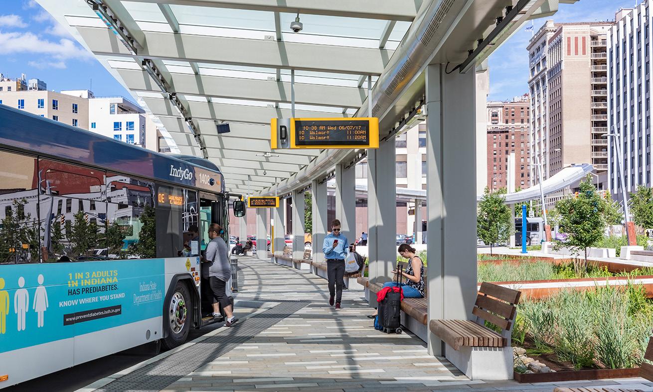
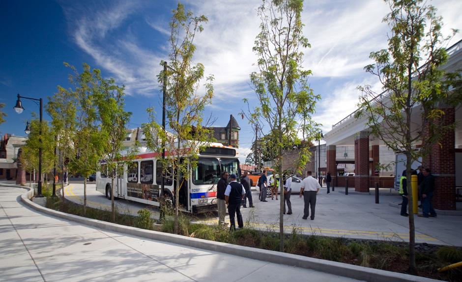
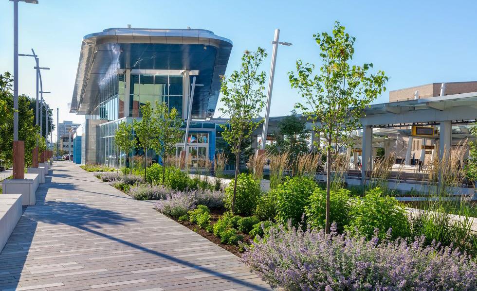
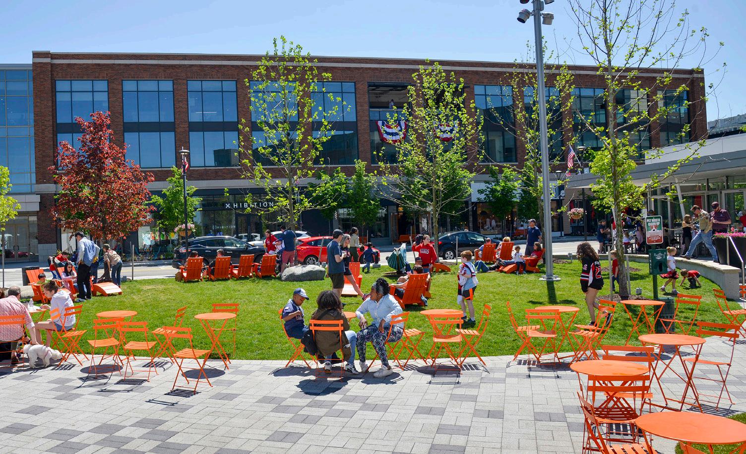
Regional Development - RDA Major Focus Area
Improved transportation infrastructure that enhances the region’s economic vitality, quality of life, and attractiveness for residents, businesses, and visitors
This study focuses on how to manage growing traffic and freight demands while supporting long-term population, business, and tourism growth in Northwest Indiana. The region sits at a key crossroads, serving as both a gateway to the Chicago metro area and a connector between local cities and rural communities. That makes its road network critical for freight, commuters, and visitors alike.
Right now traffic delays, safety concerns, and freight movement are top issues. Key interstates and highways— like I-94, I-65, US 41, and US 30—are already congested and expected to get worse as the region grows. Widening highways isn’t a practical or cost-effective solution in many areas due to space limits and environmental impacts. Instead, this study looks at smarter, more flexible solutions: improving existing infrastructure, creating alternative routes, managing traffic better, and updating policies where needed.
This analysis also highlights where regional collaboration can help. The RDA can play a role in identifying funding opportunities and working with state and local partners to improve key roads and keep the region moving as it grows.
Transportation remains a core component of the RDA’s statutory mission. While not a roadway agency like INDOT, the RDA serves as a strategic partner—collaborating with INDOT and local communities to advance infrastructure projects that strengthen regional mobility, expand economic opportunity, and deliver long-term, fiscally responsible growth.
Indiana is home to some of the busiest interstate highways in the country, including I-94 and I-65. Despite substantial commercial activity along these corridors, congestion remains a major barrier to trade between the City of Chicago and other key markets in the region and beyond. The RDA’s modernization of the South Shore Line, support for improving major roadways, and exploration of new highway connections are potential solutions to help address this challenge. In Northwest Indiana, the existing interstate system—even with modest capacity upgrades—will continue to limit the flow of goods and people, holding back economic growth, new investment, and in-migration.
The following initiatives include infrastructure-focused projects in support of economic growth and development.
Improve Access to the Lakefront and Key Destinations:
Provide Alternative Truck Routes to Enable Designating US 12 as a Scenic Byway
Improve at-Grade Crossings to Make the Lakefront More Accessible
Explore Improvements to I-90 and I-94 to Increase Safety and Efficiency
Consider Alternative Routes for a New Regional Highway to Add Capacity to the Regional System
Each initiative includes a set of enabling action steps to put in motion projects that achieve the initiative and overall vision of the strategy. Setting these initiatives into motion and implementing recommended projects and actions will be required by multiple entities and agencies working in partnership specific to each strategy. Actions by other entities such as local units, state or federal agencies, and other regional organizations, etc. will be paramount to ultimately executing initiatives and recommended projects in this plan, in coordination with partners and with the RDA's support.
Provide alternative truck routes to enable designating US 12 as a Scenic Byway.
1) Support action steps in the national and state parks section relative to this topic, as well as the more technical action steps below. As part of its statutory mandate in transportation and economic development, the RDA will serve as a key partner and convener—working closely with INDOT and other agencies to align transportation planning with economic and tourism goals for Northwest Indiana.
2) Create a working group with INDOT and NIRPC to vet and implement alternative routes to divert truck traffic from US 12. Reducing truck traffic will improve safety, reduce congestion, and enhance the park visitor experience— key factors in qualifying for Scenic Byway designation.
3) Fund and conduct necessary due diligence, including planning and engineering feasibility studies and environmental assessments, on the segments of US 12 and the surrounding network relevant to truck diversion and Scenic Byway designation.
4) Apply for a federal BUILD Grant to fund a comprehensive corridor plan for US 12, or partner with INDOT to initiate a Planning and Environmental Linkages (PEL) study to evaluate long-term improvements and alternatives.
5) Evaluate and apply for additional federal Scenic Byway Grant funding to support corridor enhancements. Coordinate with INDOT, Indiana DNR, NIRPC NPS, Porter County, Indiana Dunes Tourism, and local municipalities in developing a competitive application.
6) Coordinate with INDOT, Cleveland-Cliffs, NPS, Indiana DNR, NIRPC, and local governments to develop detailed concept plans for key segments of the corridor, including affected intersections and access points, and determine a preferred alternative.
Improve at-grade crossings to make the lakefront more accessible
1) Work with INDOT and Indiana DNR to conduct an access study for Indiana Dunes State Park to identify additional points of ingress and egress aligned with the Scenic Byway initiative. This study should explore options such as reopening the grade crossing at Tremont Road and US 12, which crosses the NICTD South Shore Line, to allow shuttle service with off-site parking during peak visitation periods—helping reduce congestion and improve park access.
Explore Improvements to I-90 and I-94 to Increase Safety and Efficiency
1) Create a working group with INDOT and NIRPC to evaluate and implement a range of congestion-reduction strategies across Northwest Indiana’s highway network.
a) Support the implementation of recommendations from the INDOT I-80/I-94 Borman Expressway Planning and Environmental Linkages (PEL) Study (FlexRoad Project) west of I-65.
Consider Alternative Routes for a New Regional Highway to Add Capacity to the Regional System
2) Work with INDOT to provide options to increase n/s capacity, evaluate the potential alignments for future highway system improvements, including potential additional routes.
a) Assess the potential development of a new regional highway if warranted by future capacity studies.
See pages starting on 187 for the projected impact of these action steps
Figure 51: Highway Corridors Strategy Overview Recommended Initiatives
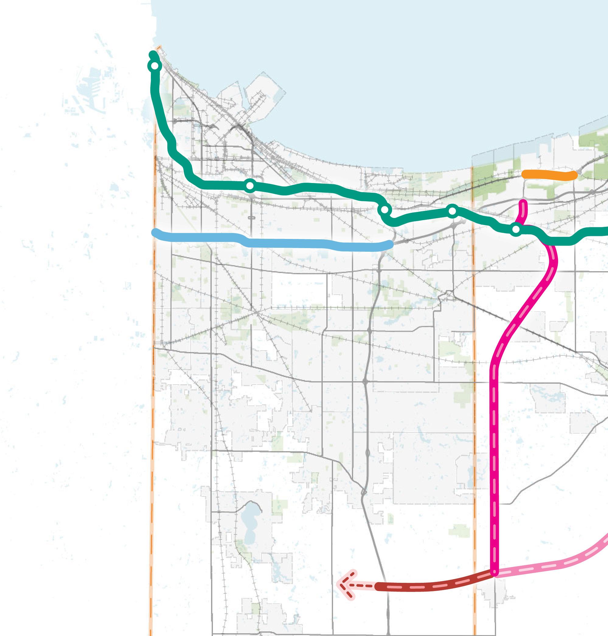
Explore Improvements to I-90 and I-94 to Increase Safety and Efficiency
Alternative 2-A
Explore Improvements to I-90 and I-94 to Increase Safety and Efficiency
Alternative 2-B
Improve Access to the Lakefront and Key Destinations
Alternatives 1-B and 1-C
Alternative 3- D
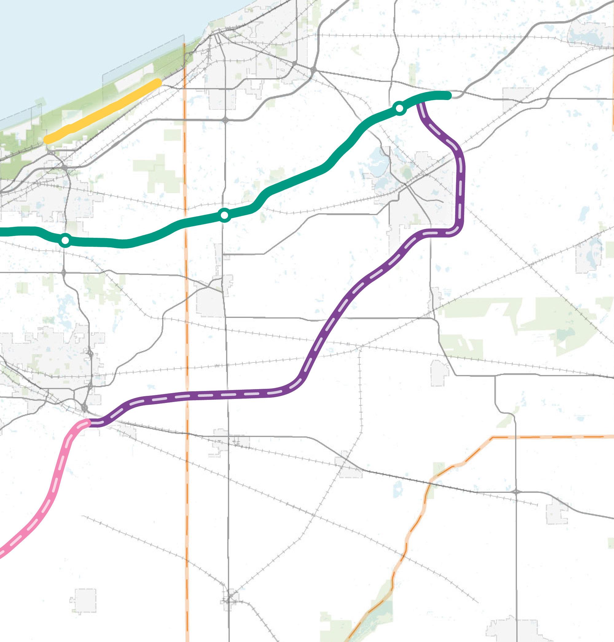
Improve Access to the Lakefront and Key Destinations
As demonstrated in the National and State Parks Strategy, improvements to the US 12 corridor is an economic development and transportation initiative supported by the RDA, in collaboration with the State of Indiana and regional tourism organizations. The goal is to designate US 12 as a Scenic Byway, which will help elevate its role in supporting tourism, protecting natural resources, and growing the regional economy. This would help protect the corridor’s scenic and recreational character while setting the stage for long-term economic development tied to tourism and conservation.
US 12 is a critical east-west route through Northwest Indiana, stretching from the Illinois border to the Michigan border. It connects a mix of industrial and recreational destinations along the Lake Michigan shoreline. The corridor's dual role—serving both heavy freight and growing recreational use—creates conflicts that limit its potential as a tourism and economic asset. Currently, segments of US 12 are classified as Extra Heavy-Duty Highways, allowing trucks up to 134,000 pounds—far beyond the typical 80,000-pound limit—which enables freight traffic to move between industrial sites in Burns Harbor and other regional routes. At the same time, US 12 provides access to the Indiana Dunes National and State Parks and is increasingly used by visitors.
Alternative 1-A: Truck Restriction on US 12 (short-term):
In the short term, prohibiting trucks on US 12 east of Cleveland-Cliffs Burns Harbor would be a key first step. East of SR 49, trucks make up about 5% of traffic on US 12— fewer than 200 trucks per day, and truck volumes in this area are expected to decline further. As a result, restricting or rerouting eastbound truck traffic on this segment of US 12 would have less impact on freight operations compared to other, busier sections of the corridor.
Reroute Eastbound Trucks to SR 49. The truck restriction would prohibit trucks from continuing east on US 12 and would detour them to exit US 12 via SR 49 and utilize the interstate system or US 20 to reach their destination. This location is a logical location for the truck restriction to start as there is a direct connection to I-94 via SR 49 and interchange ramps are provided at both US 20 and I-94 to allow for easy access.
Reroute Trucks to County Line Road. Another option is upgrading County Line Road between Porter and LaPorte Counties to handle large truck traffic. This location could serve as the eastern end of a truck restriction zone, providing direct access to both I-94 and US 20. To support this, County Line Road would need resurfacing, added shoulders, and other safety upgrades. These improvements would require coordination among INDOT, NIRPC, FHWA, and LaPorte County to meet project goals and infrastructure needs.
Alternative 1-B: Connections to Burns Harbor and Cleveland Cliffs (long-term)
Direct routes from the Burns Harbor port and the Cleveland Cliffs steel plant to SR 149 and SR 249, which lead to I-94 and US 20, would help divert freight vehicles from using US 12. The benefit of new freight routes is providing direct access to I-94 and US 20, potentially increasing efficiency and flow of freight traffic and eliminating interactions between freight traffic and passenger vehicle traffic on US 12. Creating direct routes to these operations may require the construction of new bridge structures and/or removal of existing on and off-ramps at US 12, and internal routing to the scales of the Cleveland Cliffs facility may require modifications to align with a revised access point.
Figure 52: Alternative 1-A: Routes for Diverting Freight Truck Traffic
Total: 3,200 - 3,600 vehicles/day (primarily recreation & passenger traffic) approx.
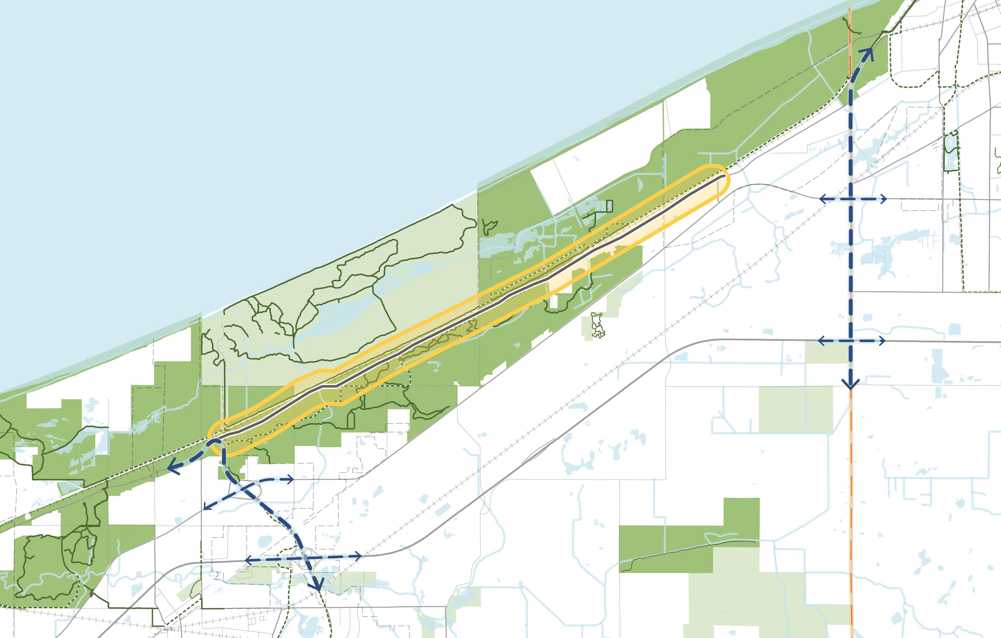
53: Alternative 1-B: Connections to Burns Harbor & Cleveland
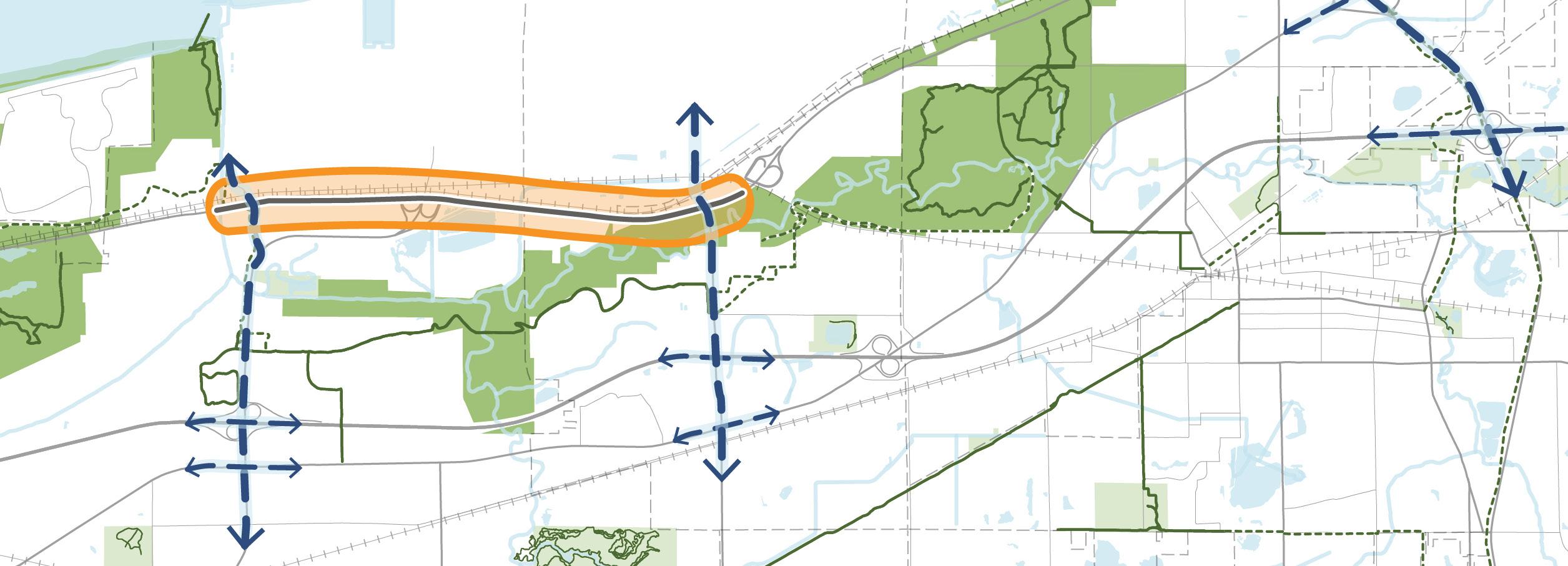
Improve Access to the Lakefront and Key Destinations
Another long-term option is creating separate facilities for freight traffic and passenger/recreation traffic between the Cleveland Cliffs steel plant and SR 149. In this segment of US 12, about 30% of the daily traffic is freight trucks. The roadway is currently a four-lane divided roadway; therefore, converting US 12 into a two-lane, truck only facility between Cleveland Cliffs and SR 149, while repurposing the eastbound lanes into a two-lane, passenger car-only road, is operationally feasible. This would create a frontage road that is used for access to the facilities by trucks and employees. For this alternative to meet its goals and purpose, the access at Mittal Steel Entrance would need to be closed or rerouted as the section of US 12 at the existing entrance is a 2-lane undivided cross section. Separating commercial vehicles from passenger cars can improve the efficiency of freight travel, reduce the potential of traffic accidents, and reduce maintenance costs. This option would include signage and intersection improvement to maintain access into the Cleveland Cliffs and Burns Harbor facilities.
Total Traffic Volume. This corridor features a combination of rural two-lane sections and urban four-lane segments serving diverse needs, from heavy freight transport to recreational travel, along the Lake Michigan shoreline. The truck trip percentages observed along the corridor, excluding the section adjacent to the Cleveland Cliffs and Burns Harbor facilities, are higher than experienced on similar roads in the Region. The busiest segment of US 12 is between SR 249 and SR 149 due to high volumes of freight traffic. With the conflicting corridor uses, methods of separating the recreational and freight traffic could improve safety and efficiency of the corridor.
• Between US 20 and SR 249 ranges from 3,700 to 4,400 vehicles per day; 13-24% are trucks
• Between SR 249 and SR 49 ranges from 4,100 to 10,100 vehicles per day; 23-32% are trucks
• Between SR 49 and the Town of Pines ranges from 3,200 to 3,600 vehicles per day, primarily recreation and passenger traffic; 10-20% are trucks
Coordinating Freight Traffic. Any solution to reroute or restrict truck traffic on the corridor will require funding and close collaboration with Cleveland Cliffs and Burns Harbor facilities.
National Park Access. Due to the proximity of US 12 to the Indiana Dunes National and State Parks, the corridor plays a growing role in supporting recreational access. During peak times, traffic backups at the entrance to SR 49 creates significant congestion and safety concerns, limiting the visitor experience and straining local infrastructure.
To support continued economic growth and improve park accessibility, it is critical to identify additional points of ingress and egress into the state park and improve connections to the national park along the US 12 corridor. A “park once” approach should be explored, including a shuttle system with off-site parking to relieve pressure on internal roadways and parking areas during high-traffic periods. Enhancing access along the US 12 Scenic Byway—including potential improvements at other key access points—will help disperse visitor traffic, reduce bottlenecks, and better integrate the parks with the regional transportation network.
Estimates
Cost estimates shown in Table 38 represent high-level cost ranges. Further detailed studies will be needed to evaluate total costs for detailed planning, design, routing, and construction.
Table 21: Cost Estimate of Potential Improvements
Alternative 1-A
County Line Road*
Cost Range
$900,000 - $1.1 million *does not include interchange
Alternative 1-B
New/Modified Connections
Alternative 1-C
Separate Facilities for Trucks & Passenger Vehicles
Cost Range
$10 million - $30 million
Cost Range
$15 million - $20 million
Often arriving at the shoreline begins with crossing multiple railroad tracks; an endeavor that can not only take time but can be unsafe. Improving safety and mobility at-grade intersections throughout the region and prioritizing those improvements would work toward increasing public access to the shoreline and enhancing the experience of visiting destinations along Lake Michigan.
The first step in identifying priority locations for improved rail crossing involved identifying the roadways that currently provide access to the shoreline – crossing at least one set of rails to do so. Once these 16 roadways were identified, a high-level needs analysis was carried out that considered AERES crash data, number of trains passing per day, roadway AADT, land use context, and whether the roadway provides access to a park.
When the analysis was complete, the three locations listed below rose to the top as priority. Figure 43 shows the distribution of these locations across the region and the priority ranking.
The concepts presented at these intersections are illustrative and intended to be used as the foundation for future phases of work and inform further necessary due diligence steps, which should include: Engineering Assessment inclusive of alternatives analysis, entrance into STIP and TIP, Design, and Environmental Review.
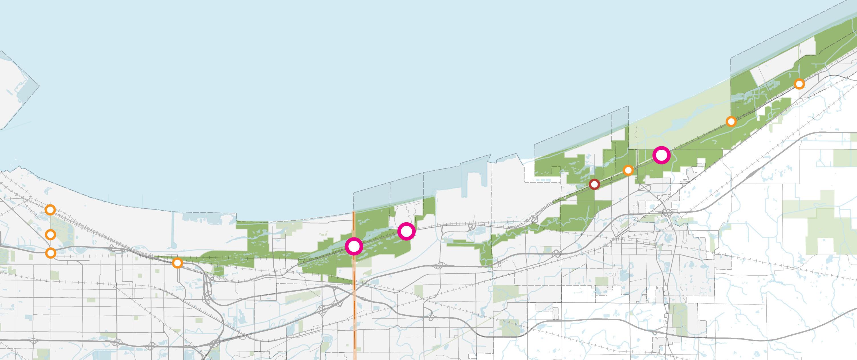
Explore Improvements to I-90 and I-94 to Increase Safety and Efficiency
The I-80/I-94 corridor (Borman Expressway) is one of the most regionally significant and busiest freight corridors in the country; this corridor is also one of the most congested routes in the region with congestion anticipated to increase without capacity improvements to accommodate future growth. In the areas closest to the Chicago Area (East Chicago, Hammond, and Gary) are the most urbanized areas of the region, as well as experiencing the highest traffic and truck volumes, most congestion, most at-grade rail crossings and resulting freight delays, highest density of injury crashes, and higher levels of industrial/freight activities. There are planned projects by INDOT to incorporate Traffic Systems Management and Operations (TSMO) strategies along the western section of the corridor to its interchange with I-65, however future investments further east are also future considerations to reduce interstate congestion.
One way to reduce congestion on I-94 is to shift more traffic to the underused I-90 Toll Road, which currently carries significantly less volume. Toll booths on I-90 cause delays and make it a less attractive option. Converting to Open Road Tolling would improve reliability and traffic flow by eliminating toll booths and using electronic systems like E-ZPass or Toll-By-Plate. This would require installing overhead gantries, fiber optic connections, and updated tolling technology.
Open Tolling is an electronic, cashless mode of collecting tolls without the need for traditional tall plazas and tollbooths. Tolls are automatically charged as customers drive along the highway without slowing down or stopping.
Overhead structures called gantries are located between interchanges and are equipped with technology that identifies vehicles and electronically process tolls.
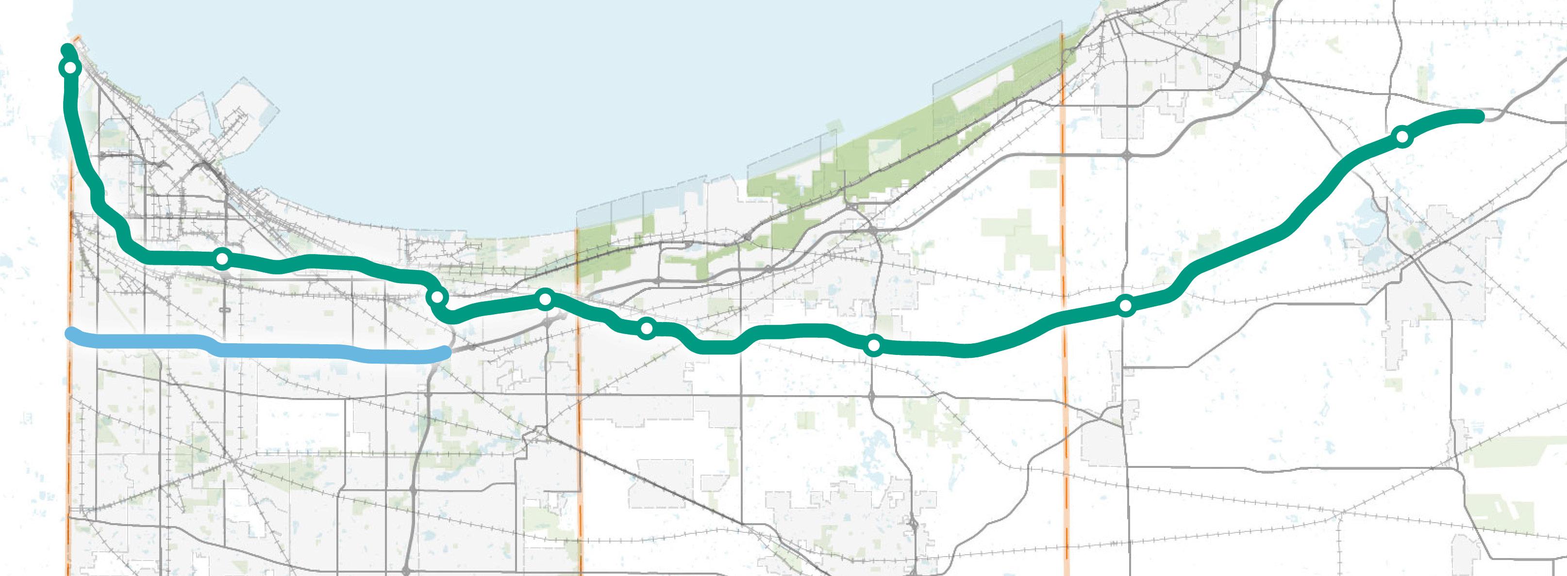
On the 10-mile section of I-94 between the Illinois State Line and the I-65 interchange, there are seven interchanges, which is a greater frequency than recommended. Multiple frequent interchanges can cause bottlenecks and slow traffic flow from vehicles entering and exiting the highway and changing lanes.
Current Projects. The I-80/I-94 Borman Expressway PEL Study (FlexRoad Project) developed and evaluated alternative strategies to improve operational efficiency and safety along I-80/94 from the Illinois State Line to the City of Lake Station.
Safety Concerns. Investments in all facets of the transportation network contribute to improving the safety of roadways in the region, including infrastructure improvements, use of technology, enforcement, education, and warning signage and markings.
Population Growth. Future investments in transportation infrastructure will be a key factor in the growth and development of the region. Maintaining the roadways to improve connectivity to surrounding communities within the region will be one of the many challenges as population grows. Identifying areas with the future transportation investment needs is key to ensure continuing growth. For example, Porter and Lake Counties are experiencing population growth, specifically in their southern regions.
Level of Service. Analysis of Levels of Service anticipated in 2050 show that without strategic investments in traffic flow improvements on major interstates and throughfares, congestion will increase to create major traffic delays and significantly impact regional travel to and from the Chicago region. Particulars areas of concern are expected to be I-90 and I-94 from Chesterton to Illinois and other major regional routes including US 30, US 41 , and US 231.
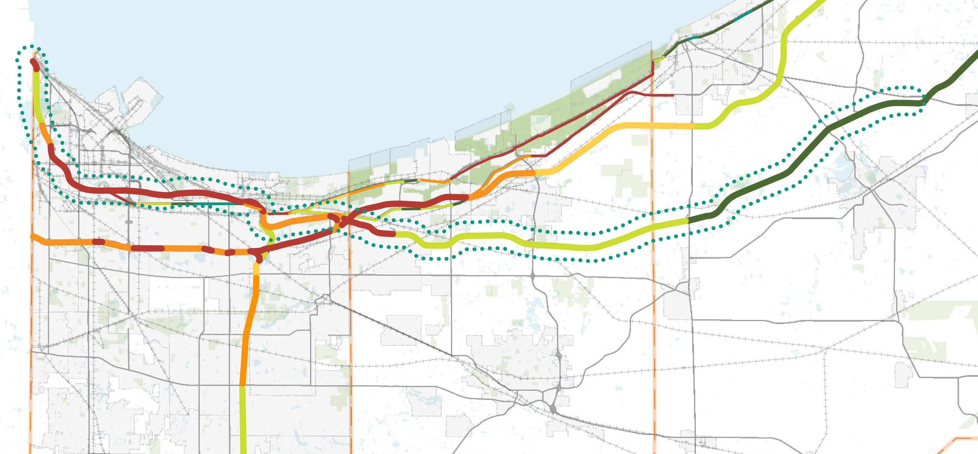
Explore Improvements to I-90 and I-94 to Increase Safety and Efficiency
Freight Mobility. The majority of freight moving in and out of Northwest Indiana is via truck traffic which, particularly at-grade rail crossing of roadways, is also a major contributing factor to the roadway congestion in the Region. In the areas of the Gary-Chicago International Airport, Burns Harbor, and other multi-modal facilities in the region, roadway capacity and mobility of freight are especially intimately related and can inhibit the mobility of each other.
Truck Bottlenecks. In order to evaluate the frequency of bottlenecks occurring on the roadway network, this study combined the Displacement Tracking Matrix (DTM) and Truck Travel Time Reliability (TTTR) index measures to identify truck bottlenecks based on delay and reliability. The top ten highest DTM-TTTR indexes are identified in Figure 104 with their corresponding ranking. Seven out of the ten worst roadway segments for truck bottlenecks occur on I-94 west of the I-65 interchange, signifying significant delays or variability in travel times along I-94 west of the I-65 interchange. Furthermore, the frequency of bottlenecks factors total hours of delay per mile to identify the worst truck bottlenecks are along this same portion of I-94 in Gary and Hammond.
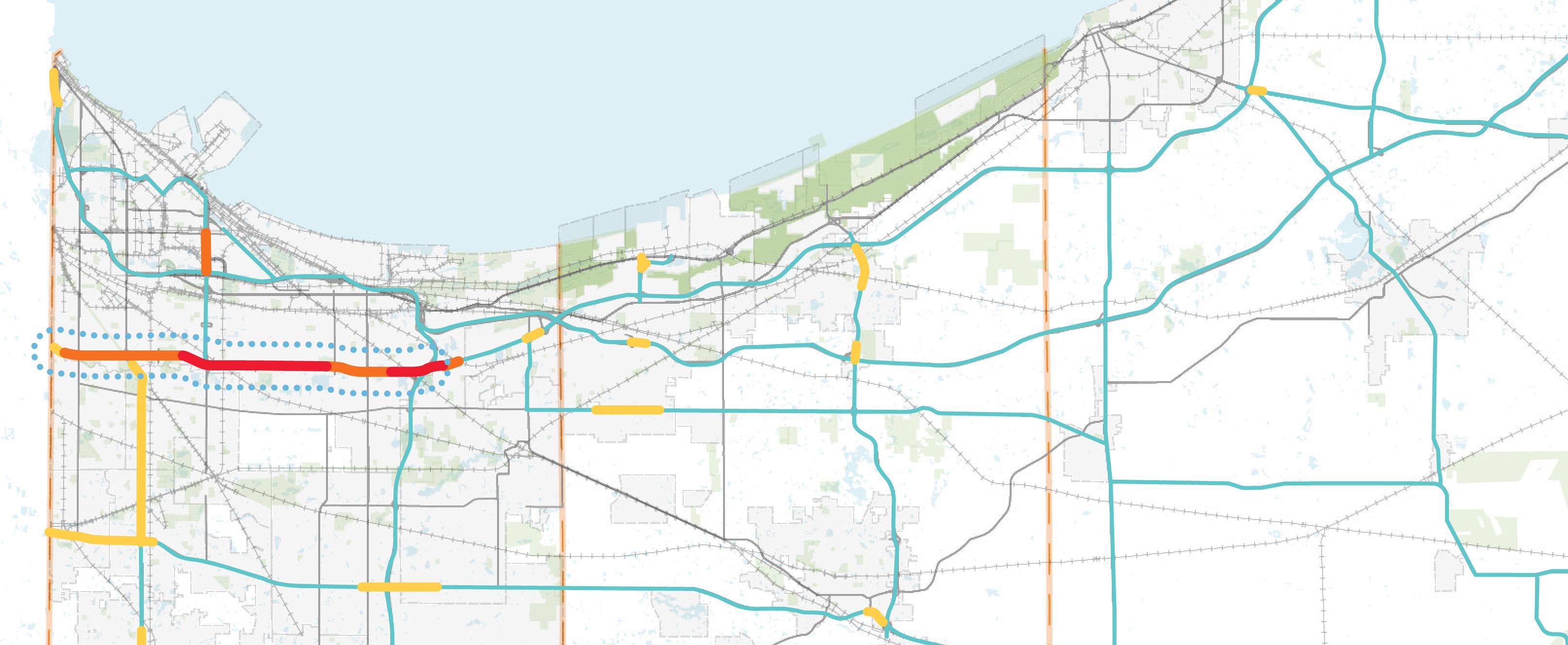
Cost Estimates
Cost estimates shown in Table 43 represent high-level cost ranges. Further detailed studies will be needed to evaluate total costs for detailed planning, design, routing, and construction.
Alternative 2-A
Range
I-94 Interchange Consolidation* $20 million - $50 million *per interchange
Alternative 2-B
Range
I-90 Open Tolling Conversion** $130 million - $160 million **cost for the entire corridor
Consider Alternative Routes for a New Regional Highway to Add Capacity to the Regional System
Providing an additional connection across the Illinois border to north-south routes, to I-65, and to I-94 were identified as the three key connections to support economic growth in the region. Providing a connection to I-65 will be a key component of moving freight traffic to the new regional highway and to provide the southern part of the region a major connection between the northern part of the region and the southern part of the state.
To enhance regional connectivity and potentially alleviate congestion on the east-west interstates I-90 and I-94 through Northwest Indiana, a new regional roadway has the potential to create a new connection to I-65 in the southern part of the region. This connection would provide the southern portion of the region an access to the interstate system at multiple locations without requiring travel through the congested Borman Expressway area. A prior Illiana Expressway study was analyzed as part of this analysis. As a whole, the construction of the regional highway would be an extremely large effort that would require substantial environmental assessments and public involvement.
The second segment evaluated extends the highway east of I-65 to SR 49 and providing a connection to the City of Valparaiso. SR 49 provides a logical connection for the regional highway as it is currently a limited access highway and provides connections to I-90 and I-94 to the north. The presence of SR 49 and its connections to I-90 and I-94 would reduce the cost of the regional highway as it would not require building a new connection to I-94 or I-90.
The third segment investigated was to further extend the connection east to the City of LaPorte. Currently there are no direct east-west connections between Valparaiso and LaPorte so the location identified for this segment would fill a void in the network. The City of LaPorte and LaPorte County are currently working on a study to evaluate the development of a new North-South Corridor along the east side of the city. The purpose of the North-South Corridor is to detour truck traffic from downtown LaPorte and alleviate congestion from their existing corridors. The regional highway could potentially continue east, south of the city limits, before connecting with US 35 and the proposed LaPorte corridor. By providing connection to US 35, SR 2, and the I-90, this Alternative 3-C would accommodate both commuter and truck traffic in the LaPorte area.
This segment Segment 4 considered the highway continuing north along the existing SR 2 alignment to the Lakes of Four Seasons area. The new regional highway would continue north, bypassing the Lakes of Four Seasons, and connect to Willow Creek Road. A planned extension of Willow Creek Road is being funded by Porter County. The proposed regional highway would connect to Willow Creek Road via the existing I-90 tollway exit.
58: New Regional Roadway Routing Alternatives
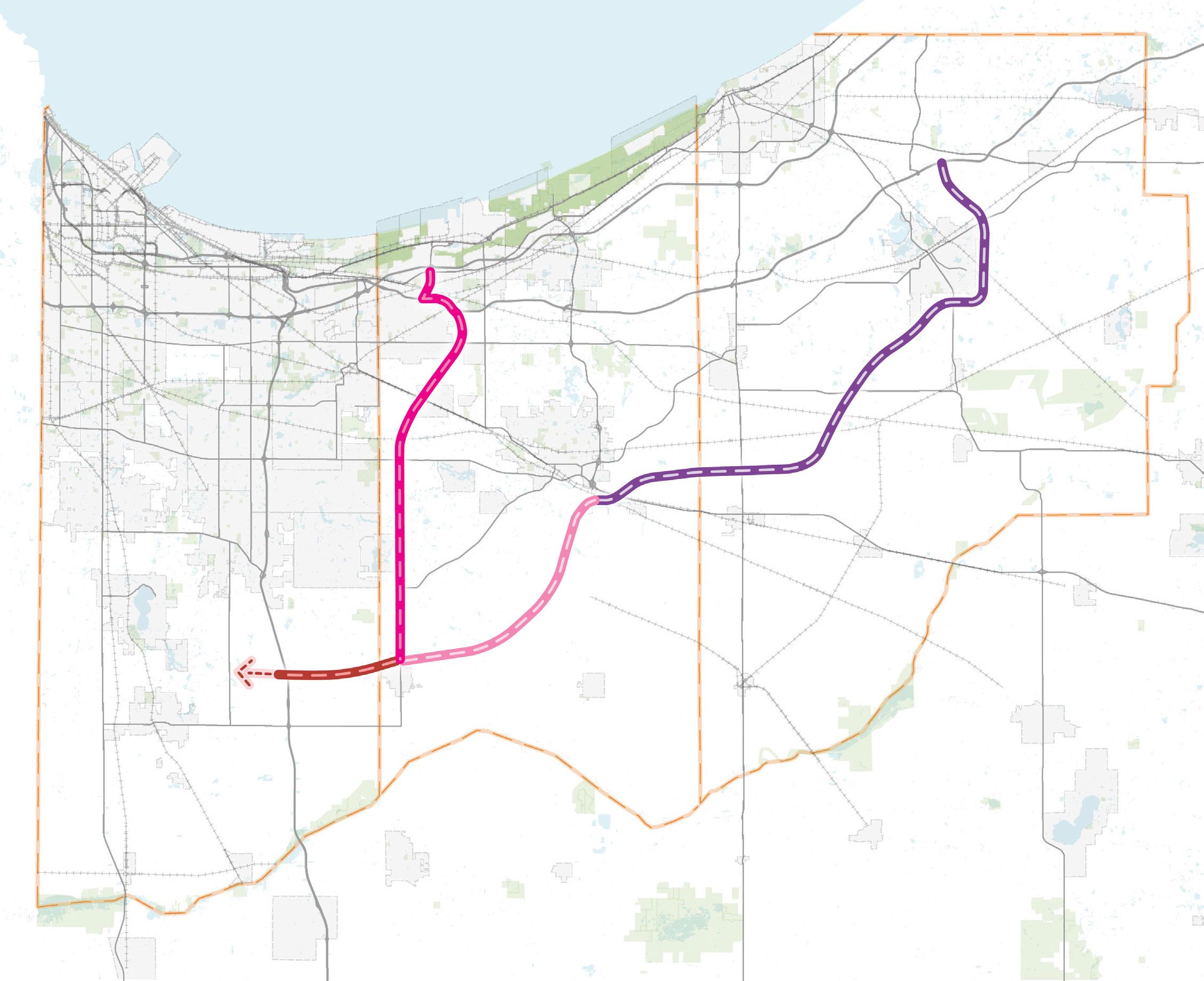
Consider Alternative Routes for a New Regional Highway to Add Capacity to the Regional System
Future Connections. Future connections into Illinois and to I-55 or I-57 could be evaluated in the future by Illinois stakeholders.
Additional Studies. The analysis included in this report represents a high-level projection of future transportation needs of the region and potential strategies to meet those needs. The planning and construction of a regional highway would be an immense effort that would require multi-jurisdictional coordination, environmental assessments, and public involvement.
Traffic Increases. Based on existing commuter data, the new regional highway would attract a significant amount of traffic. The table below summarizes the number of daily trips that may be expected to utilize the new highway. As shown by the table below, the new regional highway may attract more than 105,000 total trips per day, with the busiest segment carrying an ADT of more than 50,000 vehicles. More importantly, the proposed regional highway is expected to attract traffic from the congested I-94 corridor, helping to improve the overall operations and safety of the transportation system in Region.
Regional Significance. Providing a connection through the southern portion of the Northwest Indiana counties would give access to the interstate system at multiple locations. More importantly, the regional highway is expected to attract traffic from the congested I-94 corridor, helping to improve the overall operations and safety of the transportation system in the Region. The connection could potentially, based on the preferred alignment, connect the major metro areas in the region. As a whole, the construction of the regional highway would be an immense effort that would require substantial environmental assessments and public involvement.
Estimates
Cost estimates shown in Table 47 below represent high-level cost ranges. Further detailed studies will be needed to evaluate total costs for detailed planning, design, routing, and construction.
3-A (Illinois Border to SR 2)
Alternative 3-B (SR 2 to SR 49) $2 billion - $2.6 billion Alternative 3-C (SR 49 to LaPorte) $3.3 billion - $4.4 billion
Alternative 3-D (SR 2 to Willow Creek Road) $2.2 - $2.9 billion
This page is intentionally blank.
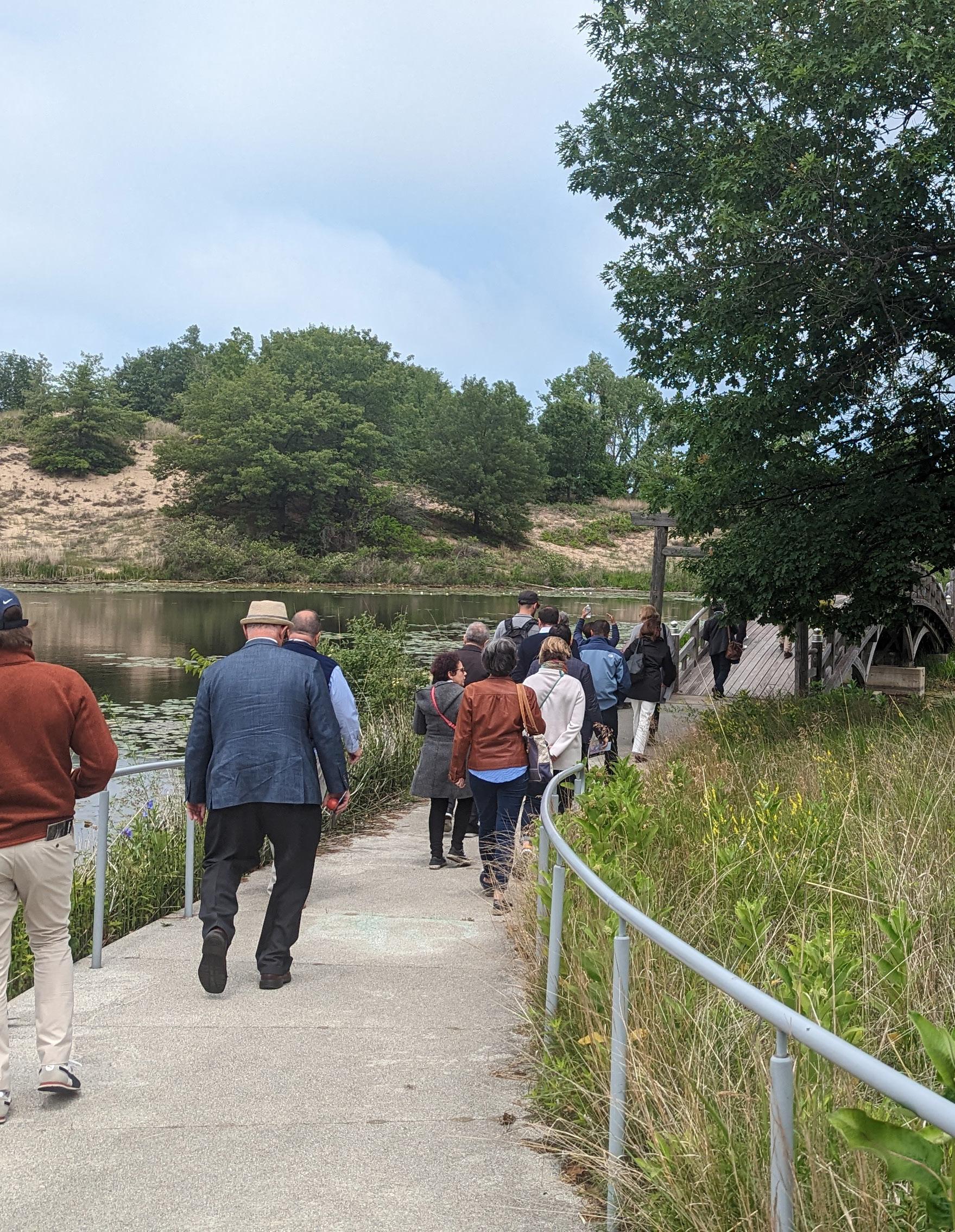
The Northwest Indiana Regional Development Authority (RDA) is advancing a results-driven strategy for the next two decades with a Comprehensive Strategic Plan focused on six key regional priorities. The RDA's history shows a pattern of investments that produce a substantial return to the regional economy and to the State of Indiana's coffers. This blueprint for the next 20 years follows the same pattern. The section following provides estimates of what the region and state can expect over the decades to come.
The RDA’s activity in planning for and then funding investment in Northwest Indiana has provided for significantly greater economic activity and higher personal incomes to be achieved than thought possible 20 years ago. One of the keys to the RDA’s success has been to invest in state-of-the-art economic modeling to demonstrate the impact that these activities would promise to have, and now have begun to have, on the region. In this report as in each of the RDA’s past Comprehensive Strategic Plans, the RDA is using a model leased from Regional Economic Models, Inc., (REMI), which is arguably one of the most sophisticated tools available for this kind of work.
Each major investment area that the RDA is planning to focus on over the next two decades will have multiple parts to be implemented. Some are relatively easy to quantify and model with the result that economic activity and jobs and personal income can be estimated. Others are so circumstance dependent, with so many variables still unknown that modeling and impact estimation is impossible. In this section of the RDA’s 20-year plan, the report provides the impact results of those investments or sets of investment where estimation is possible and leaves unaddressed those areas which cannot be reasonably quantified until a later time.
Because this is a plan laid out for the RDA to pursue over the next two decades, the timing of the initiatives discussed here is of necessity uncertain. There are many players in the infrastructure investment process in the Northwest Indiana region, not the least of which is the State of Indiana. Additionally, the RDA recognizes the many municipalities in the region that are, in fact, its partners in prioritizing economic development for their citizens. Circumstances like funding options, state and local priorities, and economic trends will push these RDA pursuits in one direction or another. Because of timing uncertainty, the ROI estimates were modeled as taking place as unique independent investment initiatives, all beginning, at least in terms of planning, in 2025. And further, no attempt was made to introduce practical dependencies between the various projects.
All of the estimated economic impacts in this report are “above the baseline”. The modeling creates two scenarios, the baseline assumes that no investments, at least of the type being proposed, are undertaken. The alternative scenario incorporates the kind of changes to economic variables that have been documented in other regions or developed by researchers in published studies. The difference between the scenarios are the impacts that are cited in this report.
The economic variable changes – like commodity access, or congestion costs – that result from the investments, as cited above, are then used as inputs to the modeling to derive output results specific to the Northwest Indiana region. (The broader results for the Chicago MSA and the entire State of Indiana have been modeled and can be made available). In every case the modeling seeks to be conservative in its assumptions so as to not over promise. As demonstrated in the introductory sections of this report, the past projections which were produced using this same overall methodology have been proven quite conservative.
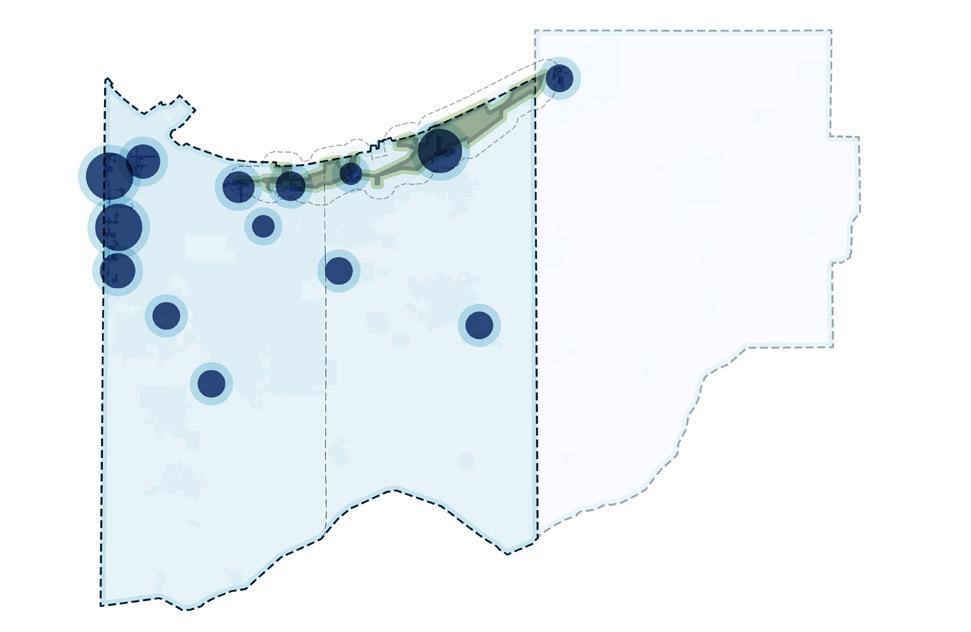
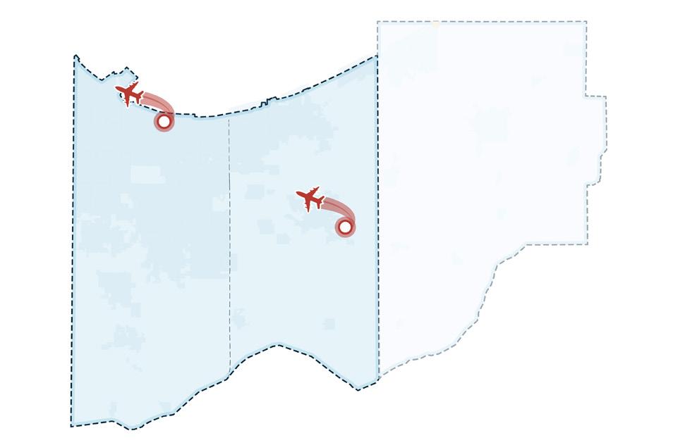
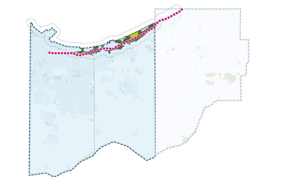
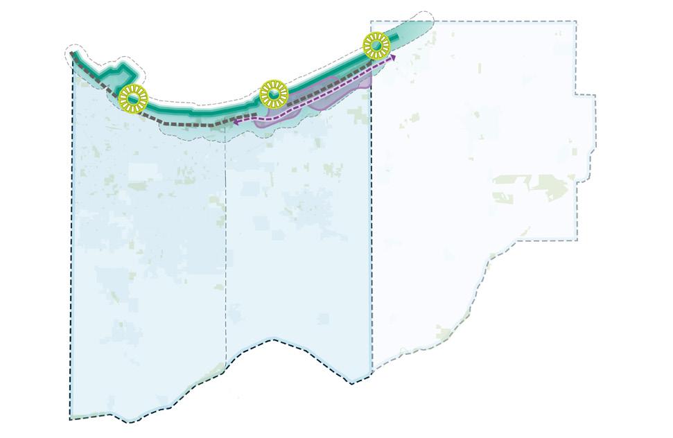
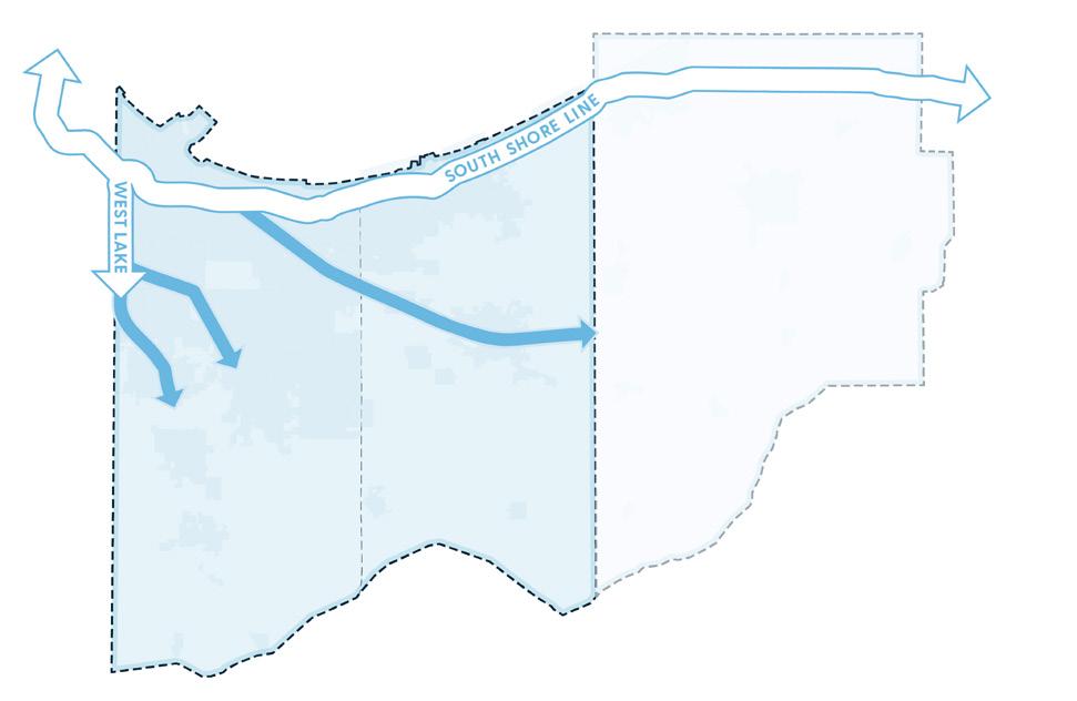
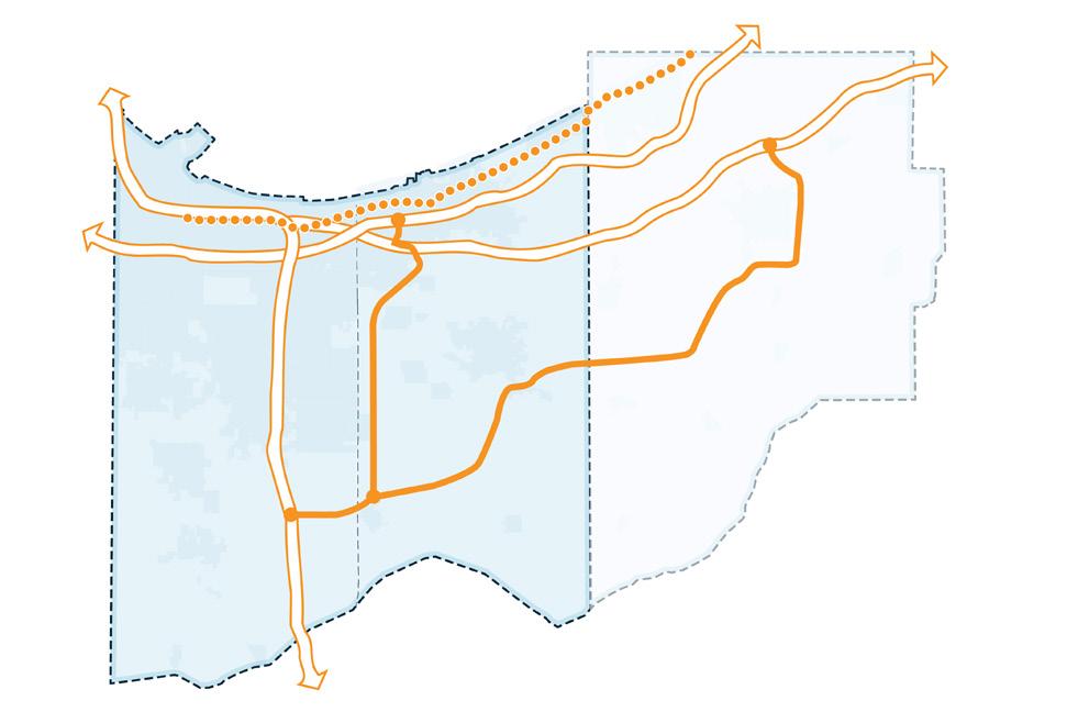
The future expansion of Gary/Chicago International Airport (“Gary Airport”) will position Northwest Indiana to serve a larger share of the greater Chicago region’s air travel and air cargo growth while relieving pressure on existing Chicago airports. By expanding infrastructure, modernizing technology, and improving access, Gary Airport can be positioned to serve as the Chicago region’s third major commercial airport and a designated reliever to O’Hare.
The analysis assumes that construction on the expansion of the Gary Airport begins in 2029, with most of the impacts realized by 2039 and the full impacts realized by 2045. This analysis summarizes the estimated long-term regional economic benefits of the expansion and the methods used to estimate them.
The analysis evaluates three primary impacts:
• Expanded air operations at Gary Airport as the facility scales to a reliever role
• Reduced transportation and logistics costs for firms due to improved accessibility to air transportation services
• Adjacent, airport-related private development catalyzed by the improved air transportation infrastructure.
The expansion of the Gary Airport would enhance its operational capabilities as the third Chicago airport, establishing it as a designated reliver airport to both Chicago O’Hare International and Midway, which in tandem are one of the most congested and busiest airsheds in North America and the world. Manchester Airport in Manchester, New Hampshire serves as a reliever airport to Boston Logan International Airport and was used as a proxy to estimate the economic implications of expanded passenger and cargo service at the Gary Airport. (Notwithstanding the disclaimer above, it is expected that the investments related to increasing cargo capacity will be pursued first.)
Gary Airport’s revenue in 2024 was $17.7 million, (GCIA Annual Financial Report, 2024). Manchester Airport generated $76.5 million, (FAA Annual Report, 2024) in revenue during the same year. To illustrate the economic impact of the expanded air operations at Gary Airport, it was estimated that Gary Airport would generate a similar level of revenue as Manchester Airport once fully expanded and operating as a designated reliever airport.
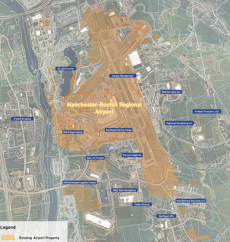
Total Airport Revenue; Dollars in Millions
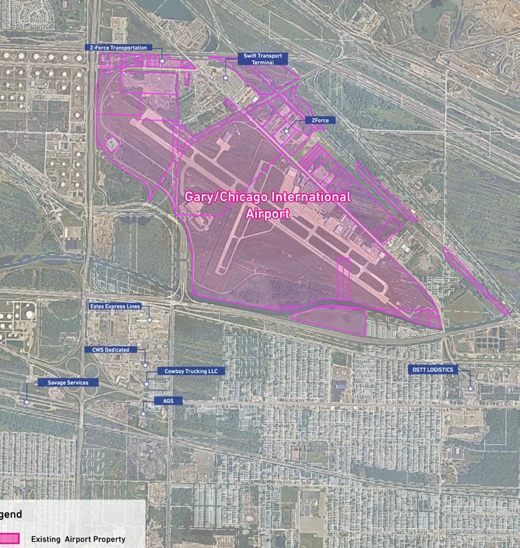
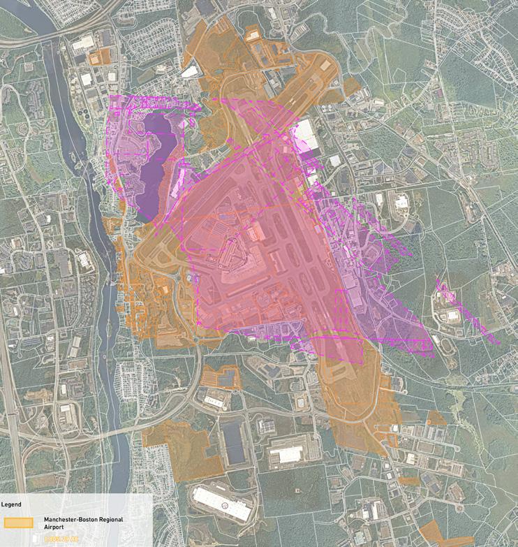
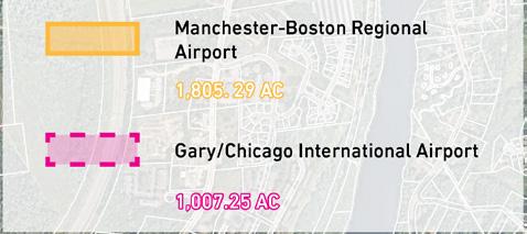
Potential airport-related private development, stimulated by increased capacity provided by the investments at the Gary Airport, was estimated as part of the analysis. Total employment and construction costs were estimated according to the size and use of the potential developments and then extrapolated across a buildout curve. The buildout curve for follow-on development follows the same development curve as the expanded air operations and reduced transportation costs, but is delayed by 5 years, as the private development is not an immediate impact of the expansion. The buildout curve starts slowly, increases rapidly, then slows down again as developable area decreases. For this analysis, developable area around the Gary Airport will be roughly 95% fully developed by 2050. It was estimated that 100% of the 11 million square feet of airport related development would be warehousing and goods transportation infrastructure related to airport operations and air transportation.
Air transport of cargo is now and is becoming even more critical to both the national and regional economies. Gary Airport has surrounding property it owns and there are even more parcels it can acquire that will enable cargo logistics to be optimized at the airport. As the airport invests to expand its cargo handling capacity, private investment will provide the associated warehousing and logistics infrastructure immediately adjacent to the airport further developing the efficiencies in cargo transportation that the airport is making possible.
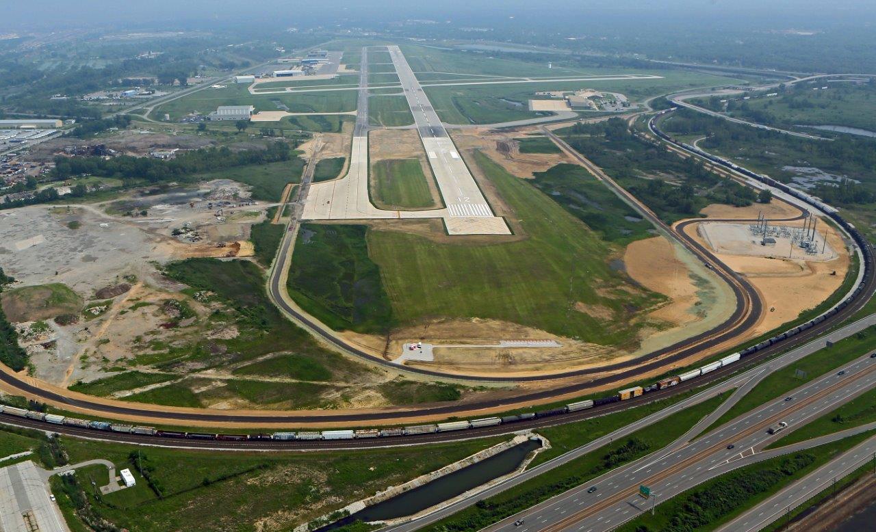
Figure 62: Gary/Chicago International Airport (GYY) Cargo & Development Opportunities
Highest Redevelopment Readiness Sites
Moderate Redevelopment Readiness Sites
Potential Cargo Facility Sites (from the AMPU)
Air transportation costs in Northwest Indiana were estimated to decrease marginally as a result of the expansion of Gary Airport. The proximity of business and commerce to a larger, more efficient airport would, over the long term, drive air cargo transportation costs down. To estimate the economic benefit of a decrease in air transportation costs, the air transportation portion of the commodity index was reduced by 5%. The commodity access index is an index that aggregates input costs used to produce $1 of economic output. Air transportation, across all industries, averages about 0.16% of cost per $1 of economic output. The air transportation costs as a percentage of each $1 of output were reduced by 5%, gradually, over a 20-year curve, with the full benefit realized in 2050. This reduction was applied across all tradable sectors with sensitivity to air transportation.
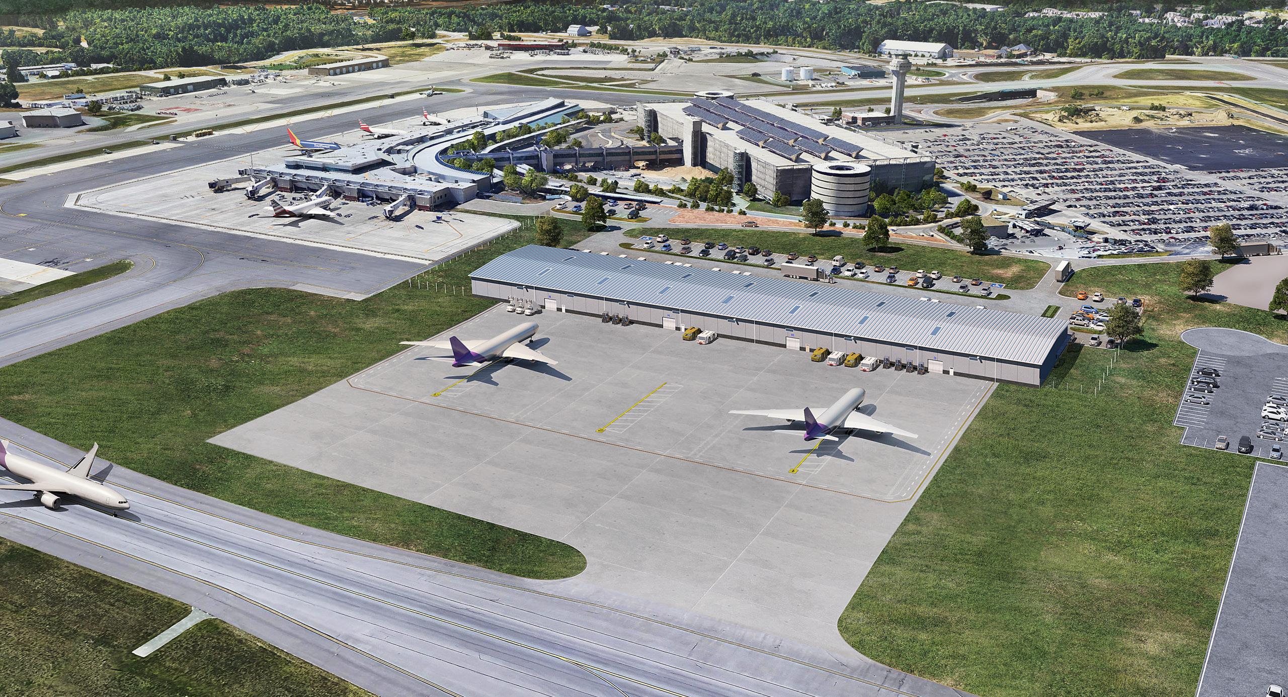
Figure 64: Transportation Costs as a Percentage of Total Cost of Production
Source: Bureau of Transportation Statistics
Government
For-hire truck transportation
Other for-hire transportation
Education and health services
For-hire water transportation
Financial services
Professional and business services
Wholesale and retail trade
Leisure and hospitality
Figure 63: Construction Costs and Direct Employment Impacts at the Gary Airport Extending to Lake and Porter County
Prior to the beginning of construction, gathering of funds, property acquisition, and planning will take place. Then construction of additional airport facilities to accommodate more cargo capacity will be possible.
Employment and Population Impacts. The increased operational capacity of the airport produces output changes: increased demand for travel, reduced transportation costs, and increased private development around the Gary Airport. These economic responses to the new investment are projected to stimulate both population and employment growth in Northwest Indiana. The Gary Airport expansion is estimated to add approximately 4,000 residents and 3,200 jobs in Lake and Porter Counties by 2050 compared to the baseline forecast. Initially, many of the new jobs will be in construction, as the airport expansion and airport-related private development projects ramp up. By 2050, incremental employment is concentrated in transportation and warehousing.
Gross Regional Product and Personal Income. Because of the above investment, employment and population changes, gross regional product increases by $441 million over baseline forecast in the illustrative scenario, showing the implications for increased production throughout the region. Personal Income increases by an estimated $320 million annually by 2050 in Lake and Porter Counties. Personal income rises steadily, averaging 21.3% annually from 2032 to 2050, reflecting both job gains and wage effects. The increased personal income is partially attributable to increased migration from other reasons as Northwest Indiana becomes more attractive to individuals and firms that rely on airport accessibility. Cumulative Gross Regional Product [GRP] gains from 2030 through 2050 are $2.8 billion. These impacts are in line with the results from increased airport related investment seen in other regions across the nation, (“The Economic Impact of U.S. Commercial Service Airports in 2024”, March 2025, Airports Council International).
Expansion of the Gary Airport into a full-size reliever airport for Chicago O’Hare is estimated to increase annual airport revenue by $58.8 million from 2024 levels after full buildout. The increase in airport activity and revenue is estimated to support an increase in GRP of $320 million by 2050 for Northwest Indiana, increasing personal income by $565 million, and add over 3,200 jobs and 4,000 residents above the baseline.
Figure 65: Summary of GYY Expansion Impacts
Difference from Baseline Model; Lake and Porter Counties (Constant 2025 Dollars), 2050
Figure 66: Employment Impacts
Figure 68: Total Employment Change by Industry, 2050
67: Population Impacts
Figure 69: Gross Regional Product Impacts
Figure 70: Personal Income Impacts
As has been demonstrated by the completion of the South Shore Double Track project in 2024 and the soon to be completed West Lake Corridor project in 2026, greater connectivity to the Chicago Metro employment market yields increases in jobs. The next steps are the further expansion of commuter rail to additional municipalities across Northwest Indiana. The result as the modeling will show is to further increase access to jobs, commercial capital, and expand trade for both Northwest Indiana residents and business enterprises. In 2020, 50,747 out of 293,159 employed Northwest Indiana residents, were employed in Cook Co, IL and 6,075 in Will Co, IL. Expanding the commuter rail network and providing access to the Chicago economy for a larger portion of the Northwest Indiana workforce will increase the number of commuters to Chicago, increase demand for use of the rail system, and lower transportation costs for travelers of all modes.
Long term impacts were estimated using two key elements. Increased commuter earnings and new private investment around the expanded commuter rail stations in Dyer, Schererville, St. John, Highland, New Elliot, Crown Point, Gary University Park, Hobart, Wheeler, and downtown Valparaiso. Connectivity to the Chicago economy provides access to higher pay for the same or similar jobs in Indiana. As more Northwest Indiana residents are connected to, and working in the Chicago economy, more dollars will flow into Northwest Indiana from Chicago. At the same time, new commuter rail stations will attract investment from private developers to construct housing, retail, dining, and more to absorb increased consumer demand around the stations.
Increased Commuter Earnings. Connectivity to the Chicago economy provides access to higher wages for the same or similar jobs in Indiana. Expanding the commuter rail network will enable a larger portion of Northwest Indiana residents to hold jobs in Chicago while living in Northwest Indiana. The economic description of this change is that the greater connectivity provides for an “increase in the trade
in labor” between Chicago and Northwest Indiana. As that trade increases there is a convergence toward the mean in wages, productivity, and personal satisfaction. Employees find jobs at higher wages or more to their liking and skill sets. Employers have a greater pool of workers to pick from. Families can locate in lower cost housing with the same amenities.
All of this results in more taxable income and consumer spending from Northwest Indiana. It provides for a “reverse commute”, attracting urban dwellers from Chicago who, motivated by the cost disparities, choose to move to more affordable housing in Northwest Indiana while maintaining employment in Chicago. The model estimates that by 2050, annual commuter earnings above the baseline will have increased by $91 million.
Construction Impacts from Station Area Development. Prior to the construction of rail structures, property acquisition, right of way, engineering and funding acquisition must take place. Approvals with the Federal Transit Administration would need to be applied for, substantial planning would be required.
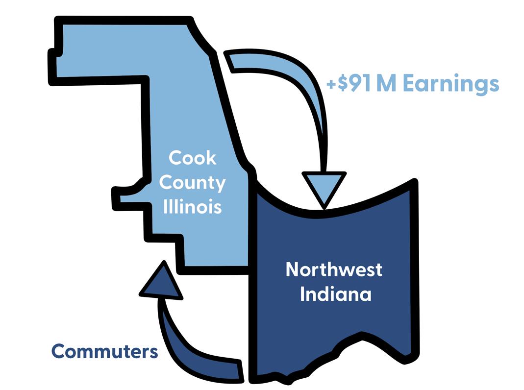
Figure 72: Median Wage by Industry in Northwest Indiana and Chicago Dollars in Thousands
73: Direct Employment
Figure 74: Construction Dollars in Millions
Employment and Population Impacts. The analysis estimates that by 2050, Northwest Indiana will see an increase in population of approximately 7,300 residents and an increase in employment of approximately 6,500 jobs. In the short term, employment will spike due to the increase in construction jobs to support private development around new commuter rail stations. Steady non-construction employment growth is largely attributable to job opportunities supporting the operation of new private development in retail, multi-family housing, dining, and more. Population increases are largely attributable to in migration from exurbanites from Chicago and non-region Indiana residents taking advantage of high-paying Chicago jobs and affordable living in Northwest Indiana, a dynamic catalyzed by commuter rail.
By removing the barriers to commuting more efficiently from Northwest Indiana to jobs in Chicago, the jobs gained by those Indiana residents will reflect the overall job pattern of the urban economy of that city. Health care and accommodation and food service and construction will predominate, however as outlined above at higher wages.
Expansion of the commuter rail network increases commuter earnings and induces private development around the new stations. Increased connectivity to the Chicago economy and higher paying jobs is estimated to provide over $812 million of economic output (GRP) in Northwest Indiana by 2050, supporting over $634 million in personal income. The expansion is estimated to bring approximately 6,500 new residents and 7,300 new jobs to Northwest Indiana above baseline.
Difference from Baseline Model; Lake and Porter Counties (Constant 2025 Dollars), 2050
Employment
79: Total Employment Change by Industry, 2050
78: Population Impacts
80: Gross Regional Product Impacts
81: Personal Income Impacts
The Indiana Dunes National Lakeshore was redesignated as a National Park in 2019. Visitation grew by about 1.5% annually between 2008 and 2019 but has accelerated to an average annual increase of 4.9% since the redesignation. Despite the strong growth in tourism, average daily tourist spending at the park ranks among the lowest in the National Park System. This analysis estimates the long-term regional economic benefits of targeted investments in and around the park that will provide commercial and retail venues for tourists that result in increased tourism spending which will then approach the national average.
Investments in and around the park, which include improvements to access, amenities, visitor services, and mobility, are expected to increase the growth in tourism visits
to the park and increase the average daily spend of those tourists. To model the economic impacts of park investment, average daily tourist spend was gradually increased to the average across all national parks.
Increased Tourist Spending. The average daily spend of tourists in Indiana Dunes was $51.55 in 2024. The average daily spend across all national parks was more than double the Indiana Dunes’ amount. This data comes from periodic surveys and attendance analyses provided by the National Park Service, in this case the 2023 survey. The spending is not only “inside the National Park” but also in the commercial and retail businesses that are outside and provide amenities that are complementary to the experiences within the parks. To estimate the economic benefit of investment in and improvements to the Indiana Dunes National Park, this analysis projected a gradual increase across a 30-year, buildout curve to achieve the national average.
Illustrative rendering of the potential US 12 Scenic Byway.
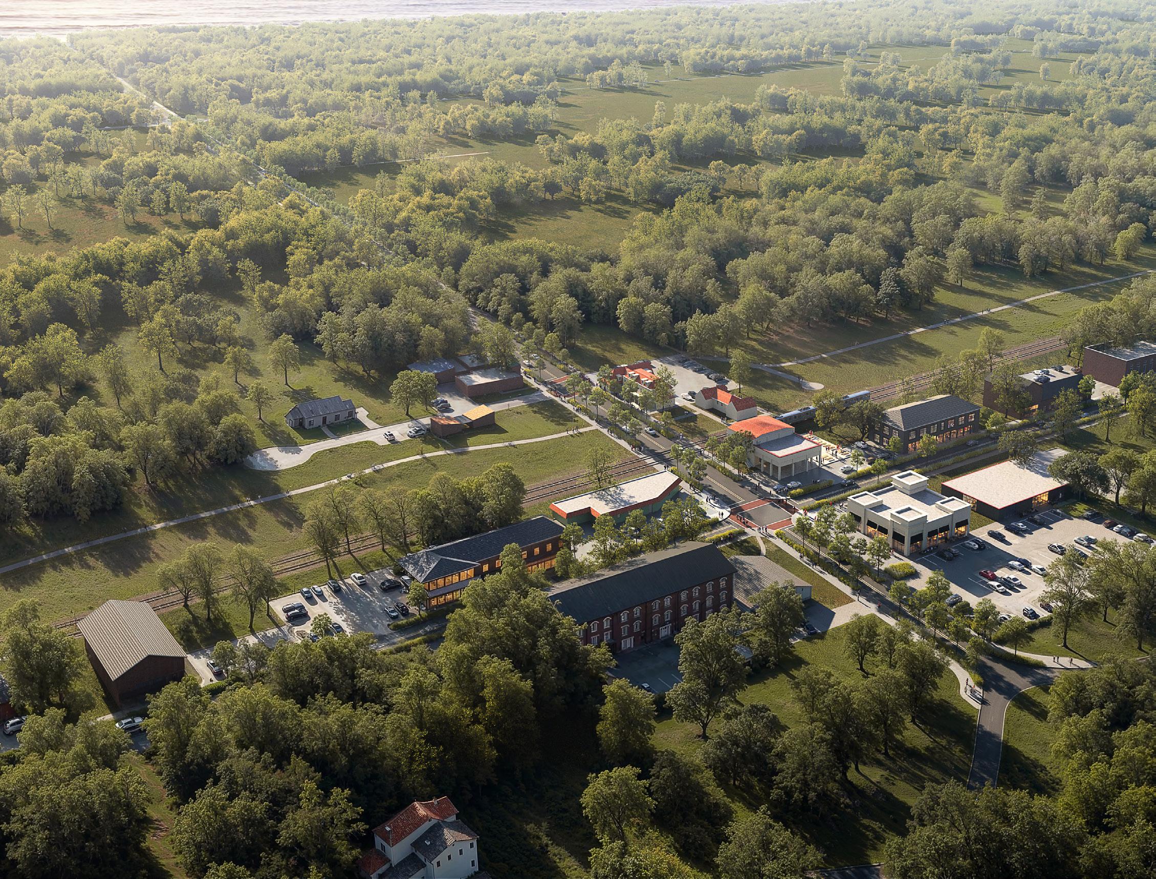
Potential Visitor Lodging/Accommodations Potential Visitor Lodging/Accommodations New Streetscape and Trail
Illustrative rendering of a potential Mobility Hub in Beverly
Employment and Population Impacts. By 2050, employment and population are estimated to increase by 1,700 and 2,300, respectively. Increased tourist spend generates demand for more employment in tourism-facing industries. The results of this analysis show that in Northwest Indiana, demand for jobs in accommodation, food services, retail trade, arts, entertainment, and recreation would all increase substantially, with accommodation and food services demanding close to 1,000 more jobs by 2050. Much of the new employment would come from the employment at the adjacent commercial amenities, dining, and lodging options, as well as the National and State Parks themselves.
GRP and Personal Income. Gross Regional Product and personal income are estimated to increase by $80M and $170M, respectively across Northwest Indiana as a result of increased tourist spending at or near the Indiana Dunes National Park. GRP increases rapidly from 2030 through about 2040 as tourist spending increases along the buildout curve. Personal income also sees faster growth between 2030 and 2040, but continues to climb into the out years.
Increased tourist visits and tourism spending at the Indiana Dunes National Park is estimated to produce $80 million above baseline economic output (GRP) by 2050 in Northwest Indiana, supporting over $170 million in personal income. The increased tourism demand is also estimated to create over 900 jobs and attract 2,350 residents to Northwest Indiana.
Figure 83: National and State Parks Investment Outcomes
Difference from Baseline Model; Lake and Porter Counties (Constant 2025 Dollars), 2050
84: Employment Impacts
Retail/Hospitality
Figure 86: Total Employment Change by Industry, 2050
Figure 85: Population Impacts
Figure 87: Gross Regional Product Impacts
in
Figure 88: Personal Income Impacts
The Lake Michigan shoreline is one of Northwest Indiana’s most unique and valuable natural assets—drawing thousands of tourists, supporting high-value residential and commercial investment, and attracting high-income households. Yet the lack of sanitary sewer service and other foundational infrastructure in several lakefront communities limits economic development and contributes to environmental issues that close beaches and reduce tourism.
As major industrial and utility properties such as the Bailly Generating Station and the Michigan City Generating Station reach the end of their useful life, they present rare opportunities for transformative redevelopment that can enhance curb appeal, expand public access, and advance the Marquette Plan’s long-term vision for a more vibrant lakefront. Redevelopment of these sites would attract more visitors, catalyze private investment, and draw new residents to Northwest Indiana. This analysis estimates the economic impacts of redeveloping both generating stations and the resulting benefits to the region.
Figure 94: Shoreline Construction Costs and Direct Employment Costs in Millions
Long term impacts were estimated using the construction costs and direct employment of the redevelopment plans outlined by the RDA of the Bailey Generating Station in Burns Harbor and the Michigan City Generating Station in Michigan City. The economic benefits of the redevelopment of the generating stations will enhance the Lake Michigan Shoreline and increase output, employment, personal income, and population over time as private development occurs.
Redevelopment Employment and Construction Costs. It is estimated that private development will, initially, grow rapidly and then decline as developable area decreases within the redevelopment sites. Employment, directly supported by the private investment, will grow as new commercial construction projects come online, but will then flatten as development slows over the 30-year development curve. In total, it is estimated that the redevelopment of the two generating sites will support roughly 480 jobs above the baseline by 2050.
Site acquisition, demolition of current structures, and planning for redevelopment is estimated to require a substantial amount of time.
Employment and Population Impacts. Total employment is estimated to increase by roughly 720 jobs by 2050. The majority of jobs in the short term will be in construction as the initial redevelopment takes place. Long-term, the majority of the employment impacts will be in accommodation and food services, arts, entertainment, and recreation. Total population is expected to increase by approximately 890 residents by 2050. These residential impacts are due to the supporting jobs created by the development within these bounded areas.
GRP and Personal Income Impacts. GRP growth and personal income growth track closely in the short-term as the redevelopment of the formerly power generation sites gets underway. By 2050, however, personal income growth will be at an estimated $48 million. GRP growth will stall after the sites become fully or near fully built out with redevelopment construction slowing as well. At full build out GRP becomes relatively stable around $25 million, annually, from 2043 through 2050.
The redevelopment of the former power generation sites is estimated to bring over approximately 394 new residents to Northwest Indiana, employing roughly 300 people. The private investment is estimated to produce $27 million in economic output, annually, by 2050 and $48 million in personal income.
Difference from Baseline Model; Lake and Porter Counties (Constant 2025 Dollars), 2050
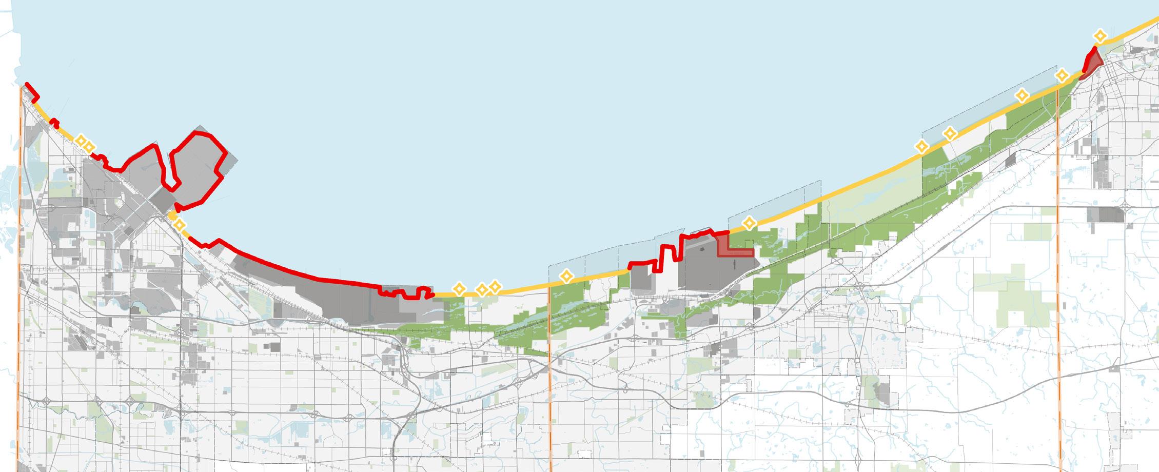
Figure 98: Employment Impacts
Figure 100: Total Employment Change by Industry, 2050
Figure 99: Population Impacts
Figure 101: Gross Regional Product Impacts Dollars in Millions
Figure 102: Personal Income Impacts
Surface transportation improvements impact businesses, trade, employees, and consumers. Transportation is a cost. It costs commuters to get to work in time and money. It costs businesses in acquiring raw materials or in transmitting finished products to customers. It costs families to drive or travel farther to parks or stores or museums. Transportation is a cost, that when reduced boosts economic output.
If improvements to ground transportation can be found, through planned, strategic investments throughout Northwest Indiana, the result will be improved commodity access and reductions in congestion costs. To bring specificity to the modeling of the impact of surface transportation improvements, this report modeled a 3% improvement in commodity access, and a 10% reduction in congestion costs. To put this improvement in context, the region is forecasted to experience an increase in total freight tonnage over this same period.
While improvements to surface transportation come marginally, at scale, and over time, the combination of various improvements and their marginal benefits can add up to significant cost savings and efficiencies in any region, but certainly across the transportation intensive Northwest Indiana economy. Specifying a particular transportation improvement investment or set of investments is beyond the scope of this analysis. However to provide some realism to the effect of making substantial transportation investments in Northwest Indiana, this analysis takes as an assumption that commodity access will be improved by 3% and congestion costs will be improved by 10% by 2050 to estimate the economic benefit of various ground transportation improvements.
Improved Commodity Access. Commodity access is an index showing the sources making up the total costs of production for $1 of economic output. Surface transportation makes up a significant portion of the costs across many different industries. This projection models the cost for producing $1 of economic output being reduced by 3%. This reduction in the cost of commodity access is applied across the inputs described below.
Reduced Congestion Costs. Congestion costs in Northwest Indiana totaled $566.2 million in 2022, (Texas Transportation Institute, cost per commuter in 2022, REMI estimate of US Bureau of the Census, workers in Lake and Porter counties in 2025). Congestion costs are the loss of productivity and output due to congestion. A 10% reduction in congestion costs results in a $56.6 million annual savings in Northwest Indiana.
Figure 108: Reduced Transportation Related Congestion Costs
Dollars in Millions
M
M
M
M
M
M
M
M
M
M
Figure 109: Surface Transportation as Percent of Inputs
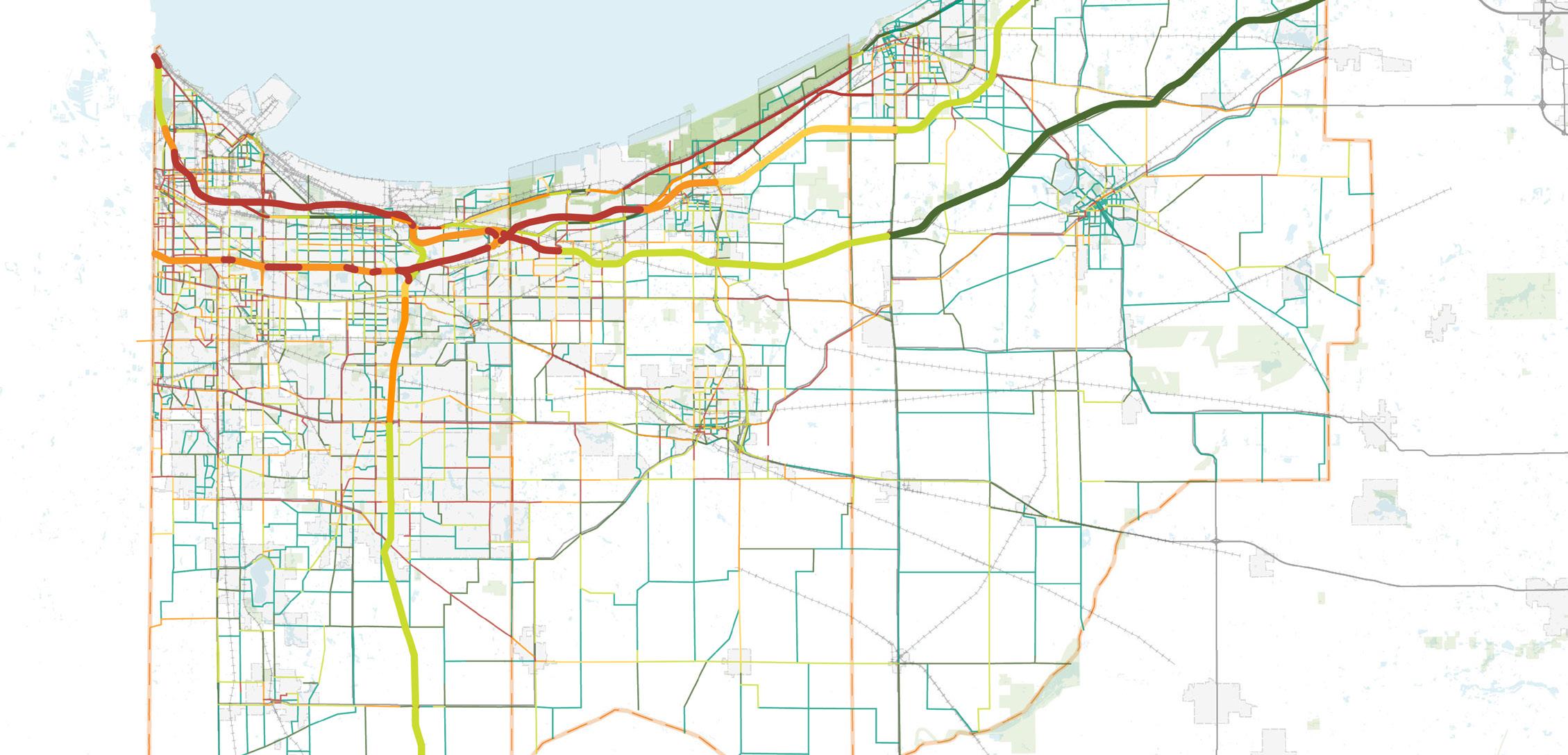
Employment and Population Impacts. The analysis estimates that by 2050, the improvements to surface transportation efficiencies will attract over 6,000 new residents and provide approximately 1,380 new jobs above the baseline. The majority of the new employment is estimated to be in health care, accommodation and food services, retail trade, and state and local government.
GRP and Personal Income. Gross Regional Product is estimated to increase by $192 million by 2050 and produce an increase in total personal income of $551 million.
The model estimates that by 2050 the improvements in surface transportation will lead to an increase in GRP of $146 million and an increase in personal income of $327 million. Population and employment are also estimated to increase. Population is estimated to increase by roughly 870 individuals while employment is estimated to increase by over 4,100 jobs.
Difference from Baseline Model; Lake and Porter Counties (Constant 2025 Dollars), 2050
Figure 113: Population and Employment Impacts, 2050
Figure 114: Total Employment Change by Industry, 2050 Figure 115: GRP and Personal Income