4 minute read
Walk on the wild side


Hiking in this area of New Hampshire is less about conquering a peak or checking off a challenge than about savoring the scenic vistas. When you want to stop and smell the flowers, watch for migrating birds or stroll through the best the region has to offer, here are 10 family-friendly to moderate hiking trails with great views.
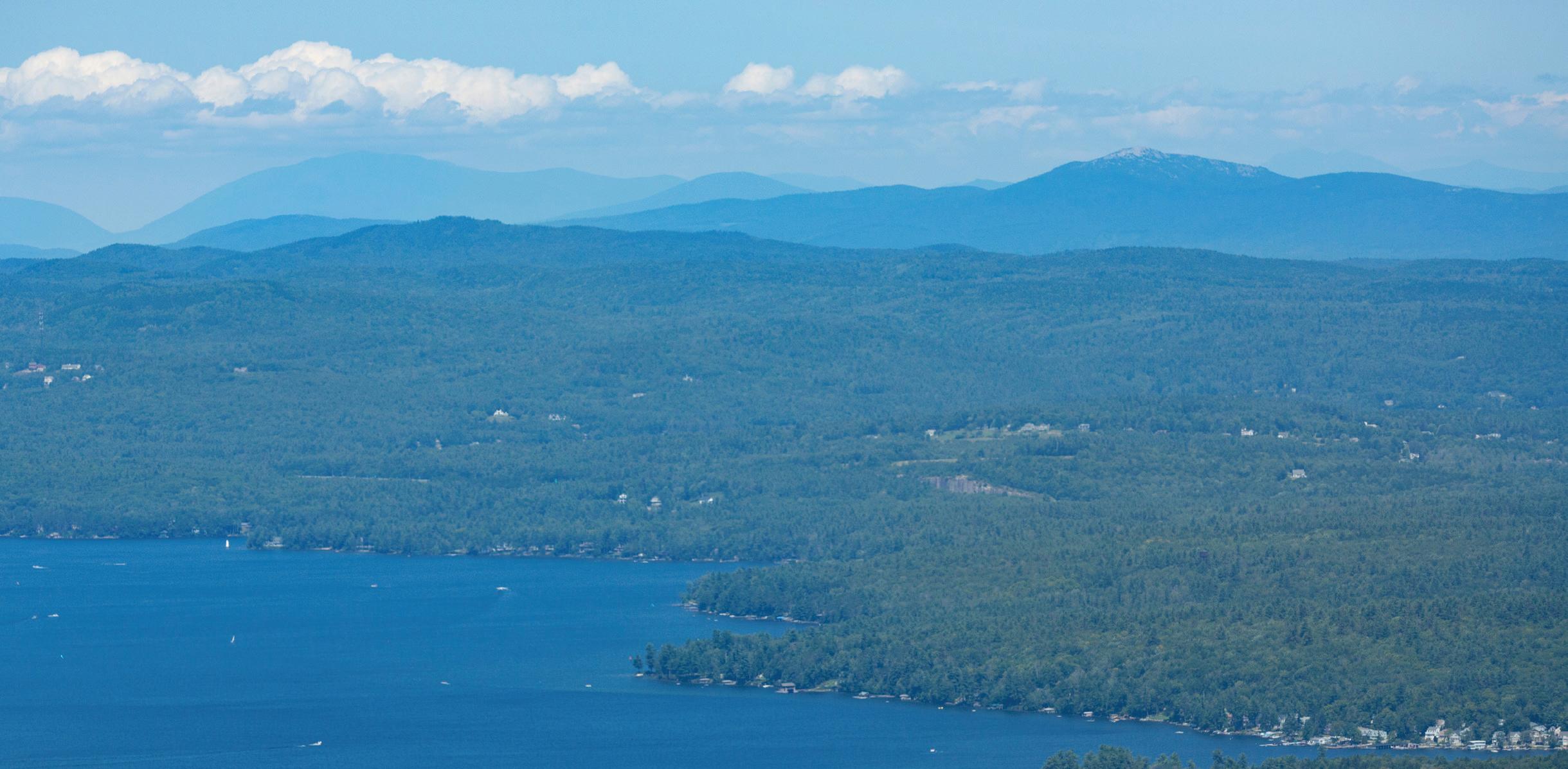
1 Andrew Brook Trail (3.8 miles outand-back, 1,200 feet elevation gain) heads up the South Peak of Mount Sunapee. Enjoy the forest trail that leads to White Ledges with a view of Lake Solitude and a panoramic overlook. Sunapee’s summit is wooded, so hikers appreciating the view often return after reaching this point. Trailhead off Mountain Road, Newbury. forestsociety.org
2 At Pillsbury State Park, (5.5-mile loop, 885 feet elevation gain) follow quiet forest paths to Bear, Mill, May and Bacon ponds. The park’s diversity of habitats makes it perfect for viewing native wildlife, including moose and loons. 100 Clemac Trail, Washington. nhstateparks.org
3 The Ruth LeClair Trail (2.7-mile loop, less than 100 feet elevation gain) will let you circumnavigate the “Goshen Ocean.” This gently winding path encircles the man-made Gunnison Lake through woods filled with hemlock, maple, beech and ferns. The lake is almost always in view of the path. Start from the park at the end of Gunnison Lake Road, Goshen. lake-sunapee-living.com/gunnison-lake-and-the-ruth-leclair-trail
4 Coit Mountain and Pinnacle loop (3.7-mile loop, 820 feet elevation gain) in the Newport Town Forest is ideal for birdwatching and taking in the fall foliage. However, recreationalists enjoy it year-round, as it’s also a popular trail for cross-country skiing and mountain biking. Trail access is available at Newport Middle/High School or the parking area on Summer Street, Newport. newportnh.gov
5 Silver Mountain (1.2 miles out-andback, 550 feet elevation gain) is part of the Ashuelot River Headwaters, a property managed by the Forest Society. With a short hike, you get panoramic views in three directions including toward Vermont’s Green Mountains and Lovewell Mountain and Mount Kearsarge to the east. Keep an eye on the blazes as you near the summit where it becomes a meadow. From the parking area off South Road in Lempster, which is unpaved, head north to go up the mountain — heading south will take you to Sand Pond or Long Pond. forestsociety. org/property/ashuelot-river-headwaters-forest
6 Green Mountain (3.2-mile outand-back, 860 feet elevation gain) in Claremont is topped with a fire tower and offers great views of the Upper Valley. Access paths to the fire tower begin off Cat Hole Road. trailsnh.com/ hike/n/357721351/Green-Mountain-Claremont-NH
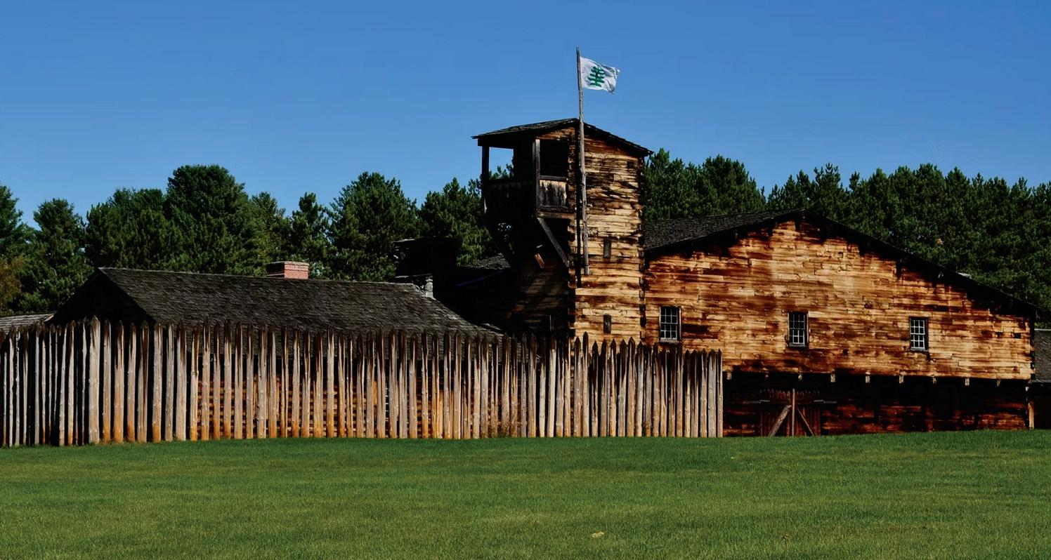
7 The Unity Mountain Trail (various options) is a showcase of Sullivan County’s natural resources. The route takes you past a former mica mine, sweeping views and opportunities for local wildlife spotting. The full trail system is a 4-mile, one-way journey from the county farm to the Marshall Cemetery. However, for a faster out-and-back hike, it’s less than a mile from the Marshall Cemetery Parking area to Sam’s Overlook. There are three parking areas, including one on Mica Mine Road. sullivancountynh.gov/205/ County-Lands-Community-Programs
8 Crown Point Trail (1.2 miles out-andback, 85 feet elevation gain). The town created one of Charlestown’s newest trails to fulfill a request for a walk along the Connecticut River. The start of the trail is off Lovers Lane, near Jones Road, and there is a kiosk installed by the Conservation Commission. It follows an old road for a bit before heading up a narrow knoll with a view of the water. The trail ends at the Crown Point historical marker that commemorates where British soldiers crossed the river during the French and Indian War. charlestown-nh.gov/ uploads/charlestown-trails_map.pdf
9 Monadnock Sunapee Greenway Trail (various options) is a challenge best split over a few days. This endurance adventure is a nearly 50-mile, point-to-point trail that travels from Mount Monadnock to Mount Sunapee. The trail has campsites along the way with shelters and platforms to tent on. Not ready for a multi-day trip? Pick a section for a day hike. msgtc.org
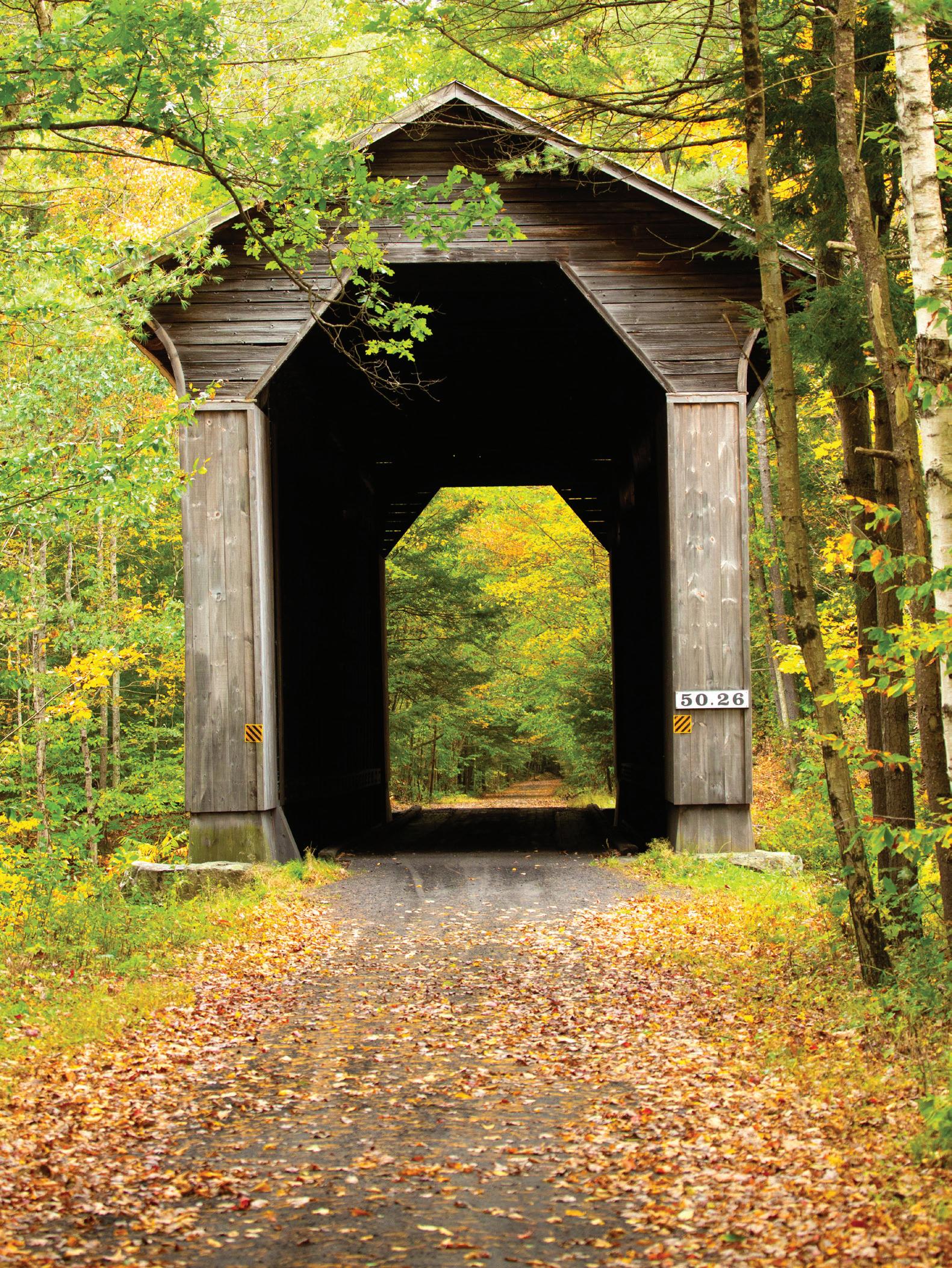
10 Sugar River Rail Trail (9 miles, 400 feet elevation gain). Don’t miss this multi-use path that stretches from the Recreation Department in Newport into Claremont. Along the way, you’ll pass two of the region’s many covered bridges, and a few more modern river crossings and several historical markers. As a former rail bed, the surface is mostly hardpack gravel, with some sandy sections. This makes it not only ideal for walkers but also for families with strollers or bicyclists. Snowshoeing is allowed in the winter. The trail runs alongside the fly-fishing-only section of the Sugar River. The Newport trailhead is close to downtown, meaning that additional entertainment, recreation and dining are just a few blocks away after you’re done exploring the riverside. nhstateparks. org/find-parks-trails/recreational-rail-trails/sugar-riverrecreational-rail-trail