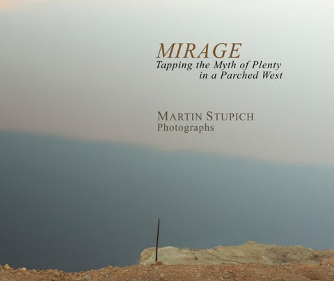
The western U.S. has been sliding into historic drought since 2000, toward a point on the curve that it hasn’t seen in twelve hundred years. Its states’ populations swell while their good luck with water runs out. In over a millennium, no quarter-century has seen less rainfall, scanter mountain snow, emptier reservoirs, more stressed aquifers, or more parched river channels. In 1980 I took a job photographing historic 19th century western mining sites for the U.S. Department of the Interior and the Library of Congress collections. My five months working in Nevada’s basinand-range desert was a crash course in grasping the importance and the scarcity of water in the west. Even without the trained eye of the environmentalist or the climate scientist, the landscape seemed out of balance. In my months camped out near Virginia City looking down from a half mile above to the creeping sprawl of Carson City and Reno (where seven inches is a good annual rainfall) the word ‘unsustainable’ entered my vocabulary.
A decade later, a band of a dozen photographer colleagues, most of us from west of the hundredth meridian where the 'arid west' begins, conspired to address the region's precarious dependence on an evaporating resource. The Water In The West Project was a decadelong artists’ survey documenting the artifacts of a crisis in the making. A curated group of those photographs resides in archives in Tucson’s Center of Creative Photography at the University of Arizona. In MIRAGE, this collection of ninety photographs spans five decades, and represents my stab at exploring the western landscape, and how we engineer it to survive where the odds are stacked against us. This is more a catalog than a formal portfolio; it is a state-by-state index of pictures from the Columbia Gorge to the Rio Grande. More personal than academic; testimony rather than indictment. And every frame expresses this photographer’s gratitude for the chance to marvel at an implausible world we build motivated by hubris, optimism, and naiveté. Martin Stupich
Coolidge Dam, view of downstream face, 1988
orado
ntana
ada
w Mexico
e 67
Elephant Butte Dam with tourists on roadway, #2, 1991 (a decade prior to 9/11 road closure) Elephant Butte Lake in drought, aerial view, 2021 >
Glen Canyon Dam, view from downstream, #3, 1990 >
Glen Canyon Dam, view west to east, #3, 1990 >
www.martinstupich.com v 20261029
pen-pit copper mine, ow County, Montana
GE