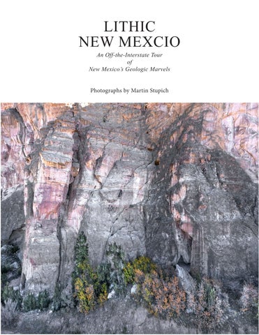
LITHIC NEW MEXCIO
An Off-the-Interstate Tour of New Mexico’s Geologic Marvels
Photographs by Martin Stupich
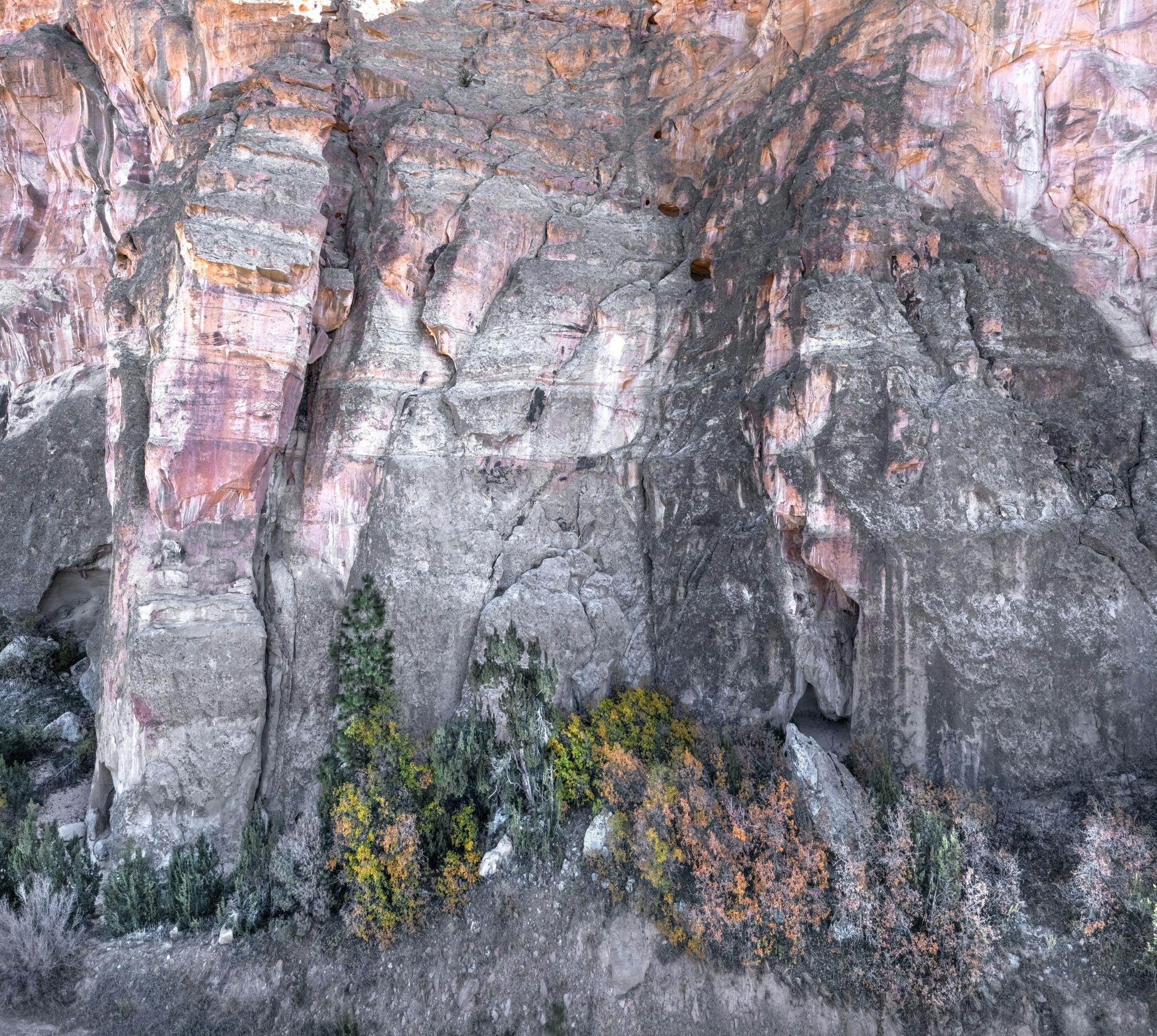
An Off-the-Interstate Tour of New Mexico’s Geologic Marvels
Photographs by Martin Stupich
An Off-the-Interstate Tour of New Mexico’s Geologic Marvels
Photographs by Martin Stupich
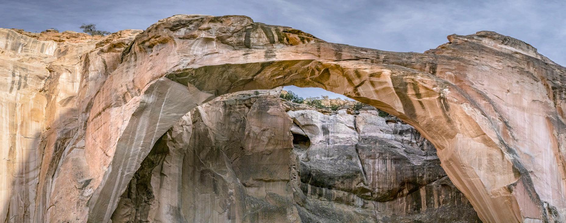
I made these forty photographs between 2024 and 2026, downshifting after years of pandemic and state sponsored pandemonium. Needing a break, working absent an agenda was the answer–seeking solace in plein air , the centuries-old artists’ fallback. In my decades documenting industrial archeology and tormented cultural landscapes I hadn’t thought much about nature, except as a balm, a saccharine comforting refuge in stressful times. In making these photographs, I didn’t turn my back on the ravaged world; rather, I found myself looking more deliberately at more of it.
In landscape photography, or landscape painting, if it’s not about vistas and forests or the grandeur of clouds or water, it’s about upthrust mountains or their inverse (and often closeby neighbors)–canyons and gorges. Taking in any part of New Mexico’s 77-million-acre share of the earth’s exposed crust is like auditing a field-geology seminar; it belies the myth that creation took God less than a week. A two-hour Sandia foothills hike east of Albuquerque turns a calming afternoon into a brain-thumping torrent of big picture questions: What rent the Rio Grande Rift?; what stupendous force sent the Sandias’ granite wall shooting a mile up through the desert floor, and when? Was it violent and sudden and deafening; or slow–eons long-and inaudible, so that to raptors riding afternoon thermals, the only noise was of bees and finches and skittering mice?
Unlike my reams of photographs of open pit mines, steel mills, and missile silos, the pictures in Lithic New Mexico won’t vex or provoke despair – they were prompted by raw unscripted gratitude and barefaced marvel. Seeing New Mexico as the ‘Land of Enchantment’ comes easily. Enchantment is potent, smacks of magic, and we are not the first ones to feel it. People in the Pleistocene, plodding east over the Bering Land Bridge, eventually got here and found the place hospitable, possibly even enchanting, and they stayed. In centuries and decades closer to our own, the same pull-of-place attracts souls from everywhere. Many dig in and adopt New Mexico as home, or just as often, the inverse–they are adopted, absorbed by the place itself (as I was).
A geographer or a geologist would give you a book very different from this one. To most curious persons, a good stoic geological encyclopedia is a treasure; the more heavily annotated the better. Rich with illustrations and dense with theory and graphs, it would anchor any respectable library. This (much thinner) volume could sit happily next to it on the shelf, more pictures than text, like a family photo album rubbing dust jackets with a dense genealogy or family Bible.
Not every interesting New Mexico place is represented here. I forego the ones you already know well through books, calendars, and media. So no Bisti Badlands, no White Sands, no Carlsbad Caverns, none of Georgia O’Keeffe’s cliffs or pastel banded buttes. Nor is this a geography survey. Though I aim to describe fairly this vast state, there are more photographs from the west than from the east. New Mexico’s western half rising toward the continental divide is topographic chaos. The east is plain, a broad flat llano tipping gently toward the Mississippi; here surface relief shows itself mostly in shallow canyons, lone mesas and the rare cinder cone.
Beauty is subjective, and not all landscapes tug at each of us in the same way. But when they do, being gob-smacked is always a surprise, and memorable. Veer off the highway onto any county road anywhere in New Mexico–the horizon in front of you, once your eyes adjust, will be thirty miles off, or perhaps one hundred. Chances are you’ll get your bearings, your only reference, by sighting an anomaly, a quirk in the distance; a volcanic plug like Cabezón or a range, the Guadalupe maybe, breaking the horizon like a surfacing U-boat. Wonders like these, and smaller ones, aren’t unique–certainly not to the west or to New Mexico. But preferring to work in my own back yard (all 120,000 square miles of it), my good luck brings me to these pictures, this portfolio. And to sharing it with you.
Martin Stupich
July 20, 2026
Albuquerque
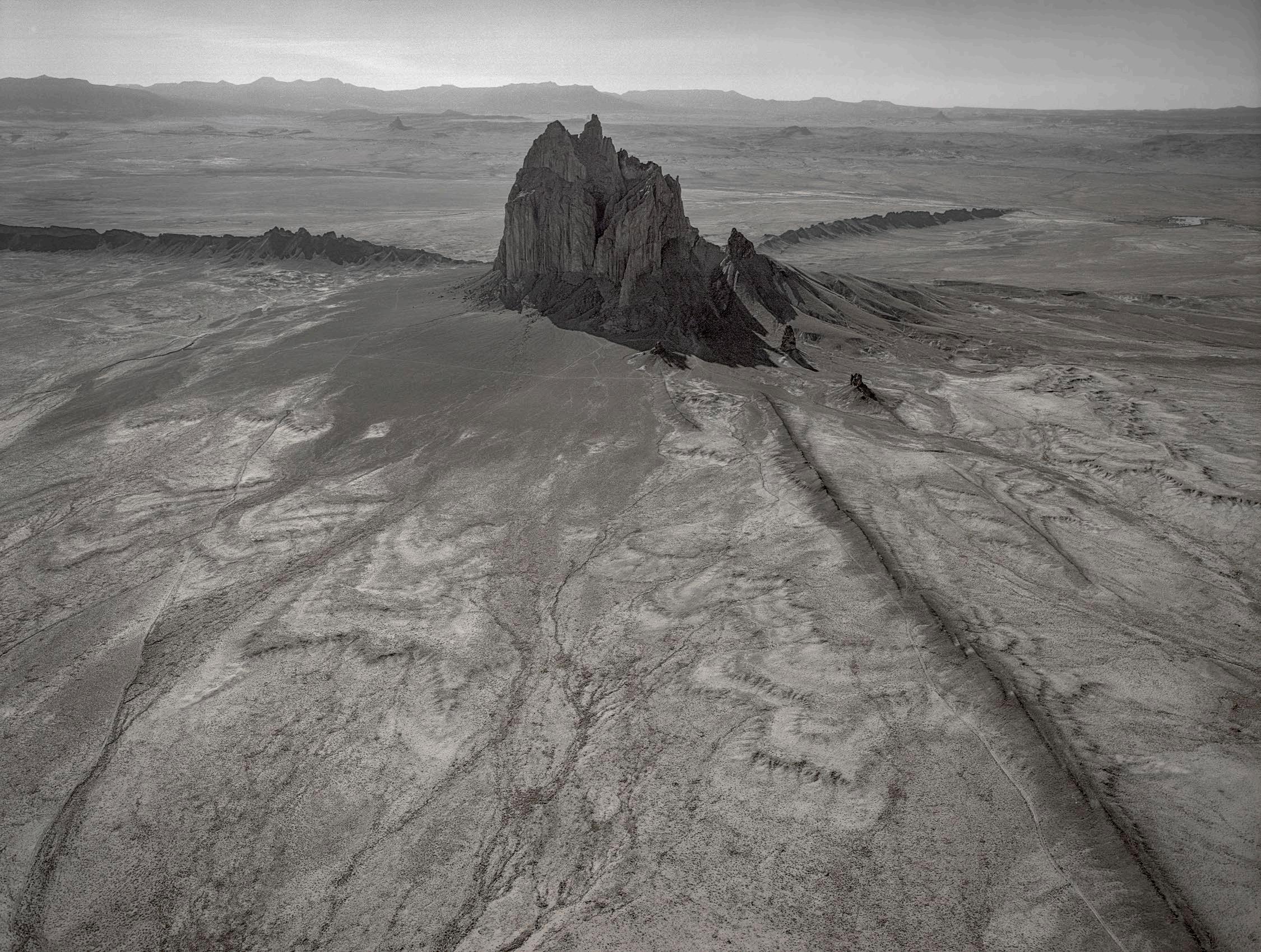
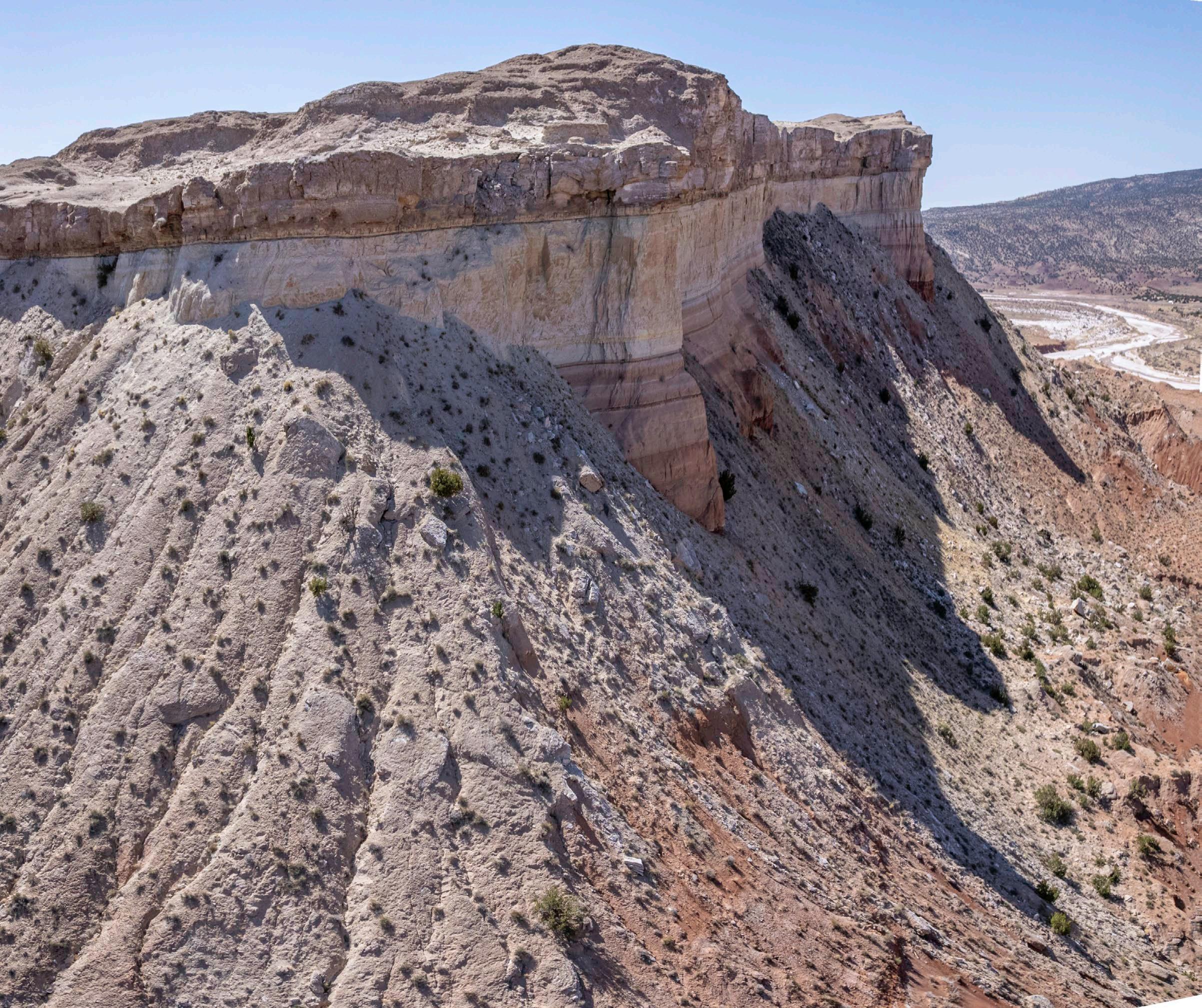
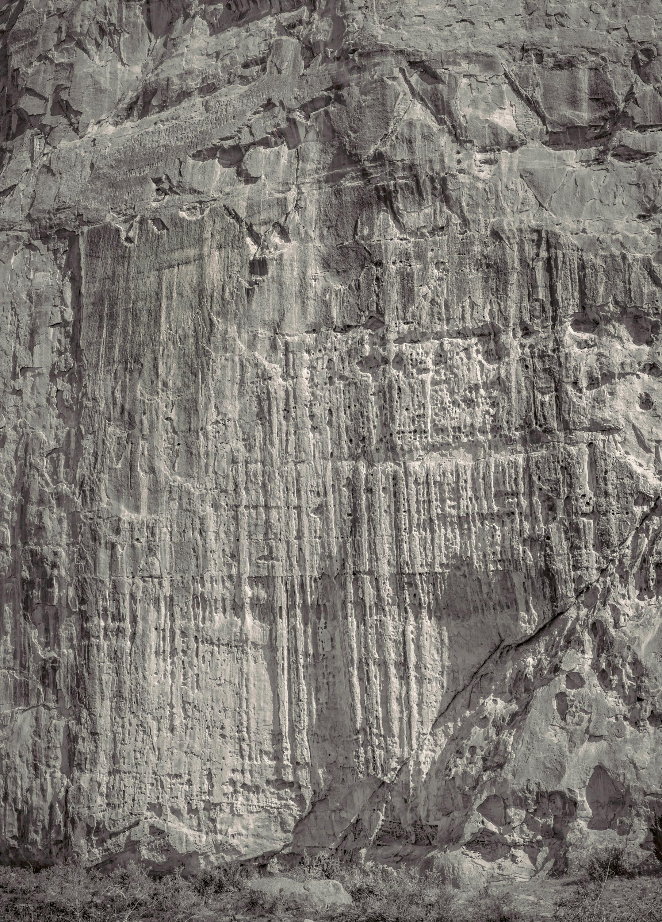
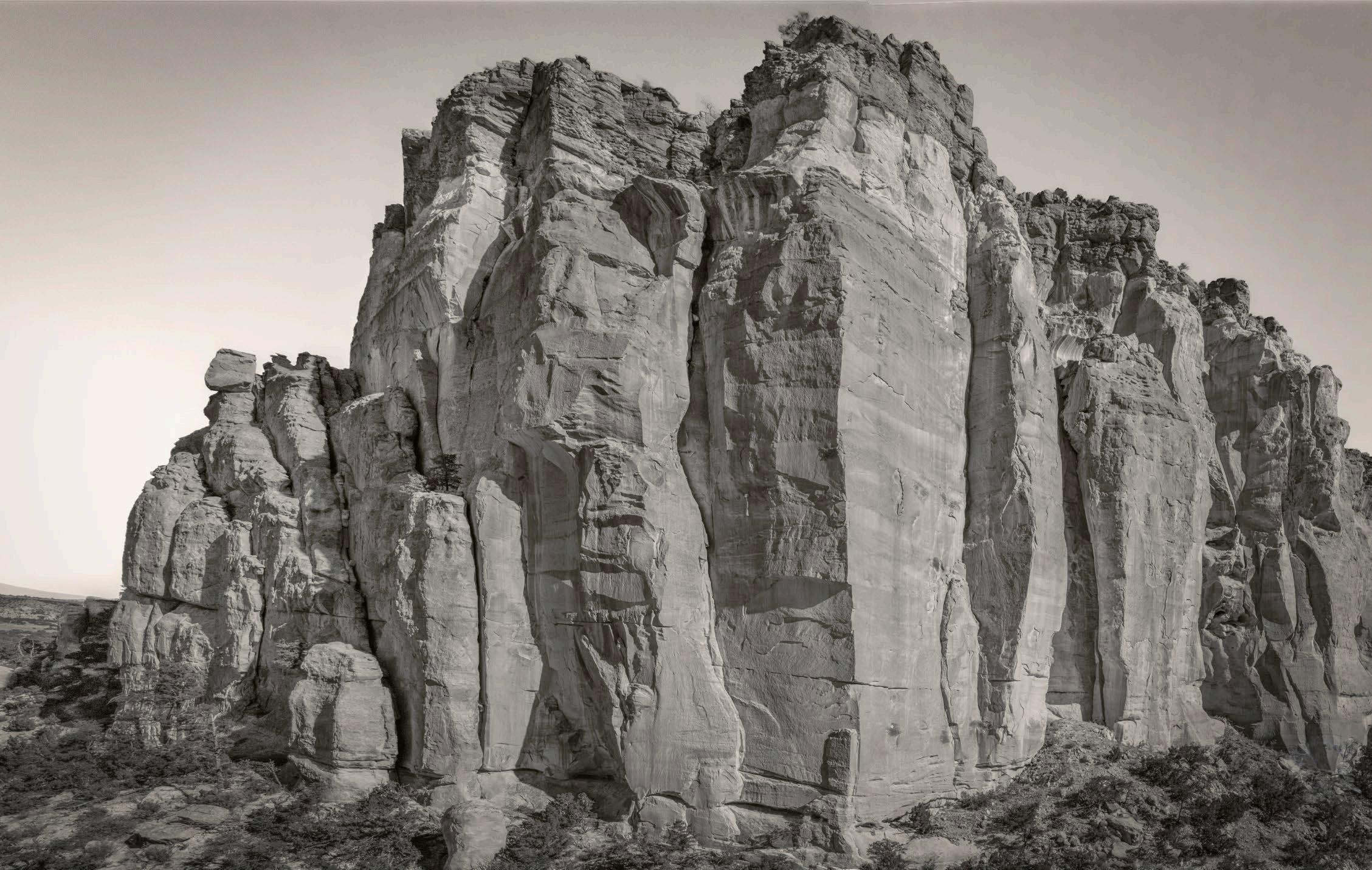
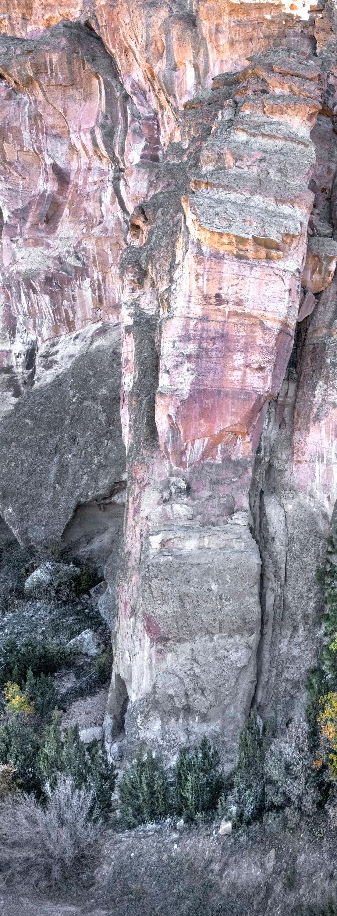
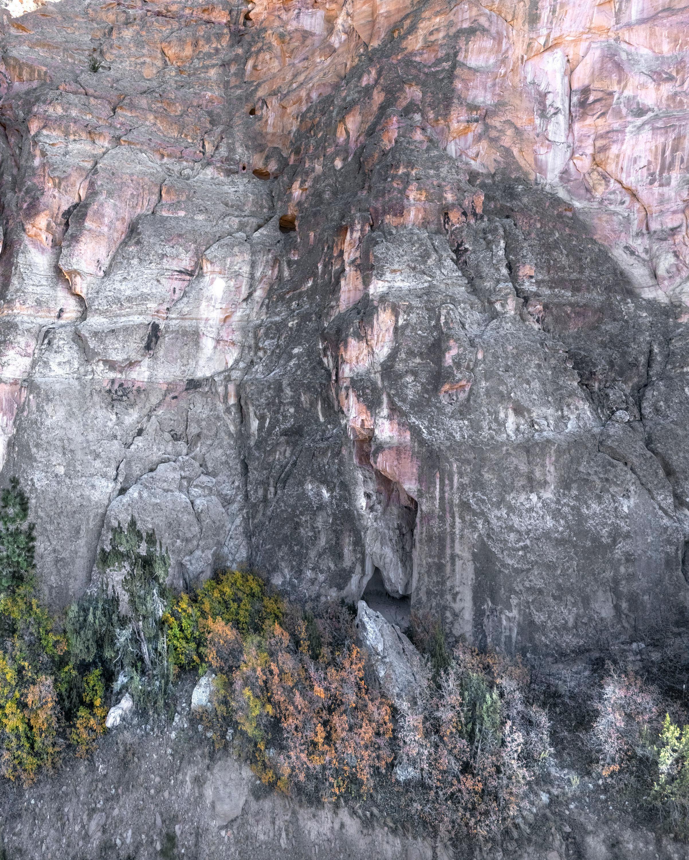
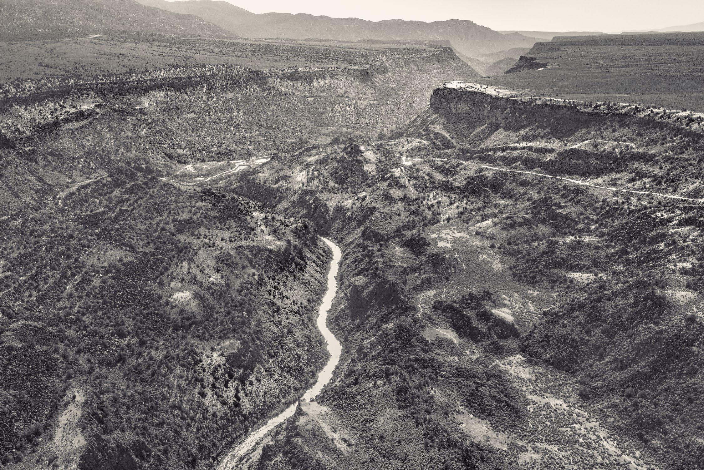
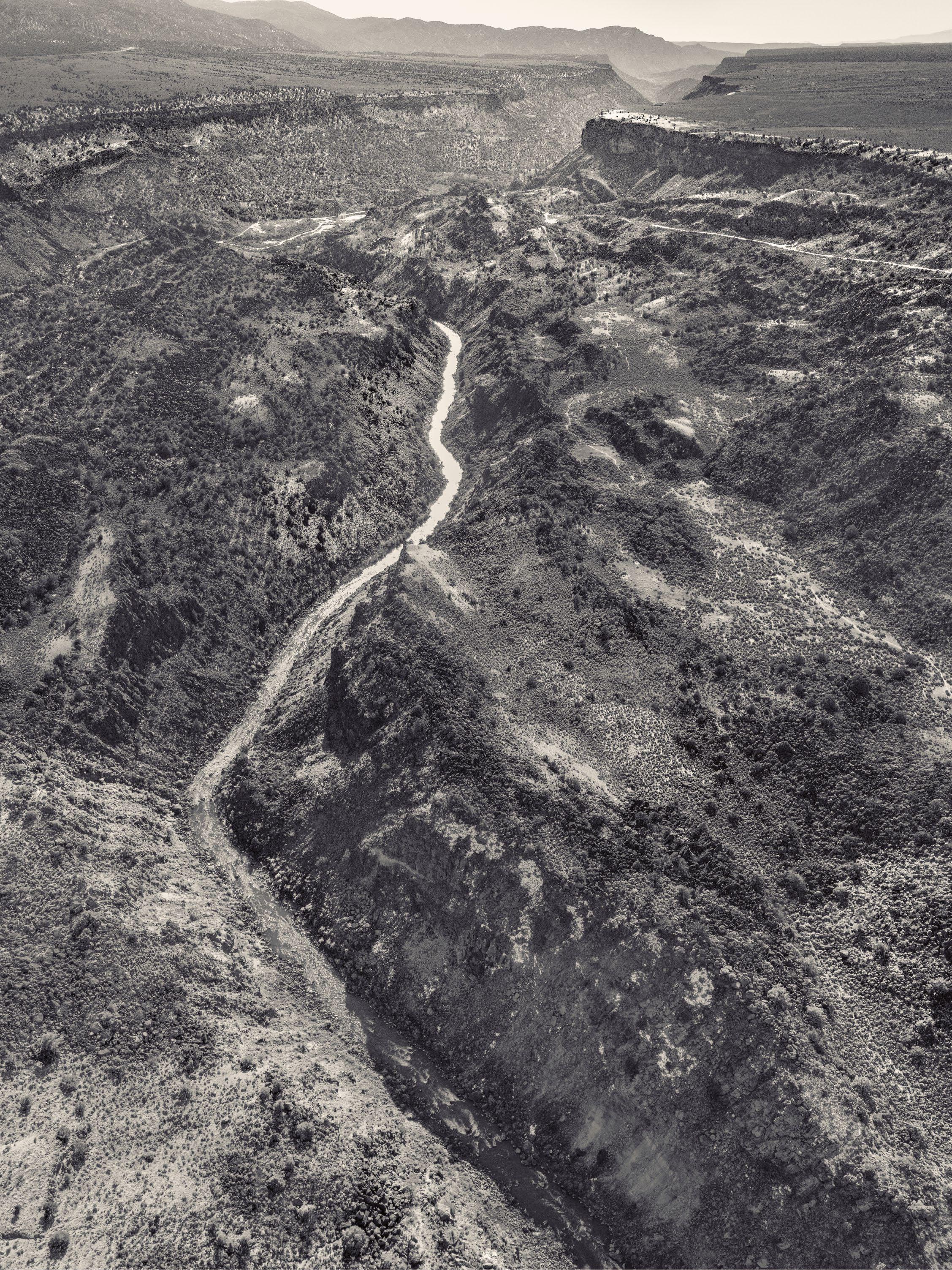
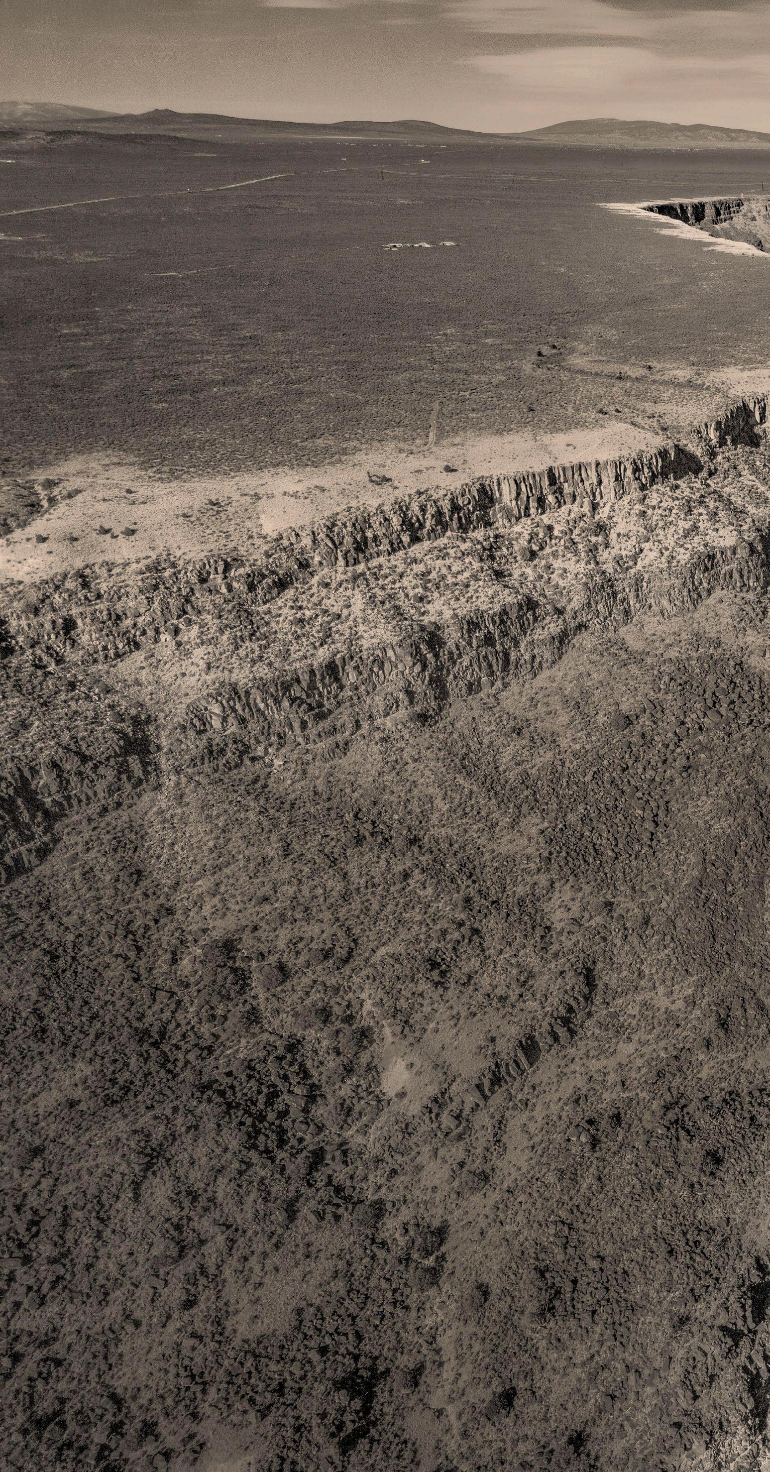
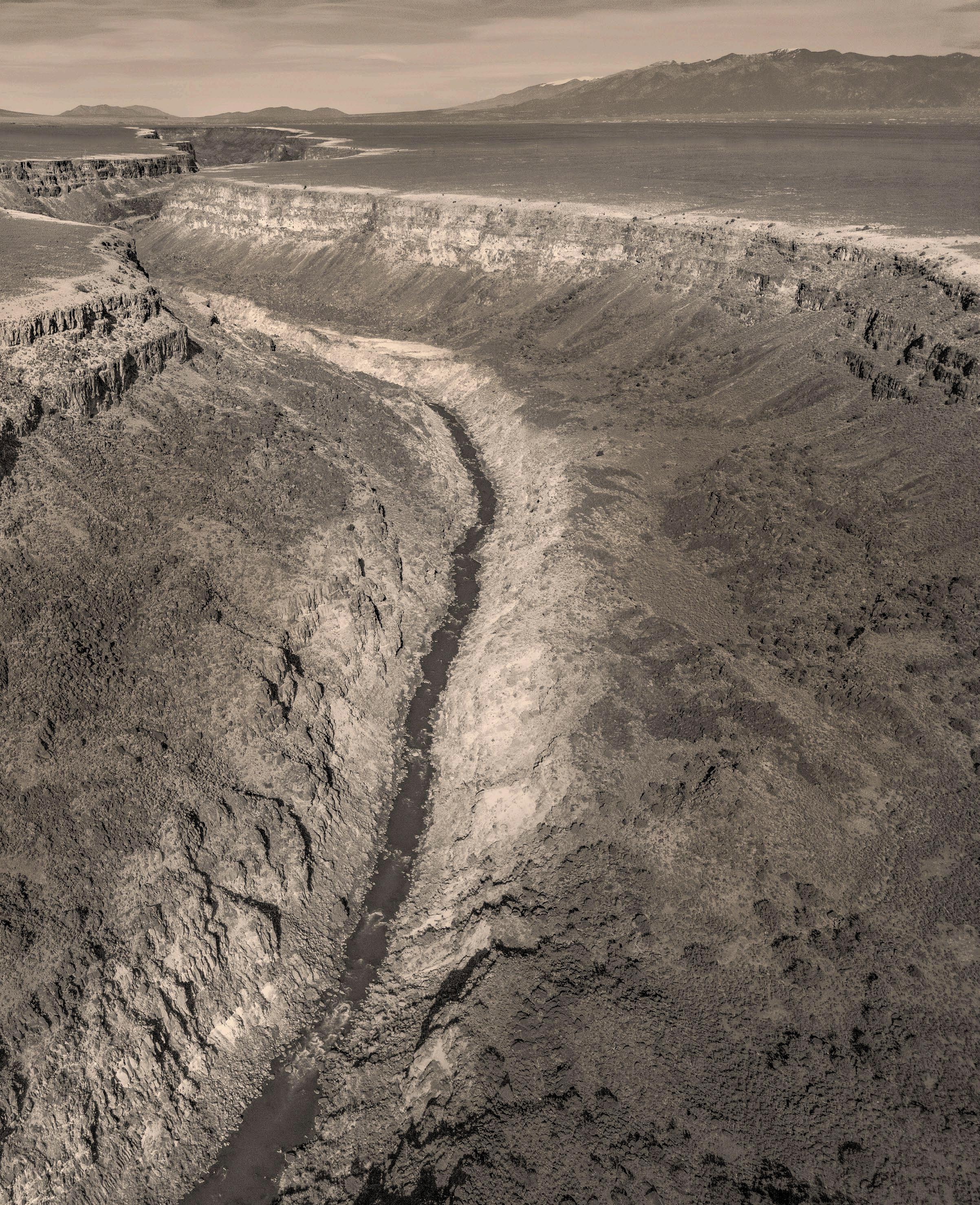
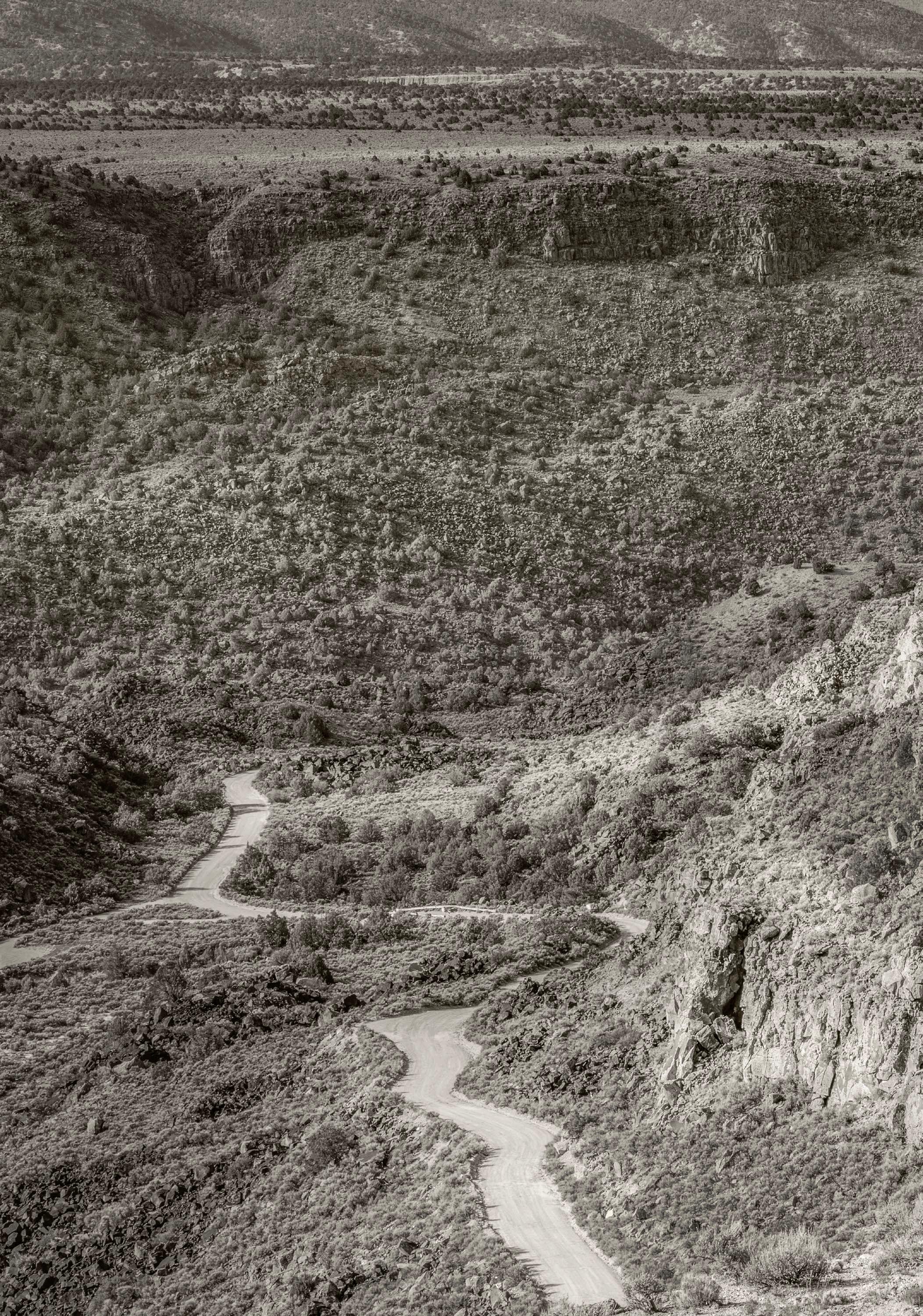
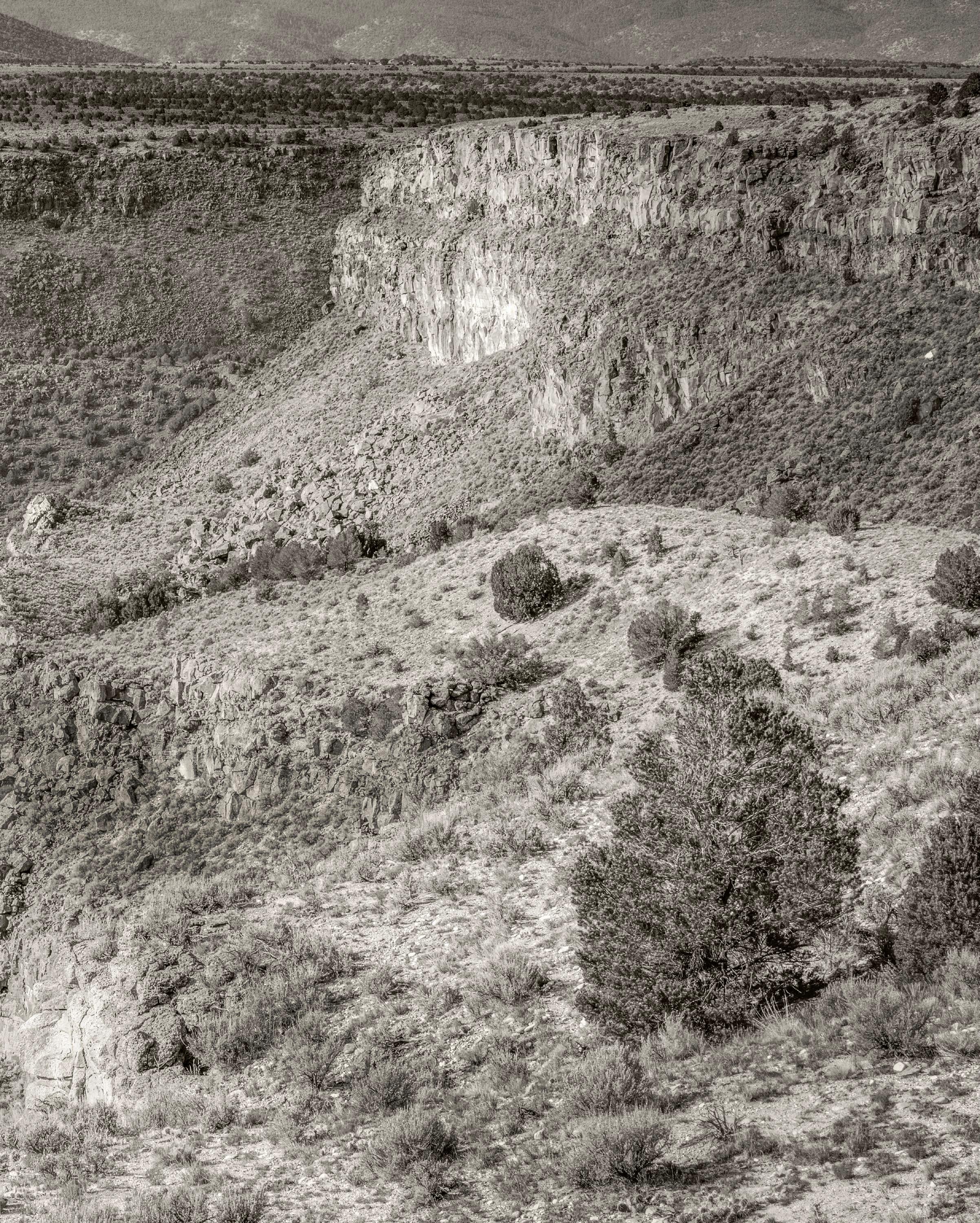
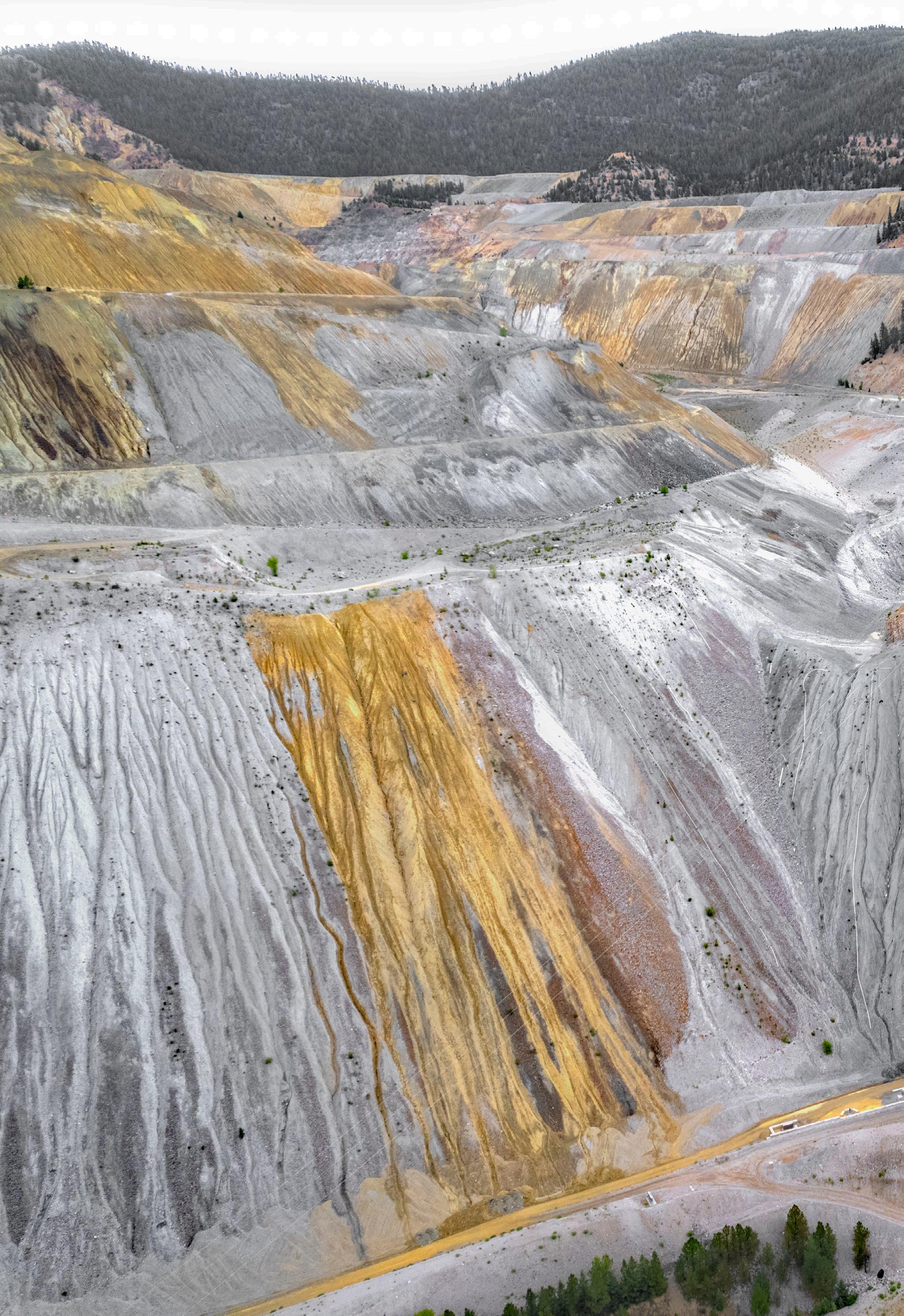
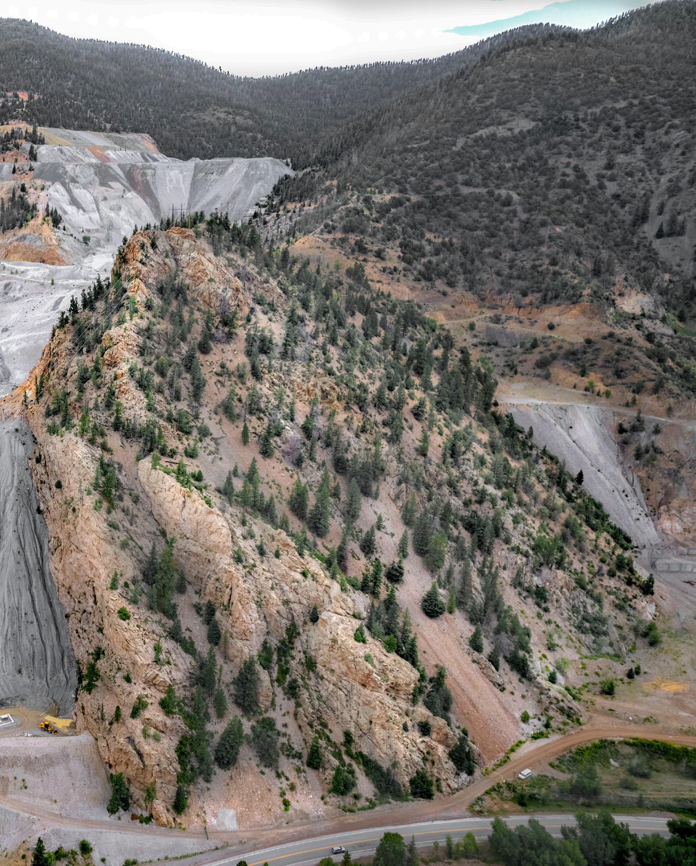
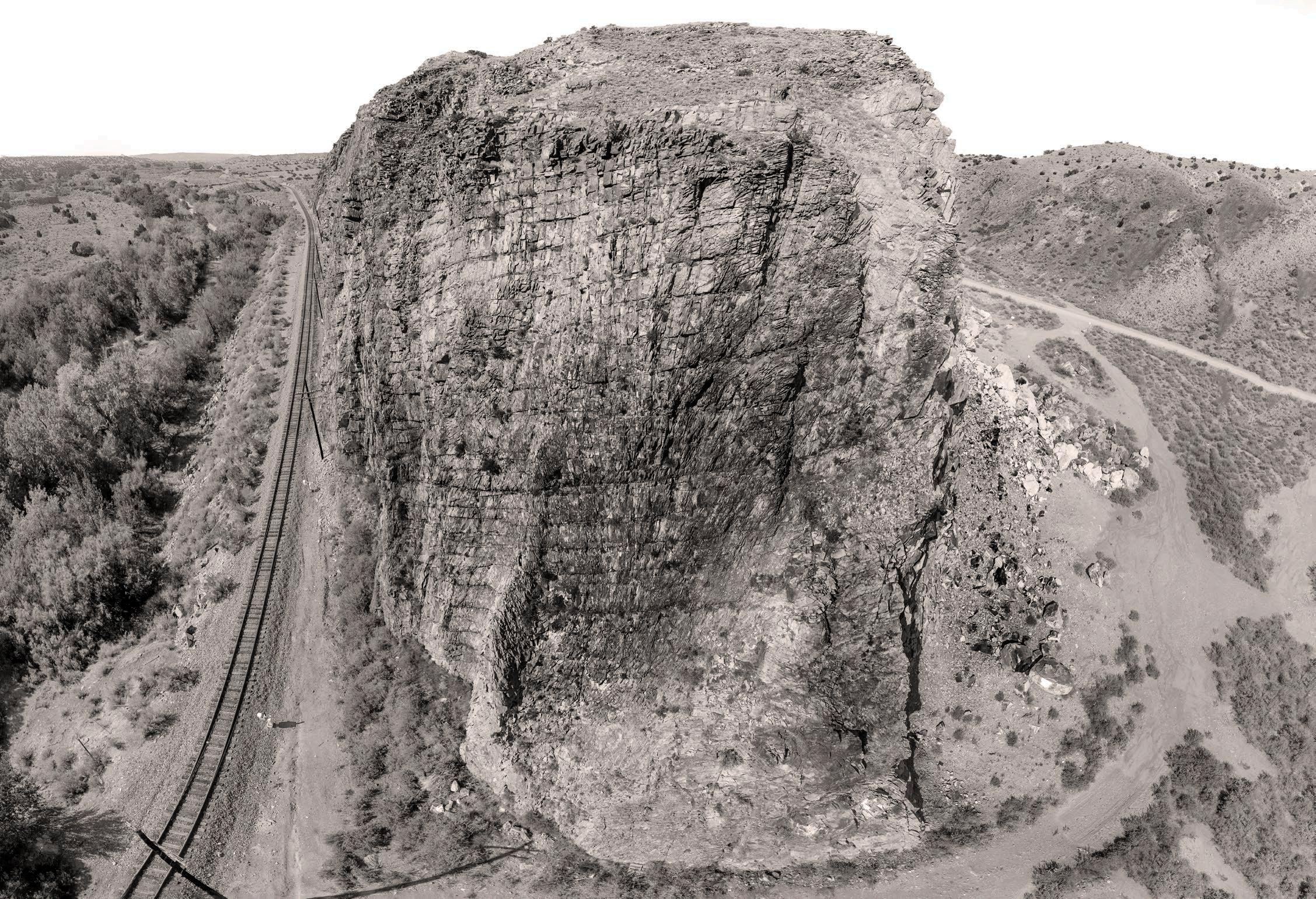
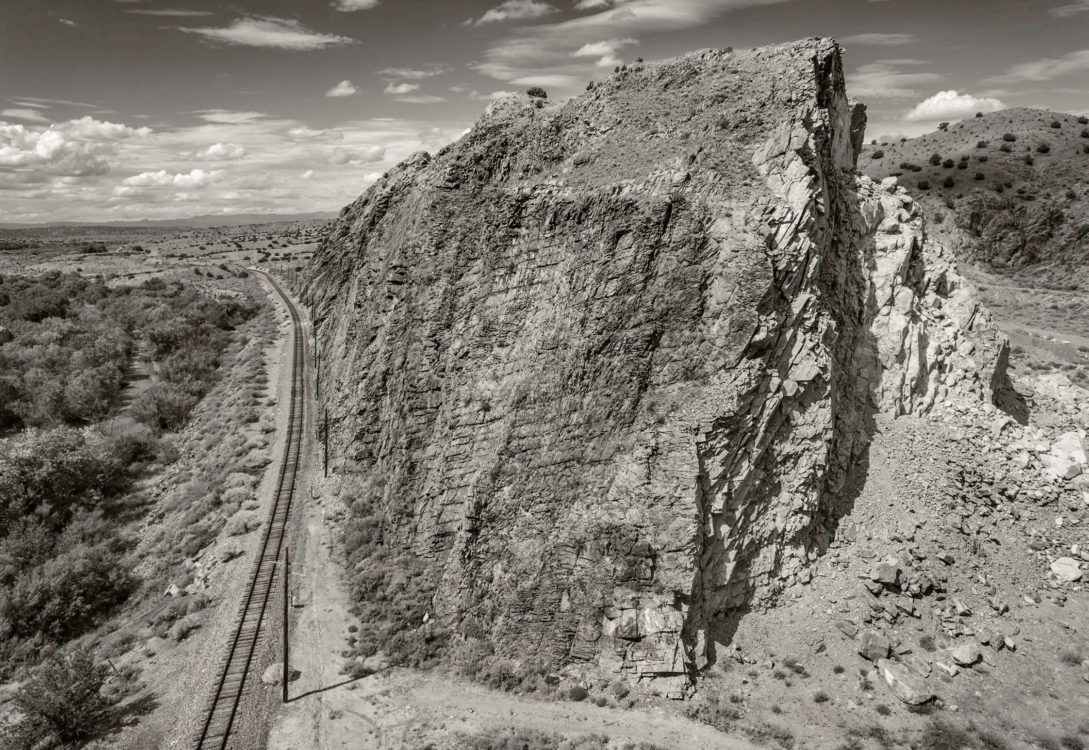
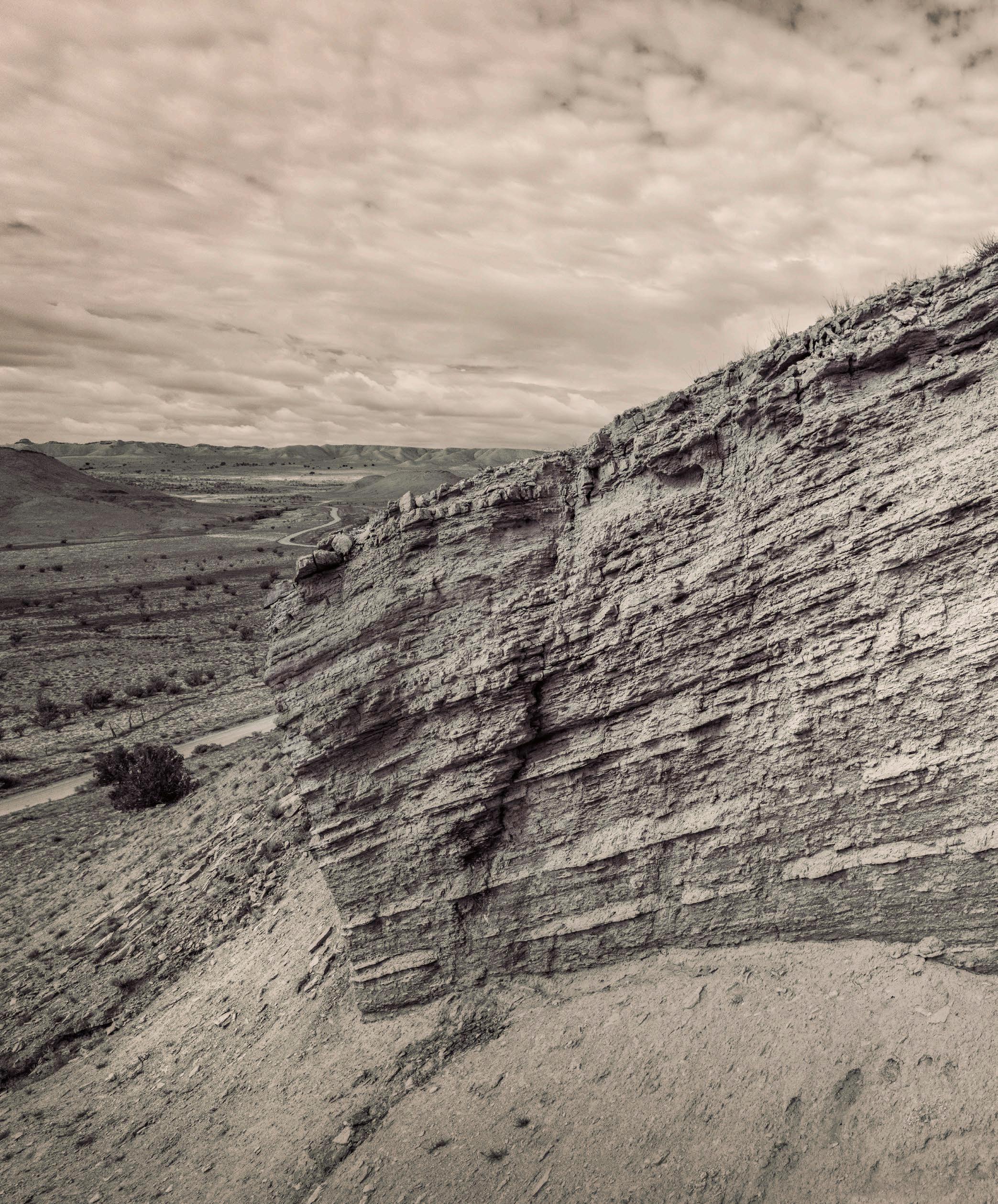
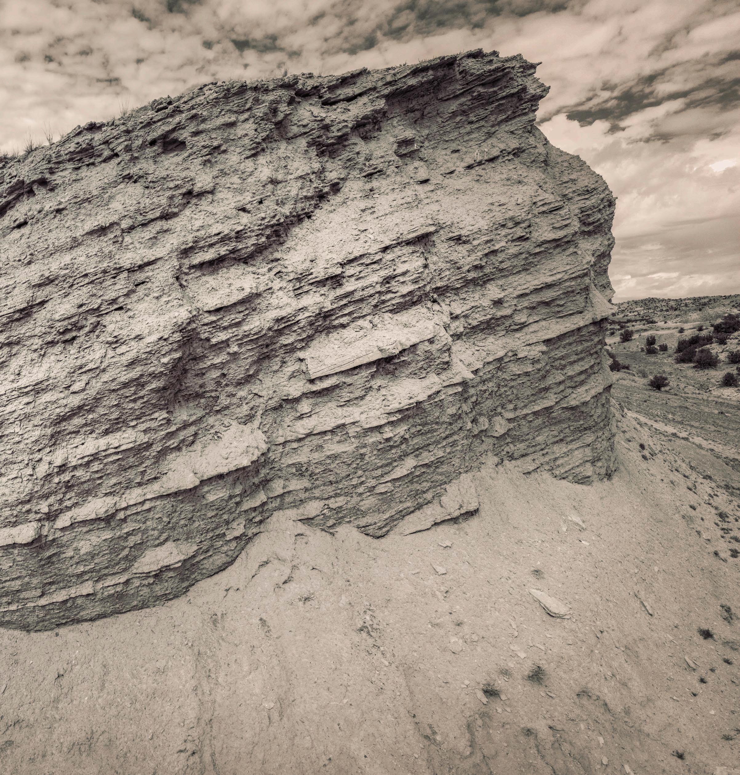
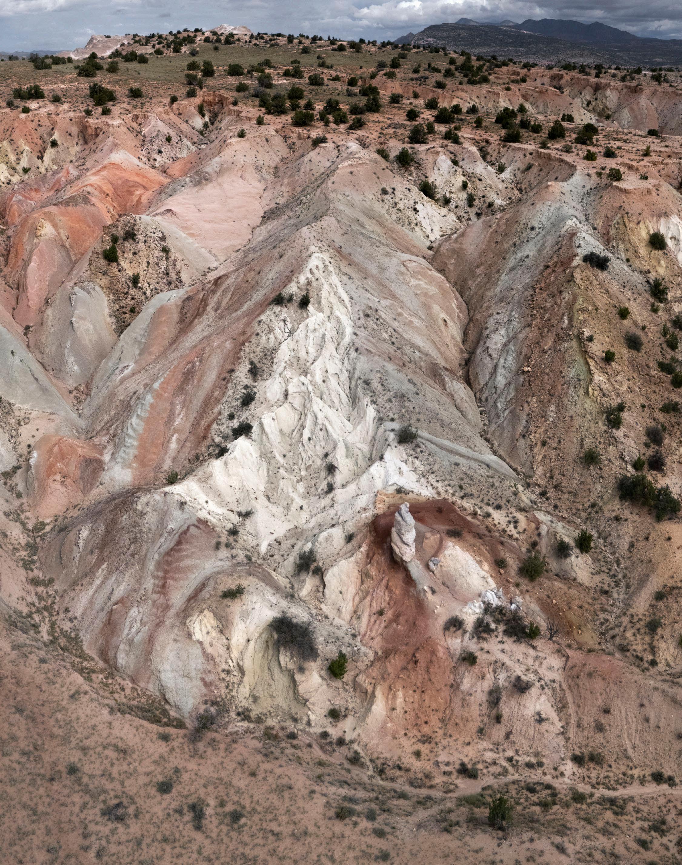
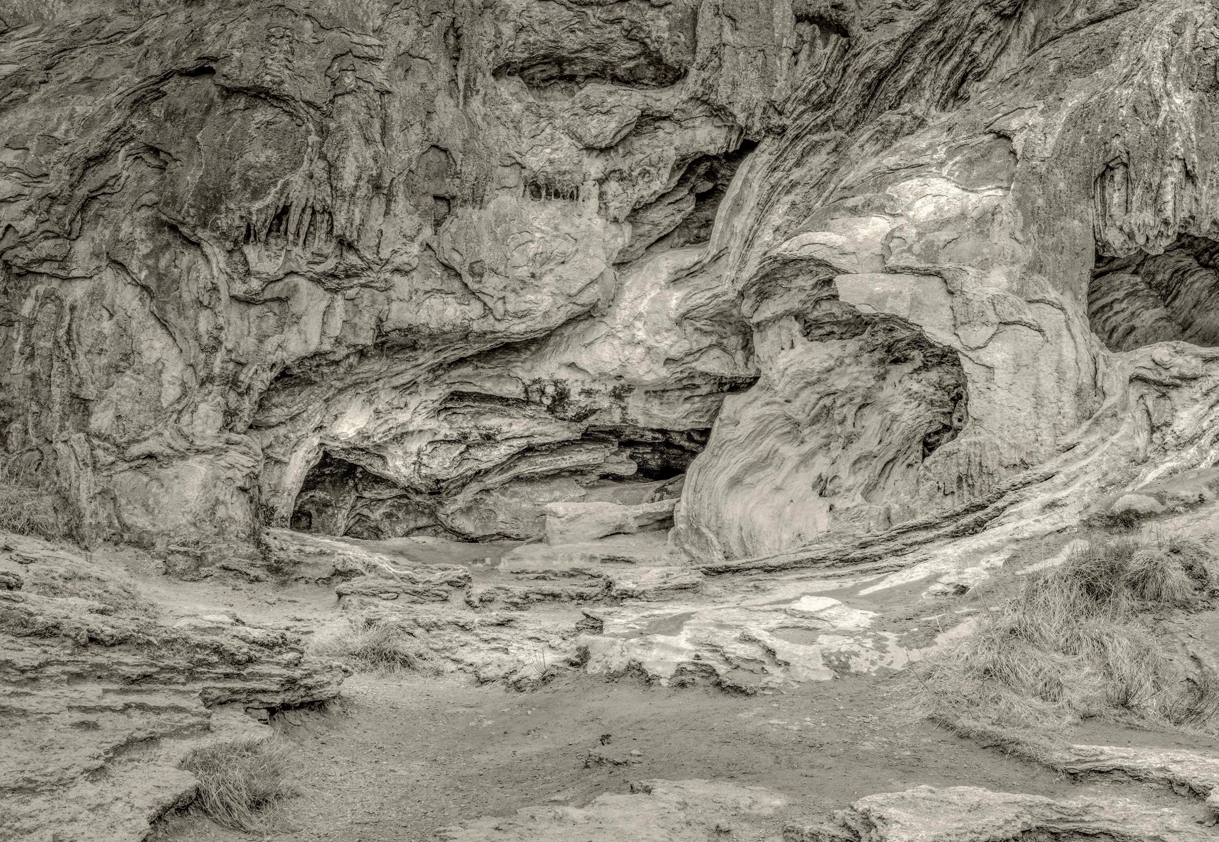
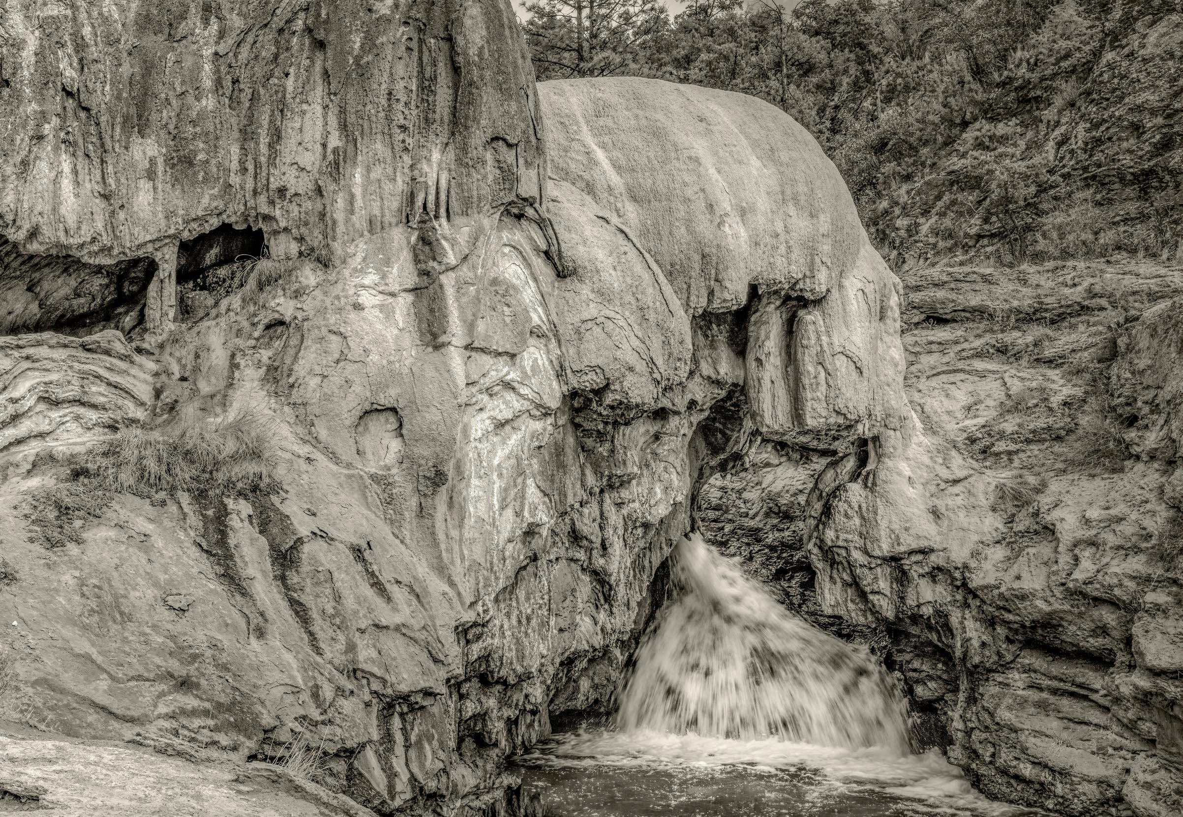
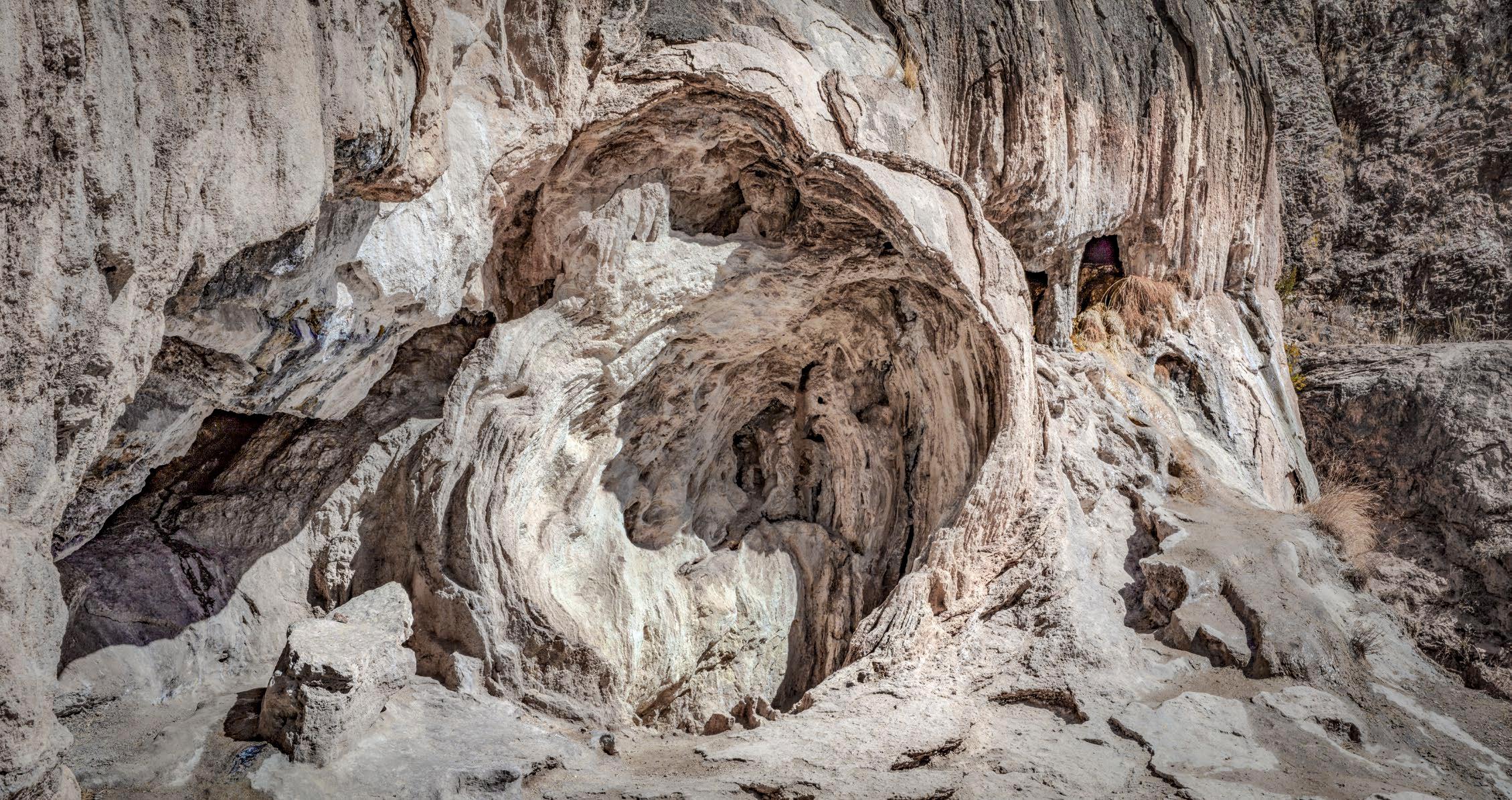
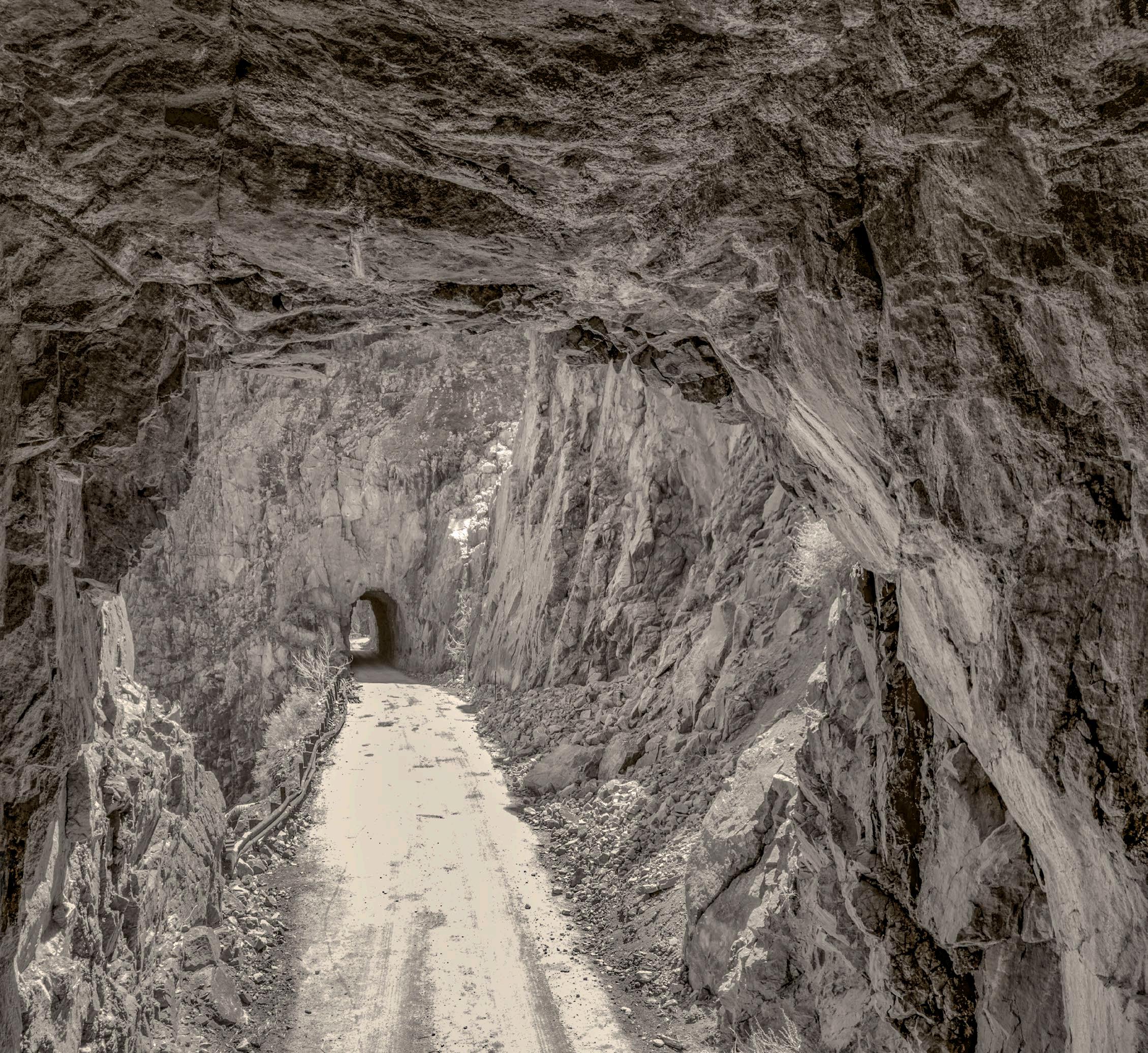
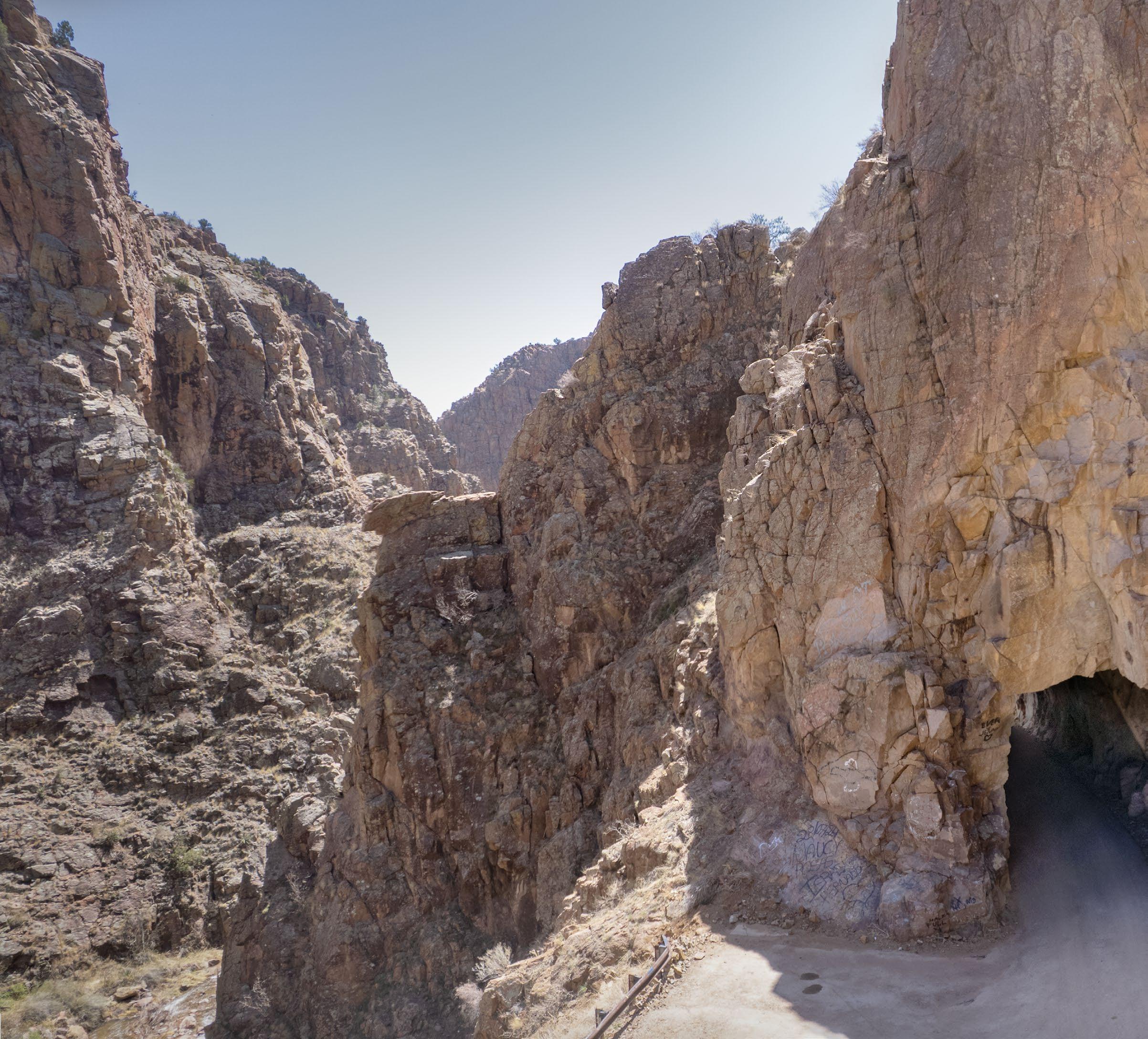
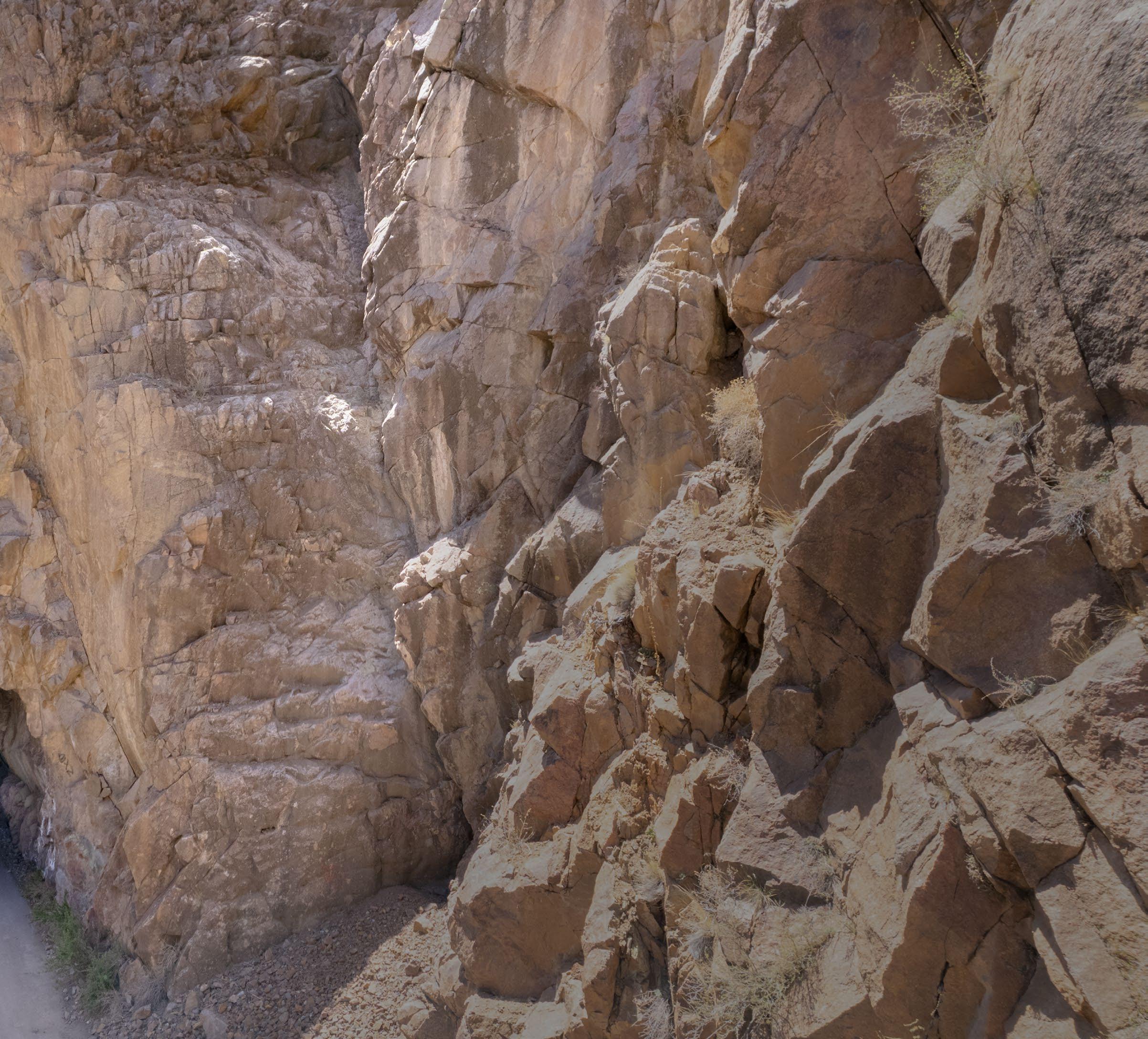
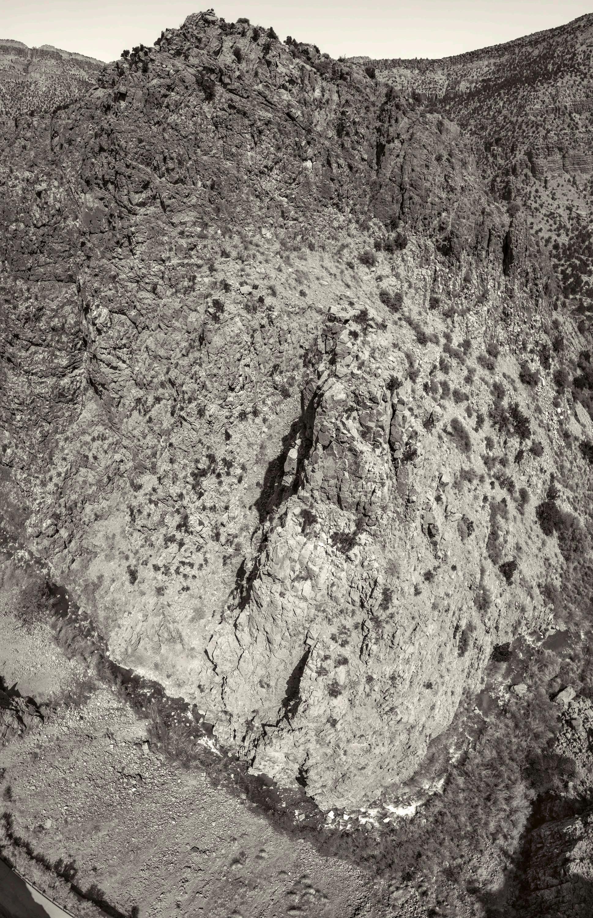
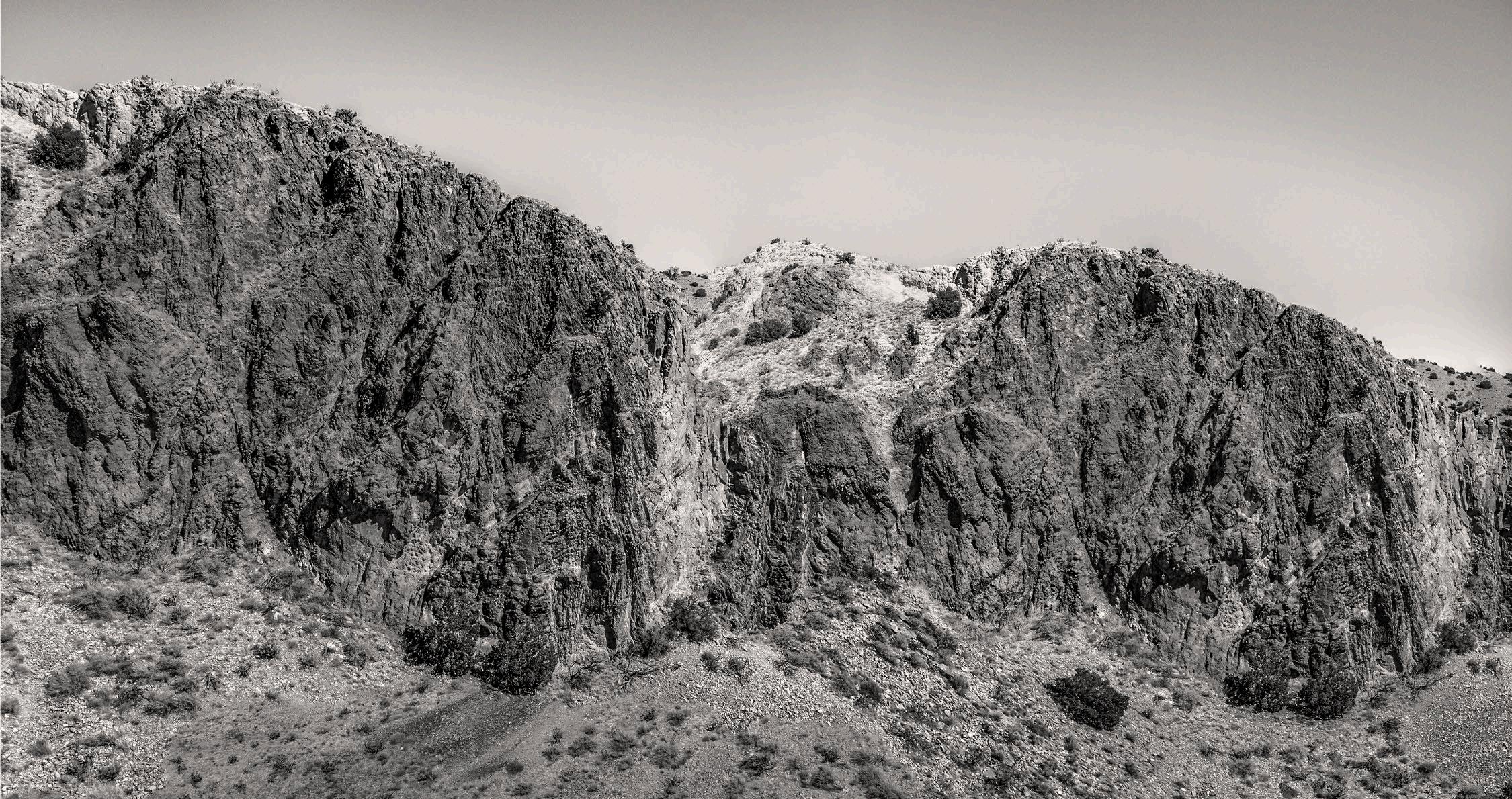
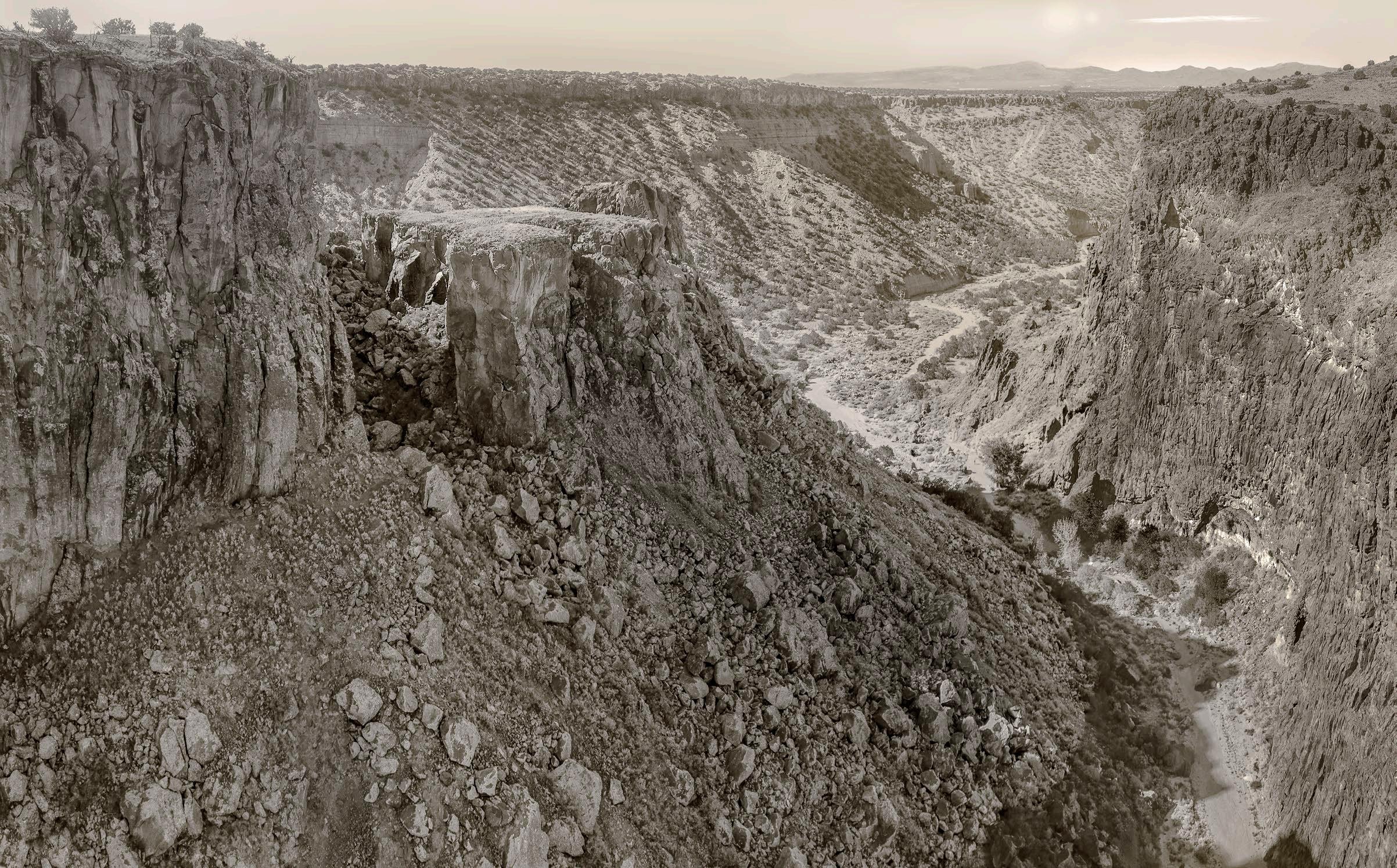
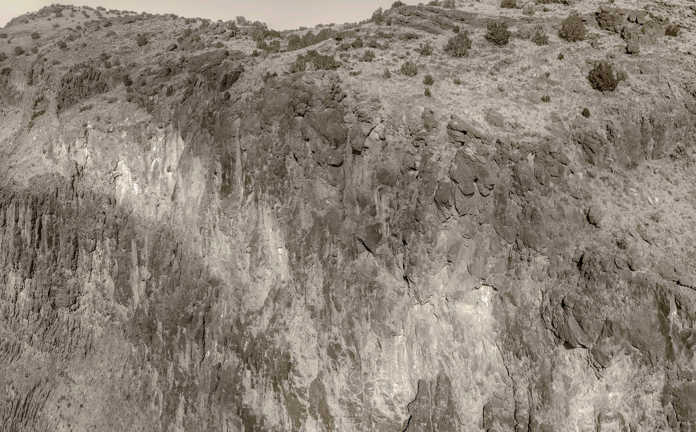
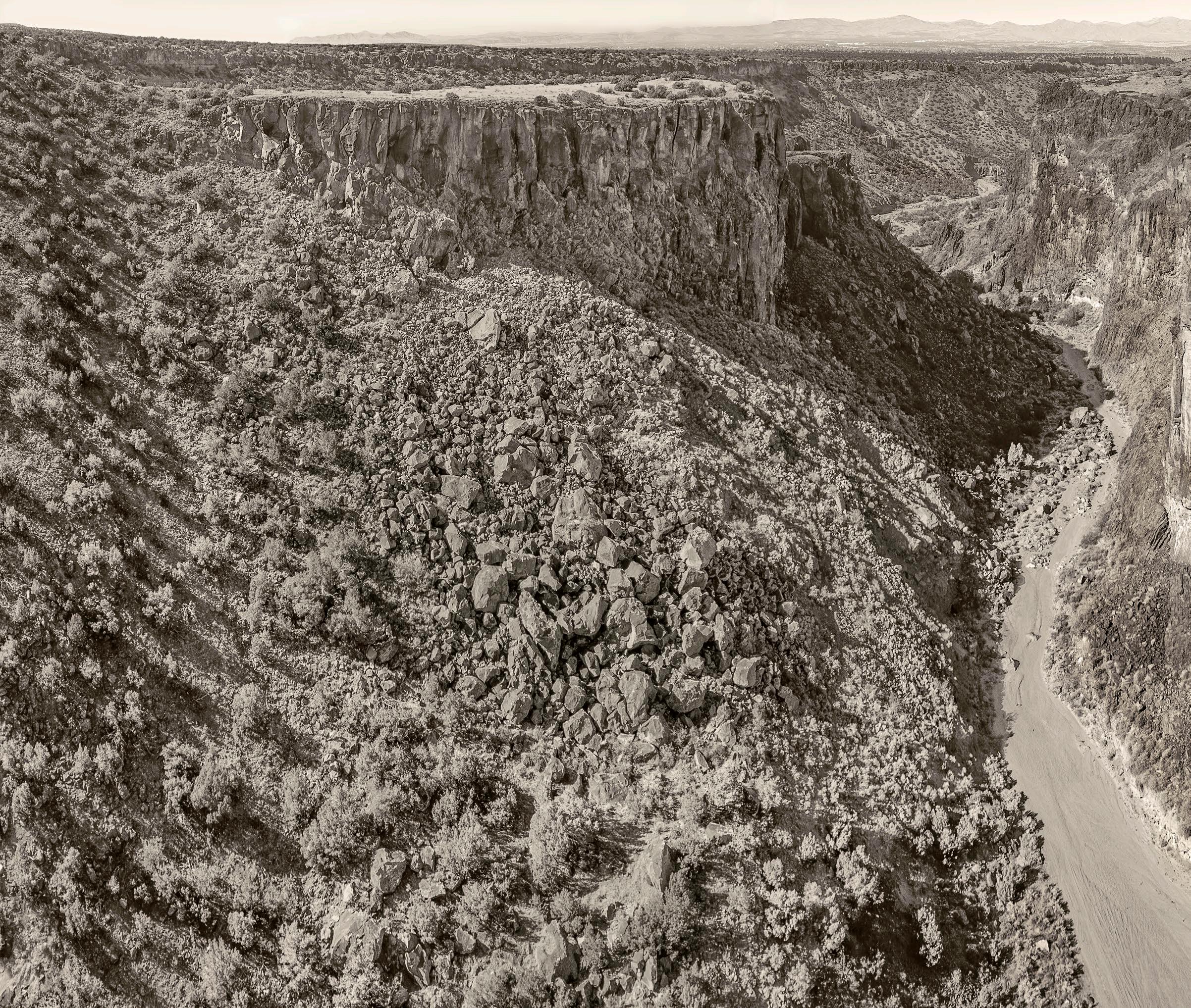
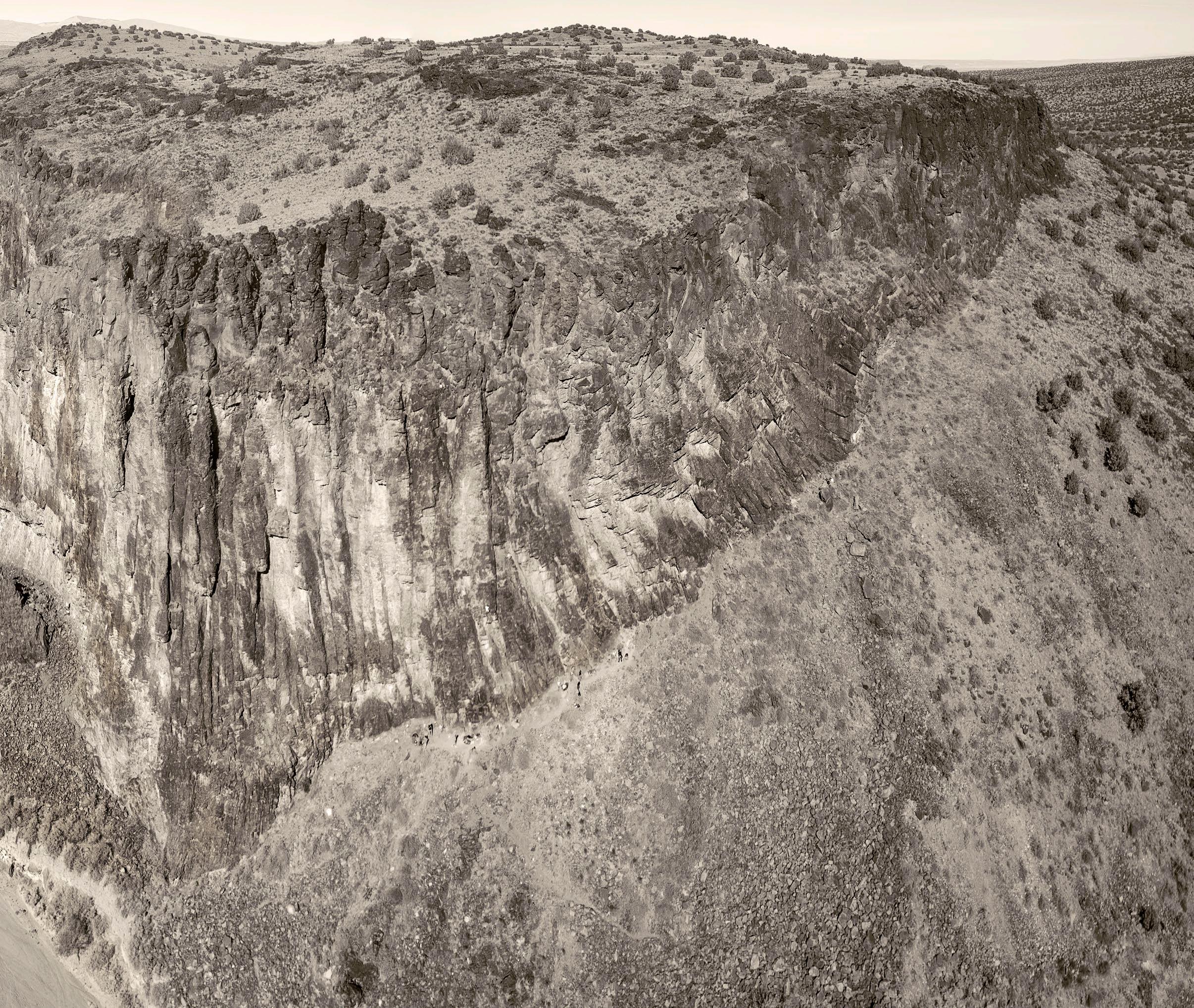
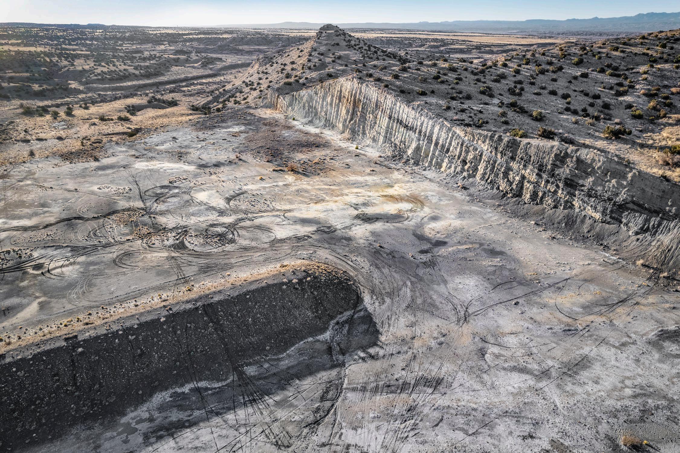
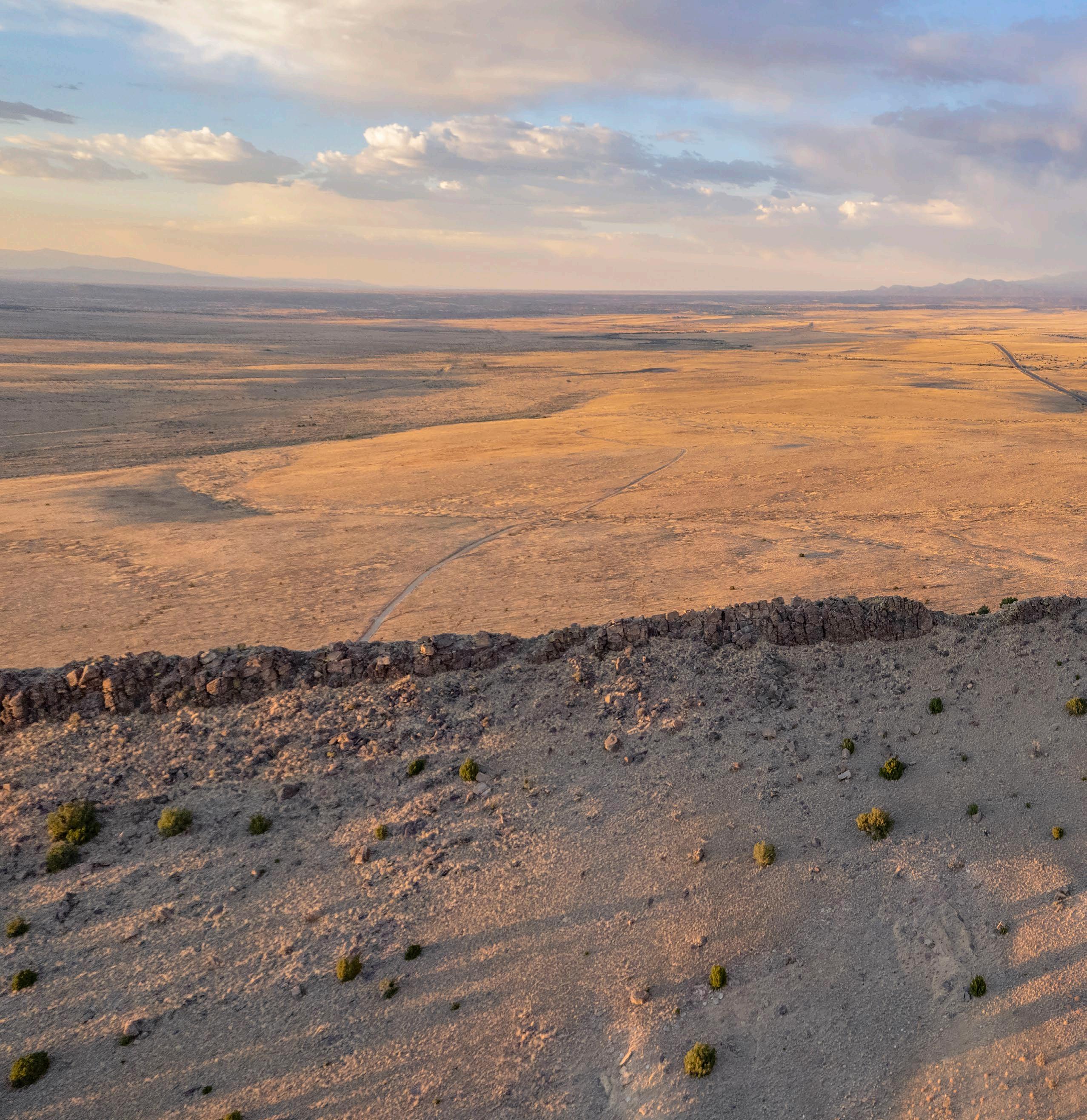
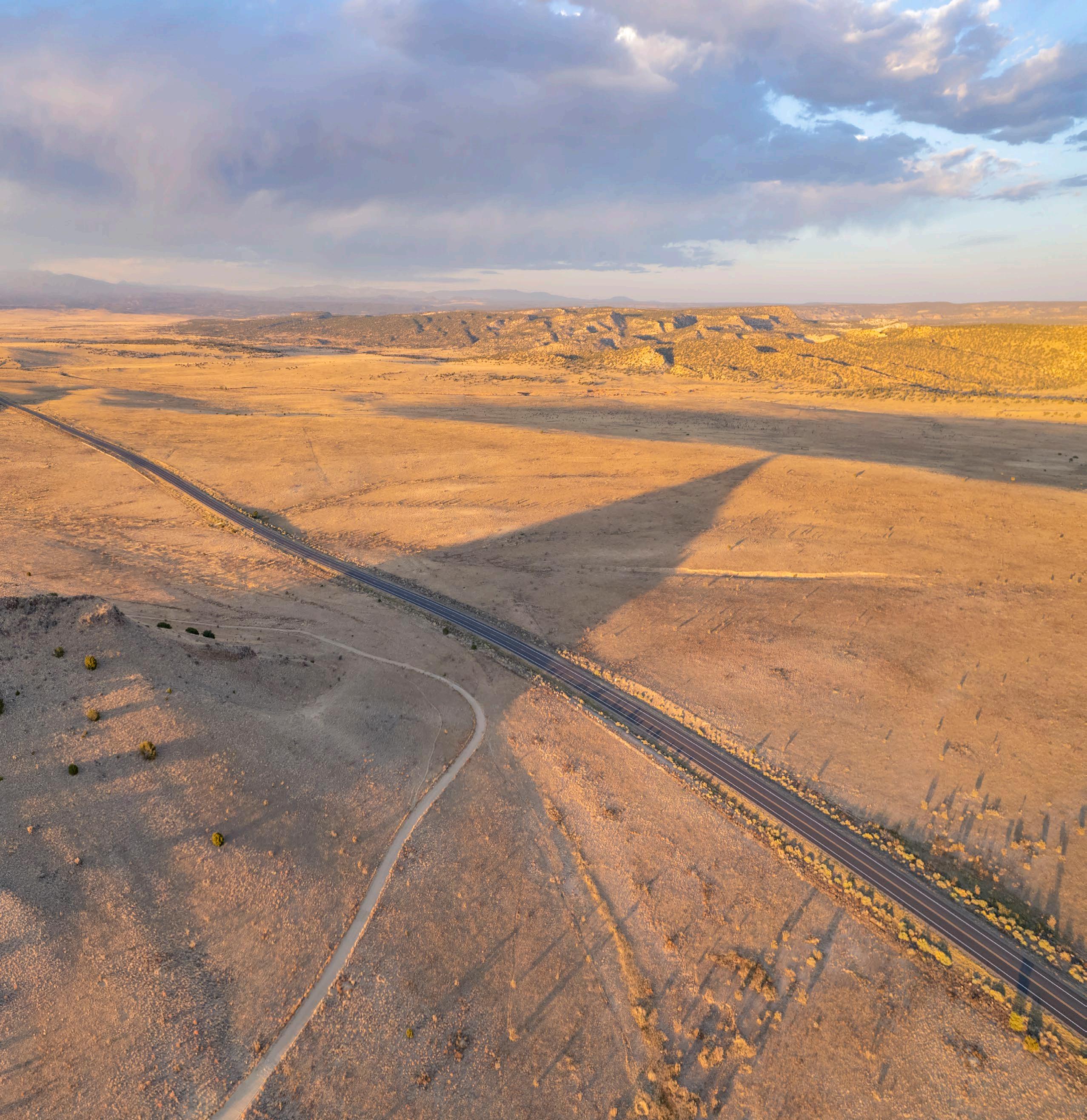
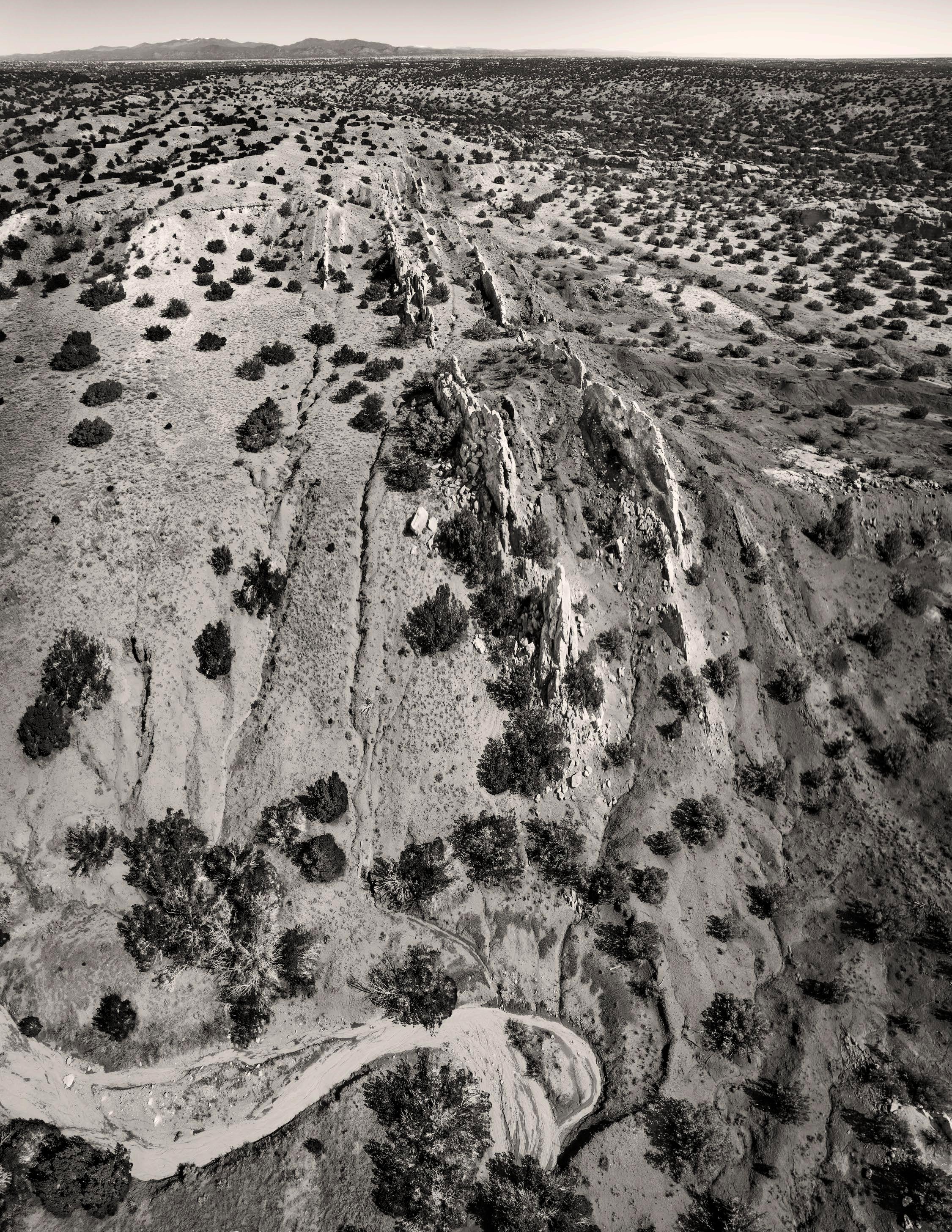
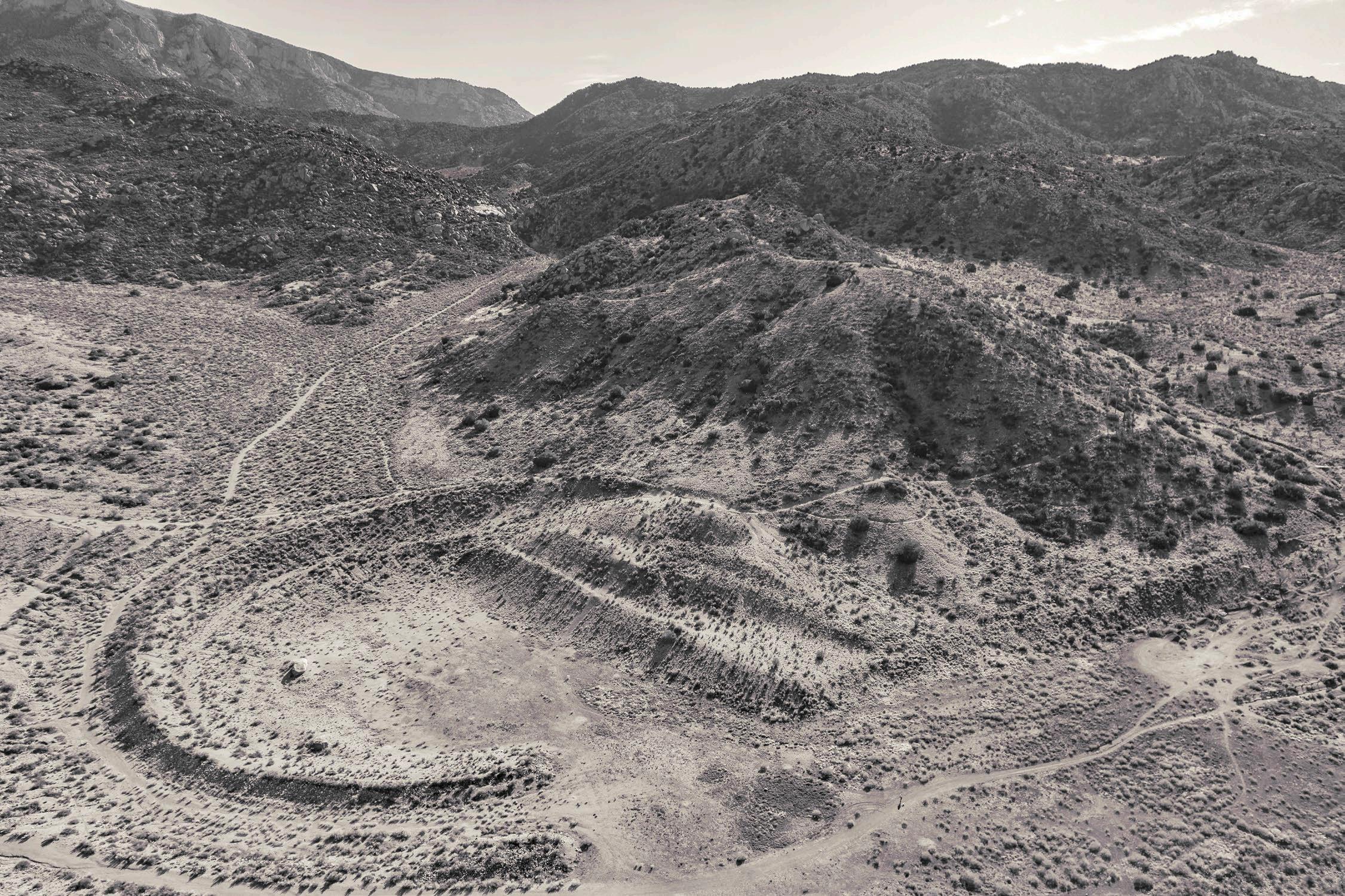
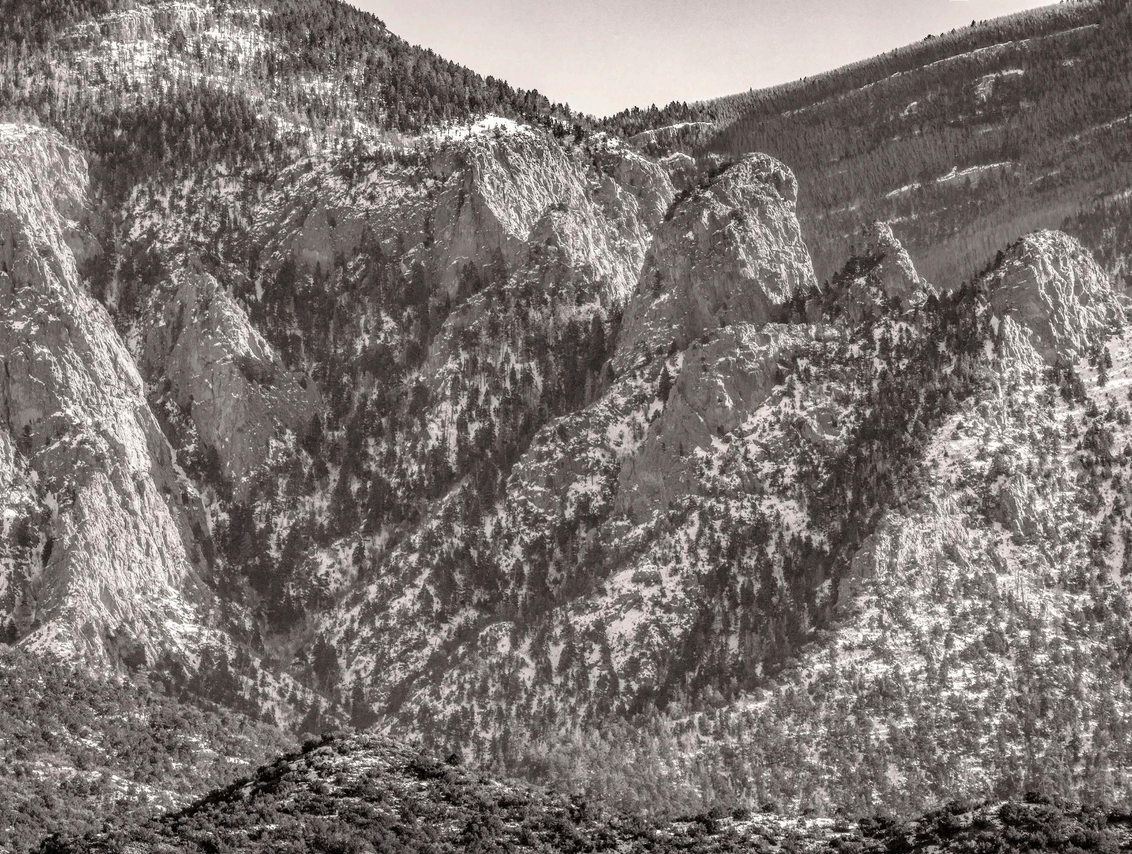
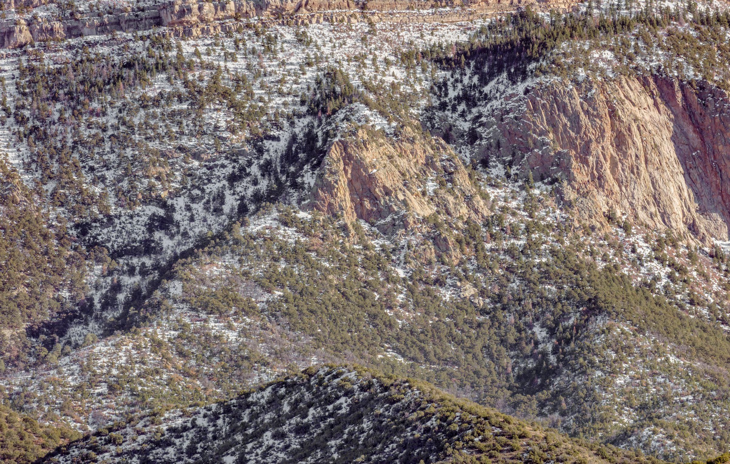
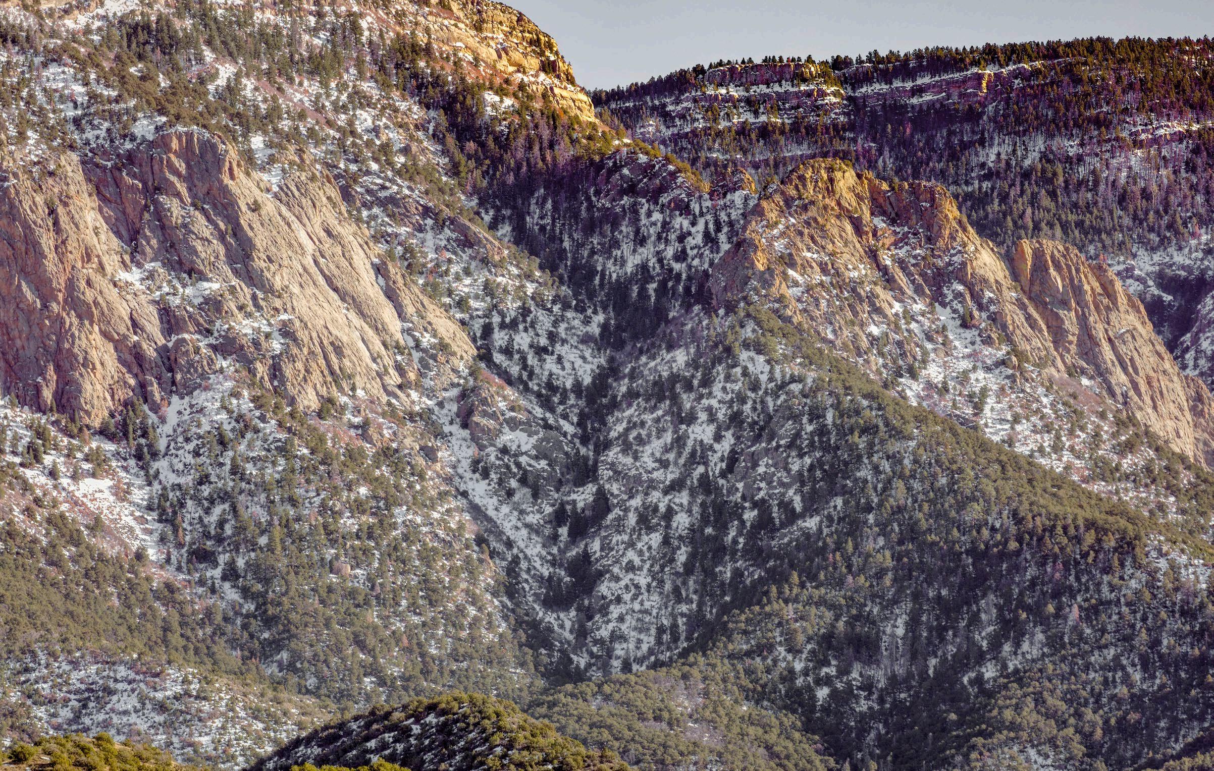
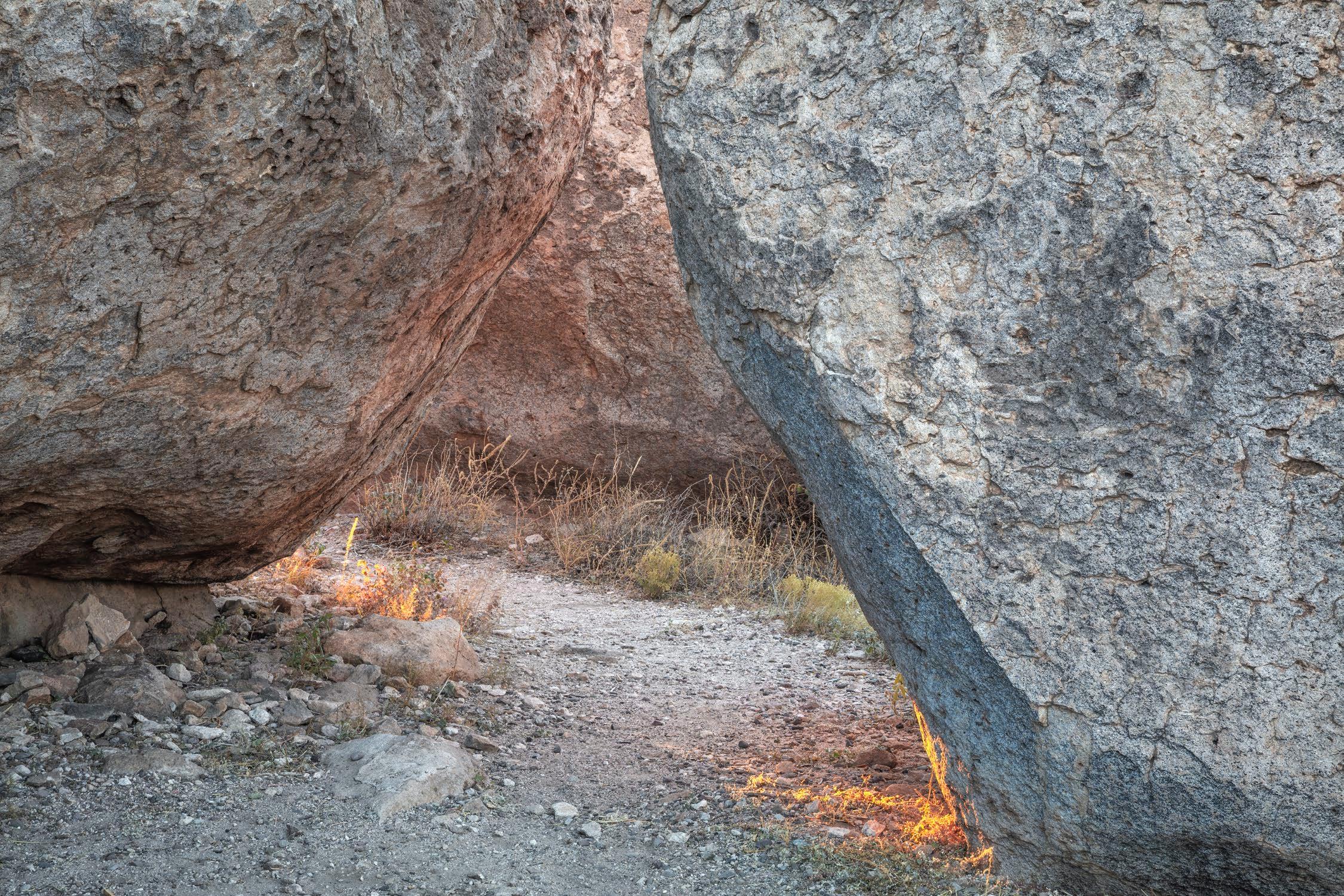
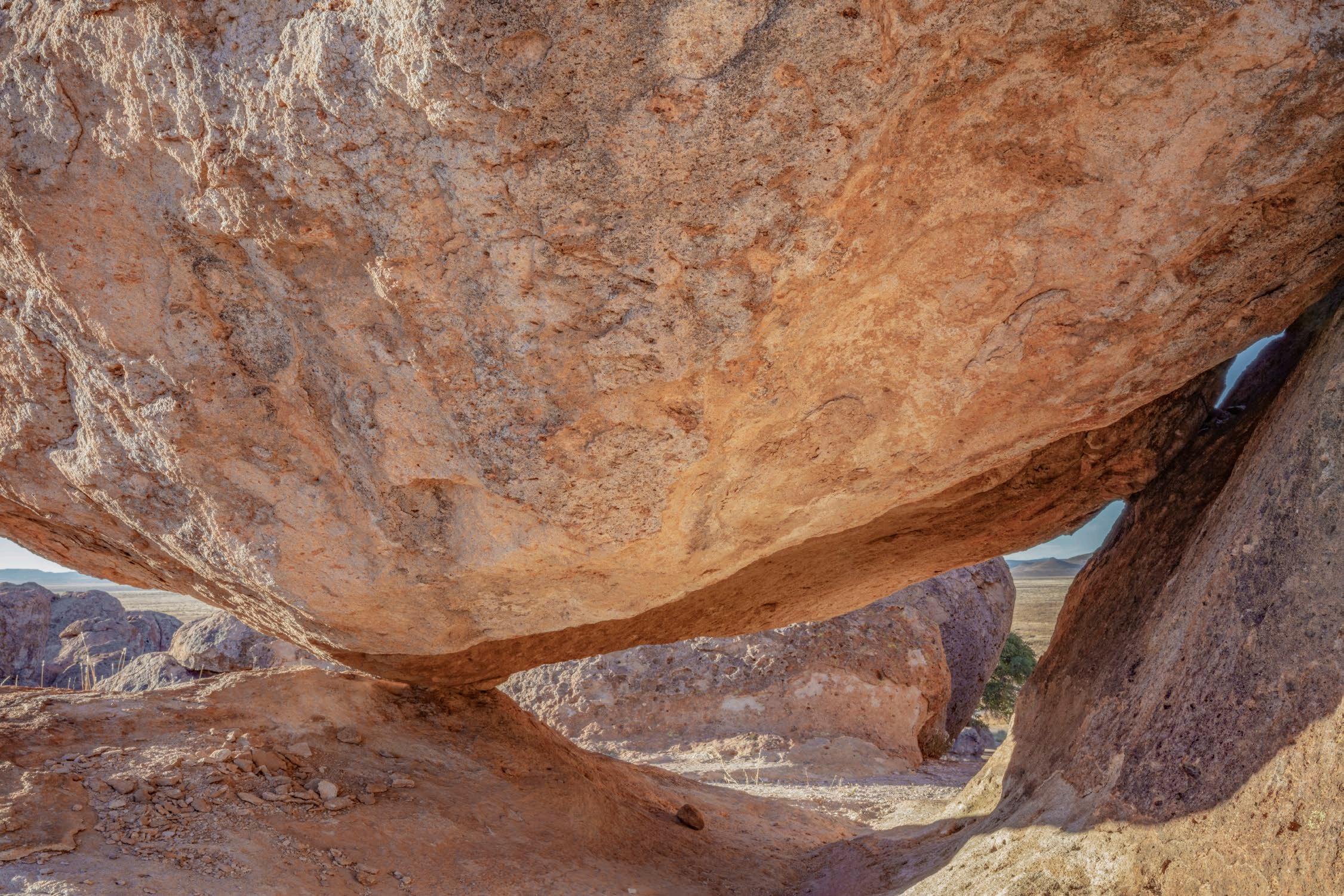
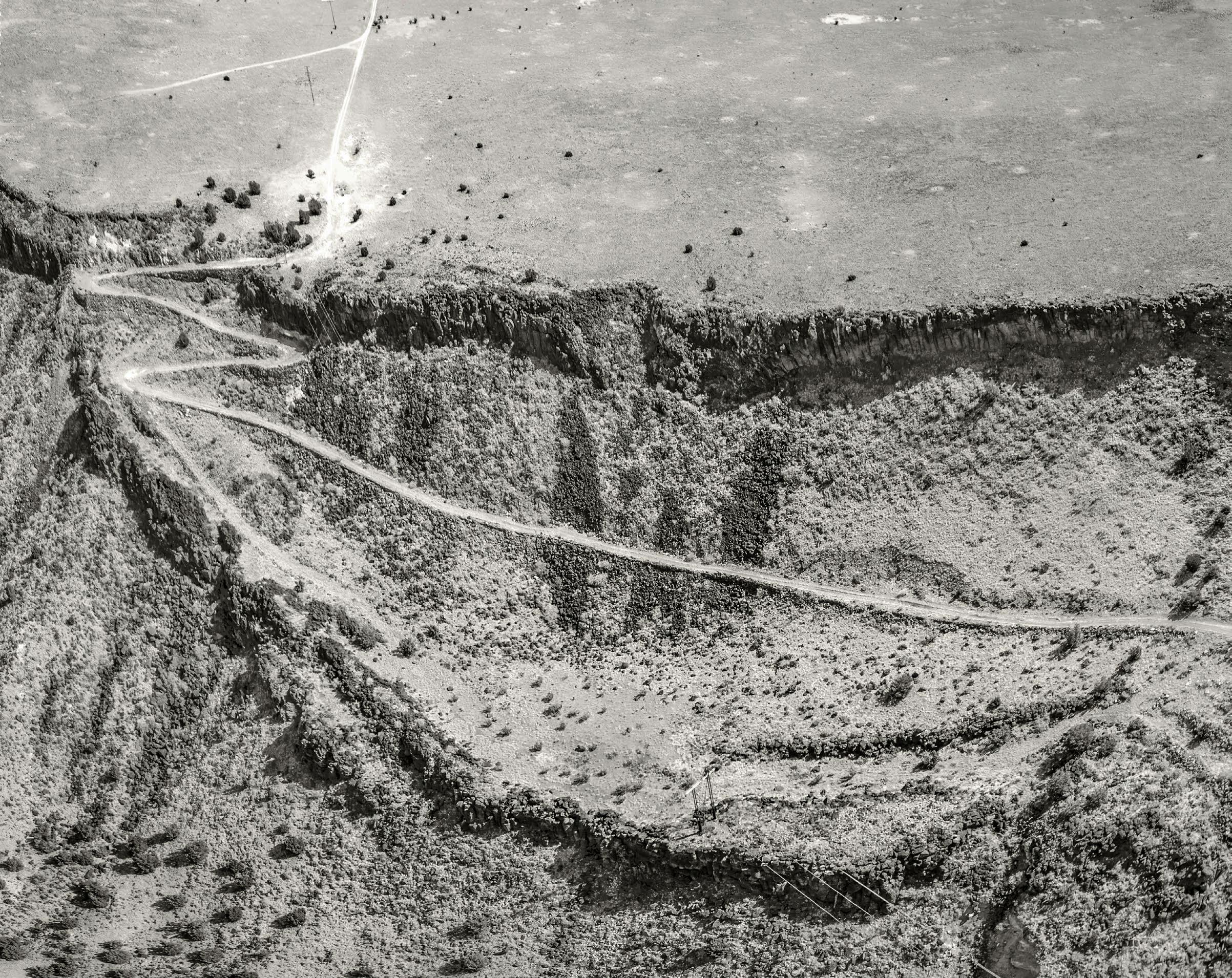
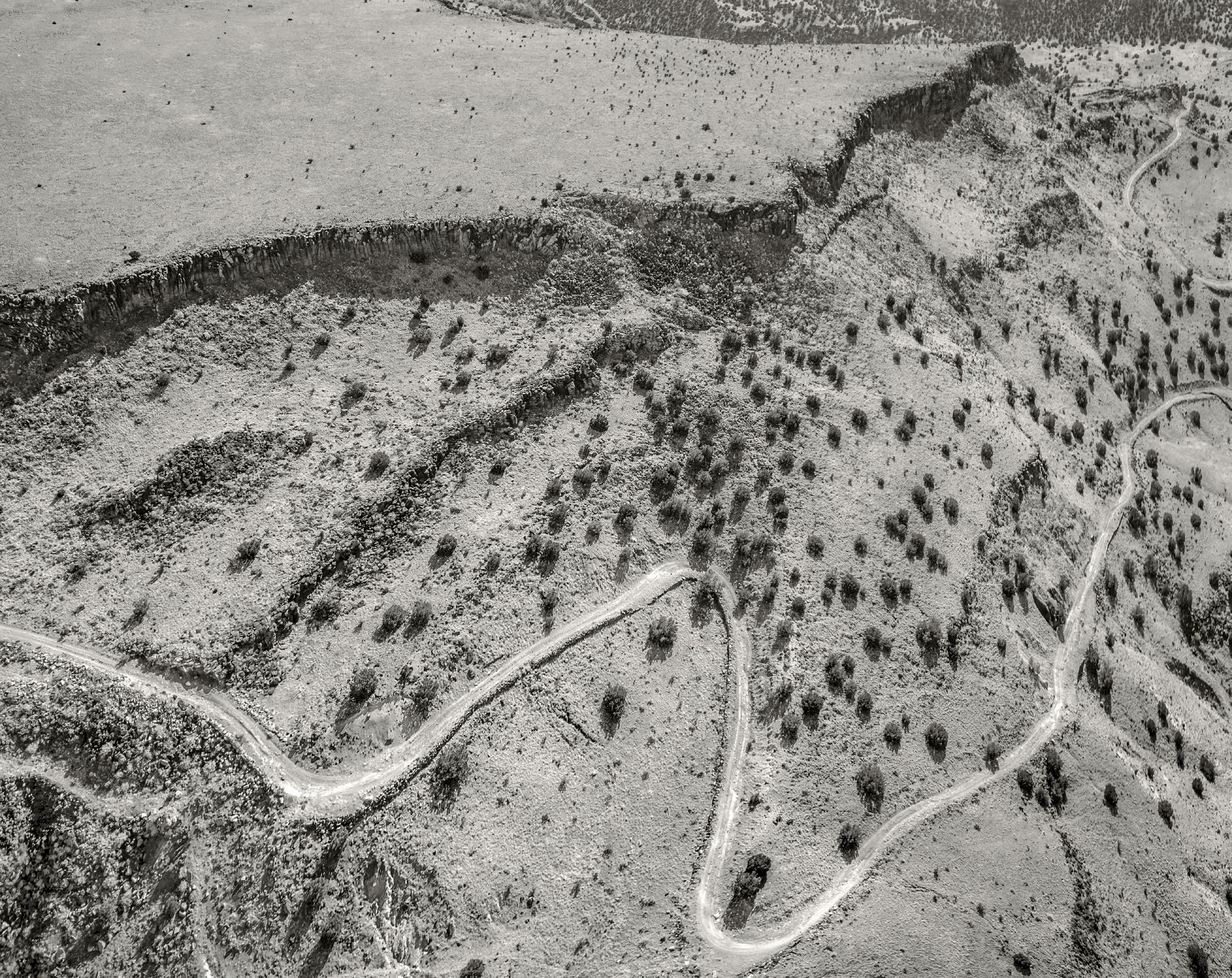
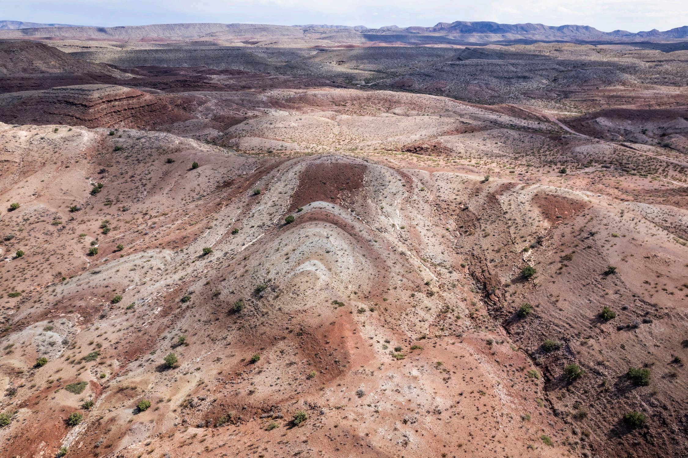
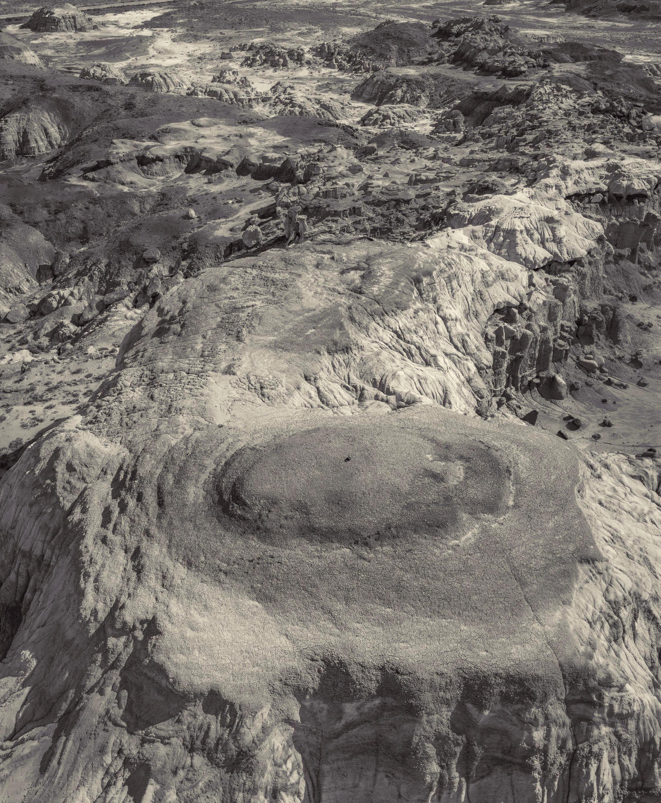
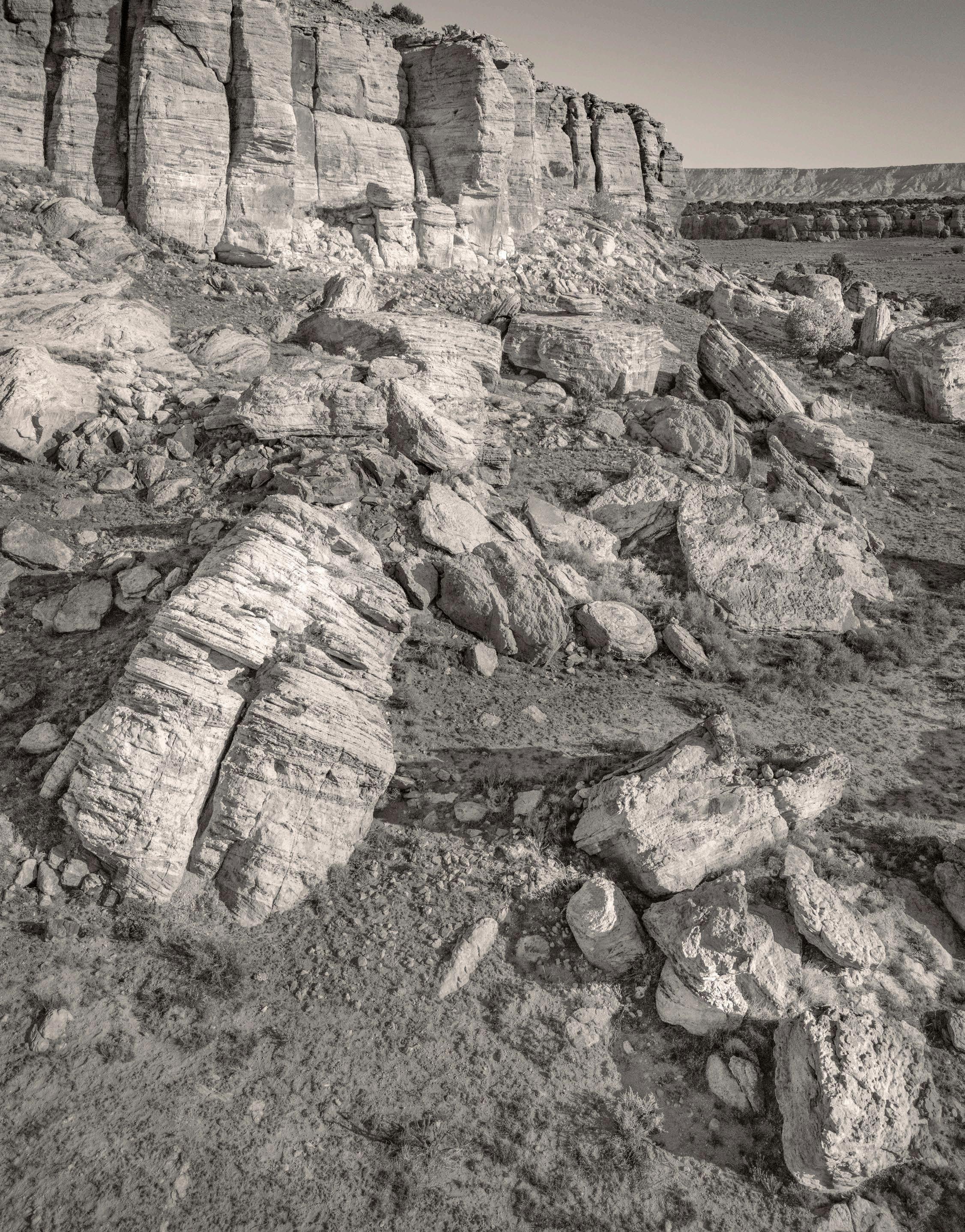
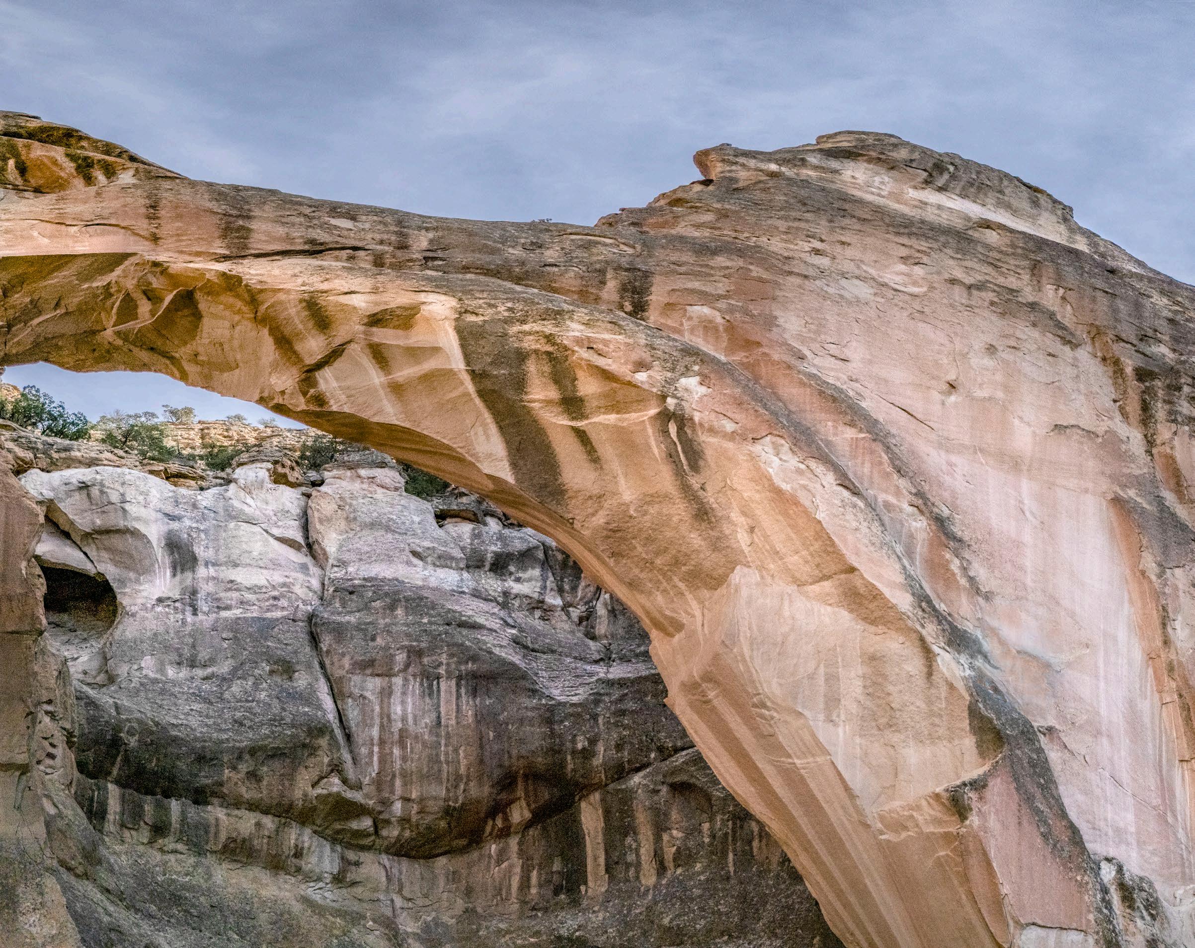
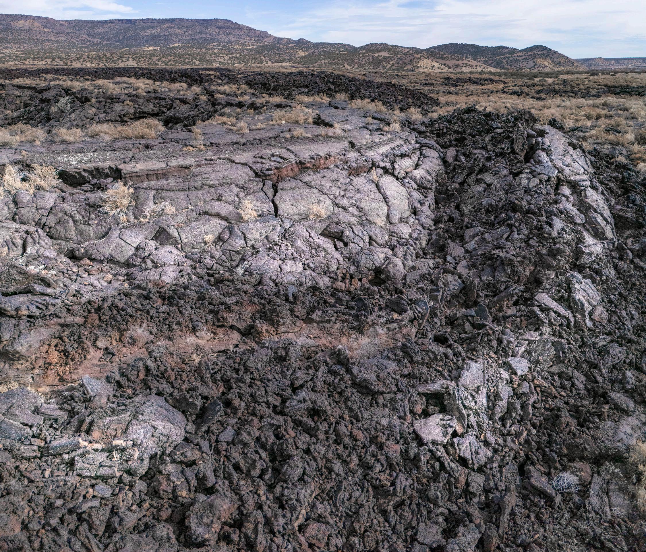
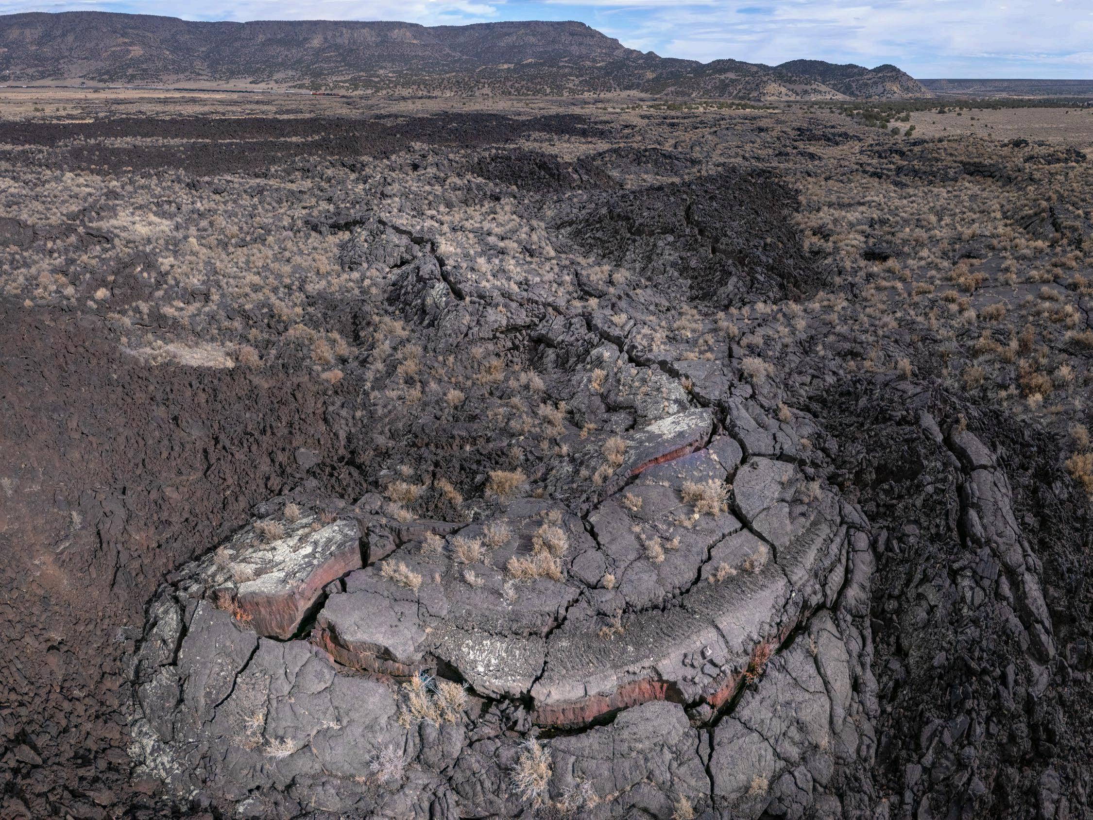
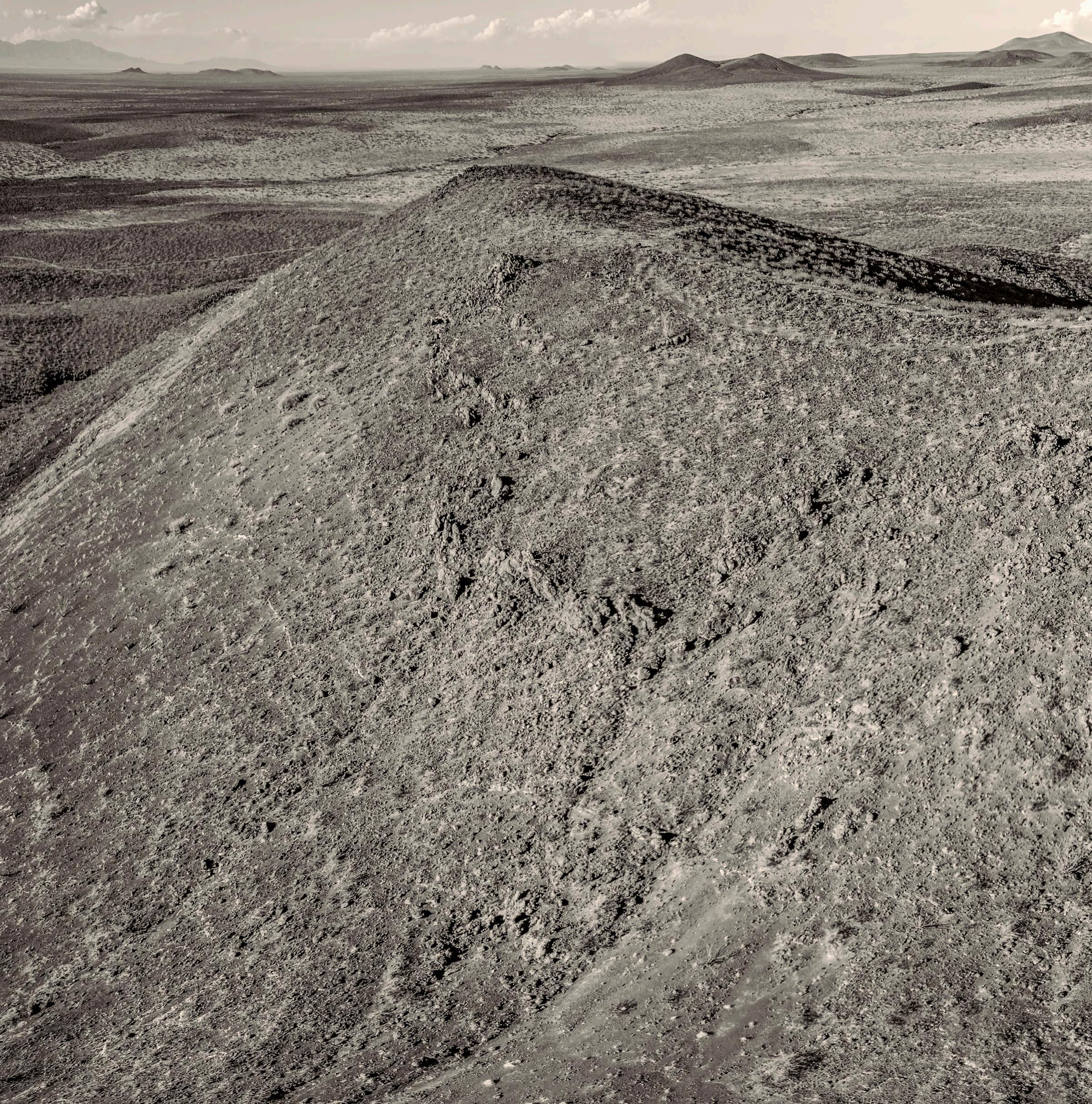
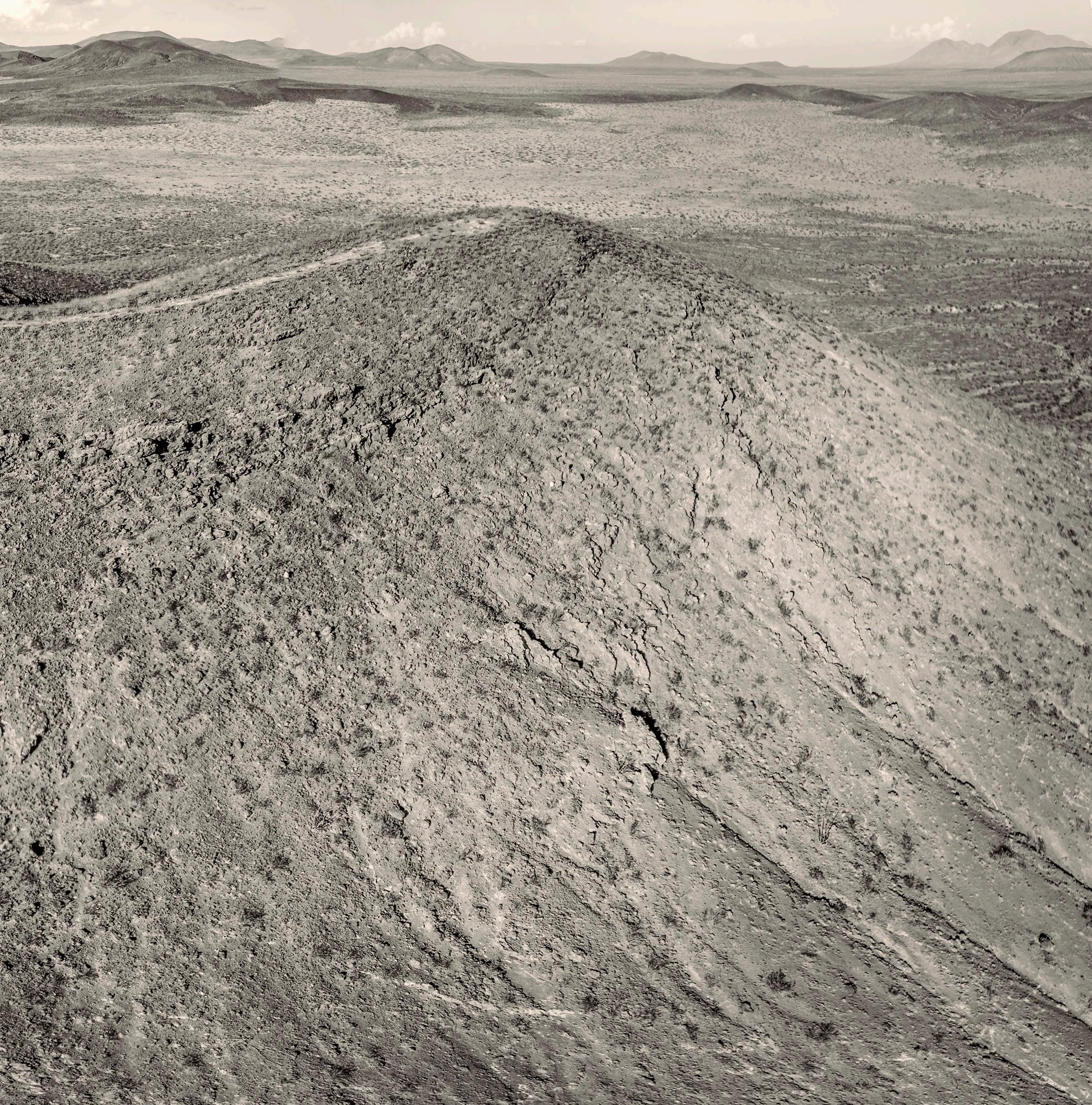
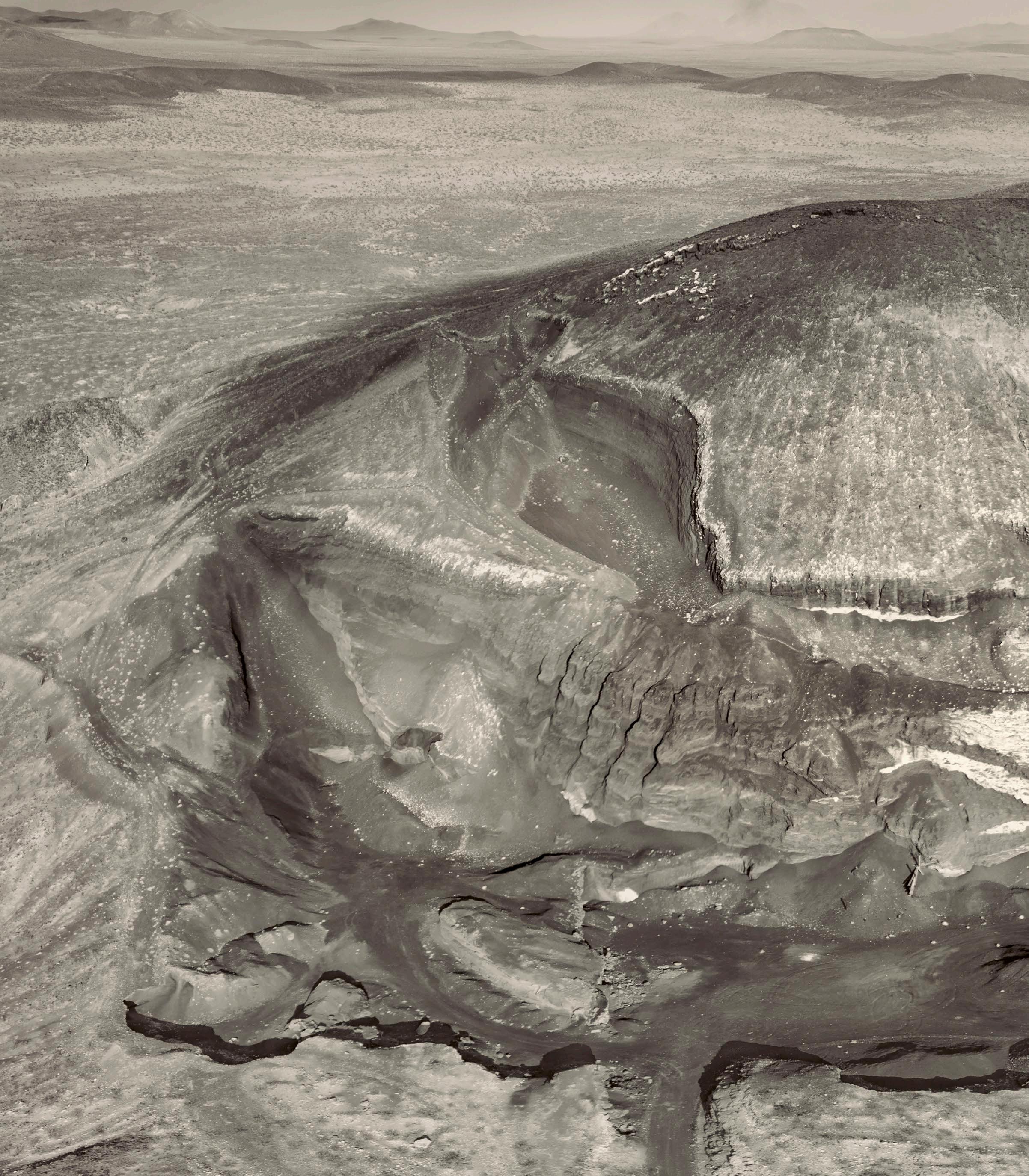
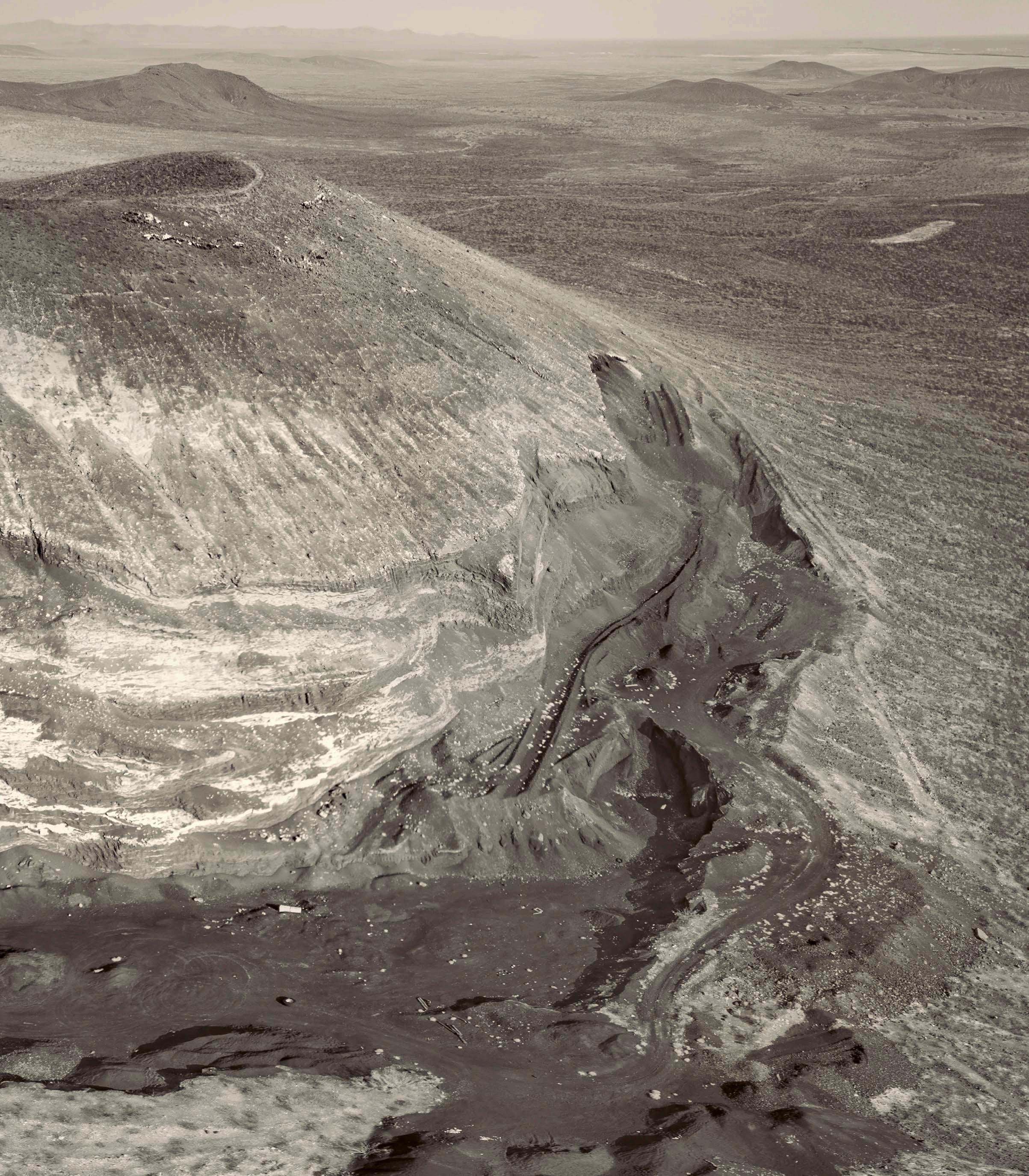
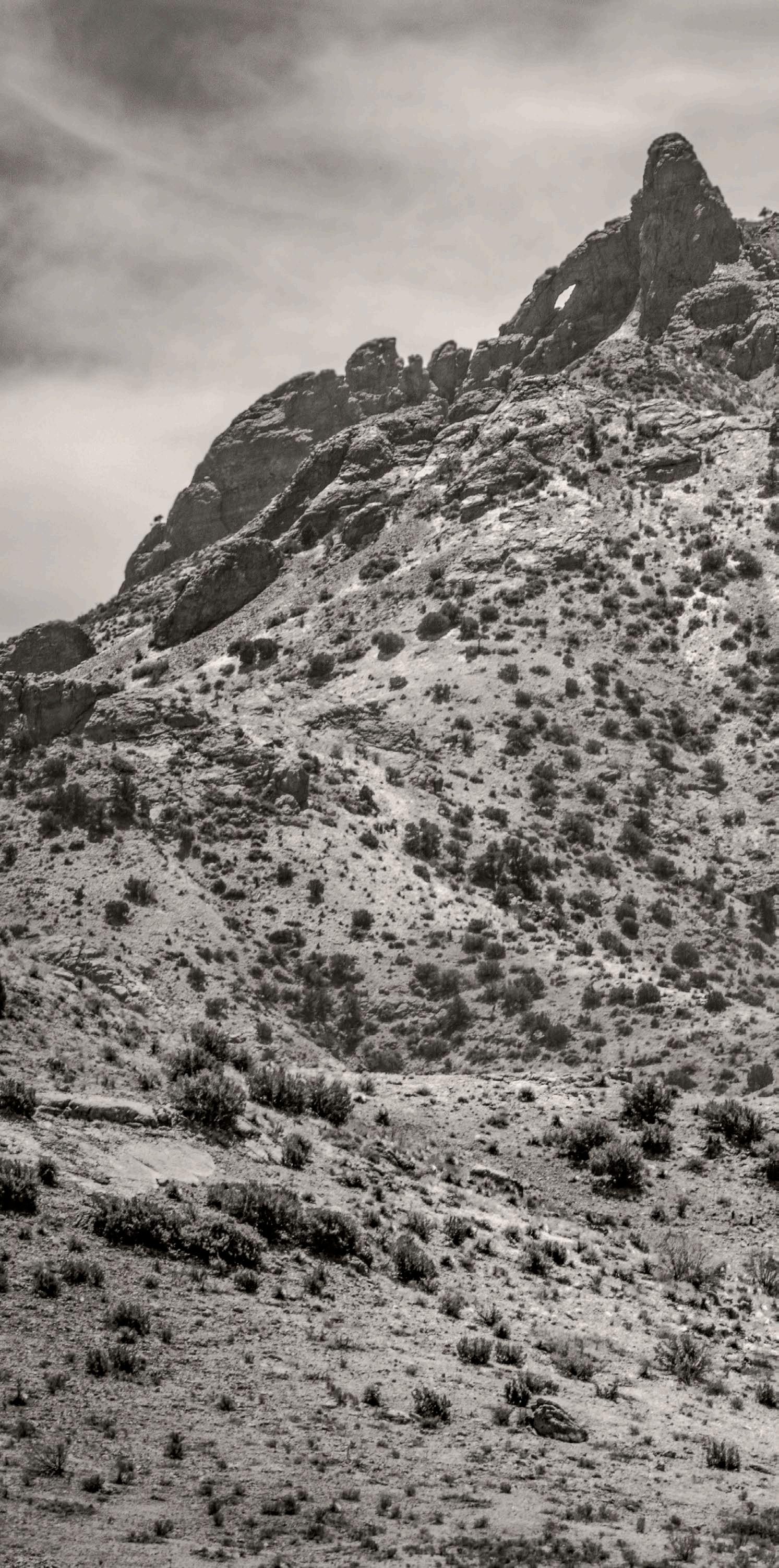
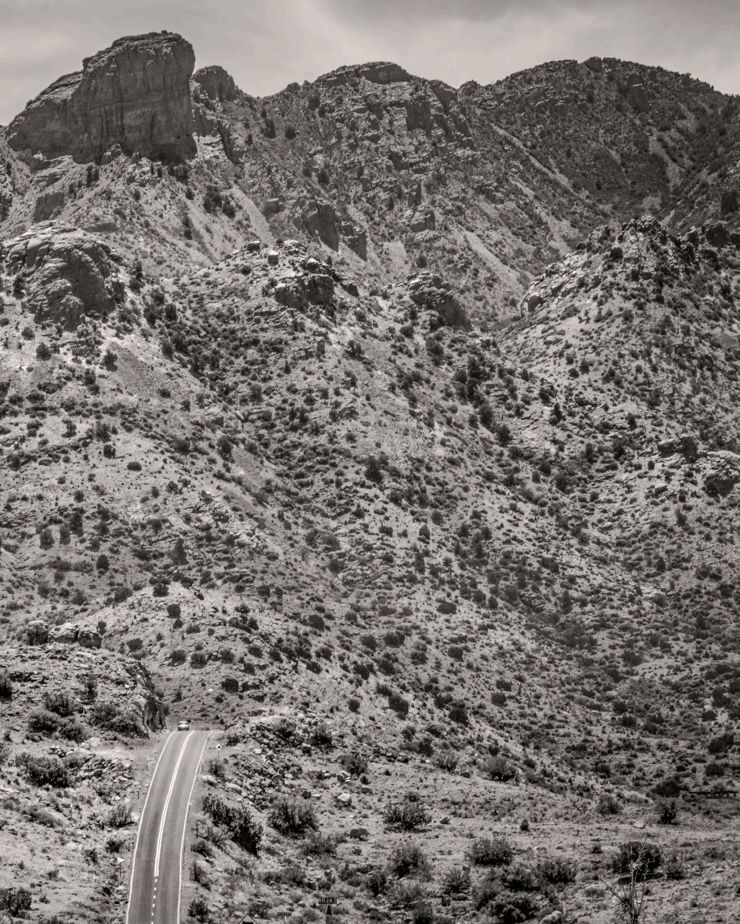
6 Shiprock, San Juan County, NM (2006)
36º47’08.00”N, 108º41’13.32”W
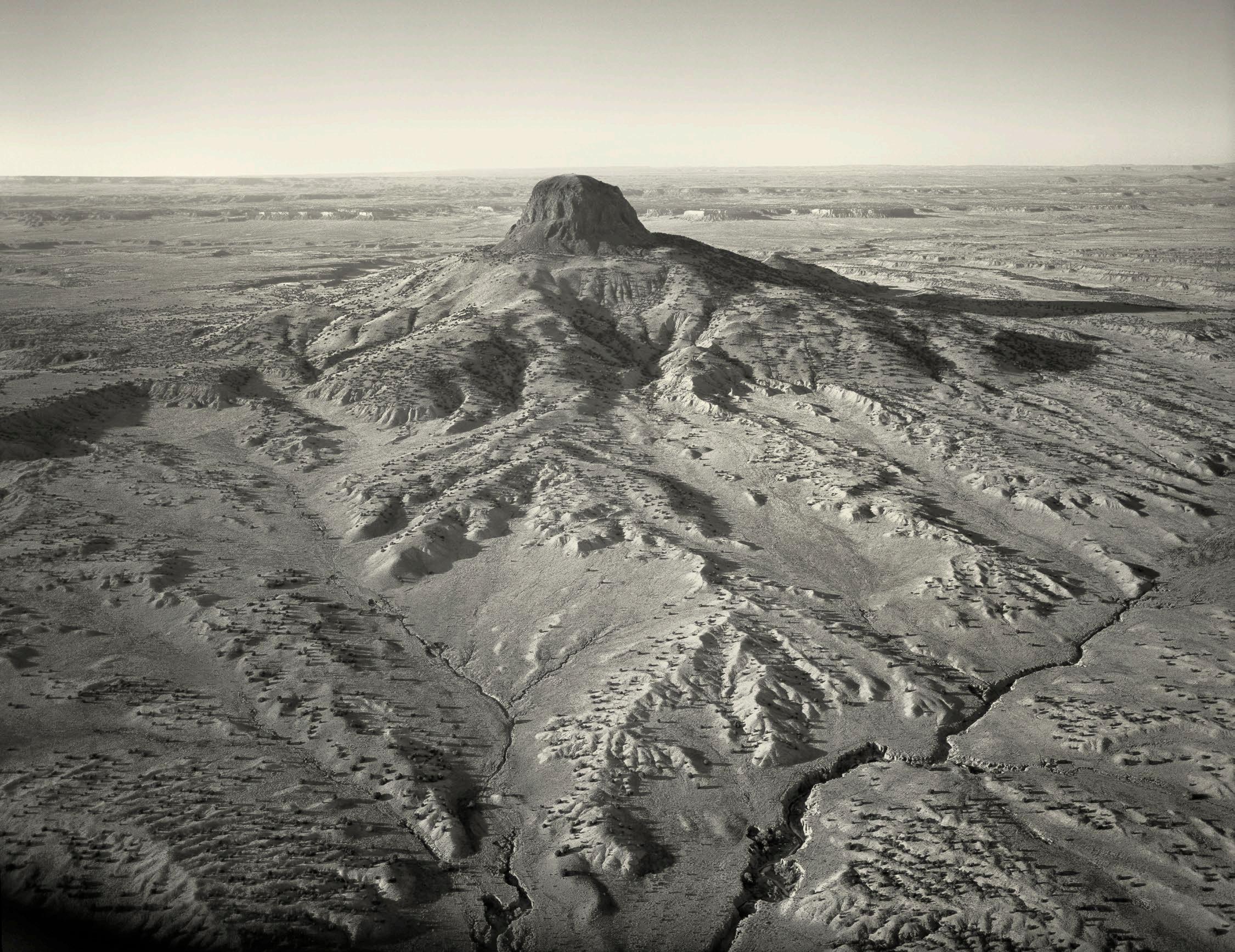
7 Cabazón, Sandoval County, NM (2006)
35º35’59.15”N, 107º05’43.89”W
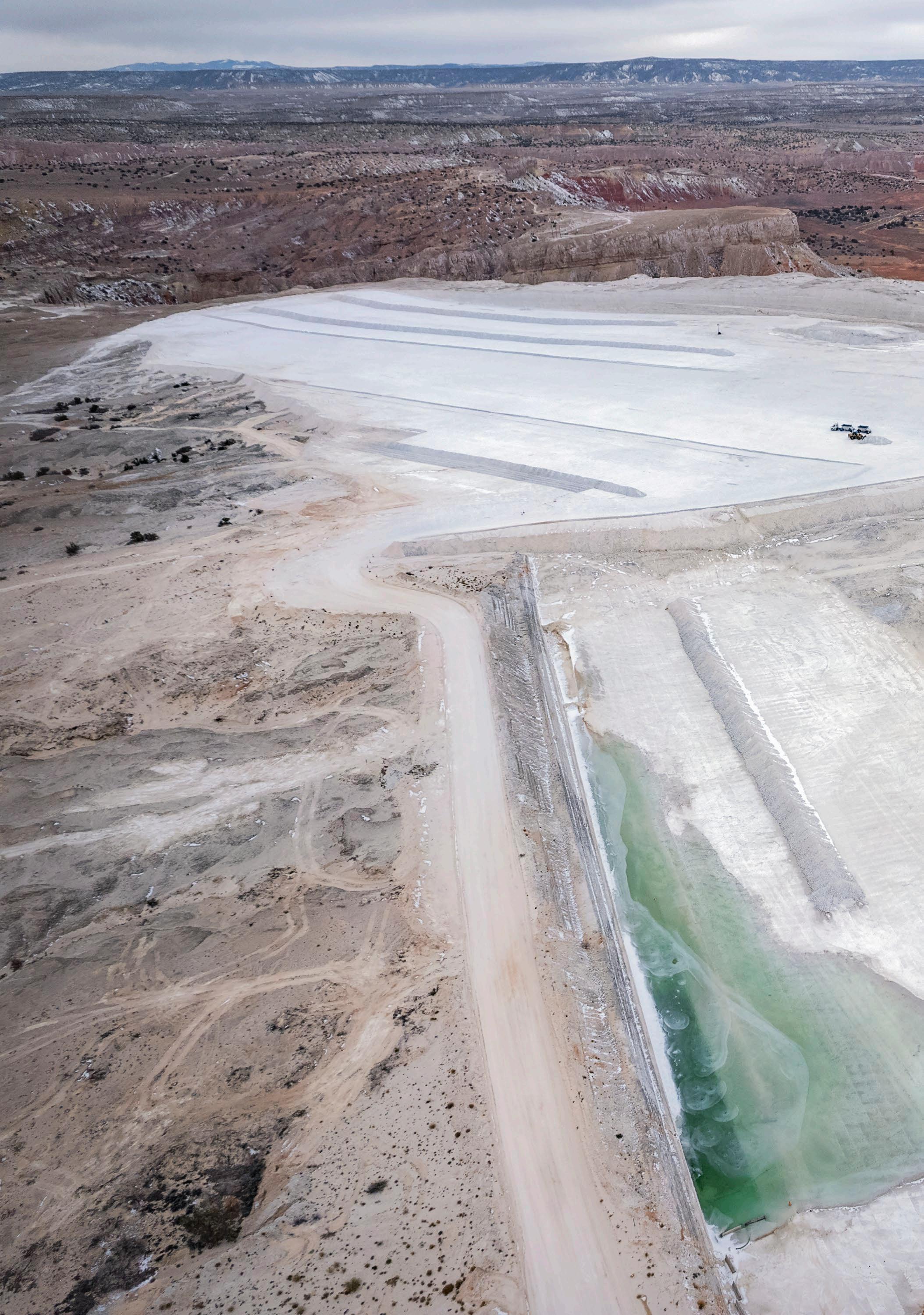
8 Gypsum Mine atop White Mesa, Sandoval County, NM (2002)
34º32’05.87”N, 106º48’24.66W
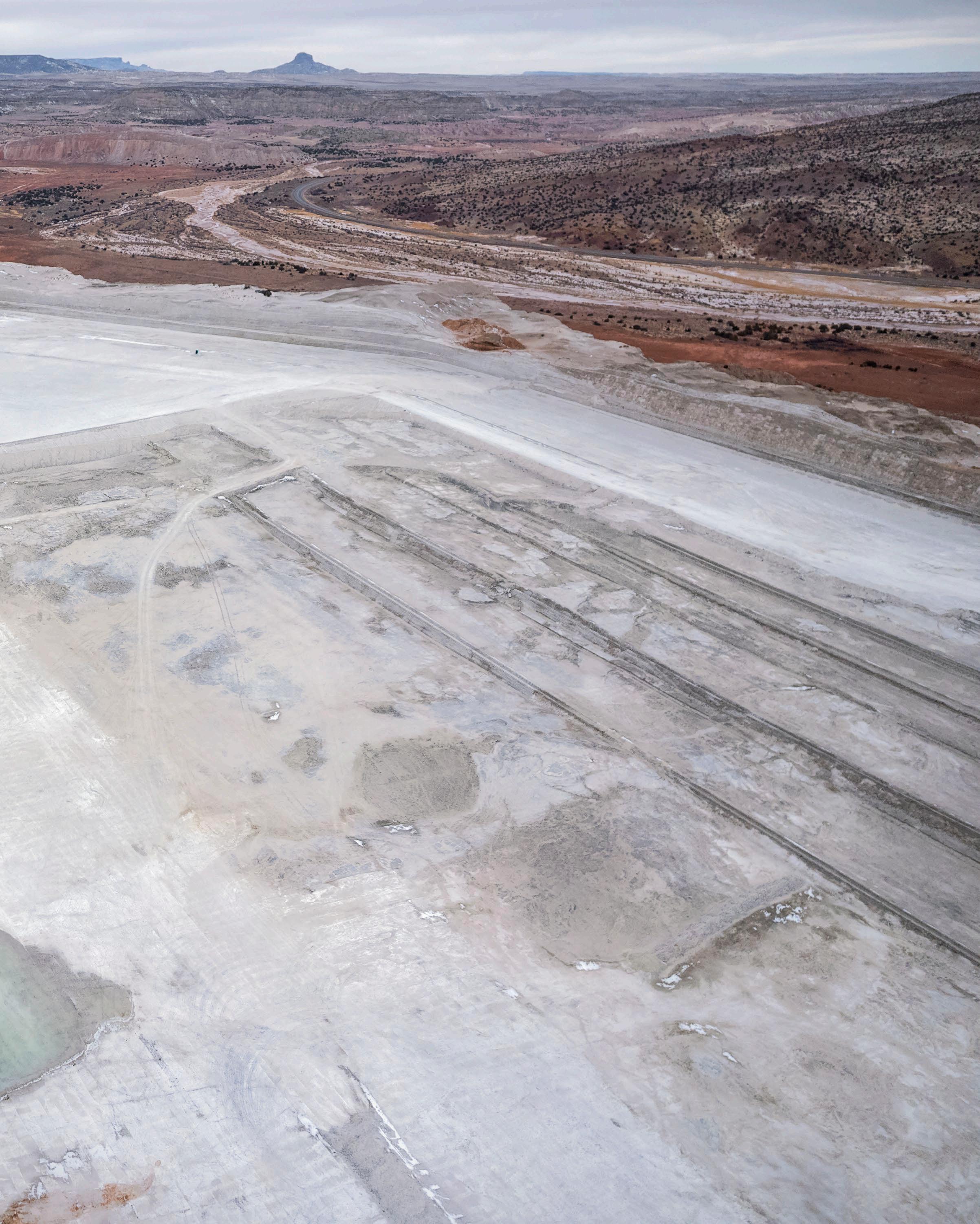
11 White Mesa, Sandoval County, NM (2025)
35º32’13.09”N, 106º47’39.04”W
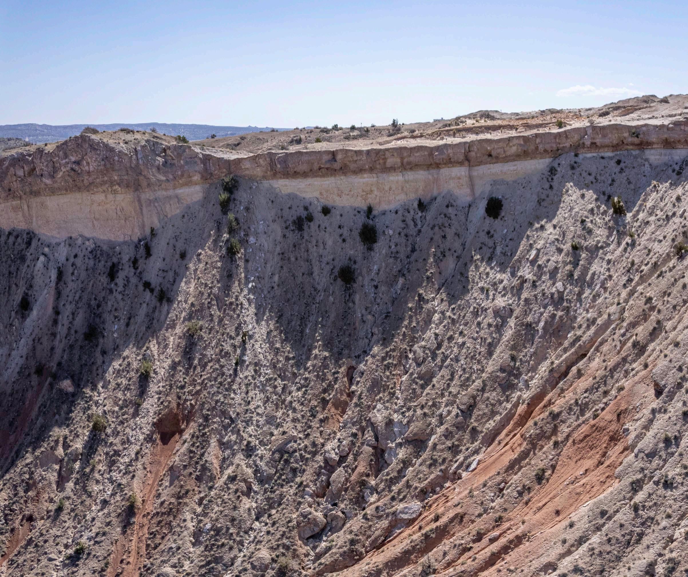
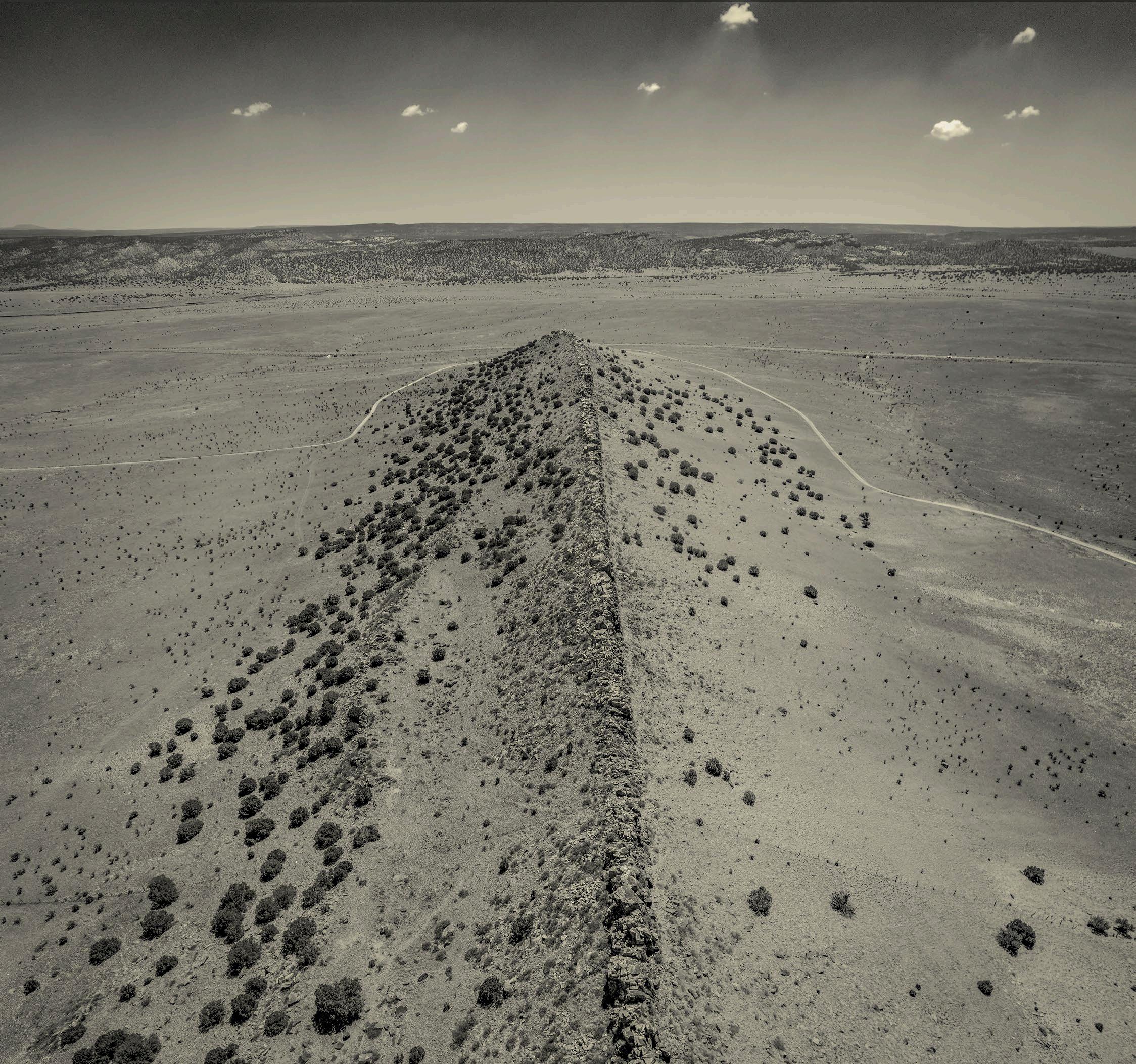
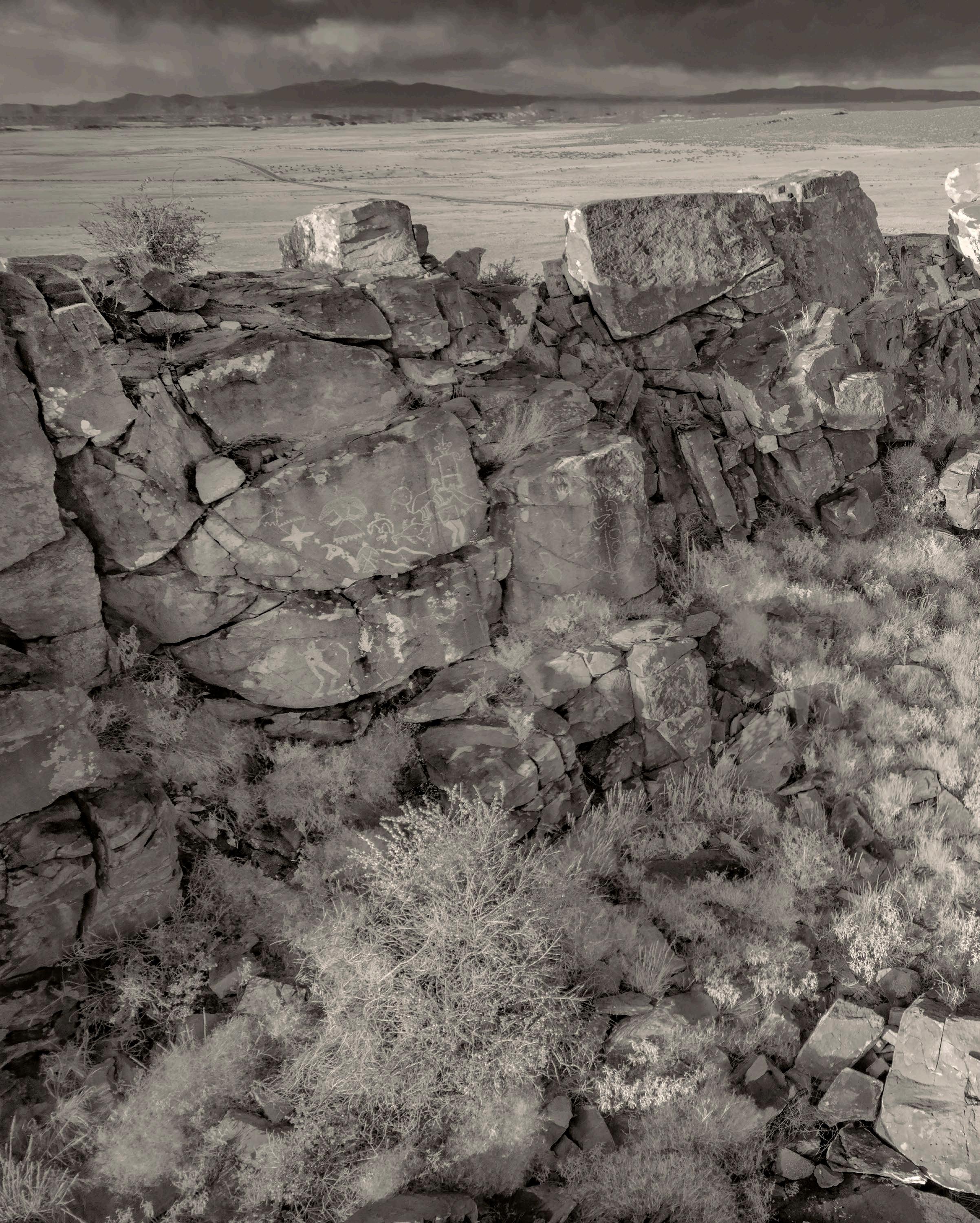
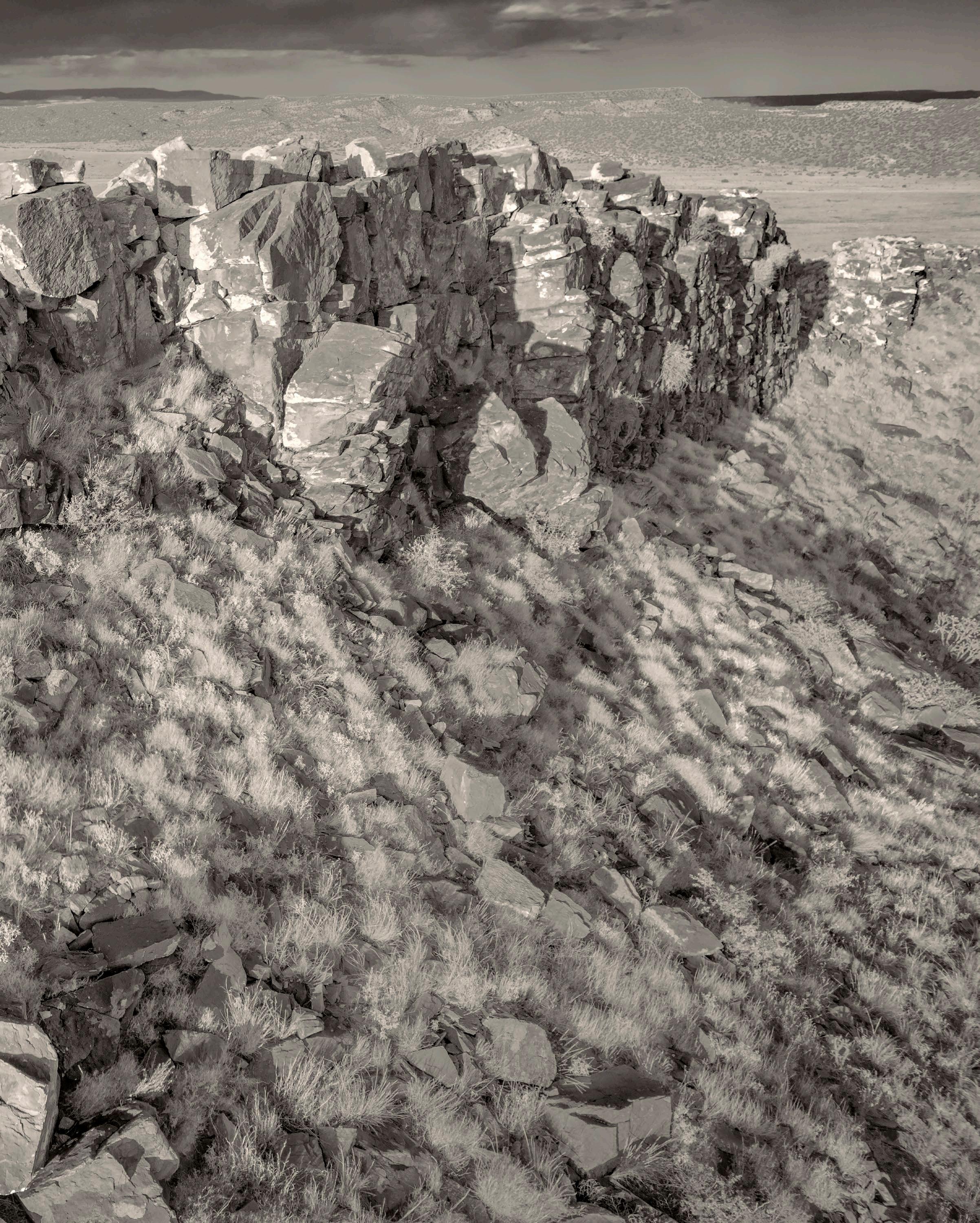
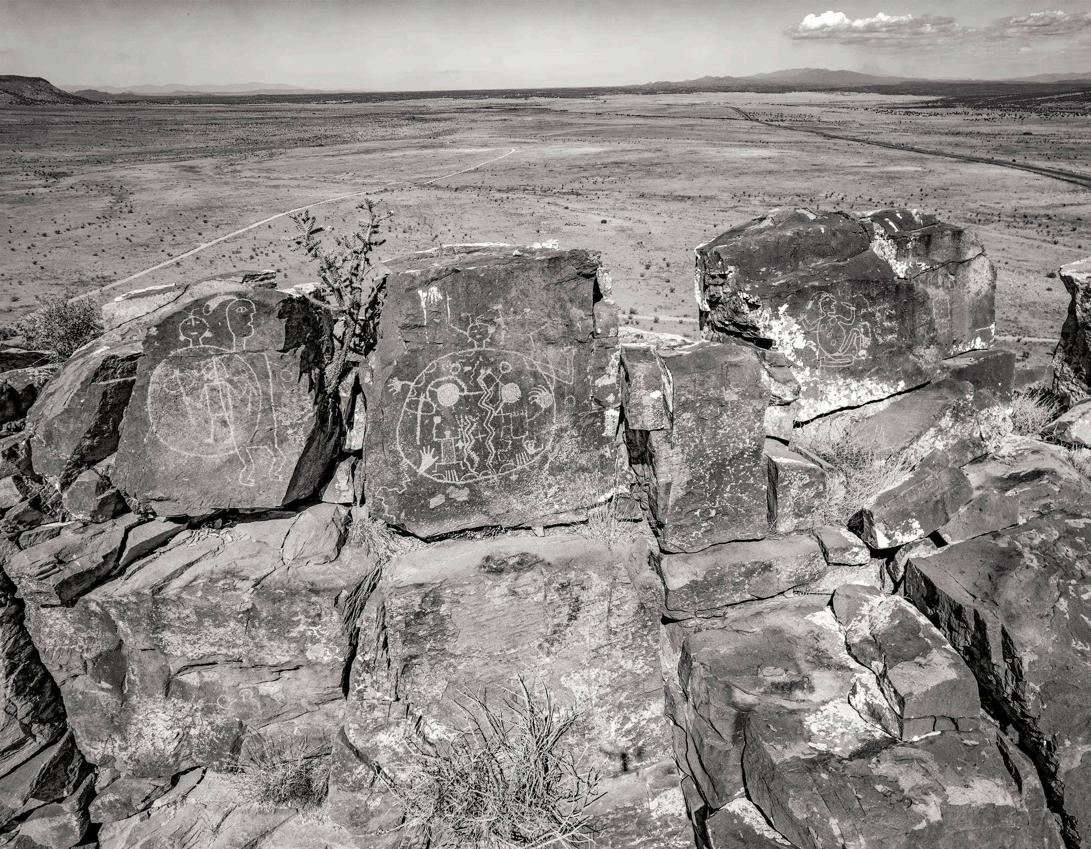
13 Cabolito Wall #1, Cibola County, NM (2025)
15 Cabolito Rampart, Cibola County, NM (2025 )
17 Cabolito Wall #2, Cibola County, NM (2025)
34º54’32.62”N, 107º51’14.38”W
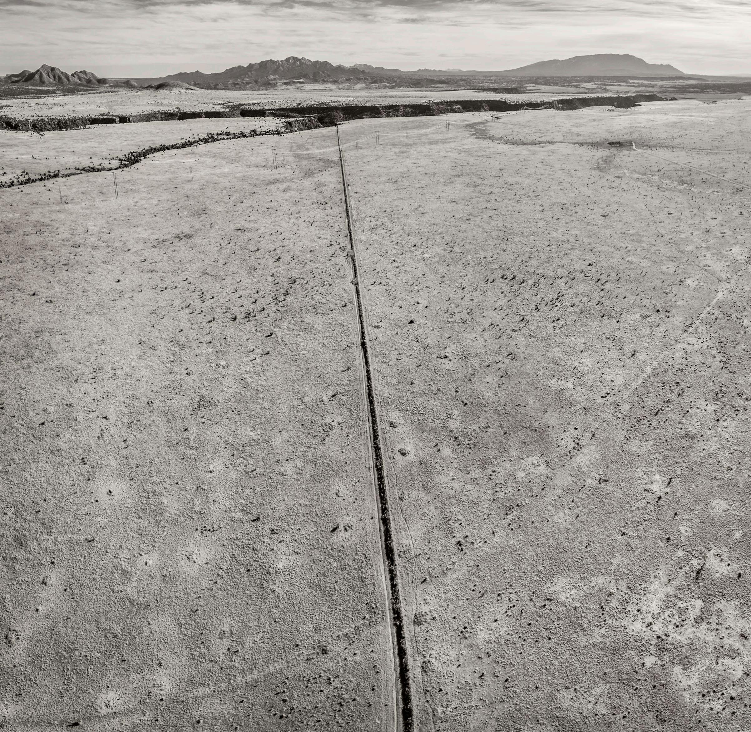
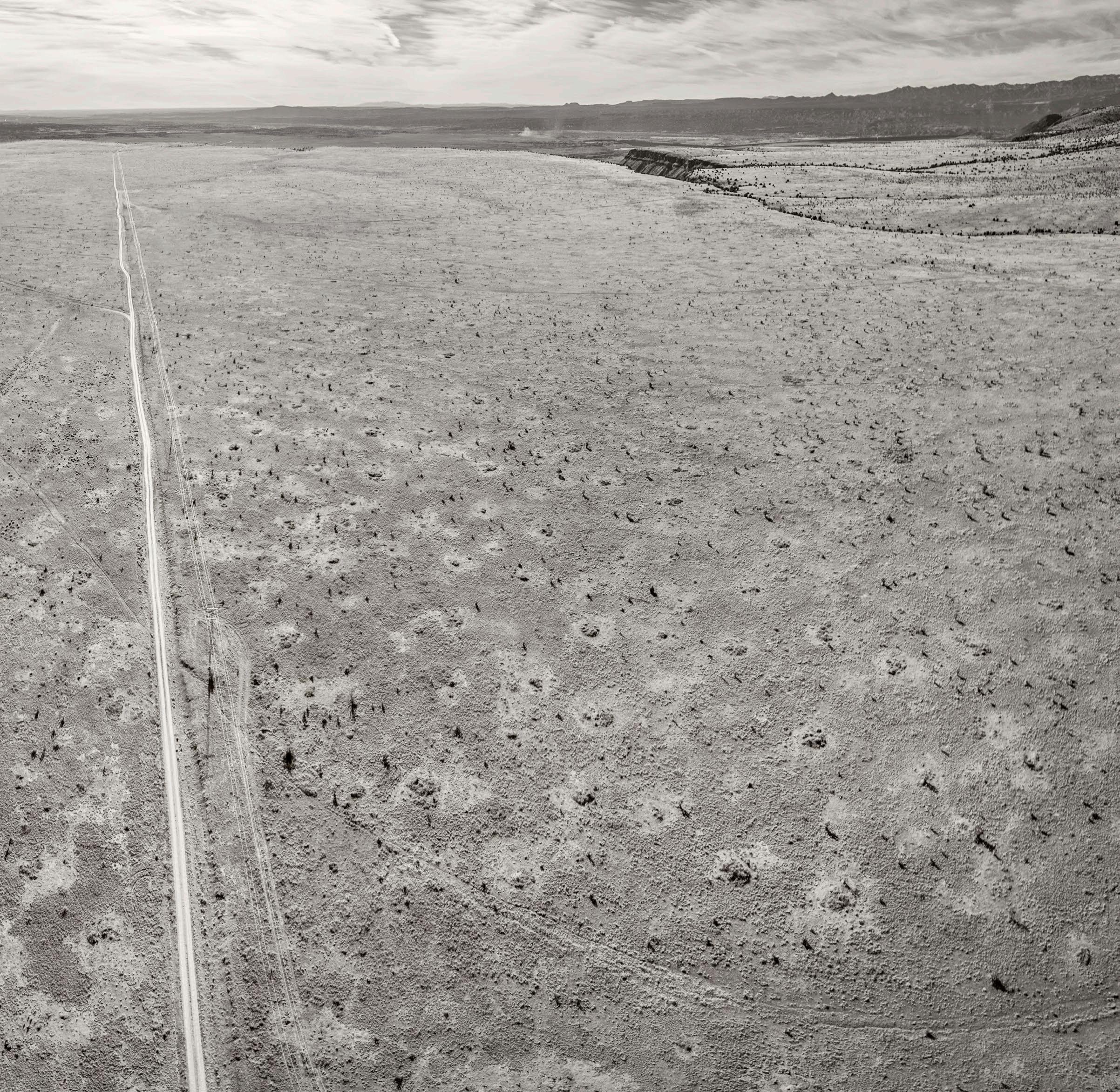
19 Rio Grande Gorge #1 to South, Taos County, NM (2026)
36º21’20.04”N, 105º43’37.94”W
21 Rio Grande Gorge #2 to South, Taos County, NM (2026)
36º21’20.04”N, 105º43’37.94”W
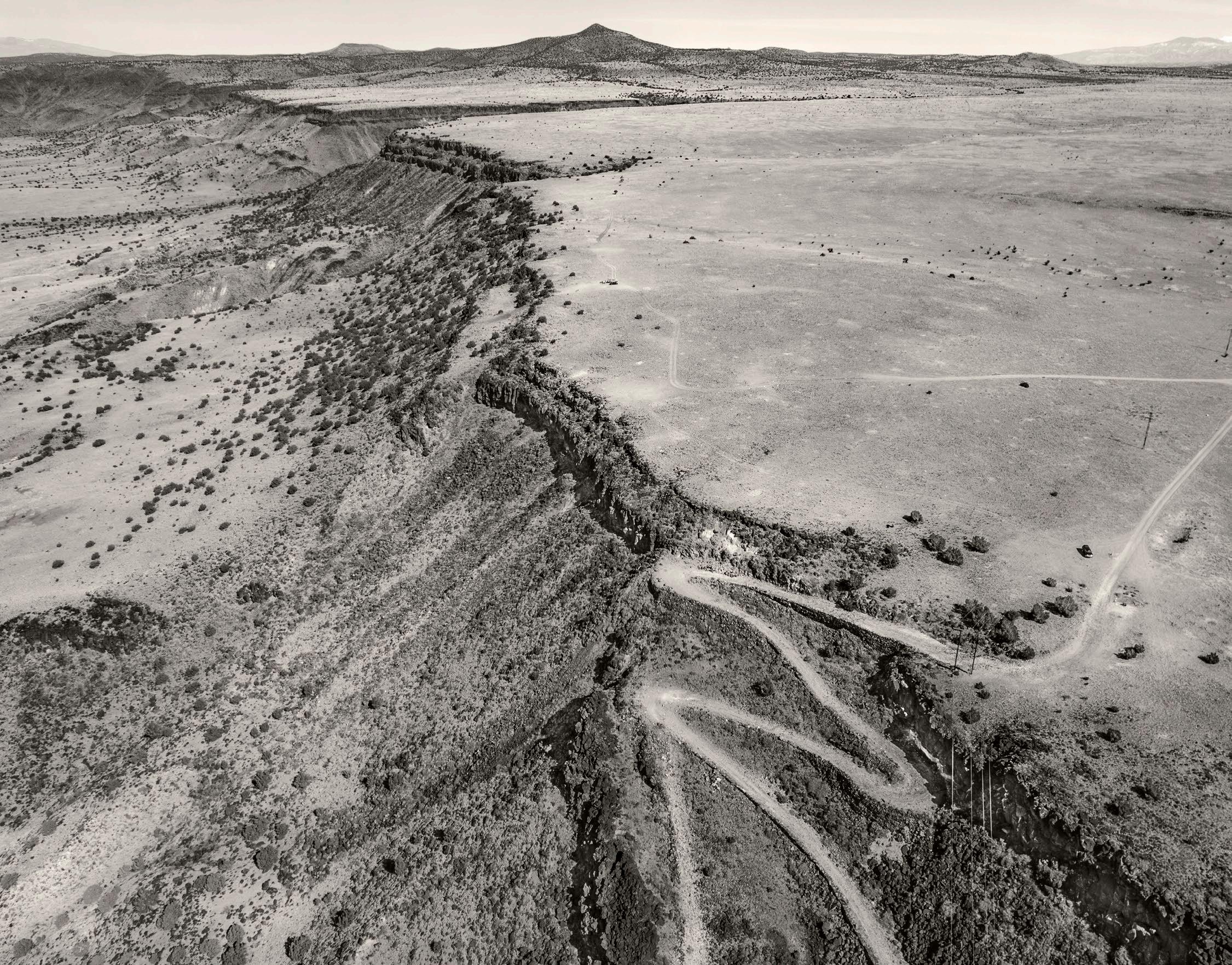
23 Rio Grande Gorge to north, Taos County, NM (2026)
36º21’24.62”N, 105º43’42.33”W
25 East of Carson toward Rio Grande Gorge, Taos County NM (2021)
36º21’0.93N, 105º44’11.62”W
27 Red River Canyon tailings, Taos County, NM (2021)
36º41’34.49”N, 105º29’49.48”W
28 Devil’s Throne #1, Waldo Canyon, Santa Fe County, NM (2022)
35º26’36.51”N, 106º8’1.76”W
29 Devil’s Throne #2, Waldo Canyon, Santa Fe County, NM (2022)
35º26’36.51”N, 106º8’1.76”W
31 Zia #1, Sandoval County, NM (2025)
35º30’13.31”N, 106º48’44.60”W
33 Zia #2, Sandoval County, NM (2025)
35º30’1.94”N, 106º50’9.98”W
35 Soda Dam #1, Sandoval County, NM (2025)
35º47’43.67”N, 106º41’28.38”W
37 Soda Dam #2, Sandoval County, NM(2025) 35º47’43.67”N, 106º41’28.38”W
39 Gilman #1, Sandoval County, NM (2025) 35º44’05.46”N, 106º45’54.43”W
41 Gilman, #2, Sandoval County, NM (2025) 35º44’06.43”N, 106º45’54.28”W
43 Rio Guadalupe Canyon, Sandoval County, NM (2025) 35º43’54.50”N, 106º45’49728”W
45 Waldo Canyon, Santa Fe County, NM(2023) 35º27’17.32”N, 106º8’52.43”W
47 Diablo Canyon #1, Santa Fe County, NM (2024) 35º48’20.99”N, 106º8’30.10”W
49 Diablo Canyon #2, Santa Fe County, NM (2024) 35º48’16.68”N, 106º8’21.67”W
51 Galisteo Dam, Santa Fe County, NM (2021) 35º28’5.24”N, 106º12’32.35”W
53 Crestone Dike #1 Santa Fe County, NM (2024) 35º17’17.36”N, 105º56’18.55”W
55 Santa Fe County near Los Cerrillos, NM (2024) 35º26’30.25”N, 106º4’43.73”W
57 Sandia foothills, Bernalillo County, NM (2024) 35º5’55.28”N, 106º28’29.85”W
59 Sandia west face #1, Bernalillo County, NM (2024) 35º17’50.47”N, 106º28’46.64”W
61 Sandia west face #2, Bernalillo County, NM (2024) 35º17’50.45”N, 106º28’46.54”W
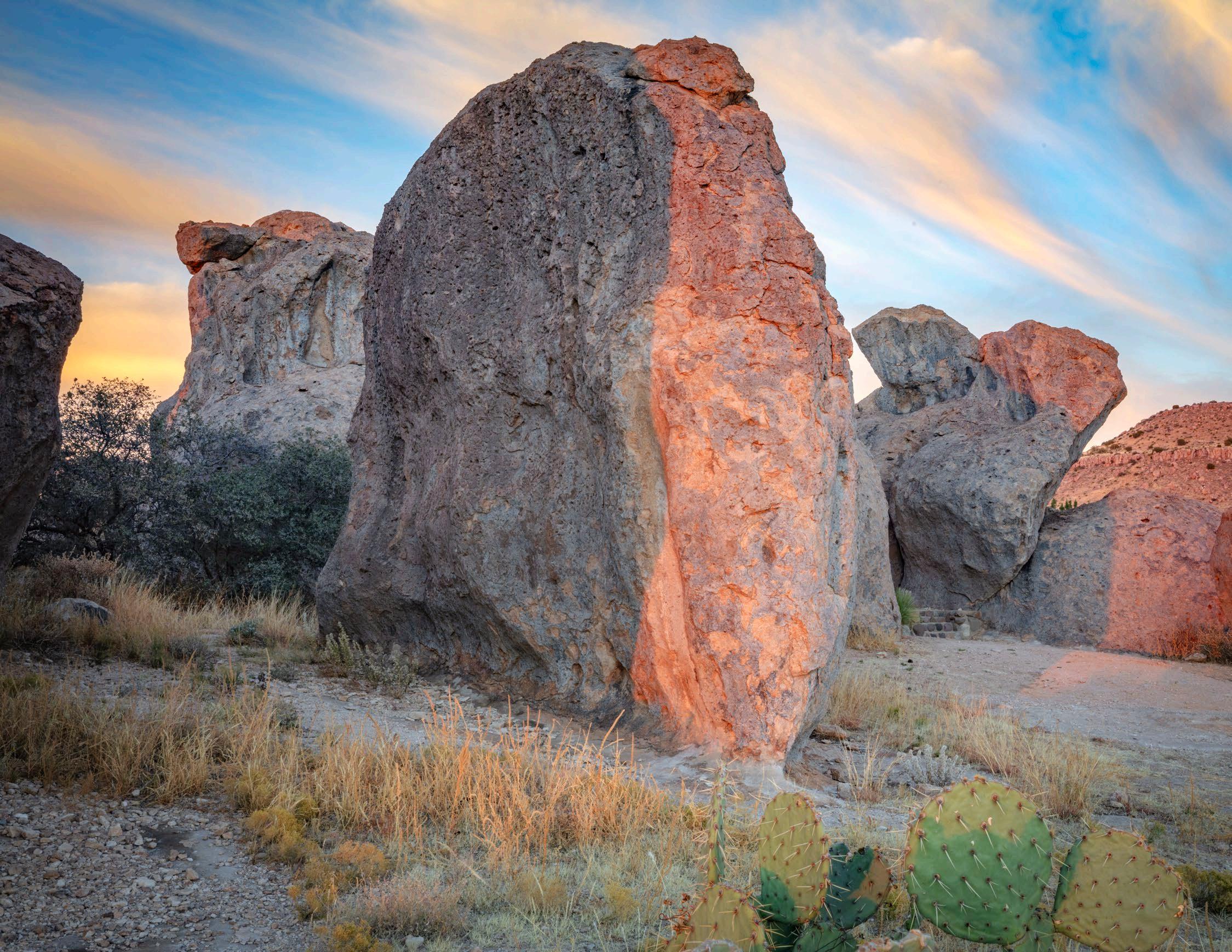
62 City of Rocks #1, Grant County, NM (2022) 32º35’50.19”N, 107º58’18.32”W
63 City of Rocks #2, Grant County, NM (2022) 32º35’35.17”N, 107º58’24.33”W
65 City of Rocks #3, Grant County, NM (2022) 32º35’48.71”N, 107º58’19.14”W
67 La Bajada Mesa #1, Santa Fe County, NM (2024) 35º34’41.83”N, 106º11’26.07”W
69
La Baja La Mesa #2, Santa Fe County, NM (2024) 35º33’25.72”N, 106º13’38.79”W
71 Camino Real at La Bajada, Santa Fe County, NM (2024)
35º33’21.89”N, 106º13’44.29”W
73 Quebradas, Socorro County, NM (2024)
34º7’10.78”N, 106º48’19.18”W
75 Near Lake Valley, San Juan County, NM (2025)
36º12’3.44”N, 108º10’40.27”W
77 Crestone Dike #2, Santa Fe County, NM (2023)
35º17’25.51”N, 105º56’47.63”W
79 Crestone Dike #3, Santa Fe County, NM(2023) 35º17’26.32”N, 105º56’20.42”W
81 Crestone Dike #4, Santa Fe County, NM (2023)
35º17’26.57”N, 105º56’19.15”W
83 Near Ambrosia Lake, McKinley County, NM (2025)
35º20’26.67”N, 107º47’40.37”W
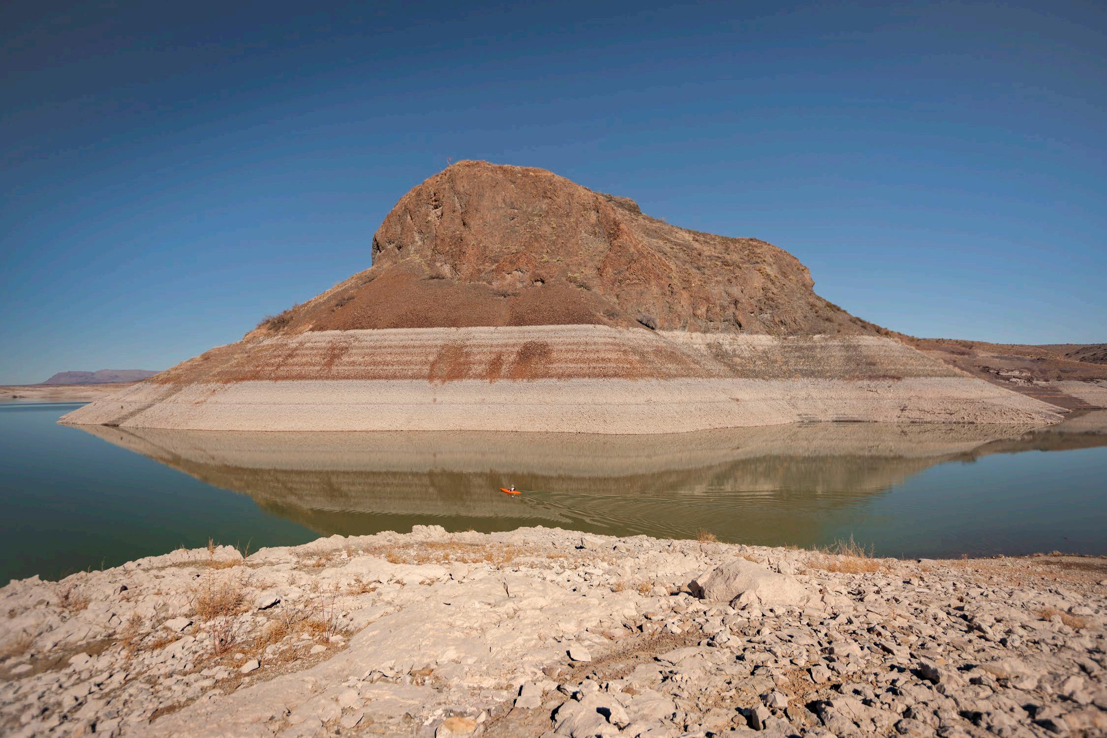
84 Elephant Butte, Sierra County, NM (2013) 33º09’15.56”N, 107º11’13.40”W
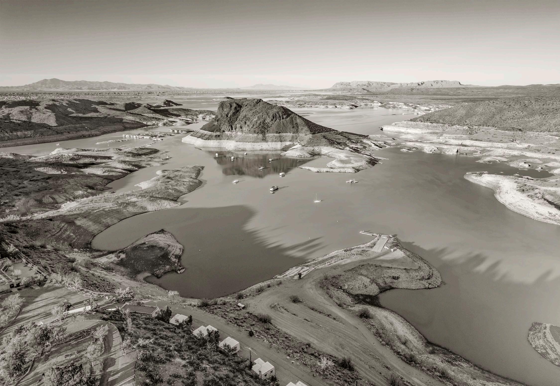
85 Elephant Butte, Lake Sierra County, NM (2022)
33º8’49.91”N, 107º11’0.61”W
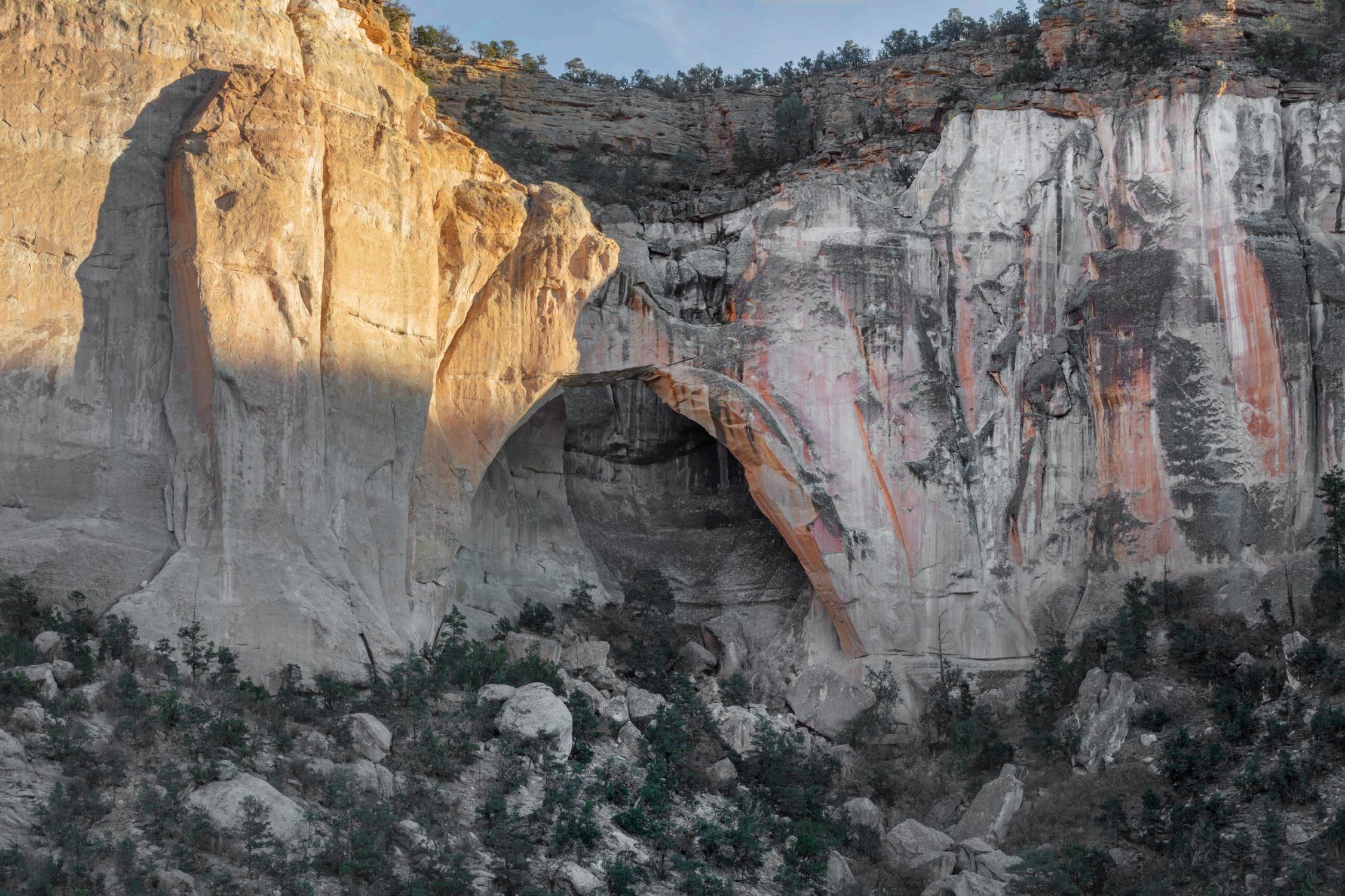
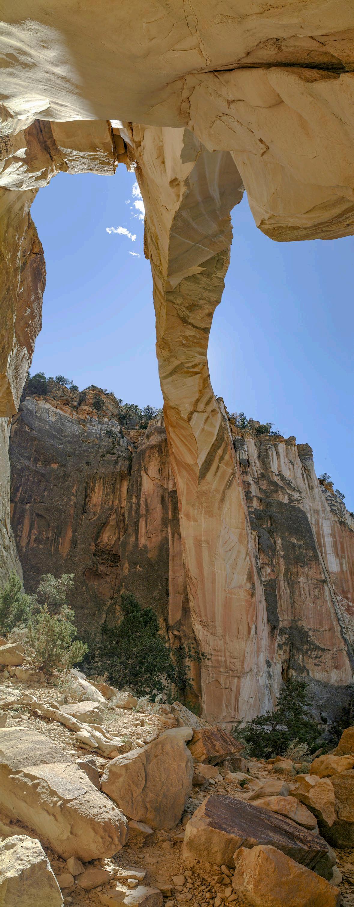
87 La Ventana Arch, Cibola County, NM (2025)
34º52’9.86”N, 107º53’20.53”W
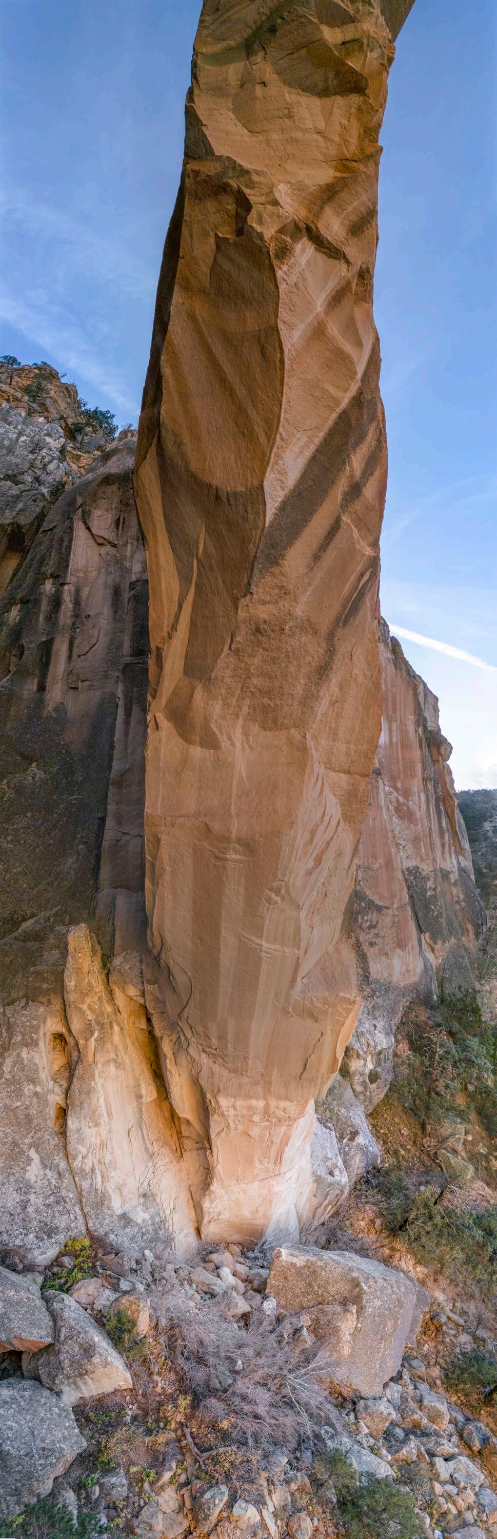
88 La Ventana Arch, Cibola County, NM (2002-2025) 34º52’9.41”N, 107º53’19.78”W
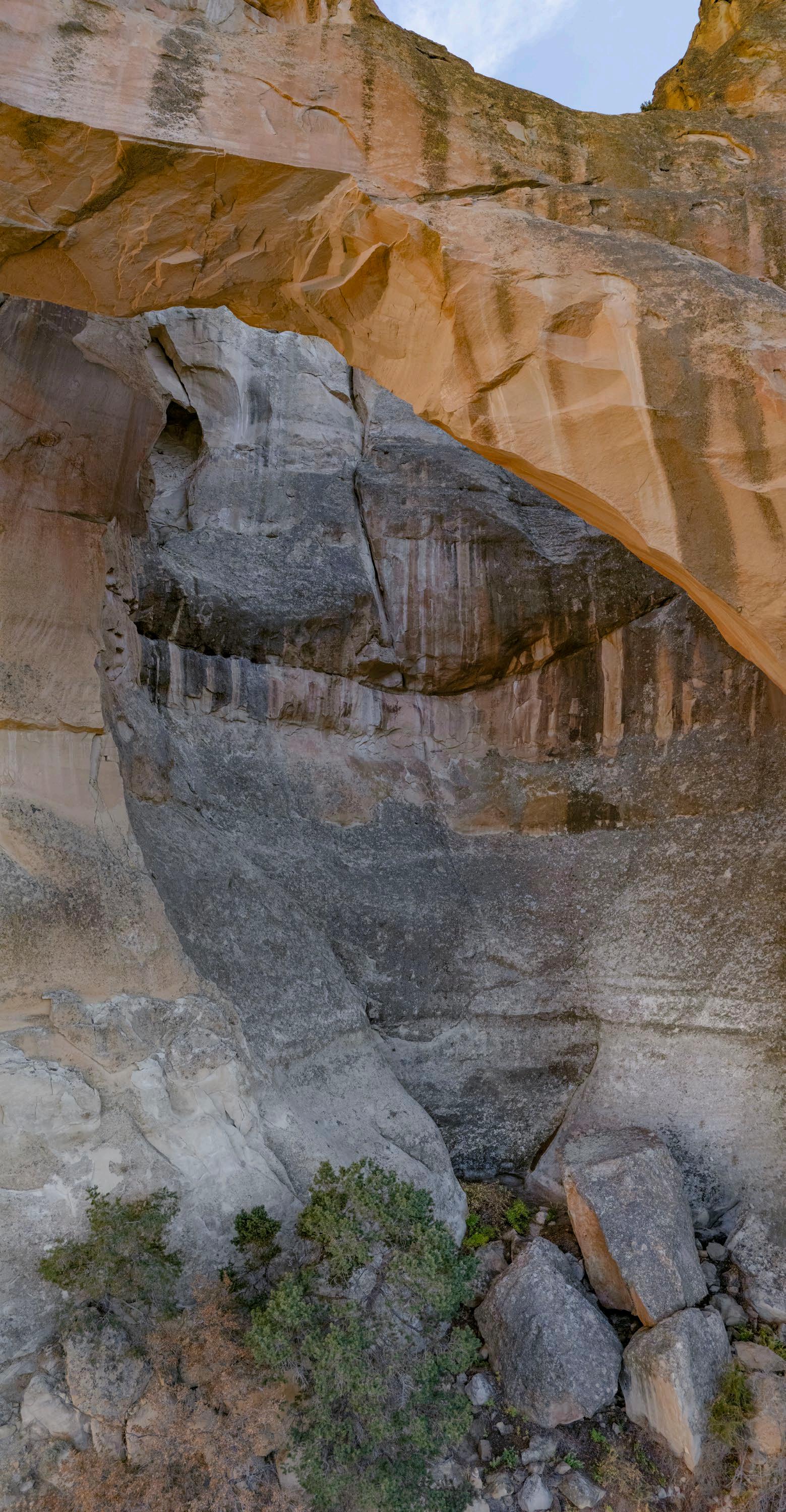
89 La Ventana Arch #3, Cibola County, NM (2025)
34º52’9.41”N, 107º53’19.78”W
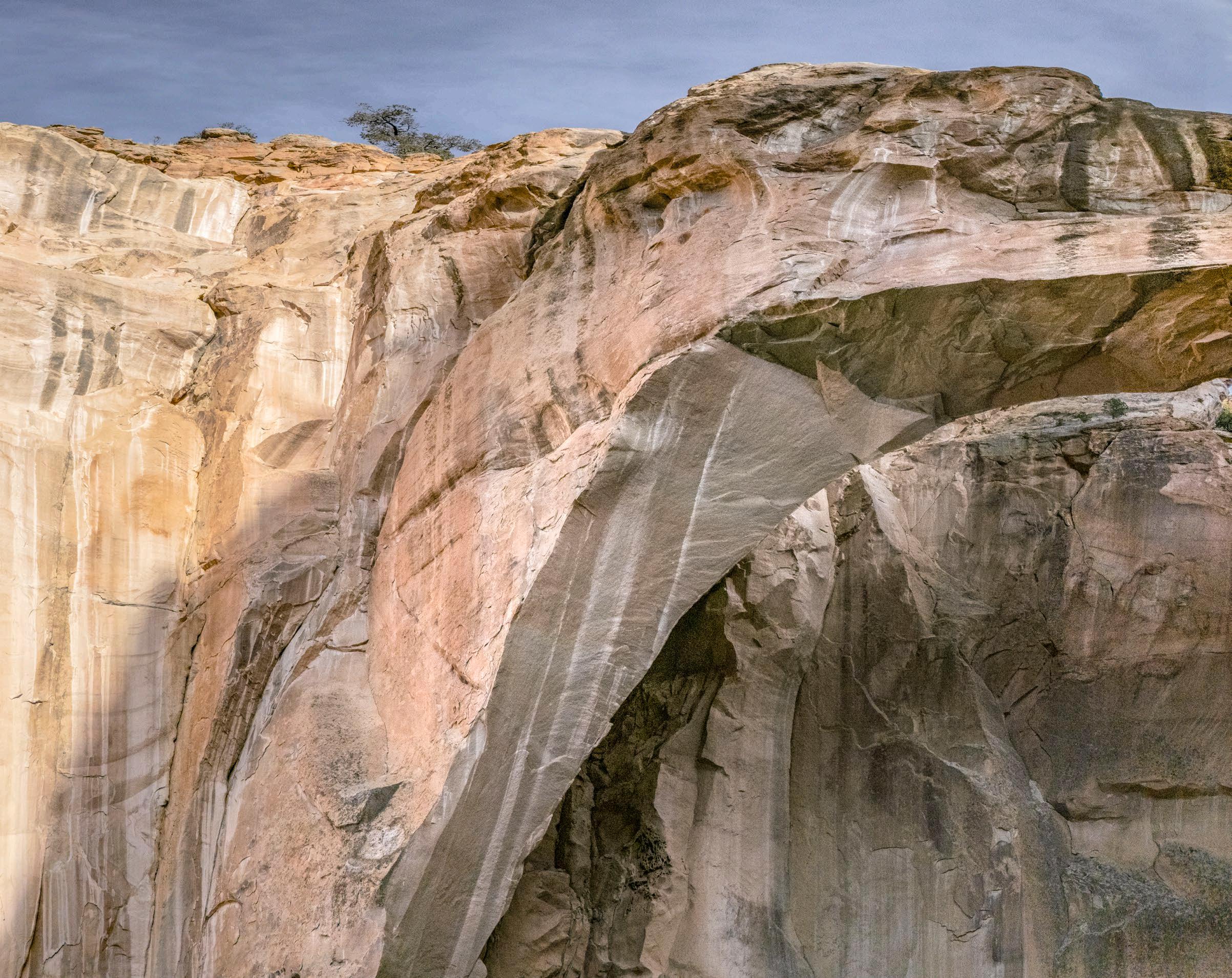
91 La Ventana Arch #4, Cibola County, NM (2025) 34º52’9.86”N, 107º53’20.53”W
92 Lava #1, Cibola County, NM (2025)
35º5’0.91”N, 107º45’59.47”W
93 Lava #2, Cibola County, NM (2025) 35º5’0.98”N, 107º45’59.23”W
95 Volcano #1, Doña Ana County, NM (2024) 31º49’17.65”N, 107º13’31.42”W
96 Volcano #2 (mined), Doña Ana County, NM (2024) 31º49’18.29”N, 107º13’47.14”W
98 Florida Mountains, Luna County, NM (2021)
32º9’56.00”N, 107º36’57.35”W
All content © 2026 Martin Stupich / Photographer For permission to reproduce, write: <martinstupich@mac.com> visit: www.martinstupich.com