Thriving and connected communities
Maribyrnong Integrated Transport Strategy
Maribyrnong Integrated Transport Strategy
The lands and waterways of what we now call Maribyrnong have been shaped and cared for by the Wurundjeri Woi Wurrung and Bunurong/ Boonwurrung peoples of the Kulin Nation.
These river corridors were not boundaries – they were song lines, lifelines and trade routes, connecting communities across vast distances. Movement was purposeful, reciprocal, and grounded in deep cultural knowledge.
As we plan for the City’s transport future, we honour the legacy of connection. True transport planning begins by listening – to Country, to culture, and to those who have walked these paths for generations.
This strategy recognises that the most enduring network is not one built of asphalt and steel, but of respect, memory, and shared responsibility.
In walking together, we can shape a future transport system that is more than efficient – it is a just, inclusive, and reflective place. One that remembers where we’ve come from and moves forward with care.

Thriving and Connected Communities: Maribyrnong Integrated Transport Strategy 2026 (the strategy) sets out a long-term vision for a safer, more connected, and sustainable transport system to meet the anticipated needs of our growing and diverse community over the next decade and beyond.
As the City of Maribyrnong continues to evolve, this strategy will guide and influence how we integrate transport planning with land use, placemaking, and emerging technologies to create a well-connected, safe, accessible and people-friendly city.
Maribyrnong’s population is projected to grow significantly from 96,000 today to over 155,000 by 2051.1 At the same time, neighbouring municipalities and the rest of Melbourne will also experience significant growth and change. This rapid population rise will place increased pressure on both local and regional transport networks and requires a coordinated and timely response to ensure that residents, workers and visitors can safely and efficiently access jobs, education and services.
Concurrently, car dependency remains high. According to the Victorian Integrated Survey of Travel and Activity (2023/24), more than 70% of all trips in Maribyrnong are made by private vehicle, including over 60% of journeys to work. This contributes to growing congestion, transport-related emissions, and rising household costs. It also reflects gaps in walking, cycling and public transport networks.
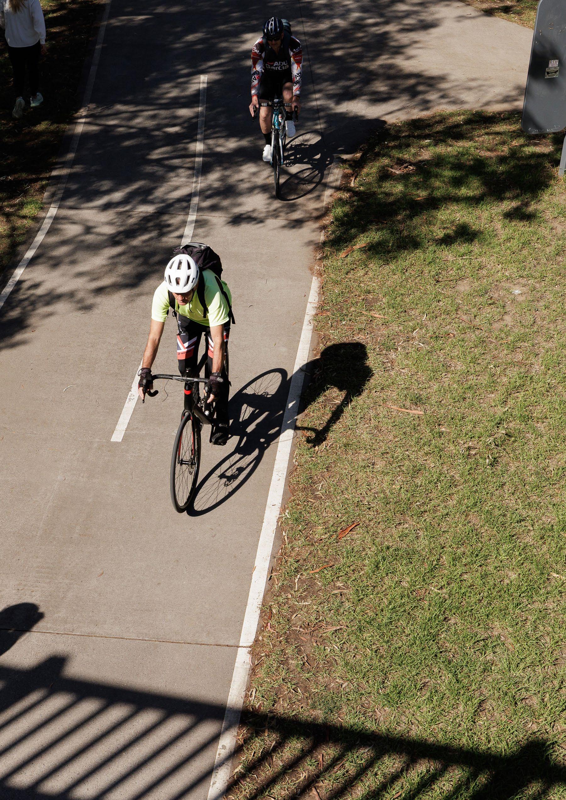
Walking and cycling are viable and popular modes of transport in many parts of the city and are a major part of addressing increasing transport demand. However, the existing cycling network is fragmented in many areas and lacks continuous, protected connections to key destinations. This limits the appeal of cycling for everyday trips, particularly for families, older adults, and people new to riding. Improving cycling infrastructure is critical to reducing reliance on private motor vehicles and creating safer, lower-emission travel choices.
With population growth, car dependency and changing travel patterns, Maribyrnong faces both challenges and opportunities in shaping our transport future. This strategy responds to these with 6 priority areas:
Safer streets for all
Connecting our community
A sustainable way to travel
Accessible places and destinations
Leading the way in transport innovation and technology
Culture change and behavioural shifts
[1] Source: profile.id, 2021.
These priority outcomes will help ensure that transport is safe, efficient and equitable for all users, whether they walk, cycle, use public transport or drive.
Council plays a key role in delivering this strategy, working in collaboration with the Department of Transport and Planning (DTP), other government agencies and the community.
While the State Government has primary responsibility for managing arterial roads and public transport services, Council plays a key role in influencing their ongoing expansion, road space allocation and integration through advocacy, strategic planning, and coordination with state agencies.
Council also manages local streets, pedestrian and cycling infrastructure, and the design of our public spaces. Importantly, this strategy continues to shift the focus from simply moving vehicles to supporting the efficient and equitable transport needs of all users and connecting people and goods across the city in a way that supports, healthy and livable neighbourhoods, making thriving and connected communities.
The future transport network should be understood as one connected system. Walking catchments, cycling links, public transport connections and other targeted improvements work together to help people reach jobs, shops, schools, services and community destinations more easily.
A robust transport network performance framework will be developed to monitor and report progress. It will incorporate a range of quantitative and qualitative inputs, including mobility data, travel surveys, community feedback and new technologies that help measure how people move around the city, how well the system is serving them and what is required to deliver the strategy.
Chapter 1: Our starting point
Chapter 2: Our transport vision for Maribyrnong
Priority area 1: Safer streets for all
Priority area 2: Connecting our community
Priority area 3: A sustainable way to travel
Priority area 4: Accessible places and destinations
Priority area 5: Leading the way in transport innovation and technology
Priority area 6: Culture change and behavioural shifts
Chapter 3: Making it happen
Chapter 4: Keeping
The City of Maribyrnong is a diverse and vibrant community in Melbourneʼs inner west. Home to people from many cultures, it offers great parks, schools and public transport. Footscray, the main hub, is known for its lively markets, food and arts scene.
Getting around Maribyrnong is essential to daily life by connecting people to work, school, community services, leisure activities and each other. But as our community grows and changes, so do our transport needs.
Maribyrnong faces growing challenges in providing safe, reliable, equitable and accessible transport for all. Gaps in public and active transport networks, along with safety concerns on local streets, are limiting people’s mobility and influencing transport choices. Addressing these issues is essential to building a more connected, inclusive and resilient community where people have greater choice in how they travel.
Maribyrnong is a highly multicultural community of around 96,000 people, with 40% of residents born overseas and 43% speaking a language other than English2
Population forecasts indicate an increase to over 155,000 people by 20513 therefore our transport system will need to keep up with demand.
By planning and operating the various modes of transport as a connected network, rather than separate or competing, we can make moving around Maribyrnong better for everyone.
Footscray, Yarraville and Seddon
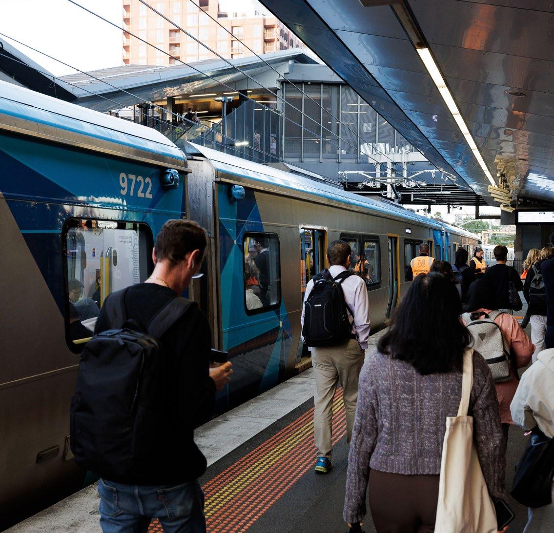
Have strong multimodal public transport options, including trains, trams and buses, which provide transport to Melbourne’s CBD. The remaining challenges are congestion, limited parking and space and connectivity for active transport.
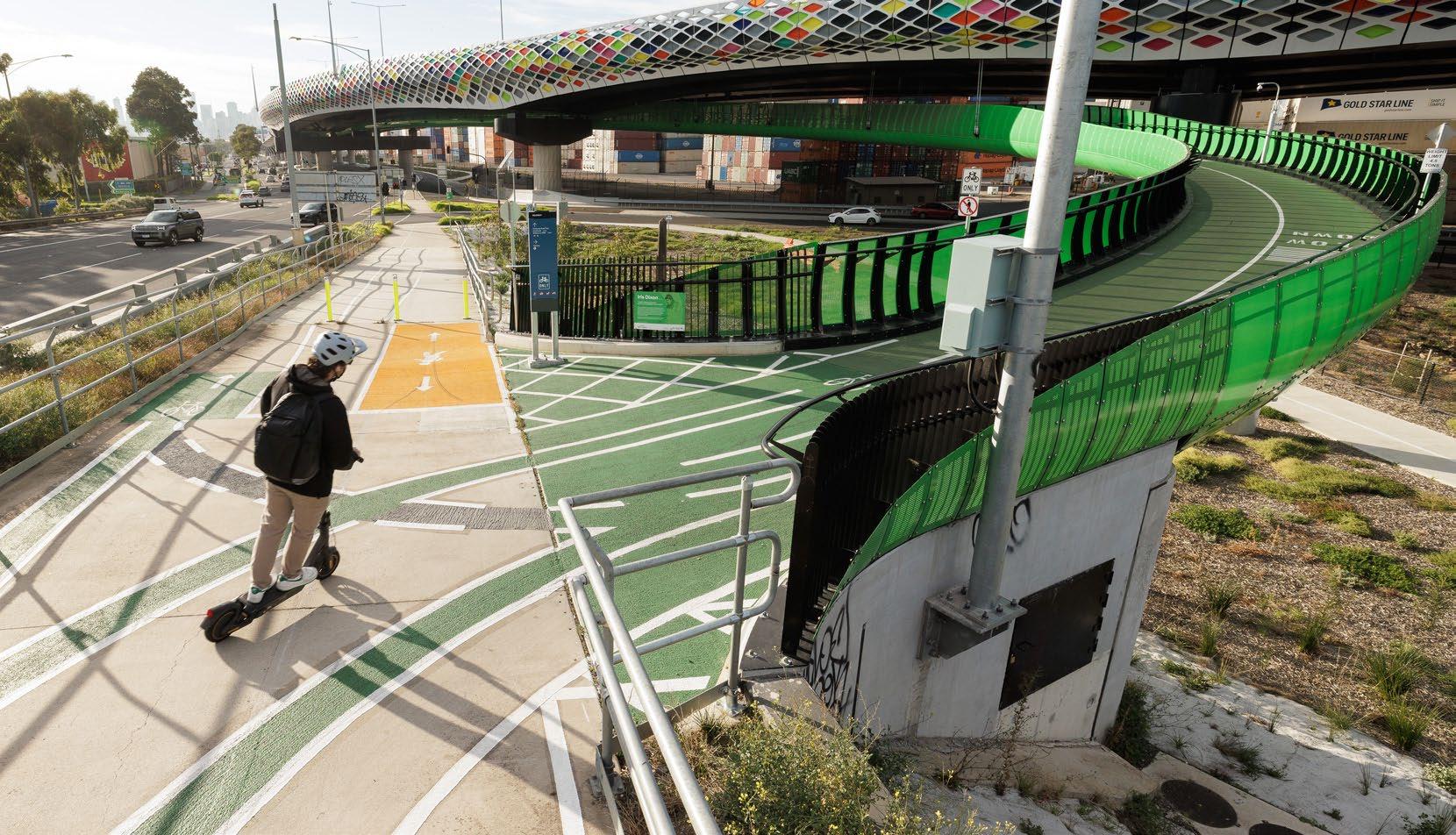
The new Dixon Veloway, an elevated cycling facility along the Footscray Road corridor that connects Docklands and Footscray, and the new West Gate Tunnel cycling and shared user paths near Yarraville Gardens and Hyde Street provide options for pedestrians and cyclists.
Kingsville, West Footscray and Tottenham
Feature growing residential communities and rely on a mix of train and bus services, alongside important walking and cycling routes. The major east–west rail corridor through the middle of this Council area is a significant impediment to north–south connectivity.
Braybrook, Maidstone and Maribyrnong
Are highly car-dominated where new developments are attracting more people to the area. They each have a greater need for improved transport options, especially better public transport services and infrastructure, and safer walking and cycling infrastructure connections.
Methods of getting around Melbourne’s west, including the City of Maribyrnong, are evolving. As our population grows and more people choose to live, work, study and visit here, the way we move is also changing.
Major infrastructure projects, such as the West Gate Tunnel Project (WGTP), provide a much-needed alternative to the West Gate Bridge, helping shift trucks off local roads.
Recently implemented truck bans on several major roads, including Somerville Road, Francis Street, Buckley Street and Moore Street, and truck curfews on Williamstown Road aim to make some of our neighbourhoods safer and more livable, by reducing noise, air pollution and heavy vehicle traffic in residential areas.
Council will continue to advocate for freight mode shift from road to rail, restrictions on heavy vehicle movements through residential areas and infrastructure investment that supports both freight efficiency and community wellbeing.
New development will bring more homes, jobs and businesses to our municipality. This means more people and goods on our roads, increasing the need for public transport and pedestrian and cycling paths. At the same time, transport upgrades like the newly opened Metro Tunnel are improving train services and cutting travel times, making it easier to get into and across the city to access homes, jobs, services and leisure activities.
Walking and cycling will continue to be more popular, and projects like the WGTP Dixon Veloway, an elevated cycling facility along the Footscray Road corridor, will provide riders with a safer and faster way to travel between the Melbourne CBD, Footscray, Yarraville and western metropolitan areas.
The completion of these major infrastructure projects during 2025/26 and other planned transport-related initiatives significantly changes the way the transport system in Maribyrnong operates in both the immediate and longer term.
Source:
More people living, working, engaging in recreation and visiting the area means increased demand on our roads, public transport and active transport networks. While improvements have been made, issues such as gaps in public transport services and walking and cycling corridors, road congestion, accessibility barriers, crashes, and environmental impacts remain.
On top of this, extreme weather events such as floods, fires and heatwaves are disrupting our transport system, affecting everything from road conditions and rail services to pedestrian safety and active transport choices.
To build a transport system that works for everyone, we need to address these challenges and create safe, reliable and climate-resilient ways for people to work and live in and move through the city.
Despite what we know about the importance of public transport, bus and tram services in particular remain infrequent in some areas and don’t always link well with trains. As a result, many residents find it difficult to reach destinations like Footscray, Highpoint or the Maribyrnong River precinct without a car.
A more integrated public transport network with better connections between services will improve access and make it easier for all people to get around, especially as population growth and changing travel patterns bring more people into our city.
More people using public transport, particularly buses, makes better use of our limited road space as demand for travel increases over time.
Walking and cycling should be safe, convenient, and a mode of choice for local trips. However, across Maribyrnong, many areas still lack dedicated bike lanes and pedestrian-friendly streets. Footpaths near schools, parks and transport hubs require enhancement in some areas, and medium- to high-density neighbourhoods would particularly benefit from higher-quality walking and cycling infrastructure to support active transport and reduce local congestion.
Rising temperatures and extreme heat events are making outdoor travel more difficult. Investing in shaded walking routes, heat- resistant road materials, and better-connected bike lanes will help ensure people can walk and cycle in comfort and safety.
The existing network of cycling infrastructure in Maribyrnong is highly fragmented, with missing links between key destinations and limited safe crossings over major roads and rail lines.
Many on-road bicycle routes are not separated from traffic, which discourages a broader uptake of regular cycling across the community, particularly among women, children, older adults, families and other vulnerable users. Closing these gaps and improving our road infrastructure is essential to enabling safer cycling and encouraging a meaningful shift towards active transport choices.
Improving our paths and trails is also a key factor in improving the health of our community both physically and mentally, while serving to reduce the burden on other parts of our transport network.
Priority initiatives will address longstanding gaps for safer cycling infrastructure and enable more people to ride for everyday trips.
Traffic congestion is also forecast to grow with the population and transport demand, particularly on major arterial and local roads where peak-hour delays and safety concerns impact residents and businesses.
Some major intersections and crossings now require significant infrastructure upgrades to accommodate current traffic volumes and changing pedestrian movements. Driver behaviour, including speeding, using mobile phones and other distractions, adds to the problem.
More traffic-calming measures, road safety improvements and continued enforcement of our road rules will help create safer streets for all users, at the same time facilitating mode shift to active and public transport.
People with disabilities (including those with visible and non-visible conditions), mobility impairments, the elderly, and families with young children often encounter barriers to mobility, including limited transport options, infrequent services, and inaccessible stops and stations. With an ageing population, it is essential to ensure our transport system adapts to be more inclusive, accessible, and responsive to diverse needs.
This means not only improving physical accessibility, but also ensuring the transport system supports the community’s changing needs. This includes more flexible and improved first and last kilometre access, and safer, more comfortable public spaces for everyone.
The widespread shift to working from home (WFH) practices has changed how people travel, affecting when, where and how they move around the transport network. By reducing the need for daily commuting, WFH has impacted how people travel including peak- hour travel volumes, particularly on public transport, freeways and arterial roads.
Technology is also changing how we travel. More people are using rideshare services, e-scooters and electric vehicles (EVs), and future advancements, such as Mobility as a Service (MaaS), the potential use of drones to deliver goods and freight logistics technologies, could reshape how we use the transport system.
While we’ve made progress towards improving transport in Maribyrnong, we need a broader
approach that goes beyond simply getting people and goods from A to B.
Our streets are part of our community, and they should be safe, welcoming and supportive of local life. This strategy is aligned with and guided by the 5 themes of the Maribyrnong 2040: Community Plan, which are:
Enabling active citizenship
Living well
Shaping our natural and built environments
Working and learning
Linking people and places
The State Governmentʼs recently released Plan for Victoria promotes the DTP Movement and Place framework, 5 aligning with the Transport Integration Act 2010 (Vic), which emphasises that better urban planning means strong integration between transport and land - use planning.
DTP’s Movement and Place framework helps balance the different roles streets play across an area – as places for people and as routes for movement. Within that broader framework, modal hierarchy remains a practical supporting approach to help Council consider which types of movement should generally be prioritised in different street settings. This revised approach will guide how we plan how our existing streets evolve and the roles new streets will play.
Different streets do different jobs. Some are major movement corridors, some are important local places and many serve both roles. Grouping streets into broad types – such as hubs, places, activity streets, connectors and local streets – helps Council and the DTP make more consistent decisions about safety, speed, greening, parking, access and public space.
Maribyrnong’s strategy is to ensure our streets support walking, cycling, using public transport, e-mobility and driving, while enhancing our city’s livability, accessibility and sense of community.
[5] State Government, Department of Transport and Planning, ‘Movement and Place in Victoria’, www.vic.gov.au/movement- and-place-victoria
By 2036, Maribyrnong will be a connected city with a transport network that enables people of all ages and abilities to move safely, sustainably and easily between their homes, workplaces, schools, services and destinations.
Council will lead change through innovation, strong partnerships and inclusive planning, supporting healthier lifestyles, thriving neighbourhoods and a climate - resilient future. Our transport system will be safer, more equitable, and responsive to the needs of our dynamic and diverse community.
This proposed vision is aligned with the Maribyrnong Council Plan 2025–29, ensuring transport investment supports long -term community wellbeing, environmental sustainability, and place-based economic growth.
The strategy sets the long -term direction for transport in Maribyrnong. Annual Action Plans will turn that direction into more detailed actions. Over time, more detailed action plans in areas such as active transport, public transport and road safety can support delivery, while reporting on and reviewing our performance helps Council track progress and adjust priorities as needed.
Overarching principles will guide how the transport network in Maribyrnong is developed.
This transport network will be:
Connected
We make the best use of available space to effectively move people and goods.
Accessible
People of all ages and abilities can access what they need from a range of transport options.
People feel safe, and crash data reflects our commitment to protecting all travellers.
Sustainable
We are working towards a network that is zeroemission, people-focused, and supported by strong partnerships and infrastructure that prioritise walking, cycling and sustainable travel.
We support a healthier community with more opportunities for exercise and social connection on our streets.
Future
We integrate technology and innovation into our transport network to deliver better outcomes for people.
We have identified 6 priority areas. These are the long -term outcomes we will work towards, based on our transport vision and guiding principles, and the broader Movement and Place framework.
The priority areas reflect current conditions and the evolving transport network, both at a local and state level.
The Movement and Place framework acknowledges that streets are for people to socialise and play in and enjoy, while also functioning to move people and goods as efficiently as possible, by a variety of transport modes.
The framework will guide decisions about transport, land use and placemaking priorities, particularly in activity centres where Movement and Place objectives are in most direct conflict.
The 6 priority areas of the strategy are outlined in Table 1 and include relevance to each of our guiding principles.
PA1: Safer streets for all
PA2: Connecting our community
PA3: A sustainable way to travel
PA4: Accessible places and destinations
PA5: Leading the way in transport innovation and technology
PA4: Culture change and behavioural shifts
Table 1: Alignment of priority areas with our guiding principles
Everyone in Maribyrnong should feel safe when moving around, whether walking, cycling, driving or using public transport. However, crashes, unsafe driving behaviour, and local streets designed in the past that don’t fully meet today’s needs create risks for all road users.
Pedestrians and cyclists, including children and older road users, are more vulnerable.
Adopting a Safe System approach to road safety means recognising that humans are fallible and designing streets that protect everyone, especially those most at risk. We accept that mistakes happen, and we’re working to make sure they don’t lead to serious harm. With increasing numbers of people using our streets, keeping them safer is a key priority for Council.
Policies to support this priority are:
Policy 1.1
Supporting safer streets
Policy 1.2
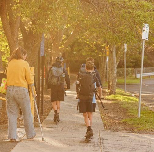
Supporting safe travel to school
Policy 1.3
Educating road users to improve safety
The key actions we will undertake
Develop and implement a Road Safety Action Plan
Apply Safe System principles to all capital works and street upgrades
Use data to identify high - risk locations for targeted safety upgrades
Manage local area traffic and plan infrastructure
Expand Councilʼs Active Paths program6 and school-focused safety initiatives
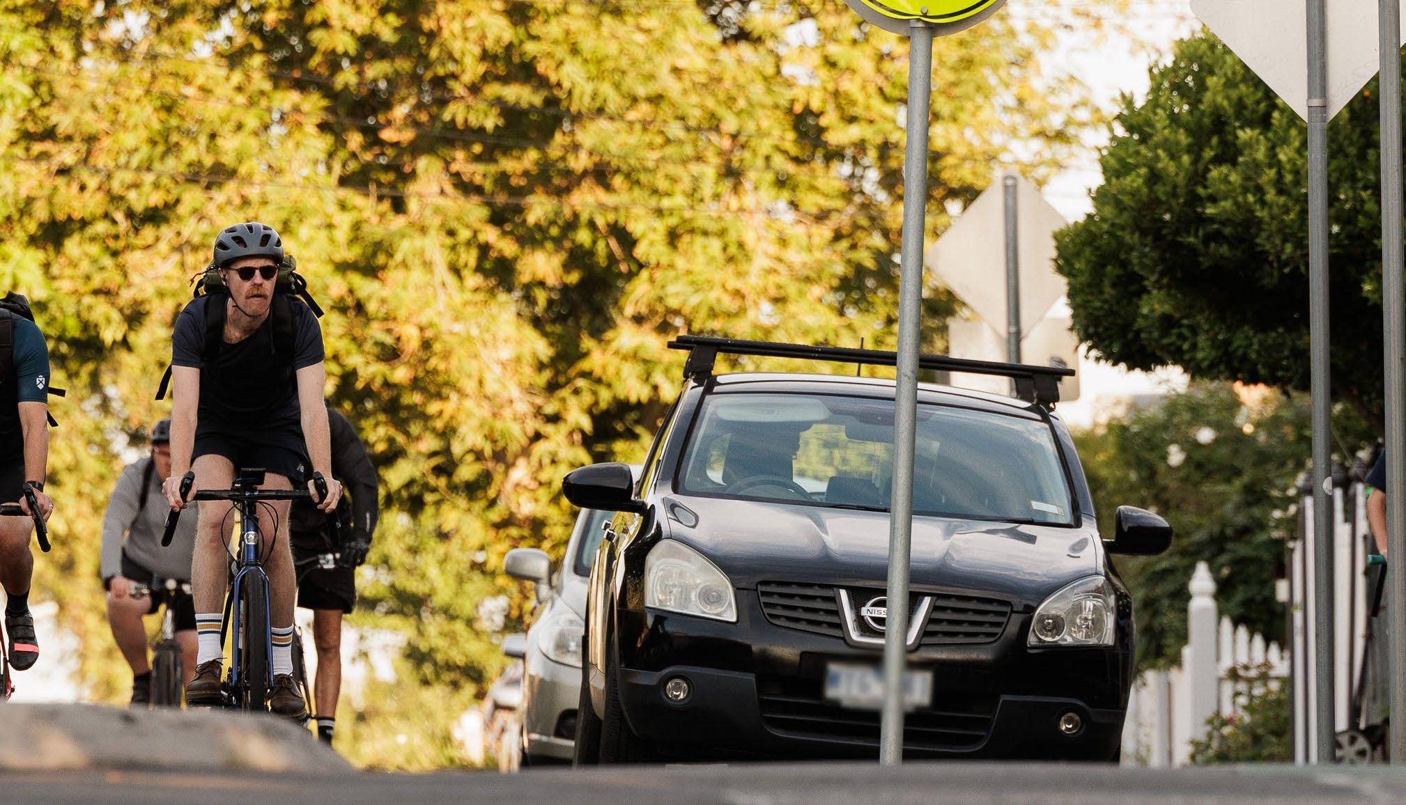
Fewer crashes and close calls. Streets feel safer, with fewer accidents and reports of dangerous incidents.
More people walking and riding. Families feel confident allowing kids to walk or cycle to school, and more locals choose active transport for everyday trips.
Slower, safer traffic.
Speeding is less common in busy areas like shopping strips and school zones, making streets safer for everyone.
Better road awareness.
More people understand how to share the road safely, with stronger community support for road safety initiatives.
Improved data.
An improved evidence base includes ‘near miss’ accident data, to further support road safety initiatives.
• Creating a safer urban environment.
• Minimising the number of crashes and near misses for all road users.
• Lowering posted speed limits.
• Analysing the level of positive local feedback.
• Other relevant qualitative data may also be used in future assessments of success.
A well-connected transport network allows people to move easily between home, friends and family, work, school, and other local destinations and leisure activities. Reliable and frequent public transport, safe and climate -friendly walking and cycling paths, and well-planned activity centres means the community can choose sustainable travel options instead of relying on cars.
The City of Maribyrnong is benefiting from the recently opened Metro Tunnel, which connects local travellers to 5 new underground stations in central Melbourne. including on new high - capacity metro trains.
To make the most of this development, Council will continue to work with the DTP to improve our pedestrian and cycling networks and local public transport links to railway stations, making it easier to walk, ride or catch a bus to the rail network.
Gaps in transport services and infrastructure still leave some areas poorly connected, leading to longer and more difficult journeys, or trips foregone because they are too difficult.
By improving transport connections and advocating for new electric buses and accessible trams, and for improved service frequency, we can reduce congestion, lower transport costs, and create a more connected and accessible community.
Policies to support this priority are:
Policy 2.1
Encouraging mixed-use development in activity centres and around public transport nodes
Policy 2.2
Applying smarter traffic management
Policy 2.3
Reimagining local freight systems and city logistics
Policy 2.4
Protecting and promoting community safety
Policy 2.5
Advocating for faster, smarter, better-connected public transport
The key actions we will undertake
Develop an Active Transport Action Plan to prioritise walking and cycling infrastructure across the municipality.
Develop Movement and Place assessments for key transport and activity corridors to reimagine streets as places for both people and movement.
Undertake corridor studies along priority routes (for example, Barkly/Hopkins Streets, South Road) to plan targeted upgrades for connectivity, safety and parking.
What success will look like
Develop Movement and Access plans for key railway stations and an advocacy plan for the Maribyrnong Defence Site to embed walkability and seamless public transport connections.
Partner on the Yarraville Level Crossing Removal Project to enhance pedestrian and cycling connections and create a safer, more connected neighbourhood.
Easier local trips. People can easily get to work, school and local destinations without having to use a car if they so choose.
Reliable public transport. Buses and trams run more frequently, including more at night and on weekends, and connect smoothly with other travel options.
Less congestion, safer streets. Smarter traffic management and better freight routes reduce bottlenecks to make roads safer and improve local amenity.
More vibrant communities. Well-planned neighbourhoods mean people live closer to shops, services and public transport, making daily life more convenient.
Fewer ‘trips not made’. Reduced transport barriers ensure equitable access to jobs, services and social opportunities.
How we will measure it
• More people living near public transport, making it easier to walk, cycle or use public transport for daily trips.
• Increased local activity and reduced reliance on cars, which will ultimately enhance livability.
Priority area 3
People in Maribyrnong should have real choices in how they get around, whether it be by walking, cycling or using sustainable transport to get somewhere or for recreation.
Plan for smaller, more efficient ways to travel safely, including private scooters, personal mobility devices, and motorcycles.
A sustainable transport network isn’t just about reducing car use, it’s also about making streets safer, cleaner and more enjoyable for everyone. Well-designed walking and cycling routes provide people with an easy, healthy and cost- effective way to travel.
High-quality walking and cycling networks connect people to their intended destination, creating meaningful links and routes that do not stop short of destinations, and provide seating, bins and other amenities along the way.
More trees, green spaces and better infrastructure make our streets more welcoming while also reducing heat and improving air quality.
We will endeavour to integrate high - quality urban design practices when undertaking streetscape and local area improvements to achieve a greener and more environmentally sensible urban environment where people want to spend time and move through.
However, transforming our transport system to prioritise walking and cycling can be complex. Retrofitting streets to include safer bike lanes, wider footpaths and more greenery often means reallocating space from other road users. While this can require changes to on - street parking and traffic flow, the long-term benefits are clear: less congestion, improved air quality, healthier communities, and a better quality of life.
Policies to support this priority are:
Policy 3.1
Making cycling a safe and easy option
Policy 3.2
Encouraging walking and cycling as a part of everyday life
Policy 3.3
Increasing the number of green streets to create cooler neighbourhoods
Policy 3.4
Promoting mode shift to active transport and public transport

The key actions we will undertake
Design and deliver priority active transport projects (bike lanes, pedestrian treatments, key intersection upgrades).
Work with State Government on strategic cycling links and intersection improvements to respond to changing travel patterns.
Undertake detailed planning and early design for new priority north–south cycling options to strengthen the municipal cycling network.
Deliver key pedestrian infrastructure upgrades to improve safety, accessibility, and walkability.
Collaborate with the State Government to separate vehicles and bike riders on high -traffic roads, enhancing safety for active transport users.
Develop a Public Transport Action Plan for the municipality to support Councilʼs advocacy for public transport infrastructure and service improvements, including consideration of both short- and longer-term options.
More people choose active and public transport. Walking, cycling and public transport become preferred options for daily trips.
Healthier residents. People are healthier due to cleaner air and more active lifestyles.
Fewer cars on the road. Car numbers stabilise or reduce as more people walk, cycle and use green transport.
More livable environment. Landscaping and tree planting resulting in cooler urban areas, improved comfort and greater climate resilience. There is greater use of electric, hybrid and no- or low - emission transport options.
How we will measure it
• Tracking tree cover, and how many people choose walking, cycling or green transport instead of driving.
• Monitoring local EV uptake, use of charging stations and improvements in community health and activity levels.
Advocate to the State Government on public transport projects and initiatives.
Everyone in Maribyrnong should be able to move around the city easily, regardless of age, ability, background, or how they travel. Accessible transport means more than providing ramps and lifts. It is about creating a barrier-free network that allows choice.
Regardless of whether someone is using a mobility aid, pushing a pram, or is unfamiliar with the transport system, they should feel confident that they can reach their destination safely, efficiently and comfortably.
Not everyone experiences transport in the same way. Some groups, including people with disabilities, older residents, culturally and linguistically diverse (CALD) communities, women, children, gender-diverse and those in lower-income households, often face greater challenges in accessing transport. These challenges are particularly evident in active transport modes and heighten existing vulnerability concerns.
By progressively shifting the focus from simply providing a suite of targeted transport options to ensuring people can reach where they need to go, we can create a more equitable, inclusive and welcoming city.
Policies to support this priority are:
Policy 4.1
Making it easier to get from place to place
Policy 4.2
Shifting the focus from mobility to access
Policy 4.3
Meaningfully engaging with diverse and other identified communities
The key actions we will undertake
Investigate and upgrade footpaths and crossings to meet Disability Discrimination Act 1992 (Cth) (DDA) standards, ensuring safe, accessible paths for people using mobility aids, prams and wheelchairs.
Develop an ‘Access and Inclusion Lens’ for transport projects to embed inclusive design across all strategy and infrastructure work.
Make equitable access a core principle of all transport and land-use planning, focusing on who can reach essential services rather than just travel efficiency.
What success will look like
Improve data collection, engagement and monitoring with underrepresented groups to better understand and address transport disadvantage.
Review and update Parking Management, Resident Permit, Disabled and Carshare policies to prioritise safe, accessible kerbside use for people with disabilities, community transport, rideshare and essential services.
Safer and more accessible active and public transport options. Safe and accessible walking and cycling infrastructure, and improved connections to frequent, high - quality public transport.
Inclusive access for all.
Everyone can easily reach the places they live, work and visit through safe, accessible transport infrastructure.
Trips aren’t avoided.
Transport services are frequent, reliable and easy to use, so no one avoids making a trip due to lack of options or safety concerns.
Equitable travel satisfaction. Residents of all ages, abilities, backgrounds and genders are equally satisfied with their travel options.
Universal design standards applied.
Infrastructure and services meet accessibility requirements, ensuring everyone can use them comfortably.
Consistent safety and comfort. Feedback and surveys show transport is safe and comfortable for all user groups.
Reduced transport disadvantage. Better access and services ensure essential destinations are within reach for everyone.
How we will measure it
• Through community surveys, access audits and transport data, tracking whether people of all abilities, ages and backgrounds can travel safely, confidently and without barriers.
Priority area 5
Maribyrnong is a city that embraces change and looks to the future. As new technologies and ways of moving emerge, we want our community to be at the forefront, benefiting from safer, more efficient and more sustainable transport solutions.
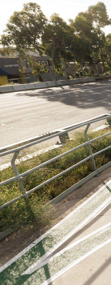
Whether itʼs harnessing data to improve transport planning, trialling new mobility options like e-scooters and on-demand transport, or making public transport or parking more accessible with more efficient traffic flow, we have an opportunity to shape how innovation improves everyday travel for our residents.
To stay ahead, we need to be flexible and ready to adapt, monitoring advancements and opportunities. The transport landscape is constantly evolving, and Council must be prepared to explore new ideas while ensuring they align with the needs of our diverse and growing population.
By working closely with the manufacturing, education and health sectors, we can trial and implement forward -thinking approaches to getting around Maribyrnong.
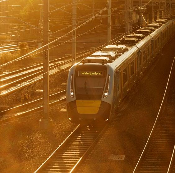
Policies to support this priority are:
Policy 5.1
Using data to make smarter decisions
Policy 5.2
Prioritising a pedestrian-friendly environment for the future
Policy 5.3
Rethinking parking and movement for the future
Policy 5.4
Embracing emerging transport technologies
The key actions we will undertake
Develop a future transport and mobility discussion paper exploring emerging trends, EVs, autonomous vehicles, shared mobility, MaaS and smart technologies.
Establish a transport data program to routinely collect and analyse travel patterns, including pedestrians, cyclists, public transport, local road access, freight and parking.
Apply transport modelling and scenario testing to guide evidence-based future investment decisions.
Support safe trials of new transport services, such as e-scooters and on-demand shuttles, in partnership with the State Government and industry.
Expand access to EV charging stations and ensure EV-ready infrastructure in new developments.
Allow for safe short-term bicycle, e-bike and motorcycle parking.
What success will look like
Efficient, adaptable network. Our transport network works better for everyone and can respond to change.
Flexible, low-emission travel. Residents can choose convenient, sustainable ways to get around.
Innovation drives opportunity. Investment in infrastructure and local projects creates benefits for everyone.
Technology improves trips. Everyday travel is easier, more connected and more reliable.
How we will measure it
• Take-up of new mobility services.
• Levels of digital engagement.
• Reduction in car use in key areas.
• Local satisfaction with access to emerging options.
• The level of investment in transport innovation.
In Maribyrnong, we know that great transport isn’t just about roads, rail and paths, it’s also about people. The way we choose to travel shapes our health, our environment and how connected we feel to our community.
This priority area is critical to achieving a sustainable mode shift as populations grow and diversify, and traditional cardependent patterns create congestion, environmental impacts and inequitable access. Encouraging a shift towards walking, cycling, public transport and emerging mobility options requires reshaping local attitudes, embedding sustainable travel into everyday choices and supporting this with infrastructure, incentives and education.
By fostering a culture that values shared, active and low-emission modes, we can reduce pressure on road networks, improve health outcomes and create more inclusive, connected communities that align with the evolving needs of residents and businesses alike. Through education, targeted trials, infrastructure improvements, and better daily experiences, we’ll create a transport culture that’s healthier, fairer and better for our future.
Together, we can make moving around Maribyrnong easier, greener and more enjoyable for everyone as our municipality experiences growth and change in the coming decades.
We’ll promote initiatives and activities to foster a communitywide transition towards sustainable transport choices by embedding new norms, shifting mindsets and embracing diverse worldviews that recognise the environmental, social and economic benefits of walking, cycling, public transport, and shared mobility.
Policies to support this priority are:
Policy 6.1
Embedding sustainable mobility in community values
Policy 6.2
Inspiring mode shift through education and engagement
Policy 6.3
Normalising sustainable travel through everyday experience
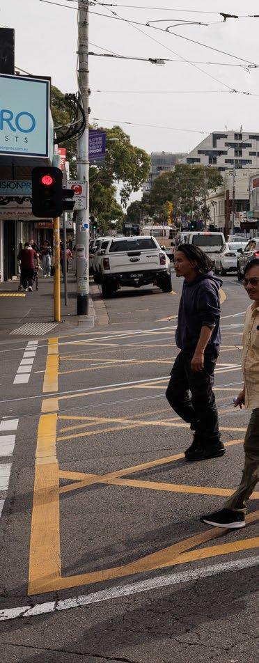
The key actions we will undertake
Roll out targeted behaviour change programs and local awareness initiatives to encourage safer, more sustainable travel choices.
Foster public understanding of transport’s role in action on climate change, enhancing livability and driving greater equity, integrating messages into schools and to residents, local groups and businesses.
Co-design behaviour change programs with the community, run trials, such as Ride2Work Day, car-free days, cycling education programs or micromobility hubs and showcase diverse transport stories.
What success will look like
Remove practical and cultural barriers to active and public transport, improving wayfinding, safety, comfort and inclusivity in public spaces to ensure our residents can get around easier.
Develop baseline data, key performance indicators and targets for network performance to track progress and guide behaviour change.
Active and shared travel as default. People choose walking, cycling, public transport and shared options for most short trips.
More people try sustainable travel. Residents across all groups see sustainable travel as normal, convenient and valued.
Convenient, safe, relevant options. Sustainable travel fits daily routines and local streets feel safer, calmer and more vibrant.
How we will measure it
• Counts and qualitative indicators, such as perceptions of active and public transport trips on key routes.
• Community attitudes towards transport.
• Levels of enrolment in road safety and active transport programs.
• Mode share statistics.
• Program participation rates.
• Travel behaviour surveys.
A great transport network doesn’t just happen. It takes careful planning, strong partnerships and ongoing commitment to delivering real change for our community. Council has been working hard to formulate a plan to do this.
To turn this vision into reality, we developed an implementation pathway that breaks our work into 3 stages:
01
Kickstart (0–3 years)
The first stage focuses on quick wins, improving existing transport connections, making our streets safer and addressing the most pressing accessibility issues.
These early actions will set the foundation for bigger changes ahead.
Gaining momentum (4–7 years)
This stage is about embedding long-term improvements, reshaping how people move around and making it easier to choose sustainable transport options.
We’ll build on the progress made in the early years and work towards meeting our key objectives.
03
Locking it in (8–10+ years)
By this stage, we want our transport system to reflect our long-term vision, one where people have real choices in how they travel, public transport is a reliable and attractive option, and walking and cycling are safe and enjoyable.
This is about ensuring the changes we’ve made are lasting and continue to benefit future generations.
Table 2 summarises our policies by priority area and shows where those policies sit in our 3-stage approach.
Priority area 1: Safer streets for all
1.1 Supporting safer streets
1.2 Supporting safe travel to school
1.3 Educating road users to improve safety #
Priority area 2: Connecting our community
2.1 Encouraging mixed-use development in activity centres and around public transport nodes #
2.2 Applying smarter traffic management
2.3 Reimagining local freight systems and city logistics
2.4 Protecting and promoting community safety
2.5 Advocating for faster, smarter, better-connected public transport
Priority area 3: A sustainable way to travel
3.1 Making cycling a safe and easy option
3.2 Encouraging walking and cycling as part of everyday life
3.3 Increasing the number of green streets to create cooler neighbourhoods
3.4 Promoting mode shift to active transport and public transport
Priority area 4: Accessible places and destinations
4.1 Making it easier to get from place to place
4.2 Shifting the focus from mobility to access
4.3 Meaningfully engaging with diverse and other identified communities #
Table 2: Our long-term implementation pathway # Ongoing effort or initiative Priority area policies
Priority area 5: Leading the way in transport innovation and technology
5.1 Using data to make smarter decisions #
5.2 Prioritising a pedestrian-friendly environment for the future
5.3 Rethinking parking and movement for the future
5.4 Embracing emerging transport technologies #
Priority area 6: Culture change and behavioural shifts
6.1 Embedding sustainable mobility in community values
6.2 Inspiring mode shift through education and engagement
6.3 Normalising sustainable travel through everyday experience
While Council is responsible for managing local transport infrastructure, many of the most significant improvements to safety, access and public transport rely on action and investment from the state and federal governments.
Council has identified a series of key transport advocacy priorities, specific locations and corridors where investment in road, public transport and pedestrian infrastructure will deliver the greatest benefit to the community.
These projects have been identified through strategic planning, technical assessments, and community feedback.
Rail projects
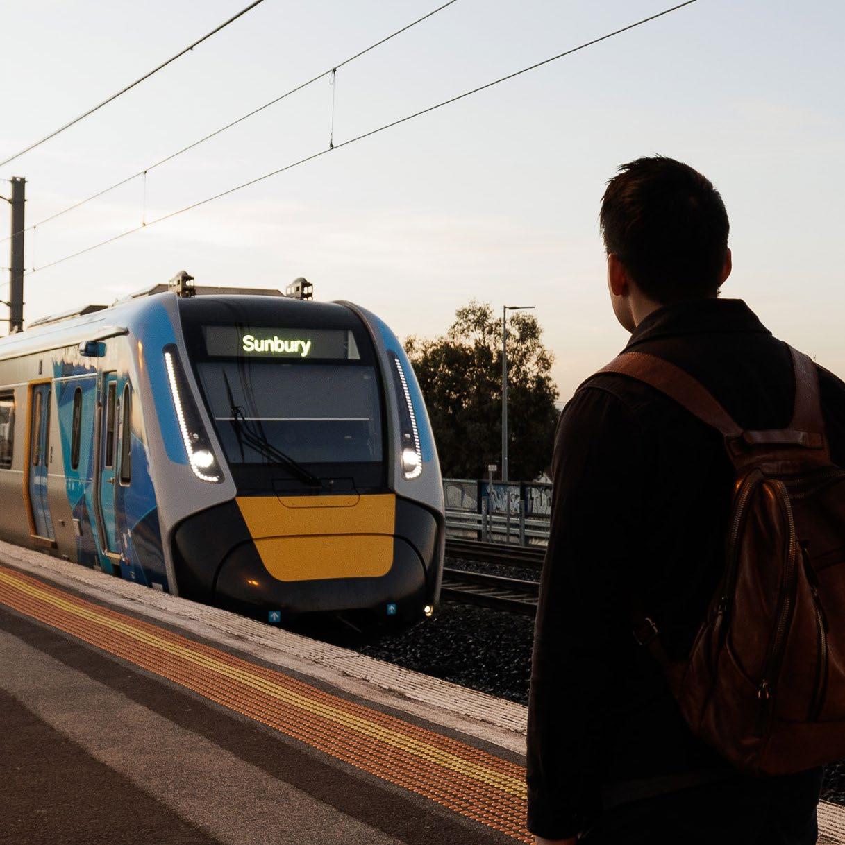
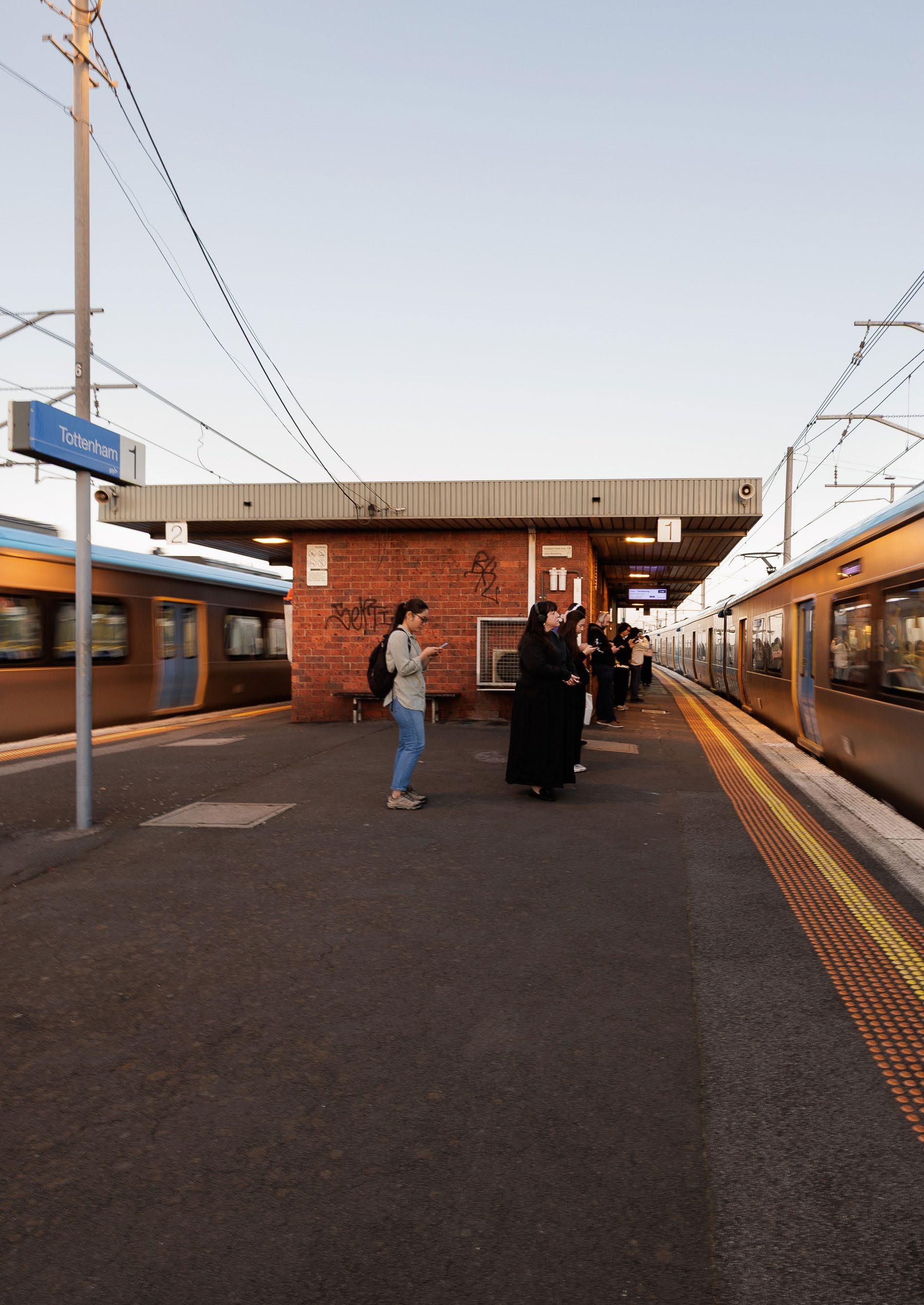
Upgrade Seddon and renew Tottenham railway stations.
Remove the Anderson Street level crossing at Yarraville railway station and improve the streetscape and station access.
Advocate for level crossing removals on Sunshine Road, Somerville Road and Francis Street to improve safety.
Bus projects
Fund the delivery of the Footscray Transport Interchange, consolidating buses along Irving Street to ensure the precinct can safely and efficiently accommodate future demand and facilitate safe connection to other modes.
Improve the bus network to deliver faster, more reliable and better connected services across Melbourne’s west.
Advocate for bus reform, including bus priority measures, to provide fast, frequent and direct services, particularly in areas across the municipality with limited access to other public transport options.
Implement Infrastructure Victoria’s recommendation for a rapid transit bus route between Highpoint Maribyrnong and Tarneit, via Ashley Street and Tottenham railway station, facilitating interchange between modes.
Construct accessible tram stops along all of route 82, including the Leeds Street tram terminus.
Fund and deliver a new tram terminus along Leeds Street, as part of the broader route 82 accessible stop upgrades.
Plan for the extension of tram route 57 and bus services into the Maribyrnong Defence Site to deliver an accessible route, including a high-quality interchange.
Plan for a western extension of the tram network to deliver a highfrequency and high-capacity public transport connection between Sunshine and Maribyrnong.
Plan for an eastern extension of the tram network to deliver a highfrequency and high-capacity public transport connection between Footscray and Docklands.
Commence widening of the Ashley Street underpass to facilitate the Sunshine Superhub Project, in preparation of subsequent road widening north along Ashley Street and south along Paramount Road.
Improve walking and cycling connectivity by constructing a direct, high-quality shared user path between Sunshine, Tottenham, West Footscray and Braybrook.
Fully signalise the intersection at Hampstead Road, Emu Road and Crefden Street, Braybrook.
Fully signalise the intersection at Hopkins Street, Hallenstein Street and Moreland Street, Footscray.
Implement truck curfews along Williamstown Road, Yarraville.
Continue to work with relevant authorities such as Freight Victoria and the Port of Melbourne to manage freight movements in a way that balances economic activity with community safety and amenity.
Continue to manage local safety impacts arising from changing truck traffic associated with the new West Gate Tunnel.
Collaborate with the State Government to monitor and address pedestrian and cyclist safety concerns that may arise from additional truck traffic along Williamstown Road, Yarraville as a consequence of the new West Gate Tunnel opening.
Apply a Movement and Place approach within the central Footscray activity centre to improve walking, cycling and public transport access and downgrade the movement functions of cars and trucks, particularly along Whitehall Street, Barkly Street, Moore Street and Buckley Street.
Improve public transport frequency, service days, connectivity and integration to reduce car dependence and support sustainable transport use.
Support a range of safe and sustainable transport options, including motorcycles and EV charging needs, to provide residents and businesses with cleaner mobility choices.
Support measures to improve access to car share services, including close to higher-density housing, retail and transport hubs. Continue to work with car share providers to identify other locations with potential.
An overview of these priority advocacy projects is shown in Plan 9: Transport Advocacy 2050 (see Appendix C Transport plans).
Council will continue to collaborate with the DTP, adjacent councils and other stakeholders to advance these projects and align them with community needs.
A great strategy is one that adapts, evolves, and delivers real results for our residents and businesses.
By combining traditional data sources with new technologies, we can gain a clearer picture of what’s working and where improvements are needed.
To ensure weʼre on the right path, weʼll measure success against clear key performance indicators linked to each objective. These will help us assess whether our streets are becoming safer, more accessible and better connected for everyone.
Some of the tools we’ll use include:
Traffic counts and community surveys: undertaking regular studies to track how people travel and what they need.
Interactive maps and public feedback tools: giving residents a voice to report access challenges, near misses or highlight places they love.
Wearable technology and smart data: exploring how real -time mobility data can inform safer, more efficient transport planning.
Advanced monitoring: using sensors and cameras to count pedestrians, cyclists, public transport users, and mobility aid users, helping us to design inclusive spaces that work for everyone.
Transport data quality and visibility: improving the quality and visibility of our baseline data to include both qualitative and quantitative insights and to use gender disaggregated and inclusive metrics. Regular monitoring will ensure outcomes are tracked and no groups in our community are being left behind.
Universities and schools: continuing to build on our relationship with local universities and schools to collect data related to user behaviours and needs.
A good strategy isn’t set in stone; it grows and changes. We will:
• review progress regularly: by using real-time data and community feedback, we can refine our approach and ensure we continue moving in the right direction
• frequently review the strategy: we’ll keep what is working and change what is not to ensure the strategy remains fit for purpose.
• be flexible and resilient: we’ll stay open to emerging transport technologies, new mobility trends, and the needs of our growing local government area.
To understand whether the Strategy is making a difference, Council will track a focused set of indicators over time. These will help show whether transport in Maribyrnong is becoming safer, better connected, healthier, more accessible, more future ready and more sustainable.
Outcome area What we are trying to achieve
Connected
Easy access People can easily reach homes, jobs, schools and services
Efficient travel
Travel is reliable and not unnecessarily delayed
Accessible
Inclusive transport
Equal access
Transport is accessible for all ages and abilities
Everyone can reach key destinations regardless of mode
Some indicators measure direct outcomes, such as crashes, travel patterns or access to services. Others help show how people experience the network, including whether they feel safer, can get around more easily and face fewer barriers. Together, they provide a balanced picture of progress.
The indicators against which we will measure our performance and track our progress are set out in Table 3.
How we measure success Measure 2036 target direction
Access to transport and key destinations
Travel time and reliability on key routes
Transport barriers and accessibility audits
Access to services and transport options
% of population within 800 m walk of frequent public transport and key services
Travel time (speed) and reliability on key corridors by mode
Proportion of population requiring assistance to access transport services
Increase access to neighbourhoods
Improving reliability and reduced travel times
Reduce transport barriers over time
Origin–destination surveys Expand equitable access
Community transport surveys
New ‘trips not made’ metric baseline established in 2026
% of population with access to frequent public transport and key destinations
Regular DDA audits and infrastructure gap analysis
Safe
Safe streets for all
No deaths or serious injuries on our transport network
Safer local roads
Council roads are becoming safer over time
Fatal and serious injury crashes across the municipality
Fatal and serious injury crashes on Council roads
Fatal and serious injury (FSI) crashes per 100,000 population (all roads)
FSI crashes per 100,000 population (Councilmanaged roads)
85th percentile speed on all roads in the city
85th percentile speed on Council-managed roads
Annual serious injury crashes per 10,000 residents on Council - managed roads
5-year rolling average of serious injury crashes per 10,000 residents on Council - managed roads
Towards zero fatalities and serious injuries
Steady reduction year on year
Safe speeds People drive at safe speeds in local streets and activity centres
Speed compliance and operating speeds in key areas
% of vehicles travelling at or below the posted speed limit in school zones and activity centres
% of vehicles complying with posted speed limits (including in school zones and activity centres)
Majority of travel within safe speed thresholds
Community safety People feel safe travelling in the city
Sustainable
Lower emissions
Transport emissions are reduced
Mode shift More trips are made by sustainable transport
Community survey on perceived safety
Community perception of safety (by mode)
Improving perception of safety across all modes
Cooler streets Streets are greener and therefore cooler
Transport emissions performance
Travel behaviour across modes
Clean fleet transition Transport system is transitioning to zero emissions
Urban greening along transport corridors utilising water sensitive urban design (WSUD)
Vehicle fleet transition
Transport emissions per capita (modelling)
Mode share (walking, cycling, public transport, private vehicle)
Mode share data (VISTA and ABS Census)
Travel behaviour surveys
Counters on paths
Super Tuesday and Super Sunday surveys
% of tree canopy coverage and shade along active transport routes
Tree planting program numbers
% of Council fleet that is zero - emission
Steady reduction towards net zero
Significant increase in sustainable mode share
Increase urban tree canopy and shaded routes
Majority zero - emission fleet and rising EV uptake Average reduction in fleet vehicle emissions
Active lifestyles
More people walk and cycle for everyday trips
Active transport participation
Walking and cycling counts and survey results
Modern transport system Technology improves how the transport system works
Innovation New transport options are available and used
Use of digital and smart transport systems
Uptake of new mobility options
Use of real-time transport information and digital engagement platforms
Use of shared mobility and micromobility services
Table 3: Performance indicators for Maribyrnongʼs integrated transport system
Increase walking and cycling share of trips (year on year)
Greater use of smart transport systems
Growth in new and shared mobility use
accessibility How easy it is for people of all ages and abilities to get to places. This includes people using mobility aids or prams or with limited mobility.
active transport Getting around using physical movement, such as walking, cycling, scooting or using a wheelchair. This can include electric-assist options, such as e-bikes or mobility scooters.
Department of Transport and Planning (DTP)
Disability Discrimination Act 1992 (Cth) (DDA)
The DTP is a State Government department responsible for integrating transport and land-use planning across the state. The DTP oversees the development, delivery and coordination of transport systems, urban planning, infrastructure projects and housing strategies to support sustainable growth, accessibility and livability in Victoria.
The DDA is Federal Government legislation that makes it unlawful to discriminate against a person on the basis of disability in areas such as employment, education, access to public premises, the provision of goods, services and facilities, accommodation and public transport. The DDA promotes equal rights, opportunity and access for people with disability and supports the removal of physical, social and attitudinal barriers within the community.
e-bike
e-mobility
Pedal-assisted electric-powered bicycles with electric motor support.
E-mobility refers to transport powered by electricity, including electric vehicles, e-bikes, e-scooters and other electric-powered transport options used for personal or shared travel.
e-scooter Electric personal mobility devices for short trips.
electric vehicles (EVs) Vehicles powered by electricity instead of petrol or diesel. EVs help reduce air pollution and greenhouse gas emissions.
first and last kilometre access (often referred to as first and last mile access)
How easy and safe it is for people to get from where they start to the transport network, and from the network to their final destination.
freight Goods transported by trucks, trains or other vehicles. Freight routes move products from ports and warehouses to shops and businesses.
green transport Low- and zero-emission transport modes and systems.
integrated transport A transport system in which different ways of travelling, such as buses, trains, walking and cycling, work together smoothly to make it easier to complete a full journey.
integrated transport and land use
The coordinated planning of transport systems and land use to support accessible, connected and sustainable communities, ensuring development is aligned with transport infrastructure and services to enable efficient movement of people and goods.
micromobility Small, lightweight transport options used for short trips, such as bikes, scooters, e-scooters, e-bikes and skateboards. These can be motorised or non-motorised and used on their own or in combination with public transport.
mixed-use development
mobility
Development that combines different land uses, such as residential, commercial and retail, within the same location or building.
The ability for people to move around and reach where they need to go using different transport options. This includes (but is not limited to) walking, cycling, driving, using public transport and mobility aids.
mobility scooter / mobility device
mode share
mode shift
Movement and Place
Mobility as a Service (MaaS)
on-demand transport
placemaking
public transport
Safe System approach
shared mobility
transport-related emissions
veloway
Motorised mobility aids for people with limited mobility.
The percentage of people using each type of transport mode, such as walking, cycling, catching public transport or driving for their trips.
This concept can also extend to freight and the means with which goods are moved (i.e. truck, delivery van, motorcycle, car, e-scooter).
A change in how people and goods move, typically from car use to more sustainable options, such as walking, cycling, public transport or rail for freight.
A planning framework that recognises streets perform 2 key functions – as movement corridors for people and goods, and as places where people live, work and spend time – and that seeks to balance these roles in transport and land-use decisions.
A transport approach that brings different travel options, such as public transport, walking, cycling, rideshare and car share, together into a single, integrated service that people can plan, book and pay for in one place.
Demand-responsive user-booked transport services.
Planning and design to improve the use of public space.
Transport services such as buses, trams and trains that are available for everyone to use.
A road safety approach that designs streets and vehicles to reduce the risk of serious injury or death, even when people make mistakes.
Shared-use transport services accessed by multiple users, such as car share (e.g. short-term vehicle hire), bike and e-scooter share and ride-hailing and on - demand transport (e.g. Uber).
Greenhouse gas emissions generated by transport activity.
A high-quality, fully separated bicycle commuter corridor.
Transport planning in Maribyrnong is shaped by a range of federal, state and local strategies, plans and policies that set the framework for integrated, safe and sustainable transport outcomes. Table 4 lists the main ones.
This strategy ensures consistency with these broader directions while tailoring responses to the unique needs of the municipality.
Federal and state legislation and strategies Local strategies and plans Local policies, guidelines and standards
• Black Spot Program 2025–26
• Bus Plan Victoria
• Disability Discrimination Act 1992 (Cth)
• Disability Standards for Accessible Public Transport 2002
• Metropolitan Cycling Strategy
• Movement and Place in Victoria – February 2019
• National Freight and Supply Chain Strategy 2019
• Plan for Victoria 2025
• Road Management Act 2004 (Vic)
• Transport Integration Act 2010 (Vic)
• Victoria’s Climate Change Strategy 2026–30
• Victorian Cycling Strategy 2018–28
• Victorian Freight Plan 2025–30
• Victoria’s Infrastructure Strategy 2025–55
• Victorian Road Safety Strategy 2021–30
• Victoria’s Transport Plan
• Air Quality Improvement Plan 2022
• Climate Emergency Action Plan 2020–25
• Climate Emergency Strategy
• Housing Strategy 2018
• Integrated Water Management Plan 2023–33
• LGBTIQA+ Strategy and Action Plan
• Maribyrnong 2040: Community Plan
• Maribyrnong Bicycle Strategy 2020–30
• Maribyrnong Council Plan 2025–29
• Municipal Health and Wellbeing Plan 2025–2029
• Open Space Strategy 2013–31
• Principal Bicycle Network
• Pedestrian Network
• Public Transport Victoria Network Development plans
• Road Management Plan 2021
• Road Safety Strategy and Action Plan 2021–30
• Walking Strategy 2023–33
Table 4: Transport strategies, plans and policies
• Braybrook North Employment Precinct Framework Plan 2022
• Central West Structure Plan 2008
• City Design Manual 2017
• Intercultural Strategy 2023–26
• Maribyrnong Development Contributions Plan 2025
• Maribyrnong Planning Scheme
• Medium Density Design Guidelines
• Naturestrip Landscape Policy and Guidelines
• Road Management Plan (Local) 2021 and Roads Register
• Smart City Framework
• Social Impact Assessment Policy and Social Justice Framework 2023–33
• Tree Management Policy and Guidelines
• Tottenham and West Footscray Precinct Framework plans
• Urban Forest Strategy
• West Footscray Neighbourhood Plan
Cycling infrastructure Plans and implements local cycling infrastructure, including bike lanes and bike racks on local streets.
Local roads and streets Manages local roads, including residential streets and minor roads in urban areas.
Pedestrian infrastructure Is responsible for local footpaths, pedestrian crossings and public spaces.
Public transport services Supports and advocates for local public transport options but does not directly operate services.
Public car parking management Manages on-street parking and local car parks within municipalities, including some off-street public car parks, and enforcement, including issuing parking permits and fines.
Road safety education Provides local road safety education and awareness programs in schools, communities and within Council for current and future officers and Councillors.
Traffic management Manages local traffic controls, such as speed limits, parking and traffic-calming measures (e.g. speed bumps).
Oversees and funds major cycling networks that connect broader regions.
Is responsible for major roads, such as arterial roads and freeways.
Is responsible for major pedestrian infrastructure across regional and statewide networks.
Public Transport Victoria oversees public transport services, such as buses, trains and trams.
Regulates and manages designated parking on state - owned land, including large car parks at transport hubs (e.g. railway stations).
Implements statewide road safety campaigns and enforces road safety laws.
Provides funding for national cycling infrastructure initiatives through programs like Active Transport grants.
Provides financial assistance grants and targeted road funding (e.g. Road to Recovery R2R, Road Safety grants).
Provides funding for public transport infrastructure through grants.
Oversees traffic management for major arterial roads, freeways and highways, including statewide road rules and regulations.
Table 5: Transport network responsibilities in the City of Maribyrnong
Leads national road safety campaigns (e.g. Towards Zero Road Safety Strategy) and funds road safety programs.
Oversees national traffic standards and regulations (e.g. National Road Safety Strategy).
Existing pedestrian network
Existing cycling network
Existing public transport network
Existing freight and road network
Future pedestrian network 2036+
Future cycling network 2036+
Future public transport network 2036+
Future freight and road network 2036+
Transport advocacy 2036+
Maribyrnong City Council
Phone: (03) 9688 0200
Fax: (03) 9687 7793
Email: email@maribyrnong.vic.gov.au
Web: www.maribyrnong.vic.gov.au
TTY (Hearing Impaired): (03) 9688 0564
After Hours/Emergency: (03) 9688 0363
Postal address:
PO Box 58
Footscray Vic 3011
Street address:
Maribyrnong Council offices
Corner Napier and Hyde Streets
Footscray