MARGARET DULL
ABOUT ME
I always knew I wanted an education that is human-centric. People have dreams, aspirations, influence. People contribute to making an atmosphere feel so special. I hope to create an environment to guide those yearnings of an everyday civilian. This ideology is what stemmed my passion for urban planning. Cities need more accessible and sustainable outdoor environments for everyday civilians, who are typically condensed in cities that foster all life around us. With that perspective, I have fused my major in Urban Planning with an environmental sustainability design focus to equip myself with the tools to harmonize cities, the outdoors, and the people, all three of which are core catalysts in our society today. I am an extremely ambitious, hard-working, and devoted student who desires to use my education to its full capacity. My dream is to address these core catalysts from an environmental urban design standpoint in the workforce where I can hopefully make a difference.
CONTACT INFORMATION
dullmm@mail.uc.edu | +1.513.439.0775
Linked In Profile
EDUCATION
Bachelor of Urban Planning | University of Cincinnati
College of Design, Architecture, Art, and Planning
Class of 2028 | GPA 3.88
Deaf Studies / ASL Certificate
Education in Environmental Sustainability Certificate
Spanish Certificate
Walnut Hills High School | Cincinnati, OH
Class of 2023 | GPA 4.6 | Honors Diploma
EXPERIENCE
Assistant Manager | Cincinnati Recreation Commission
September 2024 - Present | May 2023 - September 2023
Responsible for supervision of city public pool facility, staff, participants, supplies, and equipment
Test amount of chlorine and acid in the water hourly and adjust chemicals accordingly
Document and file weekly paperwork consisting of various programming and incident reports
Perform head manager duties whenever they were are
Conservation Crew Member | Appalachian Conservation Corps
June 2024 - August 2024
Repaired and constructed trail structures in national parks and forests
Ensured compliance with environmental regulations and “Leave No Trace” principles
Worked effectively as part of a team, including fellow crew members, park staff, and volunteers
Lifeguard
University of Cincinnati | February 2024 - Present Cincinnati Recreation Commission | June 2020 - Present
Supervise patrons attending pool by ensuring safety in and out of the water
Train weekly in CPR, first aid, AED, and water saves/safety
Perform opening and closing duties consisting of cleaning bathrooms, organizing office and front desk, and properly placing pool equipment, and sanitizing facility
Water Safety Instructor | American Red Cross
May 2021 - Present
Instruct swimmers of various ages and levels
Focus on improving swimmer’s survival skills, technique, and water safety
Systematize swimmers’ levels and document progress accordingly onto electronic database
ACTIVITIES
Treasurer | Planning Student Organization
January 2024 - Present
Develop and maintain proper budgets and provide strategic recommendations to ensure financial goals are fulfilled
Discuss with student planners their educational opportunities for their future career
President | DAAPcares
August 2023 - Present
Lead a multidisciplinary, service oriented student organization with a focus on graphic design products for nonprofits in the community
Collaborate and set weekly agendas goals with local nonprofits
Organize financial logistics including club funding
President | High School Kiva Club
August 2021 - May 2023
Coordinated fundraising and micro loans dedicated to underserved communities across the world
Expanded club’s membership from 15 members to 50 in 3 months using community engagement
SKILLS
AWARDS
Dean’s List | Fall 2023, Spring 2024
Community Award | DAAPcares 2024 Showcase
Segal AmeriCorps Education Award
Cincinnatus Century Scholarship
Ladislas and Vilma Segoe Scholarship.
CERTIFICATIONS
CPR / First Aid / AED
Wilderness CPR / First Aid
LEED Green Associate
PERSONAL INTERESTS
Sustainability
Advocacy Backpacking Traveling Sewing / Upcycling Community Outreach
WRITING SAMPLE
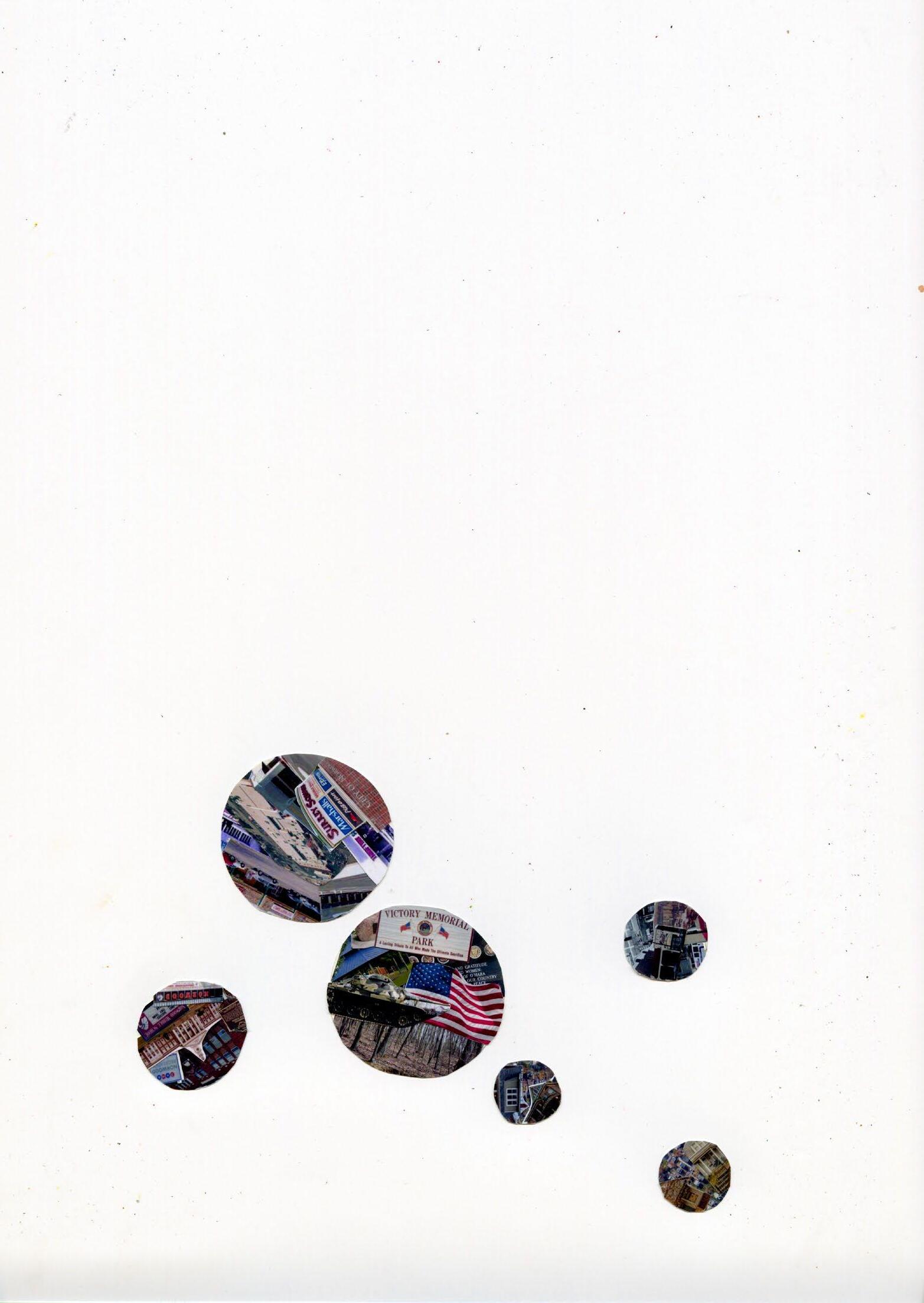
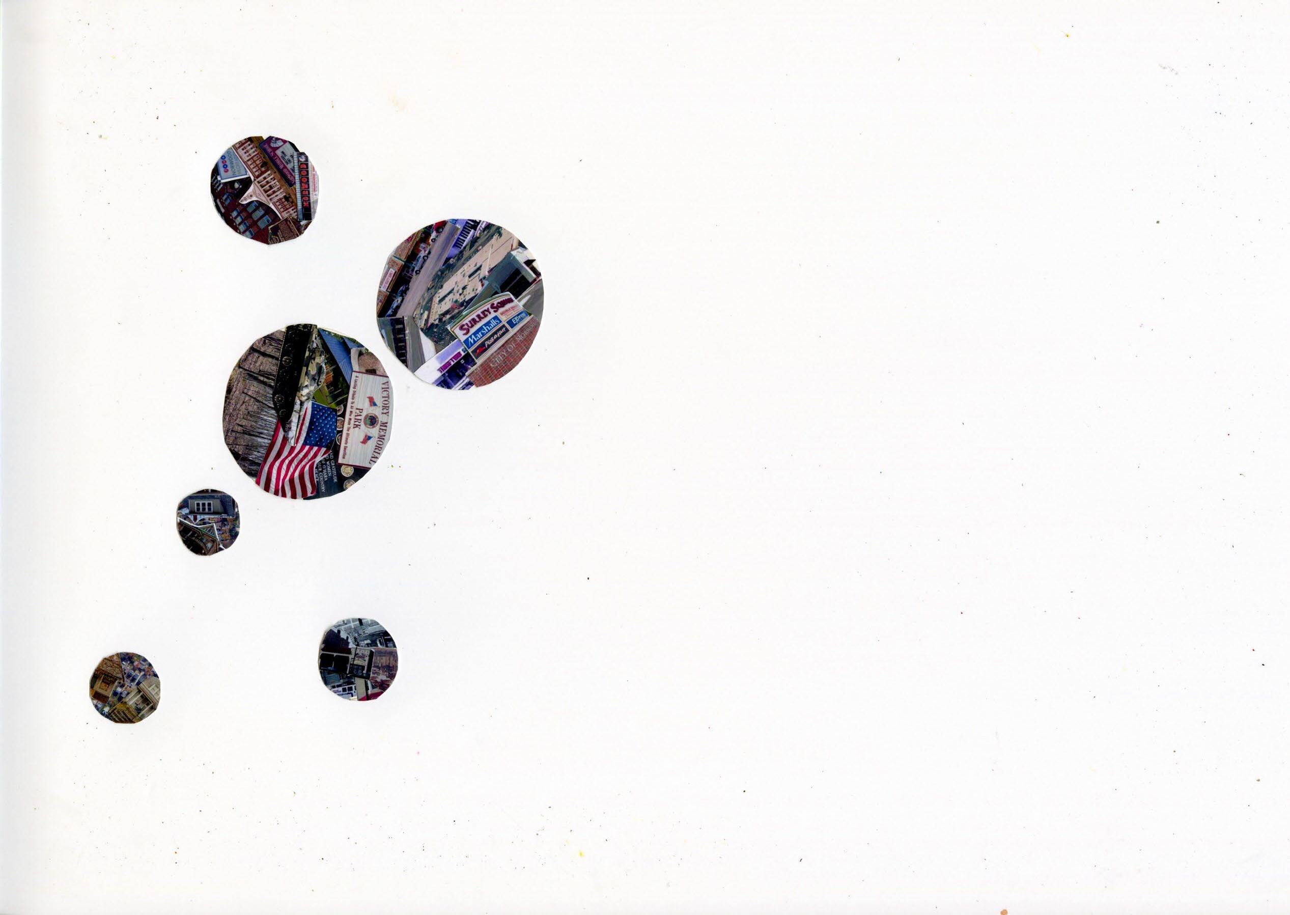
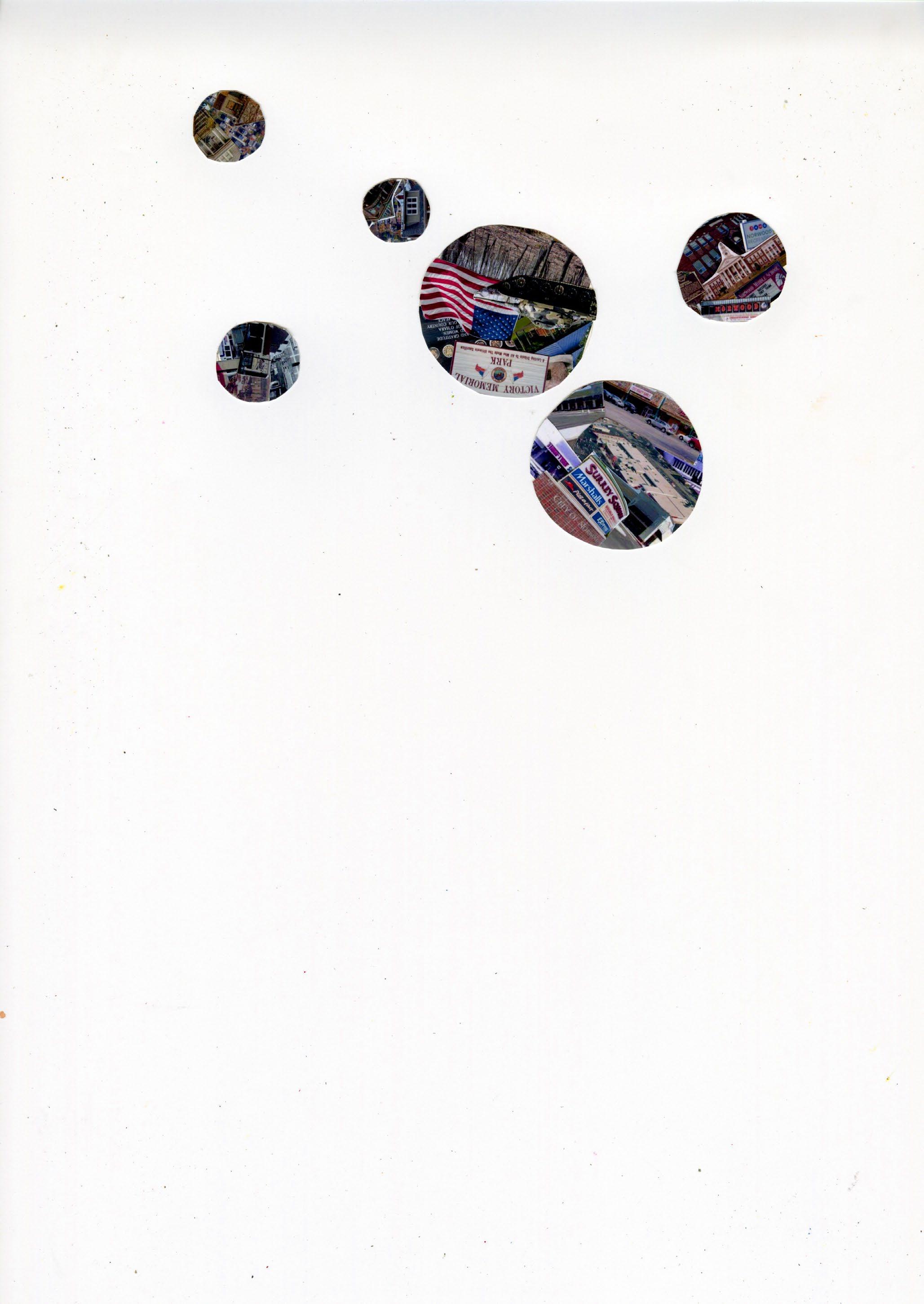
Norwood is an independent city within the city of Cincinnati making itself one of two enclaves within Cincinnati. With Norwood’s roots stemming from the streetcar route of Montgomery Road, the city once thrived and created an industrial, working class, community driven hub. As Cincinnati grew in population and influence, simultaneously during World War II, the over-dependence of cars drastically affected Norwood’s original purpose. A once people-oriented city has now become car dominating with two overbearing roadways dividing the Norwood into four quadrants. As surrounding Cincinnati thrives, Norwood is left struggling due to its limited resources being its own small city surrounded by a prospering one. This struggle has left Norwood with scars and marks from projects that did not allow the city to seek out its fullest potential. With Cincinnati’s new Bus Rapid Transit system set to establish in 2028 along Montgomery Road, Norwood’s core, Norwood has the prior streetcar main street framework to rejuvenate its old cultural roots and become a city for the people again. With a balance of pedestrian oriented streets, third places, and sustainable environmental pushes, Norwood can prosper beyond Cincinnati’s shadow by reverting to its roots, a streetcar suburb.
*Additional samples available upon request.



pages 05-10





02 pages 11-18


pages 19-24 DO WE FEEL


pages 25-30 BACK TO
THE BASICS





BEYOND THE CLASSROOM
pages 31-40






CHICAGO RIVER
CHICAGO RIVERWALK
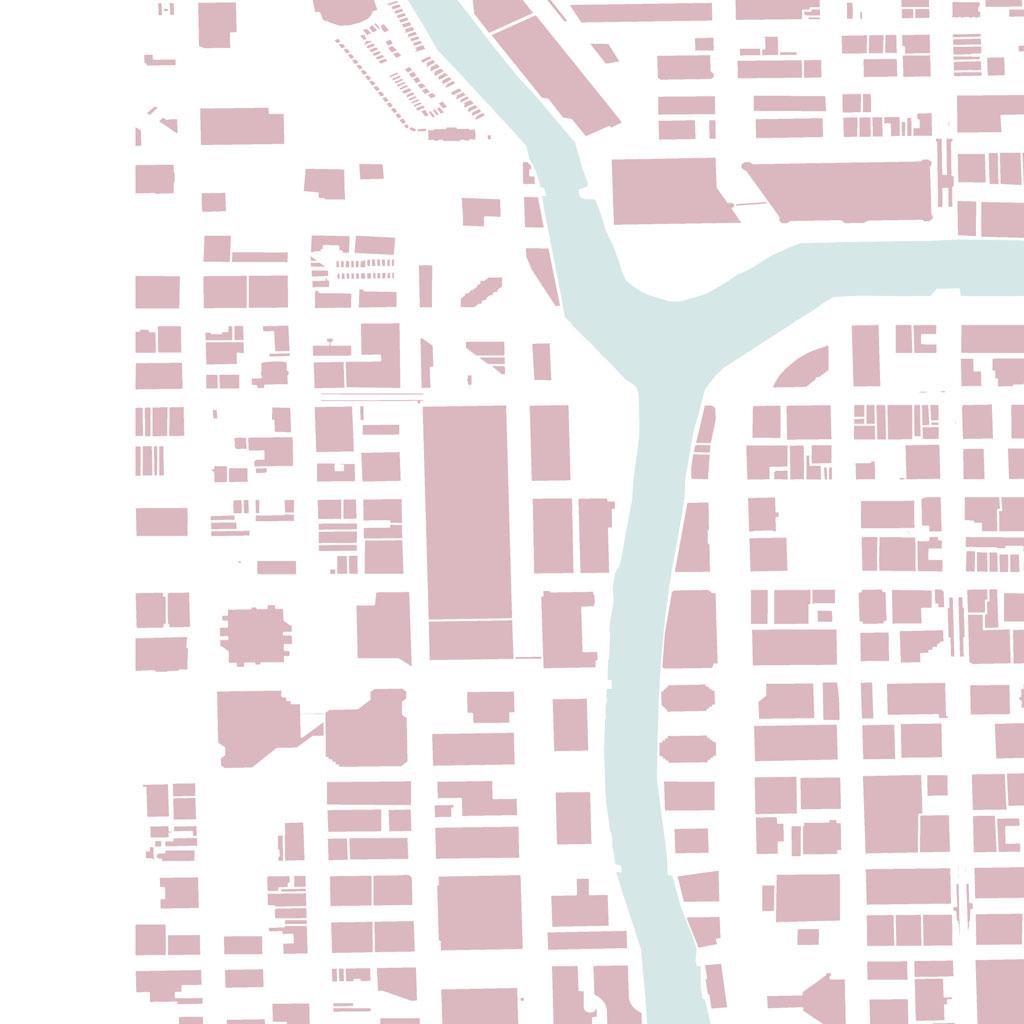
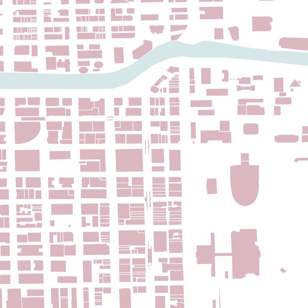
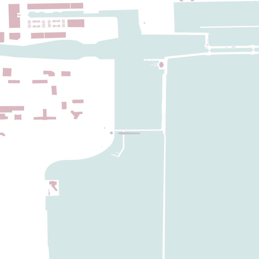
The Chicago Riverwalk is a vital vein throughout the city that prospers human activity, local business economy, and an outdoor environment. These elements are essential among the endlessly paved city. Through many thoughtful features and complex phases, Chicago has successfully created a space for people to congregate, relax, and enjoy the city among the glistening Chicago River water.
RIVERWALK BREAKDOWN | FALL 2024
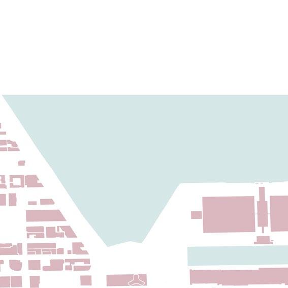
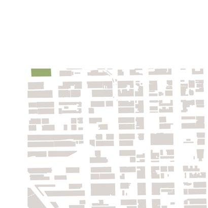
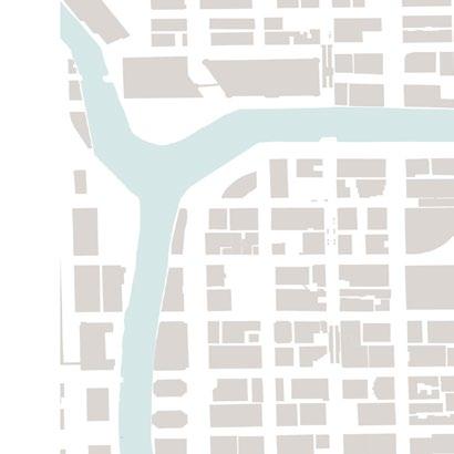
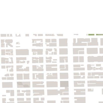
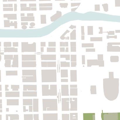
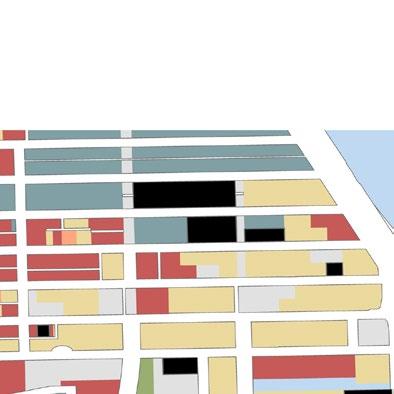
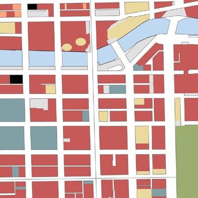
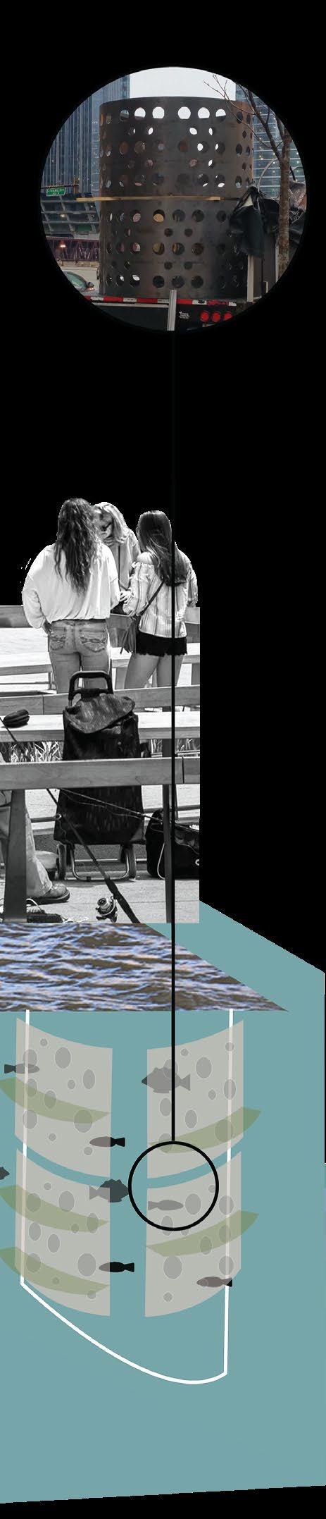
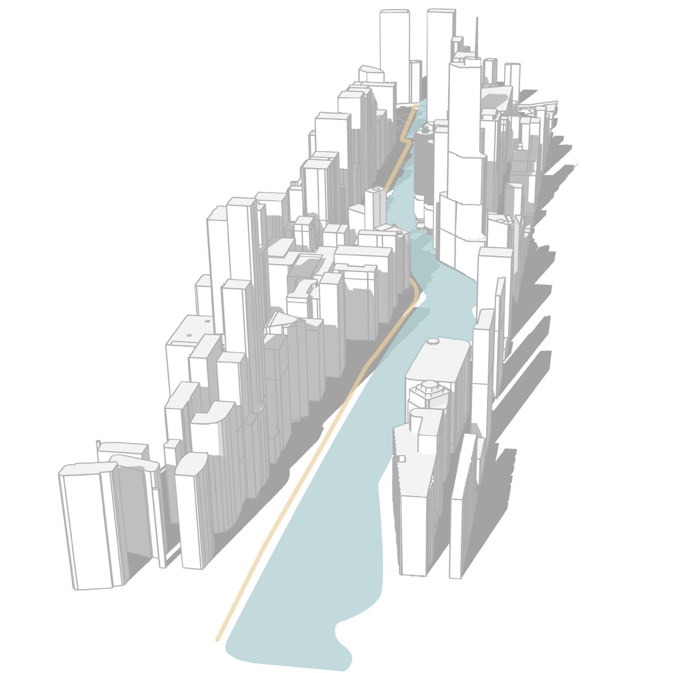
When breaking down Chicago Riverwalk, there is abundant commercial and mixed use within its surrounding area that prospers activity. In addition, there was an effort made to address the aquatic life in the Chicago River in order to keep the fish population high, healthy, and safe. Lastly, these factors as well as building height allow for the noon shadows along the riverwalk to provide plentiful shade and enjoyment for pedestrians along the river to relax.

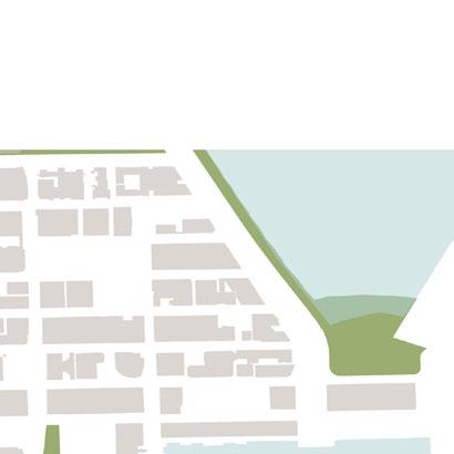
Parks & Greenspace | ArcGIS

Greenspace & Parks
Building Footprint
Body of Water

1in = 2,000 ft

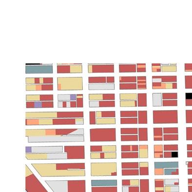
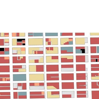
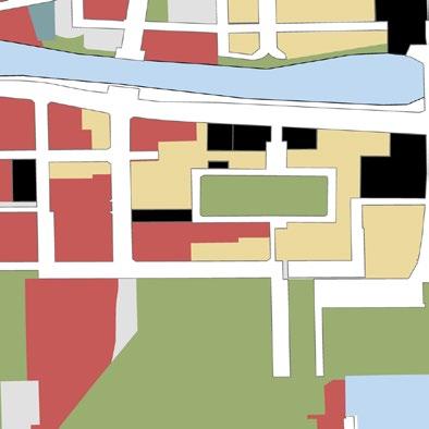
Land Use | ArcGIS & Census Tract

1in = 2,000 ft N N
Many parks including Chicago’s “Emerald Necklace” create an enjoyable outdoor atmosphere along the lakefront



Commercial
Residential
Mixed Use
Industrial
Greenspace & Parks
Municipal
Road Pathways
Vacant Lots
Body of Water

Abundant commercial spaces surrounds the riverwalk encouraging many locals and tourist experience Chicago’s grand downtown
Riverwalk Path
N
Noon Shadow Analysis | SketchUp & Illustrator
CHICAGO RIVER
RIVERWALK PLAN PHASING | FALL 2024
Chicago Riverwalk’s construction broke grown in 2001 where it began its phasing along Wabash Avenue to create a memorial site. After years of construction, the next phase began of extending the riverwalk into the Chicago River to create more pedestrian space. In the final phasing, Chicago utilized its streets that were perpendicular to Wacker Drive to divide up the riverwalk into “rooms.” This long and extraneous project created a space for locals and tourist of Chicago to congregate and endure in exciting actives.

Decreased car lanes
Vietnam Veterans Memorial
PHASE 1
The Illustrator model of phase 1 focused on pushing back Wacker Avenue to create more room for the new Vietnam Veterans Memorial and green, walkable face


PHASE 2&3
The Illustrator model of phase 2 and 3, the preexisting riverwalk was extended outward by 25 feet to create unique “rooms” that were dividing up by the bridges that go perpendicular to Wacker Drive
Trees intentionally planted for shade
Community theater and gathering space
Kayak, coanoe, and boat port
Extended 25ft outward

ANALYZING NORWOOD
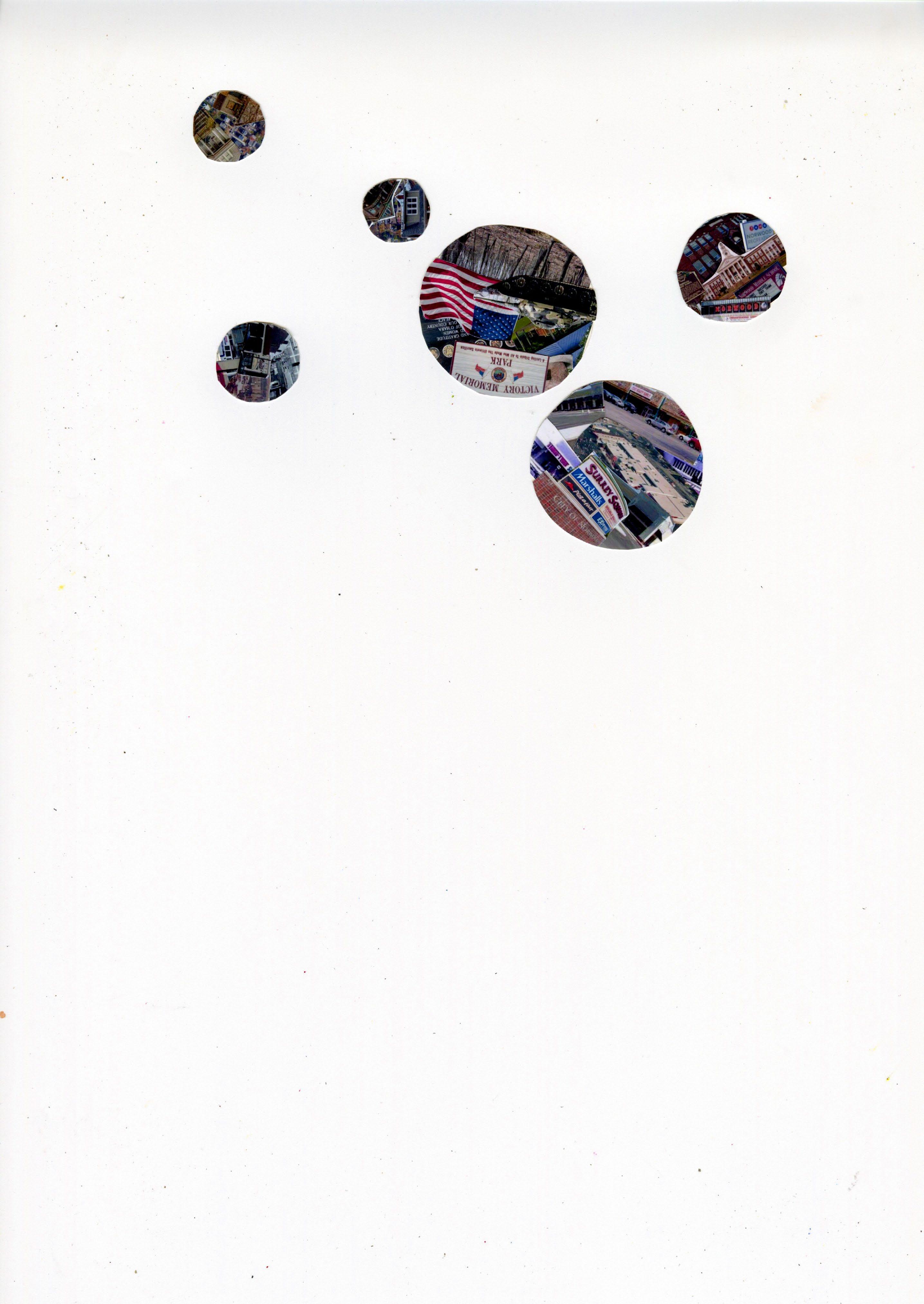
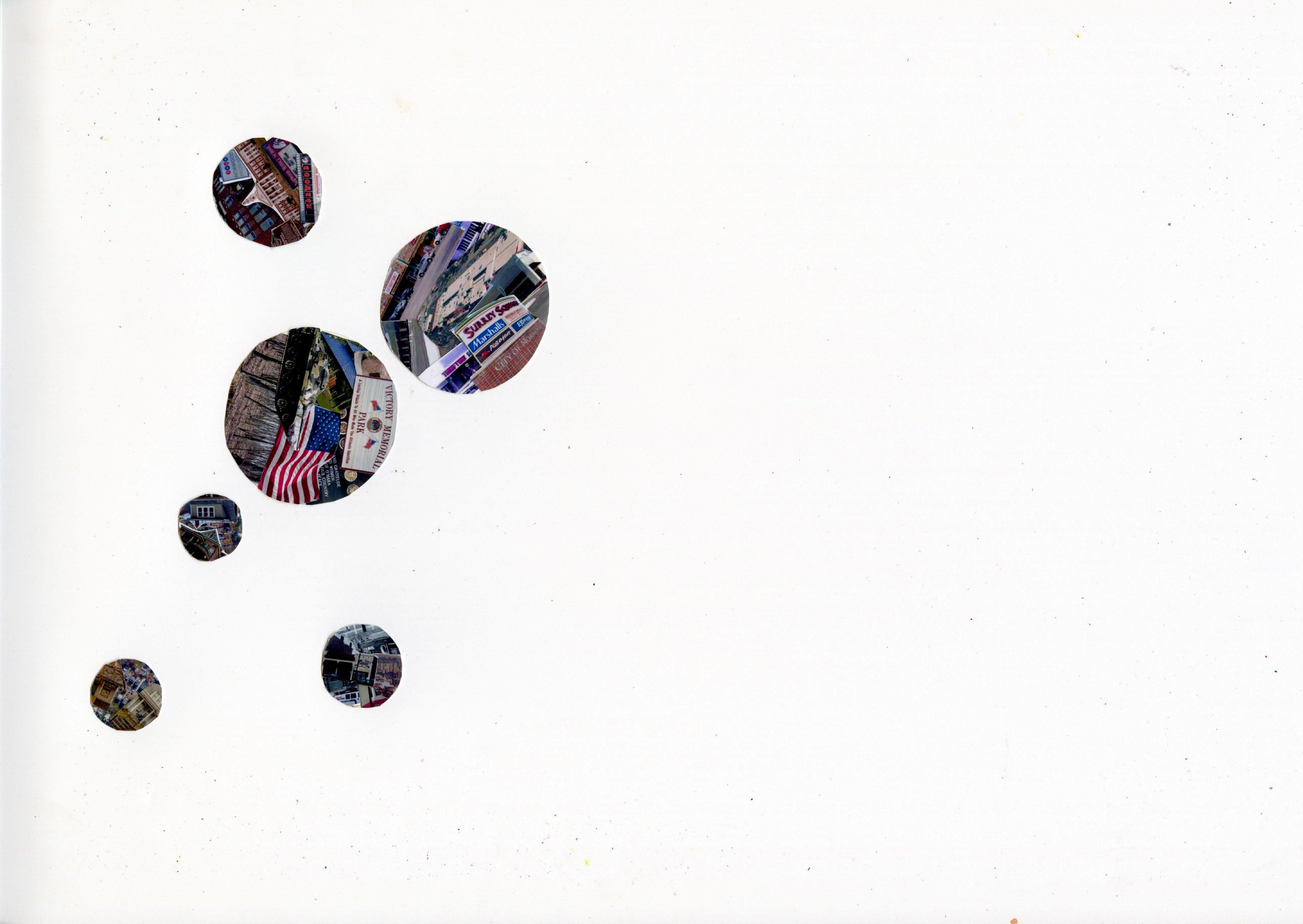
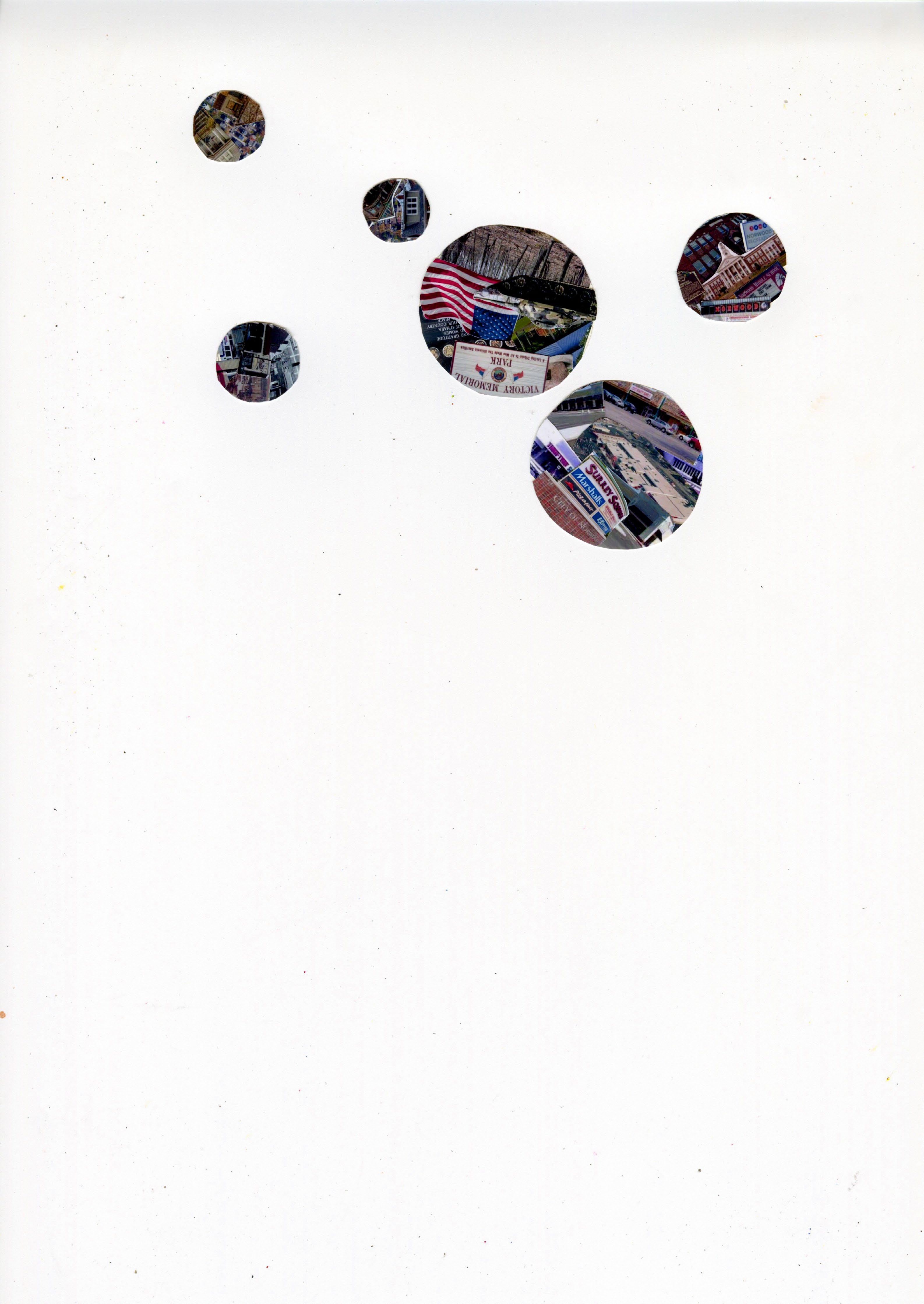
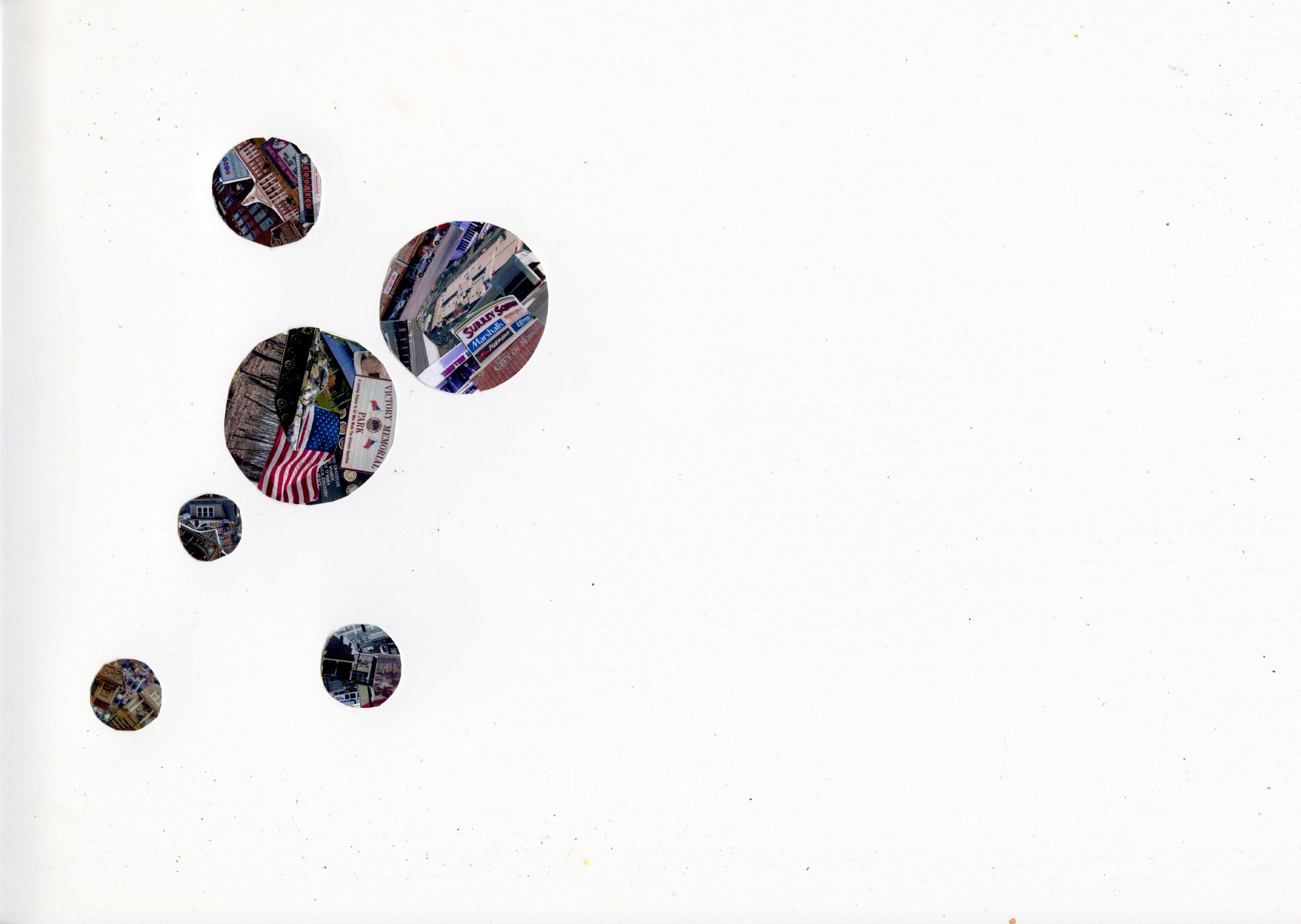
Norwood is an independent city within the city of Cincinnati making itself one of two enclaves within Cincinnati. As surrounding Cincinnati thrives, Norwood is left struggling due to its limited resources being its own small city surrounded by a prospering one. With Norwood’s existing framework, potential factors that can provide a brighter future were dissected to ultimately reignite the city of Norwood within Cincinnati.
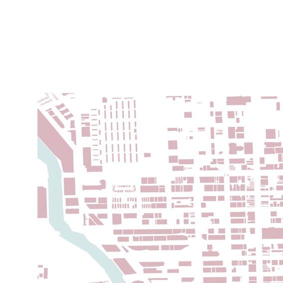
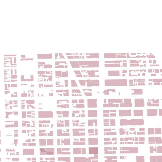
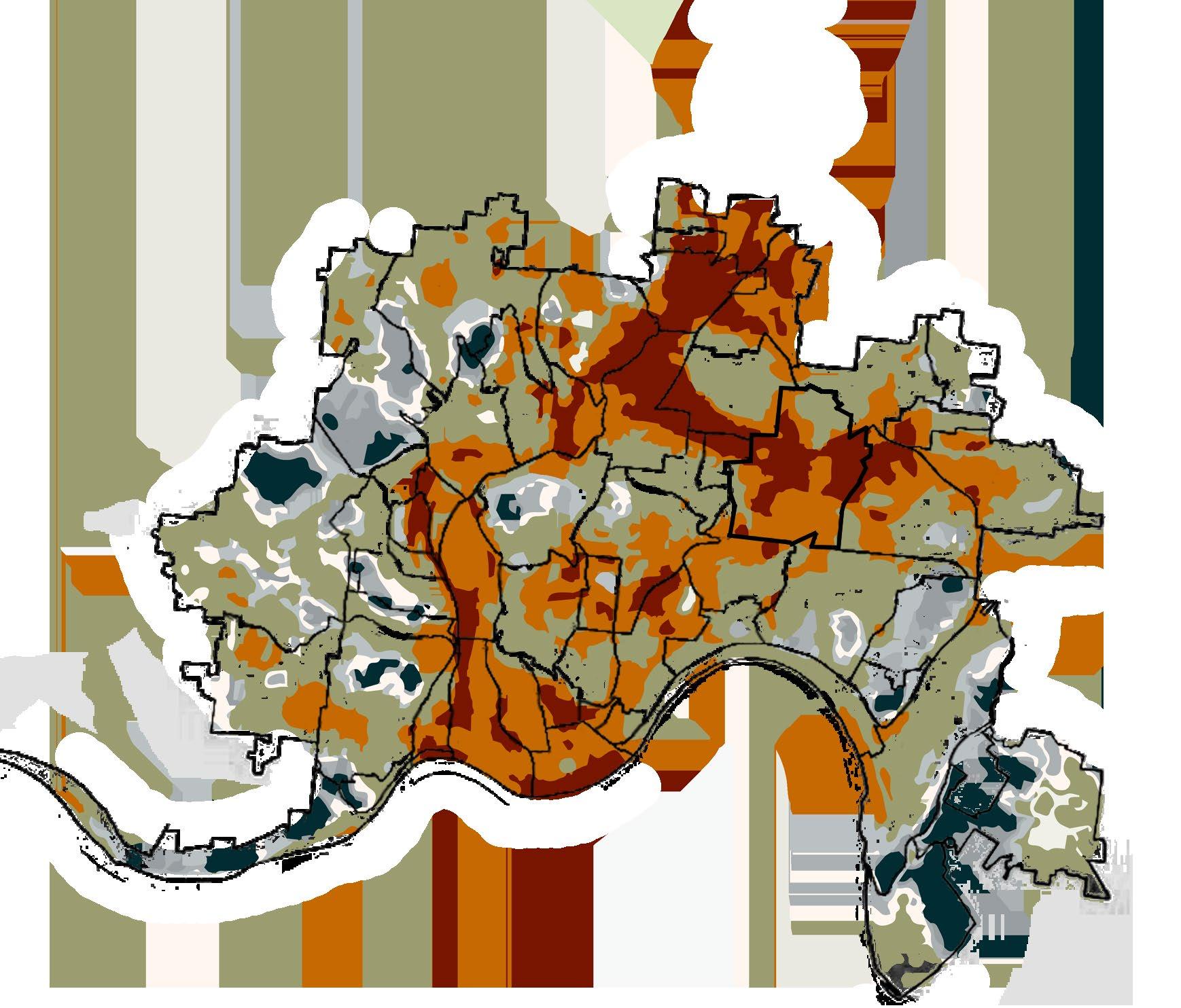
Displayed are several variants of Norwood maps. Norwood has a very complex history of a former streetcar suburb street network converted to an eye-sore interstate connector running directly through the middle. This led to the city’s centralized downtown that has become car centric due to major roadways,
1in = 2,200 ft N
Figure-ground | ArcGIS
Large buildings along core with residential homes abundant on the edges
Large commercial hub surrounding intersection of major roadways with residential on the exterior
Figure Ground 1in = 2,200 ft
Land Use | ArcGIS & Census Tract N
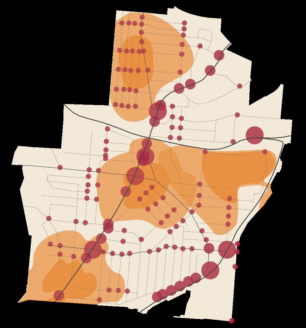

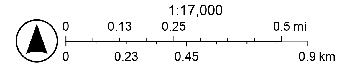
Major intersections including “Norwood Lateral,” which connects Interstate 71 & 75, are shown bisecting Norwood which limits pedestrian accessibility

NAVIGATING NORWOOD’S IMAGE



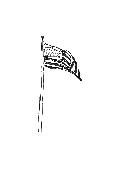

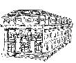
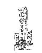
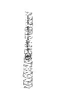
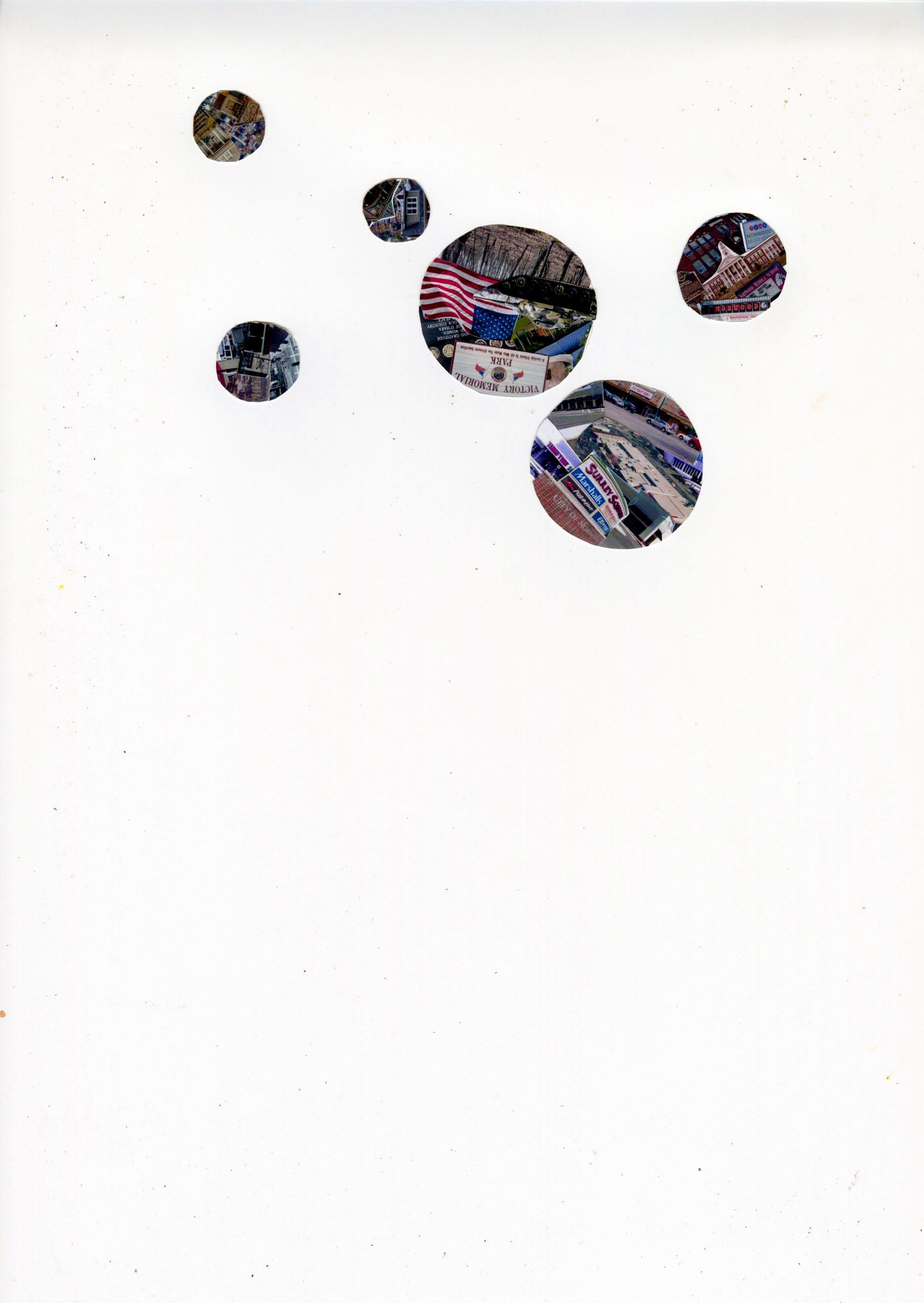
At Norwood’s central plaza and downtown, Surrey Square, there is large visual juxtaposition. The large corporate Kroger is a dominating building compared to local businesses and housing. The cross section and building typology depict the more residential atmosphere Norwood is known for.
Commercial Spaces
New Apartment Homes
Older Single Family Homes

Large Parking Lots
Surrey Square Model | SketchUp & Illustrator
The highlighting model includes a Kroger that is a jarring eyesore in Norwood’s downtown, creating a large disconnection within city’s core.

Residential Street Cross Section | AutoCAD & Illustrator
Norwood is a predominately residential area with many residential heavy roadways. With this, there are little medians with the exception of the residential strip behind Kroger reflected above.

Residential Street Building Typology | Illustrator
With Norwood’s predominate residential districts that date back to the 1960s, building character among homes is common and distinct to Norwood
NORWOOD LATERAL’S FUTURE | SPRING 2024
Norwood Lateral has been a ripped seam of the city that prohibits connectivity due to its isolation and elevation difference. With the revitalization of Norwood Lateral, there is an opportunity for Norwood’s community to perceive the Lateral as a joining point rather than a tear. Displayed is an ambitious redesign using before and afters as well as a Photoshop collage where financial aspects did not have to be considered.
Unsafe Shoulder
Fenced Off, Little Sidewalk
NORWOODLATERAL
MONTGOMERYROAD
Dividing Median
Car Dominated, Isolated Roadway
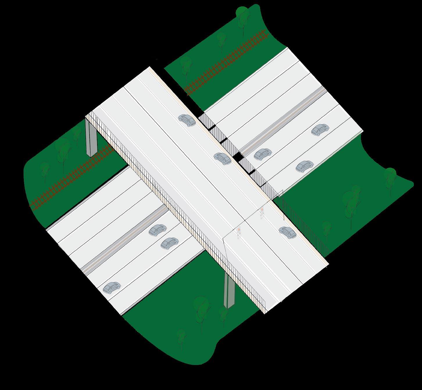
Both Roadways Raised
Pedestrian Friendly Sidewalks
Montgomery Rd Raised
PRESENT DAY NORWOOD LATERAL NORWOOD LATERAL
Bike & Ped Path

Bioswale Vegetation
NORWOODLATERAL
Bike Lane
Little Vegetation
Safe, Interior
BRT Lane
MONTGOMERYROAD
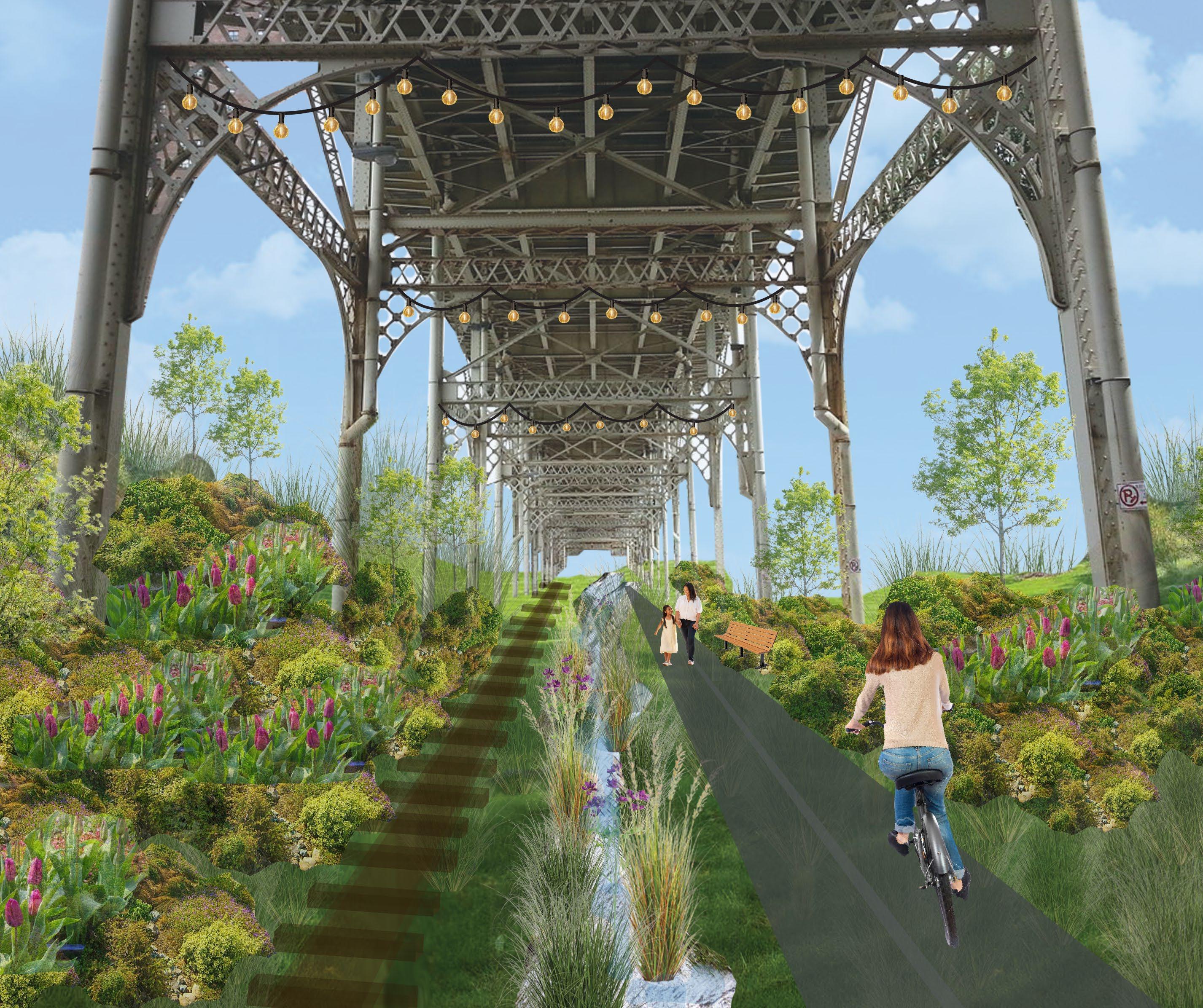
Crosswalk
Ped Ramp
Proper Lighting
Outdoor Seating
Bike & Ped Path
High Visibility Norwood Lateral Bridge
In Use Track
Bioswale Management Creek
Diverse Bioswvale Vegetation

University of Cincinnati Building Enclosure Pathway | Photographed by Margaret Dull
DO WE FEEL SAFE
Moving forward is a project assembled in a print and digital media class in Fall of 2023, my first year, which dissects the feeling of safety throughout the campus of University of Cincinnati (UC) in the lens of a student.
REVEALING FEELING OF SAFETY | FALL 2023
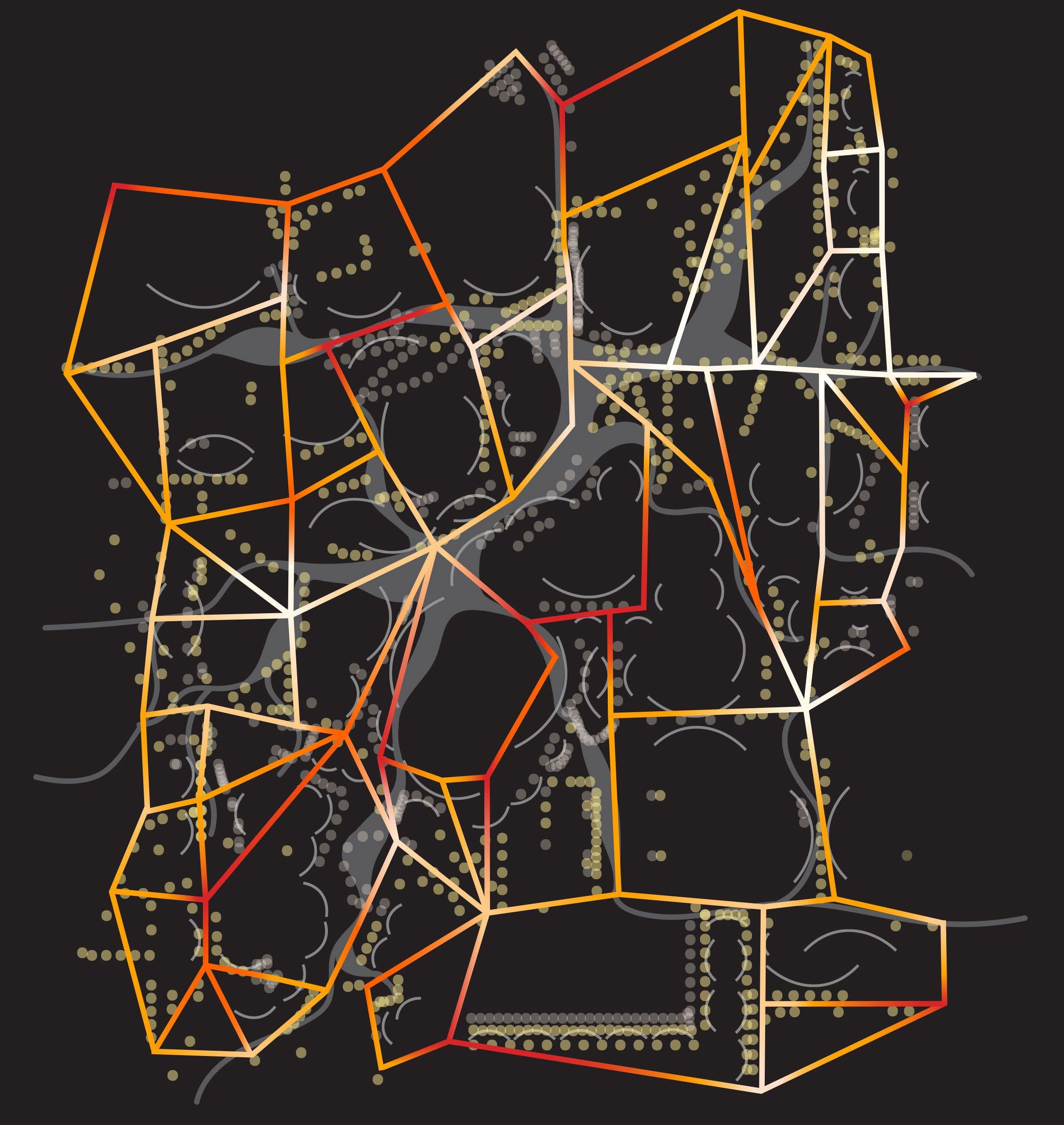
These locations also are abundant in pathways that diverge from campus’ core pathway. Displayed are visuals of where on UC’s campus there are abundant unsafe feelings specifically at night. Unsafe locations beyond the core pathway the strings along in the middle are most commonly found. Factors such as poor lighting, tight building enclosure, and low foot traffic were the dominant key factors that led to certain location’s classification of safety level, red being unsafe and beige being more safe. The Illustrator graphic portrays an abstract visual of where these locations are in relation to campus.
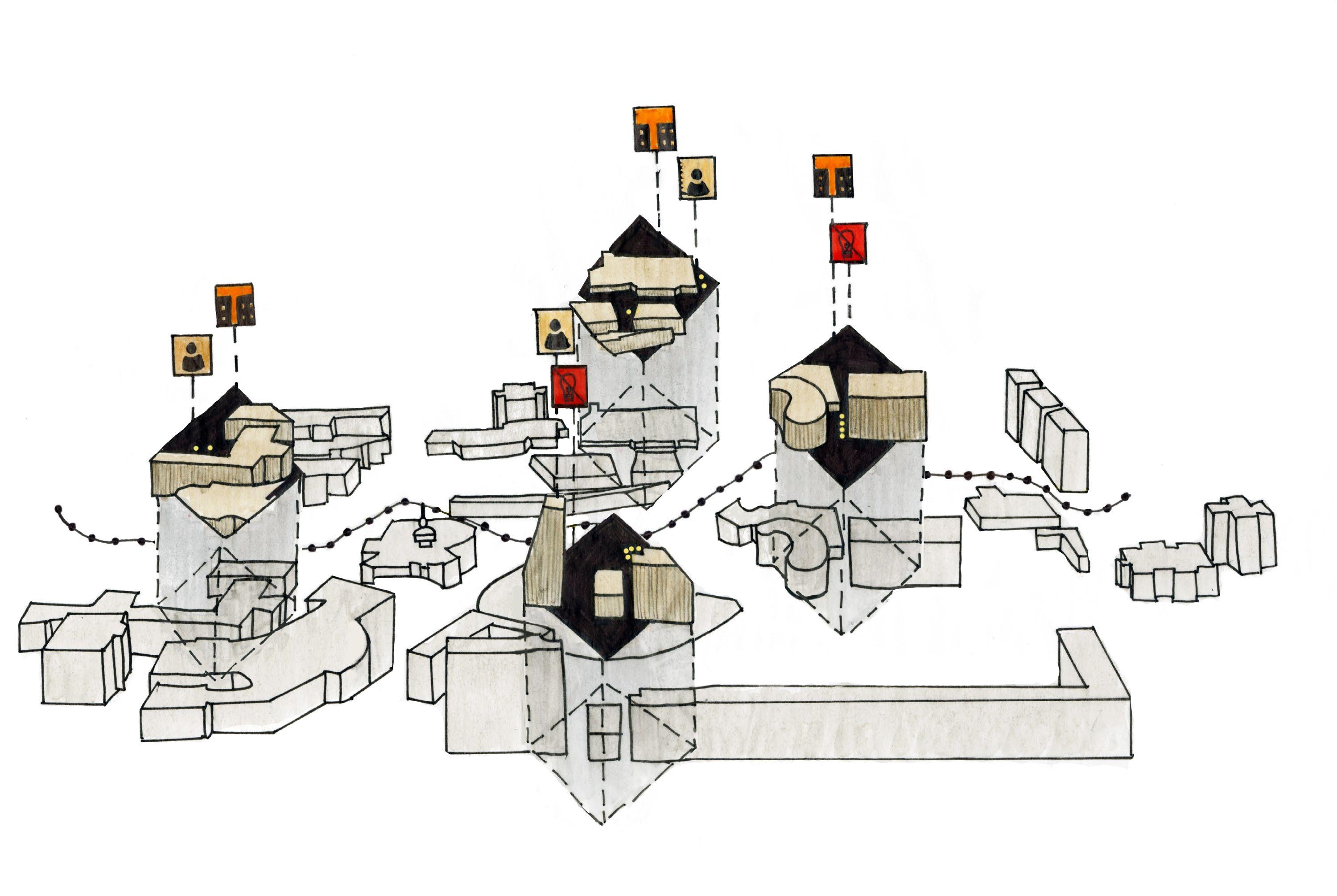



Infographic of Locations that Feel Unsafe | Hand Drawn
With the factors of poor lighting, building enclosure, and low foot traffic the highlighted locations were decided. Poor lighting was weighted more and low foot traffic was weighted the least.
Lack of Lighting
Core Pathway
Building Enclosure
Low Foot Traffic
WHERE DO YOU FEEL UNSAFE? | FALL 2023
Locations diverging from UC’s core pathways are often where the factors of an unsafe feeling are significant. Shown are the specific locations that stood out with a disproportionate increasing data of unsafe feeling factors. These locations were intended to create a realistic rendering and sketch to enhance the features of why they would feel unsafe. The key factor was these locations were taken into account at night, so each image is portrayed in that manner.
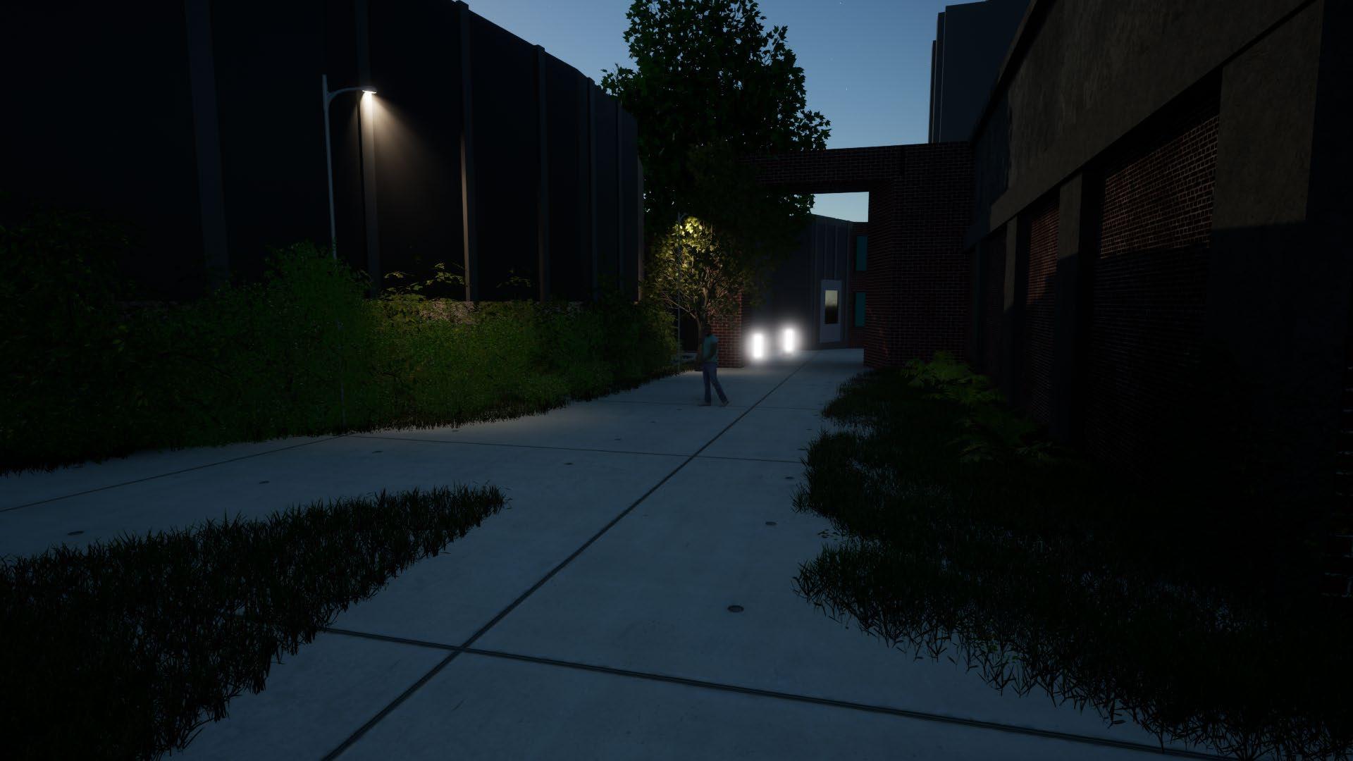
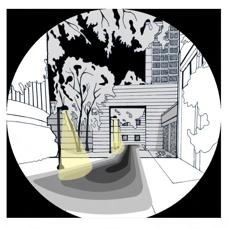


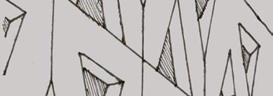


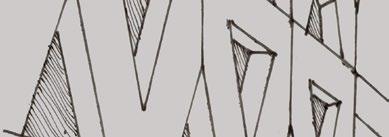

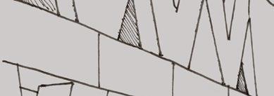


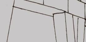
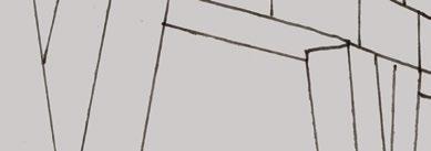

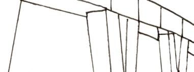
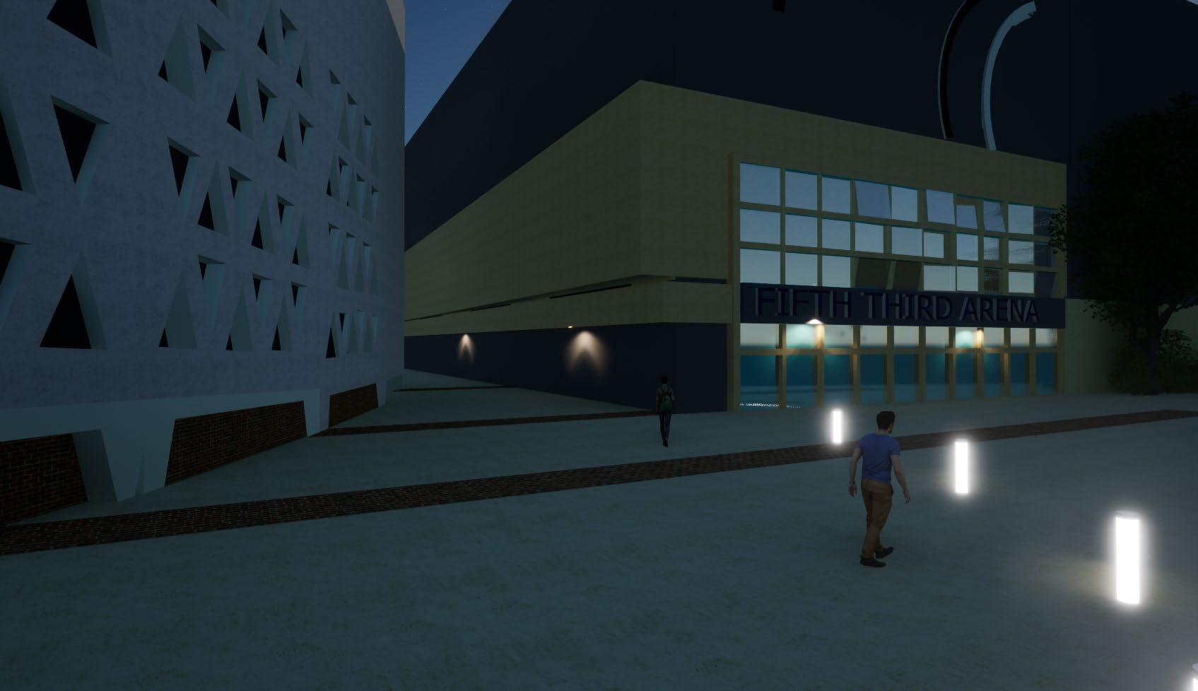



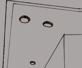
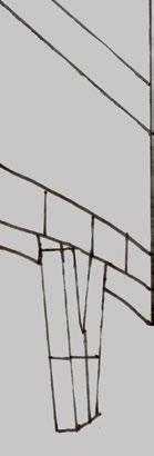


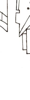







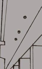
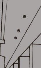


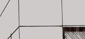


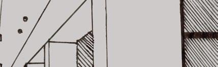


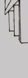


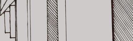
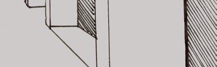
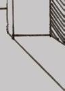
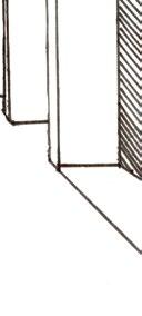
Linder Center and Fifth-Third Arena | SketchUp & Twin Motion Rendering & Hand Drawn Sketch
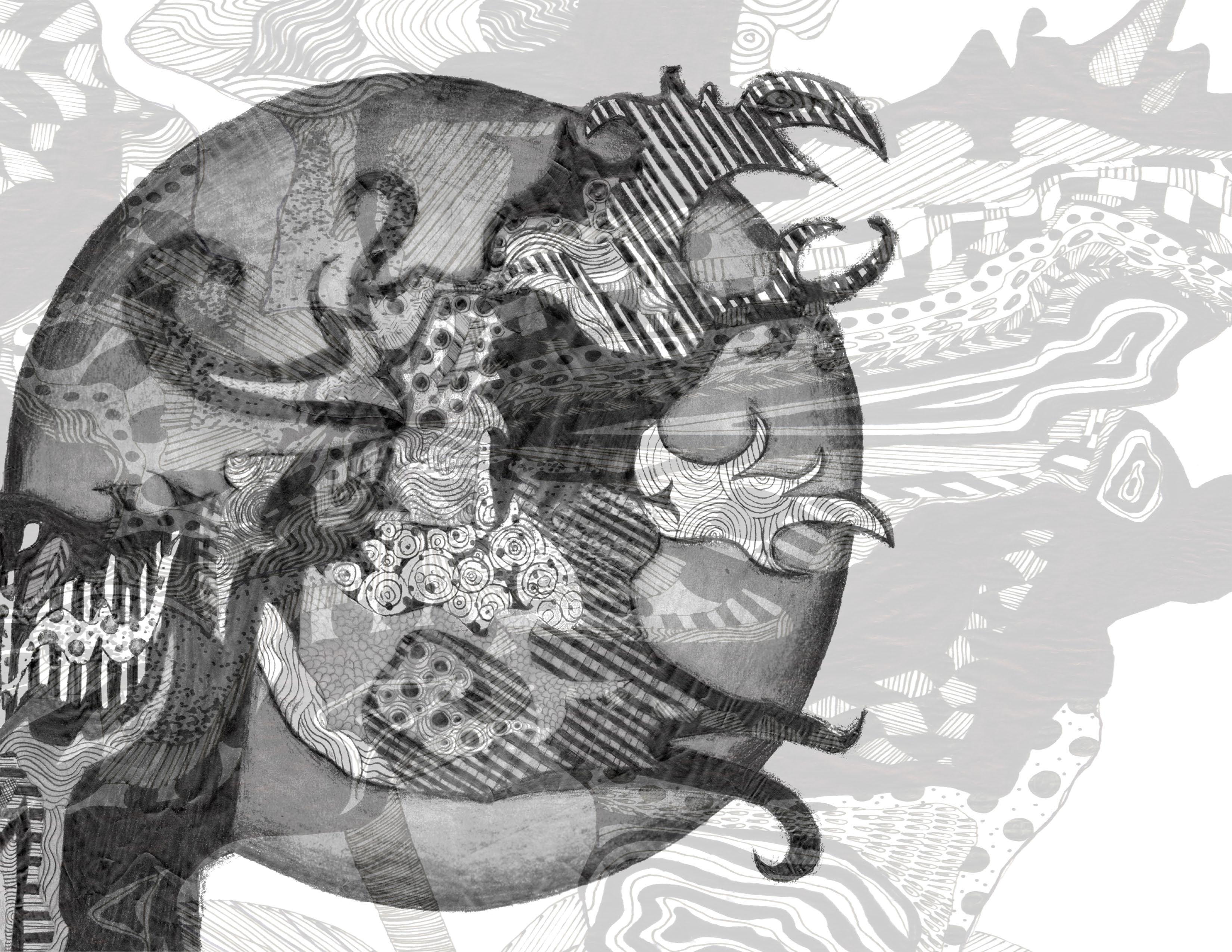
Sketch Collage | Hand Drawn by Margaret Dull
BACK TO THE BASICS
An assortment of hand drawn compositions from my first year ranging from free hand, to trace, and mixed media that were all created with a general theme regarding University of Cincinnati.
UNDERSTANDING SCALE WITHIN DAAP | FALL 2023
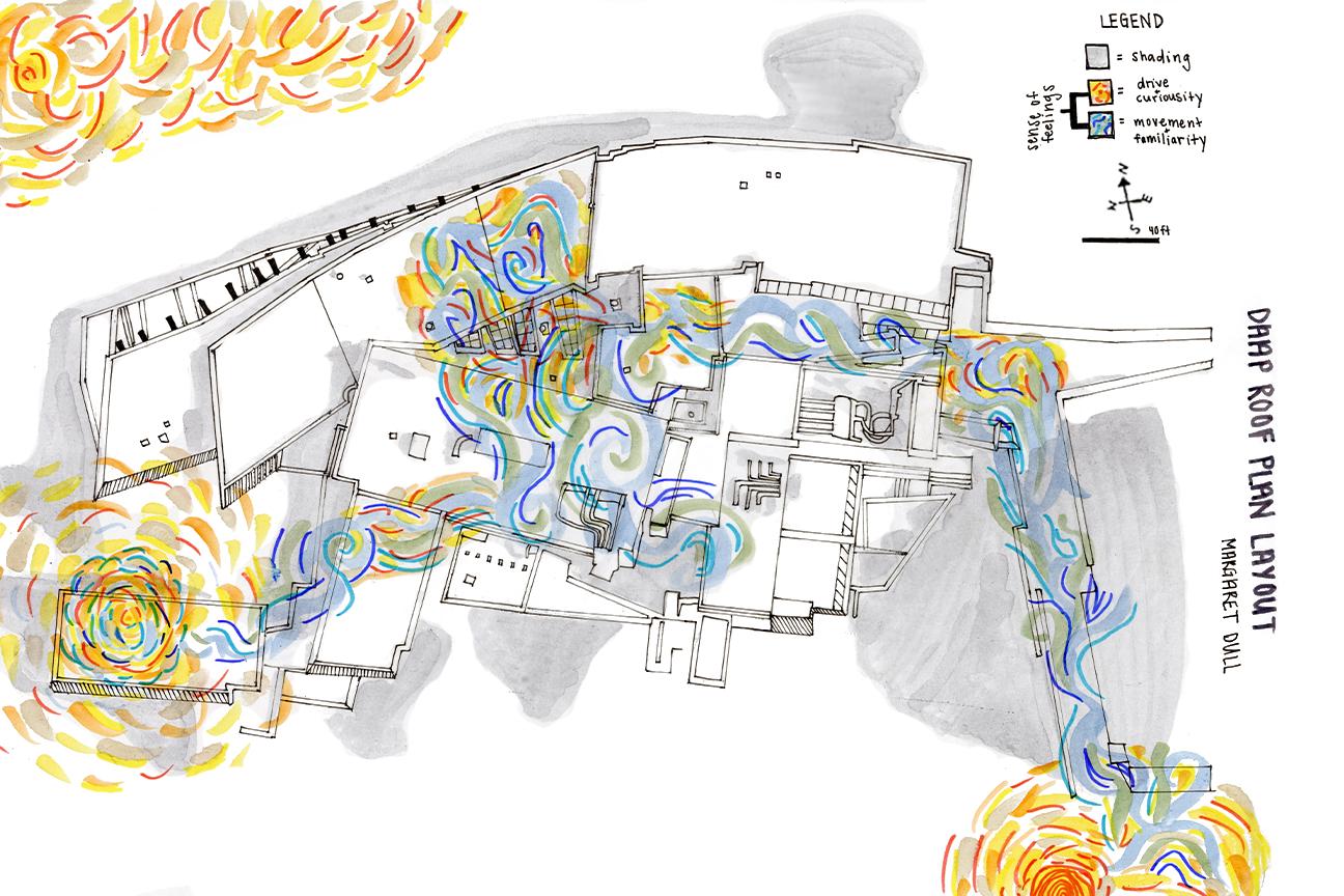
Various factors cause one to associate a certain feeling within a space. With either external or internal, there is an influencer that subconsciously affects your mental presence within a space. These visuals portray a story containing a certain feeling associated with small and large scales around the college of Design, Architecture, Art, and Planning (DAAP).
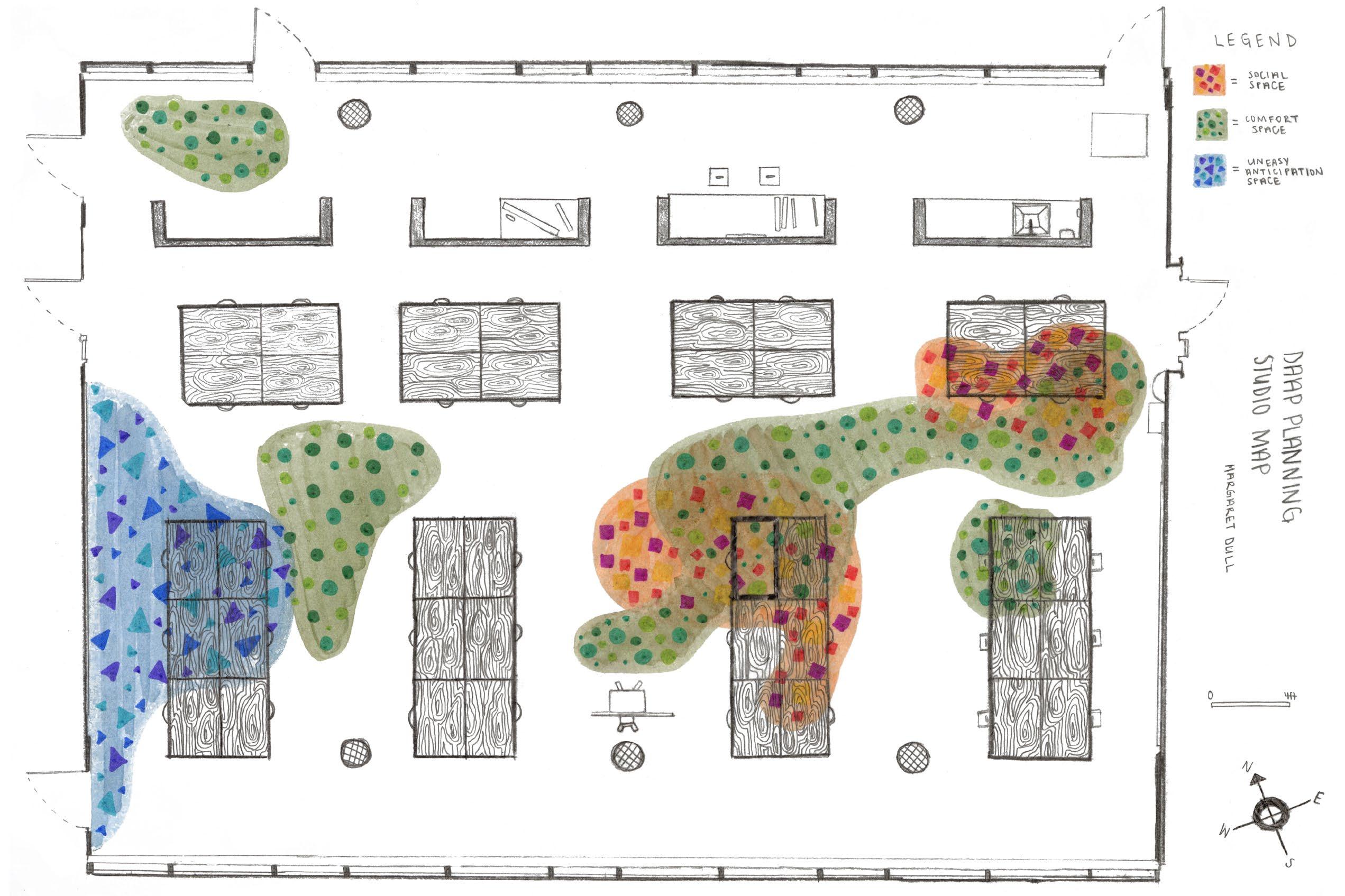
Studio Classroom Types of Space Sketch | Hand Drawn
While being in studio classroom, many emotions were emulated which is portrayed by the different colors and shapes that are associated with those feelings in an architectural, to scale, plan view sketch


Comfort Space Uneasy Space Social Space N 1in = 6ft
In the sketch
DAAP Building
Building Sense of Feeling Sketch | Hand Drawn


Movement & Familiarity Shadows at 2pm Drive & Curiosity
1in = 35ft N
CAMPUS BUILDING FOOTPRINT AND LINKAGES | FALL 2023
University of Cincinnati has various routes to maneuver throughout campus, but often guides you back to a core pathway that is strung across the middle. After critically contemplating the categorizations of what is considered a building or linkage within UC, several elements that are pertinent to the flow of UC’s campus were determined. In addition, a Kevin Lynch conceptual map was created to observe the atmosphere of UC had how certain elements interact with another and campus life.
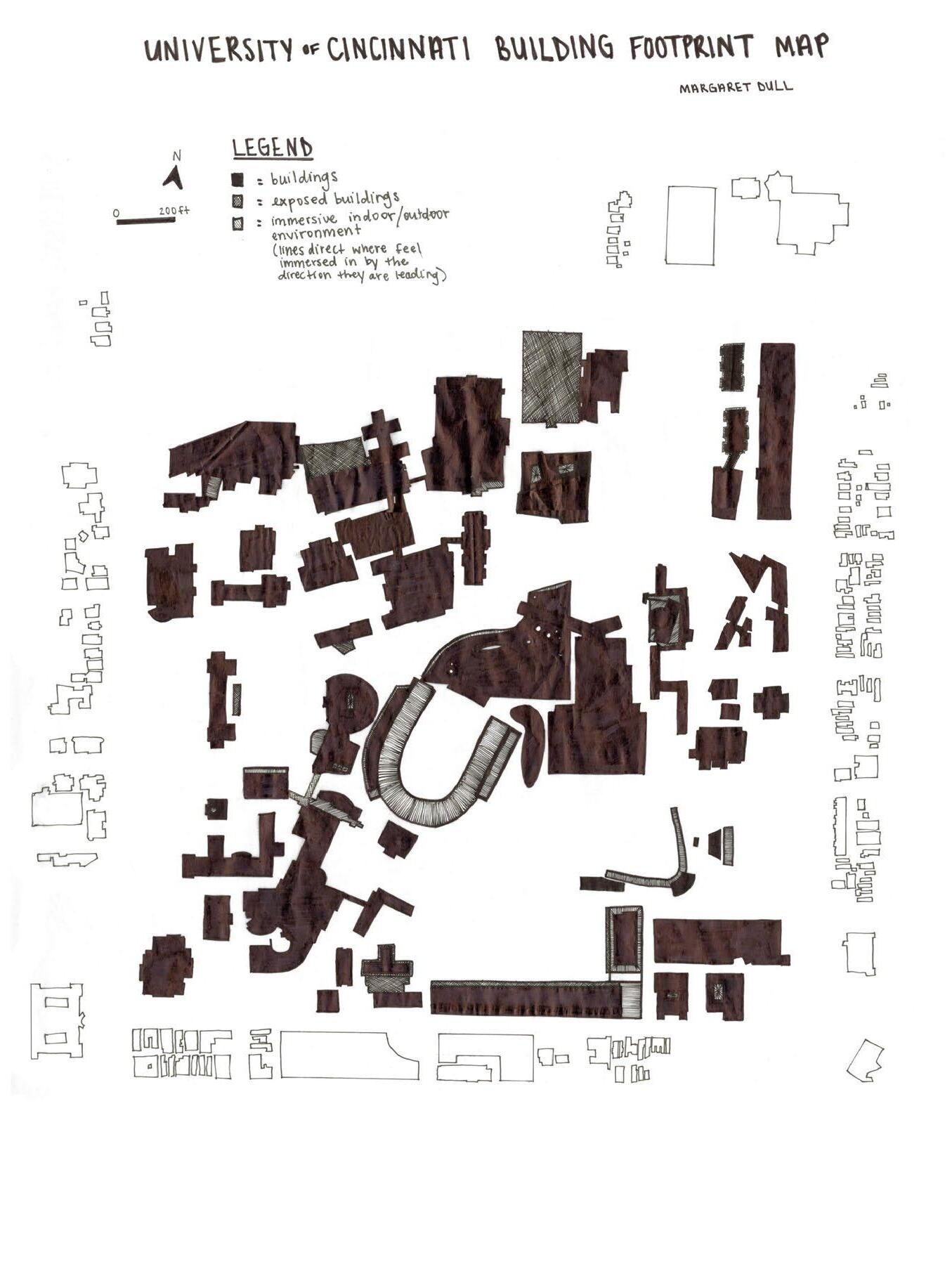
Enclosed Buildings

Exposed Buildings

Immersive Buildings
Building Footprint | Hand Drawn
UC’s building footprint is very centralized and facilitates a flow that creates an atmosphere for student’s to congregate


Predominately Pedestrians
Predominately Cars
Major Covered Pathways
Major Staircases
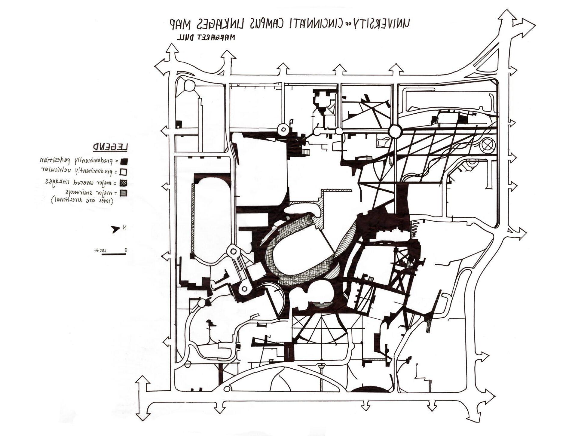
Linkages & Connections | Hand Drawn
Most of UC’s major linkages are within the core of campus, Main Street, which creates a prosperous atmosphere for students to pass through
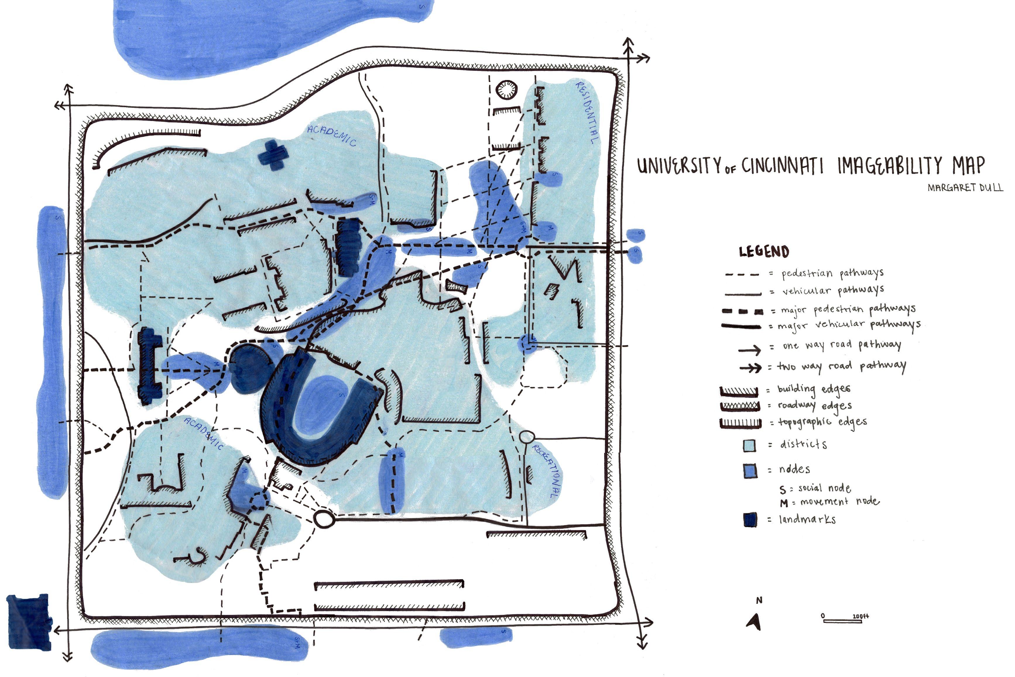
Kevin Lynch Analysis | Hand Drawn
After assessing UC, many districts can be determined including academic, recreational, and residential. In addition, several nodes were identified that continue to be a hub for students and faculty.
Districts
Nodes
Landmarks
Major Vehicle Path
Major Pedestrian Path
Average Vehicle Path
Average Pedestrian Path
One Way Road
Two Way Road
Roadway Edge
Topography Edge
Building Edge
N 1in = 220ft
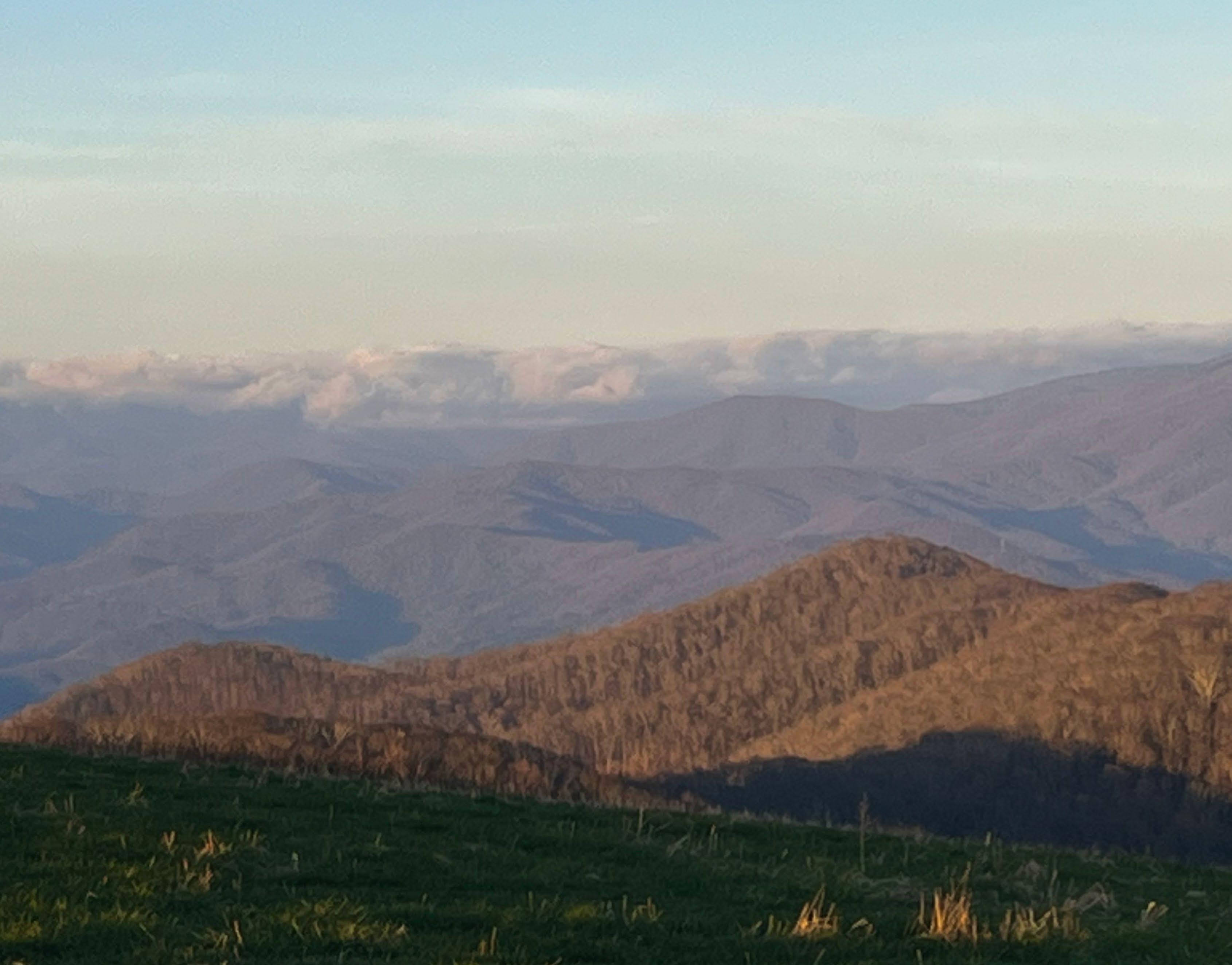
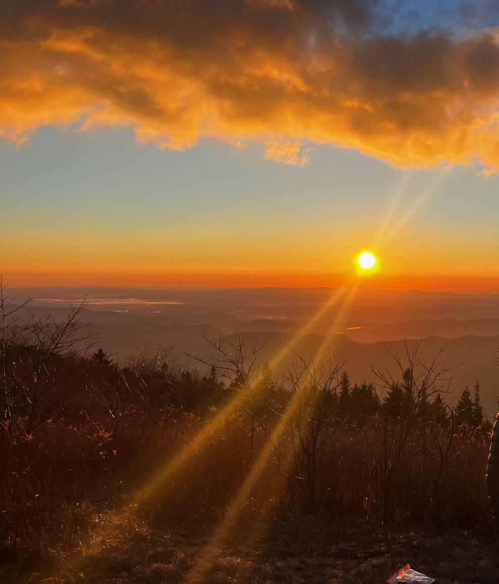
Max Patch, North Carolina Mountains | Photographed by Margaret Dull
BEYOND THE CLASSROOM
Included are various art displays of personal interest outside of my courses that I consider devoted hobbies. Many of these works have begun several years ago and continue to be a growing passion.
APPALACHIAN CONSERVATION CORPS | SUMMER 2024
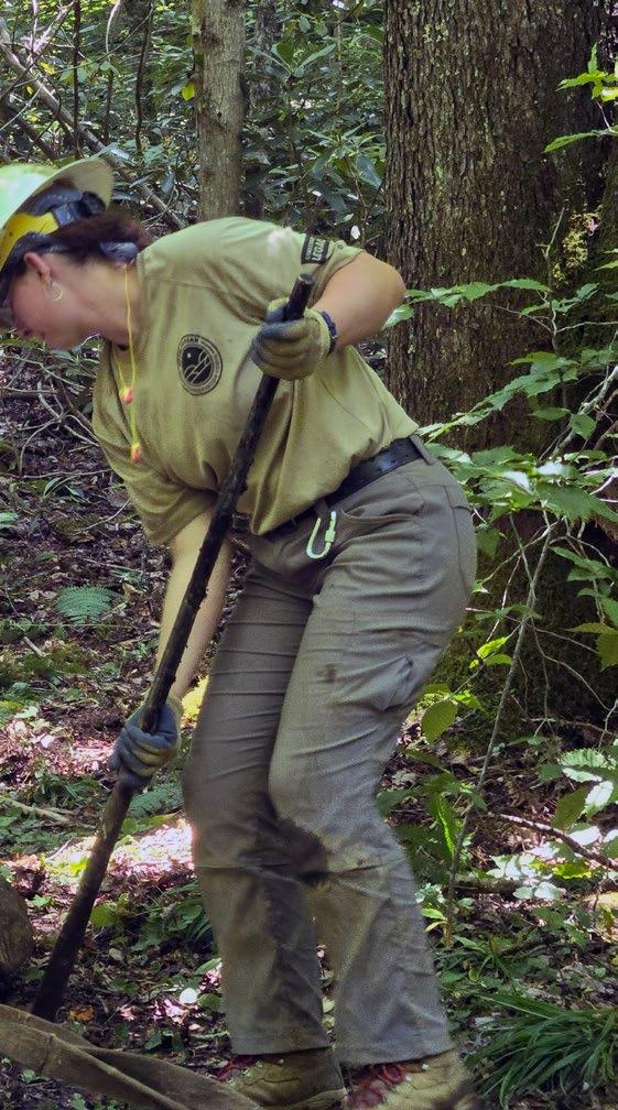
Due to the co-op program at University of Cincinnati, the summer after my first year was the only summer I had free. Because of this, I wanted to ensure I was doing something I was passionate about and can intertwine all of my curiosities. That said, I participated in Appalachian Conservation Corps where one of my projects was rock armory in a highly flood zoned trail. Rock armory method uses the sturdy weigh of interlocking rocks to create a durable surface that is less prone to water damage. Over my time in conservation corps, the skills of teamwork, communication, leadership, and mental strength were equipped as we worked ten hour days for three months straight.
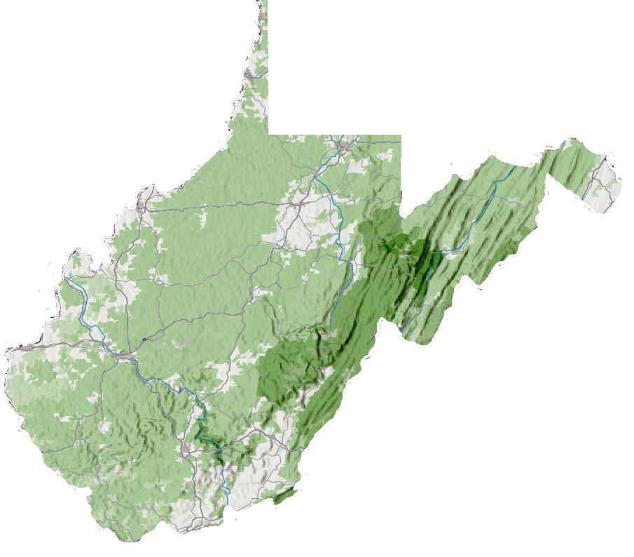
Site Location in West Virginia
My crew was in the deep, luscious mountains of Appalachia one hour away from cell service
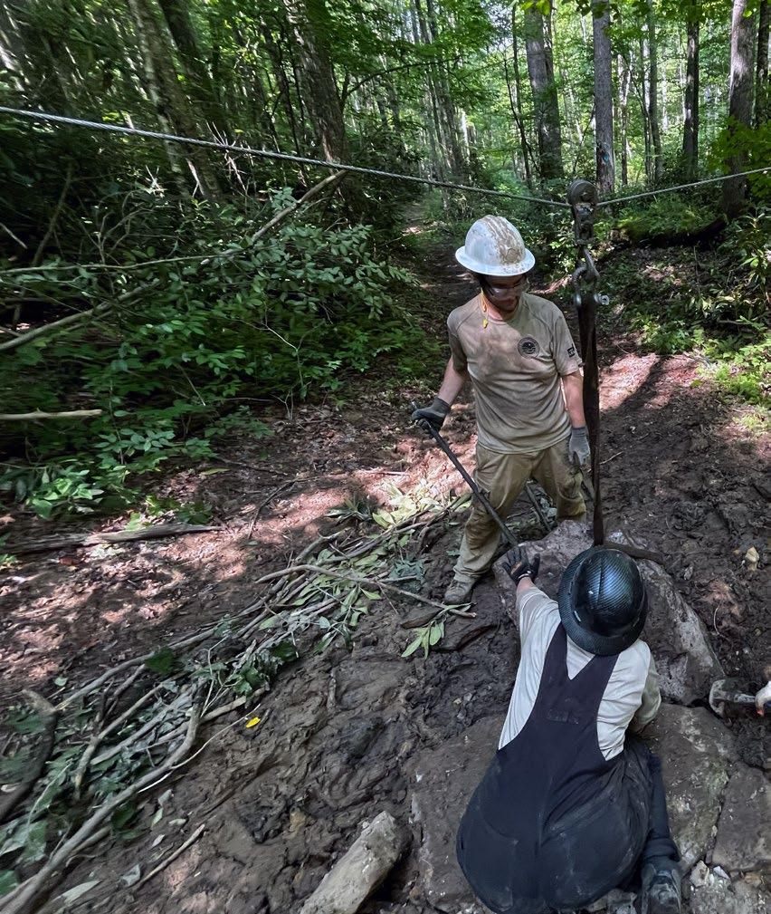
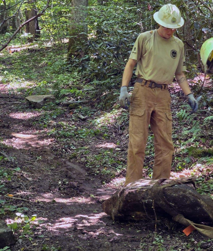
The Process : Rock Bar Method | Teamwork
The Process : Griphoist Method | Teamwork
A rock
used
Rock
The griphoist pulley mechanism allowed us to move large desired spot. We commonly used this method because
Monongahela National Forest near town Richwood, WV
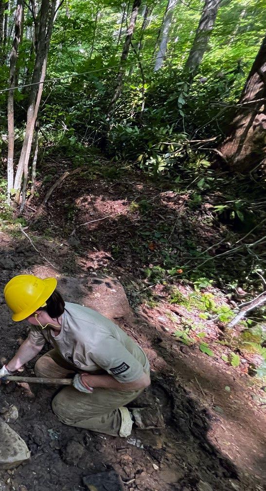
large rocks up to 1,000 pounds to our heavy rocks were the most durable.
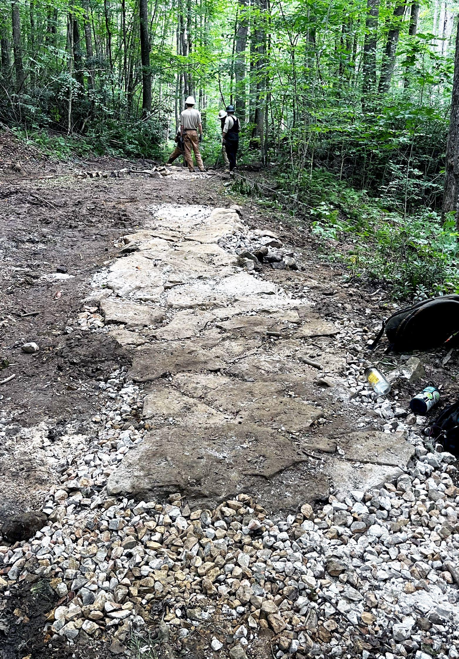
The Result : 80% Final Product | Teamwork
facilitate their movement as another person pairs and require communication.
Our final product needed to be a two 20 feet stretches of rock armory. My crew used native local rocks to interlock and create a sturdy foundation for all trail users.
Within DAAPcares, a service oriented graphic design organization that I am president of, we do outreach to local nonprofits such as Price Hill Will who are in need of graphic assistance. For Price Hill Will’s free community wellness classes, they needed graphics such as postcards, posters, and yard signs to effectively advertise these new classes. The nonprofit requested fun, eye-catching, exciting graphics that spark happiness within the viewer.
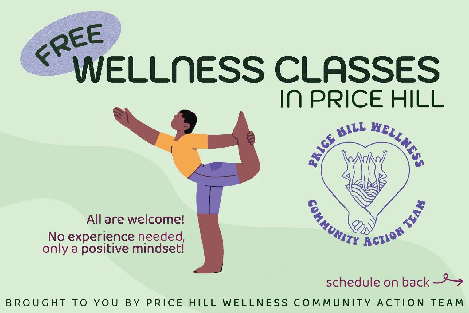
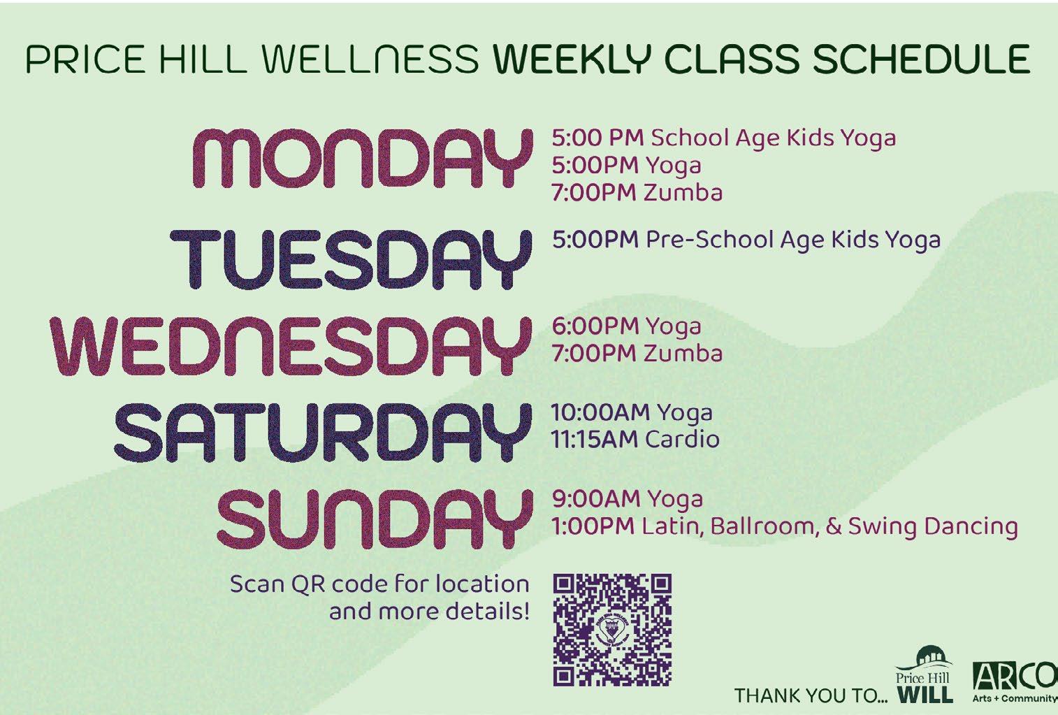
Postcard 1 Front | Illustrator
Postcard 1 Back | Illustrator
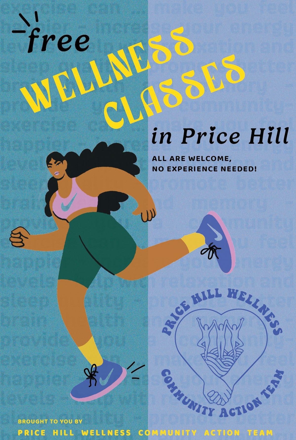
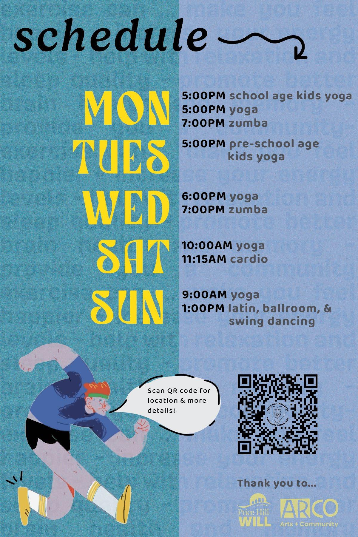
Postcard 2 Front | Illustrator
Postcard 2 Back | Illustrator
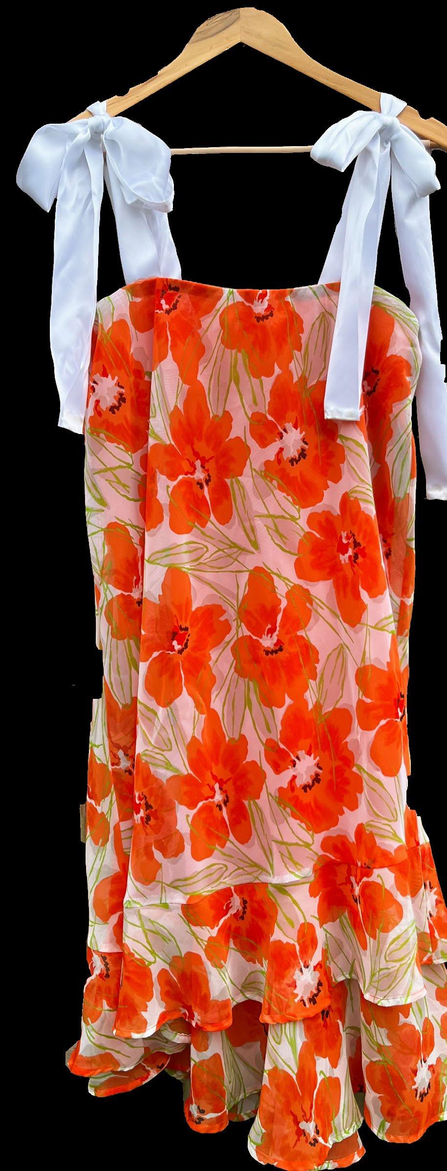
My passion for upcycling began as a need to create a sustainable alternative to buying brand new clothes every time I longed for a new article of clothing. Everyone has a personal style that deserves to be unique which is why sewing is so powerful because one can customized to their individuality. Fashion is a way to express yourself beyond words, which has allowed me to become so fond of the practice. Displayed are handmade clothing items that I created to fulfill my longing for sustainable, distinctive clothing.
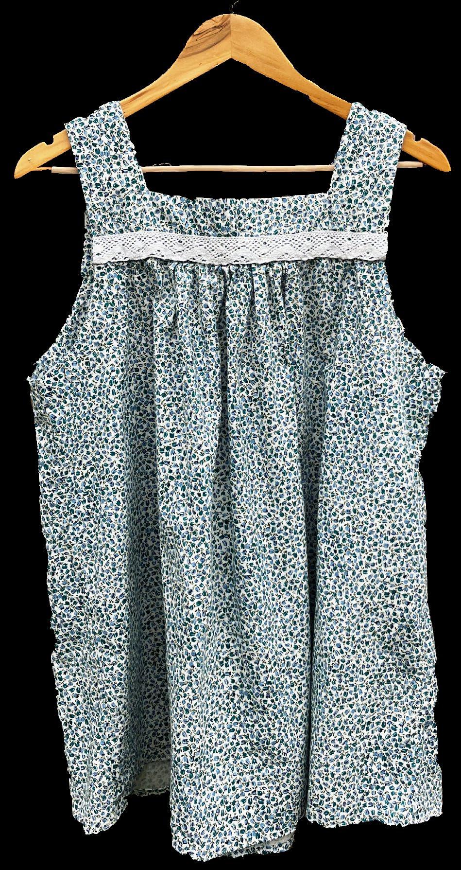
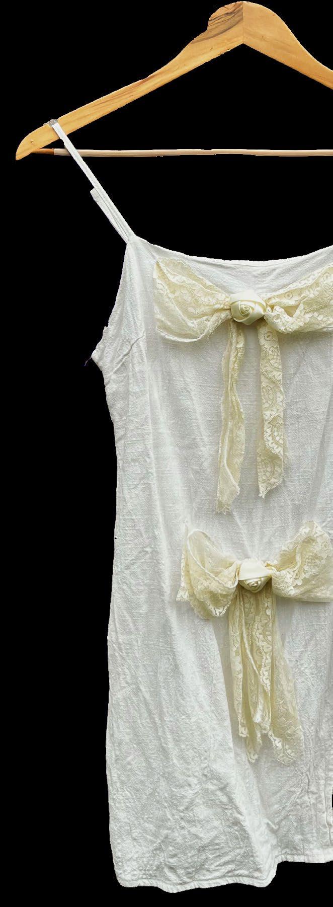
Upcycled Dress / Tunic
Dress Made from Scratch

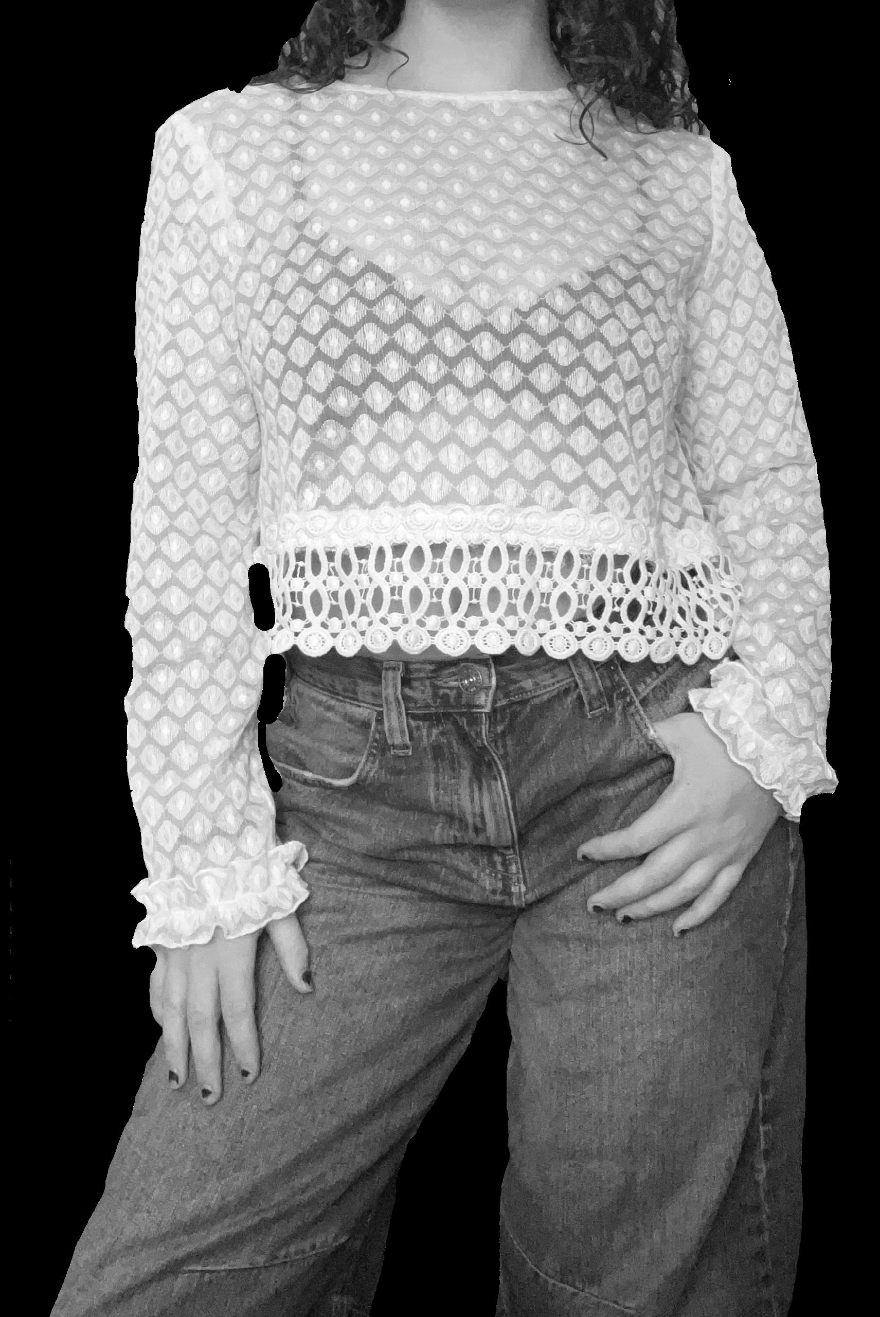
Top Made from Scratch
Upcycled Dress
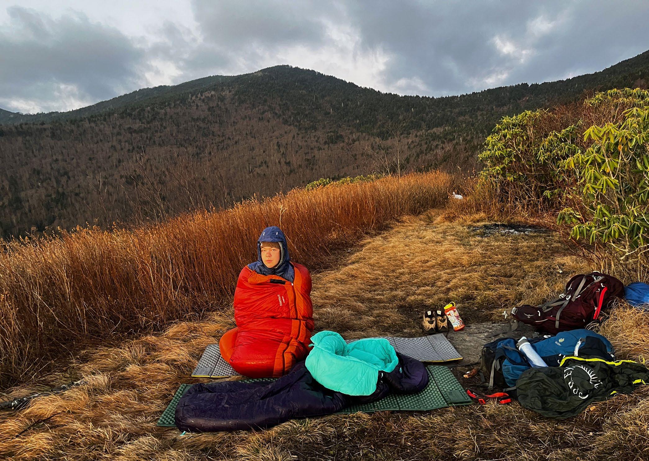
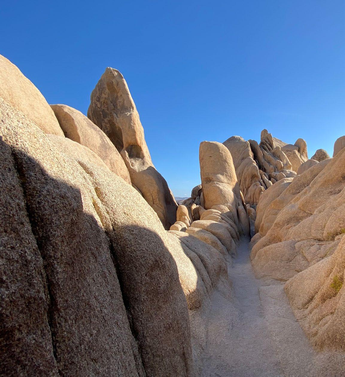
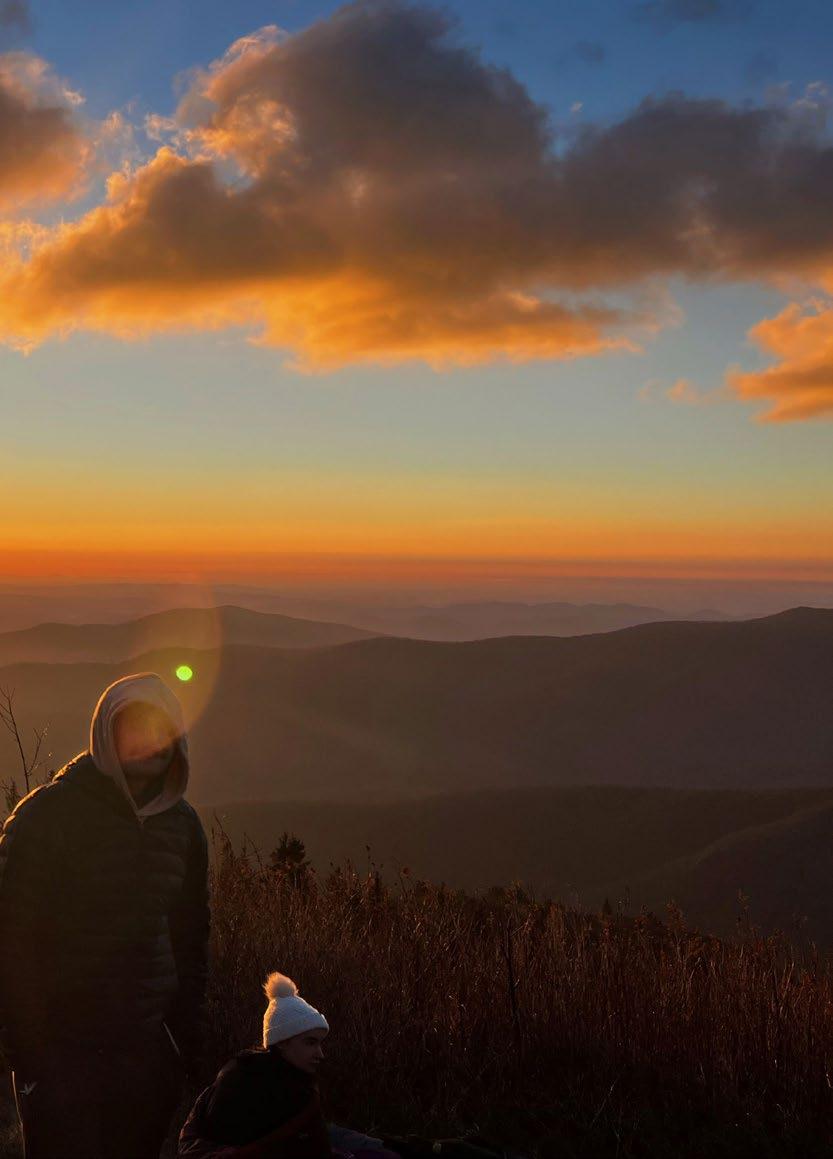
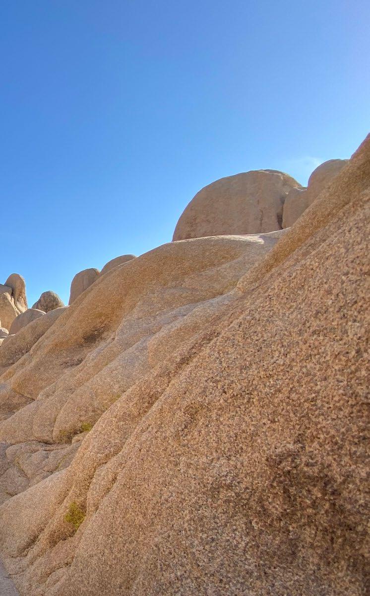
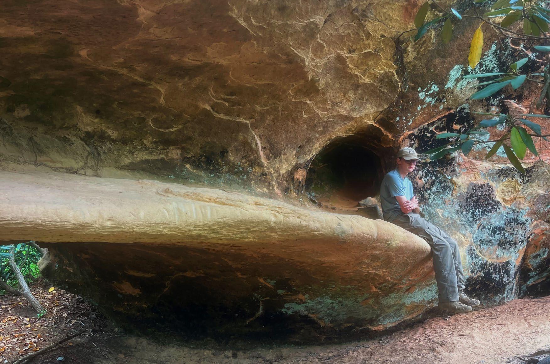
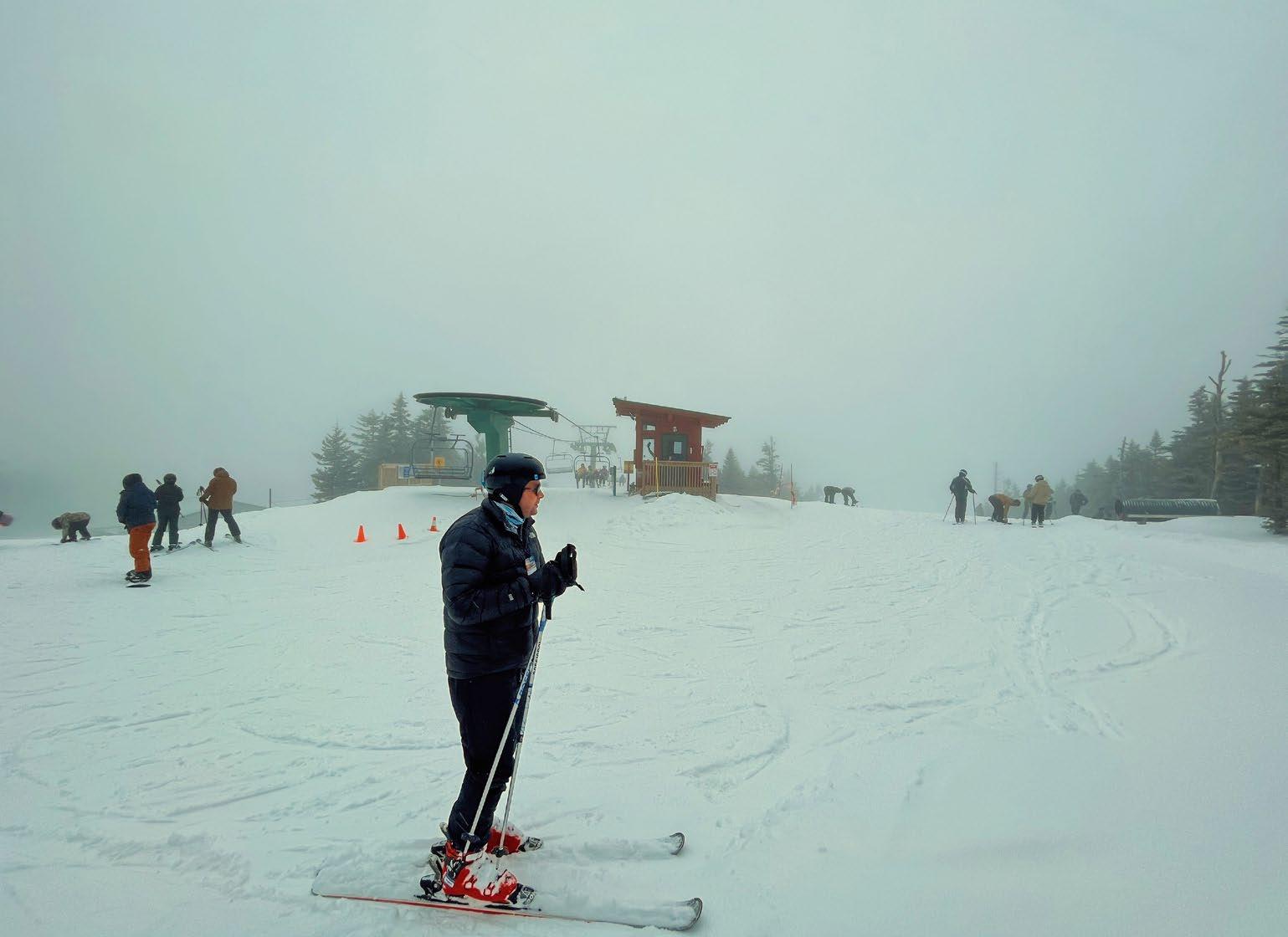
My personal style of photography often intertwines with the outdoors. I love to experience the natural world as it seems endless in its opportunities. In photography, I am able to capture that freeing feeling that surges through my body when among my favorite hobby, exploring. I intend to capture raw emotions and site that speak for itself. Most shots were taken on a Sony Cyber Shot DSC-HX1 9.1MP Digital Camera.