Selected Work:
4. Rotterdams Tij: Urban Development Plan
8. Krajina BATA Landscape Plan
14. Upside Park Eindhoven
18. Soil Lab Eindhoven Proposal
20. Dutch Design Week
Academic Design:
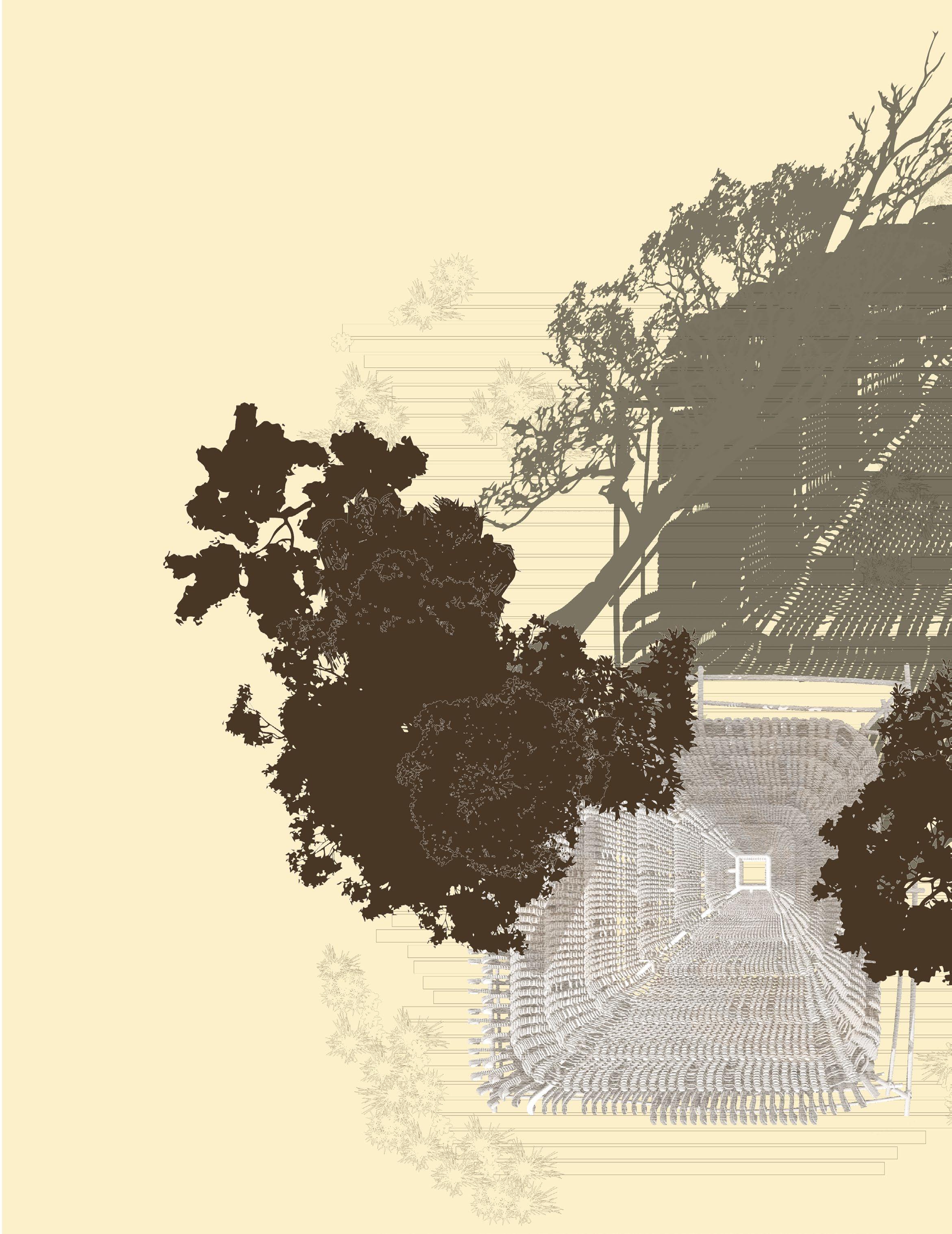
22 - Weaving the Islands
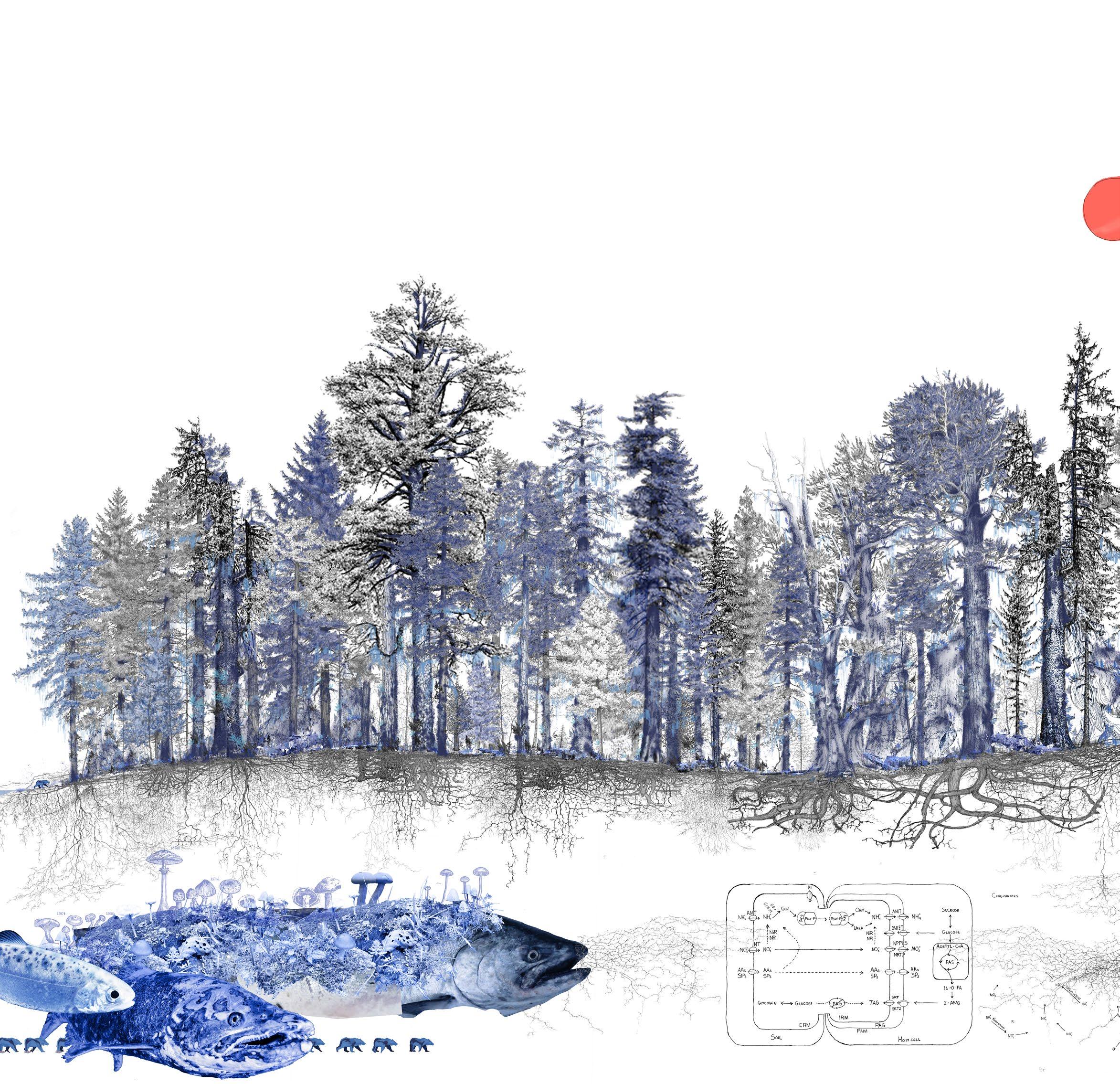
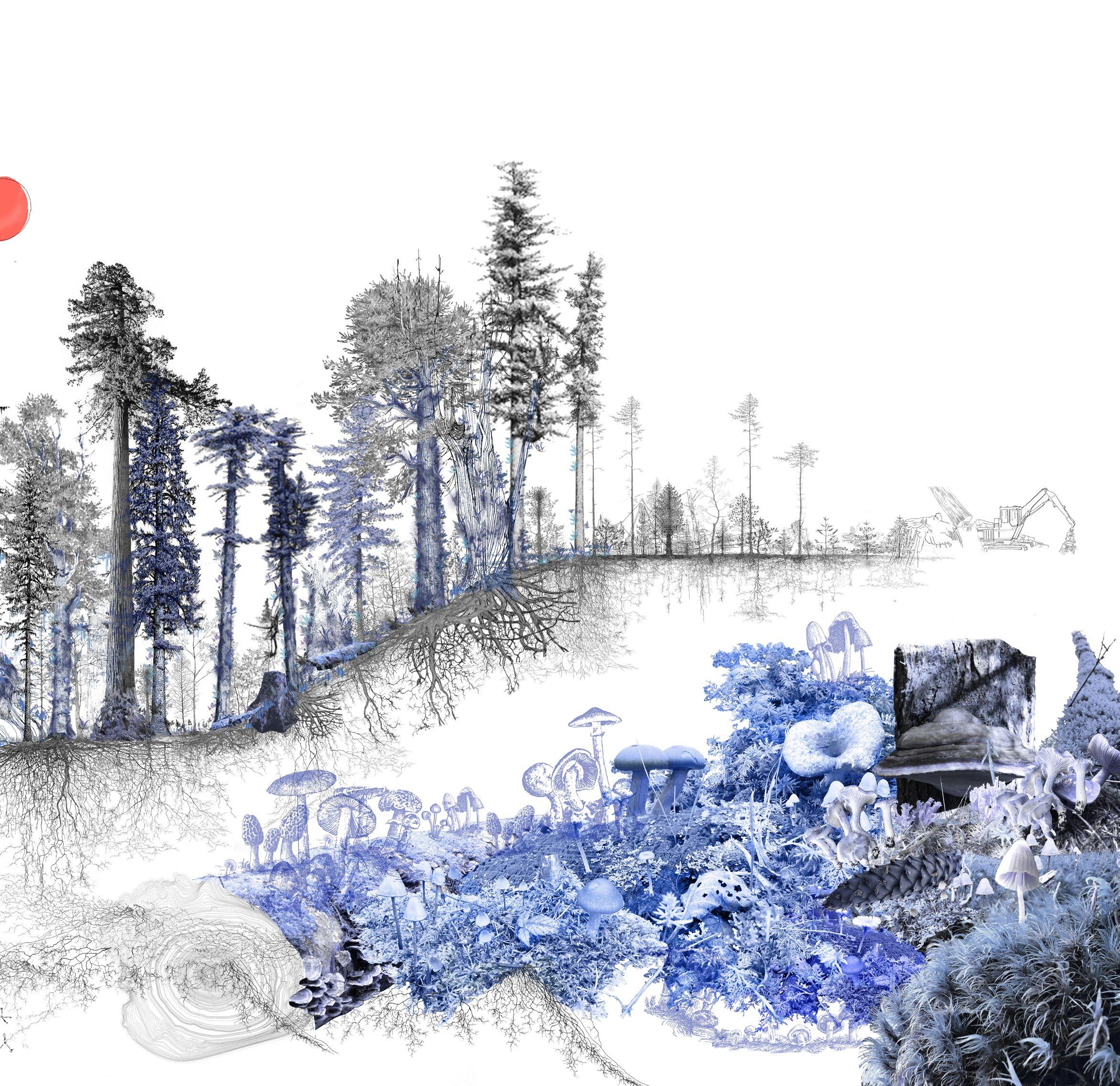
34 - “The whisperings of roots”
40 - The Spell of Polesie
46 - Elements of a Metabolic Landscape
56 - Embodied Energy: Living Lab
Research:
68 - Non-Linear Extractions: The making and unmaking of Hong Kong Soil
72 - TAL-L Materials: Taxon, Archive, Lab - Library
78 - Extracted Grounds Field Lab
80 - The Hong Kong Island Coastal Trail Exhibition
84 - GRIT Lab
Illustration:
88 - When the Moonbeam comes to call.
62 - The Swiss Way: noticing as an act of reconstruction
66 - Riverdale Park: Bend>Break
Rotterdams Tij: Urban Development Plan
Rotterdam, The Netherlands. 2025.
Client: Stichting Gebiedsontwikkeling aan de Maas, Municipality of Rotterdam
Collaborators: OMA, EFFEKT
Team: LOLA. Cees van der Veeken, Marit Schavemaker, Sarah van Kooten, Yueying Wan, Leon Morscher, Madison Appleby.
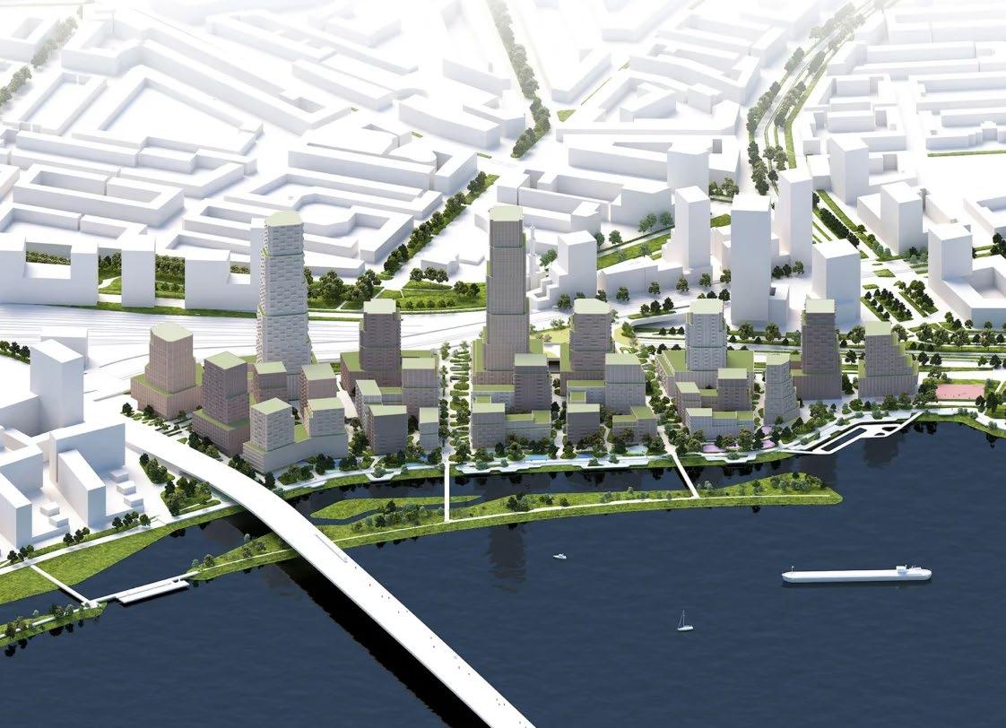
The Rotterdam Municipal Executive Committee adopted the LOLA-EFFEKT-OMA designed urban plan for Waterkant on Tuesday, December 9th. This brings the realization of Rotterdams Tij, a new, highly urbanized neighborhood on the Maas River in Zuid one step closer.
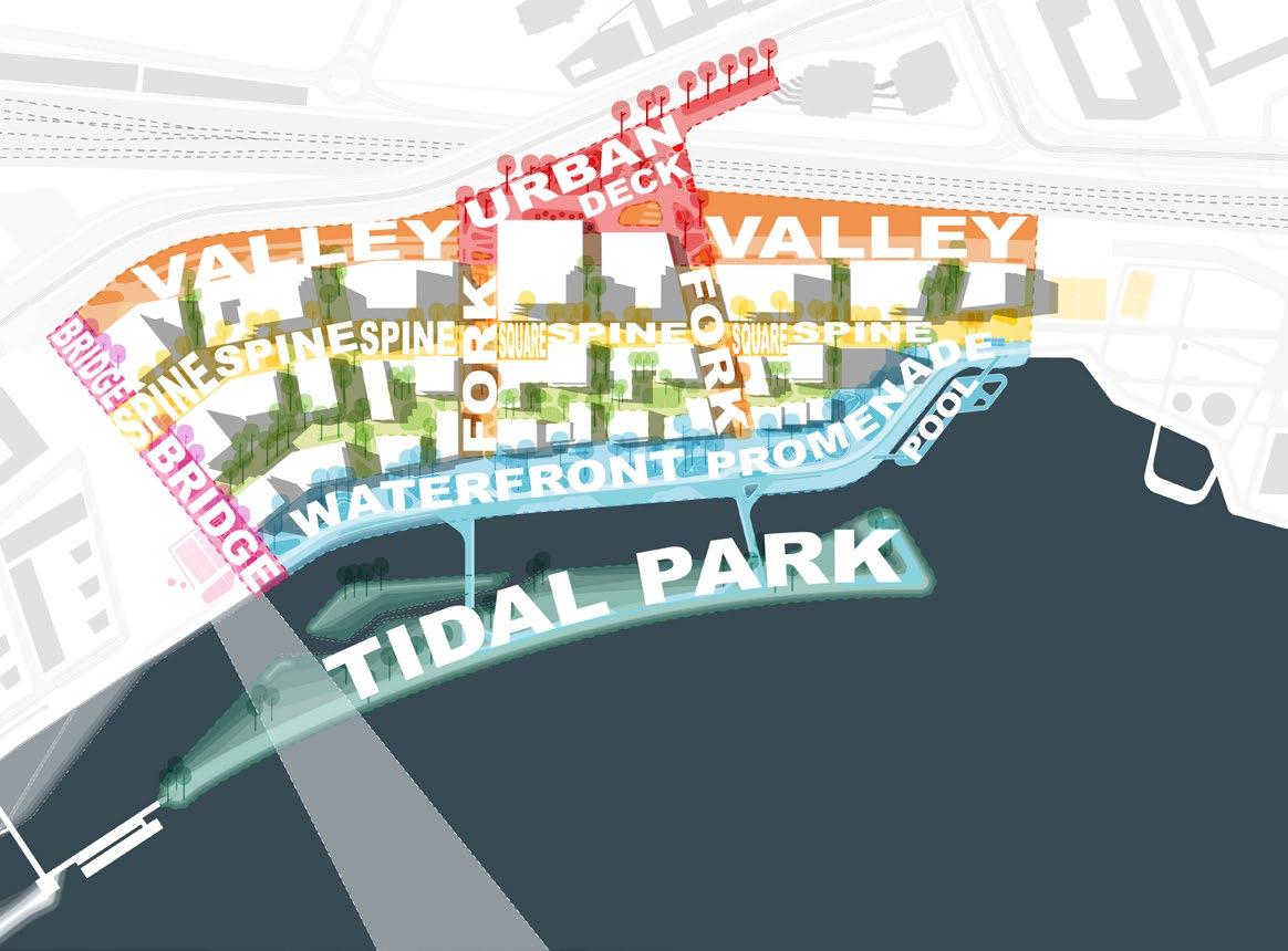
The urban development plan is a detailed elaboration of the Waterkant Ambition Document and the Feyenoord City 2.0 Masterplan. It now clarifies where housing, shops, and other functions will be located in Waterkant. It also defines the dimensions of the public space, the building plots, and the height of the buildings, as well as the locations of green spaces, streets, and parking. Integration with the existing surroundings is also a key element.
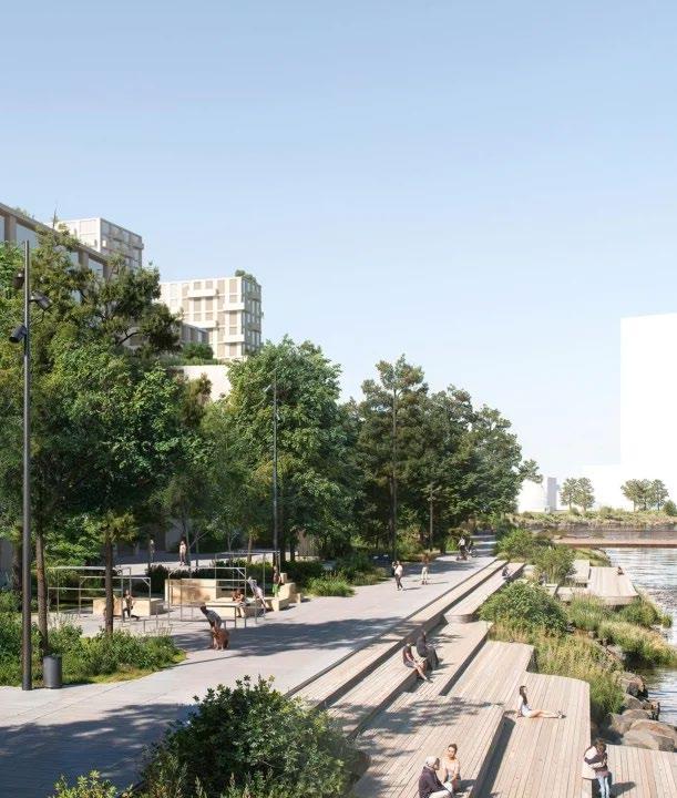
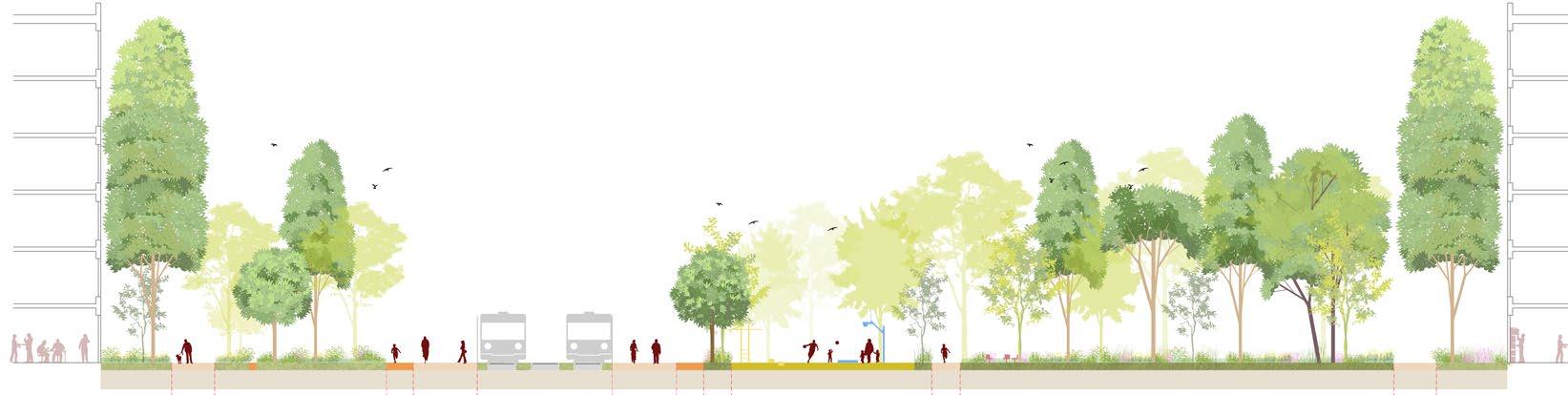
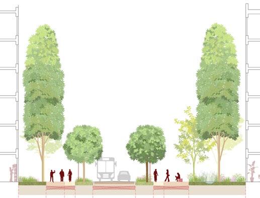
Green corridors connect Waterkant with existing green spaces. There will be a 25- to 30-meter-wide promenade along the river with walking and cycling paths, terraces, and sports and play areas. Approximately 15,000 sqm of new land will be added.
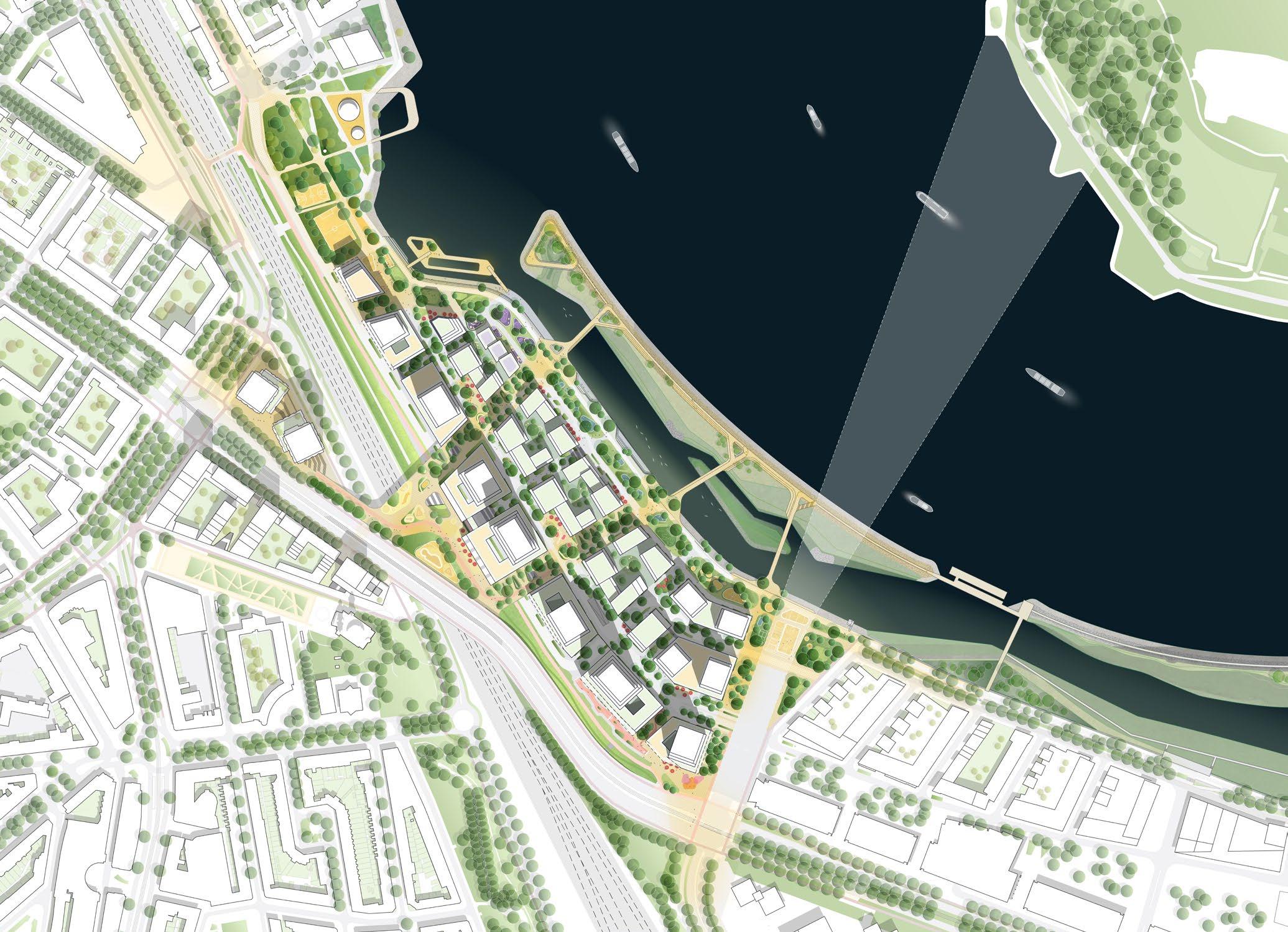
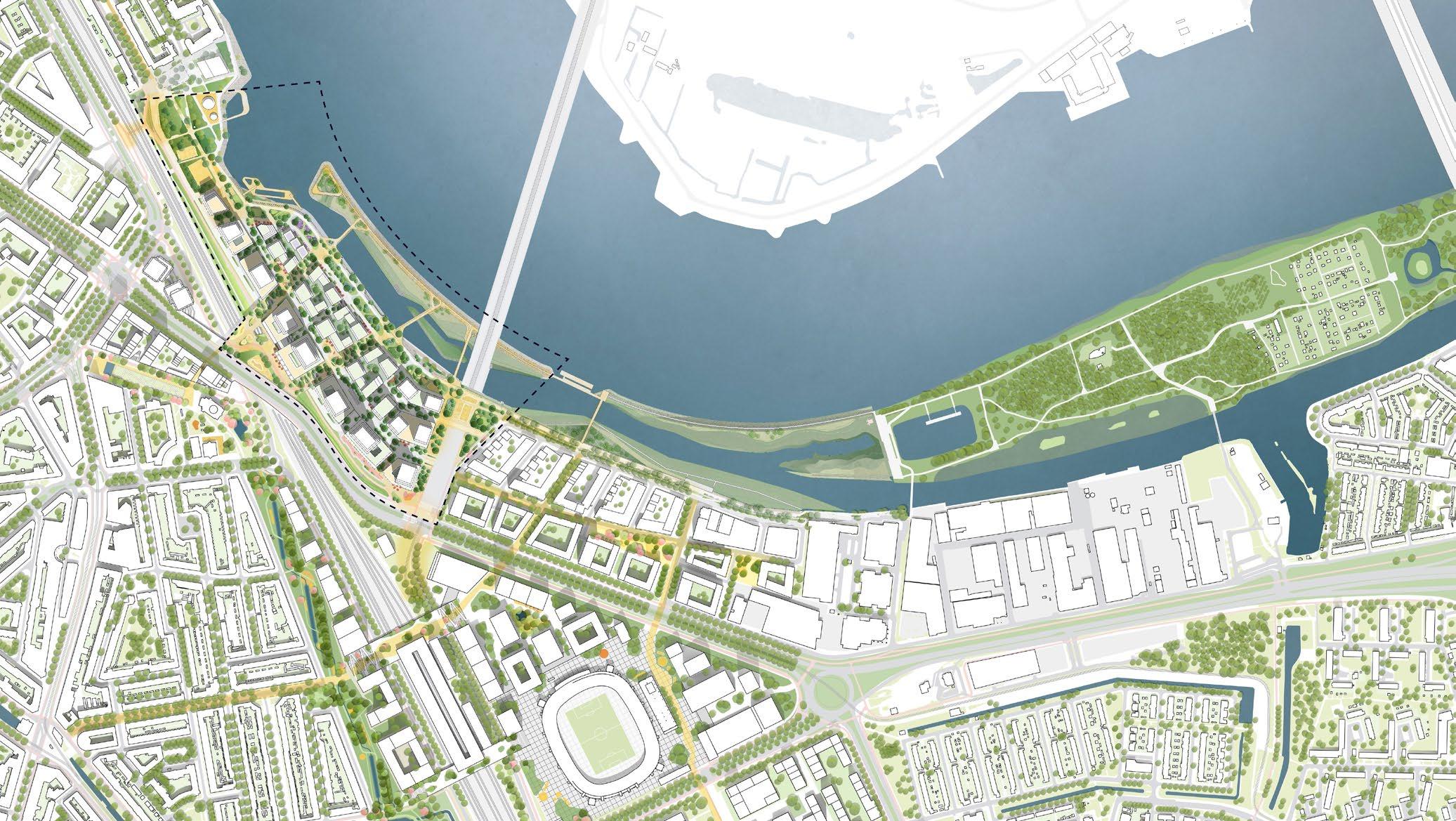
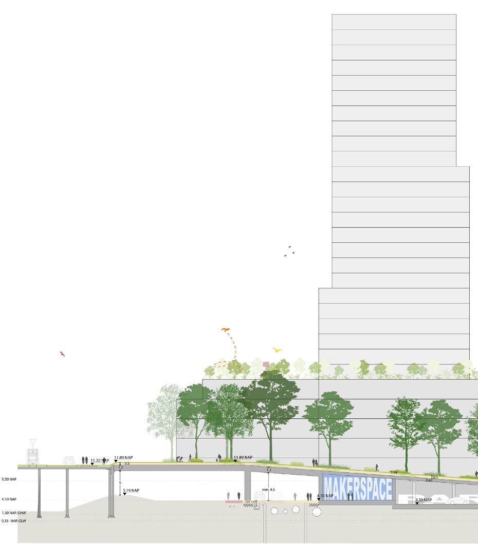
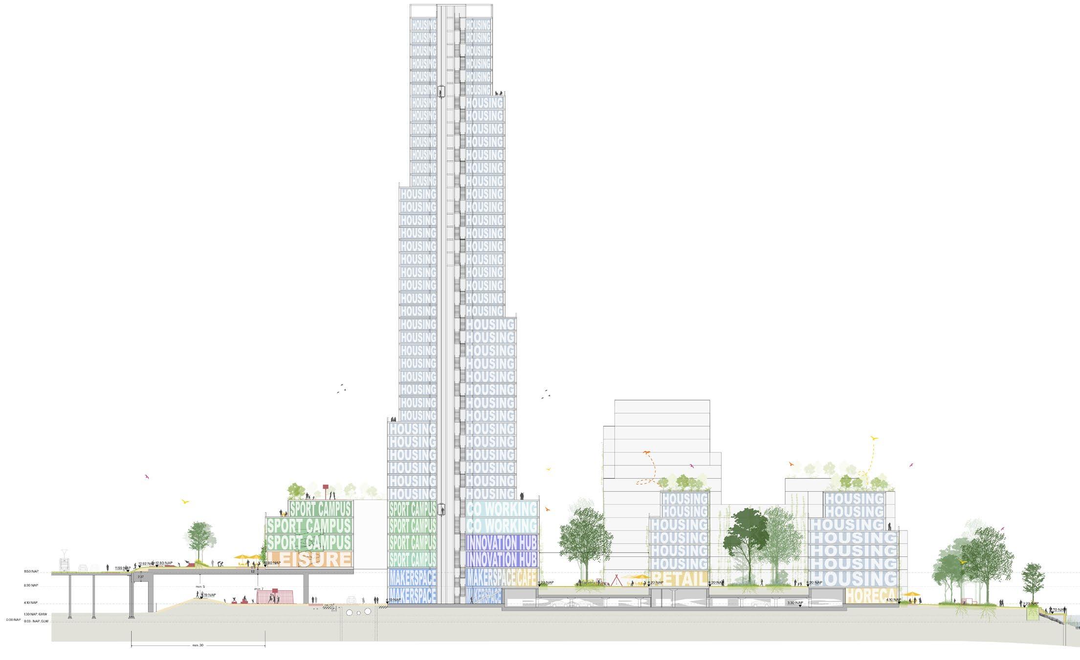
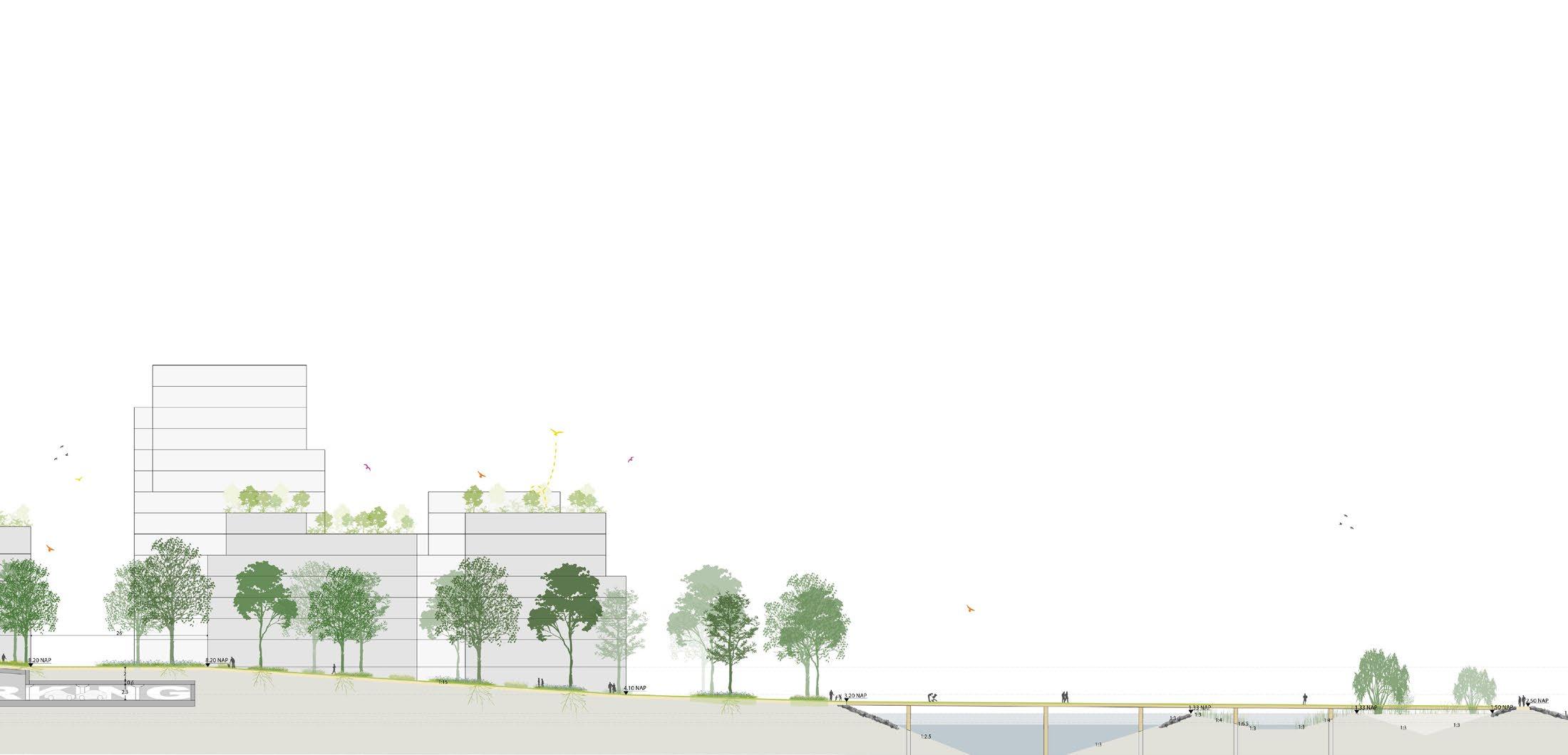
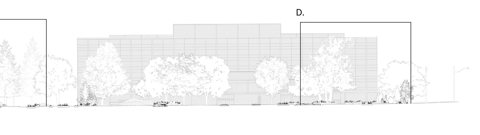
01. Waterkant proposed section, urban plaza - fork - river.
02. Waterkant proposed section, urban plaza - spine - river.
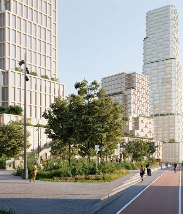
03. Artistic render urban plaza, EFFEKT.
04. Artistic render waterfront promenade, EFFEKT.

Krajina BATA Landscape Plan
Zlín, The Czech Republic. 2025.
Client: Qarta Architektura.
Team: LOLA. Peter Veenstra, Artur Borejszo, Simon Veerbek, Madison Appleby, Jie Wang, Roberto Coccia, Mu Lin.

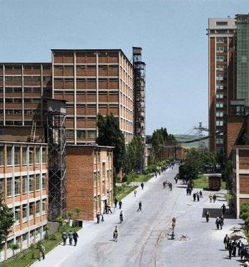
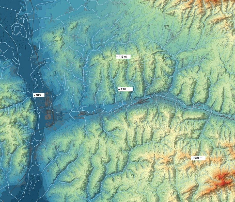
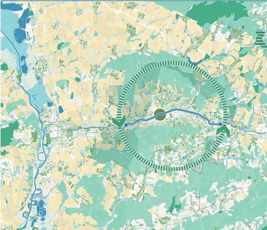
The transformation of the BATA factory site in Zlín offers a unique opportunity to reimagine the city’s urban landscape while honoring its industrial heritage. Looking toward 2060, this ambitious project aims to create a climate-resilient, biodiverse, and connected urban environment, inspired by BATA’s legacy of worker wellbeing and innovative urban planning. The site will evolve into a thriving, sustainable urban center that fosters a greener, healthier, and more cohesive city.
Reconnecting with BATA Heritage: The transformation honors BATA’s legacy by reintroducing green corridors and riverfront promenades. The BATA Highline will connect fragmented areas with pedestrian-friendly elevated green spaces.
Zlín’s New Center for 2060: By 2060, the site will become a dynamic urban hub, blending industrial heritage with sustainability. It will feature mixed-use developments for living, working, and public spaces, making Zlín a model for sustainable urban planning.
The vision brings together history, nature, and modernity, creating a connected, green future for the city.
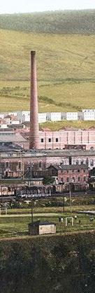
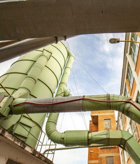
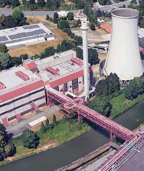
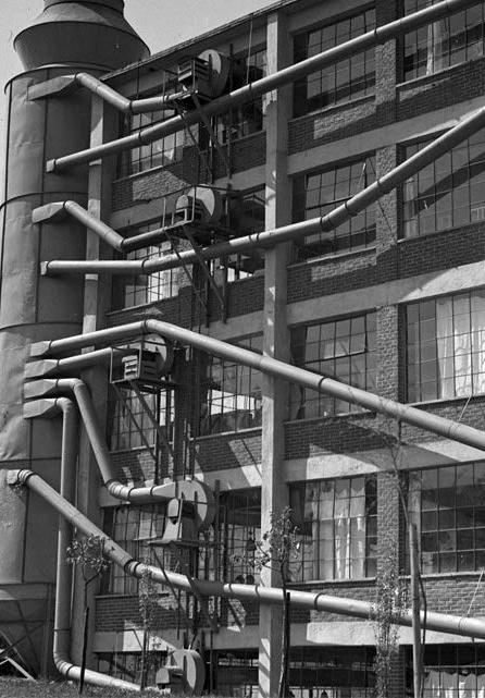
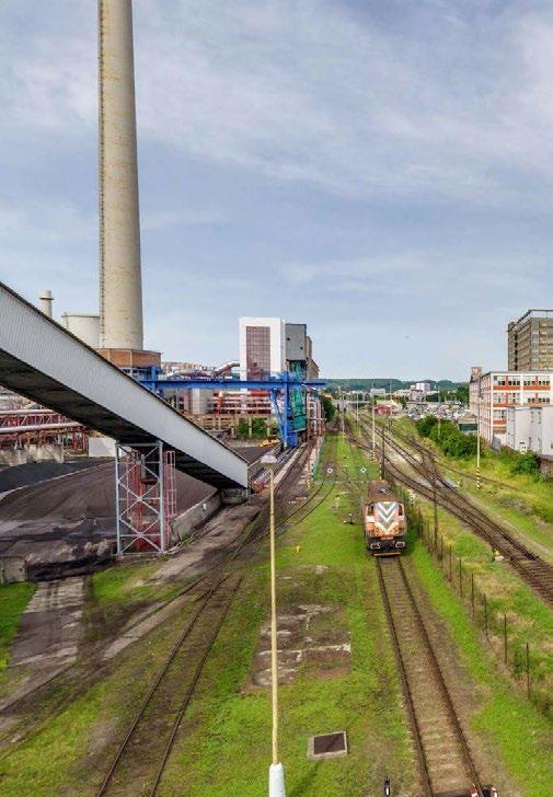
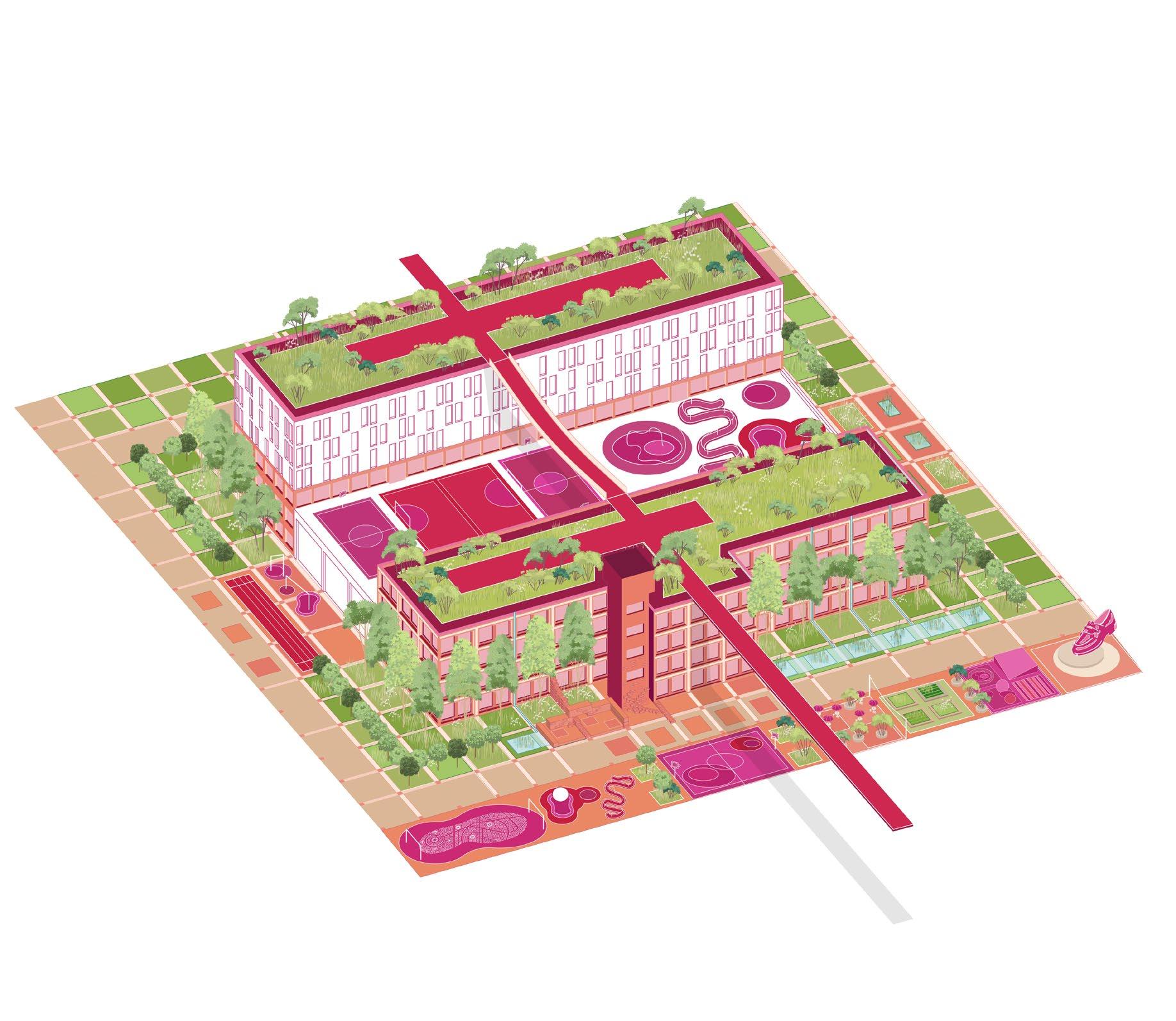
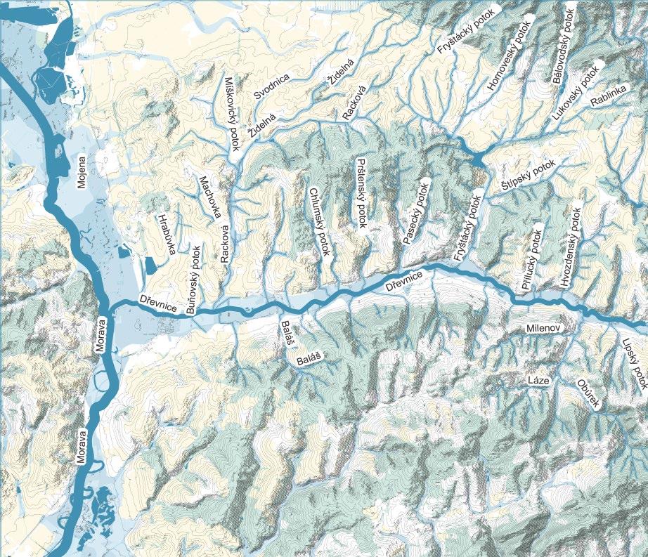
06. The transformation will renaturalize the Dřevnice River and floodplains, enhancing ecosystems and promoting biodiversity. Green corridors will connect city areas, improve air quality, and provide flood buffers, using sustainable materials and water management strategies like rain gardens and permeable pavements.
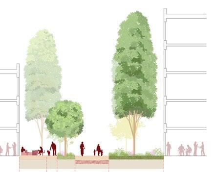
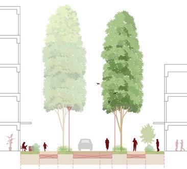
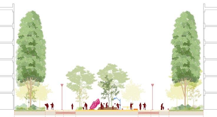
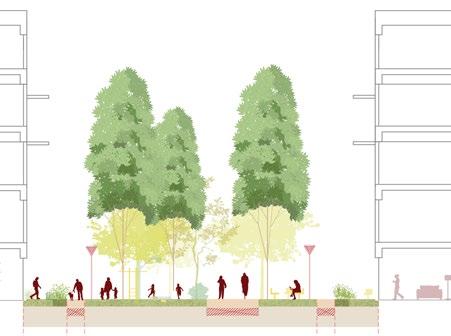

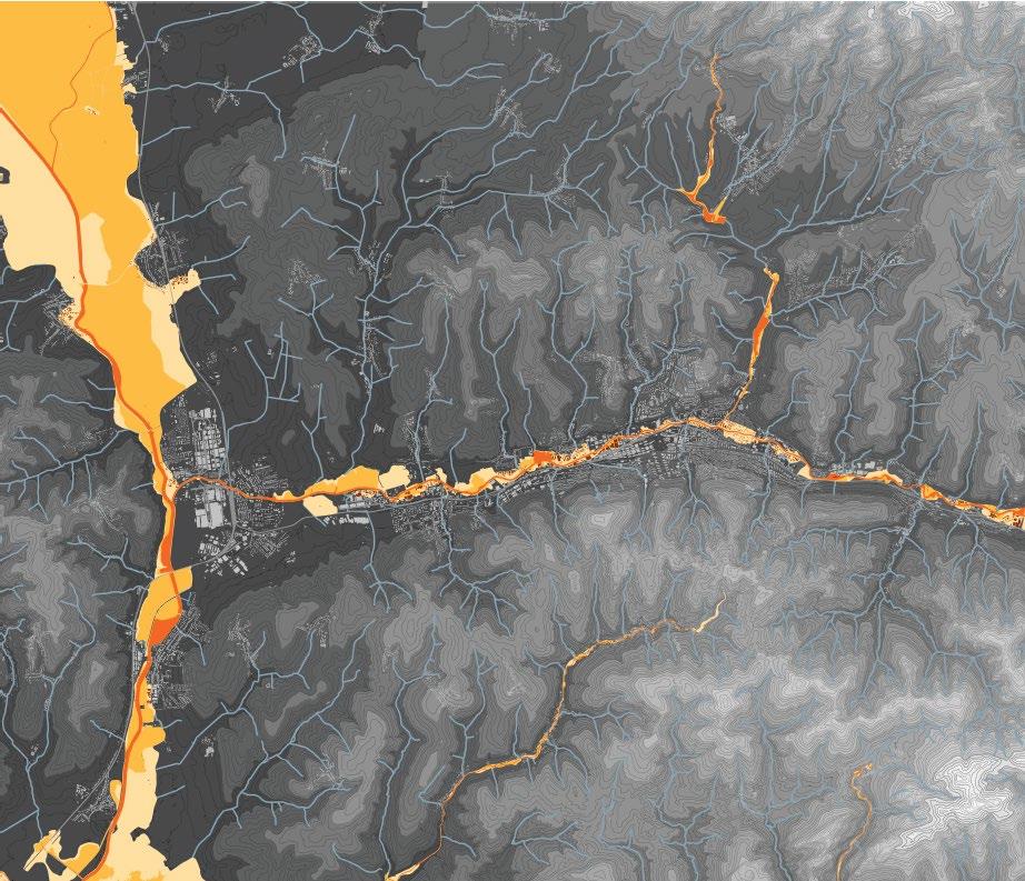
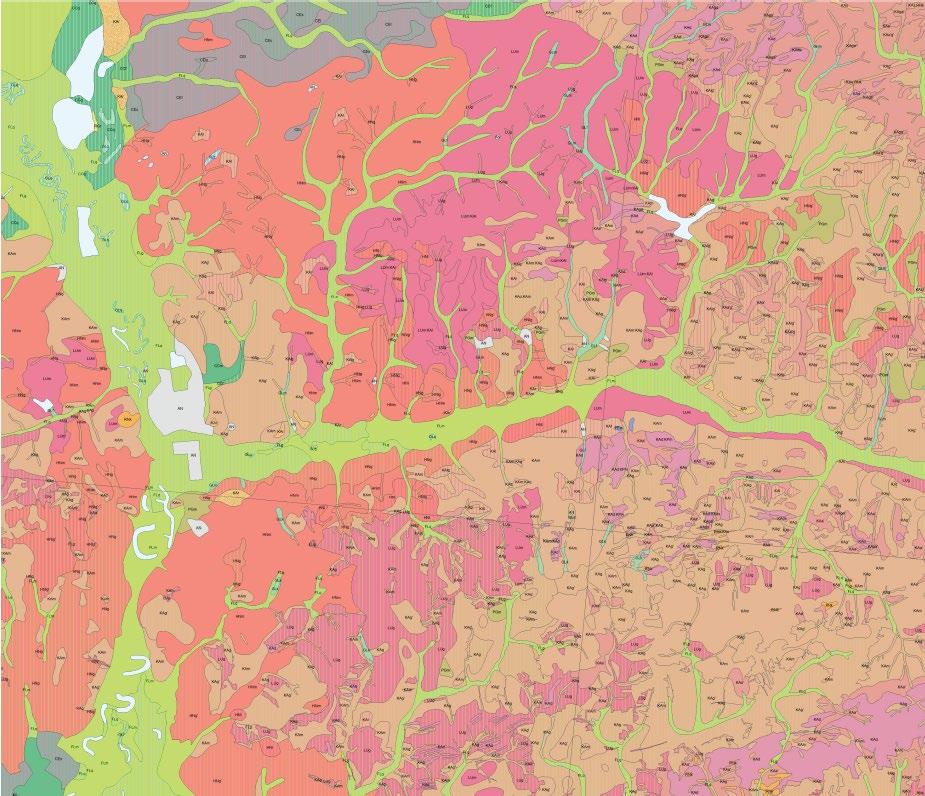
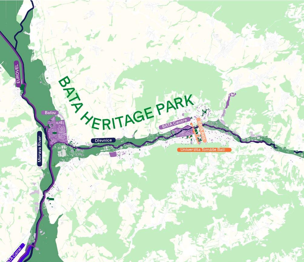
13. The BATA Mosaic materialization concept draws direct inspiration from the historic architecture of the BATA factory site—characterized by its brick façades and concrete structural frames. The streets will follow the BATA mosaic principles, maintaining aesthetic continuity with the original BATA Village while providing modern, sustainable spaces for residents. This network will strengthen the link between the past and the future, creating a vibrant and cohesive living environment for the neighborhood.
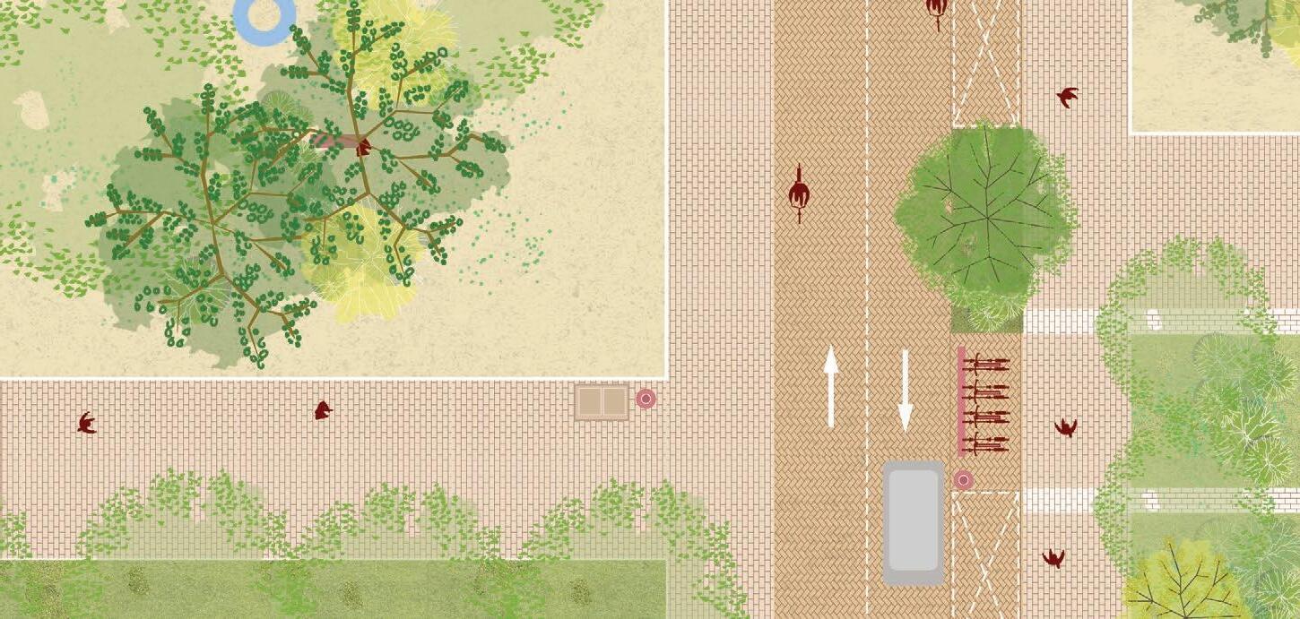

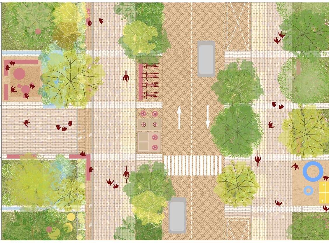
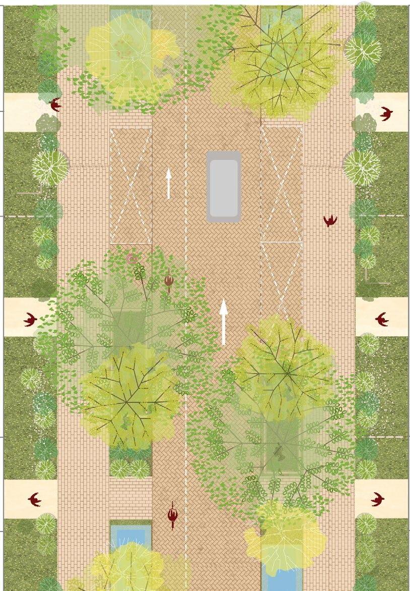
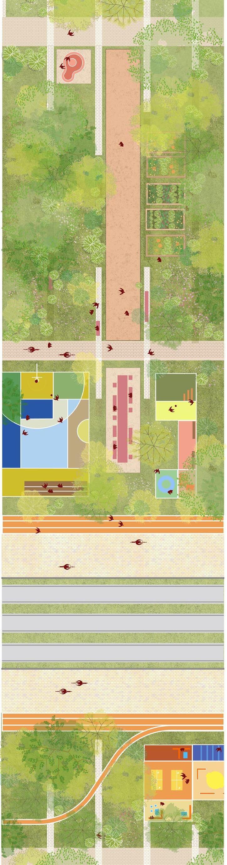















Upside Park Eindhoven: Conceptuele visie voor de vergroening van Eindhovense laag
Eindhoven, The Netherlands. Proposed 2025.
Client: Municipality of Eindhoven Team: LOLA. Peter Veenstra, Artur Borejso, Simon Verbeeck, Madison Appleby, Roberto
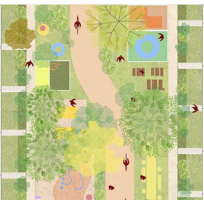
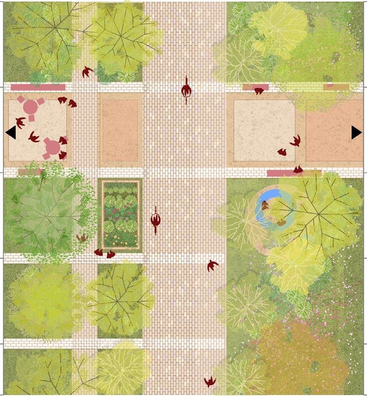
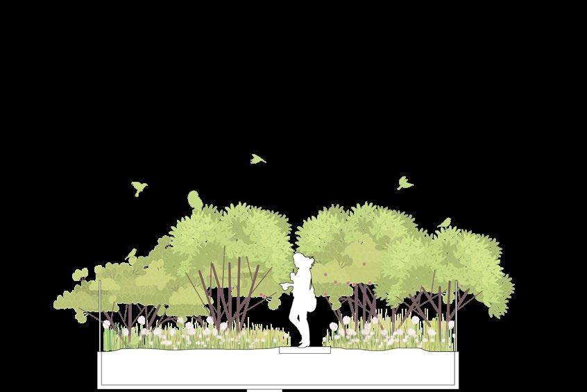
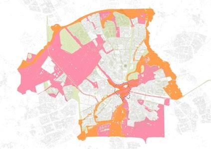
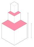
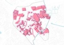
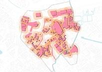
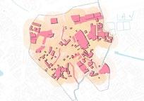
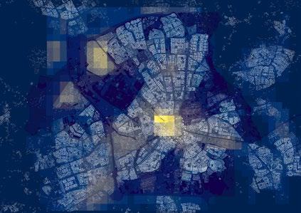
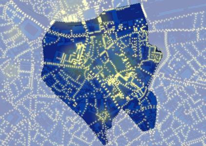
The municipality of Eindhoven is ambitiously committed to greening the city center. Currently, only 18% of the center is green, compared to 44% for the entire city.
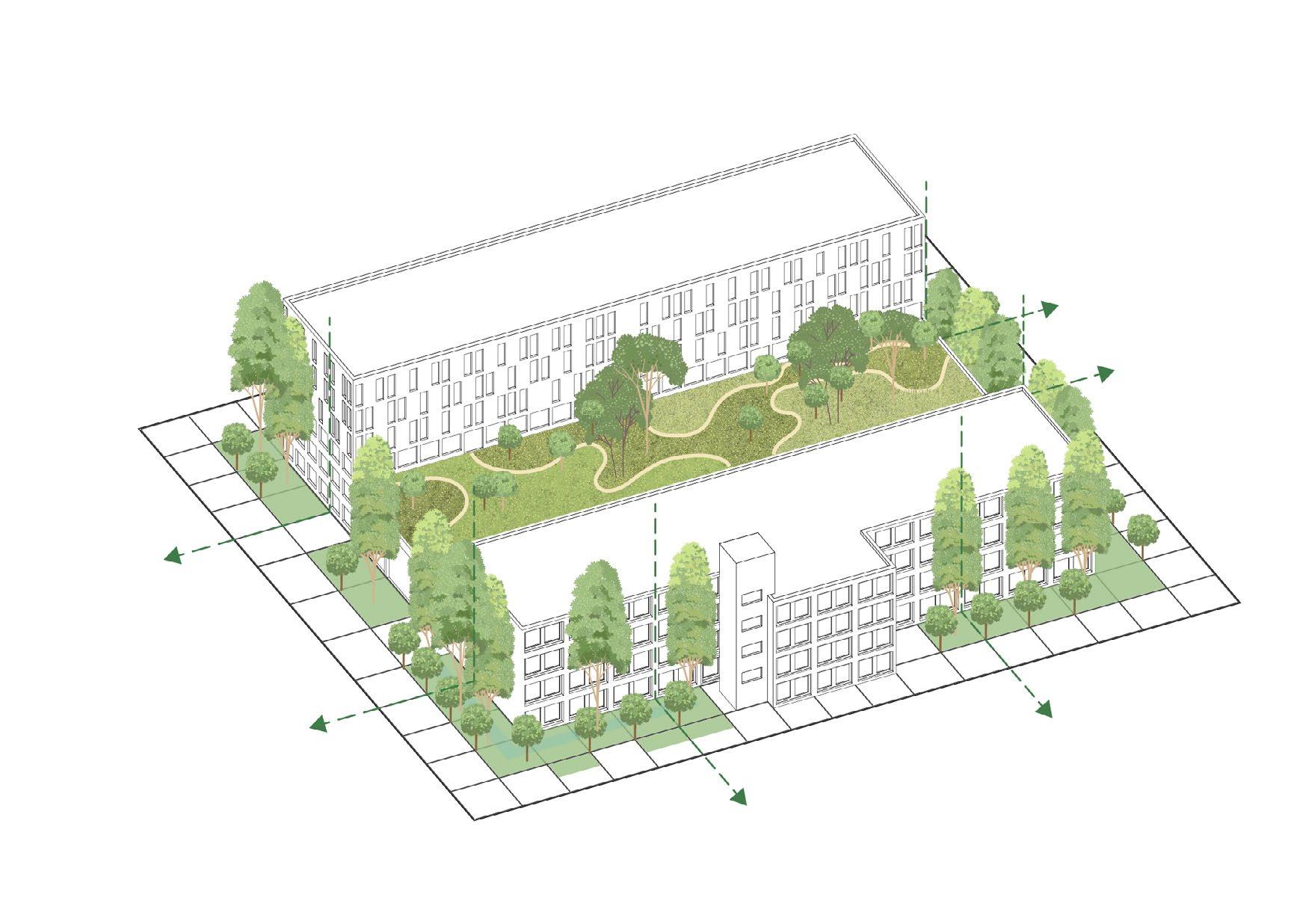
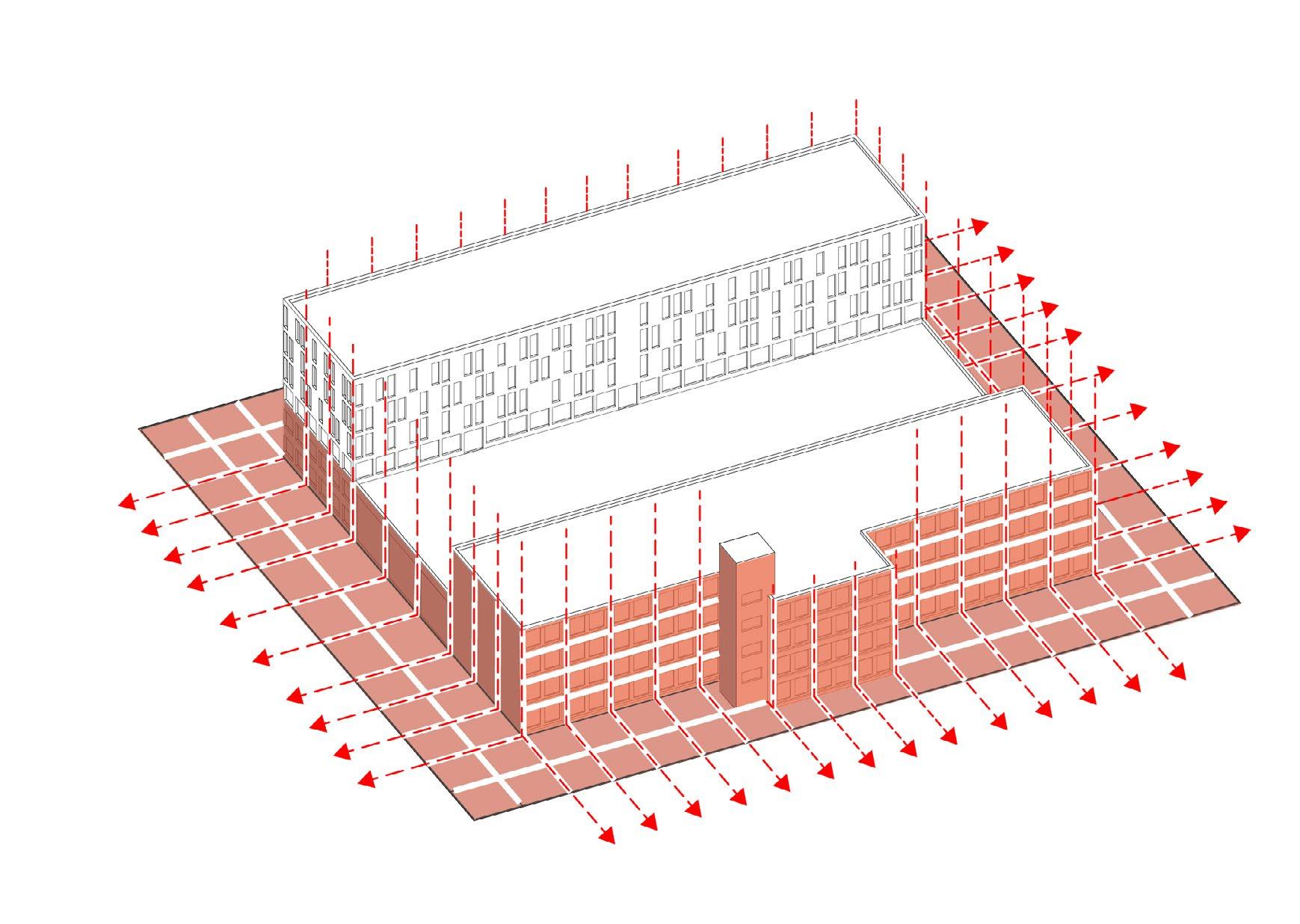
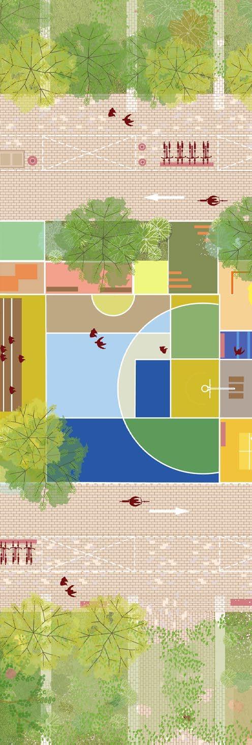
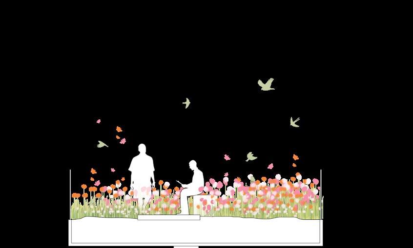
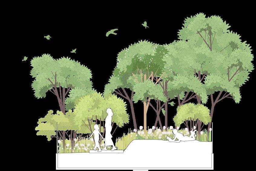
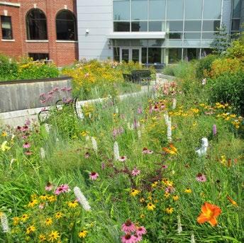
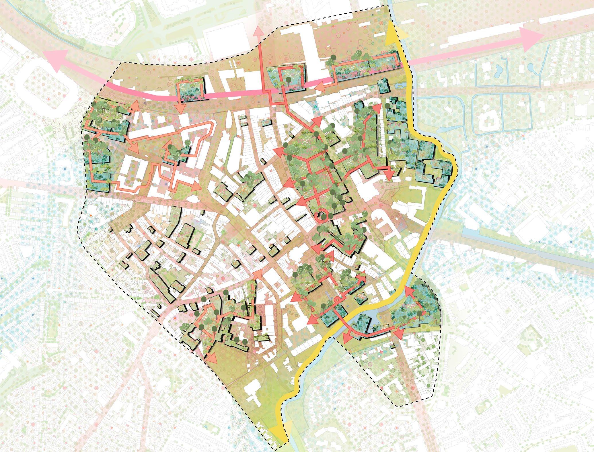
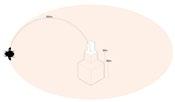
Eindhoven is introducing an innovative, multi-layered greening strategy. A central component of this is the “Greening of the Eindhoven Layer,” an additional green level above ground level, consisting of buildings and structures up to 17.5 meters high. The potential of this level is central to this conceptual vision.
The roofs of these buildings will be transformed into green, sustainable landscapes with parks, planting, and ecological features. This promotes climate adaptation, biodiversity, and cooling in the city. Strategic roofs will be accessible to the public, offering opportunities for sports and social encounters.
Inspired by the National Park City movement in London, the design team aims for an overarching concept that repositions Eindhoven and renews the relationship between residents and nature. By integrating greenery at all levels, Eindhoven is taking a major step toward becoming a healthier, more sustainable, and climate-resilient city.

It is primarily a call to action for residents, organizations, and local authorities to collaborate on the city and prioritize greening, biodiversity,and outdoor activities. By strengthening the bond between the city and its natural environment, Eindhoven will transform into a greener, more vibrant, and more inclusive city.
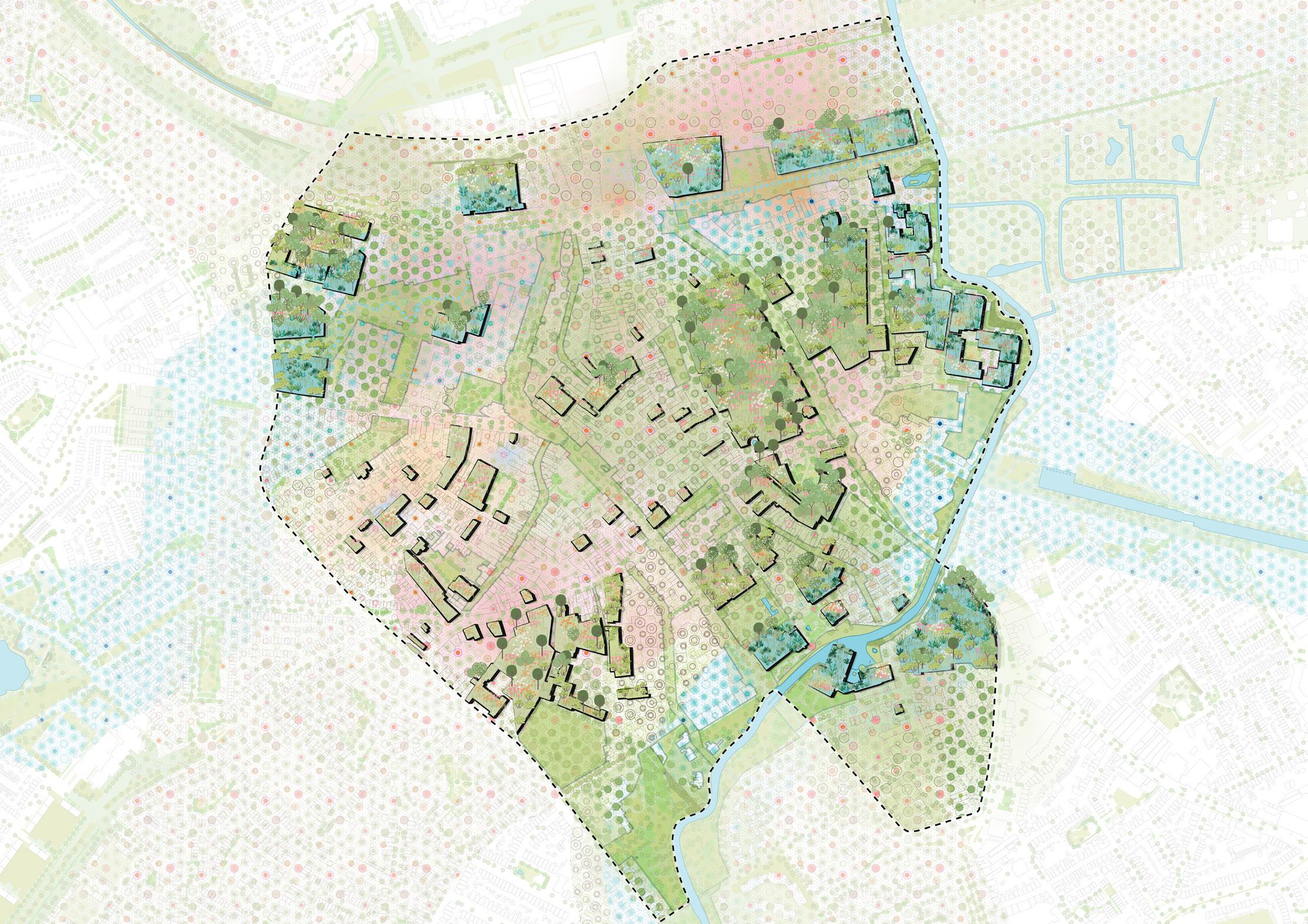
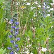
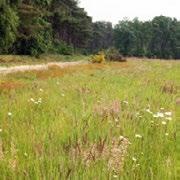
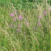
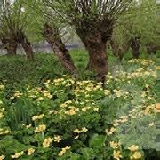
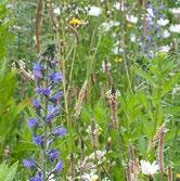
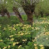
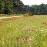
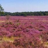
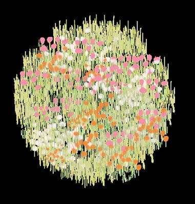
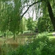
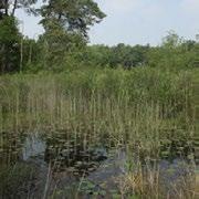
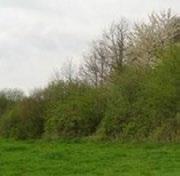
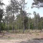
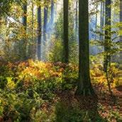
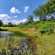
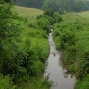
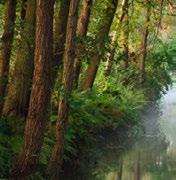
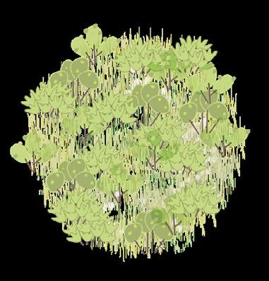
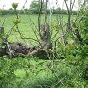
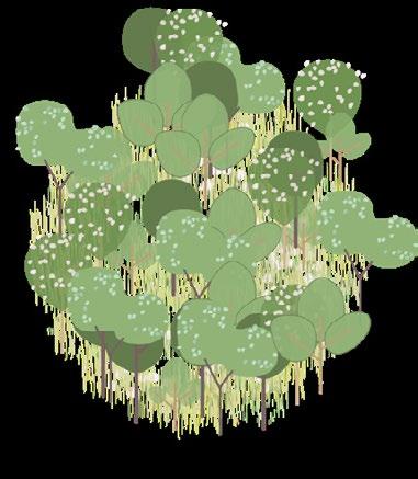
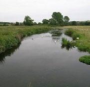
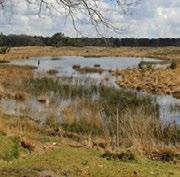
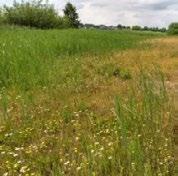
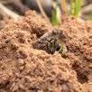
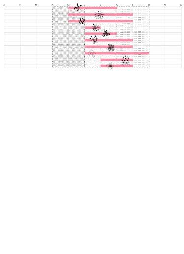
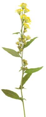
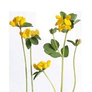
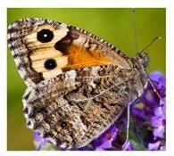
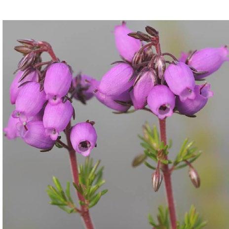
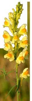
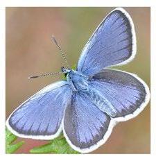
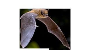
De twintig uitgelichte landschapstypologieën zijn onderverdeeld in de volgende vier subgroepen:
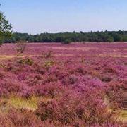
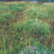
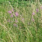
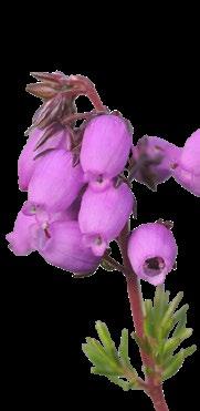
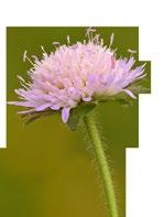
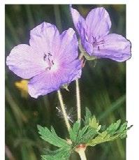
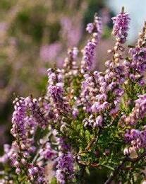
Grasland/heide
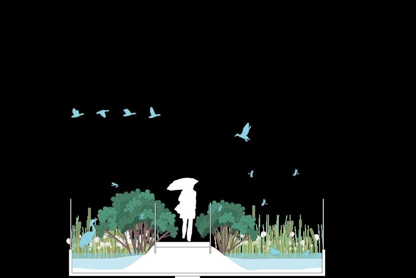
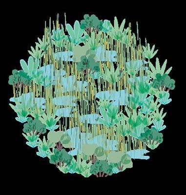
Bos Waterrijk
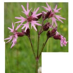
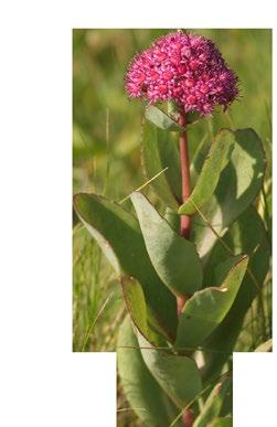
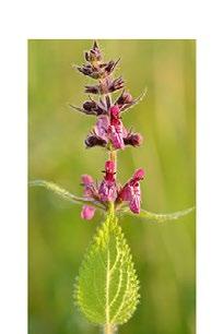
Heester/struweel
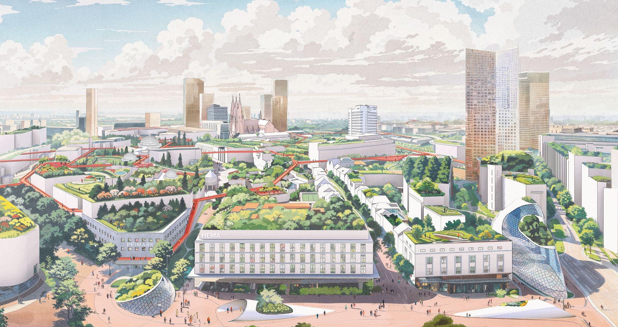
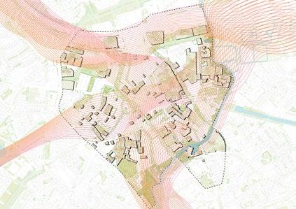








14. The roofs of these buildings will be transformed into green, sustainable landscapes with parks, planting, and ecological features. This promotes climate adaptation, biodiversity, and cooling in the city. Strategic roofs will be accessible to the public, offering opportunities for sports and social encounters.
General Overview of Topics:
1. Eindhovenselaag - Eight Strategies
2. Eindhovenselaag - Potential for Greening
3. First Steps to Upside Park Eindhoven: Four Locations
4. Eindhovenselaag - Landscape Mosaic
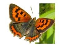
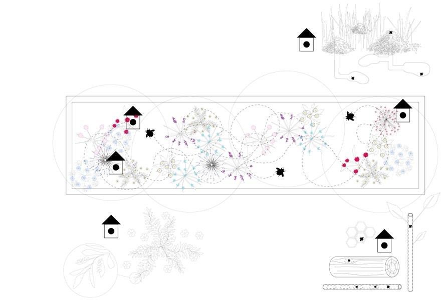
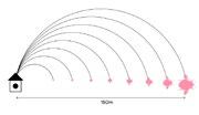
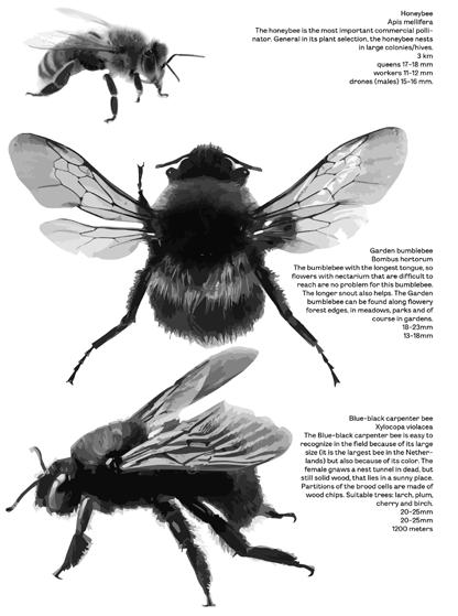
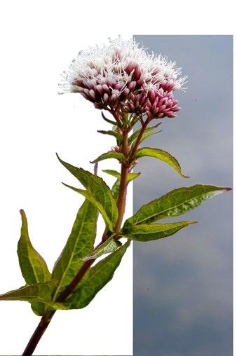
5. Eindhovenselaag - Pollinator “Slow Lane”
6. Eindhovenselaag - Bird “Fly Through”
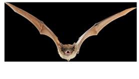
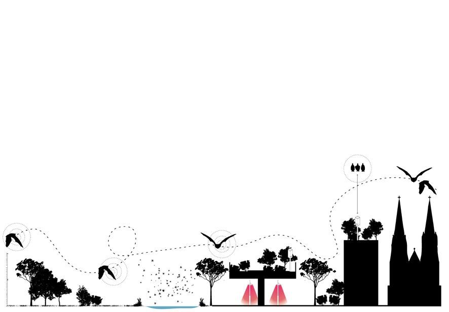
7. Eindhovenselaag - Bat “Echo Zone”
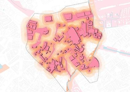
8. Heat Stress Mitigation in Eindhoven’s City Center
9. Sports and Play Program for the Eindhovenselaag
10. Eindhovenselaag - Circular Soil Substrates
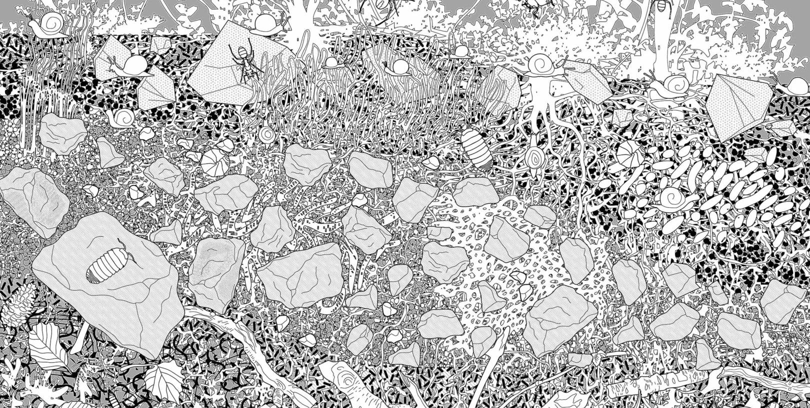
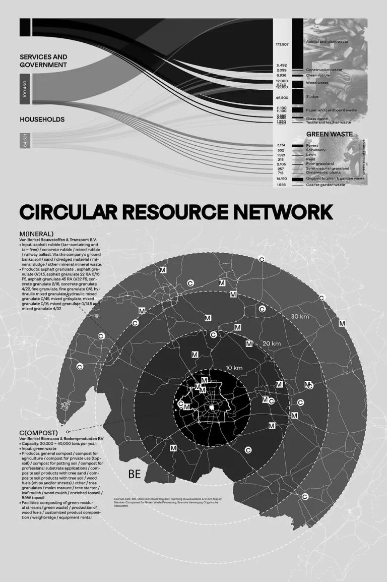
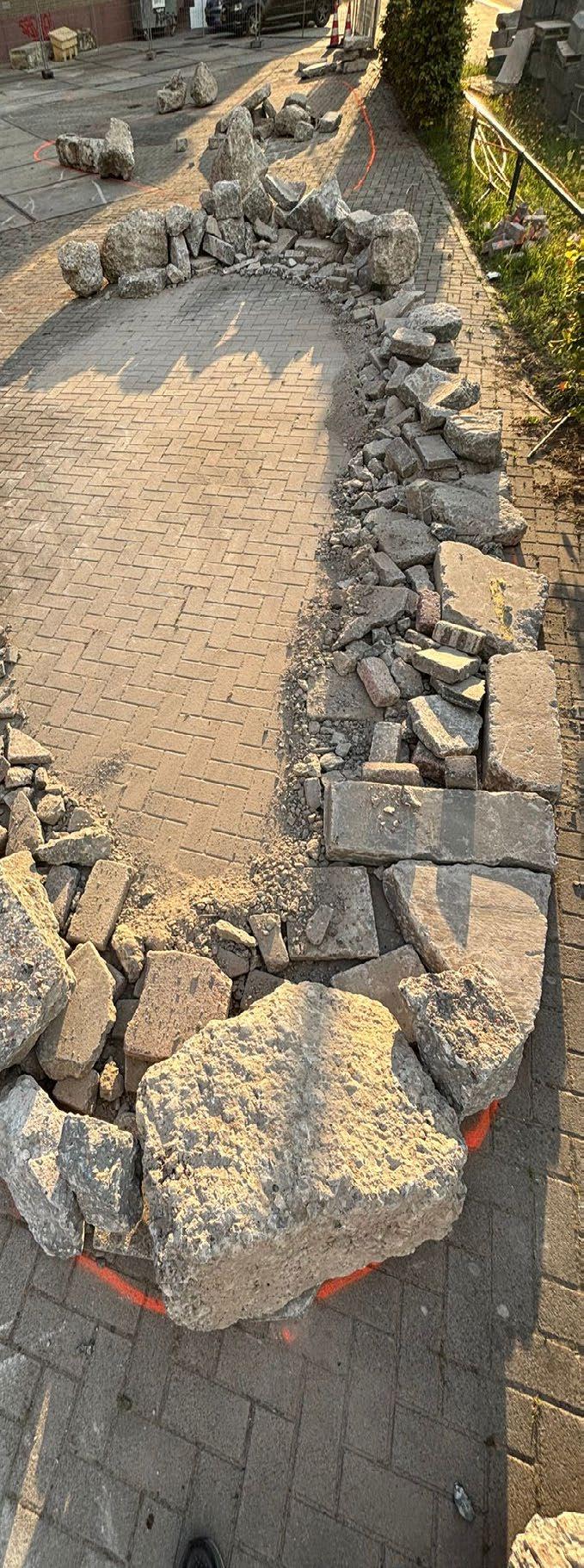
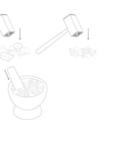
Soil Lab a bold idea to use circular substrates made from local waste materials to green the city’s roofs. This project supports the ambition of the municipality in ‘Groenplan Centrum’, and is a follow-up of LOLA’s ‘Upside Park’ vision.
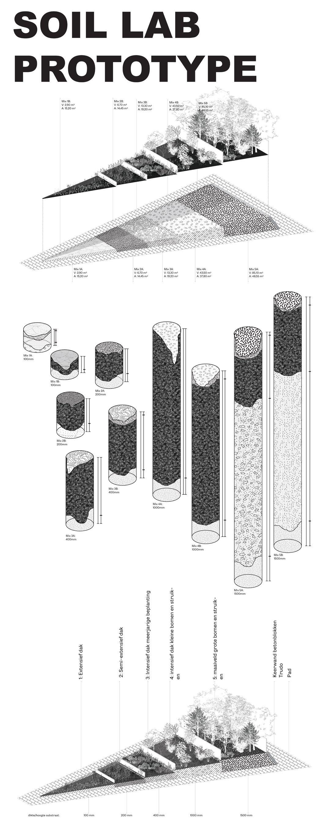
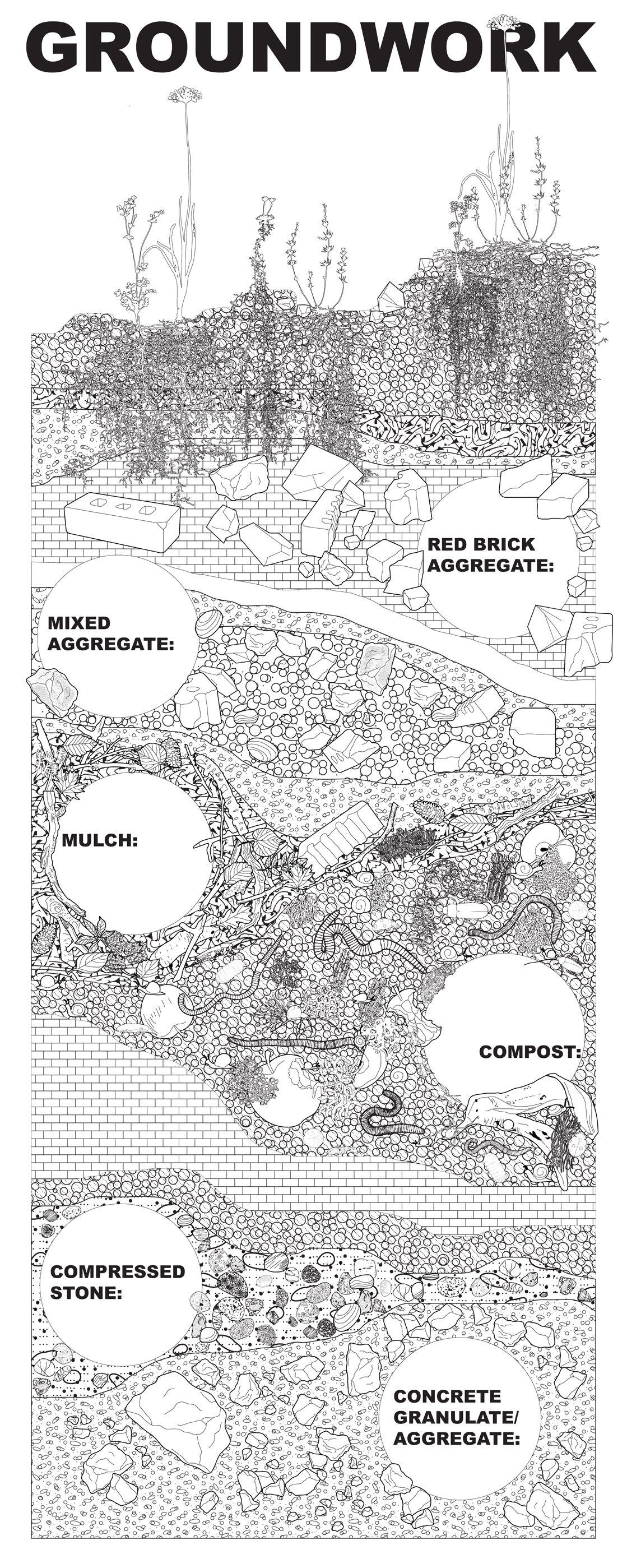
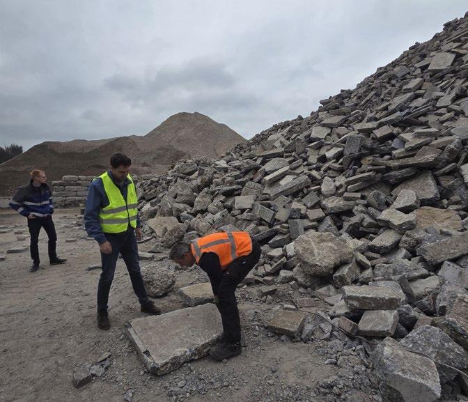
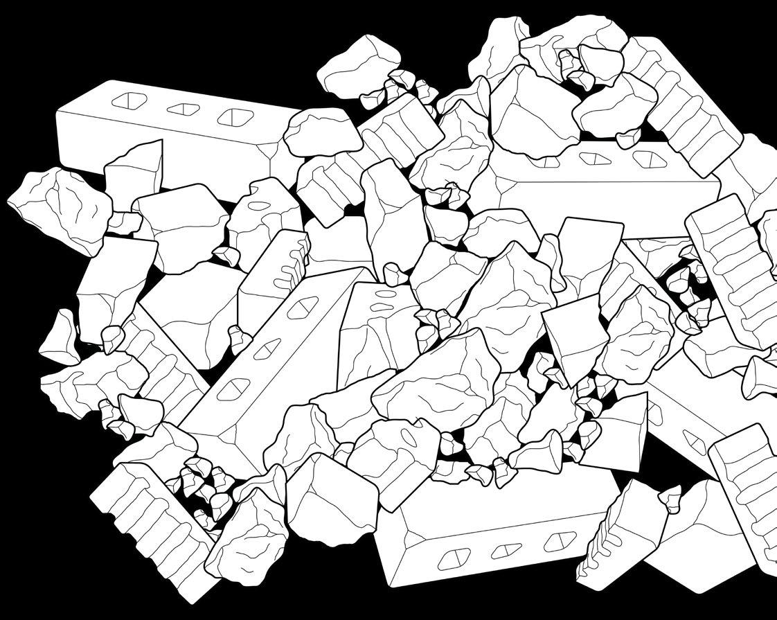
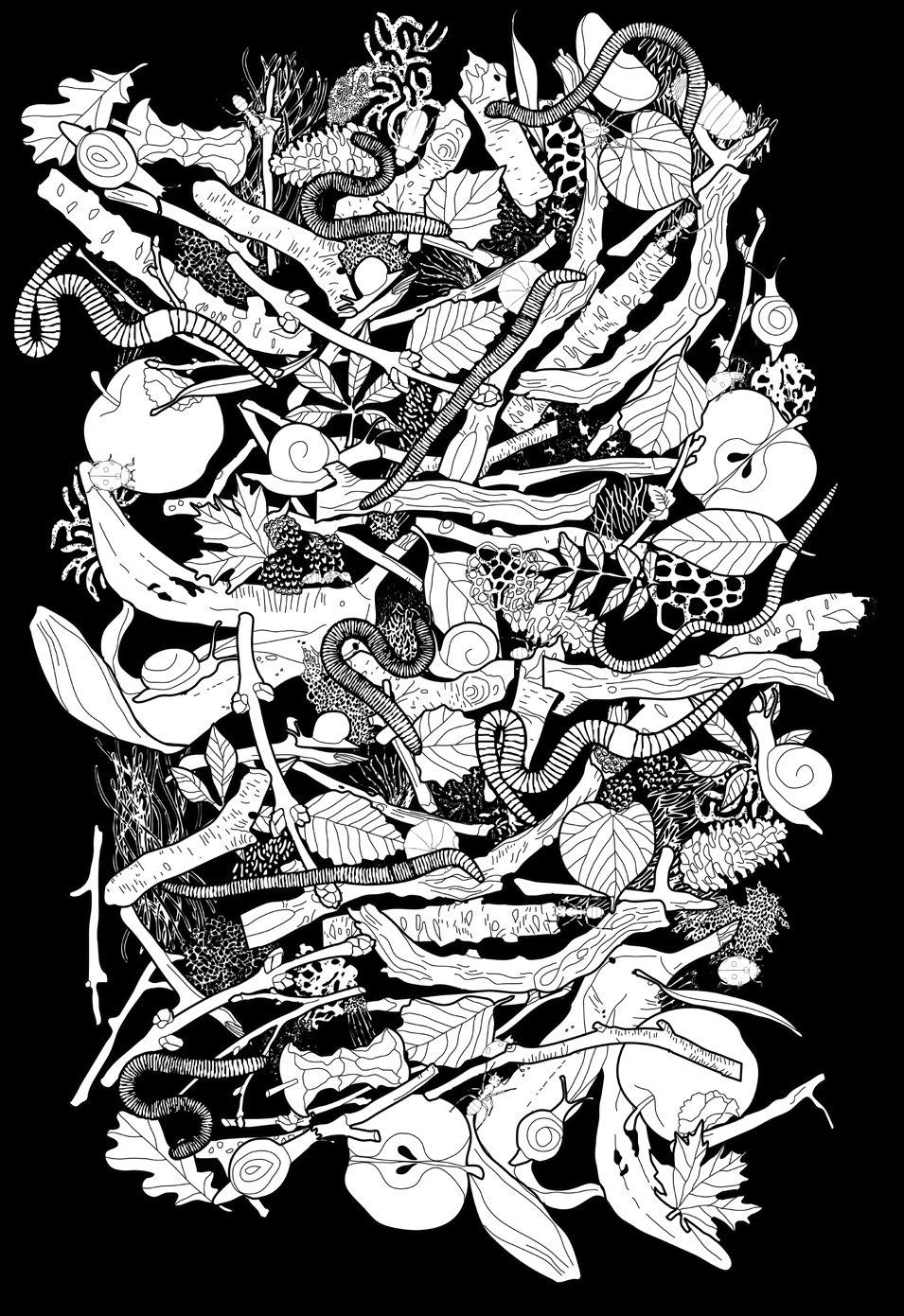
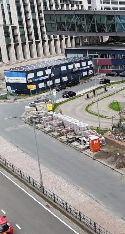
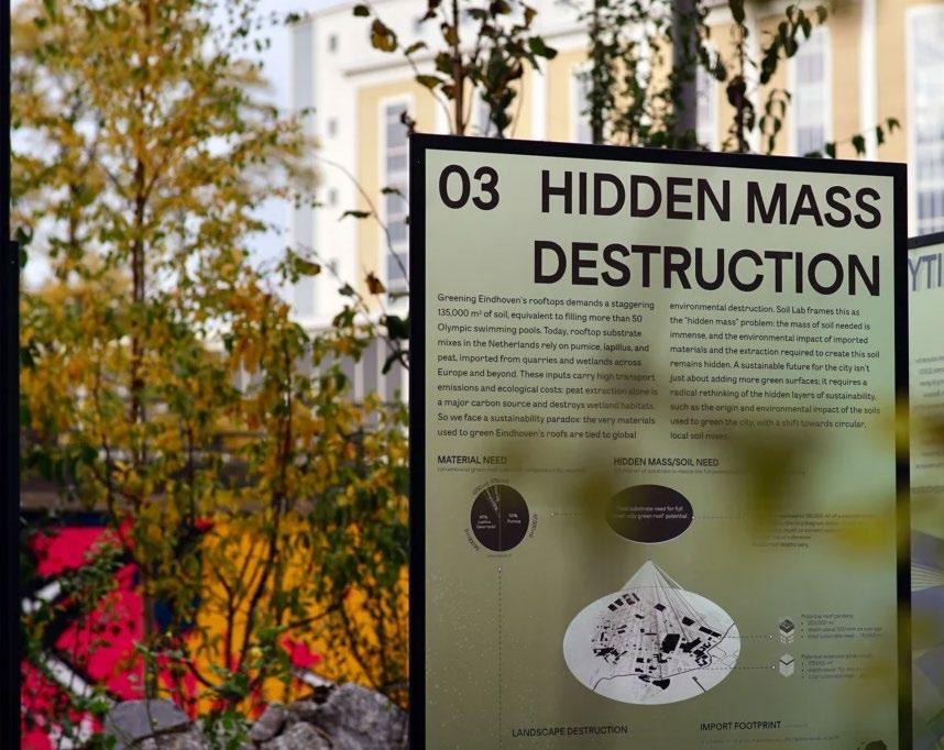
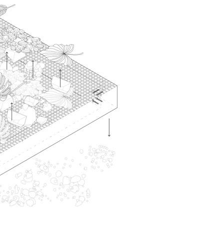
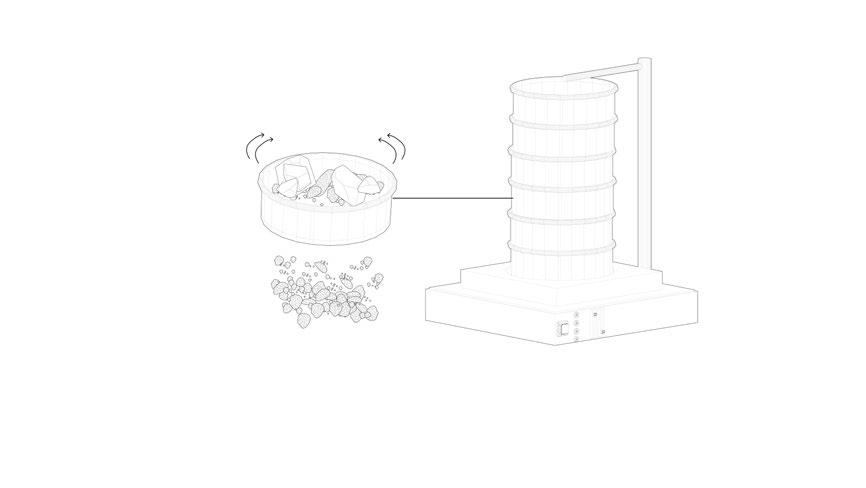
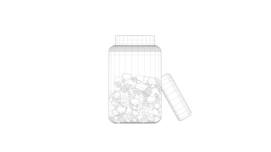
Extracting peat and pumice for traditional substrates destroys distant landscapes and adds a heavy transport footprint when shipped to the Netherlands. So we face a sustainability paradox: the very materials used to green Eindhoven’s roofs are tied to global environmental destruction. Instead, we propose to produce substrates locally. Compost from municipal and household green waste, together with demolition materials such as bricks and concrete, form the basis. Once crushed, these materials provide lightweight fractions suitable for use on rooftops.
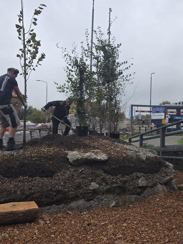
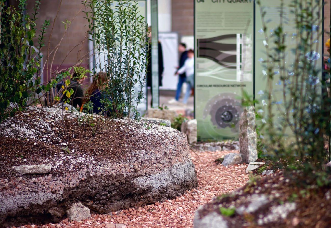
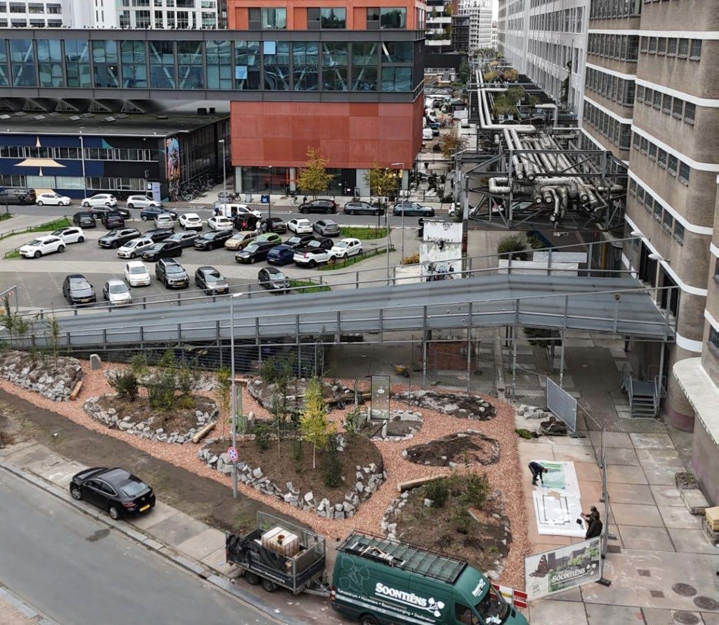
Supported by Trudo, we’ve built a three-year test site at Strijp-S in Eindhoven (NL) that puts the vision into practice. This small pocket park will serve as a living laboratory where different substrate mixtures are tested alongside carefully selected plants. The planting will focus on species resilient to urban conditions such as heat and drought, while also supporting high biodiversity value.
Each substrate mix is linked to a planting strategy and urban typology, ranging from lightweight green roofs to rooftop gardens and parks on parking decks. The aims is to create replicable soil–plant combinations embedded in municipal greening policy. Outcomes will be shared via the Layer Landscapes Toolbox, supporting a climate-resilient, circular urban future.
Soil Lab Eindhoven: Dutch Design Week
Eindhoven, The Netherlands. Built 2025.
Client: Municipality of Eindhoven
Team: LOLA. Peter Veenstra, Artur Borejso, Simon Verbeeck, Yishan Du, Roberto Coccia, Anne Field, Lin Mu, Madison Appleby
Dutch Design Week presentation.
Soil Lab is more than a technical trial. At Dutch Design Week, it becomes a public stage that puts the ambition for local circular substrates in the spotlight and top of mind for designers, policymakers, and residents.

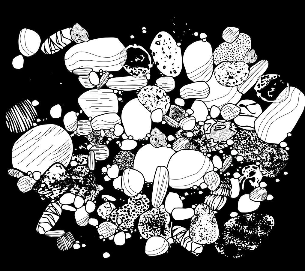
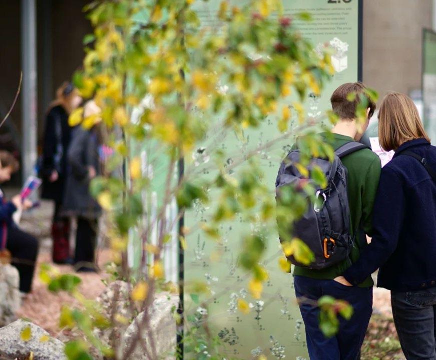
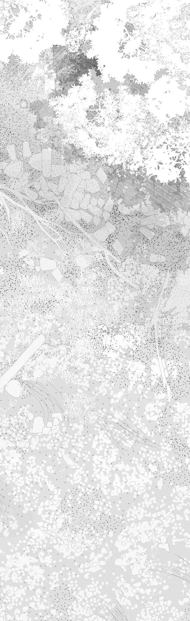
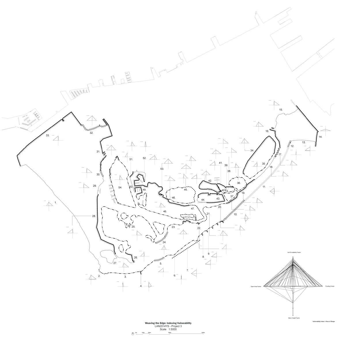
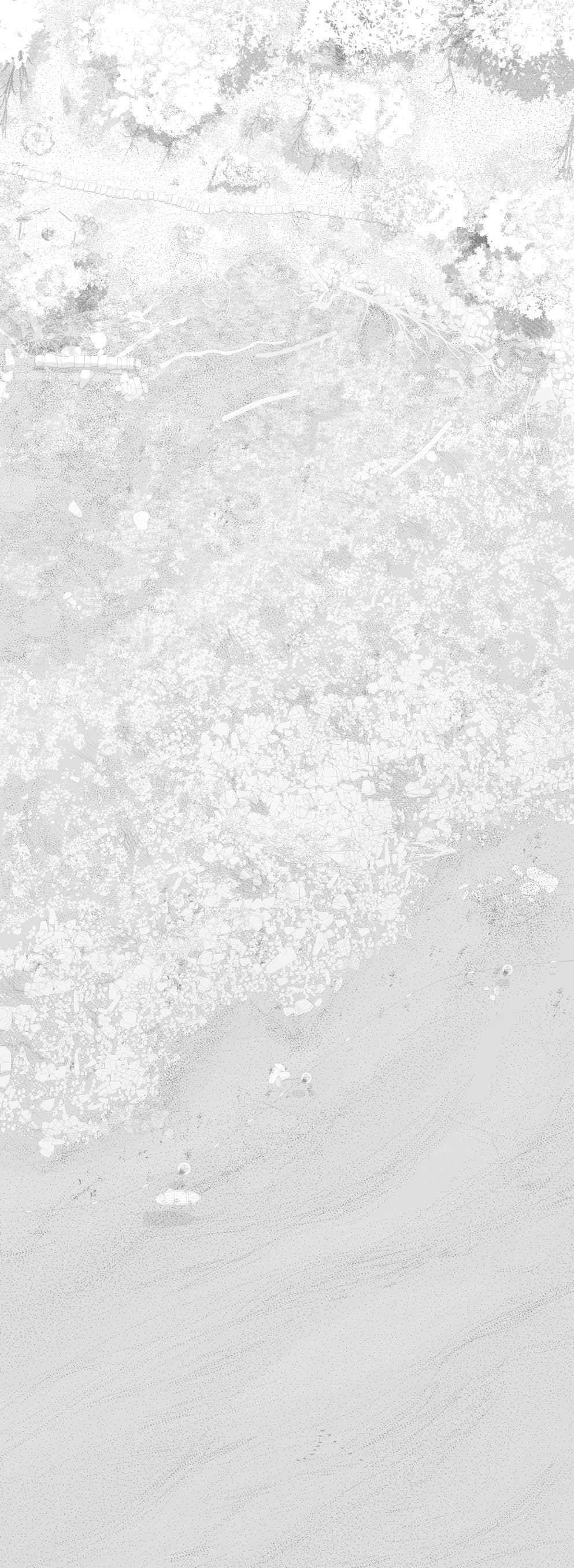
The Toronto Island shoreline is extremely vulnerable to flooding and erosion. Instead of looking out from the edge we decided to look inward, holding the islands together with a softer process-based approach. We wove resilient living systems, in the form of planted bioengineering strategies, into the mosaic of the island in the hopes of creating a connection to the land.
How and where could we best incorporate the existing materials, processes and plant communities of the island to help mitigate erosion and flooding? We analyzed 53 existing edge conditions on the islands and created a vulnerability index, correlating bioengineering strategies to each score.
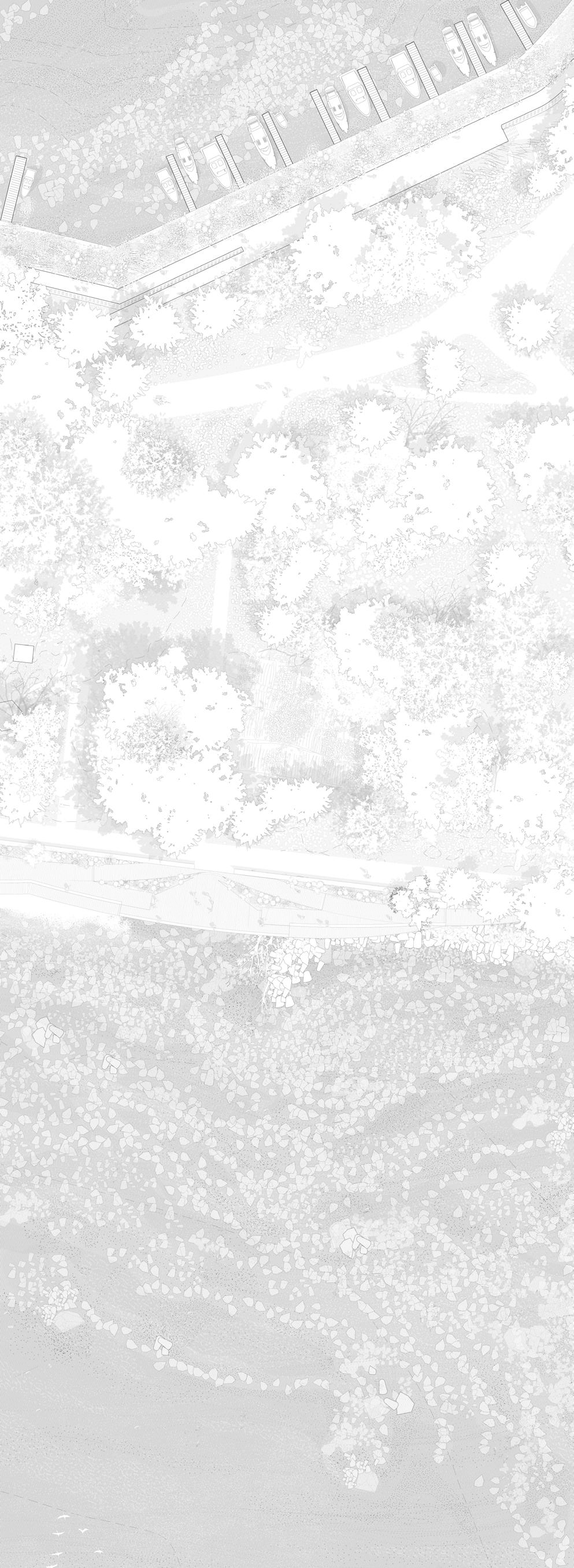
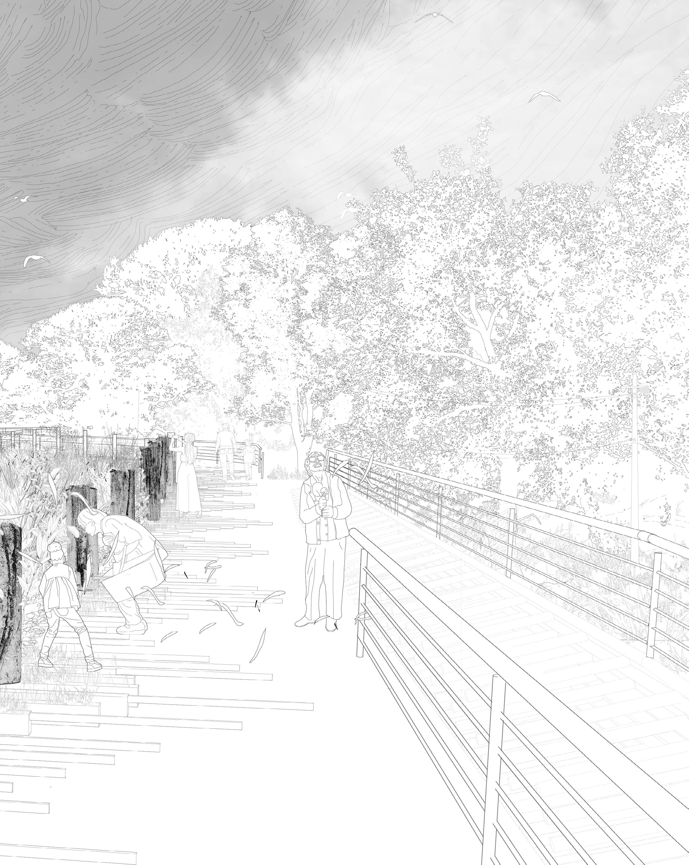
Along the inner harbour of Ward’s island a living berm planted with salix shrub species marks the passage of water from sky to roots through concrete water columns. This is part of a system of dry wells sending inverted colums of roots down into the earth, creating an unseen network of support, a true living berm.
Time is applied to the system, layering stewardship, water and growth. These interactions are revealed through the redirection of water, creating nodes of growth and human notice, marking the passage of water from the sky to the earth.
Bending is what a willow wants to do, it is flexible, well rooted, letting water wash over, thriving despite environmental pressure. We must aspire to be like the willow, drawing strength from within, looking down toward the humble root to weave the islands back together.
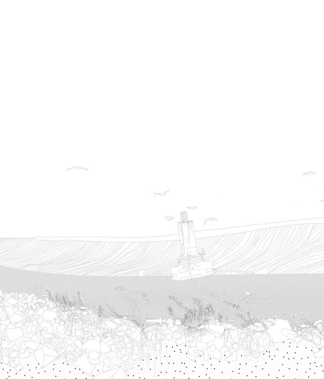
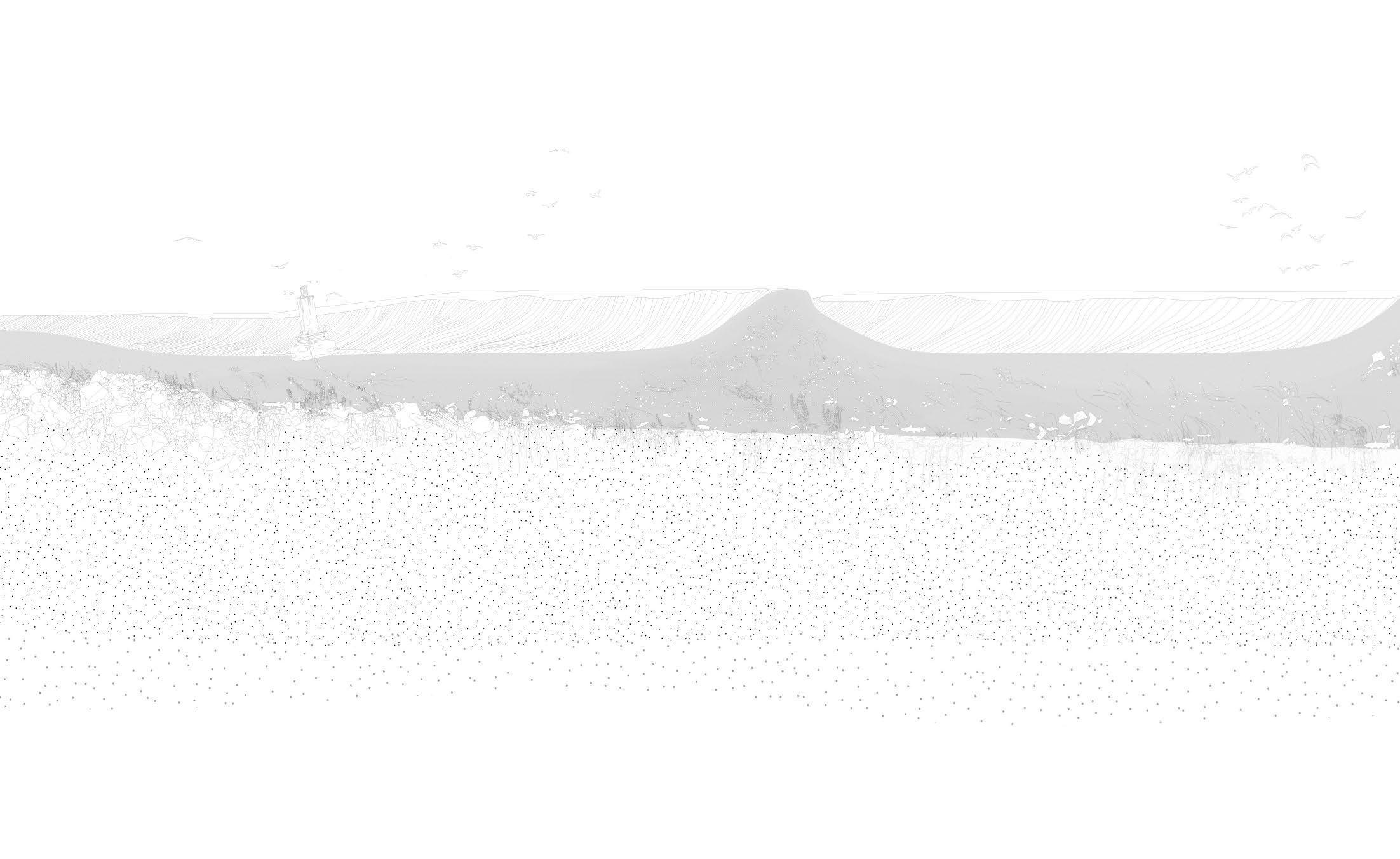
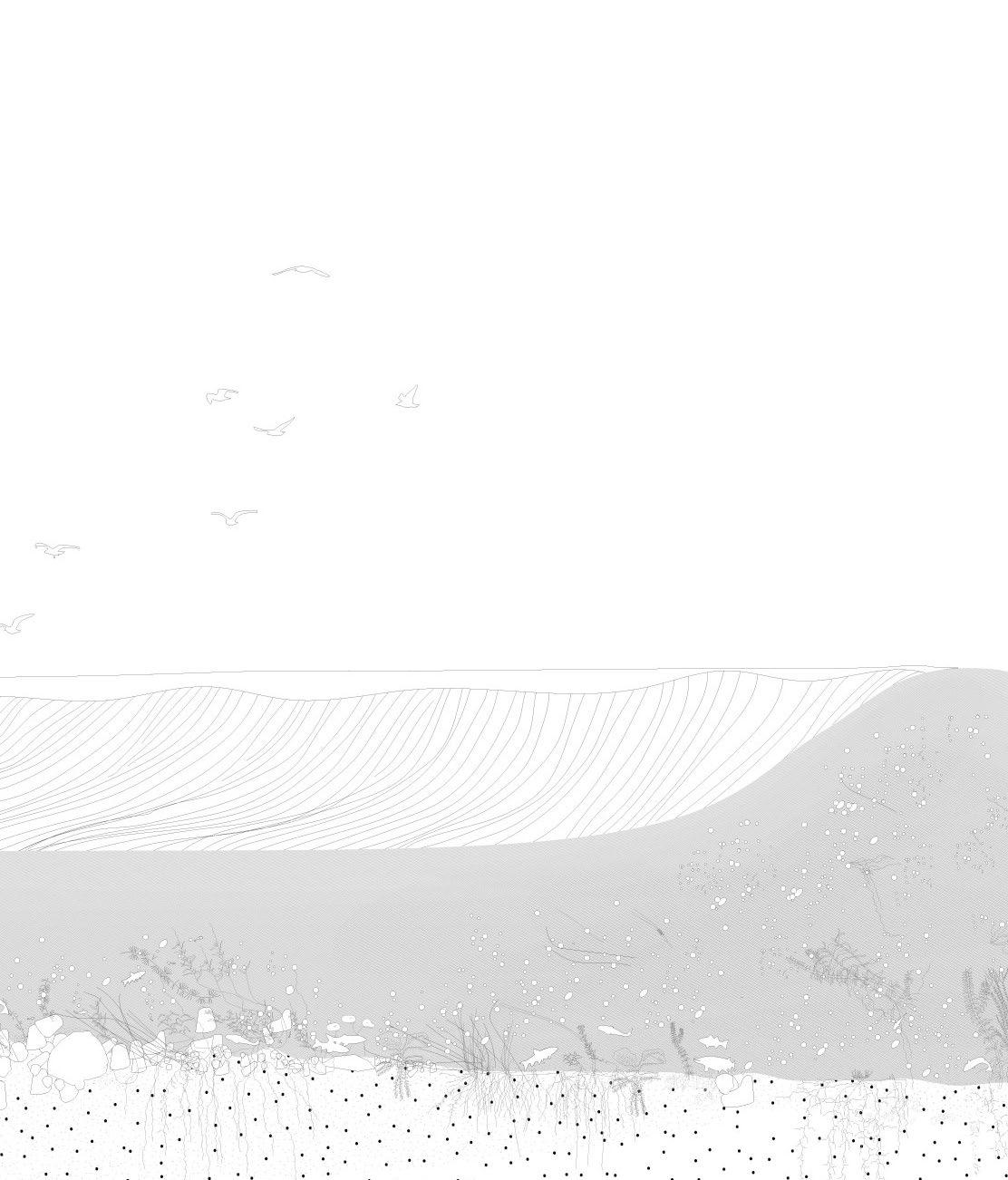
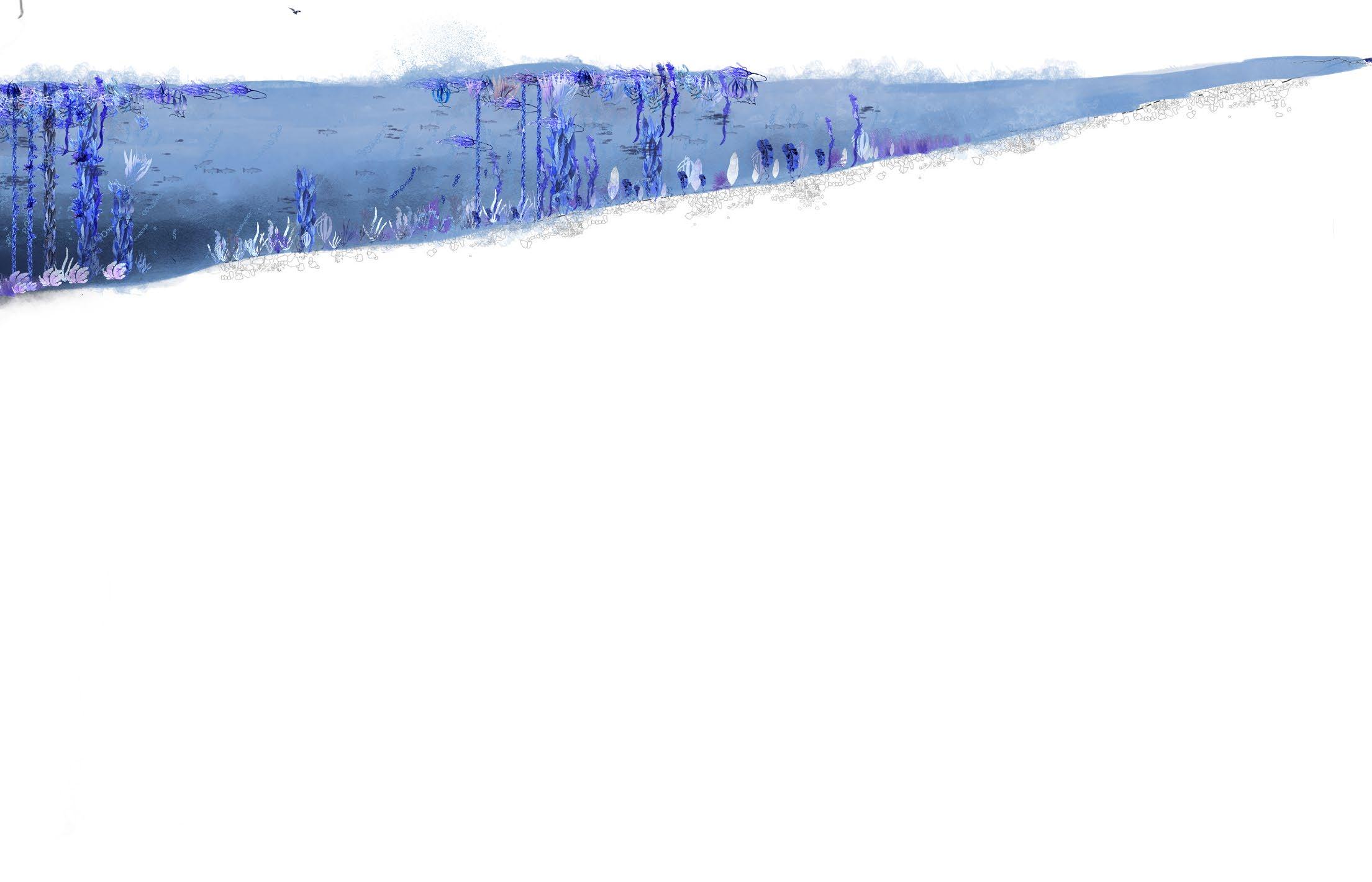
18. The section shows a moment in time, extracted from a wave height diagram within the Baird report. This is a severe storm modelled with a 3m 8s storm waves and has obviously been prolonged as you can see from the flooding. The fish have taken shelter and the vegetation is intact, whereas vegetation in the “open water” has been ripped up and sediment is swirling.
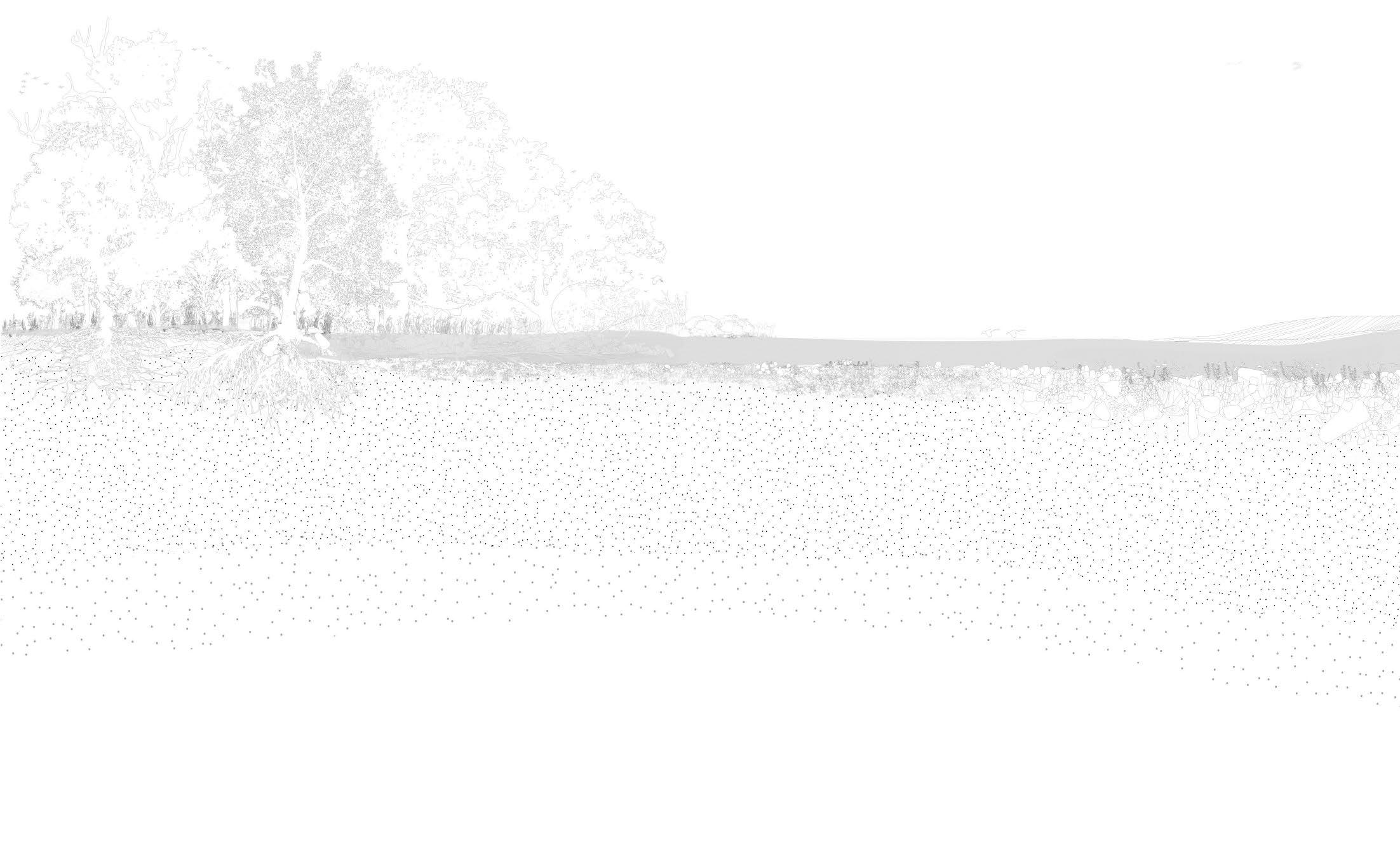
19. The section shows the vegetated berm in the moments between flooding. The willow whips have rooted and are acting as reinforcements to the berm.
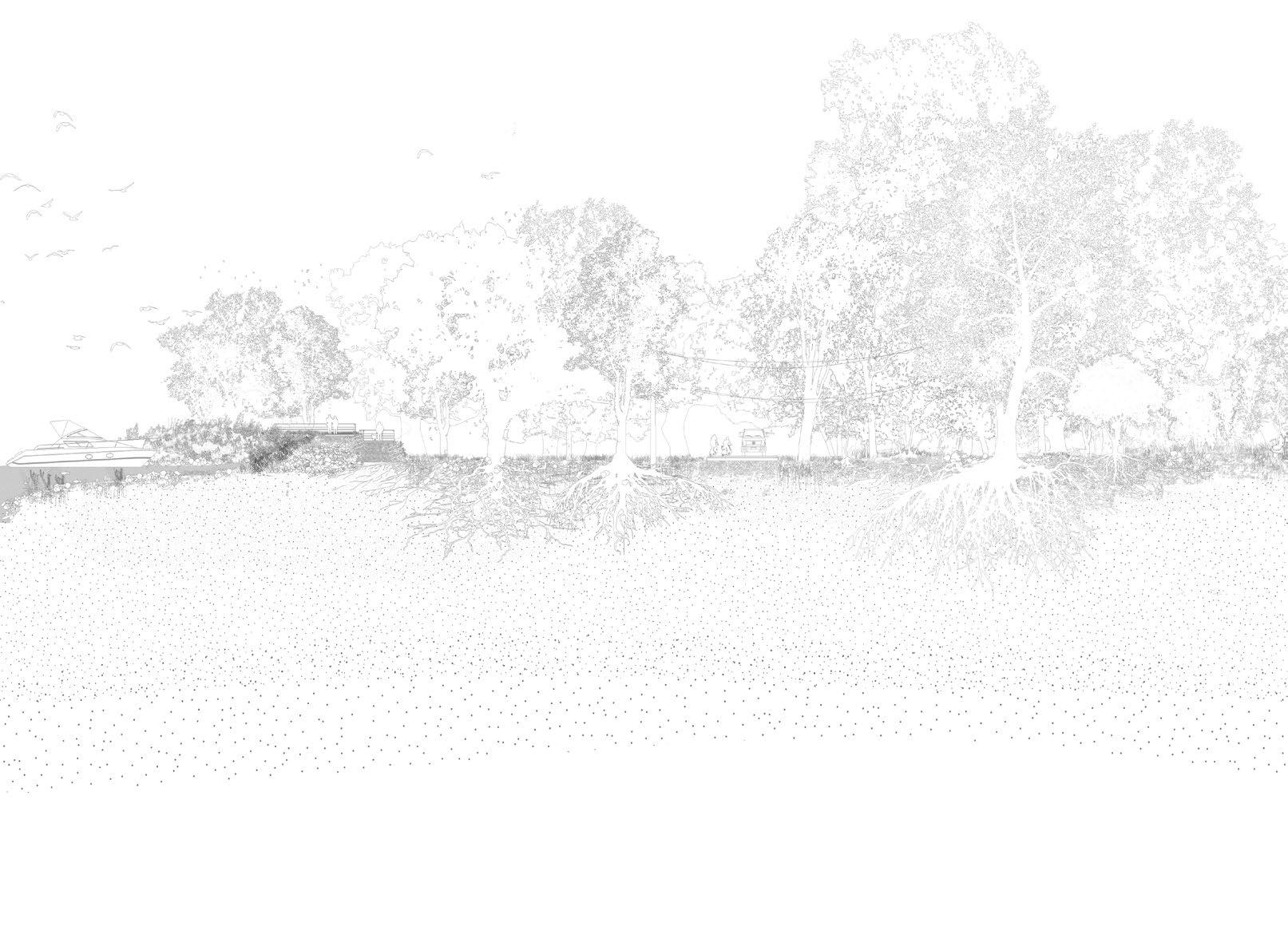
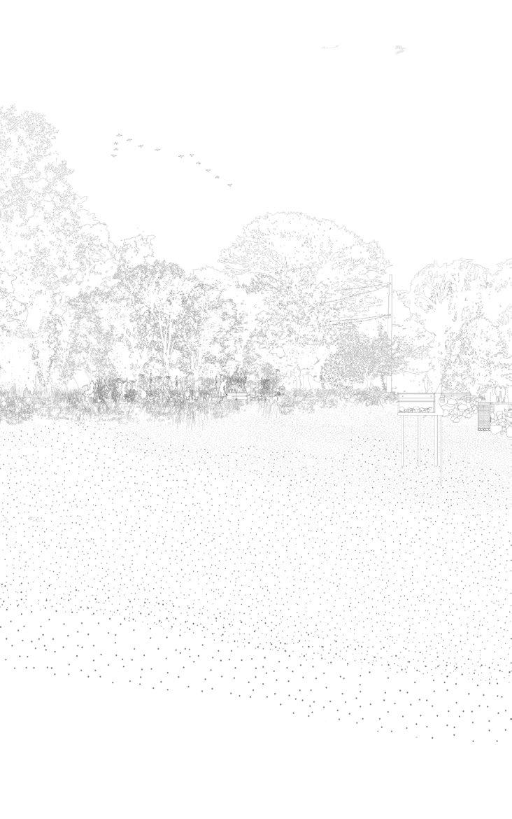
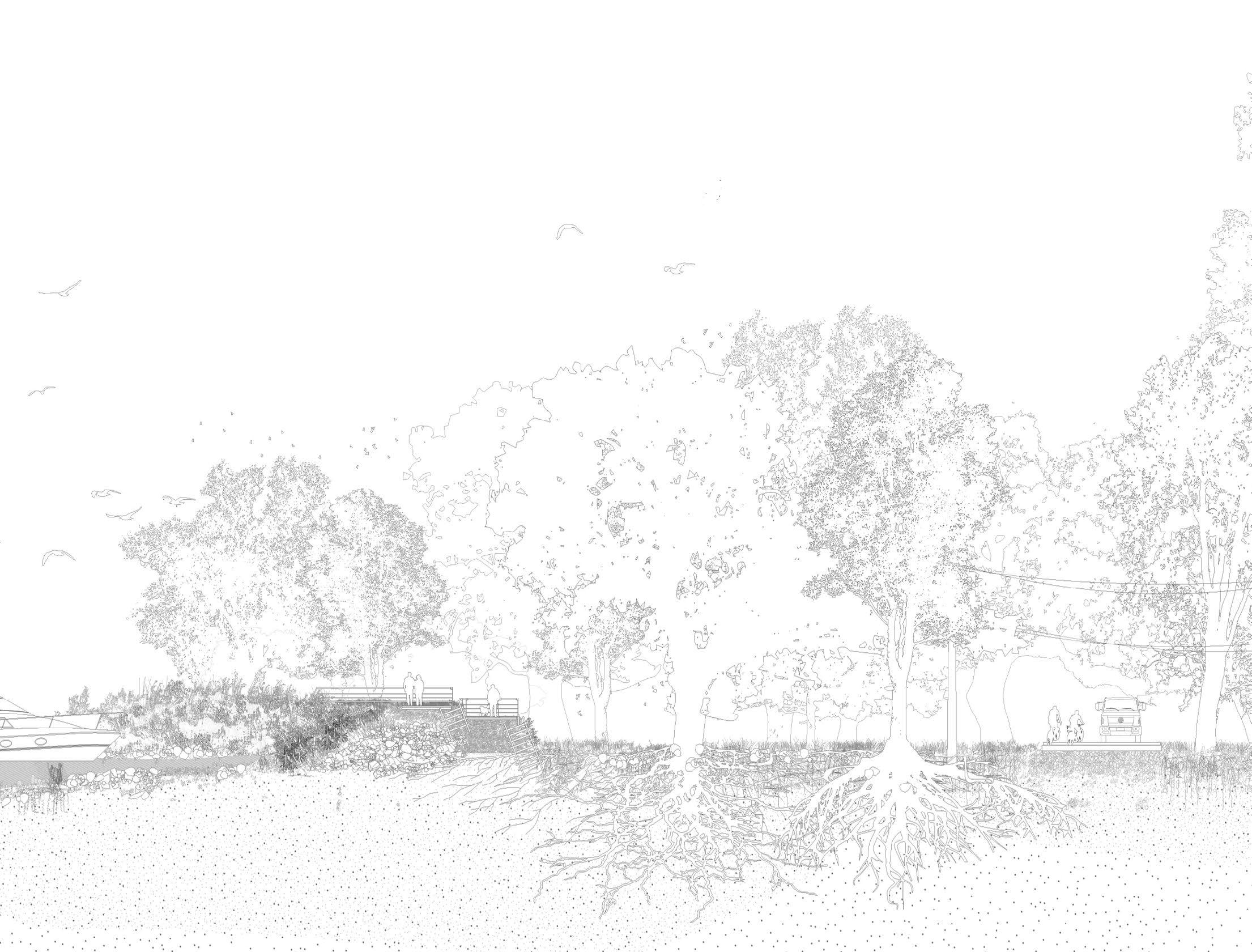
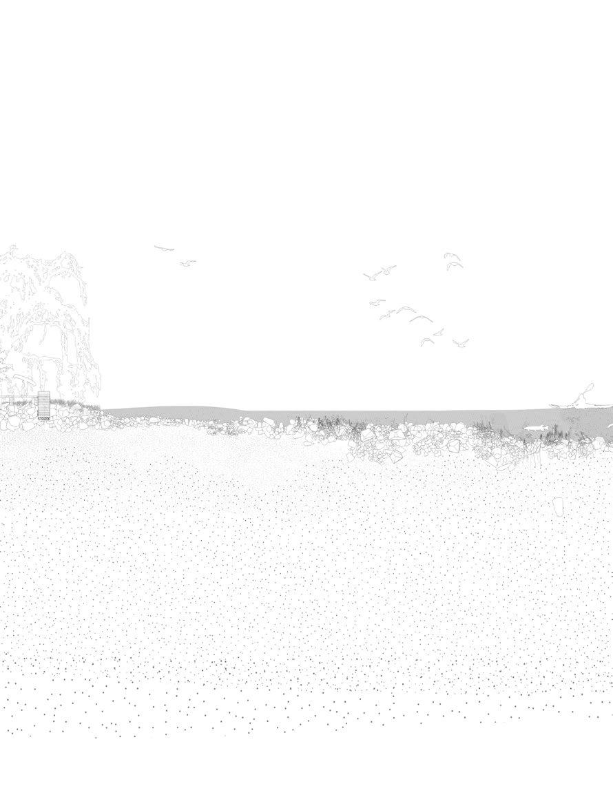
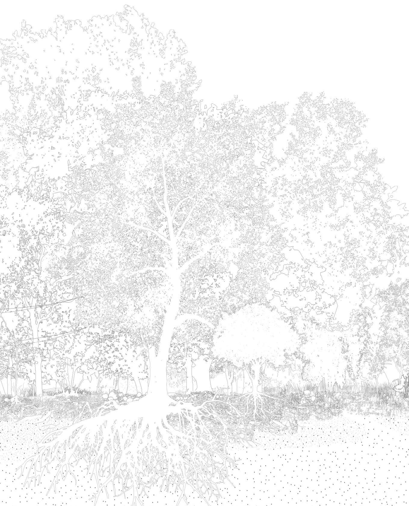

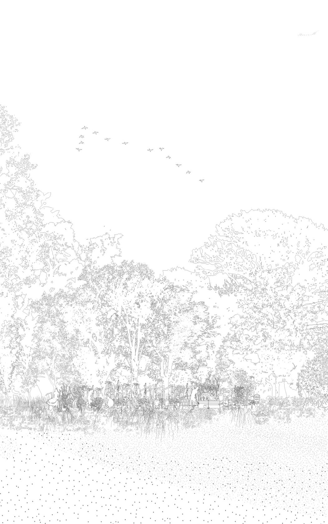
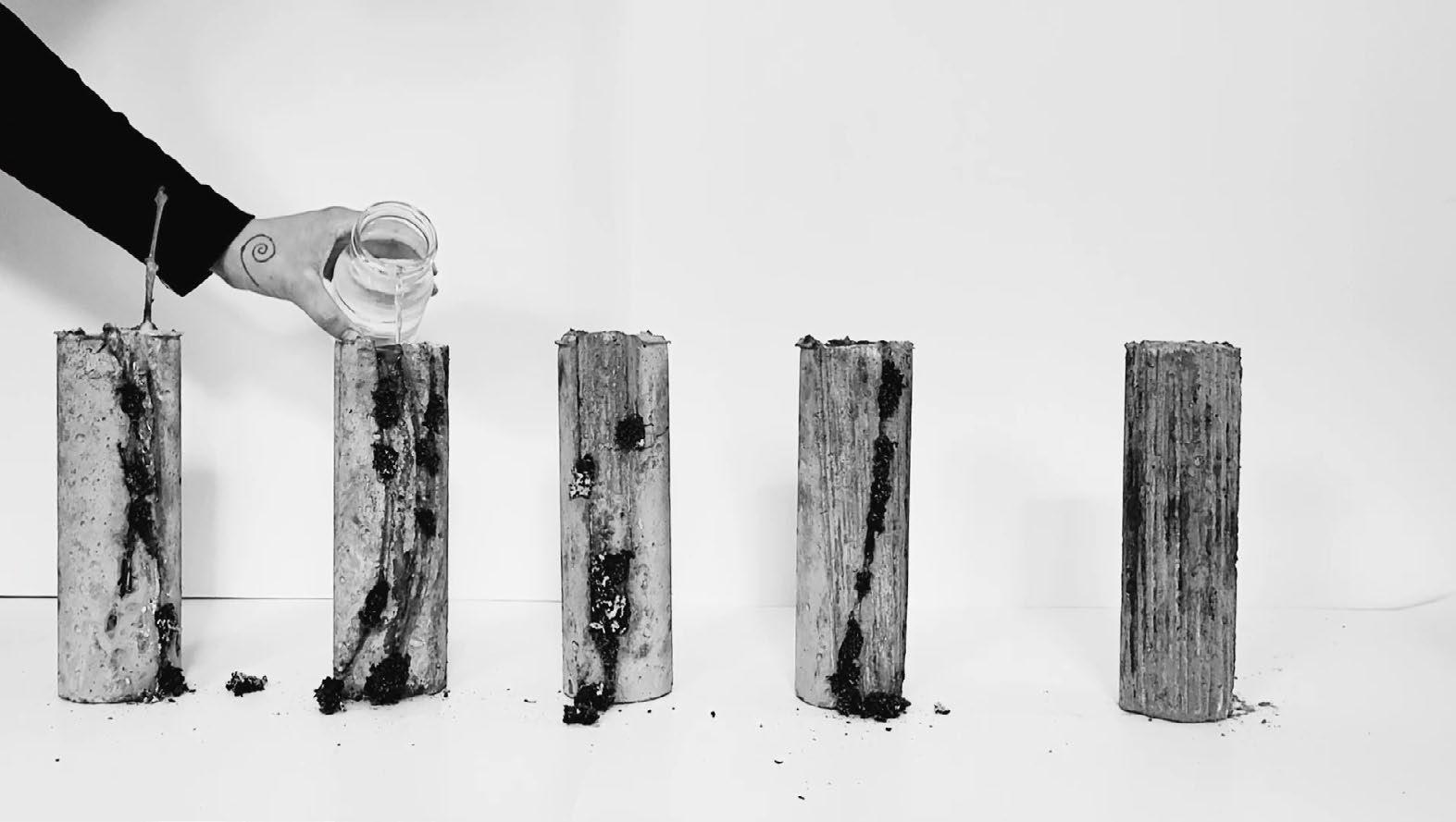
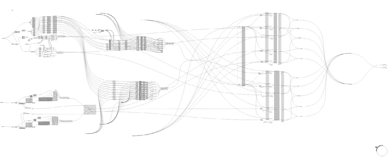
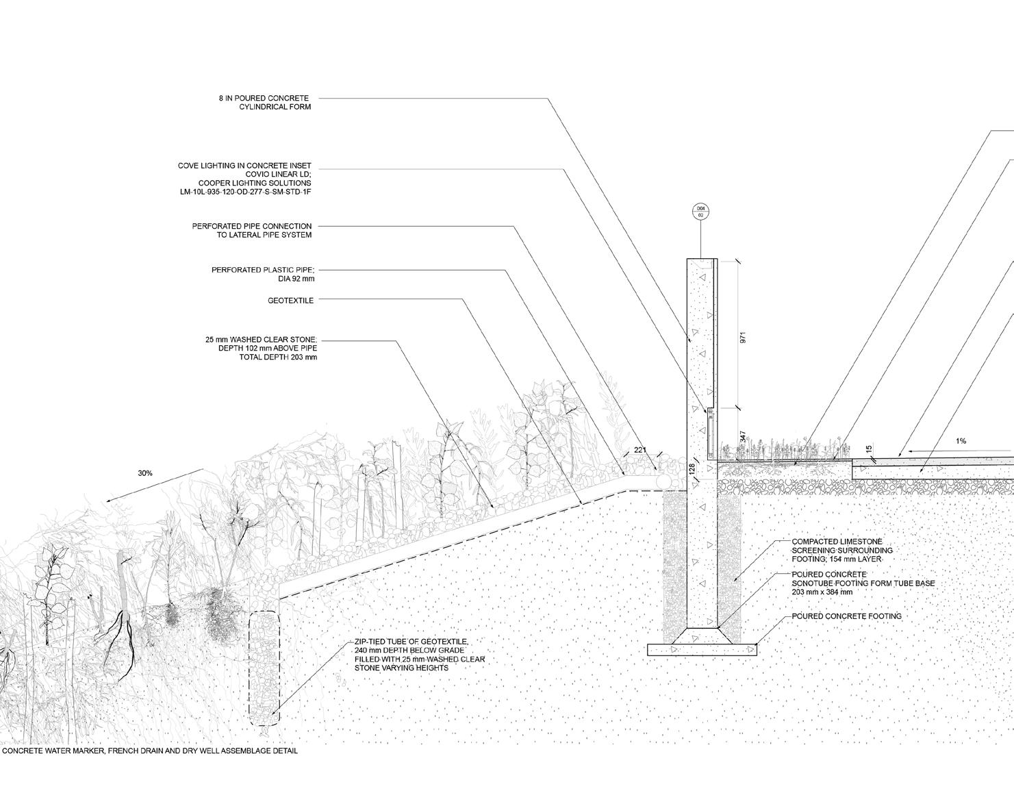
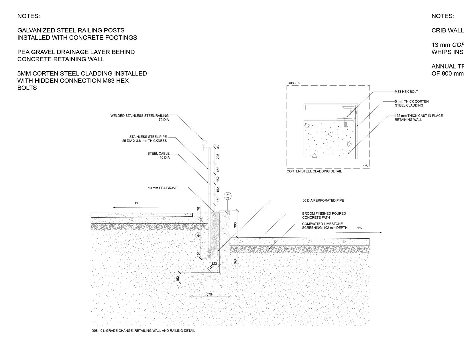
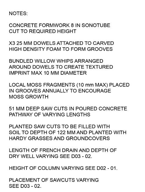
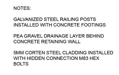
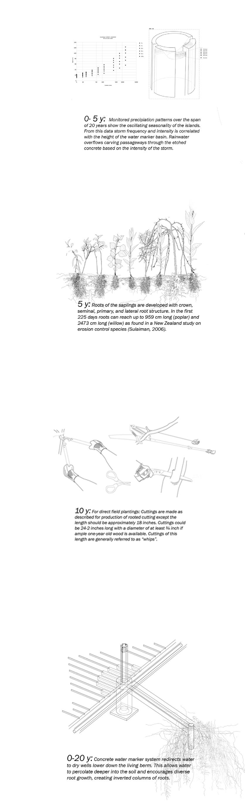
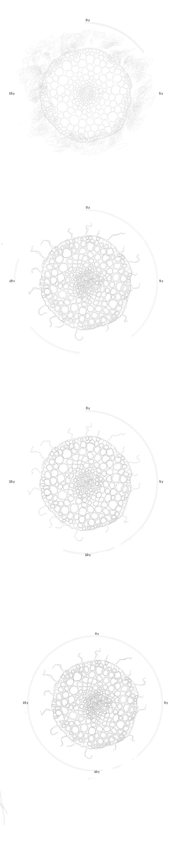

21. Stewardship of this living berm is an important aspect of the system. Coppicing, planting, harvesting and cutting will take place at certain times of the year. Studies have shown that diversity in root architecture is important. As the roots twist and mat around the dry well’s they form columns creating an unseen network of support, a true living berm.
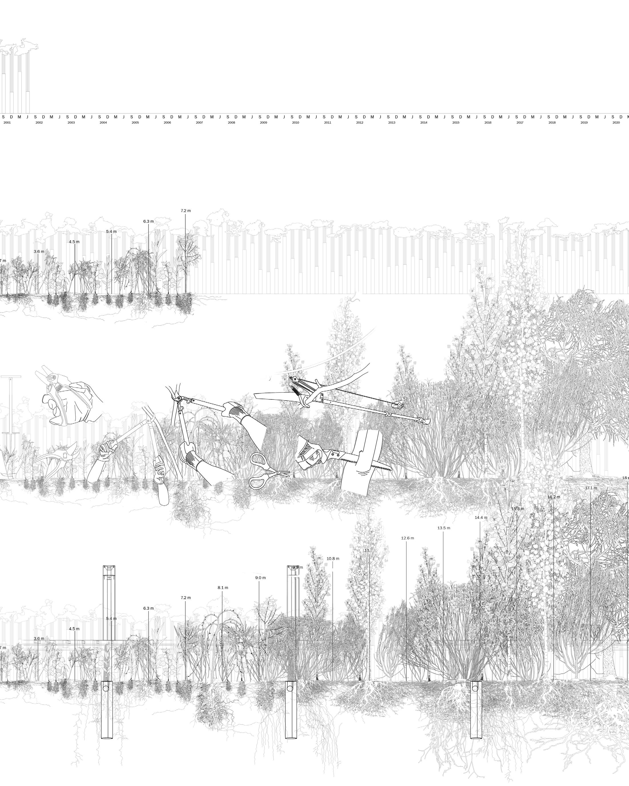
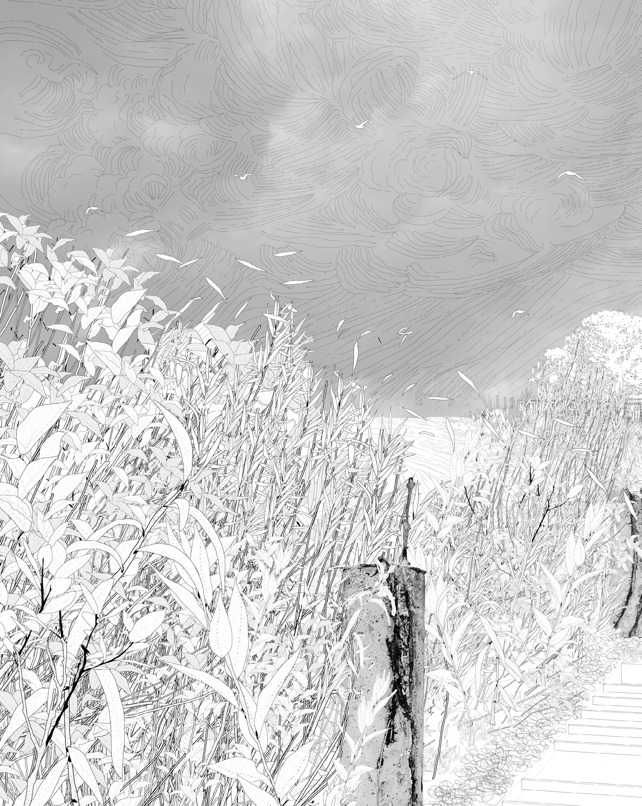
22. The berm itself is constructed from a compacted clay core on the landward side to prevent water seepage. Both sides of the berm are sloped and built up with structural soil. The landward side has a vegetated crib wall system whereas the lakeward side is unsupported at a slope of 30% which is the typical angle of repose of soil.
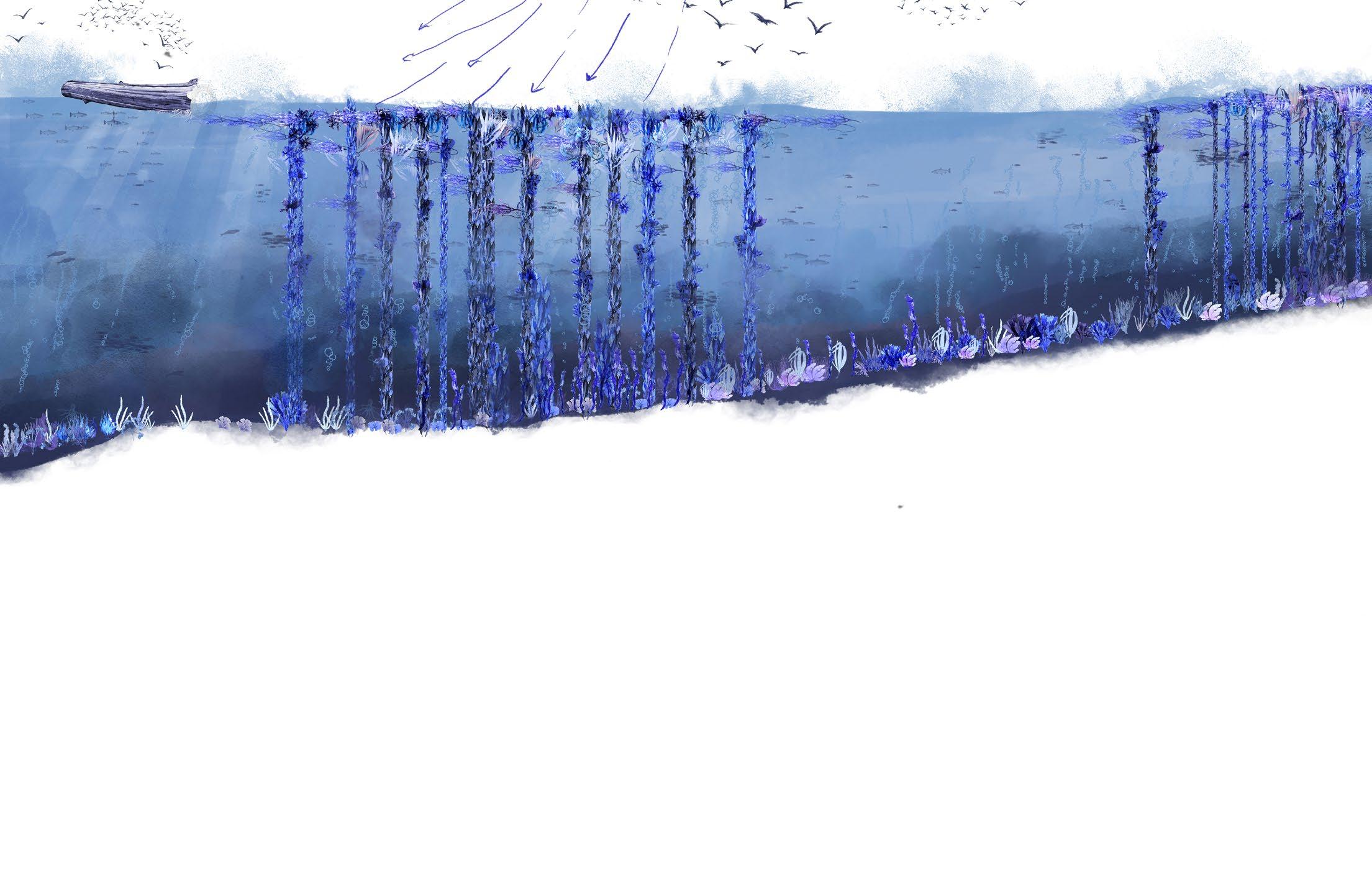
“The whisperings of roots”: Speculative futurism storytelling as research methodology
Fairy Creek Watershed (Ada’itsx), Vancouver Island, British Columbia. 2022.
Awarded: John E. (Jack) Irving Prize
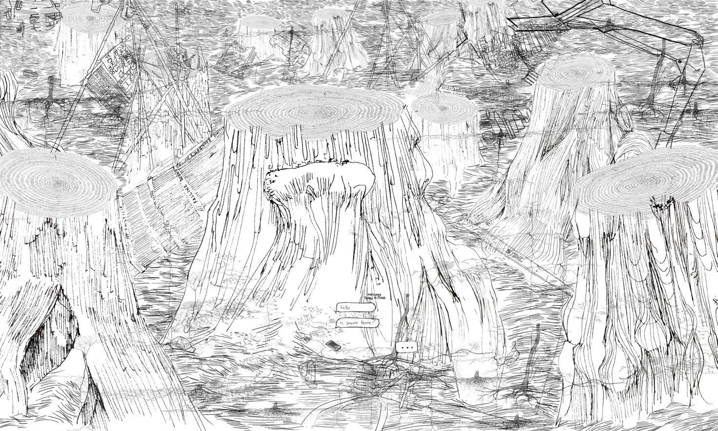
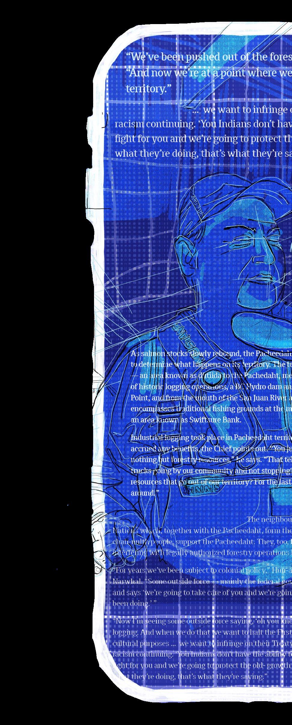
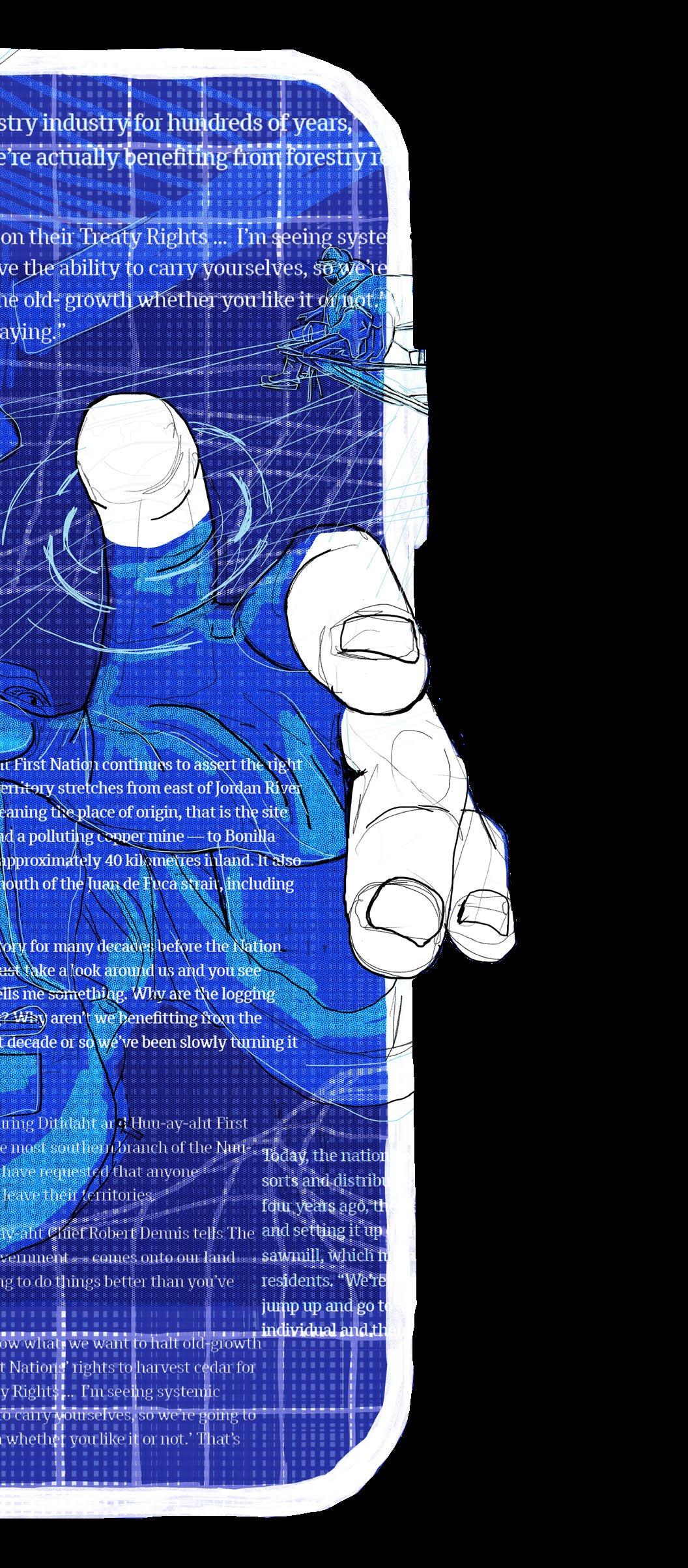
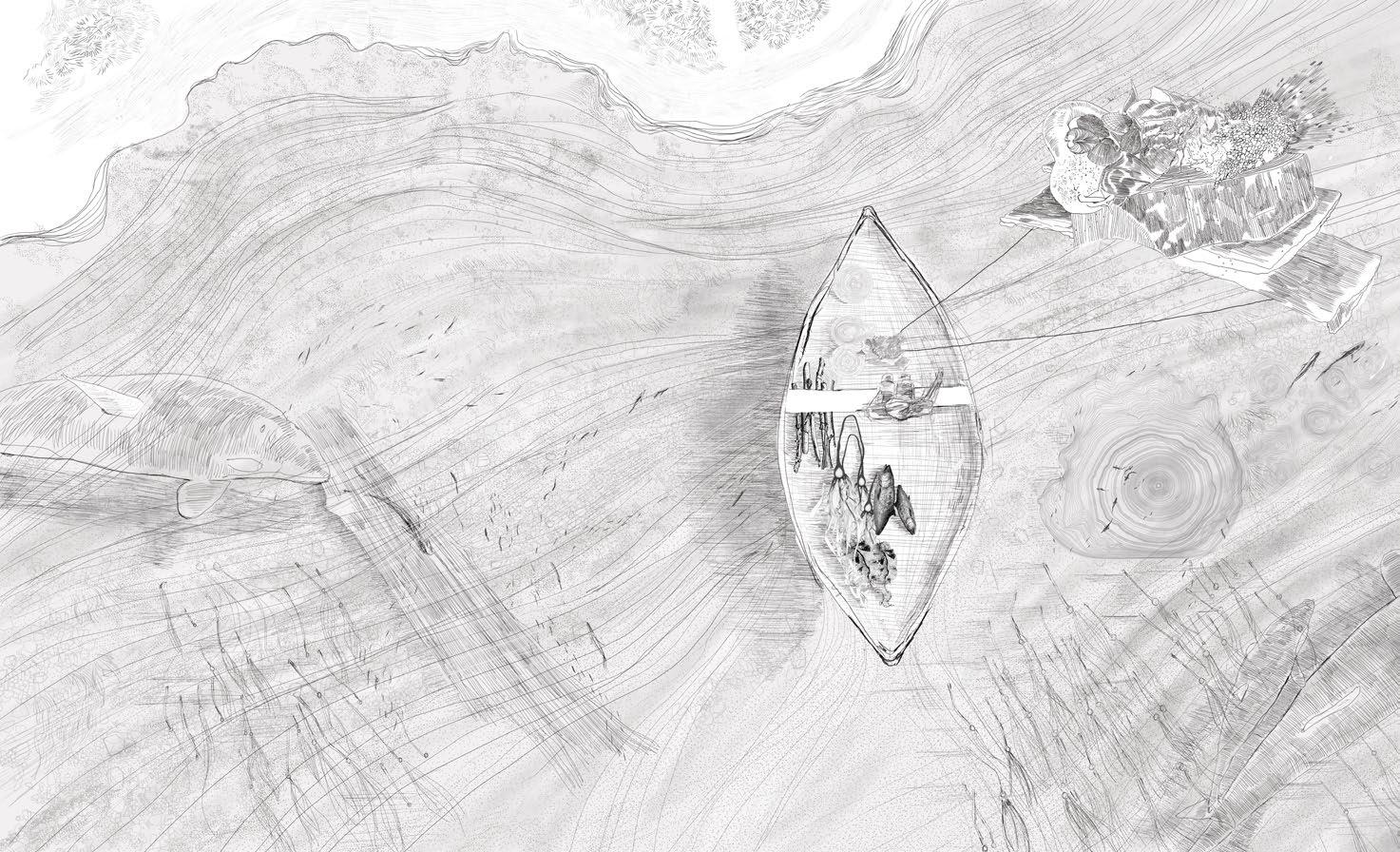
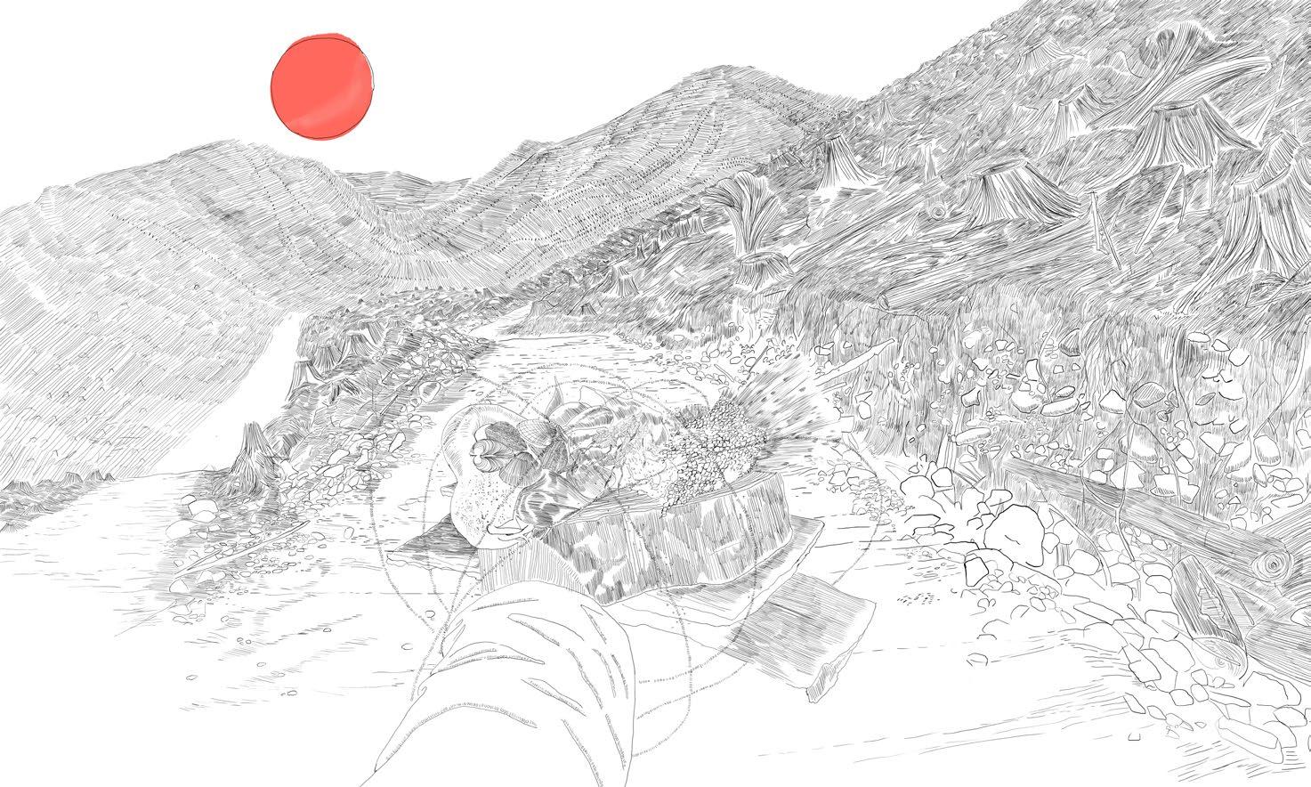
In reaction to the conflict surrounding the Fairy Creek (Ada’itsx) blockade and the larger conflict of resource extraction throughout Canada, a story of the future and past was created, told from the perspective of the forest and the internet, translated through the language of the nitrogen cycle. Drawing from the tenets of indigenous futurisms, relational accountability and in response to science fiction’s role in colonial discourse, this story intends to redirect trajectories surrounding technology and extraction to create space for empathy in a difficult present.
To take oneself out of ‘reality’ and imagine this story as research and prophecy, building these worlds allow for the possibility they may happen. Doing so in a way that challenges your own worldview fosters empathy. This story was consciously crafted with key tenets from indigenous futurisms outlined by author and scholar Grace Dillon.
These tenets revolve around ideas of time (referred to as Native Slipstream), contact (with a capital C) and technology.
Time in this story has been collapsed the past, present and future melded into one. The cyclical translation of nitrogen and alternate rhythms of the trees all help to deconstruct our foundational ways in which we view the world. Contact with the ‘Other’ has always been an insidious theme in science fiction. Contact is understood instead as a meeting of equals, guided by curiosity and empathy. This is seen within the meeting consciousnesses of the forest network and the internet. This brings us to technology, which in itself is a loaded term. However as Ursula Le Guinn states, ‘technology is how you do things. A process.”
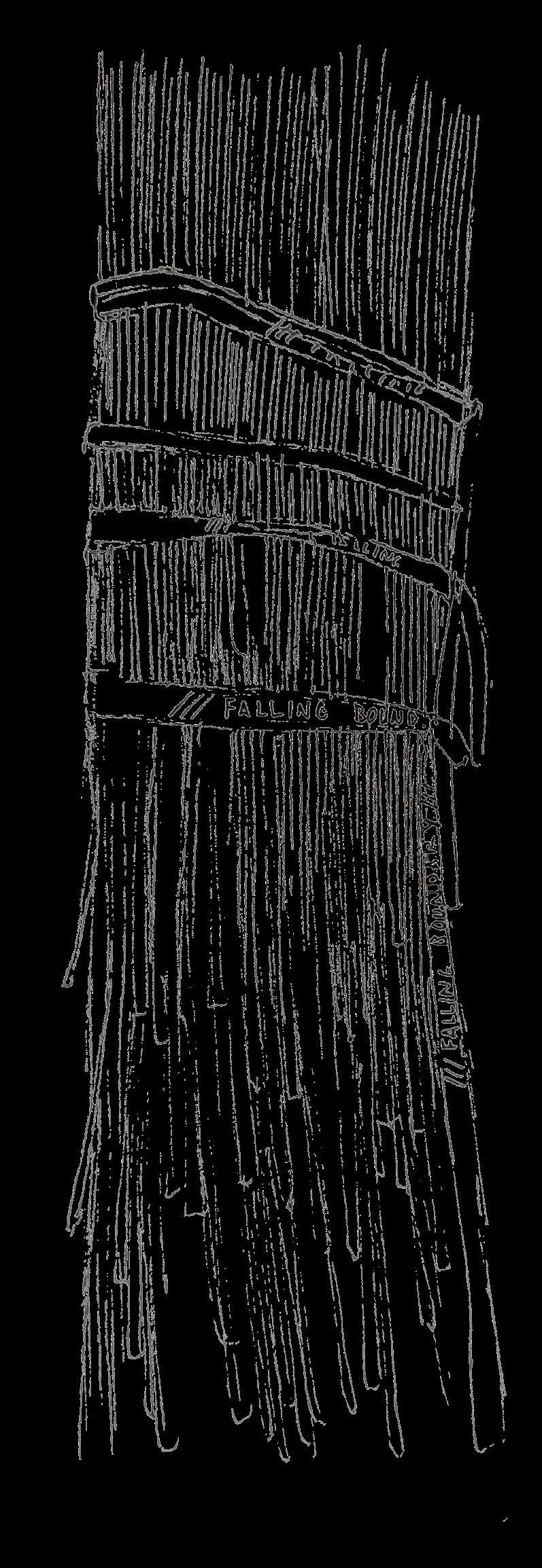
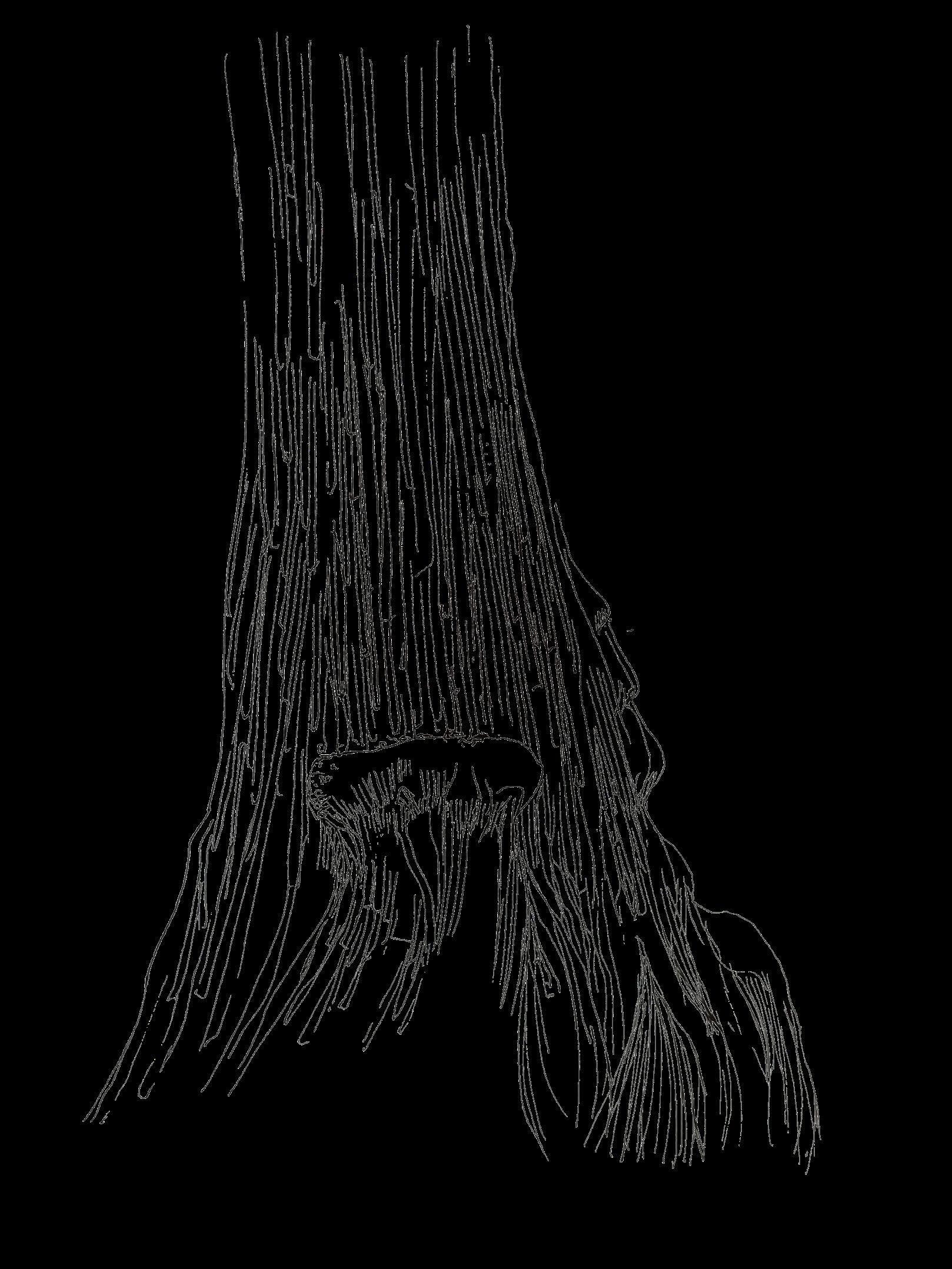
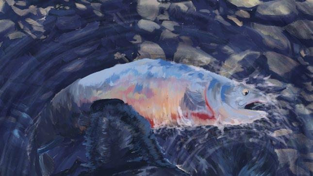
gathering has begun back to our birthplace -
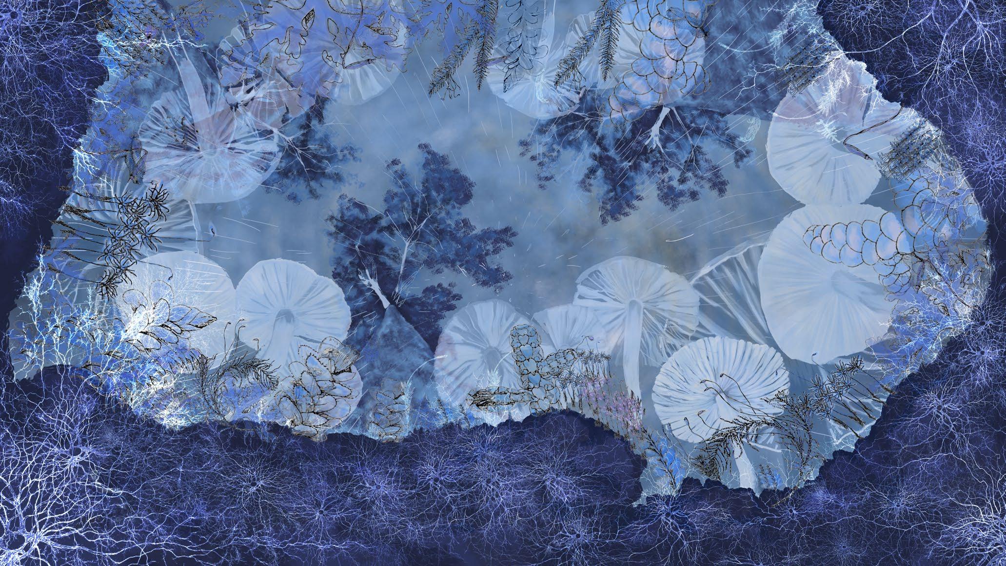
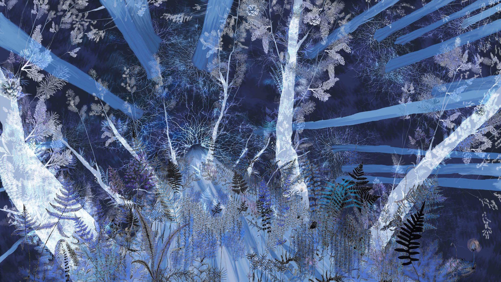
pher and unlock them, the translation begins -
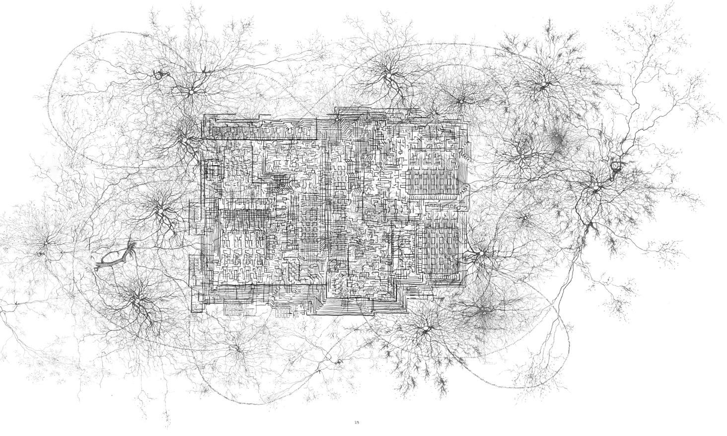
collective, with a groan we fall -

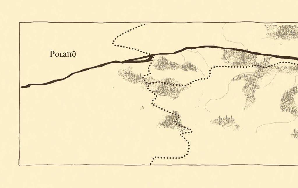
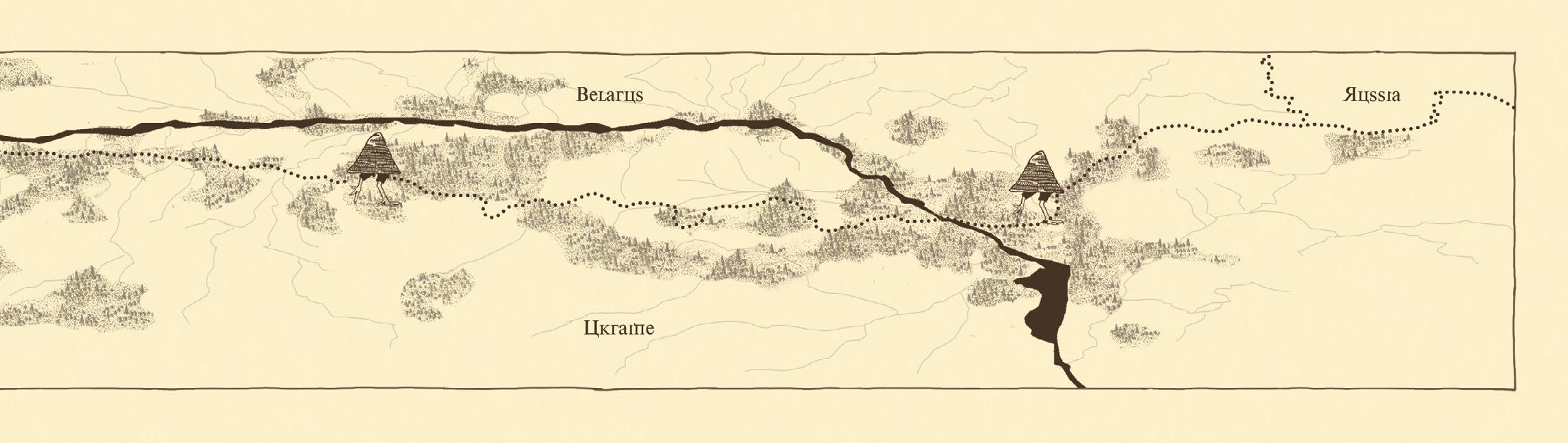
The Spell of Polesie Polesia, Poland - Ukraine - Belaruse. 2022.
In
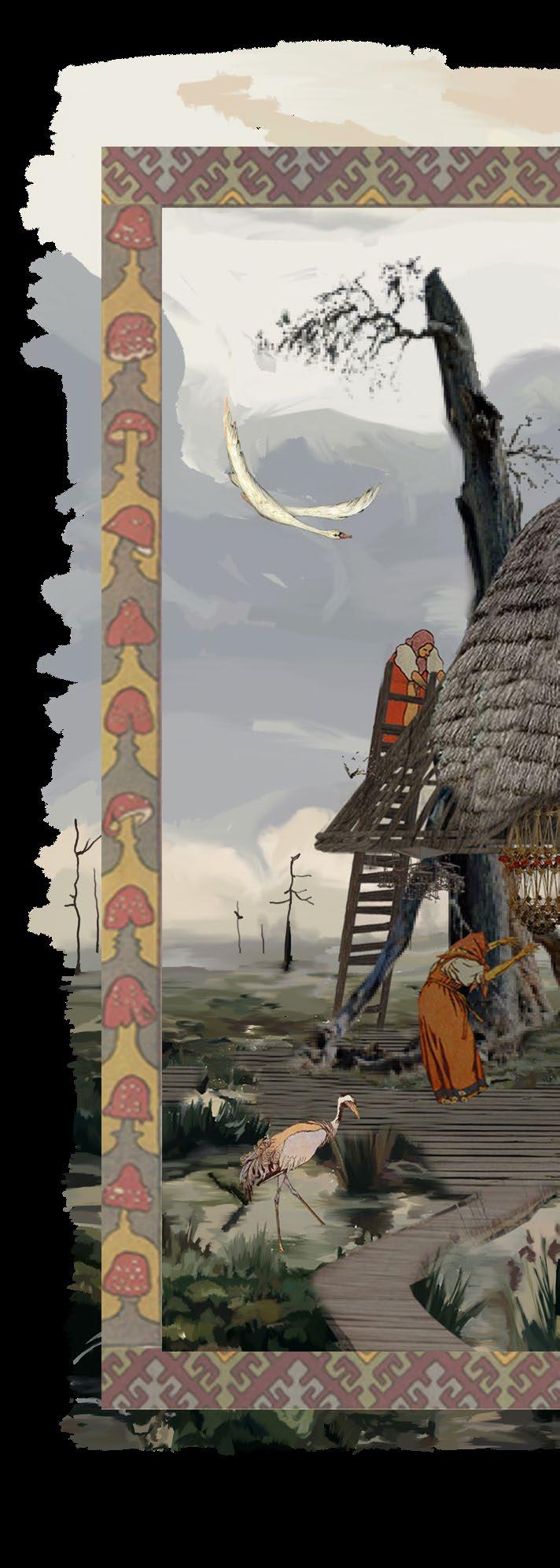
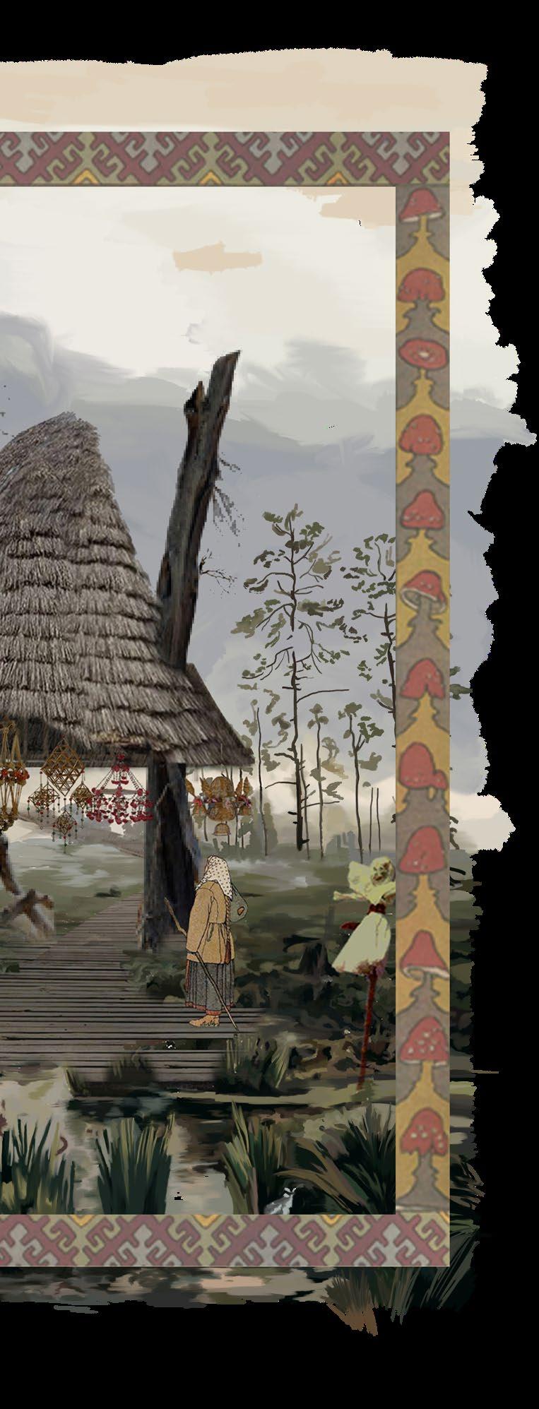
“Once upon a time, the ancient Slavic goddess of death and regeneration as peronified by the mythical figure of Baba Yaga, was seen as a threat to the Christian state. She was, as a result, demonized and vilified in an effort to diminish her import as an eternal healer. As a forest-dwelling shapeshifter, Baba Yaga persists as an agent of transformation, by embodying multiplicity, challenging patriarchy, and forging alliances with the morethan-human world.
Her homeland of Polesie, a multiethnic borderland, is a spellbound topography of swamps and primordial forests haunted bu the horrors of ethnic cleansing, colonization, forced displacement, and imperial conquests of past and present. This region was witness to the persecution of women for excercising rituals rooted in ancient Slavic pagan traditions during Christainisation, modernization, and occupation. Tenacious folk spirituality, which integrates such traditions, is attributed to its assimilation by the church. Its survival is depply rooted in the persistence and resilience of the babushkas of Polesie. These women, for centuries, have communed with the sentient world, and observed land-based practices and rituals in tune with the cycles of life. In the process, they forge creation, and preserve their knowledge and wisdoom through oral transmission and folklore for future generations.”
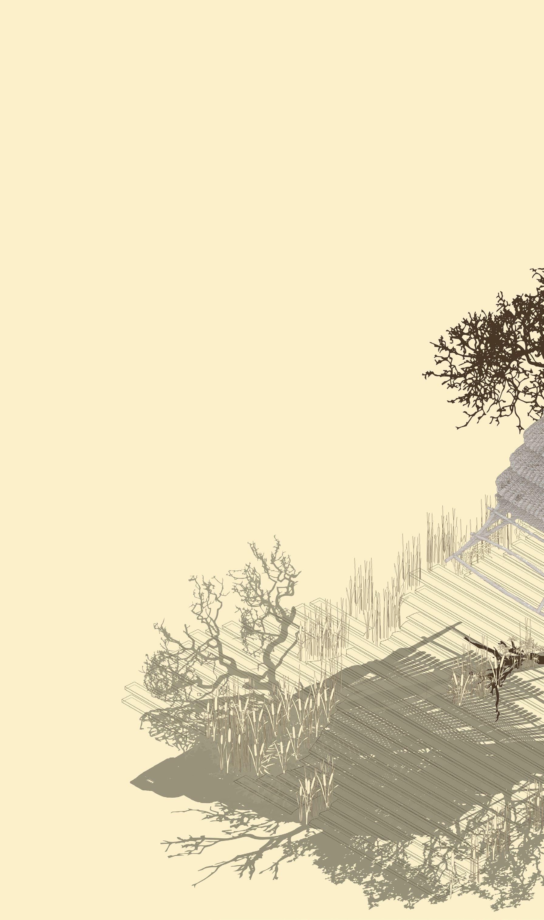
Baba Yaga’s hut and spirit serve as inspiration for the memorial interventions. The temporal structures situated in three emblematic terrains of the region have seasonal lifecycles.
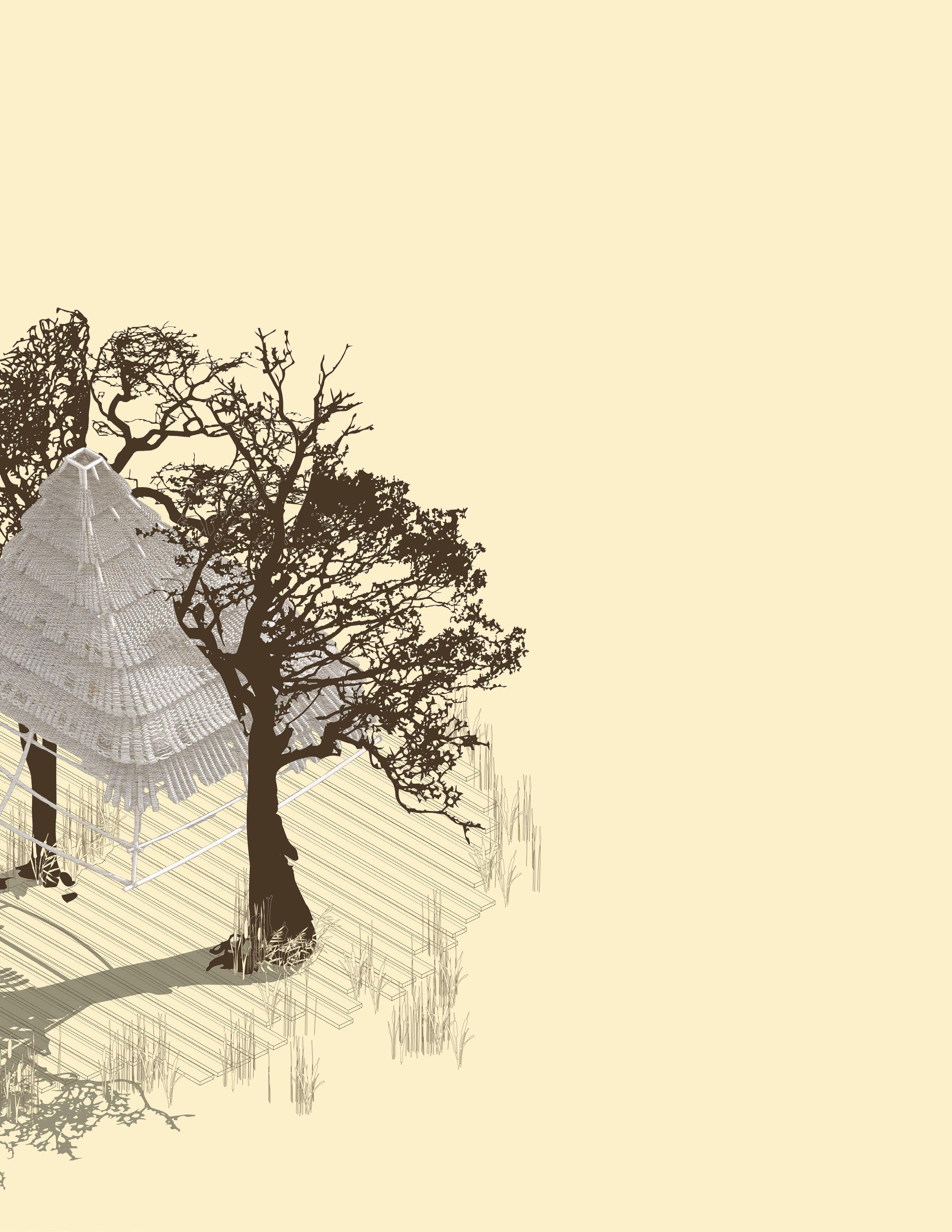

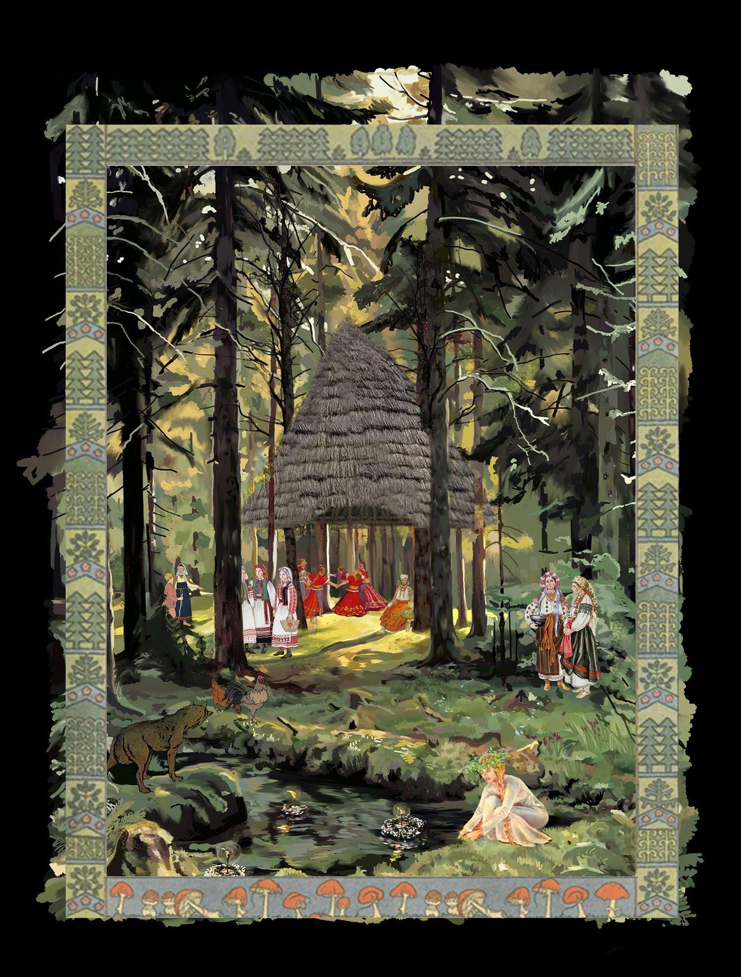

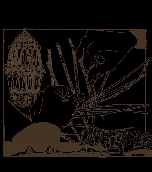
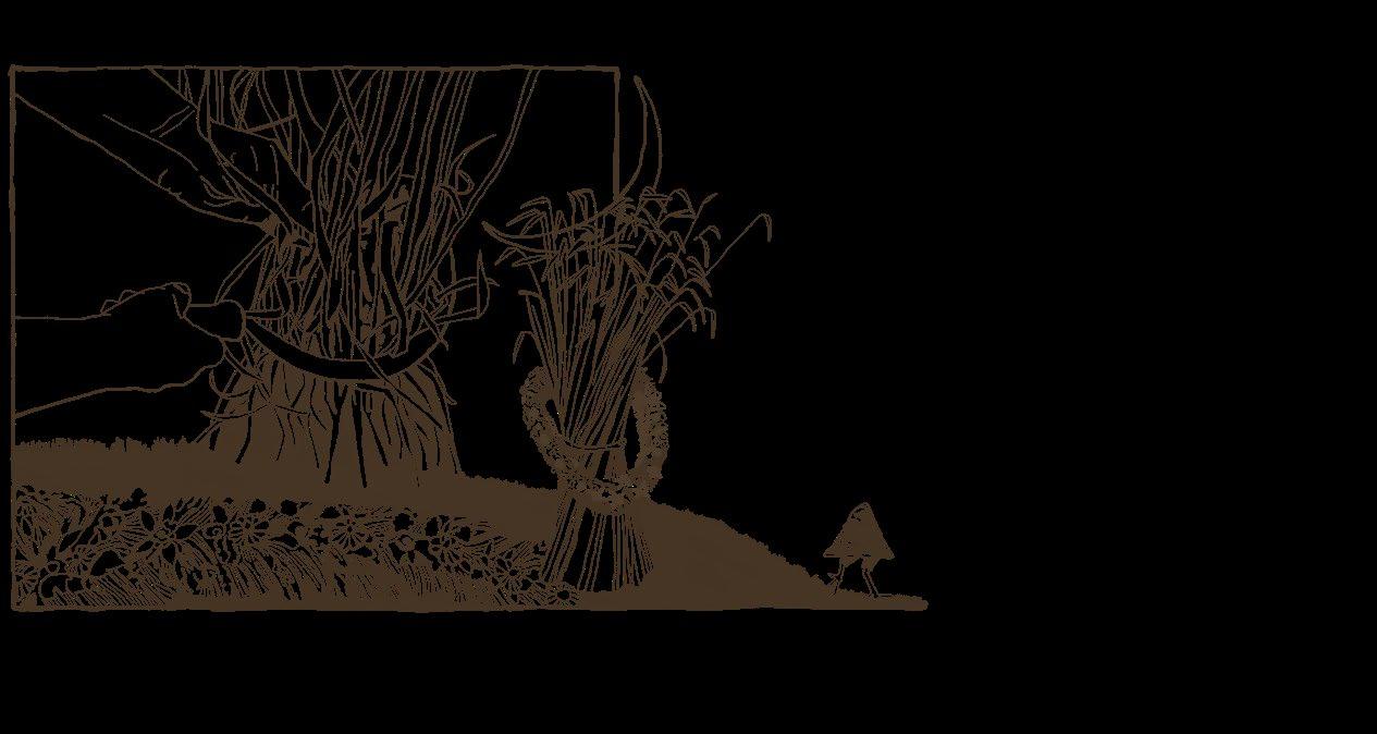
Baba Yaga’s hut and spirit serve as inspiration for the memorial interventions. The temporal structures situated in three emblematic terrains of the region have seasonal life cycles. In Spring, the framework is erected upon supports made of samp oaks in situ and a thatched straw roof is assembled, typical of vernacular methods. The pavilion hovers over an open space for gathering, storytelling, collective ancestral practices, and Spring was the sustenance of life, and in old-Slavic mythology straw is imbued with magical properties. The ritual of weaving intricate straw chandeliers for the Winter Solstice or Spring Equinox has endured in different localities. The protective barriers fend off evil spirits and draw in prosperity. Here, the dangling creations protect the wetlands and the rich biodiversity they’re home to. Additionally, Spring celebrations dating back to the pagan times share the common characteristic of parading a straw effigy representing a pagan deity, followed by the burning, or drowning of it to mark the rebirth of Mother Earth from winter’s sleep. ‘


The forest pavilion hosts the Summer Solstice celebration of Kupala which symbolises the birth of the sun and honours the Slavic goddess of water, fire, herbs, and fertility. Rites performed on this holiday honour the sacred power of water as manifested in ritual river baths, cleansing in dew, and casting offerings of floral wreaths onto the water in pursuit of love divination. Earth at peak fertility, reveals secrets, and ascribes herbs and flowers with special healing powers to provide protections and cure humans and animals of ailments. Camomile, linden, mugwort wormwood, sage, nettle, and wild rose were sought after. At night, villagers roam the depths of forests harvesting magical herbs and searching for the bloom of the fern flower that provides prosperity and power to whomever finds it. The purifying force of fire is worshipped throughout the entire night with ritual. Old possessions are expelled, bouquets from years past are released, and jumping over the bonfire tests bravery and faith. Song and dance around the flames expresses reverence for Earth’s gifts and marks the beginning of harvest.

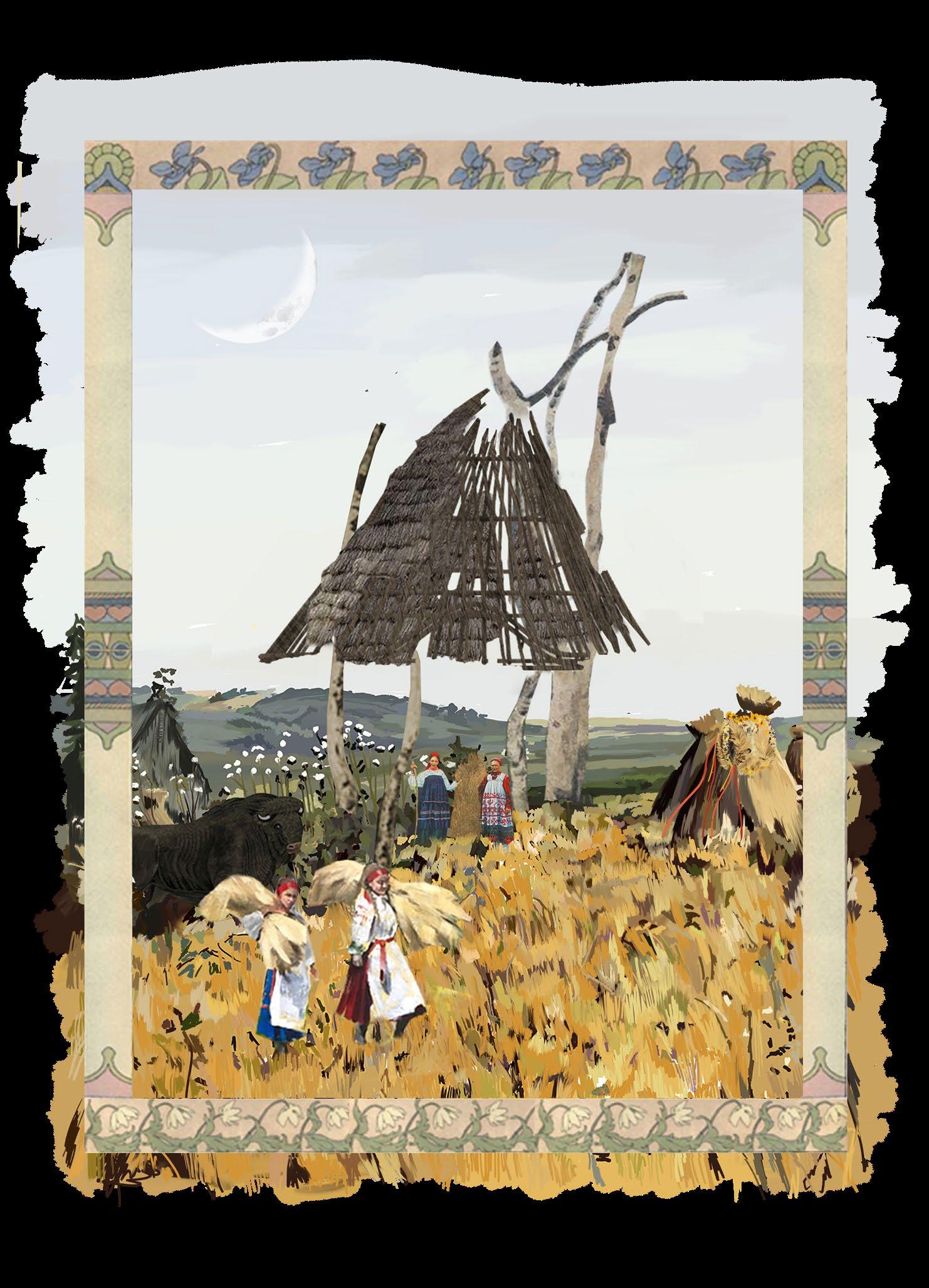
In pre-Christian times, as Fall circles back and Earth slowed to rest, and ancient agricultural harvest holiday would take place on the Autumn Equinox. Varying in traditions regionally, many of the associated traditions still exist in some form today. Groups of women collectively reaped the fruits of their labour in the fields under the full moon. Ripened grain was harvested with a hand sickle - a sacred ceremony marking the death and cyclical rhythms of this life force. The last sheaf was harvested silently so not to disturb the spirits that moved into the fields. A large wreath oven from rye was placed on the head of the best reaper, and the last sheaf was paraded through the village followed by a celebration of ritual feasting and song. It is during this time, that the disassembly of the pavilion is proposed, a ritual unto itself. The materials are returned to the fields to decay and decompose, feeding the soil that sustains life, and bringing us back into relation with our bodies, the land, and our more-than-human kin.
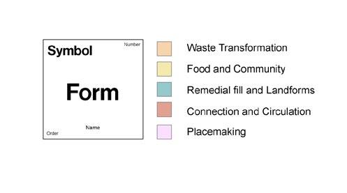
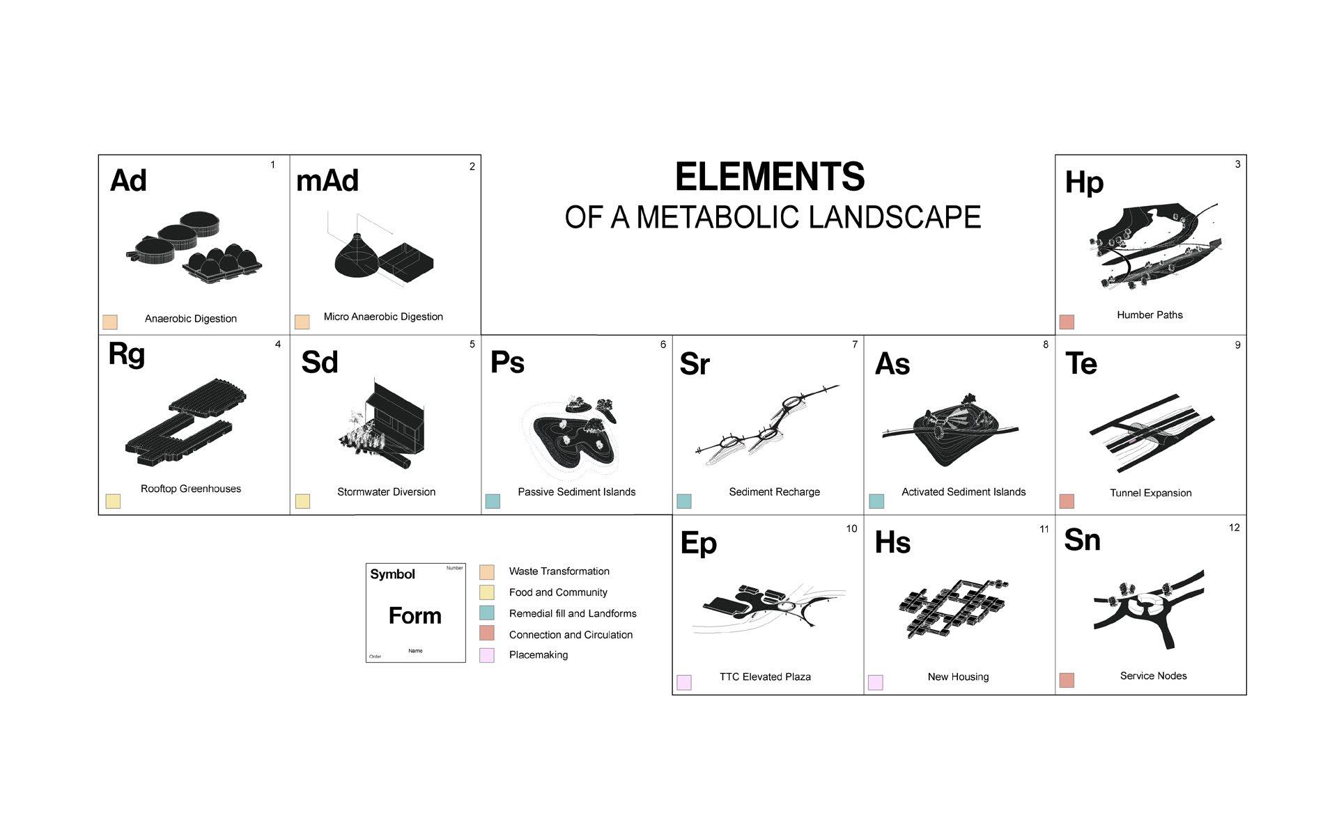
Elements of a Metabolic Landscape
Humber Bay, Toronto, ON. 2020.
In collaboration with Juan Bernardo Velasco Canela, Howard Rosenblat & Stefan Herda https://underthehumber.cargo.site/
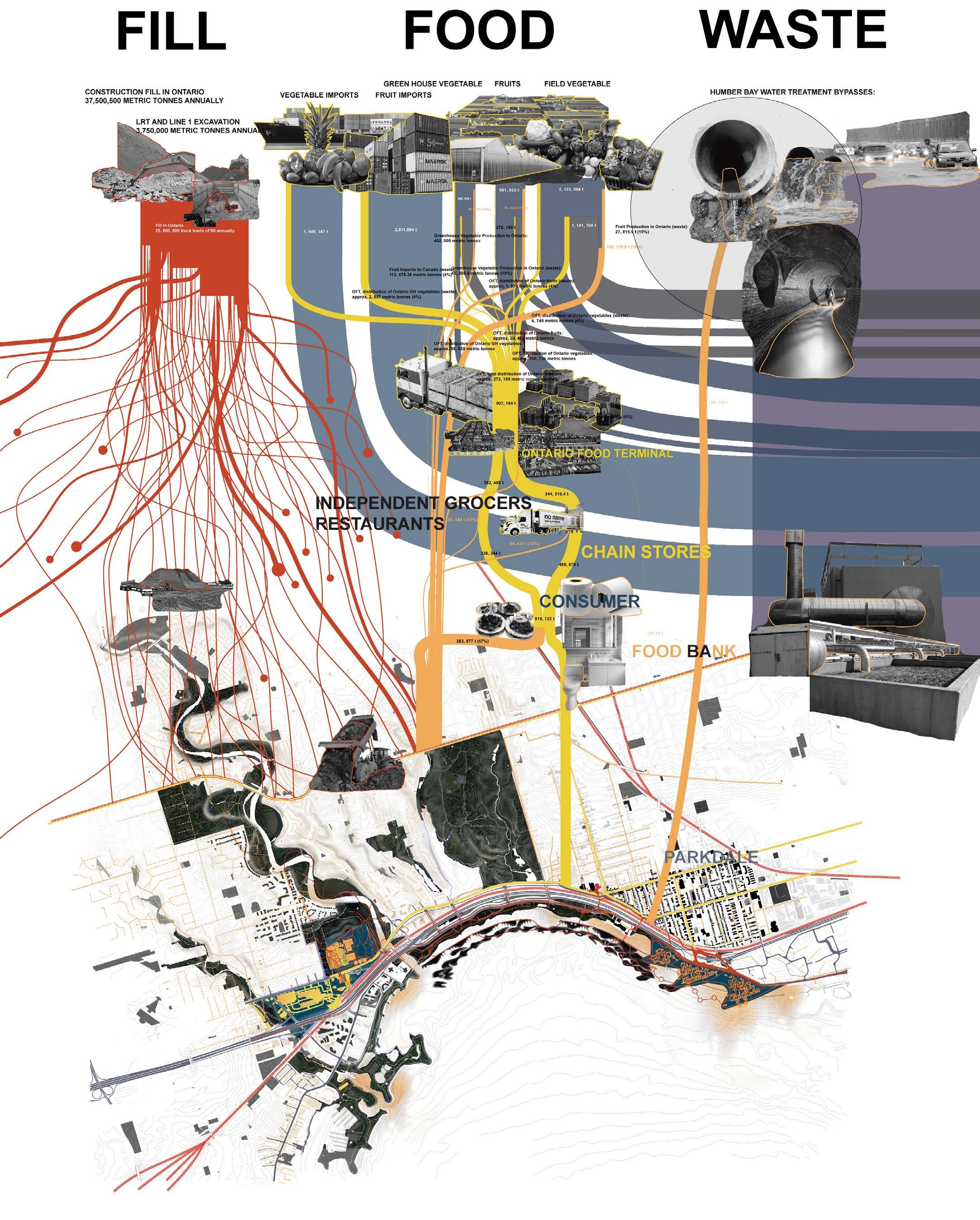
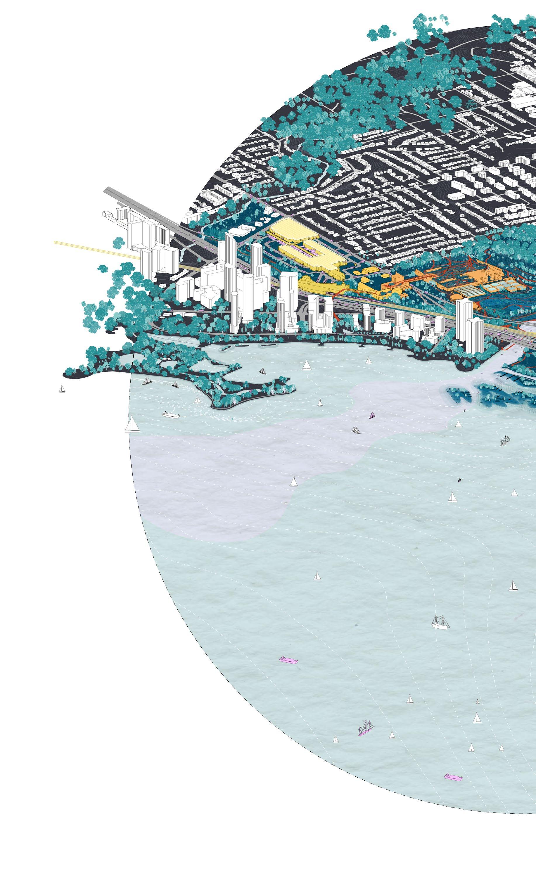
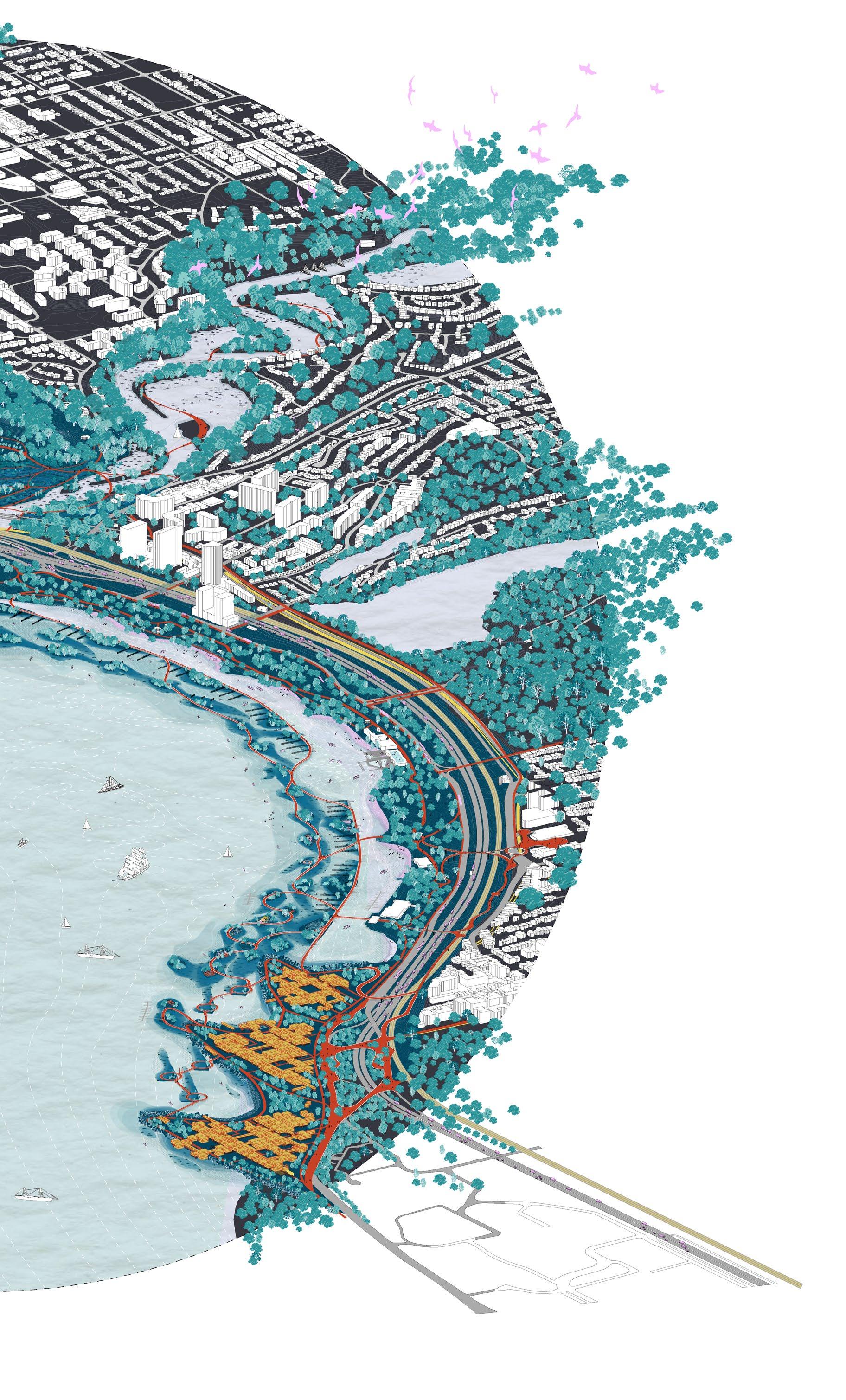
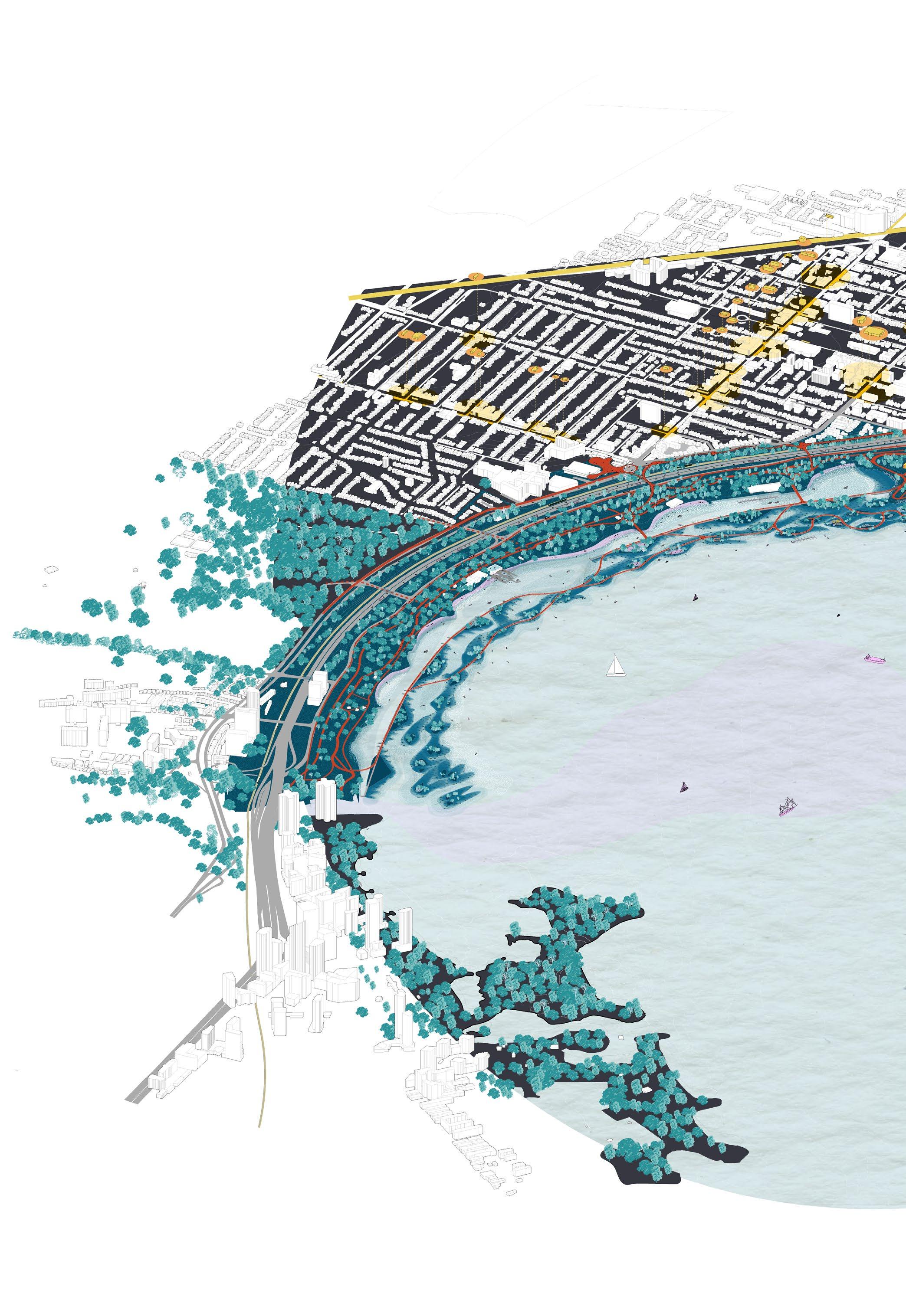
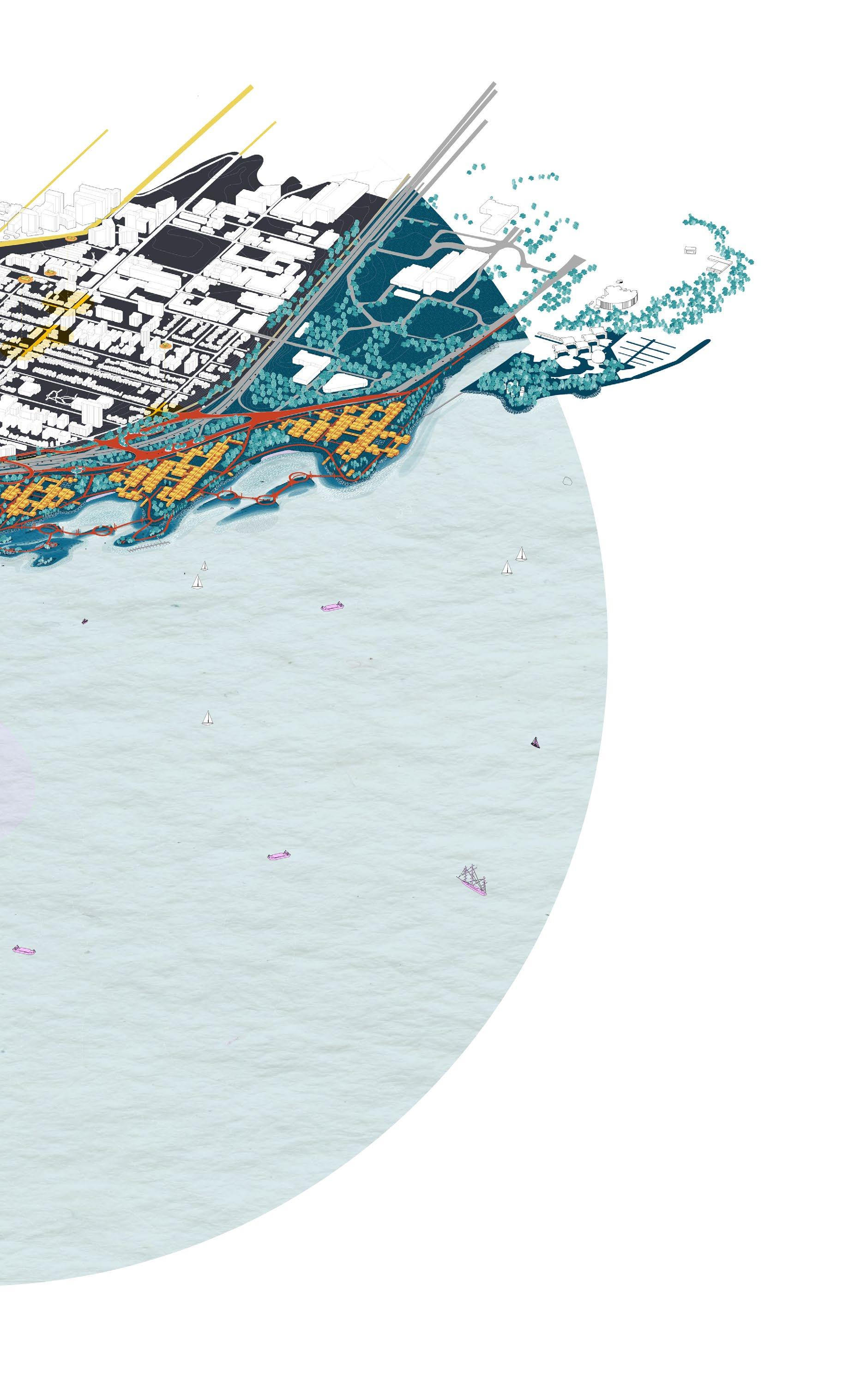
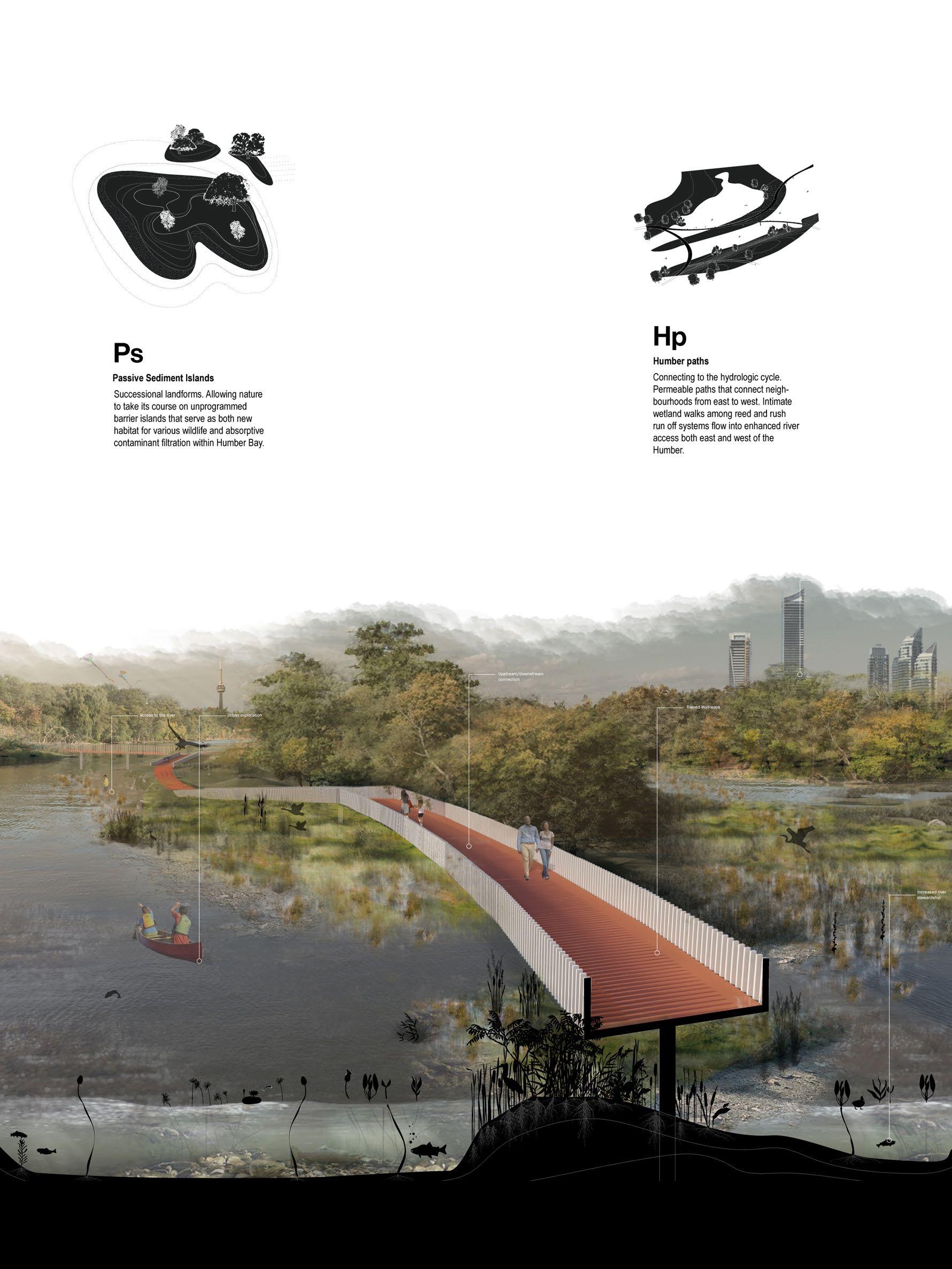
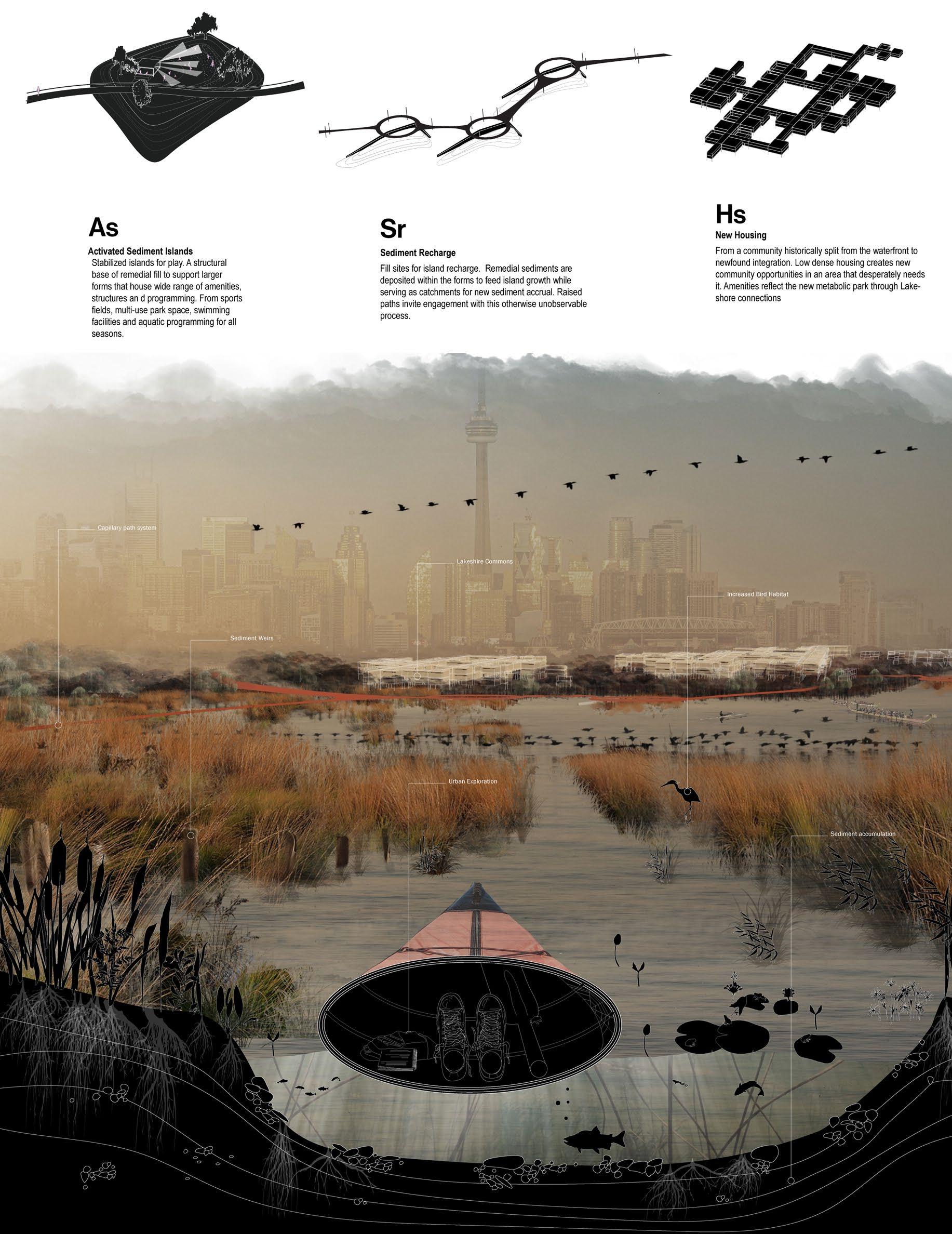
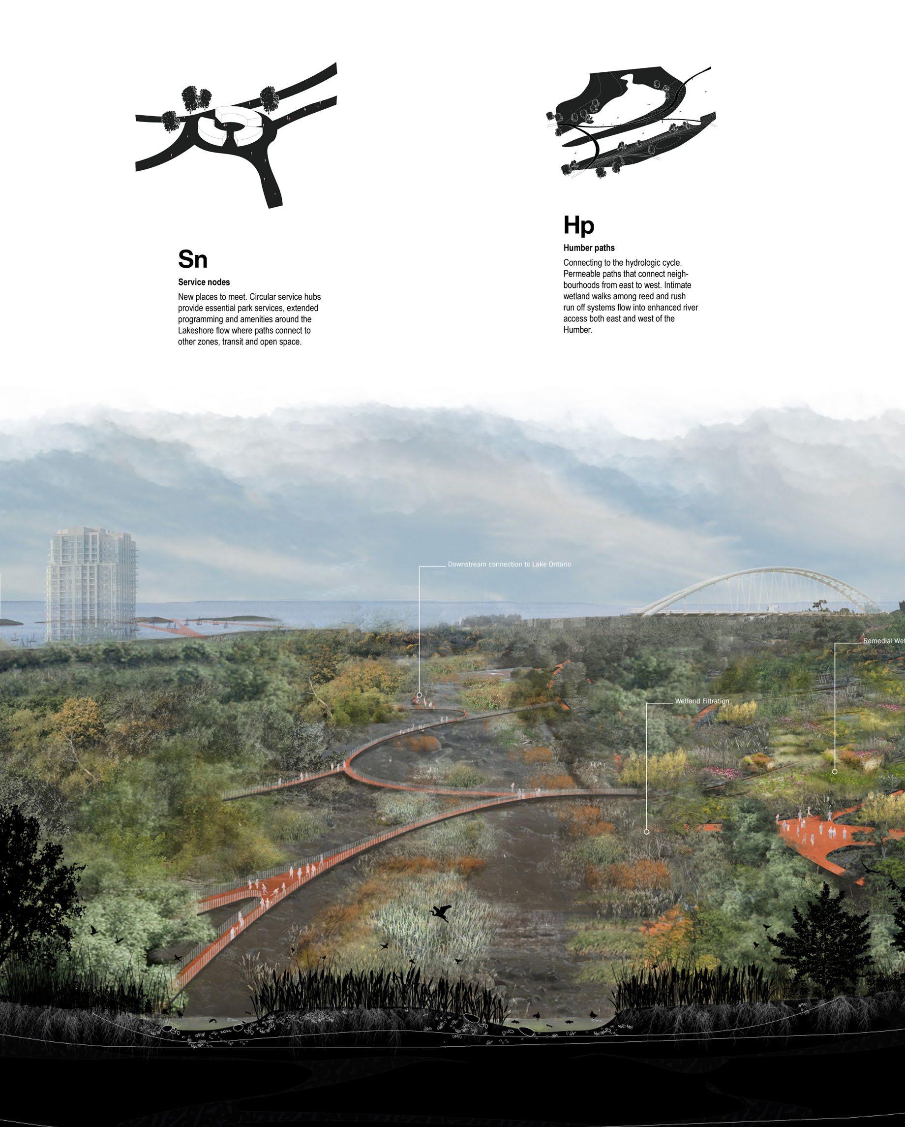
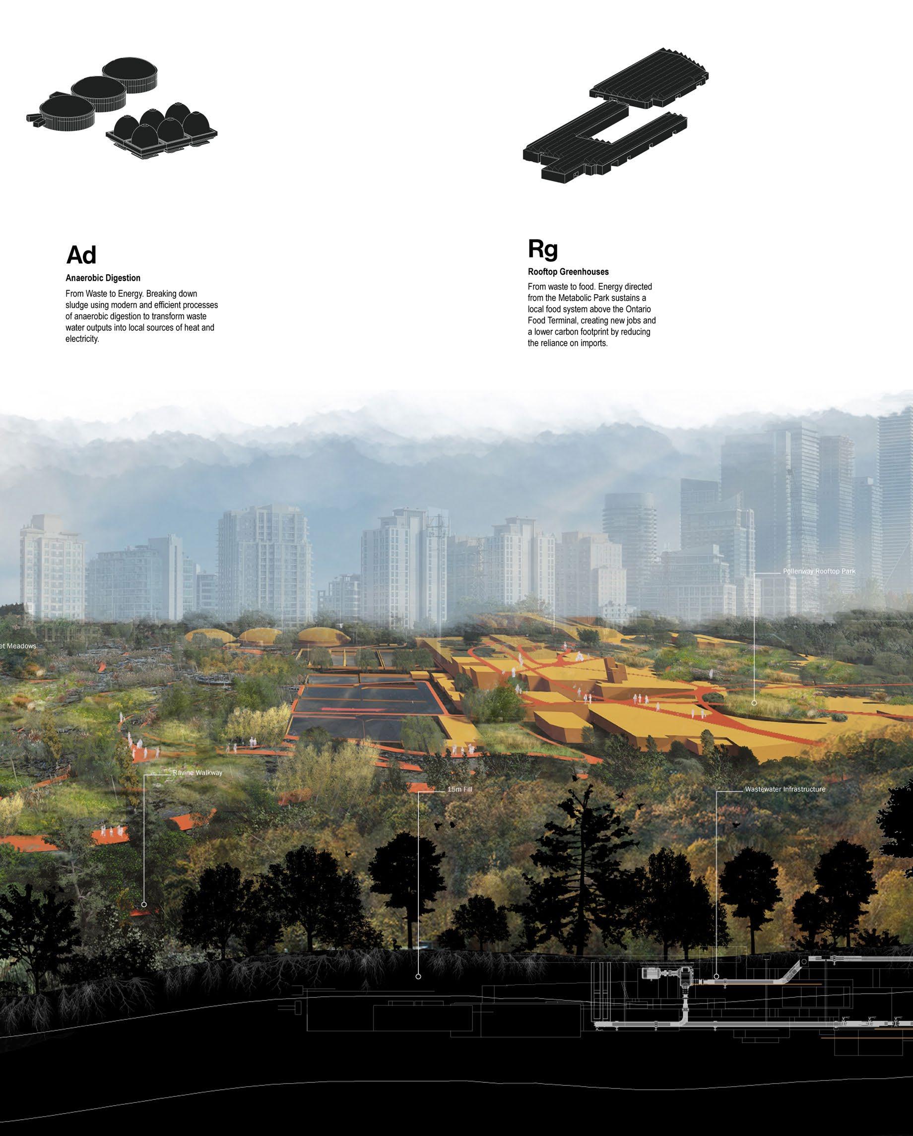
Within the Humber Bay district, various flows of energy and industry are seemingly unplanned. Watersheds, aging sewage networks, food distribution, income disparity, and wastewater treatment all converge within the Humber Bay, but flow separately from one another.
We developed a framework to engage in new opportunities for integrating programming, waste efficiencies, food distribution, and community engagement to foster a resilient and adaptive community.
The project proposed four major interventions following the principles of a metabolic landscape. This circular economy realizes the potential of energy flows, food, waste, water, and people in a closed-loop system by reimagining the interface between the Ontario Food Terminal, the Humber Bay Wastewater Treatment Plant, a series of filtration islands that create a new shoreline experience, a mixed-use community development built atop recycled construction fill, and an extensive circulation network that stitches these major systems seamlessly together.
Embodied Energy: Living Lab University of Toronto Campus, Toronto, ON. 2020.
In Collaboration with Agata Mrozowski Award of Merit: Toronto Urban Design Awards 2021, Student Nominated: XI International Biennial of Landscape Architecture of Barcelona, International School Prize
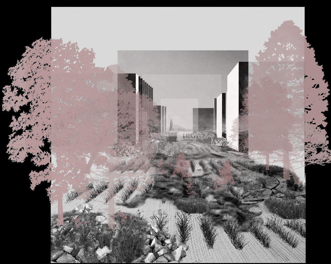
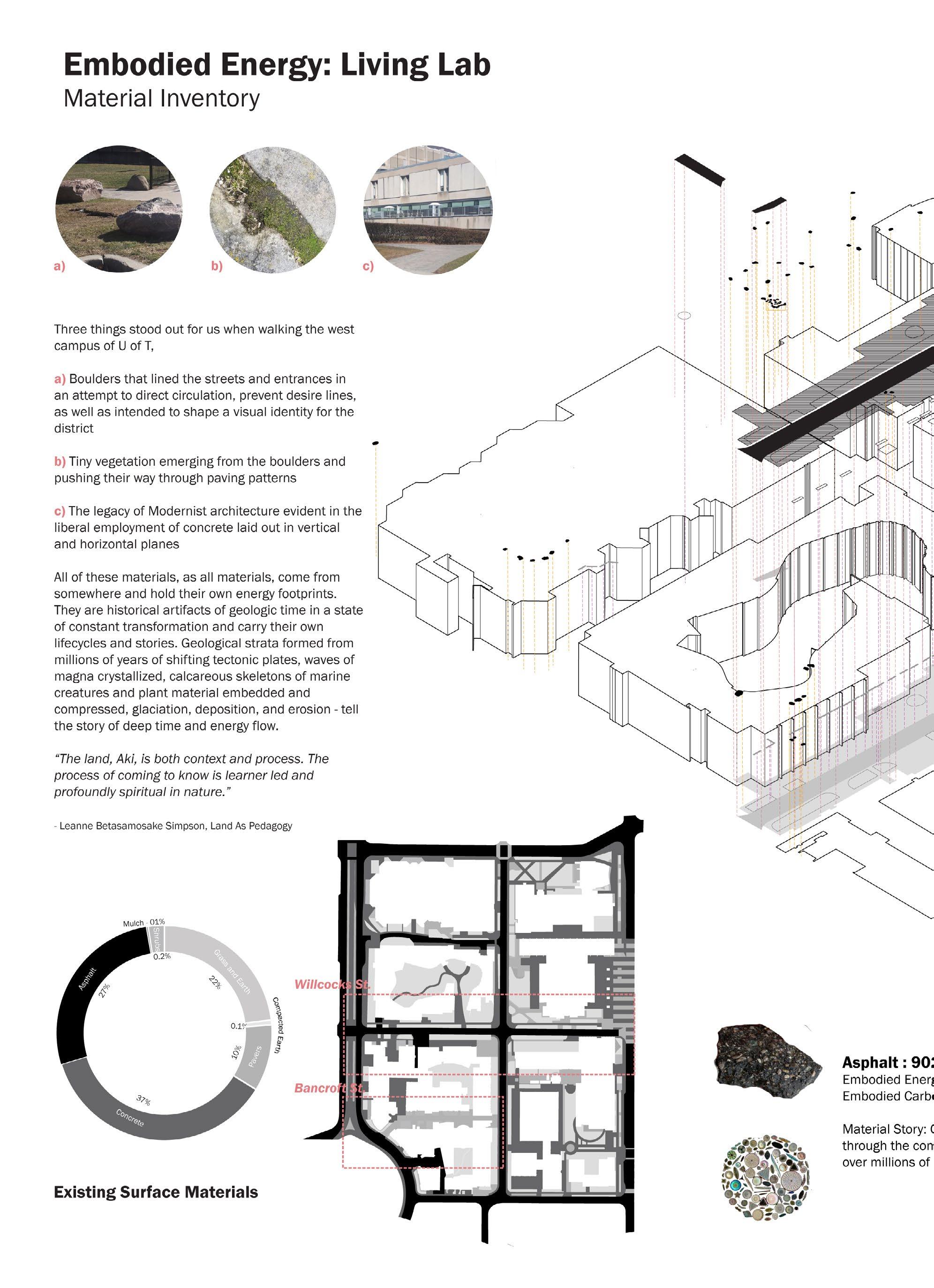
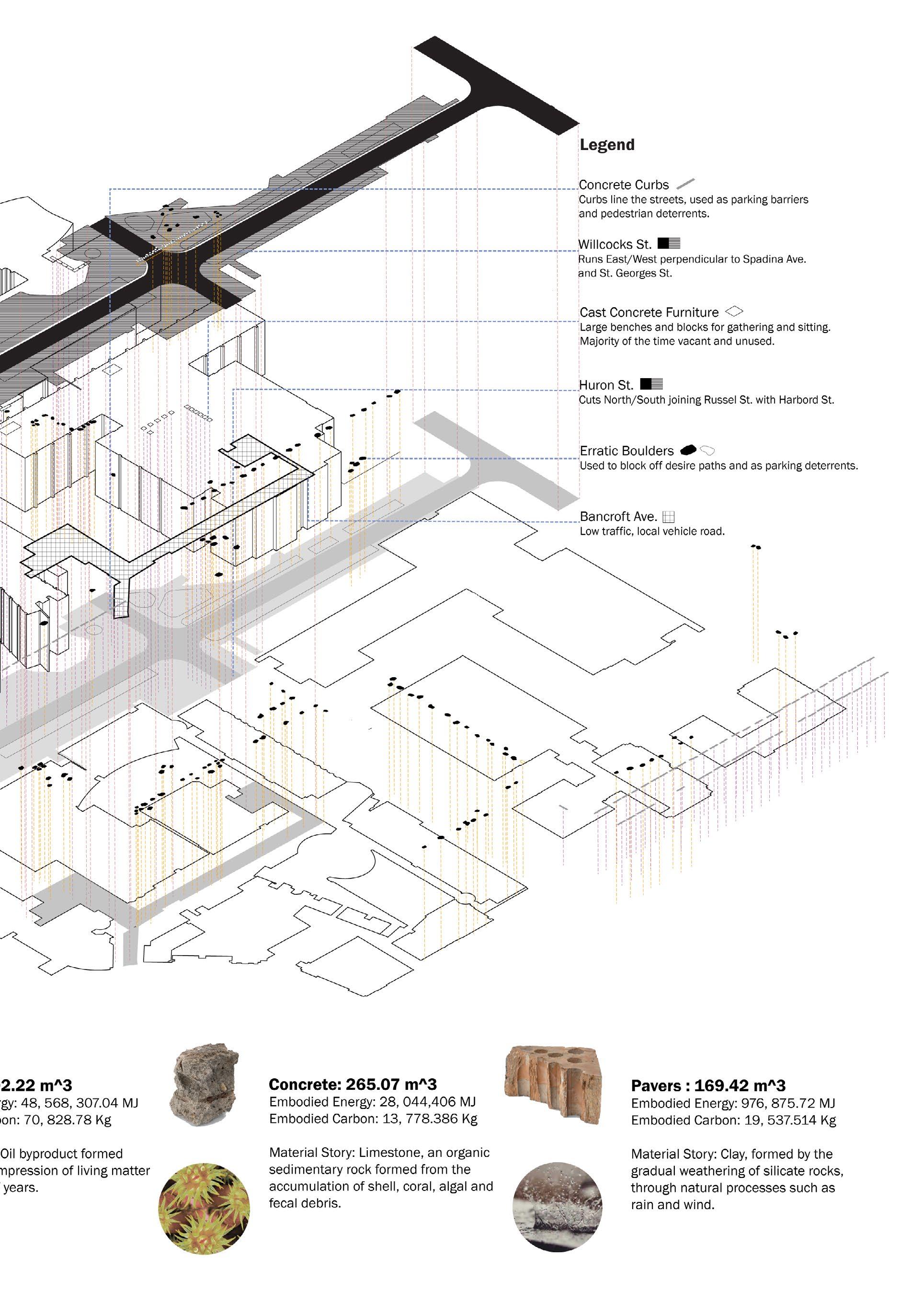
The contemporary city and its Modern urban infrastructure has been dependent on a linear stream of material and economic flows – starting at the site of extraction, moving through production, consumption with a final destination at disposal. This process of designed obsolescence has relied on the exhaustion of non-renewable natural resources often situated on the contested territories of Indigenous peoples.
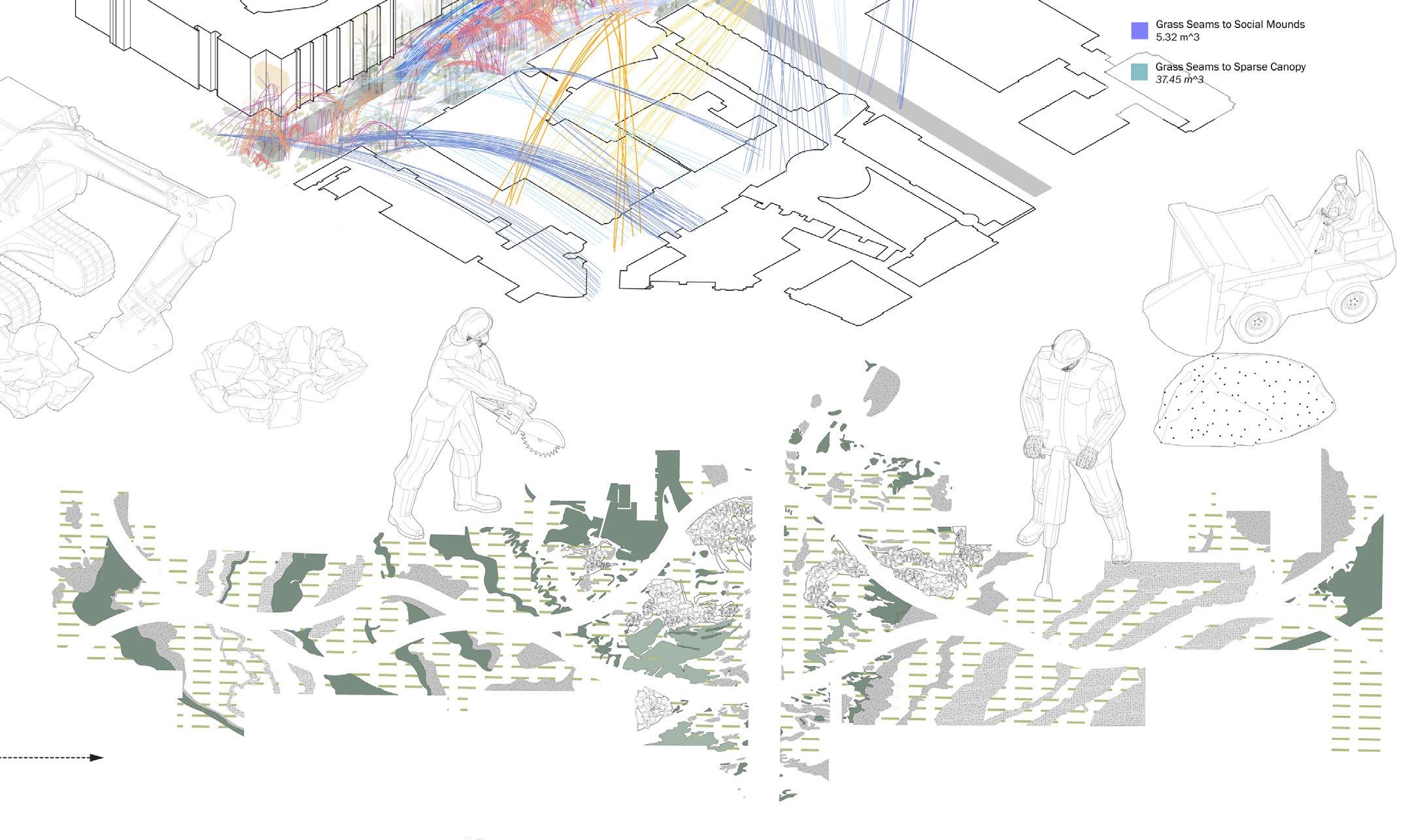
Our project takes into consideration embodied energy – the total sum of energy used to extract, manufacture, transport, and assemble materials for the built environment. Our project asks, what vernacular materials can we employ when designing for the west district of U of T campus to minimize the impacts of our ecological footprint? How can we increase the porosity of material surfaces to relieve the pressures off of the city’s infrastructure? How do we implement a design that looks at closed loop systems of material and economic flow?
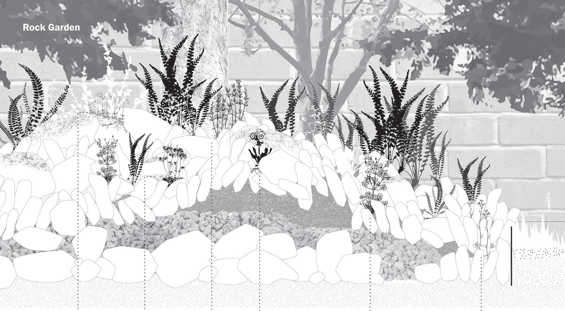
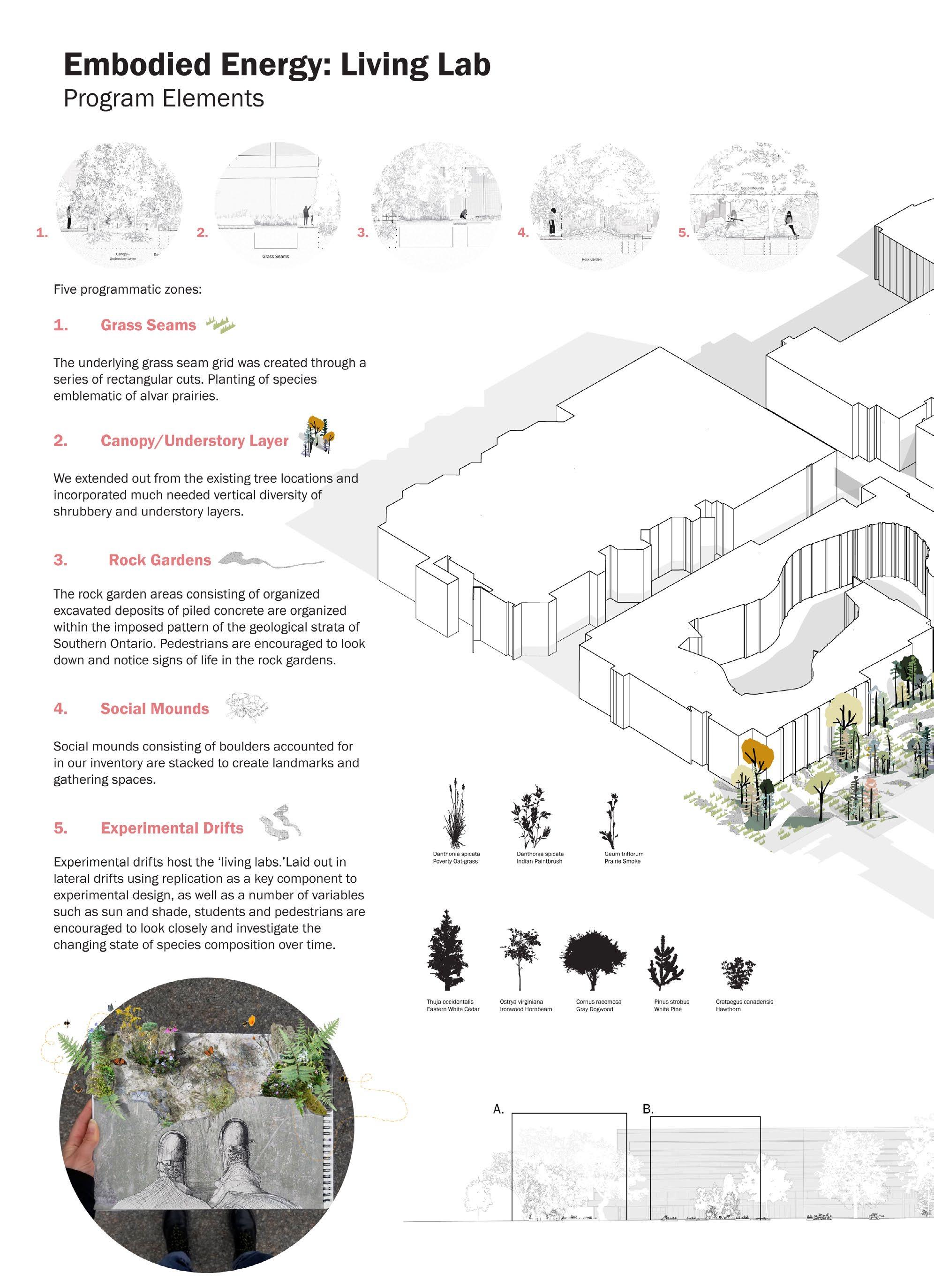
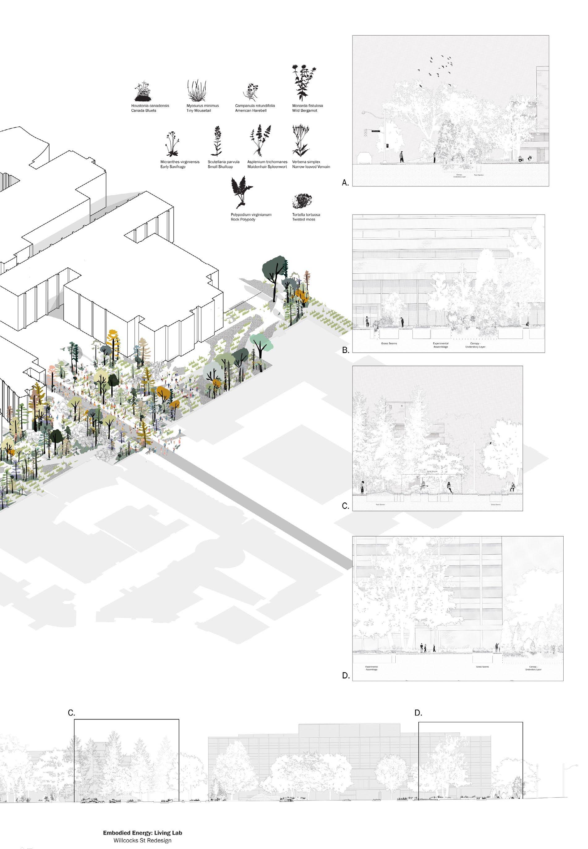
At the same time, energy is also understood from a spiritual point of view. “Within many Indigenous worldviews, objects are keepers of memory, and even more than that, are inscribed with or possess an animacy of their own.”[1]. In Embodied Energy: Living Lab, we wanted to encourage the praxis of ‘land as pedagogy’ by establishing the conditions for a ‘living lab’ that would further the study of urban ecology by examining the relationships between the city’s materiality and robust, resilient, and adaptable species found within alvar habitats
[1] Bryan-Wilson, Julia. “Rebecca Belmore: Material Relations” in Afterall, A Journal of Art Context and Enquiry, 2018 (45), 43-49.
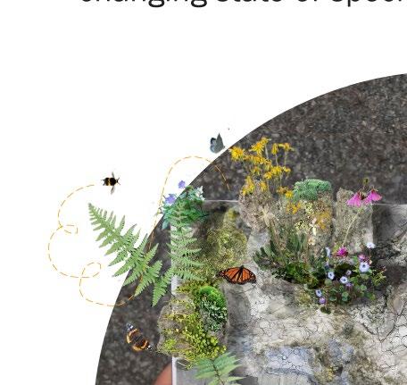
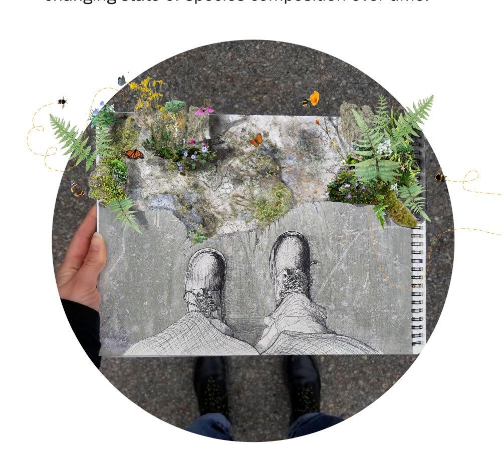
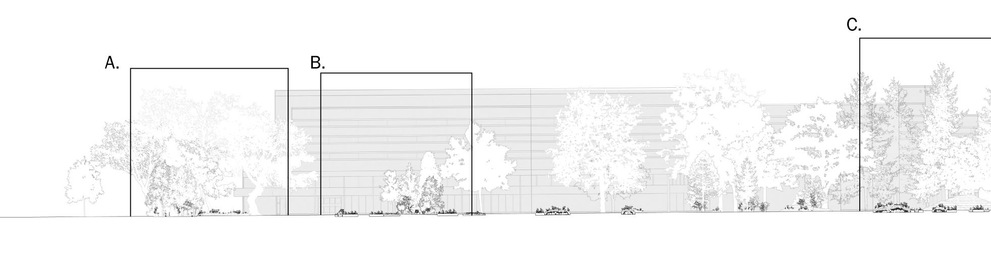
30. In Embodied Energy: Living Lab, we wanted to encourage the praxis of ‘land as pedagogy’ by by examining the relationships between the city’s materiality and robust, resilient, and adaptable species found within alvar habitats in Ontario. The amazing revelation of these plants in rocks crevices fosters the “art of noticing” as scholar Anna Tsing has posited in the book The Mushroom at the End of the World.
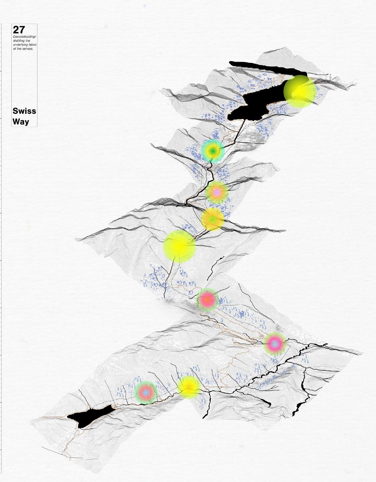
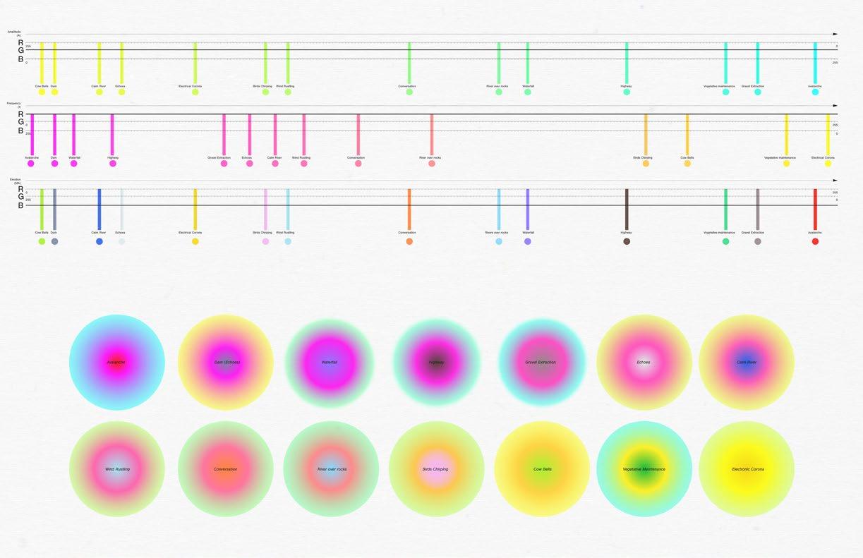
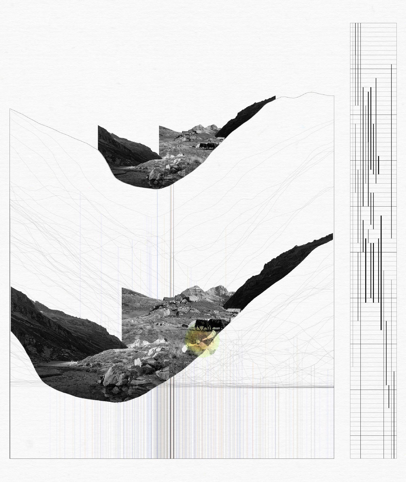
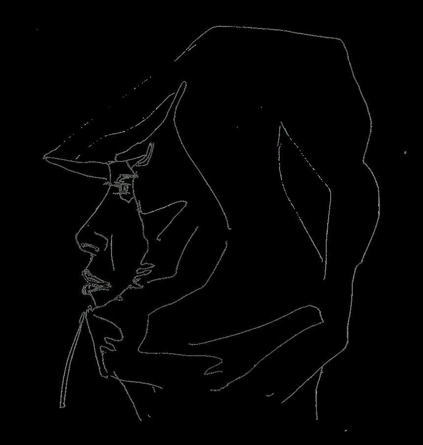
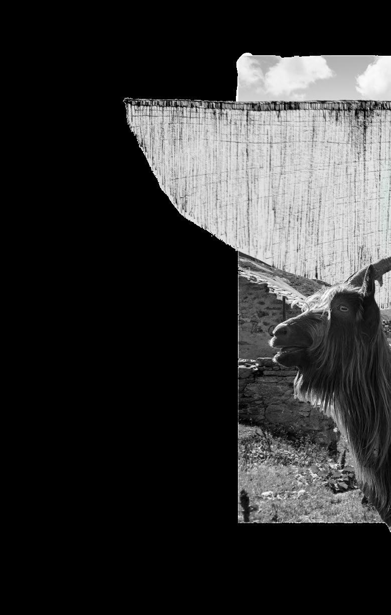
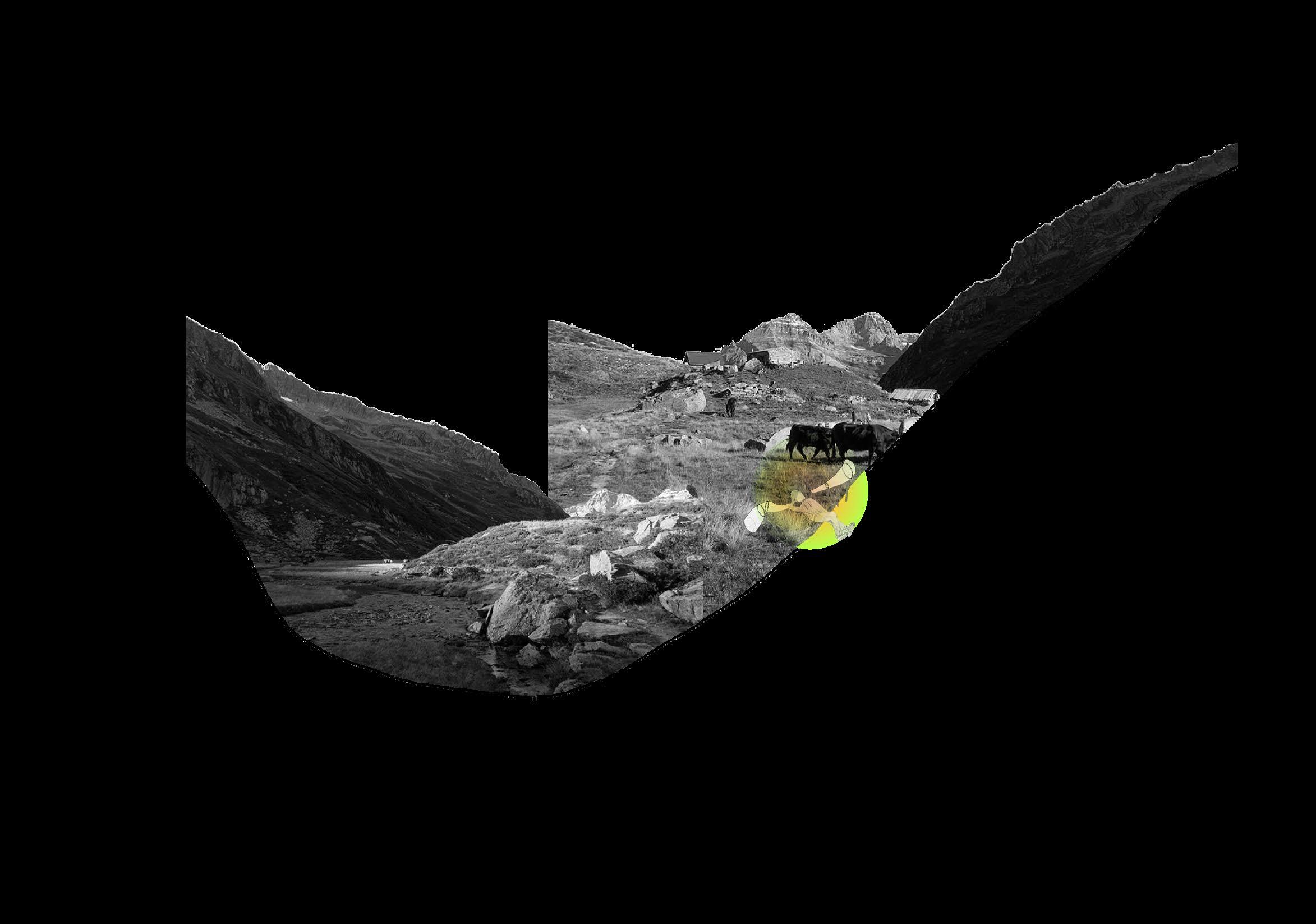
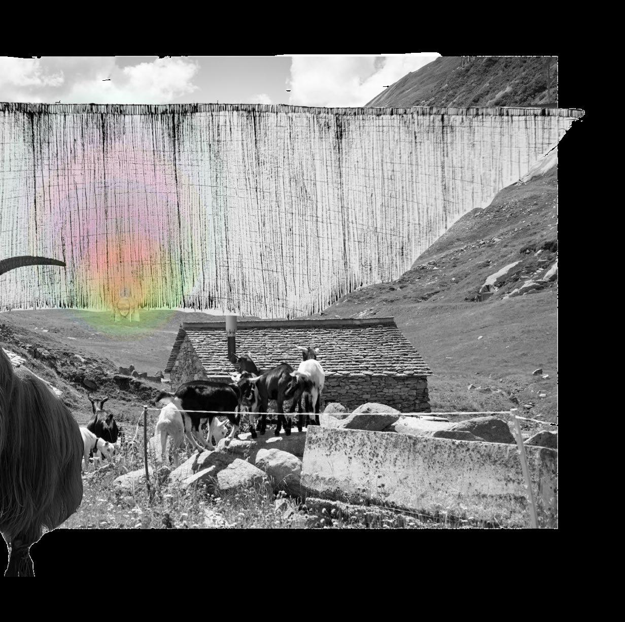
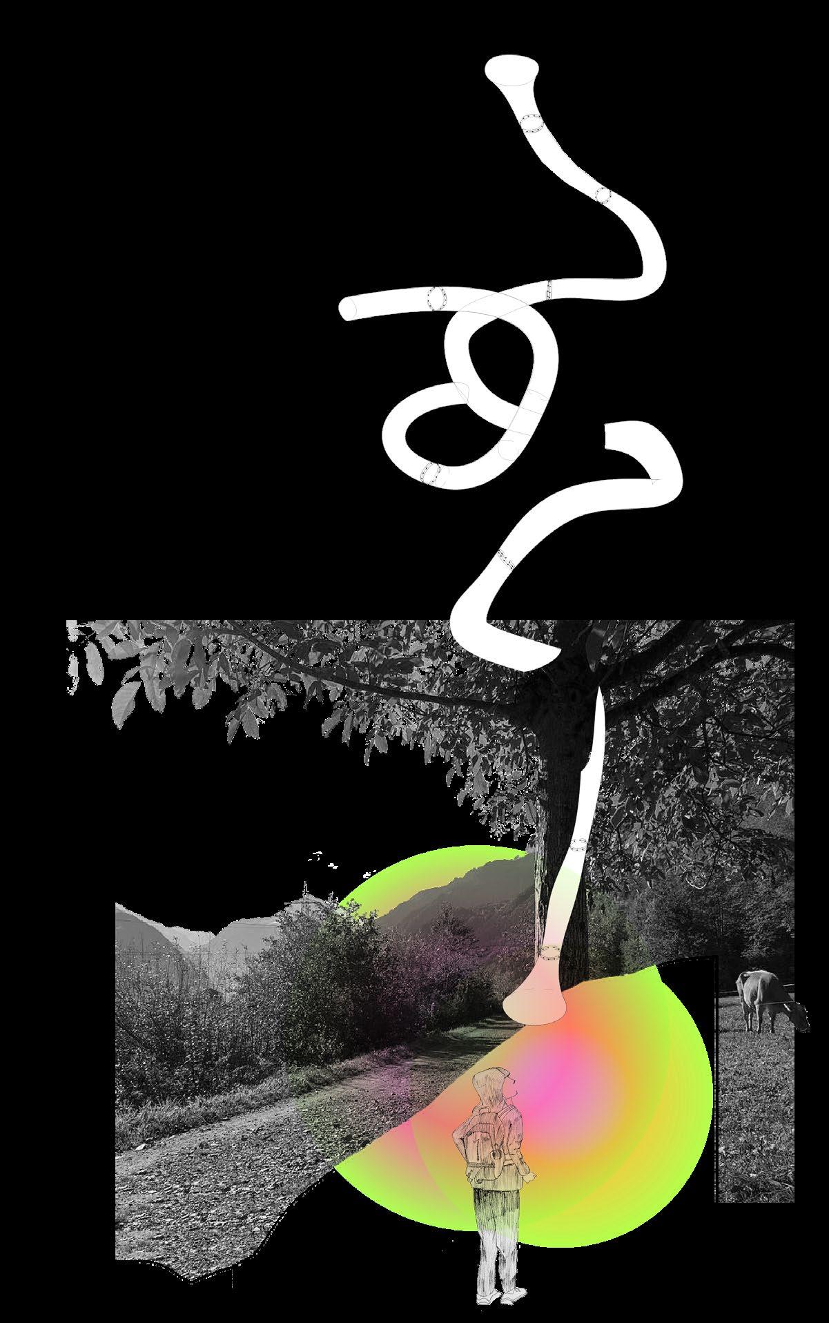
The Swiss Way or Weg der Schweiz is a series of connected paths, each designed by one of the 26 Swiss Cantons, circling the southern half of Lake Uri. The creation of the path in 1991 was the main event celebrating 700 years of the Swiss Confederation. Georges Descombes famously designed the Geneva section, as a way to deconstruct the solidified, official history of a nation and give the possibility of imagining another.
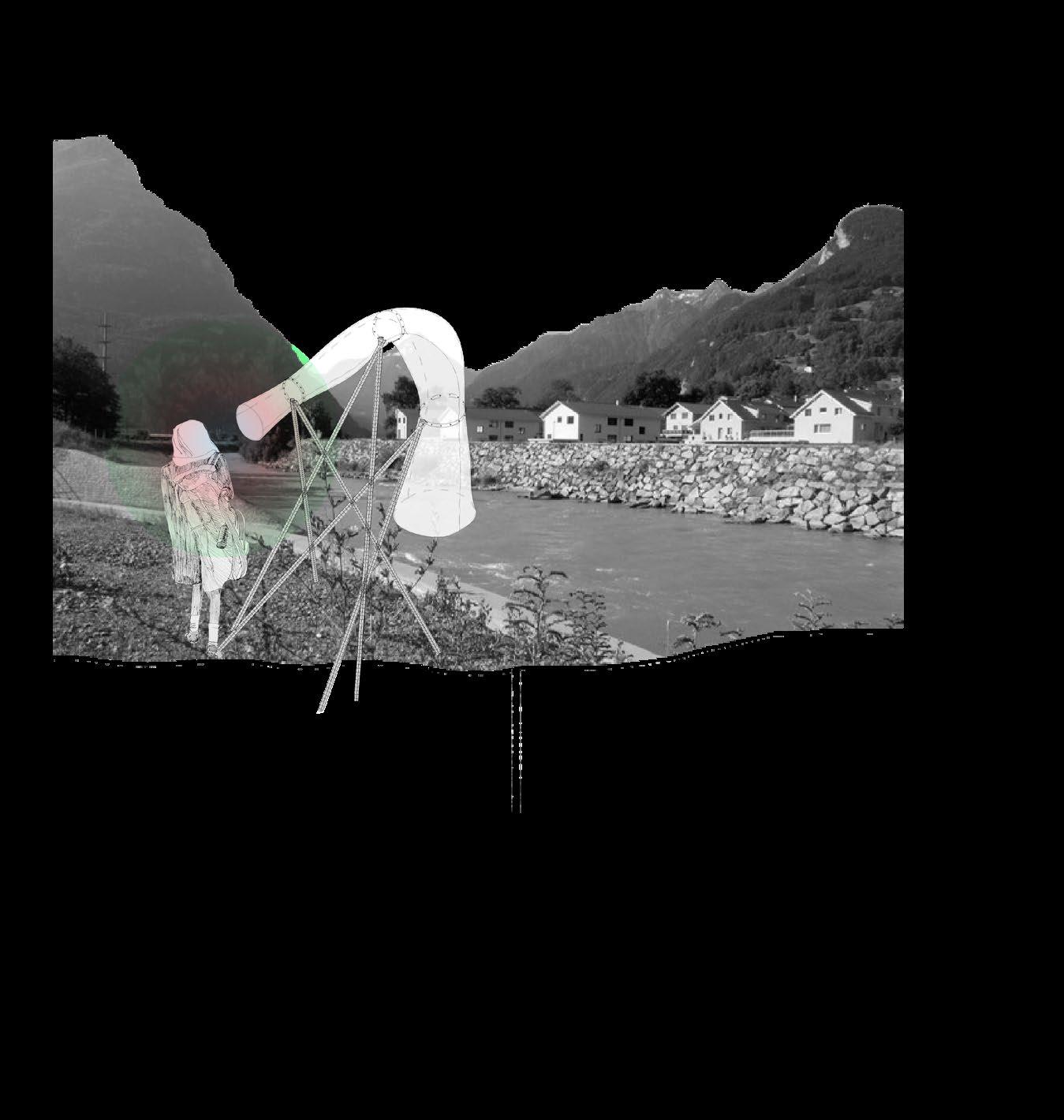
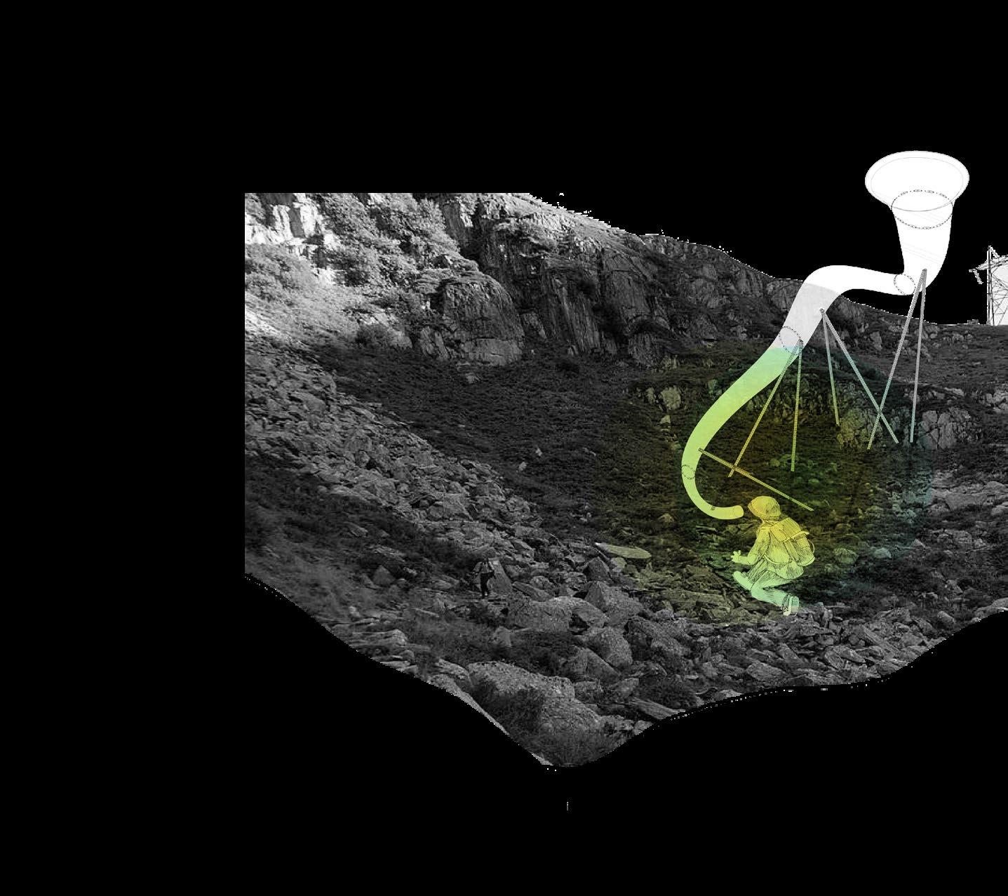
As Georges Descombes states “The ‘Swiss Way’ itself was moving.” (“How to Make a Path: The Swiss Way Project, 1991” 2020). This project explores this shift within the context of the Europeanization of Swiss Energy policy and it’s symbolic and physical repercussions. Following the Lukmanier powerline, the origin of Italy’s 2003 Blackout and cause of the change in power structure, the path reframes the Swiss Way, making tangible the intangible. It investigates the ‘hidden’ elements of a power landscape through sensory instruments that distill and direct attention. We as humans constantly edit and filter through what we see, hear and feel, this is the same with our stories and identities. The path as an object, is itself an investigation, reaching outwards towards the border, traversed by both tourists and Swiss. The path’s designation as the 27th segment places the industrial landscape at both the local and global scale on equal ground with the histories of the pastoral landscapes.

Descombes, Georges. “How to Make a Path: The Swiss Way Project, 1991.” In Thinking the Sculpture Garden, 1st ed., 140–55. Routledge, 2020. https://doi. org/10.4324/9780429199882-8



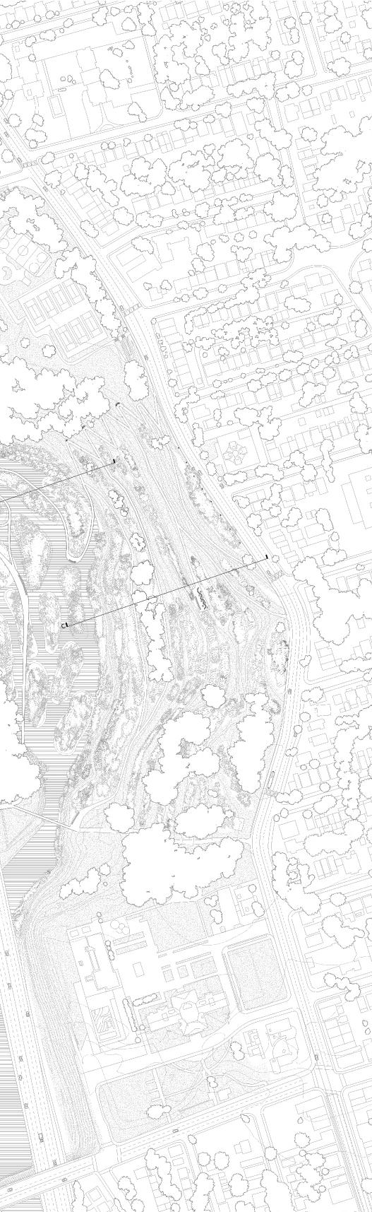
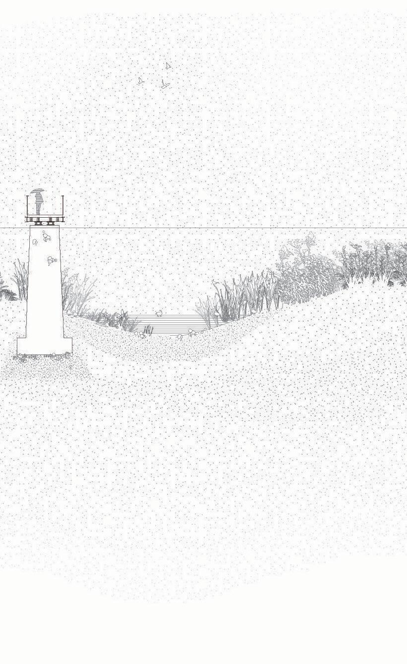
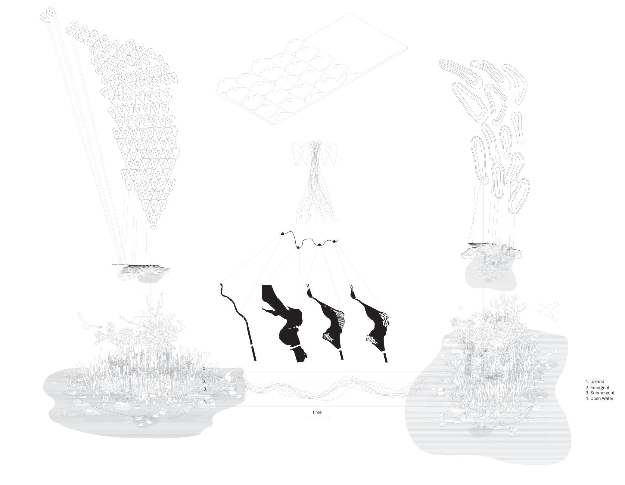
34. a) Optimized landforms tested for water flow, infiltration and shape. b) Exploring the relationship between riverine dynamics/ water flow and proposed landforms. c) Modified potential energy diagram acknowledging different energy inputs in the form of natural and anthropogenic events. d )Fluctuating water levels translate temporal heterogeneity to spatial heterogeneity2

Bend>Break Riverdale Park, Toronto, ON. 2019.
Awarded: Professor Jeffery A. Stinson Graduate Student Endowment Fund
Traditionally we have thought of a river as a line on a map, defined by it’s riverbanks. Flood events are the disruption, the outliers treated as disasters.
The redesign of Riverdale Park was in response to increased flooding of the Don River.
In this design Riverdale Park has been transformed into a space where the river can carve out its own path, creating a dynamic system and helping to shift the present paradigm of resilience, from static to dynamic.
A base grid of optimized landforms was chosen from MIT’s landform catalogue1. for their optimized water infiltration and high biodiversity index. Over time through fluctuating water levels the river would redistribute these landforms, shaping a new system. Through careful research of riverine dynamics, one hypothetical sediment distribution was chosen to illustrate the future of this design.
Raised paths were brought into the space winding through the landforms, creating spaces for education, contemplation and exercise. Bringing the river to the people, allowing change to happen as a heavily engineered space shifts into a “naturalized” river system.
1. Guzman, C. B., Nepf, H., and Berger, A. M. 2016. Design Guidelines for Urban Stormwater Wetlands
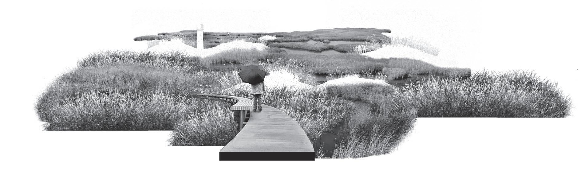
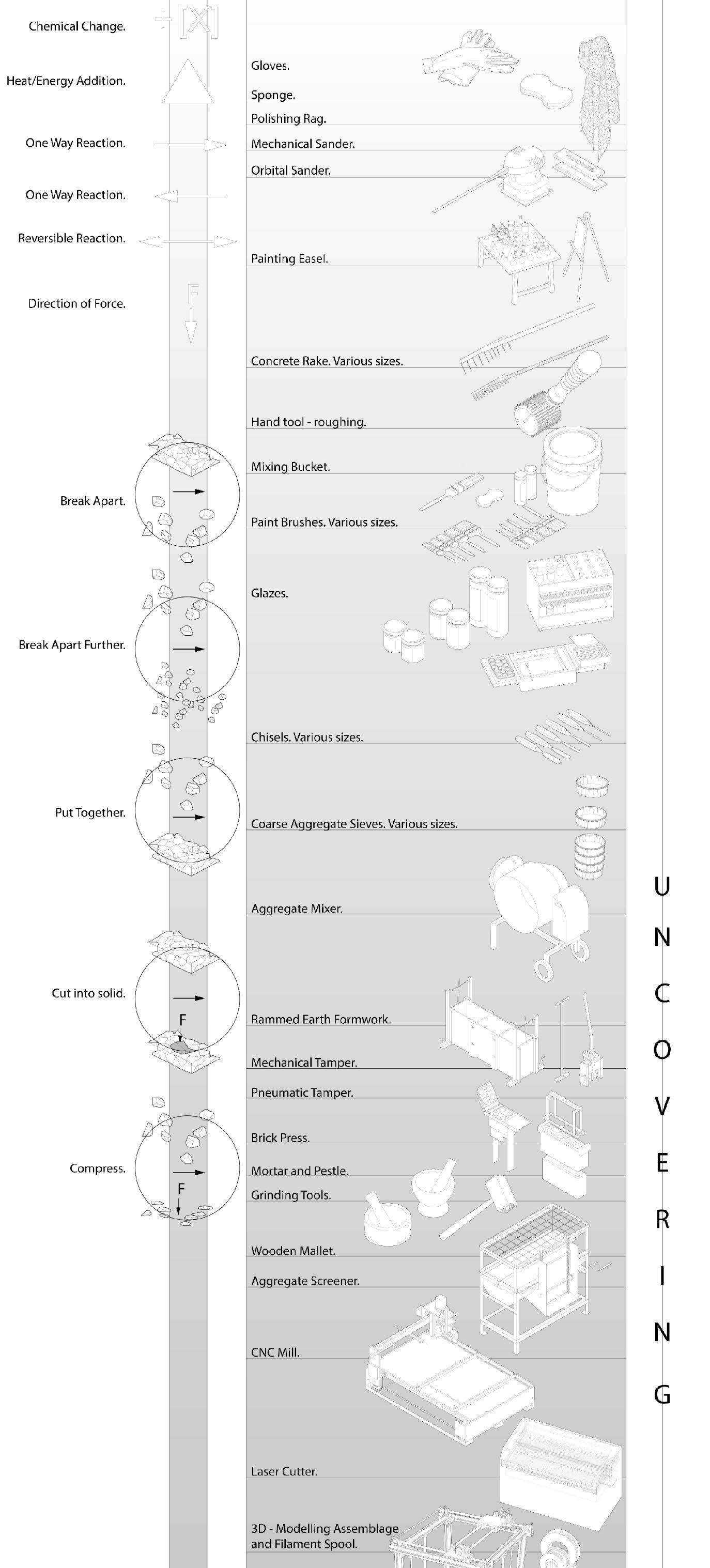
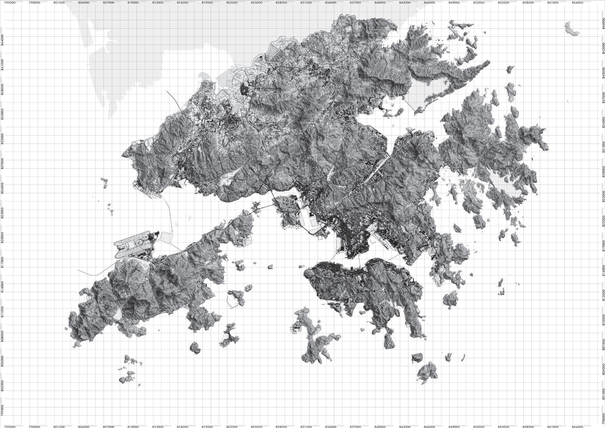
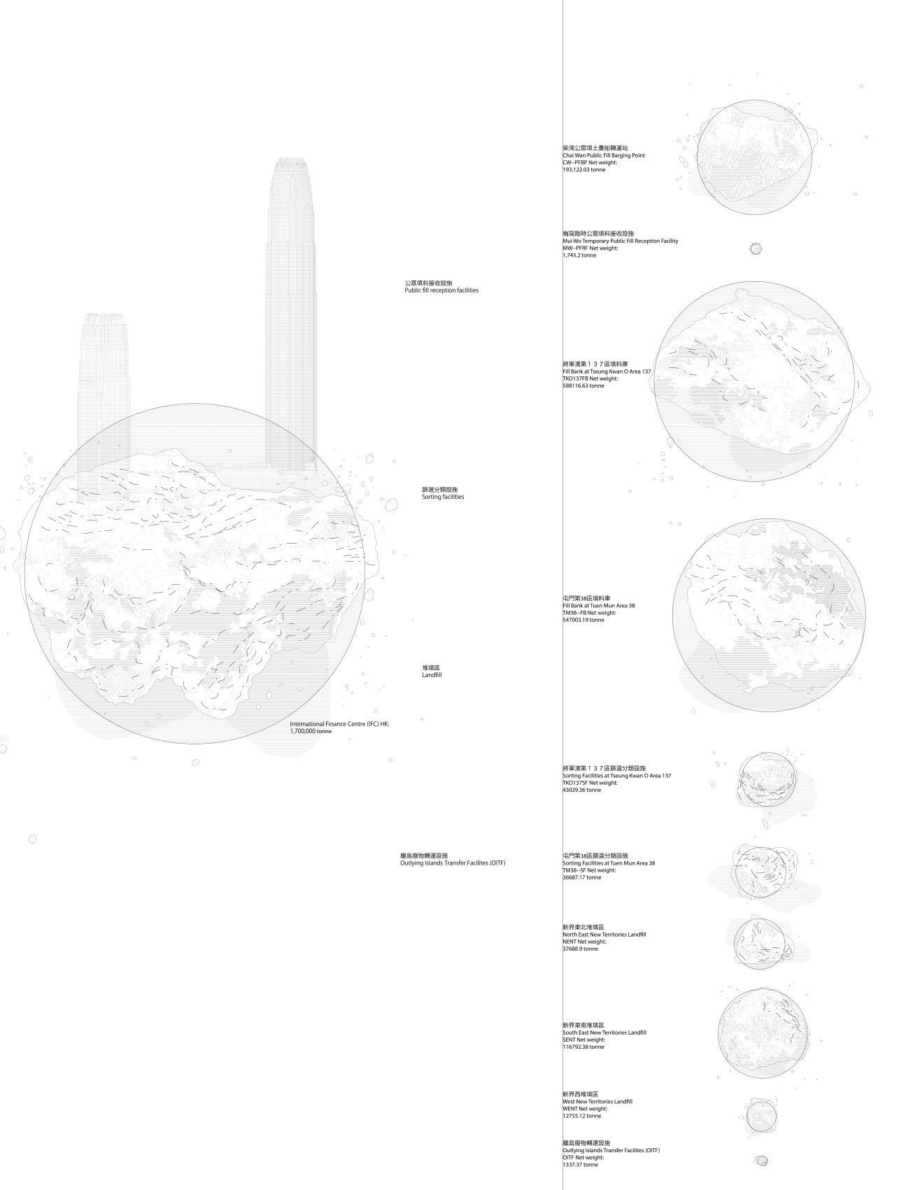
Non-Linear Extractions: The making and unmaking of Hong Kong Soil Hong Kong SAR. 2023.
“The study of soils naturally involves an interdisciplinary approach - a consequence of soils forming at the intersection of the atmosphere, biosphere, hydrosphere, and lithosphere.” (Brevik et al., 2015)
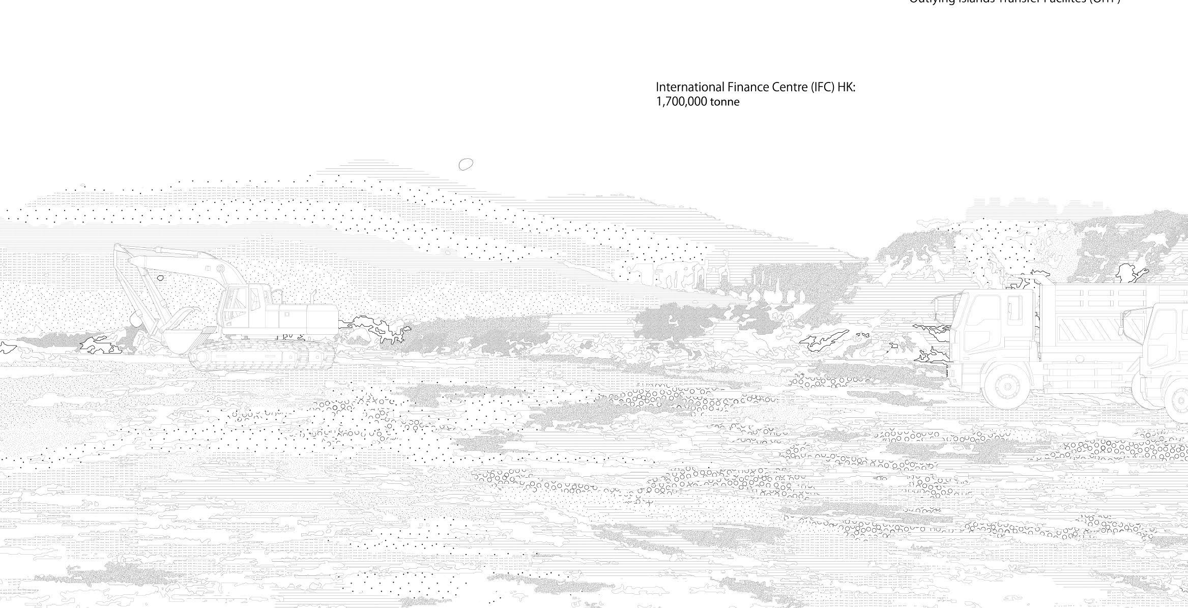
The understanding of soil is itself at a crossroads, it has historically been understood as a reflection of below, the interface of deep geological time and atmosphere, the byproduct of process. (Sewell, Tang, and Shaw 2009) In more recent years this understanding has shifted, where the delineation between soil and process has gradually been erased. This reimagining places living organisms (Goudie & Viles, 2010) inclusive of humans within the realm of soil. Inspired by Donna Haraway’s manifesto (Haraway, 2003) we can think of soil and humans as ‘companion species’. This is not a ‘discovering’ but instead a ‘remembering’, as we have seen this throughout history in indigenous ethnopedology practices (Barrera-Bassols, Zinck, & Van Ranst, 2006): such as fire management resulting in charred earth (Nigh & Diemont, 2013) and agricultural practices such as the historic integration of New York’s ‘night soils’ into the constructed ground of Central Park (Hutton, 2014) or the multitudes of Nitrogen and Phosphorous recycling strategies evident in multi-species aqua/agriculture systems (Kronberg et al., 2021) exemplified by Hong Kong’s ‘gei wei’ (WWF, 2017).
“The meanings landscapes hold are not just metaphorical and metaphysical, but real, their messages practical; understanding may spell survival or extinction. Losing, or failing to hear and read, the language of landscape threatens body and spirit, for the pragmatic and the imaginative aspects of landscape language have always coexisted. Relearning the language that holds life in place is an urgent task.” (p. 11. Spirn, 1999)
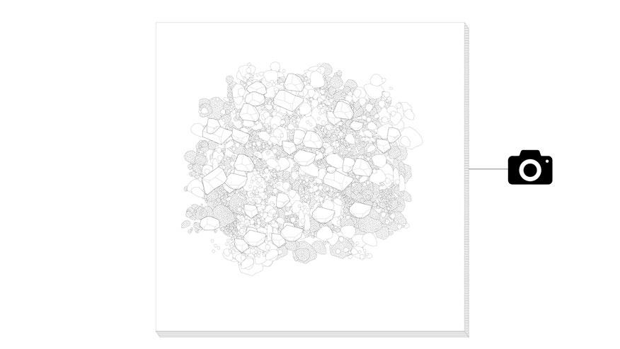
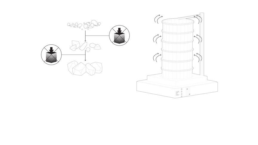
The origins of this proposed soil literacy methodology are rooted within the academic conversation and speculations generated by landscape literacy thinkers (Spirn, 1999). However this methodology is not just limited to academia ;it could be applied in the field as best practice for on-site, small-scale soil testing and reuse, with aspirations to spark a reimagining of how urban soils could be handled on a larger scale. The outlined non-linear approach is both a record of the life story of material artefacts that inform the current ground of Hong Kong and a tool that unites techniques from various sceientific fields. It aims to further the conversation that surrounds urban soils as an archive and as a resource, using Hong Kong as a testing ground.
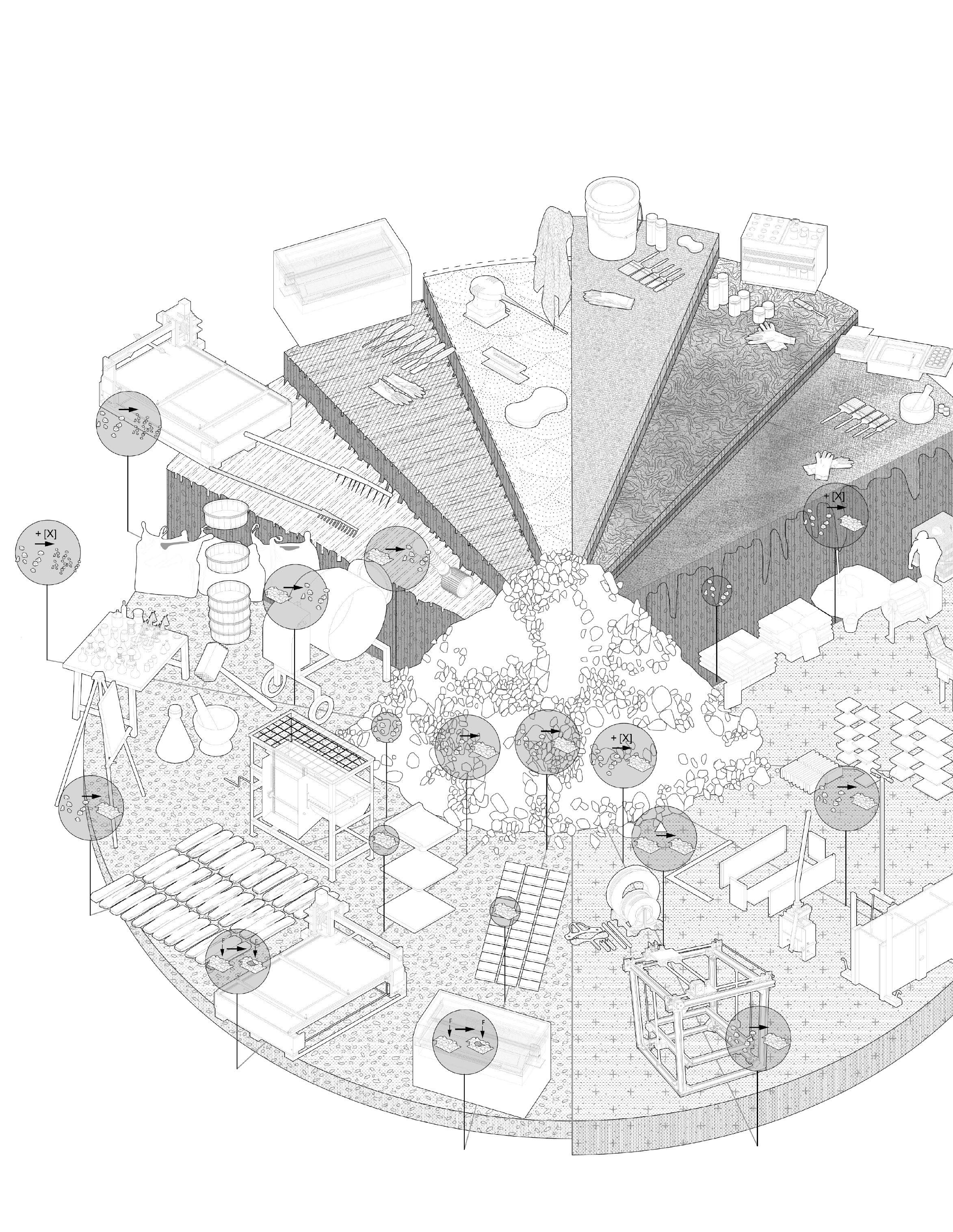
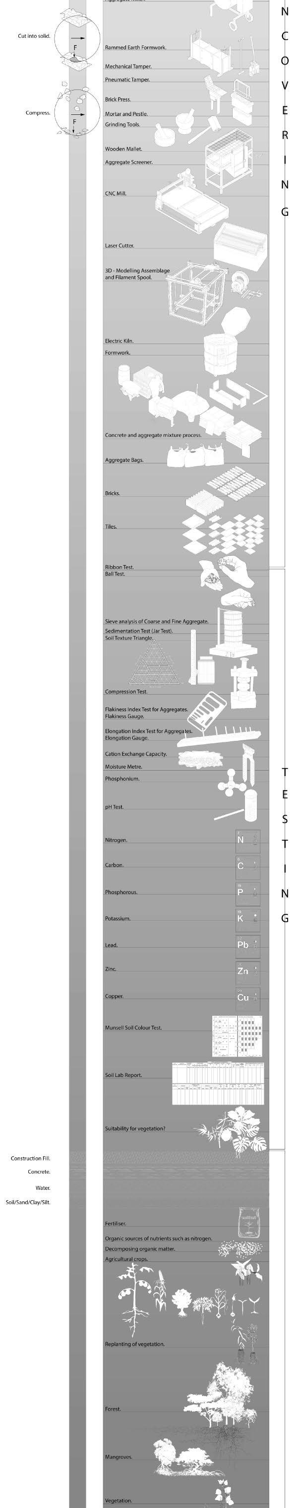
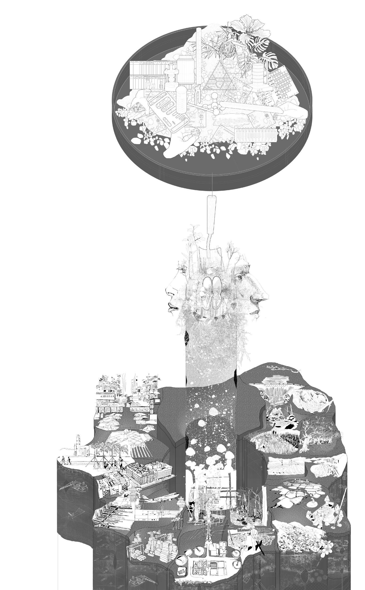
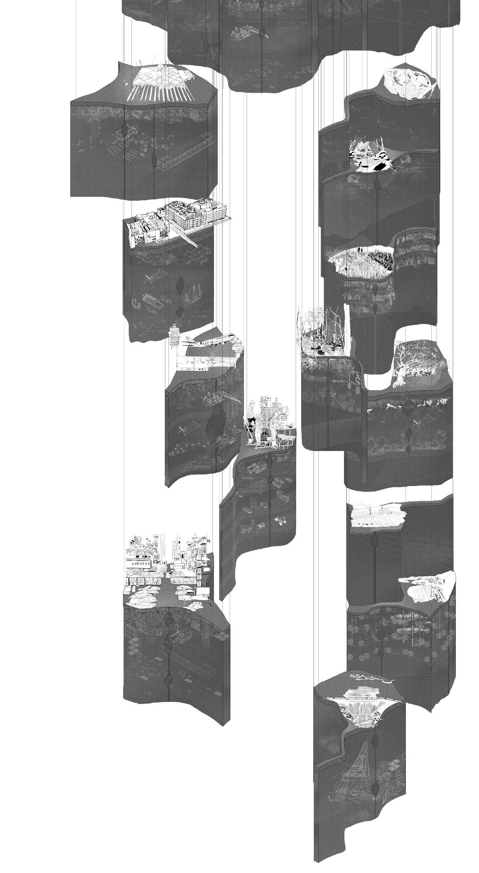
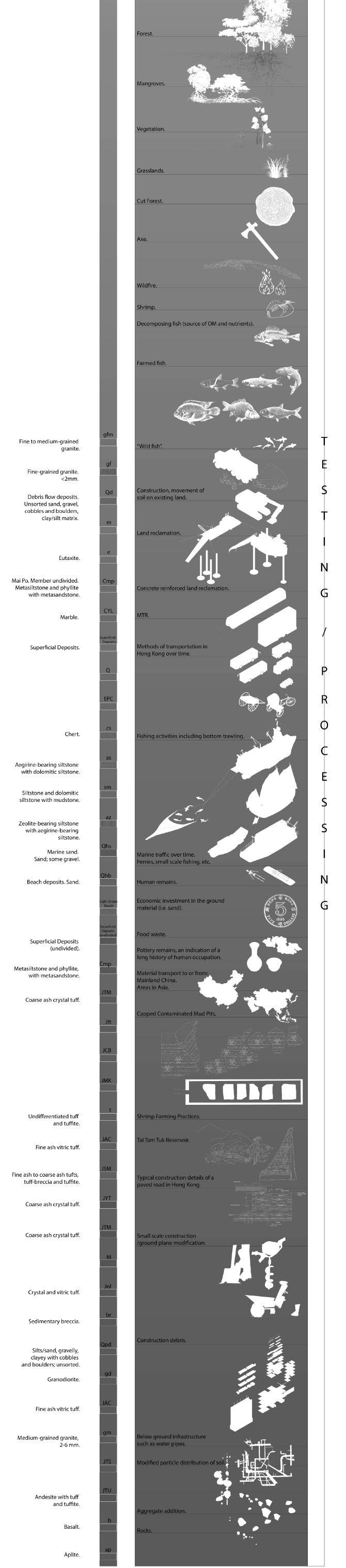
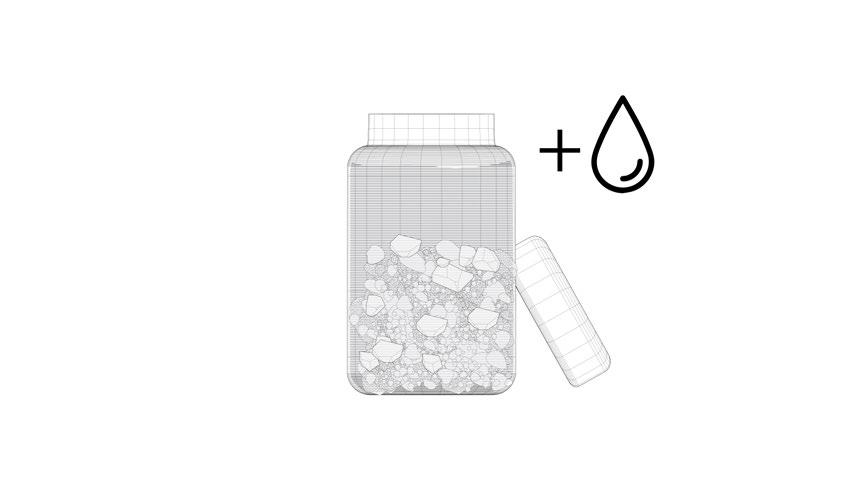
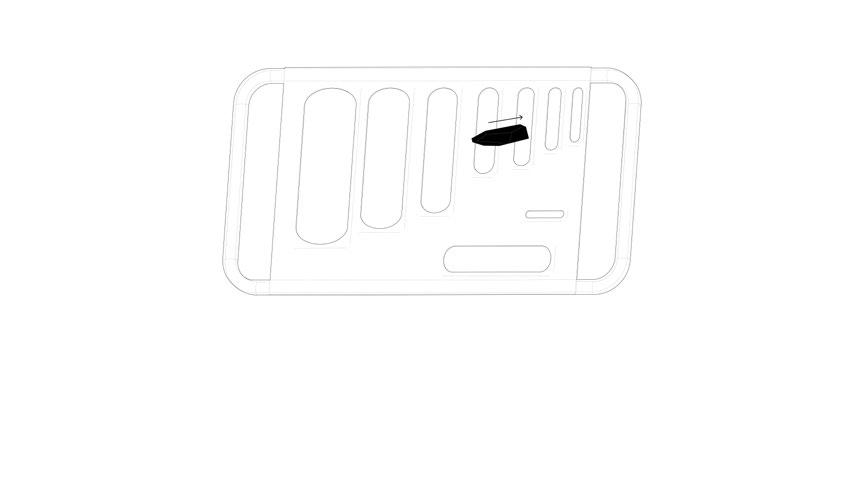
35. A methodology for urban soil literacy, through the process of ‘Locating/Observing’, ‘Uncovering’, ‘Extracting’, ‘Testing’ and ‘Making’.
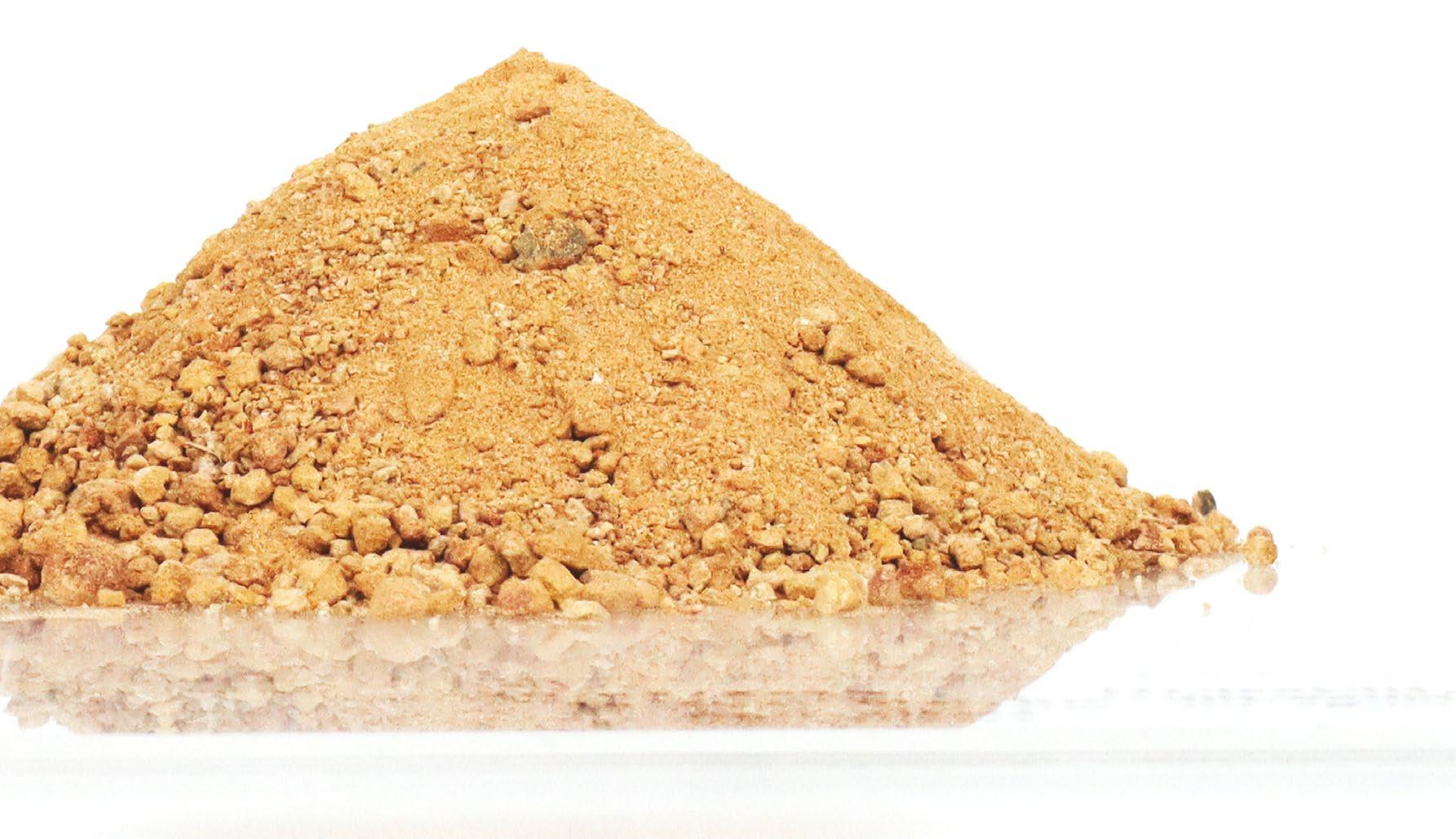
TAL-L Materials: Taxon, Archive, LabLibrary Hong Kong SAR. 2023.
The ‘Taxon|Archive|Lab - Library’ or TAL-L is a database and teaching tool for landscape materials. The project reflects on the environmental challenges of material use today and aims to restore our knowledge about landscape materials through strategic indexing and experimentation.
TAL-L samples the varied compositions of landscape materials across Hong Kong; records its layered historic alterations; maps its flows, its extractions, and its accumulation. It aims to outline a methodological framework fit to deal with landscape materials as a complex resource and is unique in providing a multimedia material database for landscape architects focused on sites and resources in Hong Kong.
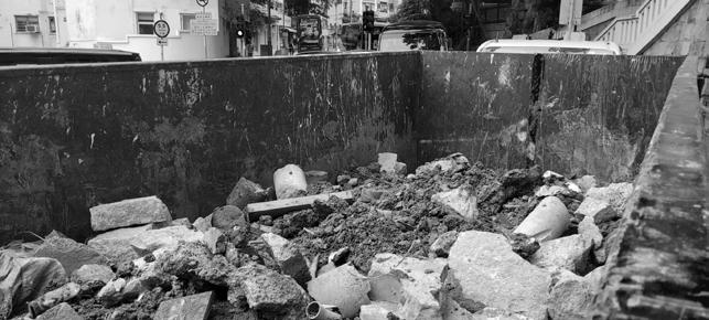
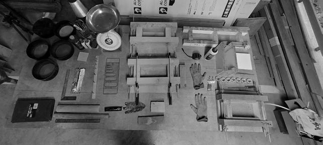
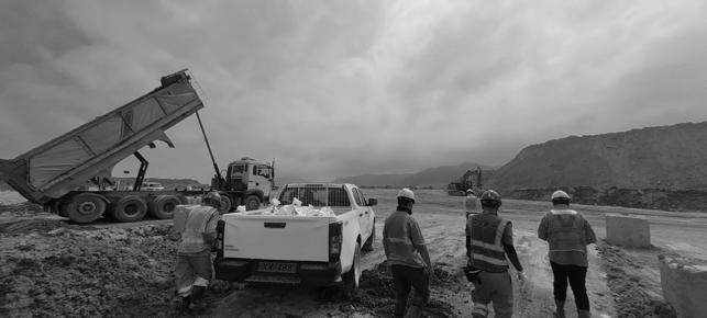
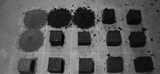
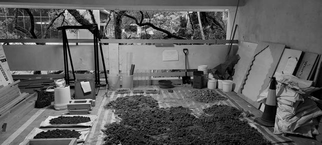

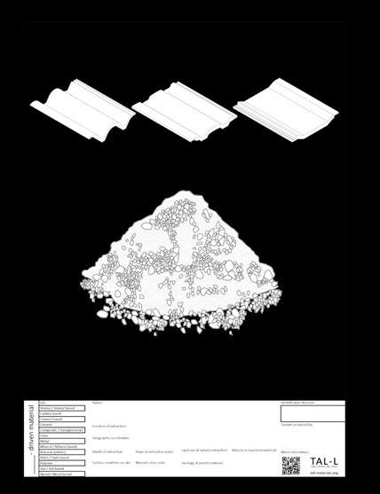
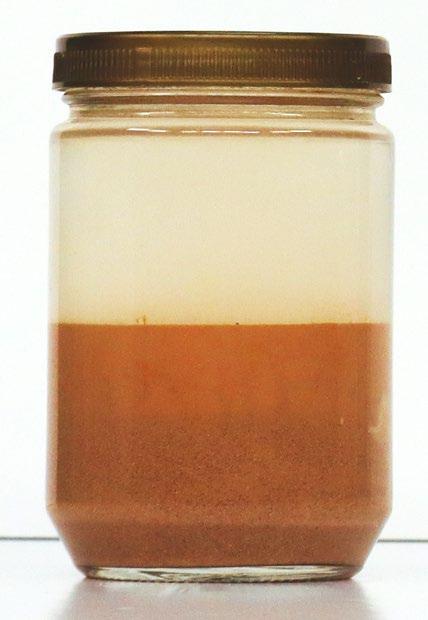
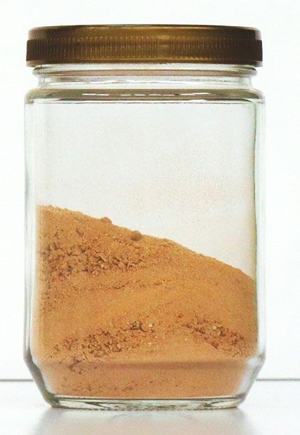
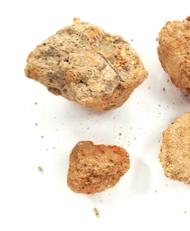
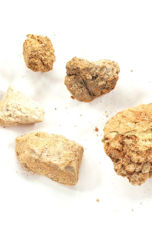
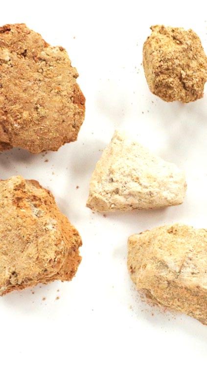

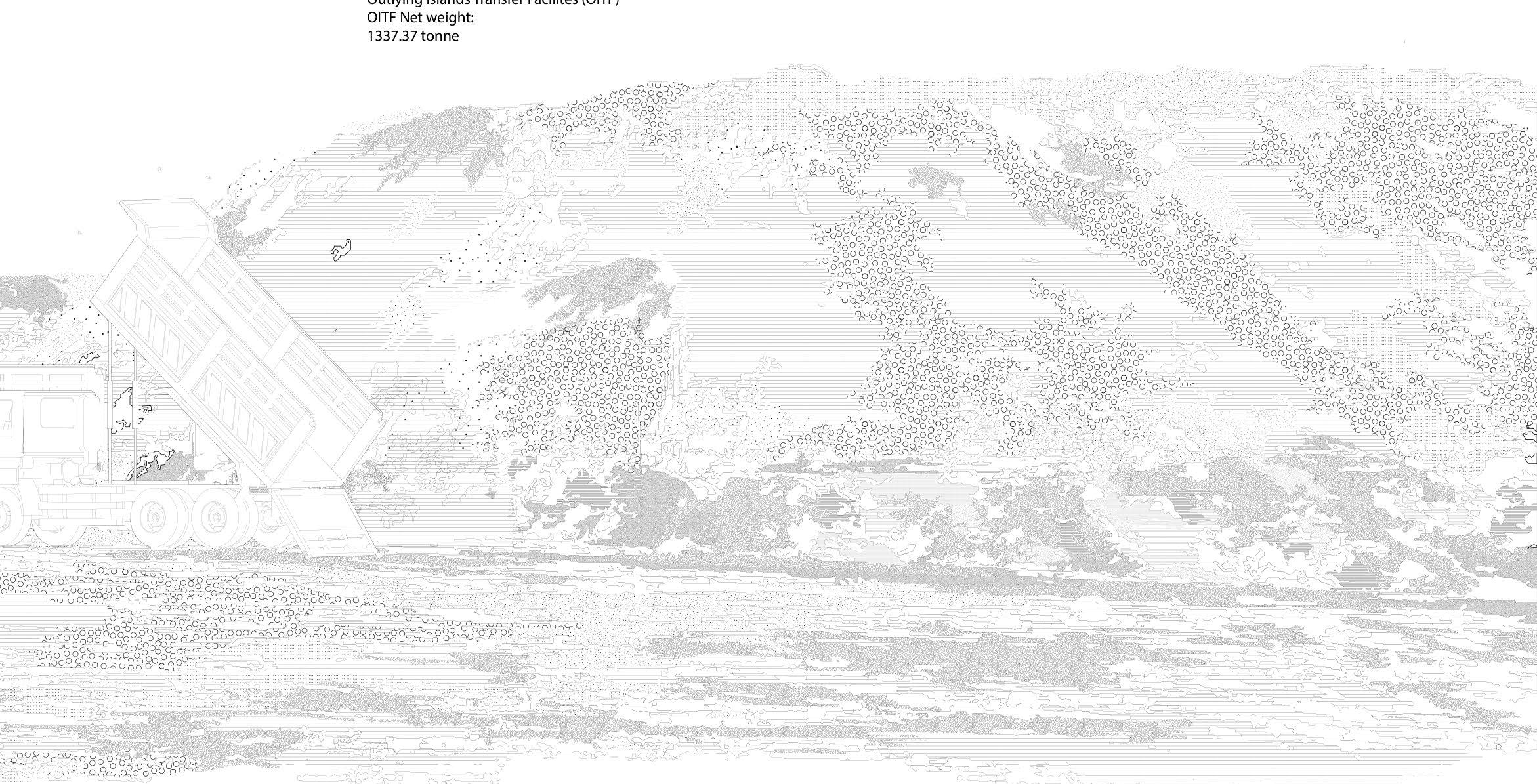
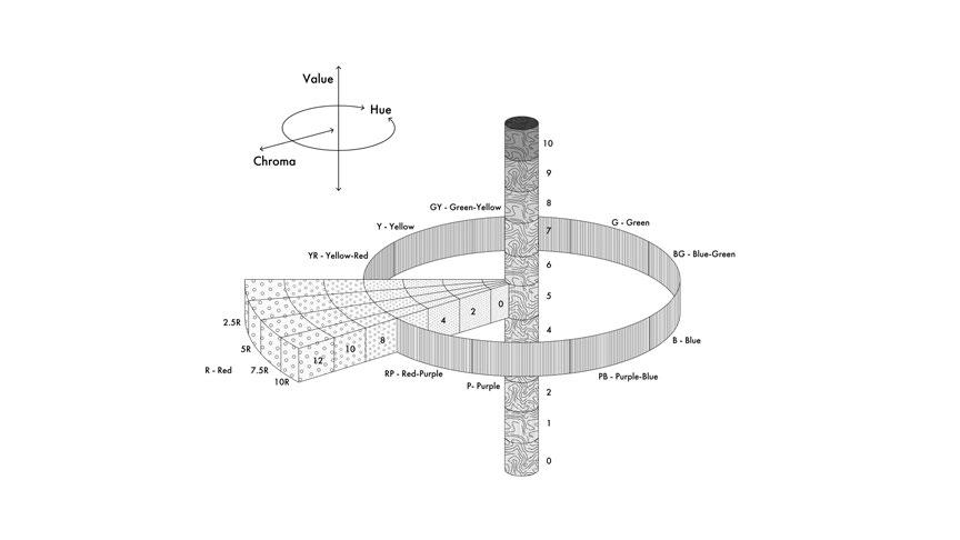
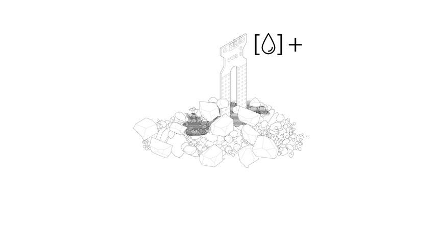
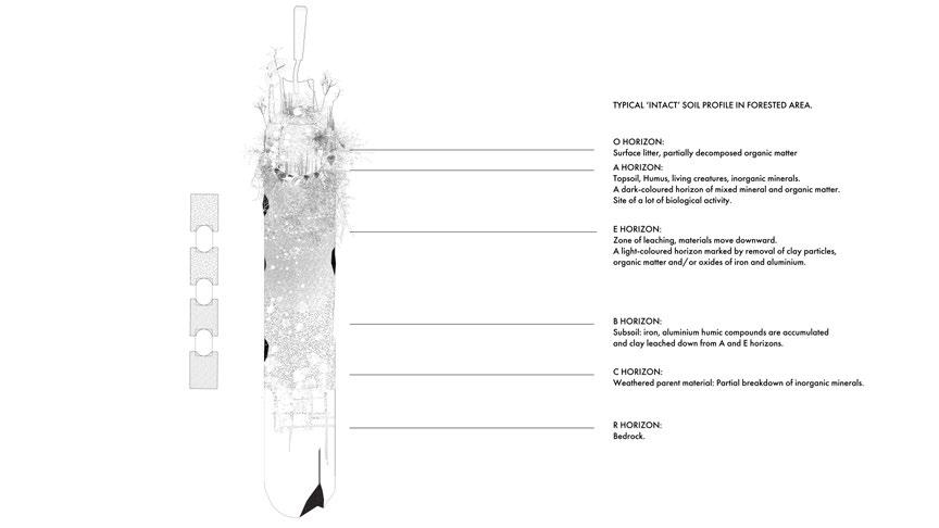
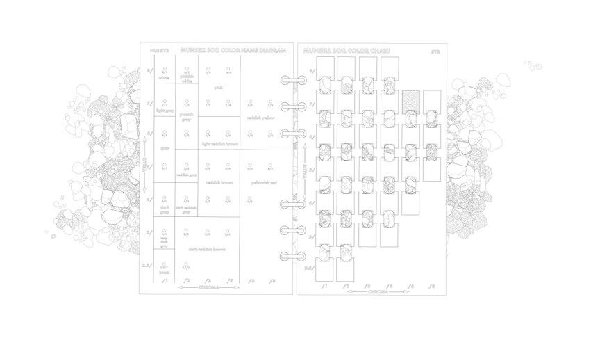
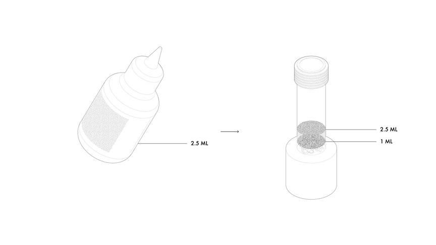
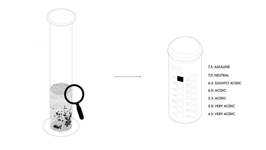
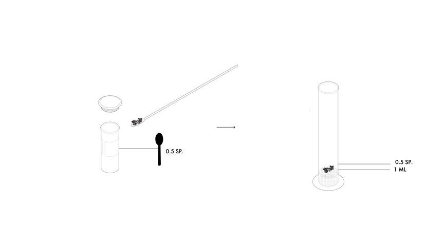
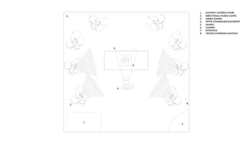
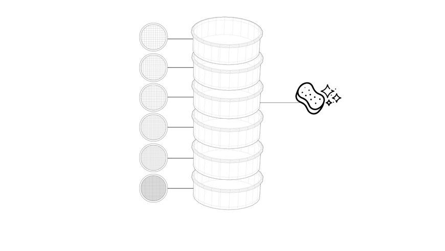
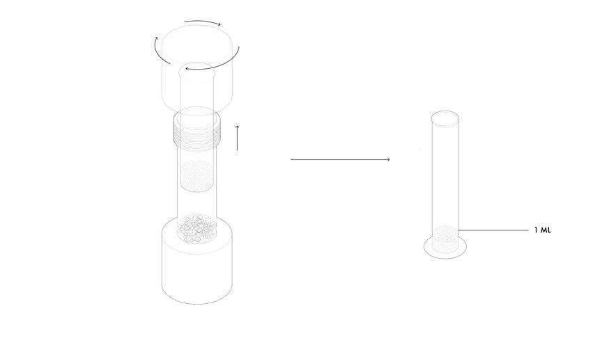
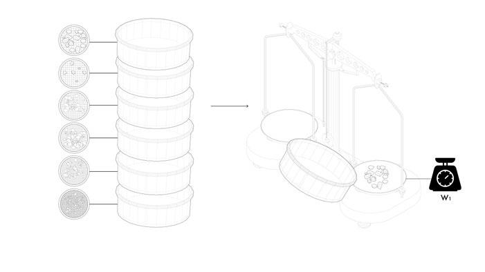
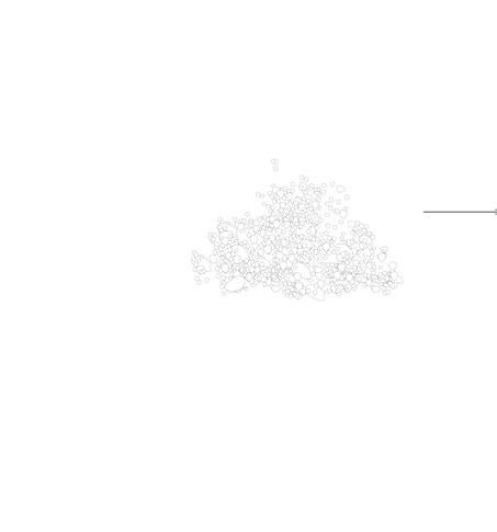
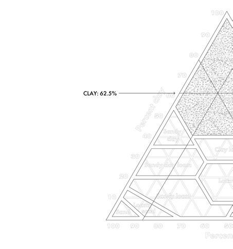
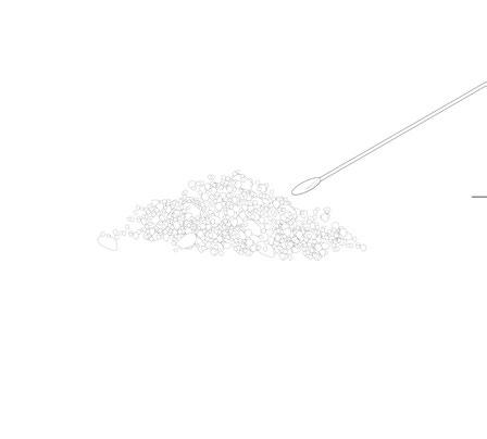
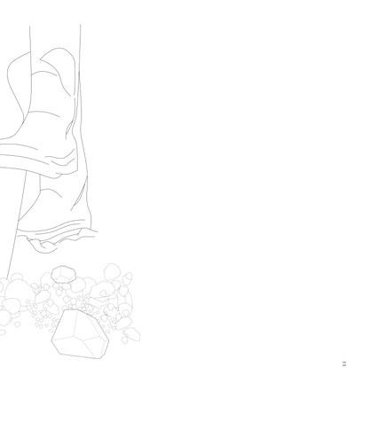
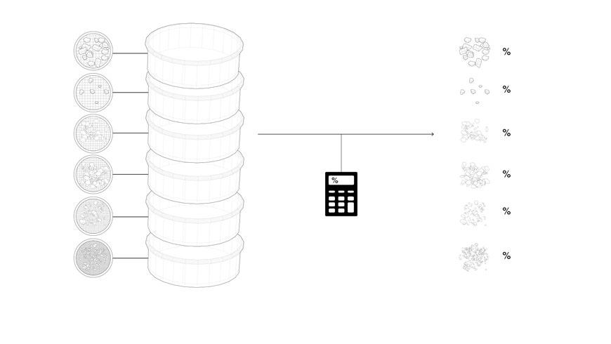
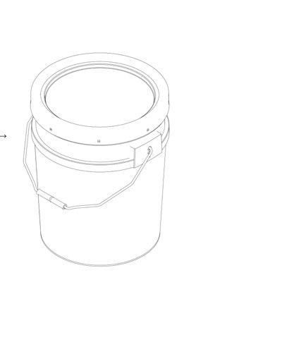
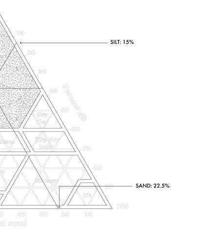
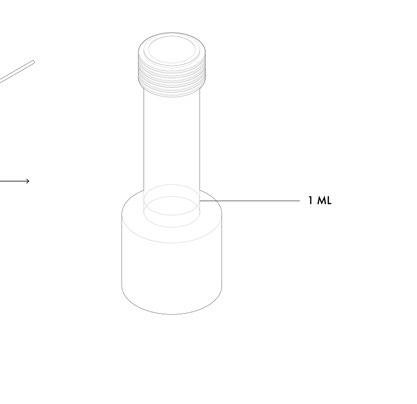
37. A multi-media library of soil testing was created as a resource for both students and the general public. All videos can be found on TAL-L’s website as well as YouTube Channel.
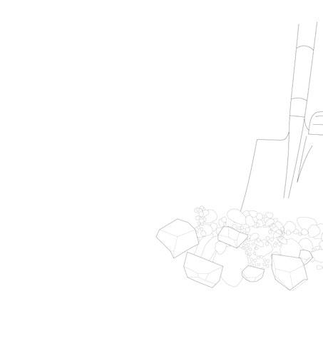
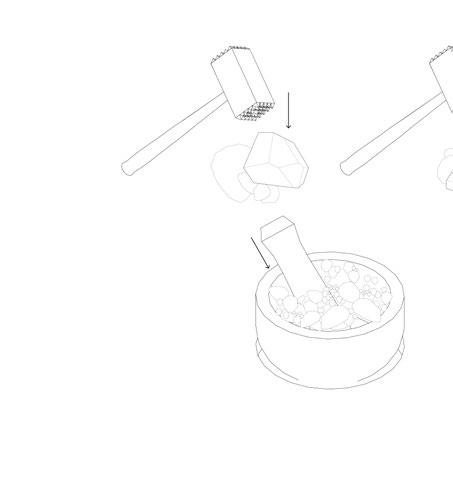
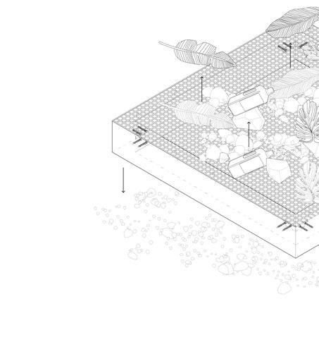
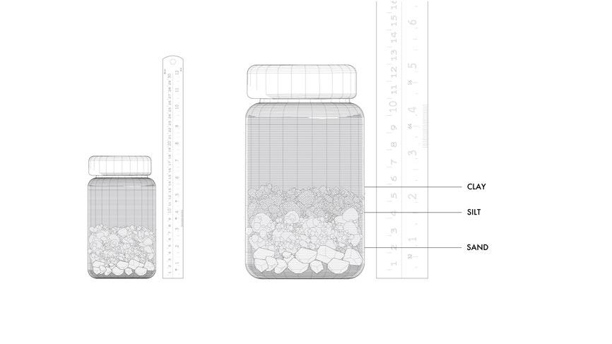
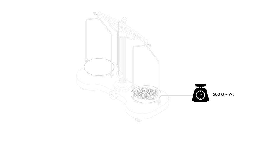
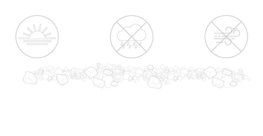
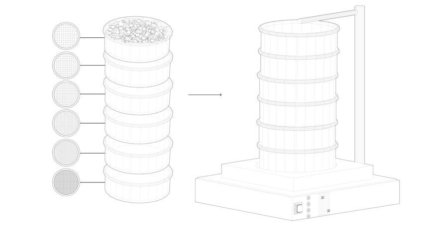
38. Step-by-step videos graphically illustrate the testing procedures for elemental testing (Nitrogen, Phosphorous, Potassium), soil acidity (pH), soil colour (Munsell), composition (Sieve Analysis, Flakiness/Elongation Tests and Jar Test) as well as general sample preparation.



Extracted Grounds Field Lab
Tseung Kwan O Area 137 Fill Bank, Hong Kong SAR. 2023.
Proposal: Nieuwe Instituut Tool Shed Fellowship Application 2023. Competition Submission: Non-Architecture Market 2.0 Circular Economy Hub
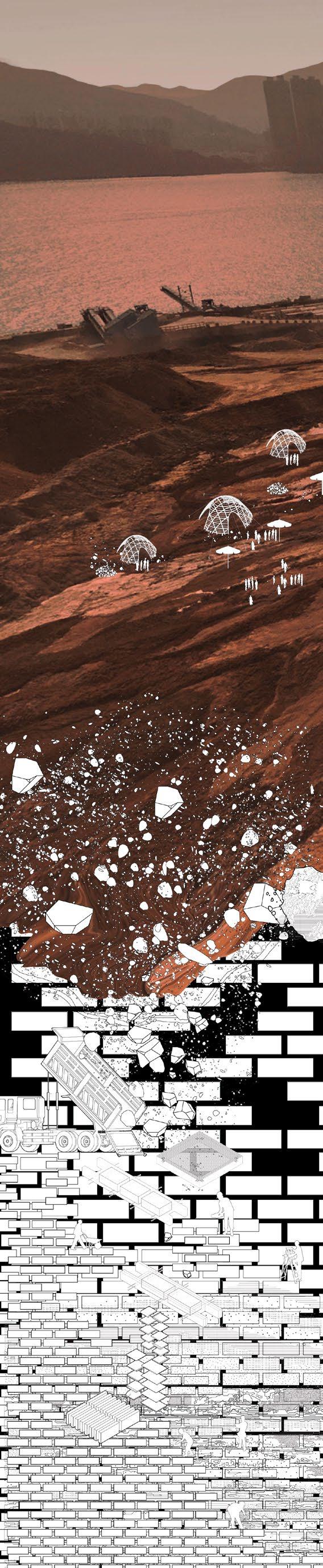
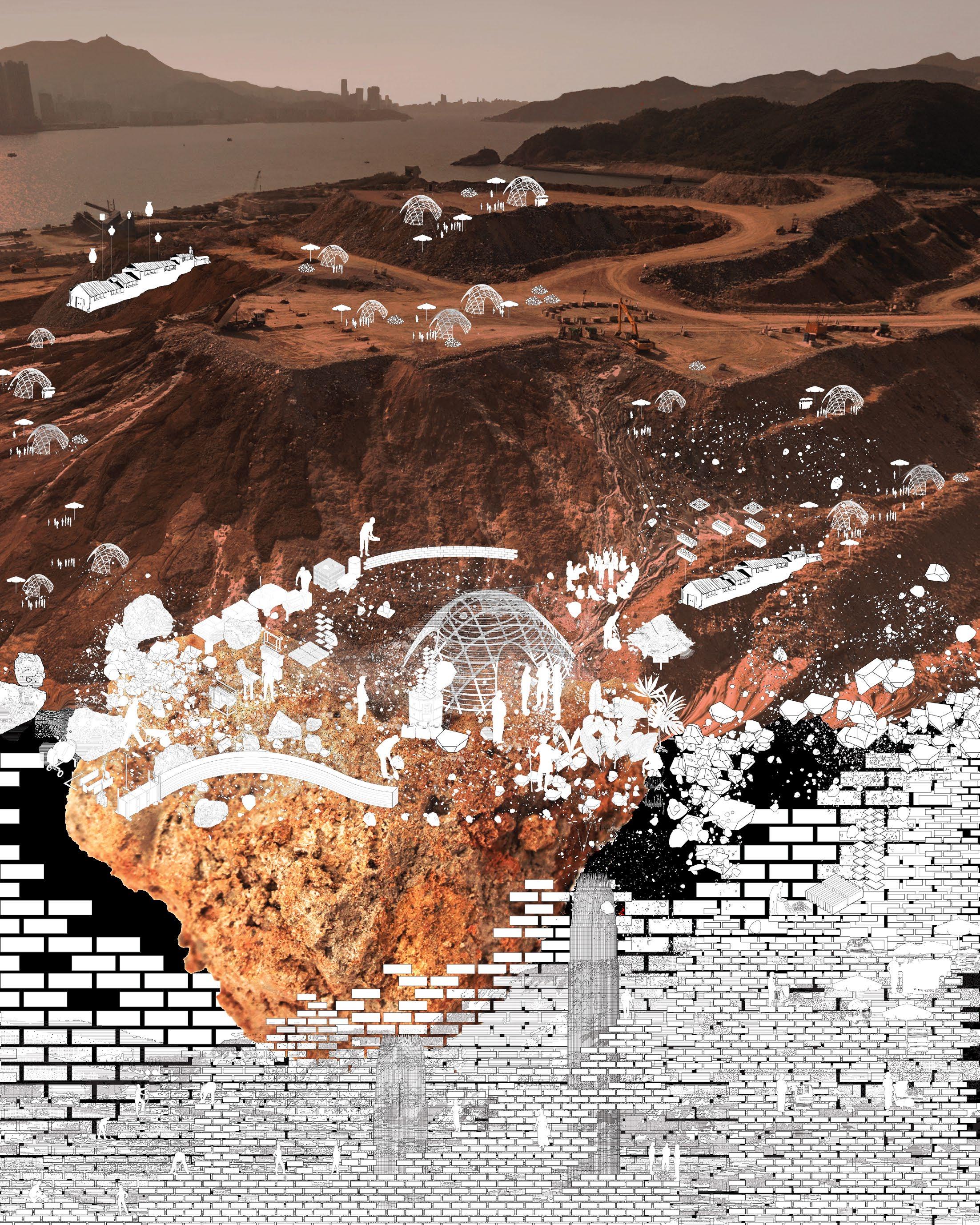
The ‘Extracted Grounds Field Lab’ embodies a framework for making and testing, aiming to reintroduce and loop the typically linear narrative of extraction at the Tseung Kwan O Fill Bank. The physical manifestation of this proposed tool shed is a site-specific prototype situated within the Tseung Kwan O Area 137 Fill Bank in Hong Kong. It will be installed temporarily, as a field lab of continuous exploration that cultivates a commitment between soil, land and people.
This project aims to change the perception of excavated soils and other urban repositories by changing the way we view and work with tools.
The understanding of both built materials and the unrecorded layers of soil as one future ground allows us to generate tangible prototypes of reuse. These prototypes may remain on site or be reintegrated back into the urban areas to create new forms of nature or alternative built environments.
By uniting techniques from various scientific fields, the aim is to review best practices for on-site soil testing and reuse, aspiring to inspire a reimagining of how urban soils are handled in the future. This approach seeks to advance the conversation surrounding urban soils as both an archive and a resource.
The connections and experiences of students, professionals and community members are themselves a tool in our tool-shed setting, absorbing new ways of thinking and participating with soil. Taking this knowledge into their own practices and ways of living/being.
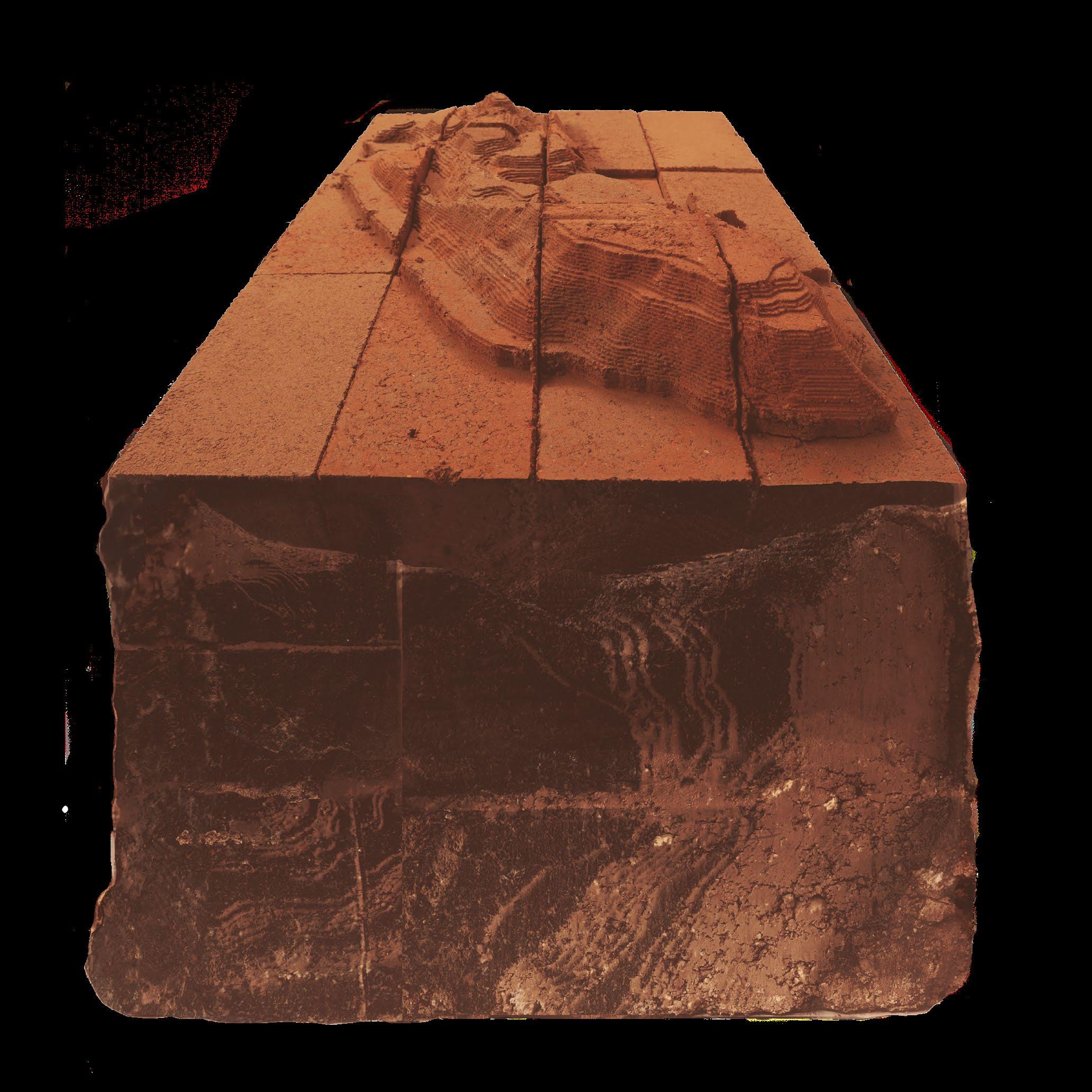
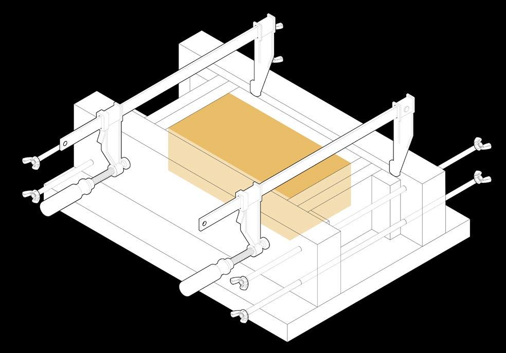
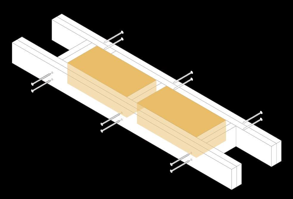
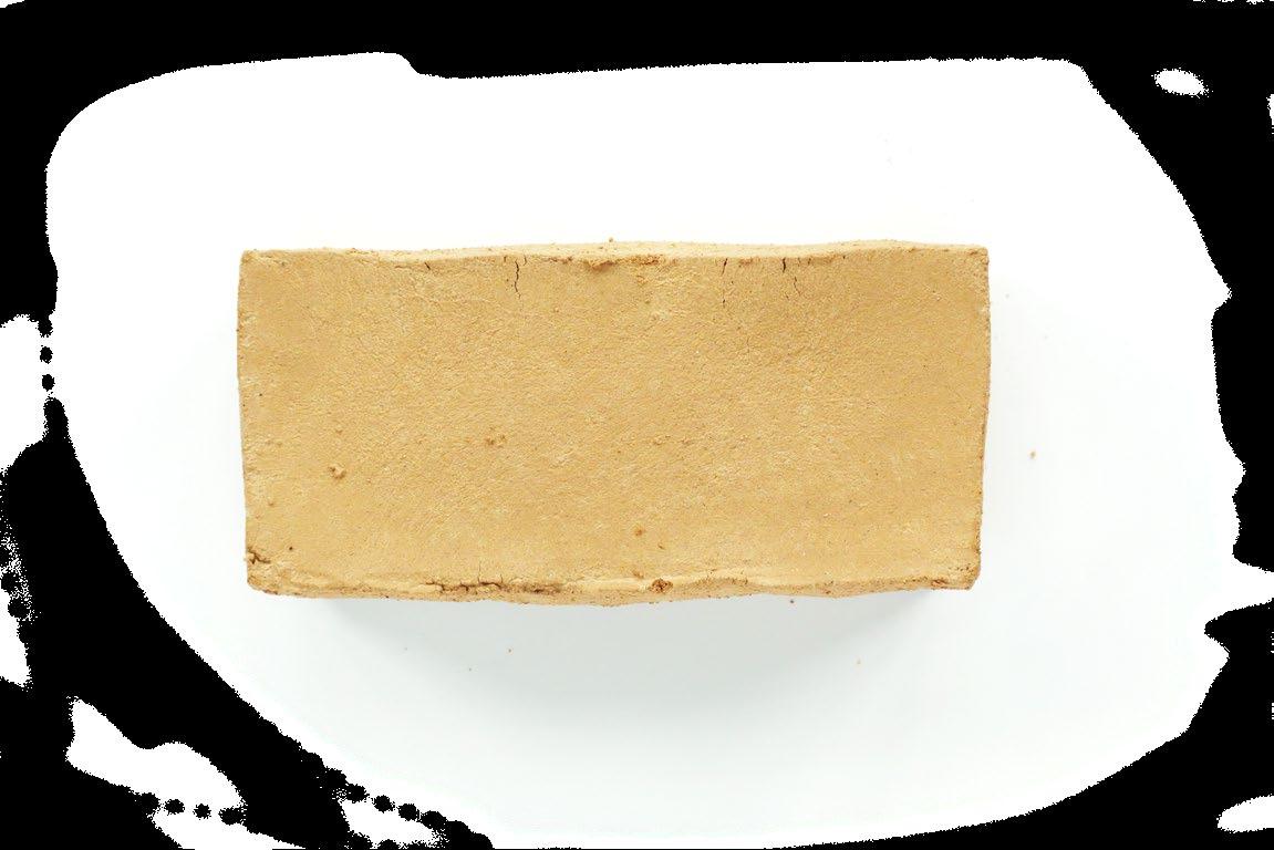
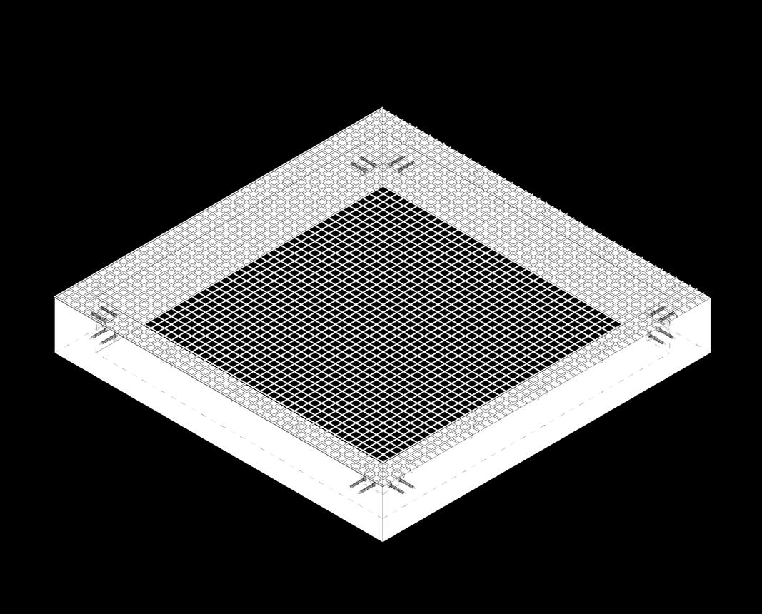
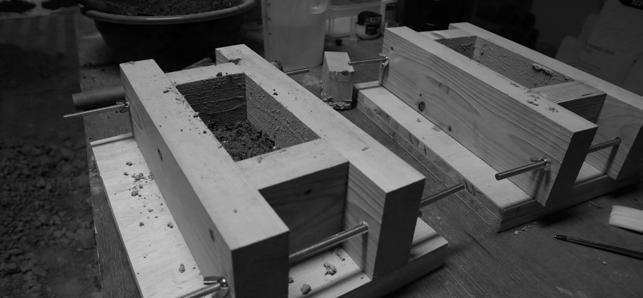
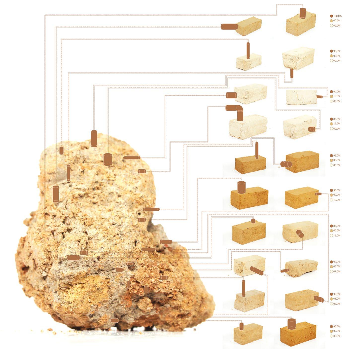
39. A landscape model of the Tseung Kwan O Area 37 Fill Bank was created out of 12 compressed earth bricks. These bricks were created using two soils from the fill bank (23-1000349-a and 23-1000-349-d). The layered plywood formwork was created using the process of CNC milling (computer numerical control milling) to create a relief contour model of the fill bank. The formwork was constructed to fit the exact dimenions of the brick press, illustrating the future potential for modifiable formwork in compressed brick applications.

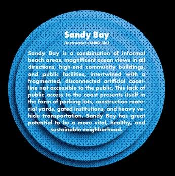
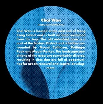
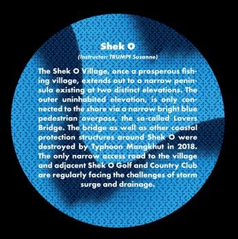
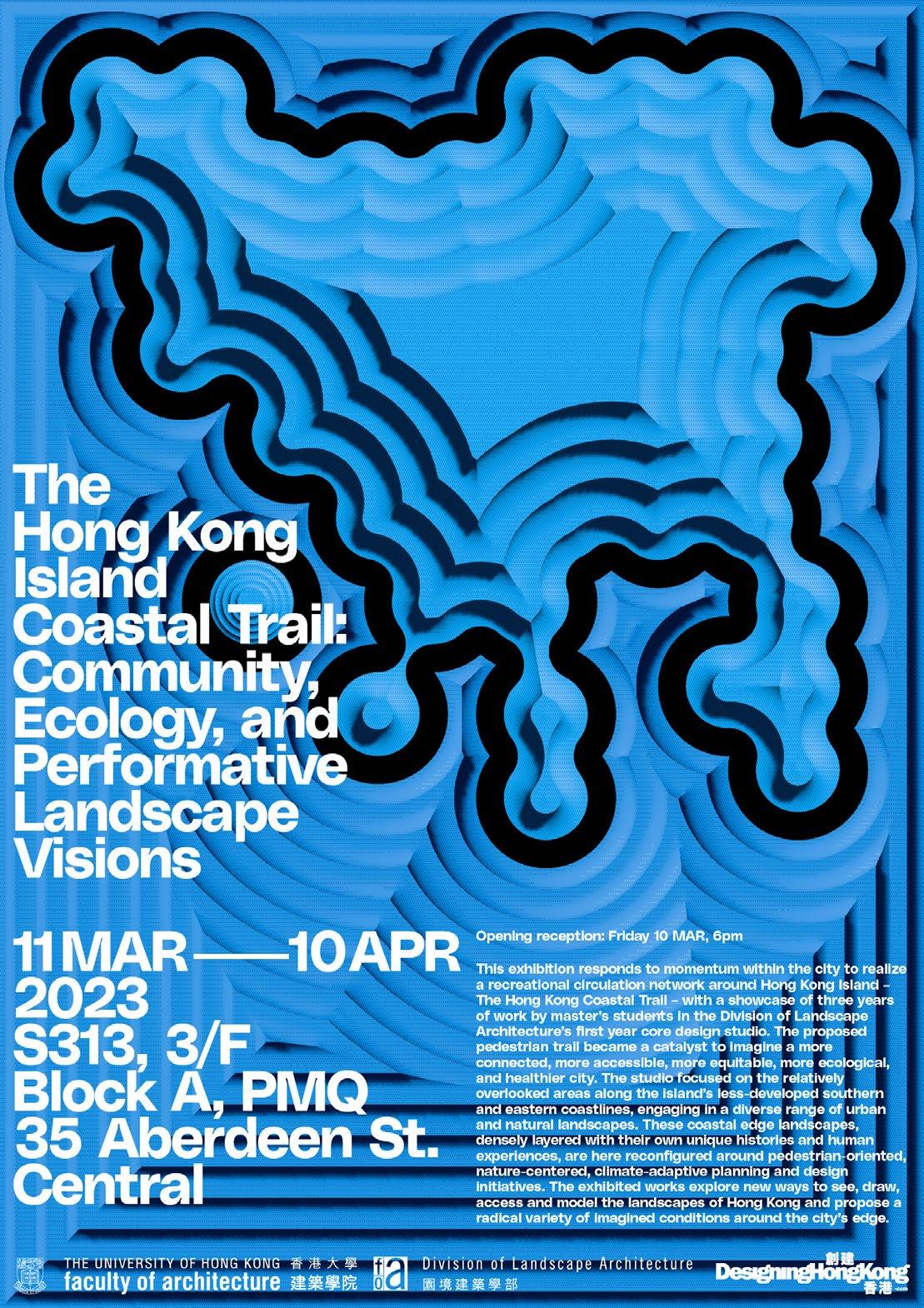
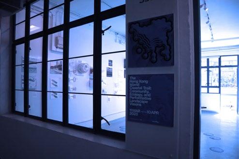
PMQ, 35 Aberdeen St. Central. Hong Kong SAR. 2023.
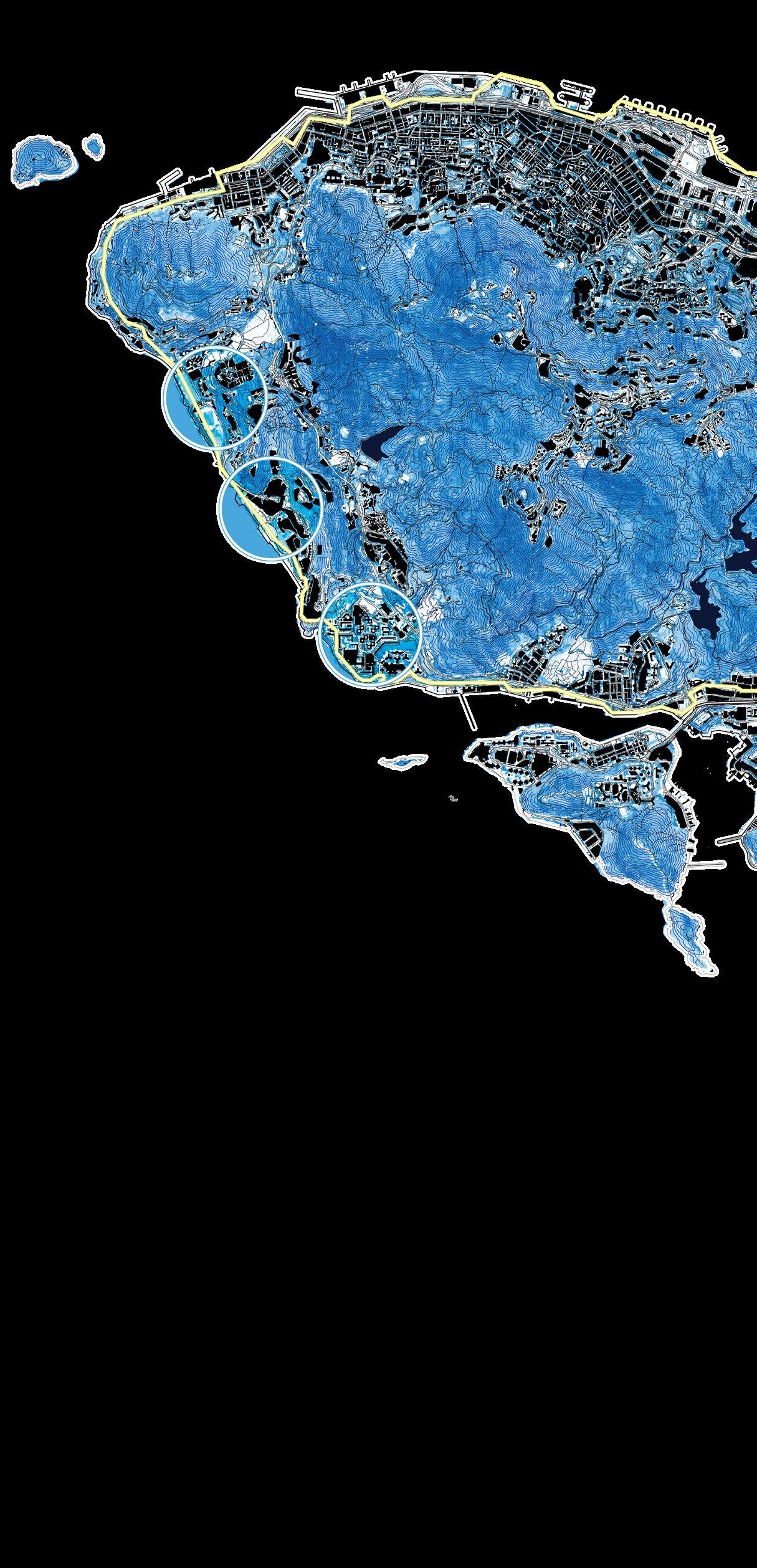
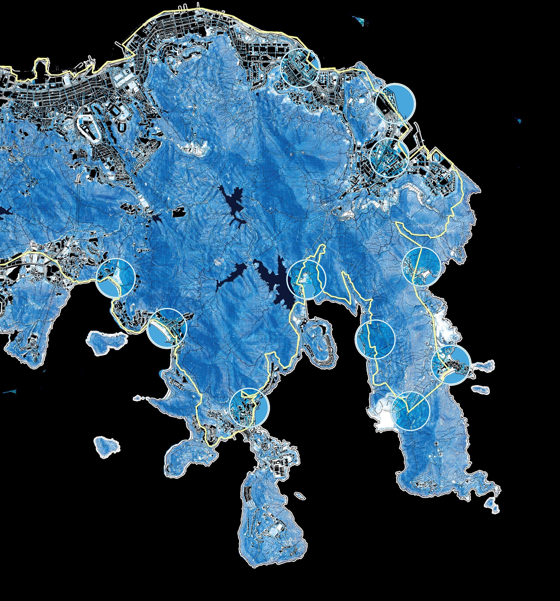
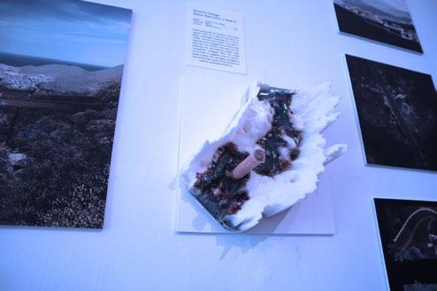
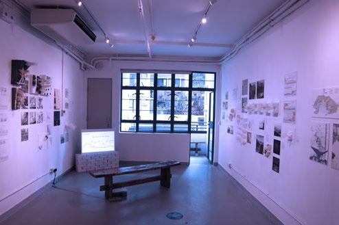
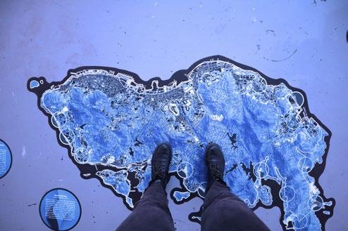
This exhibition responds to momentum within the city to realize a recreational circulation network around Hong Kong Island - The Hong Kong Coastal Trail - with a showacse of three years of work by master’s students in the Division of Landscape Architecture’s first year core design studio. The proposed pedestrian trail became a catalyst to imagine a more connected, more accessible, more equitable, more ecological and healthier city.
The studio focused on the relatively overlooked areas along the island’s less-developed southern and eastern coastlines, engaging in a diverse range of urban and natural landscapes. These coastal edge landscapes, densely layered with their unique histories and human experiences, are here reconfigured around pedestrian-oriented, nature-centered, climate-adaptive planning and design initiatives.
The exhibited works explore new ways to see, draw, access and model the landscapes of Hong Kong and propose a radical variety of imagined conditions around the city edge.
Studio Instructors: JIANG Bin, KOKORA Michael, REN Chai, TRUMPF Susanne, VALIN Ivan.
Curators: TRUMPF Susanne & Appleby Madison

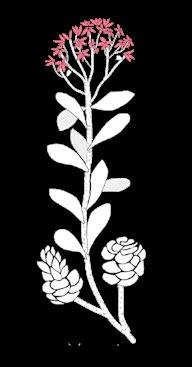
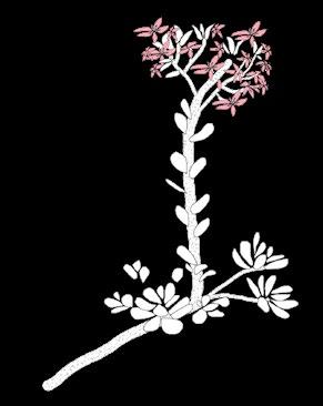

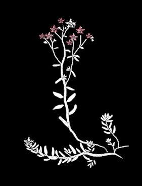
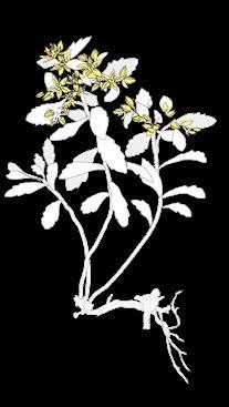
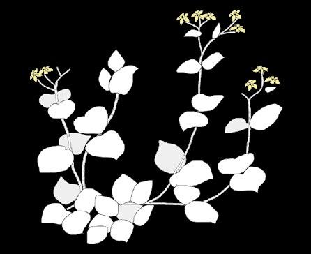




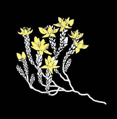

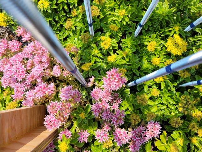
SEDUM
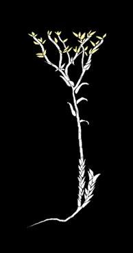
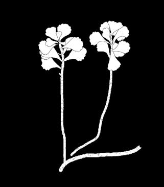
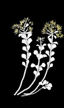

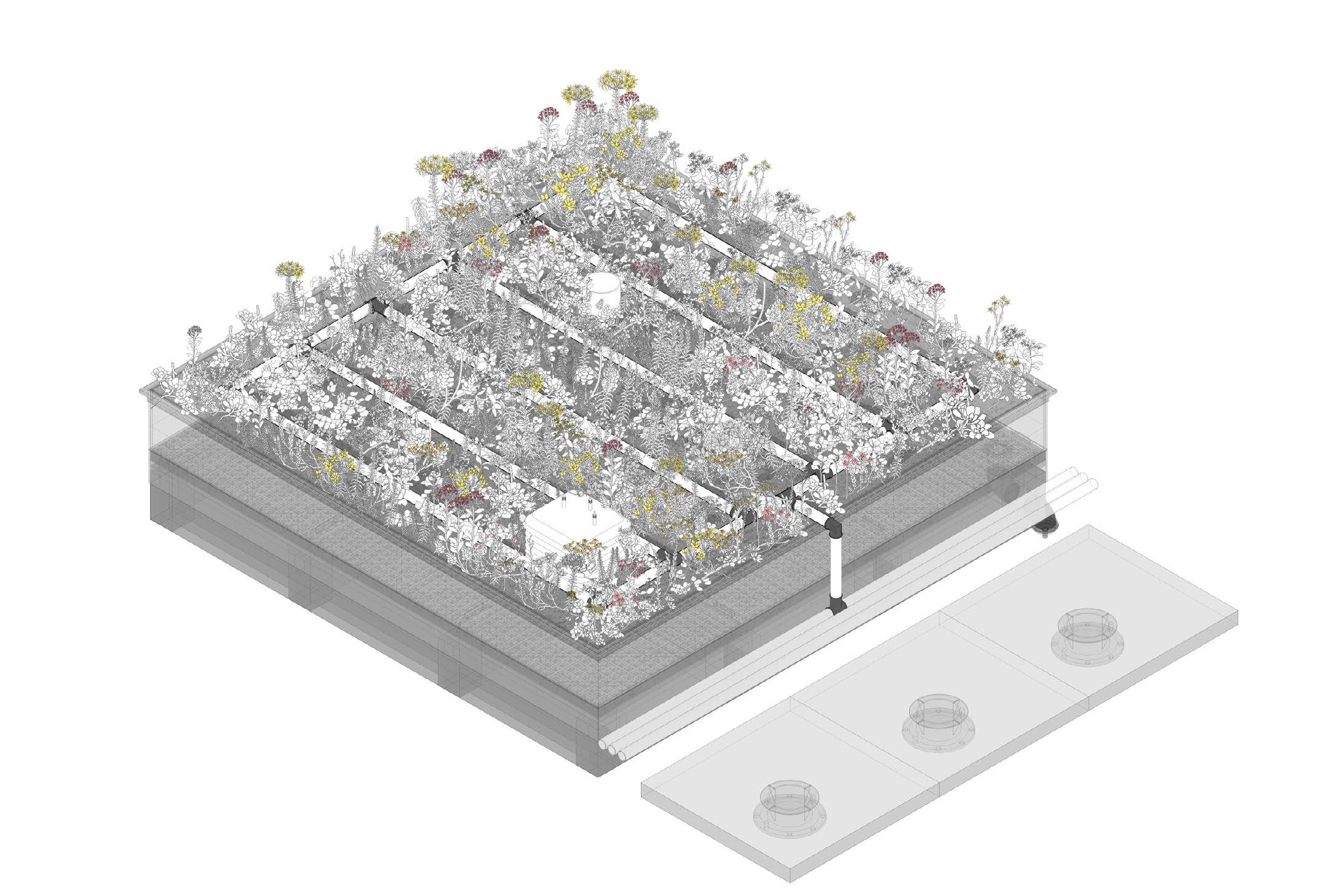

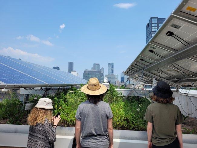
The Green Roof Innovation Testing Laboratory at the University of Toronto. 2019-2022.
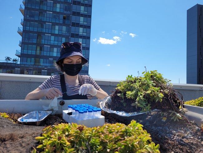
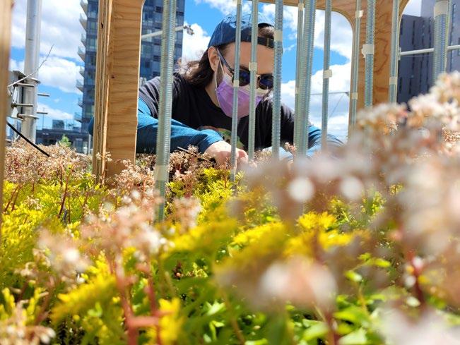
The Green Roof Innovation Testing Laboratory, or GRIT Lab, is located at the University of Toronto, John H. Daniels Faculty of Architecture, Landscape, and Design.
A platform for multidisciplinary collaboration, GRIT Lab’s goal is to investigate the environmental performance associated with ‘green’ & ‘clean’ technologies such as green roofs, green walls and photovoltaic arrays.
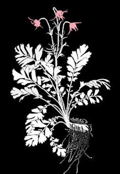
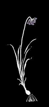
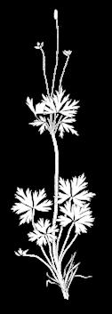
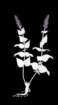
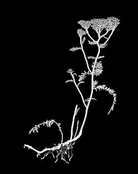

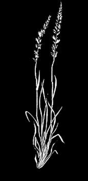

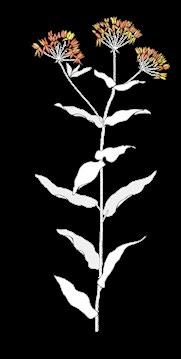
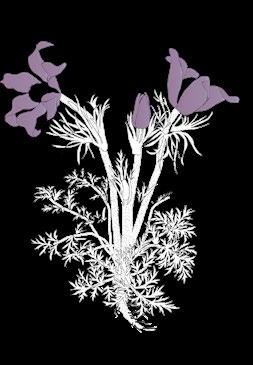


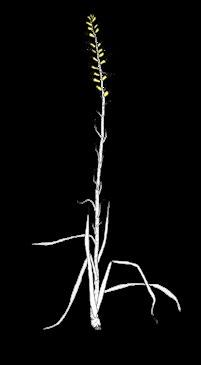
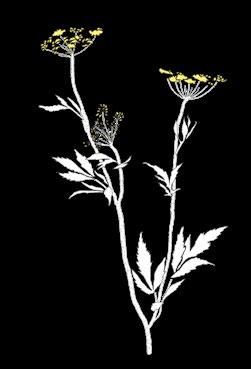

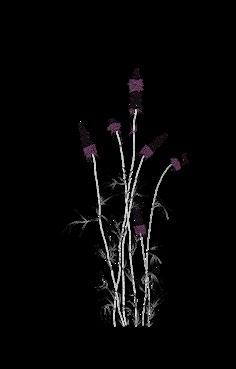

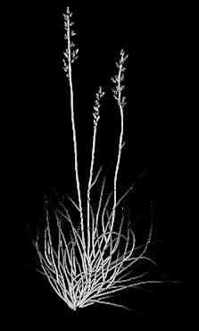
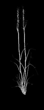
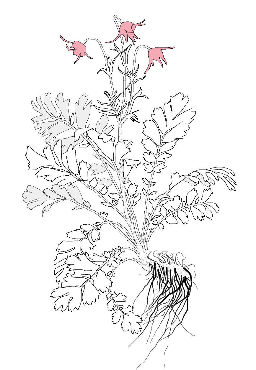
GRASSES/FORBS
Dry Meadow Alvar Mix
DRAWN BY: MADISON APPLEBY DATE: 01/10/2023
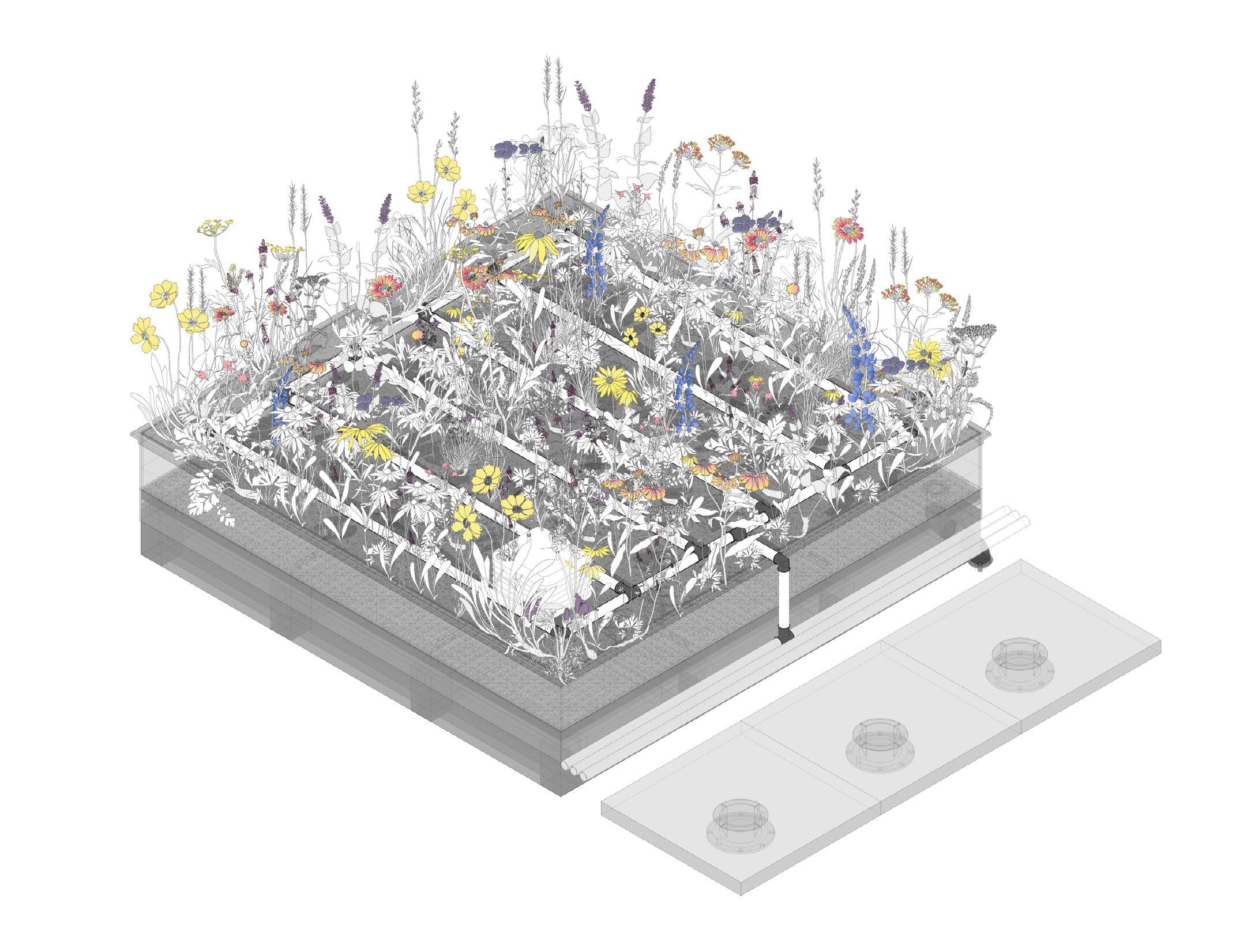
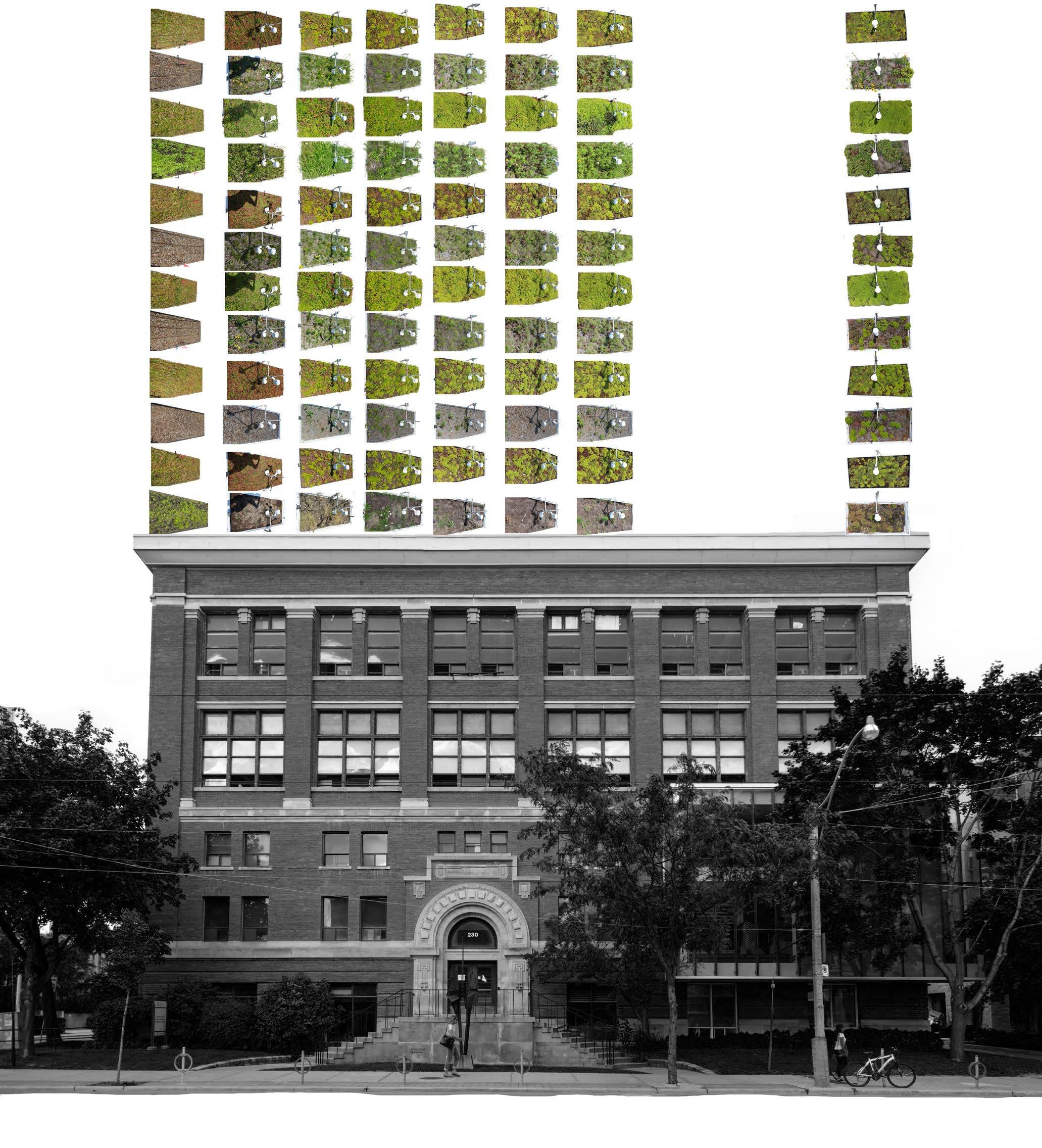
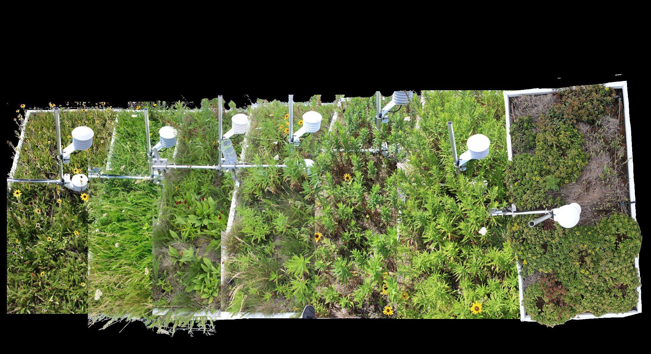
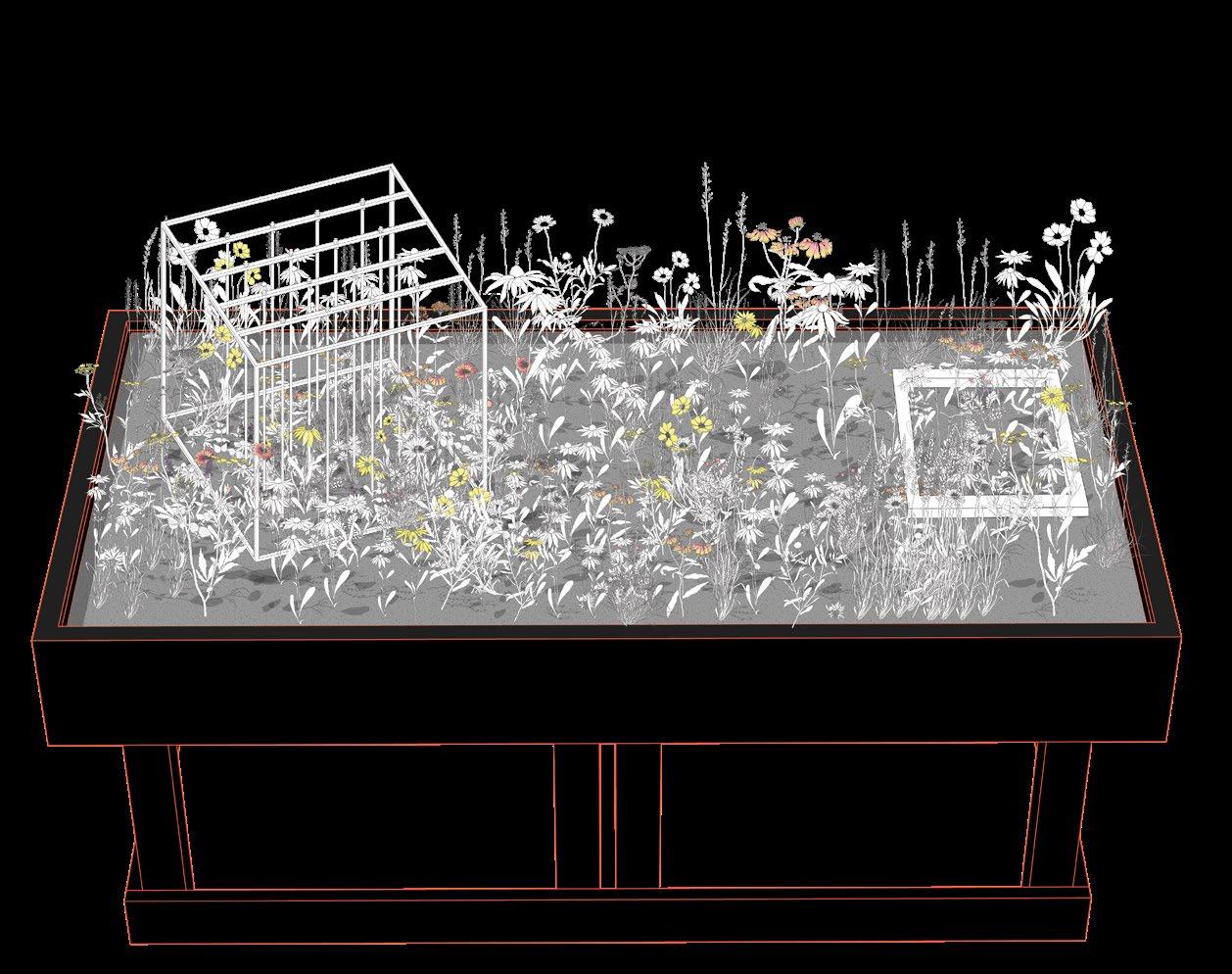
GRIT 1: END OF LIFE STUDY
Biodiversity Survey, Root Sampling and Bed Condition
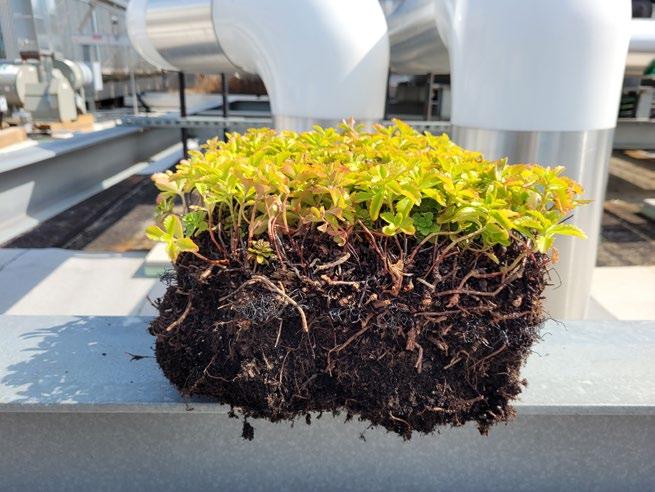
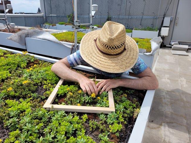
GRIT 1 - 230 COLLEGE
Green Roof Test Bed Timeline
Field Work - End of Life Study TEST BED CONDITION
DRAWN BY: MADISON APPLEBY
DATE: 01/10/2023
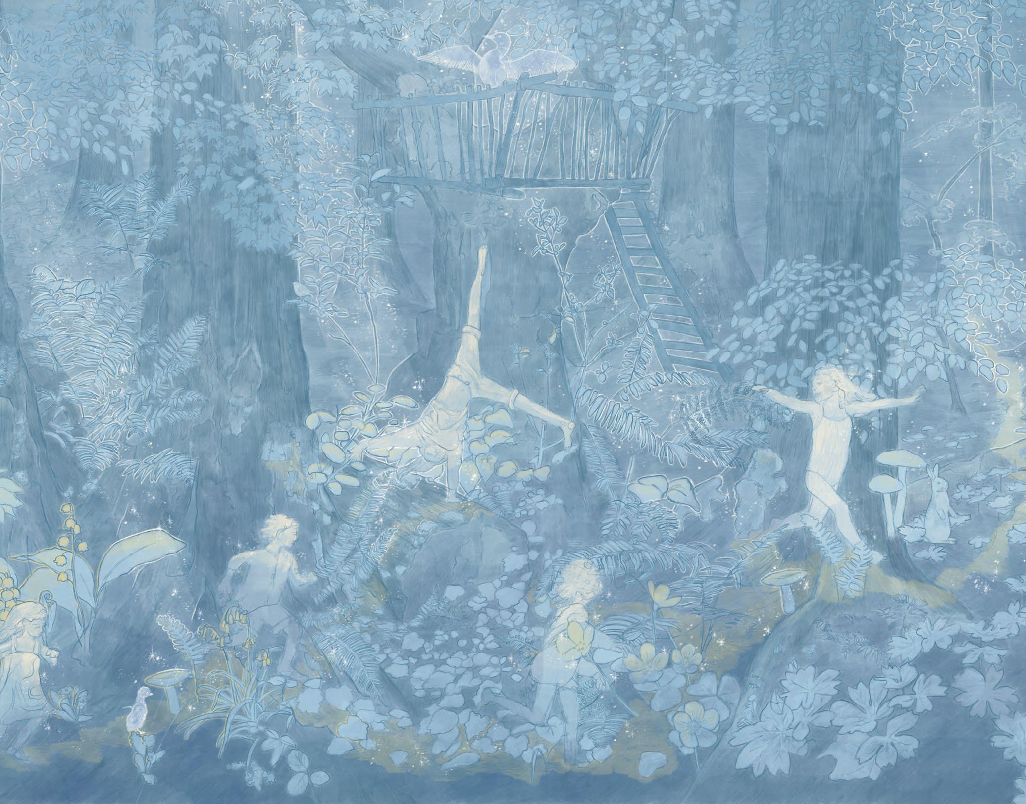
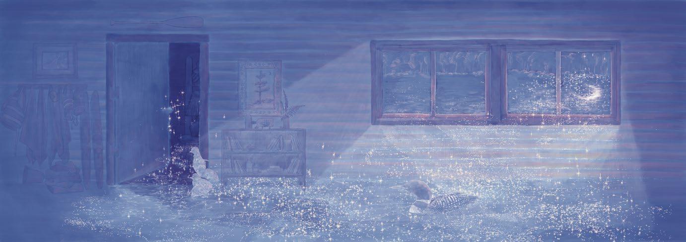
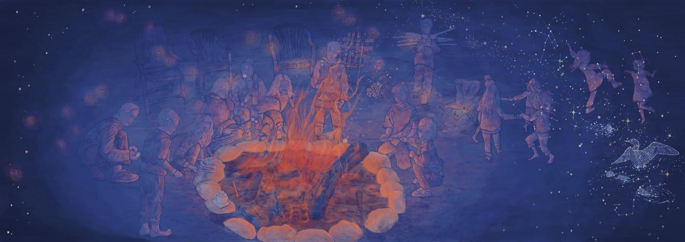
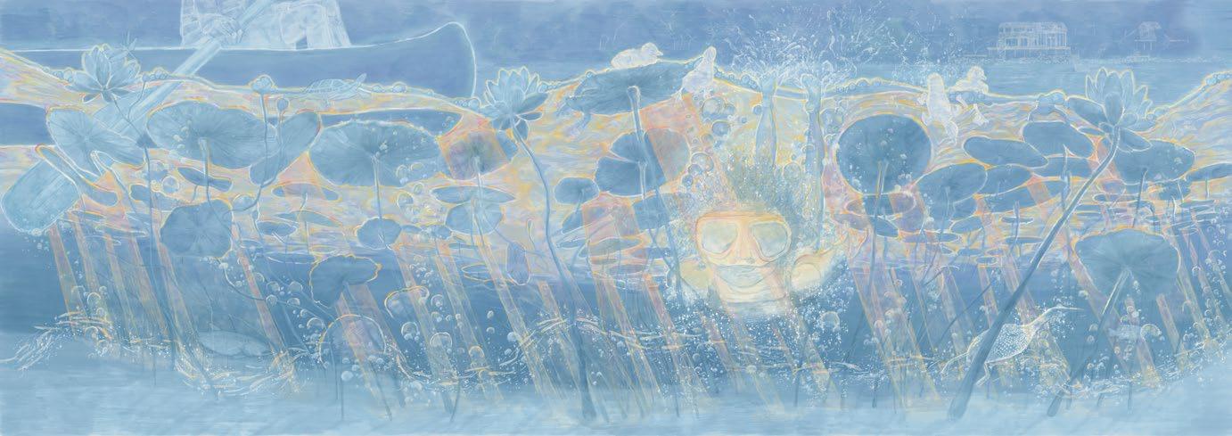
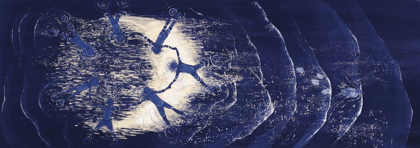
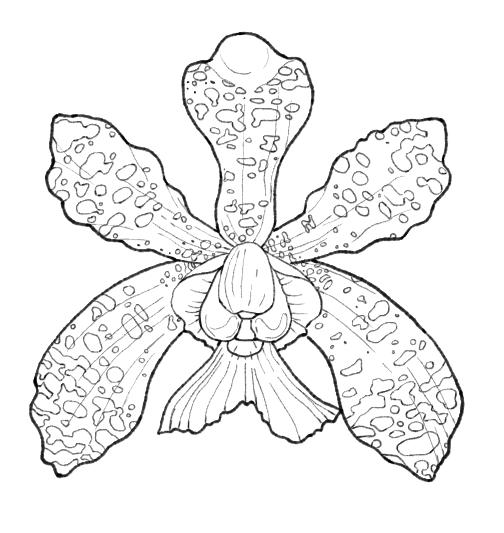
When the Moonbeam comes to call. Haliburton Highlands, Canada. In process 2026. Illustrative Childrens Storybook. Author: Sandra Appleby. Illustrator: Madison Appleby
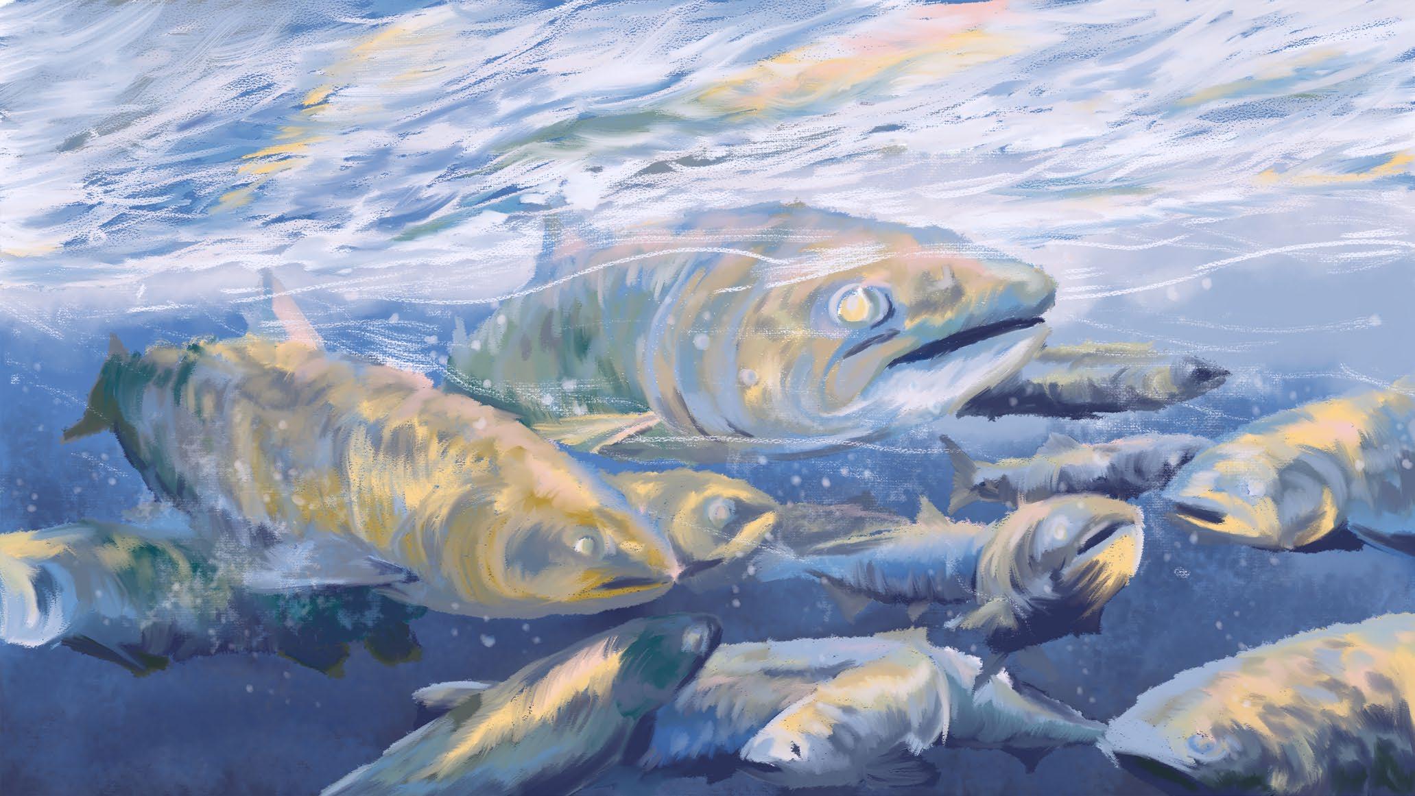
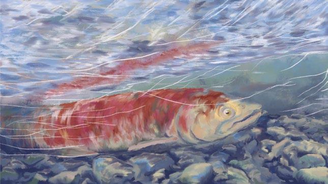
Summer is filled with wonder, but the very best thing of all, is the shimmer on water that leads to our door, when the moonbeam comes to call.
What happens when the moonbeam comes to call? Written by Sandra Appleby, this story explores the magic of the land, water and animals of Northern Ontario. Capturing the feeling of childhoods spent on the lake and the intertwined relationships between land and memory.