Experience
Academic
• Masters of Community Planning, Design & Development Planning Concentration
• Bachelors of Urban Planning
Professional Leadership
• MKSK Studios
• Hamilton County Commissioner, Administration, & Budget Office
• Hamilton County Planning and Development Office
• College Hill Community Urban Redevelopment Corporation
• Women of Cincy
• Warren Bennis Leadership Institute Fellow
• Ruhr Fellowship in Germany
• Kappa Delta President and Vice President Membership
• DAAP Camp Lead
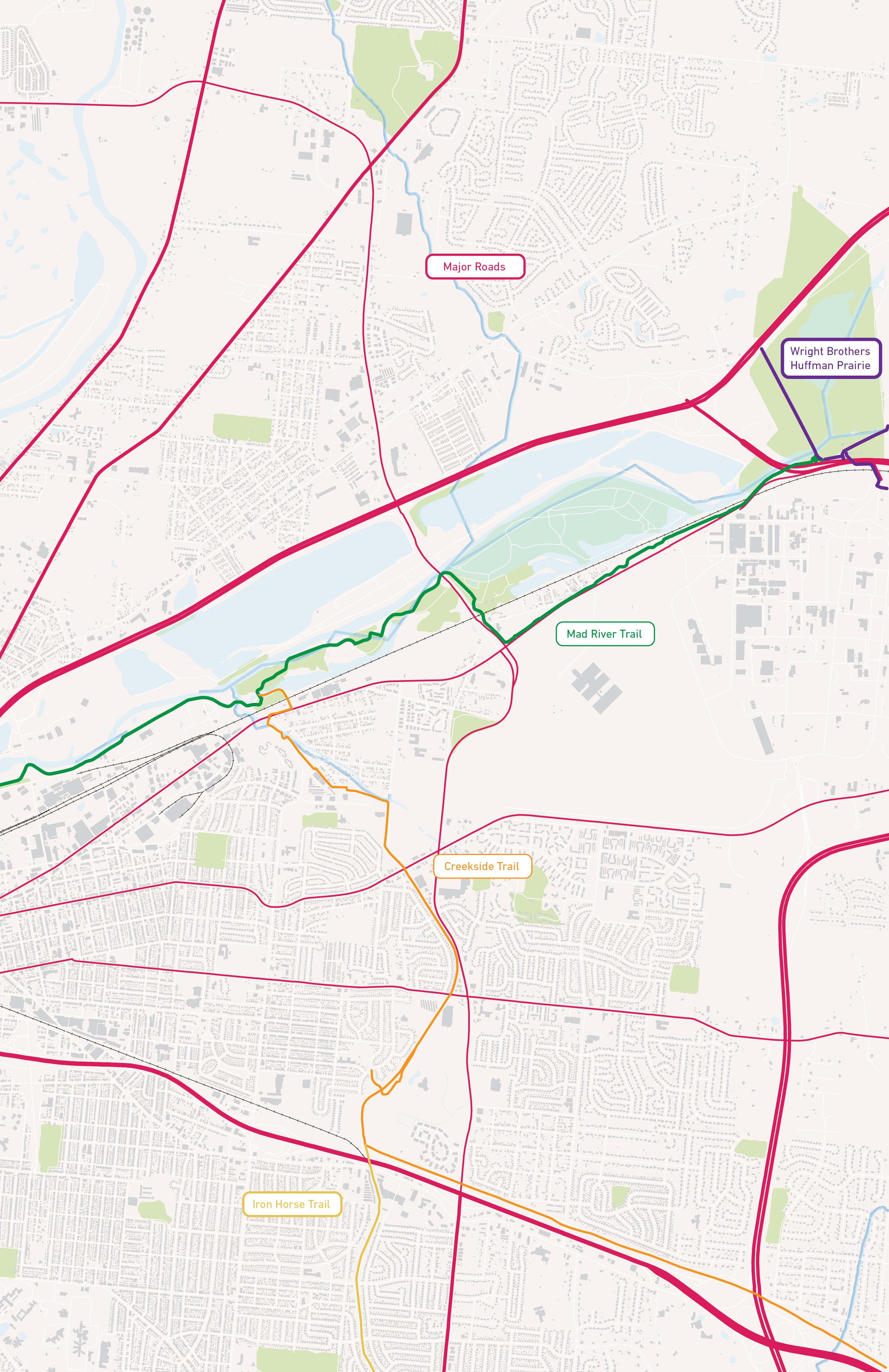
Cincy Mobility 2050: Masters Capstone
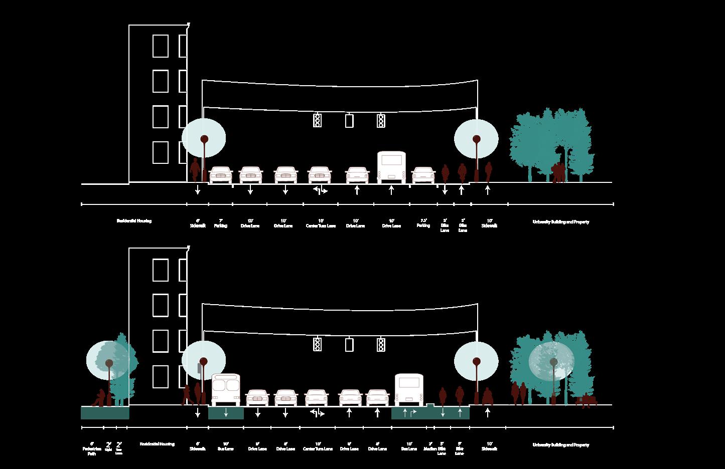
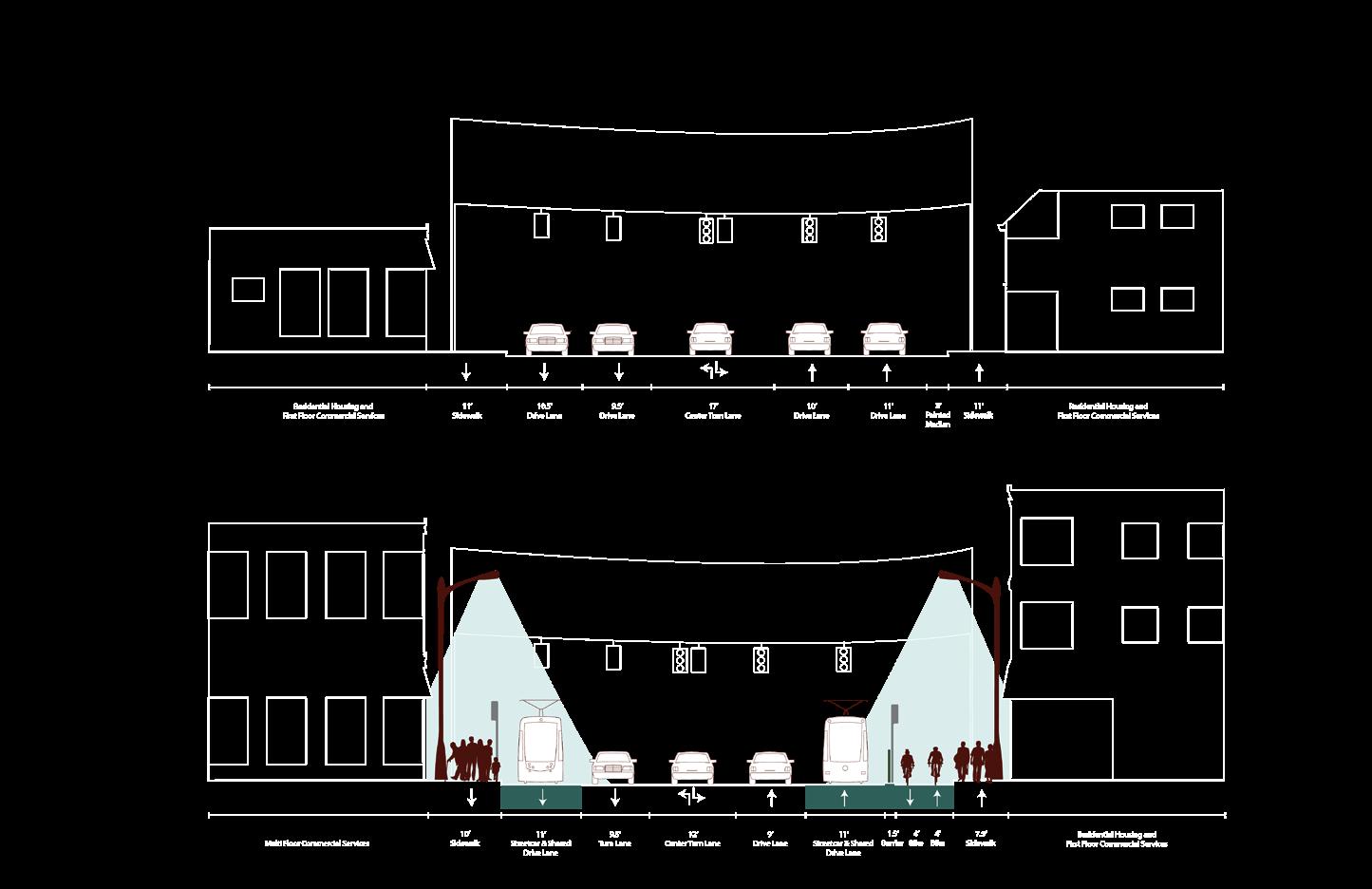
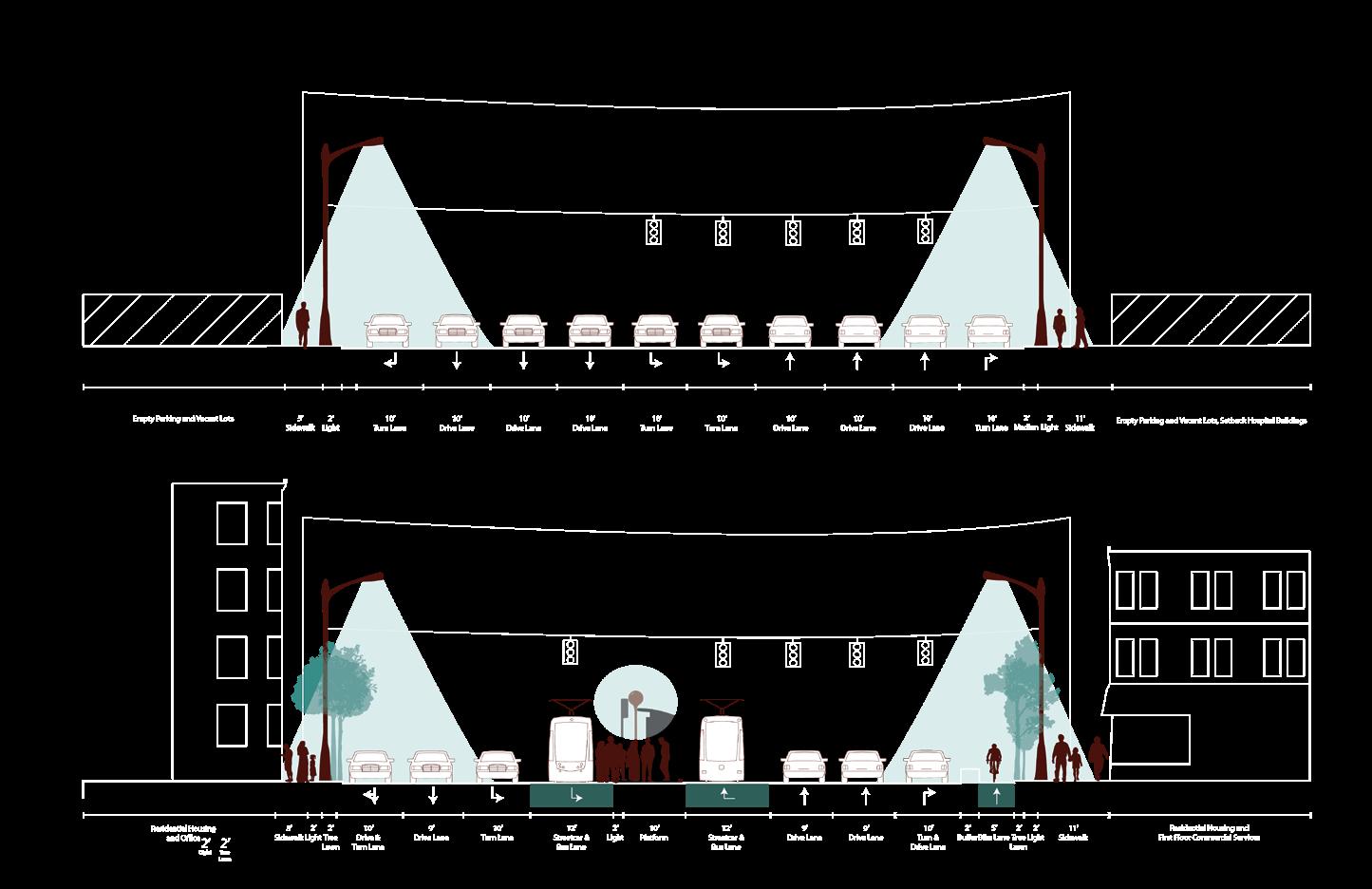
Over the Transit Horizon: With an increase in population, such an increase in the capacity of transportation networks must also occur. Car-centric divisive, and unsustainable. Our focus on transit transportation has been the primary focus supports human-centric development that in the United States for decades, but has provides an efficient, equitable, and sustainable proven to be inefficient, inequitable, mobility solution for the future by reactivating transportation corridors of the past and shifting the distribution of right of way capacities.
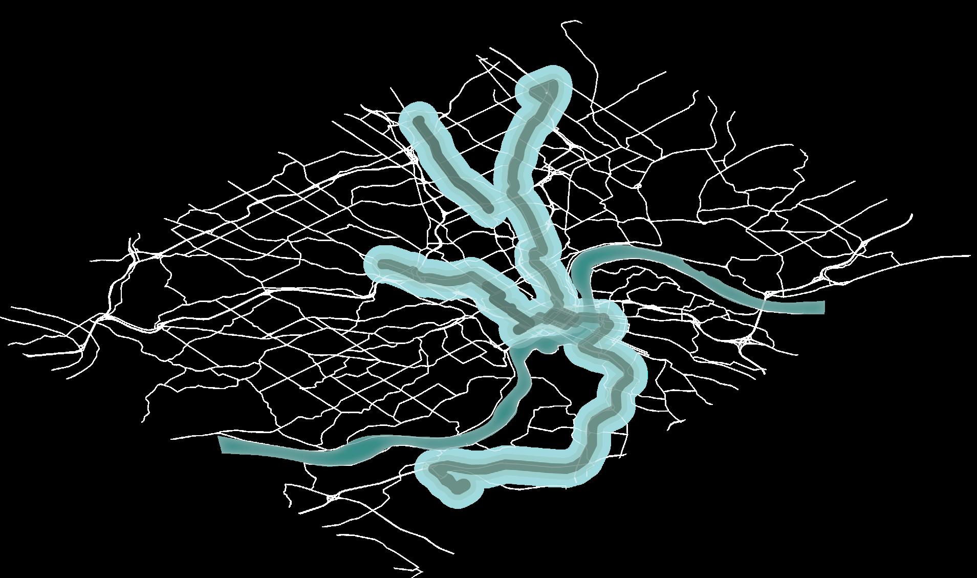
Connecting the City: Streetcar & Bus Rapid Transit
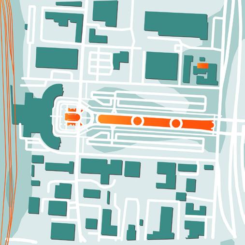
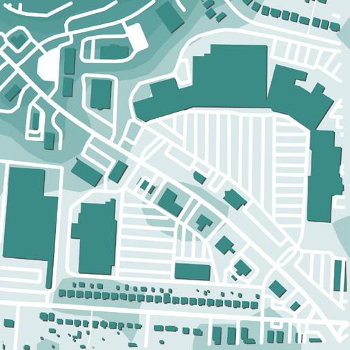
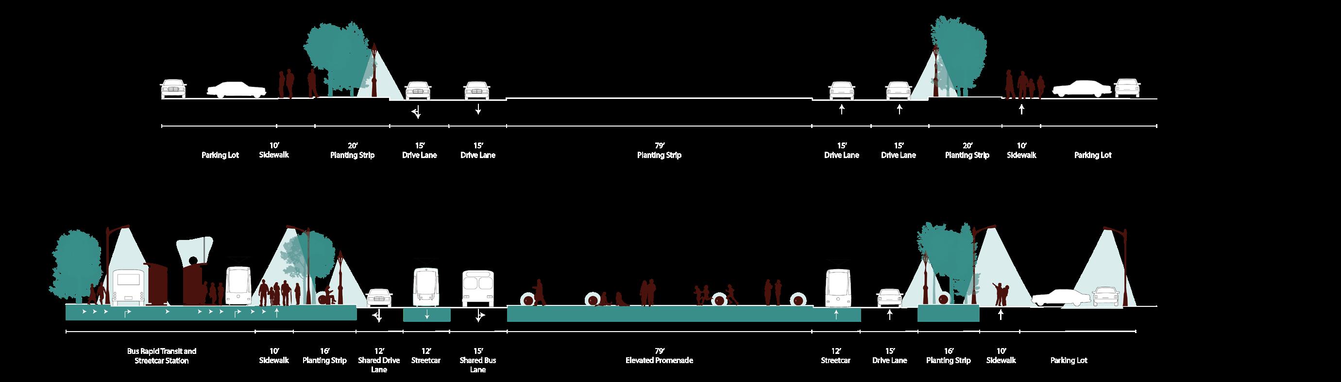
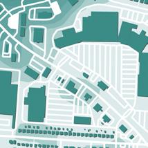
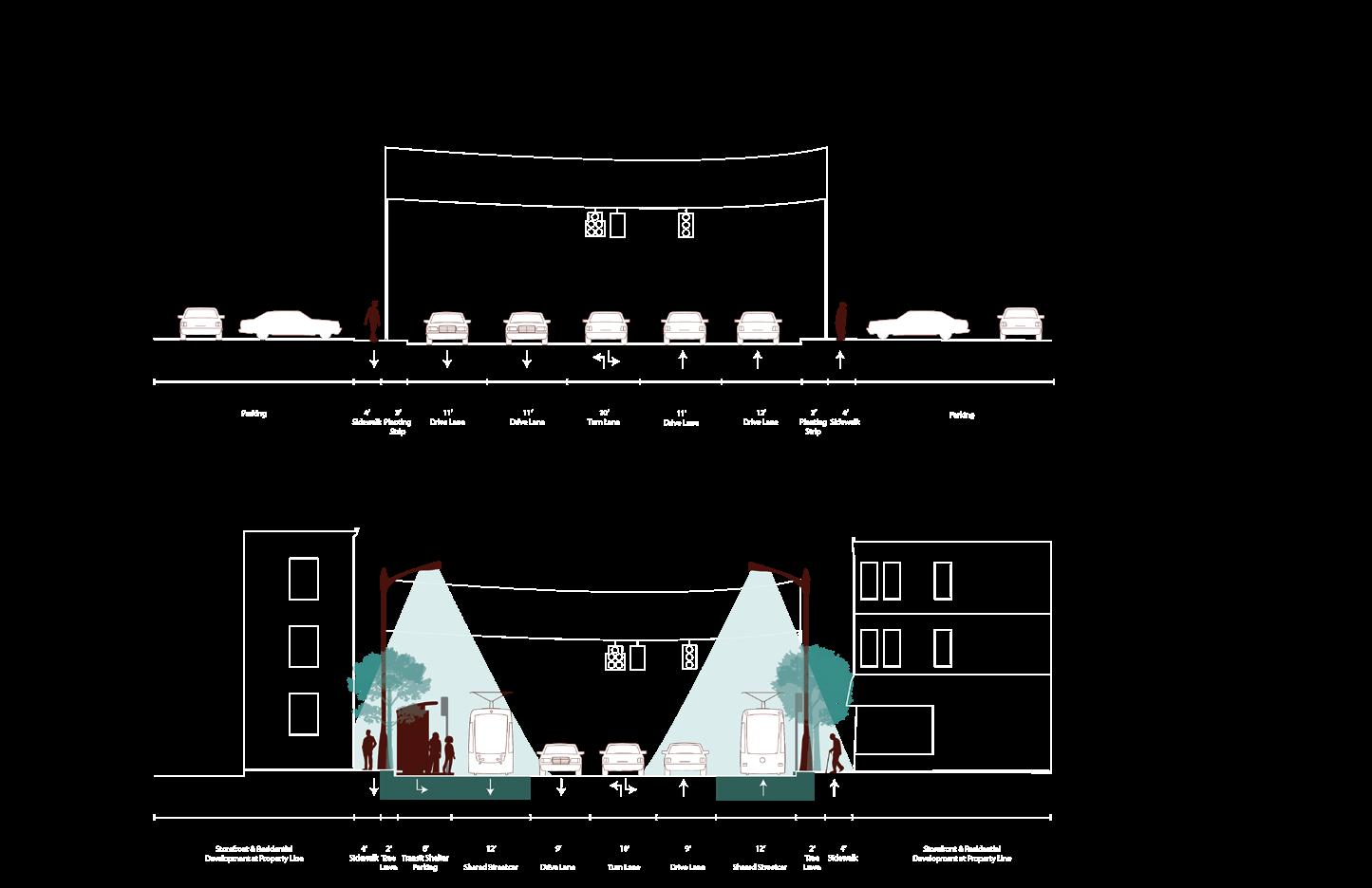
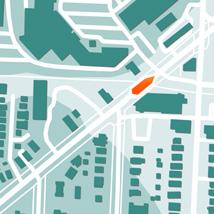
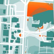
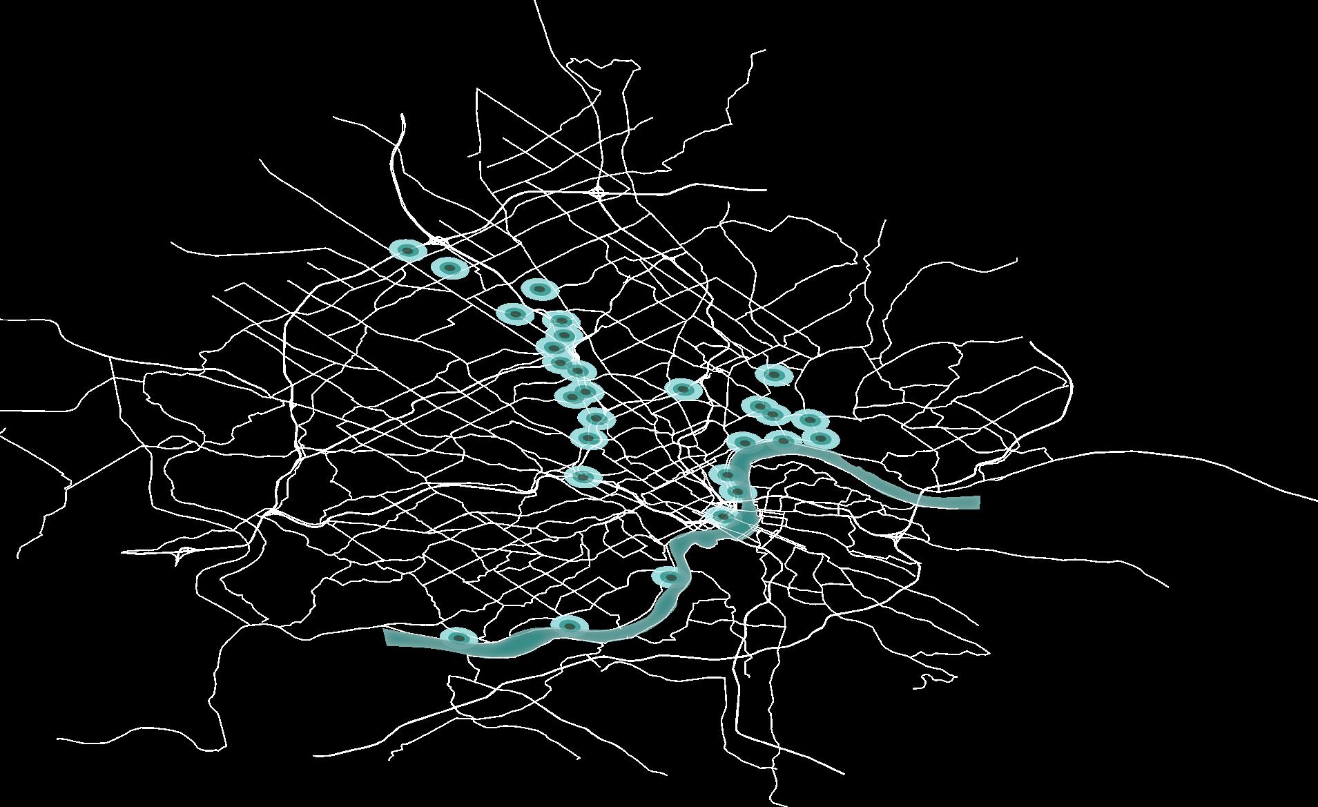
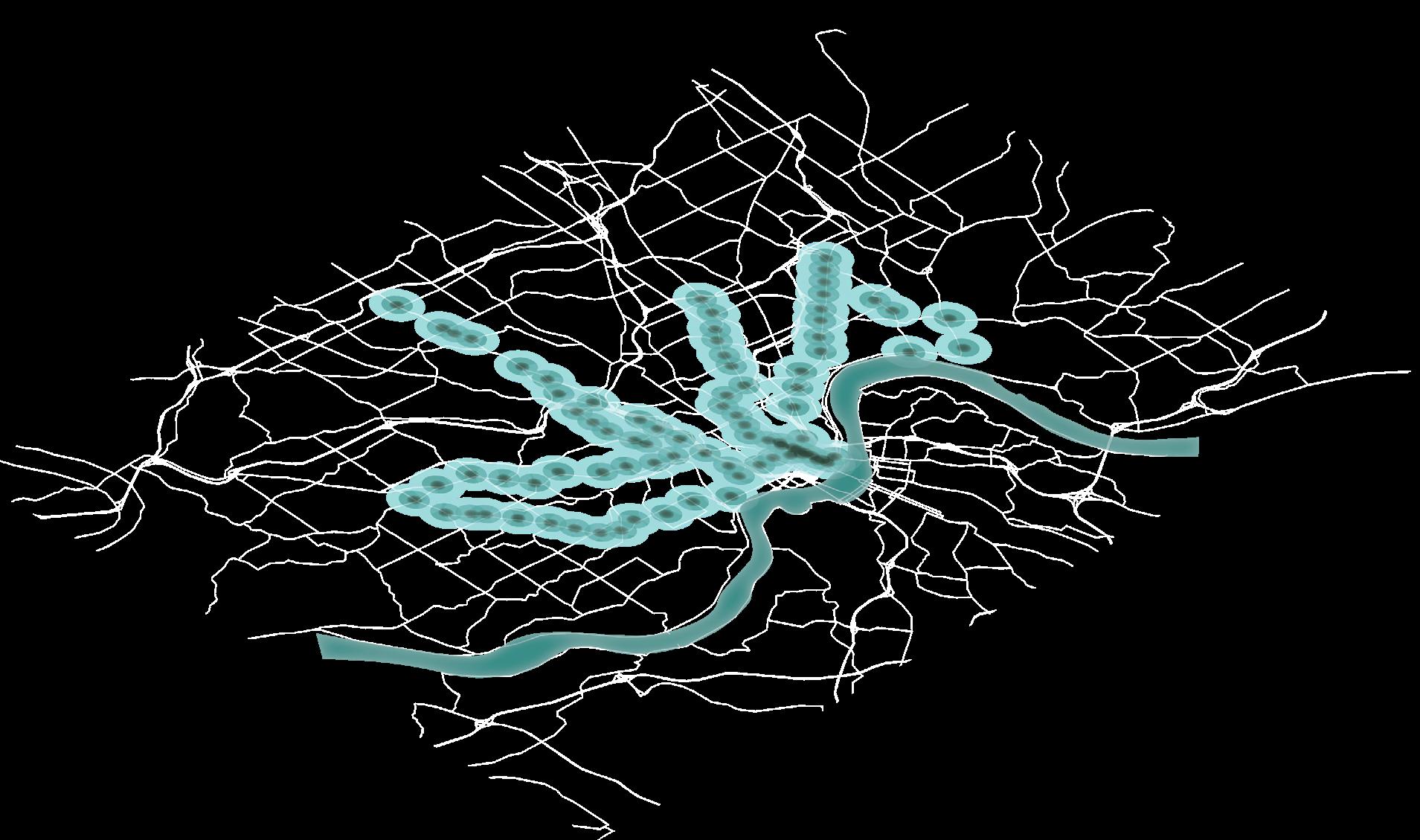
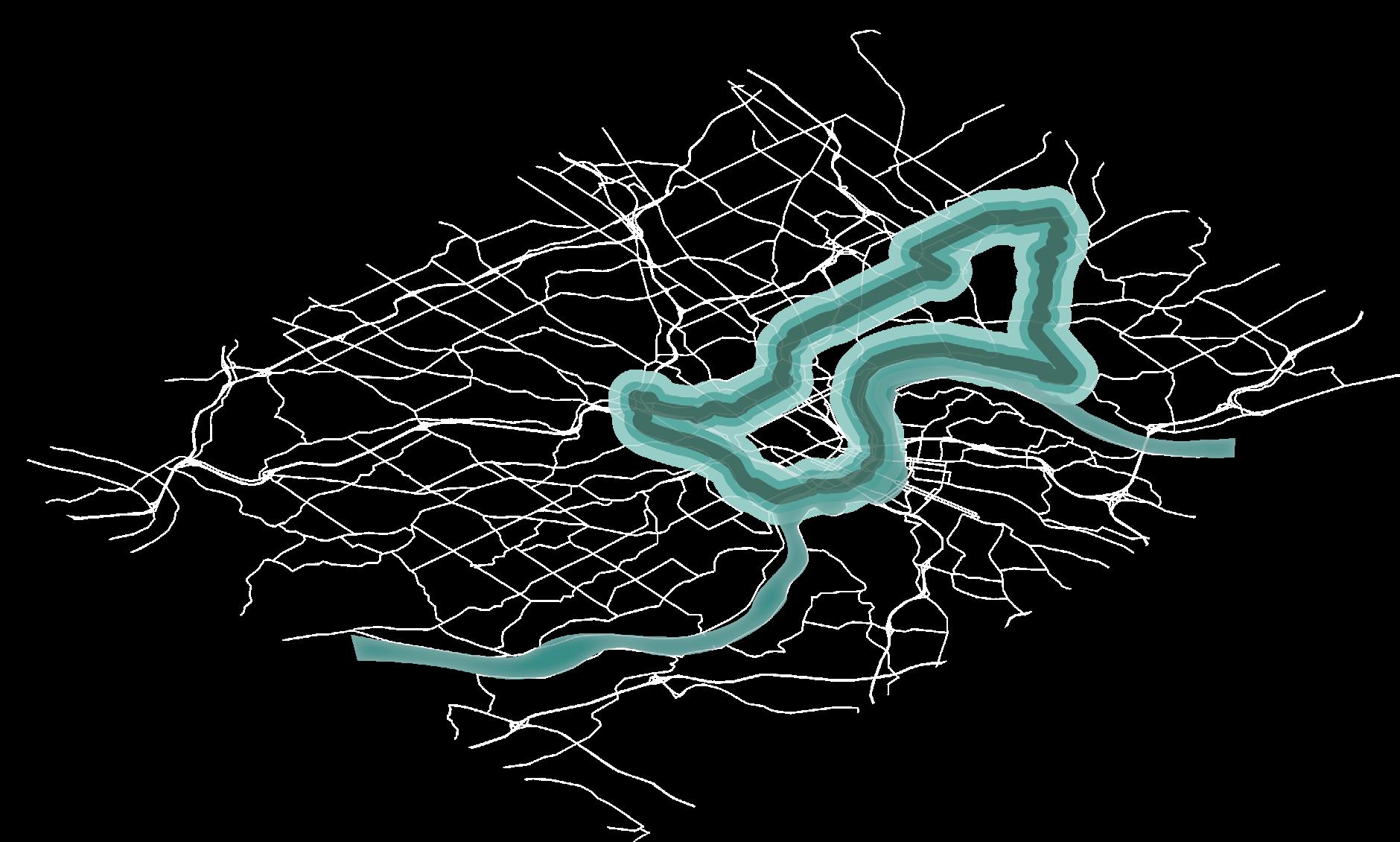
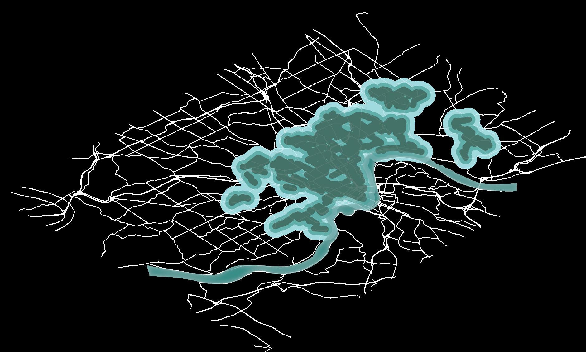
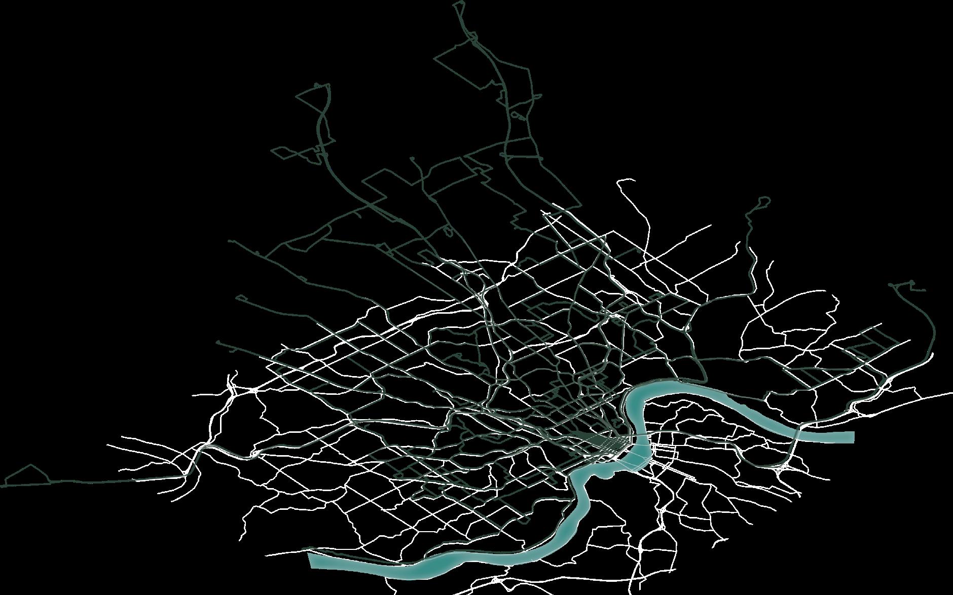
Transit Network Services Per Square Mile
‘Last Mile’ services, such as daily bus routes, multi-use trails, & bike-safe streets supplement higher levels of transit.





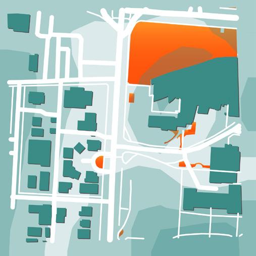
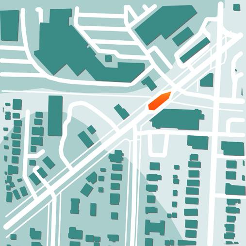
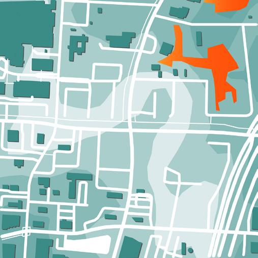
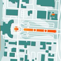
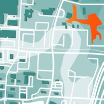
In response to the community, two local nonprofit organizations have decided to develop a win-win scenario, with a natural, accessible, two-to-three-acre dog park created near Cincinnati State.
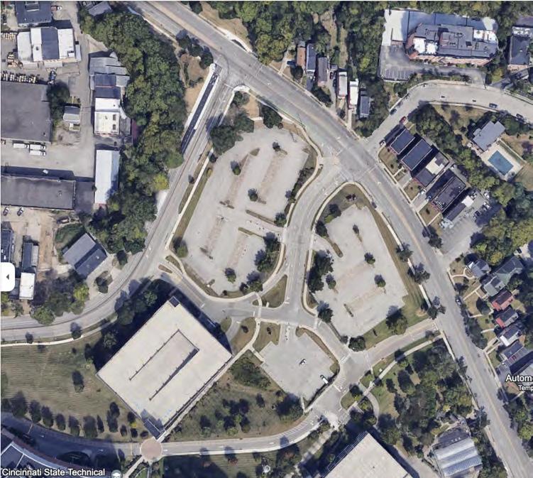
Clifton: Mixed Use Dog Park
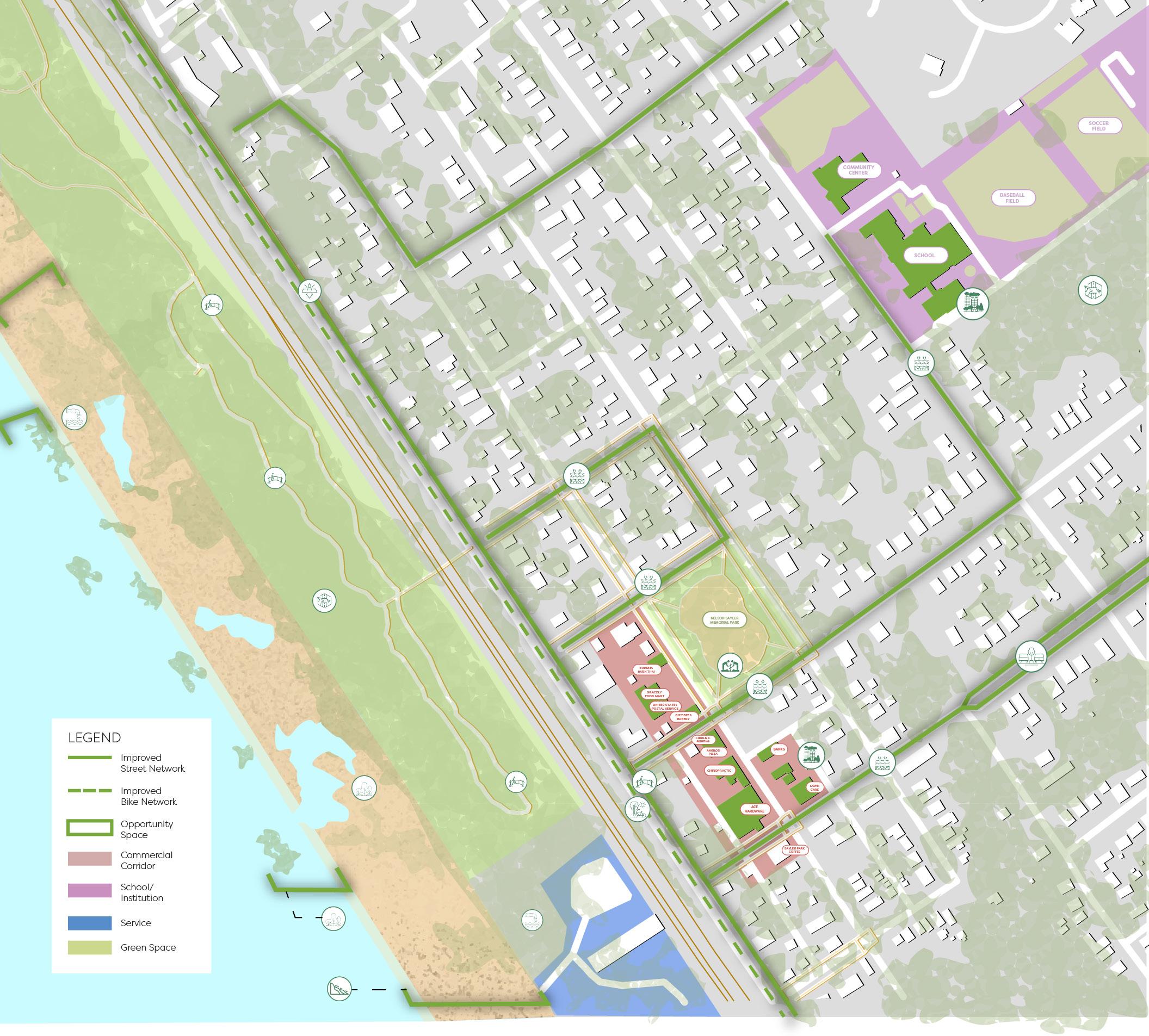
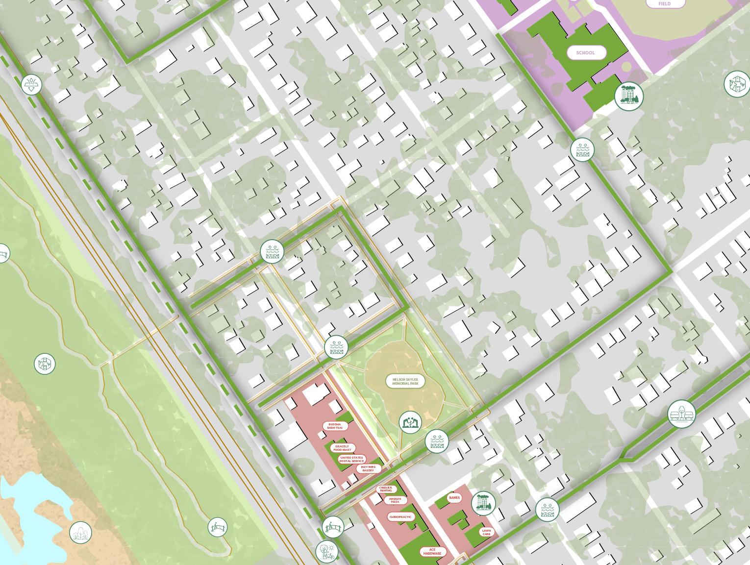
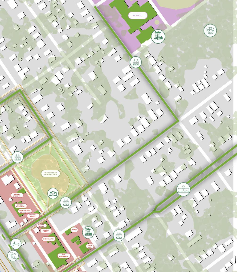
Sayler Park: Green Infrastructure Study
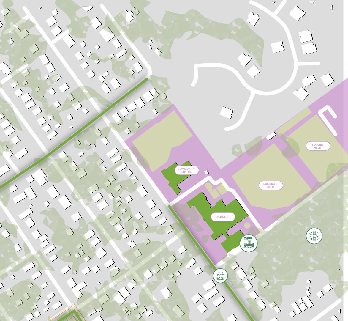
What are the feasible green infrastructure systems you can apply to buildings and streets in the neighborhood near the Ohio River? Chosen neighborhood: Sayler Park.

Washington Park Reimagined: Blending 3 Utopias
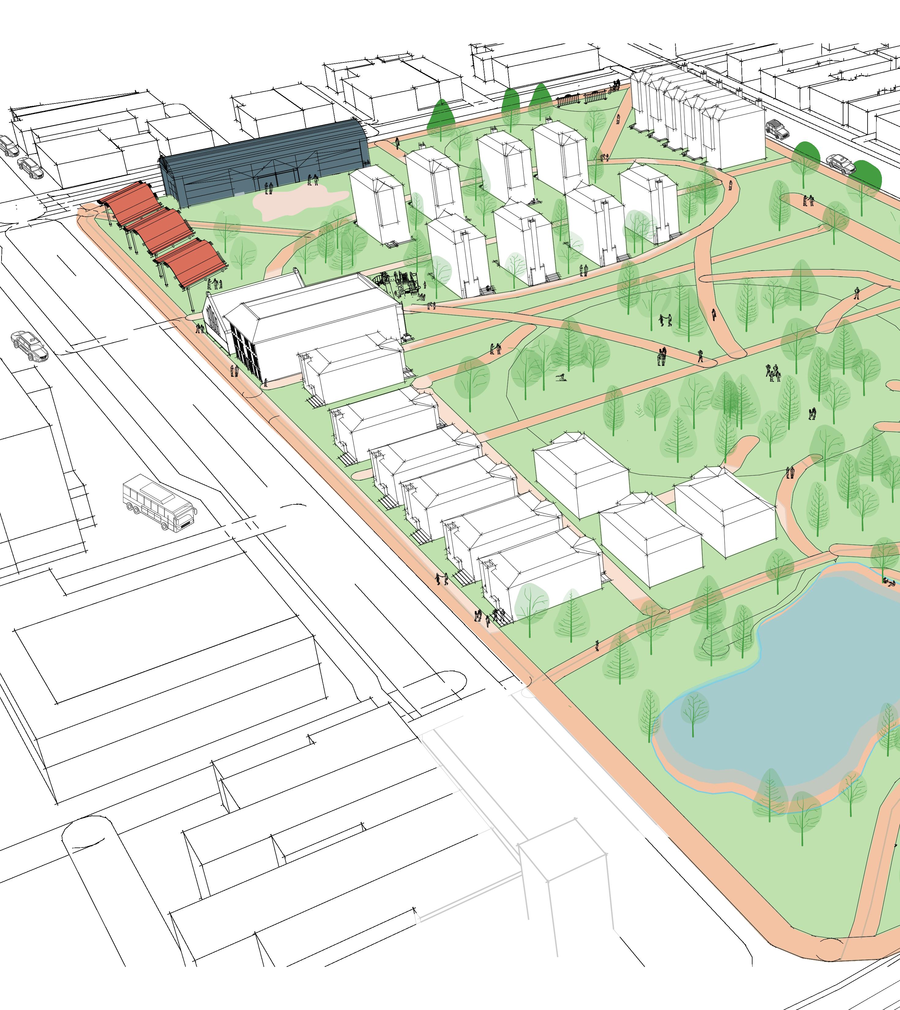
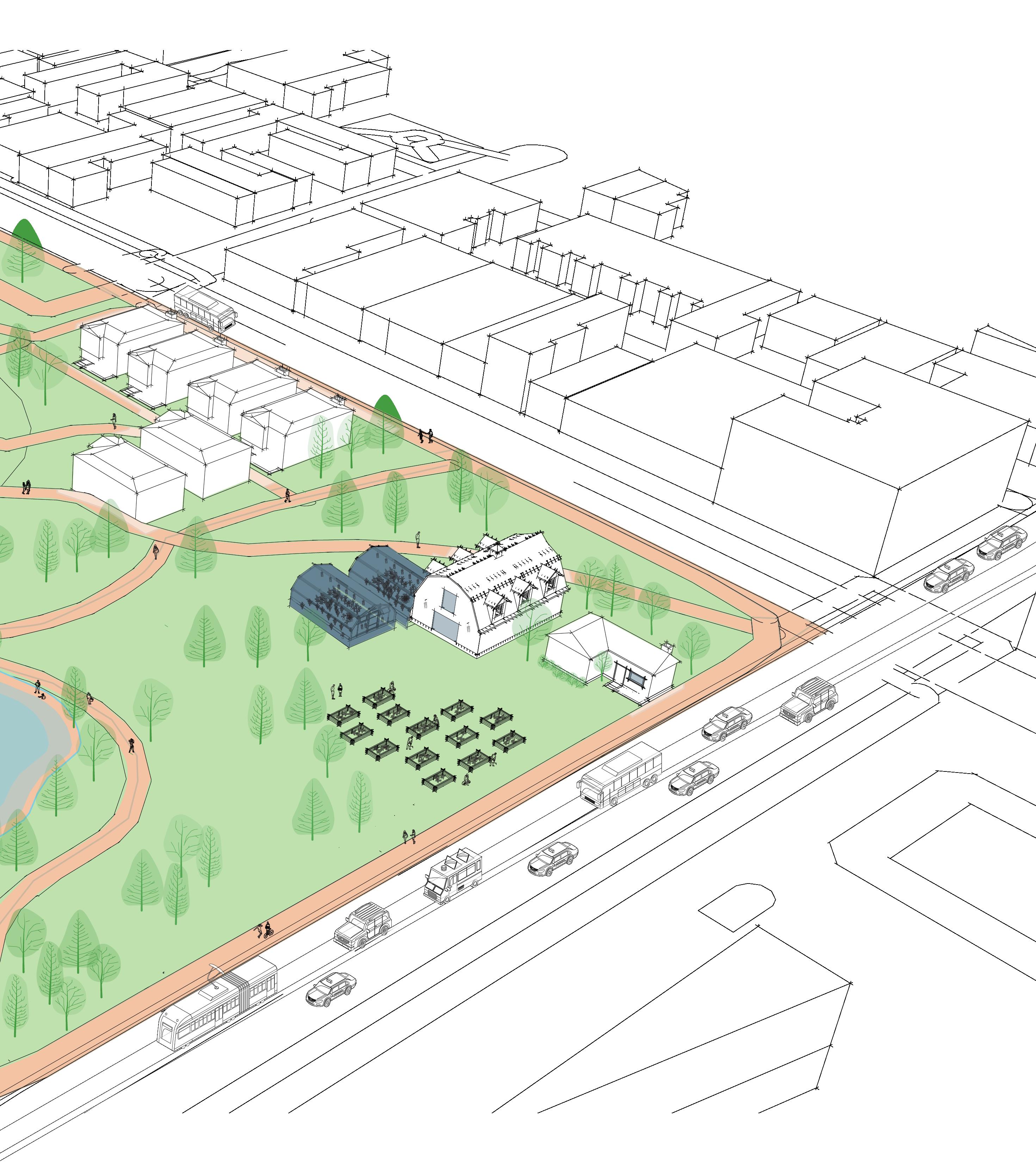
This project was completed with planning student Serena Powell, as a part of urban design class. The goal is to combine three utopias: Towers in the Park, Broad Acre City, and the Garden City. The site we choose was a highly successful Washington Park in downtown Cincinnati. Redevelopment
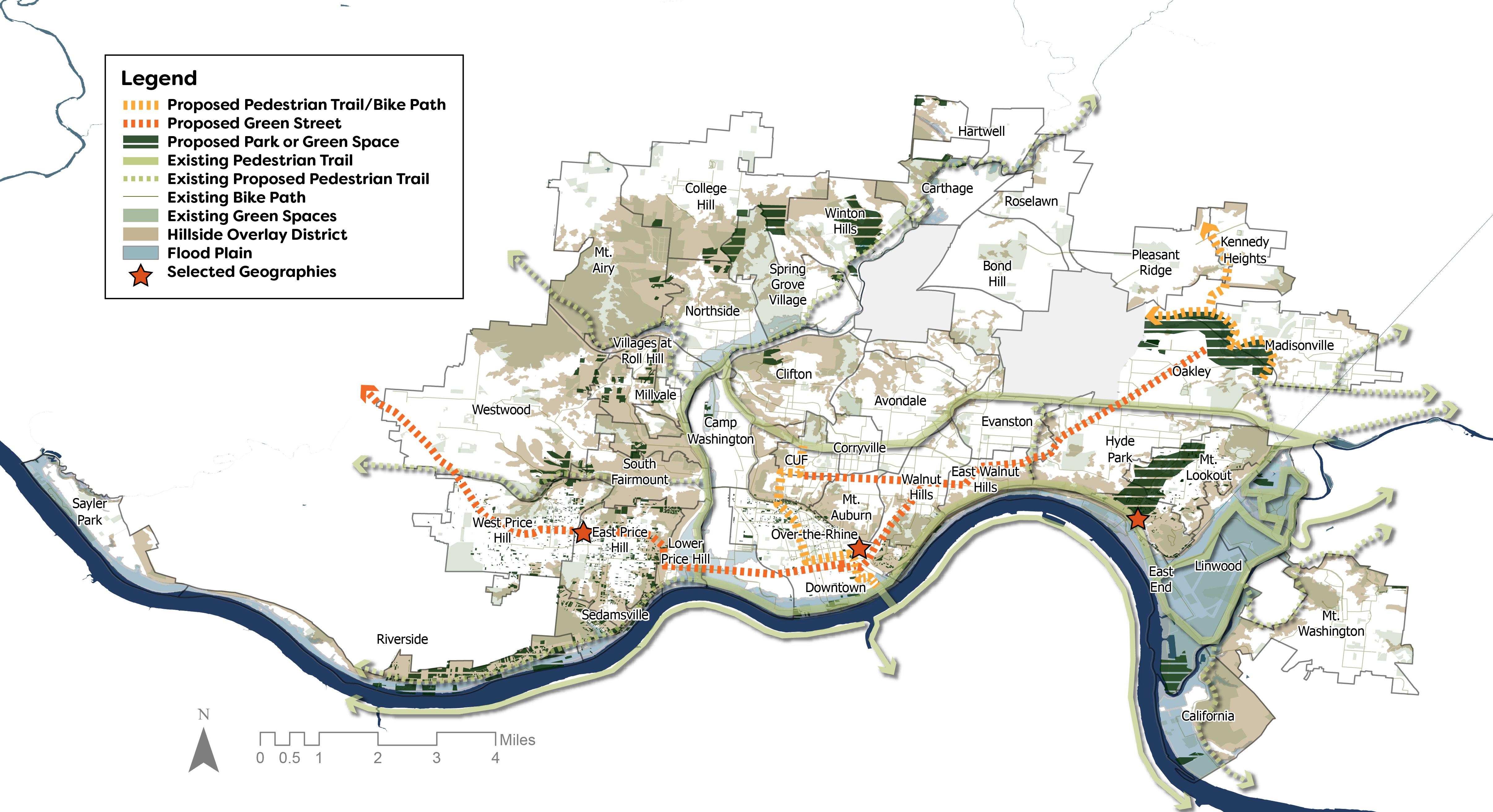
To become a successful climate haven, Cincinnati will strengthen its resilience to climate change and in-migration through the design and implementation of an integrated network of green infrastructure and green space.
The approach for this plan will be to establish a green network of strategies that are specific to the needs of place typologies, as well as current and projected growth trends.
Indicators that have been include 1) social needs; 2) disaster management; 3) land availability; and 4) environmental wellness. Metrics identified are as follows 1) population; 2) age; 3) land vacancy; 4) impervious surfaces; 5) landslides; 6) flooding;7) tree canopy; 8) greenspace and 9) temperature.
CONTOURS AND WATER LEVEL
LAND USAGE CONTOURS
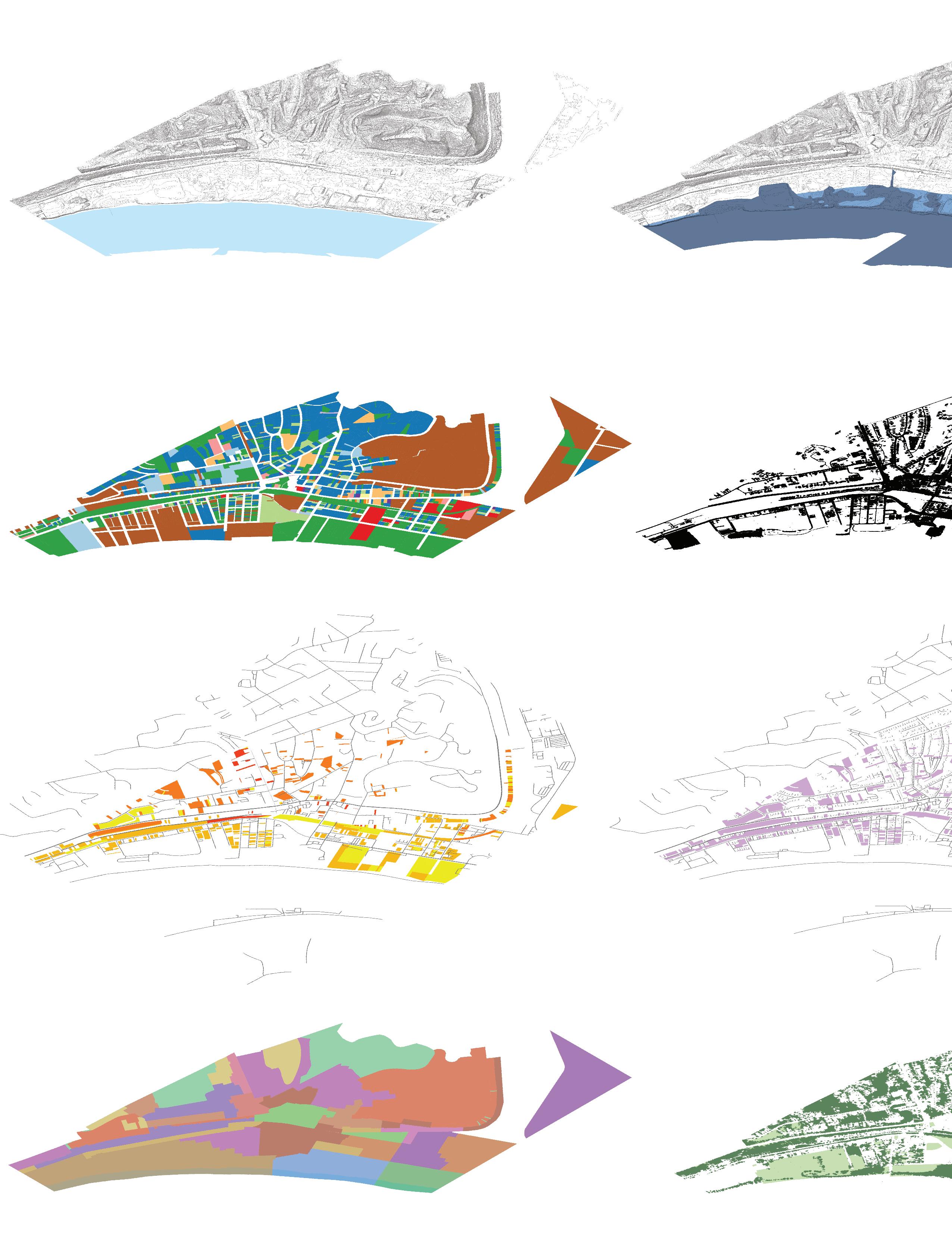
LAND USE CODE
APPRAISAL VALUE BY PRICE RANGE
TREE CANOPY AND
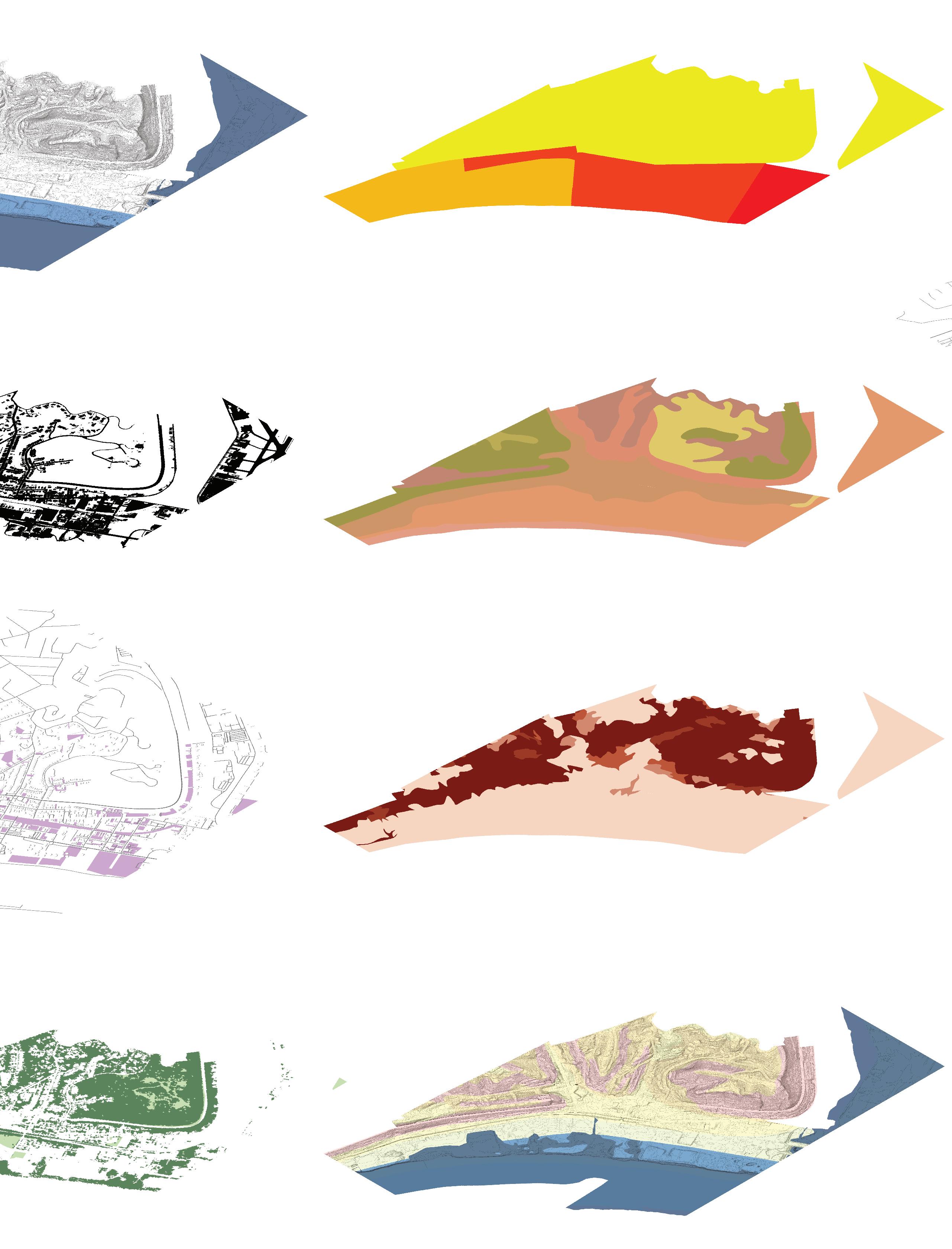
Low Susceptibility
Mild Susceptibility
Moderate Susceptibility
High Susceptibility
Existing Green Infrastructure
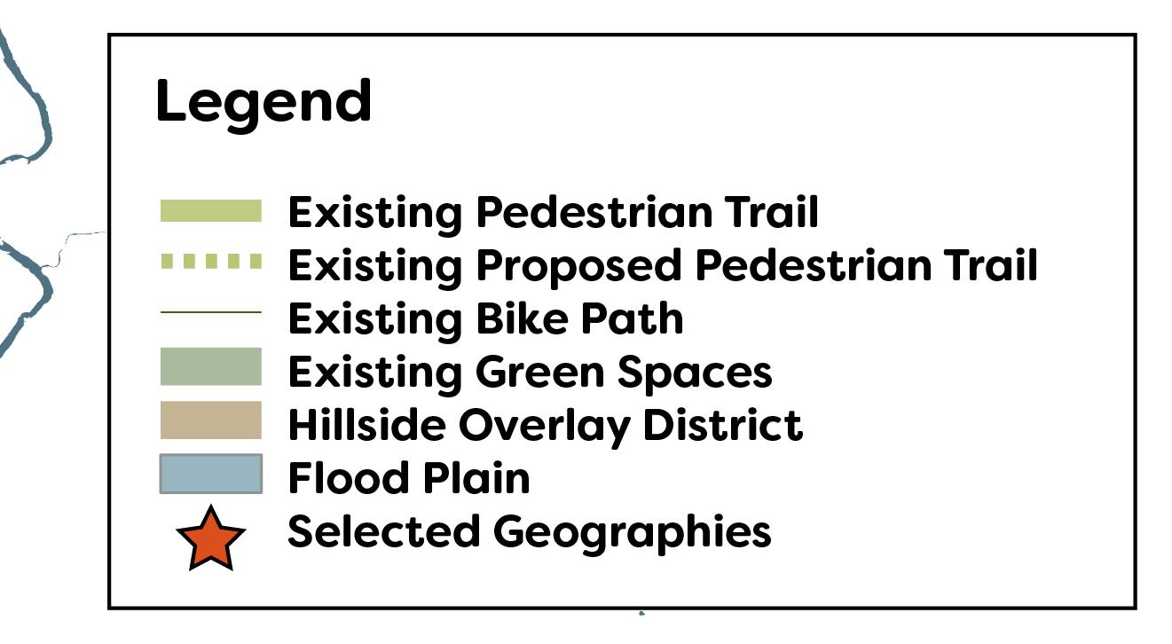
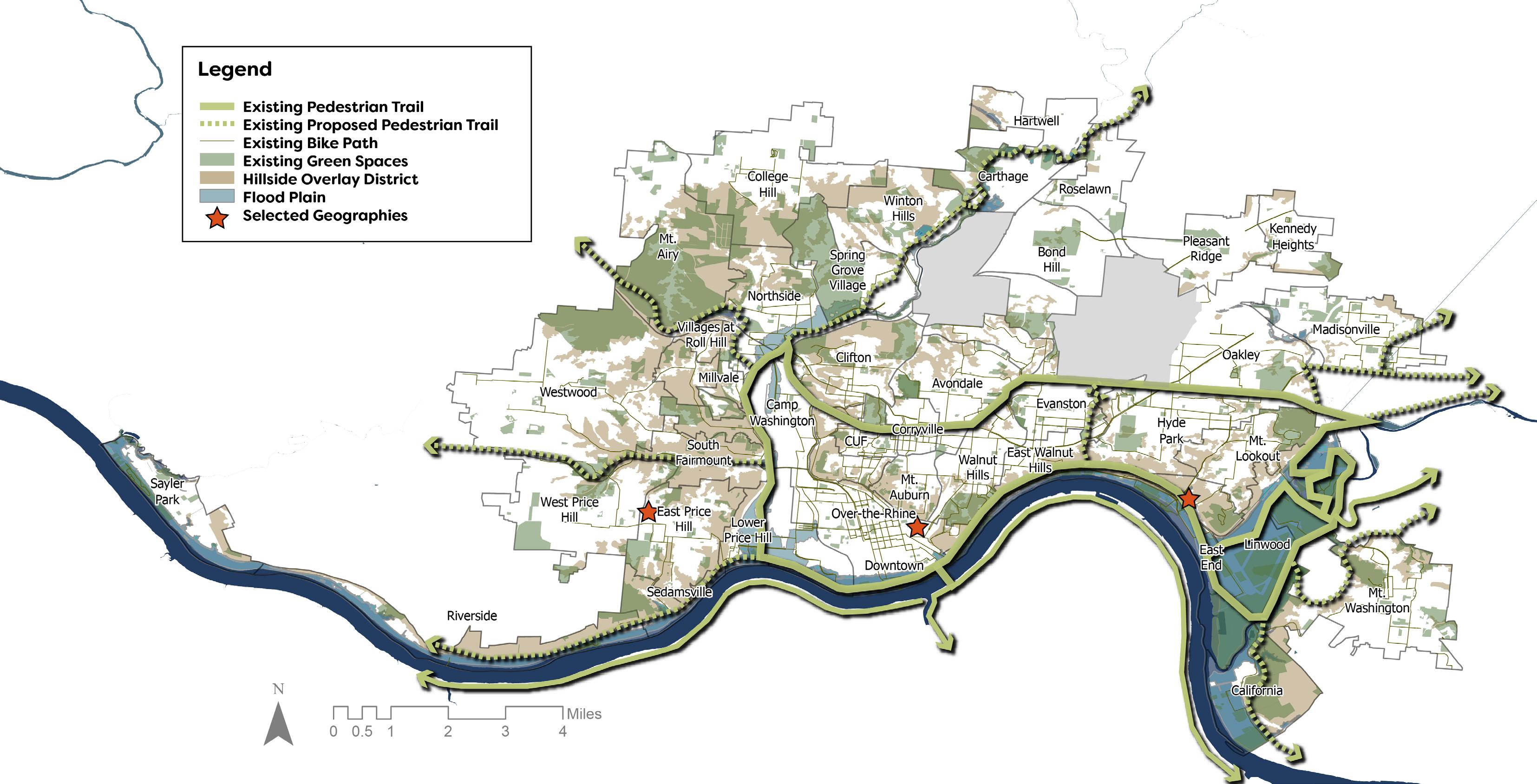
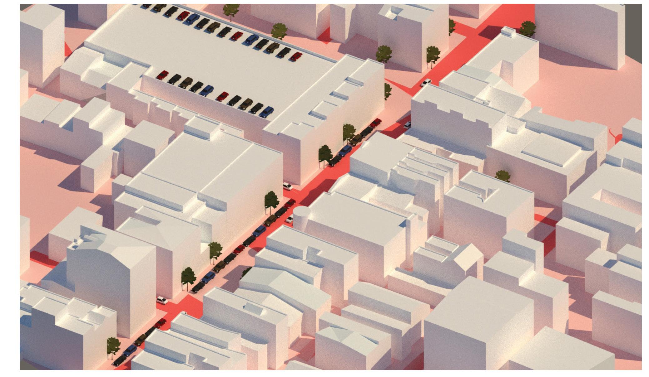
Proposed Green Infrastructure

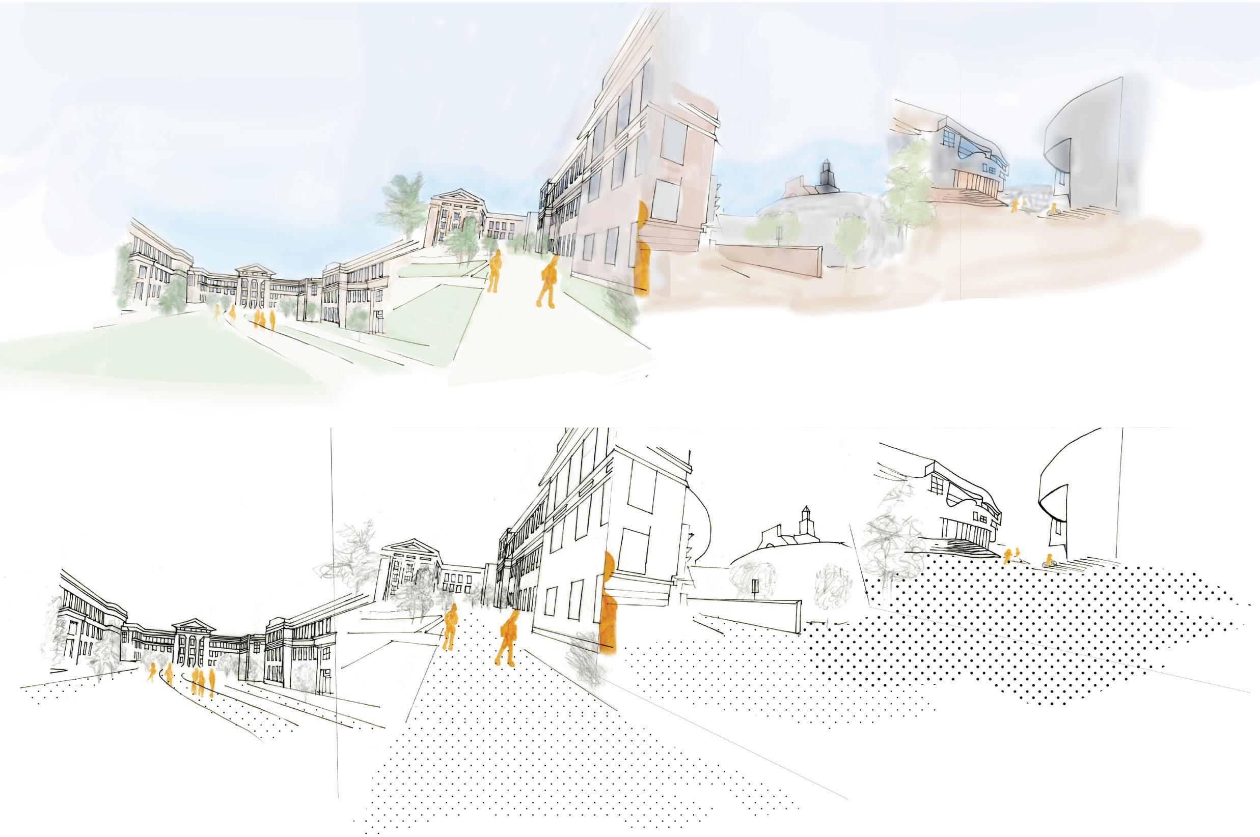
Cincinnati Downtown
University of Cincinnati Campus
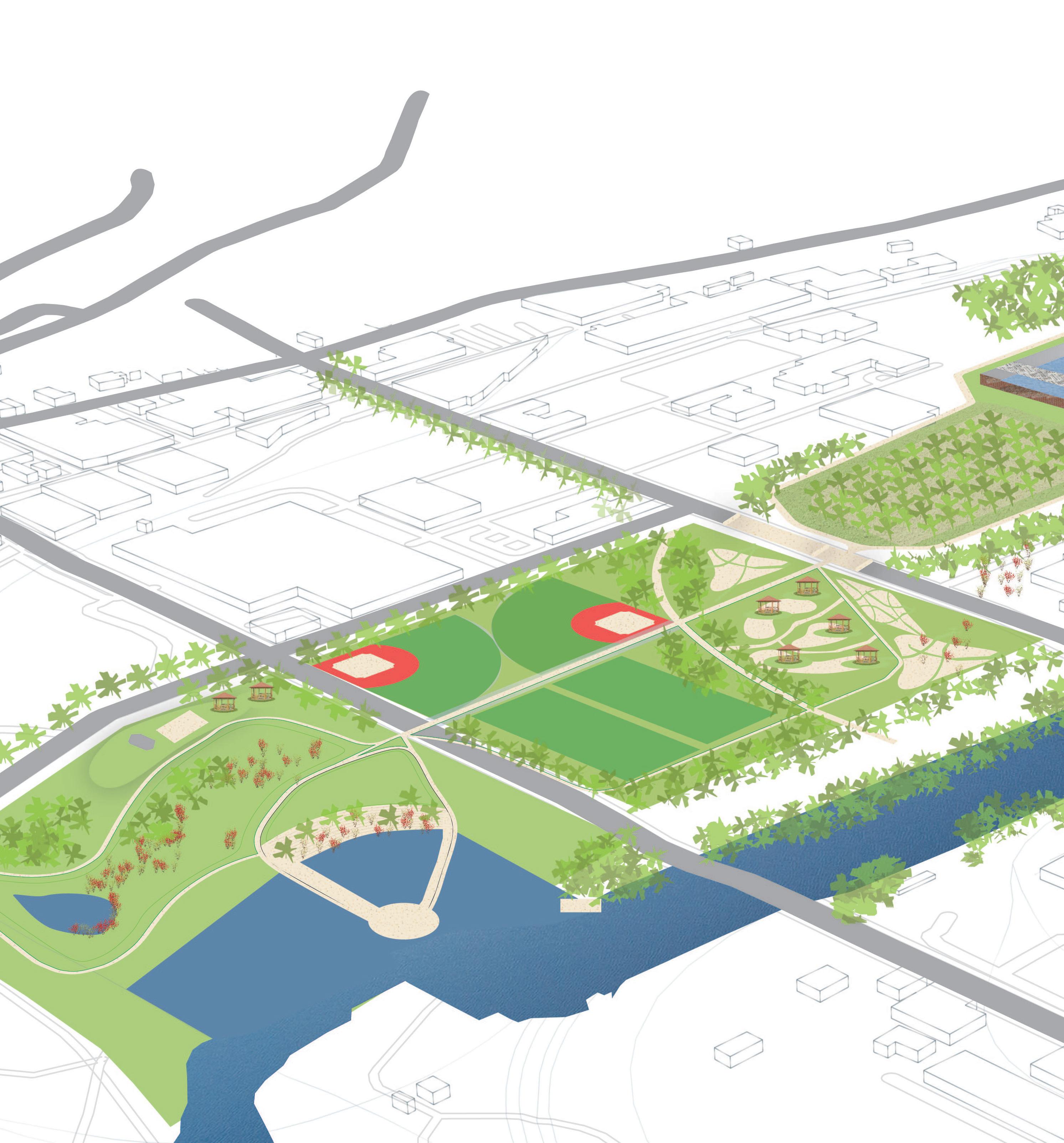
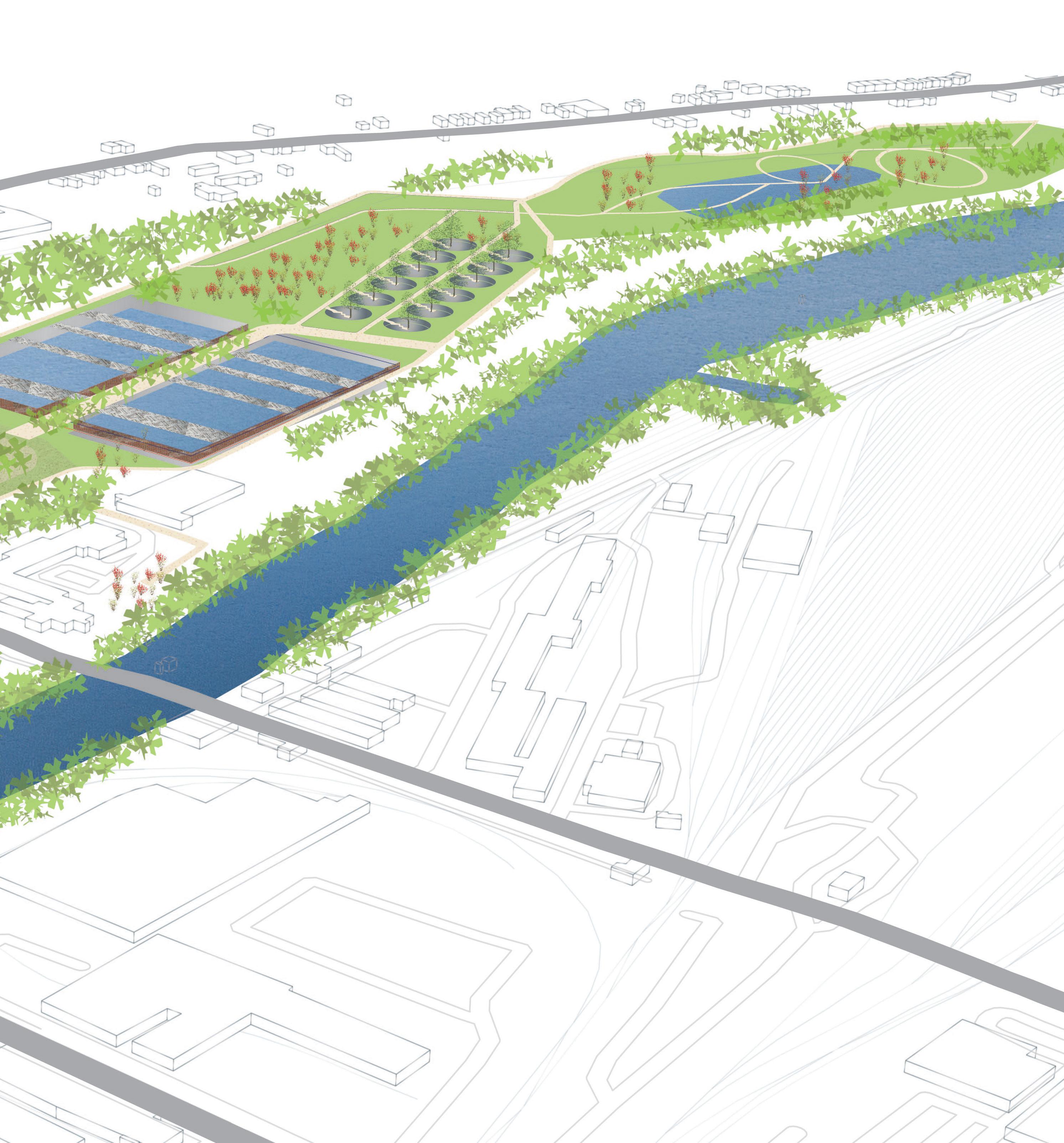
Lower Mill Creek: Master Plan
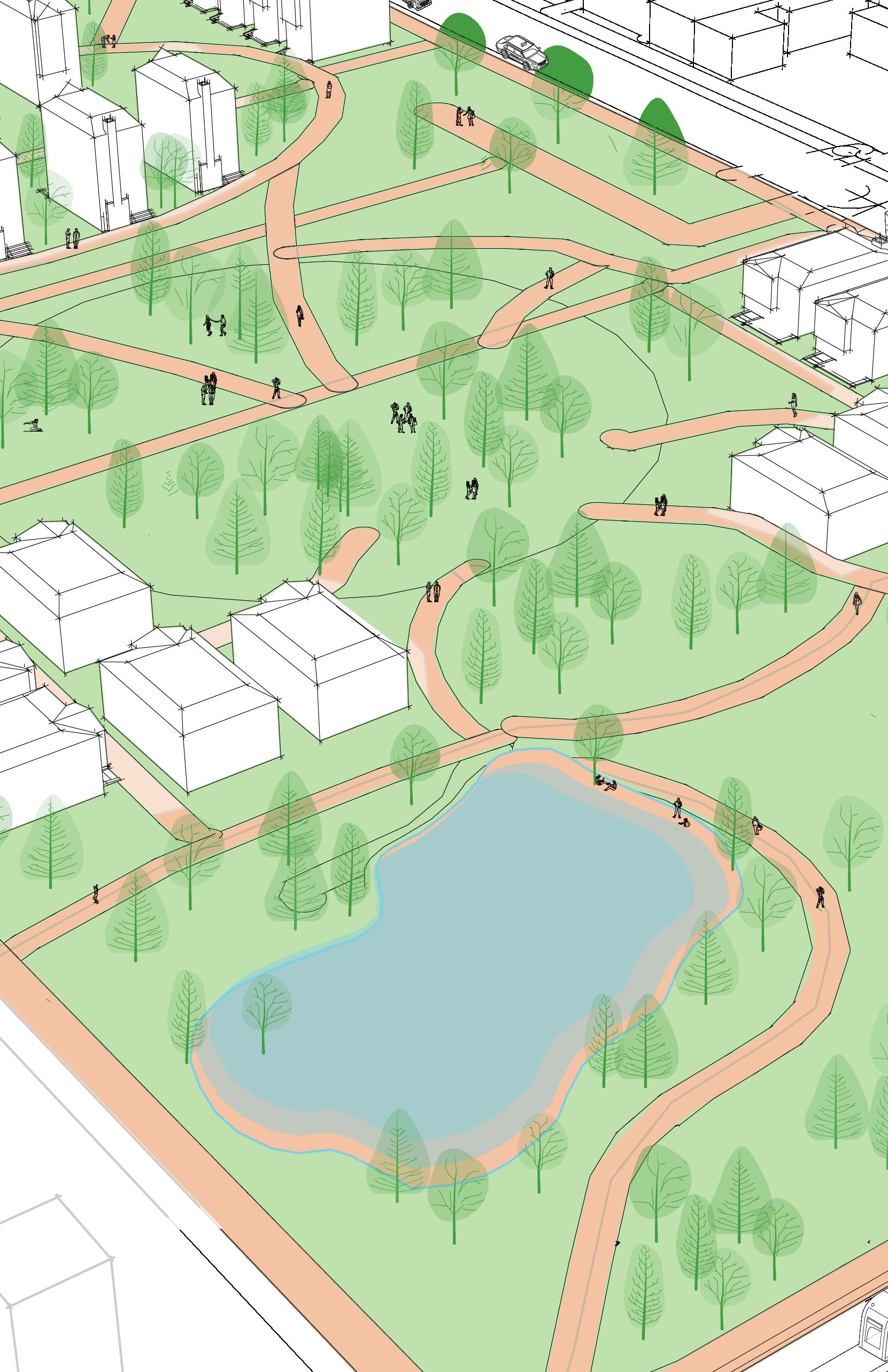
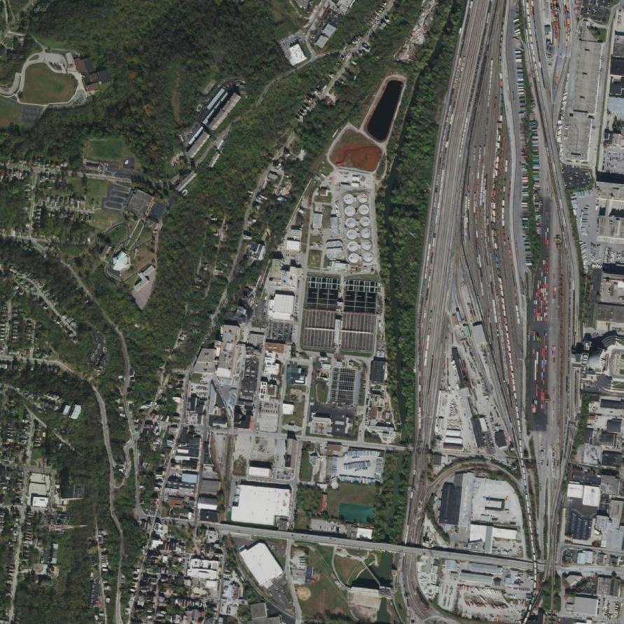
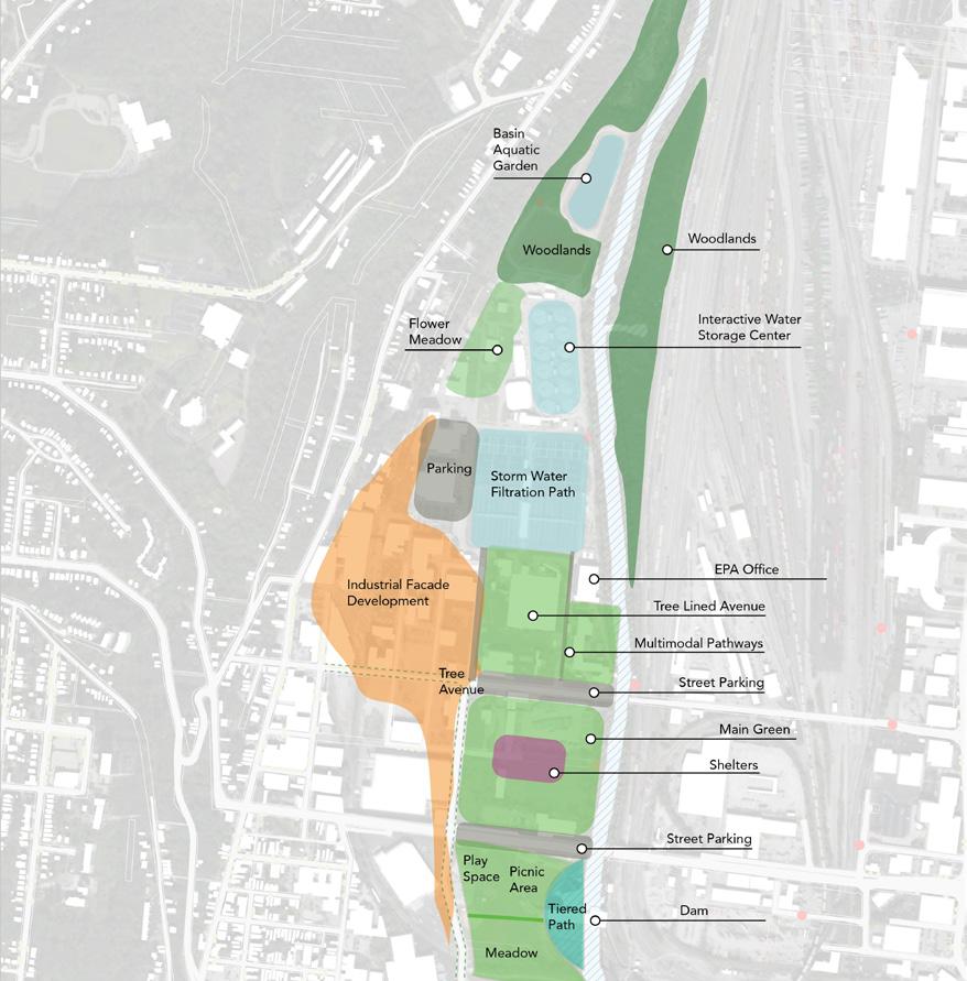
The studio site design focused on six locations surrounding the lower Mill Creek around Salway Park and up towards Spring Grove Cemetery
focusing on the Ohio scenic trail and surrounding areas. My group focused on a creating a series of bike-pedestrian pathways that used the built environment as well as the natural areas to create a neighborhood community park focused on community education, resilience, and water management.
Site Diagramming
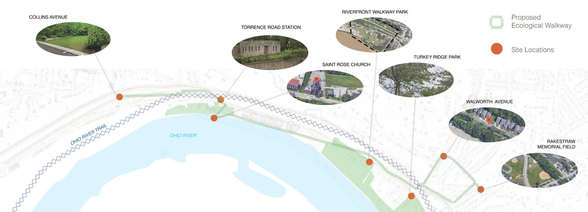
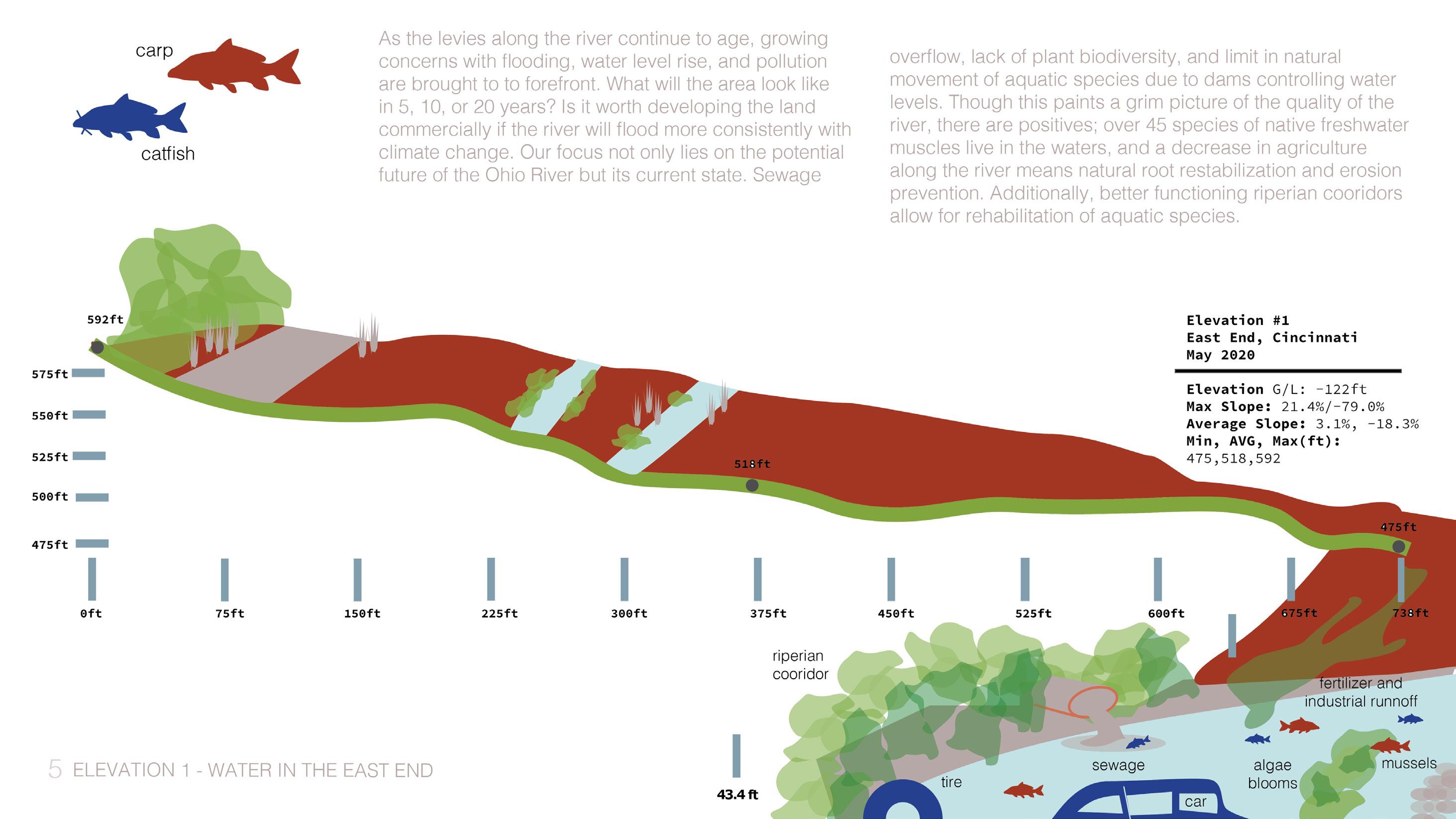
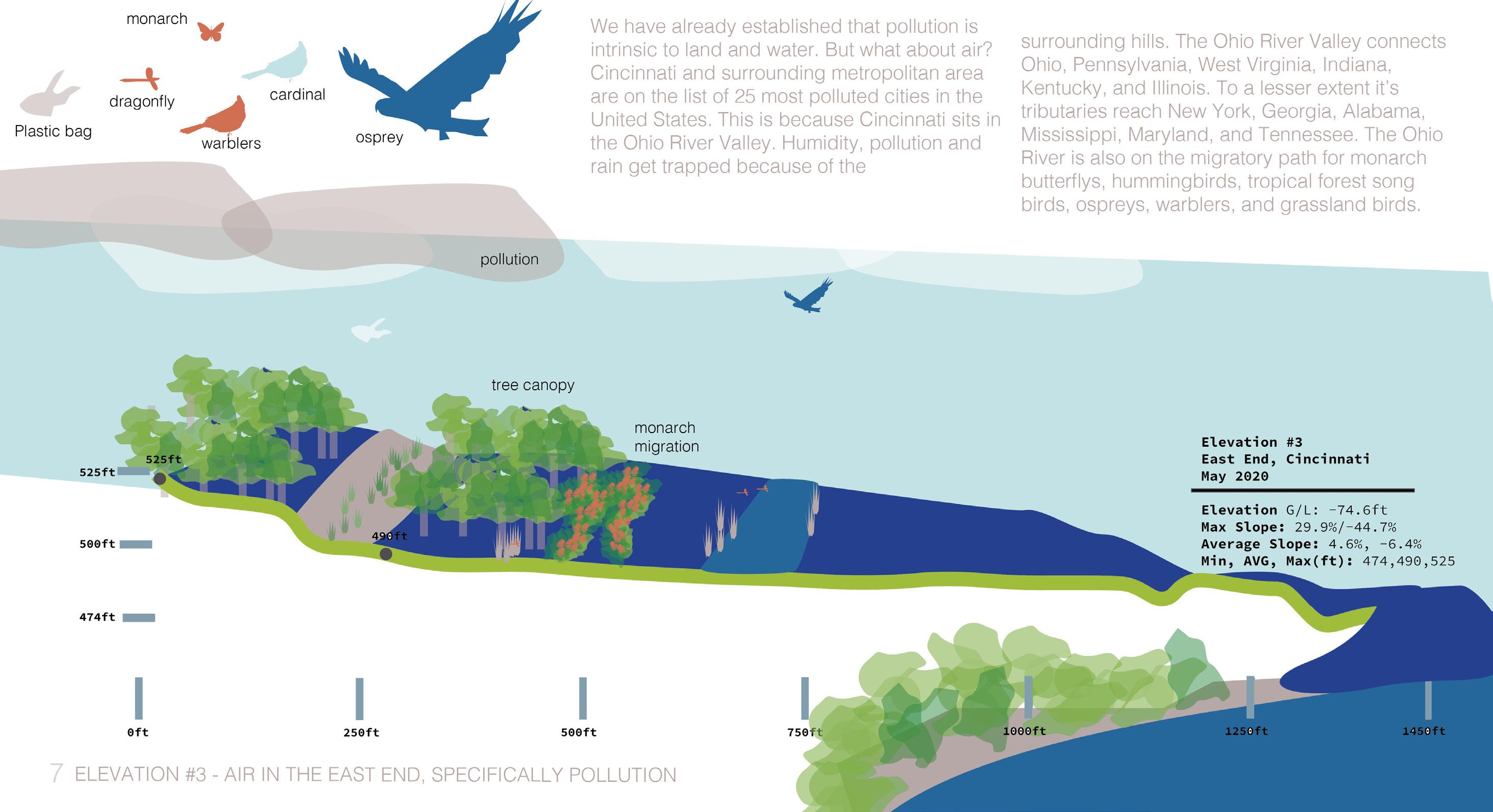
East End Ecology Mapping
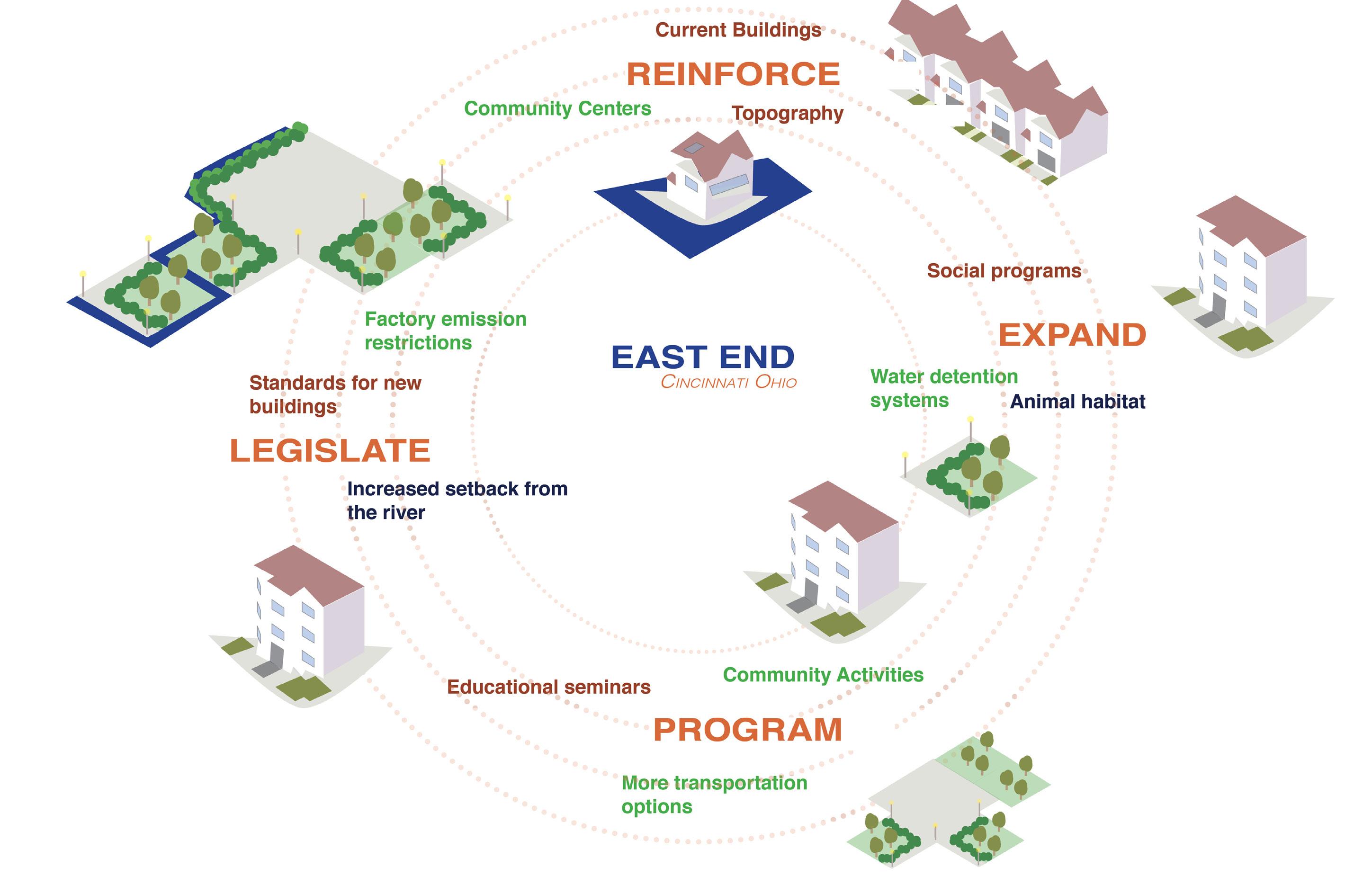
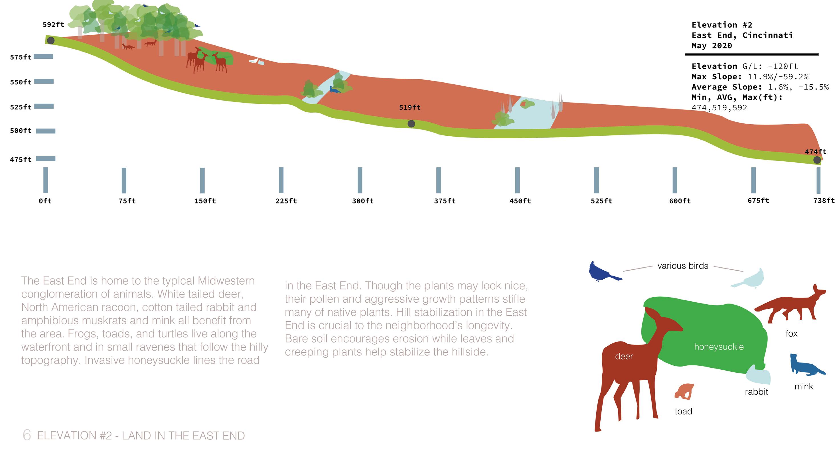
The East End is a juxtaposition between land, air and water. Columbia Parkway and Hills at the top of the site roll downward to a river town. The river is an important economic and geological feature.
LAND