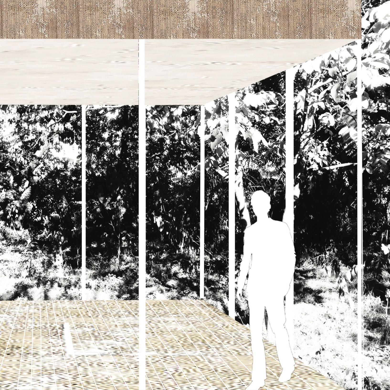
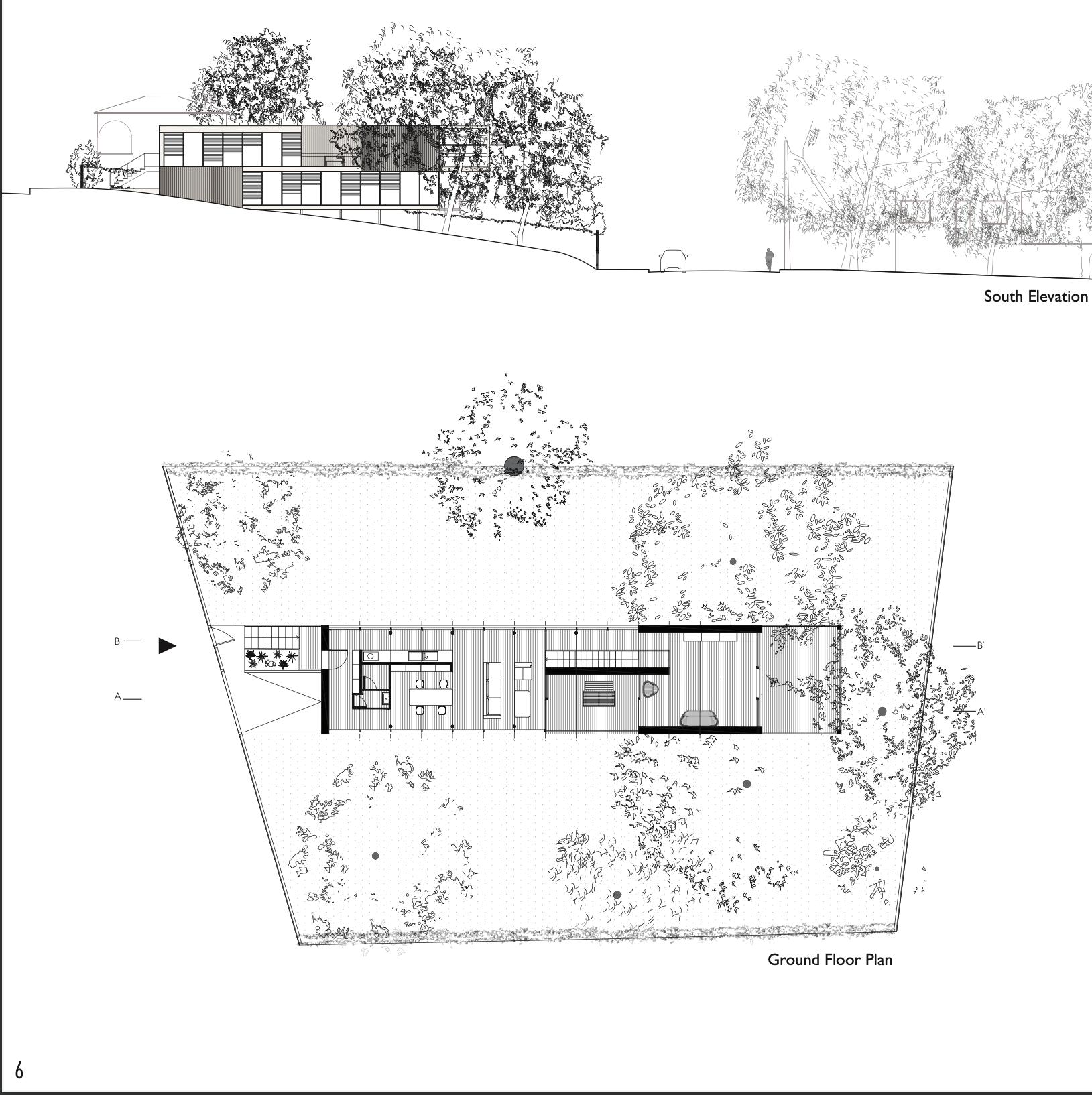
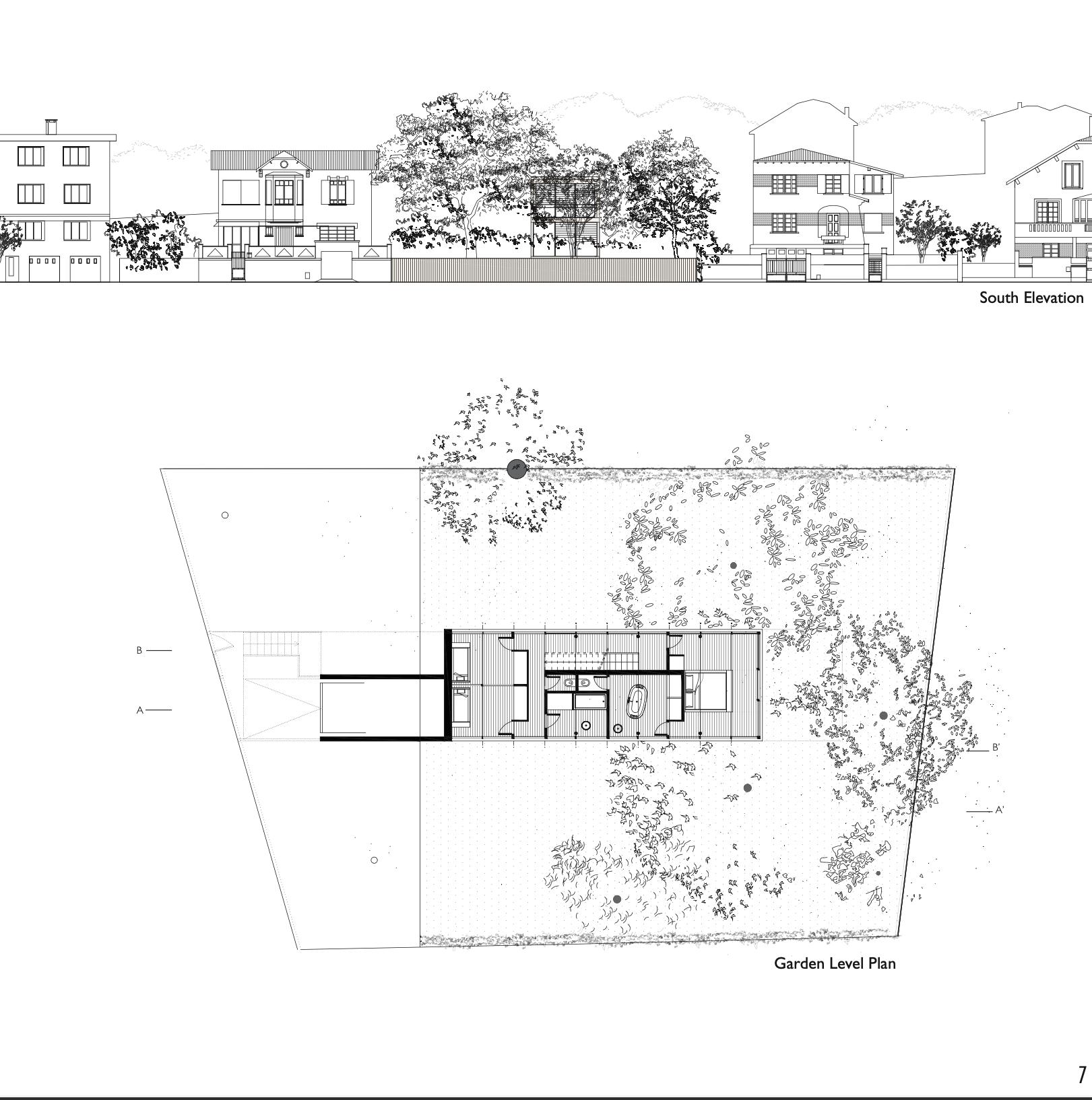
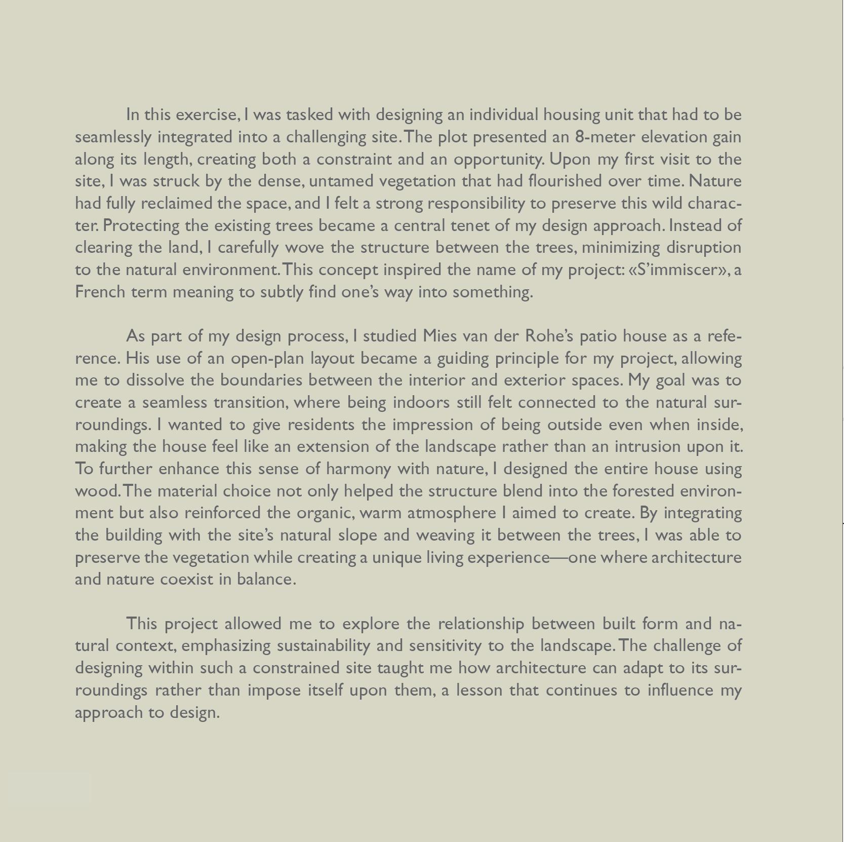
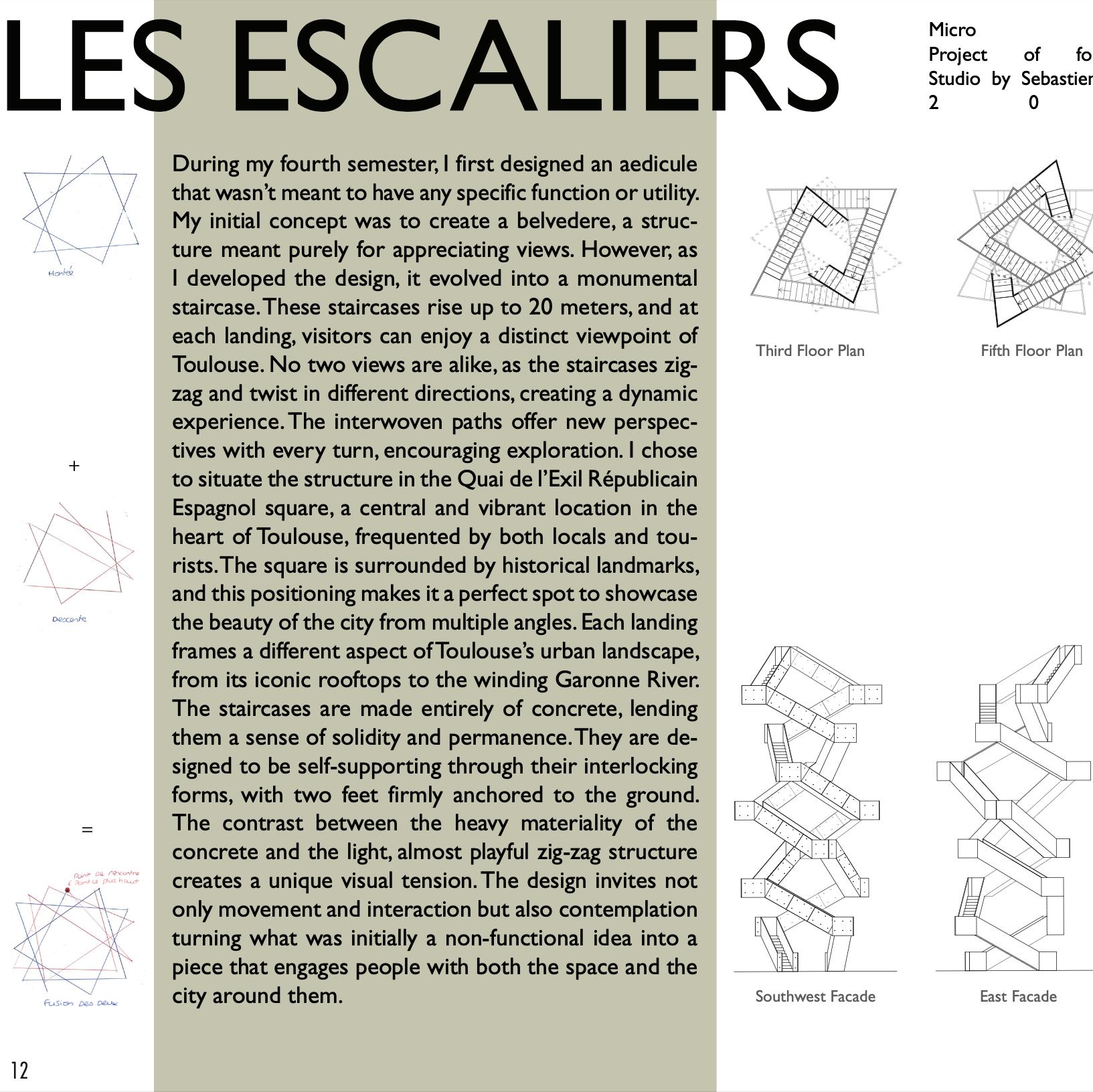
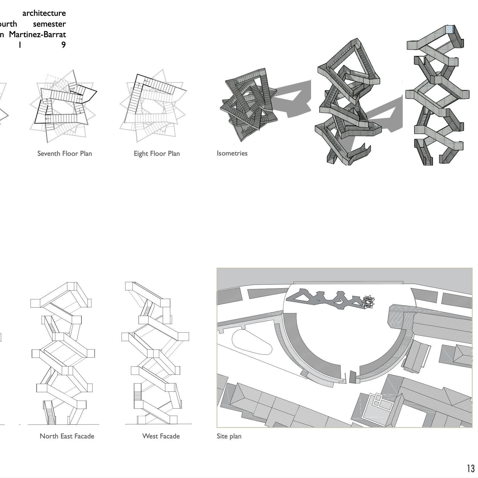
any useful purpose
Project fourth semester
Studio by Sebastien
Martinez-Barrat
Jessica Hewitt
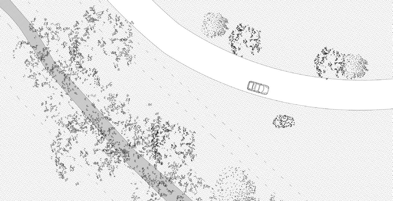
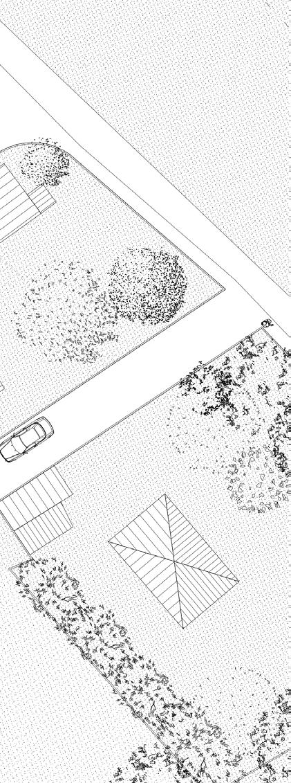
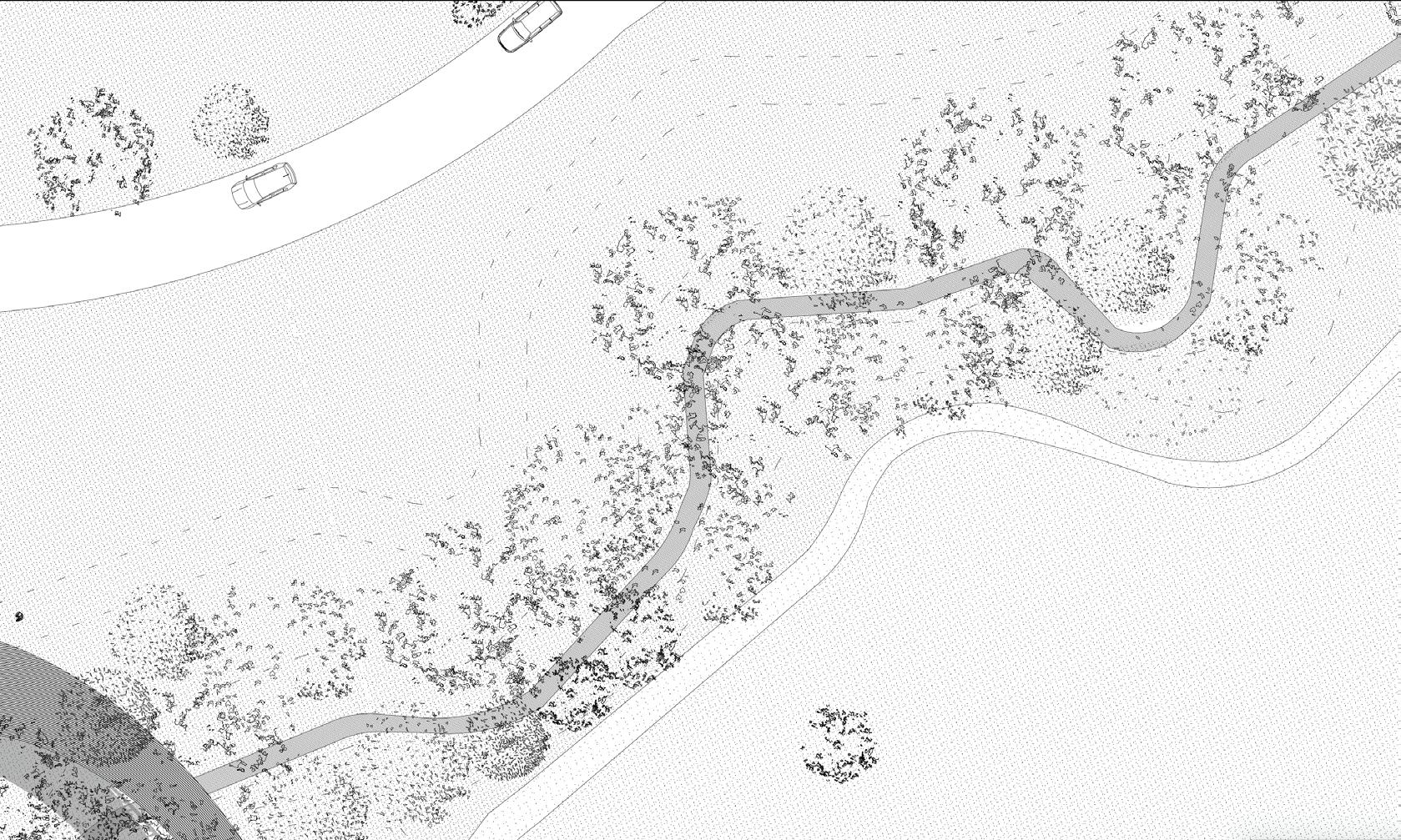
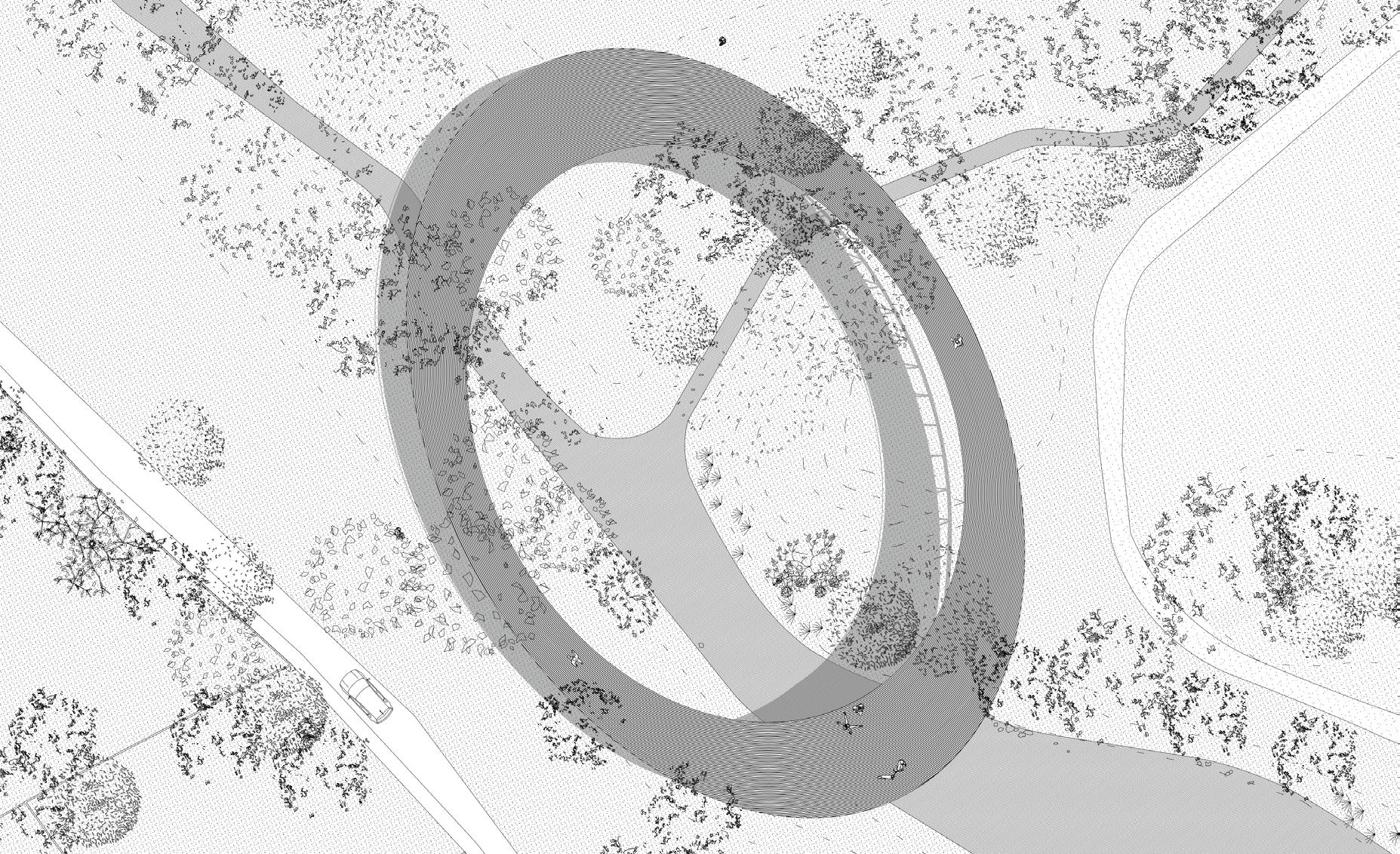
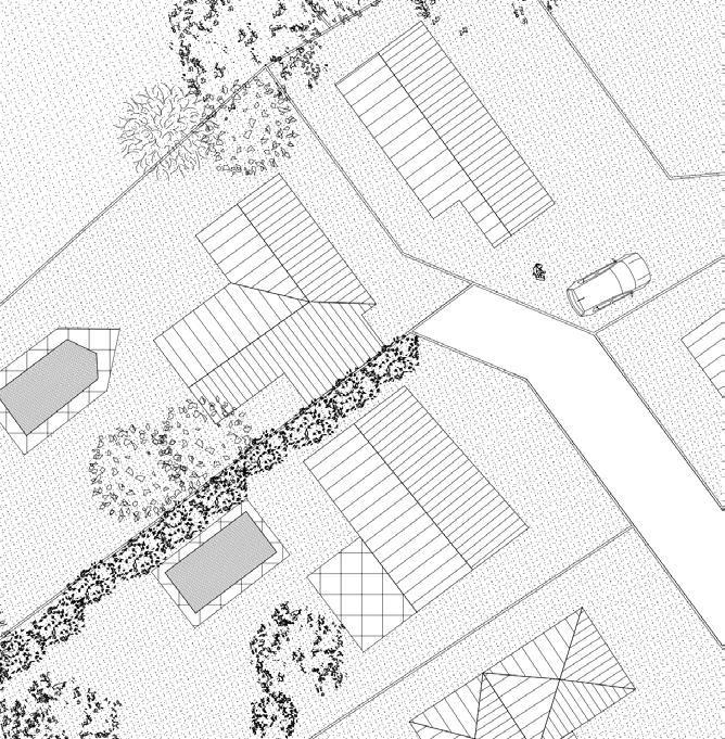
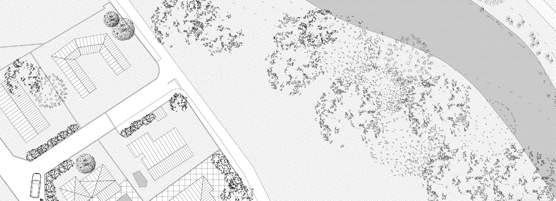
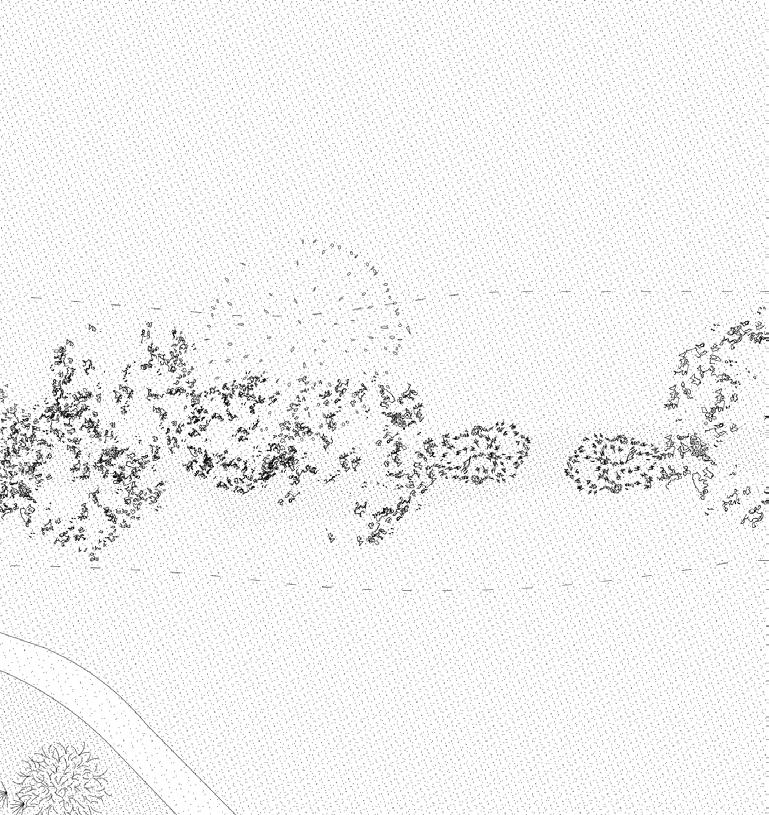
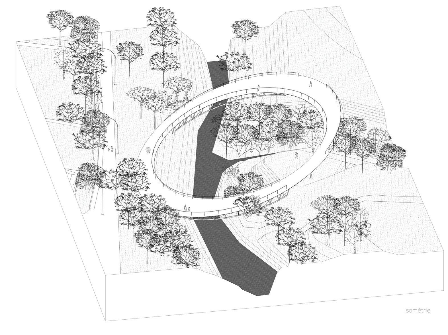
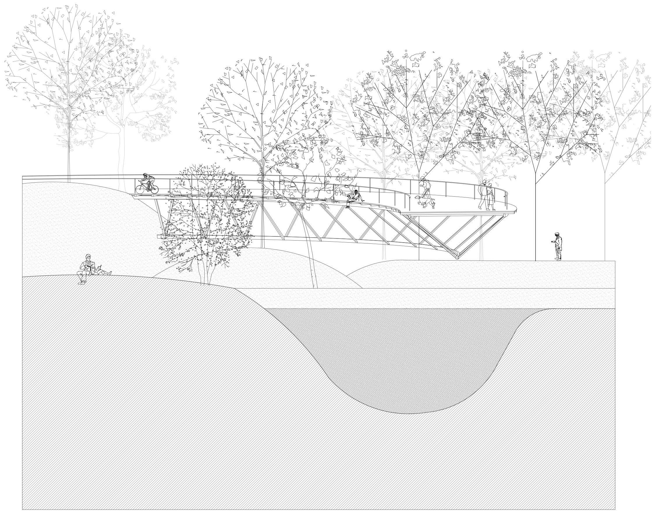
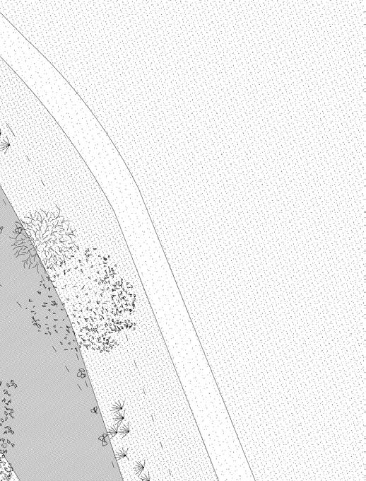
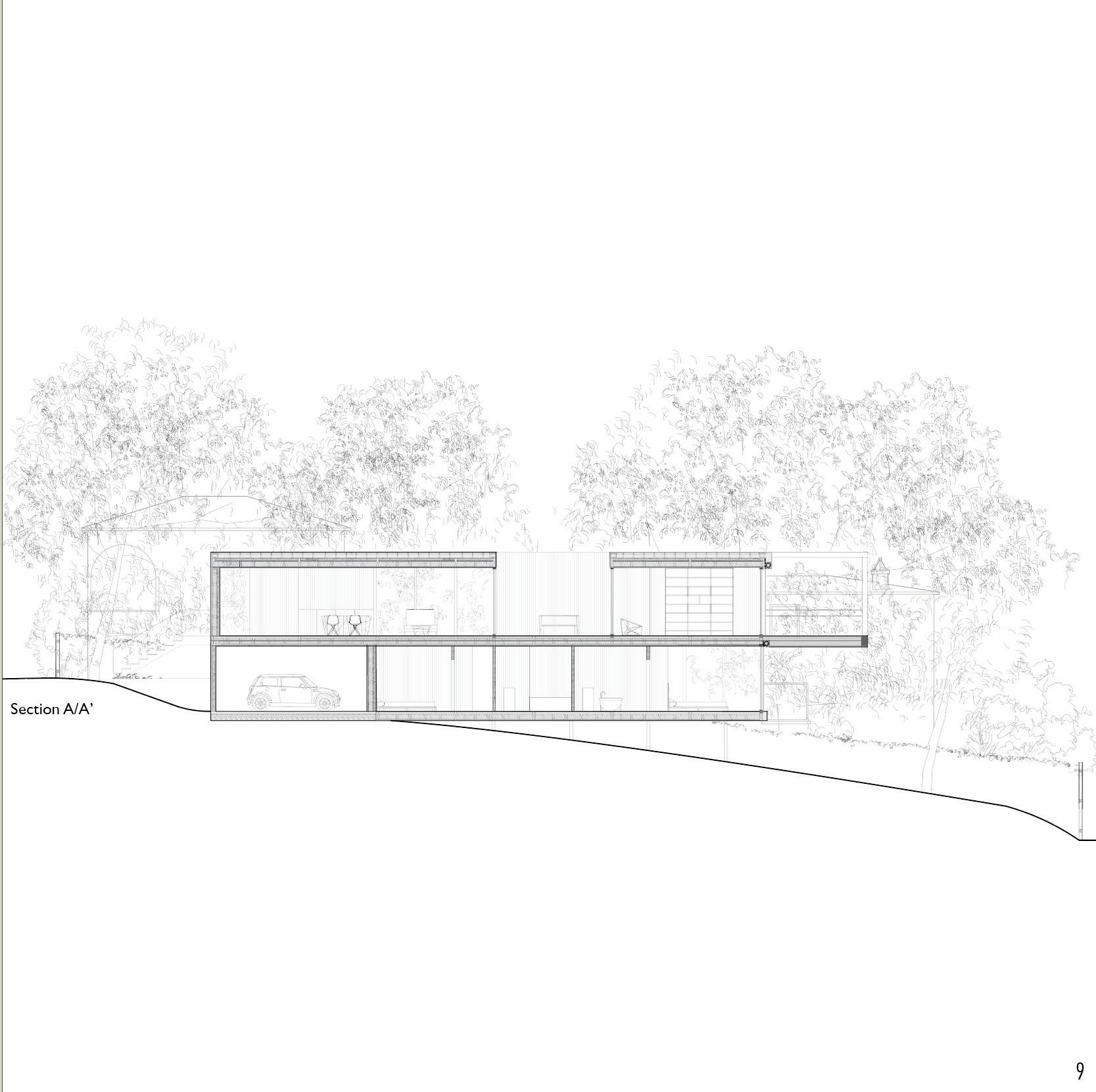
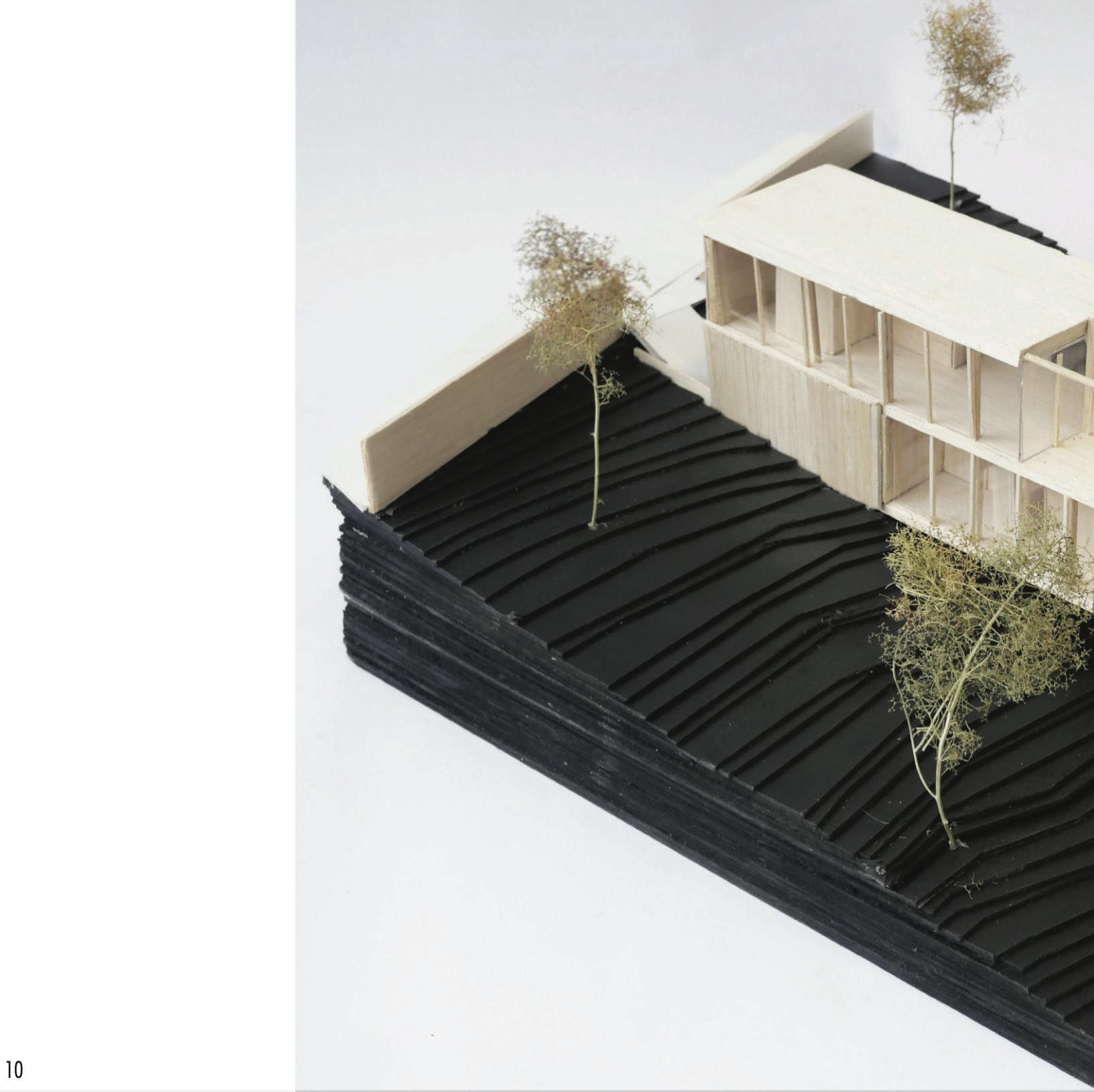
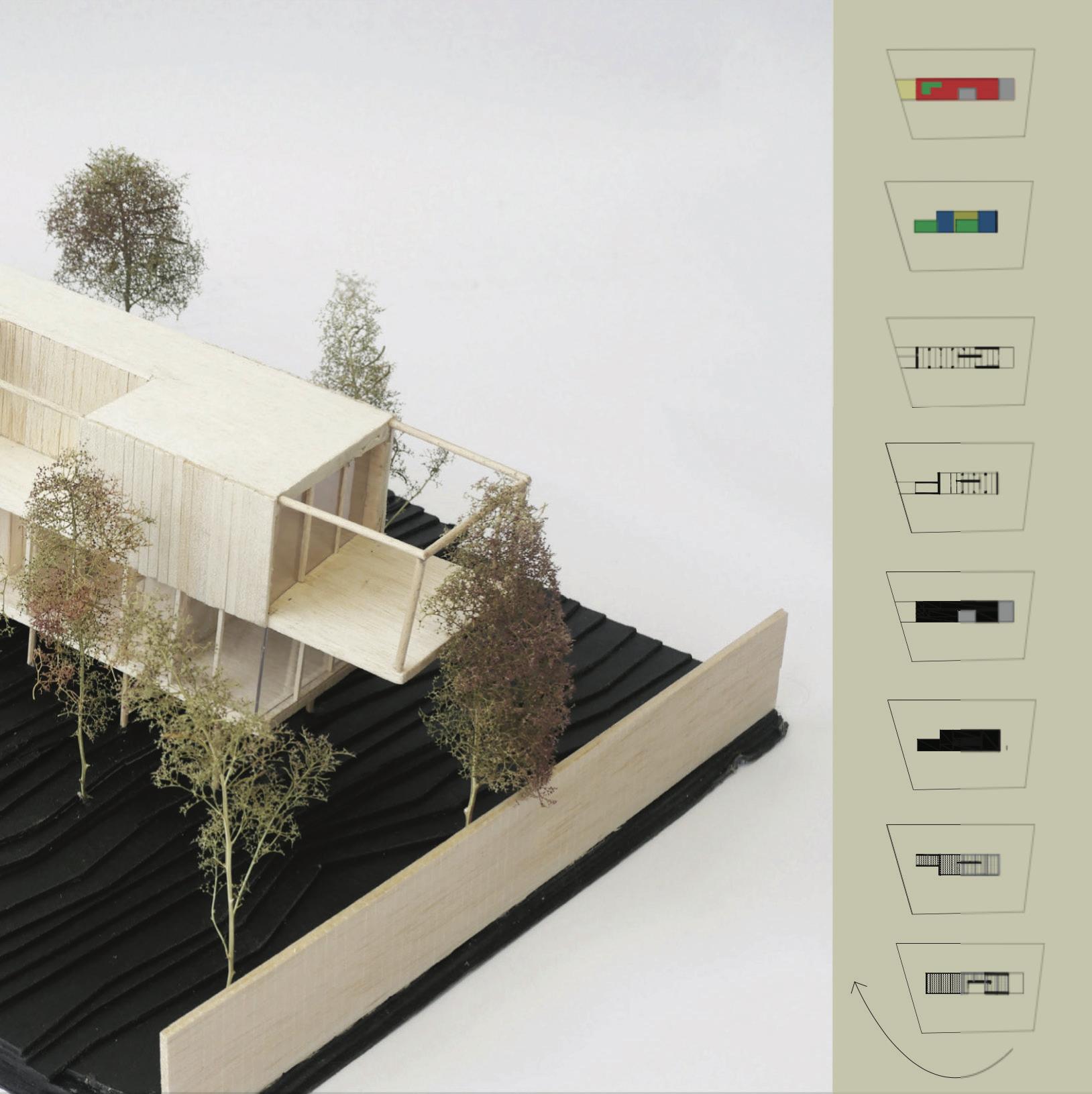
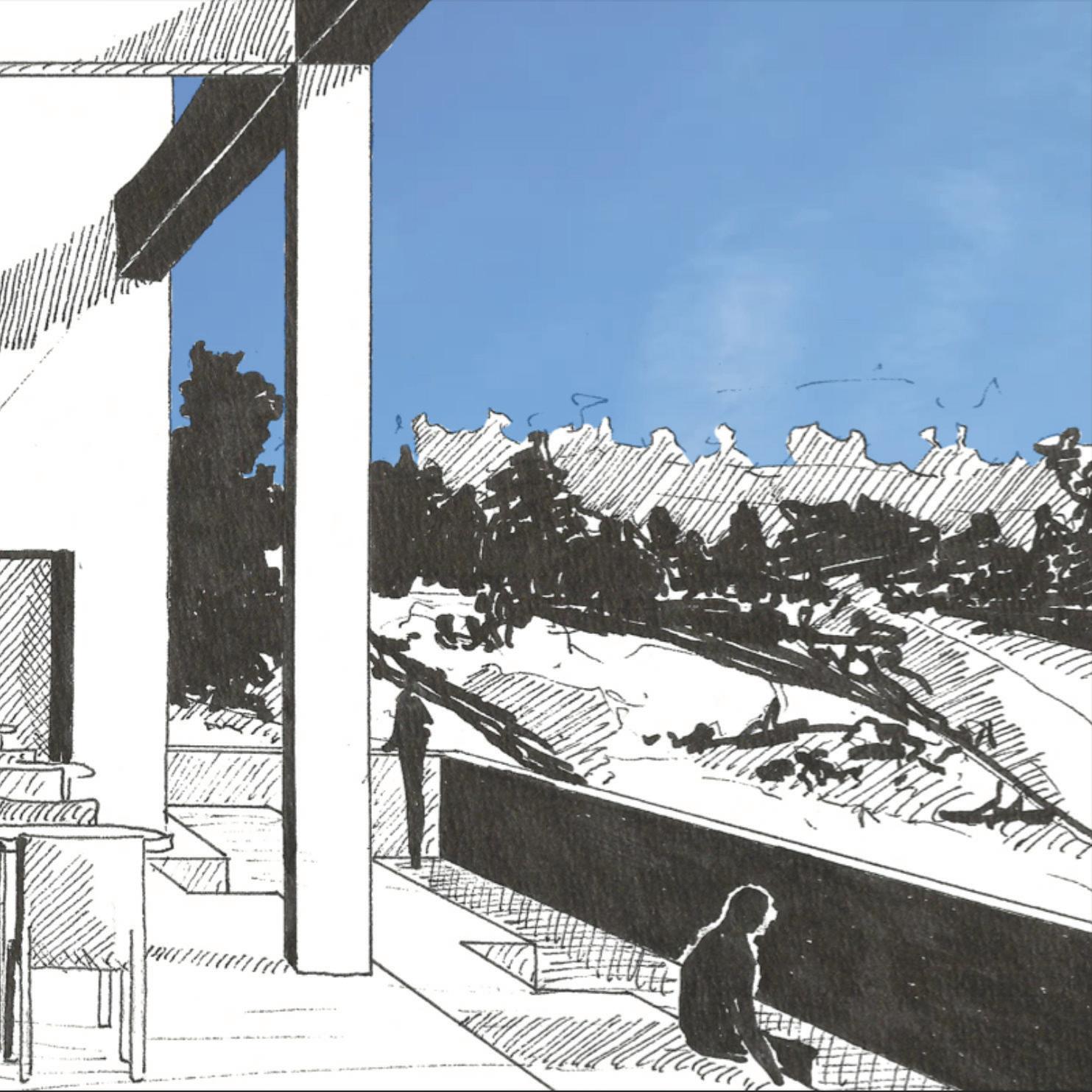
This was the second project I designed and it was significantly larger than first collaboration on a project, working ca Hewitt. The exercise was titled with similar instructions to the earlier asked to choose a location in Toulouse workshop, where we conducted territorial with local residents across various
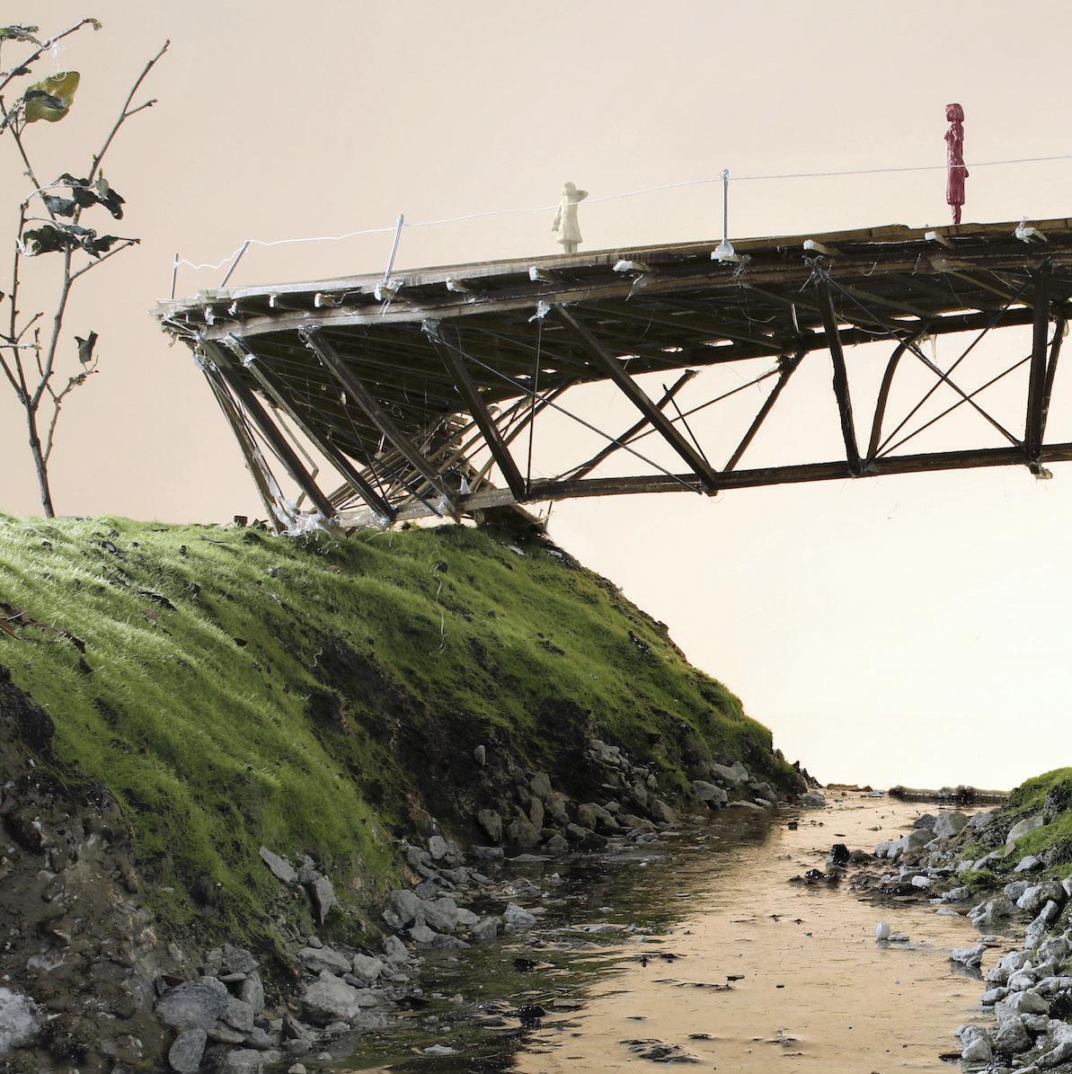
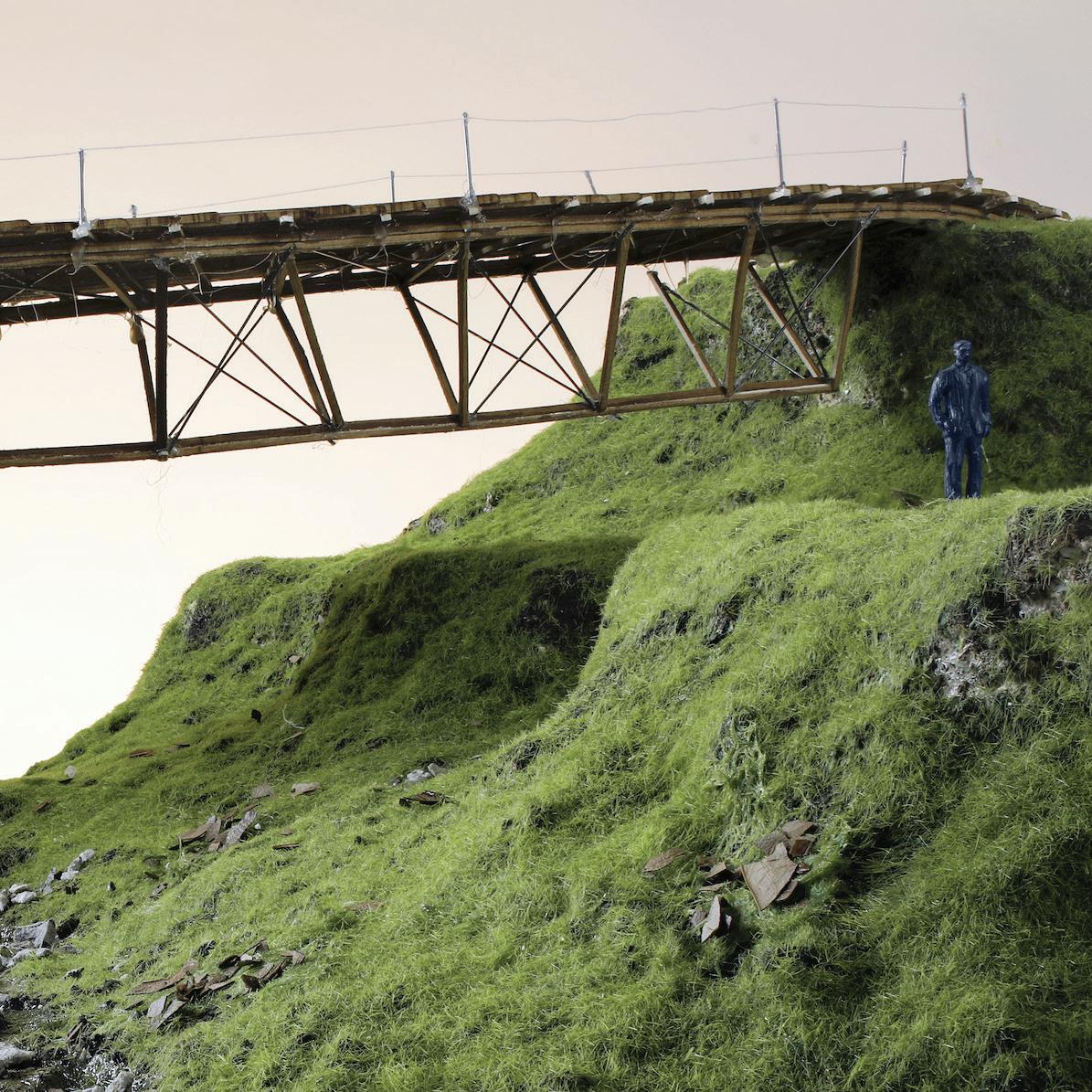
For our project, we selected the Union between agricultural fields and residential is known for its rich variety of vegetation, rivers flowing through it, acting as sidential and agricultural zones. A the rivers, but we noticed a crucial way to cross these streams. This a footbridge (or passerelle in French) rounding neighborhoods and help takes the form of an ellipse, giving landed within the landscape. The the bridge is also inclined, creating The width of the bridge fluctuates more than just a passageway—it rous dimensions allow people to linger, engage in conversation with friends. from one side to the other; it’s a the environment.
While the project I completed in my nical precision, discipline, and the tools design, this fourth-semester project rigid, straight-line thinking and utilitarian to experiment more freely with form ties. The studio’s sociological and ticularly enriching, offering a unique studios. This experience significantly architecture and its relationship to
designed during my fourth semester, than the previous one. It was also my working alongside my friend, Jessititled «For All Intents and Purposes,» earlier aedicule project. We were Toulouse that we had studied during a territorial research and interviews various districts of the city.
Union district, a unique site situated residential neighborhoods. This area vegetation, with the Hers and Sausse as natural dividers between the rescenic hiking trail runs alongside crucial missing element—there was no observation inspired us to design French) that would connect the surrevitalize the area. Our footbridge giving the impression of having gently sloping nature of the site means creating a dynamic crossing experience. between 2 and 8 meters, offering becomes a living space. Its genelinger, relax, admire the scenery, or friends. It’s not just a means of getting space for gathering and enjoying my third semester taught me techtools necessary for strong project project allowed me to break away from utilitarian design. It encouraged me form and explore creative possibiliurban planning approach was parunique perspective compared to other significantly broadened my understanding of to the environment and community.
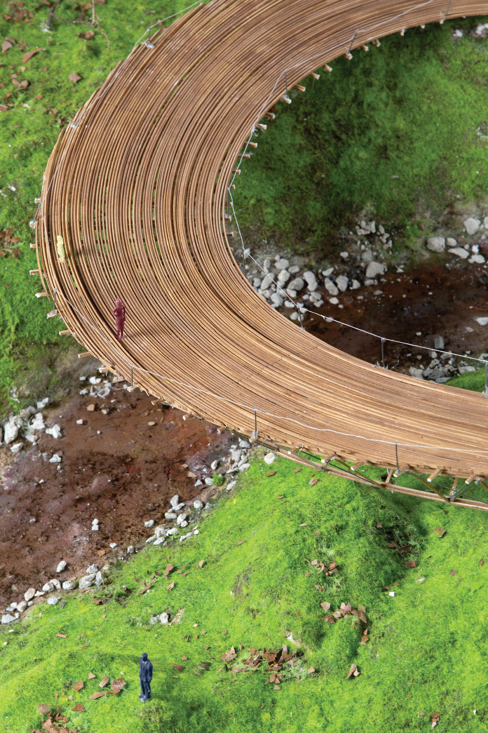
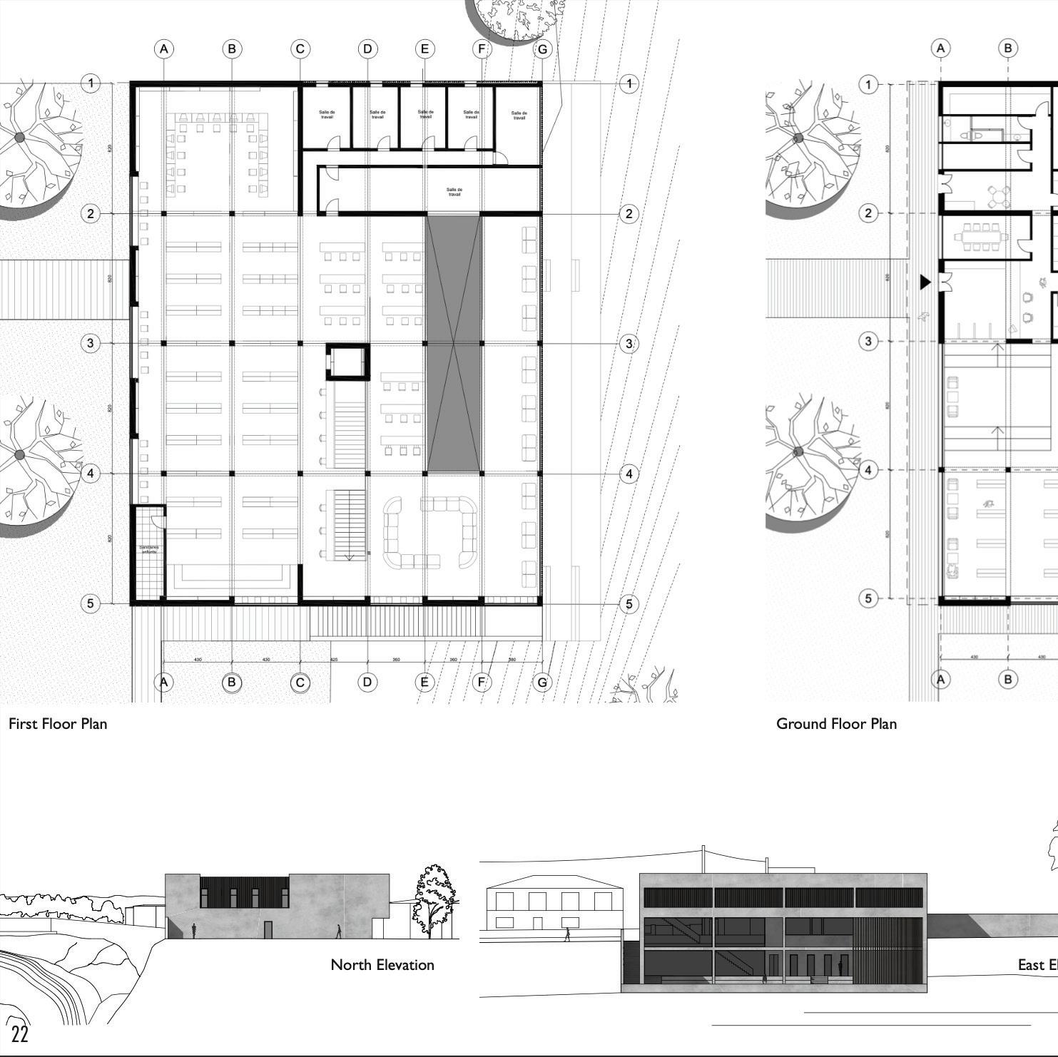
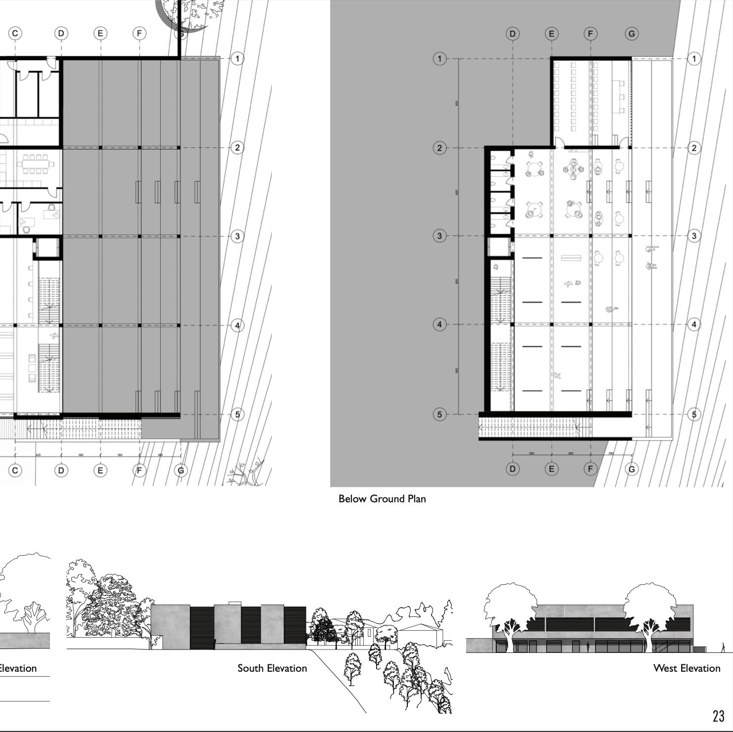


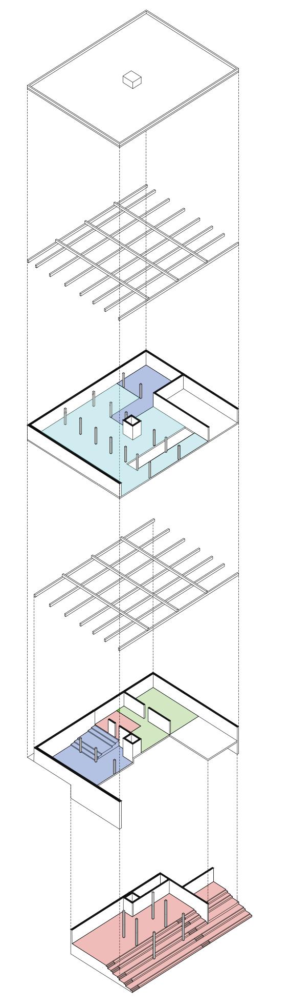
Exploded Axonometry Of The Structure
Spatial planning and infrastructure design - Projet seventh semester Studio by Arcidiacono Andrea and Pucci Paola With Stefano Capitaneo, Francesco Bertoni, Anna Fantini, Wenxia Li, Xuewei Zhou
of the Infrastructural system Map of the Environmental The Opening Lines

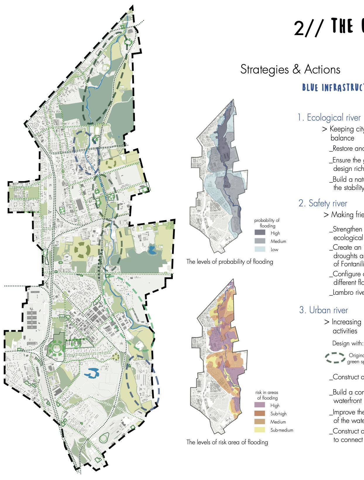
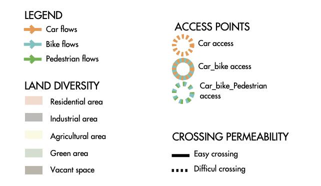
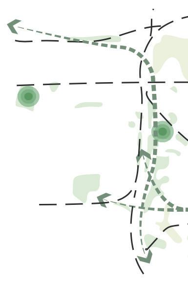

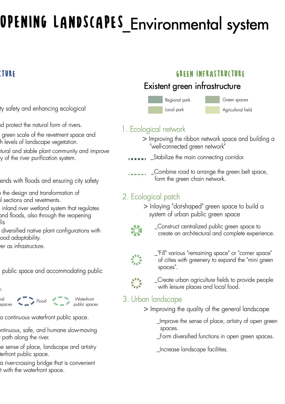
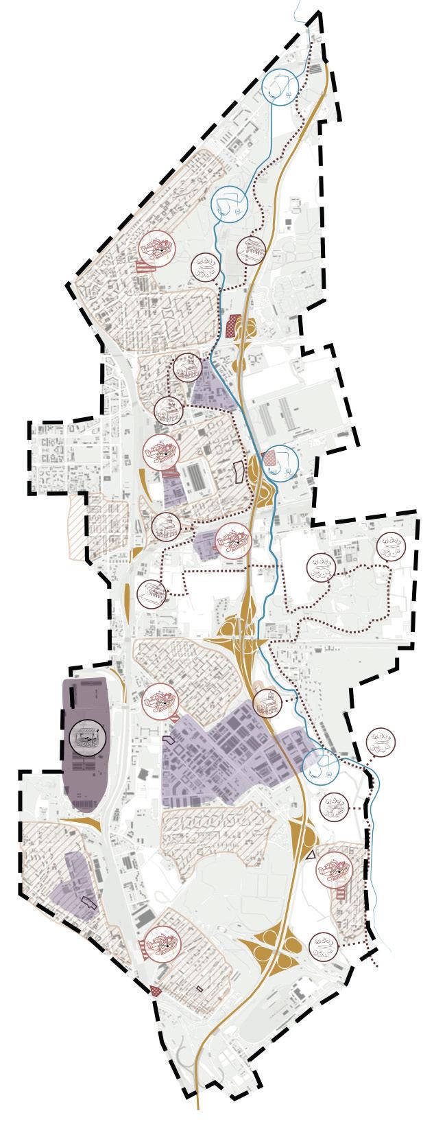
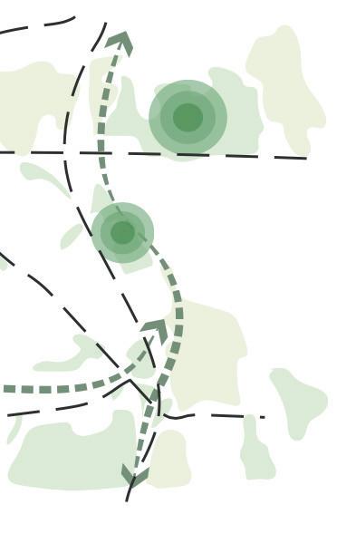

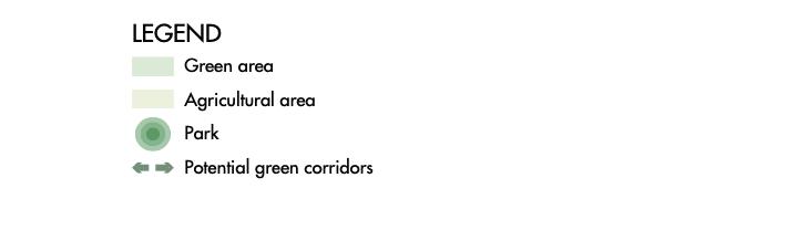
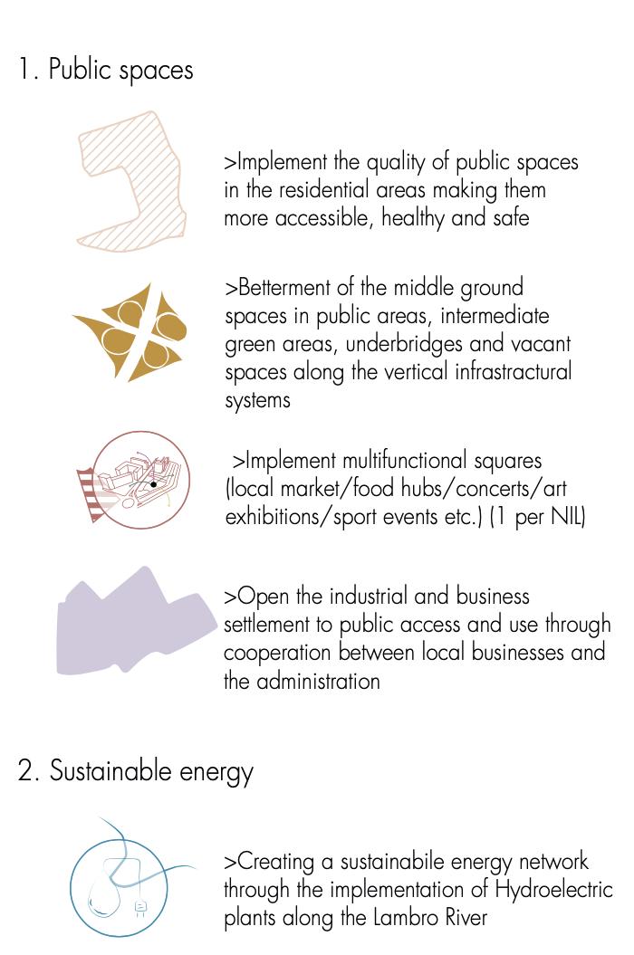
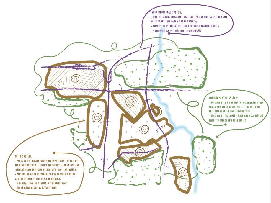

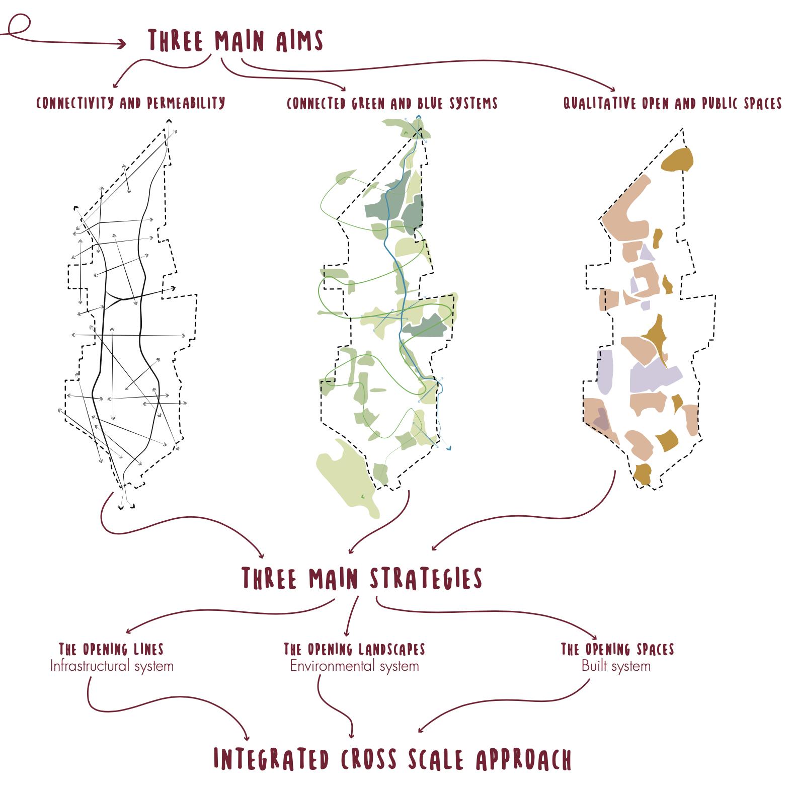
This project took place during my exchange year at Politecnico di Milano and is a comprehensive urban planning strategy titled «The Opening Line,» focusing on the eastern side of Milan. The aim is to optimize public spaces within the urban environment to create more livable, accessible, and vibrant communities, balancing the needs for green spaces, transportation, and community services. The area is characterized by a diverse mix of residential neighborhoods, including the significant Forlanini district, a large industrial zone, and expansive green spaces such as the Forlanini Regional Park. However, these spaces are highly fragmented, with little interaction between them.
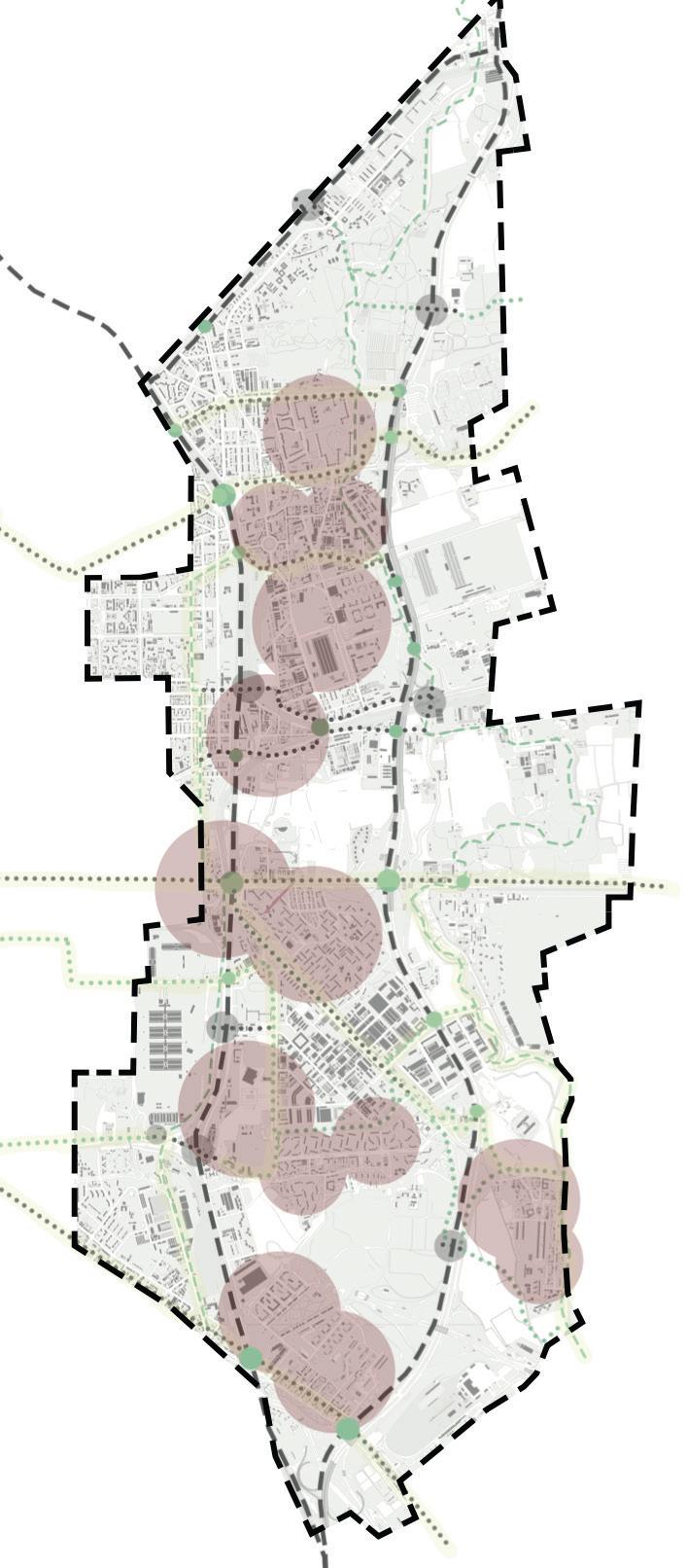
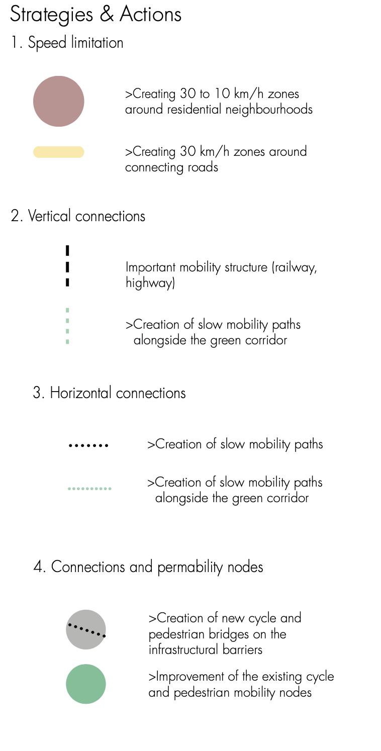
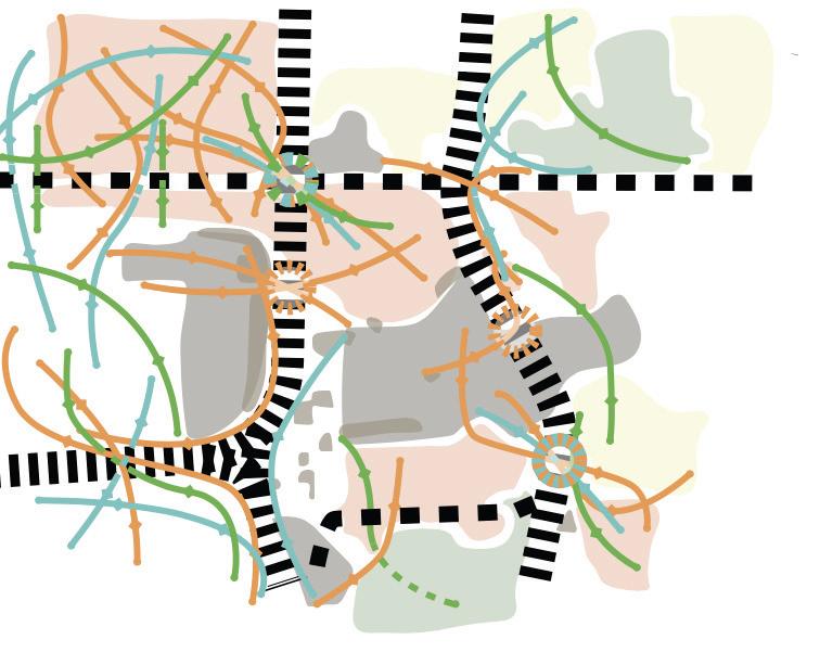
One of the main challenges is the lack of accessibility and permeability within the area. Major barriers like highways, railways, and interchanges isolate these zones, making pedestrian access difficult and limiting the flow of people and resources between them. Our goal is to break down these barriers, enhance connectivity, and harness the potential of the area’s rich diversity by introducing new access routes—pedestrian, cycling, and motorized— that would activate and revitalize each sector.
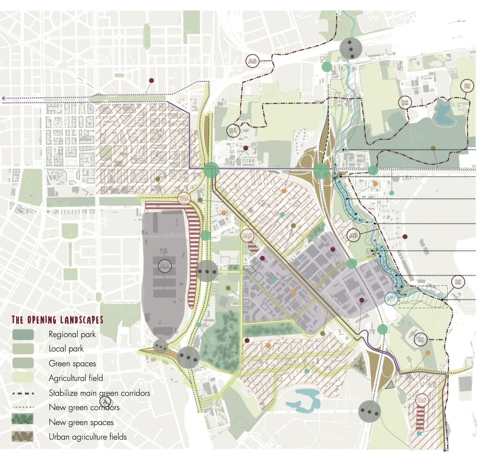
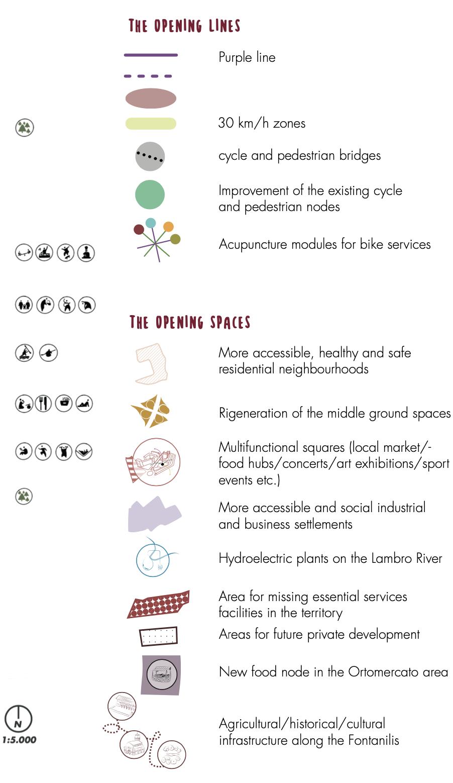
The project is divided into three key categories: The Opening Lines, focusing on improving transportation and road infrastructure; The Opening Spaces, aimed at designing connected and functional public spaces; and The Opening Landscapes, which addresses the enhancement and creation of green spaces throughout the urban fabric.
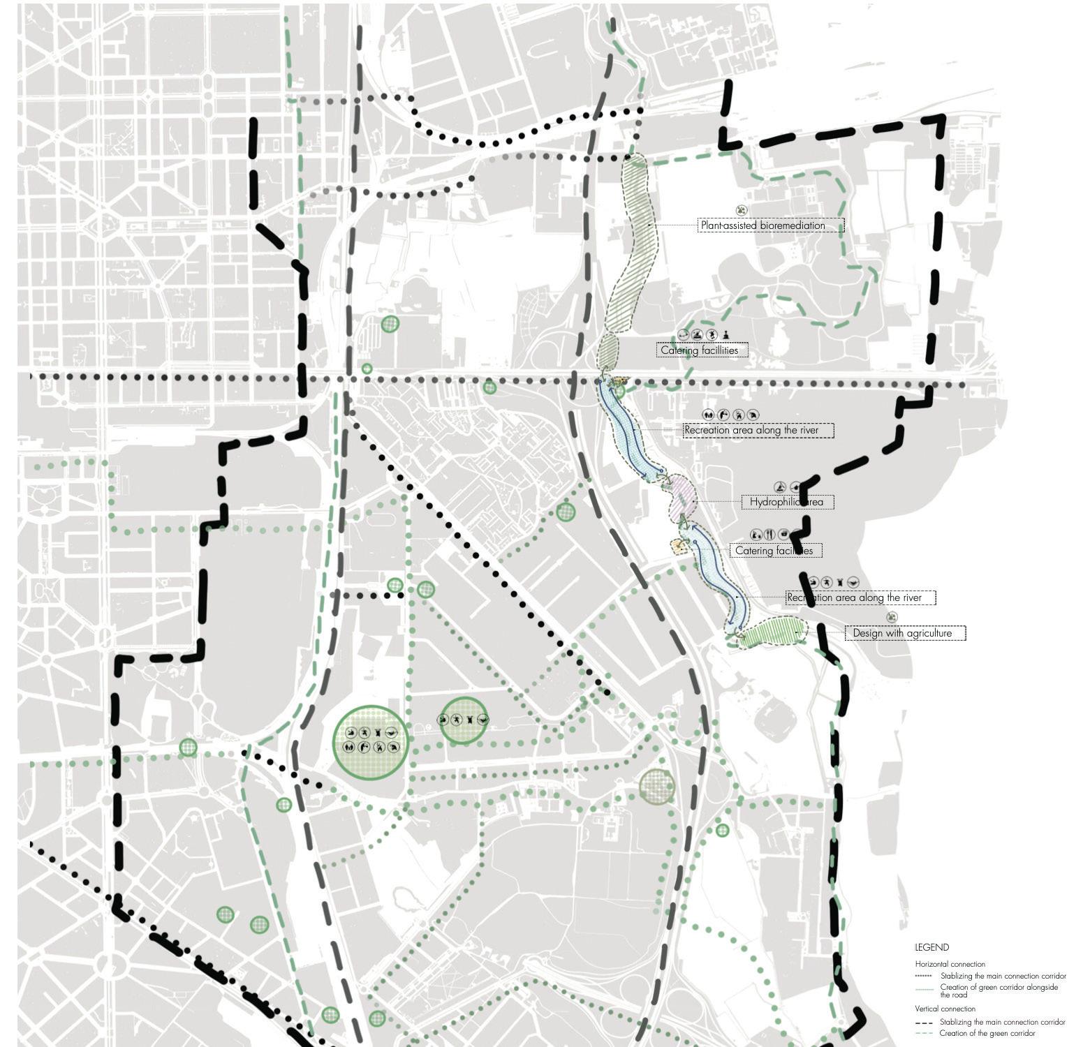
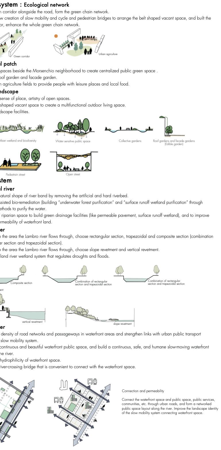
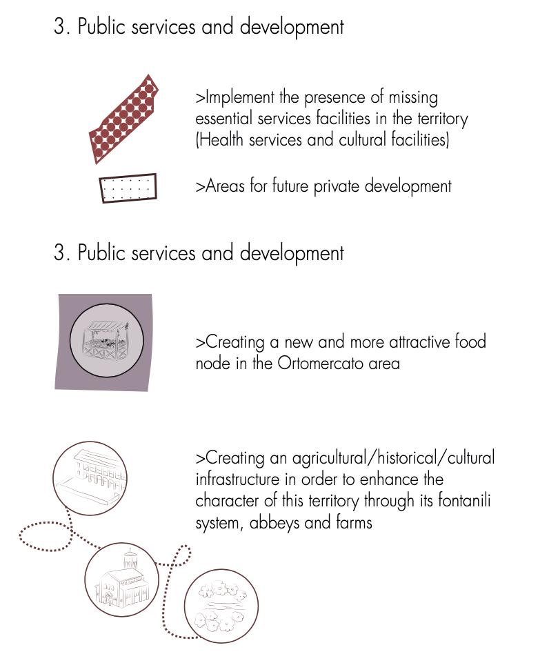
In the residential areas, we proposed measures to make them more accessible, healthy, and safe. This includes enhancing «middle ground» spaces like underpasses, vacant lots, and green areas that currently have little to no function. Our plan also envisions creating versatile public squares that could host community activities such as markets, events, and exhibitions, thus fostering social interaction. Additionally, we aimed to open up industrial and business zones to the public, integrating them more effectively into the community.
A key component of our strategy is to provide missing essential services, such as healthcare and cultural facilities, while allocating space for future private development. We also focused on revitalizing the Ortomercato food hub, which plays a crucial role in the local economy, and sought to highlight the area’s agricultural, historical, and cultural significance.
A significant aspect of the project is our design proposal for the area along the Lambro River, which runs through this part of Milan. Our strategy outlines a sustainable and interconnected green and blue infrastructure, focusing on restoring the natural flow of the river and creating green corridors along both the river and major roadways. This includes promoting urban agriculture, implementing water purification techniques, and improving access to the riverfront for pedestrians and cyclists. By integrating natural elements into the urban environment, the plan aims to promote biodiversity, enhance water resource management, and create more attractive, usable public spaces.
Ultimately, our project emphasizes the importance of connecting green spaces, the river, and the urban areas to form a cohesive ecological and recreational network. This integration is crucial not only for environmental sustainability but also for fostering social cohesion and creating a more vibrant, livable urban landscape.