LEXINGTON SMALL AREA PLAN
Planning Commission Work Session May 21, 2026


Planning Commission Work Session May 21, 2026
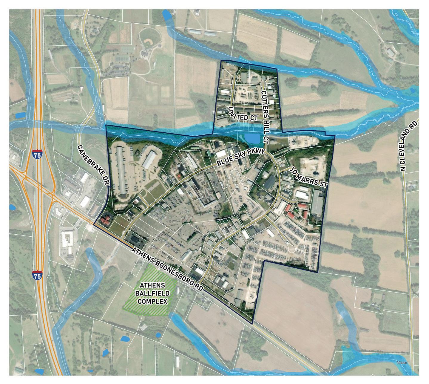
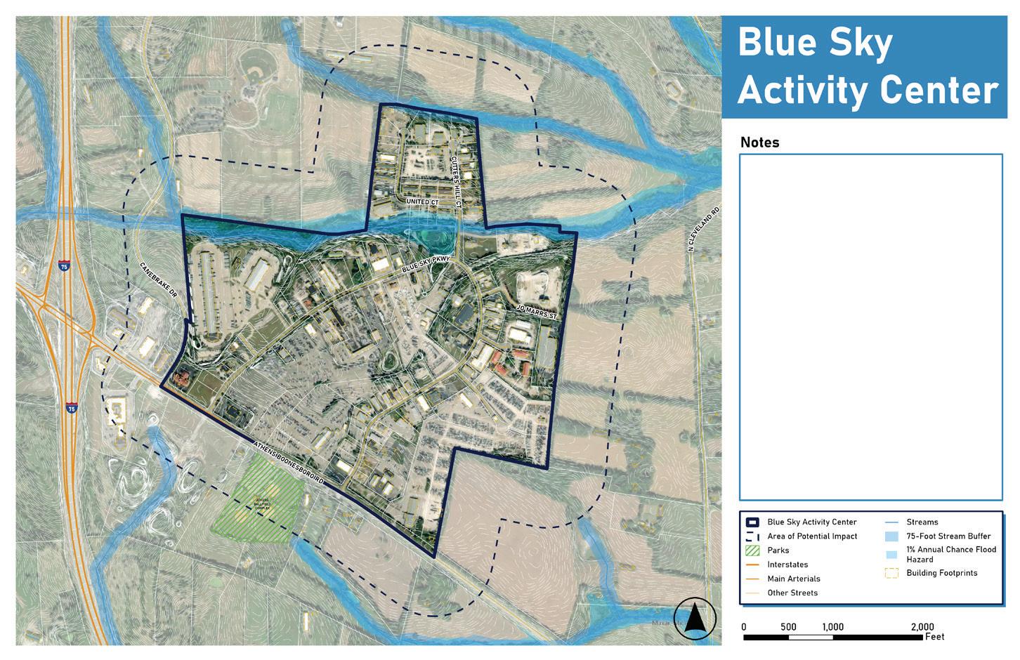
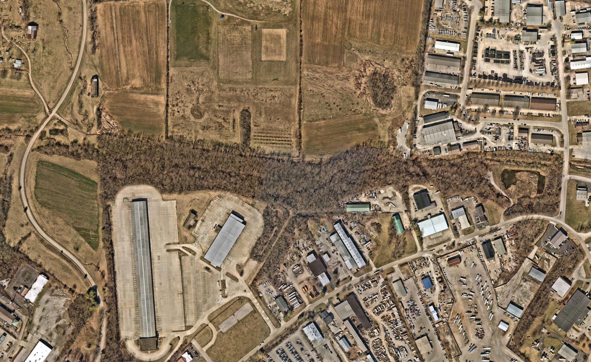
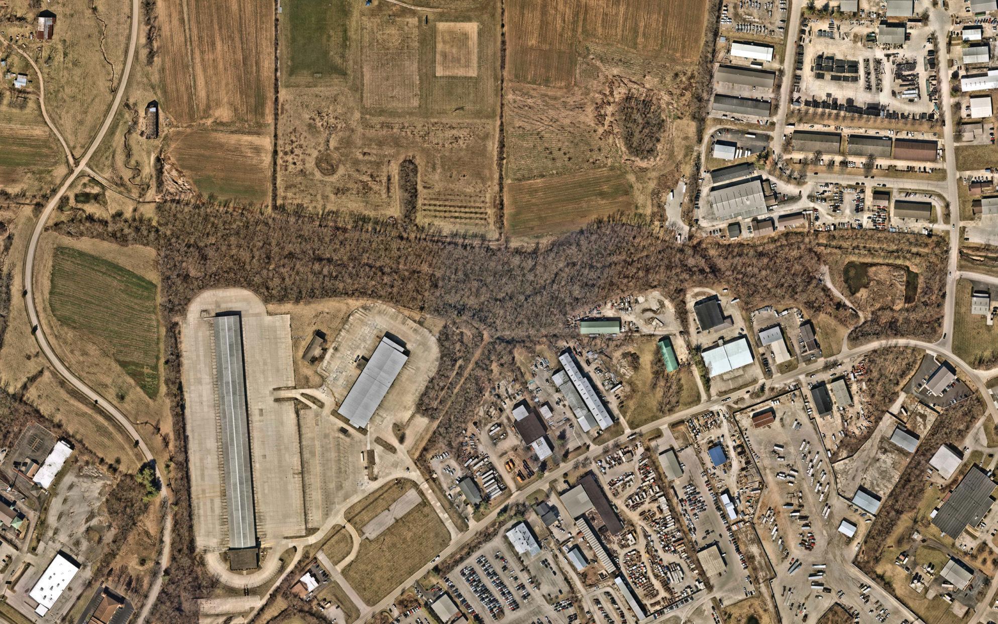
• Acreage brought in as part of the total 2,800+ acre UGMP
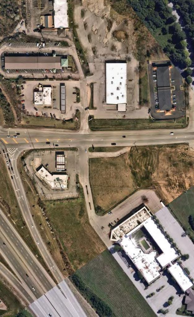
• Approximately 303.4 acres
• Experienced its most rapid grow th and development in the late 1970s, early 1980s
• Anchored by several large companies and prominent property owners
• Neighbors include the hotel cluster at I-75, Sayre Athletics, and the new Lexington Sporting Club HQ
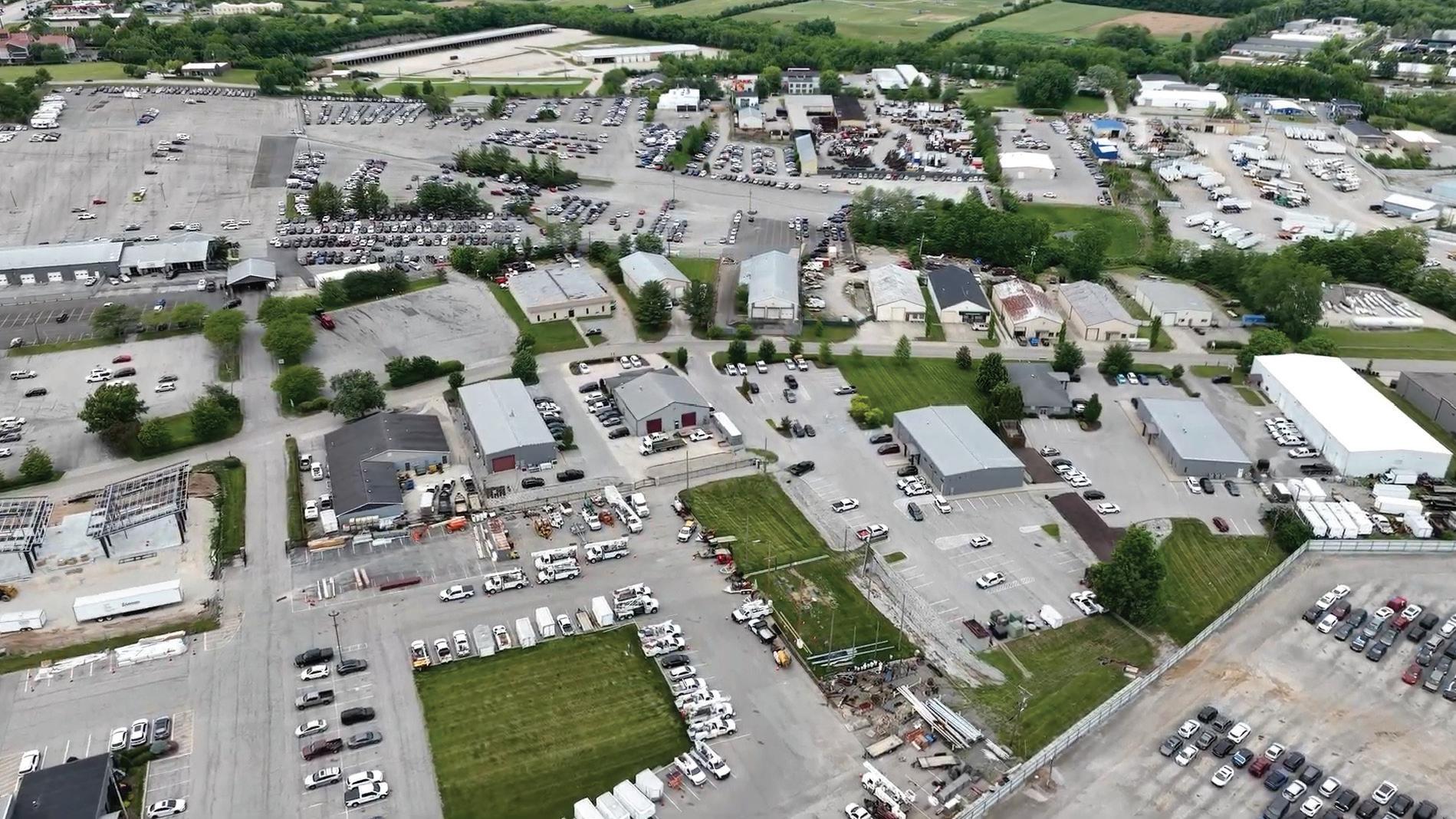
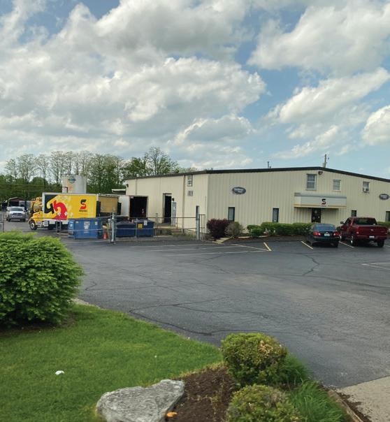
• Primarily industrial / heavy commercial
• Large expanses of impervious pavement
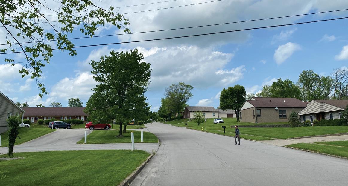
• Generally well landscaped, with many verdant areas
• Buildings tend to be low-rise warehousestyle structures, with pitched roofs and low loading dock heights
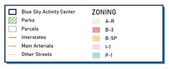
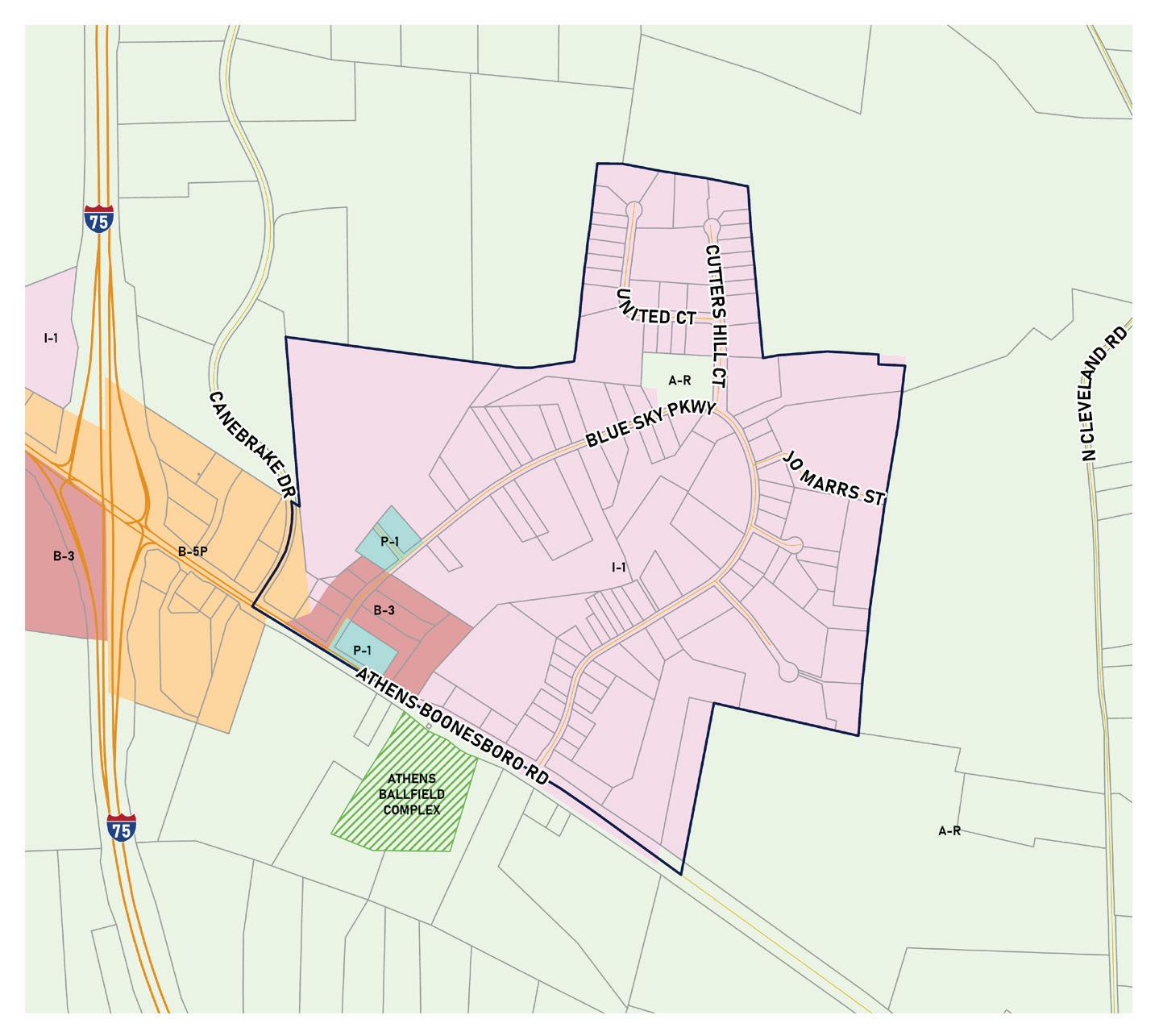
• Majority of study area is zoned I-1, supporting light industrial uses
• Collection of properties zoned B-3 (Highway Service Business) facing Athens Boonesboro Road
• Bordered by A-R
• Retail and hospitality at edge of property touches B-5P (Interchange Service Business)
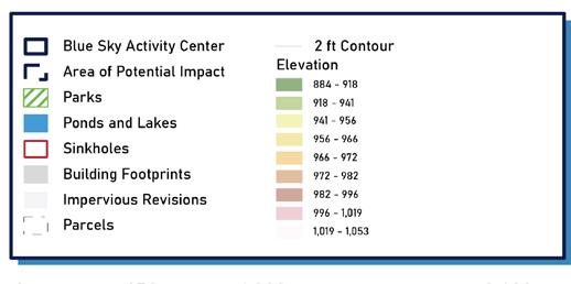
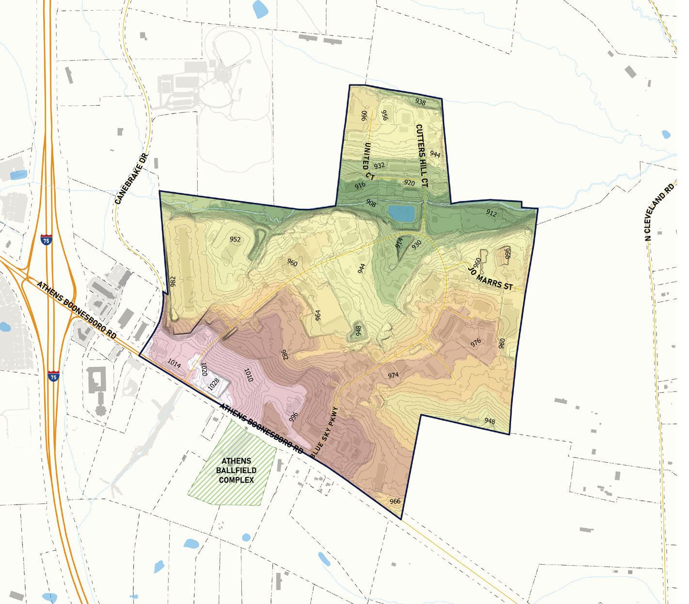
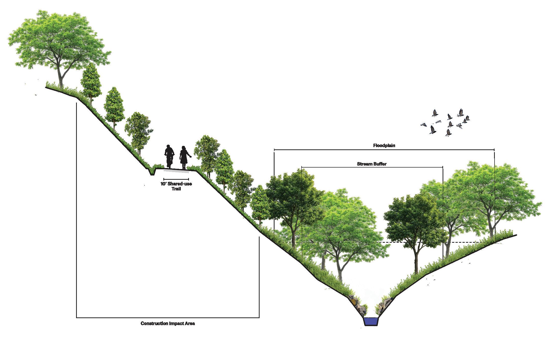
• Challenges with significant elevation change (+/- 130 vertical feet) from Athens Boonesboro Road to stream at north end of study area
• Topography plateaus at edge of stream
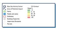
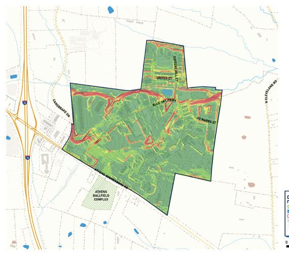
• Portions of the site have steep (10%) and extremely steep (20%) slopes


• Door-to-Door
• Mailings
• Yard Signs
• Social Media
• Engagement Activities
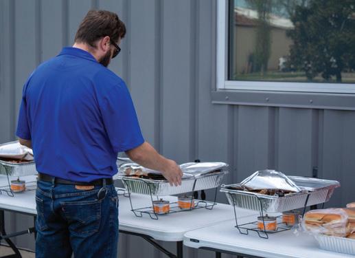
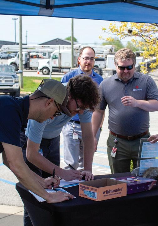
• Community BBQ Lunches with Employees
• Lunch Discussion with Employees and Employers
• Online & In-Person Survey
• Focus Groups of Business and Property Owners
• Old Richmond Road Neighborhood Association


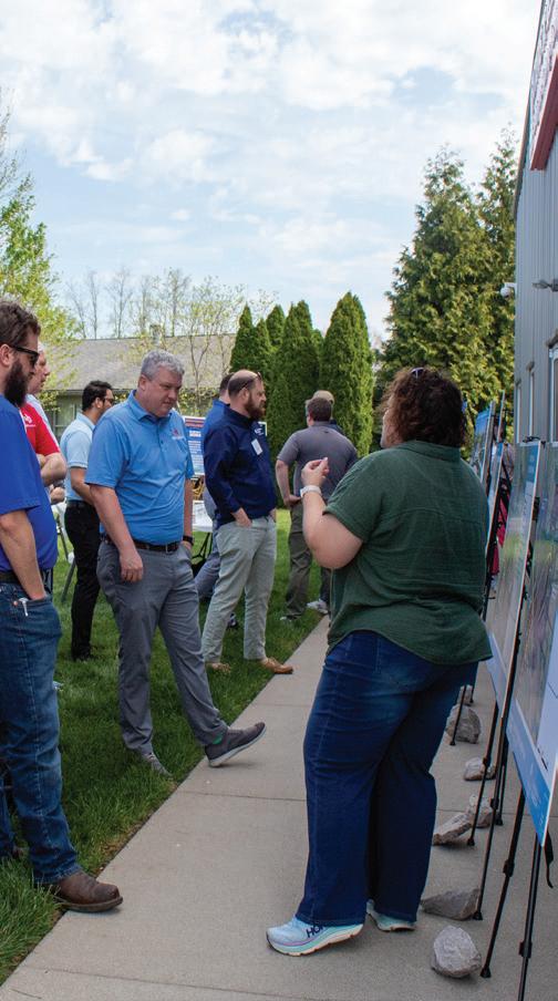















Prioritize snow and ice plowing of Blue Sky over the raising of Cutters Hill bridge.
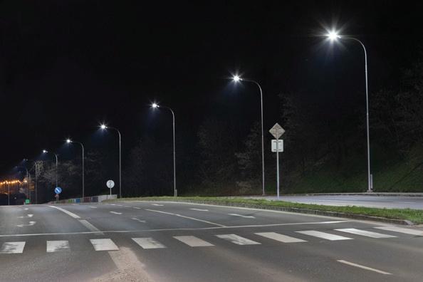
Most were in favor of the streetlights.
For the all way stop at Cutters Hill.
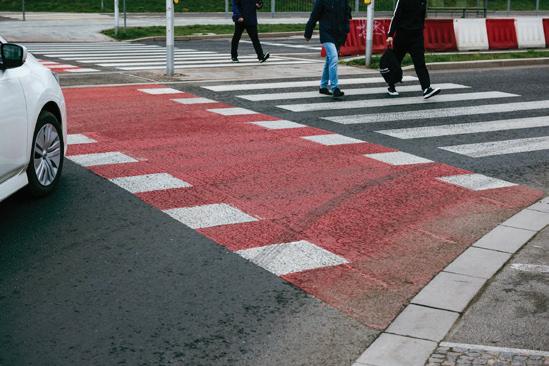
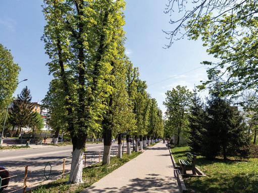
Support of the proposed sidewalks. It’s currently unsafe to walk but would like to be able to walk.
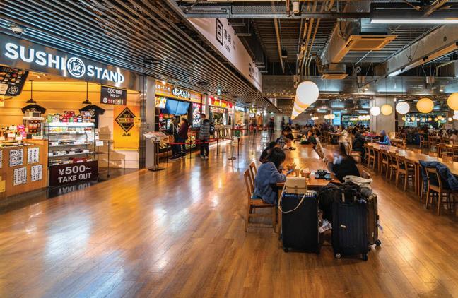
Lunchtime food trucks in the park.
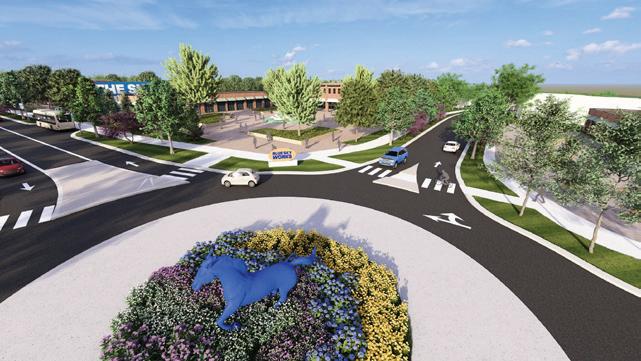
Signal and roundabout on Athens Boonesboro seems much safer.
General support for long-term central road vision.
Power and internet reliability are needed.
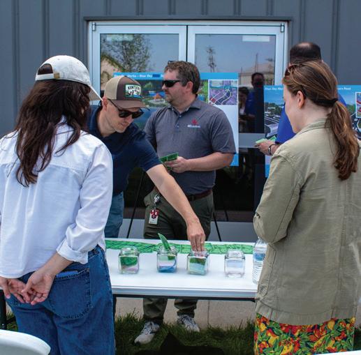
Everyone was given $10 to spend on “catalogue items”. • $440 spent / 44 participants
SPEND AS MUCH OR AS LITTLE OF YOUR BLUE SKY BUCKS ON THE IDEAS* THAT MATTER MOST TO YOU.
AN IDEA IS “ORDERED” IF THE LISTED PERCENTAGE OF BLUE SKY BUCKS IS REACHED ACROSS TOTAL BUCKS SPENT.


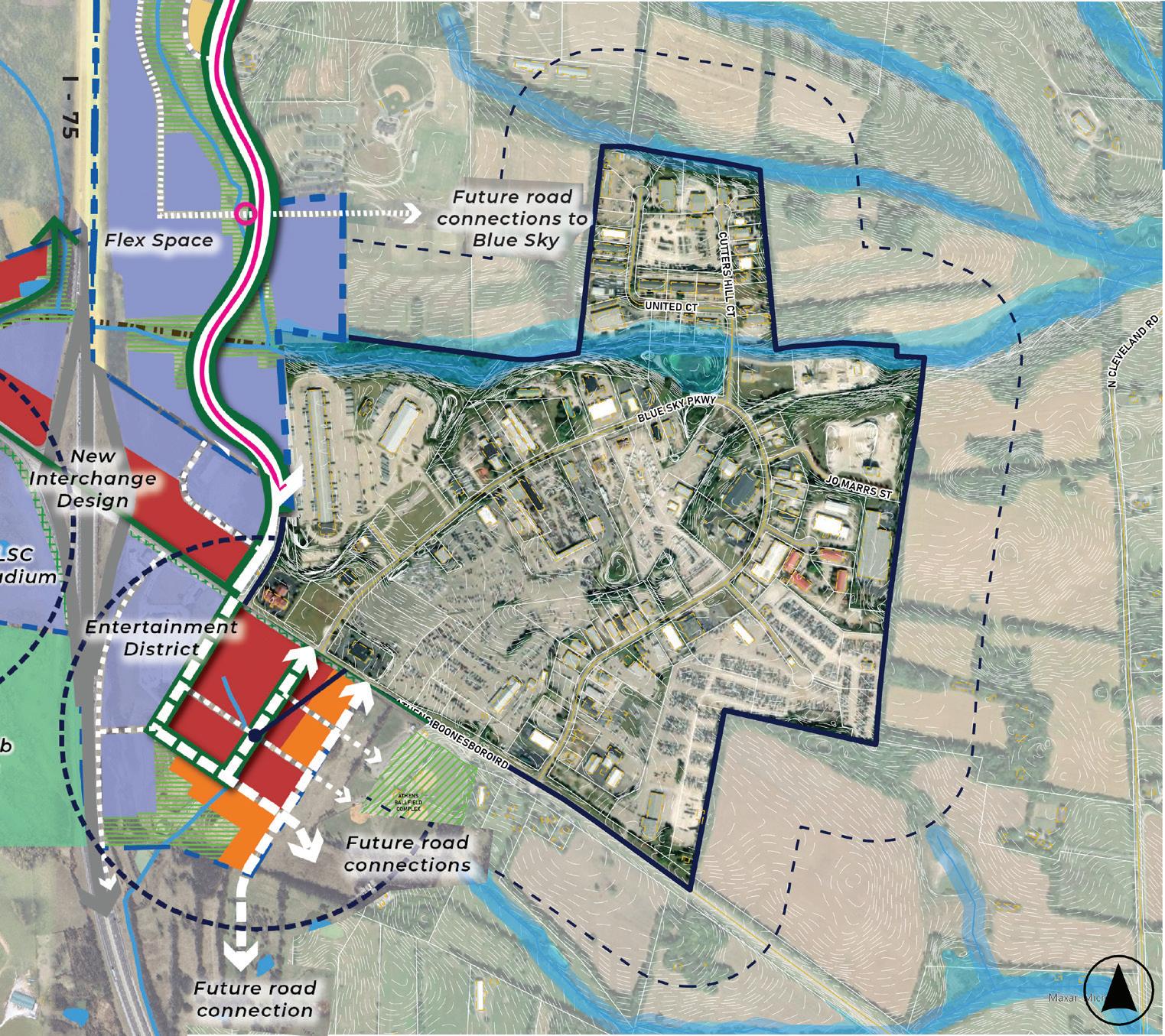
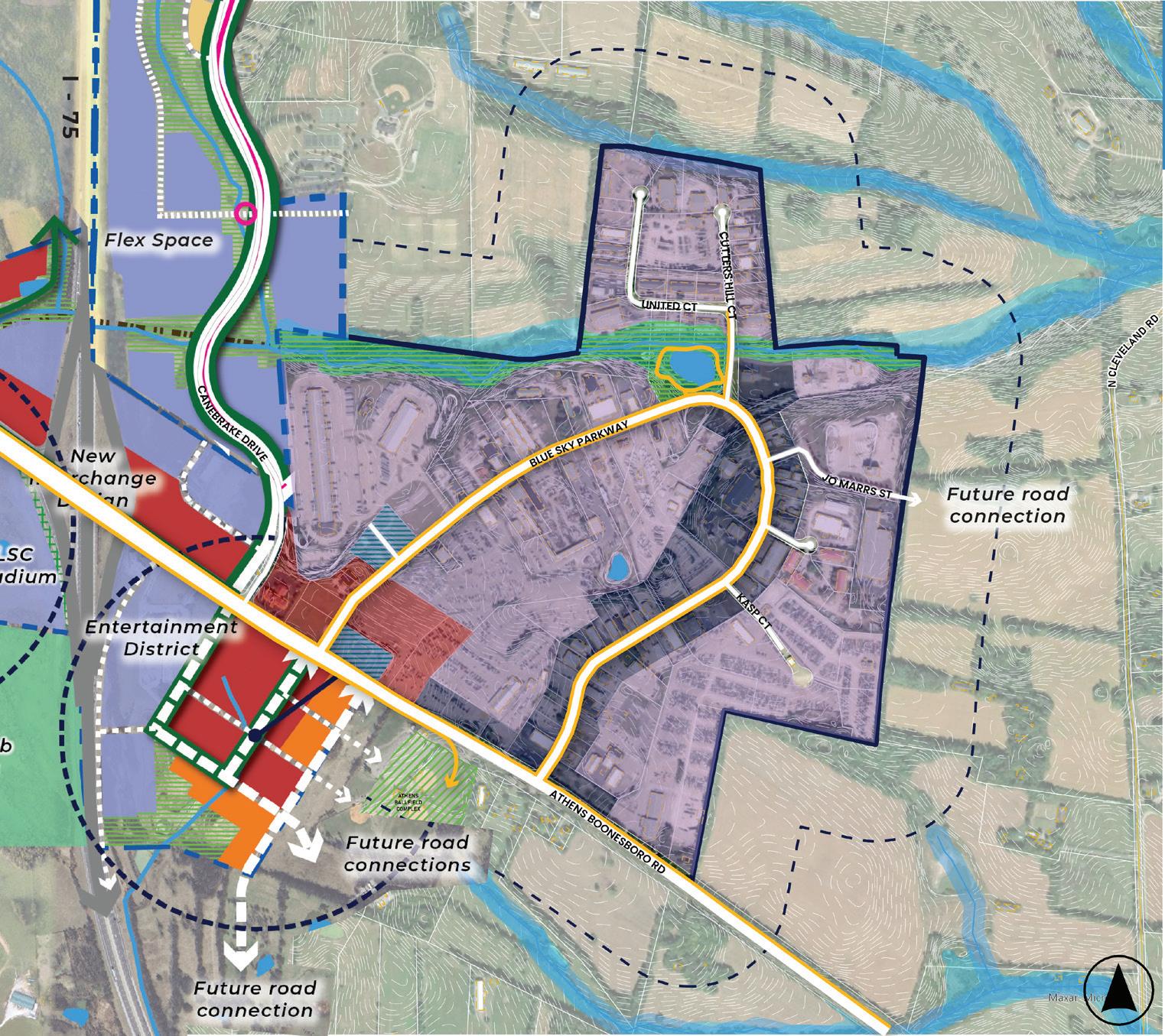
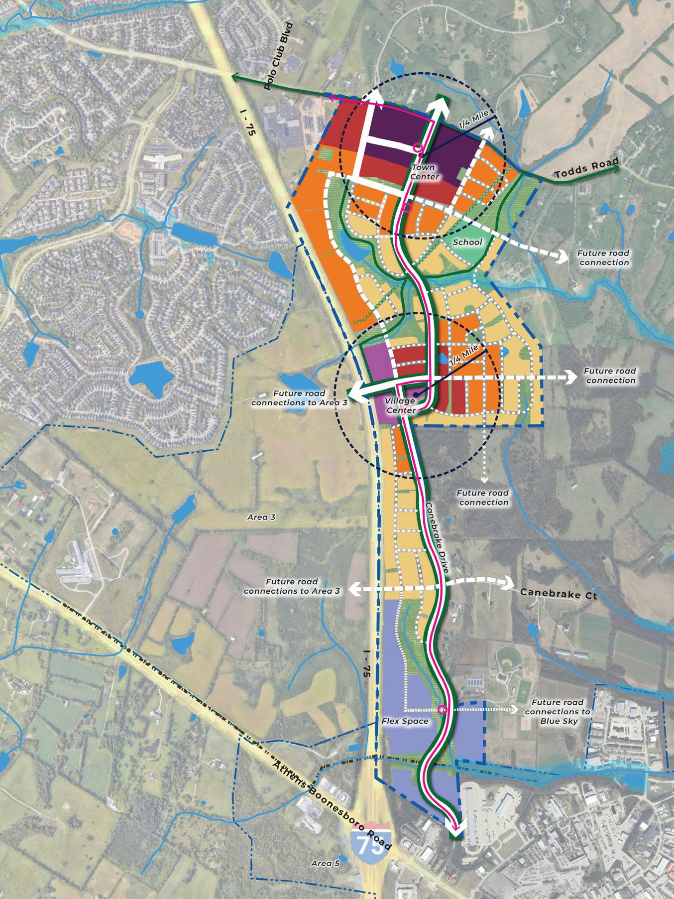
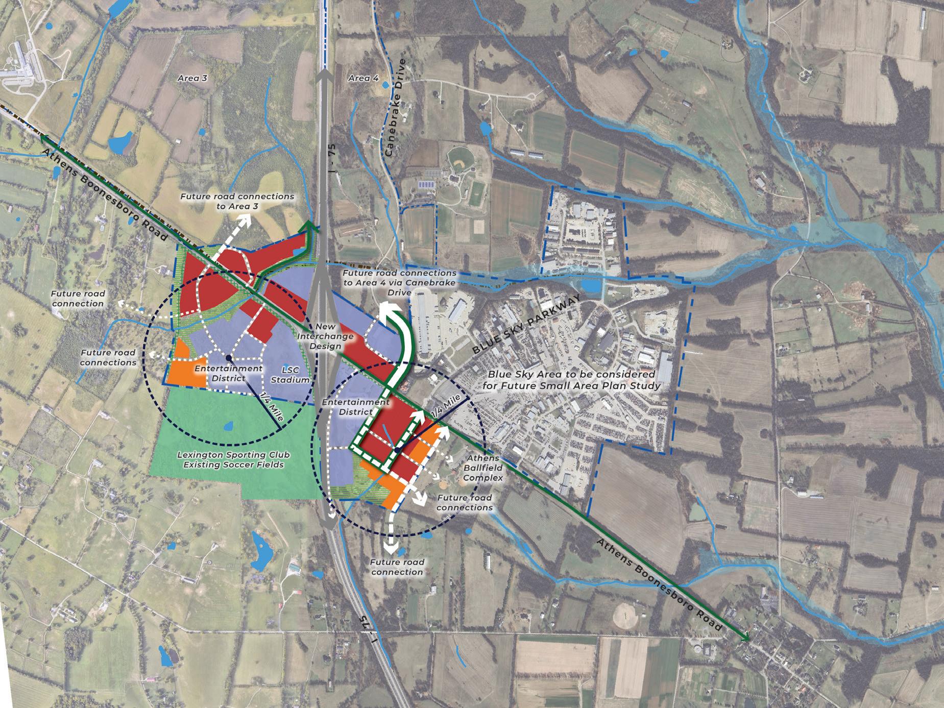
Connection to Areas 4 and 5 of the UGMP
• Large portions of adjacent flex space
• Entertainment and mixed use across Athens Boonesboro
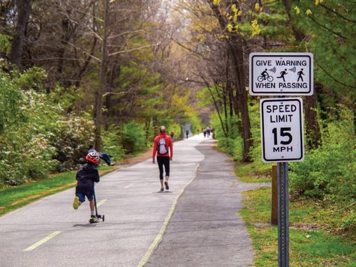
• Expansion of bicycle/pedestrian access to Blue Sky on Athens Boonesboro
• Canebrake Drive connection to Todds Road and Blue Sky
An increasing market for industrial sites where an executive office component is collocated with warehouse, distribution, or manufacturing buildings.
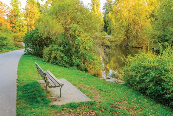
A healthy work atmosphere encourages the occasional break to escape the office - safe facilities created to encourage pedestrian activity.
Green/open space is at a premium in an industrial zone, and can serve as both an amenity and workhorse for stormwater management.
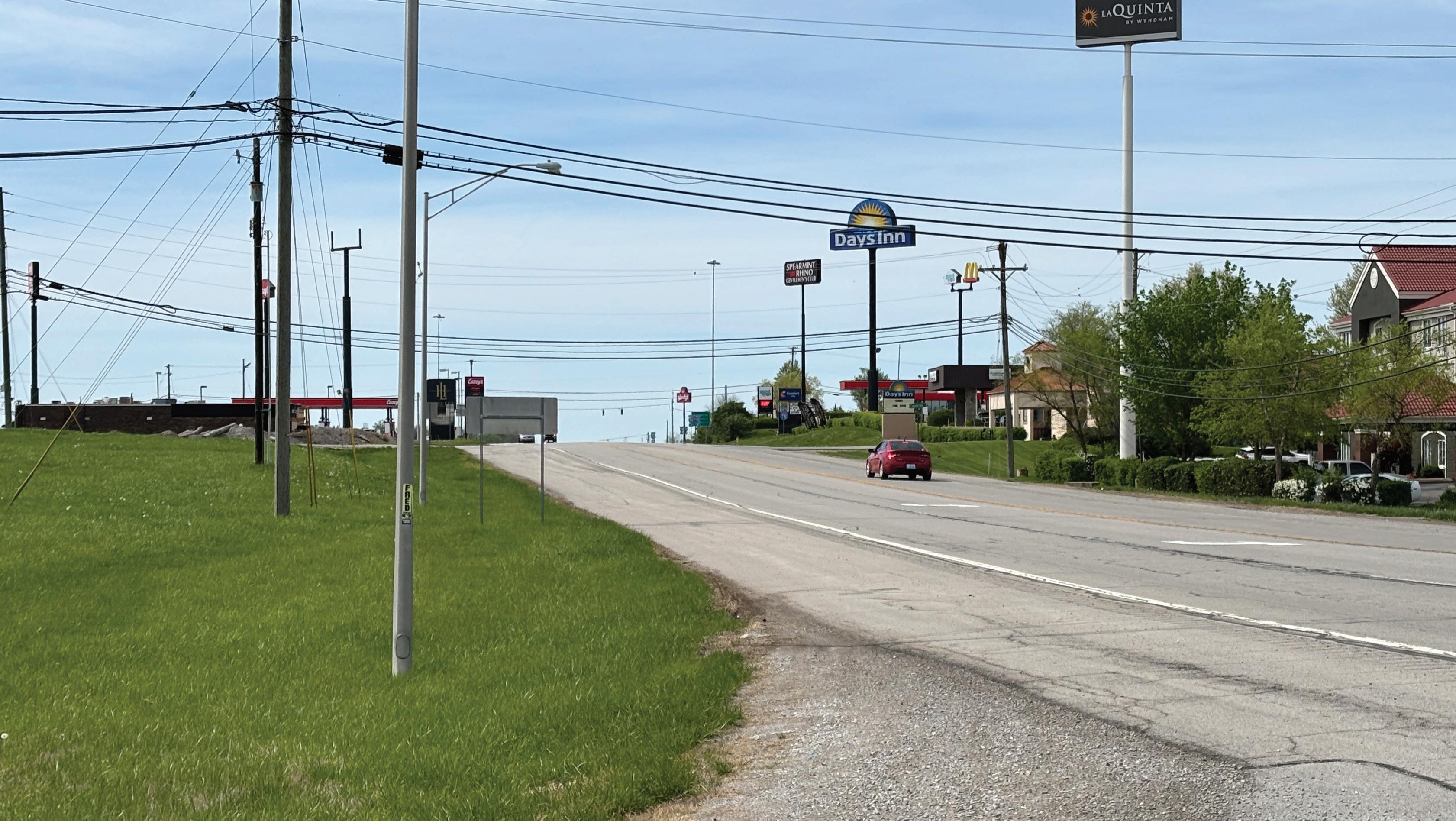
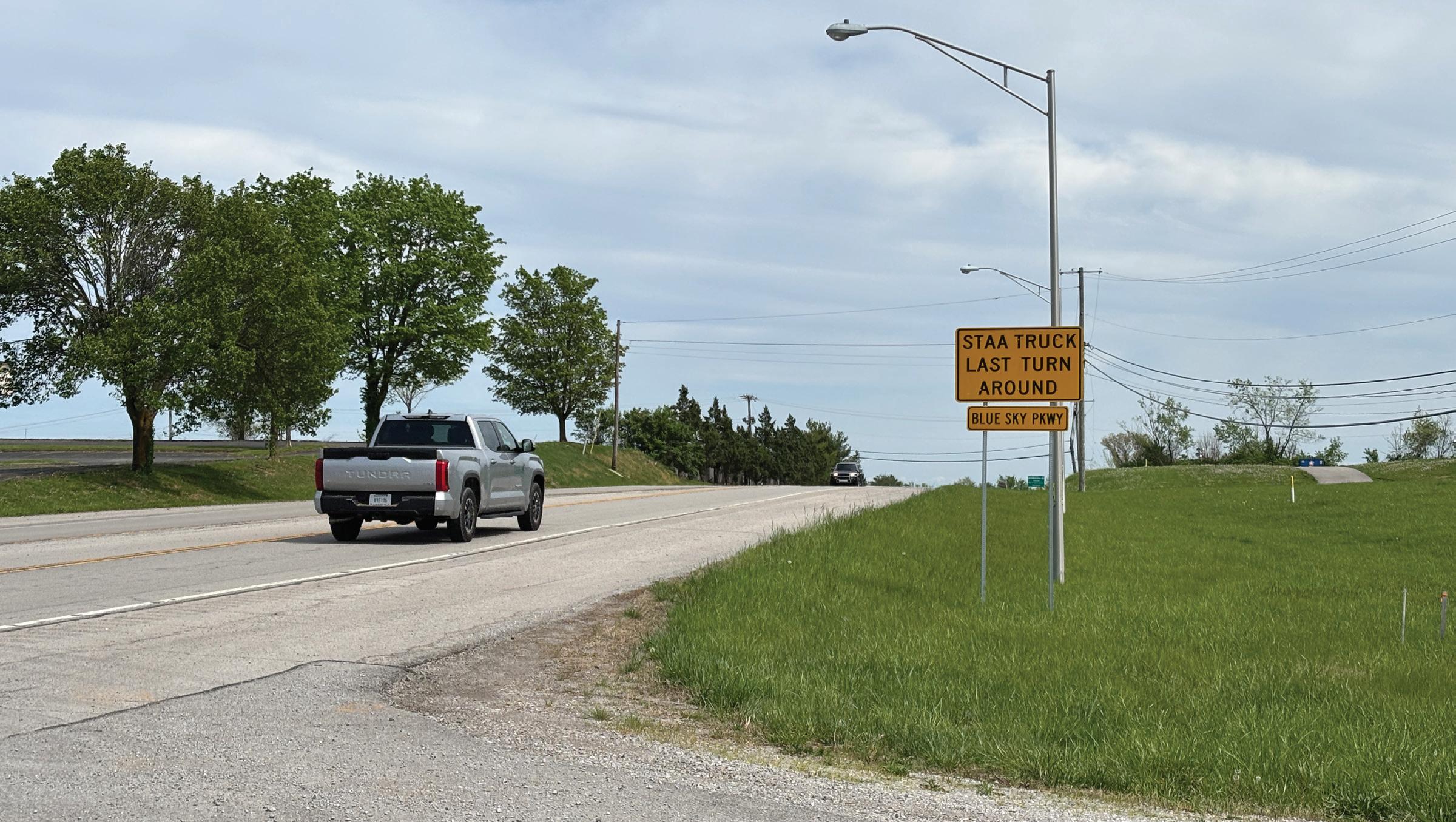
Athens Boonesboro Road needs improvement to slow traffic coming off the highway, and to divert all freight traffic to Blue Sky before the road drops down to a rural section.
Not to be undersold is the overarching need to maintain an industrial functionality – heavilyused with heavy truck traffic.
• Opportunity for executive campus
• Enhanced bicycle/pedestrian infrastructure around Blue Sky Pkwy
• Sidepaths along Athens Boonesboro
• Stormwater amenity / open space
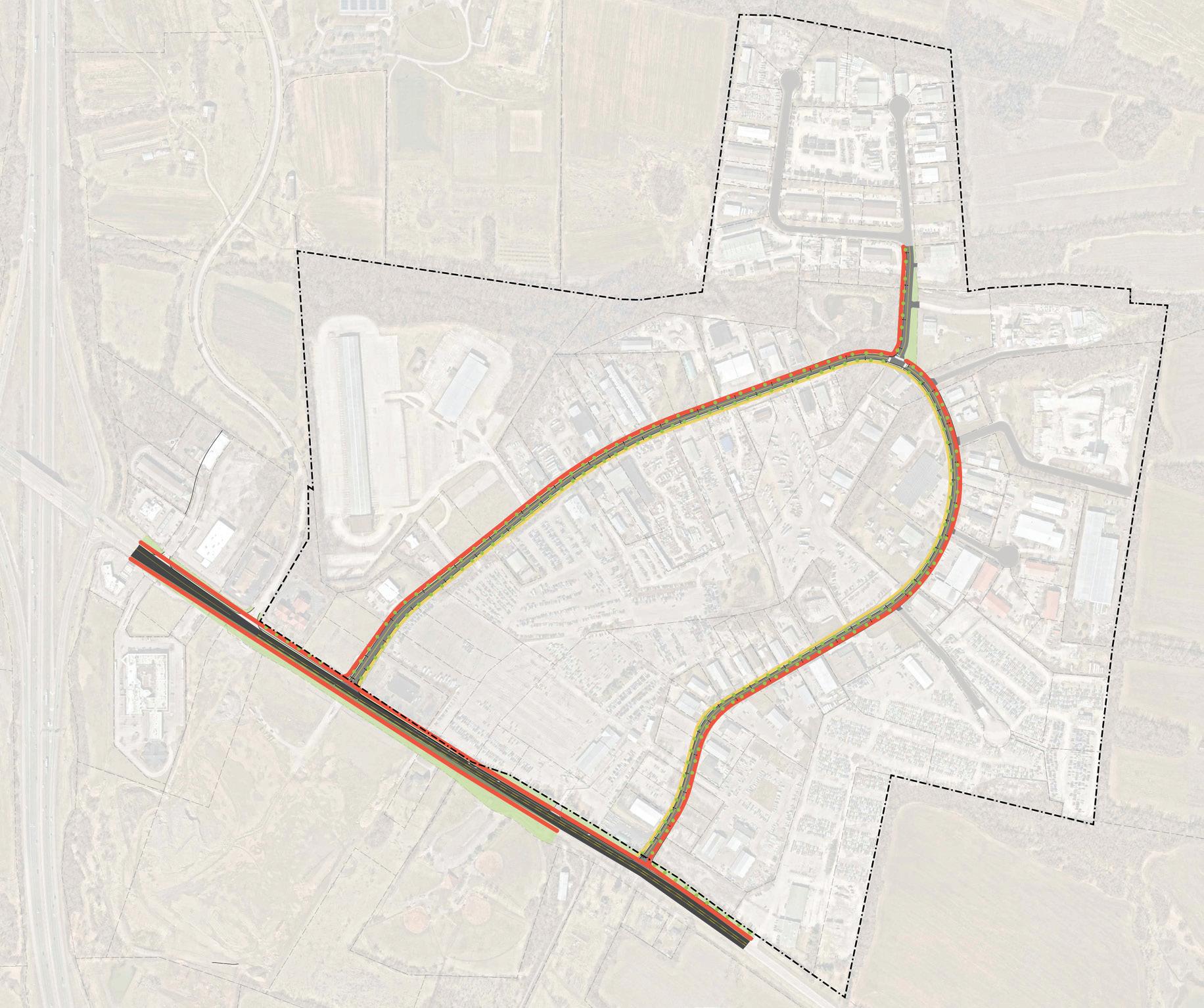
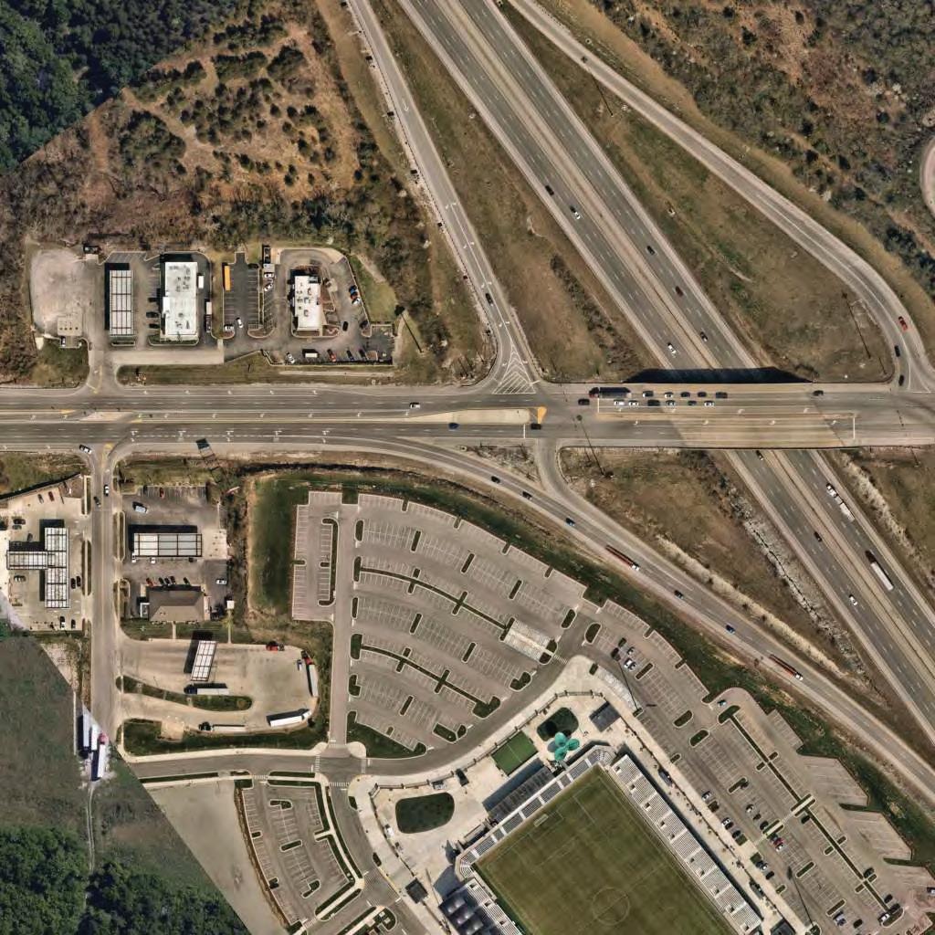
Interchange improvements at I-75 under design.
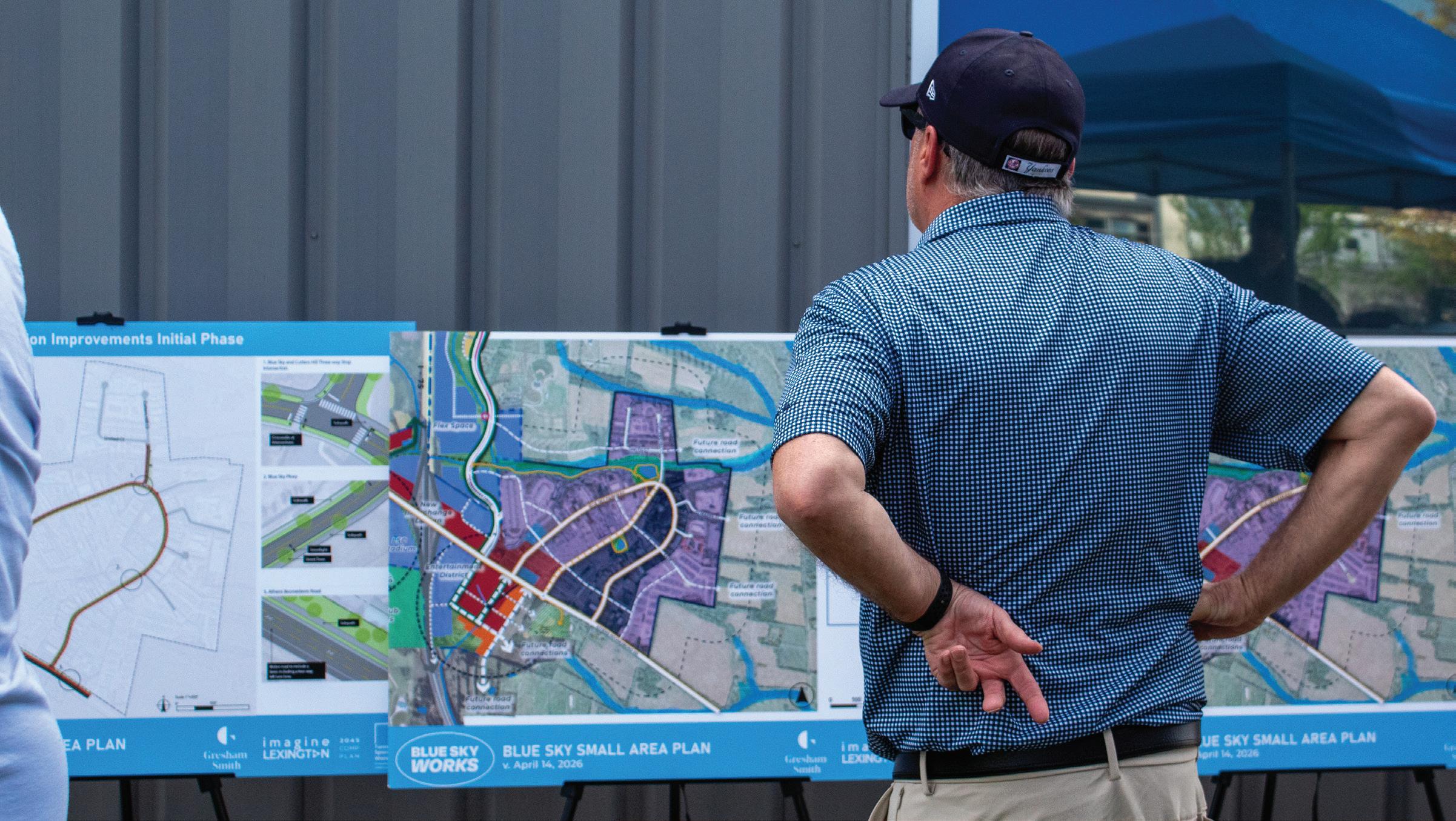
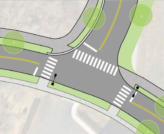
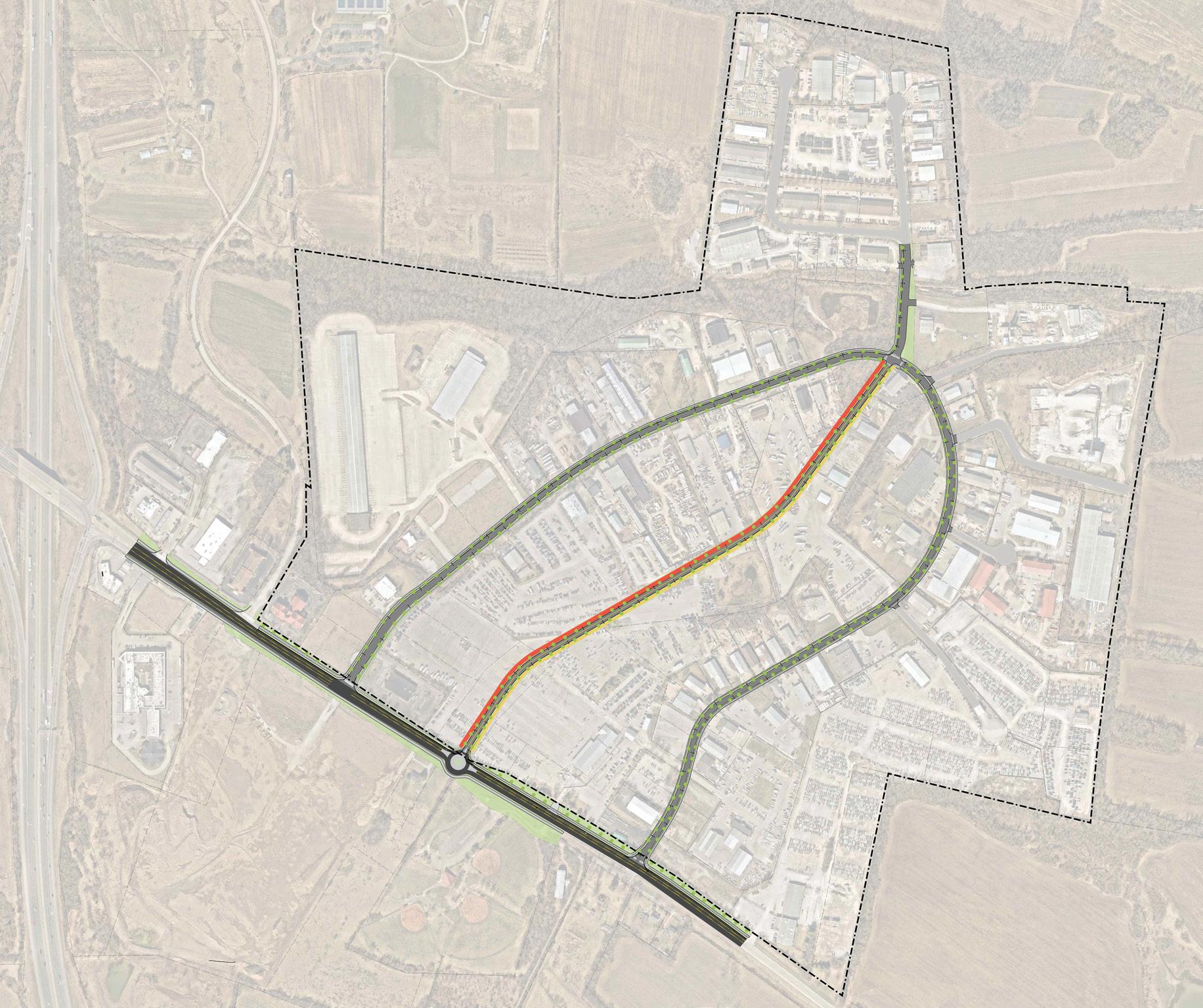
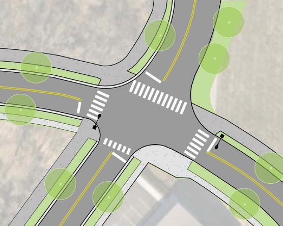
Intersection
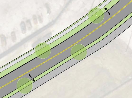
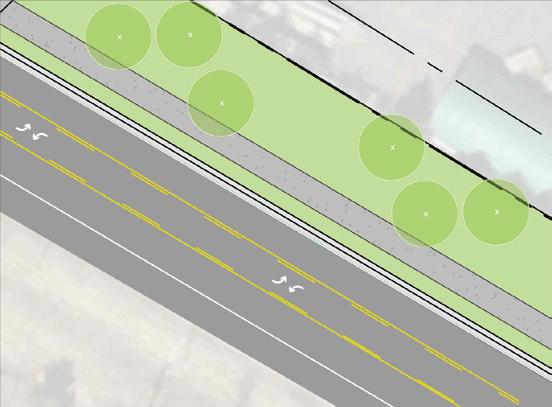
street section with pedestrian amenities
street section with pedestrian amenities
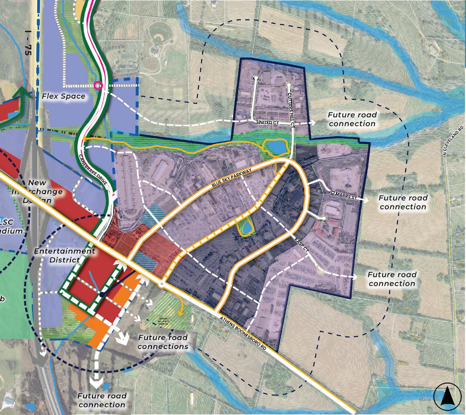
• Central Roadway
• Expanded executive office/industrial
• Creekside trail
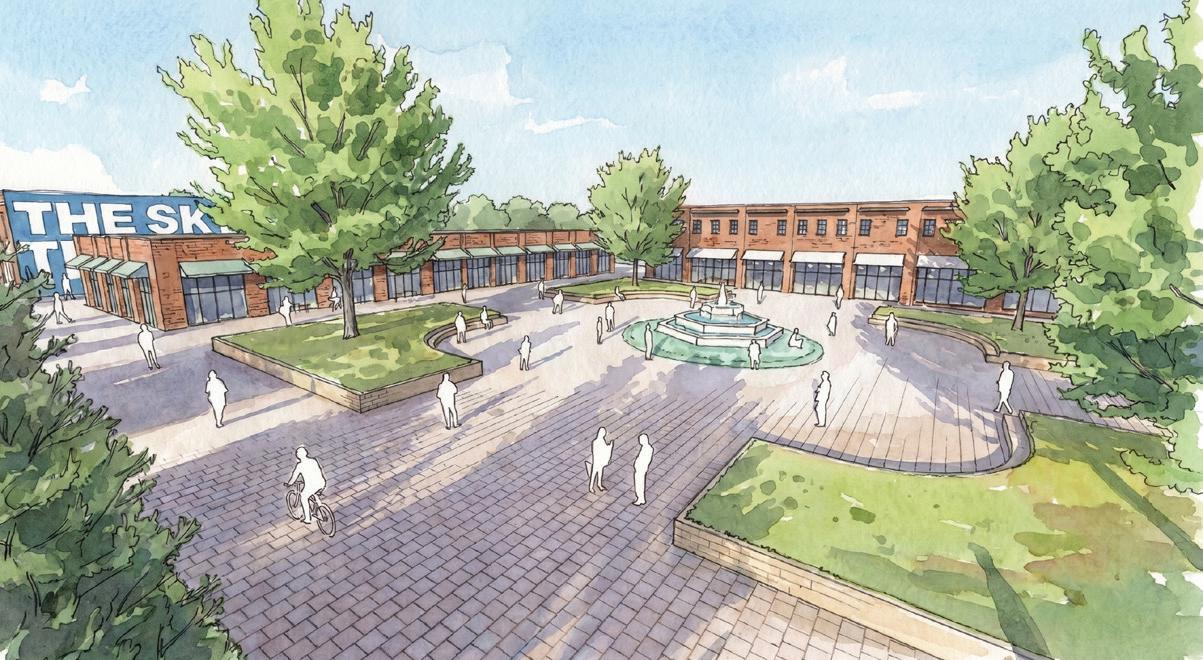
• Central open space
• Optional internal roadway connections
• Potential Canebrake connections
• Additional future road connections
Interchange improvements at I-75 under design.
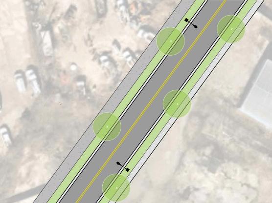
Existing Right of Way Varies (+/-45’ - 65’)
Permanent Sidewalk Easement (typ. 5’-10’)
Existing Curb with Proposed Striping to Narrow the Drive Lane
Opportunity to test new road width through narrower painted lanes.
Inclusion of street lights for safety of employees after dark.
Existing Curb with Proposed Striping to Narrow the Drive Lane
Permanent Sidepath Easement (typ. 5’-10’)
Include bollards at sidepath crossing points and signage to deter the use of golf carts and off-road vehicles.
A 10’ sidepath represents the ideal typical section for multimodal circulation.
10' Shared-Use Path
Timed Pedestrian Crossings
Push Button Pedestrian Signal
10' Shared-Use Path with Barrier Wall
I-75 / Athens Boonesboro Road Diverging Diamond Example - East
Push Button Pedestrian Signal
10' Shared-Use Path with Barrier Wall
10' Shared-Use Path with Barrier Wall
10' Shared-Use Path
Timed Pedestrian Crossings
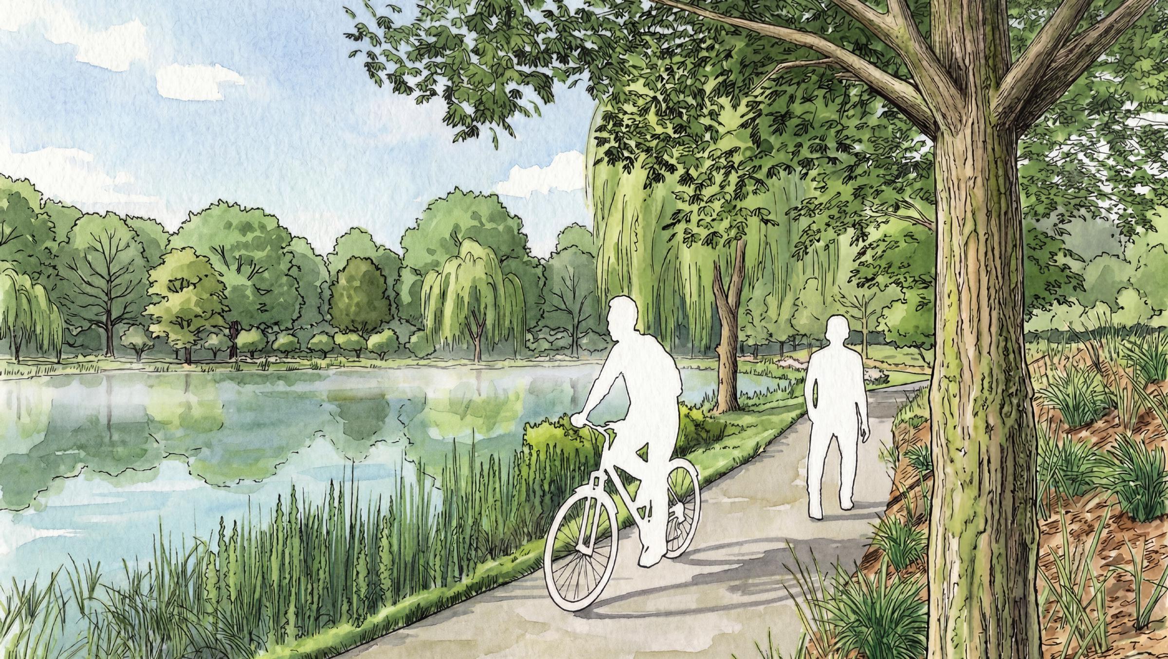
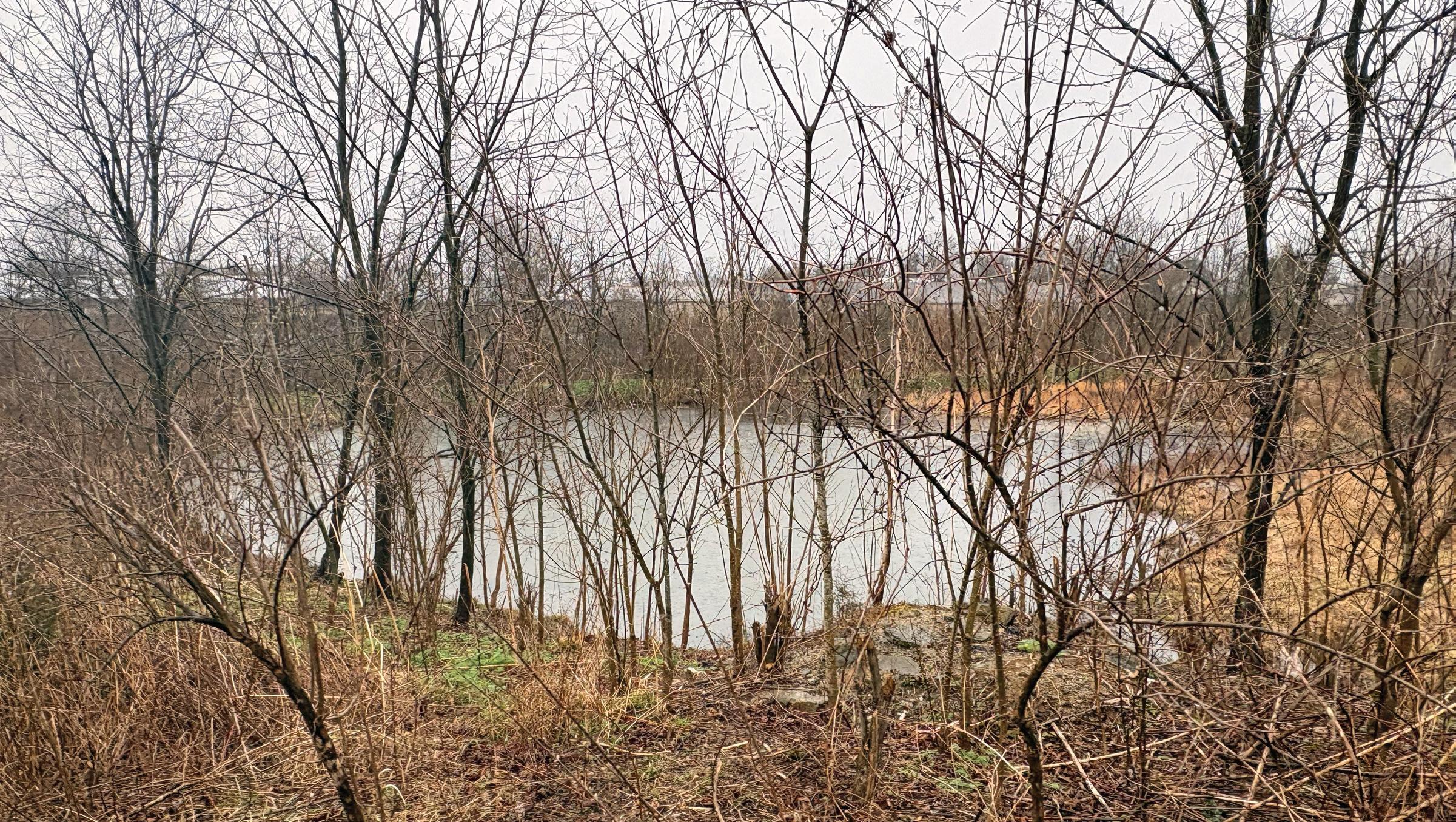
Stormwater amenity
Parking and food truck area




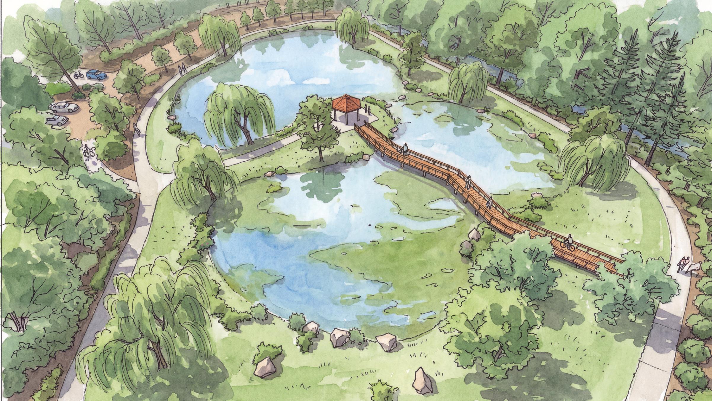

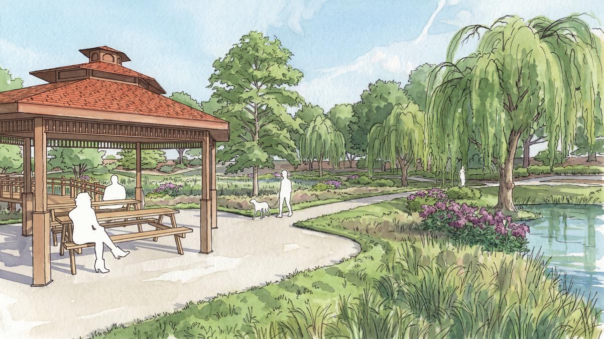
Parking area for lunchtime food trucks
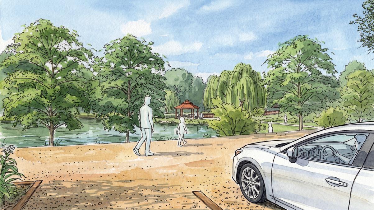
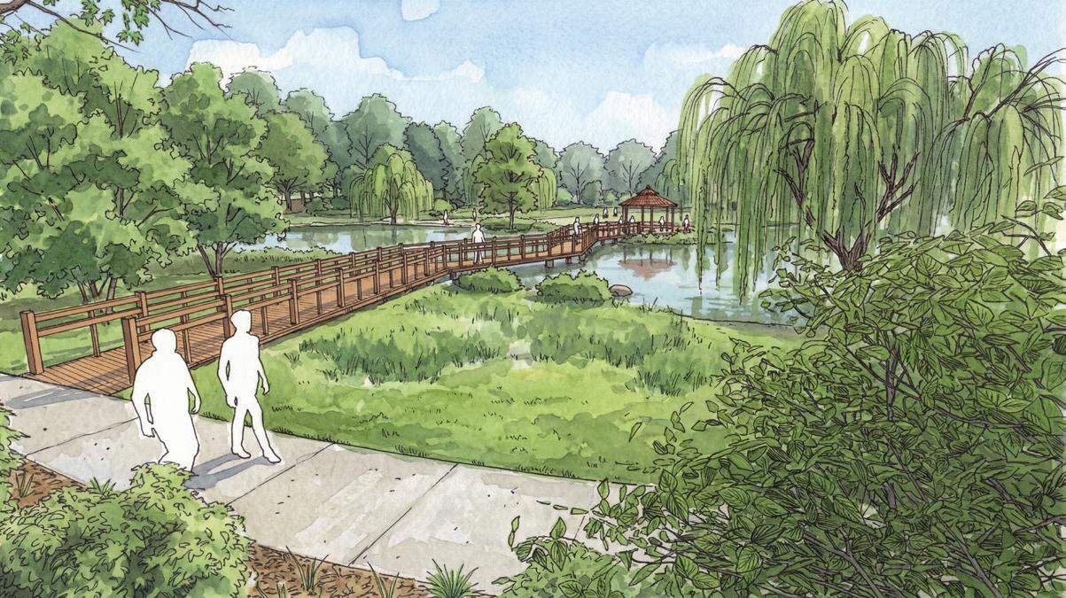

Replace tress impacted by construction.

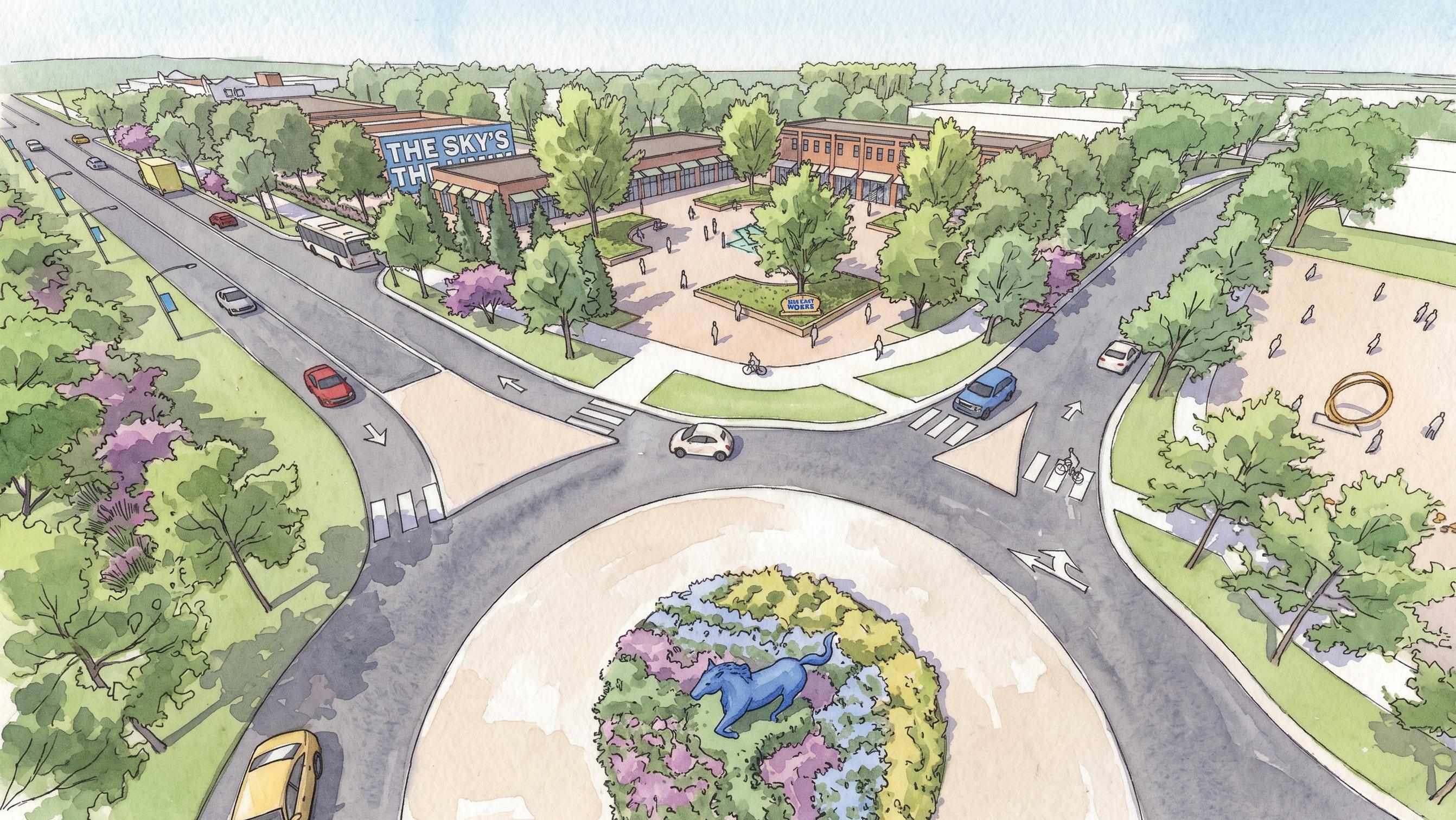
Athens Boonesboro Road Mixed-Use Commercial
Mixed-use commercial provides opportunity for employee -supportive uses
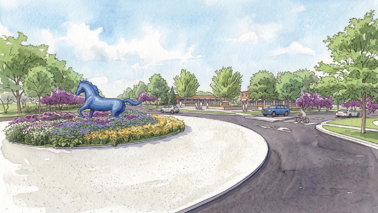
Roundabout to slow and direct traffic
Blue Sky Works gateway opportunity
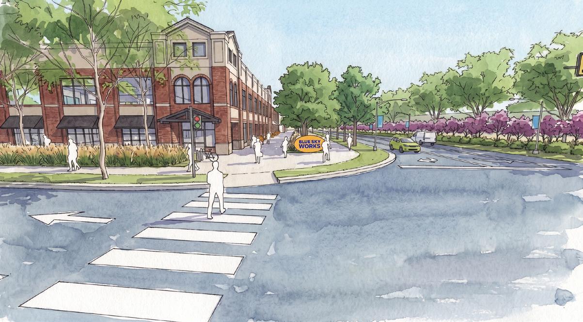
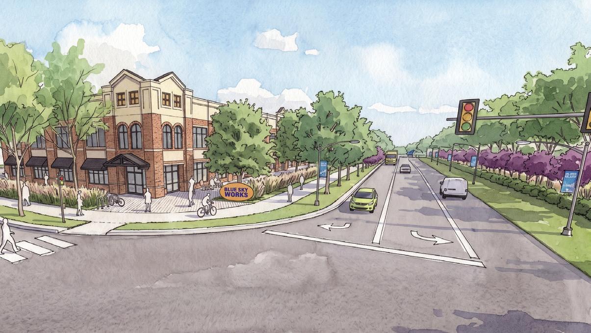
Safer road intersections along Athens Boonesboro
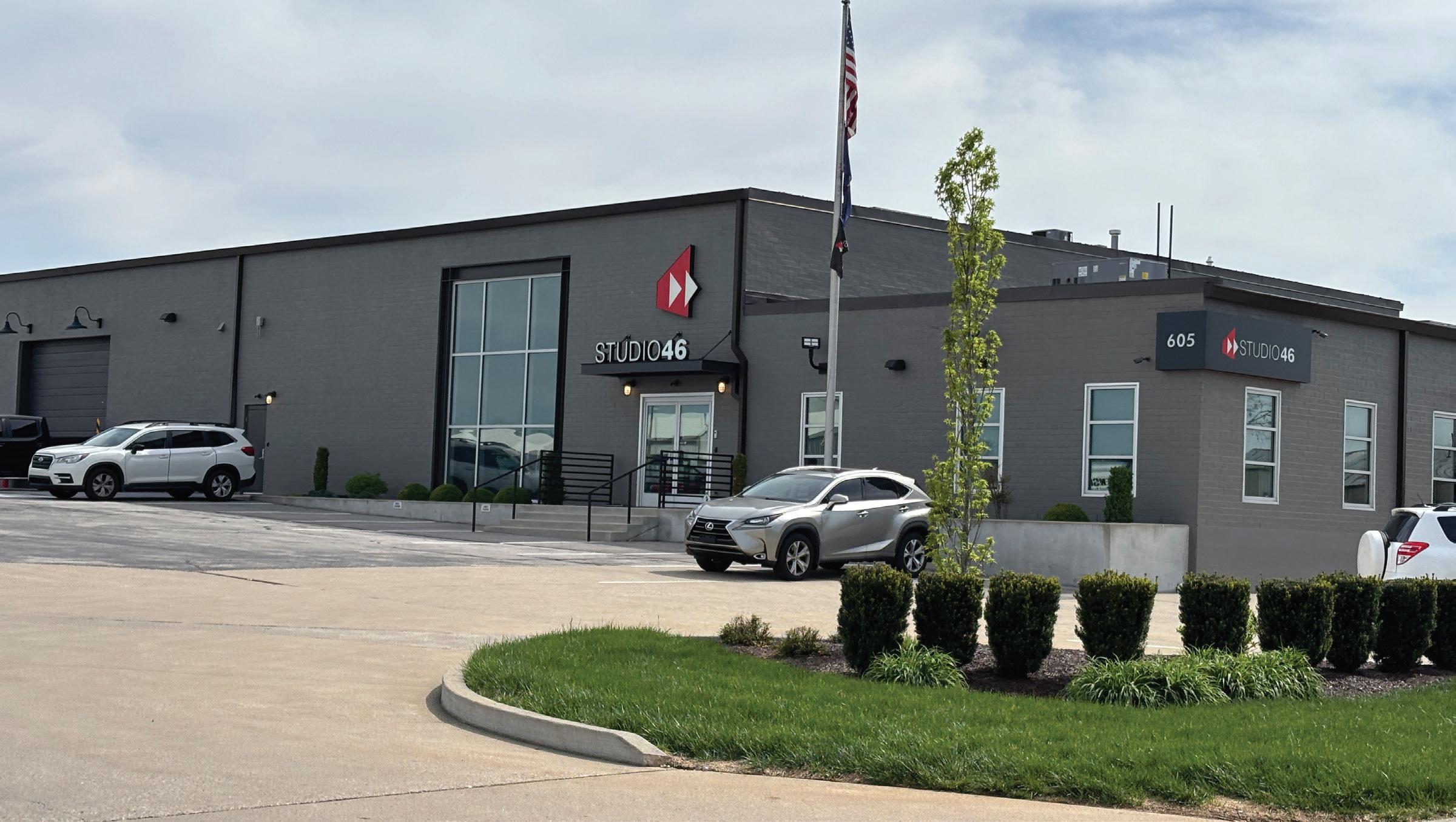
All uses allowed in one zone are referenced in another (i.e., all B-4 uses are allowed in the I-1)
• Loss of Intent and Use Clarity
• Incompatible Uses Slip Through
• Unintended Market Distortions
• Erosion of Specialized Zones (Especially Industrial)
• Reduced Predictability
• Less Policy Control and Fewer Deliberate Choices
• Difficult to Reverse
Remove the references to other zones in, at a minimum, I-1 and 1-2.
Classifying industrial uses based on their impacts, rather than their position in the manufacturing process
• Impacts Matter More Than Labels
• Modern Industry Is Diverse and Blurred
• Better Compatibility With Surroundings
• Supports Mixed-Use and Urban Industrial Strategies
• Future-Proofing the Code
• Encourages Innovation and Cleaner Operations
• Improves Transparency in Decision-Making
Implementation
Classify certain industrial uses based on impact, rather than the type of product being processed or produced.
• Low-Impact Industrial and Manufacturing (I-1, 1-2)
• High impact Low-Impact Industrial and Manufacturing (I-2 only)
It is important that the terms used to regulate land uses remain current, as economies, technologies, and business models evolve.
• Keeps the Code Relevant to Modern Uses
• Improves Clarity and Consistency in Decision-Making
• Aligns Regulation With Actual Impacts
• Supports Economic Development Implementation
Define new uses and use standards and allow as specified:
i. Data center uses:
• Minor (up to 50,000 SF, optional substation, >50% site floor area): (B-4, I-1 by conditional use)
• Major (>50,000 SF, optional substation): Not allowed
ii. Research and development (B-4, I-1, I-2)
iii. Self-storage (B-4)
iv. Storage yard: (I-1, I-2)
v. Waste-related uses
• General waste related uses (I-2 by conditional use)
• Recycling center
Existing I-1 zoning allows limited office uses only when they are accessory to an allowed industrial use on a lot-by-lot basis.
• Reflects How Industrial Development Actually Occurs
• Prevents Inefficient or Distorted Layouts
• Supports Modern “Light Industrial Campus” Models
Update office use standards in I-1
i. Allow multiple adjacent lots under common ownership to calculate compliance at the scale of the campus using the existing development plan process.
Updating the eating and drinking allowances recognizes and supports modern production and commercial hybrid models while still protecting the primary intent of the I-1 district as an industrial area. It allows flexibility, but in a controlled and clearly limited way.
• Supports Modern “Maker ” and Craft Production Trends
• Keeps the Use Clearly Industrial (Not Commercial Drift)
• Improves Economic Viability of Food Production Businesses
• Activates Industrial Areas Without Undermining Them
Update eating and drinking standards in I-1:
i. Allow eating and drinking establishments when accessory to a facility that manufactures food or beverages (max. 30% floor area)
While not directly related to Blue Sky, recommendations to allow more limited non-industrial uses in the I-1 district may also affect other zoning districts, such as the Economic Development (ED) district.
The following are updates based on Planning Commission comments:
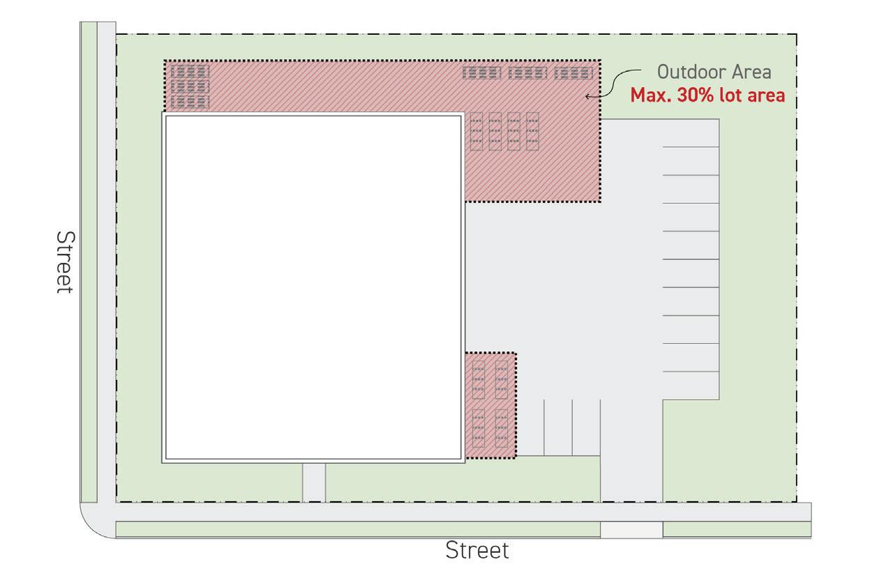
• Clarifying that limited some limited outdoor storage and processing is allowed (but it’s limited to 30% of the lot area).
• Update I-1 outdoor storage standards to allow up to 30% of the lot area.
• Updated the industrial and manufacturing definitions to include objective distinctions
• Updated list of uses allowed in high impact industrial and manufacturing to include existing typical uses.
The following are updates based on Planning Commission comments:
• Updated standard related to machinery yards.
• Updated data center standards to include min. 1,000 ft separation from “an agricultural zone located outside the urban service area.”
• Removed a few uses from the definition of “high impact manufacturing” that are more akin to utility or public uses.
• Added the typical conversion chart exhibit.