3 minute read
From coal mine to upland hay meadow

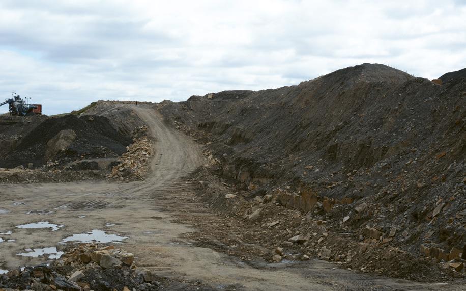
Site in operation. © Chris House
Remediating a former open cast coal site is a complex process, which shines a light on the need for greater recognition of soil when considering Biodiversity Net Gain and ongoing management and monitoring.
The effective restoration of any former mineral site can only be achieved if there is an available soil source on site. Depending upon the type of mineral activity, this resource may be very variable. Sadly, it is often the case that soils are not treated with the same qualitative measures as other ecological assets but, without them, nature conservation objectives will not be fully met. Biodiversity Net Gain guidance, as currently drafted, gives little weight to the presence or absence of soils or soil types. This is unfortunate because it’s this information that will ultimately determine the most appropriate habitat type to be provided. Hopefully future updates of BNG guidance will address this issue to ensure that appropriate weight is given to soil type in site restoration.
Halton Lea Gate is a former open cast coal site situated on the Cumbria-Northumberland border. The site was worked for open cast coal, but the operator went into administration in 2020. Consequently, the site was left in a partially worked, partially restored state. House Associates was employed by the administrator to invoke the restoration bond with Northumberland County Council.
Working closely with the County Council Minerals Planning Officer, a revised restoration scheme was drawn up to create a mosaic of grassland habitats to complement the nearby RSPB reserve at Geltsdale.

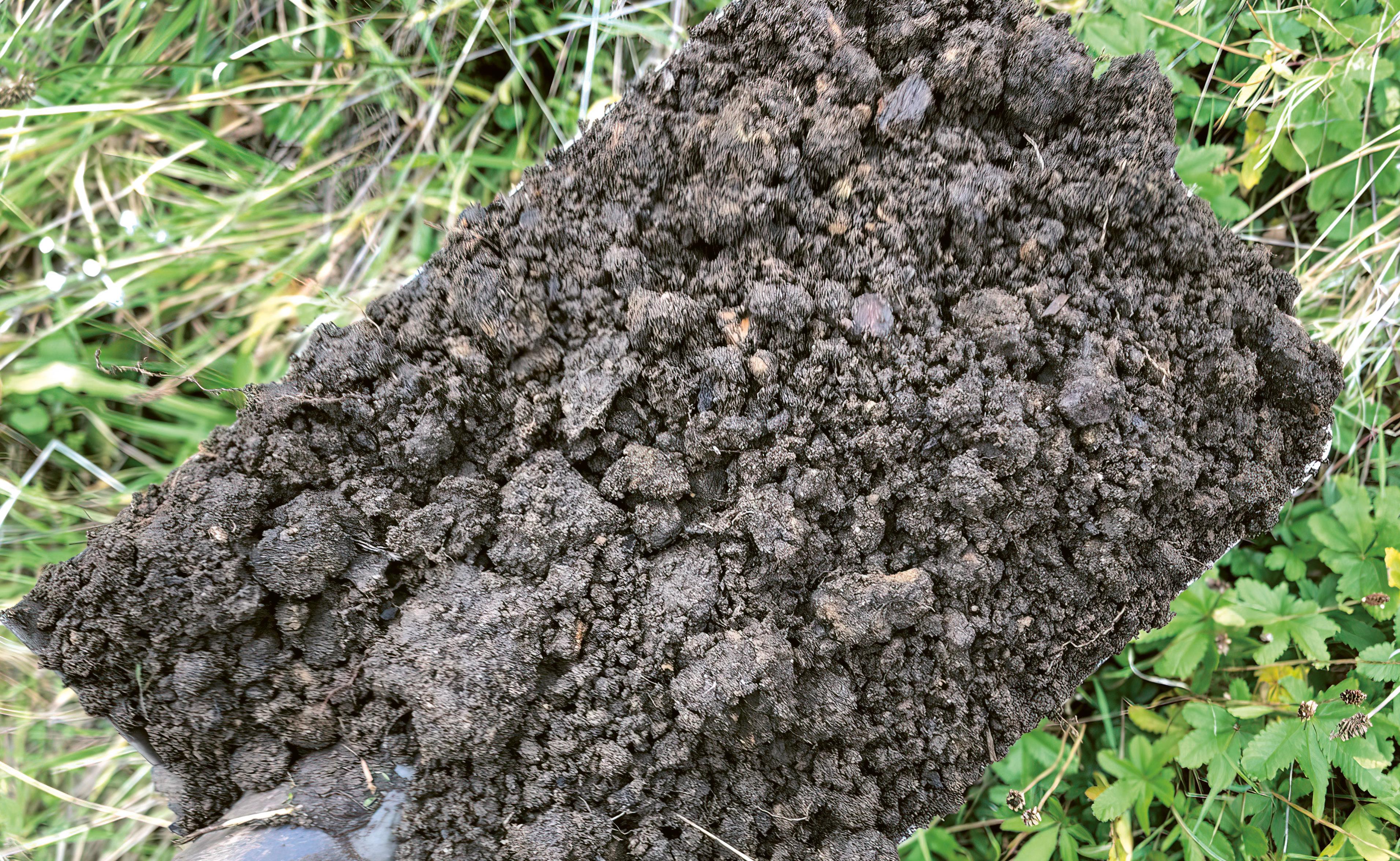
Prior to the commencement of the open cast coal working, the site was stripped of topsoil, which was stored along the periphery of the site. The principal restoration objective for the site was to recreate traditional upland hay meadow. In these areas, a minimum of 250mm of topsoil was placed over regraded shales and subsoils. These were then seeded in late spring and early summer, ensuring a successful germination by early autumn. There were insufficient soils available to achieve a 250mm depth over the entire site, so areas of rough grassland were created on the steeper slopes and adjacent to retained wetland areas, requiring soil cover of only 100–150 mm.
Other areas within the site with rocky substrata were loose tipped with a minimal cover (50mm) of soil. These areas were left unseeded to allow natural regeneration to take place. By providing this matrix of managed rough grassland and wet grassland, it is hoped that local upland waders such as curlews can continue to thrive.
A Landscape and Ecological Management Plan was drawn up for the site to ensure that regular monitoring takes place. It is often the case that soils are forgotten in these plans, but post-restoration soil surveys are extremely helpful in determining how rapidly soils recover and the overall soil health. Monitoring will inform learnings that can be applied to other sites.
Chris House is Director of House Associates and Chair of the new Landscape Institute Education and Careers Committee