1 minute read
Resilient Community Benefits


GIS Mapping Project Reaches 55% of Communities and Counting
When the COVID-19 pandemic resulted in lockdowns starting in early 2020, it severely impacted our ability to deliver much of the in-person programming we’d spent years developing. Recognizing this, we quickly restructured several of our existing programs to be able to deliver them remotely. However, we also turned our attention to explore new opportunities to help our communities in ways that would be impervious to the impacts of “work from home” and persistent lockdowns.
One of the key initiatives we started then was a training program to develop our ability to manage digital mapping of community infrastructure through Geographic Information Systems, or GIS. We are filling a critical data gap, so that local government decision-makers have easy access to information that will help them plan for future improvements or construction. Three years into our project, we have an internal project leader in Toksook Bay, two more staff training to be technicians, and we have established a partnership with technical experts at a company called Akmapco. As federal grant money for infrastructure is announced, we’re proud to be building informational resources our communities can use to help attract funding to their regions.
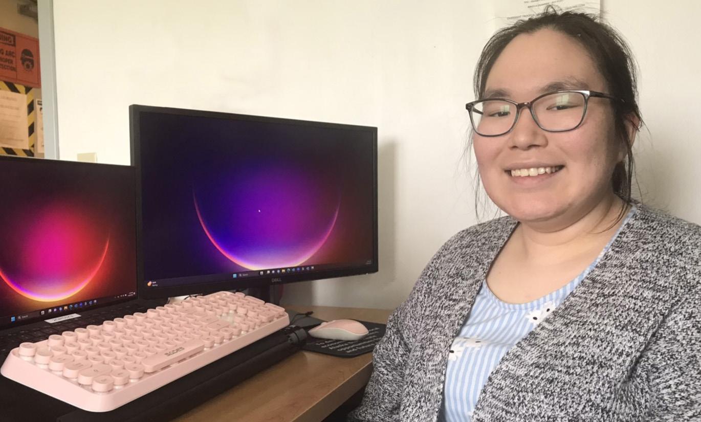
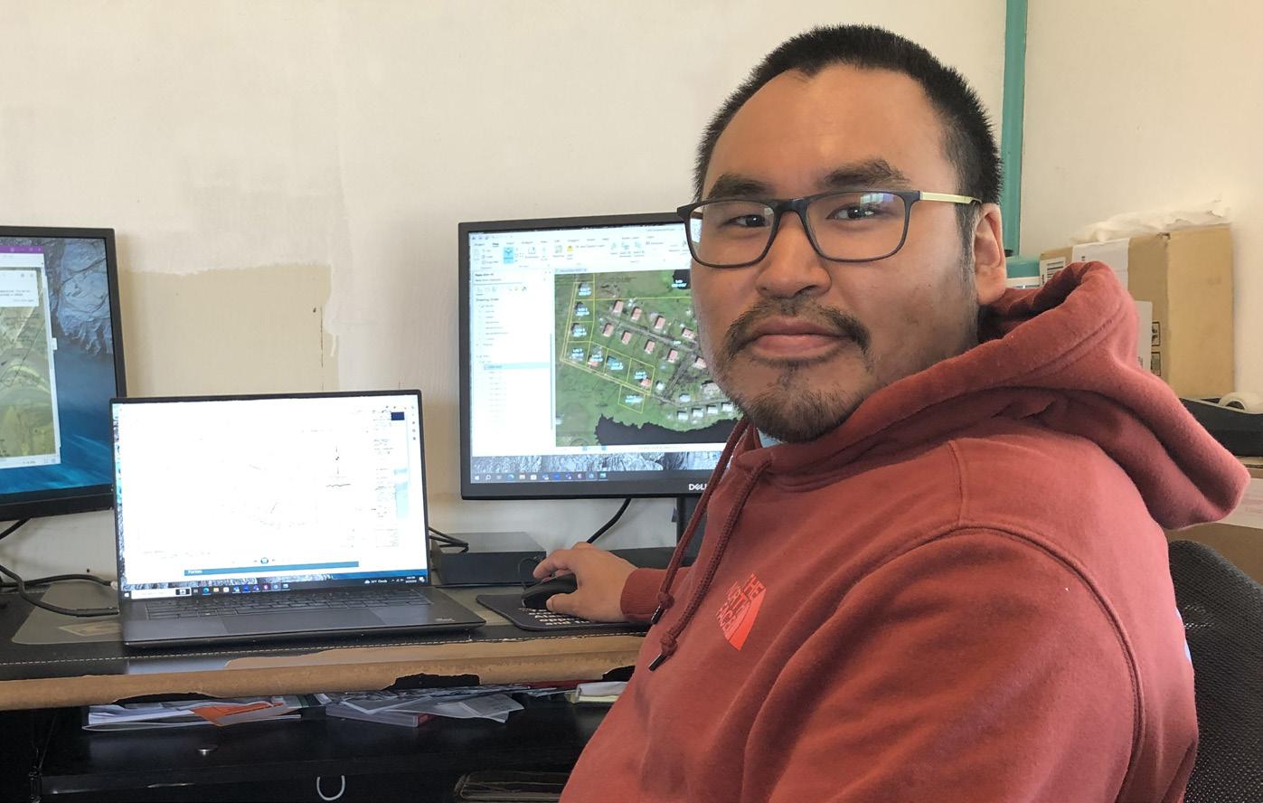
The mapping project gathers data from multiple sources with the goal of creating a multi-layered map of every community CVRF serves. A project team led by RODERICK ATTI has been collating infrastructure data and layering it over topographical maps to provide a comprehensive view of the existing roads, utilities, and other facilities in all our communities. JANELLE CARL , a community benefits coordinator, helps to map Kipnuk, where she lives and works, while overseeing data entry to ensure the project produces an accurate map.
The GIS team began the project with land parcels and ownership details mapped by the state of Alaska before and up to 2004. While the state was unable to continue their work on the maps after that year, Roderick and his team began updating the dataset to include new development since then. This work enables future infrastructure projects like fiber optic internet connections. To date, the team has piloted GIS mapping in 11 communities: Chevak, Toksook Bay, Tununak, Mekoryuk, Napaskiak, Oscarville, Nightmute, Chefornak, Hooper Bay, Scammon Bay, and Newtok (Mertarvik).