
Globes .............................................. 946
Atlases .............................................. 948
Maps ................................................. 949
Outdoor Maps ................................... 950
Fieldwork .......................................... 951
UK & Europe ..................................... 952
Africa ................................................. 953
Americas ........................................... 954
India & China .................................... 956
Weather & Seasons .......................... 957
Rivers & Mountains ........................... 959
Coastlines, Volcanoes & Earthquakes 960
Rocks, Minerals & Fossils ................. 961
Our School ........................................ 962
Globe
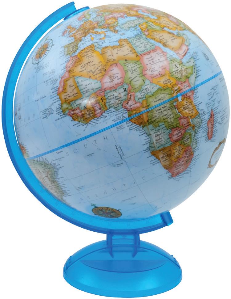
Political
The raised relief on the landmasses gives a tactile indication of the location of the world's main mountain ranges. In the oceans are illustrations of historic sea-going vessels, with names of the explorers who sailed in them and dates, and also the routes taken on their voyages of discovery. KS2.
03 999 080 300mm. Each
Physical
£29.78
The cartography features raised relief on the landmasses to signify the position of the world's mountain ranges in a tactile way. Shading in the oceans is used to portray ocean depths and further information important to the understanding of plate tectonics and oceanography is also provided. KS2.
03 999 091 300mm. Each
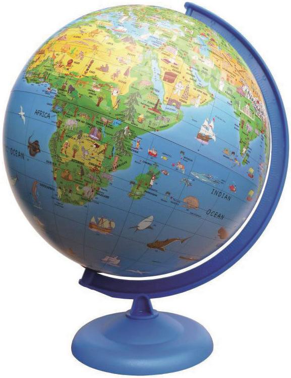
Activity Light Globes
£29.78
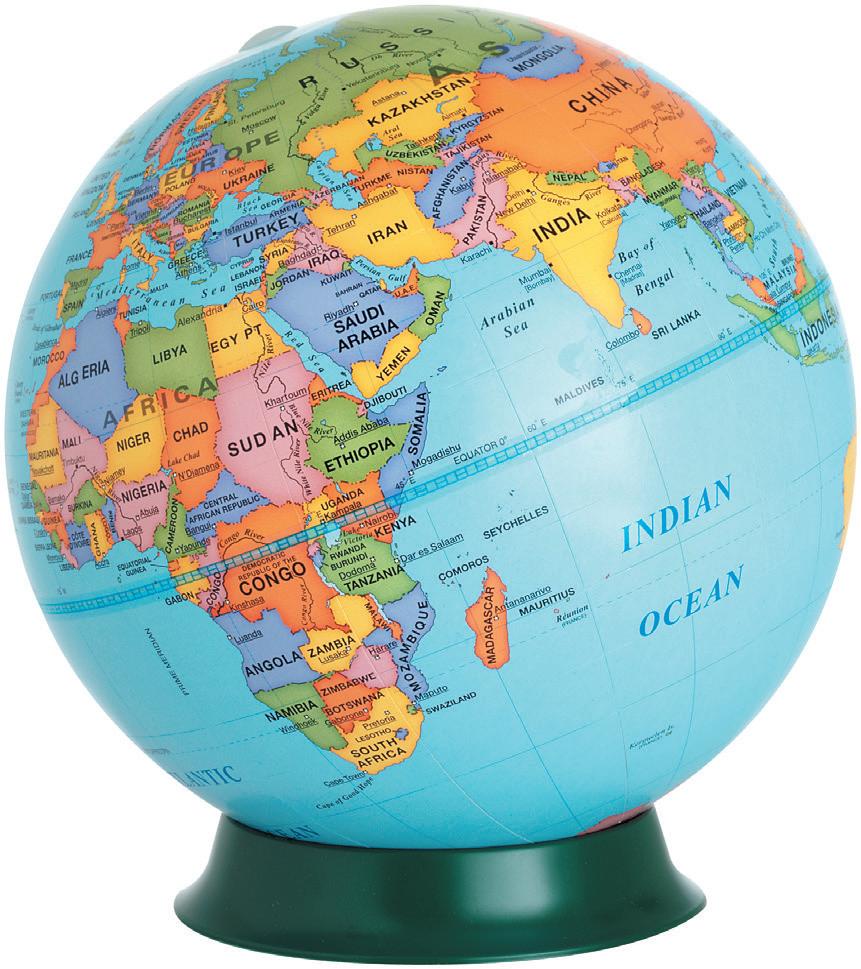
Discovery Globes
230mm Globe
Continent, country and major place names are featured on the globe ball which also has some raised relief, revealing the world's larger mountain range in a tactile way. KS1. Each
£24.75
300mm Globe
Continent, Country and major place names are featured on the smooth globe ball. KS1. Each
The cartography is basic with continent, country and major place names. Also featured are illustrations of interesting buildings, landmarks and animals all numbered, which can be checked against a list on the accompanying key card. Mounted on a durable plastic meridian and base. KS1. Each
300mm Illuminated
41 025 051
300mm Non Illuminated
£41.87
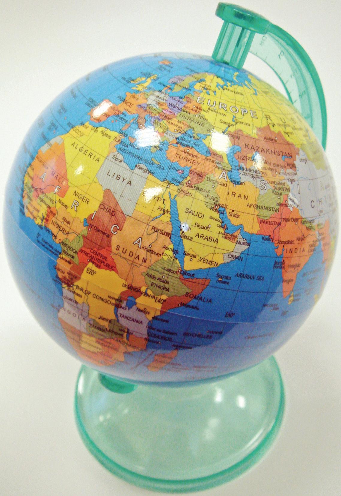
Mini Class Globe Set
100mm plastic globes with mapping on plastic base and halfmeridian. KS2. Set 12
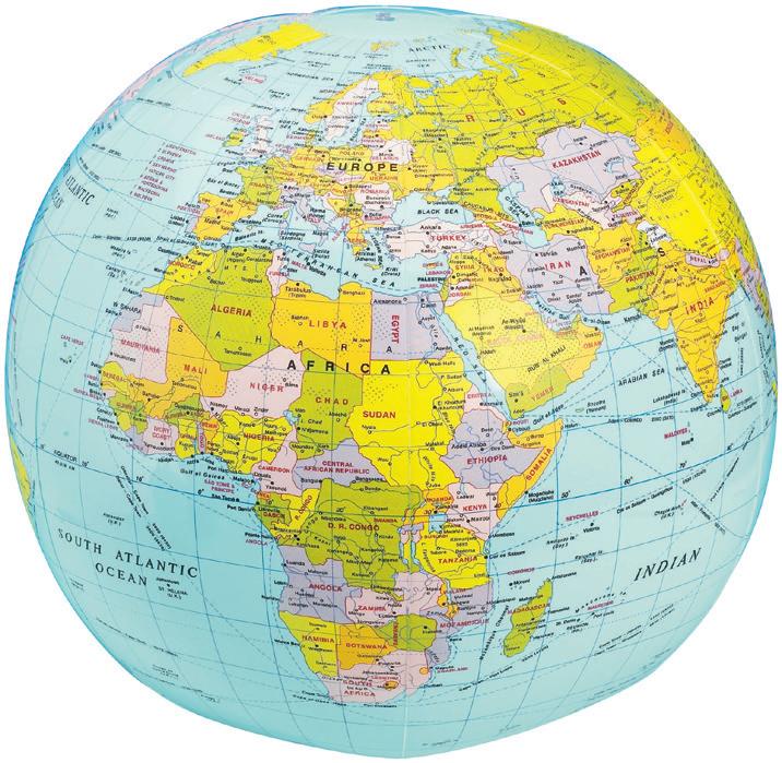
Political Inflatable Globe
Complete with hanging loop and repair kit with instructions. Size: 400mm. KS1. Each
08 701 422
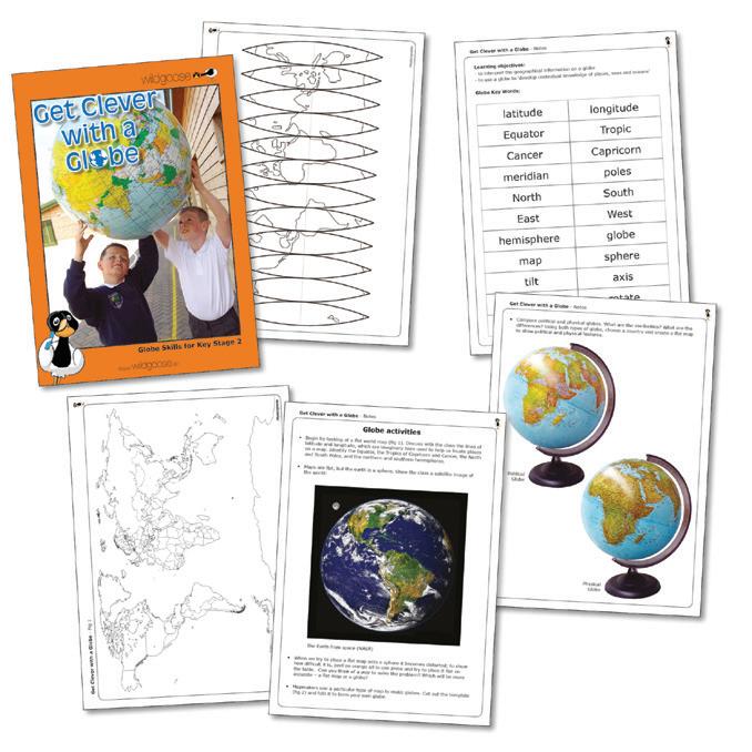
Get Clever With A Globe
£5.48







This booklet is full of ideas and activities to help your pupils to interpret the geographical information found on a globe. With suggestions to help understand the similarities and differences between maps and globes, and ideas for using inflatable globes, this resource will enliven geography lessons. KS1 + KS2. Each
41 001 524
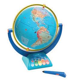
GeoSafari® Jr. Talking Globe
£5.74
Press the smart pen to any spot on the 32cm globe to hear thousands of fun facts (about continents, countries and nature), play quizzes and more! Features advanced smart pen technology, 'Explore it', 'Find it' and 'Measure it' modes for a global introduction to geography. Features the voice of wildlife warrior Bindi Irwin. Pen requires 2 AAA batteries (not included). Audio in English only. Age 4+ 077 705 002 £73.53
Delivery time 2 weeks
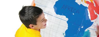
Wipe Clean Giant Inflatable Labeling Globe


Customise this wipe clean globe to enrich geography lessons. Locate and label continents, bodies of water, countries, trade routes and more. Features no printed words - perfect for assessments. Includes: activity guide, repair kit, display hook and string. Size: 675mm diameter. Age 5+. Each




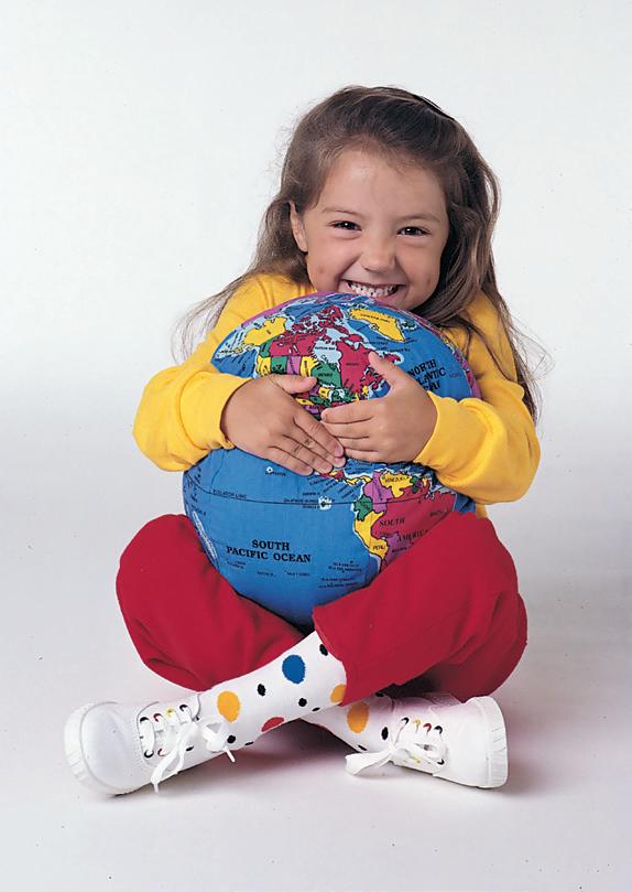




Over 600 place names for learning about the world. Strong washable fabric. 300mm dia. Each




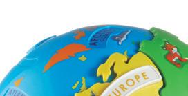

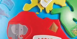
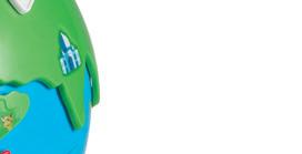
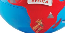




Each removable continent features a different shaped post that fits only one area on the globe, allowing for ease of use and simple self correction. Continents also include colourful animals and famous landmarks for extended learning, as well as six blank continent labels for customisation. Globe measures 20cm in diameter: largest piece (Asia) measures 14.5cm long. Set 14. Age 3+
41 705 001
£24.24
Atlases
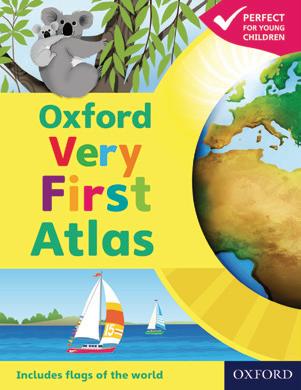
Oxford Very First Atlas
Stimulating first atlas for young children. Completely up-to-date with accurate, easyto-read and colourful mapping, presented in an accessible visual layout. Includes an introduction to the globe and places around the world, stunning images of the Earth from space, clear and colourful maps of the world and all the continents, an activity book for independent work and an e-Atlas CD-ROM providing an interactive version of the atlas for whole-class display. Hardback. Each
38 500 132
Oxford First Atlas
£7.80


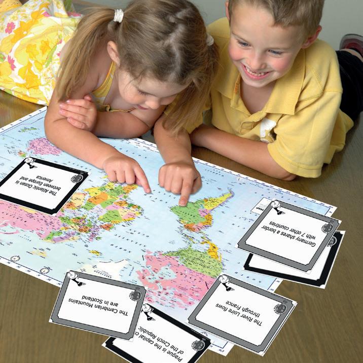




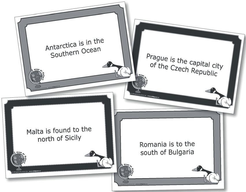
Atlas Skills True or False


This set of double-sided cards is designed to give pupils practice in using atlas skills and will require pupils to refer to information about most areas of the world. The cards feature geographical statements, some of which are true and some false. Pupils can simply be asked to sort the cards into True or False piles, or they can research the correct answers to the false statements. They could use an atlas to make up their own set of true and false statements. The cards could also be used as an ICT exercise, for pupils to research the answers online. KS2, KS3
41 001 421
£13.07
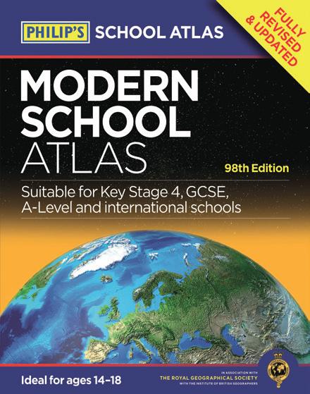
An introductory atlas with a narrative thread, encouraging young children to learn about planet earth and places around the world. Hardback. KS1. Each
38 000 520
Oxford Primary Atlas
£8.45
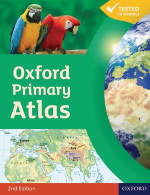
The Oxford primary atlas is a clear bright and informative atlas. Includes up-to-date country data and easy to read colourful mapping. Introduces primary school pupils to key geographical themes and topics, matched to curriculum requirements. Including landscapes, water, settlements, connections and environments. Hardback.
KS2 Each
38 000 525
Oxford School Atlas
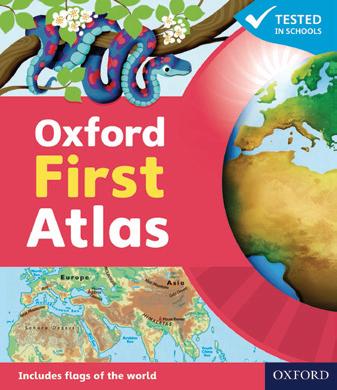
Phillips Modern School Atlas is an essential reference work for secondary education. The contents are divided into sections for ease of use, with each page colour-coded for rapid reference. Includes satellite imagery and GIS (withan explanation of falsecolour usage), physically coloured maps of the United Kingdom and Ireland.World topgraphical maps. World thematic maps and World social and economic stastics. Hardback. Each 38 500 142
£11.33
£11.05
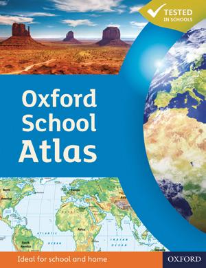
The Oxford School Atlas includes country data and easy-to-read and colourful mapping, presented in an accessible visual layout. Covers key curriculum themes such as earthquakes and volcanoes, climate, economic activity, and development. Includes comprehensive coverage of the British Isles, and case studies of Italy, Kenya, Brazil, Japan, China, California, the Indian Ocean tsunami, Hurricane Katrina, and Antarctica. Hardback. Each
38 500 136
£11.65
Collins Children's World Atlas
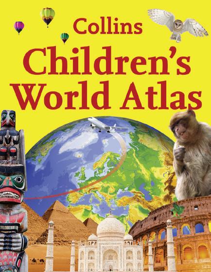
Collins Children's world atlas is a comprehensive and easy-to-read source of information featuring dramatic imagery and creative use of graphics. Key information is presented in a lively and engaging way with detailed but easily understandable analyses of social, geographic, economic and environmental trends across the regions presented on each page. Fact packed descriptions focus on the key social, cultural, historical and physical features of individual countries and cities. Hardback. Each
38 500 270
£6.86
Simple Map
Size; A1 - 590 x 840mm. KS1 + KS2
World Maps
UK


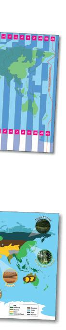
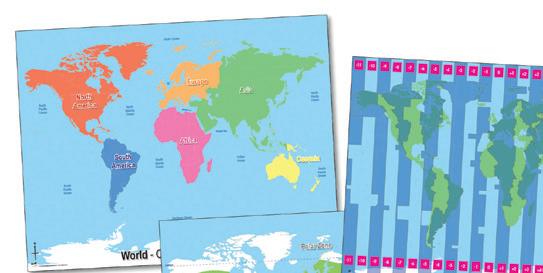
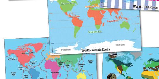
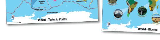
These large world maps illustrate some basic geographical concepts. The clear and colourful maps show Continents and oceans, Time Zones, Climate Zones, Tectonic Plates and Biomes.
Size: A1 840 x 590mm. Set 5. KS1 + KS2
077 003 607
Delivery time 2 weeks
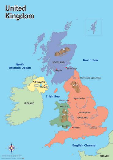
Very clear and attractive simple map of the UK showing principal towns and cities, rivers and mountains. Each
41 016 055
World
£29.42
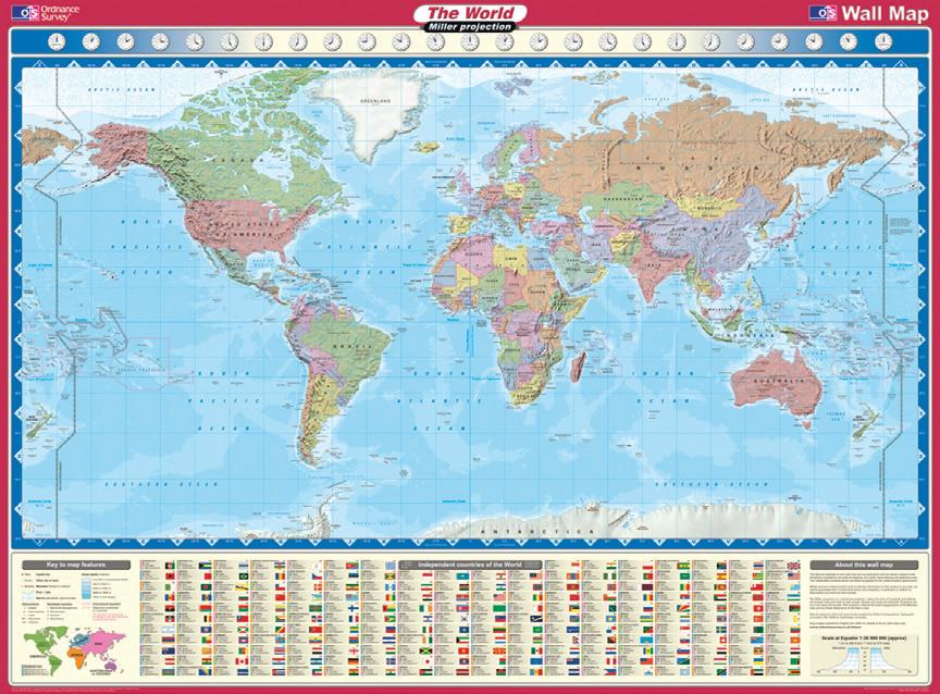
O/S World Map
Features political boundaries, countries, capital and major cities. Also includes international flags, country populations and area.
Scale 1:35,000,000. Each
38 500 904
£10.25
£10.51
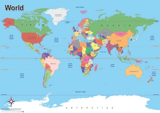
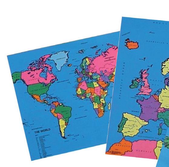
A clear, basic map of the world showing country borders, capital cities, oceans, the Tropics and the Equator. Each
41 016 060

Outline Map Pack
£10.51
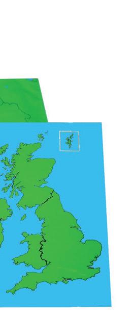
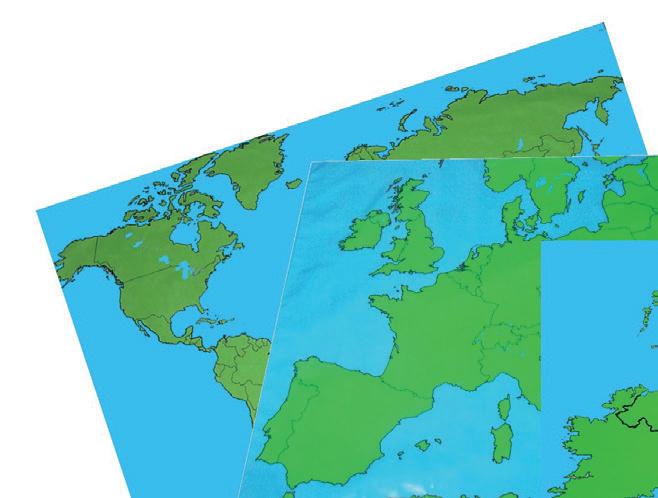
A set of three map playcloths showing country outlines, these versatile maps can be written on with a good quality water-based marker pen and simply wiped clean. Maps are printed on 100% cotton with a clear PVC coating. Includes: 1 x British Isles (size 70 x 80cm), 1 x Europe (size 117 x 98cm) and 1 x world (size 140 x 98cm).
077 705 003
Delivery time 2 weeks
£69.34

Political Map Pack
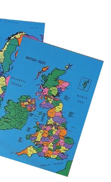
A set of three map playcloths showing countries. These versatile maps can be written on with a good quality water-based marker pen and simply wiped clean. Maps are printed on 100% cotton with a clear PVC coating. Includes: 1 x political map of British Isles (size 71 x 91cm), Europe (size 71 x 91cm) and the World (size 91 x 71cm).
077 705 004
Delivery time 2 weeks
£50.59

Vinyl Banner Physical Map Pack
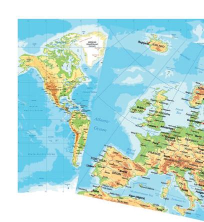
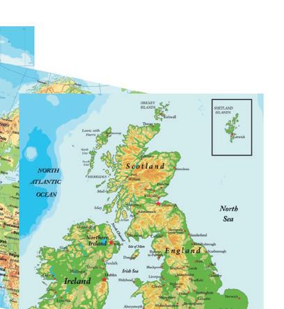
A set of 3 physical map, British Isles, Europe and the World also showing counties, capitals, major towns etc. Printed on durable vinyl with a PVC coating. These versatile maps can be written on with a good quality water-based marker pens and simply wiped clean. Maps have eyelets so they can easily be hung on a wall. Each map is 120 x 90cm
077 705 005
Delivery time 2 weeks
£50.59





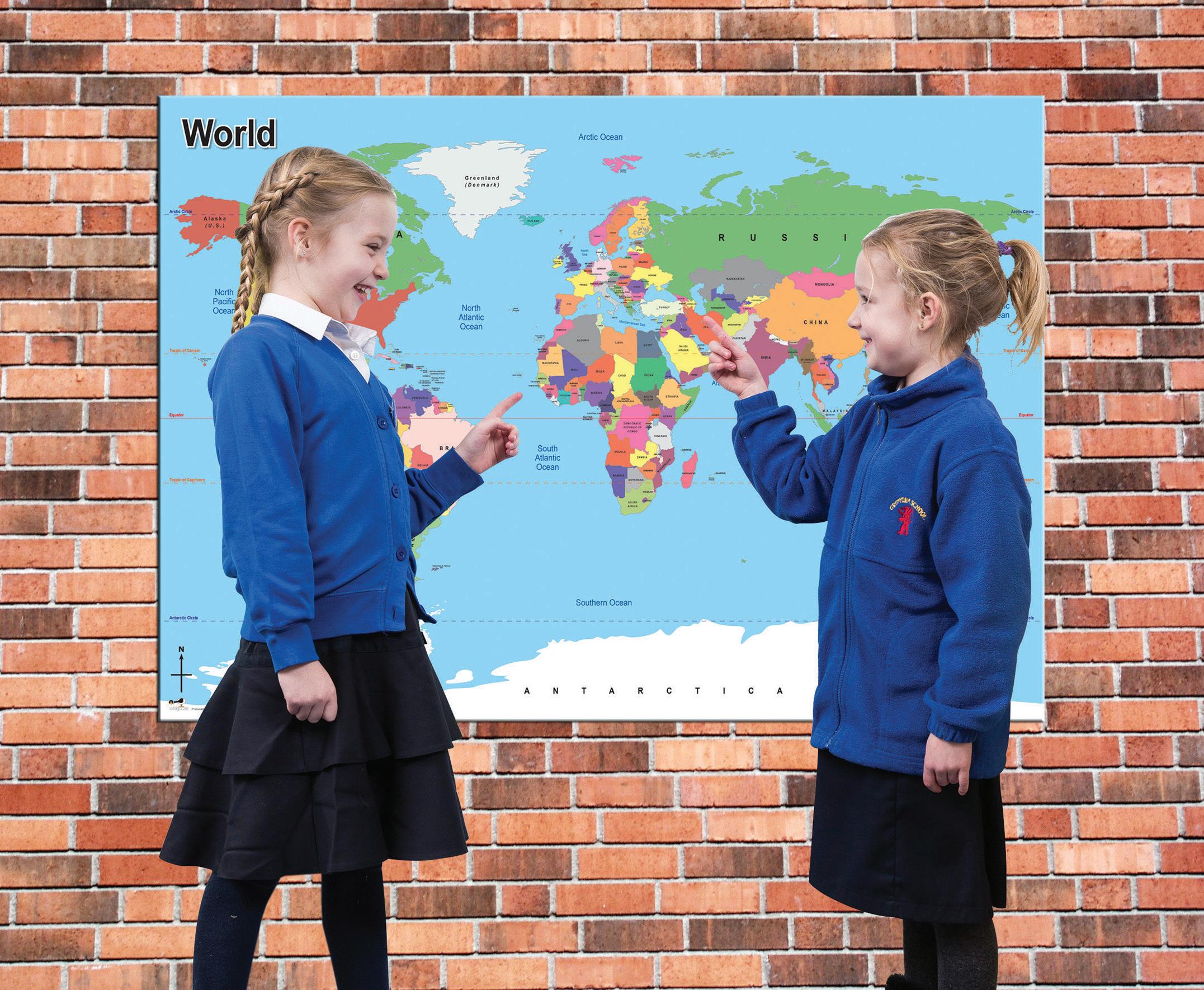
Outdoor Board Maps
These simple outdoor maps boards are printed on 3mm foamex using UV and water resistant inks, making them both hard-wearing and durable in any weather conditions. Each board comes pre-drilled for easy fastening to most surfaces.
Size: 1119 x 840mm. KS1 + KS2








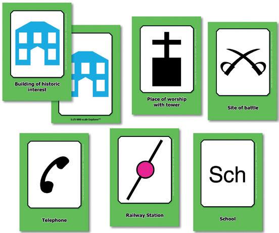
OS Map Symbols Flashcards
32 double sided A6 cards featuring the map symbols and descriptions as used on 1:25,000 scale Explorer Maps. Each card shows the symbol and its meaning on one side and just the symbol on the reverse, for flexible classroom use. Ideal for the national curriculum. Size: 105 x 148mm (x32). KS2. Pack 32
41 001 404
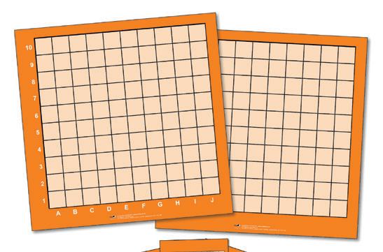
Wipeable Coordinates Grid Set
£11.84
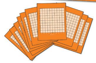
Get clever with coordinates using this pack which includes a large class-size reversible 10 x 10 grid with alpha-numeric references on the front and blank for your own references on the reverse. Also included are 10 desktop grids and teacher's notes with suggested activities. Size: 700 x 700mm (large grid); 210 x 297mm (desktop grids) KS2. Pack 11
41 000 054 £18.91
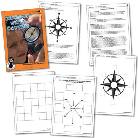
Get Clever With A Compass
Full of inspiring and practical activities to foster an enjoyment and understanding of compass work. Pupils will learn the eight points of a compass and combine games with map work and hands on tasks to learn the confident use of a compass to find directions. KS2. Each
Large Compass
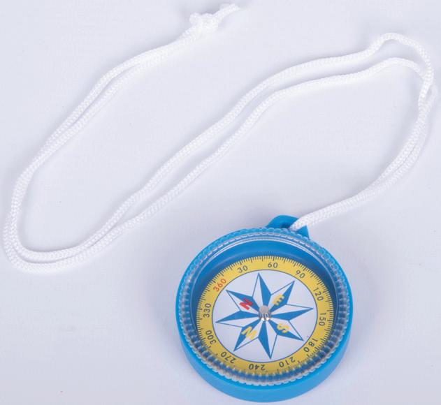
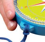
Tough plastic case and lanyard. Clearly marked with 4 compass points and full 360 degree scale around its edge. Size: 55mm dia.




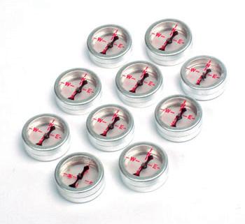

Double Sided Plotting Compasses




Can be viewed from both sides or used on an overhead projector. Ideal to plot lines of magnetic force. 19mm dia. Pack 10 23 428 008
£5.28






Compass


770 095
Standard Compass



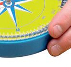
Tough, plastic cased compass with lanyard. Marked with 8 compass points and full 360 degree scale round edges. 100mm dia. Each
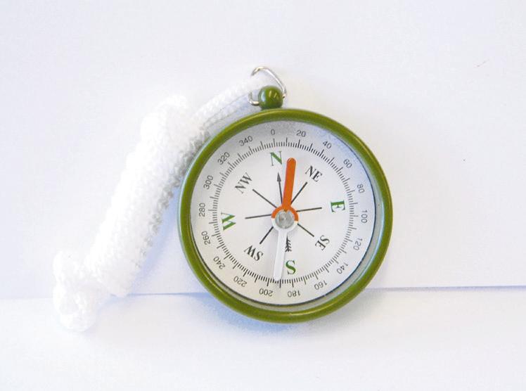



Tough plastic cased compass with lanyard, marked with 4 compass points and full 360 degree scale around its edge. Size: 45mm dia.
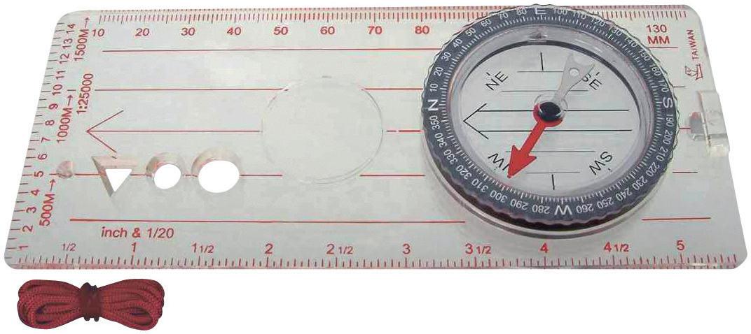
Map Compass
Clear acrylic housing marked in mm and inch scale. With moveable bezel marked in degrees; magnifier and tracing points for map marking. Includes full instructions. 140 x 60 x 17.5mm. Each
020 £6.61
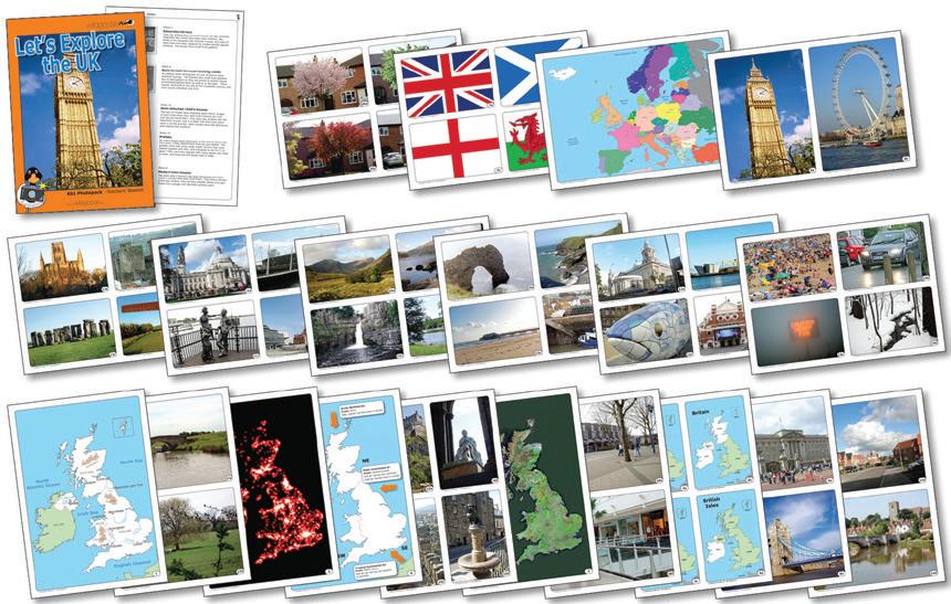
Let's Explore The United Kingdom
A set of 20 photocards featuring maps of the countries of the United Kingdom (including a satellite map, weather map and a map locating the UK within Europe), photographs of the capital cities, a look at landmarks, landscapes and culture.. Size: A4 - 210 x 297mm (x20). KS1
077 002 816
Delivery time 2 weeks
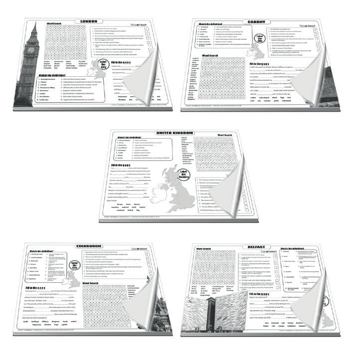
UK Quiz Pads
£27.62
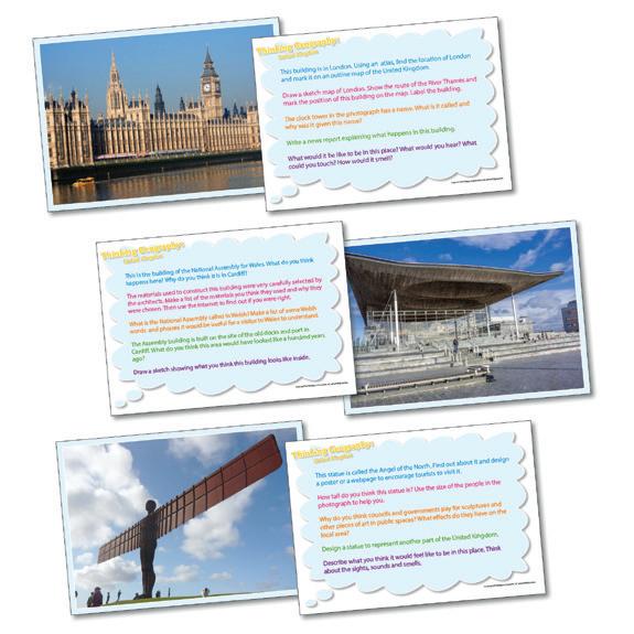
Thinking Cards
Each card in this set of 20 features a photograph on one side and five questions or activity suggestions on the reverse. The cards have been designed to develop an enquirying approach to the subject and to encourage observational and descriptive skills. Size: A5 - 148 x 105mm (x20) KS1 + KS2
United Kingdom 077 002 823
Delivery time 2 weeks
£21.12
A set of five, 30 page desk pads filled with questions, crosswords, word-searches and other puzzles. The five pads are designed to reinforce learning and knowledge of the United Kingdom and its capital cities. Size: A3 - 420 x 297mm (x5). KS2
41 705 434
£29.15
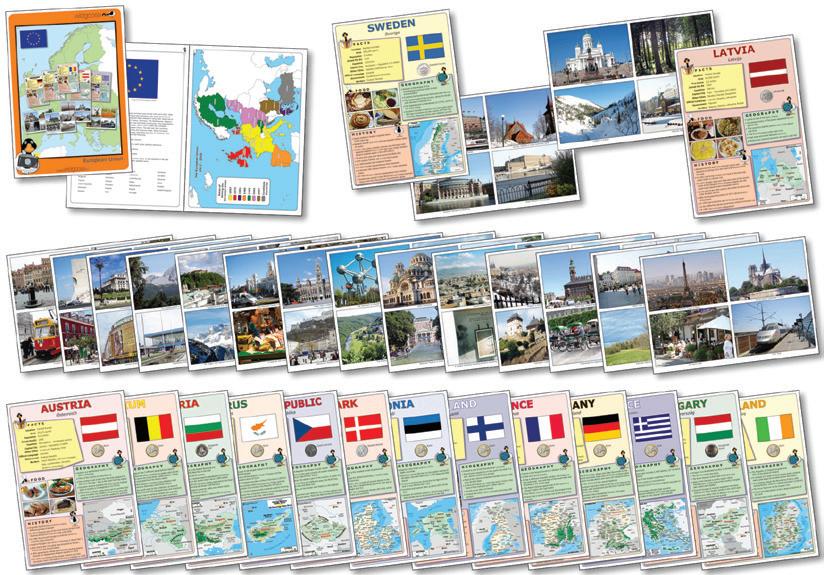
European Union Pack
Covering all 27 current members of the EU, this pack has geographical and historical information about each country, location maps, flag and food facts, and photographs on the reverse showing landscape and culture. Also includes map of Europe and activity ideas. Size: 210 x 297mm (x27). KS2
077 002 815
Delivery time 2 weeks
£29.88
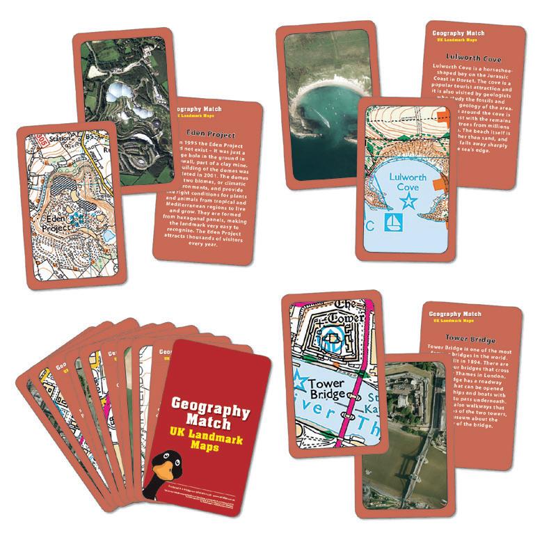
UK Landmark Maps
Match the aerial photo with the OS map or landmark name to play snap or pairs. Size: 60 x 100mm (x45). KS2
41 705 435
£13.98
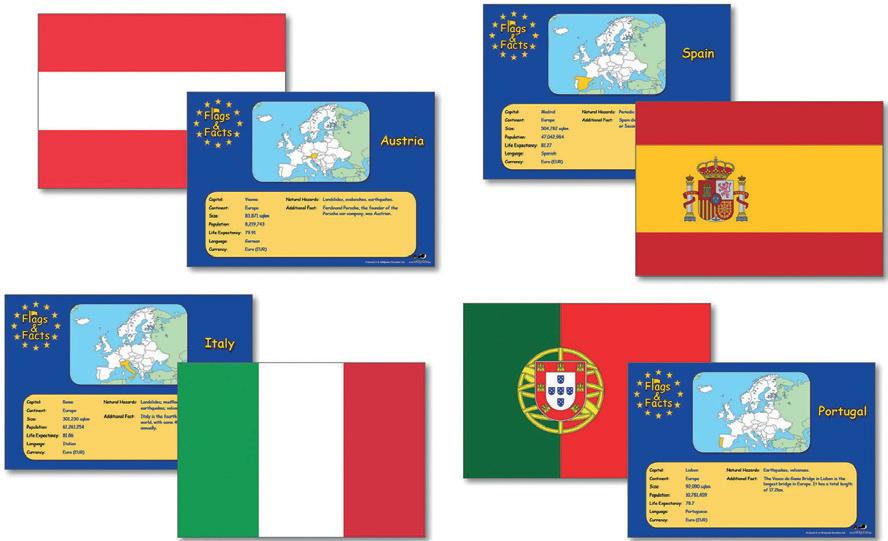
European Flags & Facts Cards
An EU version of our popular Flags and Facts set, consisting of 28 laminated A5 cards (Croatia included) showing the flag on one side and facts relating to the country on the other. Facts include capital city, language spoken, currency, population, climate and life expectancy. Size: 210 x 145mm. KS2. Pack
41 001 608
£10.71
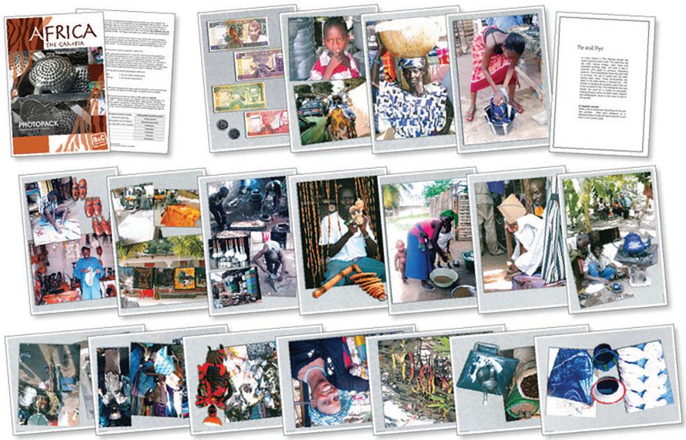
Using The African Artefacts
Photographs of people using the artefacts in the African Artefacts box. Includes notes and activities. KS2. Pack 21
077 101 176
Delivery time 2 weeks
Introducing Africa Resource Pack
£17.71
African Resources Box
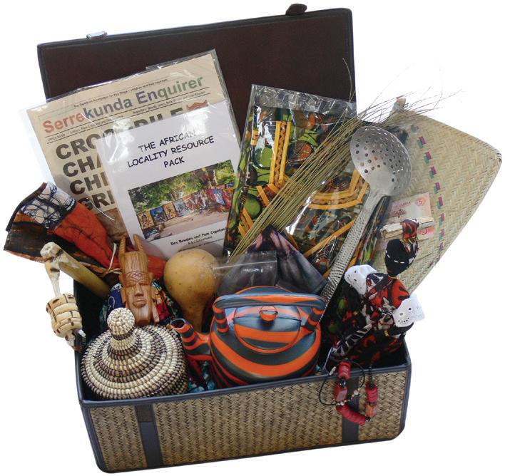
Contains authentic artefacts from the Africa, tie and dye, batik, dress, jewellery, doll, recycled aluminum goods, plastic kettle, toothstick and much more. Basket not included. KS2
868 109 954
Delivery time 2 weeks


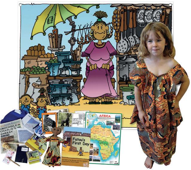
This fantastic set of African resources will get your study of a contrasting non-European country off to a flying start. Contents: Giant 120 x 100cm scene-setting backdrop, with eyelets for hanging, Large Africa Map, African Safari photopack, Fatou Doll (with 2 dresses), Fatou's First Day Big Book, 5 photocopiable story sheets, Child's Gambian costume, Gambian school bag containing various items, including a map, timetable, photo album, small handmade doll, tooth stick, money, newspaper, Fatou's First Day book and CD. Teachers notes included. KS1
868 109 952
Delivery time 2 weeks
Simple Africa Map
£123.53

Gambian Display Fabric


£85.64

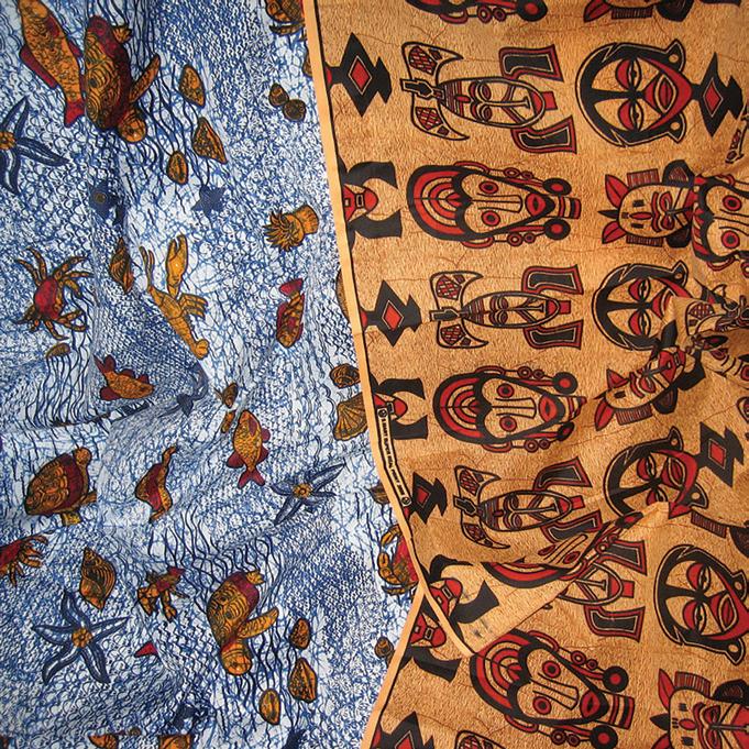
Colourful genuine Gambian fabric which can be used for stunning displays. Contains 2 pieces each 1 metre long. Colours and designs may vary. KS1. Each
077 000 670
Delivery time 2 weeks
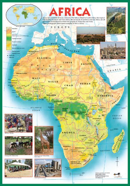
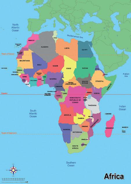
Clear map of Africa with national borders, capital cities and oceans. Size: 590 x 840mm. KS1 + KS2. Each
077 000 665
Delivery time 2 weeks
£19.83
£10.35
Map Of Africa Poster
This map of Africa also includes photographs of daily life in various regions. Teachers guide included. Size: 700 x 1000mm. KS1. Each
41 003 592
£10.51
Discover South America Pack
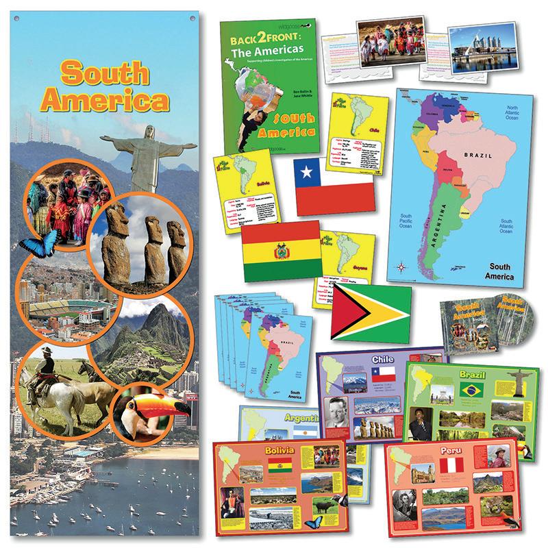
Discover South America with this resource pack. Includes: topic Setting Display Banner (80cm x 220cm), A1 simple map of South America, set of 10 A3 South America deskmats, South America flags and facts cards, South American Poster Set (5 x A2), thinking geography South America cards, award Winning back to front The Americas teachers guide, images of South America CD. KS2
077 705 309
Delivery time 2 weeks
£65.33
USA Flags & Facts
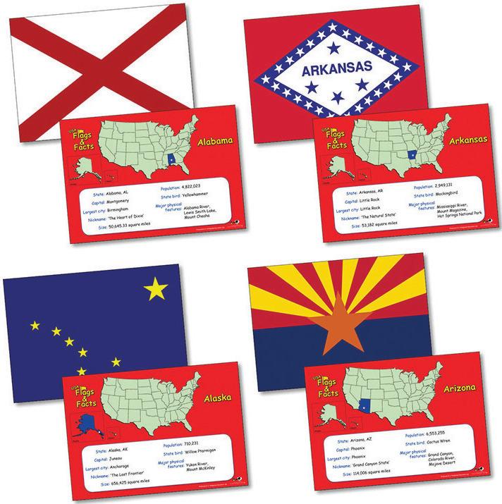
50 double sided A5 cards, showing the state flag on one side and facts about each state on the other. Facts include state capital, population, major physical features and state nickname, and each card also features a map to locate the state within the USA. Size: 148 x 105mm (x50). KS2. Pack
077 001 405
Delivery time 2 weeks
£13.16
Thinking Geography Cards North America & Map
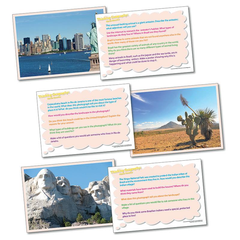
Each card in this set of 20 features a photograph on one side and five questions or activity suggestions on the reverse. The cards have been designed to develop an enquirying approach to the subject and to encourage observational and descriptive skills. Size: A5 - 148 x 105mm (x20). KS1 + KS2
077 002 826
Delivery time 2 weeks
£21.12
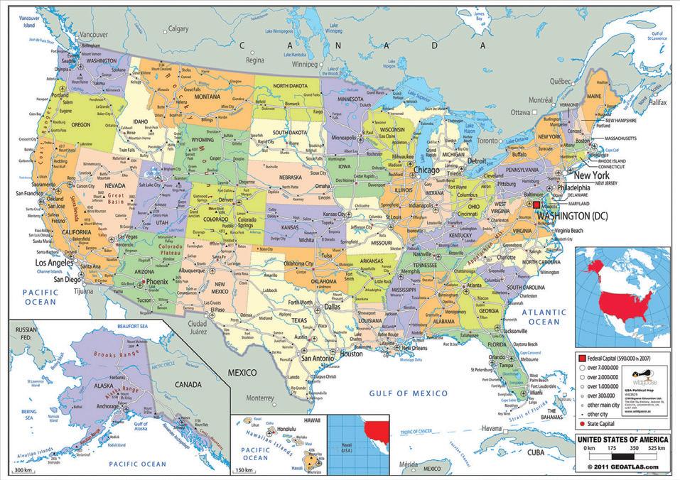
USA Political Map
A large laminated political map of the United States of America, showing state boundaries, state capitals and other significant cities.
Size: 590 x 840mm. KS2. Each 077 003 525
Delivery time 2 weeks
£19.27
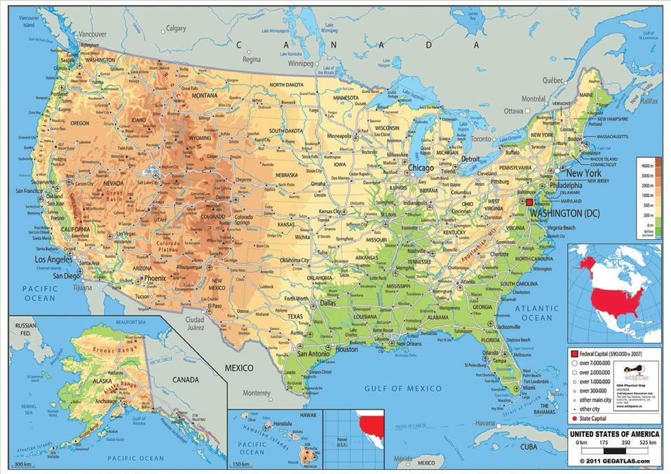
USA Physical Map
Complimenting the political map of the USA, this laminated physical map shows rivers and mountain ranges as well as principal cities and roads. Size; 590 x 840mm. KS2. Each
077 000 655
Delivery time 2 weeks
£17.02


Rainforest Resources Box
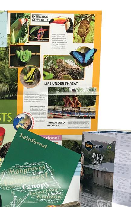
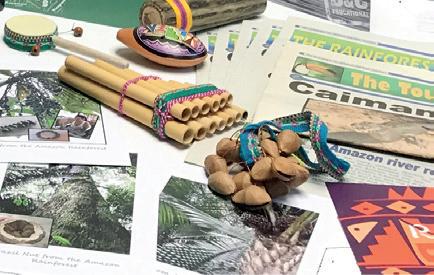


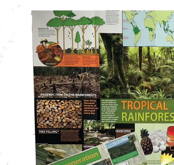
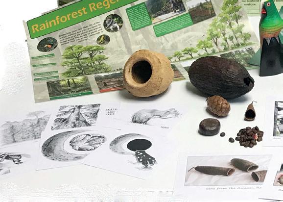
Includes: A2 Rainforest regeneration poster, A3 Rainforest word cloud, Ao tropical Rainforest poster, brazil nut, cocoa pod, story of a brazil nut cards, A5 seed cards, A3 rainforest images, key to NC
The Amazon Basin, Rainforest enquirer x 5, Toucan times x 5, seed collection (minus cocoa and brazil nut), Rainforest rythms, balsa parrot and Tagua (bracelet). KS1 + KS2
868 109 955
Delivery time 2 weeks
£85.64
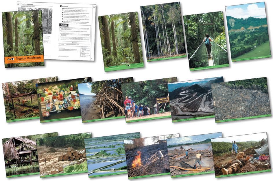
Tropical Rainforest Photopack
A set of 16 A4 colour photographs illustrating a range of rainforest features and issues. Teachers guide gives information on the photographs an ideas for questions and further activities. Size: 210 x 297mm (x16). KS2. Pack
077 002 258
Delivery time 2 weeks
£27.98
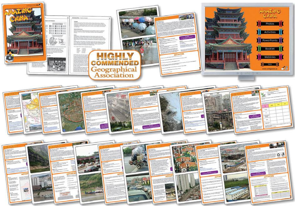


Amazing China Resources
Contains 24 A4 size laminated photographs showing the geography and culture of China. It covers a wide variety of topics including families, buildings, transport, tourism and environmental issues, and is an ideal contrasting study locality. Also includes comprehensive teachers' notes and pupil activities and a CD of additional photographs for whiteboard use.
077 002 820
Delivery time 2 weeks
£27.32
Indian Photopack
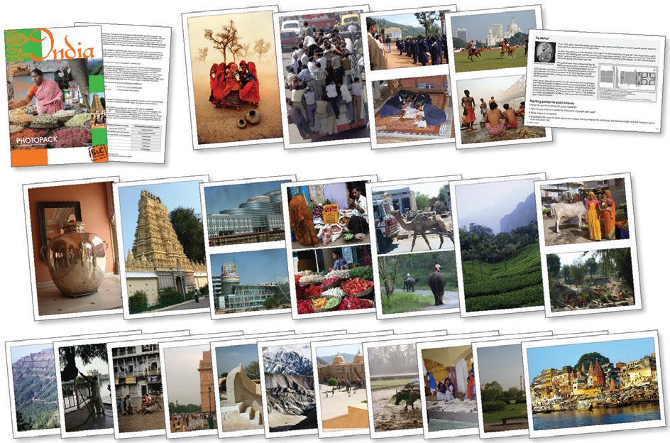
22 A4 photocards, plus maps of India. Designed to stimulate children's interest in India, its culture and geography, and to encourage discussion of global citizenship issues. Each photograph has informative notes and activity starting points on the reverse, and additional teachers' notes are included. KS2
077 002 813
Delivery time 2 weeks
£27.78
China Artefacts Collection
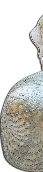
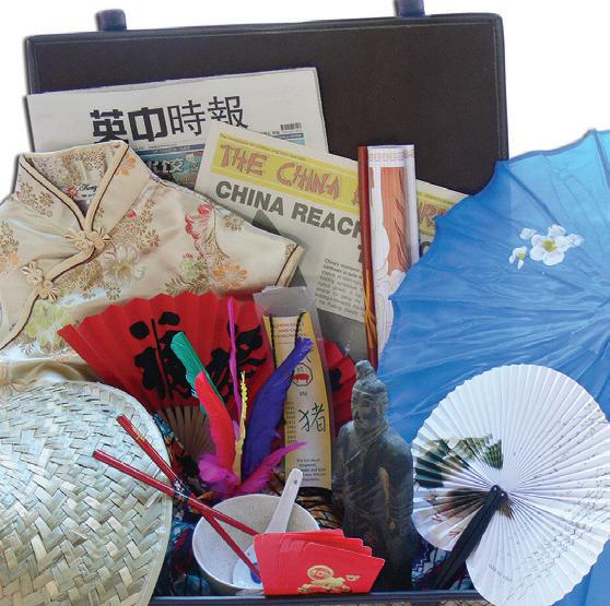
This pack contains a 20 page A4 photopack with a variety of stimulating Chinese artefacts authentic artefacts including parasol clothes, chopsticks, abacus, fans, terracotta warrior, jainzi, rice bowl and chopsticks, jewellery, and much more. KS1 + KS2. (basket not included)
077 002 903
Delivery time 2 weeks
£85.64
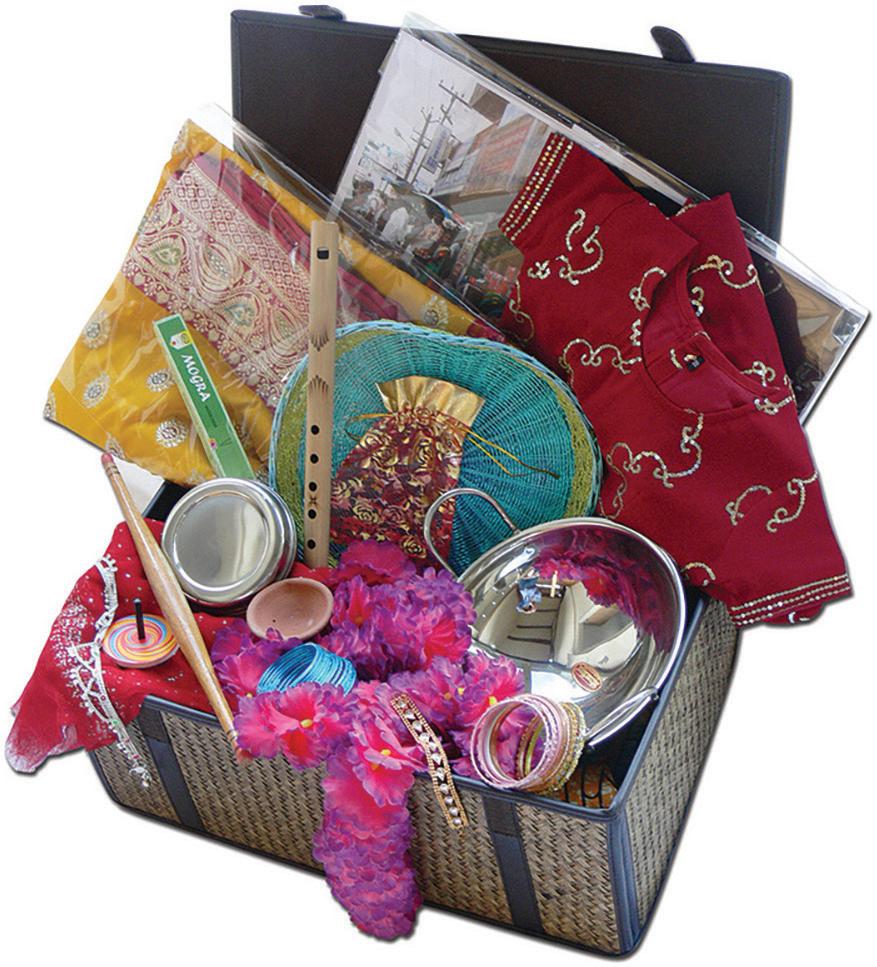
Indian Artefacts Collection
This pack contains authentic artefacts from India including a child's outfit, garland, balti dish, ubba dubbaflute, jewellery, and much more. KS1 + KS2 (basket not included)
077 001 192
Delivery time 2 weeks
£85.64
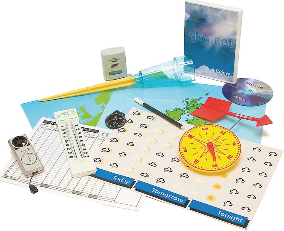
Advanced Weather Watchers Kit
This comprehensive pack contains: combined thermometer and hygrometer, handheld wind speed meter, manual input weather recording software, compass, rain gauge, wind direction indicator, weather maps and symbols and a 12 month record pad. KS2 + KS3 + KS4. Each
077 000 685
Delivery time 2 weeks
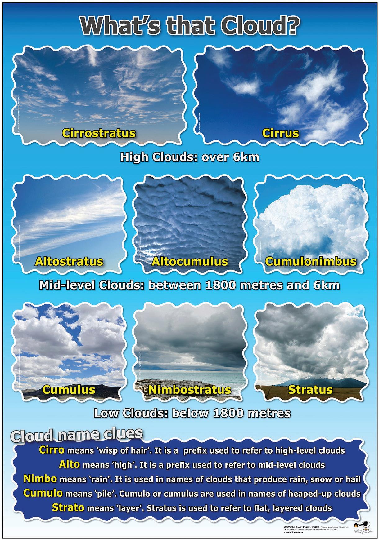
What's The Cloud Poster
£76.11
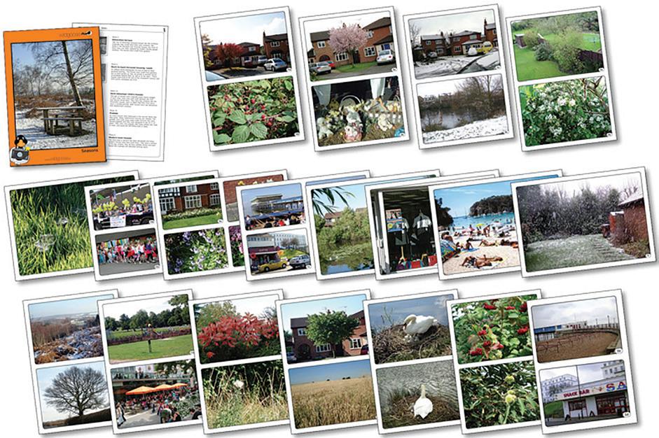
Seasons Photopack
20 A4 photocards showing the typical and also some of the less obvious signs of the changing of the seasons in the countryside, towns and gardens around us. Teachers notes and activity ideas are included. KS1 +KS2. Set
077 000 680
Delivery time 2 weeks
£24.81
This poster will help pupils identify cloud formations, with photographs of clouds and some background information about the clues to be found in cloud names. Size: 590 x 840mm. KS2. Each
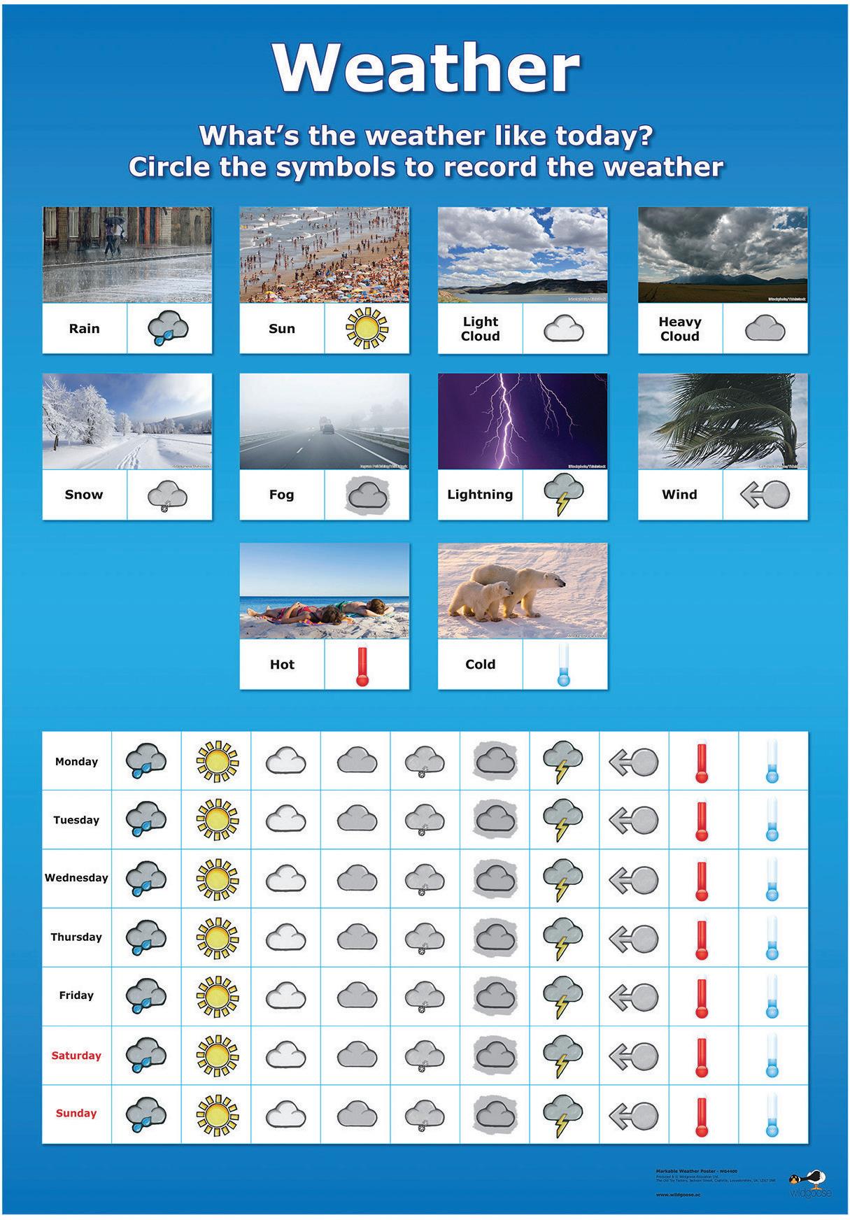
Wipeable Weather Chart
A laminated, markable weather chart for the classroom, with labelled photographs and symbols to show the weather every day. Size: 590 x 420mm. KS1. Each
Weather Photopack
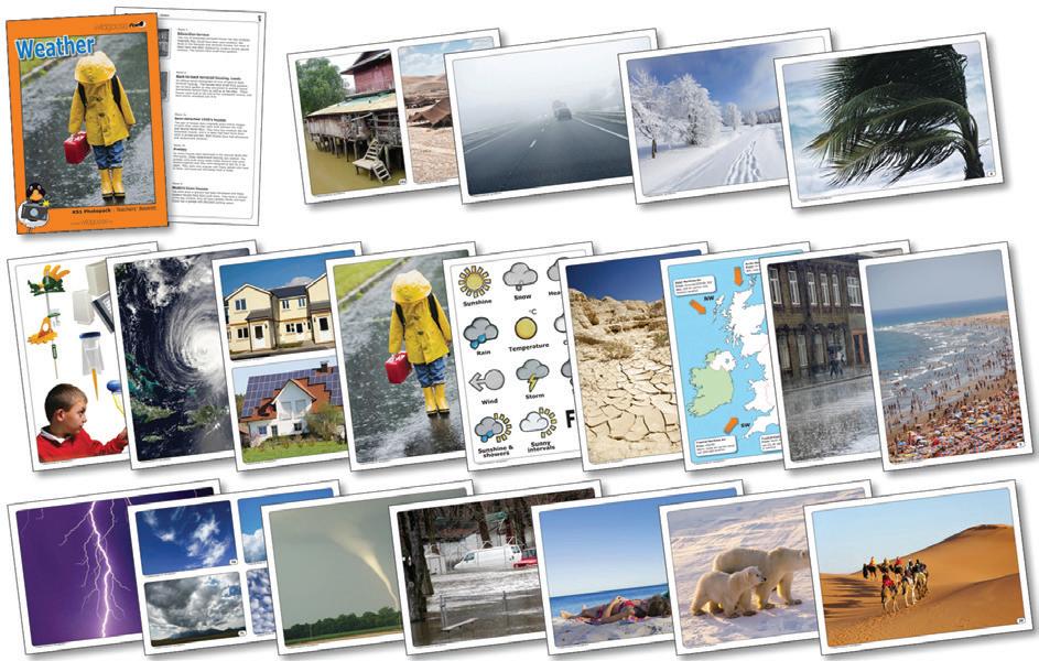
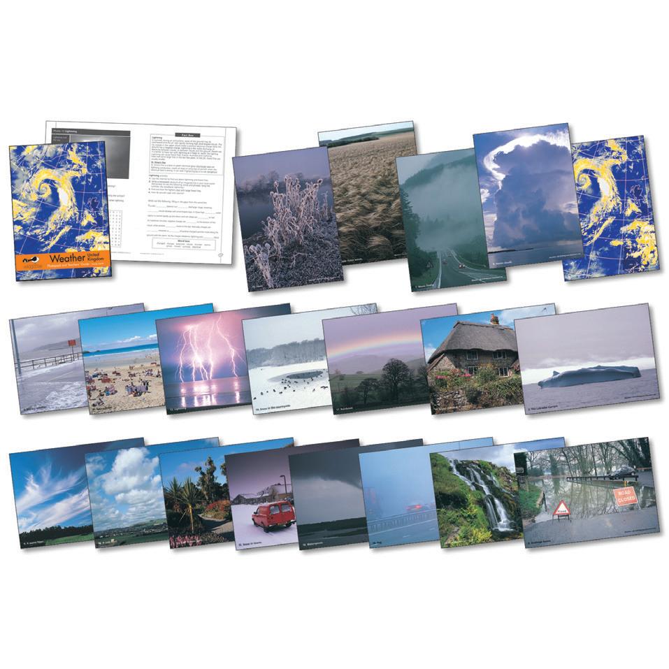
20 photocards and notes featuring a variety of images showing Snow, Rain, Fog, Wind and different Cloud formations. It also shows and describes the various instruments used for measuring and recording different aspects of the weather from anemometers to rain gauges. The effects of adverse weather such as flooding, deserts and weather patterns both in the UK and Worldwide are shown and discussed. Size: 210 x 297mm (x20). KS1
077 002 818
Delivery time 2 weeks
£24.81
UK Weather Photopack & Book
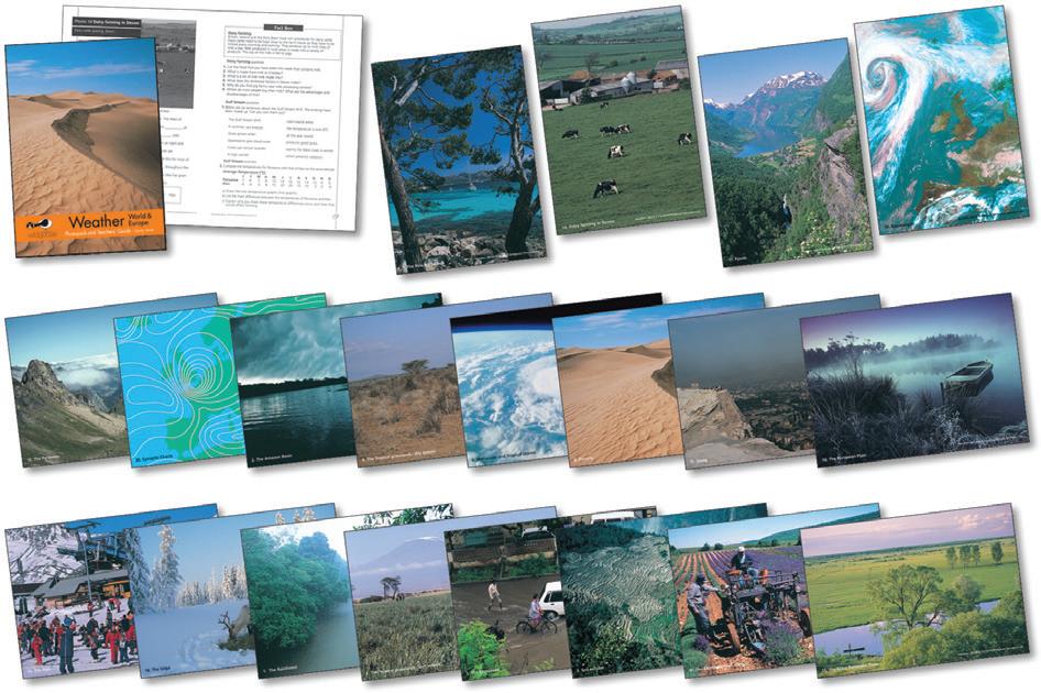
20 A4 laminated photographs focusing on weather cariations in the UK are included in this pack. A comprehensive teachers guide with lots of pupil activities is included. KS2 + KS3. Pack
077 000 675
Delivery time 2 weeks
£24.81
World Weather Photopack & Book
20 laminated photos and a 48 page teaching guide with background information, atlas work and activities focusing on weather around the world. Photopack features rainforests, monsoons, deserts, floods and hurricanes. KS2 +KS3. Pack
868 500 019
Delivery time 2 weeks
£27.78
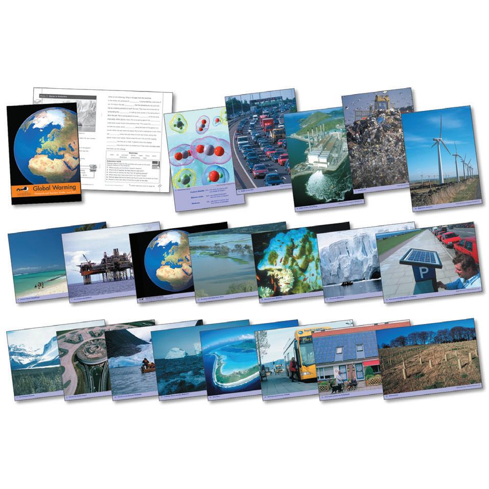
Global Warming Photopack & Book
20 laminated photographs focusing on the causes and effects of global warming and some responses to the problem. Includes teachers notes and activity ideas. KS2 + KS3. Pack
868 500 014
Delivery time 2 weeks
£27.78
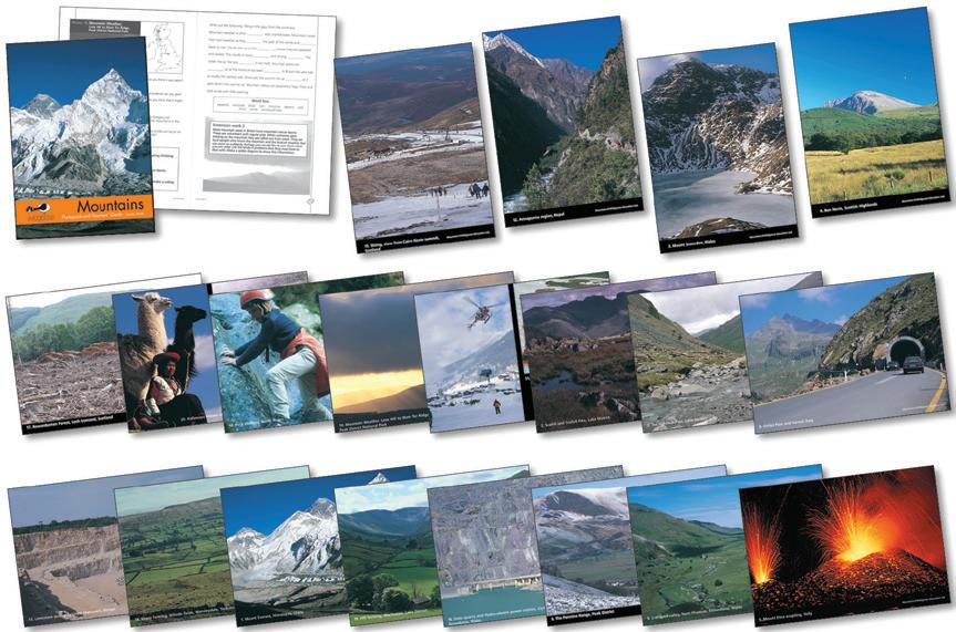
Mountains Photopack & Activity Book
This photopack is the ideal resource when studying the mountain environment. It contains 20 laminated photographs of the world's highest peaks, avalanches, ski resorts, mountain wildlife and glacial erosion. The teachers' guide provides photocopiable activities and background information. Size: A4 - 210 x 297mm. KS2
077 224 636
£34.54 Delivery time 2 weeks
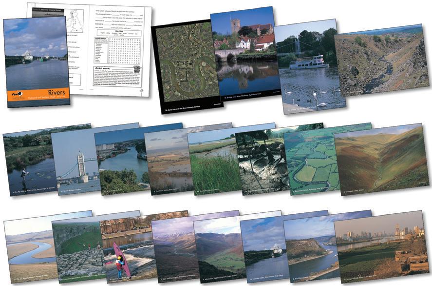
Rivers Photopack & Book
Contains 20 laminated photographs highlighting all the main characteristics of a river including waterfalls, ox bow lakes, estuaries, deltas. A teachers guide containing activities and background information is also provided. Size: 297 x 210mm (x20). KS2. Pack
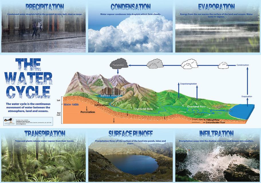
Water Cycle Poster
This poster has a detailed diagram of the water cycle and includes colour photographs illustrating the processes involved. It also features clear definitions of the relevant vocabulary. Size 700 x 1000mm. KS2. Each
£13.07
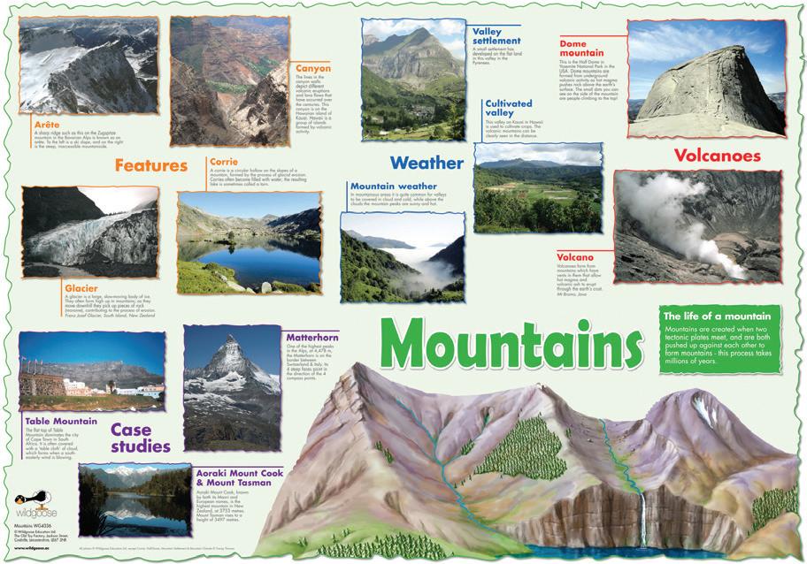
Mountains Poster
This poster has colour photographs of mountains from around the world, showing features such as glaciers and canyons, mountain weather and valley settlements, as well as examples of different types of mountain and informative descriptions. Size: 1000 x 700mm. KS2. Each
000 690
2 weeks
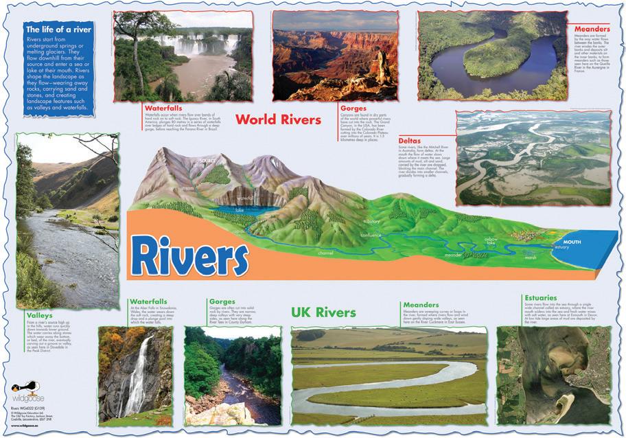
Rivers Poster
This poster has a detailed image of a typical river from source to mouth, plus colour photographs of rivers in the UK and other parts of the world. Size 700 x 1000mm. KS1 + KS2. Each
004 322
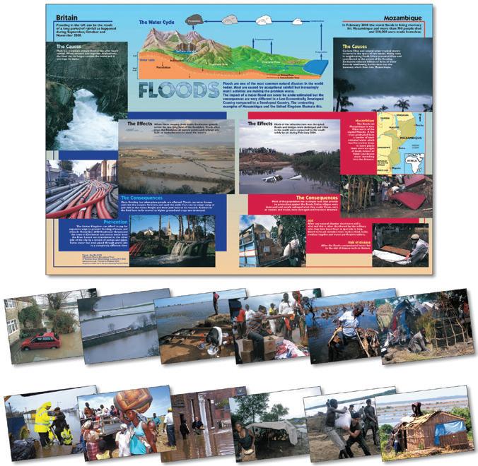
Floods Poster And Photopack
Examines and contrasts flooding in the UK and Mozambique. Includes:12 A4 laminated photographs, a teachers booklet and a folded poster. Size 1000 x 700mm. KS2. Pack
077 002 250
Delivery time 2 weeks
£17.73
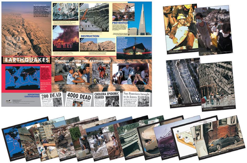
Earthquakes Poster & Photopack
Includes 16 A4 colour photographs, a poster and a teachers guide explaining how earthquakes occur. The pack features case studies looking at the destruction and human suffering caused by these natural disasters as well as research and prevention strategies.
Poster size: 1000 x 700mm. Photograph size: 297 x 210mm (x16). KS2. Pack
868 500 028
Delivery time 2 weeks
£27.78
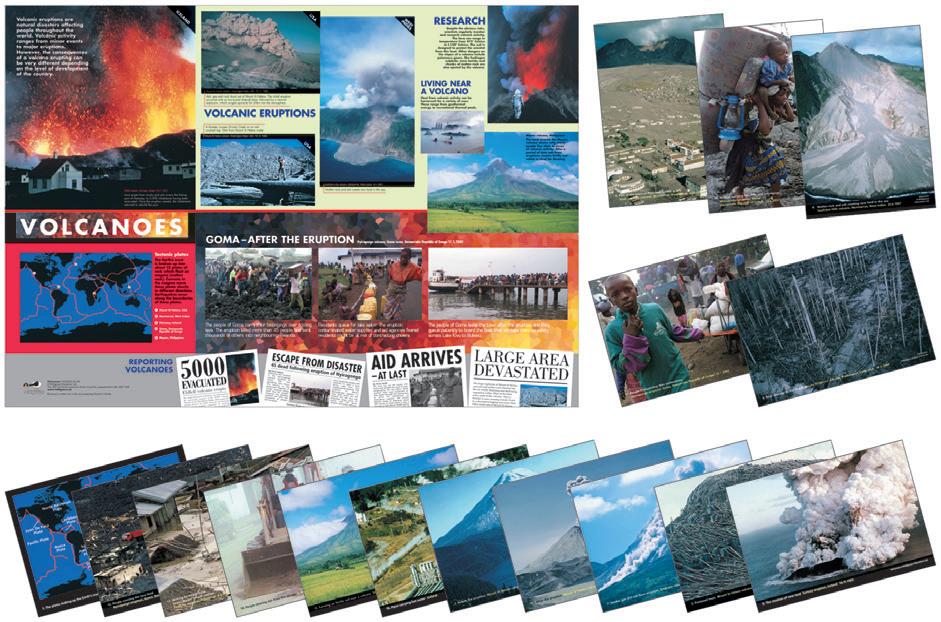
Volcanoes Photopack & Poster
Includes: 16 A4 colour photographs illustrating volcanic activity and its effects, plus a poster showing the devastation eruptions can cause. Teachers guide included. Poster size: 1000 x 700mm. KS2. Pack
868 500 025
Delivery time 2 weeks
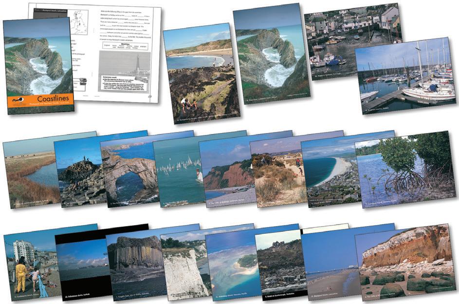
Coastline Photopack & Book
This photopack is ideal for work investigating coasts. It contains 20 laminated photographs of a variety of coastal features including cliffs, arches, stacks, caves, headlands and coral reefs. Also included are photocopiable teachers' notes and pupil activities.
Size: 297 x 210mm (x20). KS2. Pack
077 002 244
Delivery time 2 weeks
£27.78
£24.81
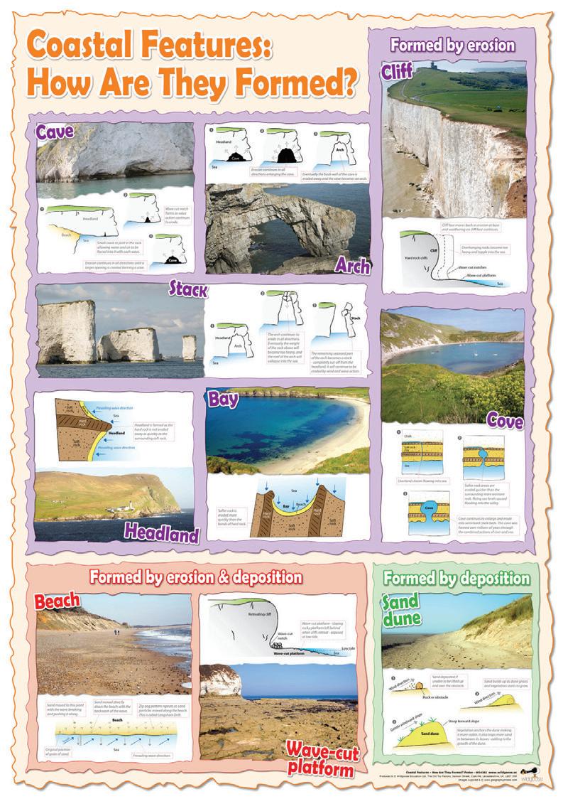
Coastal Features & How They Are Formed
This combination of photographs and annotated diagrams provides clear explanations of the processes that lead to the formation of common coastal features. The poster divides the features by process, so adding to pupils understanding, and the photographs supply real examples to underpin the learning. Size
700 x 1000mm. KS2. Each
41 004 382
£11.69
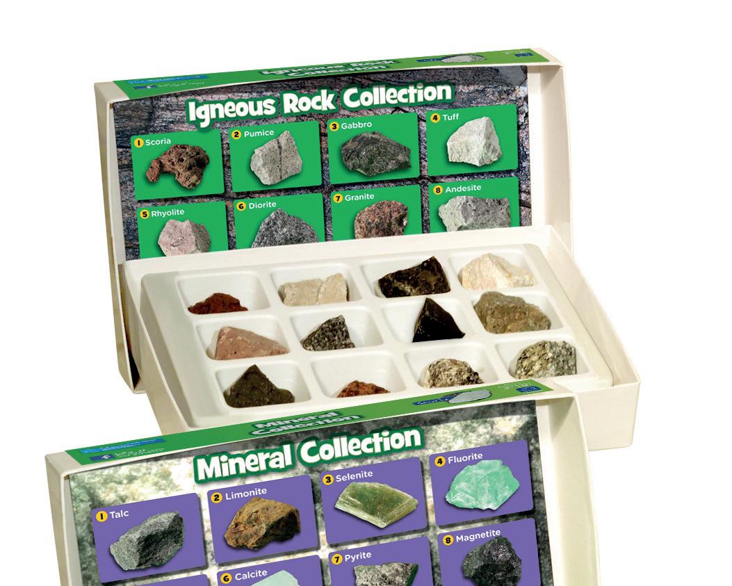
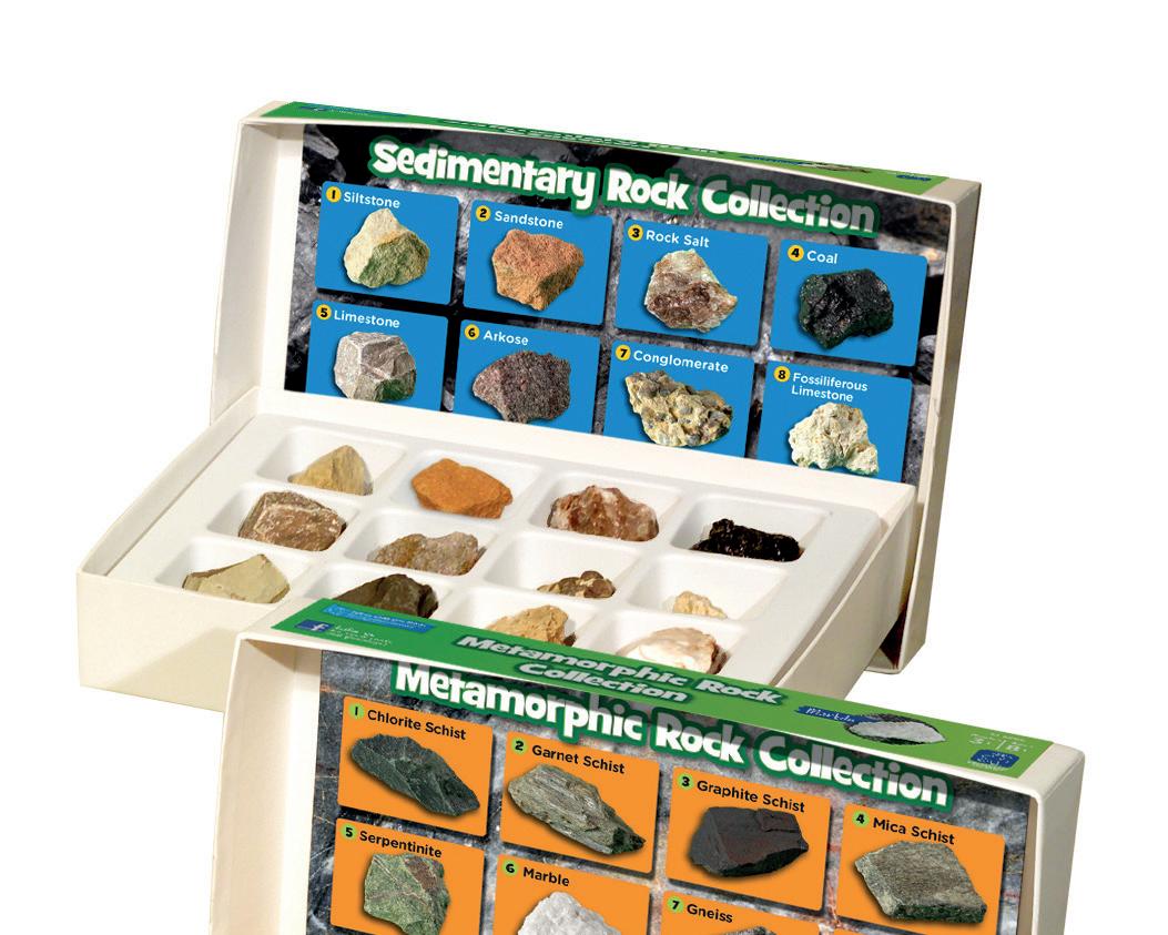
Rock, Mineral & Fossil Collection



Students can dig up some exciting learning fun with these fascinating rock, mineral and fossil collections. Each set includes a selection of hand picked specimens, a colour identification chart, labels, storage tray and activity guide. Age 8+



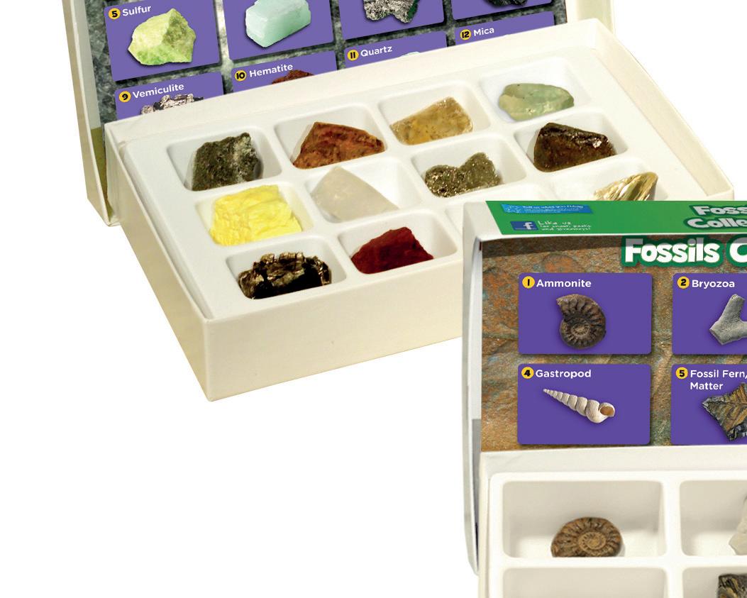
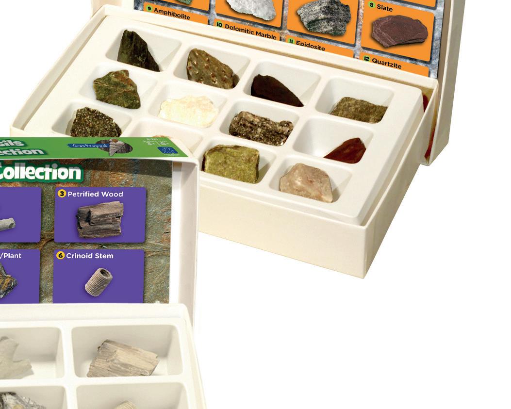
077 000 695 Fossils Set 9
077 000 700 Igneous Rocks Set 12
077 000 705 Metamorphic Rocks Set 12
077 000 710 Minerals Set 12
077 000 715 Sedimentray Rocks Set 12
077 000 720 Complete Set Delivery time 2 weeks




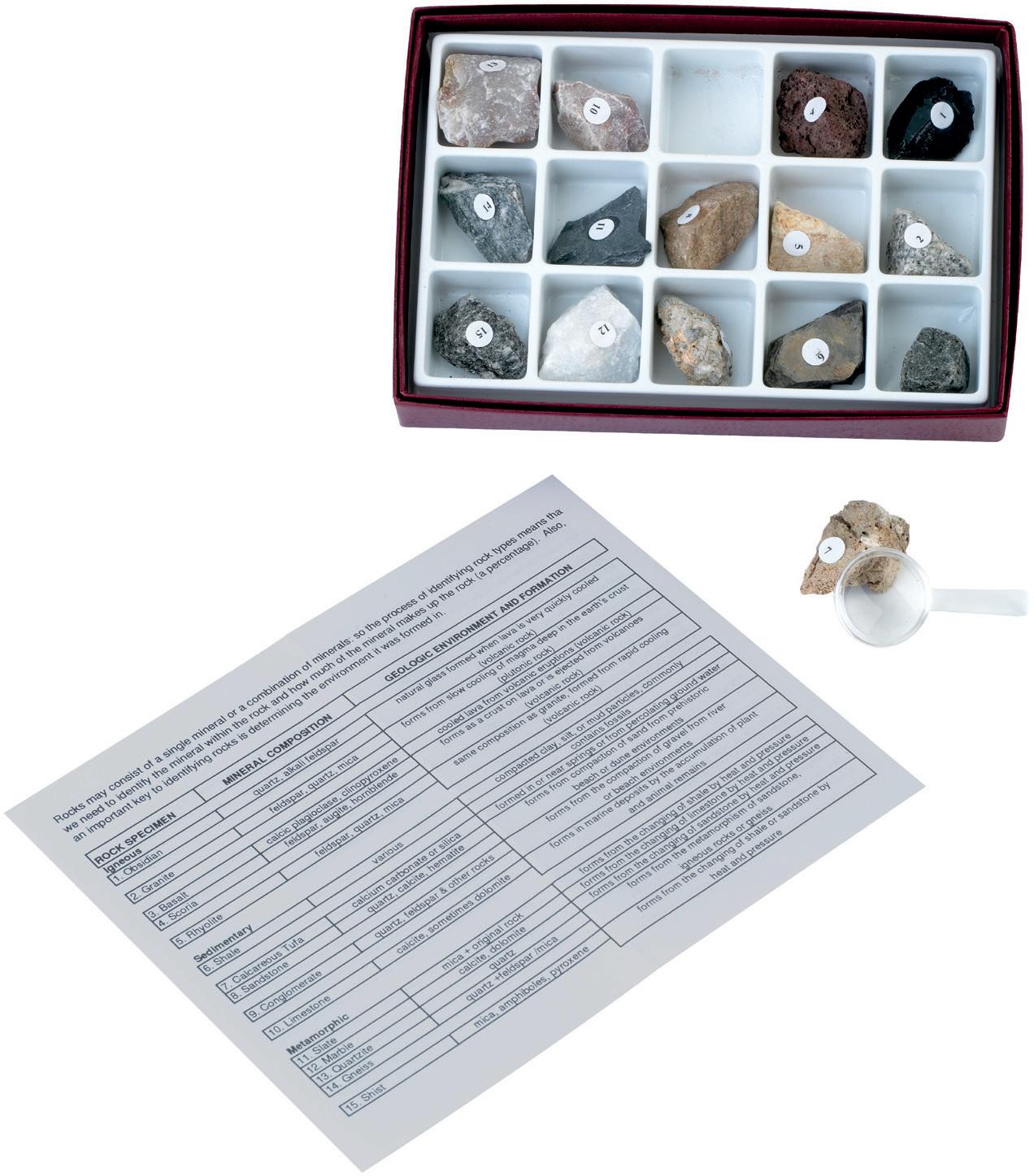
Rock Study Kit
5 each of igneous, sedimentary and metamorphic rocks. Includes activity guide and magnifying glass. Set 15
23 935 026
£22.70
Our School Playground Signs
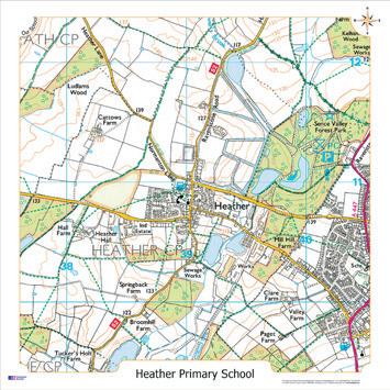
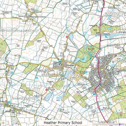
These fascinating playground displays will show either a 3km² aerial photograph, Ordnance Survey or historical map, centered on your school or area of choice. Children will be encouraged to become familiar with the area, and with the terminology used for map reading. Printed on weather proof 3mm Foamex board, using fade resistant ink, these playground signs are ready-drilled and are supplied with all fixtures and fittings. Size: 1000 x 1000mm. KS1 + KS2. Each
OS Map
077 000 952 £98.82
Aerial Photo
077 000 953
Historical Map
077 000 645
Delivery time 2 weeks




Our School Playmats

£98.82
£98.82
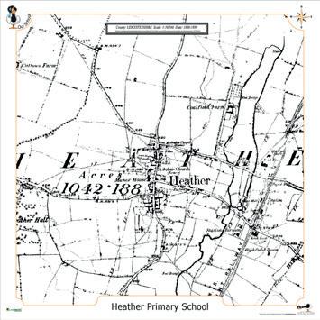

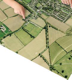
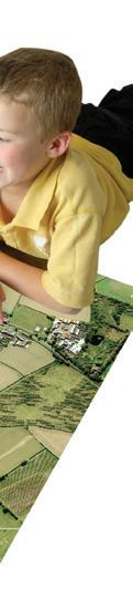
Printed on high quality hard wearing PVC. Features a detailed aerial photograph or Ordnance Survey map centered on your school or area of choice. Use on the floor, desk or hag on the wall. Rolls up for easy storage. Size: 1000 x 1000mm. KS1 + KS2. Each.
Map
Photo








Our School Aerial Whiteboard Maps

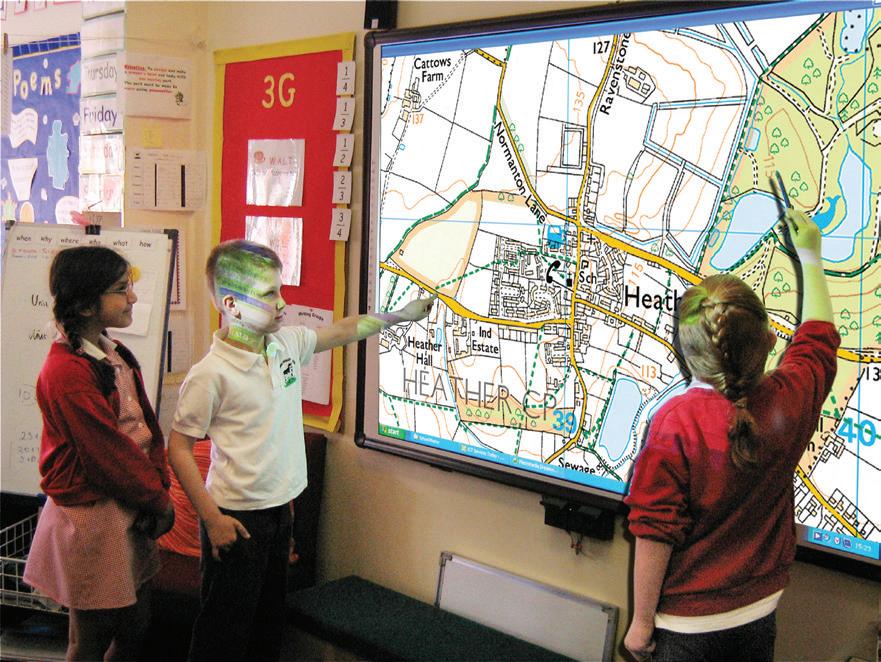
A digital aerial photograph, Ordnance Survey Map and a nineteenth century map centered on your school, or area of your choice, for use on your whiteboard. Supplied with teachers notes and lesson plans. KS2. Each
077 000 968
Delivery time 2 weeks
Our
School Through The Ages
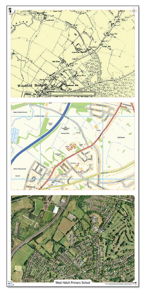
A recent aerial photograph, an up to date Ordnance Survey map and an historical map from the end of the nineteenth century are all centred on precisely the same area at a scale of approximately 1:4500. The image covers an area of 2km from west to east and 1.45km from north to south. Size 420 x 890mm. KS1, KS2, Pack 3
077 000 970 £67.24
Delivery time 2 weeks
£49.51
Our School Aeroimage Poster
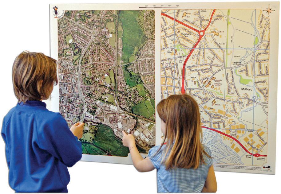
This is a larger version of the Our School aeroimage deskmats, at a scale of 1:2500 scale. Size: A0 - 1190 x 840mm. KS1 + KS2. Each
Our School Aeroimage Deskmats
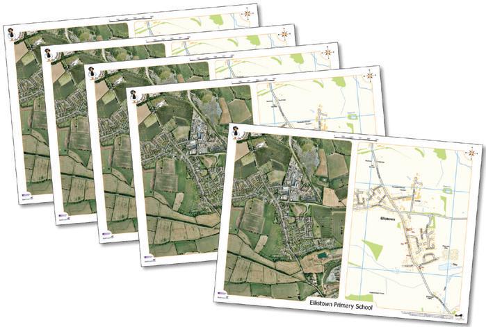
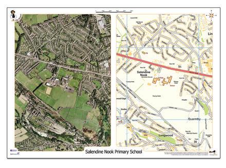
These deskmats feature a recent aerial photograph of your school (or other chosen area) alongside an Ordnance Survey map of the same area and at the same scale (approximately 1:7000) The image covers an area of 1.45km from west to east and 2km from north to south. Size: A3 - 420 x 297mm. KS1 + KS2
5
Delivery time 2 weeks