SOUTH ROUTE
Total driving time: 53 minutes | Route length: 52 km
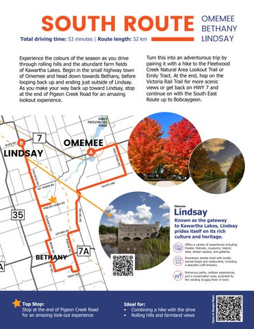
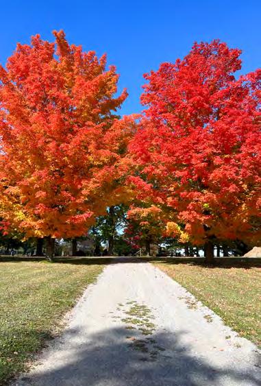
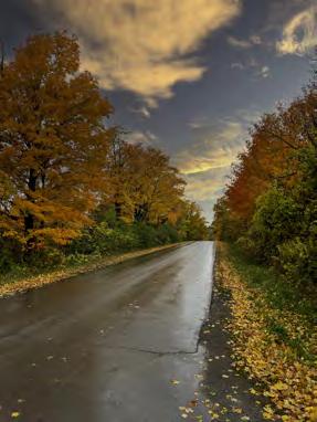
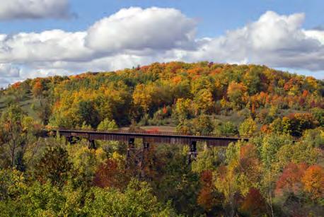
Experience the colours of the season as you drive through rolling hills and the abundant farm fields of Kawartha Lakes. Begin in the small highway town of Omemee and head down towards Bethany, before looping back up and ending just outside of Lindsay. As you make your way back up toward Lindsay, stop at the end of Pigeon Creek Road for an amazing lookout experience.
LINDSAY
Turn this into an adventurous trip by pairing it with a hike to the Fleetwood Creek Natural Area Lookout Trail or Emily Tract. At the end, hop on the Victoria Rail Trail for more scenic views or get back on HWY 7 and continue on with the South East Route up to Bobcaygeon.
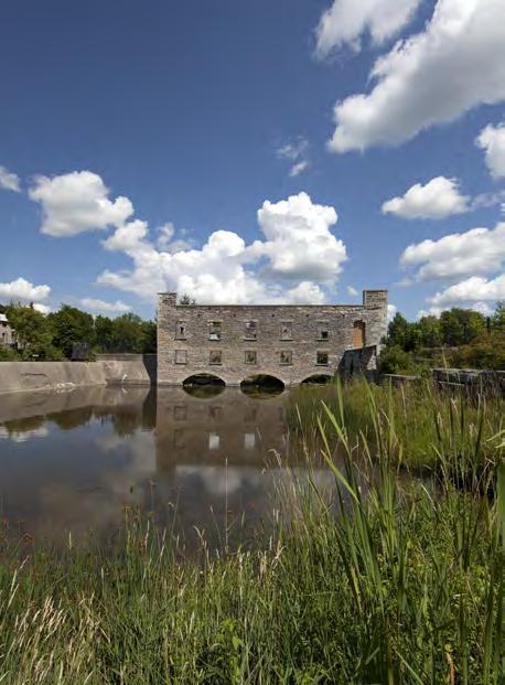
Known as the gateway to Kawartha Lakes, Lindsay prides itself on its rich culture and heritage.
Offers a variety of experiences including
Downtown streets lined with
Numerous parks, outdoor experiences, and a conservation area, accented by the winding Scugog River in town.
ASOUTH ROUTE DIRECTIONS
START in Omemee and head East on Hwy 7 / Trans-Canada Hwy
Turn right onto Emily Park Rd/ Kawartha Lakes County Rd 10 (signs for Mount Pleasant)
Turn right at the 1st cross street onto Hayes Line/Concession Rd 1
Turn left onto Ski Hill Rd/Kawartha Lakes County Rd 38
Turn right onto Lifford Rd
Turn left onto Porter Rd heading south toward ON-7A E
Turn right onto Gray Rd
Turn right onto Pit Rd
Turn left at the 1st cross street onto ON-7A W
Take the next right onto Beers Rd
Turn right onto Lifford Rd
Turn left on St Marys Rd heading north
Turn right onto Pigeon Creek Rd
Enjoy the lookout at the end of Pigeon Creek Rd and turn around to head back to St Marys Rd
Areas of interest:
•Doubes Trestle Bridge
•Wutai Shan Buddhist Garden
•Cavan Swamp Wildlife Area
•Emily Park / Emily Tract
•Bethany Arts & Heritage Trail Locations
•William’s Design Studio
•Clayworks
•Ballyduff Trails
•Fleetwood Creek Natural Area Lookout Trail
•Pigeon River (For Photos)
Make it Your Own:
Do it backwards and end with a walk through Omemee with the Legends of Lore Walking Tour
Take a detour at the beginning of your trip by parking in Omemee and hiking down to Doubes Trestle Bridge for a scenic photo opportunity
Continue onto the South East Driving Route to take a lakeside tour up to Bobcaygeon
Turn right onto St Marys Road
Turn right onto Mt Horeb Rd/Kawartha Lakes County Rd 31
Take the immediate left onto Hillhead Rd
FINISH in Hillhead Corners at River Rd
Head into Lindsay at the end of your drive for some lunch or downtown shopping
Park the car and hop onto the Victoria Rail Trail at HillHead Corners before heading home