1 minute read
The Point by Numbers

Point by Numbers
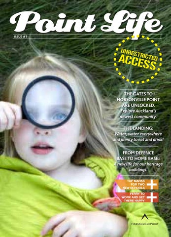
The transformation of Hobsonville Point from (largely) bare land to a bustling town is on a scale that is rare in New Zealand. We thought we’d impress you with some numbers.
Advertisement
167 hectares of peninsula jutting into the upper Waitemata harbour, the size of Devonport!
104 is the number of times Eden Park would fit into Hobsonville Point
24 hectares of land will be park, reserve or open space
1.7 million dollars spent on the first of our community parks, Hobsonville Park
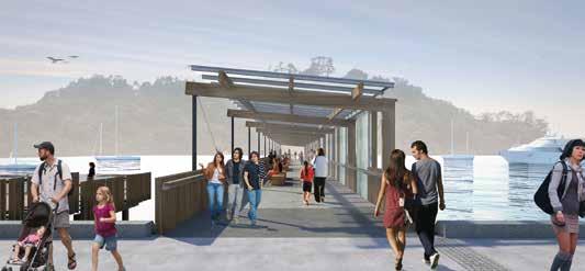
4kms of coastal walkways
for walking, running, cycling and commando-ing
11kms from the CBD 25 minutes to Quay St on the new ferry service
13 parks and reserves
including an heritage oval
Where Come We’ve From
Before European settlement the land was covered in kauri forest. The tidal flats on the southern and eastern coast were teeming with birds and seafood, a source of delicious kai for local iwi. They knew the Point and surrounds as ‘Onekiritea’ after the clay soil found in the area, which they used for its pigment and as a natural soap. In 1853 around a thousand acres was sold by Ngai Tahu and cut into four blocks, part of which was eventually named ‘Hobsonville’ after Captain William Hobson, New Zealand’s first governor. The air force established their home on the Point in 1929 and the land became dotted with barracks, hangars and houses and intersected by roads and landing strips. Many of the early houses and buildings will remain and be reused to preserve Hobsonville Point’s character and provide a link to the communities the Point has been home to in the past.
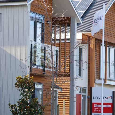
2,500 homes, from ‘lock and leave’ apartments to waterfront mansions
2 brand new public schools
50 mature palm trees gracing the neighbourhood
30 heritage buildings to be re-loved
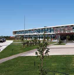
Secondary School
Check out the new sculptural children’s playground.
Heritage
Precinct Fond of the oldies? You’ll be able to buy a heritage home to renovate and re-love.
Hobsonville Point Park
A learning environment without leaving the neighbourhood.