
JUN SOSA
Landscape Architecture Portfolio Selections
Bachelor of Landscape Architecture | Auburn University College of Architecture, Design, and Construction 2021-2025

VACANCIES TO VIEWS
STUDIO VI | SPRING 2025 | INSTRUCTOR Isaac Cohen
overview: utilizing underutilized spaces
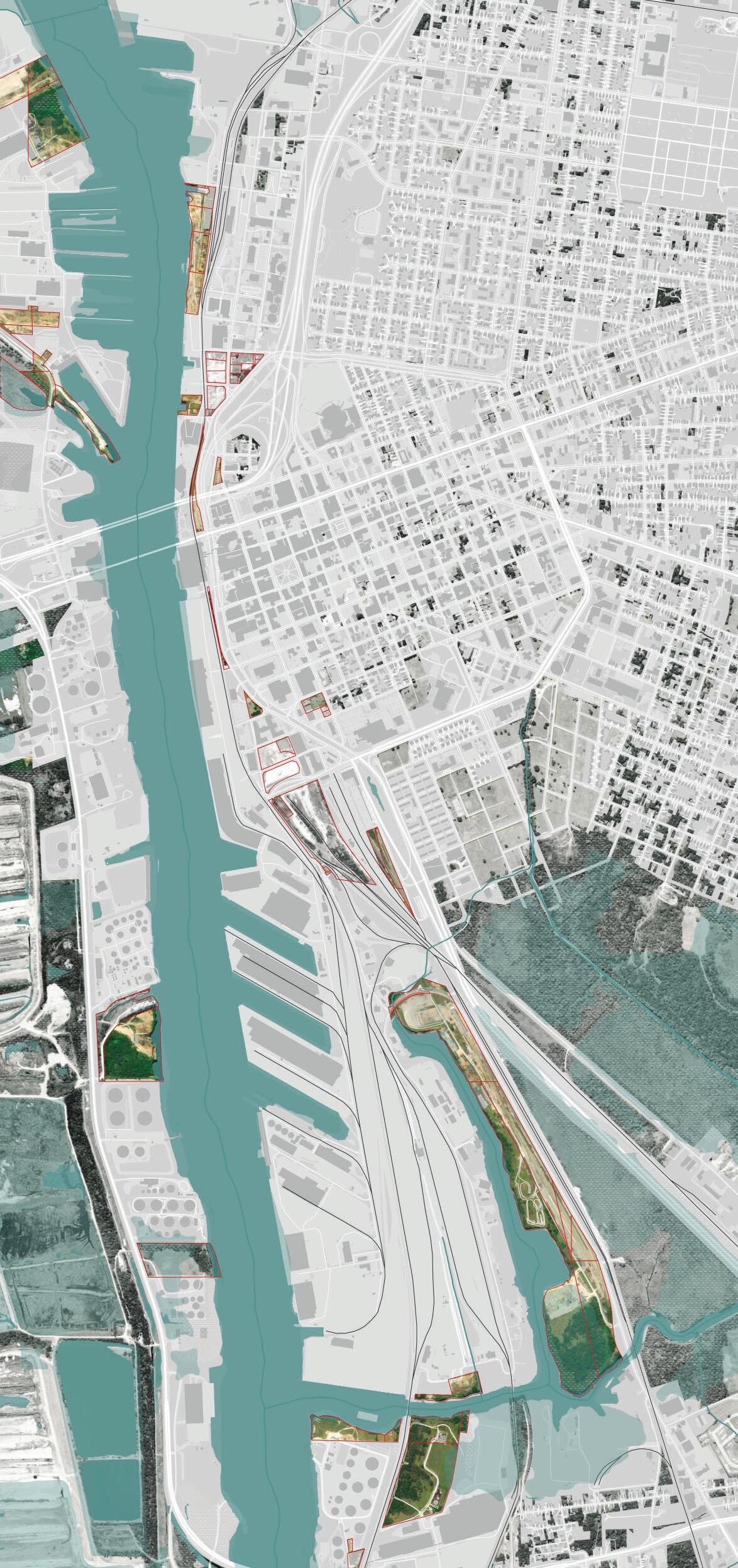
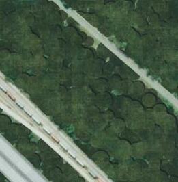
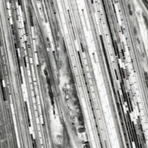
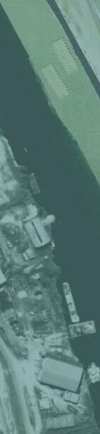
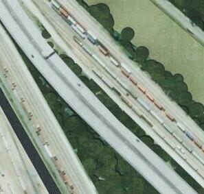
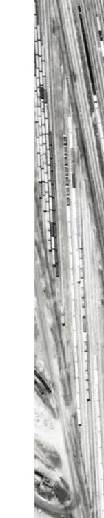
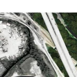
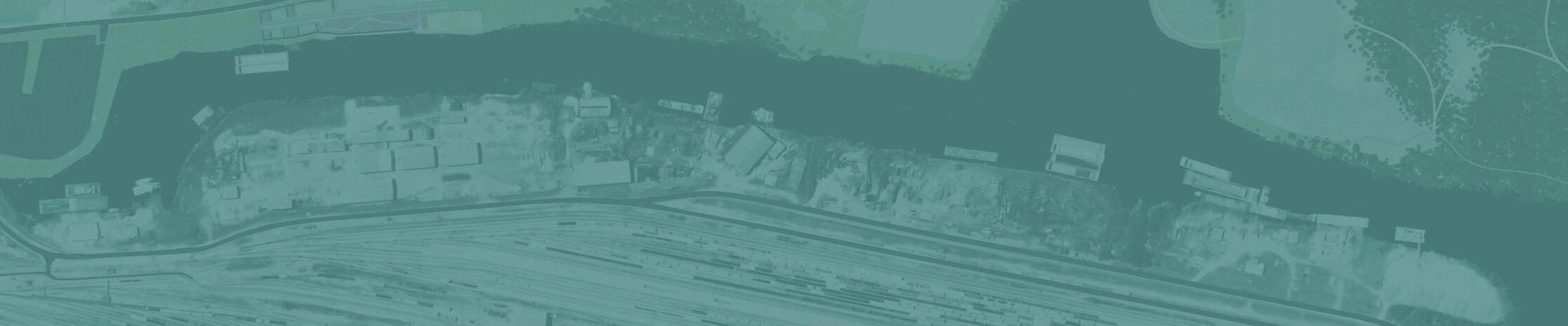
Downtown Mobile, Alabama is very disconnected from its water. Most, if not all, of its water front edge is taken up by industrial ports. These ports are very unfriendly to pedestrian traffic as it is filled with large cargo containers, heavy machinery, lots of fences with large scary signs, and a set of train tracks that divide the downtown area from the water front. While there are a few spots where the public can access the water, these spots are very unappealing and filled with trash and debris.
haunting
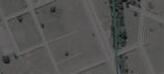
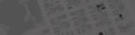
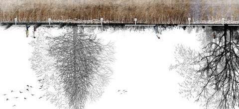
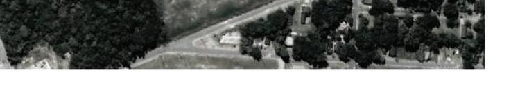
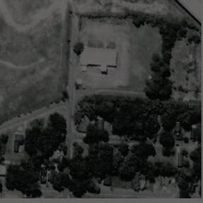
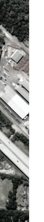
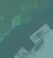
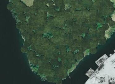
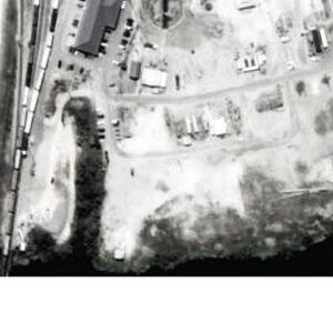
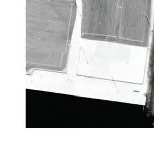
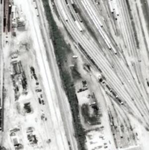
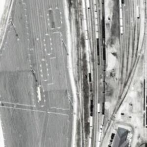
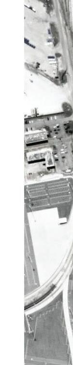
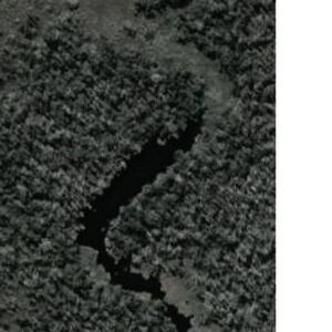
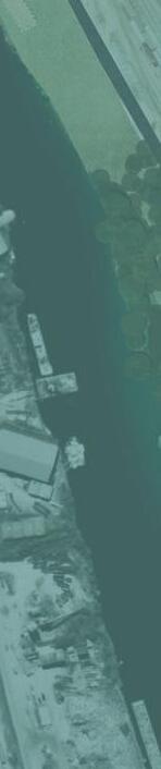
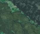
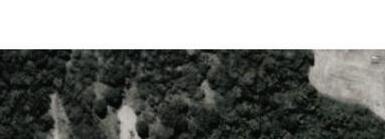
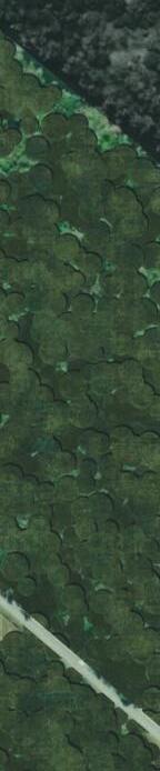
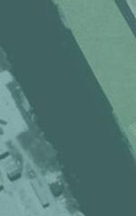
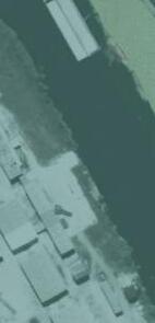
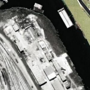
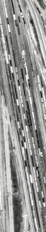
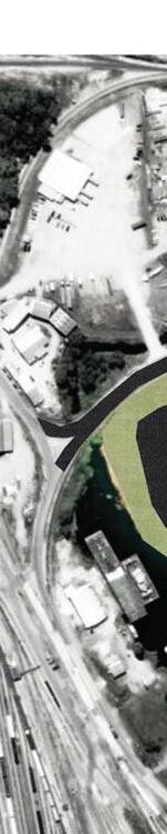
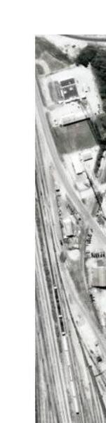
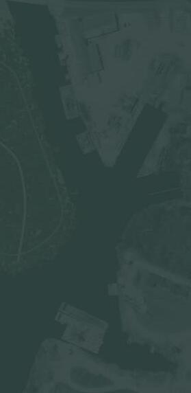
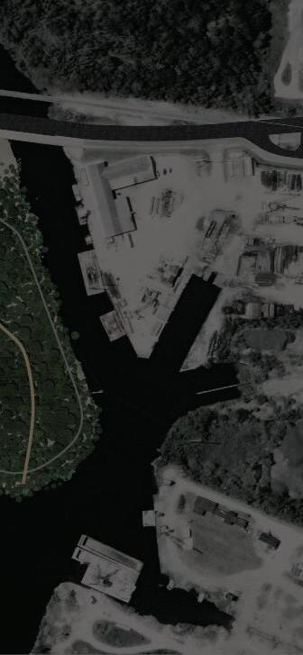
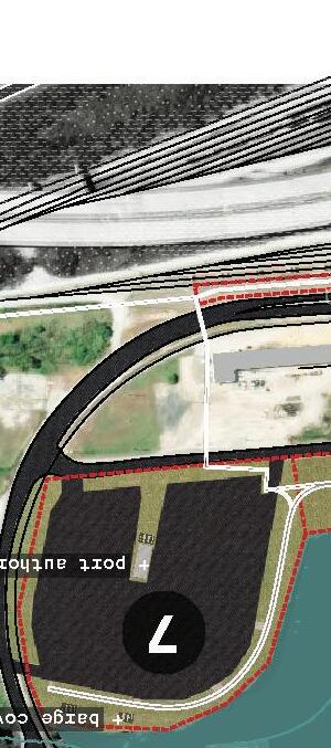
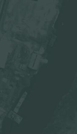
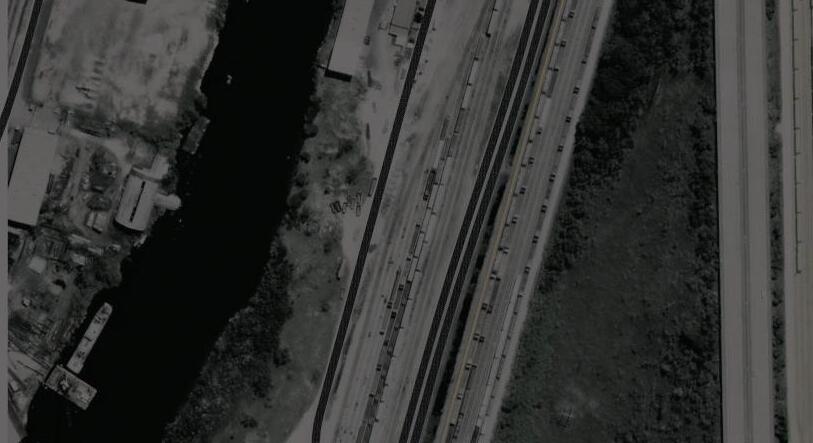
For this assignment, students were asked to create a map that represents haunting (something from the past that still impacts the present and/or future) in Mobile. In the map shown on the left, haunting is represented as a lingering presence through vacant and underutilized spaces. These are spaces that are forgotten and pushed to the side. They are still there but people ignore them or are not even aware of them. It identifies these spaces using land use data (gray scale imagery) as well as observations from aerial imagery (colored imagery). The goal with this analysis is to locate areas with the potential to bring people to the water. What areas are close or next to that seem to be ignored or under used? With this map we can see how much space next to water is underutilized and ignored and begin to think about how it can be used to bring people towards the water.






proposed future iterations
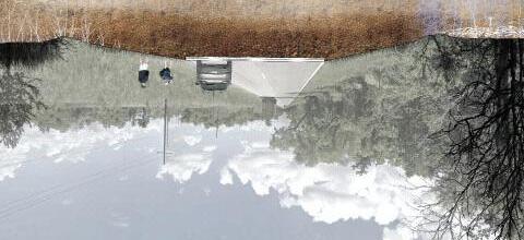
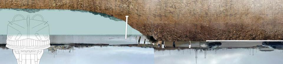
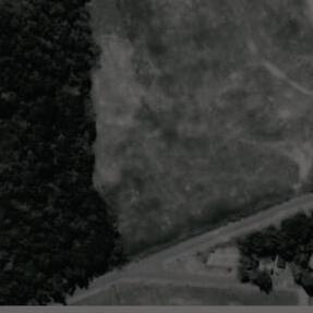
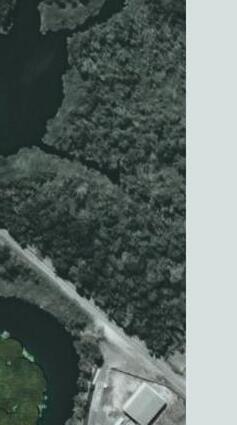
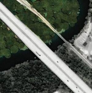
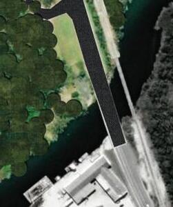
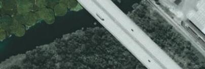
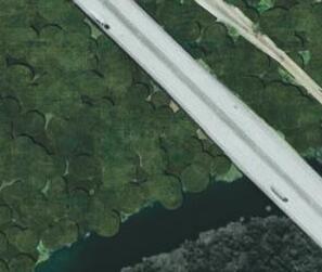
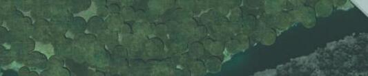
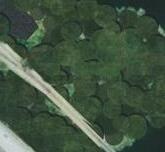
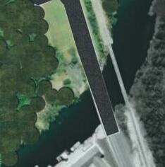
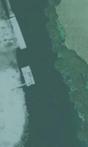
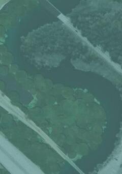
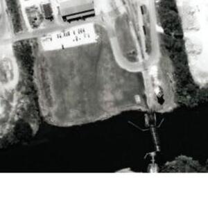
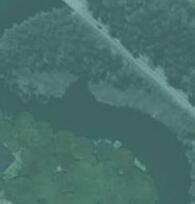
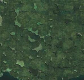
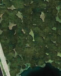
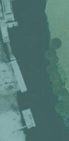
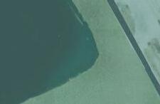
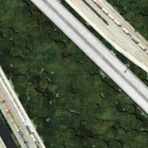
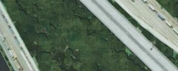
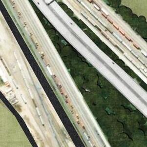
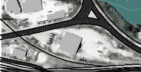
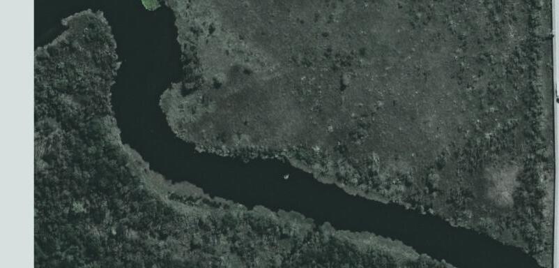
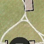
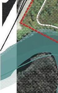
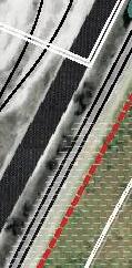
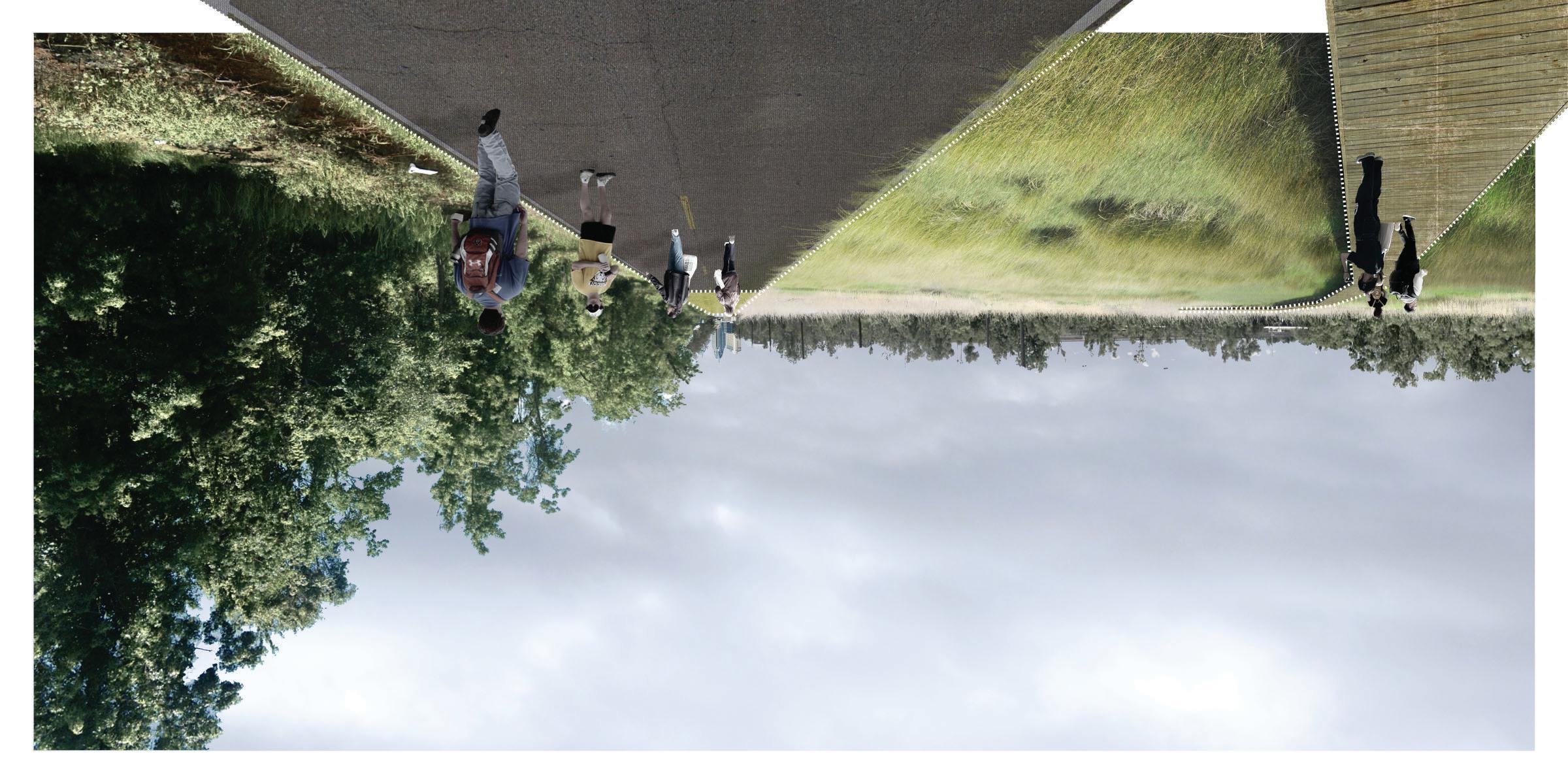
For part 2 of the project, students were tasked with making section iterations of their site. These iterations are meant to show the ideal future condition of the site in a number of years from the present day. The bottom images show the current condition of different parts of the site. The section on the left shows how the road is elevated, separating either side of the wetland. In the image above, the proposed future takes out the road and levels the land so that water can move freely between either side. On the right, the empty parking lot sits next to the inlet. The water edge has a steep drop blocked by grasses. It is very sketchy if a person wanted to get close to the water since the exposed ground next to the water is also littered with trash. In the proposed future, the edge has been softened along with a grated platform on the water so people can step down close to the water. There are still grasses to filter water run off. There is also a gazebo made of a barge cover that is meant for a nice resting place for truck drivers during the day.
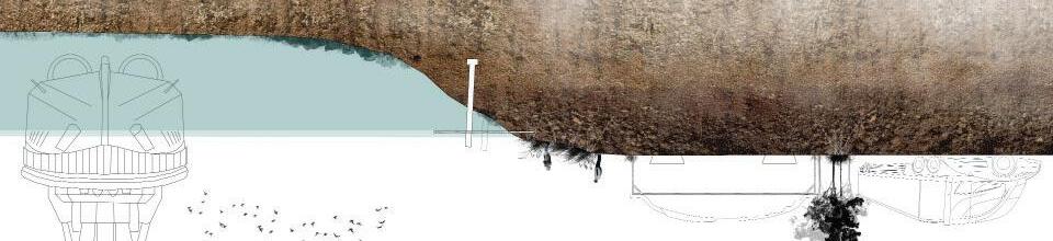
WETLAND - proposed future 100 yrs
WETLAND - present day
ROAD + WATER - future 100 yrs
ROAD + WATER - present day





























MASTER PLAN
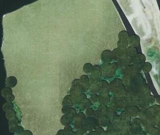

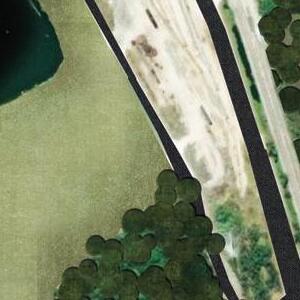
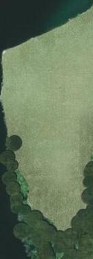
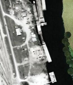

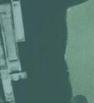
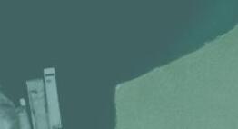




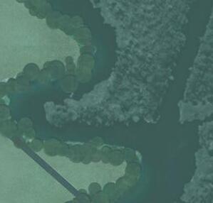
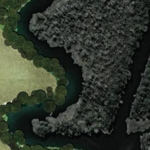
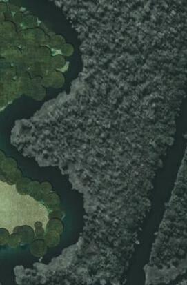
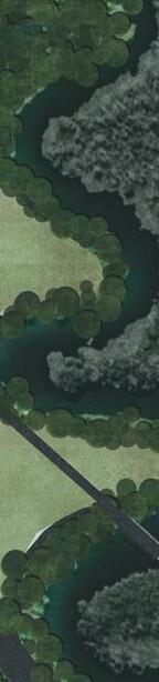

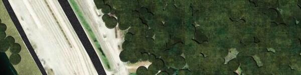
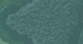
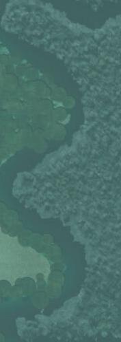
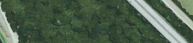
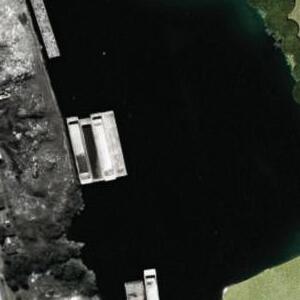

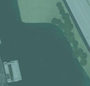
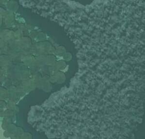
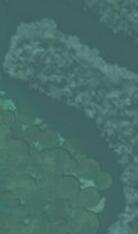
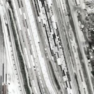
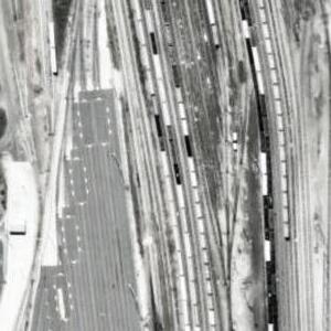
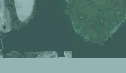
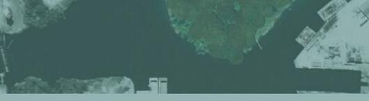
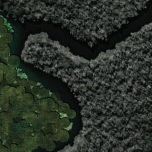
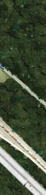
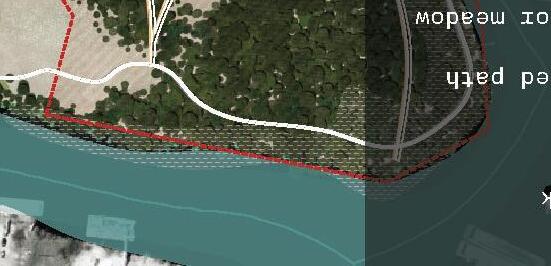
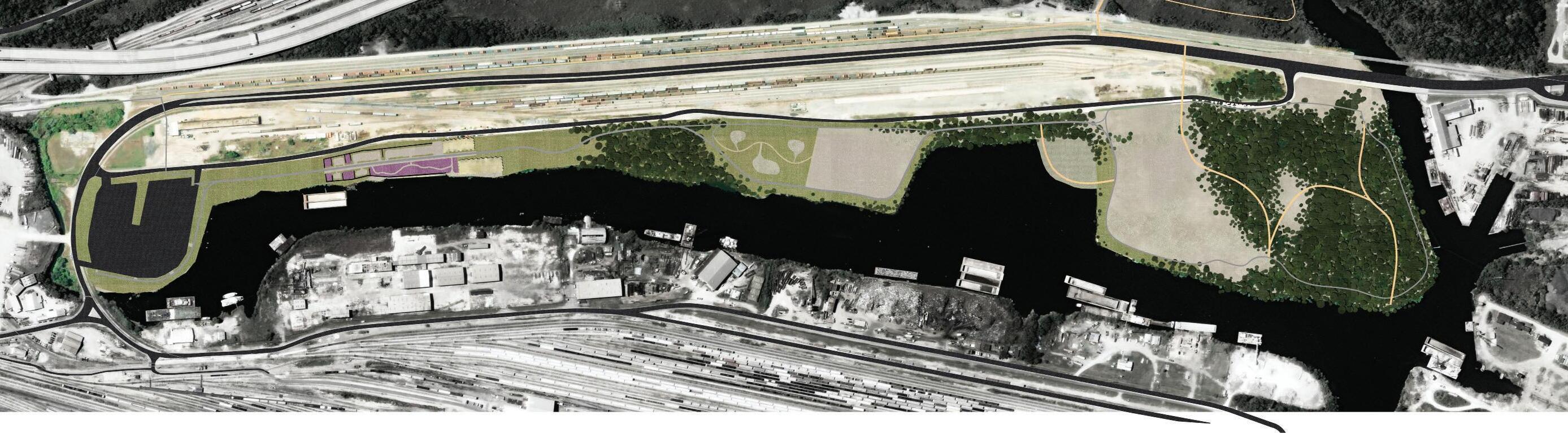
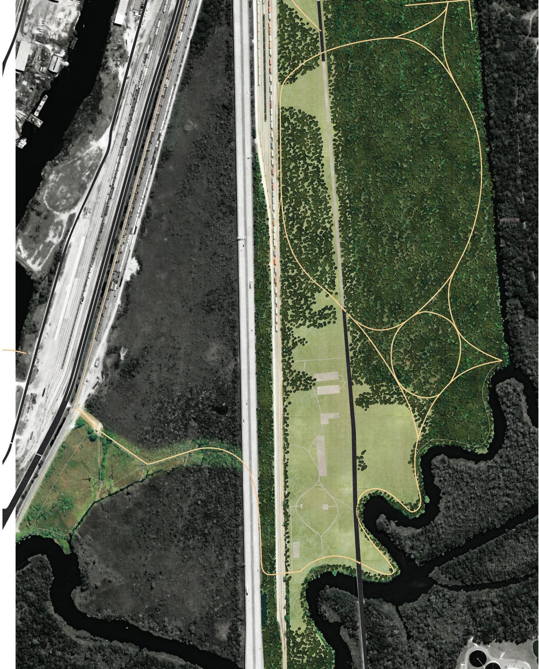
This project aims to bring people in Mobile to the water and wetland through post-industrial spaces. Each side of the park uses remains of industrial buildings and corridors carved for transportation as building blocks for new unique spaces. These spaces are meant to highlight two integral parts of Mobile and to urge people to be excited for more spaces like it. Mobile has a special land scape with much to offer that people either are not aware of or do not have easy access to.
















THREEM
POST-INDUSTRIAL WATERFRONT
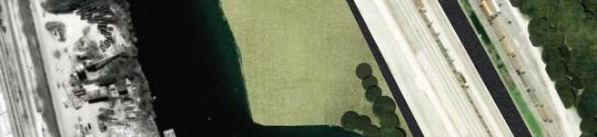
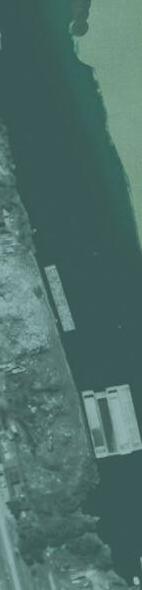
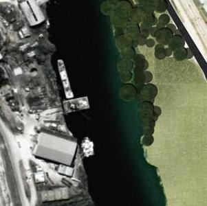
The water front side of the park provides space for people to gather near the water. Because of the industry, it is impossible to tell how close one is to the water from downtown. This park is close enough for people to travel to and brings them closer to it while also getting to see pieces of the industry on either side
1 wetland boardwalk
This boardwalk is a shorter and closer to downtown. If people do not want to walk all the way to the wetland side of the park, they are still able to enjoy fantastic views of the entrance of Threemile Creek. Most of this area is not wetland so people are able to enjoy the paved path at any moment.
2 material wetland
This built wetland sits on a foundation made of the material that was being transported by the companies that used to be here. Taking the larger pieces and filling them in with smaller pieces for the base and filling it the top layer with the proper soil and adding grasses to prevent it from eroding.
3 multipurpose field
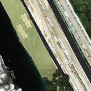
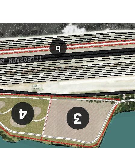
An open field that provides a view of the industry across the creek. The space is large enough for locals to host sports like soccer, football, frisbee etc. The space can be used to host festivals and markets near the water. The openness of the space allows for people to mold the atmosphere.
4 mini grassland rooms
This section is a more accessible version of the hammock rooms in the wetland part of the park. Small groups of people are able to gather and host picnics or small private events. The surrounding grasses help to create an calming windy atmosphere.
5 windy corridor
Areas that were once gravel lots for parking are being restored with tall grasses. The grasses are short enough for people to see across to the industrial port on the Mobile river while also providing a calming transition between spaces.
6 industrial pollinator rooms
This area is defined by walls used by material companies to store piles of materials before shipping. The rooms are planted with tall grasses and pollinator friendly plants. The spaces are created through maintenance by mowing and trimming out paths. The space can be altered base on the intended use.
7 port authority + public parking
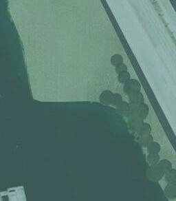
This parking lot is currently used by the Alabama Port Authority for cargo trucks. In the last few years it has been used less and less so this parking lots is being re-utilized for the public. There is still a zone for the truckers to leave their vehicles and some added rest areas for them to eat lunch and rest before they drive to their next location. The grasses along the water edge is meant to filter run off from the parking lot before it enters the water.





























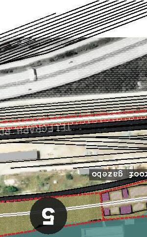
a: industrial pollinator rooms
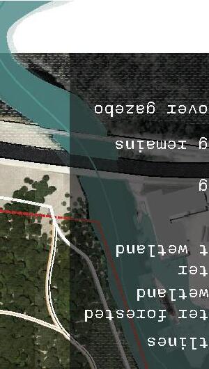
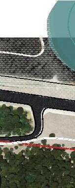
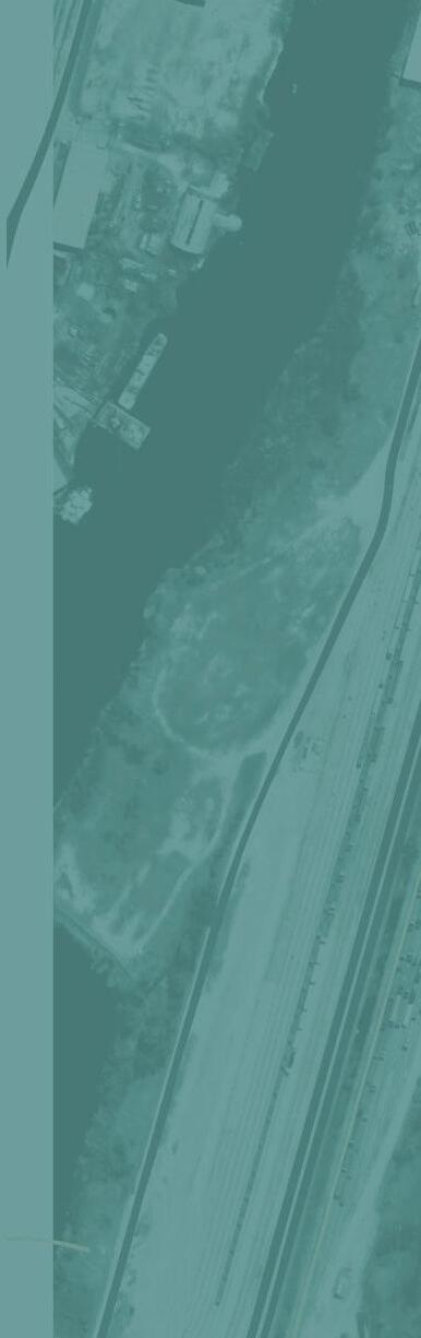
Left over walls from materials company outline this part of the water front. Some piles are left and soil is built on top of it to create ruderal mounds for grasses to grow. Selected pockets of the grasses are planted with pollinator friendly plants. Paths are ephemeral and change with the years and can be altered based on how people wish to use it. The industrial walls block the wind so people can enjoy picnics or reading without the threat of the wind tossing their items around.
b: rail road corridor
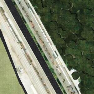
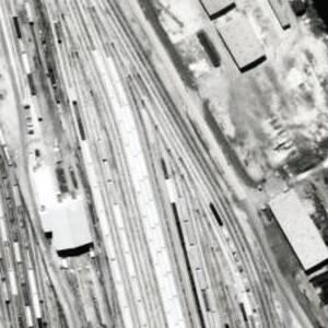
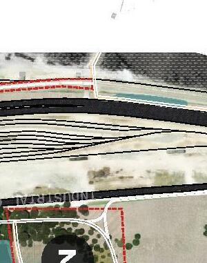
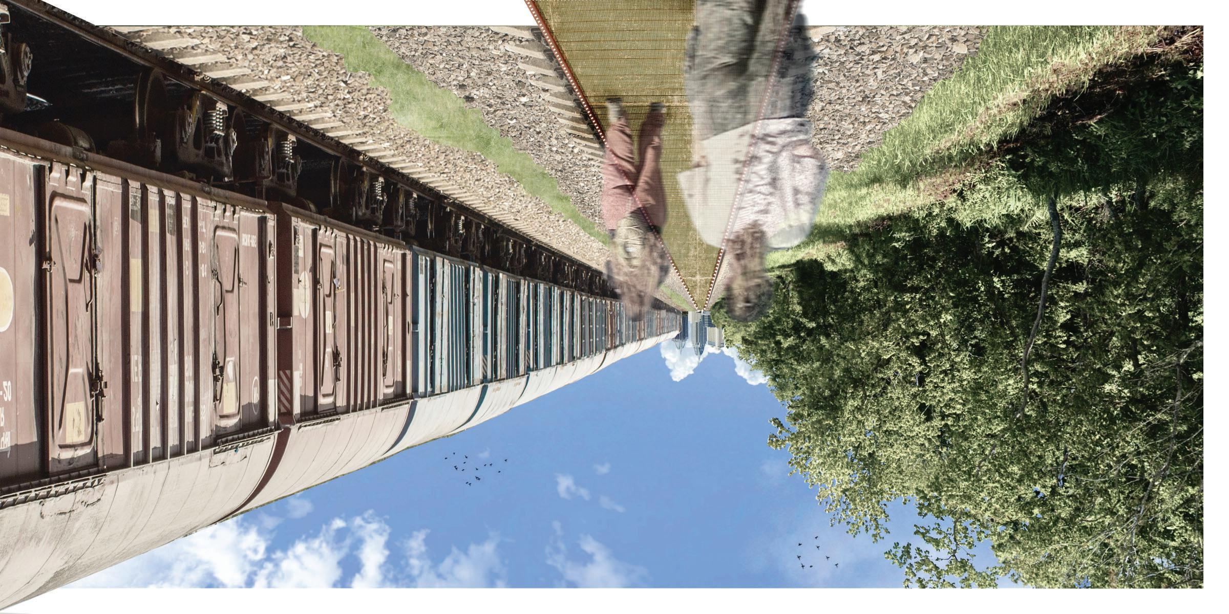
These rail corridors use tracks that are blocked off and replaced with a board walk. The edges utilize the railing left from the tracks and fill the middle with wood planks. These allow for people to experience the views created from carving all the space needed for trains to store cargo while also letting the industry continue to use the other rails. If people are lucky, they will get to see the trains being used and moves around as they walk down this path.
+ pollinator meadow+ ruderal mounds



WETLAND TRAILS
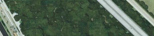
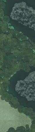
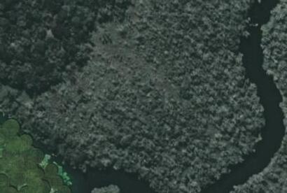
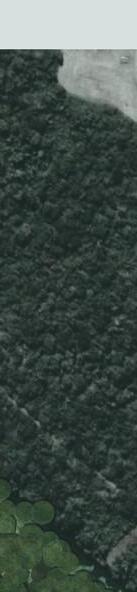
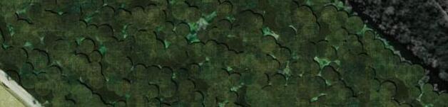
Mobile is built on and surrounded by wetlands but they are either not close to down town or people are not aware of them. This series of rooms and trails provide locals access to a series of trails through the wetland that open up into corridors. The drier parts of the area are home to rooms for relaxation.



1 hammock rooms


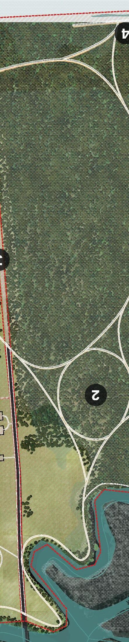


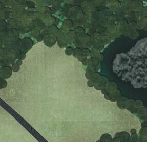
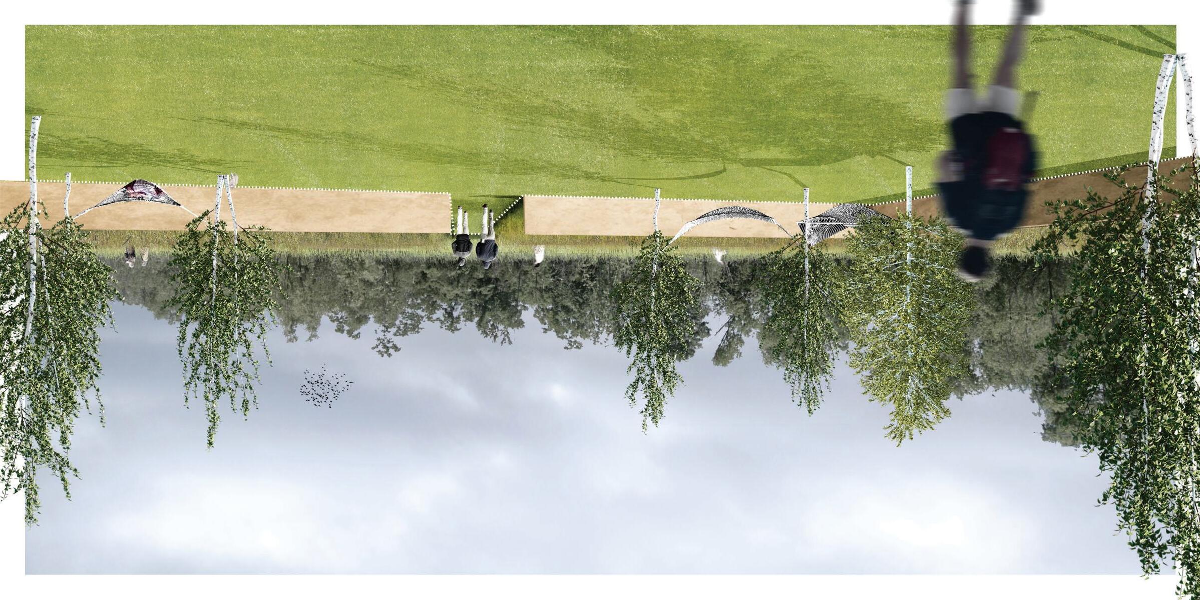
These rooms are surrounded by grasses that flow in the wind. Each room is defined by the remains of the removed industrial buildings. There are hammocks tied to planted trees as well as room for people to bring their own emus and hammocks to come and relax.





2 wetland boardwalk
This series of boardwalk is elevated 2-3 feet above the granting easy access for people to explore the wetland without disturbing it. The elevated boardwalk allows people to explore the wetland even when it is flooded allowing people to enjoy the shifting and adaptive nature of the wetland.


3 wetland corridor




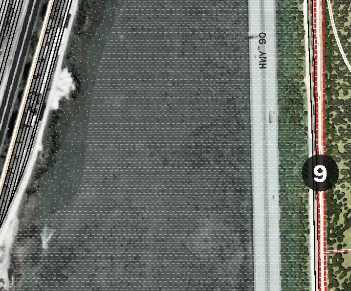
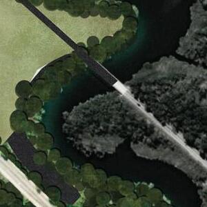
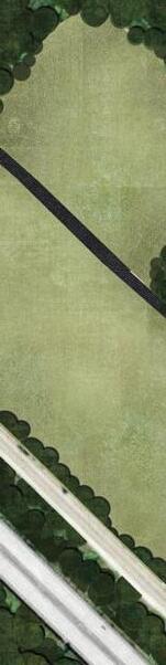
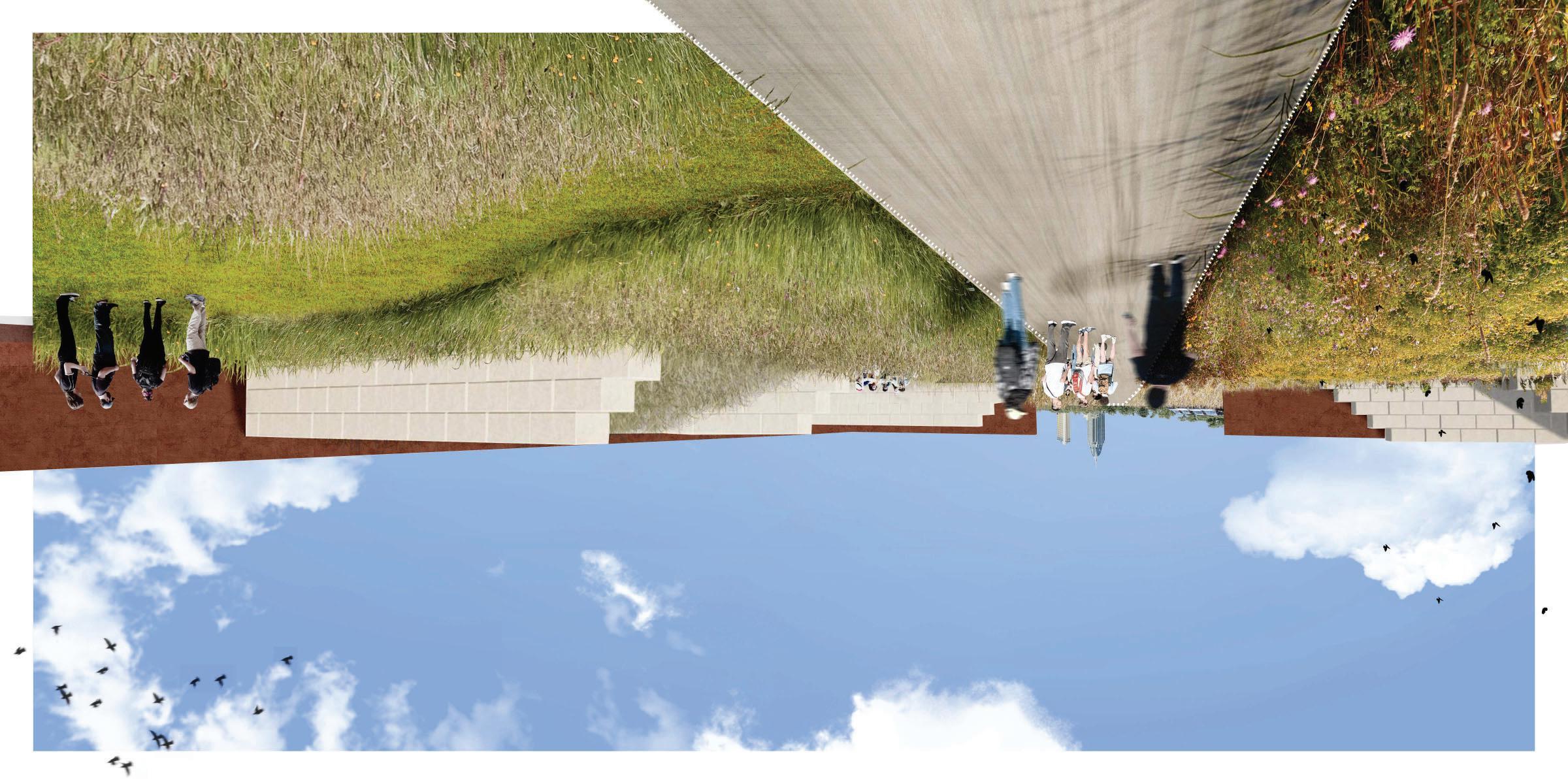
This corridor was made from a local road leading to a materials warehouse. This road split the wetland disconnecting either side. While parts of the road are left for people to walk down, the parts within the wetland have been removed and graded so that water can flow between either side.
4 creek overlook
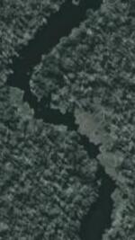
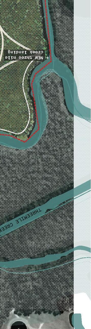
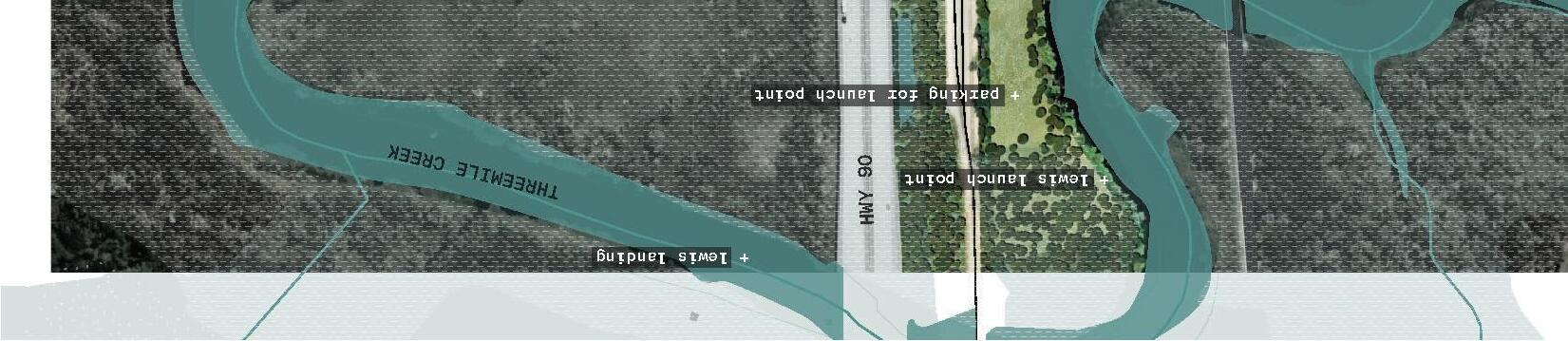
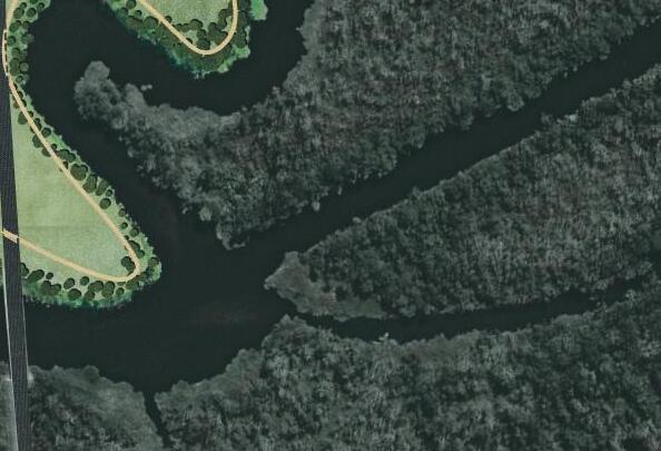
This part of the boardwalk brings people parallel to the straight branch of Three Mile Creek. Bringing people to the water without letting the access may bring interest in getting into the water. If people wanted, they could get into the water at a launch point and kayak to this point to see a unique view.
5 telegraph loop
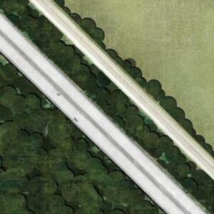
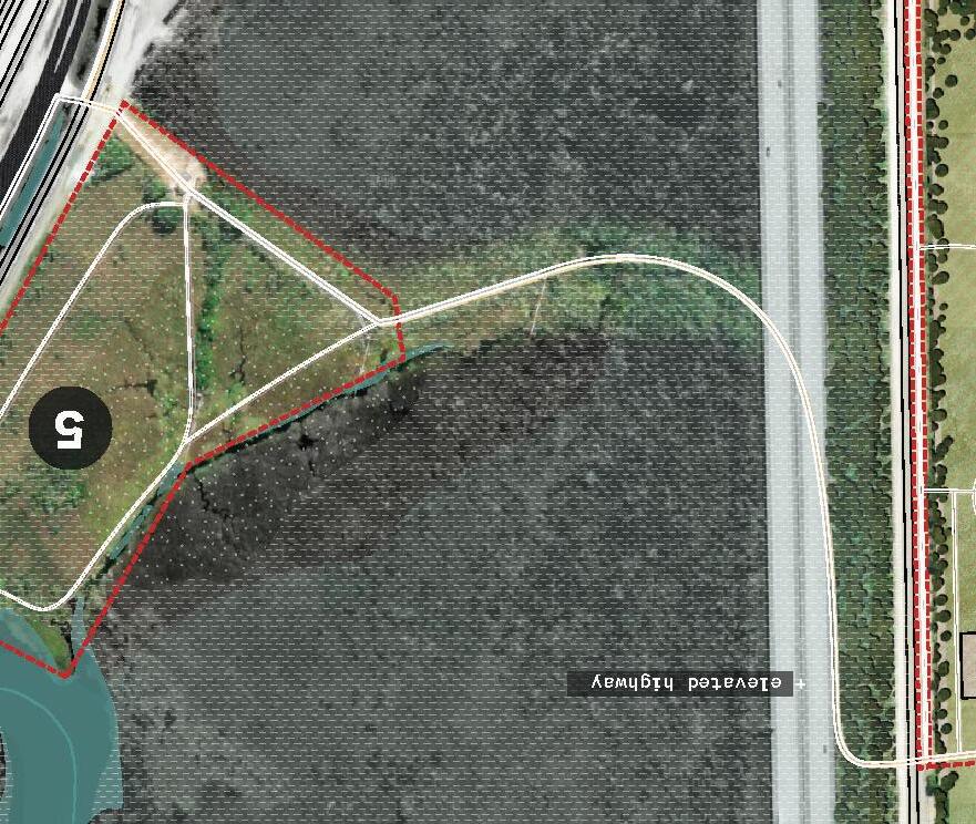
This shorter path connects the norther part of each part of the park. People and chose to cross under the elevated high way to get to the wetland side or they can follow the loop for a shorter hike.
6 rail corridor
Part of the rail has been re-purposed into a board walk. The spaces in between rails are filled with wood planks making it easy to walk across. Rail roads are typically very straight and these points towards downtown Mobile setting up a fantastic peak to the skyline.

c: hammock rooms
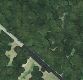
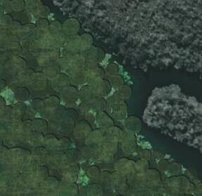
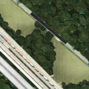
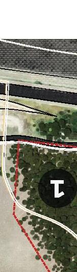
Rooms defined by the remains of industrial buildings are host to quiet and calming rooms for relaxation. Outside of the walls is a field of tall grasses that flow in the wind. This offers a great destination for a power nap during a hike through the wetland portion of this project. The open space allows for groups of people to gather and host events or picnics. There are plenty of remains so several groups can host events at once.
d: road corridor + wetland board walk
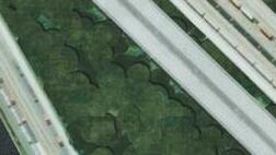
A corridor carved by a road once split the wetland into two parts. Parts of the road are left so people still have the view the Mobile skyline. The other parts have been removed and leveled so that water can move freely between either side allowing to the wetland to adapt as needed. This corridor hopes to bring awareness to how roads and highways break up habitats

4ft lawn
8ft boardwalk
24ft pavement
+ elevated boardwalk+ wetland grasses+ remaining pavement+ forested shrub wetland
+ maintained corridor
+ planted trees w hammock
+ tall grass