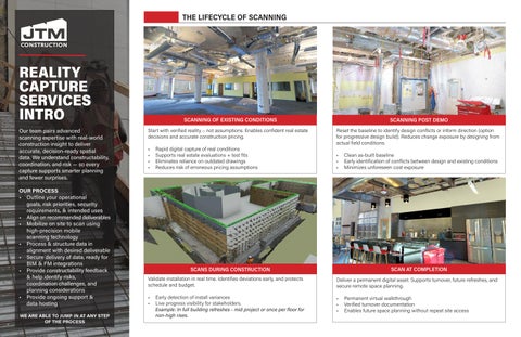
Our team pairs advanced scanning expertise with real-world construction insight to deliver accurate, decision-ready spatial data. We understand constructability, coordination, and risk — so every capture supports smarter planning and fewer surprises.
OUR PROCESS
• Outline your operational goals, risk priorities, security requirements, & intended uses
• Align on recommended deliverables
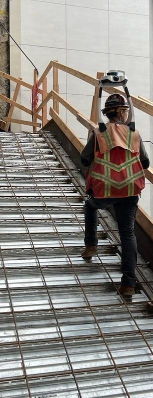
• Mobilize on site to scan using high-precision mobile scanning technology
• Process & structure data in alignment with desired deliverable
• Secure delivery of data, ready for BIM & FM integrations
• Provide constructability feedback & help identify risks, coordination challenges, and planning considerations
• Provide ongoing support & data hosting
WE ARE ABLE TO JUMP IN AT ANY STEP OF THE PROCESS
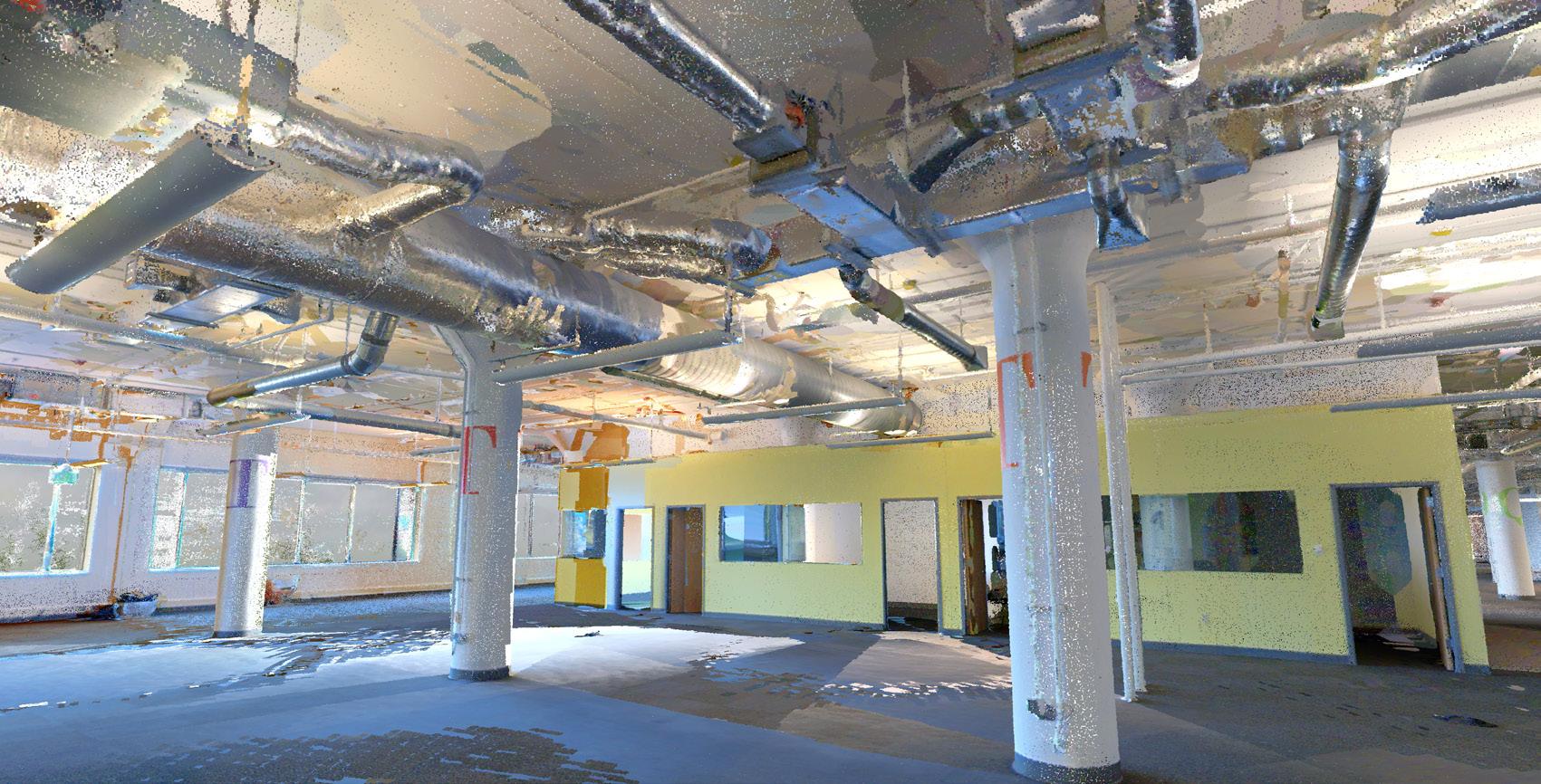
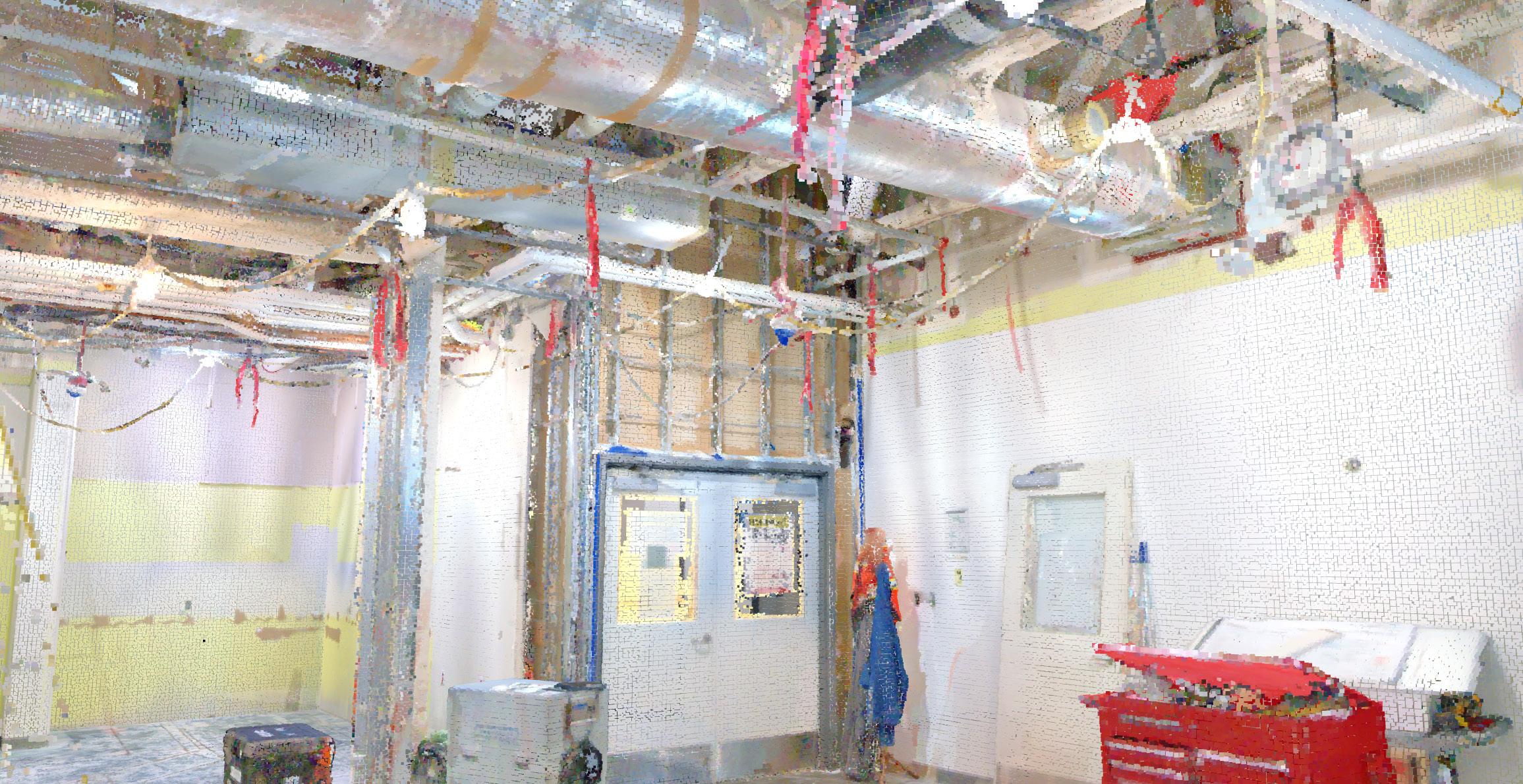
Start with verified reality – not assumptions. Enables confident real estate decisions and accurate construction pricing.
• Rapid digital capture of real conditions
• Supports real estate evaluations + test fits
• Eliminates reliance on outdated drawings
• Reduces risk of erroneous pricing assumptions
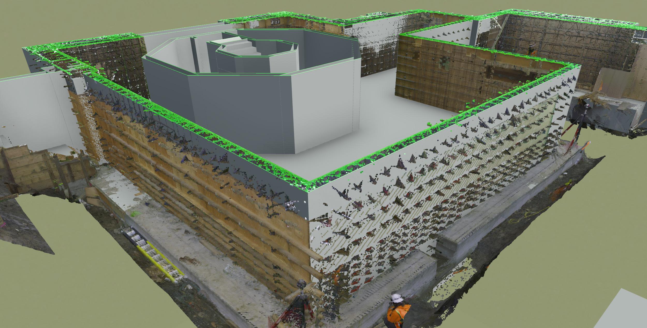
Validate installation in real time. Identifies deviations early, and protects schedule and budget.
• Early detection of install variances
• Live progress visibility for stakeholders.
Example: In full building refreshes - mid project or once per floor for non-high rises.
Reset the baseline to identify design conflicts or inform direction (option for progressive design build). Reduces change exposure by designing from actual field conditions.
• Clean as-built baseline
• Early identification of conflicts between design and existing conditions
• Minimizes unforeseen cost exposure
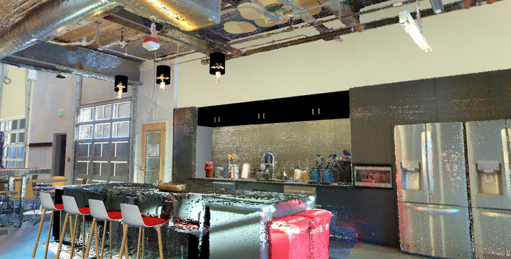
Deliver a permanent digital asset. Supports turnover, future refreshes, and secure remote space planning.
• Permanent virtual walkthrough
• Verified turnover documentation
• Enables future space planning without repeat site access