Focal Points
Costa Rica in the Rain
Chair Programs
Treasurer
Membership
Editor Communications
Instagram Outings Outings
SCCC Leadership
Joe Doherty
Susan Manley
Ed Ogawa
Joan Schipper
Joe Doherty
Velda Ruddock
Joan Schipper
Joan Schipper
Alison Boyle
joedohertyphotography@gmail.com
SSNManley@yahoo.com
Ed5ogawa@angeles.sierraclub.org
JoanSchipper@ix.netcom.com
joedohertyphotography@gmail.com
Velda.Ruddock@gmail.com
JoanSchipper@ix.netcom.com
JoanSchipper@ix.netcom.com
AlisoniBoyle@icloud.com
Focal Points Magazine is a publication of the Sierra Club Camera Committee, Angeles Chapter. The Camera Committee is an activity group within the Angeles Chapter, which we support through the medium of photography. Our membership is not just from Southern California but is increasingly international.
Our goal is to show the natural beauty of our world, as well as areas of conservation concerns and social justice. We do this through sharing and promoting our photography and by helping and inspiring our members through presentations, demonstration, discussion, and outings.
We have members across the United States and overseas. For information about membership and/or to contribute to the magazine, please contact the editors or the membership chair listed above. Membership dues are $15 per year, and checks (payable to SCCC) can be mailed to: SCCC-Joan Schipper, 6100 Cashio Street, Los Angeles, CA 90035, or Venmo @CashioStreet, and be sure to include your name and contact info so Joan can reach you.
The magazine is published every other month. A call for submissions will be made one-month in advance via email, although submissions and proposals are welcome at any time. Member photographs should be resized to 3300 pixels, at a high export quality. They should also be jpg, in the sRGB color space.
Cover articles and features should be between 1000-2500 words, with 10-15 accompanying photographs. Reviews of shows, workshops, books, etc., should be between 500-1500 words.
Copyright: All photographs and writings in this magazine are owned by the photographers and writers who created them. They hold the copyrights and control all rights of reproduction and use. If you desire to license one, or to have a print made, contact the editor at joedohertyphotography@gmail.com, who will pass on your request, or see the author’s contact information in the Contributors section at the back of this issue.
https://angeles.sierraclub.org/camera_committee
https://www.instagram.com/sccameracommittee/
Charlie Hyman
Diane Gunderson
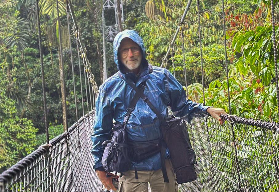
Charlie Hyman in Mistico Arenal Hanging Bridges Park in the La Fortuna area during the canopy walk. Photo by Stiven Matute.
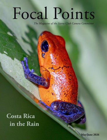
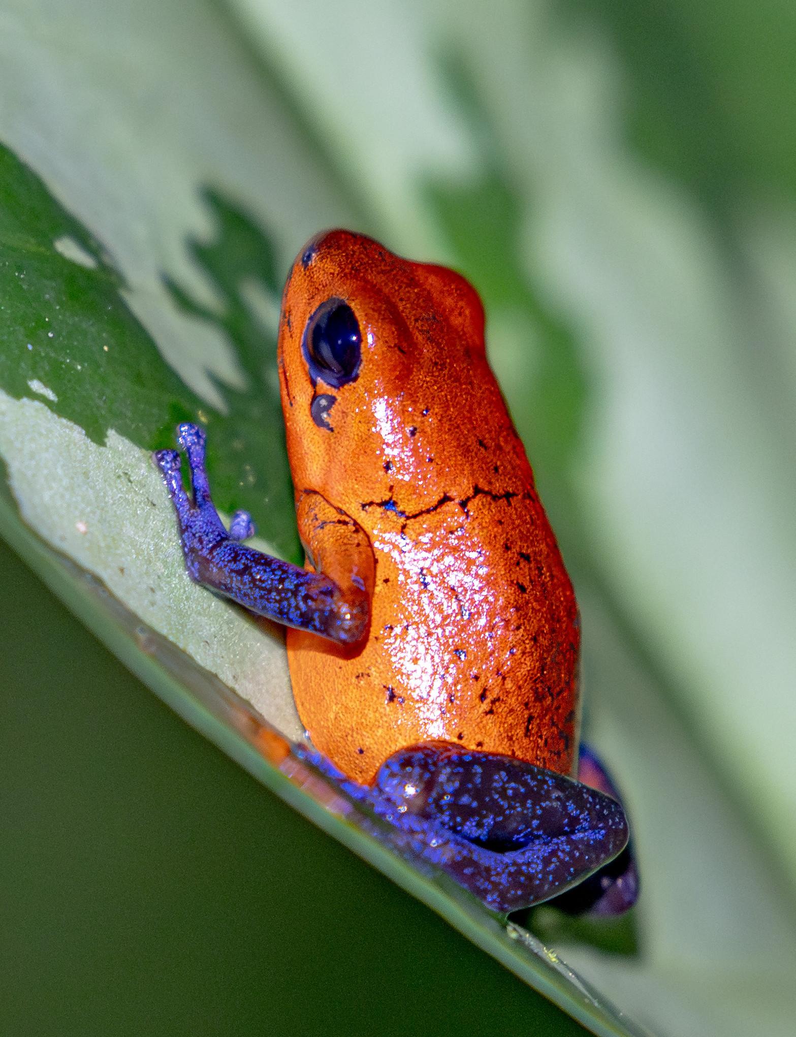
Cover Photo: Blue Jeans Frog © Charlie Hyman
So many anti-conservation/antienvironmental policies have come from the Trump Administration that it’s hard to keep track. There are several in the last month, combined with the ongoing elections, that make me want to put on my political scientist hat.
In the last month several Executive Orders have been issued and some illegitimate rules have been promulgated that affect our interests as conservationists and photographers. The most recent one rescinds two very old Executive Orders (Nixon and Carter) that gave federal land managers authority to regulate off-road vehicle use within their boundaries. Another relaxes hunting regulations on Federal lands, including National Parks. I won’t detail who benefits from these actions, but there are industries that celebrate them.
What I’m interested in is what comes next. Executive Orders are not law. They are a direction to Federal agencies to perform their duties in a particular way. But the nullified off-road EO’s are examples of a norm that has been in place for so long that it may as well be a law. Even with an EO, agencies are constrained in how they can change their rules by the Administrative Procedure Act, which requires that rules not be arbitrary and capricious and that they include the opportunity for substantial public input. Setting aside that this administration believes it is not bound by the APA, these actions are
a wake-up call to those of us who thought that norms and procedures would be a bulwark against the wholesale pillage of protected public lands.
Which brings us to elections. It’s clear that we can’t depend on consensus or norms when authoritarians get power. Electing people who believe in democracy and science is of upmost importance. Electing them is only halfway to the goal, however. The norms that were represented by the off-road EO and the hunting bans need to be enacted into law, outside of the purview of any administration to reverse with the swipe of a pen.
This will be difficult if not impossible to do on a broad scale. Laws are sometimes left intentionally vague and left to agencies to refine into rules. This is so that experts and stakeholders can have input, and so that minor adjustments can be made if needed. Congress provides direction, the agencies make that direction concrete.
So get your candidates elected. And then once in office, work to get these rules and EOs enacted into law. It doesn’t need to be immediate – it took a long time to reach this point – but should you have the opportunity to communicate with your local elected official, be specific about what you want done. Don’t ask, “what are you going to do about the elimination of the Roadless Rule.” Ask, “will you support legislation to enact the Roadless Rule into law.”
Member Show
Thursday June 11, 2026 @ 7pm
Join us for our semi-annual member show on the second Thursday of June. It’s where we all get to show each other what we’ve been working on, what we’ve seen, and where we’ve traveled.
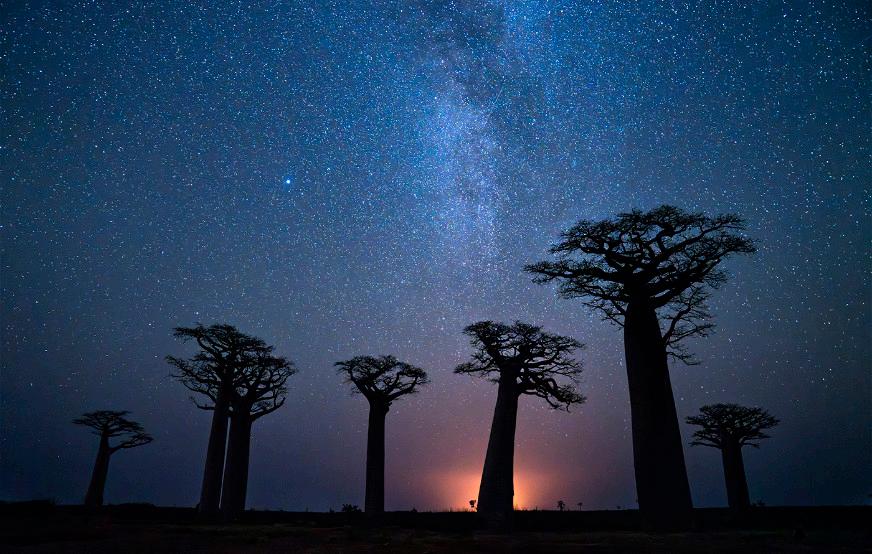
trees in Madascagar from the Dec 2025
Register here: https://us02web.zoom.us/meeting/register/_xflKNj9SX6wUl_JA2rIQw
Upload photos at the link below. Please keep it to no more than 10 images, 2,000 pixels on the longest side. If you want to present them in a particular order, append numbers (01, 02, 03, . . 10) to the beginning of the file name. https://www.dropbox.com/request/zxtlulml99mb26r4re9y
Redwood National Park Photo Exploration
July 13 to July 16, 2026
Outings leaders are John Nilsson and Joan Schipper
Explore the magical Redwood National Park and incorporated State Parks with the Camera Committee. We'll spend four days rising and hitting the road before dawn for early morning light, scouting and resting midday, and chasing last light opportunities. We plan to sweep the length of park, north to south, looking into all the nooks and crannies for the best images. Expect light hiking along easy trails and mostly gentle drives. Hope for fog.
https://act.sierraclub.org/events/details? formcampaignid=701Po00001eajFZIAY
Baobab
Member show © Beverly Houwing
Costa
Photography under tropical conditions
Rica in the Rain
Photographs and text by Charlie Hyman
Mention Costa Rica to most people and they will say they have either visited or want to go. In the 1970s, Costa Rica transformed its economy from cattle ranching to ecotourism and conservation, reversing severe deforestation and environmental damage. Today it is a global leader in conservation and sustainability, with more than 25% of its land protected as national parks. It also has one of the highest concentrations of biodiversity on Earth, including over 900 bird species, more than 110 bat species, an estimated 300,000–500,000 arthropod species, and 10,000–12,000 plant species.
Costa Rica is also well known for adventure tourism such as whitewater rafting, ziplining, volcano hiking, water sports, and nature tours, along with its excellent coffee and chocolate. The country is well prepared for tourism of almost any type or comfort level.
Infrastructure is well developed here, with reliable cell coverage, WiFi, roads, restaurants, ATMs, hotels, and public transportation. Many travelers plan their own trips by renting cars or using buses, although traffic has become a major problem due to the rapid increase in private vehicles.
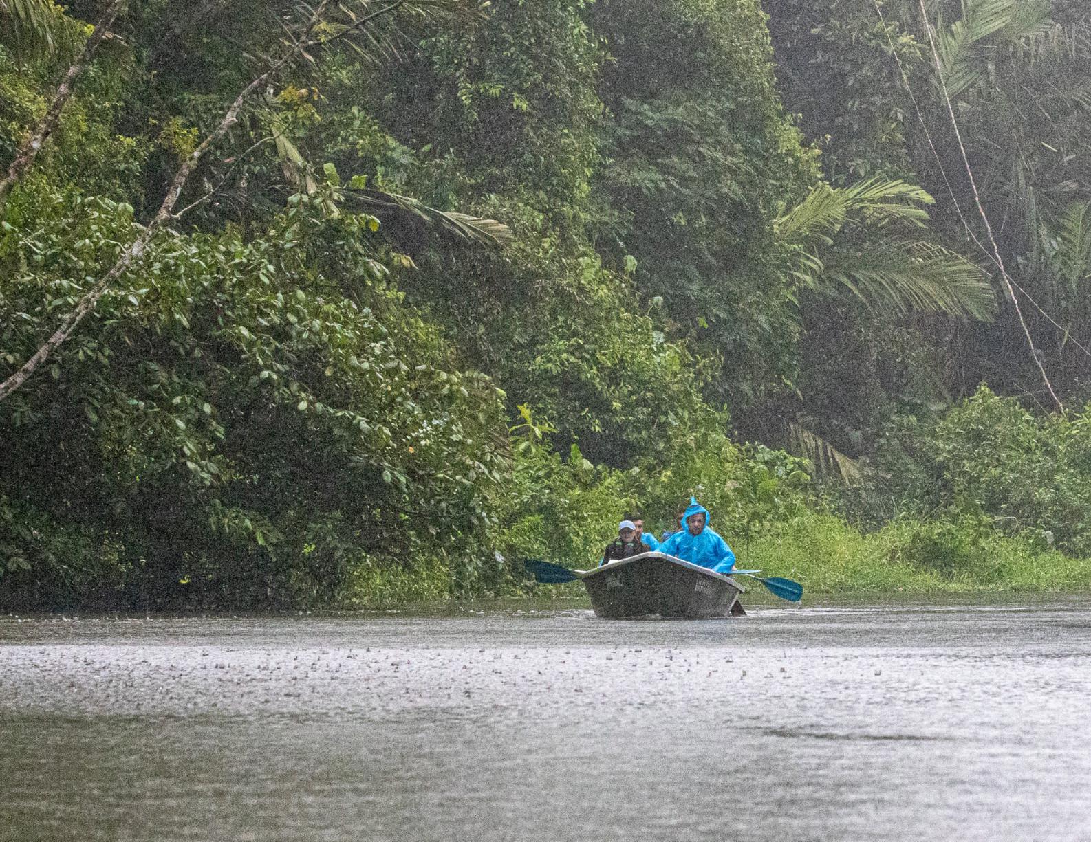
Rainy excursion, Tortuguera National Park
This trip was our first visit, and we chose a Road Scholar tour instead of planning our own itinerary. The program included lodging, transportation, entry fees, and meals, along with lectures and tours led by knowledgeable local experts. This made the trip educational as well as scenic, and gave us a deeper understanding of Costa Rican culture, history, biodiversity, and conservation efforts. Many of the daily experiences, including riding horses and boating, would have been difficult to arrange independently.
The trip began in San Jose, followed by two nights at each of several locations reached by tour bus: Tortuguero National Park on the Caribbean coast, Chilamate on the Sarapiquí River, Arenal Volcano in La Fortuna, and finally Punta Leona Resort on the Gulf of Nicoya. Because we had an English-speaking guide, language was not an issue, though we occasionally used Google Translate when interacting on our own.
This was not a photography-focused tour, so I expected to capture images on the go and
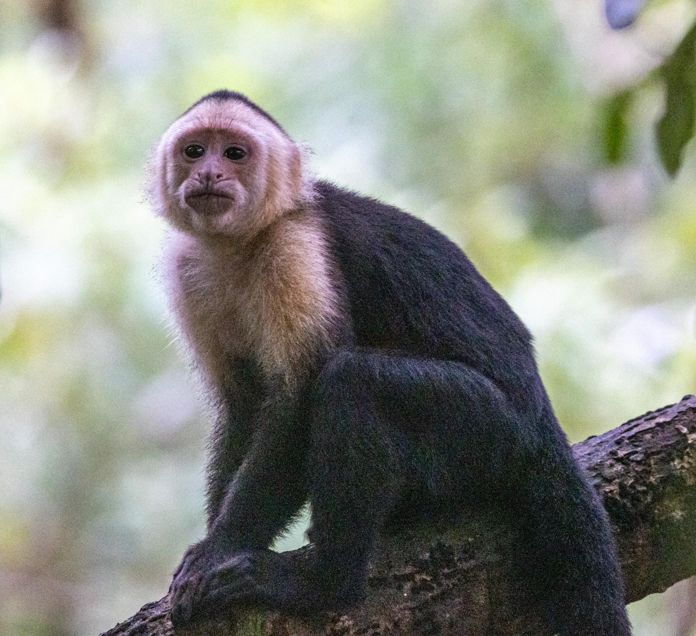
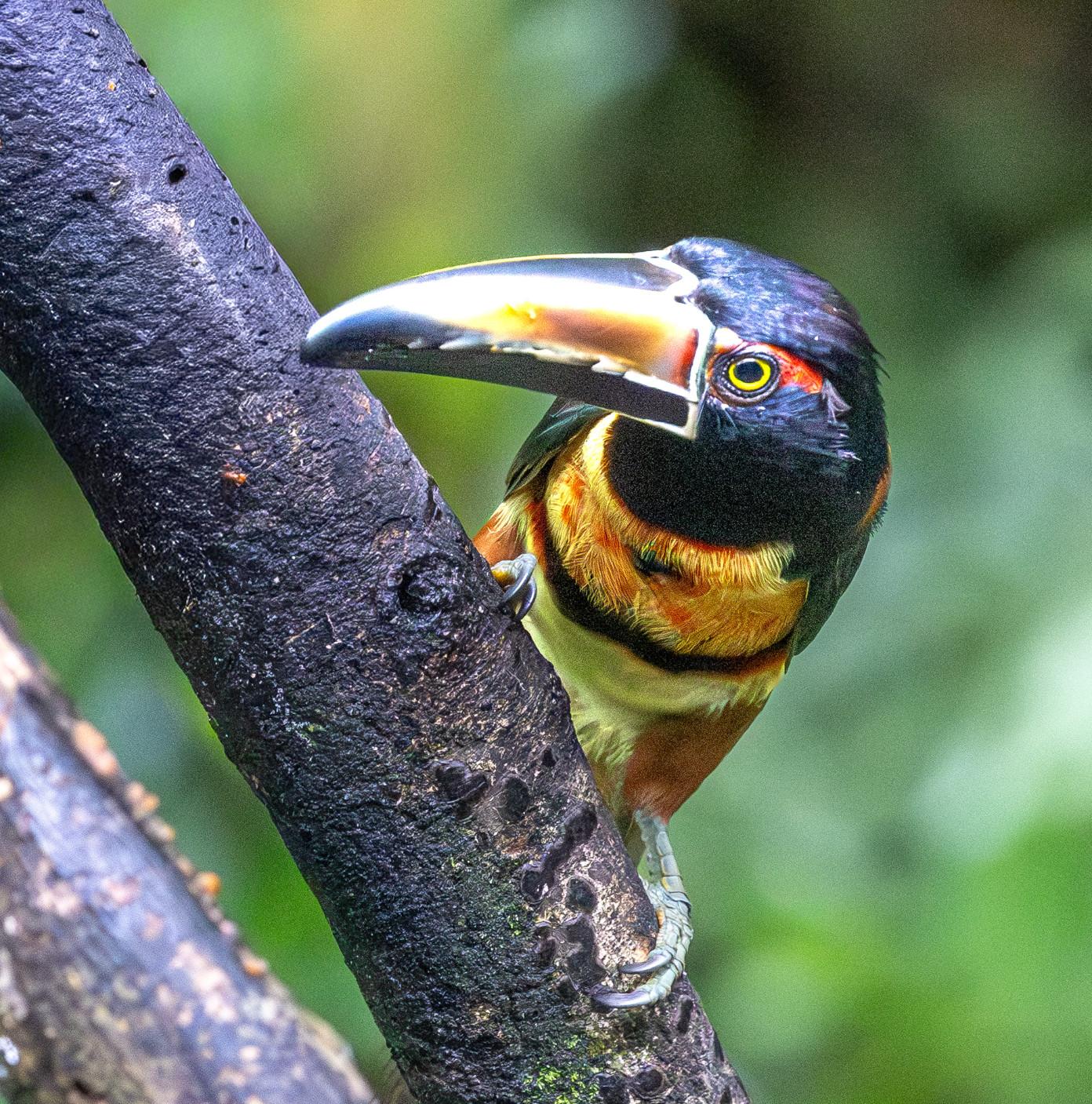
Capuchin Monkey
often in less-than-ideal conditions. I anticipated photographing both landscapes and wildlife, but because most locations were dense rainforest, I returned with mostly wildlife images and only a few landscapes. It rained during much of the trip—not just the typical tropical afternoon storms, but steady rain for much of each day. While this created photography challenges, the overcast skies provided soft, even light.
Because I did not want to change lenses in a wet tropical environment, I brought two camera bodies: a Canon R5 with an EF 100–400mm lens, EF-to-RF adapter, and 1.4× teleconverter, and a Canon 5D MkIV with an EF 24–105mm lens. I always used lens hoods to keep rain off the front elements. I also brought an RF 14–35mm lens, but it saw little use. Most of my images were taken with
the 100–400mm. I also carried a tripod, but rarely used it.
I also brought two additional cameras: a Canon G9x compact camera for quick, informal shots and an Akaso Brave 4 waterproof camera for our whitewater rafting trip. Although I primarily used the larger cameras, the G9x was convenient when I wanted to travel light. It was particularly useful during our horseback riding outing because it could be operated with one hand.
For short periods of rain, one of the simplest solutions was to cover the camera body with a disposable shower cap and keep the camera facing downward when possible. These thin plastic caps allow access to all controls, including the touch screen, and are inexpensive and widely available online.
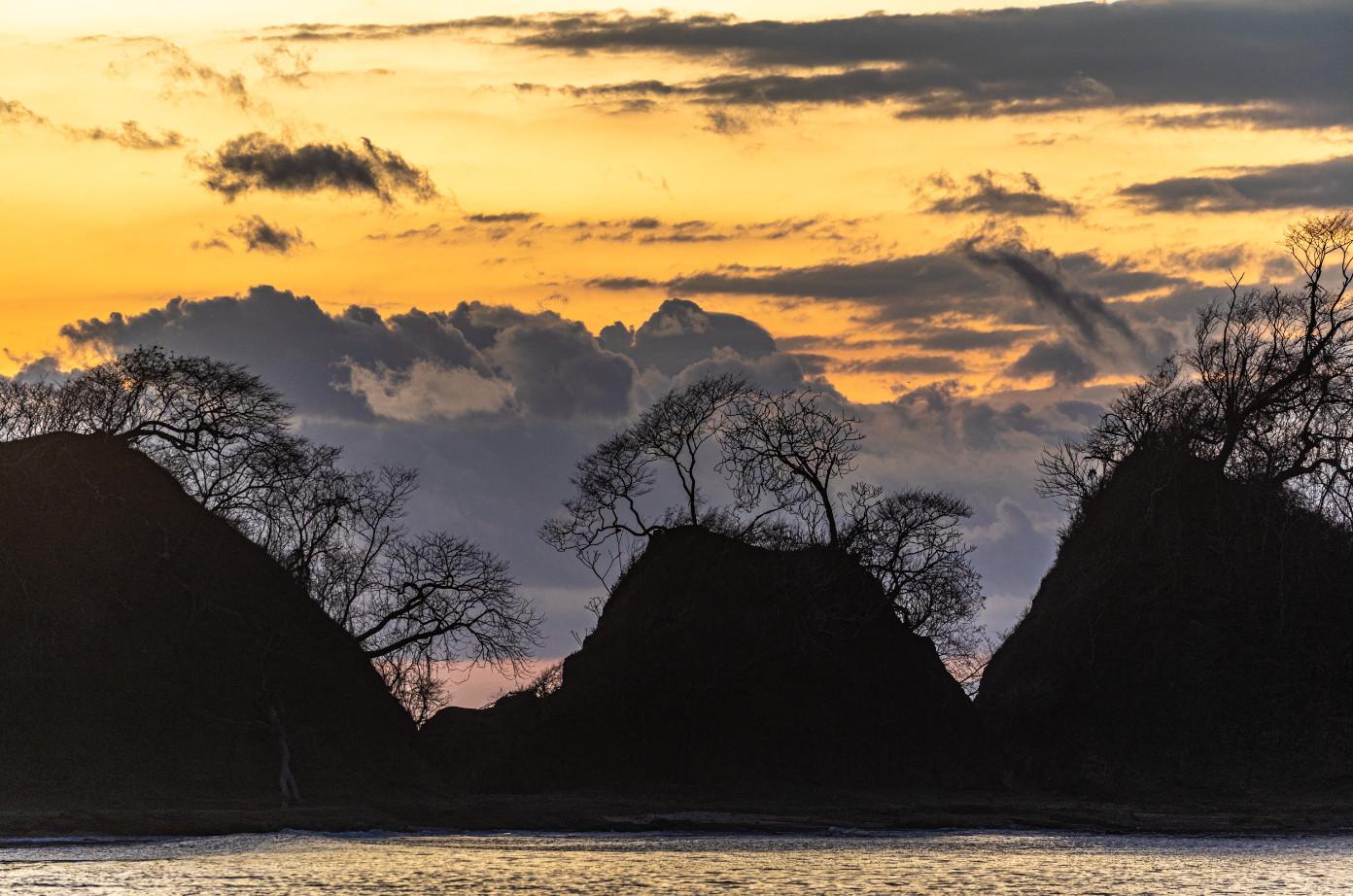
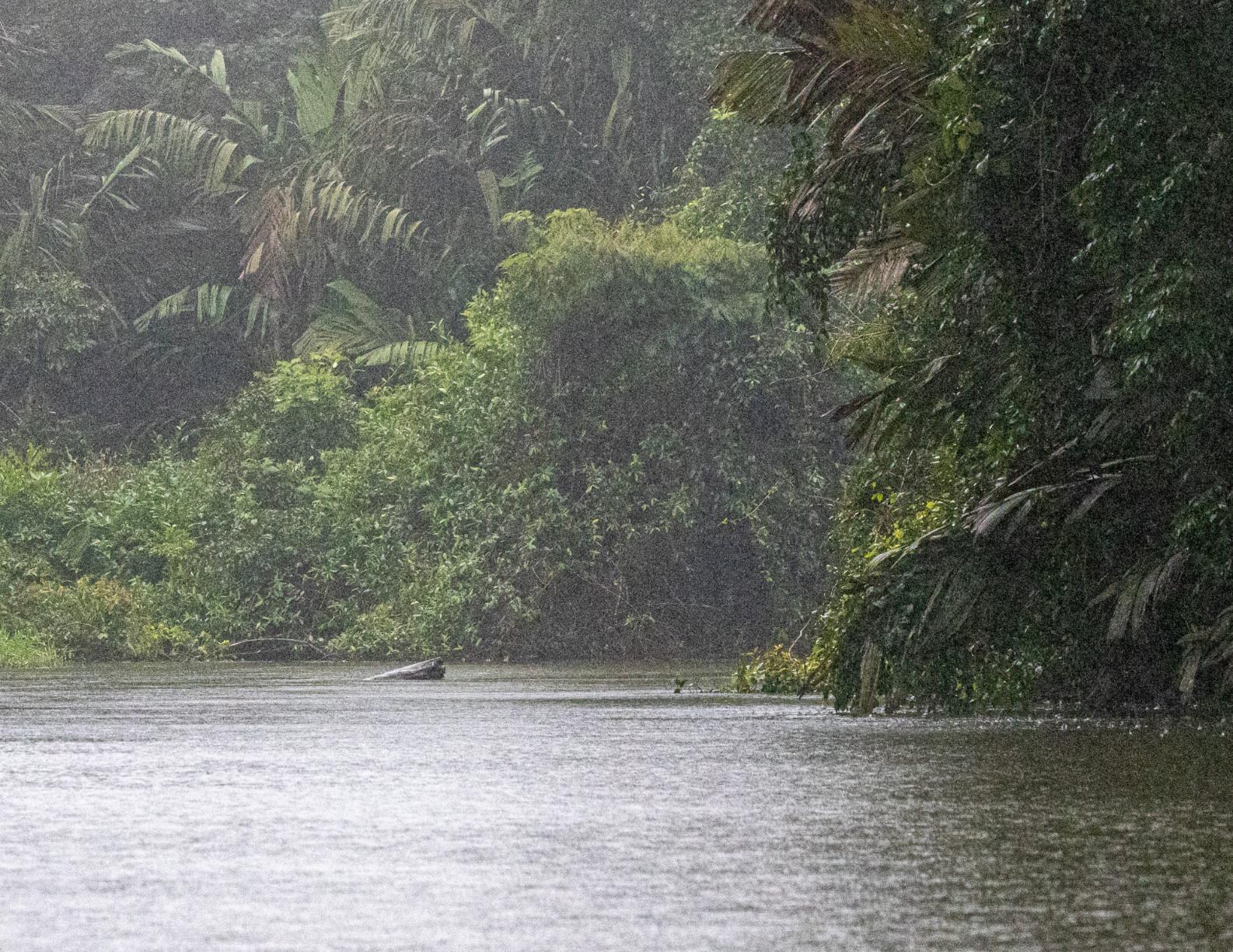
One of the few landscape photos I made
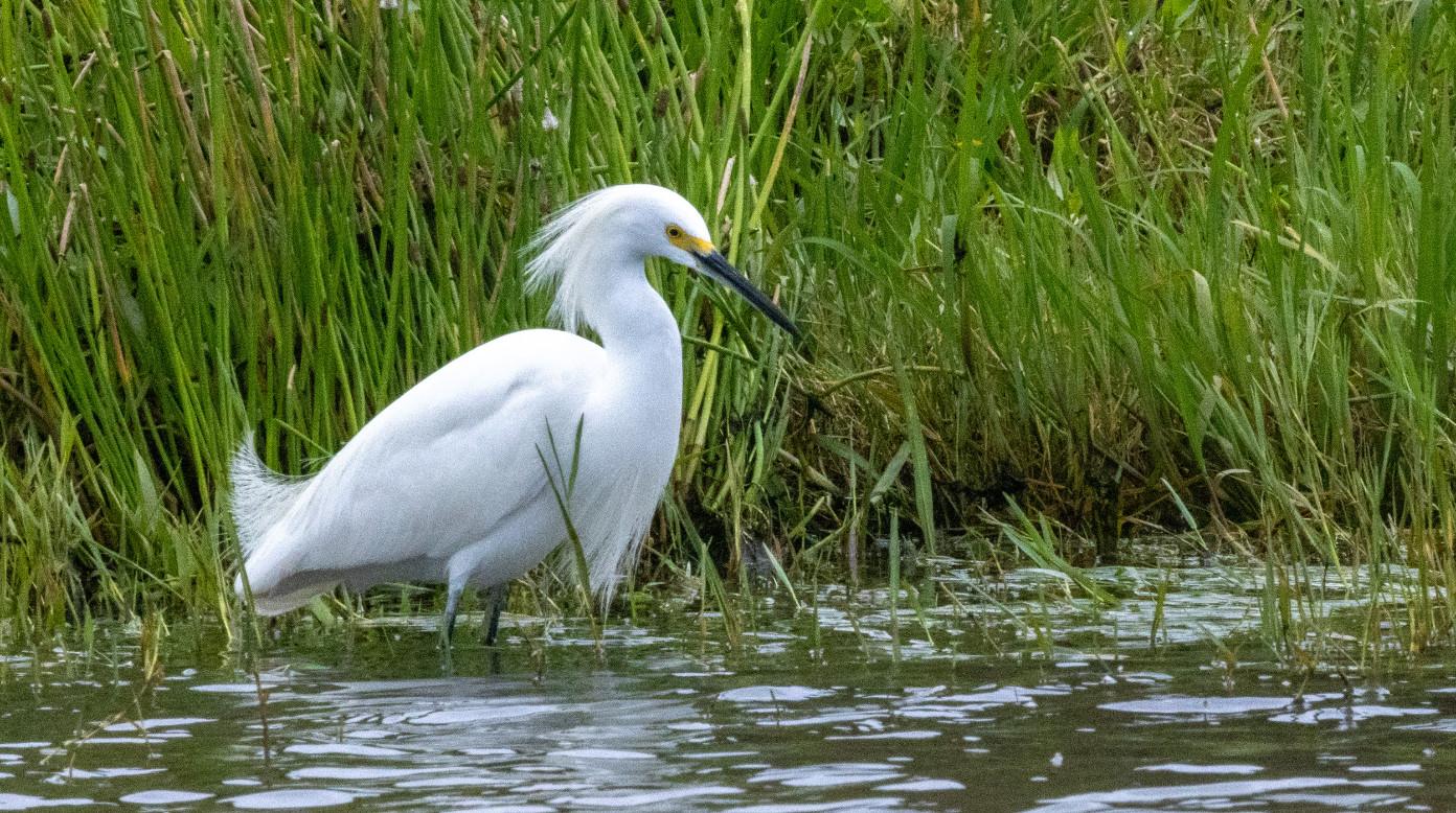
Above: Snowy Egret
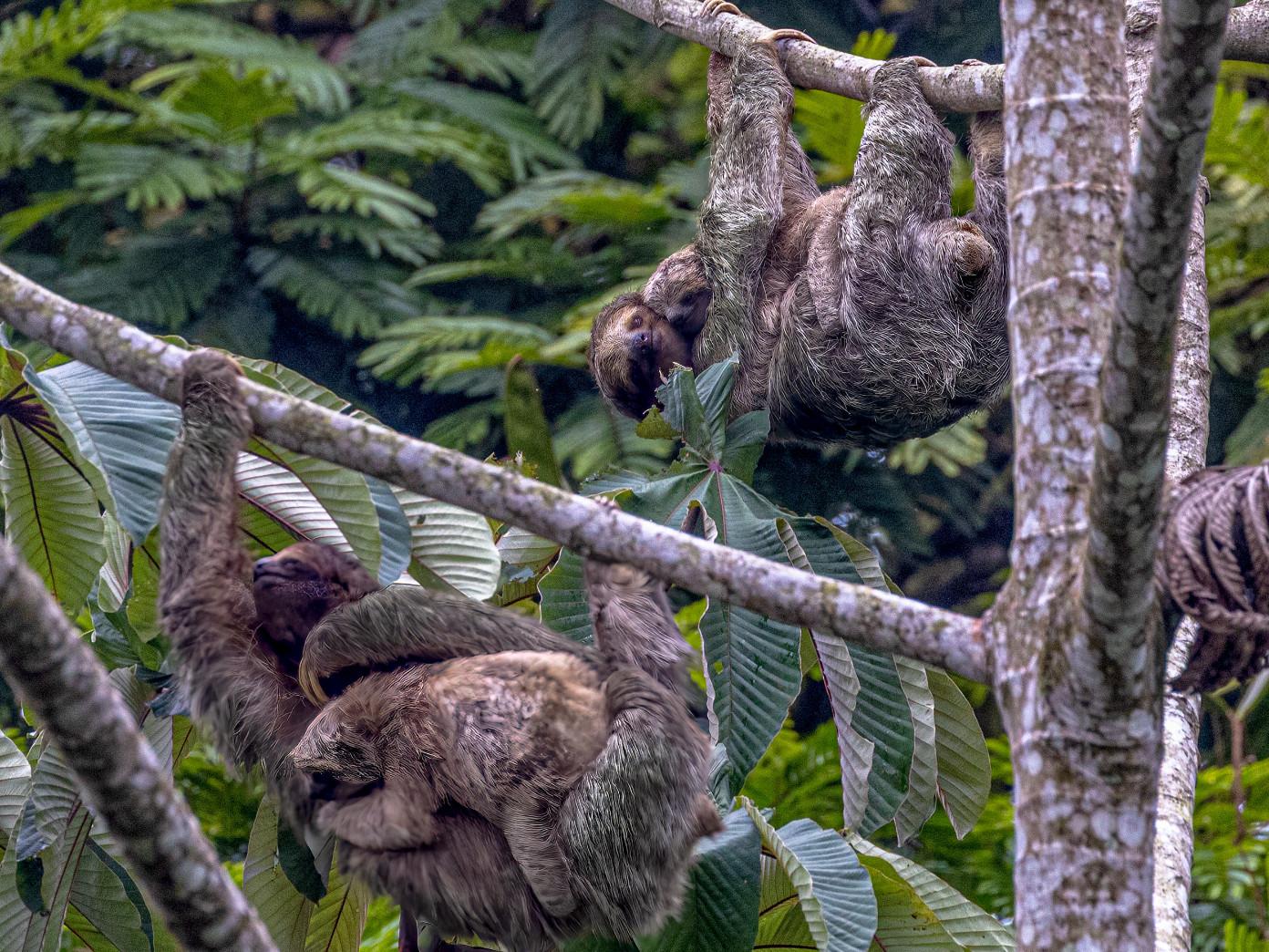
Below: Three-toed Sloths
However, they are fragile and require careful handling.
For extended rain exposure, I used a Rain Sleeve that covered both the camera and lens, although it made camera operation more difficult. I sometimes wore a poncho over my rain gear, which allowed me to keep the camera sheltered when not shooting. The Rain Sleeve is essentially a shaped plastic tube with a drawstring around the lens. Other rain covers include sleeves with openings for your arms so you can hold the camera directly, but I did not have one and would only recommend that design in more controlled situations, such as when using a tripod.
Despite these precautions, moisture eventually entered my lenses and caused internal condensation, producing soft, foggy images. Fortunately, I noticed the issue early.
With three days left in the trip and many photo opportunities ahead, I needed a quick solution. While traveling on the tour bus, I placed both lenses on the dashboard directly above the defrost vents. Although some photographers might hesitate to try this, the warm, dry air cleared the condensation and restored normal image quality. I was then able to continue shooting and captured some of my favorite photos of the trip.
For camera bags, I decided against bringing my large backpack because it would have been impractical for our activities. Instead, I used a large waist pack and a holster-style bag that could hold my telephoto lens with the hood attached. Neither bag was waterproof, and both eventually became soaked. I occasionally used the bag rain covers, but they made it difficult to insert and remove the cameras. In constant rain, everything
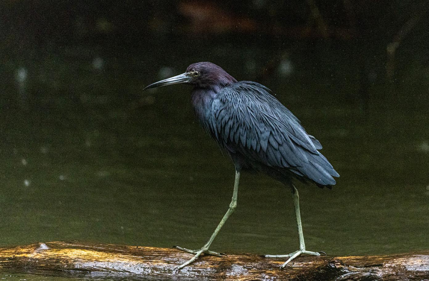
Little Blue Heron
eventually gets wet. Since hotel rooms in Costa Rica typically do not have heaters, the bags took several days to dry.
Because we were traveling on a scheduled tour, I had limited freedom to pursue photos. We moved between locations by hiking, open and covered boats, river rafts, horseback, and tour bus. Many photos had to be taken while in motion, so I used Auto ISO and Shutter Priority with shutter speeds faster than 1/500 second. Due to overcast skies and the darkness of the rainforest, most images were taken at high ISO settings—typically above 1000 and sometimes as high as 12,800. I knew I would need to address noise during post-processing.
In addition, I often could not move close enough to fill the frame with wildlife, which
required significant cropping. Fortunately, the 45-megapixel resolution of the R5 and the 30-megapixel resolution of the 5D provided enough flexibility.
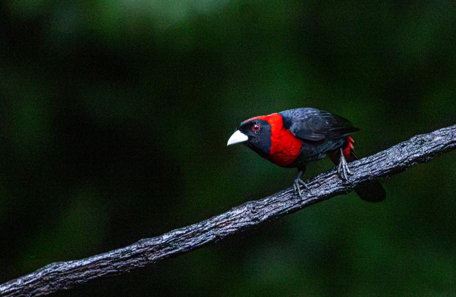
Lightroom’s Denoise feature rescued many of the high-ISO images. I occasionally use Topaz Photo as well, but I found Lightroom’s tool worked well enough and has the advantage of not creating a separate file.
My biggest takeaways from this experience are:
1. Don’t be afraid to boost your ISO and shutter speeds. A noisy image is much easier to fix than a blurry one.
2. Your camera gear will get wet in extended rainy periods, so be prepared
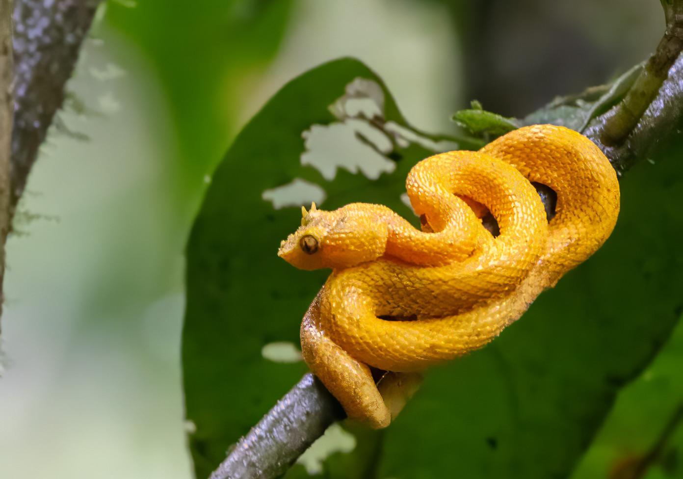
Eyelash Viper
3. I prefer to ‘do my own thing’ on photo outings, but it is still possible to get great shots on a guided tour if you’re prepared for it. This means having your camera out and ready for every opportunity that presents itself.
4. Going with an experienced guide and tour company may give you opportunities that
might be difficult to get on your own. (Of course, the reverse might also be true!)
5. Set your expectations appropriately. You will probably not be able to hold up the group the get the ‘ultimate’ shot, but, perhaps they will appreciate having an experienced photographer capture the images that their gear simply cannot.
“A noisy image is much easier to fix than a blurry one.”
Crimson-collared Tanager, original image. ISO 12,800, 1/200 sec, f/5.6, 400mm.
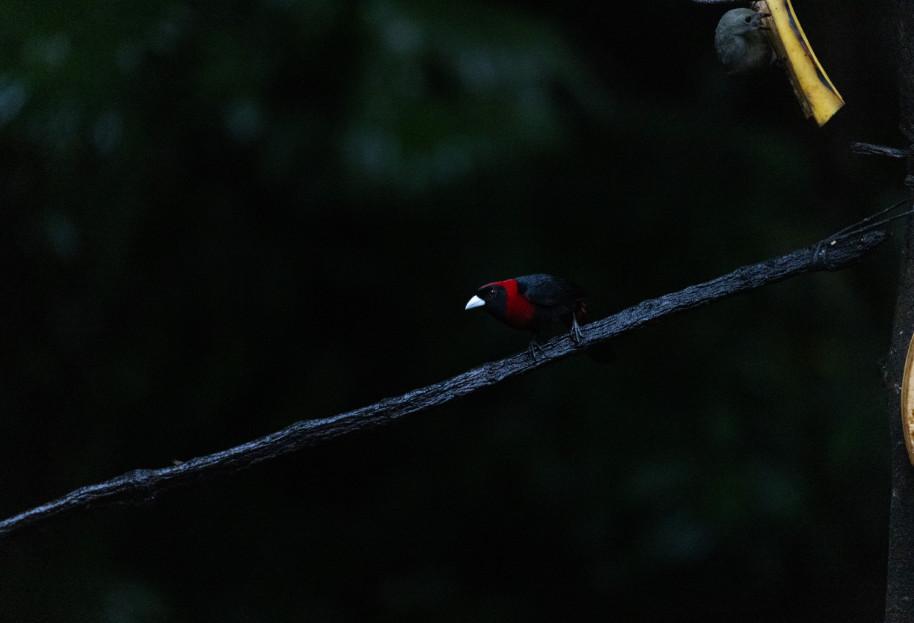
Crimson-collar Tanager, cropped before noise reduction.
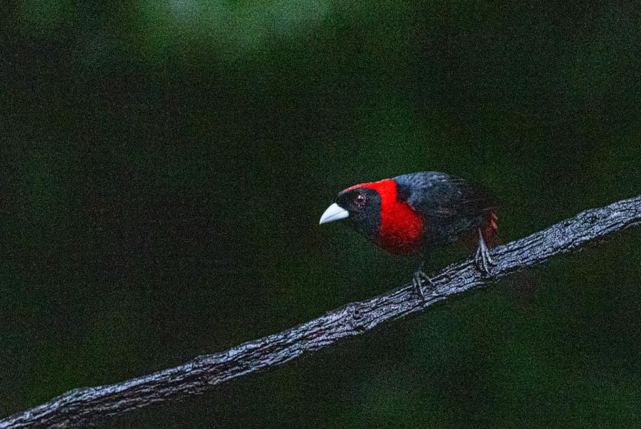
Crimson-collared Tanager, cropped and with Lightroom noise reduction.
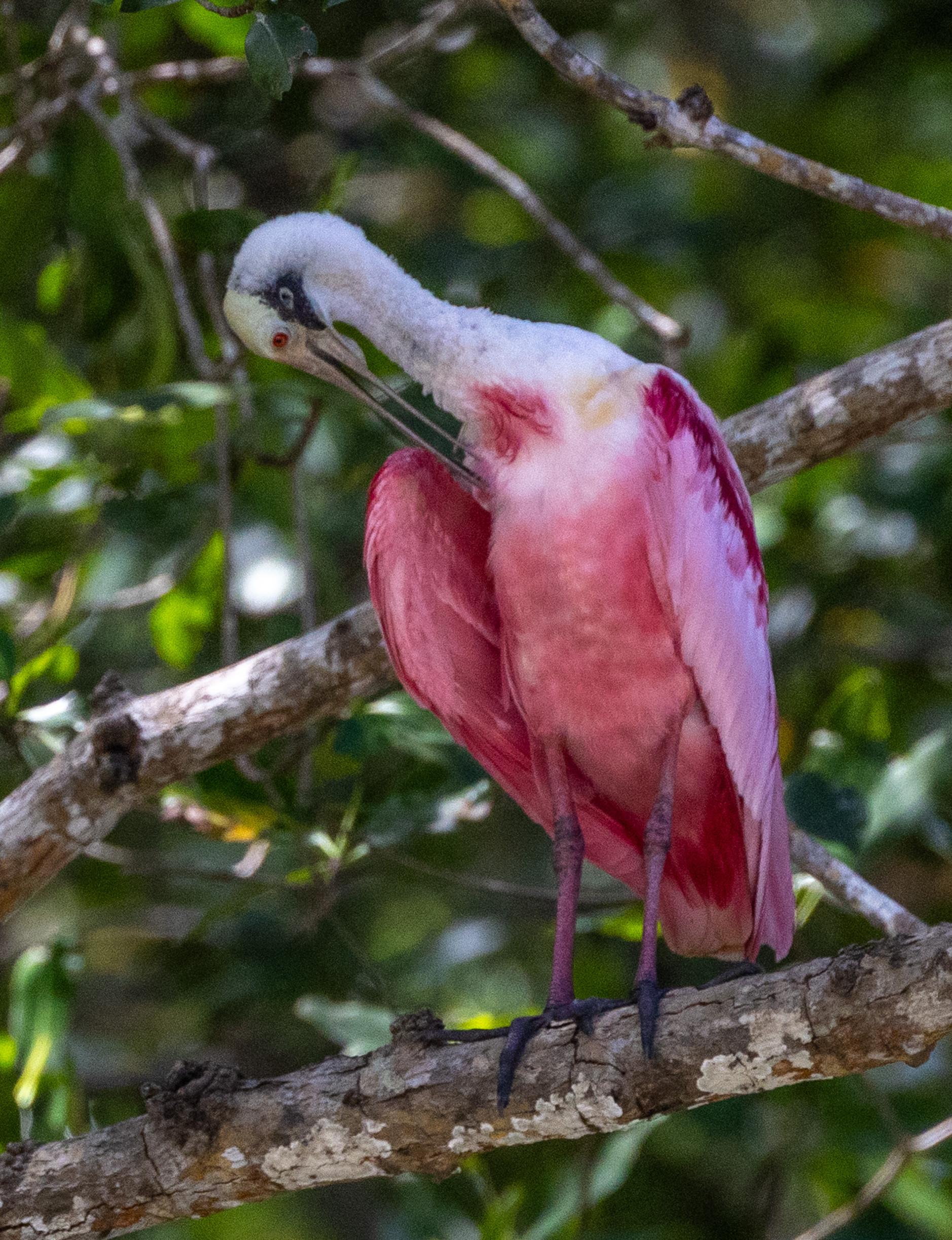
Roseate Spoonbill
Twin Monuments of Different Mothers
Text
and
Photographs by Rebecca Wilks
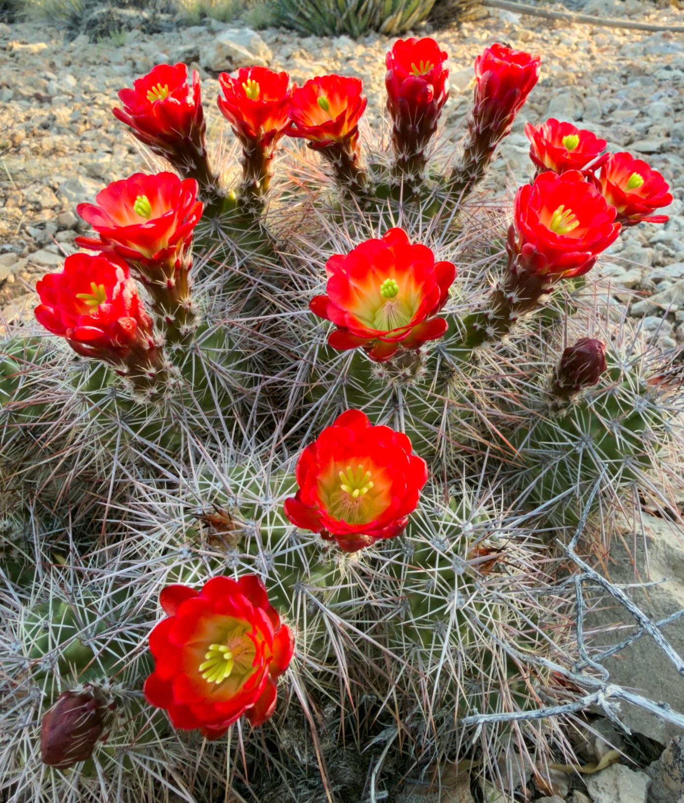
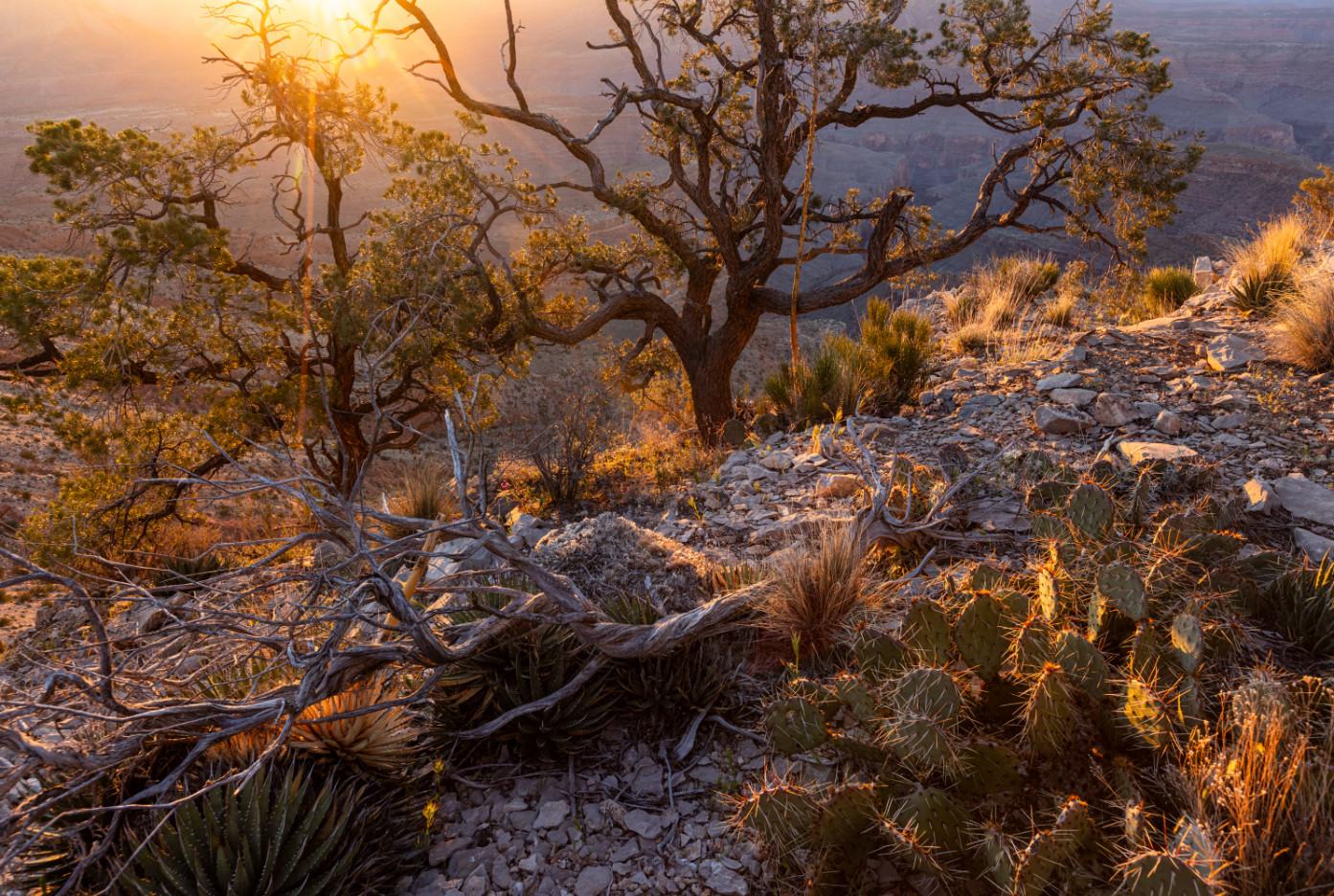
Claret Cup Cactus on Twin Point
“Adventure is just another name for trouble”
~ Louis L’Amour
I got hooked on the Mojave Desert in the 1980s, on a field trip to Anza Borrego State Park (California) for a university botany class. When photography became important to me, I started traveling to the gateway drug of Desert Southern California, Death Valley. I’ll certainly never be finished exploring there, but after a few years I branched out to the Mojave Preserve, Mojave Trails National Monument, and Valley of Fire State Park (Nevada) and its surrounding BLM lands. I do love the Mojave with all of its peculiarity and starkness.
Gold Butte National Monument
My introduction to Gold Butte National Monument, in Nevada, was a long-ago trip to Devil’s Fire, AKA Little Finland. The name arises not from its resemblance to Helsinki, but because of the many delicate rock fins, begging to be photographed. Little Finland is worth a look, and there’s plenty of room to camp there. When I started poring over maps (because that seems to be the way it always starts) and talking to folks I found lots of other areas to explore.
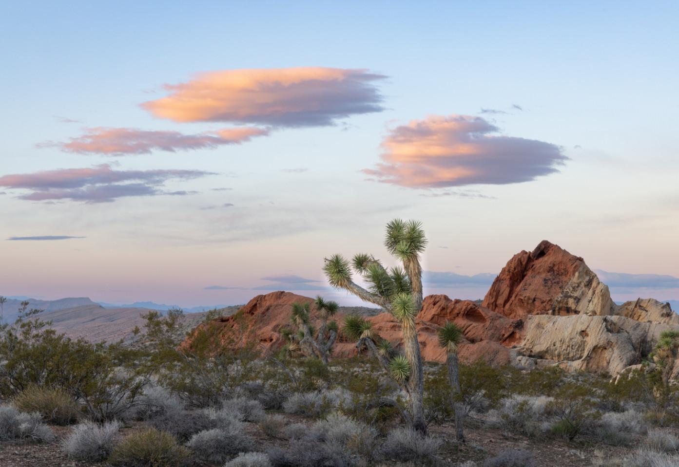
Your first stop at GBNM is Whitney Pockets, about 25 miles from Interstate 15 near Mesquite, Nevada. The road surface is rough pavement and gravel. Though slow, it’s not difficult, and if you’re traveling in a less capable vehicle Whitney Pockets is a great stop. It also makes a good basecamp if you’d like to explore
more challenging roads in a towed vehicle or on horseback. The geology and Joshua trees here make fine subjects.
Most of the rest of the monument will require a vehicle with a shorter wheelbase and good clearance, if not four-wheel drive.
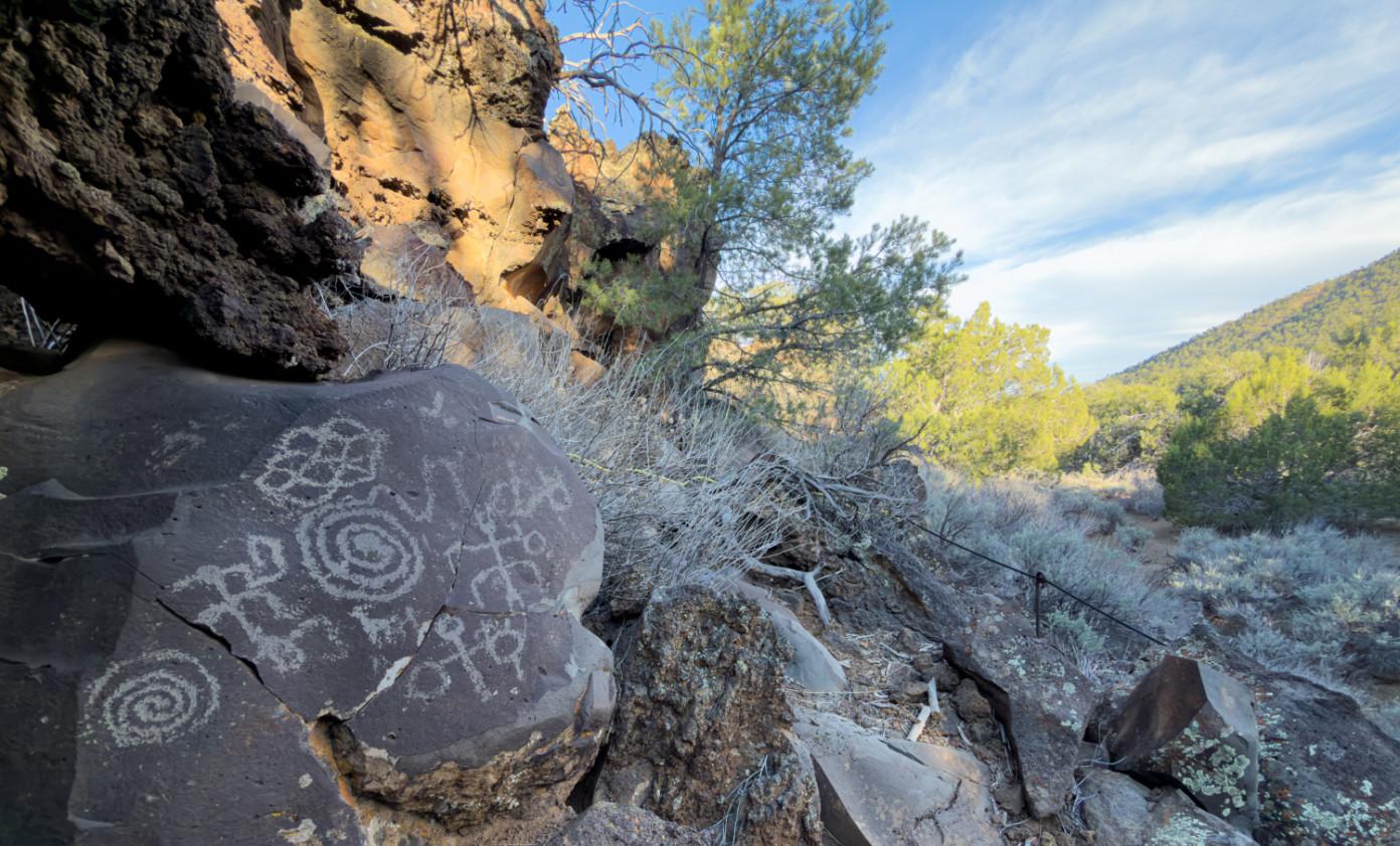
Another favorite is an area called Falling Man, with its eponymous petroglyph. There is an abundance of rock art to be found in the area, as well as lovely petrified sand dunes and even water-filled tinajas if you’re lucky. The little
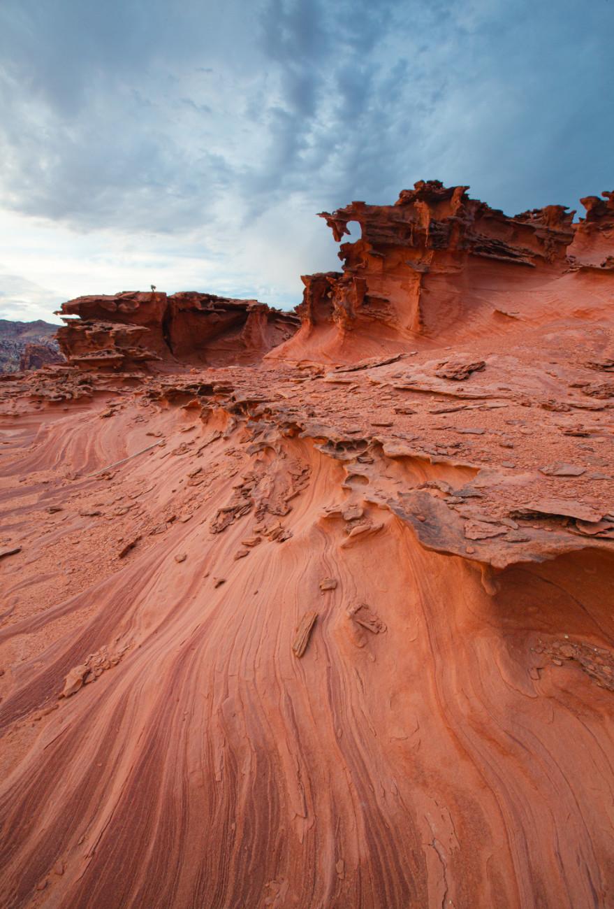
Little Finland
trailhead area is a good place for dispersed camping.
Nearby is the mud wash dunes area. The sand covers just a small area, but there are interesting rock formations to explore and a beautiful long view across the monument to the south.
Grand Canyon Parashant National Monument – West
While scouring the maps, my husband and I got curious about Grand Canyon Parashant National Monument, just across the border in Arizona. Crossing into and driving across Parashant from Gold Butte looked so simple on paper. More on that later.
This Monument is huge, over one million acres, jointly administered by BLM and
National Park Service. It lies north of the Grand Canyon from Gold Butte in the West to the Tuweep area of Grand Canyon National Park to the East. It includes portions of Mojave Desert and Colorado Plateau and includes over 1,200 miles of rough dirt roads. Twice we found ourselves on dirt tracks that were tougher than advertised, and if I’m honest, not appropriate for our 144-inchwheelbase Sprinter. One 18-mile segment required over three hours to complete. No harm, no foul on those trips, but we’ve gleaned a bit of wisdom about navigation in Parashant.
Parashant’s ridges and valleys run mostly north and south. While you’ll be tempted to try some east-west roads, I don’t recommend it. We think of the Monument as comprised of three main “compartments,” accessed from
Whitney Pockets
Mesquite Nevada, St. George Utah, and Fredonia Arizona respectively. It’s almost always better to drive north out of the Monument and back south again on those solid map lines than take the direct route on roads shown as dashes on the map.
There are large expanses of GCPNM, including much of its northern reaches, which are not inspiring to me photographically.To make matters more challenging, over ¾ of the Monument is included in grazing leases, and so there are a lot of unattractive cattle-ravaged places to traverse to get to the magic. But that’s just the price we paid for remarkable solitude.We saw few other vehicles, and we were often deeply alone at our camps.
The western compartment is a nice side trip from Gold Butte. The highlight for me was
Pakoon Springs. There’s also historic Tassi Ranch.
Water in the desert is always of interest.In December at Pakoon, cottonwood and willow trees turn a gorgeous yellow and make for interesting aerial images. Like many isolated places in the west, Pakoon has a colorful history, including resident alligator and ostriches.
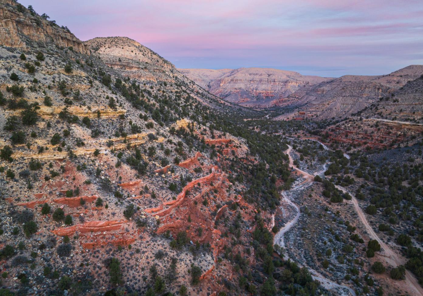
We circled north of Grand Wash Wilderness and stumbled on Hidden Canyon. Though we crossed from the western to central compartments this way, this is another “short cut” I’d suggest avoiding unless you’re traveling in an ATV. We were exhausted from many hours of tough driving and set up camp here. We found it quiet and restful – just what we needed. I wasn’t thinking of
Sunrise on Twin Point
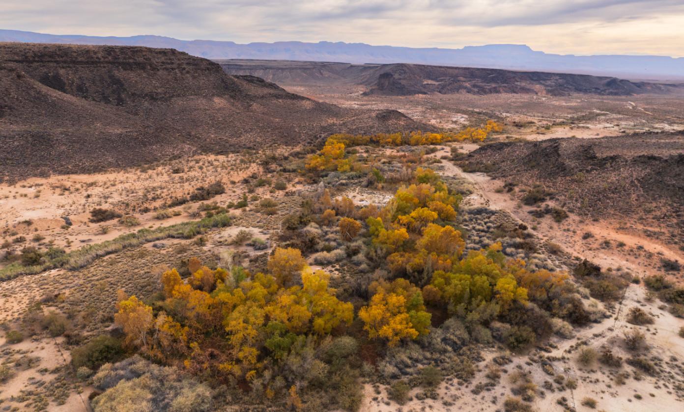
Above: Pakoon Springs
Below: Hidden Canyon
shooting, but sunrise looked lovely from the drone’s eye view.
Grand Canyon Parashant National Monument – Central
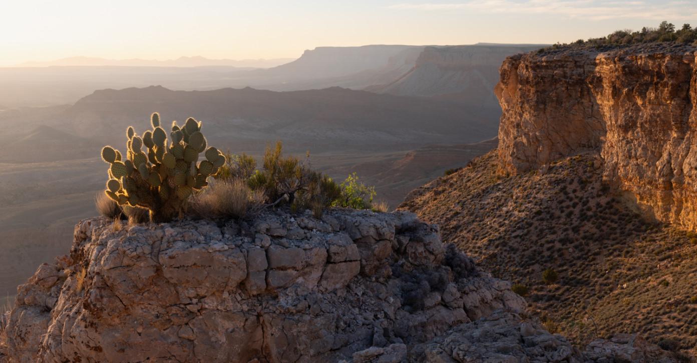
The central compartment includes access to several Grand Canyon viewpoints. We were warned not to attempt Whitmore Canyon Overlook, which would be appropriate for a short wheelbase vehicle, as well as Kelly Point. Kelly, we were told, is harrowing even in an ATV. I can recommend Twin Point, though. There are great views from the end of the road, but don’t neglect the westward vistas from three to six miles short of the terminus. The drive from St. George is 95 miles, which took us nearly five hours. You’ll want to camp there, and I suggest more than one night.
Mount Dellenbaugh is near Twin Point and lies in a lovely coniferous forest which would be a comfortably cool spot for a base camp in warmer months. The hike to its summit is worth the trouble - about six miles and about
900 vertical feet. Dellenbaugh was used by the deserters from John Wesley Powell’s first expedition in 1869. They hiked out of Grand Canyon and used the summit to get their bearings to find St. George. There’s mystery to their story, as they disappeared without a trace before making it there.
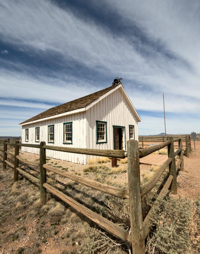
Historic structures in various degrees of dilapidation in this central area include Oak Grove and the Mount Trumble Schoolhouse. The Schoolhouse is just outside the Monument, and the current building is a faithful reconstruction built after the 1922 structure was destroyed by an arsonist in 2000.
Oak Grove Cabin, also known as Thayne Cabin, was originally inhabited in 1879 and the area was used for dairy, ranching, and sawmills. There’s not much left. The stop helped me to imagine what an isolated experience it would have been to live there in the 19th century.
Twin Point Sunset
Grand Canyon Parashant National Monument – East
The East compartment might be planned together with a trip to Toroweap or Kanab Points, parts of Grand Canyon National Park. Both require backcountry permits from the Park. I suggest the 10,000-year-old petroglyphs at Nanpaweap and a hike up Mount Trumble. The 8,000-foot peak is on my list for another visit, including a base camp in the pine forest at its foot. When we were there, we were traveling with an injured dog, so we tabled the hike.
Disclaimers and Resources
Exploring these areas is an unparalleled opportunity to experience solitude and beauty. It is also an undertaking which requires caution. GCPNM is undoubtedly
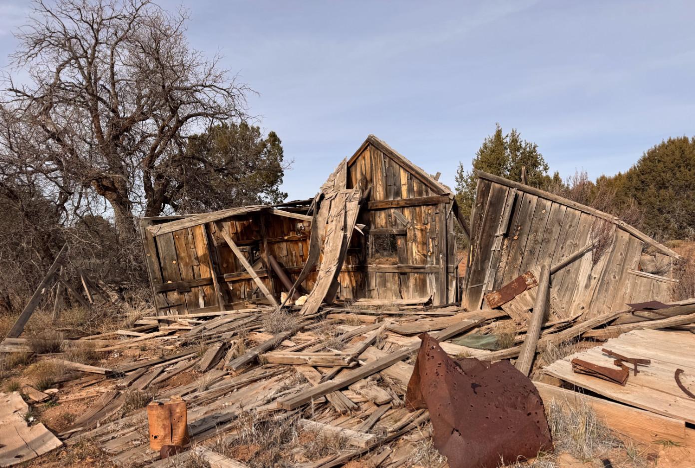
Below: Oak Grove Cabin
Above: Mt. Trumbull Schoolhouse
the most isolated overlanding destinations I’ve explored.It’s likely one of the most remote in the country. To attempt this you need (at a minimum) a full-sized spare or two, tire repair capability and a compressor, extra fuel for your vehicle, communication other than your cell phone and preferably a way to follow weather patterns (we travel with an In-reach and Starlink), much more food and water than you think you need, redundant maps (think paper as well as electronic), first aid, warm clothes, and a modicum of good sense and experience.
Don’t let me scare you off. These Monuments are great places to find “adventure.”
Gold Butte
https://www.blm.gov/programs/nationalconservation-lands/nevada/gold-butte
I got great help from phone calls to the "Friends" office
https://www.friendsofgoldbutte.org/ Grand Canyon-Parashant
https://www.nps.gov/para/index.htm
https://www.arizonahighways.com/article/ parashant-its-easier-said-done
https://www.youtube.com/watch?v=-5l9_ o5EF7U
Information and road conditions: BLM St. George Field Office (435) 688 3200
General information for rough road overlanding
https://www.onxmaps.com/offroad/blog/offroading-essentials
The Mishe Mokwa/Backbone Loop Trail
Text and Photographs By
Diane Gunderson
I was inspired by the Trails Forever challenge, organized by the Santa Monica Mountains Fund (SAMO Fund), to hike and document beauty along eight selected trails throughout the Santa Monica Mountains. These trails range from rugged wilderness with high peaks (Mishe Mokwa/Backbone Trail loop); upper watershed creeks and waterfalls (Happy Hollow and Sycamore Falls); coastal canyons (Zuma Canyon Ocean View and Solstice Canyon); and historic ranches and inland valleys (Paramount Ranch, Cheeseboro Canyon, and King Gillette Ranch-Inspiration Point).
The Trails Forever challenge was announced at the SAMO Fund Trails Forever fundraising event in June 2025, for which I was the volunteer event photographer. I had learned about SAMO Fund in doing some research on organizations that had volunteer opportunities in habitat restoration and other conservation efforts. In college and graduate school I had studied biology and environmental science and had worked as a conservation biologist before I became a mom and focused my time and energy on raising my three boys. As a mom I took up photography, mostly sports photography, and
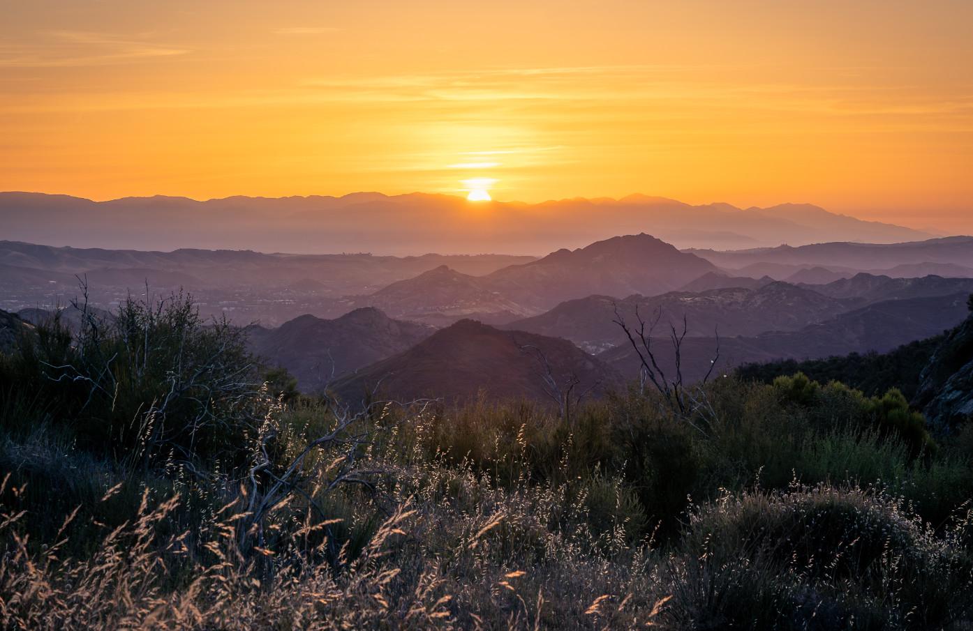
Sunrise above Lake Sherwood and the Conejo Valley looking out northeast towards Simi Hills and beyond to the Santa Susannah mountain range. This photo was taken on Yerba Buena Road near the Mishe Mokwa trailhead.
fell in love with it as a hobby. This evolved into receiving more formal training as the boys got older. As a lifelong lover of the outdoors, I felt drawn to explore landscape and nature photography, especially after my twin boys left home for college in 2024 and as I wrestled with what to focus on in this next season of life. When I saw that SAMO Fund had this "Trails Forever" event coming up, I was intrigued and I knew I wanted to be involved, if only to provide some great photos for their event, combining my love for photography with my desire to be around people who were passionate about conservation and the Santa Monica Mountains.
SAMO Fund works in partnership with the National Park Service and California State Parks, and according to their website (samofund.org) is “dedicated to safeguarding
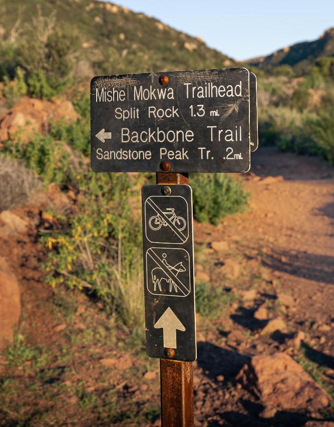
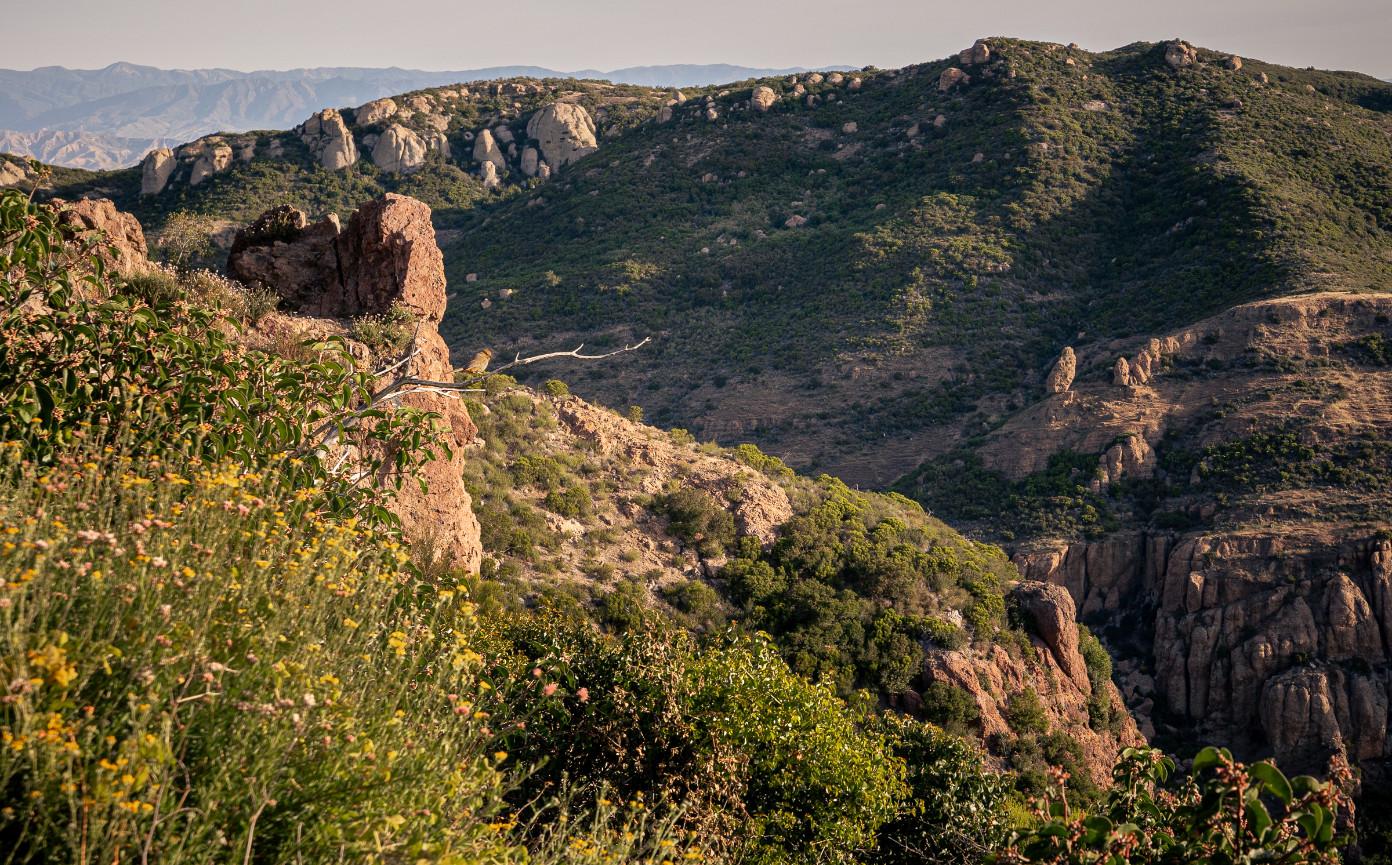
A California towhee posing above Carlisle Canyon with Echo Cliffs and Balanced Rock to the right, and the Santa Susana Mountains in the far distance on the left.
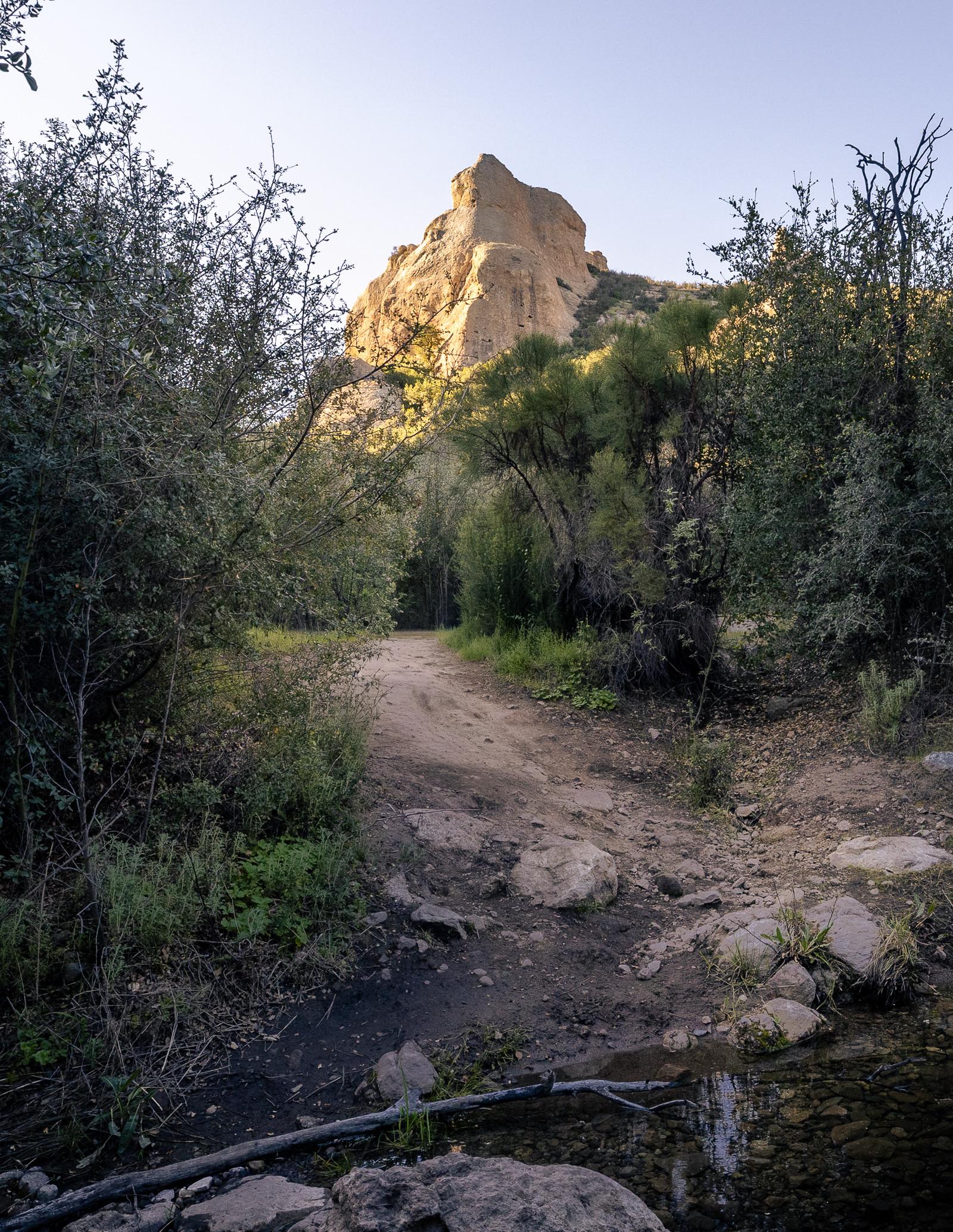
One of the many majestic monoliths towering above the Mishe Mokwa trail.
the natural beauty, biodiversity, and ecosystems of the Santa Monica Mountains through various programs and initiatives designed to engage the community in conservation.” Launched in fall of 2025, this was the first year of the Trails Forever challenge. Also, according to their website, “Trails Forever is a bold new campaign to restore and reimagine the trail system that connects us to this extraordinary place."
This is the first of a series of four articles highlighting the eight trails selected by SAMO Fund for the Trails Forever challenge, beginning with Mishe Mokwa/Backbone loop trail which includes a scramble up to Sandstone Peak, the highest point in the Santa Monica Mountains (3,111 feet). The Mishe Mokwa loop trail is in a category of its own due to its unique rock formations, and amazing views of the Pacific Ocean, Channel Islands, and coastal valleys below. It is by far
my favorite of these eight trails, due to its relative remoteness and ruggedness. Sandstone Peak is where I personally was inspired years earlier to hike and photograph these trails. The photographs in this article were taken in February and April of 2026.
The Santa Monica Mountains are the traditional, ancestral homelands of the Chumash, Tongva (Gabrielino), and Tataviam nations, who lived, traded and thrived at this ecological crossroads for over 10,000 years. TheVentureño Chumash is known to have inhabited the western coast and valleys of present-day Ventura County and the Channel Islands. I acknowledge and honor their deep historical and ongoing connection to this land. This sacred area of the entire prominent ridge of Sandstone Peak, Boney Mountain and its foothills was known as Satwiwa by the Chumash. Satwiwa translates directly to the “the bluffs” or “higher places” in the Chumash language.
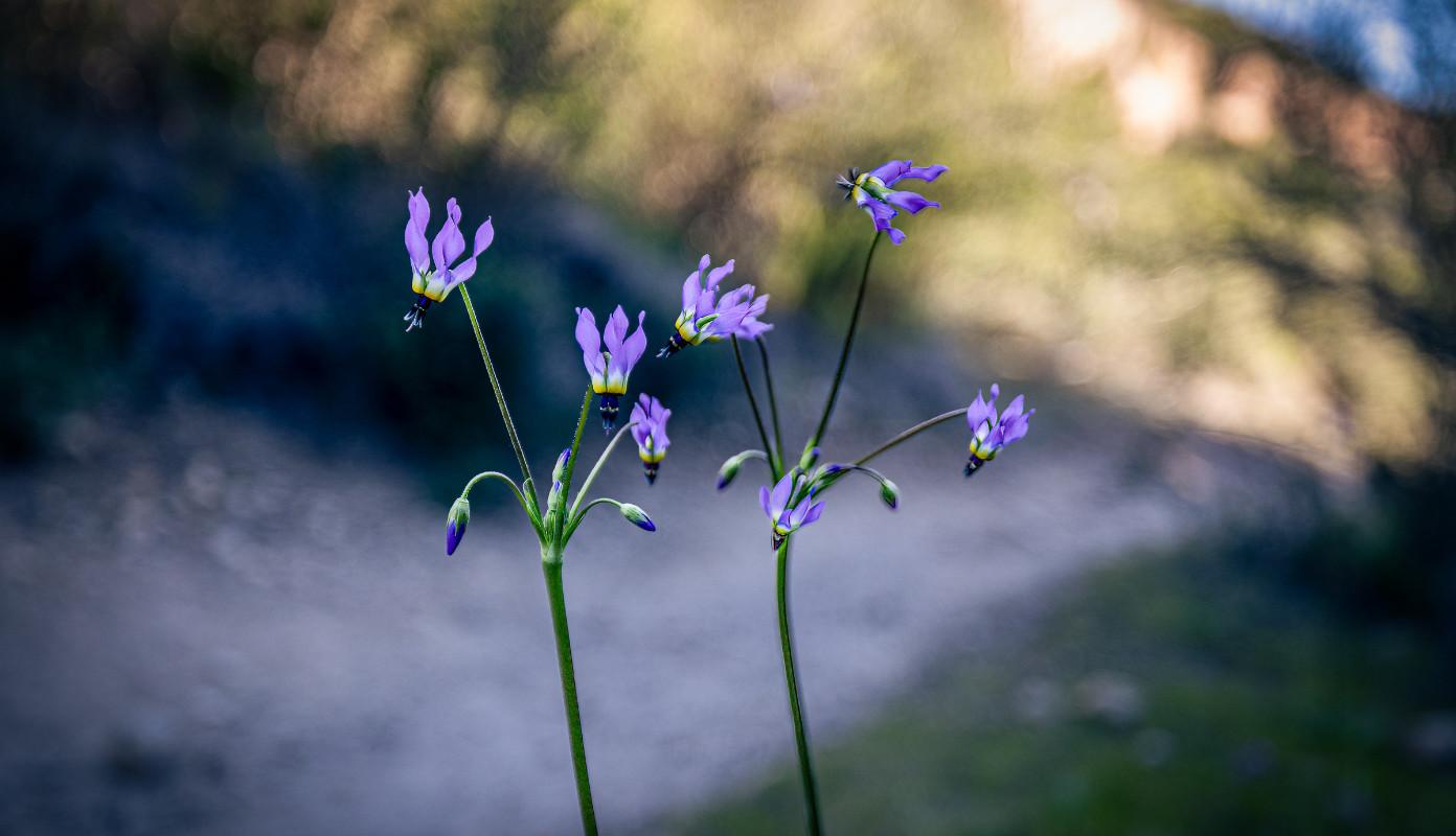
Padres shooting star (Primula Clevelander) brightening the trail in early spring.
The Mishe Mokwa loop trail is a gentler and rewarding climb towards the top of Sandstone Peak. There is a more direct route via the Backbone Trail, but if you have time and energy, the Mishe Mokwa loop is a must. The loop including the ascent up to Sandstone Peak is about 6 – 8 miles, depending on how many side trips you choose to take, such as to Inspiration Point or TriPeaks.
Who or what is Mishe Mokwa and why is there a trail named after it? Mishe Mokwa is a mythical giant “Great Bear of the Mountains” and is a main character in The Song of Hiawatha, a 19th century poem by Henry Wadsworth Longfellow. Perhaps it was a favorite tale of the Boy Scouts who hiked these trails and camped nearby. Mishe Mokwa trail and Sandstone Peak lie within Circle X Ranch, which is now protected and under the jurisdiction of the National Park
Service but was a prominent Boy Scout camp from 1949 – 1980s. The importance of the area to the Boy Scouts is also evident in a plaque on Sandstone Peak honoring W. Herbert Allen, a major land donor to the park system and Circle X Ranch, and President of the Boy Scouts of America. The Boy Scouts unofficially named the peak Mount Allen in 1969 to honor his land donations, despite the USGS declining the Boy Scouts' proposal to rename it, due to a policy against officially naming peaks after living people.
Shortly after you veer right on to the Mishe Mokwa trail away from the Backbone Trail, you will find yourself winding above Carlisle Canyon, where I saw a California towhee basking in the morning light. Across the canyon you can see Echo Cliffs, popular with rock climbers, and Balanced Rock. The trail crosses a seasonal creek before you come to
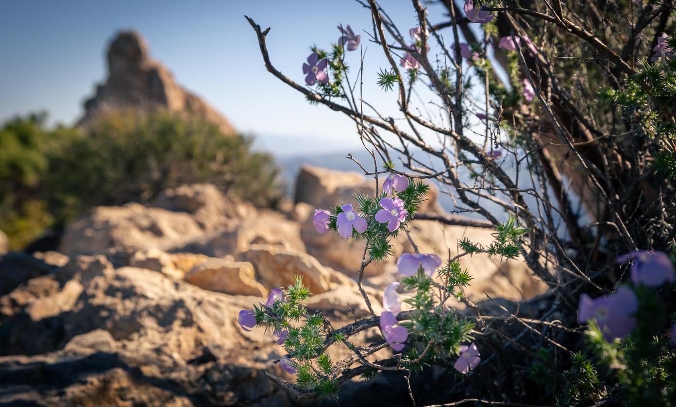
Prickly phlox (Linanthus Californicus) near the summit of Sandstone Peak.
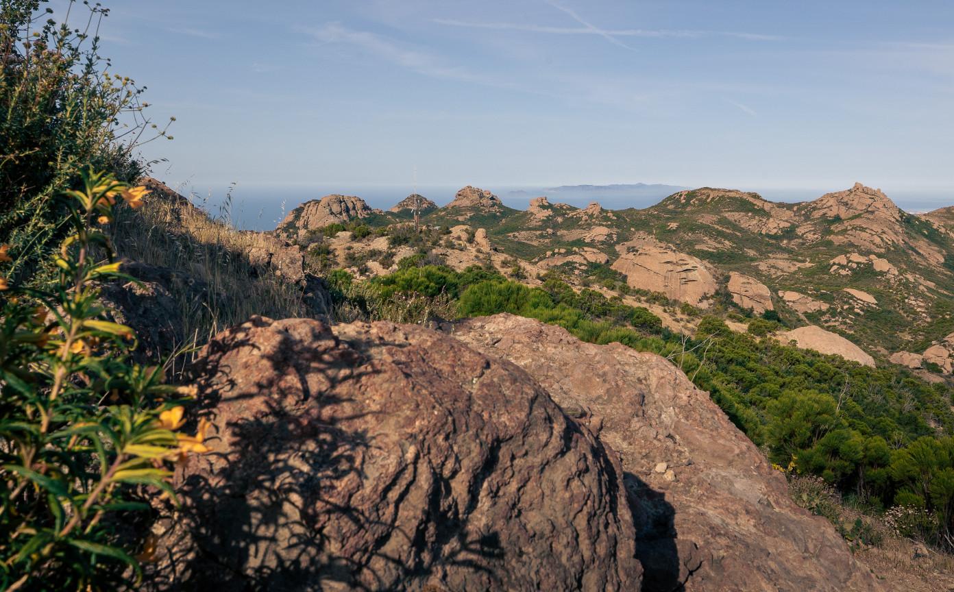
used “tomols”, long canoes finely crafted made from wooden planks, sealed with asphalt, and often painted red, to travel along the coast and to the Channel Islands, to fish, hunt, and trade with other villages.
Split Rock. The loop continues towards the junction with the Backbone trail, and it is just past this junction where you can climb up to Sandstone Peak and enjoy the breathtaking views of the Pacific Ocean, Channel Islands, rock formations and mountains, canyons and valleys below.
What is most striking about this hike are the geological formations and unique rock outcrops. Surprisingly, Sandstone Peak is not made of sandstone at all, but is an igneous rock known as breccia, formed from molten lava by volcanoes erupting 15 – 20 million years ago. Layers of rock folded and uplifted through compressional forces from the movement of tectonic plates, and erosional forces over millions of years have weathered the mountains down to the rock outcrops we see now throughout this area.
As I reflect on my time in this iconic section of the Santa Monica Mountains, I am reminded of the quote by Emerson, “I declare this world is so beautiful that I can hardly believe it even exists.” For myself, I continue to be in awe that these majestic Santa Monica Mountains are in my backyard, so easily accessible yet can make one feel so far from civilization. I have been living in Agoura Hills for 20 years, just a few miles from the Chesebro Canyon trails, and am still learning the trail systems including the Backbone Trail, which spans 67 miles along the ridges of the Santa Monica Mountains. I take it for granted that these trails are always here for us to provide rejuvenation and serenity in difficult and disorientating times. I hope more people can return to the mountains to find such peace.
View of the Channel Islands (Santa Cruz and Anacapa islands), Tripeaks, Exchange Peak, Boney Peak. The Chumash
Thomas Cloutier
Thomas Cloutier
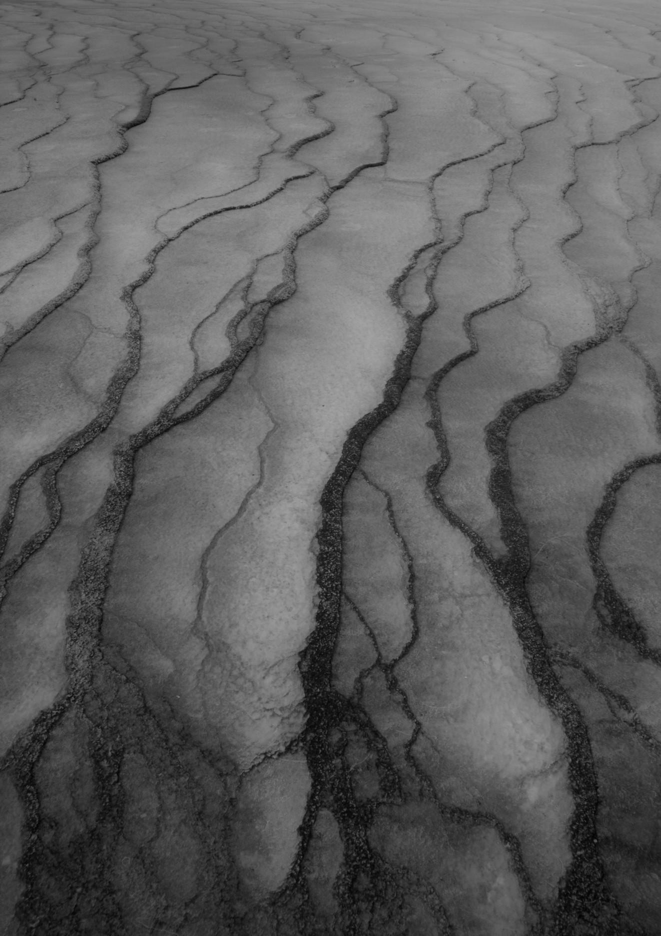
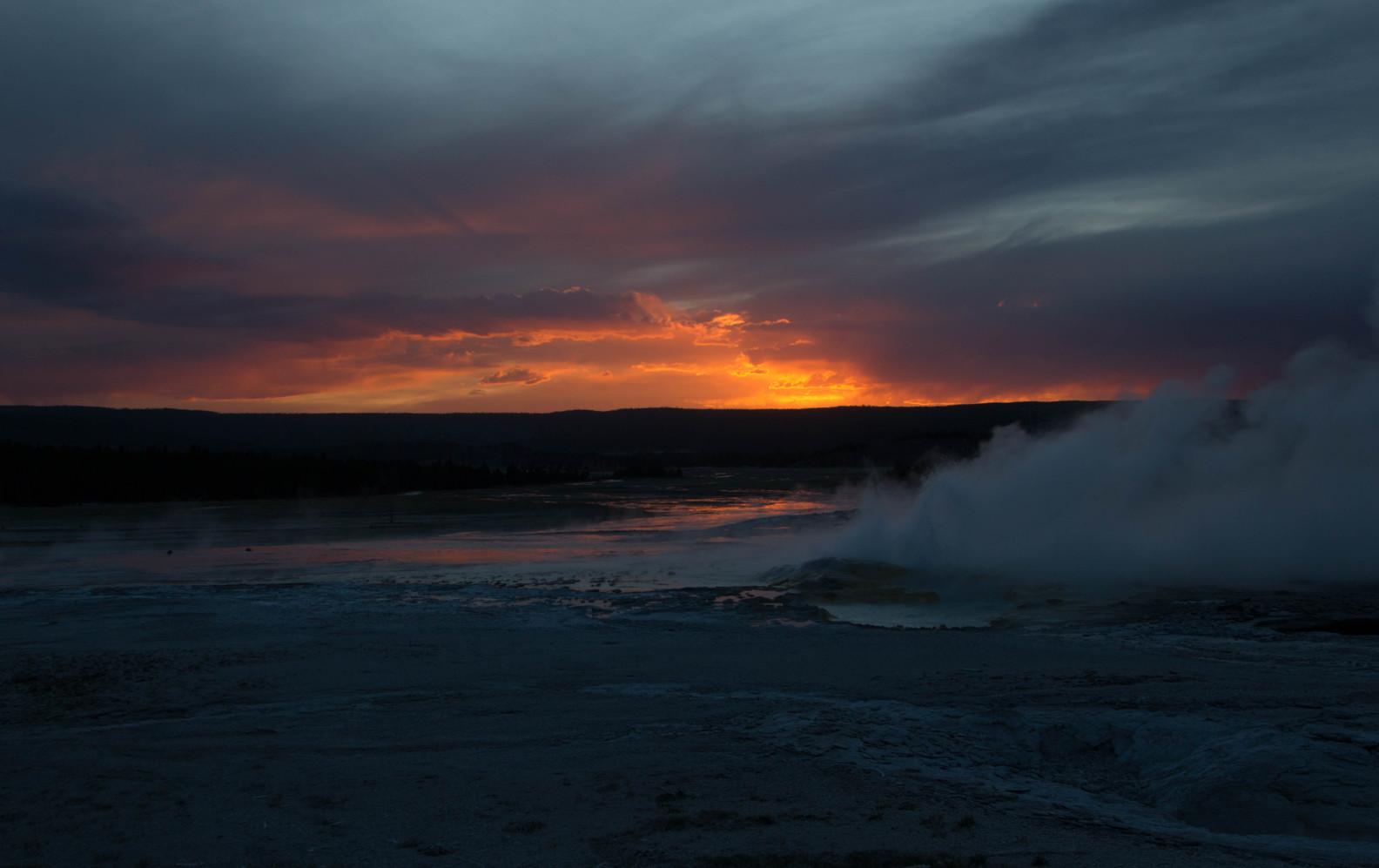
John Fisanotti
Five photos taken during a visit to White Sands National Park in 2024.
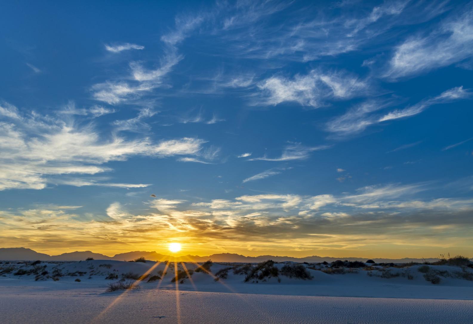
Sunset at White Sands
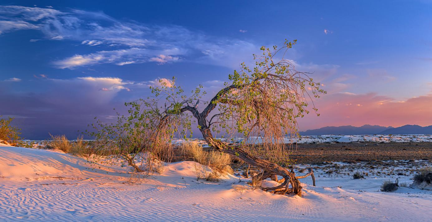
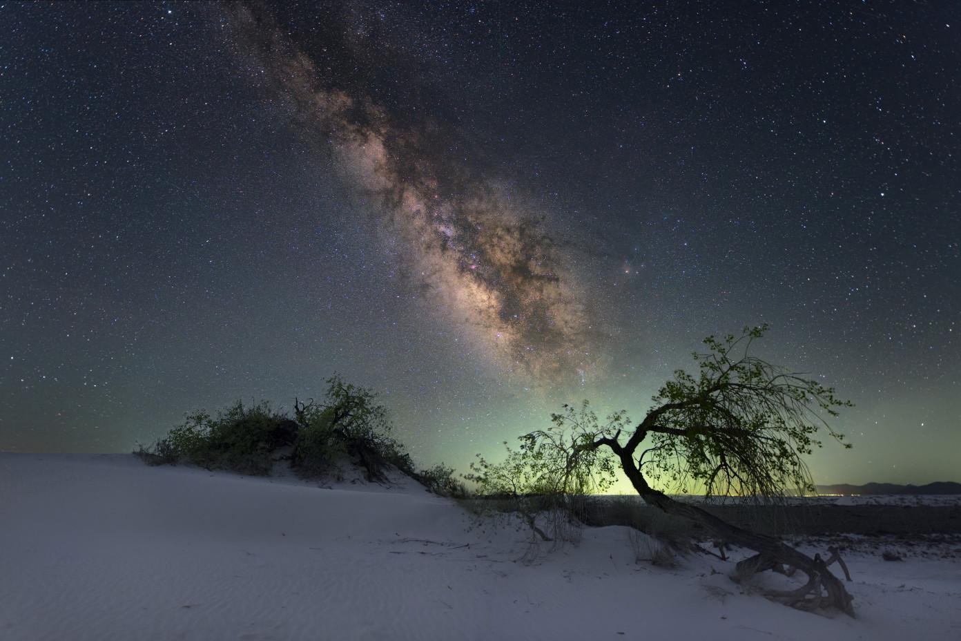
Gnarled cottonwood in the dunes at sunset
Milky Way over the dunes
John Fisanotti
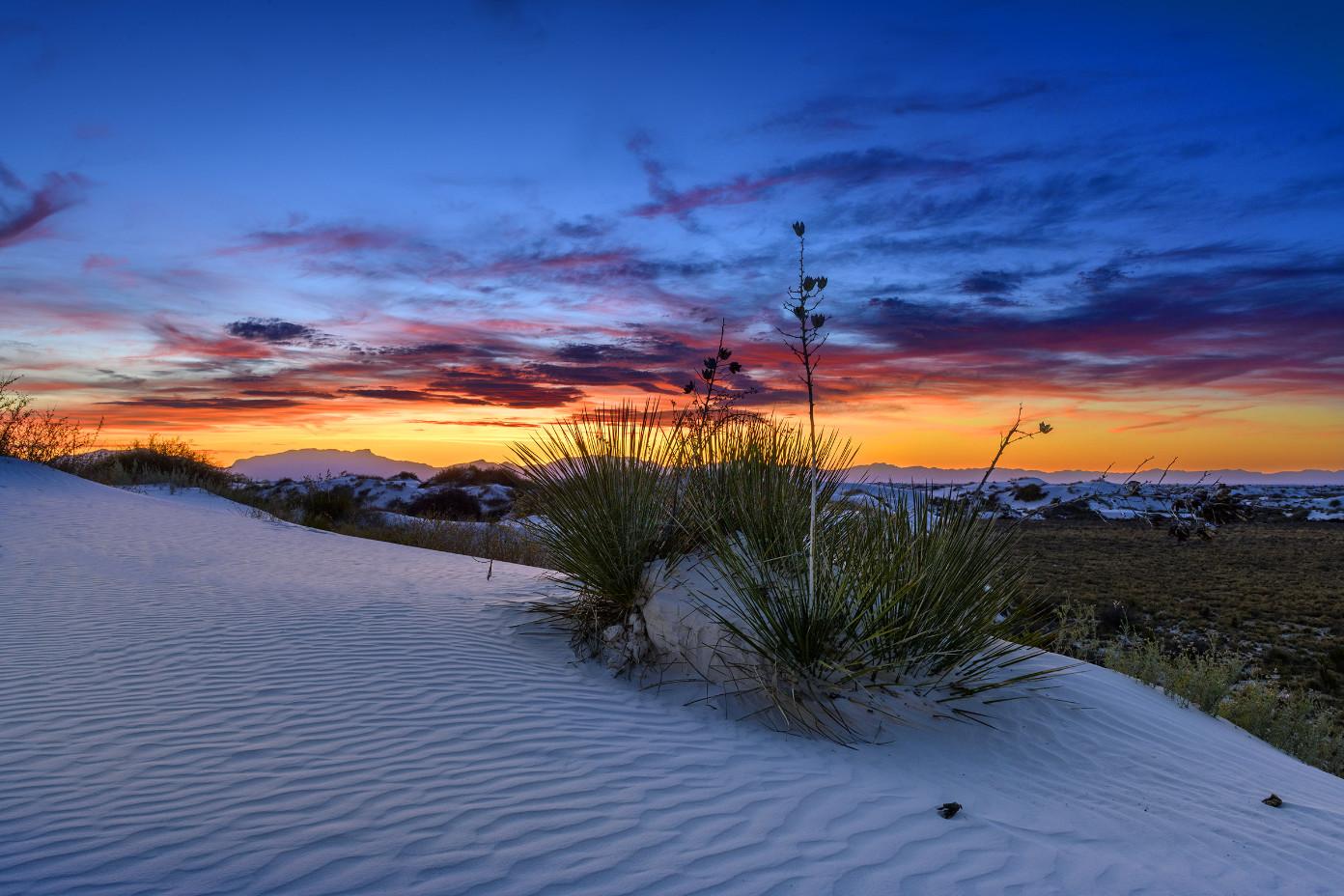
Sunset and Yuccas
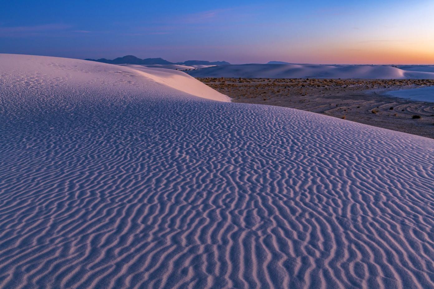
Morning twilight
Rebecca Wilks
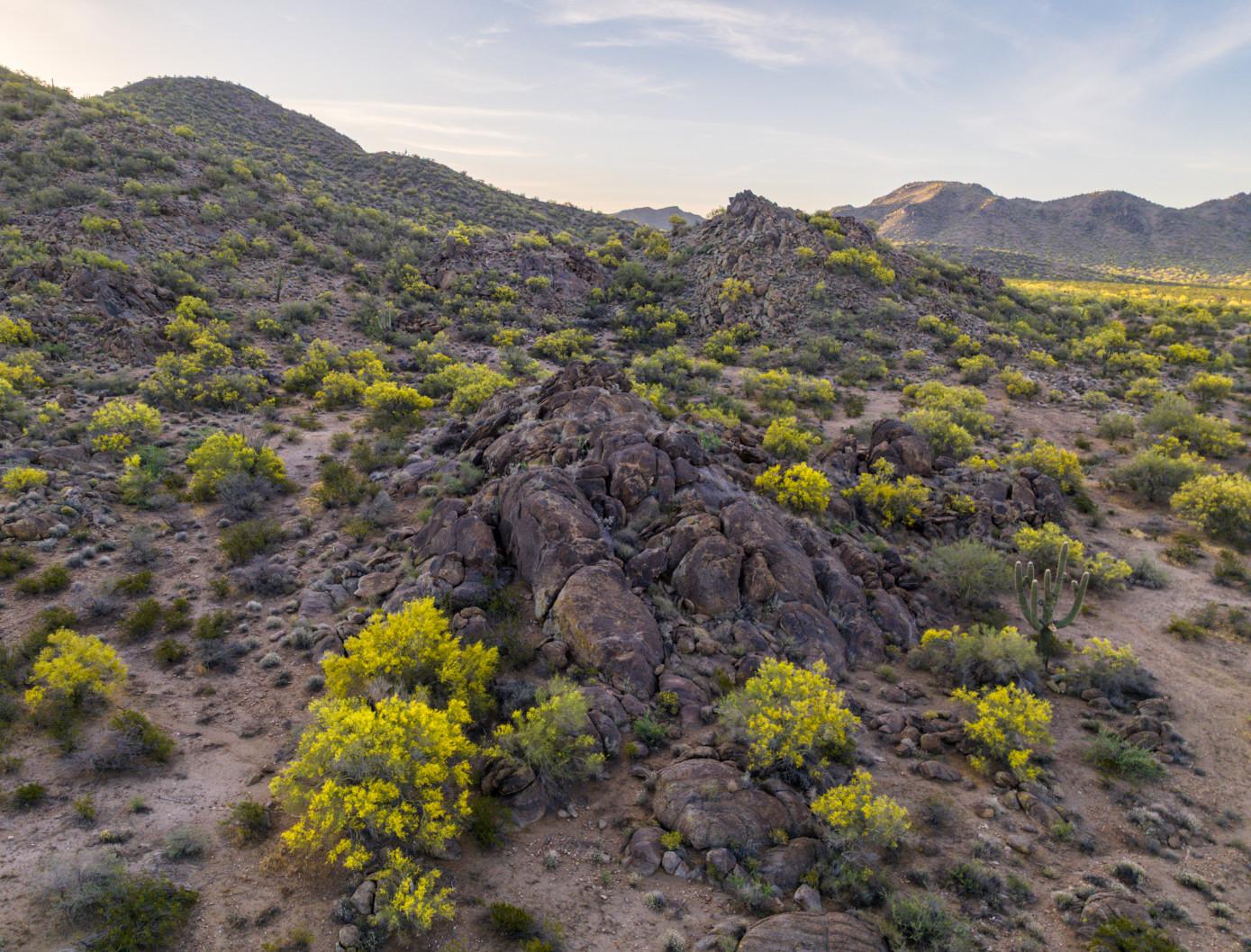
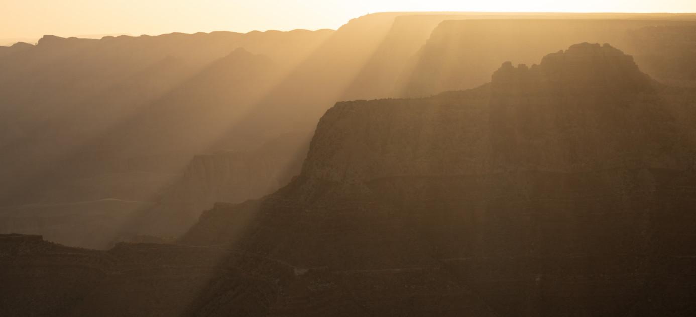
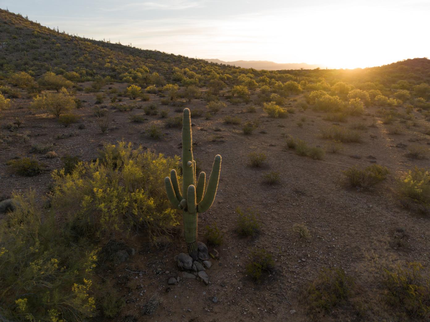
I’ve been sidelined, taking care of my dog post-op, so I’ve been doing short trips for the blooming palo verde trees, outside Prescott chasing Pronghorn, and a quick trip to Grand Canyon’s South Rim.
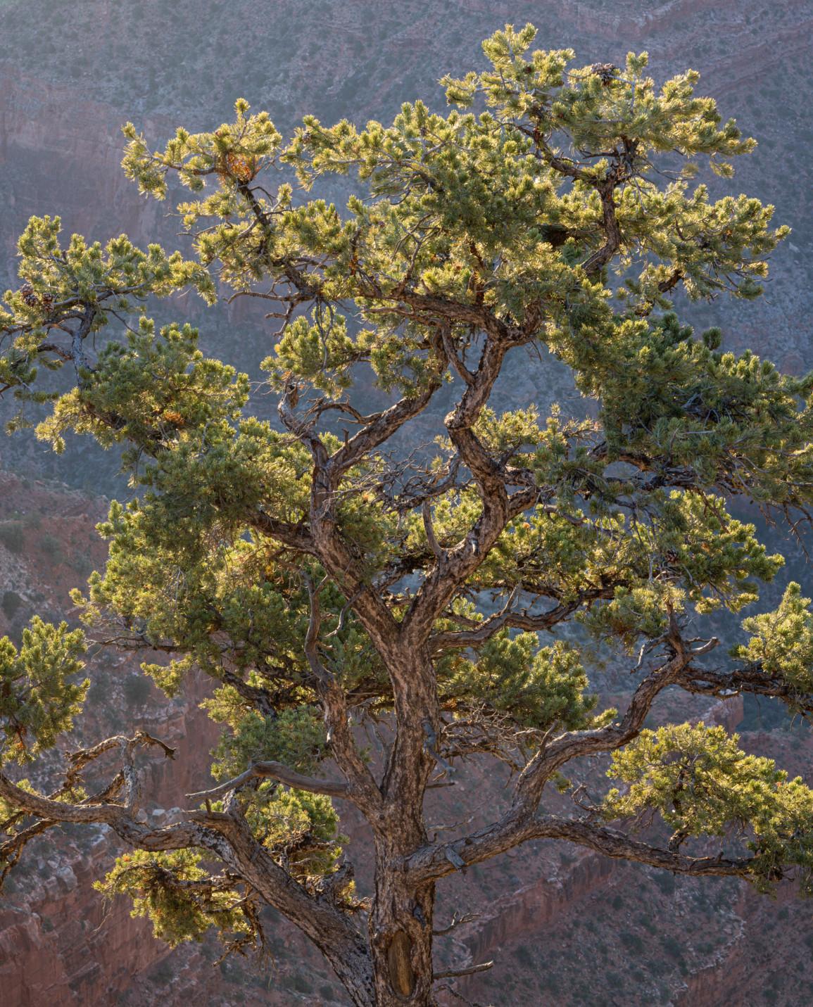
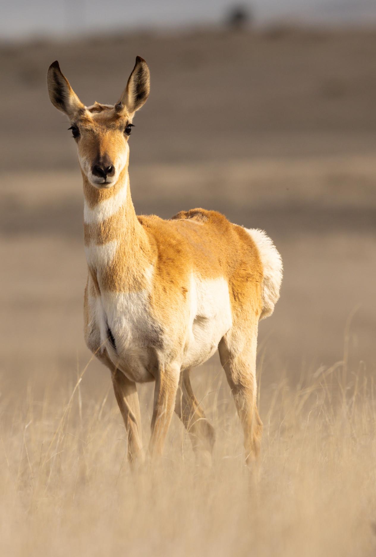
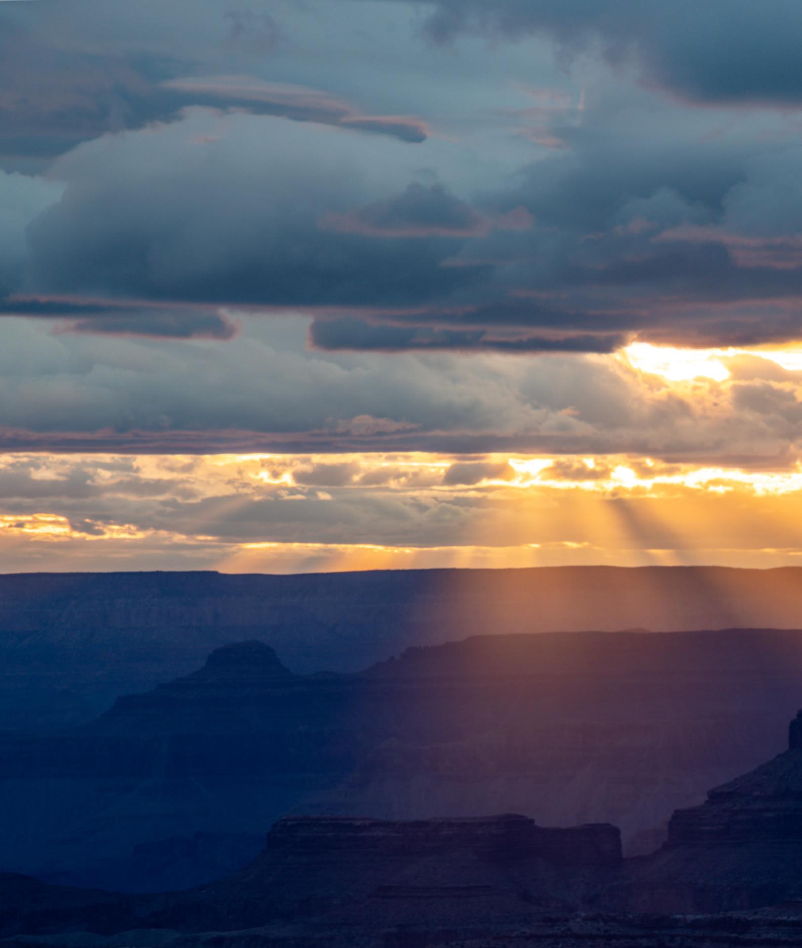
Rebecca Wilks
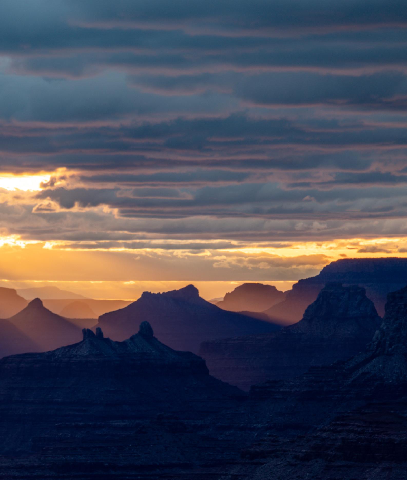
Rebecca Wilks
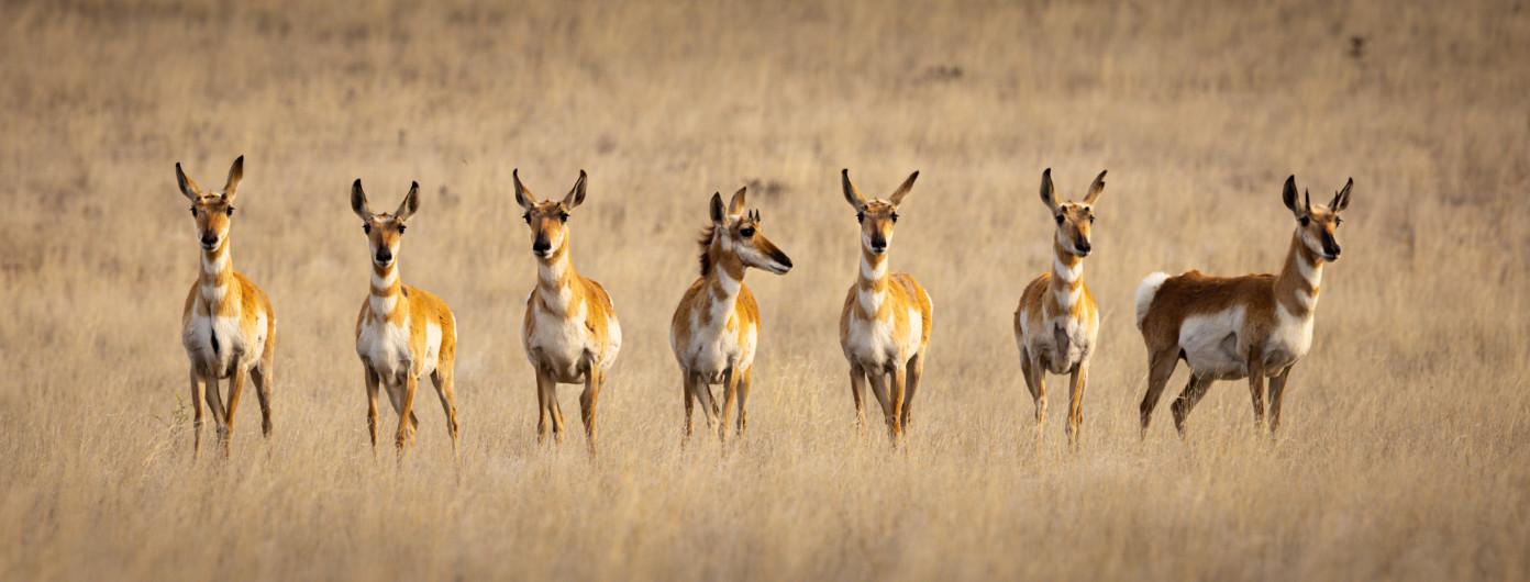
Joe Doherty
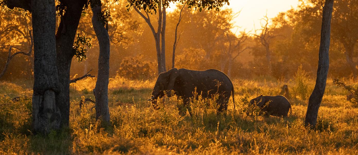
Images from a recent trip that Velda and I took to Zambia and Botswana with Karen Schuenemann’s Wilderness at Heart.
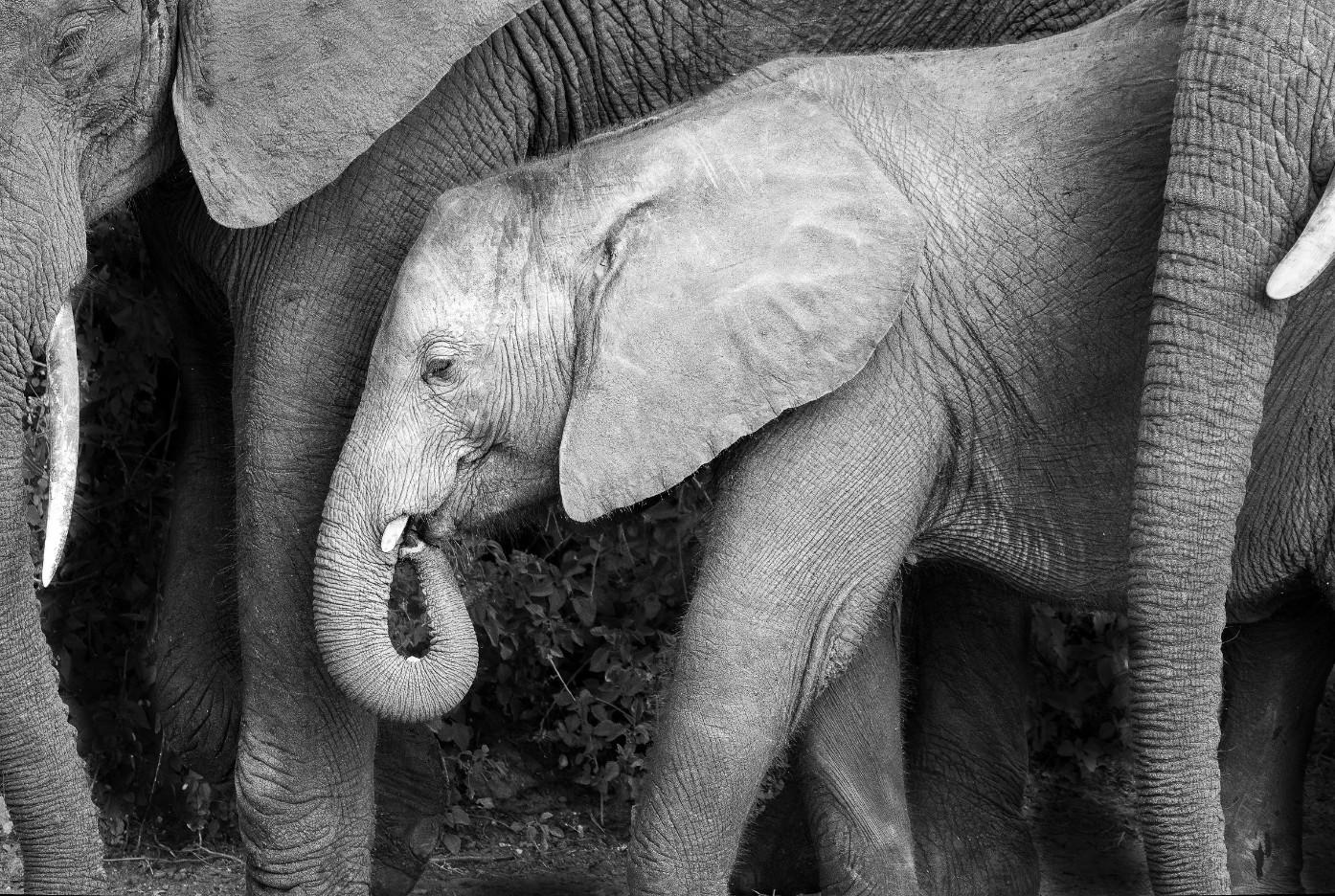
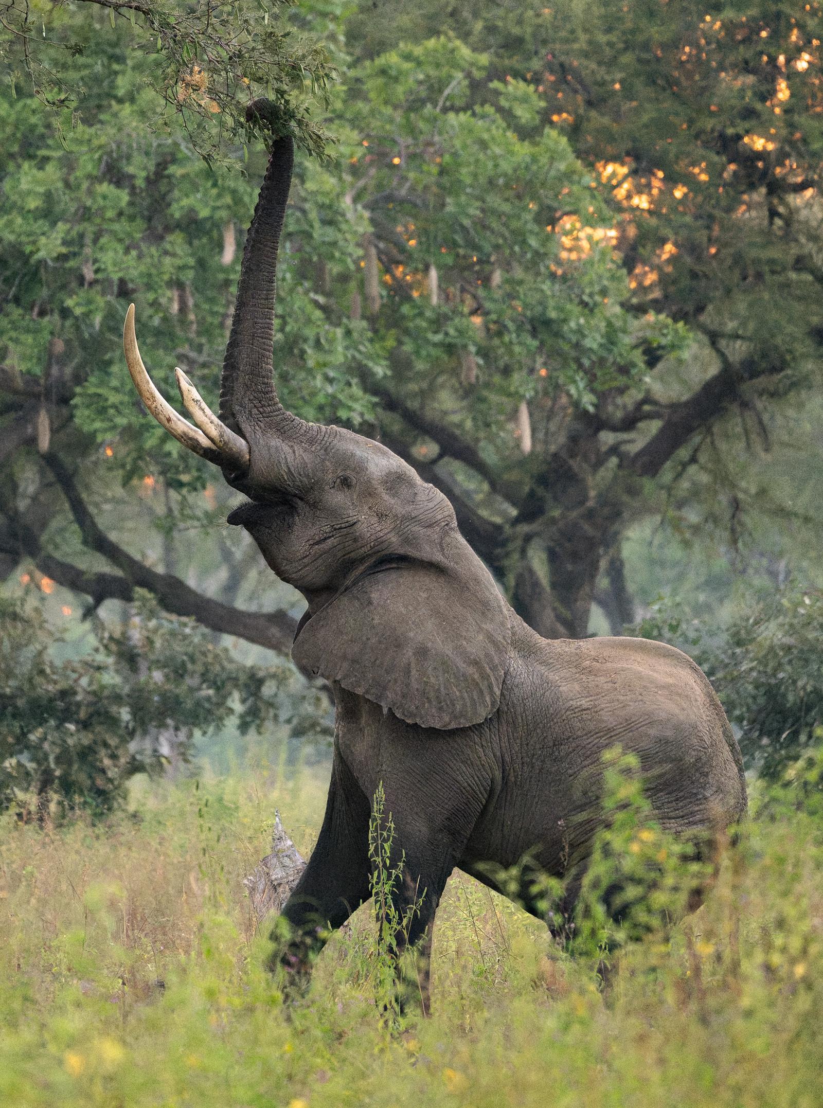
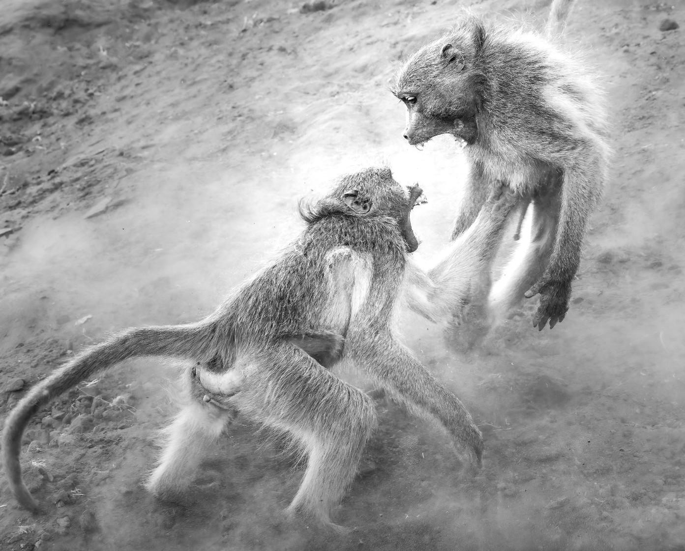
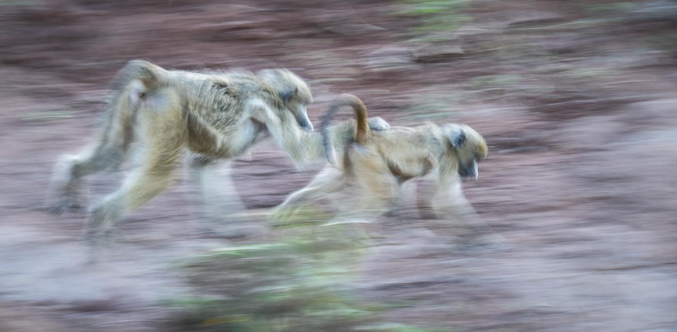
Joe Doherty
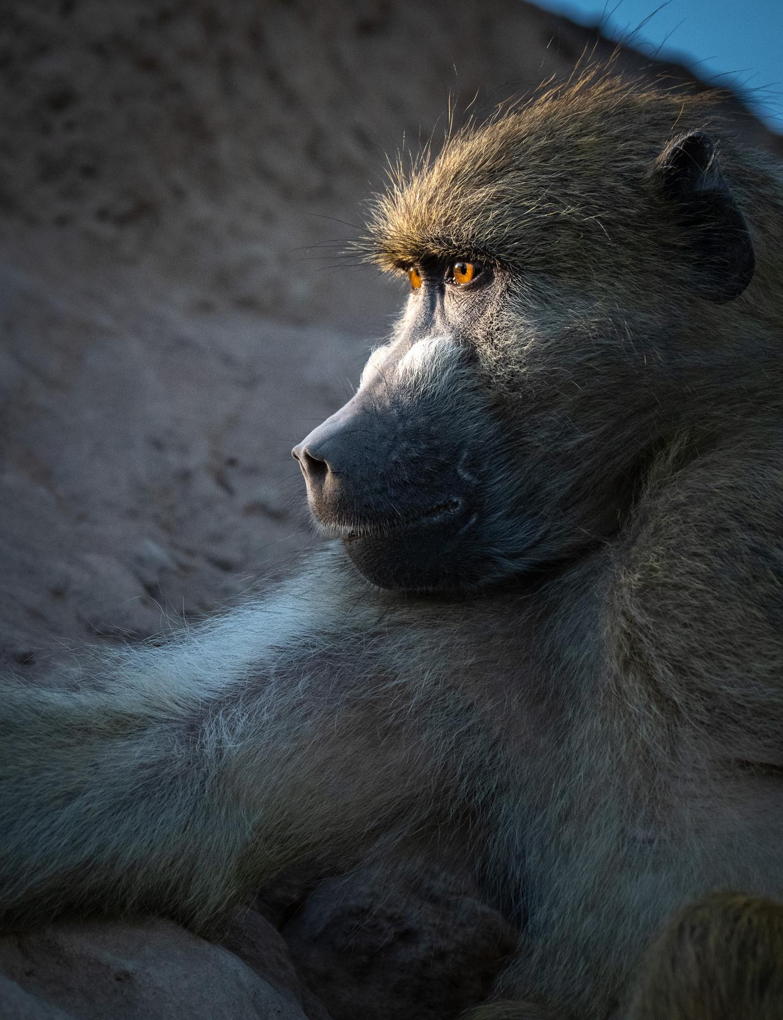
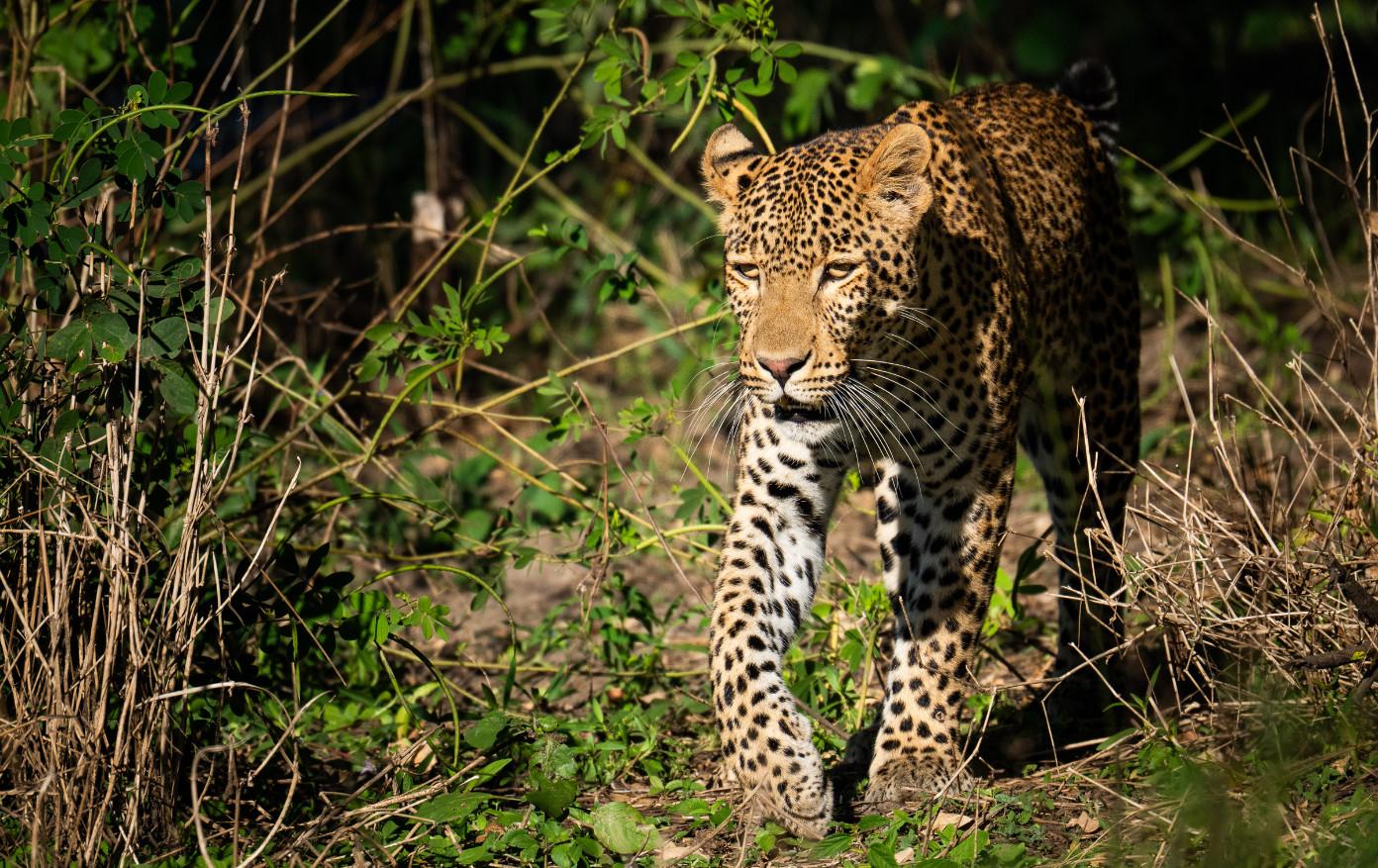
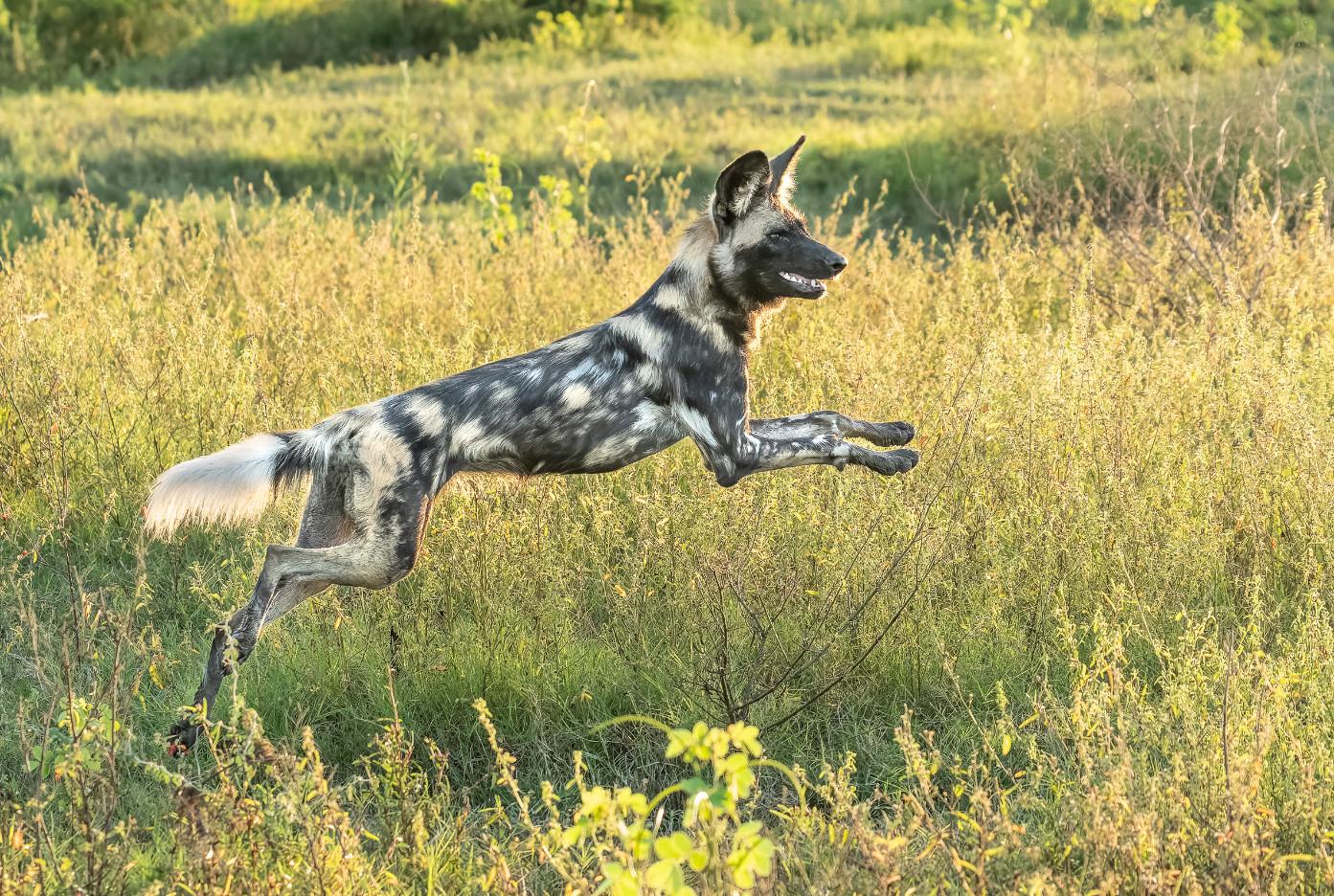
Joe Doherty

Velda Ruddock
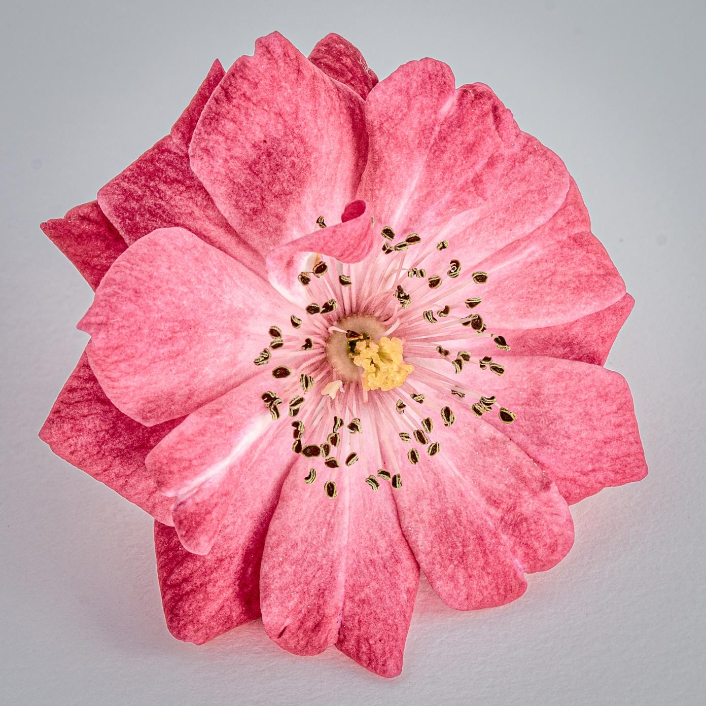

Velda Ruddock
Velda Ruddock
Thomas Cloutier
Thomas Cloutier has been with SCCC since 2001, and he has been contributing to Focal Points Magazine since that time.
Cloutier’s interest in photography coincides with his interest in travel and giving representation to nature landscapes. His formal education in photography comes from CSU Long Beach. At present Cloutier is a volunteer at CSU, Long Beach where he taught Water Colors and Drawing at the Osher Lifelong Learning Institute (OLLI), designed for Seniors over 45. He also is a docent at Kleefield Contemporary Museum CSU Long Beach. He is Liaison for the Art And Design Departments for a scholarship program for students at CSU Long Beach, Fine Arts Affiliates, FineArtsAffiliates.org.
Cloutier at cde45@verizon.net
Joe Doherty
Joe grew up in Los Angeles and developed his first roll of film in 1972. He has been a visual communicator ever since.
He spent his teens and twenties working in photography, most of it behind a camera as a freelance editorial shooter.
Joe switched careers when his son was born, earning a PhD in Political Science from UCLA. This led to an opportunity to run a research center at UCLA Law.
After retiring from UCLA in 2016, Joe did some consulting, but now he and his wife, Velda Ruddock, spend much of their time in the field, across the West, capturing the landscape. www. joedohertyphotography.com
John Fisanotti
John was a photography major in his first three years of college. He has used 35mm, 2-1/4 medium format and 4x5 view cameras. He worked briefly in a commercial photo laboratory.
In 1980, John pivoted from photography and began his 32-year career in public service. He worked for Redevelopment Agencies at four different Southern California cities.
After retiring from public service in 2012, John continued his photographic interests. He concentrates on outdoors, landscape, travel and astronomical images. Since 2018, he expanded his
repertoire to include architectural and real estate photography.
John lives in La Crescenta and can be contacted at either: jfisanotti@sbcglobal.net or fisanottifotos@gmail.com http://www.johnfisanottiphotography.com http://www.architecturalphotosbyfisanotti.com
Diane Gunderson
Diane picked up a camera in 2011 to document her 3 sons' growth and family adventures and was instantly hooked. She focused primarily on sports/ action photography with her boys, and dabbled in family and event photography. She pursued more formal photography training and completed Los Angeles Center of Photography’s General Course of Study in 2025.
Diane is now returning to her passion for nature, hiking, and the Great Outdoors through landscape and nature photography. Before pivoting to full time parenthood, she studied and had a career in conservation biology. As a child she dreamed of being a photographer for National Geographic. She is committed to growth in her craft as a landscape photographer and hopes to inspire others to enjoy and help protect our public lands. Diane lives in Agoura Hills with her husband and dogs and her boys when they come home to visit! She enjoys hiking and "chasing the light" in the Santa Monica Mountains.
Charlie Hyman
Charlie was born in South Africa and emigrated to the U.S. at age 14. He lives in the Portland, Oregon area, and travels frequently to destinations in Oregon, Washington, Nevada, and California with his wife, Karen, in their camper. They have also made trips to Vietnam, Malaysia, Mongolia, Scotland, Hawaii, and the Caribbean.
Photography has been in Charlie’s DNA since age 7, when he experimented with a box camera and his dad’s twin-lens reflex. He got his first SLR, a Nikkormat, while in college, and used it extensively for the next twenty years shooting mostly transparencies and B&W. He learned darkroom skills and was the lead photographer for his college yearbook. Charlie’s photography got a boost in 2008 when he got his first DSLR. Since then he has taken several workshops from well-known landscape photographers that influenced his approach to photography.
Although his primary interest is landscapes, he enjoys urban, astro, animal, travel, and abstract photography. Charlie taught photography at the high school level for four years and has had several successful shows in the Portland area. He has sold many of his prints, the largest of which was a mural that measured 8x21 feet
Velda Ruddock
Creativity has always been important to Velda. She received her first Brownie camera for her twelfth birthday and can’t remember a time she’s been without a camera close at hand.
Velda studied social sciences and art, and later earned a Masters degree in Information and Library Sciences from San Jose State University. All of her jobs allowed her to be creative, entrepreneurial, and innovative. For the last 24 years of her research career she was Director of Intelligence for a global advertising and marketing agency.
TBWA\Chiat\Day helped clients such as Apple, Nissan, Pepsi, Gatorade, Energizer, and many more, and she was considered a leader in her field.
During their time off, she and her husband, Joe Doherty, would travel, photographing family, events and locations. However, in 2011 they traveled to the Eastern Sierra for the fall colors, and although they didn’t realize it at the time, when the sun came up over Lake Sabrina, it was the start of them changing their careers.
By 2016 Velda and Joe had both left their “day jobs,” and started traveling and shooting nature –big and small – extensively. Their four-wheel-drive popup camper allows them to go to areas a regular car can’t go and they were – and are – always looking for their next adventure. www.veldaruddock.com VeldaRuddockPhotography@gmail.com
Rebecca Wilks
Photography has always been some kind of magic for Rebecca, from the alchemy of the darkroom in her teens… to the revelation of her first digital camera (a Sony Mavica, whose maximum file size was about 70KB)… to the new possibilities that come from her “tall tripod” (drone.)
Many years later, the camera still leads Rebecca to unique viewpoints and a meditative way to interact with nature, people, color, and emotion. The magic remains.
The natural world is Rebecca’s favorite subject, but she loves to experiment and to do cultural and portrait photography when she travels. Rebecca volunteers with Through Each Other’s Eyes, a nonprofit which creates cultural exchanges through photography, and enjoys working with other favorite nonprofits, including her local Meals on Wheels program and Cooperative for Education, supporting literacy in Guatemala.
Rebecca’s work has been published in Arizona Highways Magazine, calendars, and books, as well as Budget Travel, Cowboys and Indians, Rotarian Magazines, and even Popular Woodworking.
She’s an MD, retired from the practice of Obstetrics and Gynecology and Medical Acupuncture. She lives in the mountains of central Arizona with my husband and Gypsy, the Wonder Dog.
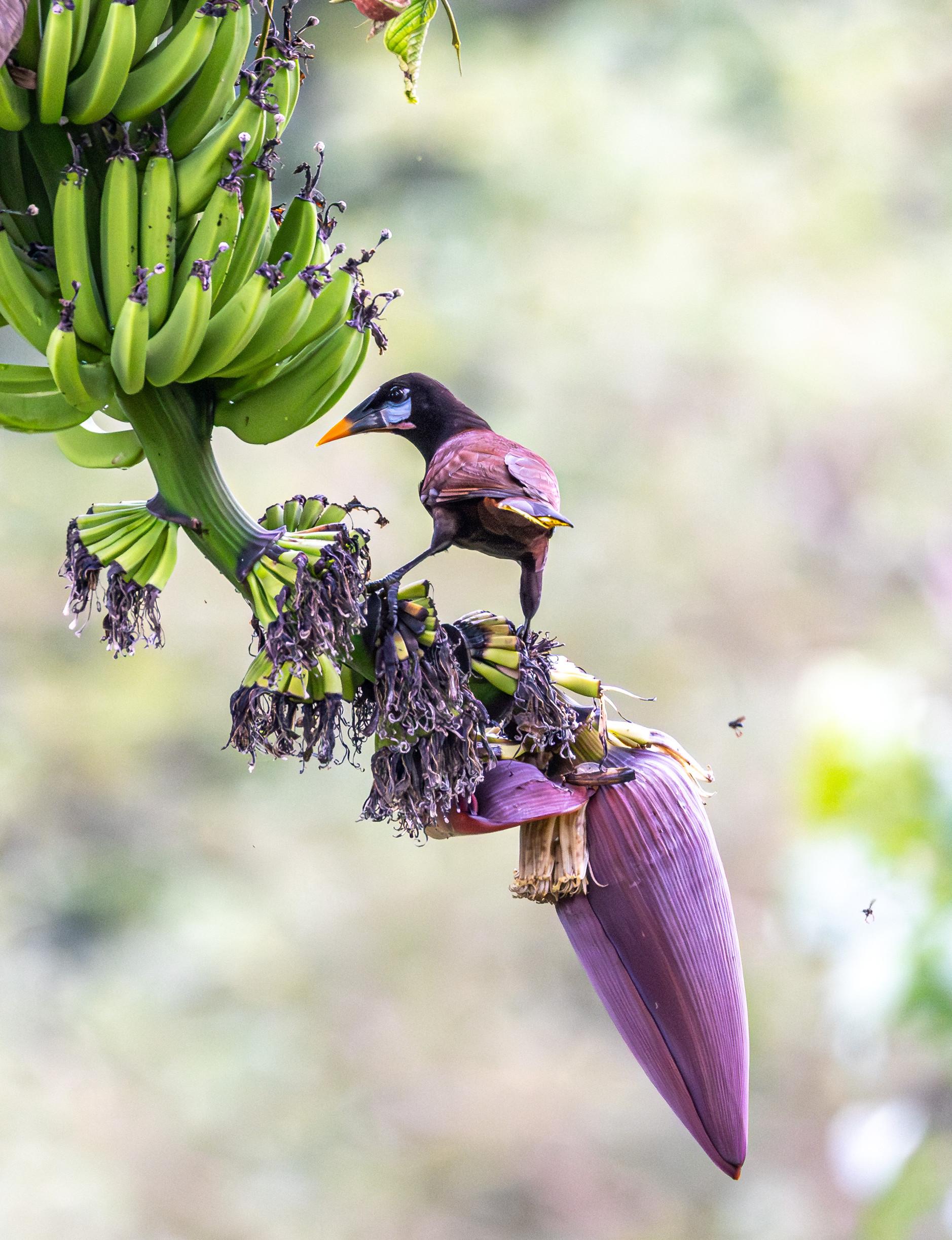
By Charlie Hyman
The Parting Shot